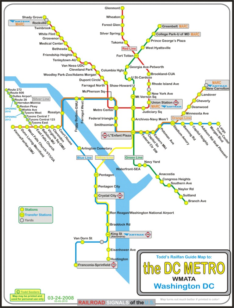
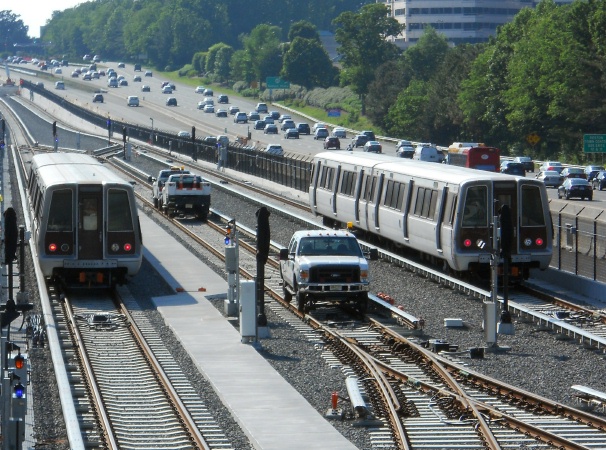
This page covers the DC Metro's Silver Line from end to end, starting
where it splits off from the Orange Line between the East Falls Church and
the West Falls Church stations.
Stations without an aerial picture do not have any discernable features from the air.
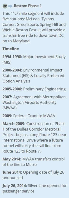
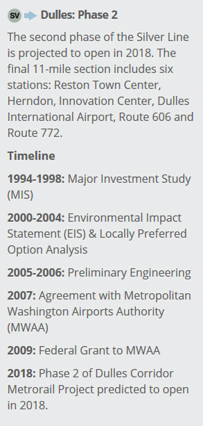
Here are a couple of screen shots of the milestones the Metro
system laid out in the beginning. Just like the DC
Streetcar system, it seems that the planners may have been
overly optimistic in their predictions! :-)
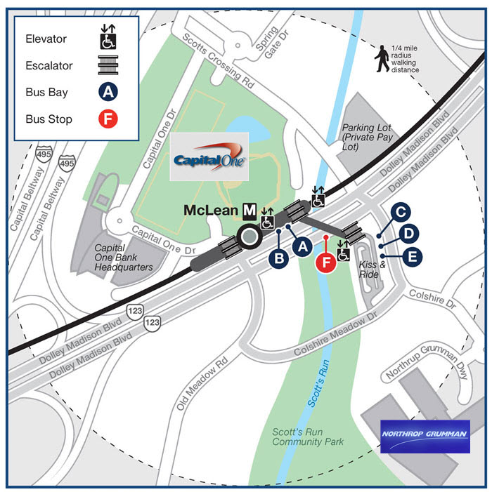
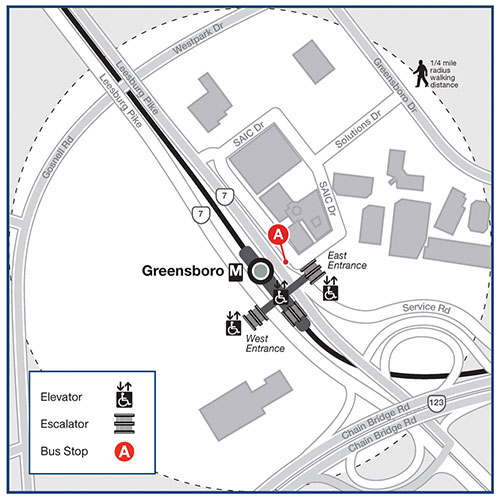
Maps
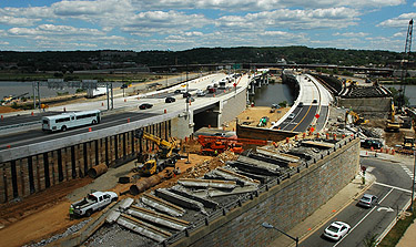
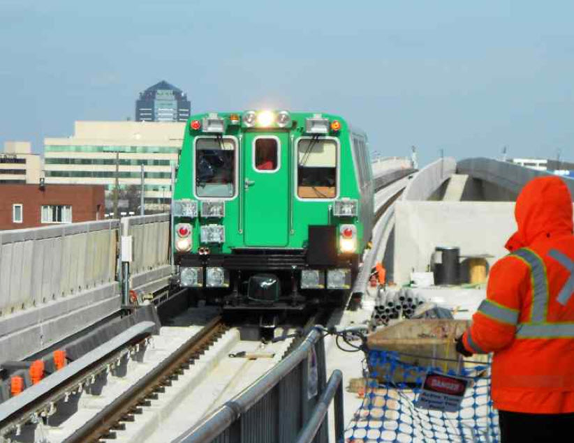
Construction
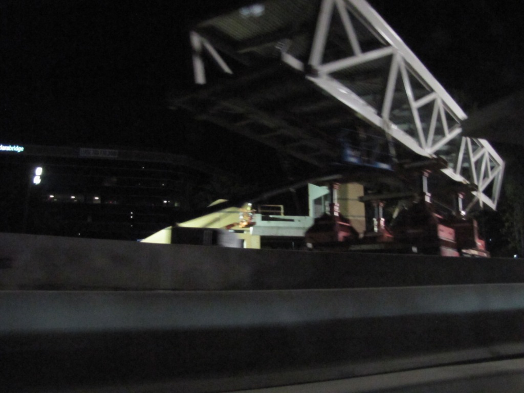
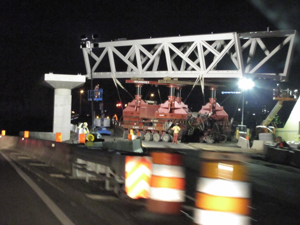
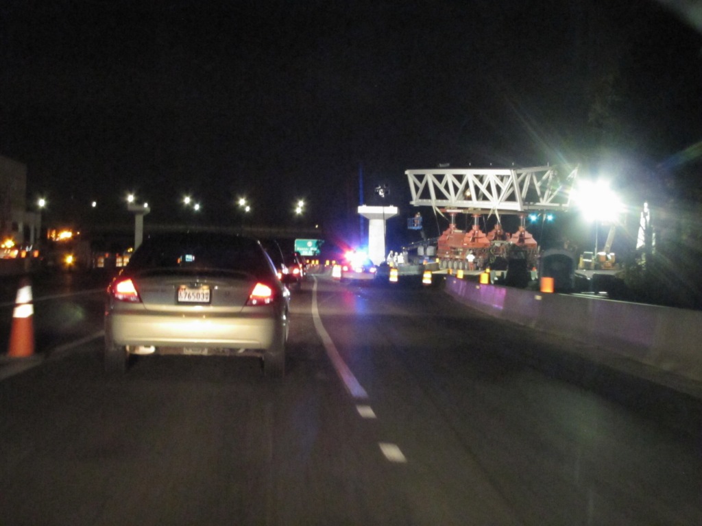
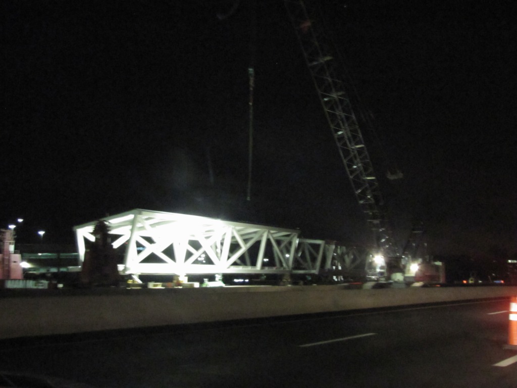
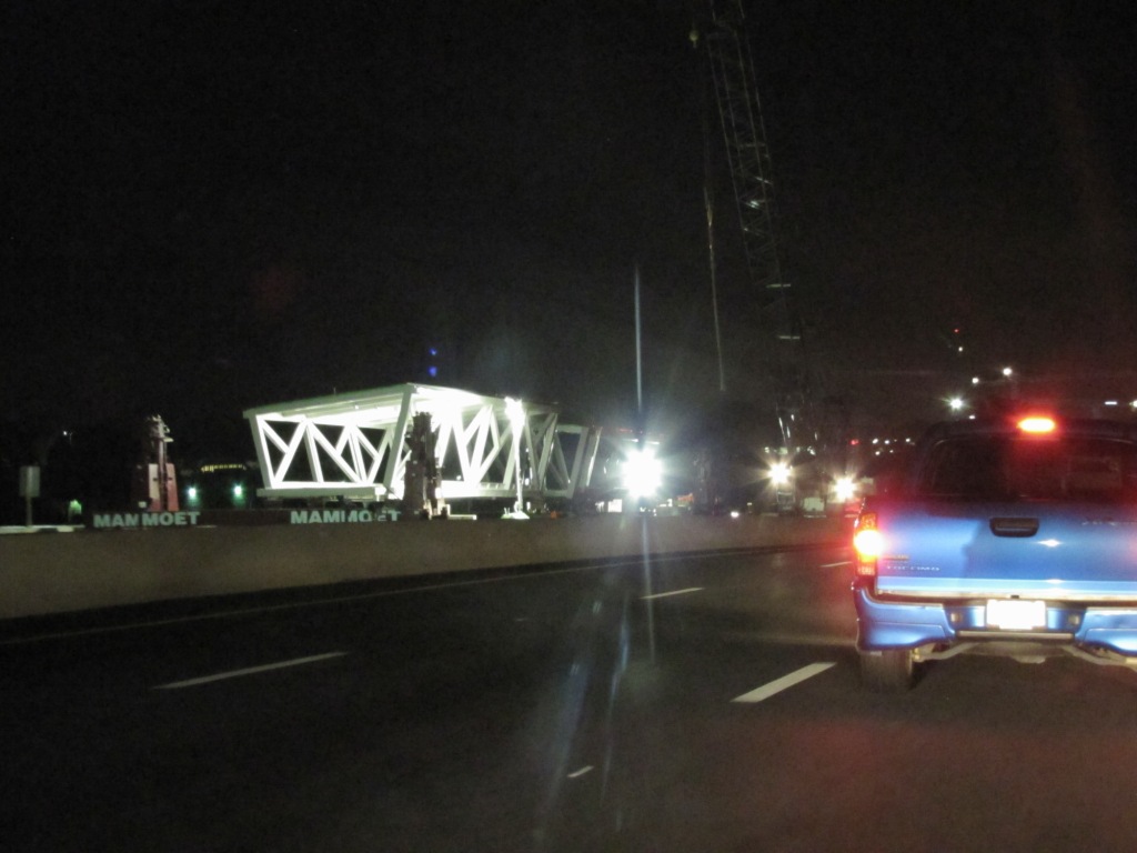
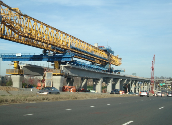
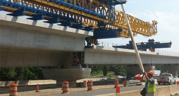
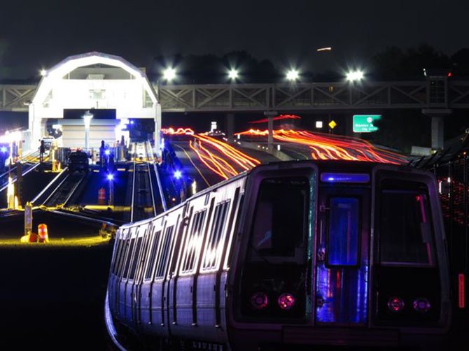
A few pictures on the night of 11/26/2012 on
the way back from Dulles airport, around 11pm after getting back from El
Salvador. They are putting up some of the truss work for one of the Silver
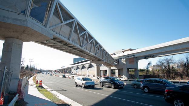
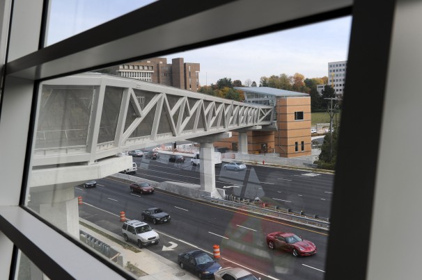
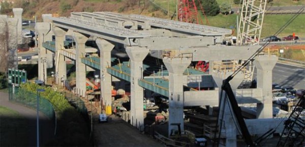
line stations. Below them are pictures from Google Images of the completed
structure.
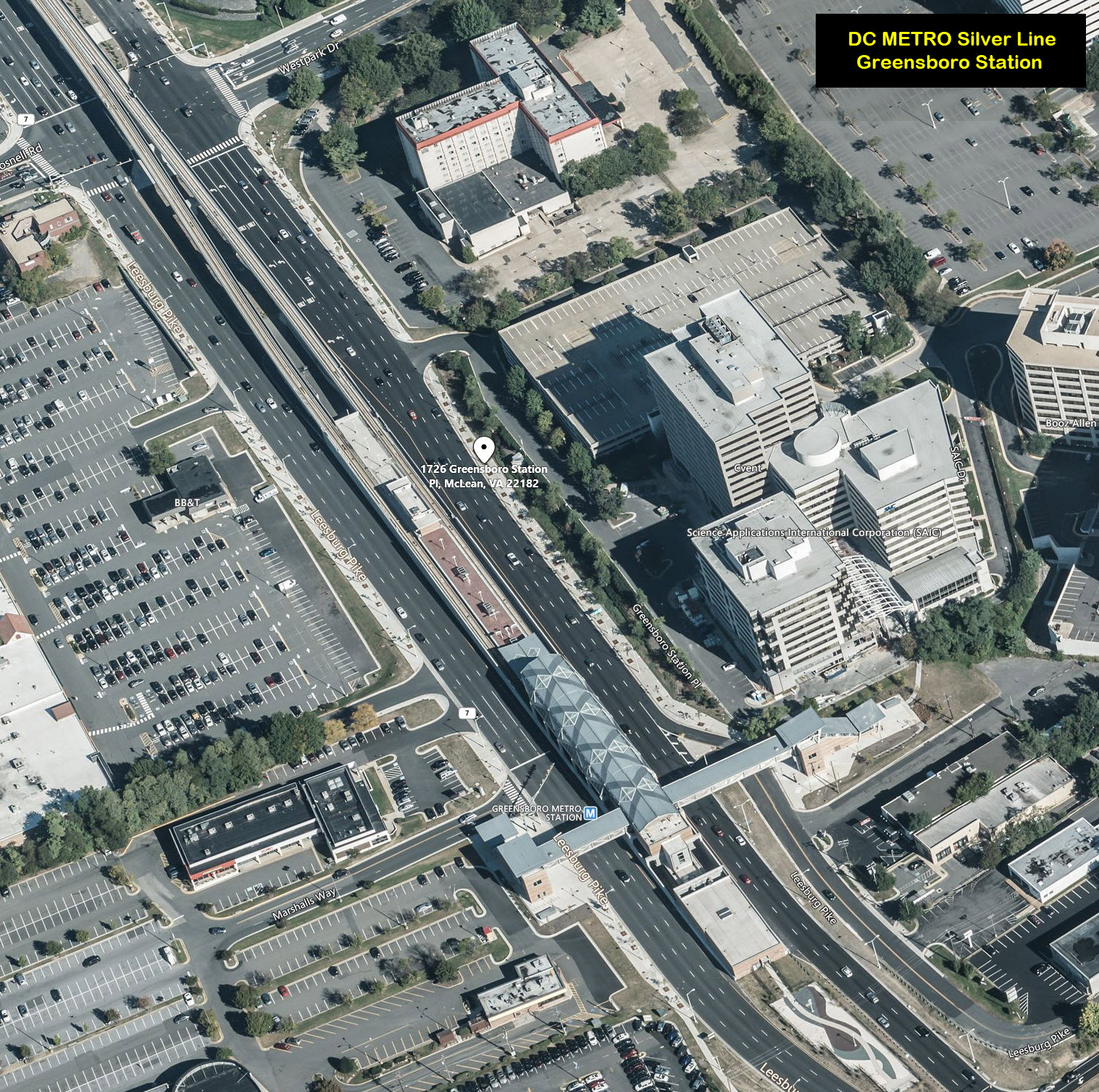
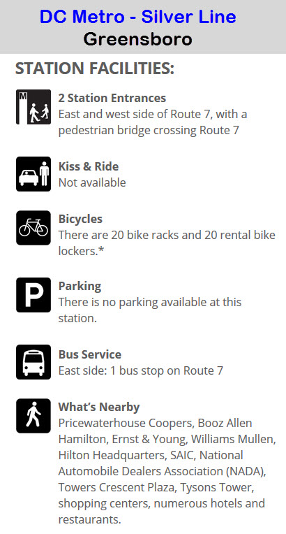
Greensboro is where the line pops out of the ground and becomes an elevated
system going further on out to Dulles.
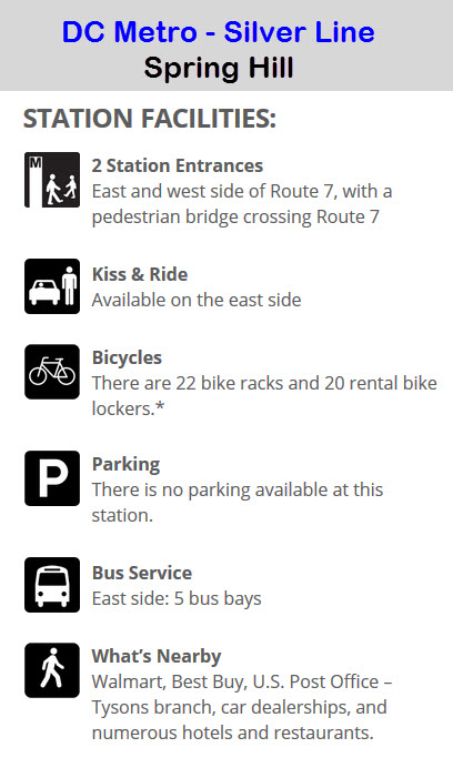
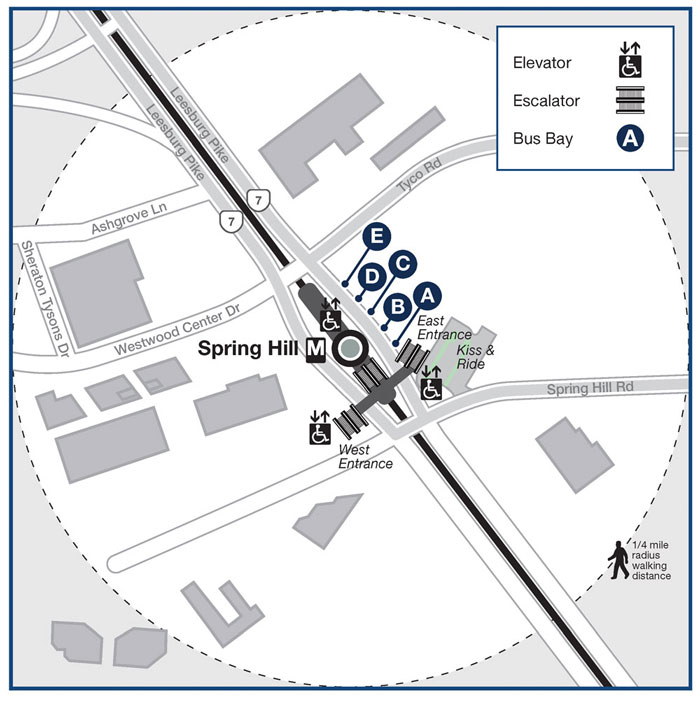
Spring Hill
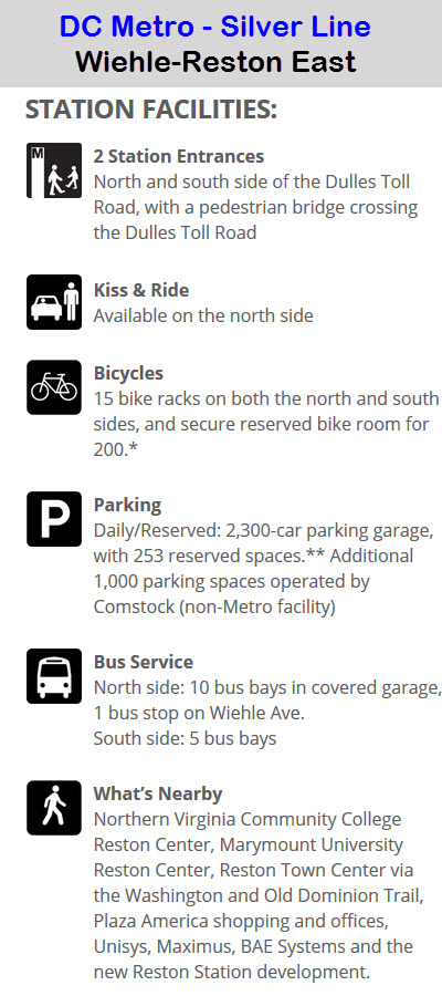
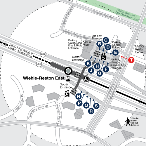
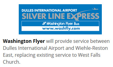
Wiehle-Reston East
As of 2015, this station is the current end of the line for Phase 1.
Reston Parkway
Opening in 2018?
Herndon-Monroe
Opening in 2018?
Route 28
Opening in 2018?
Dulles Airport
Opening in 2018, er, 2021?
Route 606
Opening in 2018, er, 2021?
Route 772
Opening in 2018, er, 2021?
Disclaimers:
I love trains, and I love signals. I am not an expert. My webpages reflect what I find on the topic of the page. This is something I have fun with while
trying to help others.
Please Note: Since the main focus of my two websites is railroad signals, the railfan guides are oriented towards the signal fan being able to locate them.
For those of you into the modeling aspect of our hobby, my
indexa page has a list of almost everything railroad oriented
I can think of to provide you with at least a few pictures to help you detail your pike.
If this is a railfan page, every effort has been made to make sure that the information contained on this map and in this railfan guide is correct. Once in a while,
an error may creep in :-)
My philosophy: Pictures and maps are worth a thousand words, especially for railfanning. Text descriptions only get you so far, especially if you get lost or
disoriented. Take along good maps.... a GPS is OK to get somewhere, but maps are still better if you get lost! I belong to AAA, which allows you to get
local maps for free when you visit the local branches. ADC puts out a nice series of county maps for the Washington DC area, but their state maps do not have the
railroads on them. If you can find em, I like the National Geographic map book of the U.S..... good, clear, and concise graphics, and they do a really good job
of showing you where tourist type attractions are, although they too lack the railroads. Other notes about specific areas will show up on that page if known.
Aerial shots were taken from either Google or Bing Maps as noted. Screen captures are made
with Snagit, a Techsmith product... a great tool if you have never used it!
By the way, floobydust is a term I picked up 30-40 years ago from a National Semiconductor data book, and means miscellaneous
and/or other stuff.
Pictures and additional information is always needed if anyone feels inclined to take 'em, send 'em, and share 'em, or if you have something to add or correct.... credit
is always given! Please be NICE!!! Contact info is here
Beware: If used as a source, ANYTHING from Wikipedia must be treated as being possibly being inaccurate, wrong, or not true.