The Washington Metro, also known just as the
Metro and Metrorail, is the rapid transit system for Washington,
D.C., and its surrounding suburbs. It is administered by the Washington
Metropolitan Area Transit Authority (WMATA), which also operates Metrobus
service under the Metro name in Maryland.
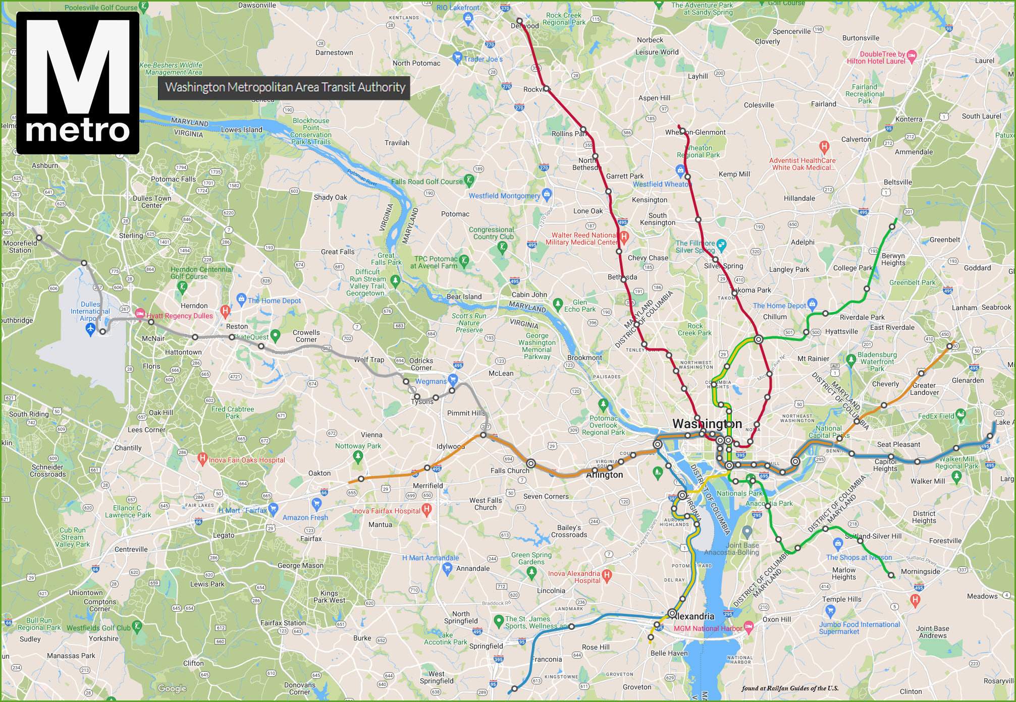
Metro provides service to Montgomery and Prince George's County in Maryland;
and in Virginia: to Fairfax County, Arlington County, and the City of Alexandria.
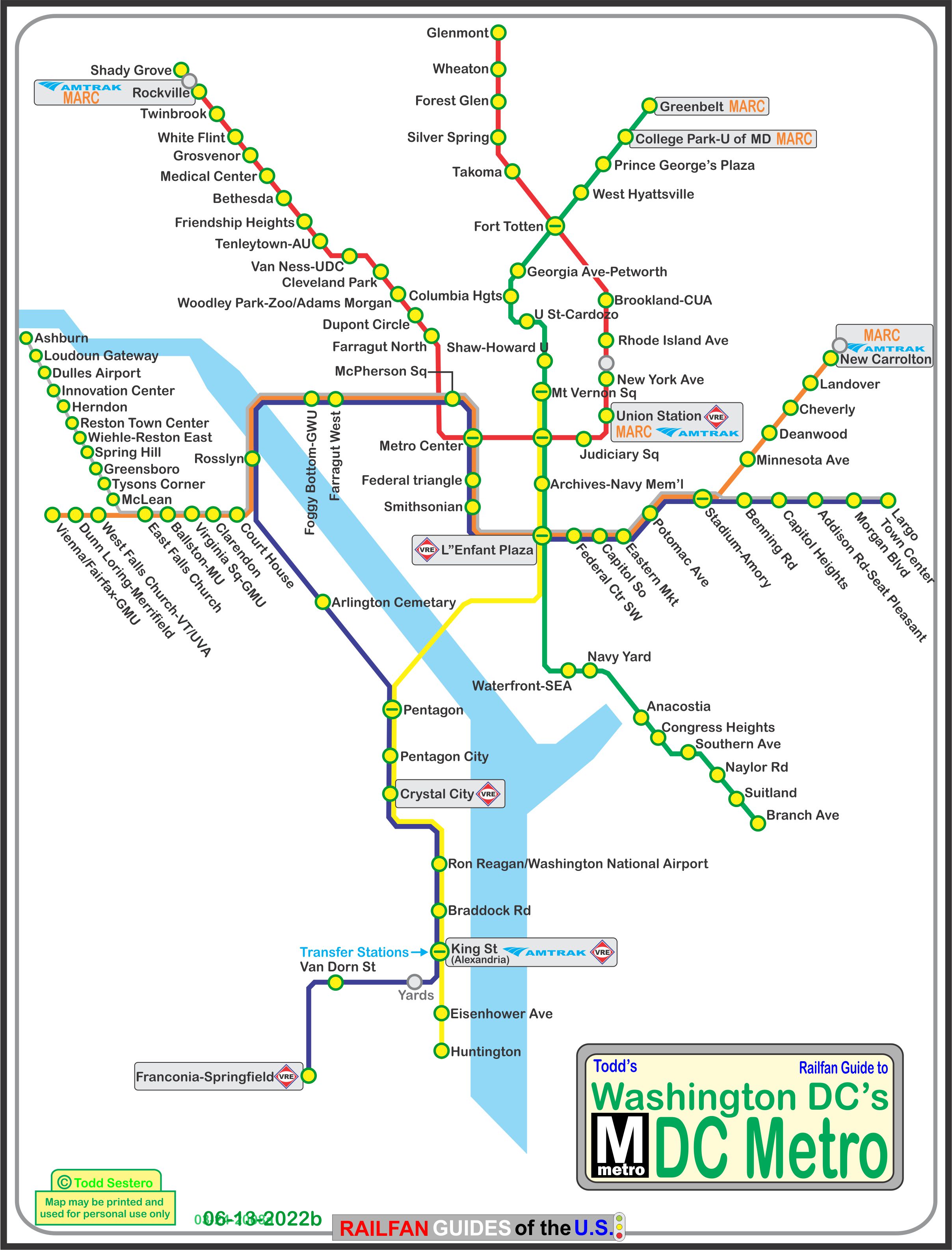
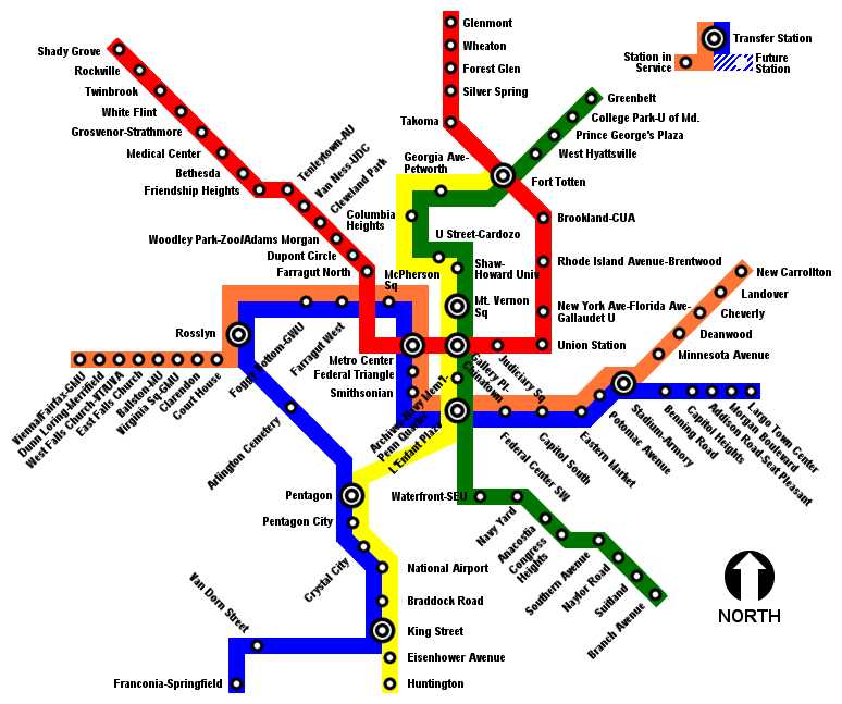
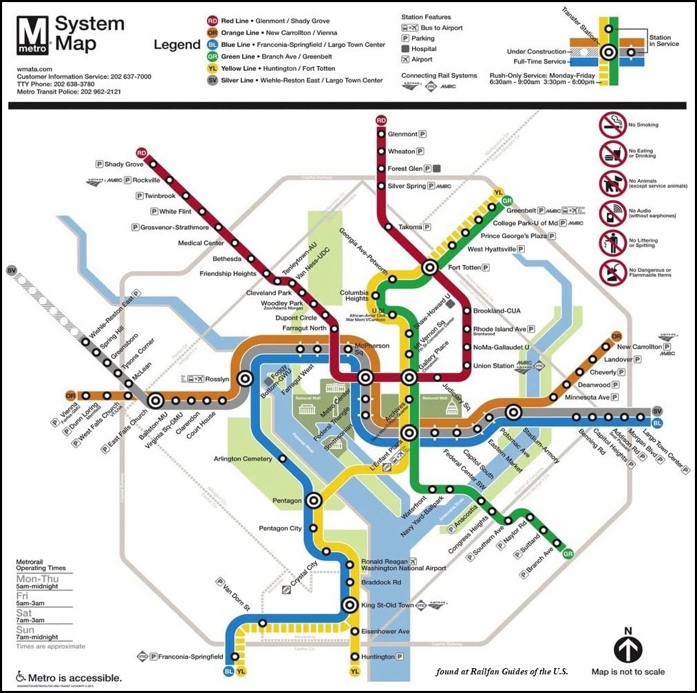
The Metro opened March 27th, 1976. Since then, the network has grown to
include five lines, 86 stations, and 106.3 miles of track.
It started in 1968, when WMATA approved the construction of a 98 mile
rapid transit system. Construction started on December 9th,
1969. There were originally 5 stations on the 4.6 mile Red Line, Rhode
Island to Farragut North. The system now comprises of:
-- The Red Line, has 27 stations.
-- The Blue Line, 27 stations, opened in 1977.
-- The Orange Line, 26 stations, opened in 1978.
-- The Yellow Line, 17 stations, opened in 1983.
-- The Green Line, has 21 stations, opened in 1991.
-- The Silver Line, has 5 additional stations that opened on 7/26/2014,
another 6 stations to be completed in 2016 (MISSED that date!).
About 50 miles of the system is underground, as are 47 of the 86 stations.
There are 50 stations in DC, 15 in Prince Georges Co MD, 11 in
Montgomery Co MD, 11 in Arlington Co VA, 6 in Fairfax Co VA,
and 3 in Alexandria VA.
The Forest Glen station on the Red Line is the deepest on the
system at 196 feet, but doesn't use escalators, they use high
speed elevators instead.
Washington's Metro system is the second-busiest rapid transit
system in the United States in number of passenger trips, after
the New York City Subway System.
Fares vary based on the distance traveled and the time of day,
which really makes commuting more complicated than it has to be,
and sucks for those of us who don't ride the system every day.
Riders enter and exit the system using a stored-value card in the
form of a paper magnetic stripe farecard or a proximity card known as SmarTrip.
Parking is pretty convenient at most above ground stations, BUT
BEWARE of the posted signs, for they DO ticket almost immediately
(speaking from personal experience). Most lots have general
parking until the rush hours, then certain spaces need to be vacated.
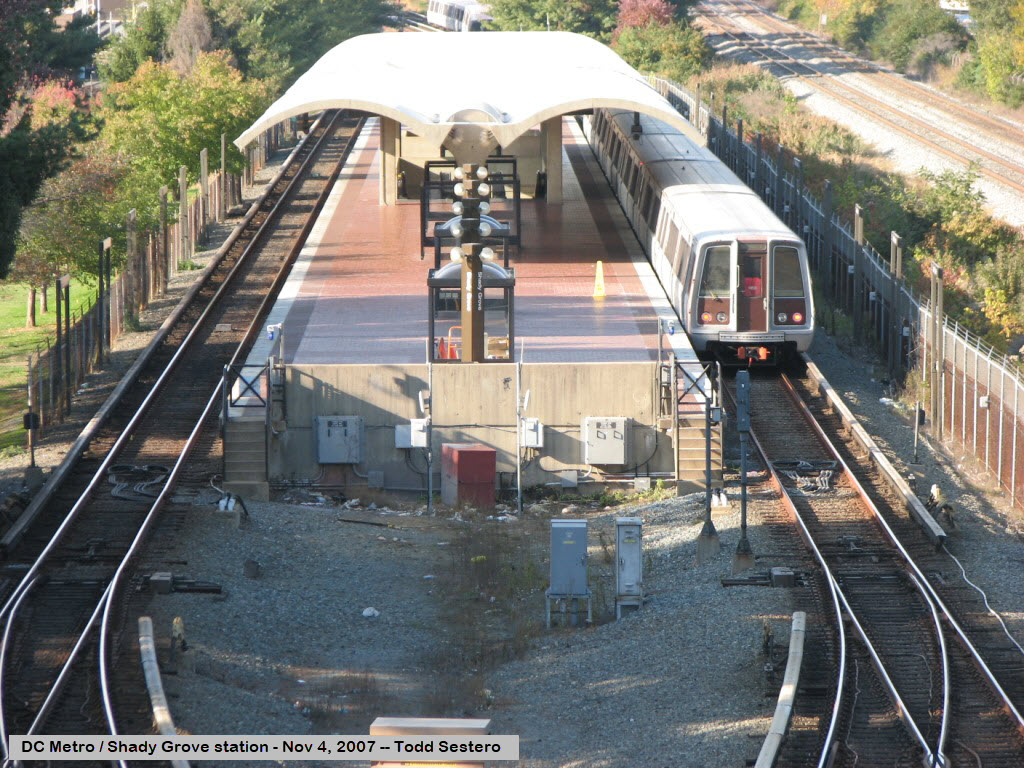
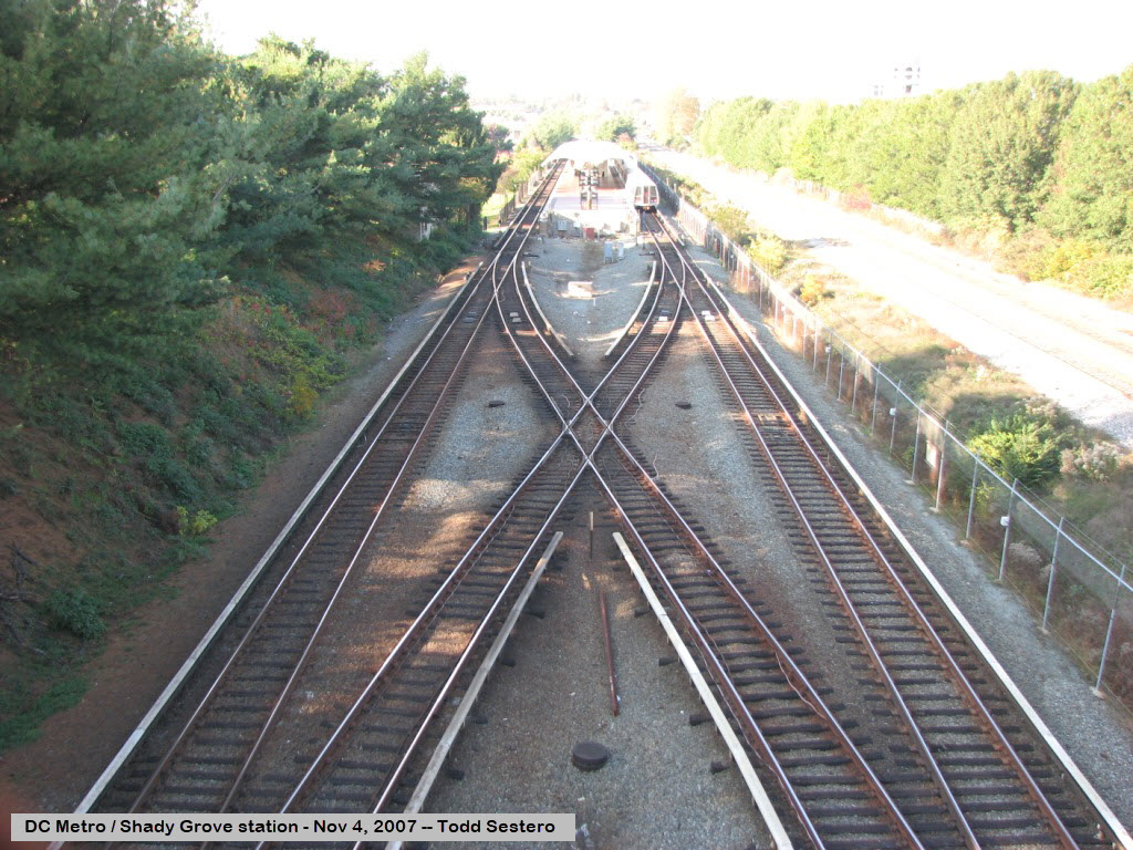
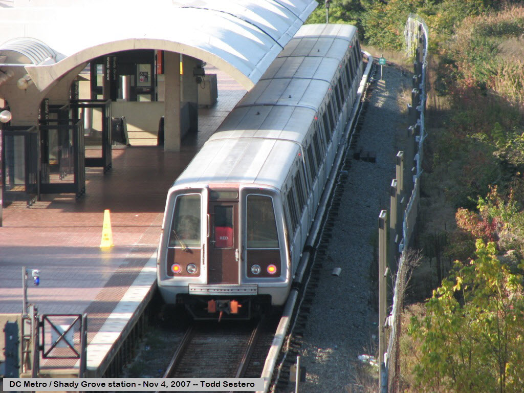
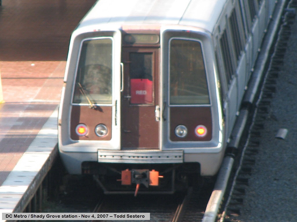
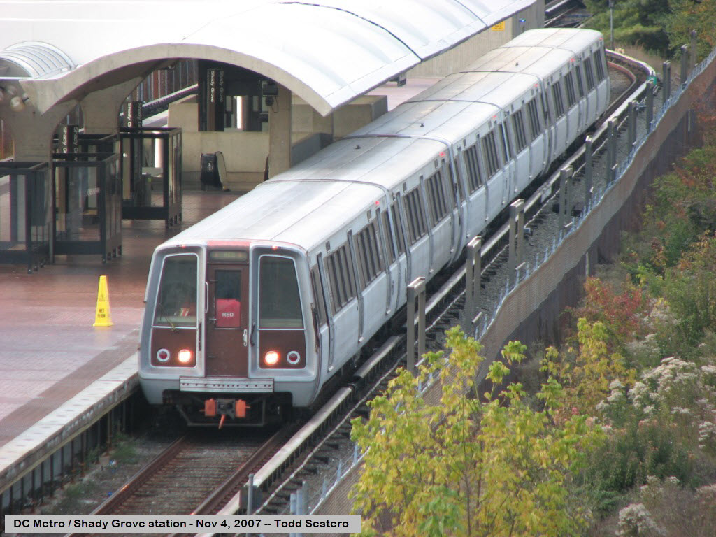
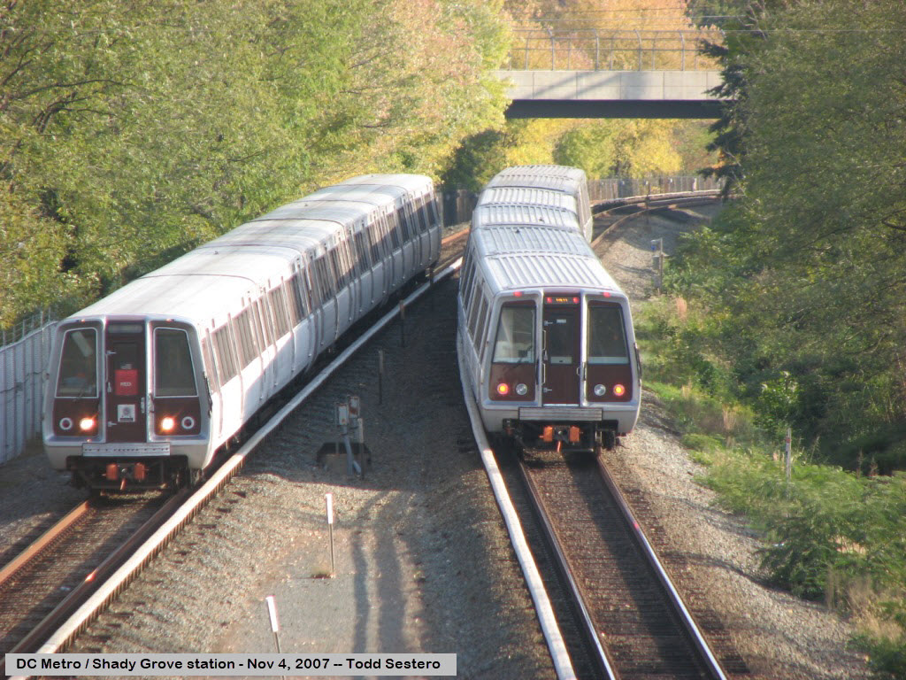
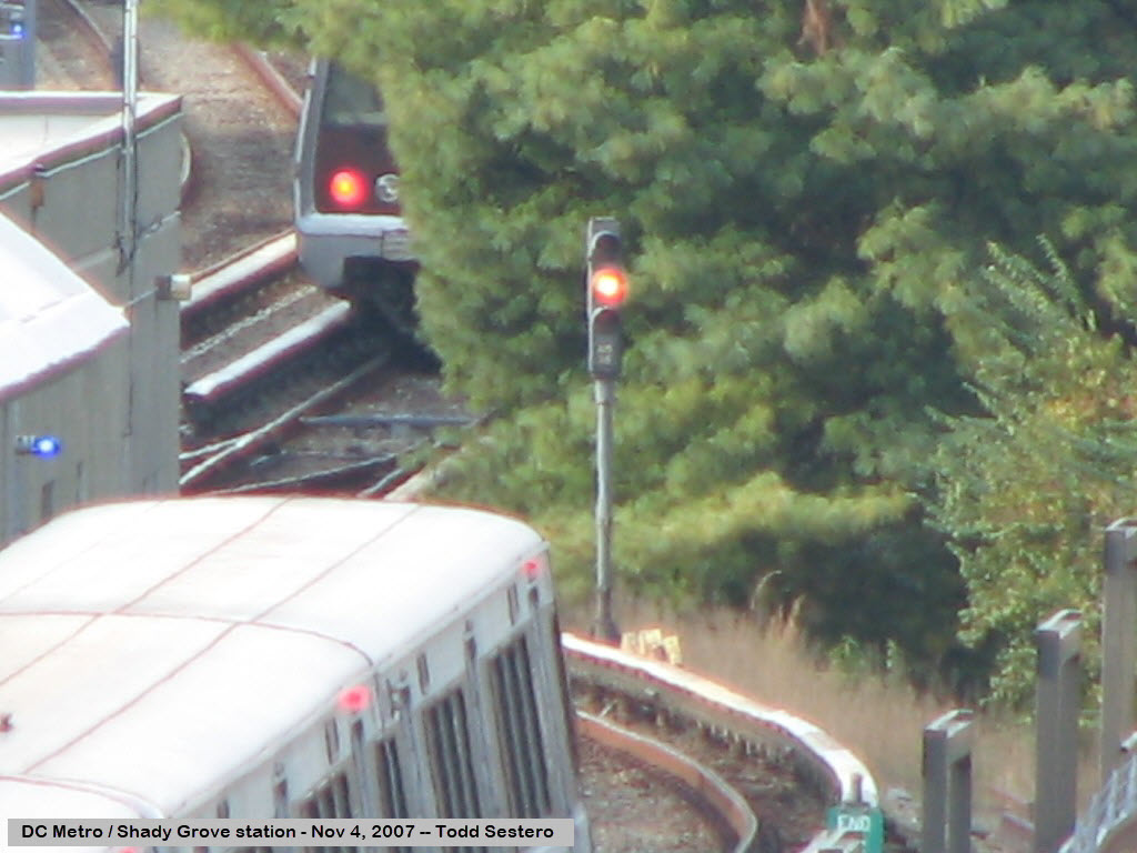
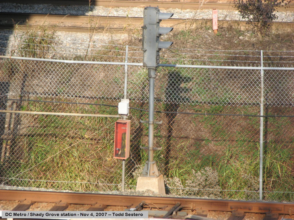
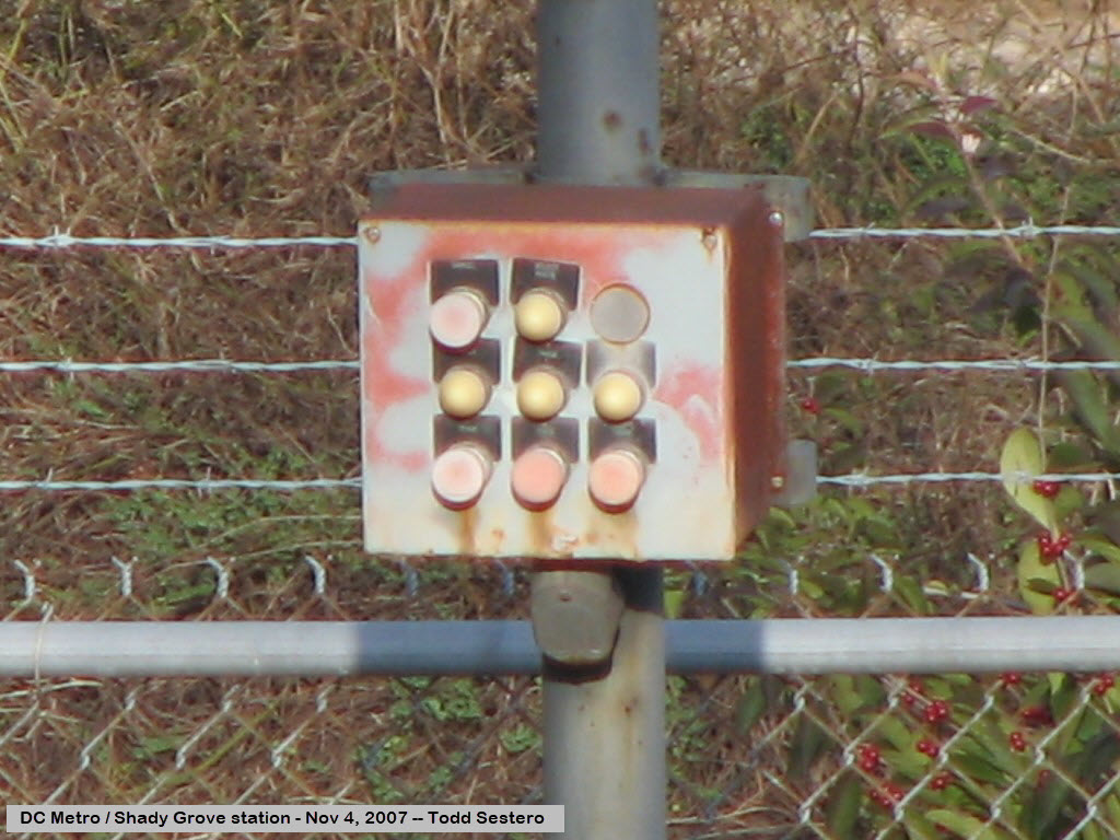
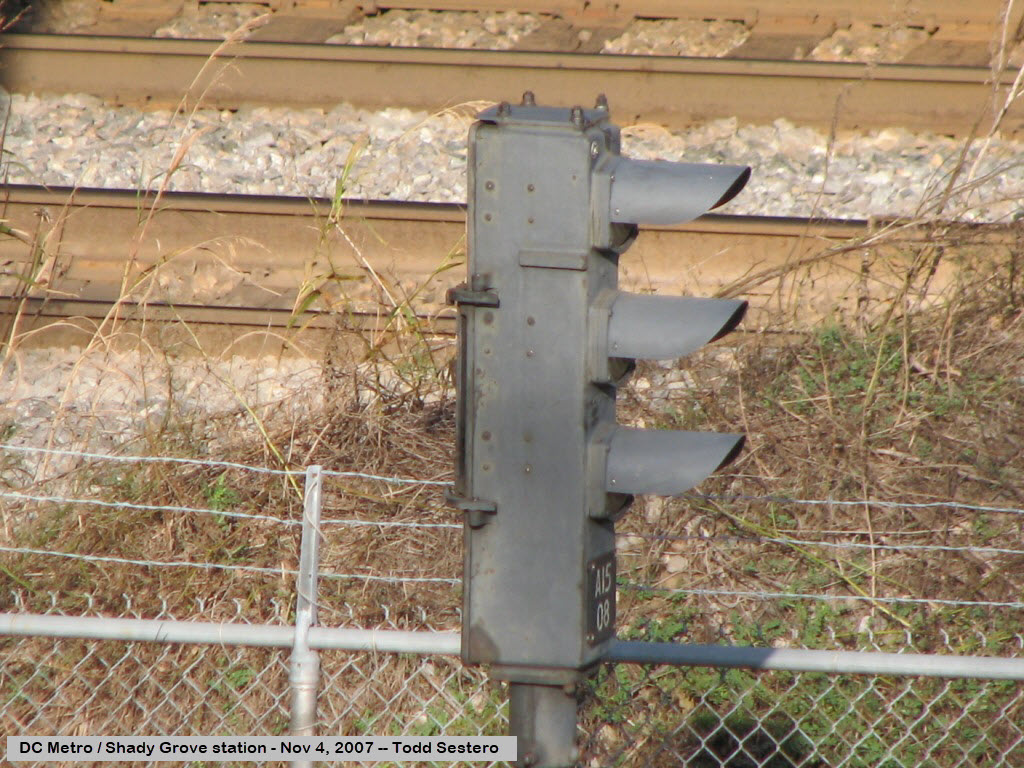
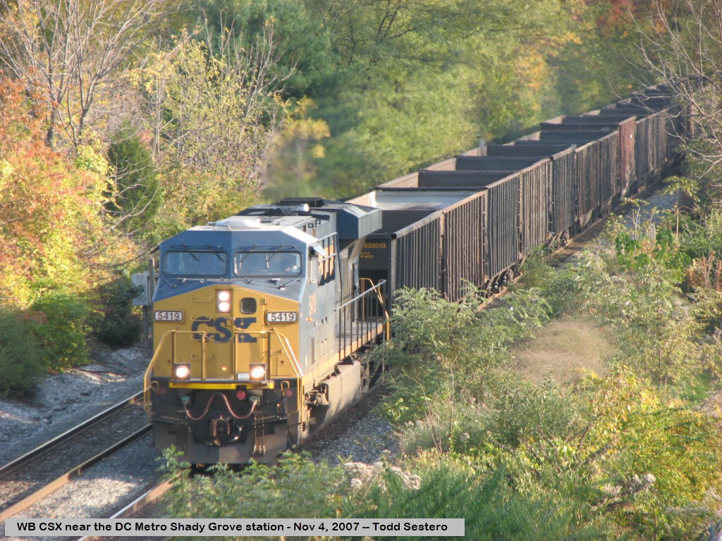
Pictures from the Shady Grove station at the end of the Red Line on train show day at Gaithersburg, 11-04-2007.
Pictures such as these can be had anywhere on the system.
CSX runs alongside the Metro, this one is on it's way west to Hagerstown and Cumberland.
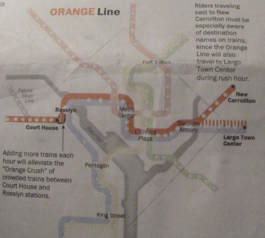
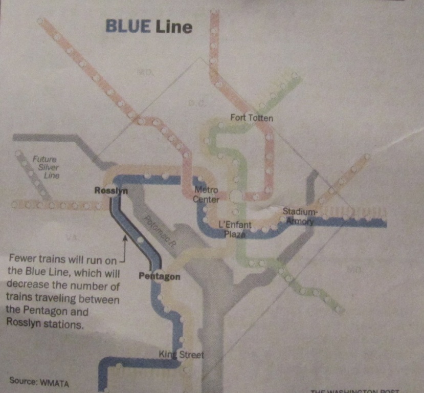
WMATA announced changes back in 2012 to the operating schedule for
the Yellow, Orange, and Blue lines in preparation for the opening of the Silver line.
The changes to Metrorail are being promoted as Rush Plus, and are effective
only during and around the rush hours.
There are no changes to the Green or Red line schedules, other than having to
adjust your timing if you connect with one of the aforementioned lines.
These changes were in the Sunday, June 10th edition of the Washington Post
in their Metro section, and took effect on June 18th, 2012.
Trains will be added to the Orange and Yellow lines, but trains will be
deleted from the Blue line schedule.
I love trains, and I love signals. I am not an expert. My webpages reflect what I find on the topic of the page. This is something I have fun with while
trying to help others.
Please Note: Since the main focus of my two websites is railroad signals, the railfan guides are oriented towards the signal fan being able to locate them.
For those of you into the modeling aspect of our hobby, my
indexa page has a list of almost everything railroad oriented
I can think of to provide you with at least a few pictures to help you detail your pike.
If this is a railfan page, every effort has been made to make sure that the information contained on this map and in this railfan guide is correct. Once in a while,
an error may creep in :-)
My philosophy: Pictures and maps are worth a thousand words, especially for railfanning. Text descriptions only get you so far, especially if you get lost or
disoriented. Take along good maps.... a GPS is OK to get somewhere, but maps are still better if you get lost! I belong to AAA, which allows you to get
local maps for free when you visit the local branches. ADC puts out a nice series of county maps for the Washington DC area, but their state maps do not have the
railroads on them. If you can find em, I like the National Geographic map book of the U.S..... good, clear, and concise graphics, and they do a really good job
of showing you where tourist type attractions are, although they too lack the railroads. Other notes about specific areas will show up on that page if known.
Aerial shots were taken from either Google or Bing Maps as noted. Screen captures are made
with Snagit, a Techsmith product... a great tool if you have never used it!
By the way, floobydust is a term I picked up 30-40 years ago from a National Semiconductor data book, and means miscellaneous
and/or other stuff.
Pictures and additional information is always needed if anyone feels inclined to take 'em, send 'em, and share 'em, or if you have something to add or correct.... credit
is always given! Please be NICE!!! Contact info is here
Beware: If used as a source, ANYTHING from Wikipedia must be treated as being possibly inaccurate, wrong, or not true.

 From 6/12/2012
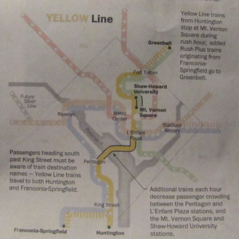
 Other changes made on June 12th, 2012
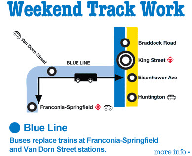 Check out
their website for work going on around the system!
http://www.wmata.com/.
Check out
their website for work going on around the system!
http://www.wmata.com/.