
In General
Getting Here
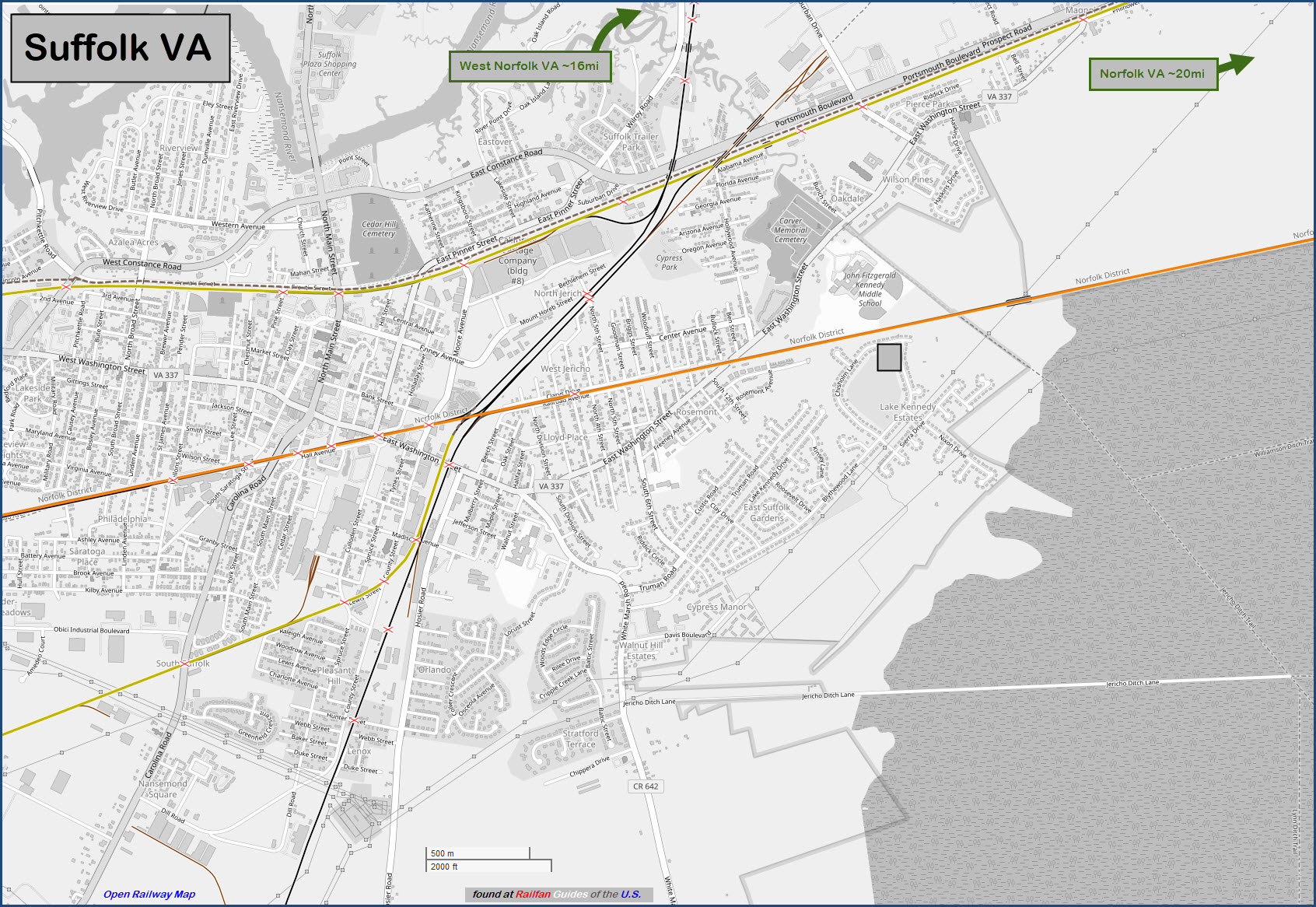
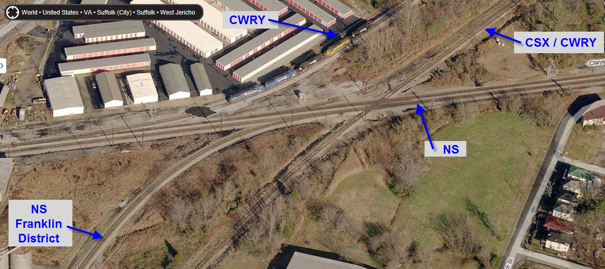
Map
Sights
Pictures
Signals
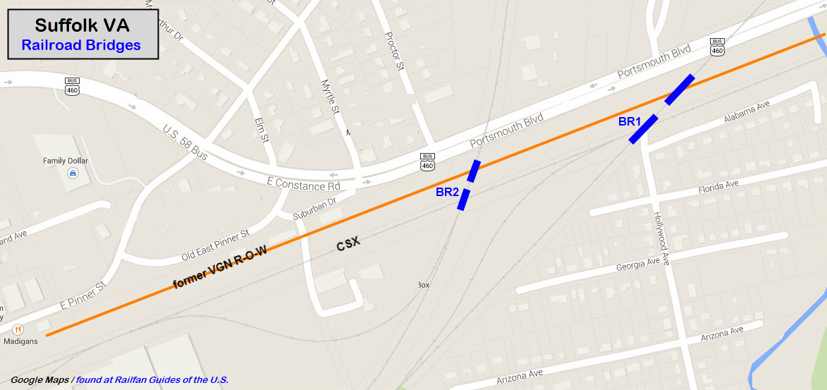
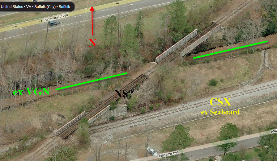
Bridges
Amtrak Scheds
Floobydust
RAILROAD SIGNALS HOME
Location / Name:
Suffolk VA, No County-Suffolk is an independent city in the Commonwealth of Virginia.
What's Here:
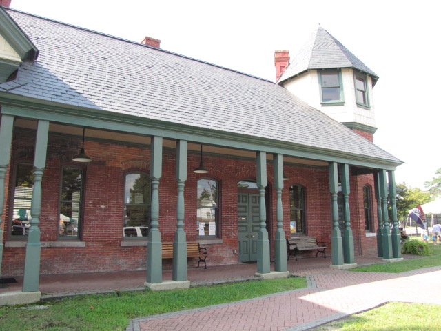
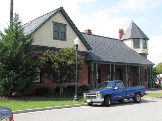
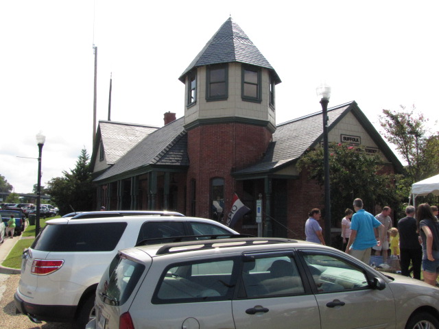
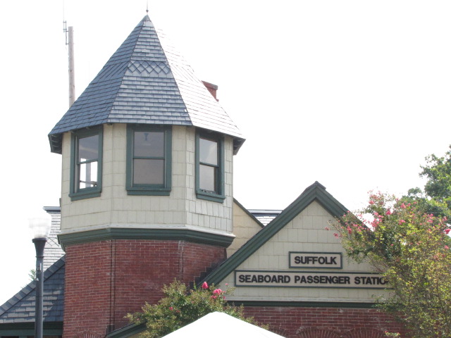
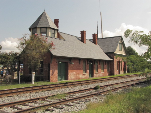
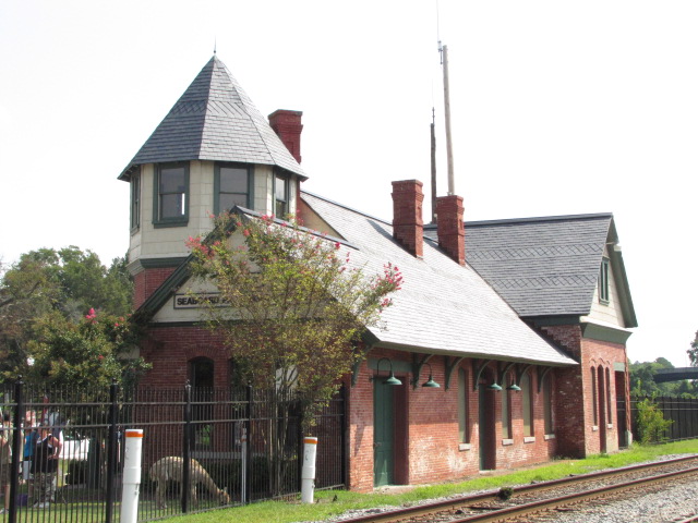
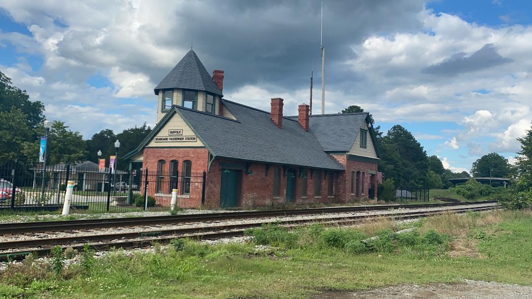
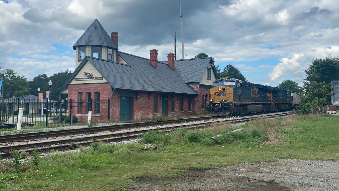
Former Seaboard station, now a museum
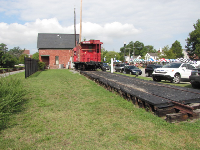
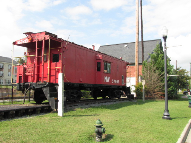
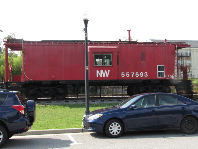
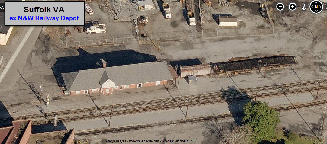
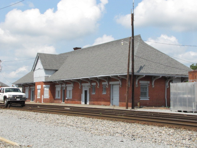
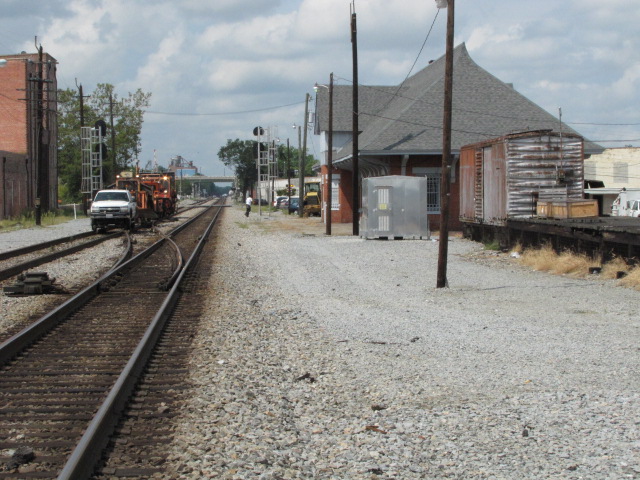
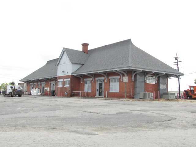
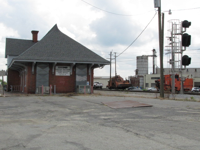
Former N&W station
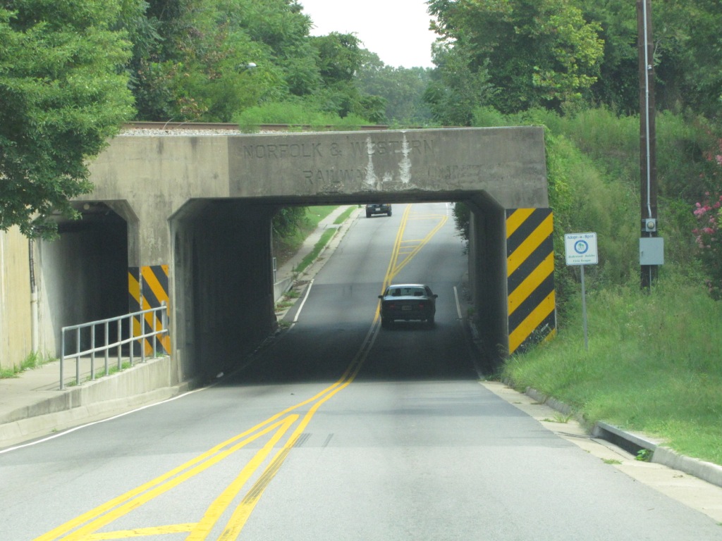
A number of "train-over-train" railroad bridges
Data:
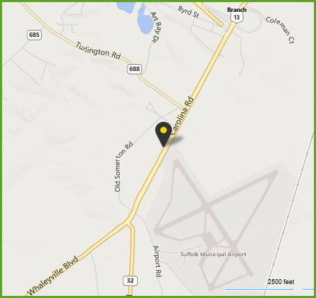
GPS Coordinates: 36.728148, -76.583262 (Washington and Main Streets)
ZIP: 23432 thru 23439
Scanner Frequencies:
NS Road 161.190
NS Road #2 161.250 (used very little)
CSX 160.590
Access by train/transit:
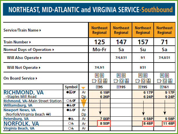
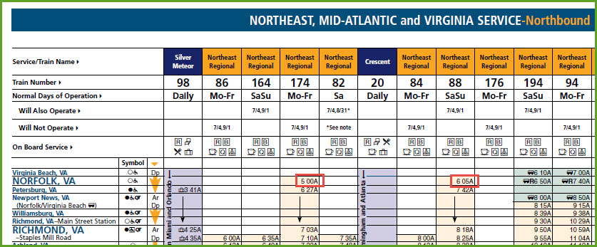
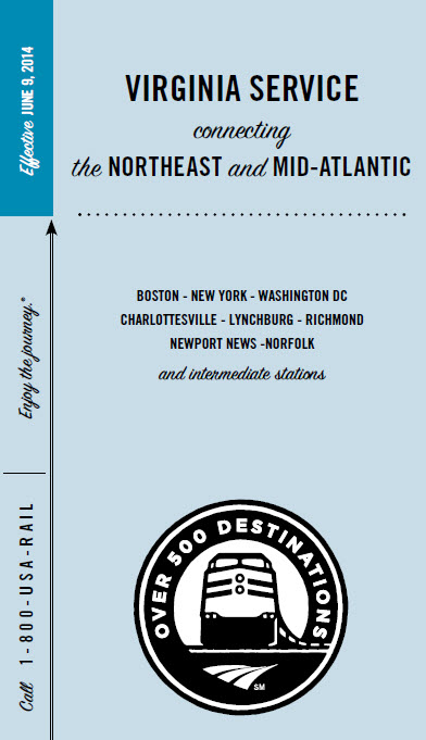
Amtrak does not stop in Suffolk, but the twice daily trains pass through on the Norfolk Southern tracks.
Schedules are below, they are dated 9JUN2014
Local bus service provided for by Suffolk Transit
HRT - Hampton Roads Transit - discontinued service to Suffolk in 2011 - now serviced by Virginia Regional Transit
Greyhound terminal shown below in floobydust (misc) section
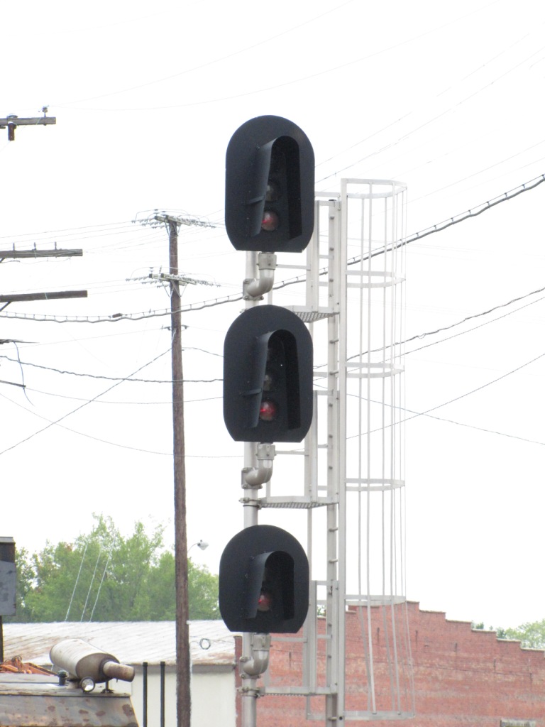
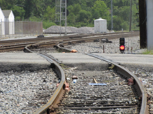
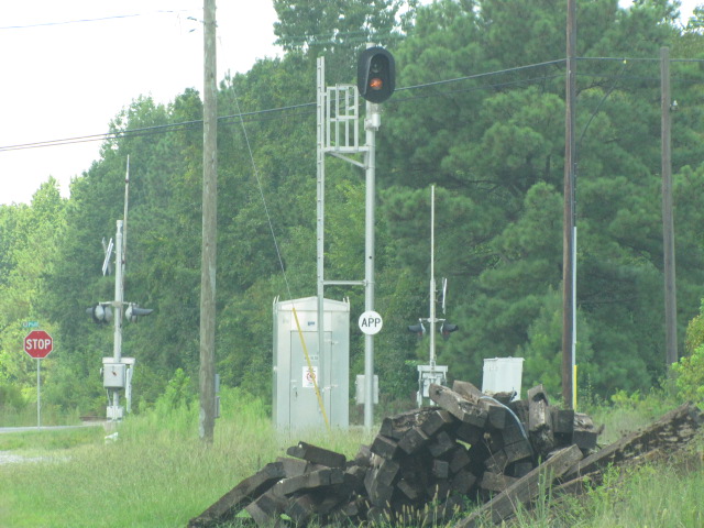
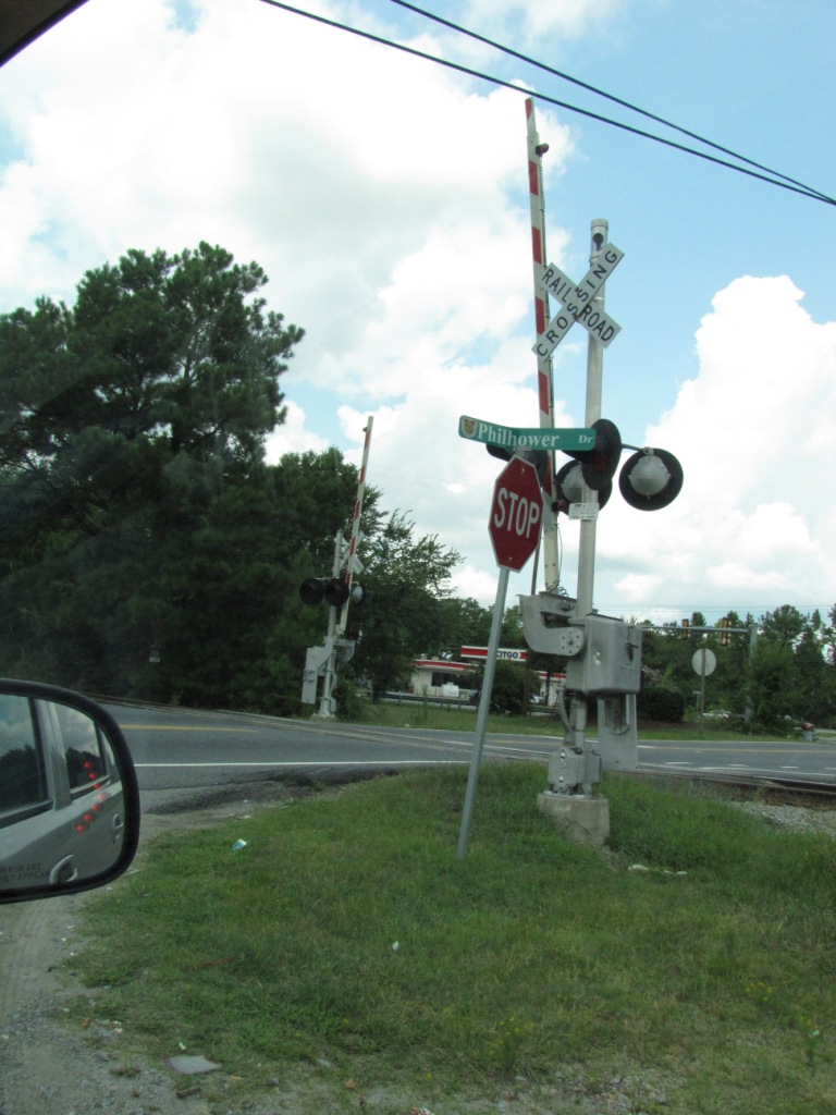
Railroad Signals in the area:
Plenty - all colorlight - see map
The Scoop:
Interestingly enough, Suffolk is supposed to be the largest city in Virginia in terms of area, which is hard to believe with the likes of Richmond, Roanoke and Norfolk.
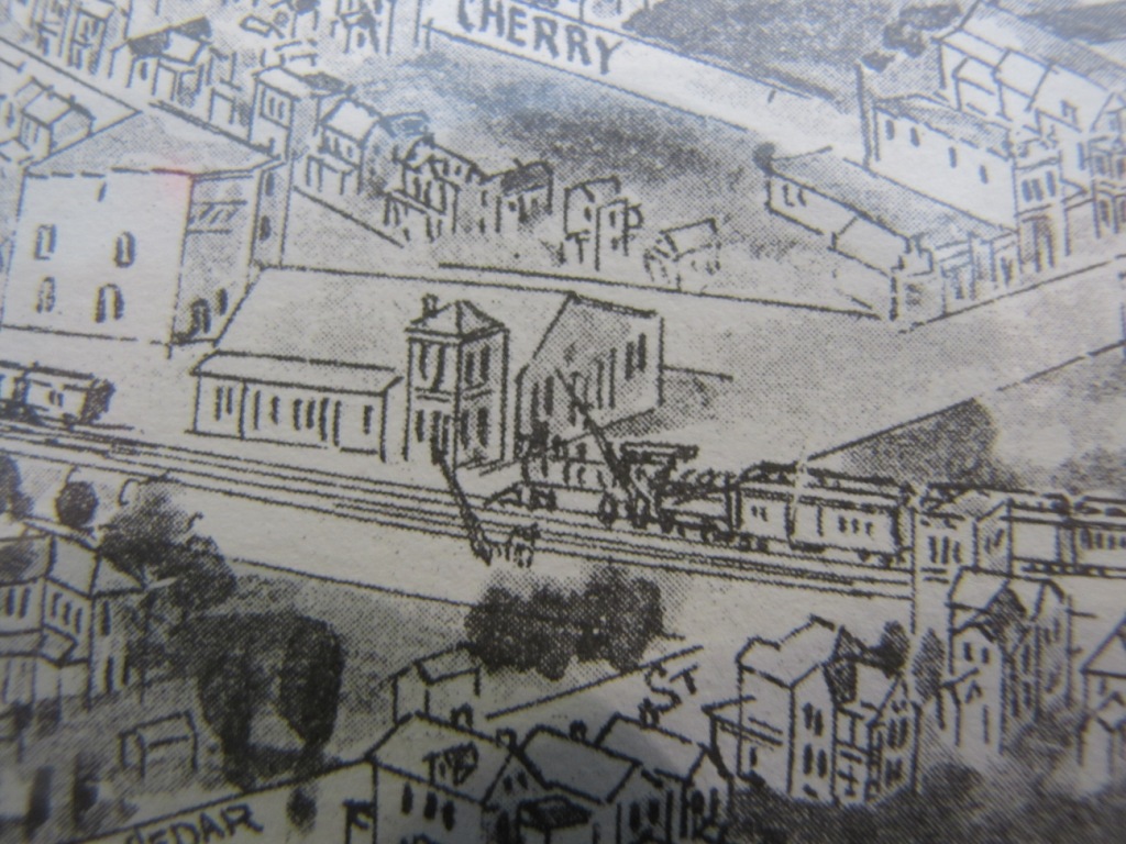
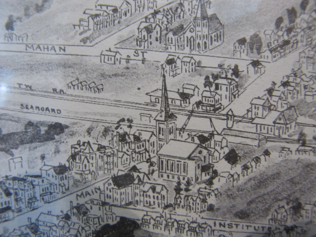
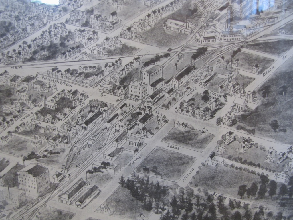
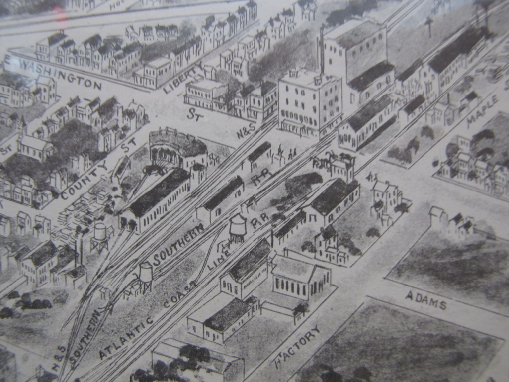
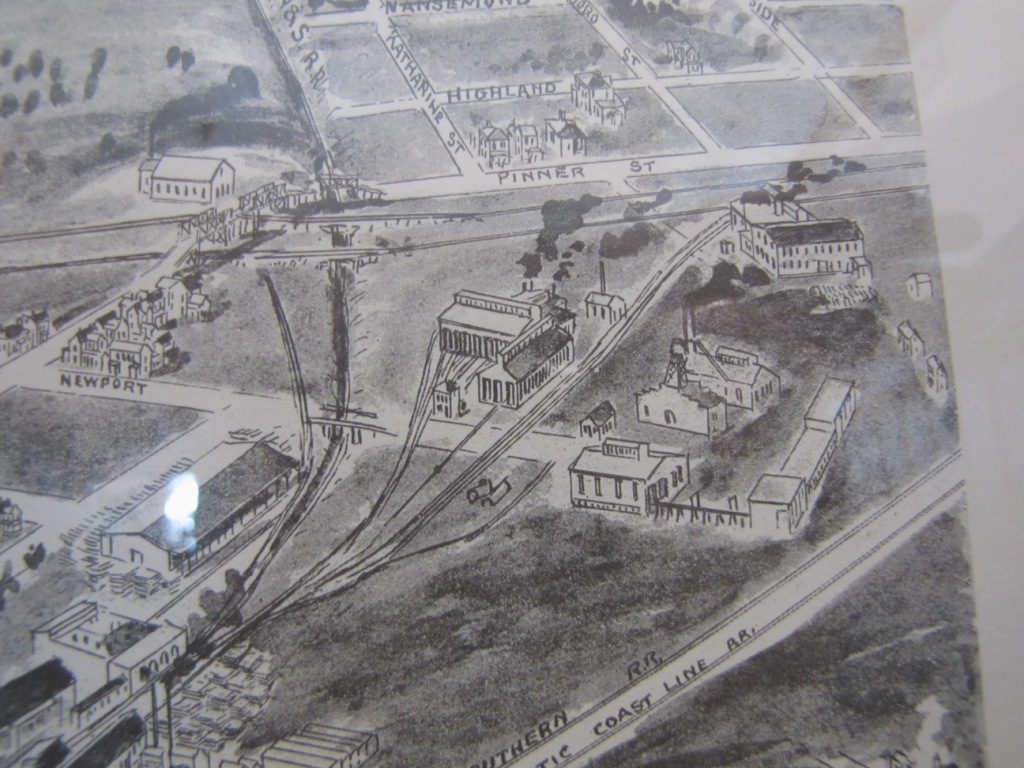
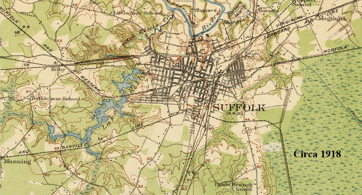
Suffolk, because of it's location and proximity to Norfolk and the desire to reach the shipping that came into the ports there, was a focal point for most railroads coming in from the west. The maps below illustrate what I mean.
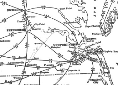
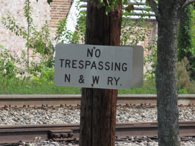
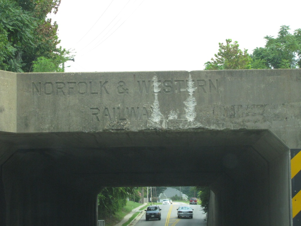
Before the Civil War hit, Suffolk had two railroads coming through town: the Portsmouth and Roanoke RR and the Norfolk and Petersburg RR. Later on, the Norfolk & Western, Atlantic Coast Line, Southern Rwy (via ACL trackage), Virginian, the Atlantic & Danville, and the N&S. Some evidence of the old Virginian right-of-right can still be found if you know where to look (I don't) :-(.
Today, CSX and the Norfolk Southern breeze thru at speed.
NS, of course, runs on the ex-N&W line. It is the Norfolk District, which is part of the much larger Pocahontas Division (formerly the Virginia Division, up till 2015). The Norfolk district runs from Norfolk to Crewe VA.
The CSX Line is the Portsmouth Subdivision (Portsmouth VA to Weldon NC) is part of the North End sub which is part a part of the Florence Division. The Florence Division covers most of Virginia, North and South Carolina, and some of Georgia. CSX has its days but is still running a few trains, mostly container and grain trains. (Updated 12/2018, Thanks Pat!)
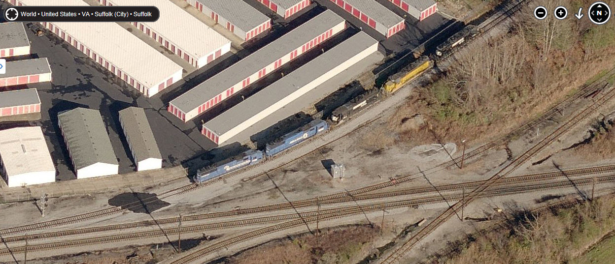
Suffolk also hosts a shortline, the Commonwealth Railway, part of the Genesee & Wyoming family. It runs on 19 miles track, 16 1/2 of which is the former Norfolk, Franklin & Danville Rwy from Suffolk to Portsmouth. Engine #444 is a GP-16, rebuilt by the Seaboard in the 80's. #517 is former Santa Fe CF7, rebuilt from an F-7 in the early 70's. They built a small marshalling yard in the Baileytown area of Suffolk.
Acknowledgements:
Many thanks to Justin Cartwright for much of the division and signal information.
Pat Suttle - lots of updates and additional information
Denver Todd
C. Kitchin
Google Maps
Bing Maps
Websites and other additional information sources:
http://www.rrpicturearchives.net/archiveThumbs.aspx?id=12422 Pictures by Dale Ward
http://www.railpictures.net/showphotos.php?railroad=Commonwealth%20Railway,%20Inc Assorted photographers
http://virginianrailwayheritagetrail.blogspot.com/ Photo history of the Virginian with a couple of pictures in Suffolk
Let's see, there's a bunch of ways to get here depending on where you're coming from.
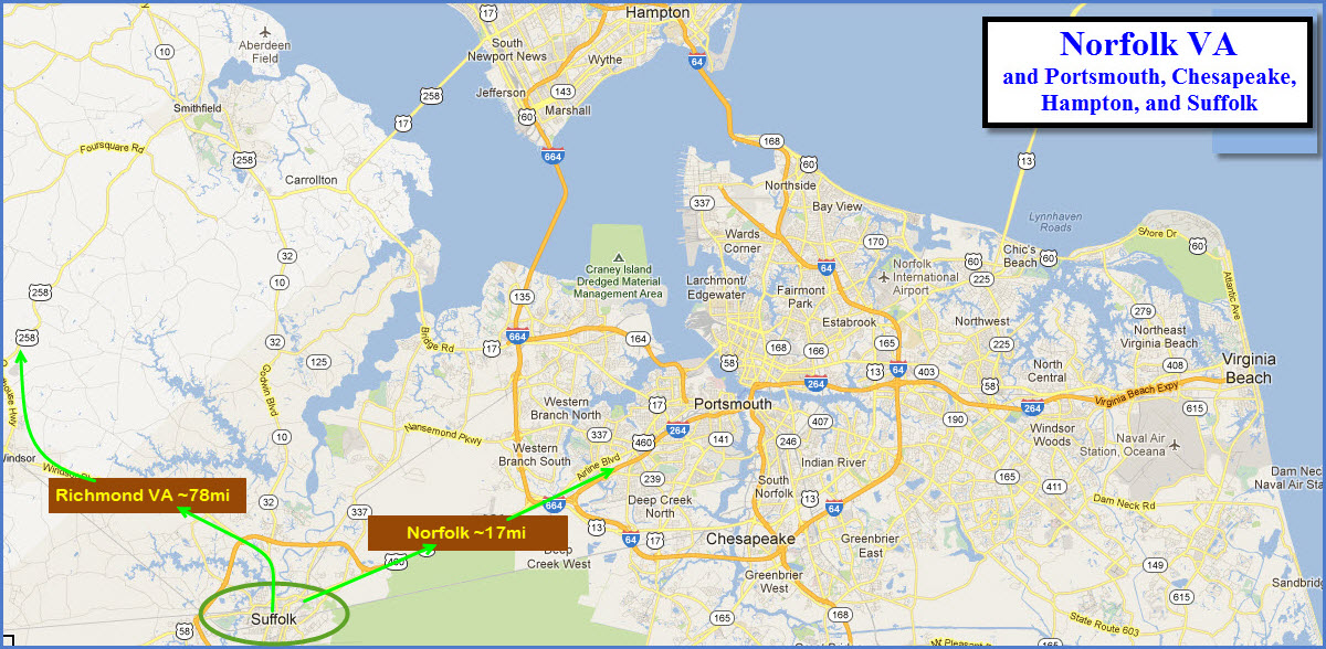
Let's start with the eastern shore, aka the DelMarVa peninsula. US13 comes across the Chesapeake Bay in what is known as the Chesapeake Bay Bridge Tunnel. Most impressive if you have never been over (and under) it. Stay on 13 once in Norfolk, and take it till you hit I-64 and head south on it. It will whip around Chesapeake to the south of Norfolk. As you come up to the junction with I-264 and US460, stay to the left and follow the signs for 460. US460 takes you to Suffolk. Once away from the interstates, US460 also joins forces with US58. About a mile from downtown, you're looking for Portsmouth Road, business 58 to take into the downtown area.
Coming in from Richmond, do the I-64 thing till you hit exit 264 for I-664. Take it south until you see the signs for US460/58.
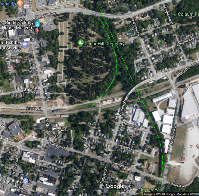
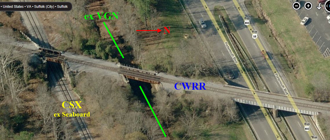
The dotted purple line above the CSX track used to be the Virginian Rwy right-of-way.
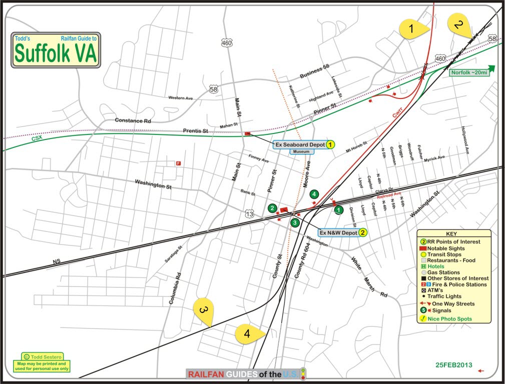
The CSX line is the old Seaboard tracks - the former N&W line is now Norfolk Southern.
The N/S line next to County Road 604 was the former Atlantic Coast line, next, to the left, was the Southern RR.
The dotted orange line left of the Southern was the old N&S RR, with a turntable and roundhouse on the south side of Washington.
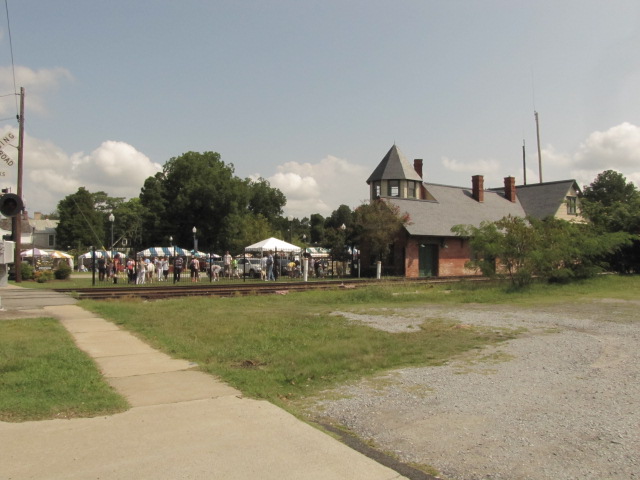
GPS Coordinates: 36.733840, -76.581308
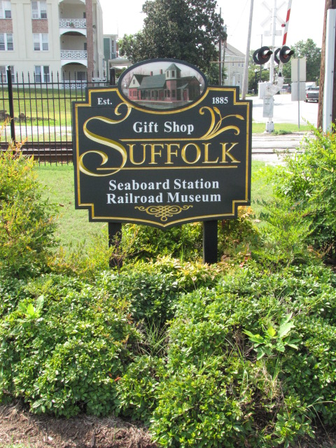
Website: http://www.suffolktrainstation.org/
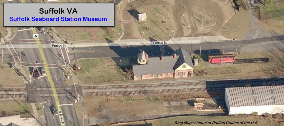
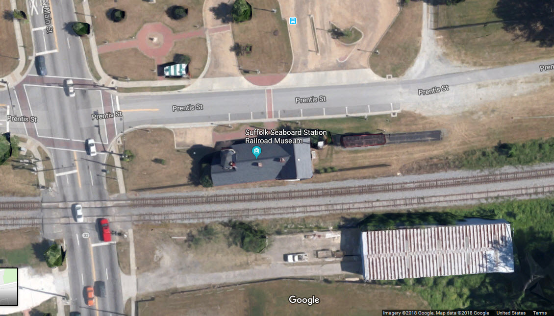
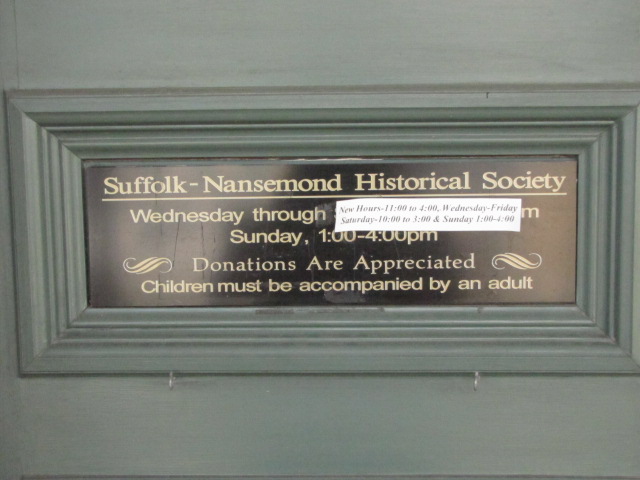
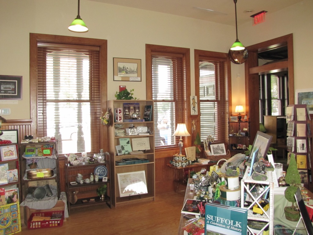
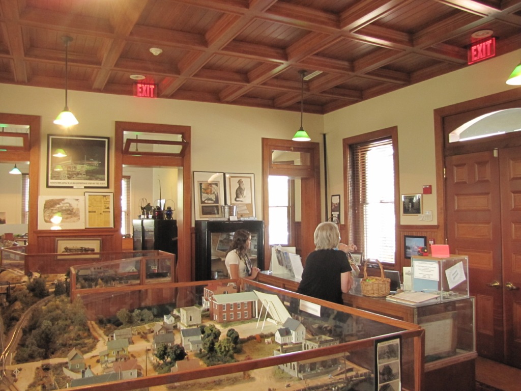
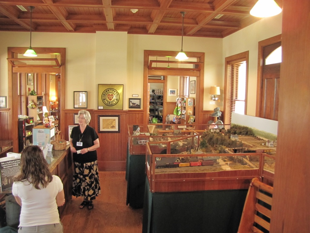
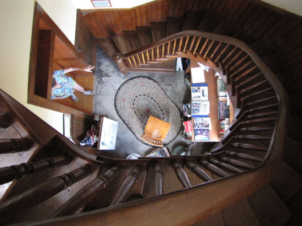
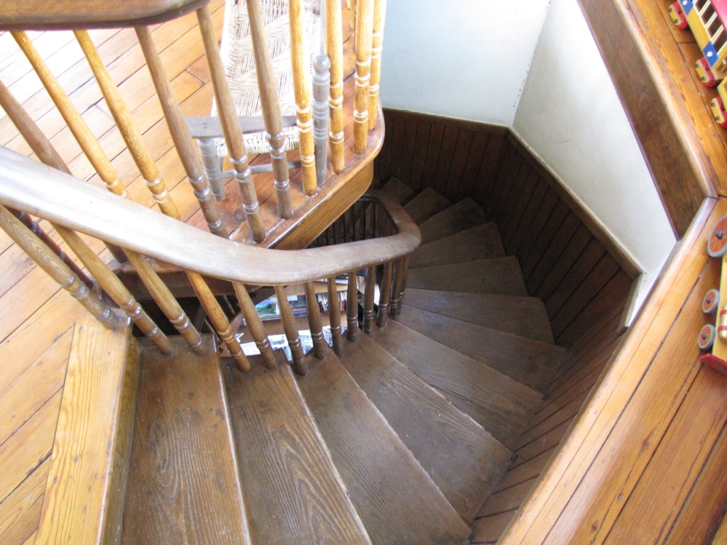
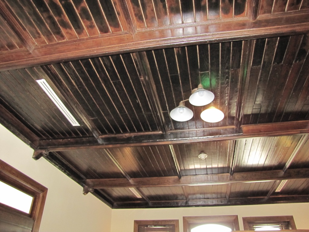
In the early 1990's the people of Suffolk developed a new interest in preserving their rapidly deteriorating landmarks. One such landmark, the 1885 Seaboard Railroad Station, stood abandoned and in dire need of attention. After a fire nearly destroyed the interior of the building in 1994, members of Suffolk Nansemond Historical Society began working on restoring the station to its original grandeur. They think that some homeless people got in and started a fire to keep warm and the fire got out of control. With the support of the City of Suffolk, the Virginia Department of Highways, as well as many interested Suffolk citizens, the Seaboard Railroad Station Museum opened its doors to the public on August 1, 2000.
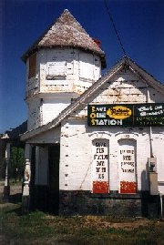 A picture before the restoration began.
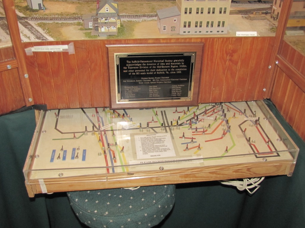
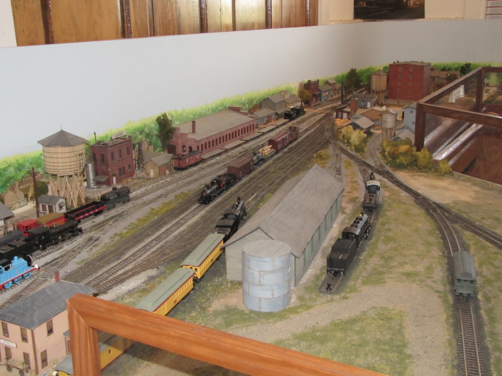
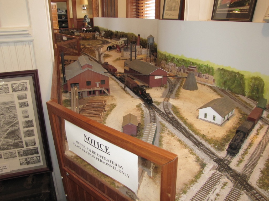
The Seaboard Station is now run by the City of Suffolk’s Tourism department. It features a scale model of the town of Suffolk and the Suffolk and Carolina branch of the Norfolk Southern Railroad as they were in 1907. There are numerous items of railroad history on display, and special themed exhibits are frequently shown. The Museum includes a gift shop with railroad related items, historical books and memorabilia, and locally produced food items.
The hours of operation of the Museum are 10am to 5pm, Monday thru Sunday.
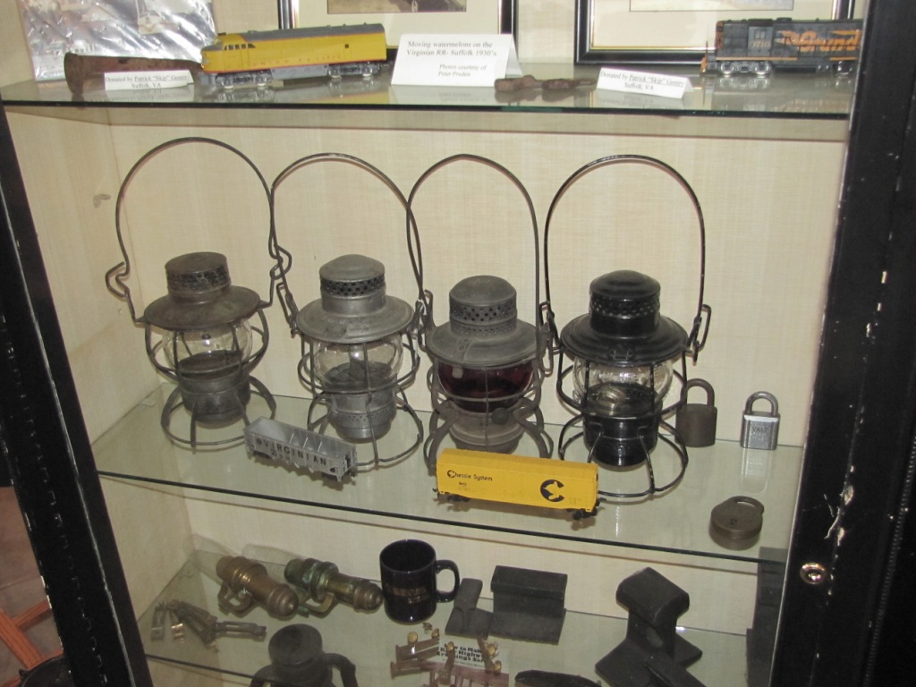
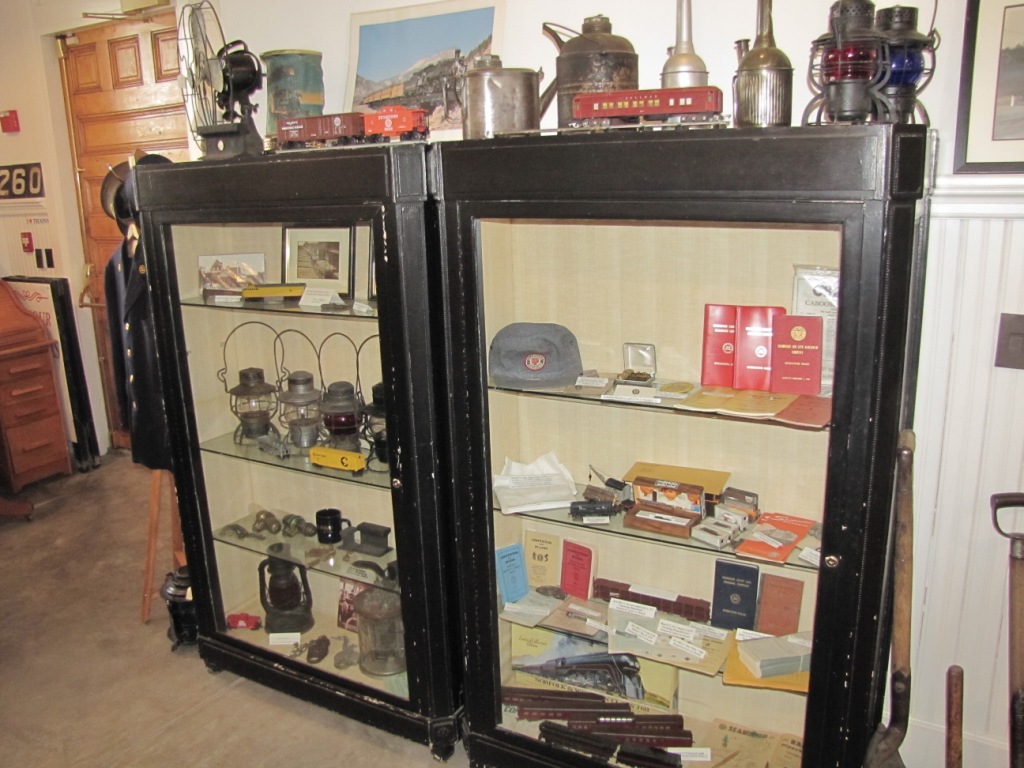
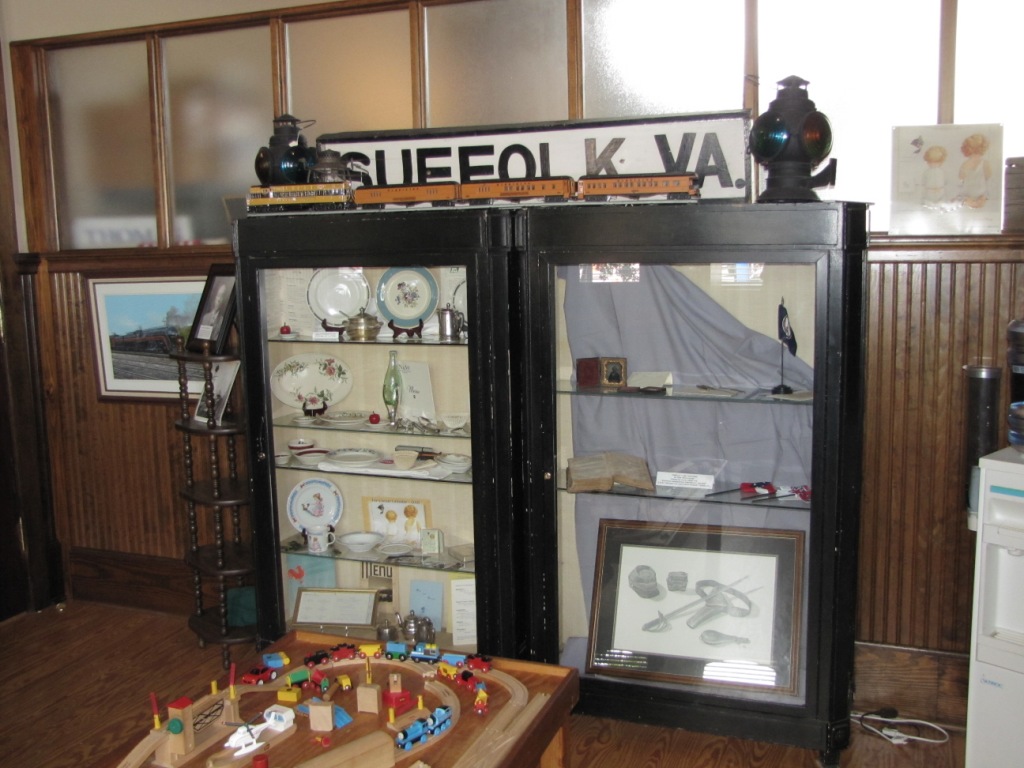
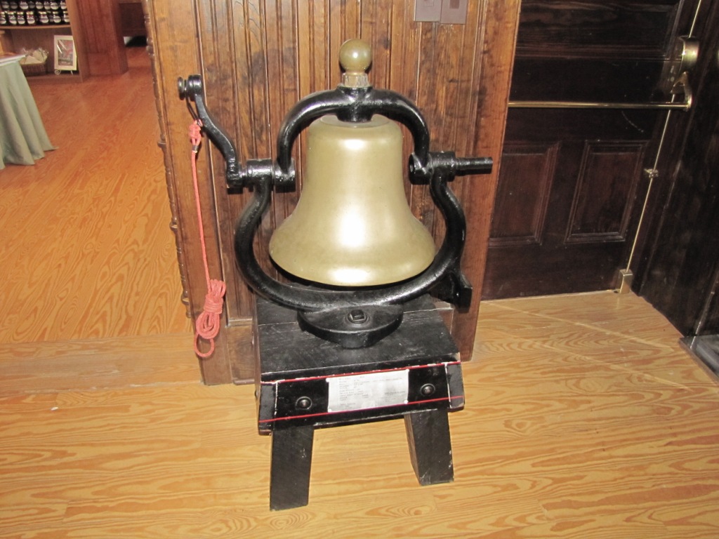
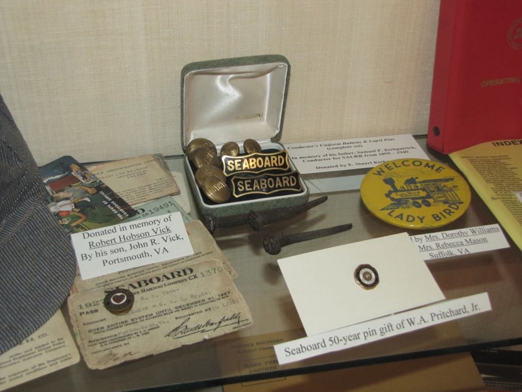

They didn't have one of these around to purchase, so I had to take pictures of the display... darn... nice drawing.
 Pat Suttle
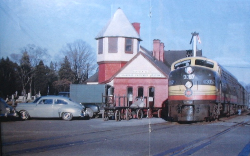
From the Virginian historic webpage mentioned above at the top of the page
Below: many years after pulling up the rails, you can still see where the old Seaboard tracks used to go.
GPS Coordinates: 36.727564, -76.577780
 Pat Suttle
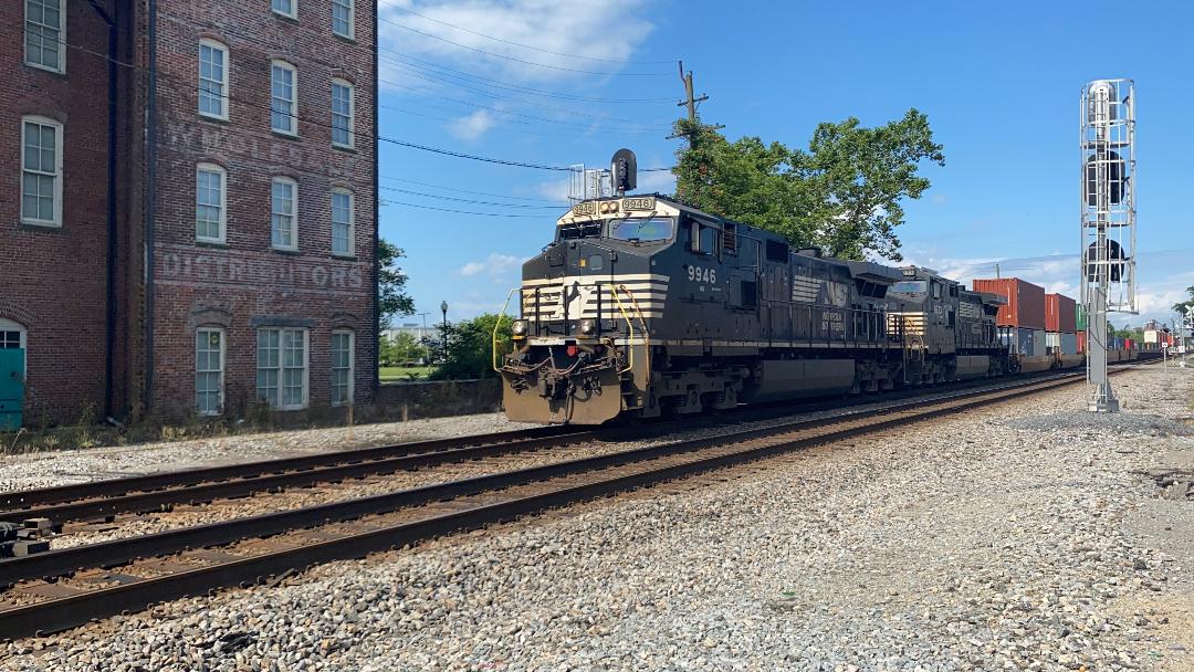 Pat Suttle
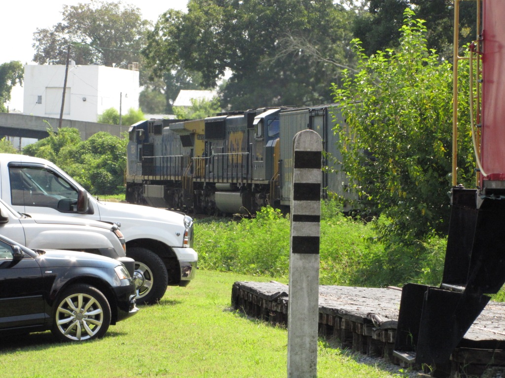
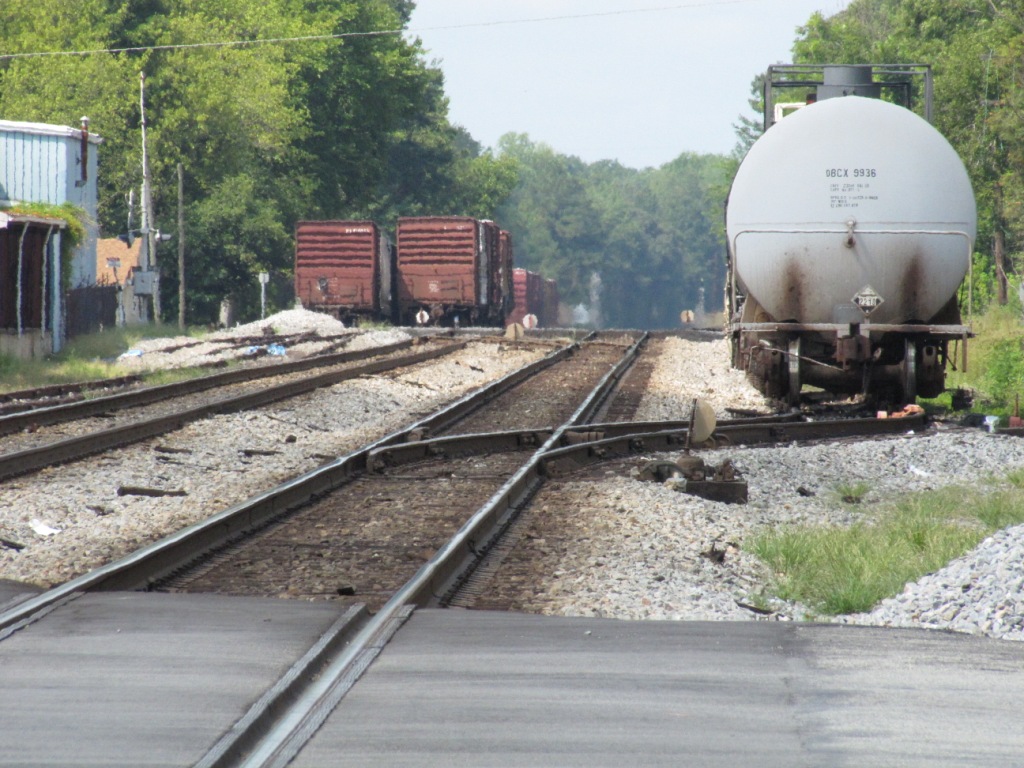
I was inside the depot and didn't hear the train in time to get outside for a good shot :-(
Note: CWRY 444 has been sold off to another Shoreline company as of 2015.
The newest units are GP20's #2090 and #2091, but #517 is still active. (Updated info 12/2018 thanks to Pat)
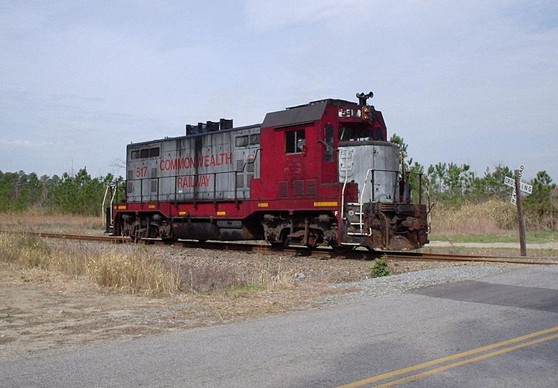
CWRY #517 in Suffolk. This and the next two pictures by William Grimes from Wikipedia
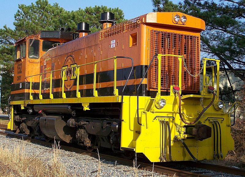
CWRY #1552 in Suffolk
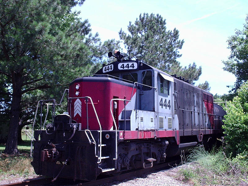
CWRY #444 in Suffolk, in RailLink colors.
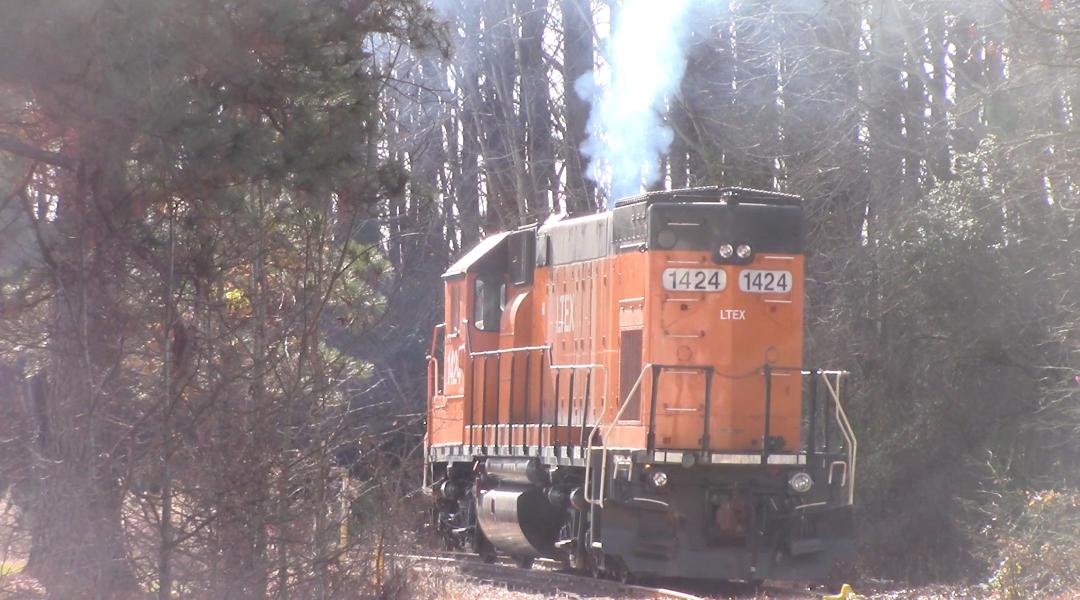
LTEX #1424 Is serving on the CWRY as of 2017. Photo by Pat Suttle.
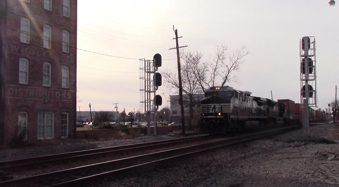
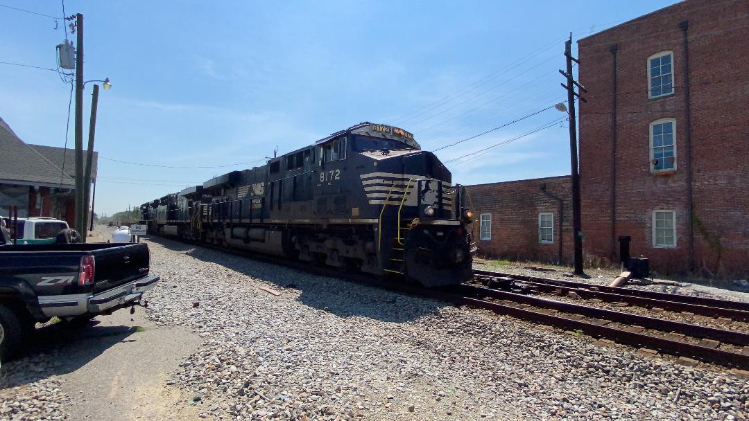
Above and below: NS Train #234 passing by the N&W Depot. Photos by Pat Suttle.
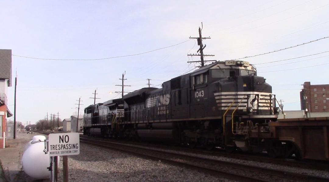
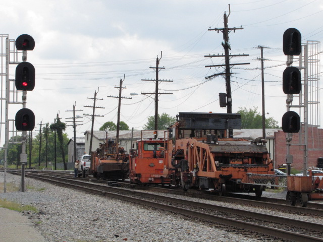
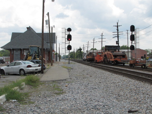
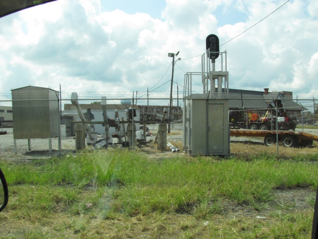
NS/CR engines near the diamond, just east of the N&W depot.
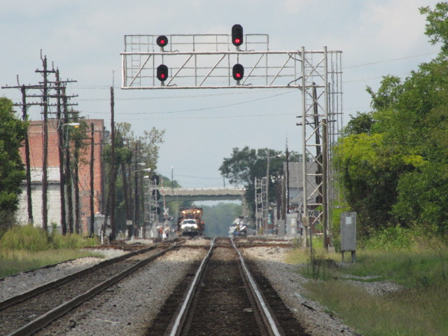
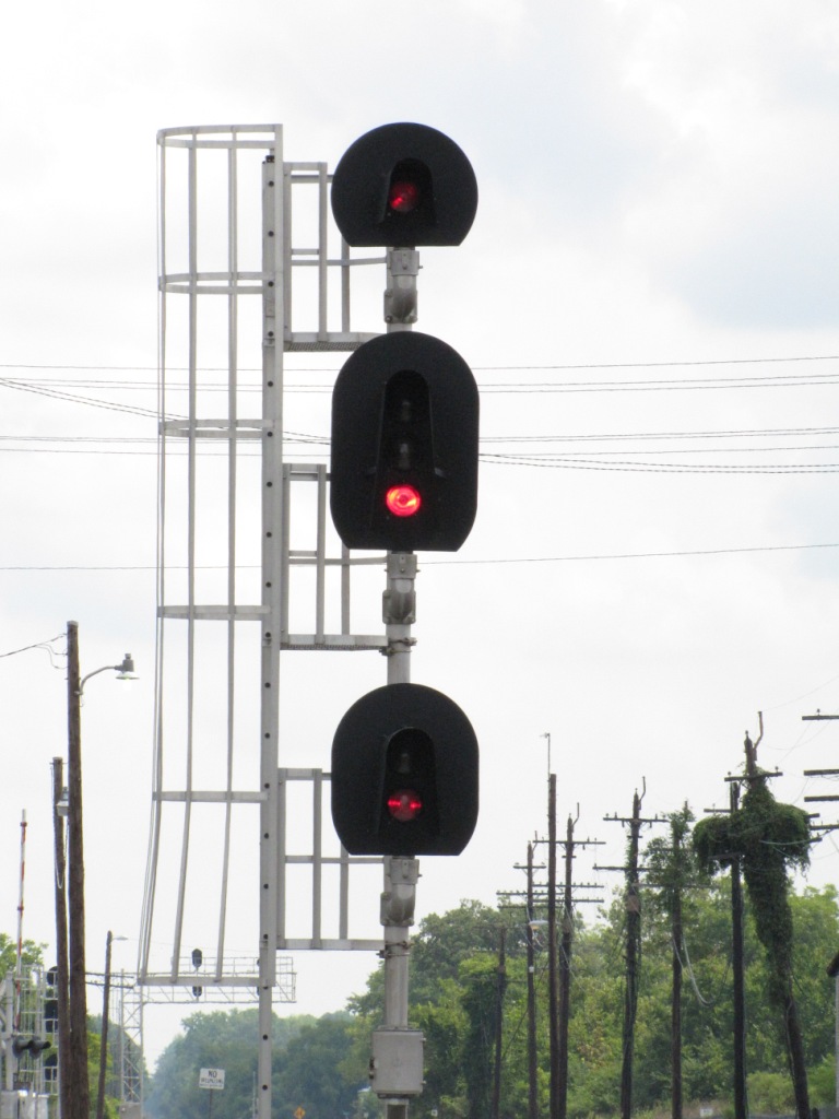
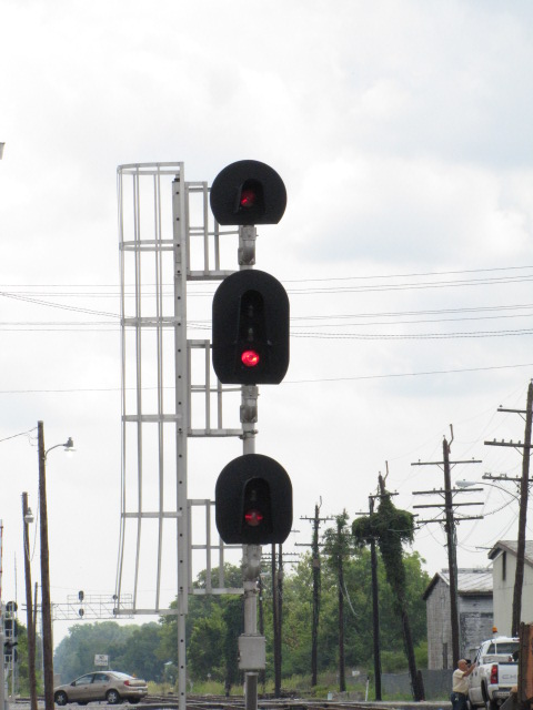
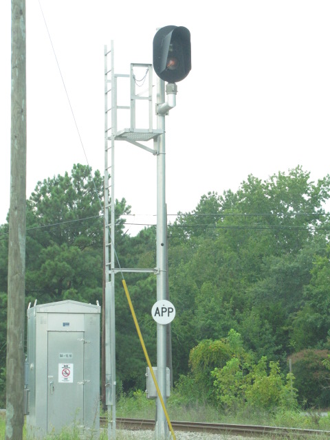
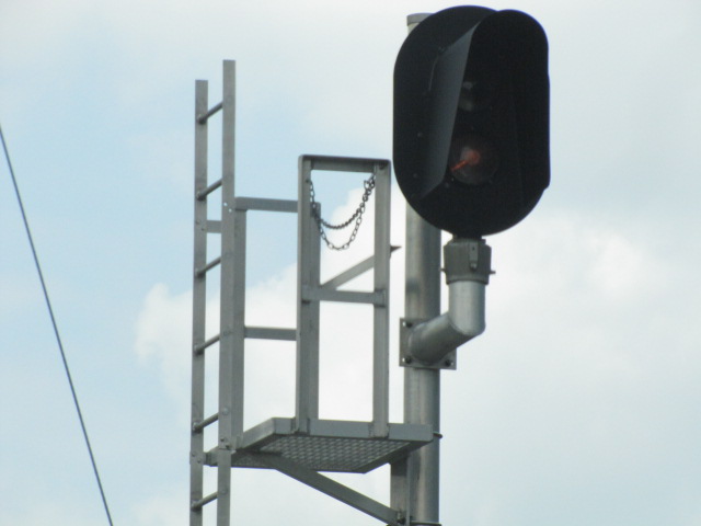
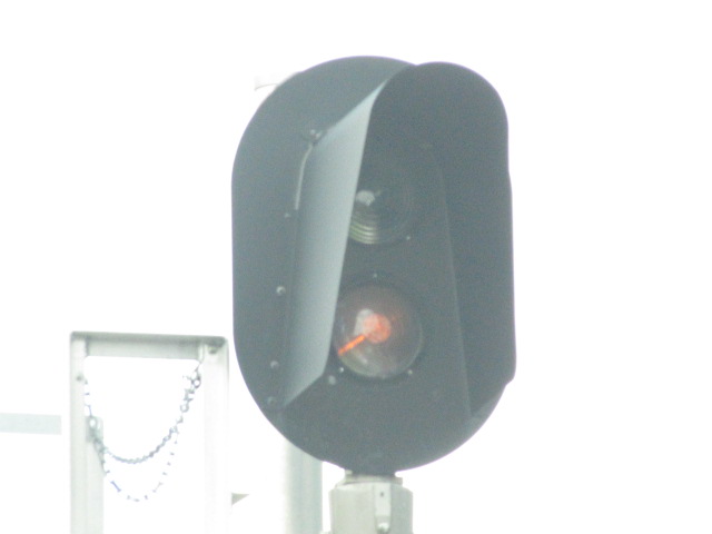
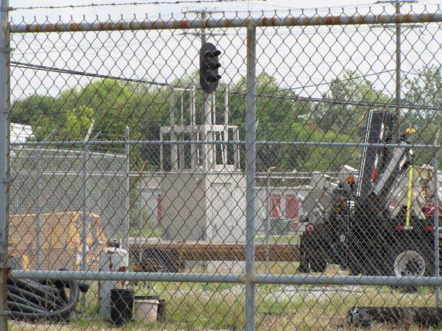
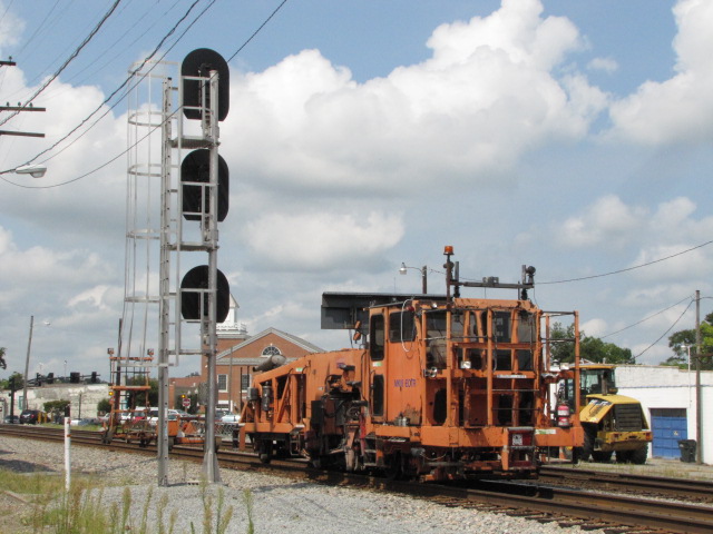
This cantilever signal bridge is on the east side of the diamond, across the diamond from the N&W depot.
The track that branches to the left (in the two left pictures) with the signal is known as the CWRY Connection.
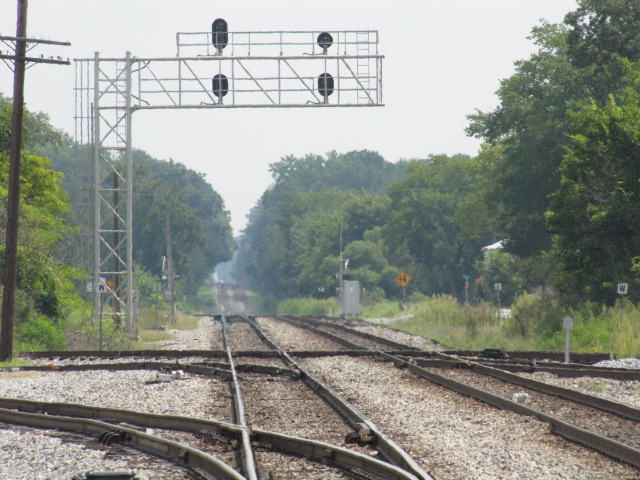
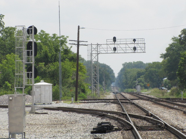
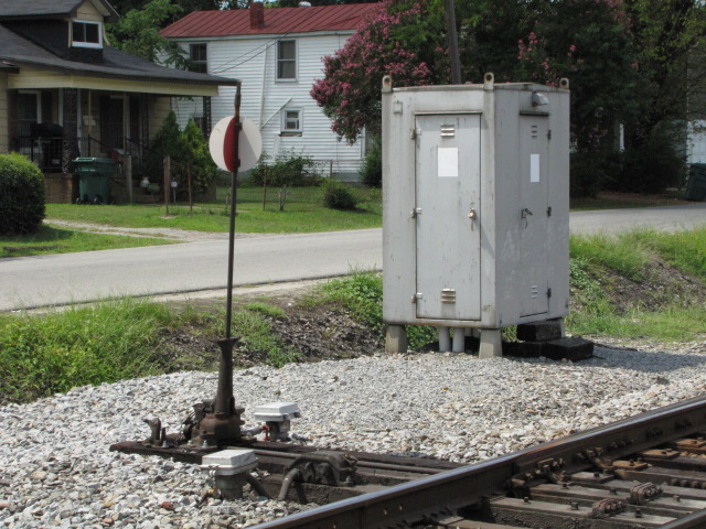
These signals are adjacent to the ex N&W station, seen above.

The SB schedule was "photo shopped" so it didn't take up oodles of room and bandwidth :-)
I was recently informed that in the 70's, Amtrak had on their schedules "Holiday Street", instead of Holladay Street as it appears on maps. Thanks to C. Kitchin.
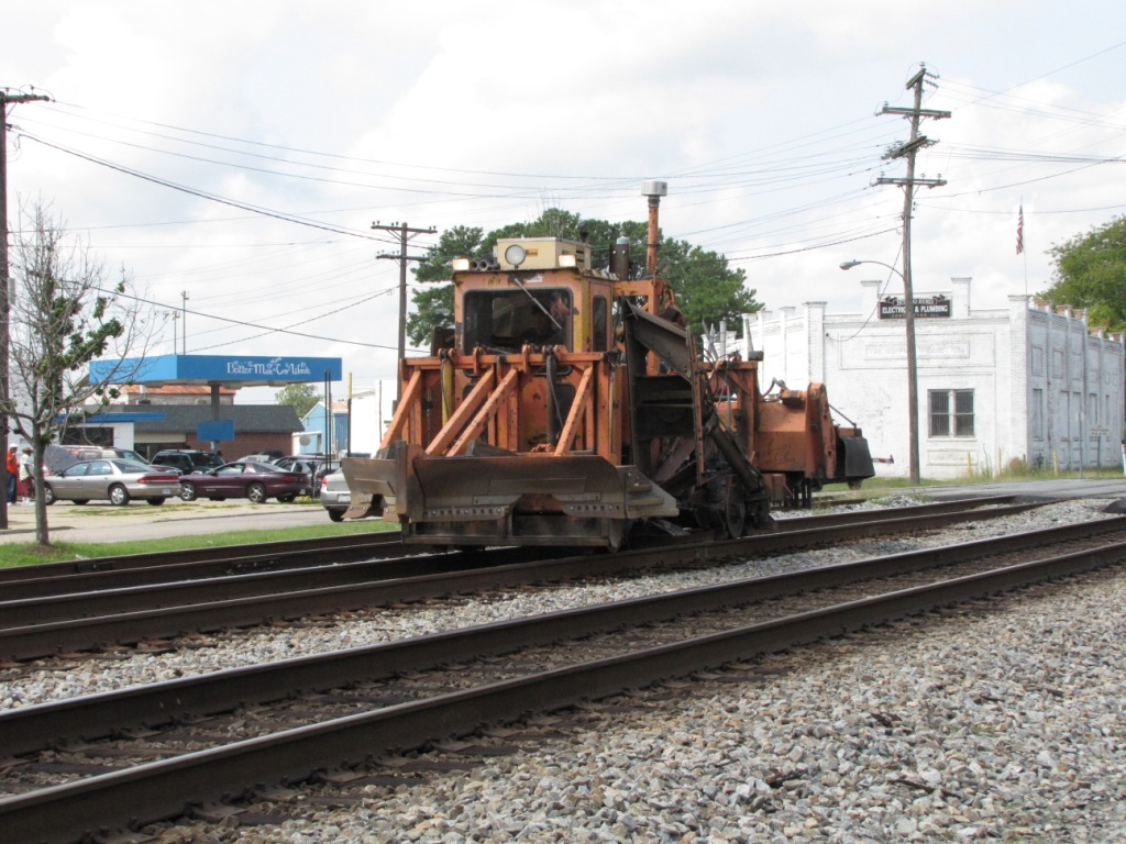
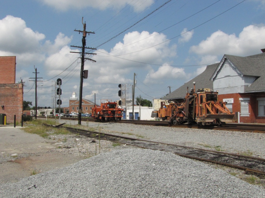
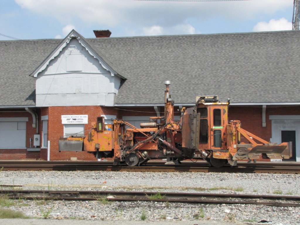
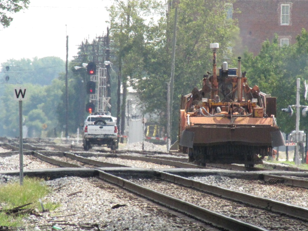
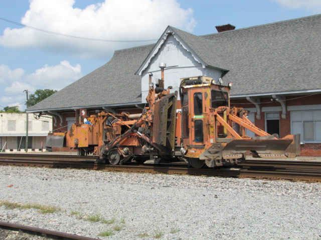
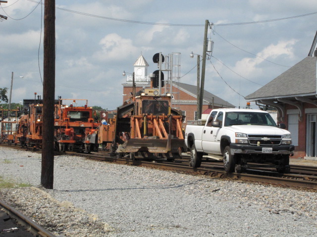
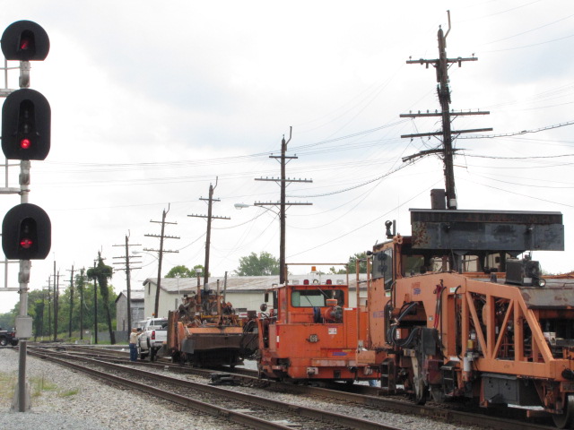
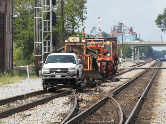
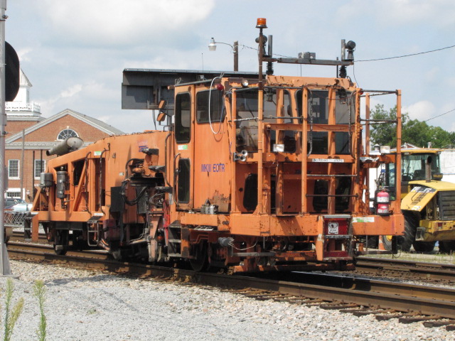
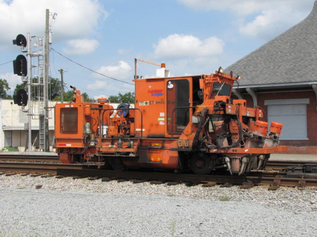
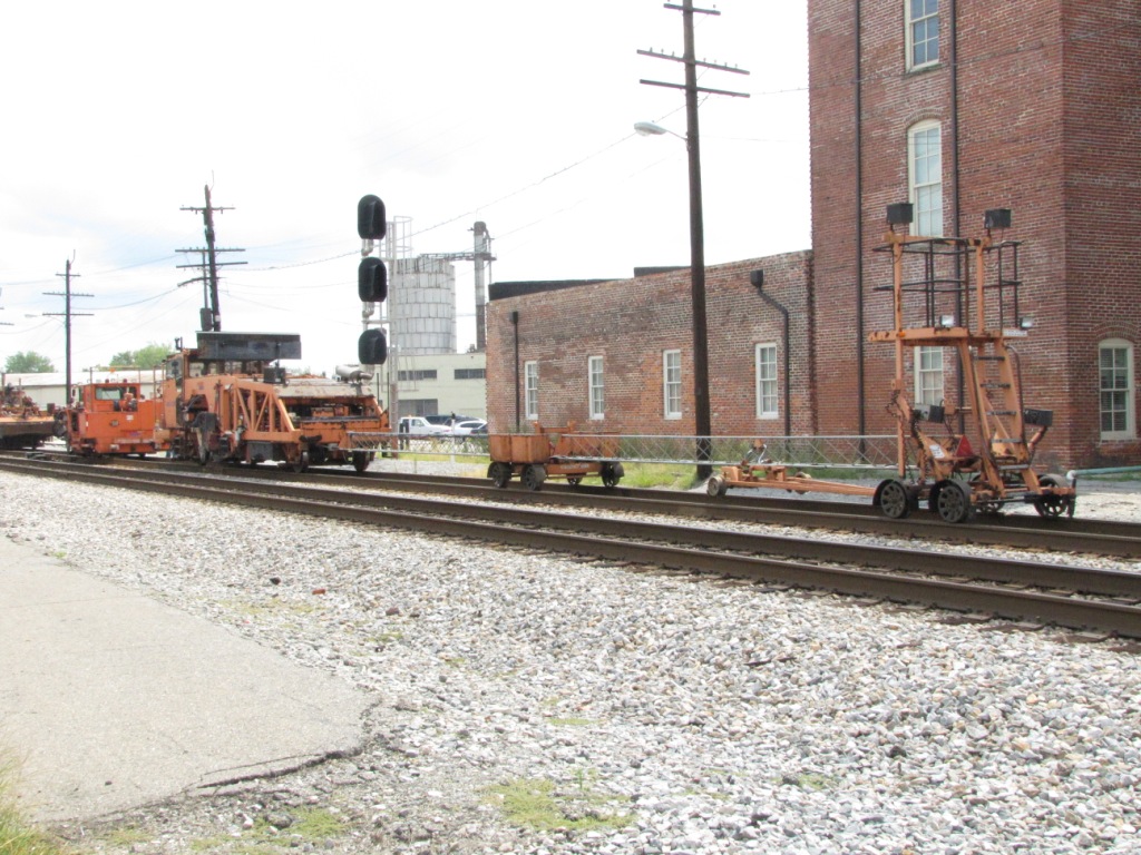
On the Sunday I came thru, this trackwork crew was taking a lunch break....

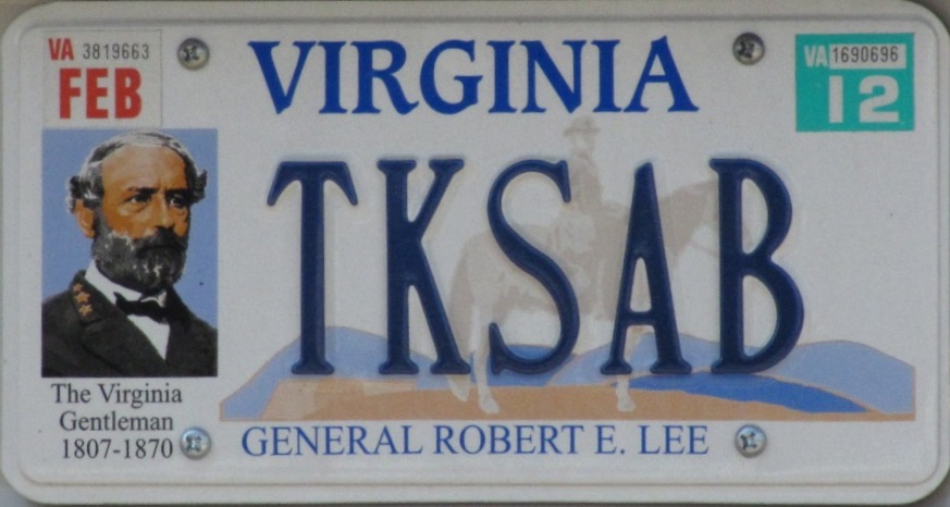
Virginia has to be the king of custom and personalized license plates, this is just one of many.....
Greyhound Bus

Courtesy of the University of Texas Library, click here for their index page.
Disclaimers:
I love trains, and I love signals. I am not an expert. My webpages reflect what I find on the topic of the page. This is something I have fun with while trying to help others.
Please Note: Since the main focus of my two websites is railroad signals, the railfan guides are oriented towards the signal fan being able to locate them. For those of you into the modeling aspect of our hobby, my indexa page has a list of almost everything railroad oriented I can think of to provide you with at least a few pictures to help you detail your pike.
If this is a railfan page, every effort has been made to make sure that the information contained on this map and in this railfan guide is correct. Once in a while, an error may creep in :-)
My philosophy: Pictures and maps are worth a thousand words, especially for railfanning. Text descriptions only get you so far, especially if you get lost or disoriented. Take along good maps....
Aerial shots are taken from either Google or Bing Maps as noted. The screen captures are made with Snagit, a Techsmith product... a great tool if you have never used it!
Pictures are always needed if anyone feels inclined to take 'em, send 'em, and share 'em, or if you have something to add or correct.... credit is always given! Contact info is here
Pictures and additional information is always needed if anyone feels inclined to take 'em, send 'em, and share 'em, or if you have something to add or correct.... credit is always given! BE NICE!!! Contact info is here
Beware: If used as a source, ANYTHING from Wikipedia must be treated as being possibly being inaccurate, wrong, or not true.
RAILFAN GUIDES HOME
RAILROAD SIGNALS HOME
NEW FEB24/2013, MAR15/2015, DEC22/2018, APR24/2020, MAR23/2021
Last Modified 23-Mar-2021