
In General
Getting Here
Maps
Sights
Stations/Depots
Signals
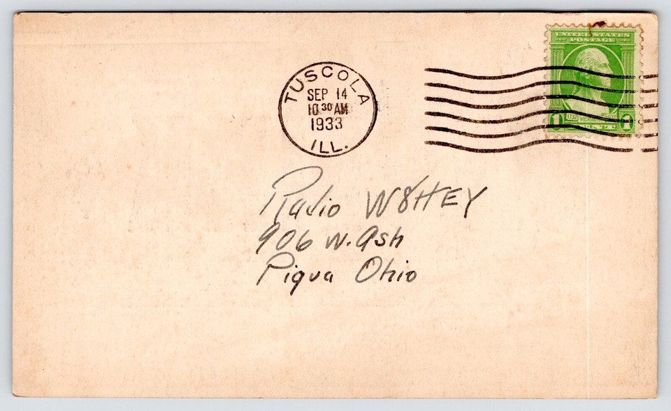
Postcards
Floobydust
USGS Maps
RAILROAD SIGNALS HOME
Location / Name:
Tuscola IL, Douglas County
What's Here:
Diamond
Small and short siding
Grain loading facility
Former TY Tower
Data:
GPS Coordinates: as needed
Phone A/C: 217
ZIP: 61953
Radio Freqs:
-- CN (ex IC) 161.190 [72]
-- UP (ex MoPac) 160.410 [20]
-- CSX 160.230 [8]
Access by train/transit:
None
Geography:
Flat
Approximate # of trains per 24 hours:
Around 46: CN 20, 6 Amtrak, UP 24, CSX 2?
The Scoop:
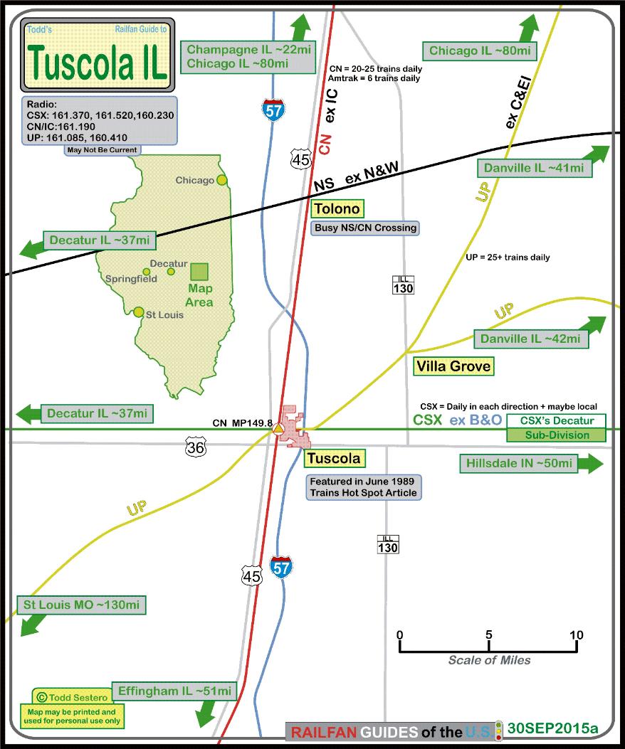
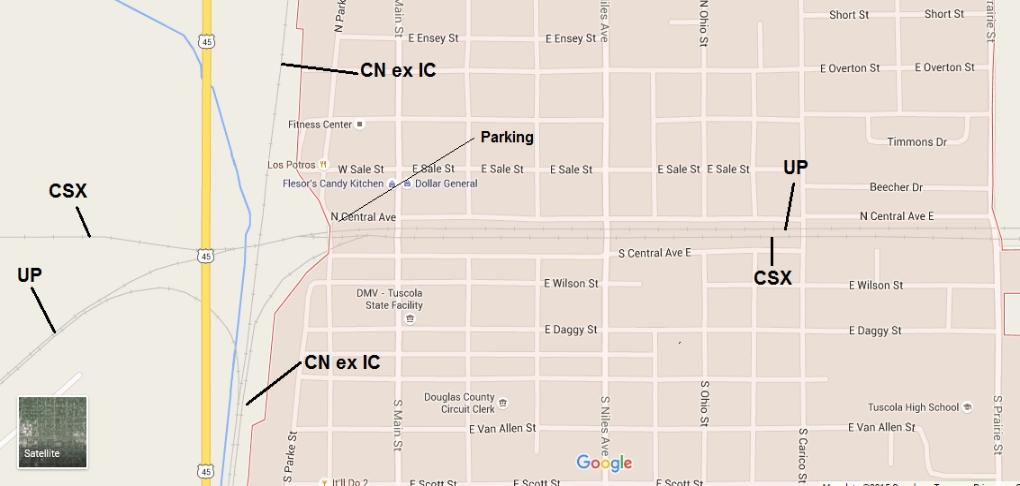
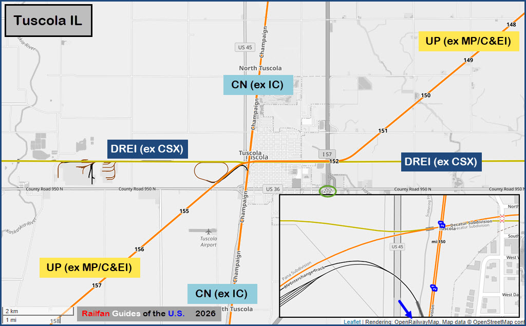
Tuscola is located in East-central Illinois, 26 miles south of Champaign. Three railroads cross in town just west of the central business district. The CN (ex IC), The UP (ex MoPac), and the CSX (ex B&O). Some railfans I know describe Tuscola as NOT very photogenic but with enough trains to please many. On 5/10/2014 Tuscola had a small celebration and displays for Amtrak's Nation Train Day, no report on 2015, but hopefully that will continue in the future.
There is a simple siding wedged between the UP and "CSX" Tracks between Niles St and Prairie St.
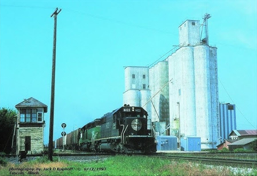
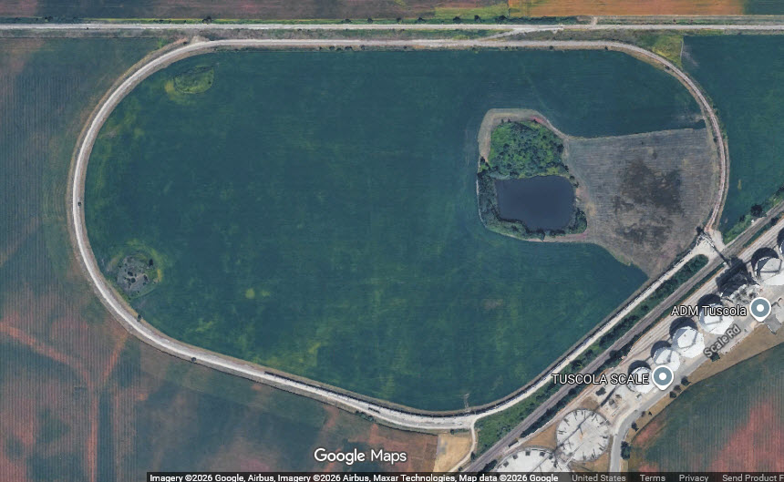
On the west side of the diamond and US-45, there is a grain loading facility with a rather large loop track.
I need good pictures of ALL of the signals in the area. Do I have any takers? Does anyone want to be famous? :-)
Eatin:
Fast Food: McDonald's, 1005 E Southline Rd
Ice Cream: Dairy Queen, 1100 E Southline Rd
Pub and Grub:
-- Proud Mary’s, 1003 E Southline Rd
-- IT'LL DO Bar & Grill, 600 S. Washington Street
Full Service: Love's at exit 212.
Lodging:
Super 8 $$ ($100.00), 1007 Southline Rd
Baymont Inn, $$ across the road.
Best Western in Monticello on I-72, 40 mile drive NW, about $30 cheaper than the Super 8
Visitor Info:
Tuscola Trip Advisor
Acknowledgements:
This guide was originally created by Denver Todd, this version incorporates most of his original ideas
Aaron Ryherd
Matt Davis
Richard Koenig
Carter B Morris
Harold J. Krewer
Jim Arvites
Google Maps
Facebook Groups
Websites and other additional information sources of interest for the area:
https://www.youtube.com/watch?v=PB6aXYNwhD8
https://www.youtube.com/watch?v=sTuCvzYpmhM
https://www.youtube.com/watch?v=mzNMGpgSjLk
https://www.facebook.com/groups/ILLRRHISTORYBUFFS/posts/3202485576644253/ (1)
https://www.facebook.com/groups/1037840258424570/posts/1140981424777119/ (2)
https://www.facebook.com/photo/?fbid=1881198981896398&set=gm.2361346457424840 (3)
https://www.facebook.com/groups/ILLRRHISTORYBUFFS/posts/3721233501436122/ (4)
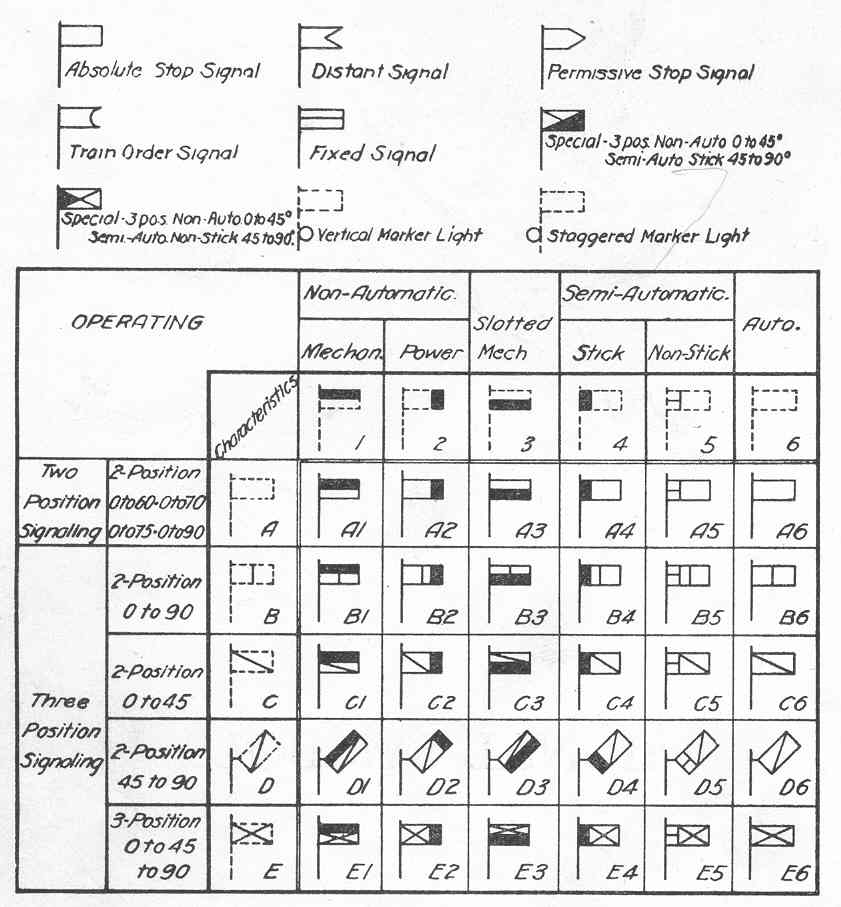
https://www.railroadsignals.us/basics/nomenclature/index.htm what the symbols on the interlocking chart mean
https://www.trains.com/ctr/photos-videos/photo-of-the-day/three-way-crossing-at-tuscola-ill/ (5)
https://www.facebook.com/photo/?fbid=4069878446431386&set=pcb.3569623776597096 (6)
http://www.rrsignalpix.com/tower_ty.php (7)
https://www.facebook.com/groups/1037840258424570/posts/1144359334439328/ (8)
https://towns-and-nature.blogspot.com/2017/11/tuscola-il-c-depot.html
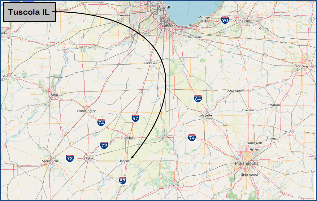
Exit #212 off of I-57.
Exit 212 is ~22 miles south of I-74
I-57 is about 120 miles (191km) west of Indianapolis IN via I-74.
Tuscola is about 150 miles (242km) south of Chicago IL
 The Tuscola Triple-Diamond and TY Tower
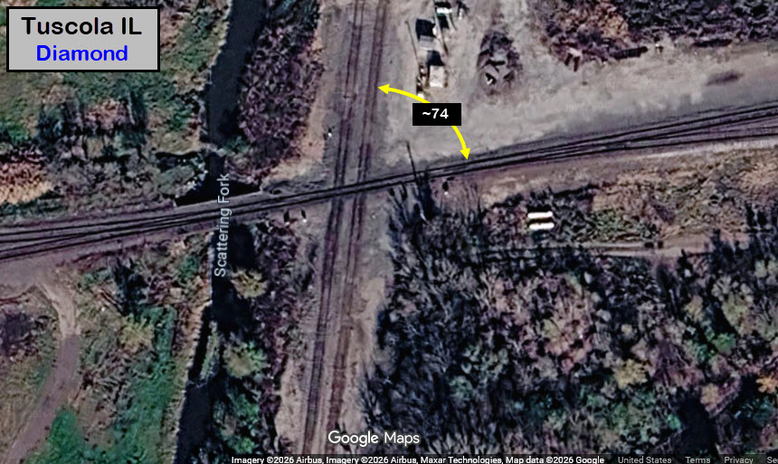
GPS Coordinates: 39.79850, -88.29102 (diamond)
TY Tower: Tuscola Tower was also known as TY Tower by many. The tower was operated by Illinois Central Operators and was manned 24 hours until October 23 of 1992 when it was closed. The tower housed a 48 lever Style A interlocking machine and had a vertical locking bed which was located below the floor. TY Operators also gave train orders from the tower, there were order forks for each track. The C&EI train order signal was a GRS 2 light type D signal; the IC train order signal was a US&S type signal. These two set of train order signals were controlled by a box on the wall that had a simple light switch. For B&O train orders the operator would put the signal lever half way, this would not give a red nor a green signal but a lunar signal. This indicated to the crew that there were orders to be picked up. The tower was demolished on June 1st, 1994. (from RRSIGNALPIX.com)
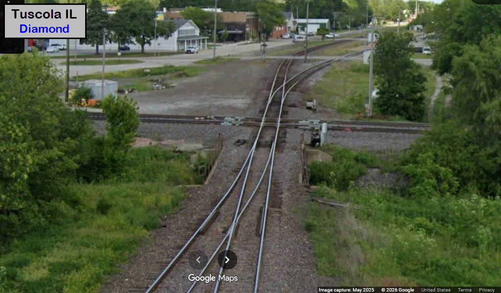
I've been adding pictures in order as I find them,
but since we have a couple of my favorites engines in this shot, it goes to the front of the line. The ubiquitous GP-30!!!

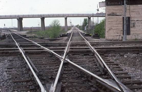
Looking west towards Decatur on the B&O (straight across), from the CE&I Historical Society.
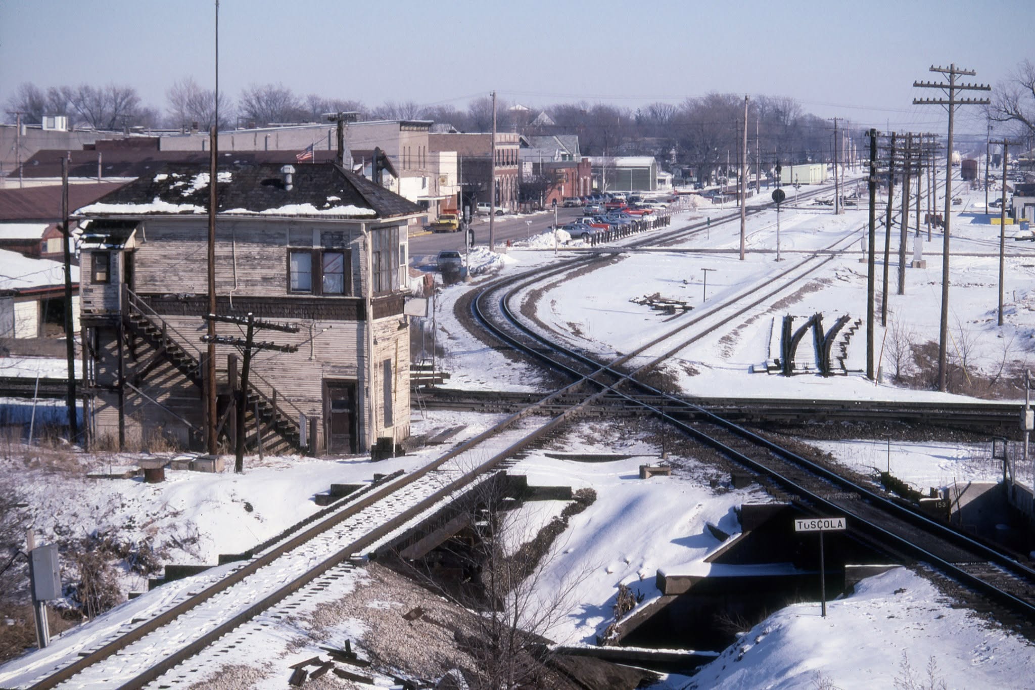 Richard Koenig, 1991
Richard Koenig, 1991 -- In this view you can plainly tell which tracks belong to the B&O due to the CPL signal
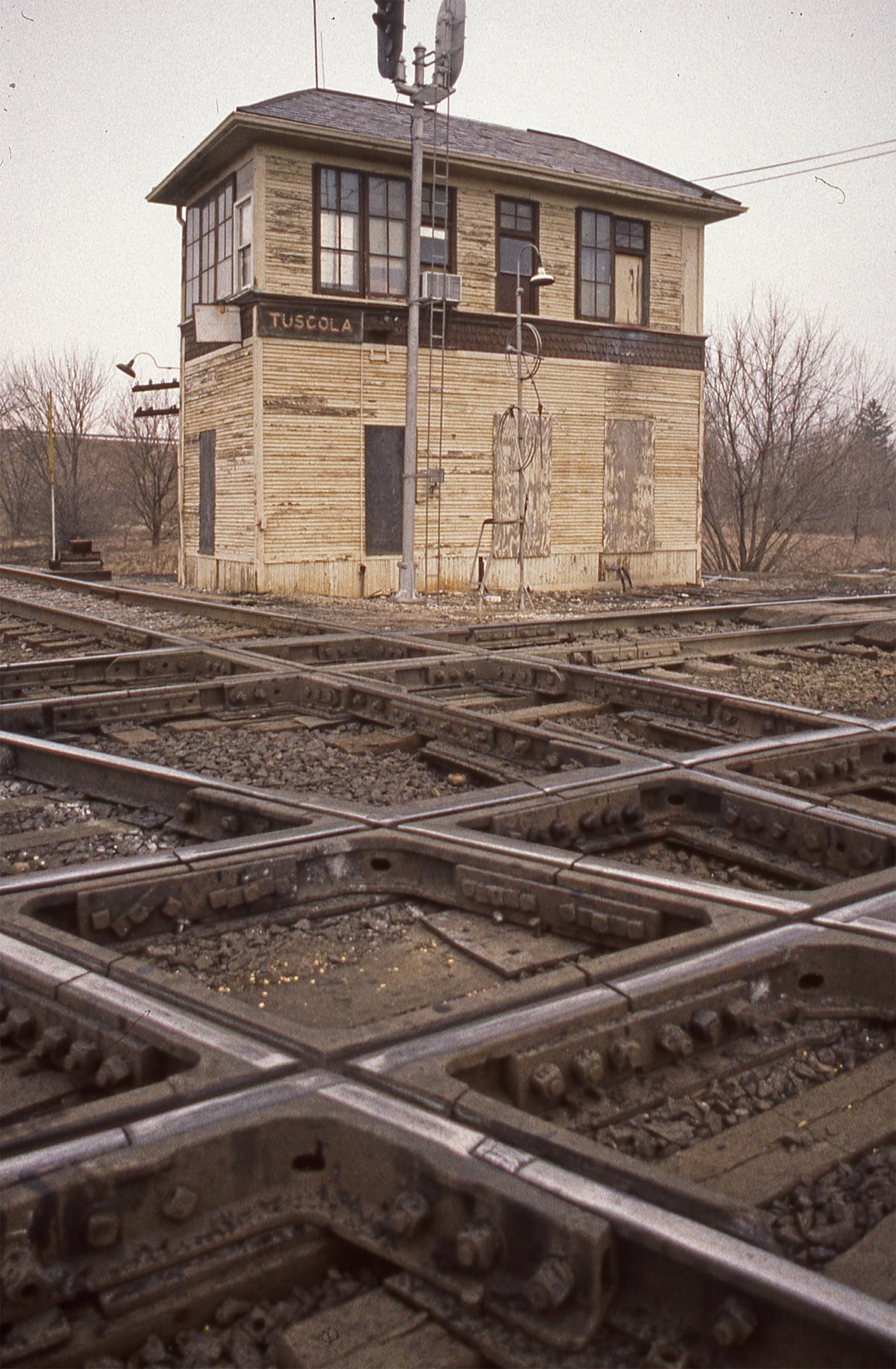
Harold J. Krewer, undated, but the tower was still open.
 Posted by Matt Davis
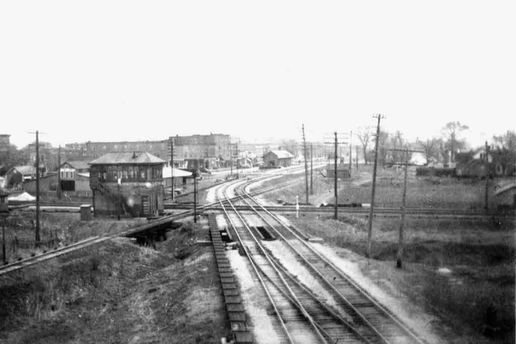
View from the 1920's. The C&EI is still double tracked, with their depot in the background. The C&EI pulled up their second track in 1943.
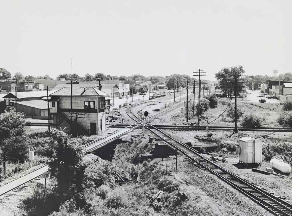
Gordon E. Lloyd, undated, via Trains Magazine page (5)
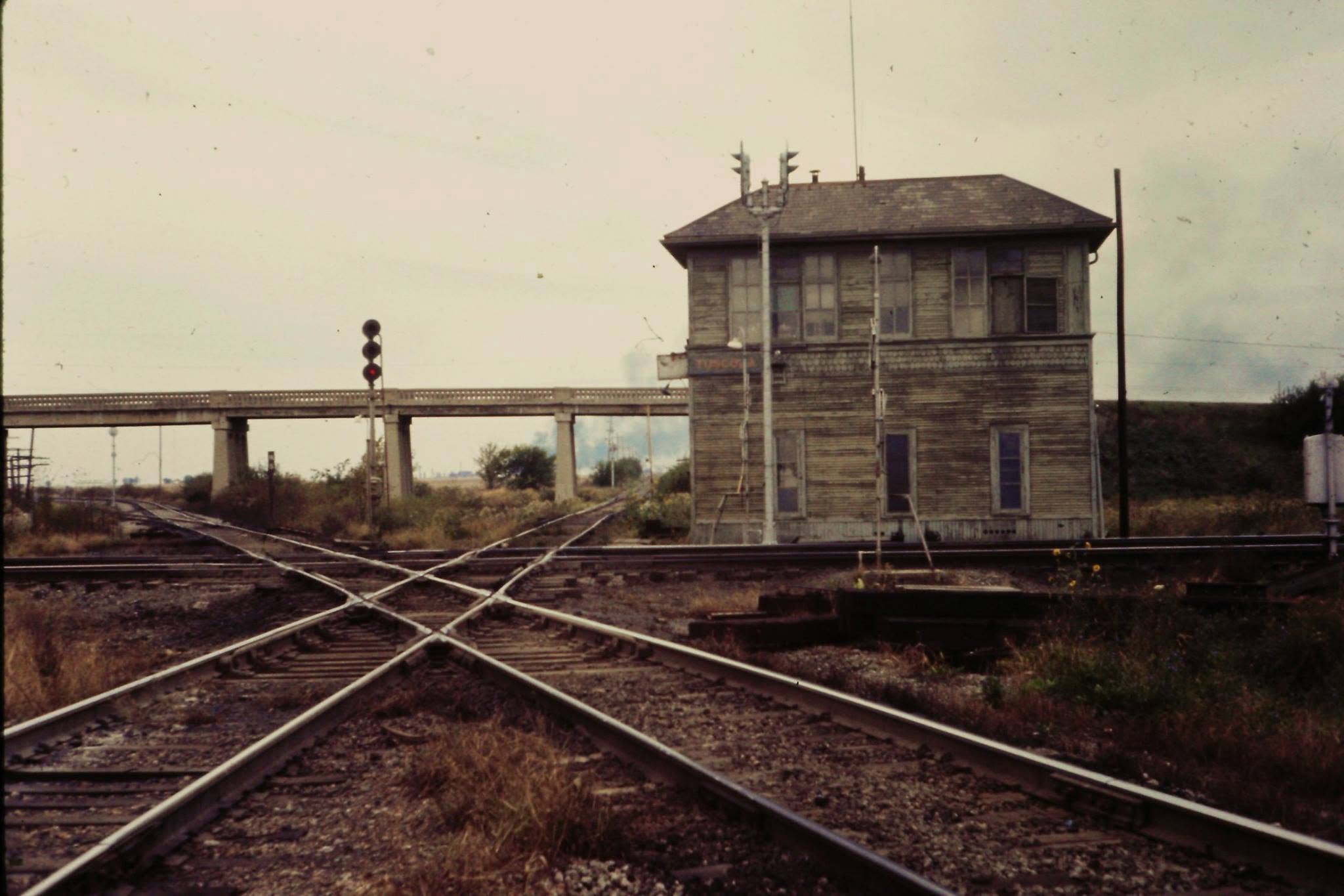 Robert Daly, looking west, October 25th, 1969 (3)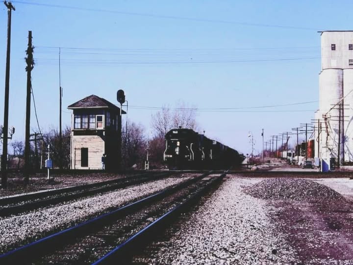
Jim Arvites, SB Illinois Central freight passing Tuscola Tower, April 7, 1990 (4)
 Loop Track for Grain Car Filling
GPS Coordinates: Just west of the diamond
The Stations and Depots of Tuscola
Tuscola at one time hosted the passenger trains of three railroads: the B&O, the Illinois Central, and the Chicago & Eastern Illinois.
All three had a station/depot in town. Matt Davis believes the C&EI depot was demolished first, then the IC, followed by the B&O.
This is what I have found. If you have anything additional, please consider forwarding it to me. Thanks.

The Chicago and Eastern Illinois Depot
Located on North Central Avenue, between Washington and Main streets
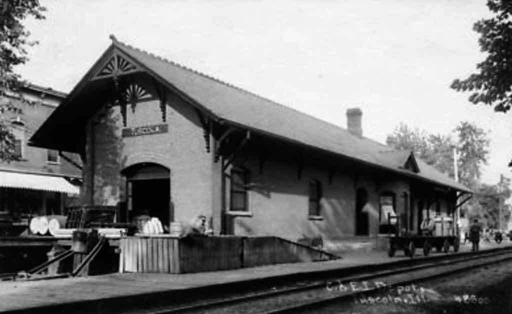
The C&EI depot, courtesy Carter B Morris Sr. via/from FB (6)
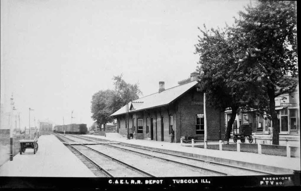
The C&EI depot, courtesy Carter B Morris Sr. via/from FB (6)
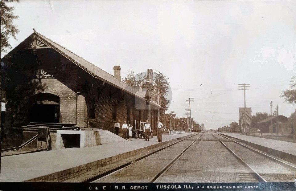
In looking around on EBay for railroad related items from Tuscola, this was the only one I found on a recent visit.
The Baltimore and Ohio Depot
Located at the intersection of South Central Avenue and Main Street.
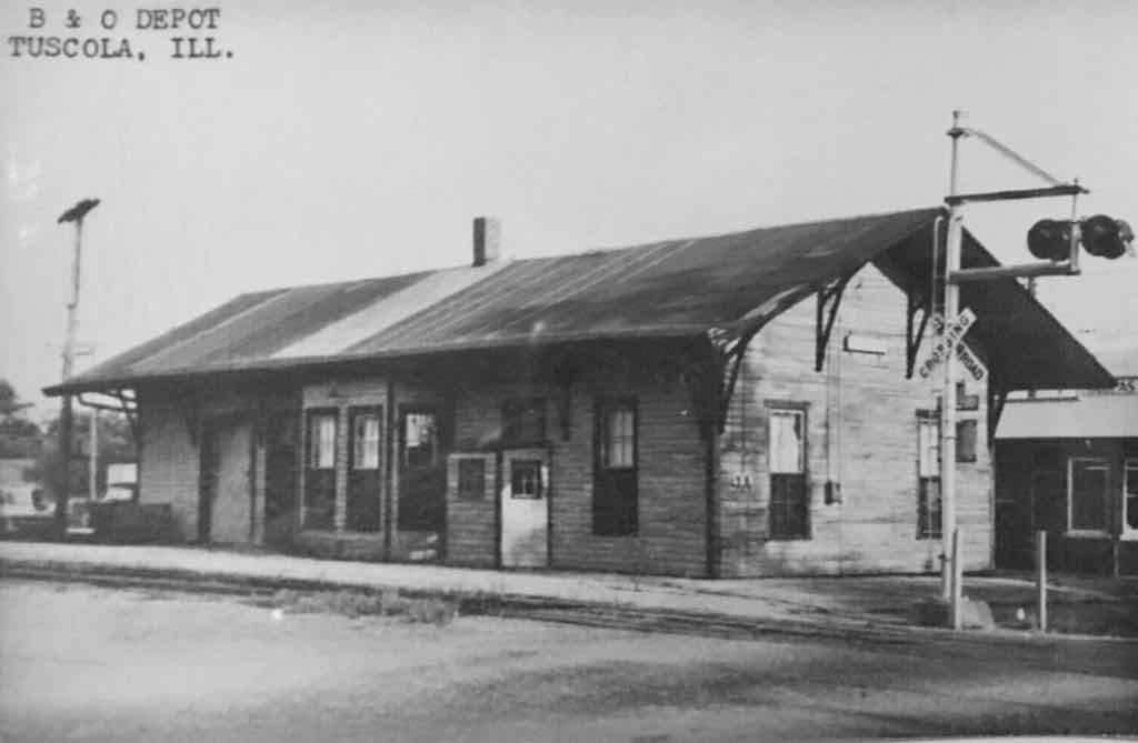
The B&O Depot, courtesy Carter B Morris Sr. via/from FB (6)
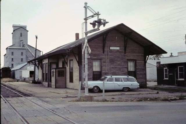
ANother view of the B&O Depot, early 60's, courtesy Carter B Morris Sr. via/from FB (6)
The Illinois Central Depot
The IC depot was at the west end of Pembroke Street.
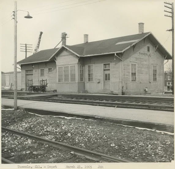
The Illinois Central Depot in 1965, courtesy Carter B Morris Sr. via/from FB (6)
 from Matt Davis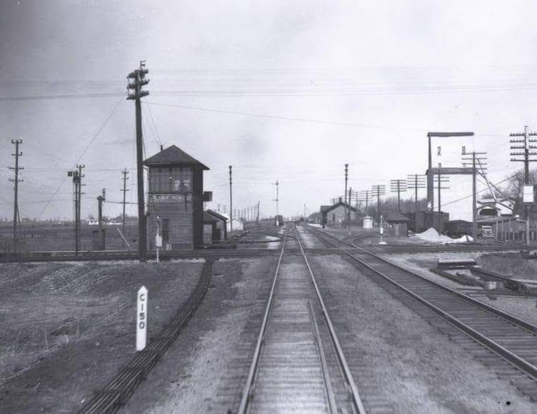
Another view of the Illinois Central Depot from across the diamond, courtesy Carter B Morris Sr. via/from FB (6)
Interlocking Diagrams

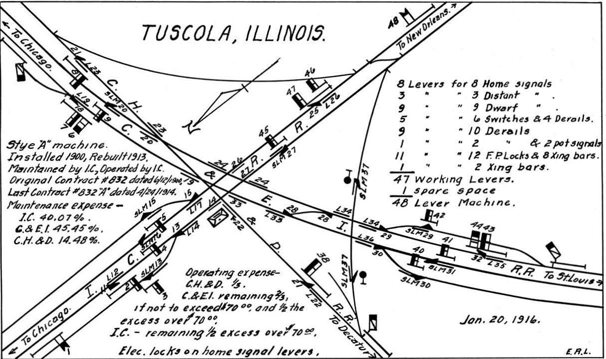
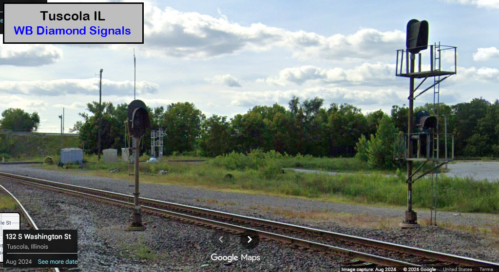
 WB Diamond Signals
GPS Coordinates: 39.79870, -88.28959
Well, at least one of the sets of signals is easy to get pictures of from the streets!
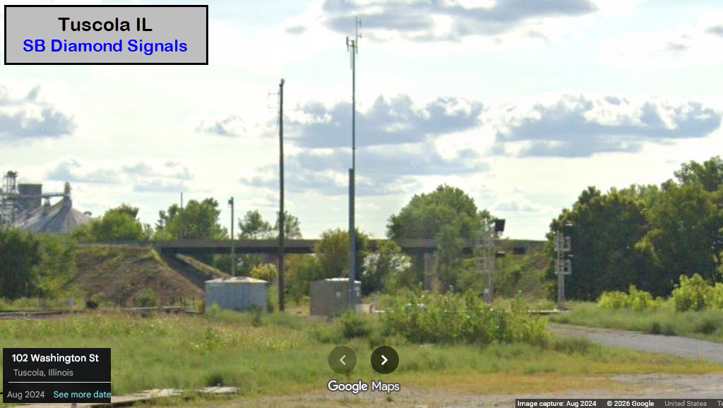
 SB Diamond Signals
GPS Coordinates: 39.79887, -88.29097
 NB Diamond Signals
GPS Coordinates: 39.79797, -88.29110
Need Good Pictures
 EB Diamond Signals
GPS Coordinates: 39.79844, -88.29119
Need Good Pictures
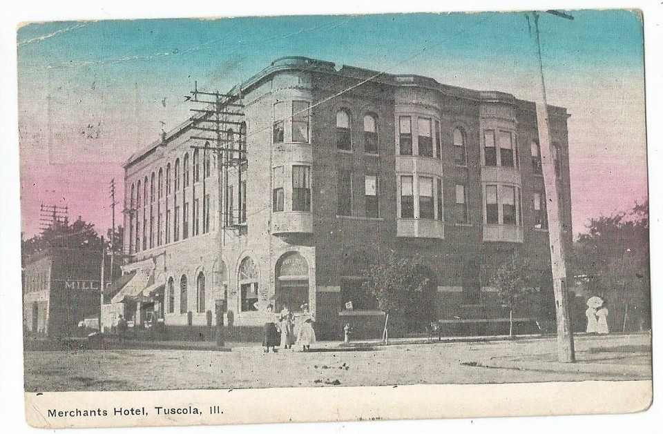
I included this picture of downtown as a reminder of the history of telephones, check out the telephone pole.....
If each crossarm had 6 pairs, that's only 42 phones lines, if 8 - 56 lines!
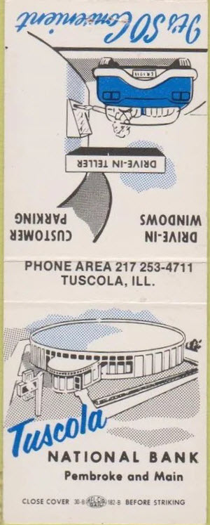 Common design for a bank back then, there was one in New Rochelle NY that's
very similar looking!!!
Common design for a bank back then, there was one in New Rochelle NY that's
very similar looking!!!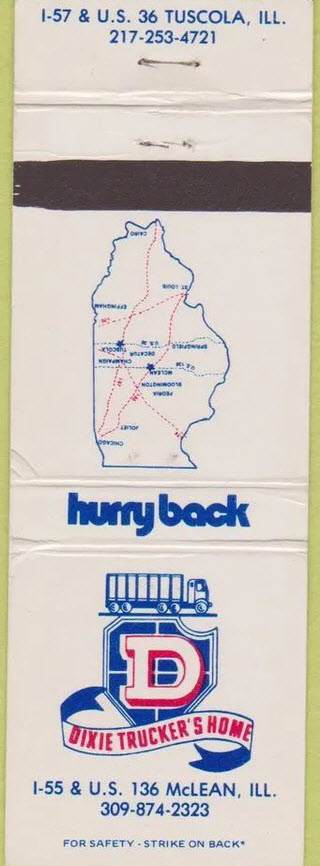 (WAY) Before GPS, even matchbooks had maps on them!
Time Line..... of things I can find
1857 - Tuscola founded, Tuscola is a Native American word for "flat plain"
1859 - Tuscola incorporated
1900 - Interlocking installed
1912 - Theodore Roosevelt stops at the IC depot during presidential campaign (8)
1940's - The B&O ends passenger service (8)
1943 - C&EI pulled up their second track
1960 - Richard Nixon stops at the IC depot during presidential campaign (8)
1962 - The C&EI ends passenger service (8)
1964 - Last passenger train stops in Tuscola (8)
1992, Oct 23rd - TY Tower closed (7)
1993 - Diamonds consolidated (3) ME
1994, June 1st - TY Tower closed and razed (3) ME and (7)
Railroad history shorts
1972 - Baltimore & Ohio became the Chessie System
1976 - Chicago & Eastern Illinois absorbed by the Missouri Pacific
1982 - Missouri Pacific absorbed by the Union Pacific
1987 - Chessie System became CSX
1998 - Illinois Central became the Canadian National
2018 - CSX sold line thru Tuscola to the Decatur and Eastern Illinois RR
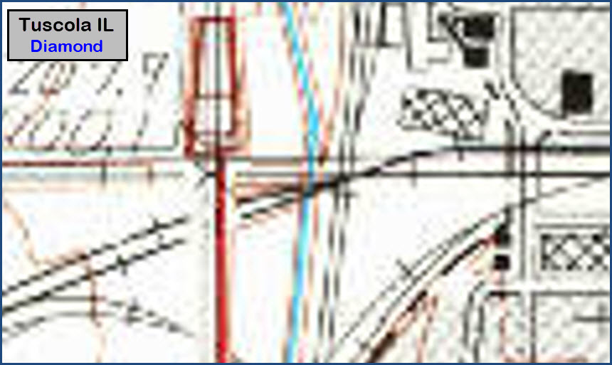
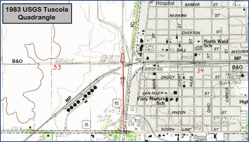
Courtesy USGS, click here for their index page.
"They" apparently didn't do much with mapping out Illinois well until the (at least) the 1980's, and even then, the maps done weren't done to their long standing standards.
Disclaimers:
New format 10/26/23: Please check out my disclaimer page for my standard dribble and contact info here
RAILFAN GUIDES HOME
RAILROAD SIGNALS HOME
NEW 9/30/2015, Reborn AUG04/05/06/07/08/09/2026
Last Modified 07-Aug-2026