In General
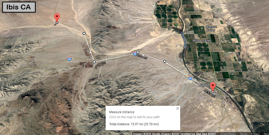
Getting Here
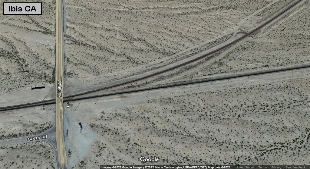
Map
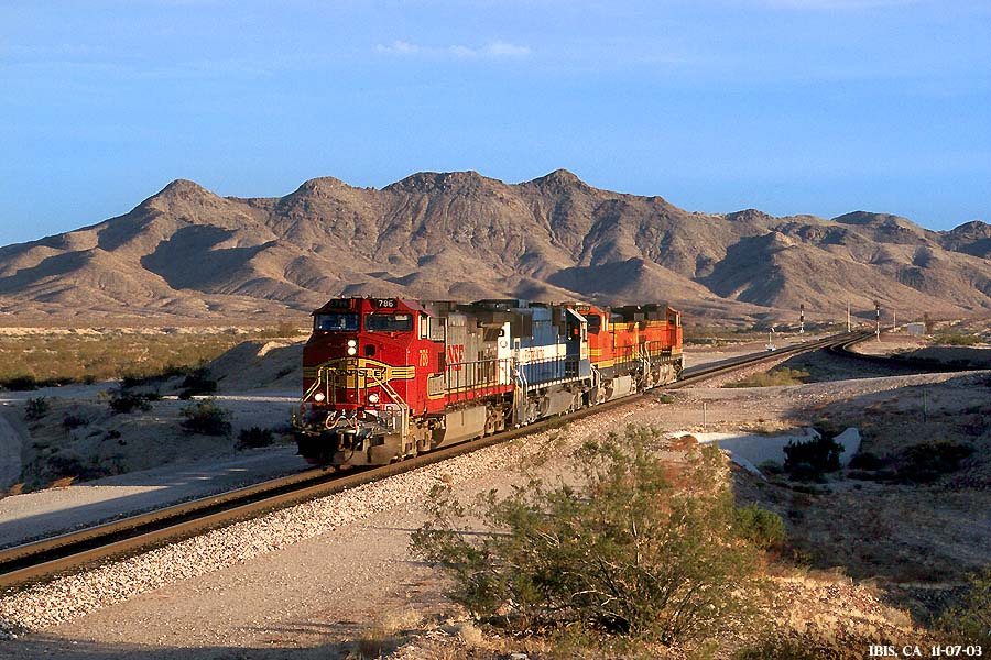
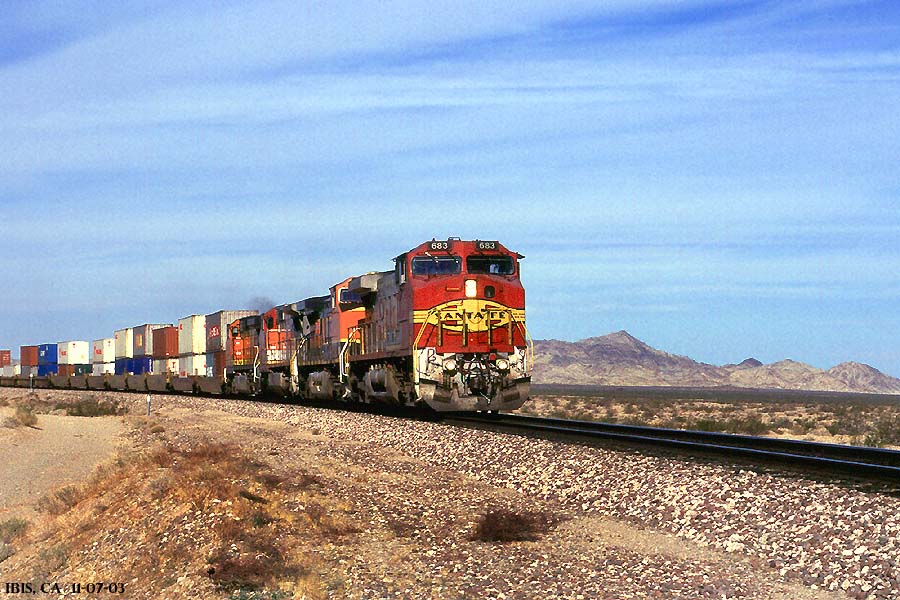
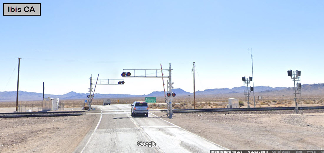
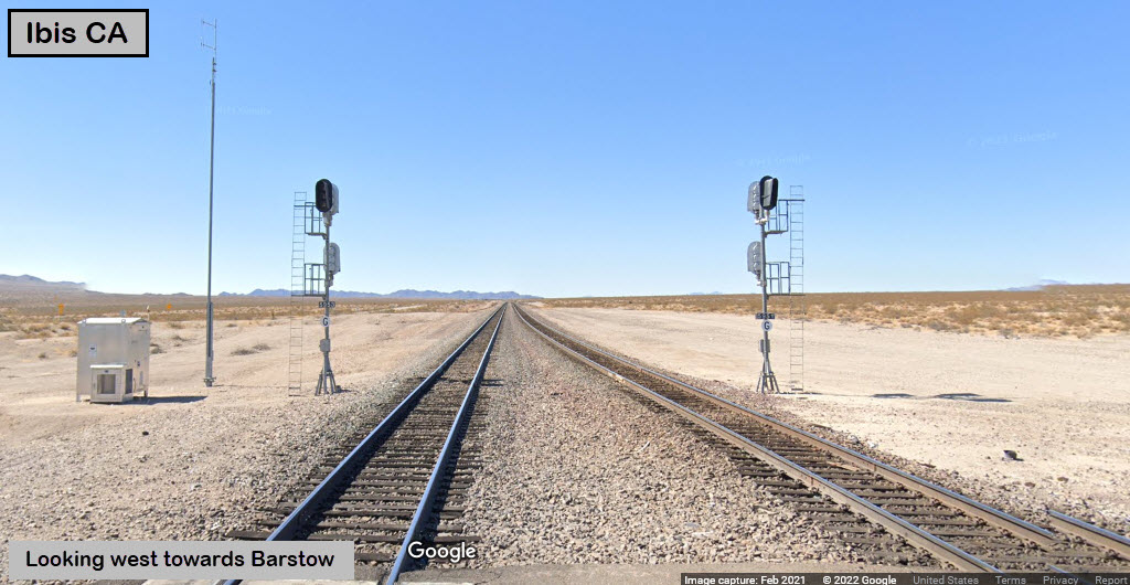
Pictures
Signals
RAILROAD SIGNALS HOME
Location / Name:
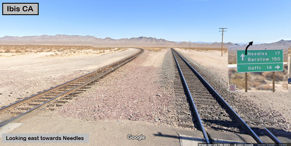
Ibis CA, San Bernardino County
What's Here:
BNSF Needles Sub
Grade Crossing
Signals
Data:
GPS Coordinates: 34.94289, -114.82459
Phone A/C: 760
ZIP: n/a
Access by train/transit:
Amtrak Southwest Chief in Needles
The Scoop:
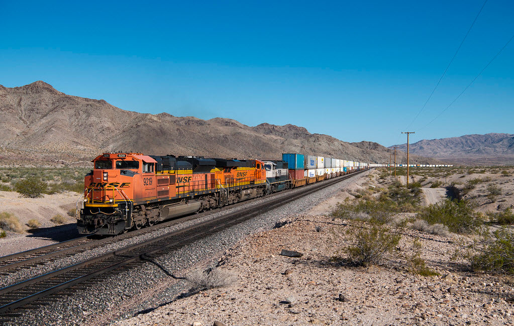
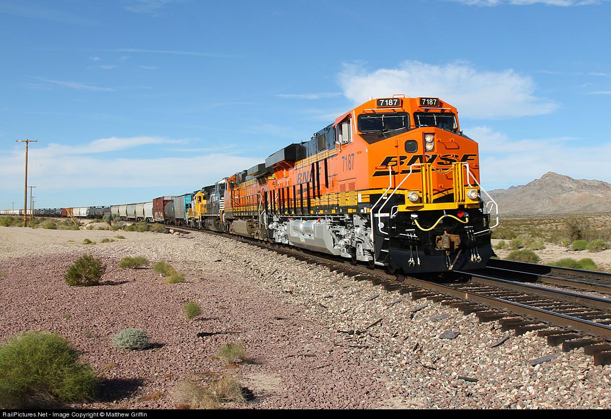
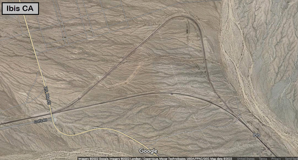
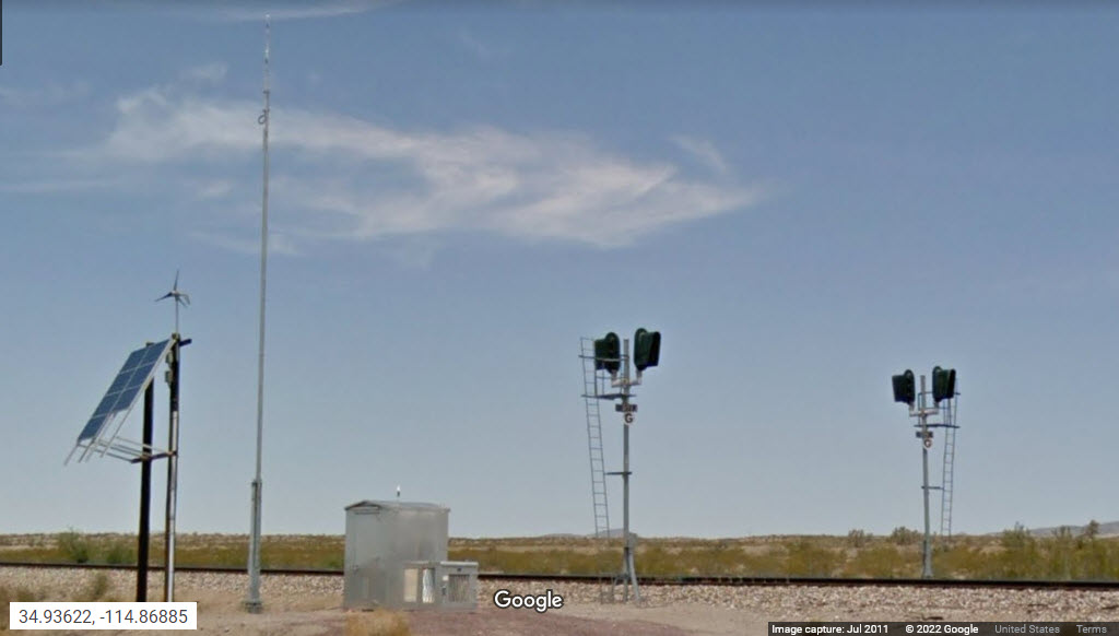
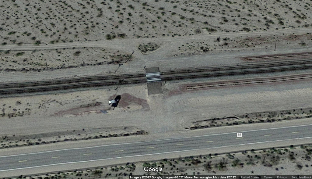
About 16 miles west (by road) from the station in Needles is Ibis. US 95 crosses the BNSF mainline here, where there are 2 tracks at the grade crossing and a set of signals. Two and half miles west is another set of signals. There are about 60 to 70 trains a day that pass through here.
Just east of the crossing, the WB track takes a circuitous route to lessen the grade. According to the "waltersrail" page: The line in the foreground was built by the Atlantic and Pacific Railroad in 1883, while the second line in the background was constructed by the Santa Fe in 1923 with a shallower grade (1.4 percent as opposed to 1.8 percent) for eastbound traffic.
Looks like there is a slight hill just west of the grade crossing, on the other side of the WB track, where you can good shots of EB trains.
If you go to Google images and search for BNSF Ibis CA, you'll find lots more pictures!
Radio Freqs:
AAR 55 / 160.935 - Needles to Hector
AAR 55 / 160.935 - Mojave Dispatcher, Hector to E. Barstow
AAR 32 / 160.590 - Mojave Dispatcher, E. Barstow to Barstow
Acknowledgements:
Denver Todd
Roland Lucas
Matthew Griffin
Google Maps
Websites and other additional information sources of interest for the area:
http://www.waltersrail.com/2019/03/bnsf-transcon-kansas-city-to-cajon-part.html excellent pictures!
See below the photos for others.
Exit 133 from east-west running I-40. Go north 6.35 miles on US 95 to the grade crossing.
http://www.trainweb.org/brettrw/bnsf/needlessub/bnsf0786.html
http://www.trainweb.org/brettrw/bnsf/needlessub/bnsf0683.html
 Roland Lucas
https://www.flickr.com/photos/152163655@N06/48920351501/in/photostream/
https://www.pinterest.com/pin/168392473541532714/
At the Crossing
GPS Coordinates: 34.94284, -114.82489
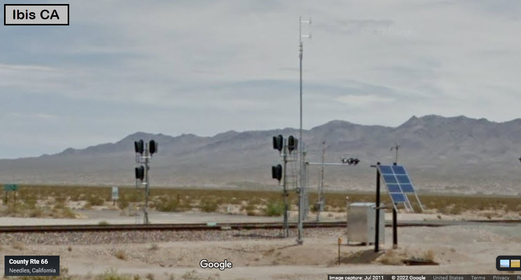
GPS Coordinates: 34.93622, -114.86885
They are 2.5 miles west of the grade crossing at US 95, on CA Route 66.
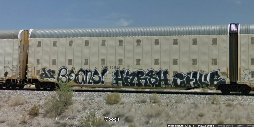
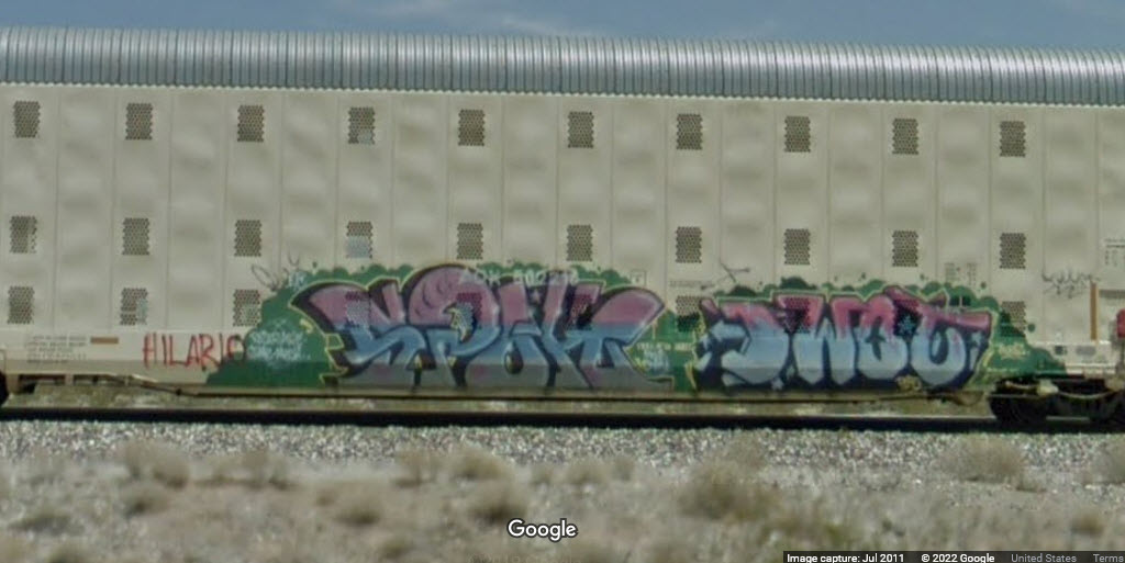
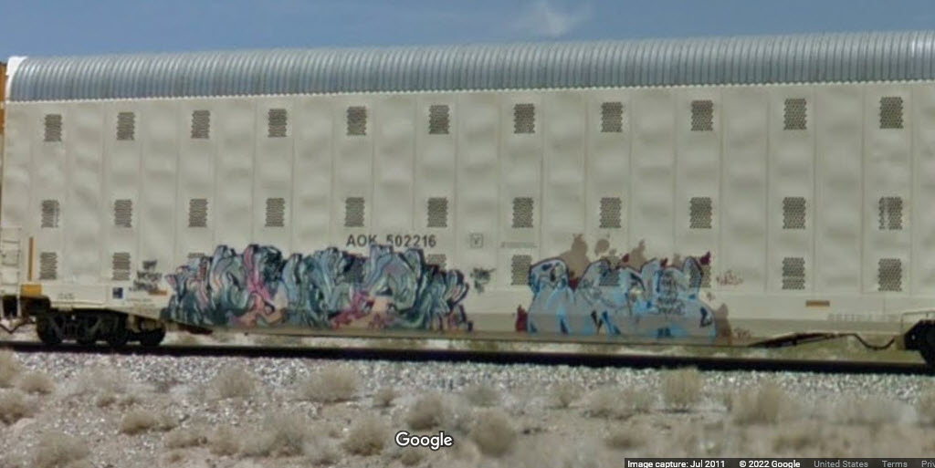
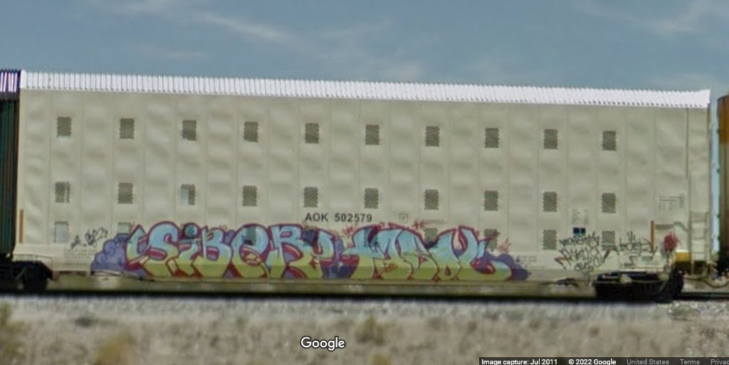
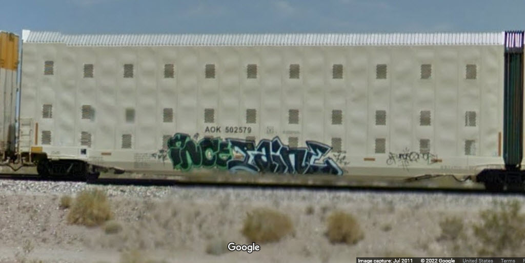
Some graffiti seen on a few of the cars on a train Google caught west on Route 66.
Disclaimers:
New format 10/26/23: Please check out my disclaimer page for my standard dribble and contact info here
RAILFAN GUIDES HOME
RAILROAD SIGNALS HOME
NEW 08/20/2022, AUG21/2022, MAY31/2025
Last Modified 31-May-2025