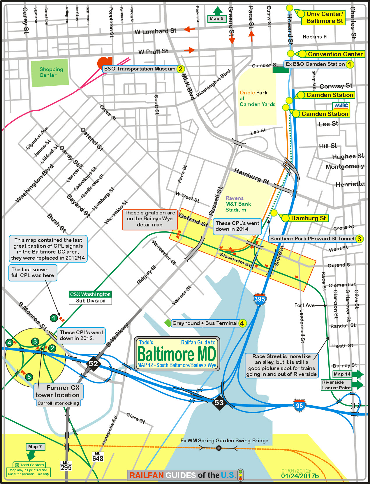
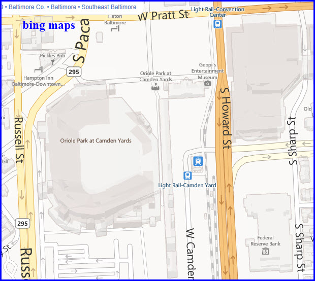
What's Here:
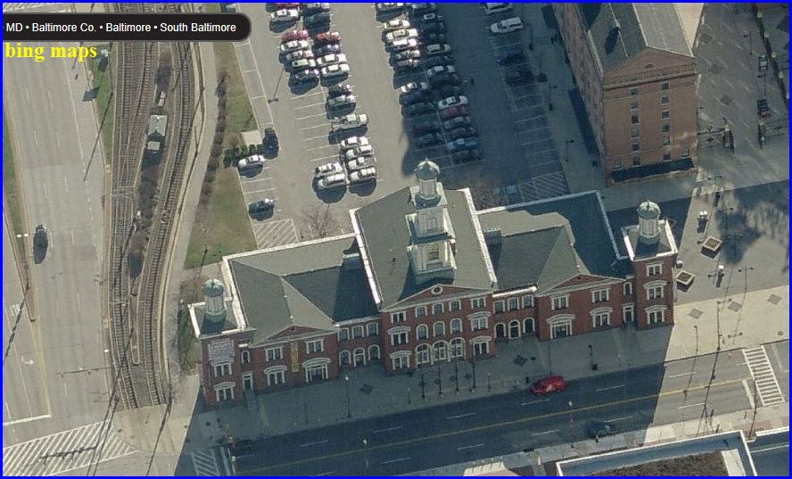
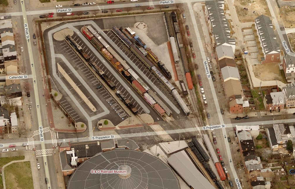
B&O's former Camden Station
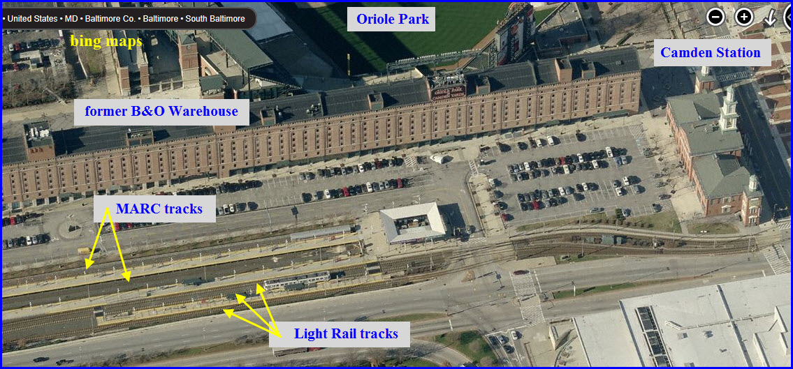
The Former B&O Warehouse
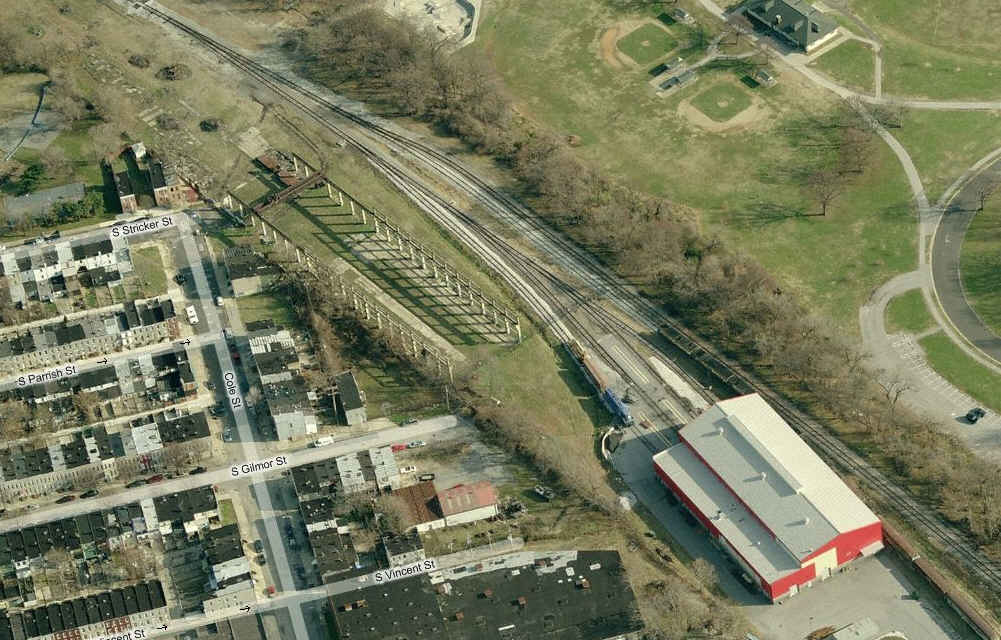
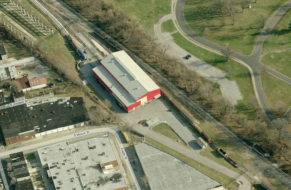
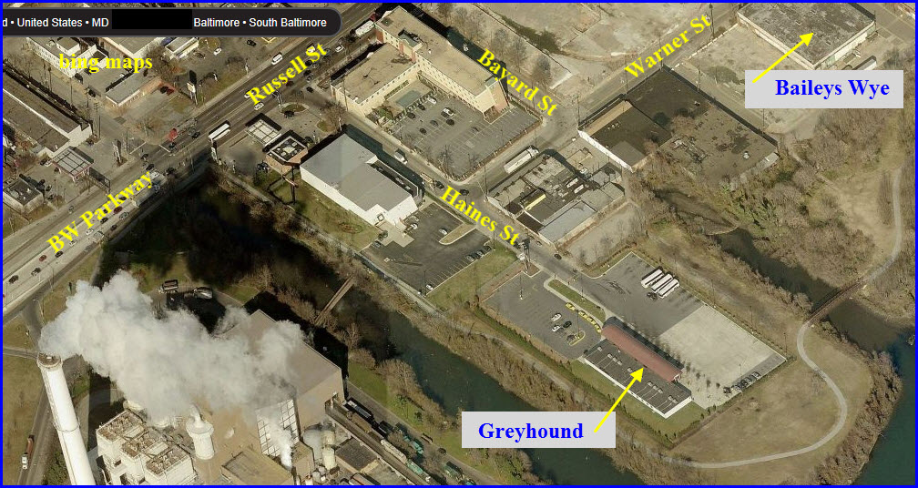
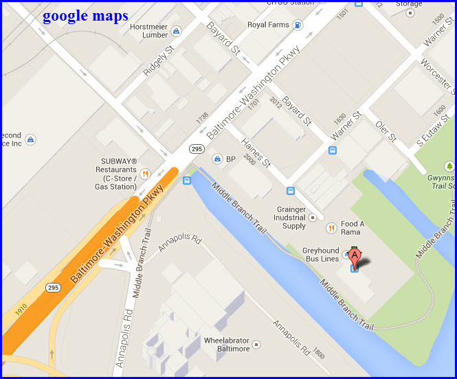
Bailey's Wye
MARC's Camden Station
Light Rail Hamburg Street station
Light Rail Camden station
Light Rail Convention Center station
Light Rail Baltimore St station
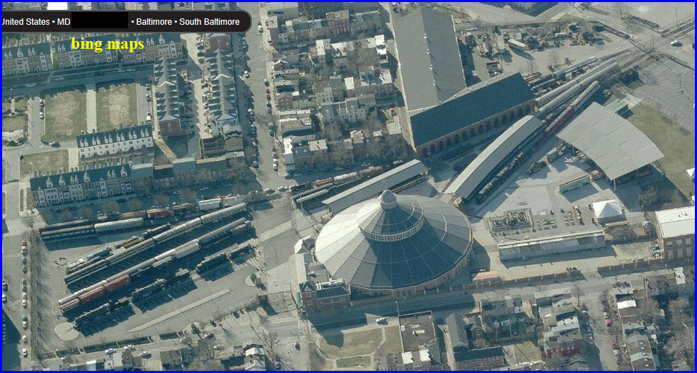
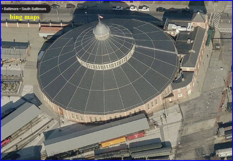
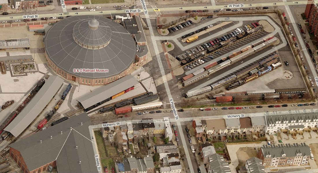
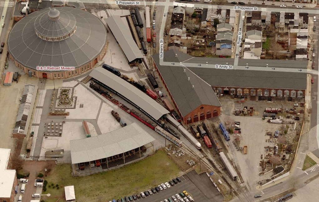
The B&O Transportation Museum
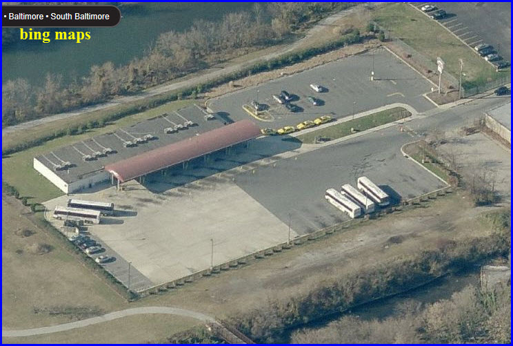
Greyhound Bus Terminal
The Orioles Stadium
The Ravens Stadium
Data:
GPS Coordinates: as needed
Phone A/C: 410
ZIP: 21201
Access by train/transit:
MARC
Light Rail - 4 stations on this map
The Scoop:
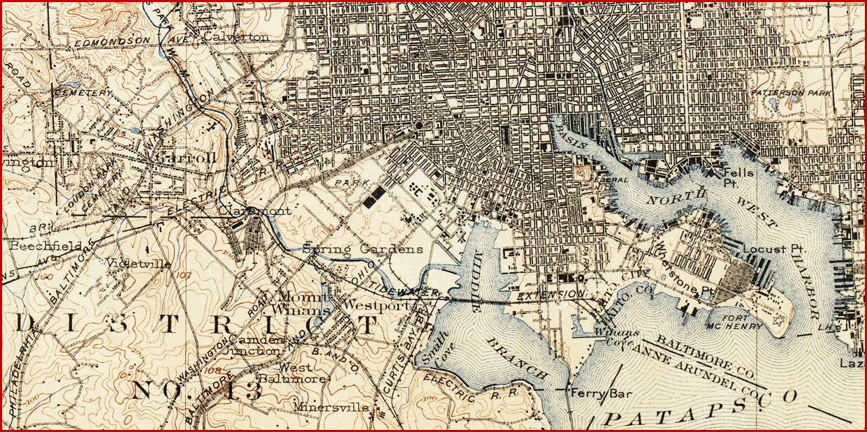
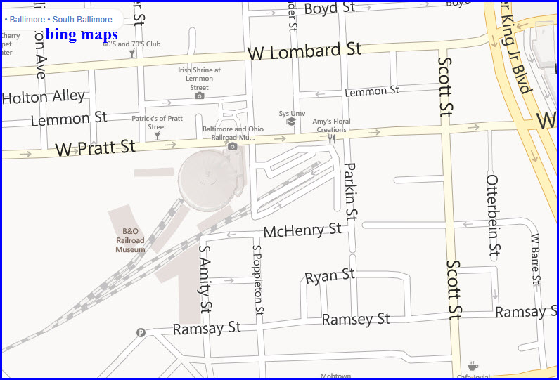
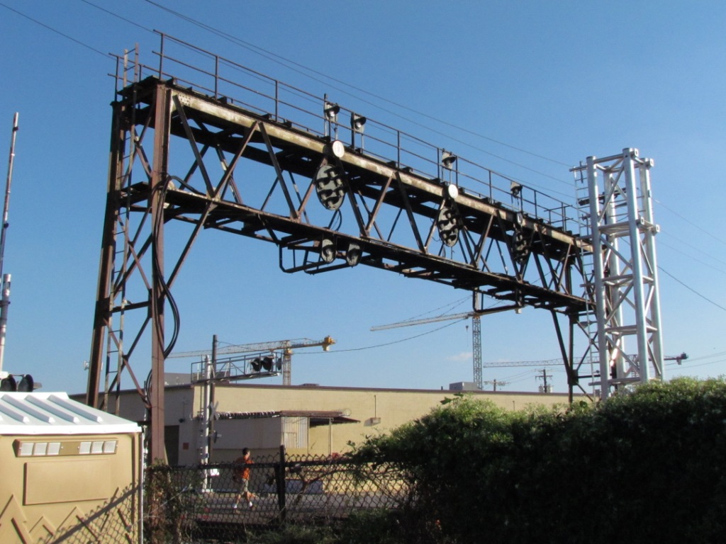
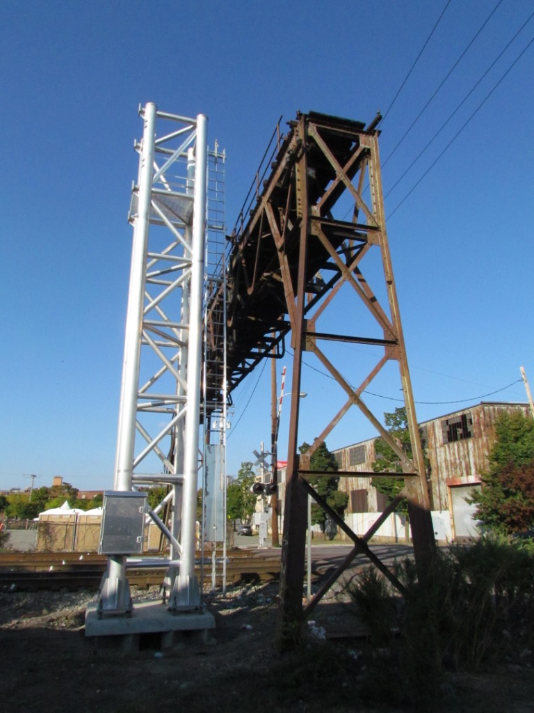
Well, this page is a bonus with two maps because of Bailey's Wye.
The wye is important enough that I made a separate detail map, especially since it
WAS filled with CPL's (they were replaced in 2014).
The B&O Transportation Museum is important, as
it chronicles the first railroad of the United States. They have made an
effort to make the museum as "B&O" as possible, to the dismay of many of us
because they got rid of a GG-1 and a South Shore Little Joe :-(. They have
recovered quite well from the 2006 roof cave-in from a heavy snowfall, altho a
lot of stuff that was on display is not anymore because they don't want to
put stuff on the outside wall of the roundhouse anymore (to most of us, they
lame reasons - I asked them why - one reason was the "moisture" around the wall,
but there are still items they feel are necessary along the wall).
The B&O's main station is also here, Camden
Station. The last time you could actually go into the station while it was
a station was back in the 70's. At least it is still with us.
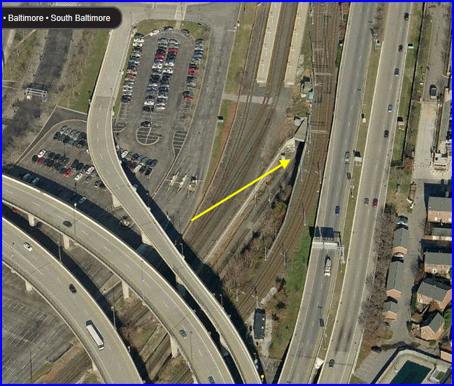
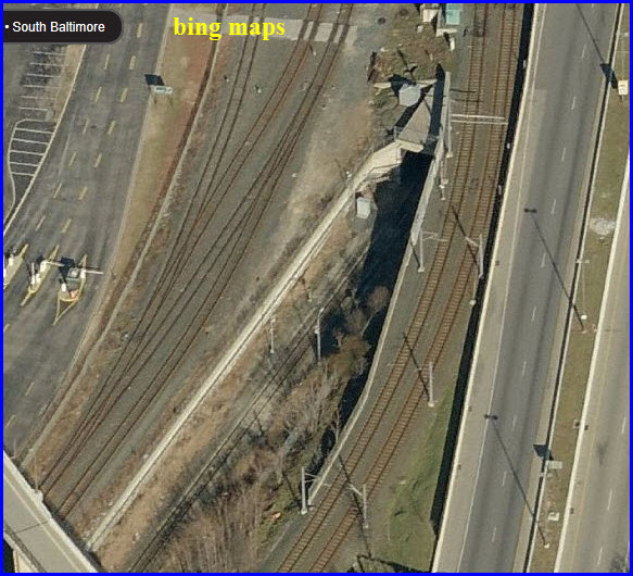
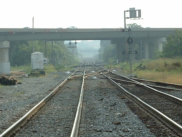
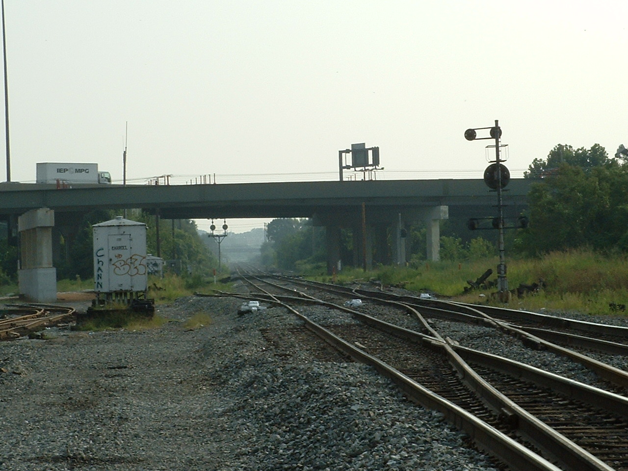
The southern portal of the Howard Street
Tunnel is on this map, between Camden Station and Bailey's Wye. The tunnel
was extended several hundred feet in the late 80's when they ran I-395 into downtown Baltimore.
Last but not least as sights go, the Greyhound Bus terminal is just south of Bailey's Wye.
The area just south of the wye on Warner street has changed a little bit since
the casino was opened, but it shouldn't really have any impact on visiting the wye.
Please note, my stuff isn't copyrighted, so if
you wanna steal something for use elsewhere, please just give me credit, TNX
If you need higher resolution pictures for something else, email me,
the ones posted here aren't useful for using in books or printing much larger
than a 3x5, if that.
Pictures are always needed if anyone feels inclined to take 'em, send 'em,
and share 'em, or if you have something to add or correct.... credit is always given! Contact info
is here
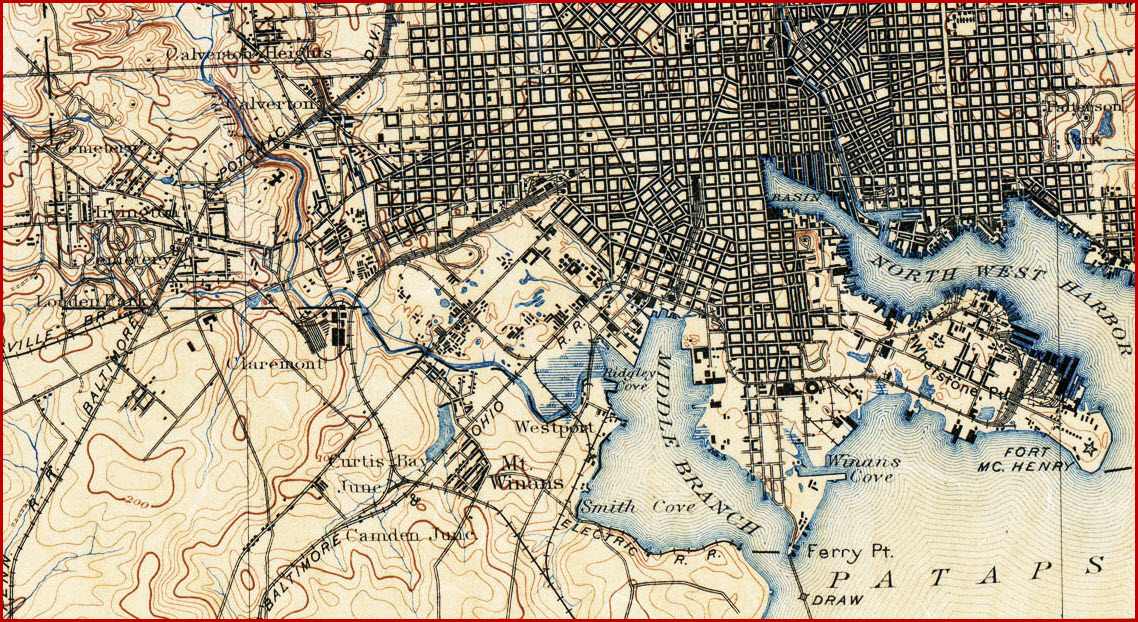
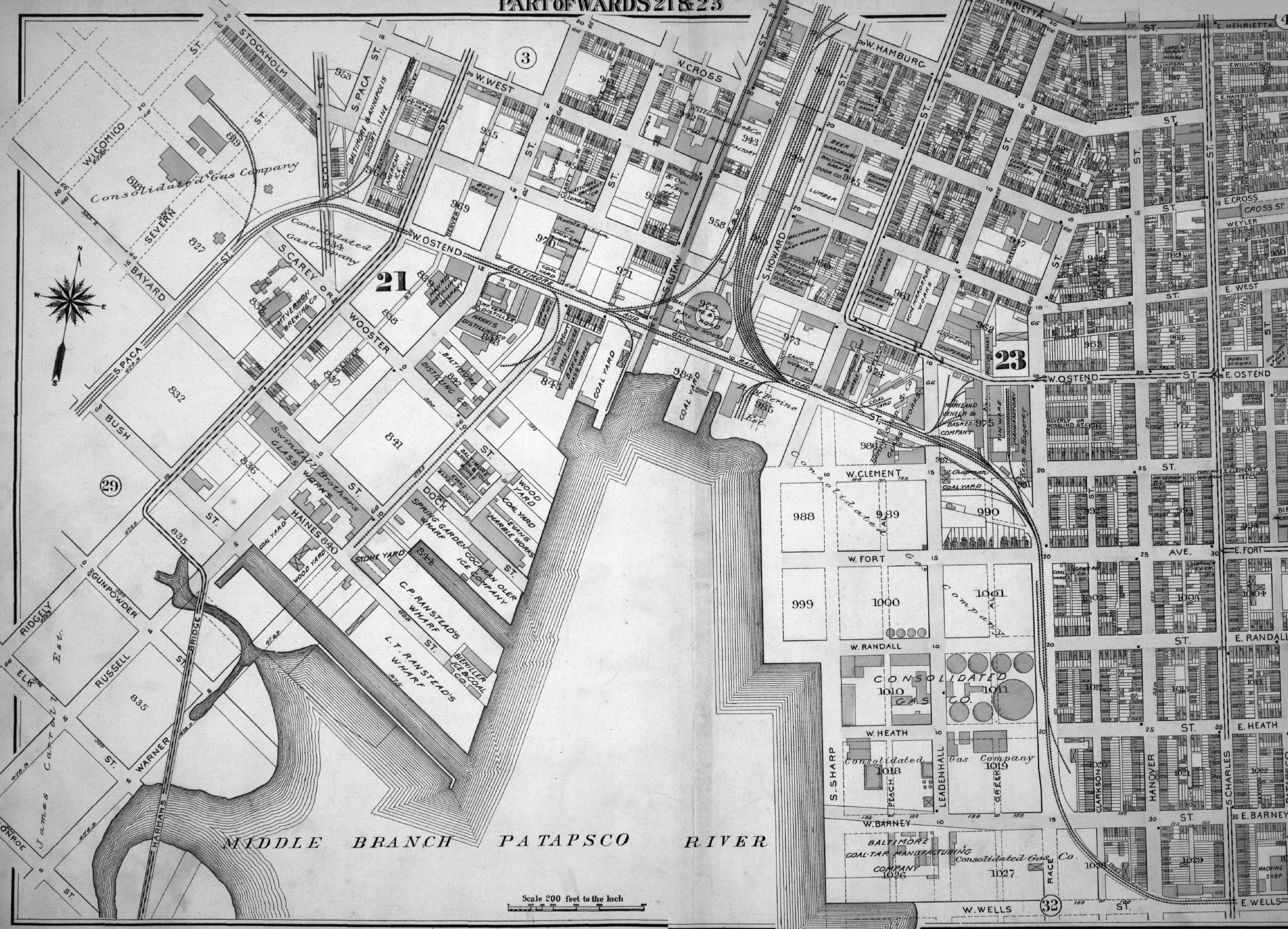
The map below is from approximately 1877, when they had a roundhouse in the middle of Baliley's Wye.
Back then, it was almost all street running, anyone have a time machine? :-)
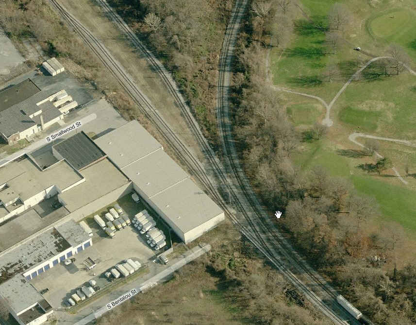
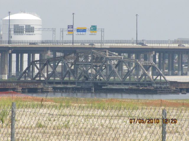
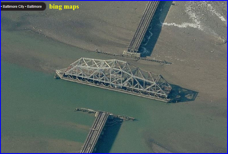
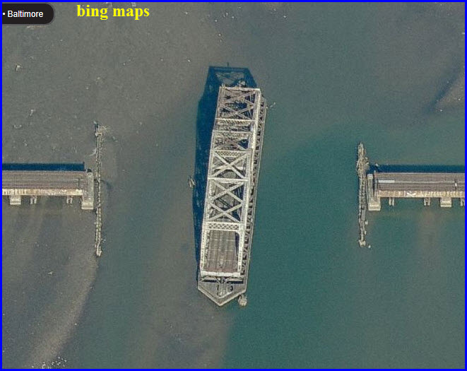
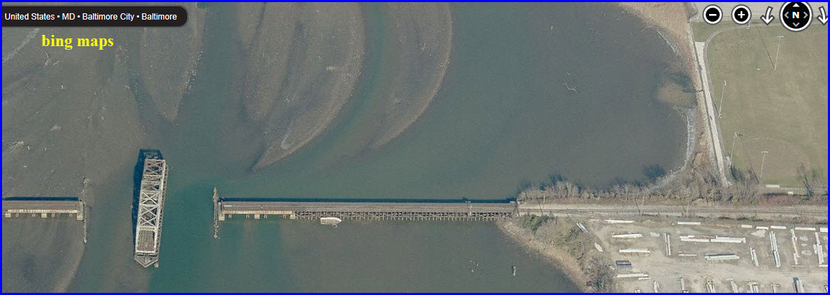
This bridge used to take the Western Maryland Rwy into it's
main Baltimore yard, Port Covington. After the WM was absorbed into the
Chessie System, the yard was deemed unneeded, and was plowed up. The area
is now an industrial and shopping area :-( It's one of three swing bridges
in Baltimore.
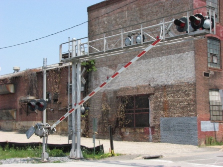
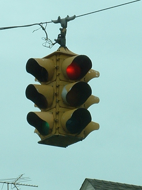
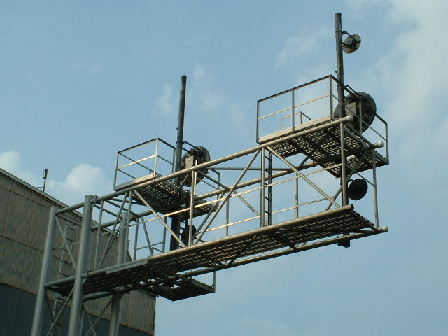
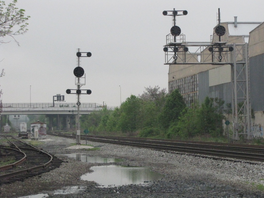
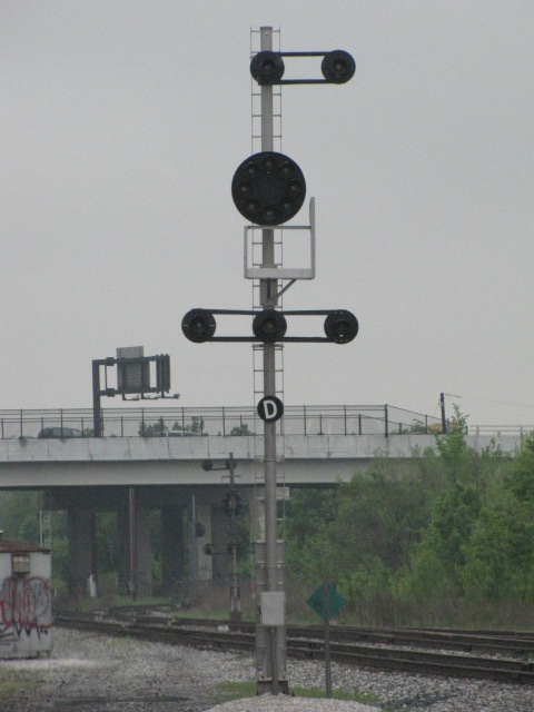
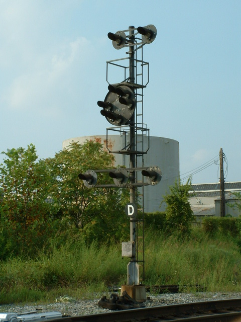
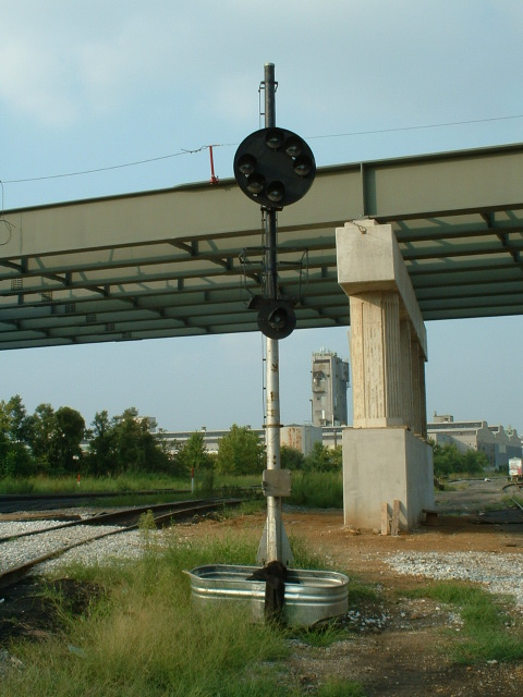
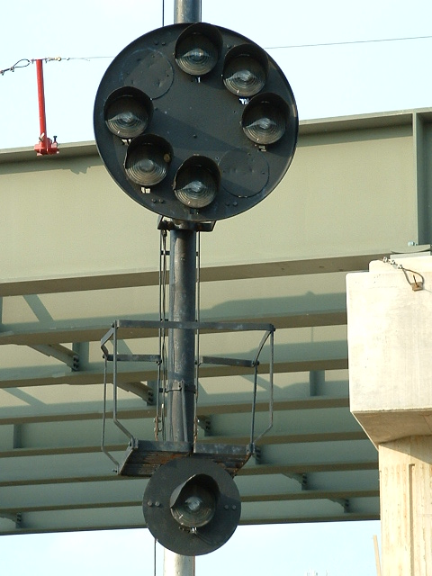
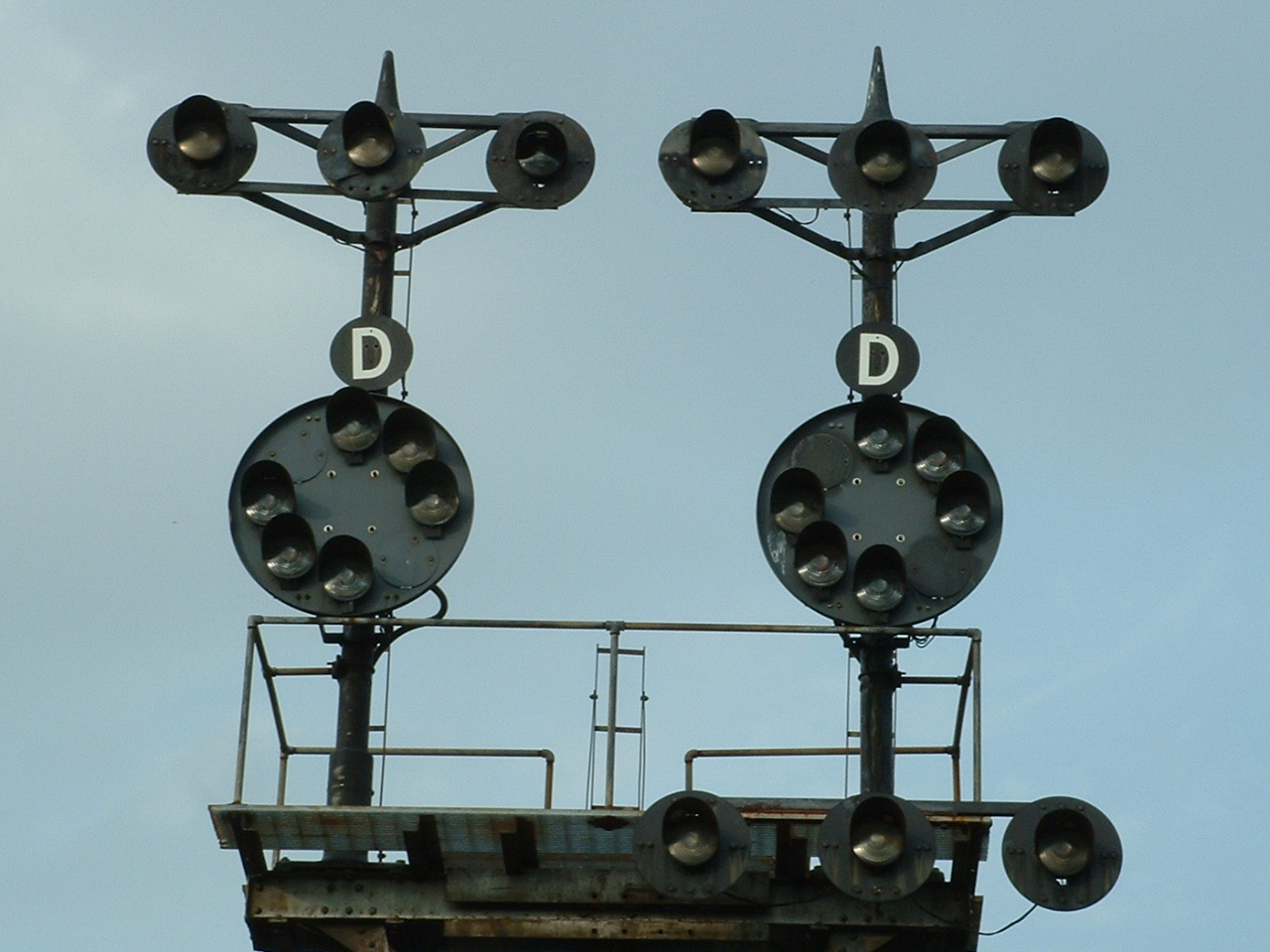
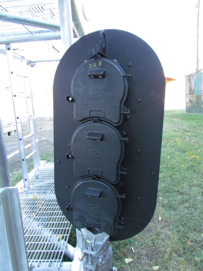
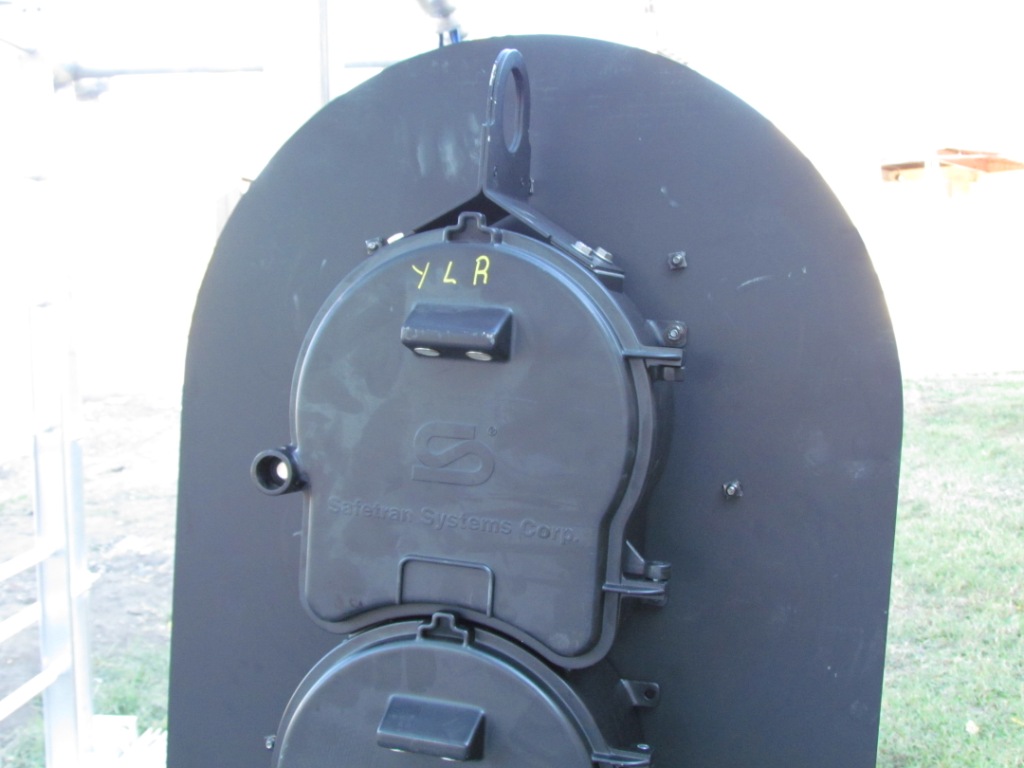
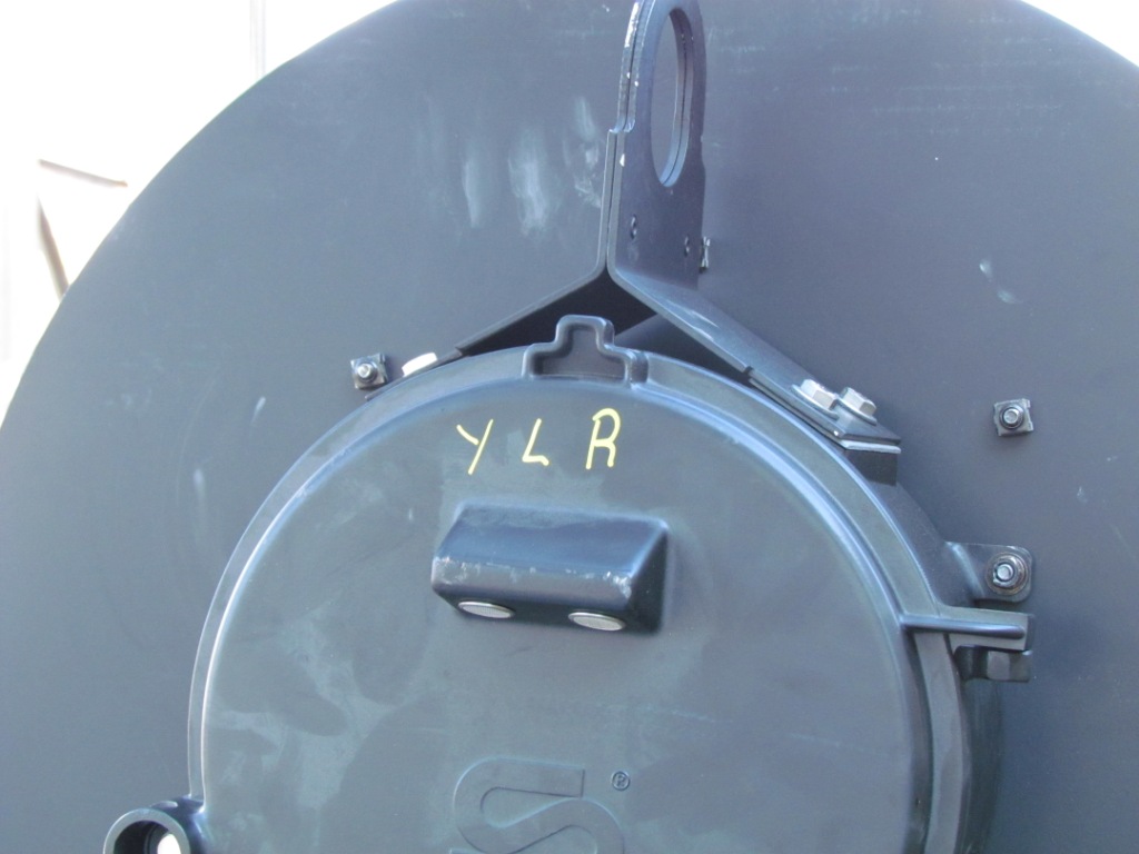
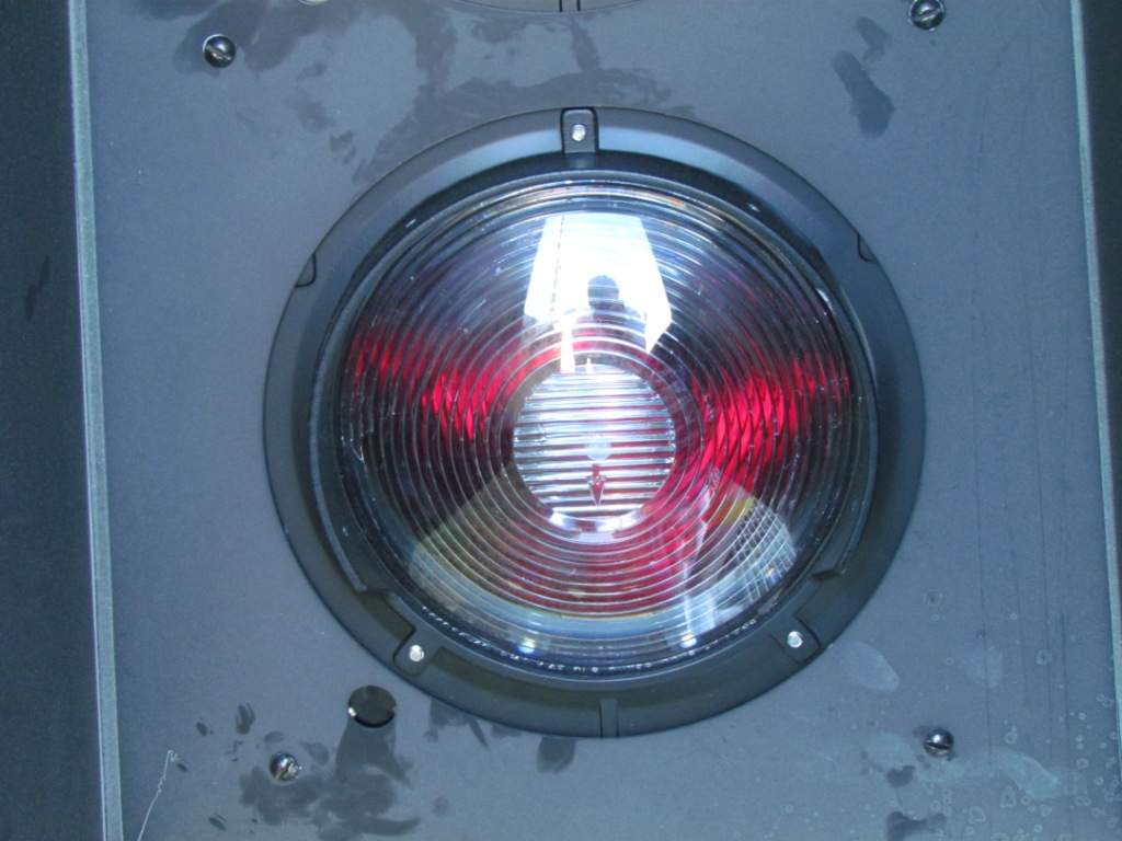
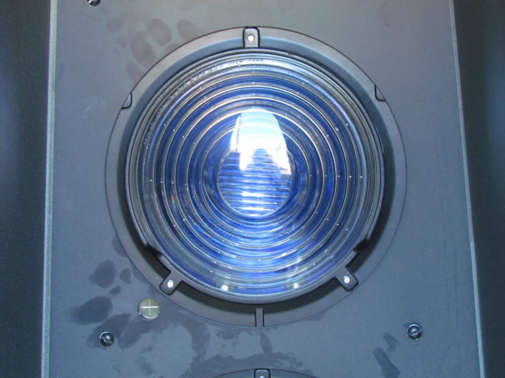
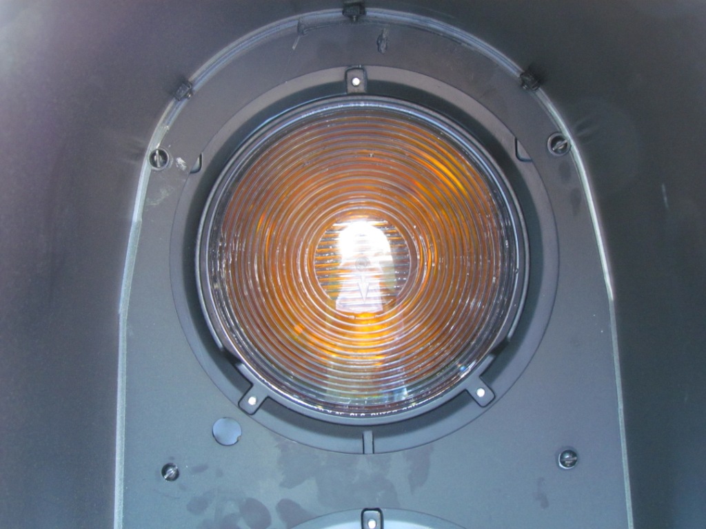
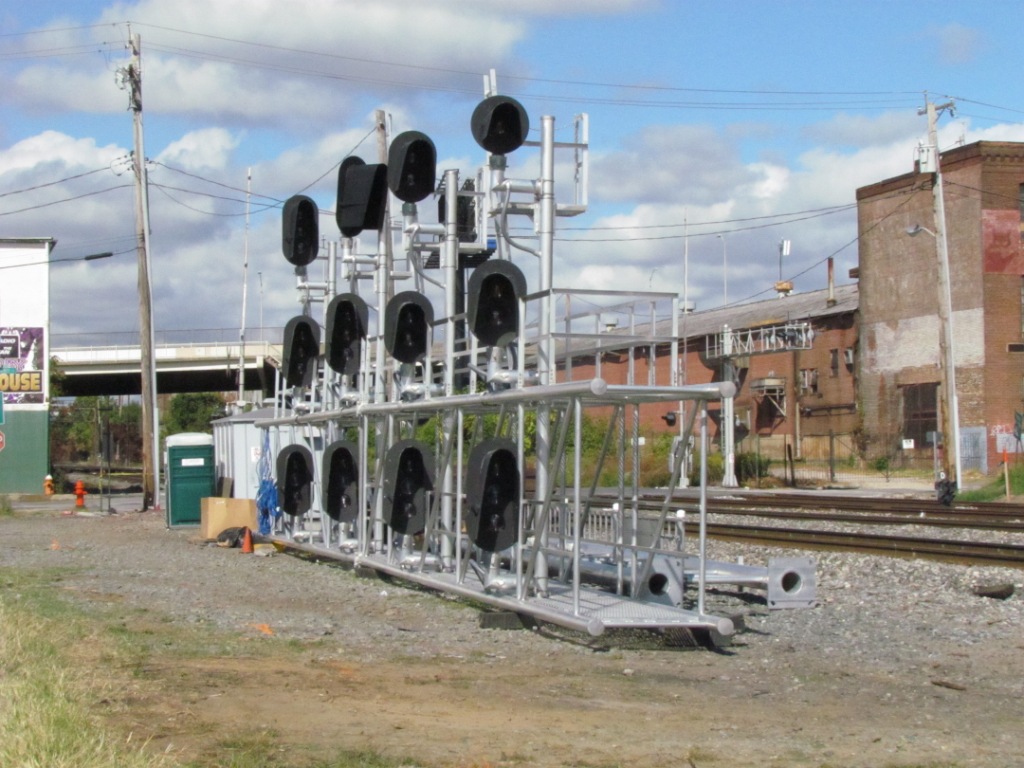
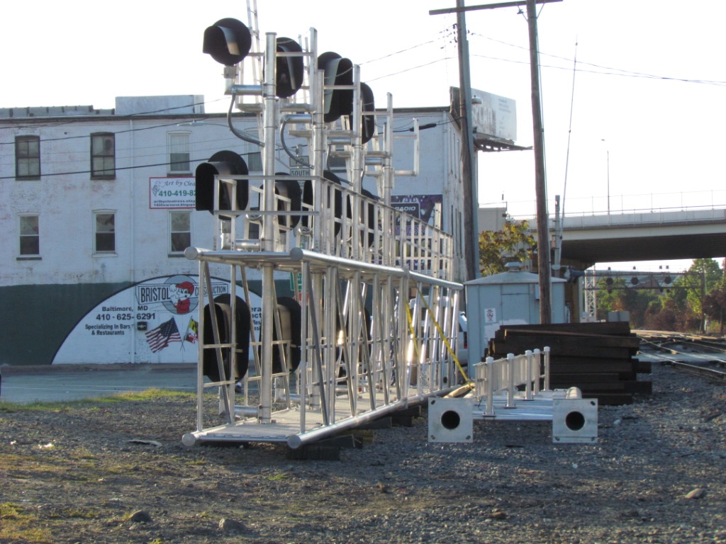
All of the multiple heads are marked with the lens colors from top (L) to bottom (R).
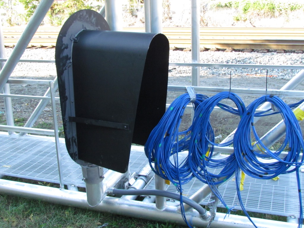
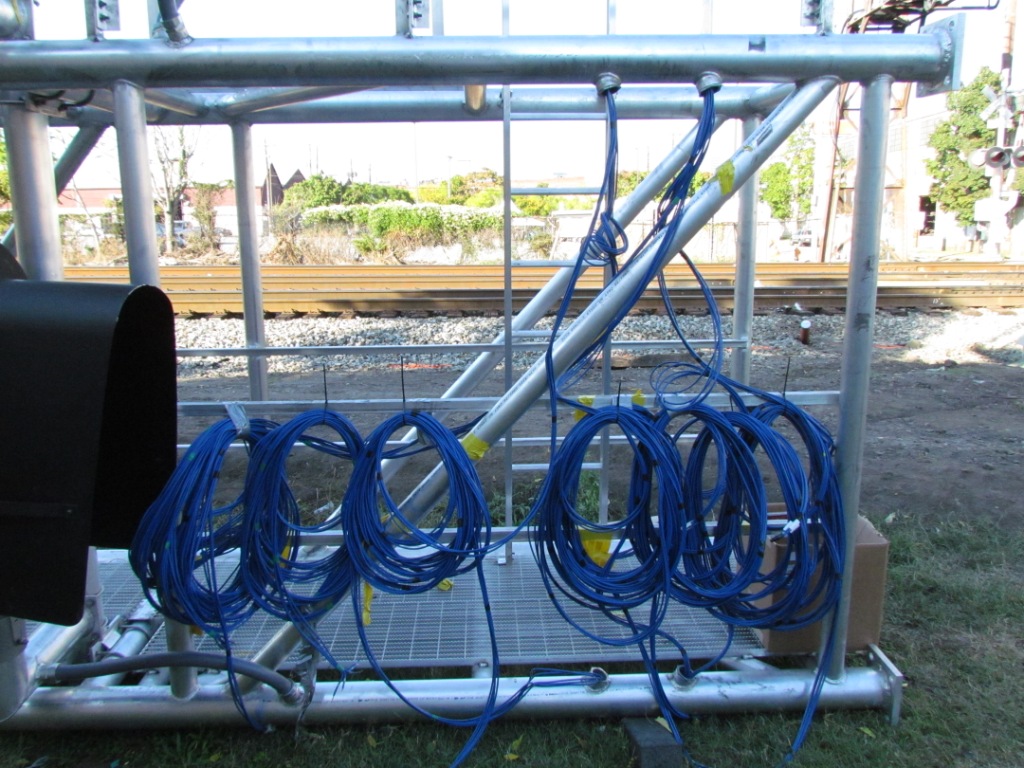
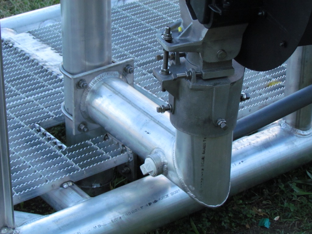
Don't let the blue wires above fool you, they are not eithernet cables,
It is a special wire, looks to be about 12 gauge, instead of the large aught size stuff used by the B&O.
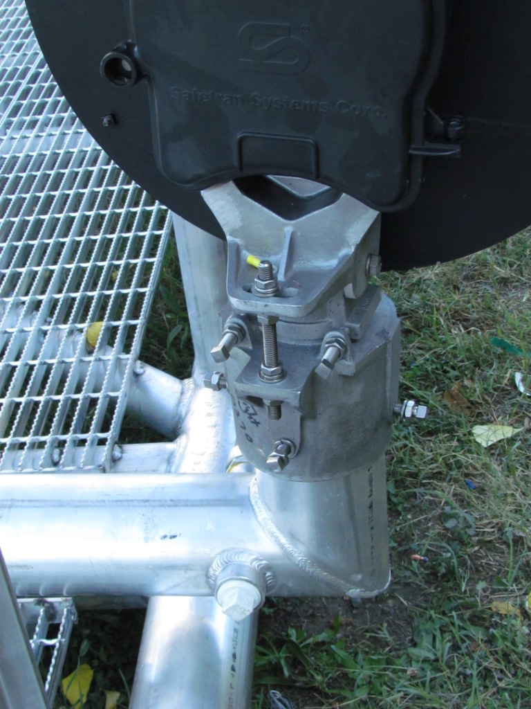
Best time for detail shots, while it's still on the ground.
These pictures are from Wednesday, October 2nd, 2013.
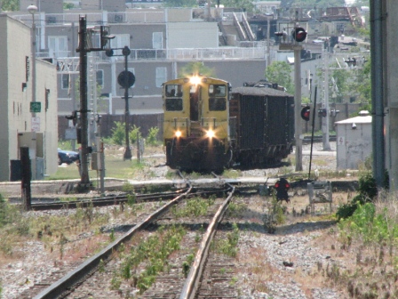
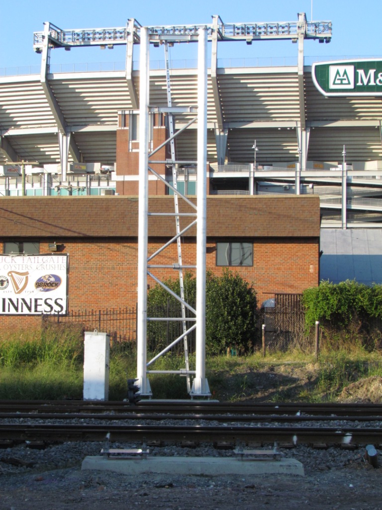
WB MARC control at Ridgely St, west side of the wye
These pictures are from Wednesday, October 2nd, 2013.
WB Riverside control along Stockholm St, south leg of the wye
The grade crossing on Warner Street.
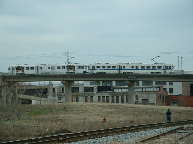
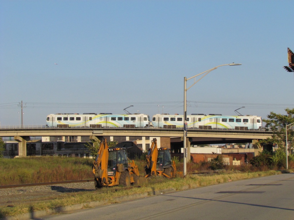
A passing Light Rail train, and the view from here looking towards Riverside.
EB/NB
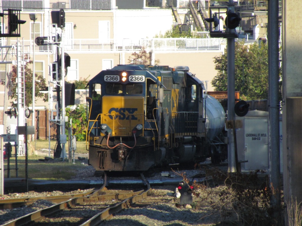
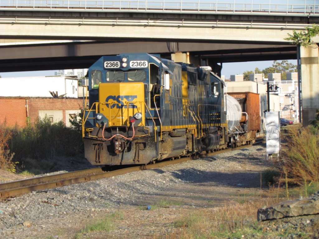
CSX traffic into the tunnel, north side of the wye, west leg
WB
CSX traffic, on north side of the wye
EB Riverside control on the north side of the wye
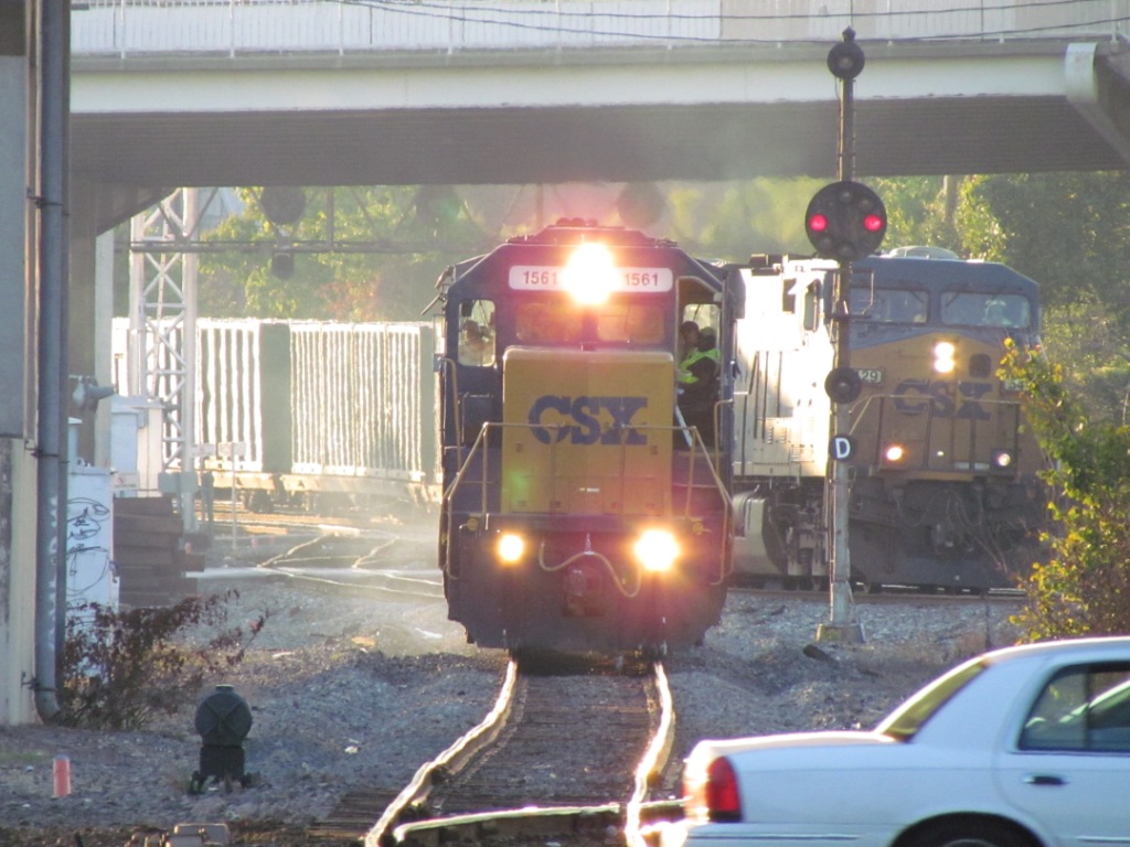
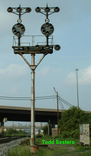
Signals on the east leg of the wye, for EB movements coming out of Riverside
and heading east to Wilmington and Philadelphia joining up with the main line.
Snapped off a DC bound MARC train while there.
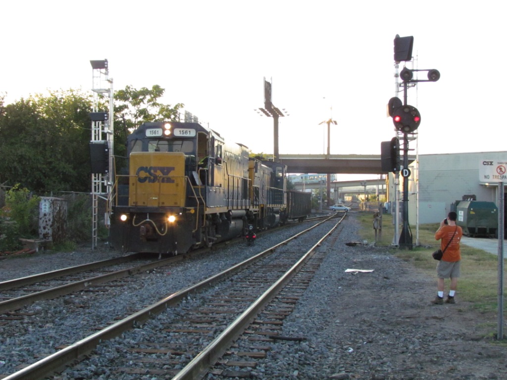
EB Riverside control along Stockholm St, east side of the wye
Leadenhall St
Shot from Leadenhall St, a local makes its way back to
Riverside as a mainline freight heads towards the Howard St Tunnel to head
north, er, east :-)
Baltimore quadrangle, 1902.
We can now see the Western Maryland coming into town, going to Port Covington.
A lot of growth has taken place in four years!
Bonus picture, captured this on the way home after stopping
at Baileys :-)
You can still find some of these fellas around, altho
they are fast disappearing too!
Disclaimers:
I love trains, and I love signals. I am not an expert. My webpages reflect what I find on the topic of the page. This is something I have fun with while
trying to help others.
Please Note: Since the main focus of my two websites is railroad signals, the railfan guides are oriented towards the signal fan being able to locate them.
For those of you into the modeling aspect of our hobby, my
indexa page has a list of almost everything railroad oriented
I can think of to provide you with at least a few pictures to help you detail your pike.
If this is a railfan page, every effort has been made to make sure that the information contained on this map and in this railfan guide is correct. Once in a while,
an error may creep in :-)
My philosophy: Pictures and maps are worth a thousand words, especially for railfanning. Text descriptions only get you so far, especially if you get lost or
disoriented. Take along good maps.... a GPS is OK to get somewhere, but maps are still better if you get lost! I belong to AAA, which allows you to get
local maps for free when you visit the local branches. ADC puts out a nice series of county maps for the Washington DC area, but their state maps do not have the
railroads on them. If you can find em, I like the National Geographic map book of the U.S..... good, clear, and concise graphics, and they do a really good job
of showing you where tourist type attractions are, although they too lack the railroads. Other notes about specific areas will show up on that page if known.
Aerial shots were taken from either Google or Bing Maps as noted. Screen captures are made
with Snagit, a Techsmith product... a great tool if you have never used it!
By the way, floobydust is a term I picked up 30-40 years ago from a National Semiconductor data book, and means miscellaneous
and/or other stuff.
Pictures and additional information is always needed if anyone feels inclined to take 'em, send 'em, and share 'em, or if you have something to add or correct.... credit
is always given! Please be NICE!!! Contact info is here
Beware: If used as a source, ANYTHING from Wikipedia must be treated as being possibly being inaccurate, wrong, or not true.

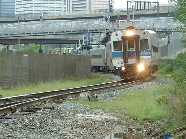
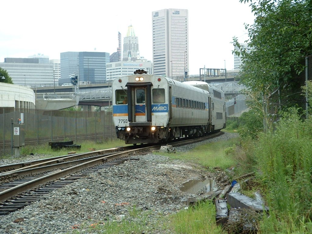
 The light rail going over Baileys Wye.
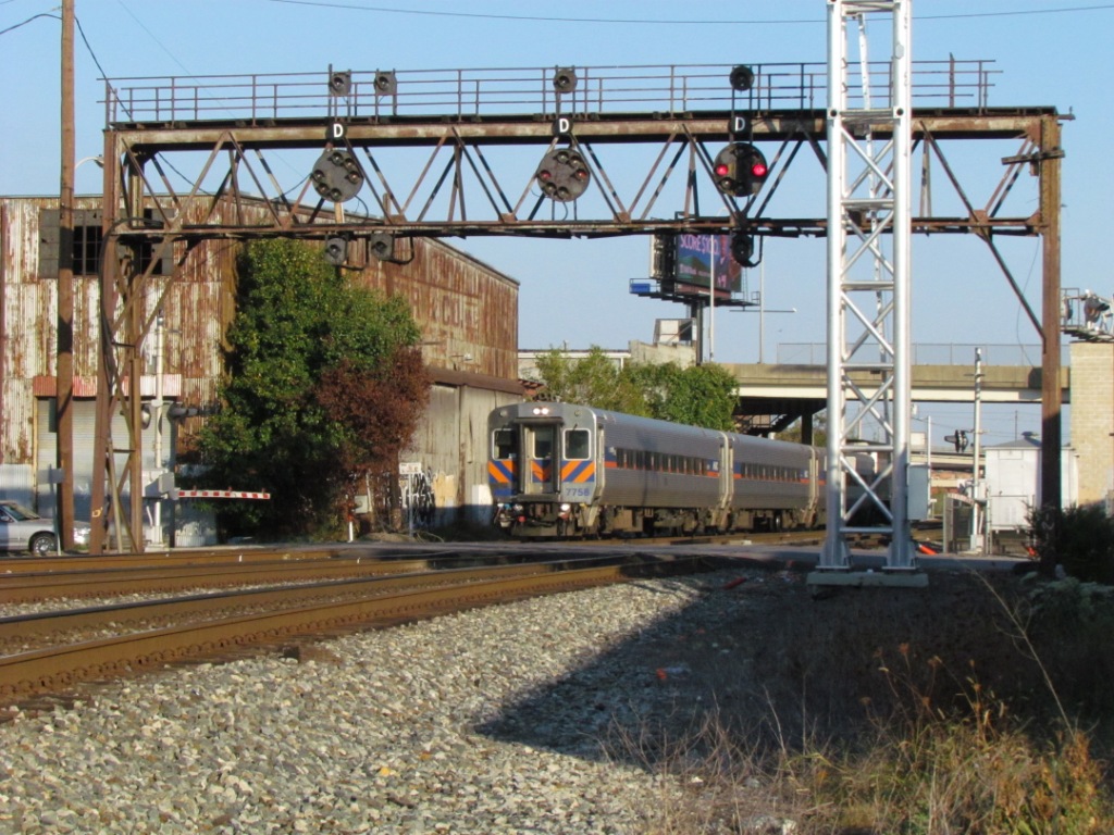 MARC turnaround leaving for DC around 6pm.
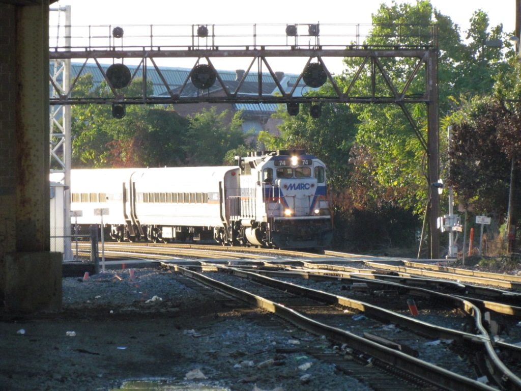 Coming
into Baltimore from DC, passing under the CPL's at Ridgely St.
Coming
into Baltimore from DC, passing under the CPL's at Ridgely St.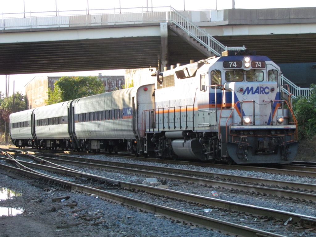
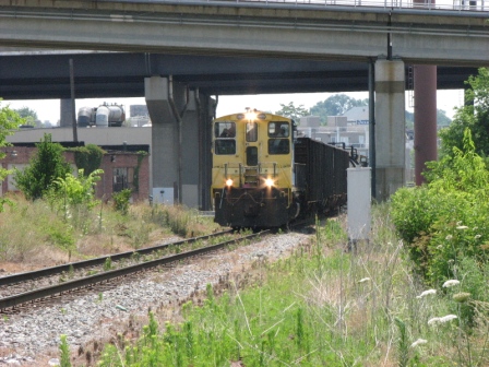
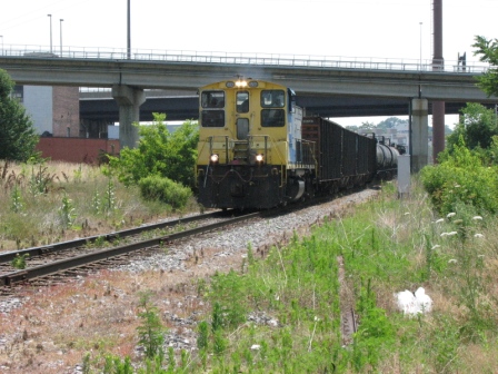
 A local freight with an SW at both ends coming out of
Riverside on a nice sunny afternoon in July.
A local freight with an SW at both ends coming out of
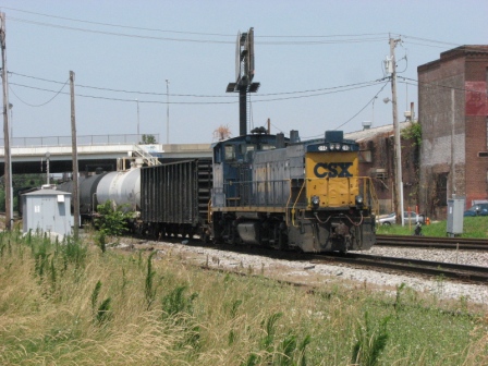
Riverside on a nice sunny afternoon in July.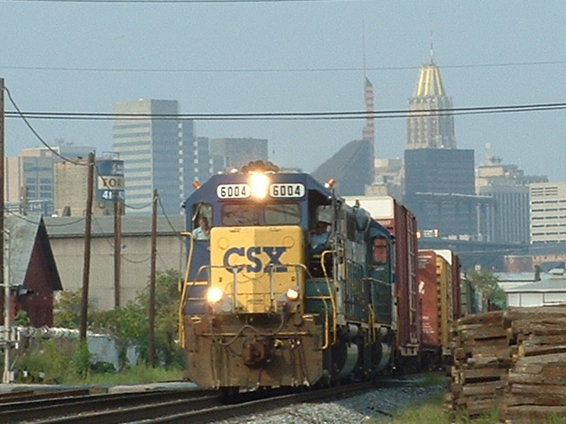 SB CSX freight, the signals just below at 1 are to my back.
2005
SB CSX freight, the signals just below at 1 are to my back.
2005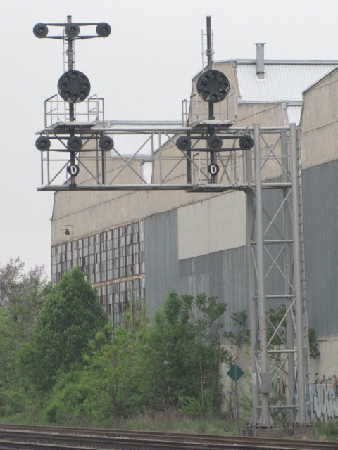
 These pictures are from Wednesday, October 2nd, 2013.