RAILFAN GUIDES HOME
RAILROAD SIGNALS HOME
In General
The Baltimore Metro Subway system, hereafter called the Baltimore
Metro system, is a simple system. The system consists of 14
stations, nine of which were included when the system first opened
(Charles Center to Reisterstown Plaza).
The system opened for business in 1983. It was later
expanded northward to Owings Mills in 1987. The latest expansion, in 1994,
extended the downtown service to Johns Hopkins Hospital in East Baltimore.
It takes about half an hour to traverse the route one way.
The system is 15.2 miles long, with 6.2 miles of it
underground. Of the remaining 9 miles, 2.2 miles of it are elevated, and
6.8 are at grade. Above Old Court Road and the Beltway, the line runs up
interstate 795, making it basically a commuter railroad, cause it certainly
isn't convenient to anything if you don't have a car. According to the
stats on Wikipedia, the cost of the total system ran 1.392 billion bucks.
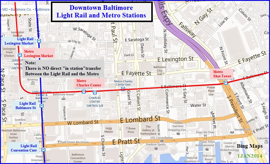
The map below is of both the Light and Heavy Rail systems
in Baltimore, and illustrates the lack of a common station for the two systems,
thereby making transfers between the two a royal pain in bad weather.
What is above is a repeat of what is on the Metro main page, more info can be found
on that page.
Acknowledgements:
Bing Maps - Aerial shots
Other pictures are by myself
Map
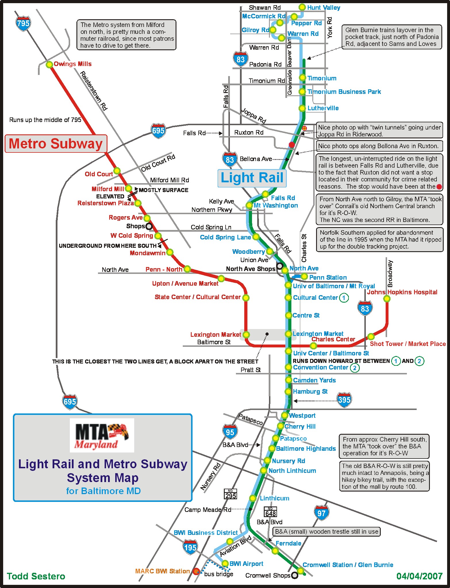
click here for the above map in PDF format
Station by Station
Owings Mills
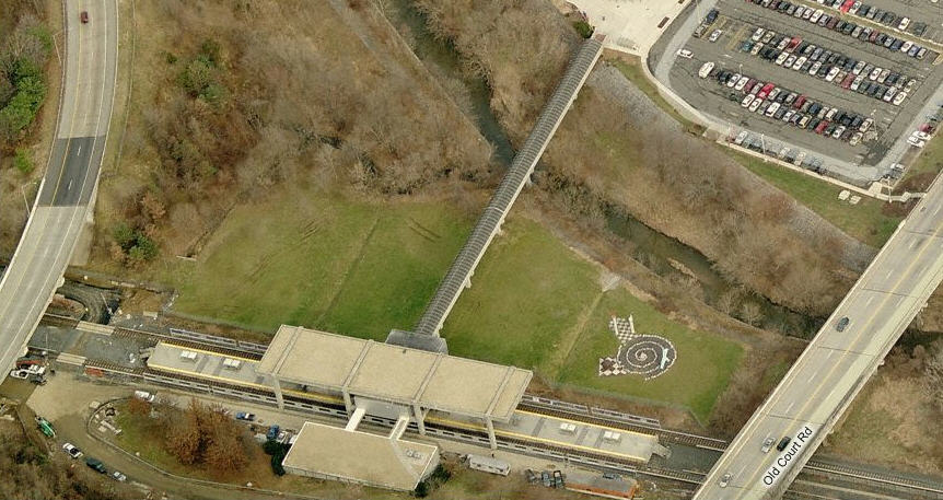
Old Court
Milford Mill
Reisterstown Plaza
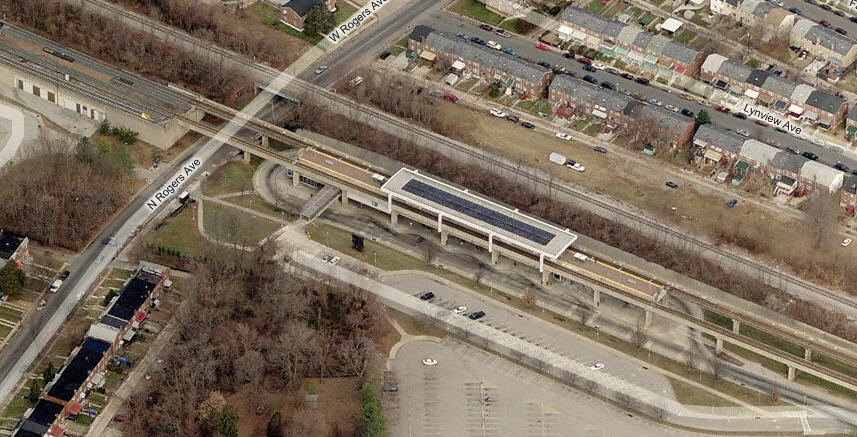
Rogers Ave
the Shops
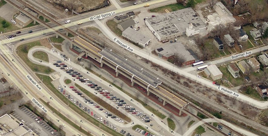
West Cold Spring Lane
Into The Tunnel
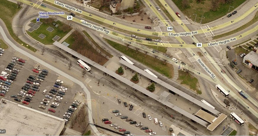
Mondawmin
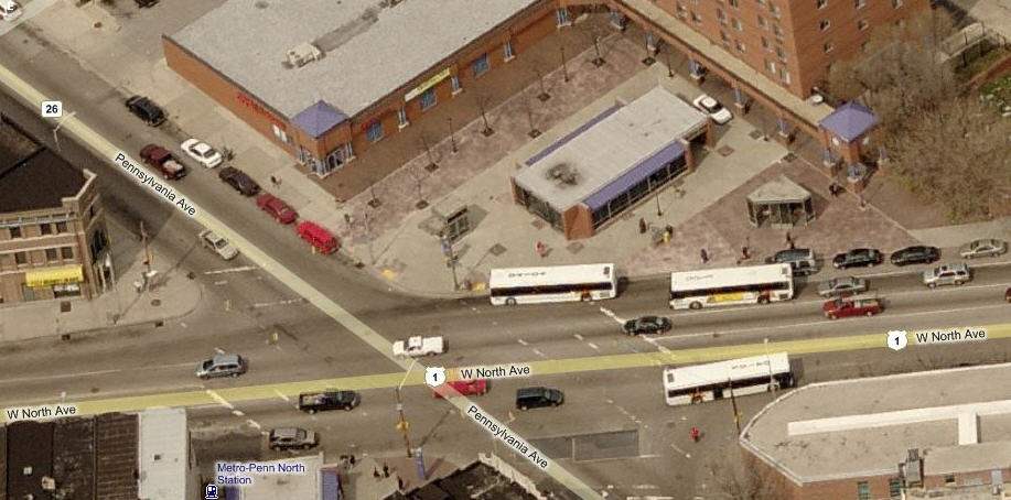
Penn North
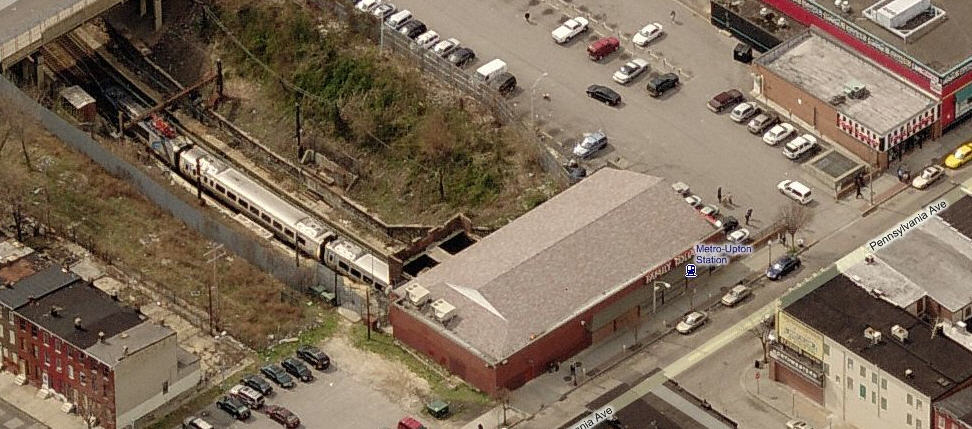
Upton
State Center / Cultural Center
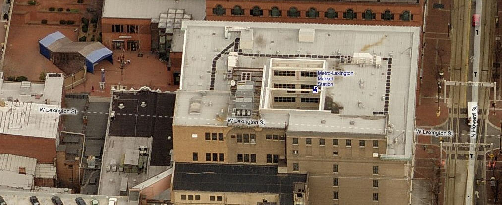
Lexington Market
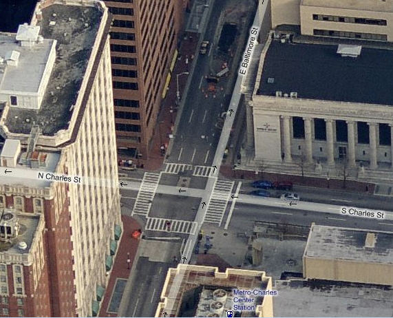
Charles Center
Shot Tower / Market Place
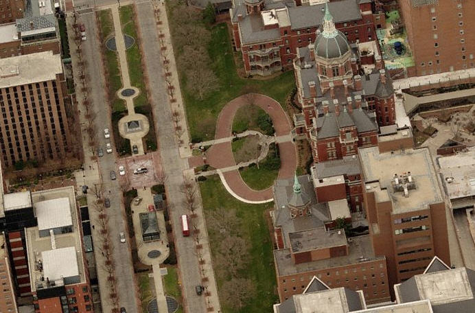
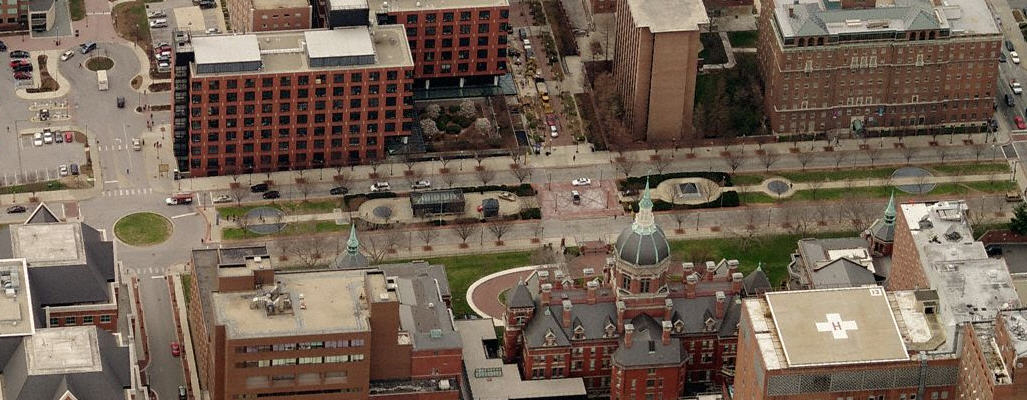
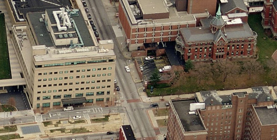
Johns Hopkins Hospital
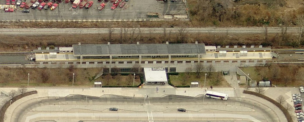
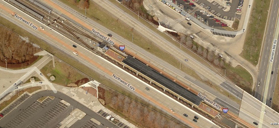
Owings Mills
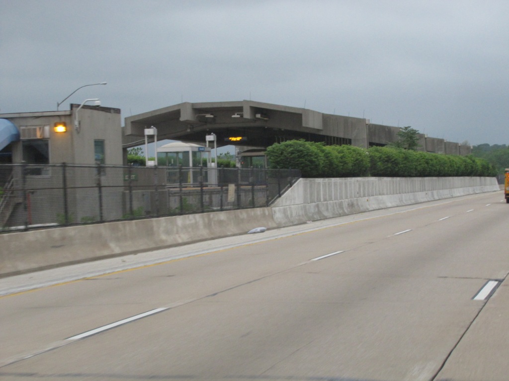
Owings Mills is the current north end of the line, and will probably remain that way
since there is much fuss over extending the line any further north, mostly because of
added value vs cost. Since all of the at or above ground stations are not really
located near much of anything useful, they all have parking facilities and bus lanes.
Above, Baltimore is to the right, along with the double set of crossovers (far right),
allowing trains from either mainline track to use either station track.
This is normal practice for almost every Metro/subway system at the end of a line
unless they have a loop.
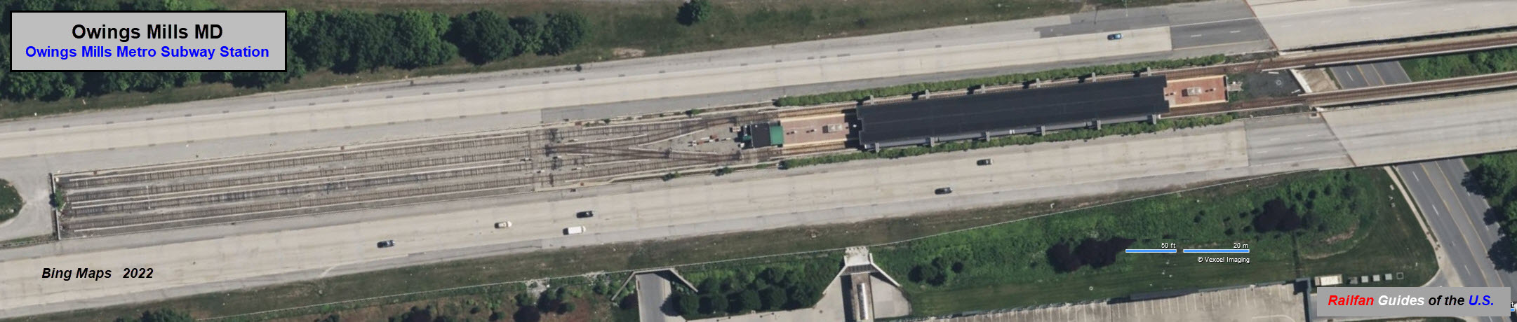
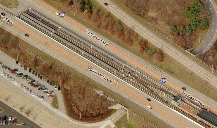
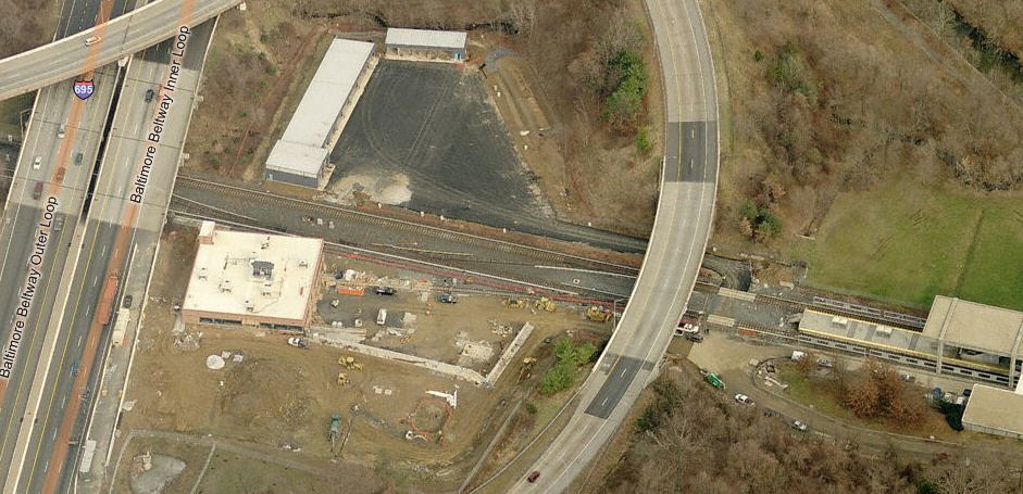
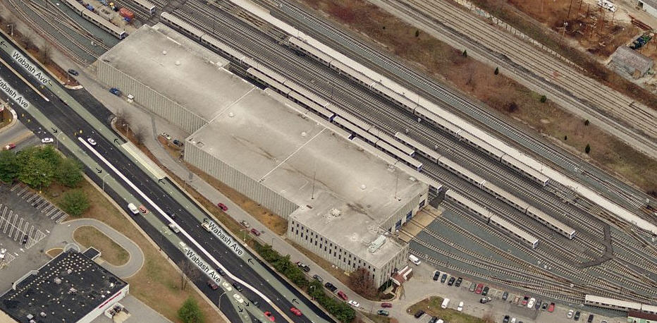
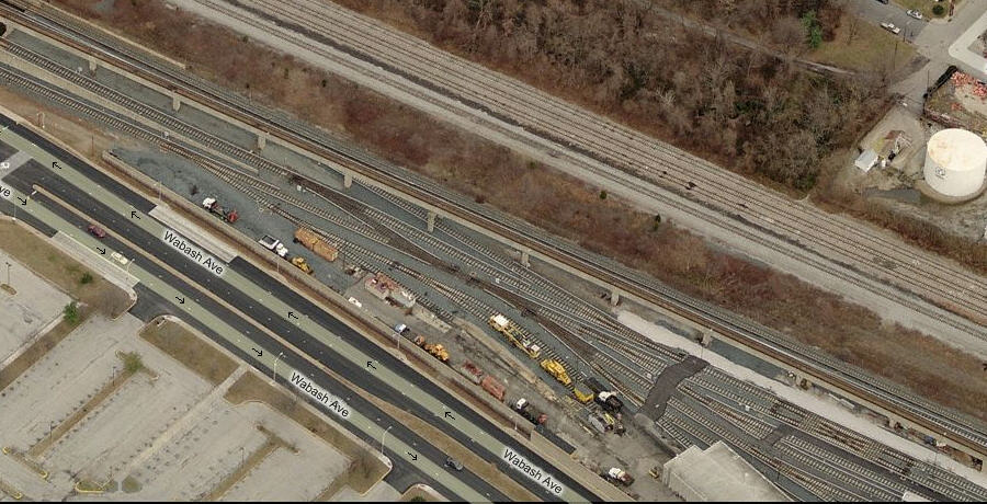
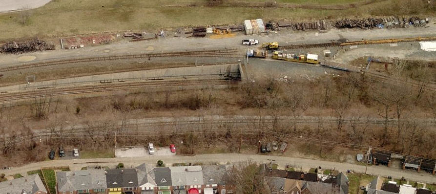
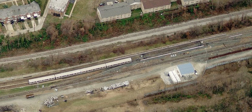
The storage tracks in between the rush hours, the parking lot gives it away.
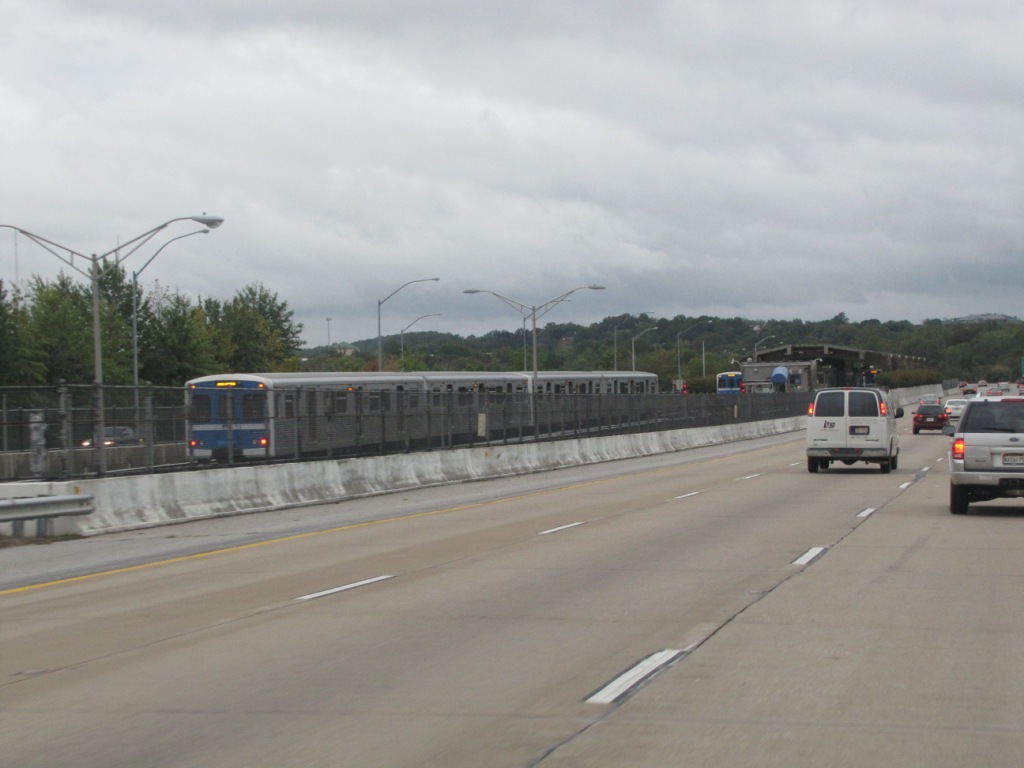
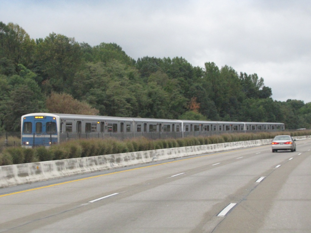
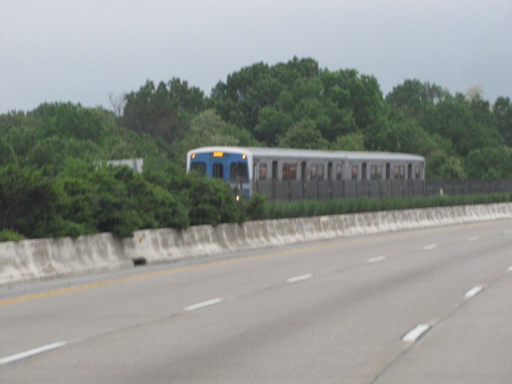
 Coming down on the southbound side of 795, you get these views of the tracks used for storage
during the non-rush hours. SEP2010
Coming down on the southbound side of 795, you get these views of the tracks used for storage
during the non-rush hours. SEP2010
 Coming down on the southbound side of 795, you get these views of the tracks used for storage
during the non-rush hours. SEP2010
Coming down on the southbound side of 795, you get these views of the tracks used for storage
during the non-rush hours. SEP2010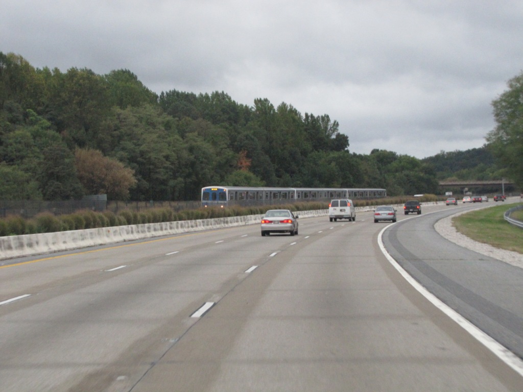


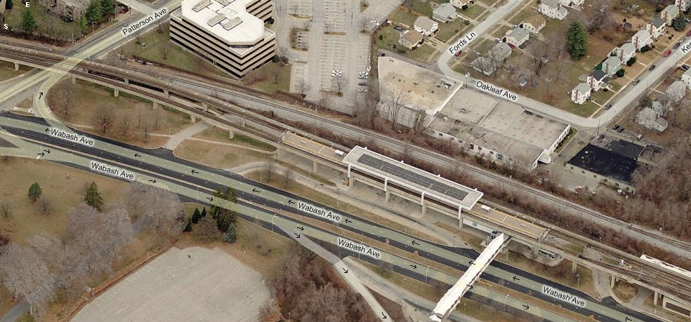
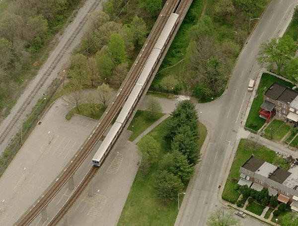
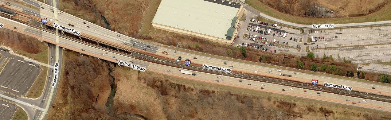
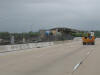
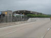
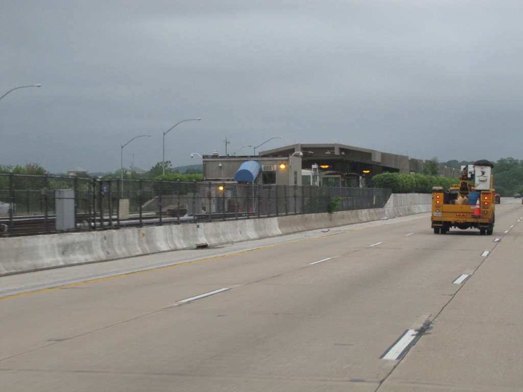
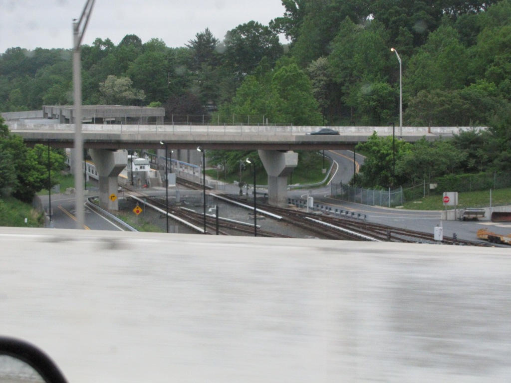 What you can see as you go over the SB 795 to EB 695 interchange