RAILFAN GUIDES of the U.S.
Todd's Railfan Guide to
SALEM
VA
WEST OF
DOWNTOWN
Map 4 of 5 for the
Roanoke Area
ROANOKE HOMEPAGE
RAILFAN GUIDES HOME
RAILROAD SIGNALS HOME
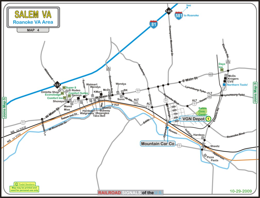
Salem is next to Roanoke Virginia off Interstate 81, about 130 miles from the Tennessee border.
The two (formerly) competing lines of the Virginian and the Norfolk & Western, both of which belong to Norfolk Southern, come their closest here in Salem in the vicinity of Diuguids Lane. This is just about the only place easy to get to that you can catch trains on both lines. There are a few places south of here (on map 5), but the sight lines are not quite as good, altho the surrounding scenery is much better.
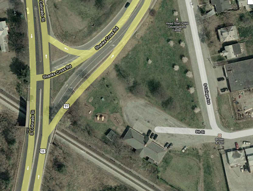
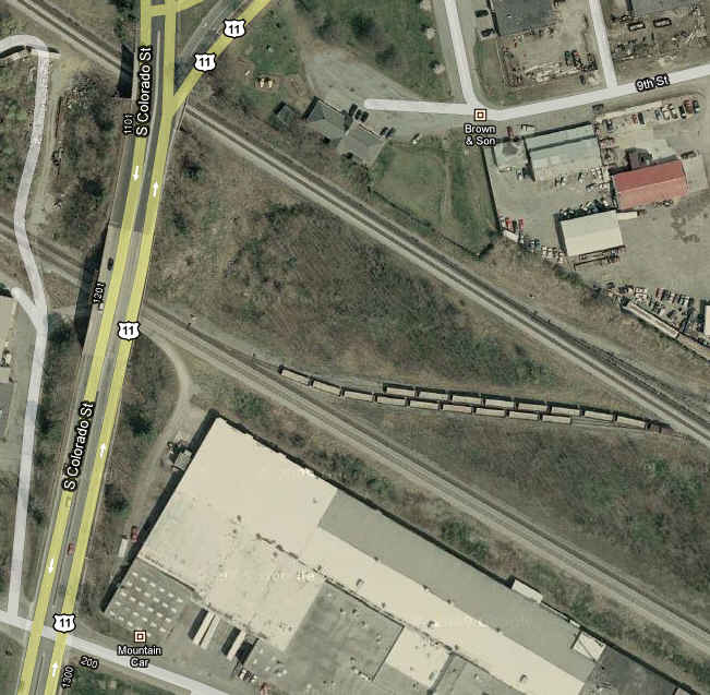
Salem has a depot still standing off of South College and 9th, and is also the home to Live Diesel manufacturer, Mountain Car Company across the tracks from the depot.
The satellite photos are from Google maps, which for the area, have the advantage over bing.com/maps, which I usually prefer. Google has also done a better job of supplying local information on their maps in the way of restaurants, shopping, services like fire and police, etc.
As always, if anyone has additional info, pictures, etc to contribute, please check out my contact page here
Sights
1 The N&W Depot
NEW 10/15/2009
Last Modified
28-Mar-2012