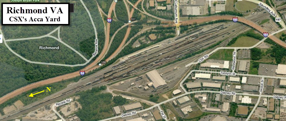
Location / Name:
Richmond VA, Henrico County
What's Here:
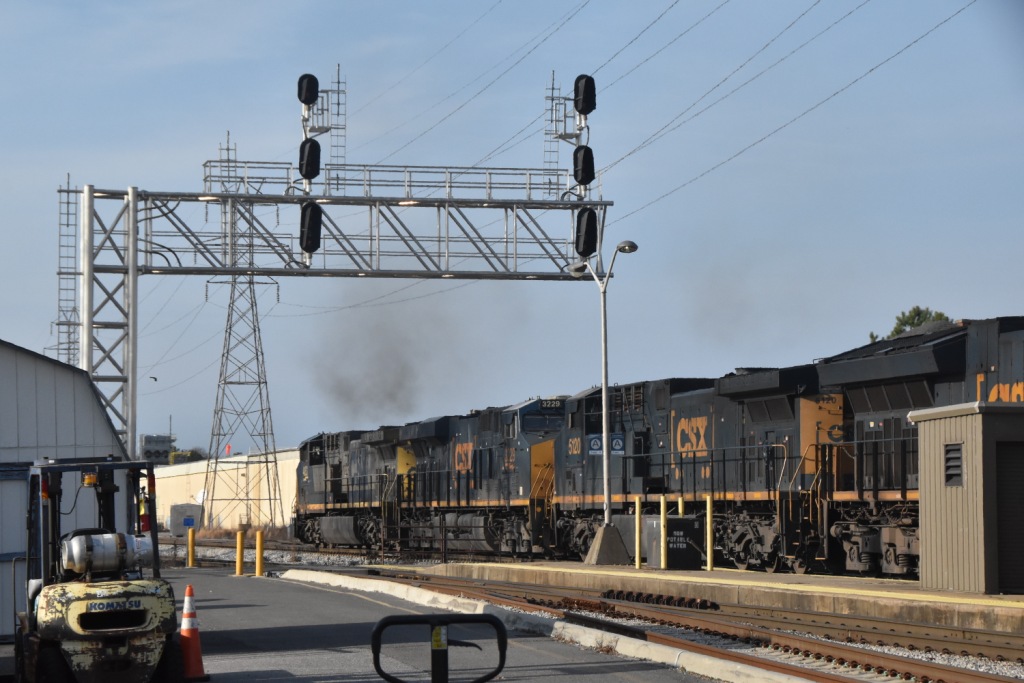
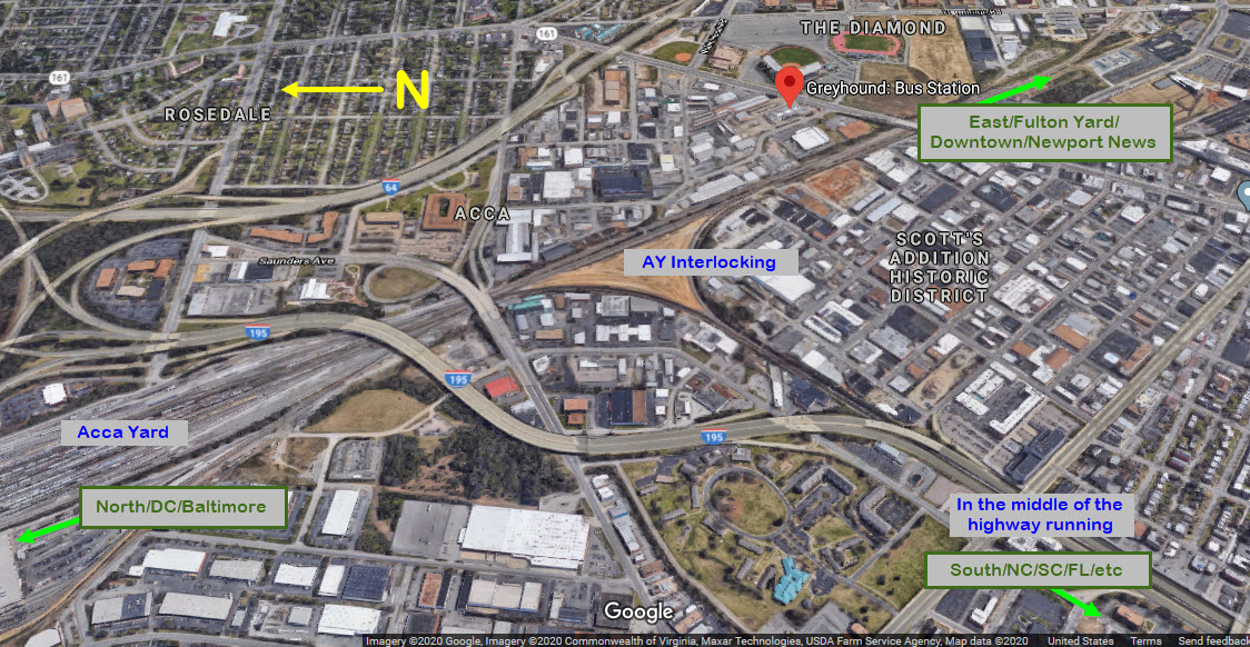
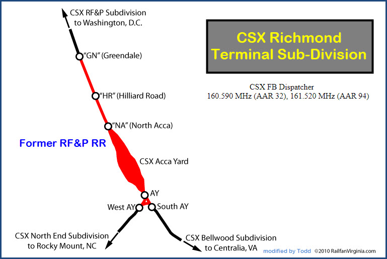
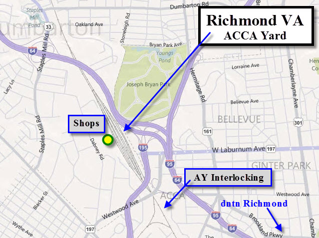
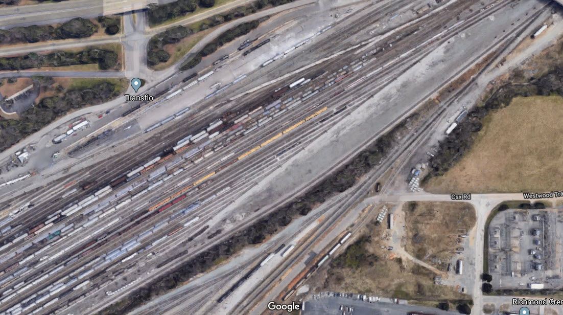
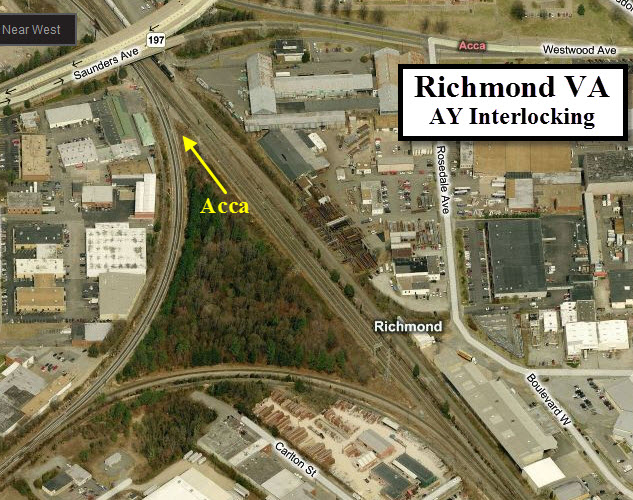
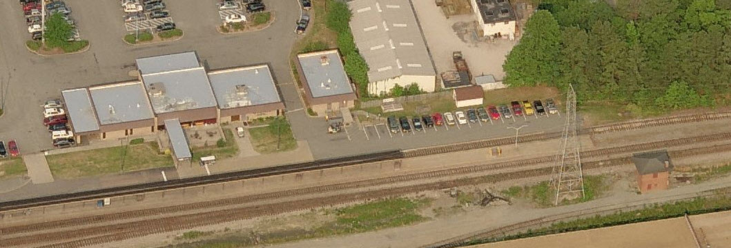
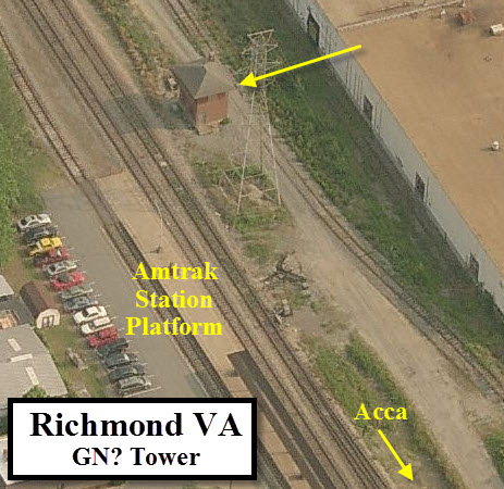
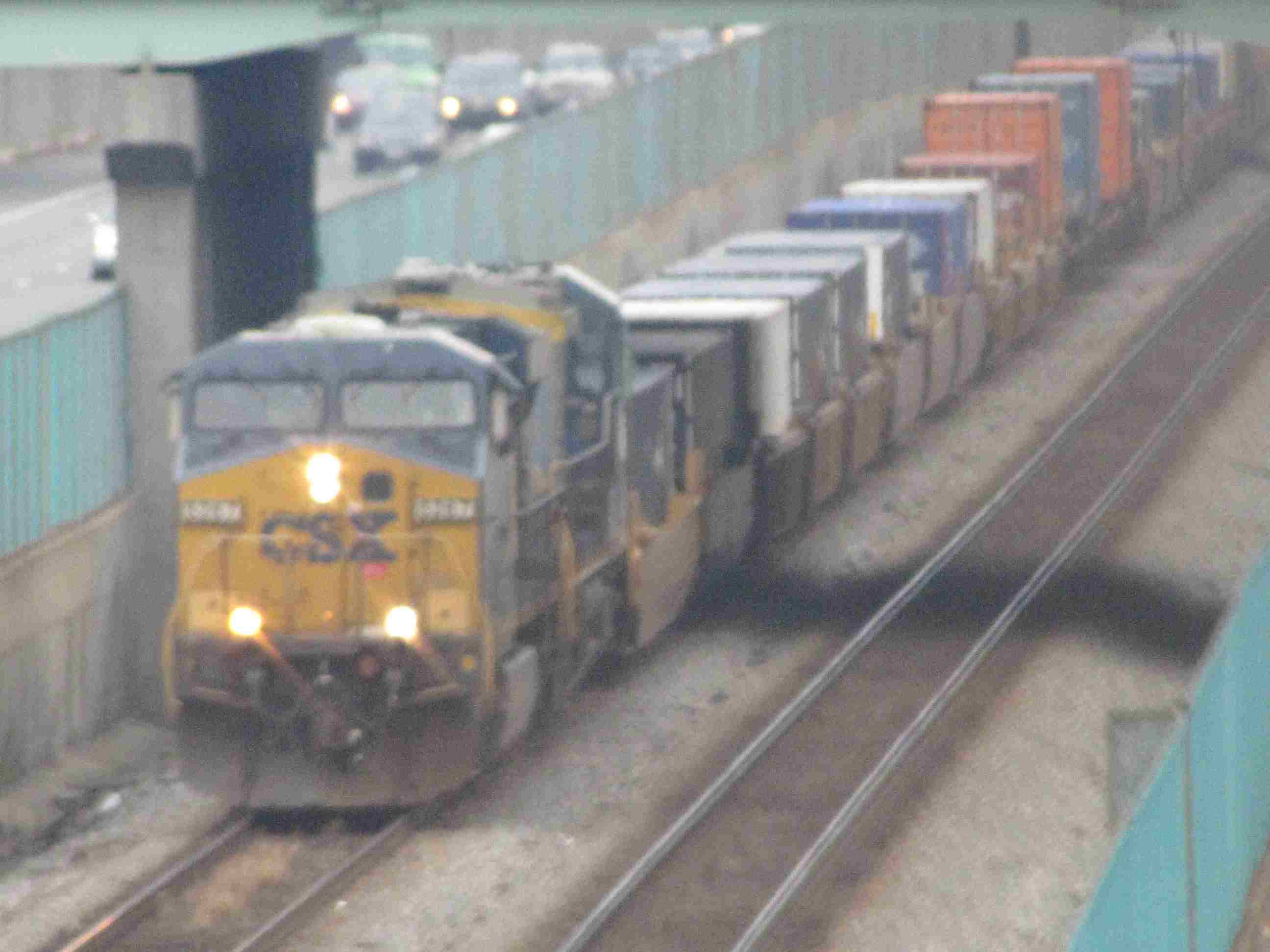
CSX's Acca Yard
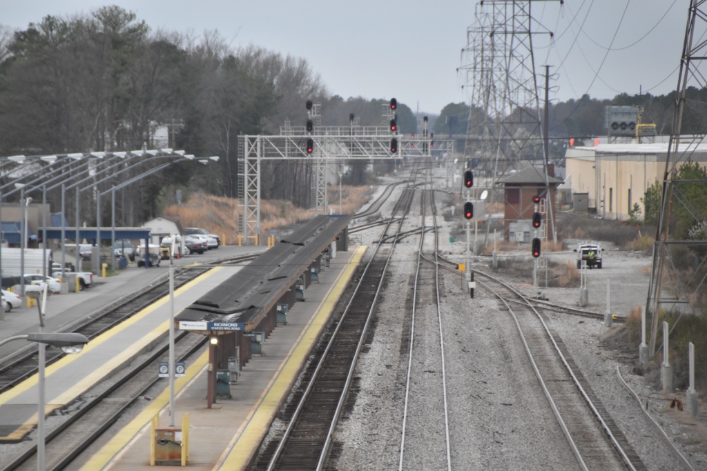
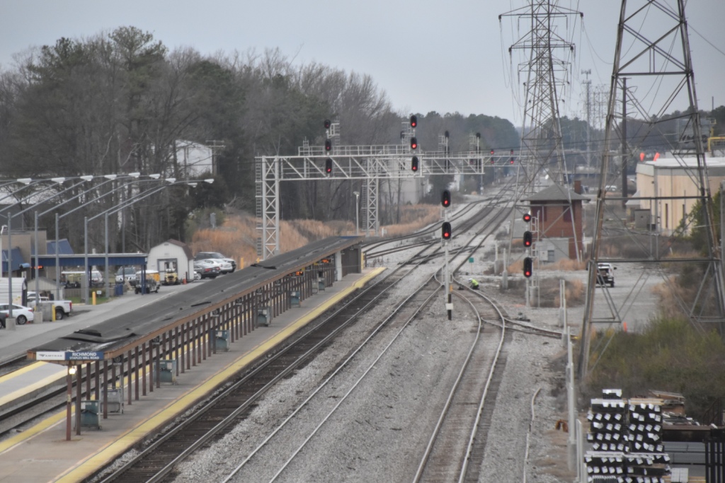
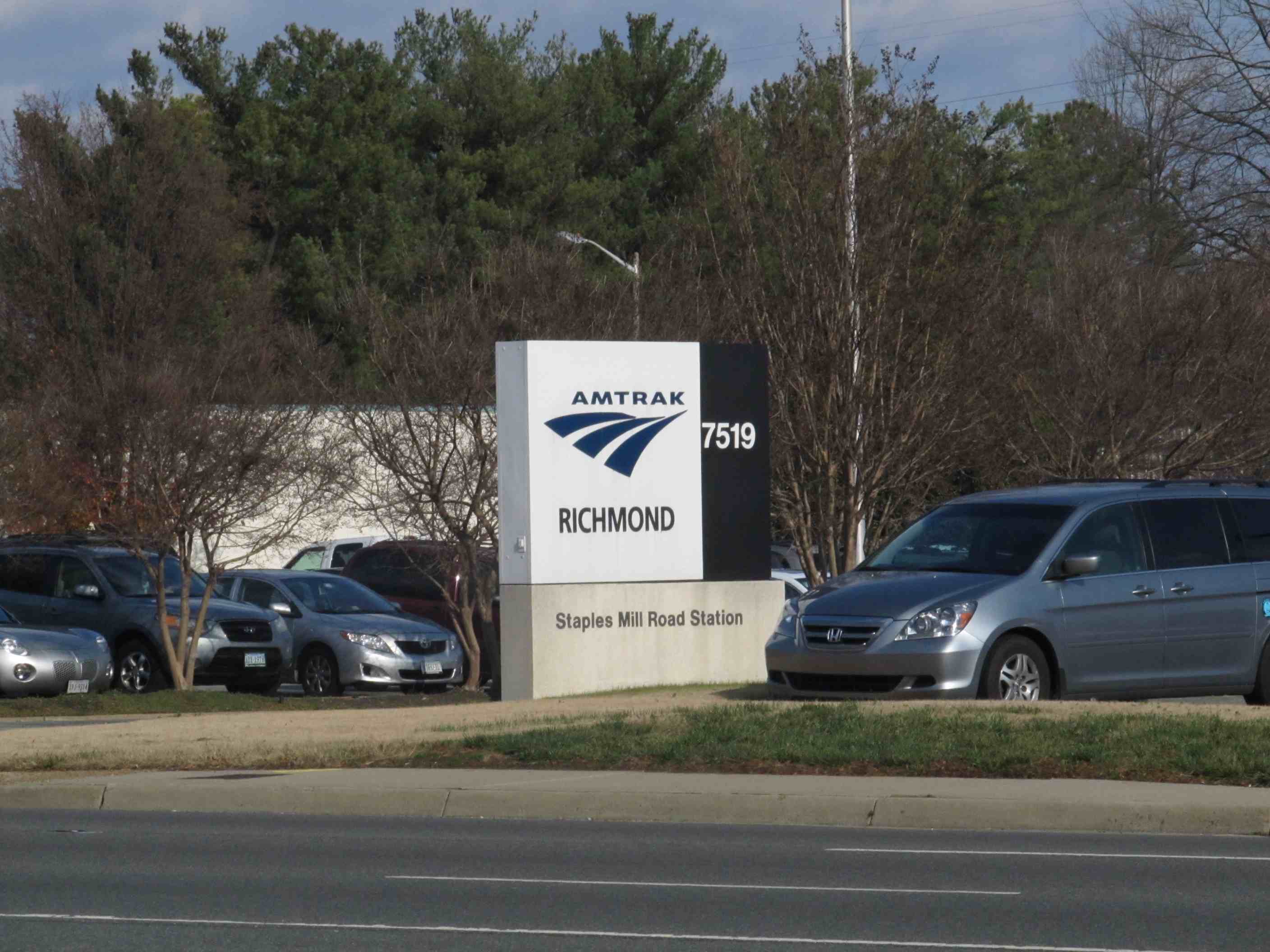
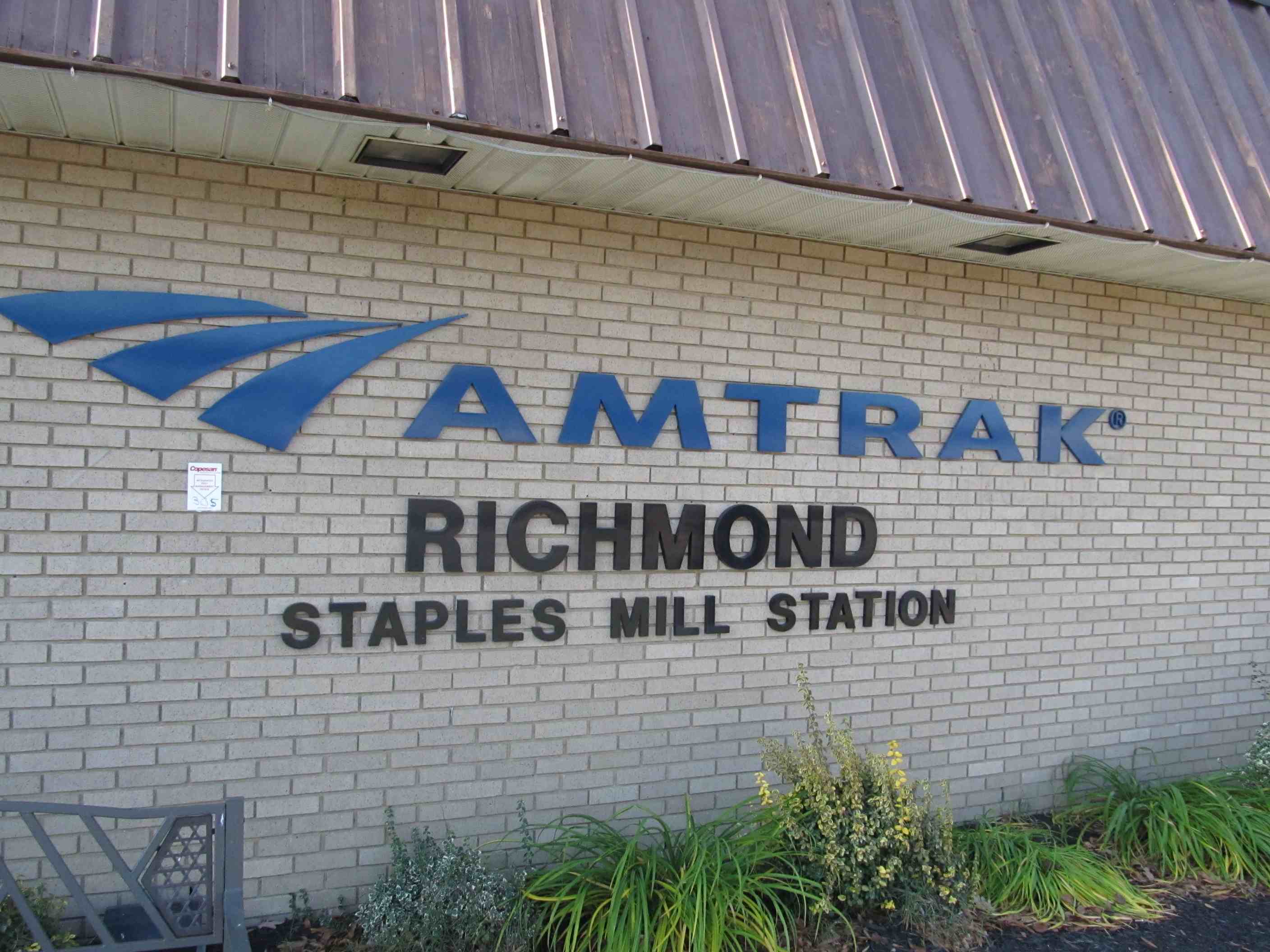
Amtrak Station
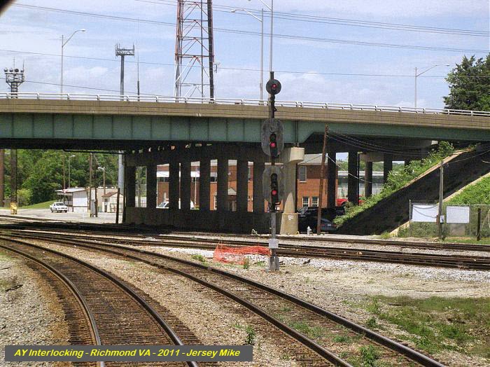
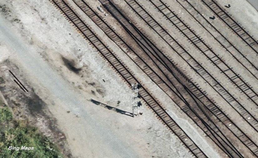
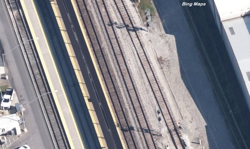
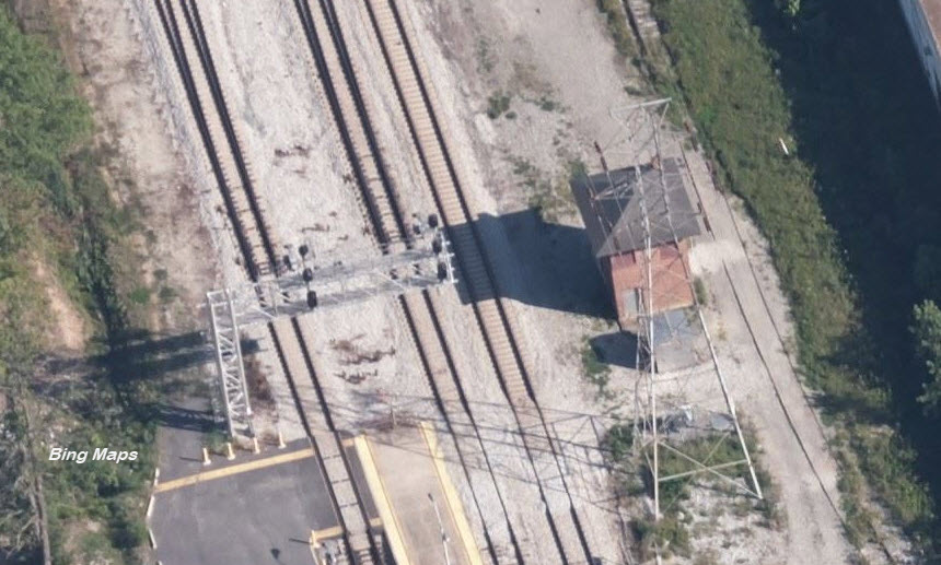
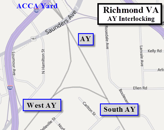
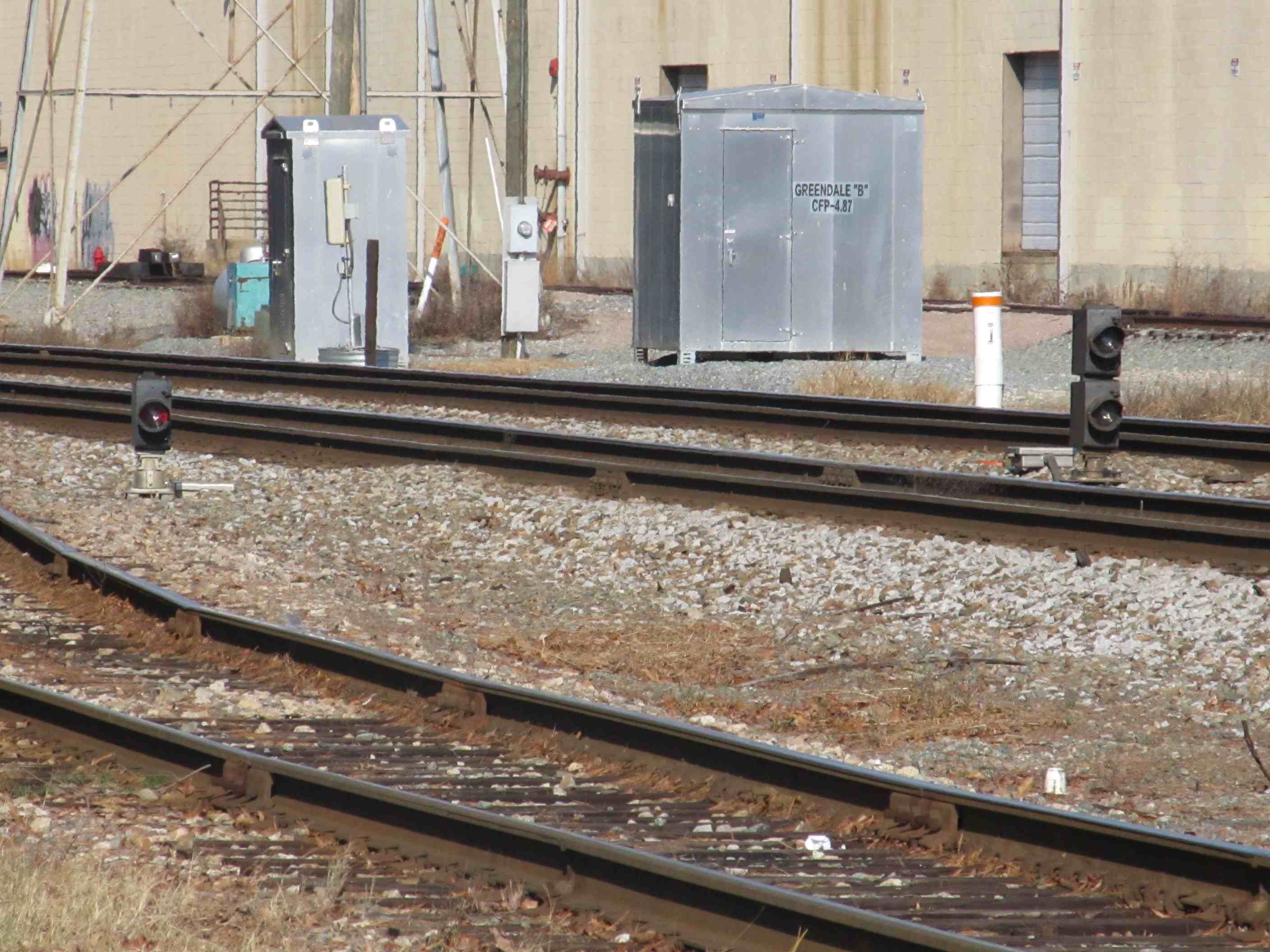
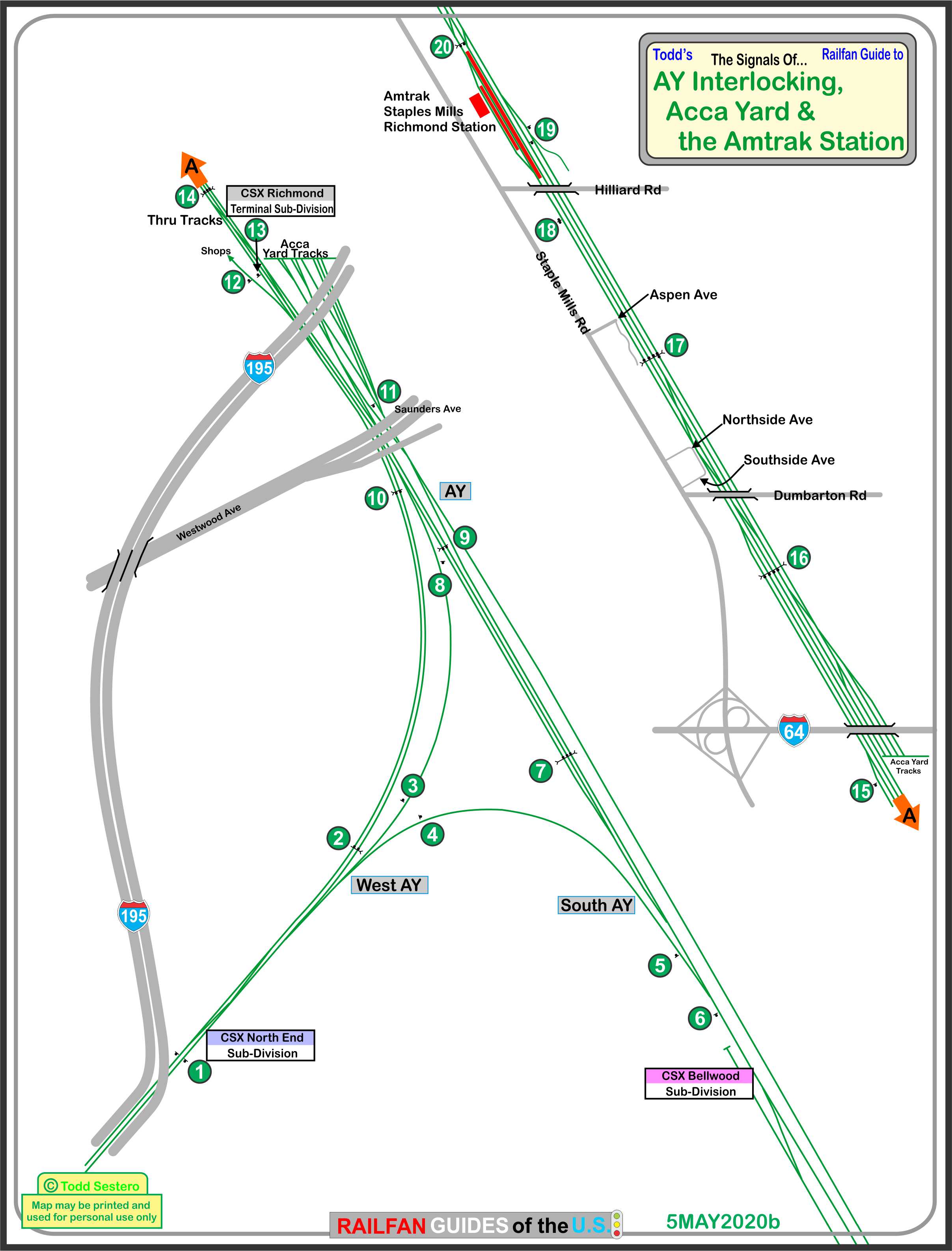
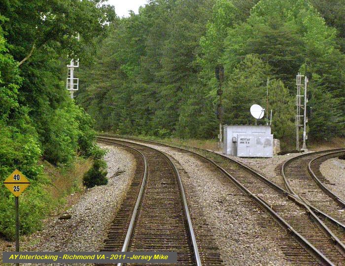
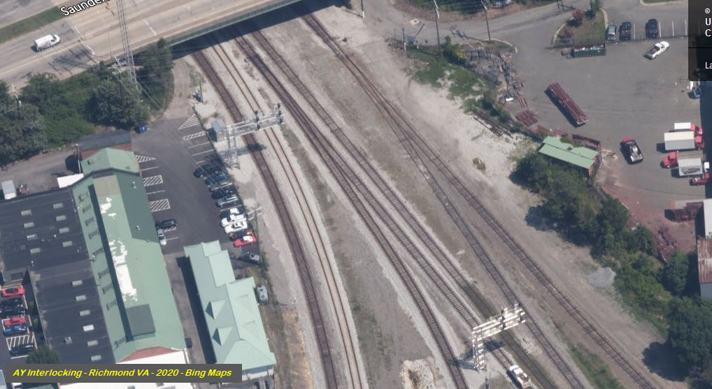
AY Interlocking
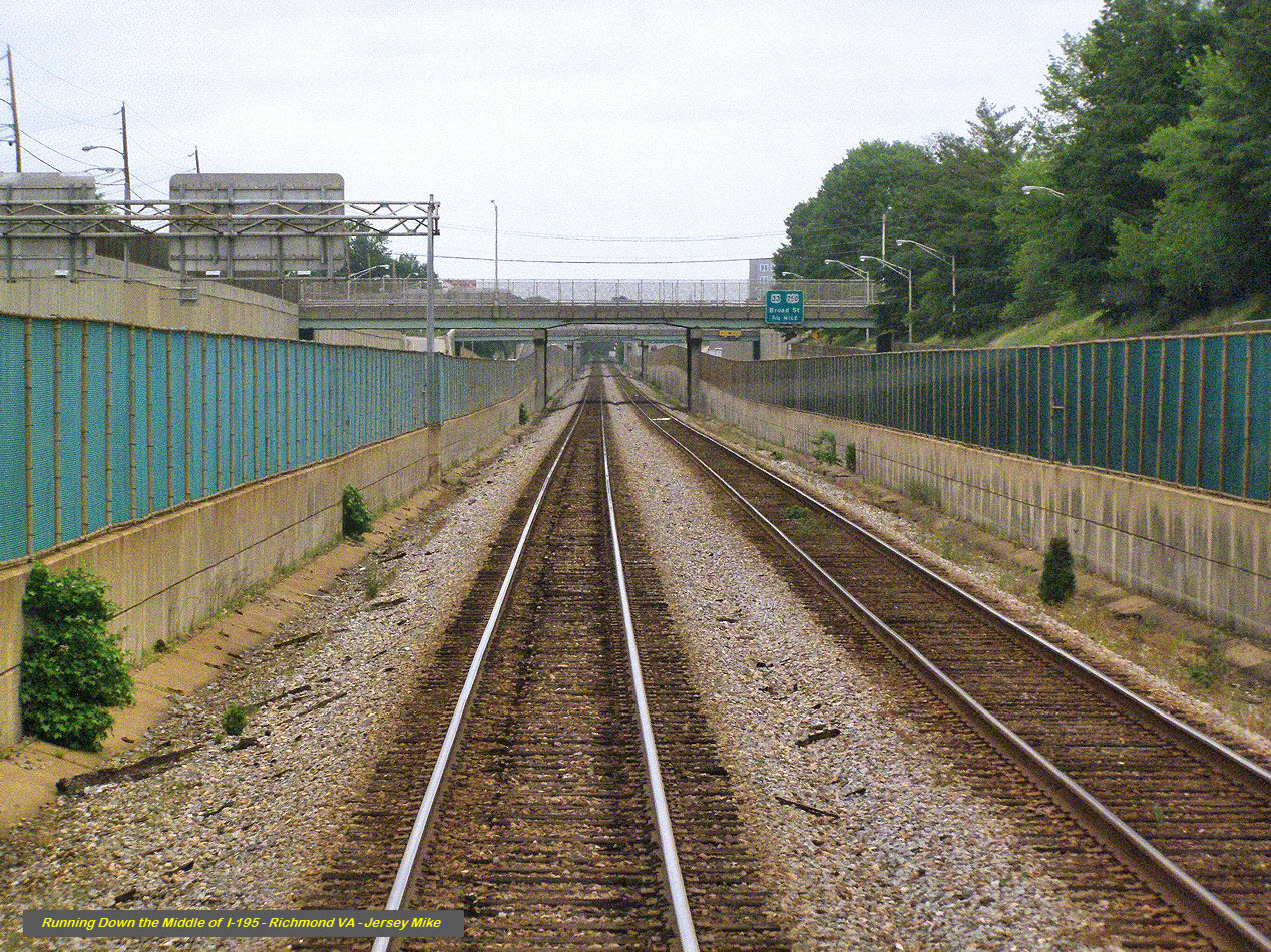
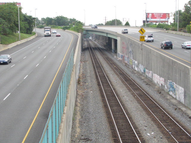
Track in the middle of a highway running
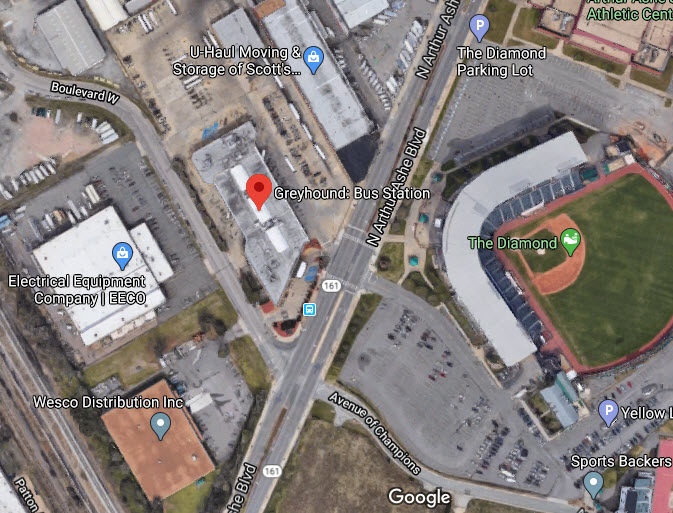
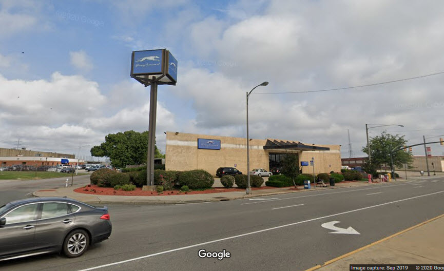
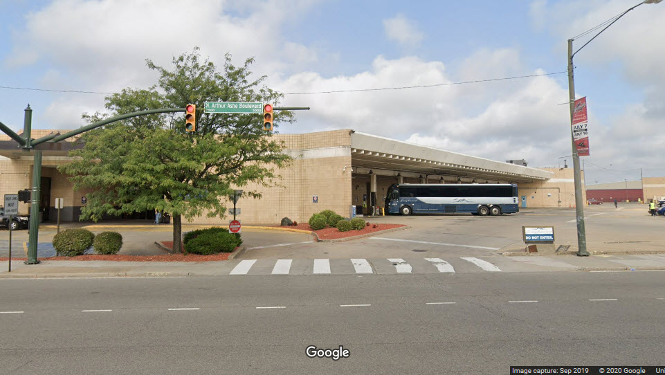
Greyhound Bus Station
Data:
GPS Coordinates: as needed
Phone A/C: 804
ZIP: 23230
Access by train/transit:
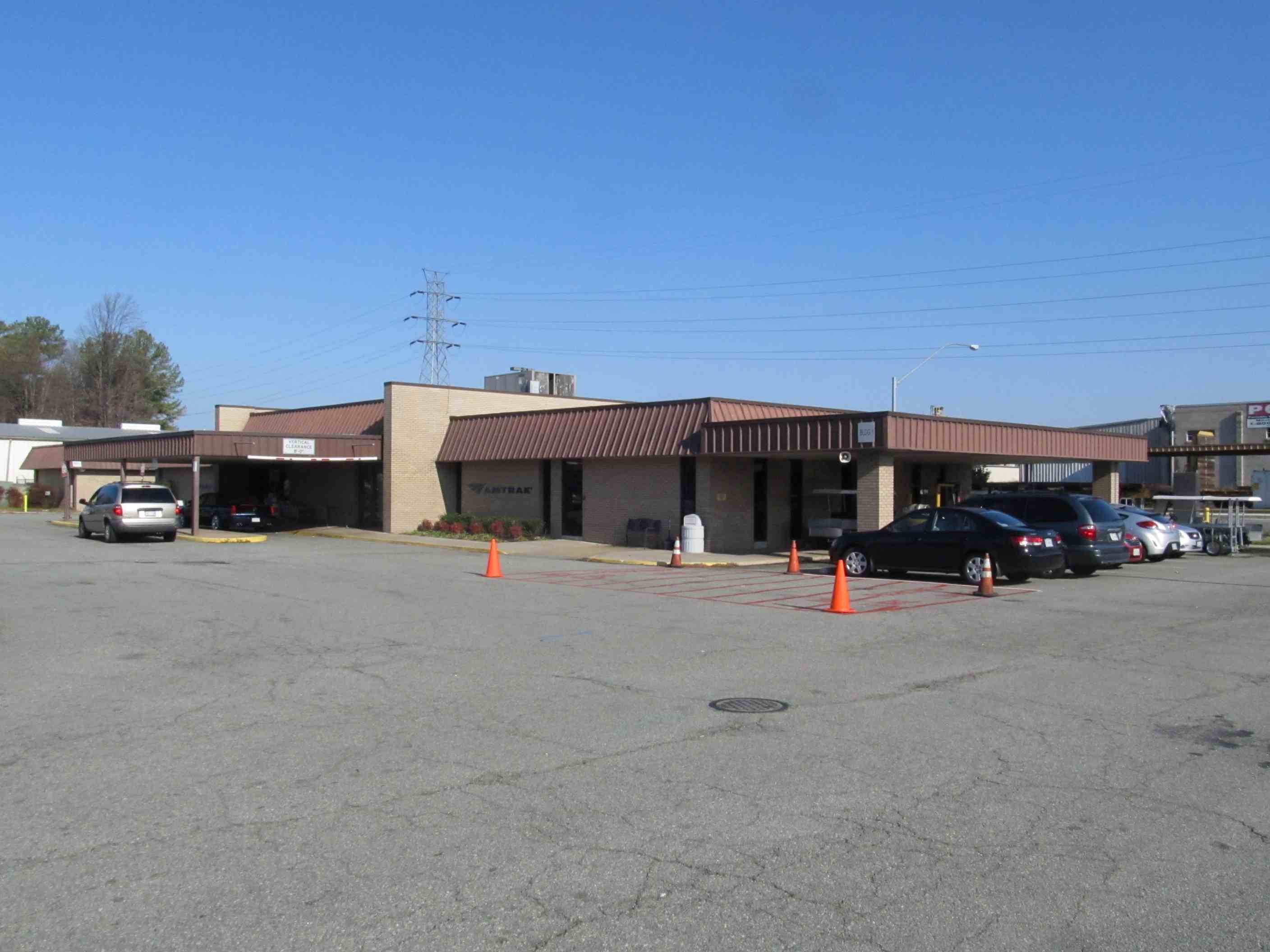
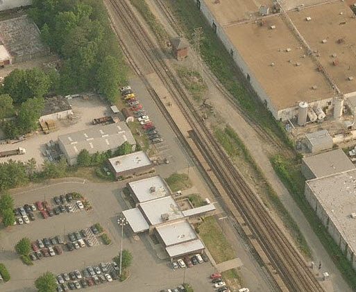
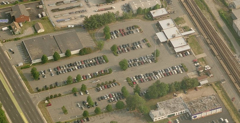
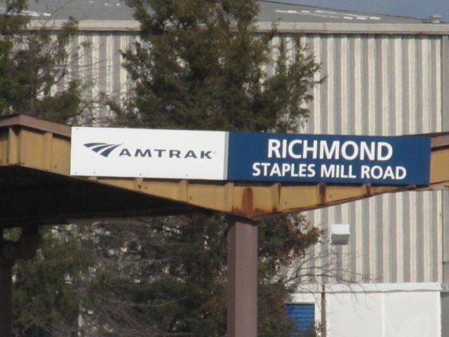
Amtrak RVA Station on Staple Mills Rd
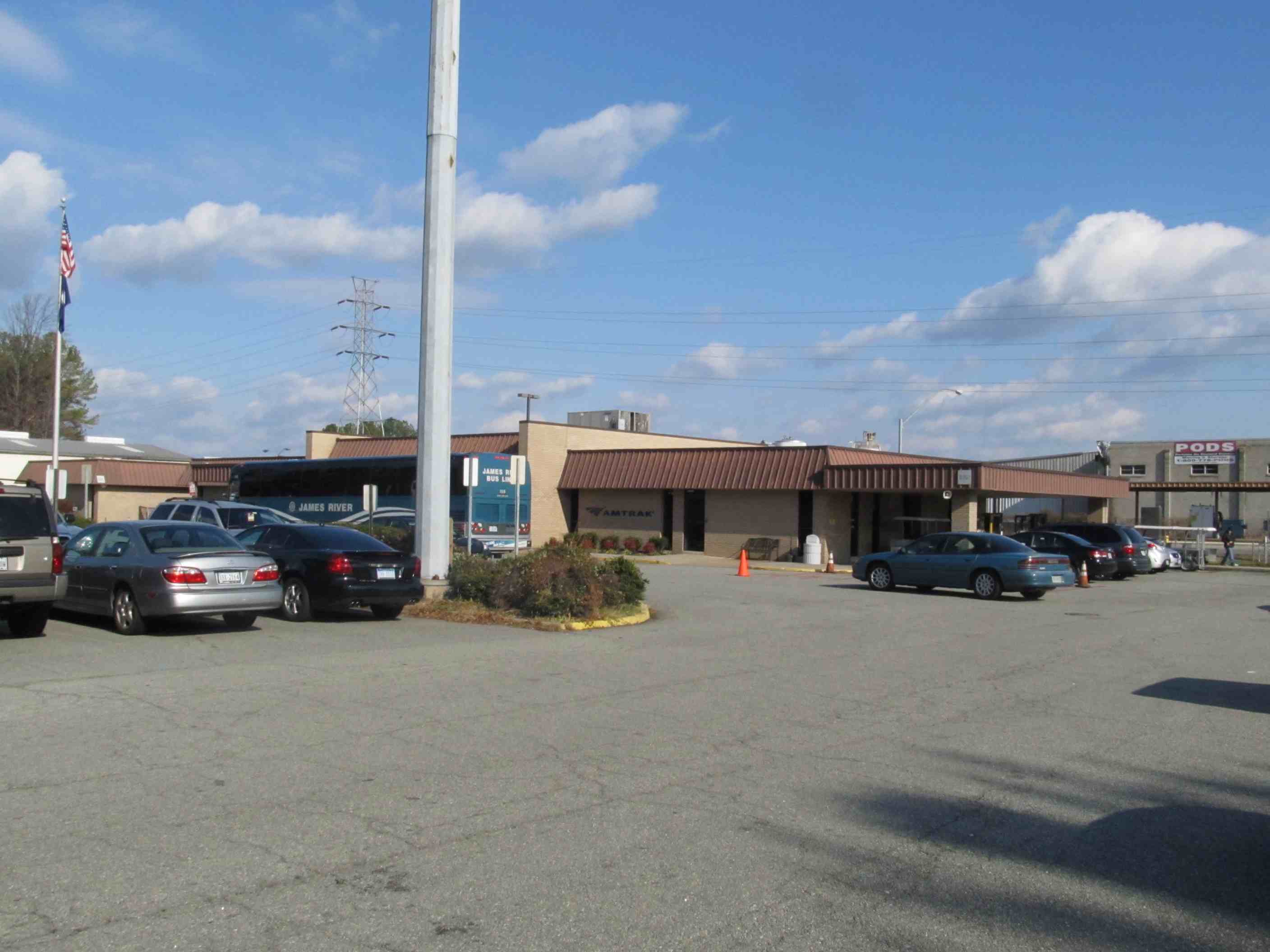
Greyhound on North Arthur Ashe Blvd
The Scoop:
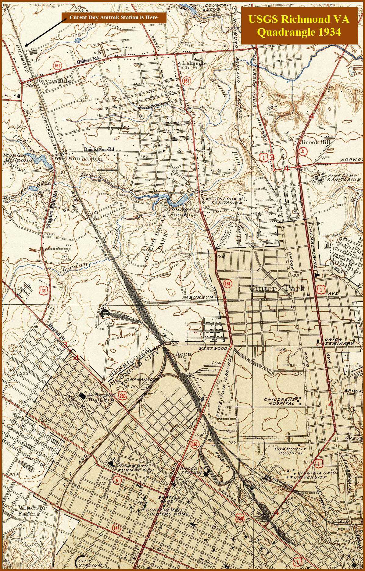
This "quadrant" of Richmond contains the Amtrak station for Richmond, and
CSX's main yard for the Richmond area, Acca. Acca was originally a
RF&P yard.
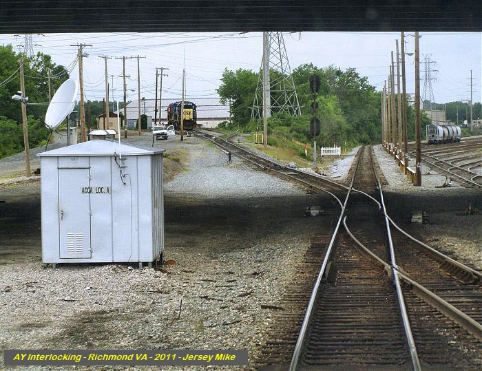
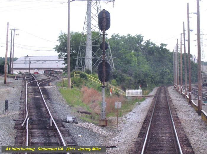
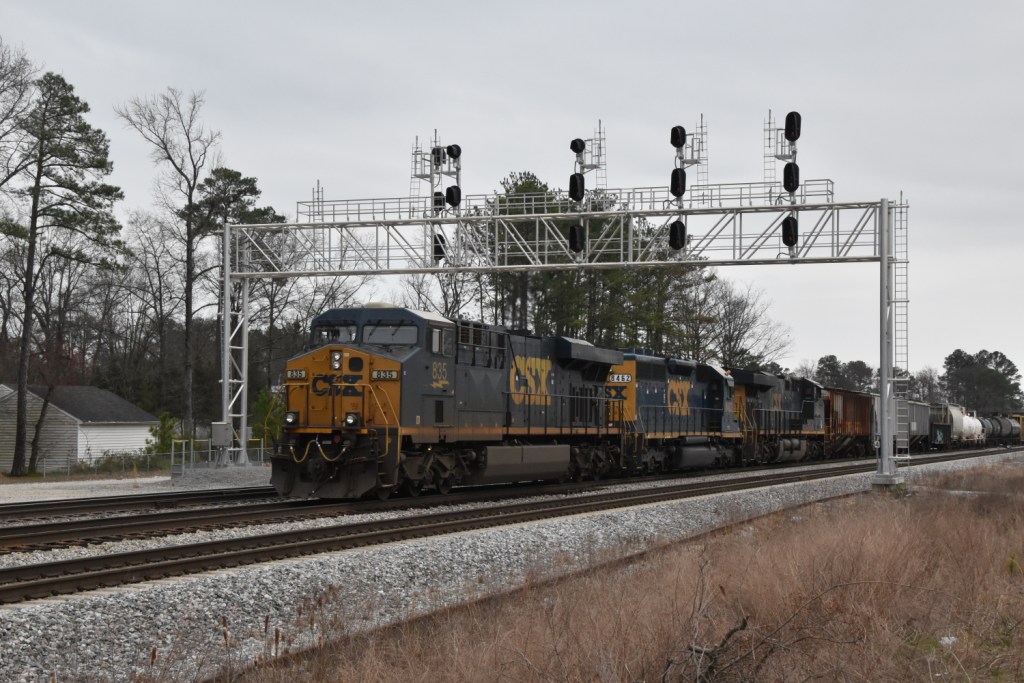
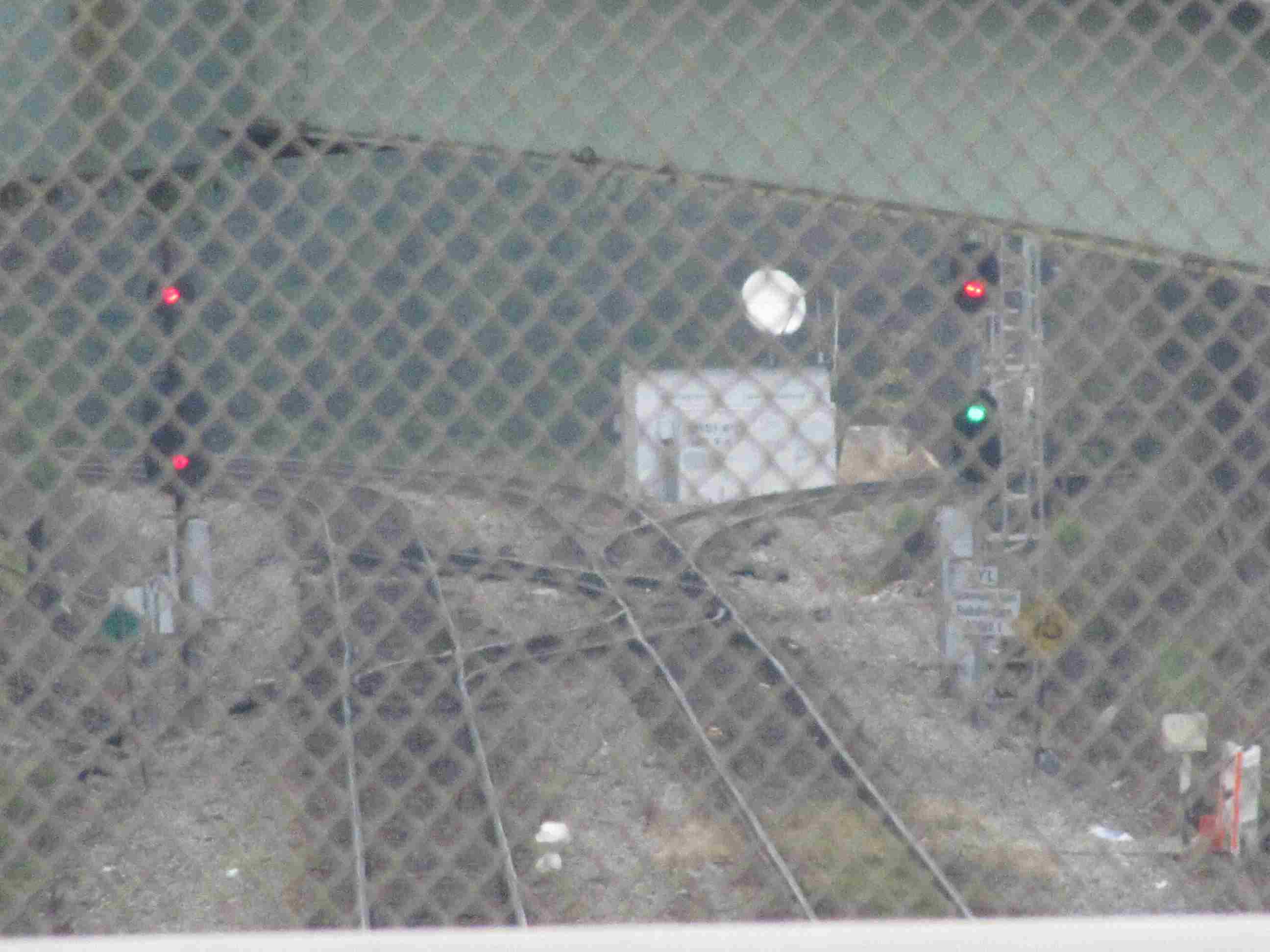
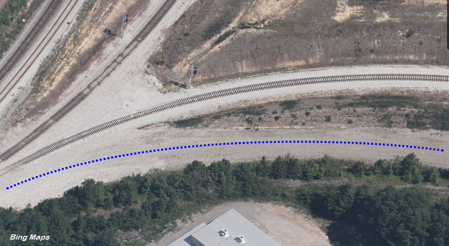
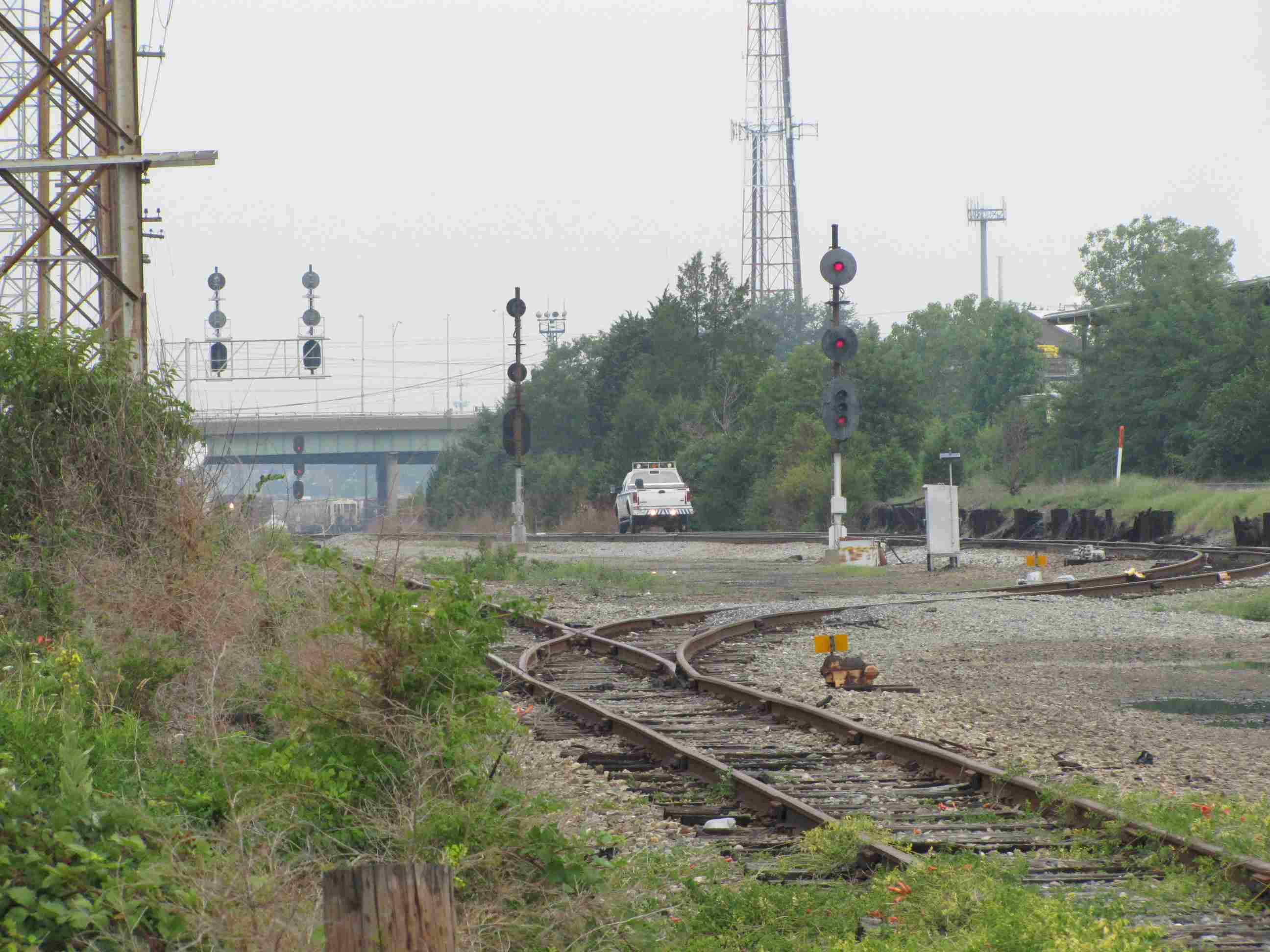
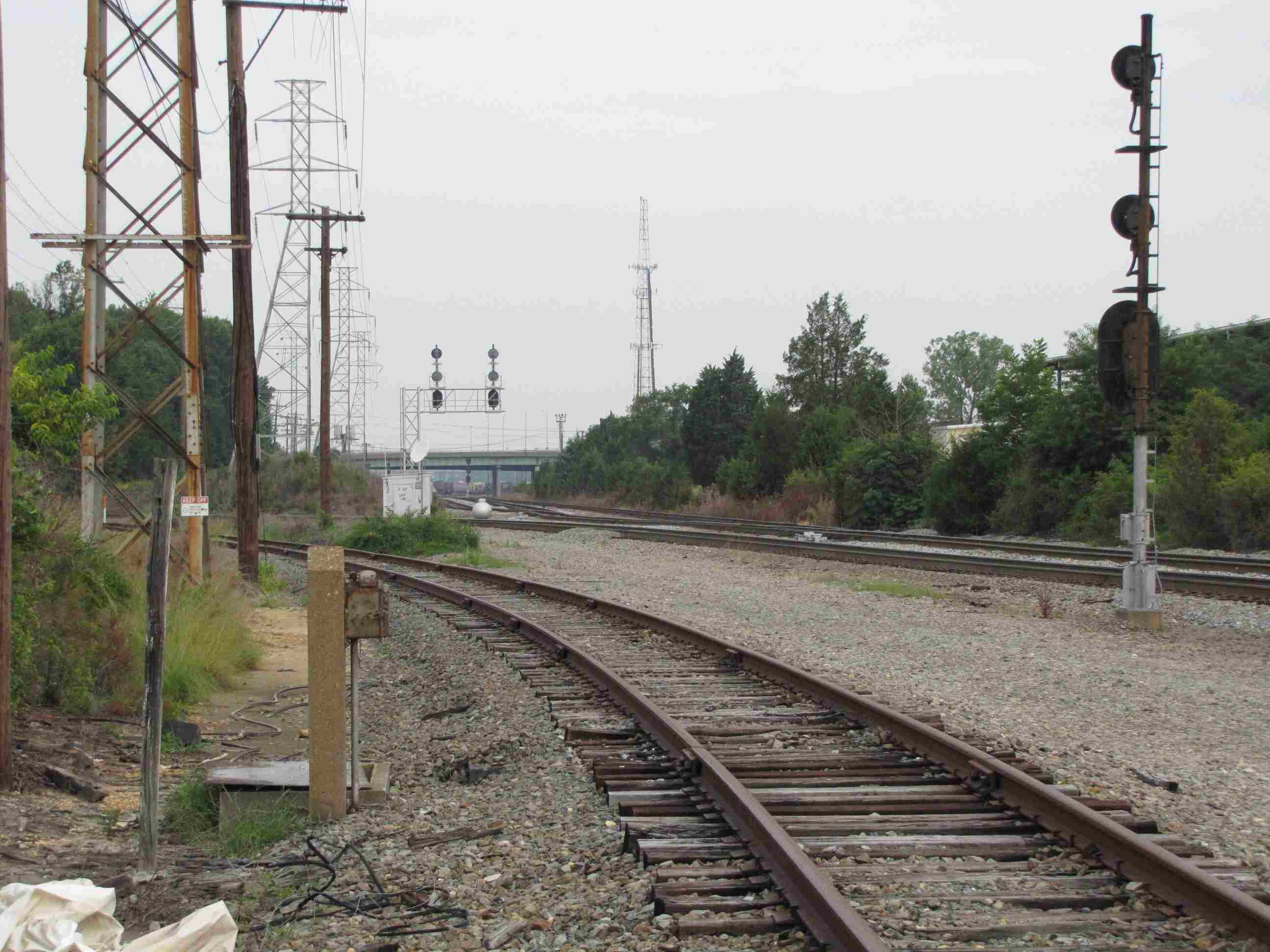
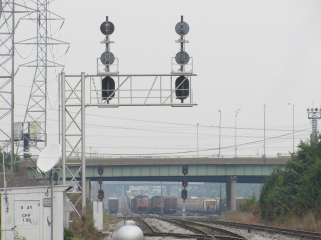
On the south side of Acca Yard, is AY Interlocking, which guides trains
coming from the north (to/from DC), the south (Florida/NC/SC/etc), and to
the east via downtown, Fulton Yard, and finally Newport News VA.
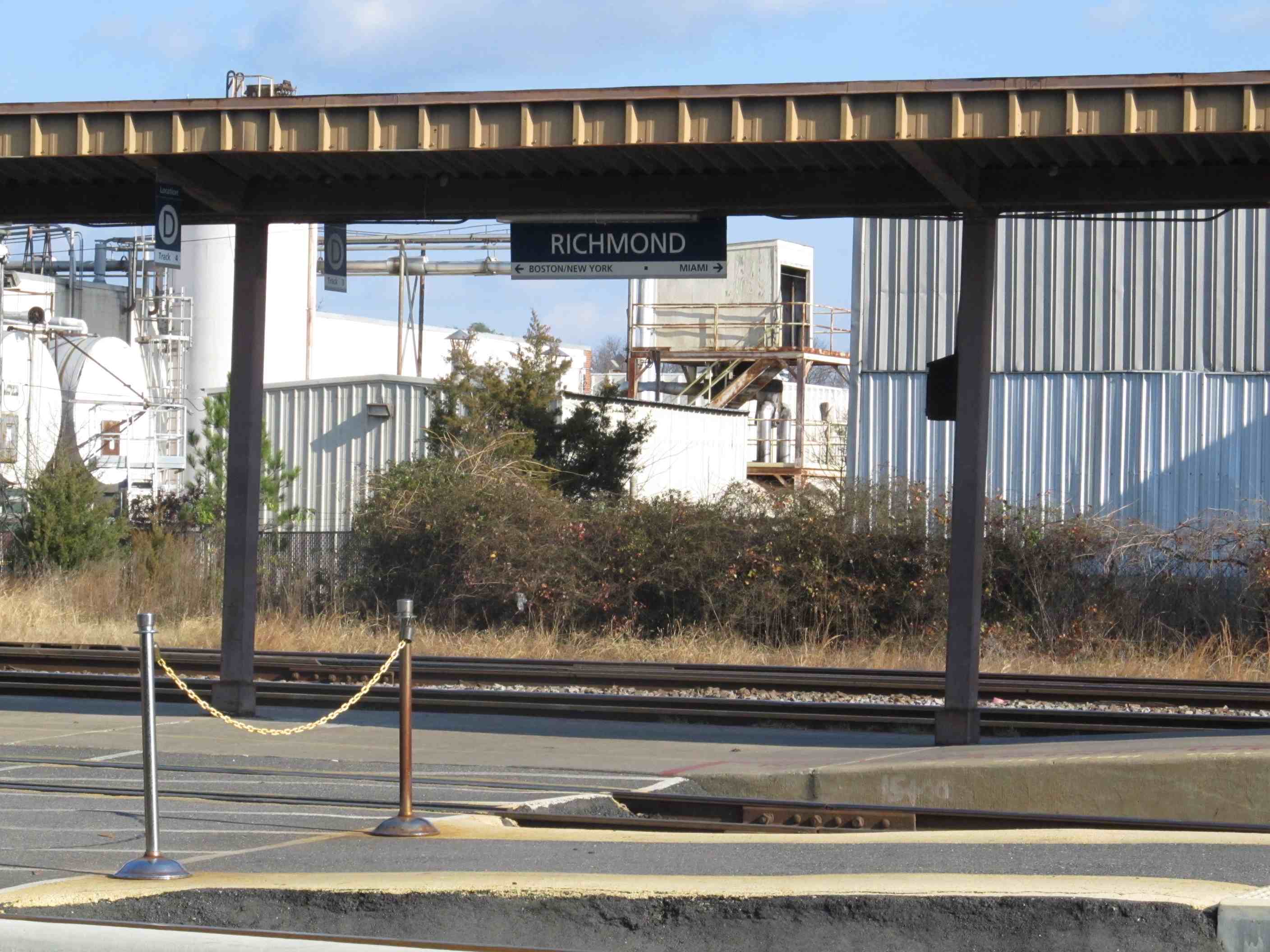
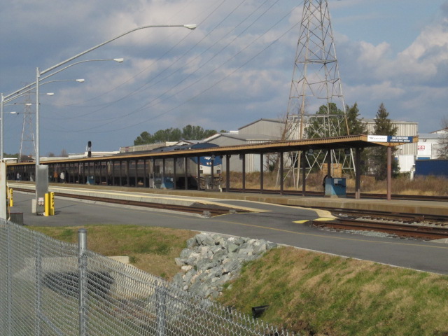
The Amtrak station is a good spot to watch trains from. They will let
you sit outside the station, but not onto the platform until a train is
coming. Even when you are waiting for a train on the platform, you
will get freights passing you. In the immediate area around the
station, the R-O-W is fairly well fenced off, so you can't get any pictures
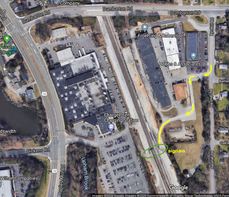
until you are on the south side of Dumbarton Rd, where you are under a
cantilever signal bridge watching trains come out of Acca Yard.
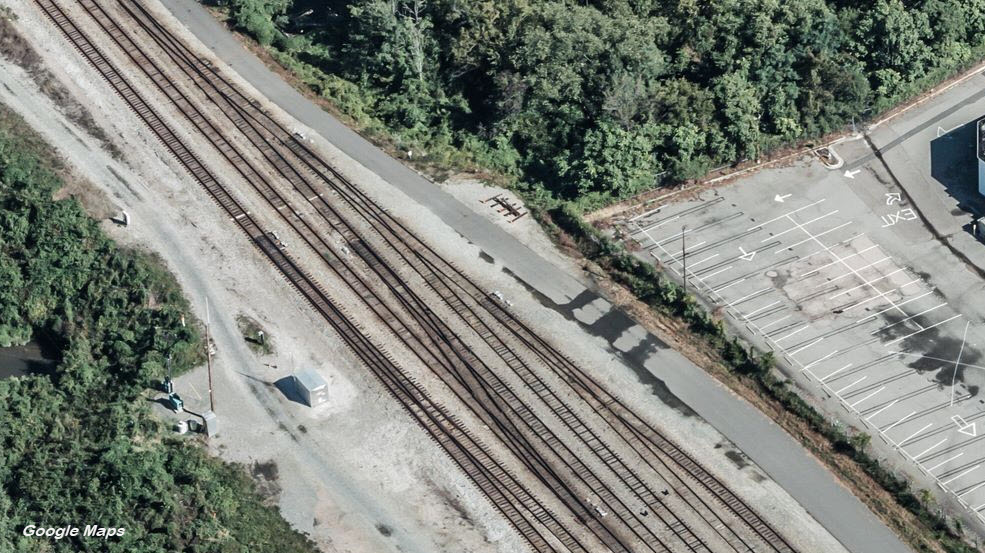
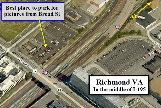
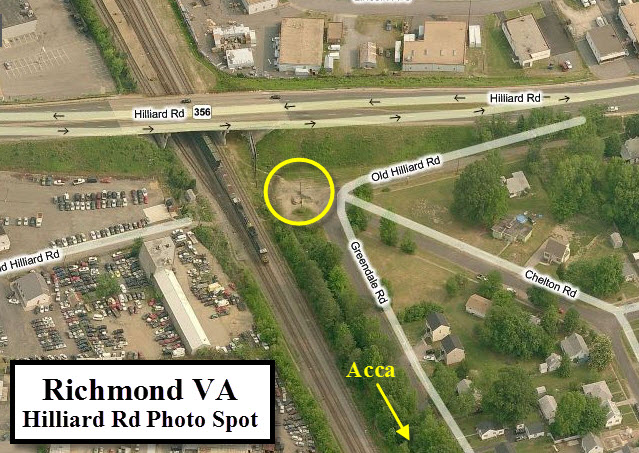
Both Dumbarton Road and Hilliard Road provide good vantage points for taking
pictures, however, they are both screened with the finely knit fencing,
making picture taking difficult if you are using a "real" camera with a
telephoto lens - point and shoots should be fine since the lenses are
smaller and can "see through" the fencing.
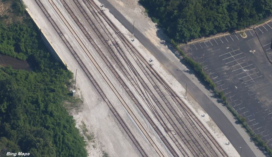
You can get very good pictures at the main facility at Acca from Tomlynn St.
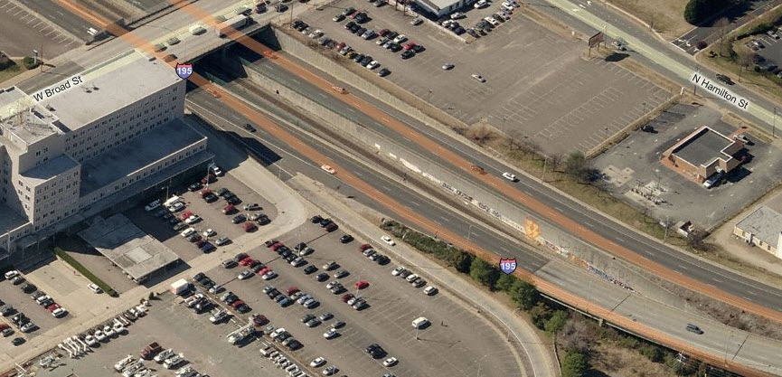
You can also grab a fairly good shot of the yard as you drive over it on
I-195, but please make sure you have someone else driving when you do! :-)
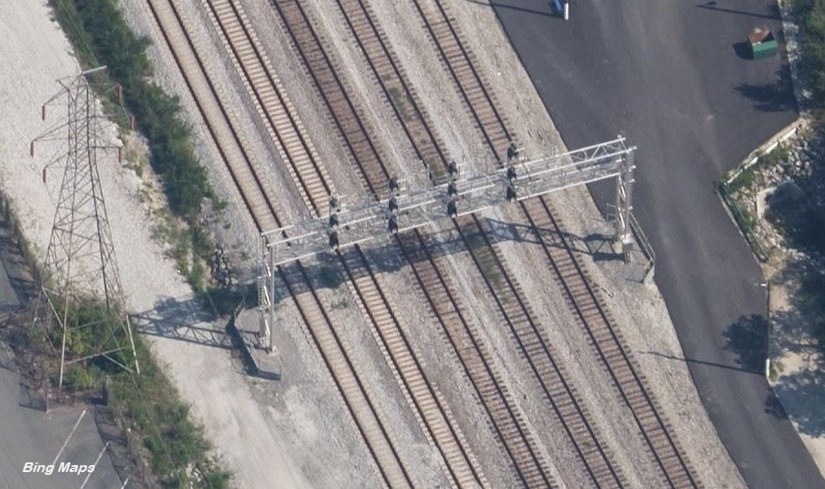
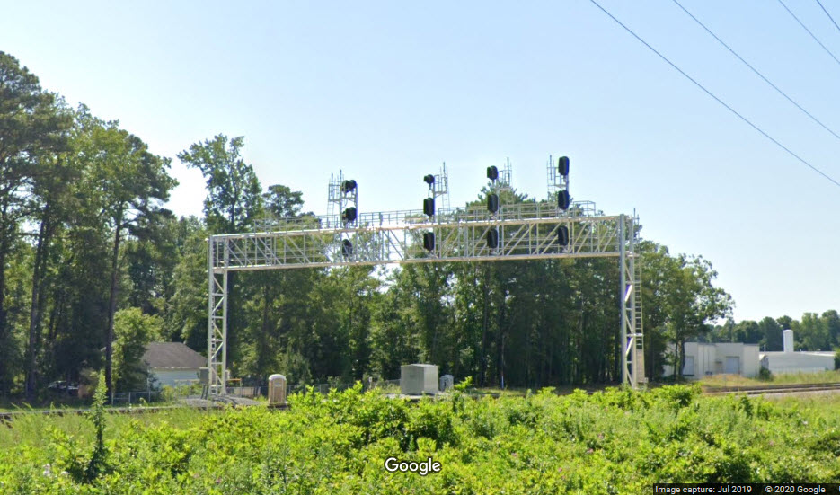
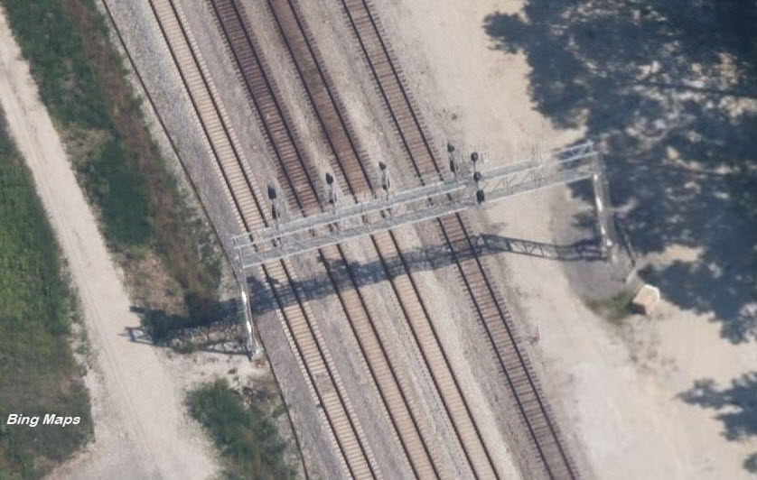
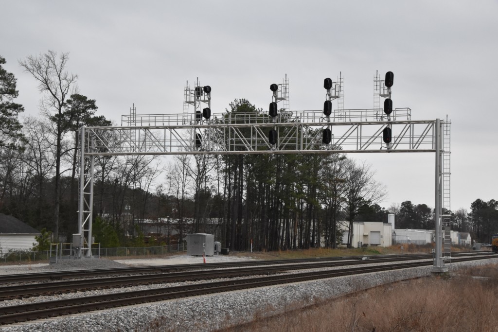
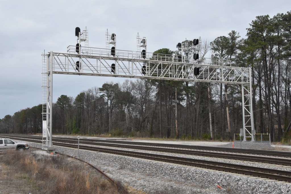
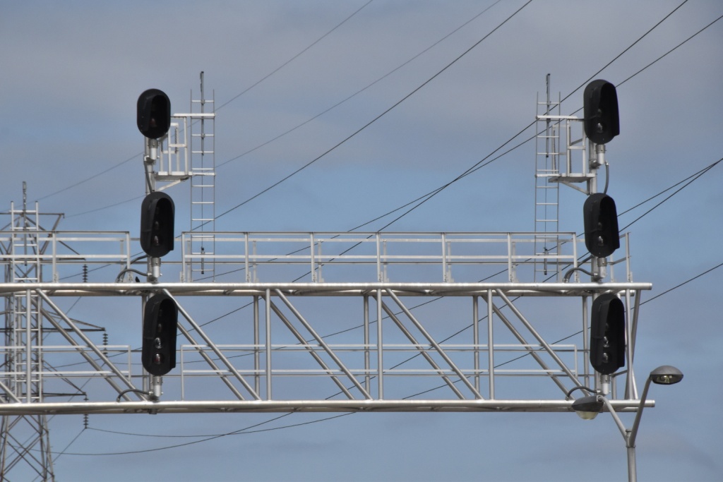
Note: This is a huge page, because I have redone the signal section to cover
from AY up to the Amtrak station, with roughly 20 signal locations.
This is because CSX, since I first did this page, has completely re-signaled
the area, and done major trackwork both at AY and on the west side of Acca
Yard to provide through trains with their own tracks instead of having to
wind their way thru the yard.
Picture note: When I travel by Amtrak, when I can, I try to travel business
class. Why? If they don't put a car on the train for baggage, as
they often do with the Corridor trains going to/from Richmond, you can spend
the whole freakin trip in the vestibule taking pictures out the rear window
- and the conductors are OK with this!!!
I did this going from Baltimore to Providence RI, and filled up a memory
card with all the pictures I took. This is good especially for us
signal fans! This is how Jersey Mike got a lot of the pictures in the
Richmond pages.
Acknowledgements:
Jersey Mike
William Duvall
Railfan Virginia dot com
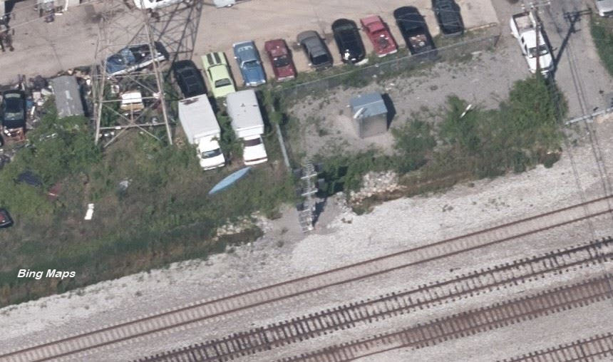
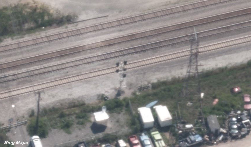
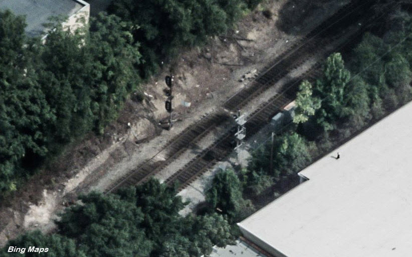
Bing Maps
Google Maps
Denver Todd
Websites and other additional information sources of interest for the area:
http://wikimapia.org/19052469/CSX-RF-P-AY-Interlocking
http://wikimapia.org/19052618/CSX-ACL-WEST-AY-Interlocking
http://prr4ever.blogspot.com/2010/05/10-05-15-photos-georgia-scenic-route.html
http://www.railfanvirginia.com/CSX%20Peninsula.htm
http://www.railfanvirginia.com/CSX%20Richmond%20Terminal.htm
Getting Here
If you are coming in from the west, such as Charlottesville, Staunton or
I-81, take exit 185a (Dickens Rd) or 185b (Staples Mill Rd) off of I-64 west of
I-95. If using exit 185a, go east (lest at the end of the off ramp) on
Dickens Road to Staples Mill Road.
Coming in from the north or south via I-95, look for I-64 west, and then get
off at exit 185b, Staples Mill Road.
If you're coming in the from the east, such as Newport News on I-64, just
stay on it till you pass I-95, and then get off at Staples Mill Road.
From downtown, I would probably come out on Broad Street to Staples Mill
Road. This gives you the chance to stop where it goes over the CSX, at
the north end of where the tracks go down the middle of the highway, and
looking the other direction, you can (kinda) see AY Interlocking.
If you are traveling THRU Richmond on I-95, I find it easier, even during
the rush hour, to take I-95 instead of I-295.... I-295 just takes you too
far out of the way for thru traffic people. It's also much more
scenic.
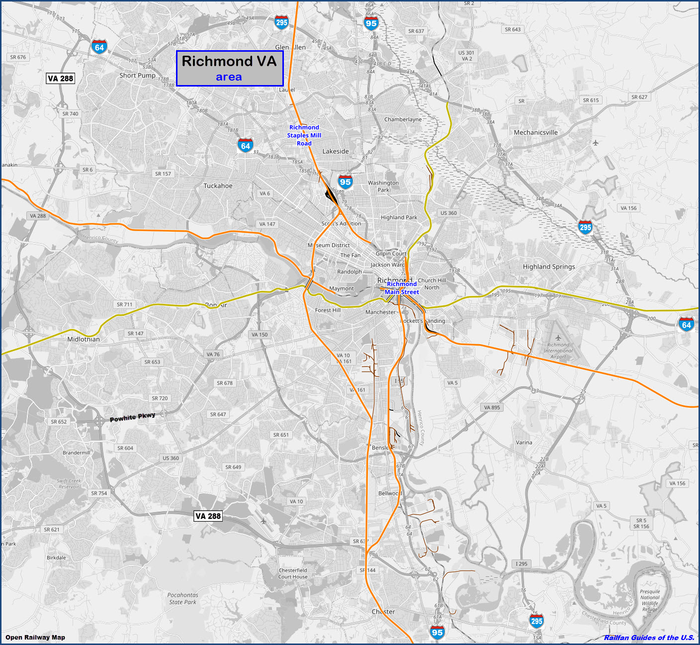
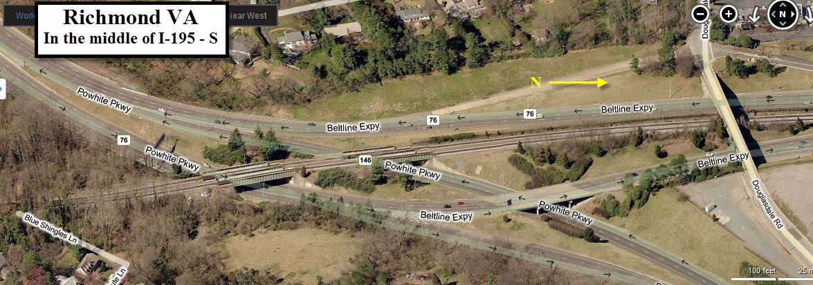
Map
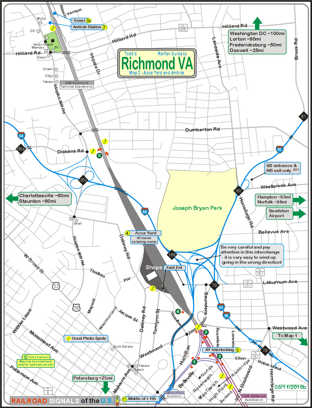
The above map can be found as a PDF
here
Sights
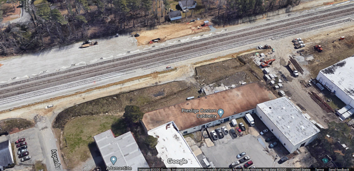
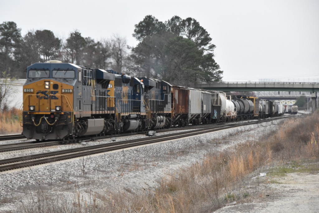
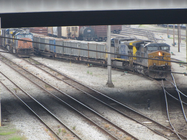
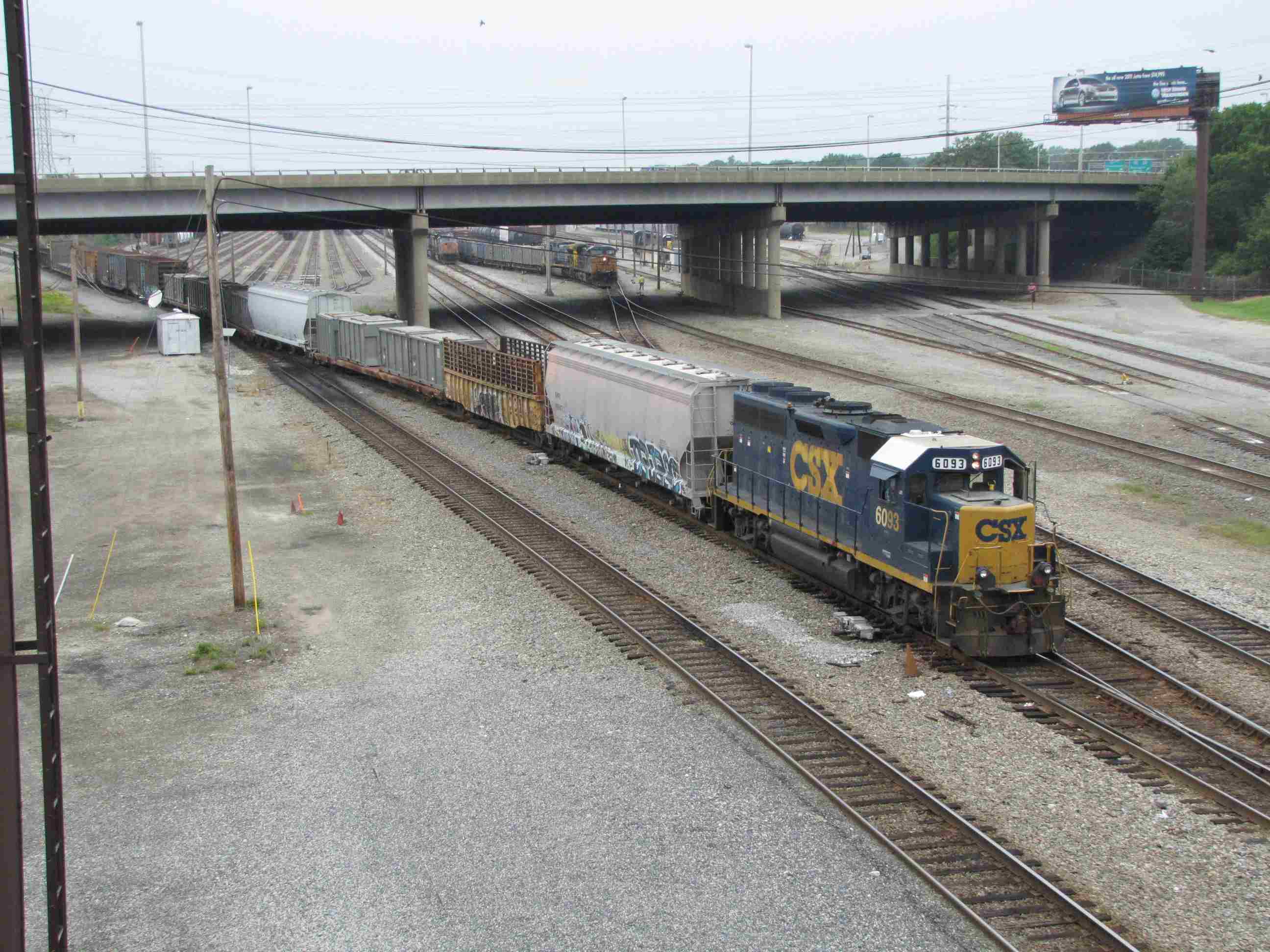
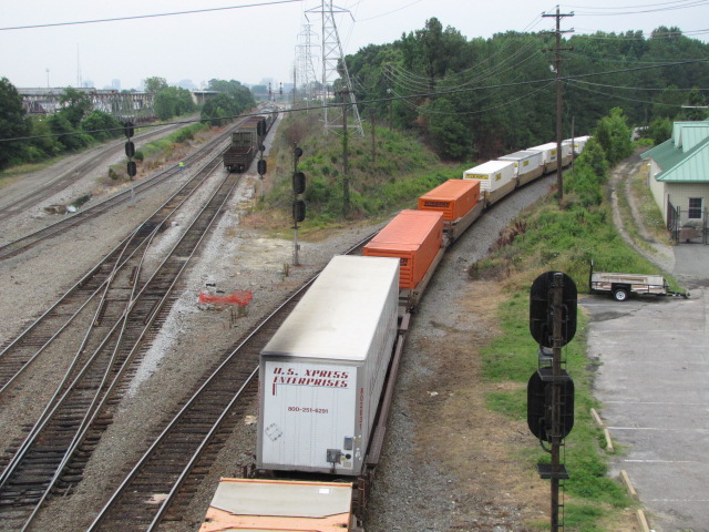
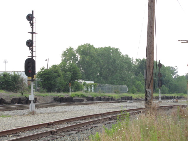
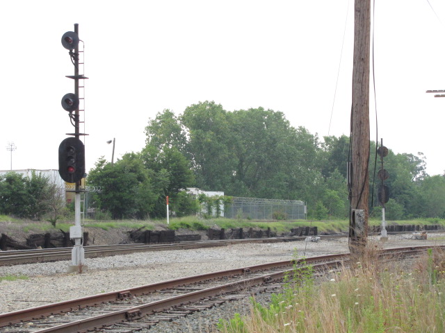
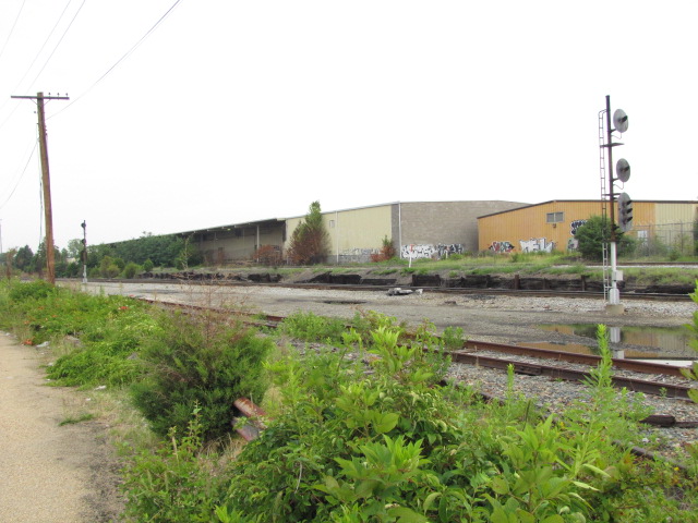
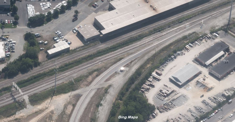
Acca Yard
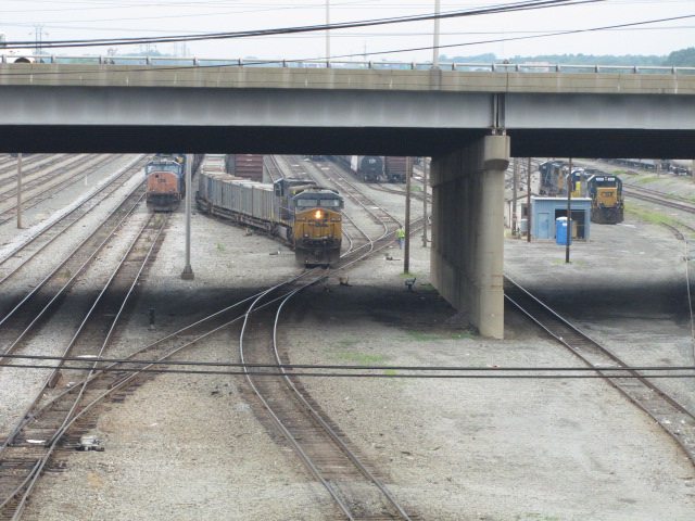
AY Interlocking
the Amtrak Station
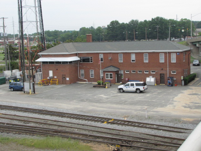
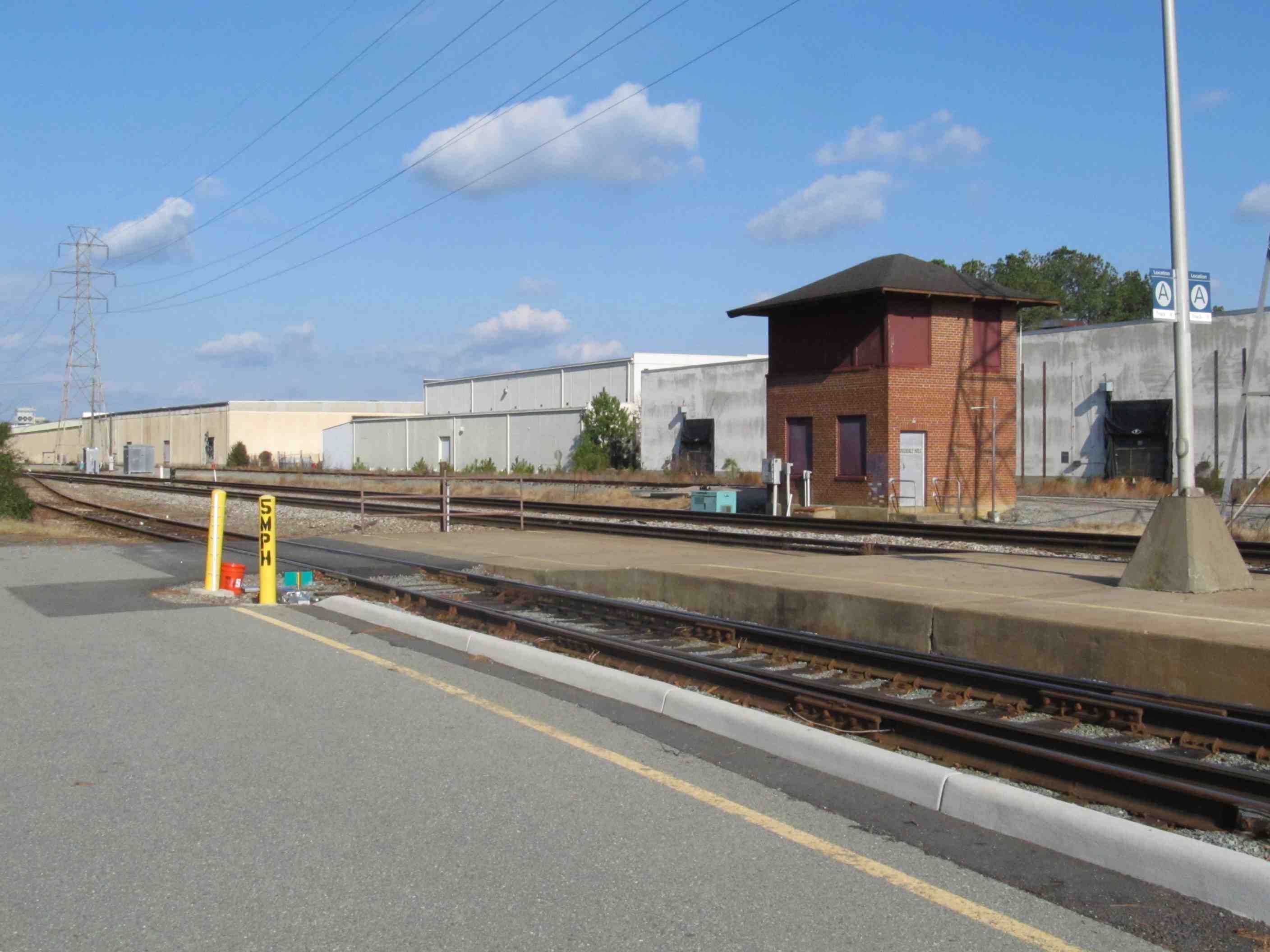
GN Tower
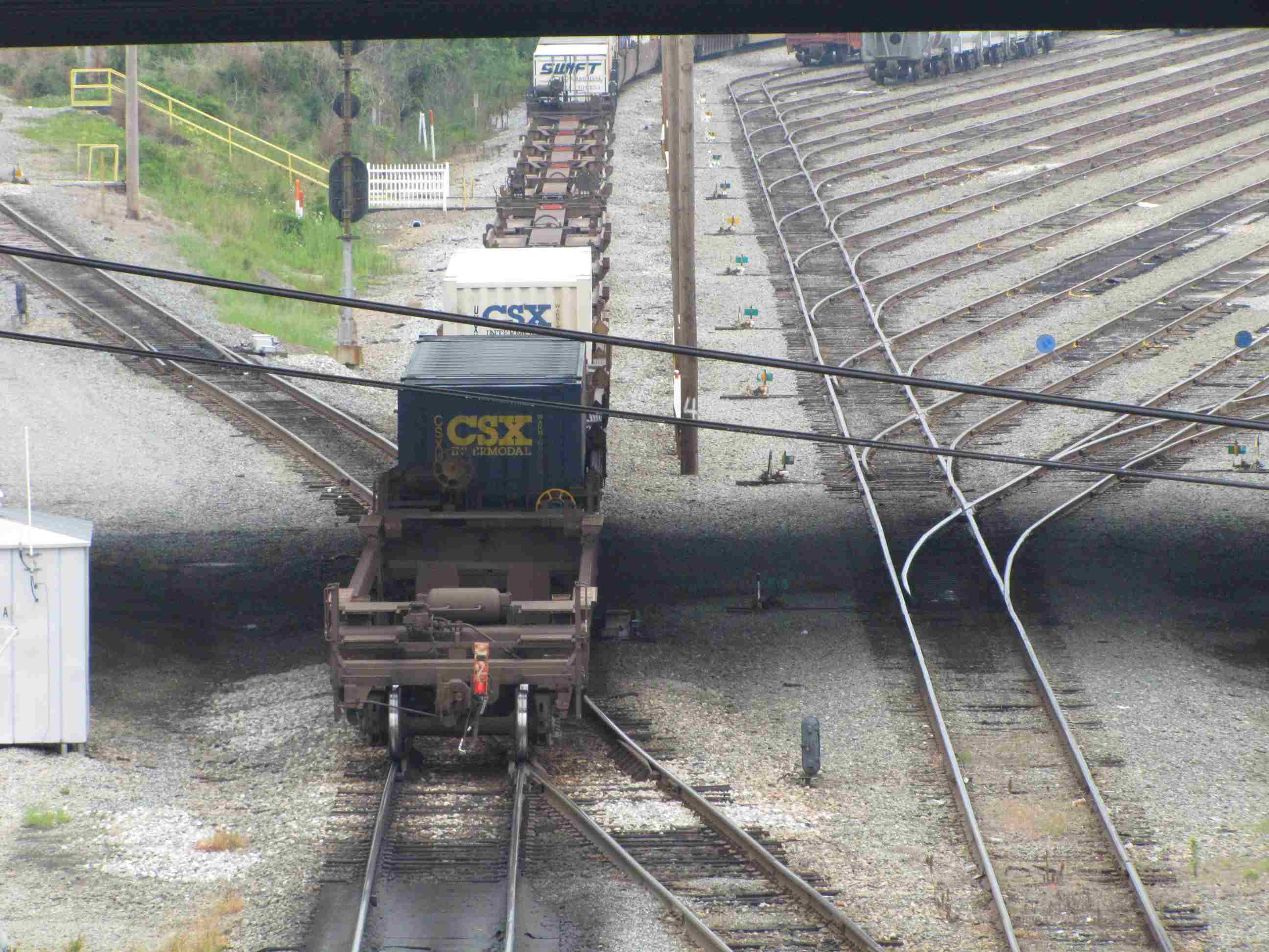
Up the Middle of I-195
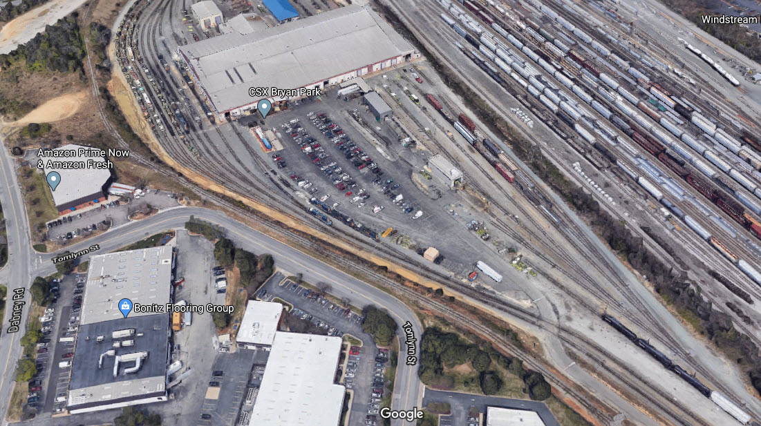
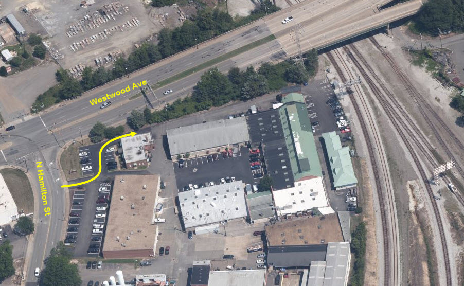
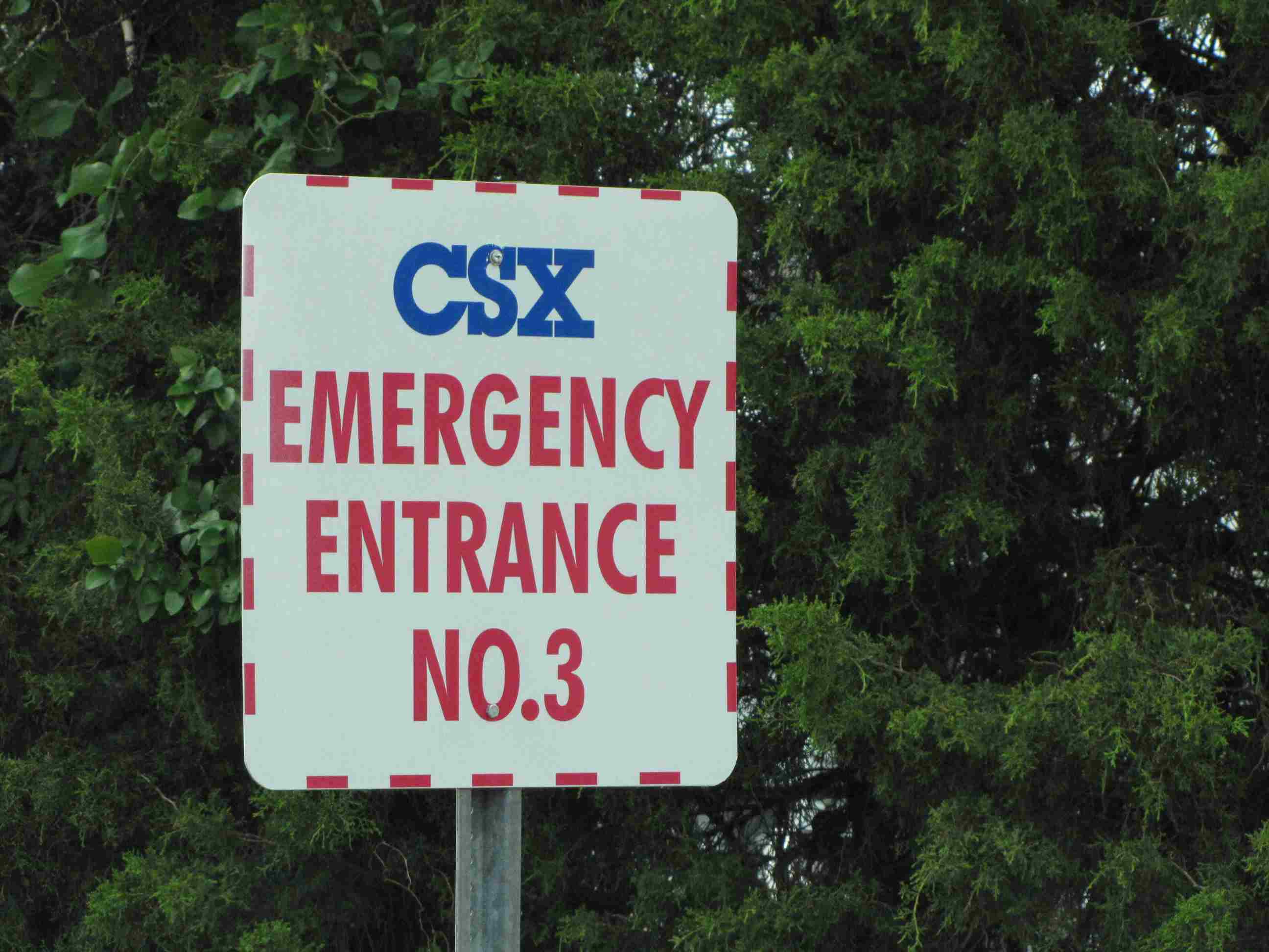 Entrance to Acca off Tomlynn St
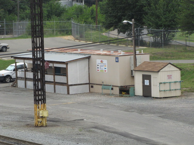

 From the overpass on Westwood Ave
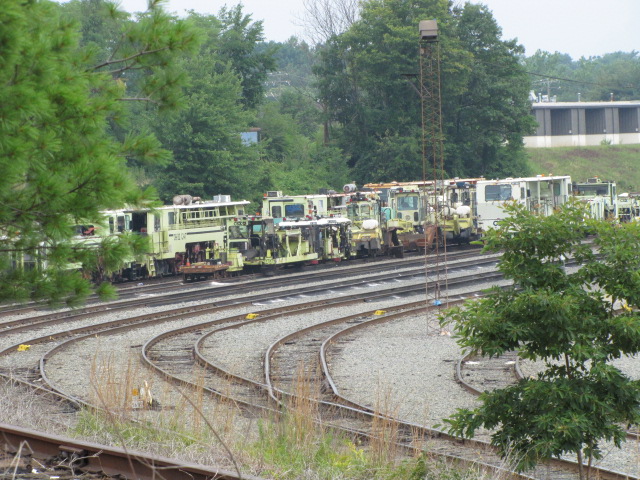
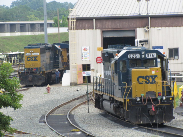
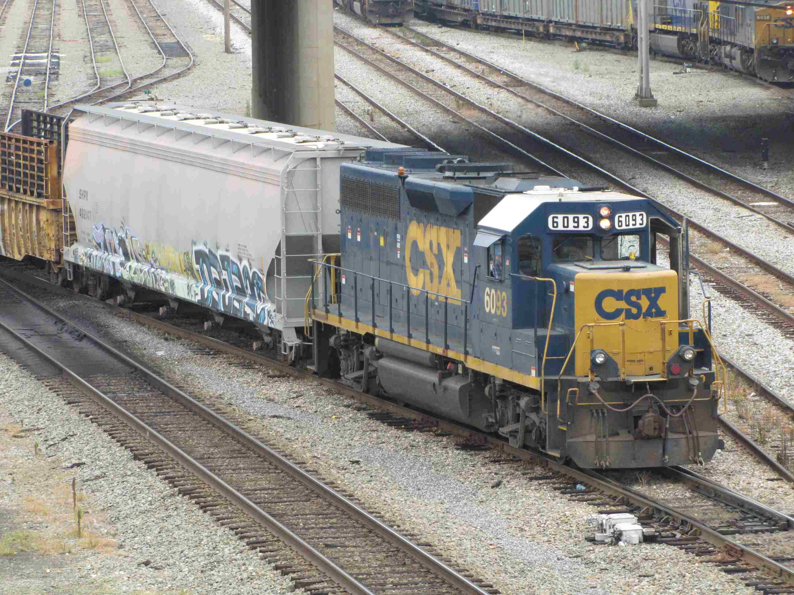
 Over at the engine maintenance facility as seen from Tomlynn St
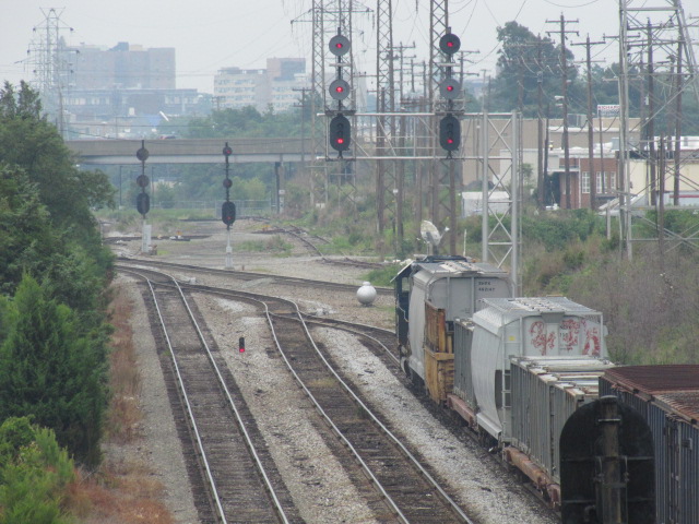
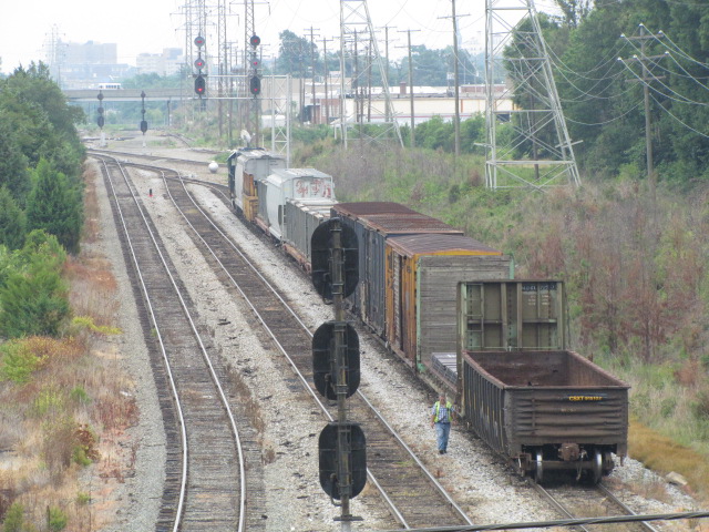
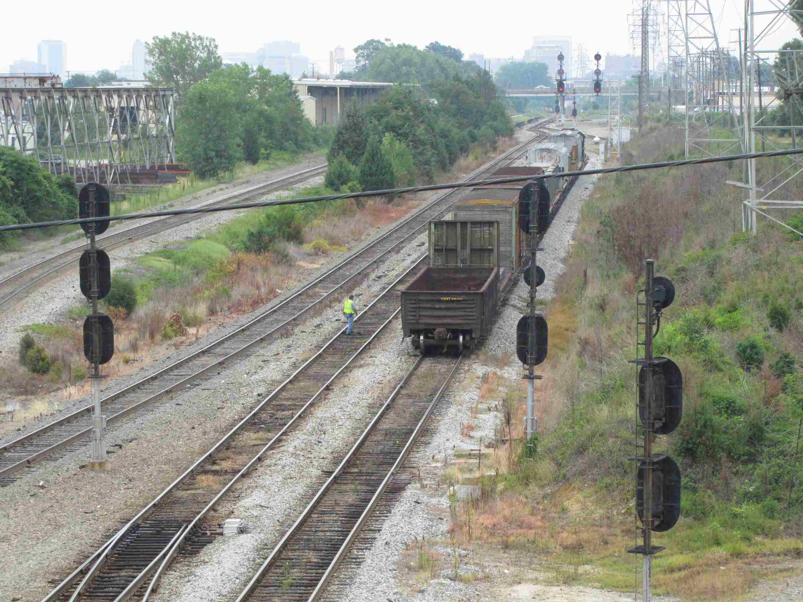

 At AY looking east from the Westwood overpass
 Entrance to the yard off of Laburnum Ave
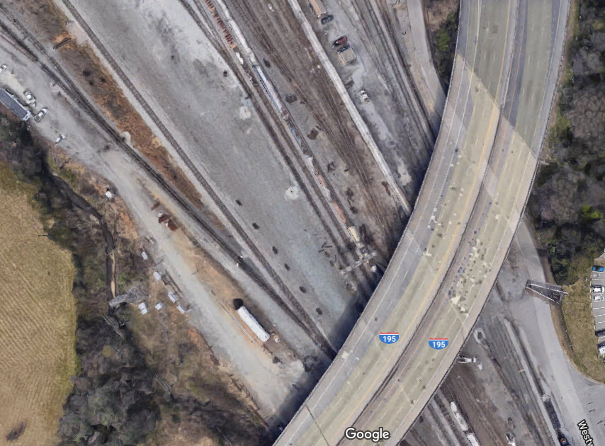

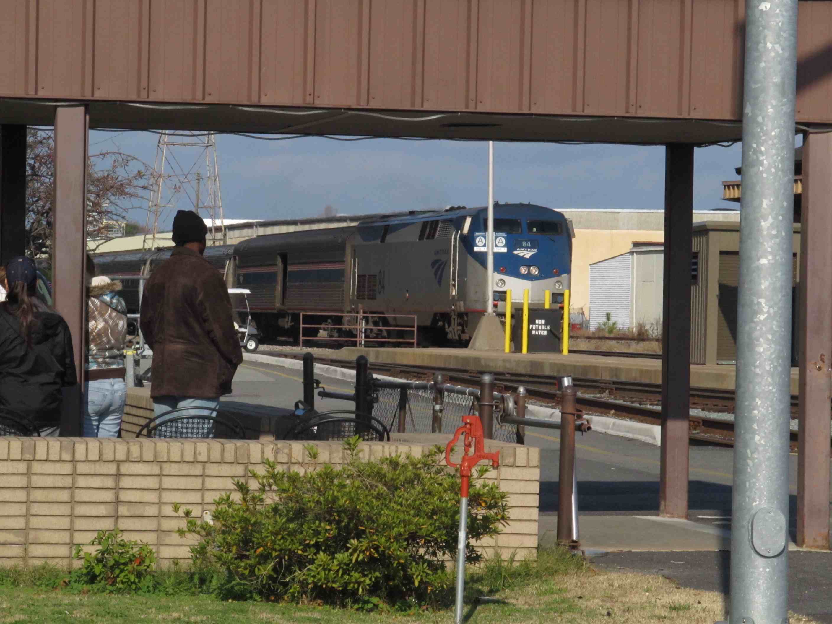

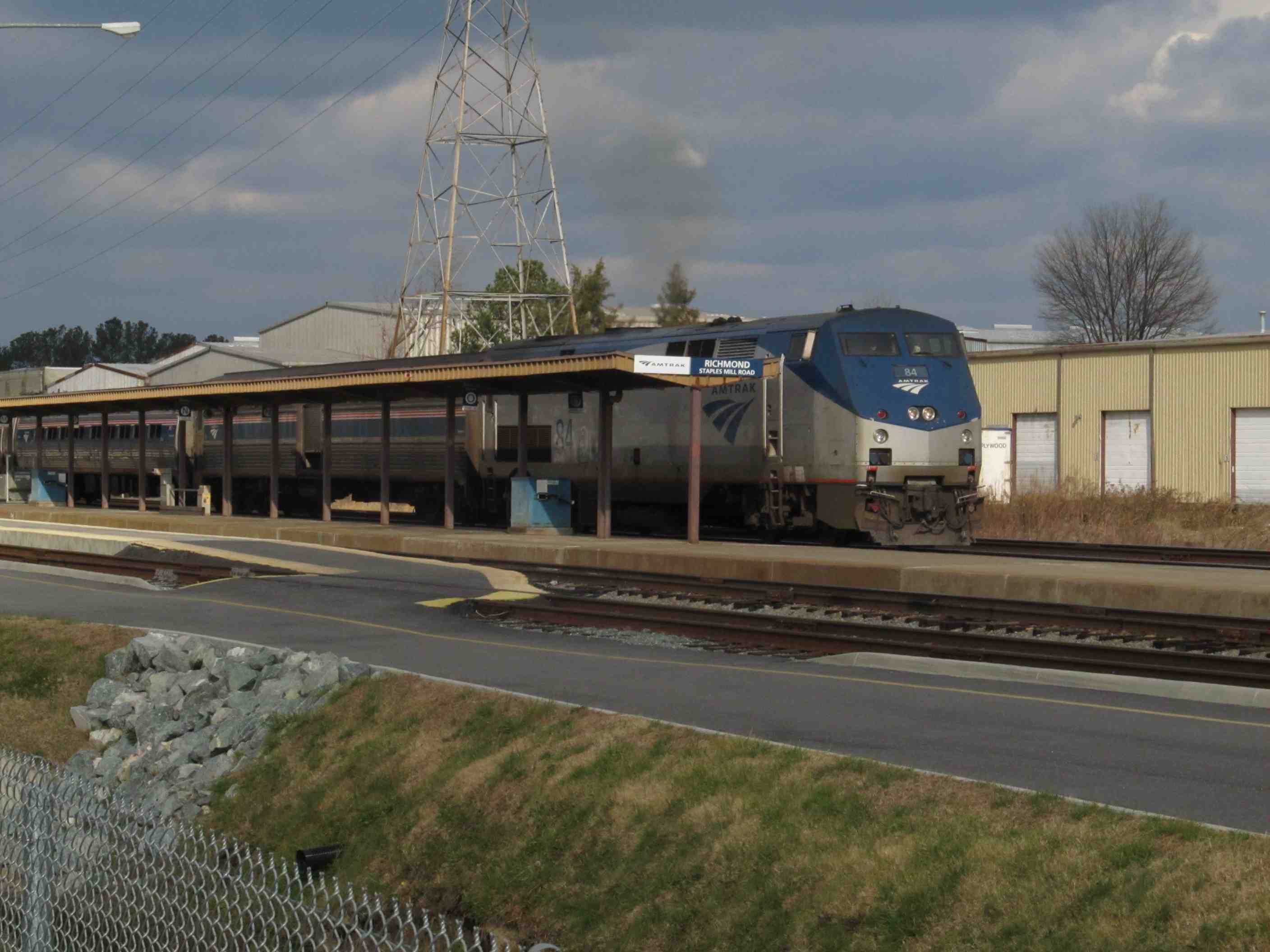

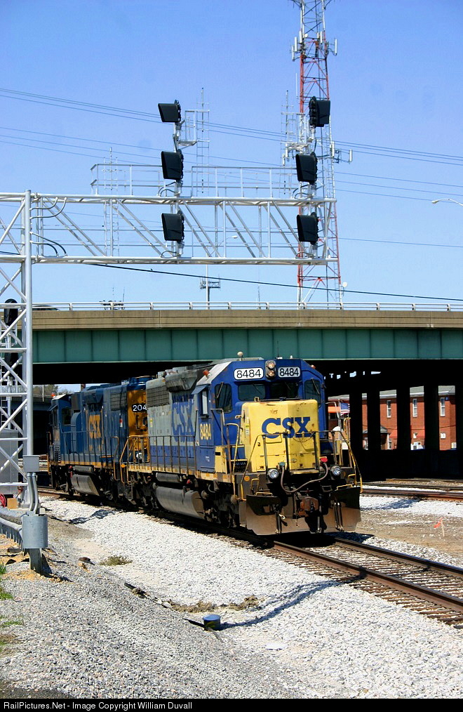
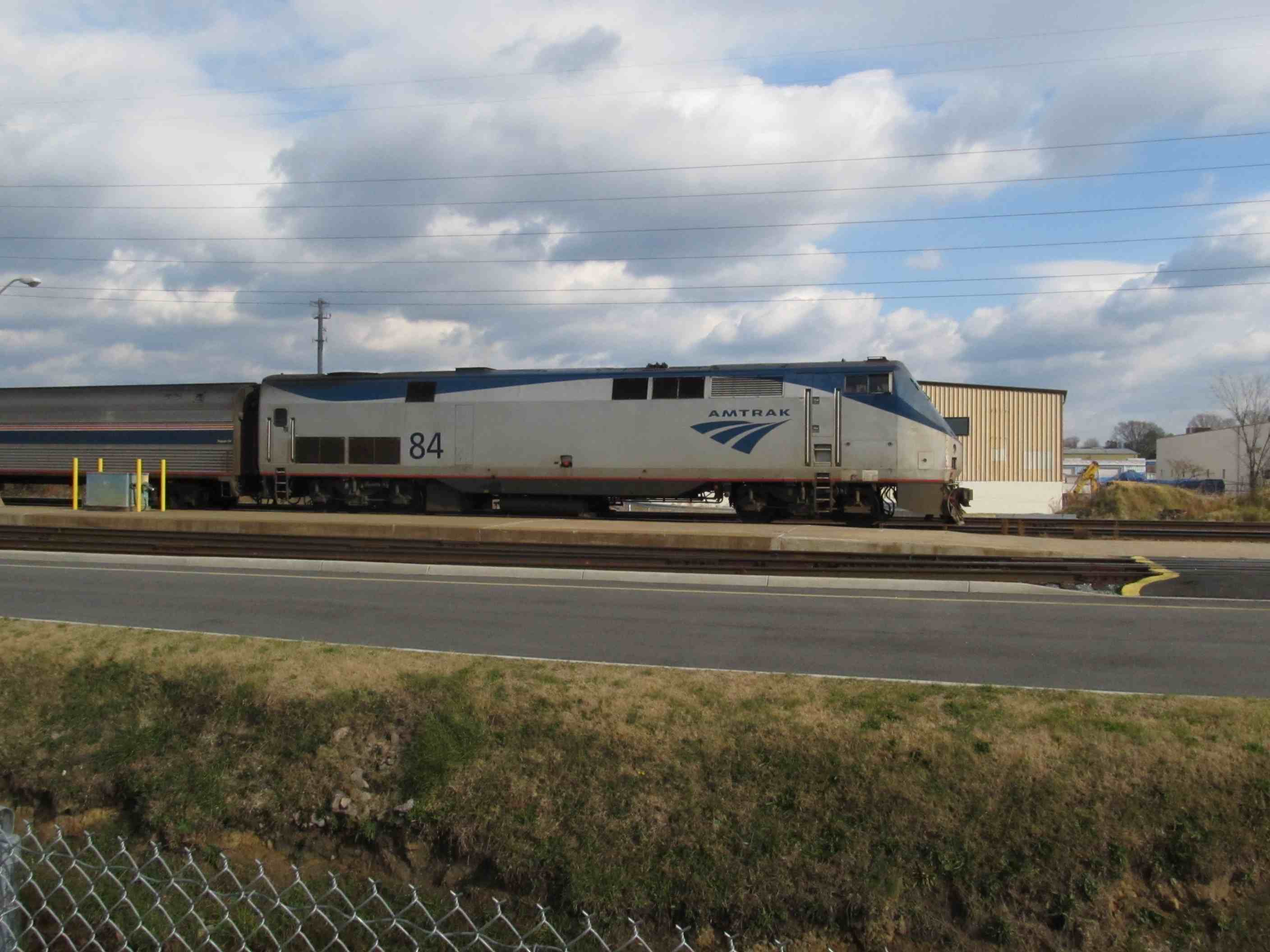 Amtrak Train #89 with #84 on the lead
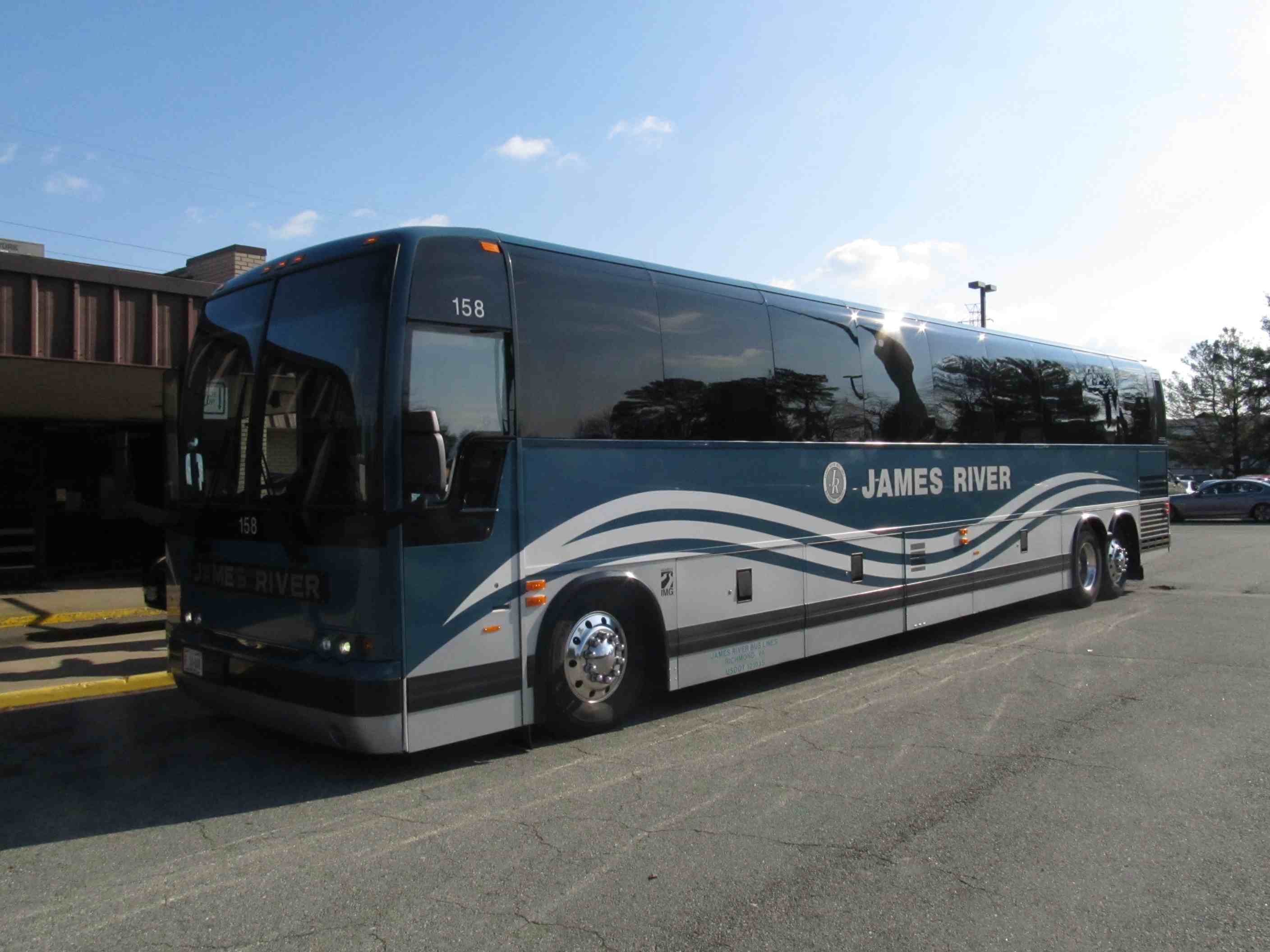
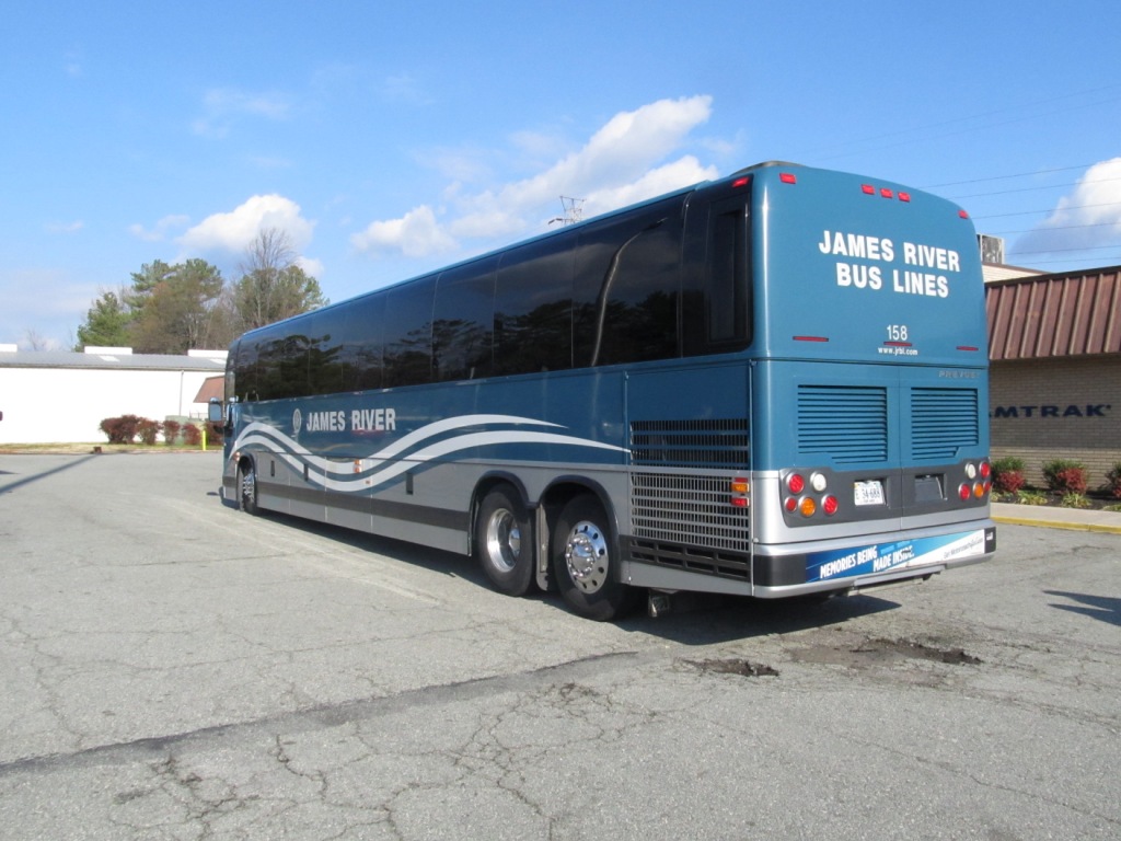 James River Bus Lines provides connecting service to areas west of Richmond
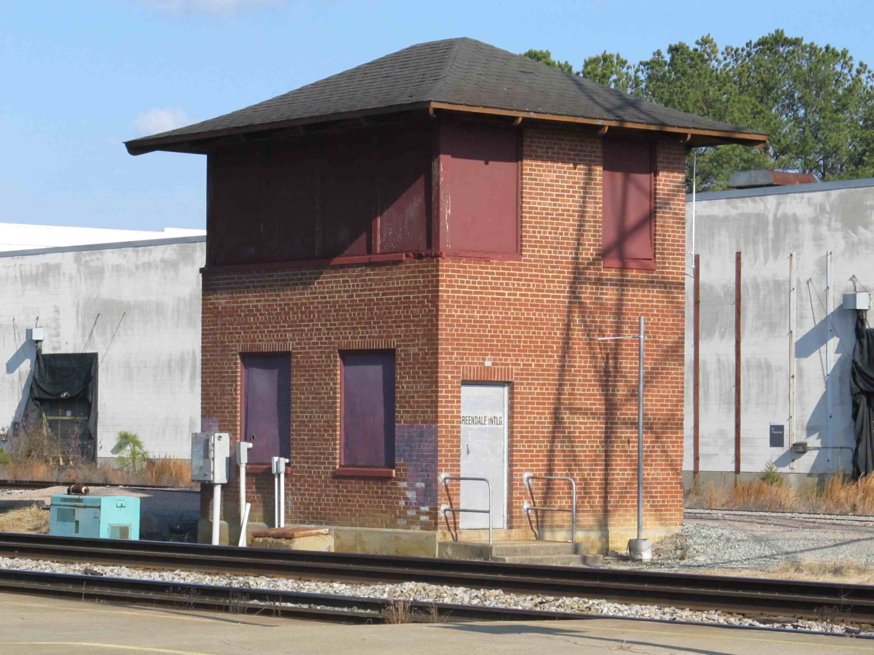

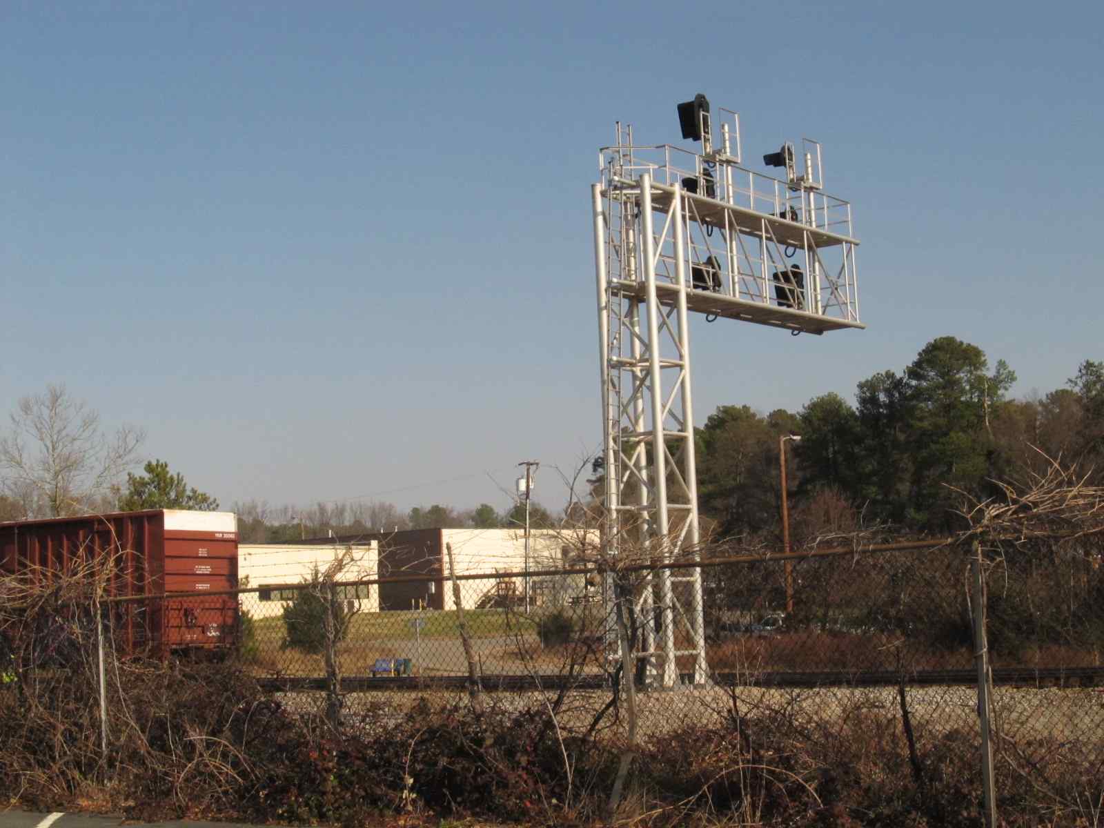
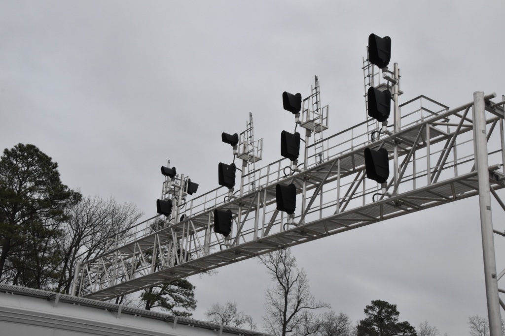
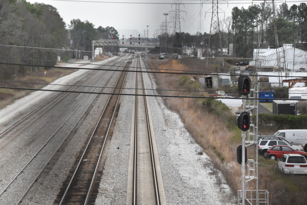
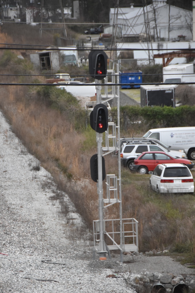
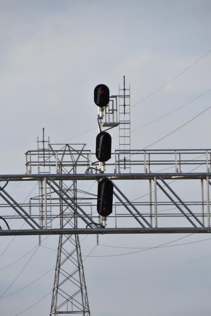
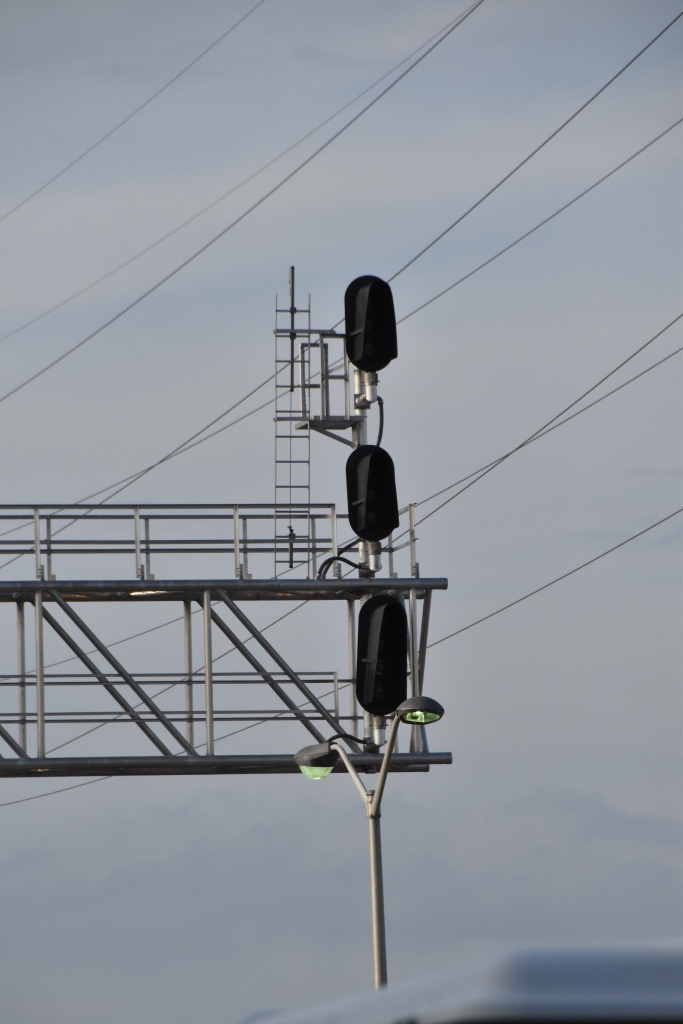
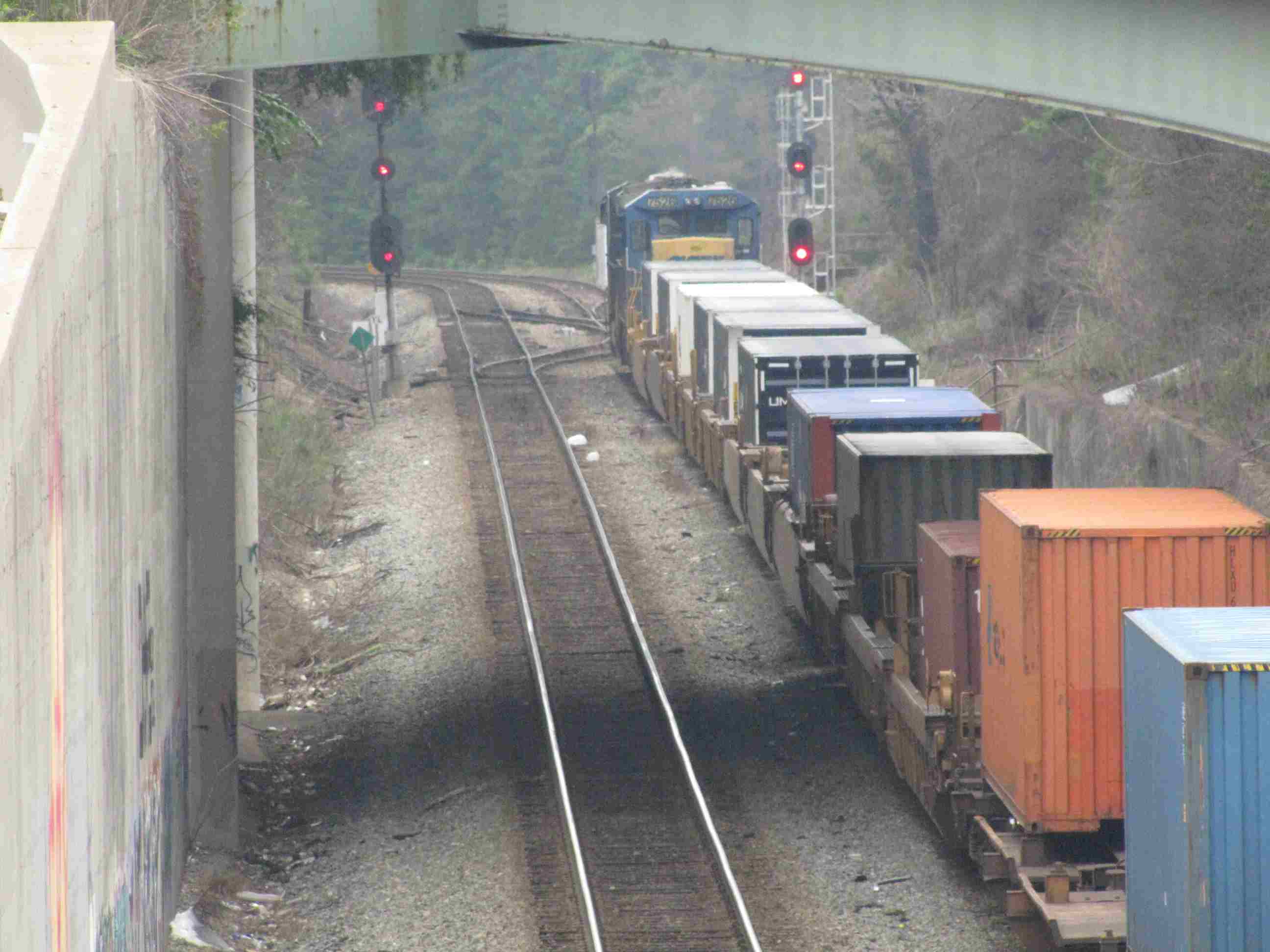
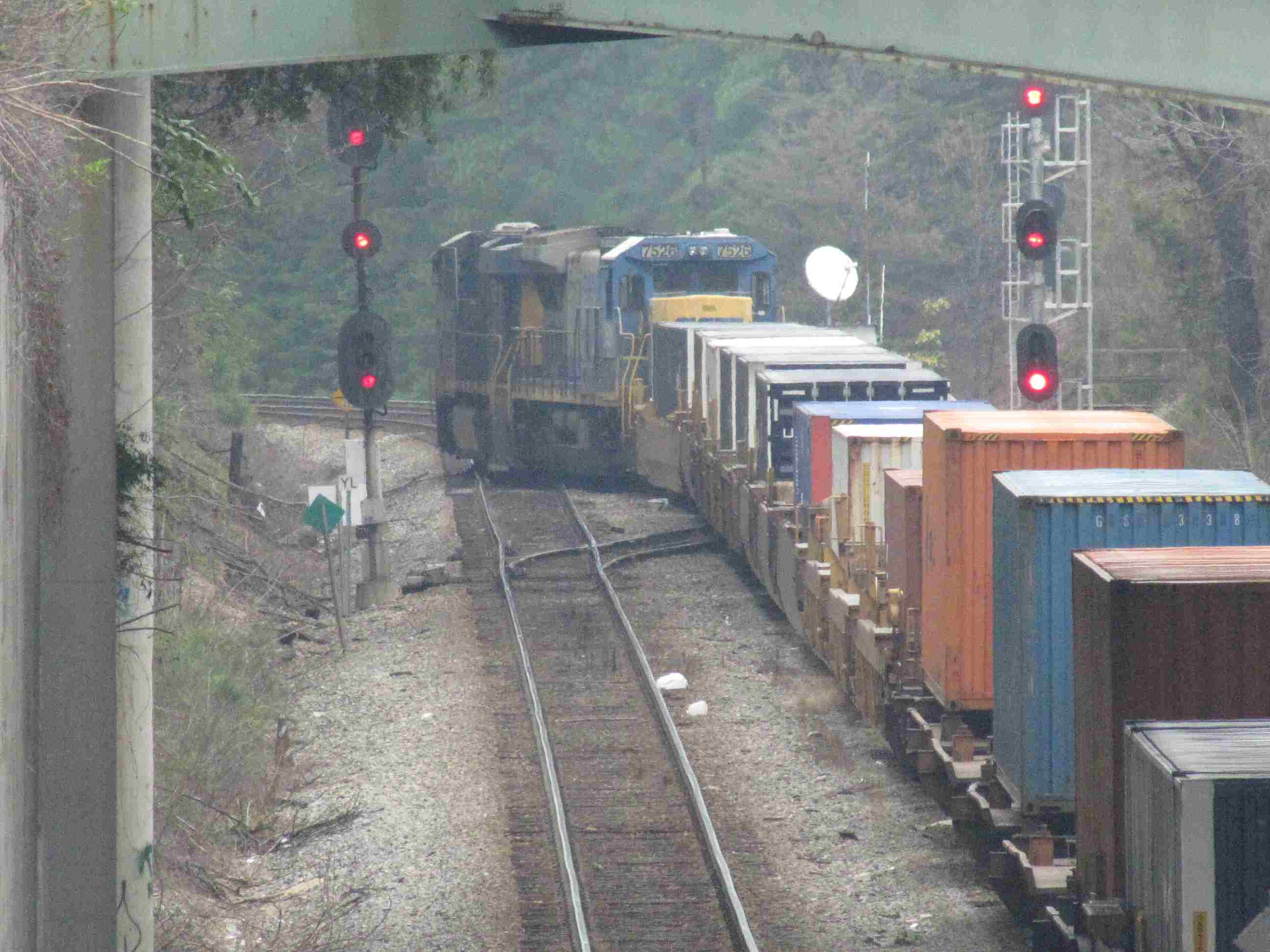
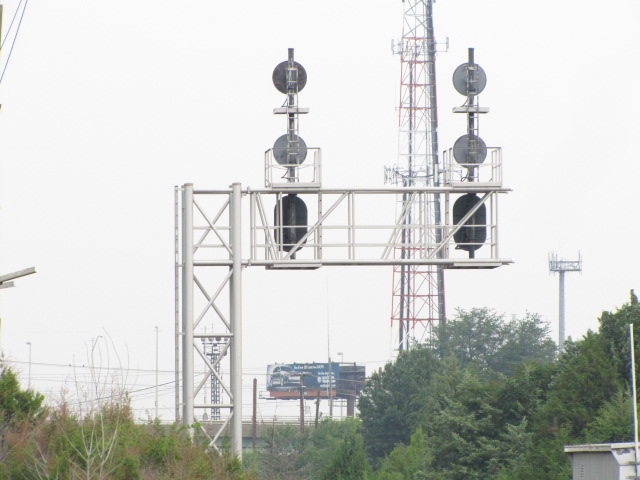
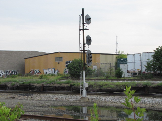
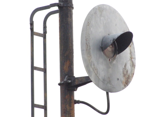
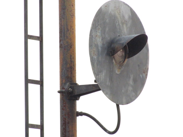
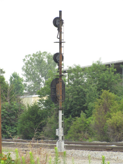
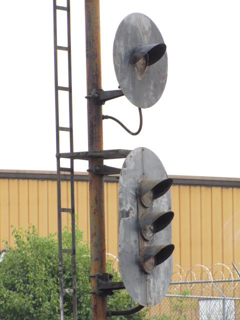
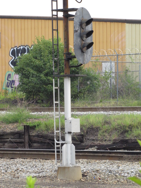
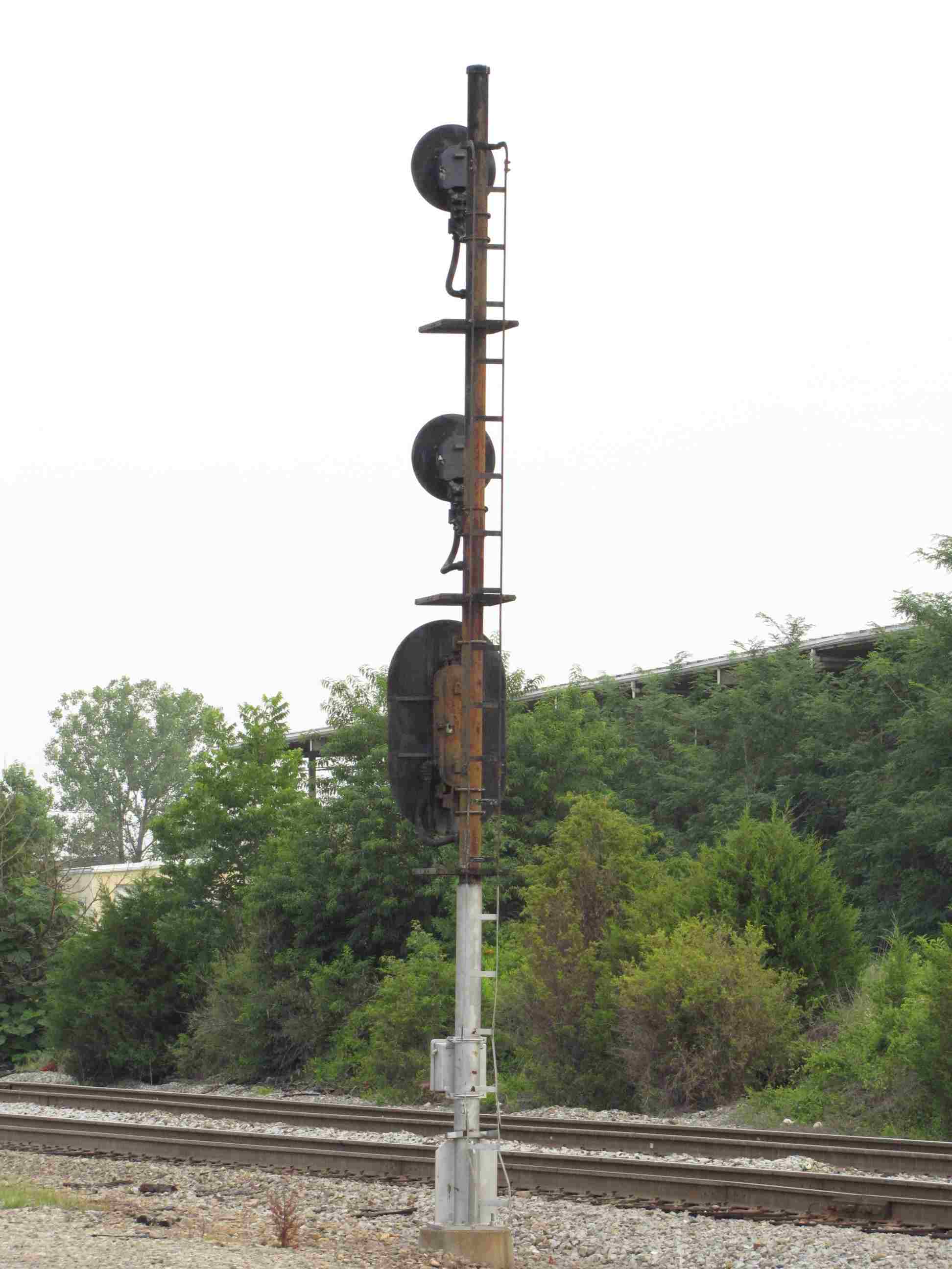
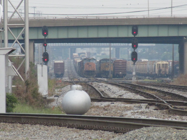
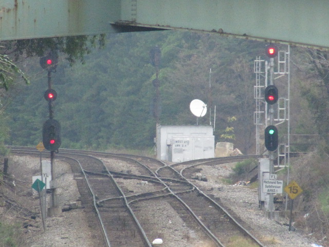 Slow Clear
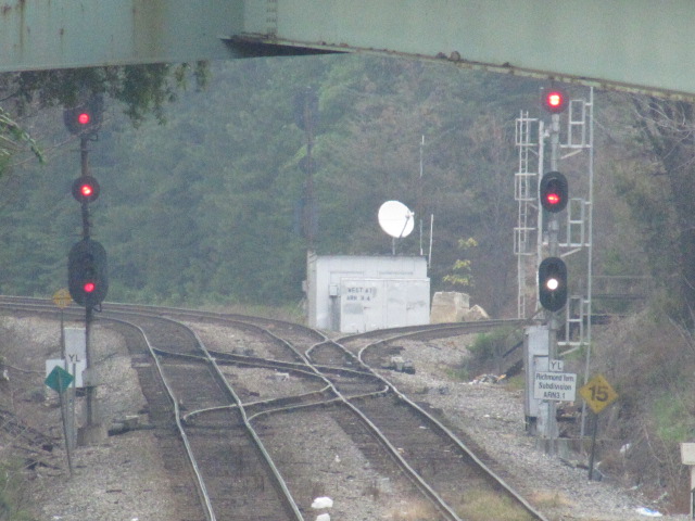 Restricted
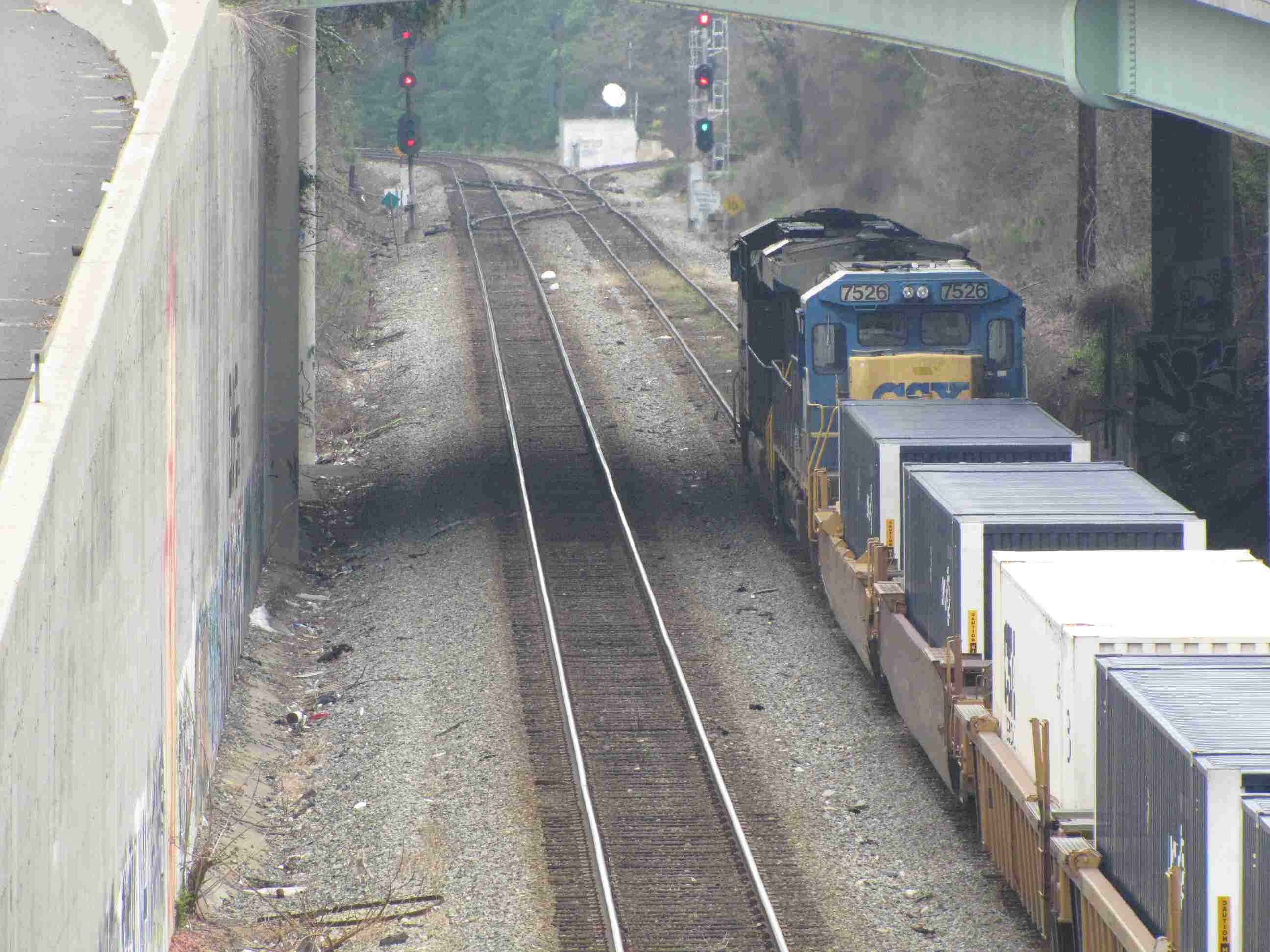
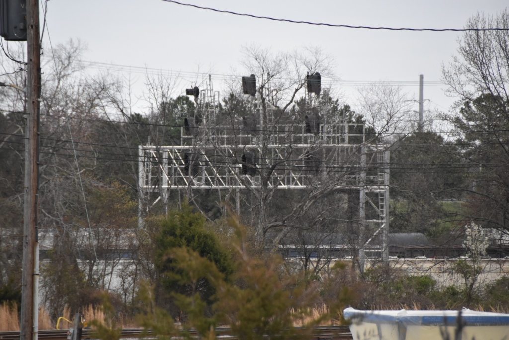
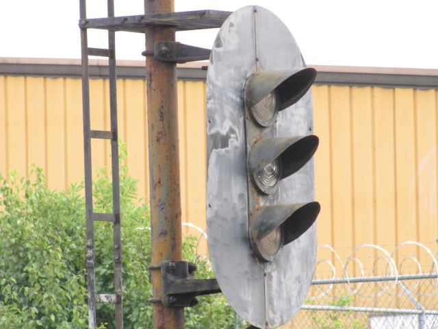
 The signals before moving
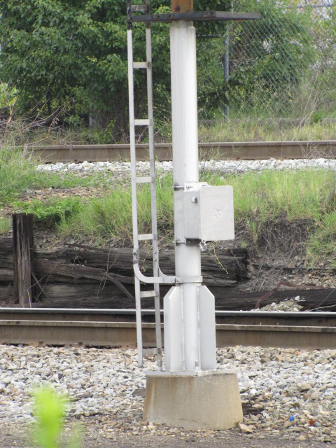
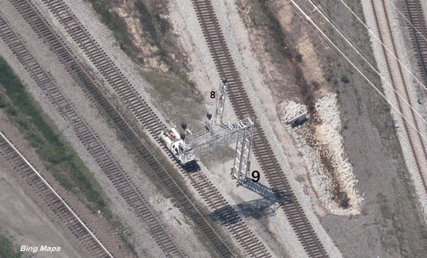
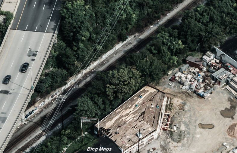 Where they are now, before being relocated here
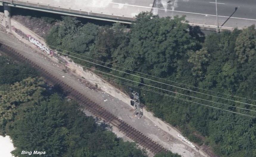 2020, relocated
 before relocation
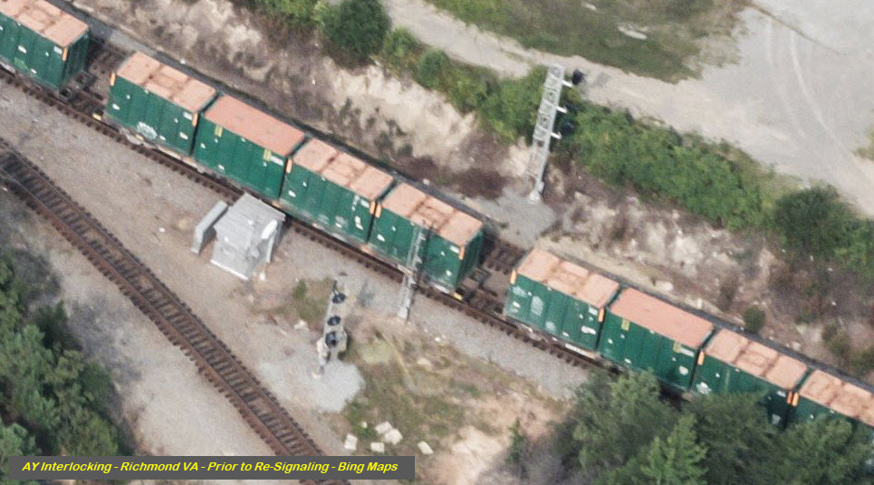 2011
2011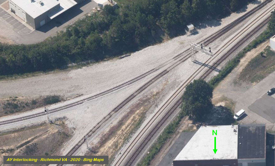 2020
2020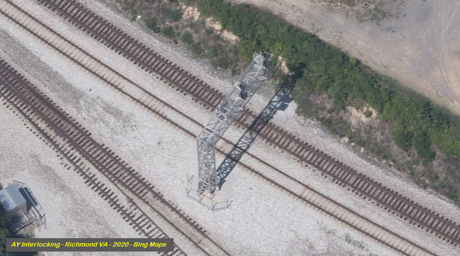 2020
2020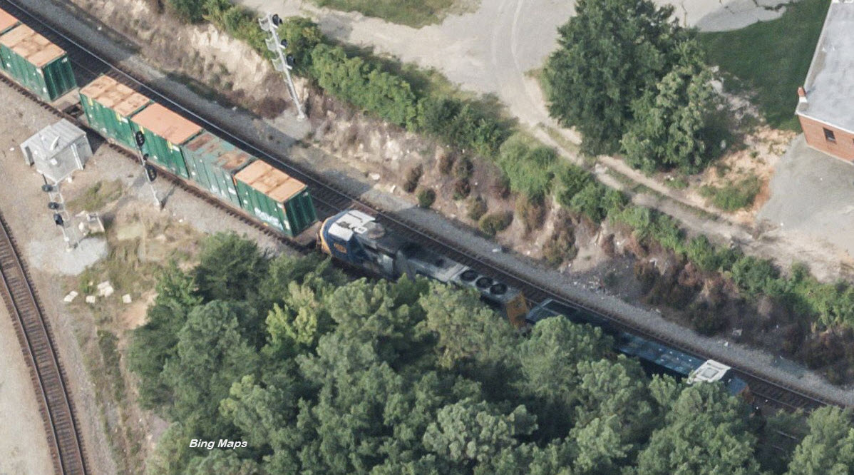
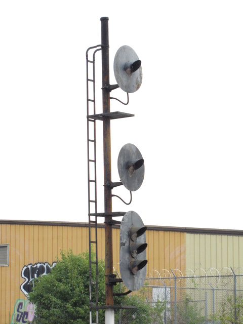
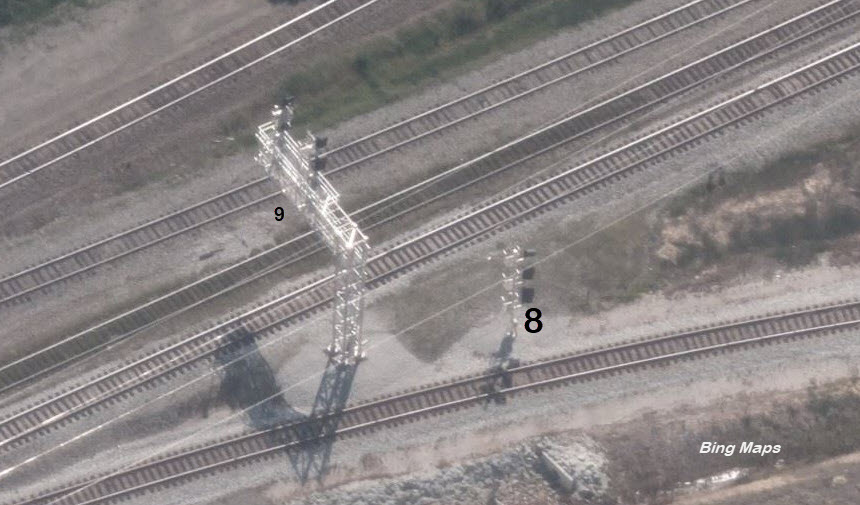
 Before
resignaling, signal location 4 on the right
Before
resignaling, signal location 4 on the right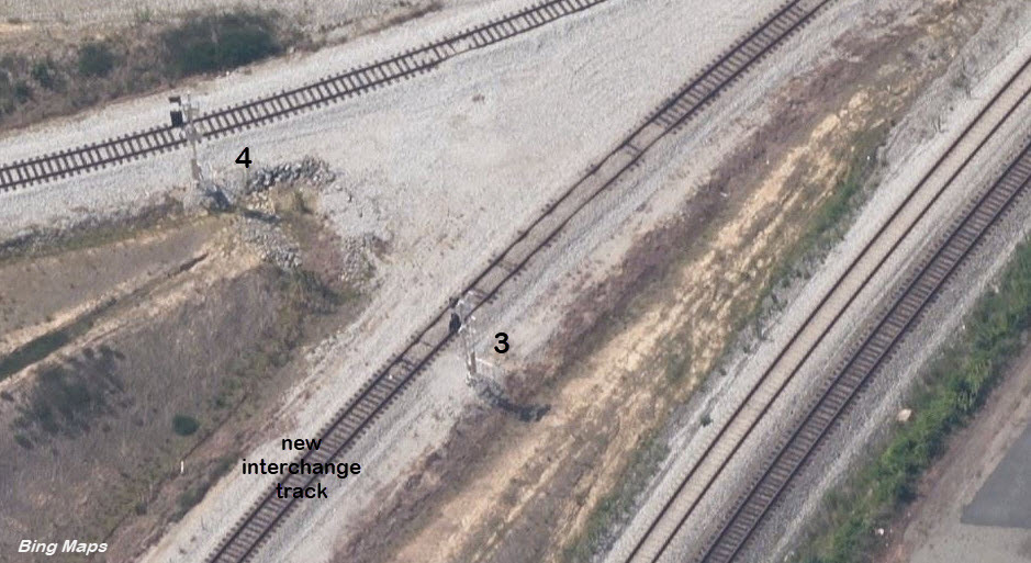 2020
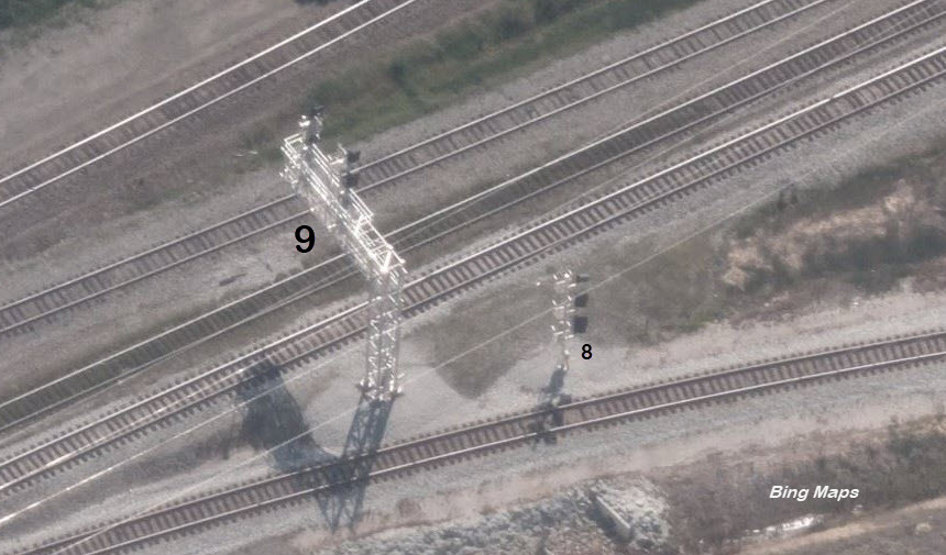
2020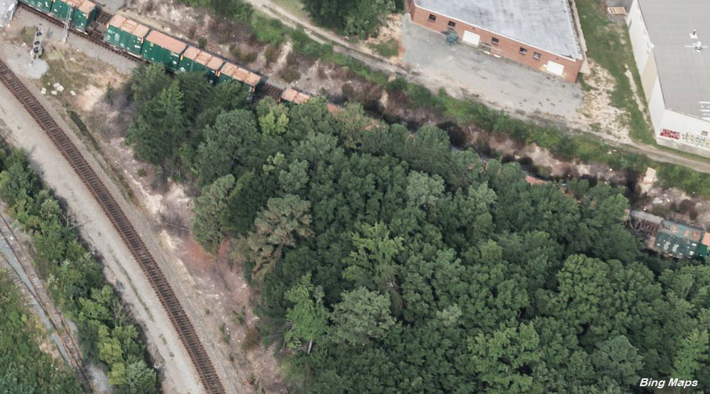
 2020
2020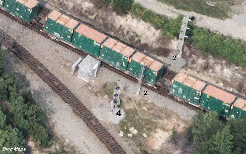 before
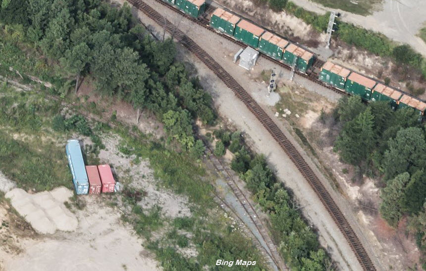
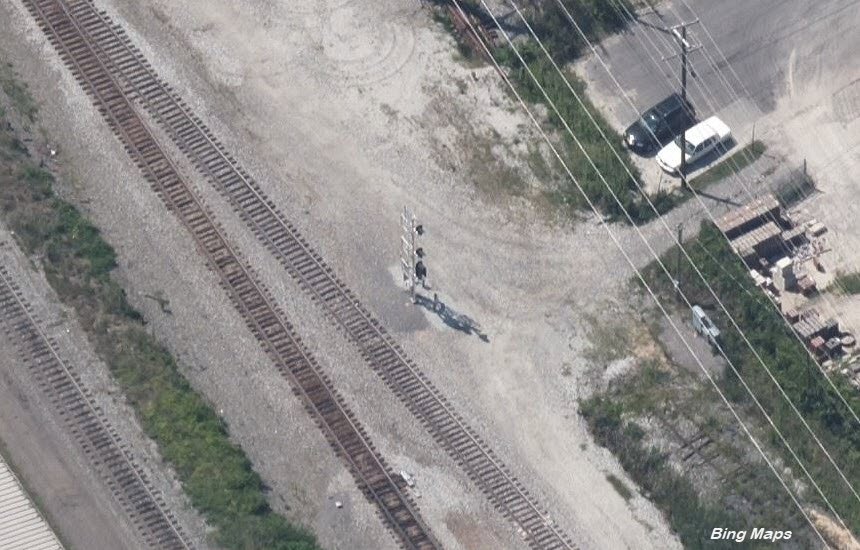
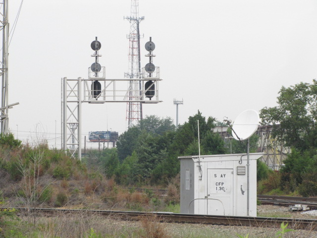
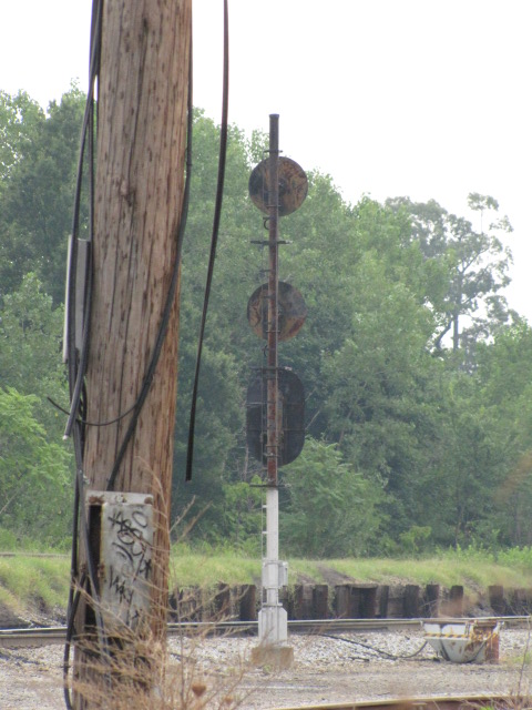
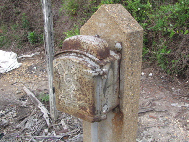
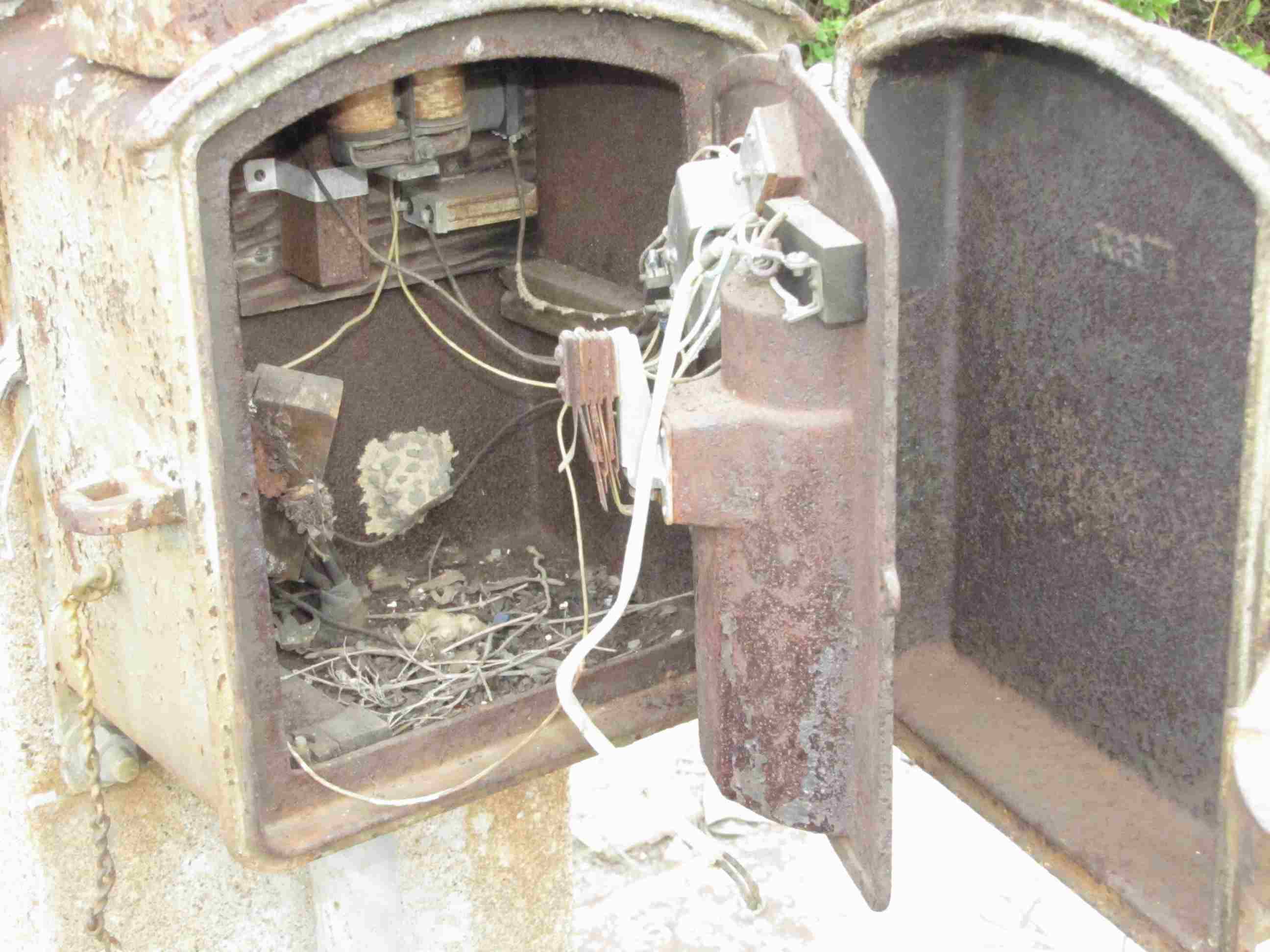
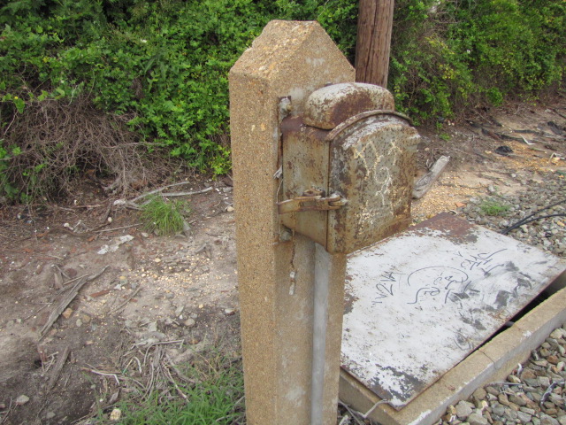
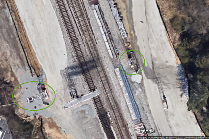
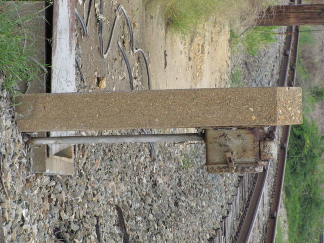 Old telephone box at South AY
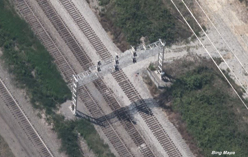
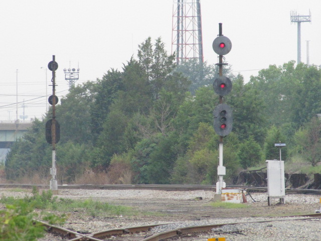
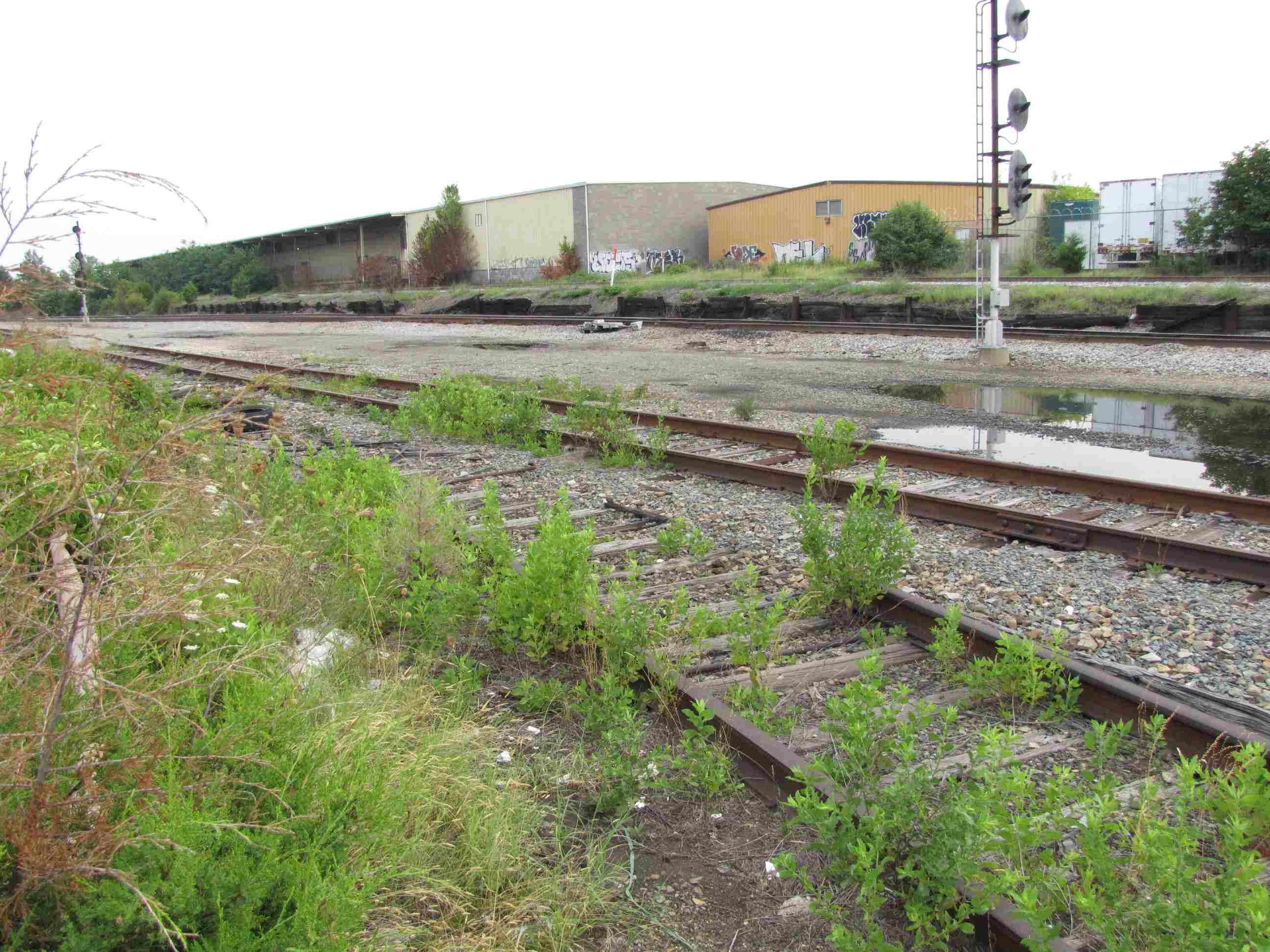
 Before - Looking from South AY towards AY and into ACCA Yard
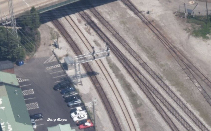
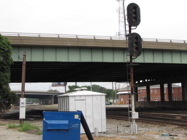
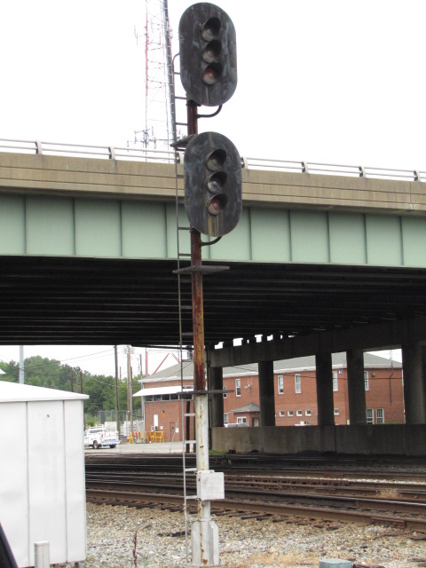 Underneath Westwood Ave for trains coming from West AY