In General
Getting Here
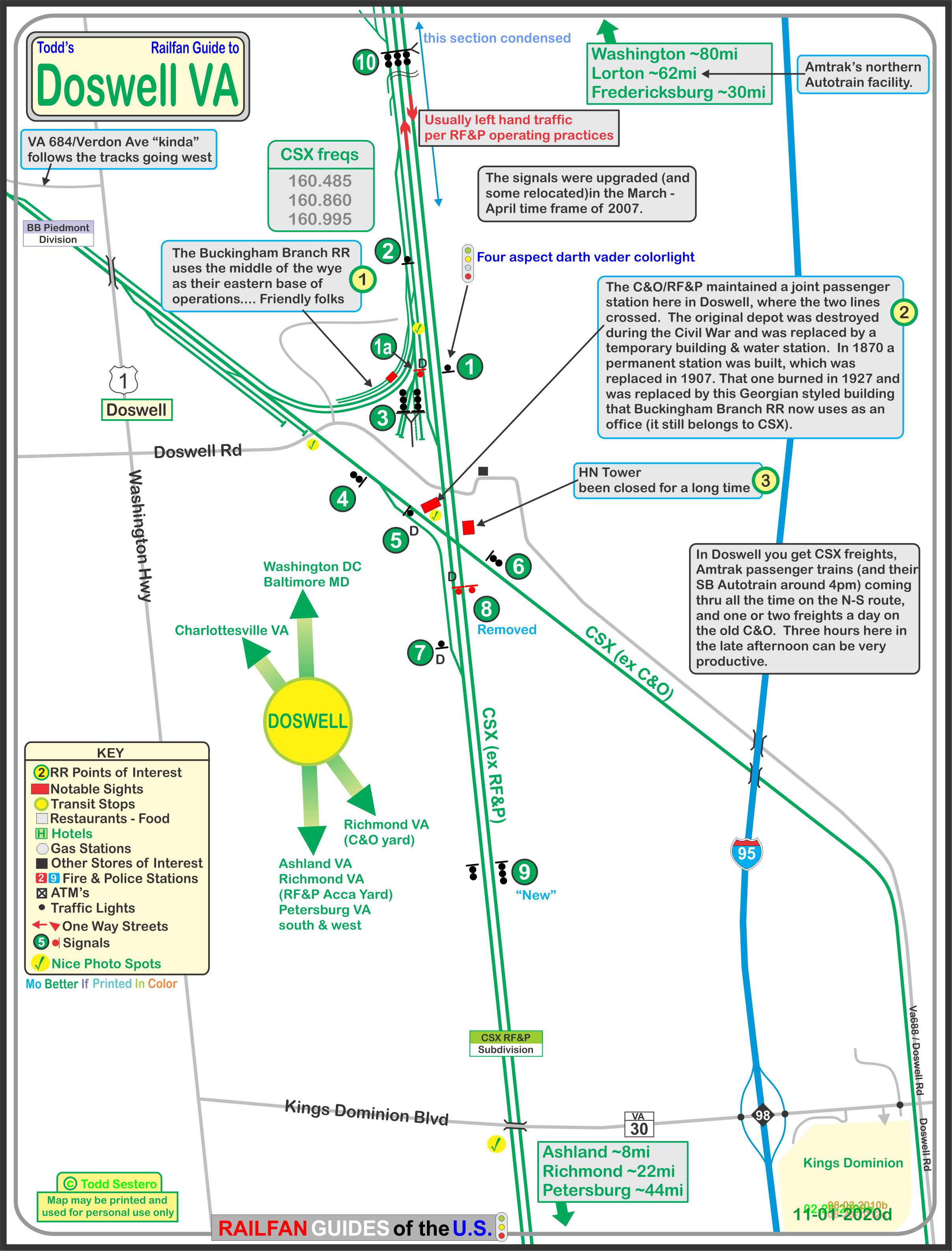
Map
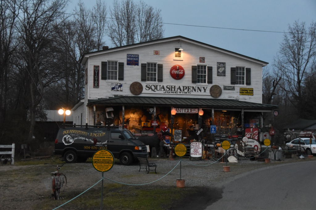
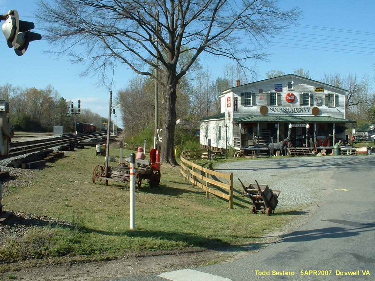
Sights
Pictures
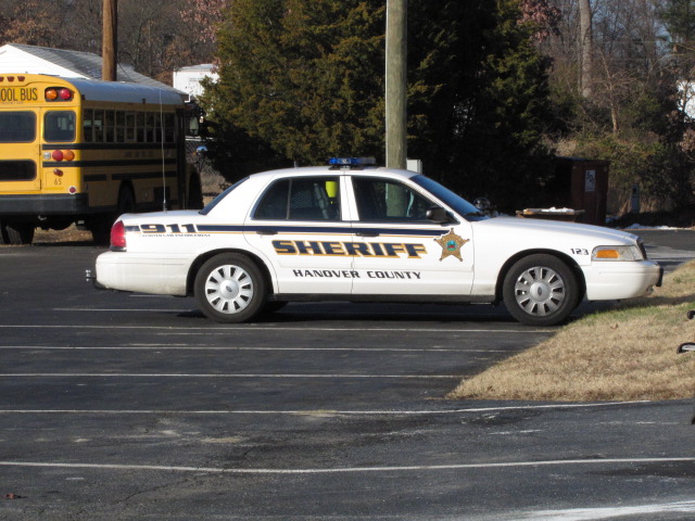
Fire & Police
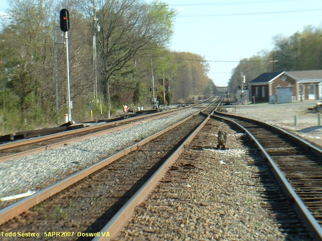
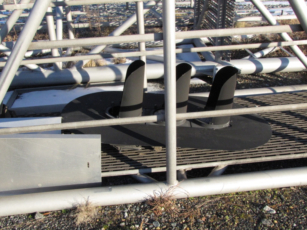
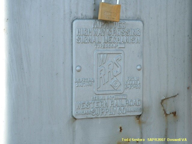
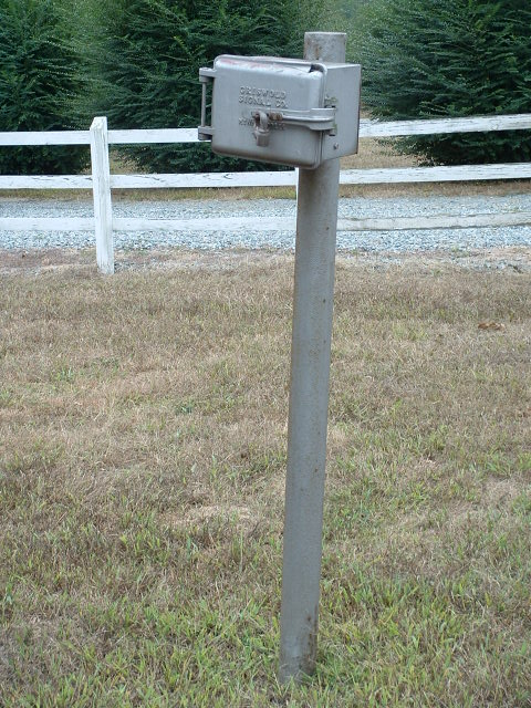
Signals
Floobydust
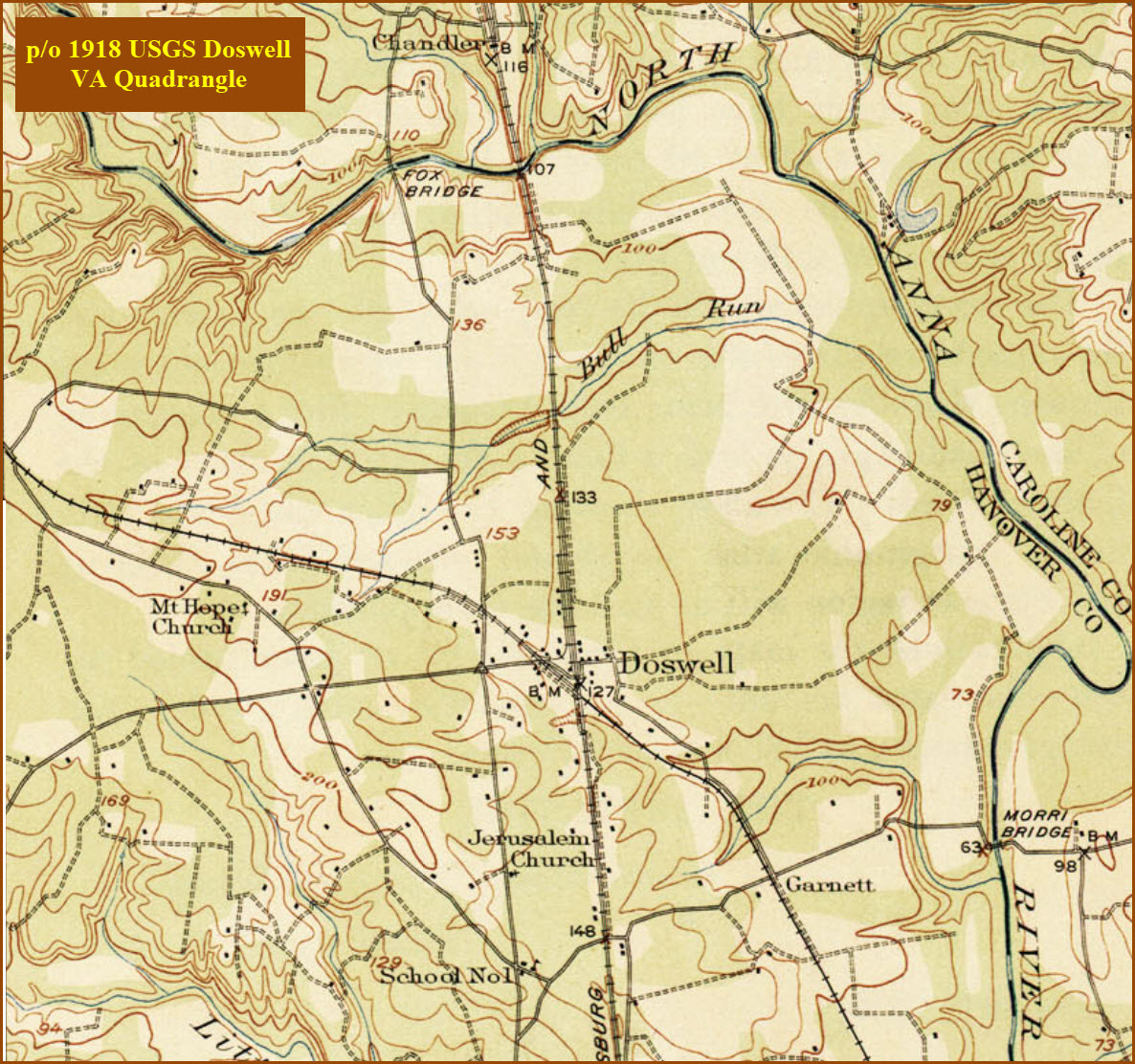
USGS Maps
In General
Getting Here
Map
Sights
Pictures
Fire & Police
Signals
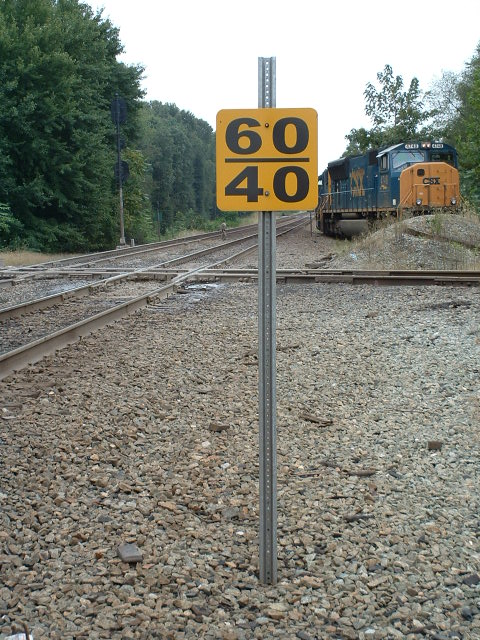
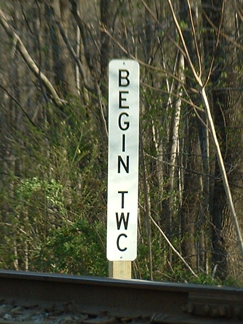
Floobydust
USGS Maps
Exit 98 off of I-95, it is the same exit you take if you were going to the Kings Dominion amusement park.
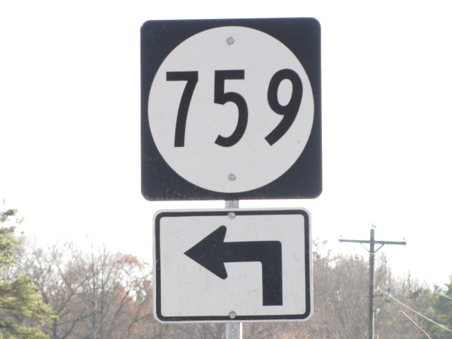
When you get off at the exit, go west (to the right if you were SB, left if you are coming up from Richmond). VA30 will cross over the old RF&P mainline (which isn't too bad a spot for pictures), when VA30 comes to a "T" with US1, take a right. Go north about a half mile or so to Doswell Road on your right.
One of the cheapest places around in a 3 state area for gas is just north of here at exit 104!
And while you're here, don't forget to stop at Ashland, about 10 miles to the south, for some nice railroading thru the middle of town!
Maps
The above map in PDF format is here
 Google Maps
 Google Maps
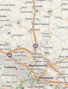 This shows the whole area from Richmond on up to Doswell/Bing
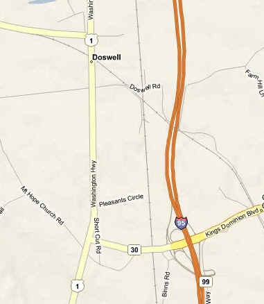 The area around I-95 exit 98, Kings Dominion, and Doswell/Bing
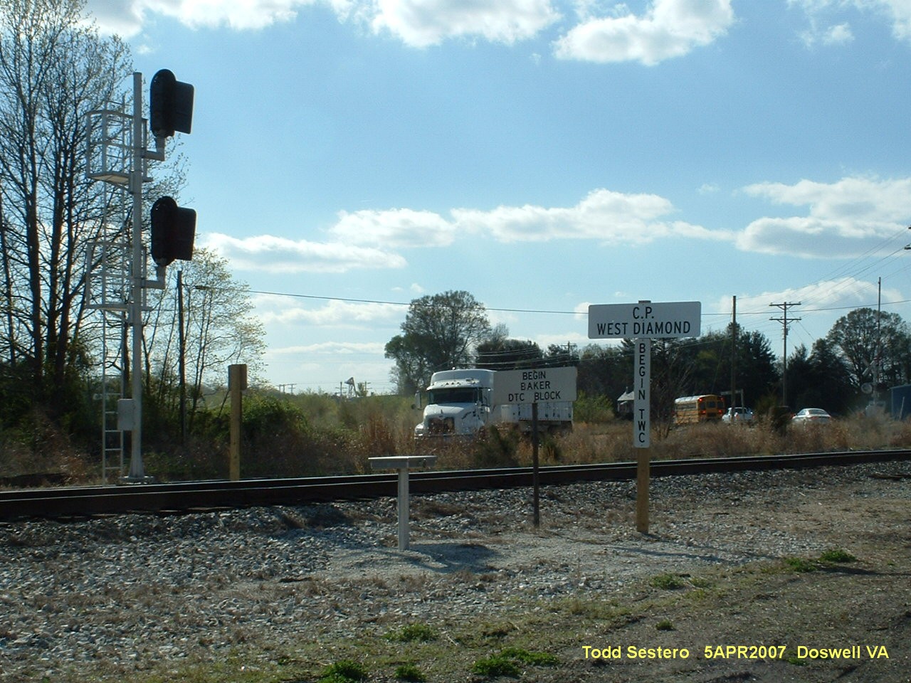
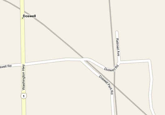 The immediate Dowell diamond area/Bing
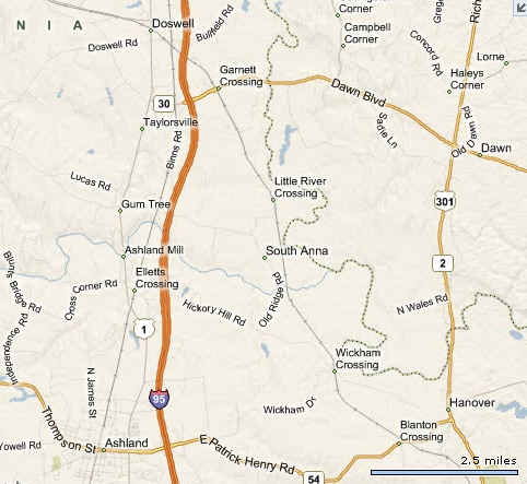 Doswell and Ashland/Bing
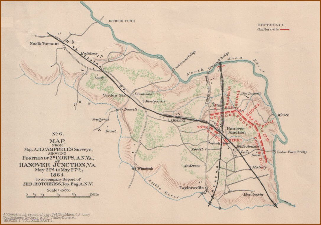
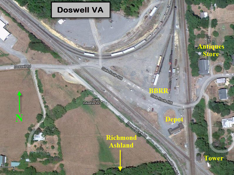
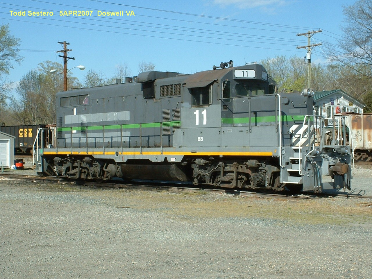
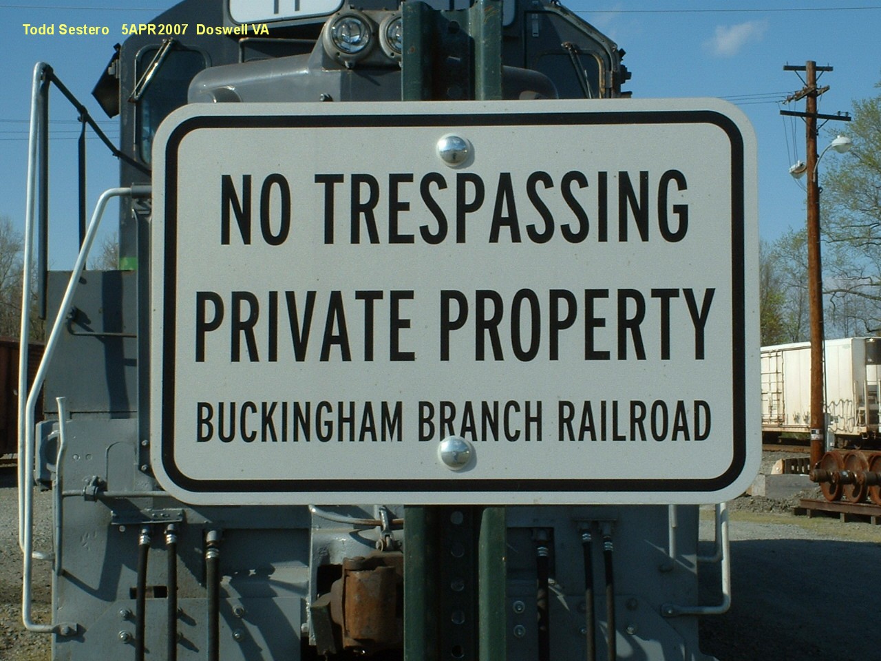
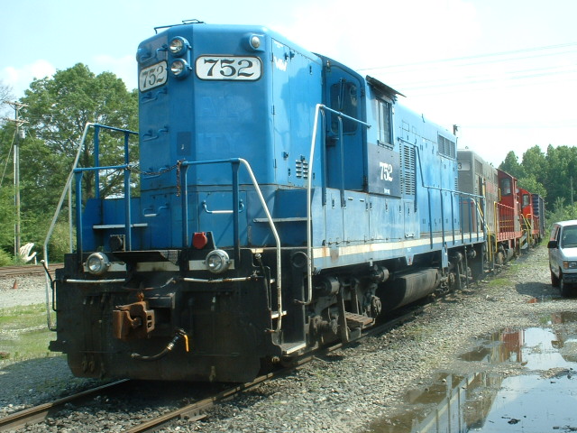
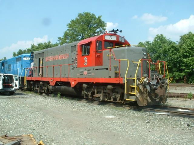
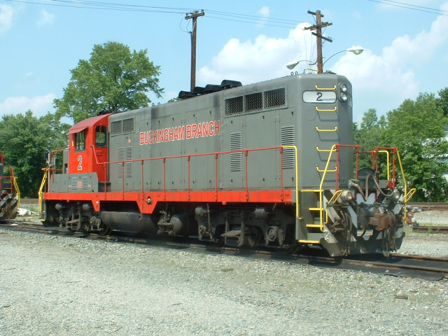
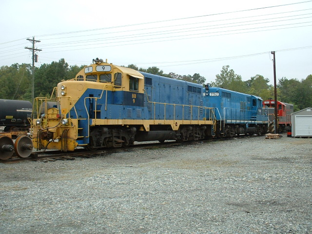
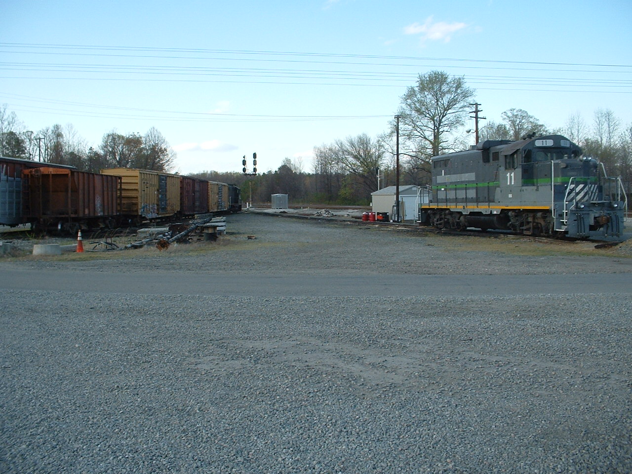
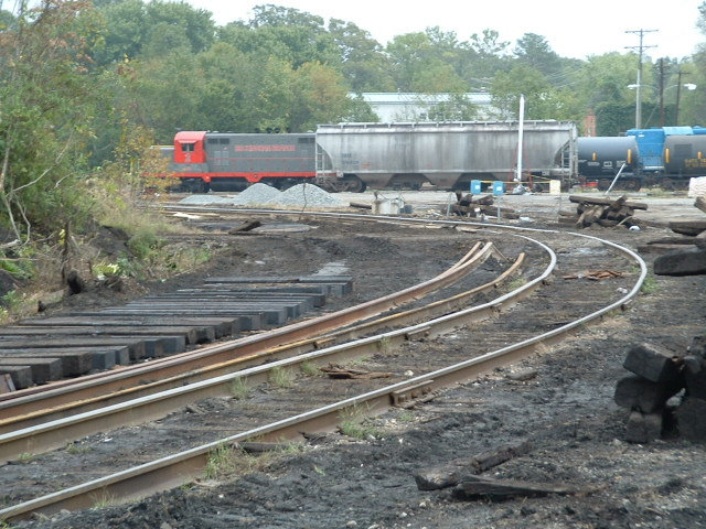
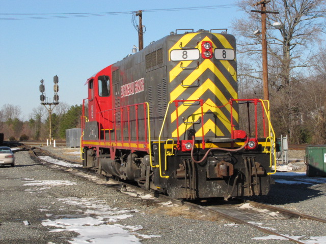
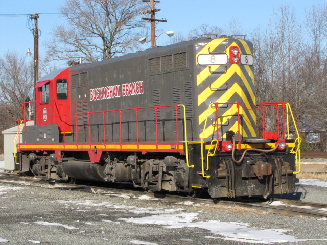
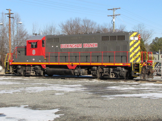
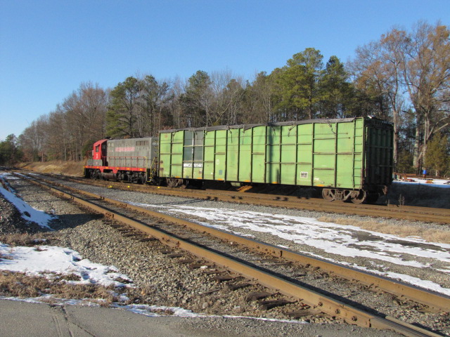
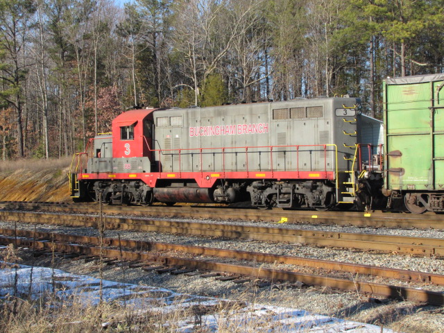
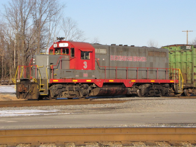
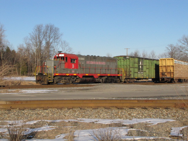
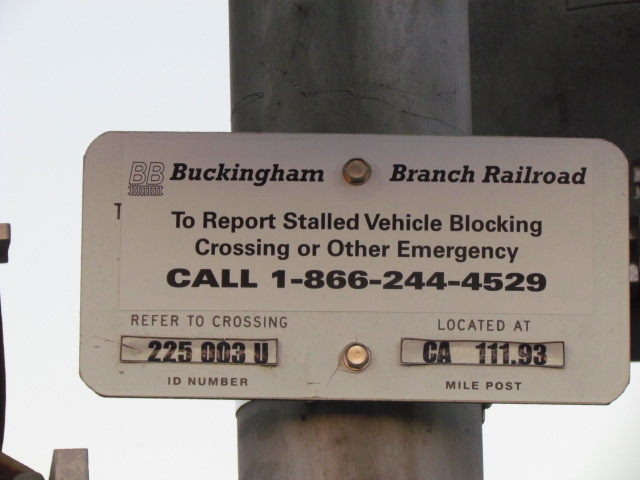
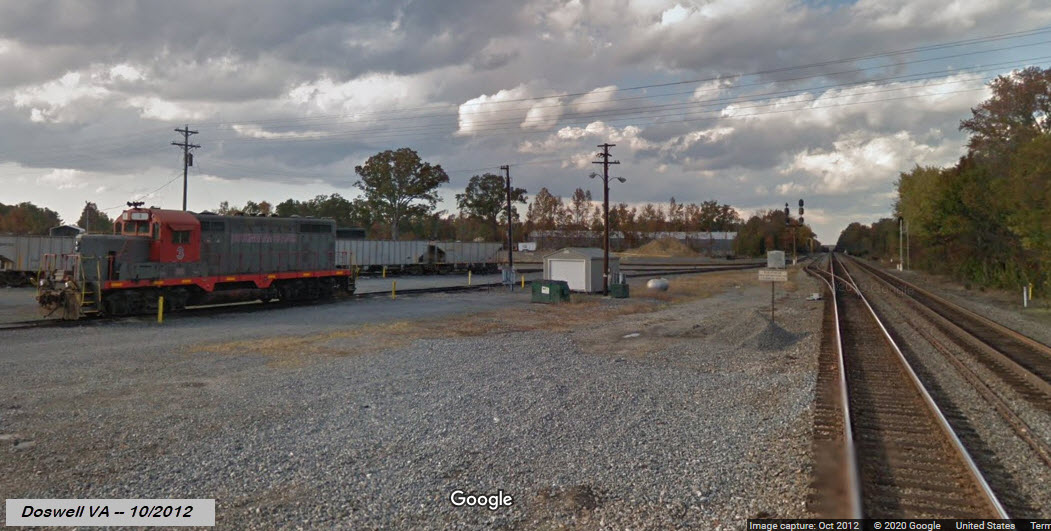
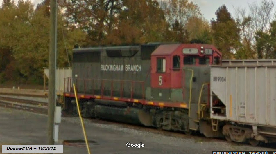
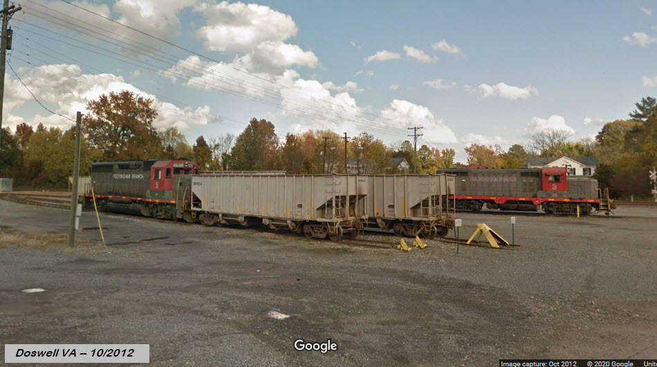
Buckingham Branch RR
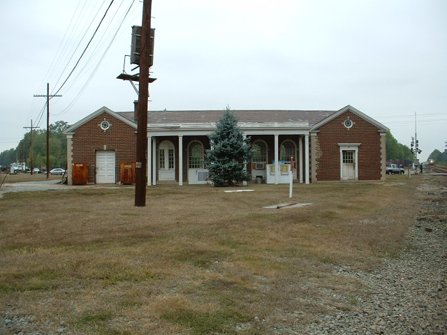
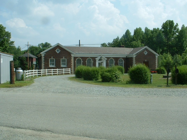
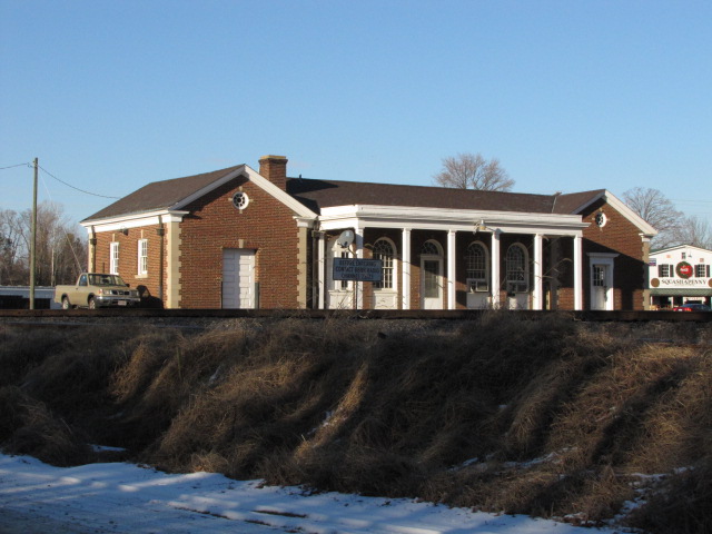
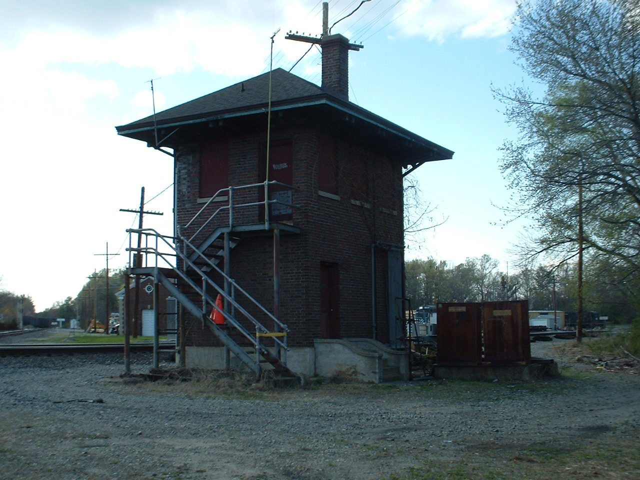
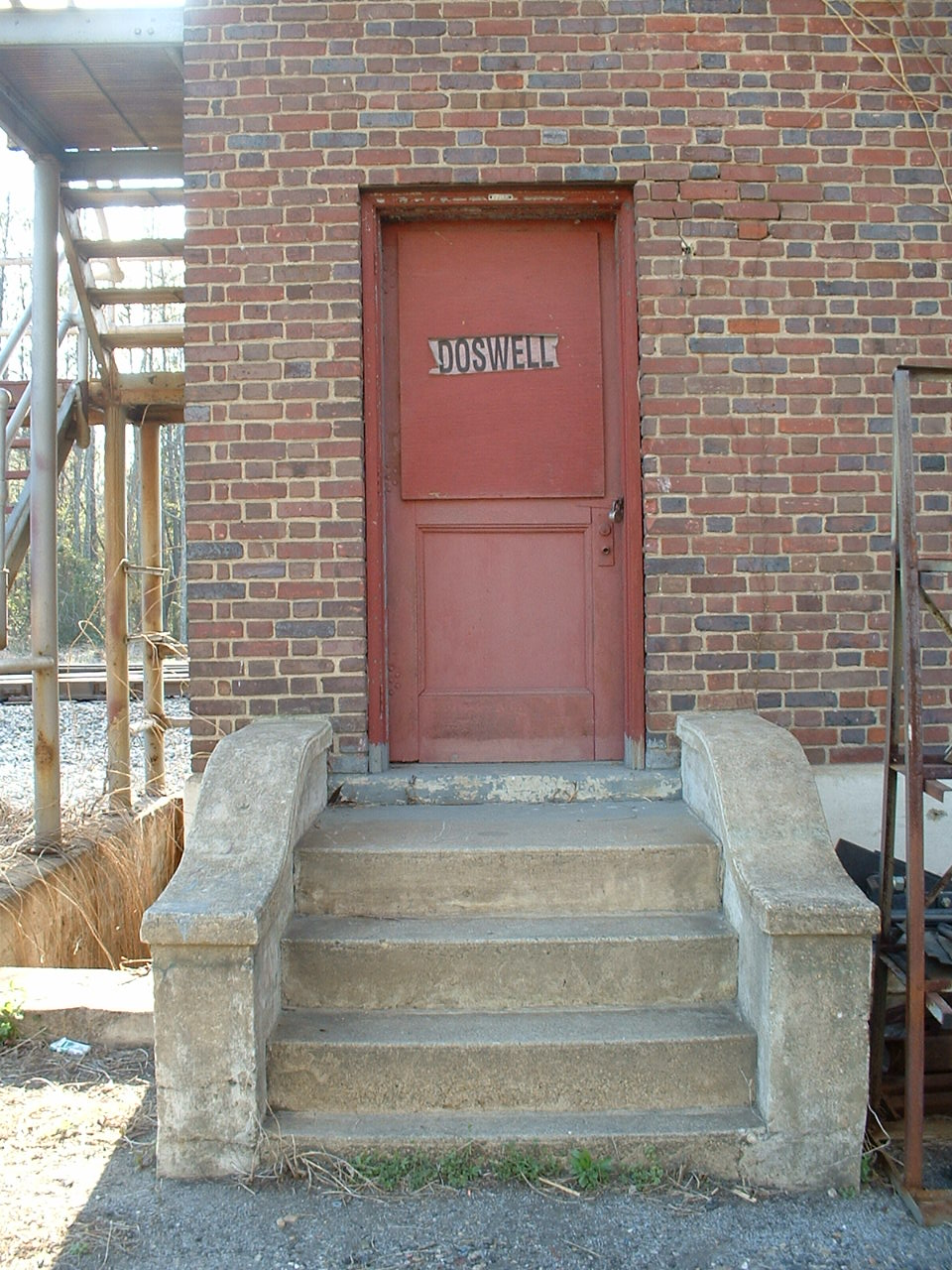
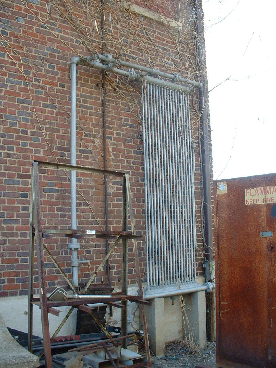
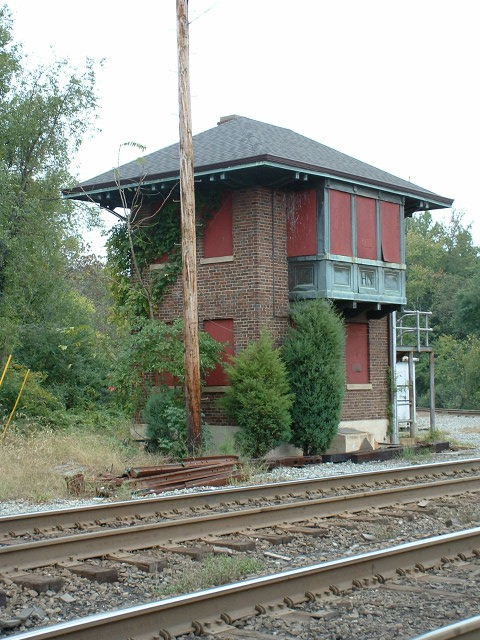
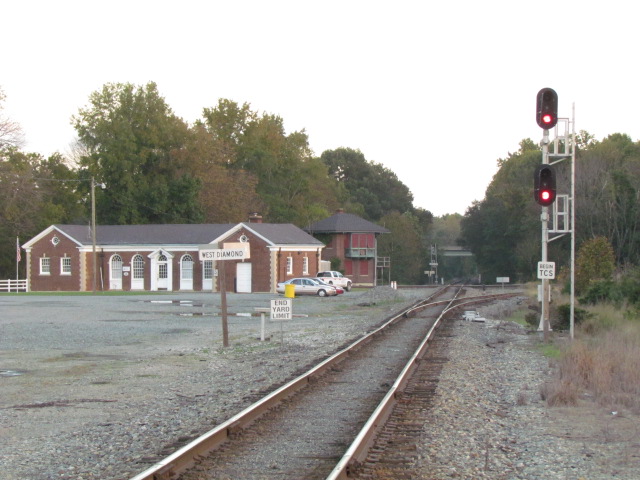
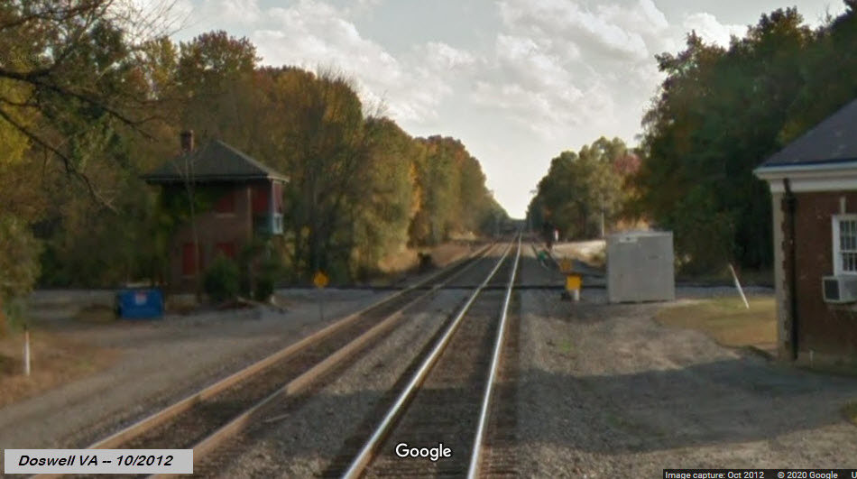
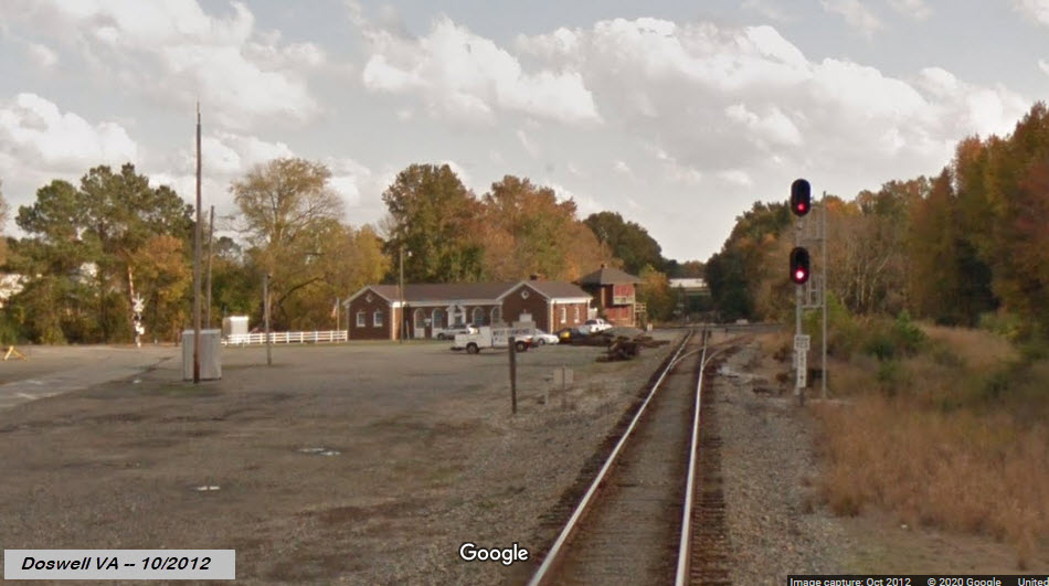
The Depot
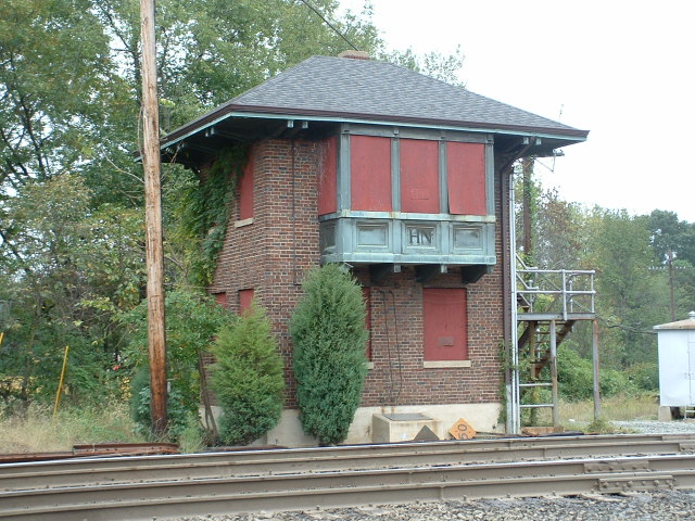
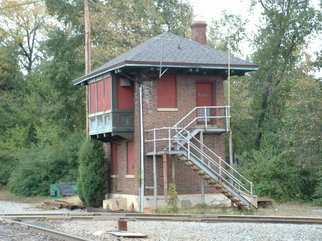
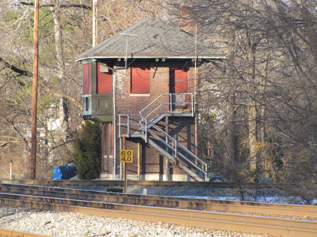
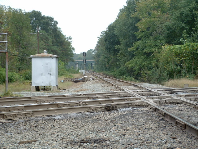
The Tower
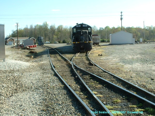
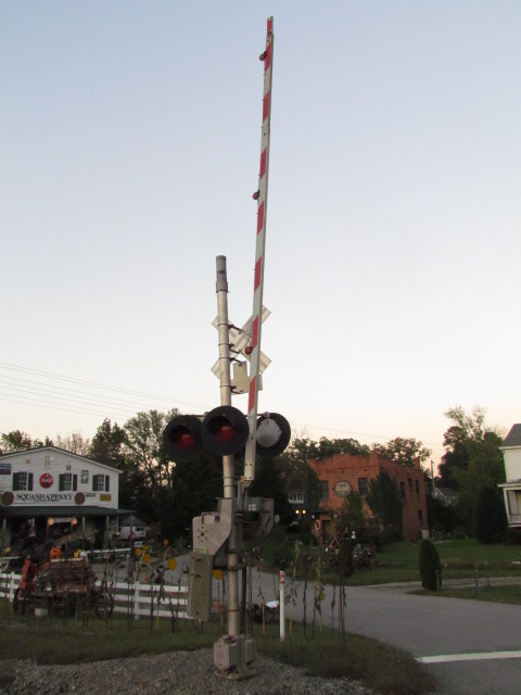
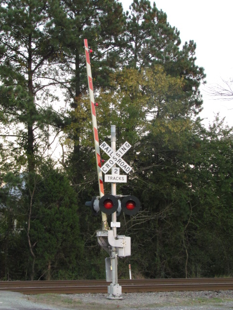
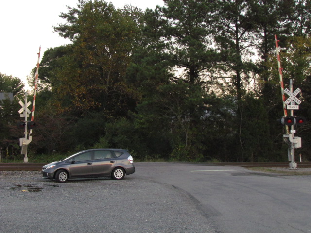
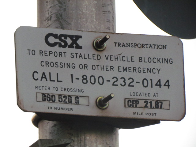
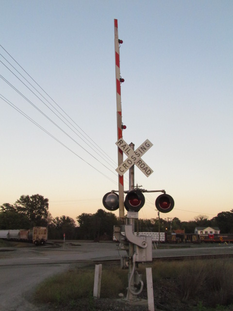
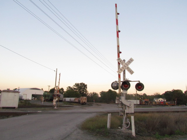
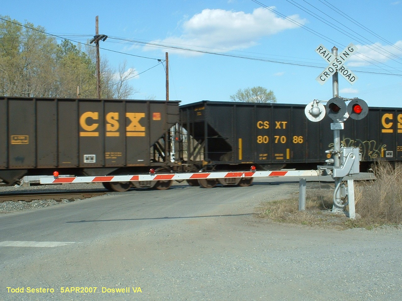
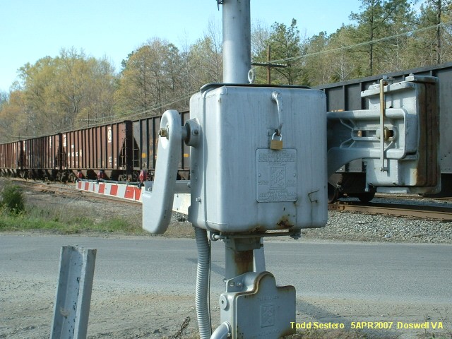
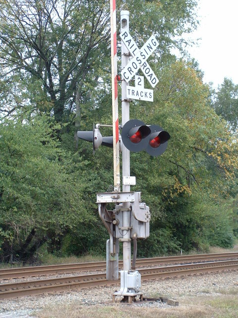
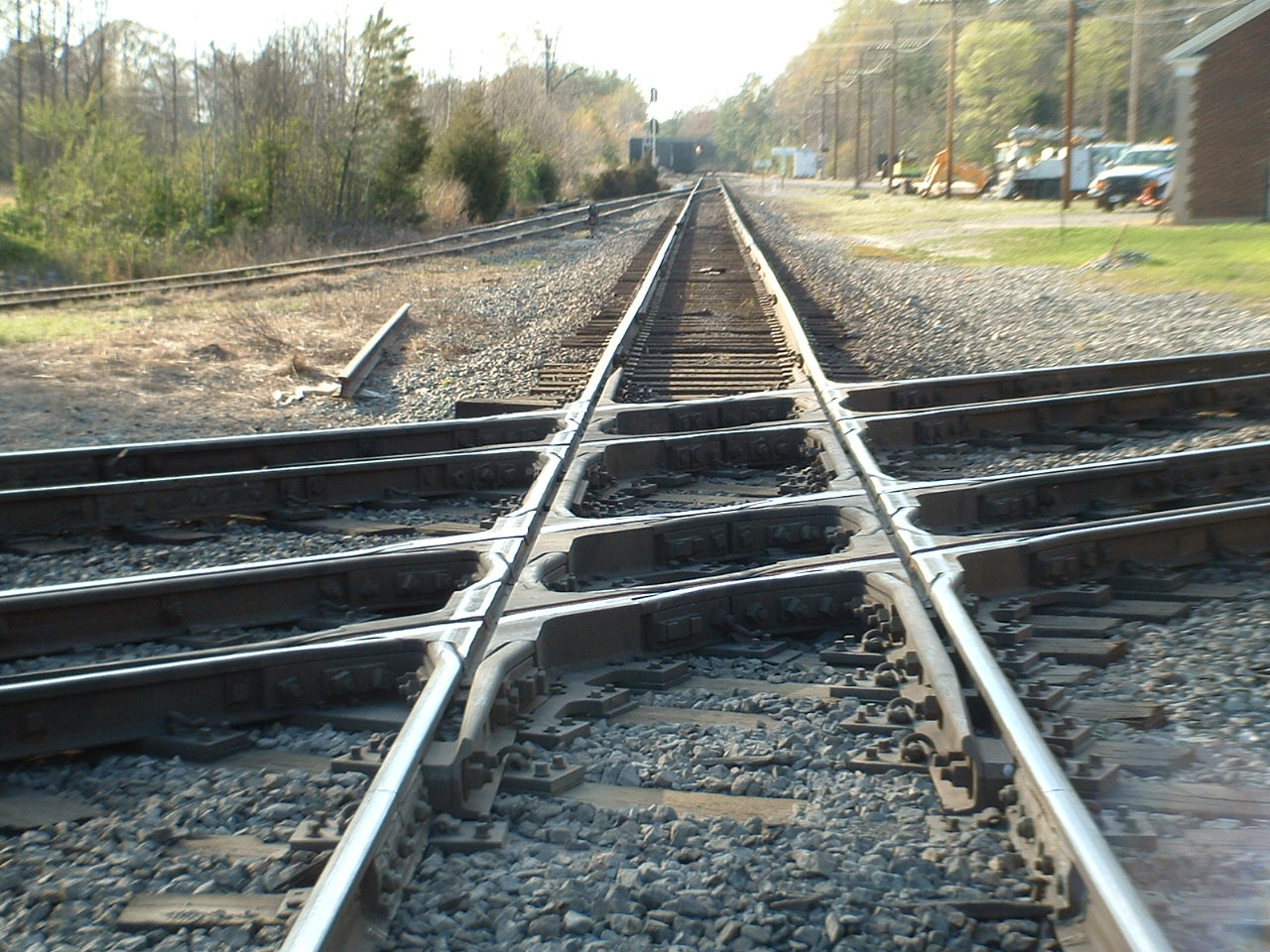
The Grade Crossings
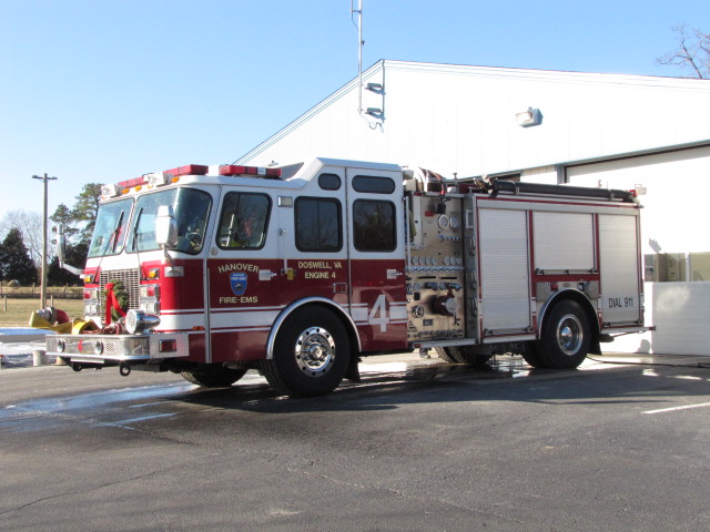
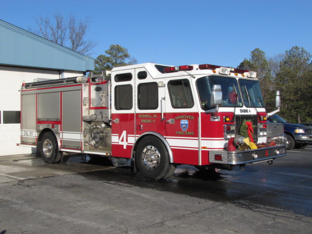
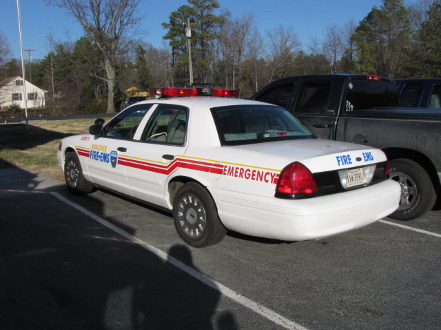
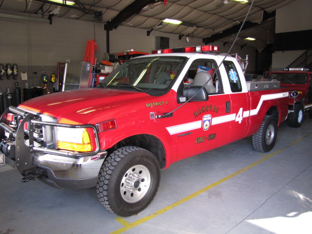
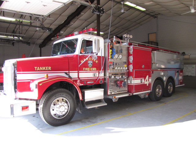
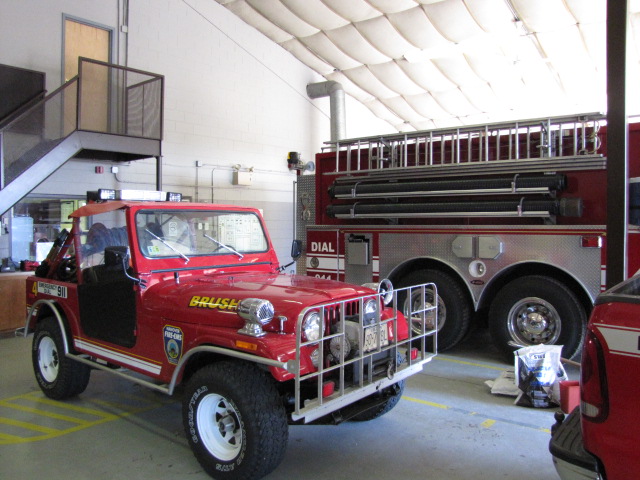
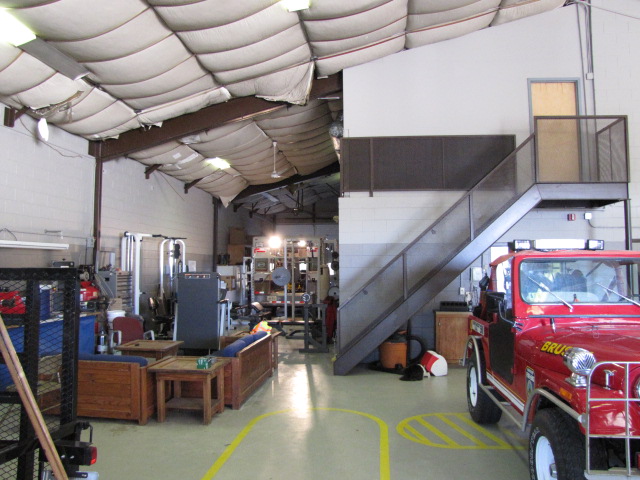
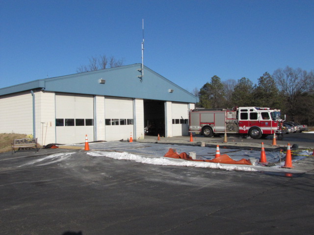
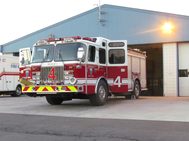
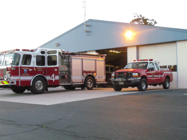
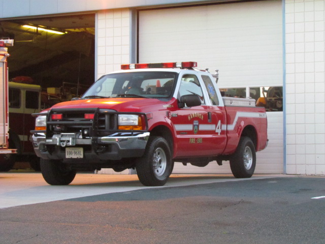
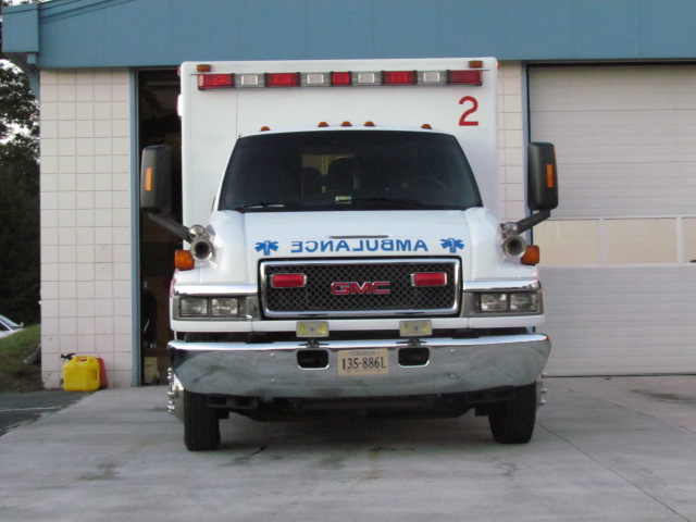
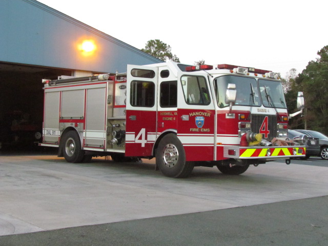
Doswell Volunteer Fire Station #4


 Monday 12/20/2010
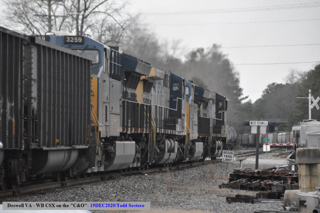
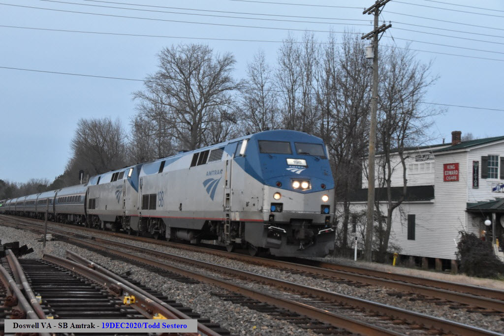
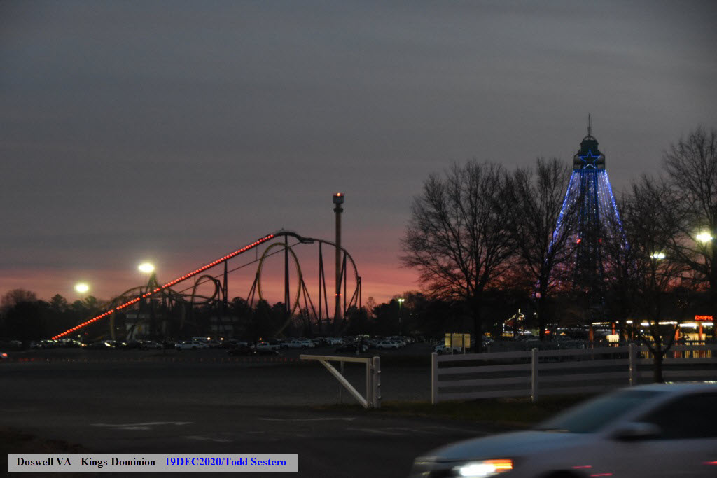
 Saturday 12/19/2020


 Monday 10/14/2013
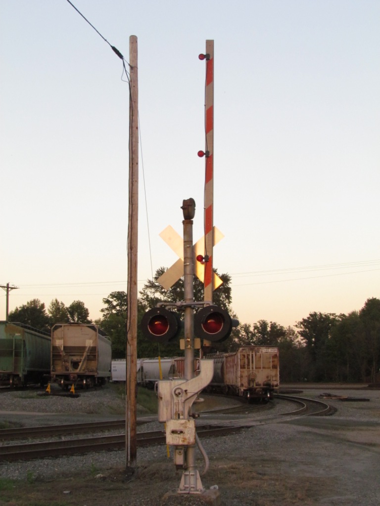
 Monday 10/14/2013
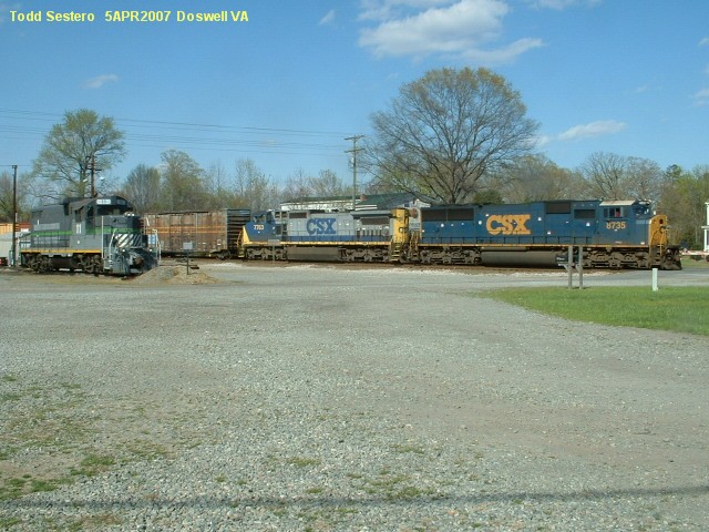
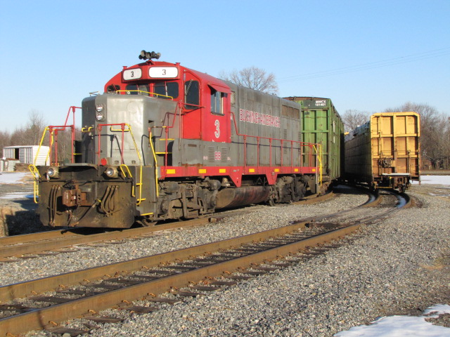
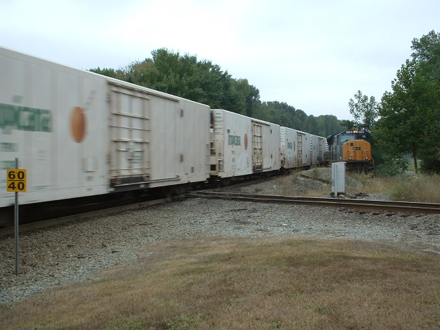
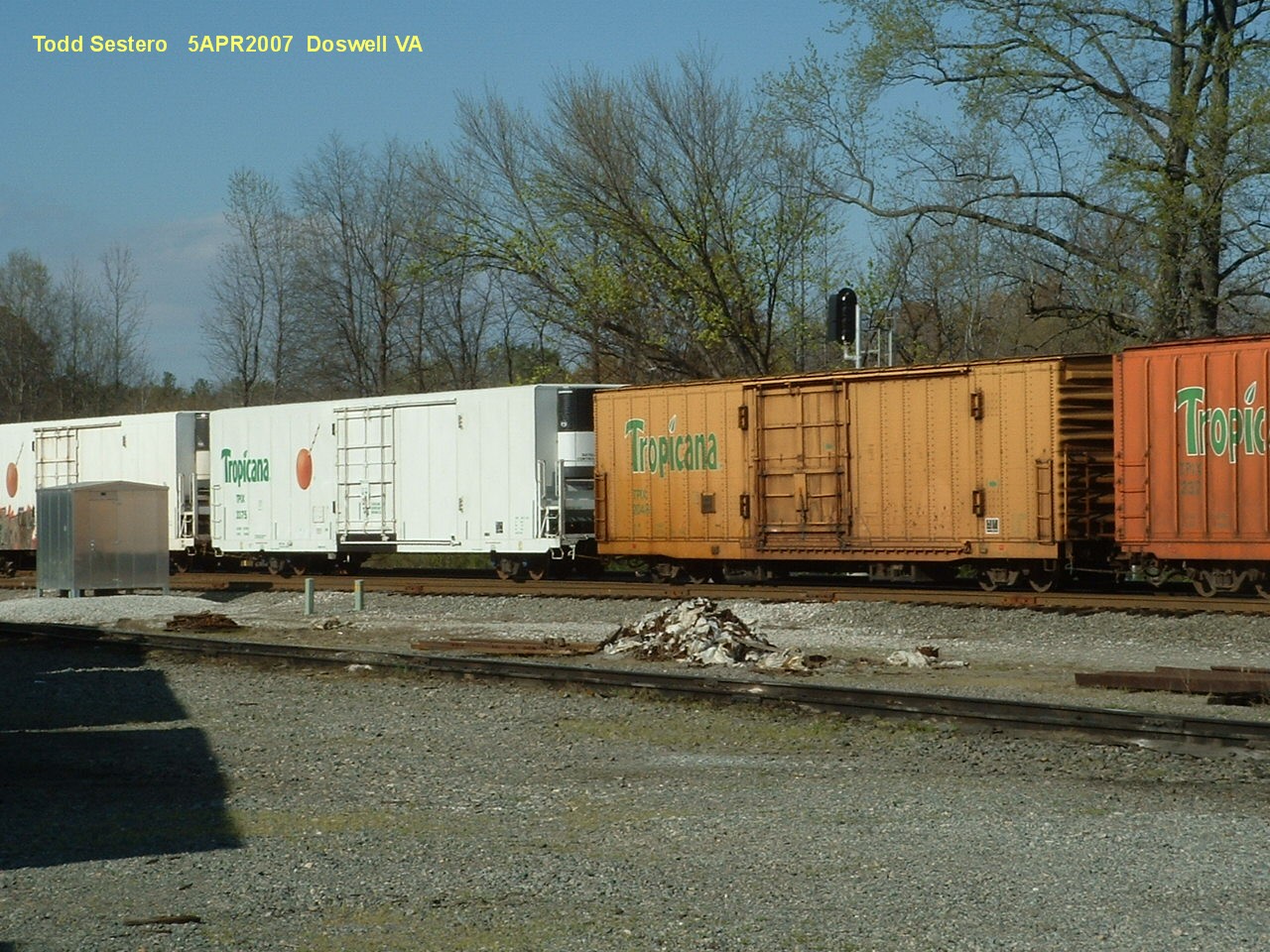
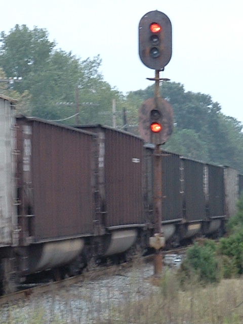
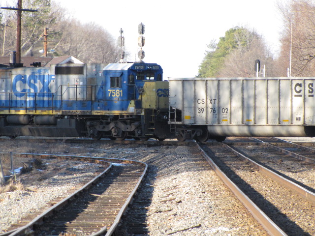
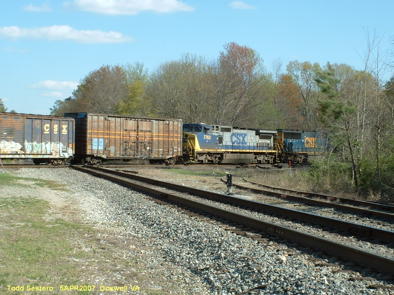 Southbound CSX freight /2013
 Southbound CSX / 2016
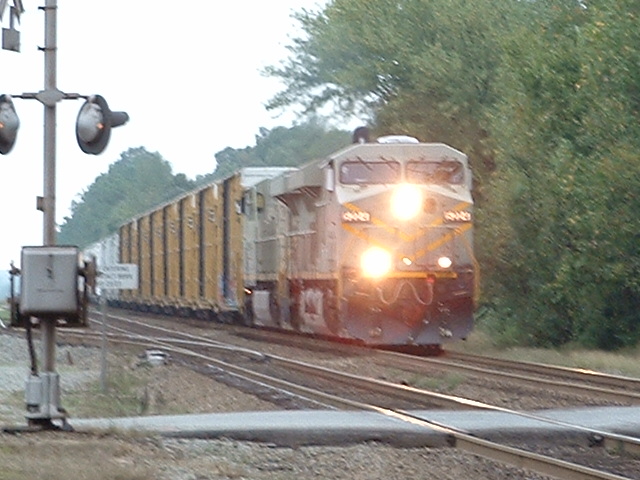
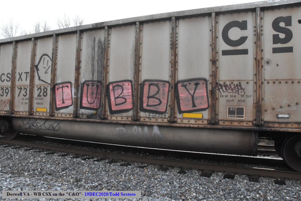
 A westbound freight on the C&O
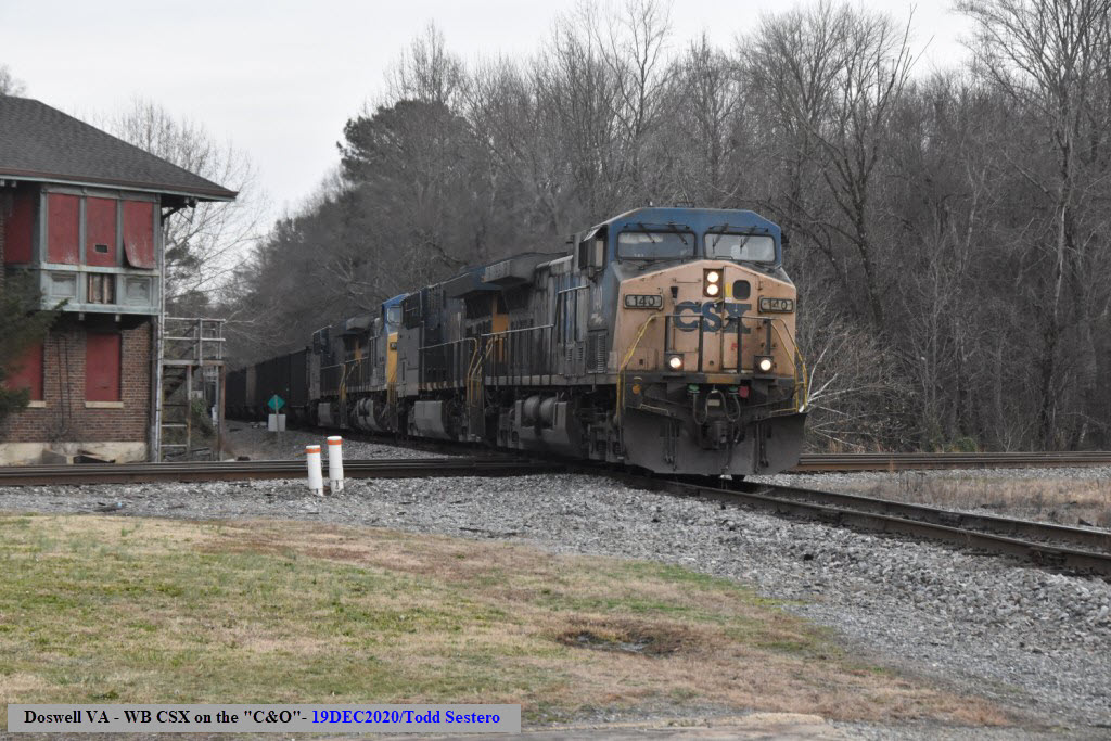
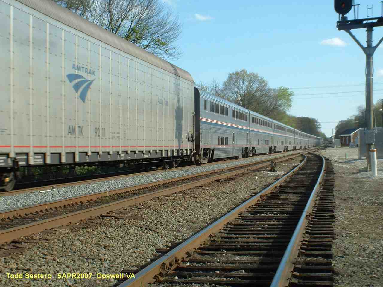
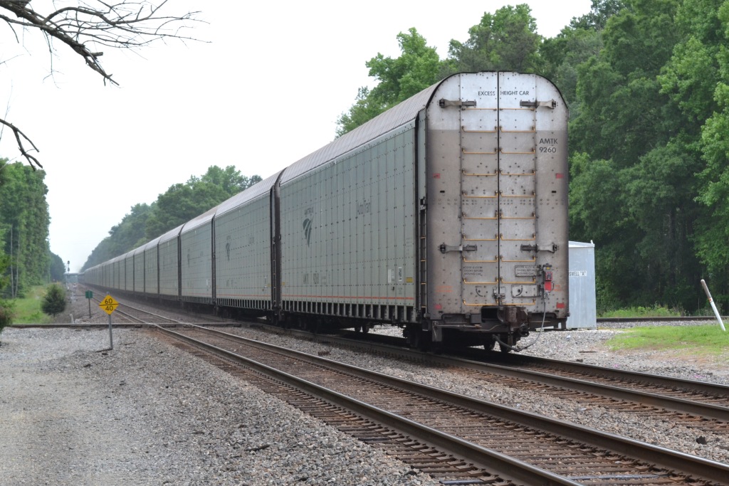
 Southbound Autotrain / 2013
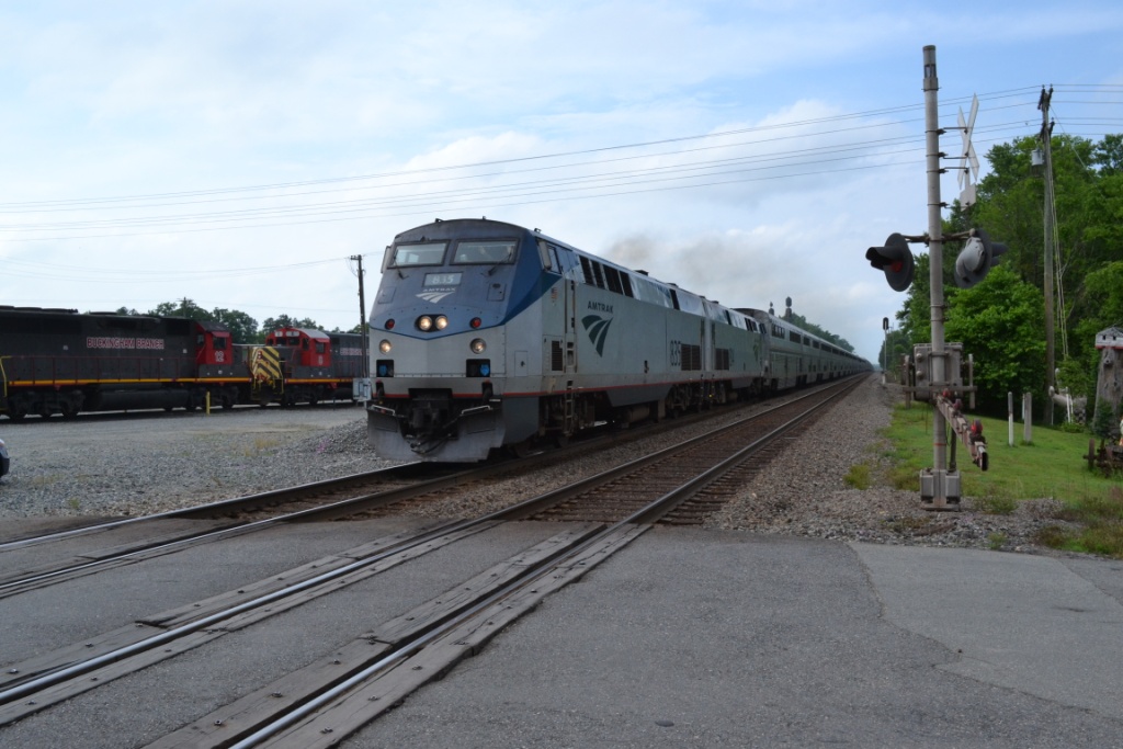
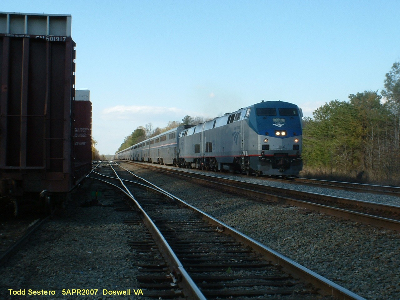
 Southbound Autotrain / 2016
 Southbound Autotrain,
~ 30 minutes late, 12/19/2020
Southbound Autotrain,
~ 30 minutes late, 12/19/2020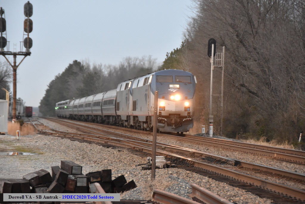
 Southbound
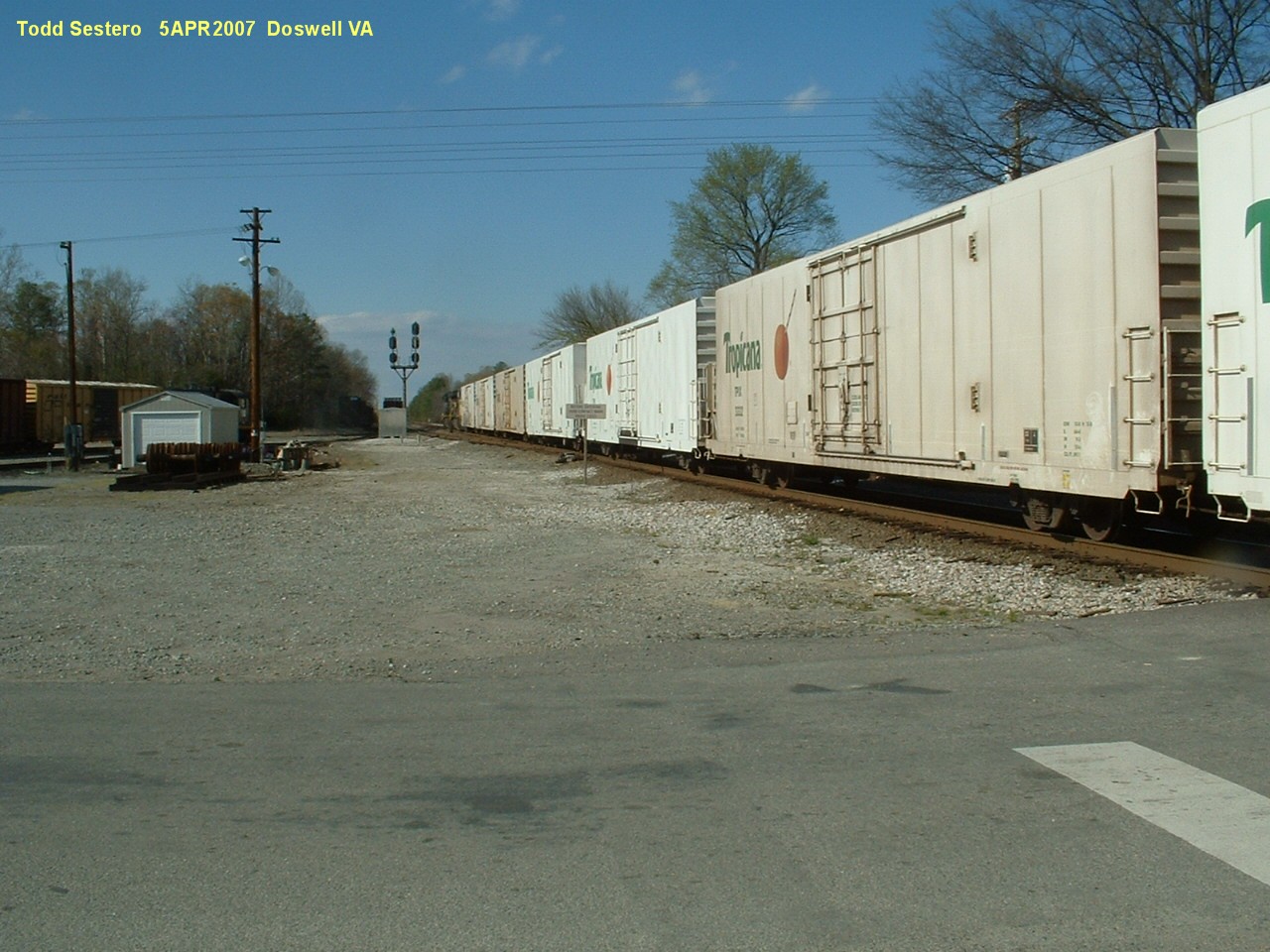
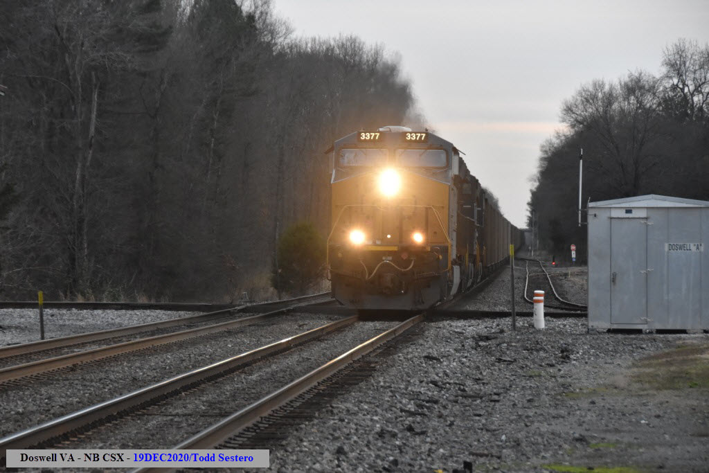
 Northbound
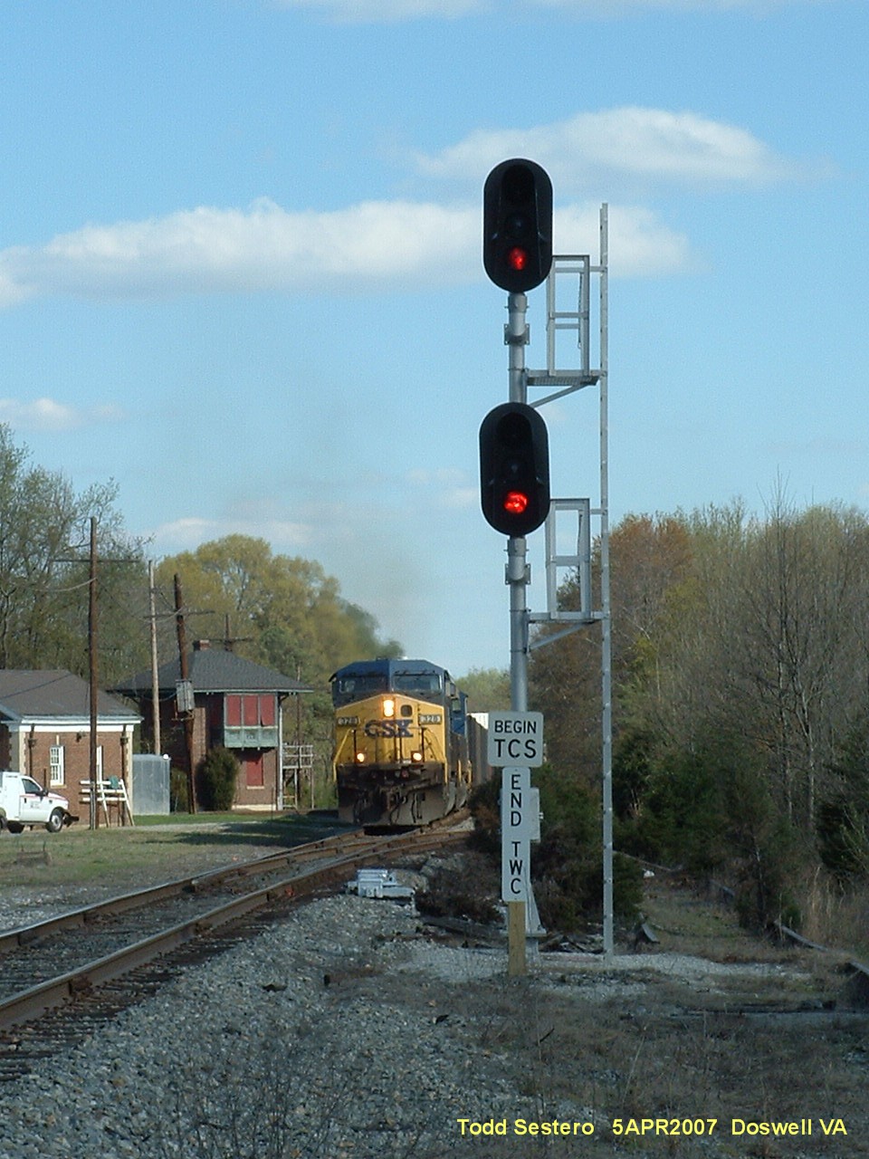
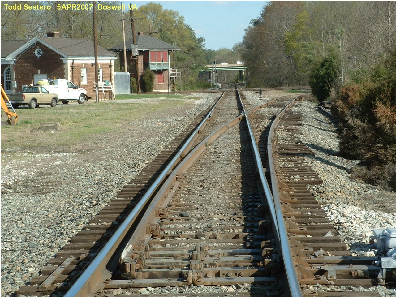 Looking east on the C&O "towards" Richmond
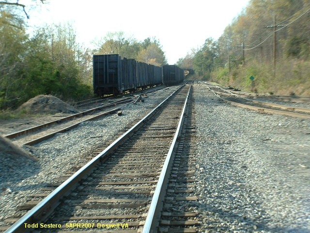 Looking west
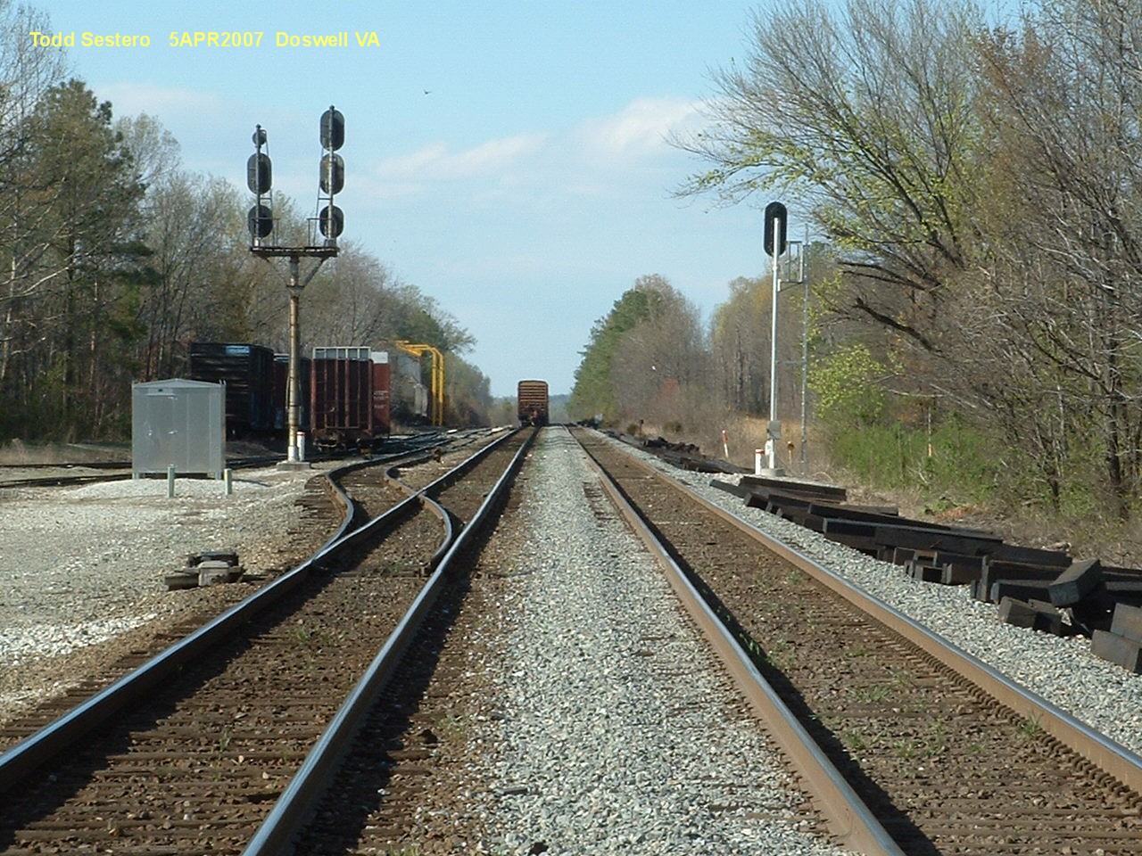


 2013
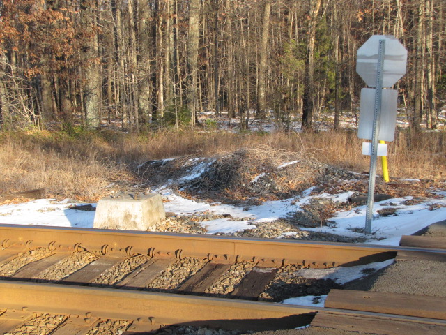
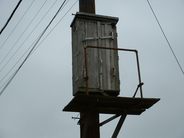
2013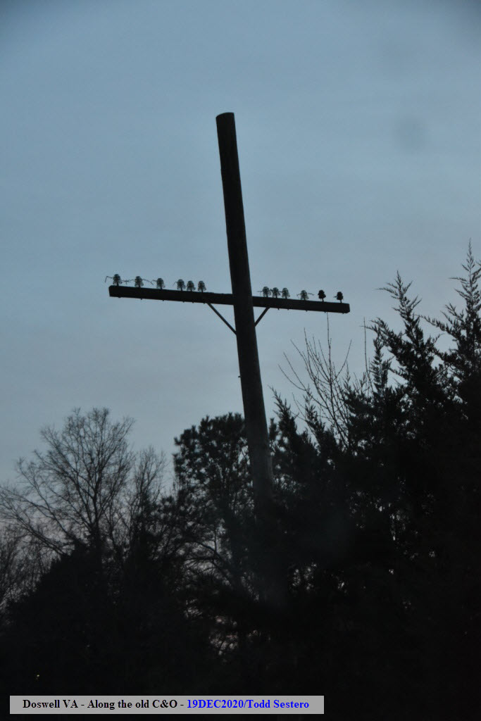 You can still find a few of these still standing along the old "C&O"
 Trackmobile at rest.
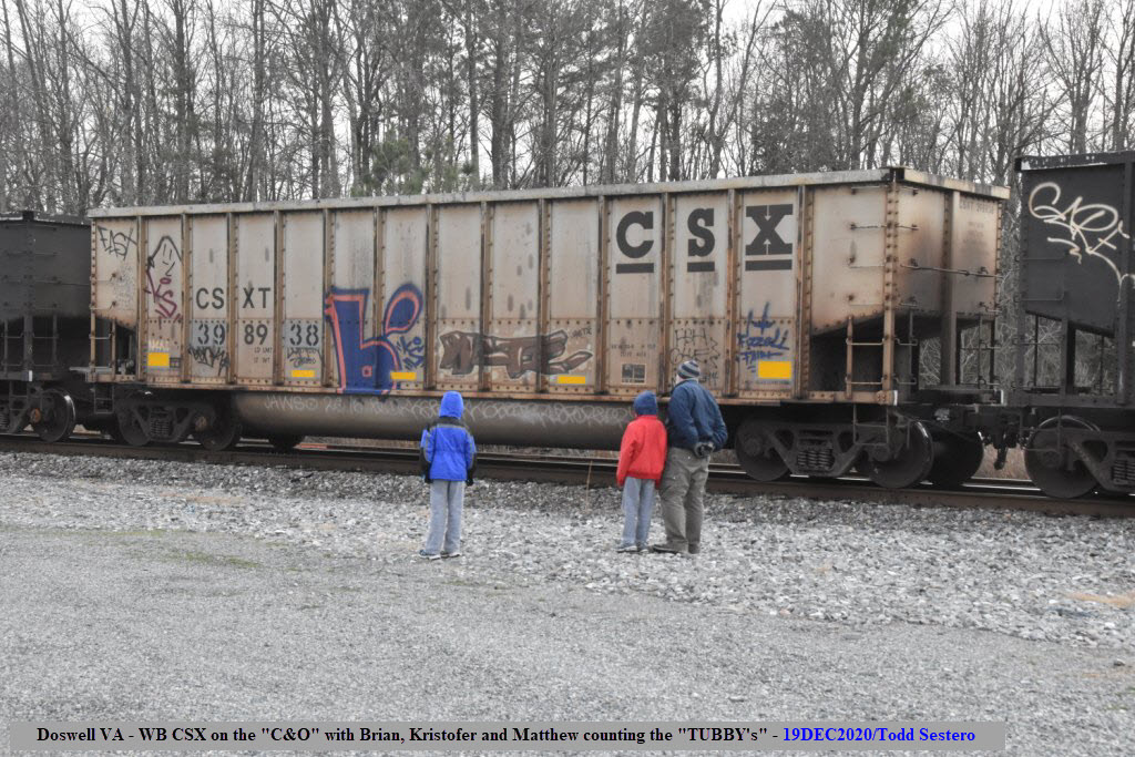


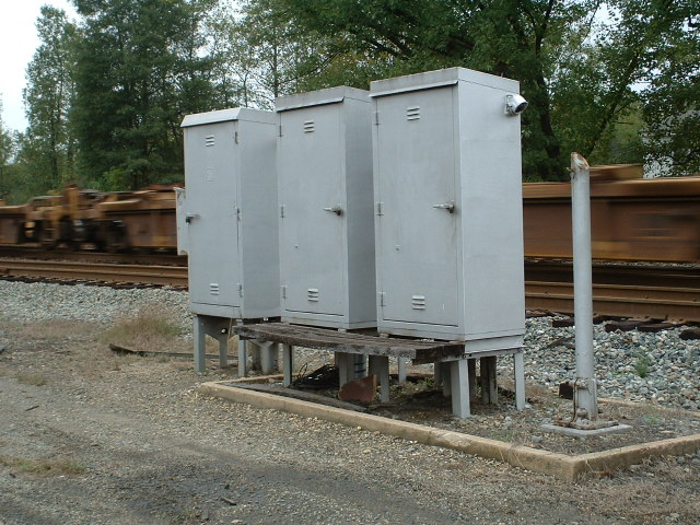
 2013
2013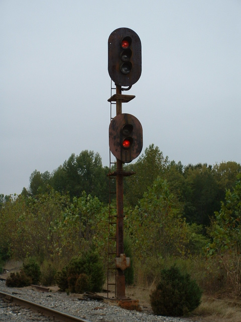
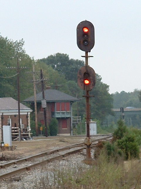

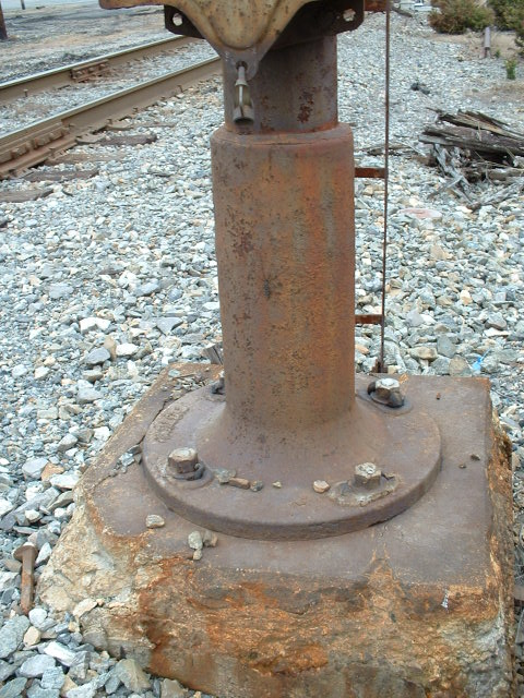
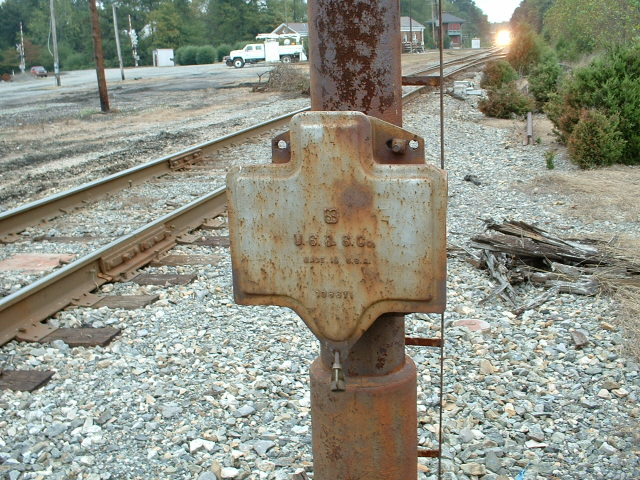

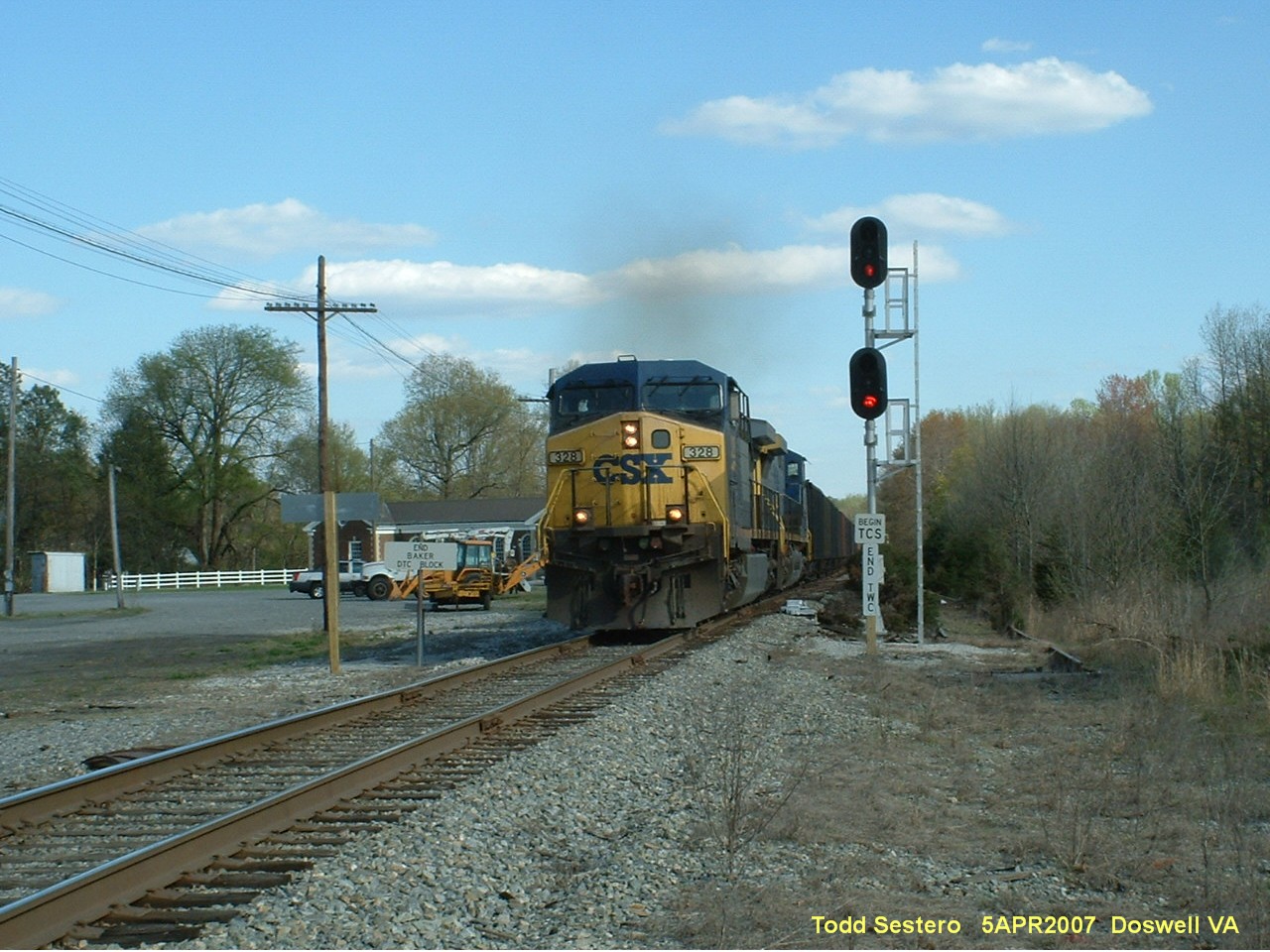
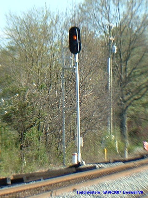
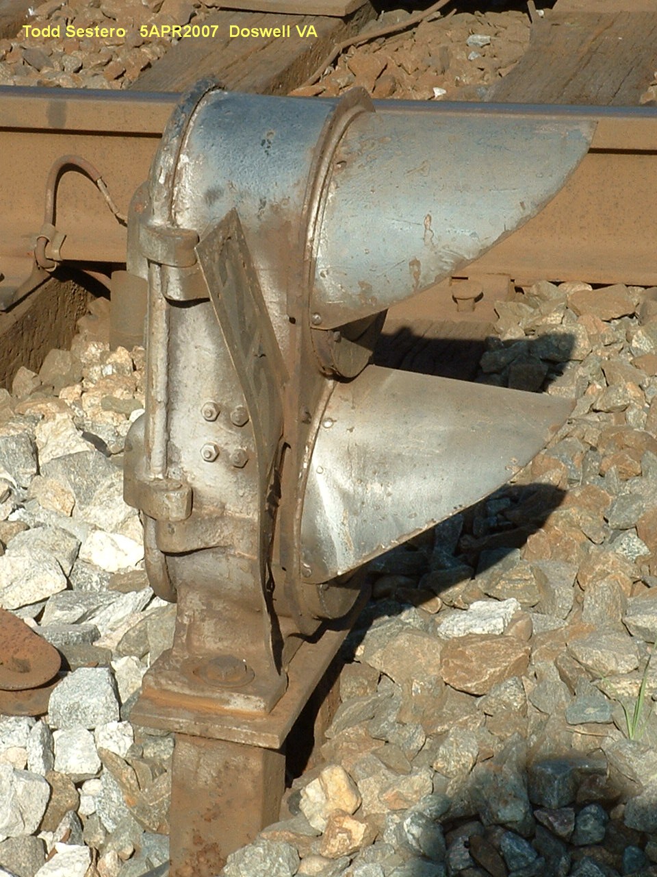
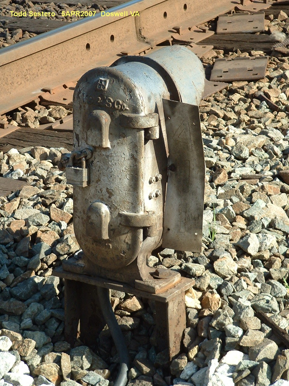
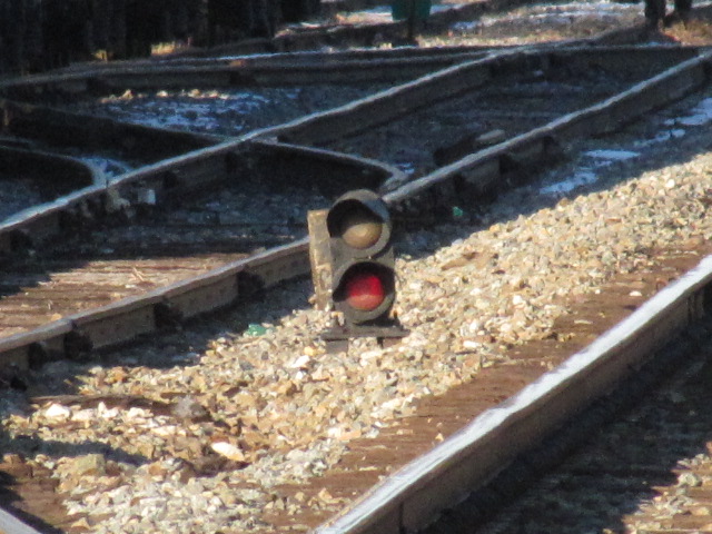
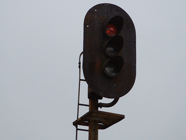
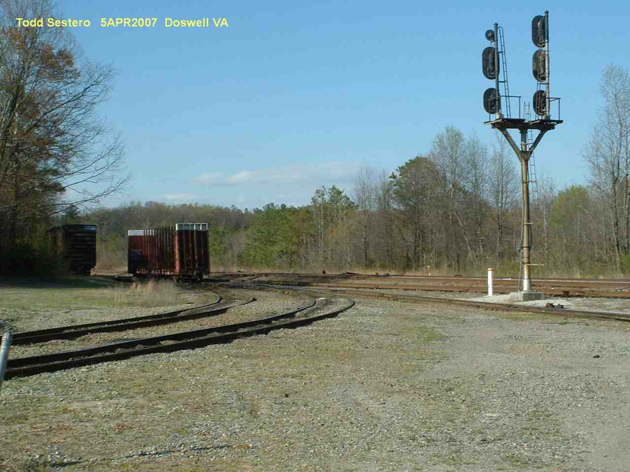
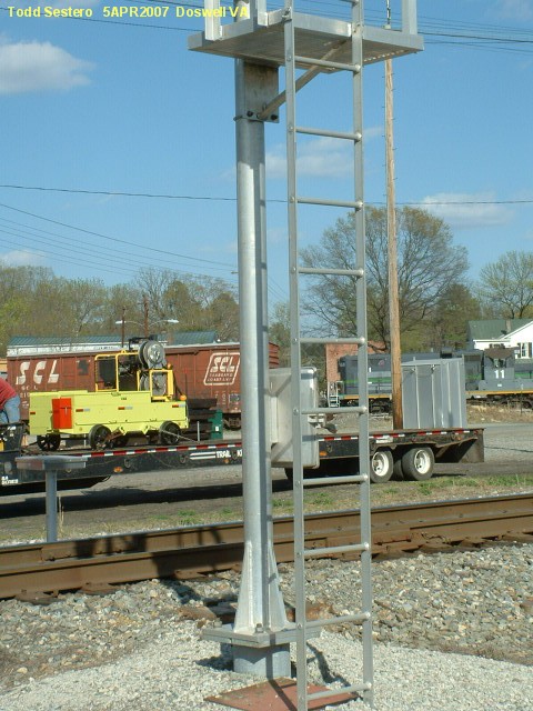
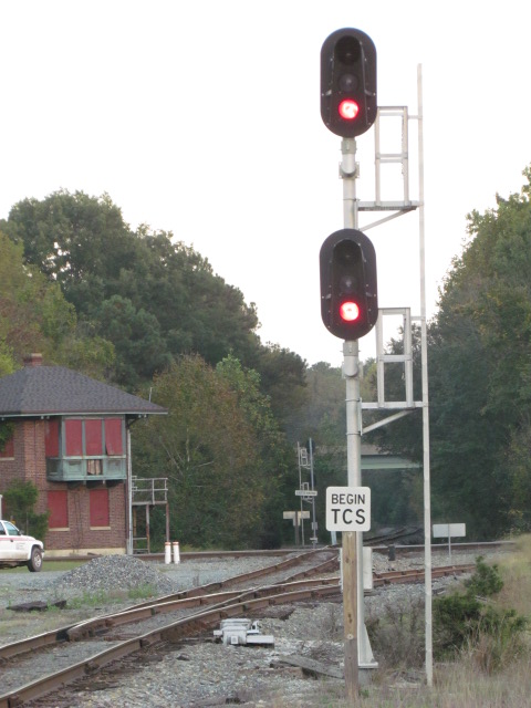
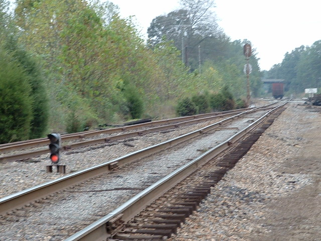
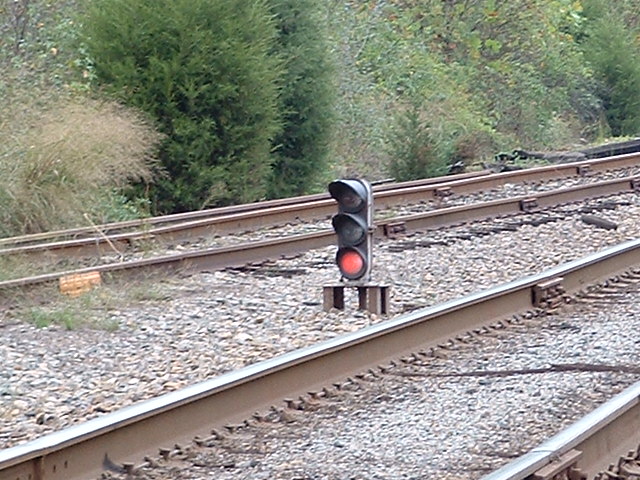
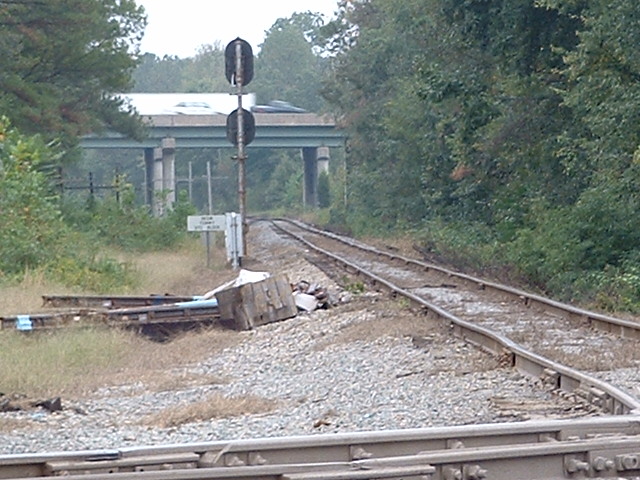
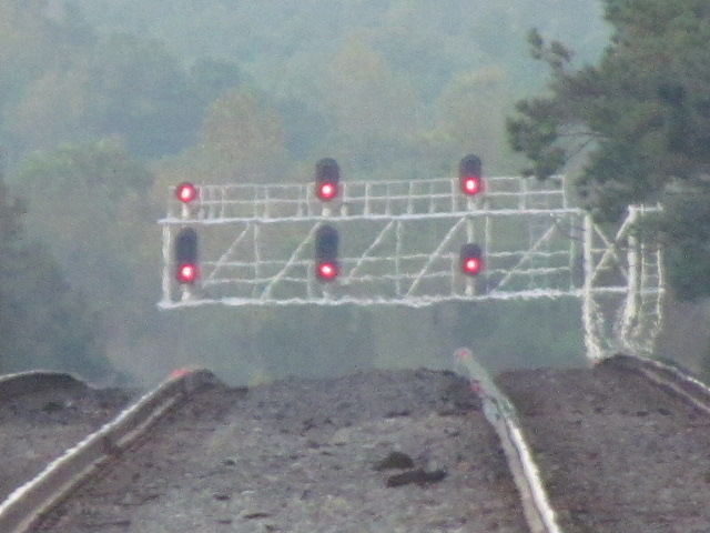
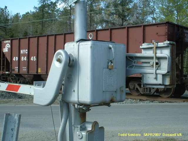
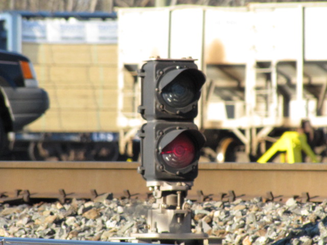 The new signal at this location
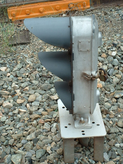
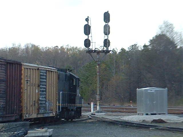
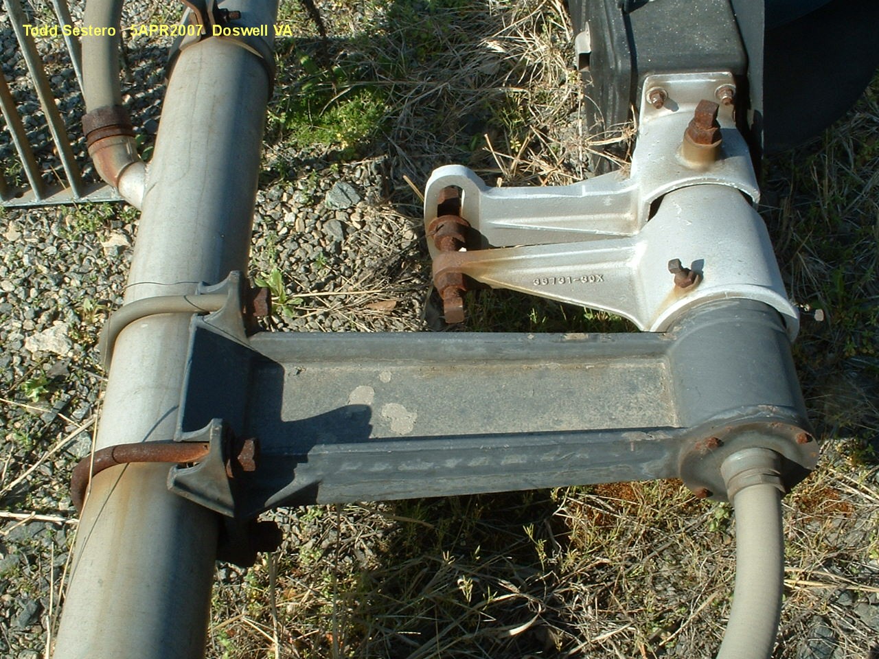
 The old signal at this location, 2005
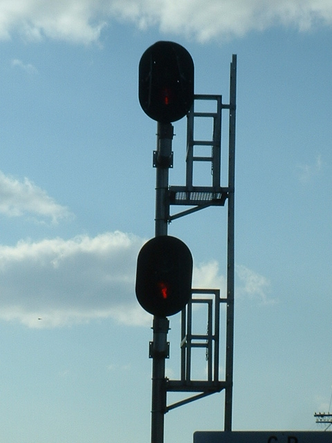
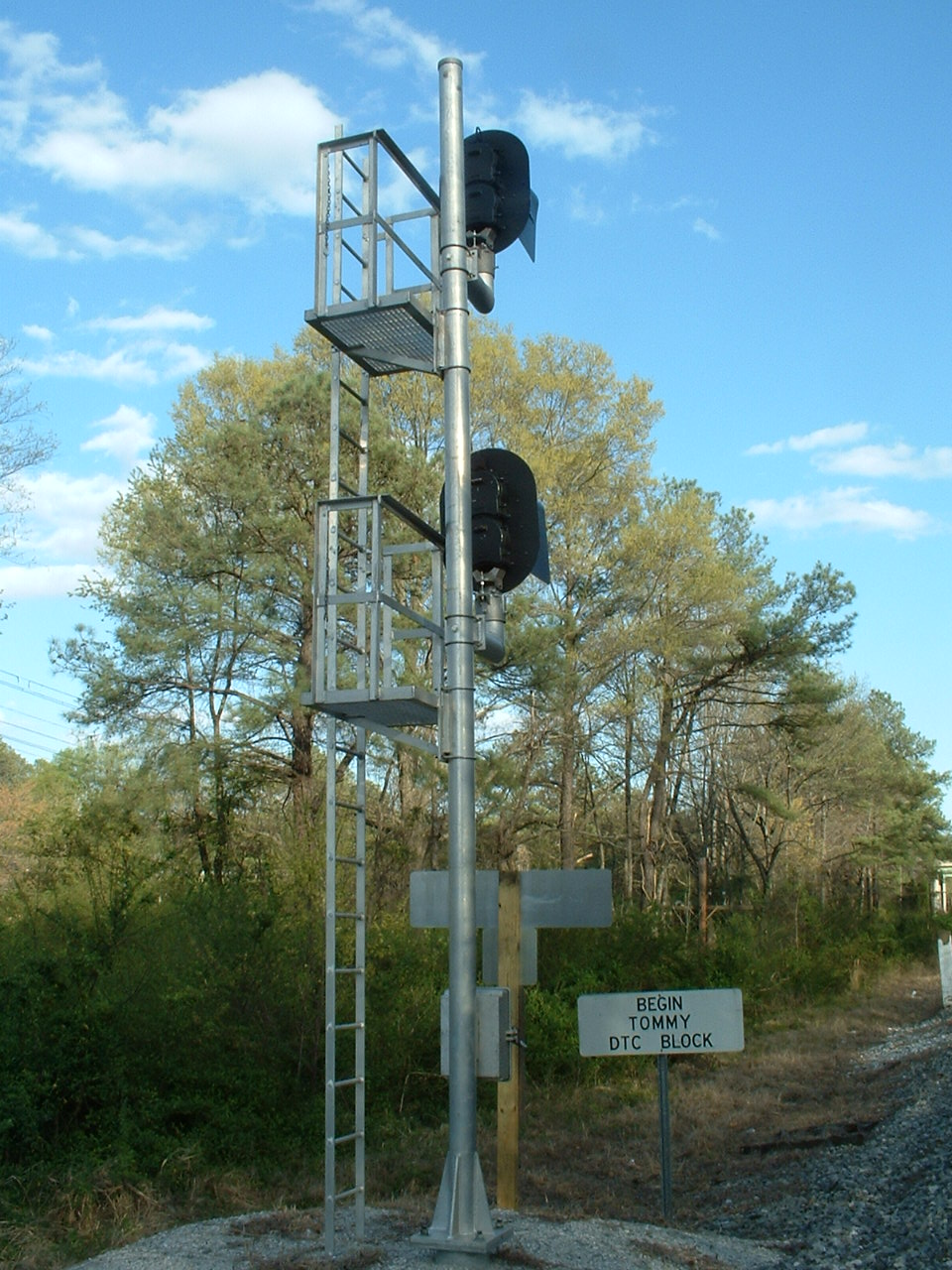

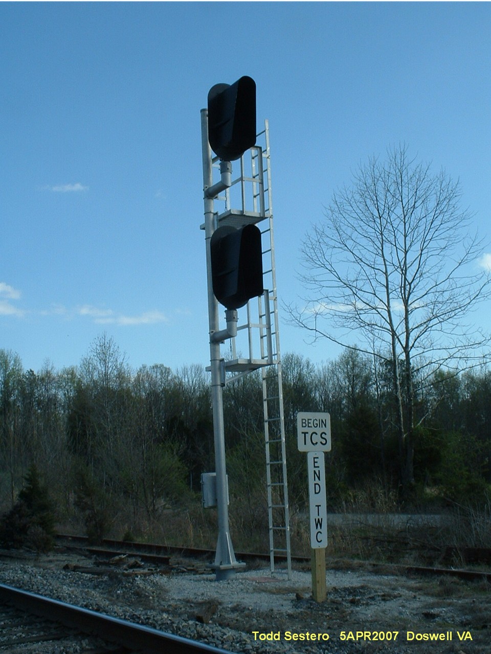
 The new signal at this location
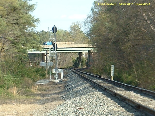
 The old signal


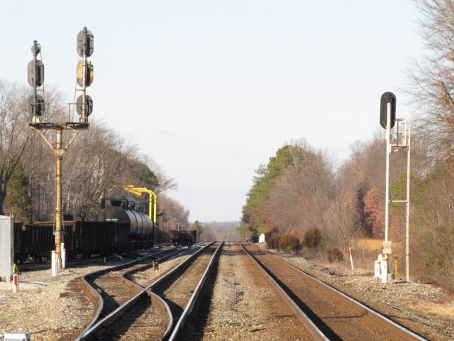
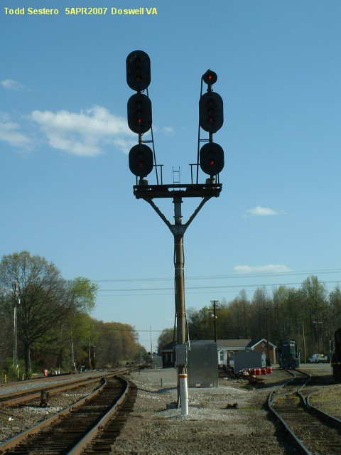
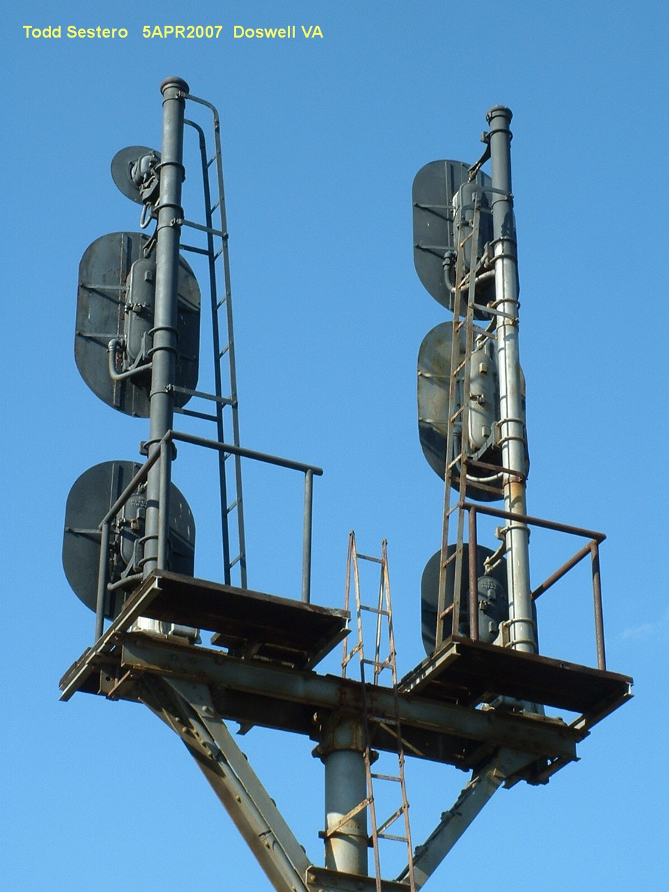
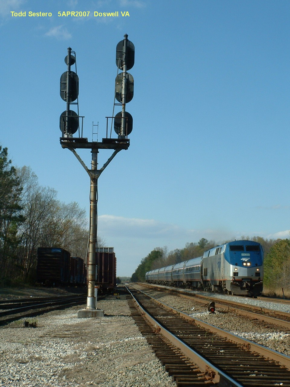
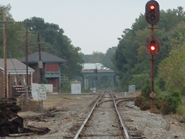
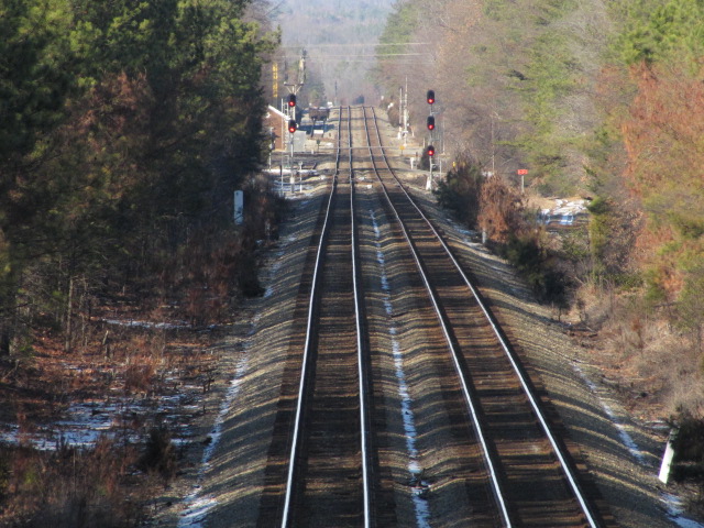
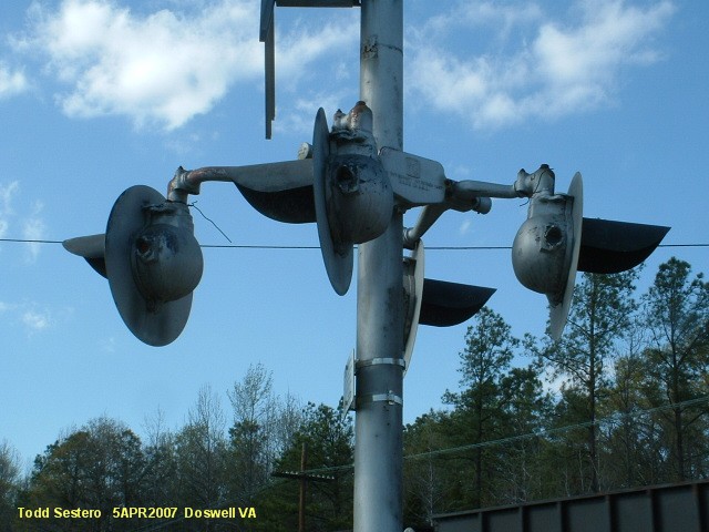
![]() NB RF&P Colorlights for the Diamond
NB RF&P Colorlights for the Diamond
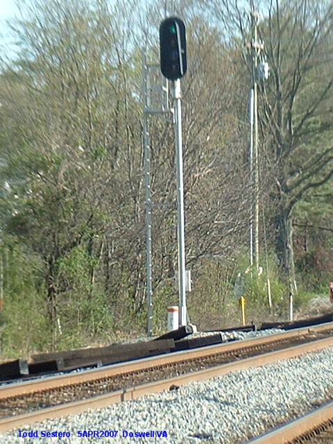
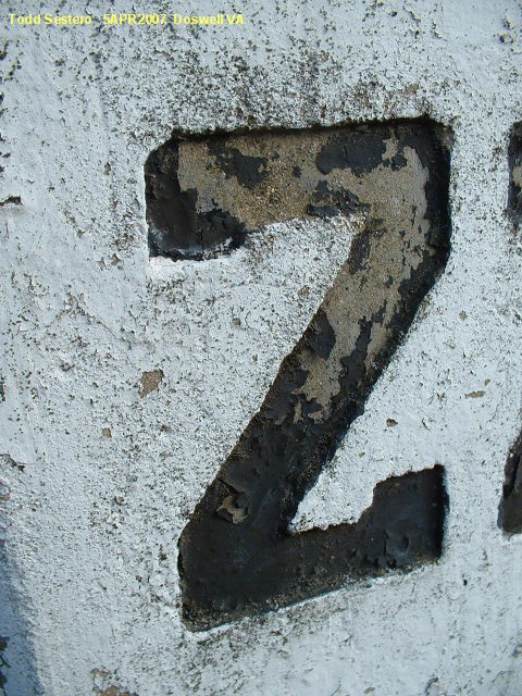
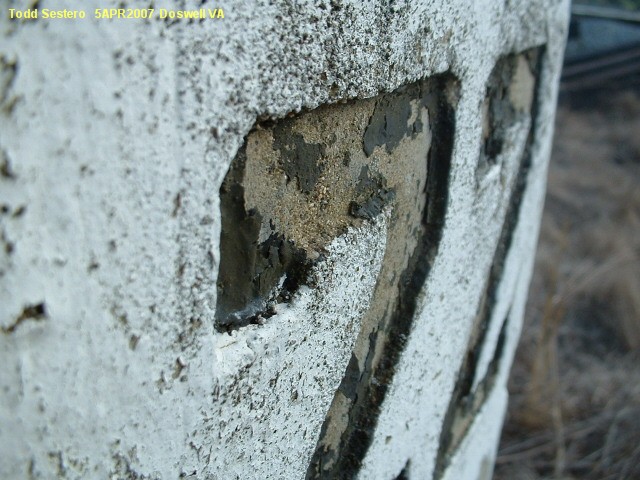
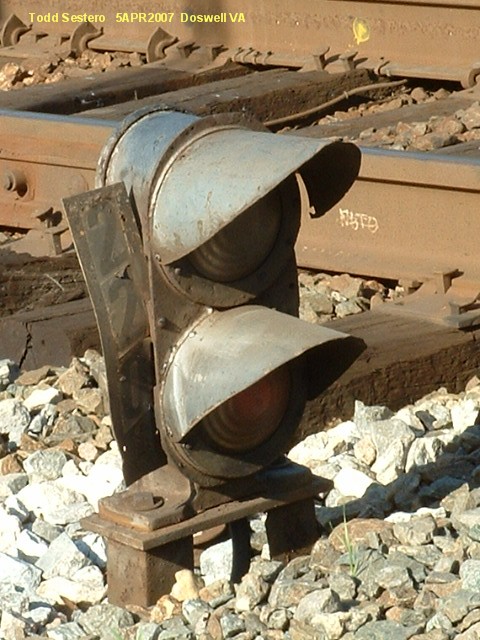
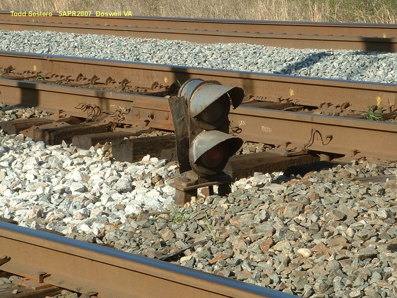
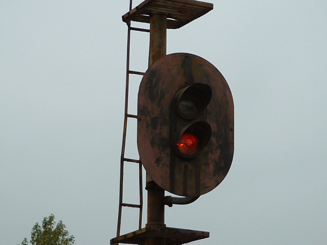
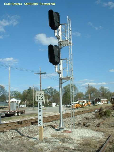
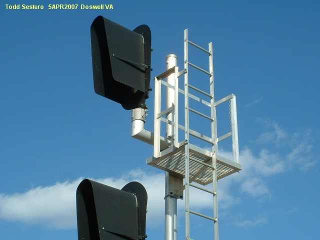
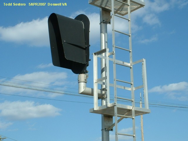
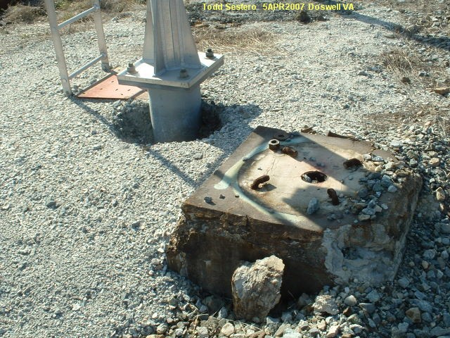
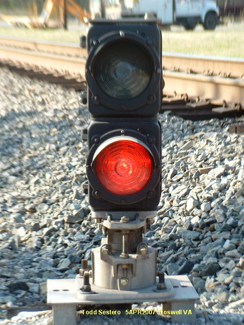
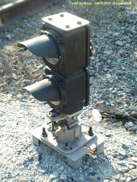
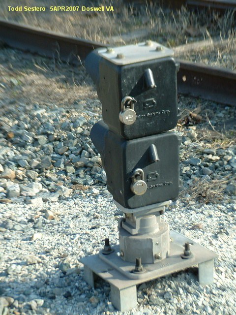
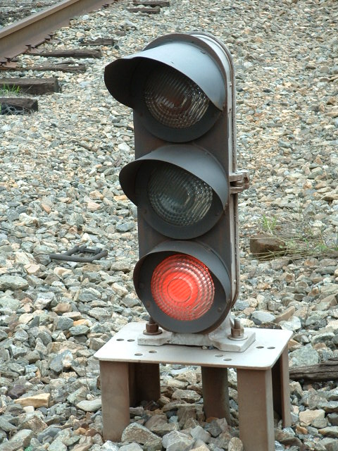
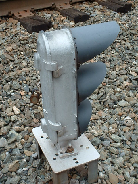
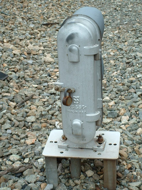
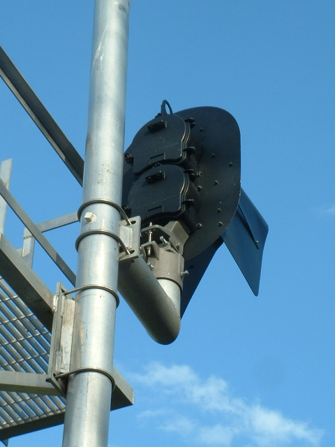
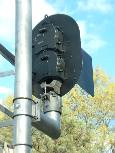
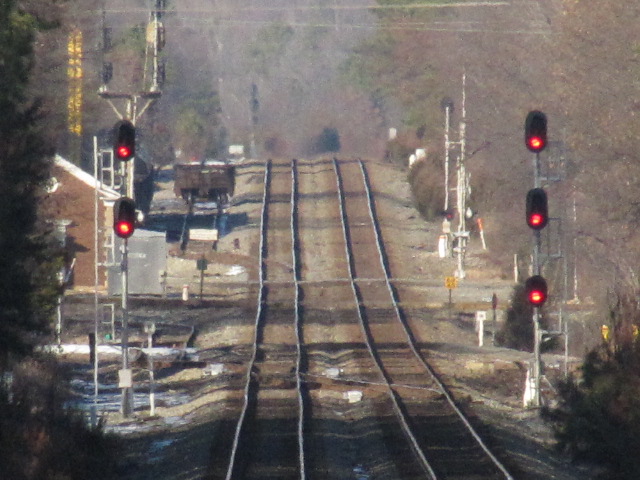
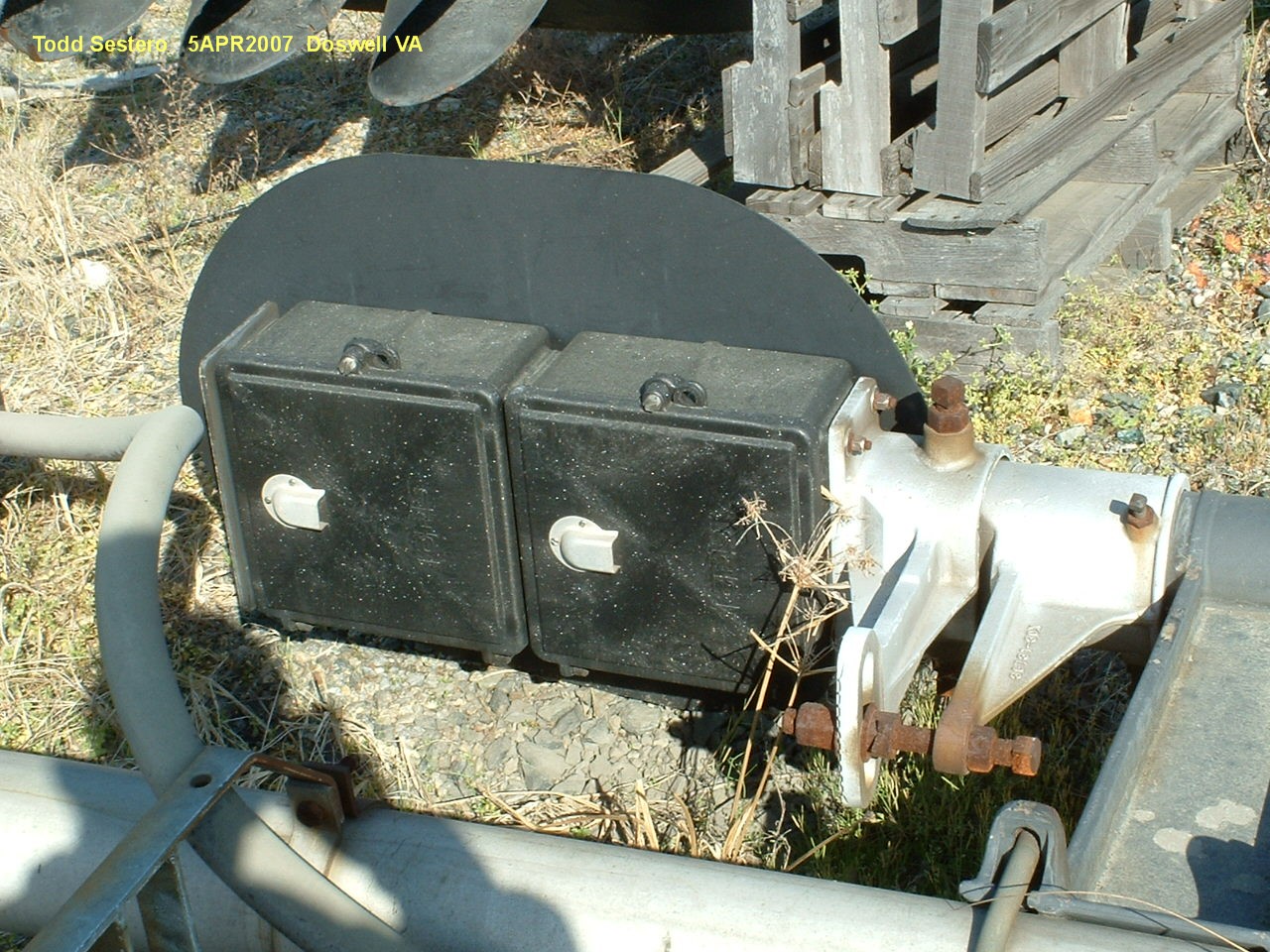
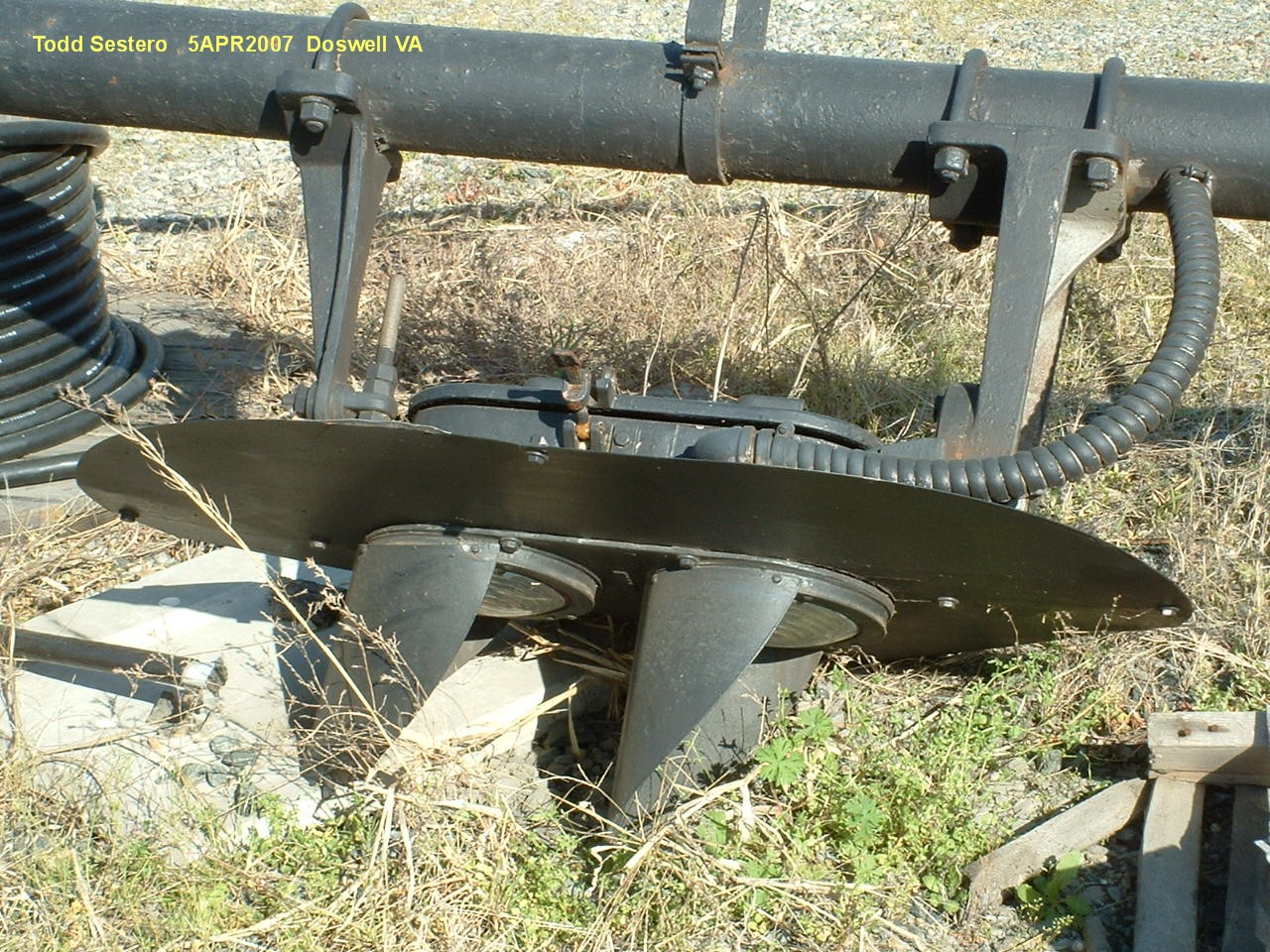
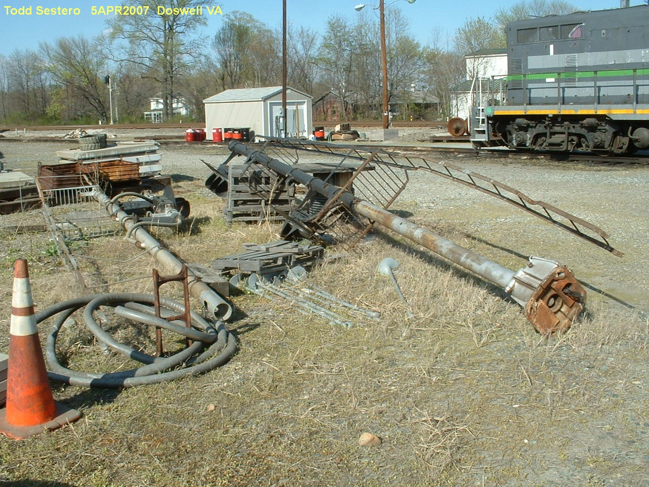
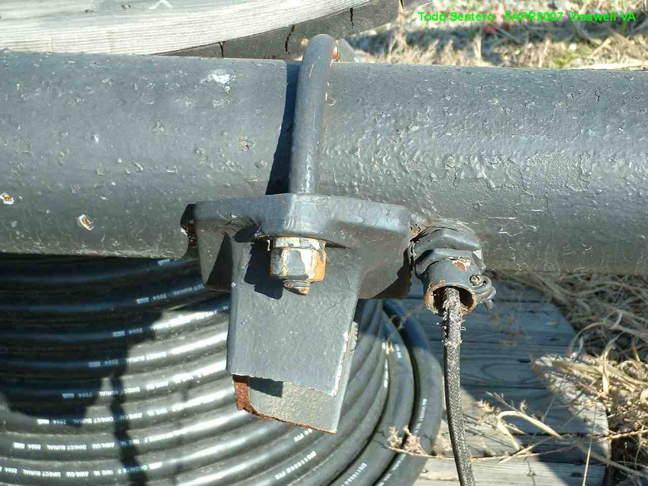
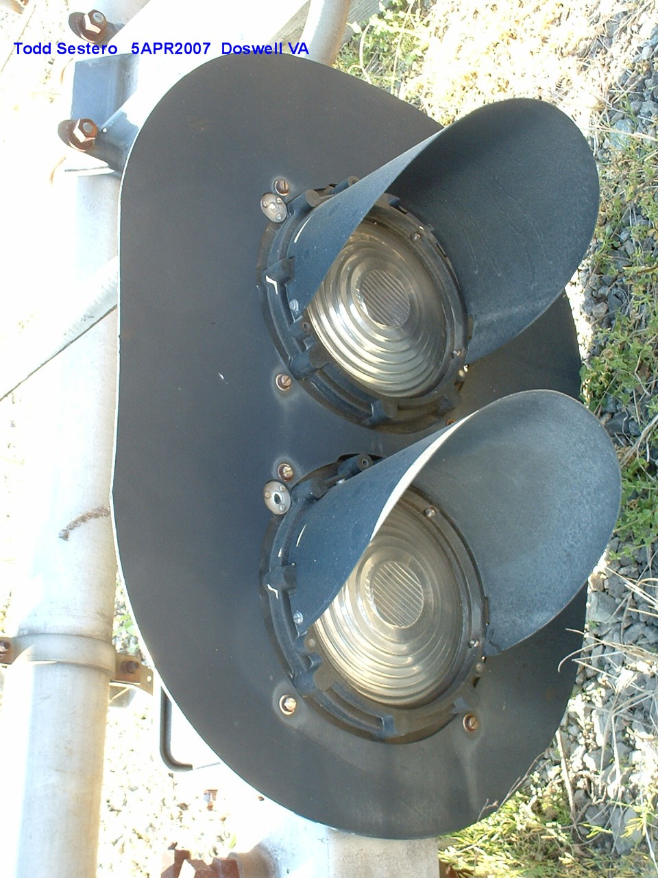
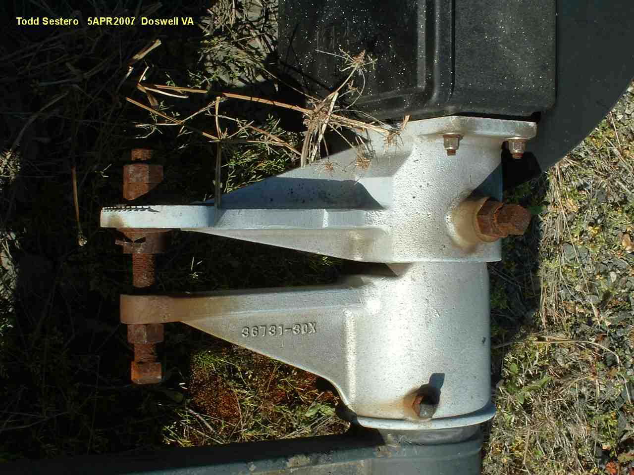
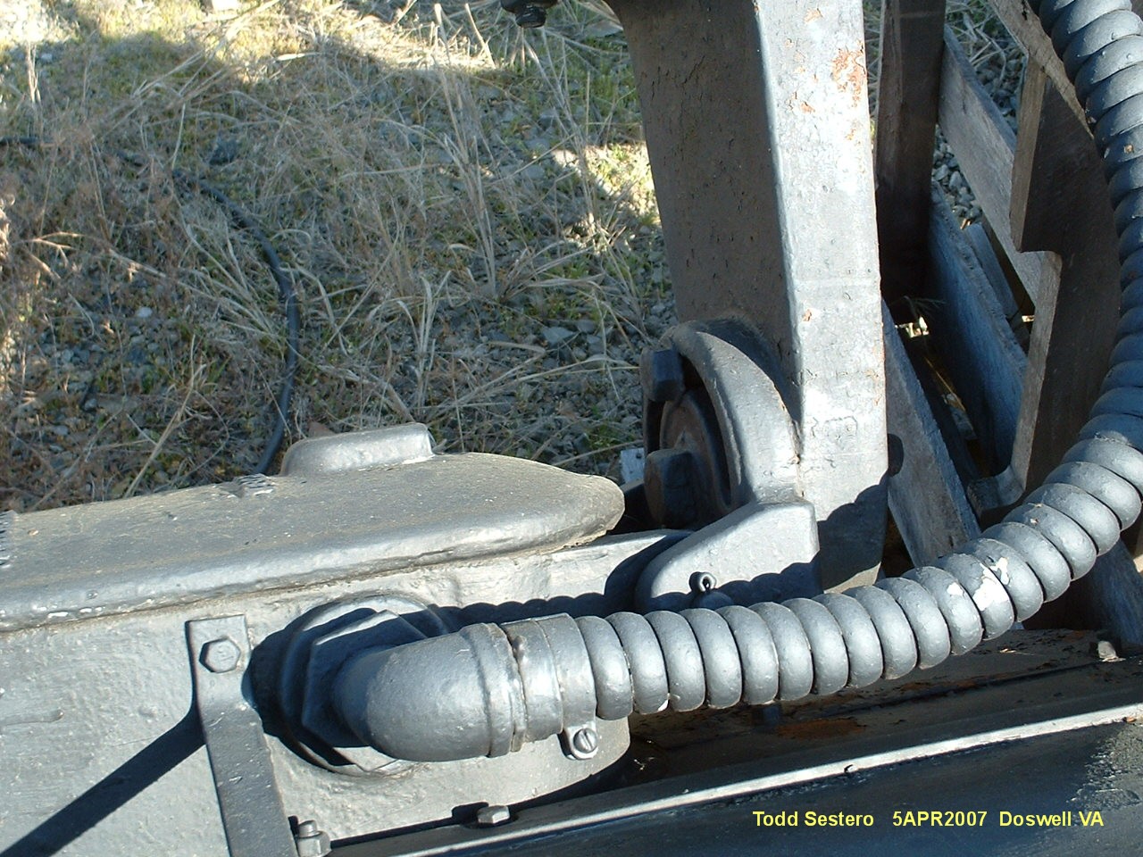
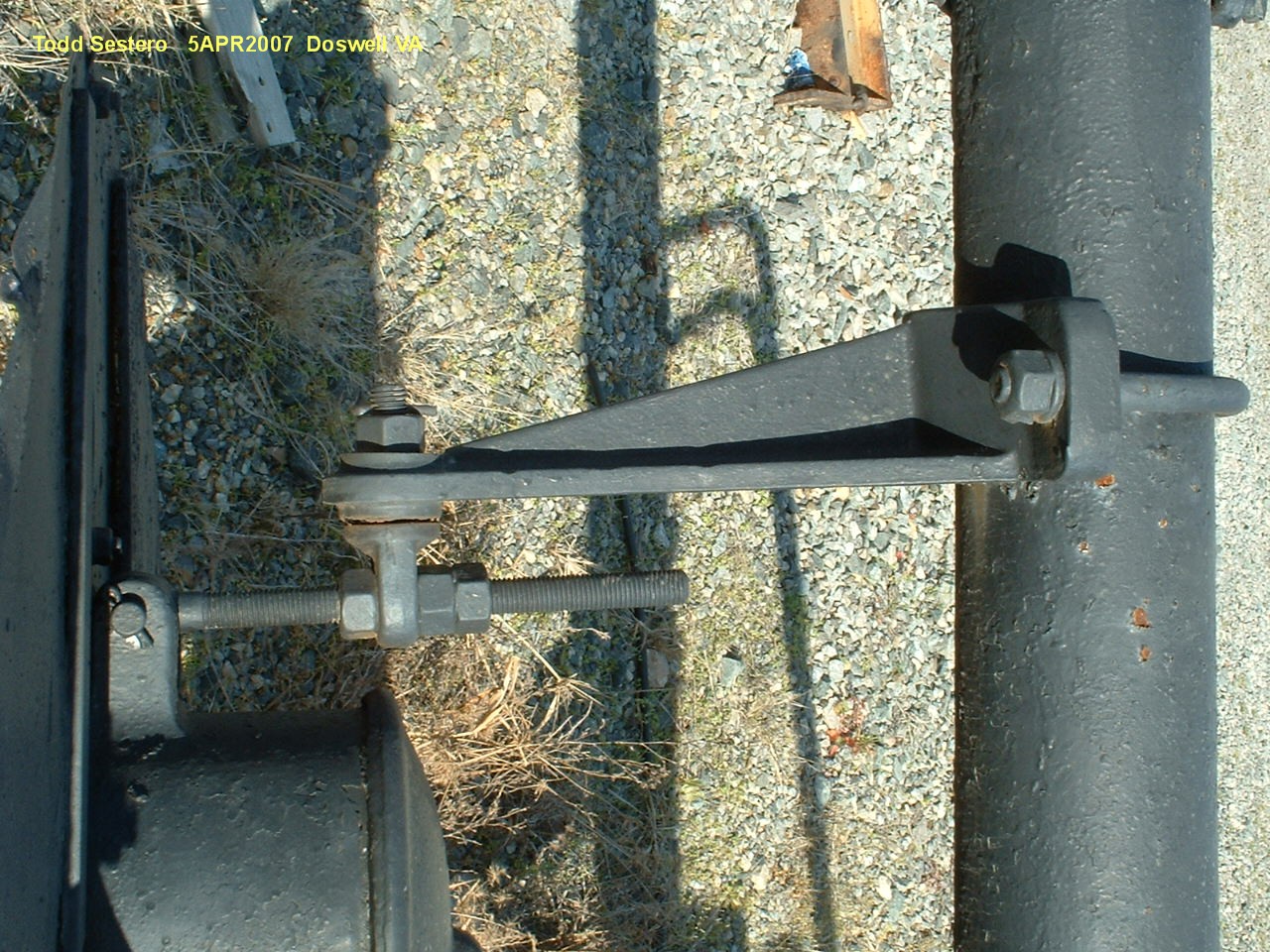
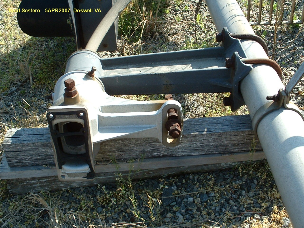
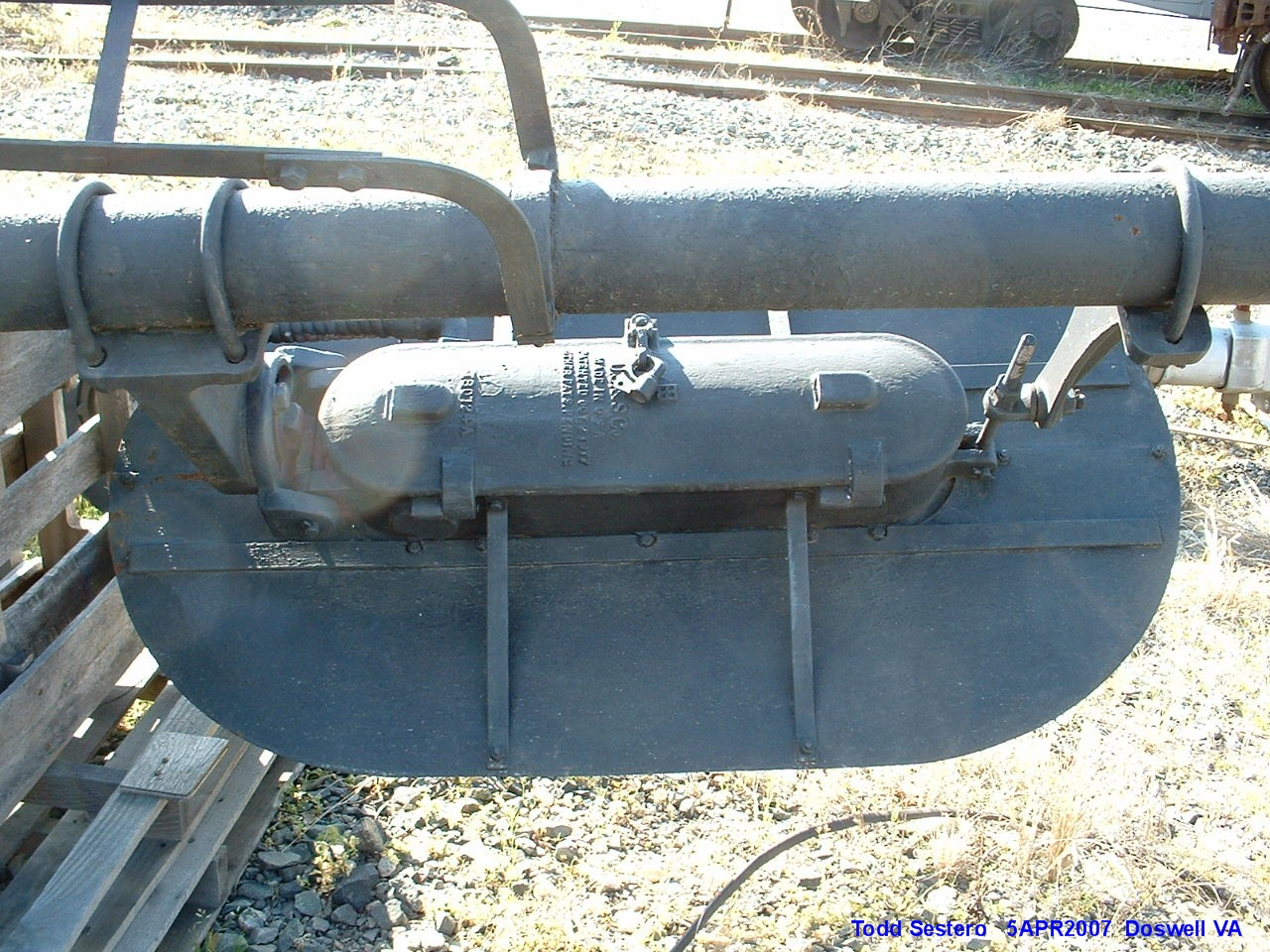
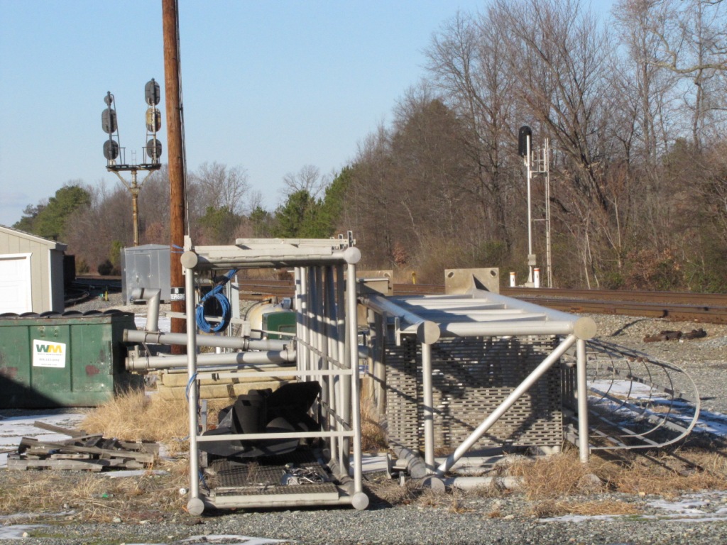
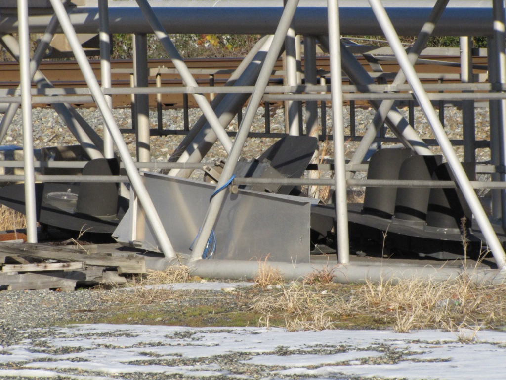
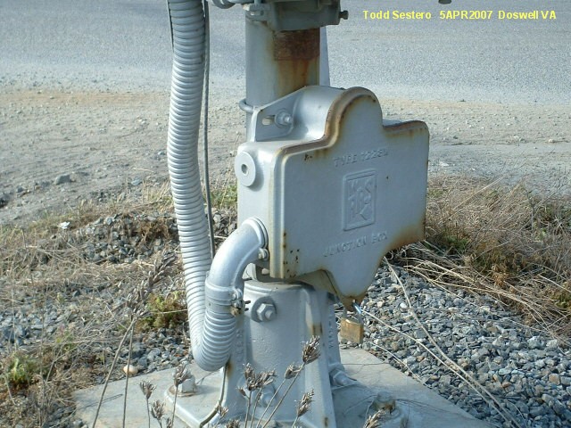
Old signals, removed in 2007, interlocking moved about 1000 feet or so south. These are the old signals that used to stand watch over the diamond for north
bound trains. If the RF&P ran mostly left hand traffic, I wonder why
the right track has the high signal?
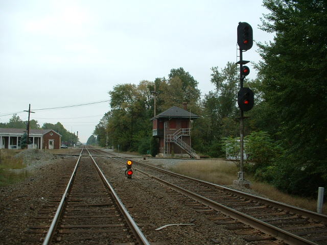
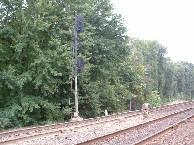
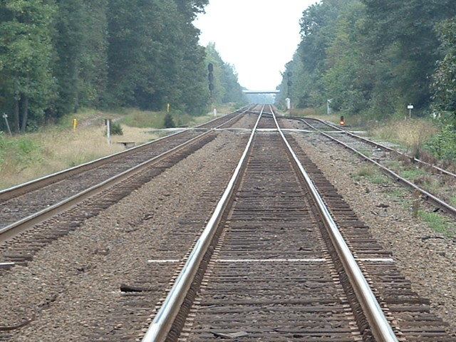
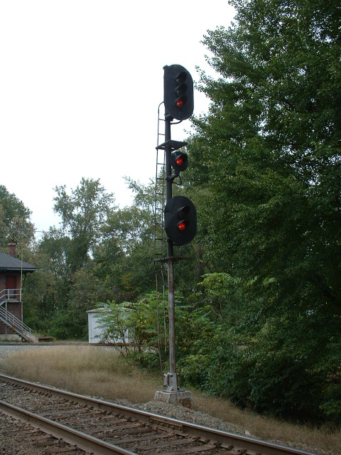
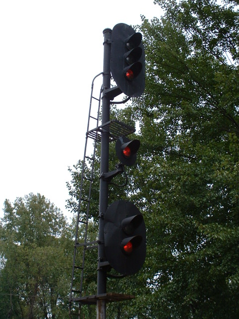

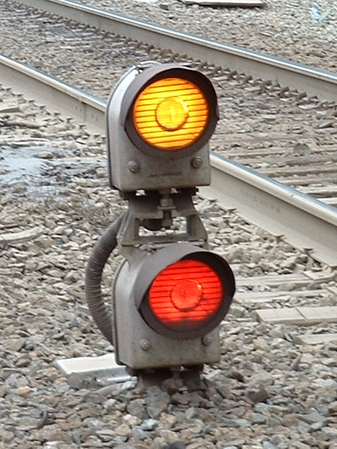

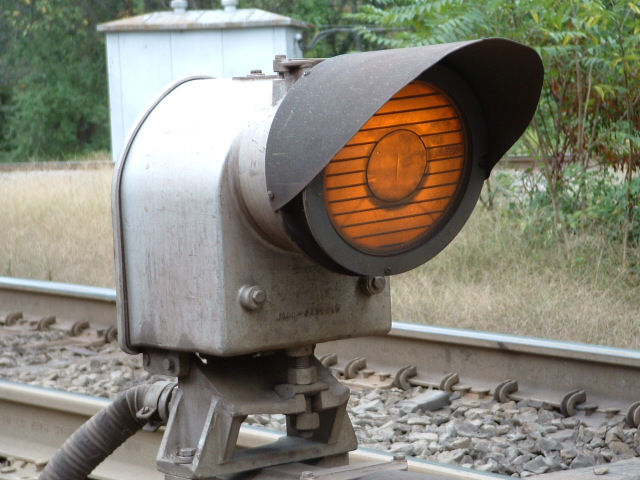

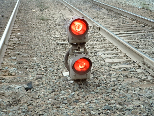

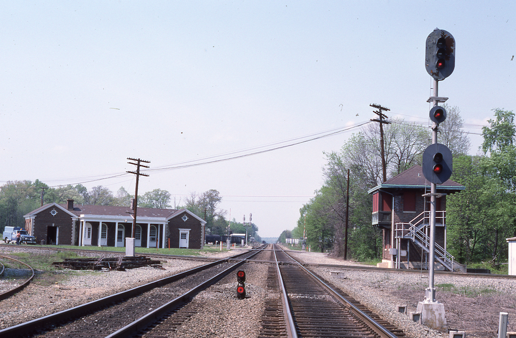 photo from Piedmont Sub dot com


 10/14/2013
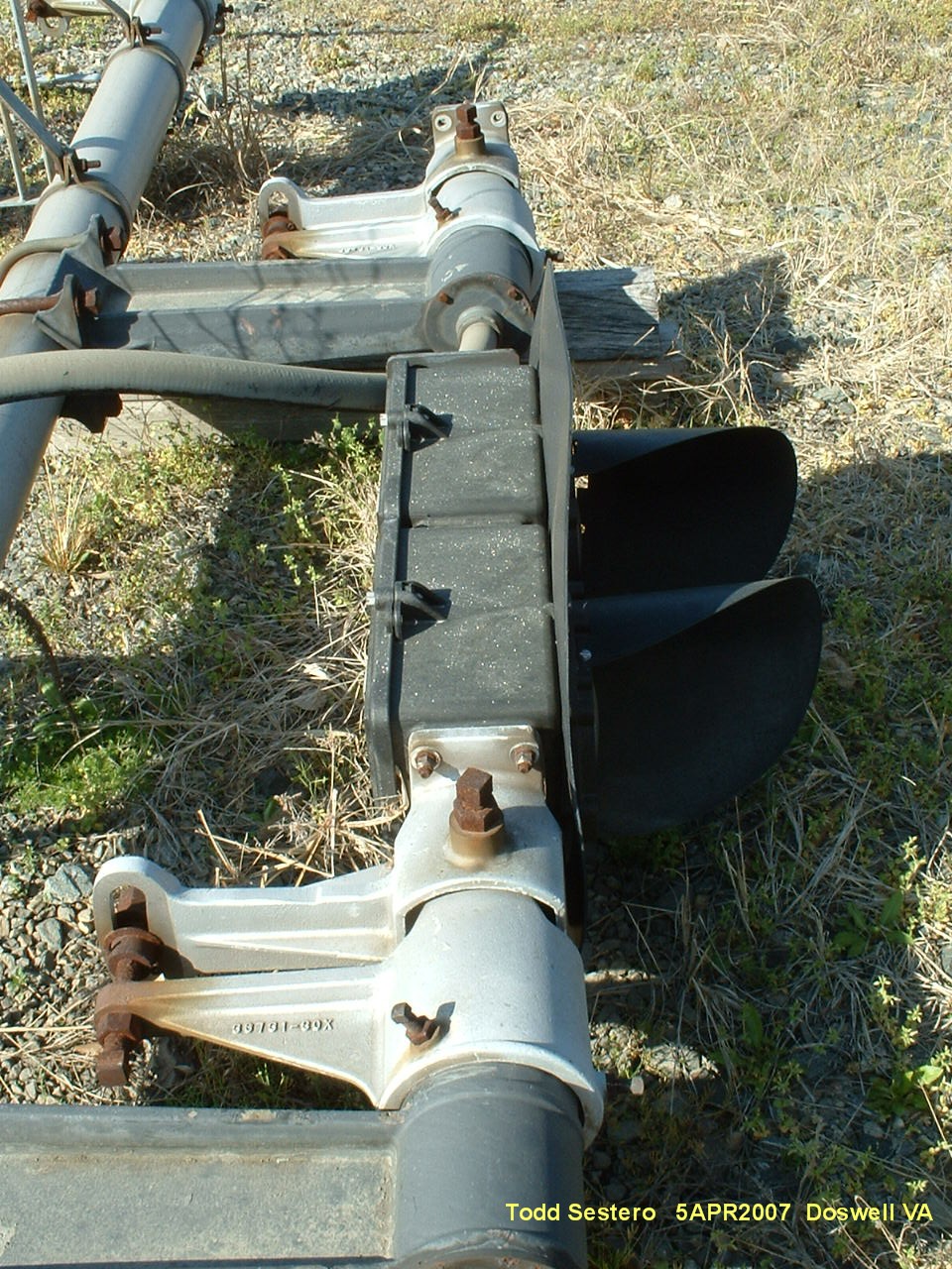


doa2005-0607, dob2007-0414c, do2007-0414b, doc2005-1016atl1