What's Here:
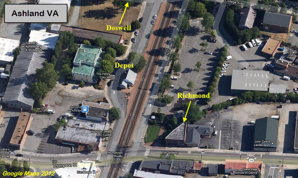
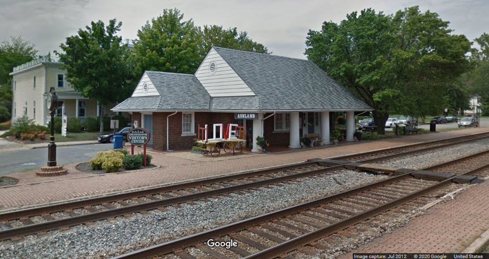
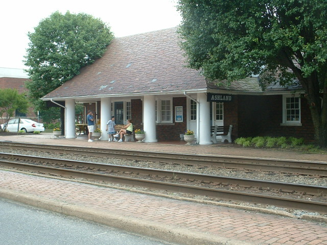
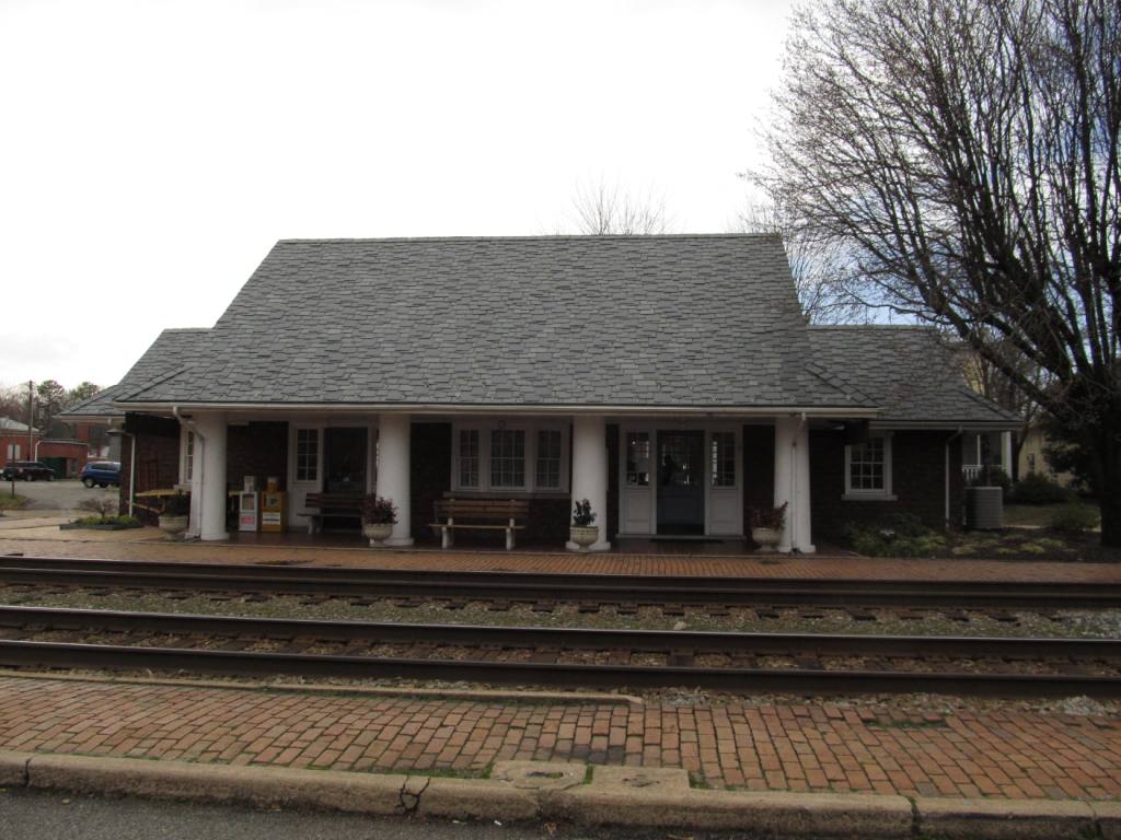
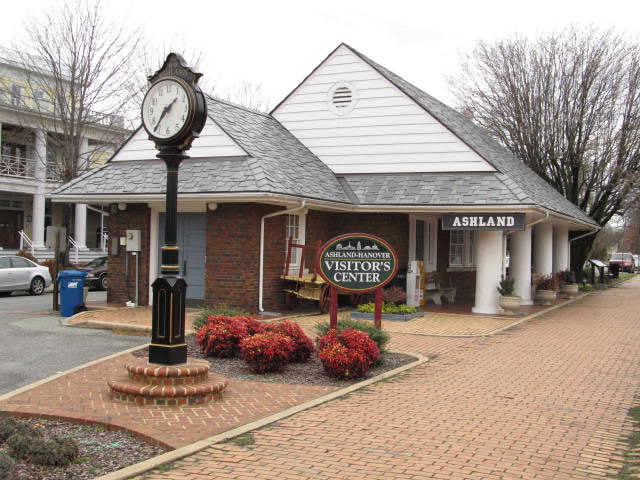
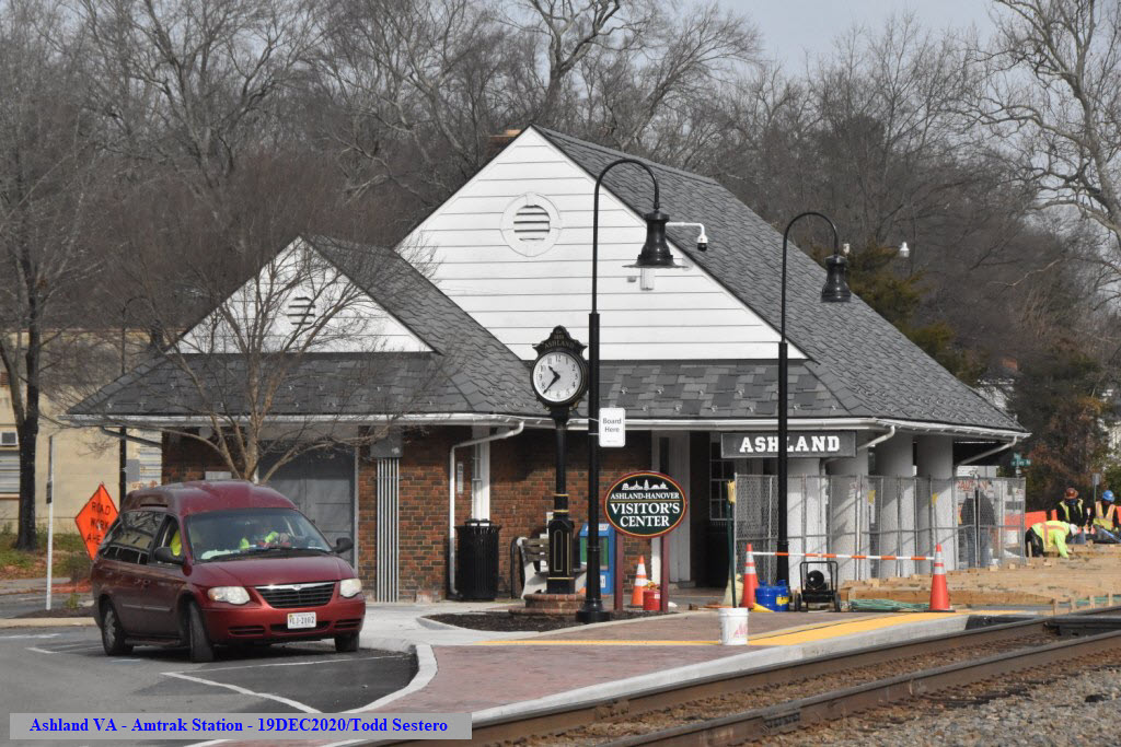
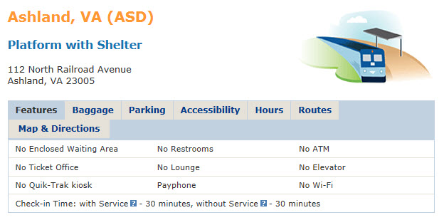
Former RF&P station, now Amtrak station and visitor's center
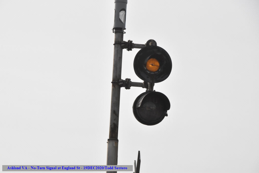
"Street Running"
3 Virtual Railfan Cameras
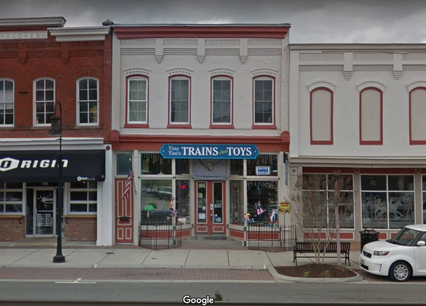
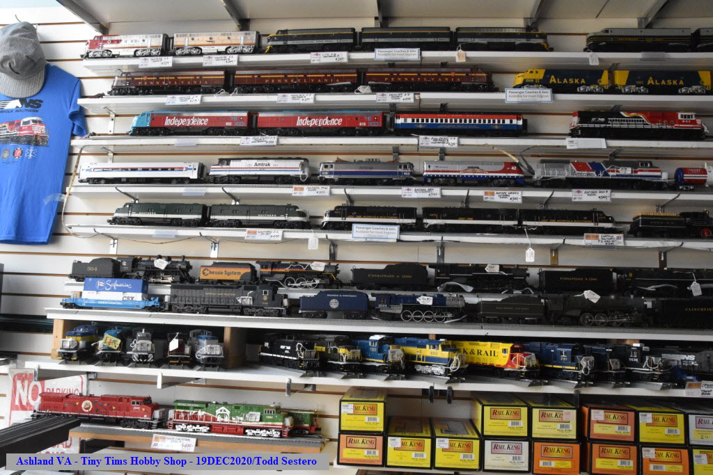
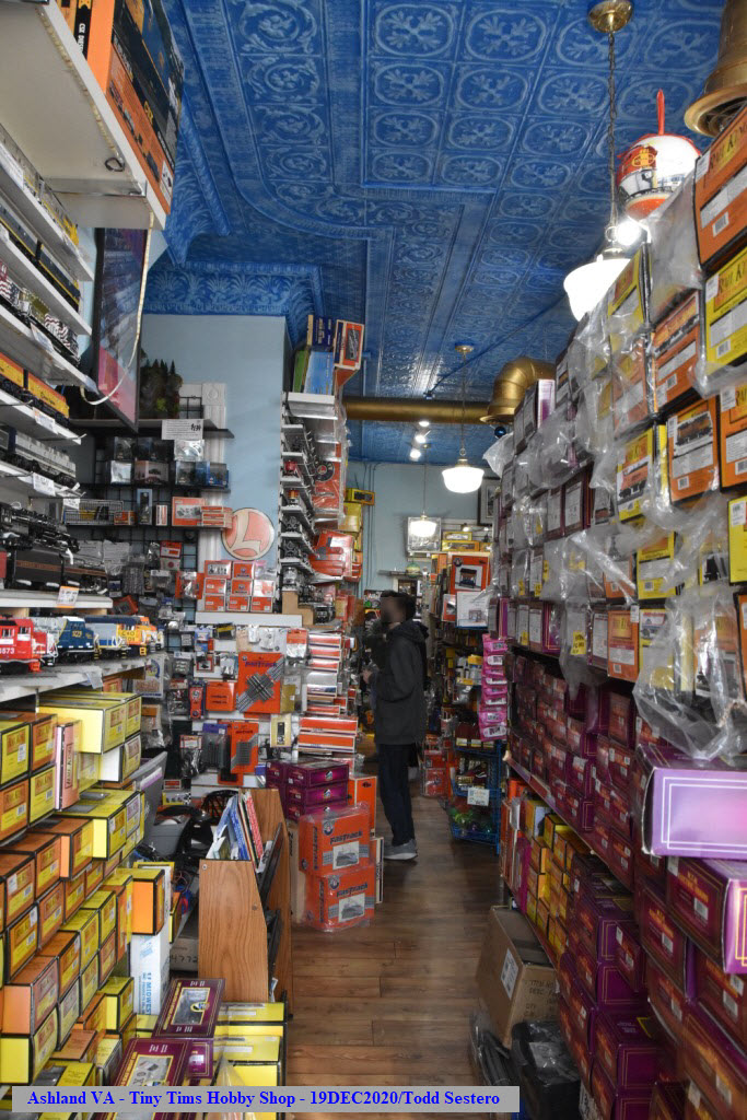
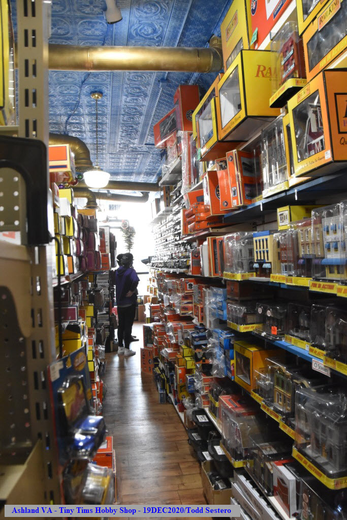
Tiny Tim's Trains and Toys Hobby Shop
Data:
GPS Coordinates: as needed
Phone A/C: 804
ZIP: 23005
Access by train/transit:
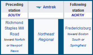
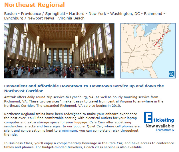
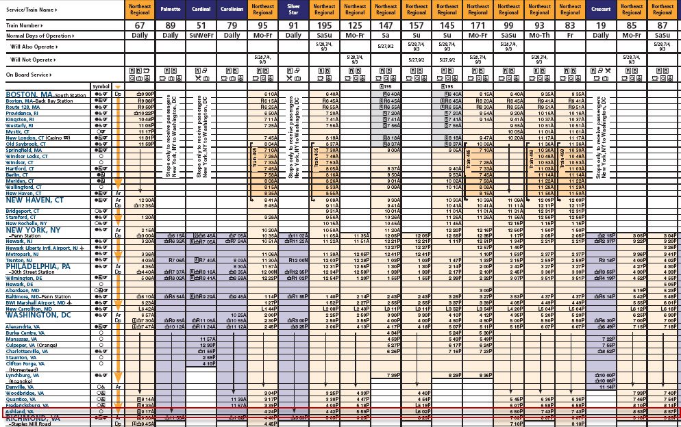
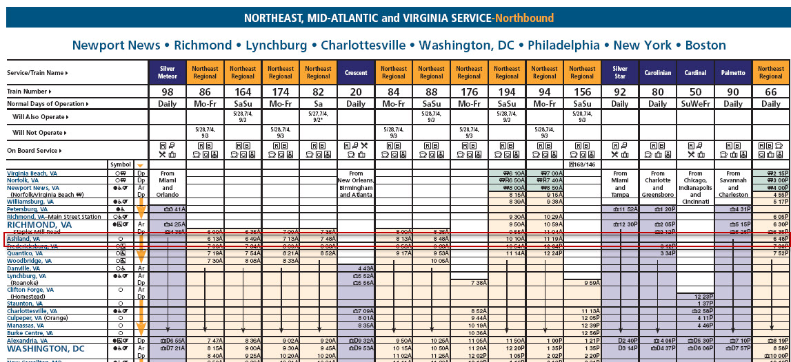
Amtrak
The Scoop:
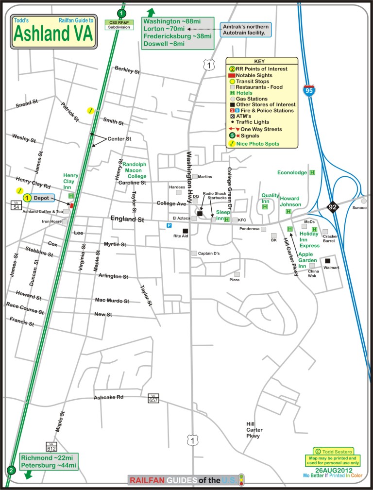
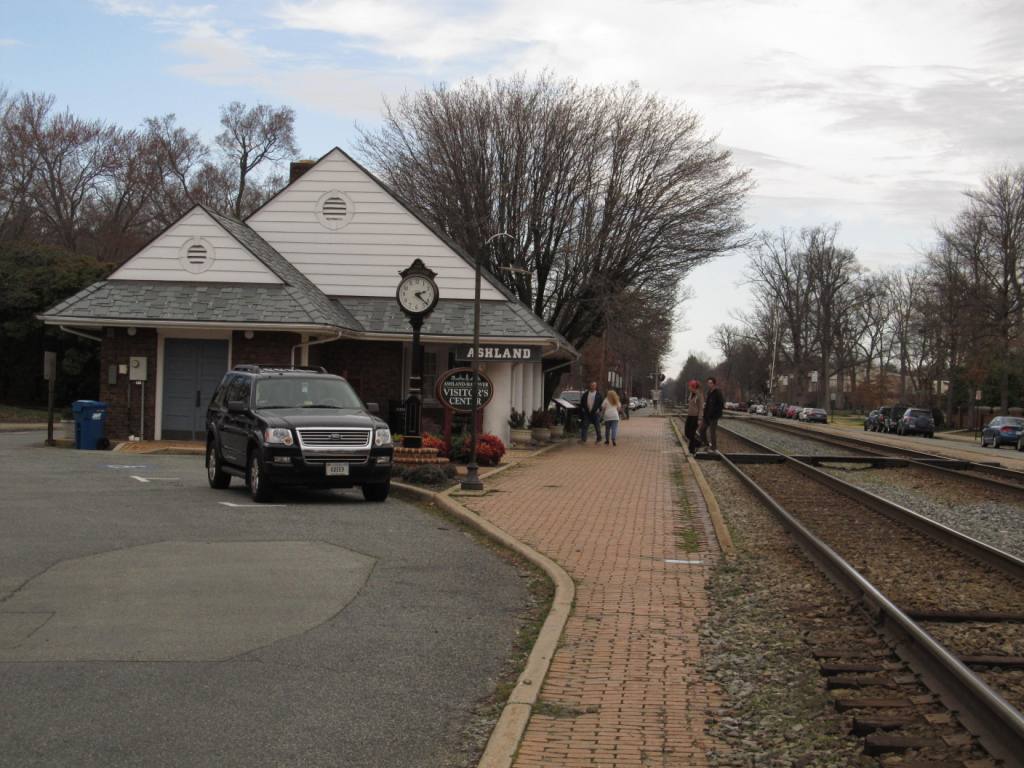
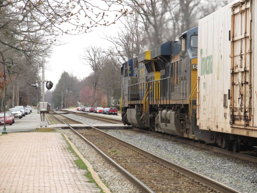
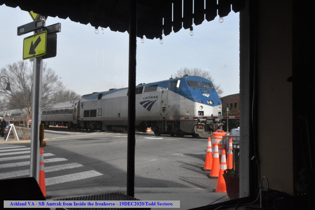
Ashland offers the railfan a unique situation for photography.
While the ex RF&P mainline is not really street running, it appears to
be because the track is situated in between the northbound Center Street and
southbound Railroad Avenue.
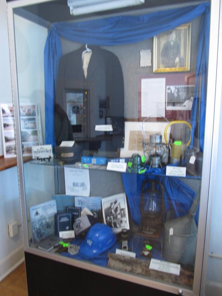
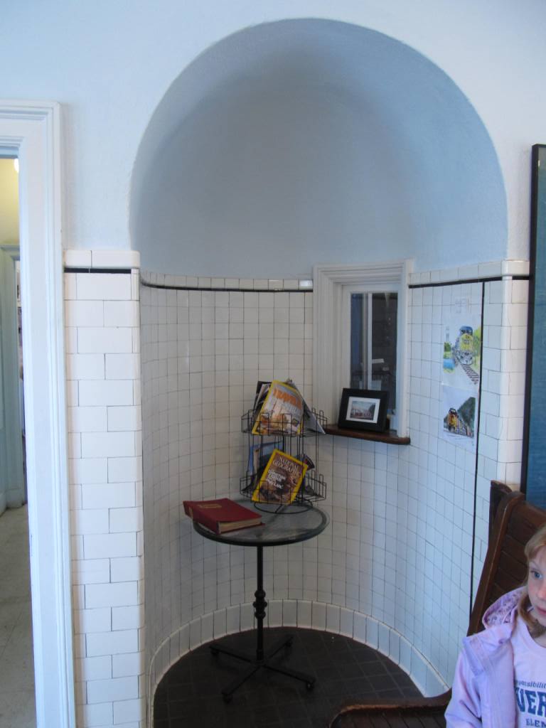
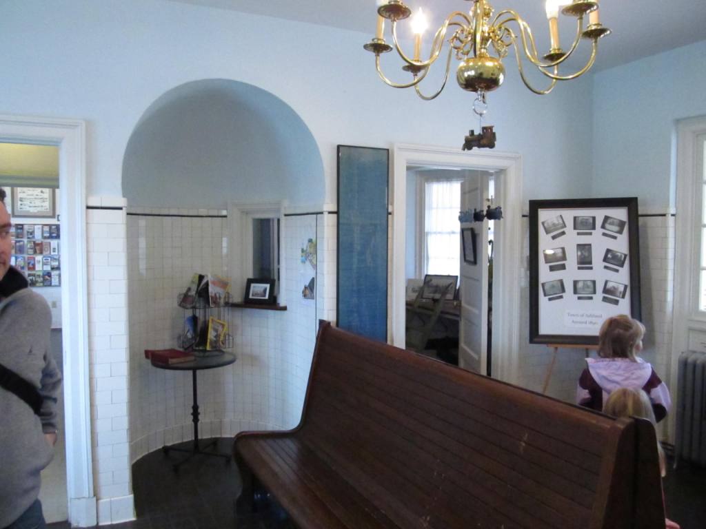
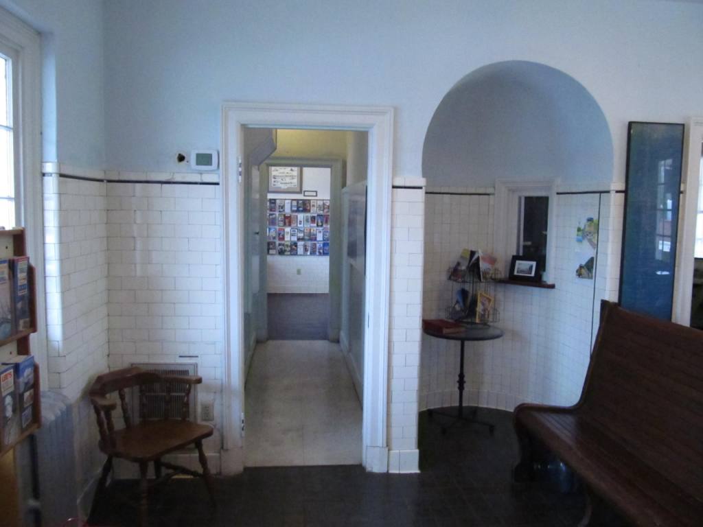
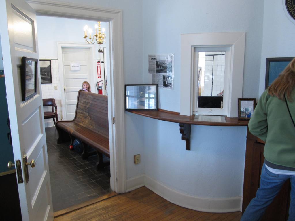
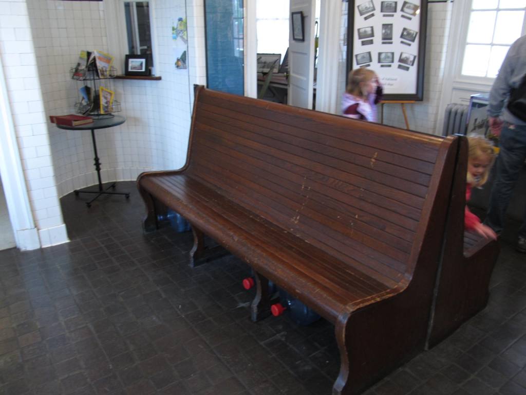
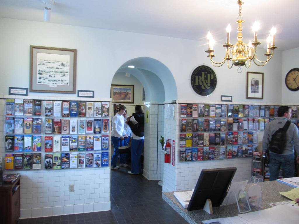
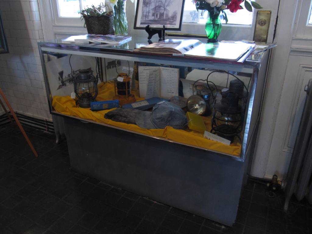
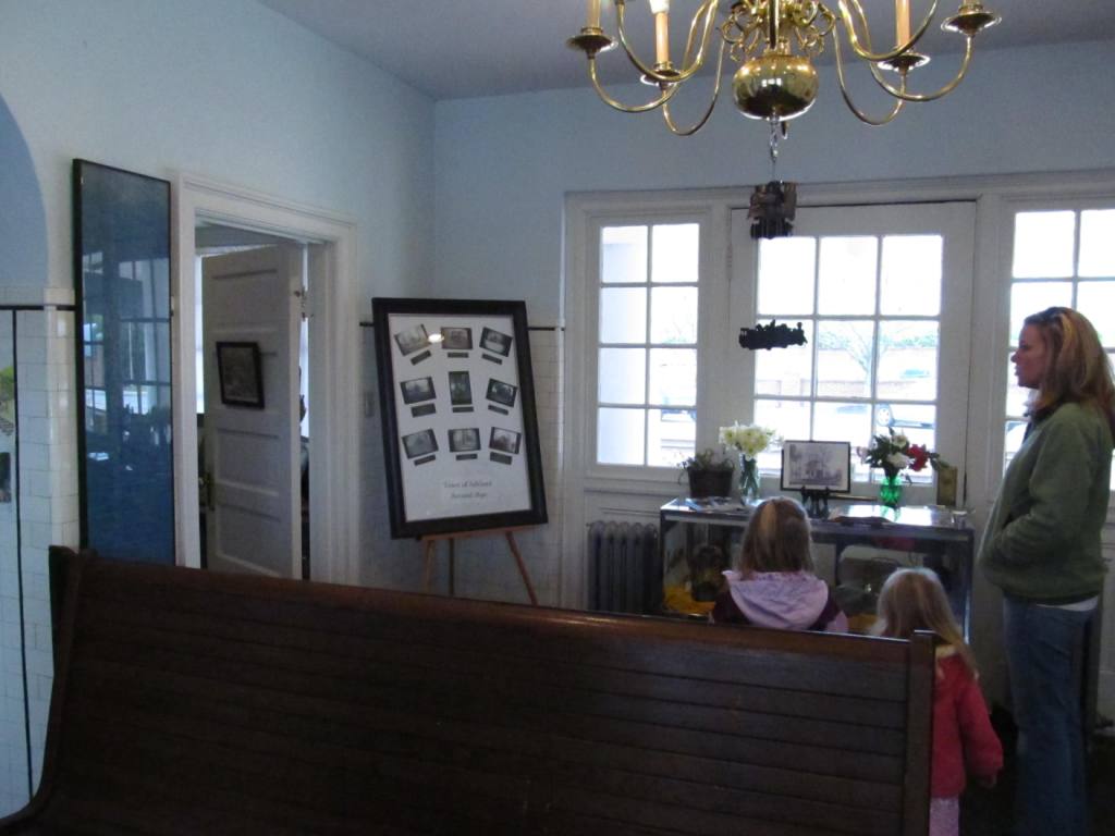
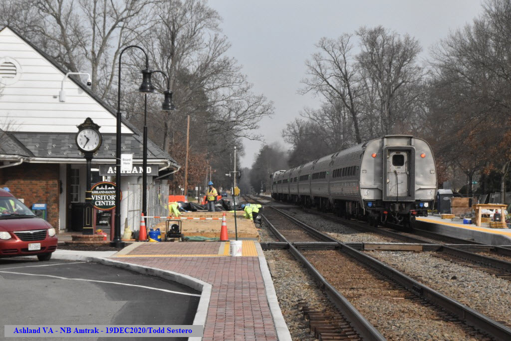
The depot is open prior to the arrival of the Amtrak trains, and offers a
small museum and visitors center.
The Virtual Railfan Camera on the south side of the station
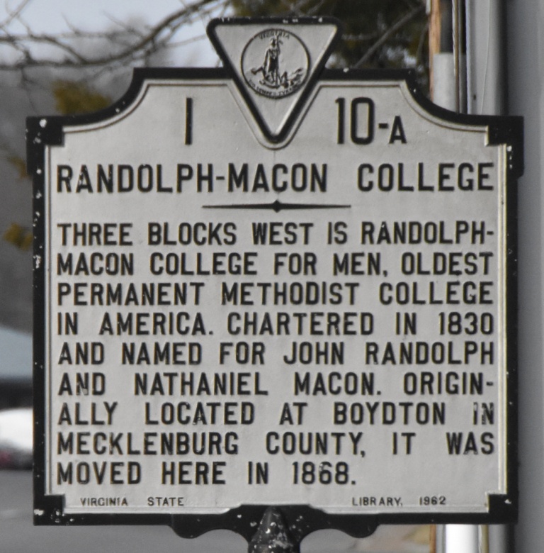
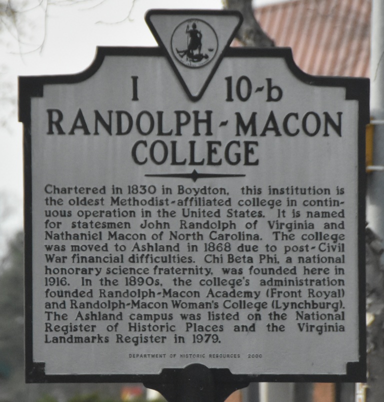
Ashland is also home to Randolph-Macon College, established in 1830, and enrolls around 1500
students. The school is the second-oldest Methodist-run college in the country, and the oldest
in continuous operation. It was originally located in Boydton, near the North Carolina border;
but as the railroad link to Boydton was destroyed during the Civil War, the college's trustees
decided to relocate the school to Ashland in 1868. The college takes its name from Virginia
statesmen John Randolph of Roanoke and North Carolina statesman Nathaniel Macon.
Acknowledgements:
A Roger Puta
Catherine Cox
Denver Todd
Virtual Railfan
Ashland Museum
Wikipedia
Ashland is easy to get to. It is conveniently
located to the west of I-95 at exit 92, 6 miles south of the exit for
Doswell (exit 98).
Exit 98 is also the exit for Kings Dominion.
Ashland is about 16 miles north of Richmond VA, and about 83 miles south of Washington DC.
If you're in Doswell, the best way to get to Ashland is
perhaps coming straight down US Route 1.
The junction of Route 1 and England St offers bunches of stuff
in the way of gas stations and restaurants, as well as directly off the I-95 exit.
GPS Coordinates: 37.759618, -77.481174
112 North Railroad Avenue, Ashland, VA 23005
Amtrak Station Code: ASD https://www.amtrak.com/stations/asd
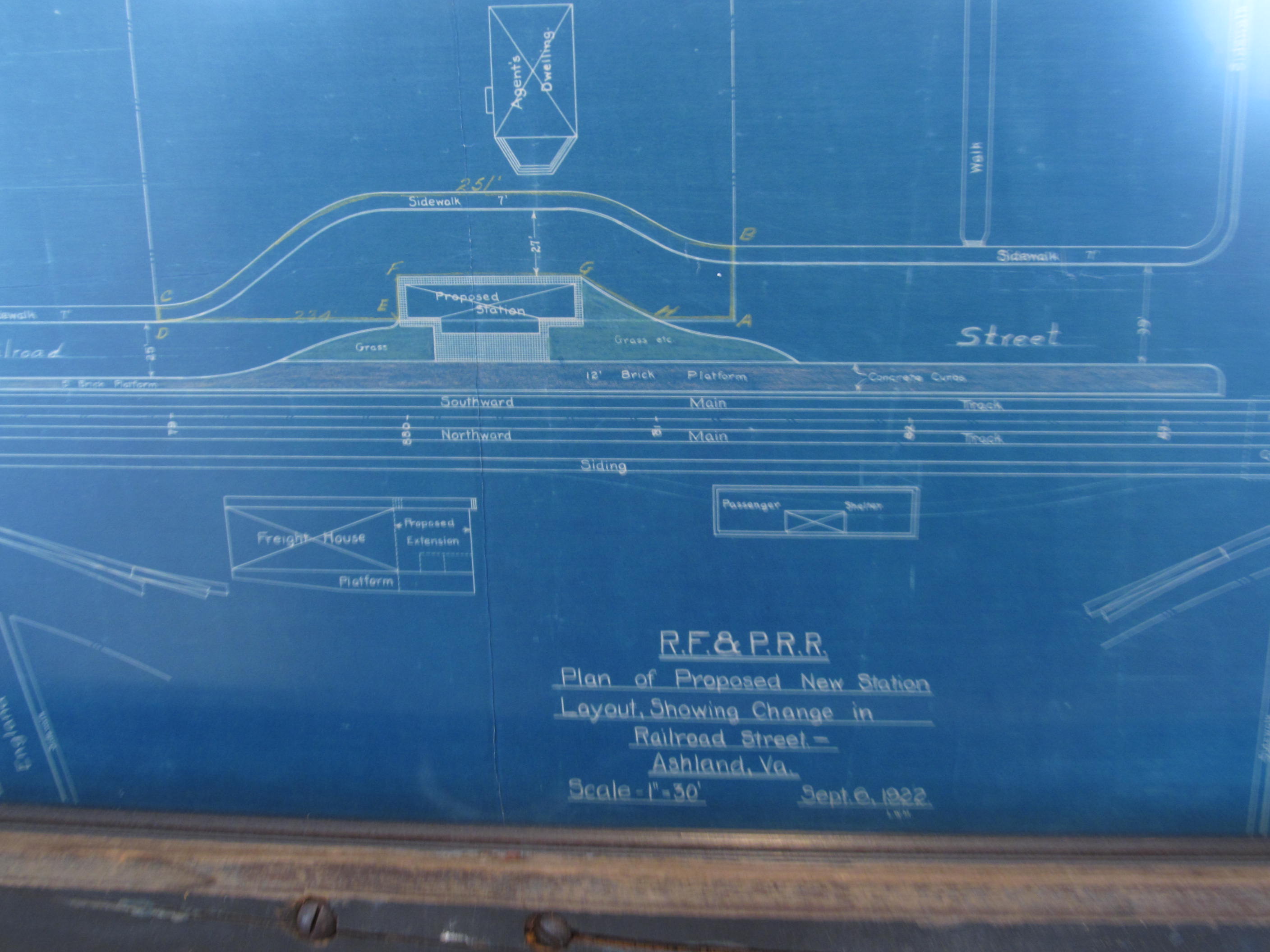
The station was built by the RF&P in 1923, replacing a depot that had built
in 1866. The station was closed in 1967, and then reopened in 1985.
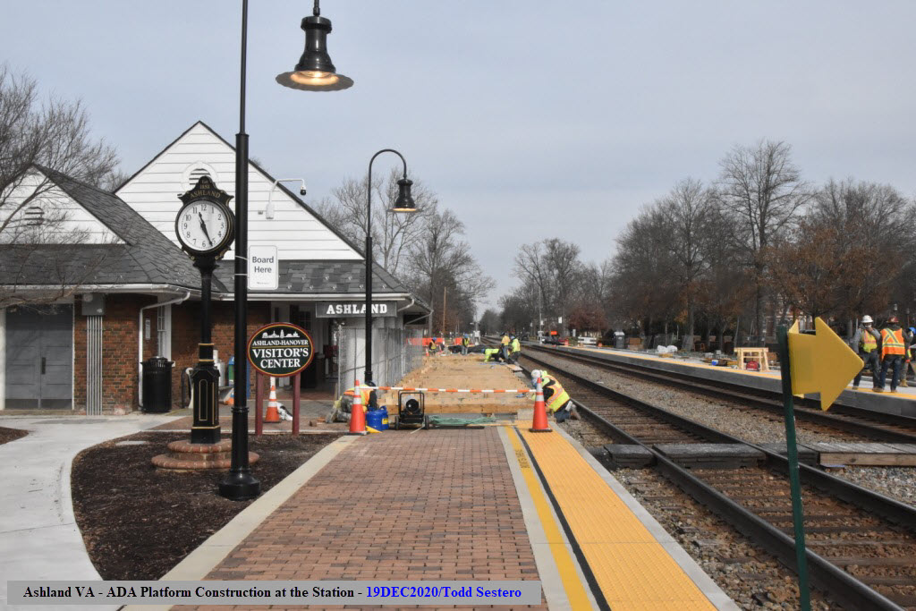
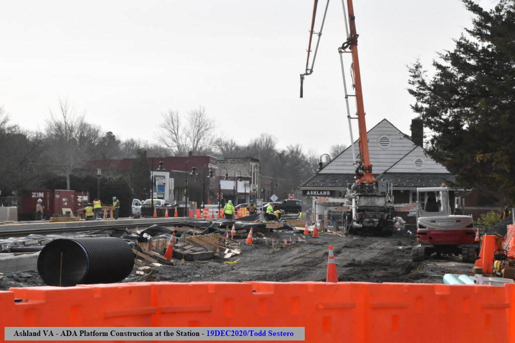
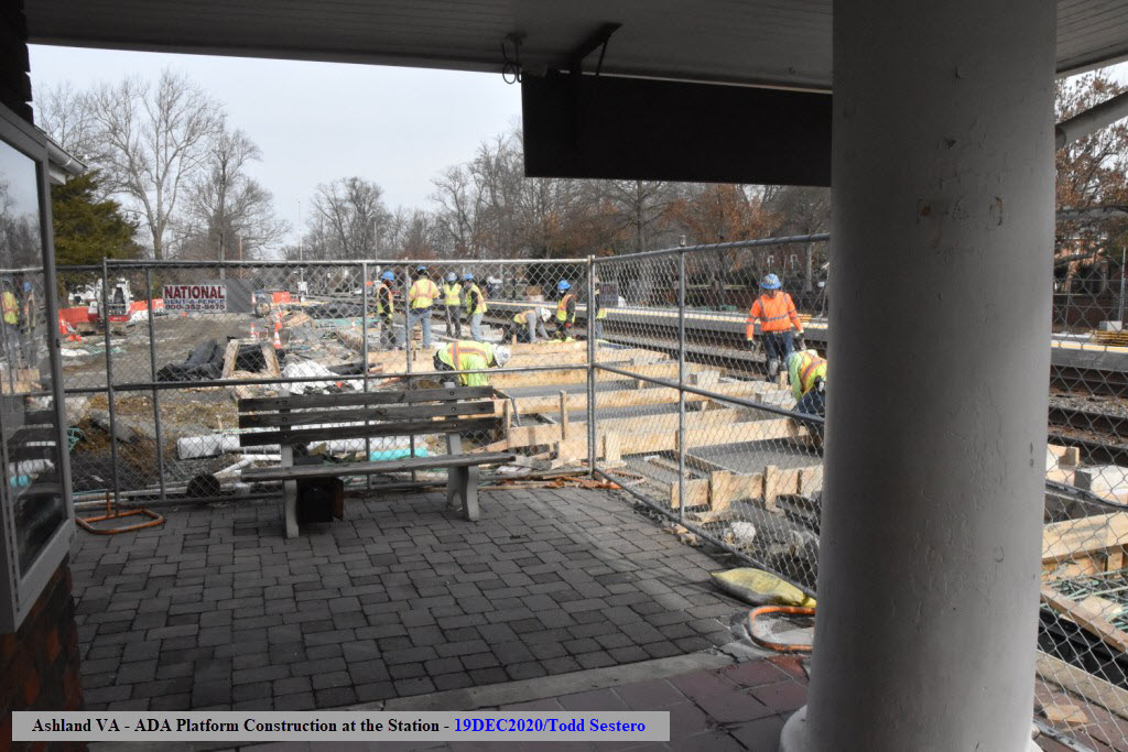
Platform renovations to make things ADA compliant began at the end of 2019, and
is expected to be completed in February of 2021, according to one of the workers
at the site in December of 2020.
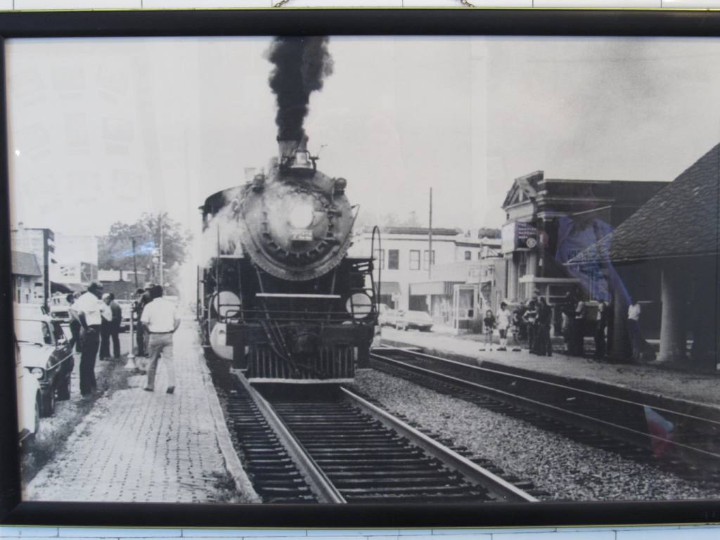
The Silver Comet in 1968, photo: A Roger Puta
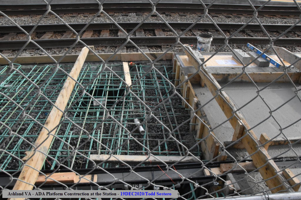
A New ADA Platform
Amtrak started the installation of a new ADA compliant platforms starting in
late 2019, and even tho it was supposed to be completed by now, the latest guess
from info I got the other day is February 2021.
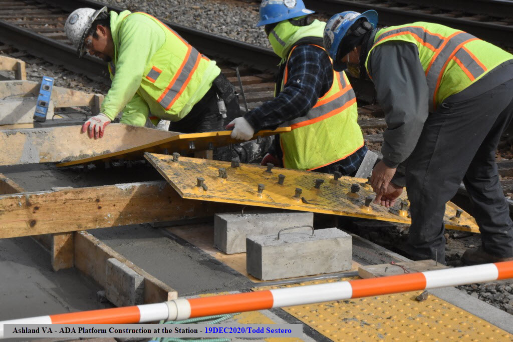
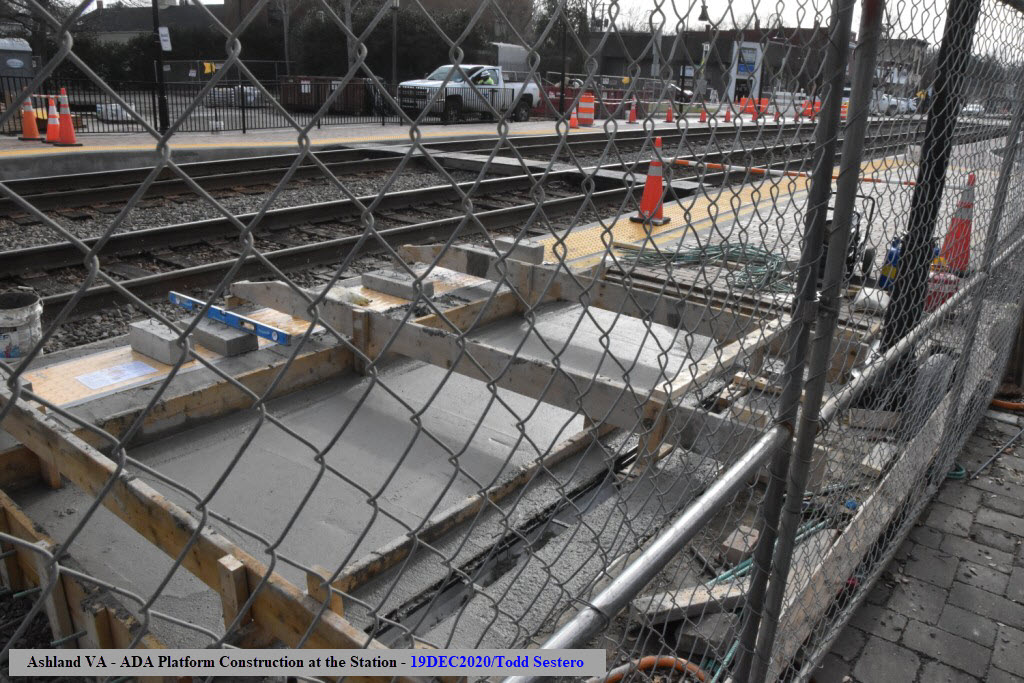
Once concrete is poured and smoothed out, the yellow treads are set in the
concrete, and uses studs to keep it secured in place. Once they are in,
concrete weights are placed on top to keep them from moving during the curing
process.
The new platforms will not be using the crushed run as a support base. If
you look closely, you will see a small square "thing" in the middle of all of
that rebar (30 tons of it, BTW, that is A LOT!). Those square things are
on top of a solid steel pole that is set in concrete going 12 feet into the
ground. You could actually remove the stone, because the weight of the
platform rests on these poles. This design was used to lessen the impact
of the trains rumbling by and settling (even) the well compacted stone sub-base
the concrete is poured onto. The 30 tons of rebar is also another Amtrak
design requirement that goes way over the top! Thanks to one of the
construction inspectors for taking the time to explain the design to me.
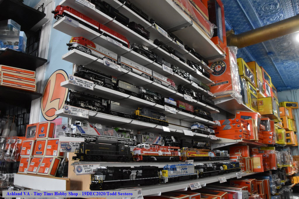
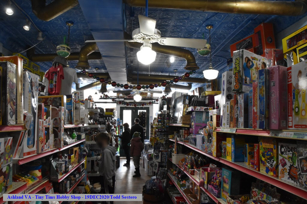
A Hobby store concentrating on model trains and the hobby. They have a
large assortment of "O" Scale trains (actually, as astounding
variety!), a fair number of "HO" offerings, and a
limited amount of "N" scale equipment. In addition, they have tools and
accessories for all scales.
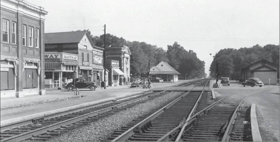
1923, looking north
Notice the freight shed off to the right, from the Ashland Museum. The
siding track went into a wye for turning trains around.
The movie theater on England St
Looking south across England St
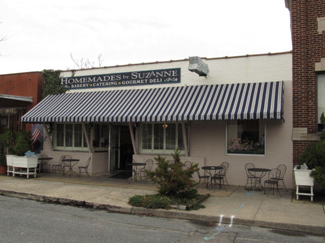
There is a great sandwich shop across the street on the west side of Center Street, that offers the railfan
easy access in the event a train comes through!
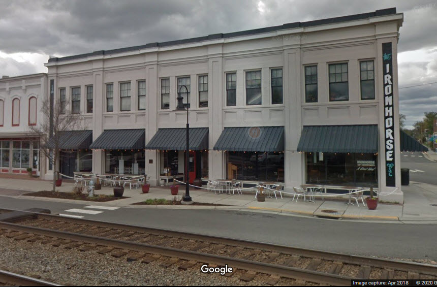
If you want more PUB type offerings, on the other side of England St, is the
Ironhorse, if you sit in the large corner table, you don't even have to run
outside for pictures. Reasonable prices, quick, great food, and great sweet tea.
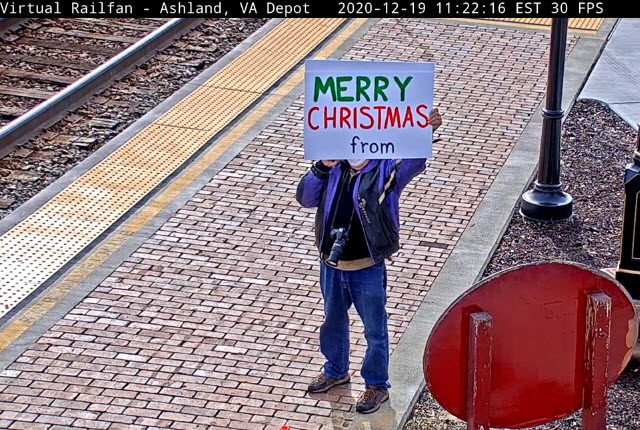
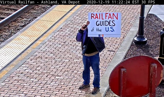
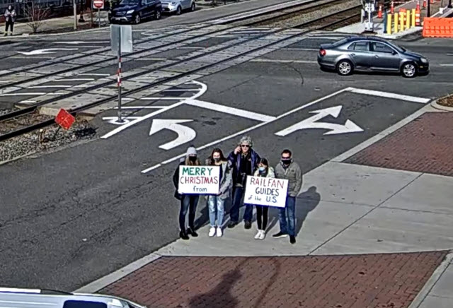
On Saturday, Dec 19th, 2020, I was in Ashland to do a present exchange with my
daughter and her family, it's the best place between us, where she lives on the
west side of Richmond, and myself, because I can pack in both Ashland and
Doswell for railfanning! So before they got there, I made a couple of
posters for Christmas.....
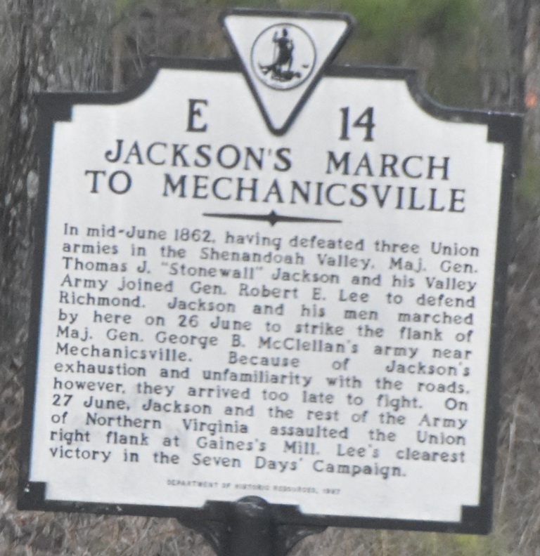
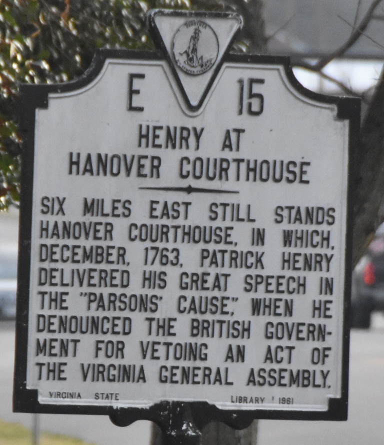
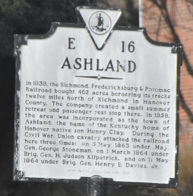
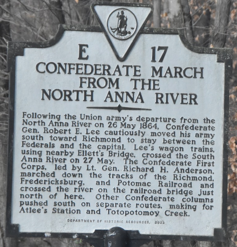
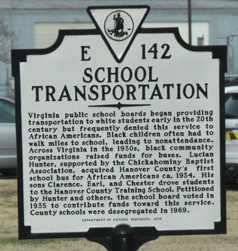
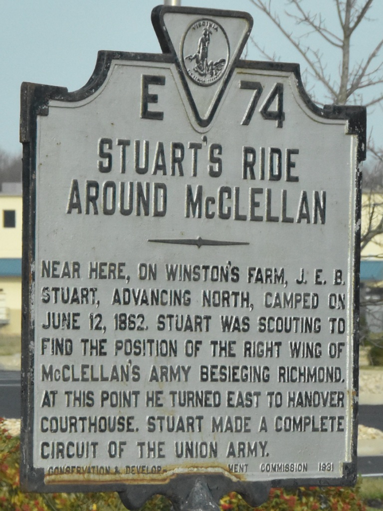
Historical Markers
Virginia does an excellent job of marking the state with their historical markers,
and, if you can find it, there is a book published which lists ALL of them - my
daughter got one for my birthday! :-)
Here are some of them in Ashland, I believe I found all of them along Route 1.
Courtesy of the University of Texas Library, click here for their index page.
Disclaimers:
I love trains, and I love signals. I am not an expert. My webpages reflect what I find on the topic of the page. This is something I have fun with while
trying to help others.
Please Note: Since the main focus of my two websites is railroad signals, the railfan guides are oriented towards the signal fan being able to locate them.
For those of you into the modeling aspect of our hobby, my
indexa page has a list of almost everything railroad oriented
I can think of to provide you with at least a few pictures to help you detail your pike.
If this is a railfan page, every effort has been made to make sure that the information contained on this map and in this railfan guide is correct. Once in a while,
an error may creep in :-)
My philosophy: Pictures and maps are worth a thousand words, especially for railfanning. Text descriptions only get you so far, especially if you get lost or
disoriented. Take along good maps.... a GPS is OK to get somewhere, but maps are still better if you get lost! I belong to AAA, which allows you to get
local maps for free when you visit the local branches. ADC puts out a nice series of county maps for the Washington DC area, but their state maps do not have the
railroads on them. If you can find em, I like the National Geographic map book of the U.S..... good, clear, and concise graphics, and they do a really good job
of showing you where tourist type attractions are, although they too lack the railroads. Other notes about specific areas will show up on that page if known.
Aerial shots were taken from either Google or Bing Maps as noted. Screen captures are made
with Snagit, a Techsmith product... a great tool if you have never used it!
By the way, floobydust is a term I picked up 30-40 years ago from a National Semiconductor data book, and means miscellaneous
and/or other stuff.
Pictures and additional information is always needed if anyone feels inclined to take 'em, send 'em, and share 'em, or if you have something to add or correct.... credit
is always given! Please be NICE!!! Contact info is here
Beware: If used as a source, ANYTHING from Wikipedia must be treated as being possibly inaccurate, wrong, or not true.

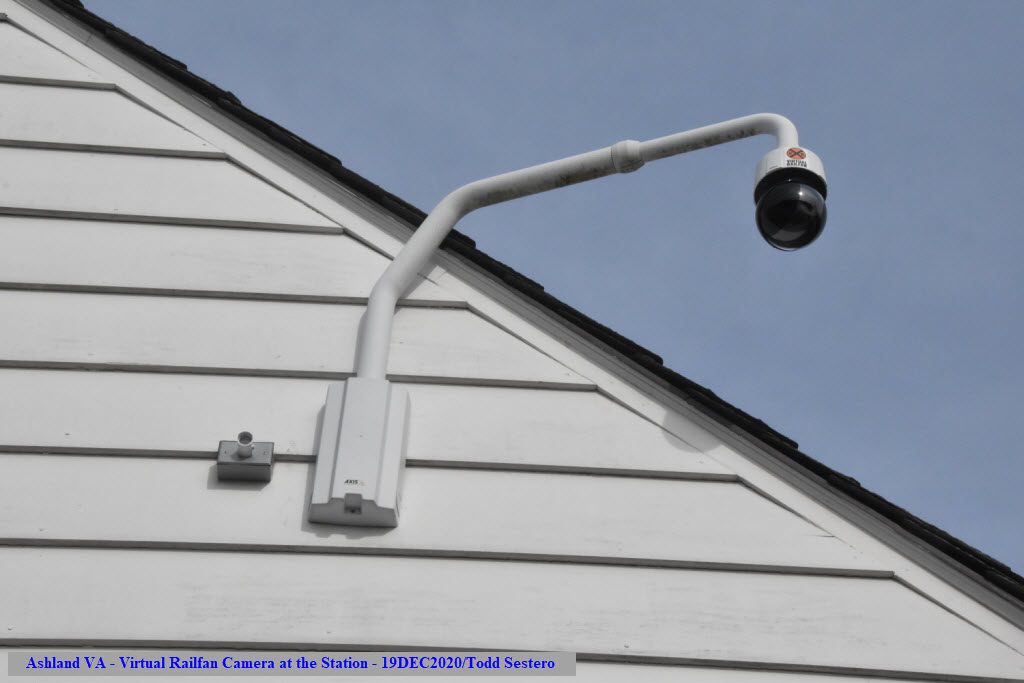 The Virtual Railfan Camera on the south side of the station

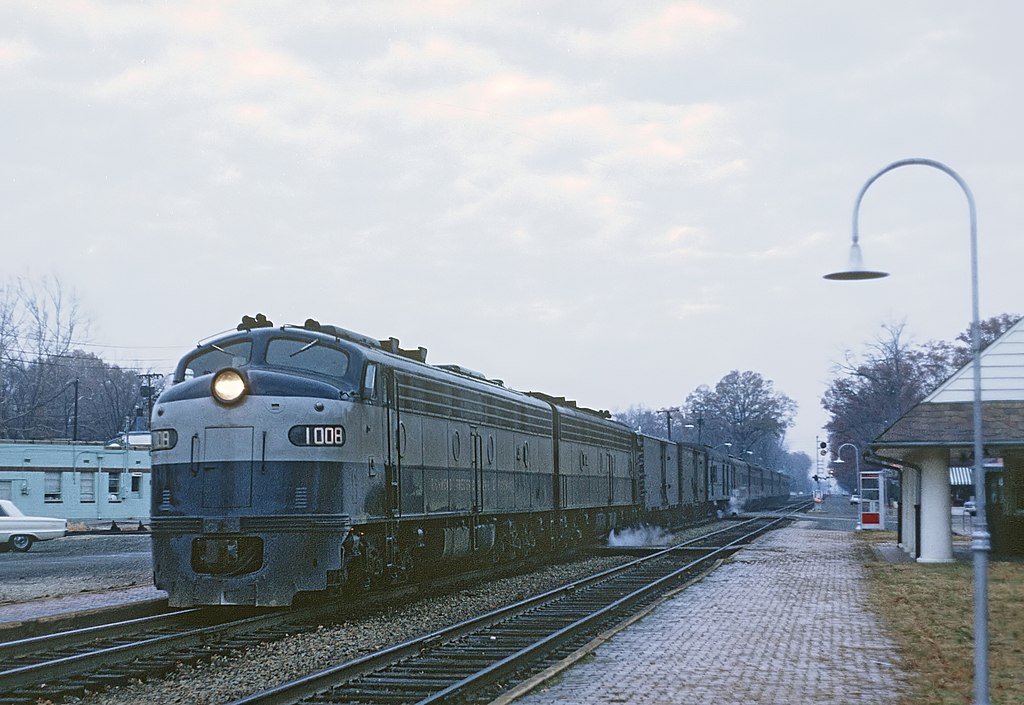 The Silver Comet in 1968, photo: A Roger Puta
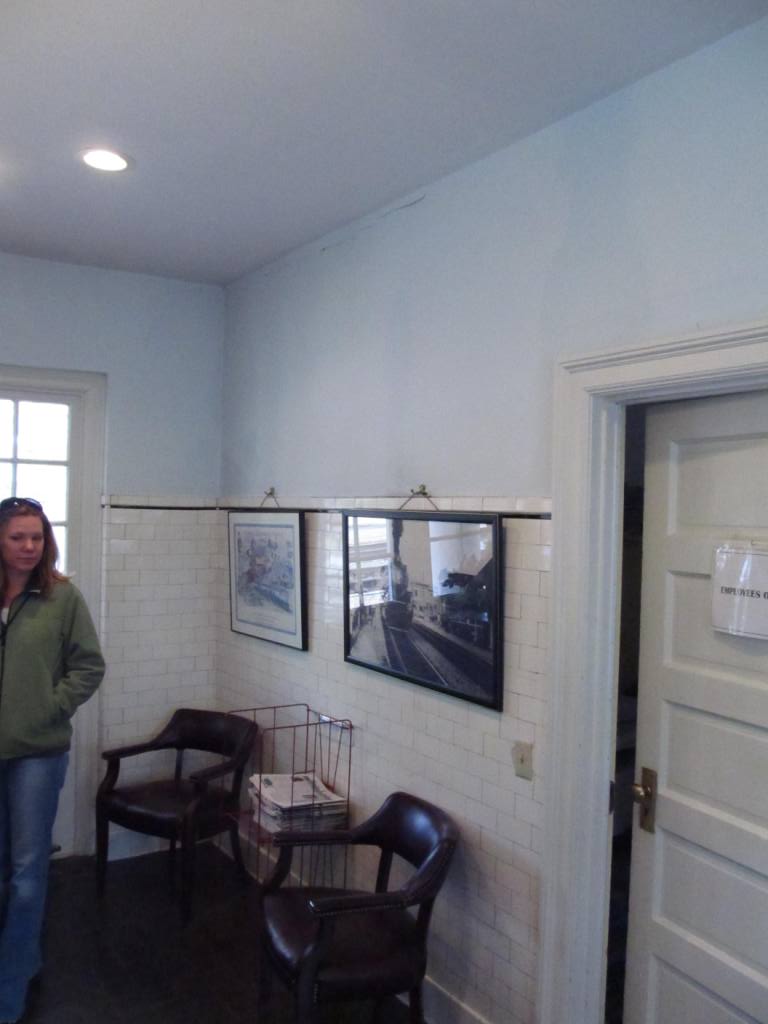


 A couple of Amtraks barreling thru
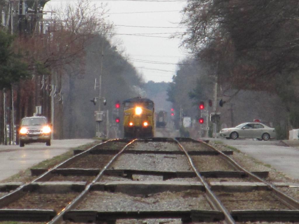

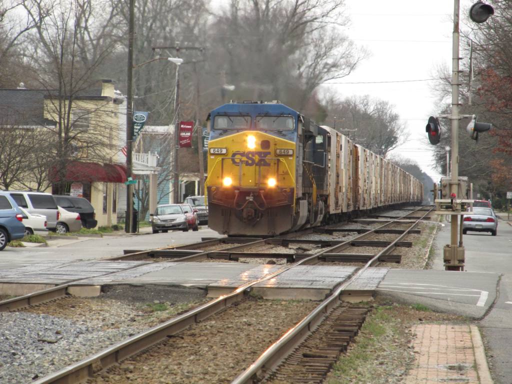
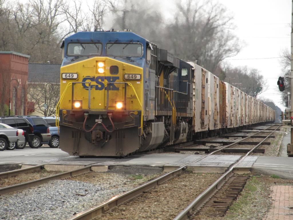
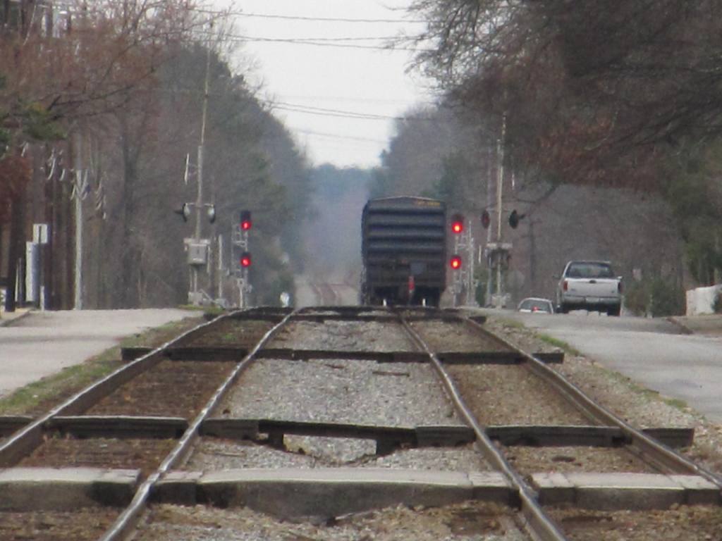
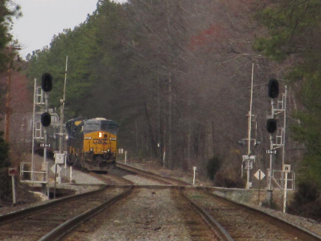
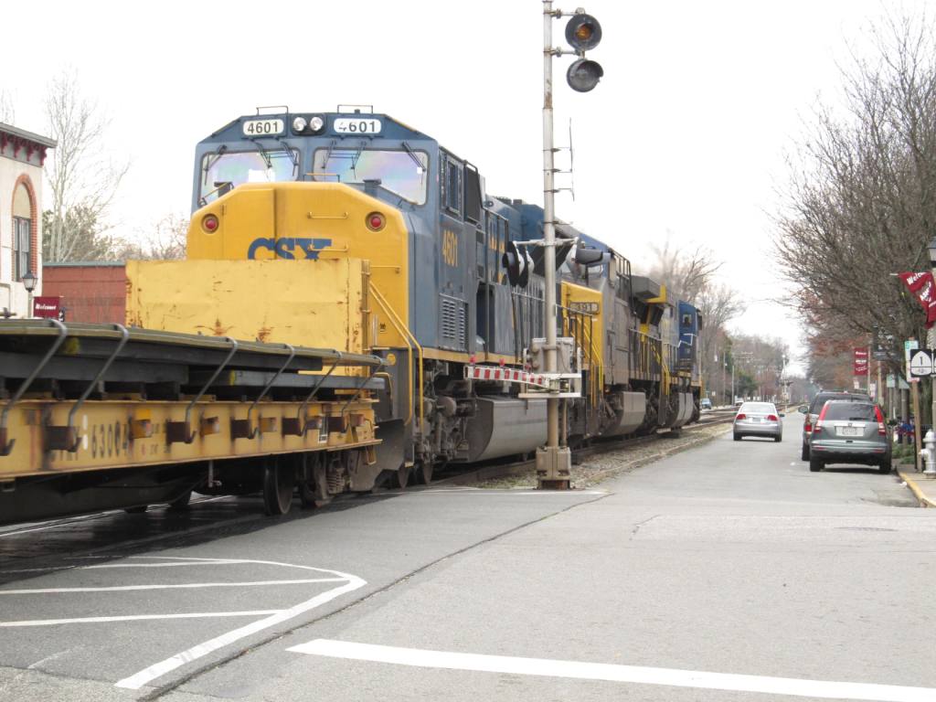
 SB CSX Freight
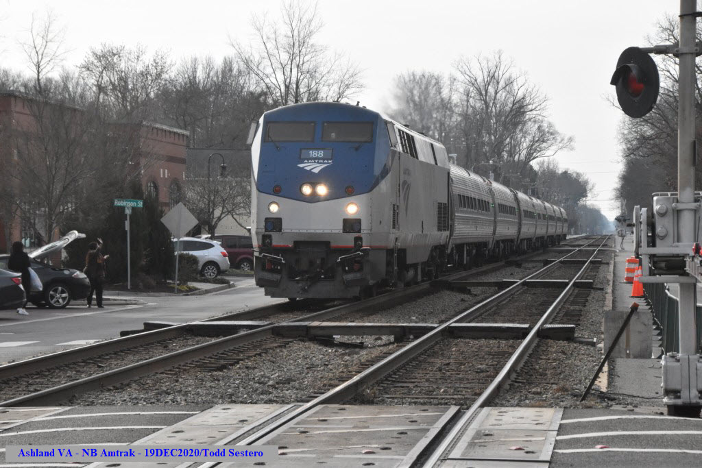
 1923, looking north
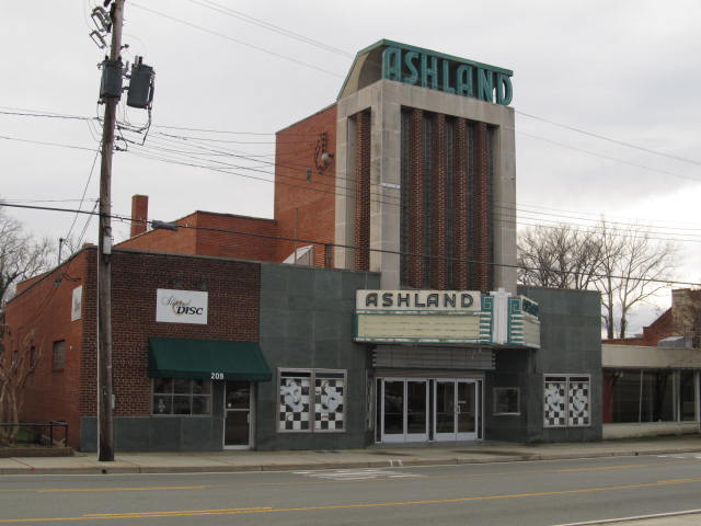 The movie theater on England St
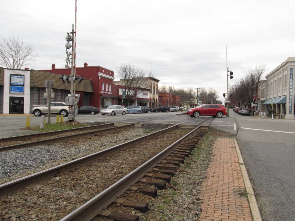 Looking south across England St