
In General
Getting Here
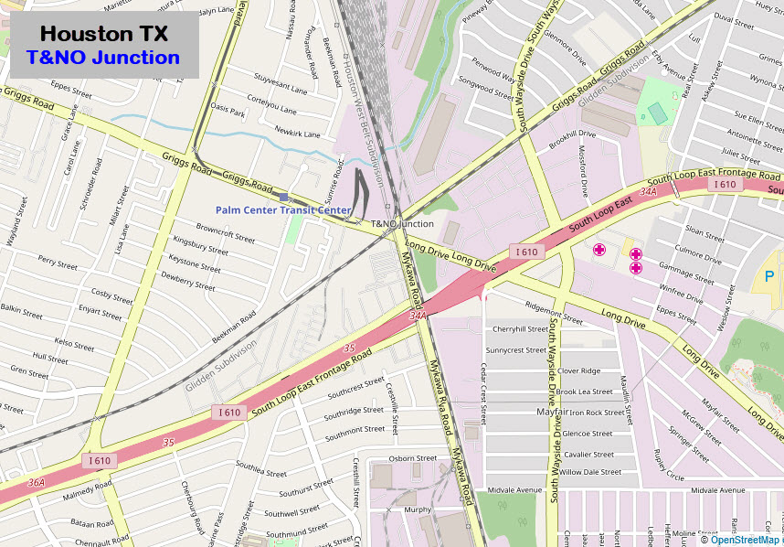
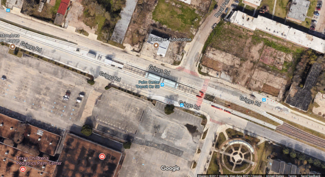
Map
Sights
Signals
Pictures
Floobydust
USGS Maps
RAILFAN GUIDES HOME
RAILROAD SIGNALS HOME
Location / Name:
Houston TX, Harris County
What's Here:
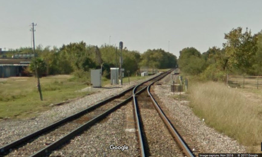
T&NO Junction
Metrorail Light Rail Purple Line
Off peak LRV storage tracks
Data:
GPS Coordinates: 29.695416, -95.326726
Phone A/C: 713
ZIP: 77033
Access by train/transit:
Light Rail - Purple line Palm Center Transit Center Station (4 blocks away)
The Scoop:
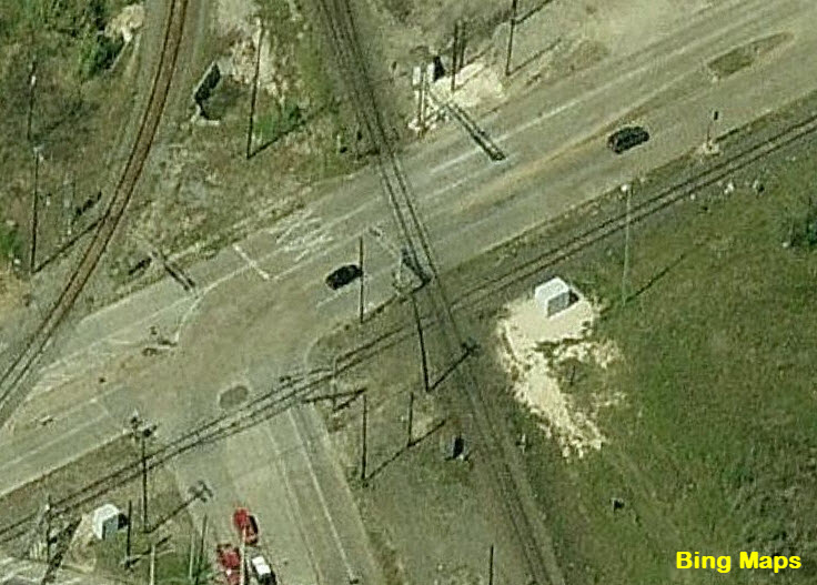
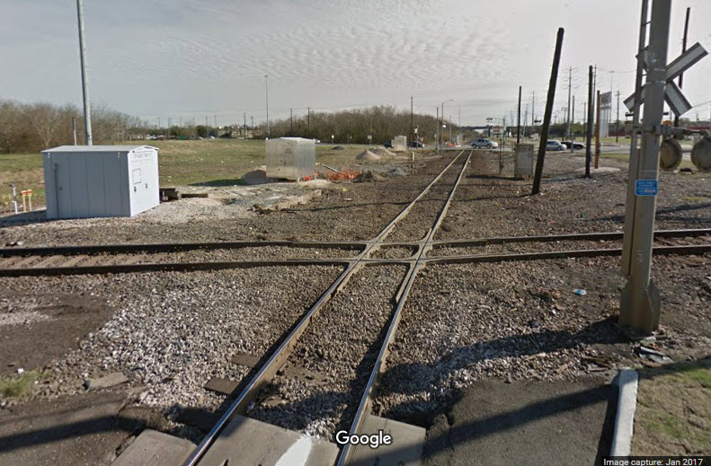
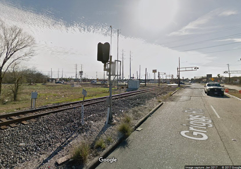
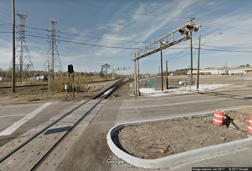
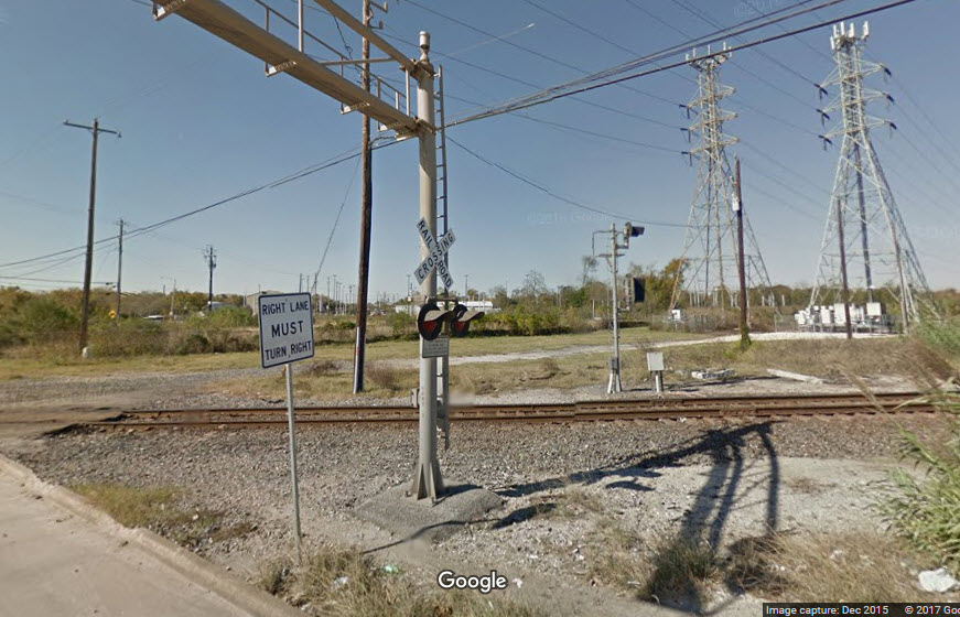
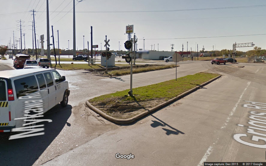
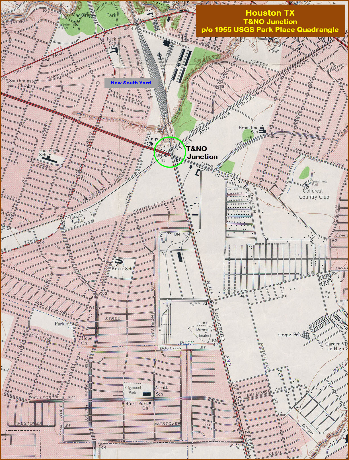
T&NO Junction is a crossing and interchange between the UP and the BNSF. BNSF runs N-S, and the UP runs more or less E-W. The junction got it's name from the former Texas and New Orleans RR that used to run on the UP Line. I do not know when the single interchange track was put in, but it does not show up on the 1955 USGS map below.
Acknowledgements:
Robert Pierce of SW Rails.com...
Denver Todd
Websites and other additional information sources of interest for the area:
http://txrrhistory.com/towers/081/081.htm
From the inner loop of I-610, take exit 34A, which is labeled S Wayside Drive/Long Dr, but the last sign is a quarter mile from the exit, the exit itself has no labeling, which is odd for Texas highways. Take the frontage road, go thru Wayside Dr to Long Dr, and take a right at the Citgo station on the right.
From the outer loop, take exit 34A, again, labeled Long Dr/Wayside Dr, and take a left at the bottom of the ramp, this is Long Dr, take it up to the junction.
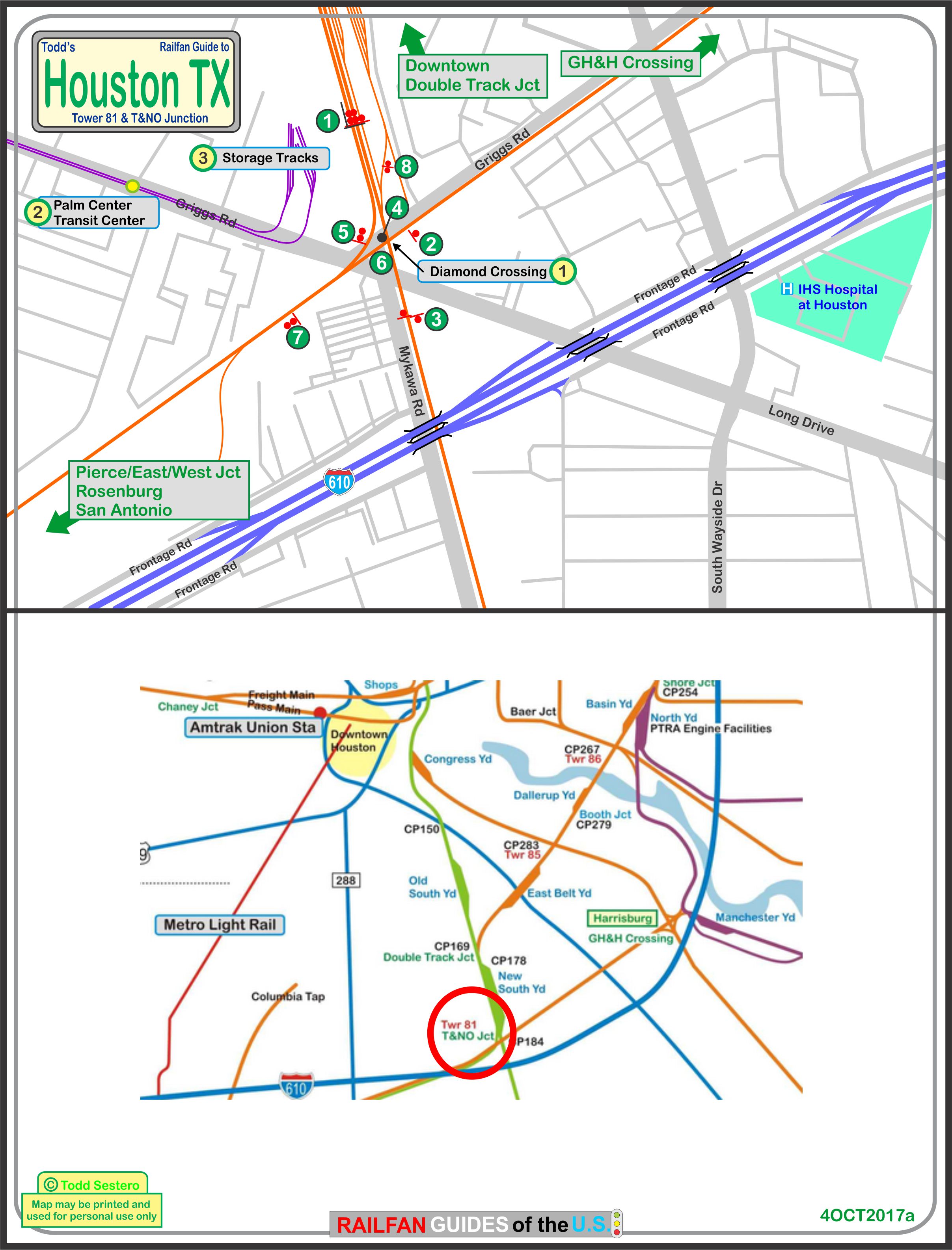
the above map is available as a PDF
here
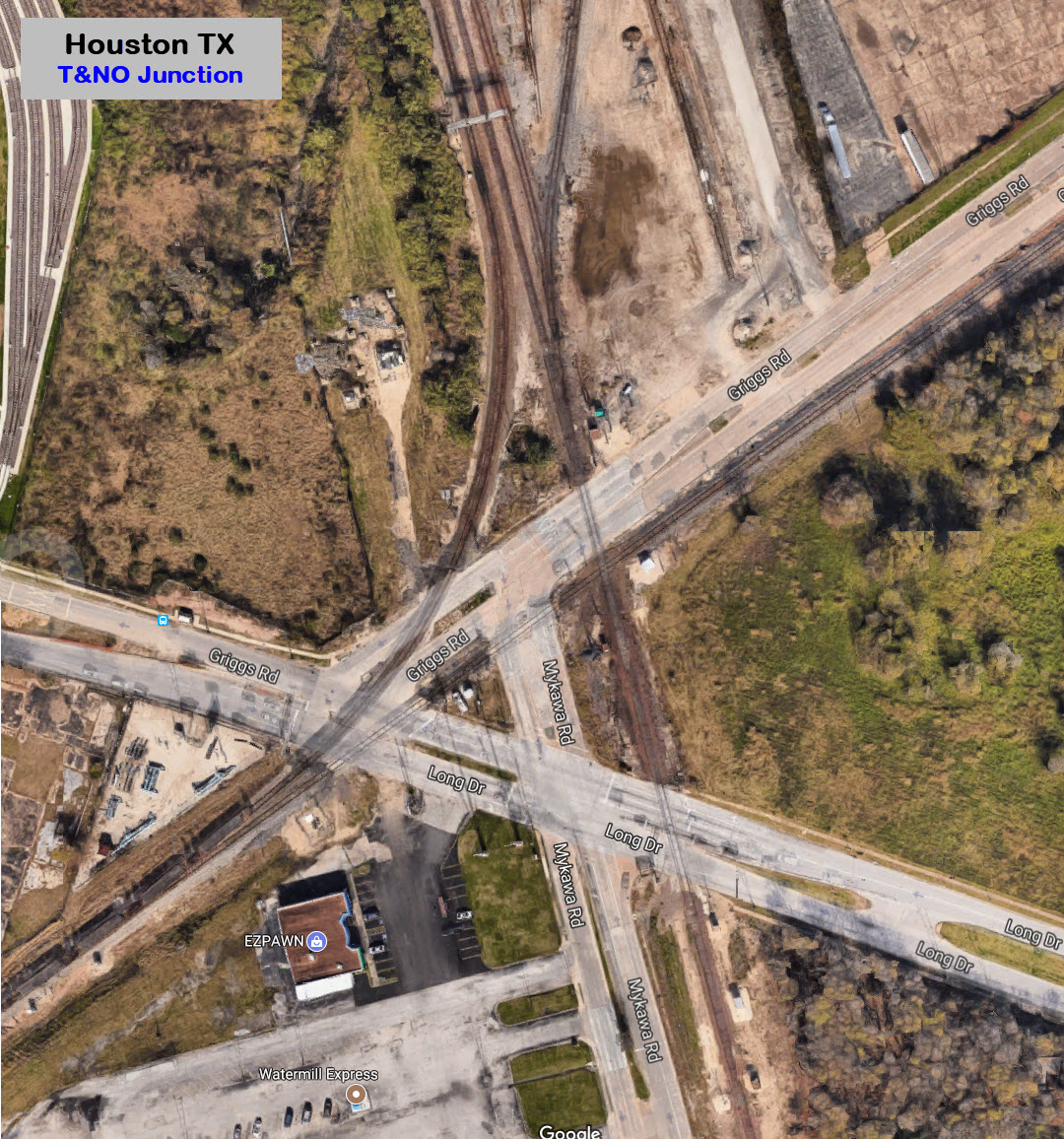
GPS Coordinates: 29.696381, -95.328660
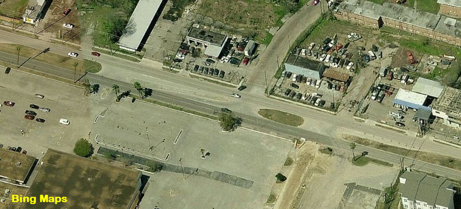
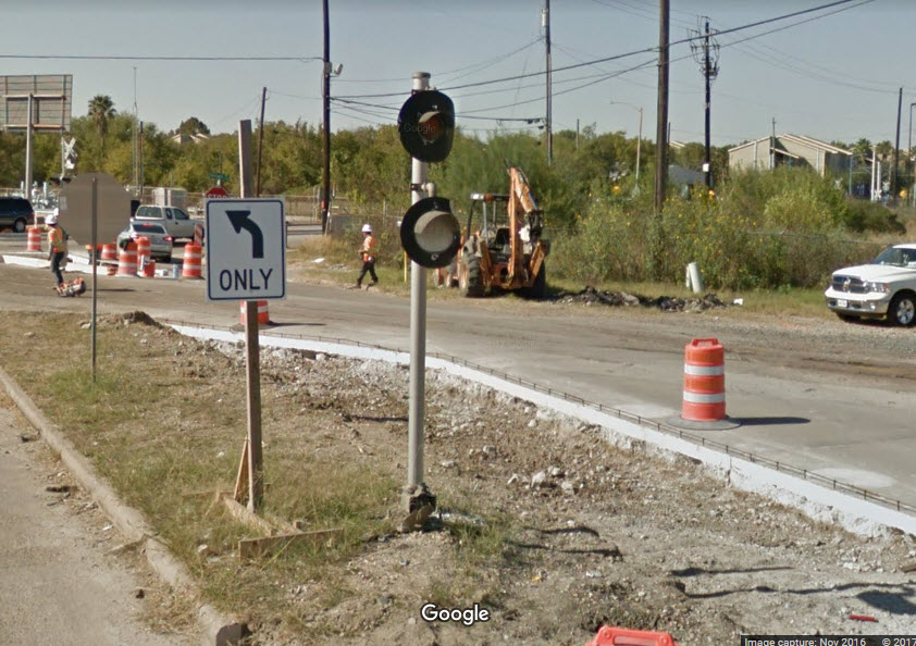
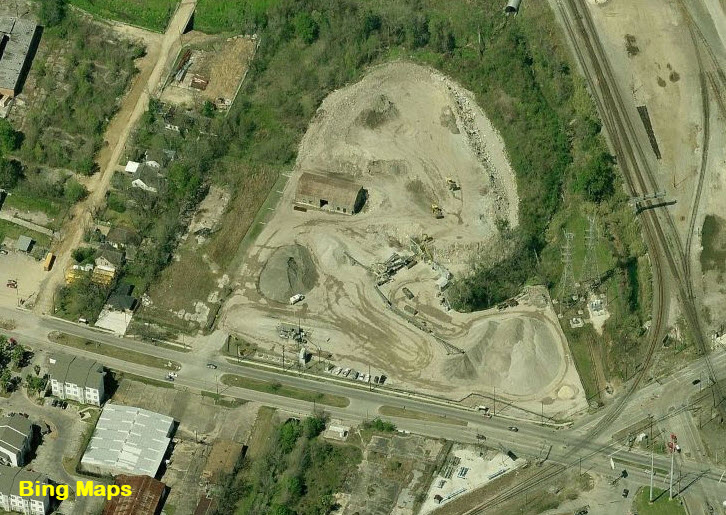 the storage tracks before construction started
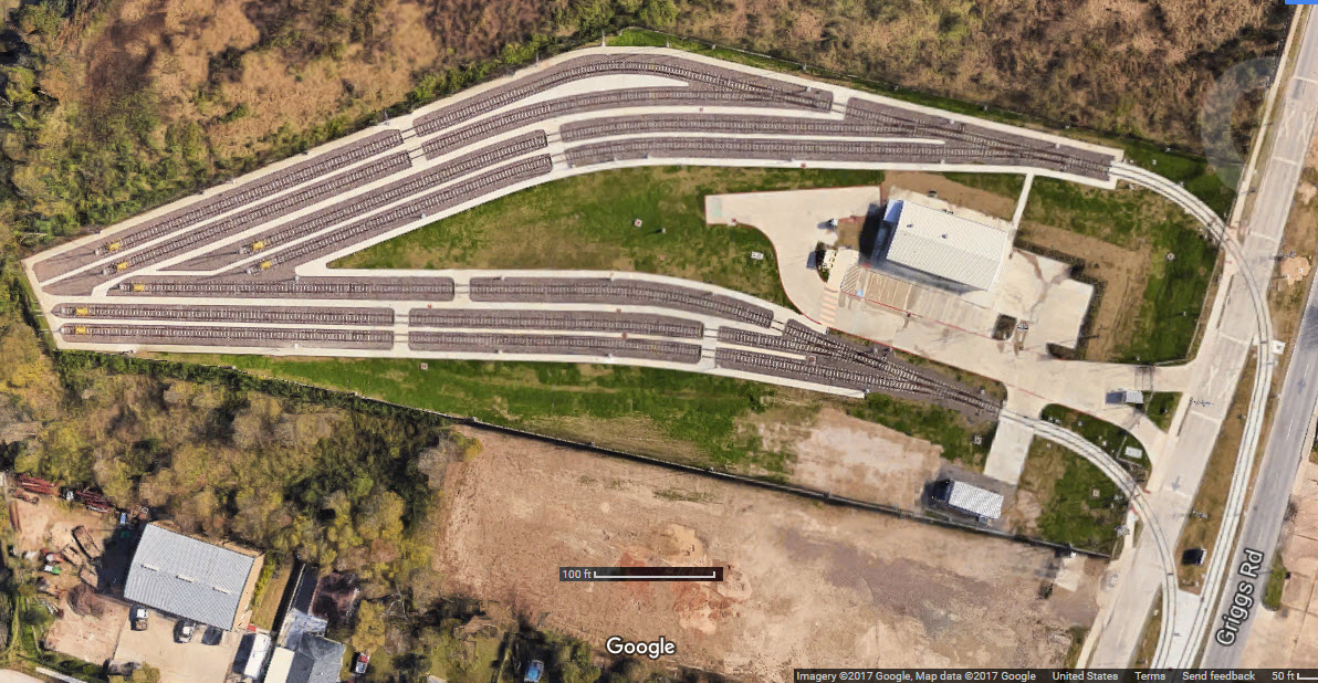
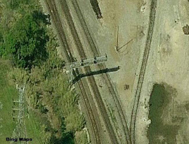
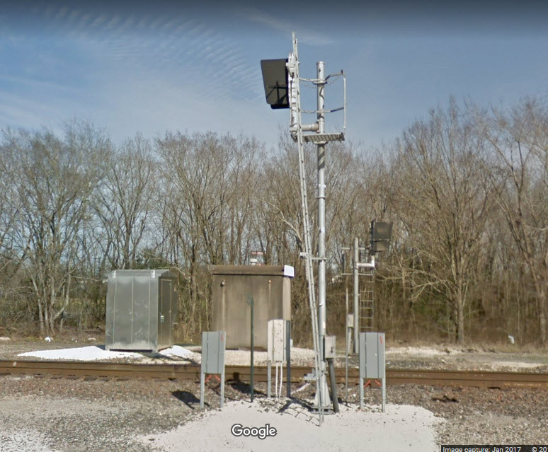
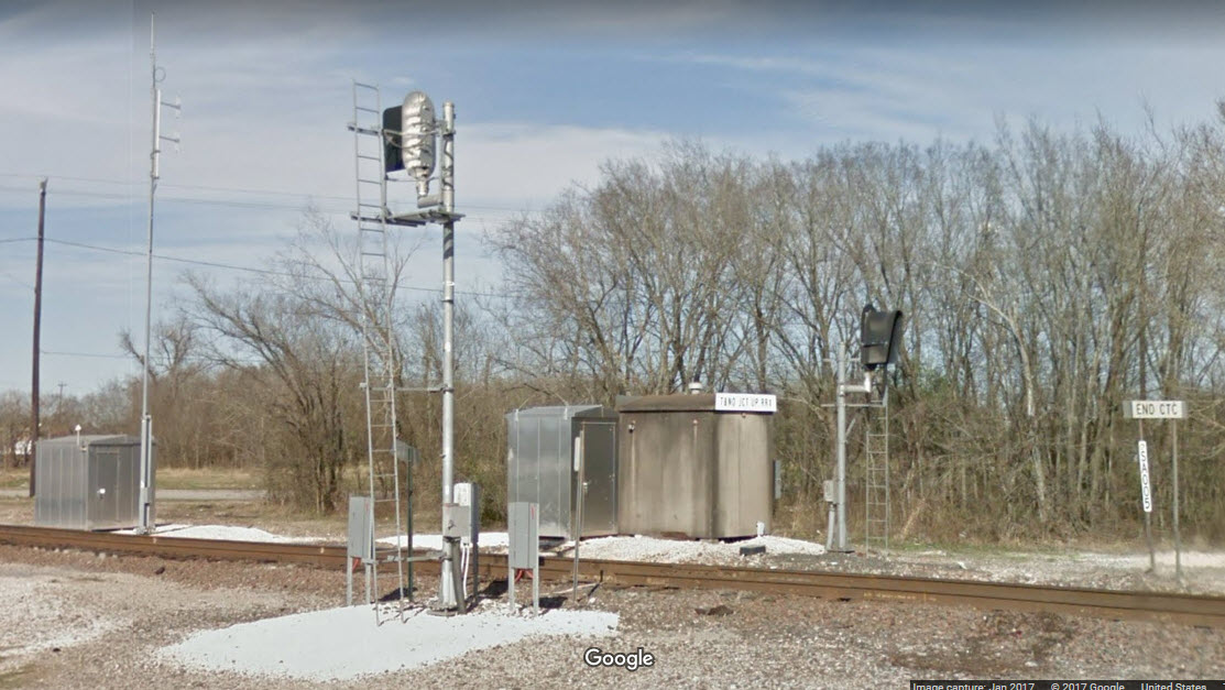
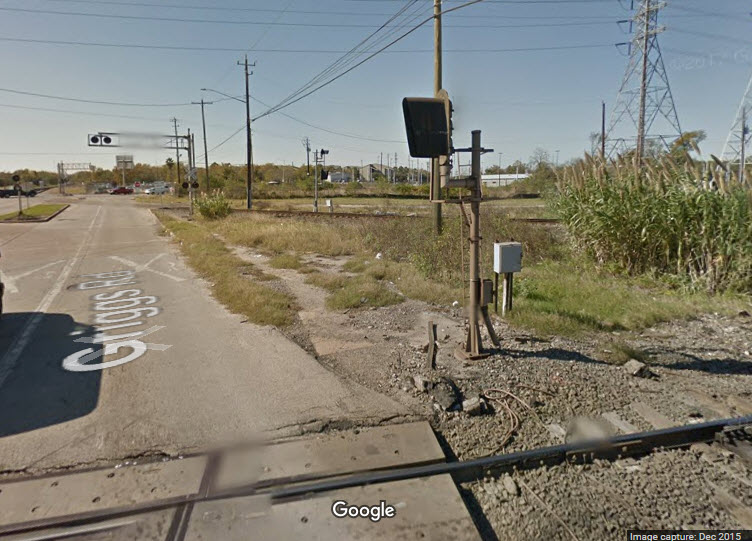
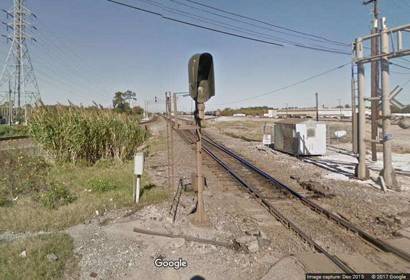
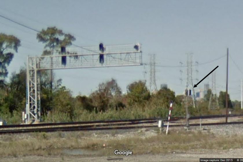
Not a "real" signal per se, but nevertheless, they are rare in these here parts.....
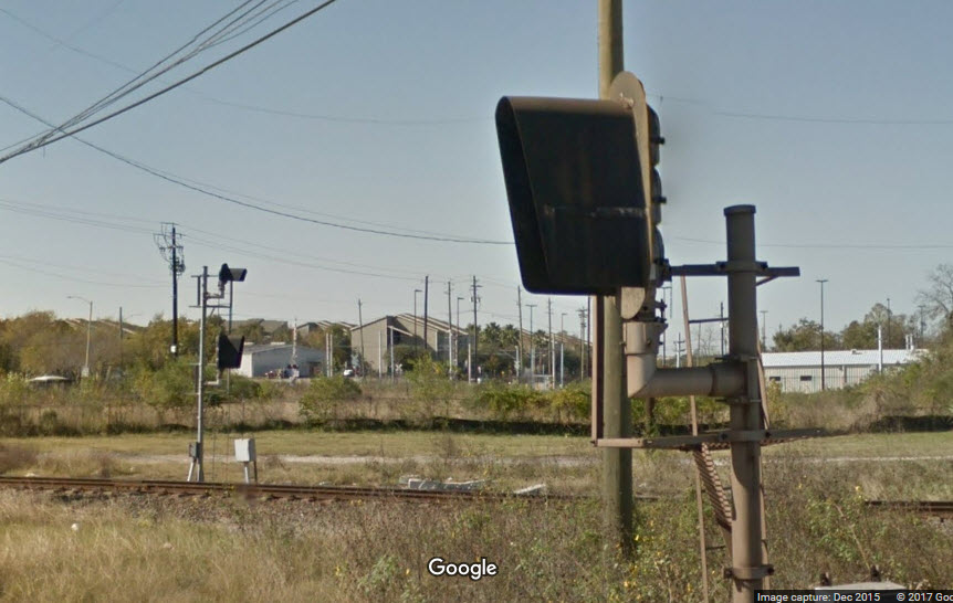
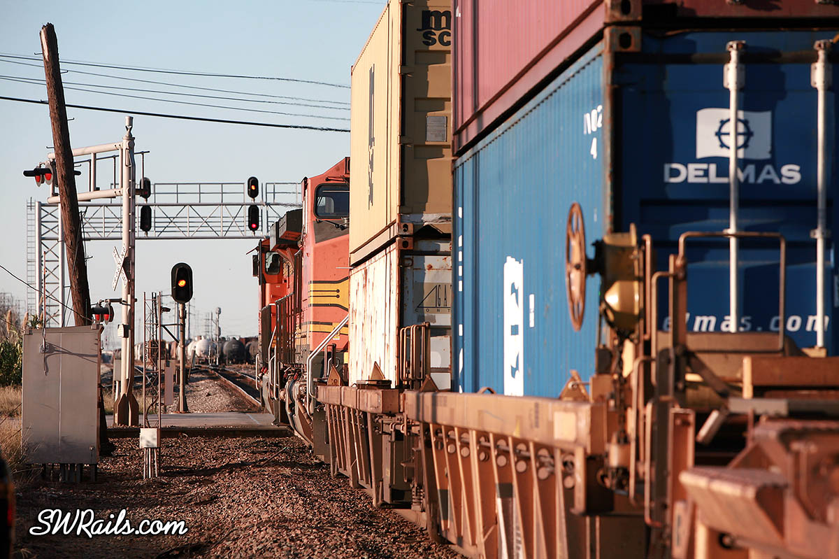
These appear to be to the "small" LED signals popping up everywhere in yards and on smaller railroads lines. You can also kinda see it in the third photo below.
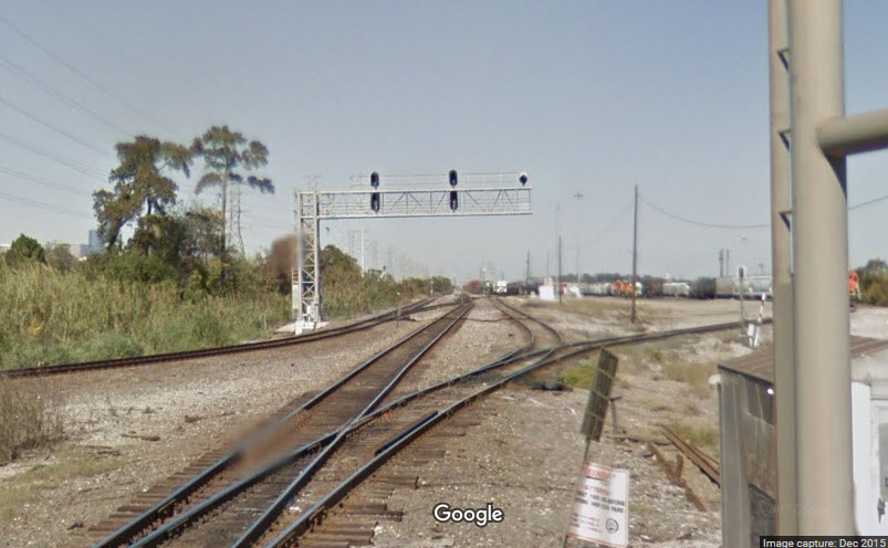
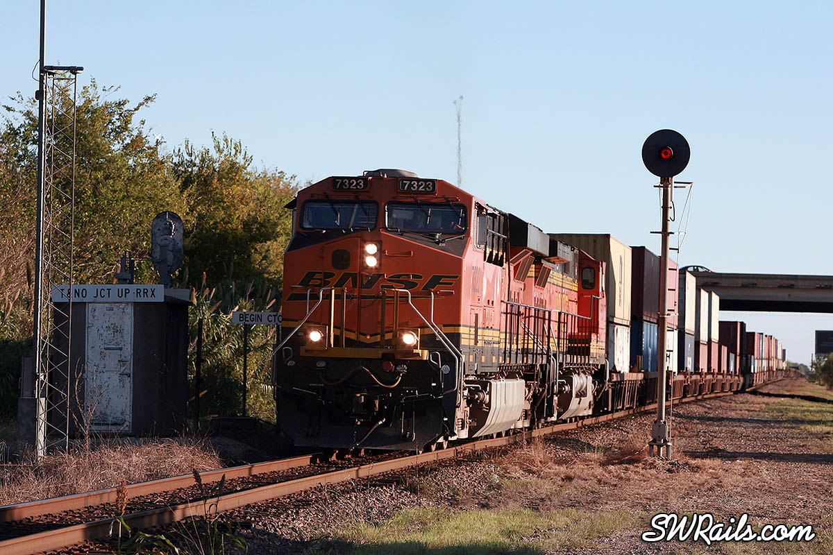
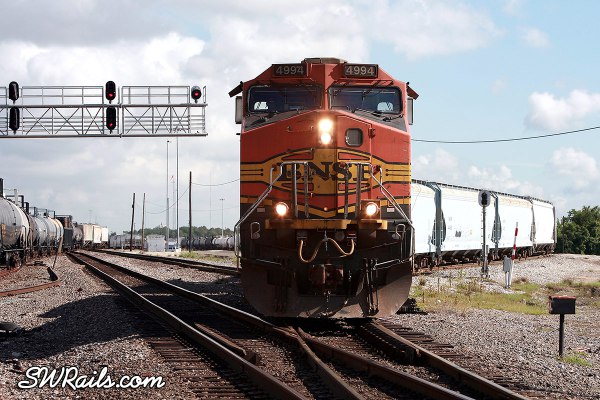
I cruised thru Google and Bing images, and came up with these three photos by Robert Pierce of SW Rails.com.....
In the first picture, you can plainly see the searchlight signal on the SB side before UP and BNSF replaced all the "old" signals....
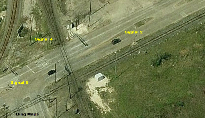
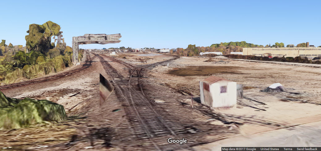
I hate it when Google Maps goes awry.....
 far :-)
Courtesy of the University of Texas Library, click here for their index page.
Disclaimers:
I love trains, and I love signals. I am not an expert. My webpages reflect what I find on the topic of the page. This is something I have fun with while
trying to help others.
Please Note: Since the main focus of my two websites is railroad signals, the railfan guides are oriented towards the signal fan being able to locate them.
For those of you into the modeling aspect of our hobby, my indexa page has a list of almost everything railroad oriented
I can think of to provide you with at least a few pictures to help you detail your pike.
If this is a railfan page, every effort has been made to make sure that the information contained on this map and in this railfan guide is correct. Once in a while,
an error may creep in :-)
My philosophy: Pictures and maps are worth a thousand words, especially for railfanning. Text descriptions only get you so far, especially if you get lost or
disoriented. Take along good maps.... a GPS is OK to get somewhere, but maps are still better if you get lost! I belong to AAA, which allows you to get
local maps for free when you visit the local branches. ADC puts out a nice series of county maps for the Washington DC area, but their state maps do not have the
railroads on them. If you can find em, I like the National Geographic map book of the U.S..... good, clear, and concise graphics, and they do a really good job
of showing you where tourist type attractions are, although they too lack the railroads. Other notes about specific areas will show up on that page if known.
Aerial shots were taken from either Google Maps or www.bing.com/maps as noted. Screen captures are made
with Snagit, a Techsmith product... a great tool if you have never used it!
By the way, floobydust is a term I picked up 30-40 years ago from a National Semiconductor data book, and means miscellaneous
and/or other stuff.
Pictures and additional information is always needed if anyone feels inclined to take 'em, send 'em, and share 'em, or if you have something to add or correct.... credit
is always given! Please be NICE!!! Contact info is here
Beware: If used as a source, ANYTHING from Wikipedia must be treated as being possibly being inaccurate, wrong, or not true.
SEPTA HOMEPAGE
RAILFAN GUIDES HOME
RAILROAD SIGNALS HOME
NEW
10/04/2017
Last Modified
10-Oct-2017