In General
Getting Here
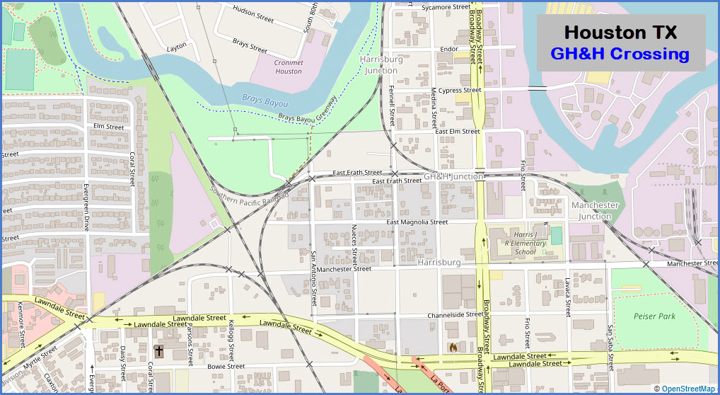
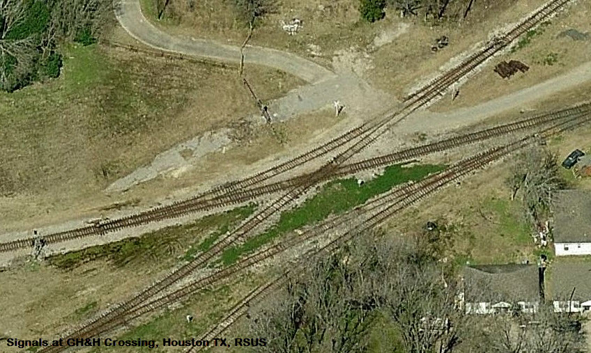
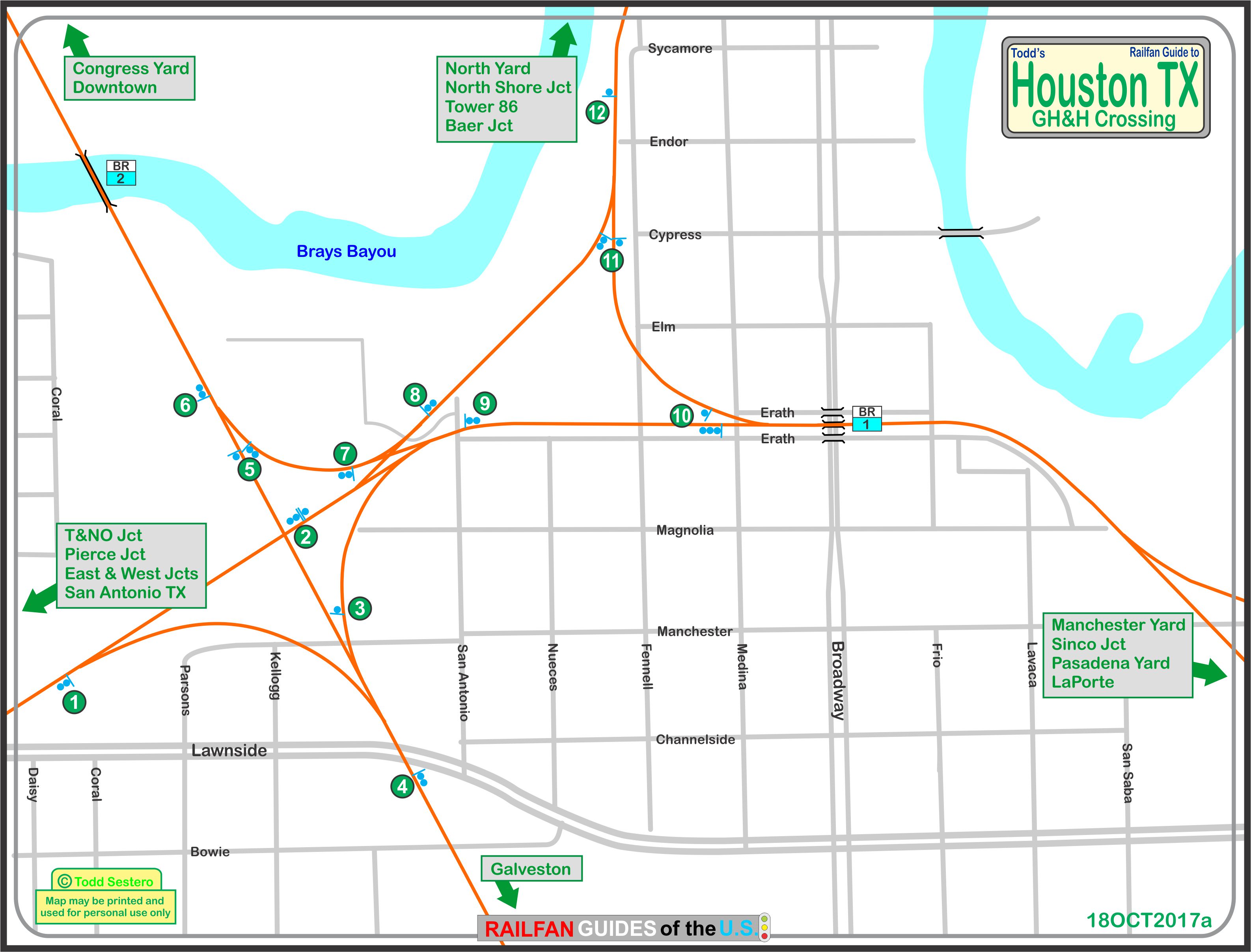
Map
the Diamonds
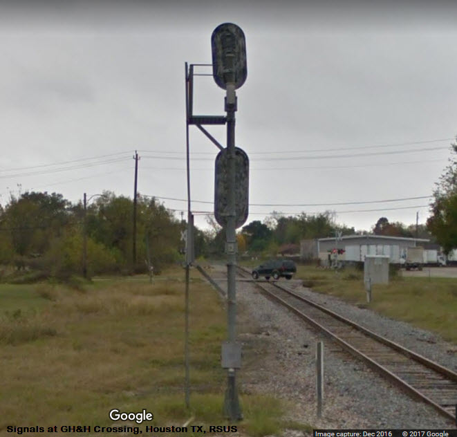
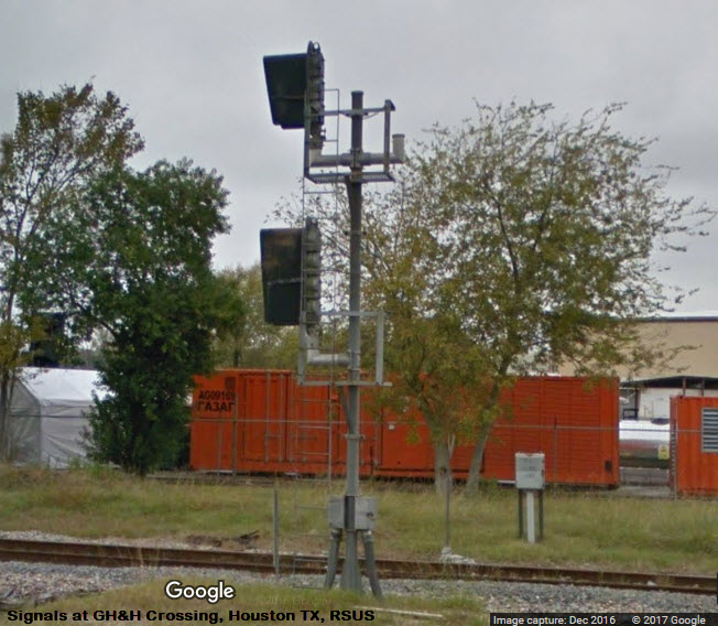
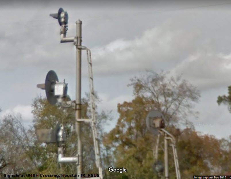
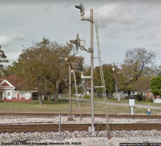
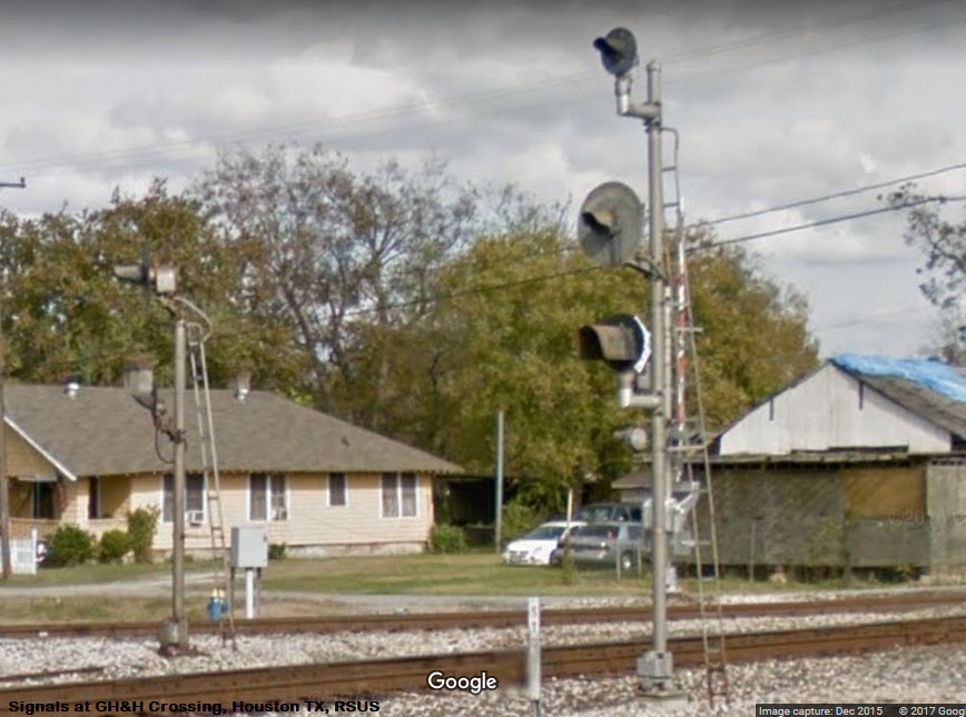
Signals
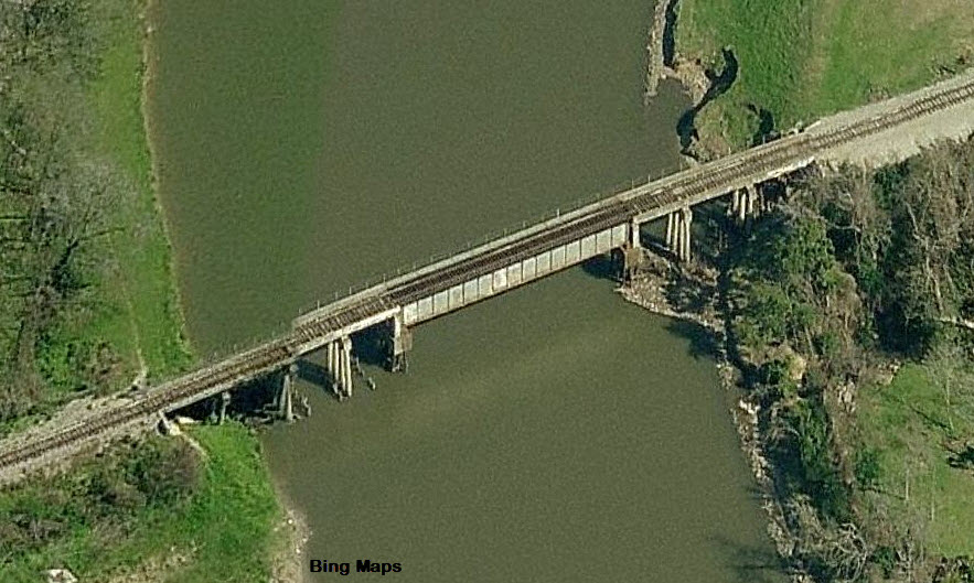
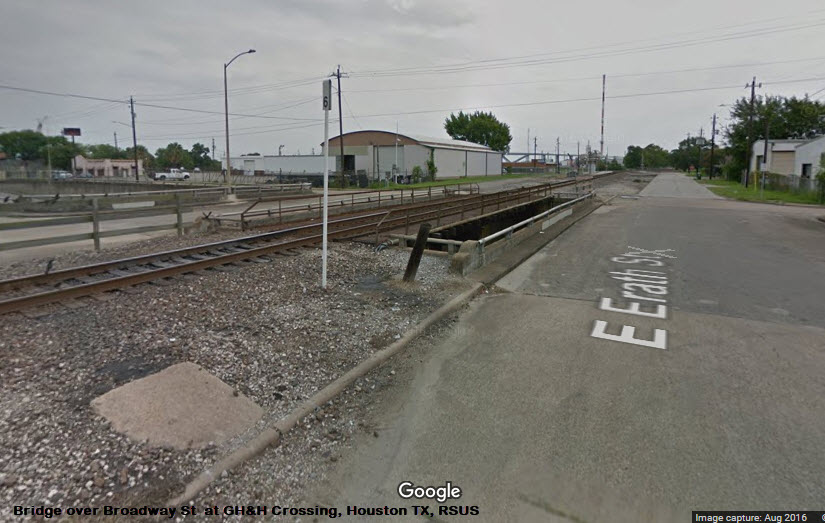
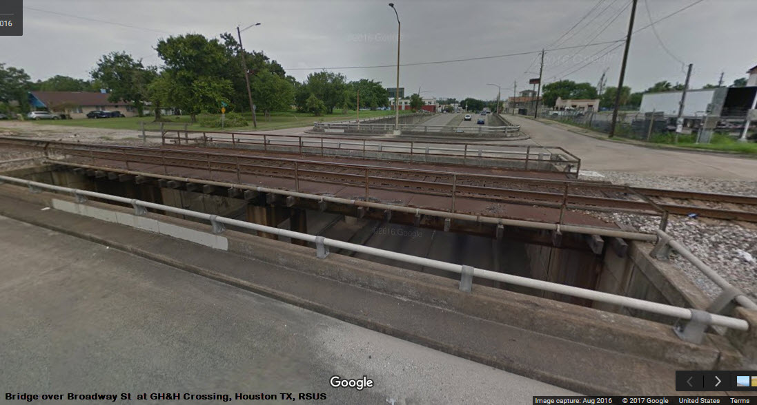
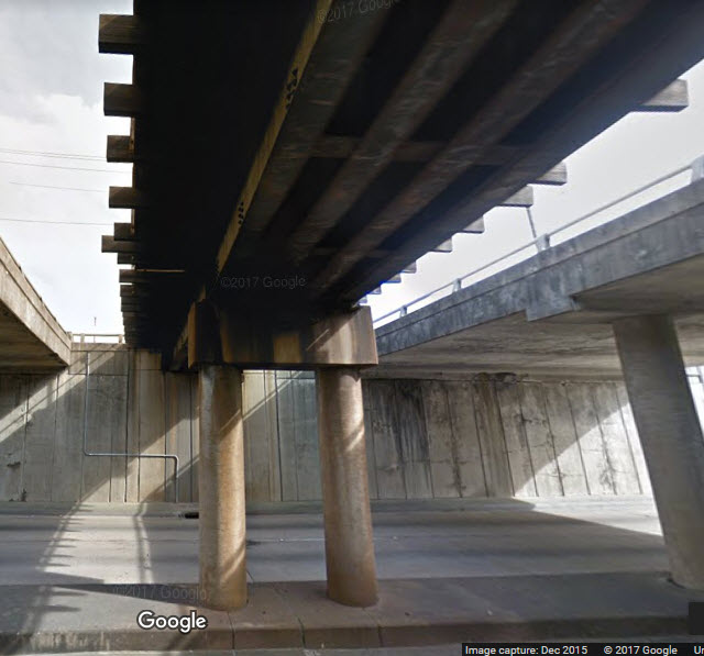
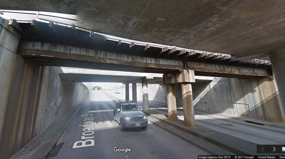
Bridges
Pictures
Floobydust
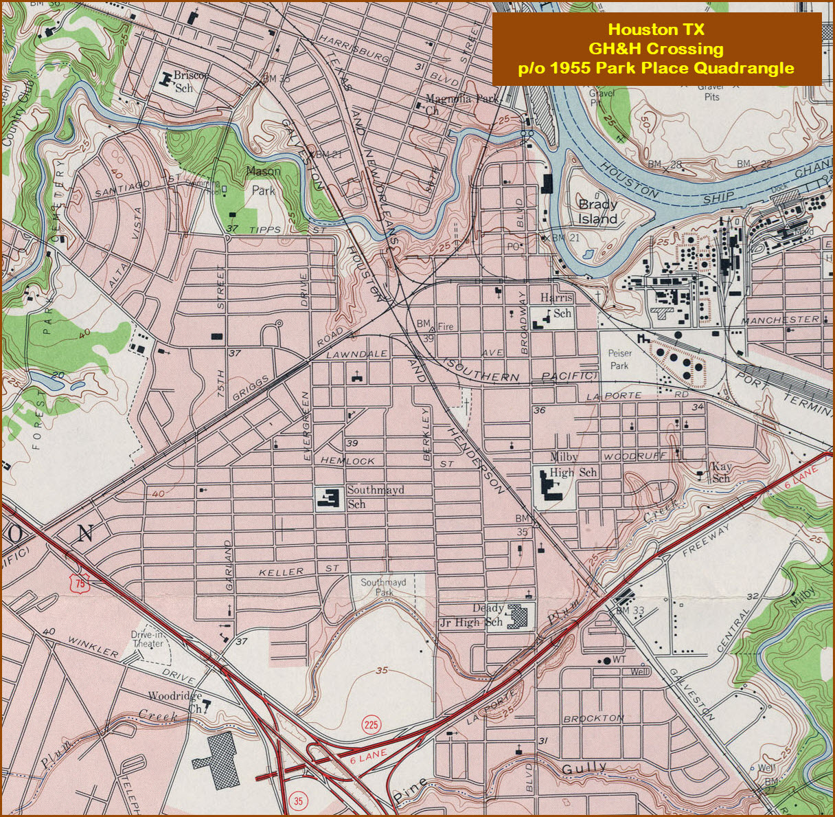
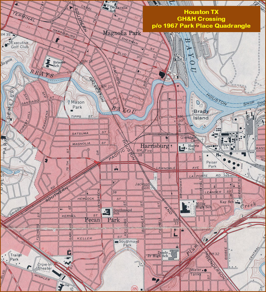
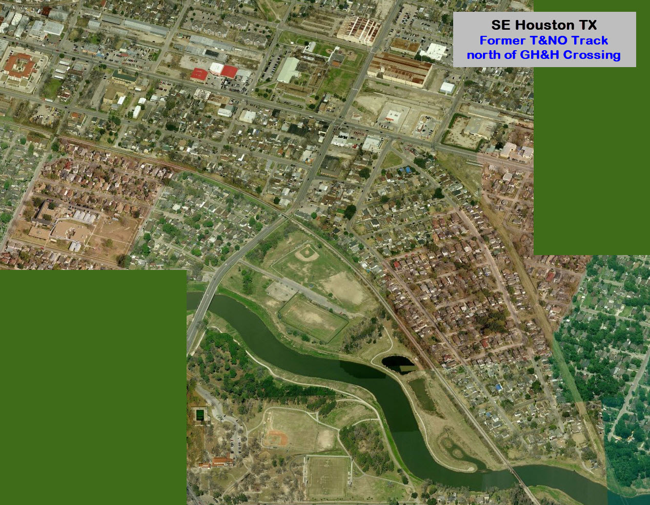
USGS Maps
RAILFAN GUIDES HOME
RAILROAD SIGNALS HOME
Location / Name:
SE Houston TX, Harrisburg area, Harris County
What's Here:
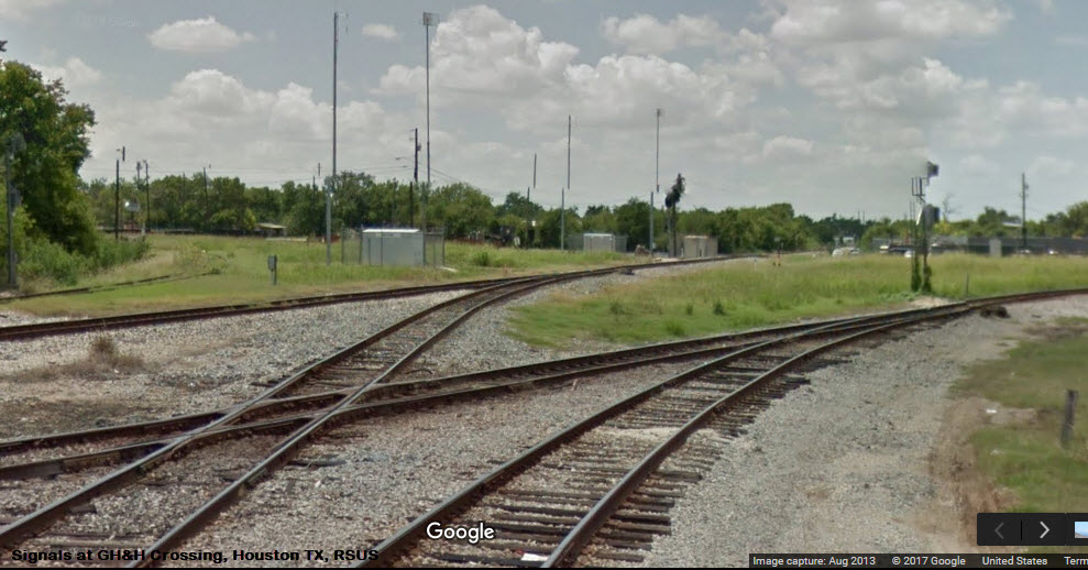
GH&H Crossing:
5 Lines
2 Diamonds
5 or 7 Interchange Tracks depending on how you count them....
Data:
GPS Coordinates: 29.719265, -95.285866
Phone A/C: 713
ZIP: 77012
Access by train/transit:
None
The Scoop:
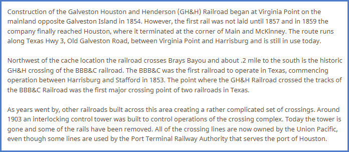
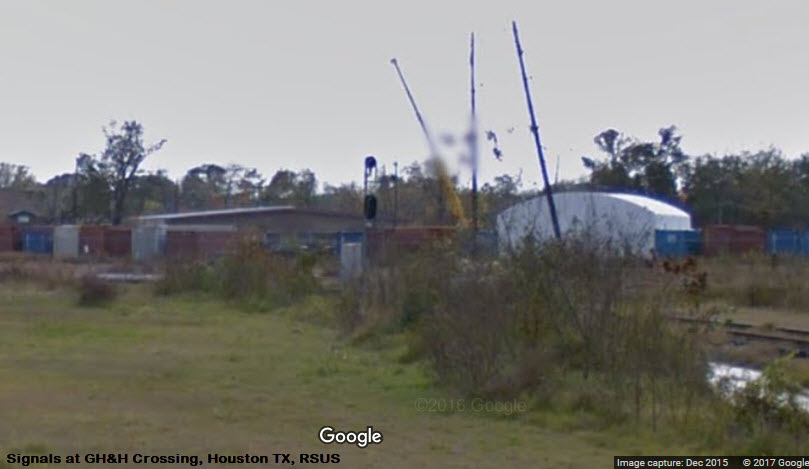
This interlocking is spread out, so there will be no one vantage point from which you can catch all of the action, similar to Tower 26. For now, this page is mostly for reference and the signal fan. The track here is all Union Pacific, and the PTRA has trackage rights. I have not visited this location myself.
Traffic through here is around 10 to 20 trains a day, so you can expect a lot of downtime.
Security is so-so, so I would not railfan here by oneself just to be on the safe side, especially if you wind up in the dead ends around the interchange tracks.
Acknowledgements:
Steve Sandifer
Denver Todd
Google Maps
Geocaching
Websites and other additional information sources of interest for the area:
http://txrrhistory.com/towers/030/030.htm
https://www.geocaching.com/geocache/GC67QRW_hrh-ghh?guid=b3f84702-47fa-4ca8-ba55-18c5b35174b1
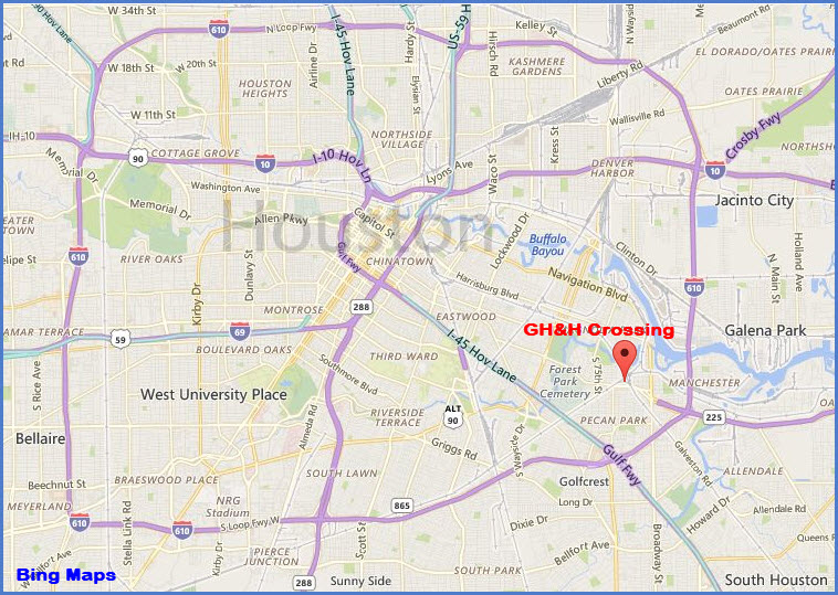
The easiest way is to take I-610 to the La Porte Freeway, exit 30. Take it north, or towards Houston. This will take you to Lawndale, and then you can decide where you want to catch the action from there.
The one national food chain place I can see is a Burger King on La Porte just before you get to Lawndale.
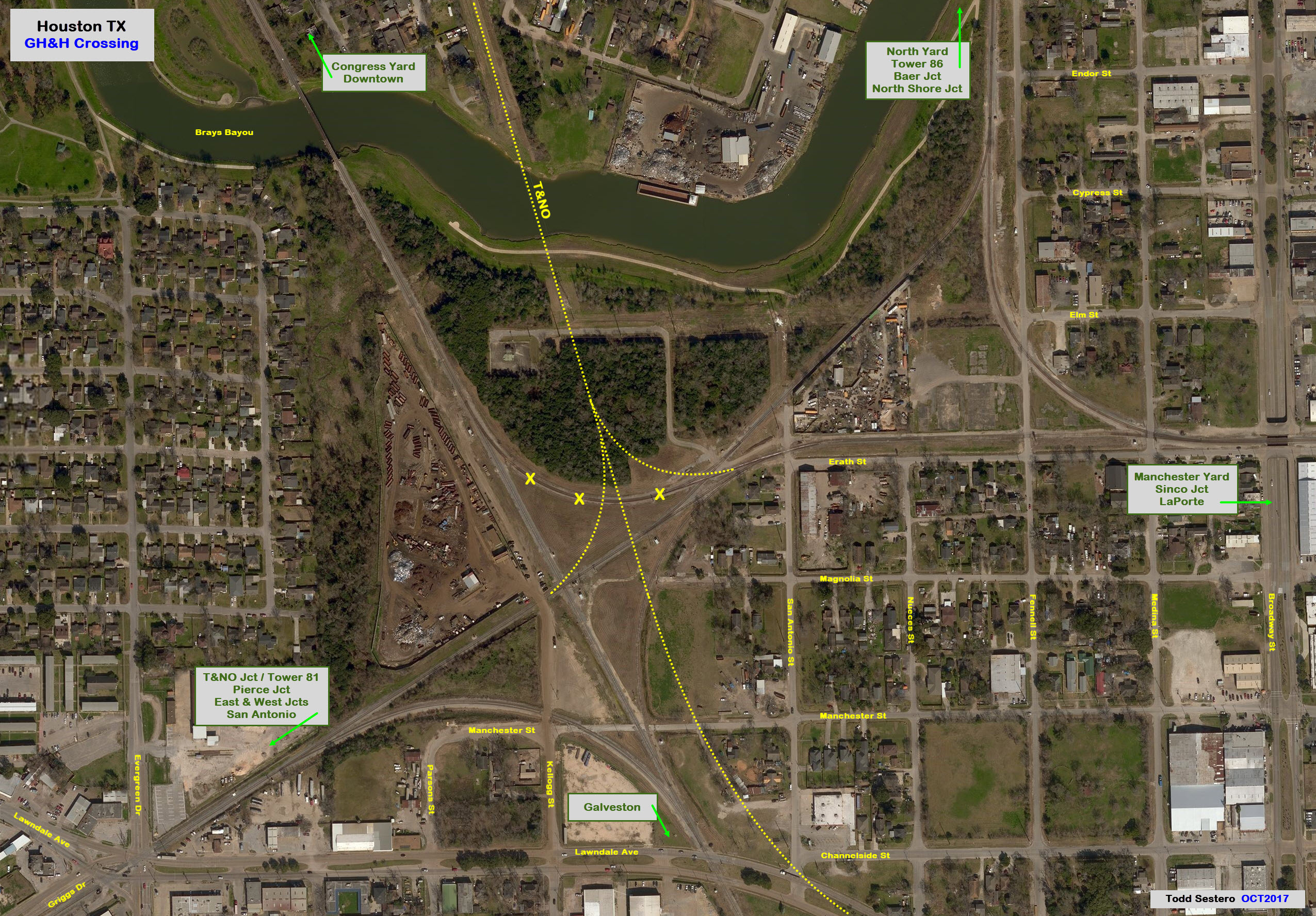
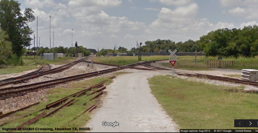
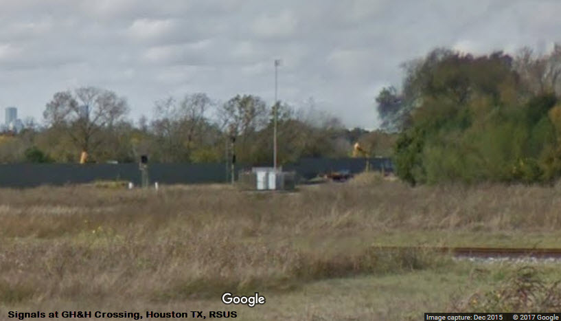
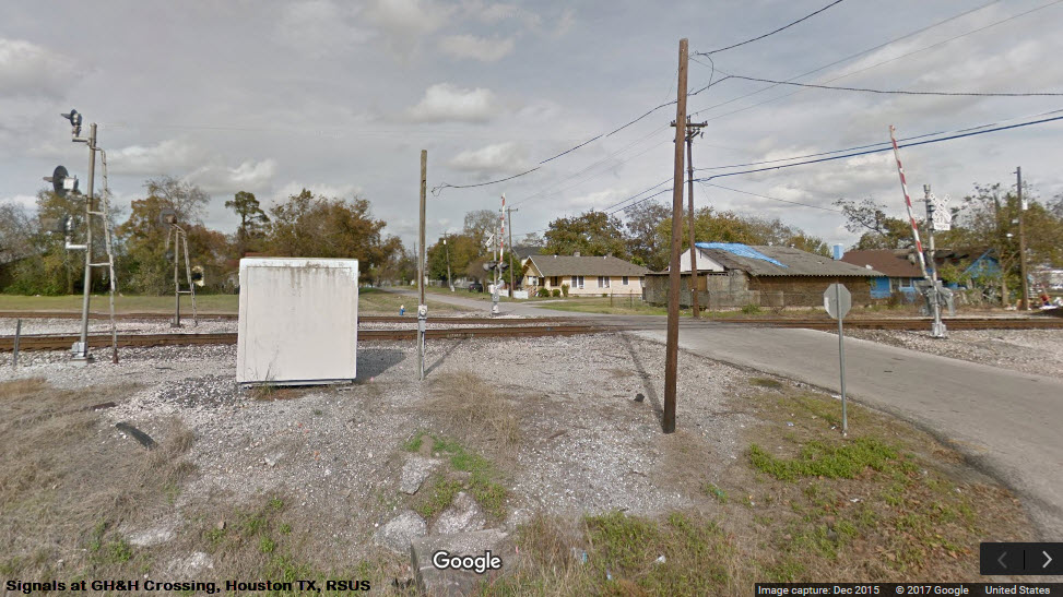
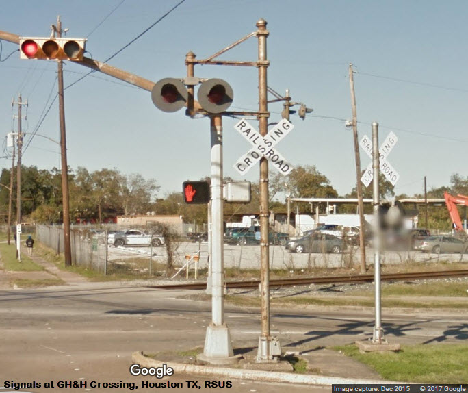
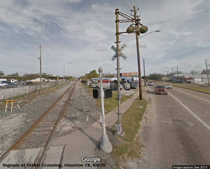
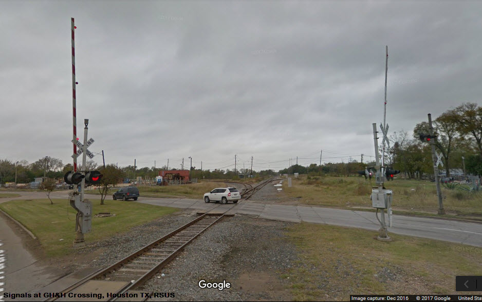
The Main Crossing
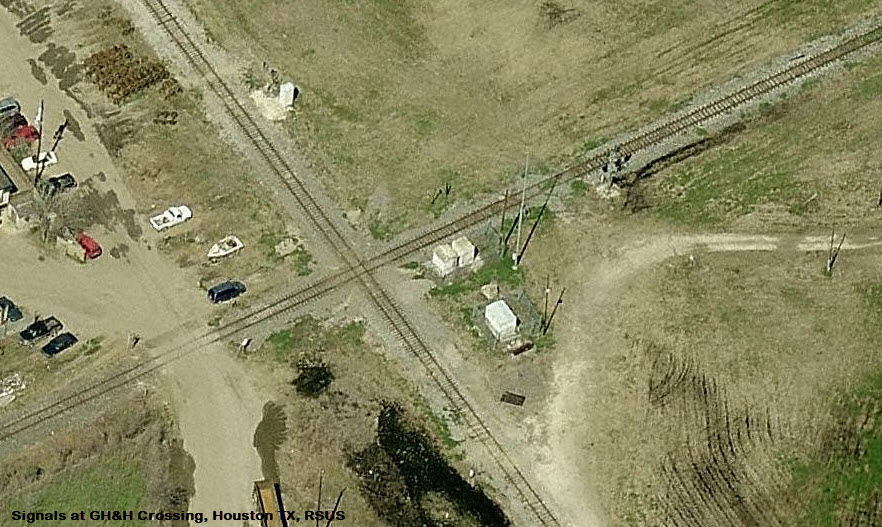
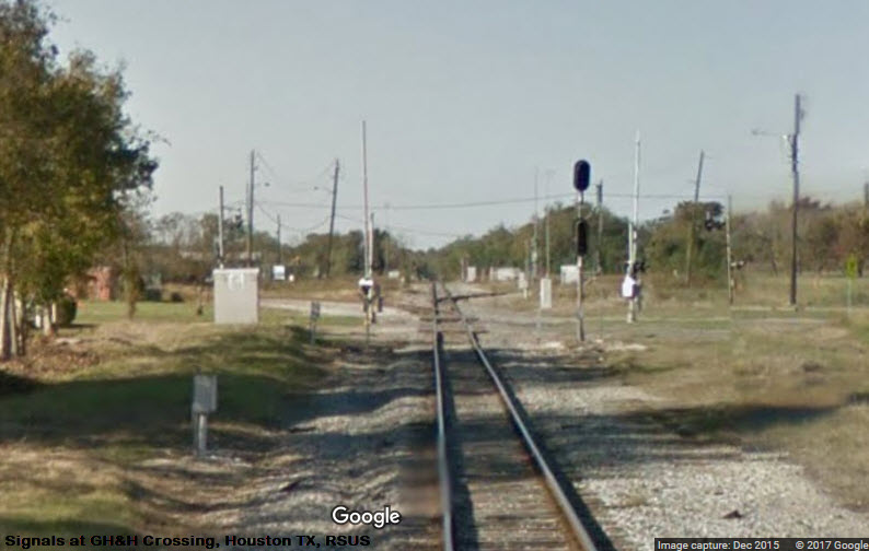
The Secondary Diamond
Need better pictures.....
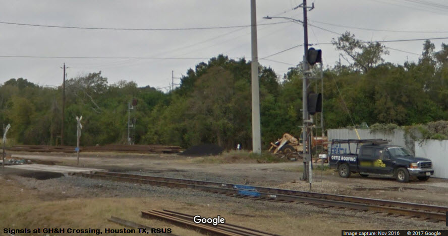
 From Griggs Rd
Need good pictures.....
Need good pictures.....
Can always use better pictures :-)
Need good pictures.....
 From the end of Magnolia
Need pictures.....
Need pictures.....
Need pictures.....
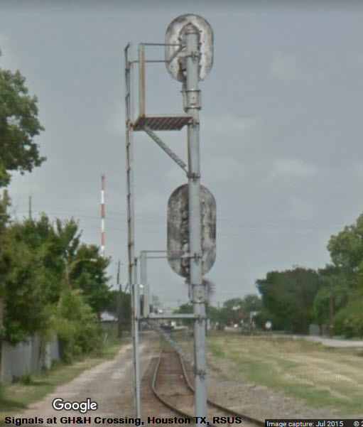
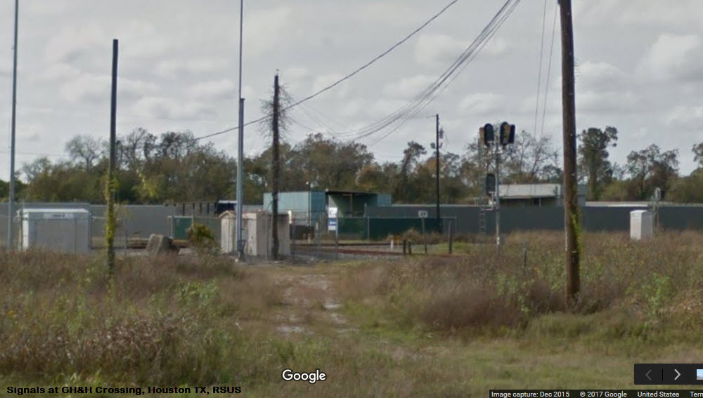
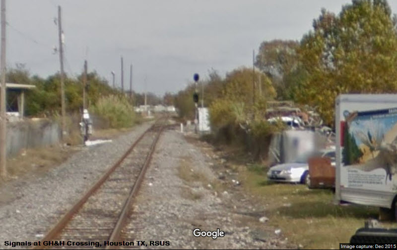
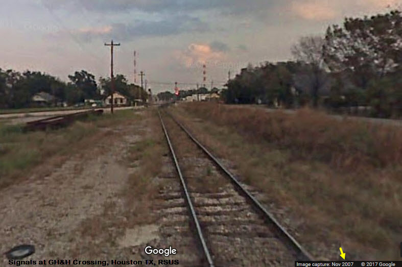
The track is much improved since the 2007 streetview below, and it looks like the signals are now approach lit.
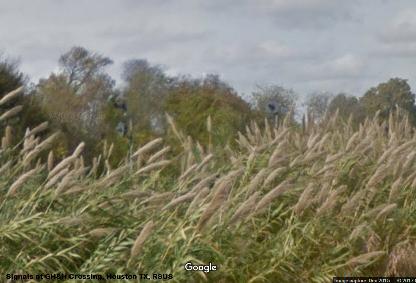
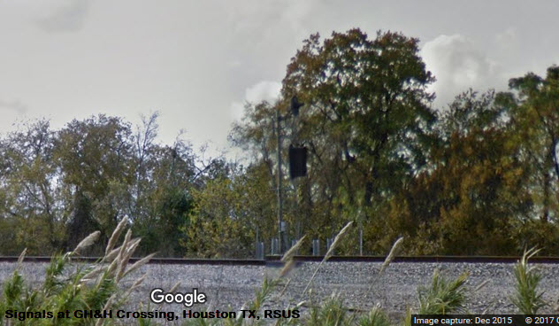
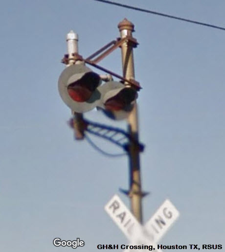
Looks like we have a couple of searchlight signals as the active head, at least in 2015.
Need good pictures.....
Need better pictures.....
![]()
None yet
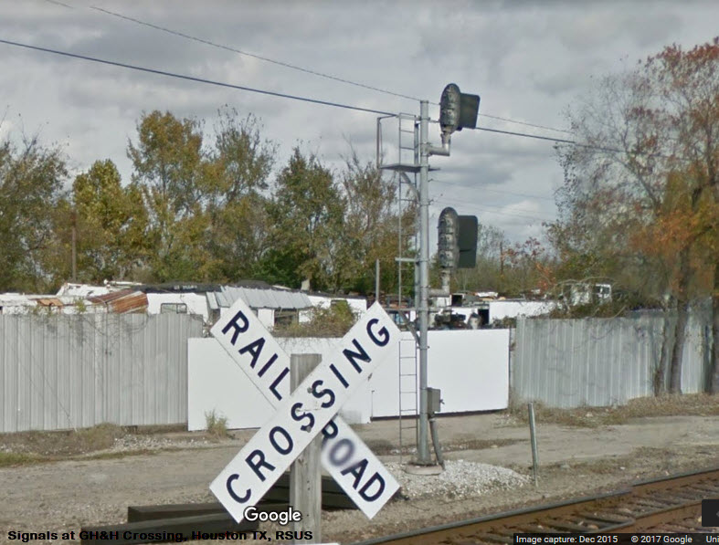
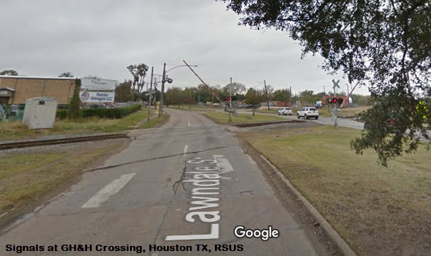
Vintage Grade Crossing Signals at Lawndale & Griggs
Grade Crossing at Lawndale
It's unusual for Google to catch the crossing gates just as they are activated. Too bad they couldn't wait for the train! :-)
Courtesy of the University of Texas Library, click here for their index page.
Notice the changes between 1955 and 1967, with the elimination of the T&NO trackage.
Disclaimers:
I love trains, and I love signals. I am not an expert. My webpages reflect what I find on the topic of the page. This is something I have fun with while trying to help others.
Please Note: Since the main focus of my two websites is railroad signals, the railfan guides are oriented towards the signal fan being able to locate them. For those of you into the modeling aspect of our hobby, myindexa page has a list of almost everything railroad oriented I can think of to provide you with at least a few pictures to help you detail your pike.
If this is a railfan page, every effort has been made to make sure that the information contained on this map and in this railfan guide is correct. Once in a while, an error may creep in :-)
My philosophy: Pictures and maps are worth a thousand words, especially for railfanning. Text descriptions only get you so far, especially if you get lost or disoriented. Take along good maps.... a GPS is OK to get somewhere, but maps are still better if you get lost! I belong to AAA, which allows you to get local maps for free when you visit the local branches. ADC puts out a nice series of county maps for the Washington DC area, but their state maps do not have the railroads on them. If you can find em, I like the National Geographic map book of the U.S..... good, clear, and concise graphics, and they do a really good job of showing you where tourist type attractions are, although they too lack the railroads. Other notes about specific areas will show up on that page if known.
Aerial shots were taken from either Google Maps or www.bing.com/maps as noted. Screen captures are made with Snagit, a Techsmith product... a great tool if you have never used it!
By the way, floobydust is a term I picked up 30-40 years ago from a National Semiconductor data book, and means miscellaneous and/or other stuff.
Pictures and additional information is always needed if anyone feels inclined to take 'em, send 'em, and share 'em, or if you have something to add or correct.... credit is always given! Please be NICE!!! Contact info is here
Beware: If used as a source, ANYTHING from Wikipedia must be treated as being possibly being inaccurate, wrong, or not true.
SEPTA HOMEPAGE
RAILFAN GUIDES HOME
RAILROAD SIGNALS HOME
NEW 07/01/2017
Last Modified
19-Oct-2017