In General
Maps
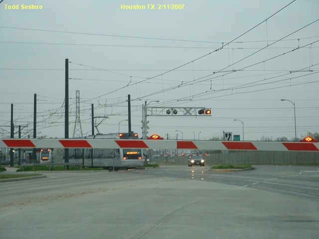
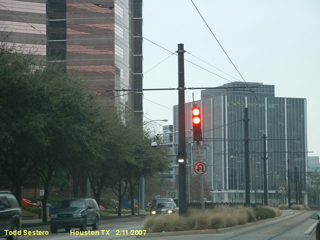
Signals
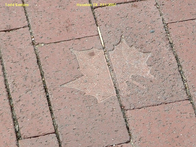
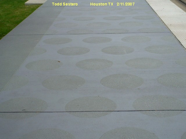
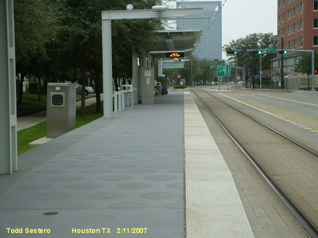
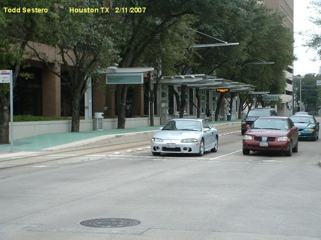
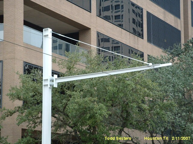
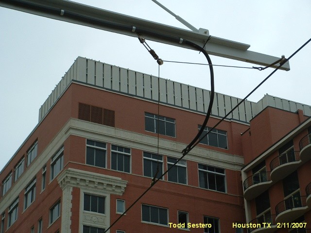
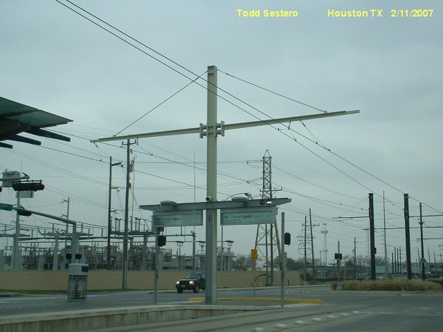
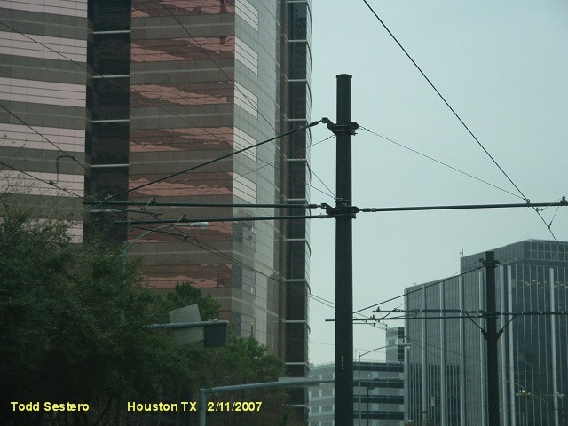
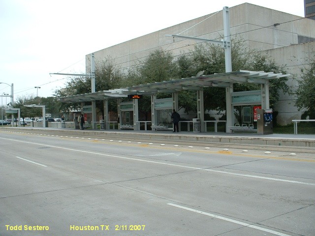
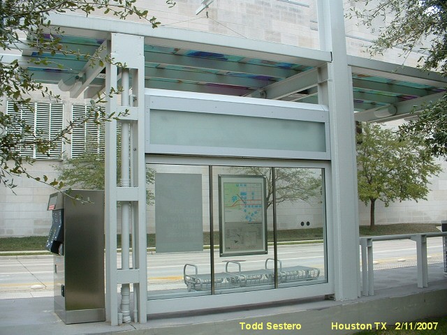
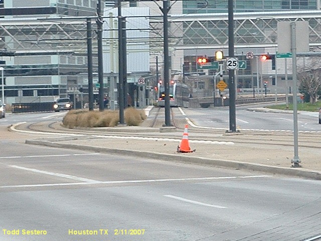
Pictures
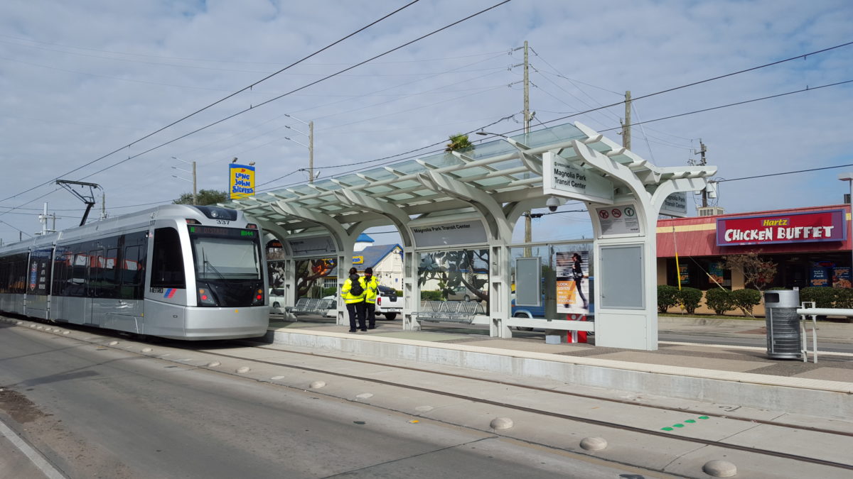
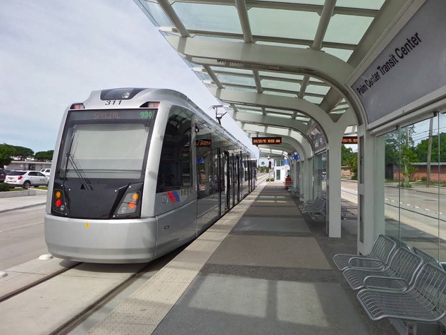
The Light Rail Vehicles
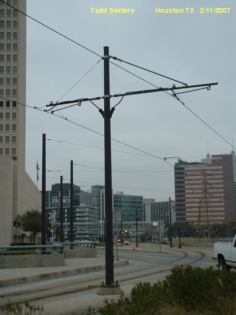
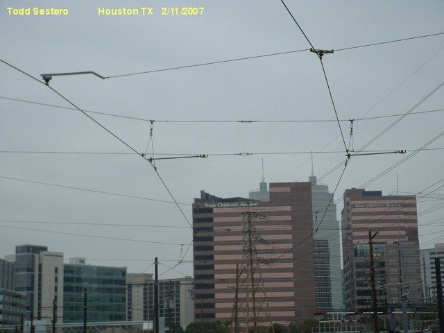
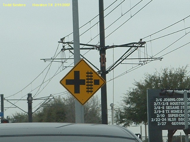
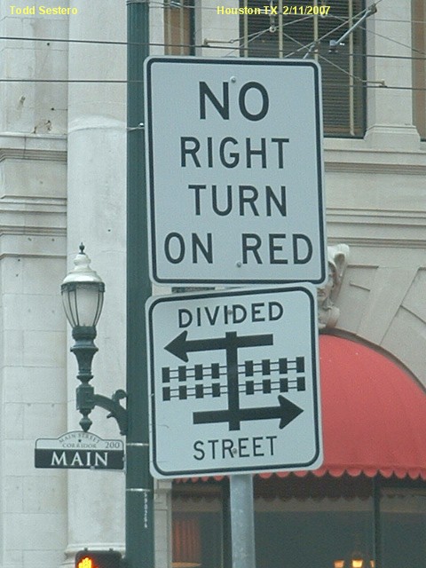
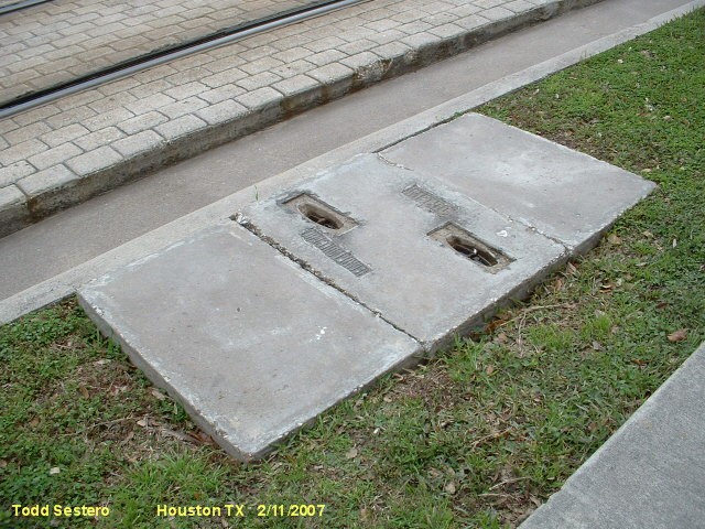
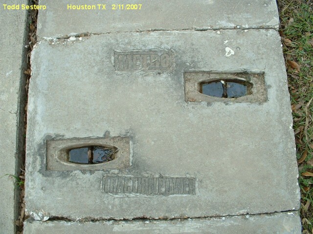
Switches, Signs & Stuff
Floobydust
In General
Maps
Signals
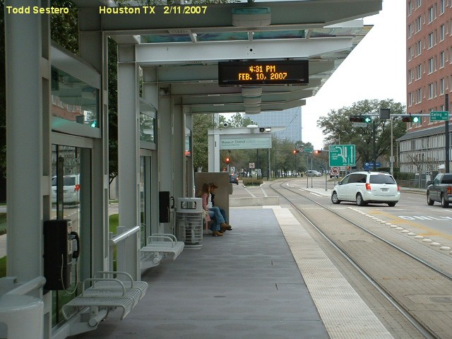
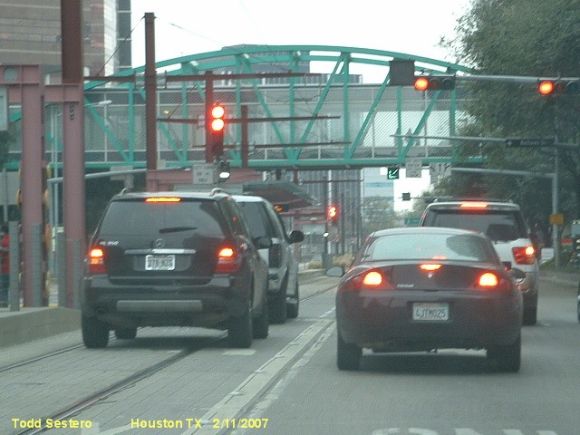
Pictures
The Light Rail Vehicles
Switches, Signs & Stuff
Floobydust
This page highlights the
Metrorail Light Rail system running in Houston Texas.
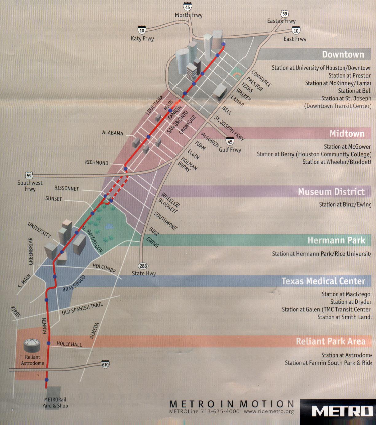
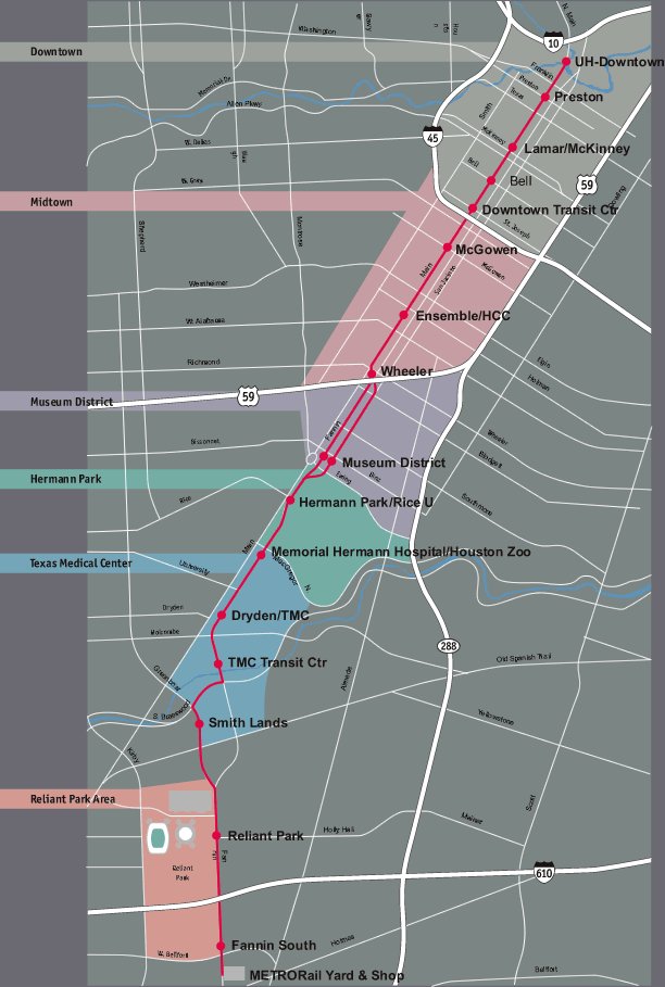
The original part of the system, the RED line, opened on January 1st, 2004, with construction starting on March 13th, 2001. The line was 7.5 miles (12.1km)
long and had 16 stations. Construction of the 5.3 mile (8.5km), 9 station extension started in July of 2009, and opened on December 21st, 2013.
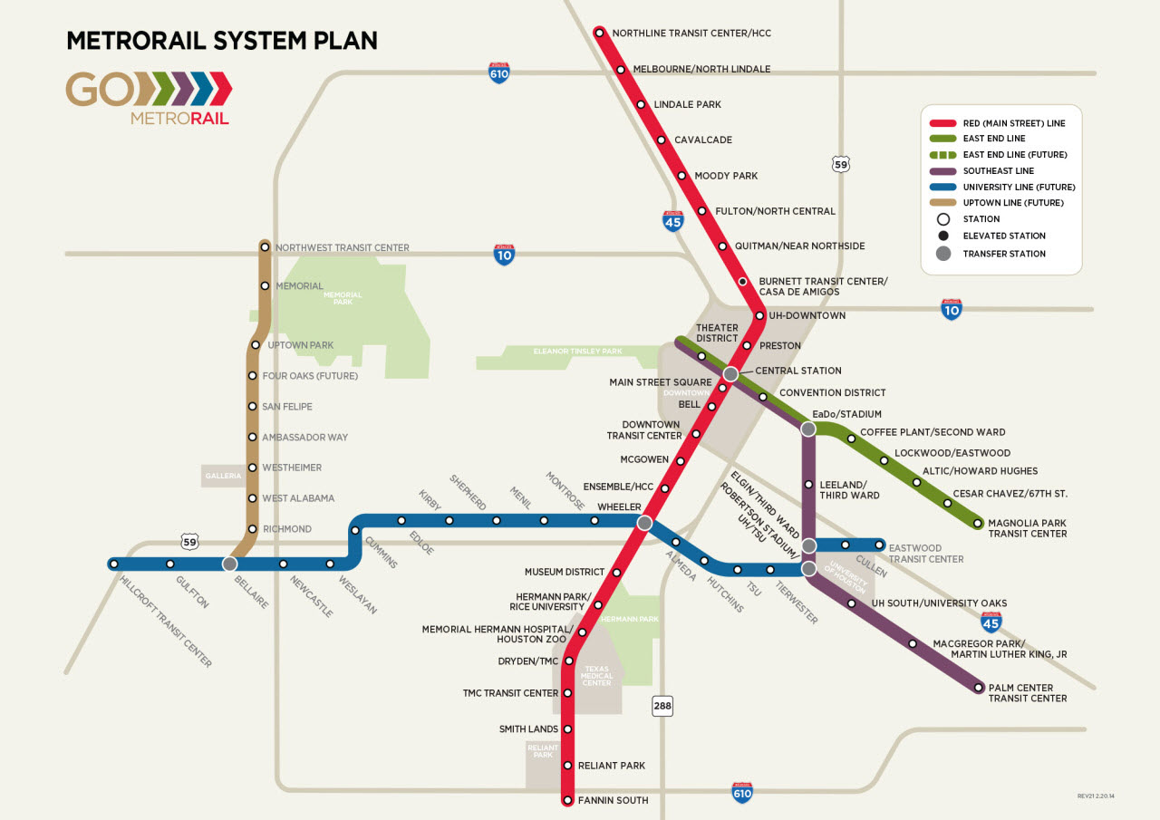
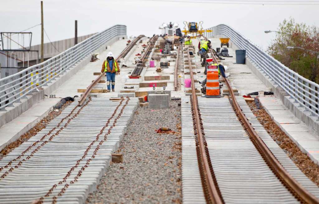
Construction of two additional lines also began in July of 2009, but did not open until much later.
The PURPLE line is 6.6 miles (10.6km) long and has 10 stations.
The GREEN 3.3 mile (5.3km) long, 9 station line opened in two phases, dependent on the completion of the
Tower 85/189 overpass. The first section opened on May 21st, 2015, the second section opened on January 11th, 2017 and added two additional stations.
The shops for the green line is (for now) covered on the Tower 85 page.
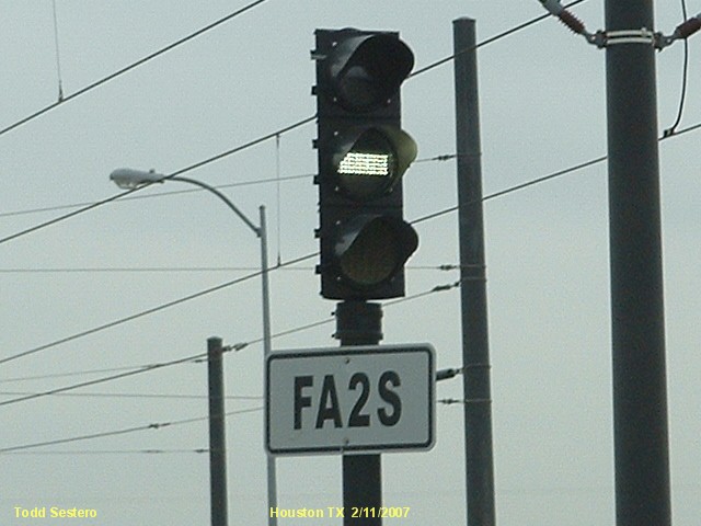
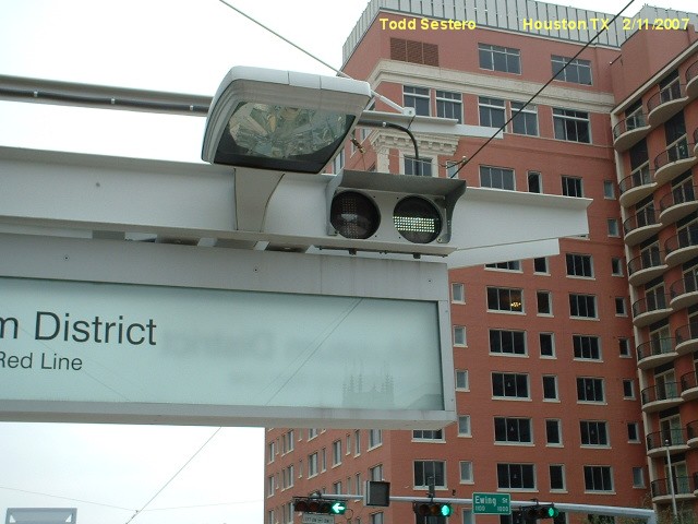
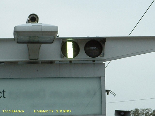
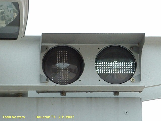
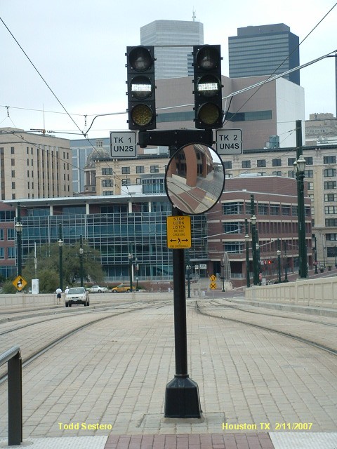
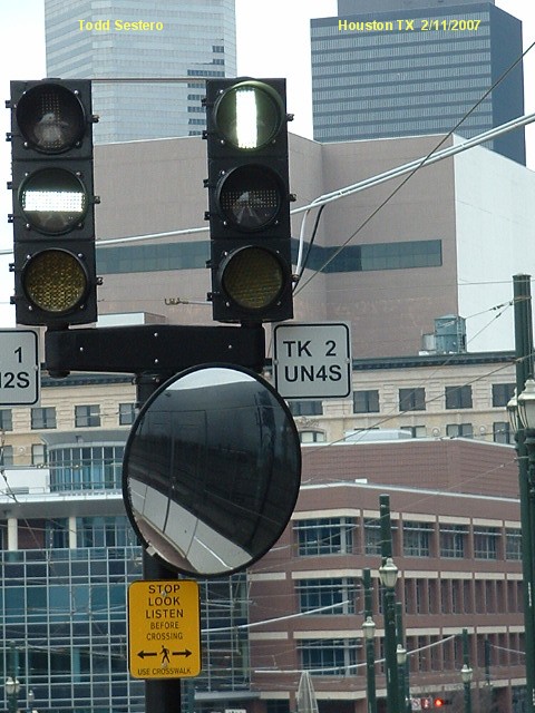
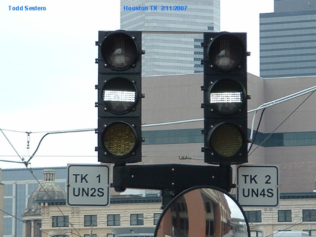
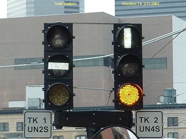
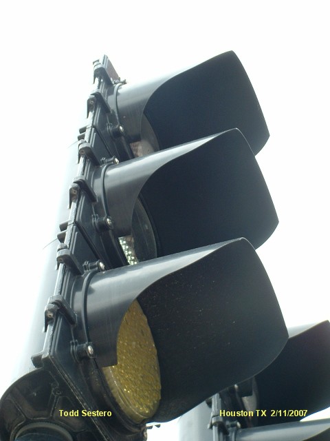
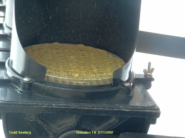
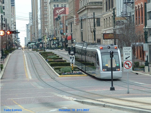
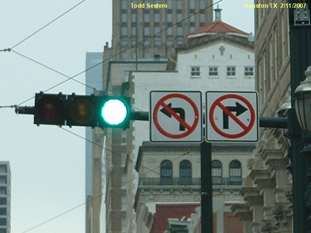
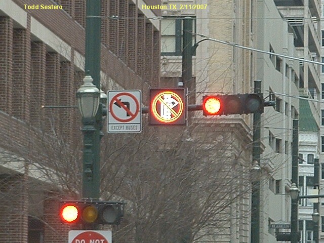
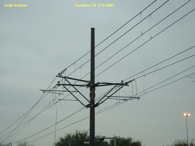
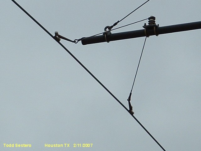
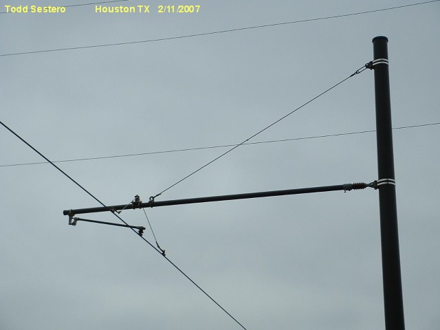
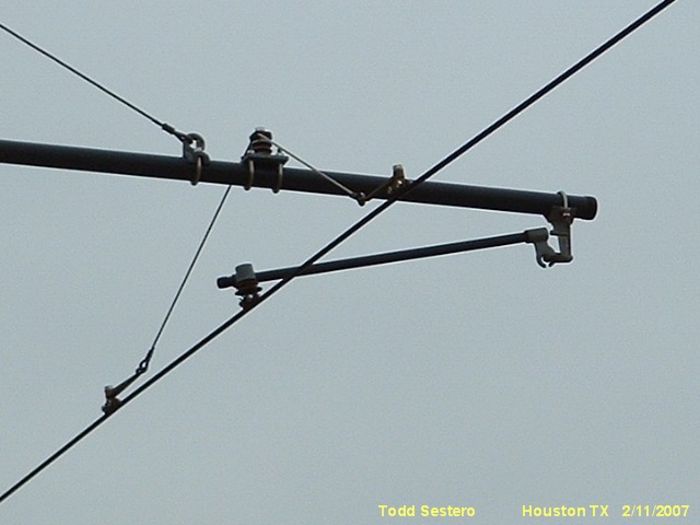
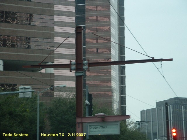
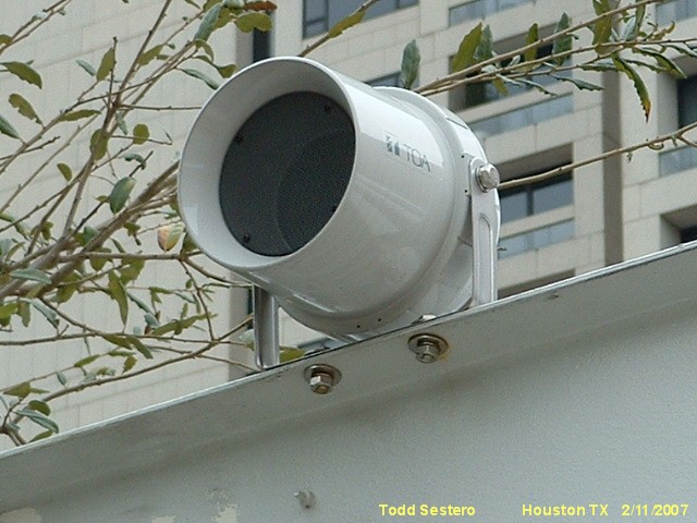
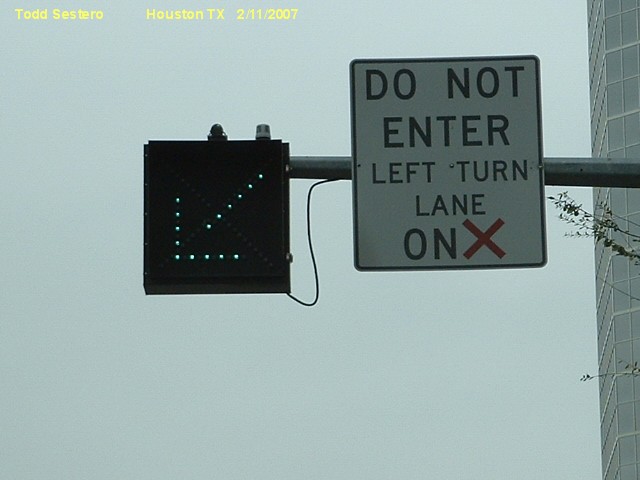
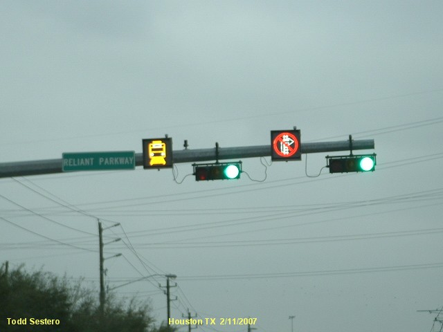
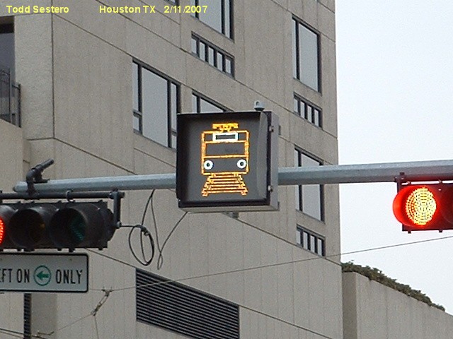
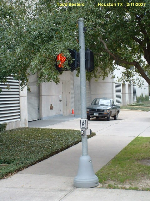
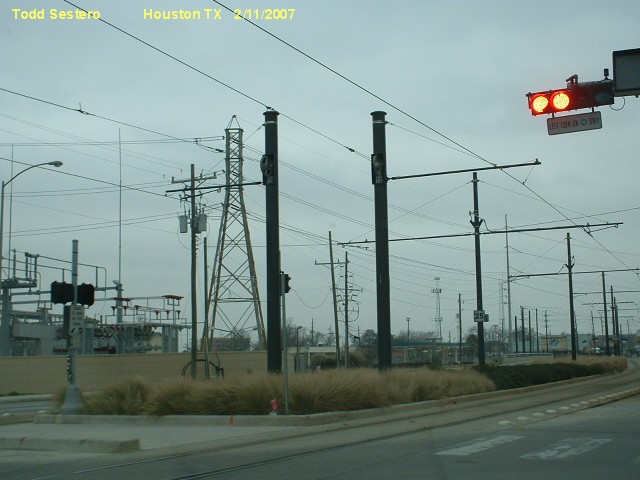
The signals of this light rail system are simple - bar signals prevail, with a few yellow and white "ball" signals at interlockings and gated crossings,
respectively. All signals are LED's.
Websites and other additional information sources of interest for the area:
http://www.jtbell.net/transit/Houston/
https://en.wikipedia.org/wiki/METRORail
Google Images
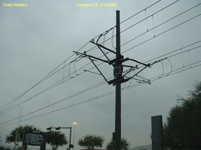
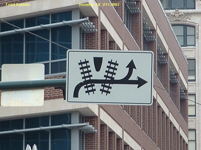
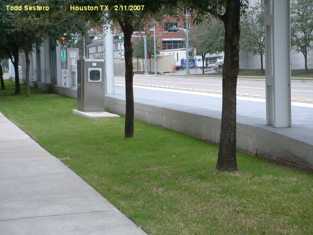
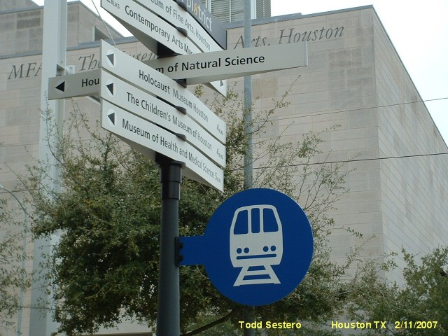
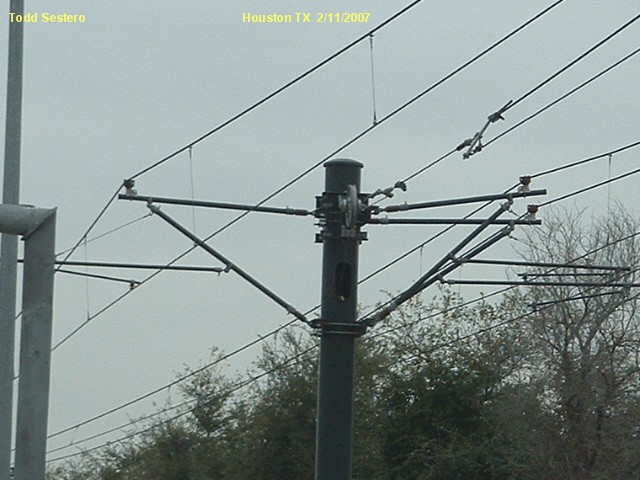
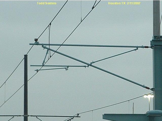
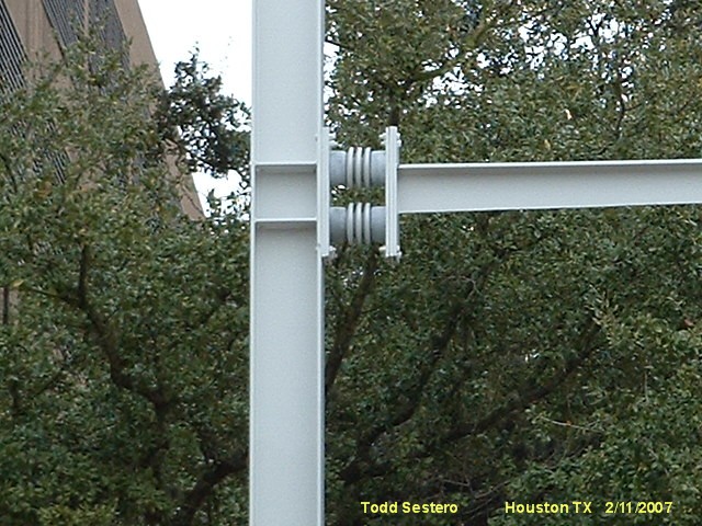
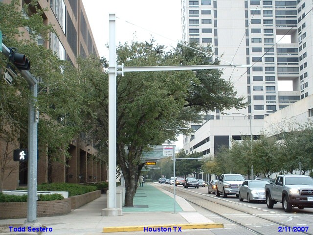
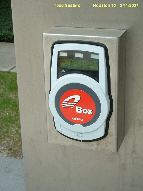
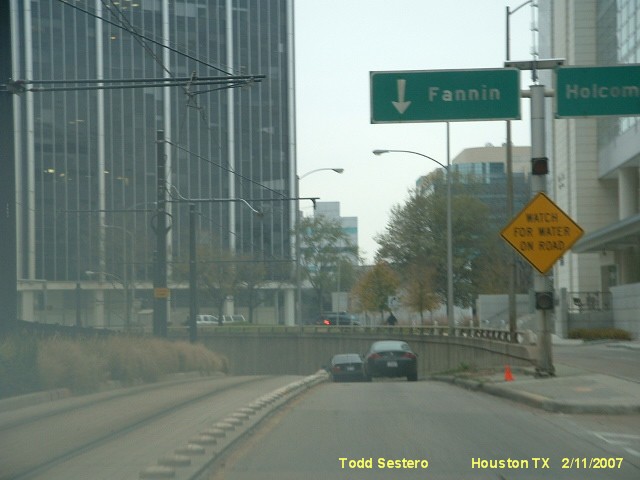
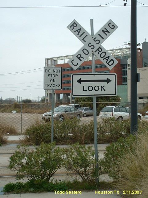
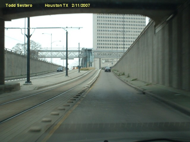
Pictures of switches, catenary, signs, and
other stuff.
Disclaimers: I love trains, and I love signals. I am not an
expert. My webpages reflect what I find on the topic of the page.
This is something I have fun with while trying to help others. My
webpages are an attempt at putting everything I can find of the subject in
one convenient place. Please Note:
Since the main focus of my two websites is railroad signals, the railfan guides
are oriented towards the signal fan being able to locate them. For those
of you into the modeling aspect of our hobby, my
indexa page has a list of
almost everything railroad oriented I can think of to provide you with at least a few pictures to
help you detail your pike. If this is a railfan page, every effort has been made
to make sure that the information contained on this map and in this railfan
guide is correct. Once in a while, an error may creep in :-)
My philosophy: Pictures and maps are worth a
thousand words, especially for railfanning. Text descriptions only
get you so far, especially if you get lost or disoriented. Take
along good maps.... a GPS is OK to get somewhere, but maps are still
better if you get lost! I belong to AAA, which allows you to get
local maps for free when you visit the local branches. ADC puts
out a nice series of county maps for the Washington DC area, but their
state maps do not have the railroads on them. If you can find em,
I like the National Geographic map book of the U.S..... good, clear, and
concise graphics, and they do a really good job of showing you where
tourist type attractions are, although they too lack the railroads.
Other notes about specific areas will show up on that page if known. Beware: If used as a source, ANYTHING from Wikipedia must be treated as
being possibly being inaccurate, wrong, or not true.
RAILFAN GUIDES HOME
NEW 2/22/2007 -- 9/13/14 -- 10/3/2017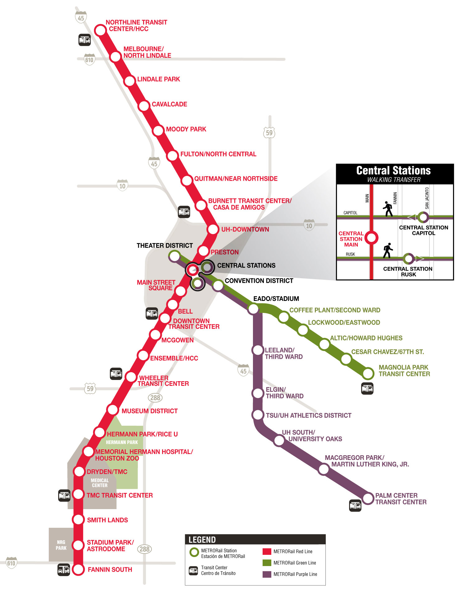

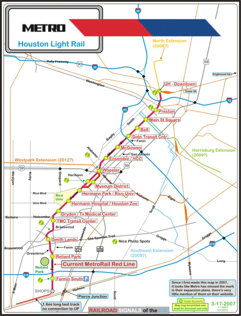
Click here for the above map in pdf format.
Here are some maps I found on an old hard drive with maps from "the beginning" :-)
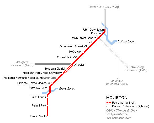
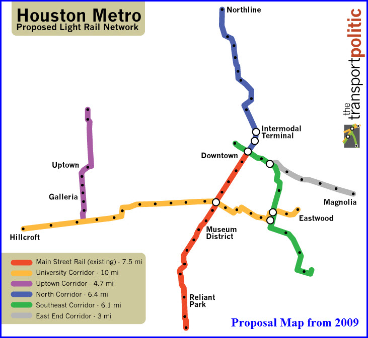
This is the original version of the map without all the other stuff on it.


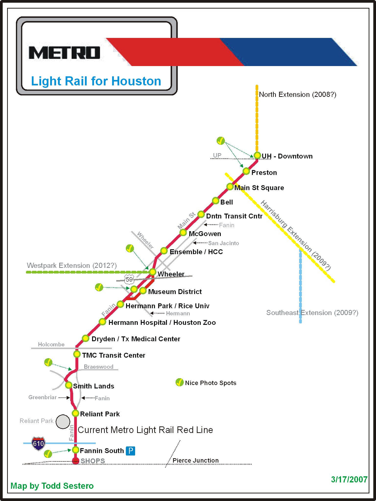
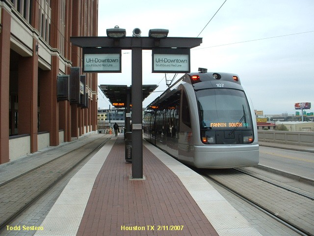
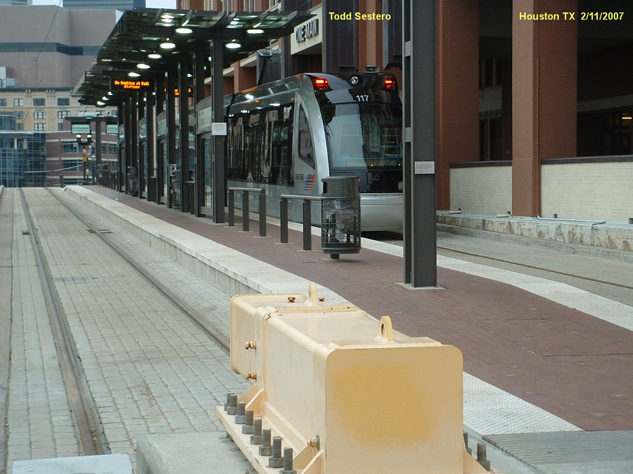
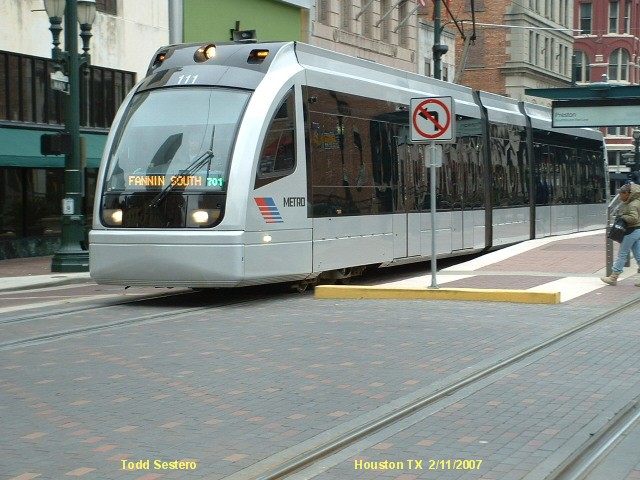
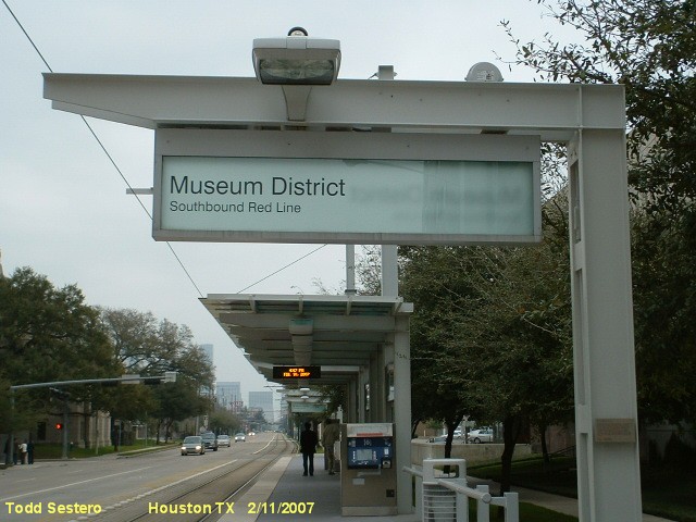
My pictures are from 2007, when the north end of the RED line ended at UH/downtown.


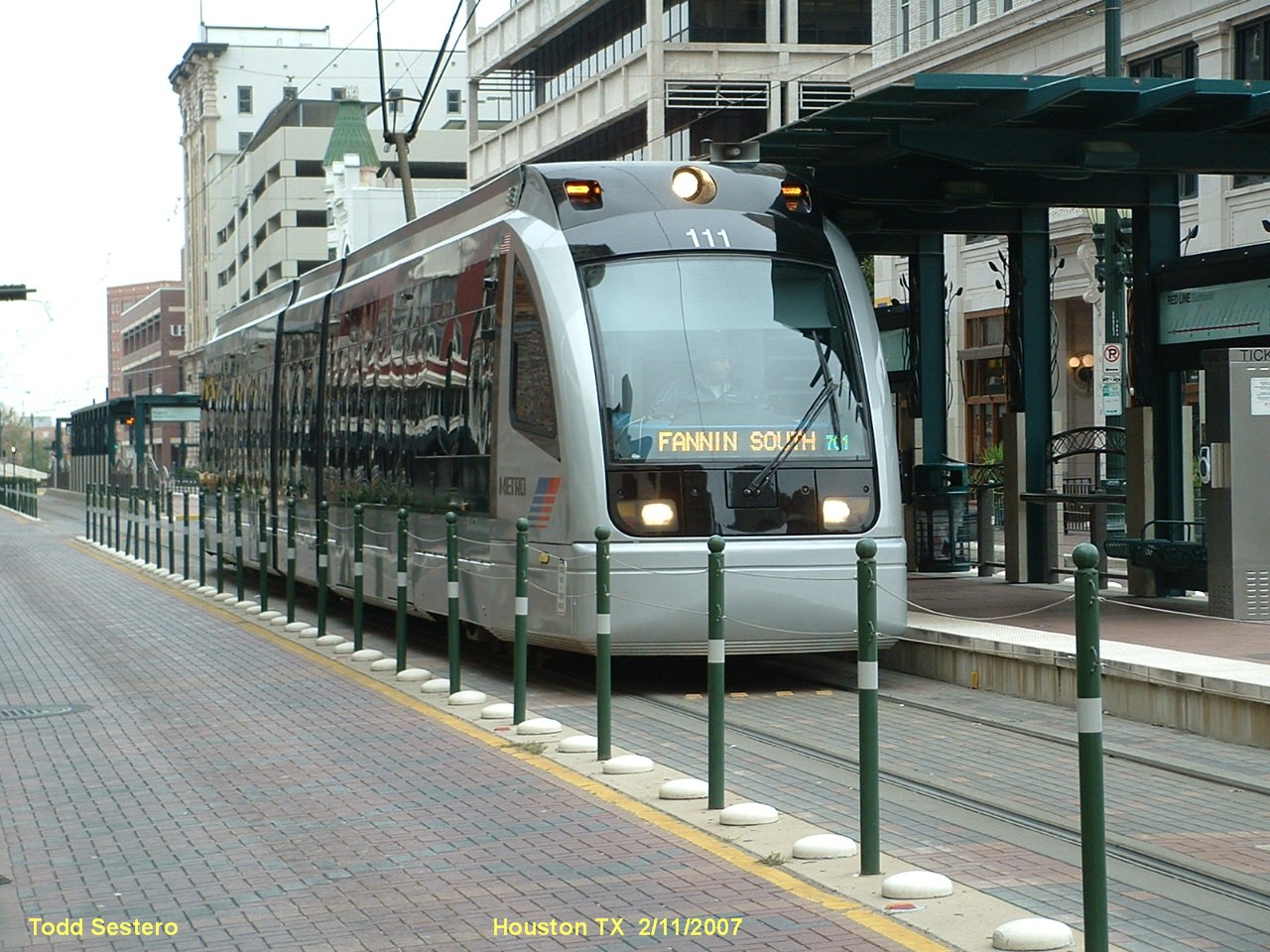

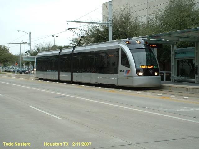
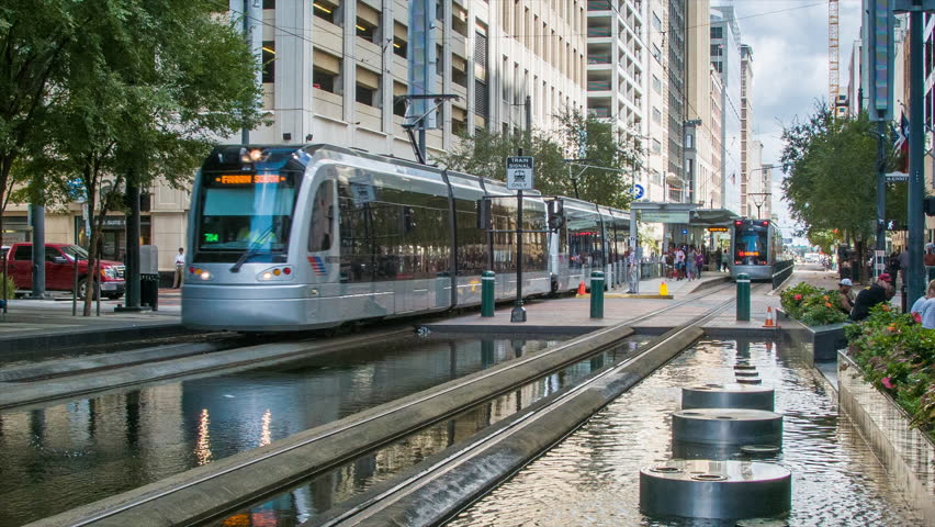
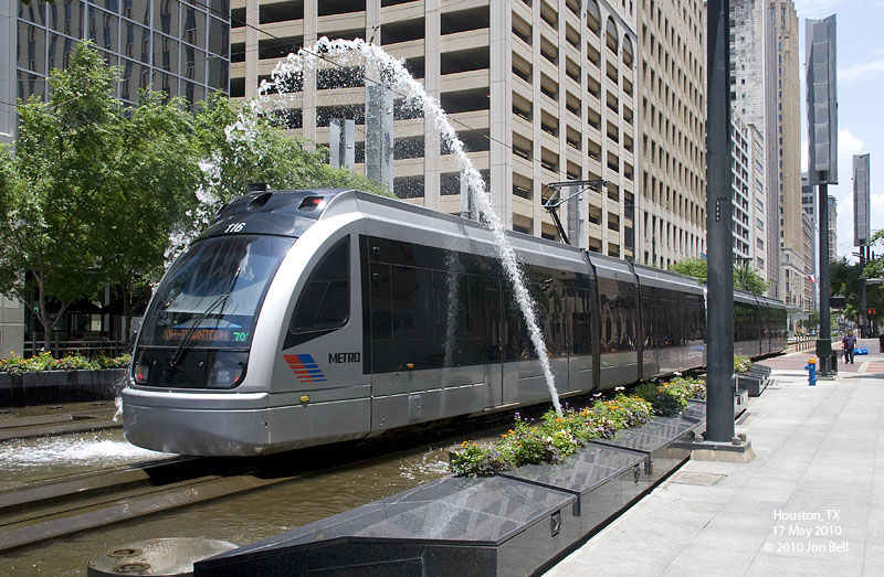
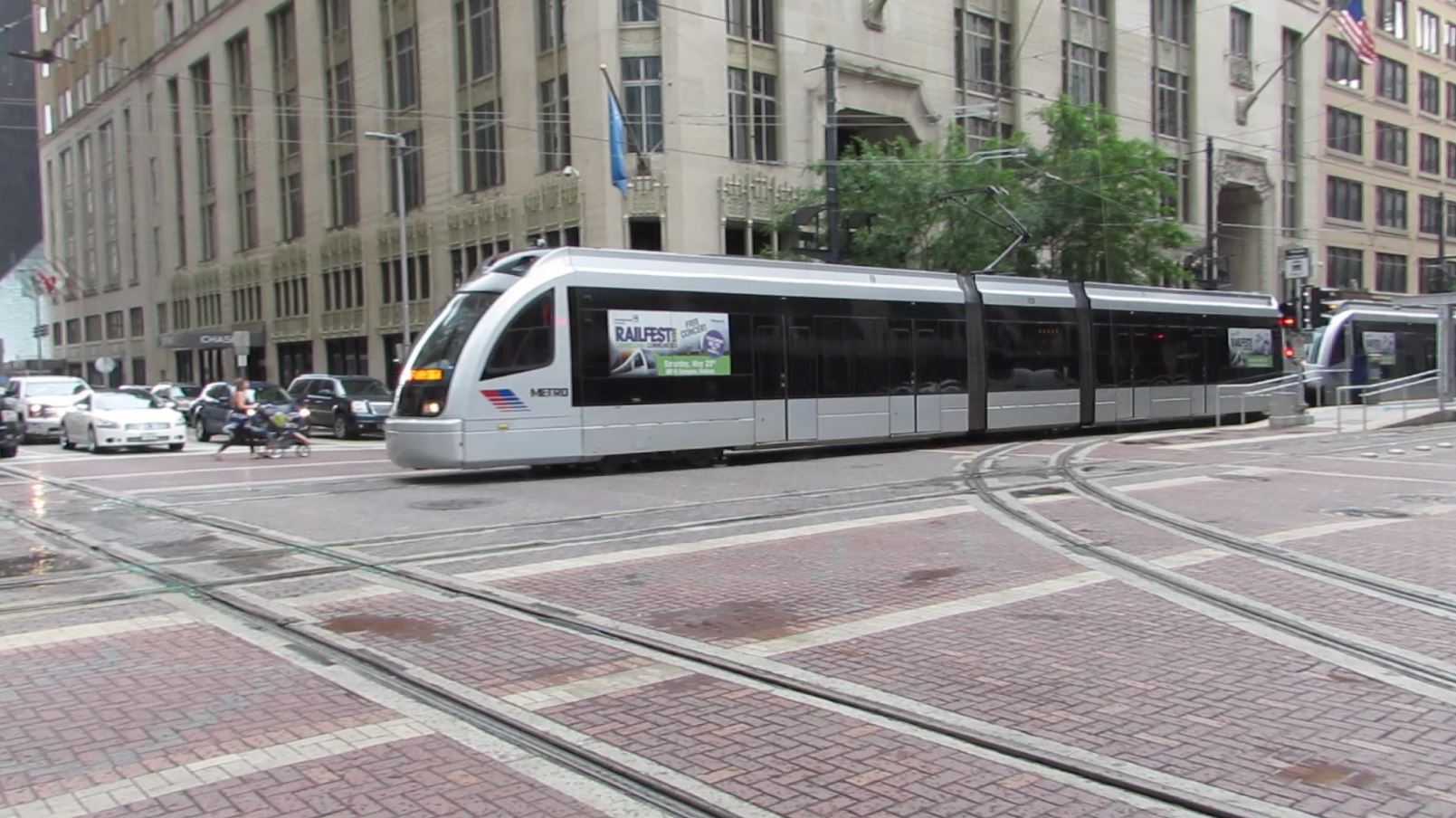
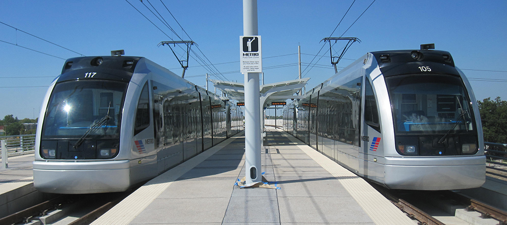
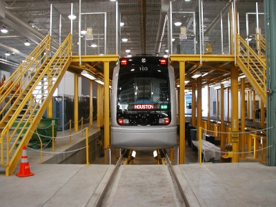
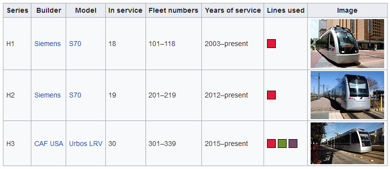
The H1's
From Wikipedia:
The original fleet of 18 vehicles was built by Siemens Transportation Systems in Florin CA. They were delivered in 2003–2004, for the opening of the first stage of the Red
Line, at a cost of $118 million. Designated by the manufacturer as S70 and based on earlier vehicles built for Portland's MAX Light Rail, each vehicle is 96 feet (29 m) long
and has a top speed of 66 mph (106 km/h). They have a capacity of 72 seated and approximately 169 standing passengers, or a total capacity of around 241 per car.
The H1 series cars are distinguishable by their streamlined cab ends and rectangular headlamps, with the electronic destination sign (which have been modified to indicate
the line with a colored square) mounted directly in front of the cab rather than above it. They are normally used only on the Red Line and can be operated as single cars
or in trains of two cars coupled together, though two-car trains have become the norm due to increasing ridership and the arrival of the H2 series.
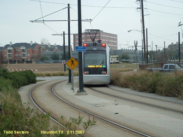
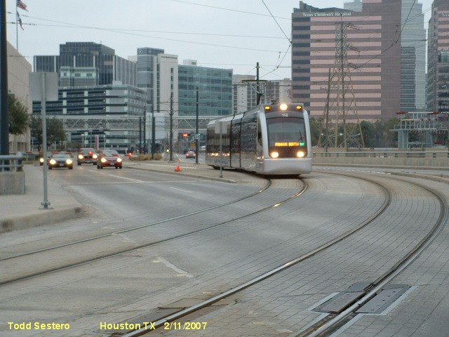
The H2's
From Wikipedia: In the spring of 2011, METRO purchased a further 19 Siemens S70 vehicles (the same model as its original 18), citing the need to accommodate ridership that was 4 years
ahead of expectations and to get cars more quickly. These cars were originally slated for Utah Transit Authority's TRAX system, which METRO purchased for $83 million after
UTA decided not to exercise options for them. As with the previous generation, these new cars were built in Florin CA, but they differ slightly from the cars Utah received
in detail, including having more air-conditioning units. They were delivered in October 2012 and entered service that December.
The H2 series cars are shorter than the H1 series, at 81 feet (25 m) in length, and are distinguishable by their flatter cab ends and circular headlamps, with the
electronic destination sign (which use colored dots to indicate the line) conventionally mounted above the cab. Like the H1 series, they are normally used only on the
Red Line and can be operated as single cars or in two-car trains. The H1 and H2 series are electrically compatible and can operate together in the same train.
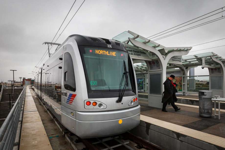
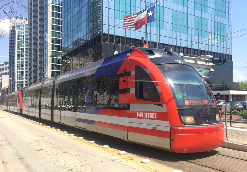
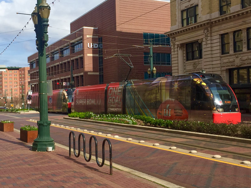
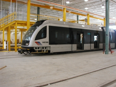
The H3's
From Wikipedia: For expansion of the METRORail system, METRO turned to CAF USA, with a total order of 105 cars placed in May 2010. This order was cancelled in February
2011 as it did not comply with the "Buy America" Act. CAF gave a refund, which METRO applied to the purchase of the H2 series cars. In September 2011, METRO approved the
purchase of 39 vehicles from CAF upon receipt of a new proposal compliant with Federal Transit Administration (FTA)
and "Buy America" guidelines. The first six of these cars were
delivered in January 2015 and entered service shortly afterwards.
The H3 series cars, built in Elmira NY and based on CAF's Urbos platform used in cities across Europe and Asia, are similar to the H1 series in dimensions, but are
distinguishable by their boxier design and framed window panes. They are in operation on all three Metrorail lines and can couple to form two-car trains; however,
the H3 series is electrically incompatible with the older types and cannot operate with them in the same train.


Pictures and additional information is always needed if anyone feels
inclined to take 'em, send 'em, and share 'em, or if you have
something to add or correct.... credit is always given! BE NICE!!! Contact info
is here
RAILROAD SIGNALS HOME
Last Updated: 13 Feb 2018