RAILFAN GUIDES of the U.S.
![]()
![]()
Todd's Railfan Guide to
AUSTIN TX
Capital MetroRail Commuter Line
In General
Getting Here
Map
Station by Station
Sights
Pictures
Signals
Floobydust
USGS Maps
RAILFAN GUIDES HOME
RAILROAD SIGNALS HOME
Location / Name:
Austin TX, Travis County, Capitol of Texas and County Seat
What's Here:
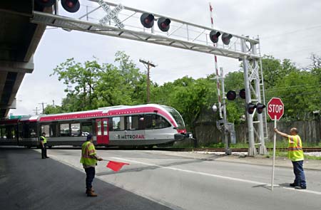
the Capitol MetroRail Red Line commuter rail system
Data:
GPS Coordinates: 30.265000, -97.739279 (downtown station)
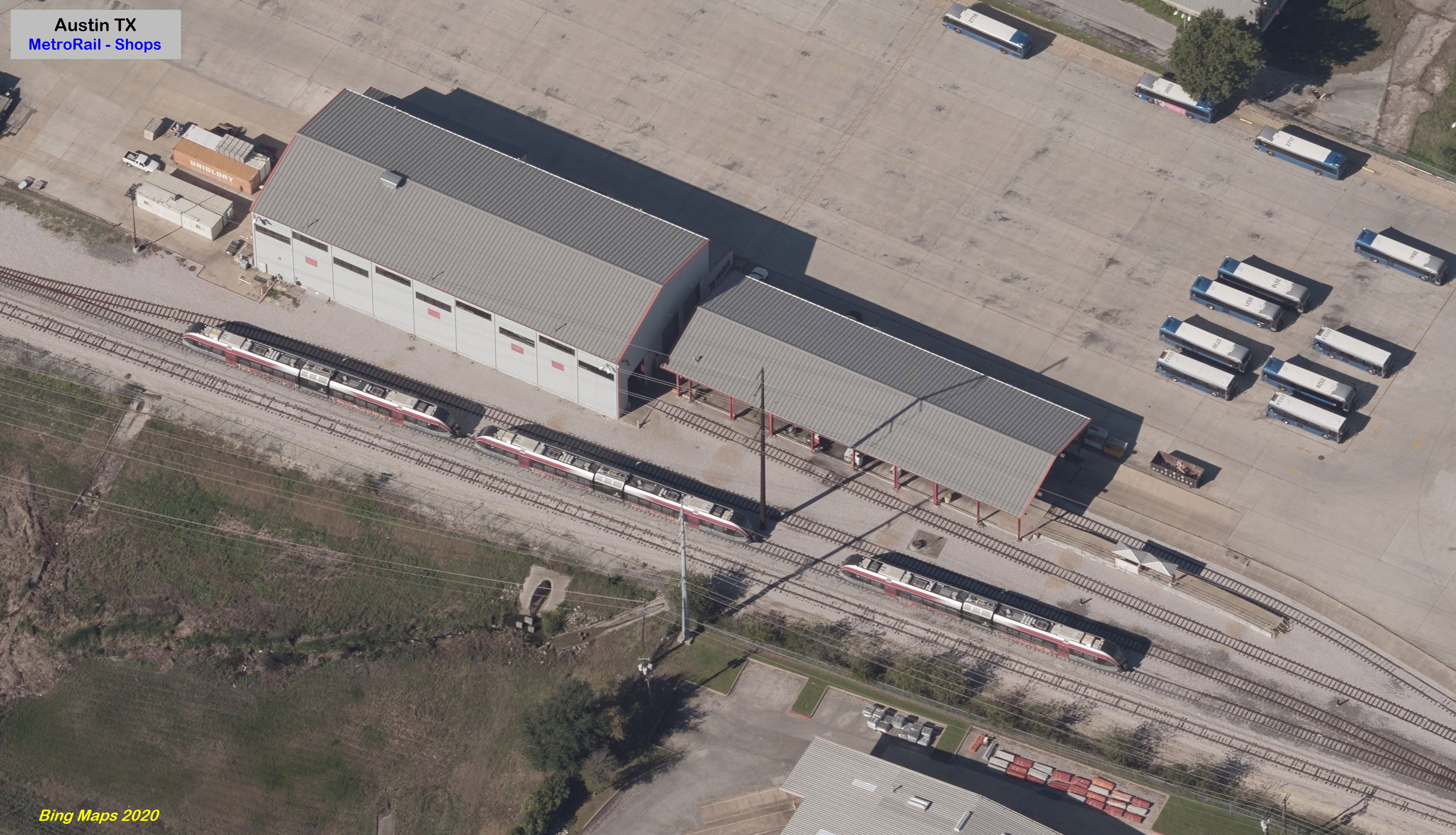
GPS Coordinates: 30.325217, -97.722563 (shops)
Website: http://www.capmetro.org/metrorail/
Access by train/transit:
Austin Amtrak Station, then bus
The Scoop:
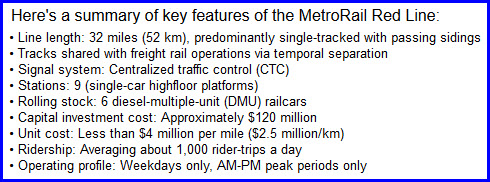
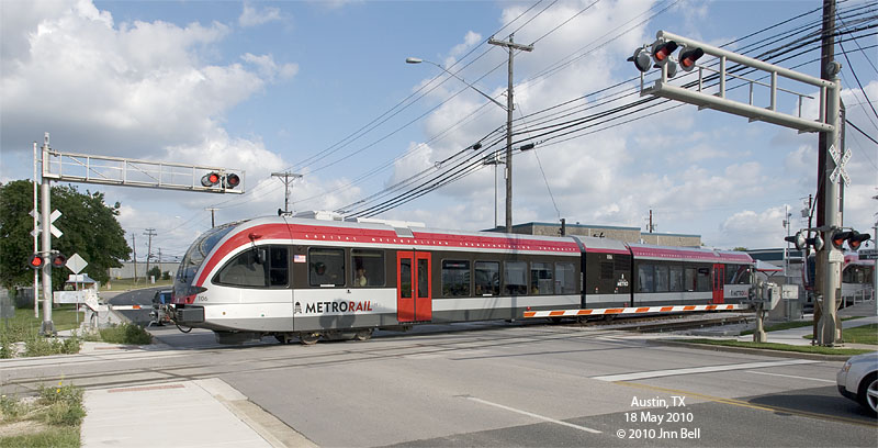
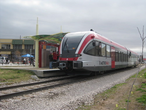
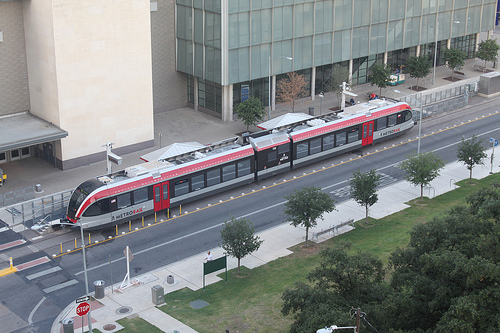
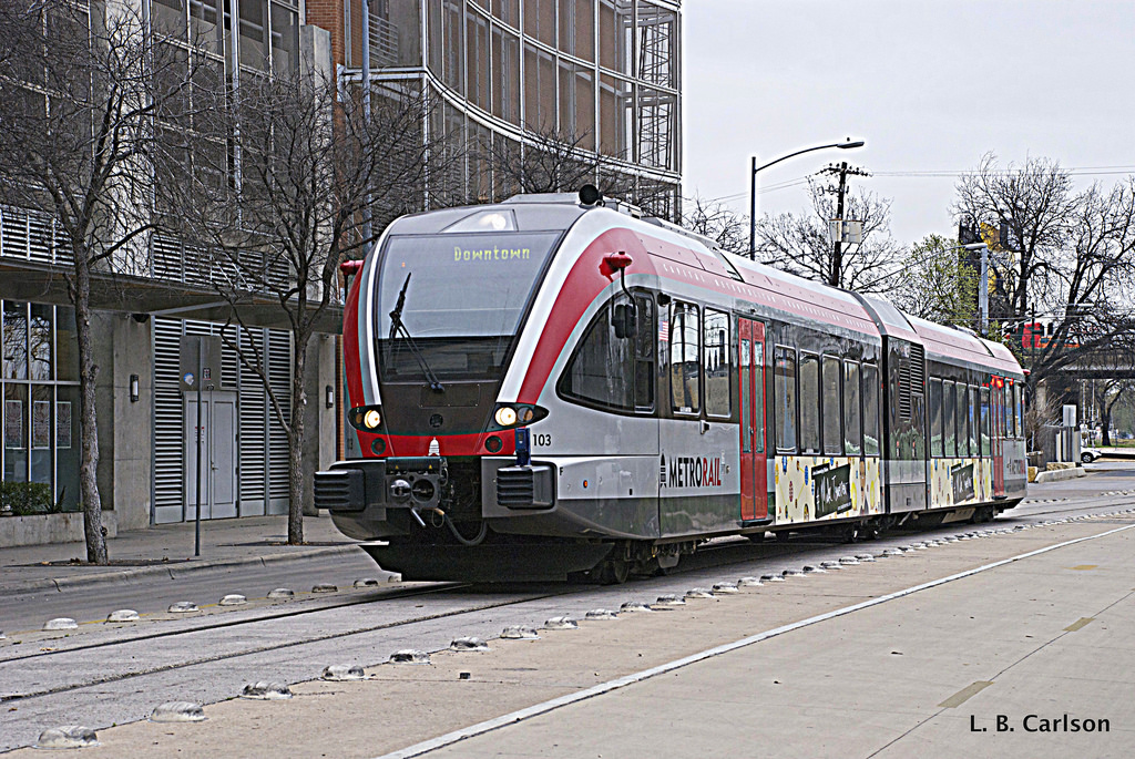
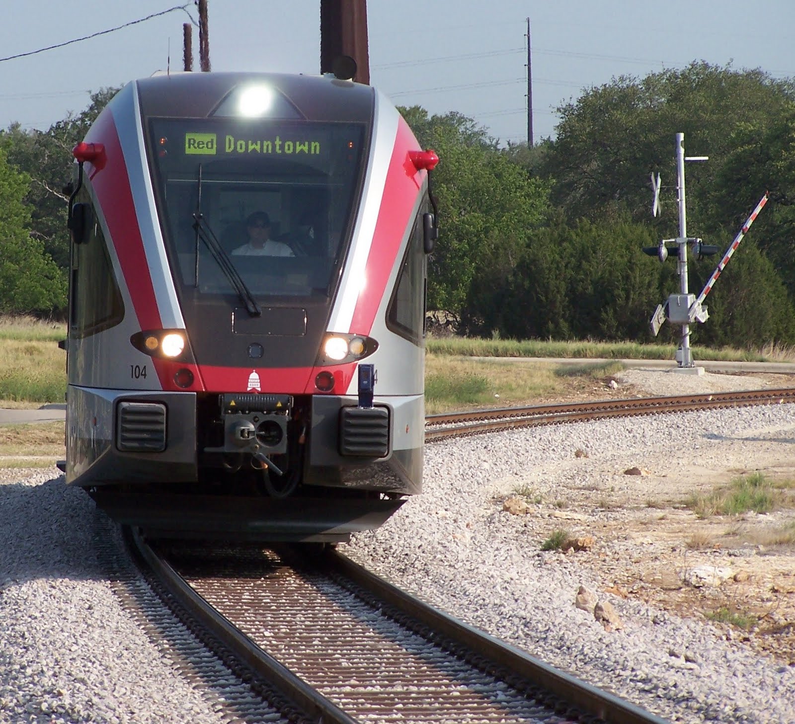
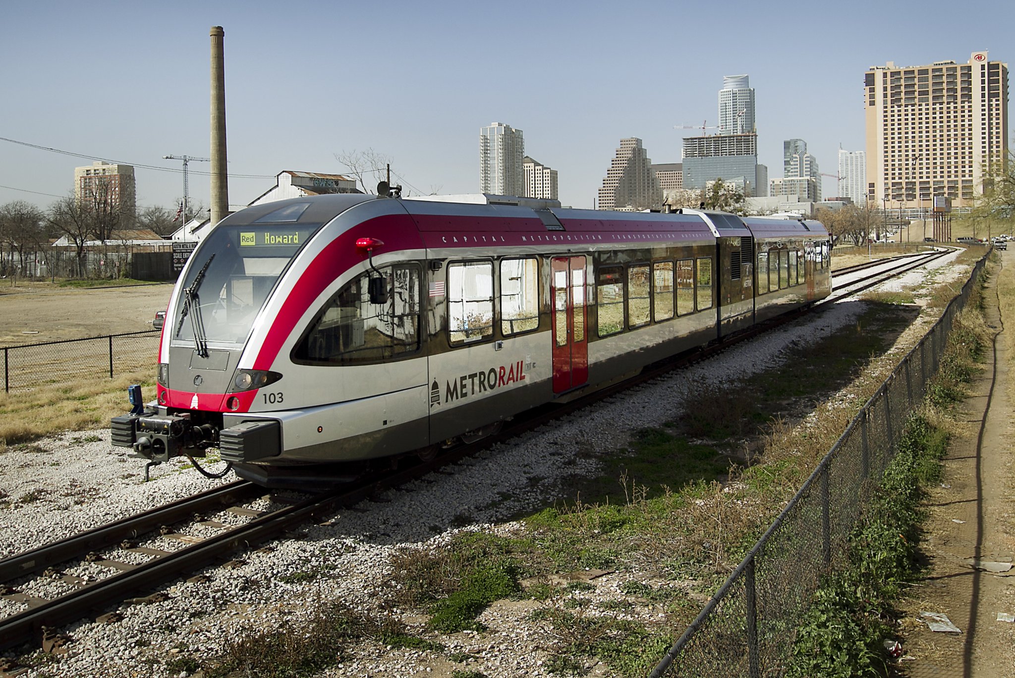
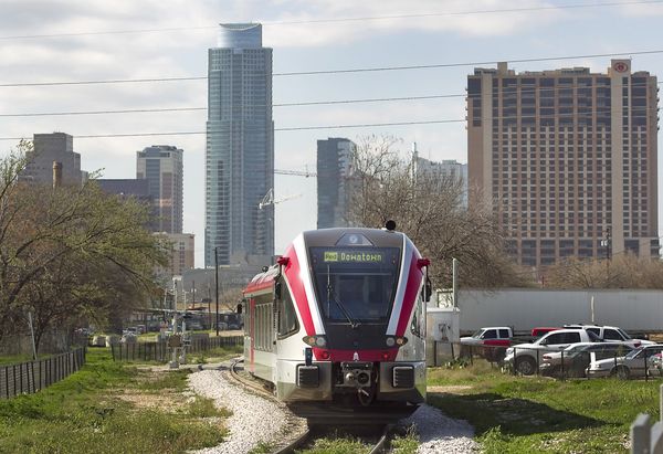
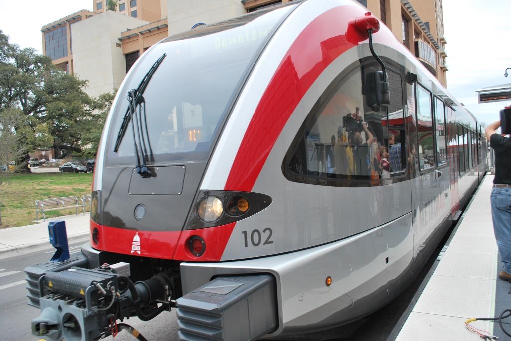
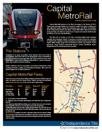
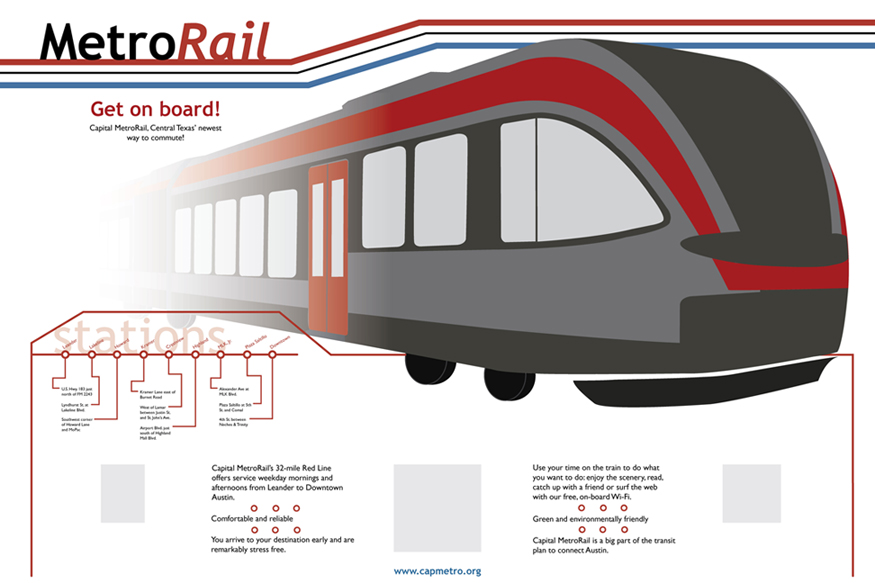
Austin's Capital MetroRail Red Line opened for business to the public on March 22nd, 2010. It is the first local rail system to operate after the city's streetcar line shutdown in 1940.
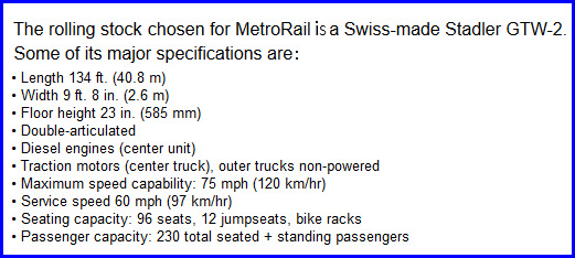
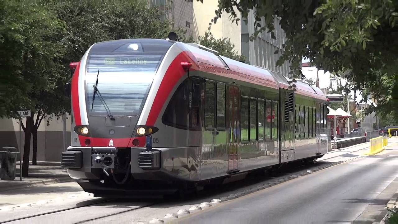
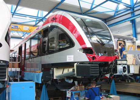
The system uses cars known as a DMU, Diesel Multiple Unit. There are no overhead wires as commonly found in a typical light rail system. Instead, the trains are self powered using a diesel engine. Several systems already use DMU's, such as NJT's River Line , and Ottawa's O-train light rail line.
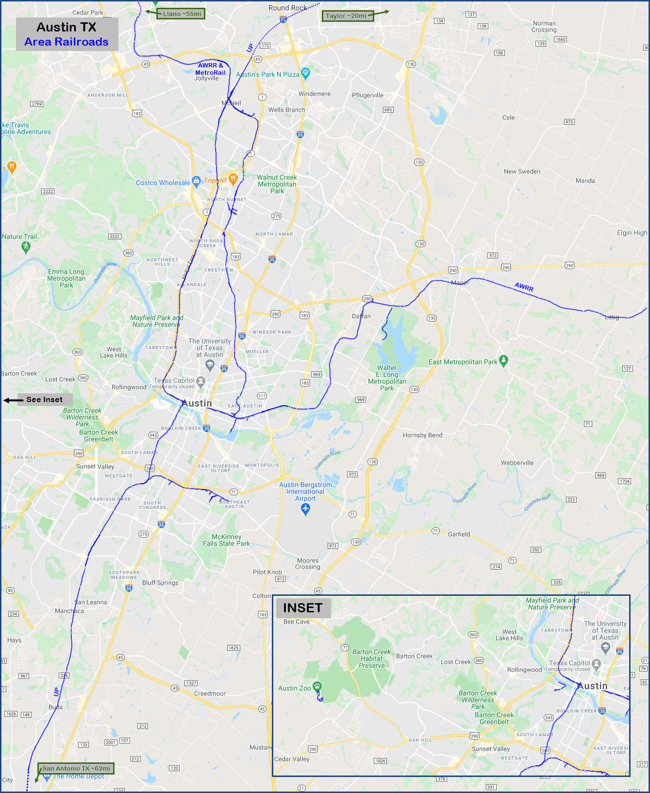
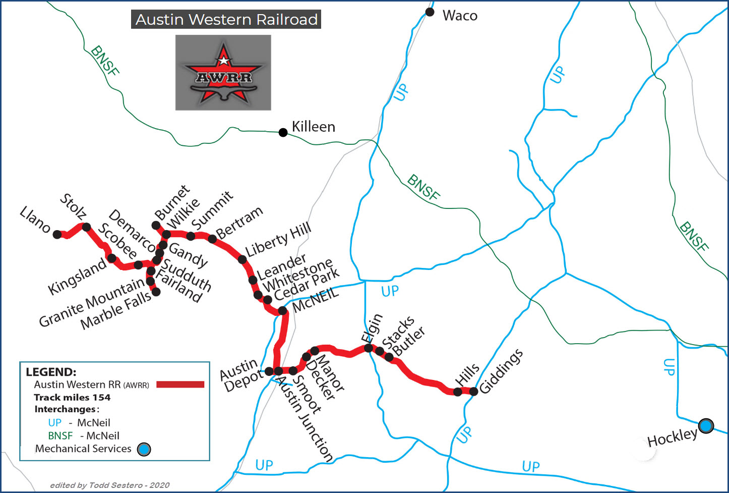
The line is 32 miles long, and goes from downtown Austin northwest to Leander. The line runs over a portion of the former Southern Pacific Railroad.
Signals will be covered as we go along station by station, if I can find anything on Google's Streetview.....
Acknowledgements:
Denver Todd
Websites and other additional information sources of interest for the area:
https://data.austintexas.gov/Locations-and-Maps/Railroads/d7wd-g9jm
https://en.wikipedia.org/wiki/Austin_Western_Railroad
https://en.wikipedia.org/wiki/Austin_and_Northwestern_Railroad
https://www.watcocompanies.com/services/rail/austin-western-railroad-awrr/
Getting to G
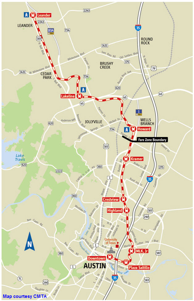

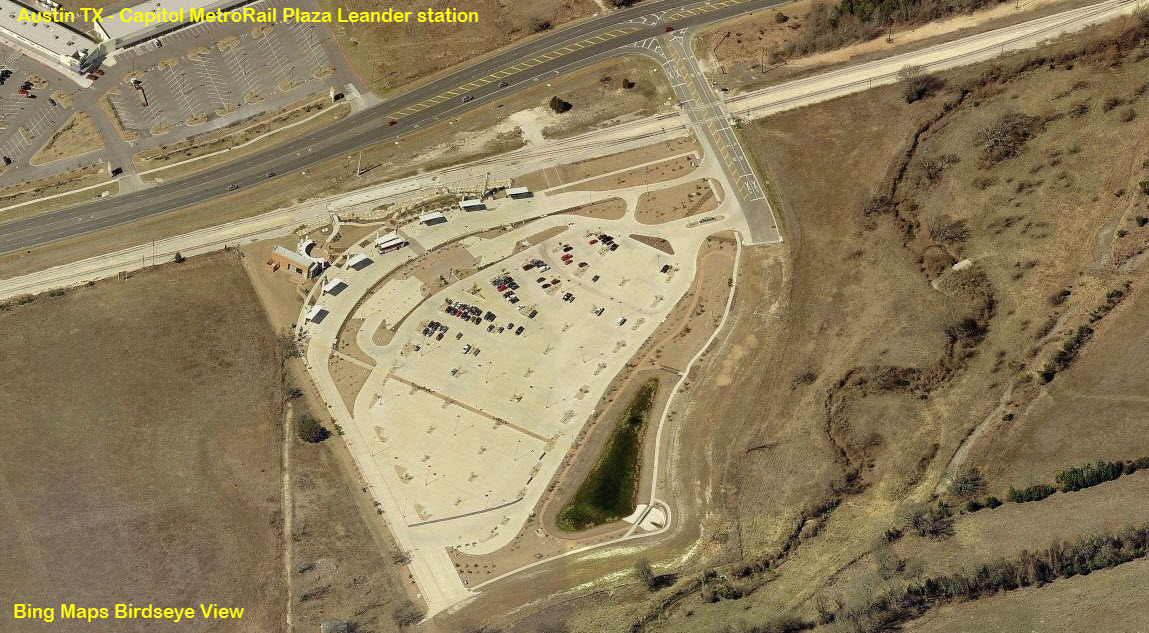
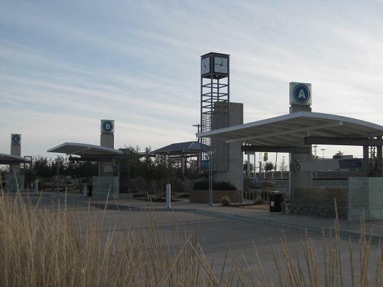
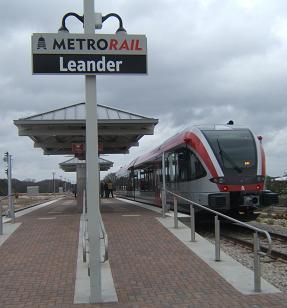
Leander
GPS Coordinates: 30.58665, -97.85547
US-183, Leander, TX 78641
Besides the station, there are three grade crossings to catch the action from: San Gabriel Parkway (north of the station), Metro Drive (which leads into the station parking lot), and Hero Way, south of the station. There is also a pull-off adjacent to signal location L2.
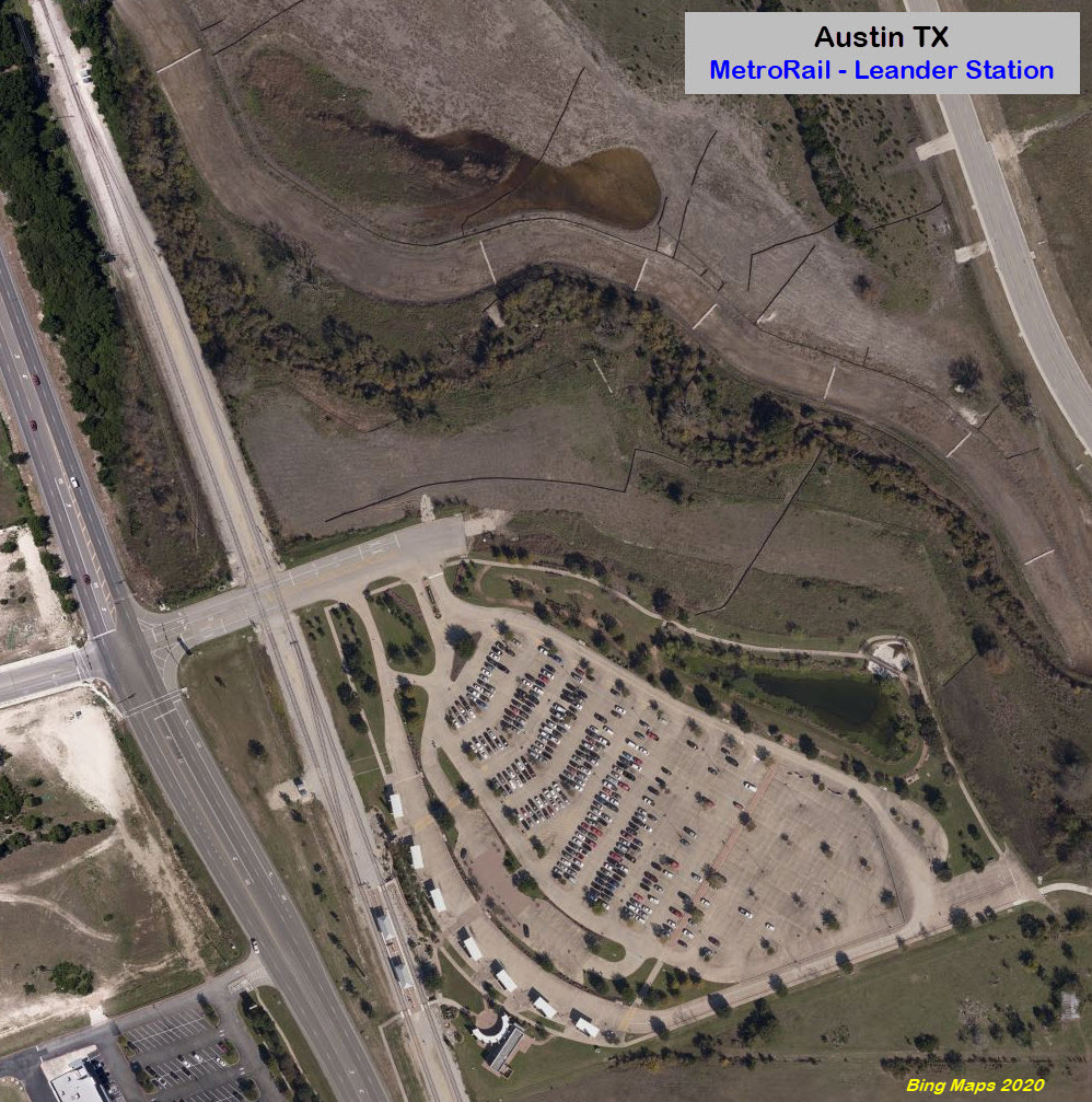
The Signals at Leander
Being the end of the line, we have a number of signals positions, and all but the signals at L1 and L6 are interlocking signals because of the crossover and the "2 to 1".
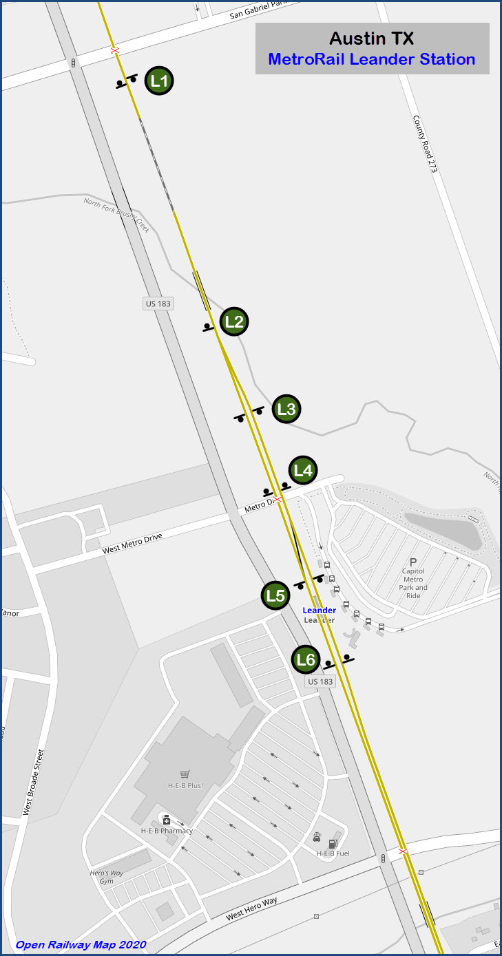
 L1 and L2 in the distance
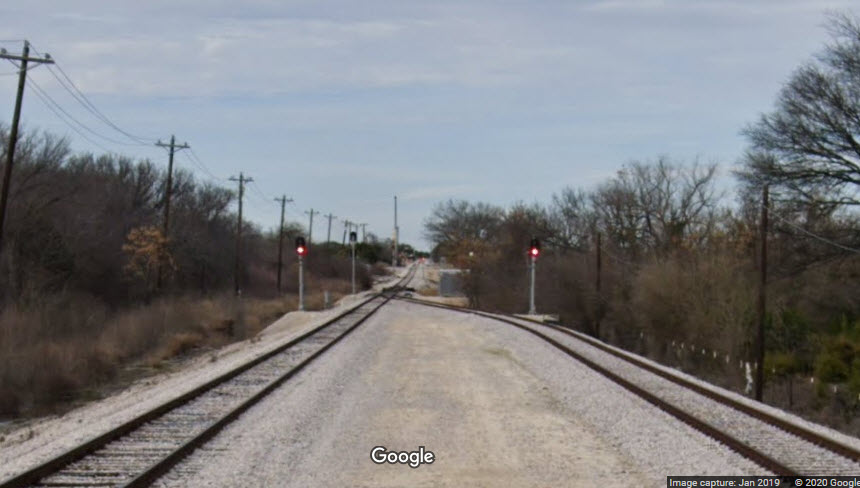 L3, L2, and L1 in the distance, from Metro Dr
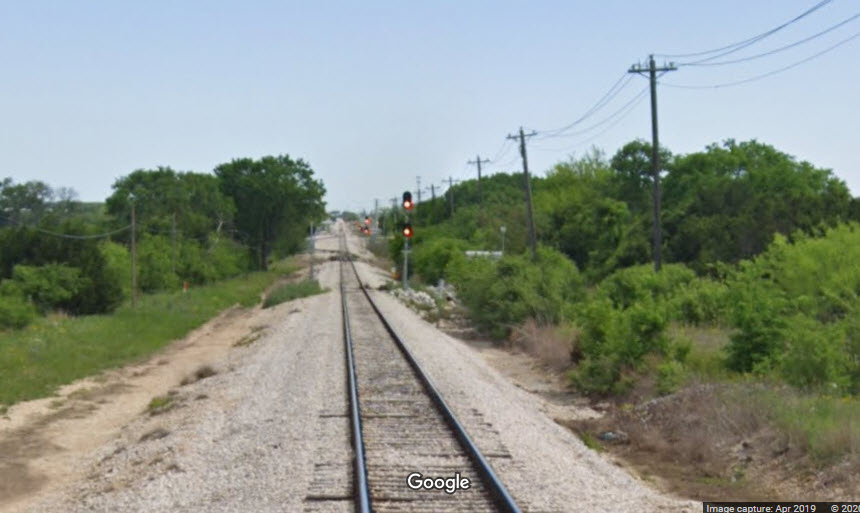
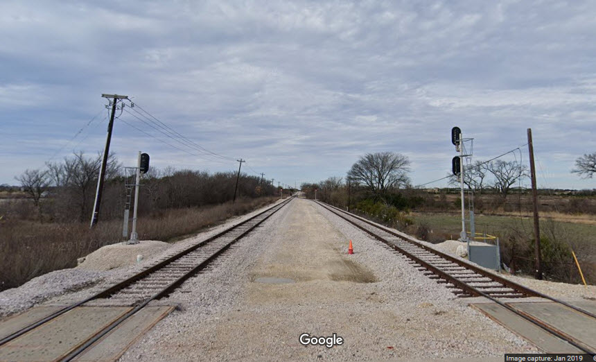 Zooming back, L4 is now next to us
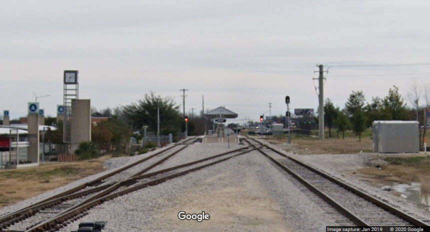 At the station, we have L5 and L6
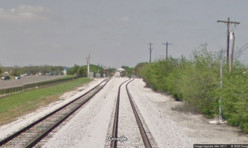 Looking from Hero Way
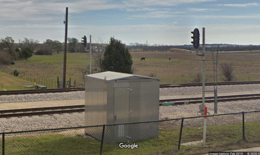 Signals at L6
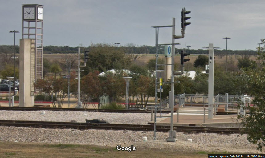 Signals at L5
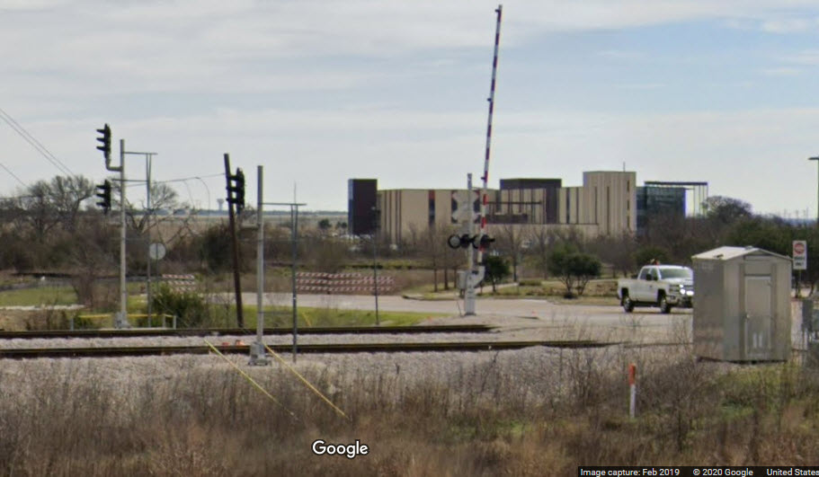 Signals at L4
 Pull-off at location L2
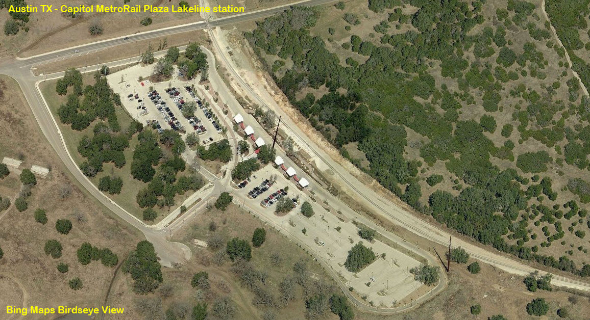
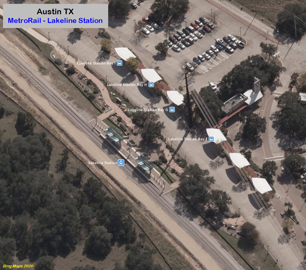
Lakeline
Over the UP
GPS Coordinates: 30.453074, -97.720798
Just north of the Austin Western RR yard is a new "flyover" for the MetroRail trains so they do not have to cross the UP's tracks at grade. There is also an interchange point between the AWRR and the UPRR here. It is in McNeil TX. Decent pictures can be had from McNeil Road, as the trains are coming off the bridge. Strange place for a post office, reminds you of the "old west" :-)
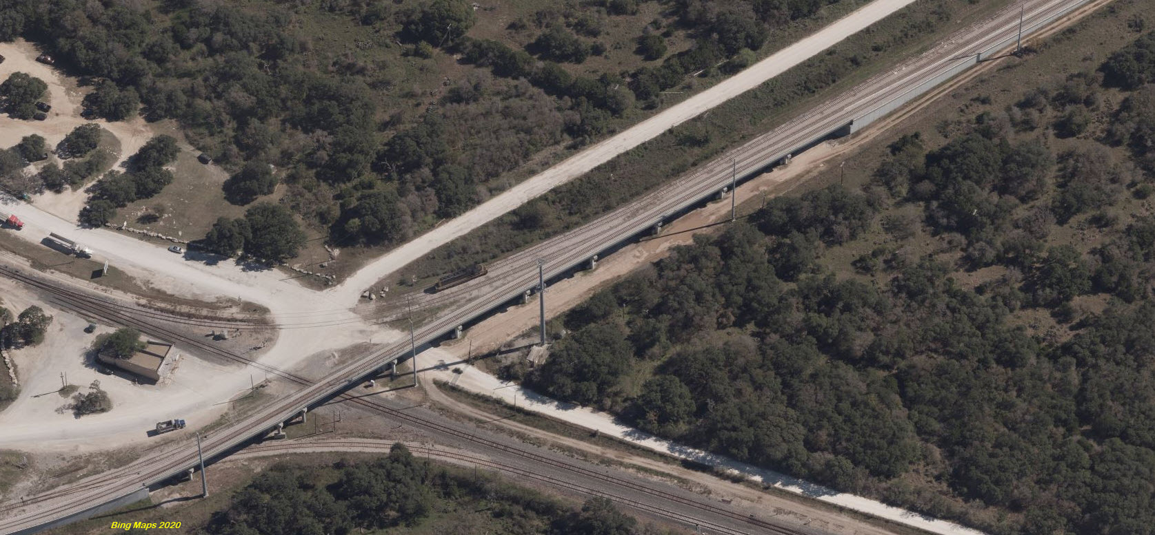
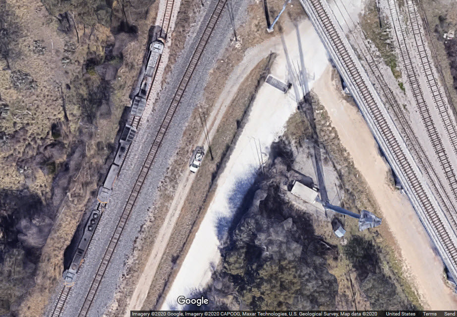
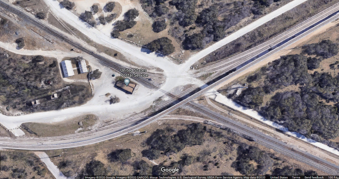
 from McNeil Road
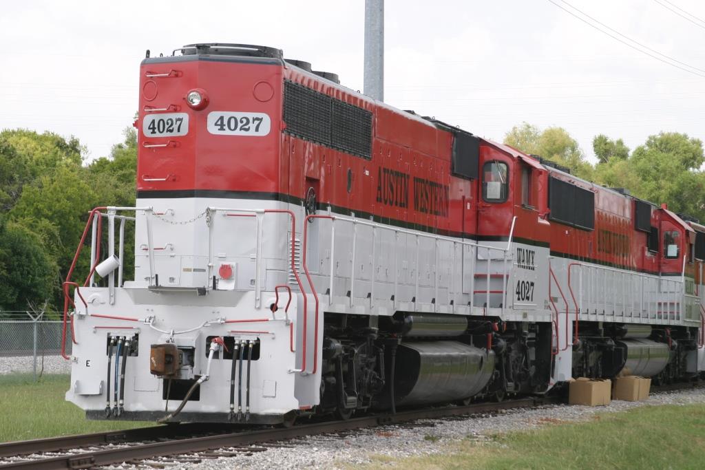
Austin Western RR

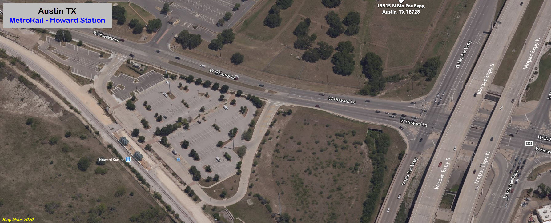
4177-4399 W Howard Ln, Austin, TX 78728
Located about 1300 feet from the entrance to the Howard station parking lot.
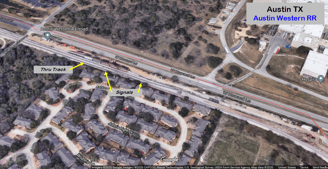
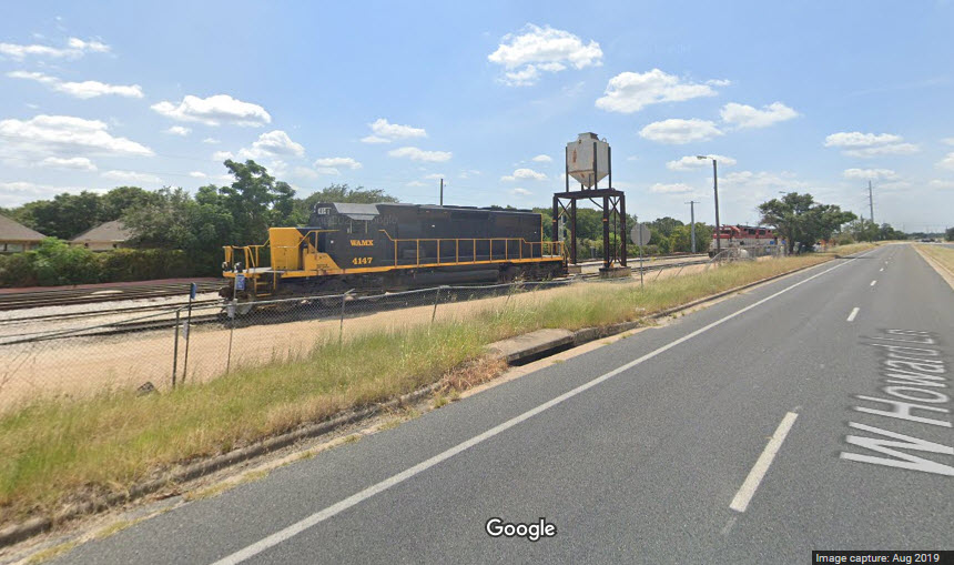
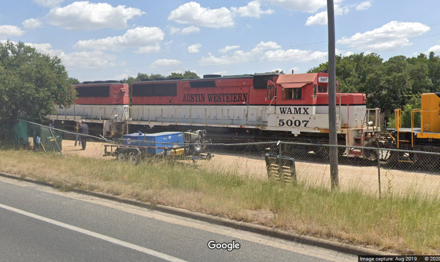
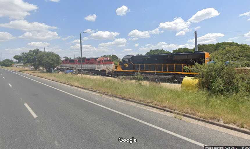
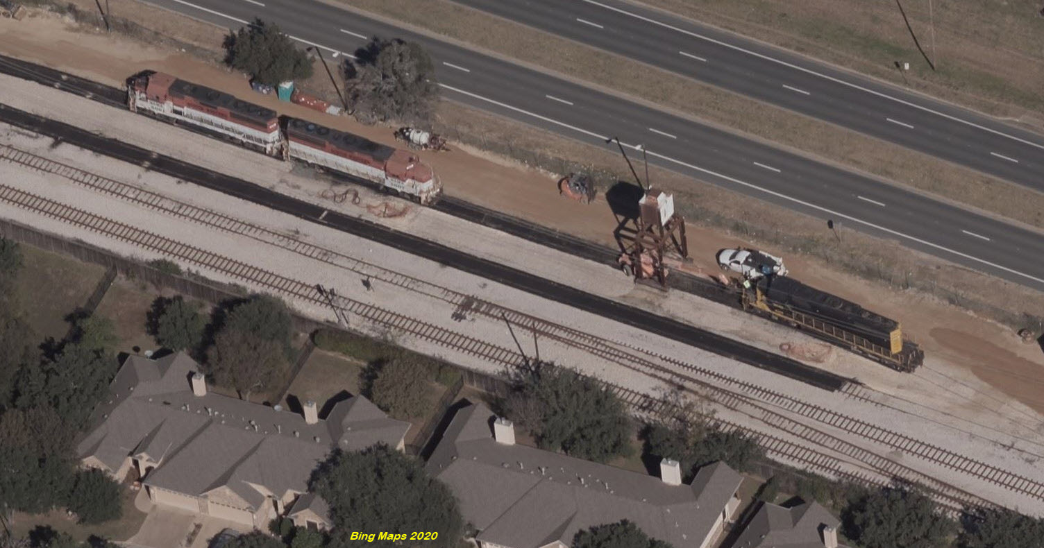
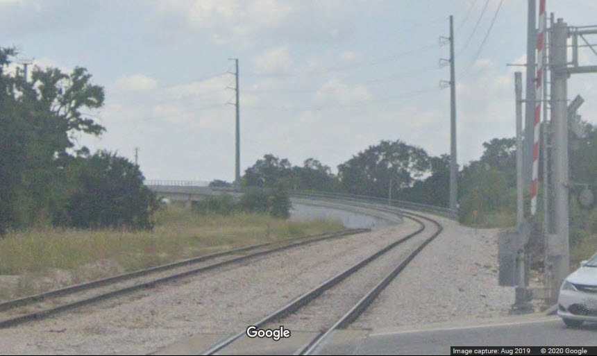
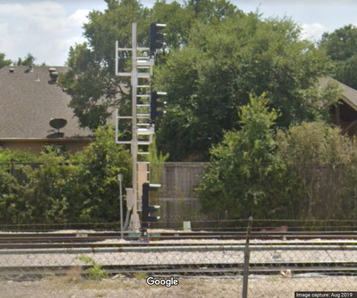
Signals Along the Austin Western RR Yard
There are 4 signals here, two for the MetroRail main, and 2 for the yard controlling access to the mainline.
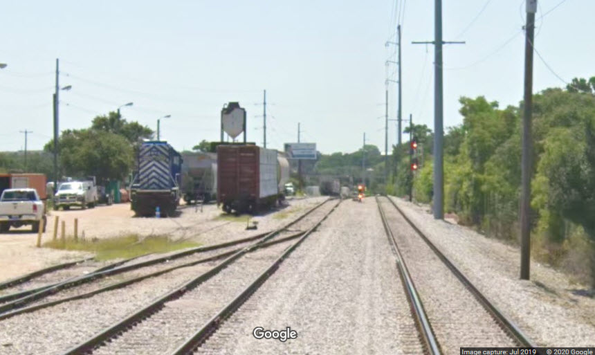
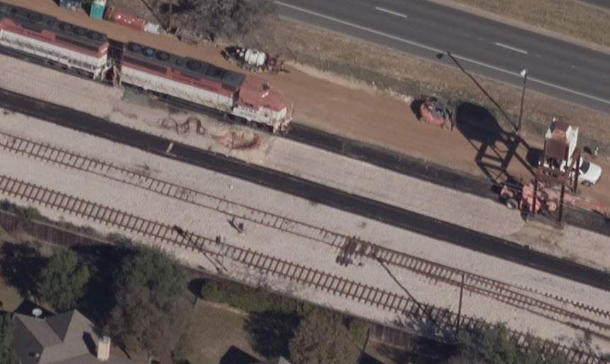
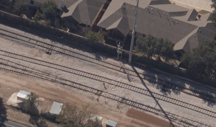
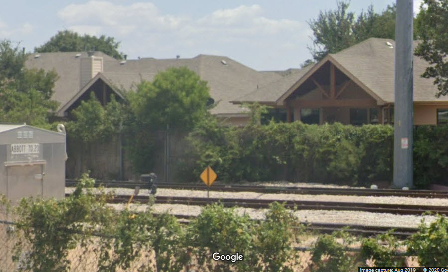
The above shot, taken in 2019, shows no mainline signal here, in the Bing birds-eye view, it is shown.
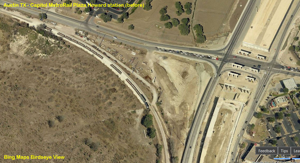
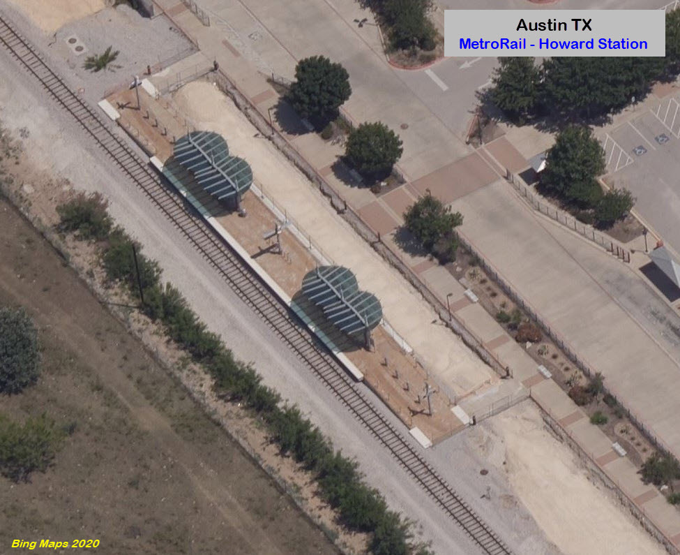
Howard
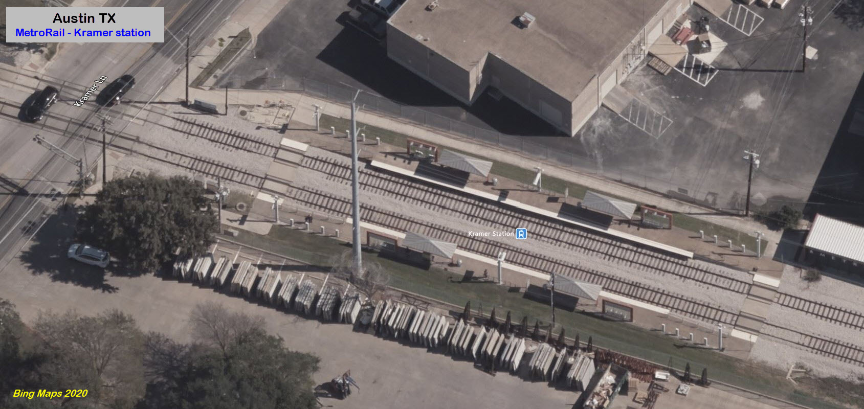
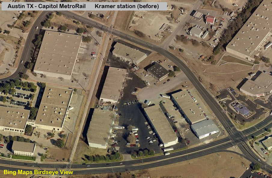
Kramer
the Shops
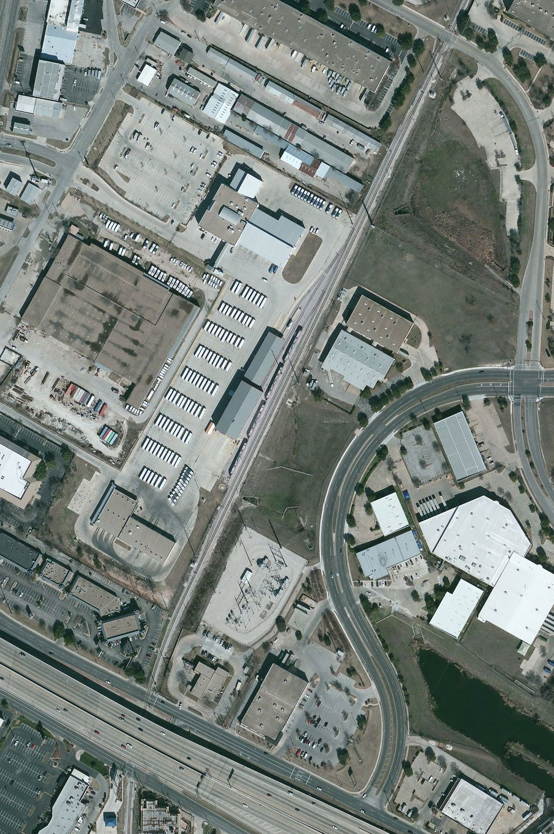
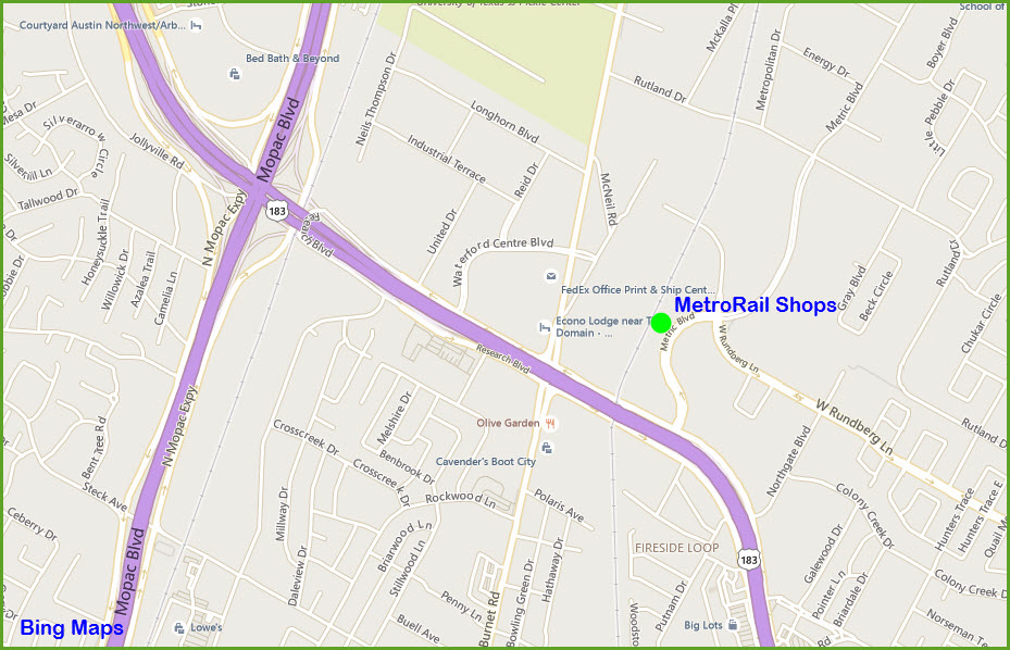
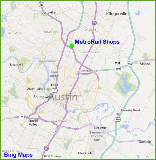
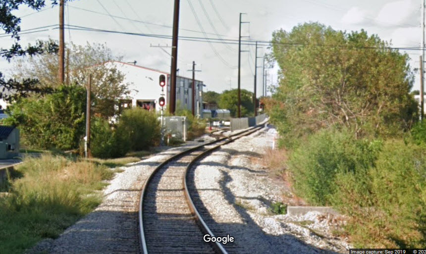 from Research Blvd
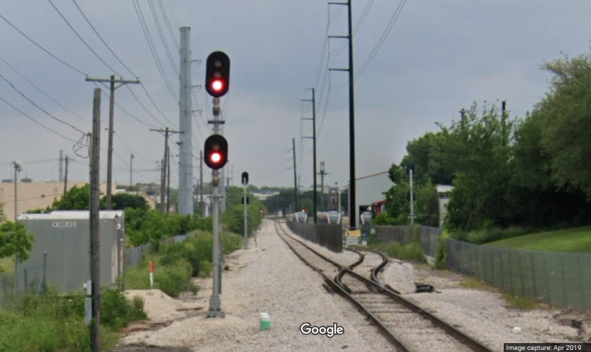 from W Rundberg Lane
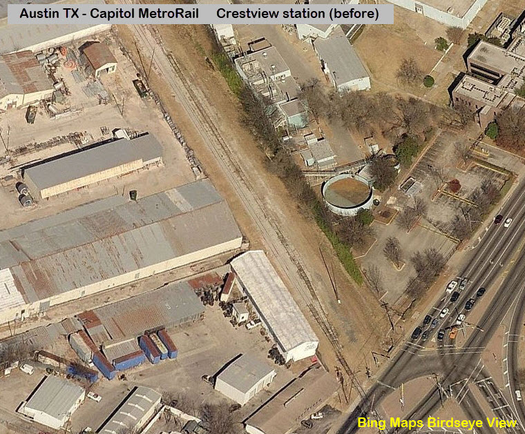
Crestview
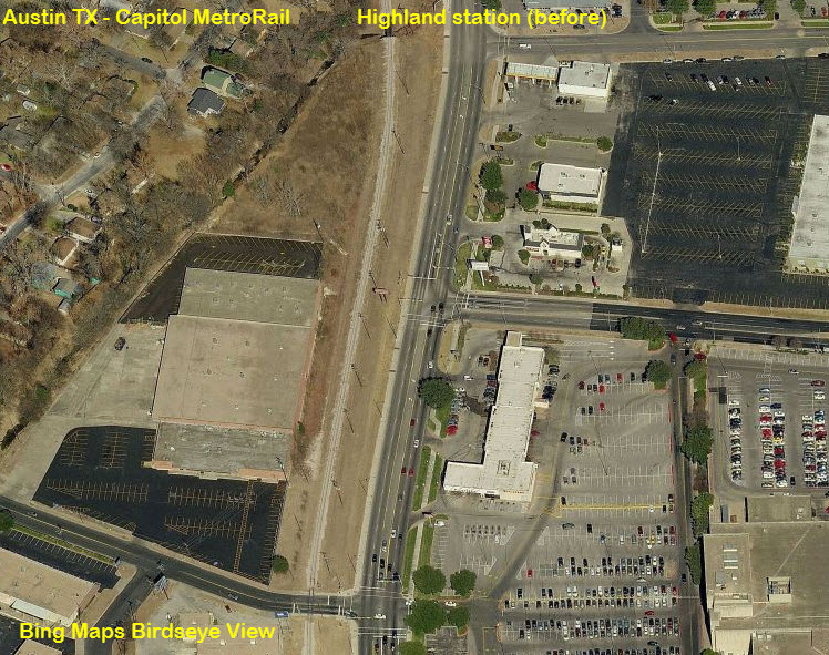
Highland
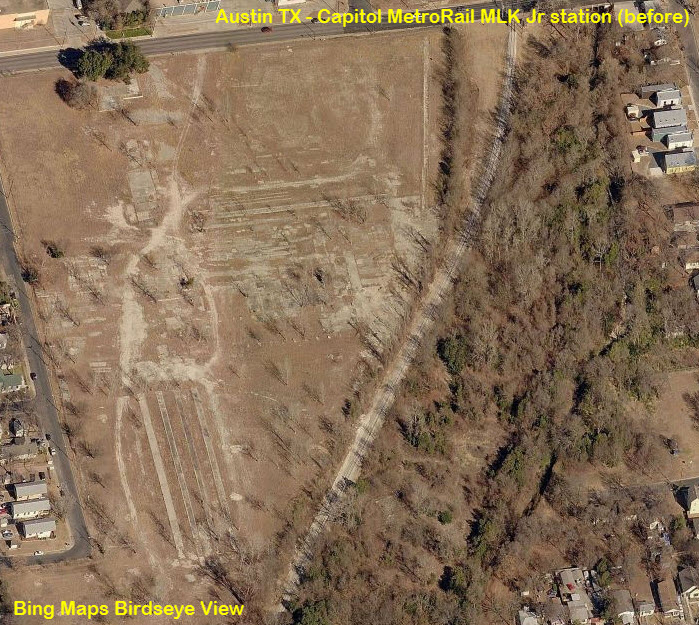
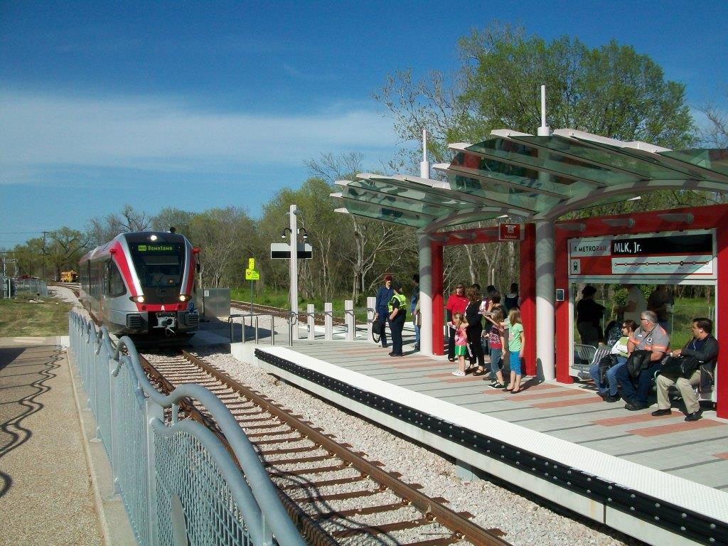
MLK Jr
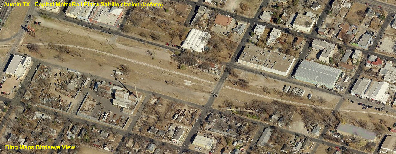
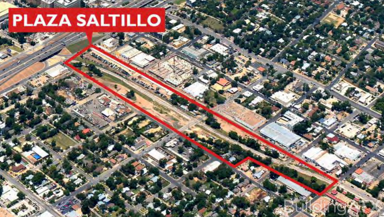
Plaza Saltillo
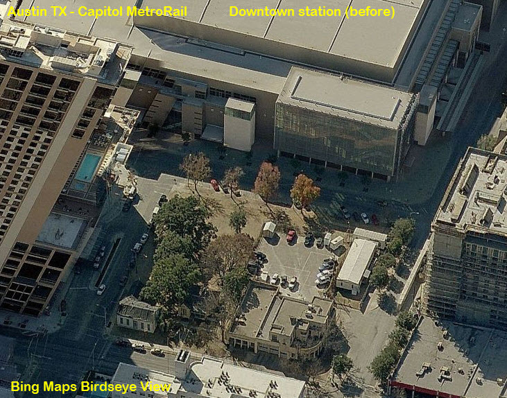
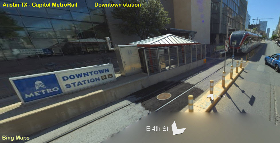
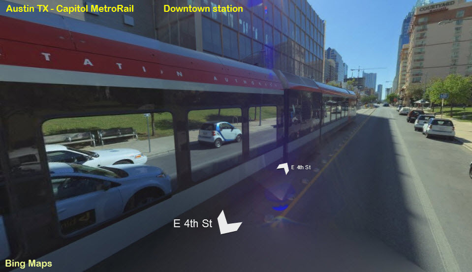
Downtown
None to report on, still, in 2020... .Anyone have any pictures they would like to submit?


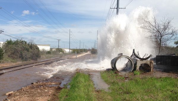 OOOOOPS
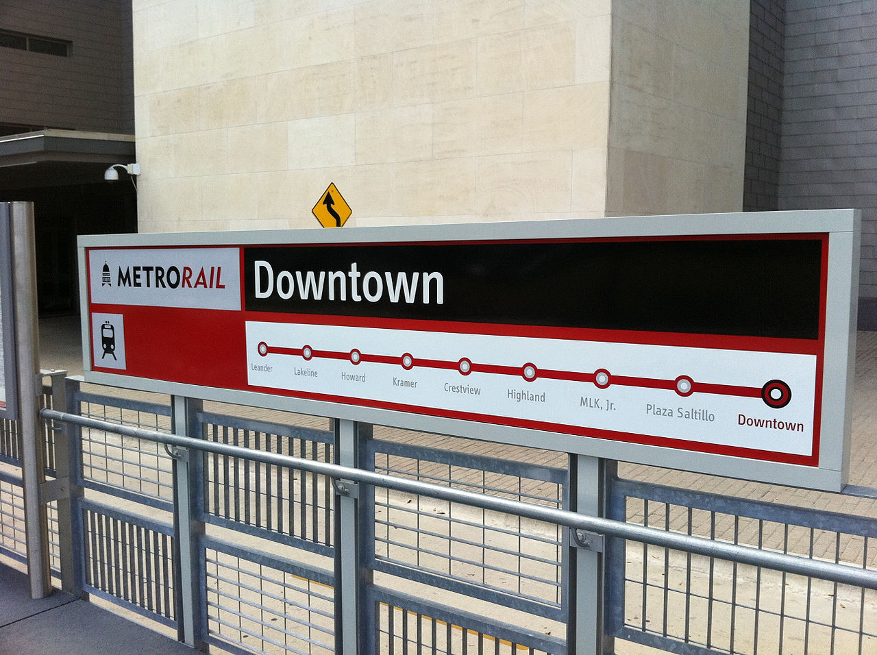
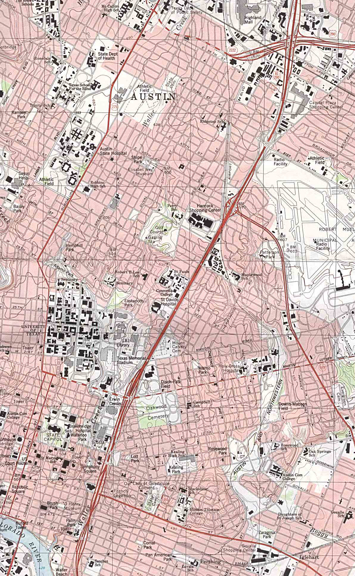
Courtesy of the University of Texas Library, click here for their index page. Downtown section of a 1988 map.
Disclaimers:
I love trains, and I love signals. I am not an expert. My webpages reflect what I find on the topic of the page. This is something I have fun with while trying to help others.
Please Note: Since the main focus of my two websites is railroad signals, the railfan guides are oriented towards the signal fan being able to locate them. For those of you into the modeling aspect of our hobby, my indexa page has a list of almost everything railroad oriented I can think of to provide you with at least a few pictures to help you detail your pike.
If this is a railfan page, every effort has been made to make sure that the information contained on this map and in this railfan guide is correct. Once in a while, an error may creep in :-)
My philosophy: Pictures and maps are worth a thousand words, especially for railfanning. Text descriptions only get you so far, especially if you get lost or disoriented. Take along good maps.... a GPS is OK to get somewhere, but maps are still better if you get lost! I belong to AAA, which allows you to get local maps for free when you visit the local branches. ADC puts out a nice series of county maps for the Washington DC area, but their state maps do not have the railroads on them. If you can find em, I like the National Geographic map book of the U.S..... good, clear, and concise graphics, and they do a really good job of showing you where tourist type attractions are, although they too lack the railroads. Other notes about specific areas will show up on that page if known.
Aerial shots were taken from either Google or Bing Maps as noted. Screen captures are made with Snagit, a Techsmith product... a great tool if you have never used it!
By the way, floobydust is a term I picked up 30-40 years ago from a National Semiconductor data book, and means miscellaneous and/or other stuff.
Pictures and additional information is always needed if anyone feels inclined to take 'em, send 'em, and share 'em, or if you have something to add or correct.... credit is always given! Please be NICE!!! Contact info is here
Beware: If used as a source, ANYTHING from Wikipedia must be treated as being possibly inaccurate, wrong, or not true.
RAILFAN GUIDES HOME
RAILROAD SIGNALS HOME
NEW 01/01/2014, DEC14/2015, NOV19/2020
Last Modified
29-Nov-2020