One of the better resources I have come across to this end is the plethora of old post cards still around depicting many of these structures, some better than others.
Most of the postcards were found on EBay unless noted, other pictures, mostly the more recent ones, come from Google and/or Bing images -
credit given if the source is known.
Dates are in the picture name, x means the date is approximate. If they were available, and interesting, I included the back side of the postcards.
1901a and 1910b would be the same card, both sides.
If the picture was really, really bad, some of them have been cleaned up and/or repaired when I had the energy.
Since many of these stations are no longer around (railfans seem to prefer the term "extant", I'm not one of them! :-), this page is mostly for historical reference.
This page is mostly for historical reference, as MANY of these stations are not around anymore!
What's the difference between a station and a depot? Most people will say "nuttin", it's a matter of preference, although many will use depot for older buildings.
If you have a picture you would like to contribute, please see the bottom of the page for how to find me, credit is always given to contributing photographers.
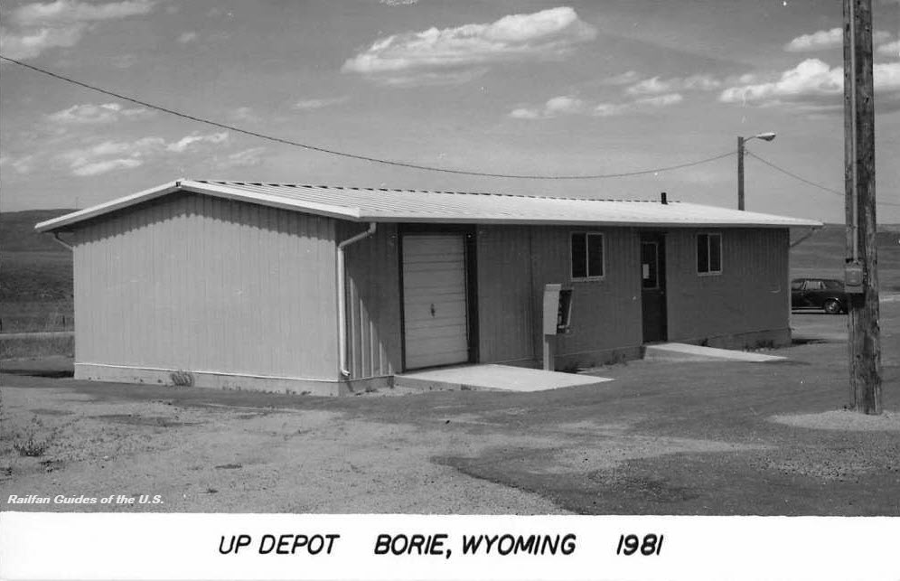
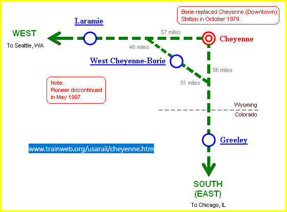
GPS Coordinates: 41.131729, -104.814420
Station code: BOR
Amtrak rerouted service from Cheyenne to Borie in October 1979. However, service didn't last long, as Amtrak discontinued the Pioneer in April 1997. The station was
subsequently torn down. http://www.trainweb.org/usarail/borie.htm
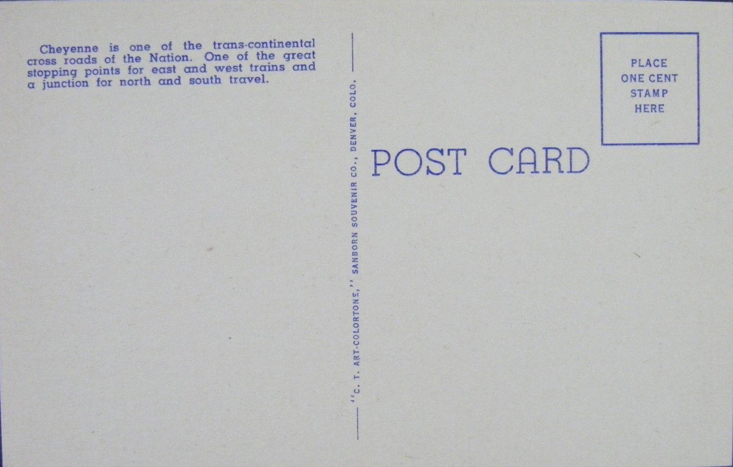
EBay seller: baysideantiques_02
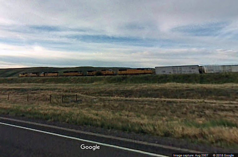
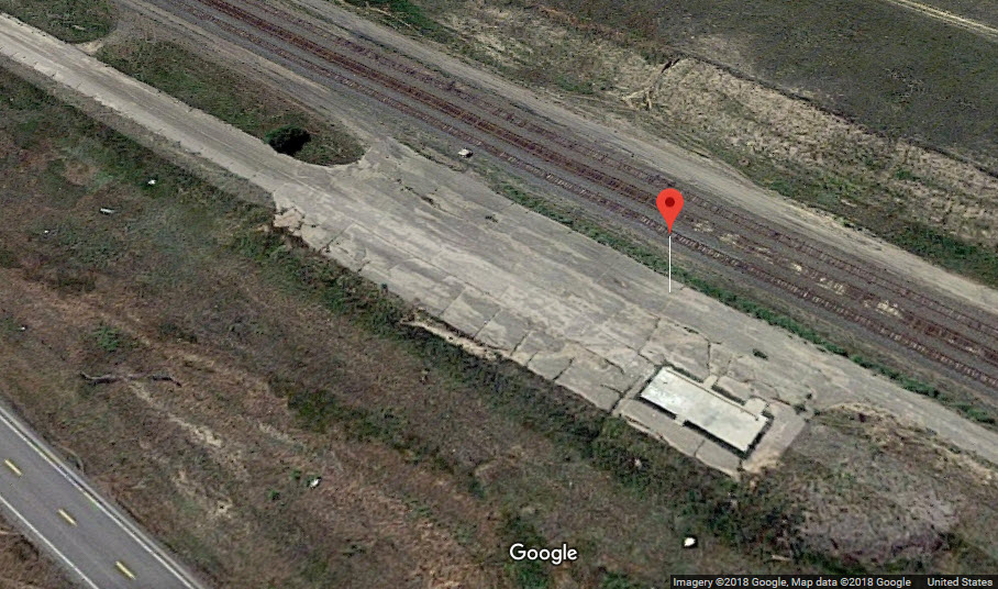
Google catches a UP freight running thru Borie :-)
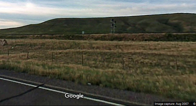
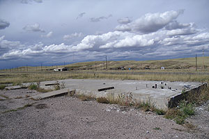
You can't even tell there used to be a station here......
A set of WB signals is just west of the former depot location.
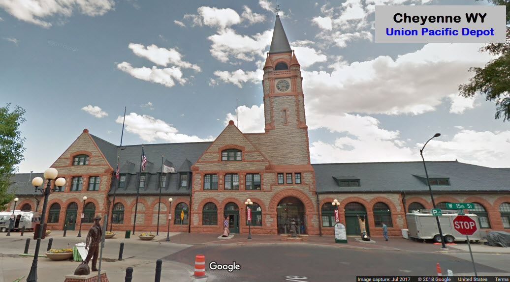
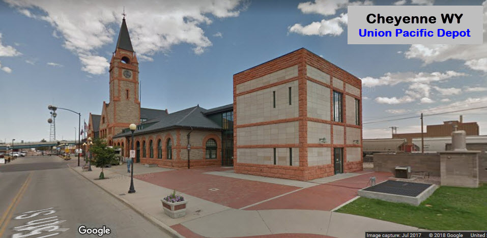
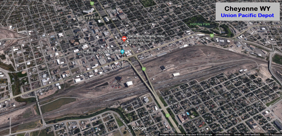
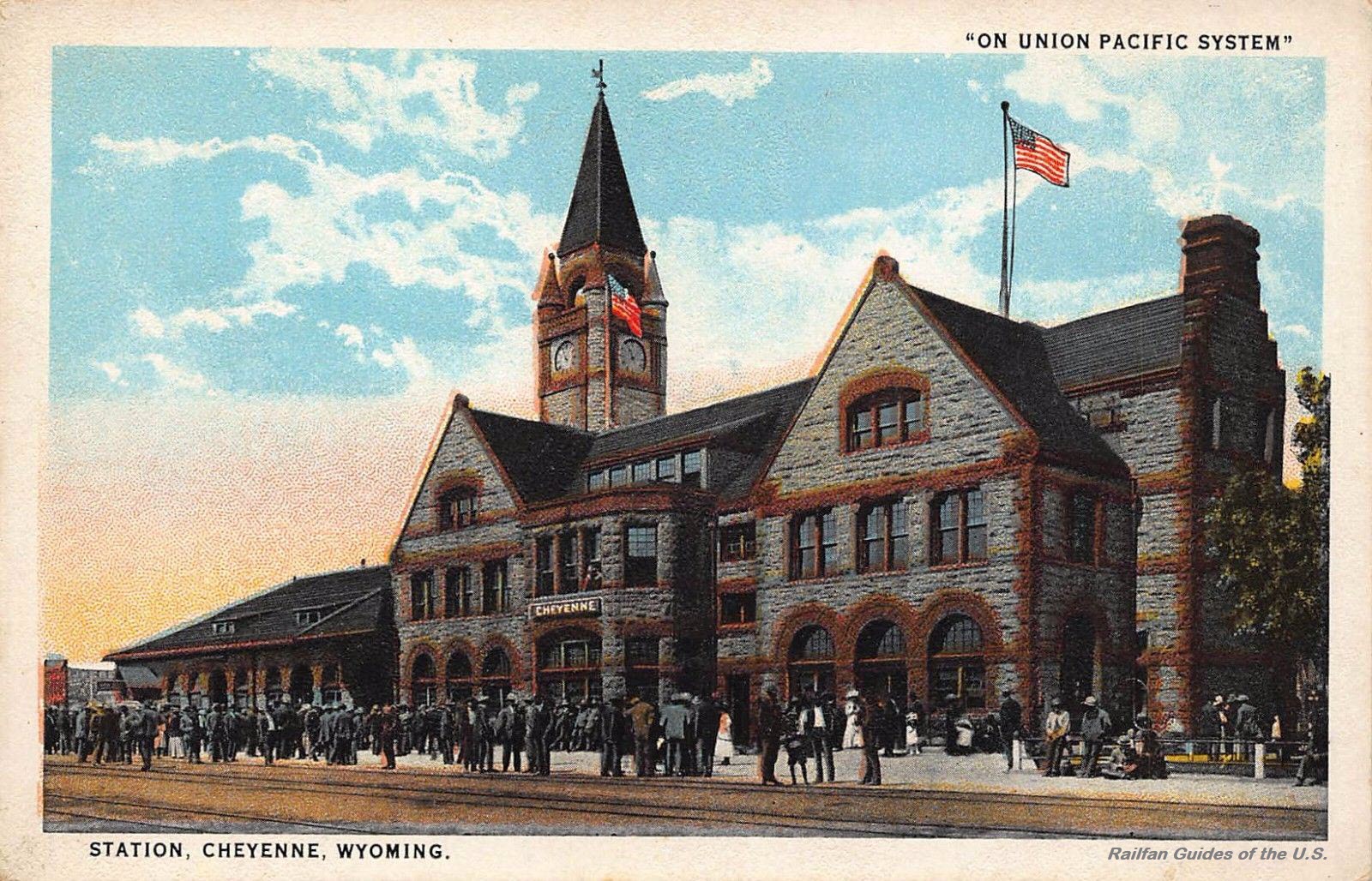
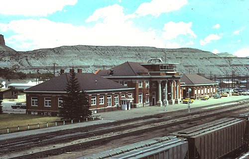
The depot now houses the Wyoming Transportation Museum, which includes a roundhouse and turntable with displays. The depot was opened in 1887 by
the Union Pacific RR. The Union Pacific donated the building to the City of Cheyenne and Laramie County IN 1993, and stabilization
of the building was begun a year later. Since then, the building has undergone various stages of an extensive rehabilitation project. The first floor now houses
the Cheyenne Depot Museum and a brewpub/restaurant. The upper levels house offices for various city and private concerns related to tourism, economic development
and the museum. The museum tells the story of the Cheyenne beginnings during the construction of the Transcontinental Railroad, the Union Pacific Depot and the
Railroad it is named after. Amtrak rerouted service to Borie in October 1979, and then Amtrak discontinued the Pioneer in April 1997. The station was
subsequently torn down.
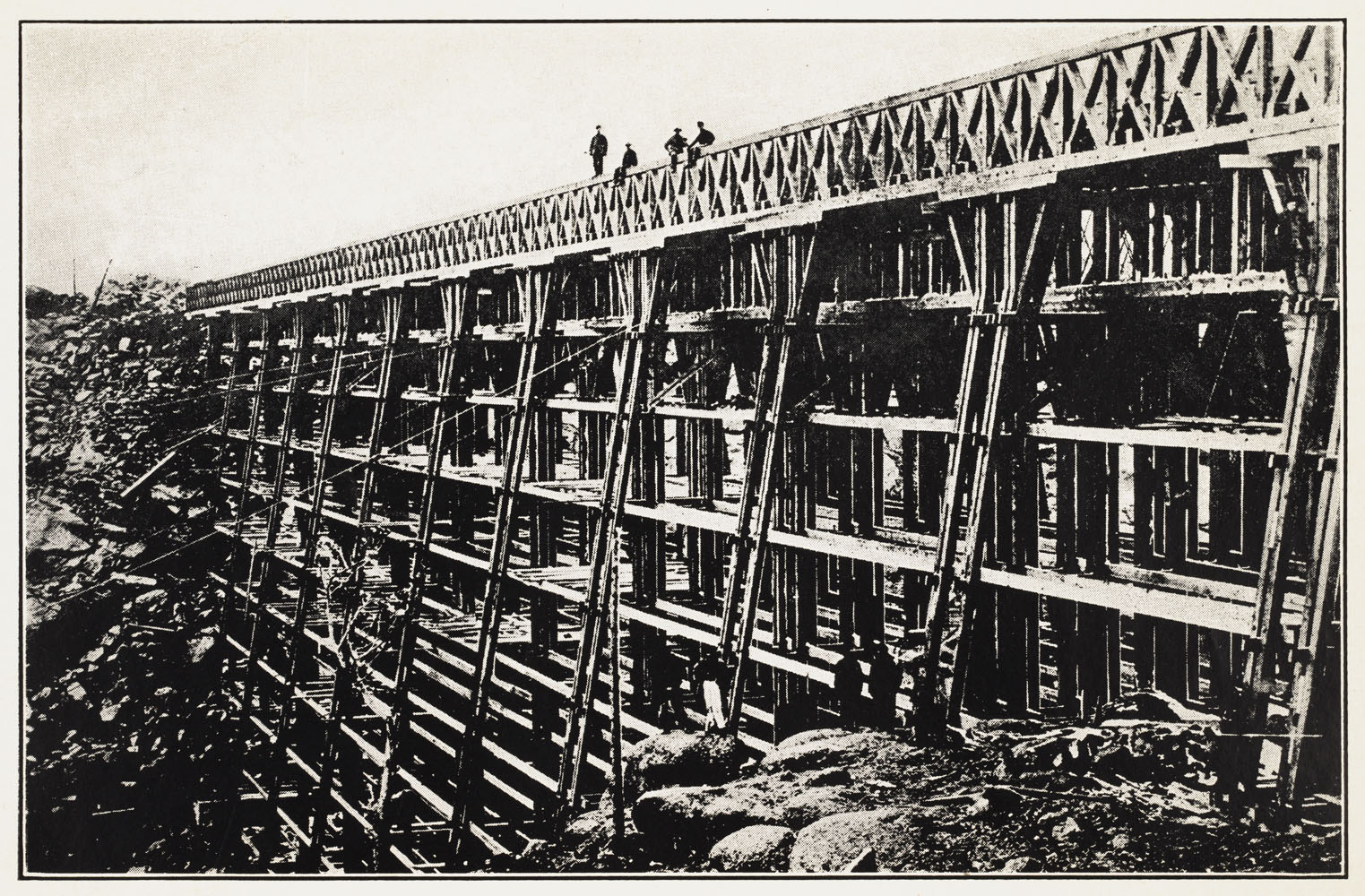
Near Sherman WY. Railroad companies first built temporary wooden trestles and bridges that they later replaced with more durable and permanent iron structures. Wood,
though prone to decay and fire, was cheaper and more obtainable than the iron (and, much later, concrete) that would replace it. The wooden structure of the Union
Pacific's Dale Creek Bridge was twice replaced, both times by iron bridges, before being made obsolete by the railroad's relocation. The bridge, built over the Dale
Creek between Laramie and Cheyenne, Wyoming, was, at 600 feet, the longest bridge on the original Union Pacific route. With stone foundations and wooden supports, it
raised the track 120 feet over the bottom of the ravine and required guy ropes to hold it steady in the wind.
The railroad bridge over the Wind River near the southern entrance to the Wind River Canyon. The canyon is located just south of the town of Thermopolis WY.
2011, Photo by Bruce/bhophotos
Disclaimers:
I love trains, and I love signals. I am not an expert. My webpages reflect what I find on the topic of the page. This is something I have fun with while
trying to help others.
Please Note: Since the main focus of my two websites is railroad signals, the railfan guides are oriented towards the signal fan being able to locate them.
For those of you into the modeling aspect of our hobby, my indexa page has a list of almost everything railroad oriented
I can think of to provide you with at least a few pictures to help you detail your pike.
If this is a railfan page, every effort has been made to make sure that the information contained on this map and in this railfan guide is correct. Once in a while,
an error may creep in :-)
My philosophy: Pictures and maps are worth a thousand words, especially for railfanning. Text descriptions only get you so far, especially if you get lost or
disoriented. Take along good maps.... a GPS is OK to get somewhere, but maps are still better if you get lost! I belong to AAA, which allows you to get
local maps for free when you visit the local branches. ADC puts out a nice series of county maps for the Washington DC area, but their state maps do not have the
railroads on them. If you can find em, I like the National Geographic map book of the U.S..... good, clear, and concise graphics, and they do a really good job
of showing you where tourist type attractions are, although they too lack the railroads. Other notes about specific areas will show up on that page if known.
Aerial shots were taken from either Google Maps or www.bing.com/maps as noted. Screen captures are made
with Snagit, a Techsmith product... a great tool if you have never used it!
By the way, floobydust is a term I picked up 30-40 years ago from a National Semiconductor data book, and means miscellaneous
and/or other stuff.
Pictures and additional information is always needed if anyone feels inclined to take 'em, send 'em, and share 'em, or if you have something to add or correct.... credit
is always given! Please be NICE!!! Contact info is here
Beware: If used as a source, ANYTHING from Wikipedia must be treated as being possibly being inaccurate, wrong, or not true.

 EBay seller: baysideantiques_02
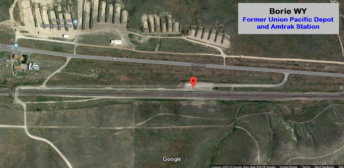
 Google catches a UP freight running thru Borie :-)
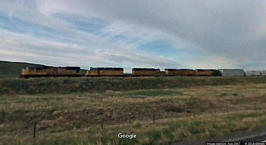
 A set of WB signals is just west of the former depot location.
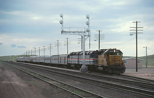
 Pictures from http://www.trainweb.org/usarail/borie.htm
 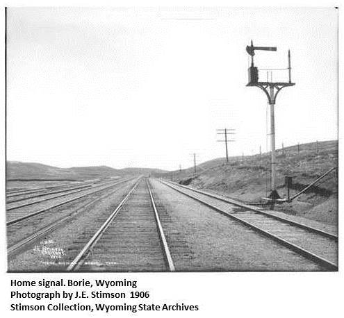 From: http://wyomingplaces.pbworks.com/w/page/12714621/Borie
  EBay seller: baysideantiques_02
 EBay seller: mikeingreensboro
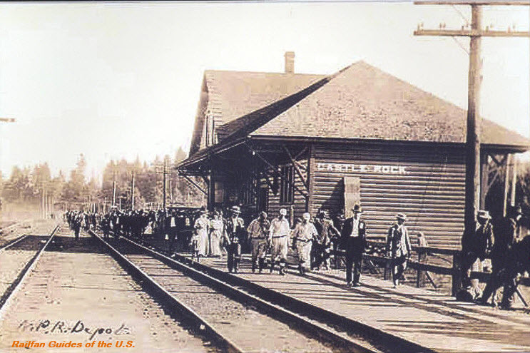 EBay seller: skurfanpostcards
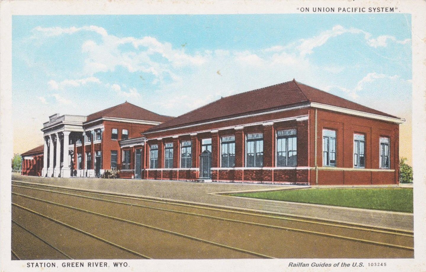
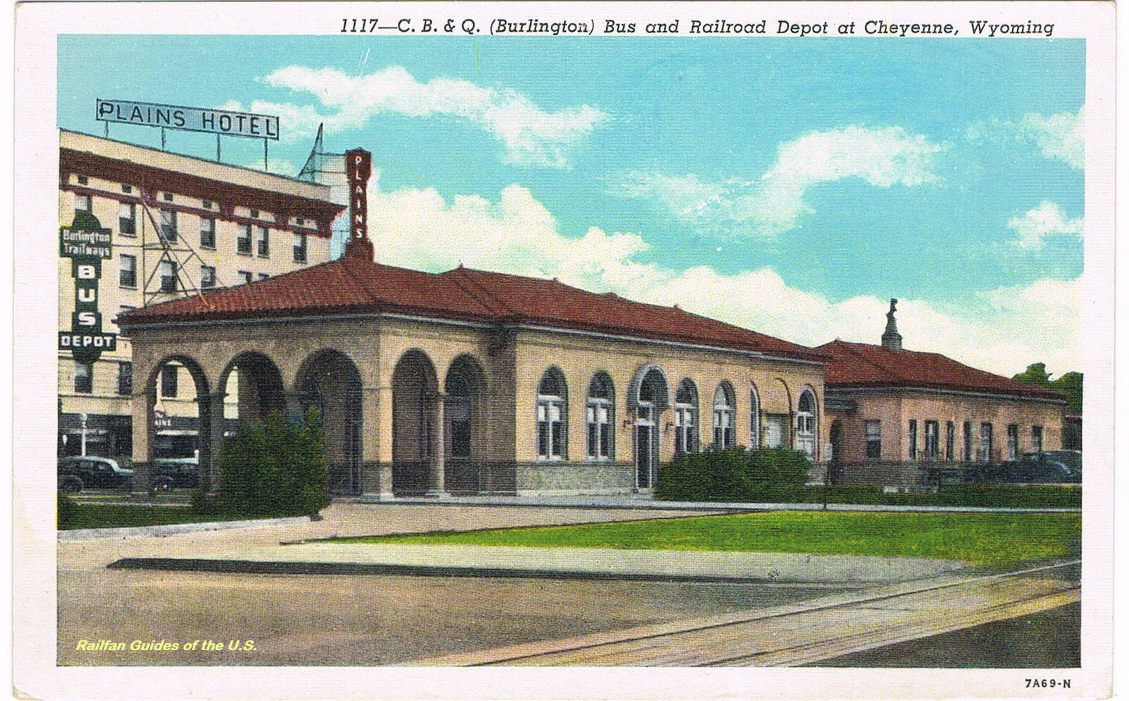 ~1920
~1920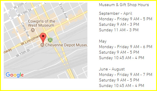

 EBay seller: monkeyturtleproductions
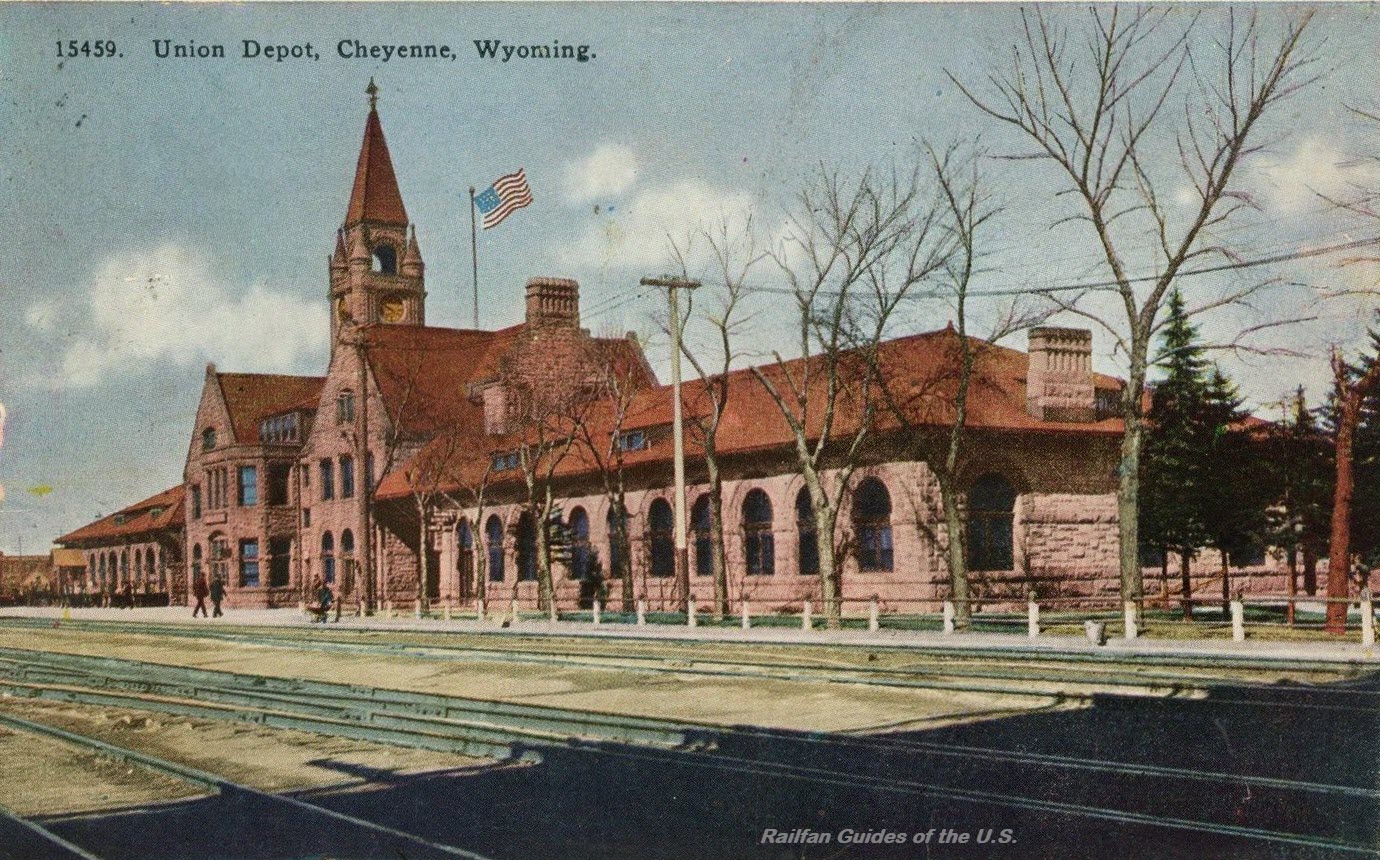 EBay seller: trentonstampandcoinco
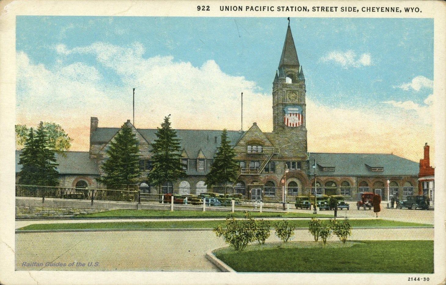
 EBay seller: trentonstampandcoinco
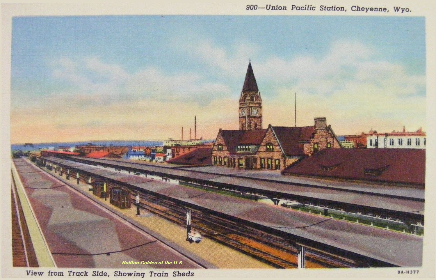
 EBay seller: dakotatreasurehunter
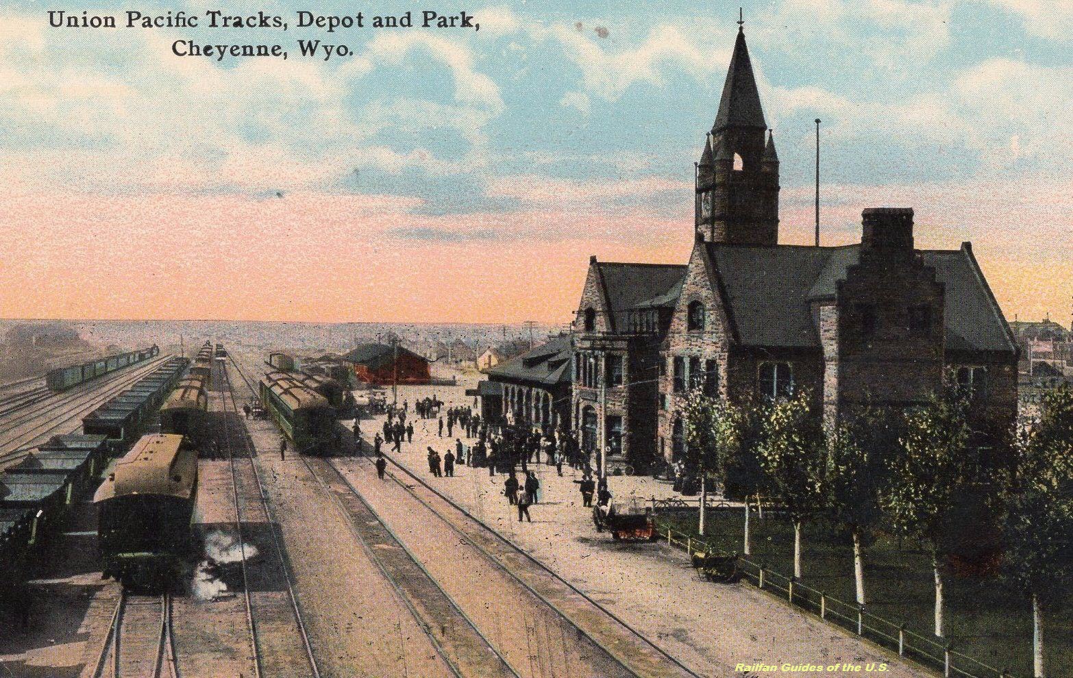 EBay seller: you-found-me
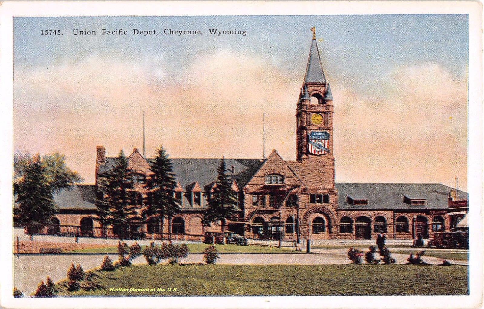 EBay seller: beth0514
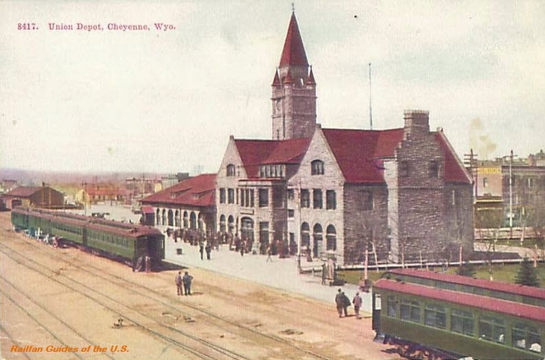 EBay seller: coolpostcards
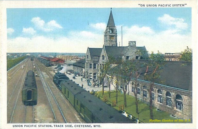 EBay seller: a1bookdealer
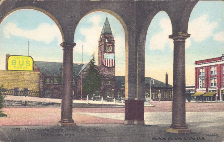 EBay seller: skurfanpostcards
 EBay seller: finscanes
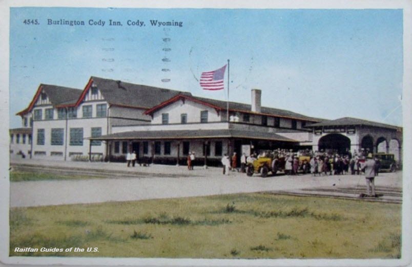 EBay seller: motka
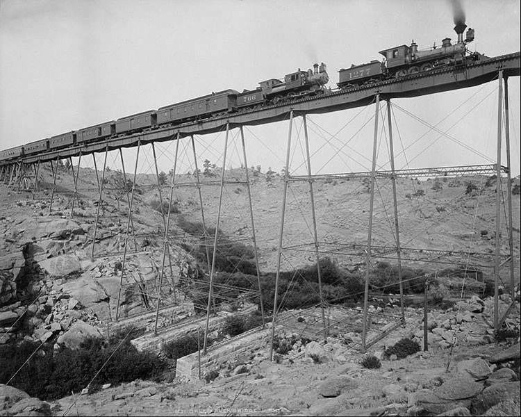 1885, found on Pintrest
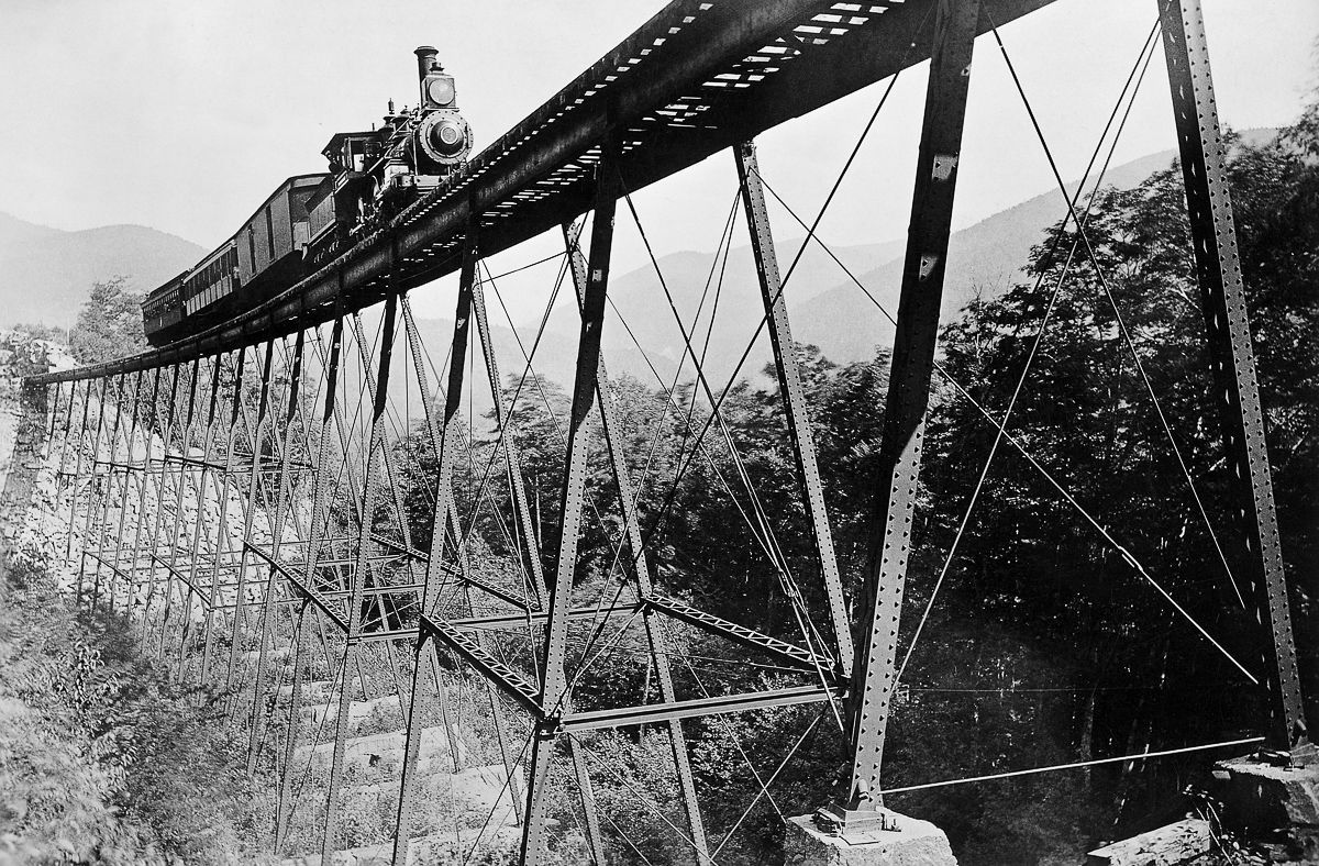
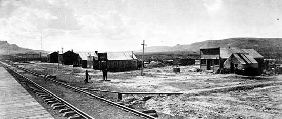
 1870's, maybe
 EBay seller: skurfanpostcards
 EBay seller: baysideantiques_02
 EBay seller: crowspostcards
 EBay seller: crowspostcards
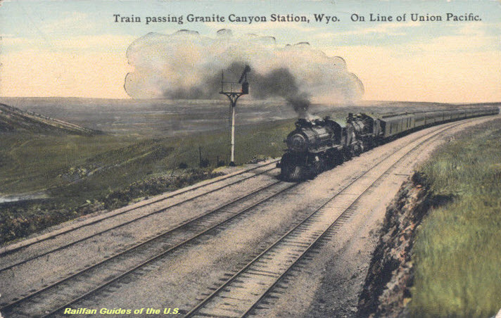 EBay seller: skurfanpostcards
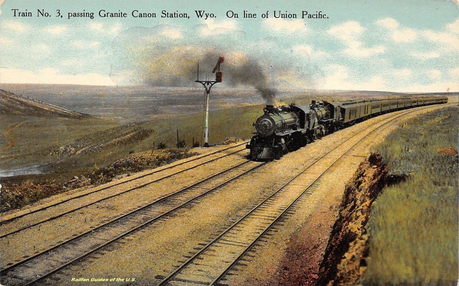 EBay seller: dsap
 1871
1871
 EBay seller: kingofsangabrielvalley
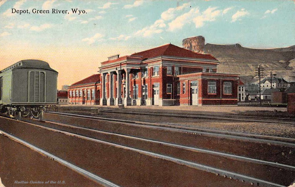 EBay seller: baysideantiques_02
 EBay seller: skurfanpostcards
 EBay seller: mikeingreensboro
 EBay seller: mikeingreensboro

 EBay seller: umpteen_postcards
 EBay seller: skurfanpostcards
 EBay seller: paperetcetera
 EBay seller: baysideantiques_02
 EBay seller: baysideantiques_02
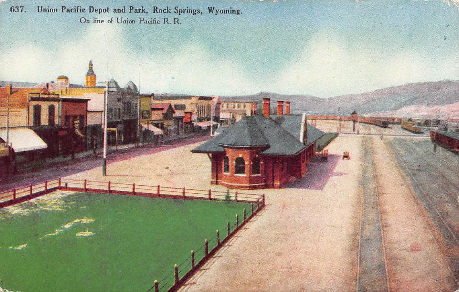 EBay seller: lacumo
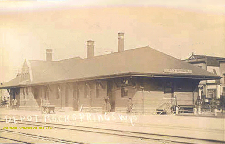 EBay seller: skurfanpostcards
 EBay seller: baysideantiques_02
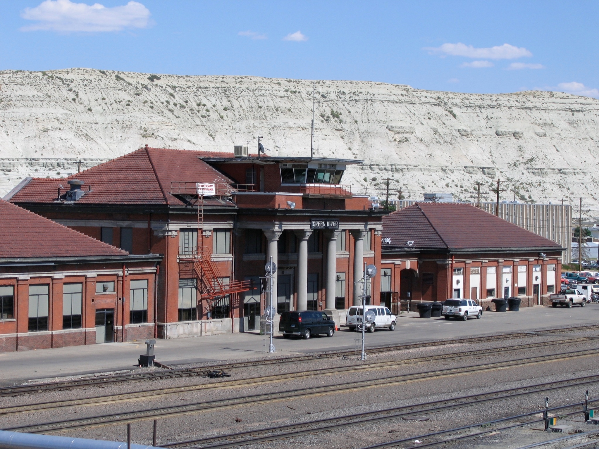
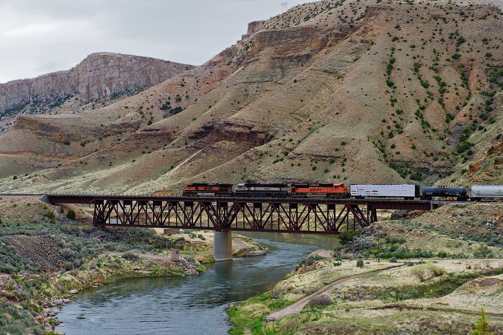 2011, Photo by Bruce/bhophotos