One of the better resources I have come across to this end is the plethora of old post cards still around depicting many of these structures, some better than others.
Most of the postcards were found on EBay unless noted, other pictures, mostly the more recent ones, come from Google and/or Bing images -
credit given if the source is known.
Dates are in the picture name, x means the date is approximate. If they were available, and interesting, I included the back side of the postcards.
1901a and 1910b would be the same card, both sides.
If the picture was really, really bad, some of them have been cleaned up and/or repaired when I had the energy.
Since many of these stations are no longer around (railfans seem to prefer the term "extant", I'm not one of them! :-), this page is mostly for historical reference.
This page is mostly for historical reference, as MANY of these stations are not around anymore!
What's the difference between a station and a depot? Most people will say "nuttin", it's a matter of preference, although many will use depot for older buildings.
If you have a picture you would like to contribute, please see the bottom of the page for how to find me, credit is always given to contributing photographers.
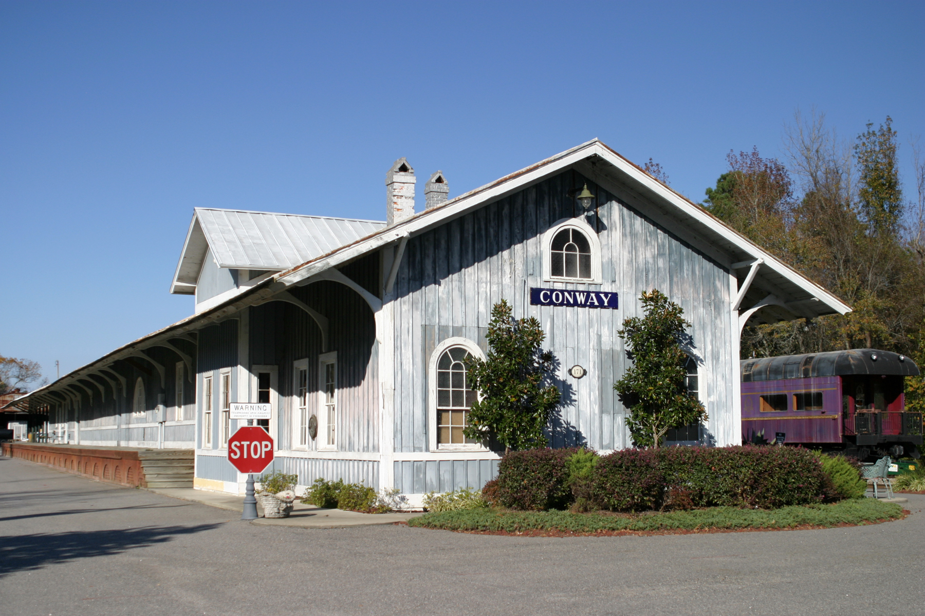
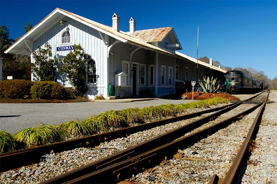
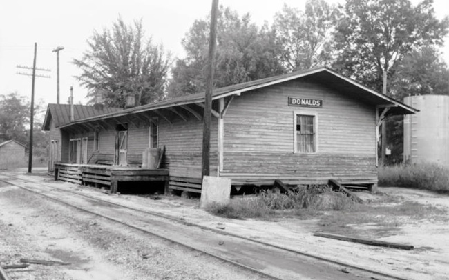
GPS Coordinates: 33.911873, -82.293028
This depot was built by the Charleston & Western Carolina Rwy in 1911, and was the third depot to be situated on this site.
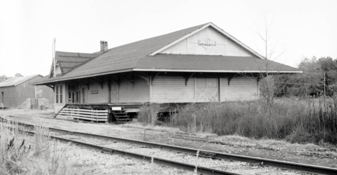
Southern Railway's Pelzer and West Pelzer depot was located near the present day CVS Pharmacy on the intersection of Hwy 145, 20 and 8.
The depot has been demolished.
More info at:
http://www.pelzerinsulators.com/pelzerrailroads.htm
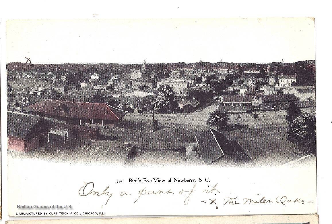
This depot was built by the Columbia, Newberry and Laurens Railroad. The Palmetto Trust and the Newberry County Historical and Museum Society have initiated plans to move
and preserve this old depot. The National Trust for Historic Preservation issued a matching grant to help get the project started. At this point, the building has been
stabilized and its surroundings have been cleaned up. More at:
http://bigdaddydavesbitsandpieces.blogspot.com/2011/05/railway-stations-in-south-carolina.html
The Yemassee Revitalization Corporation, a nonprofit organization formed in 2008, planned to revitalize downtown to stimulate the local economy. The group wanted to
restore the depot and worked to find funding for the renovation project. In 2011, a British reality show filmed in Yemassee, which resulted in a full cosmetic renovation
of the depot’s exterior to include a new gabled roof, siding and a wrap-around porch. In summer 2016 the town received funds that will allow interior improvements to
proceed. Work will include installation of a new electrical system and renovation of the restrooms.
Photo: Jim Dollar
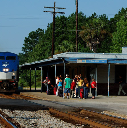
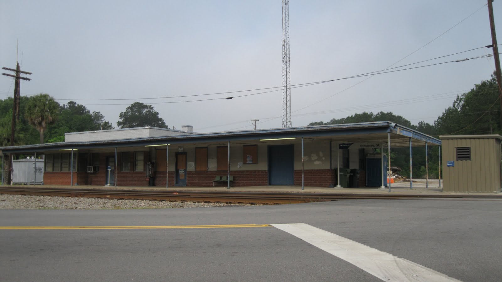
Before, the old Amtrak train station built in 1955.......
The two signals that are close to the grade crossings, the left one is for the branch.
Disclaimers:
I love trains, and I love signals. I am not an expert. My webpages reflect what I find on the topic of the page. This is something I have fun with while
trying to help others.
Please Note: Since the main focus of my two websites is railroad signals, the railfan guides are oriented towards the signal fan being able to locate them.
For those of you into the modeling aspect of our hobby, myindexa page has a list of almost everything railroad oriented
I can think of to provide you with at least a few pictures to help you detail your pike.
If this is a railfan page, every effort has been made to make sure that the information contained on this map and in this railfan guide is correct. Once in a while,
an error may creep in :-)
My philosophy: Pictures and maps are worth a thousand words, especially for railfanning. Text descriptions only get you so far, especially if you get lost or
disoriented. Take along good maps.... a GPS is OK to get somewhere, but maps are still better if you get lost! I belong to AAA, which allows you to get
local maps for free when you visit the local branches. ADC puts out a nice series of county maps for the Washington DC area, but their state maps do not have the
railroads on them. If you can find em, I like the National Geographic map book of the U.S..... good, clear, and concise graphics, and they do a really good job
of showing you where tourist type attractions are, although they too lack the railroads. Other notes about specific areas will show up on that page if known.
Aerial shots were taken from either Google Maps or www.bing.com/maps as noted. Screen captures are made
with Snagit, a Techsmith product... a great tool if you have never used it!
By the way, floobydust is a term I picked up 30-40 years ago from a National Semiconductor data book, and means miscellaneous
and/or other stuff.
Pictures and additional information is always needed if anyone feels inclined to take 'em, send 'em, and share 'em, or if you have something to add or correct.... credit
is always given! Please be NICE!!! Contact info is here
Beware: If used as a source, ANYTHING from Wikipedia must be treated as being possibly being inaccurate, wrong, or not true.
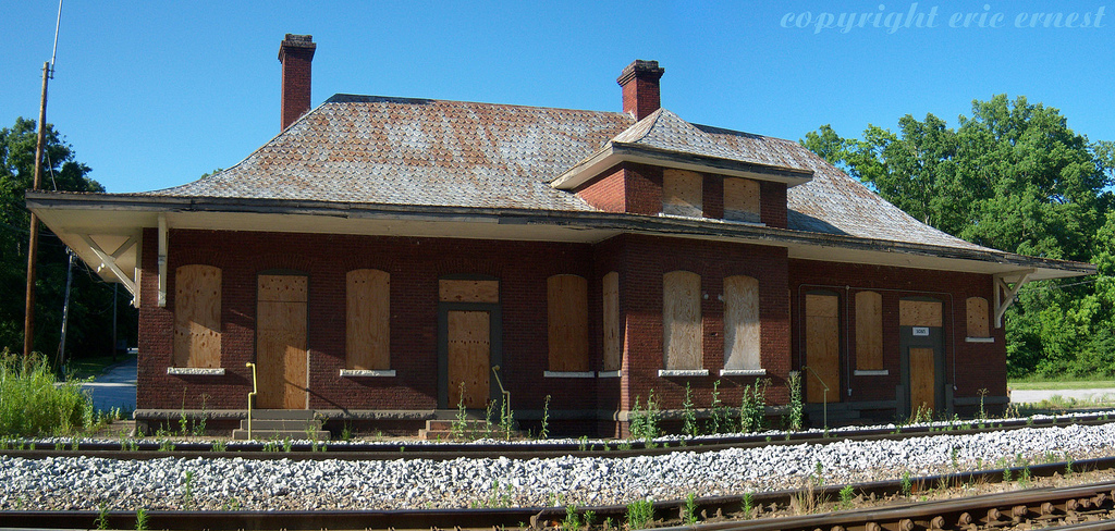

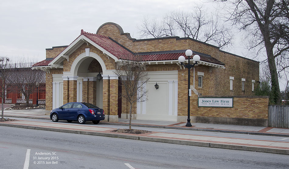 photo: Jon Bell
 From Wikipedia
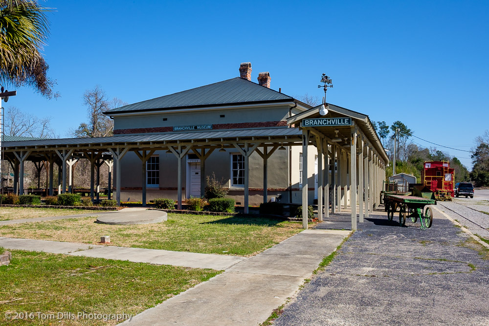 Photo: Tom Dills
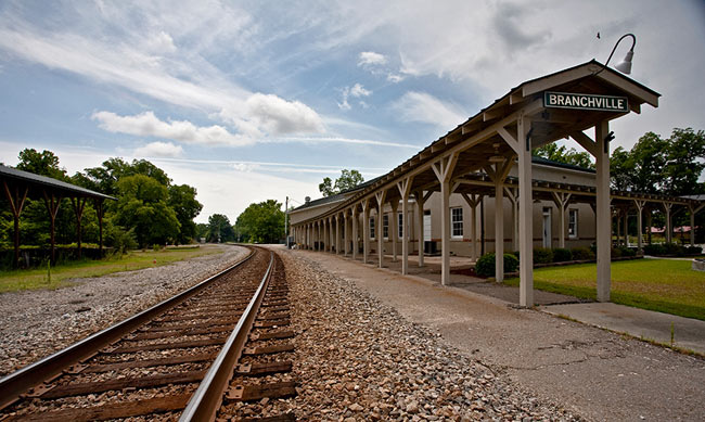
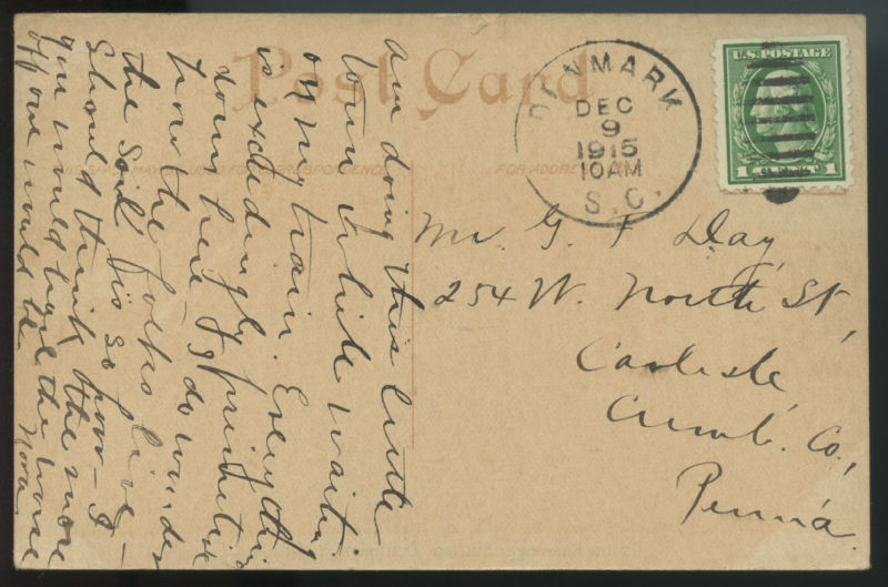
 Seller: scview
 Seller: skurfanpostcards
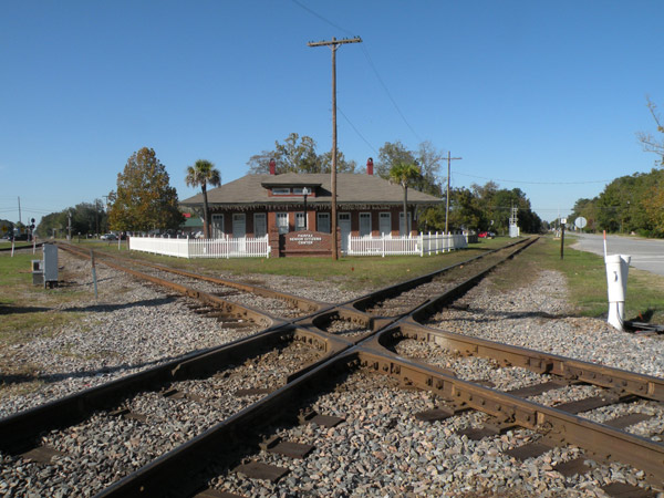 Photo: Ann Helms
 Photo: Univ of SC collection

 Seller: scview
 Seller: wolfsvintagepostcards
 Seller: stampyboy
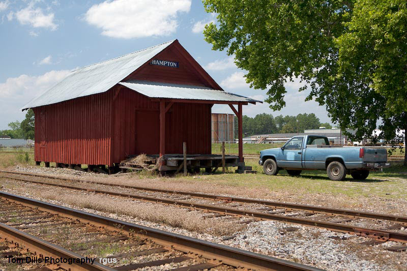
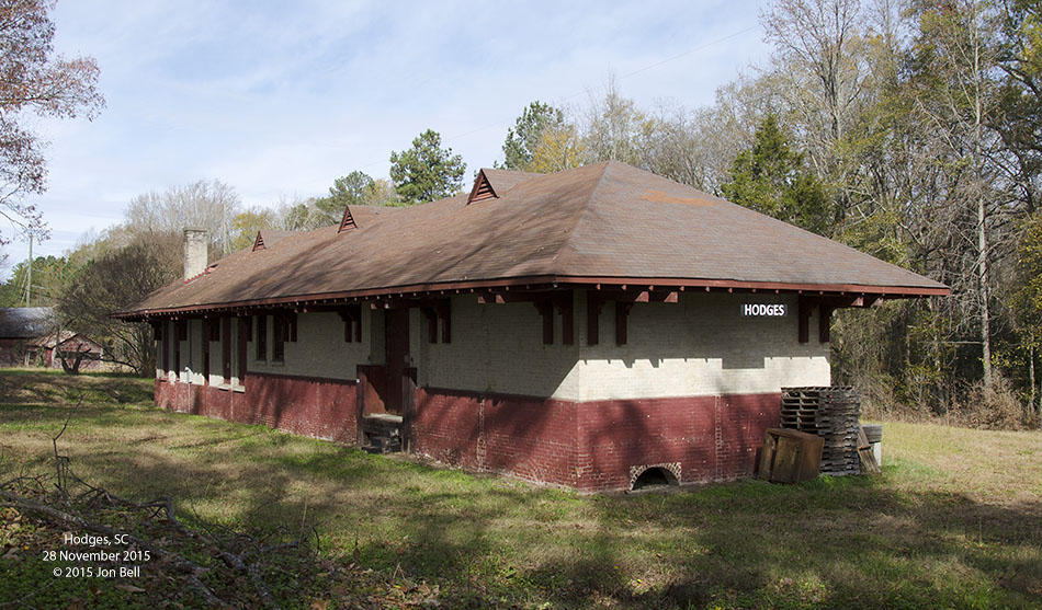 photo: Jon Bell
 Univ of South Carolina digital archives
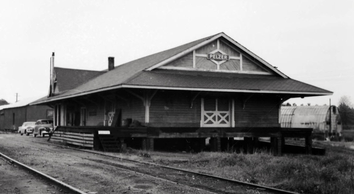 Univ of South Carolina digital archives
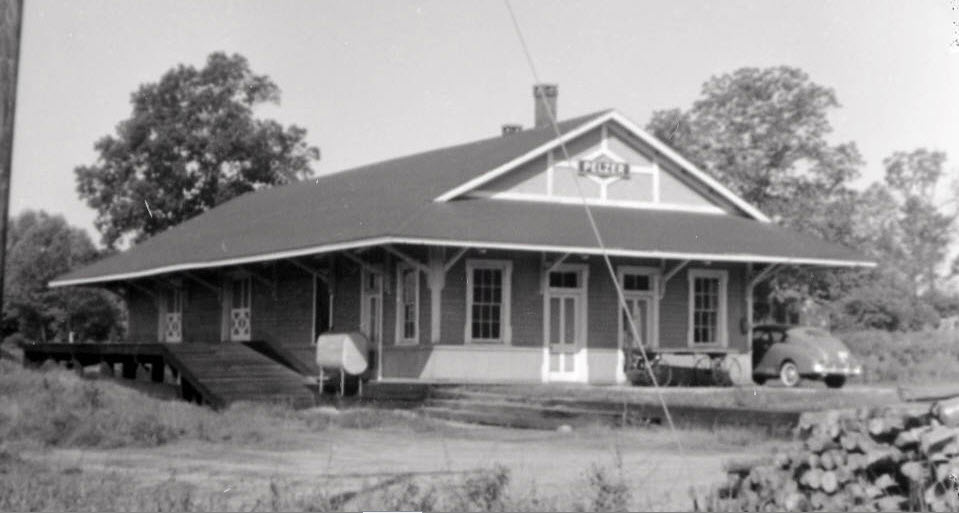 Univ of South Carolina digital archives
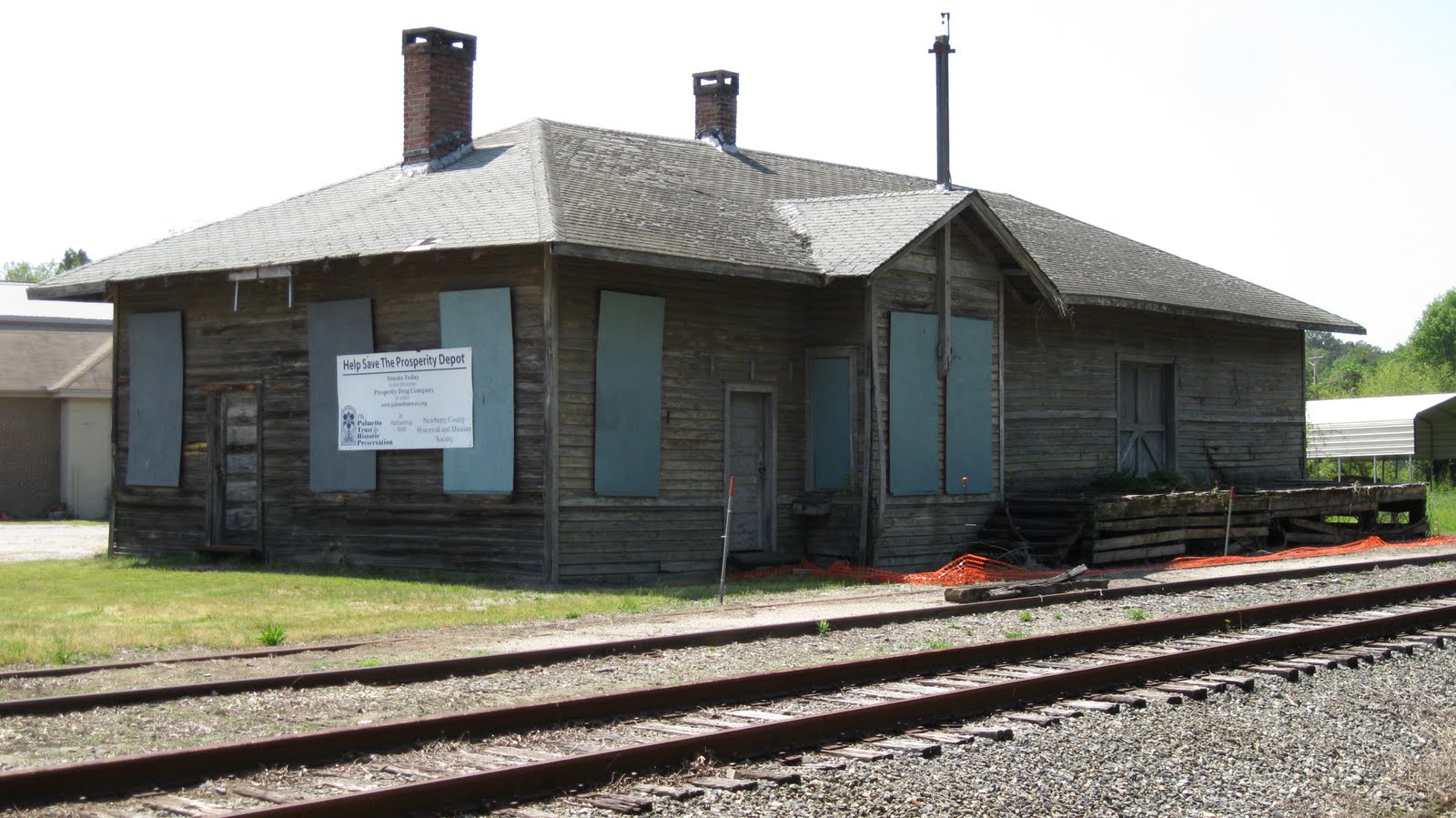 Photo: Big Daddy Dave
 Seller: scview
 Seller: beth0514
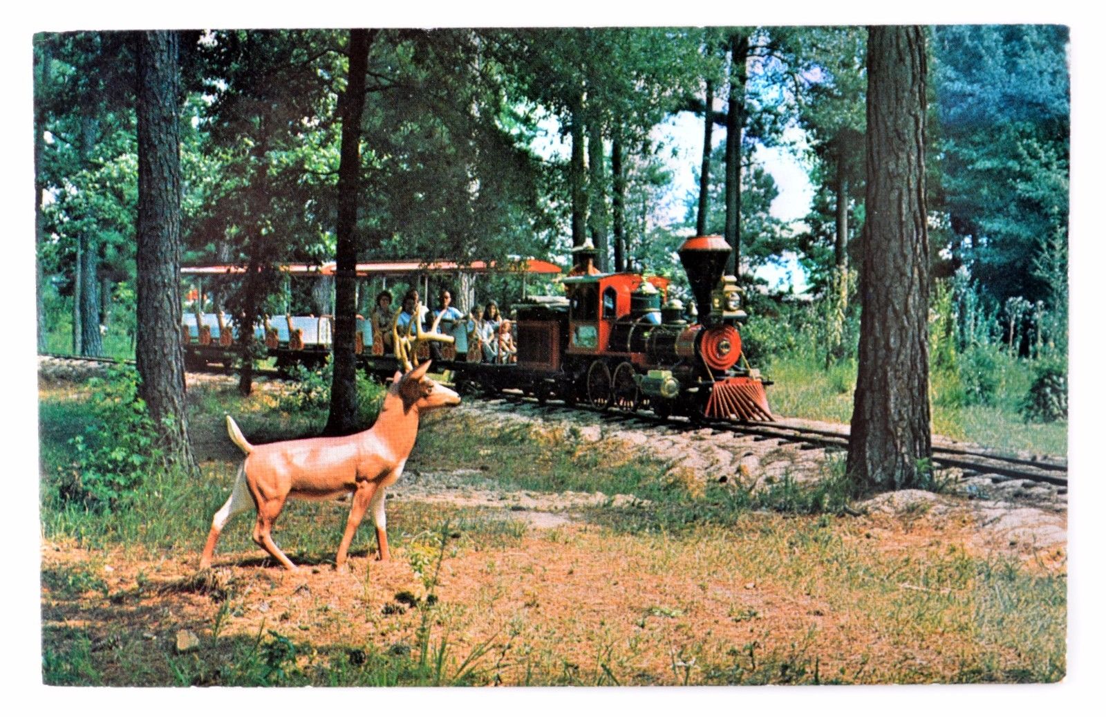

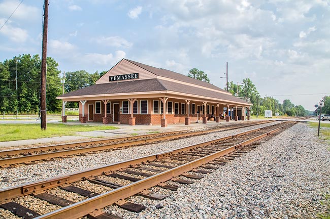 Photo: Jim Dollar
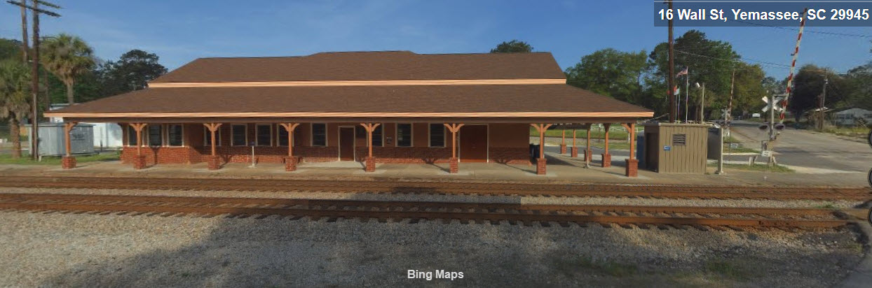
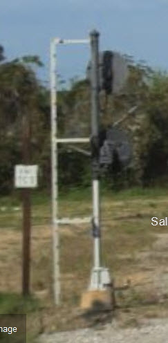
 The two signals that are close to the grade crossings, the left one is for the branch.