One of the better resources I have come across to this end is the plethora of old post cards still around depicting many of these structures, some better than others.
Most of the postcards were found on EBay unless noted, other pictures, mostly the more recent ones, come from Google and/or Bing images - credit given if the source is known.
Compliments to (to name a few) skurfanpostcards, trentonstampandcoinco, and baysideantiques_02 for the many, many railroad depot pictures they all offer,
without whom you wouldn't have as many pictures here to enjoy.... all of the pictures from these folks are for sale. Seller with the red word COPY on them is
"skurfanpostcards".
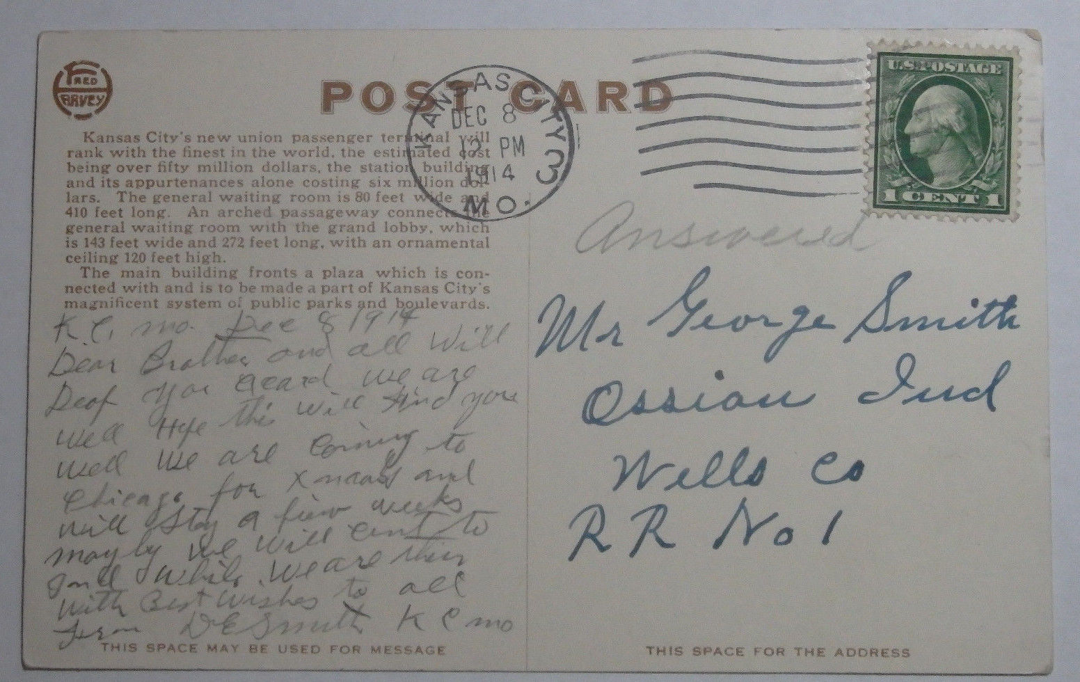
Dates are in the picture name, x means the date is approximate. If they were available, and interesting, I included the back side of the postcards. 1901a and
1910b would be the same card, both sides.
If the picture was really, really bad, some of them have been cleaned up and/or repaired when I had the energy.
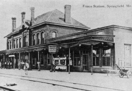
Since many of these stations are no longer around (railfans seem to prefer the term "extant", I'm not one of them! :-), this page is mostly for historical reference.
This page is mostly for historical reference, as MANY of these stations are not around anymore!
What's the difference between a station and a depot? Most people will say "nuttin", it's a matter of preference, although many will use depot for older buildings.
If you have a picture you would like to contribute, please see the bottom of the page for how to find me, credit is always given to contributing photographers.
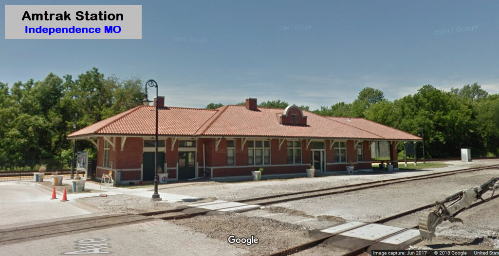
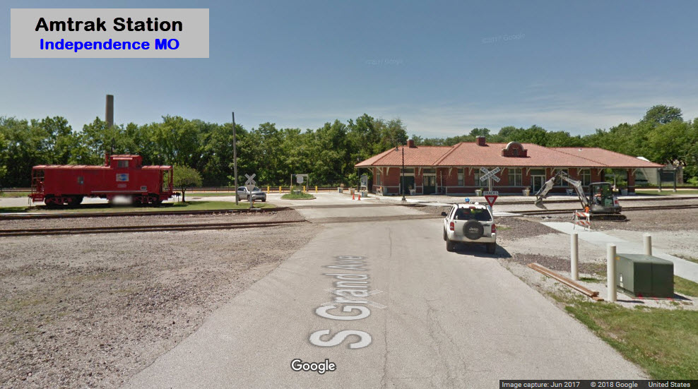
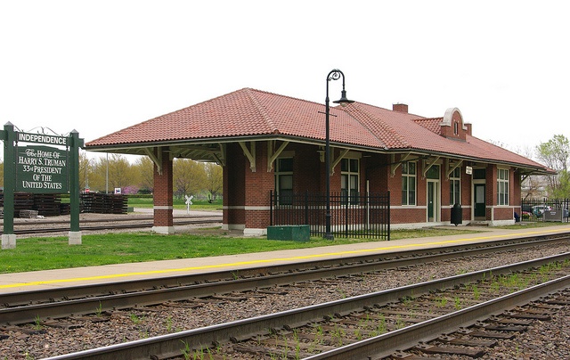
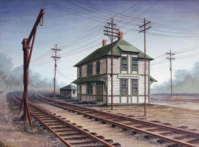
GPS Coordinates: 39.086880, -94.429700
600 S Grand Ave, Independence, MO 64050
Amtrak Station Code:
Amtrak: (800) 872-7245
Independence is about 10-1/2 miles east of Kansas City.
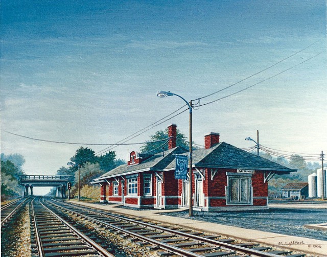
Painting by George Lightfoot, prints are available
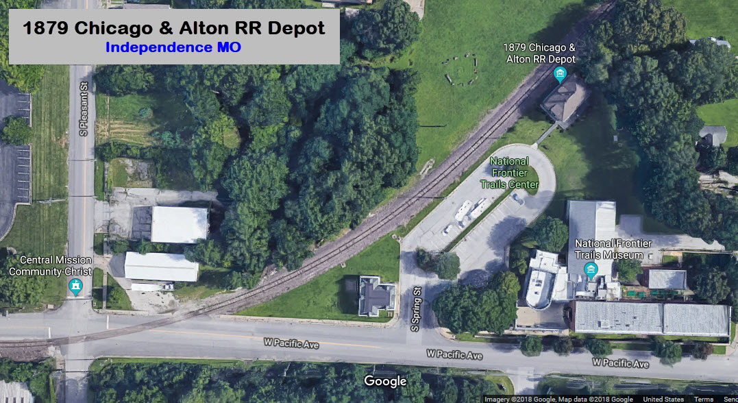
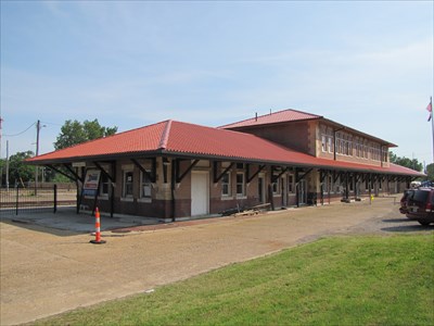
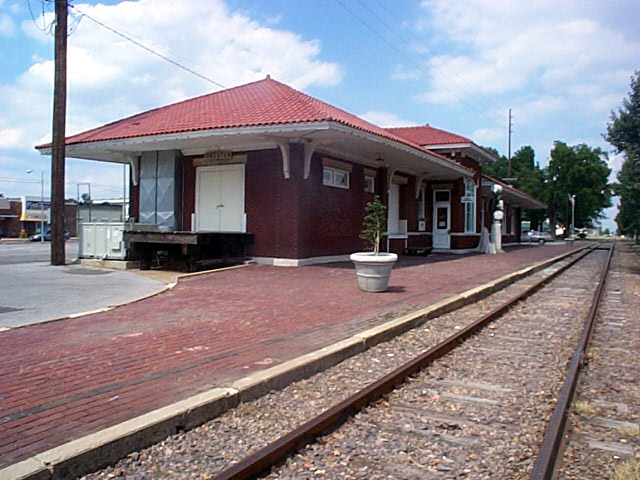
Independence - Chicago & Alton Depot
GPS Coordinates: 39.087419, -94.419500
318 W Pacific Ave, Independence, MO 64050 www.chicagoaltondepot1879.com
(816) 325-7955
The depot was built in 1879 by the Chicago & Alton RR, which today, is the BNSF RR.
The two depots are only about a half a mile from each other.
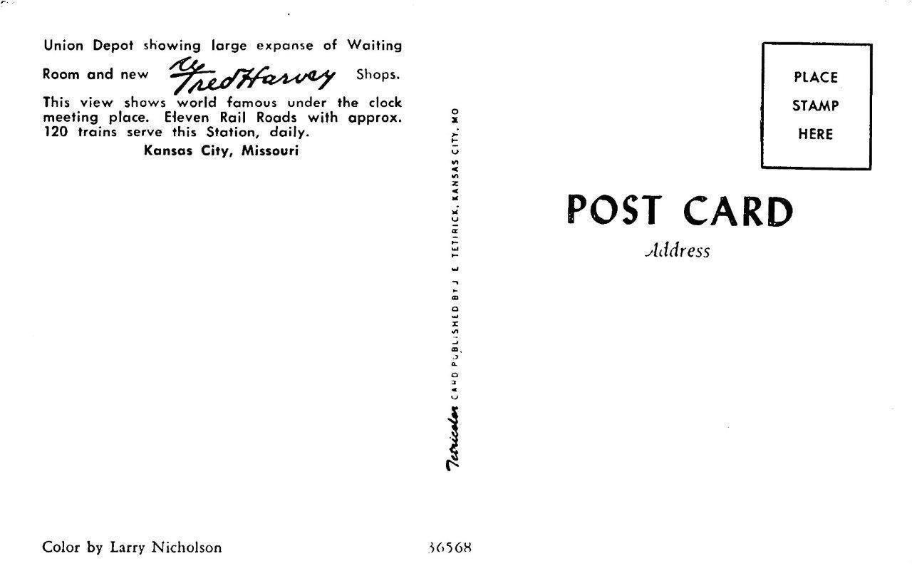
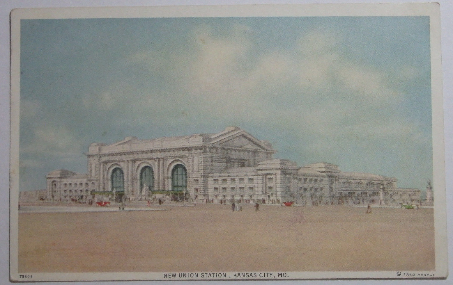
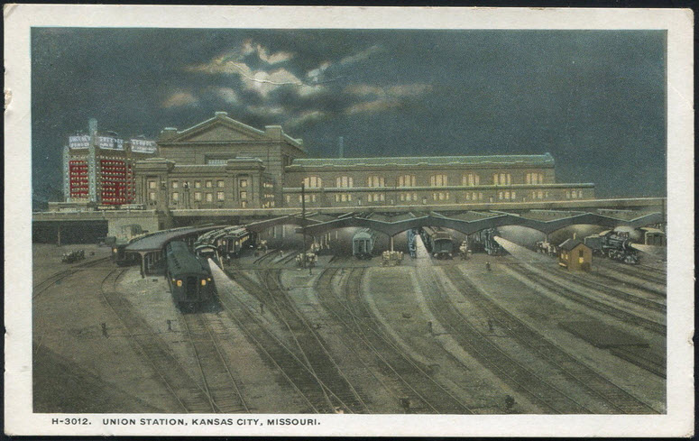
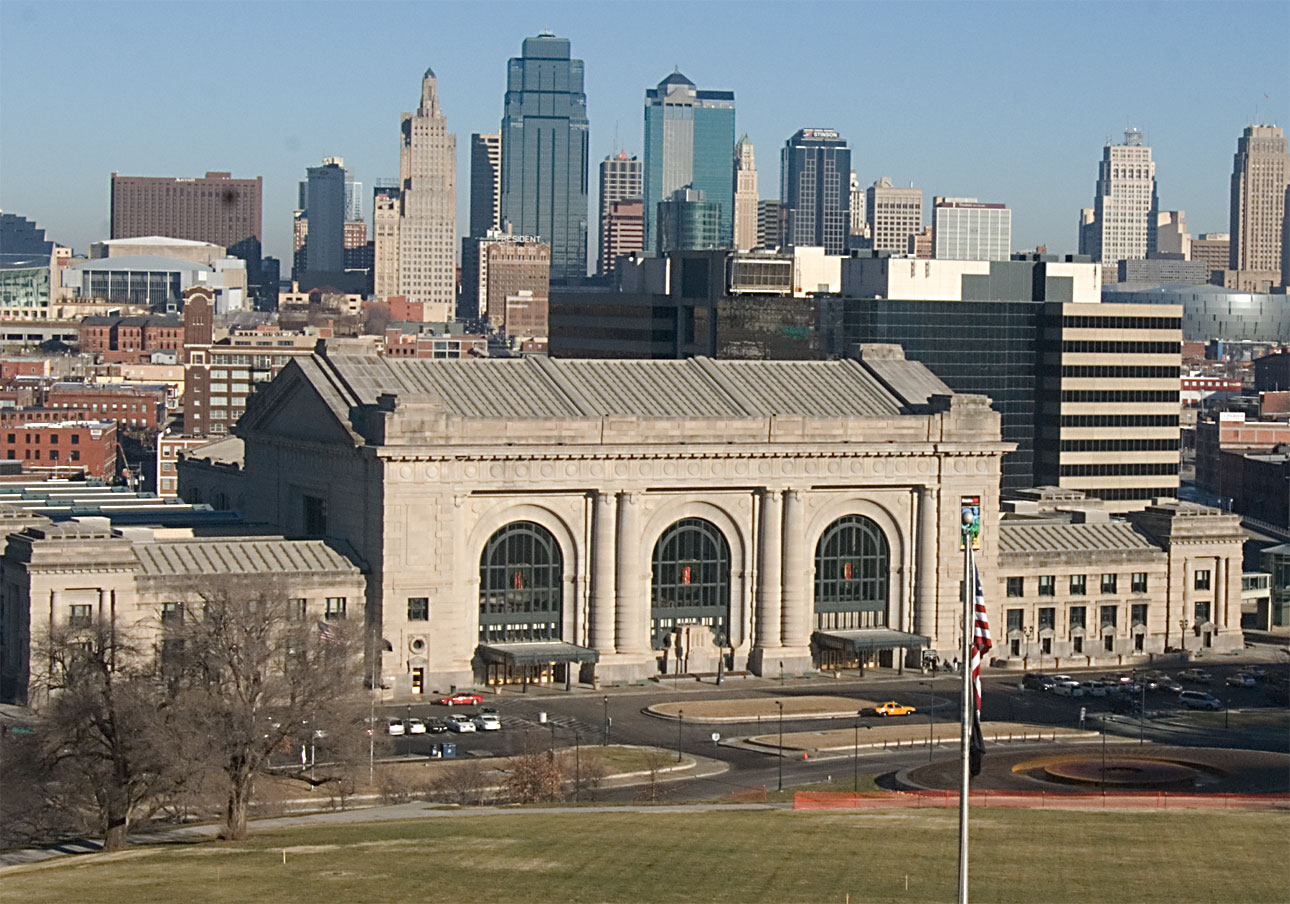
GPS Coordinates: 39.084906, -94.585366
30 W Pershing Rd, Kansas City, MO 64108
(816) 460-2000 www.unionstation.org
Grand, historic train station with permanent & temporary exhibits, a planetarium & a science center.
Same, but not the same as the one above :-)
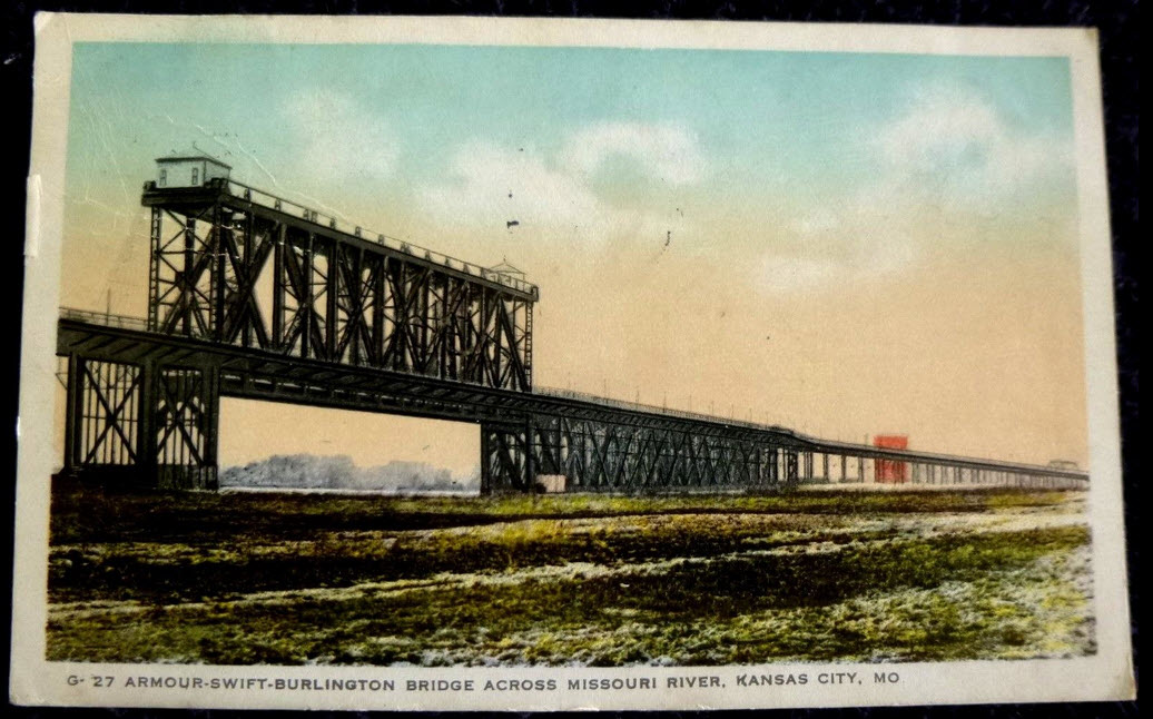
Kansas City Bridges
Kansas City has nine bridges between the Missouri and Kansas sides of the city, crossing the zig-zagging Missouri and Kansas Rivers. Three are on the MO side.
One of them in Kansas still stands, but is unused and not connected to anything.
Kansas City - Amour Swift/Burlington Bridge
Kansas City - Hannibal Bridge #1
The Hannibal Bridge was started in 1867, and completed in 1869 by the Hannibal & St. Joseph RR. In 1886, it was damaged by a
tornado and rebuilt. The postcard below from 1908 shows the second version of the first bridge. It was later replaced by the Second Hannibal Bridge 200 feet
upstream on the northern bank, but at the same location on the southern bank where it enters into the gooseneck cut into the bluff, where it still stands today.
More info at: https://en.wikipedia.org/wiki/Hannibal_Bridge
I love trains, and I love signals. I am not an expert. My webpages reflect
what I find on the topic of the page. This is something I have fun with while
trying to help others.
Please Note: Since the main focus of my two websites is railroad
signals, the railfan guides are oriented towards the signal fan being able to
locate them. For those of you into the modeling aspect of our hobby, my
indexa page has a list of
almost everything railroad oriented I can think of to provide you with at least
a few pictures to help you detail your pike.
If this is a railfan page, every effort has been made to make sure that the
information contained on this map and in this railfan guide is correct. Once in
a while, an error may creep in :-)
My philosophy: Pictures and maps are worth a thousand words, especially for
railfanning. Text descriptions only get you so far, especially if you get lost
or disoriented. Take along good maps.... a GPS is OK to get somewhere, but maps
are still better if you get lost! I belong to AAA, which allows you to get
local maps for free when you visit the local branches. ADC puts out a nice
series of county maps for the Washington DC area, but their state maps do not
have the railroads on them. If you can find em, I like the National Geographic
map book of the U.S..... good, clear, and concise graphics, and they do a really
good job of showing you where tourist type attractions are, although they too
lack the railroads. Other notes about specific areas will show up on that page
if known.
Aerial shots were taken from either Google Maps or Bing Maps (less so from 12/17
as Bing has seriously screwed up their bird-eye
view!!!) as noted. Screen captures are made with
Snagit, a
Techsmith product... a great tool if you have never used it!
By the way, floobydust is a term I
picked up 30-40 years ago from a National Semiconductor data book, and means
miscellaneous and/or other stuff.
Pictures and additional information is always needed if anyone feels inclined to
take 'em, send 'em, and share 'em, or if you have something to add or
correct.... credit is always given! Please be NICE!!! Contact info is
here
Beware: If used as a source, ANYTHING from Wikipedia must be treated as
being possibly being inaccurate, wrong, or not true.

 eBay seller: baysideantiques_02
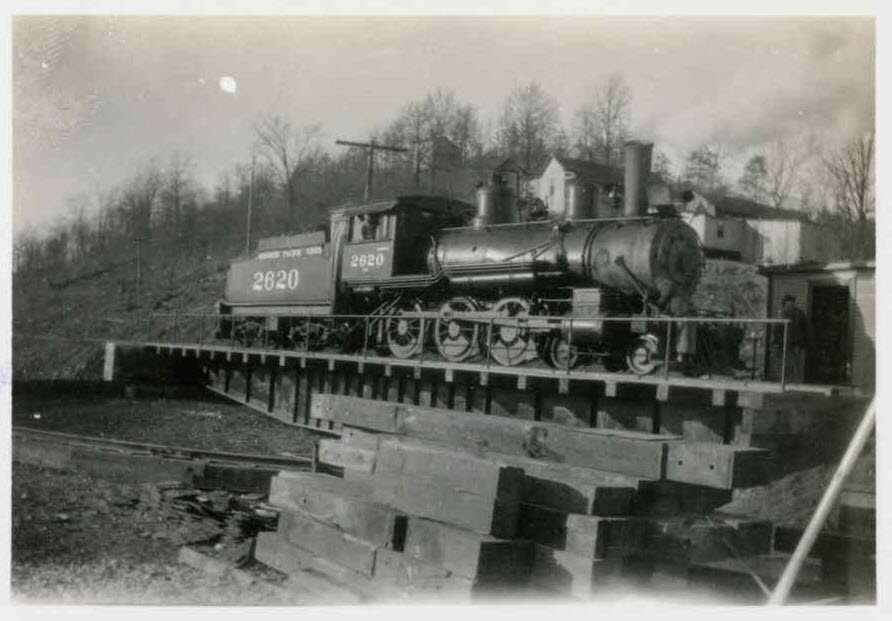 Looks like it is on a turntable.....
 Painting by George Lightfoot, prints are available
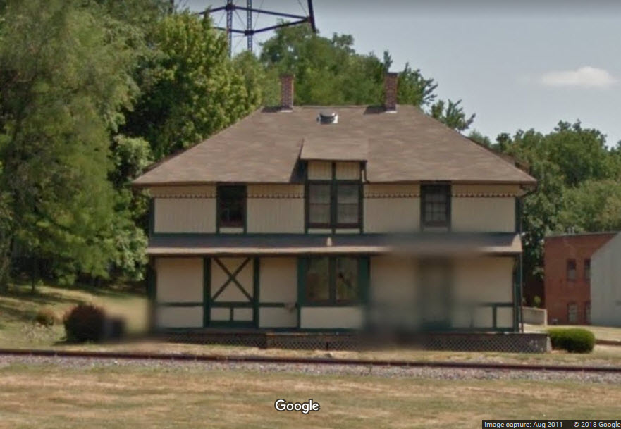
 Painting by George Lightfoot, prints are available
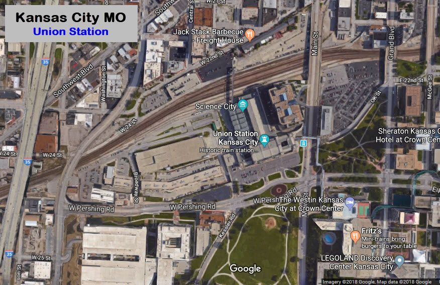
 Same, but not the same as the one above :-)
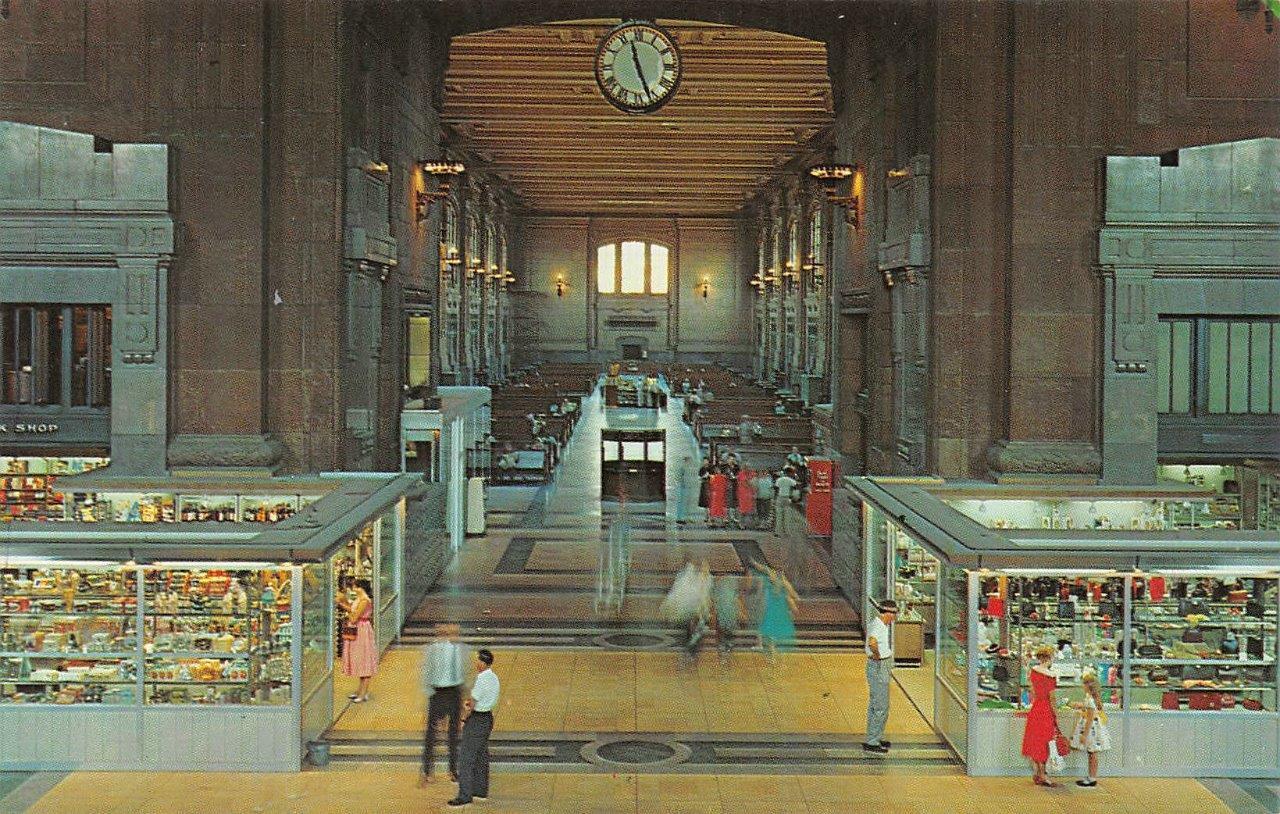
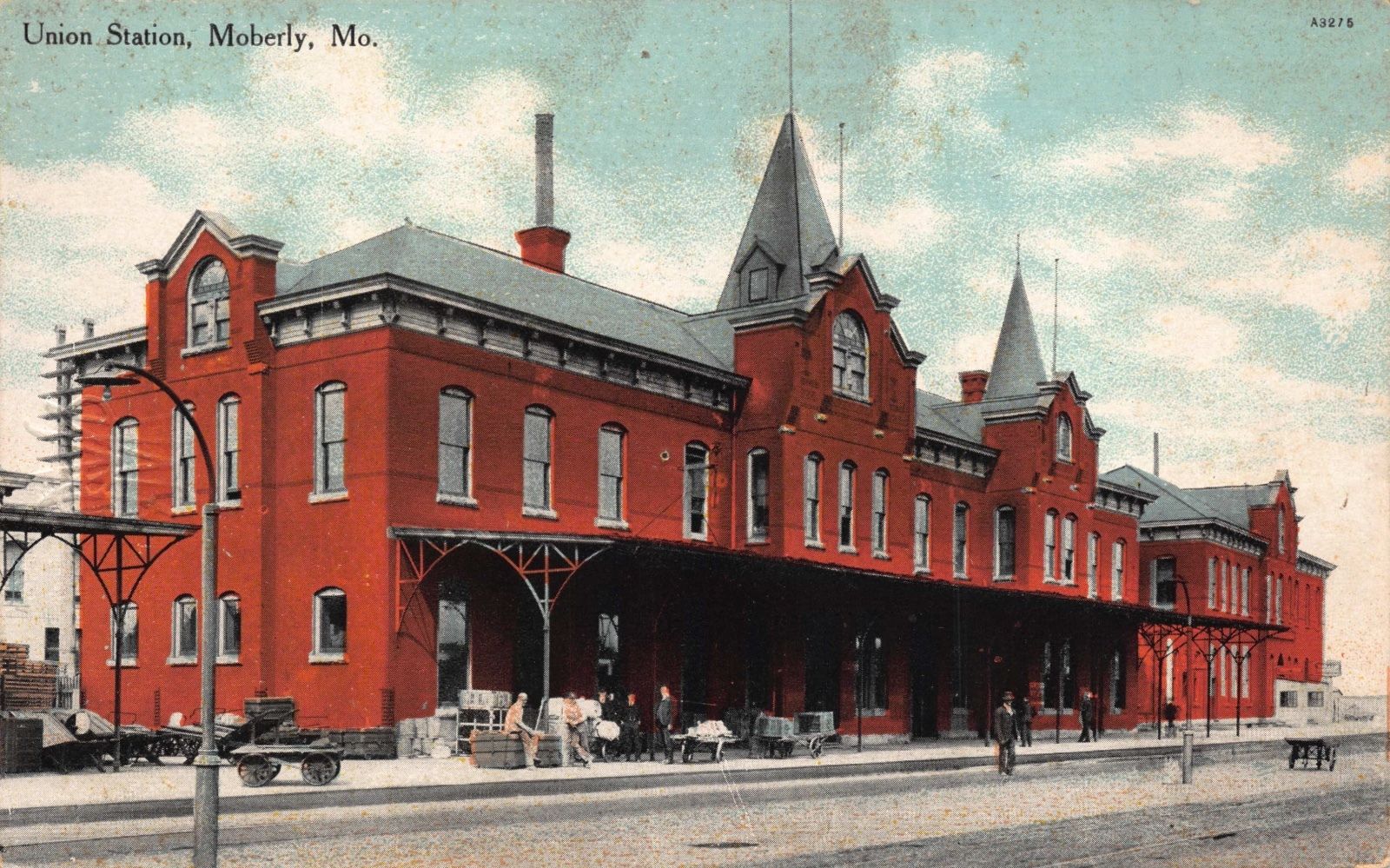
 postcard from Wikipedia
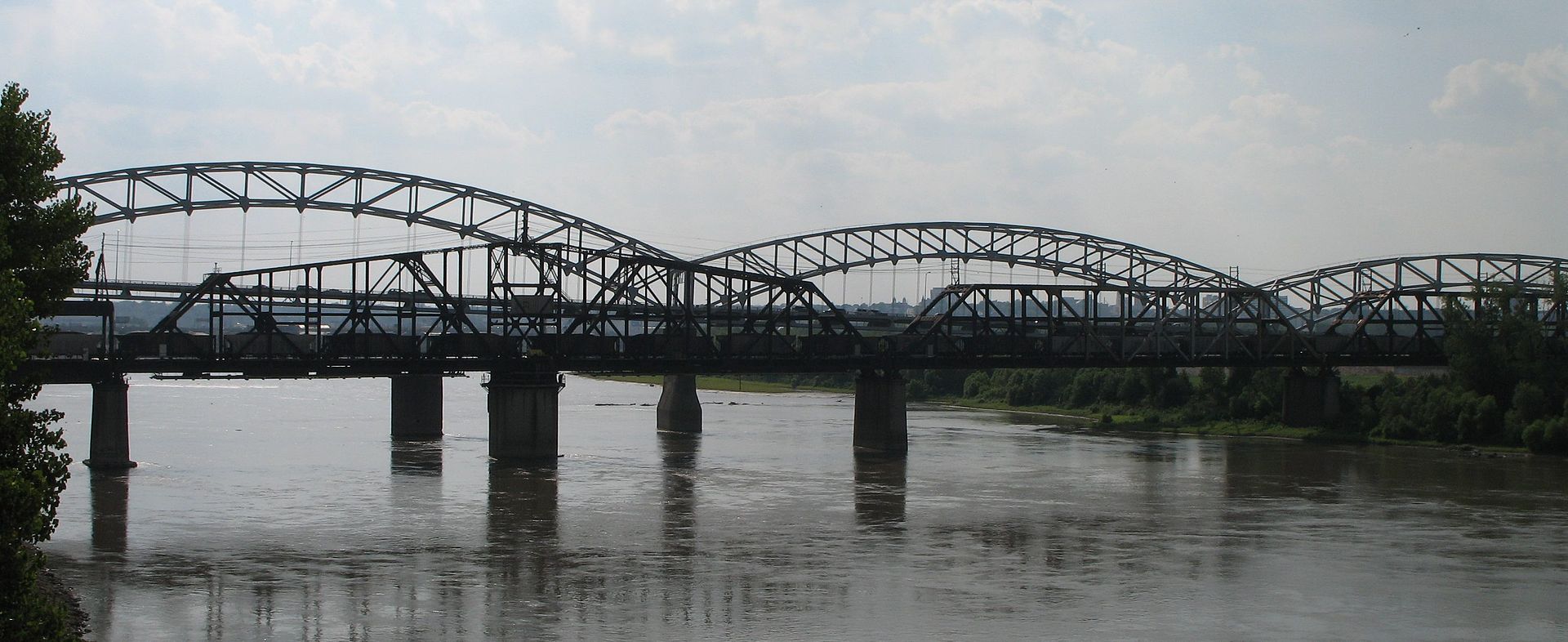 from Wikipedia
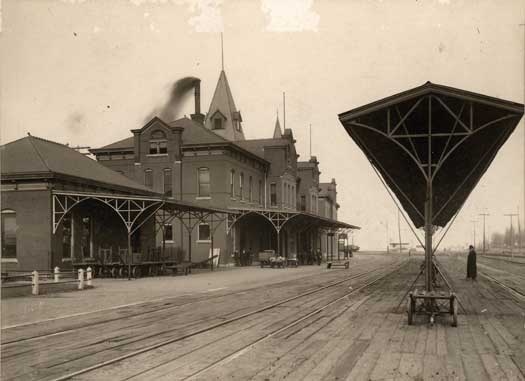
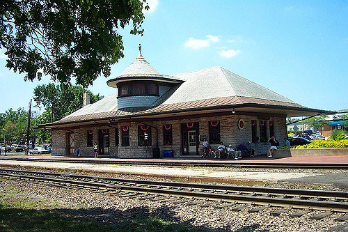 photo by kocojim
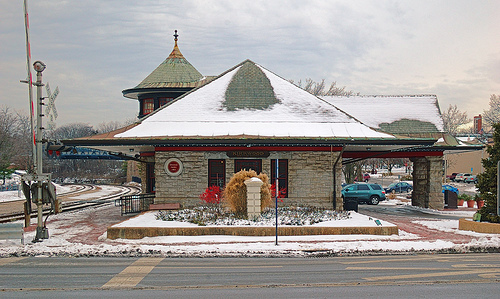
 Are they the same depot?..... dunno, :-)
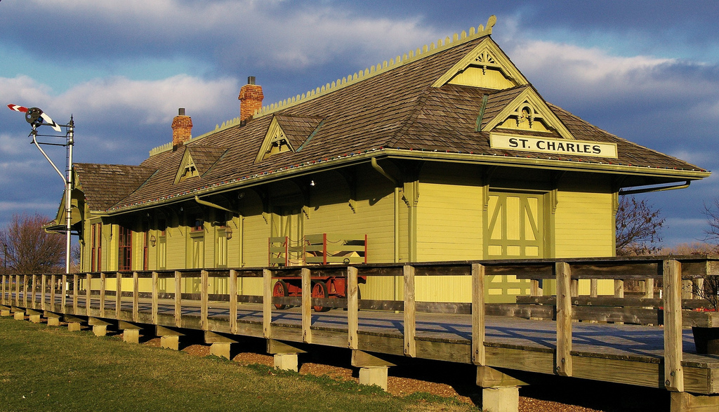 photo by kla4067
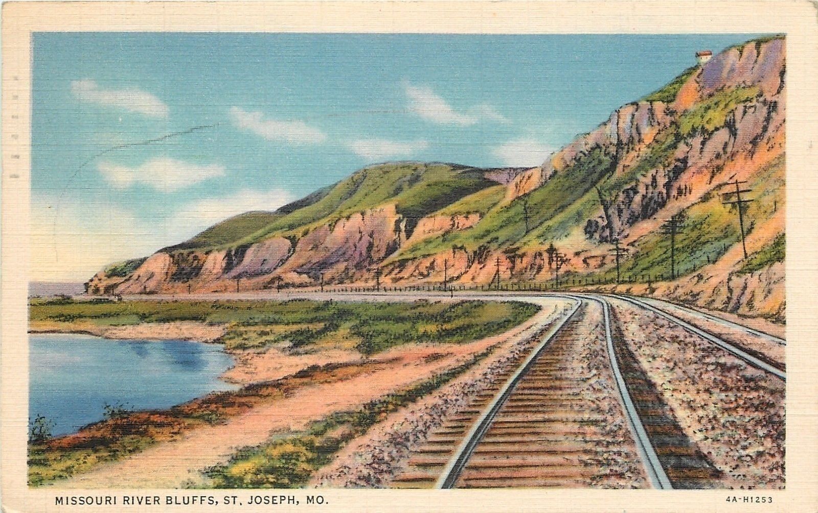
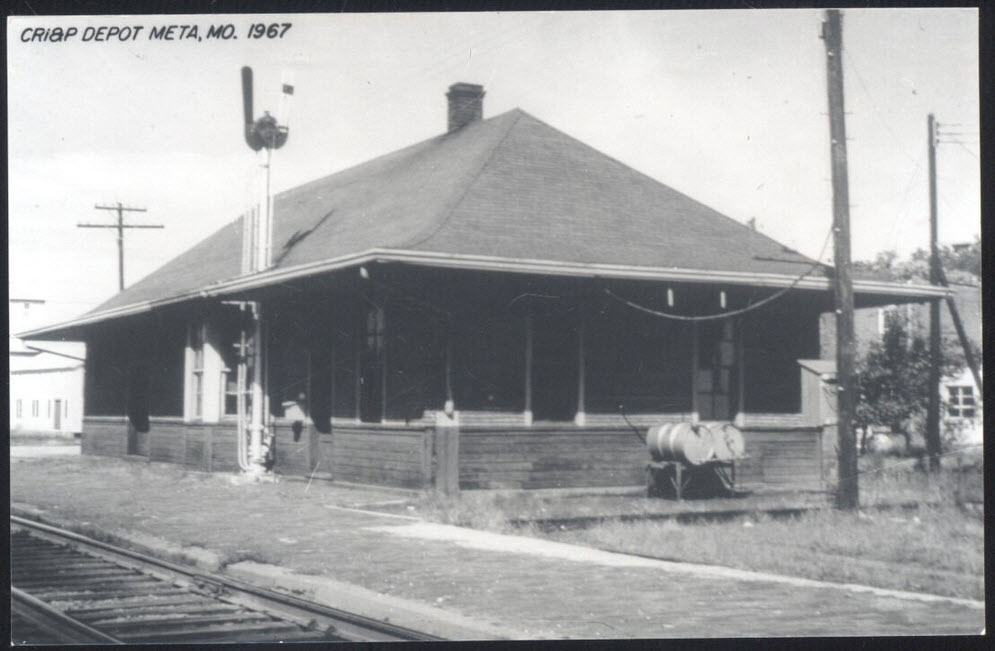
 ~1917
~1917