There are precious few good references for many of the
railroad stations and depots that used to exist. One of the better resources
I have come across to this end is the plethora of old post cards still around
depicting many of these structures, some better than others. A good portion of the pictures
on this page are postcards I found on EBay.
Some of them have been cleaned up and/or repaired when I had the energy.
Since many of these stations are no longer around (railfans seem to prefer the
term "extant", I'm not one of them! :-), this page is mostly for historical reference.
What's the difference between a station and a depot?
Most people will say "nuttin", it's a matter of preference, although many will use depot for older buildings.
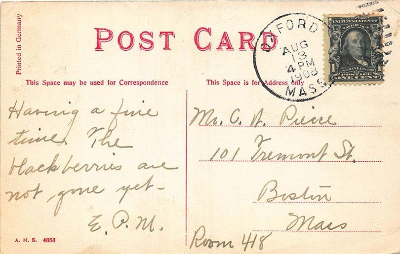
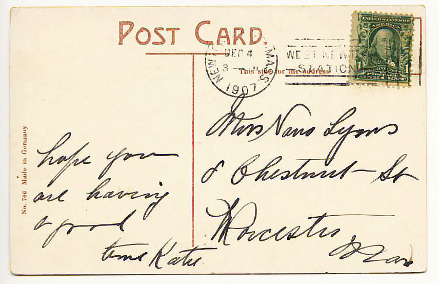
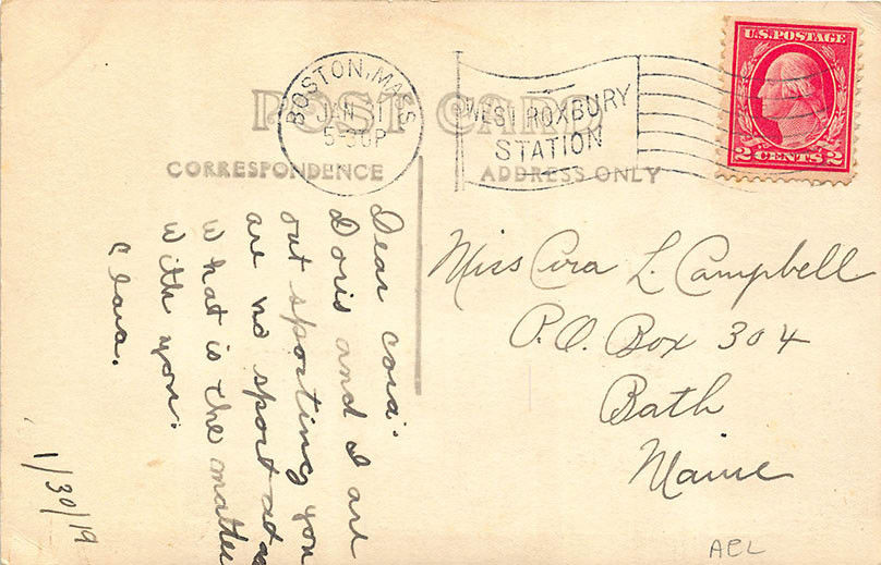
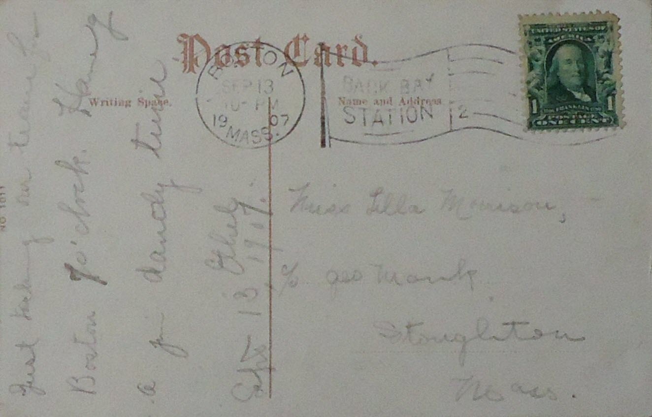
If they were available, and interesting, I included the back side of the postcards.
Another good source I have come across, if you wish to purchase some of these
postcards, is:
http://www.wmscnet.com/oldpostcards.htm
If you have a picture you would like to contribute, please see the bottom of the
page for how to find me, credit is always given to contributing photographers.
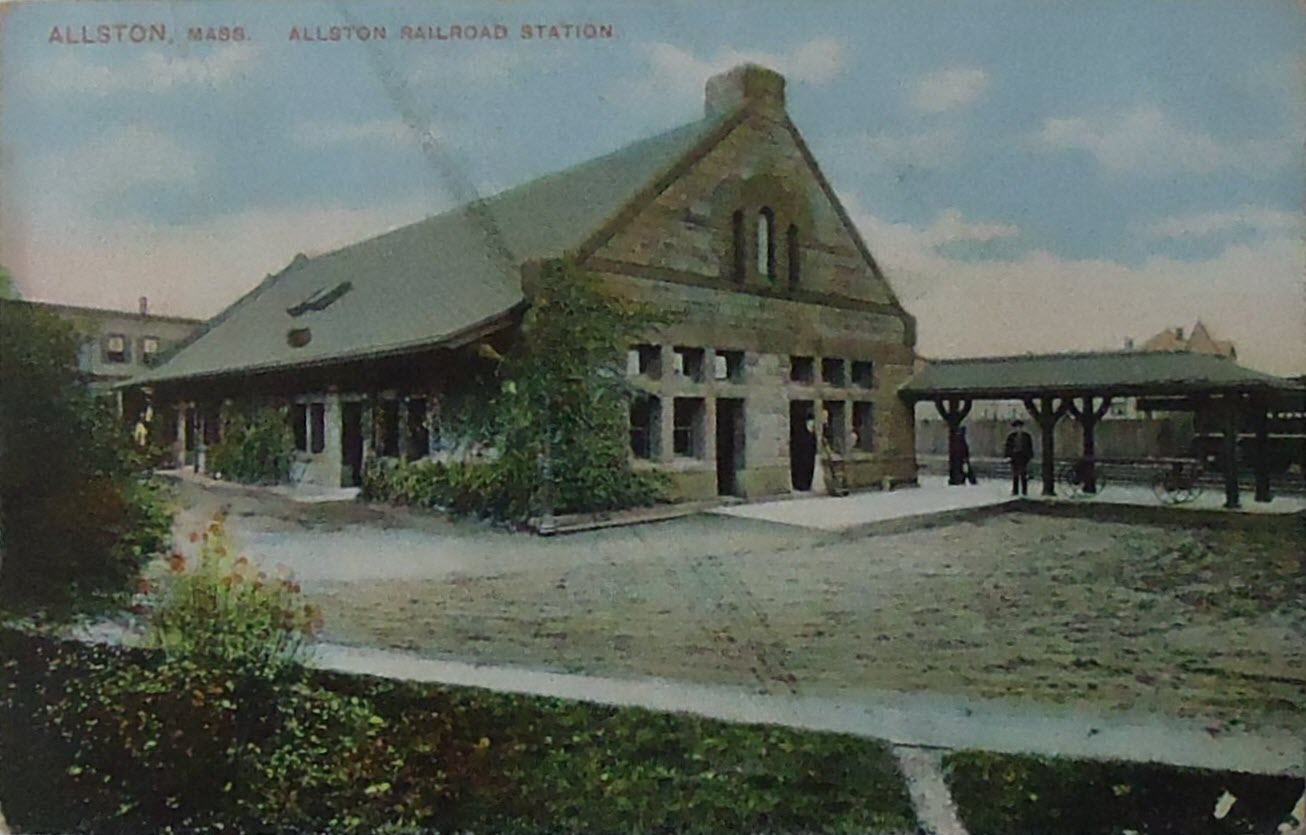
ALLSTON
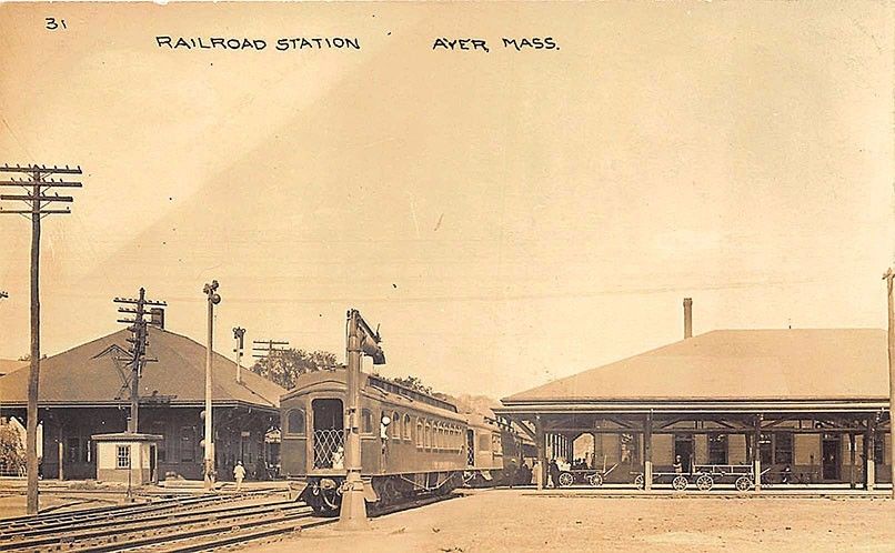
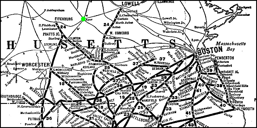
AYER - Boston & Albany
Depot
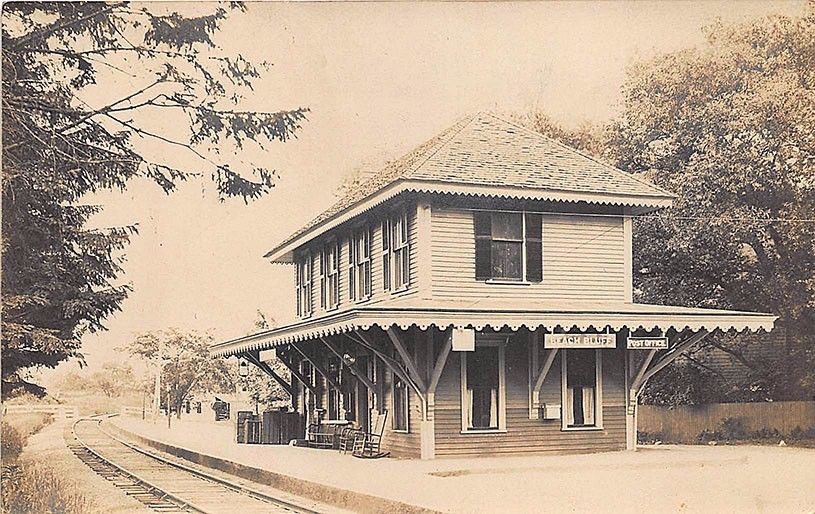
BEACH BLUFF
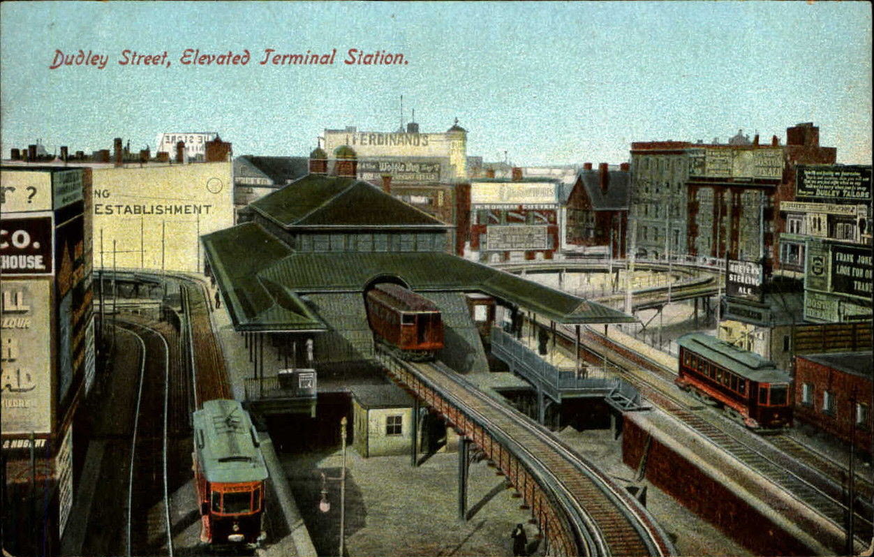
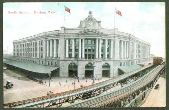
BOSTON - Dudley Street
Elevated Station
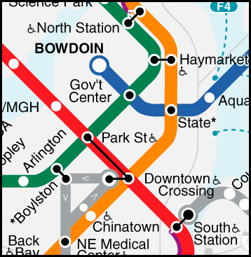
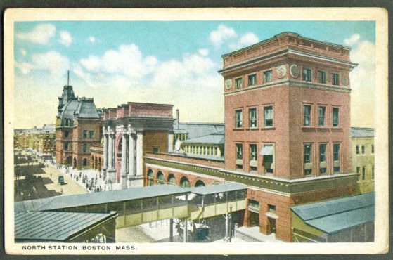
BOSTON - North Station
The North Station
serves Amtrak's Downeaster service and north going MBTA commuter trains
Note: There is NO connection by rail between the North and South stations, about a
mile and a quarter apart. The only connection is by MBTA subway, and it is
not a simple task: You have your choice of the Green or Orange line from
the North Station south to the Red Line, transferring at Park St if you're on
the Green Line, or Downtown Crossing if on the Orange Line.
The "first"
North Station was built in 1893 and
lasted until 1928 when it was razed to make way for the Boston Garden, and was
called the North Union Station.
It replaced four separate stations: 1) the Boston & Maine RR terminal, 2) the
Boston & Lowell RR terminal, 3) the Eastern RR terminal, and 4) the Fitchburg RR
station.
In 1995, the FleetCenter (now the TDGarden) replaced the Boston
Garden, along with a "new" North Station.
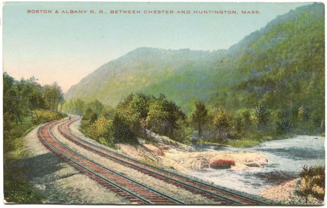
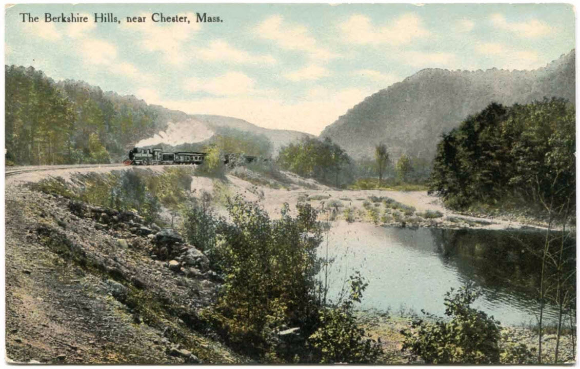
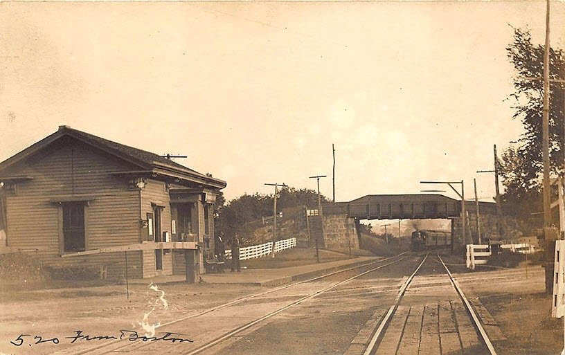
between CHESTER and HUNTINGTON on the Boston & Albany
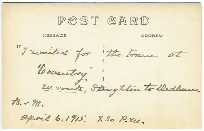
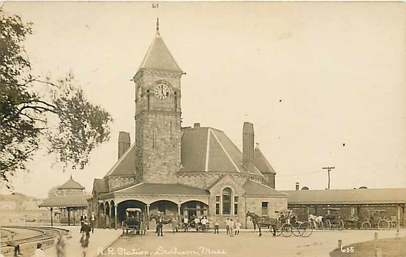
DEDHAM
This station is on what is now called the North East Corridor (NEC).
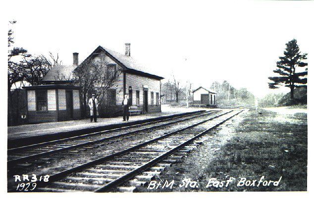
EAST BOXFORD
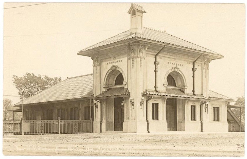
ELMWOOD - NYNH&H Depot
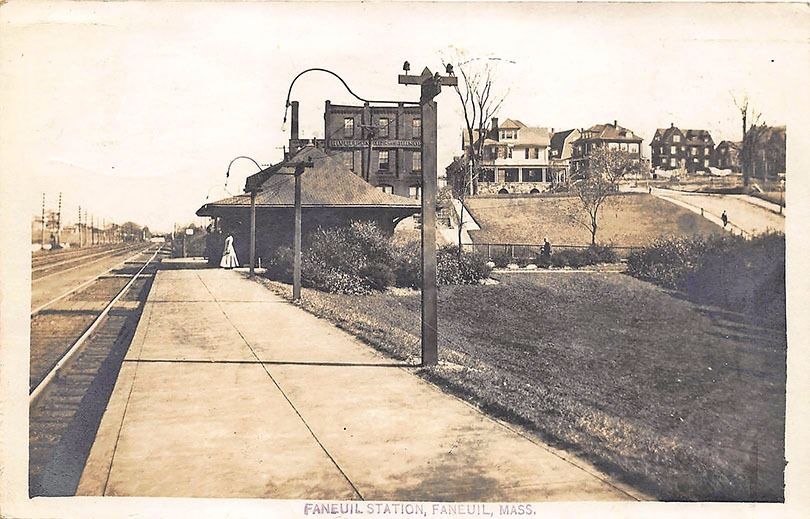
FANEUIL
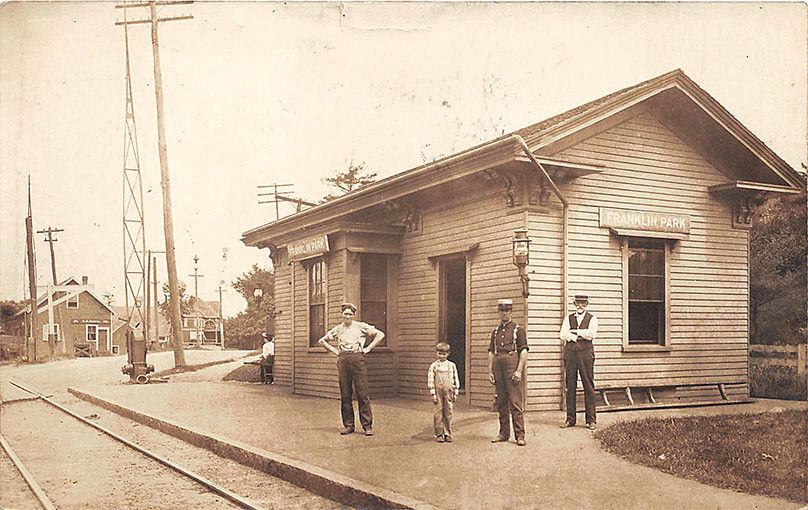
FRANKLIN PARK
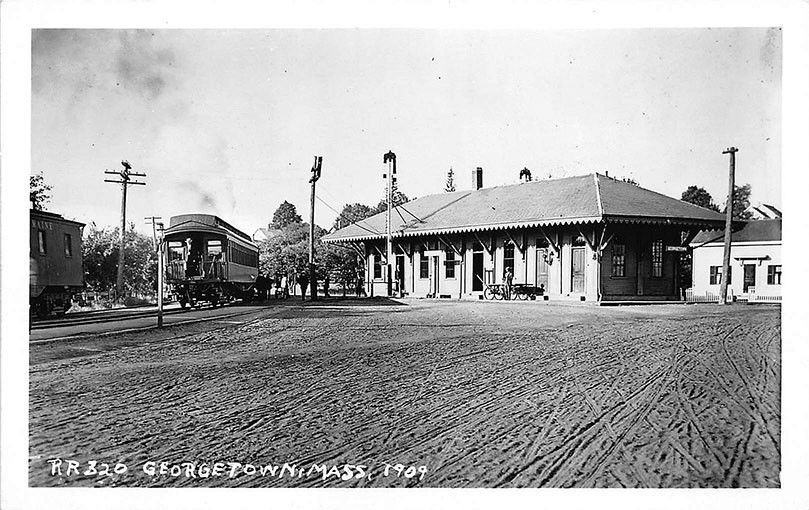
GEORGETOWN
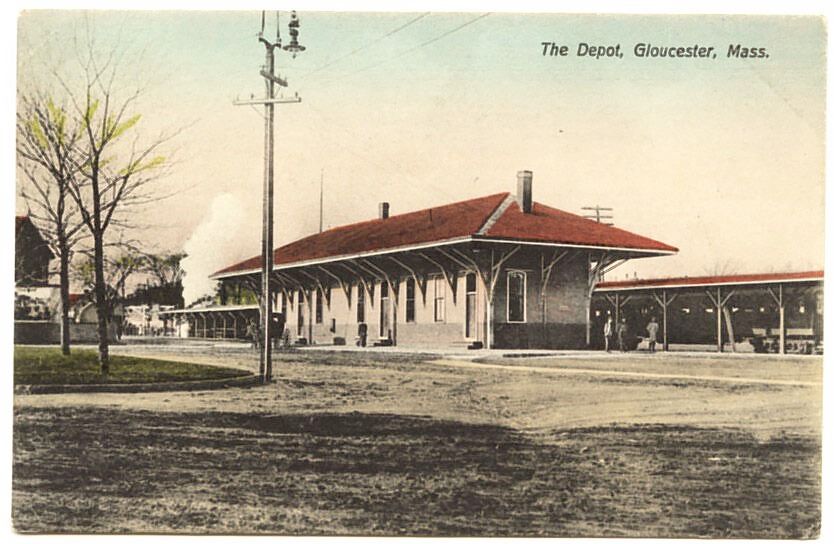
GLOUCESTER
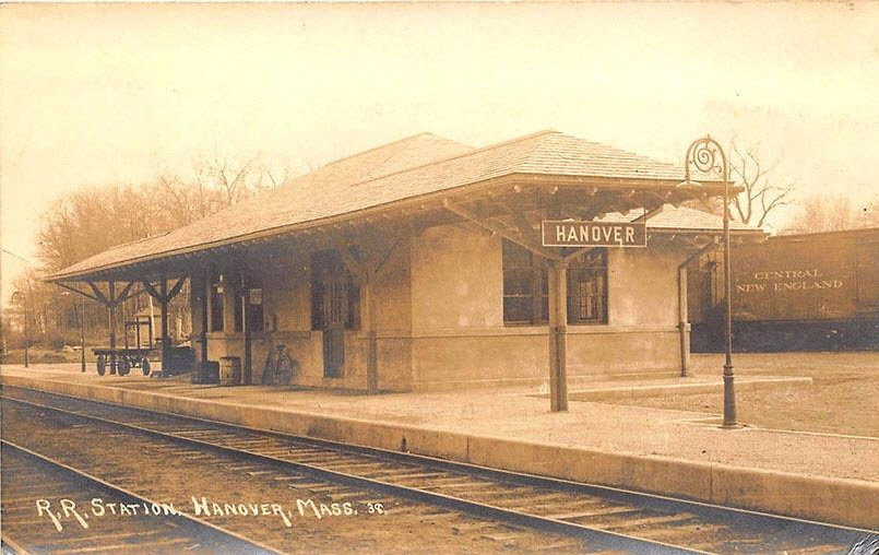
HANOVER
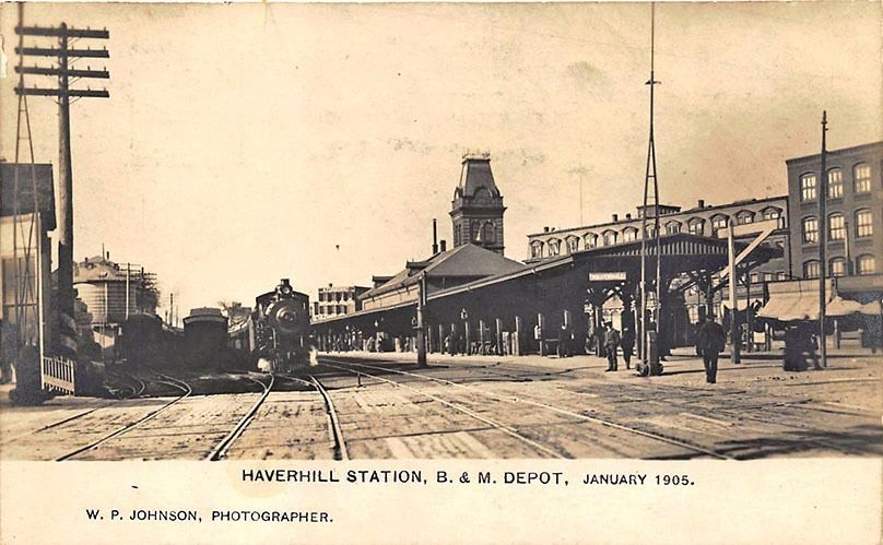
HAVERHILL - Boston & Maine Depot
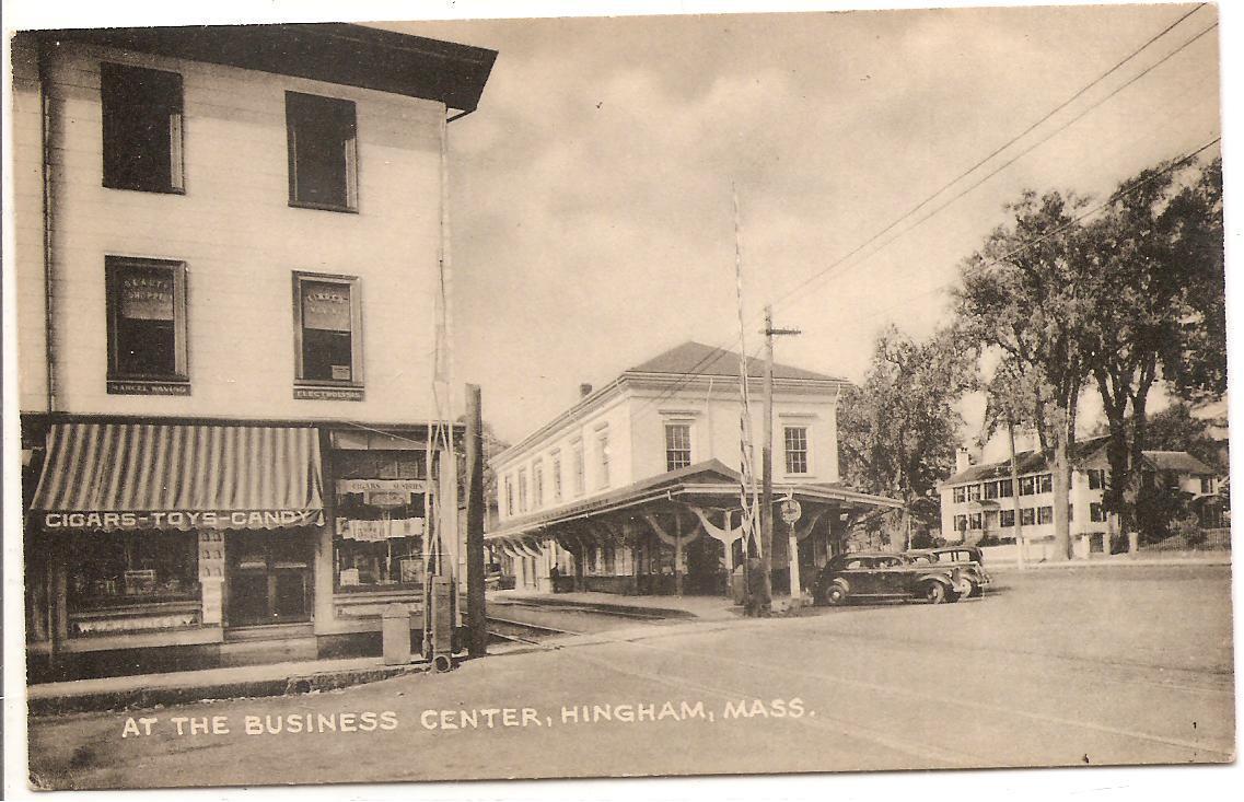
HINGHAM
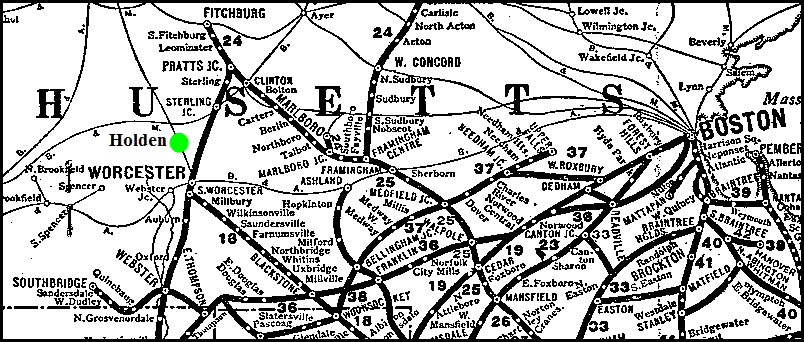
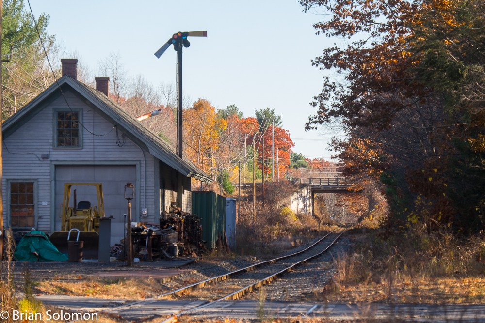
HOLDEN
Picture by Brian Soloman
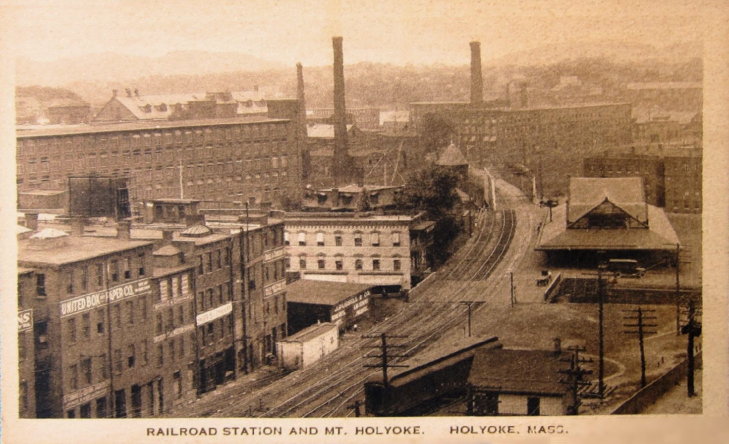
HOLYOKE
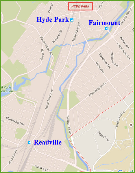
HYDE PARK
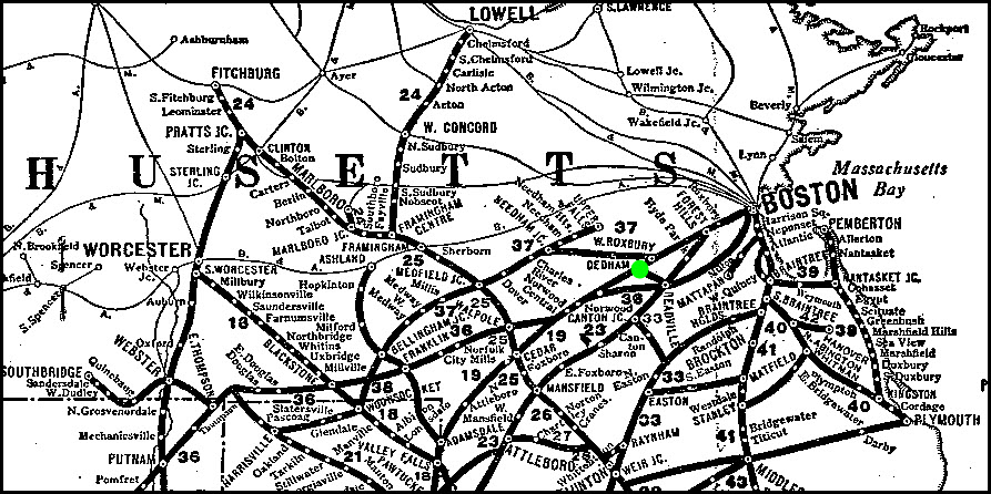
An interesting suburban community of Boston which seems to have more than its
share of stations, luckily for us.
Below left is a current map of Hyde Park, and the three MBTA commuter stations within
the limits. Doesn't appear that any of the three are still around.....
The lines running thru here are the Franklin and Fairmount lines. Both
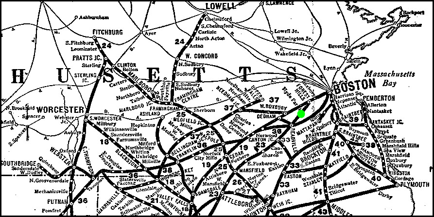
lines are former New Haven lines. On the right is the Boston service area
of the New Haven railroad in 1926.
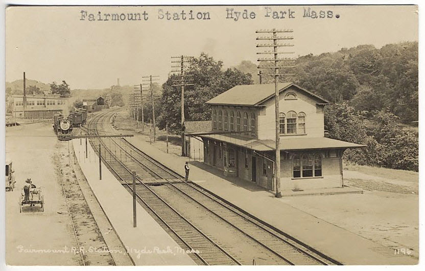
HYDE PARK - Fairmount Station
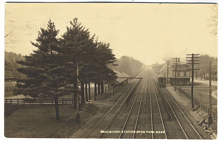
HYDE PARK - Hazlewood Station
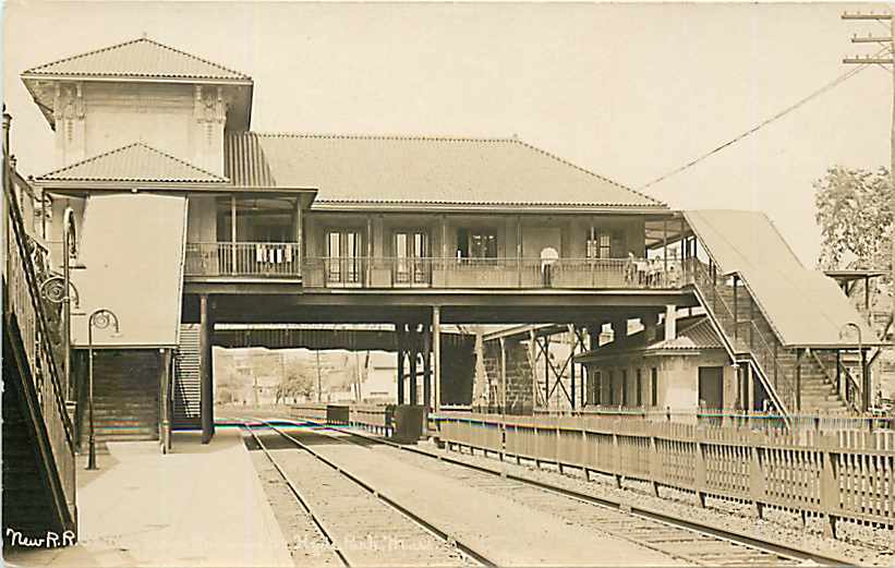
HYDE PARK - NYNH&H Depot
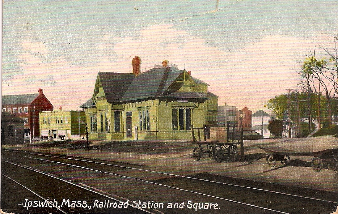
IPSWICH
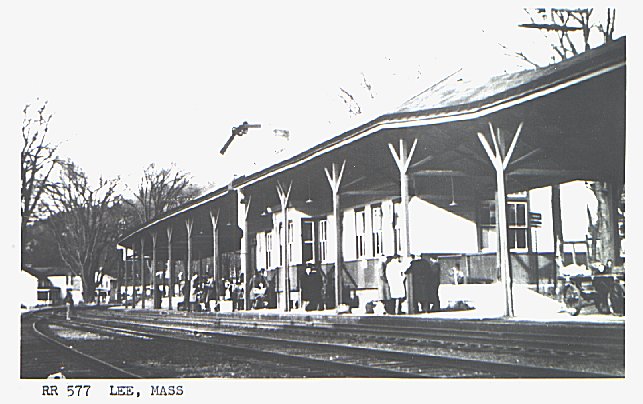
LEE
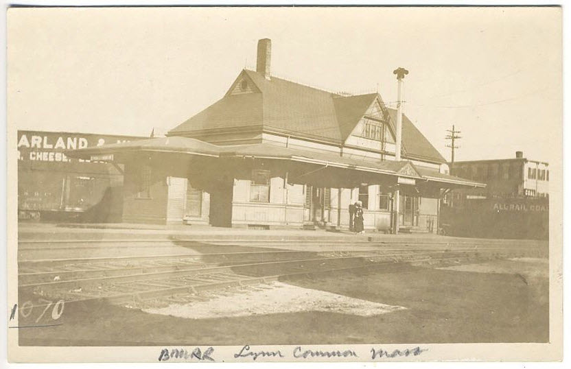
LYNN COMMON
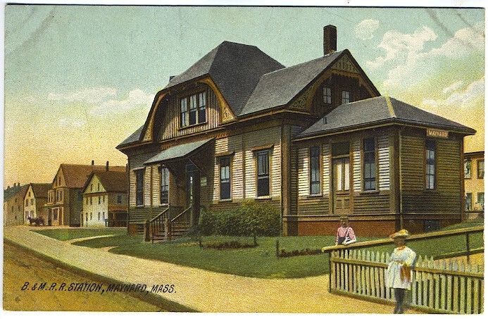
MAYNARD - ex Boston & Maine Depot
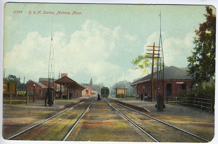
MELROSE
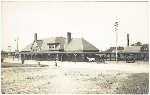
MIDDLEBORO
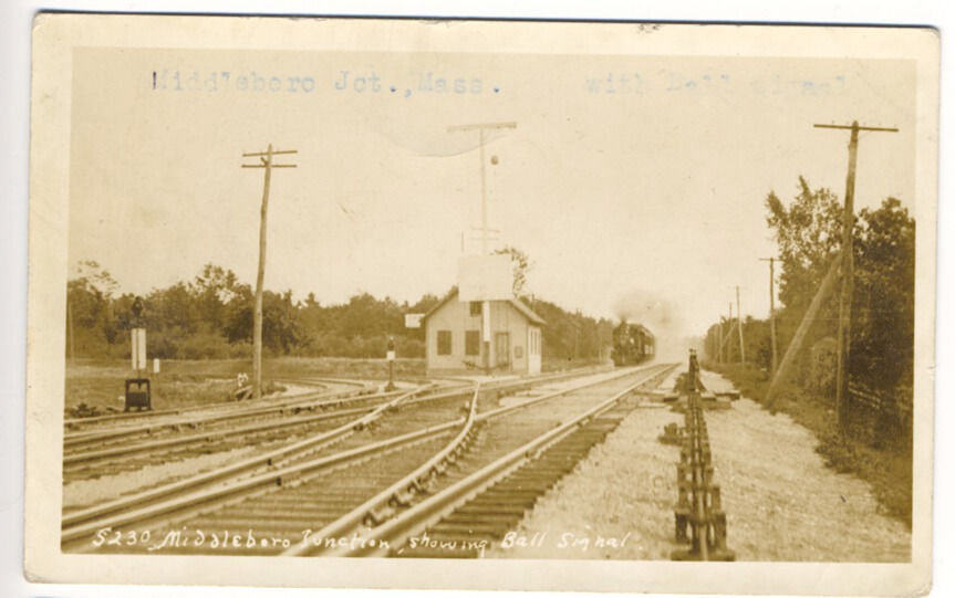
MIDDLEBORO JUNCTION
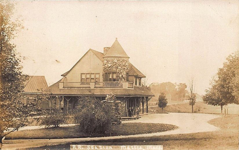
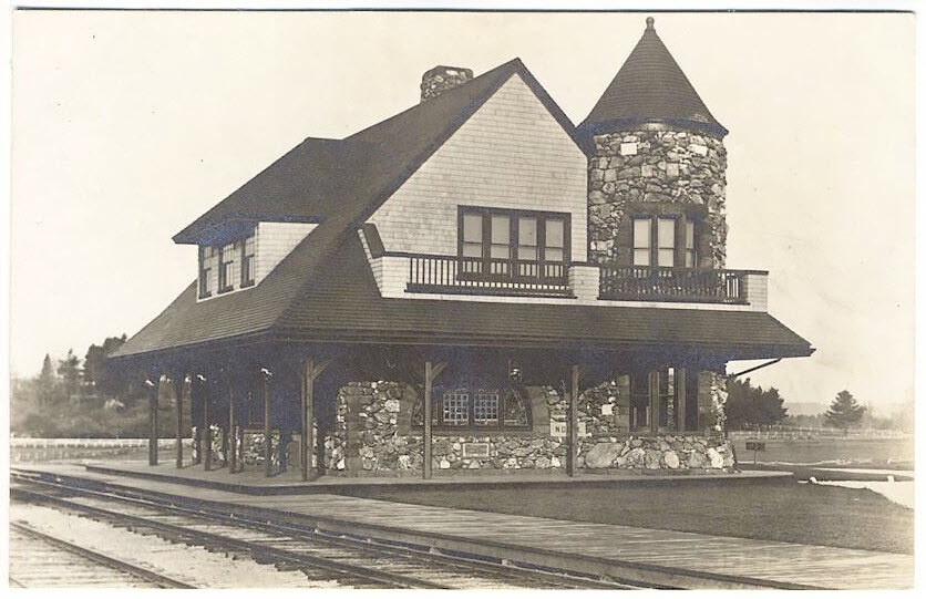
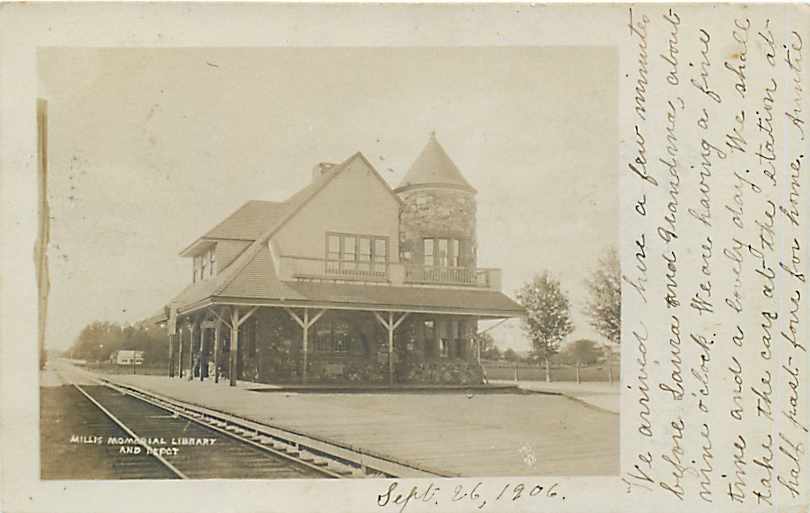
MILLIS
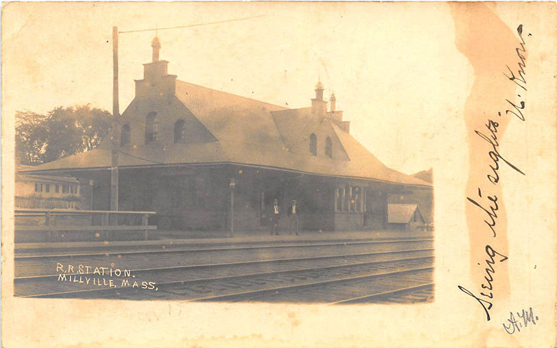
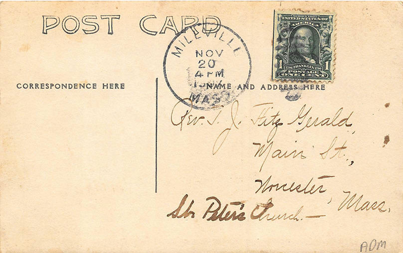
MILLVILLE
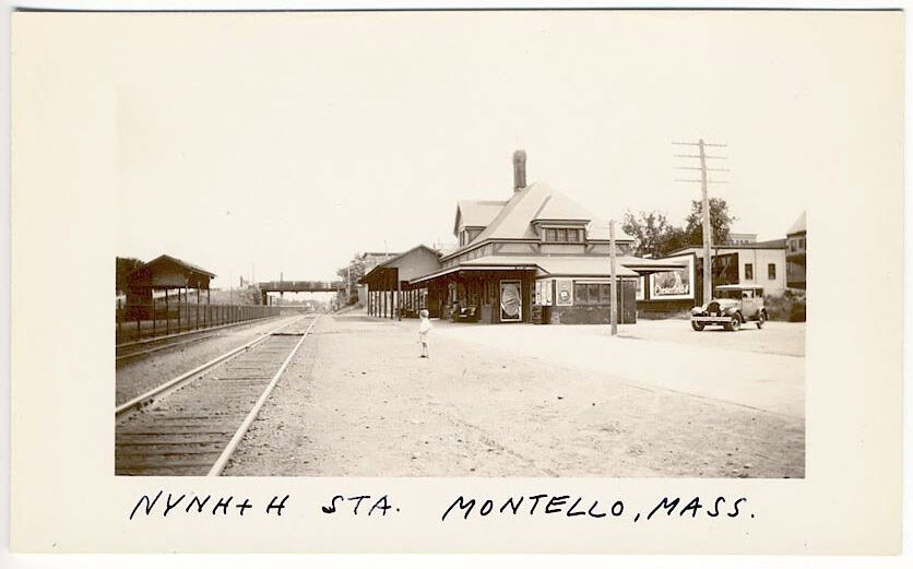
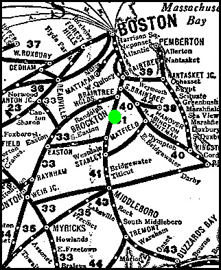
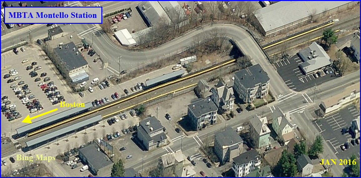
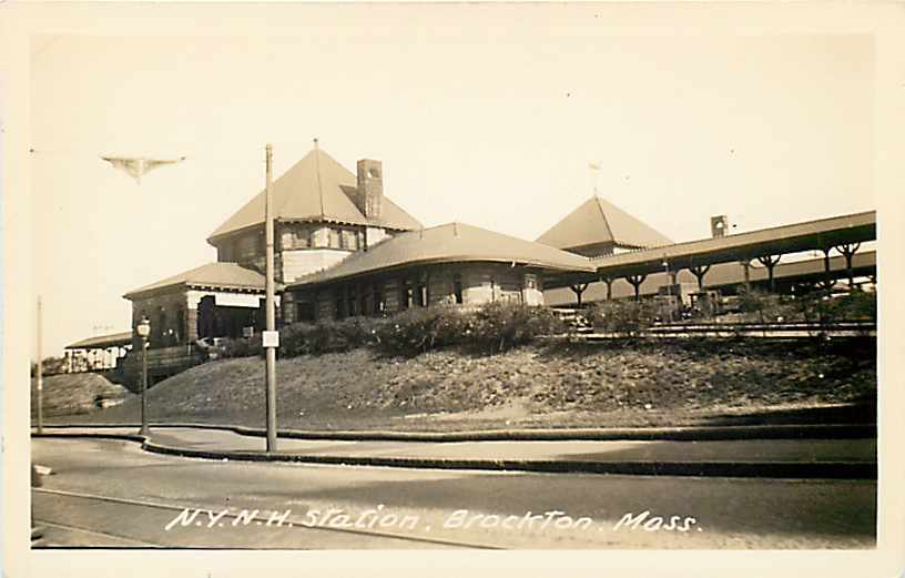
MONTELLO (BROCKTON)- ex NYNH&H Depot
MT TOM - ex Boston & Maine Depot/on fire
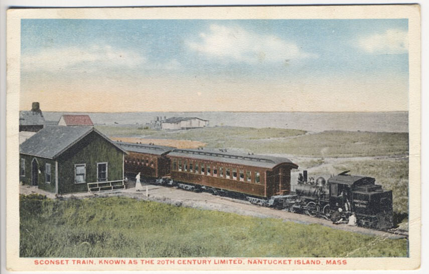
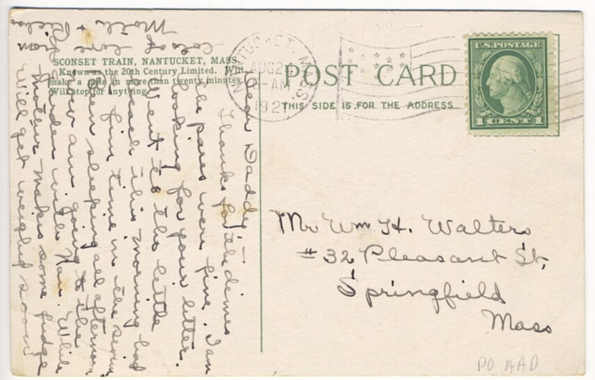
NANTUCKET ISLAND
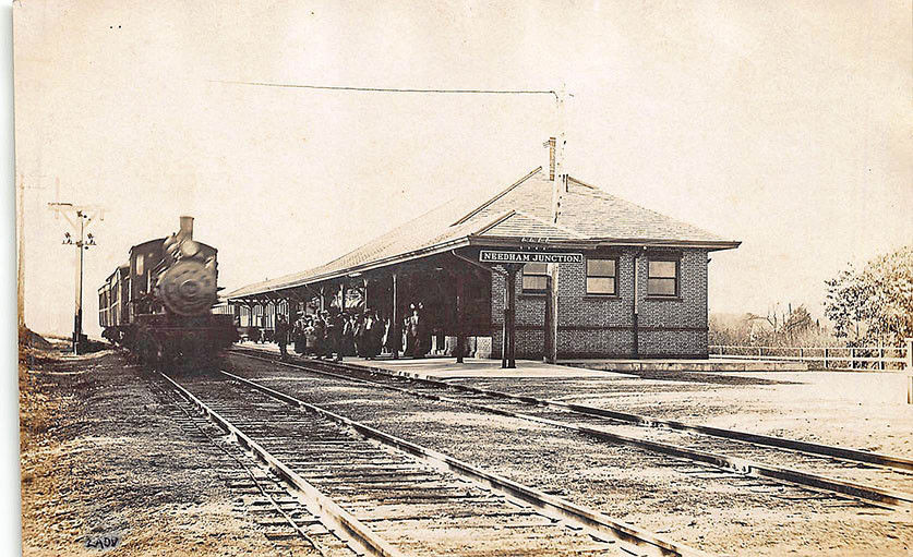
NEEDHAM JUNCTION
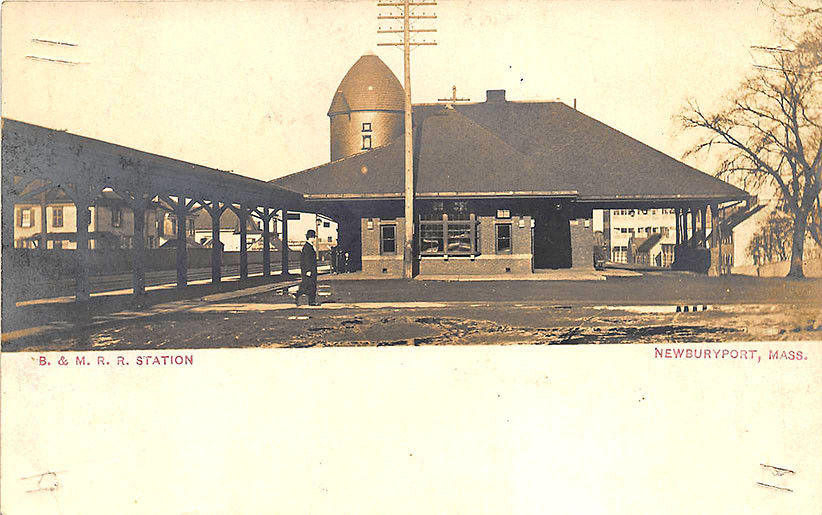
NEWBURYPORT
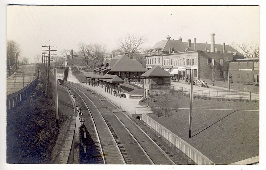
NEWTON CENTER
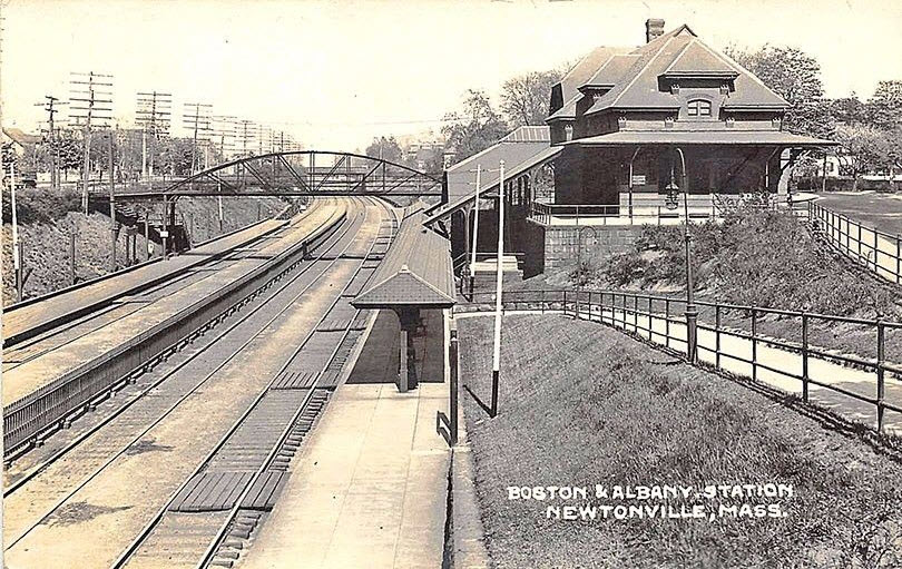
NEWTONVILLE
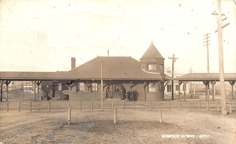
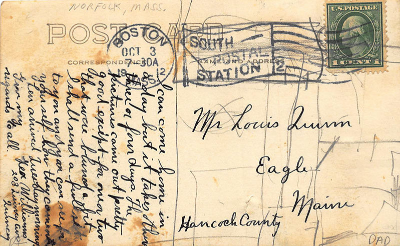
NORFOLK (DOWNS)
NORTH ABINGTON
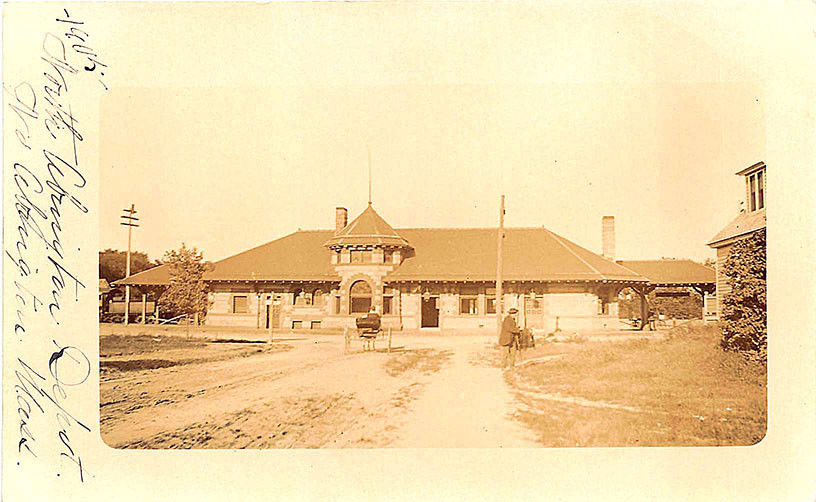
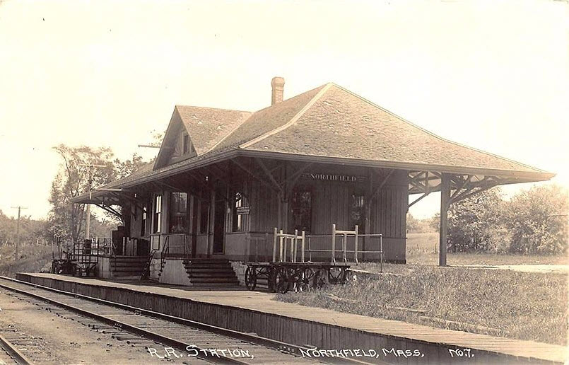
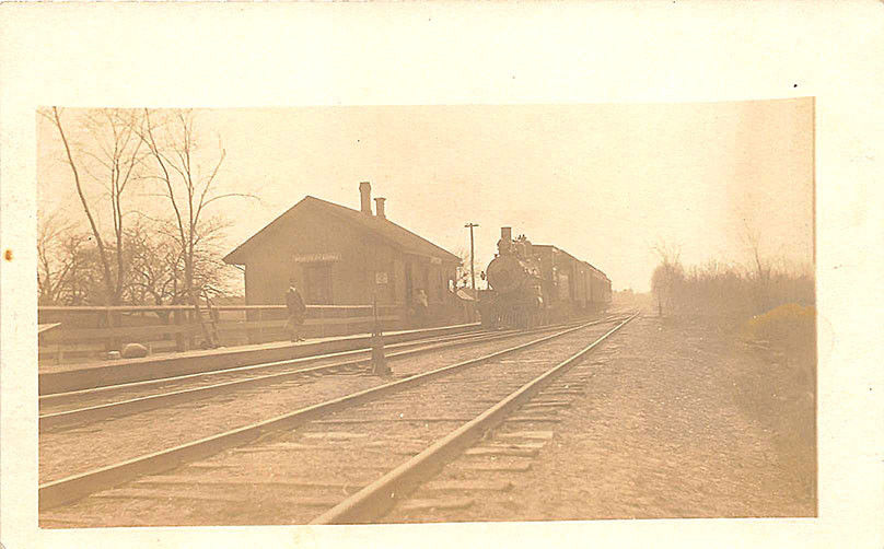
NORTHFIELD
NORTH READING
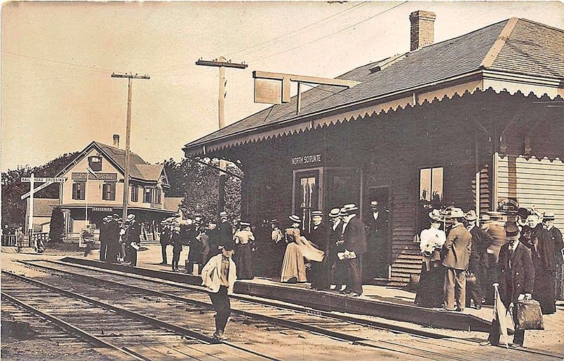
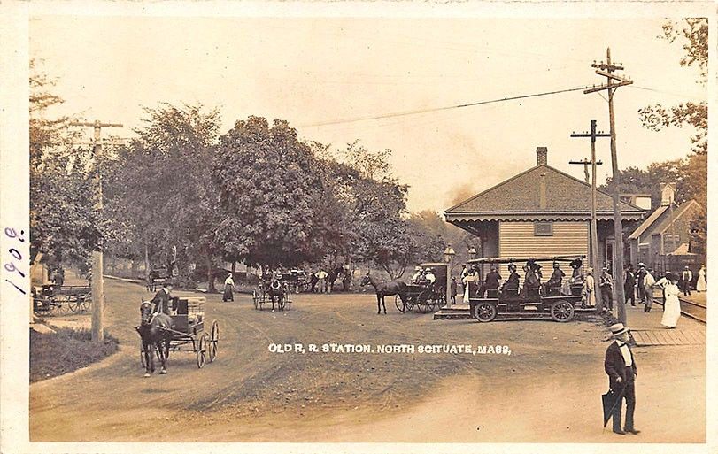
NORTH SCITUATE
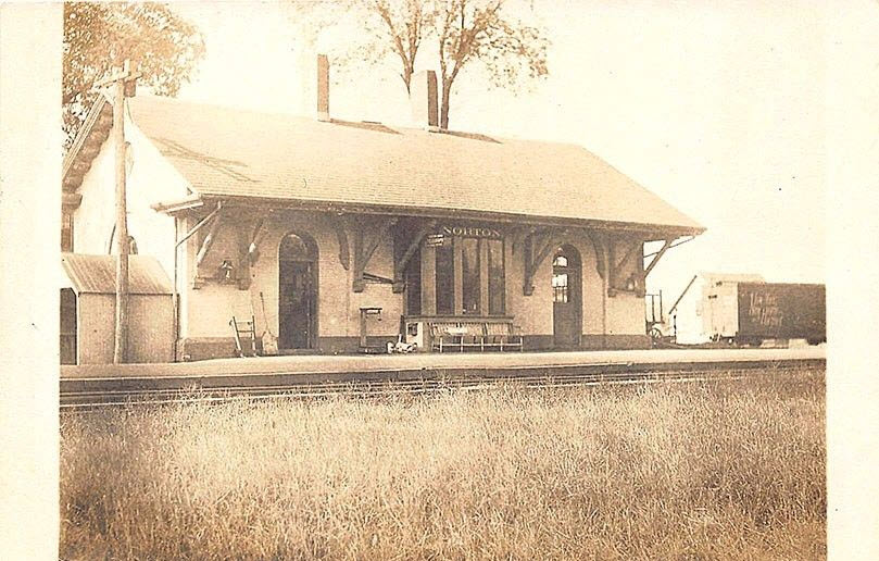
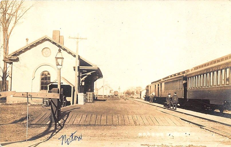
NORTON
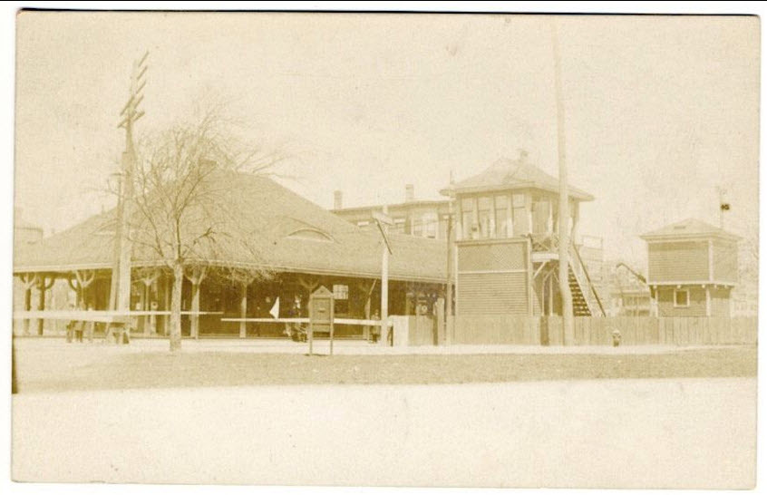
ORIENT HEIGHTS
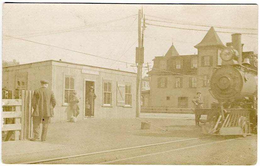
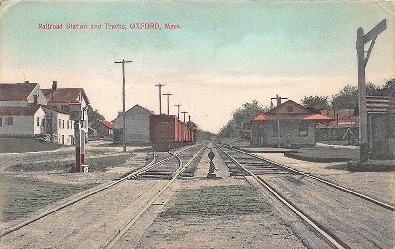
OXFORD
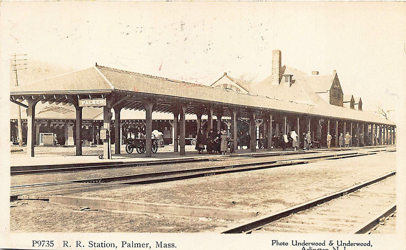
PALMER
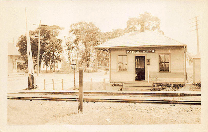
PARKER MILLS
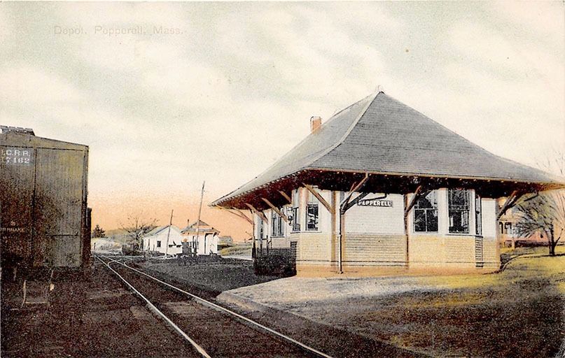
PEPPERILL
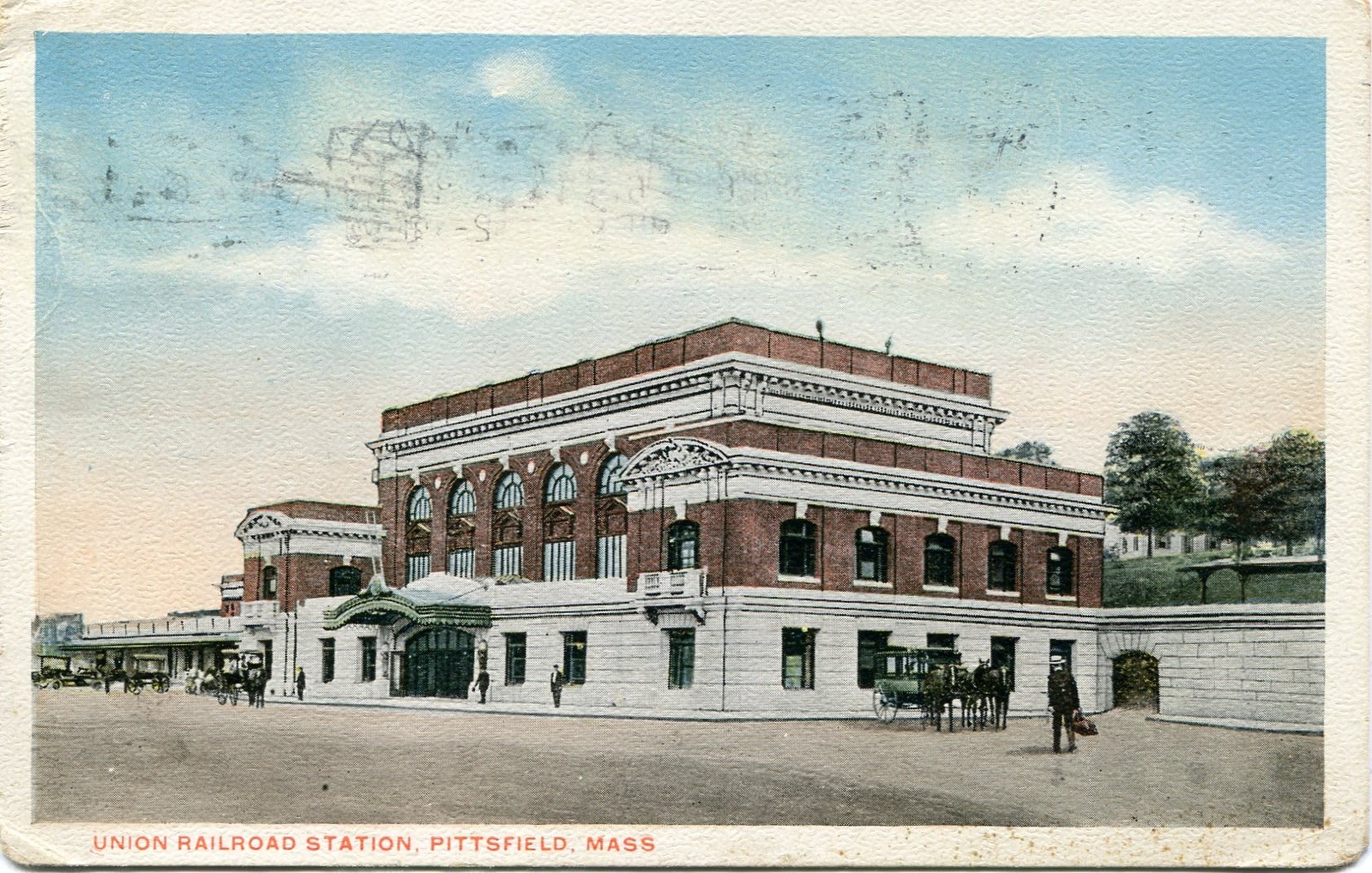
PITTSFIELD - Union RR Station
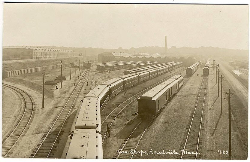
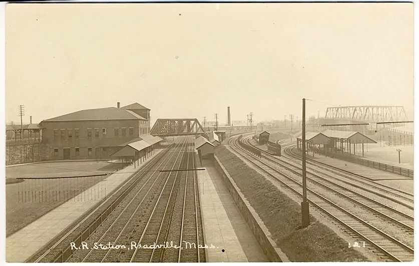
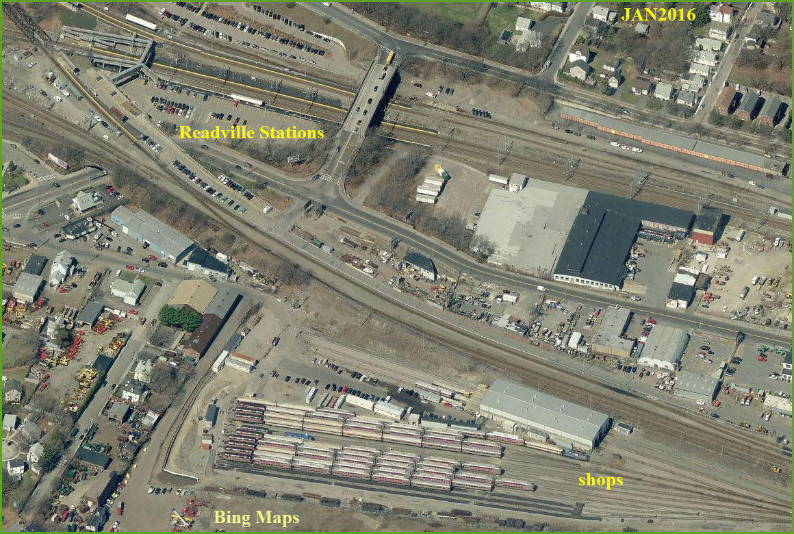
READVILLE (HYDE PARK)
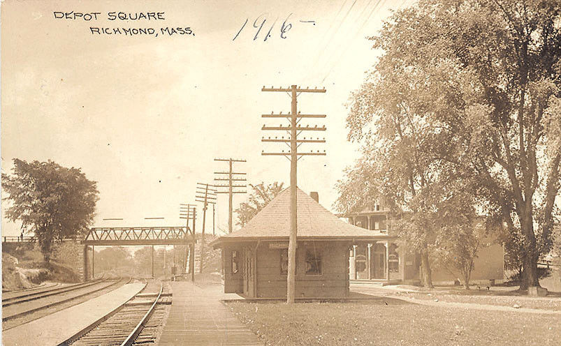
RICHMOND
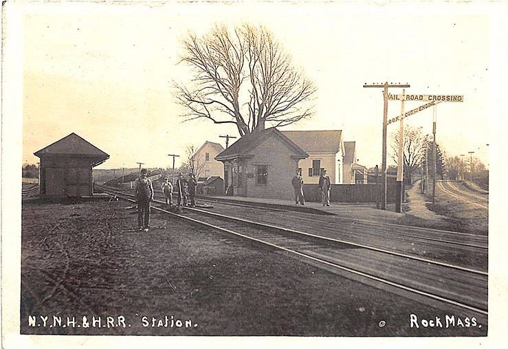
ROCK - ex NYNH&H Depot
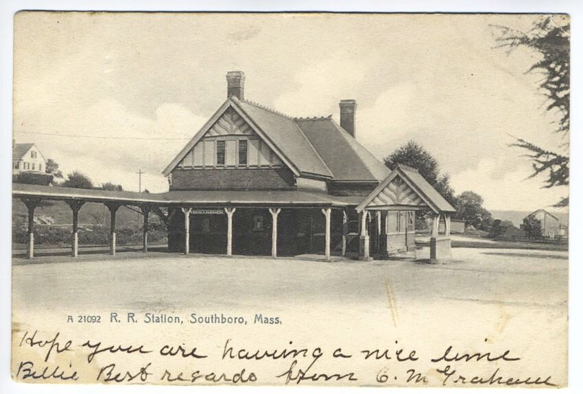
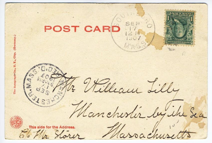
SOUTHBORO
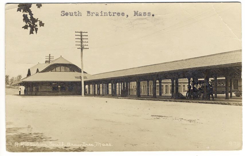
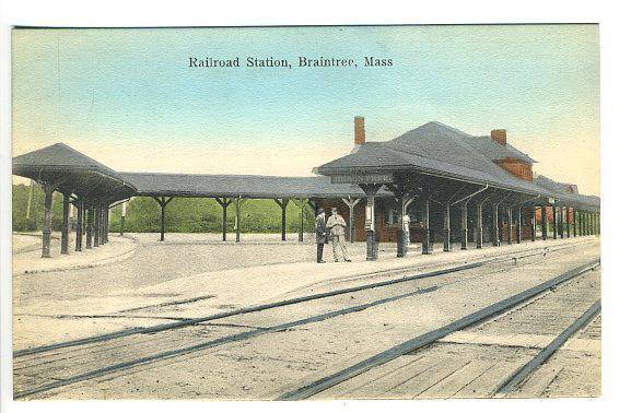
SOUTH BRAINTREE
SOUTH MIDDLEBORO
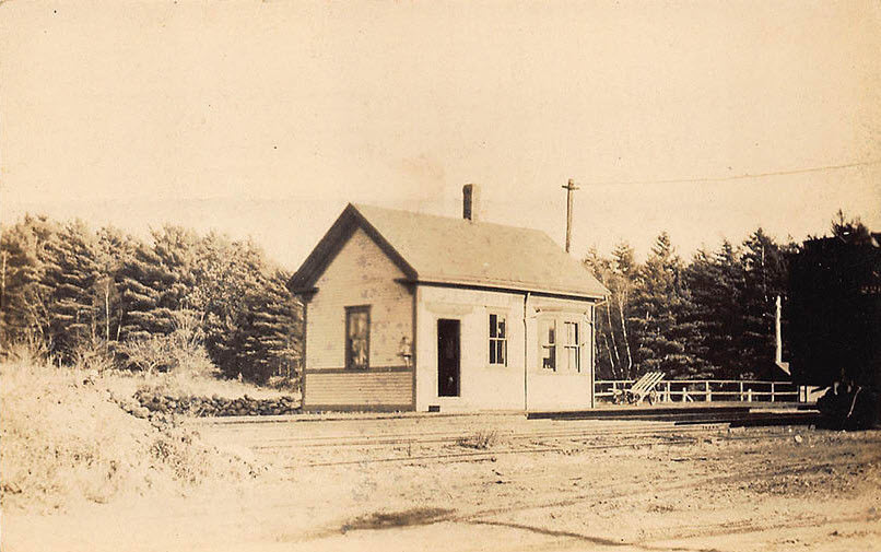
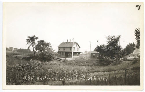
STANLEY
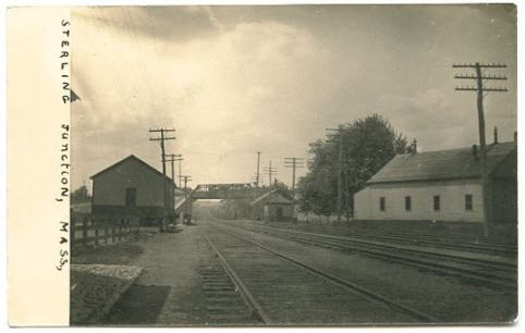
STERLING JUNCTION
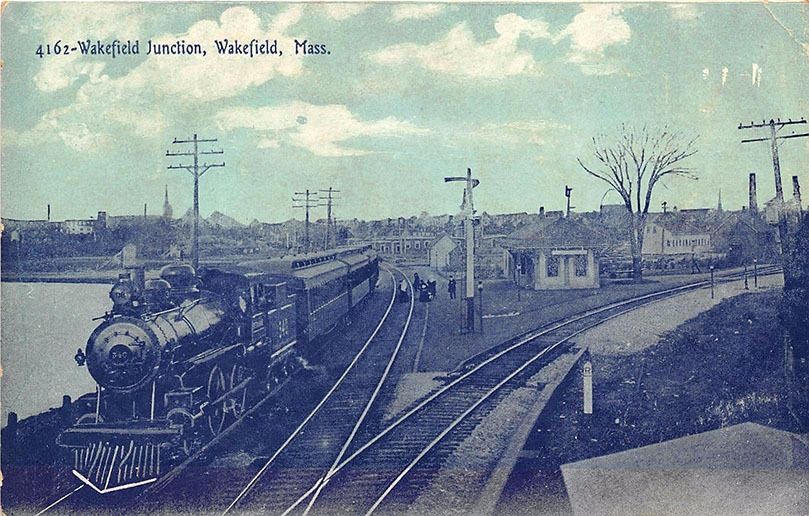
WAKEFIELD JUNCTION
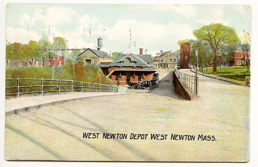
WEST NEWTON
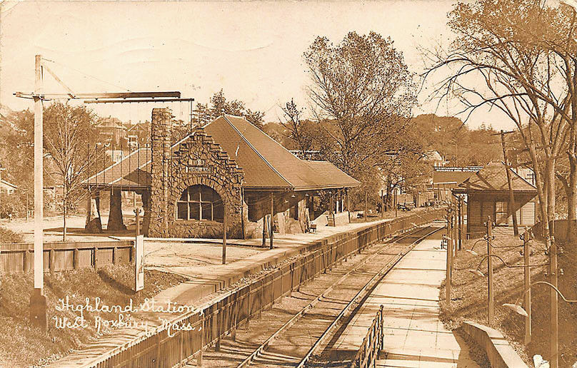
WEST ROXBURY
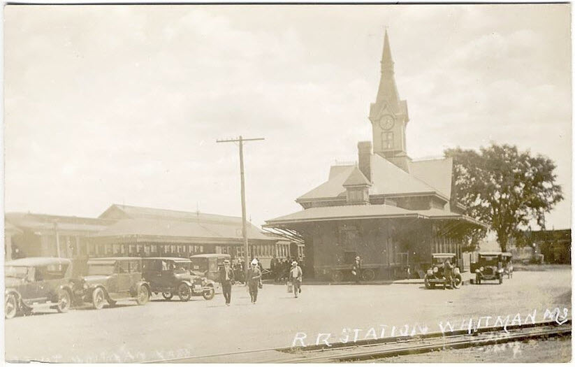
WHITMAN
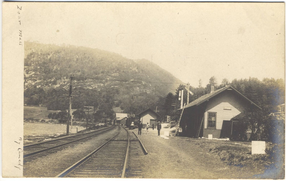
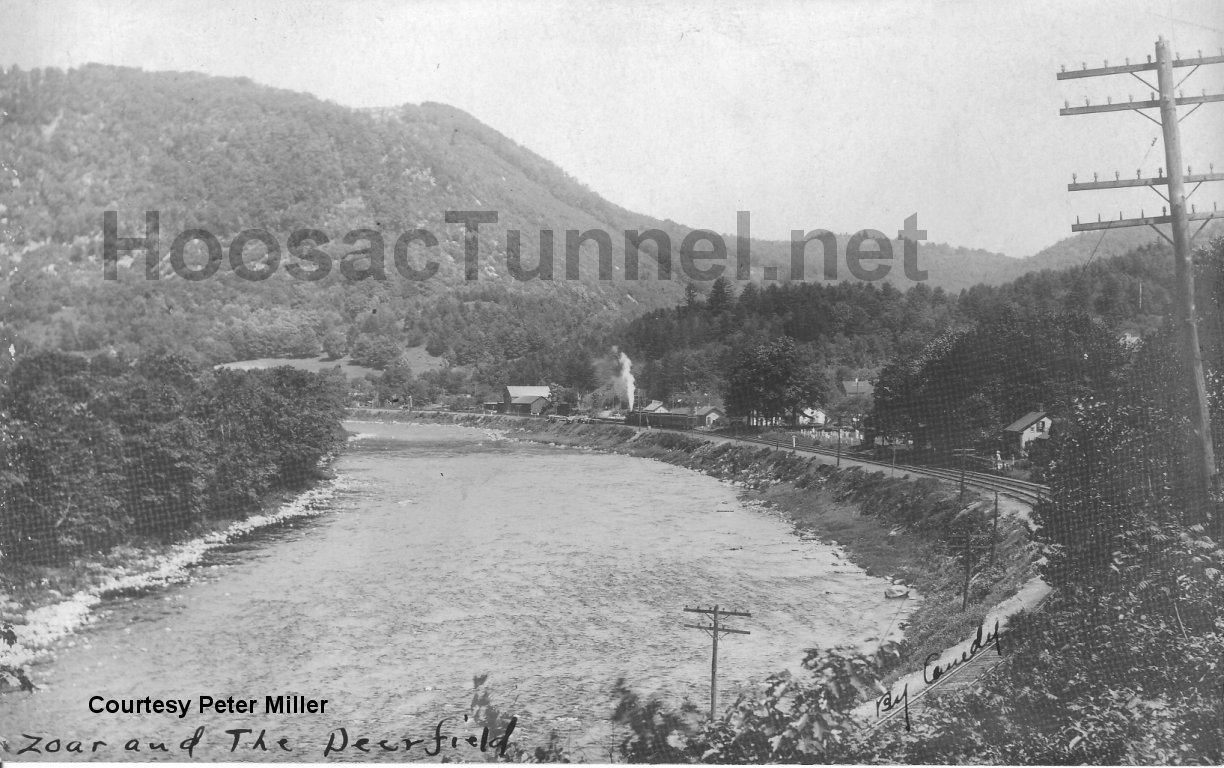
ZOAR (ROWE (Franklin Co))
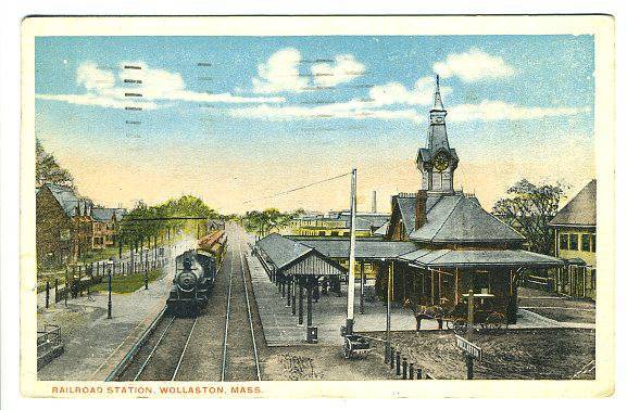
WOLLASTON
Disclaimers:
I love trains, and I love signals. I am not an
expert. My webpages reflect what I find on the topic of the page.
This is something I have fun with while trying to help others. My
webpages are an attempt at putting everything I can find of the subject in
one convenient place. There are plenty of other good websites to help
me in this effort, and they are listed in the links section on my indexa
page, or as needed on individual pages. Please do not write to me
about something that may be incorrect, and then hound the heck out of me if
I do not respond to you in the manner you would like. I operate on the
"Golden Rule Principle", and if you are not familiar with it, please
acquaint yourself with how to treat people by reading Mathew 7:12 (among
others, the principle exists in almost every religion). If you contact
me (like some do, hi Paul) and try to make it a "non-fun" thing and start
with the name calling, your name will go into my spambox list! :-)
Please Note: Since the main focus of my two websites is railroad signals, the railfan guides
are oriented towards the signal fan being able to locate them. For those
of you into the modeling aspect of our hobby, my indexa page has a list of
almost everything railroad oriented I can think of to provide you with at least a few pictures to
help you detail your pike.
If this is a railfan page, every effort has been made to make sure that the information contained on this map and in this
railfan guide is correct. Once in a while, an error may creep in,
especially if restaurants or gas stations open, close, or change names.
Most of my maps are a result of personal observation after visiting these
locations. I have always felt that a picture is worth a thousand words",
and I feel annotated maps such as the ones I work up do the same justice for the
railfan over a simple text description of the area. Since the main focus
of my website is railroad signals, the railfan guides are oriented towards the
signal fan being able to locate them. Since most of us railheads don't have just
trains as a hobby, I have also tried to point out where other interesting sites
of the area are.... things like fire stations, neat bridges, or other
significant historical or geographical feature. While some may feel they
shouldn't be included, these other things tend to make MY trips a lot more
interesting.... stuff like where the C&O Canal has a bridge going over a river (the Monocacy Aqueduct) between Point of Rocks and Gaithersburg MD, it's way cool to
realize this bridge to support a water "road" over a river was built in the
1830's!!!
My philosophy: Pictures and maps are worth a thousand words, especially for railfanning. Text descriptions only
get you so far, especially if you get lost or disoriented. Take
along good maps.... a GPS is OK to get somewhere, but maps are still
better if you get lost! I belong to AAA, which allows you to get
local maps for free when you visit the local branches. ADC puts
out a nice series of county maps for the Washington DC area, but their
state maps do not have the railroads on them. If you can find em,
I like the National Geographic map book of the U.S..... good, clear, and
concise graphics, and they do a really good job of showing you where
tourist type attractions are, although they too lack the railroads.
Other notes about specific areas will show up on that page if known.
By the way, floobydust is
a term I picked up 30-40 years ago from a National Semiconductor data
book, and means miscellaneous and/or other stuff.
Pictures and additional information is always needed if anyone feels inclined to take 'em, send 'em, and share 'em, or if you have
something to add or correct.... credit is always given! BE NICE!!! Contact info is here
Beware: If used as a source, ANYTHING from Wikipedia must be treated as being possibly being inaccurate, wrong, or not true.
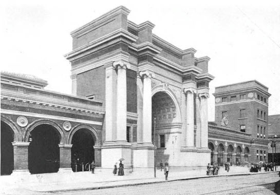 1893-1928
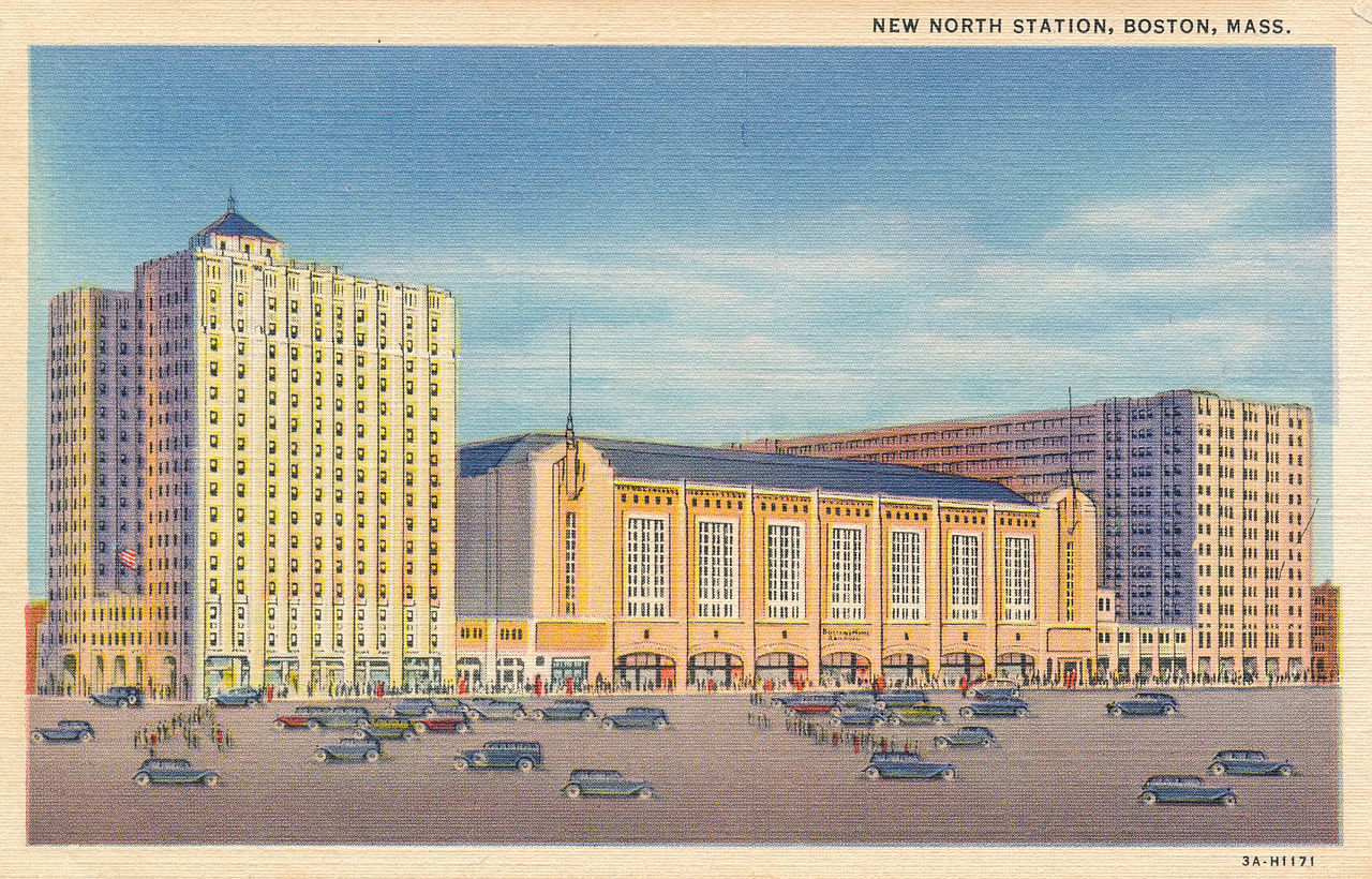 1928-1995
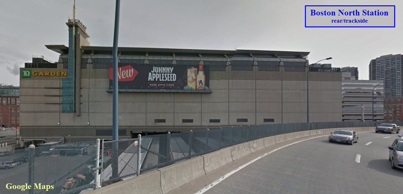 Today....
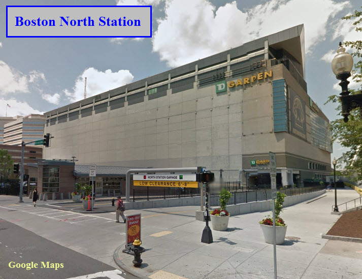
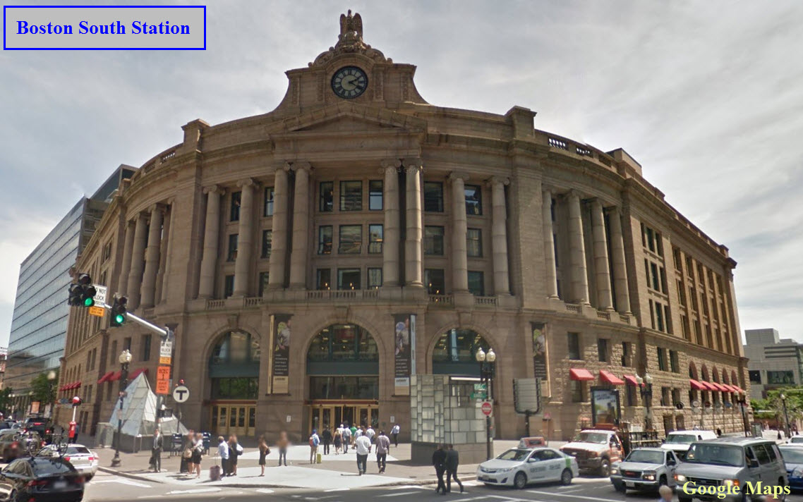 From Google Maps Jan 2016.
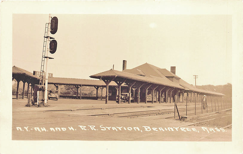

 Picture by Brian Soloman