In General
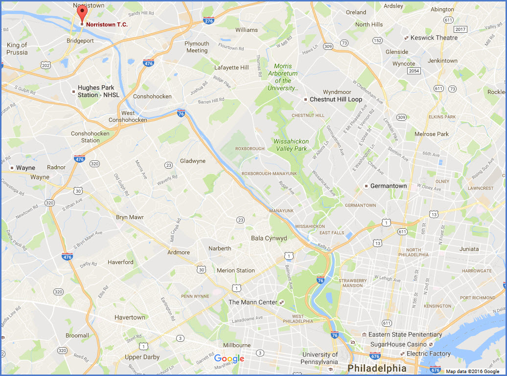
Getting Here
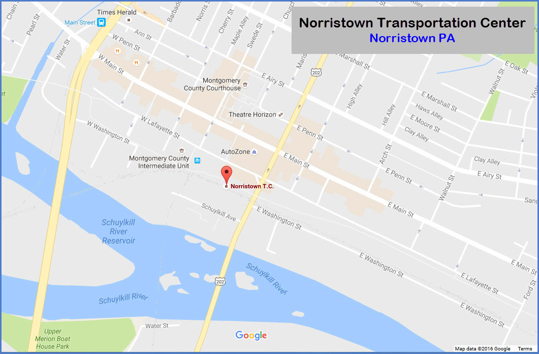
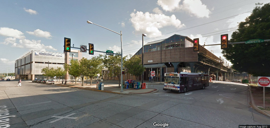
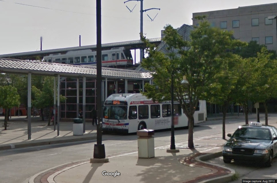
Map
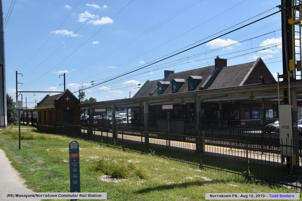
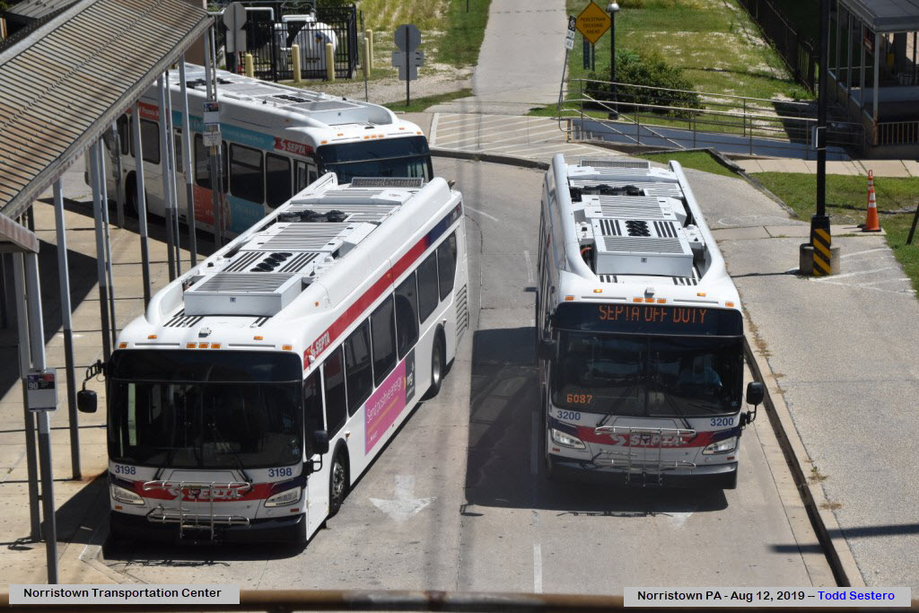
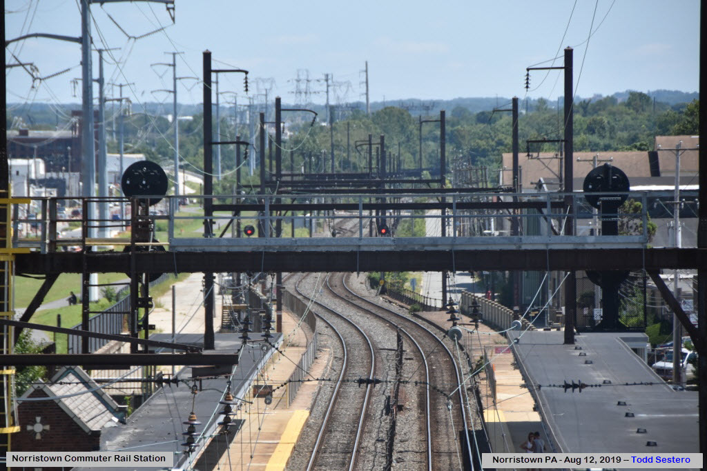
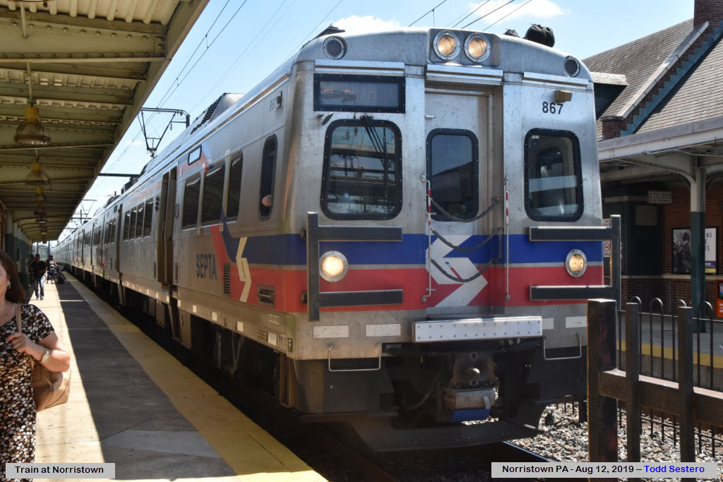
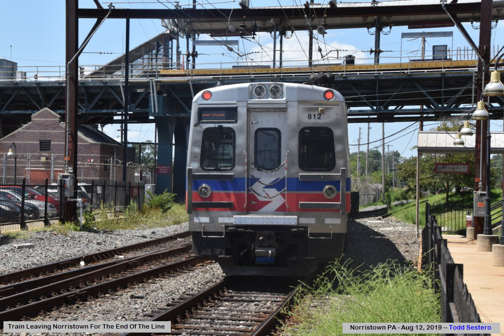
Pictures
RAILFAN GUIDES HOME
RAILROAD SIGNALS HOME
Location / Name:
Norristown PA, a suburb of Philadelphia
What's Here:
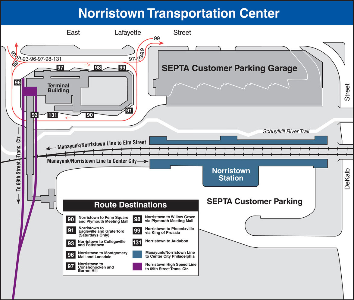
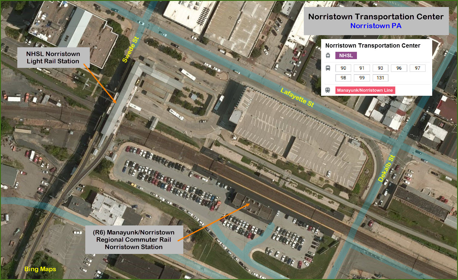
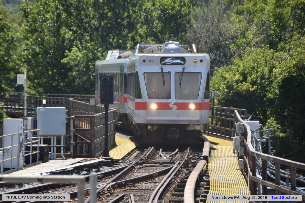
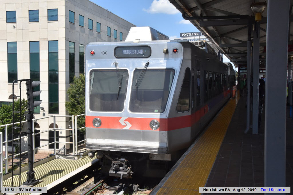
#101 Norristown High Speed Line (Light Rail)
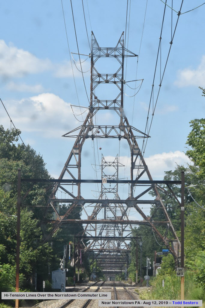
Norristown Commuter Line (formerly the R6 Line)
Bus Depot
Data:
GPS Coordinates: 40.113274, -75.345348
ZIP: 19401
Access by train/transit:
#101 Norristown High Speed Line (Light Rail)
Commuter Rail - Manayunk/Norristown Line
Bus lines: 90, 91, 93, 96, 97, 98, 99, 131
The Scoop:
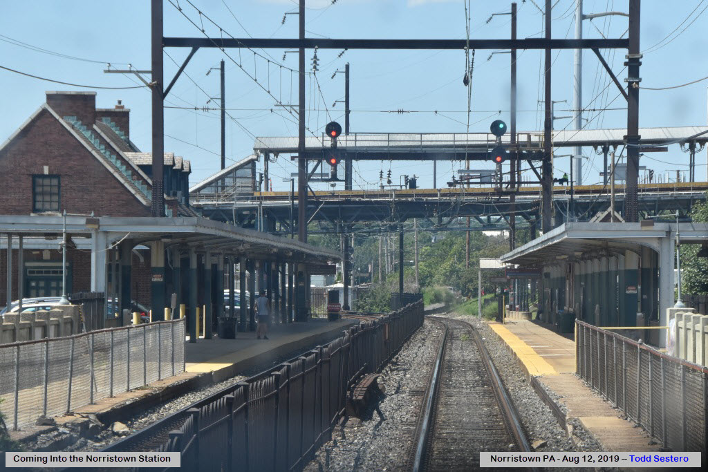
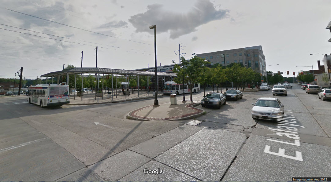
The Norristown Transportation Center is one of a handful of SEPTA Transportation Center's. As seen just above, this center services two rail lines and a multitude of bus lines. It serves the Manyunk/Norristown Regional/Commuter rail line, formerly known as the R6.
It is also the northernmost station on the NHSL - the Norristown High Speed line Light Rail. The NHSL is the only light rail line in the country to use third rail. The cars are technically the same as the LRV's in Baltimore, as both of them are built by ABB, and at the same time - so all of the systems share the same technology. The only difference is that the Baltimore cars are two permanently connected cars, and are generally thought of as a single car.
SEPTA has done a nice job of making the commuter rail station visually pleasing.
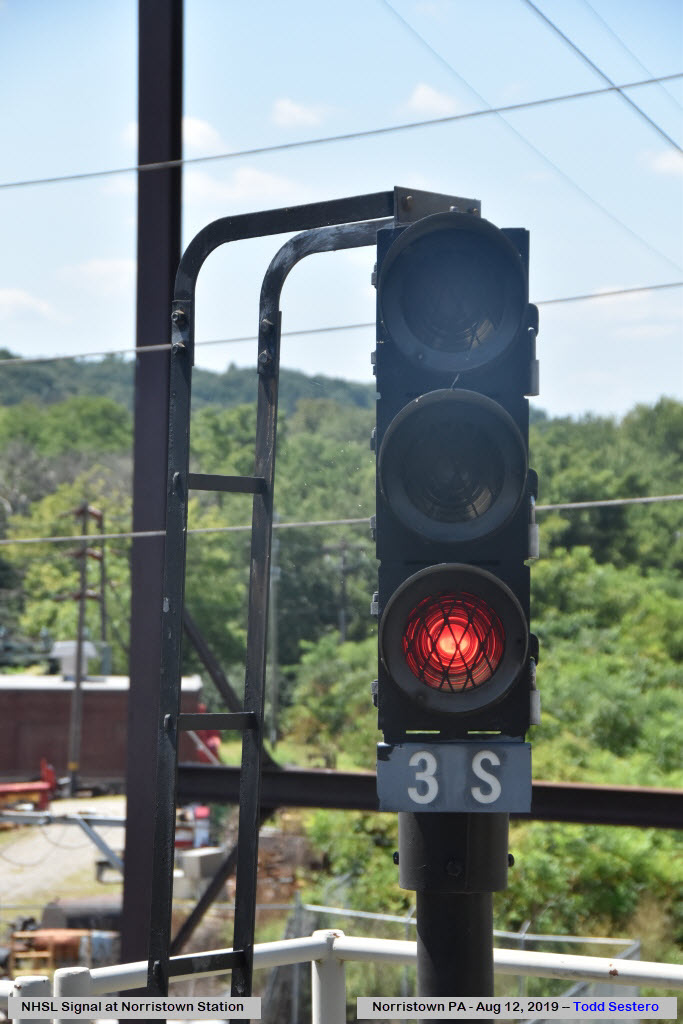
Good pictures can be had from almost everywhere, and the NSHL platform provides a convenient spot for getting elevated shots of the commuter line, especially for trains coming from the end of the line around the curve. If your lucky enough to catch a freight, that is always a bonus!
Acknowledgements:
None Yet
Websites and other additional information sources of interest for the area:
https://railfanguides.us/septa/route100/index.htm for the NHSL
https://railfanguides.us/septa/railmaps/index.htm for an overview of the commuter rail system
Getting here is easy if you decide to come by train, for you can either take a commuter train from 30th Street Station, or you can catch a Light Rail train from the 69th St Transportation, which connects to the Market-Frankford subway line, or the route 101/102 trolley lines bringing you in from either Media or Sharon Hill.
Remember: If you are a senior, you can ride EVERYTHING SEPTA has for free. But, you need a Senior Citizen ID card, which can be obtained in person at either there main office in downtown Philly, or one or two other locations.
If you are coming by car and the interstates, unfortunately, there is no easy way because everything in this neck of the woods is toll, so the exits are not as numerous as if it was a free system. I-76 brings you out of the downtown Philly area. I-76 and I-276 have an exit for the King-of-Prussia mall and area, and then you can take Dekalb Pike/US202 to get into Norristown. Once you cross the Schuylkill, take a right onto Main St, and then another right onto Swede St, and the TC will be right there.
Disclaimers:
I love trains, and I love signals. I am not an expert. I do these pages because I love spending my time doing them - although I do a reasonable amount of research to make sure the information presented is accurate! :-) :-)
Please Note: Since the main focus of my two websites is railroad signals, the railfan guides are oriented towards the signal fan being able to locate them. For those of you into the modeling aspect of our hobby, my indexa page has a list of almost everything railroad oriented I can think of to provide you with at least a few pictures to help you detail your pike.
If this is a railfan page, every effort has been made to make sure that the information contained on this map and in this railfan guide is correct. Once in a while, an error may creep in, oooooooops, oh well! :-)
My philosophy: Pictures and maps are worth a thousand words, especially for railfanning. Text descriptions only get you so far, especially if you get lost or disoriented. Take along good maps.... a GPS is OK to get somewhere, but maps are still better if you get lost! I belong to AAA, which allows you to get local maps for free when you visit the local branches. ADC puts out a nice series of county maps for the Washington DC area, but their state maps do not have the railroads on them. If you can find em, I like the National Geographic map book of the U.S..... good, clear, and concise graphics, and they do a really good job of showing you where tourist type attractions are, although they too lack the railroads. Other notes about specific areas will show up on that page if known.
BTW, floobydust is a term I picked up 30-40 years ago from a National Semiconductor data book, and means miscellaneous and/or other stuff.
Pictures and additional information is always needed if anyone feels inclined to take 'em, send 'em, and share 'em, or if you have something to add or correct.... credit is always given! BE NICE!!! Contact info is here
Beware: If used as a source, ANYTHING from Wikipedia must be treated as being possibly being inaccurate, wrong, or not true.
SEPTA HOMEPAGE
RAILFAN GUIDES HOME
RAILROAD SIGNALS HOME
NEW
10/20/2016
Last Modified
27-Aug-2019