In General
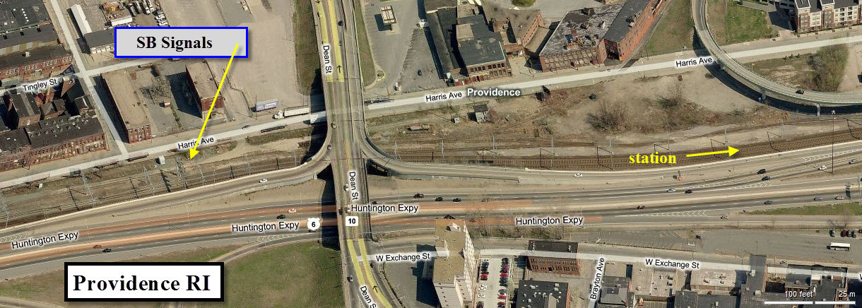
Getting Here
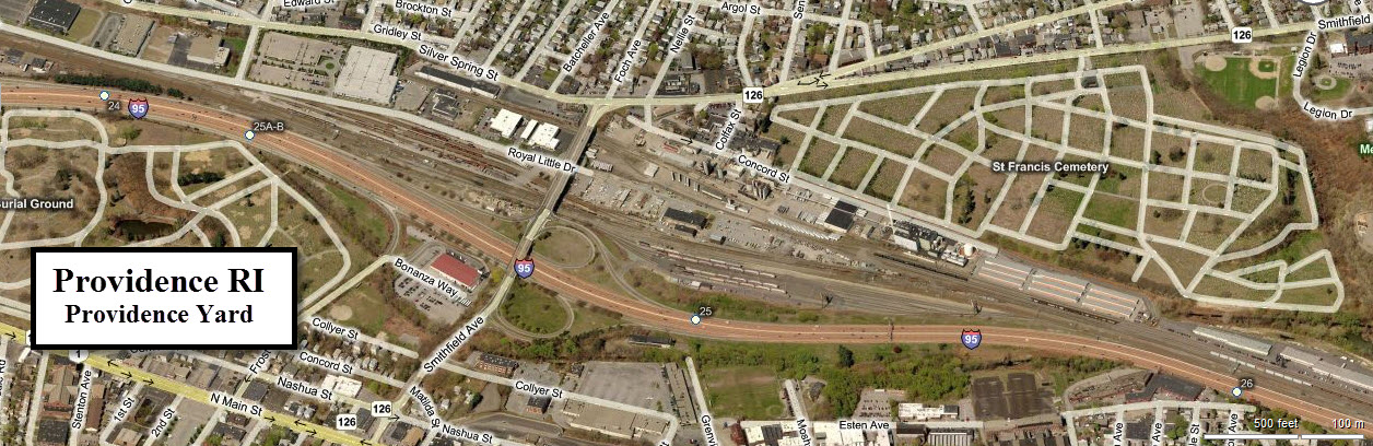
Map
Sights
Pictures
Signals
Floobydust
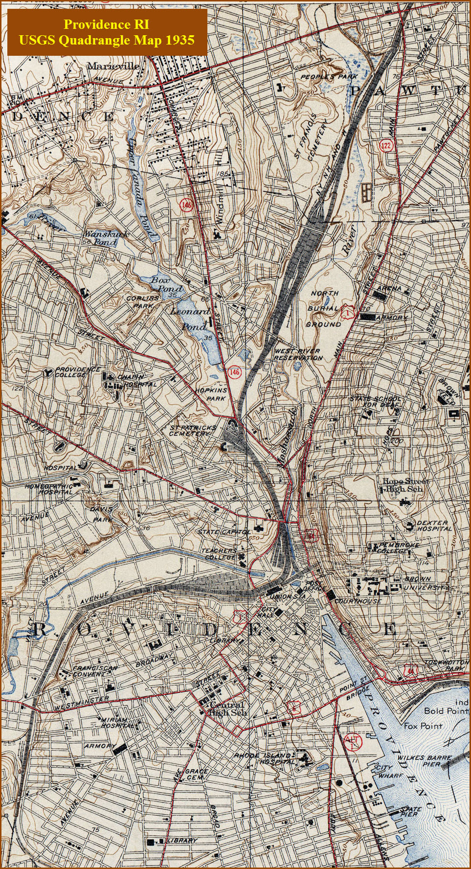
USGS Maps
RAILFAN GUIDES HOME
RAILROAD SIGNALS HOME
Location / Name:
Providence RI, Providence County
What's Here:
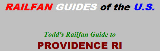
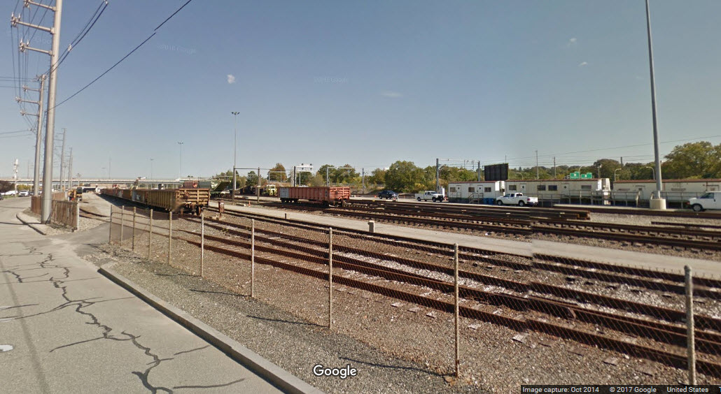
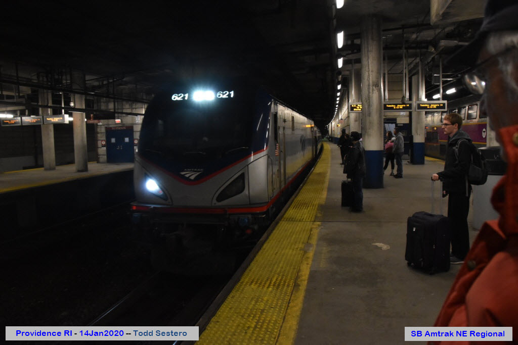
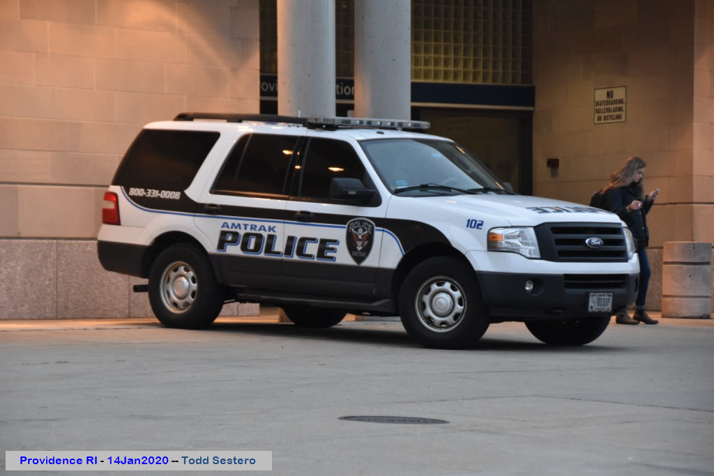
Amtrak Station
Amtrak Yard
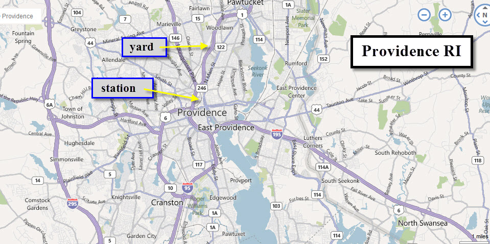
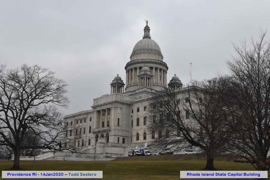
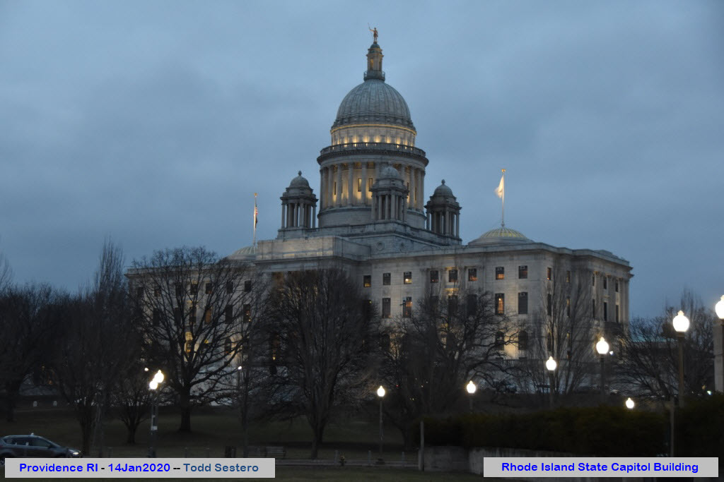
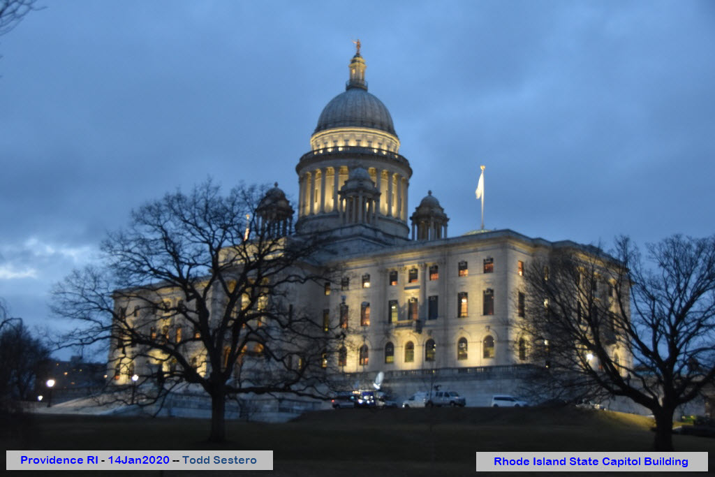
Rhode Island State Capitol
Data:
GPS Coordinates: 41.82924, -71.41329 (station)
Phone A/C: 401
ZIP: 02903
Access by train/transit:
Amtrak, station code: PVD
MBTA Commuter/Regional Rail (from Boston)
The Scoop:
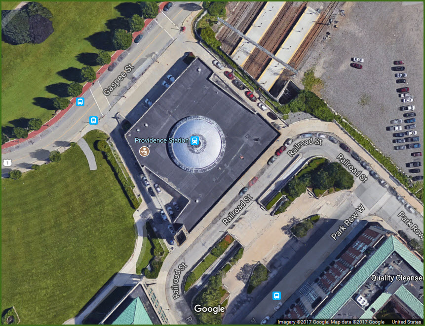
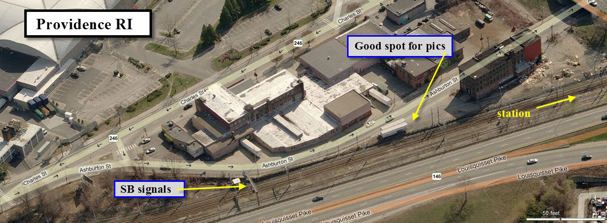
For now, I just put together something very quickly to show you where the station and yard is in Providence, and where a few of the signals are.
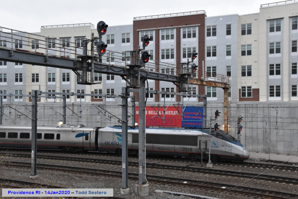
Electrification on the NEC from New Haven to Boston, which includes Providence, was started in 1996, and finished on January 31st, 2000. As such, if you look at the support poles for the catenary, you will notice (especially on the south side of the station where two sidings come off the main), that the poles are placed to accommodate the freight track.
Don't forget that back in the early 1900's until 1968, this was all New Haven RR country! Then Penn Central, and then Amtrak and Conrail.
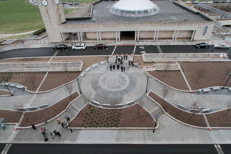
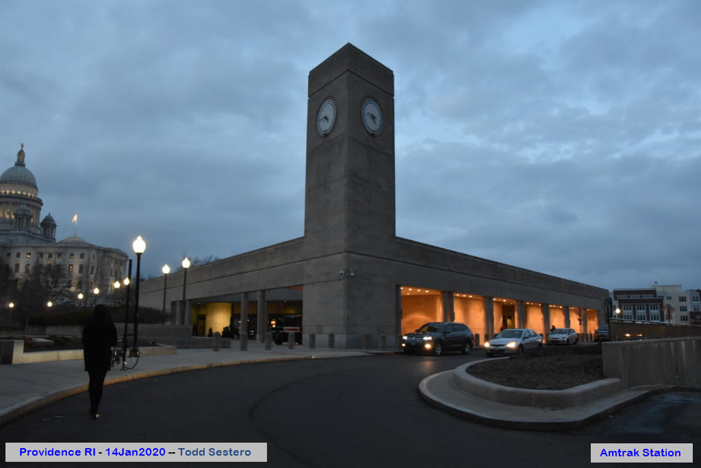
And don't forget, the Rhode Island State Capitol building is only a couple of blocks away from the train station!
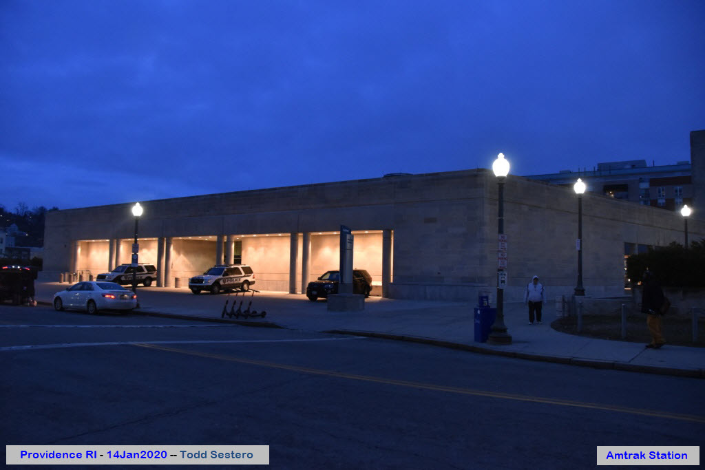
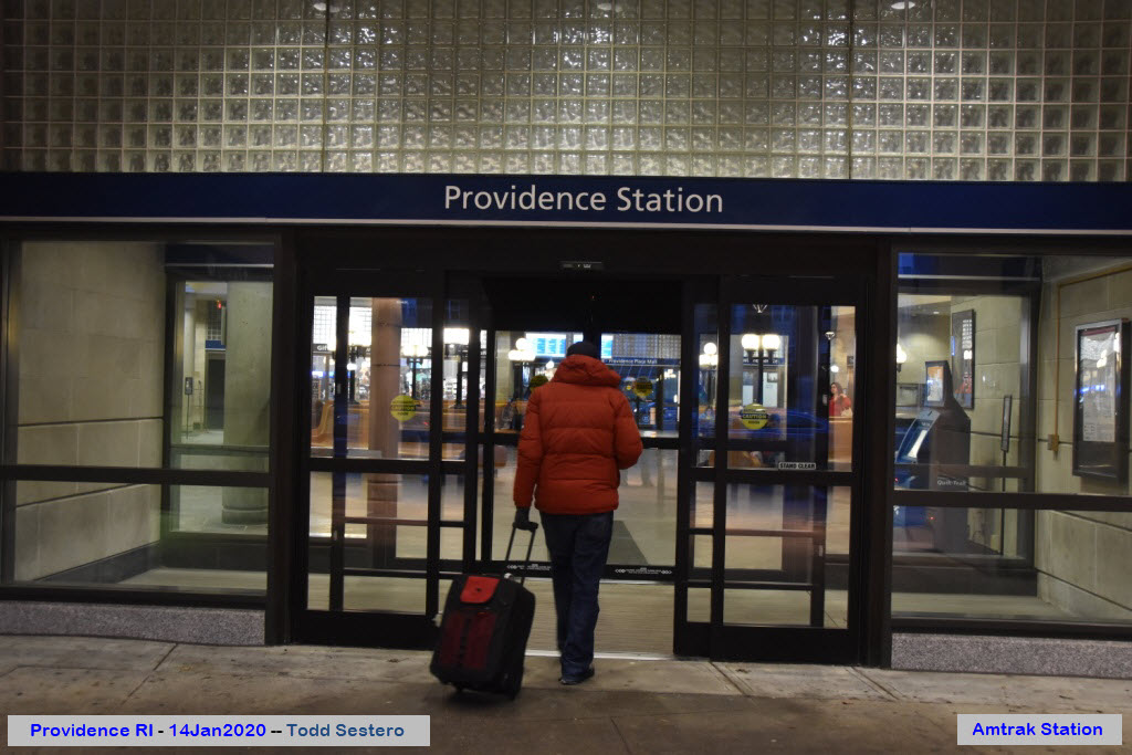
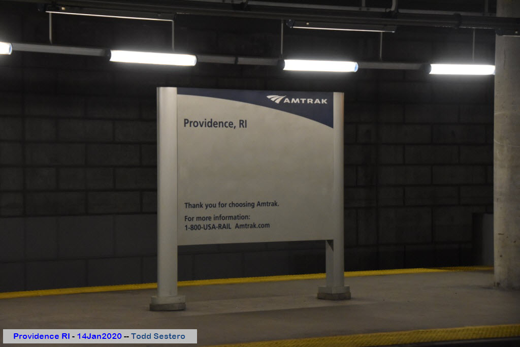
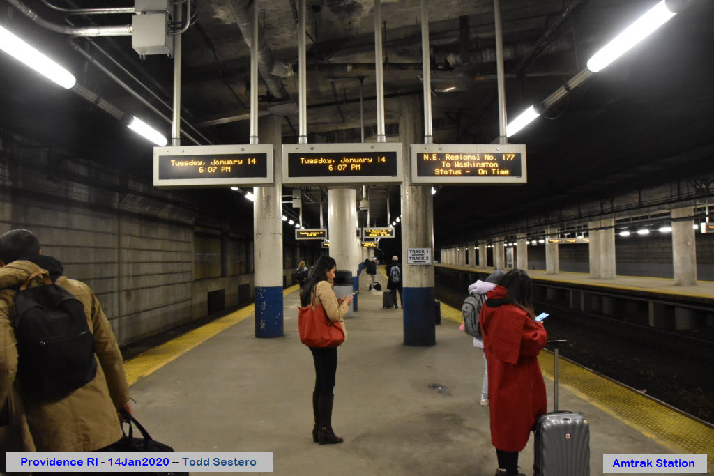
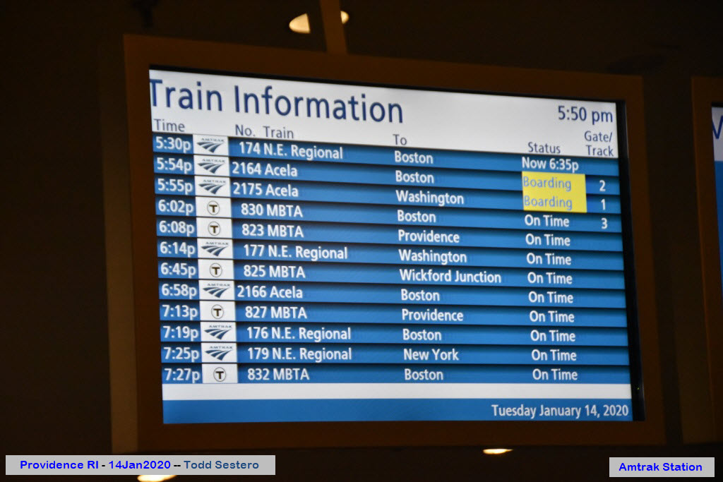
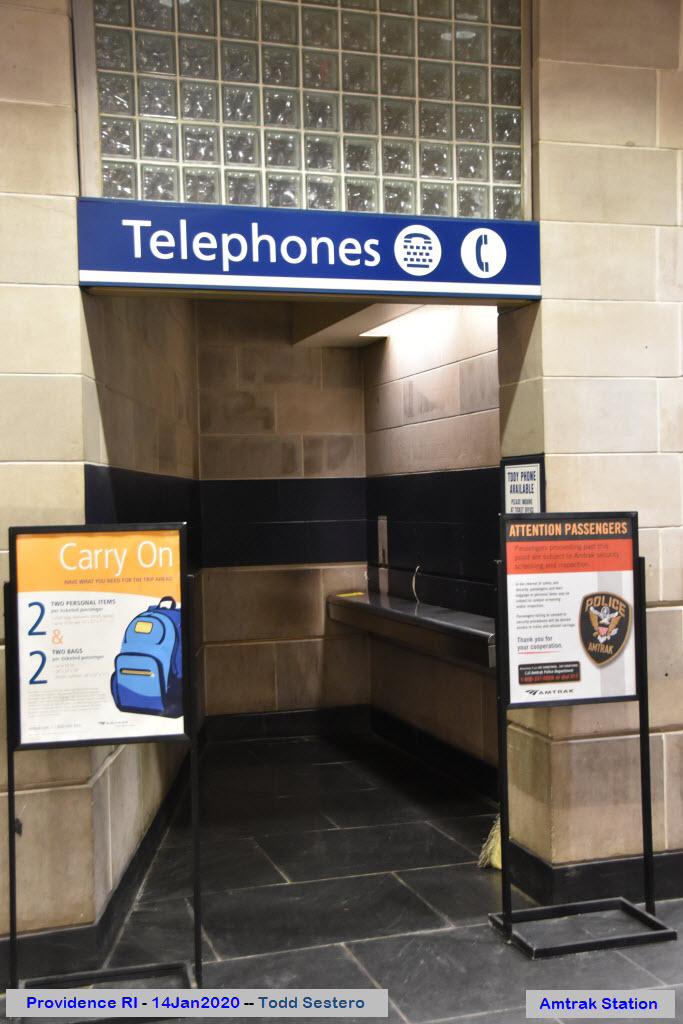
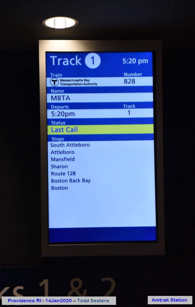
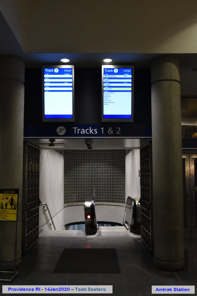
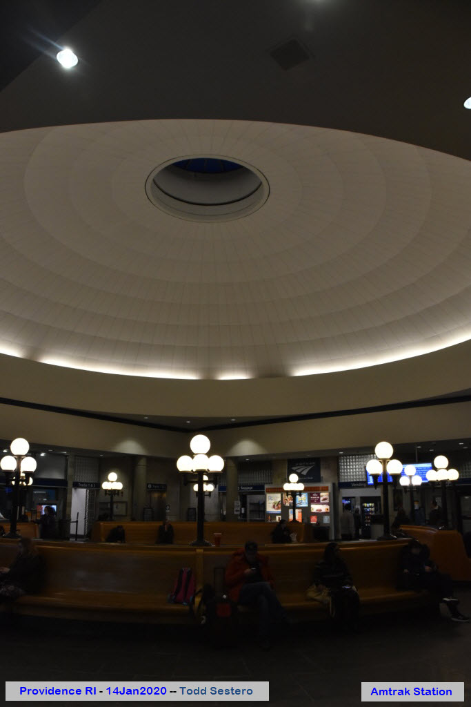
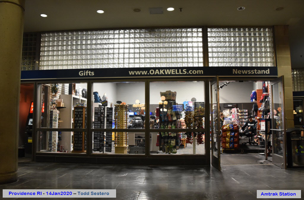
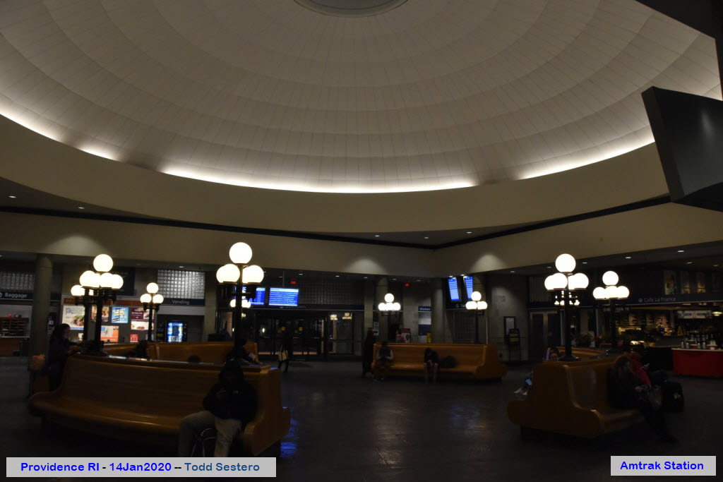
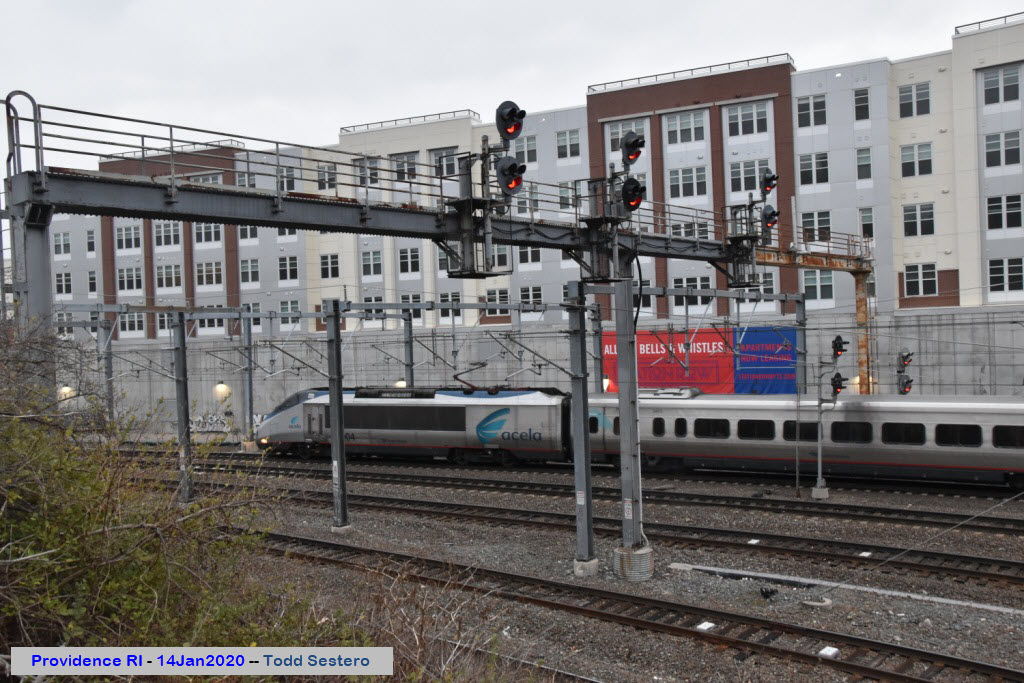
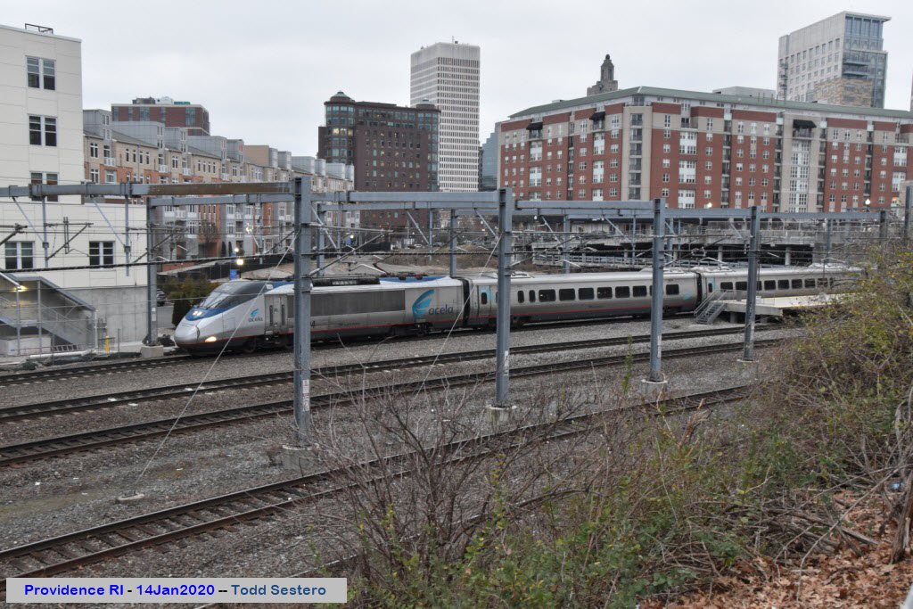
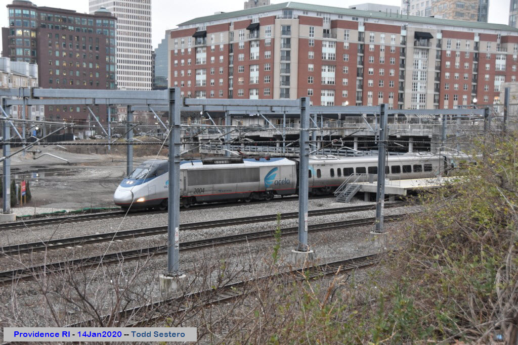
The pictures below are in order from north to south, and concentrate on the immediate station area.
The Amtrak 40th Birthday Train visited Providence on July 30th and 31st, 2011. My page for it is here and Amtrak's page is here
Acknowledgements:
Denver Todd
Google Images
Websites and other additional information sources of interest for the area:
https://en.wikipedia.org/wiki/Providence_station
https://en.wikipedia.org/wiki/Union_Station_(Providence)
http://www.goprovidence.com/plan-your-trip/transportation/rail-service/
http://www.goprovidence.com/blog/post/providence-train-station-construction/
Everything is conveniently located off of I-95.
Use exit 25/Smithfield Ave for the north side of Amtrak Yard north of the station, and the far northern approach to the station. The Peter Pan bus terminal is off the 25B exit.
Ext 24 will get you on the south side of the Amtrak yard via Branch Ave.
Exit 23 SB will dump you off on Charles St for the northern approach to the station... while exit 23 NB will do the same via Orms St/Charles St.
Exit 22 will put you on Memorial Pkwy, which you can then make a left onto Exchange St to get to the station.
GPS Coordinates: 41.82924, -71.41329
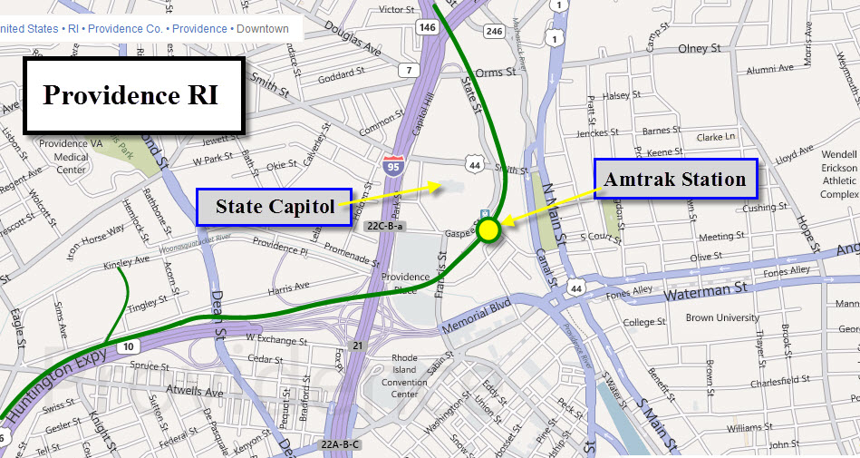
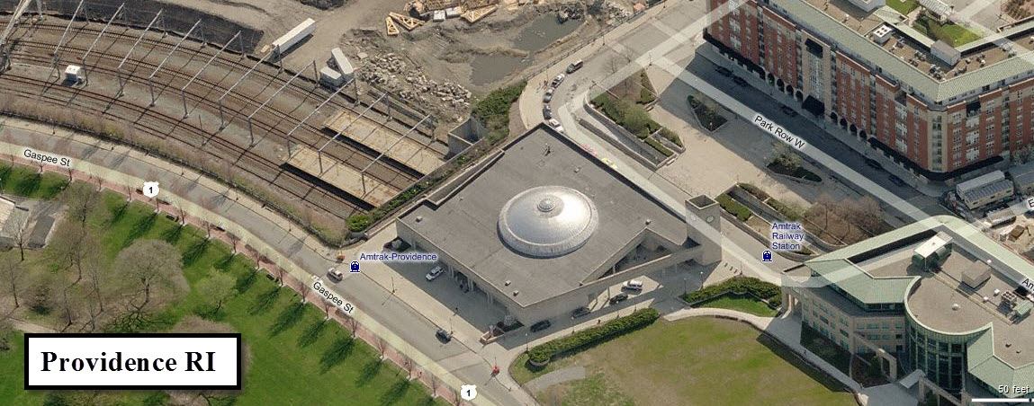
100 Gaspee St, Providence RI 02903
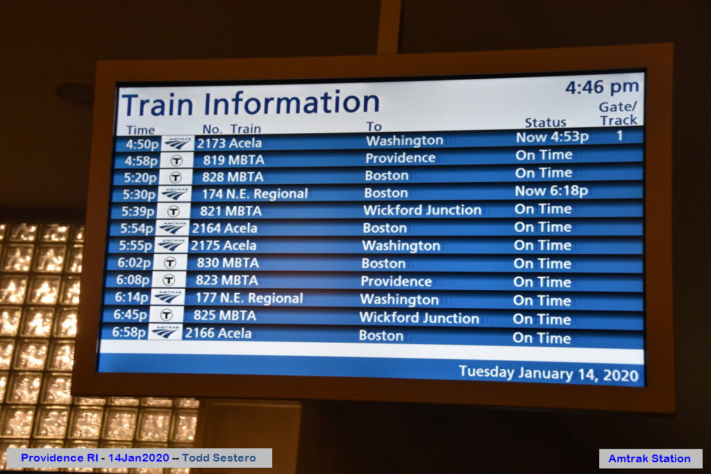
From Wikipedia: Providence is a railroad station in Providence RI, served by Amtrak and MBTA Commuter Rail. The station has four tracks and two island platforms for passenger service, with a fifth track passing through for Providence and Worcester Railroad freight trains. It is now the 11th busiest Amtrak station in the country, and the busiest on the MBTA Commuter Rail system outside of the downtown Boston terminals.
Two of Amtrak's passenger rail routes serve the station: the Acela Express and the Northeast Regional. The Acela Express is the United States' only high-speed rail service; the Regional is a slower local service. Both connect Providence with the Northeast Corridor from Boston to Washington D.C.
The Massachusetts Bay Transportation Authority (MBTA) also serves Providence. The Providence/Stoughton commuter rail line's southern terminus is located at Wickford Junction, two stops south of Providence. The Providence/Stoughton Line provides commuter service to towns between the airport, Providence and Boston, sharing track with Amtrak trains.
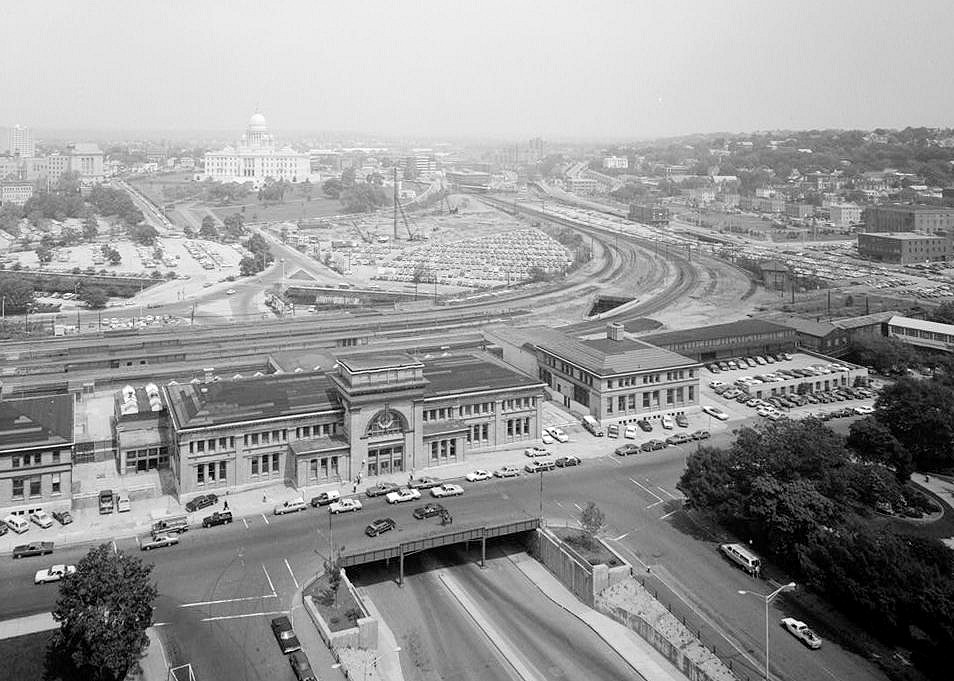
Providence's first railroad station was built in 1835 by the Boston and Providence Rail Road at India Point. The Providence and Stonington built a depot at Crary Street in South Providence in 1838, and the two were soon connected by a ferry service.
The first through service stopped at Union Station, a brick edifice built in 1847 by the Providence & Worcester, Providence & Stonington, and Boston & Providence Railroads. It was designed by 21-year-old architect Thomas Alexander Tefft. This building was lost to fire in 1896 and was replaced by a larger Union Station, completed in 1898 by the New Haven Railroad. It consisted of five large brick structures, which still form the northern side of Kennedy Plaza in the center of Downtown Providence.
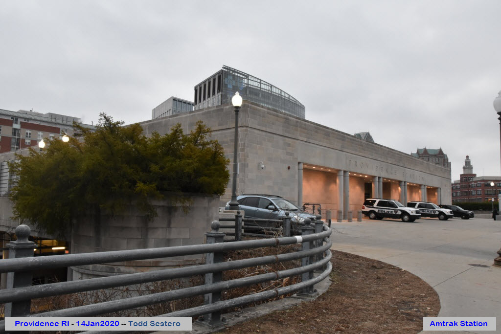
In 1986, the Northeast Corridor through Providence was relocated north to free up land from a mass of train tracks that had hemmed in downtown Providence. The new and smaller station was built across Gaspee Street from the Rhode Island State House. The five tracks and two platforms are located below ground level underneath the station building.
The station was built in 1986 during a project to remove elevated tracks from downtown Providence. It is fully handicapped accessible for all trains.
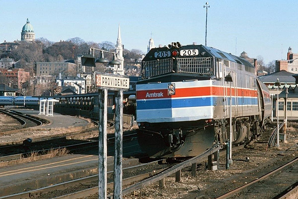
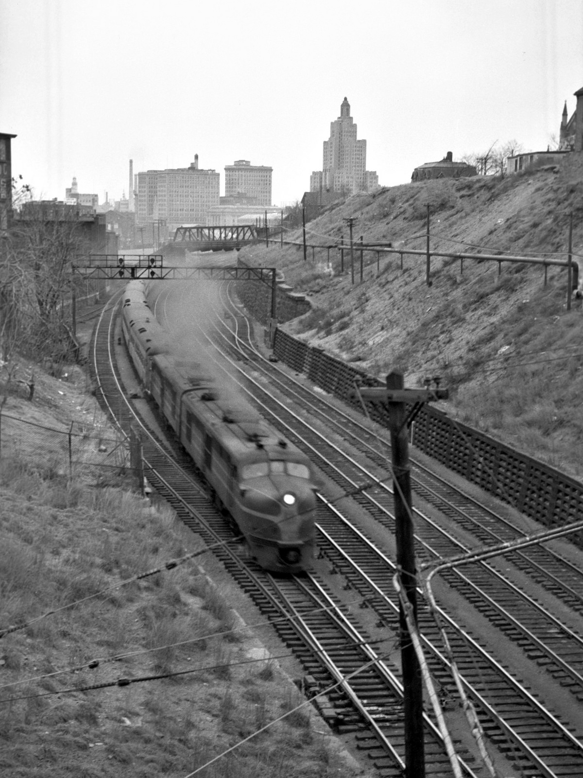
 in the 1940's
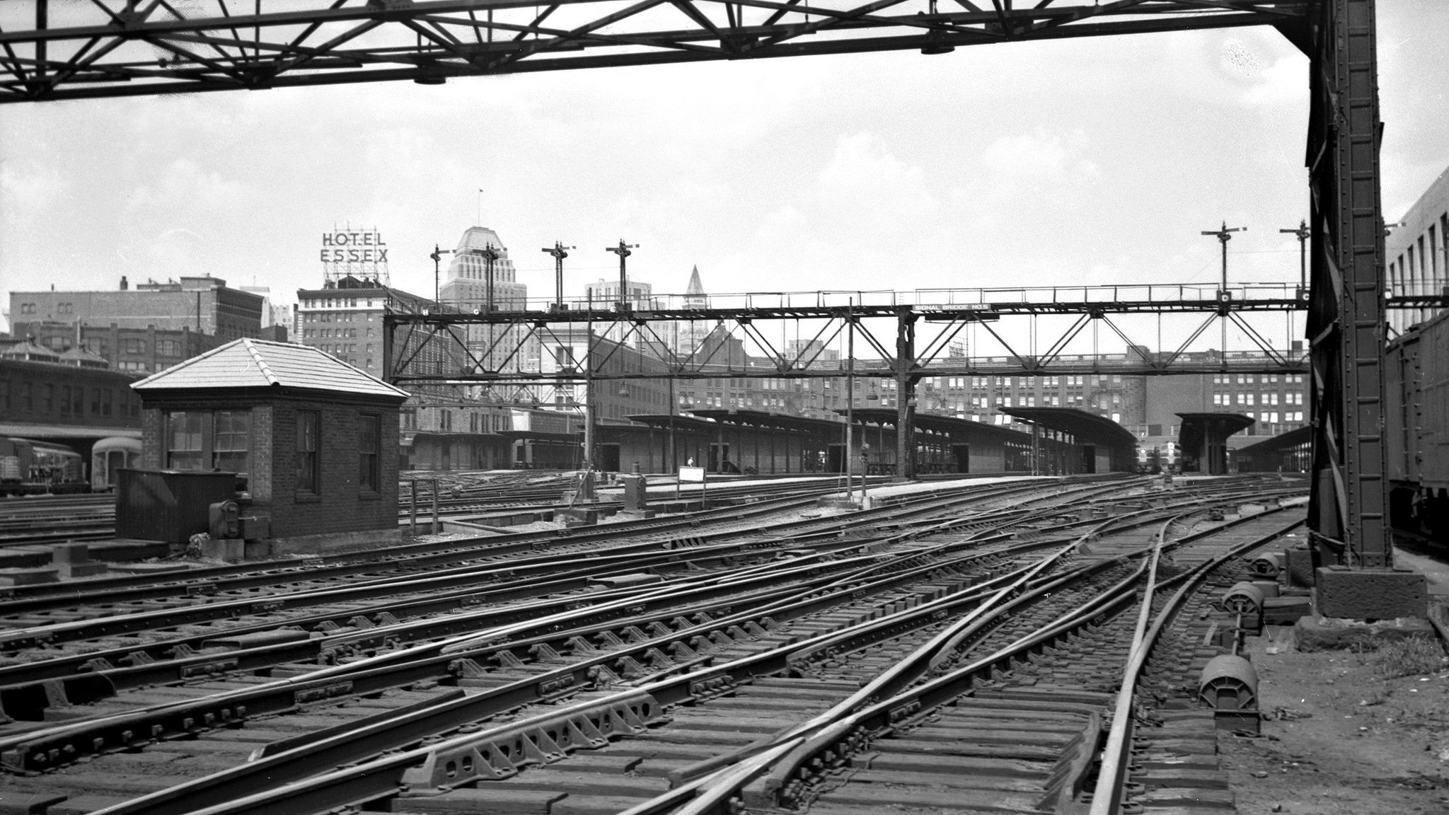 in the early 1950's
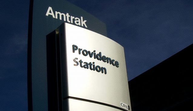

GPS Coordinates: 41.83086, -71.41491

 the NH from the early 1950's
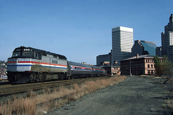
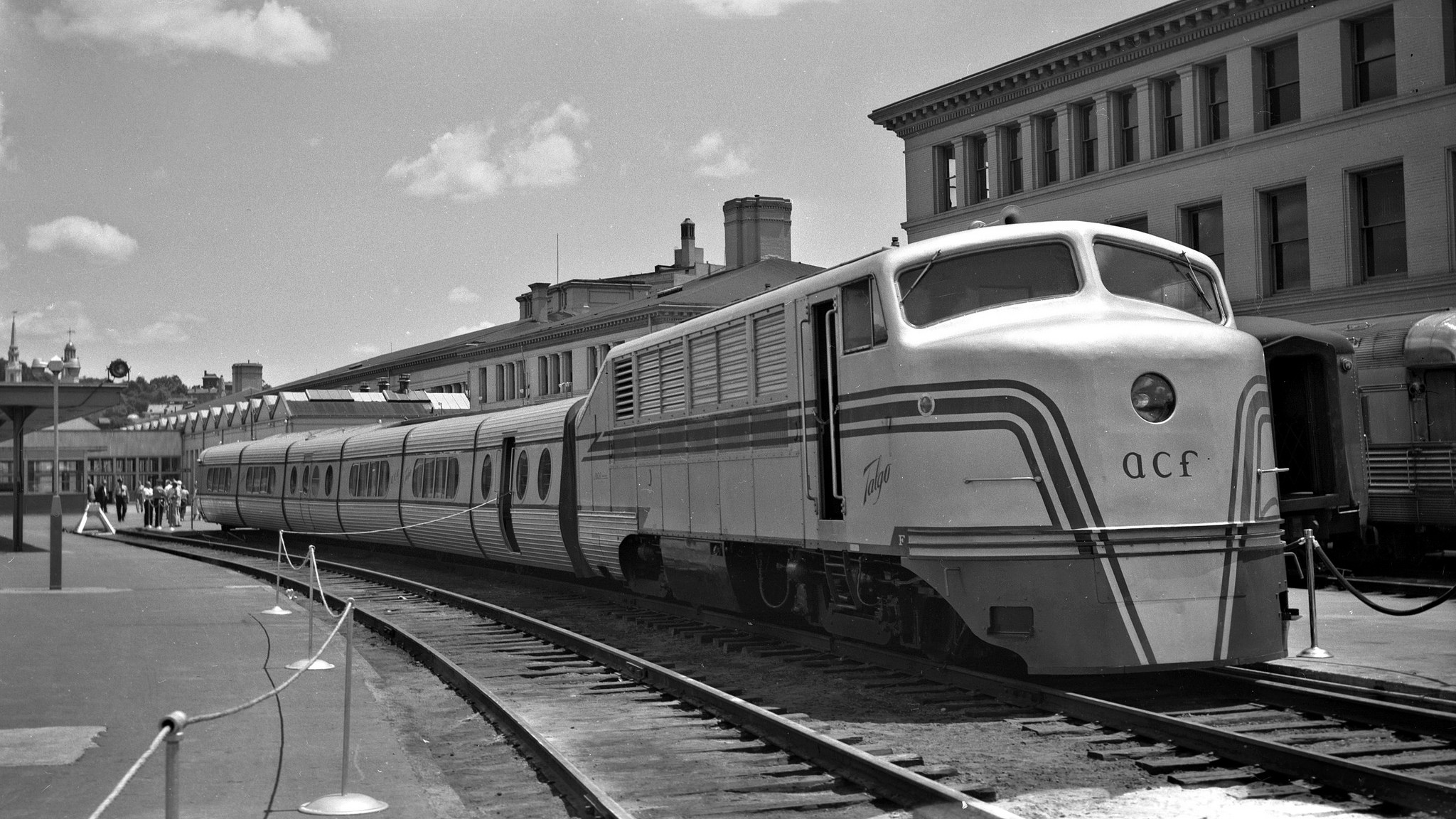 the ACF Talgo train, early 60's
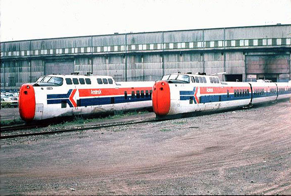 the Turbo Train. early to mid 1970's
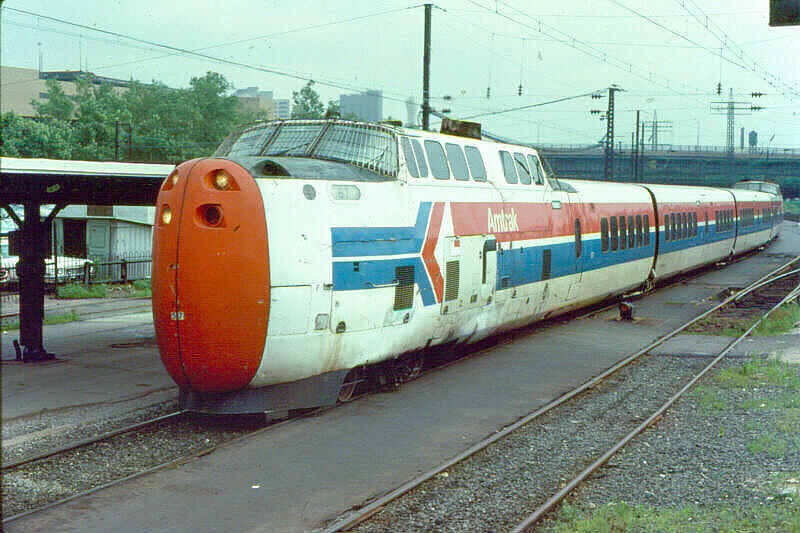
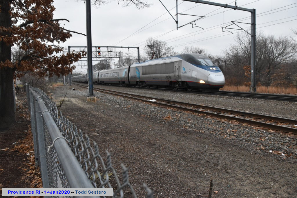
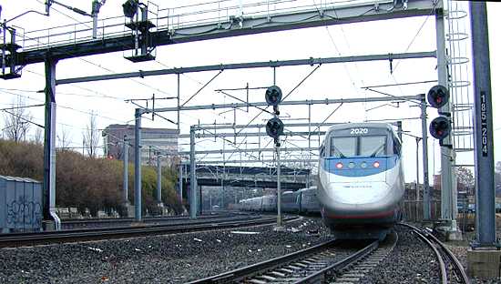
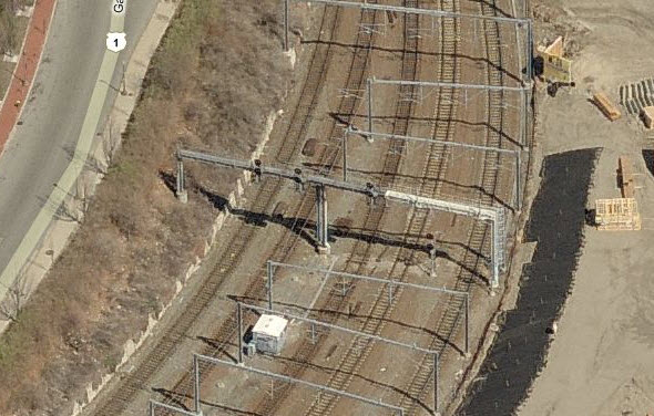
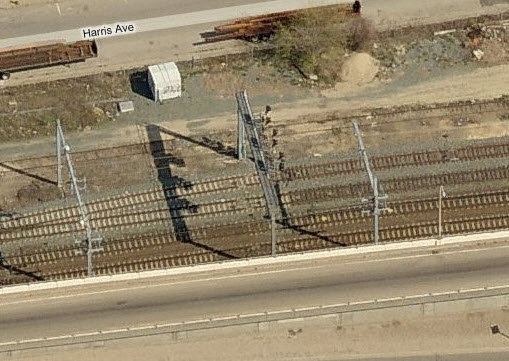
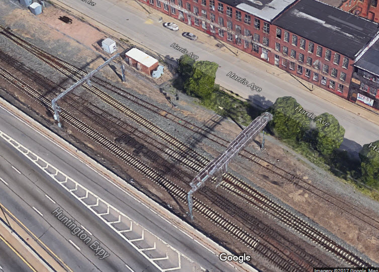
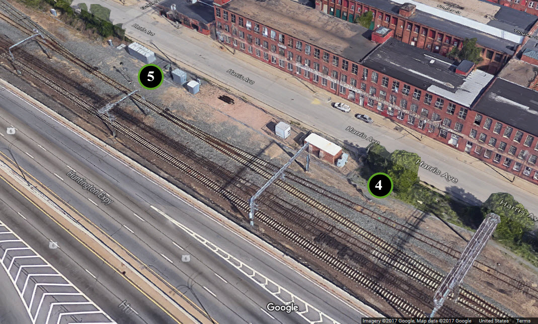
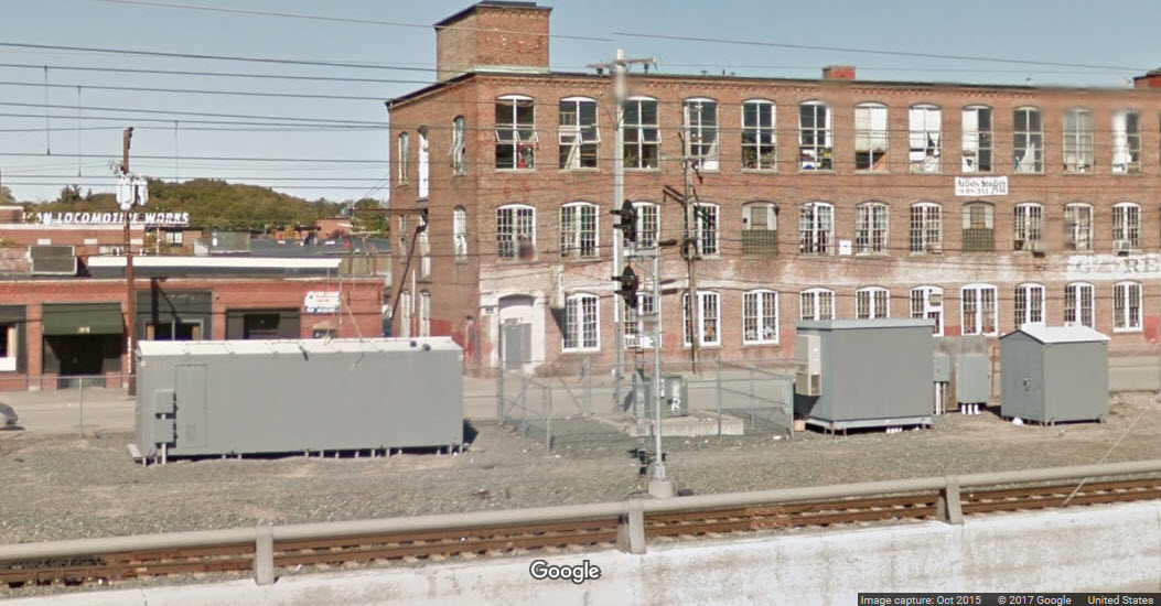
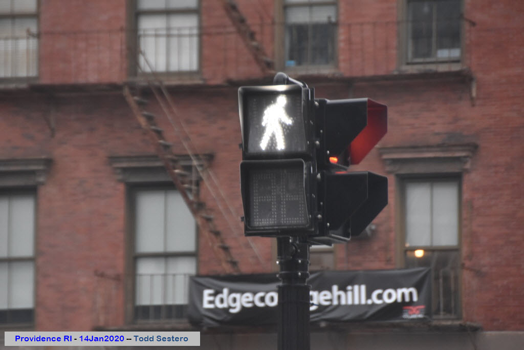
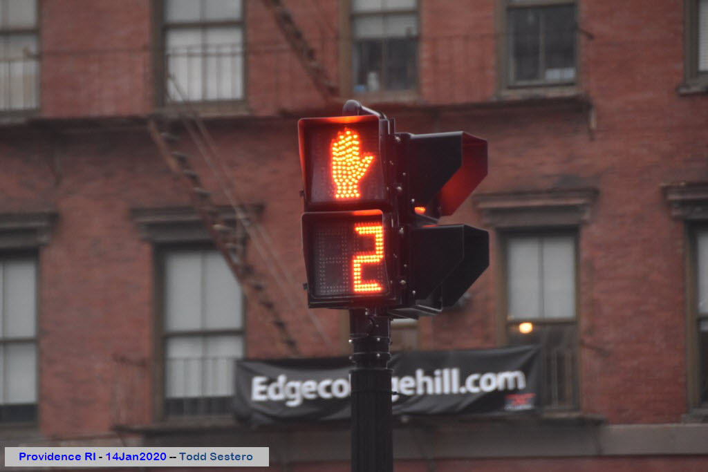
The signals are for SB trains and control the interlocking before entering the station area. This is the second set of signals north of the station.
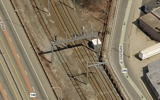

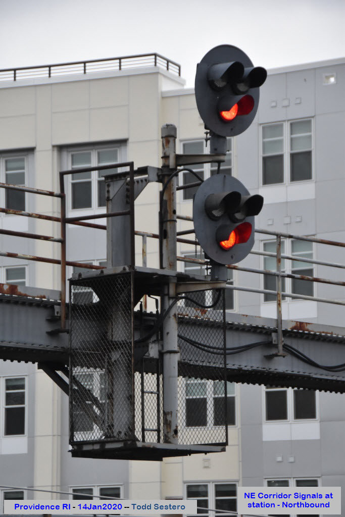
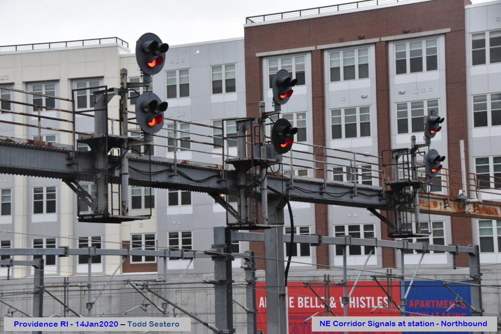
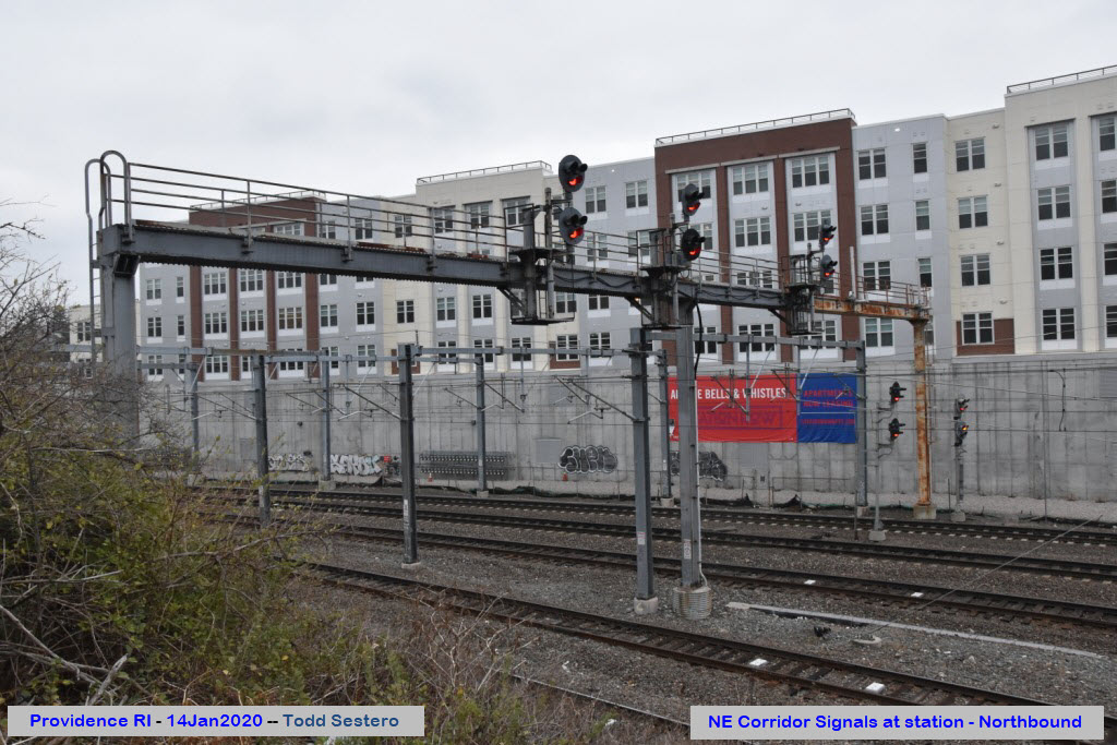
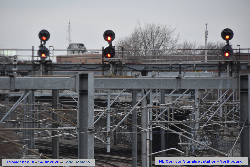
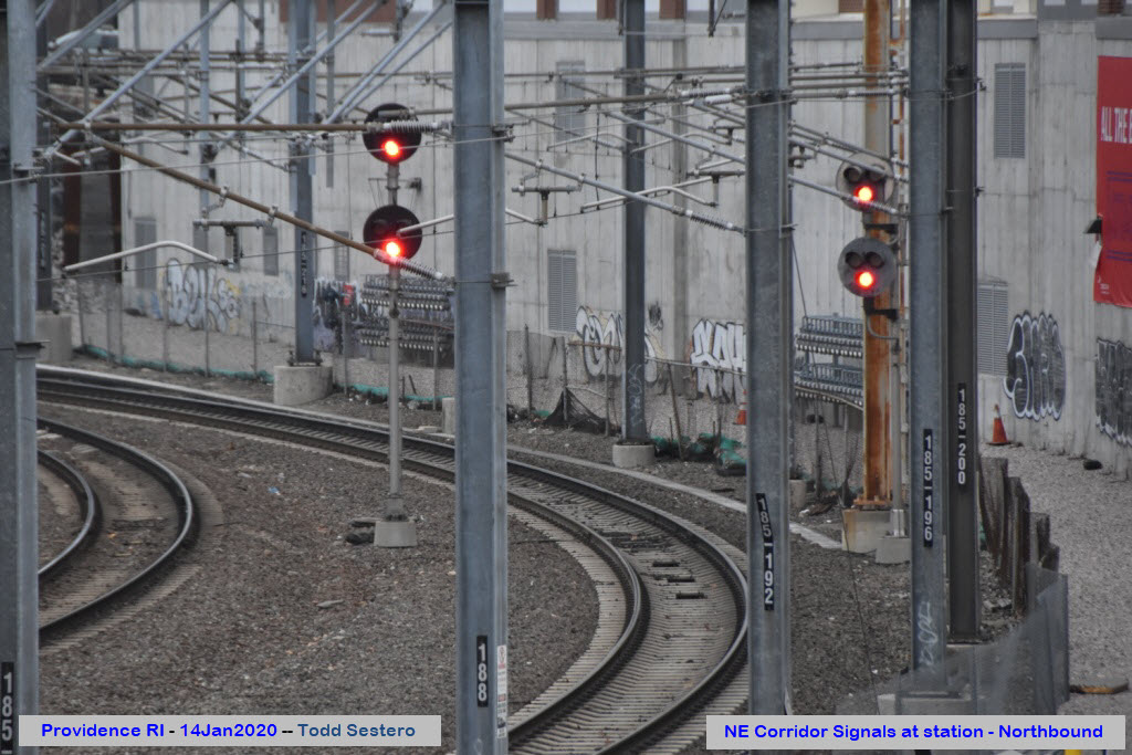
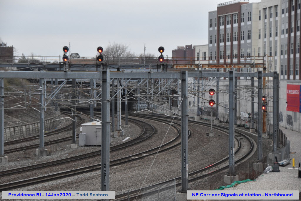
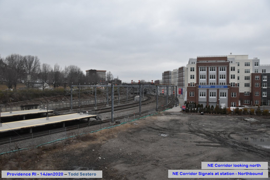
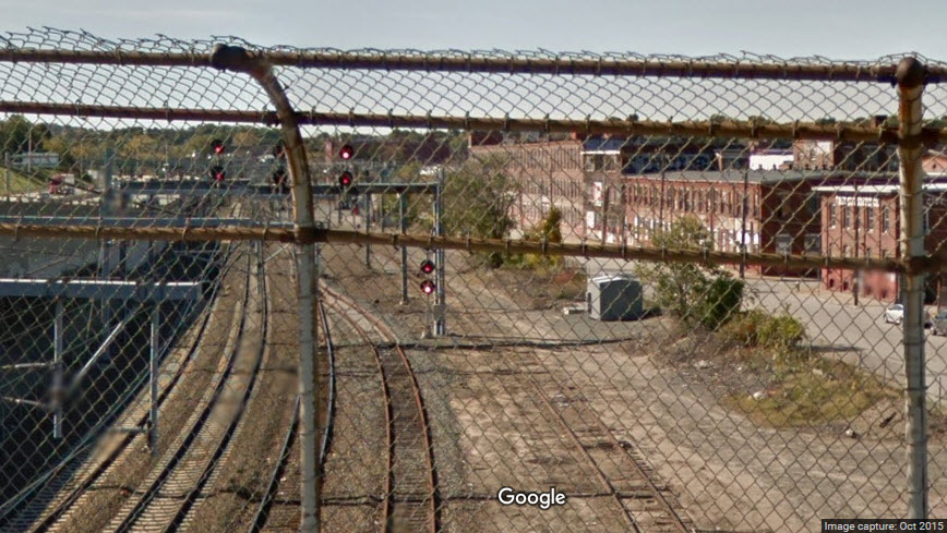
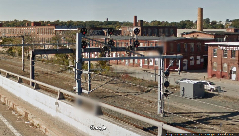
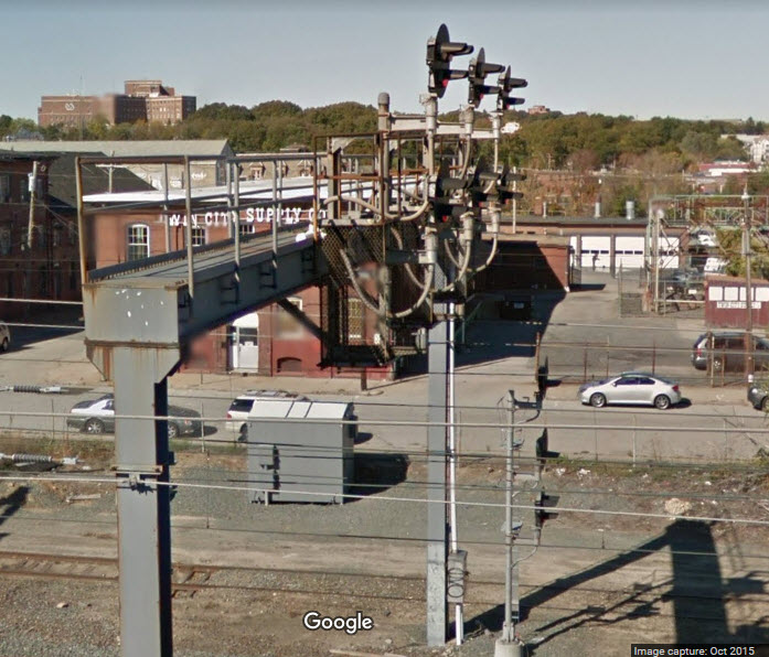
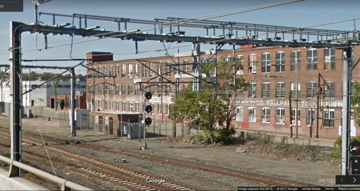
This signal bridge hosts three sets of signals, and another two are on masts - these signals are for NB trains and control the interlocking after leaving the station area where we go from 5 tracks through the station to two tracks for the Northeast Corridor, and one for freight. This is the first set of signals north of the station. Note, that in the first two pictures, the huge apartment building (Station Row) is not there, that dates the pictures to before 2017 when construction on the building was started.
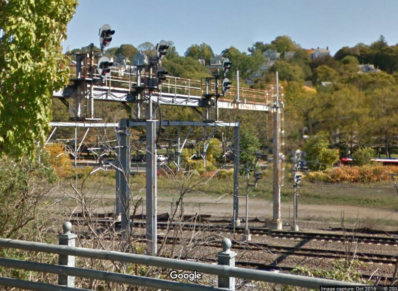

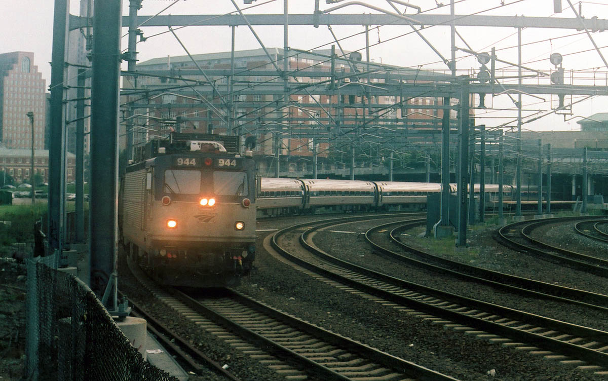
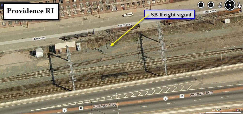
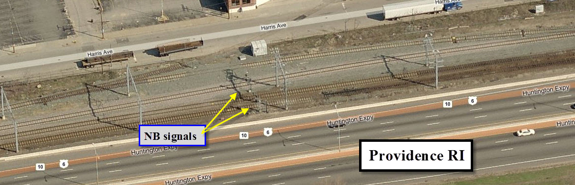
As SB trains exit the short underground section, the tracks have already been reduced from 5 to 4, and get further reduced to three. The R-O-W is between Harris Ave and the Huntington Expy, and this set of signals is just south of the Dean St overpass. It is the 1st set of signals for SB trains after leaving the station.
These lone mast mounted signal is for the P&W freight track.
Another lone mast mounted signal for the P&W freight track.
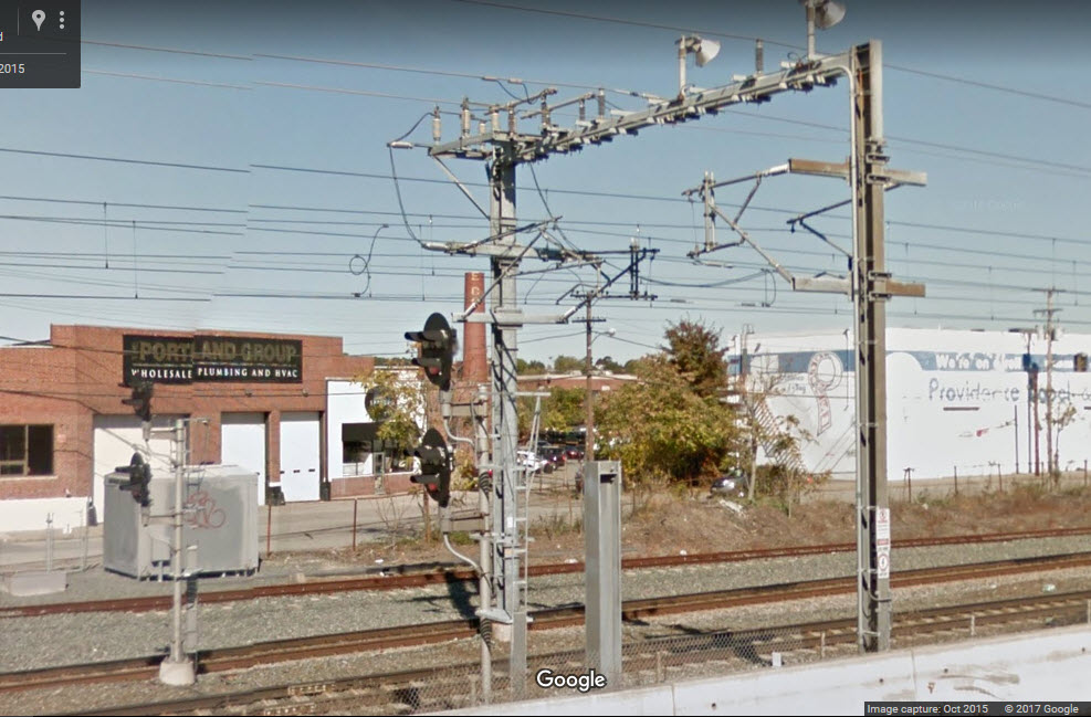
Mast mounted NB signals for the Amtrak trains.
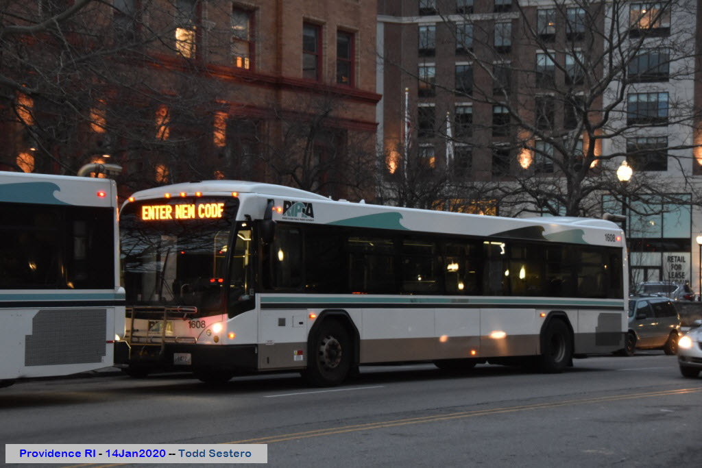
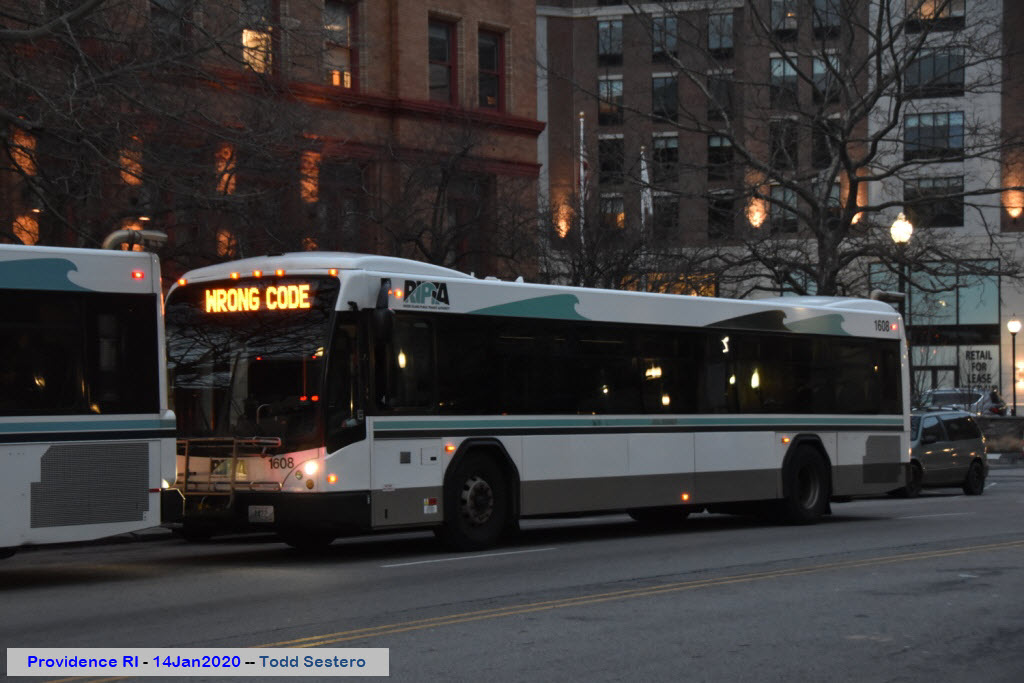
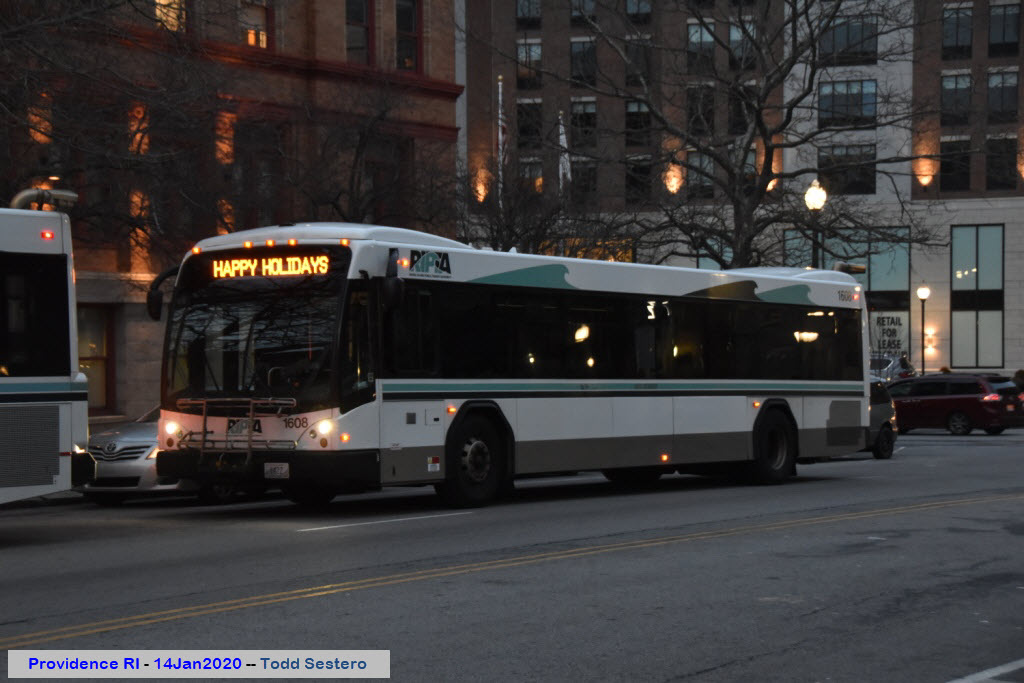
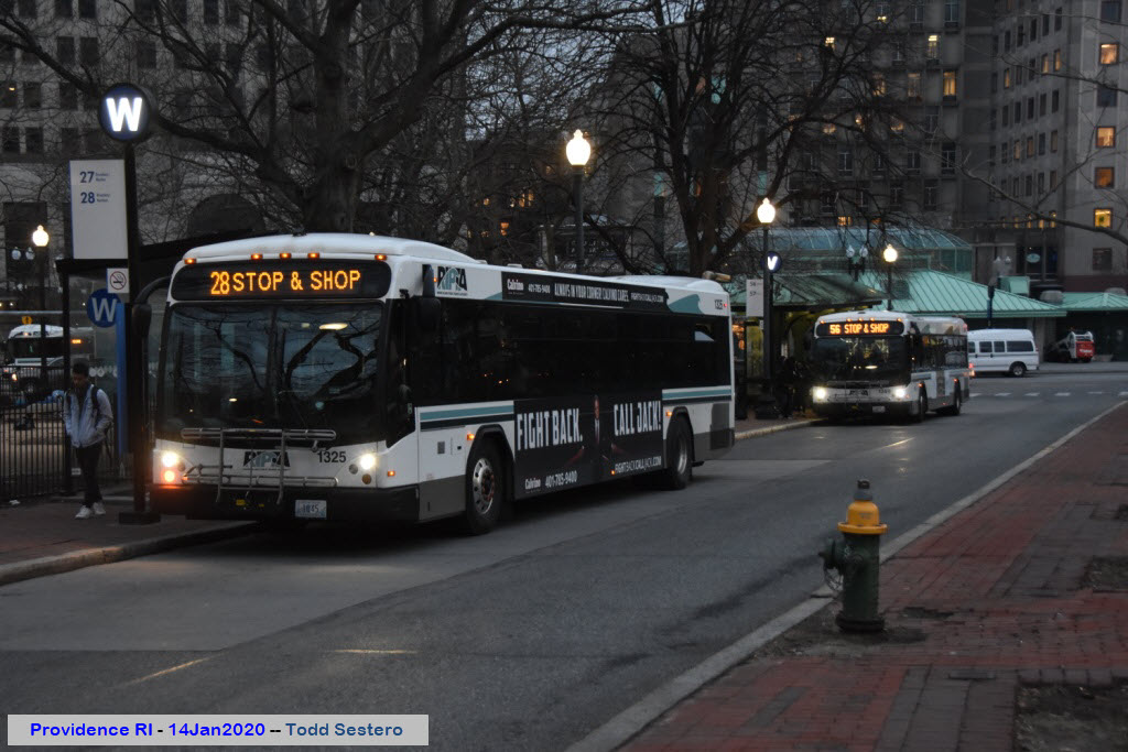
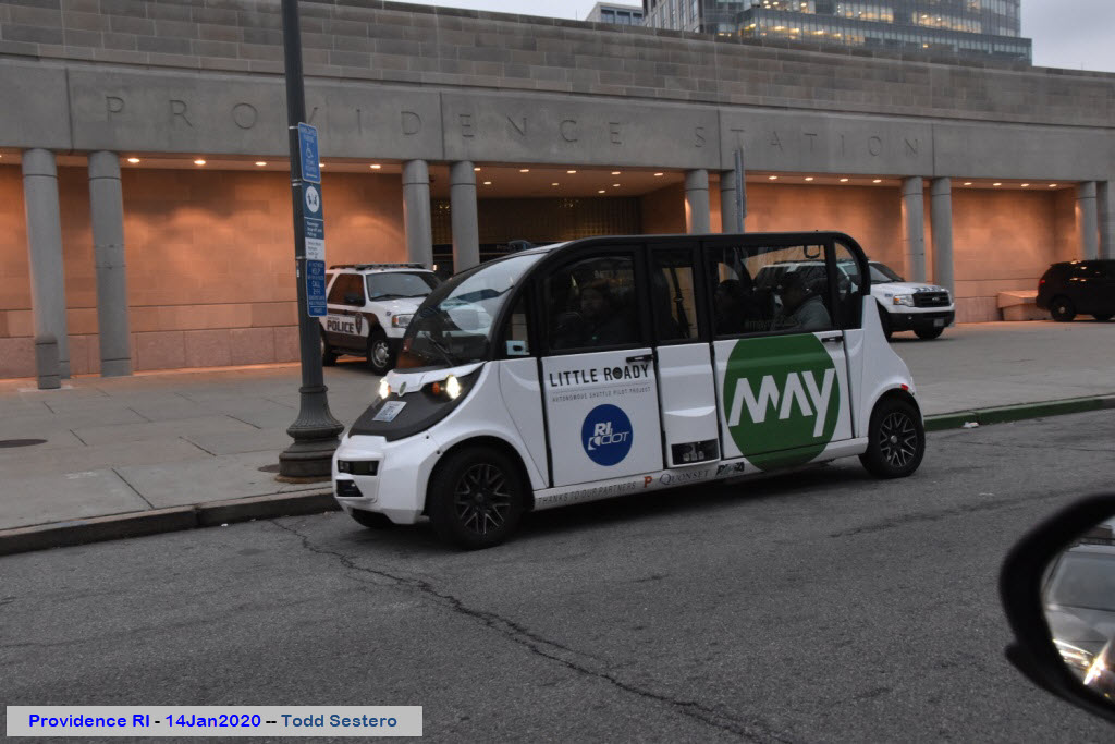
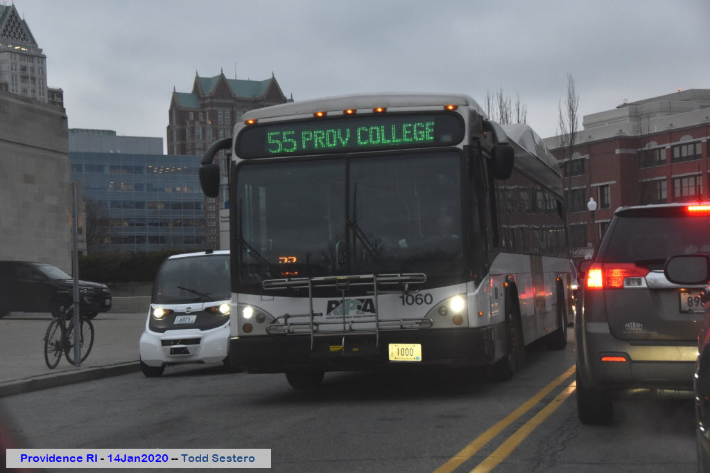
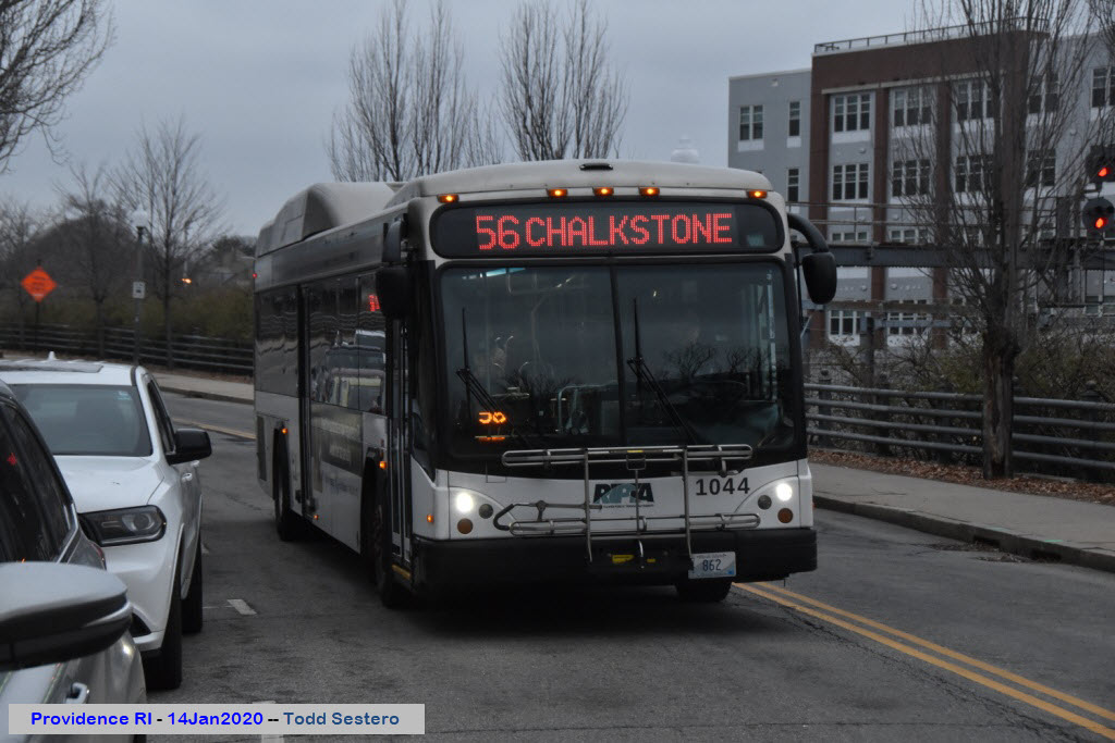
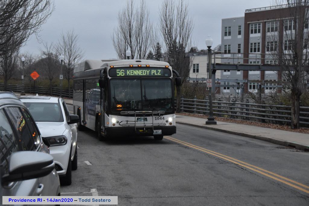
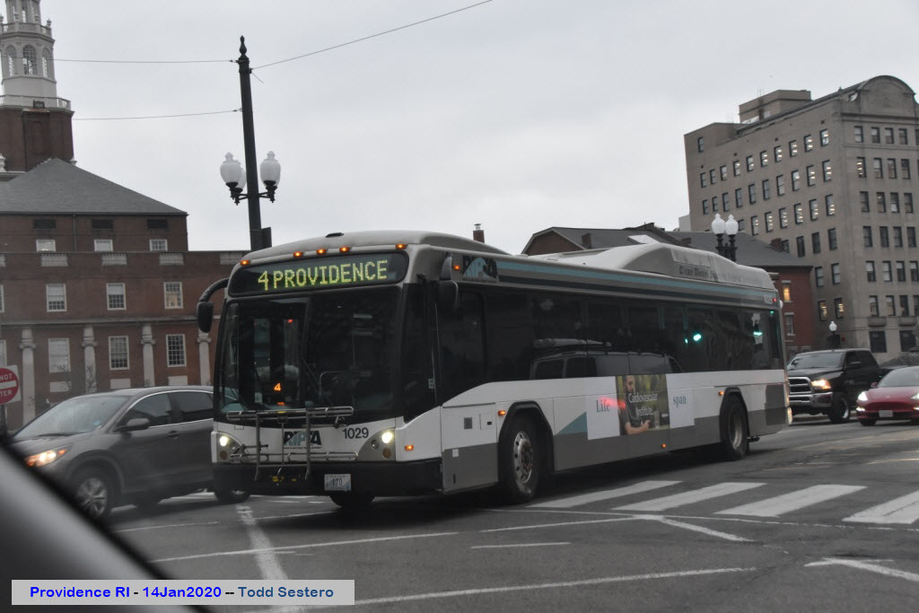
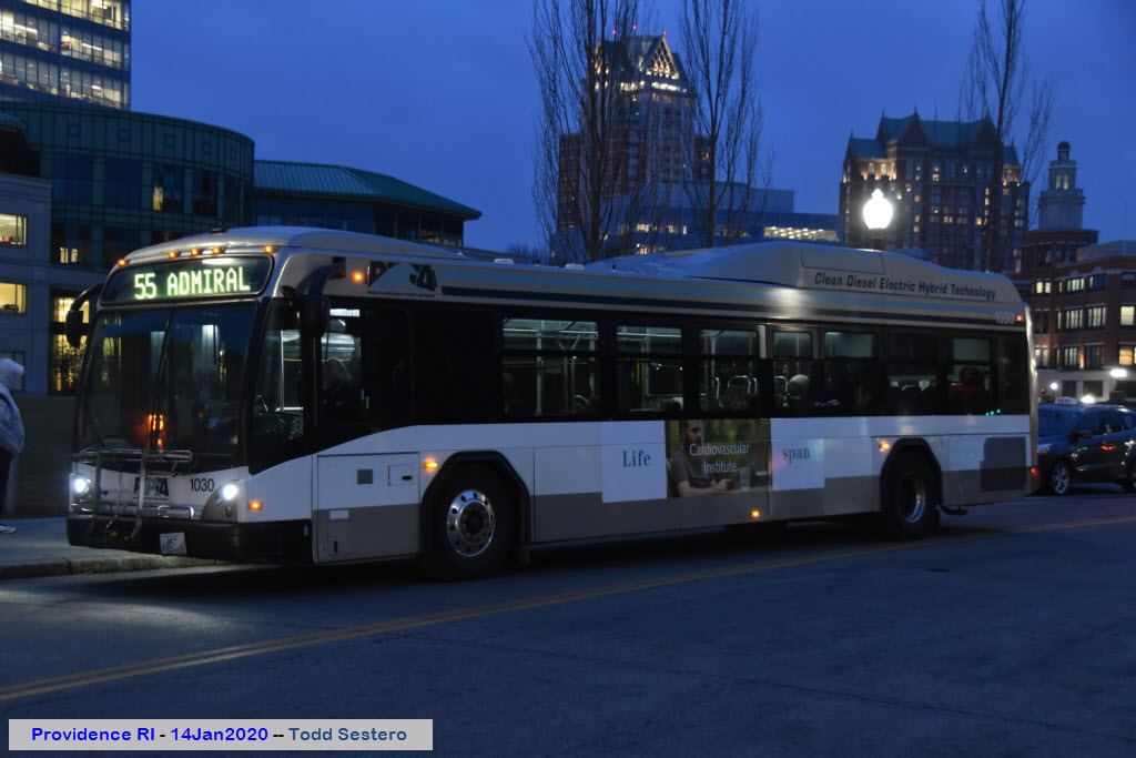
Busses around the train station
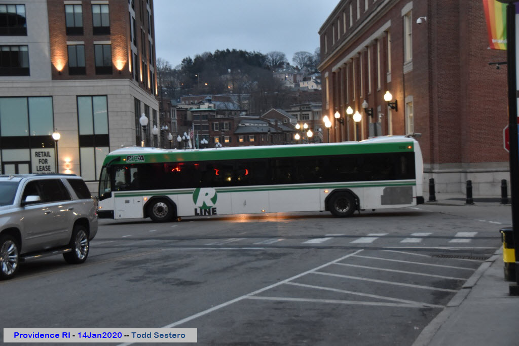
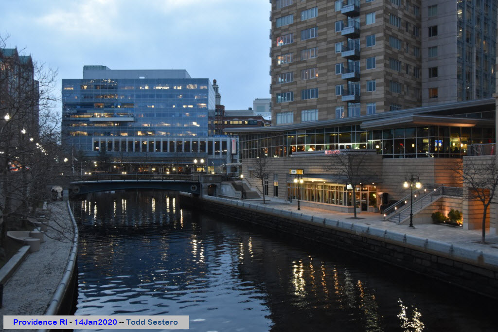
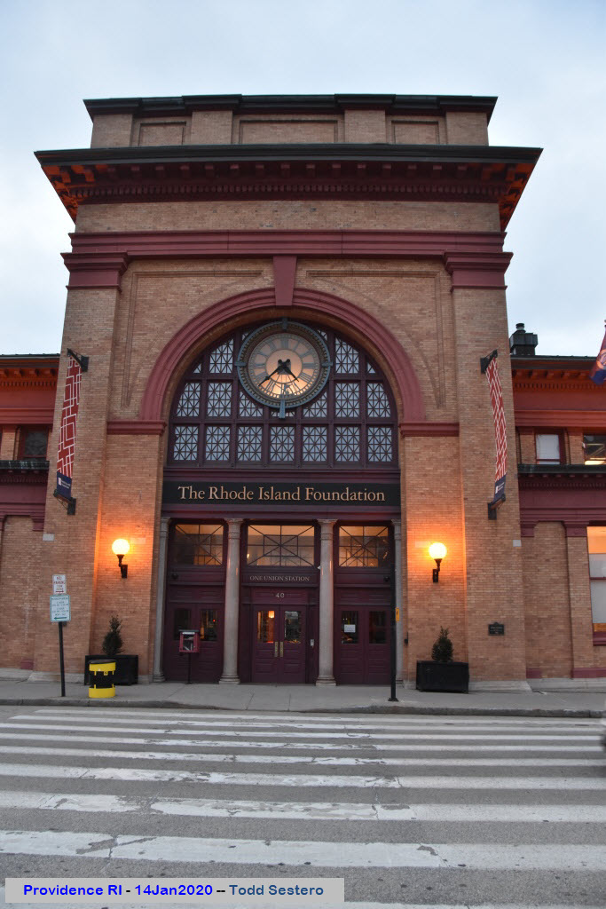
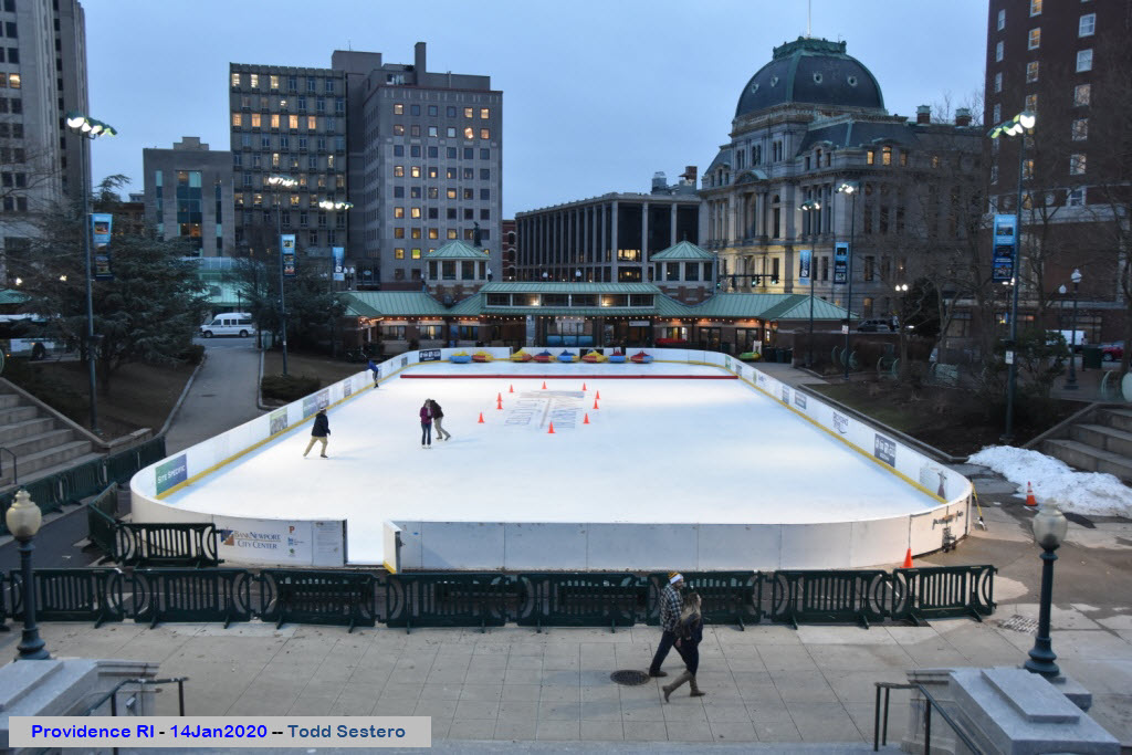
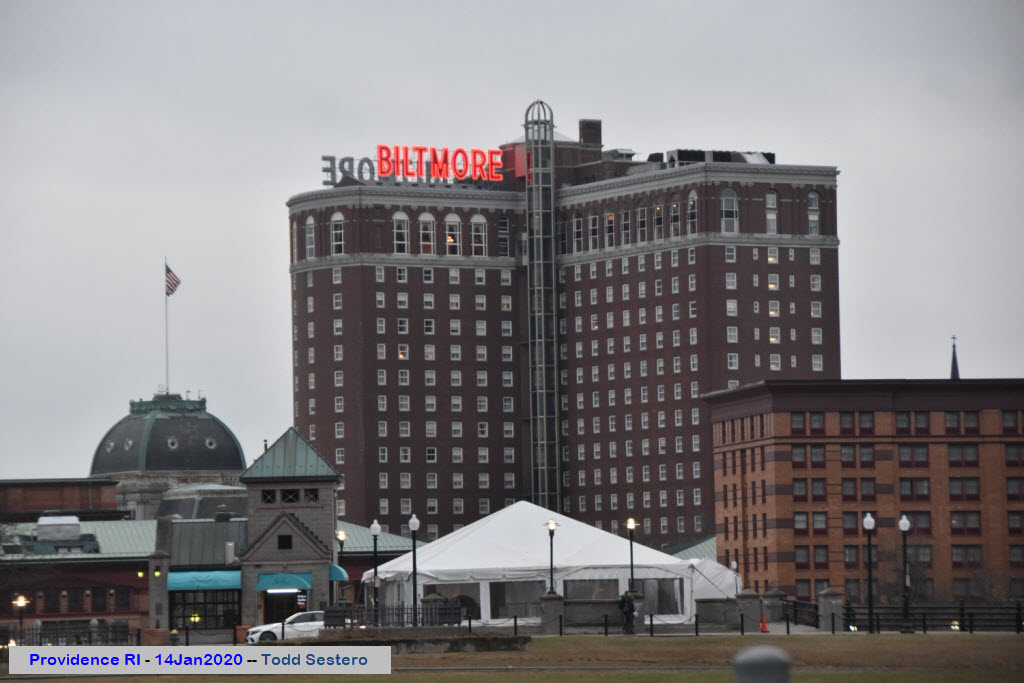
Sights near the Amtrak Station
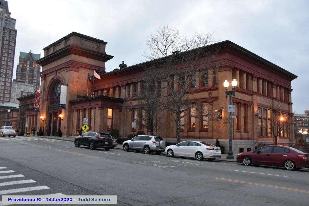
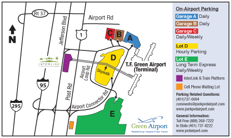
The Providence airport is one of the easiest airports to get and out of, at least for the east coast!
Courtesy of the University of Texas Library, click here for their index page.
Disclaimers:
I love trains, and I love signals. I am not an expert. My webpages reflect what I find on the topic of the page. This is something I have fun with while trying to help others.
Please Note: Since the main focus of my two websites is railroad signals, the railfan guides are oriented towards the signal fan being able to locate them. For those of you into the modeling aspect of our hobby, my indexa page has a list of almost everything railroad oriented I can think of to provide you with at least a few pictures to help you detail your pike.
If this is a railfan page, every effort has been made to make sure that the information contained on this map and in this railfan guide is correct. Once in a while, an error may creep in :-)
My philosophy: Pictures and maps are worth a thousand words, especially for railfanning. Text descriptions only get you so far, especially if you get lost or disoriented. Take along good maps.... a GPS is OK to get somewhere, but maps are still better if you get lost! I belong to AAA, which allows you to get local maps for free when you visit the local branches. ADC puts out a nice series of county maps for the Washington DC area, but their state maps do not have the railroads on them. If you can find em, I like the National Geographic map book of the U.S..... good, clear, and concise graphics, and they do a really good job of showing you where tourist type attractions are, although they too lack the railroads. Other notes about specific areas will show up on that page if known.
Aerial shots were taken from either Google or Bing Maps as noted. Screen captures are made with Snagit, a Techsmith product... a great tool if you have never used it!
By the way, floobydust is a term I picked up 30-40 years ago from a National Semiconductor data book, and means miscellaneous and/or other stuff.
Pictures and additional information is always needed if anyone feels inclined to take 'em, send 'em, and share 'em, or if you have something to add or correct.... credit is always given! Please be NICE!!! Contact info is here
Beware: If used as a source, ANYTHING from Wikipedia must be treated as being possibly inaccurate, wrong, or not true.
RAILFAN GUIDES HOME
RAILROAD SIGNALS HOME
NEW JUL29/2011, JUL27/2017, NOV26/2022
Last Modified 27-Nov-2022