In General
Getting Here
Map
Station by Station
Sights
Pictures
Signals
Fire & Police
Floobydust
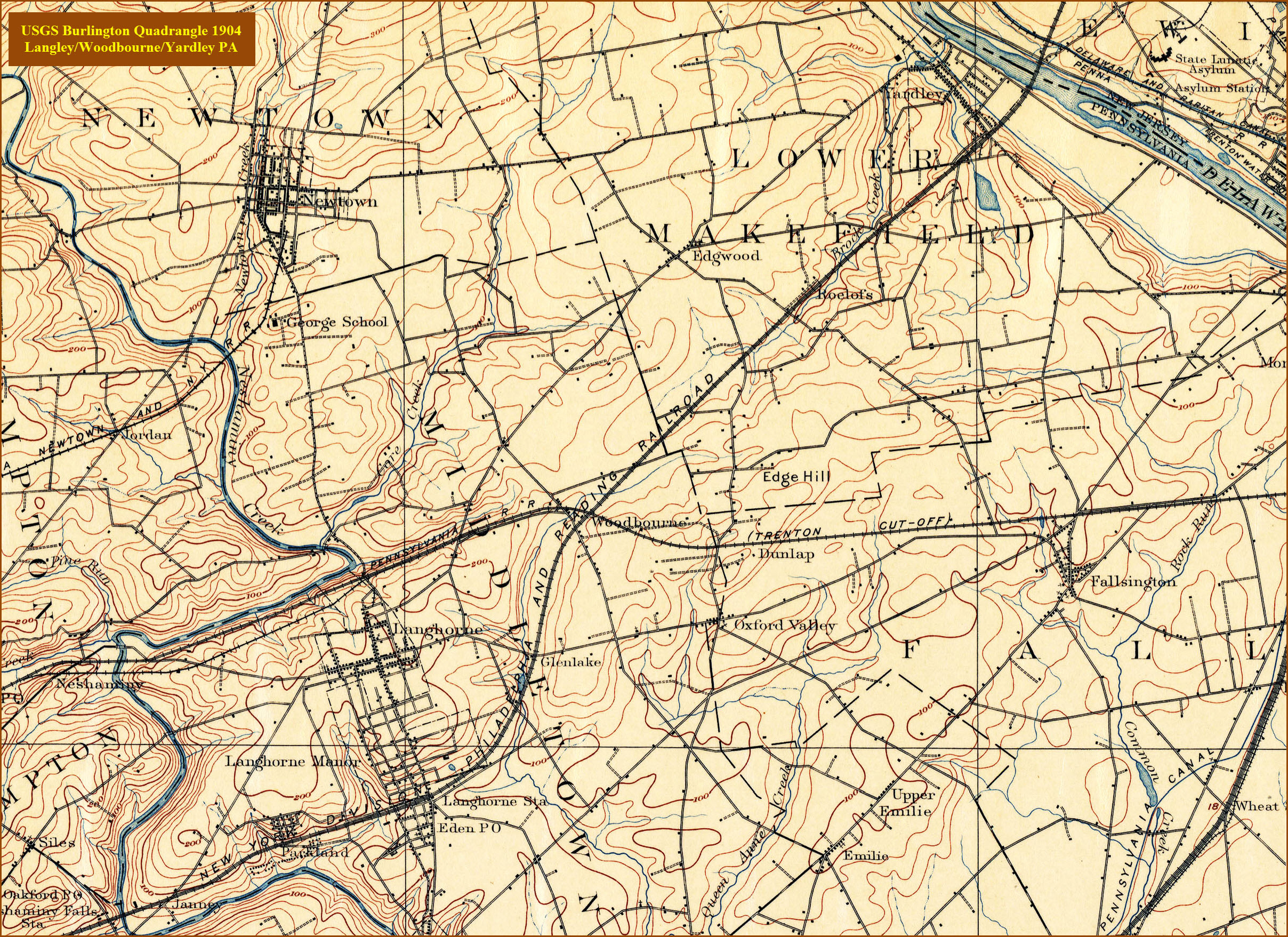
USGS Maps
SEPTA HOMEPAGE
RAILFAN GUIDES HOME
RAILROAD SIGNALS HOME
Location / Name:
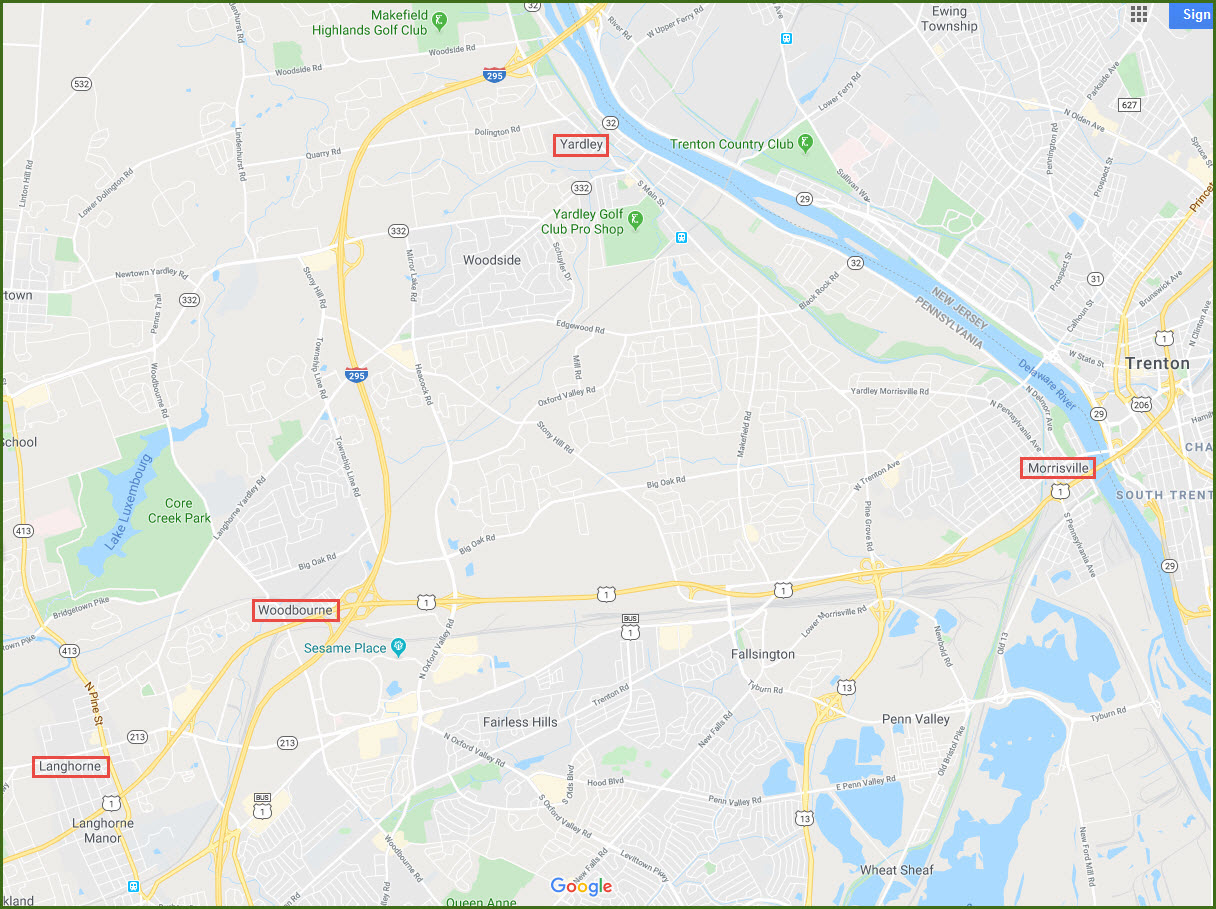
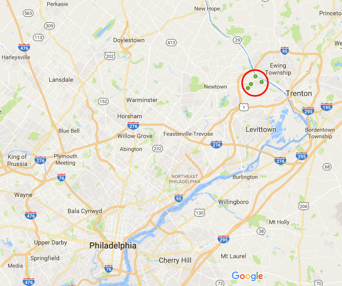
Langhorne PA
Woodbourne PA
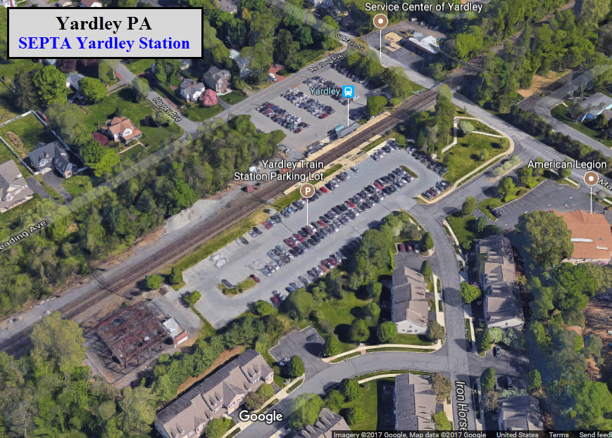
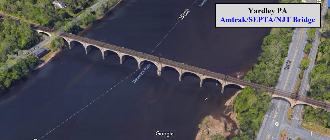
Yardley PA
All in Bucks County
What's Here:
SEPTA Commuter Rail
Former Philadelphia & Reading Bridge over the Delaware River at Yardley
CSX 5 Track Yard, Woodbourne
Interchange, Woodbourne
Data:
GPS Coordinates: as needed
Phone A/C: 215 and 267
ZIP: Langhorne 19047
Woodbourne 19047
Yardley 19067
Access by train/transit:
SEPTA West Trenton Line:
Langhorne Station
Woodbourne Station
Langley Station
The Scoop:
There are three SEPTA stations are on the West Trenton line, which ends 1.2 miles over the border into New Jersey, at West Trenton. This line used to be the Philadelphia and Reading RR, back in the early part of the 1900's.
There are three yards in the area: CSX has one on the old P&RRR in Woodbourne, and NJT and NS share the old PRR Morrisville Yard on the west side of Morrisville. Between 2013 and 2015, both CSX and SEPTA added a 3rd track between the yard and the bridge across the Delaware River to accommodate the additional traffic.
In 2016 & 2017 Lower Makefield created “Quiet Zones” for all the Septa \ CSX track that runs through the township. See below for links to stories about the quiet zones.
Acknowledgements:
Tim Glen
Jersey Mike
Dan Davis
Bob Vogel
Denver Todd
Websites and other additional information sources of interest for the area:
https://en.wikipedia.org/wiki/Morrisville_Yard
https://railfanguides.us/pa/woodbourne/index.htm
https://www.acm.jhu.edu/~sthurmovik/Railpics/15-07-03_SEPTARATION/-Thumbnails.html Photo details of Trenton to Yardley
http://www.buckslocalnews.com/yardley_news/lower-makefield-awards-bid-for-railroad-quiet-zone-project-three/article_067a2c9b-1922-5fe0-93e2-f7b41fdb2471.html
http://www.buckslocalnews.com/news/quiet-zones-blanket-lower-makefield-s-three-railroad-crossings-in/article_dfc3fa2b-3823-510d-b54d-3c825bfb5981.html
http://www.buckslocalnews.com/yardley_news/trains-then-and-now-yardley-historical-association-presents-history-of/article_808ad200-bcfa-5218-825e-de310582e1aa.html
US Route 1 will get you to Langhorne, Woodbourne, and Morrisville.
I-295 gets you to Yardley, Langhorne, and Woodbourne.
For Yardley, use exit 10 from I-295 to get on Taylorsville Road and head south.
If you're coming "up" from Philly, be aware that I-95 takes a "sharp right turn" at Newportville, to continue on its trek northward on the New Jersey side of the border. I-195 continues north towards West Trenton and Yardley.
Station by Station
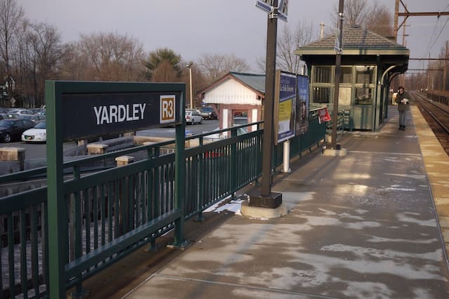
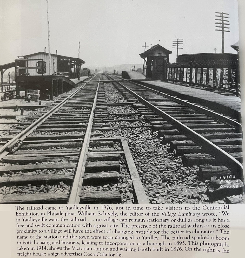
Yardley
GPS Coordinates: 40.235095, -74.830944
Woodbourne
GPS Coordinates: 40.190869, -74.890861
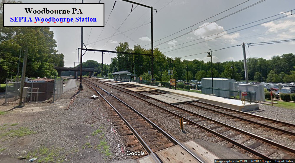
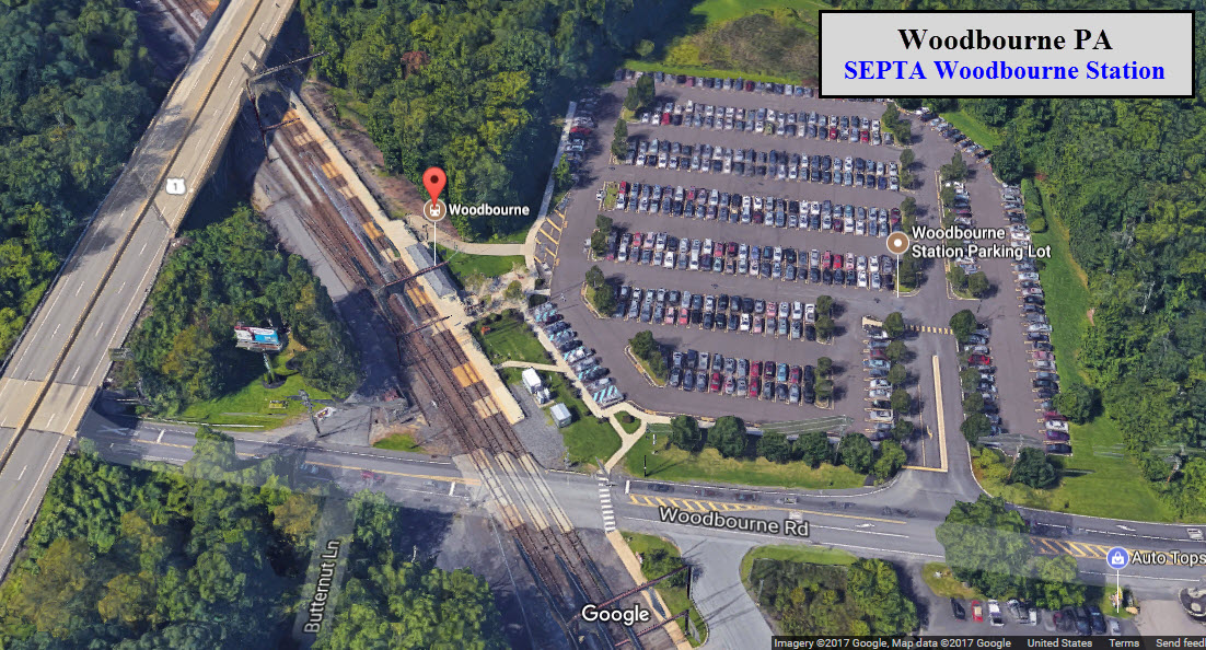
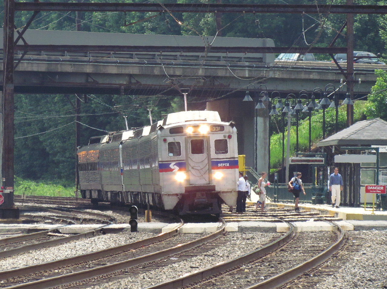 Photo courtesy Jersey Mike
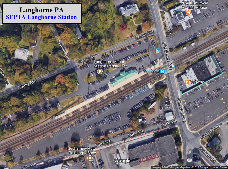
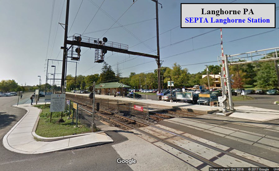
Langhorne
GPS Coordinates: 40.160824, -74.912504
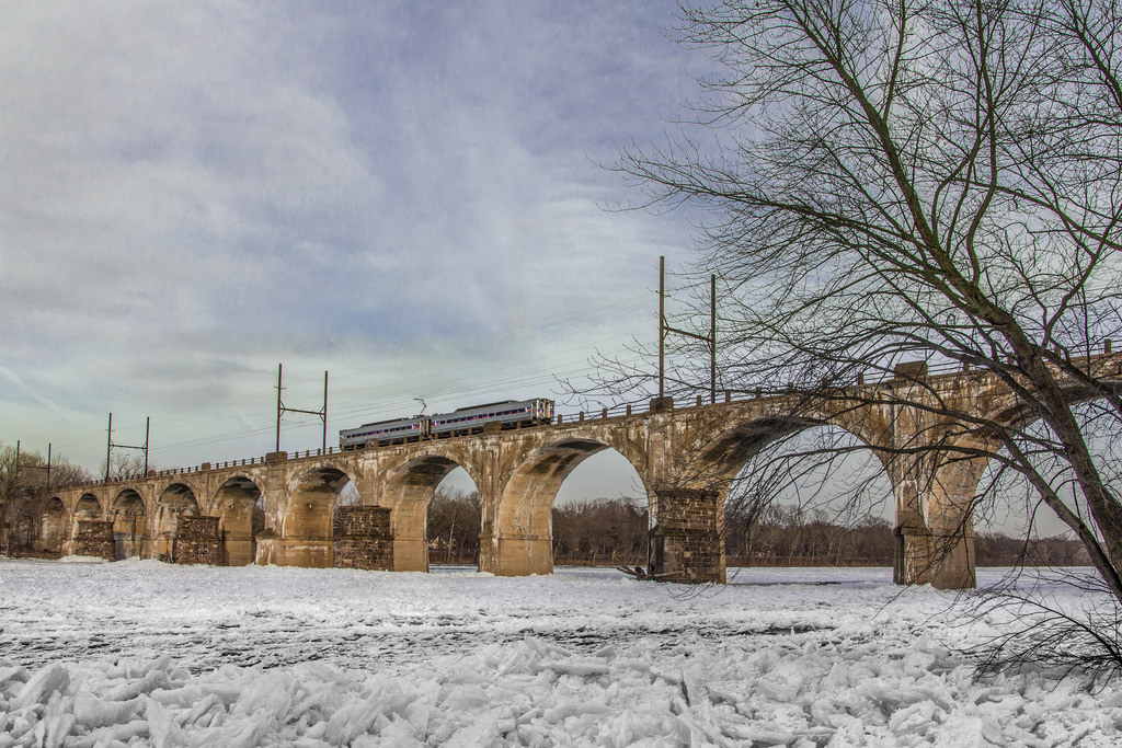
![]() P&Rrr Bridge
P&Rrr Bridge
This two track concrete viaduct crosses the Delaware River, and handles
SEPTA Commuter and CSX trains. Good pictures can be had from
the PA side off River Road in the morning, but the trains are up high if
you're shooting close to the bridge.
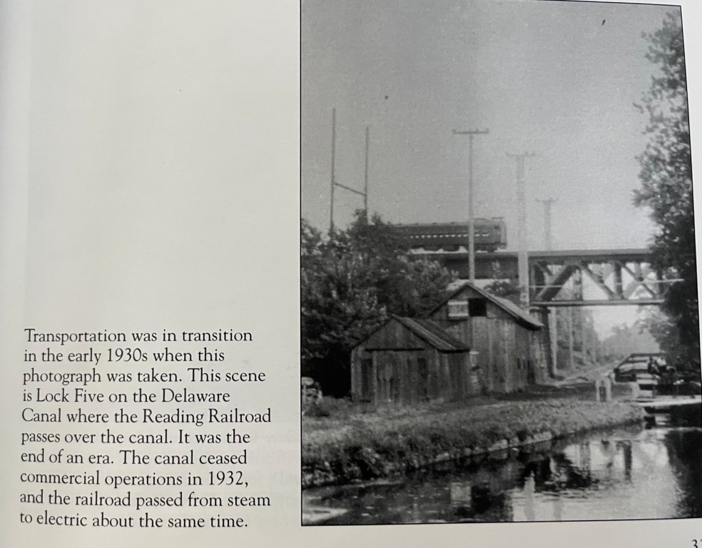
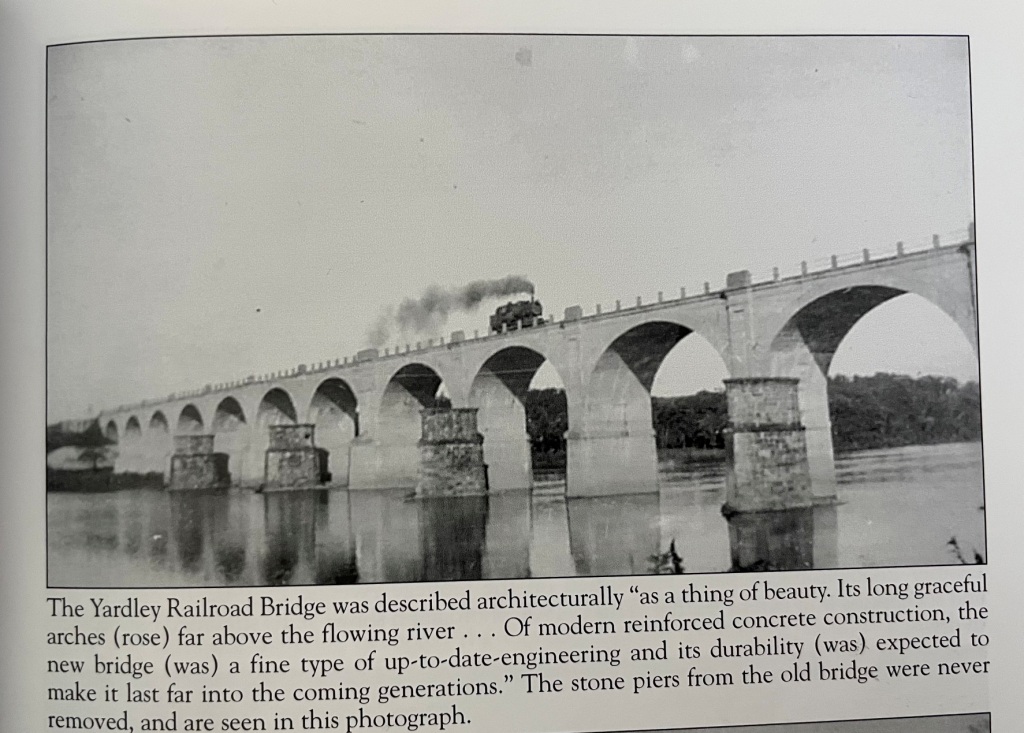 ~1935, courtesy Tim Glen
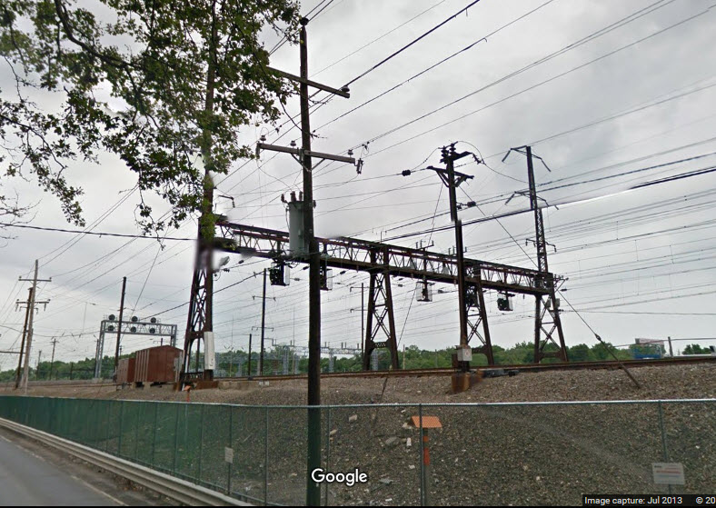
![]() CSX
Woodbourne Yard
CSX
Woodbourne Yard
GPS Coordinates: 40.179563, -74.8960985
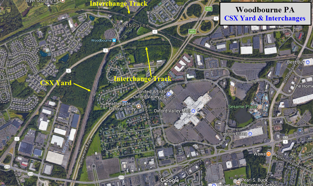
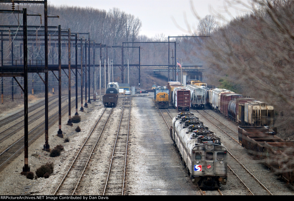
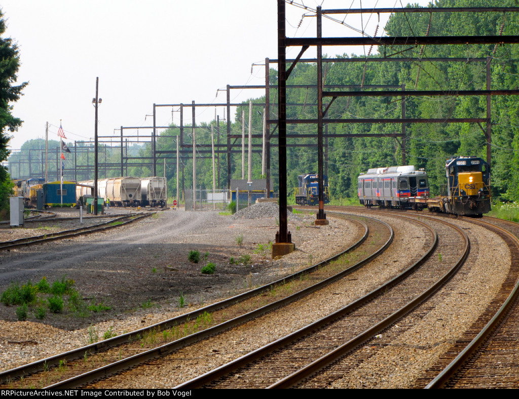
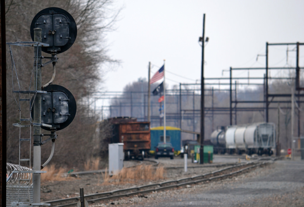 photo by Dan Davis
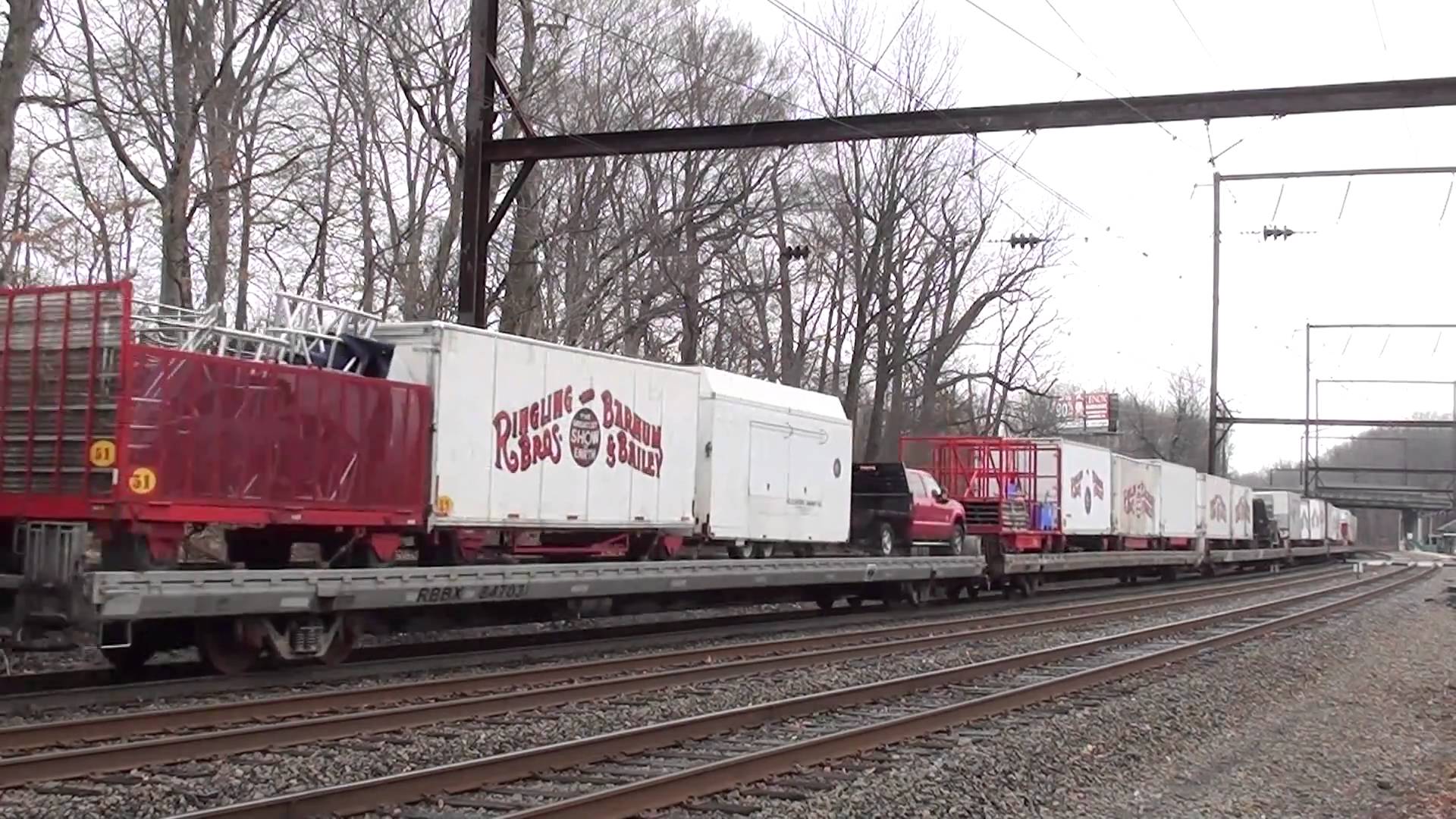 RBB&B Circus Train, 2011
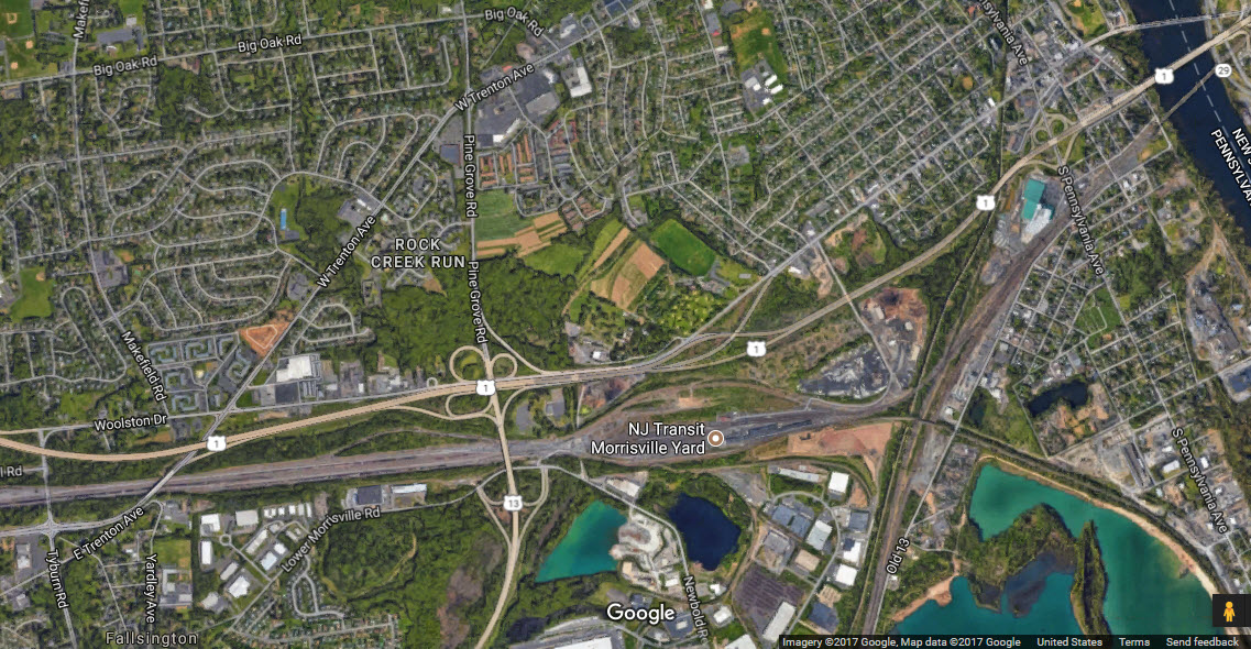
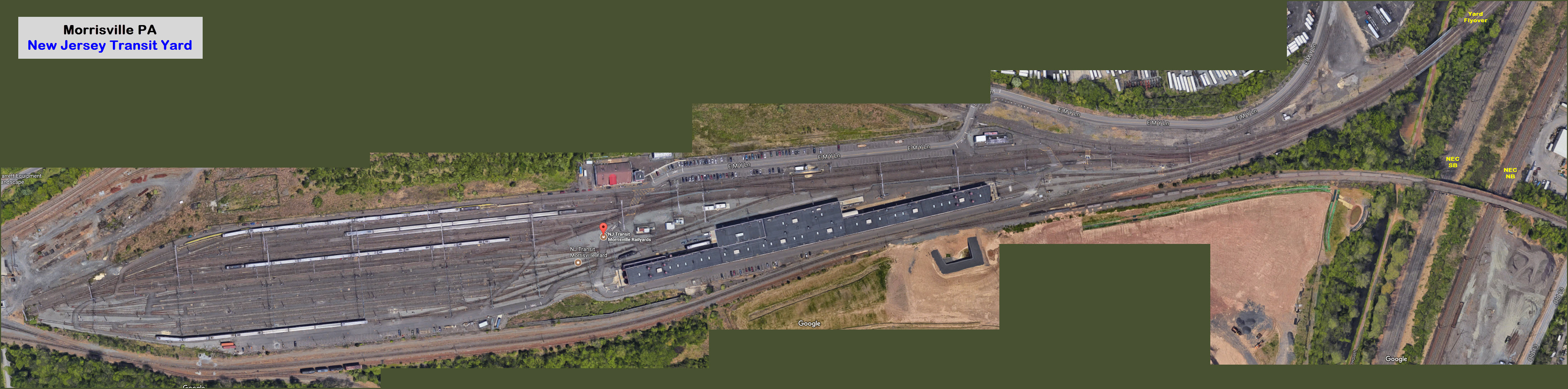
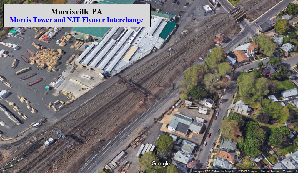
![]() NJT Morrisville Yard
NJT Morrisville Yard
GPS Coordinates: 40.194953, -74.791143
https://en.wikipedia.org/wiki/Morrisville_Yard
Opened in 2004 to increase operational efficiency for New Jersey Transit.
It sits at the eastern end of the former Pennsylvania RR, now NS freight
yard. A flyover was built so that NJT trains did not have to cross the
NEC tracks in order to get into the yard. An expansion to the yard was
done in 2008.
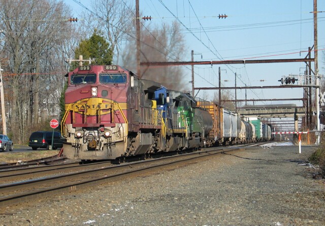
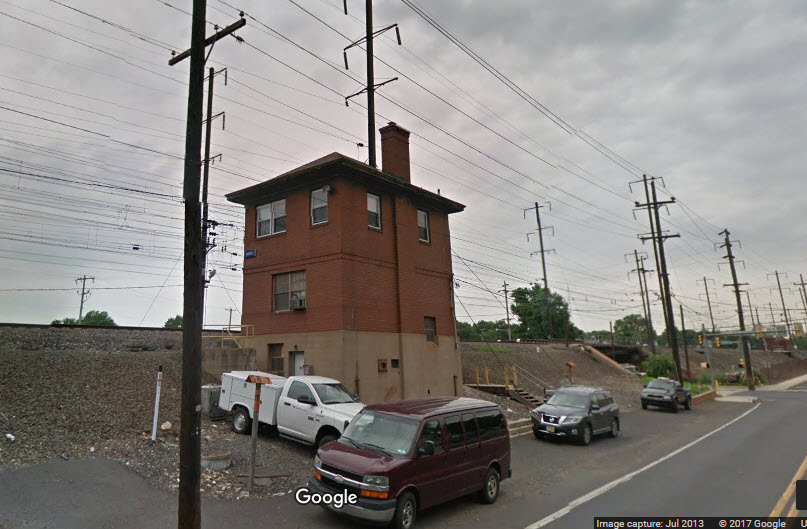
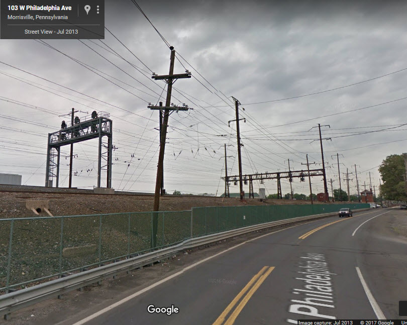
![]() Morris Tower on the NEC
Morris Tower on the NEC
GPS Coordinates: 40.202966, -74.773793
Access is very easy, as it is right off of the S Pennsylvania Ave exit off of US 1.

Here are a couple of "new" pictures provided by Tim:
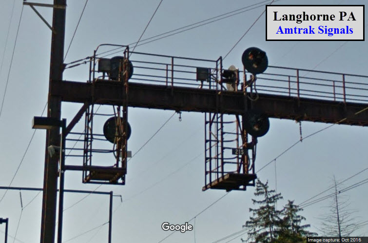
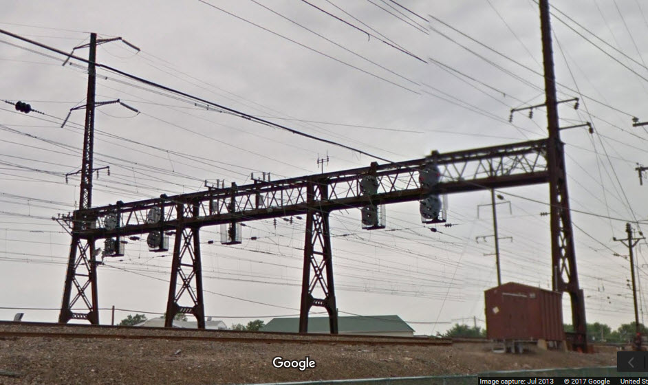
![]() NB/SB Trilight Signals
NB/SB Trilight Signals
These signals, tri-light style colorlights, are adjacent to the Langhorne station on the West Trenton line and have easy to access for photography.
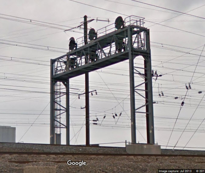
![]() NB PCL Signals
NB PCL Signals
Here at Morris Interlocking, there are two sets of signal bridges for NB traffic. The set of three signals is for commuter trains coming out of the Morristown NJT
yard, and the larger northern bridge is for northbound trains on both side of the NEC.
Courtesy of the University of Texas Library, click here for their index page.
Disclaimers:
I love trains, and I love signals. I am not an expert. My webpages reflect what I find on the topic of the page. This is something I have fun with while
trying to help others.
Please Note: Since the main focus of my two websites is railroad signals, the railfan guides are oriented towards the signal fan being able to locate them.
For those of you into the modeling aspect of our hobby, my indexa page has a list of almost everything railroad oriented
I can think of to provide you with at least a few pictures to help you detail your pike.
If this is a railfan page, every effort has been made to make sure that the information contained on this map and in this railfan guide is correct. Once in a while,
an error may creep in :-)
My philosophy: Pictures and maps are worth a thousand words, especially for railfanning. Text descriptions only get you so far, especially if you get lost or
disoriented. Take along good maps.... a GPS is OK to get somewhere, but maps are still better if you get lost! I belong to AAA, which allows you to get
local maps for free when you visit the local branches. ADC puts out a nice series of county maps for the Washington DC area, but their state maps do not have the
railroads on them. If you can find em, I like the National Geographic map book of the U.S..... good, clear, and concise graphics, and they do a really good job
of showing you where tourist type attractions are, although they too lack the railroads. Other notes about specific areas will show up on that page if known.
Aerial shots were taken from either Google or Bing Maps as noted. Screen captures are made
with Snagit, a Techsmith product... a great tool if you have never used it!
By the way, floobydust is a term I picked up 30-40 years ago from a National Semiconductor data book, and means miscellaneous
and/or other stuff.
Pictures and additional information is always needed if anyone feels inclined to take 'em, send 'em, and share 'em, or if you have something to add or correct.... credit
is always given! Please be NICE!!! Contact info is here
Beware: If used as a source, ANYTHING from Wikipedia must be treated as being possibly being inaccurate, wrong, or not true.
PHILADELPHIA GUIDE HOMEPAGE
SEPTA HOMEPAGE
RAILFAN GUIDES HOME
RAILROAD SIGNALS HOME
NEW AUG01/2017, AUG02/2017, MAR01/2021, MAR03/2021
Last Modified
04-Mar-2021