In General
Getting Here
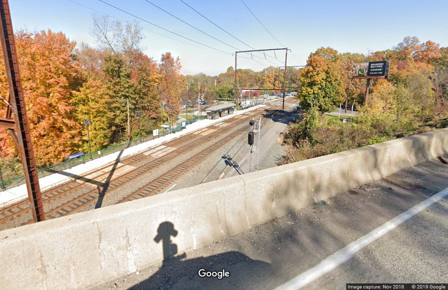
Map
Pictures
Signals
SEPTA HOMEPAGE
RAILFAN GUIDES HOME
RAILROAD SIGNALS HOME
Location / Name:
Woodbourne PA, Bucks County
What's Here:
SEPTA Woodbourne Station on the West Trenton line
Interchange between the West Trenton line and the Morrisville freight line
Woodbourne Yard
Data:
GPS Coordinates: 40.190877, -74.890947 (at the station)
Phone A/C: 215
ZIP: 19047
Access by train/transit:
Woodbourne station, SEPTA's West Trenton line
The Scoop:
The Woodbourne station and yard are part of what remains of the former Reading Railroad operations.
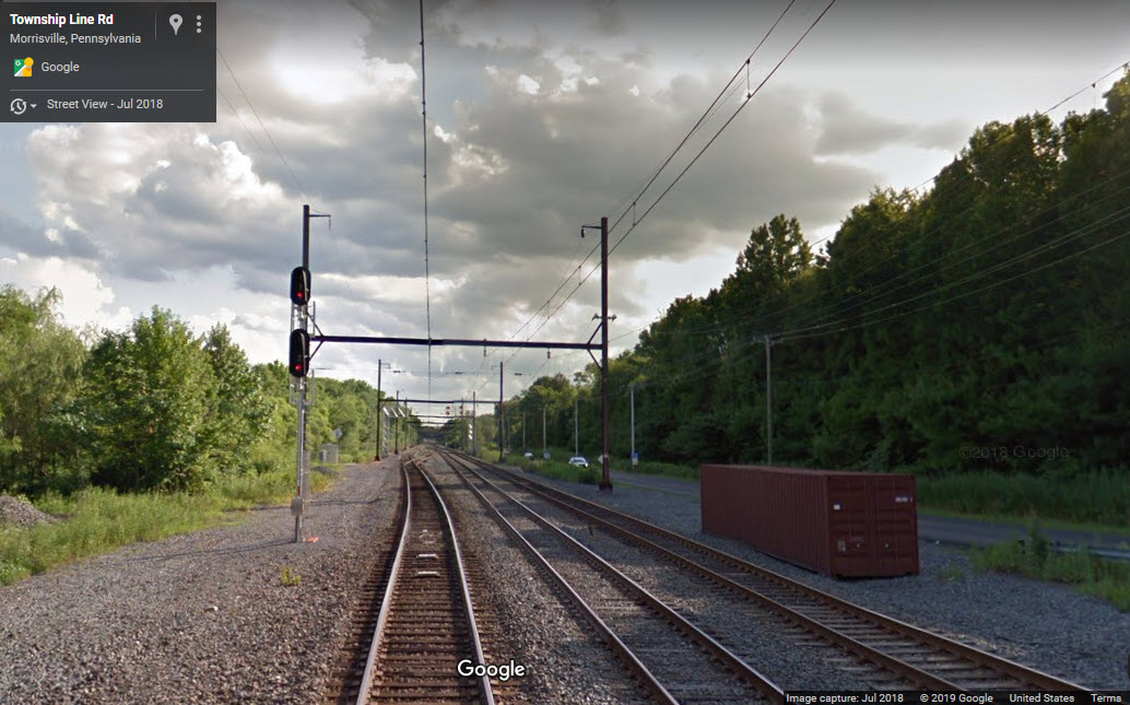
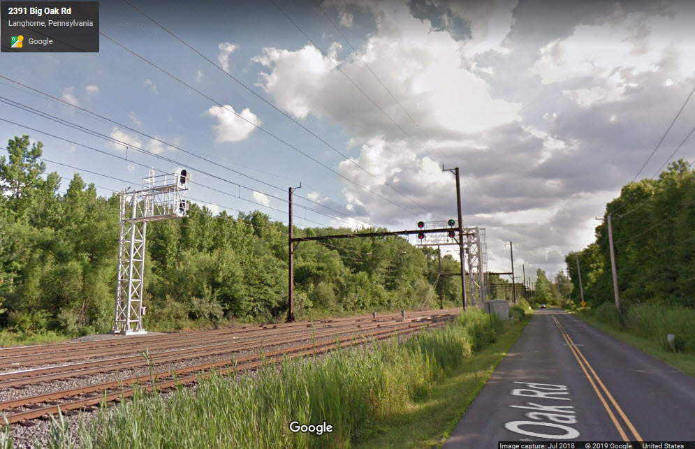
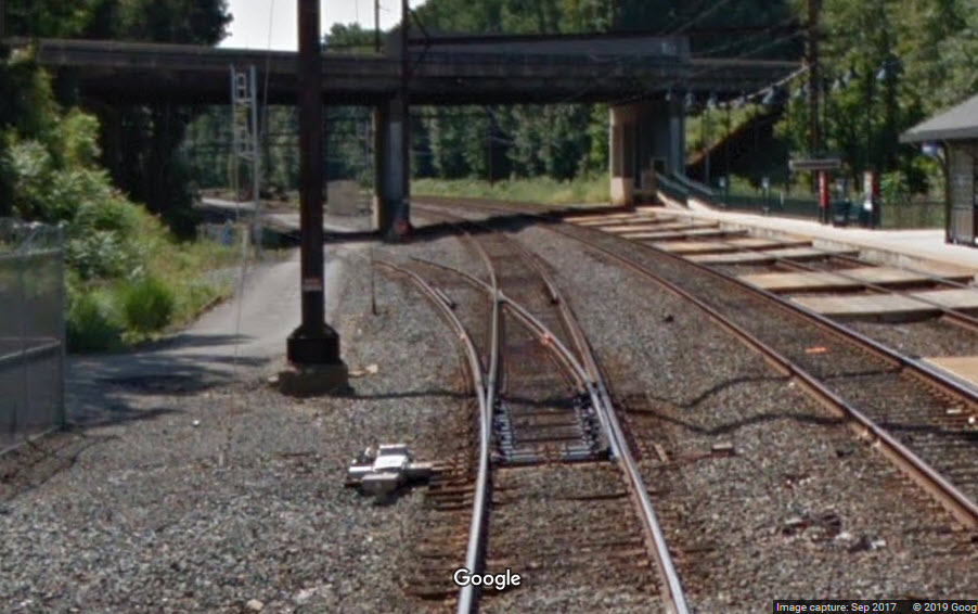
North of the station, the former Pennsy Morrisville Line passes over the West Trenton Line, and on the north side of that, is an interchange track between the two lines. CP Wood is the interlocking at this interchange.
With SEPTA, the CSX action on the West Trenton line, and the NS action crossing over on the Morrisville line, you should have a fairly active railfan spot. You can get here by car or train, and with a short walk, you can get closer to the NS action. Some of the CSX traffic goes into the yard, but the majority of stuff does not. There are plenty of videos on Youtube shot here is you do a search.
The two following recommendations are 12 years old, but still pertinent.
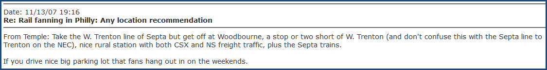
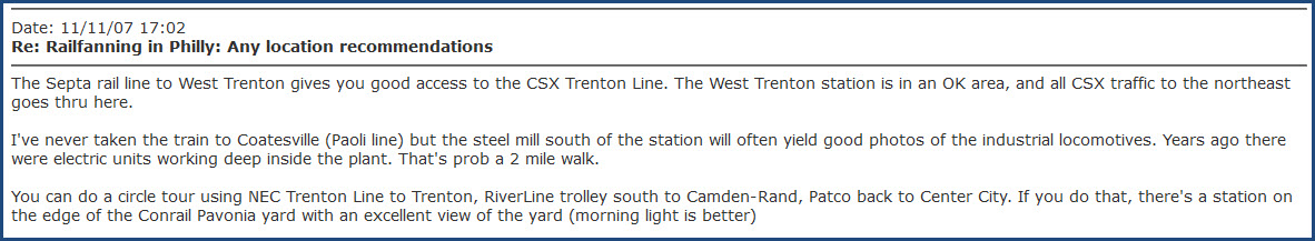
For eats and other stuff, you have your choice of the Oxford Valley Mall, and the Court at Oxford Valley, among other choices. Many hotels are also located in the area.
Acknowledgements:
Dan A. Davis
Jersey Mike
Chris Urban
Rvenne01
Denver Todd
Websites and other additional information sources of interest for the area:
https://en.wikipedia.org/wiki/Woodbourne_station
https://www.youtube.com/watch?v=WISP9TVLLjY A southbound CSX freight passing by the Woodbourne station
Coming here via I-295 or US-1 is your quickest way to get here if you're coming from Center City Philly, or from New Jersey.
If you're using I-295, take the US-1 exit (exit 5) going east to the Oxford Valley Road exit.
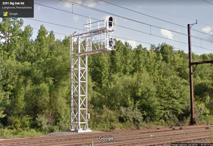
If you want to go to the north end of the CP Wood interlocking, go north on Oxford Valley road to Big Oak Road, and take a left. Big Oak road goes to the left after it crosses the railroad tracks, it's about 4/5 of a mile from Oxford Valley Road. You can also use this as a way to get to the Woodbourne station, takingBig Oak Road to it's end, and taking a left onto Woodbourne Road, and following it to the station.
As an alternative, you can go south on Oxford Valley Road and take a right at Lincoln Highway/Business 1 (at the car parts store). Go past the mall and take a right onto Woodbourne Road, which will take you up to the station. Going this route, you also pass quite a few national chain restaurants.
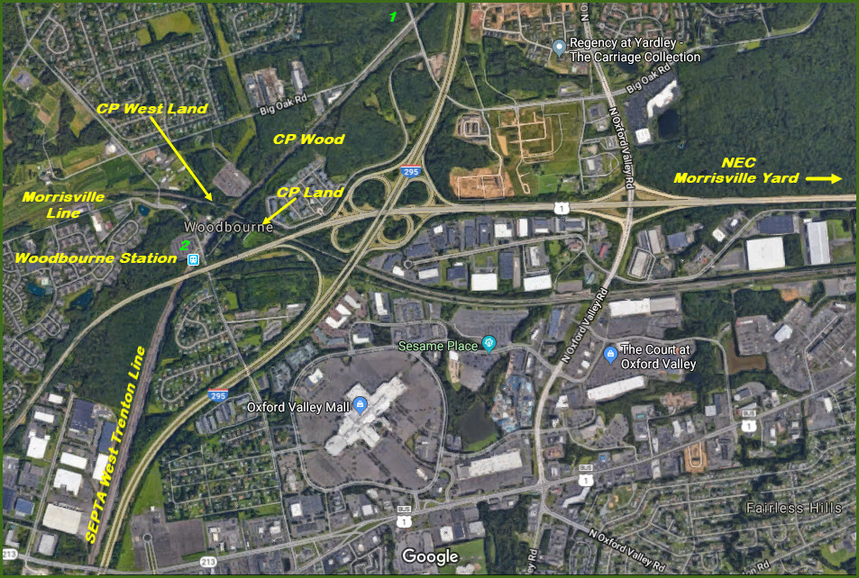
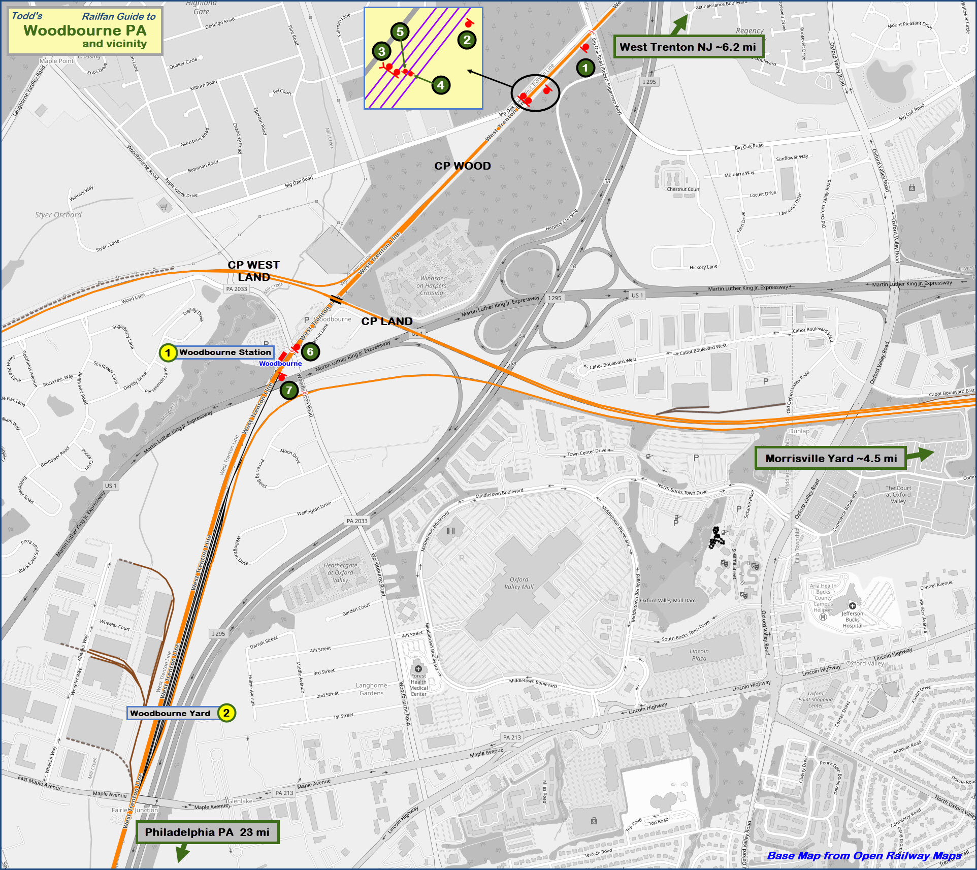
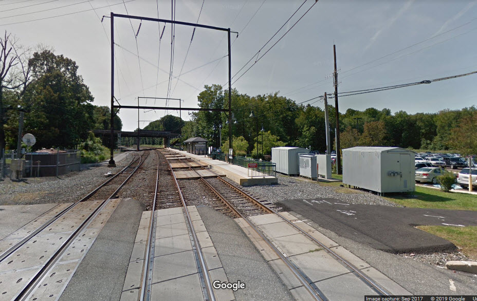
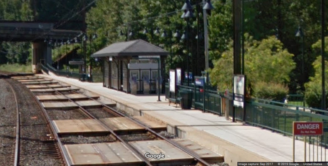
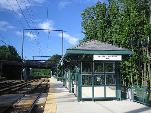 photo by Rvenne01 via Wikipedia
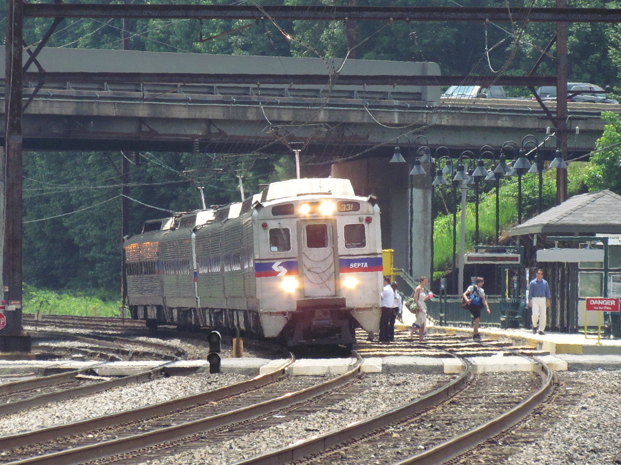 photo by Jersey Mike
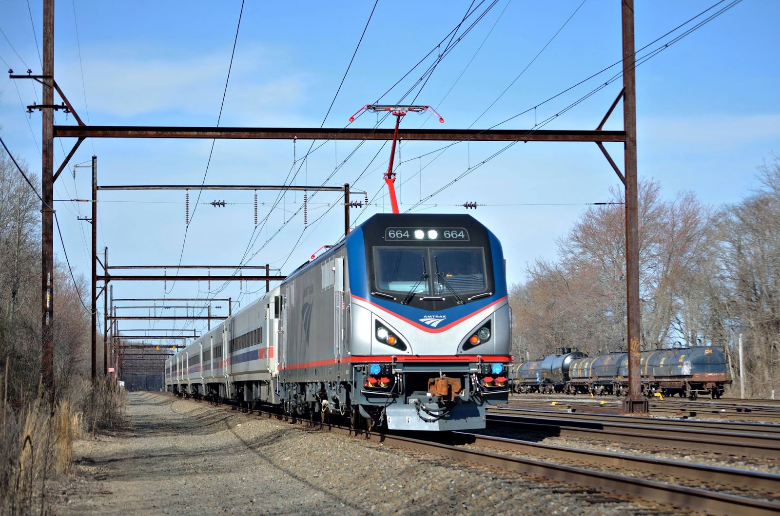 photo by Chris Urban
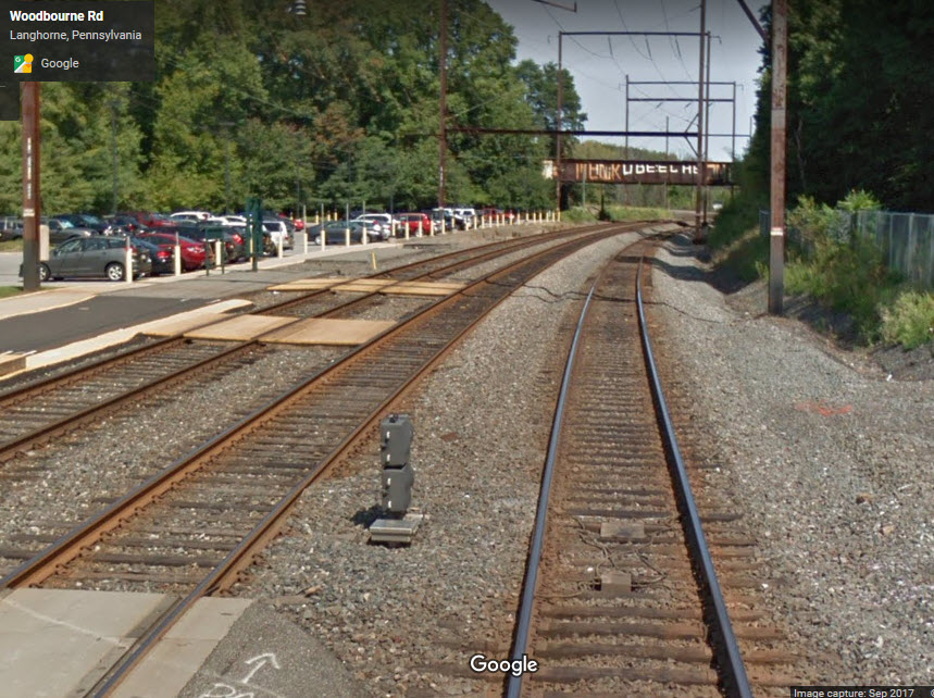
Woodbourne Yard is a 6 track yard that stretches ~3600 feet from US 1 on the north end to PA 213 on the south end. There is a northern entrance to the yard off the Trenton Line adjacent to the Woodbourne station. Also at the north end is an interchange track to the EB Morrisville Line.
The freight line heading south out of the yard runs on a third track paralleling the two commuter tracks - it was formerly electrified. It veers off from the West Trenton line at the Neshaminy Falls station, and in a short while, joins up with the Fox Chase line at the Cheltenham station, then winds up going by Wayne Junction on a lower track (a lower track than the commuter trains).
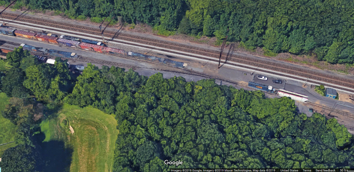
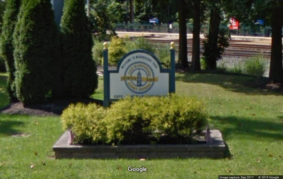
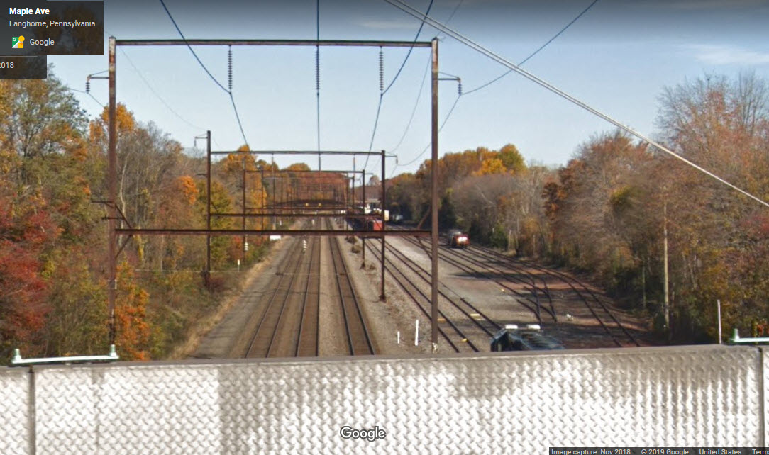
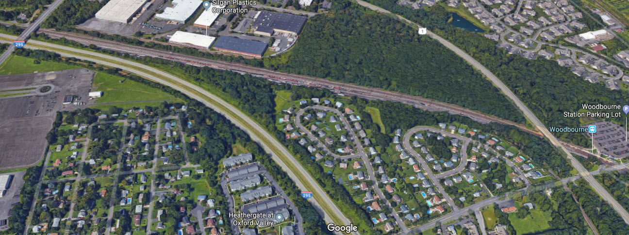
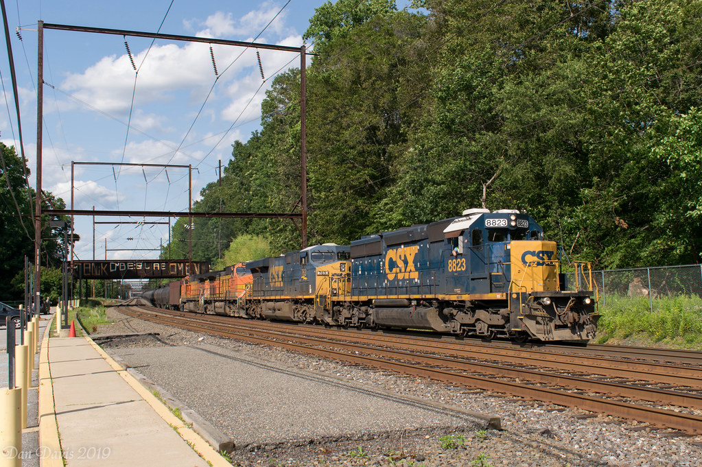 photo by Dan A. Davis
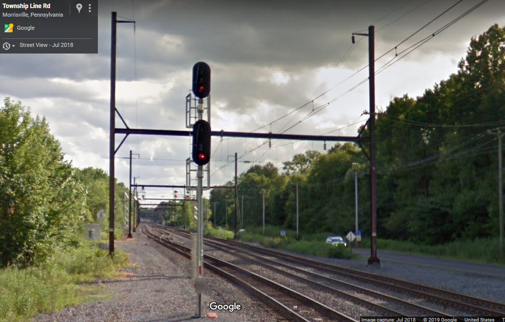
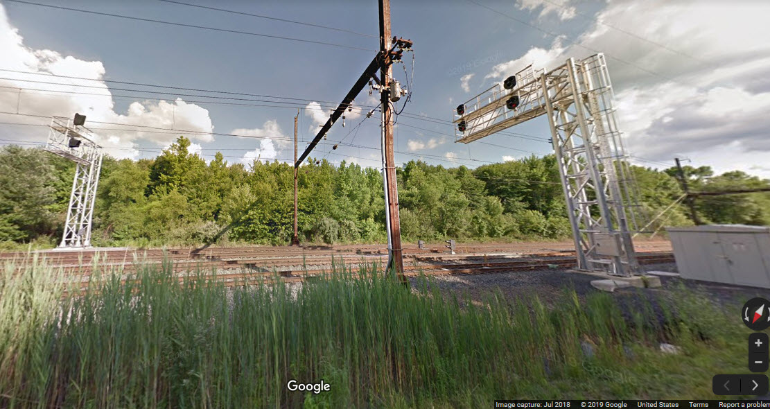
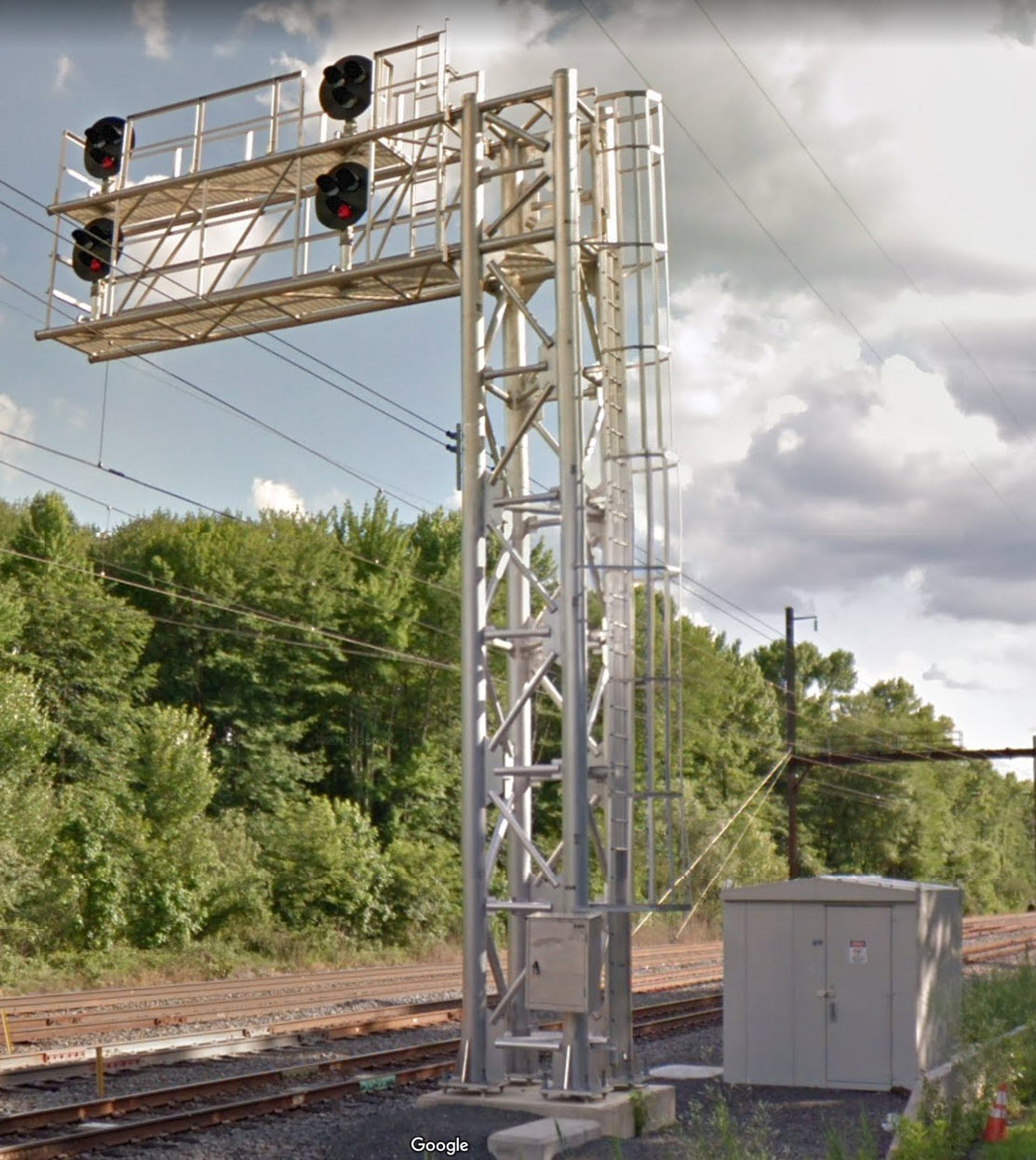
 NB Signal on the right
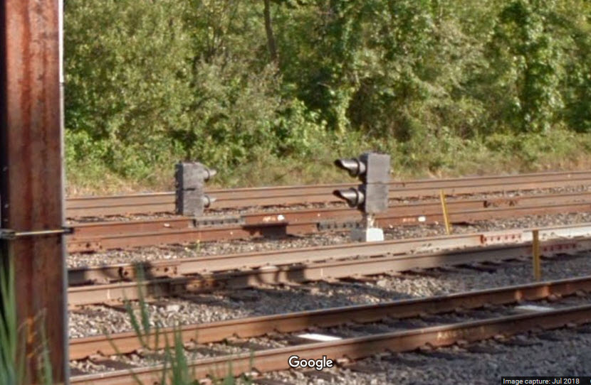 SB Signal on the right
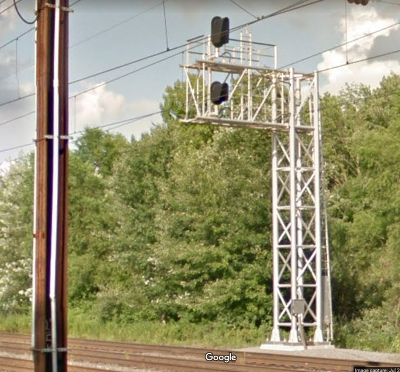
This signal is for the yard lead going into the north end of Woodbourne Yard.
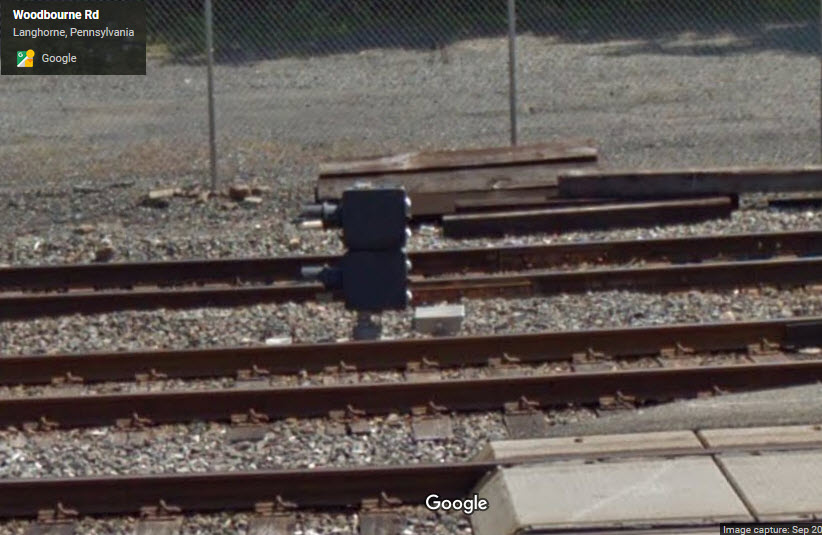
For trains coming out of Woodbourne yard and going north on the Trenton Line.
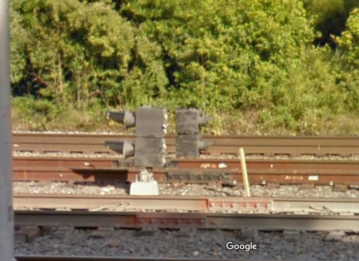
The following picture of the yard from 2013 shows us that there used to be a Reading "trilight" signal here.
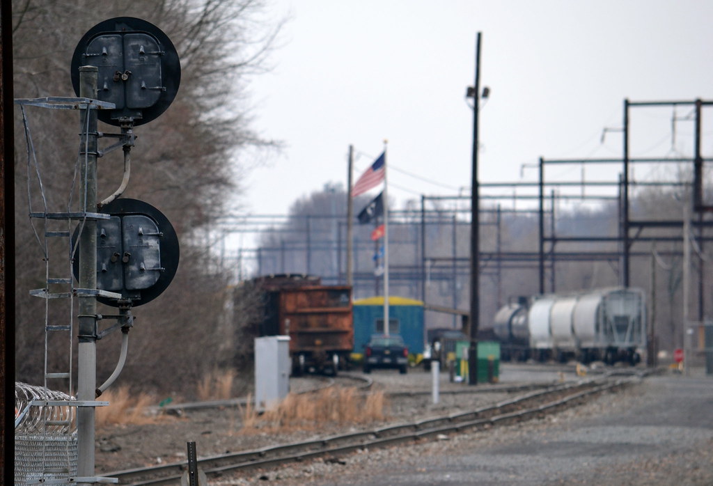 photo by Dan A. Davis
Disclaimers:
I love trains, and I love signals. I am not an expert. My webpages reflect what I find on the topic of the page. This is something I have fun with while trying to help others.
Please Note: Since the main focus of my two websites is railroad signals, the railfan guides are oriented towards the signal fan being able to locate them. For those of you into the modeling aspect of our hobby, my indexa page has a list of almost everything railroad oriented I can think of to provide you with at least a few pictures to help you detail your pike.
If this is a railfan page, every effort has been made to make sure that the information contained on this map and in this railfan guide is correct. Once in a while, an error may creep in :-)
My philosophy: Pictures and maps are worth a thousand words, especially for railfanning. Text descriptions only get you so far, especially if you get lost or disoriented. Take along good maps.... a GPS is OK to get somewhere, but maps are still better if you get lost! I belong to AAA, which allows you to get local maps for free when you visit the local branches. ADC puts out a nice series of county maps for the Washington DC area, but their state maps do not have the railroads on them. If you can find em, I like the National Geographic map book of the U.S..... good, clear, and concise graphics, and they do a really good job of showing you where tourist type attractions are, although they too lack the railroads. Other notes about specific areas will show up on that page if known.
Aerial shots were taken from either Google or Bing Maps as noted. Screen captures are made with Snagit, a Techsmith product... a great tool if you have never used it!
By the way, floobydust is a term I picked up 30-40 years ago from a National Semiconductor data book, and means miscellaneous and/or other stuff.
Pictures and additional information is always needed if anyone feels inclined to take 'em, send 'em, and share 'em, or if you have something to add or correct.... credit is always given! Please be NICE!!! Contact info is here
Beware: If used as a source, ANYTHING from Wikipedia must be treated as being possibly being inaccurate, wrong, or not true.
SEPTA HOMEPAGE
RAILFAN GUIDES HOME
RAILROAD SIGNALS HOME
NEW OCT27/2019
Last Modified
30-Oct-2019