RAILFAN GUIDES of the U.S.
Todd's Railfan Guide to
the NORTHERN CENTRAL RR
New Freedom to Hanover Junction PA
In General and
History
Getting Here
Map
Pictures
Signals
Vintage USGS Maps
on the National
Register of Historic Places
Floobydust
RAILFAN GUIDES HOME
RAILROAD SIGNALS HOME
The Northern Central Railroad/Railway. It has a colorful history ever since it's beginning as Baltimore's second railroad in 1832. More information can be found on this Wikipedia page. The railroad started out life as the Baltimore & Susquehanna Railroad Company, chartered in 1828, and reached Cockeysville in 1831. After much delay caused by the Pennsylvania state legislature not wanting to let Pennsylvania products head south and leave via the port of Baltimore, they were finally approved for a rail line and reached York in 1838, via a few tricks. This line included the Howard Tunnel, the earliest railroad tunnel in the U.S. still in use today. The various railroads that made up the Northern Central were merged together in 1854 to form the Northern Central Railway Company.
The B&S was also one of the very few railroads, due to it's early inception, that built their original right-of-way using marble sleepers.
In the meantime, the railroad decided to try another approach to "get out of town", and started heading towards Westminster MD, creating the Green Spring Branch. It never reached there, but finally did connect with the Western Maryland RR, after the WM started their move west out of Baltimore via Westminster.
The Northern Central became part of the Pennsylvania RR in 1861, when the PRR purchased a controlling interest to compete with the expansion of the B&O.
In 1968, ownership of the "Northern Central" was taken over by the Penn Central with the merging of the PRR, NYC, and NH. While under Penn Central ownership, hurricane Agnes hit in September of 1972, and wiped out enough of the right-of-way, that the bankrupt PC could not afford to rebuild the line. Instead, to get trains between Baltimore and Harrisburg, they would now go up/down the Port Road via Perryville MD. A little longer, but other than the extra fuel, it didn't cost them anything.
From 1972 till freight operations ended in 2005 (as a result of the double-tracking project), PC, Conrail, and Norfolk Southern operated the line, altho it was "taken over" by the MTA in ~1988 to build the light rail line. Once the light rail started operating, freight operations were confined to approx 1:00am to 4:30am. If a train was still on the line when the LRV's started coming north, they would be stranded on a small siding on the north side of Warren Road till the next night. This provided for a few rare daytime shots of freights on the Northern Central after light rail operations began!
Starting in 1990 (till 2005), the right-of-way was shared with the MTA's Light Rail, which went all the way to the Hunt Valley Mall, via some new track from the Gilroy stop north. For a while, the MTA kept a speeder in a small shed on the south side of Cockeysville Rd. Now, even that is gone, but they still keep the switch in place to give the MTA a place to park engines or MOW equipment just on the north side of Warren Road.
The first "modern" re-make of the Northern Central came in the early 2000's with the Northern Central RR, as a dinner train.
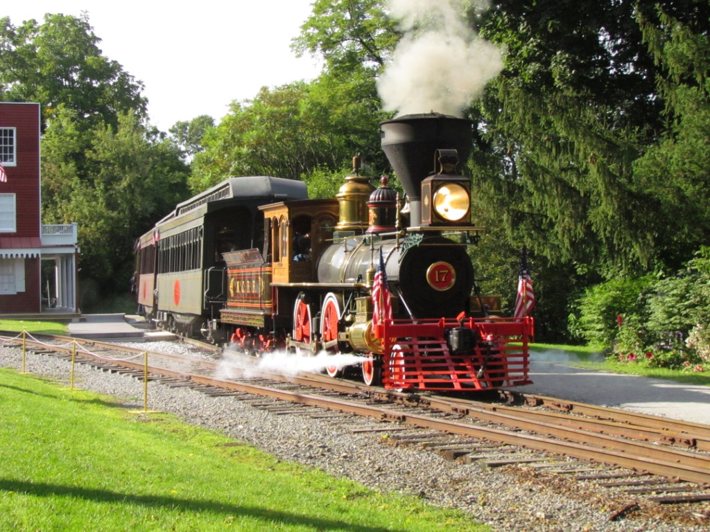
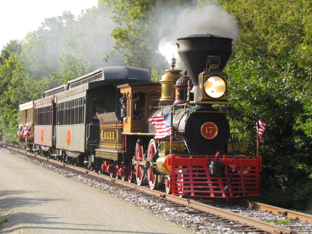
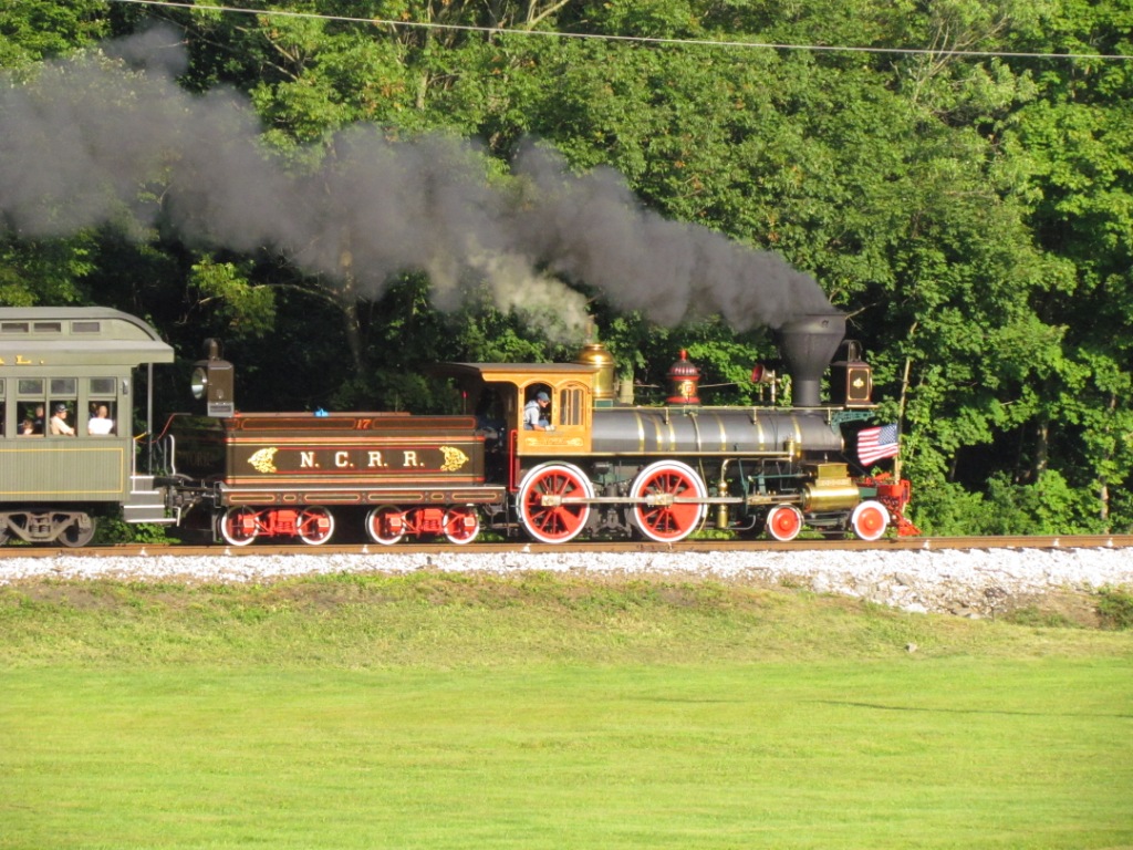
Starting in 2013, the second renaissance of the Northern Central became a reality, when non-profit group called Steam Into History, started running steam. This page is for that endeavor. n We wish them continued success, and look forward to their goal of installing turntables. If you want to volunteer, they are always looking for help, and you might even be able to polish the brass!
For more information, I have a few pages that
include parts of the Northern Central:
1) the
New Freedom Railfan
Guide
2) The
Green
Spring Branch of the Northern Central
3)
Map 1 of
my Baltimore Railfan Guide.
The USGS maps come from the most comprehensive
collection of late 1800's to early 1900's USGS maps I have come across to
date.
The collection is part of the library's collection at the University of
Texas at:
http://www.lib.utexas.edu/maps/topo/
Or, for this effort:
http://www.lib.utexas.edu/maps/topo/pennsylvania/
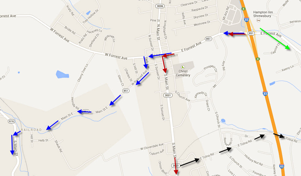
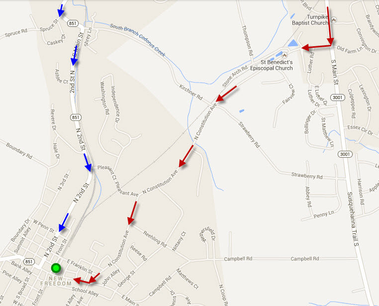
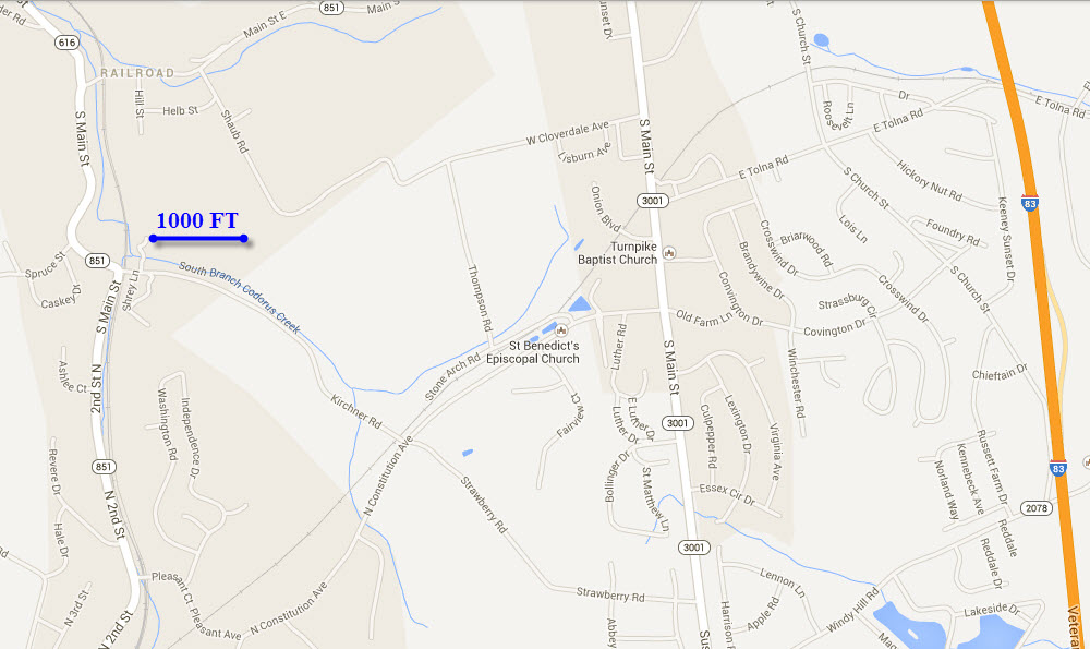
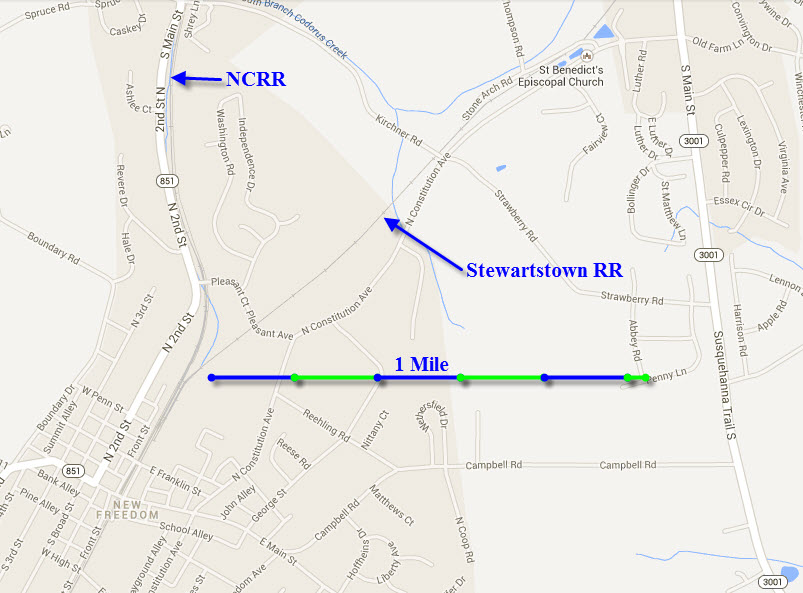
From I-83 out of either Harrisburg, York, or Baltimore, use the Harrisburg Expressway, and take exit 4, Shrewsbury. Head west on PA 851. You have two choices for getting to New Freedom, using either the red or blue (following 851 to 616, but 851 takes you south into New Freedom) routes. The red route takes you south on S. Main St (it turns into York Rd in Maryland), and then a right onto N. Constitution Ave.
There are a number of places to eat at exit 4, and also further down S. Main St at the light with Constitution Ave. There are is also a Walmart, and CVS and Rite Aid drug stores convenient.
If you want to go to Stewartstown to see what is left, go east on 851 (the green arrow). This route misses a lot of the R-O-W until Hill Rd. If you want to follow the R-O-W in the "backwoods", take Tolna Rd (the black arrows).
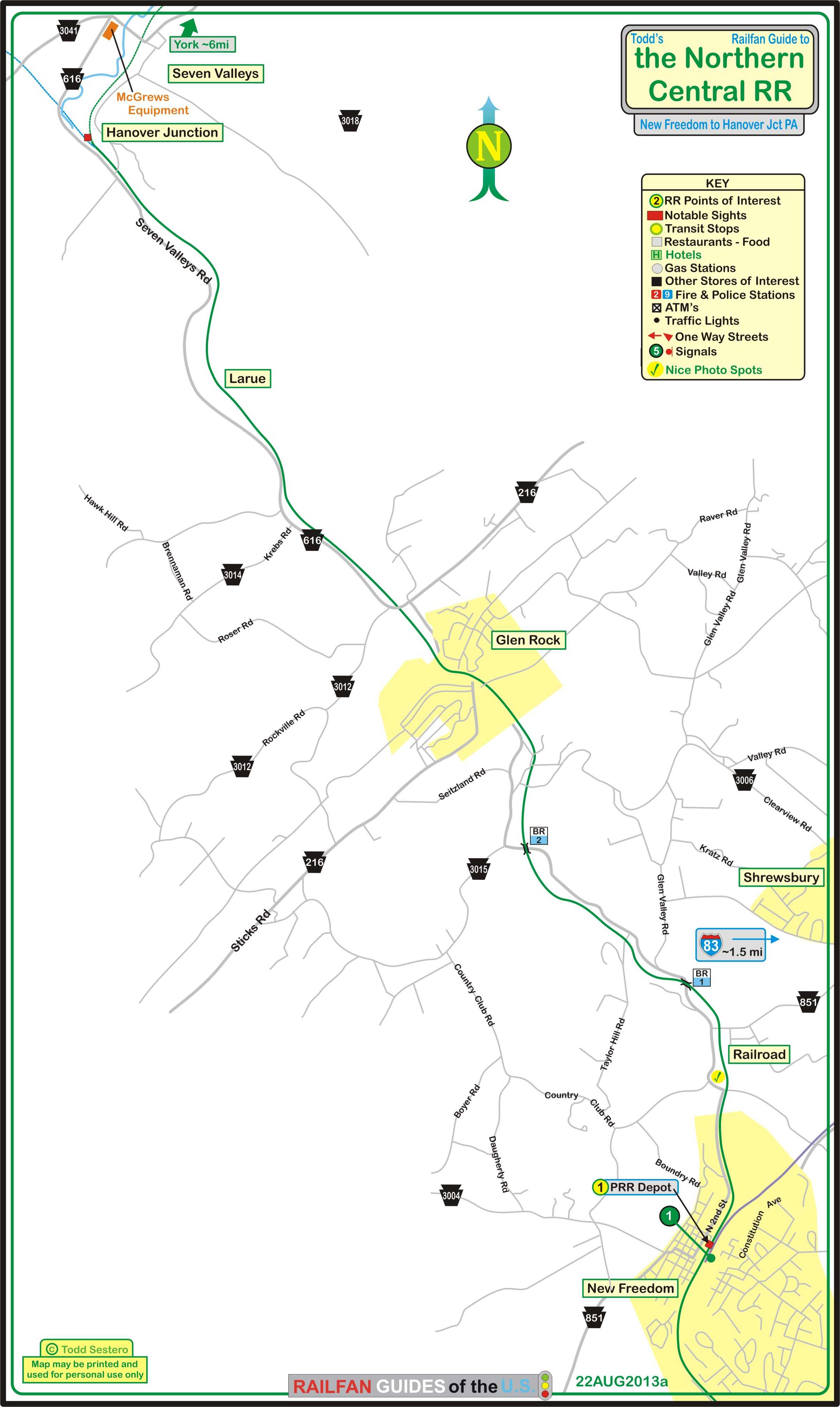
the above map in PDF format is here
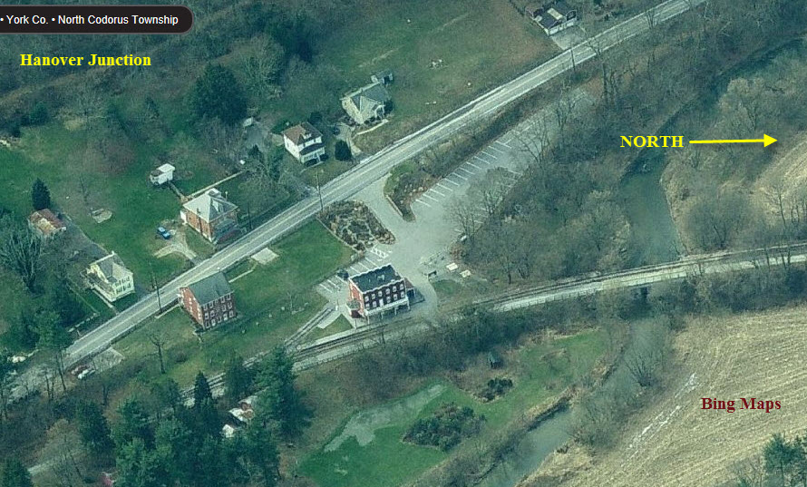
The maps are arranged from north to south. They start at Hanover Junction and go south to New Freedom. Unless noted, the map Snags are from Google Maps, and the aerial shots come from Bing Maps.
The photos are coordinated with the maps they are adjacent to.
 SB along Seven Valleys Road, just south of Hanover
Junction.
SB along Seven Valleys Road, just south of Hanover
Junction.
 NB along Seven Valleys Road, would be a better shot in the
spring :-)
NB along Seven Valleys Road, would be a better shot in the
spring :-)
 Other shots, I'll figure out where later :-)
 NB at Seitzville Road (below).
 NB just north of Glen Rock Road (above).
 NB along Seven Valleys Road, about in the middle of the
above map.
NB along Seven Valleys Road, about in the middle of the
above map.
 NB at Springfield Road (above).
 < NB
< NB
 < SB in Glen Rock crossing Main Street (below).
 NB at Valley Street, Glen Rock.
 NB at the crossing off Baltimore Street south of Clearview,
the street where the "i" is (below).
NB at the crossing off Baltimore Street south of Clearview,
the street where the "i" is (below).
 NB at the southern bridge by Bricker Street (above).
 < NB
< NB
 < SB at the north bridge by Glenwood Ct.
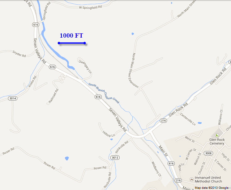
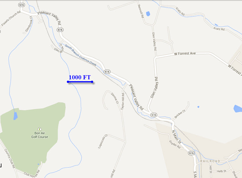
 At the Main Street crossing in Railroad (above).
 < NB
< NB
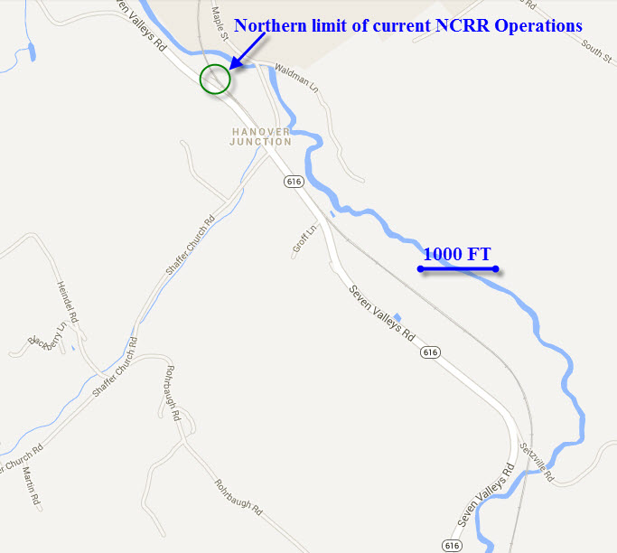
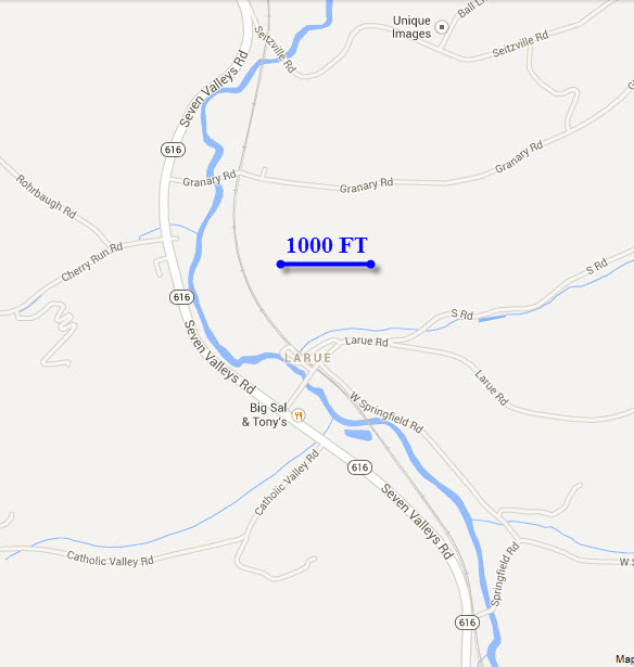
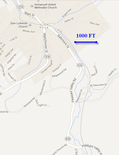
 < SB From across the field to the left (above) of
the 1000 ft marker bar.
< SB From across the field to the left (above) of
the 1000 ft marker bar.
 At the Pleasant Ct crossing (above).


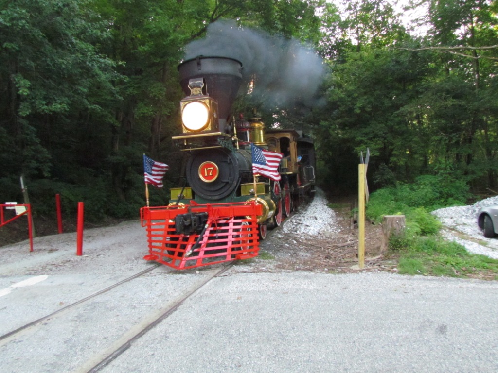
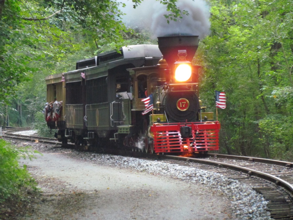
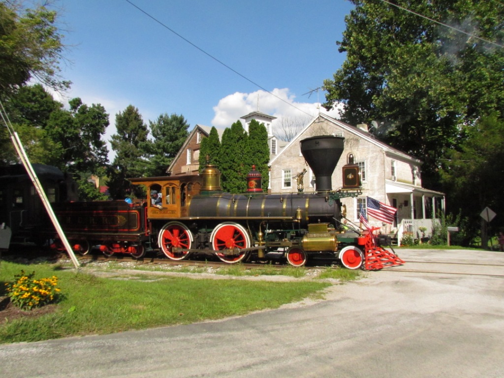
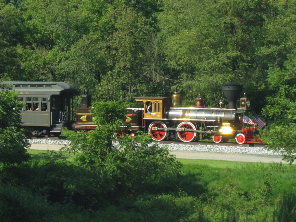
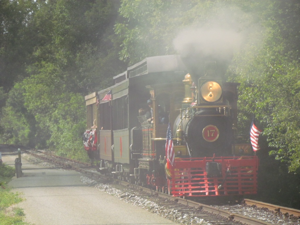
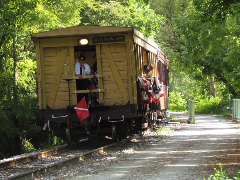
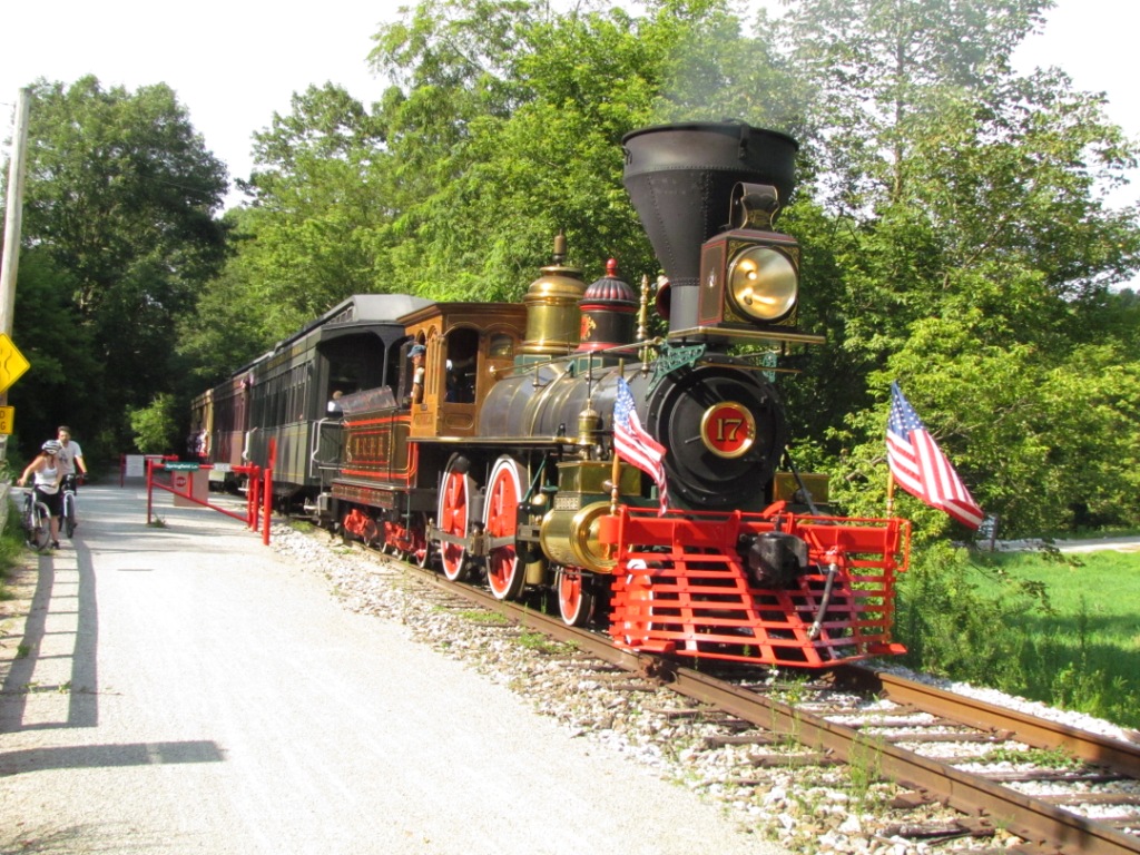
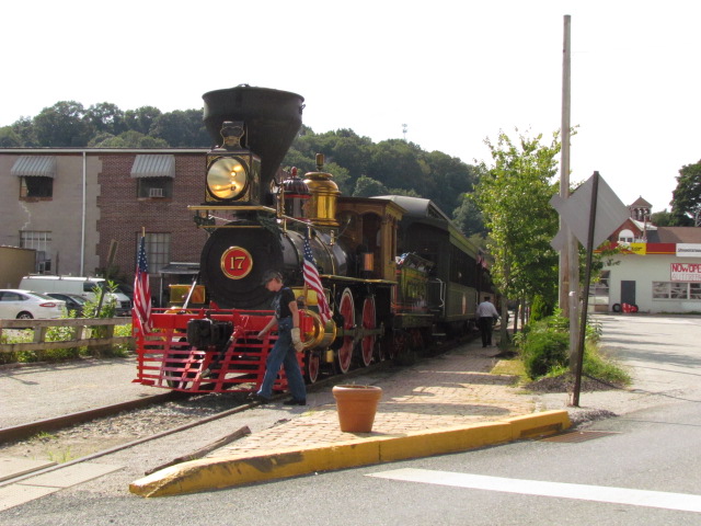
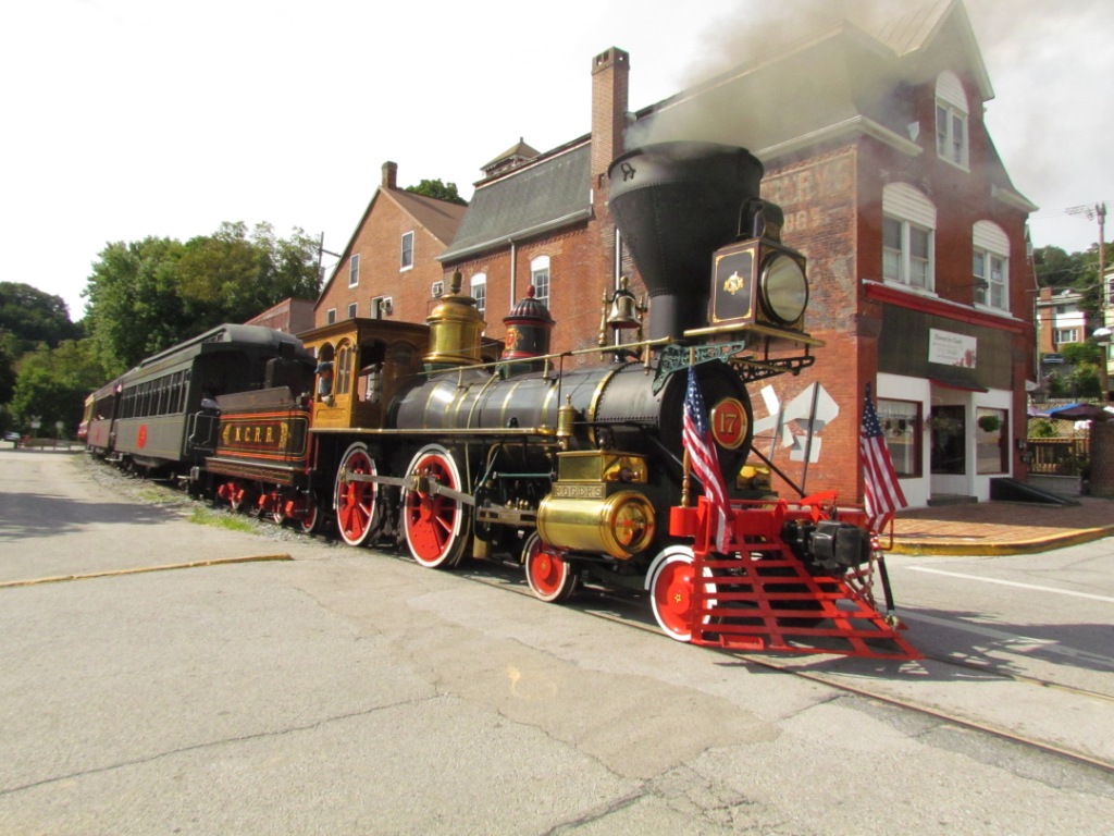
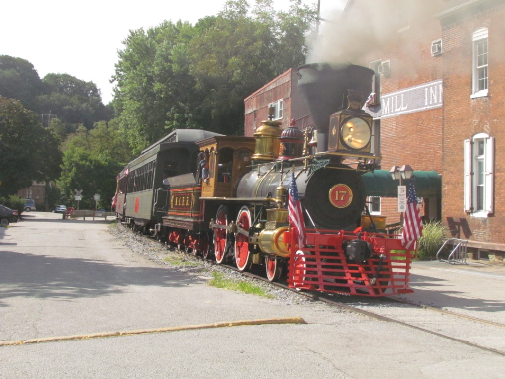
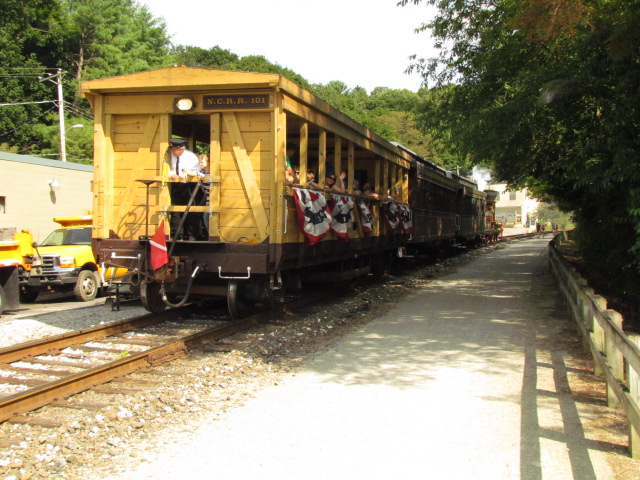
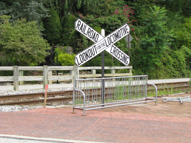
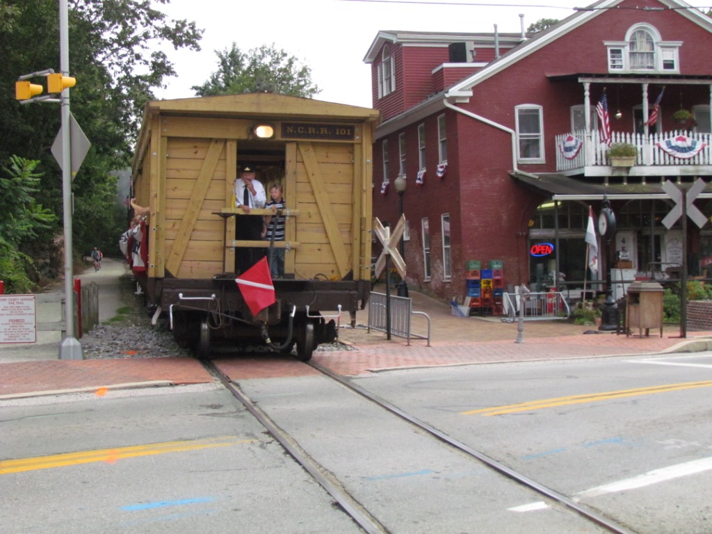
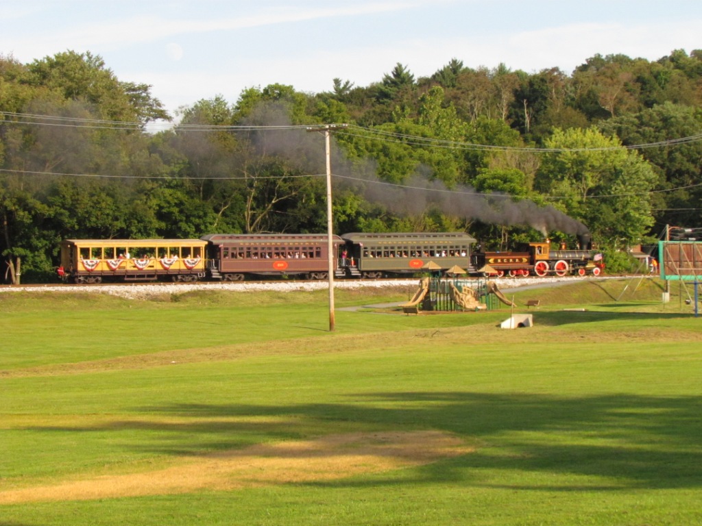
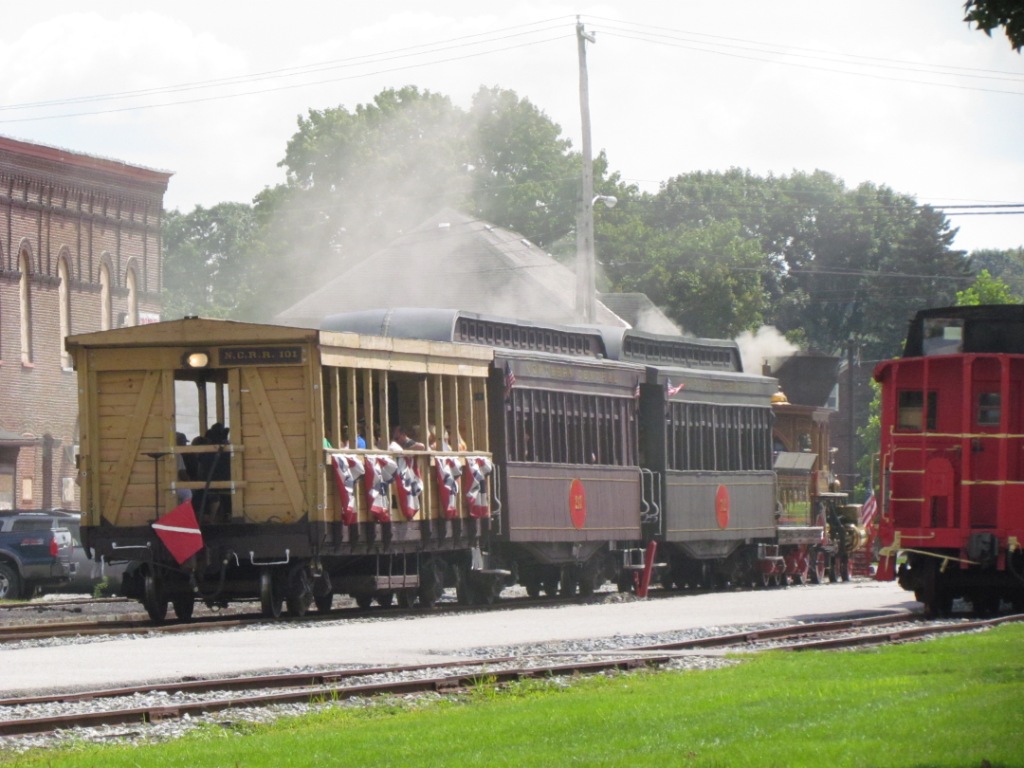
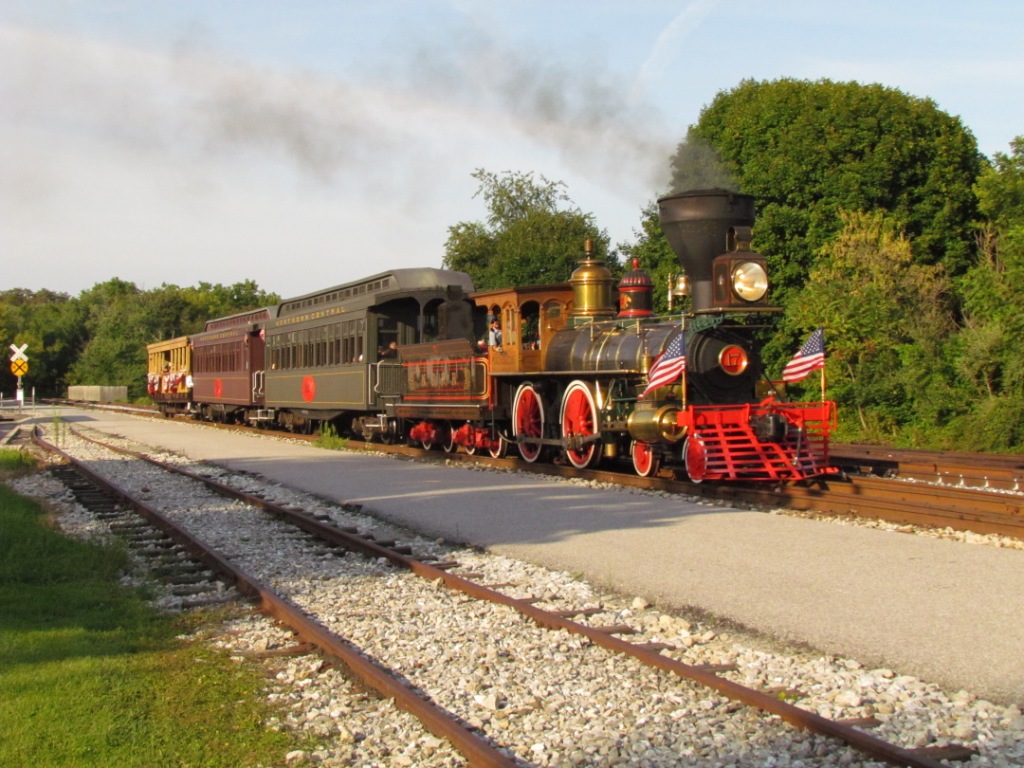
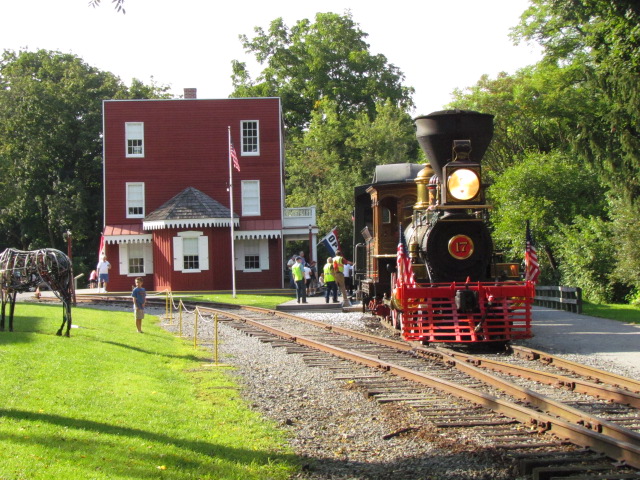
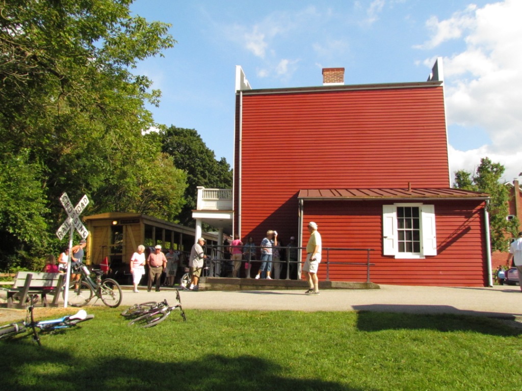
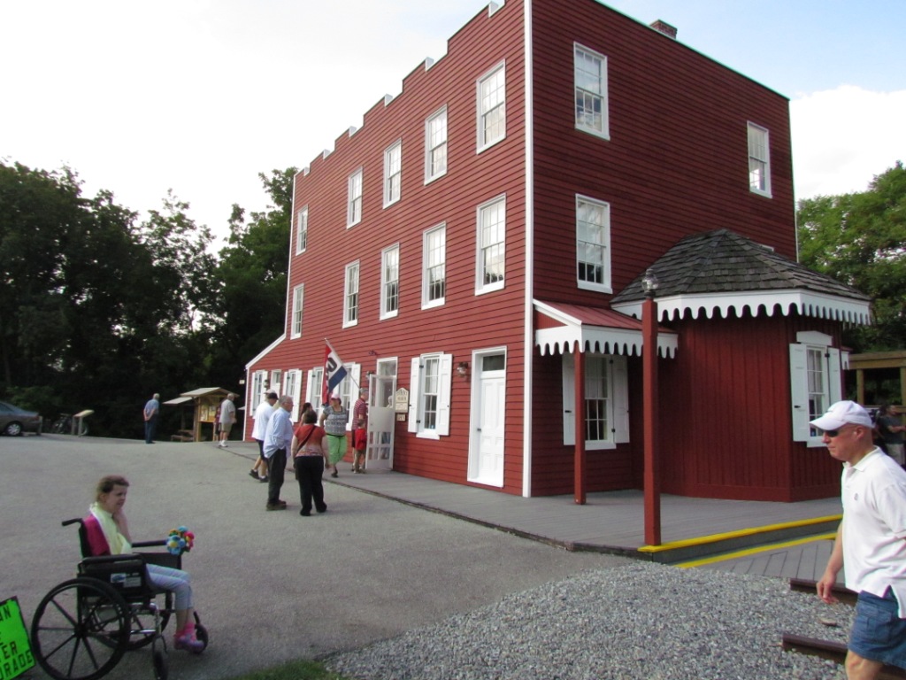
New Freedom
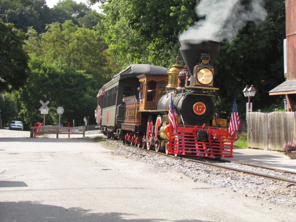
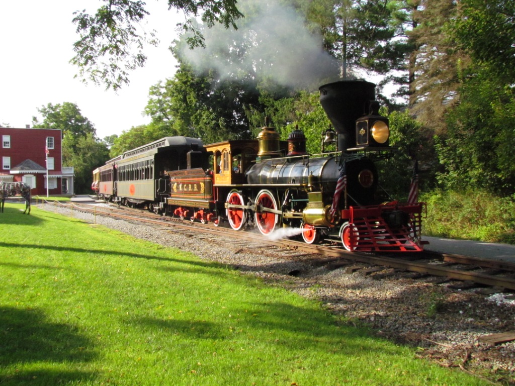
 Leaving New Freedom.
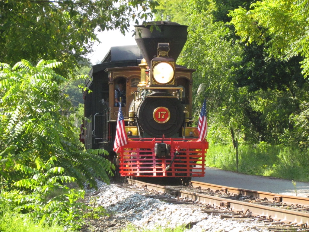
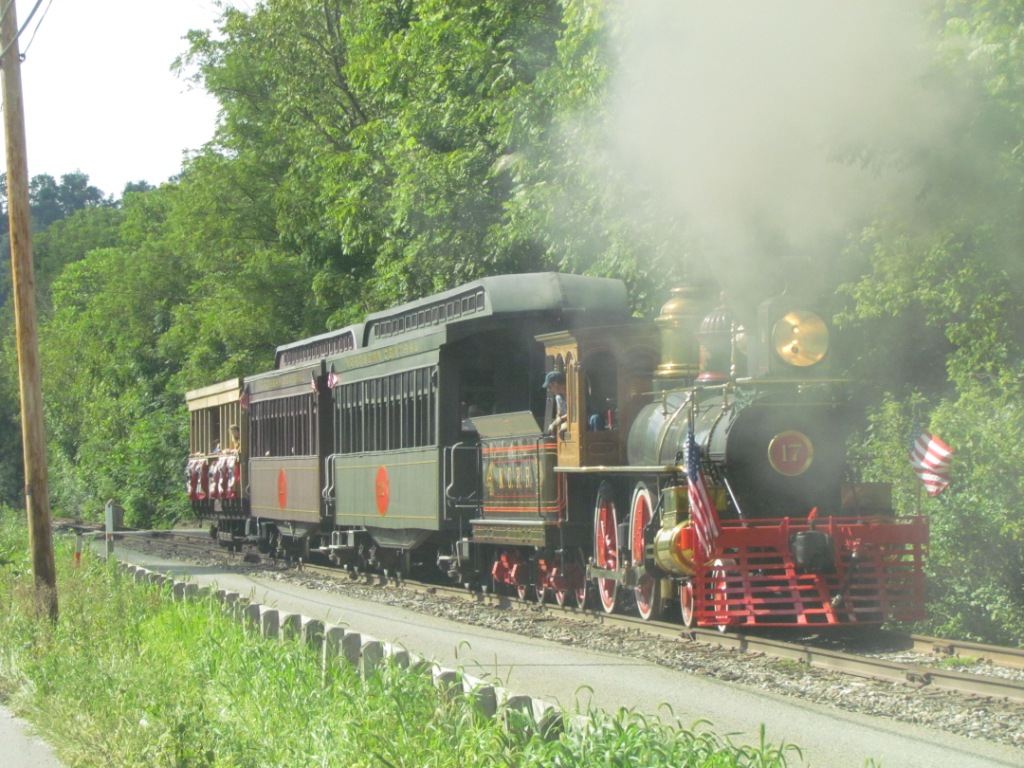
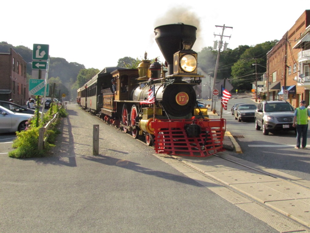
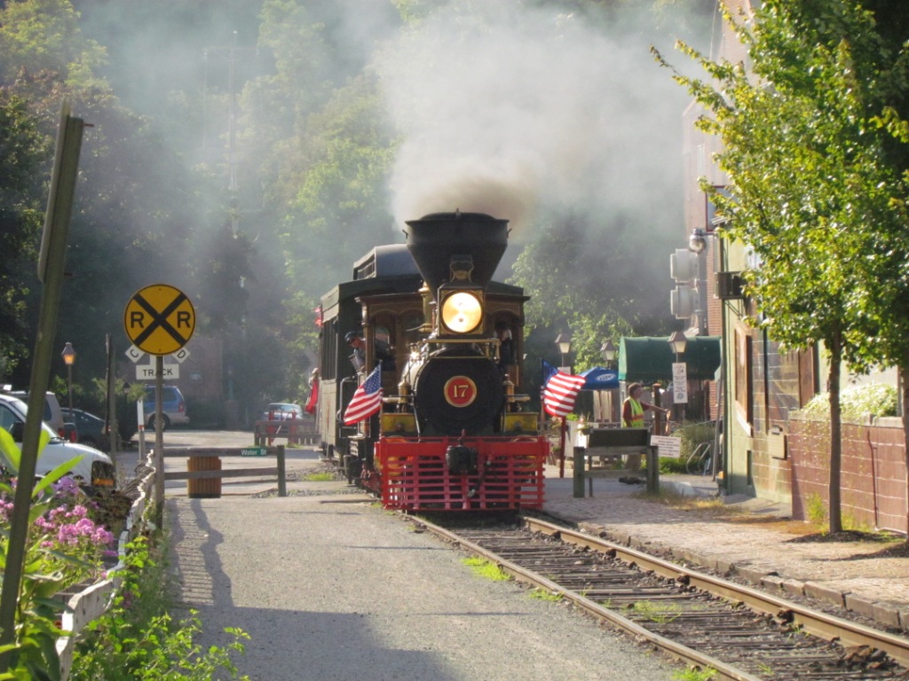
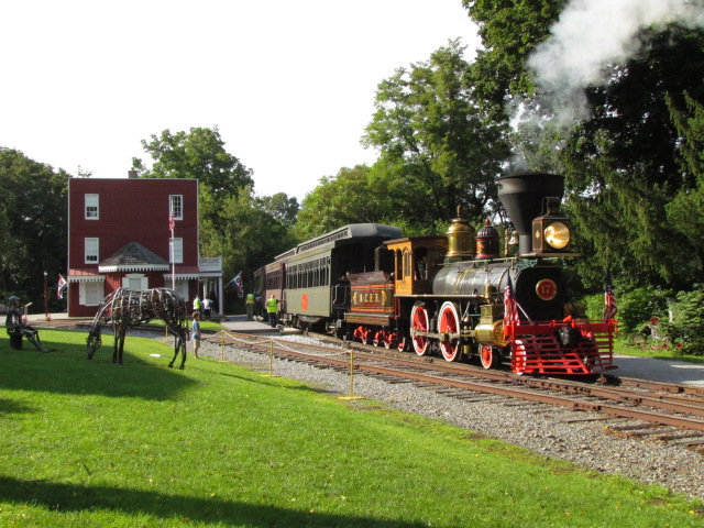
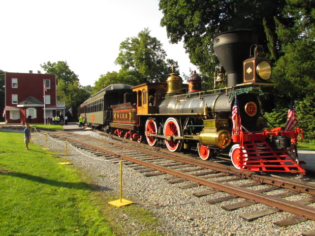
 Coming back into New Freedom.
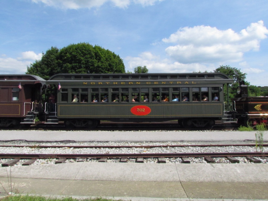
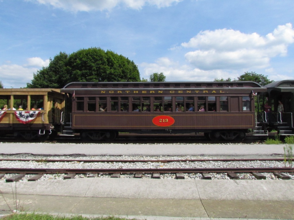
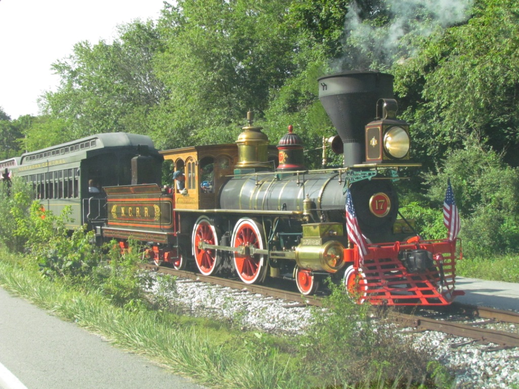
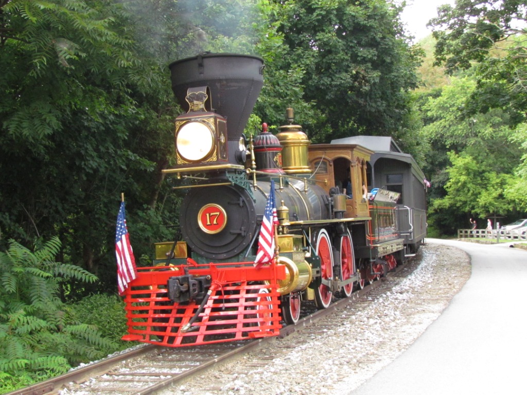
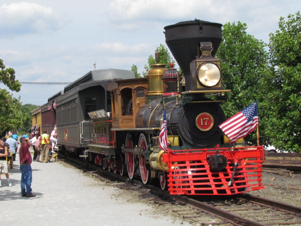
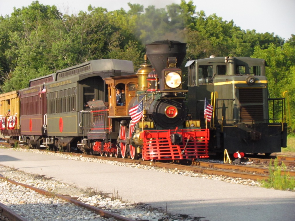
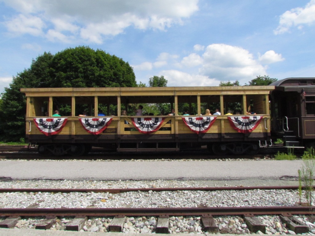 The current (summer of 2013) passenger cars.
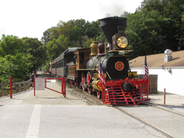
 The ex Stewartstown RR engine. It's already been
used for trips when the steamer was out of service.
The ex Stewartstown RR engine. It's already been
used for trips when the steamer was out of service.
If someone has a spare half mil or so, you can pay off the debt the
Stewartstown owes and own your own railroad! :-)
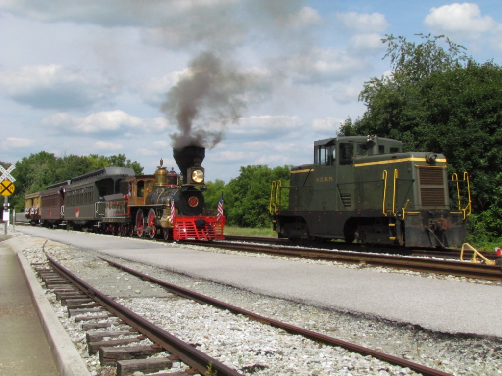
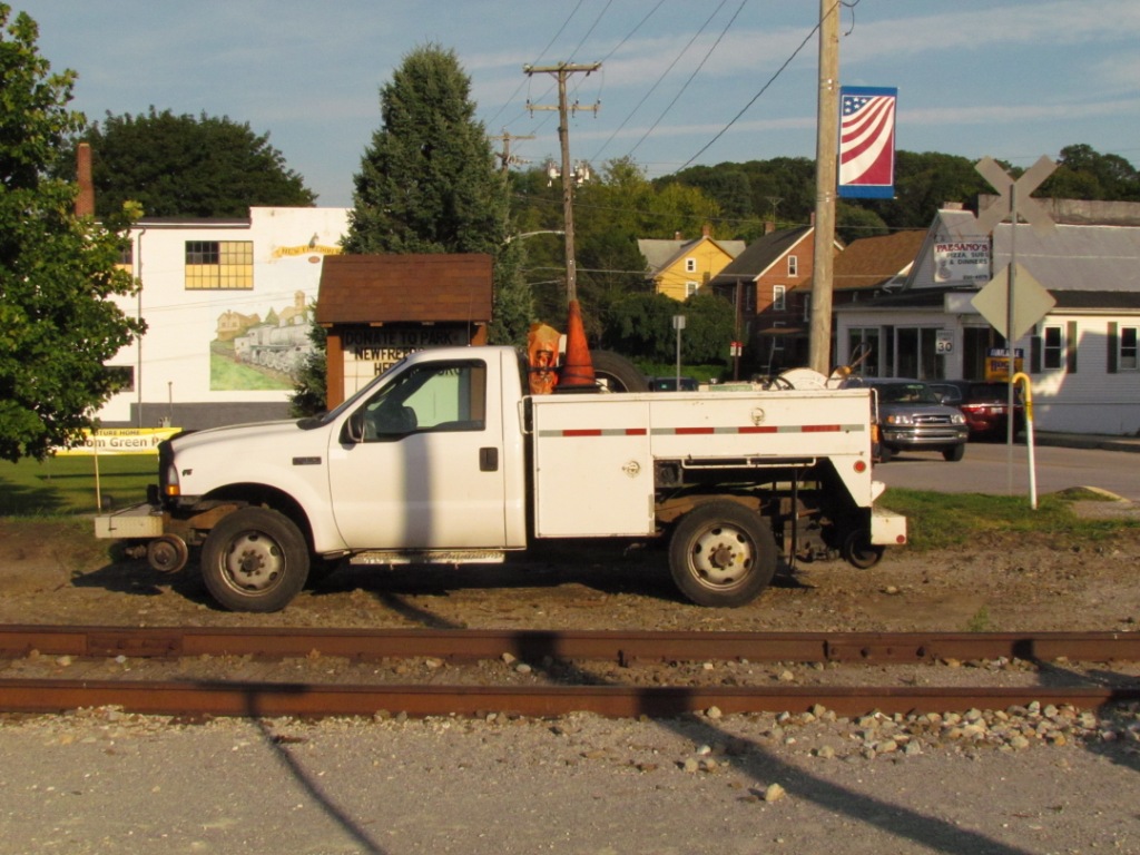 NCRR Hi-rail truck.
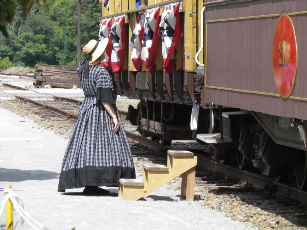 There were two people running around in period clothing.
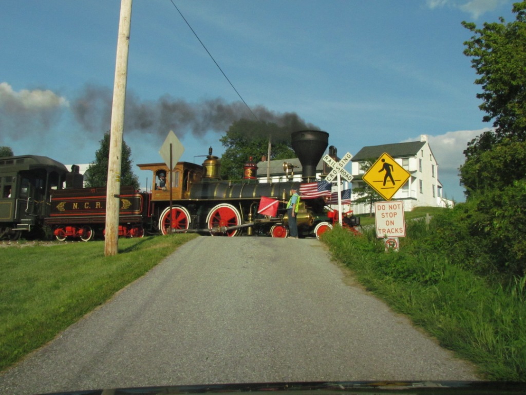
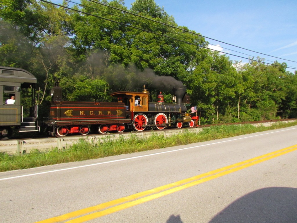
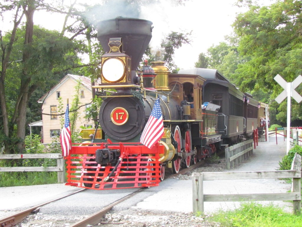
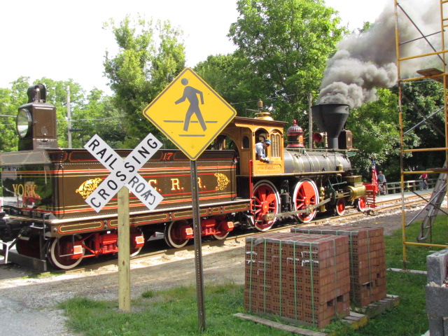
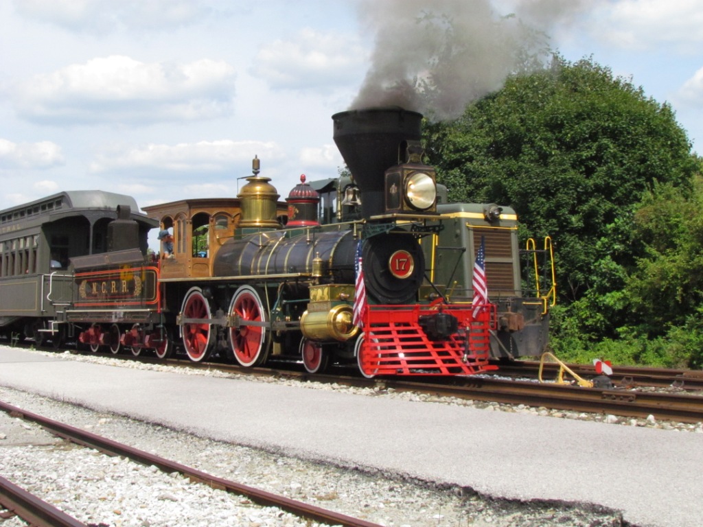
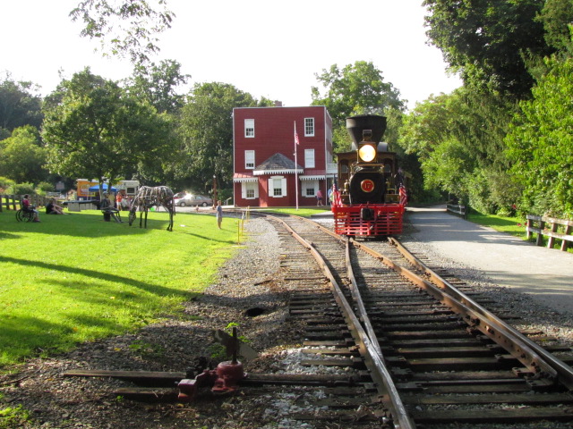
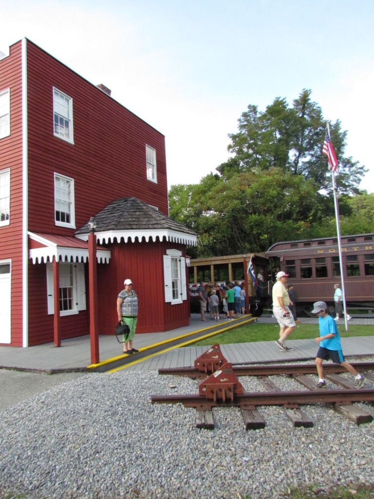
Hanover Junction
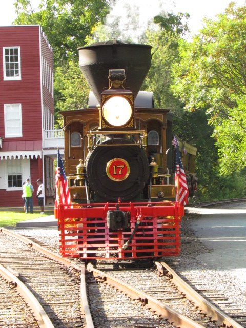


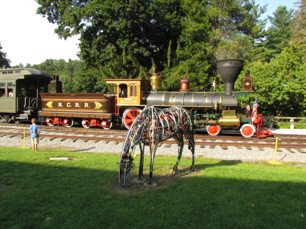


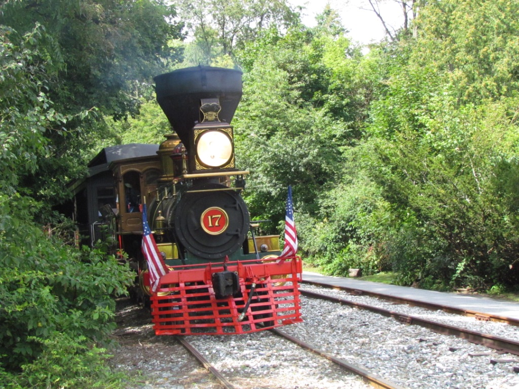
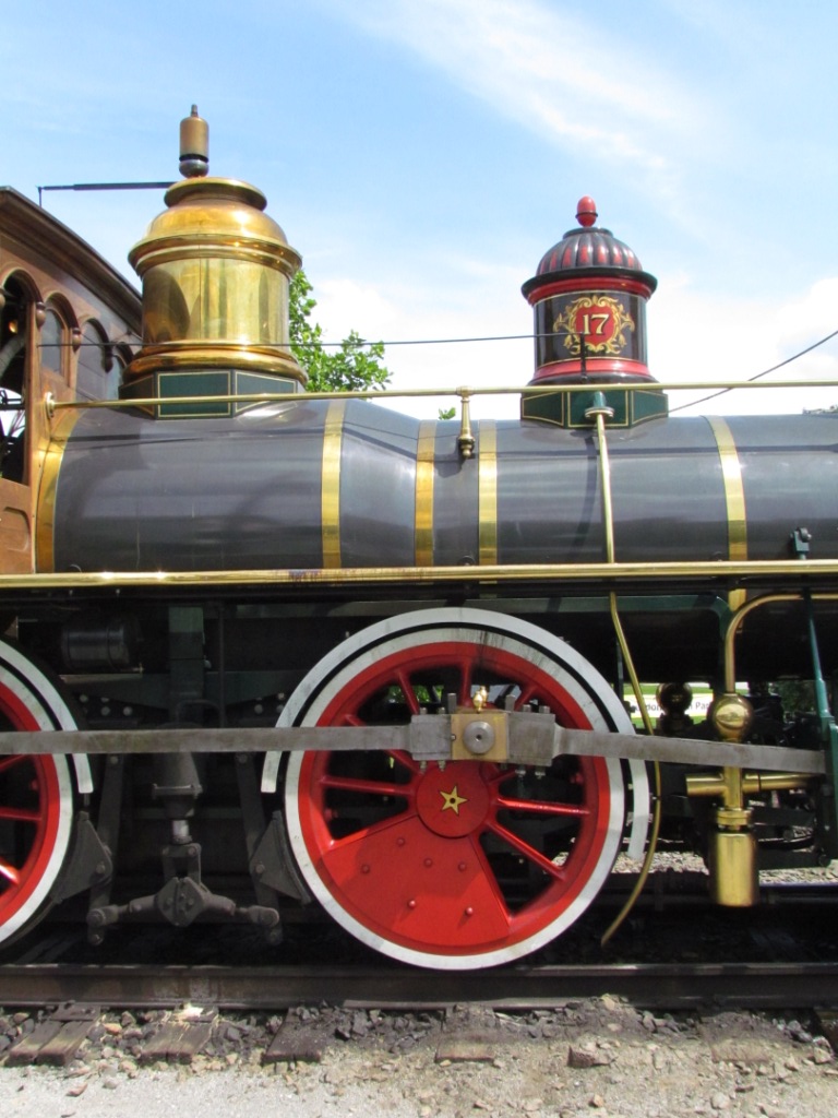
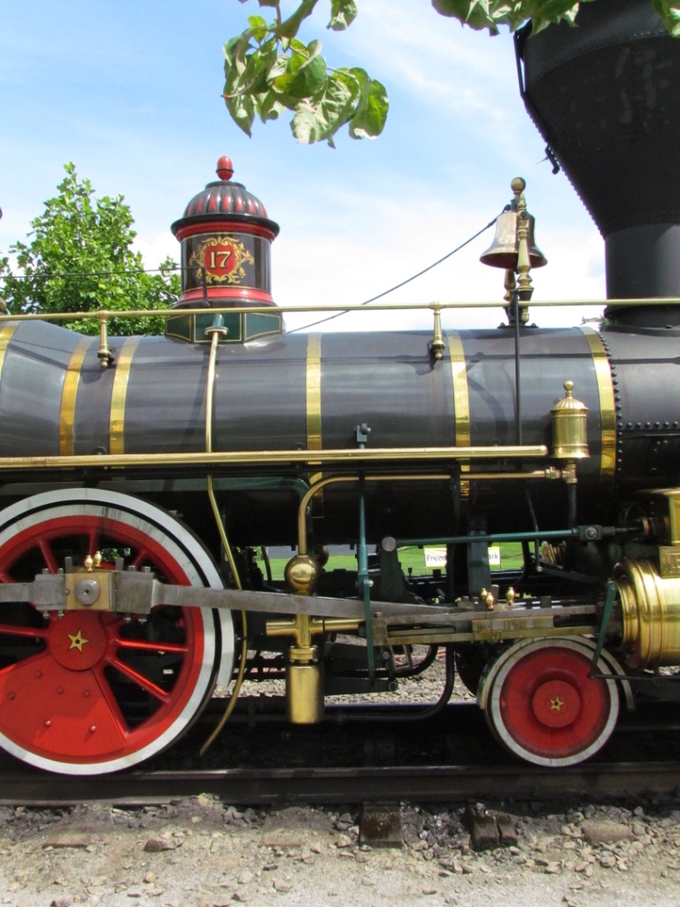
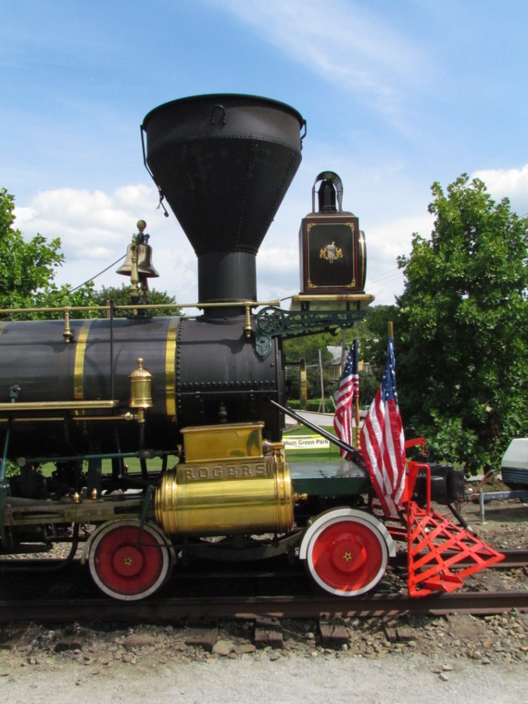
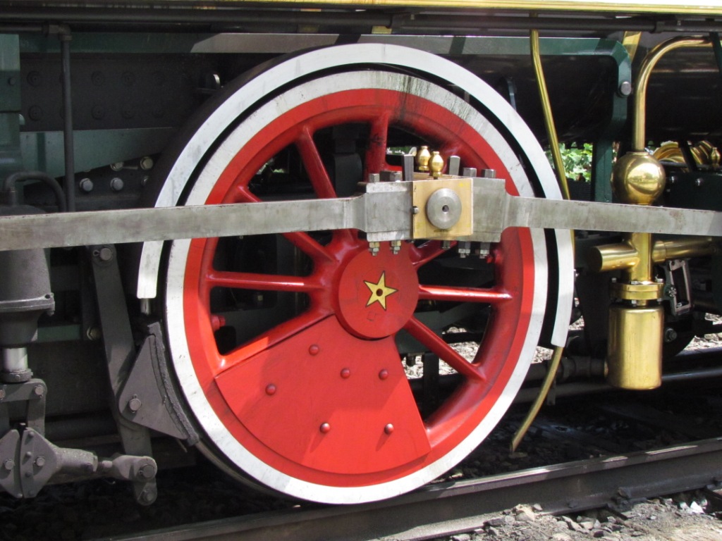
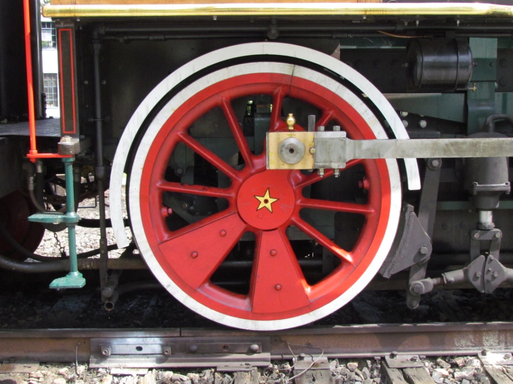
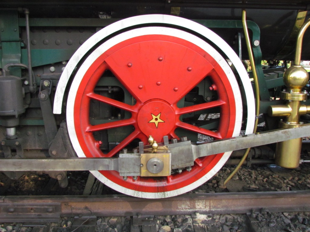
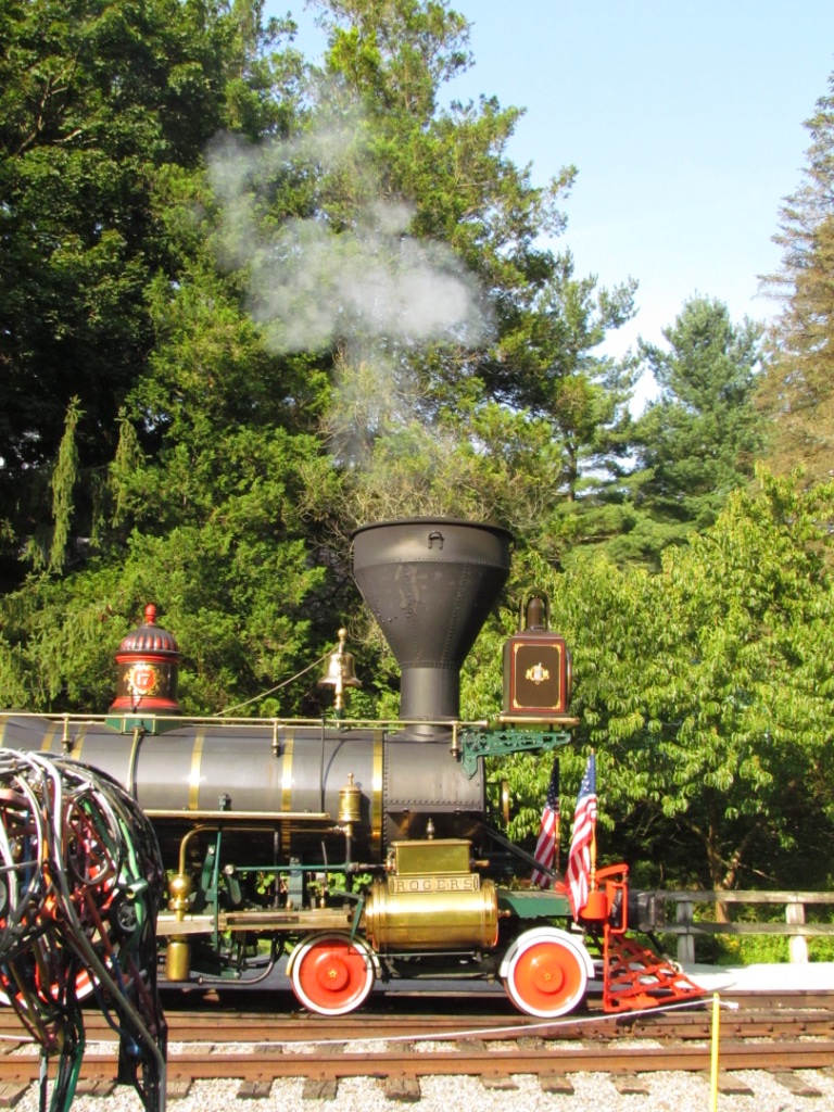
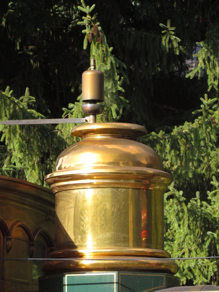
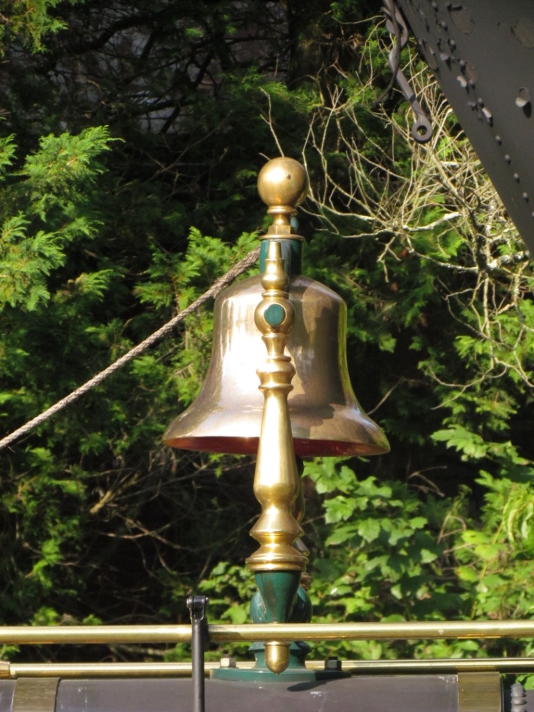
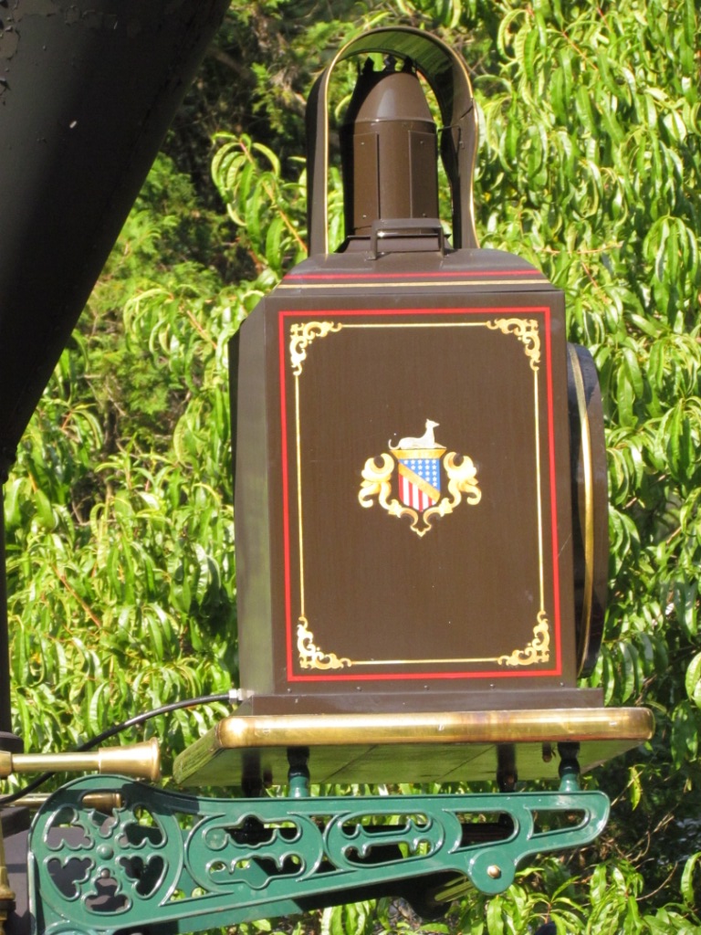
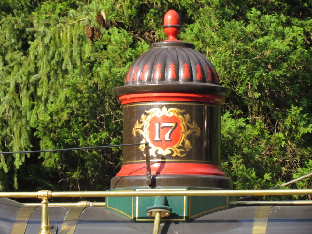
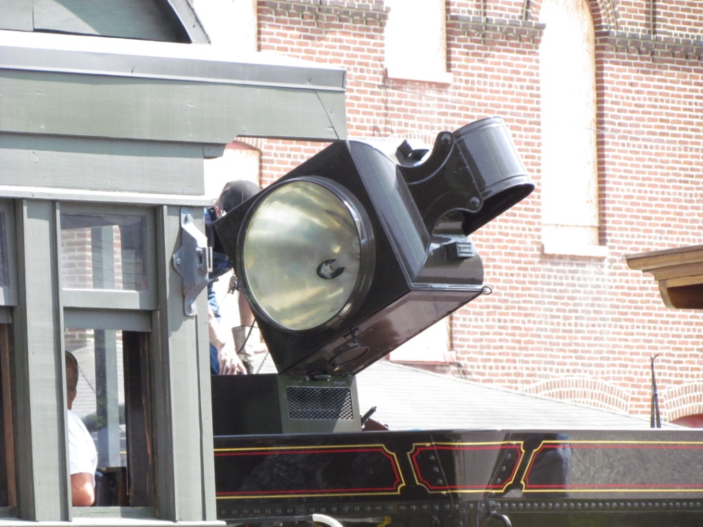
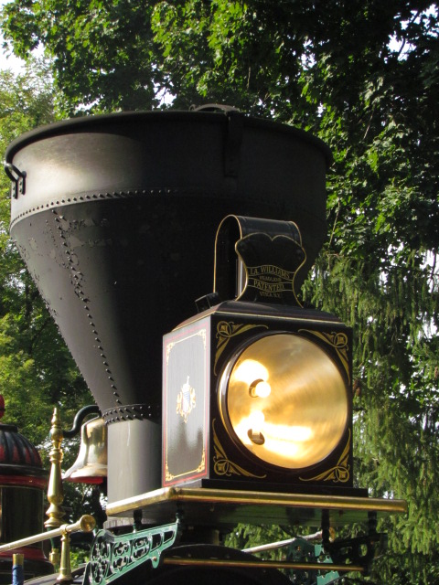
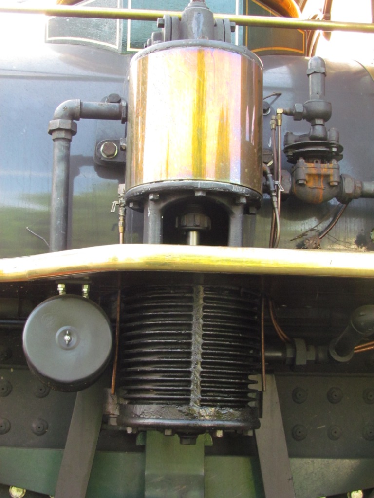
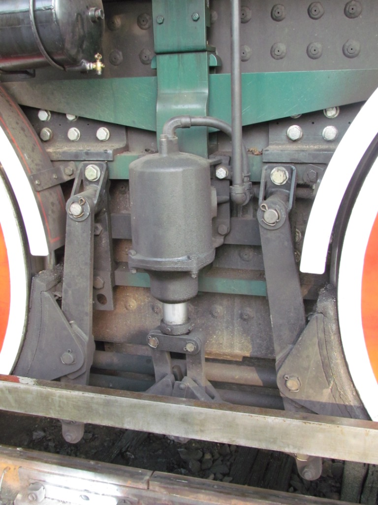
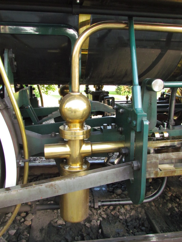
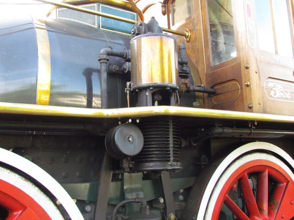
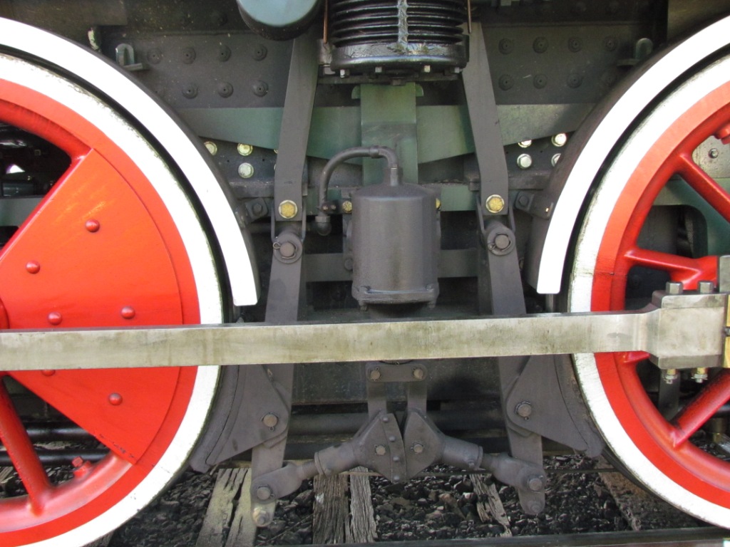
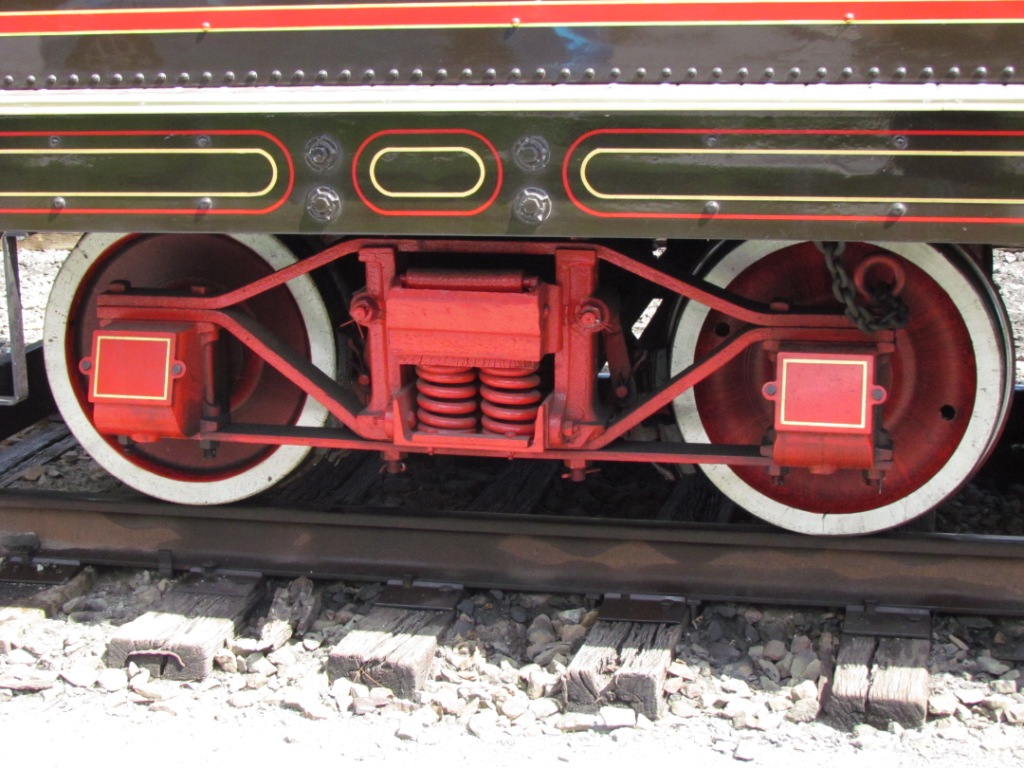
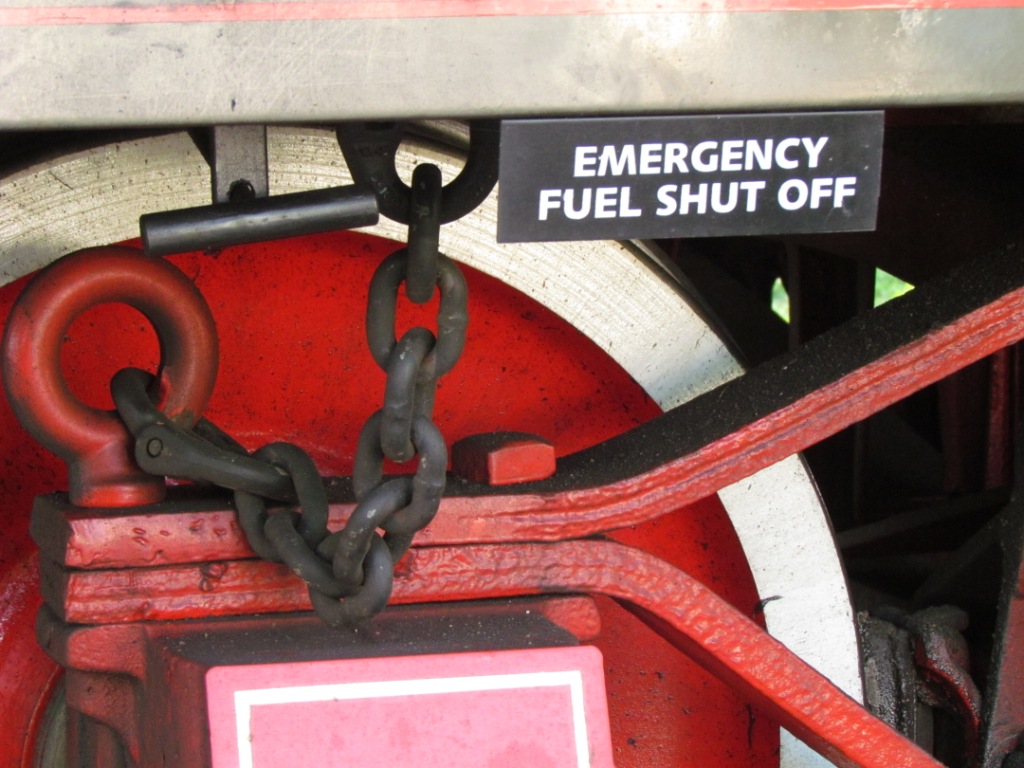
The Engine
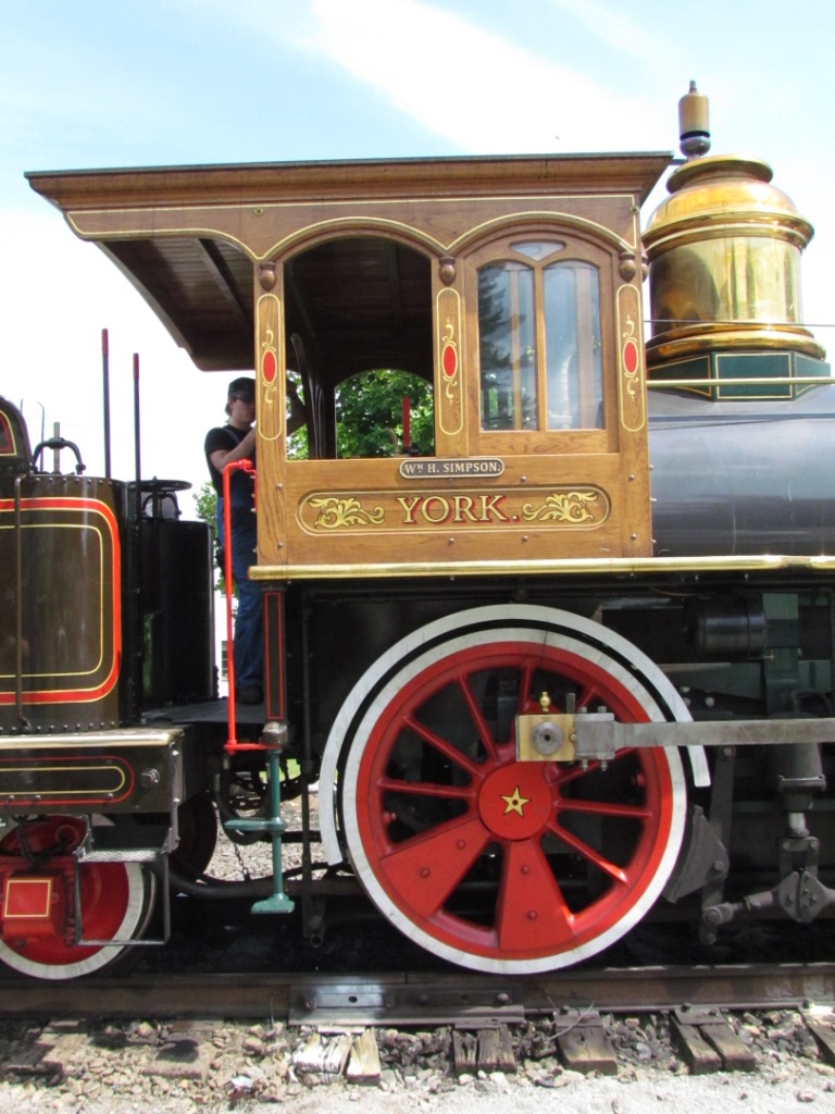
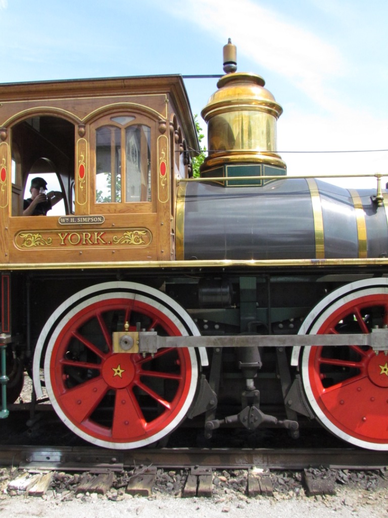


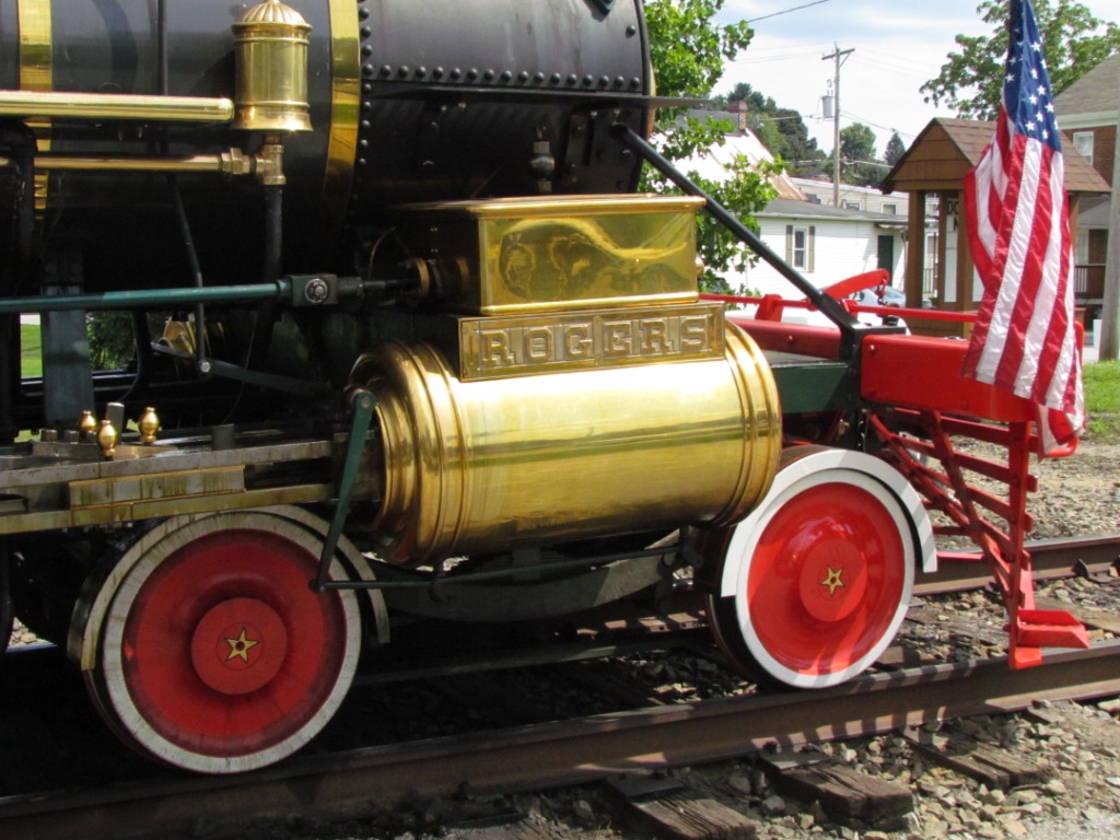
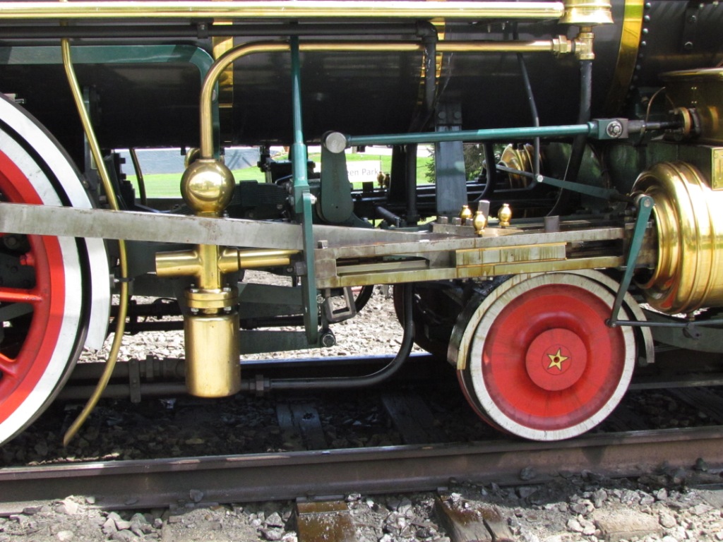
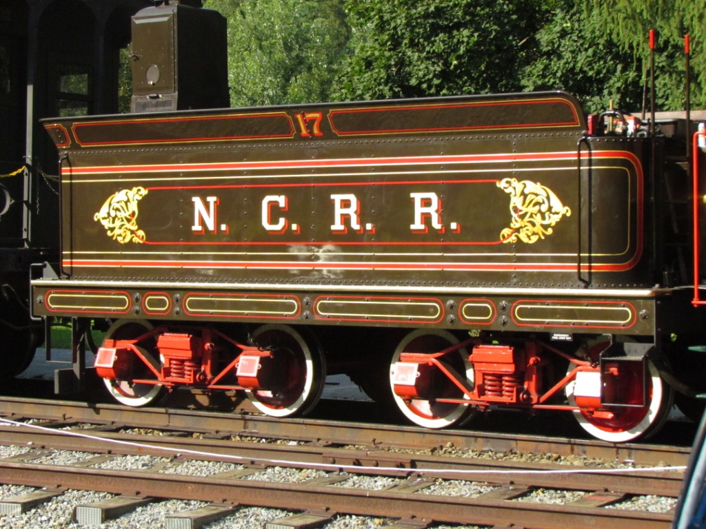
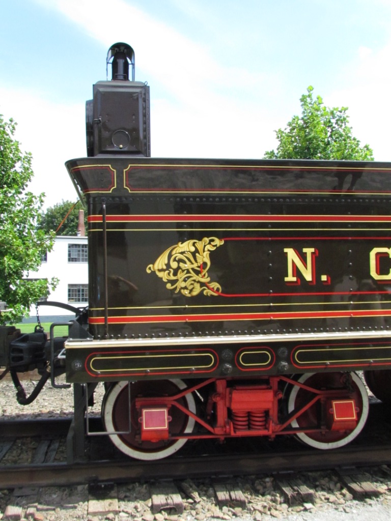
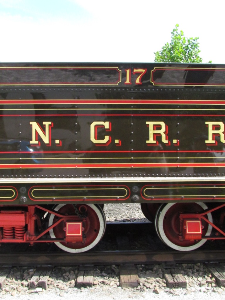
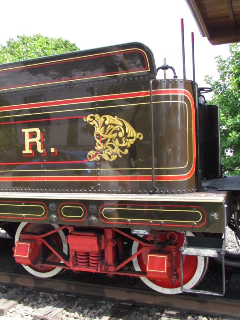
The Tender
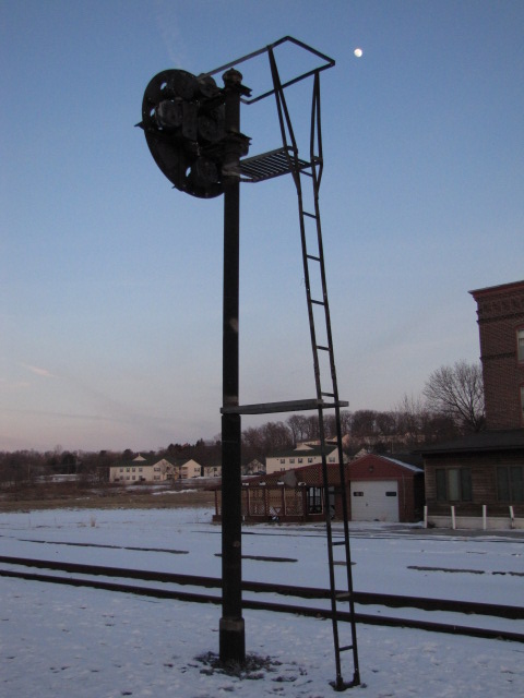
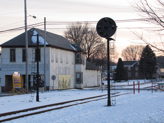
There really isn't much around left to look at in the way of signals. One complete signal is located adjacent to the depot, although my guess is that it was a half done restoration job done by the Northern Central dinner train folks, for it uses Safetran parts instead of the original US&S parts. While train chasing, I noticed a couple of other posts remaining along the hikey-bikey trail.

 More pictures on the New Freedom page.
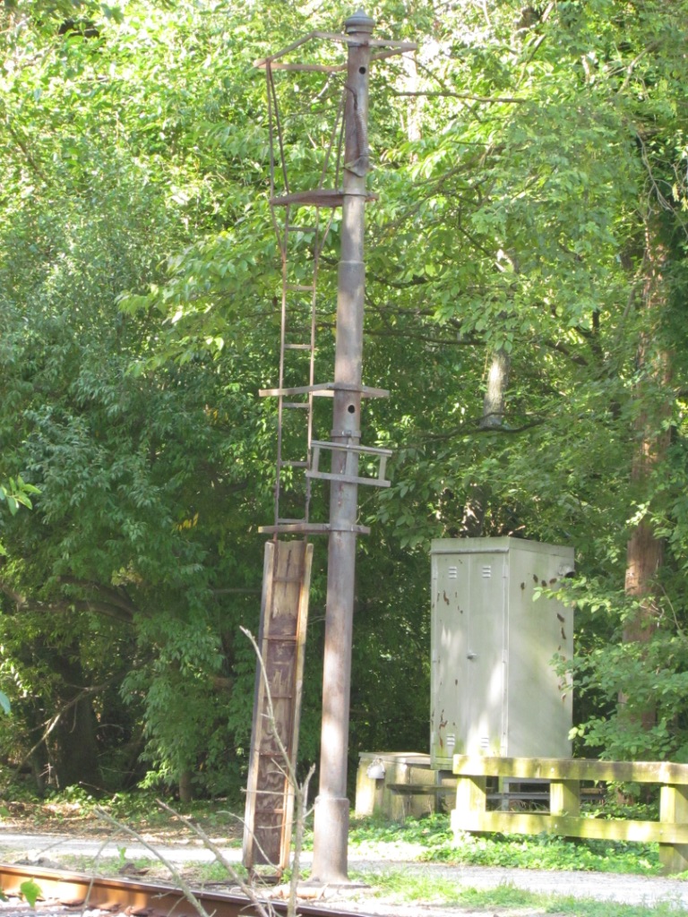 Typical of the masts left along the bike trail.
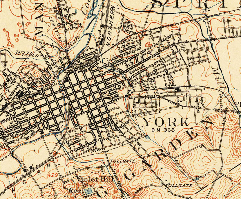
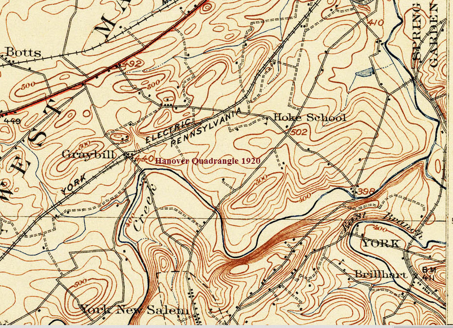
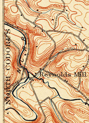
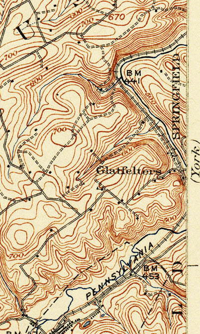
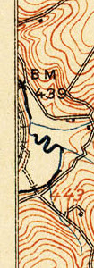
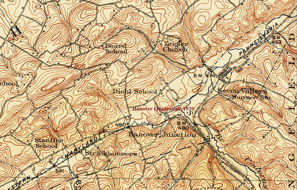
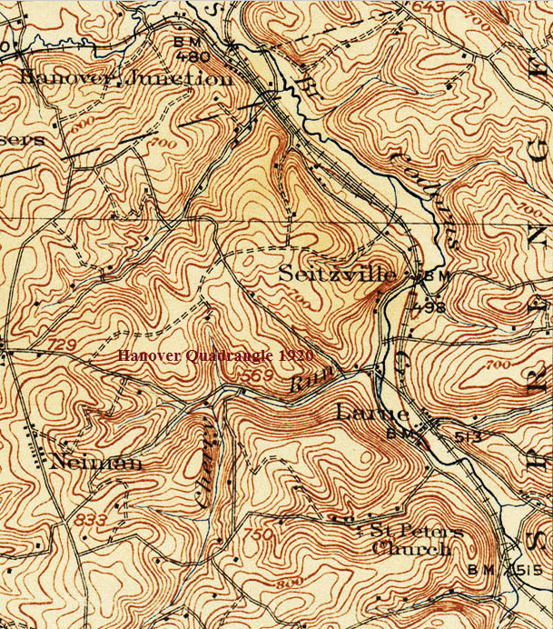
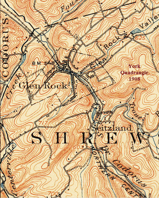
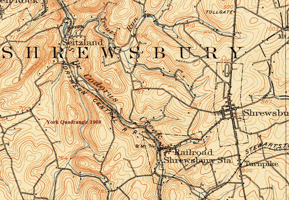
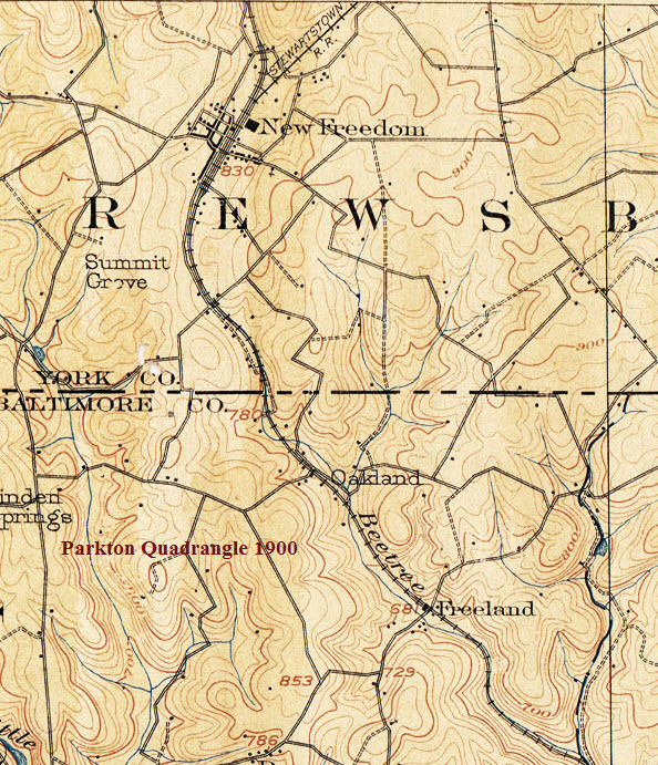
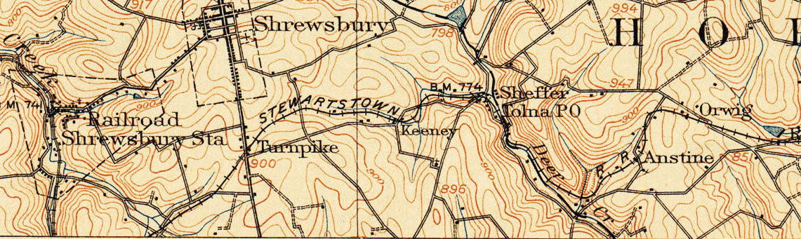
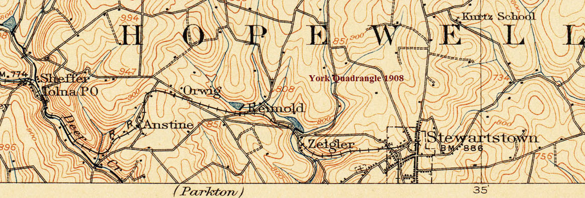
The maps are arranged from north to south. The USGS maps start in York and go south to New Freedom.
The maps are from the late 1800's or very early 1900's. (Some of) the maps are labeled with the quadrangle they come from.
........ And a side trip to Stewartstown.
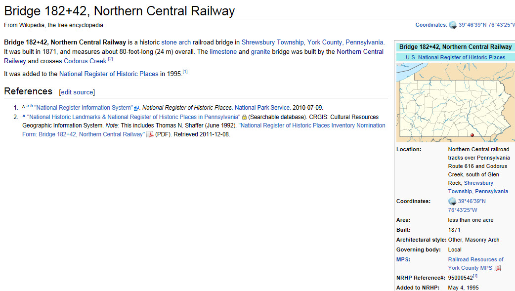
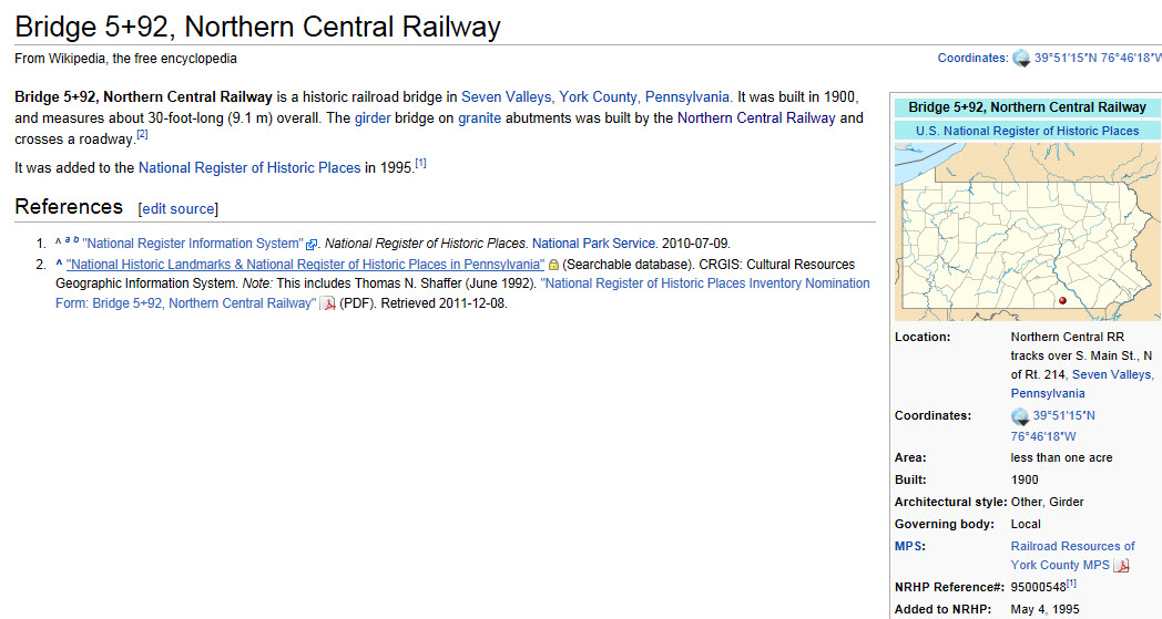
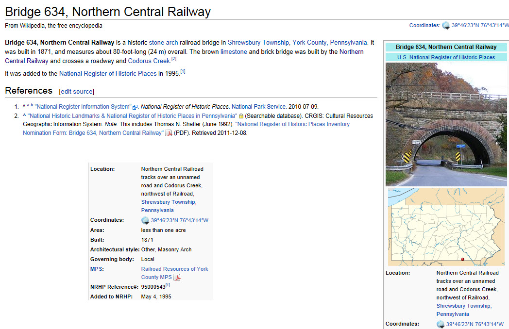
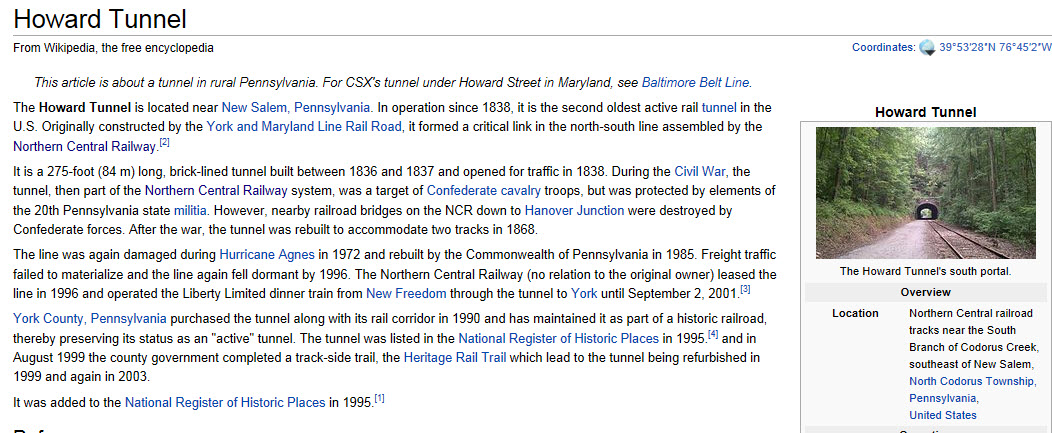
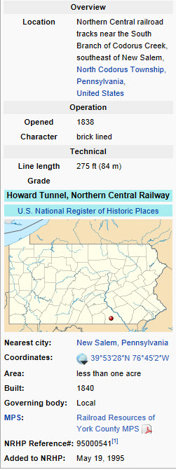
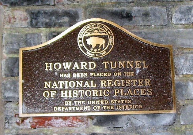
on the National Register of Historic Places
These all come from Wikipedia, and are referenced on the above link to the NCRR page.
I can not take credit for any of this info, I found it all on the web by searching for "Howard Tunnel".
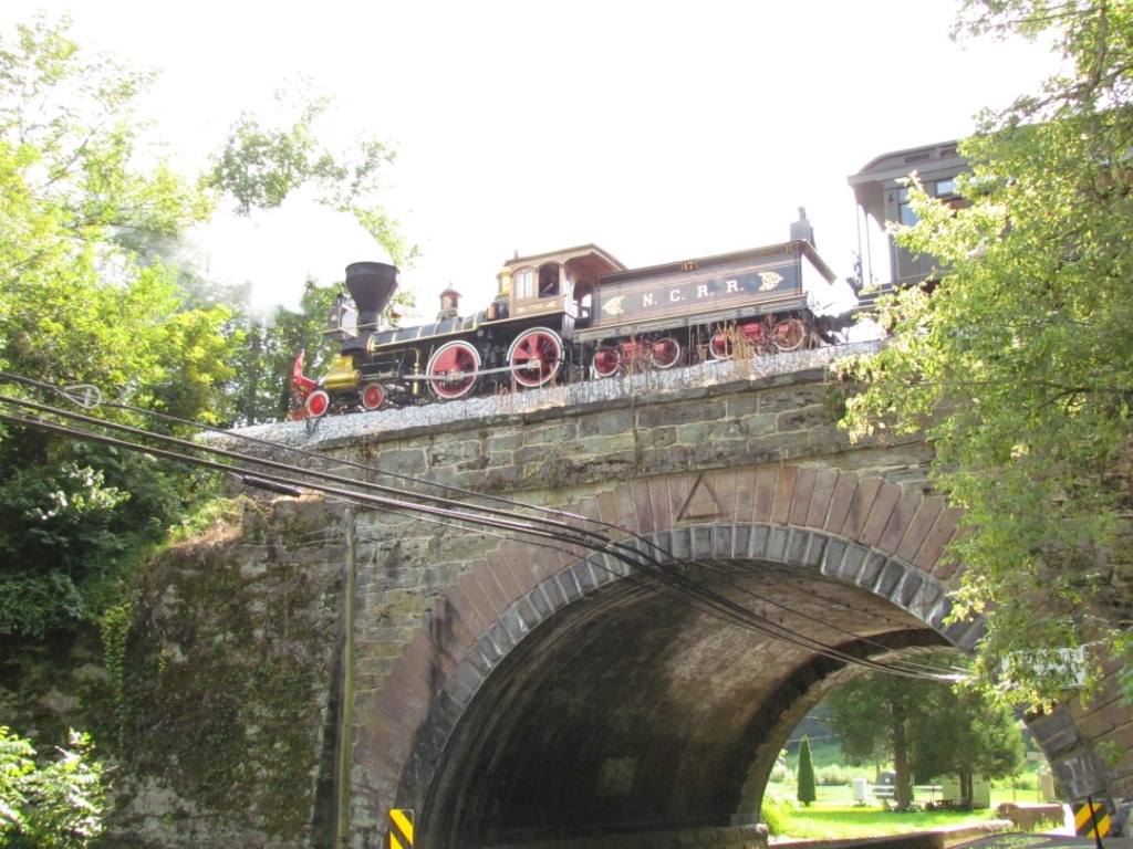
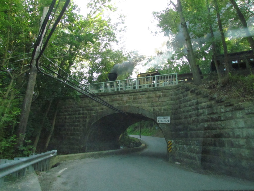
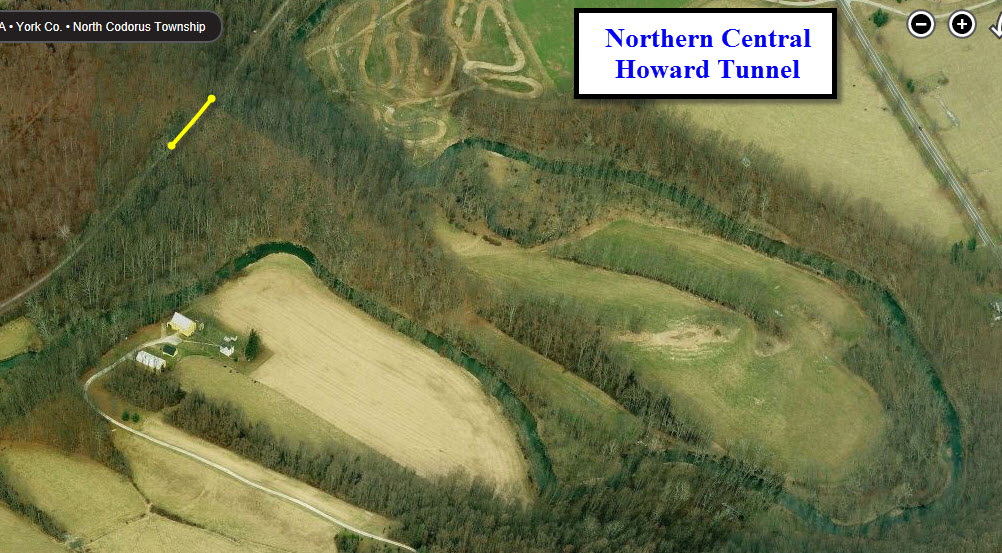
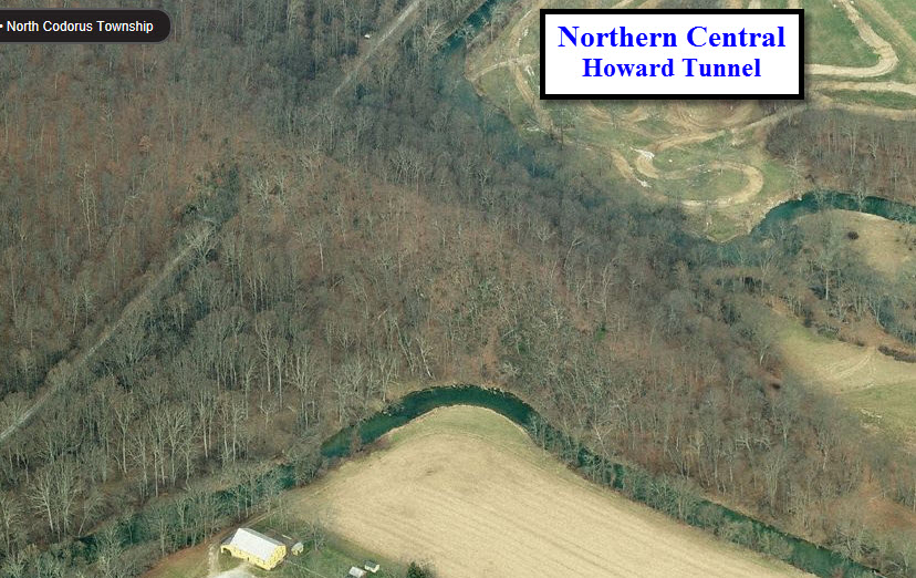
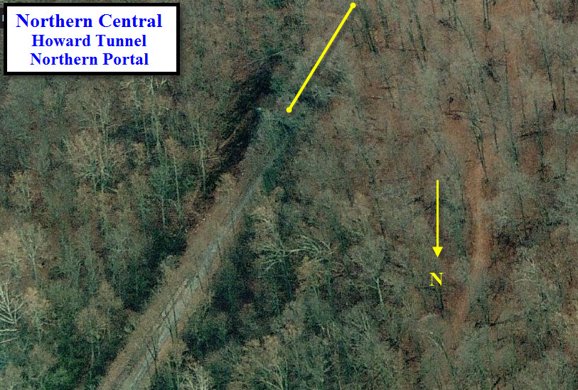
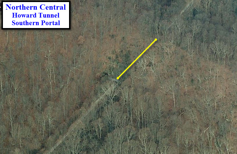
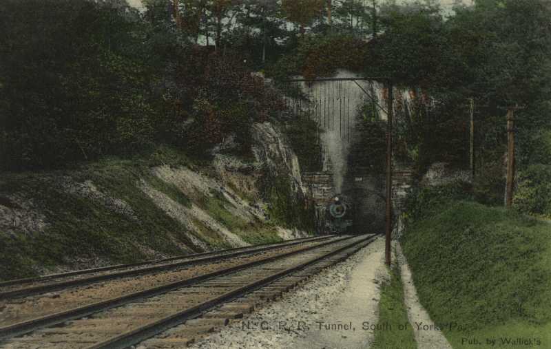
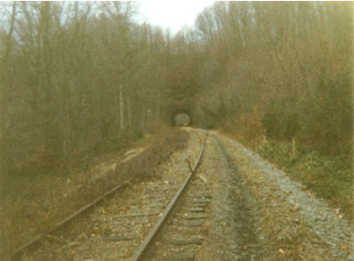
Approximately 5.5 miles south of the Colonial Courthouse is the Howard Tunnel. It is the oldest continuously operational railroad tunnel in the world. The brick lined, 370 foot tunnel originally opened for traffic in 1838. The tunnel was rehabilitated in 2003. See more at: http://www.visitpa.com/pa-railroads/howard-tunnel#sthash.noQoQ7qq.dpuf. Just north of Gladfelters, the creek makes a long and tight oxbow curve around a granite wall, and the railroad engineers drilled through 300 feet of rock rather than twist the line around the wall. The tunnel was completed and opened to traffic in 1838, although the stone facework was not completed until 1840.
The following comes from http://www.hanoverjunction.net/stories/howard_tunnel.htm
The identification marker on the east end of the tunnel shows "Howard - Built 1840." On the west end the identification reads "Howard Tunnel - Rebuilt 1868". The tunnel is located 50.6 miles north of Baltimore, between Glatfelters Station and Brillhart.
It is one of the oldest railroad tunnels in the United States, but not the first. “The first railroad tunnel in this country was constructed by 1833, four miles east of Johnstown, Pa. for the Allegheny Portage Railroad, now part of the Pennsylvania Railroad." (Association of American Railroads,1948) A second source agrees, "Another very early tunnel in the United States built 1831 33 was on the Allegheny Portage rail road four miles above Johnstown, Pa.” (Encyclopedia Britannica)
The ends of the tunnel are constructed of large cut stones similar to those masterpieces of hand craftsmen used widely in railroad construction work, such as bridges and retaining walls. The interior arch is entirely of brick construction of at least three layers.
Originally there was single trackage through the tunnel, but “in the early 1870’s the Northern Central double tracked its line from Baltimore to York.” (Pennsylvania Railroad 1846 1946)
At the time of construction there was no problem caused by trains passing in the tunnel. However, as freight cars increased in size, problems arose. Increased height of box cars was the start of problems due to the curvature of the arch of the tunnel. Whenever it was known that a freight train with a car exceeding the limits of the tunnel needed to pass, it was necessary to dispatch two car inspectors. They needed to be on hand at the tunnel at the time of the freight’s arrival in order to make it possible for the higher car to pass. The car inspectors would insert heavy jacks between the trucks and the car body. By this means they were able to tilt the car sufficiently to permit it to pass through the tunnel. By the time the line from Baltimore to York was again made single track, the high car problem no longer existed. By then, through freight traffic had practically disappeared from the old Baltimore Division, using instead the Low Grade Route along the Susquehanna River through Columbia, Pa.
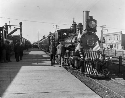
While searching for info on the NCRR and the bridges and tunnels, etc, I came across this photo taken in Montrose CO on the PB&N, unknown time period, but it looks very similar to the NCRR engine. It shows that the knuckle type coupler is not necessarily that out of place!
Pictures from the pre Agnes days in and around Baltimore
Cockeysville Road, Cockeysville MD, March 1972

Cockeysville Road, Cockeysville MD, February 1972
This picture is facing the opposite direction as the one above, a month earlier.

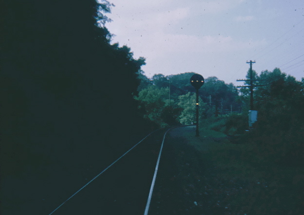
Northern Parkway, Baltimore MD, Mid 70's
This is the only picture I have of an intermediate signal on the PRR, ex Northern Central, just north of Northern Parkway, back in the old days when you didn't get in trouble for being on the right-of-way. The MTA's Light Rail now comes thru here, double tracked as it was back in the old days.
NEW 08/17/2013
Last Modified
25-Aug-2013