
In General
Getting Here
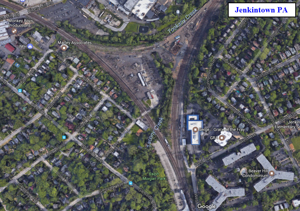
Map
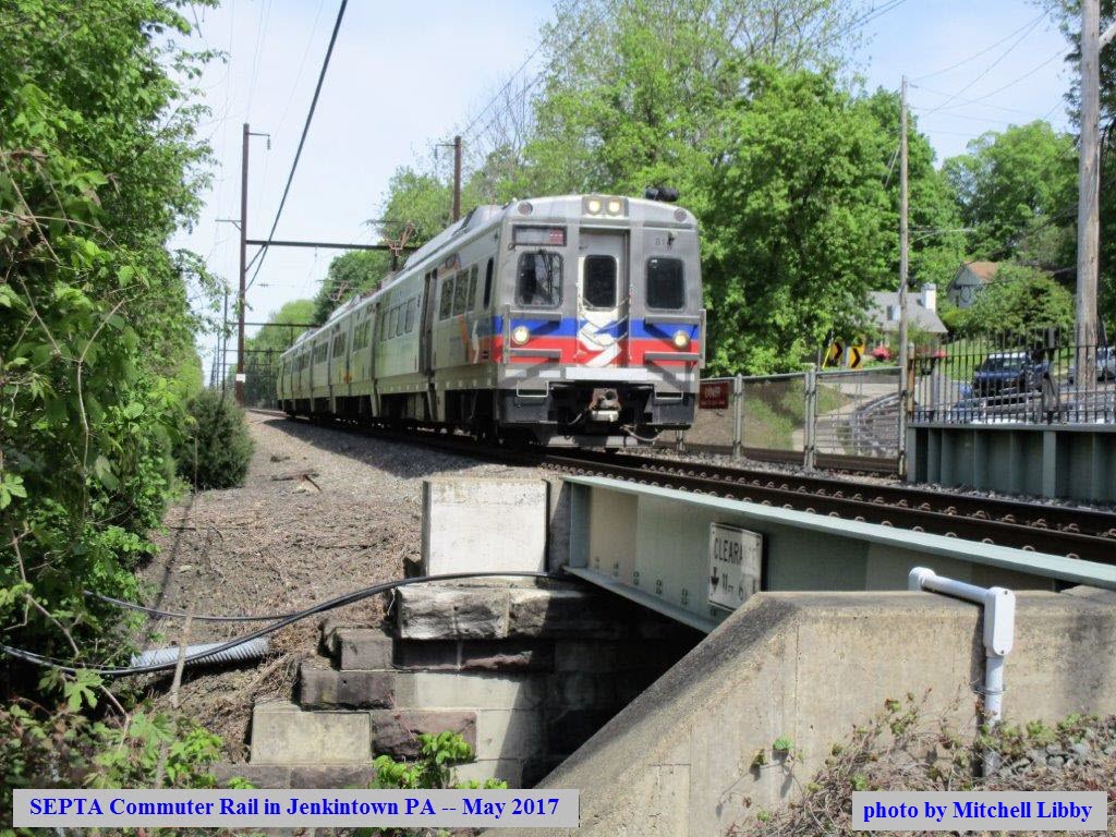
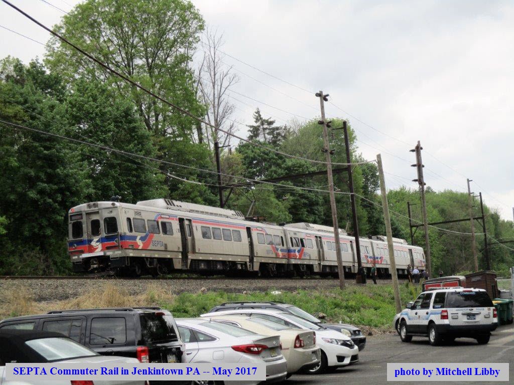
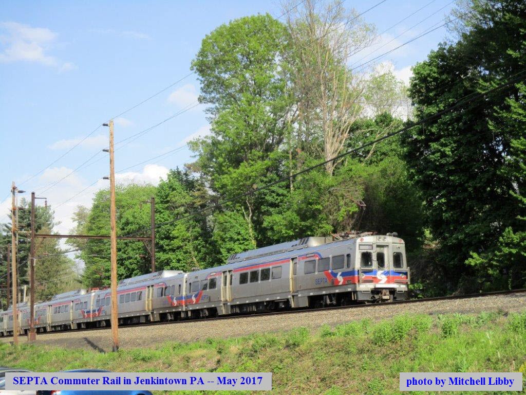
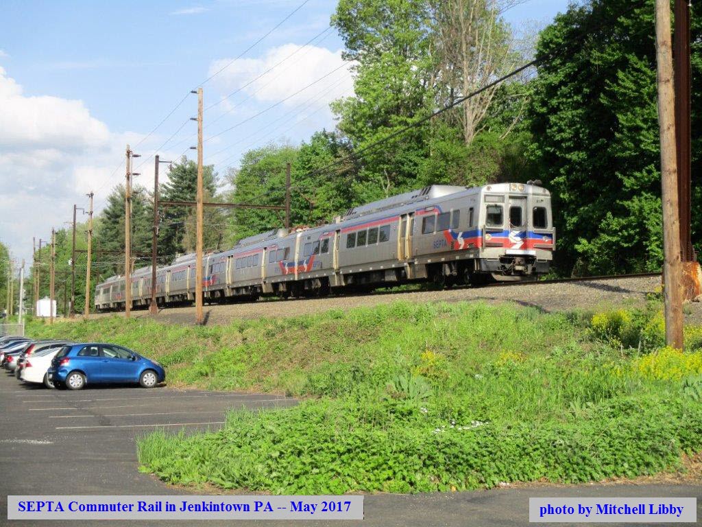
Pictures
Signals
Floobydust
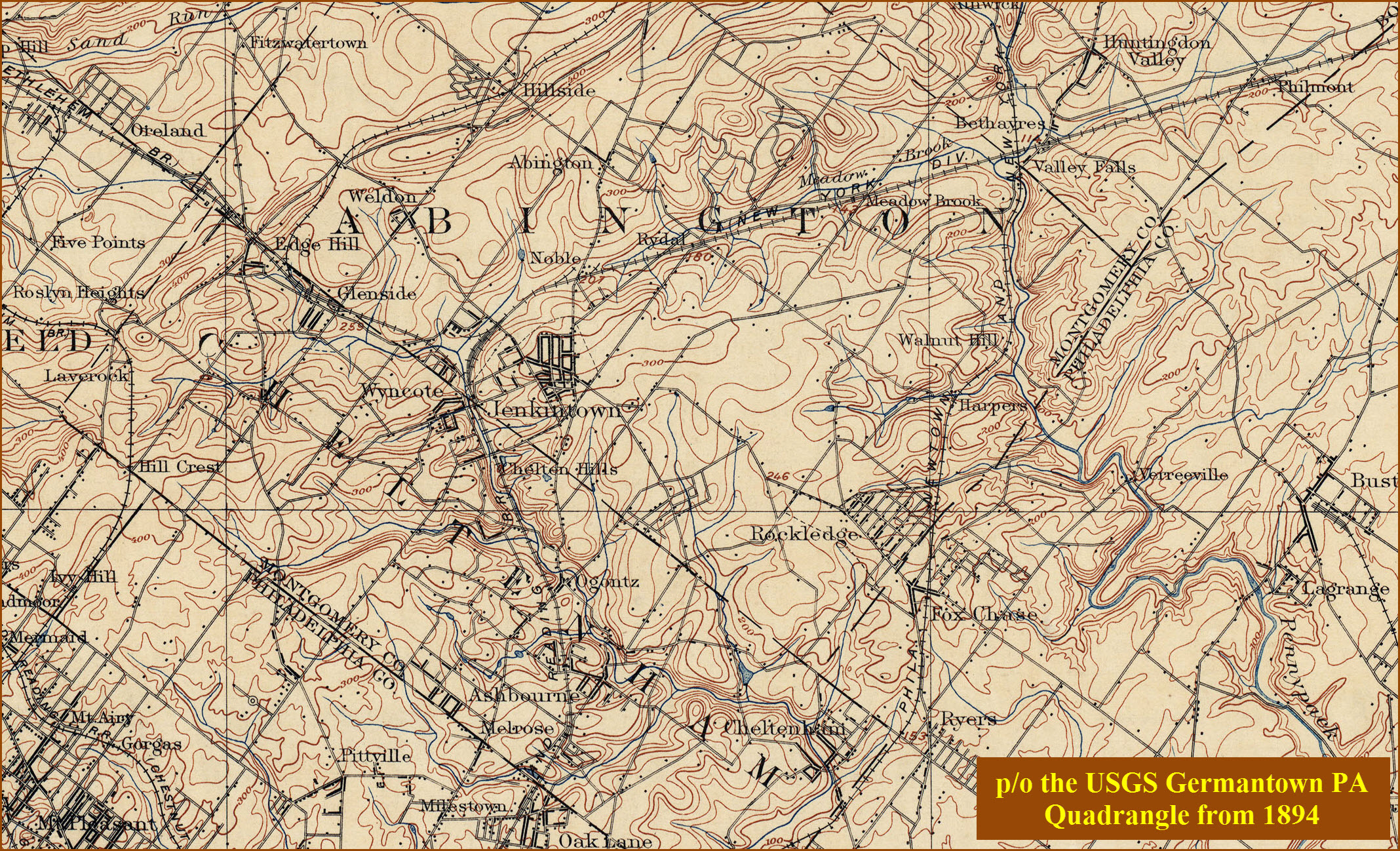
USGS Maps
SEPTA HOMEPAGE
RAILFAN GUIDES HOME
RAILROAD SIGNALS HOME
Location / Name:
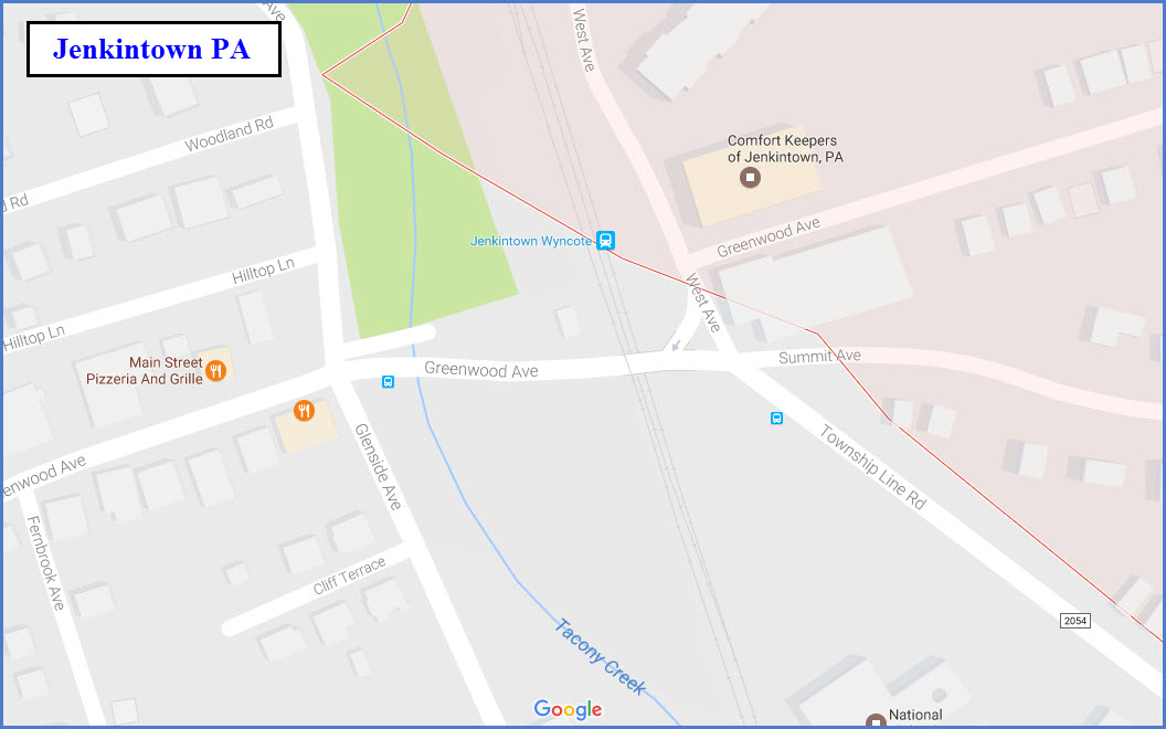
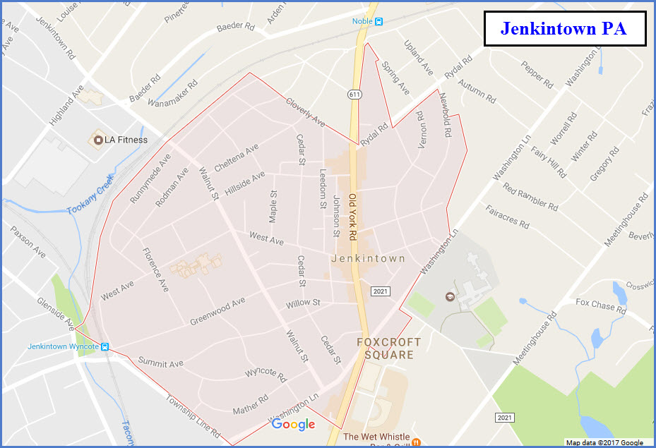
Jenkintown PA, Montgomery County
What's Here:
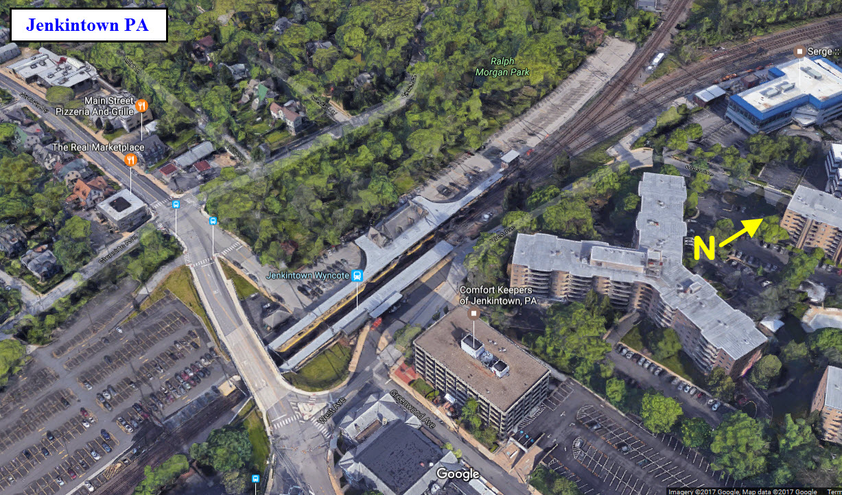
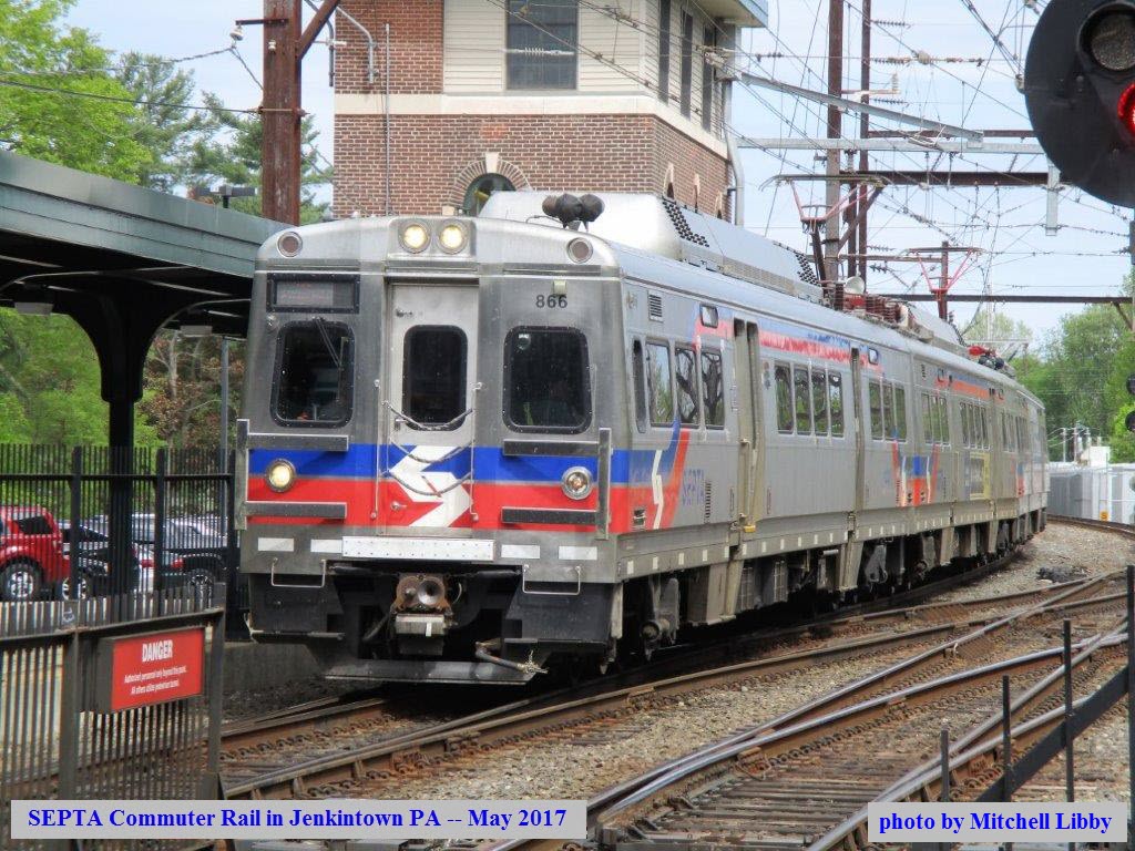
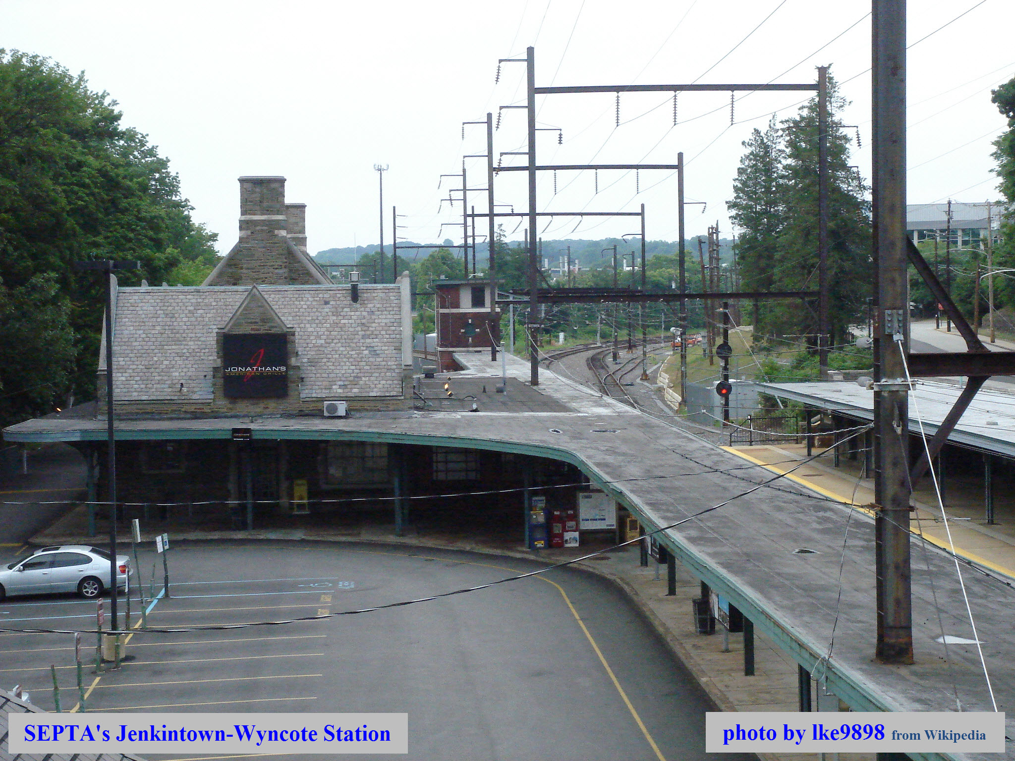
SEPTA's Jenkintown-Wyncote Station
SEPTA's West Trenton Regional Commuter Line
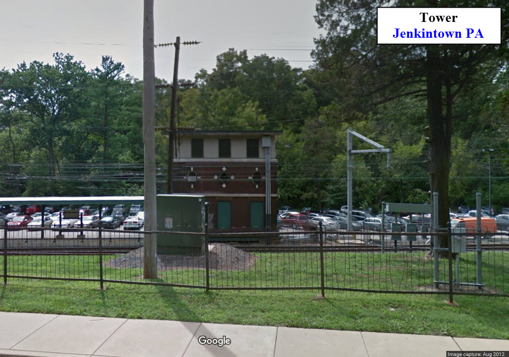
Tower at the north end of the NB platform
Data:
GPS Coordinates: 40.092729, -75.137528
ZIP: 19046
Phone A/C: 215
Access by train/transit:
SEPTA commuter rail
#77 Bus
The Scoop:
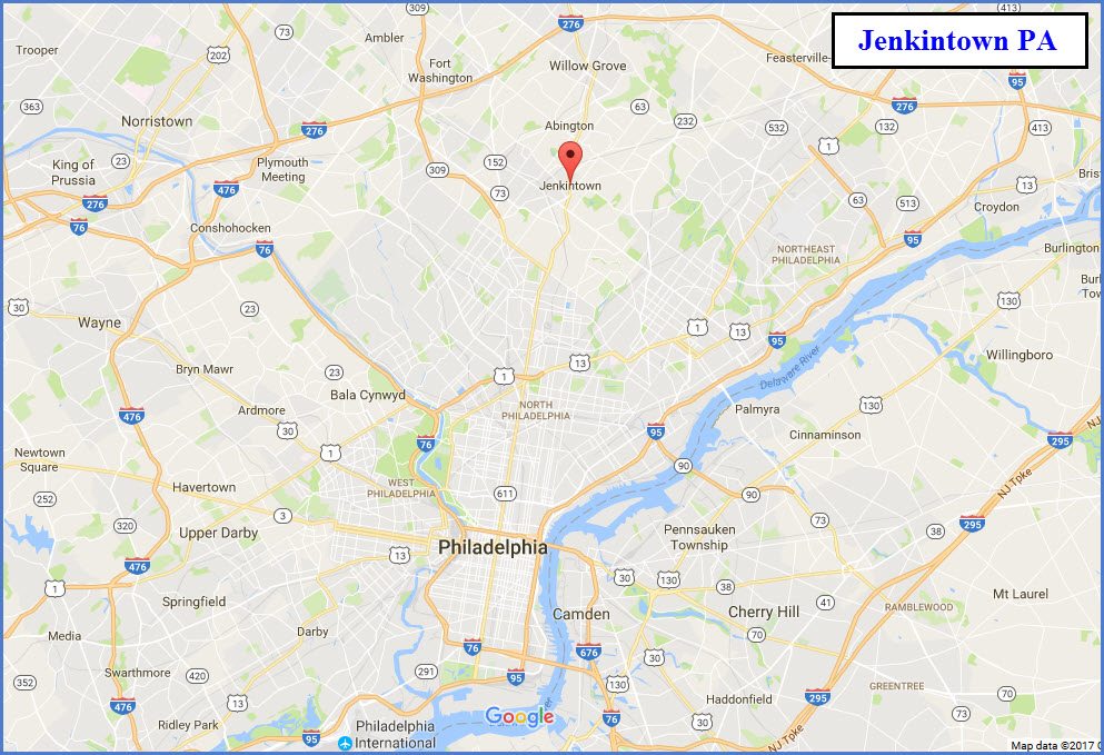
Jenkintown a suburb of Philadelphia PA, and is 9.76mi almost due north of 30th Street Station - it's on the (about) 1 o'clock radial.
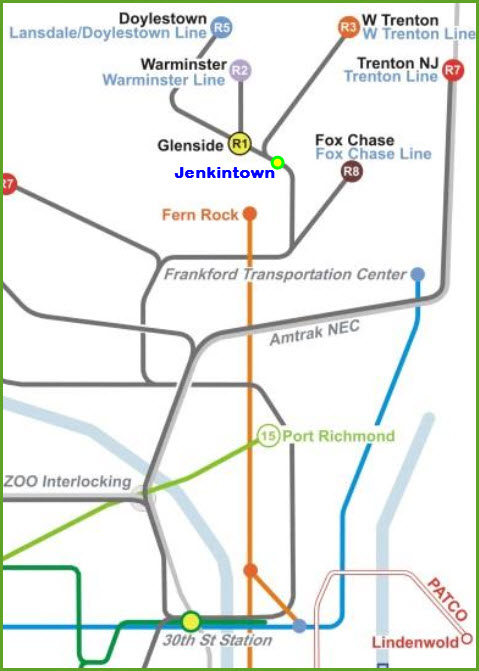
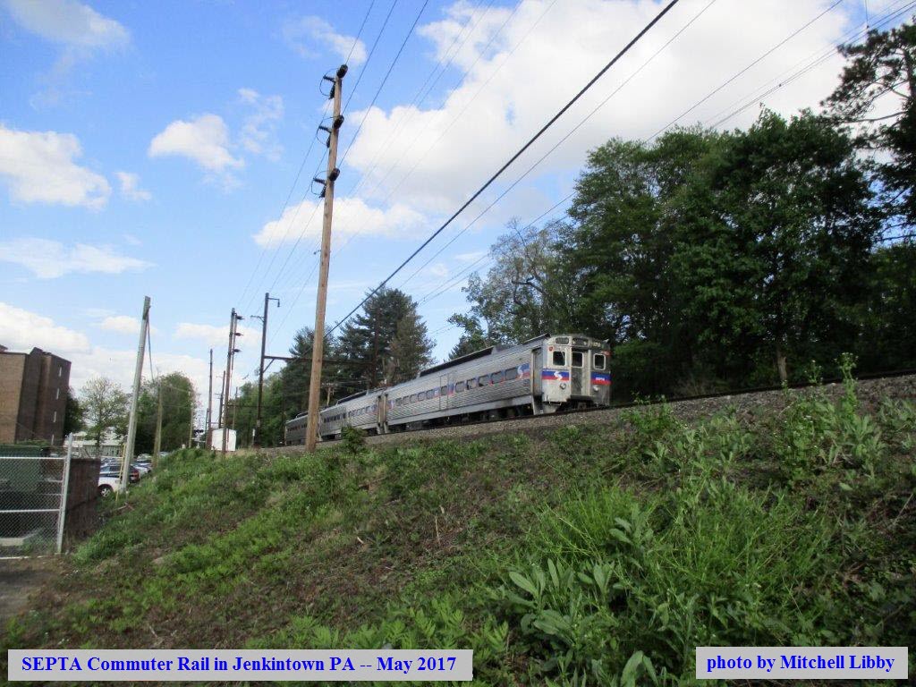
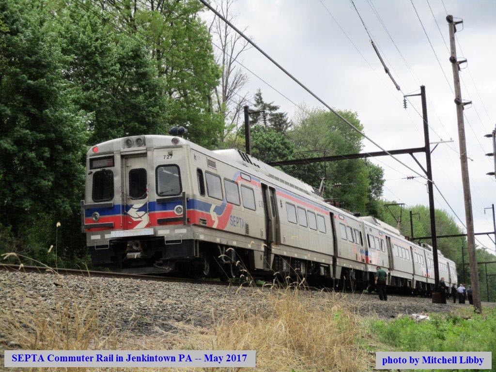
So what would bring you to Jenkintown? Commuter Trains. It is on several of SEPTA's rail commuter lines, and it a busy place for pictures although it is not on the NEC. Trains heading into downtown go in via the Reading route, so it bypasses the corridor.
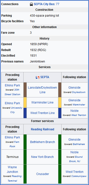
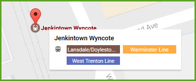
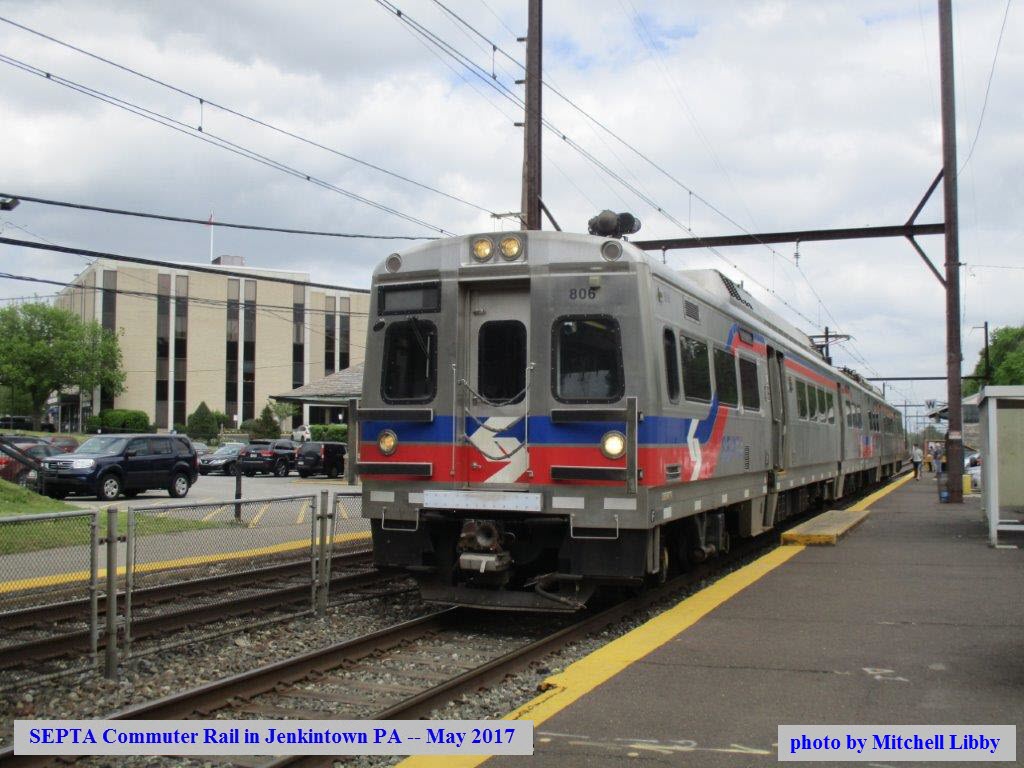
The Jenkintown-Wyncote station is on three SEPTA rail lines: 1) the West Trenton Line (R3), 2) the Warminster Line (R2), and 3) the Lansdale/Doylestown Line (R5). Activity through here is pretty high because of this. There used to be a wye just north of the station between the two branches.
My thanks to Mitchell Libby for the pictures used to create this page.
Acknowledgements:
Mitchell Libby
Google Maps
Websites and other additional information sources of interest for the area:
https://www.newflyer.com/
https://en.wikipedia.org/wiki/Jenkintown%E2%80%93Wyncote_station
Aerial shots were taken from either Google Maps or www.bing.com/maps as noted. Screen captures are made with Snagit, a Techsmith product... a great tool if you have never used it!
Exit 343 off of I-276 (Easton Rd, 611), which is part of the Pennsylvania Turnpike, so it is a toll road. Take Easton Rd south into Jenkintown - in Willow Grove at 263, it turns in York Rd. Take a right in 5.23mi (from the turnpike exit) onto Washington Lane, and then very soon, another right onto Township Line Road (73), which will take you to the station.
On the way down, at Baeder Road, you will pass SEPTA's Noble Rd commuter rail station.
From downtown, probably your best bet is to come north on Broad Street from City Hall. City Hall is ~1 mile from the 30th St Station. I Know it's a lot of lights to deal with on the 10-1/4 mile ride, but there is nothing easier. Stay on Broad Street almost all the way (9.63mi), till you hit Township Line Rd, and take a left to the station.
In the picture below, you may wonder why all of the people are on the tracks. The Hyundai Rotem train had just struck and killed a pedestrian between the Rydal and Noble station and was stopped while the accident investigation was going on.
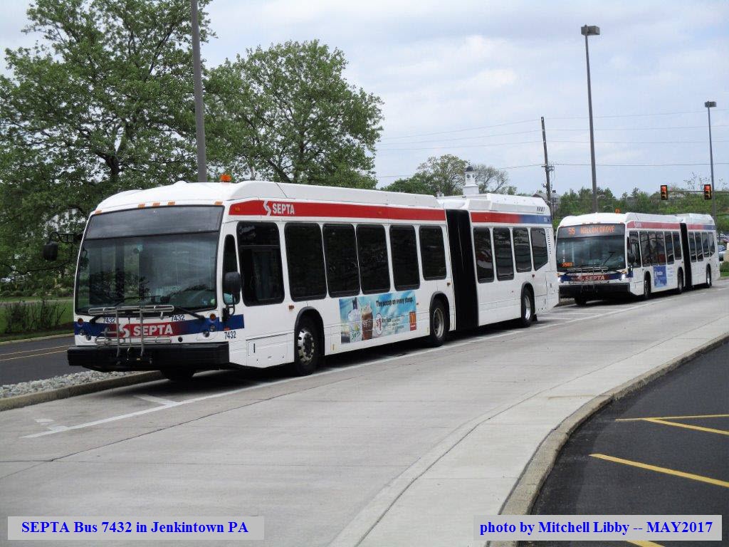
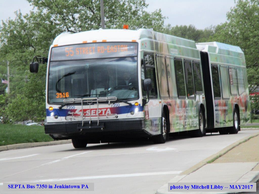
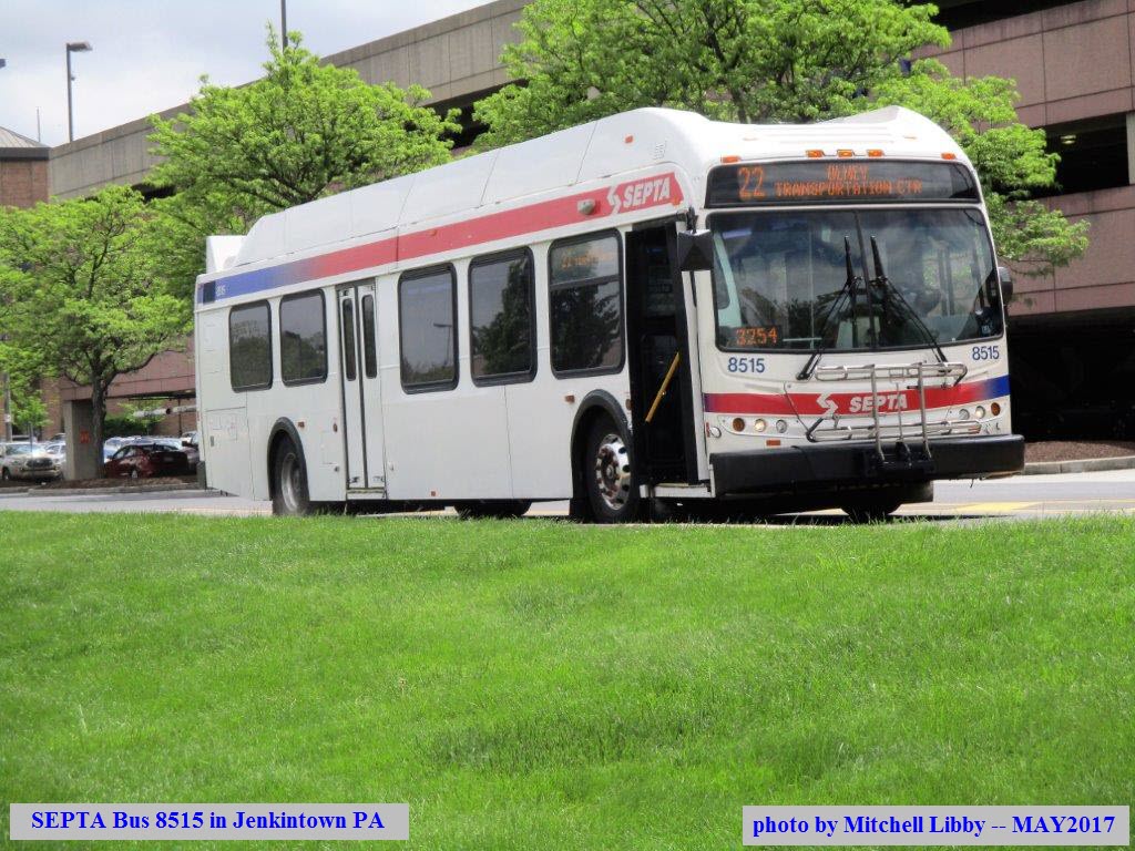
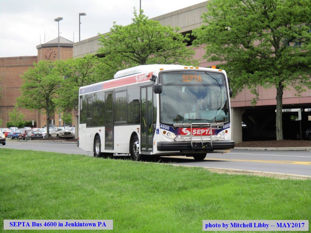
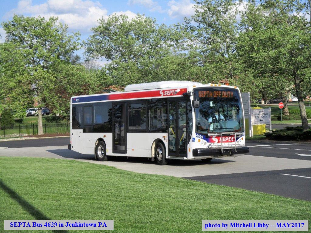
SEPTA Busses in and around the Station
The 4600 series buses are SEPTA's new New Flyer midi 30 buses. According to one of their salesmen, SEPTA has (as of April 2017) 35 of the Mini's. They run around $325K a copy. Not bad considering they have a 12 year warranty, and an advertised 500,000 mile lifespan!
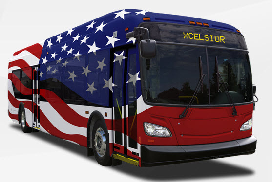 From the New Flyer website... I want one painted just like this as an RV! :-)
 NB "Trilight" Colorlight
Located along the NB platform for the upcoming split.
There used to be a wye located to the north of the station. There is
still some track on the ground for the wye track, but it is not accessible.
In the middle of the wye is a sub-station.
Courtesy of the University of Texas Library, click here for their index page.
Disclaimers:
I love trains, and I love signals. I am not an expert.
Please Note: Since the main focus of my two websites is railroad signals, the railfan guides are oriented towards the signal fan being able to locate them. For those of you into the
modeling aspect of our hobby, my indexa page has a list of almost everything railroad oriented I can think of to provide you with at least a few
pictures to help you detail your pike.
If this is a railfan page, every effort has been made to make sure that the information contained on this map and in this railfan guide is correct. Once in a while, an error may creep in :-)
My philosophy: Pictures and maps are worth a thousand words, especially for railfanning. Text descriptions only get you so far, especially if you get lost or disoriented. Take along good maps....
a GPS is OK to get somewhere, but maps are still better if you get lost! I belong to AAA, which allows you to get local maps for free when you visit the local branches. ADC puts out a nice
series of county maps for the Washington DC area, but their state maps do not have the railroads on them. If you can find em, I like the National Geographic map book of the U.S..... good, clear, and
concise graphics, and they do a really good job of showing you where tourist type attractions are, although they too lack the railroads. Other notes about specific areas will show up on that page if
known.
Pictures and additional information is always needed if anyone feels inclined to take 'em, send 'em, and share 'em, or if you have something to add or correct.... credit is always given! BE NICE!!! Contact
info is here
Beware: If used as a source, ANYTHING from Wikipedia must be treated as being possibly being inaccurate, wrong, or not true.
BTW, floobydust is a term I picked up 30-40 years ago from a National Semiconductor data book, and means miscellaneous and/or other stuff.
RAILFAN GUIDES HOME
RAILROAD SIGNALS HOME
NEW
05/05/2017
Last Modified
05-May-2017