
RAILFAN GUIDES of the U.S.
Todd's Railfan Guide to
ALTOONA - PA
West
Altoona to South Fork
RAILFAN GUIDES HOME
RAILROAD SIGNALS HOME
The guides for the Altoona area are
divided into the following maps:
Index page
Altoona
Proper
Altoona West
Altoona East
Horseshoe
Curve
Gallitzin
Cresson
the East Broad Top RR
Railfan Guide
the
Rockhill Trolley Museum
The trek between Altoona and South Fork has more railroad "stuff" than perhaps anywhere else in the U.S. .... Just a guess....
These sights include: Horseshoe Curve; the Gallitzin tunnels; Cresson with the helper facility, the railroad park, and the Station Inn; and oodles of photo opportunities.
Enjoy your visit!
The above map is here as a PDF
A
"A" sights will be found on the main Altoona page here
1 Horseshoe Curve
Horseshoe Curve is covered here
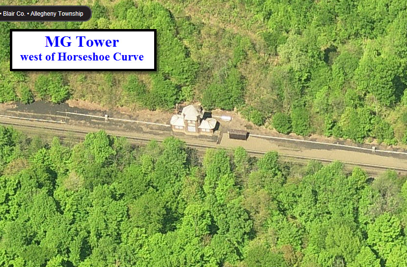
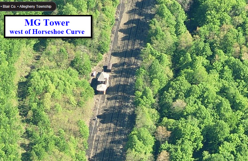
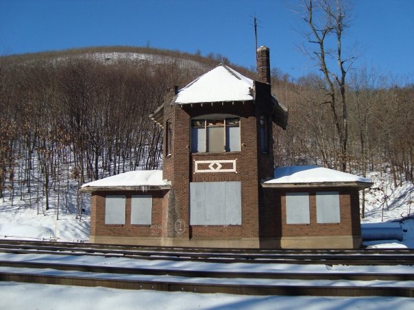
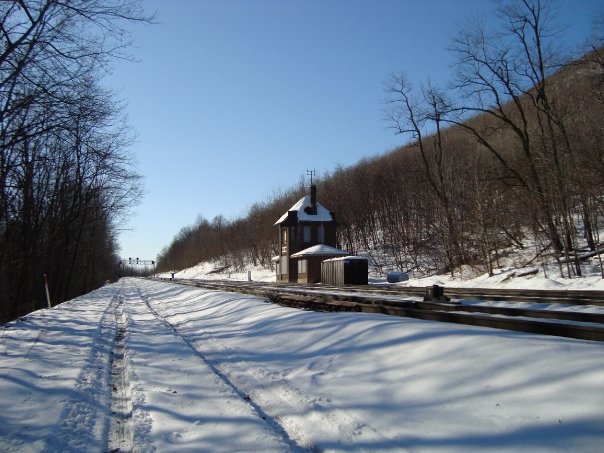
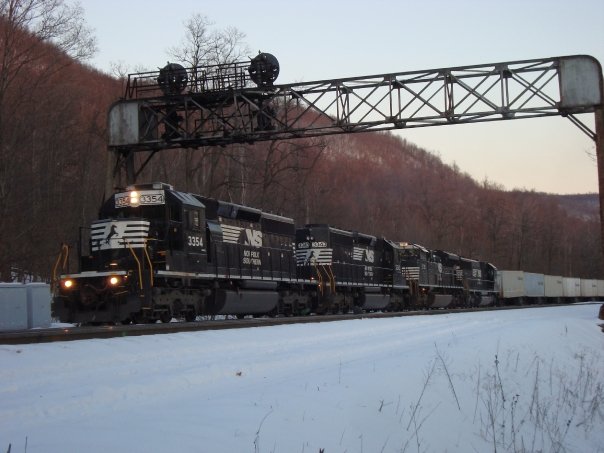
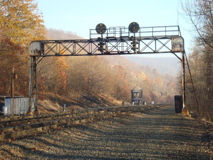
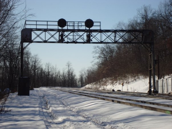
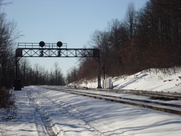
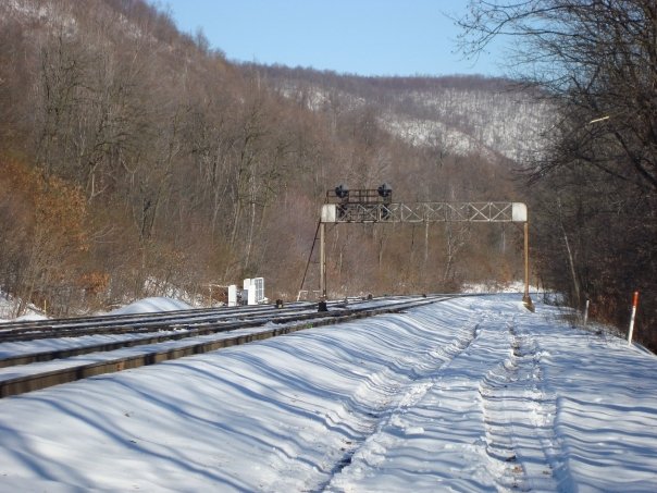
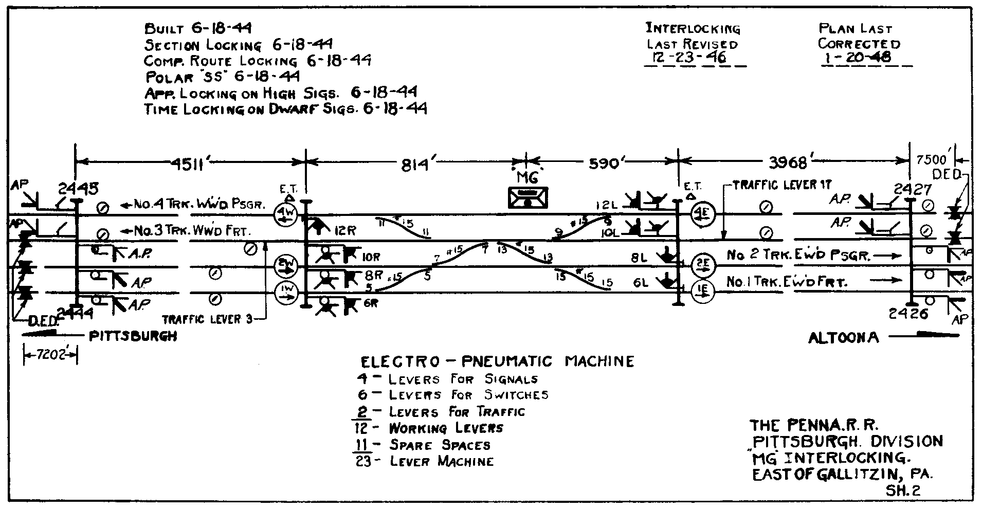
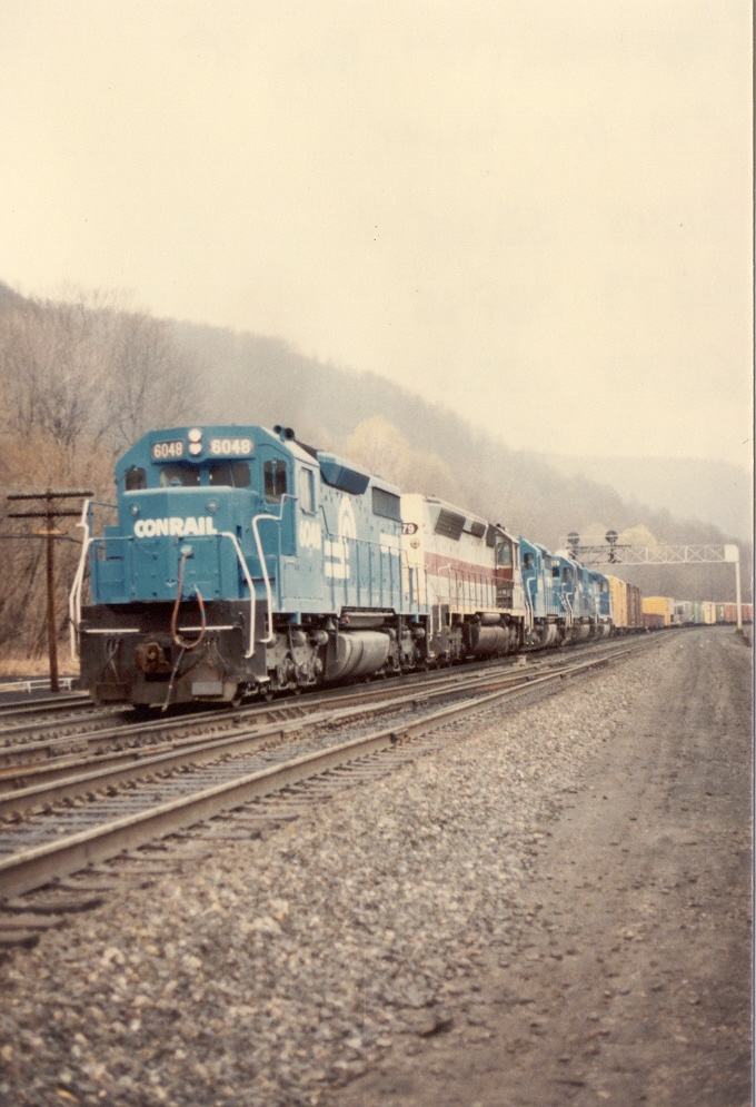
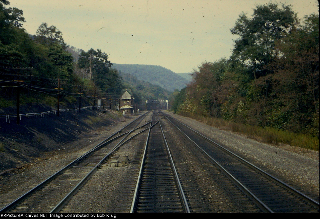
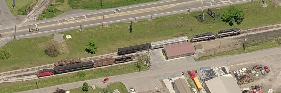
2 MG Tower
Located on the eastern slope of the Allegheny Mountain, MG Tower was in control of the only interlocking between Altoona and MO in Gallitzin. Built in 1944, it was taken out of service in 1994.
This first set of 8 pictures comes from Marc Lingenfelter, and details the signals..... Many thanks for sending them in!

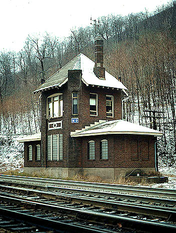 Picture by Dave Dupler
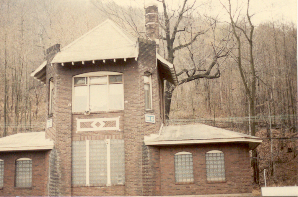 Picture by Larry Reynolds
The pictures below were found here
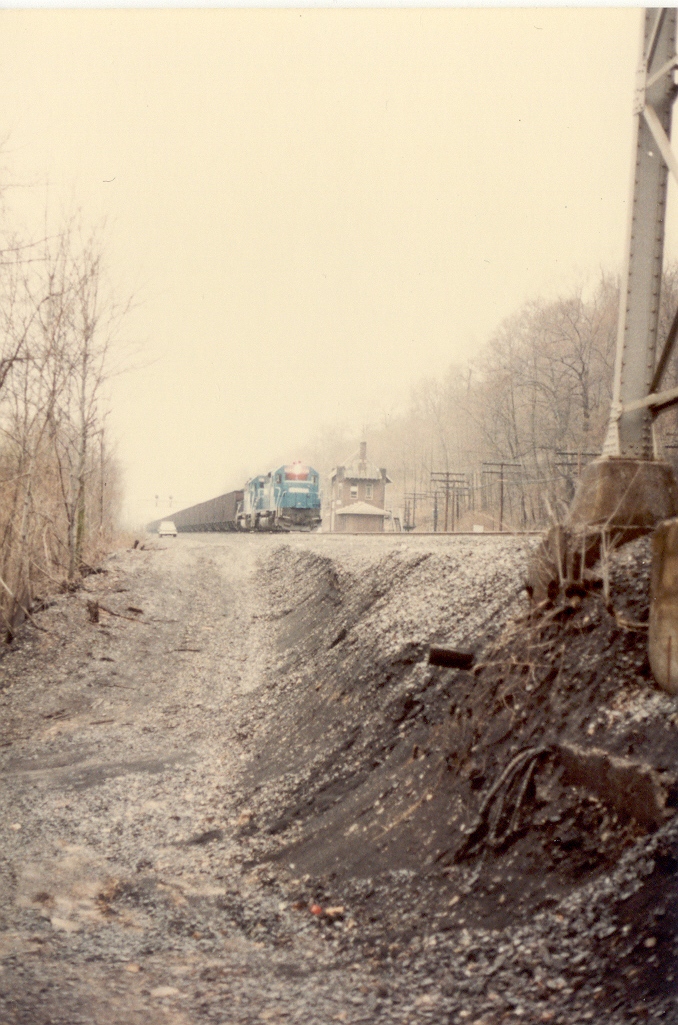
Looking down the hill towards Horseshoe Curve, across the
interlocking at MG Tower, is this picture by capwell
It shows off the EB signals really well.
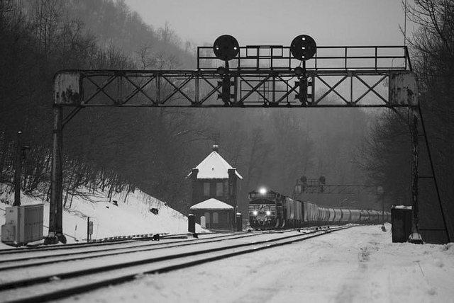
The picture below is from 1989......
The caption by the photographer reads:
Taken from the rear vestibule of the Leonard Buxton; private
varnish carrying the markers on the westbound Pennsylvanian. (Leonard
Buxton is my best friends father, and one of the most avid railfans I have
ever had the pleasure to know!)
3
Gallitzin Tunnel - Gallitzin
Allegheny
Tunnel -
Gallitzin
4
New Portage Tunnel - Gallitzin
5 Tunnel Hill Park - Gallitzin
6 AR Tower - Gallitzin
These sights will be found on the Gallitzin page.
7 Allegheny Portage RR
The Allegheny Portage Railroad was the first way to travel west towards Ohio using rail. The only problem were the hills and mountains of Pennsylvania, which posed a great barrier to the railroads of the early 1800's. This was solved by using a series of steam powered inclines to pull basically what amounted to a boat, up the sides of the mountains to reach either the railroad or rivers. If they were going to a river, the boats would be put back into the water till it again came to either another incline or the railroad. It is a most interesting part of railroad history, and should be on every railfans "to do" list.
The APR's website by the National Park Service is here
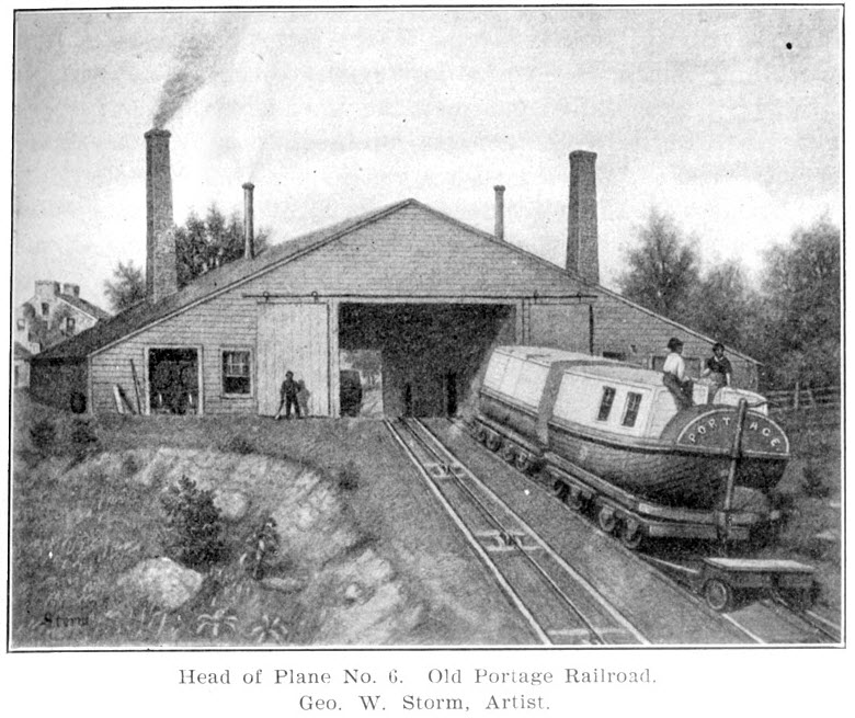
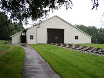 Photo from Wikipedia, taken by Matthew A. Lynn.
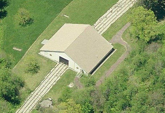
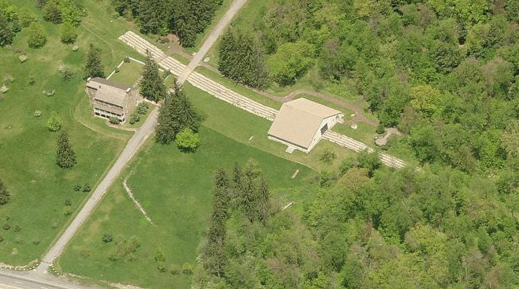
 Aerial shots from Bing Maps
 Huge map, and it's already been reduced :-).... from Wikipedia
8 Heritage Park - Cresson
9 Station Inn - Cresson
10 Helper Facility - Cresson
These sights will be found on the Cresson page.
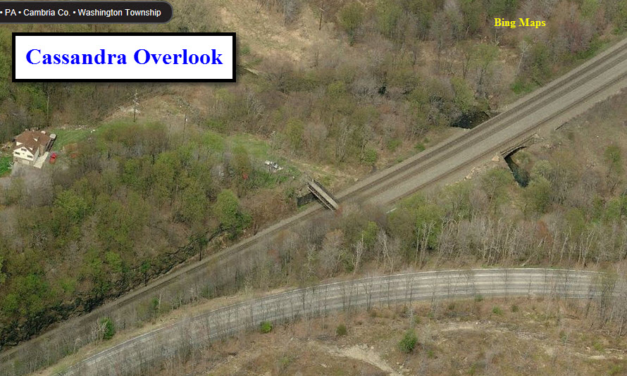
11 Cassandra Overlook
This vantage point offers a great view of WB trains, and is not all that hard to drive to.
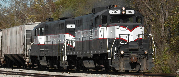
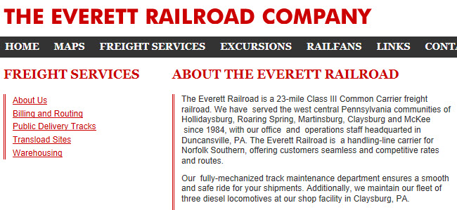
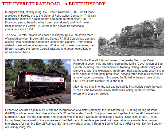
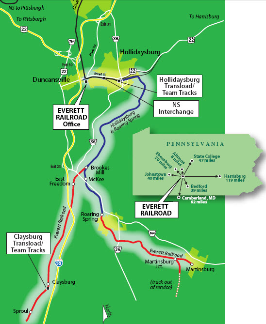
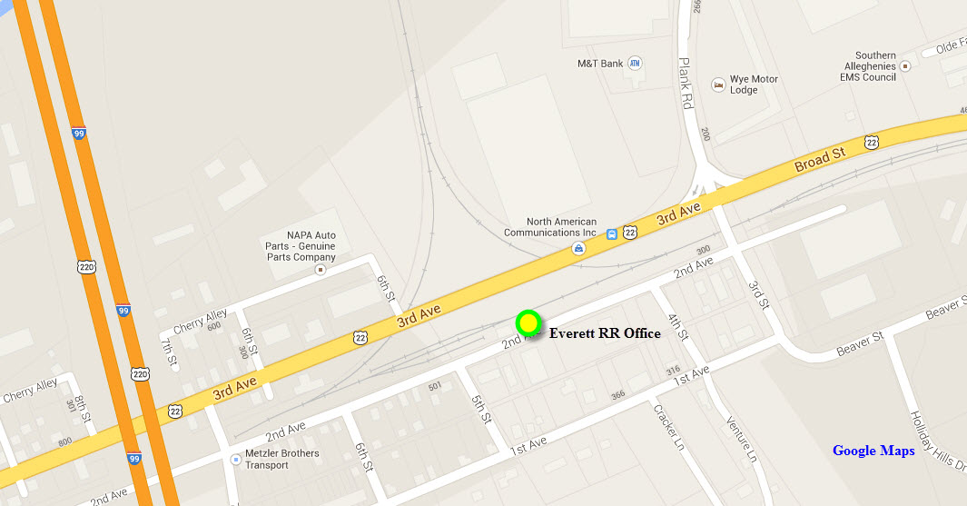
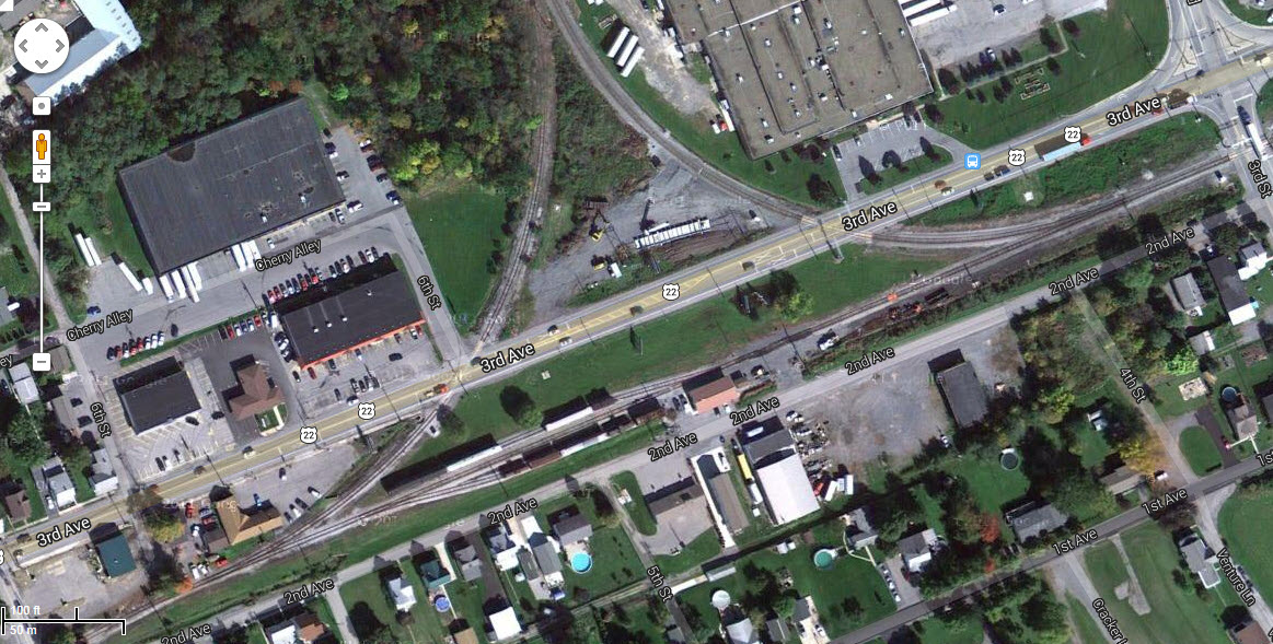
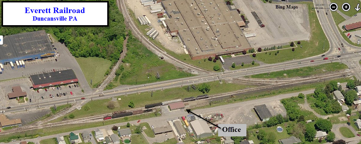
12 Everett RR - Duncansville
Much more information is on their website here
A lot more pictures and information can be found here: http://www.davedupler.com/pa/altoona.html
NEW 12/28/2012
Last Modified 22-Sep-2013