In General
Map
Train Pix
Sights
Additional Maps
Signals
Floobydust
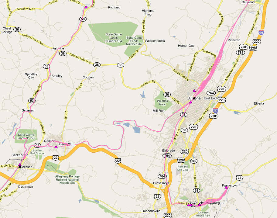
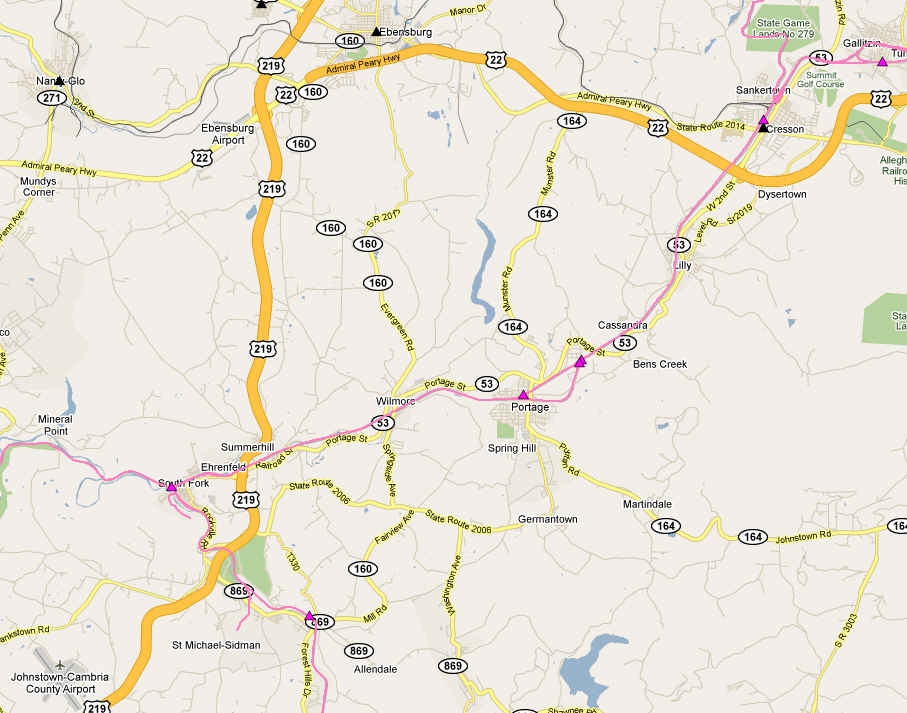
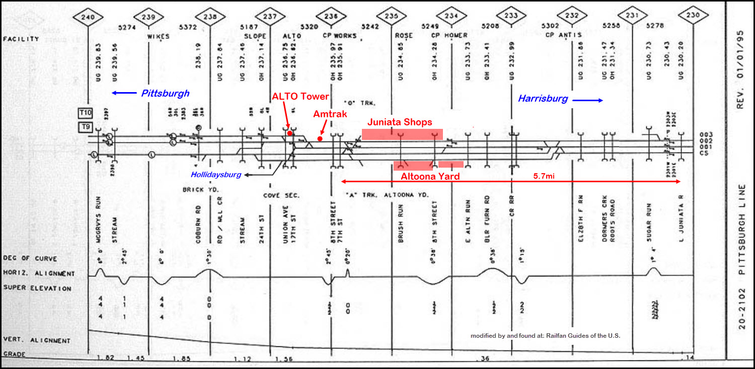
The guides for the Altoona area are divided into the following maps:
Index page
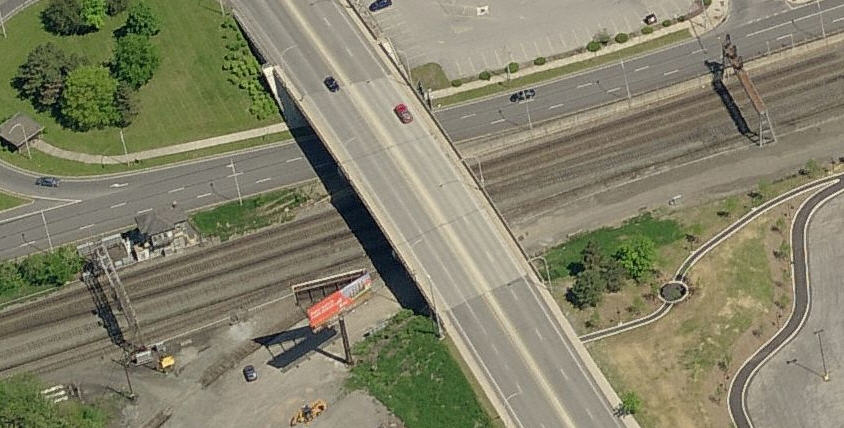
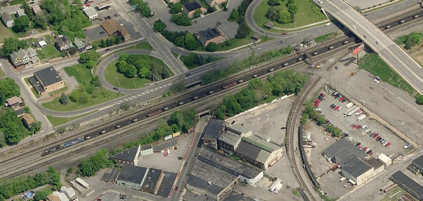
Map 1 - Altoona proper - you are here
Altoona West
Altoona East
Horseshoe Curve
Gallitzin
Cresson
the East Broad Top RR Railfan Guide
the Railroader's Museum
Location / Name:
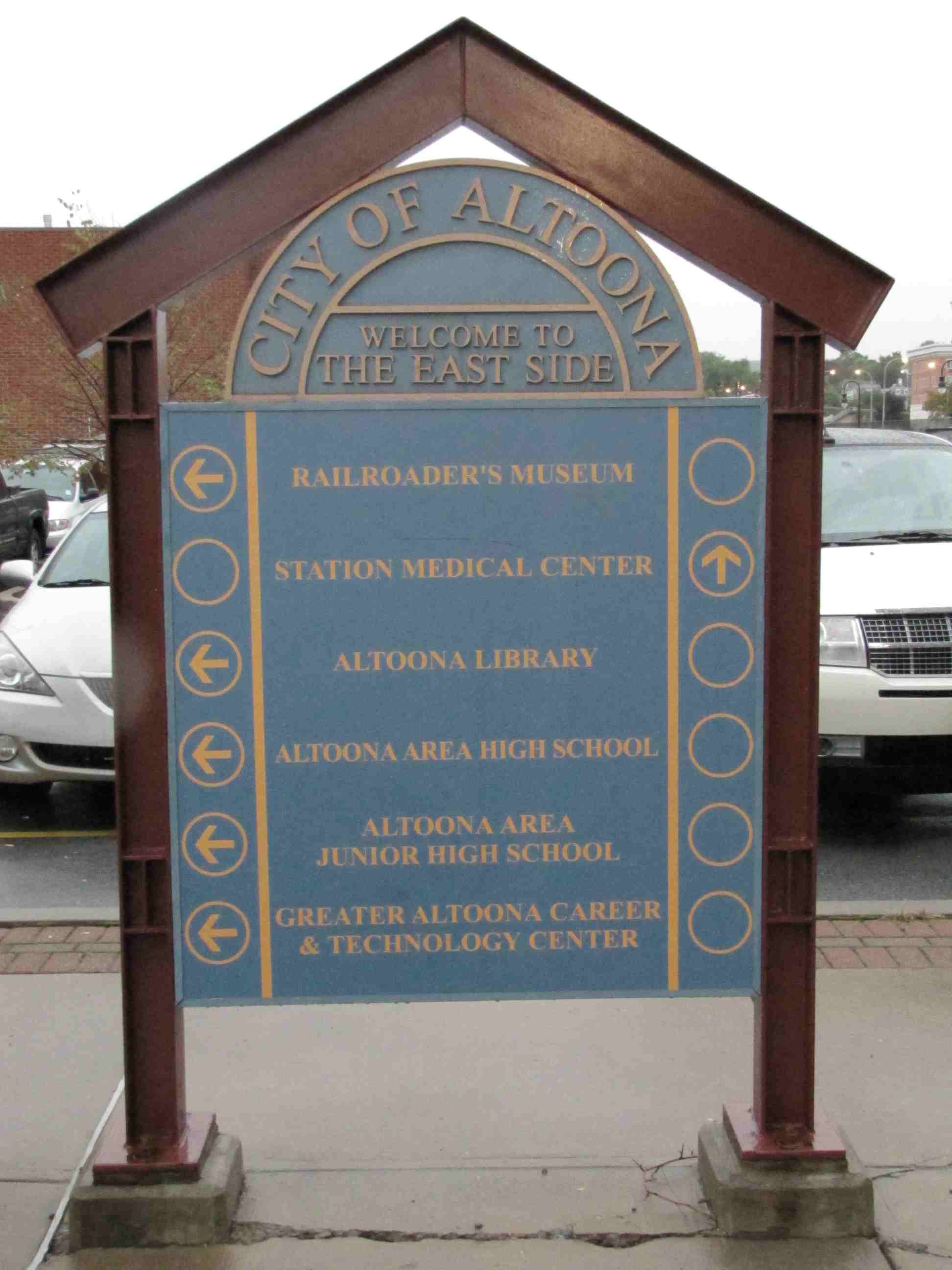
Altoona PA, Blair County
What's Here:
the Railroaders Memorial Museum
the for ALTO Pennsy RR Tower
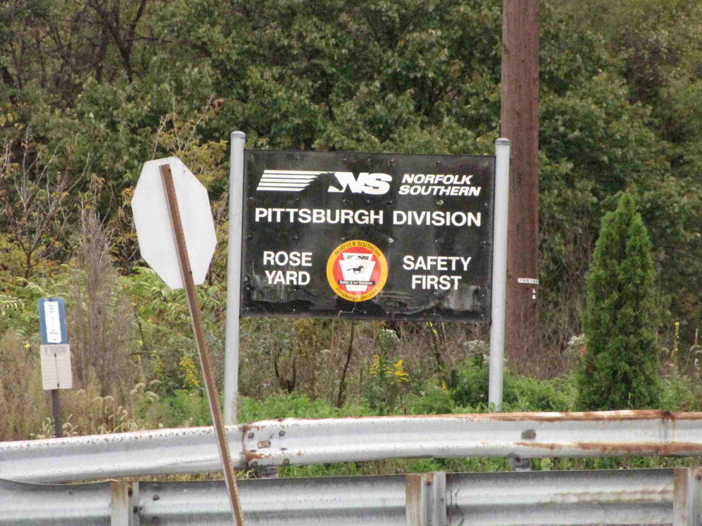
Norfolk Southern Juniata shops
Horseshoe Curve is just outside of town
Amtrak Station
Boyer Candy Co - the folks who make Mallo Cups
Data:
GPS Coordinates: as needed
Phone A/C: 814
ZIP: 16601/602
Access by train/transit:
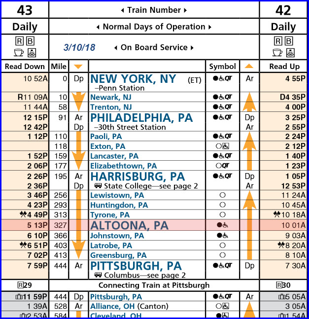
Amtrak Pennsylvanian
The Scoop:
Altoona is a great railfan town, period. Between the Railroaders Museum, ALTO Tower, the former Pennsy Juniata Shops, the mainline, the Amtrak Station, and the
close proximity to Horseshoe Curve, Gallitzin, and Cresson, there is plenty to keep you busy for several days of enjoyment.
Note: THE LIGHTS HAVE GONE OUT on the Pennsy PL signals - this happened in 2012. See the signal section below.
For an Altoona railroad timeline, check out: http://www.altoonaworks.info/timeline.html
Acknowledgements:
Tyler Nace
Marc Lingenfelter
Abram Burnett
AJK
Denver Todd
Websites and other additional information sources of interest for the area:
None at this time.....

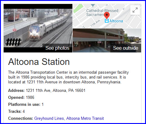
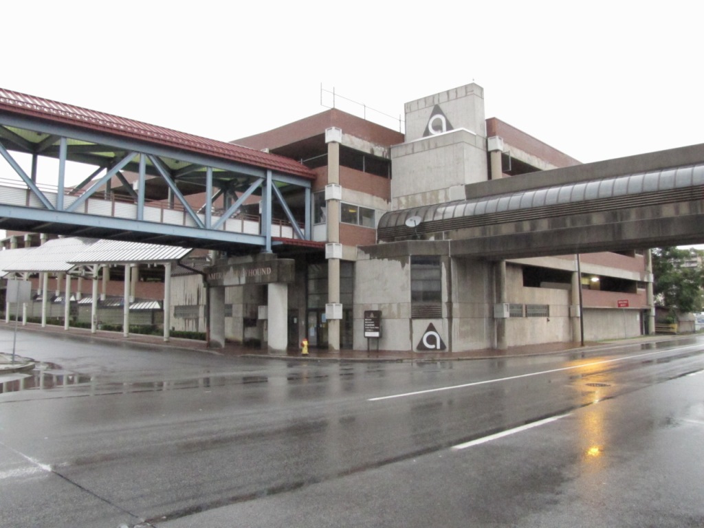
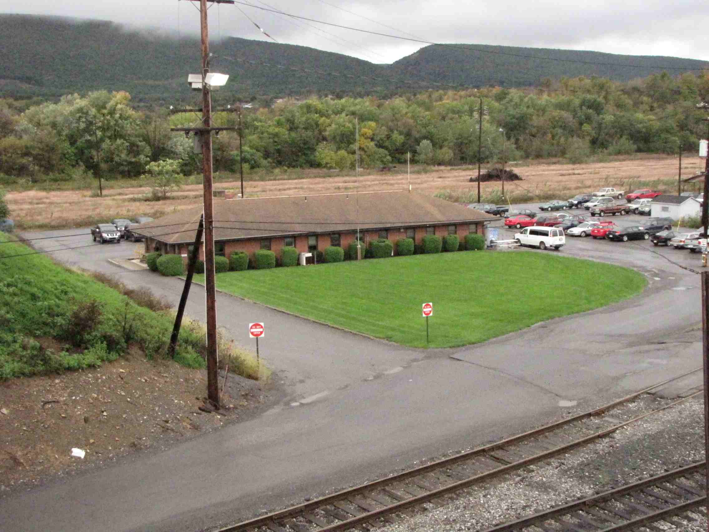
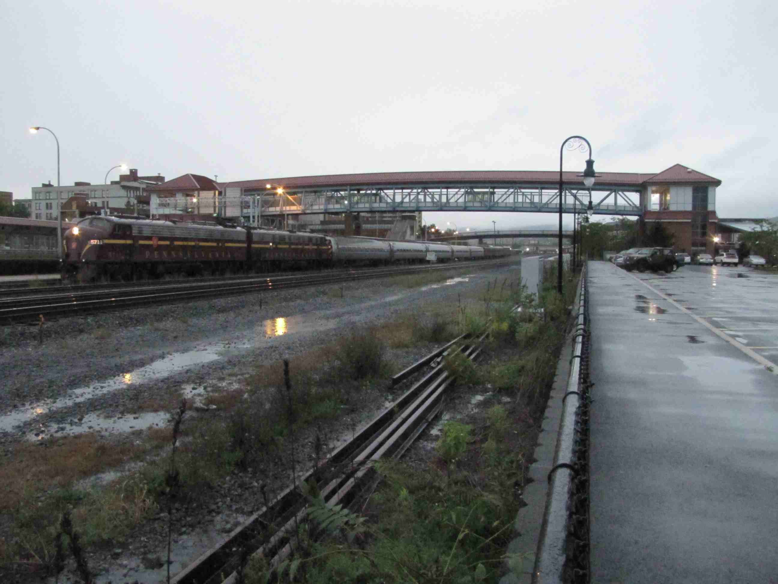
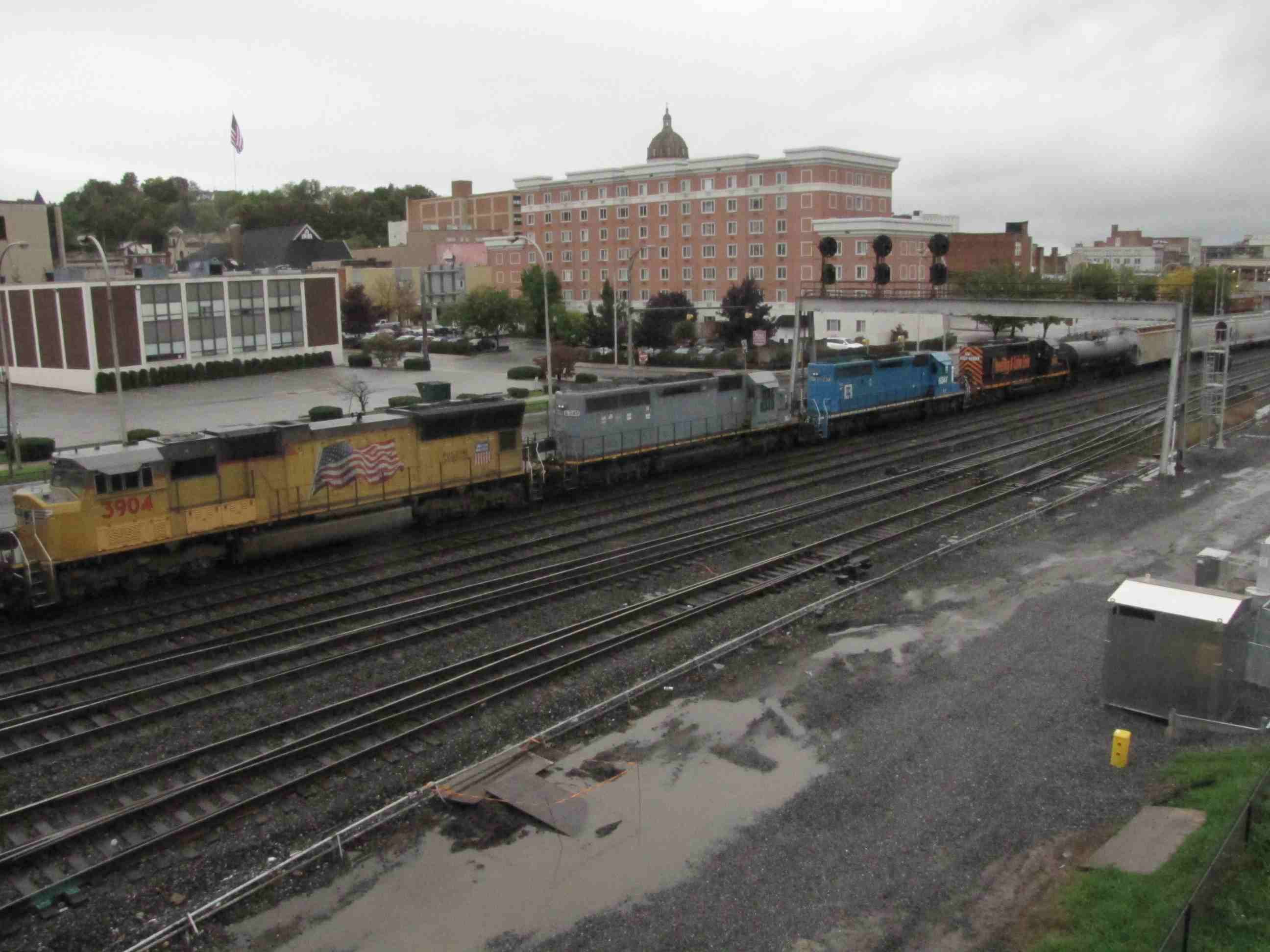
![]() The Amtrak Station
The Amtrak Station
GPS Coordinates: 40.514460, -78.401864
1231 11th Avenue, Altoona, PA 16601
Station Code: ALT
The Pennsylvania Railroad established Altoona in 1849 as a base for its rail operations over the Alleghenies; the transportation center is located near the
Railroaders Memorial Museum.
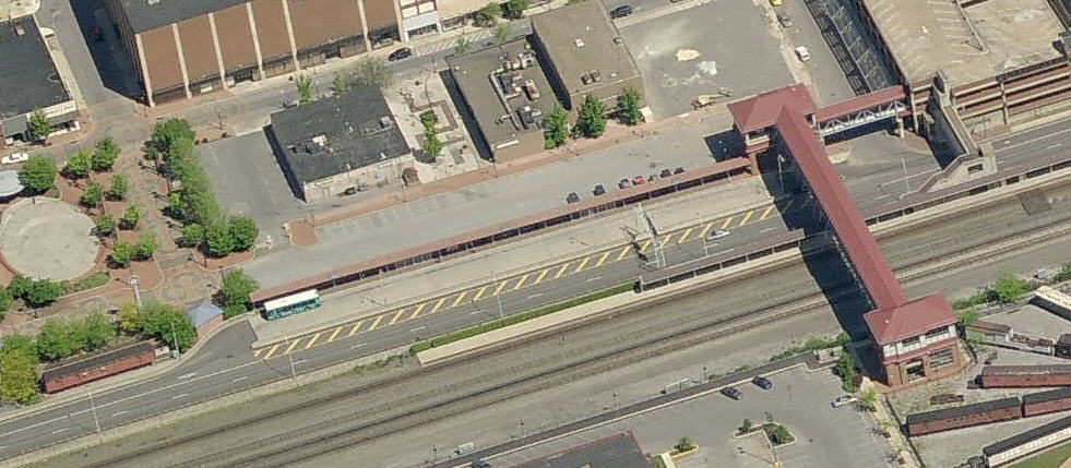
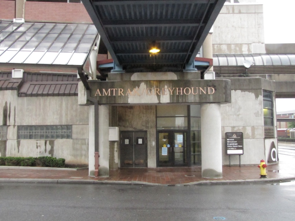
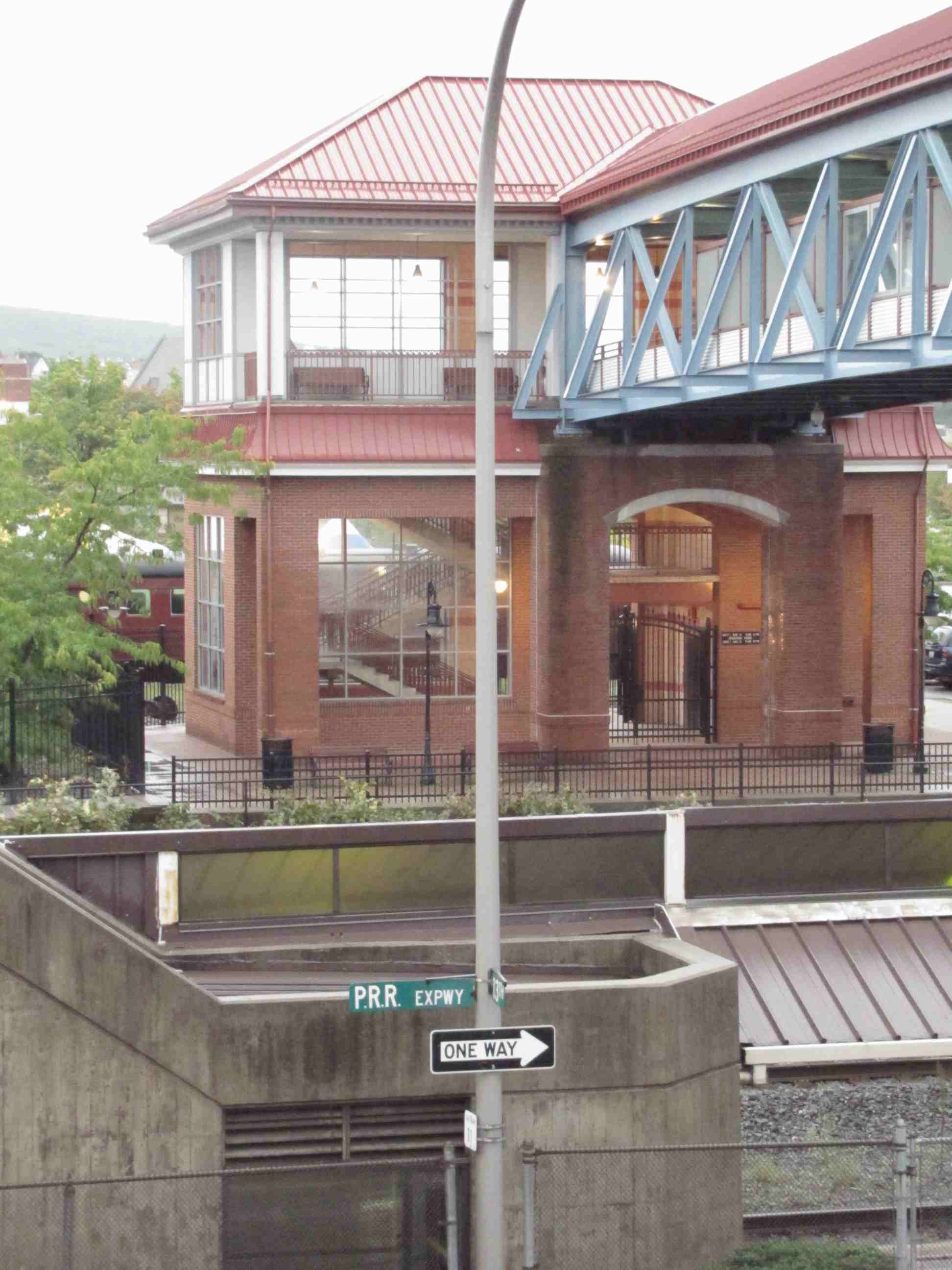
 Shot looking north from the overpass.
 Sign at the bottom of the overpass on the Museum side.
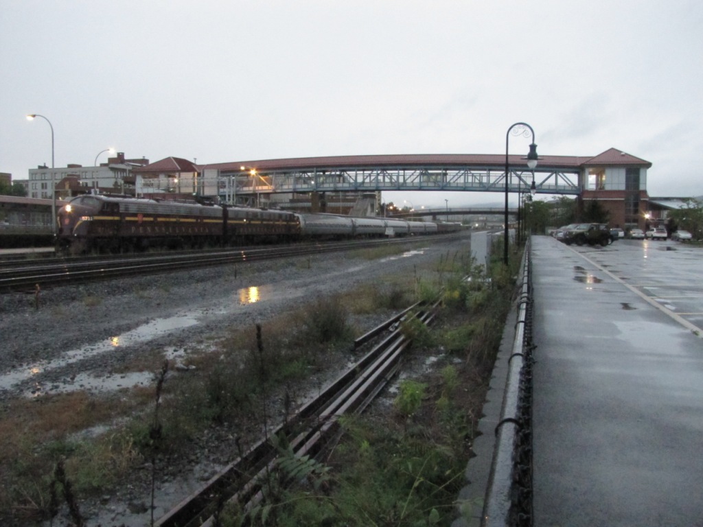
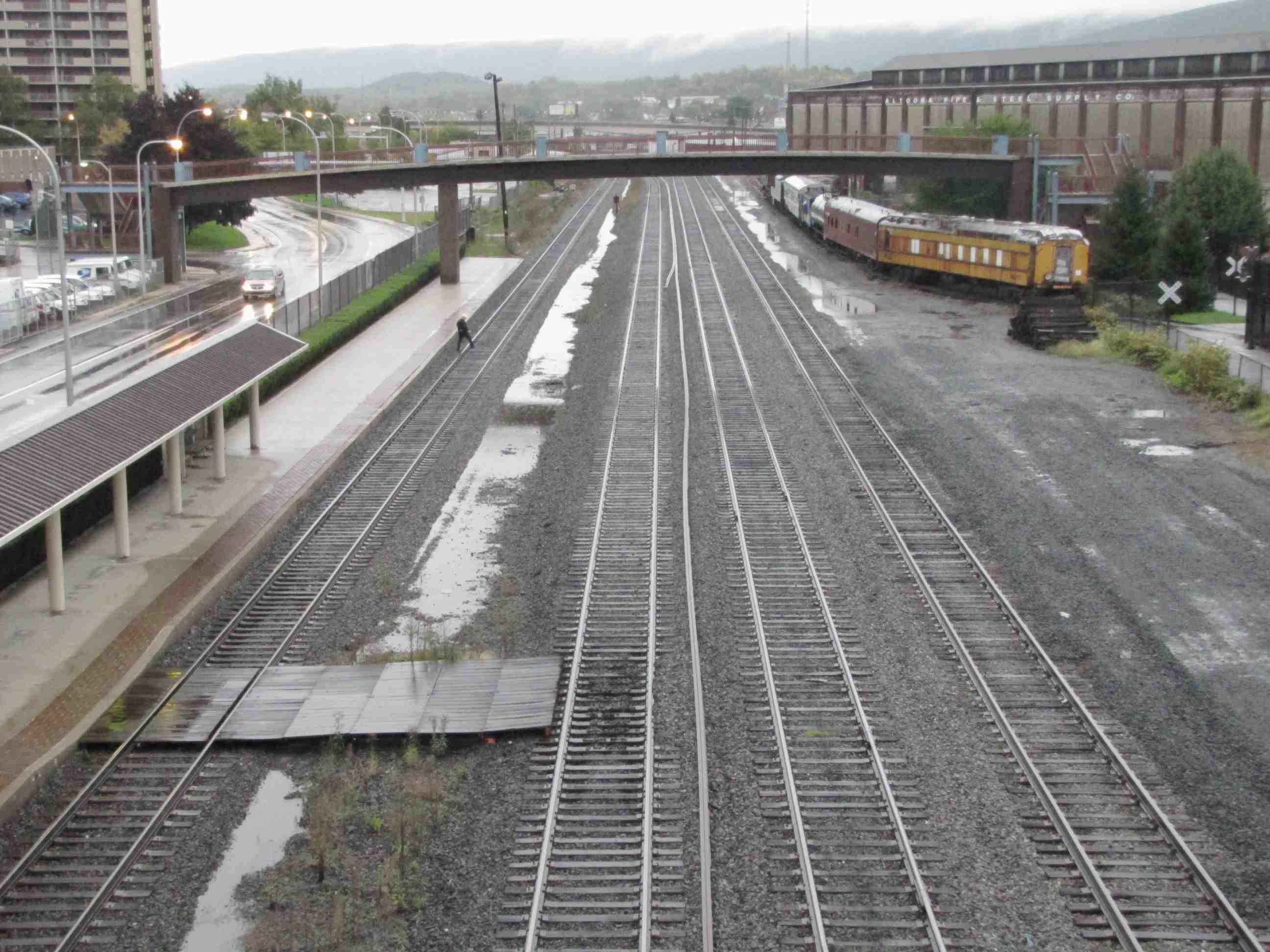
The station is located directly across the tracks from the railroaders Museum and the mall (and a McDonalds if you're looking for a quick meal). When they run
trips "over the hill", they leave from here as can be seen from the E's waiting to leave one early and rainy morning on October the 2nd, 2011. I was
the only one around taking pictures of the departing train that morning :-(
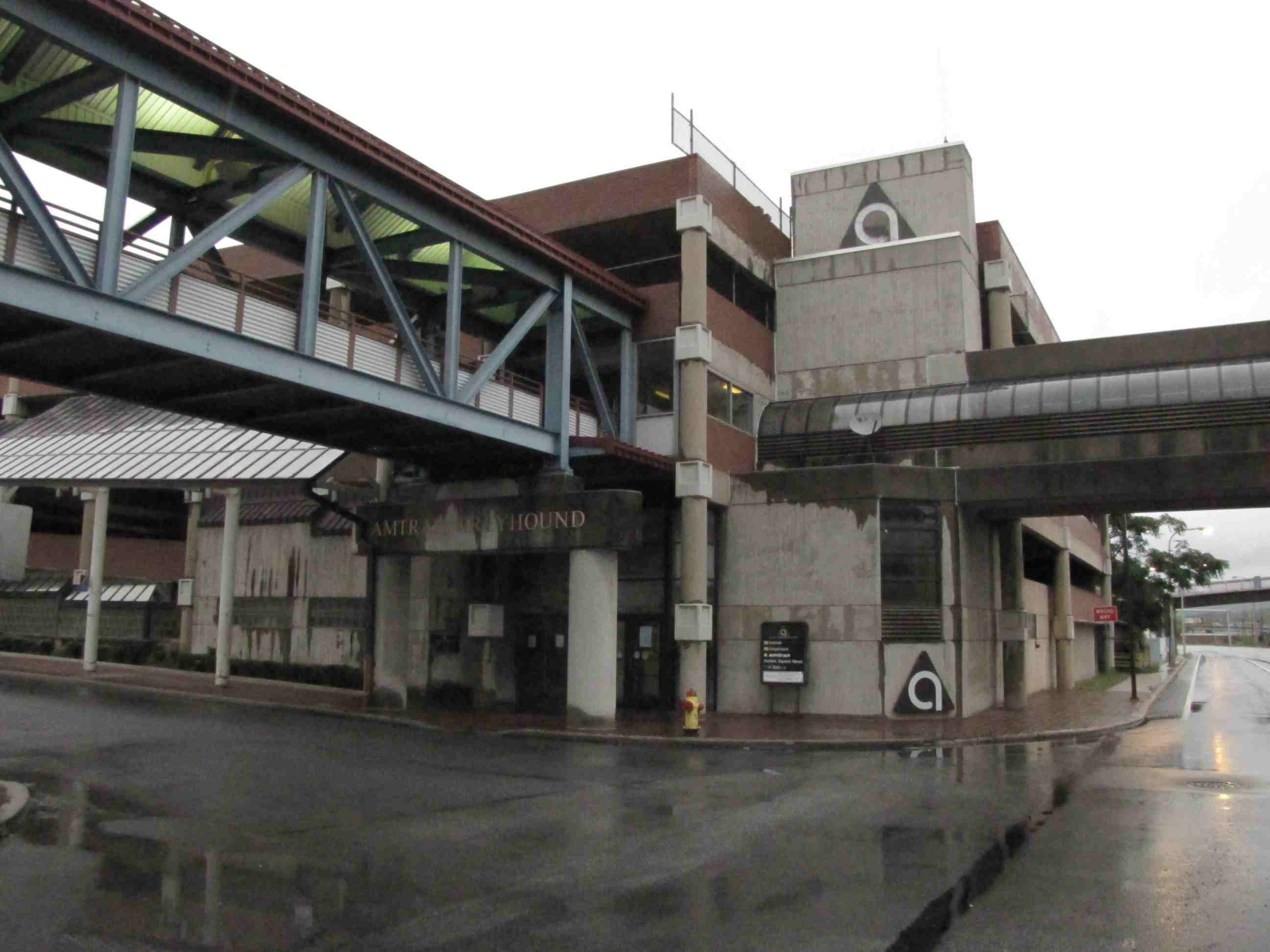
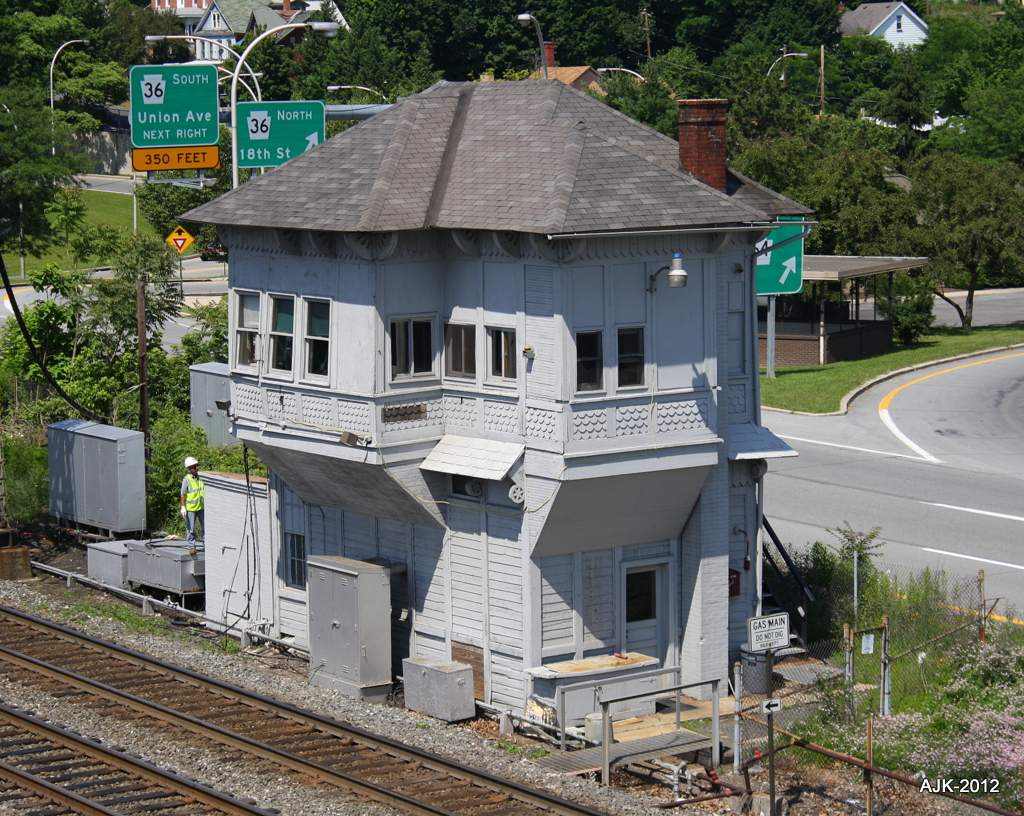
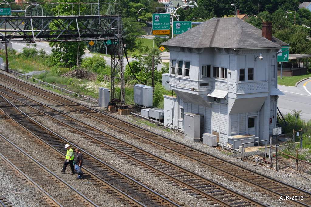
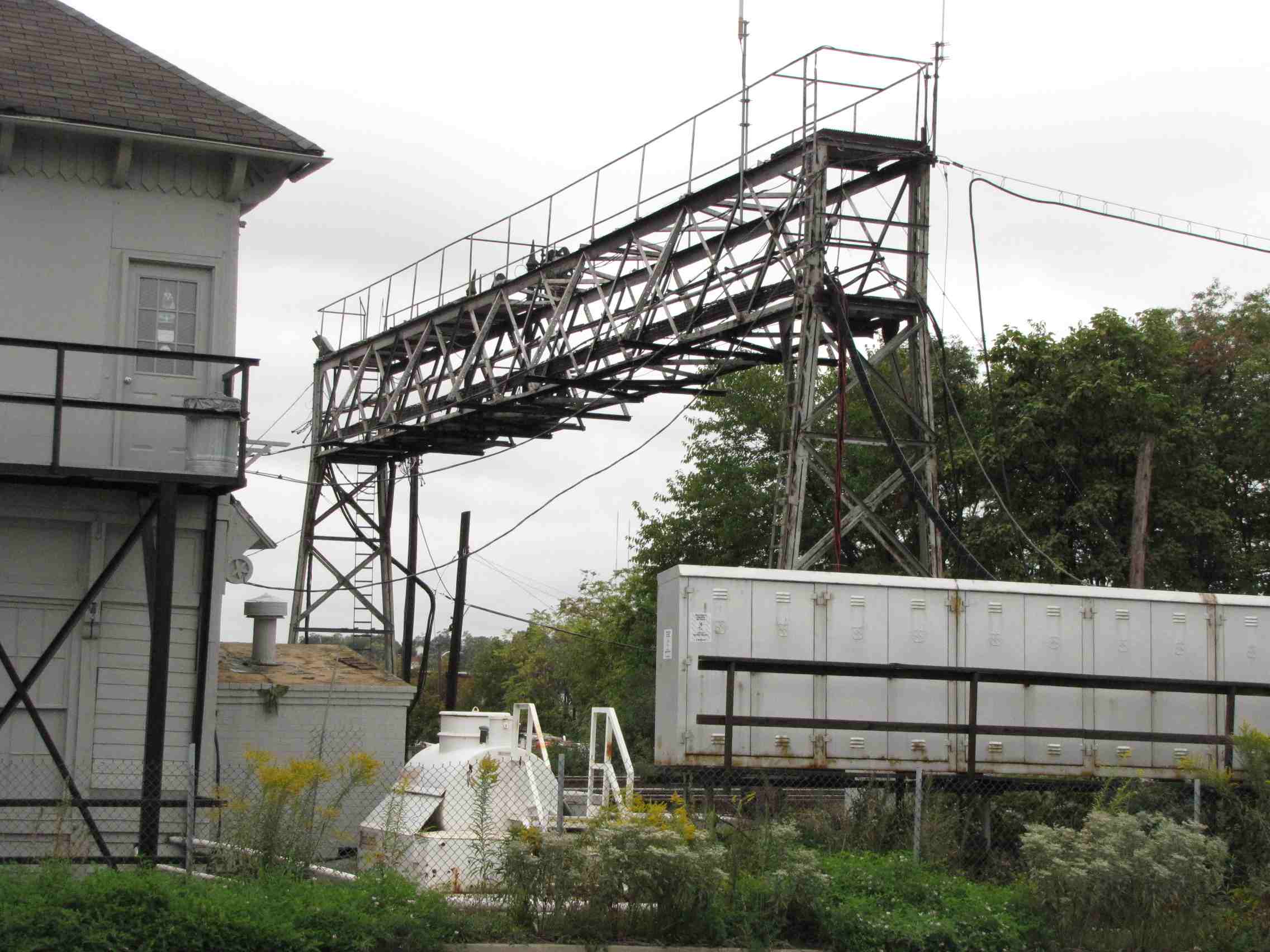
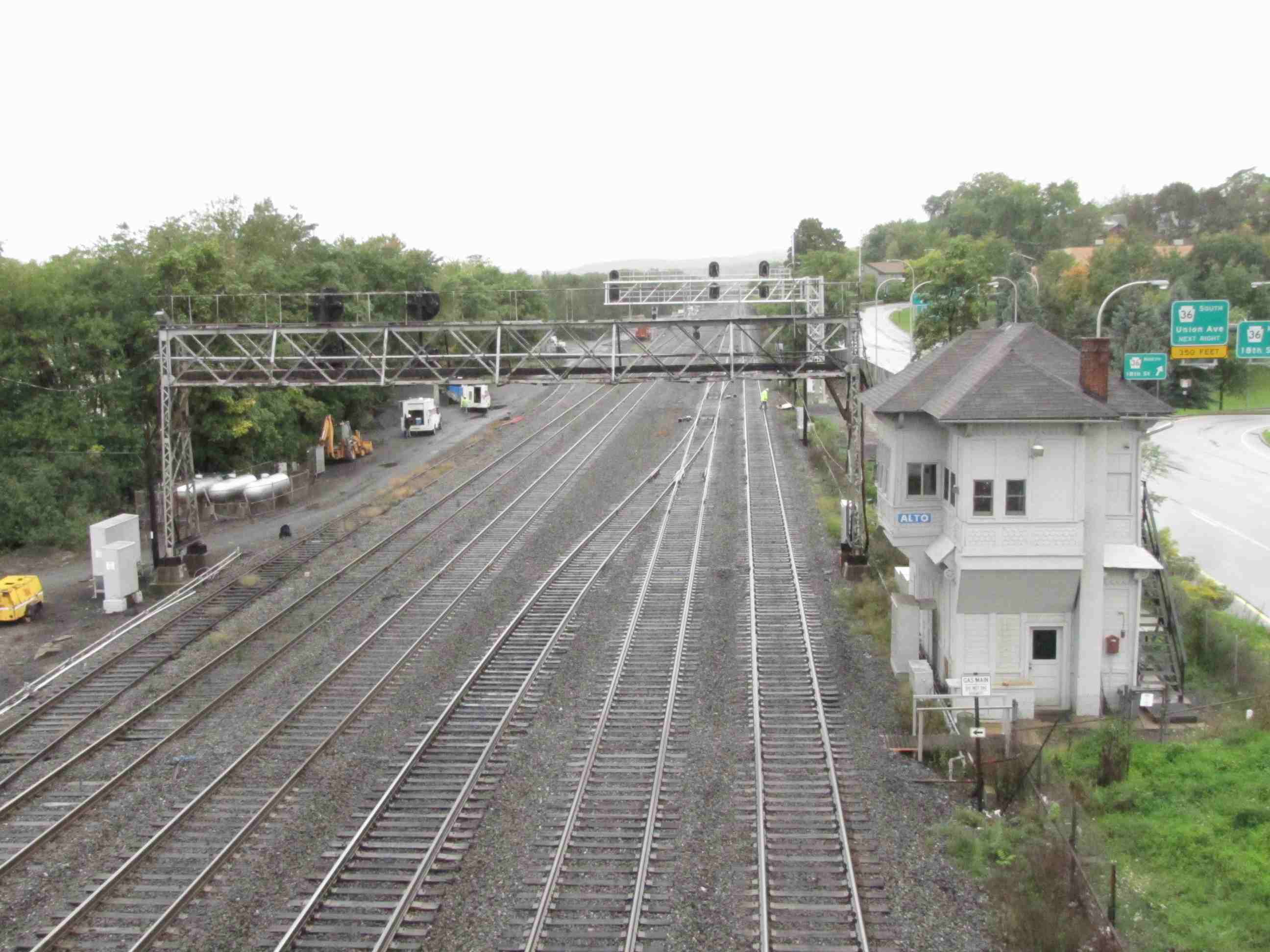
![]() ALTO Tower
ALTO Tower
After a long history, ALTO tower was closed on 6/16/2012, after the cutover to the new sugnals was made, and the ALTO sign was removed from the face of the building.
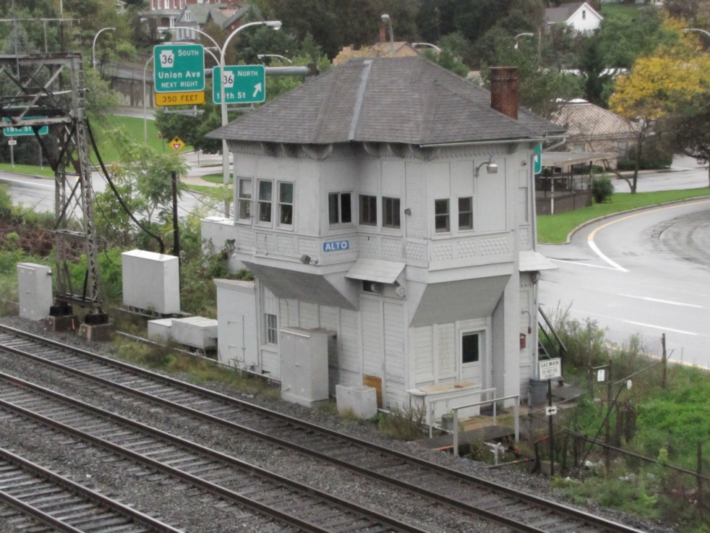

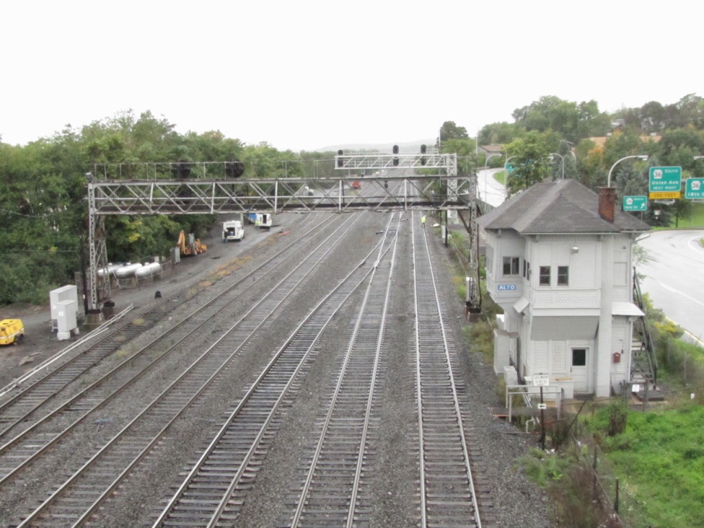
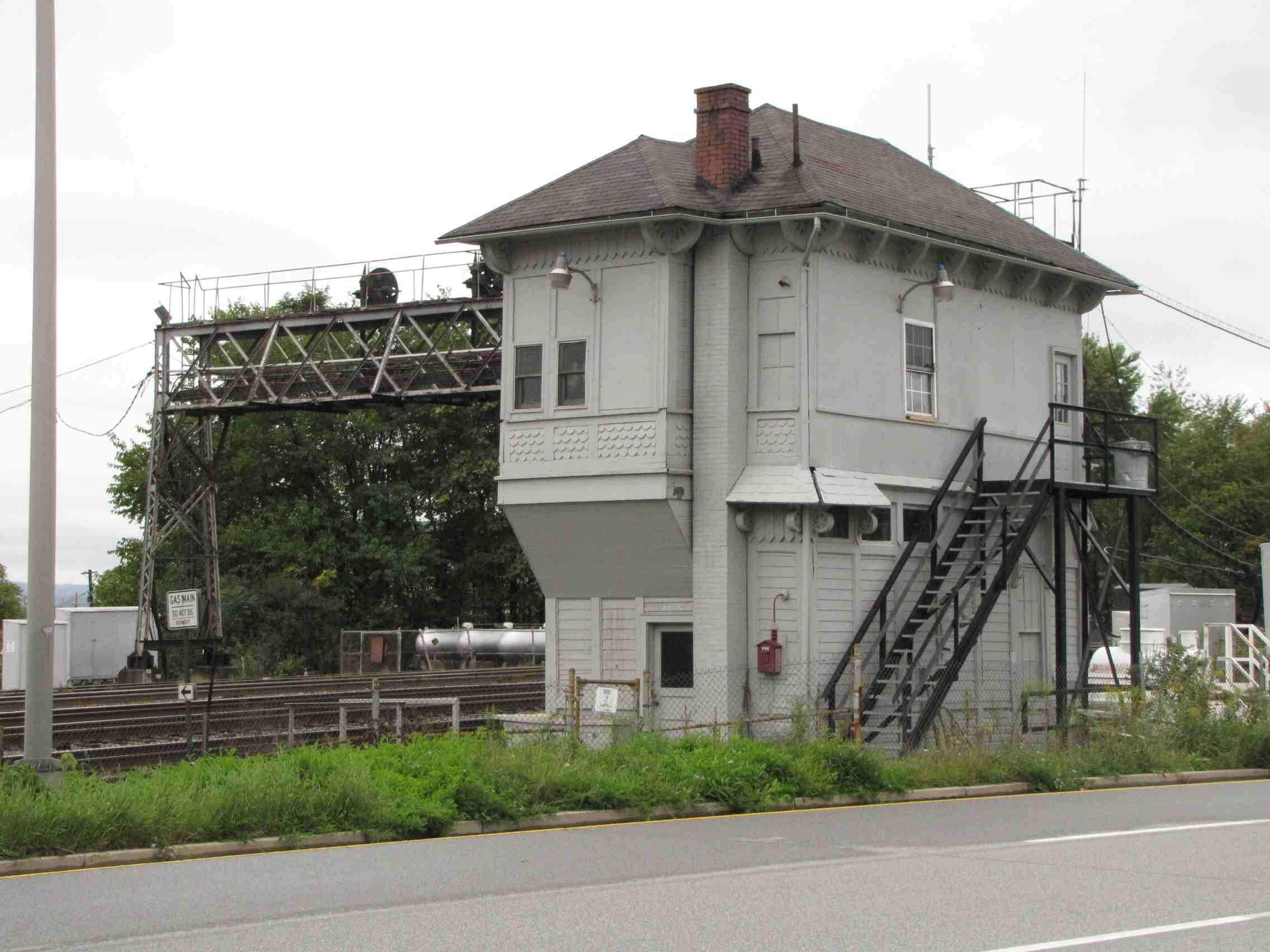

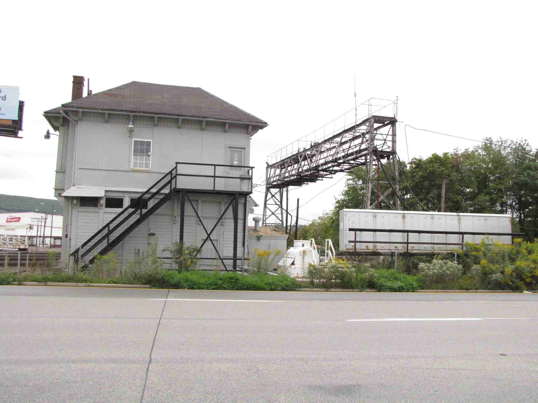
The tower is located a few hundred feet west of the Amtrak station.
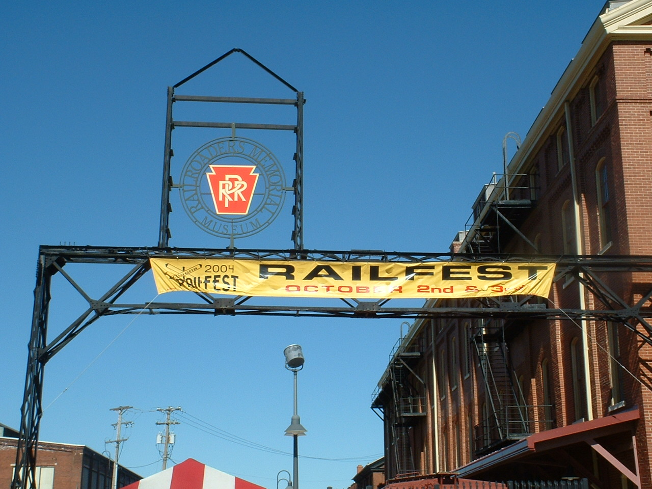
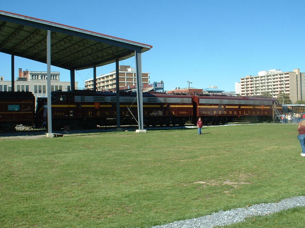
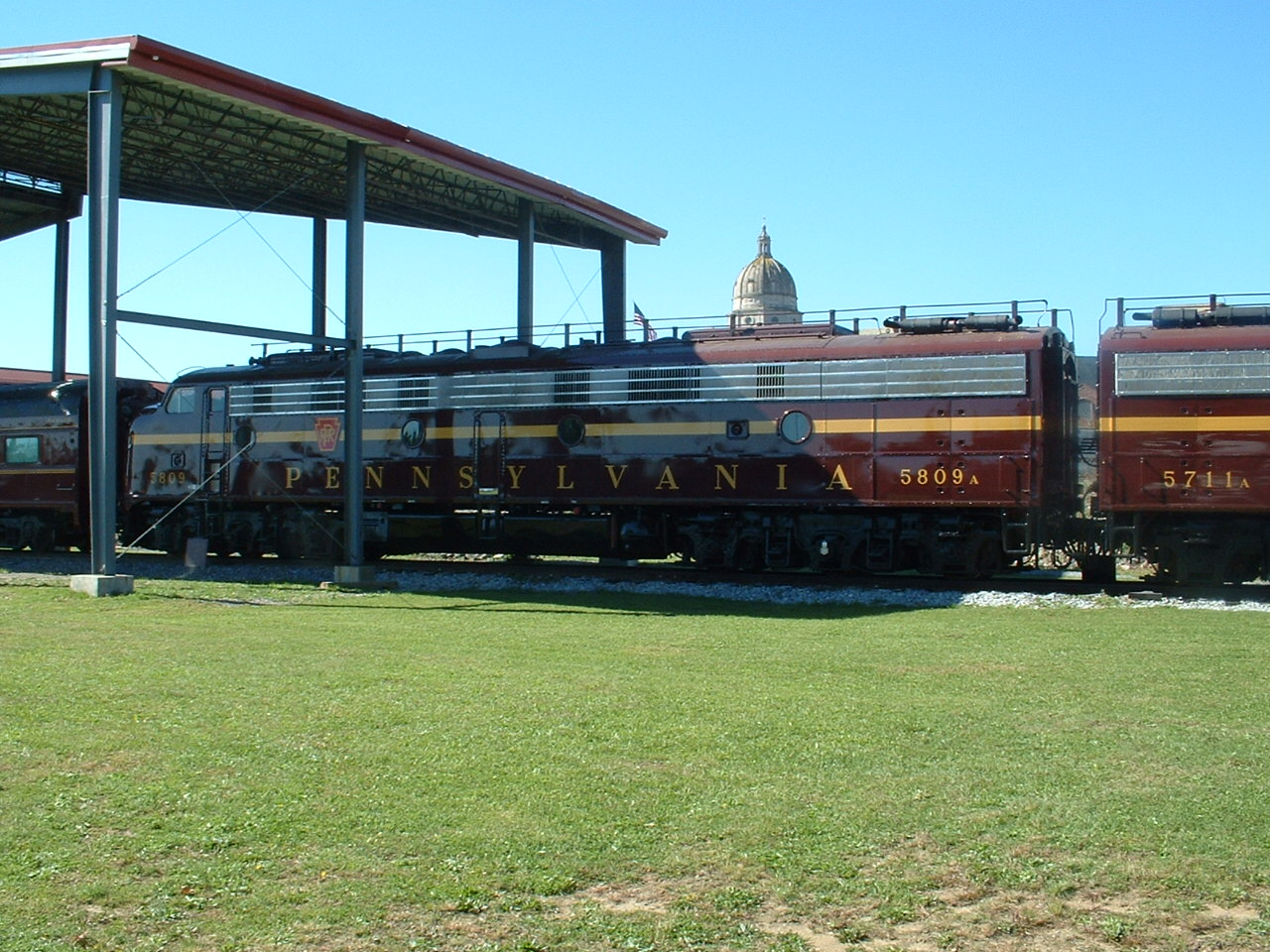
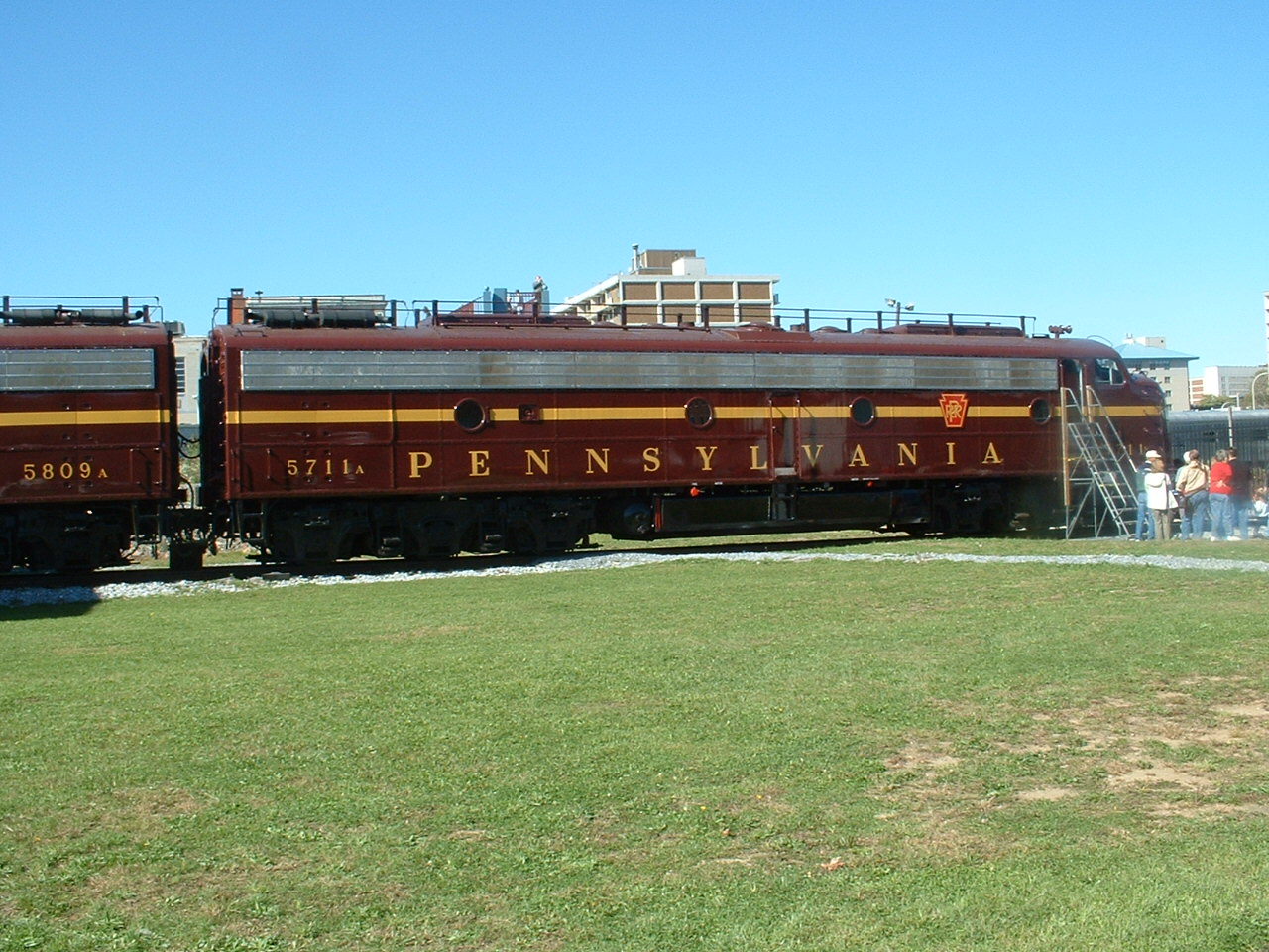
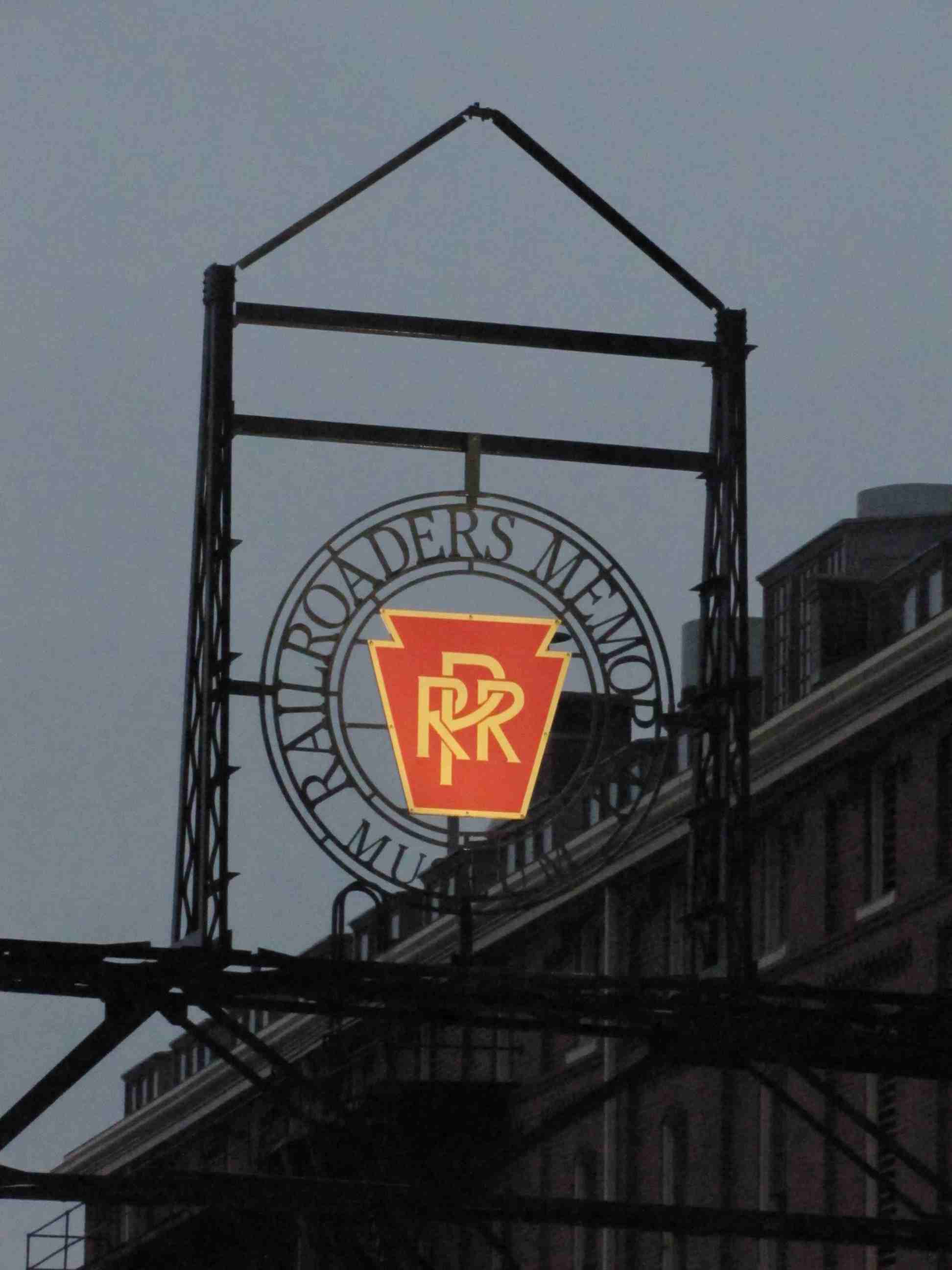
![]() The Railroaders Museum
The Railroaders Museum
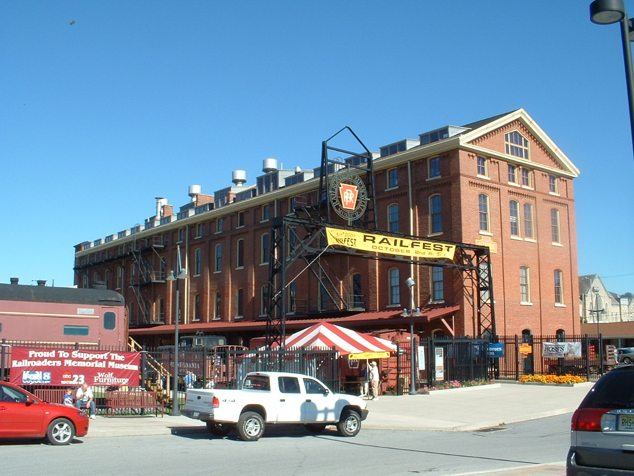

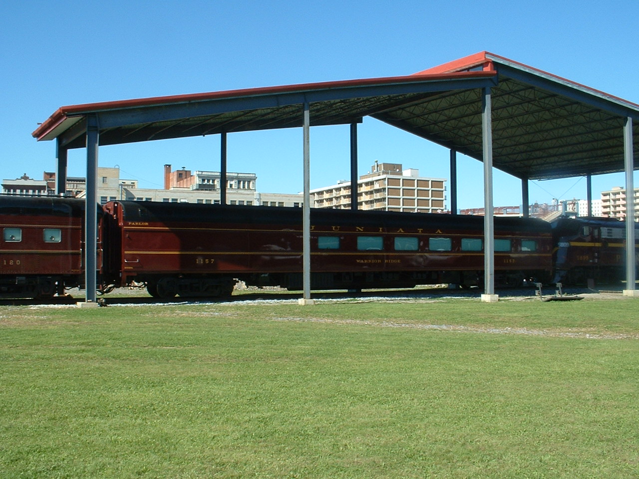


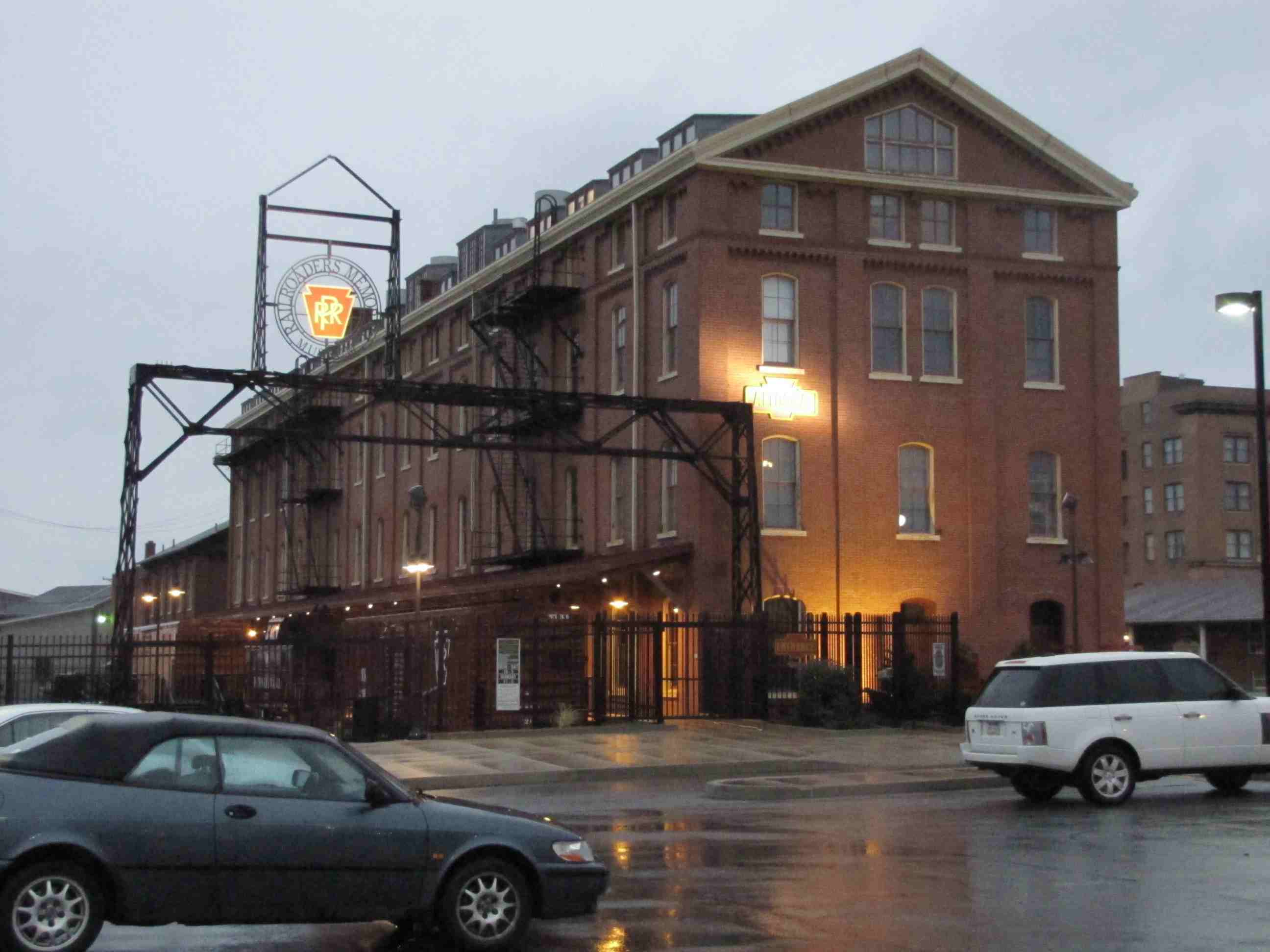 Early morning shots in the rain 10/2011
A great railroad museum in one of the best railfanning areas of the country (a little personnel bias... nah). Their website also covers Horseshoe Curve, and
admission to one gets you into both attractions (many years ago, before a visitors center was constructed, Horseshoe Curve was wide open and free to visit :-).
The above pictures are from the Railfest held in 2004. Present were Bennett Levin's E's as stationary displays. In previous years, they ran excursions over
the hill to Gallitzin and back.
You'll find more pictures of the museum on my page for the museum HERE,
and more info from their website is HERE.
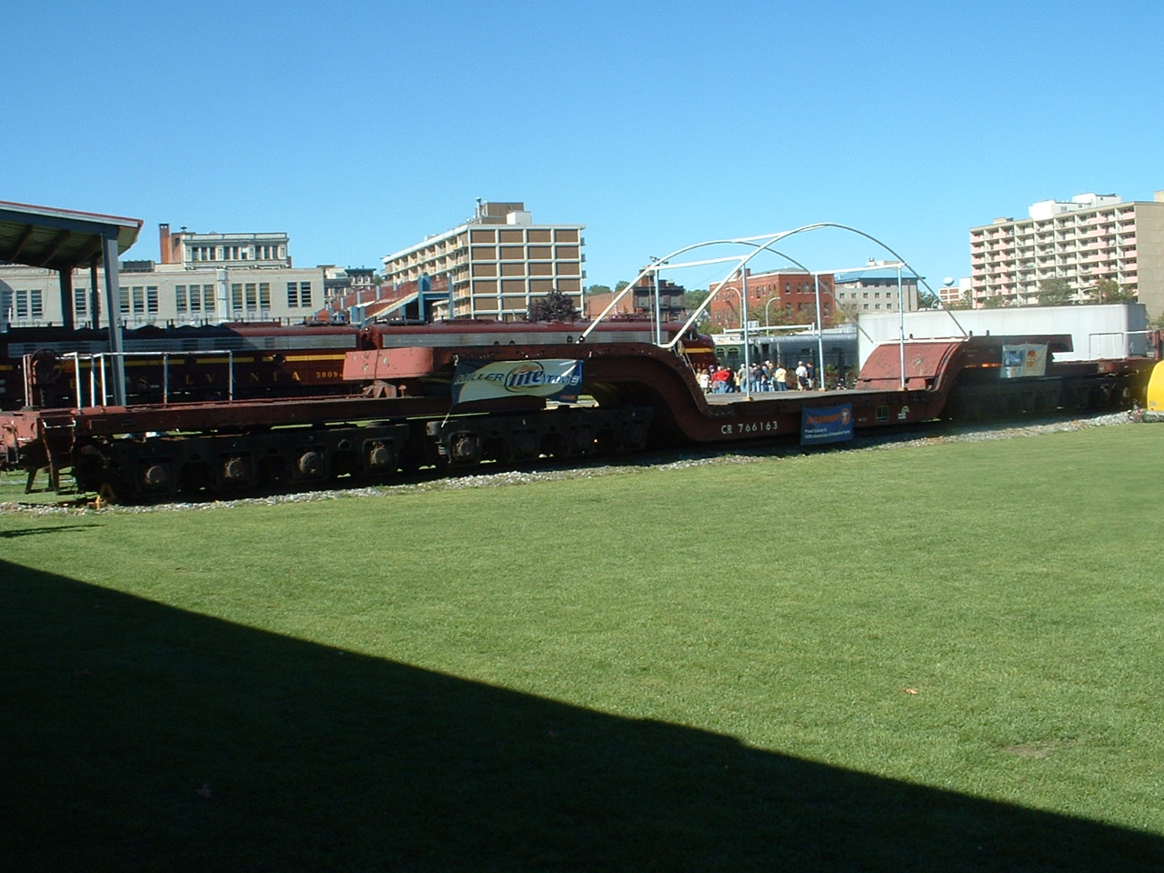
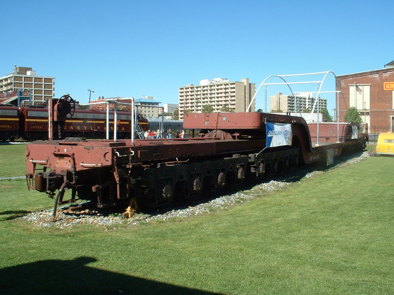
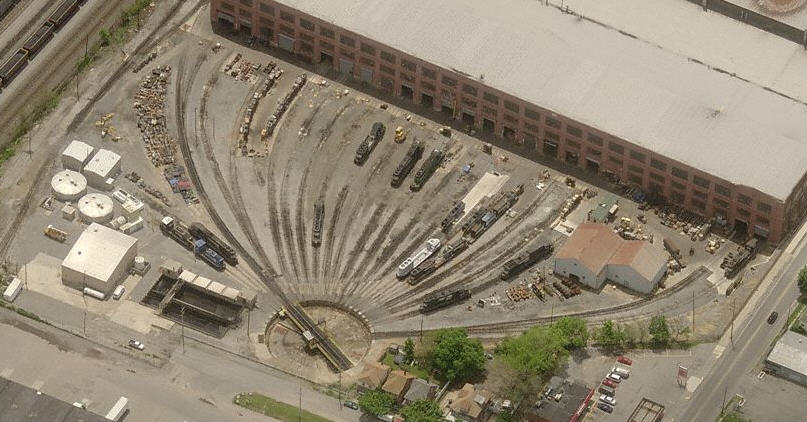
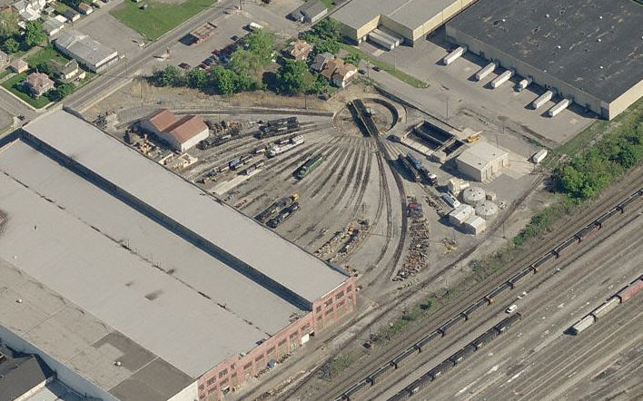
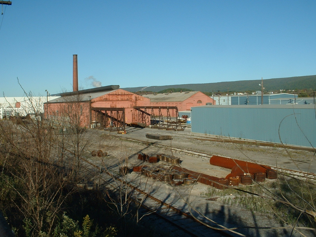
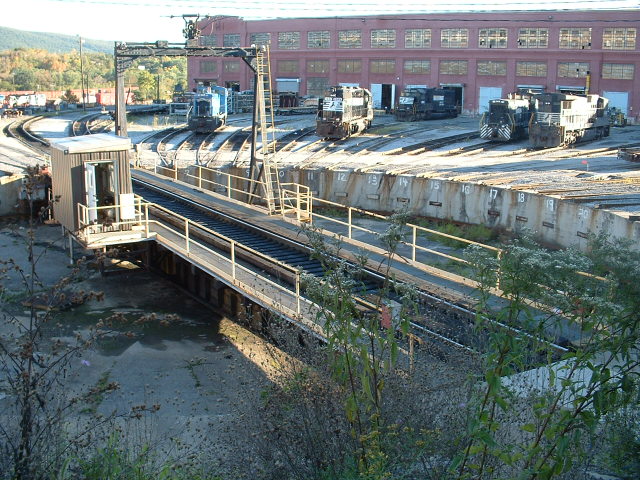
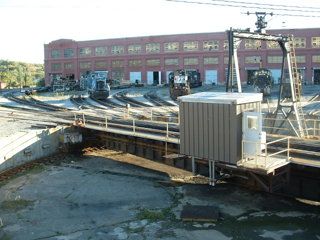
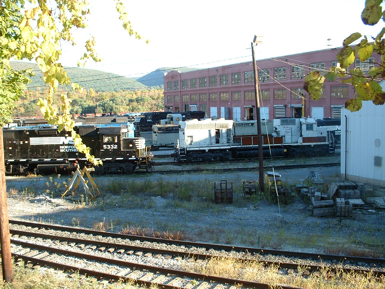
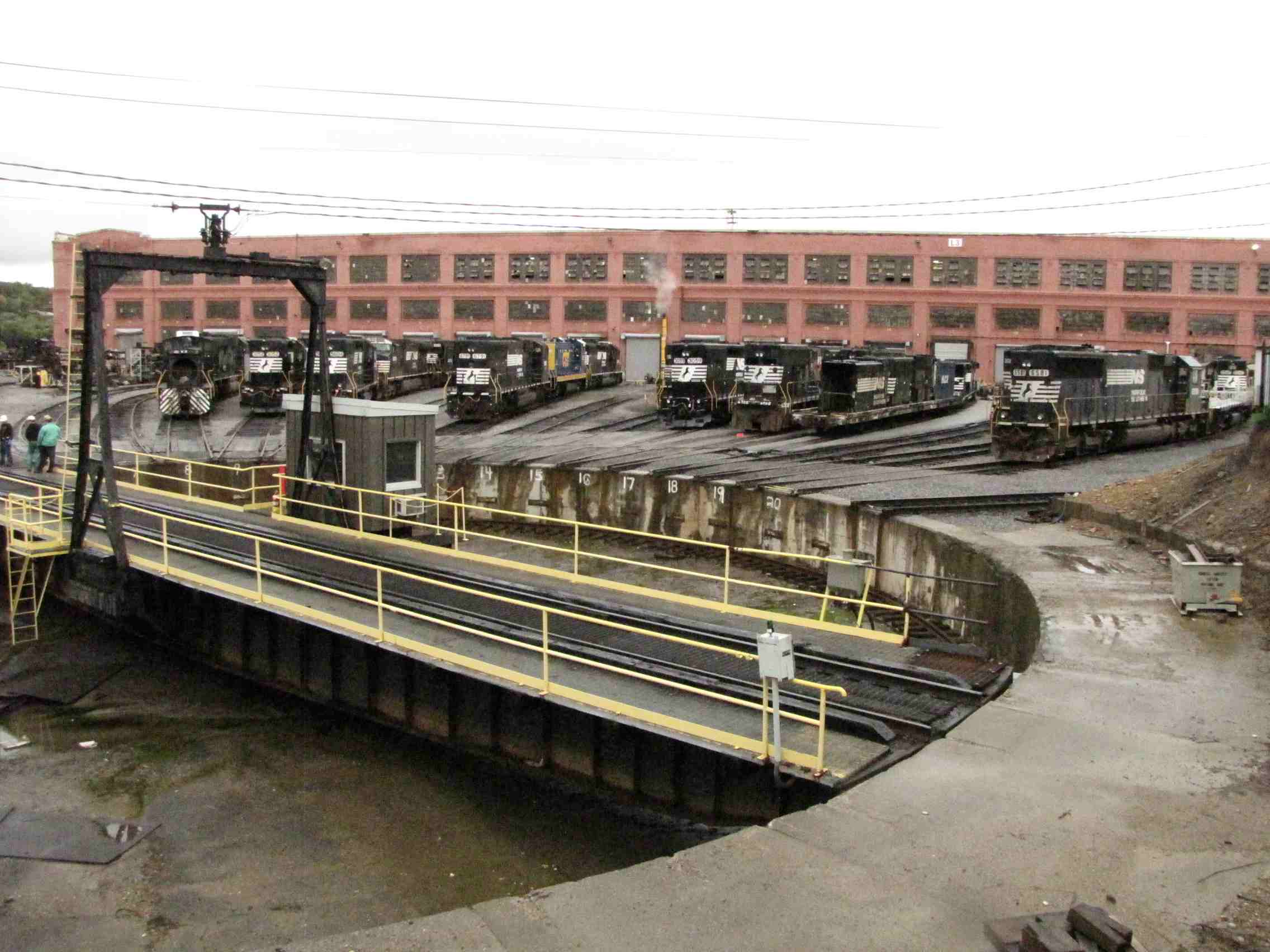
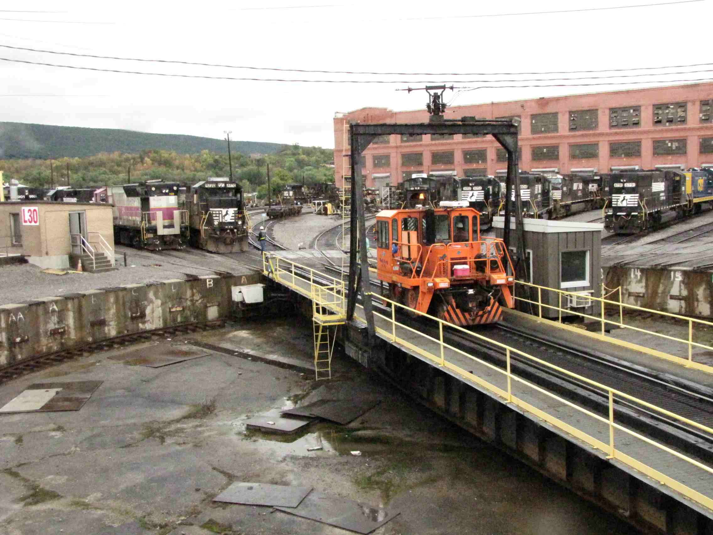
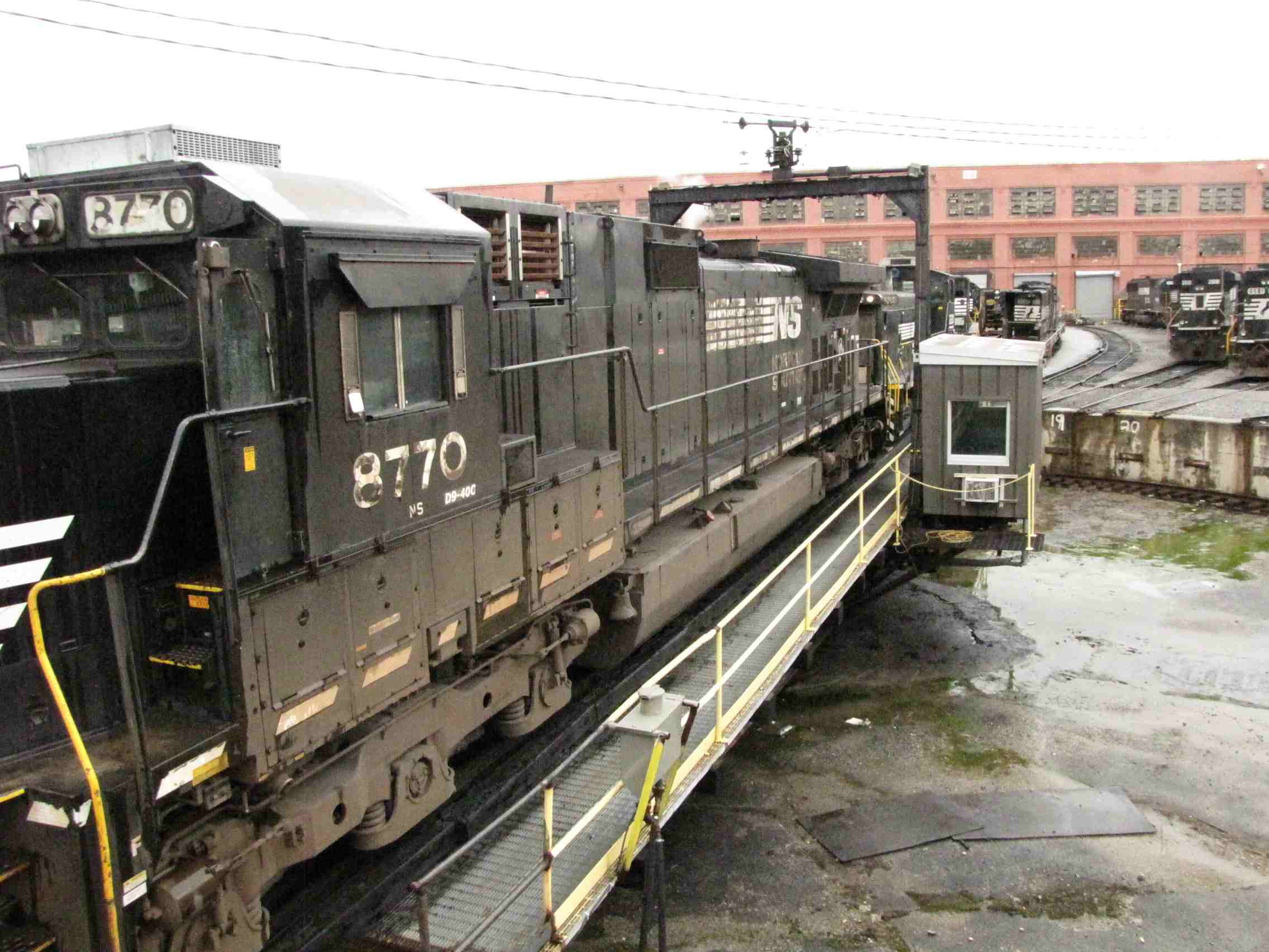
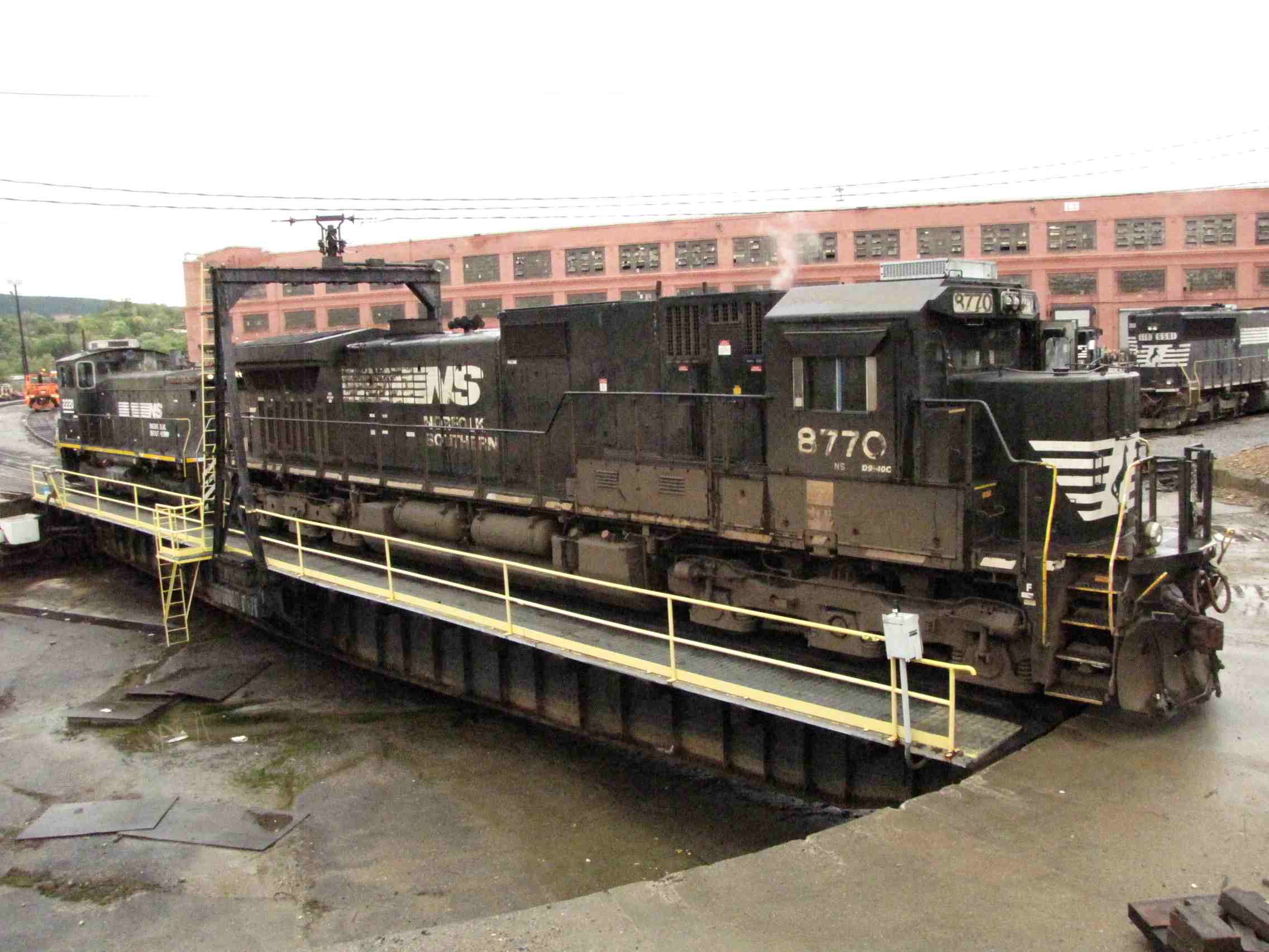
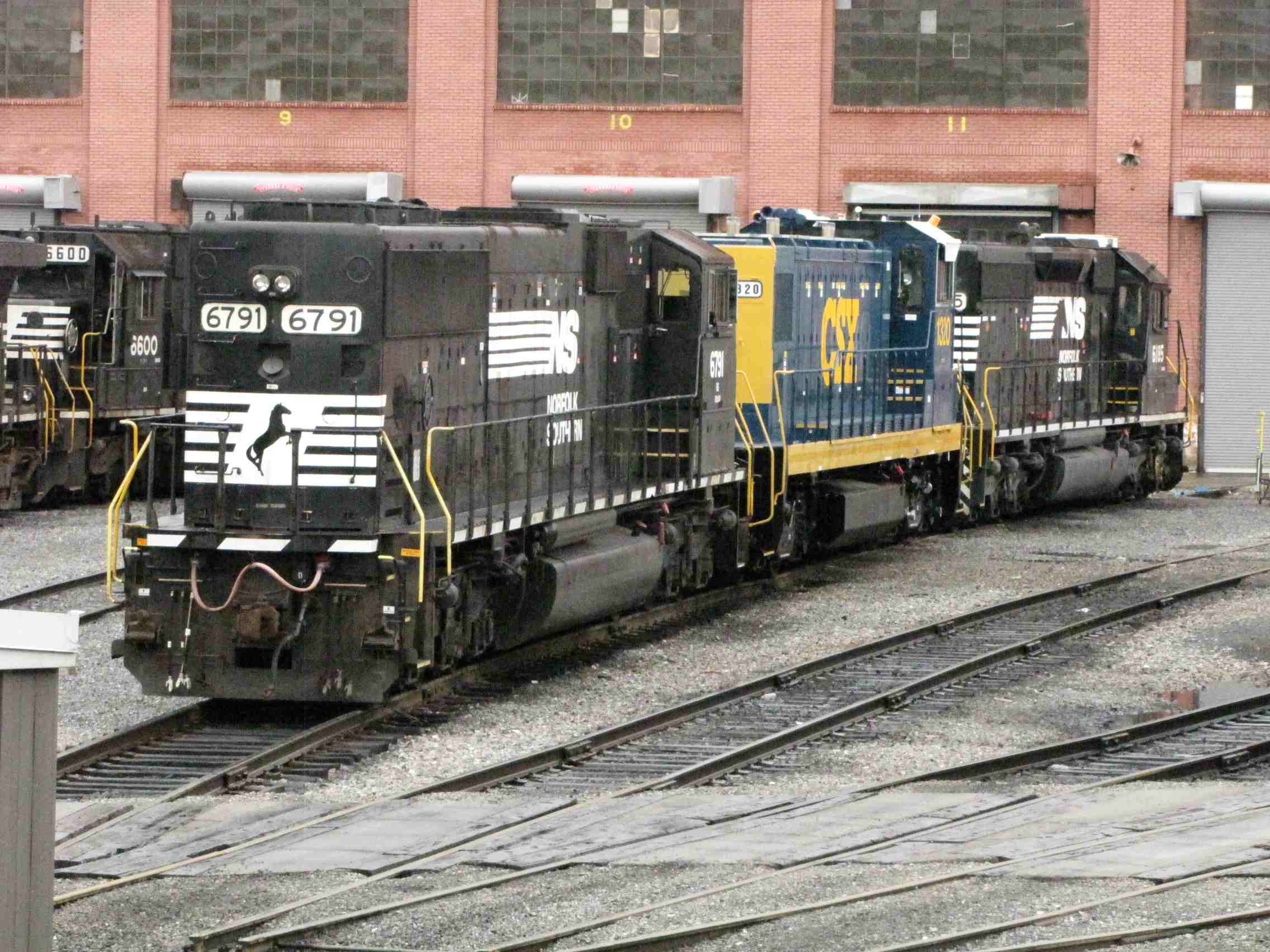
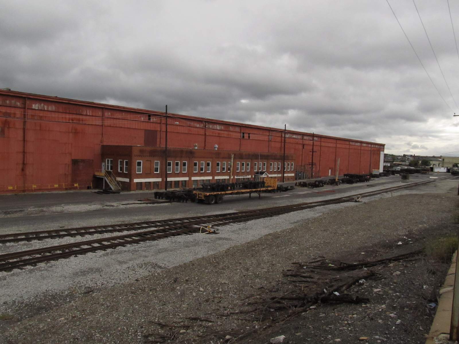
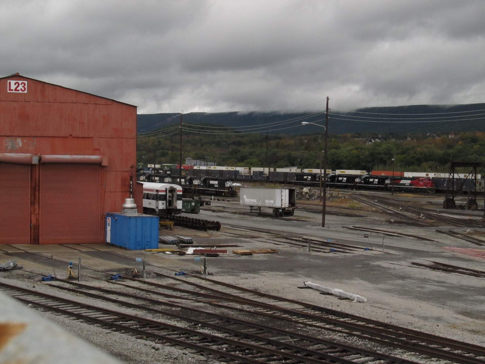
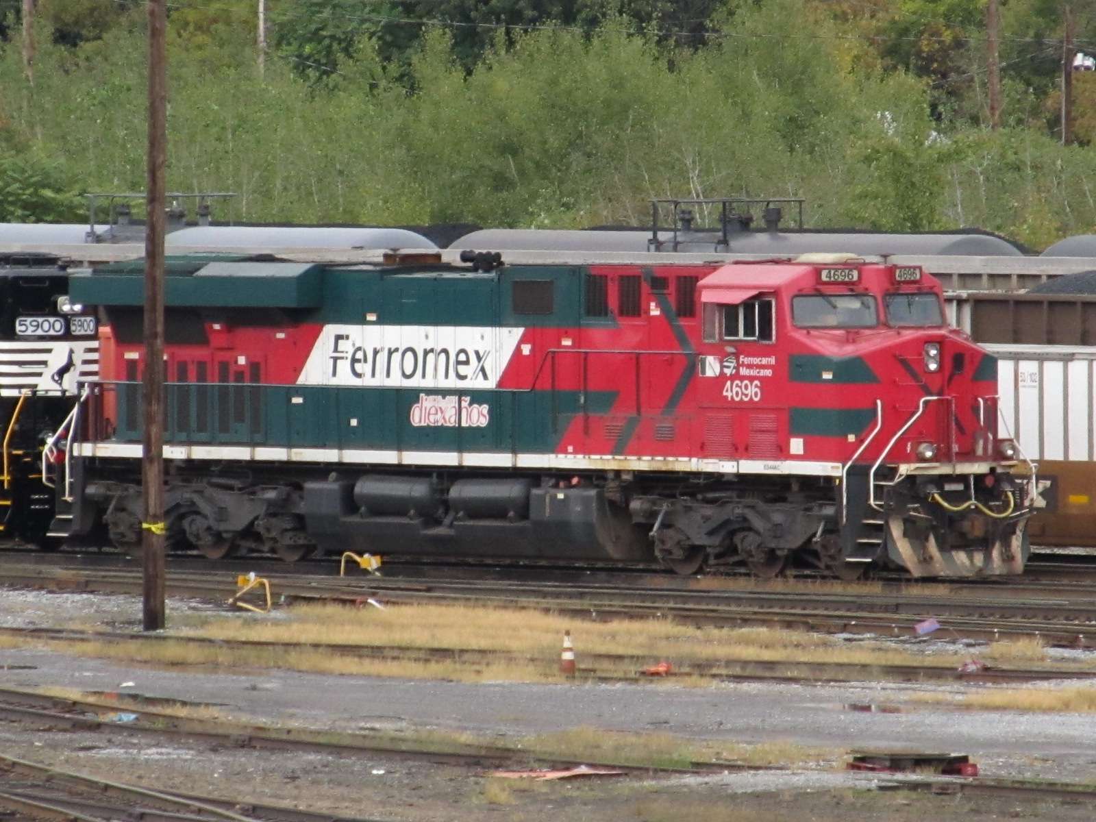
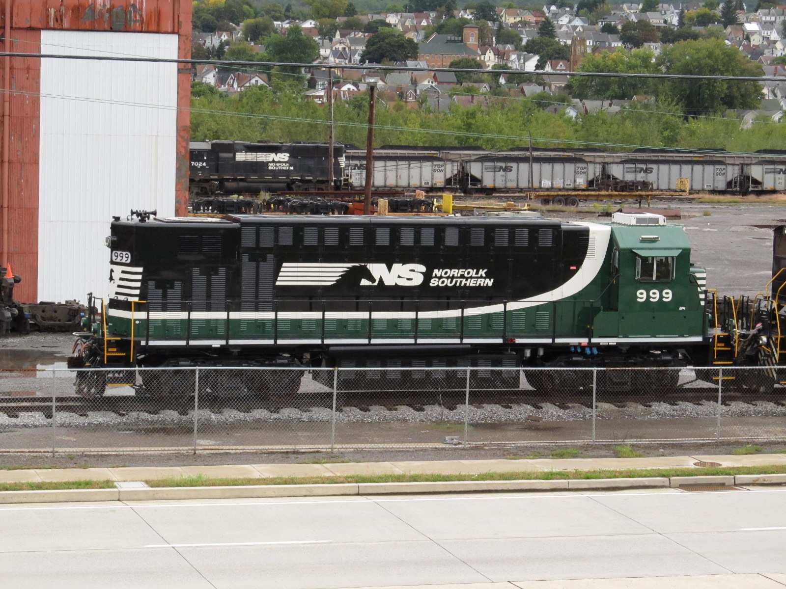
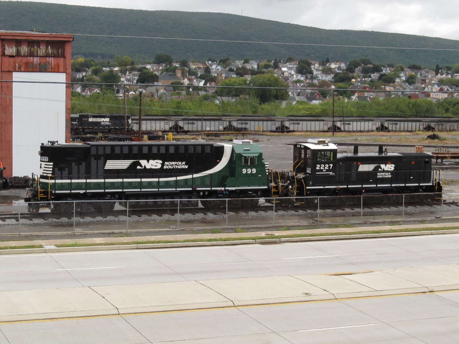
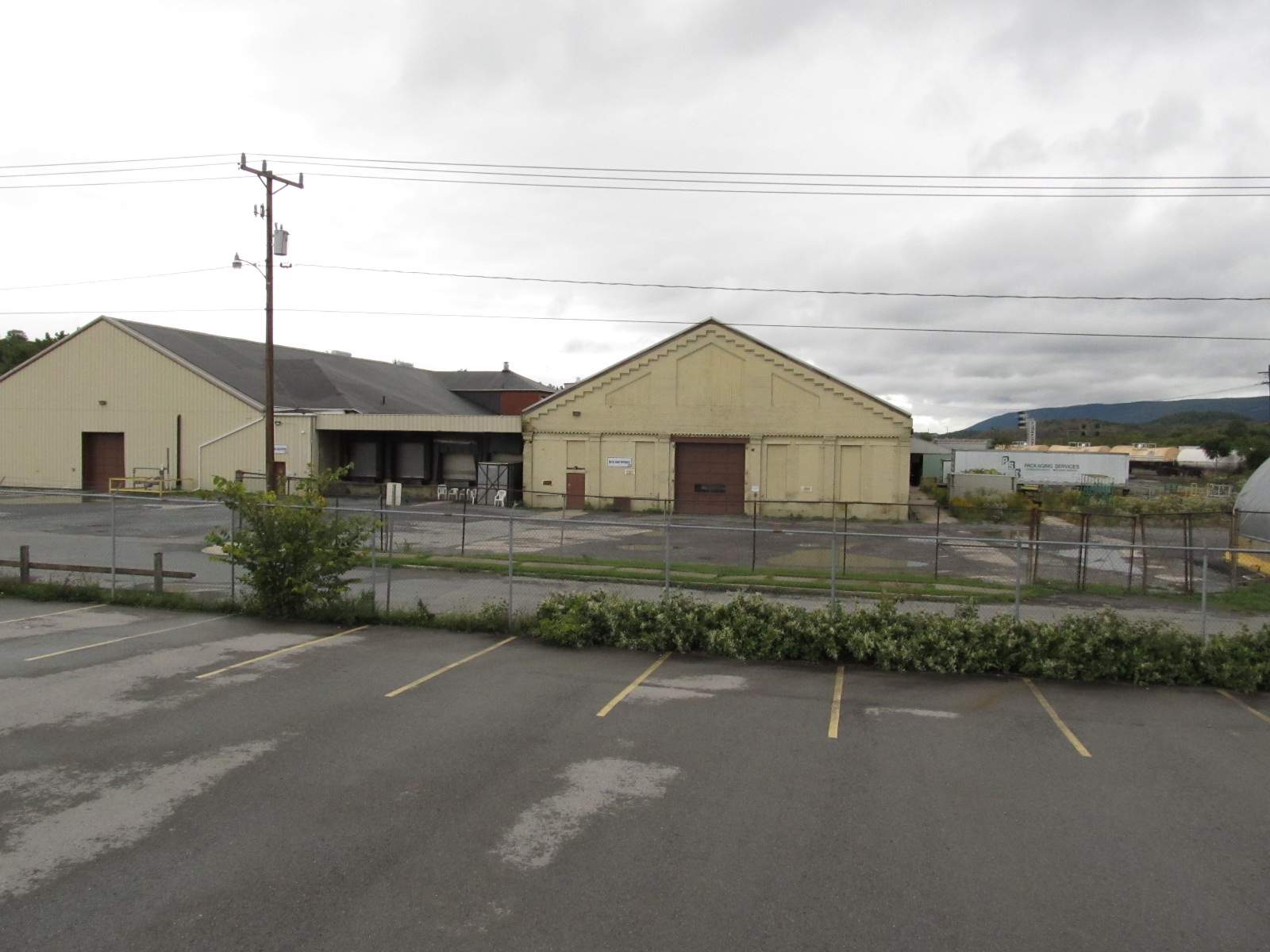
![]() The Juniata Shops
The Juniata Shops

 2004
2004

 2004
2004

 2011
2011
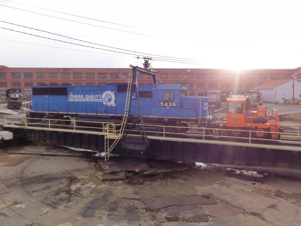


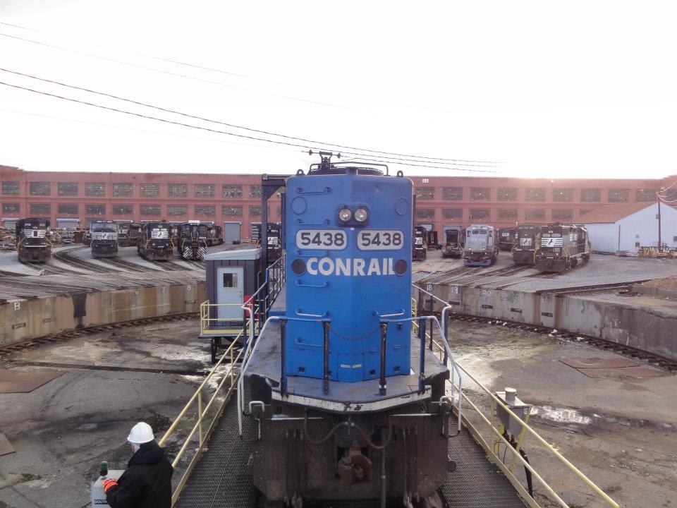
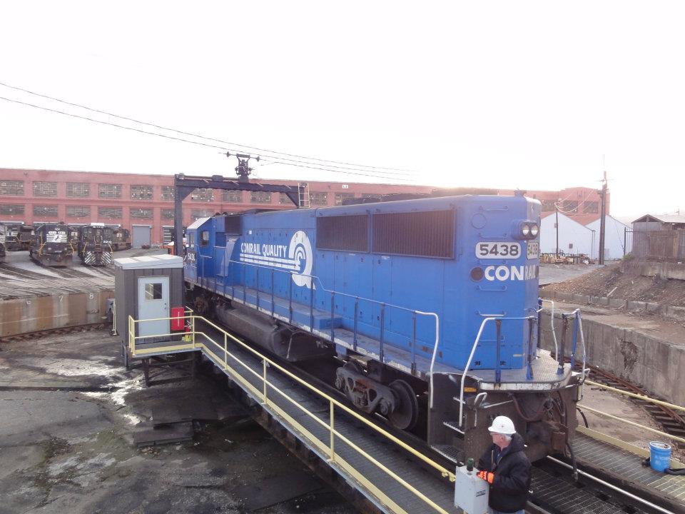
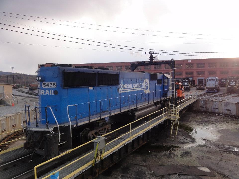
Conrail #5438 on the turntable with railcar wheels under it, being moved by Rail King 320. Pictures by Marc Lingenfelter... Many thanks!
 2011
2011
 2011
2011
You never know what to expect in the way of motive power when you drive by..... A friend of mine got harassed by the NS police when 999 was in Enola and
tried getting pictures of it :-( 999 is supposed to be a battery powered unit...
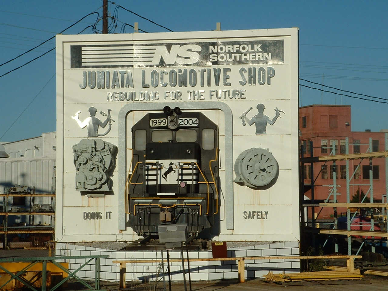
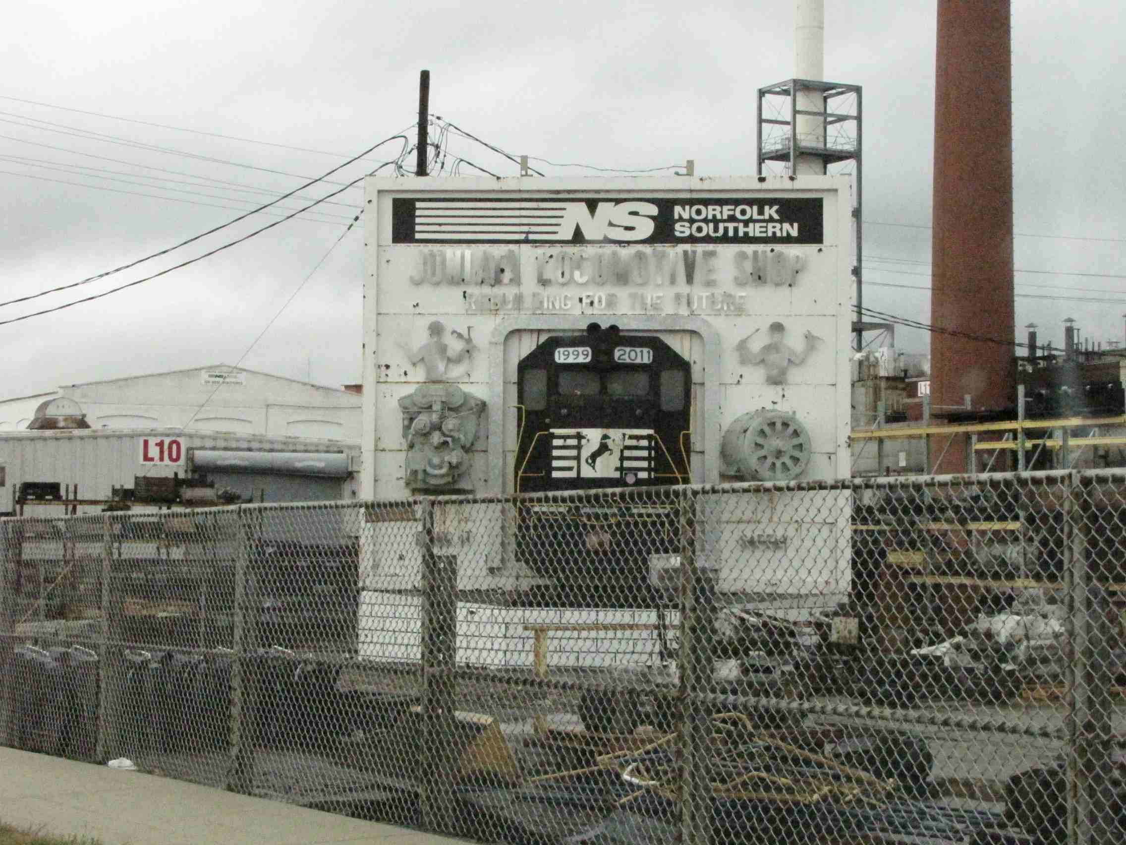 The shop sign isn't looking as good as it did 7 years ago (2004 vs 2011).....

 Shots from 4th St.
Back in the Pennsy days, these shops were hard to beat for just about anything. The guys that worked here would tackle fixing or building anything...
anything. Up until the Norfolk Southern takeover of Conrail, they even opened the shops as part of the Railfest days, held in conjunction with the
Railroaders Museum. Still in operation: a turntable at the far north end of the shops as shown above.
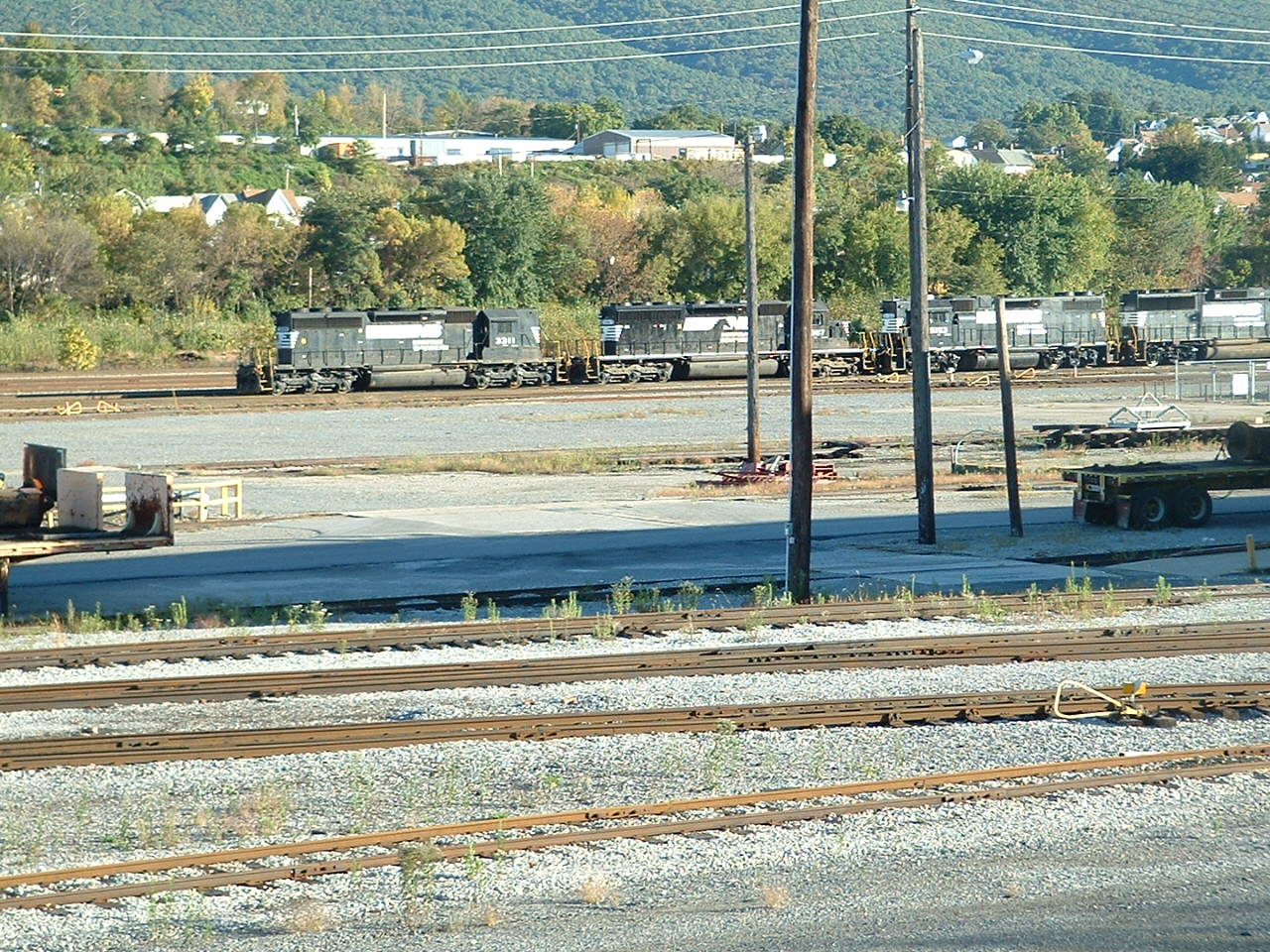
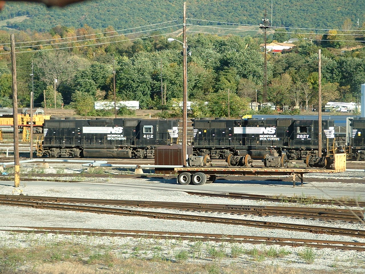
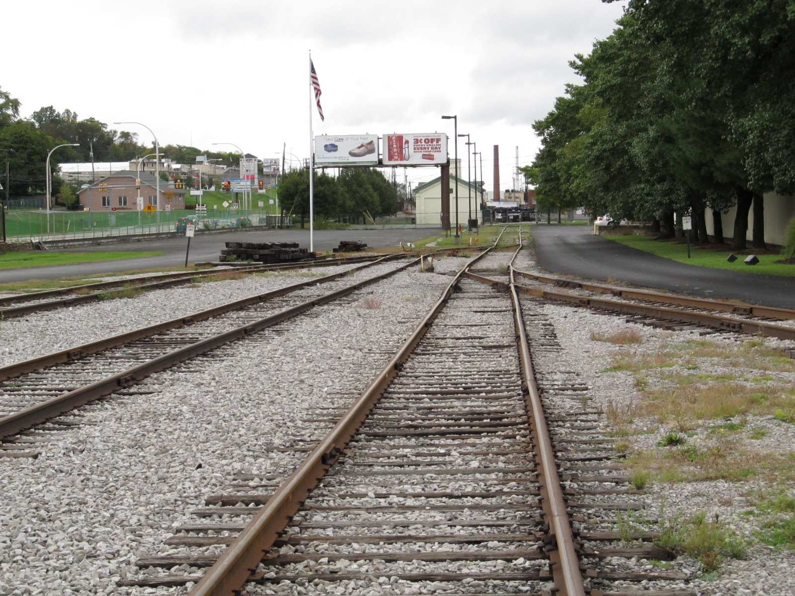
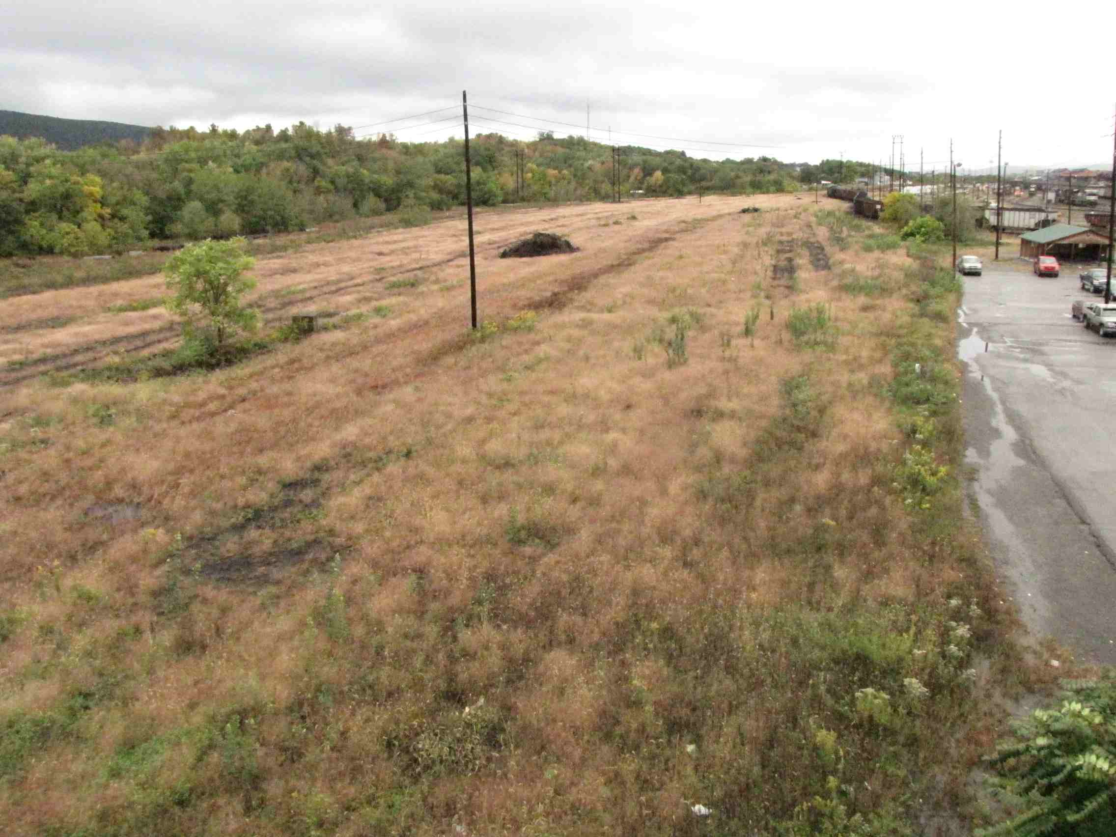
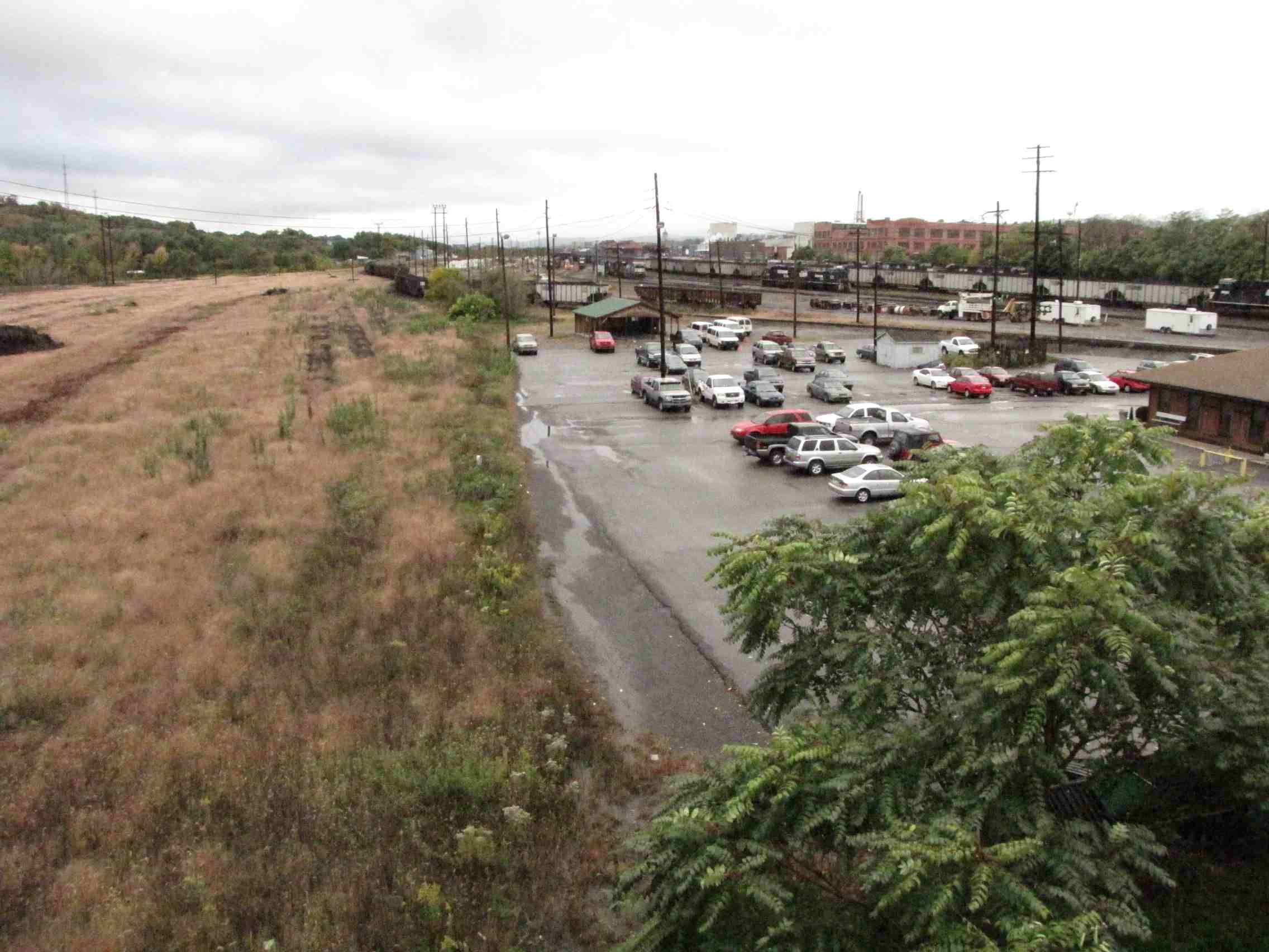
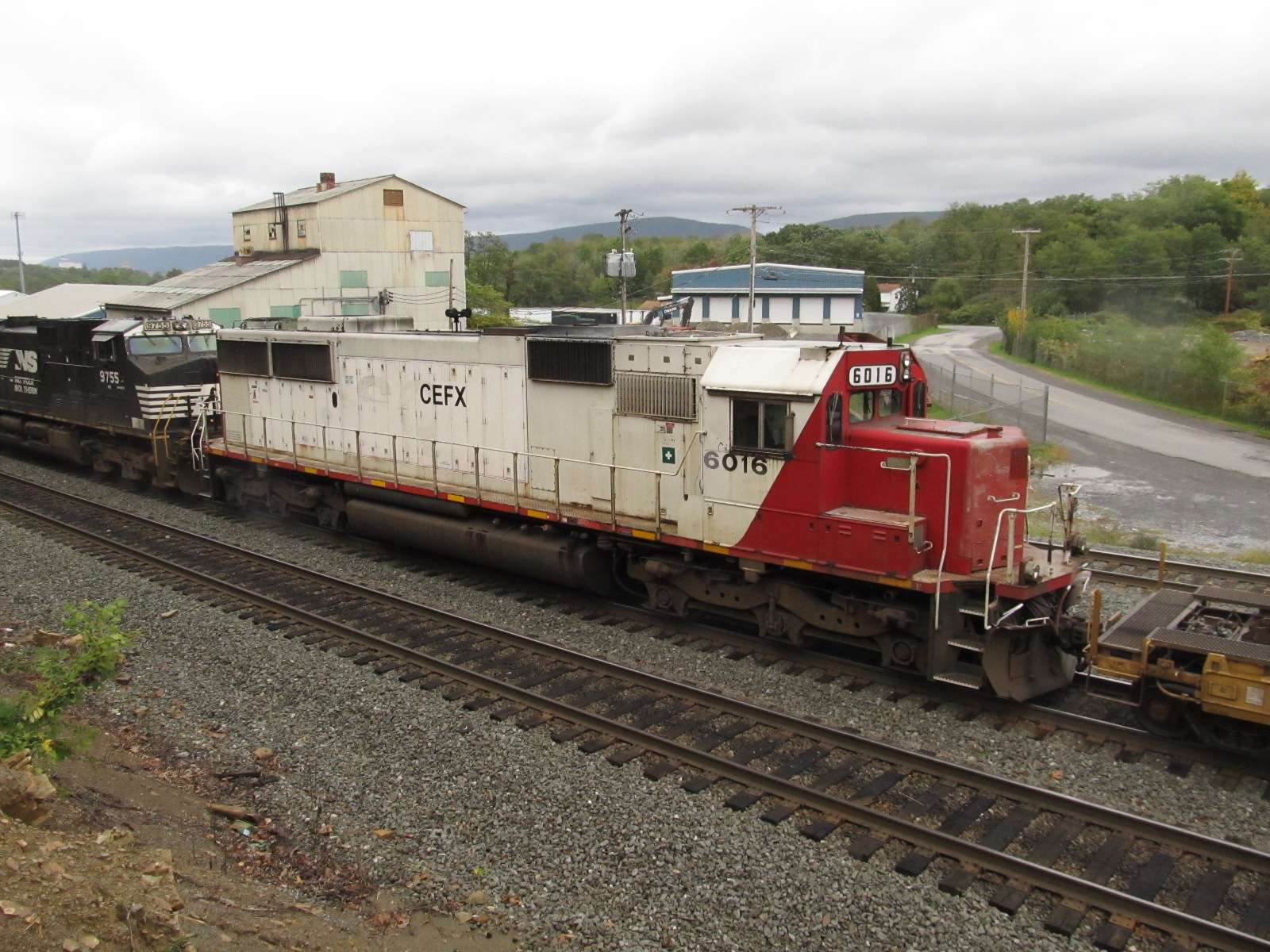
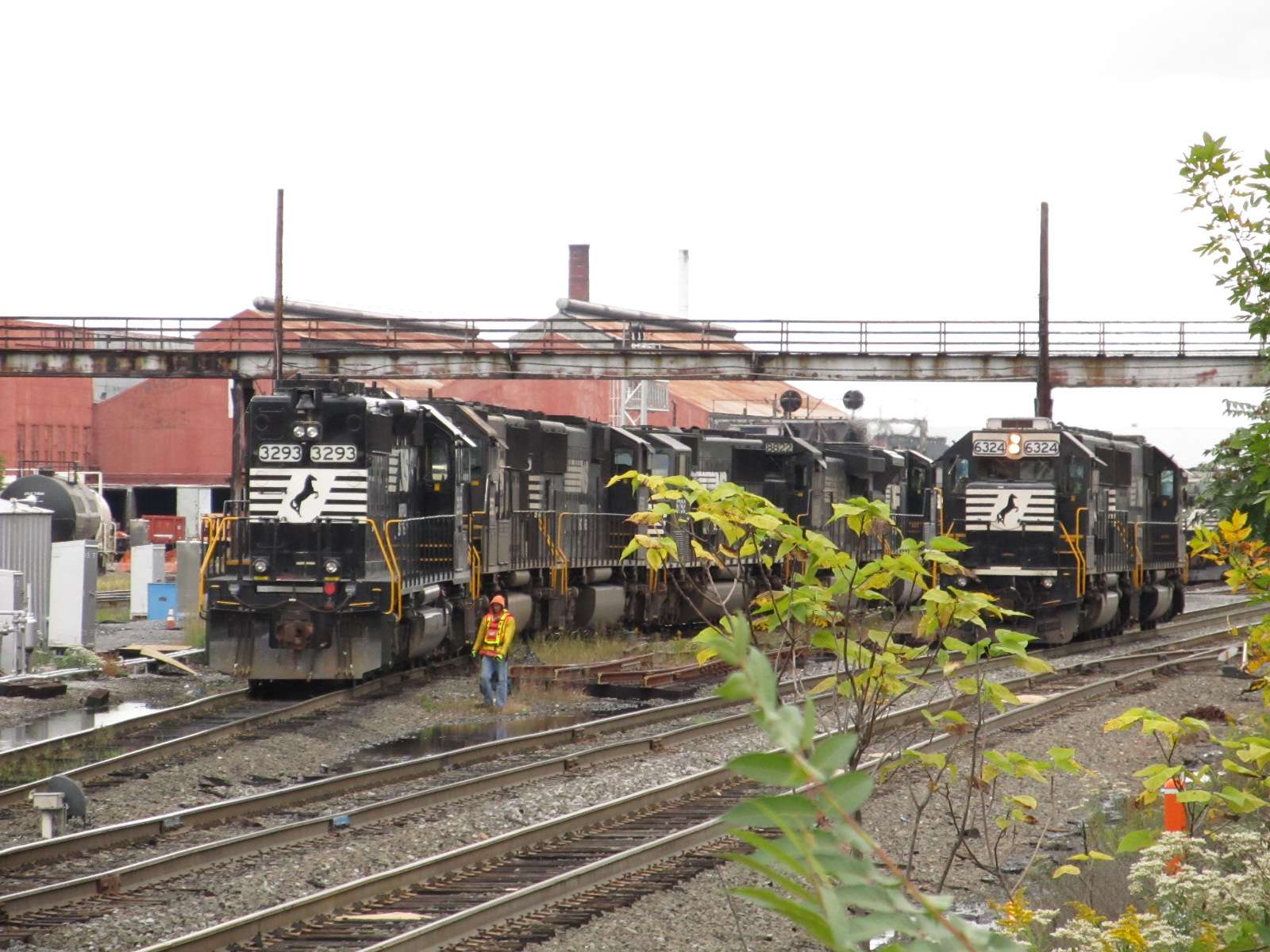
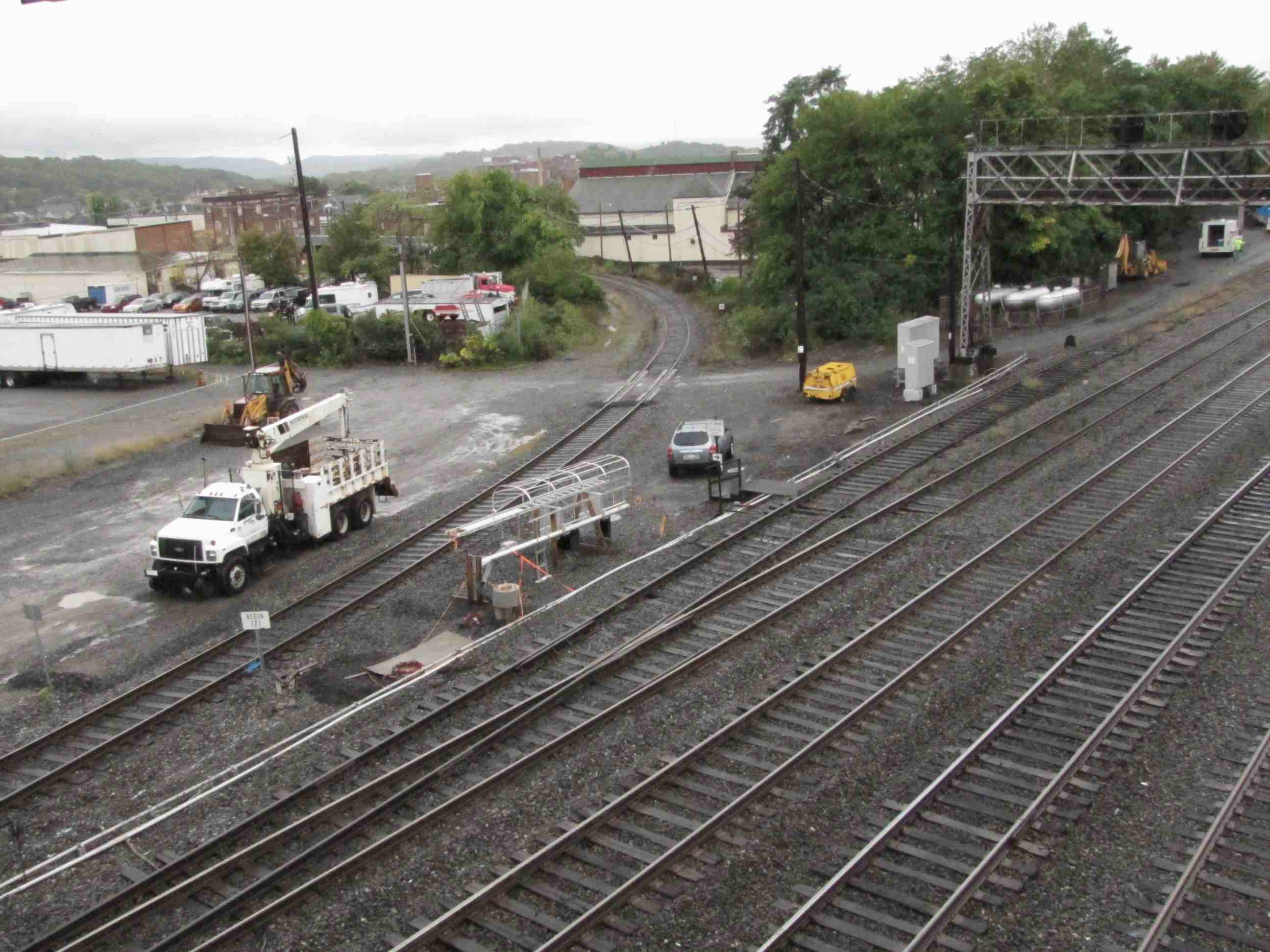
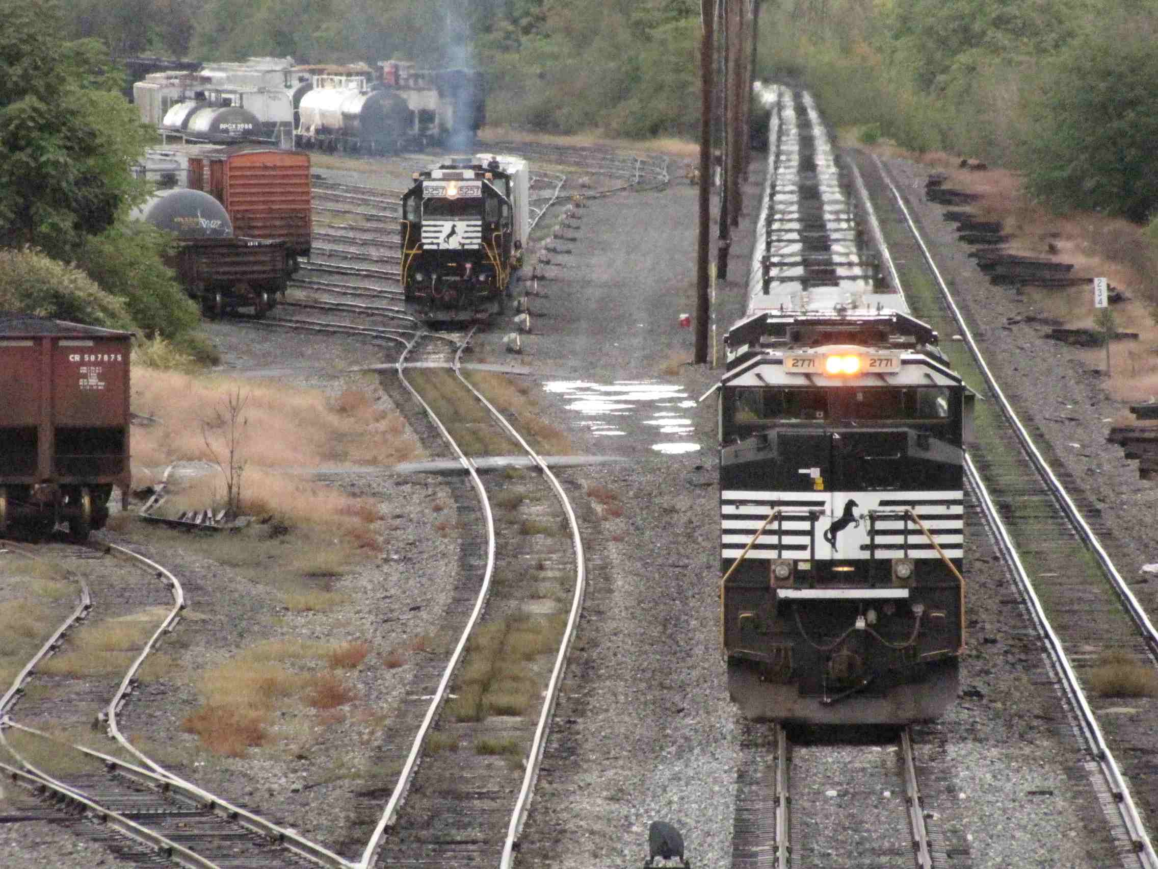
![]() North Side of the Yard
North Side of the Yard
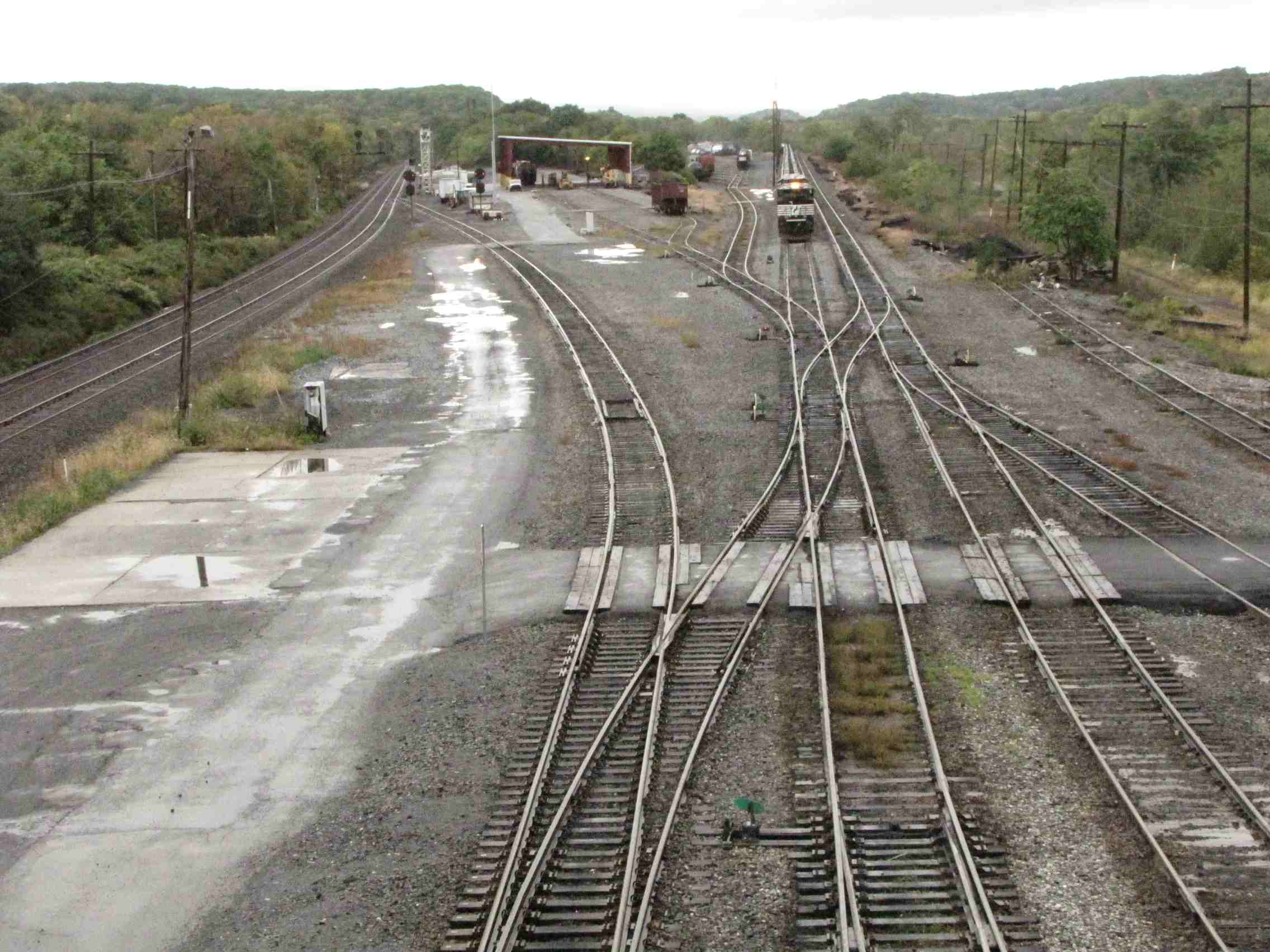


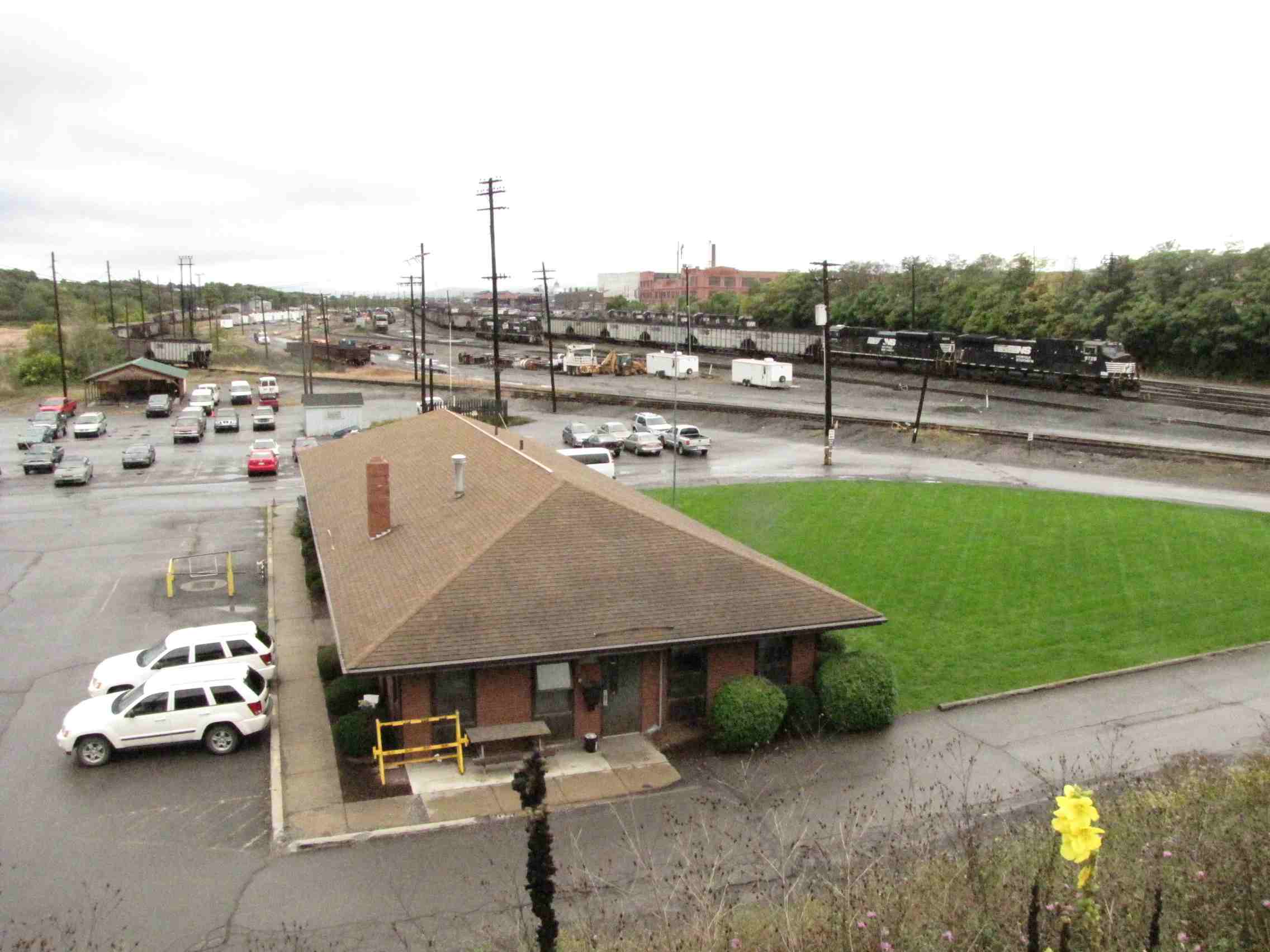

 2011
2011
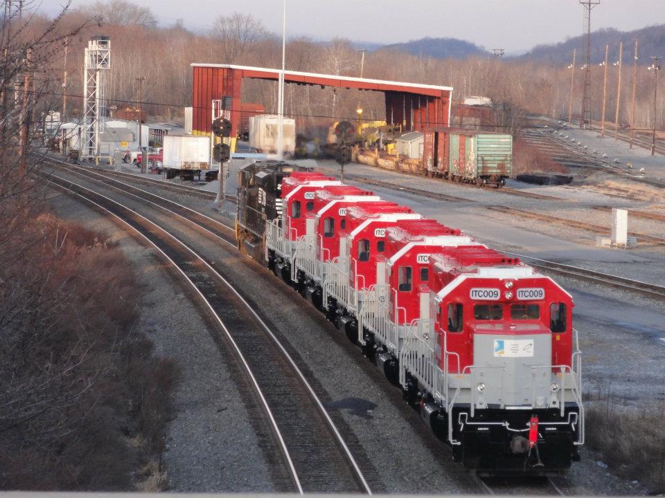
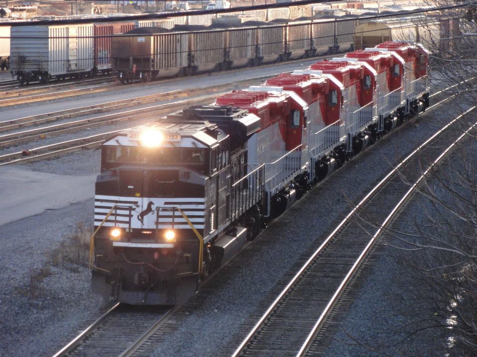
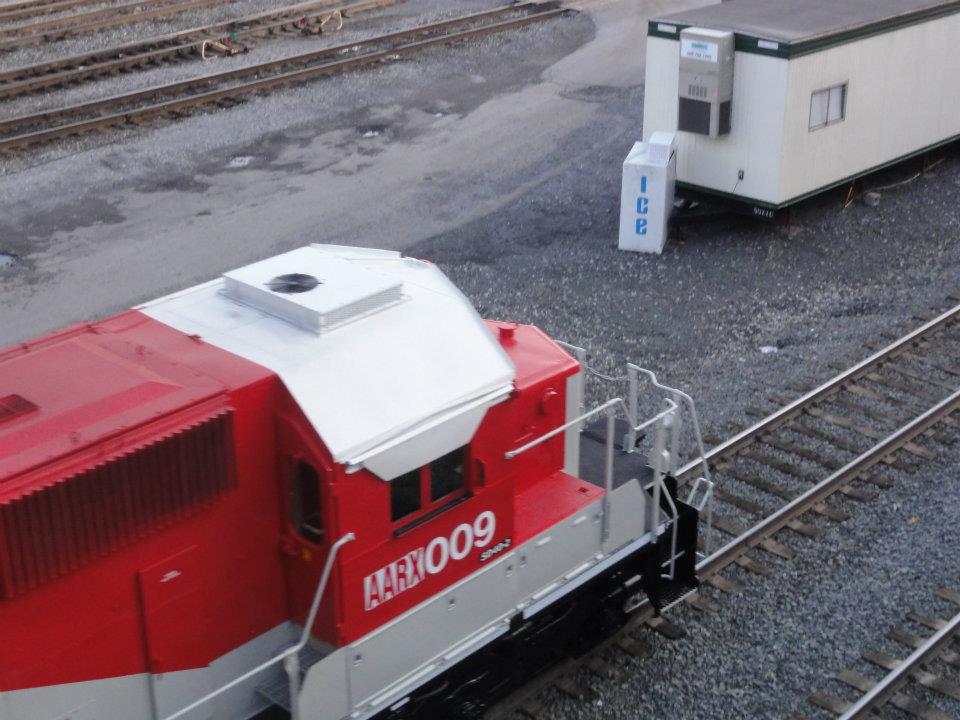
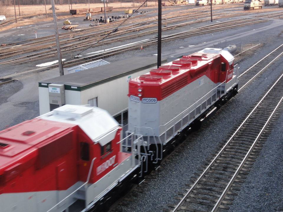
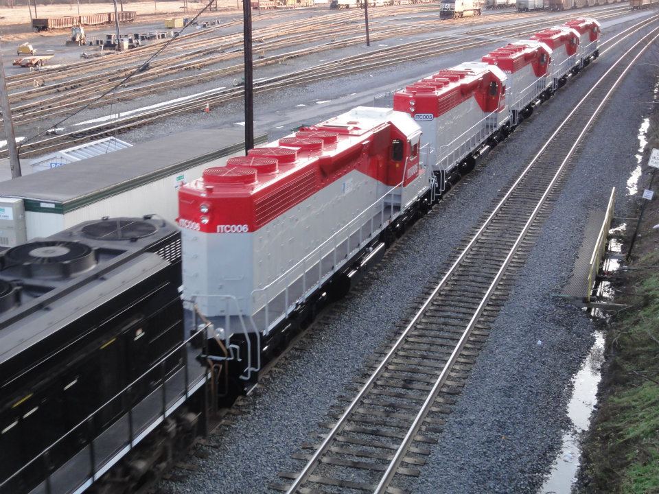
The above series of photos of a light engine move is by Marc Lingenfelter and passed on by Tyler Nace... Thanks guys!
The engines, owned by the AAR, are headed to Africa.
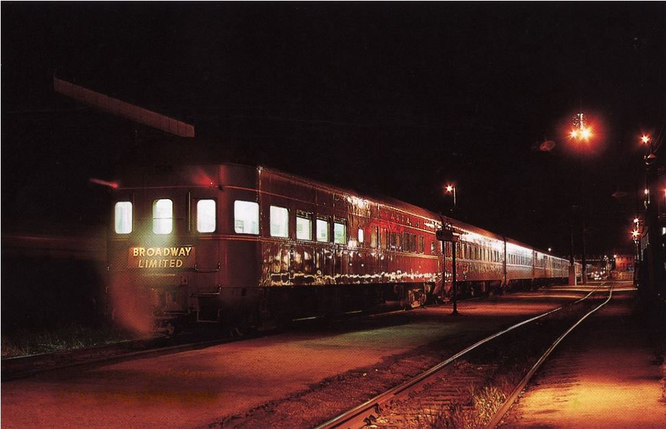
The westbound Broadway Limited in 1966.
Photo courtesy ADB.
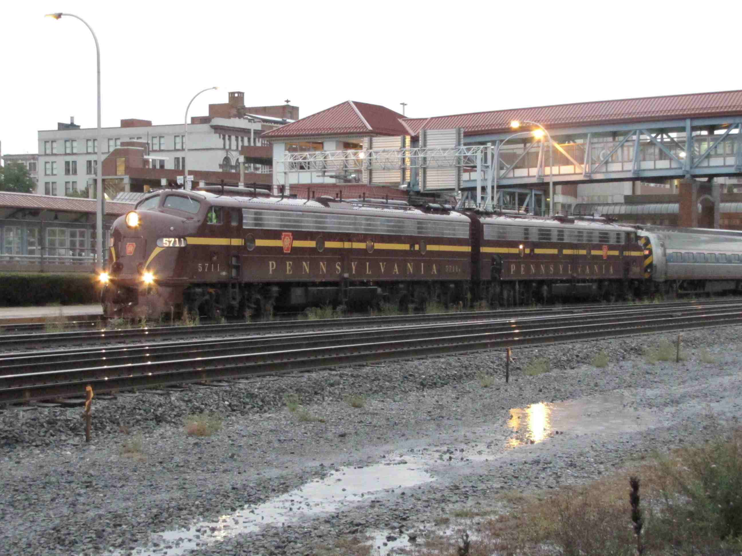
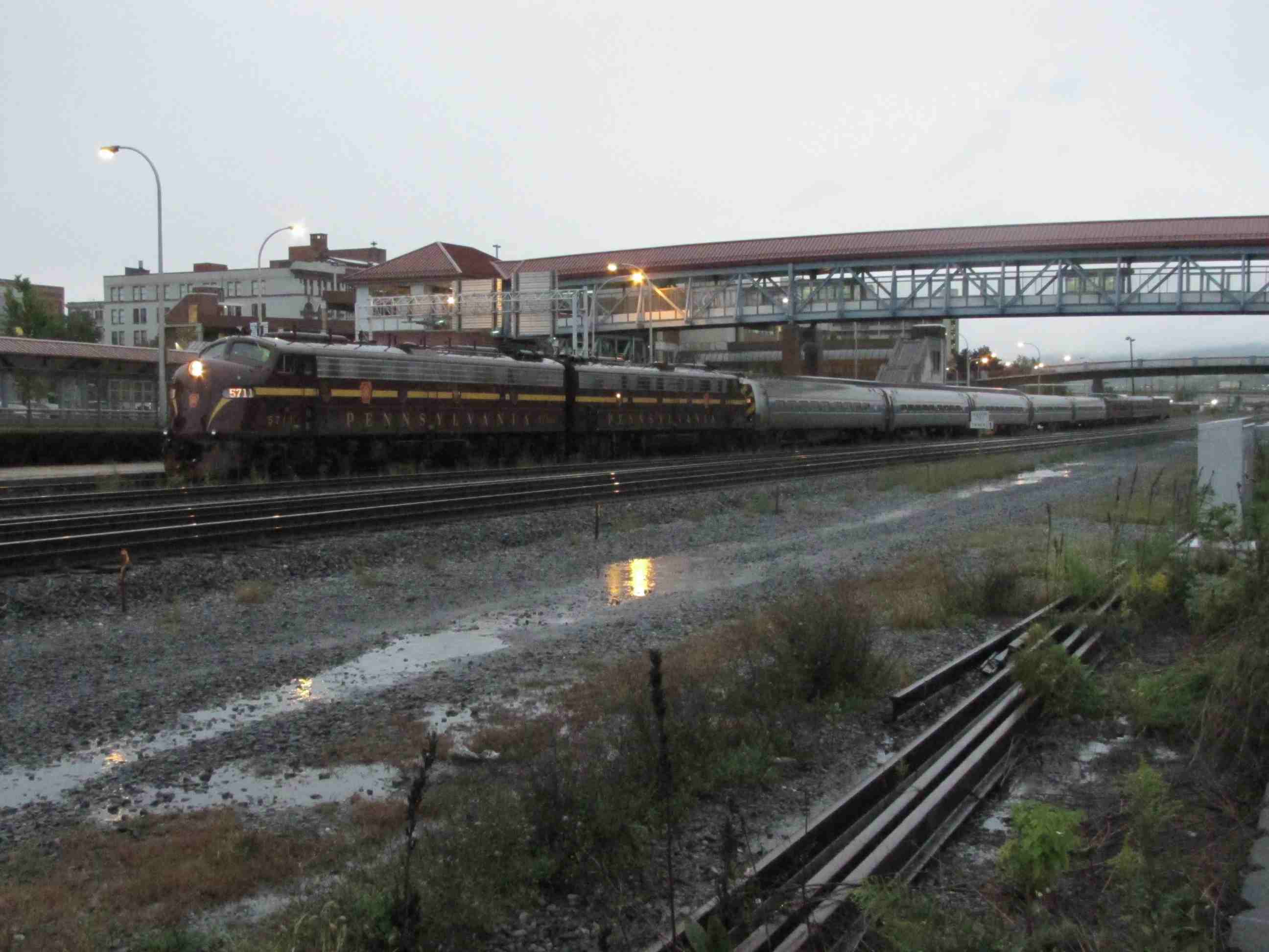
Sunday 10/2/2011 ~ 7:00am - A Pennsy E-8 fan trip getting ready to leave. Weather was crummy, and I was the only one around in the station area taking
pictures. It was heading west over the Horseshoe Curve.
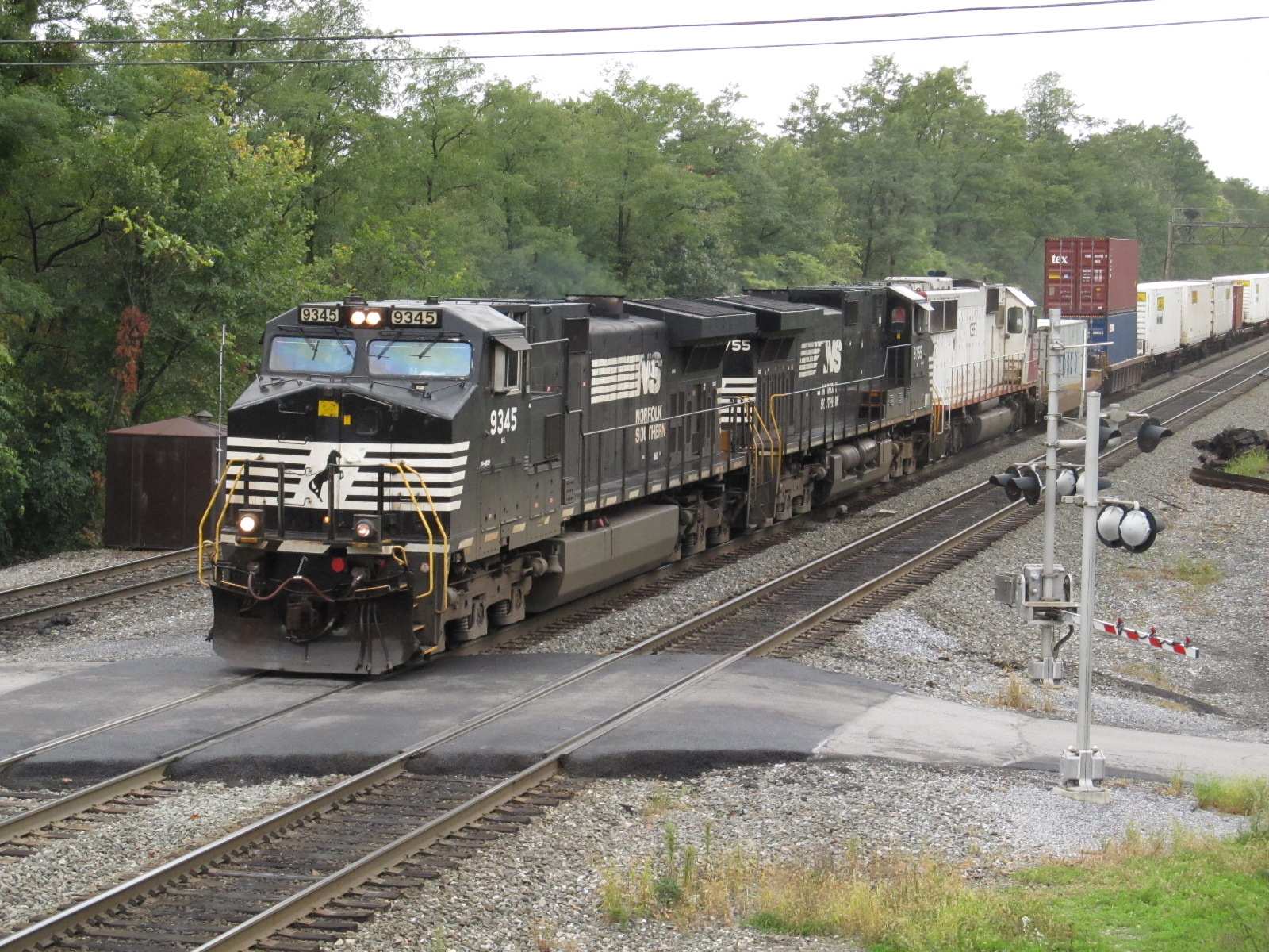
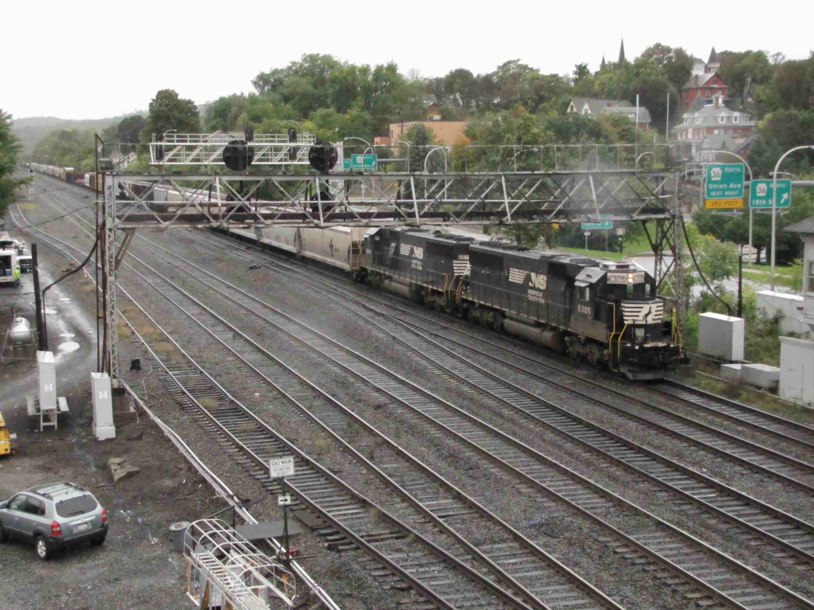
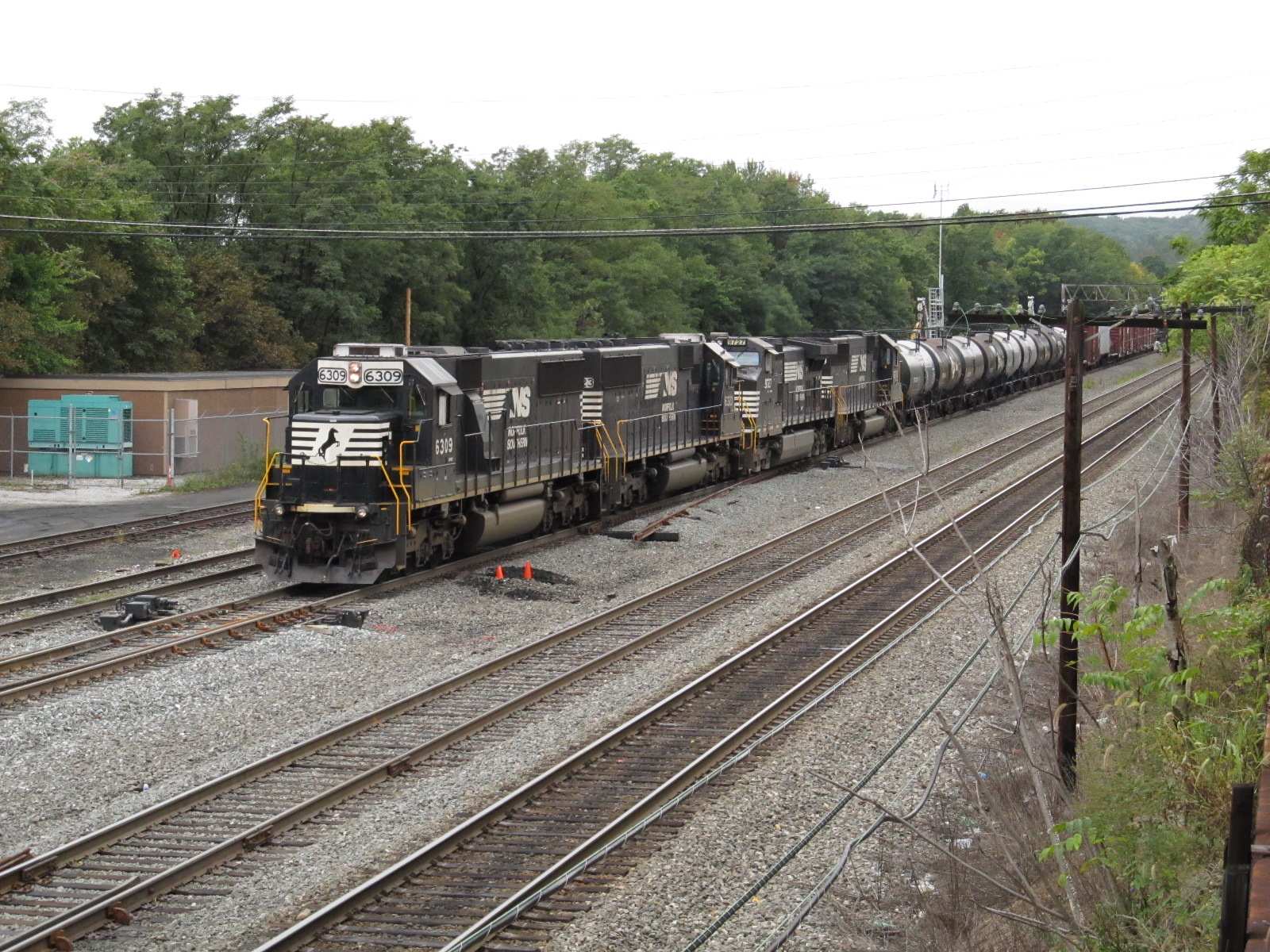
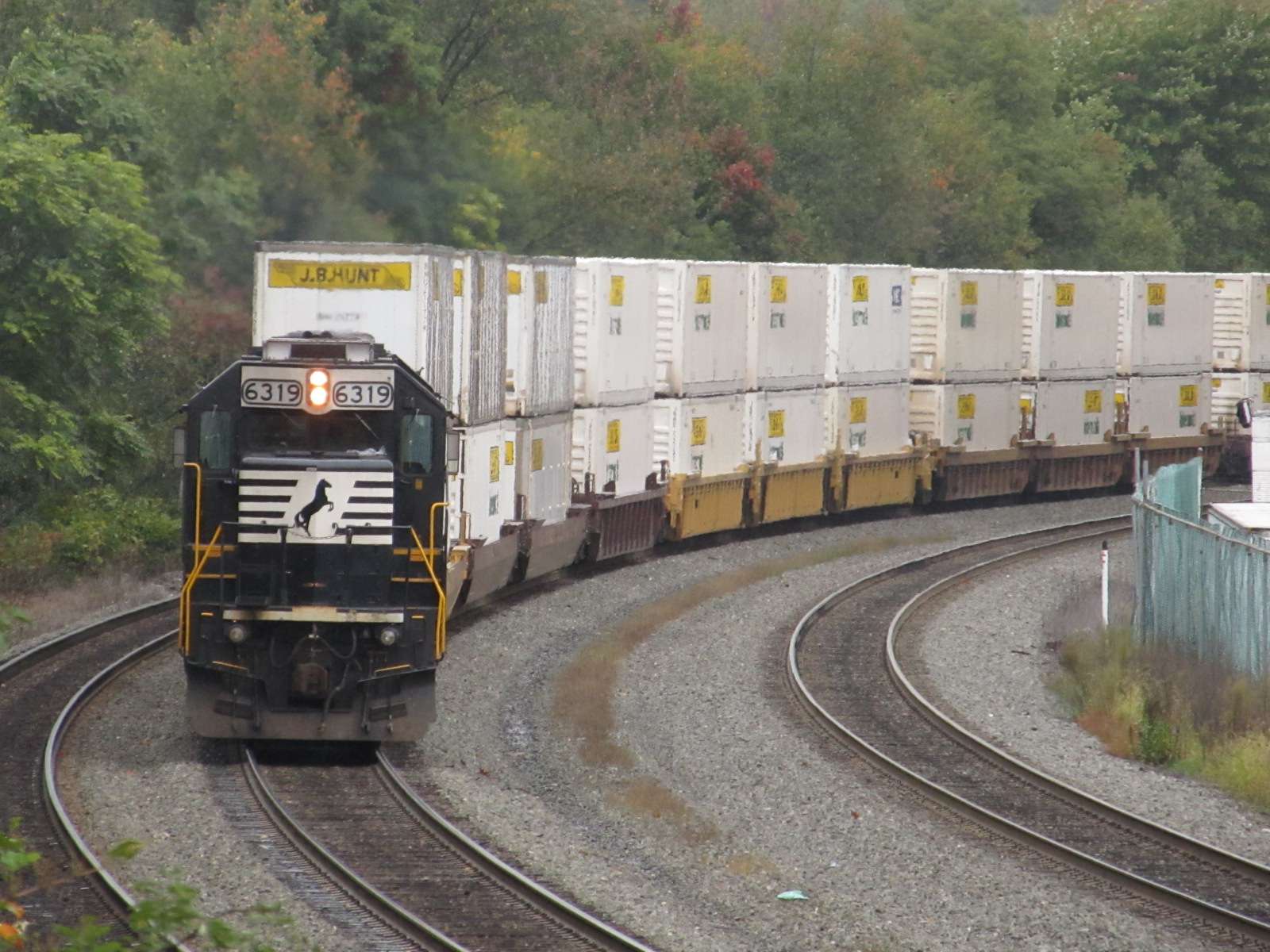
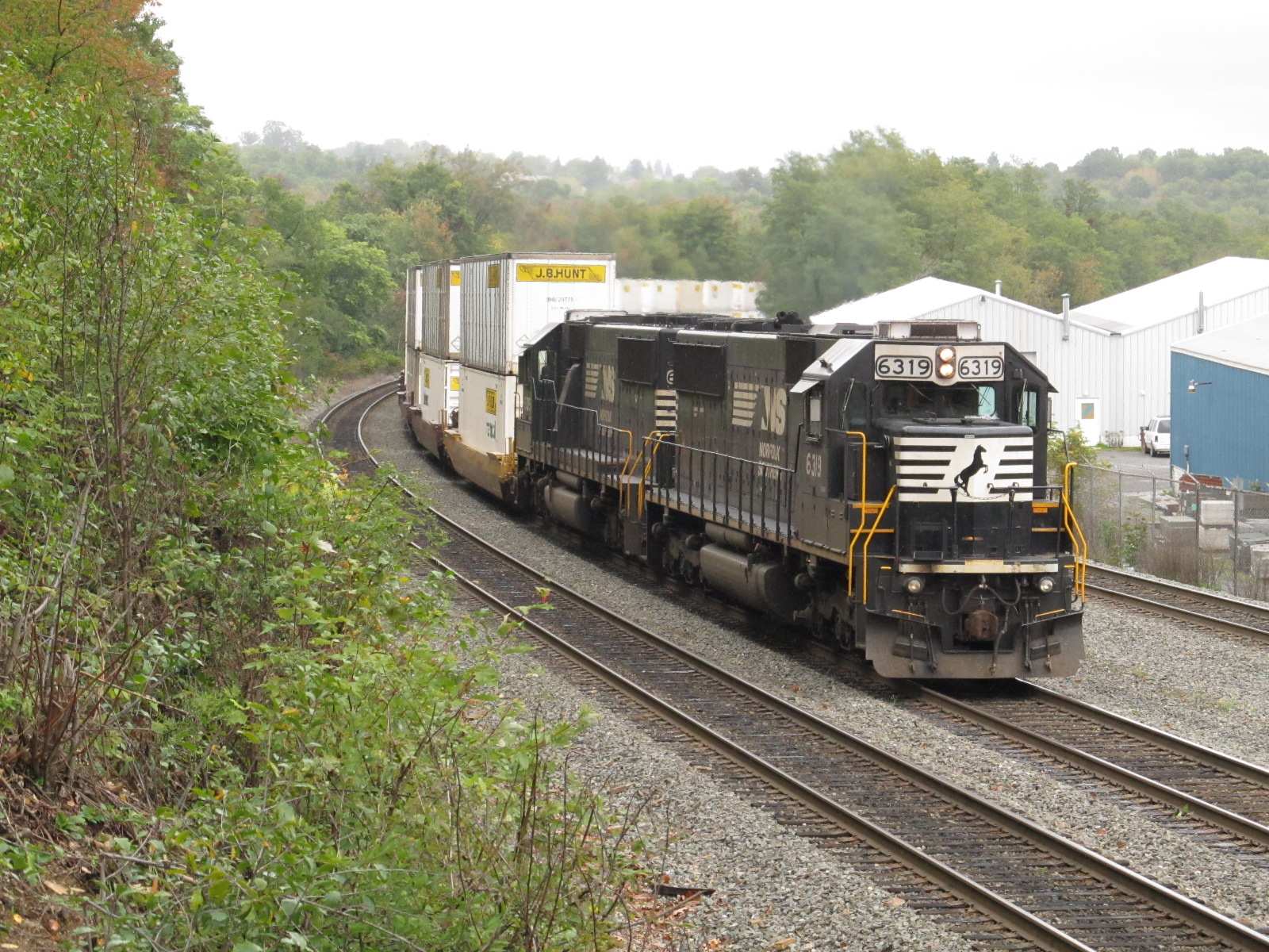
EB freight coming off the grade from Horseshoe Curve at 35th St.
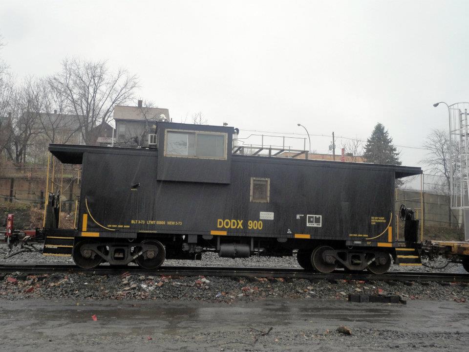
A couple of shots of caboose DODX 900 coming thru town. Photo by Tyler Nace, who just happened to be in the right place at the right time!

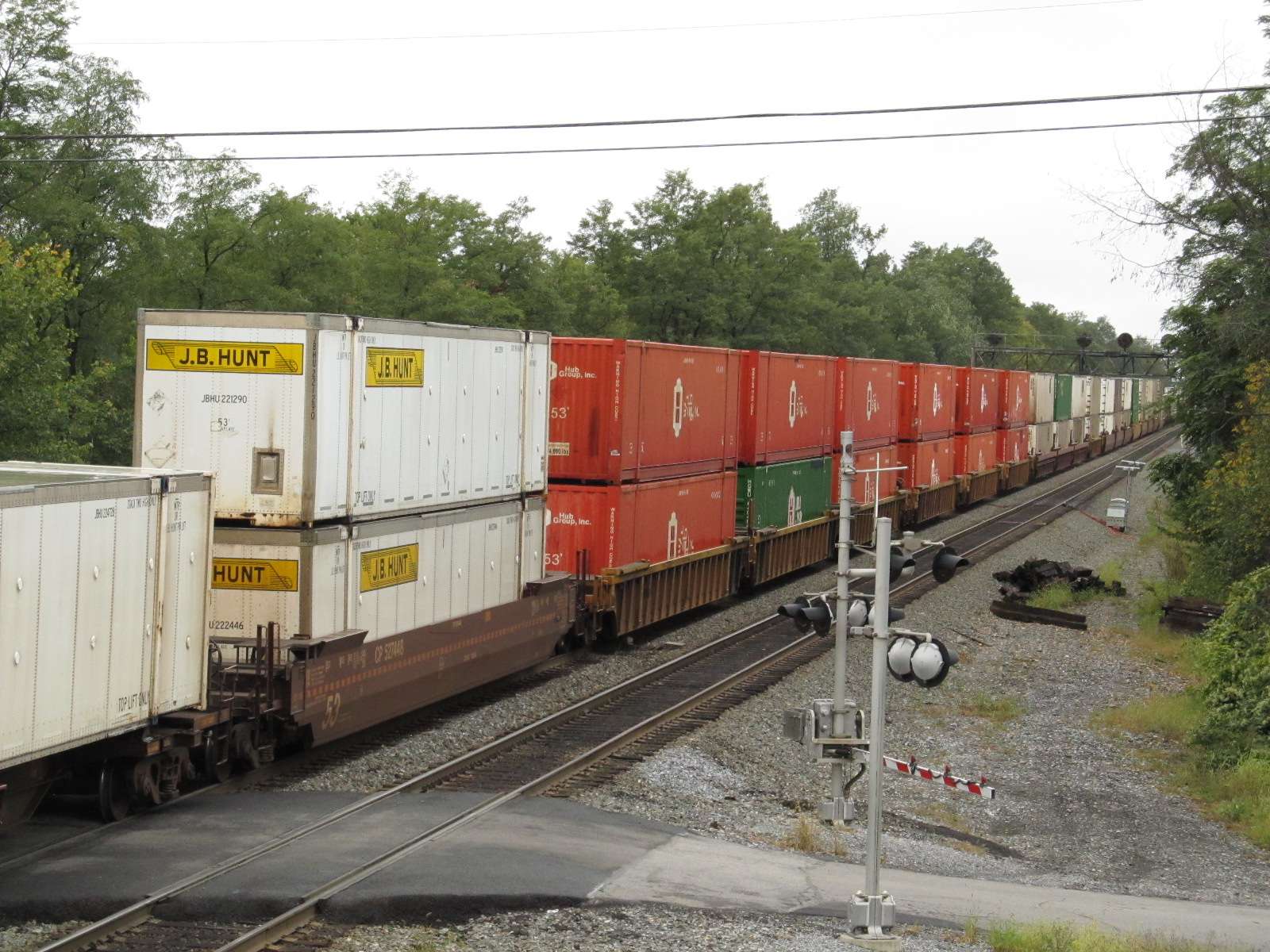
A WB freight coming around the curve into the straight stretch in front of the station, and then in front of the station. 10/2011

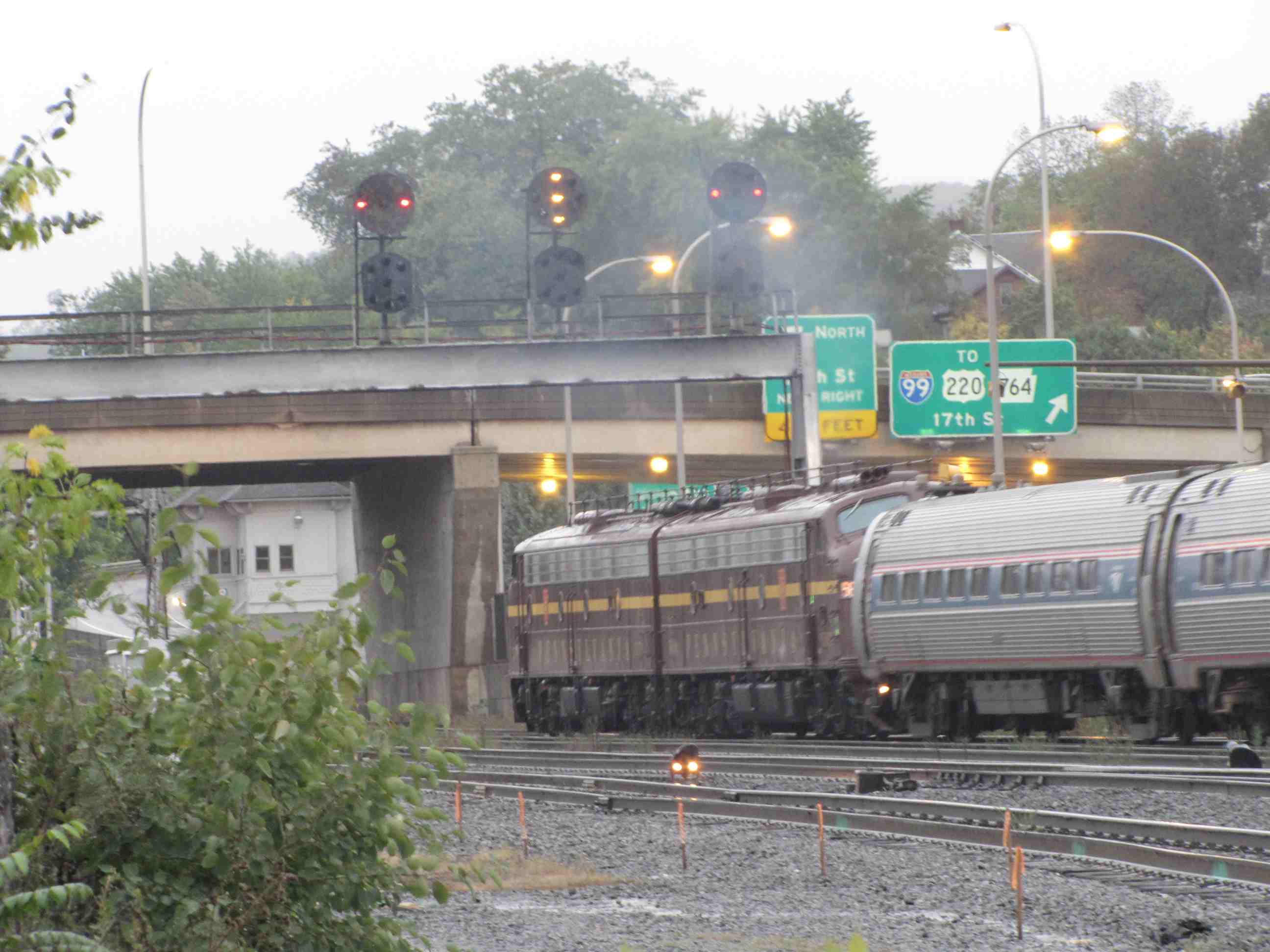
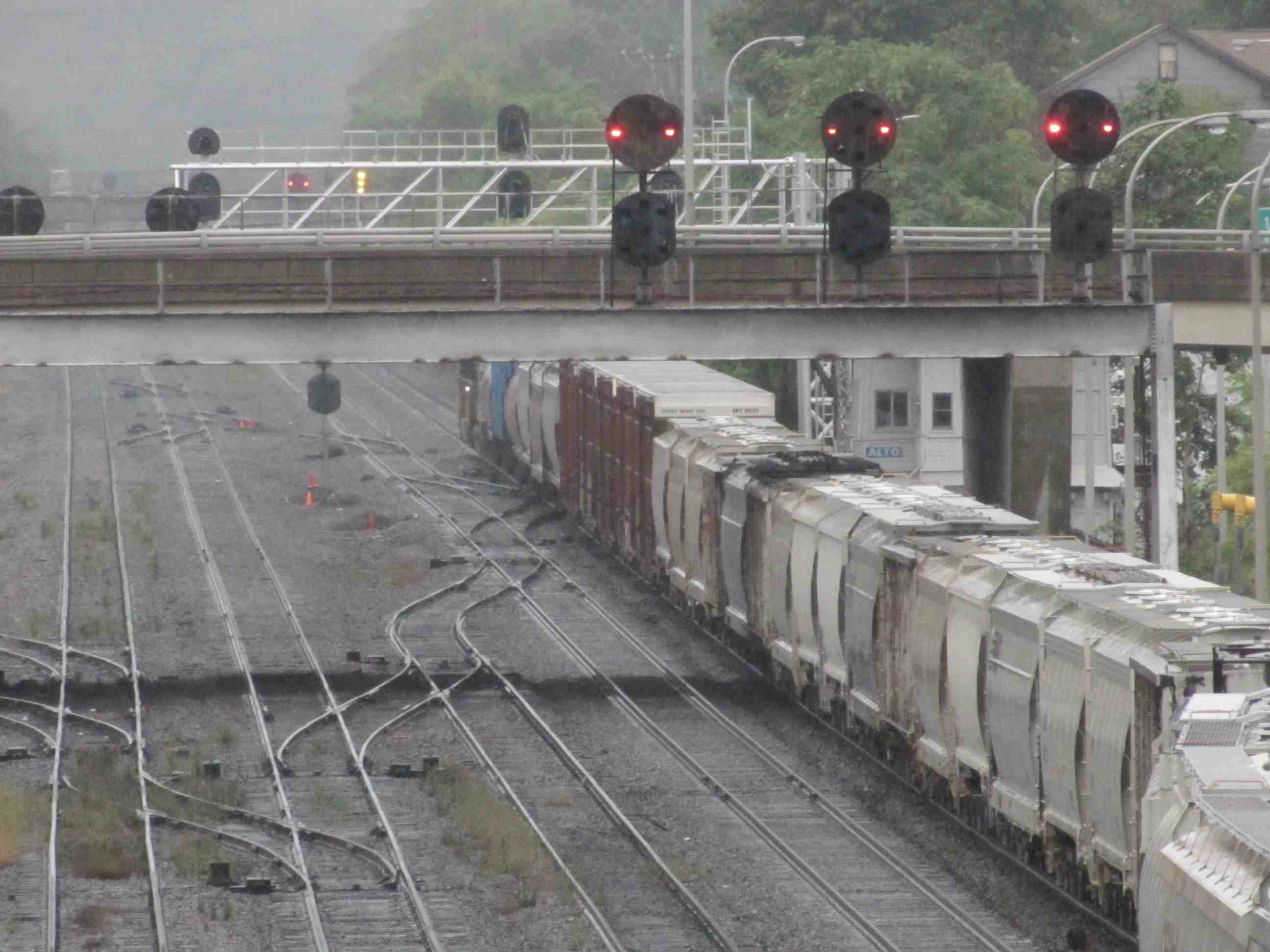
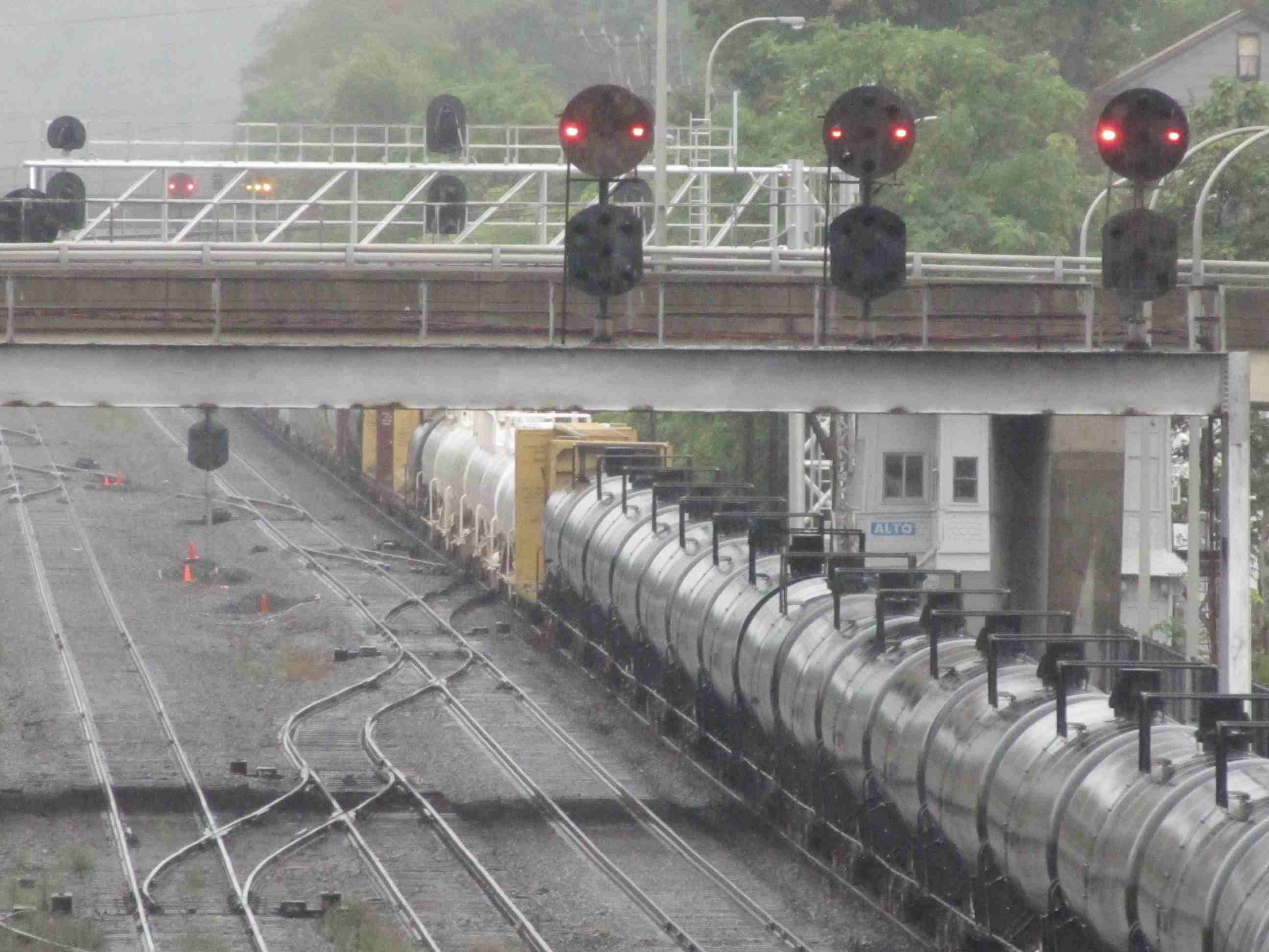
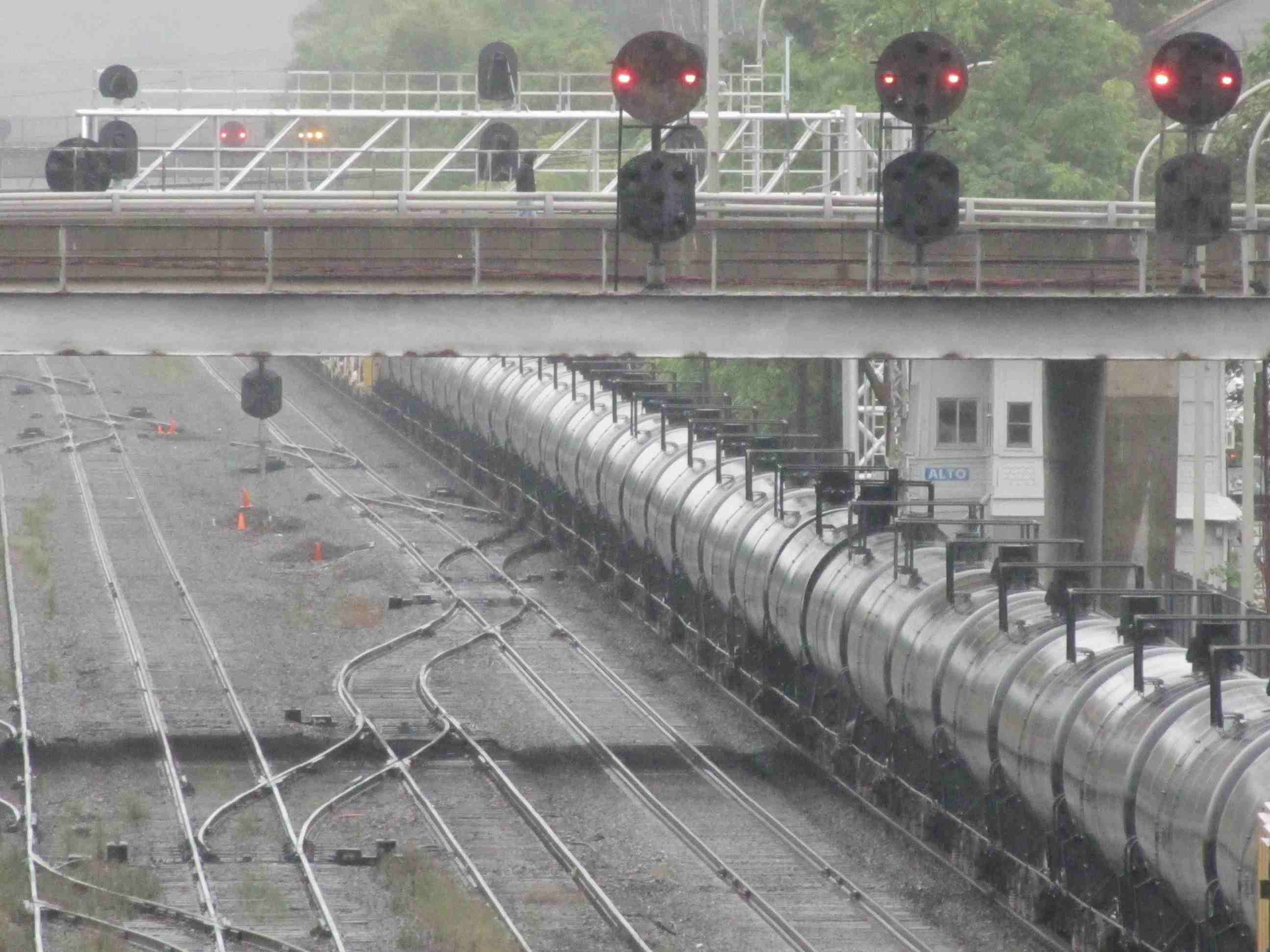
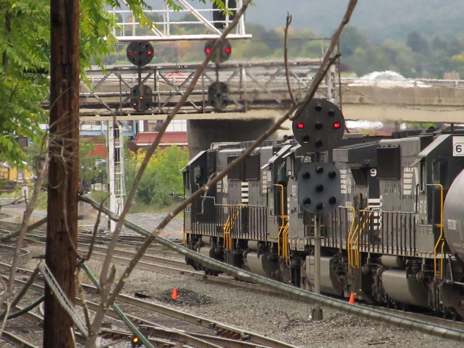
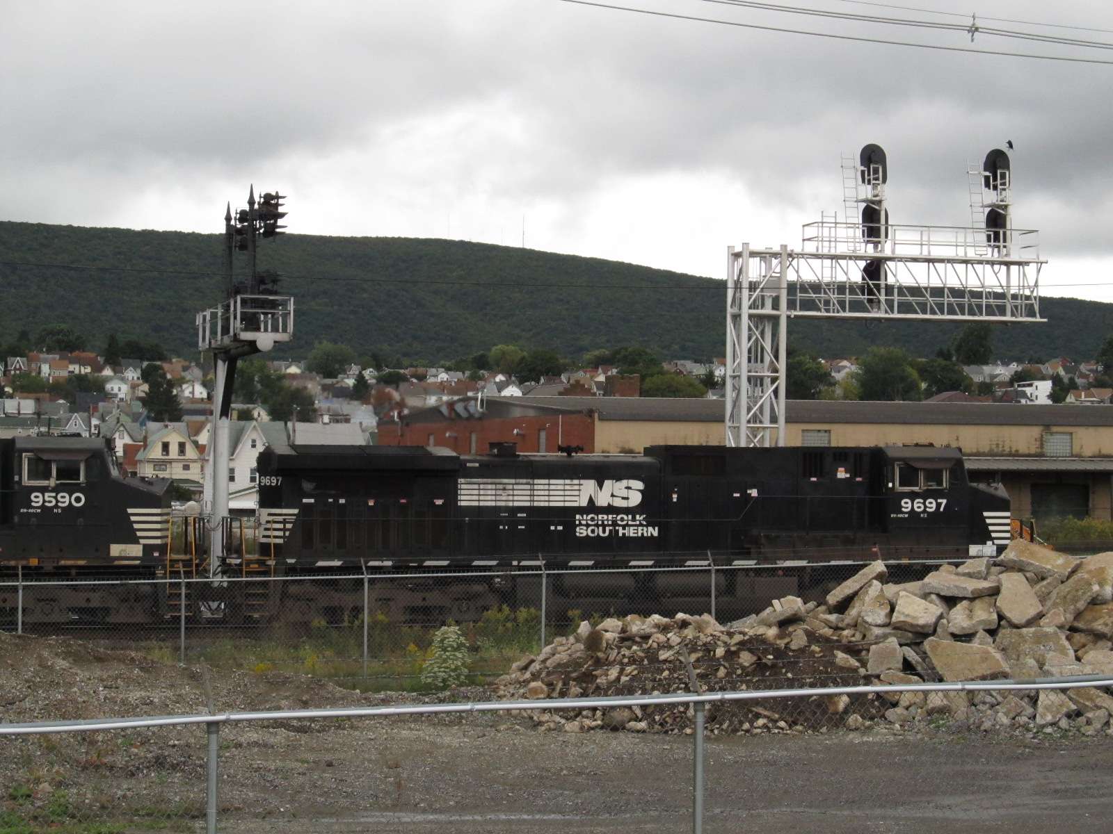
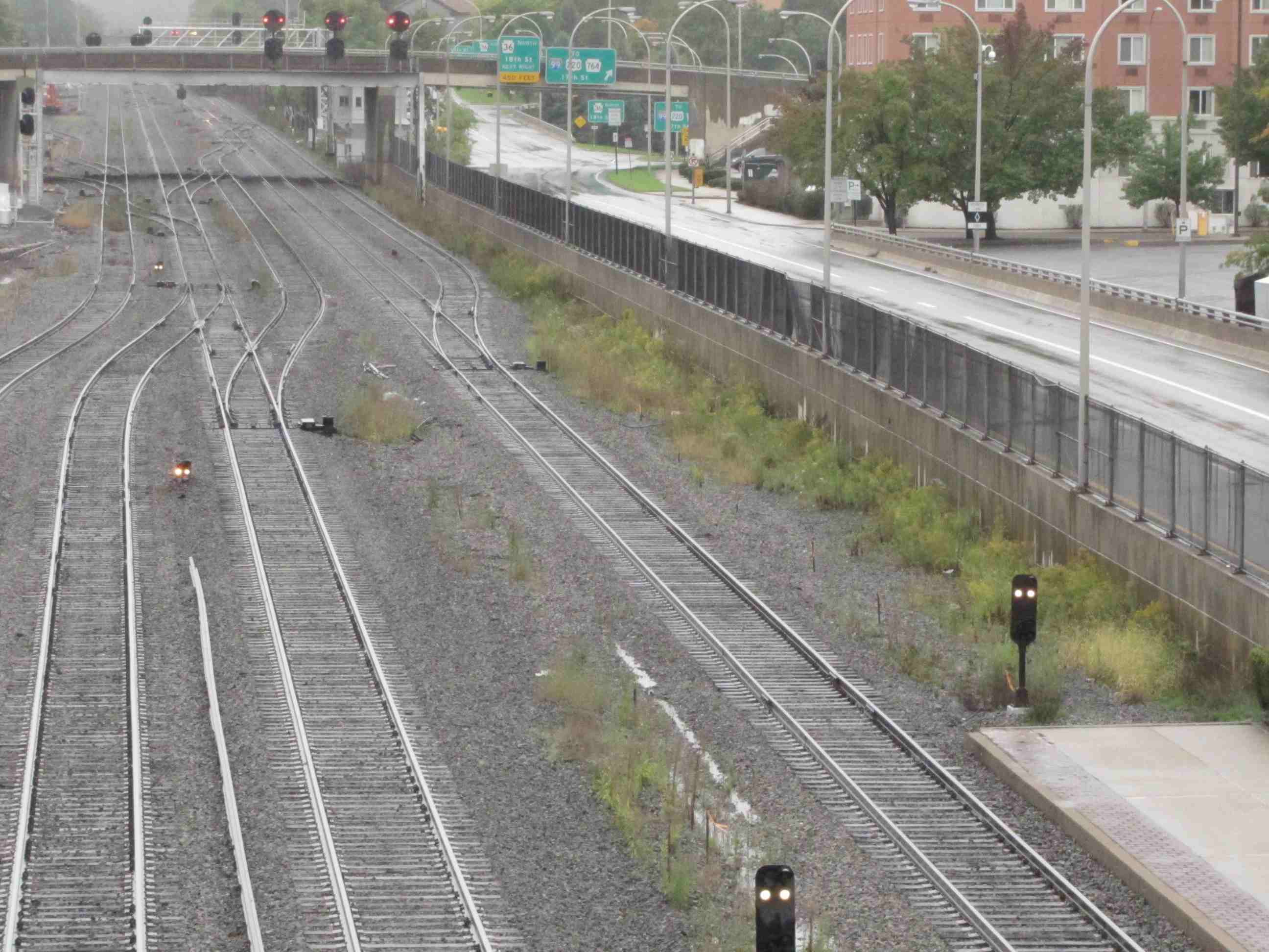
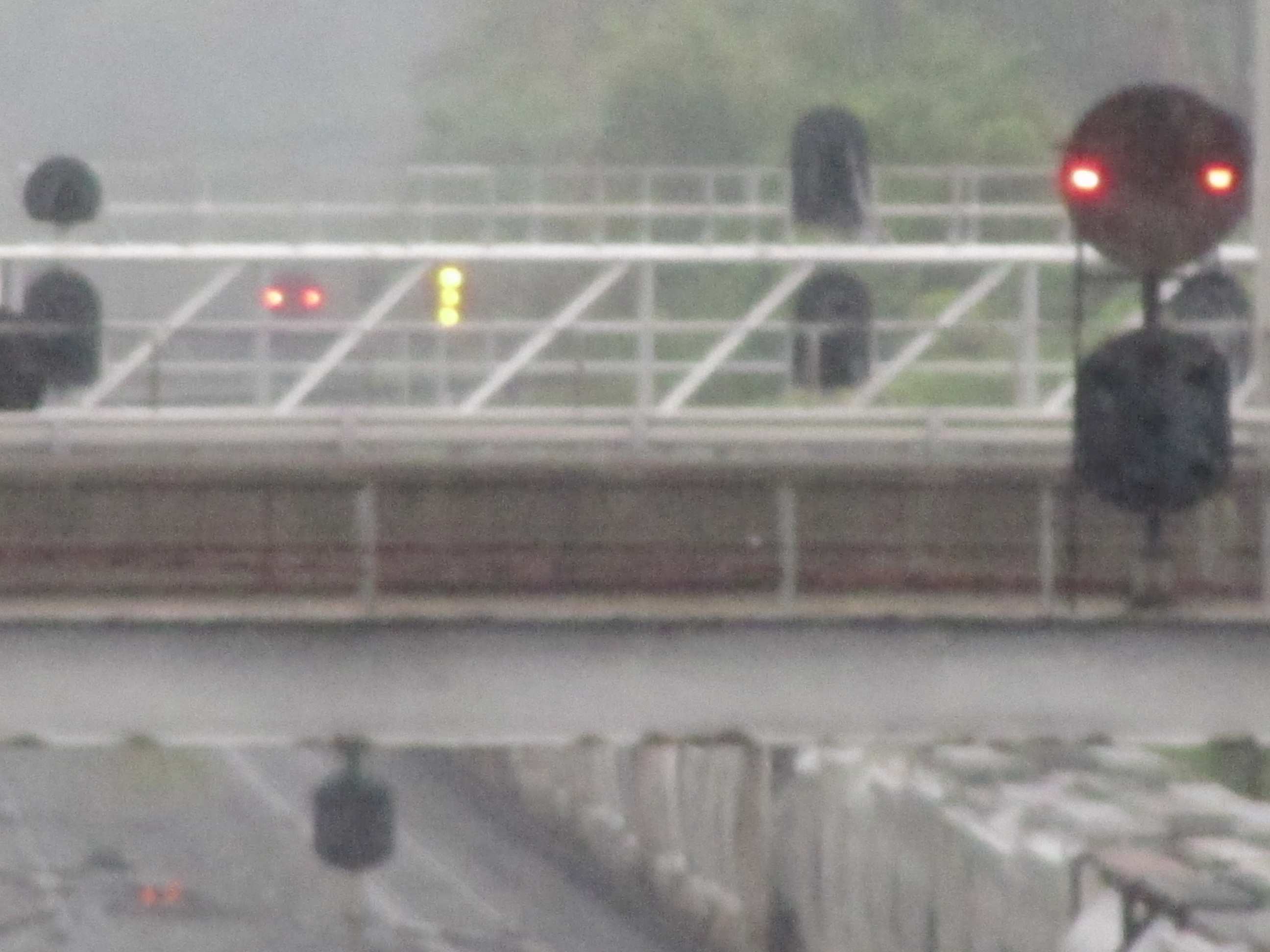
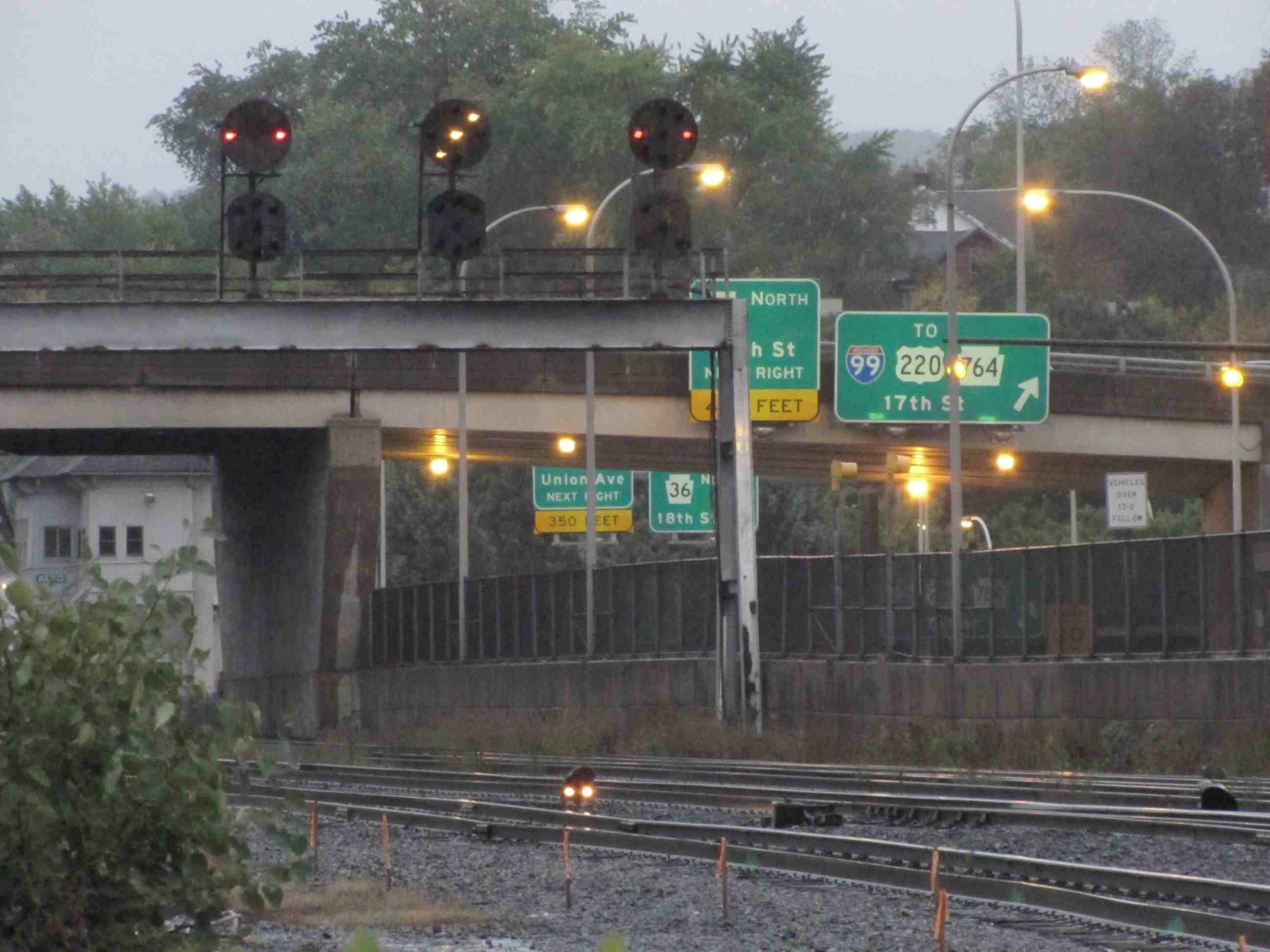
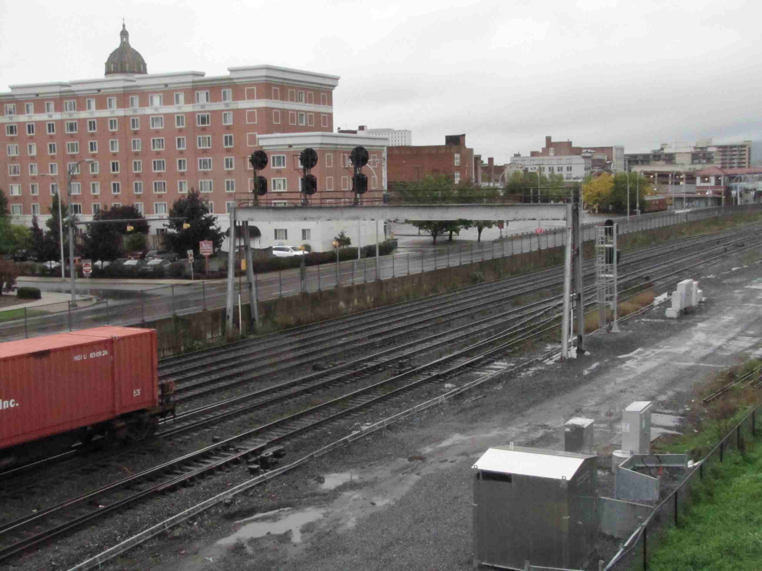
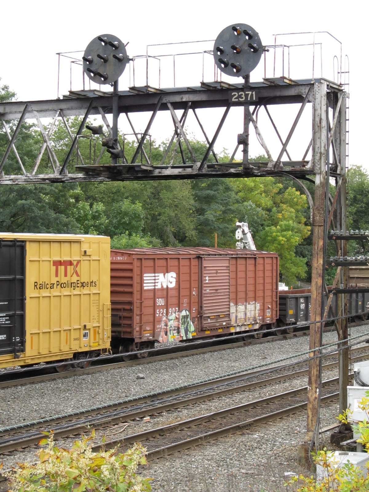
A WB freight going under 17th street, with nice shots of the PL signals (for now). 10/2011
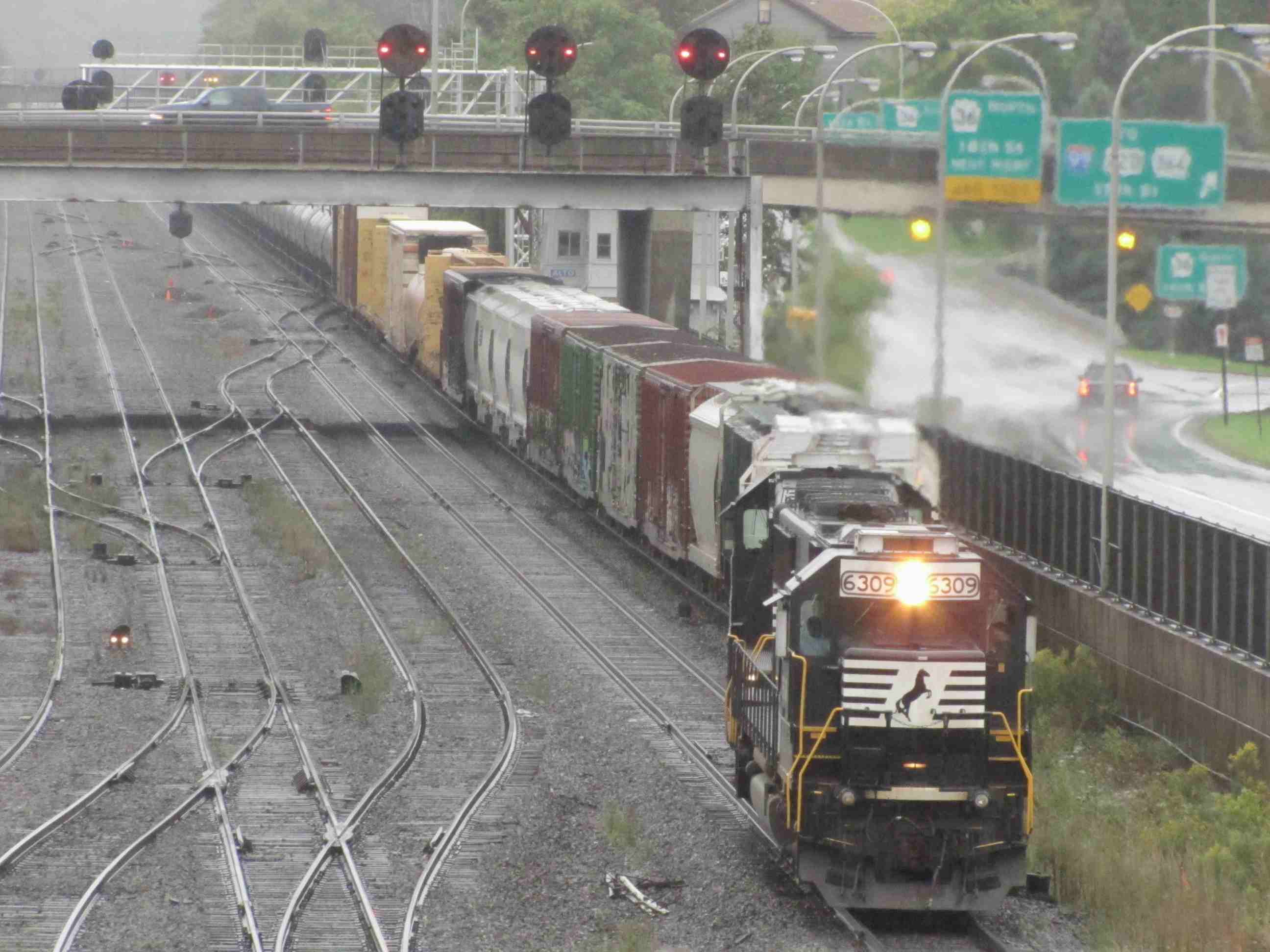
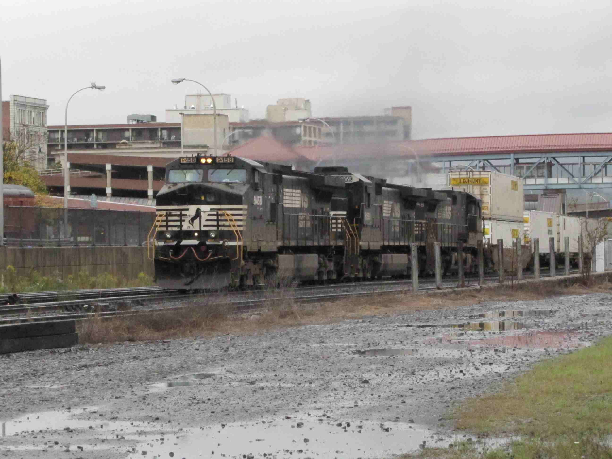
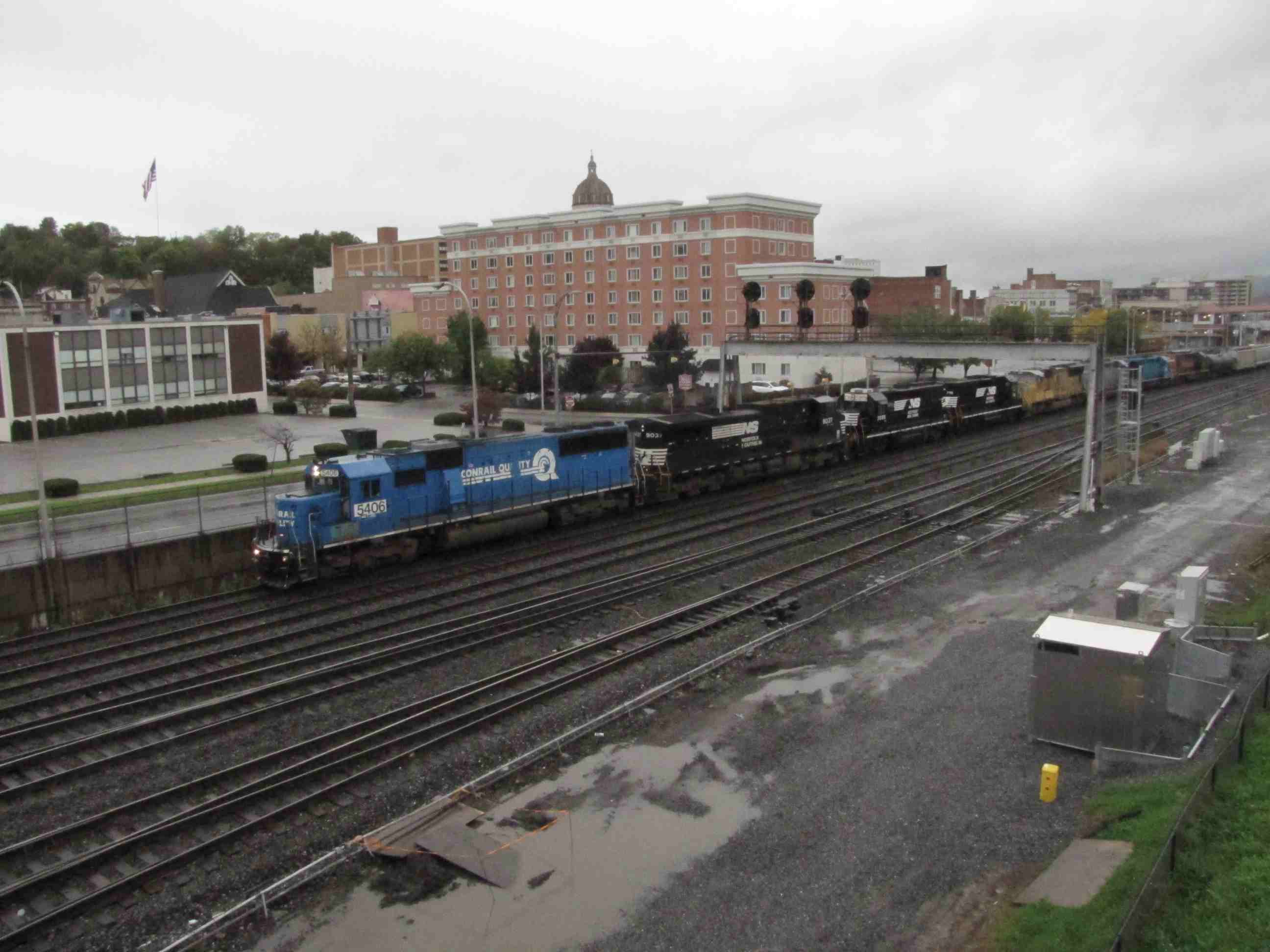
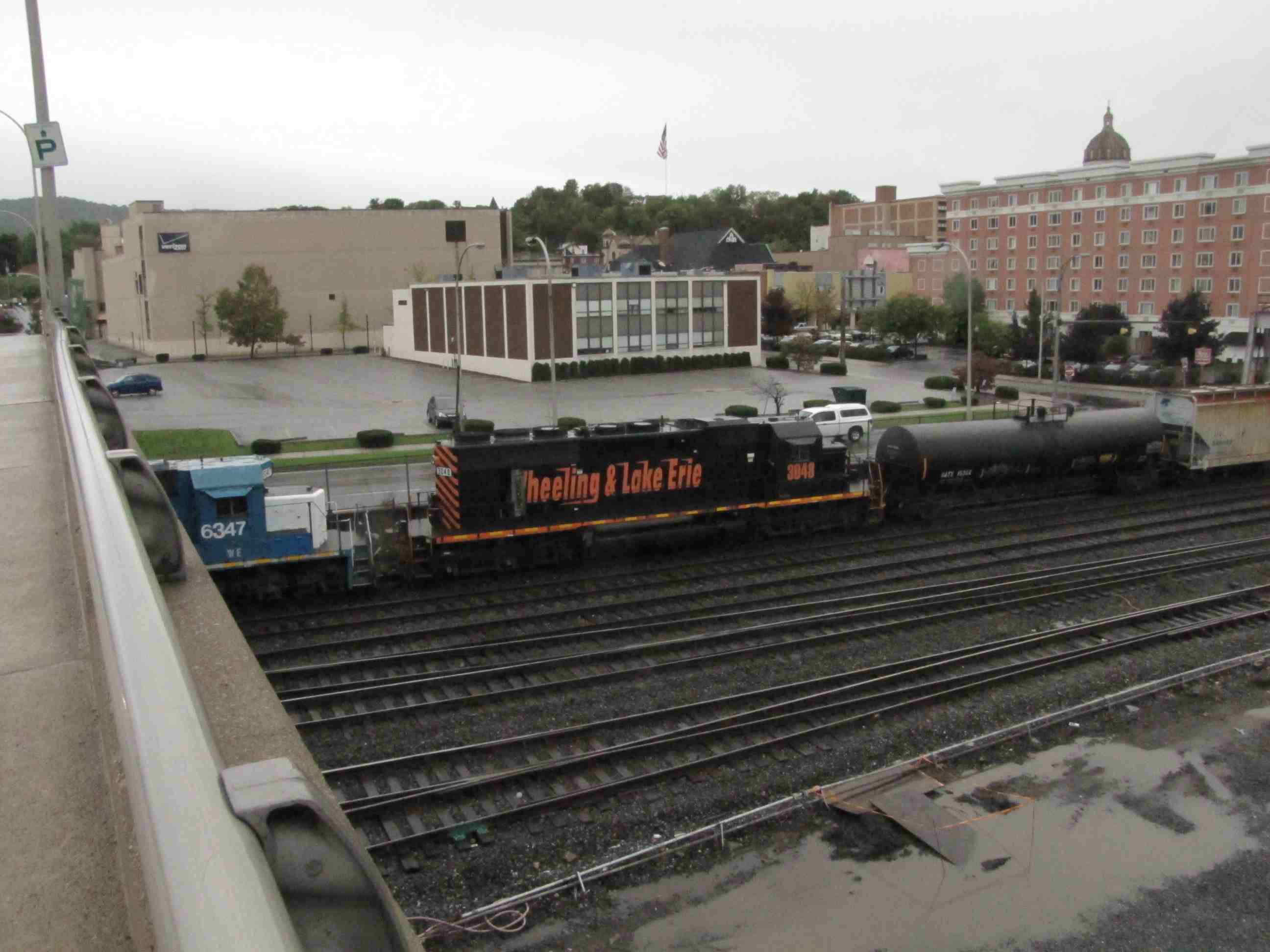
Another WB freight, with 8 engines in the lead and several "foreign" engines including a Wheeling & Lake Erie unit. 10/2011
Two EB freights, left one from 17th St, the other one from 10th Ave.
Couple of shots at 17th St.
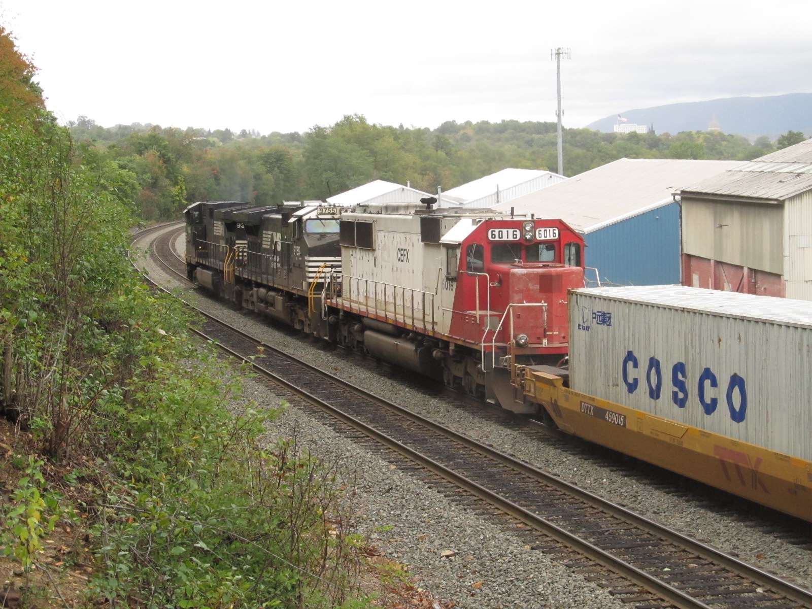
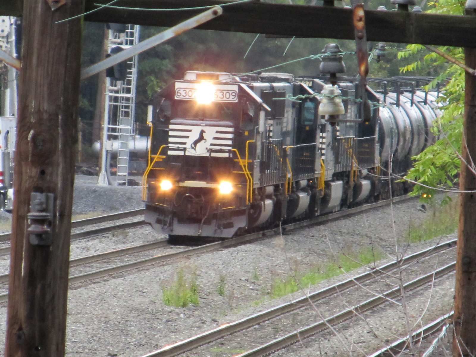
Helpers at 35th St.
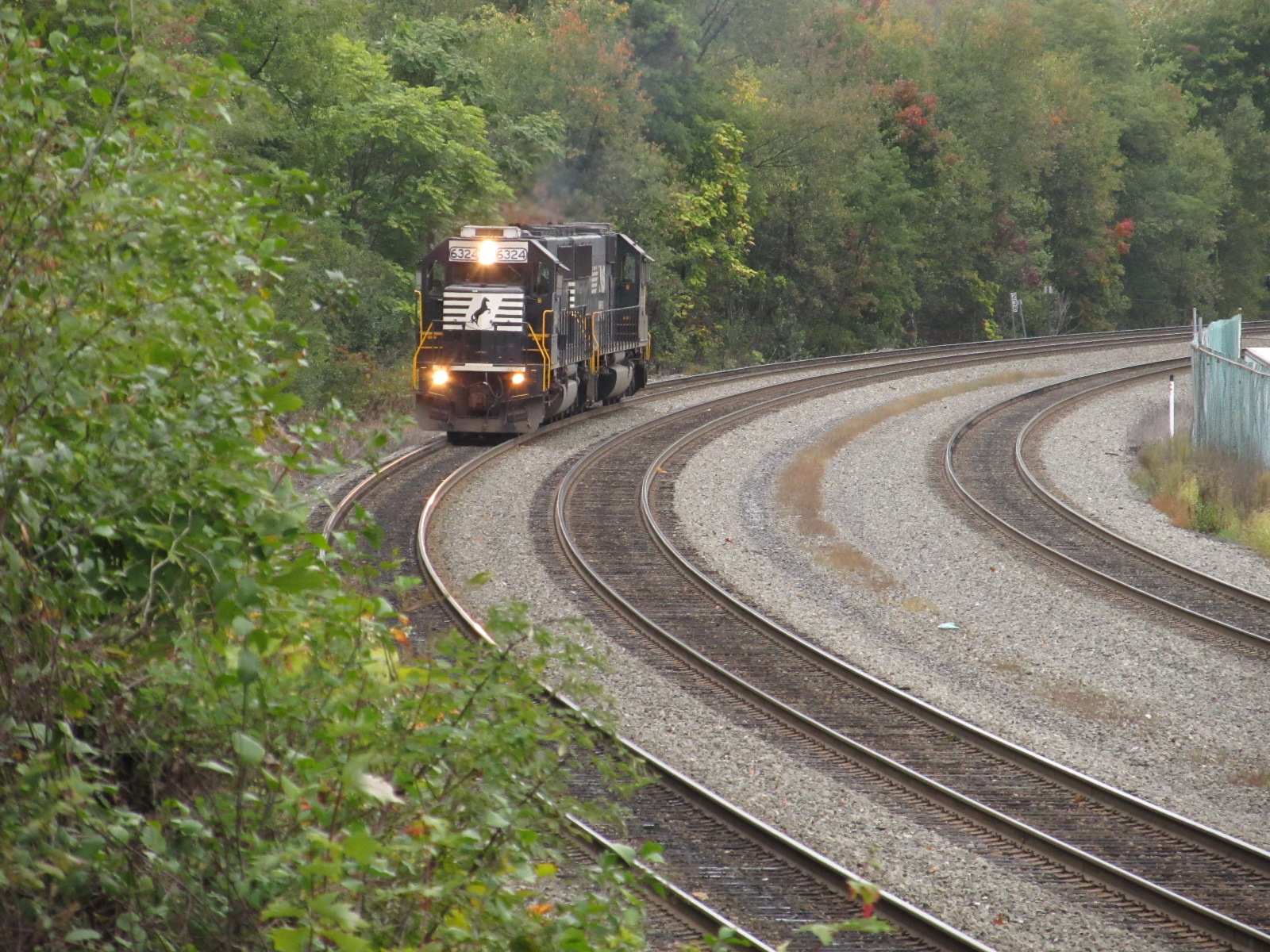

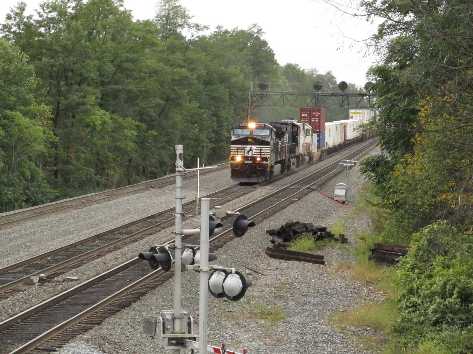
WB freight at 35th St, getting ready to head up the hill to the tunnels and the Curve.
The three following maps came off of one of the coolest maps I ever came across on CN's website, but I have lost the way to find it again. Their map of the United
States and Canada has virtually every railroad track existing. Here are three screen captures from Altoona down to Johnstown:
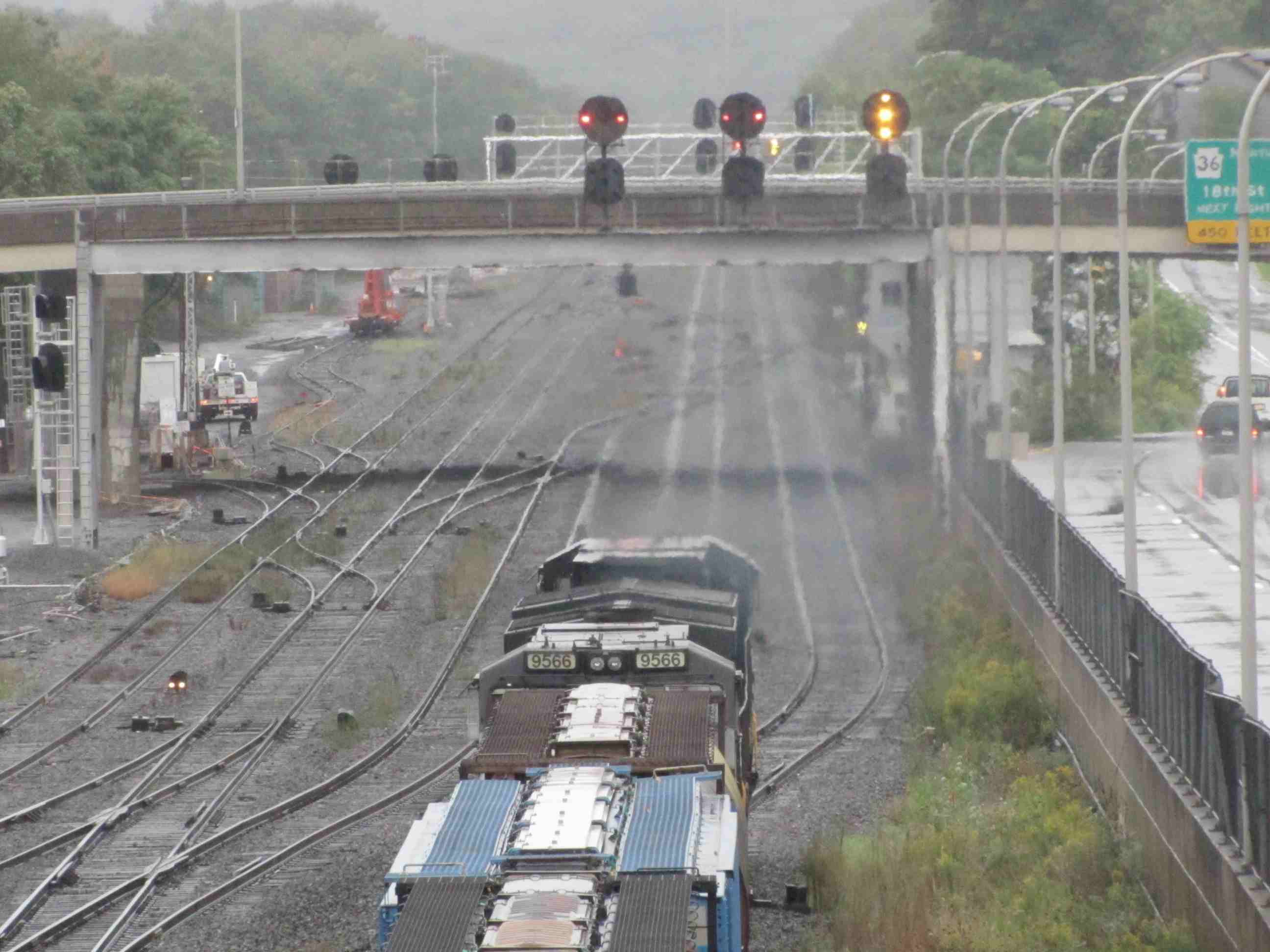
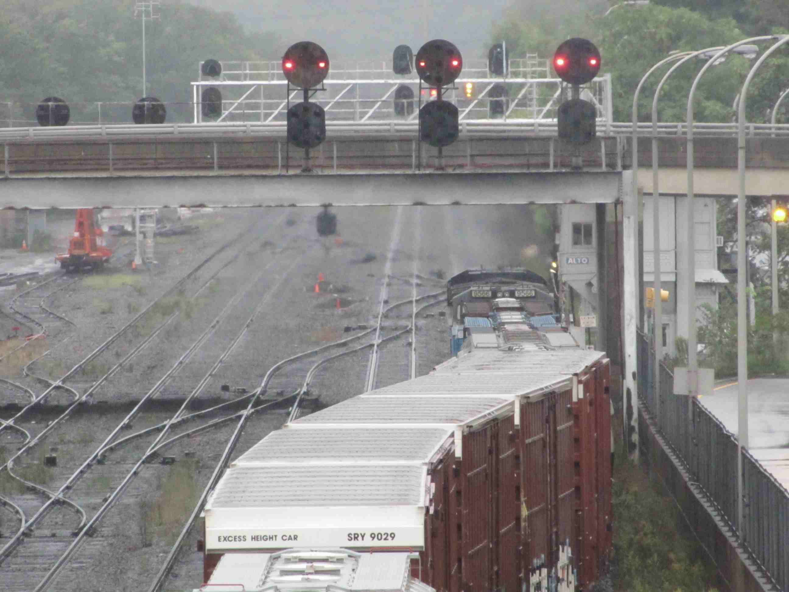
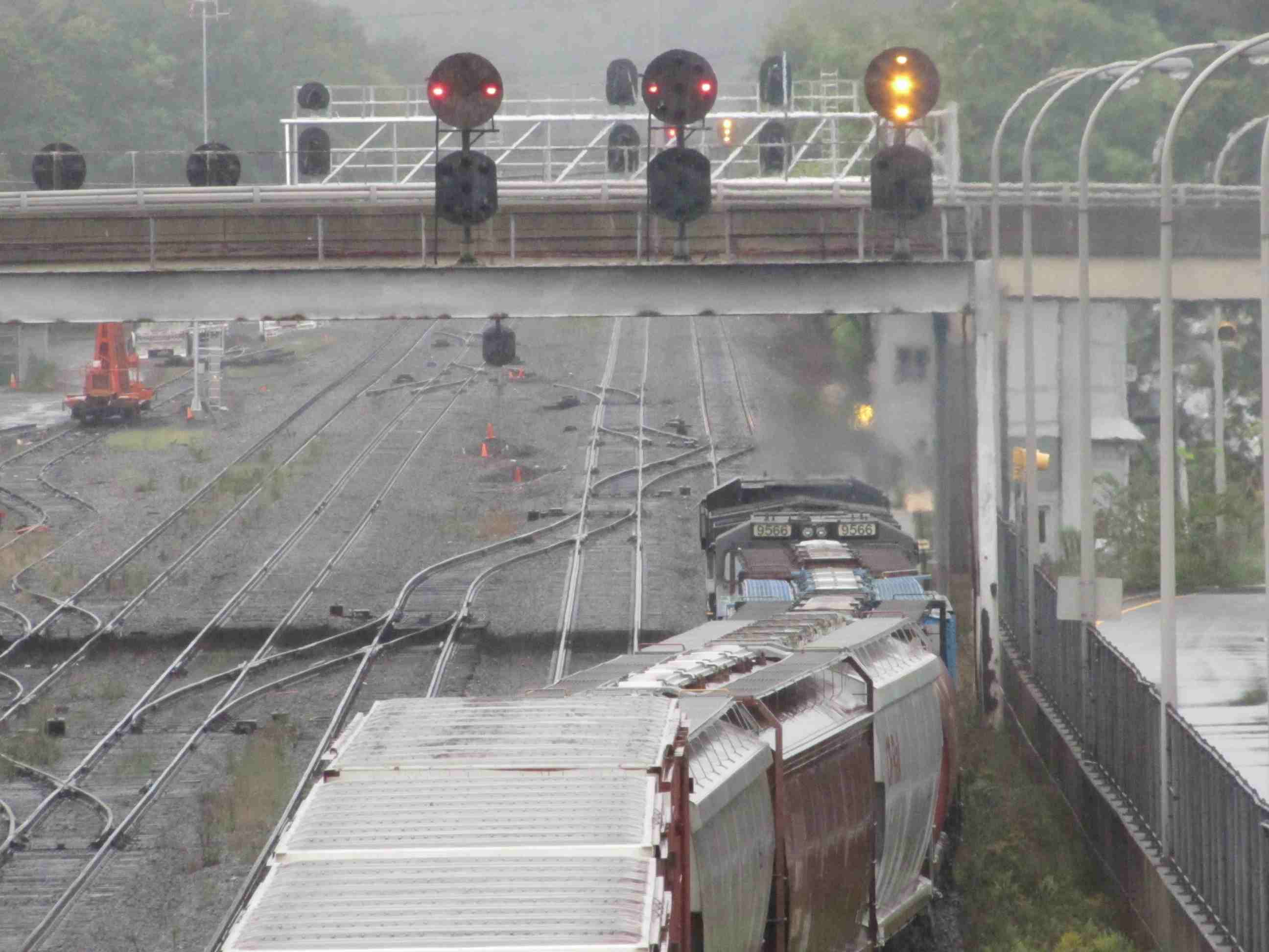
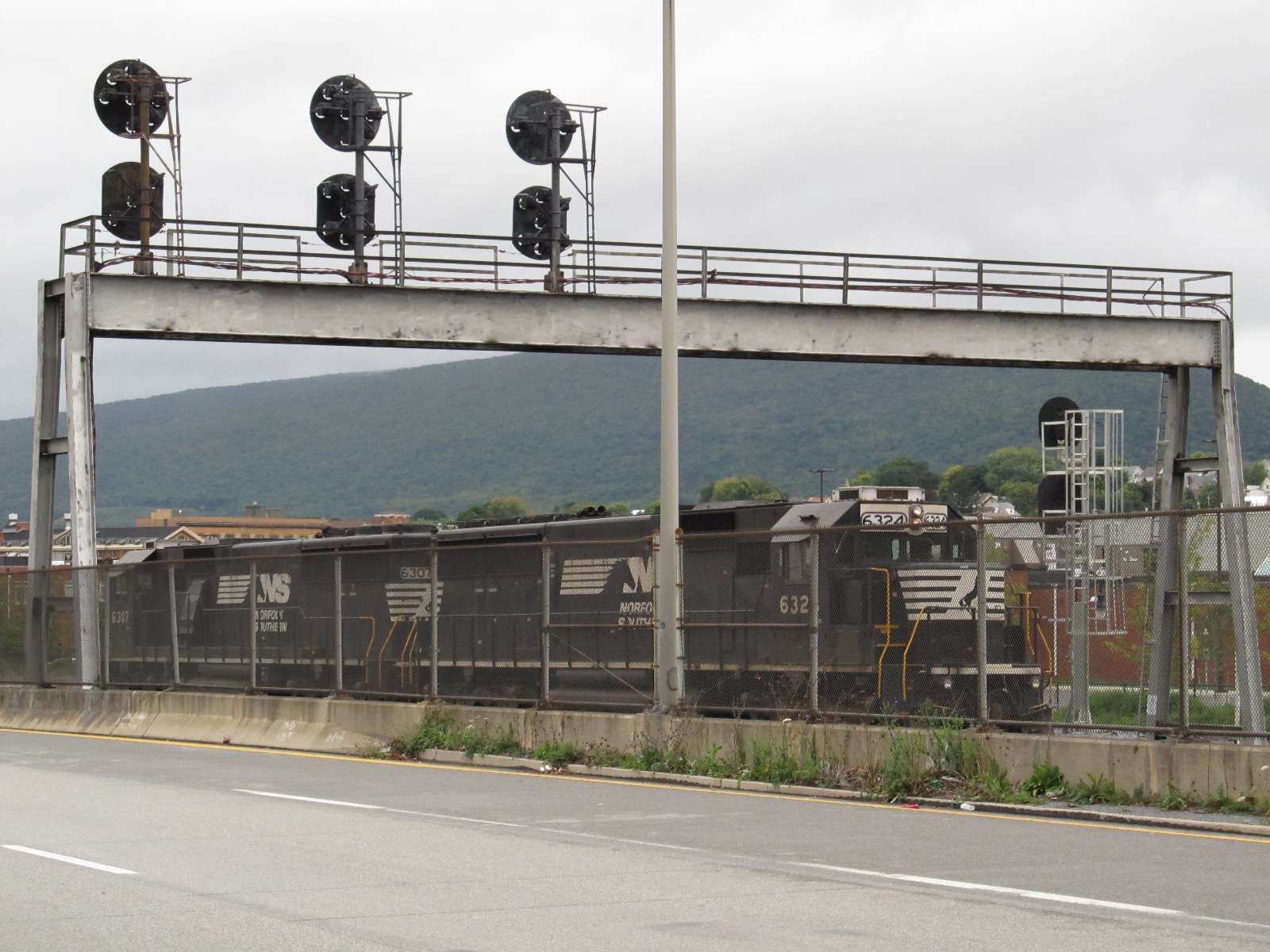
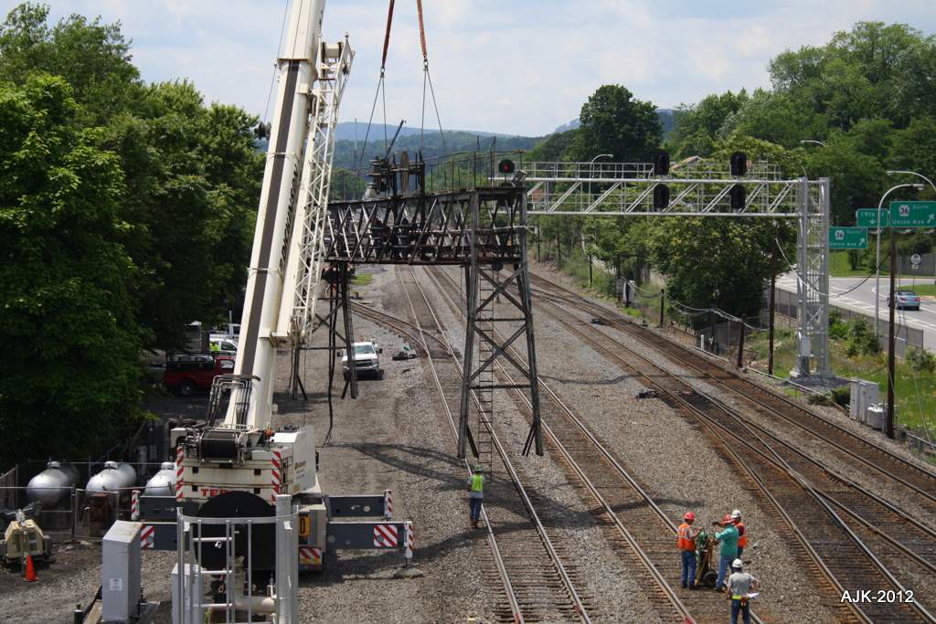
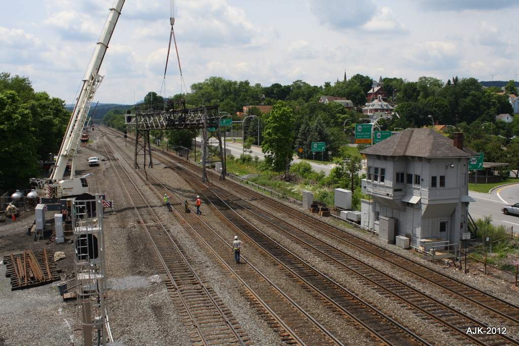
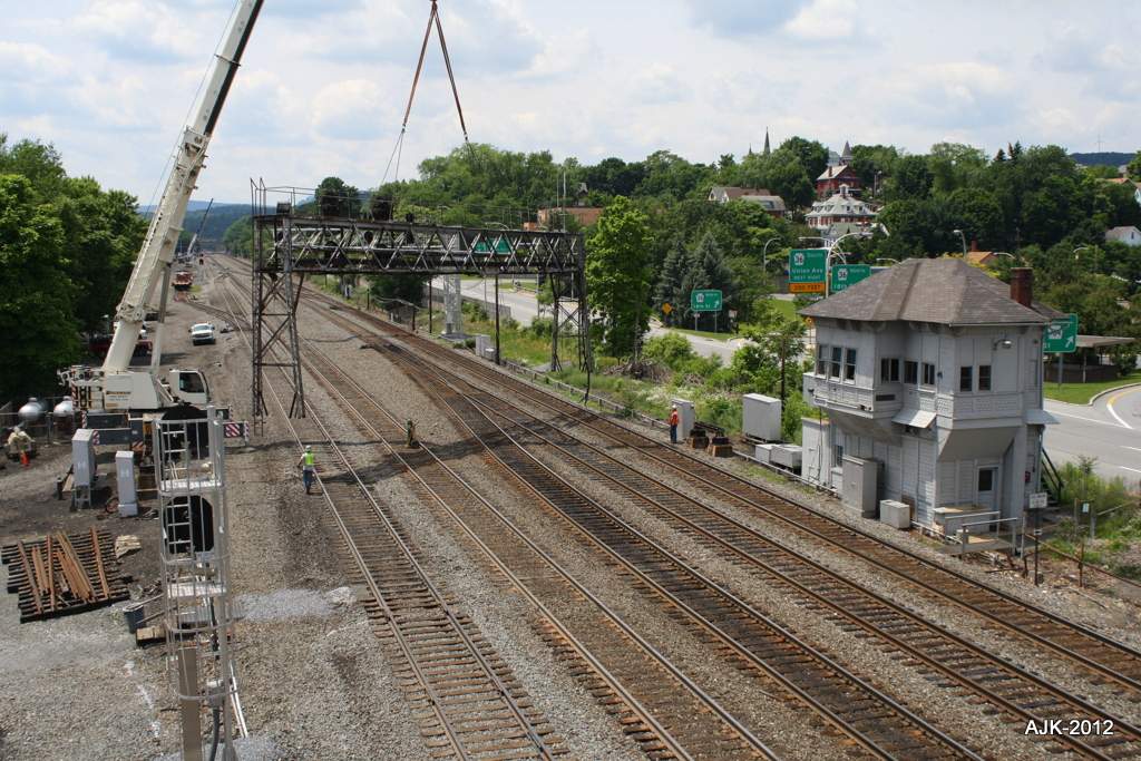
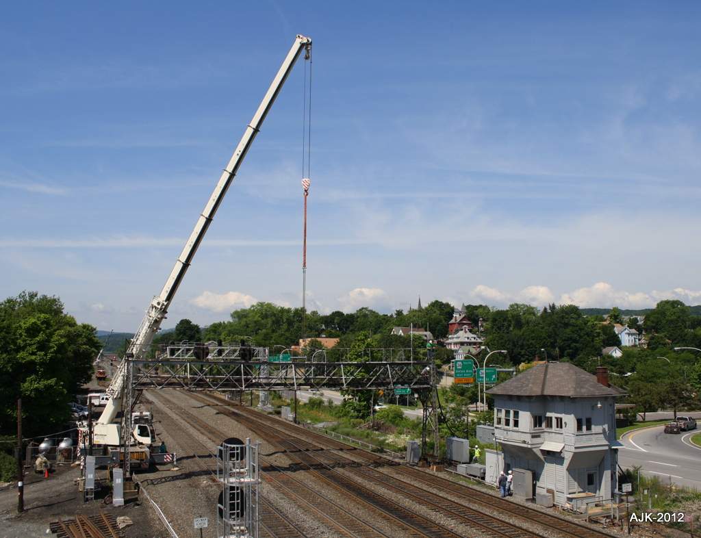
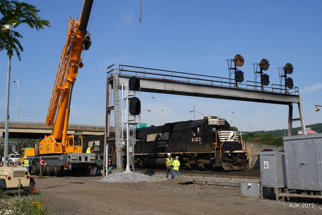
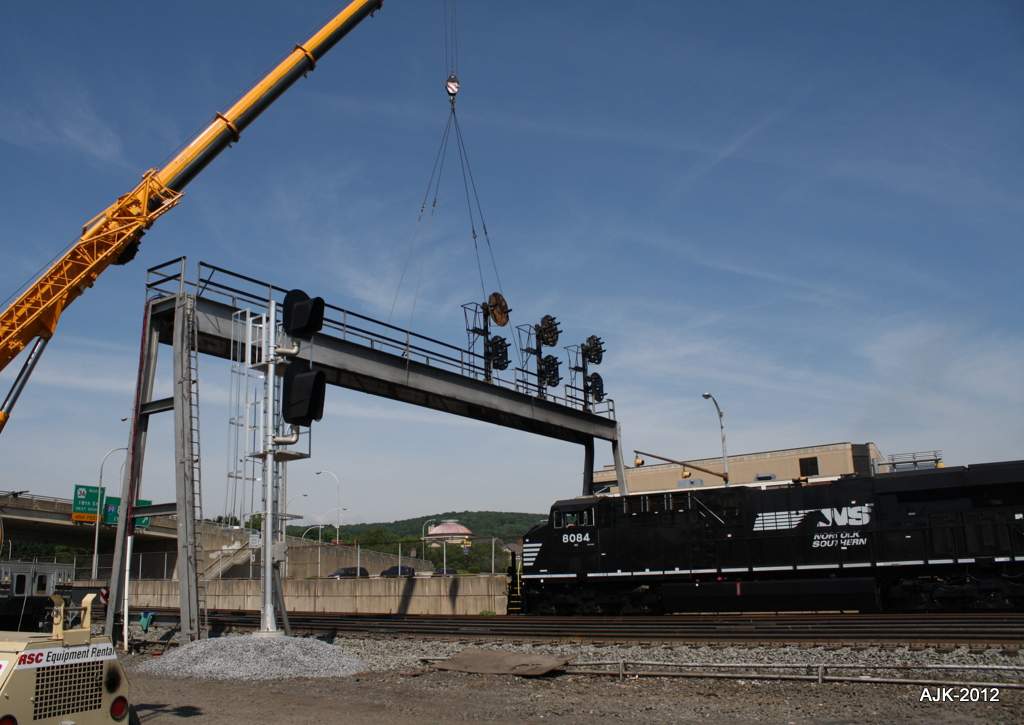
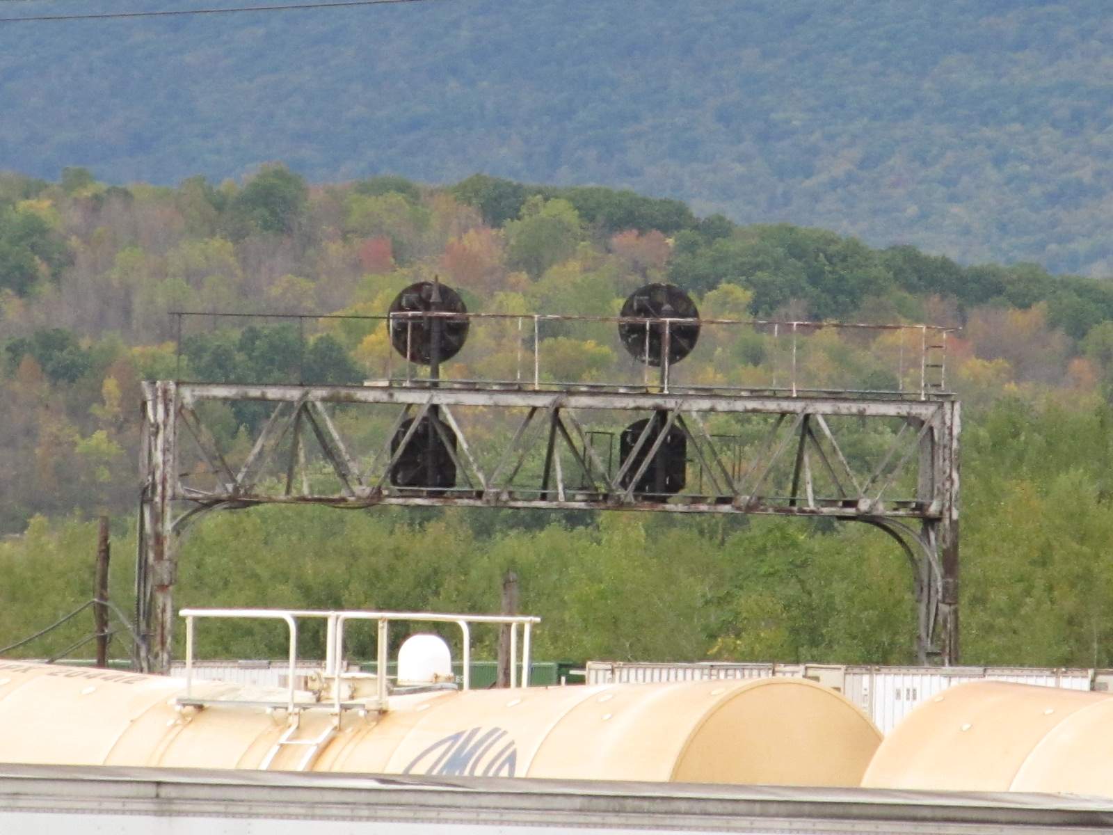
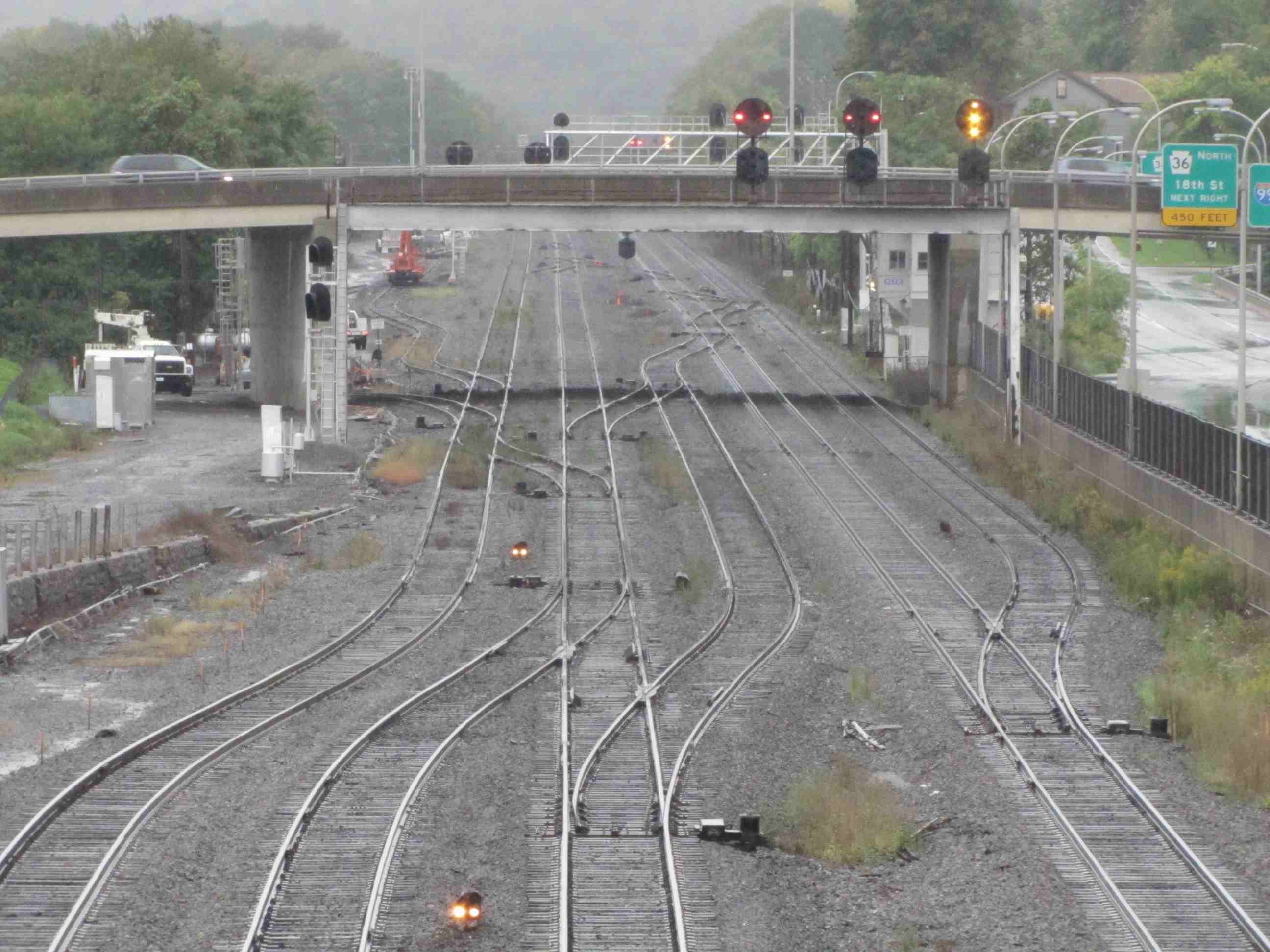
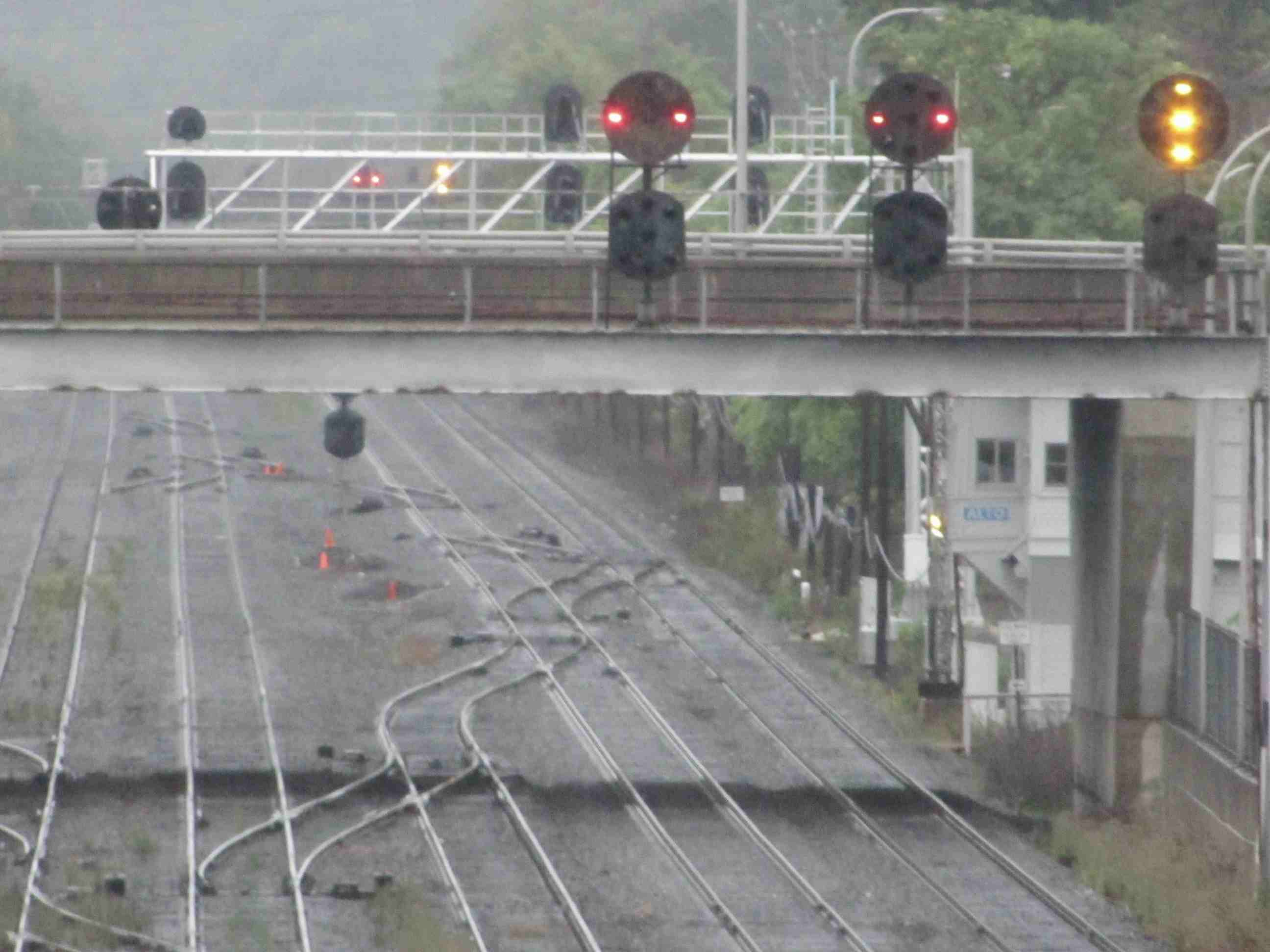
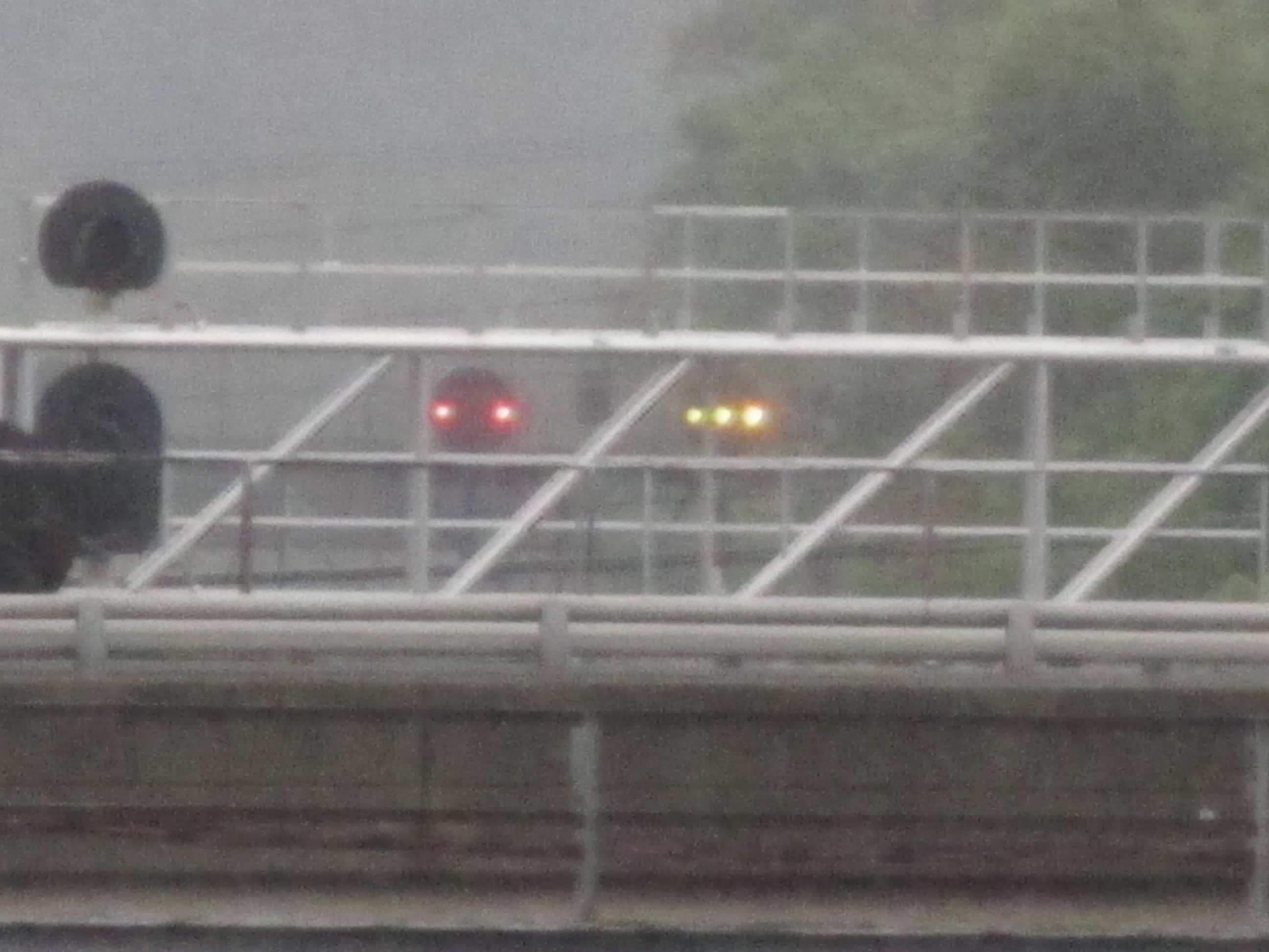
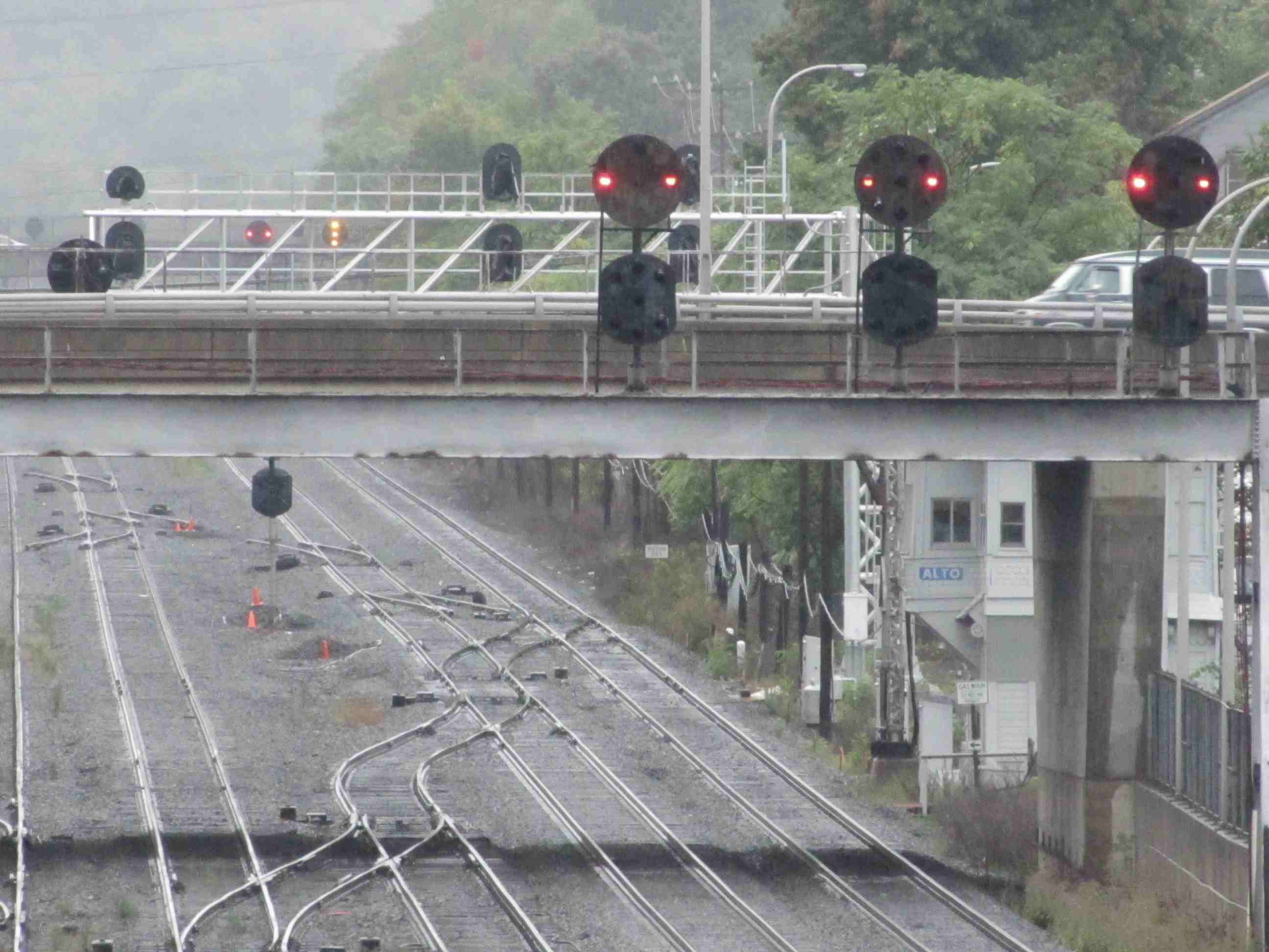
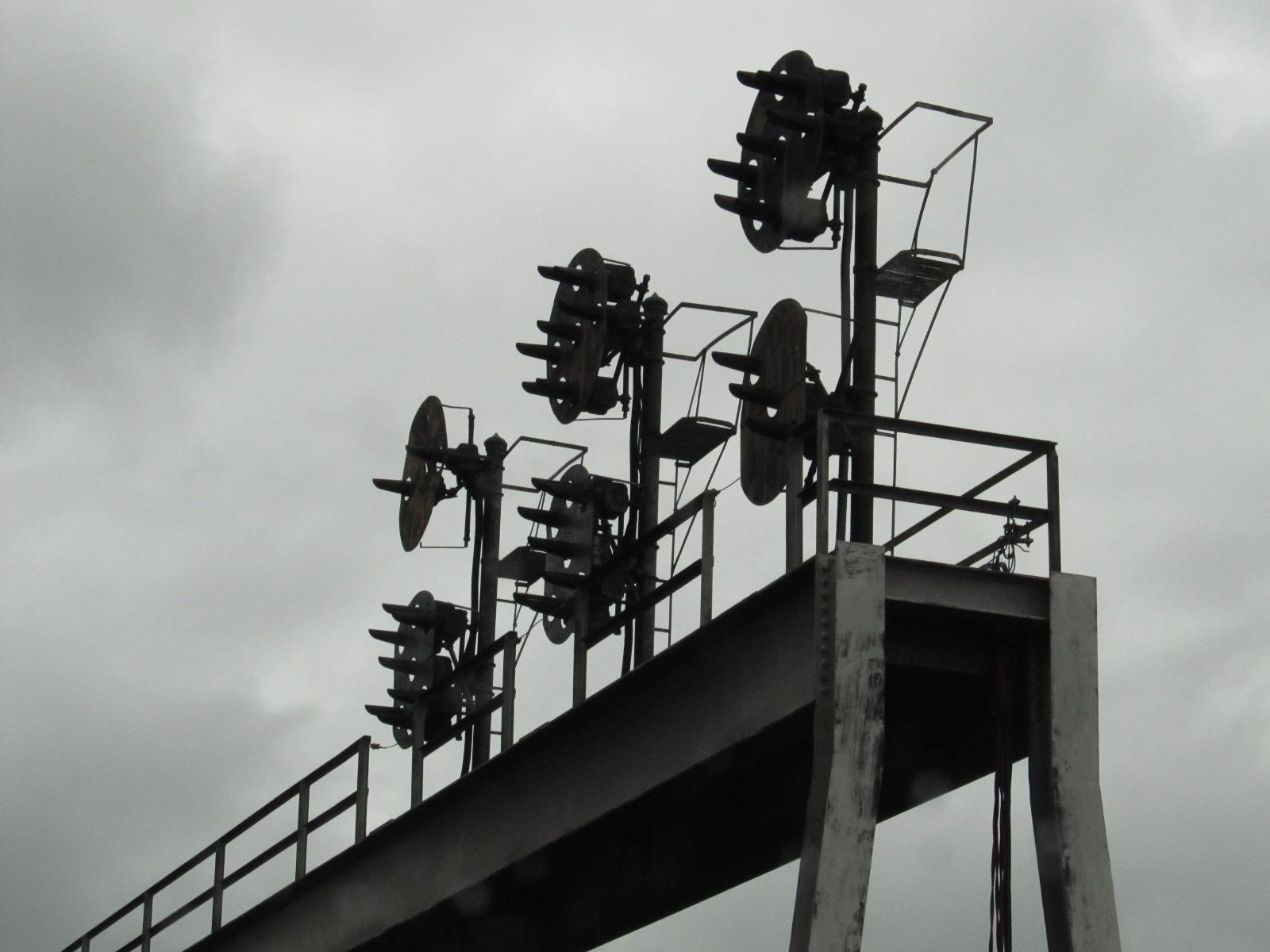
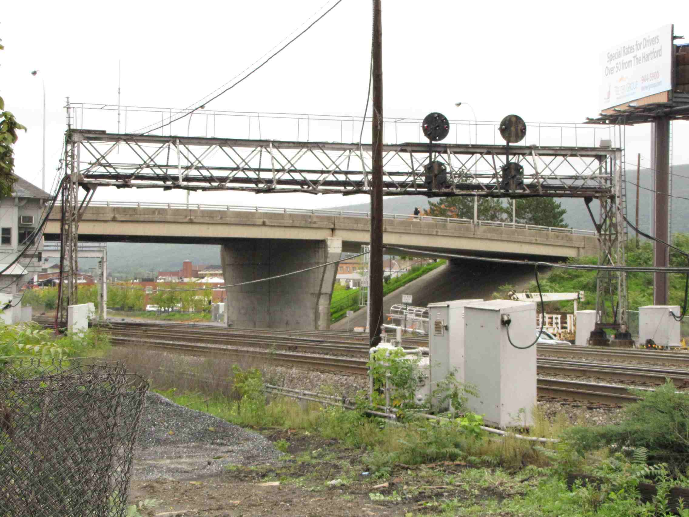
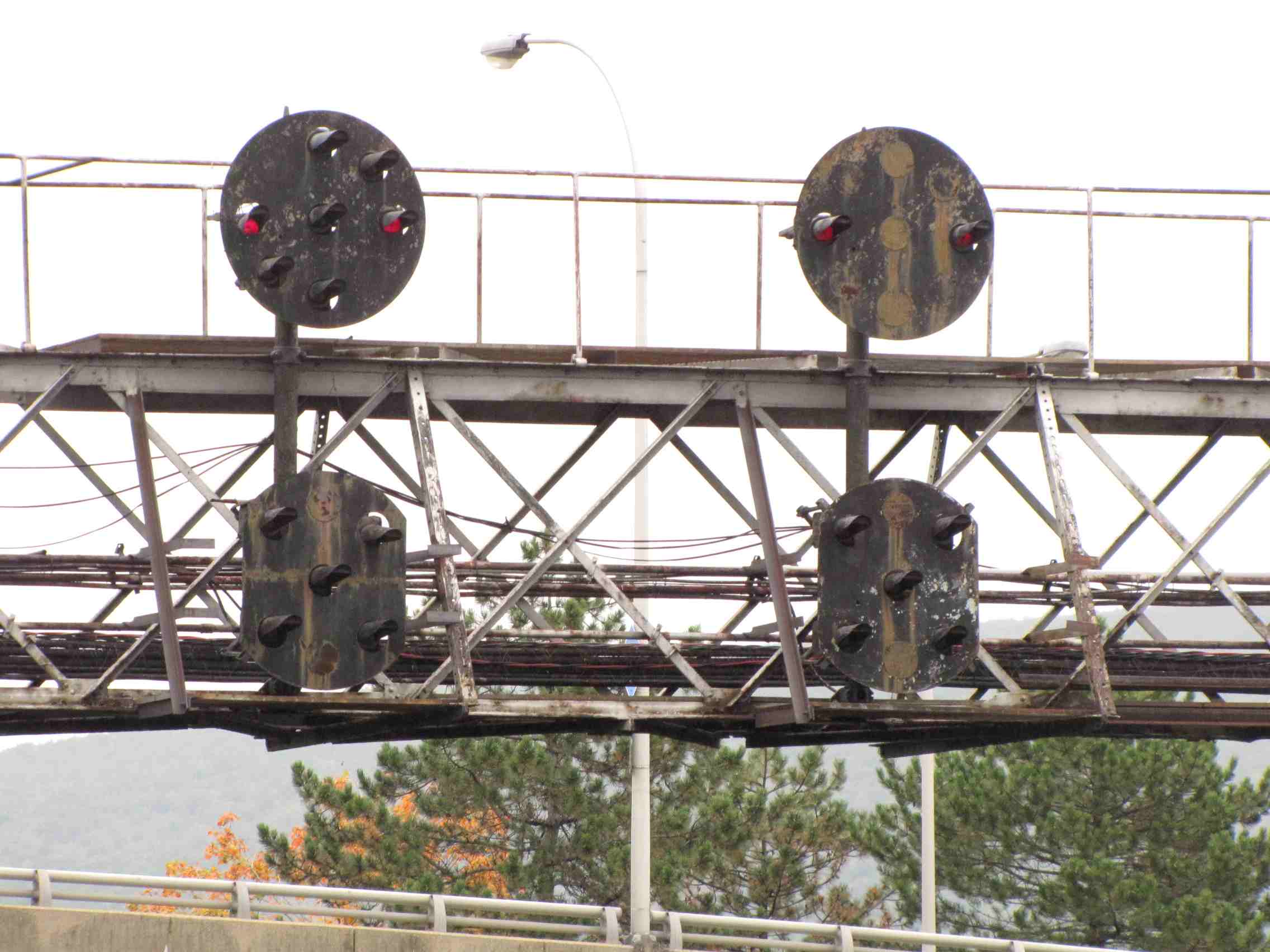
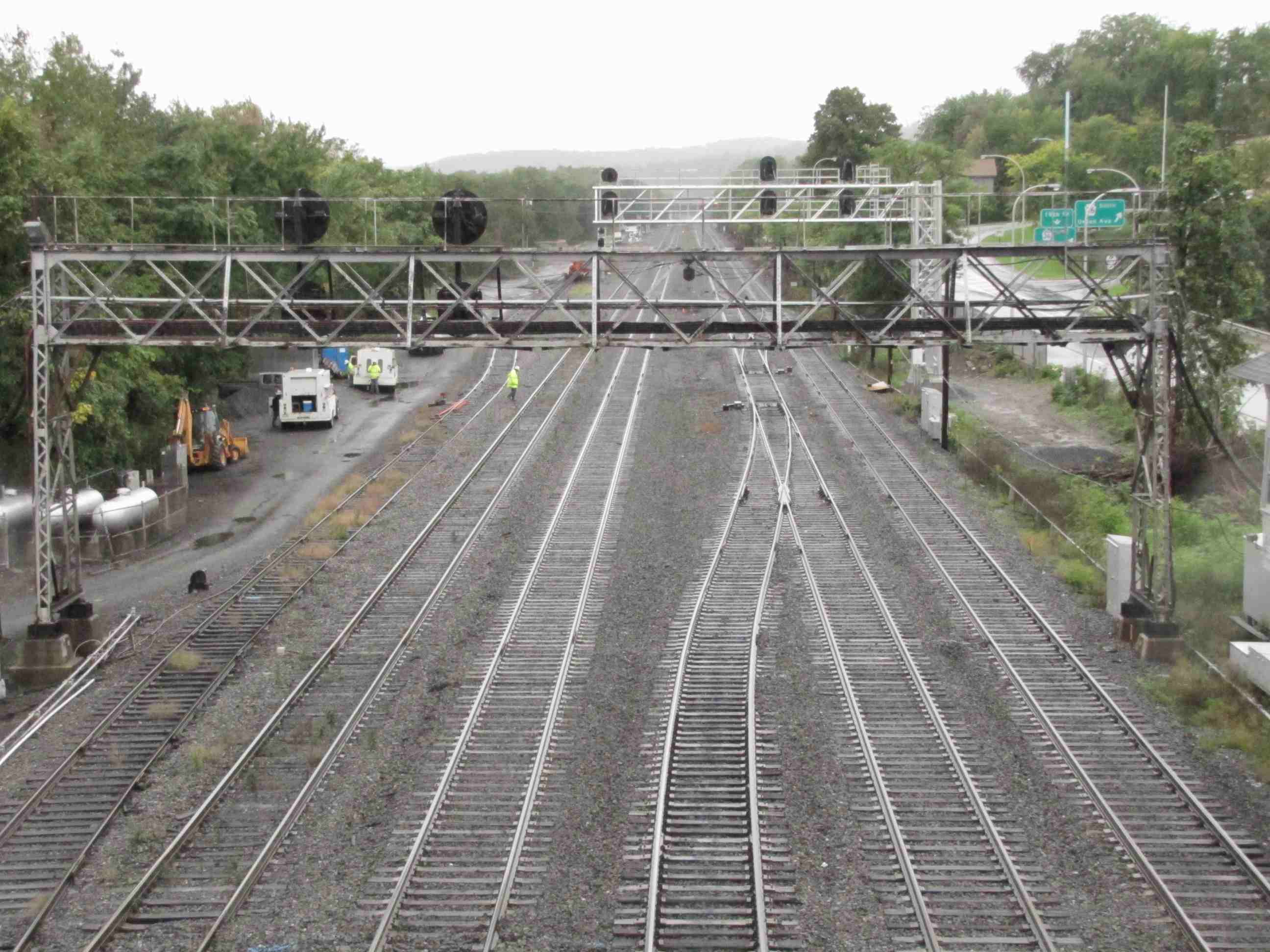
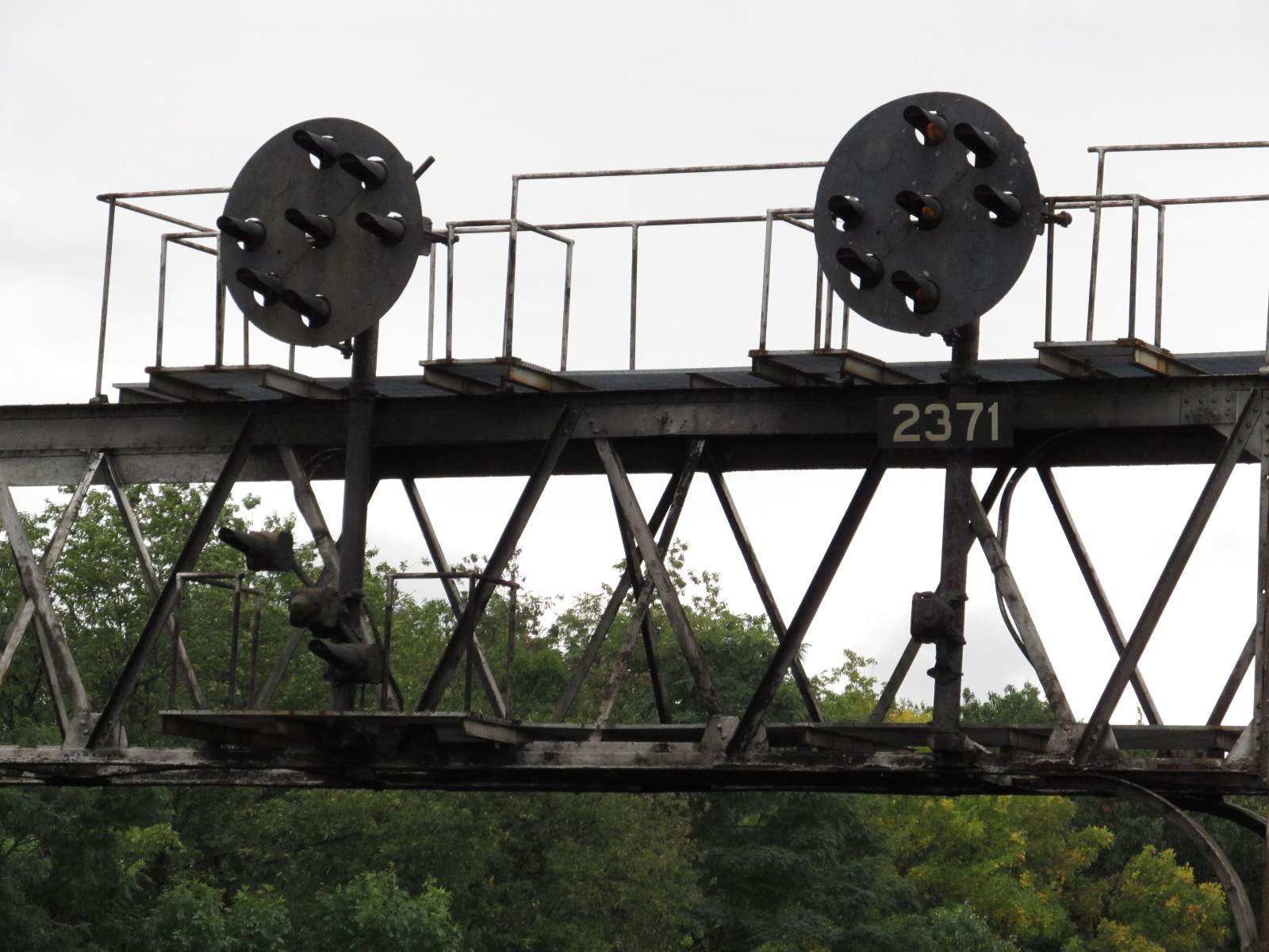
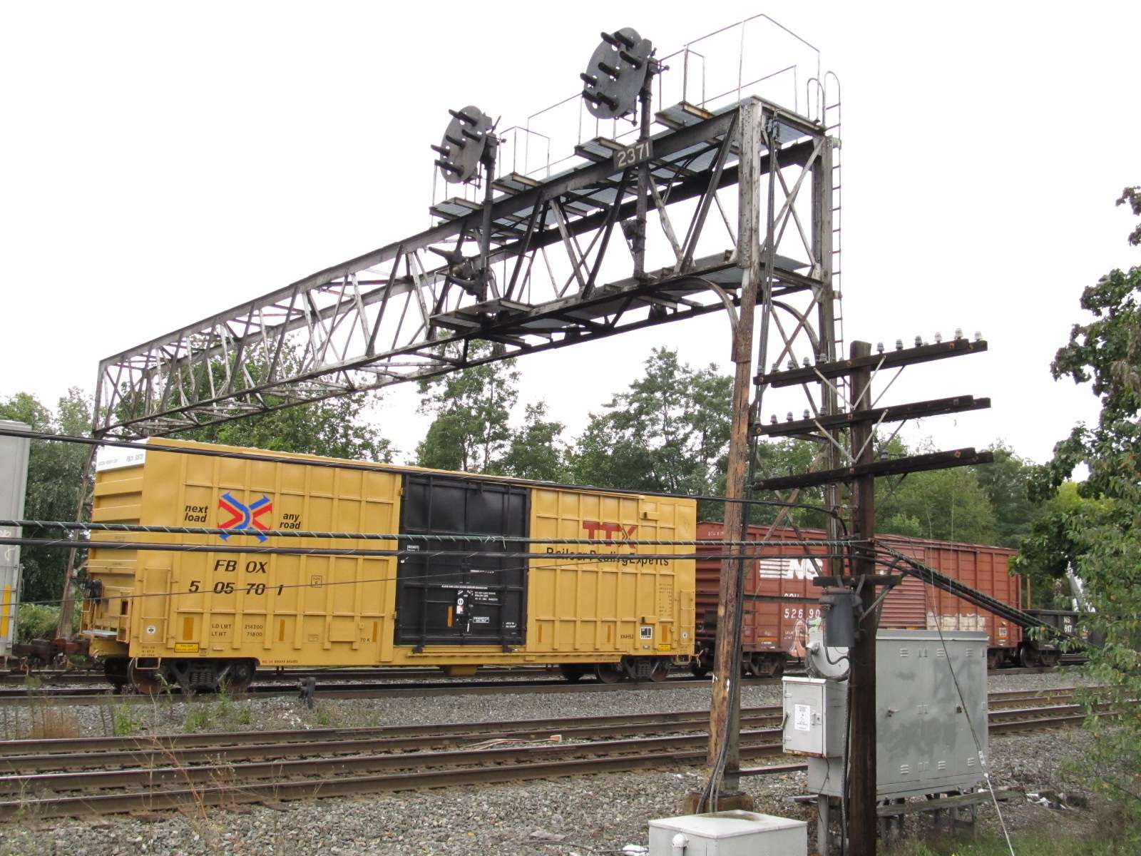
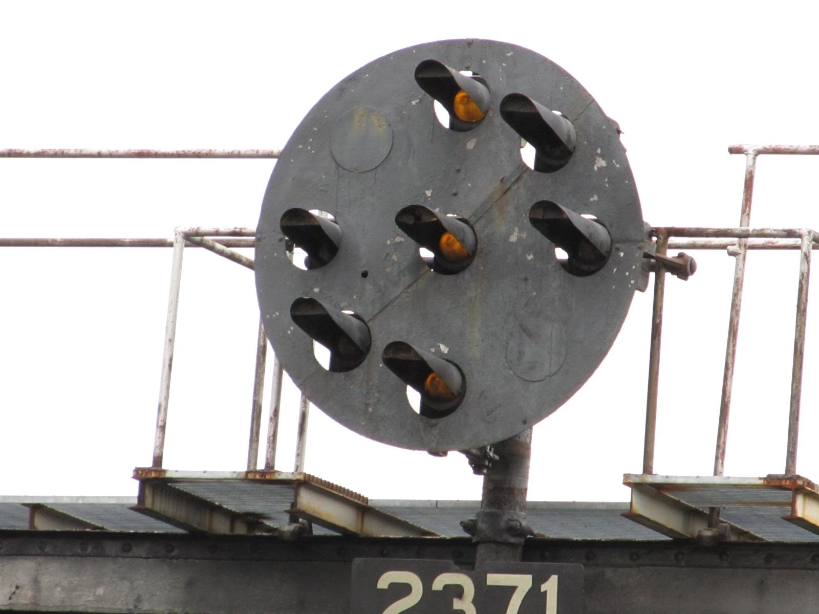
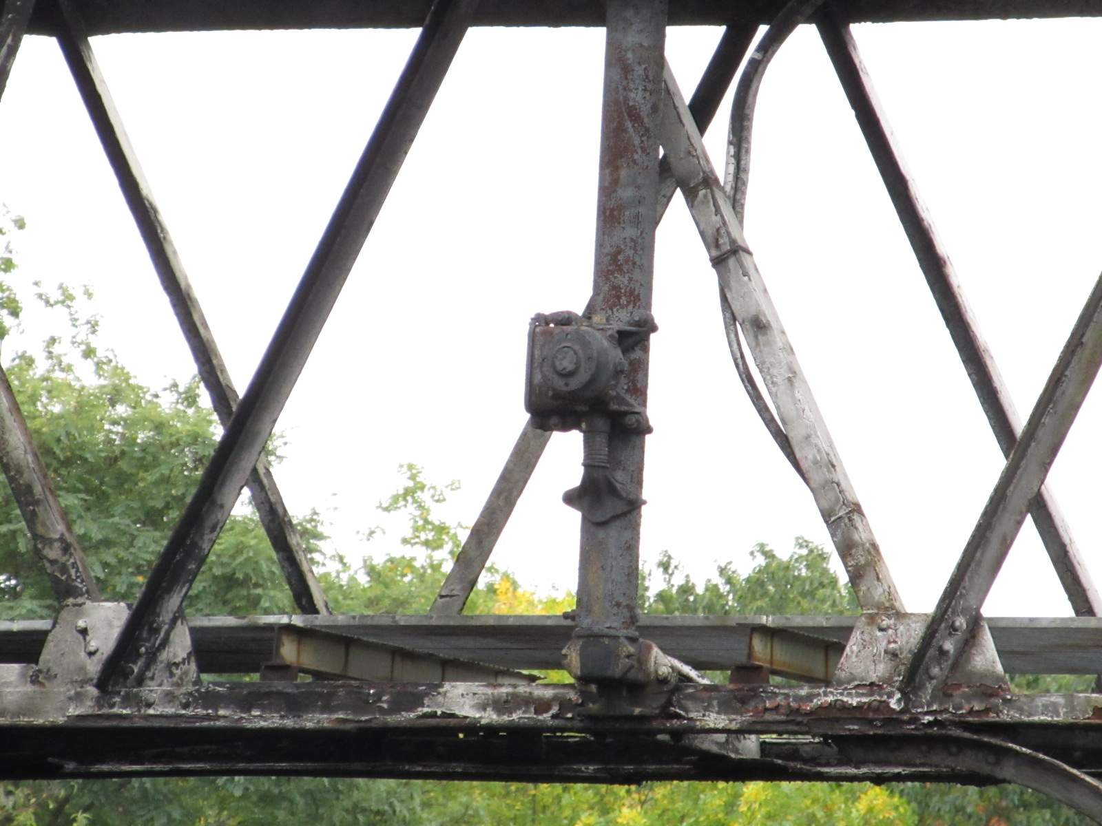
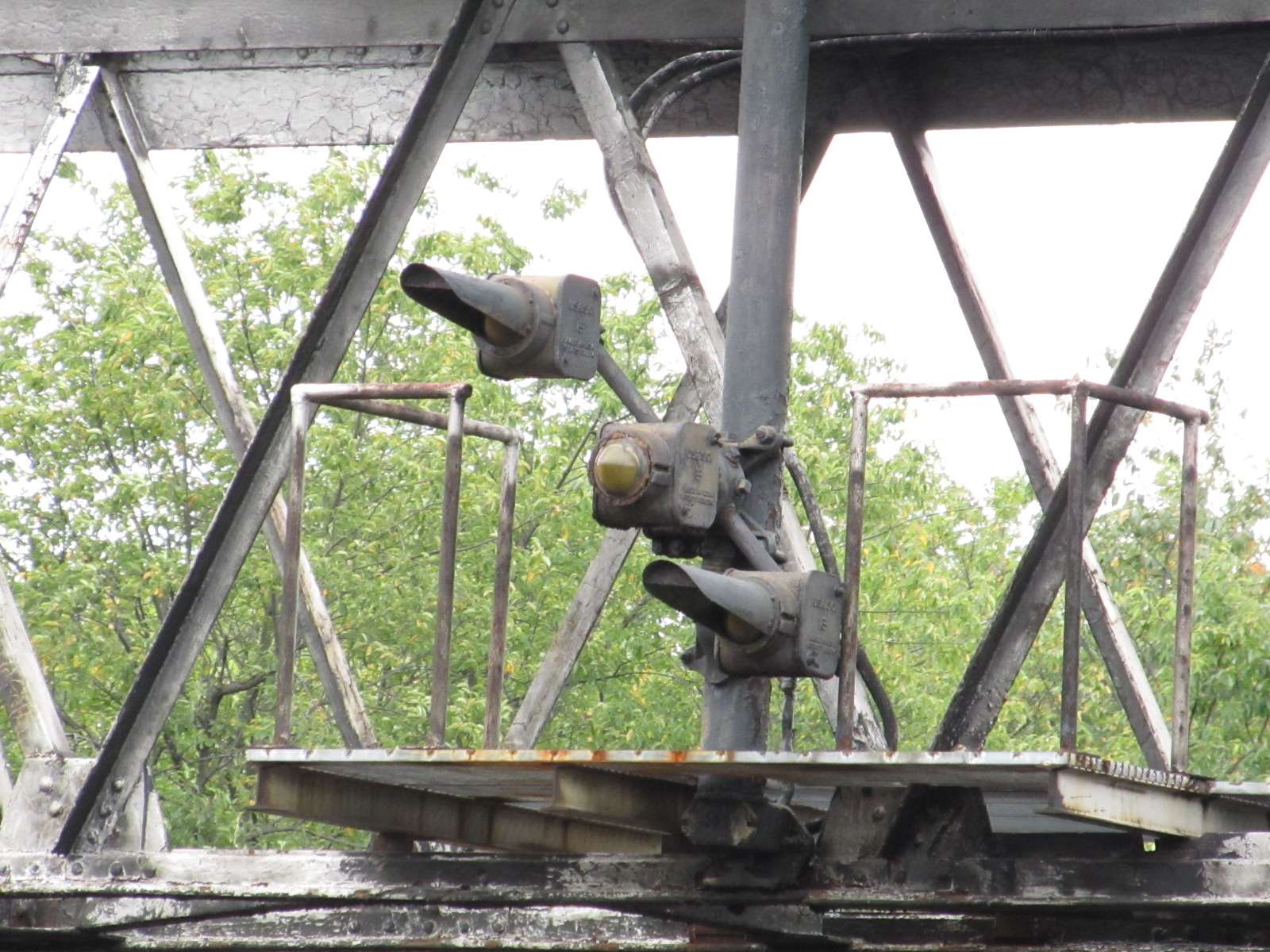
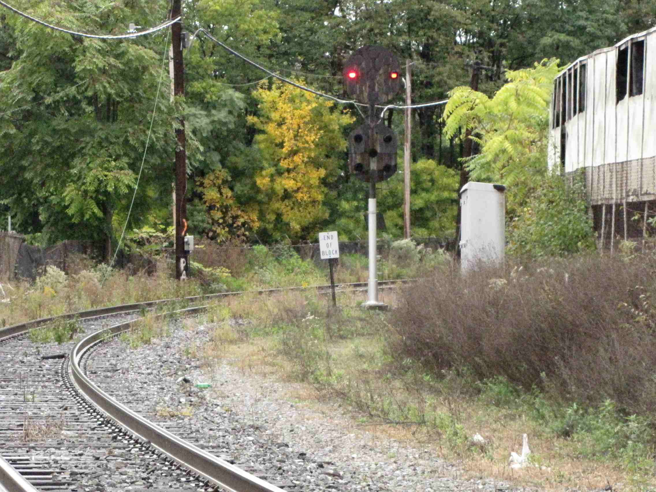
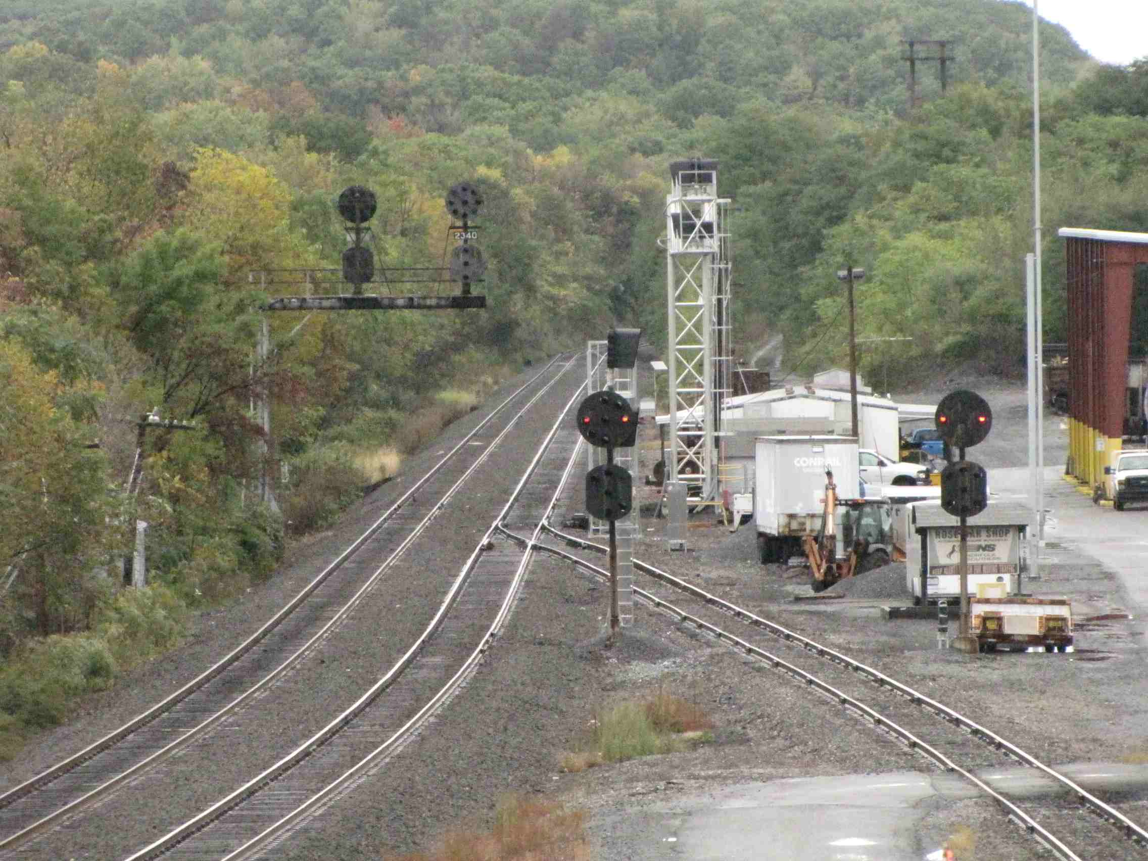
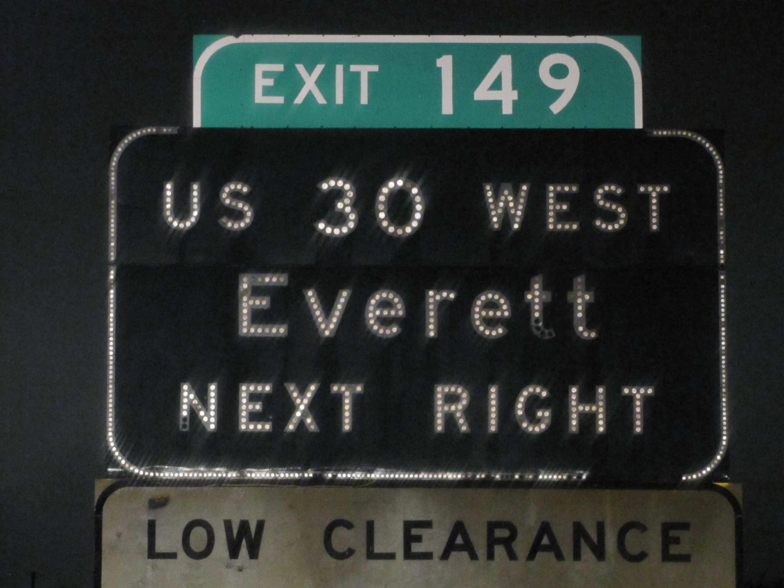
As of 6/16/2012, Norfolk Southern took down the last Pennsy PL signals in the immediate Altoona area. They brought in cranes to
remove the entire bridge structures for any existing PL signals, and Alto tower closed with the removal of the ALTO sign off the side of the tower :-( The following
pictures were forwarded to me by Mr. A Burnett and taken by AJK..... many thanks to both!


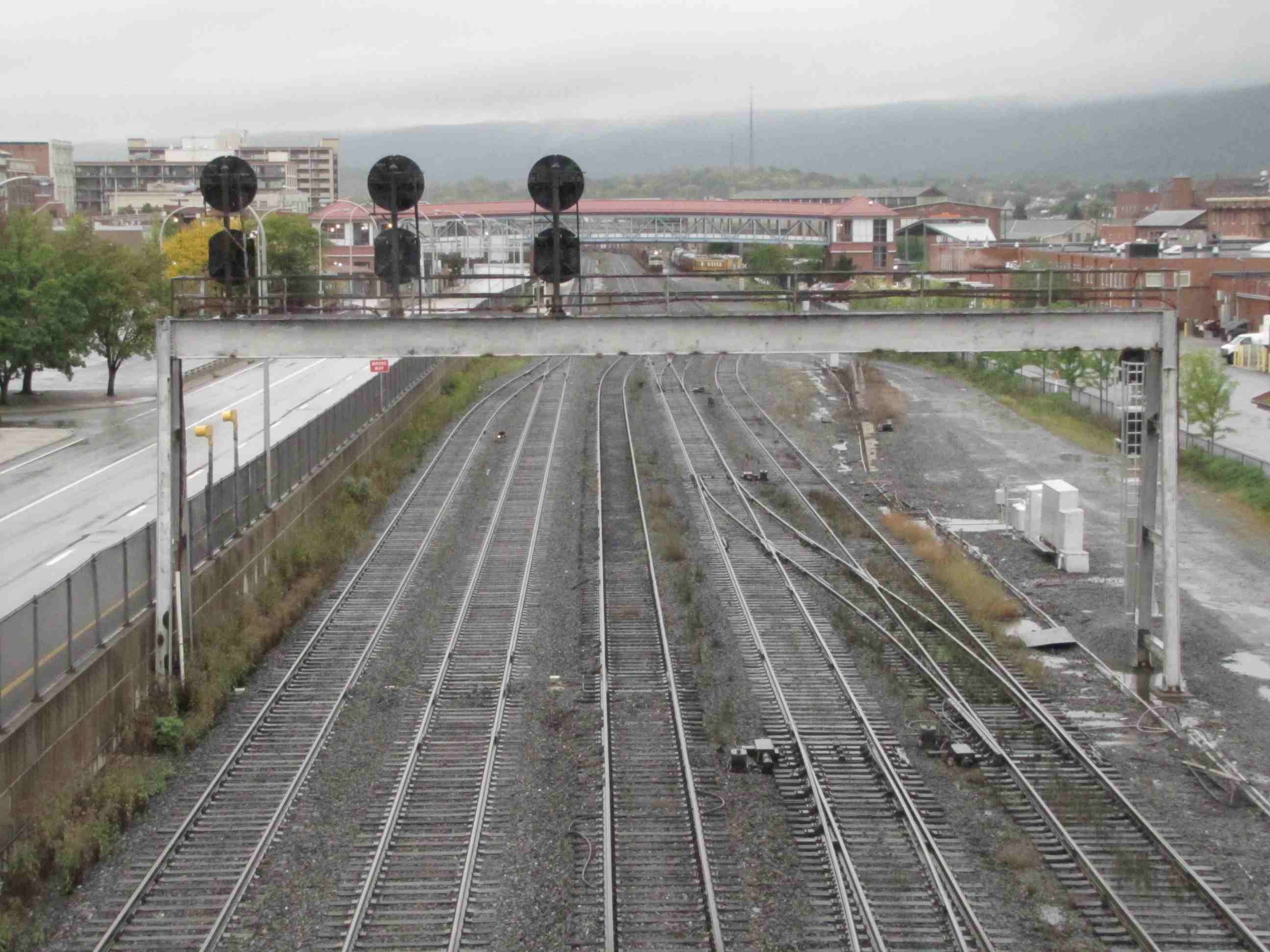
![]() EB - Next to Juniata Shops
EB - Next to Juniata Shops


Signals at the Amtrak Station
Dwarf PL's and pedestals abound, looking west from the overpass.
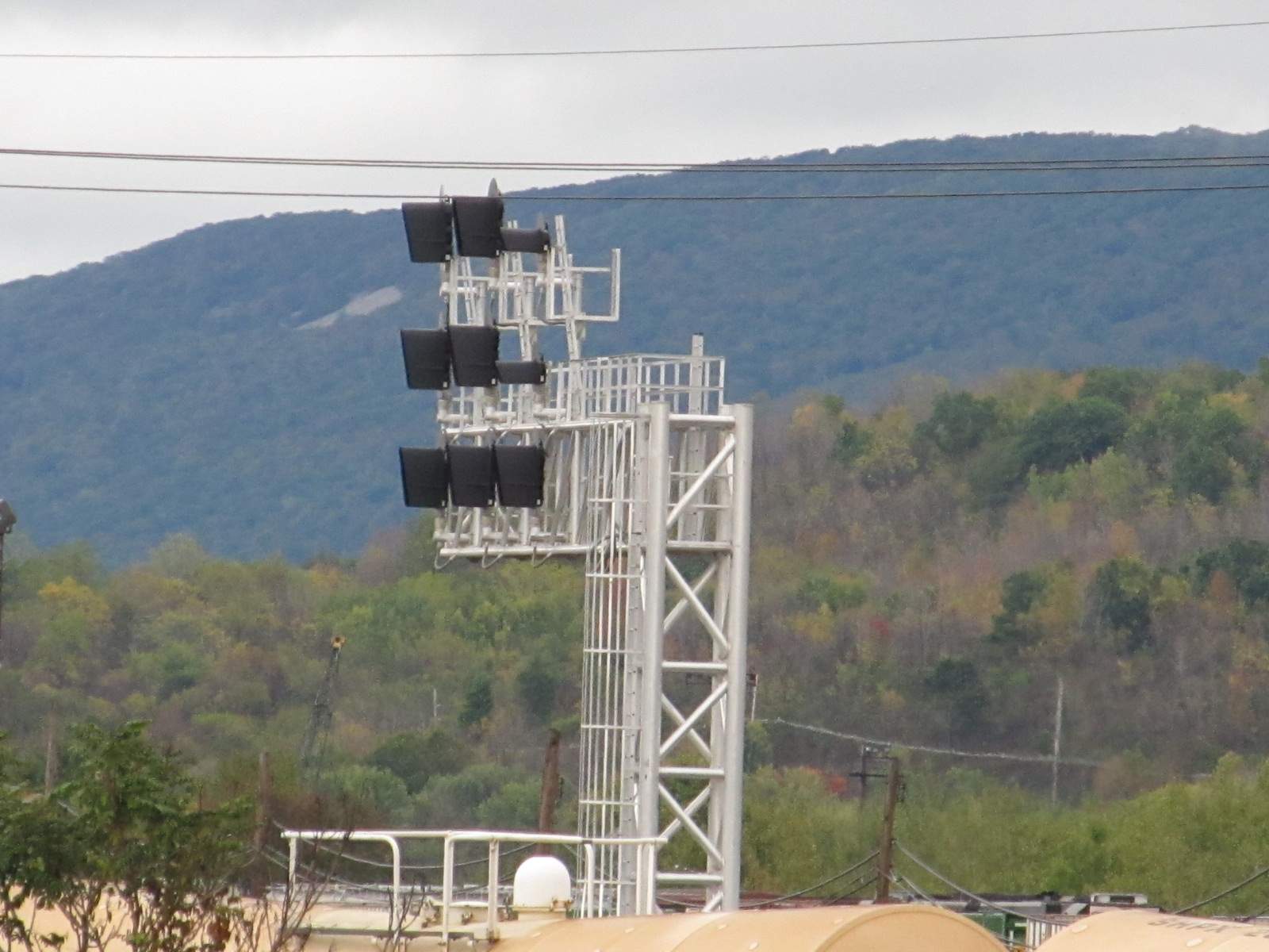
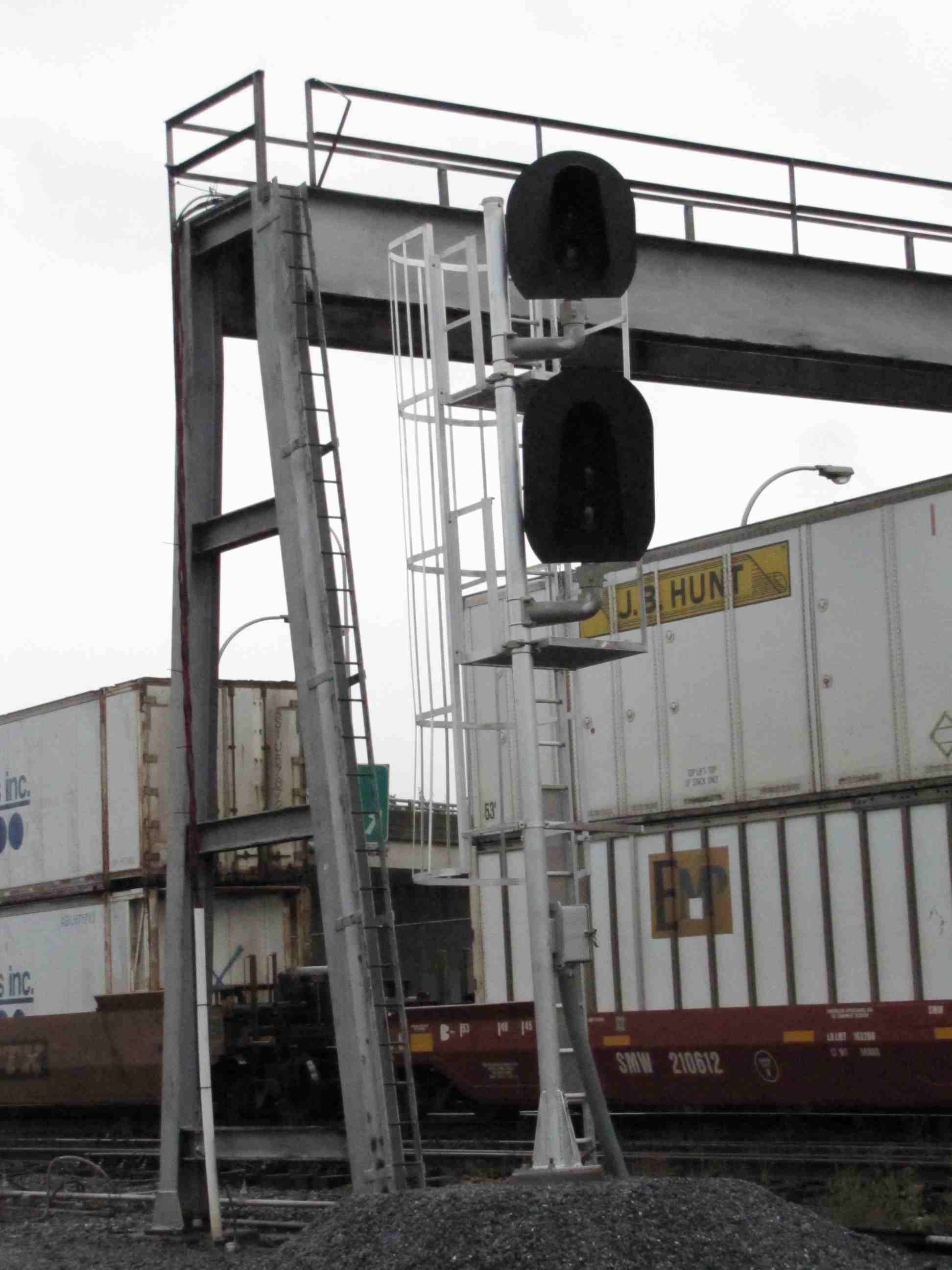
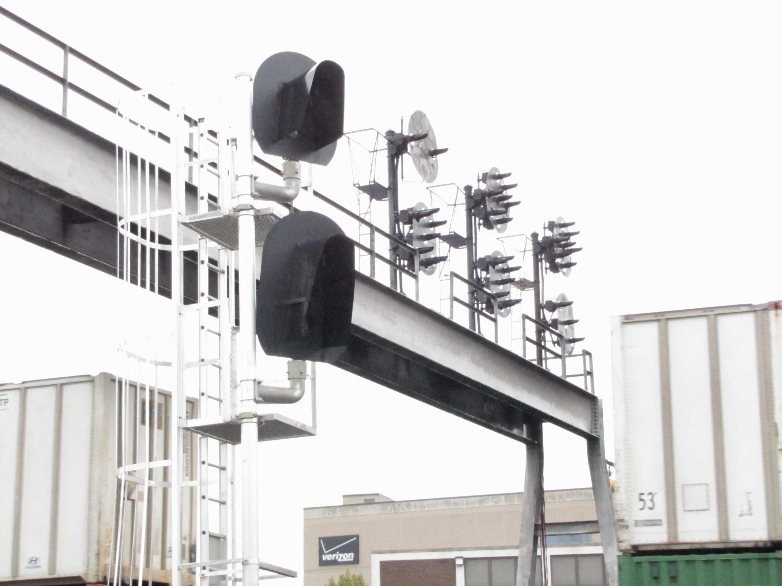
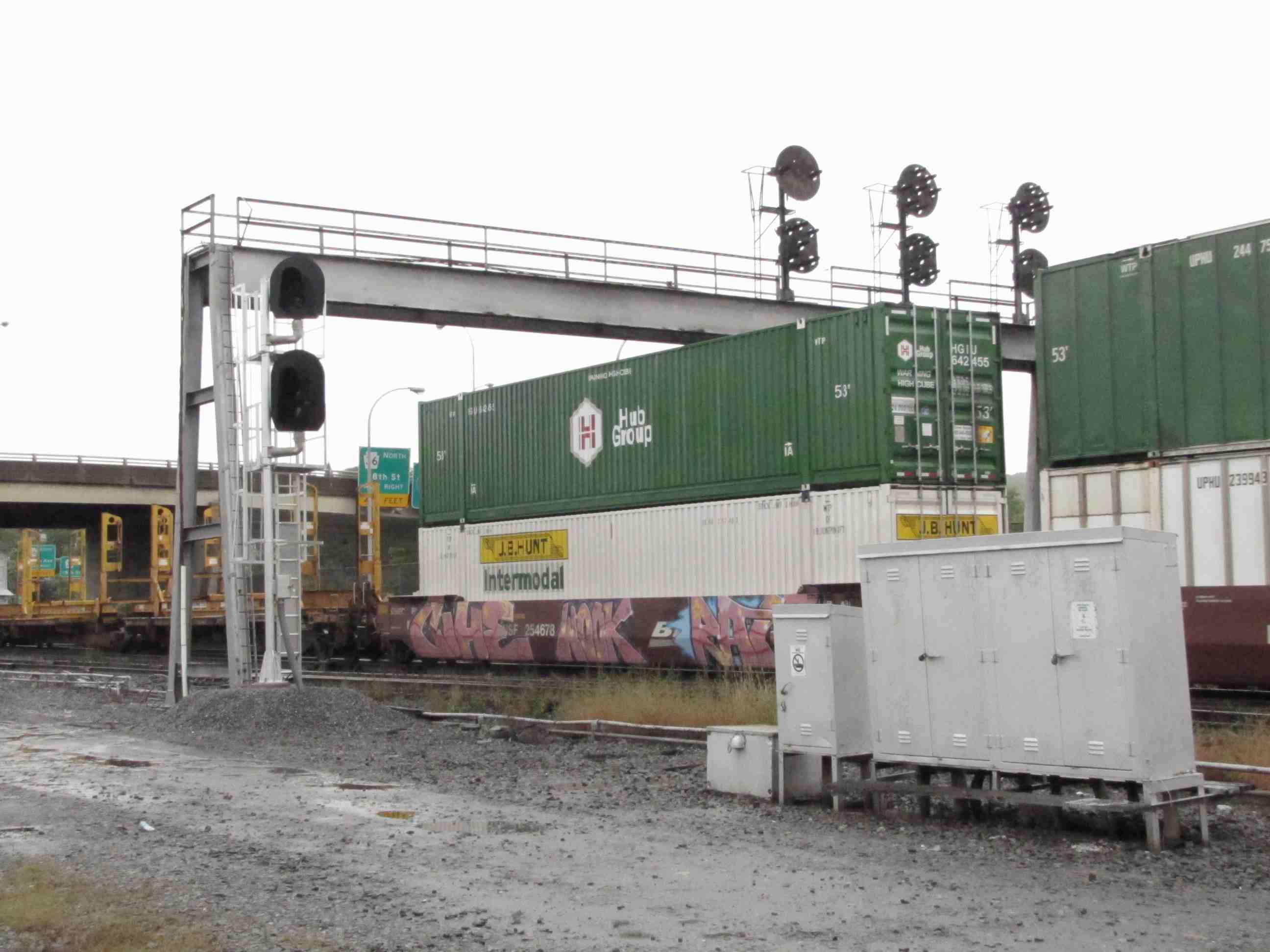
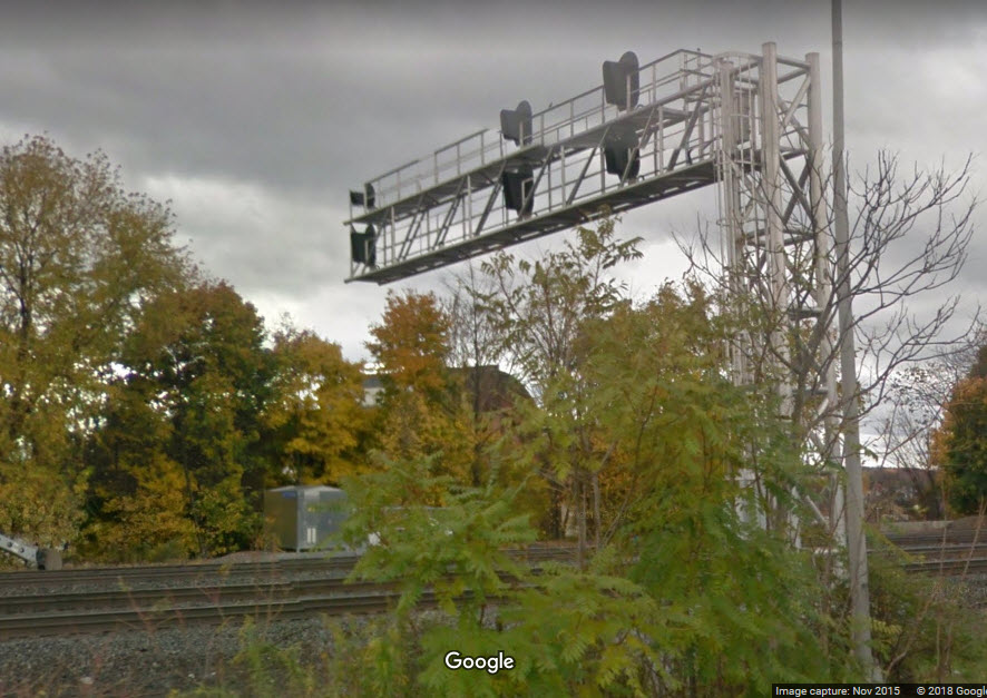
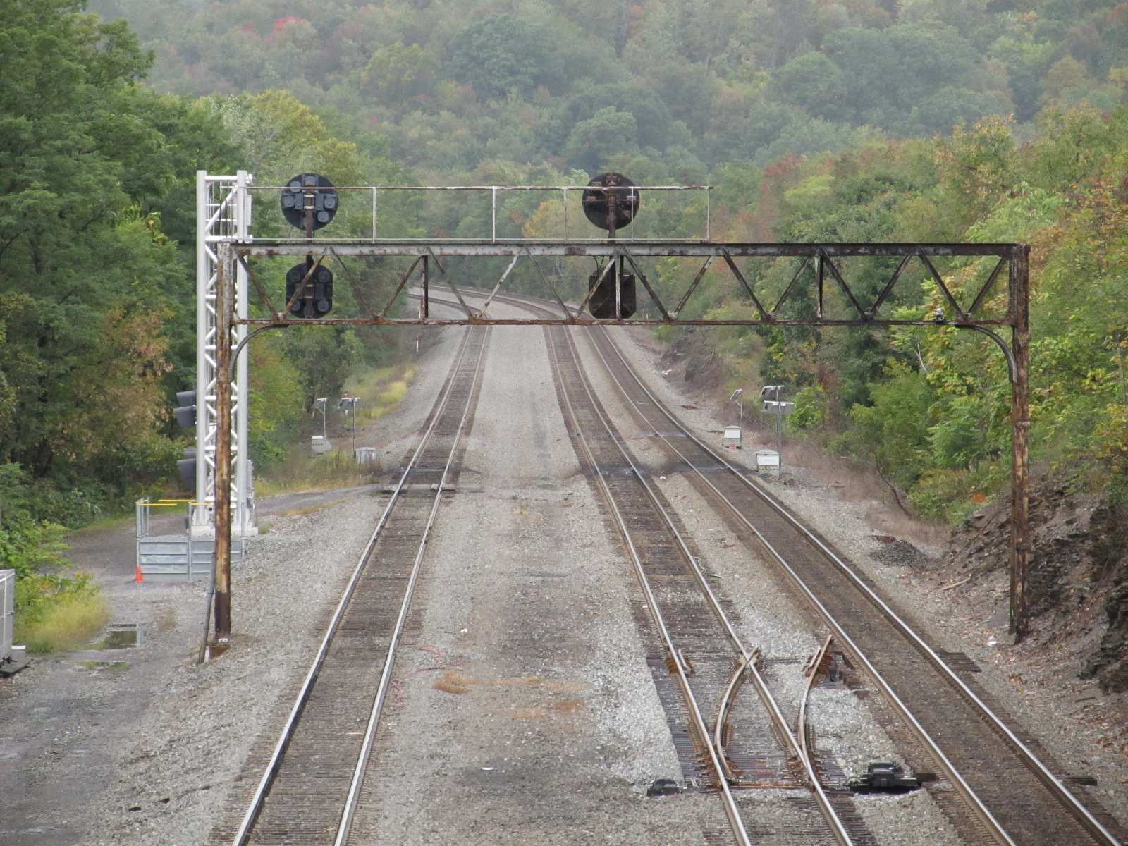
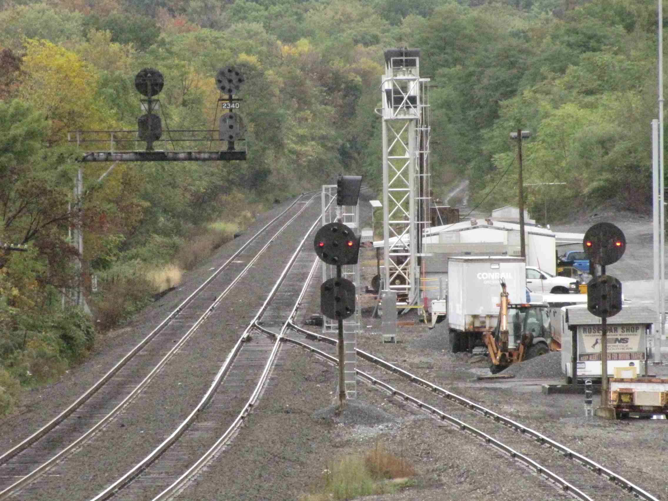
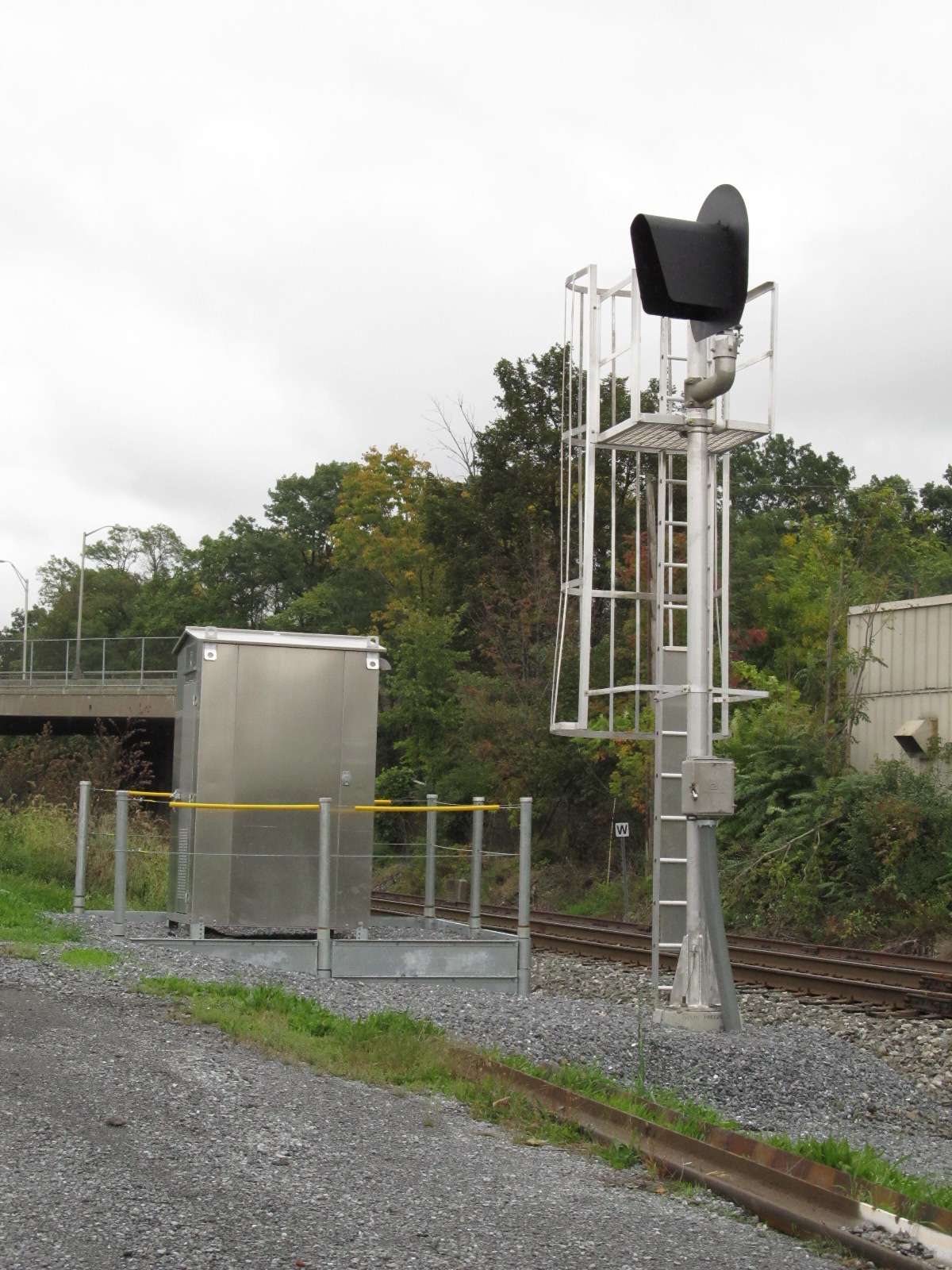
![]() WB/Signal Bridge - Northside of 17th St
WB/Signal Bridge - Northside of 17th St


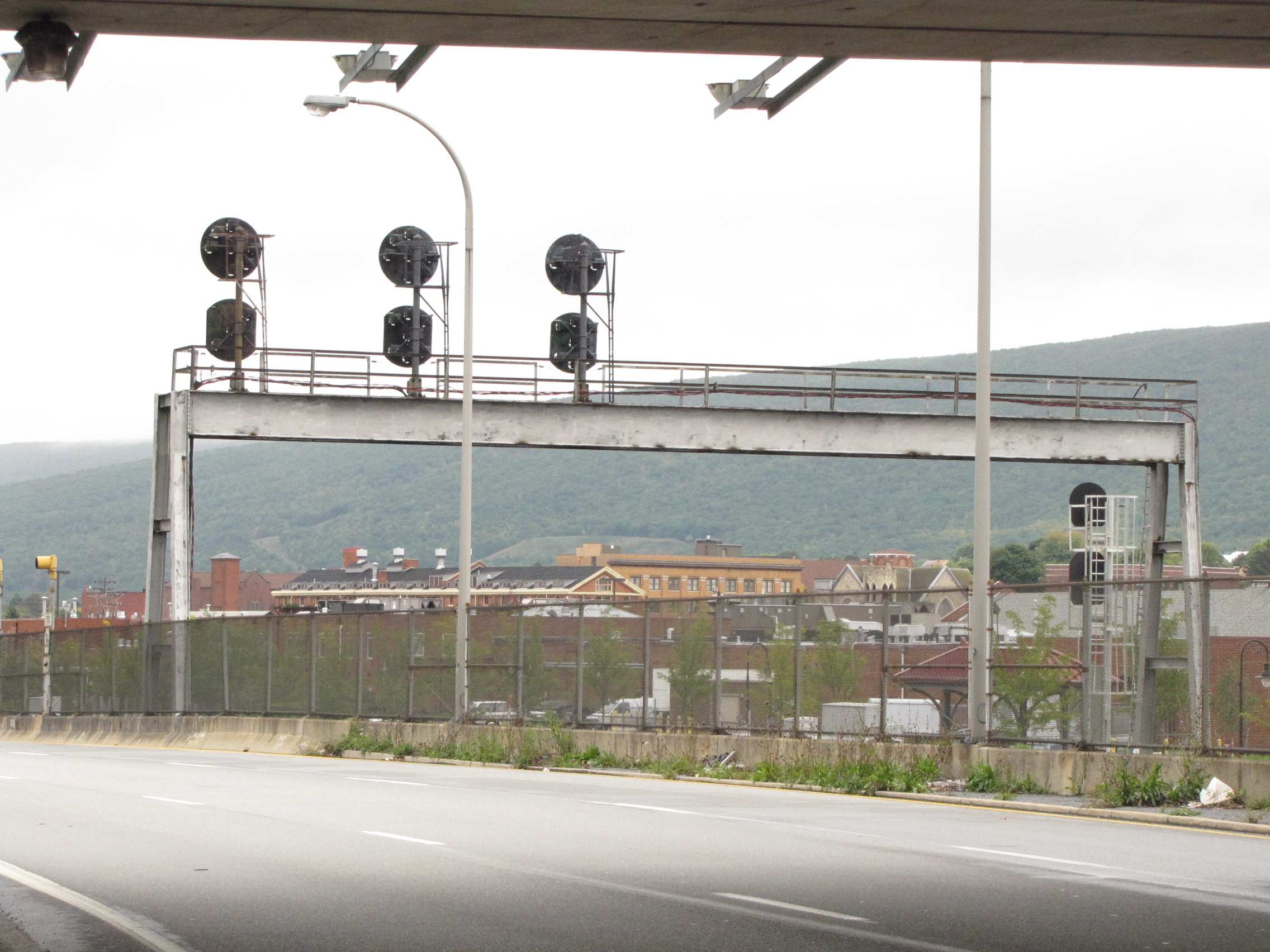

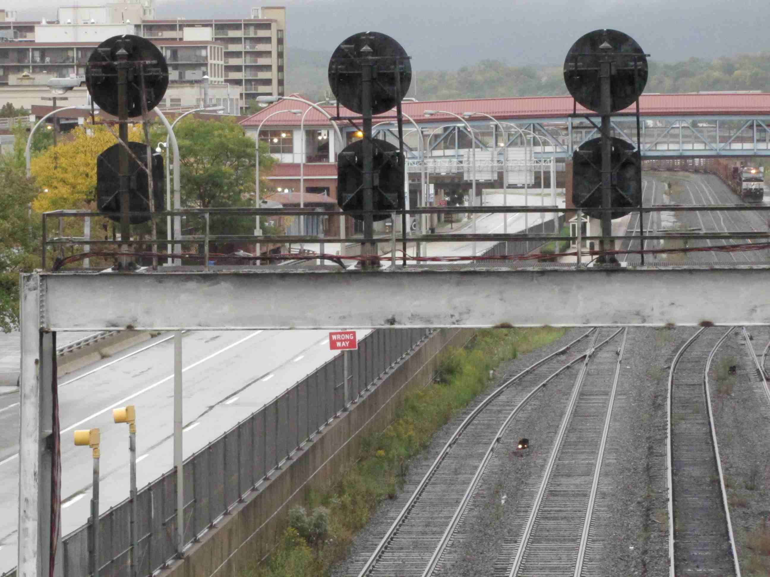
 Signals at 3 Today
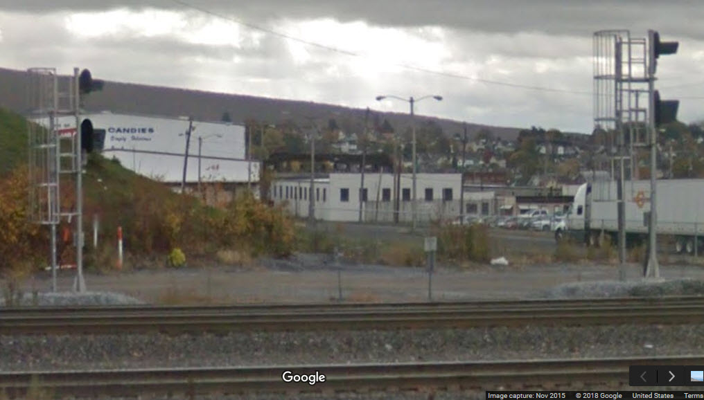 3b/3c
3b/3c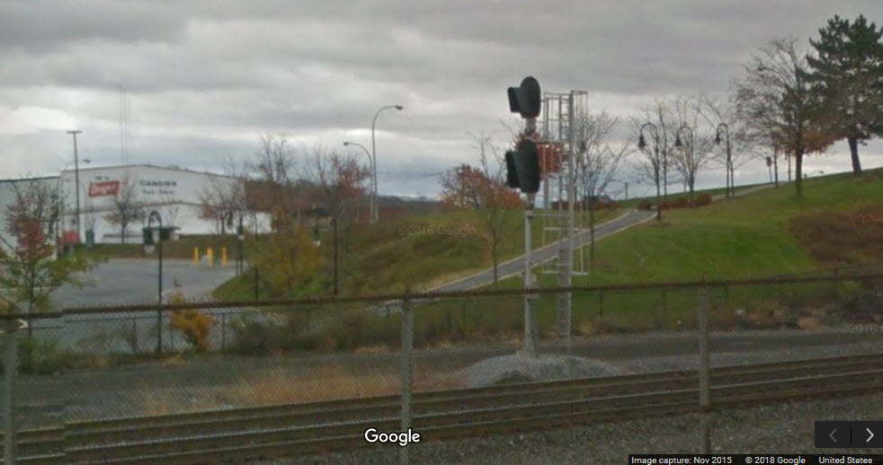 3d and Boyer's Candy
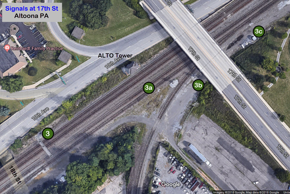

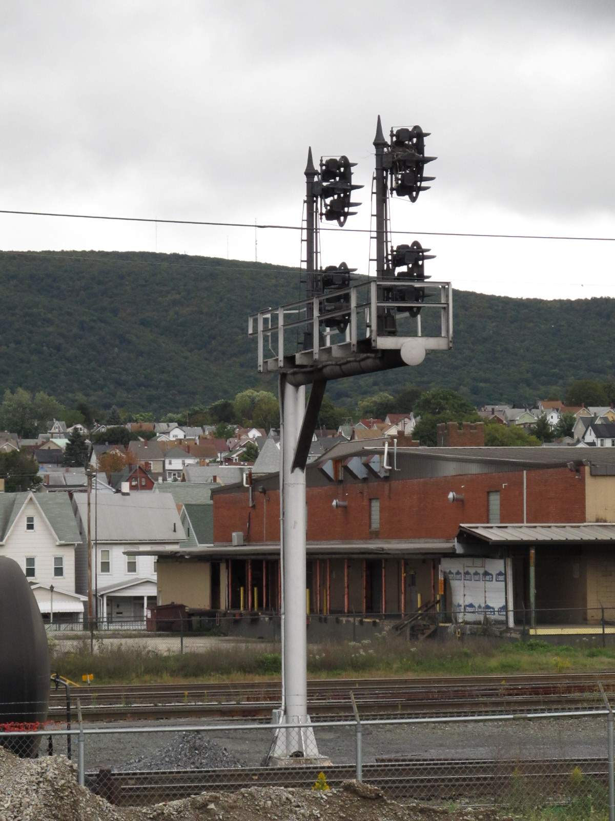
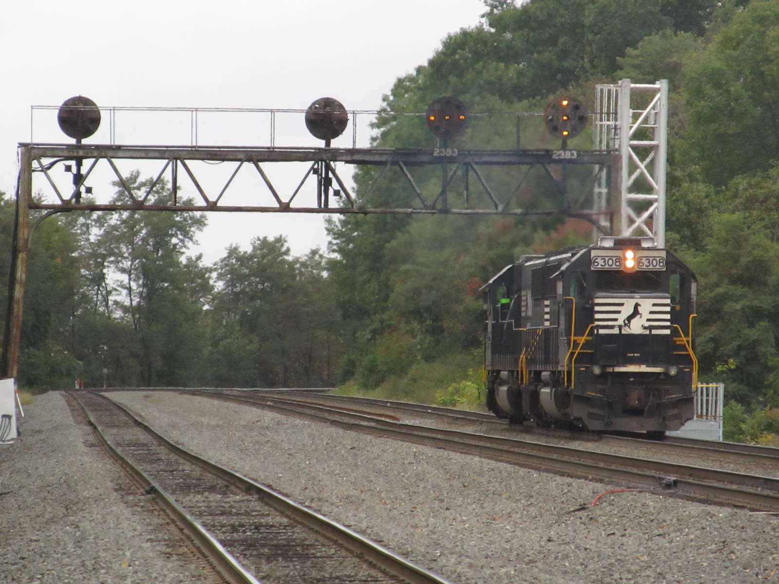
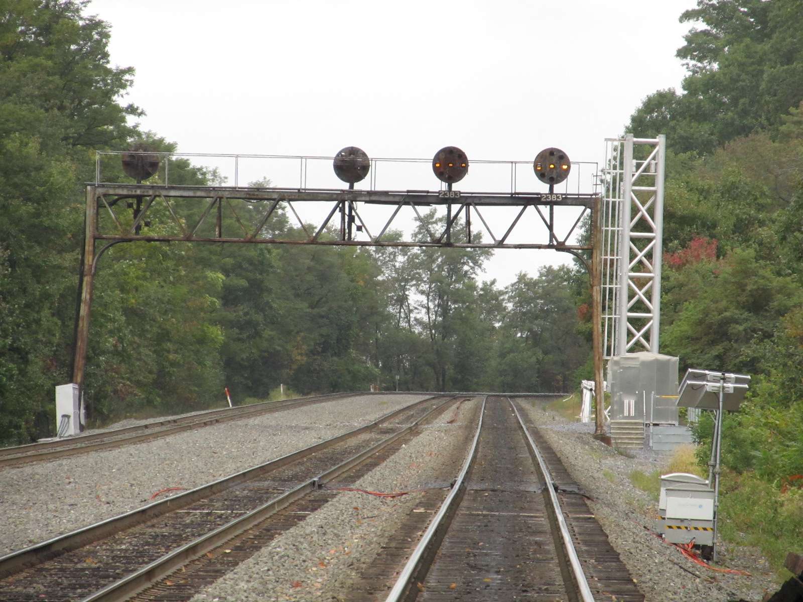
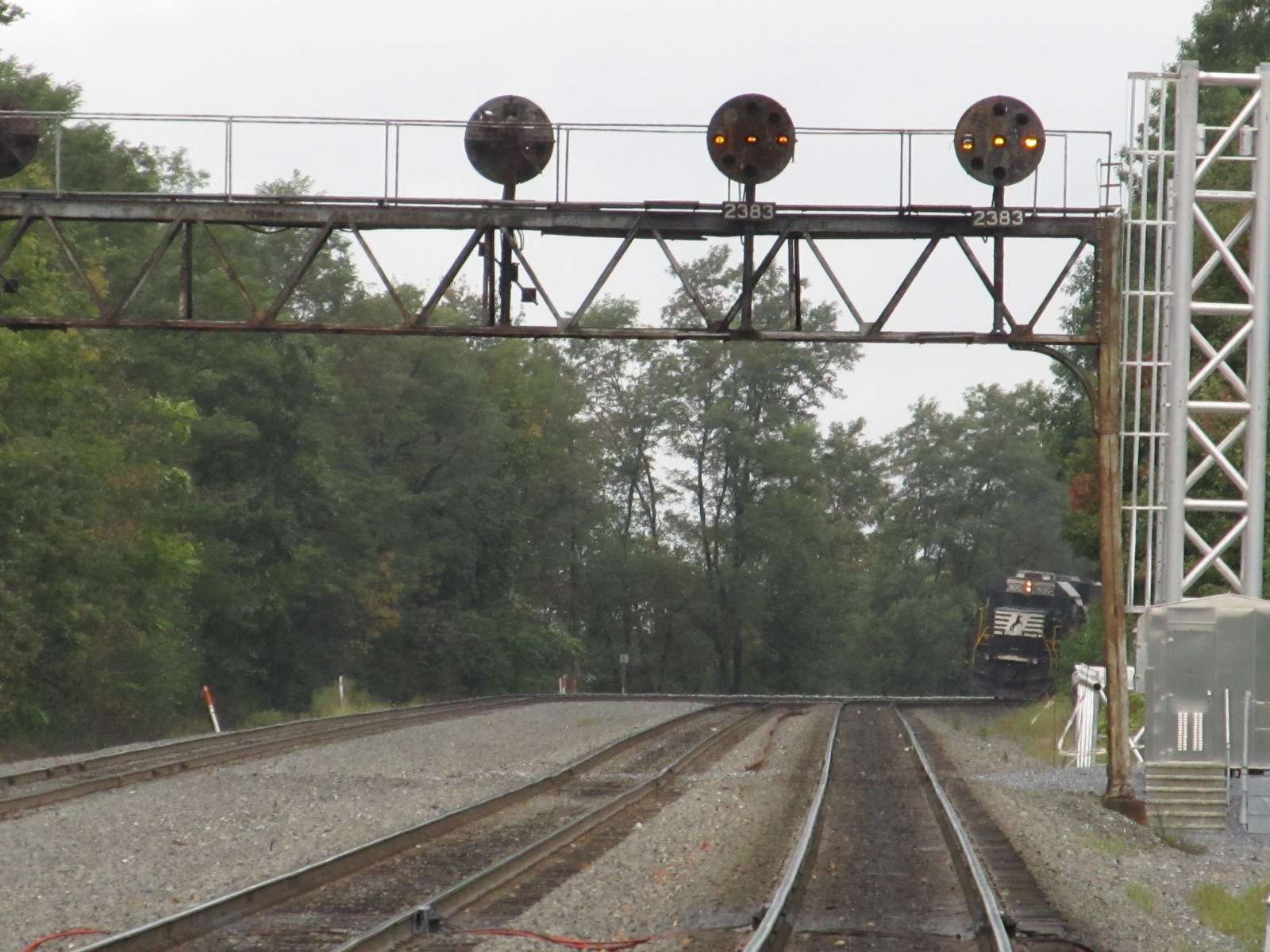
 10/2011 - Old signals getting ready to come down....

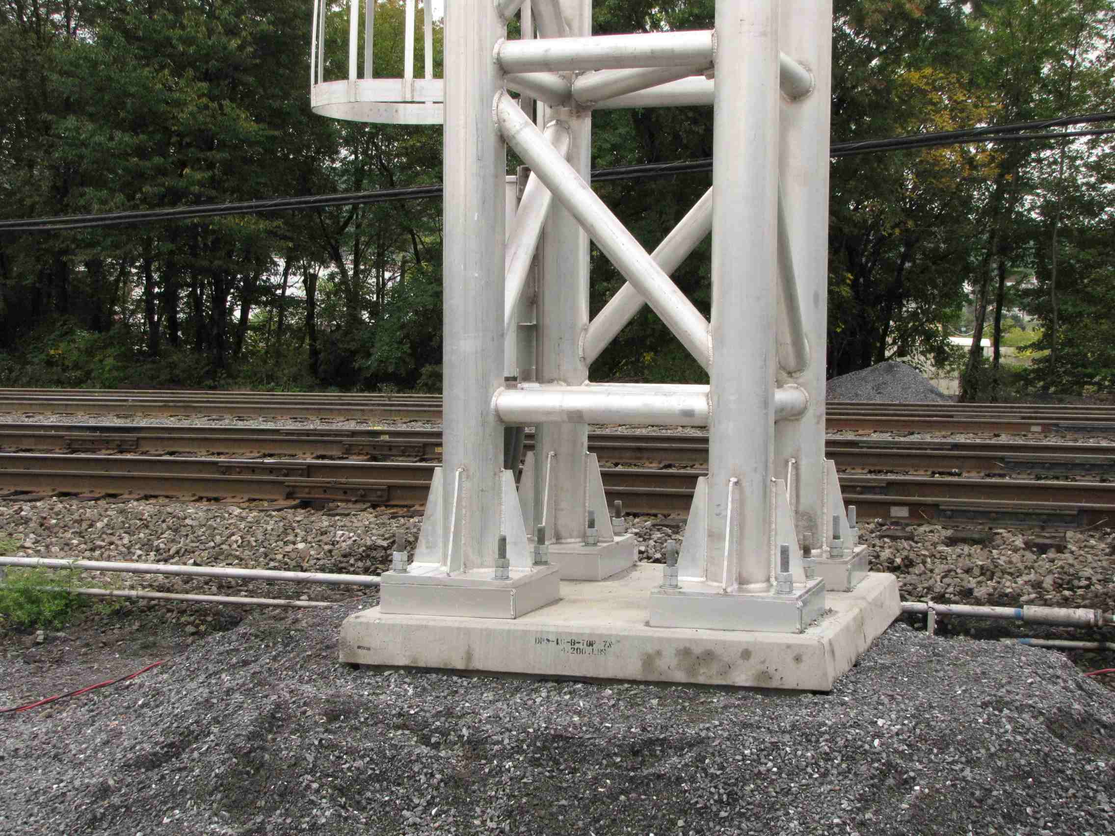
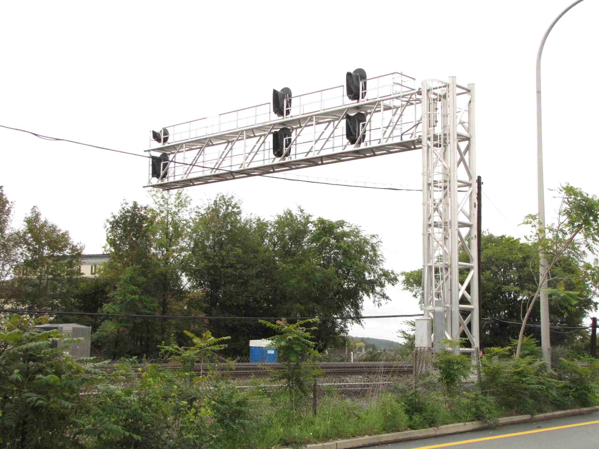
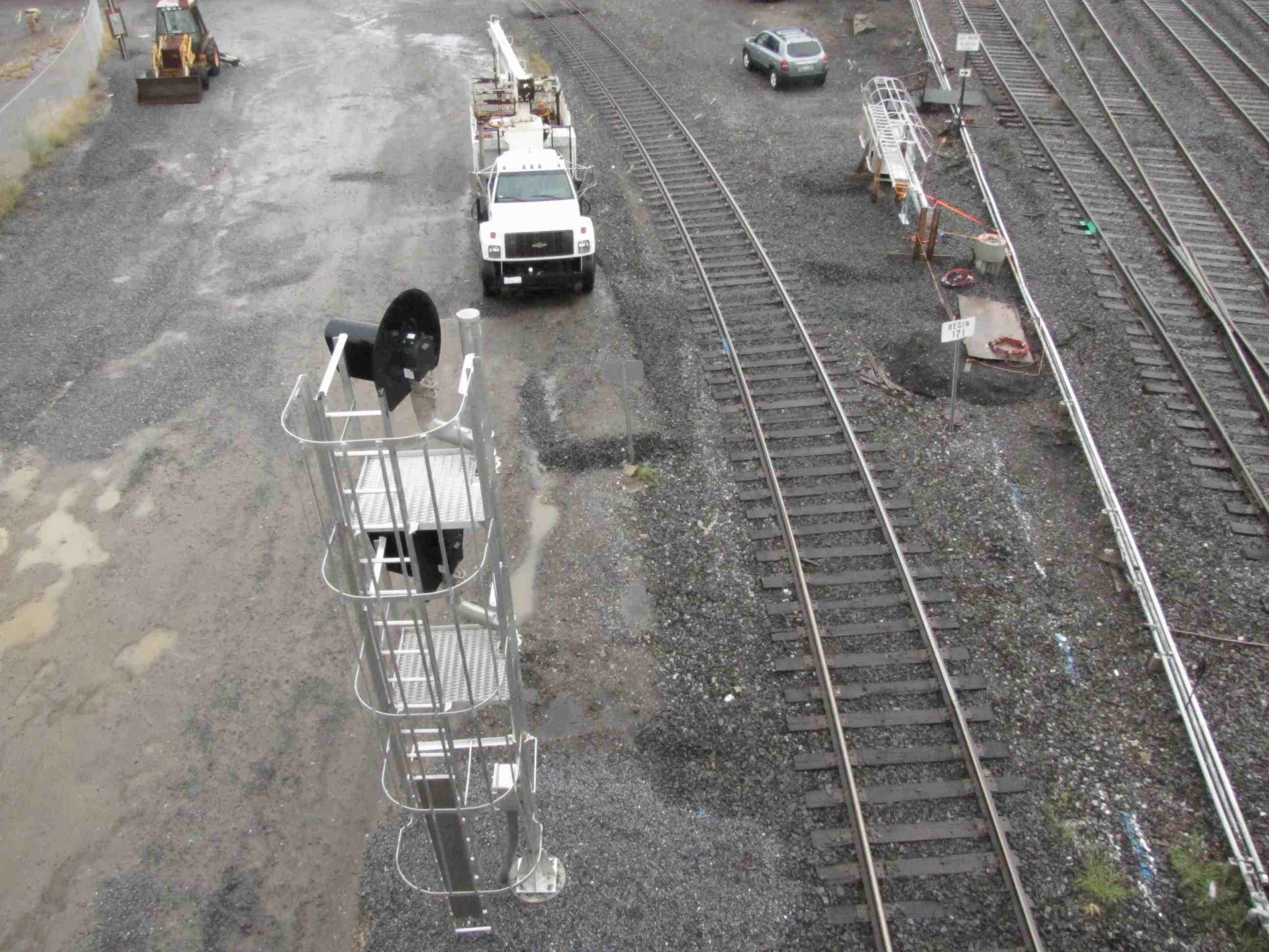
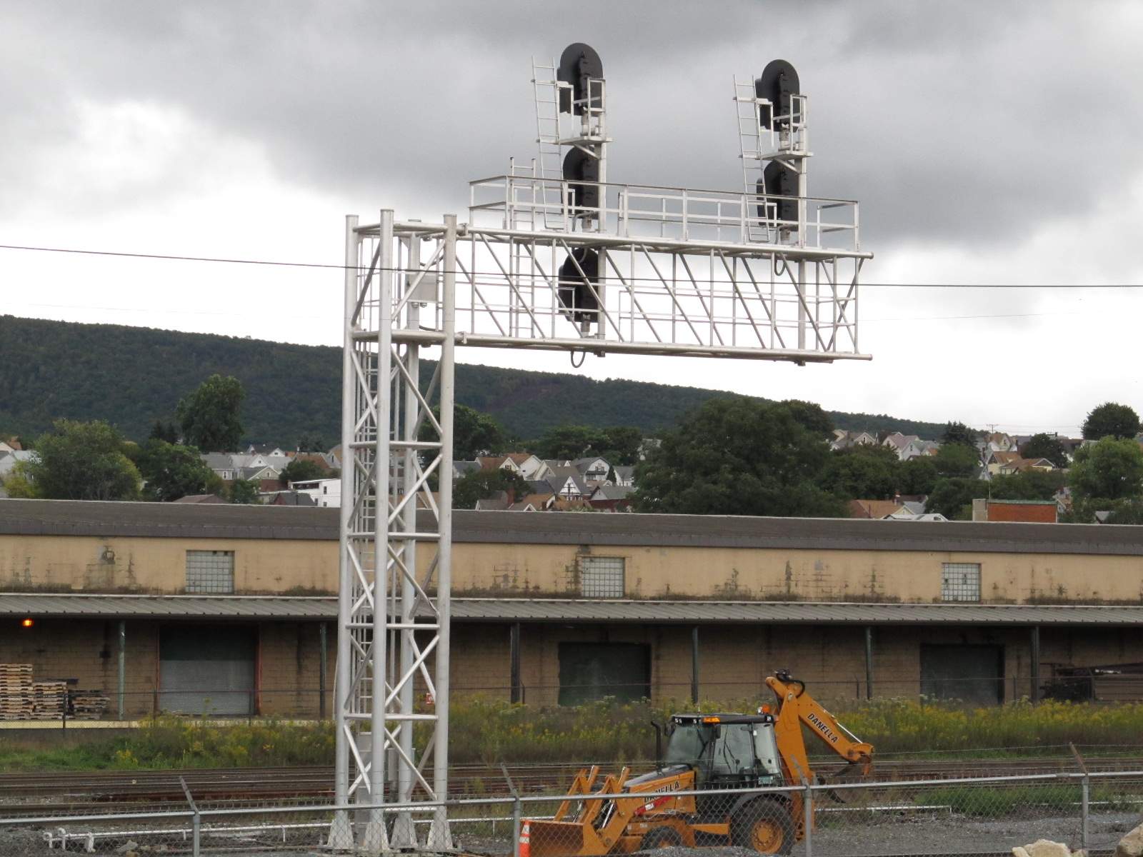
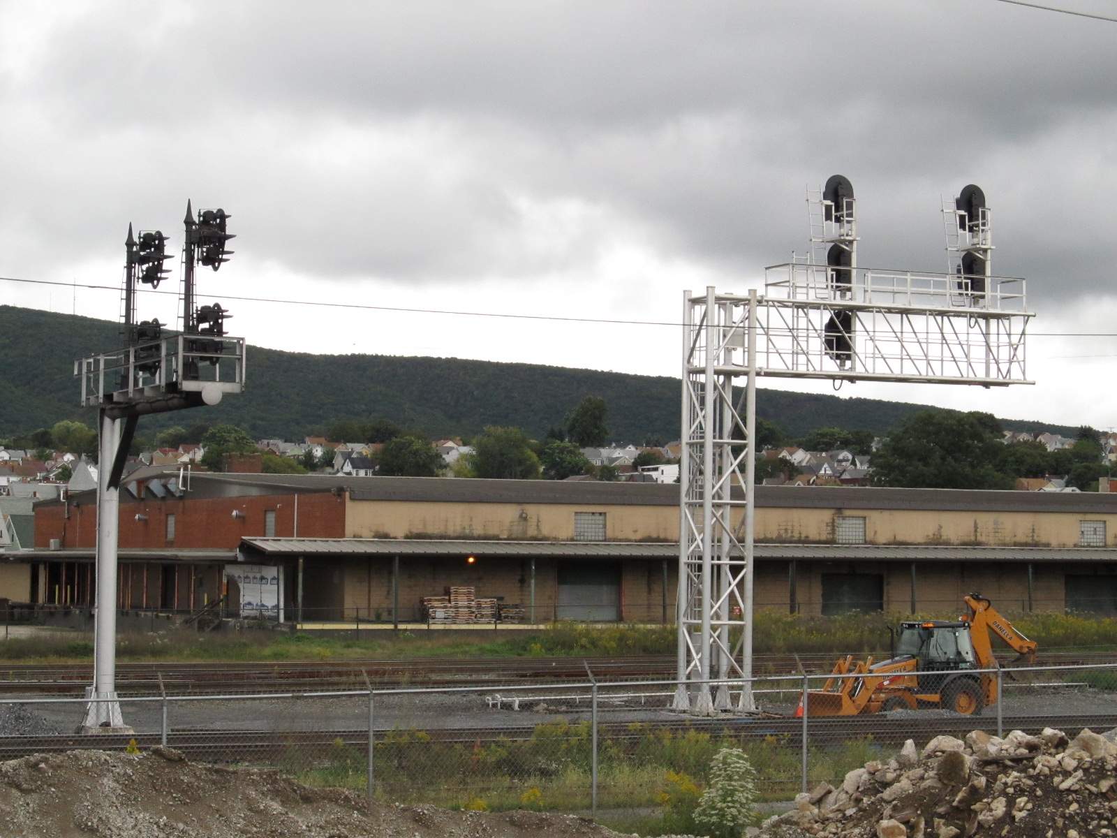
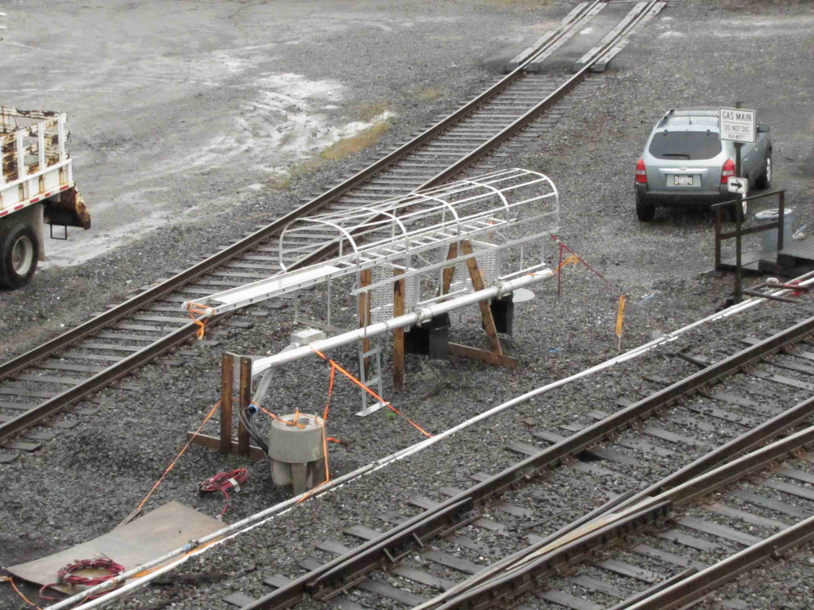 10/2011 - New signals going up....


 The track leading off to the left heads down to Duncansville and Holidaysburg.


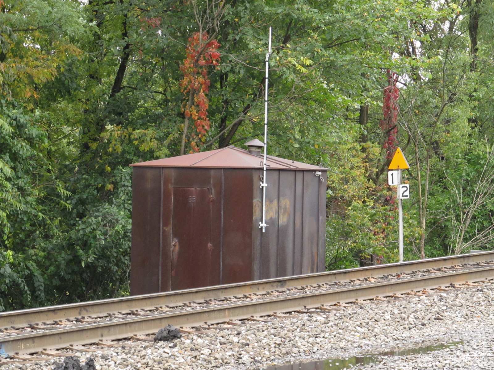
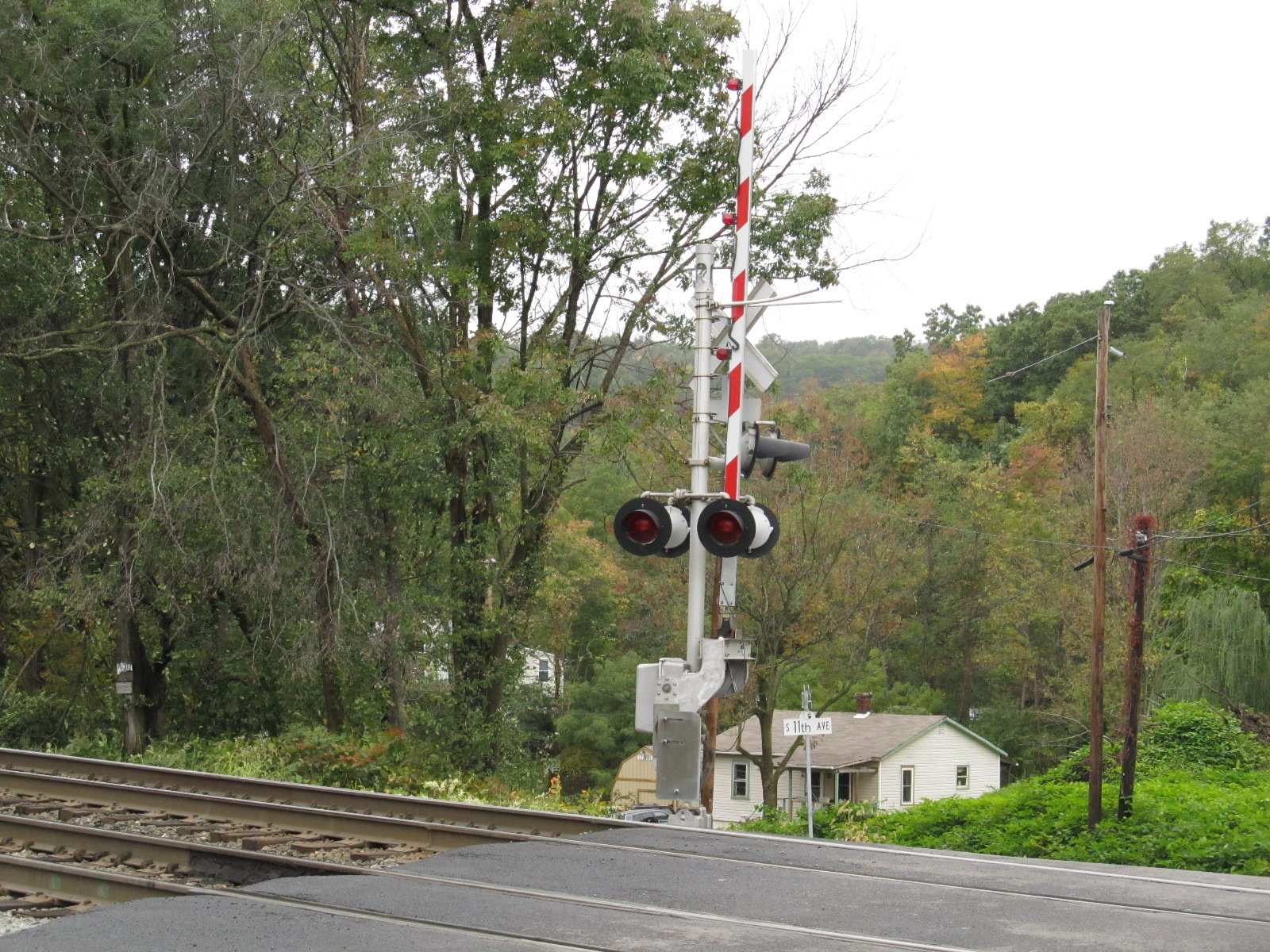
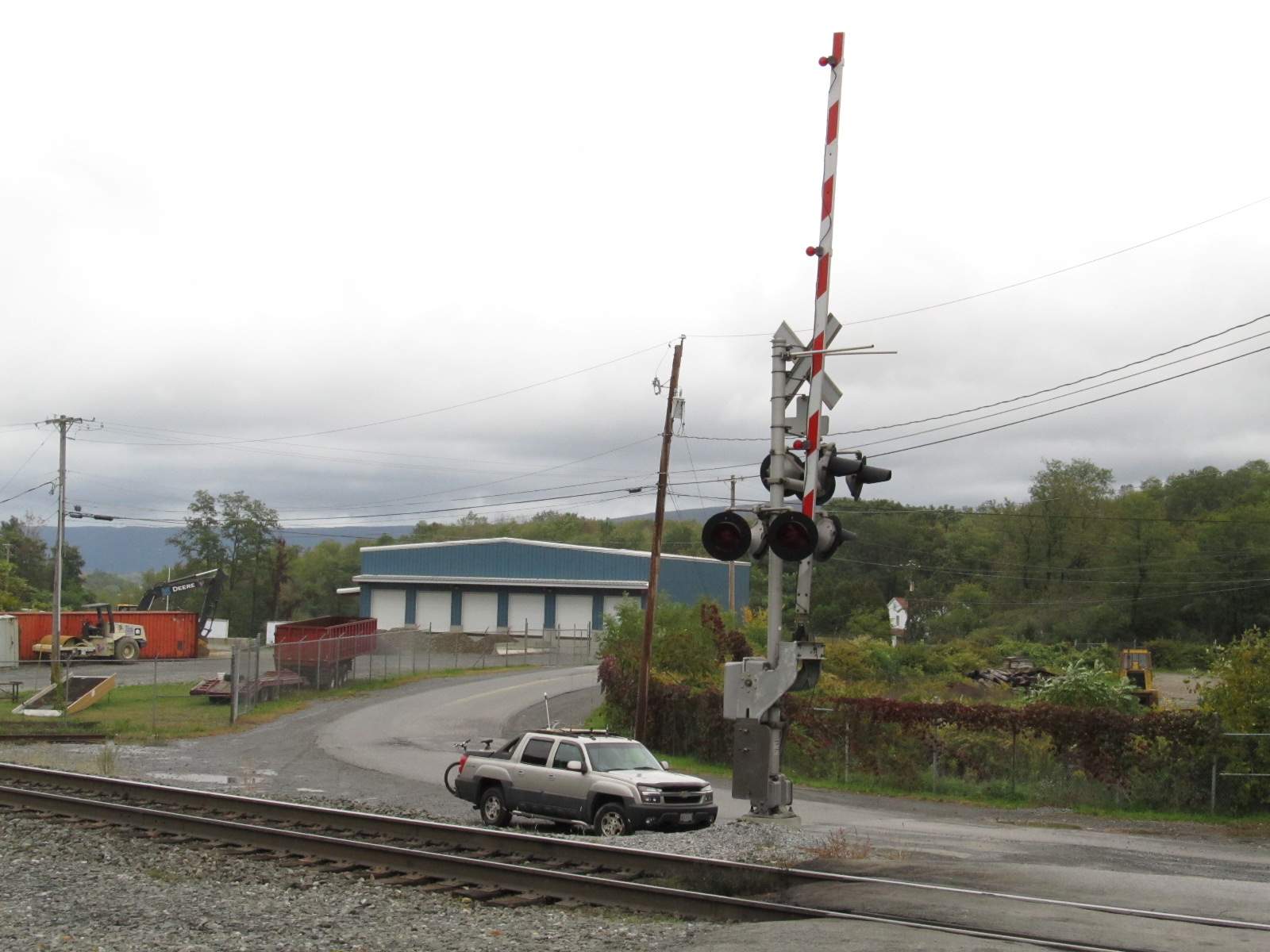 Crossing gates at 35th St.
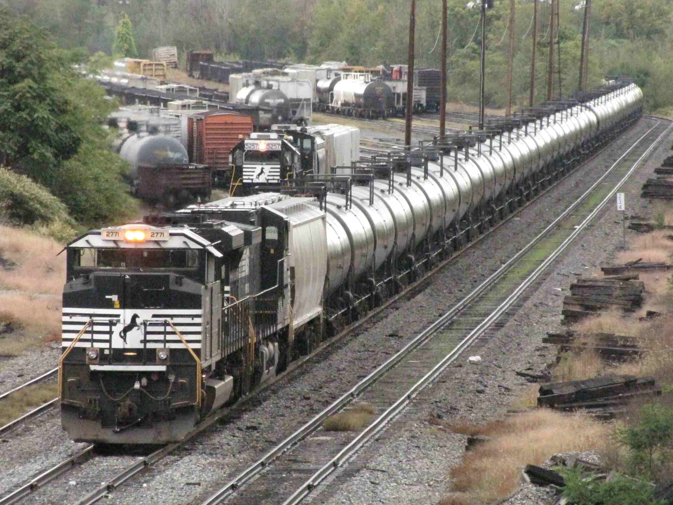
 The tracks on the left head to Tyrone.
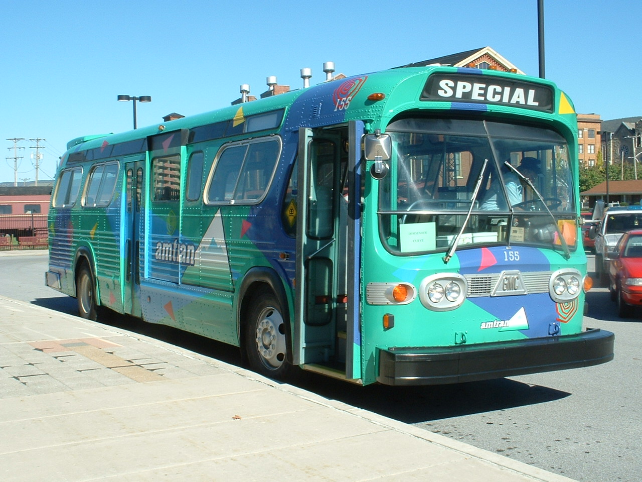
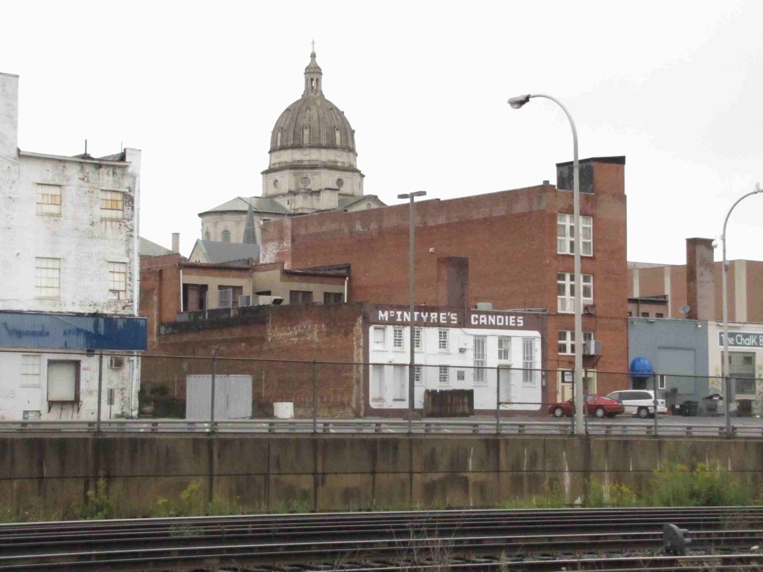
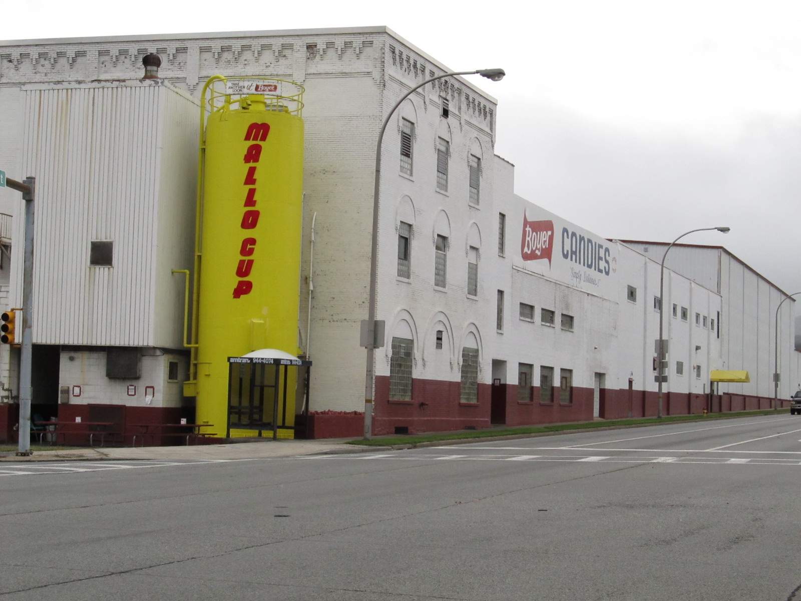 Anyone like Mallo Cups?.... well, they're made right here in Altoona, across from the mall by the museum.
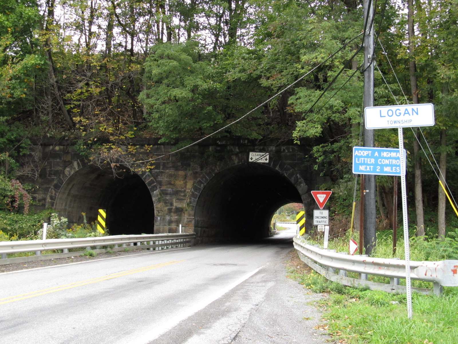 Underpass on 31st St.
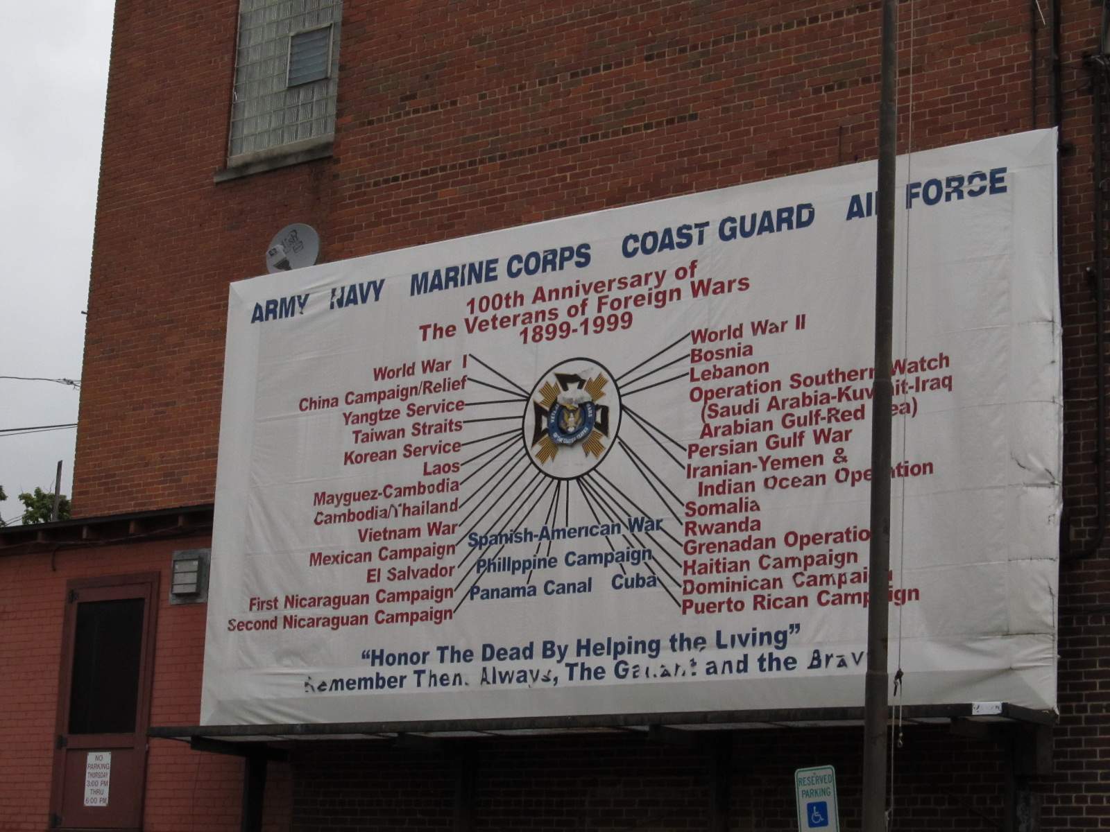
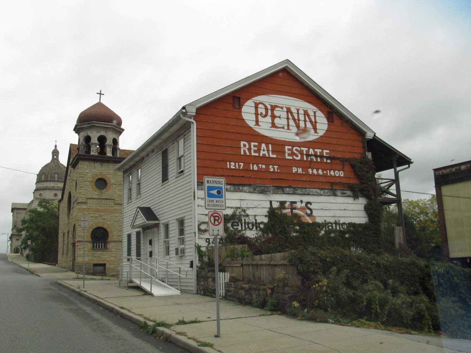
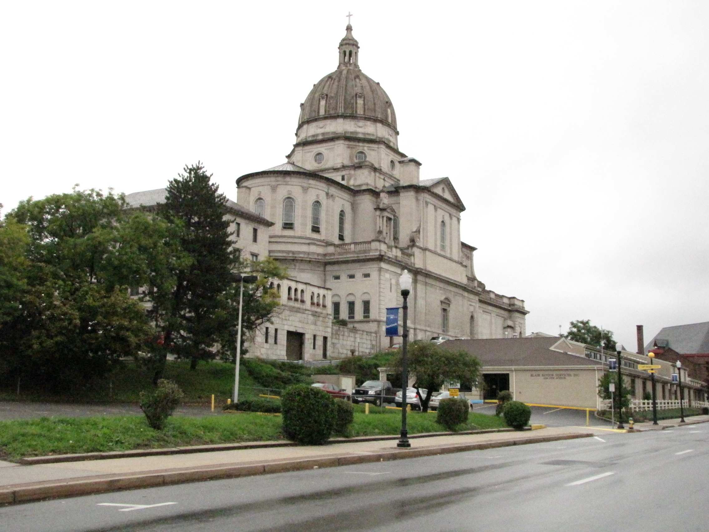 Interesting building....
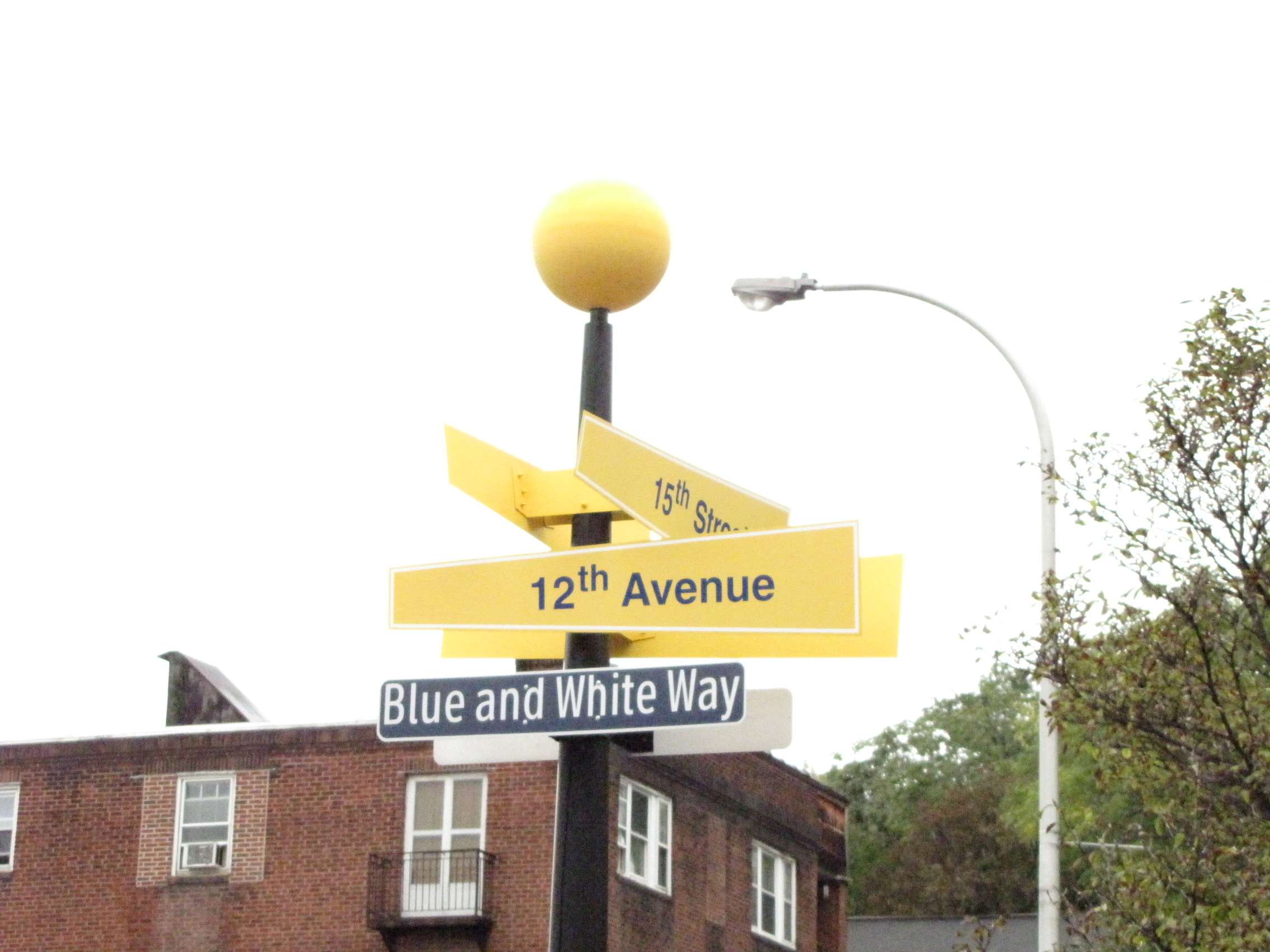 Interesting street signs....
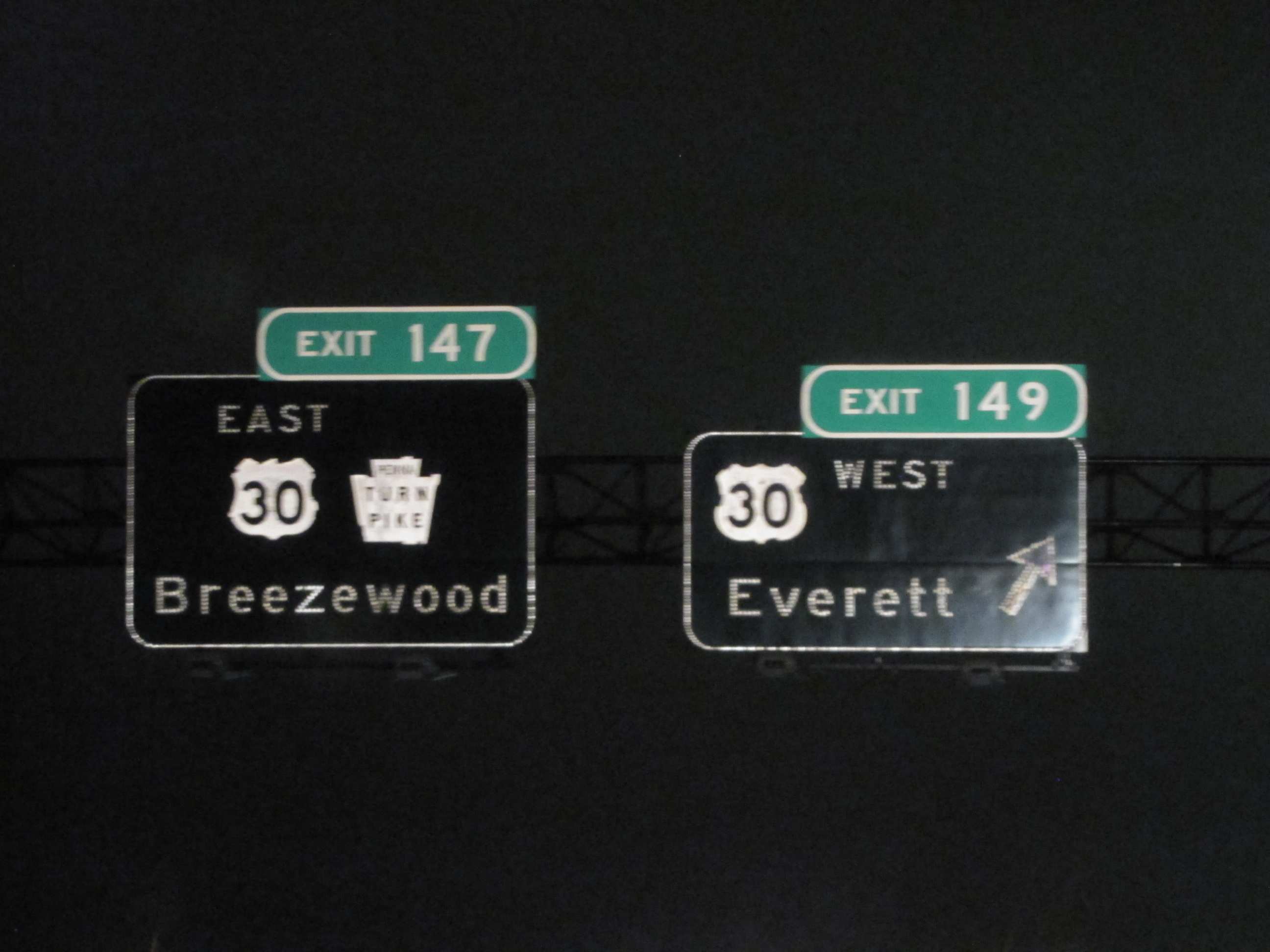
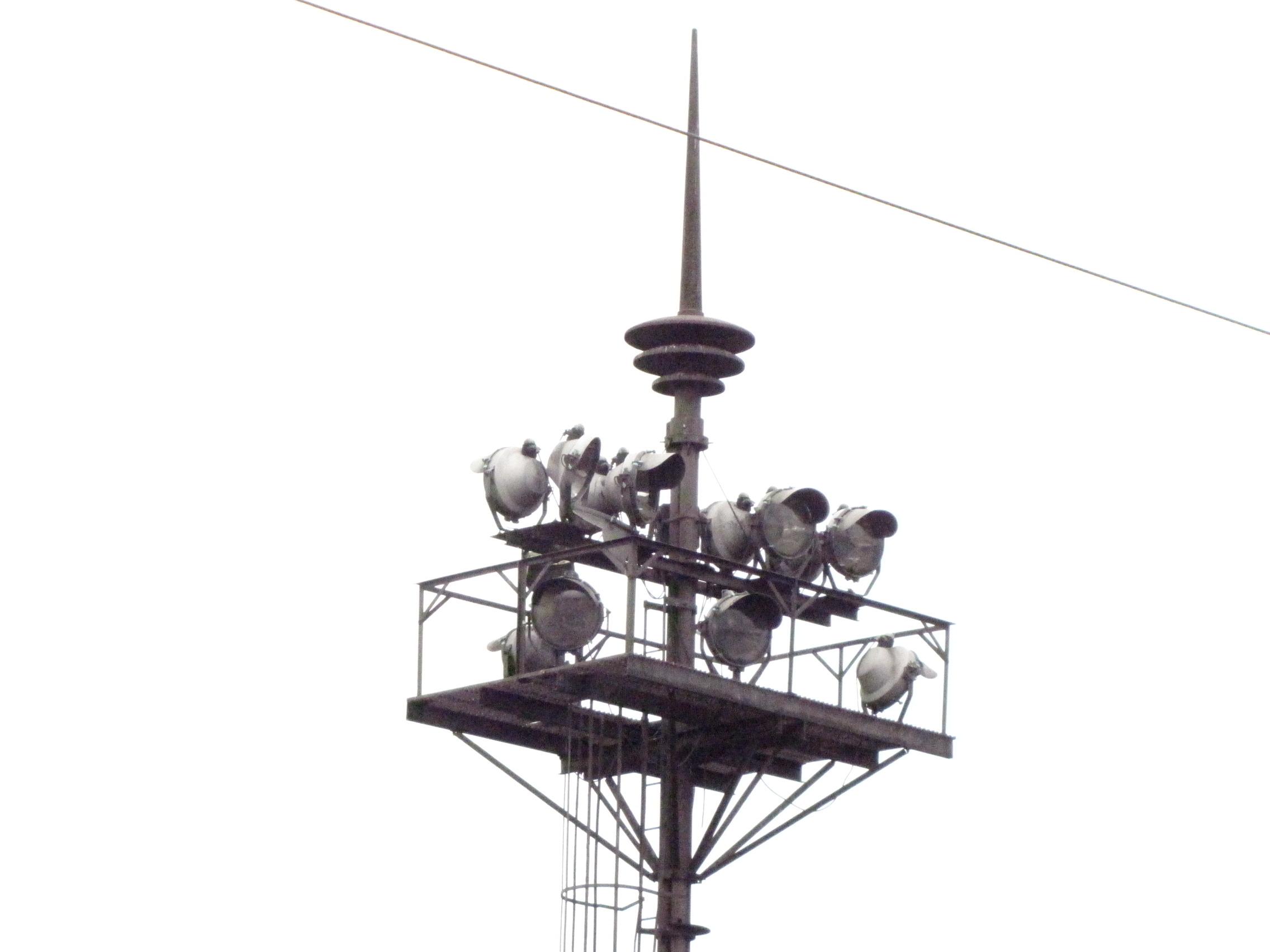
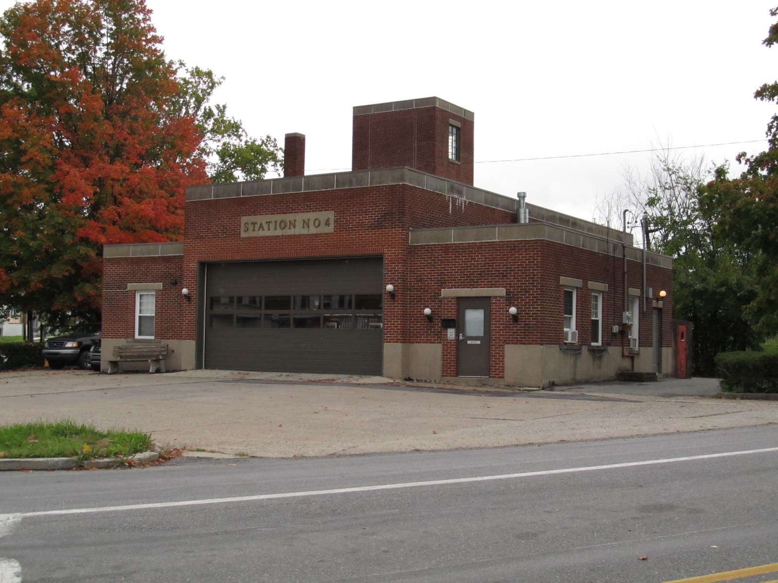 Station 4.
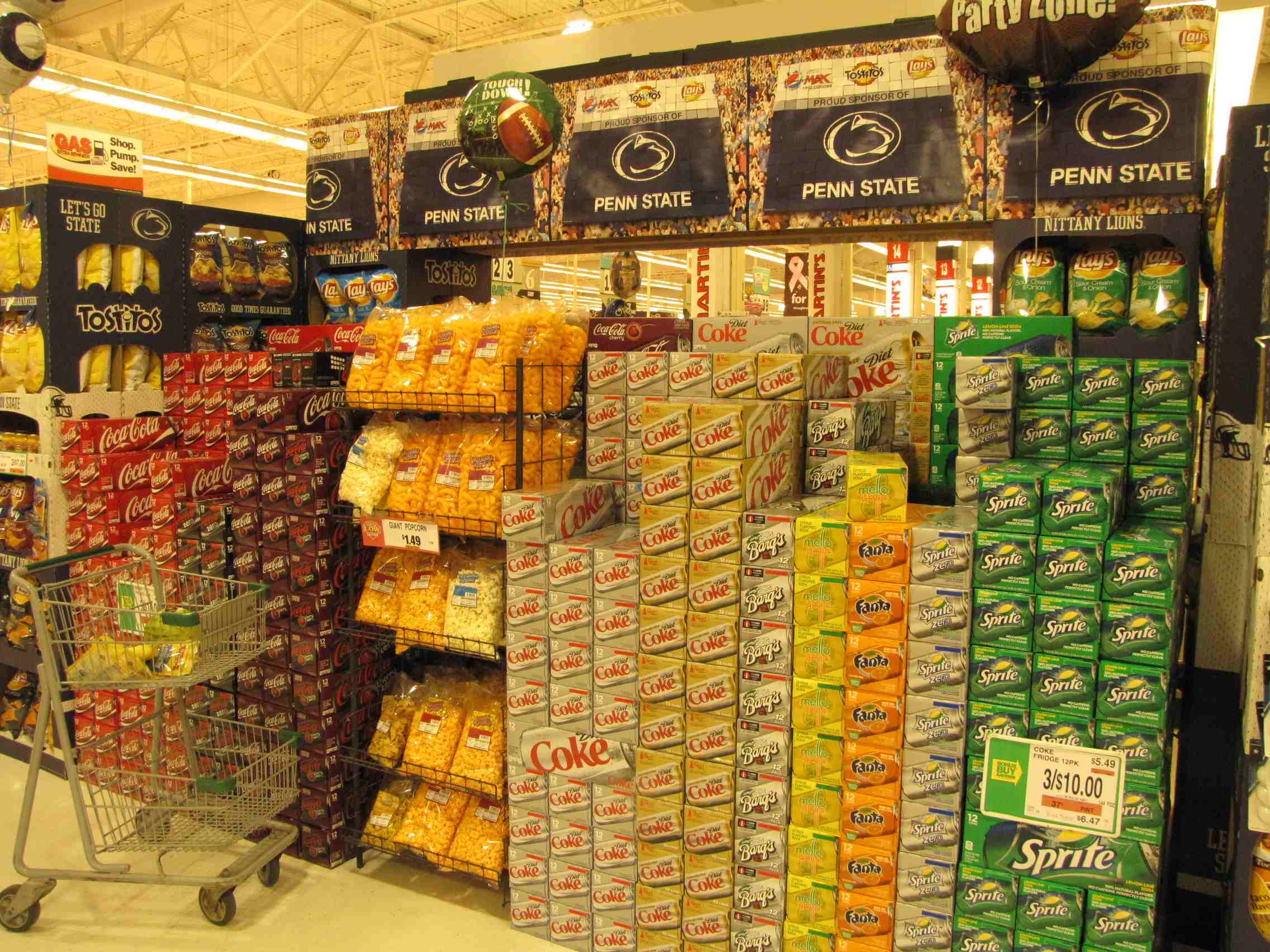 Are you a Penn State fan?
NEW 4/19/2009, 4/8/2010, 12/7/2013
Last Modified 28-Sep-2018