In General
Getting Here
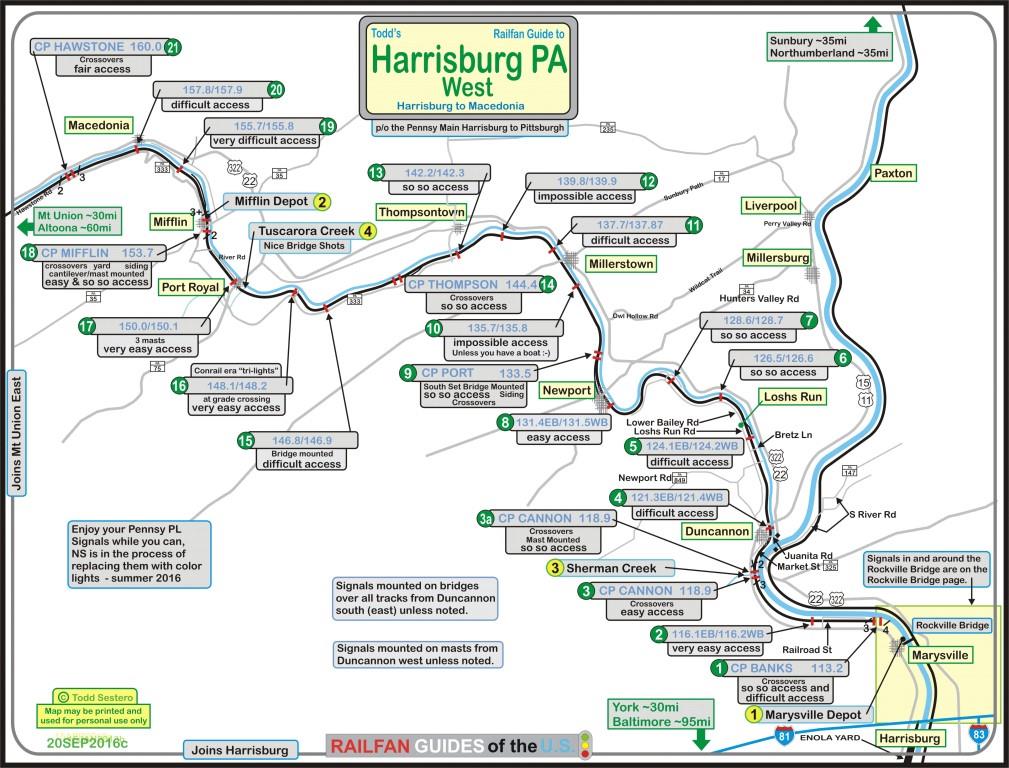
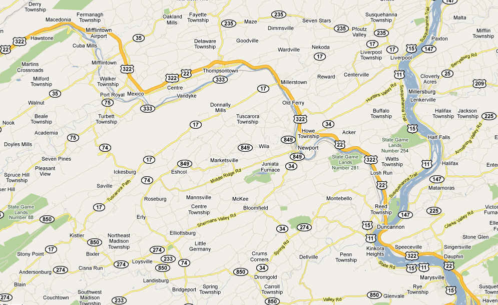
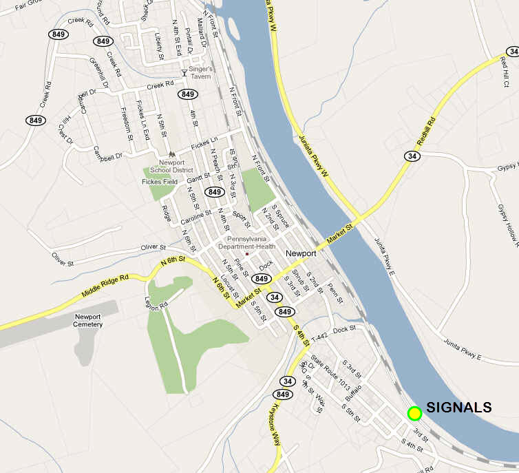
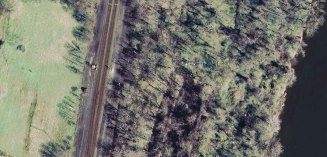
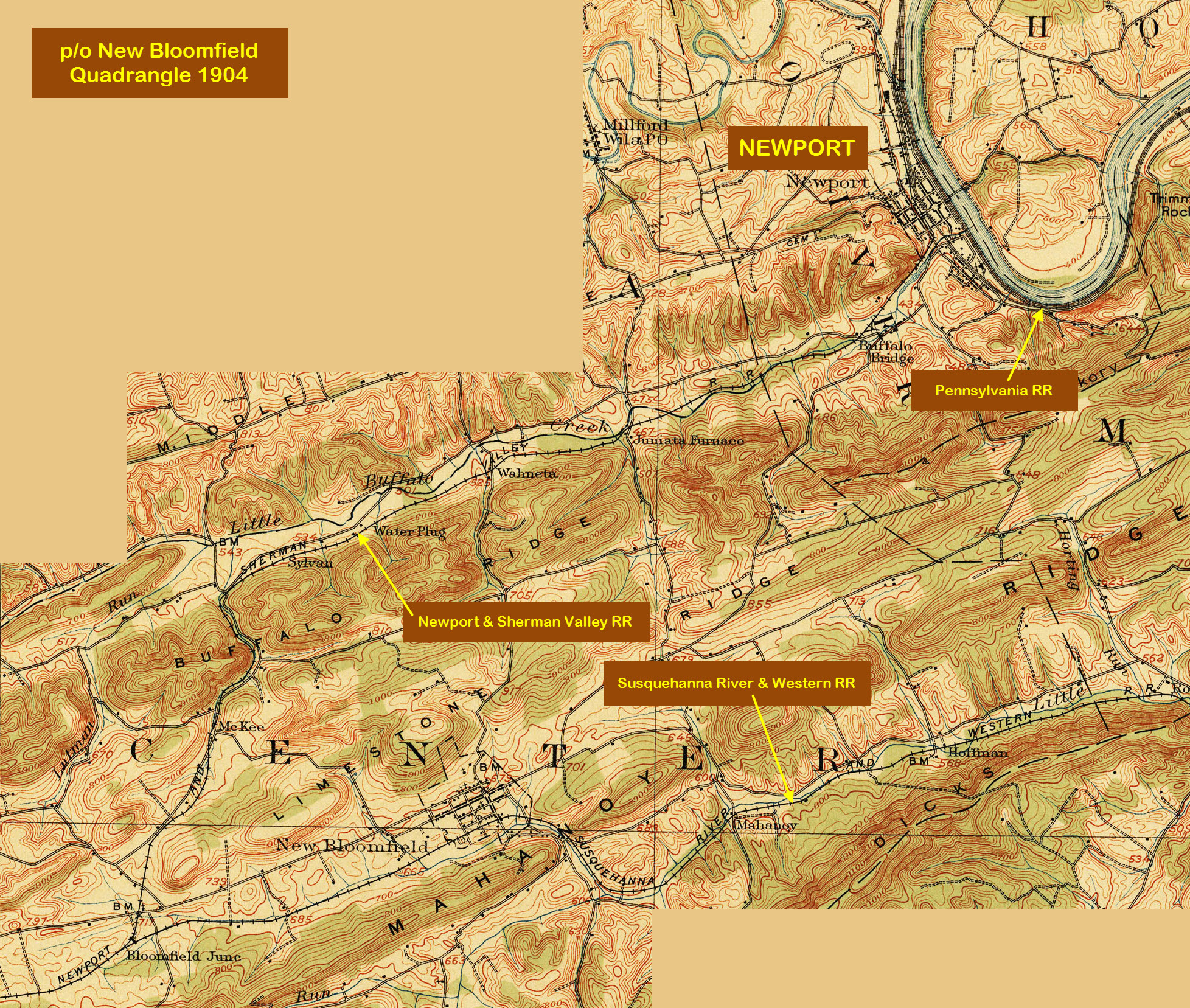
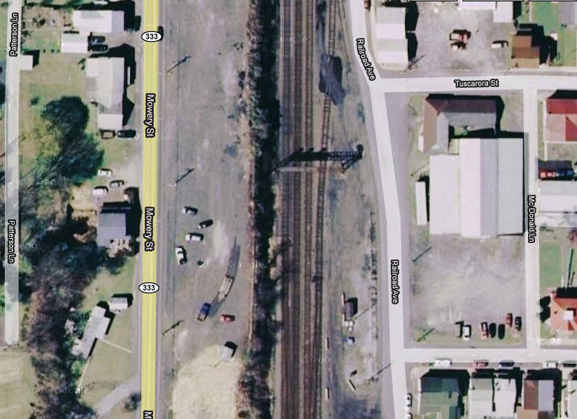
Map
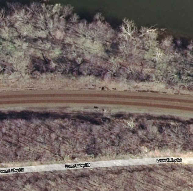
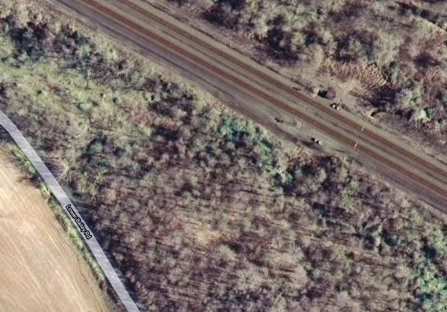
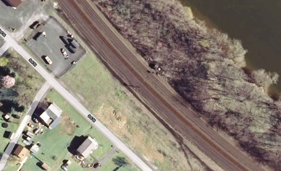
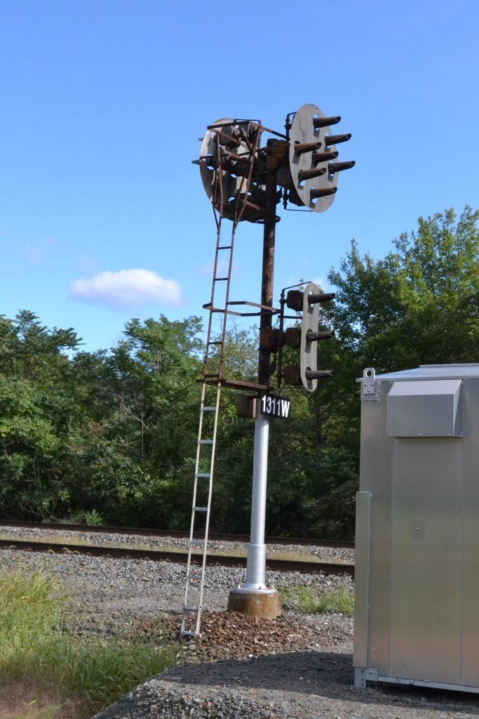
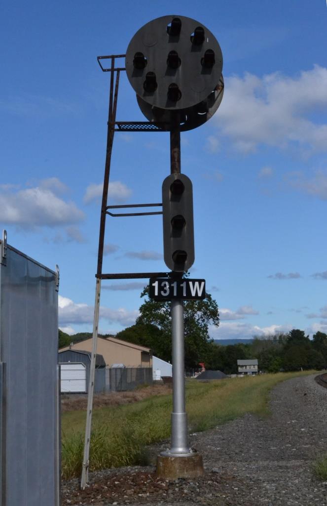
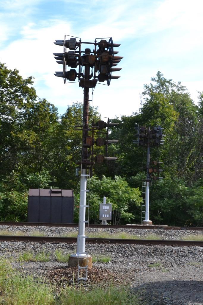
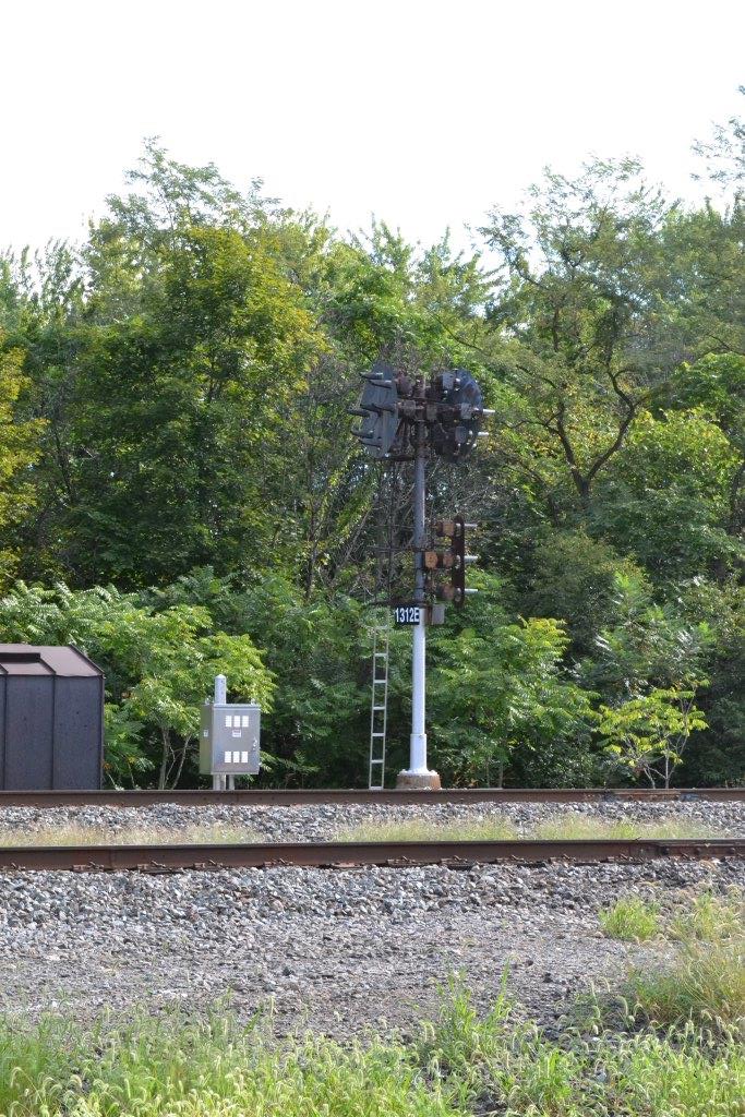
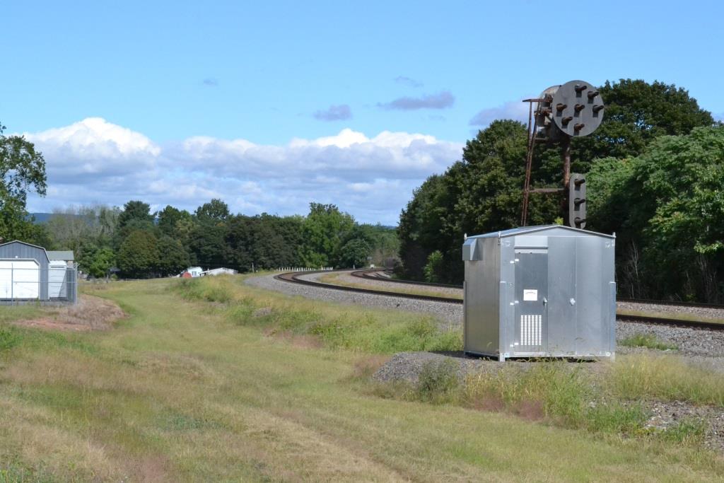
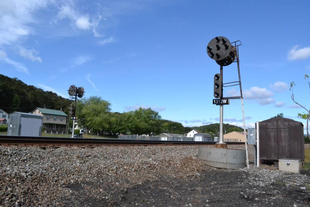
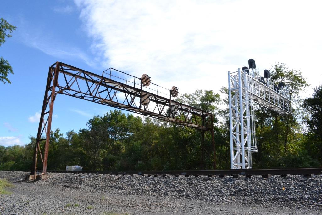
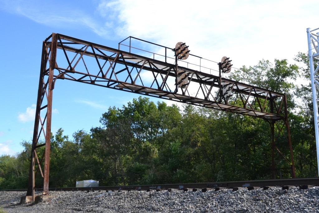
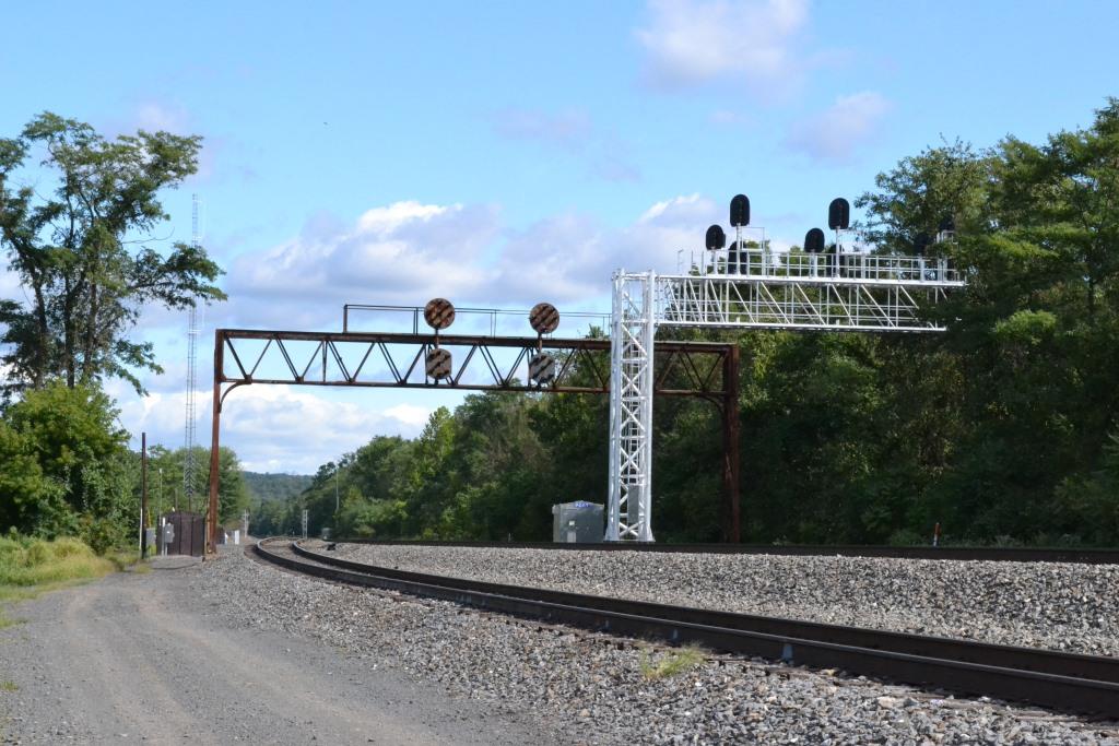
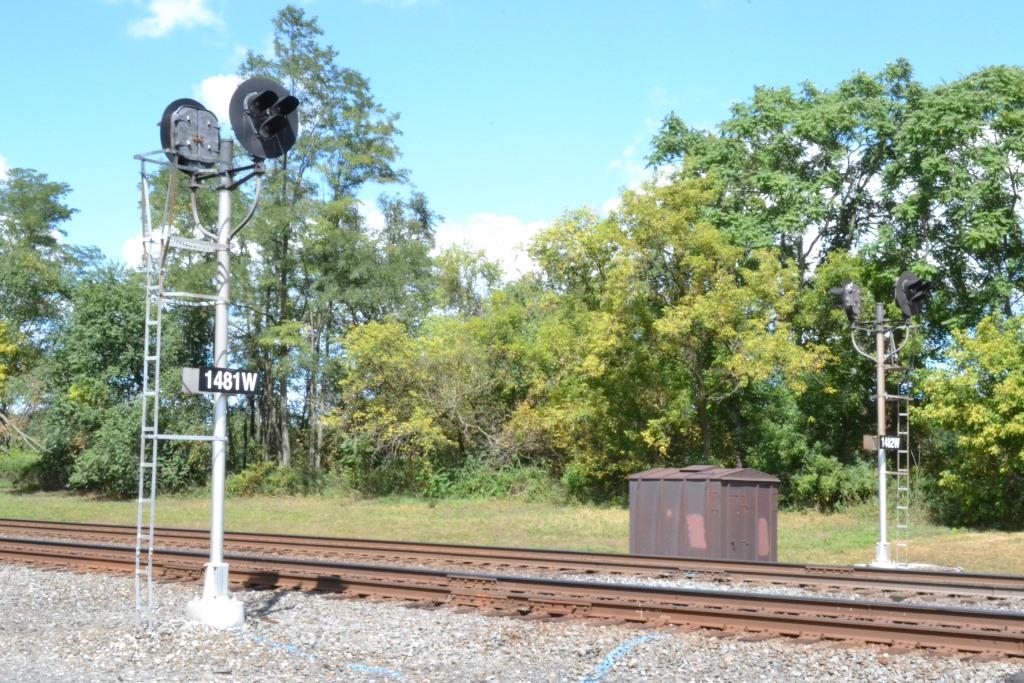
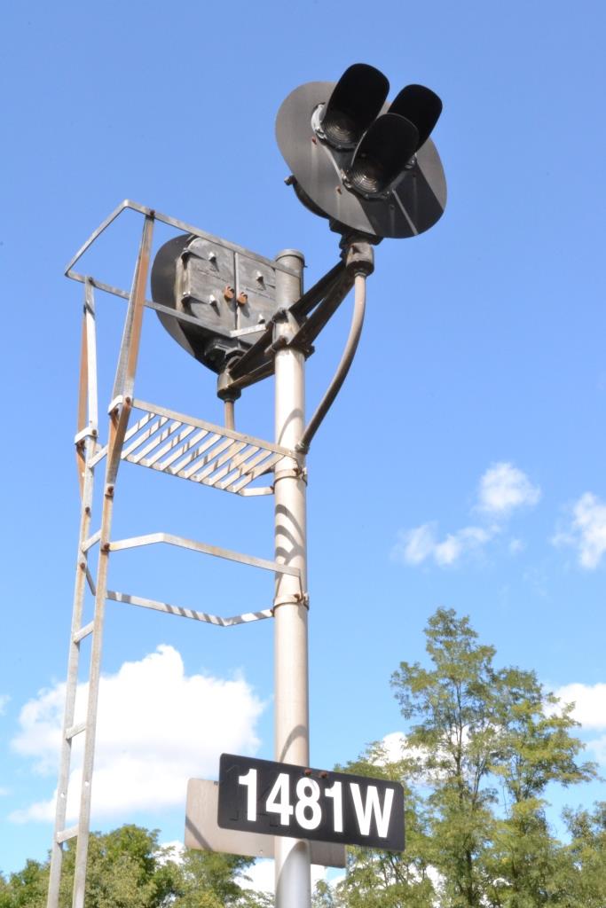
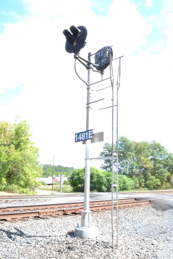
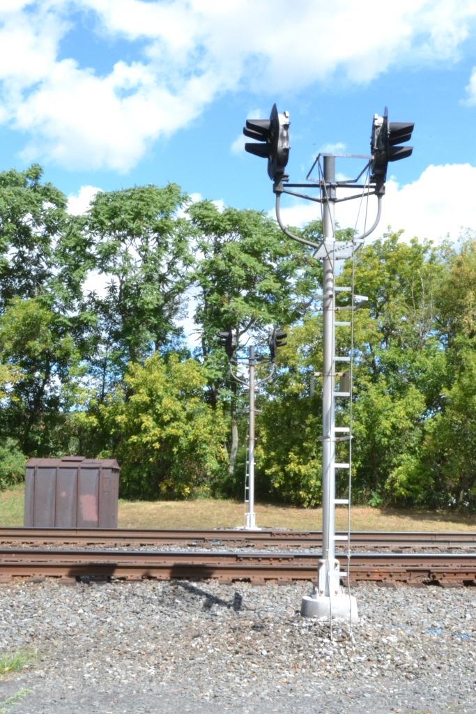
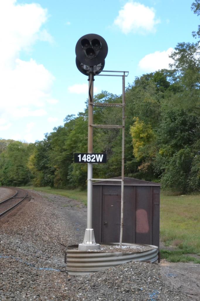
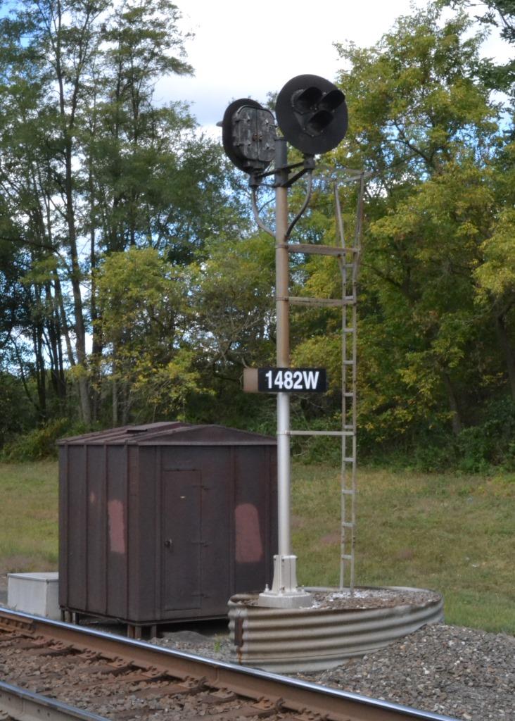
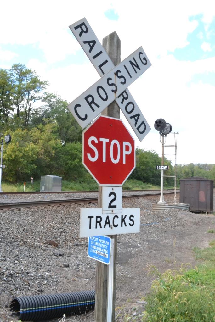
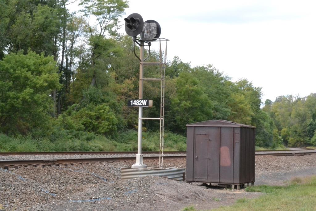
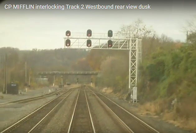
Signals
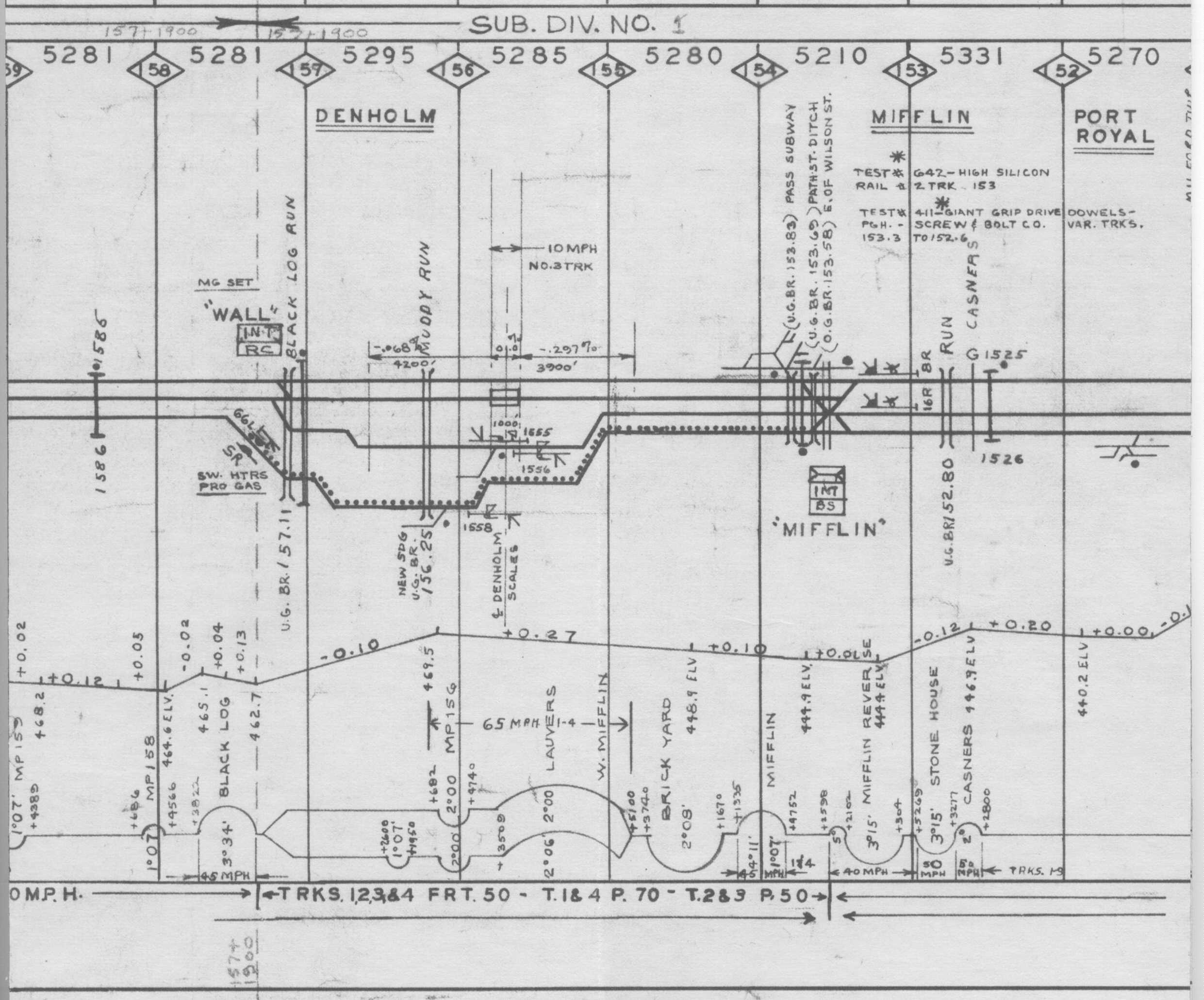
Track Chart Legend
In General
Getting Here
Map
Signals
Track Chart Legend
RAILFAN GUIDES HOME
RAILROAD SIGNALS HOME
the Harrisburg area
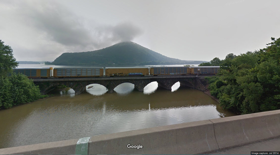
the Rockville
Bridge
Harrisburg West - to
Macedonia
Mt Union East - to Macedonia
Altoona East - to Mt
Union
Altoona
Altoona West - to South
Fork
This page covers part of the ex
Pennsy (now NS) mainline between Harrisburg PA and Pittsburgh PA and it's
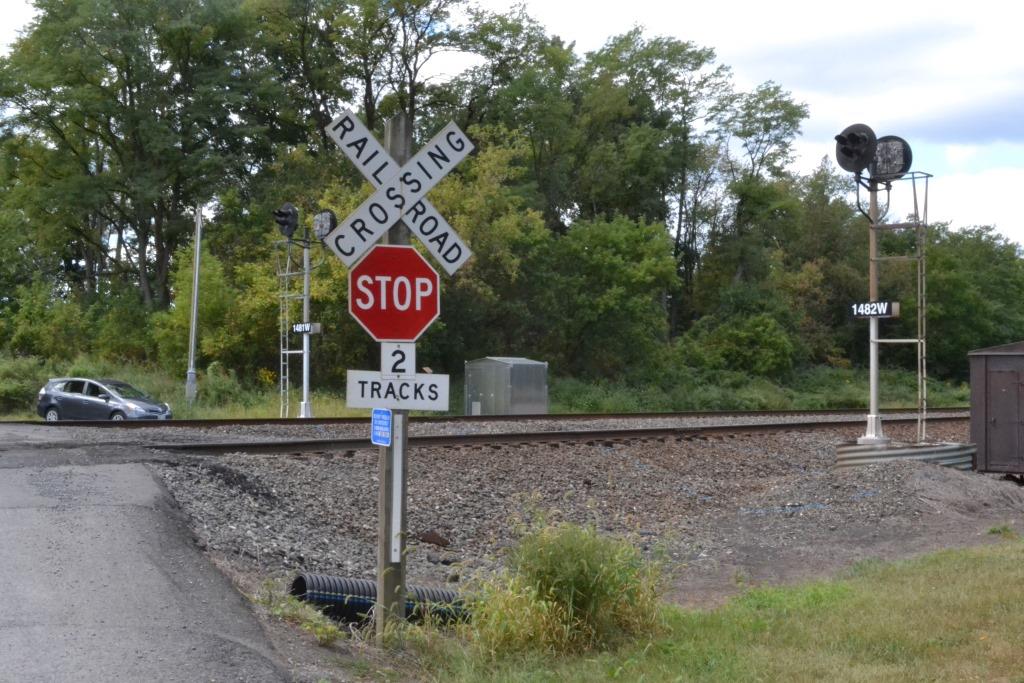
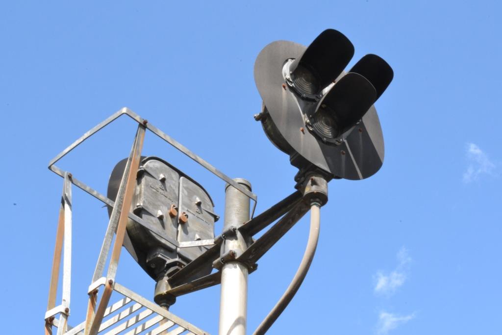
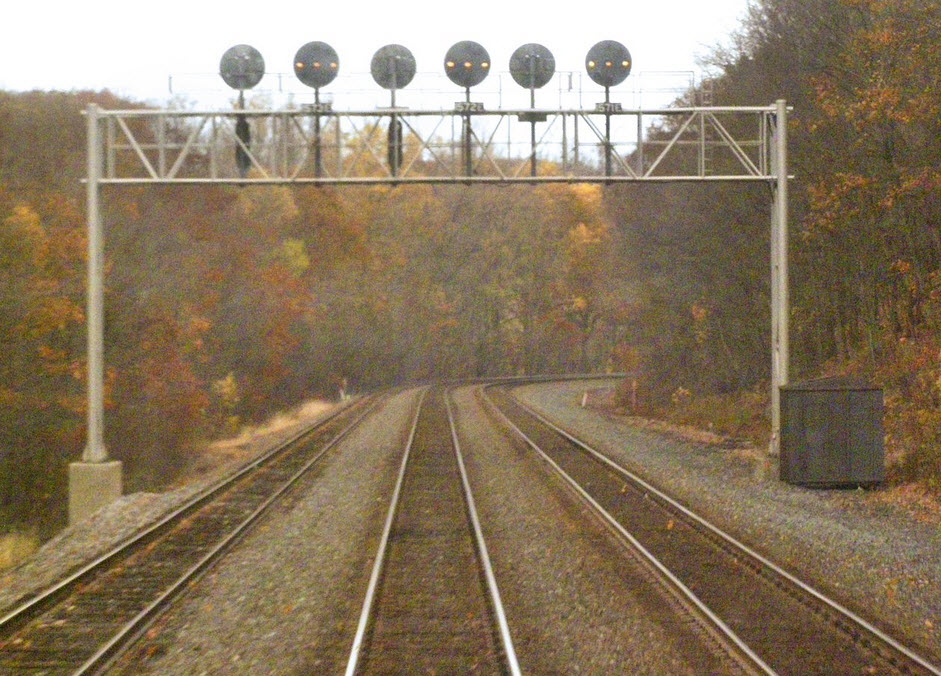
Position Light (PL) signals.
The route from Duncannon west is mostly a two track railroad. South of
Duncannon, it is mostly a three track railroad.
As of mid 2016, Norfolk Southern's PL signal replacement program is well under
way, with most signals between Duncannon and Lewistown in the process of being
replaced.
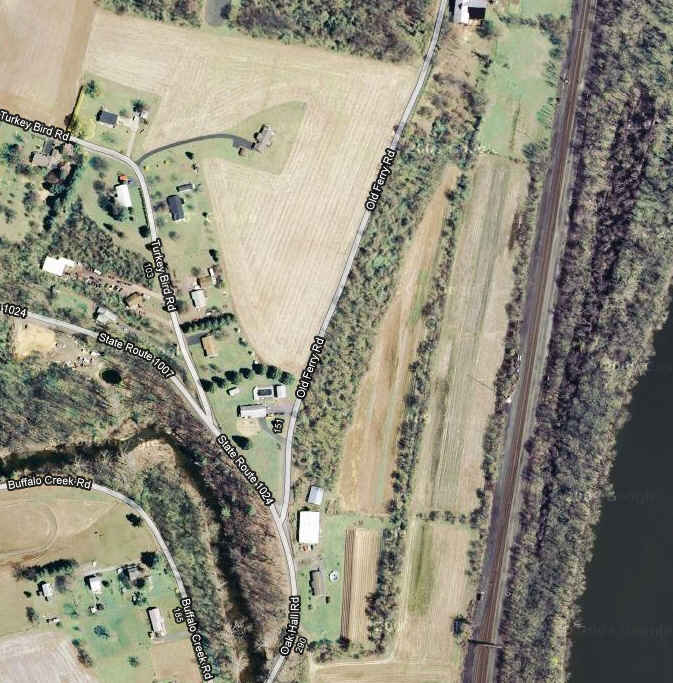
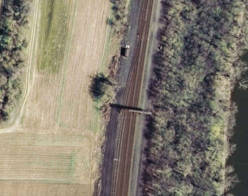
My accompanying map (below) of the tracks heading west
out of Harrisburg is usable by any railfan, but is aimed towards the
signal fan who wants to go out and capture the Pennsy PL signals before Norfolk
Southern decides to replace them with colorlights. Anyone with pictures at
these locations are encouraged to send them in. Credit is always given.
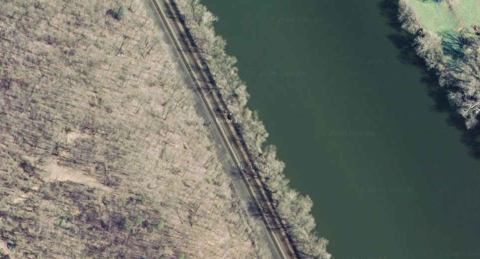
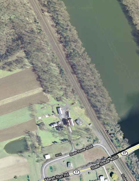
The line heading west out of Harrisburg is a mostly water level route - first
following the Susquehanna River up to Duncannon, and then west following the
Juniata River. Maybe half of the signal locations along this route are
located far enough away from a public road to make access almost if not
completely inaccessible. Norfolk Southern uses an access road that follows
the rail line, but it is not for public access - using it could wind up getting
you arrested. Norfolk Southern cops do not play around, and most have
little sense of humor or otherwise show any signs of being real people, so why
take a chance? Maybe half of the remaining half of the locations (~25%) are fully
accessible from public grade crossings, the remainder require some hiking
through the brush, however, since these locations too, are not accessible from a
public location, and you could find yourself being arrested for trespassing on railroad
property.
More info on the southern area of
this map are given on
the Harrisburg and Rockville Bridge pages, listed above.
For the non-signal oriented railfan, interlocking signals are not numbered, but
they have the interlocking name associated with them (no number board under the
signal), intermediate signals have a number board on them, and sometimes (as in
the case of Pennsy signals), include a W or E for westbound or eastbound
signals.
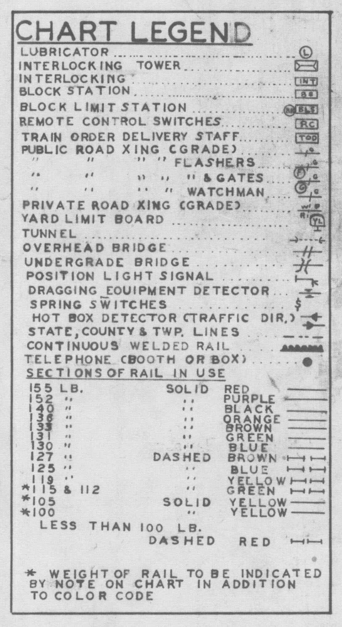
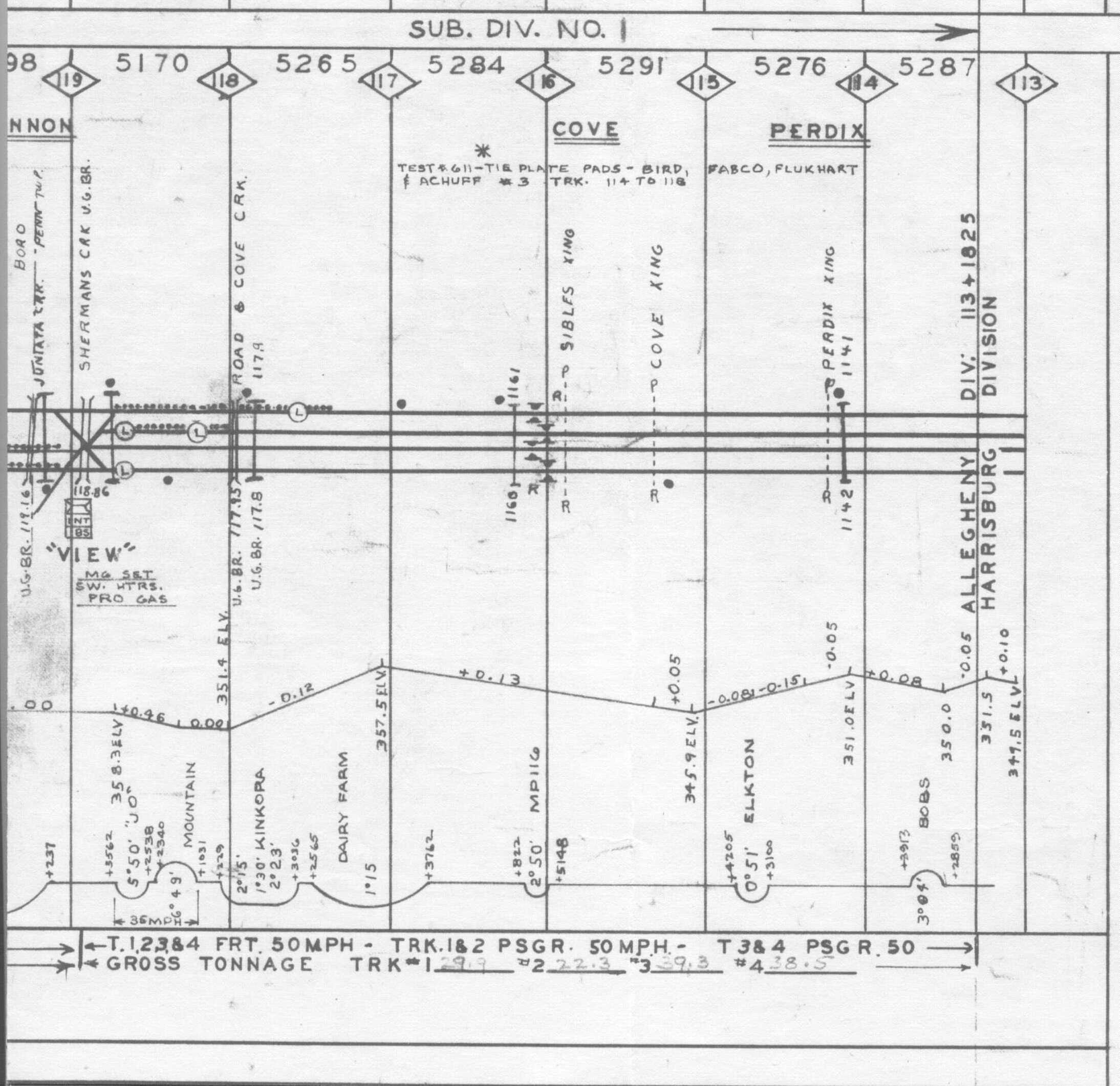
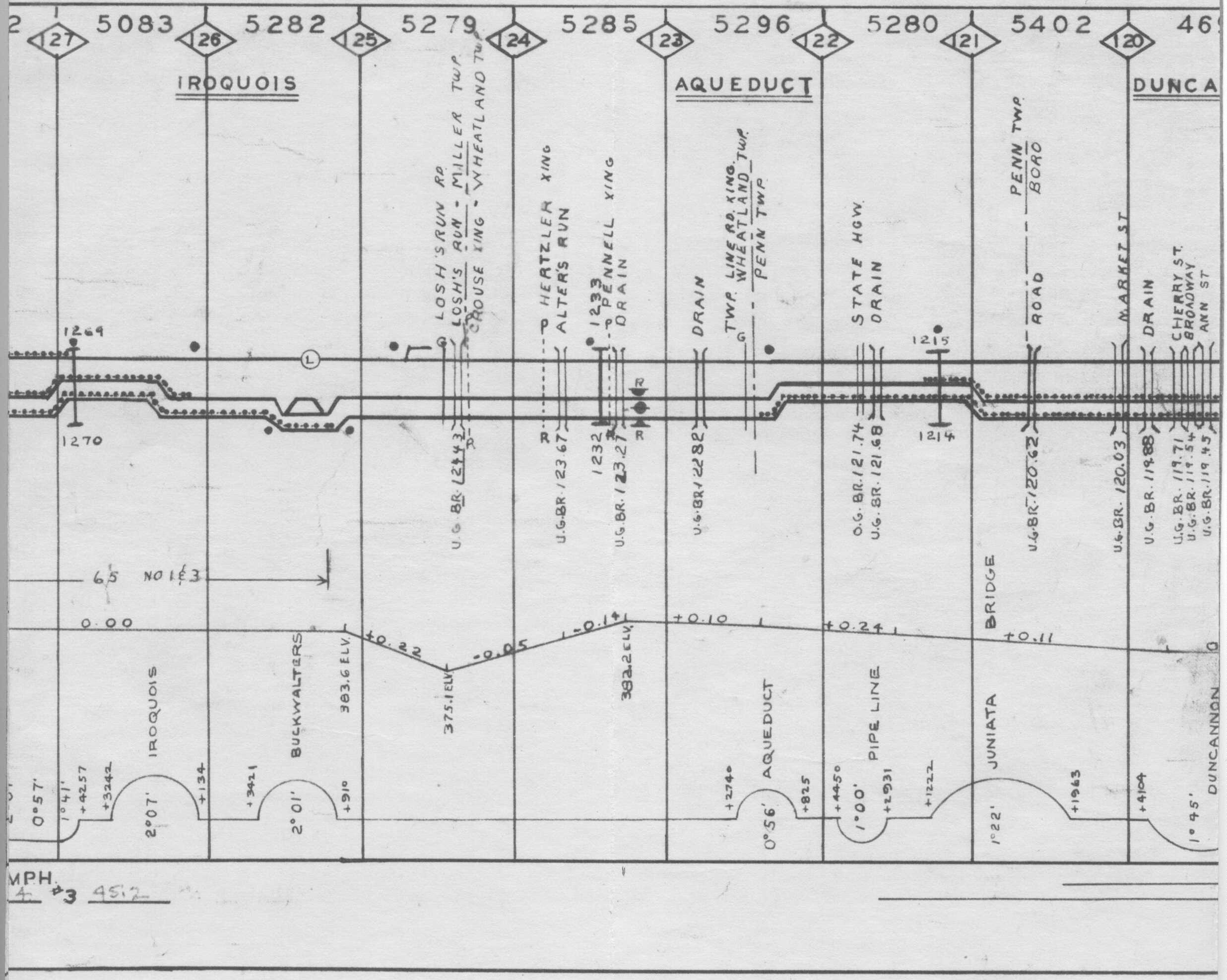
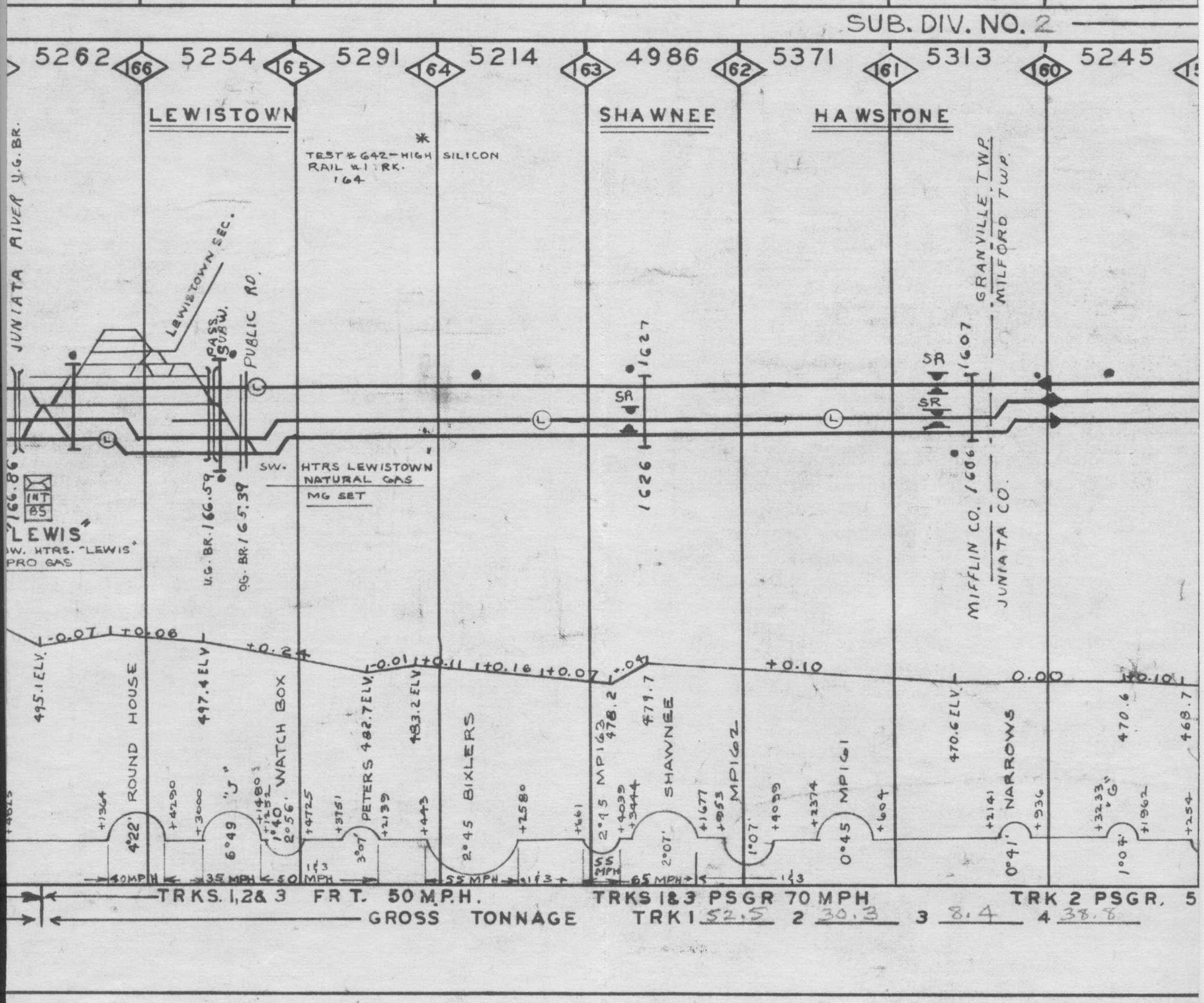
As for the included track charts (found
here ), they are not really for
the signaling, so many of the signals don't show up, sorry.
Here is a link to pictures of this region by Jersey Mike, many of my pictures
will look the same since we went on one of the trips together:
https://www.acm.jhu.edu/~sthurmovik/Railpics/16-09-11_MIDDLE_DIVISION_EAST/-Thumbnails.html
Additional resources:
http://position-light.blogspot.com/2011/07/prr-main-line-survey-2009-part-5-cp.html
HARRIS to LONG in depth photo journal coverage by Jersey Mike, excellent stuff!
https://www.acm.jhu.edu//~sthurmovik/Railpics/09-05-09_PRR_MAIN_LINE_SURVEY_09/-Thumbnails-Part-2.html
Photos associated with the above blog
ttps://www.google.com/maps/d/viewer?mid=1jHaa93YVeBDqSWlMvUbuq--e9yo&hl=en_US
Very nice Google map of the Pittsburgh line, but he left out signals at MP126.5
http://www.parailfan.com/NS/ns_pitl_signals.html Excellent signal
reference for the line in chart format and diagrams of the signal installations
http://sbiii.com/prrtrch1.html
Track charts
http://michaelfroio.com/blog/2012/06/14/harrisburg-terminal-lemoyne-junction
Lemoyne Junction in Harrisburg
http://www.trainorders.com/discussion/read.php?2,1184507 Trainorders
discussion of Harrisburg railfanning from 2006
Getting to Harrisburg is easy, for it is conveniently located off of I81, I83, and I76 - the Pennsylvania Turnpike.
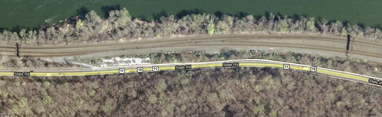
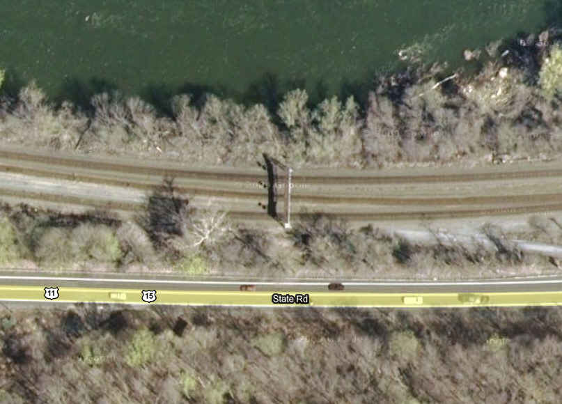
To follow the main line west out of Harrisburg, it's a simple drive up the west side of the Susquehanna on US15/11. If you want to bypass all of the stuff on the west coast and save maybe 20-30 minutes of driving, you can take US322/22 on the east side of the river up to Duncannon, where you can jump off and follow the mainline.
From the south via I81, as in Hagerstown MD or Roanoke VA, I would get off at exit 65 and either start at the Rockville Bridge or Enola. Coming up from the south via I95, you would have to go thru DC and Baltimore, and then take I83 north from the Beltway, thru York, and then eventually Harrisburg.
From the north, you can come down I81 from the likes of Wilkes-Barre (exit 170) and Scranton (exit 185 to downtown), and Syracuse. I81 would also be the funnel into Harrisburg from Buffalo and Albany.
I78 is only 20 miles to the east, and is the portal from the Allentown area and NYC. You can also take the PA Turnpike from the Philly area and New Jersey.
Roanoke is about 4hrs away (exit 125 in VA), Hagerstown is less then an hour away (exit 6 in MD), Scranton about two hours, Allentown maybe a little over an hour, Pittsburgh about 3 - 3 1/2 hours, and Philly is about 2 1/2 hours.
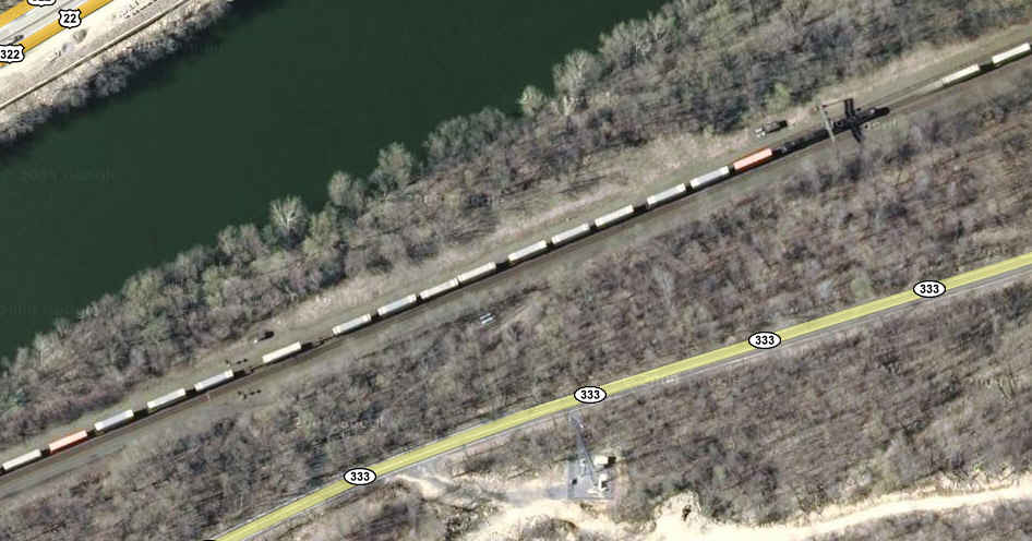
The aerial shots come from www.bing.com/maps, in their "birds eye" view.... great resource!!!
If you have any additional info you would like to share with the rest of us, it would be greatly appreciated.... please email me
Security:
In these post 911 days, the railroads are always watching out for terrorists. We, unfortunately, fall into the suspect category and are always being plagued and harassed by the railroad police unnecessarily. Stay on public property, I can't emphasize this enough, and try to be civil to the railroad cops if they do come around. BUT, and here's the big one, NS cops in Harrisburg just tried to tell a friend of mine last week, Feb 2010, that he couldn't take pictures of Enola from the US15 "overlook". If it wasn't for the fact that my buddy personally knows the chief of police, and he came onsite to help my buddy chase off the NS cops, they would probably still be there arguing.
My map is also here as a PDF.
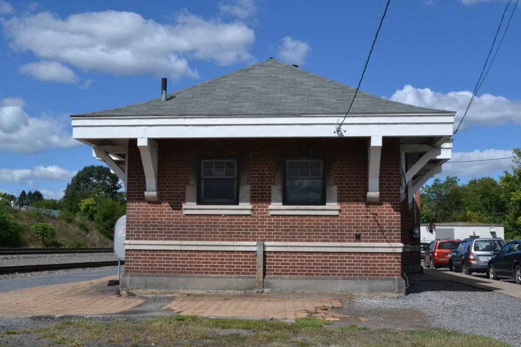
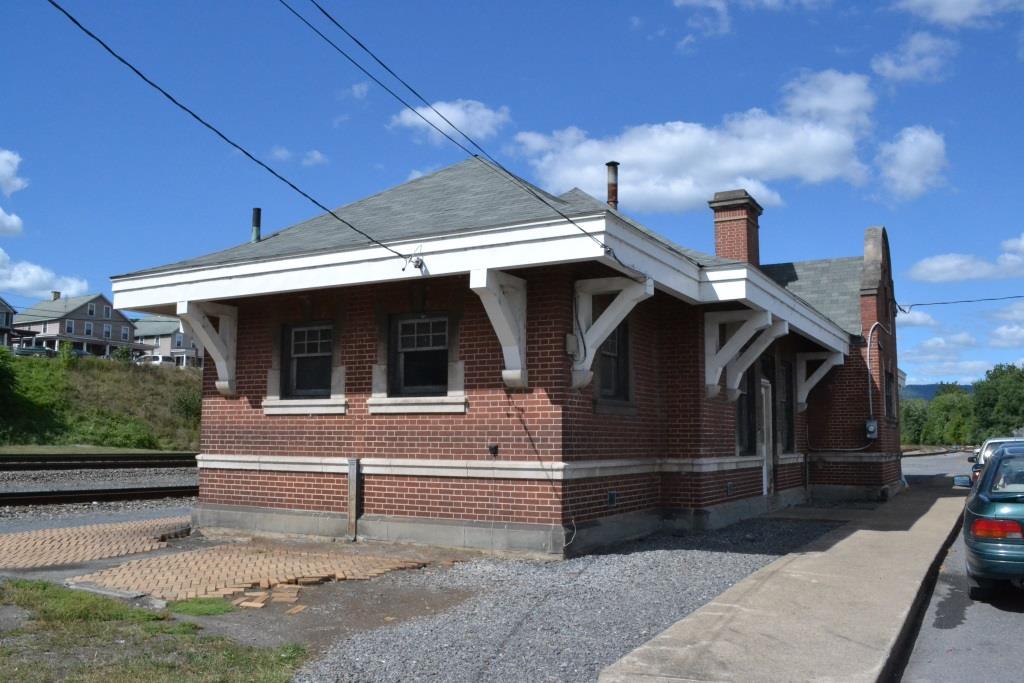
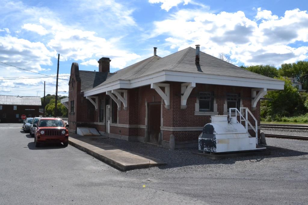


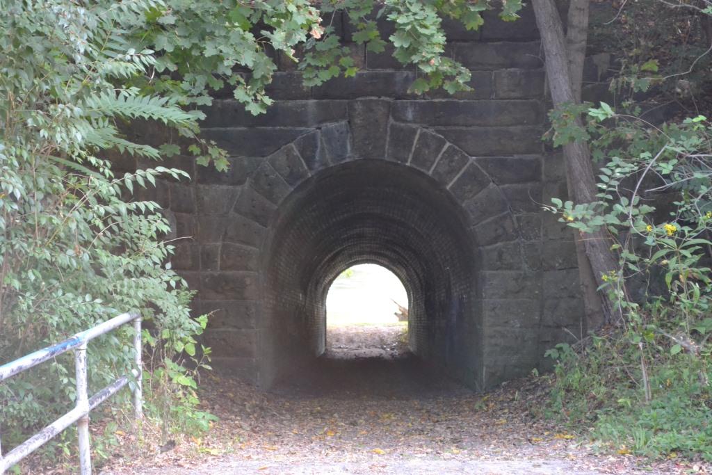
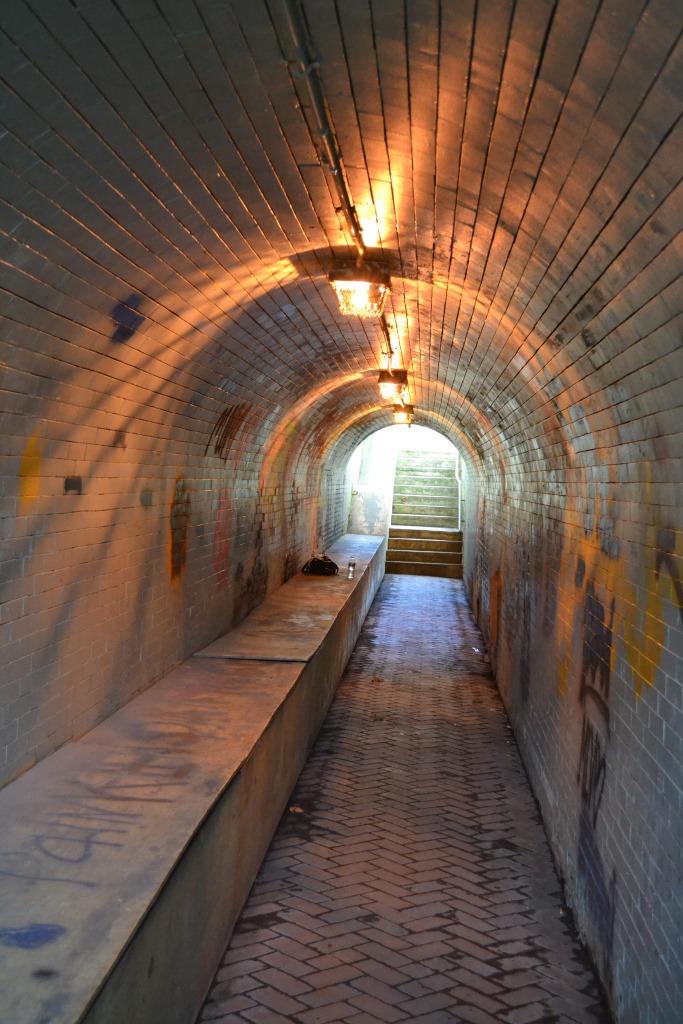 A "subway" tunnel is next to the station. These are not very common
anymore, and most, in more populated areas, have been closed.
A "subway" tunnel is next to the station. These are not very common
anymore, and most, in more populated areas, have been closed.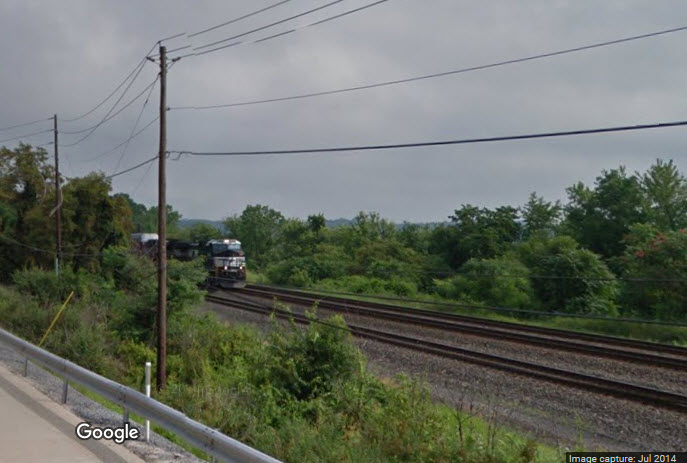


![]()


 Photo
courtesy Jersey Mike, found
here
Photo
courtesy Jersey Mike, found
here 
NEW 4/17/2010
Last Modified 11-Feb-2017