Location / Name:
Hillsboro to Beaverton OR,
Multnomah County
What's Here:
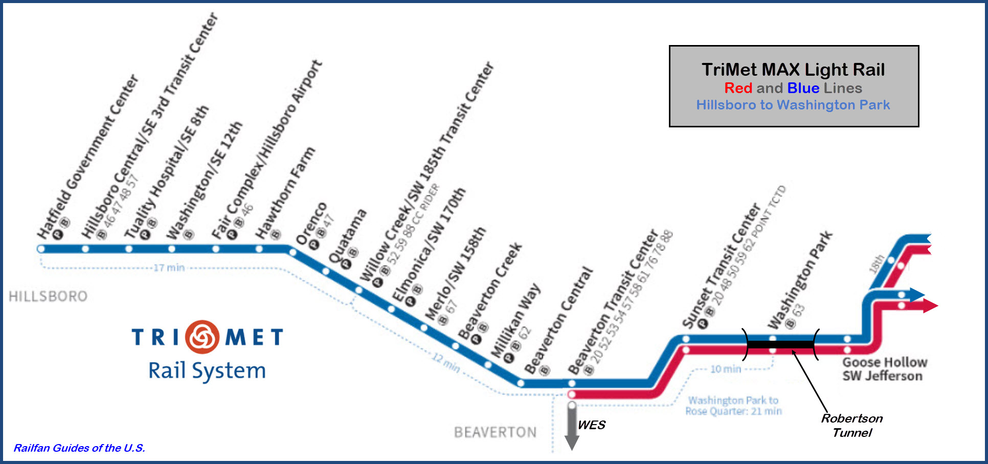
TriMet MAX Light Rail
Data:
GPS Coordinates: as needed
Phone A/C: 503
ZIP: n/a
Access by train/transit:
TriMet MAX Light Rail
Westside Express Service/Beaverton (Commuter Rail/during the rush hours only)
Portland Streetcar (downtown)
Amtrak (downtown)
The Scoop:
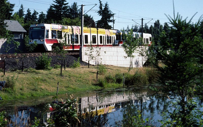
The Red and Blue lines of TriMet's expansive light rail system, continue
from the downtown area of Portland, into the western suburbs of Beaverton and
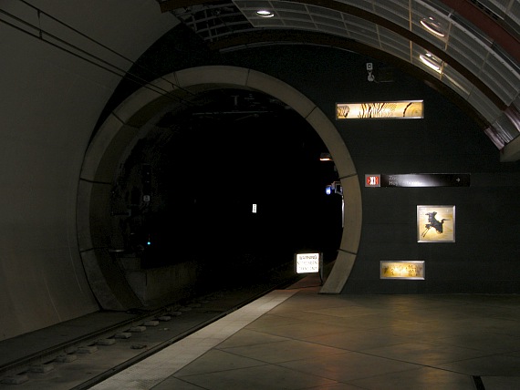
Hillsboro via the Robertson Tunnel, the deepest transit tunnel in the United
States!
The Red Line ends in Beaverton, where the two light rail lines connect to the
Westside Express Service Commuter Rail Line. The WES takes you south to
Wilsonville.
The Blue Line in Elmonica also has the second of two maintenance facilities on
the light rail system.
Service from the end of the line in Hillsboro to downtown takes about 55 minutes or so.
Acknowledgements:
Bruce Fingerhood
Darrell Clarke
Aiko Kenobi
Jeremiah Cox, aka, the SubwayNut
Denver Todd
Google Maps
Bing Maps
Wikipedia
Open Railway Maps
Websites and other additional information sources of interest for the area:
as needed
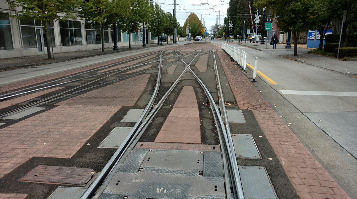
New track, switches, and signaling was installed over a two month period in 2018.
Bruce Fingerhood/Wikipedia
Darrell Clarke, 2008
Darrell Clarke, 2008
Darrell Clarke, 2008
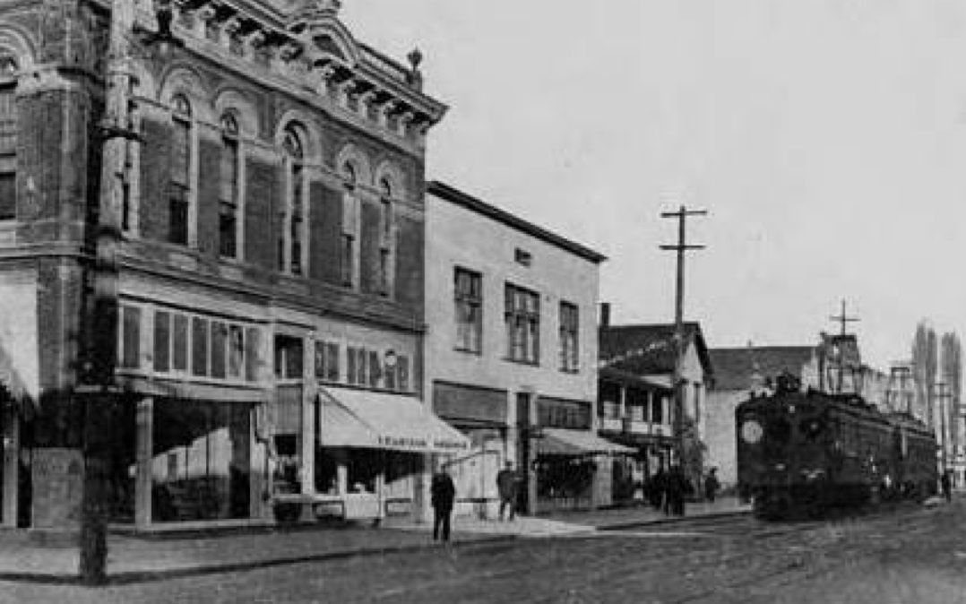
A century ago, this is what transit in Hillsboro looked like.
Aiko Kenobi via Pinterest
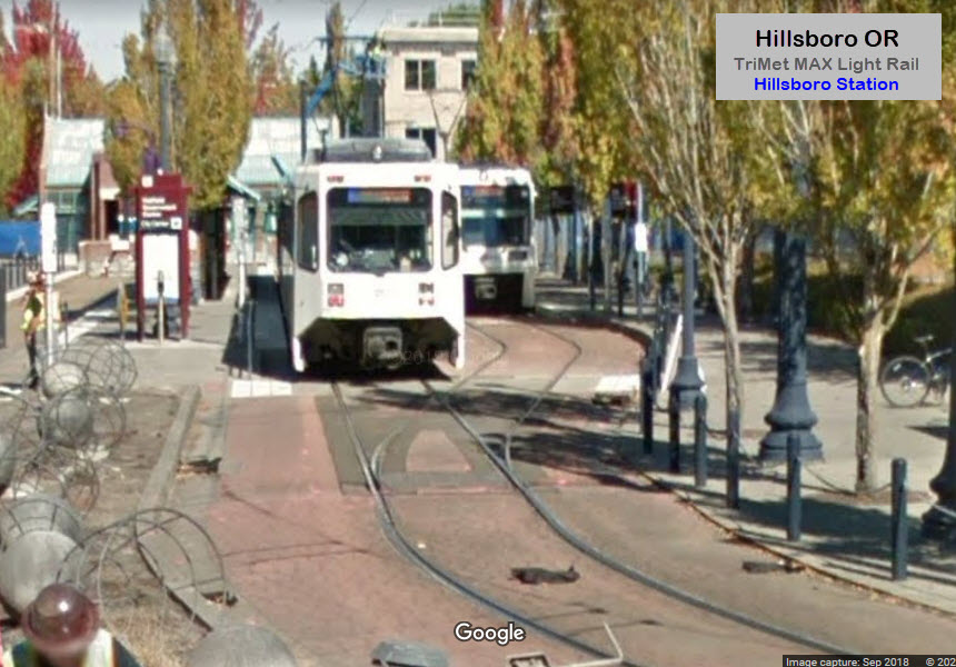
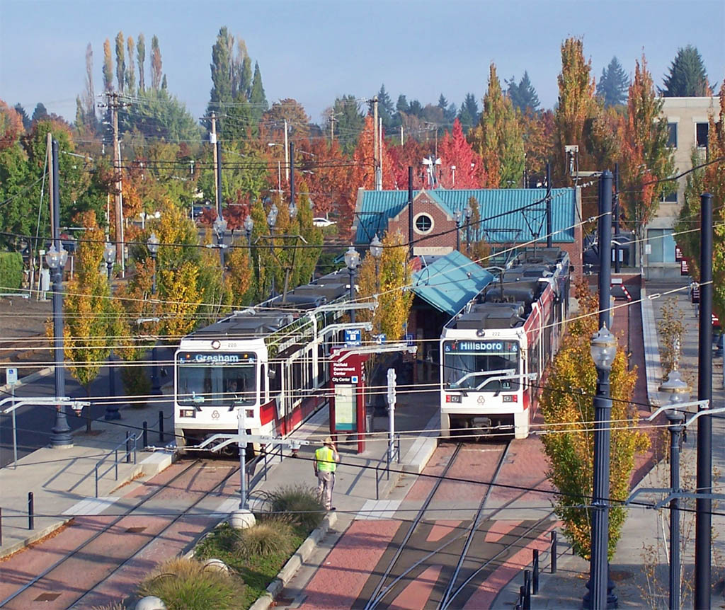
Hillsboro Central / SE 3rd Ave Station
Truality Hospital / SE 8th Ave Station
End of Street Running
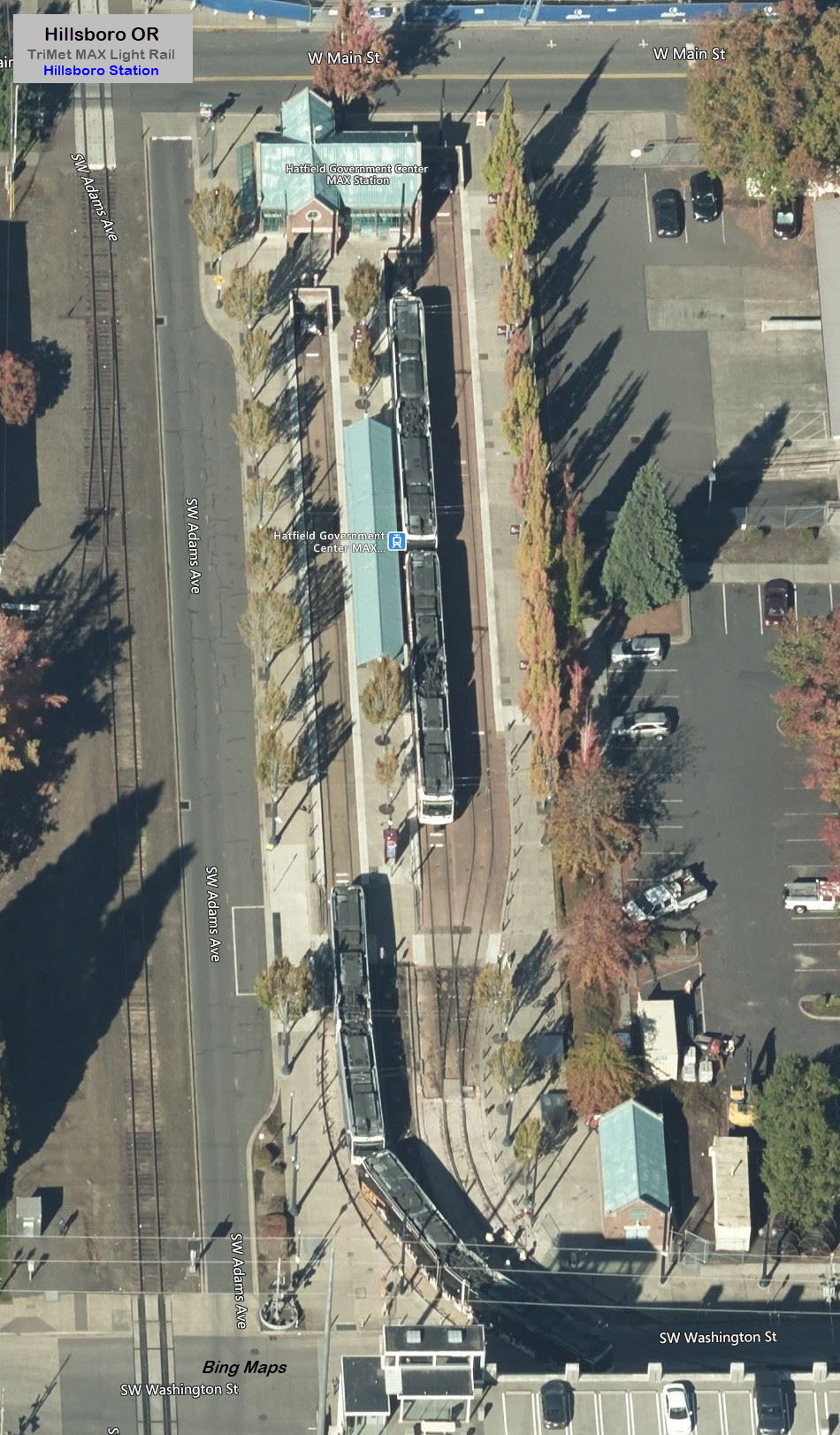
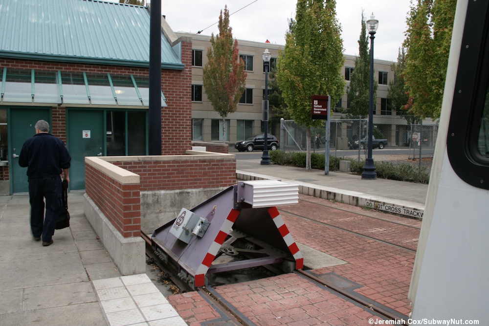
Light Rail runs in the middle of Washington Street from the Hatfield Government
Center station in Hillsboro to 10th Ave.
Washington / SE 12th Ave Station
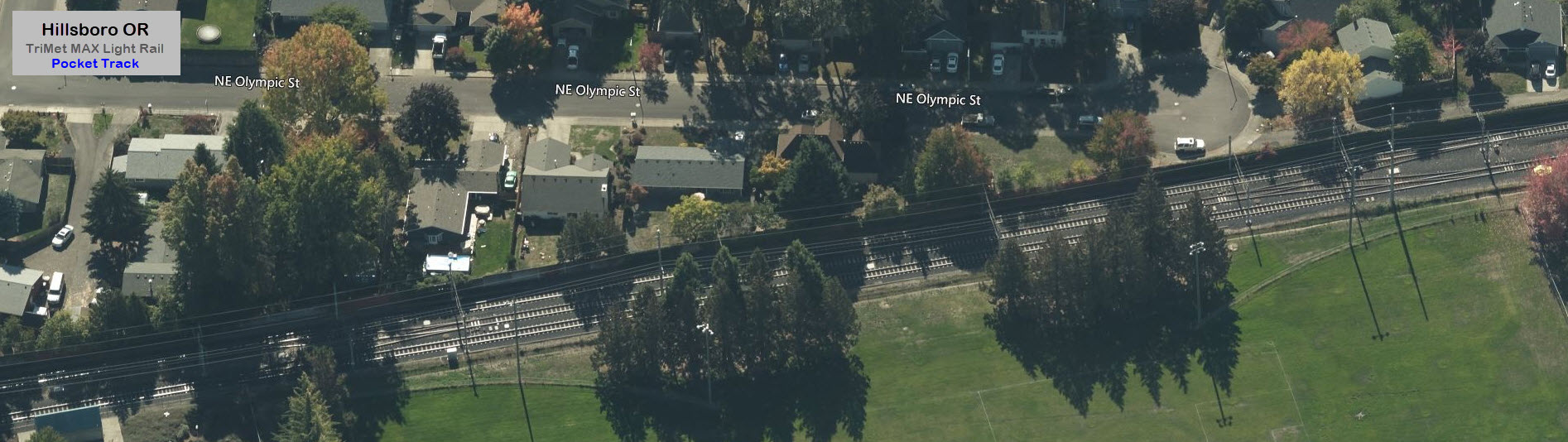
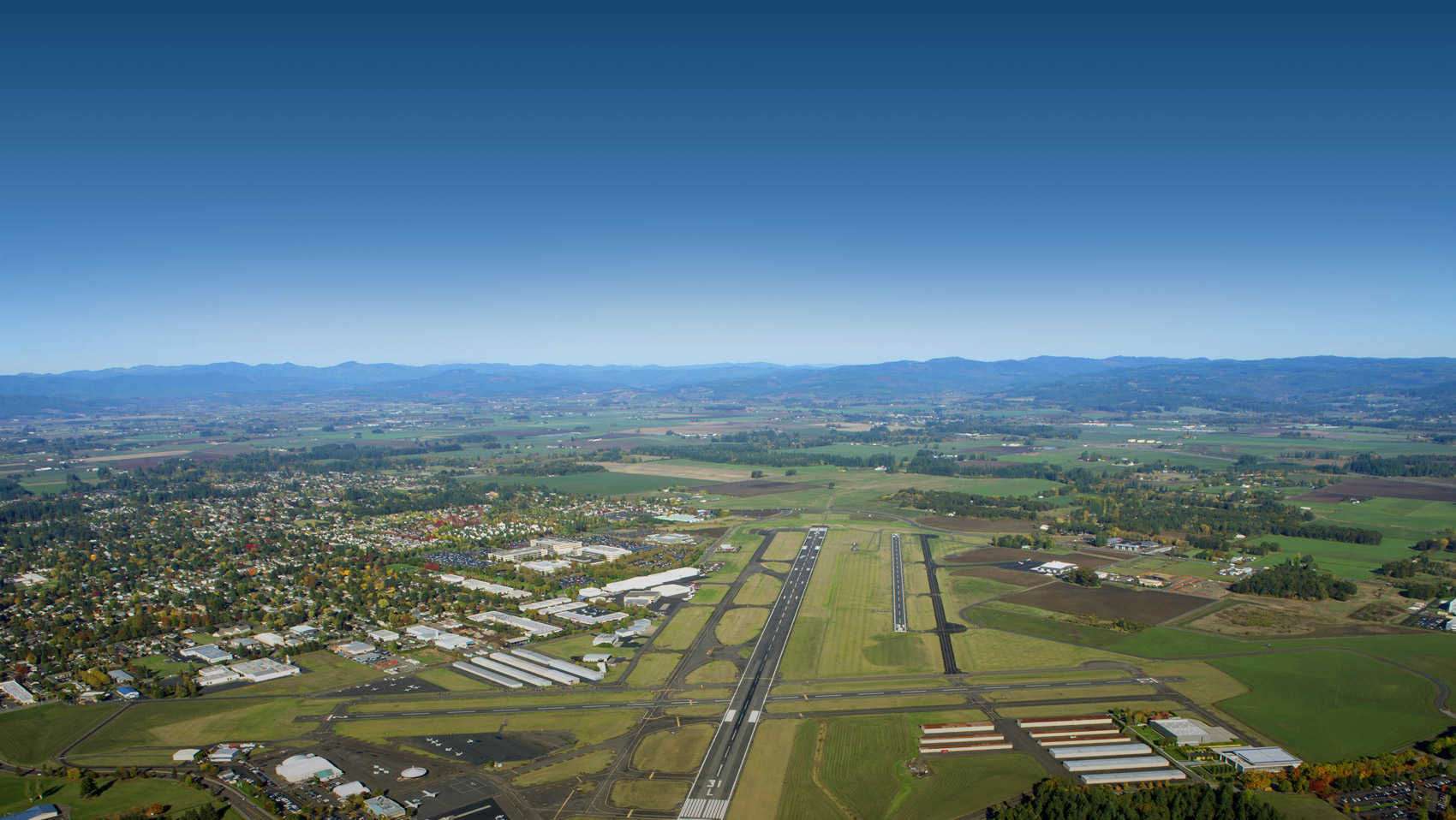
Fair Complex / Hillsboro Airport Station
Just west of the station is a pocket track...
The Hillsboro Airport
Hawthorn Farm Station
Orenco / NW 231st Ave Station
Darrell Clarke, 2008
Quatama / NW 205th Ave Station
Willow Creek / SW 185th Ave Station
Elmonica / SW 170th Ave Station
The Shops at Elmonica
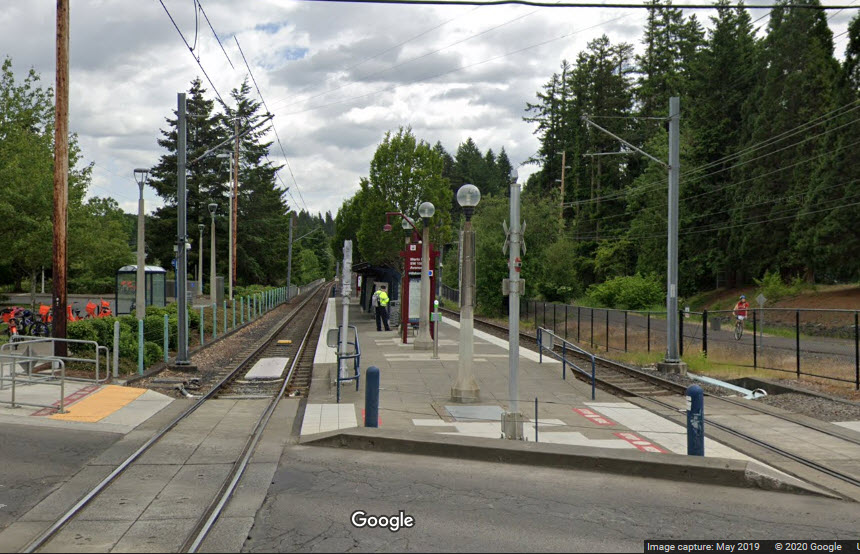
Merlo Rd / SW 158th Ave Station
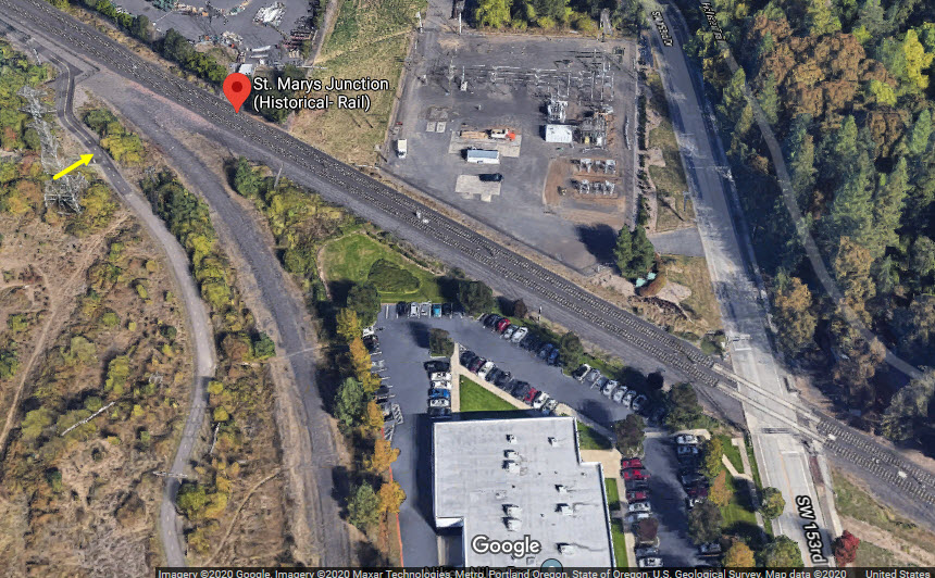
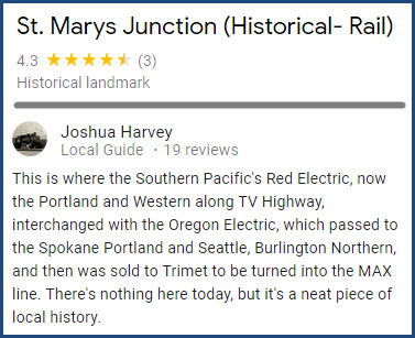
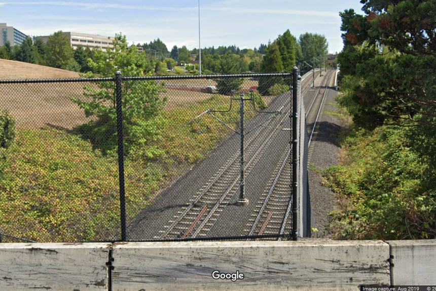
St Marys Junction
GPS Coordinates: 45.503405, -122.838938 (roughly)
Access to the location can be had via the trail that runs alongside the tracks.
If you park over at the Merlo station, it is a short walk. It's a
shorter walk from 153rd, but not sure if there is a convenient place to park.
Looks like a good spot for pictures.
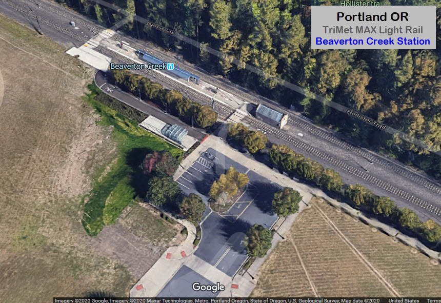
Beaverton Creek Station
GPS Coordinates: 45.500384, -122.833022
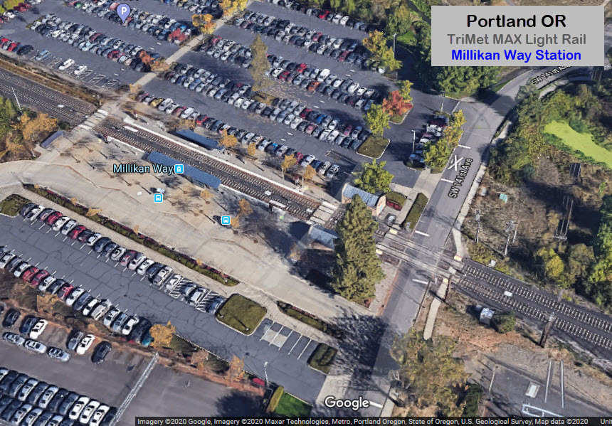
Millikan Way Station
GPS Coordinates: 45.495248, -122.821491
Must be a popular station, as there are four parking lots!
GPS Coordinates: 45.491439, -122.801530
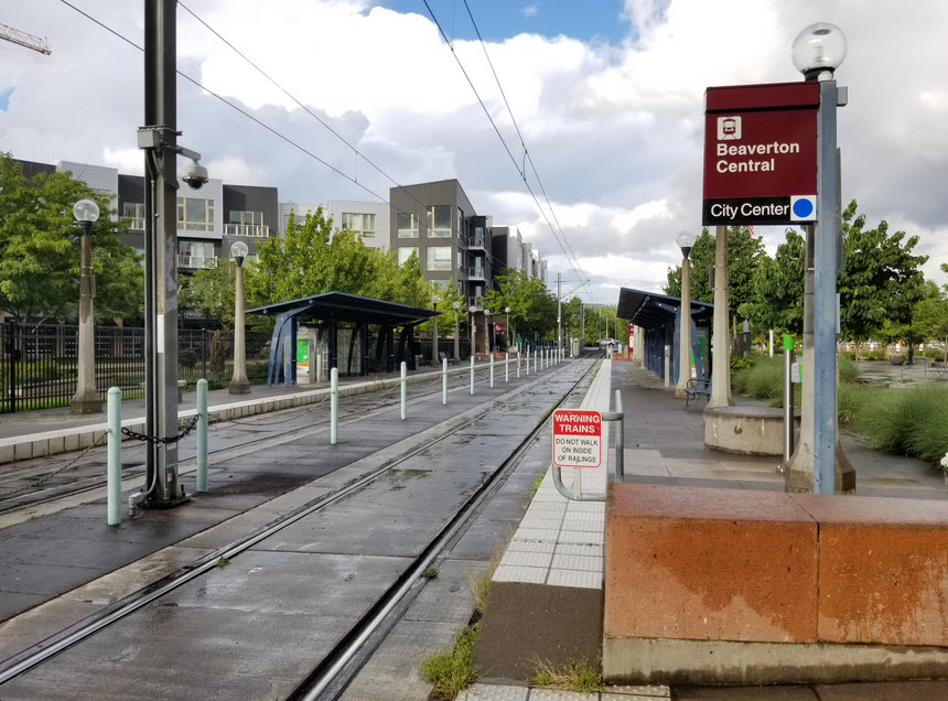
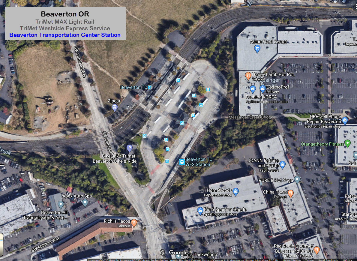
Beaverton TC is where you interchange between the Westside Express trains, and the MAX Light Rail.
The light rail station has a pocket track, and is located in the middle of an "S" curve.
WES trains are inbound (into Beaverton) during the morning rush hour, and
outbound during the evening rush hour.
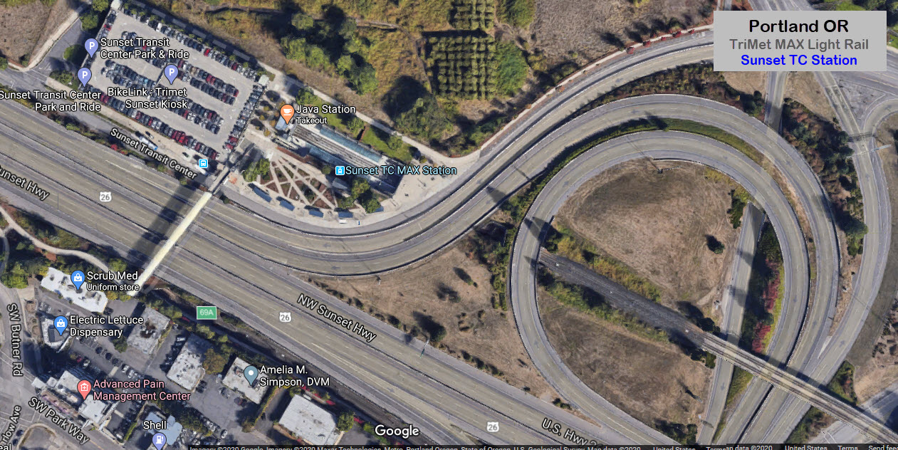
Between here and Sunset, the tracks turn northward and follow 217 before going
under US26 in a horseshoe type curve to get into the Sunset station.
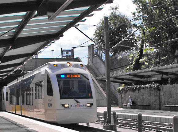
GPS Coordinates: 45.510245, -122.781047
This is the last station (east bound) before entering the 3 mile long Robertson Tunnel under the West Hills on the way into downtown Portland.
Oldtrails.com
Jeremiah Cox
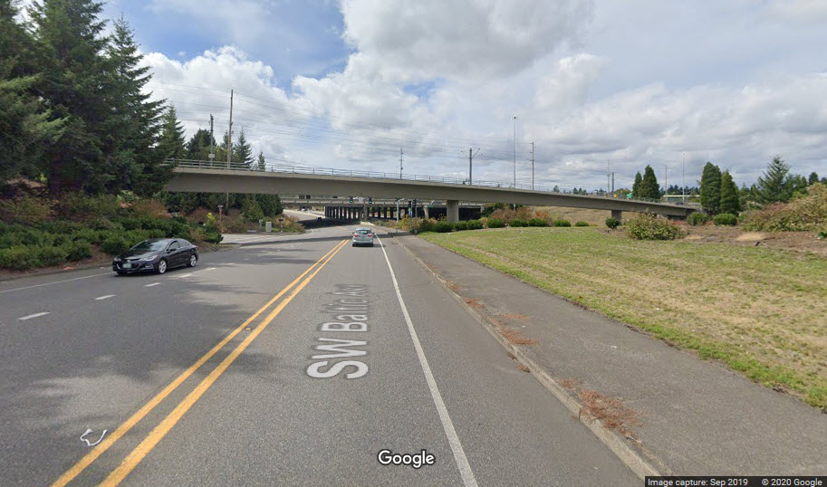
Looks like a good spot for pictures if you can time it right, from the yellow "X" in the aerial shot above.
Overpass over Baltic Ave, at the green "X" above...
I love trains, and I love signals. I am not an expert. My webpages reflect what I find on the topic of the page. This is something I have fun with while
trying to help others.
Please Note: Since the main focus of my two websites is railroad signals, the railfan guides are oriented towards the signal fan being able to locate them.
For those of you into the modeling aspect of our hobby, my
indexa page has a list of almost everything railroad oriented
I can think of to provide you with at least a few pictures to help you detail your pike.
If this is a railfan page, every effort has been made to make sure that the information contained on this map and in this railfan guide is correct. Once in a while,
an error may creep in :-)
My philosophy: Pictures and maps are worth a thousand words, especially for railfanning. Text descriptions only get you so far, especially if you get lost or
disoriented. Take along good maps.... a GPS is OK to get somewhere, but maps are still better if you get lost! I belong to AAA, which allows you to get
local maps for free when you visit the local branches. ADC puts out a nice series of county maps for the Washington DC area, but their state maps do not have the
railroads on them. If you can find em, I like the National Geographic map book of the U.S..... good, clear, and concise graphics, and they do a really good job
of showing you where tourist type attractions are, although they too lack the railroads. Other notes about specific areas will show up on that page if known.
Aerial shots were taken from either Google or Bing Maps as noted. Screen captures are made
with Snagit, a Techsmith product... a great tool if you have never used it!
By the way, floobydust is a term I picked up 30-40 years ago from a National Semiconductor data book, and means miscellaneous
and/or other stuff.
Pictures and additional information is always needed if anyone feels inclined to take 'em, send 'em, and share 'em, or if you have something to add or correct.... credit
is always given! Please be NICE!!! Contact info is here
Beware: If used as a source, ANYTHING from Wikipedia must be treated as being possibly inaccurate, wrong, or not true.
 Bruce Fingerhood/Wikipedia
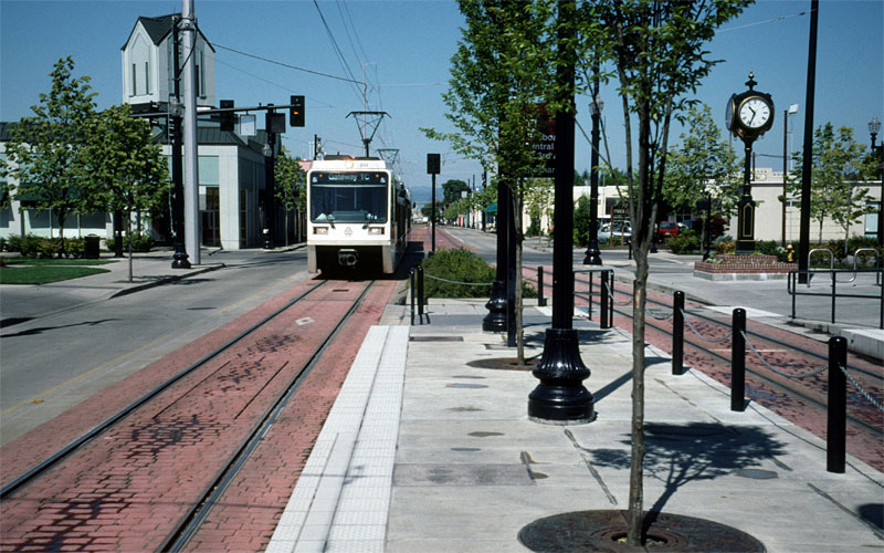 Darrell Clarke, 2008
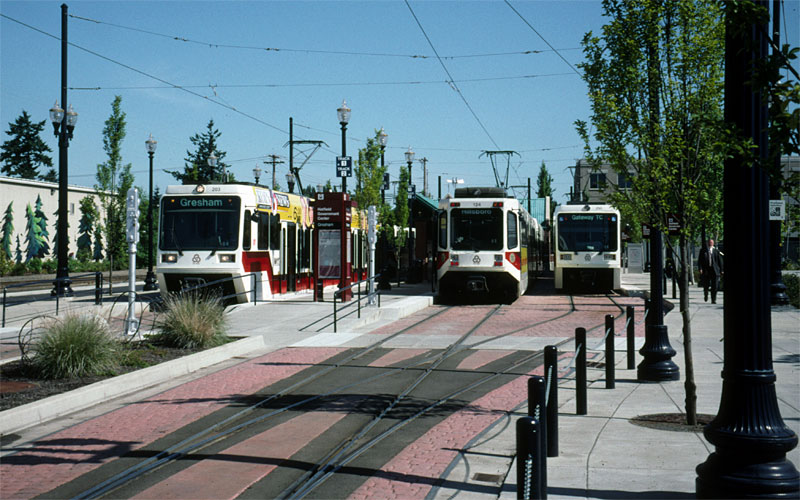 Darrell Clarke, 2008
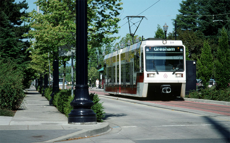 Darrell Clarke, 2008
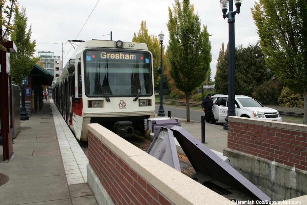
 Aiko Kenobi via Pinterest
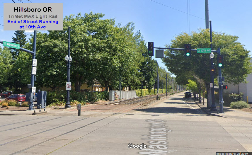
 The Hillsboro Airport
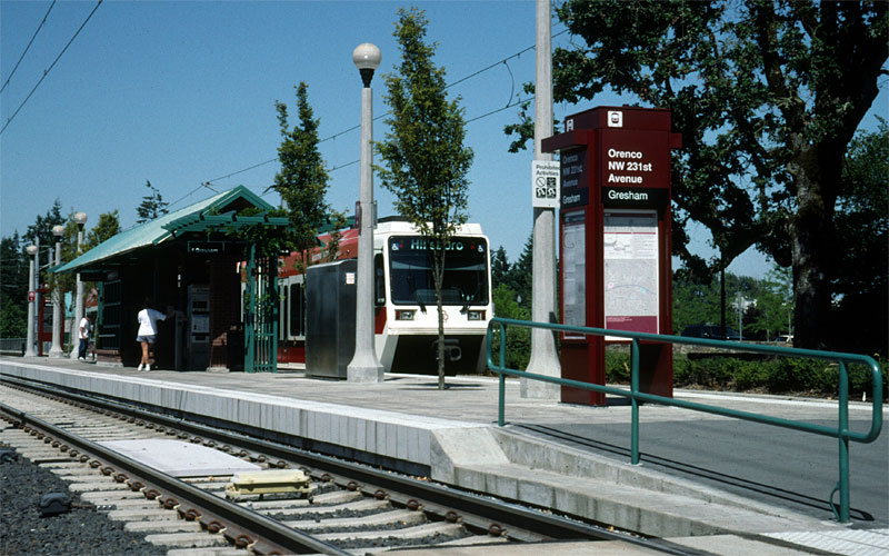 Darrell Clarke, 2008
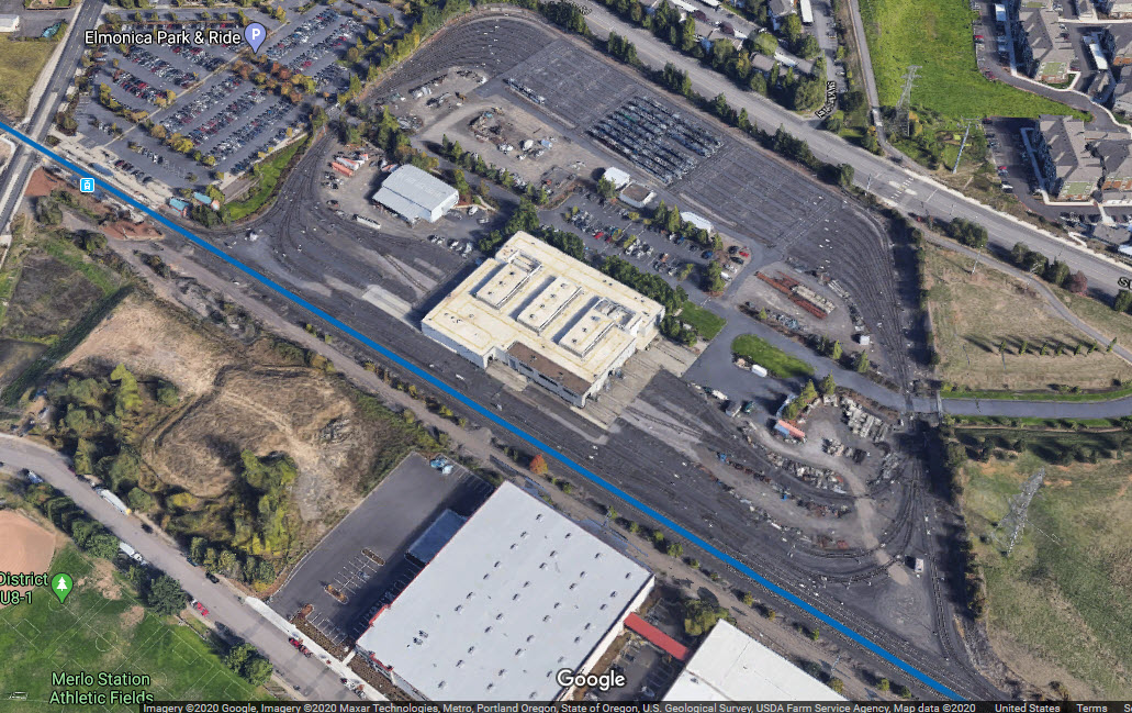
 Darrell Clarke, 2008
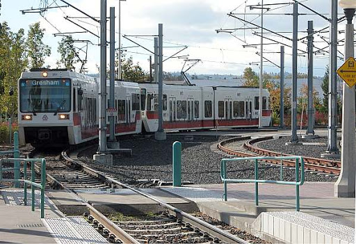 Oldtrails.com
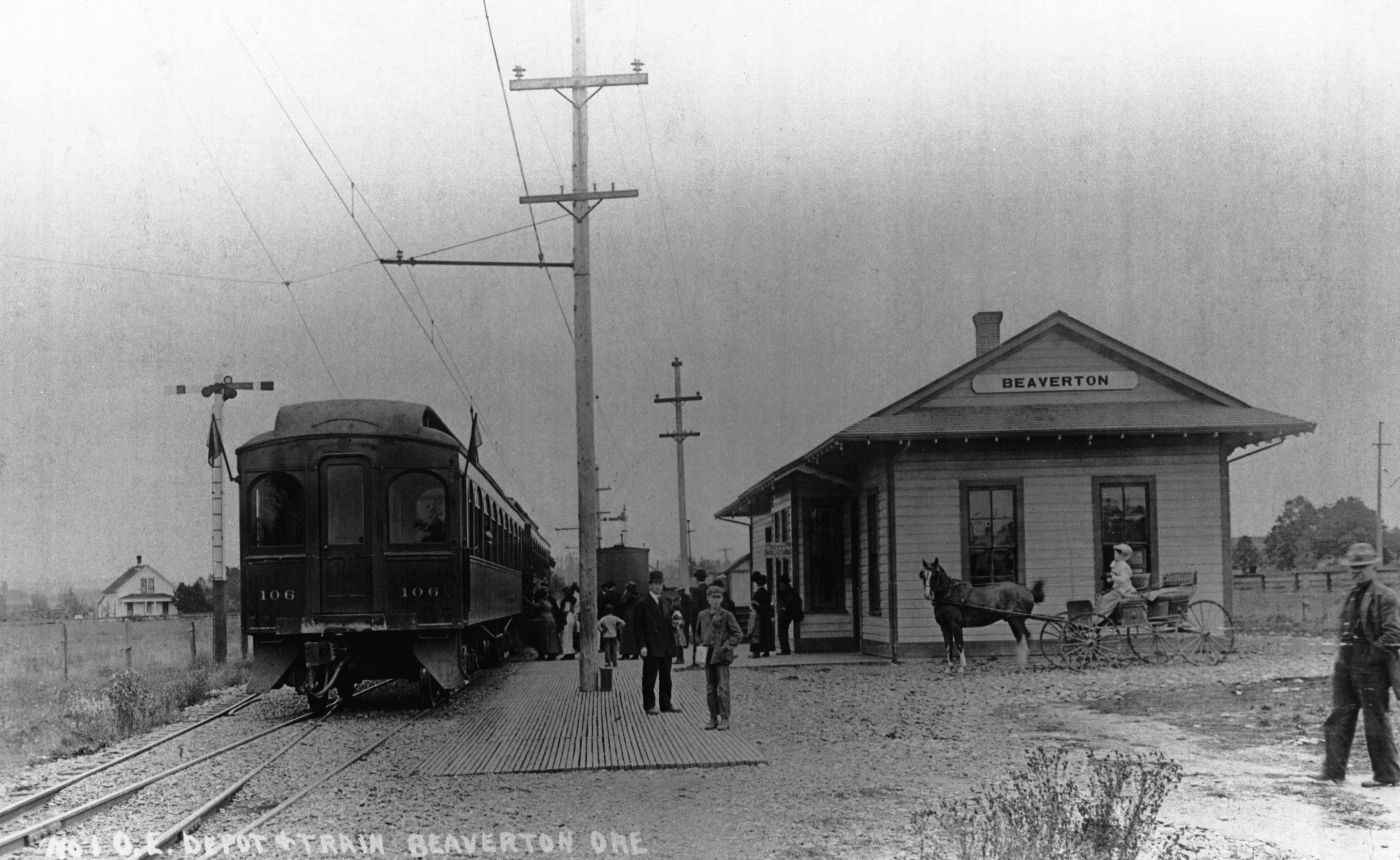
 Oldtrails.com
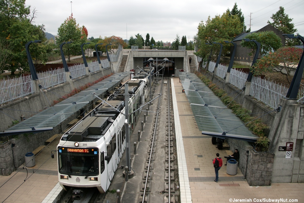 Jeremiah Cox
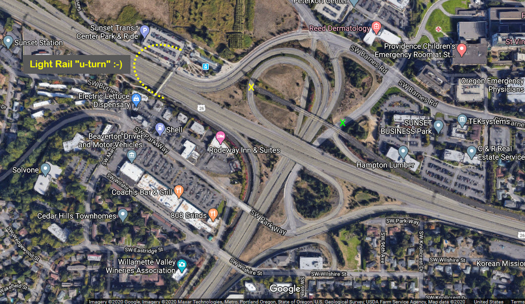
 Oldtrails.com