What's Here:
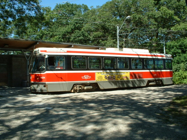
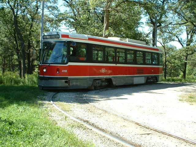
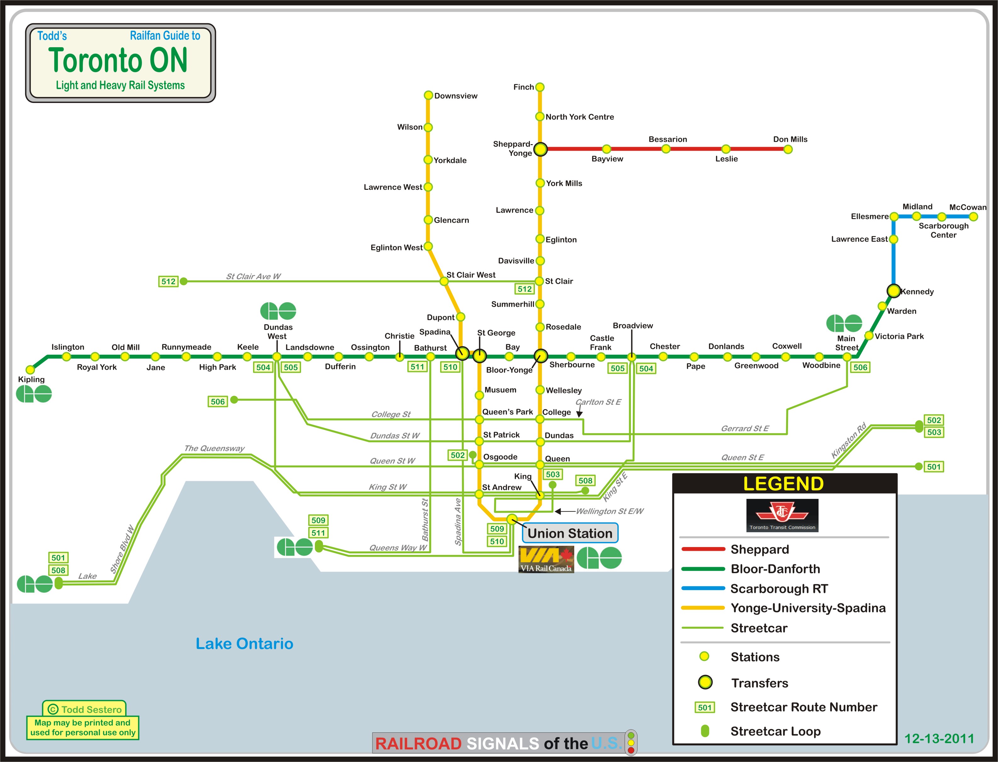
Extensive Streetcar System
Extensive Subway/Heavy Rail System
Toronto Union Station
VIA (Canada's equivalent to Amtrak)
GO (Regional Commuter System)
Union Pearson Express (DMU service to the airport)
Data:
GPS Coordinates: as needed
Phone A/C: 647
ZIP: M5V 3M9 (at the CN Tower)
Access by train/transit:
Via
GO
Amtrak
TTC Streetcar
TTC Subway
Union Pearson Express
The Scoop:
Time. That's what you need plenty of when you come to
Toronto. IF you are a transit fan, you will not want to leave. If
you are not a transit fan, shame on you!
One of the more interesting facts about the transit system in Toronto is the
gauge, it is not standard gauge - it's slightly wider at 4'-10 7/8".
The TTC (Toronto Transit Commission) took over from the Toronto
Street Railway Company on September the 21st, 1921.
Movies and TV shows filmed in Toronto usually try to feature the streetcar
system in their shots, even if only for a brief moment. Two shows that
stick out in my mind that are known to be in done here are "Transplant" (2020-)
and "The Listener" (2010-2012). As we're only three episodes into
Transplant - I Haven't seen anything yet. Almost every episode of the Listener had a shot of a streetcar, as
the main character was an EMT driving around in an ambulance which gives them
plenty of opportunity!
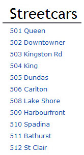
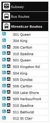
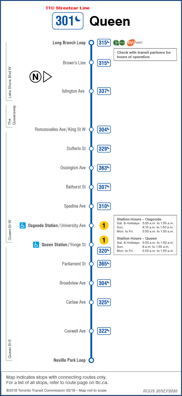
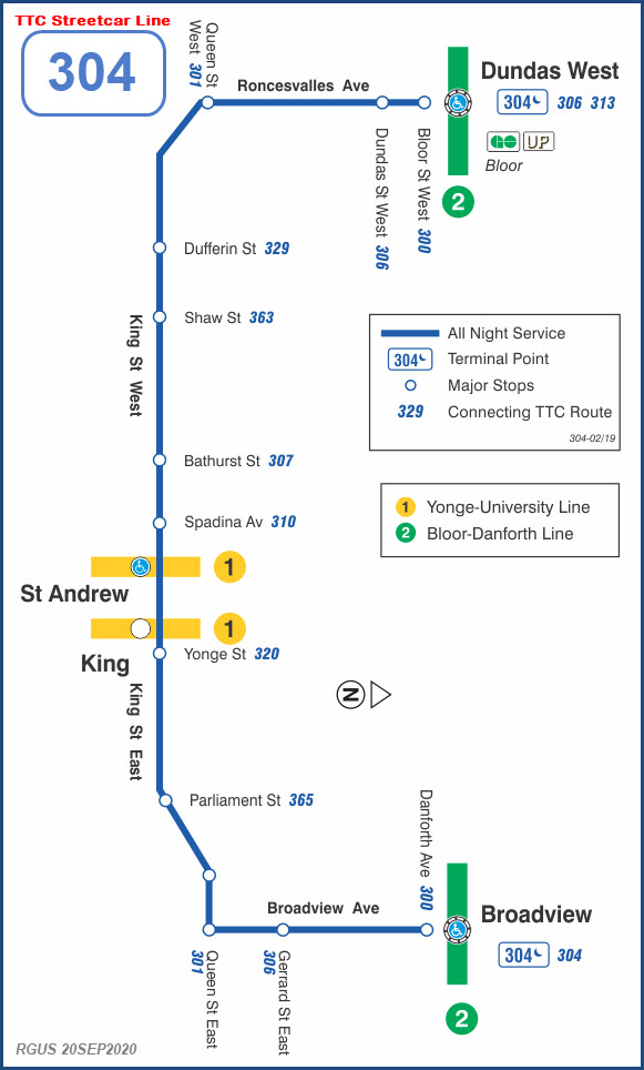
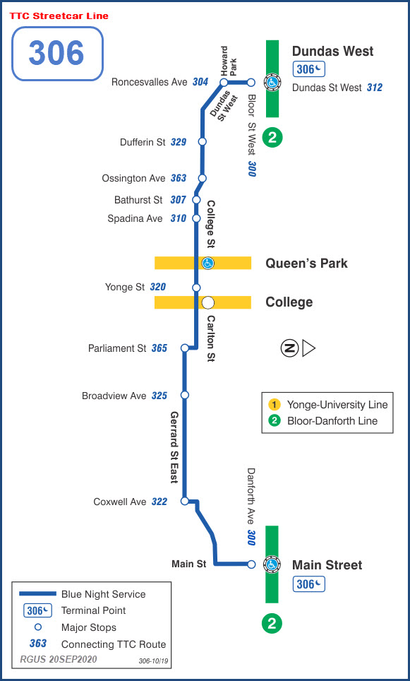
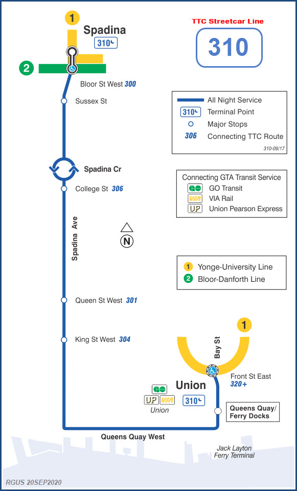
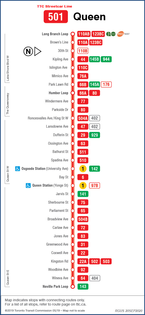
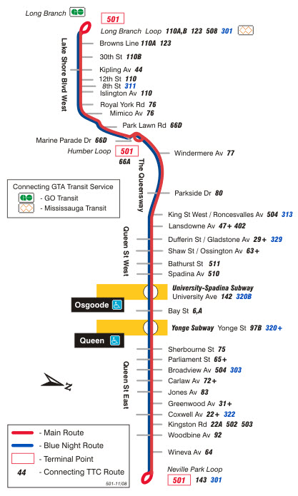
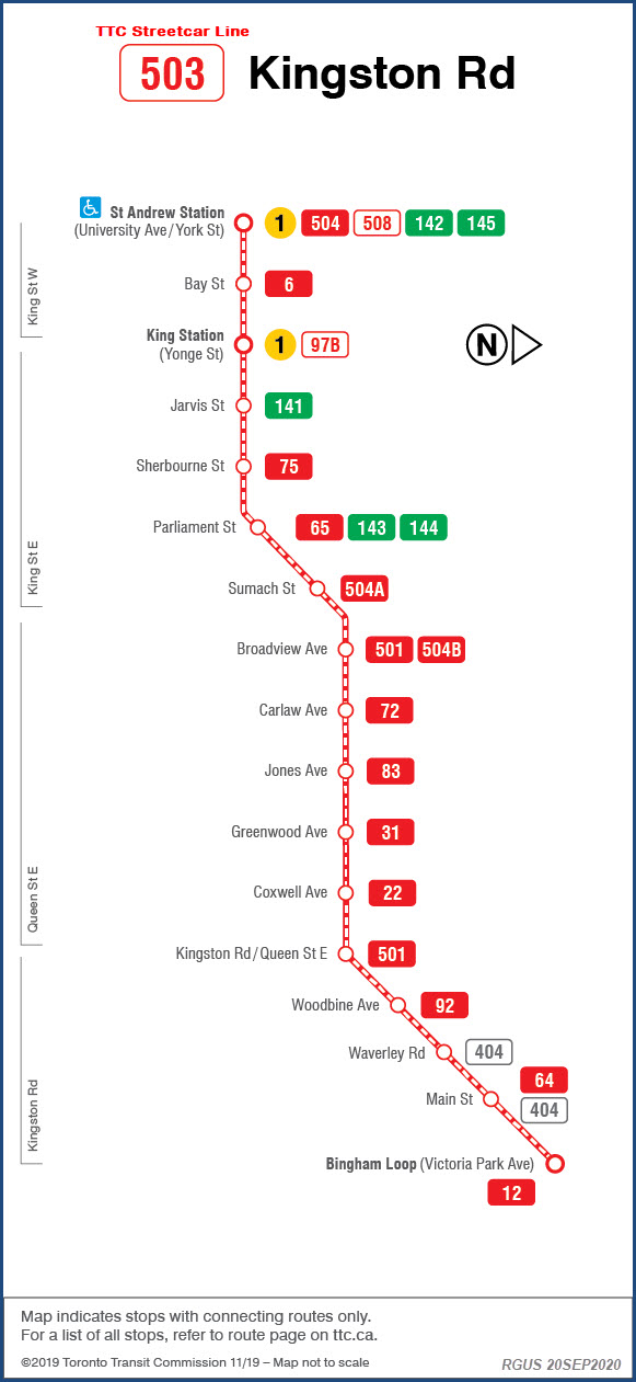
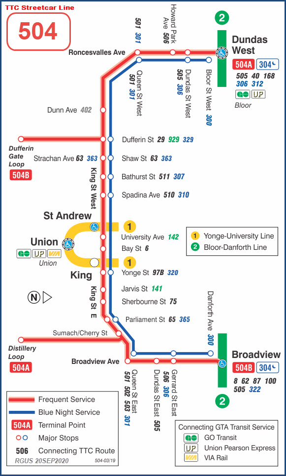
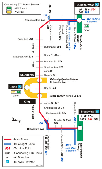
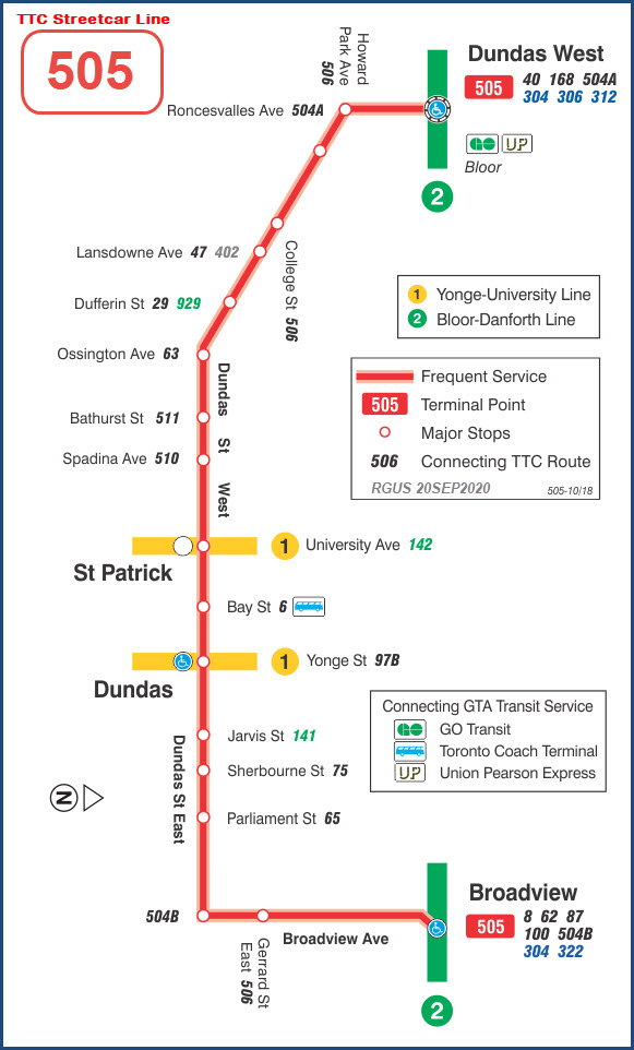
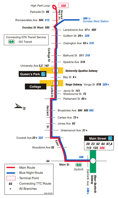
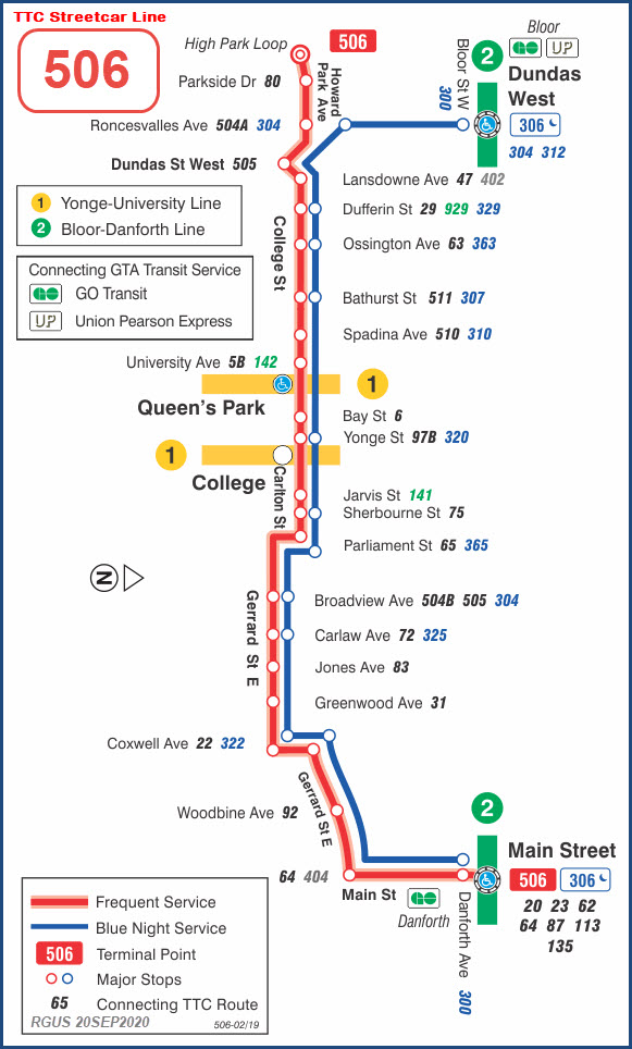
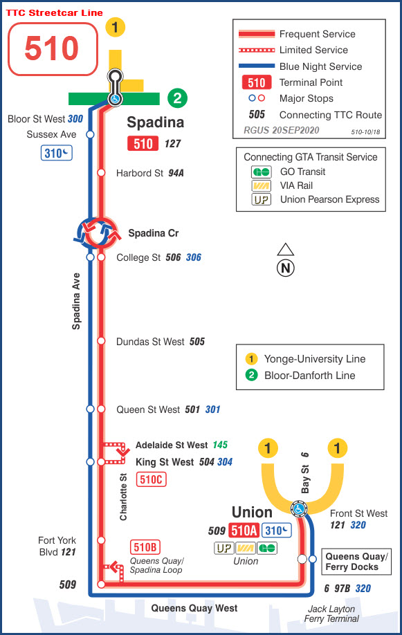
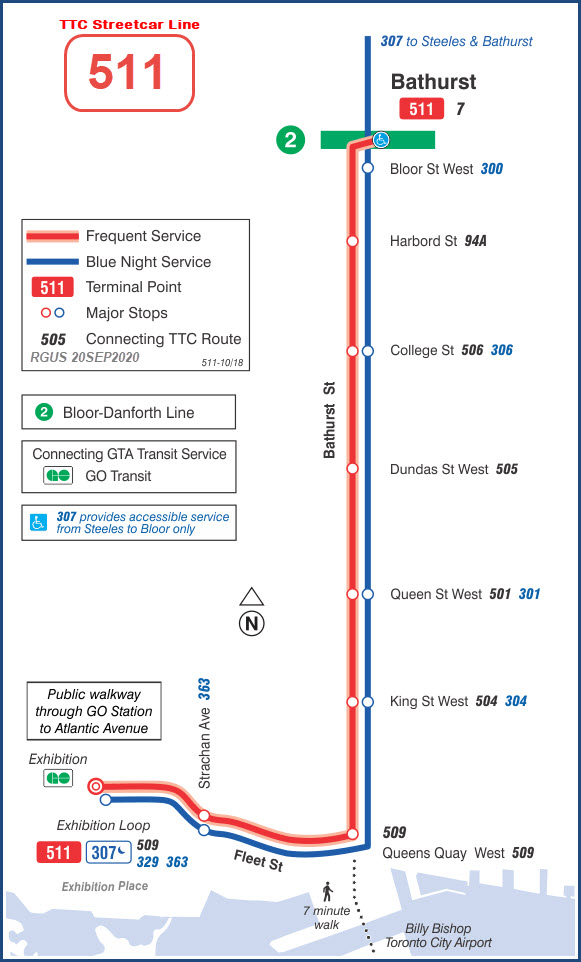
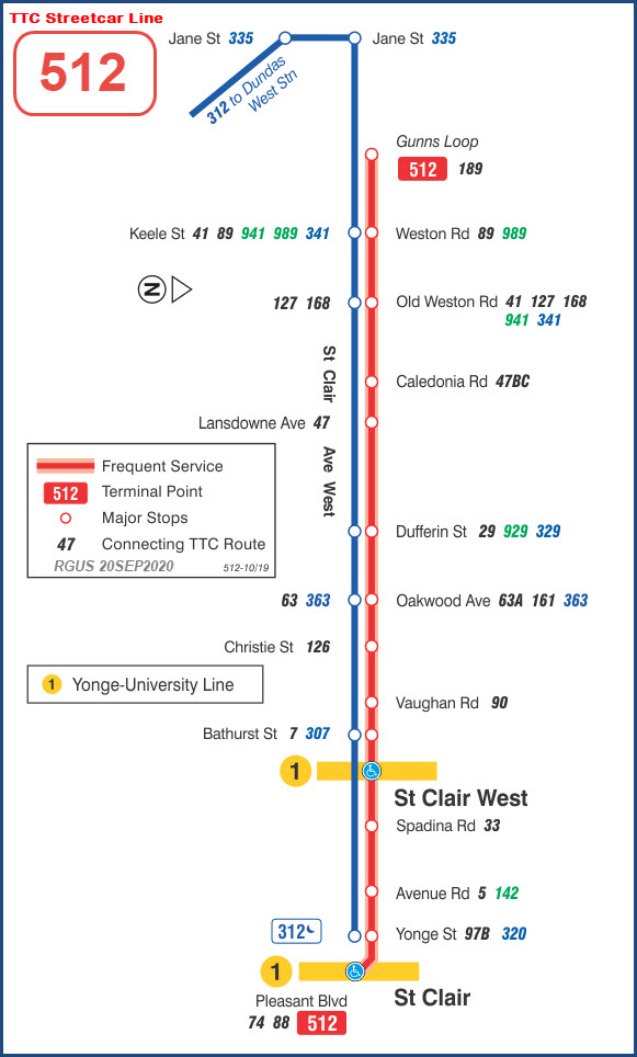
The TTC Streetcar system used to have 11 lines, as noted below, but currently has 14.
I have both the older and newer versions of the maps, when I can find the older
ones. Obviously, the newer versions came from TTC's website. The
newer versions have a blue outline.
These pictures were taken in September of 2006, on a day visit from Buffalo, hardly enough
time to do much of any serious railfanning, considering we stopped at the
Radial Railway
Museum and Hamilton on the trip too.
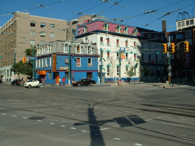
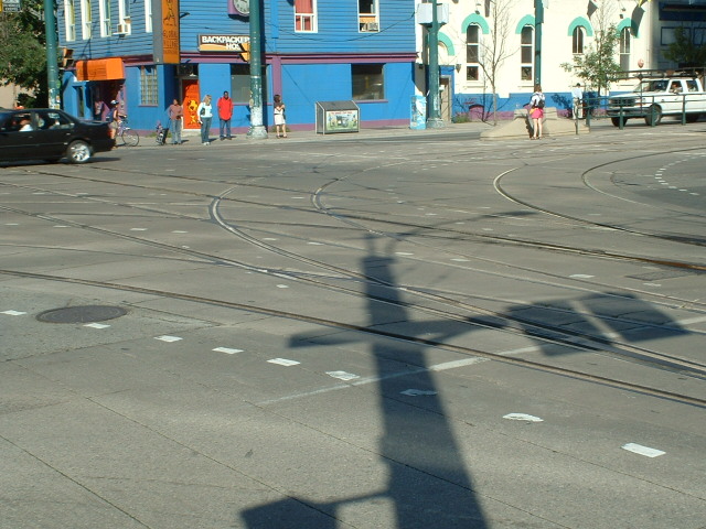
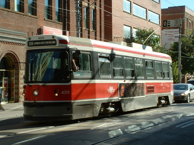
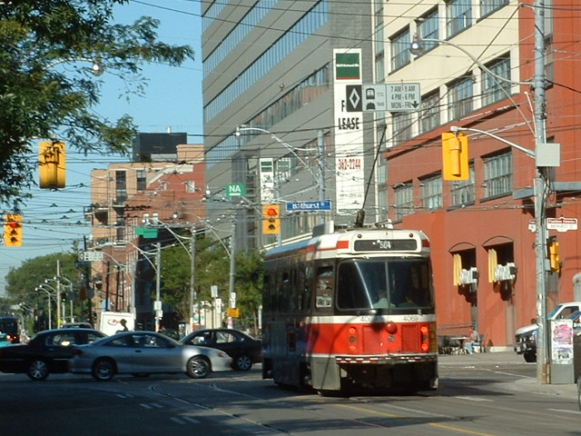
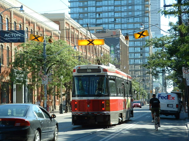
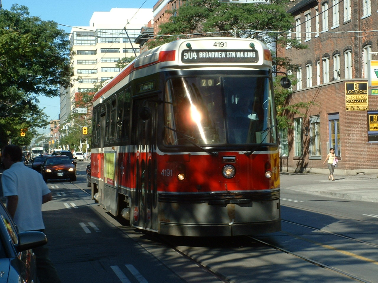
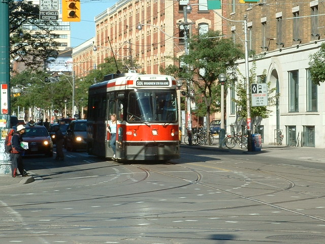
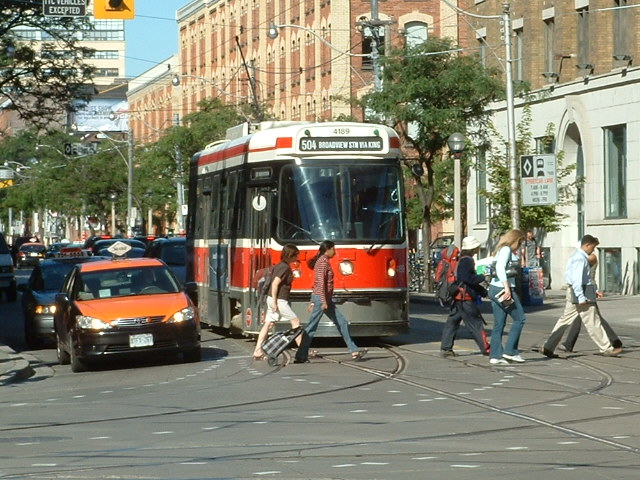
Shots from along King St in the CBD (central business district):
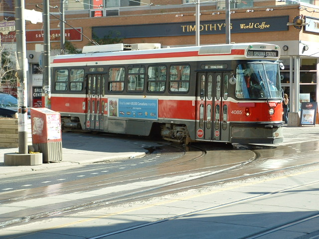
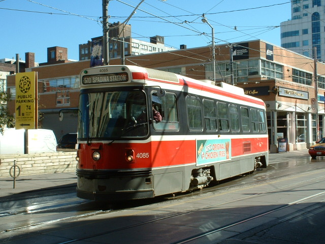
510 line -- #4085 turning off of Charlotte St onto King:
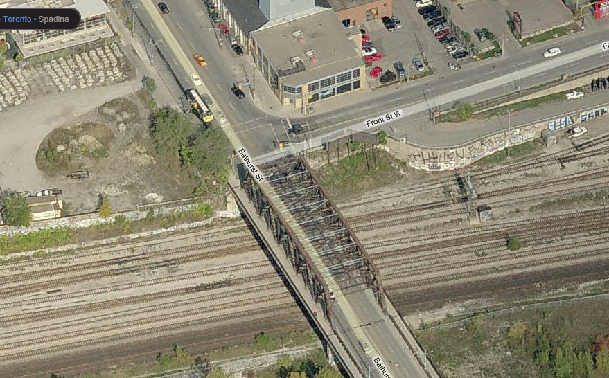
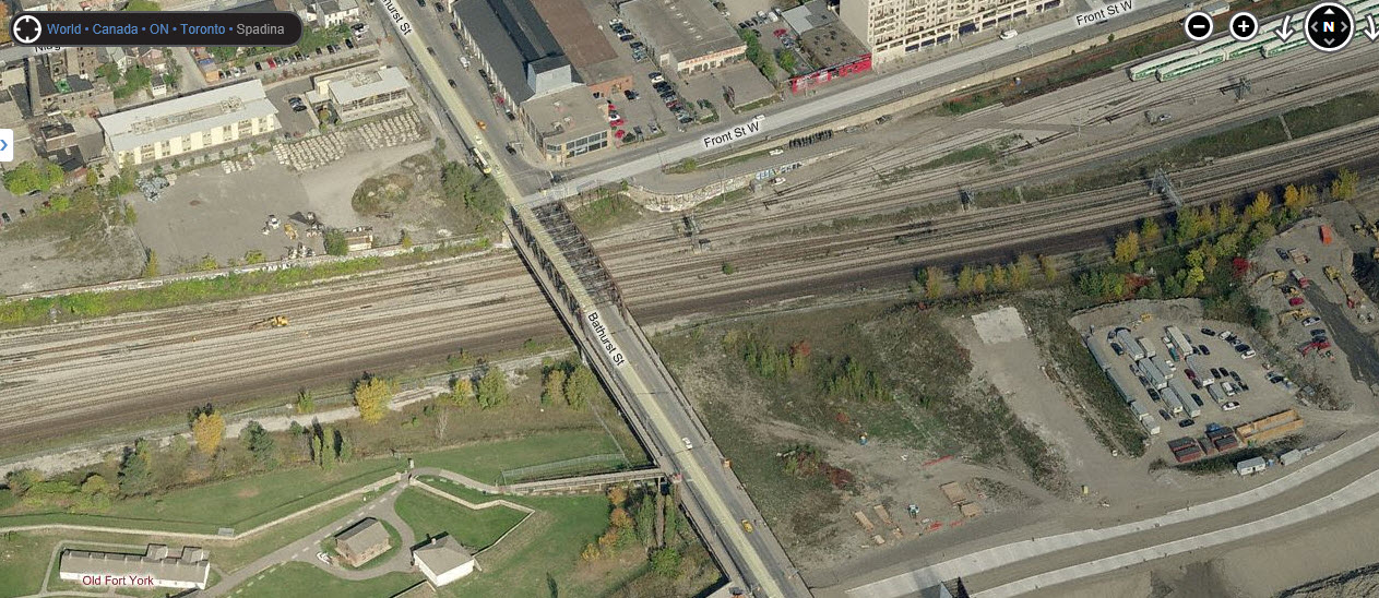
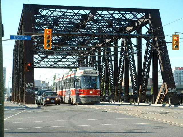
Bridge on Bathurst St at Front St, going over
the GO/VIA/CN tracks. On the other side of the RR tracks is
Fort York National Historic Site. Along Front
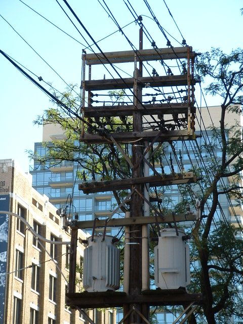
Street, you have one of the GO coach yards, with plenty of searchlight signals
to take pictures of!
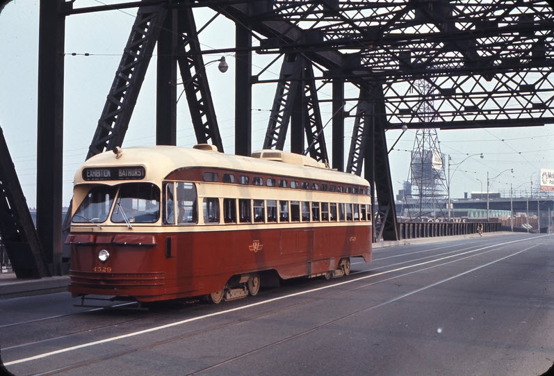
Weston Langford, 1970
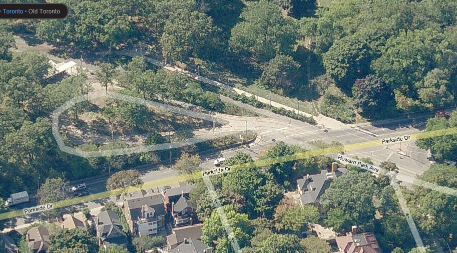
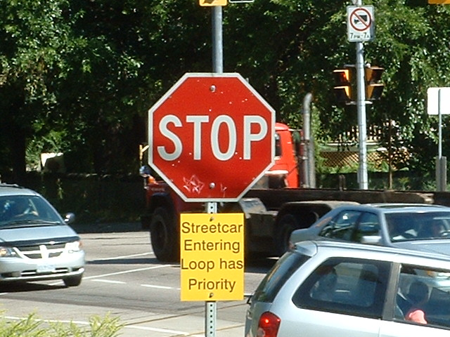
Loop at the western end of the 506 line at Parkside and Howard Park Ave,
which the trolley runs on coming to/from Dundas St W.
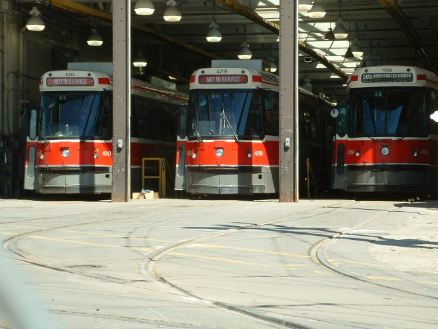
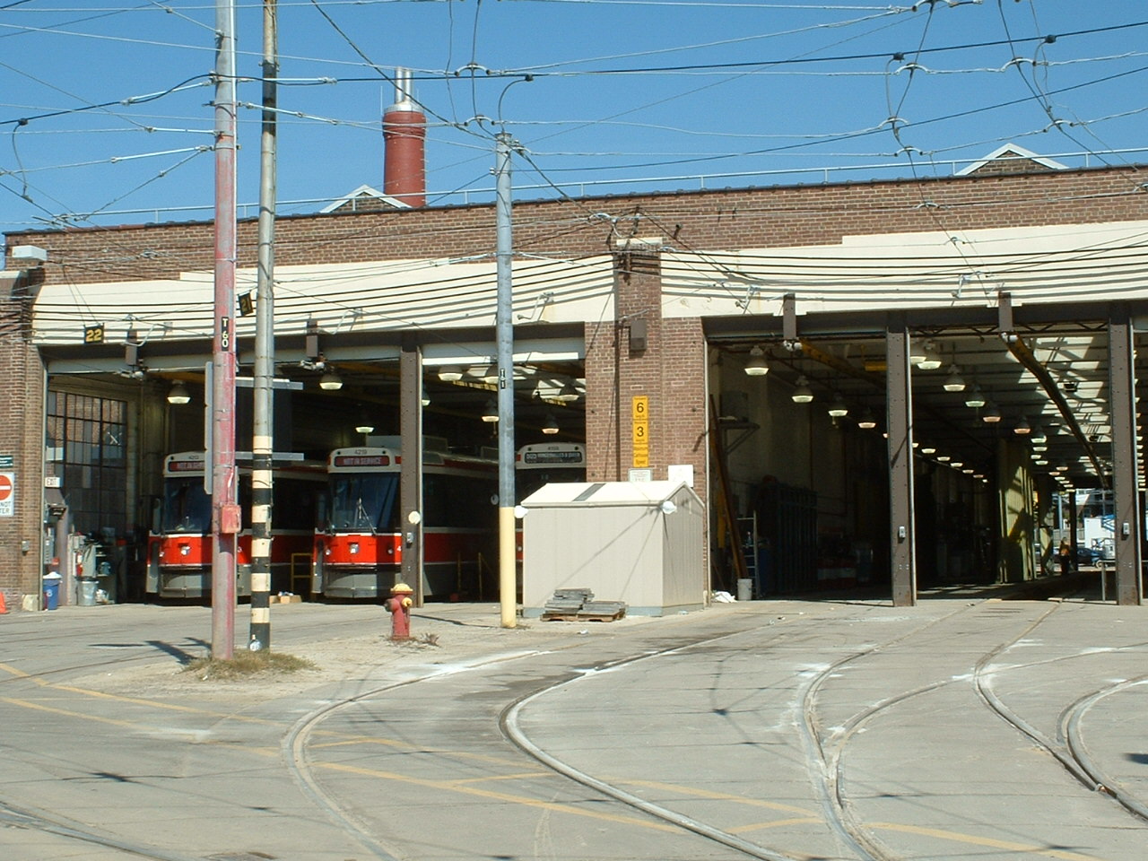
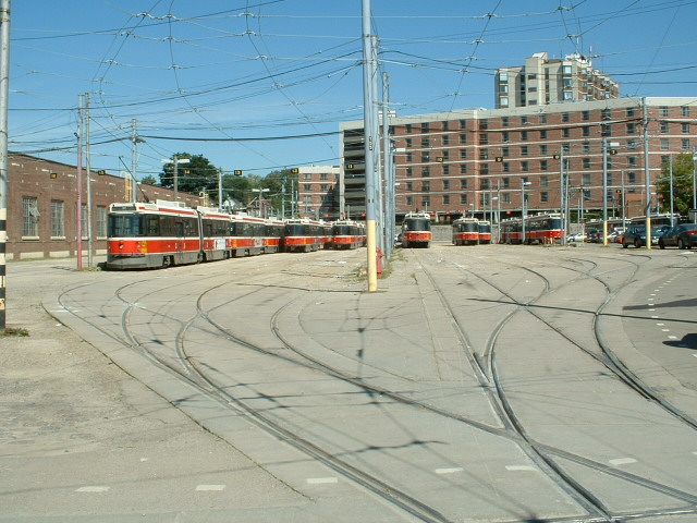
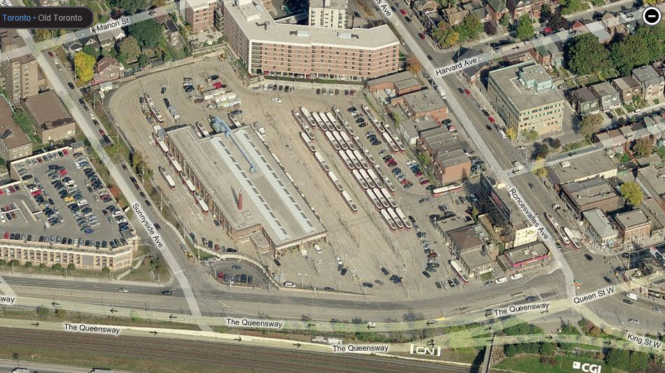
The shops off of The
Queensway, where both King St and Queen St come together and end on the
west side of town.
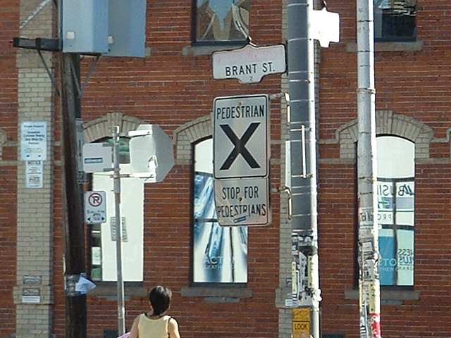
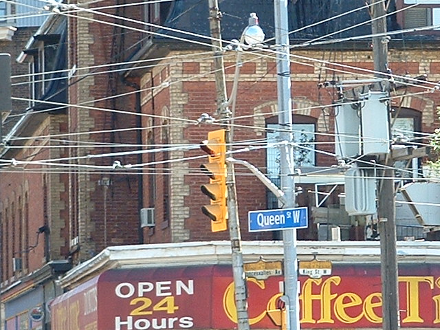
Walk/Don't Walk signs are referred to as "hand-man" signs, and here we can see
why.
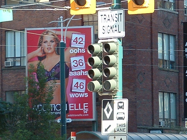
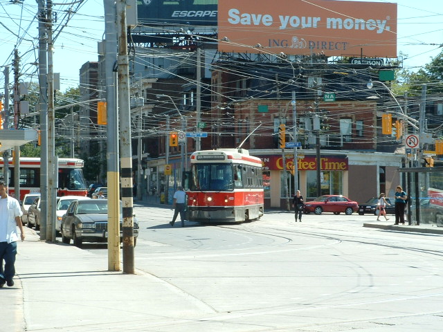
Nice billboard on King St!
Disclaimers:
I love trains, and I love signals. I am not an expert. My webpages reflect what I find on the topic of the page. This is something I have fun with while
trying to help others.
Please Note: Since the main focus of my two websites is railroad signals, the railfan guides are oriented towards the signal fan being able to locate them.
For those of you into the modeling aspect of our hobby, my
indexa page has a list of almost everything railroad oriented
I can think of to provide you with at least a few pictures to help you detail your pike.
If this is a railfan page, every effort has been made to make sure that the information contained on this map and in this railfan guide is correct. Once in a while,
an error may creep in :-)
My philosophy: Pictures and maps are worth a thousand words, especially for railfanning. Text descriptions only get you so far, especially if you get lost or
disoriented. Take along good maps.... a GPS is OK to get somewhere, but maps are still better if you get lost! I belong to AAA, which allows you to get
local maps for free when you visit the local branches. ADC puts out a nice series of county maps for the Washington DC area, but their state maps do not have the
railroads on them. If you can find em, I like the National Geographic map book of the U.S..... good, clear, and concise graphics, and they do a really good job
of showing you where tourist type attractions are, although they too lack the railroads. Other notes about specific areas will show up on that page if known.
Aerial shots were taken from either Google or Bing Maps as noted. Screen captures are made
with Snagit, a Techsmith product... a great tool if you have never used it!
By the way, floobydust is a term I picked up 30-40 years ago from a National Semiconductor data book, and means miscellaneous
and/or other stuff.
Pictures and additional information is always needed if anyone feels inclined to take 'em, send 'em, and share 'em, or if you have something to add or correct.... credit
is always given! Please be NICE!!! Contact info is here
Beware: If used as a source, ANYTHING from Wikipedia must be treated as being possibly inaccurate, wrong, or not true.


 Weston Langford, 1970