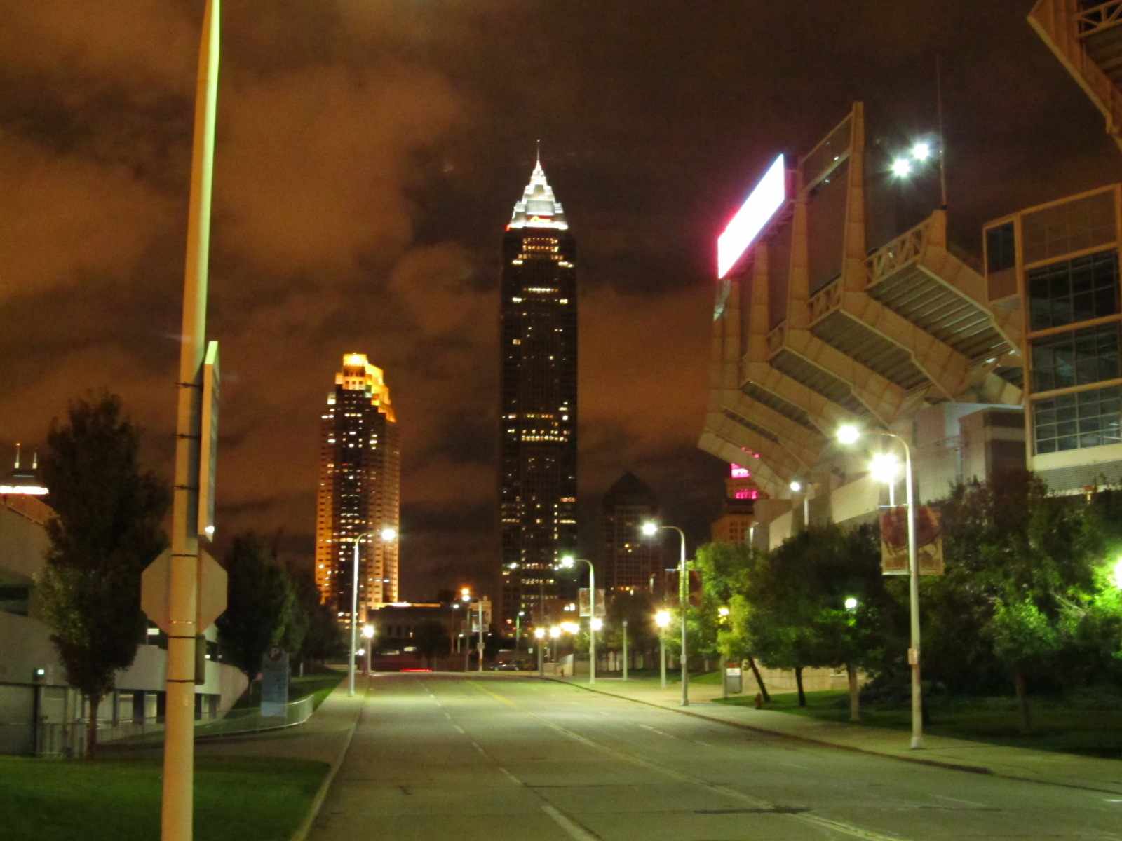
Location / Name:
Cleveland OH, Cuyahoga County, county seat
What's Here:
RTA Light Rail System
RTA Heavy Rail System
Amtrak
Data:
GPS Coordinates: as needed
Phone A/C: 216
ZIP: 44114 (at the R&R Hall of Fame)
Access by train/transit:
Amtrak - at
RTA Heavy Rail - the Red Line
RTA Light Rail - the Blue, Green, and Waterfront Lines
Geography:
Hills, some real good :-)
The Scoop:
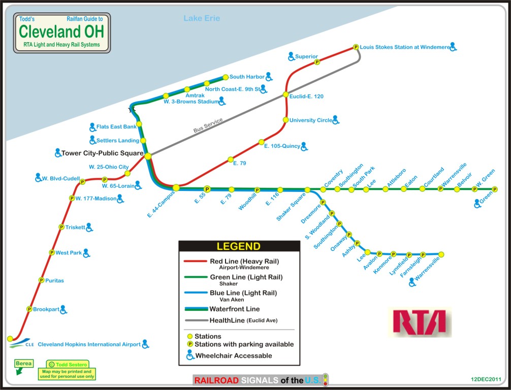
Cleveland has four rail lines operated by the RTA - Regional Transit Authority.
One is considered a heavy rail or rapid transit system, the other three are
light rail systems/lines.
From Wikipedia:RTA Rapid Transit (generally known as The Rapid) is a rapid transit and
light rail system owned and operated by the Greater Cleveland Regional Transit Authority. The
system serves Cleveland and surrounding areas in Cuyahoga County. It consists of four
total service lines: one rapid transit rail line and three light rail lines.
The four rail lines join at Tower City Center in downtown Cleveland, on the platform level of
the former Cleveland Union Terminal. Three rail lines share their tracks at
Tri-C–Campus District and East 55th stations.
This sharing of one route by light and heavy rail trains is quite unusual.
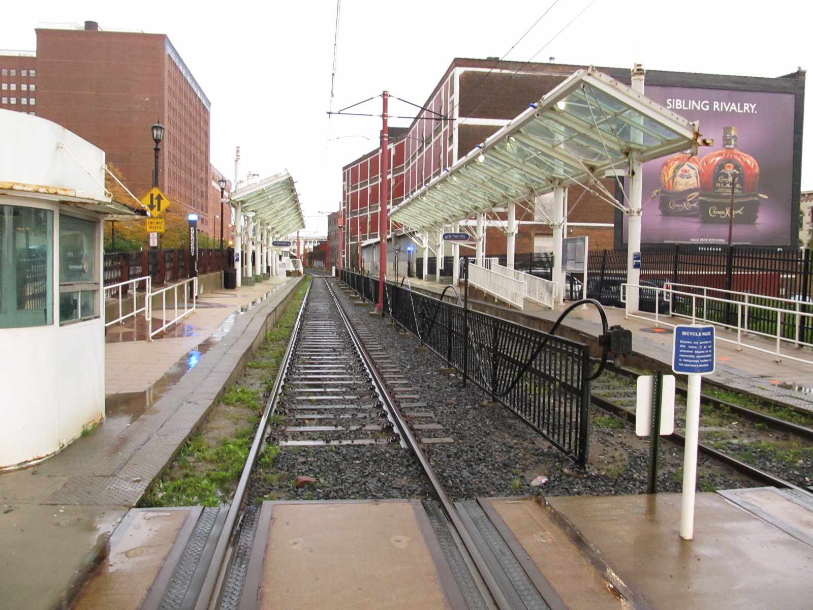
The shared stations have connected platforms of two heights to accommodate the two kinds of trains.
The two types of trains use the same maintenance facility since they both use the same
track gauge and same source of power (overhead catenary).
The Red Line, a heavy-rail route, runs in both directions on
fully grade-separated rights-of-way built from 1955 to 1968. It serves Cleveland's southwest suburbs,
with its southwestern terminus at Cleveland Hopkins International Airport. Heading northeast, the Red
Line serves University Circle before heading to its northeastern terminus at the Louis Stokes
Station at Windermere in East Cleveland.
The Blue Line (formerly known as the Moreland Line and the
Van Aken Line, and internally as Route 67)
is a light rail line of the RTA Rapid Transit system in Cleveland and Shaker Heights, running from
Tower City Center downtown, then east and southeast to Warrensville Center Blvd near Chagrin Blvd.
2.6 miles (4.2 km) of track, including two stations (Tri-C–Campus District and East 55th), are
shared with the rapid transit Red Line, the stations have low platforms for the Blue Line and
high platforms for the Red Line. The Blue Line shares the right-of-way with the Green Line in
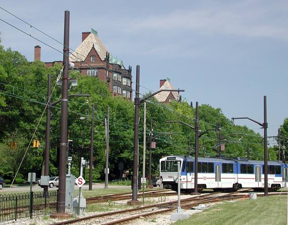
Cleveland, and splits off after passing through Shaker Square (see pix).
The Green Line (formerly known as the Shaker Line) is a
light rail line of the RTA Rapid Transit system in Cleveland and Shaker Heights, Ohio, running
from Tower City Center downtown, then east to Green Road near Beachwood. 2.6 miles (4.2 km) of
track, including two stations (Tri-C–Campus District and East 55th), are shared with the rapid
transit Red Line; the stations have low platforms for the Green Line and high platforms for the Red Line.
From Shaker Square eastward, both lines enter Shaker Heights and operate at street level with grade
crossings, reflecting this portion of the lines' history as streetcar lines. The Green Line
separates from the Blue Line just east of Shaker Square, with the Green
Line continuing east in the median of Shaker Boulevard. The station-stops east of Shaker Square
are adjacent to street intersections and most comprise merely concrete platforms with simple
shelters. The central median of Shaker Boulevard expands at Warrensville Road -- it was originally
planned for a high-speed parkway. The Green Line continues along this median with Warrensville
Road crossing on a bridge overhead. There is also a bridge at Green Road, although the station
is actually just west of the bridge and only layover tracks extend beneath the bridge.
The Green Line terminates at Green Road and Shaker Boulevard.
All RTA light rail lines use overhead lines and pantographs for power.
Acknowledgements:
Google Maps
Bing Maps
Open Railway Map
Wikipedia



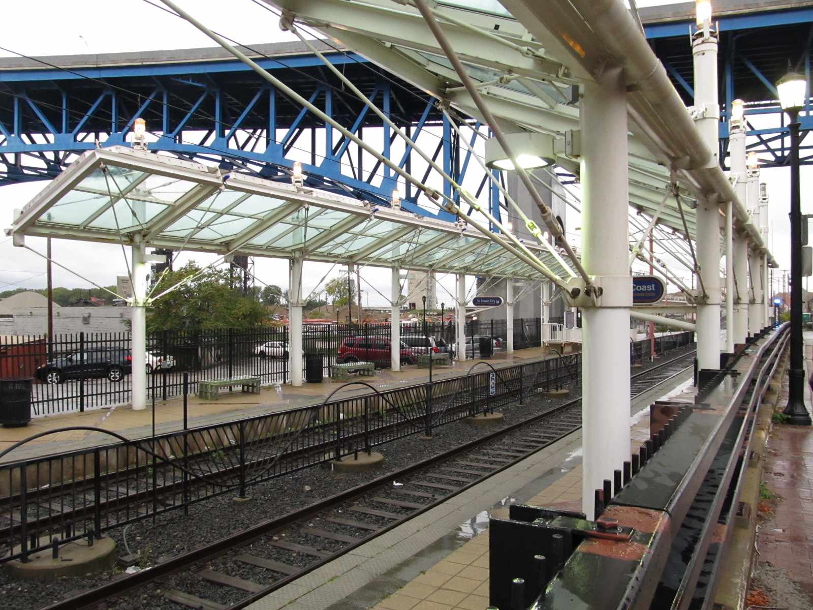
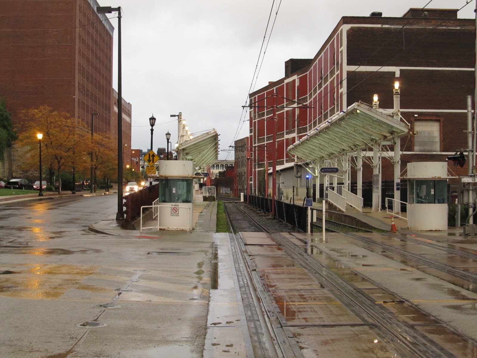
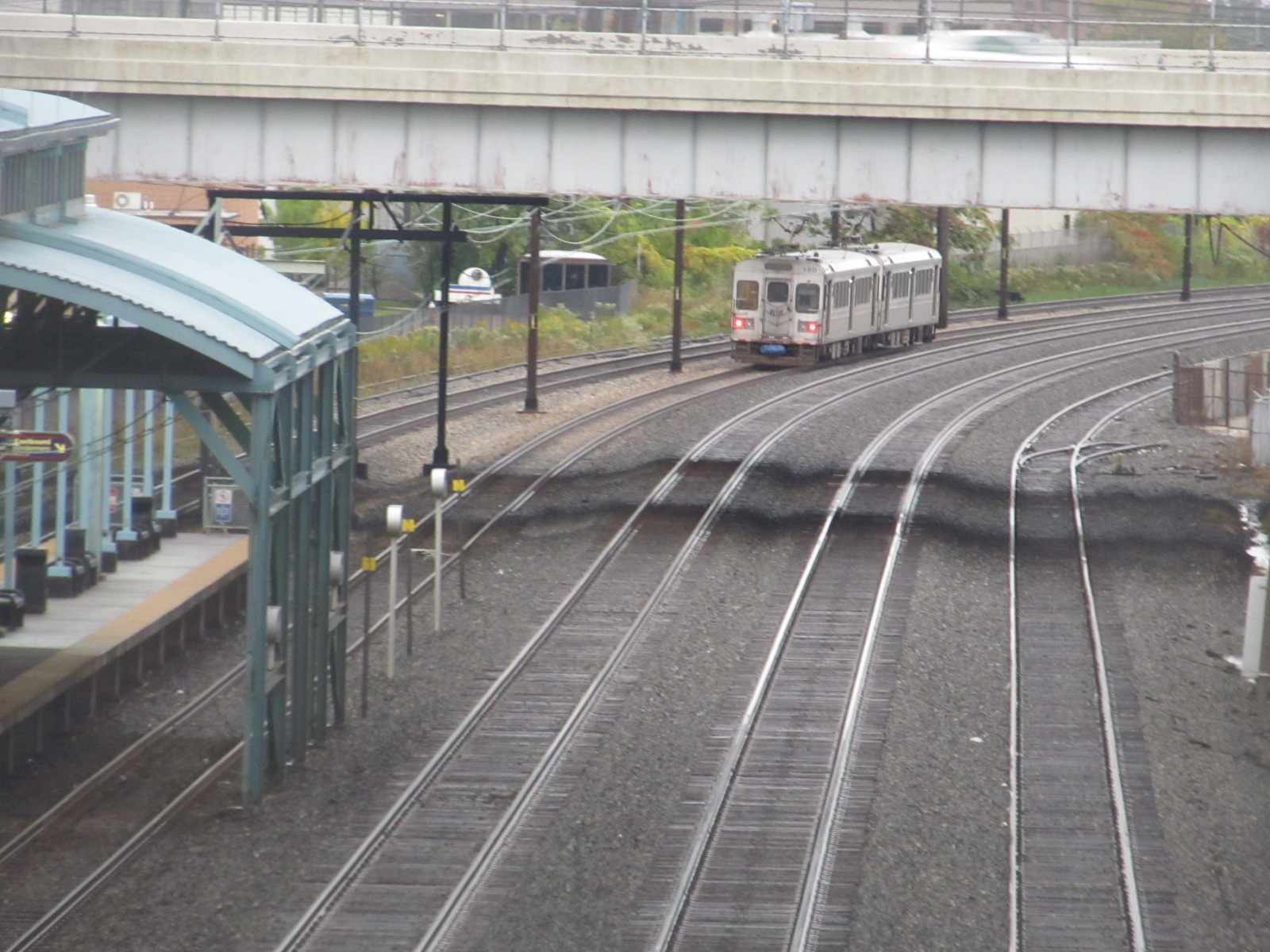
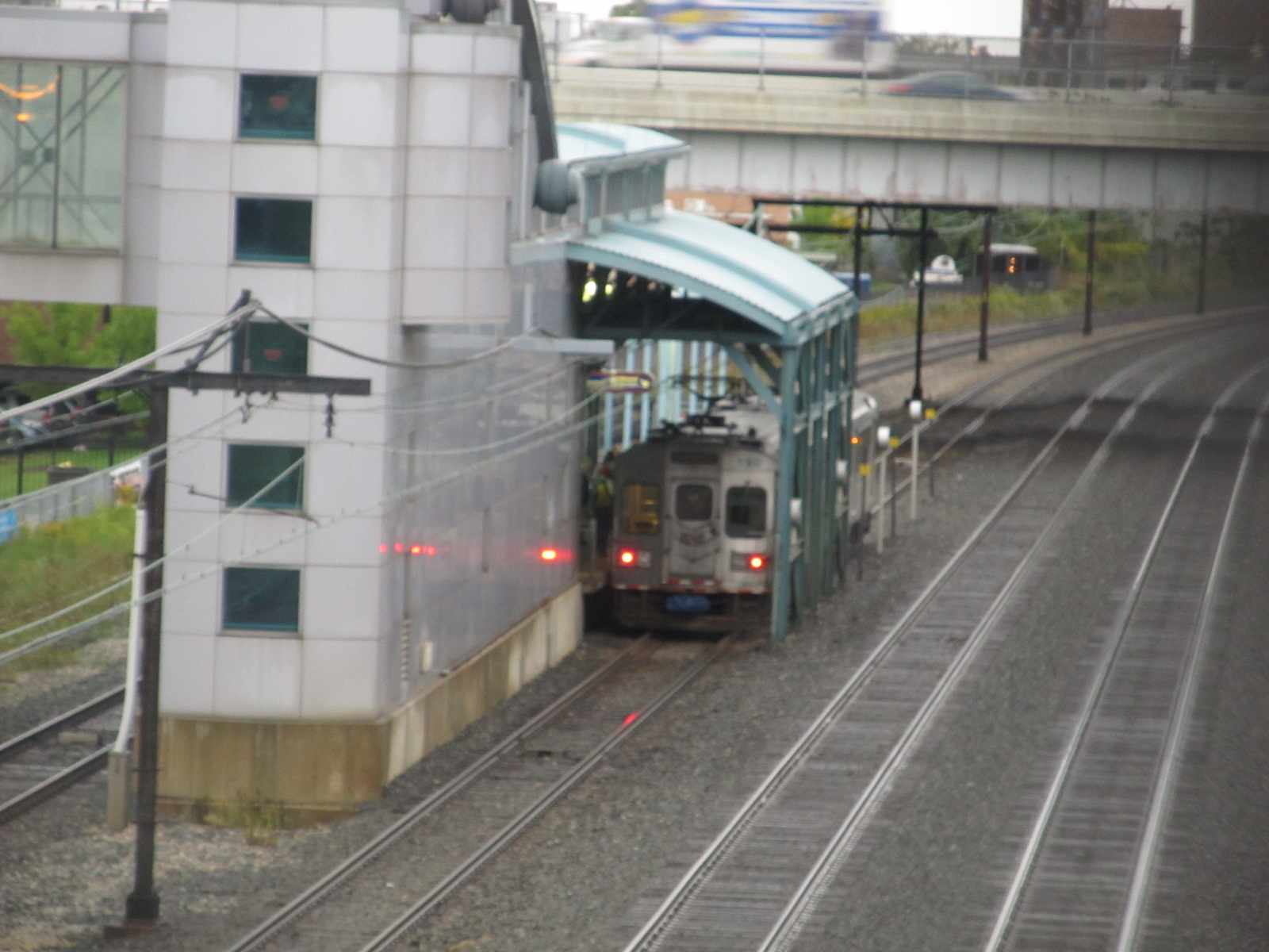
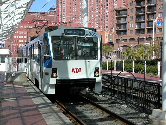 A light rail train at the Flats station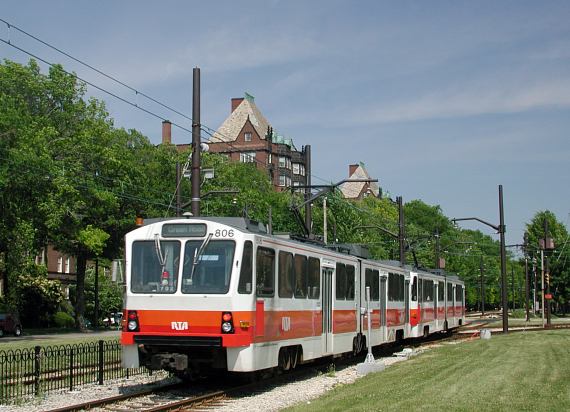


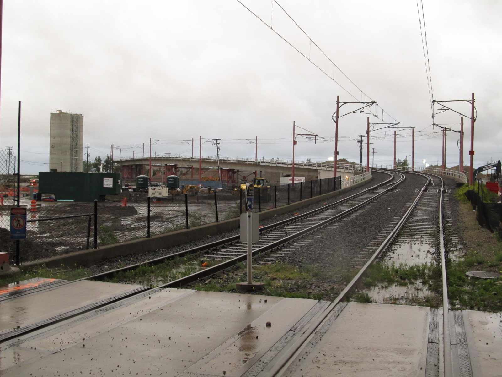 The light rail track going over the Norfolk Southern's track
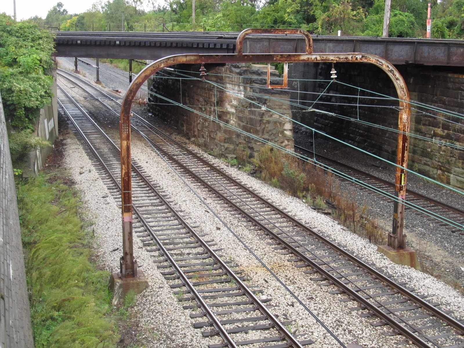
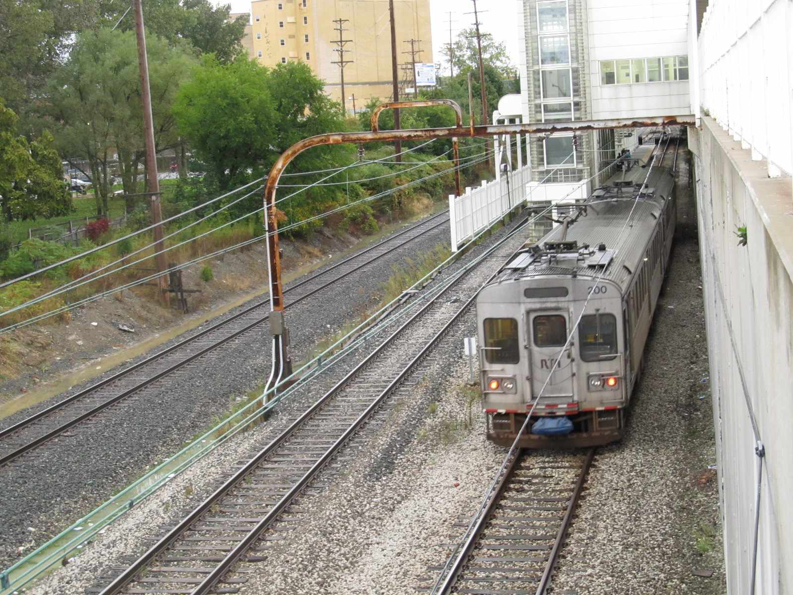

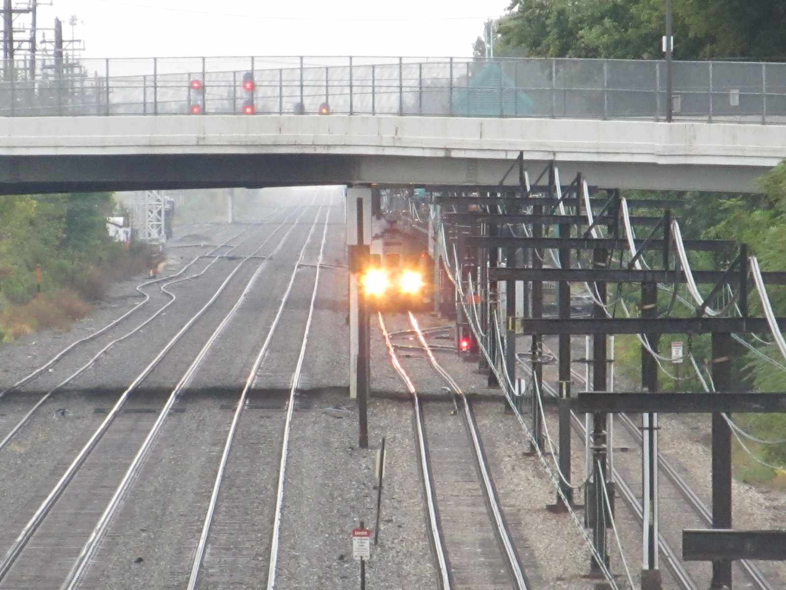
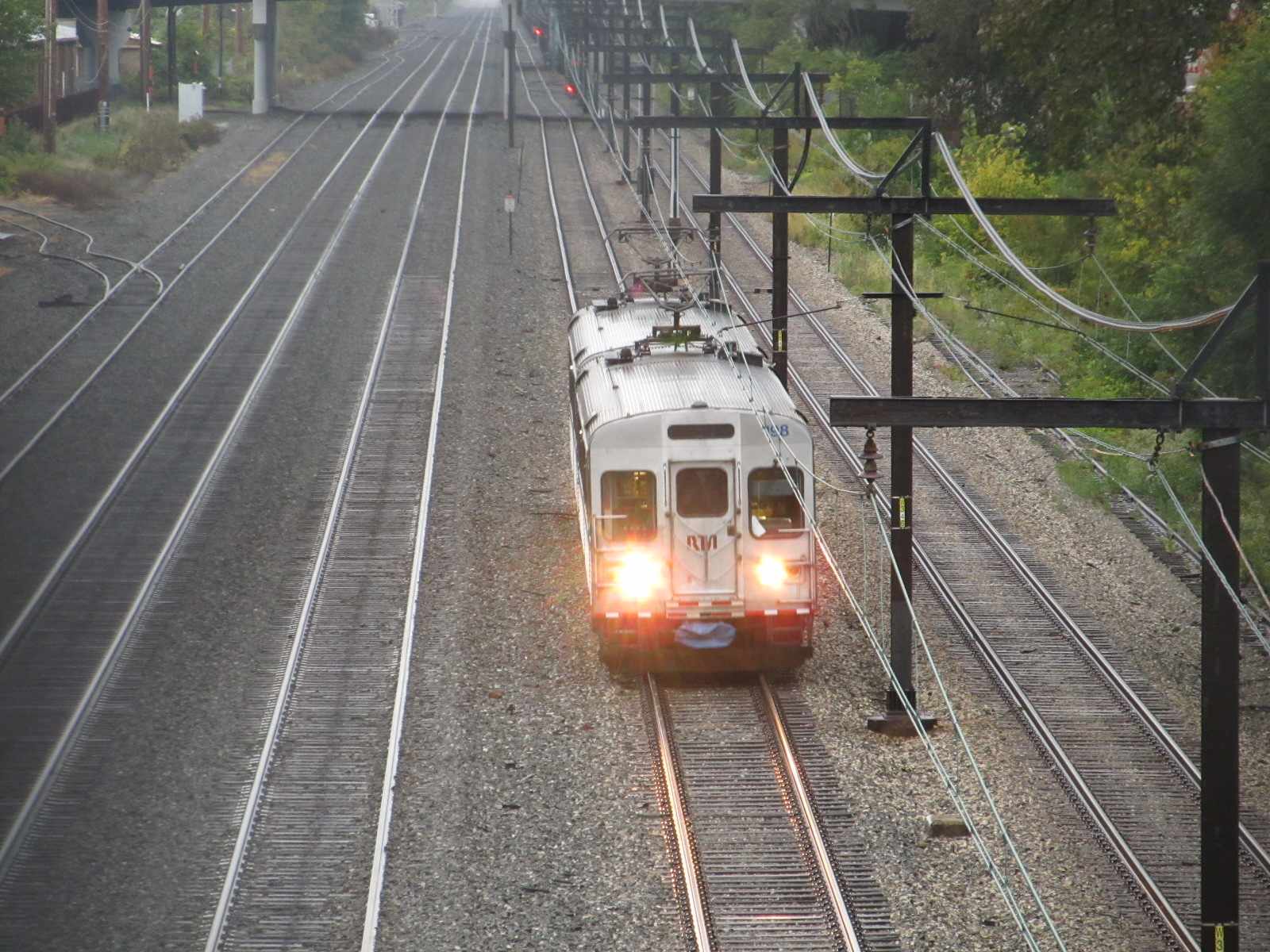 Looking south from the Triskett Road overpass
 Light Rail bar signal coming out of the Flats East Bank station
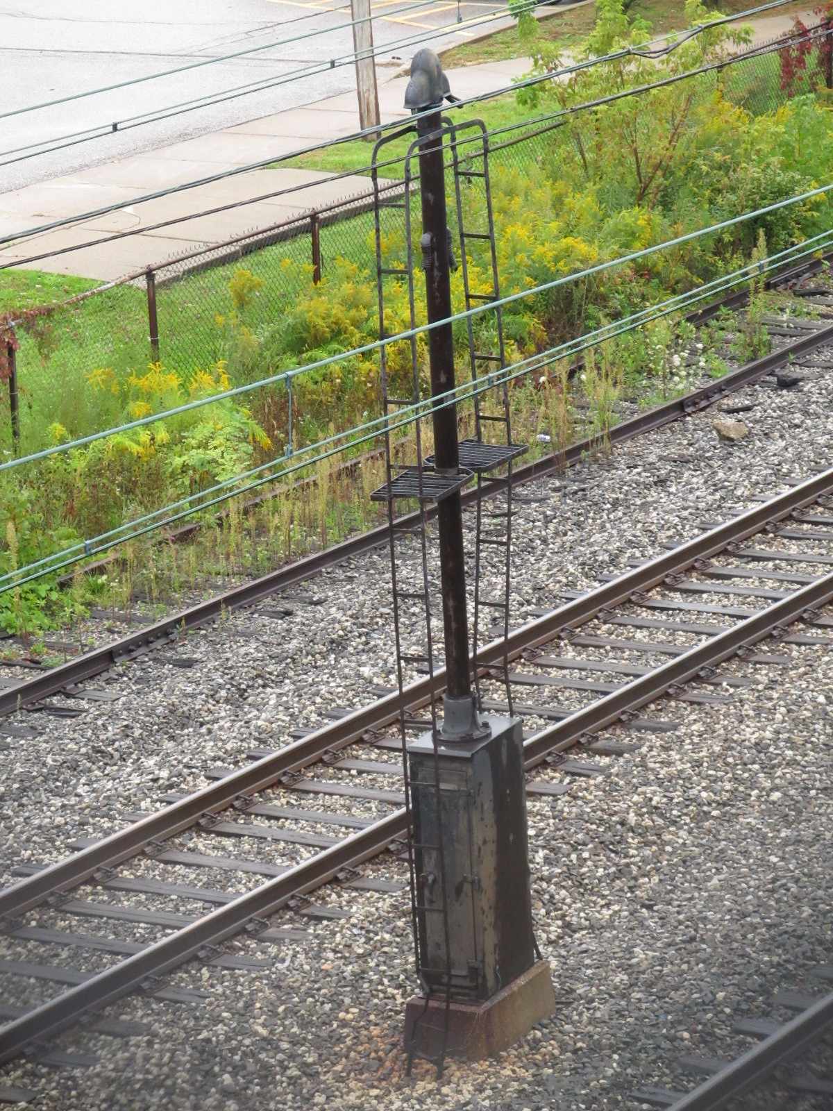 Old signal mast seen from the Triskett Road overpass



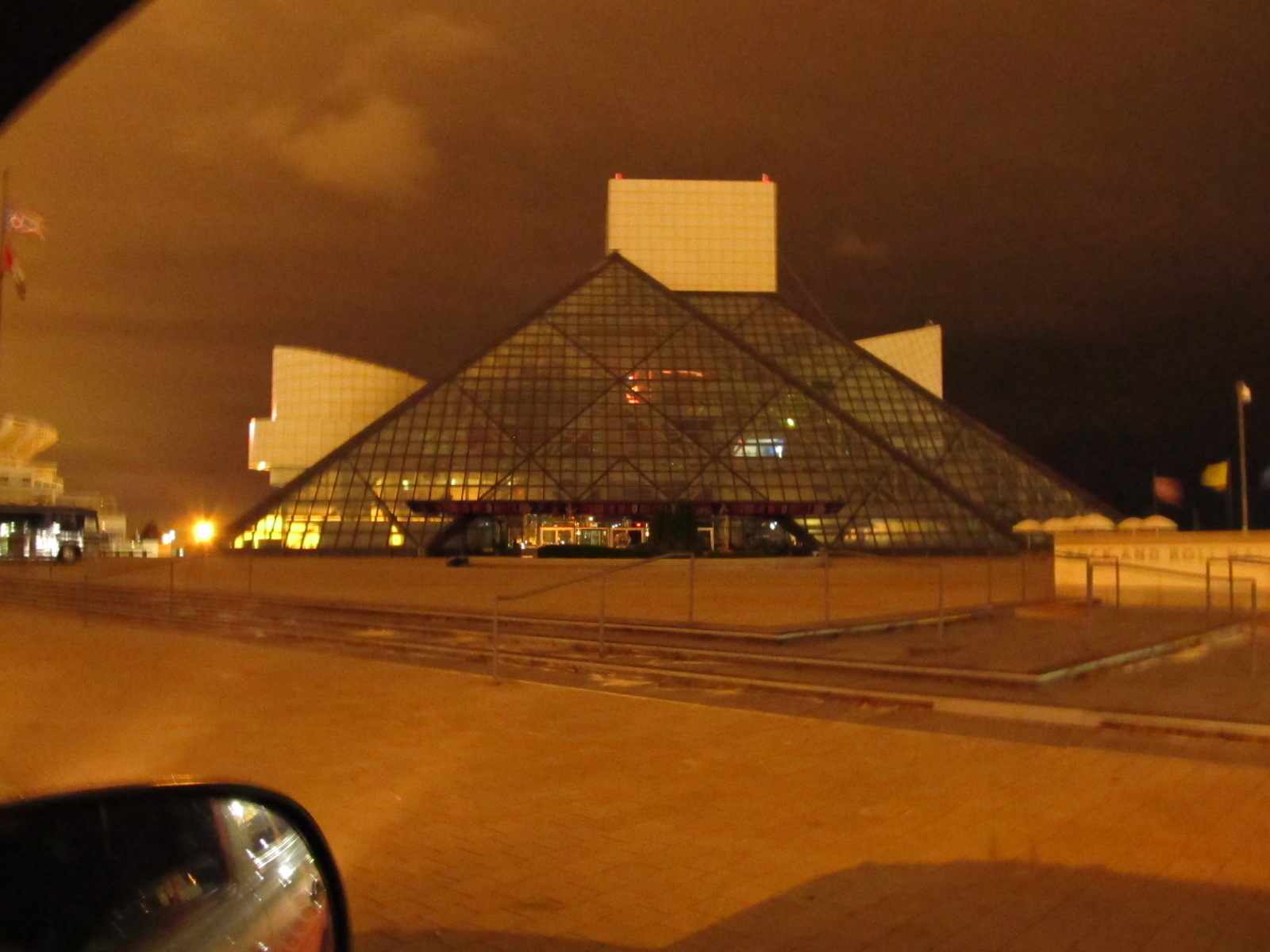 The Rock n Roll Hall of Fame in total darkness, around 5am.
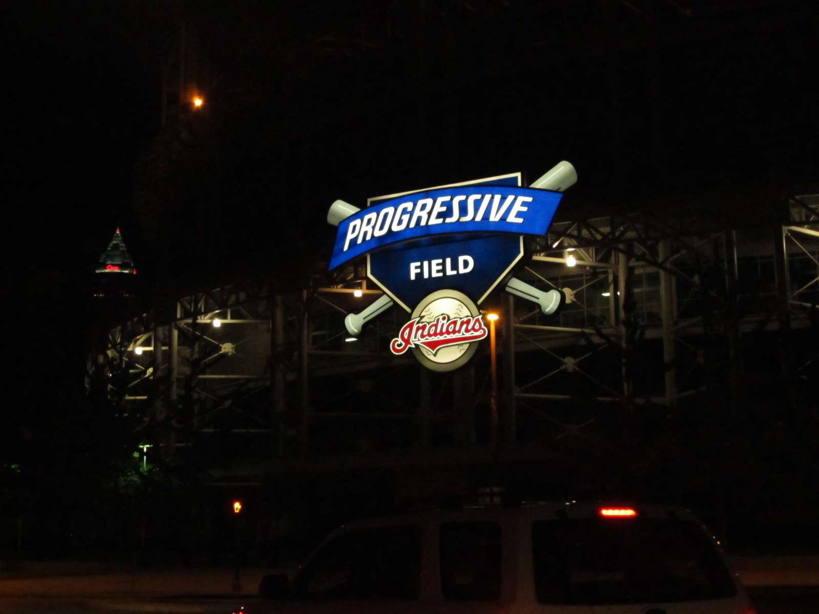 Progressive Field