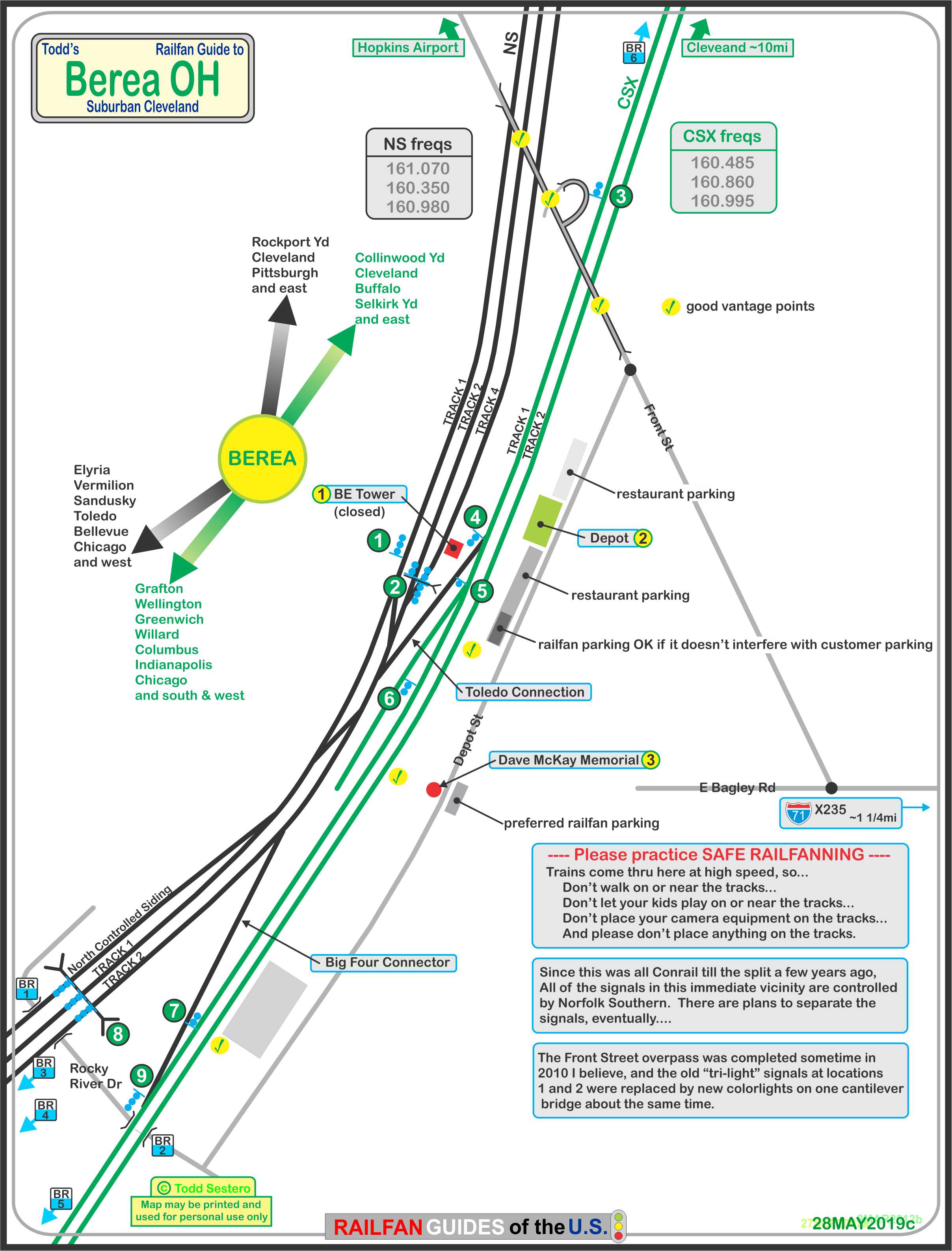
What's Here:
CSX
NS
the Wheeling & Lake Erie (a few trains a week)
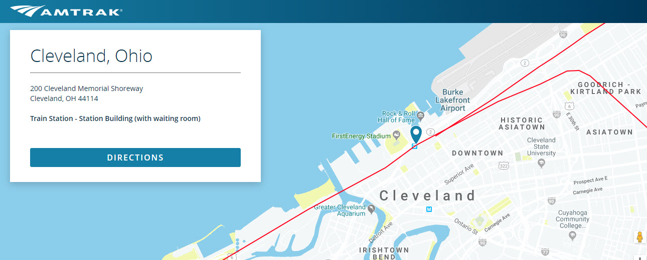
Amtrak (comes thru during the night time hours tho)
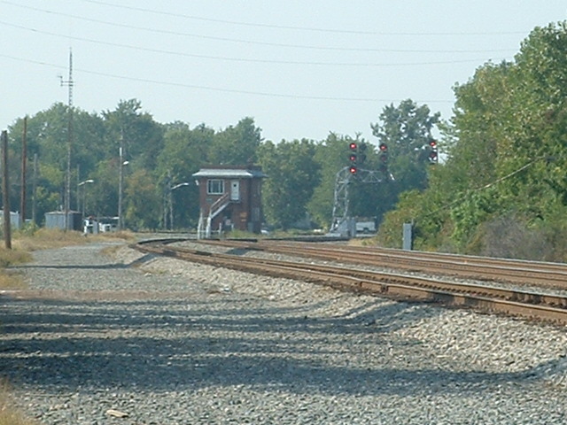
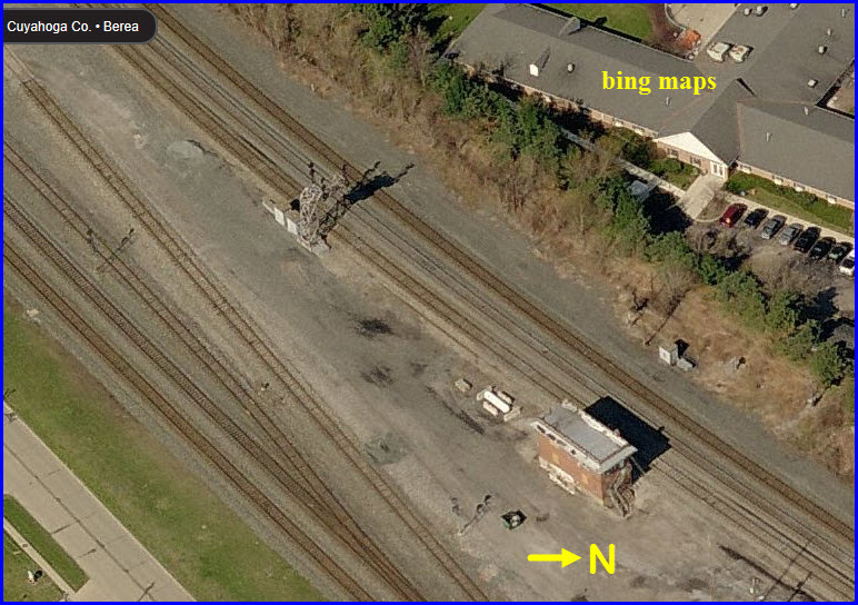
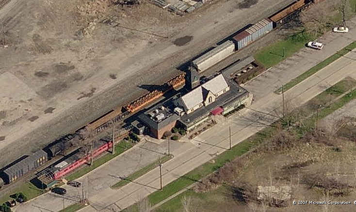
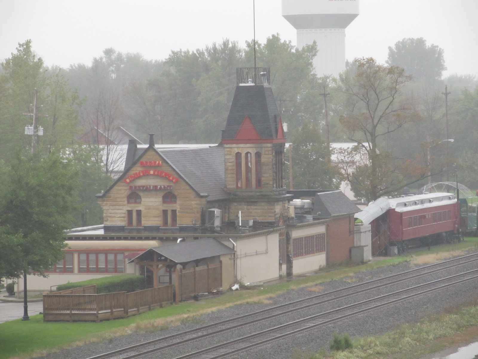
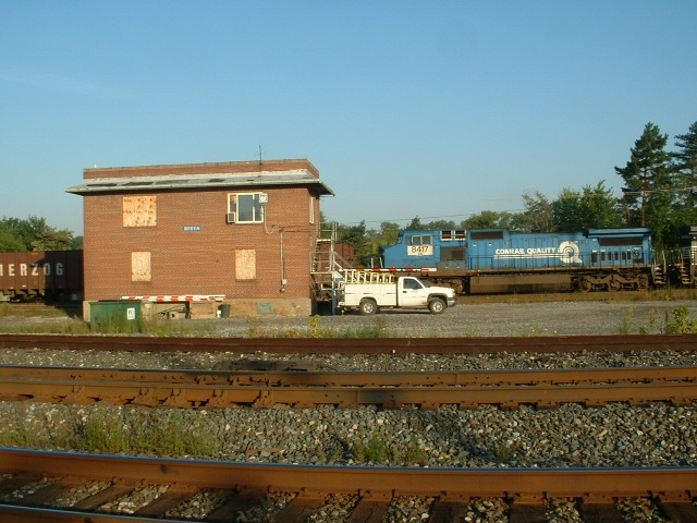
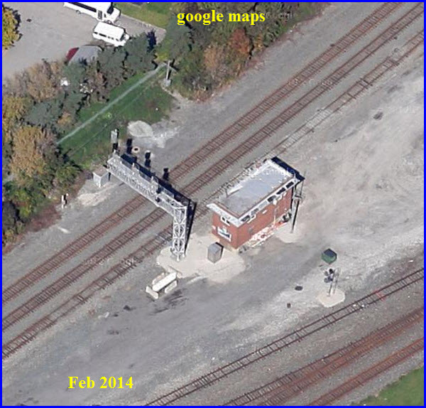
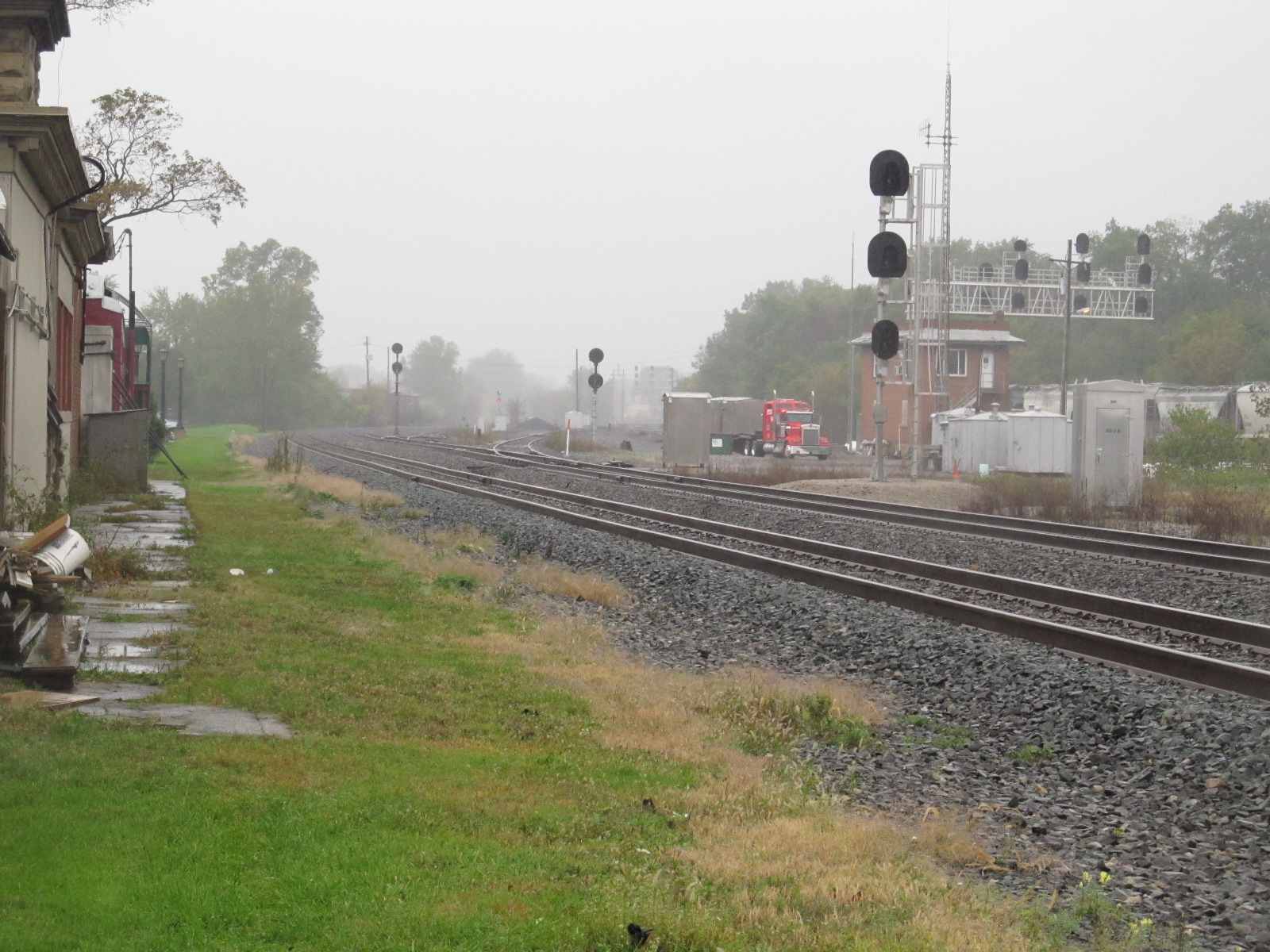
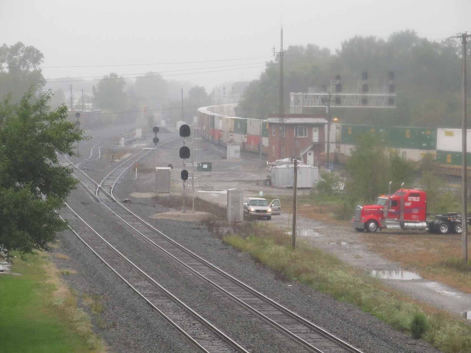
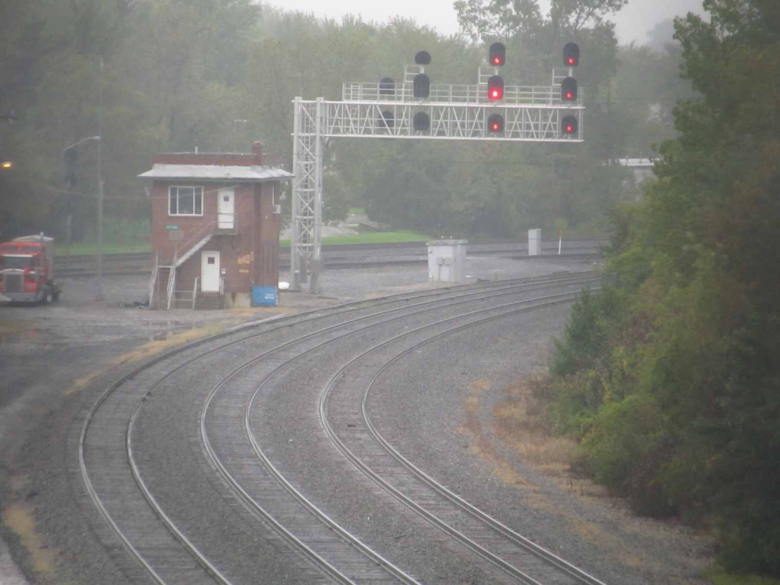
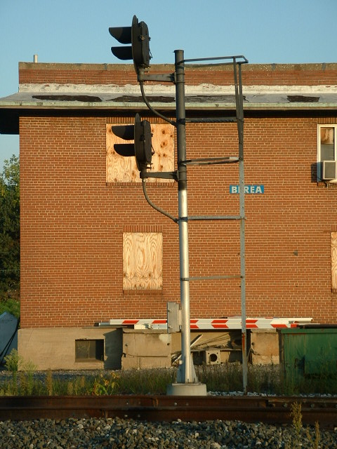
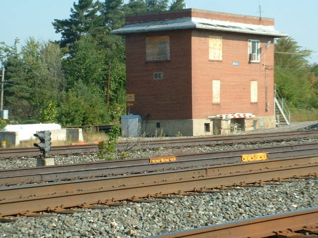
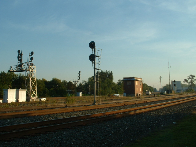
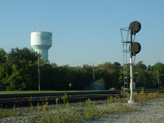
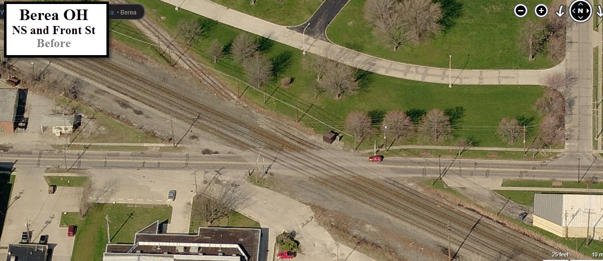
Ex NYC BE Tower, CP 194
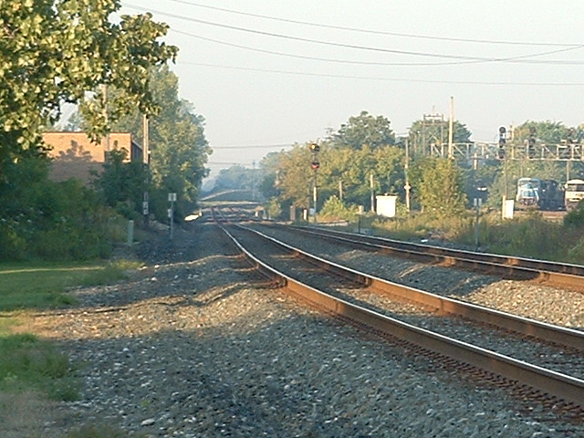
Plenty of signals, because were in the middle of two interlockings
Berea is a VERY active railfanning location, with approximately 100 trains
per 24 hour period.
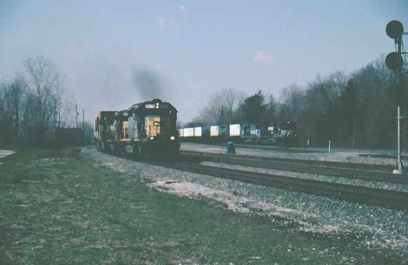
The photo at the top of the page is what every Berea goer
strives to capture.... Two eastbound freights at speed, one on CSX, and one on
the Norfolk Southern.... Many wait years to get this shot, I was lucky to get
mine on my second visit after about 20 minutes of waiting, on April 8th, 2001... the
rest of the photos are from 19SEP2007 unless noted.
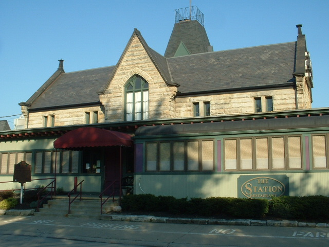
When you visit, please keep in mind that the parking lot belongs to the Depot
Restaurant. With that said, please park as much to the west (far) end of
the lot, unless you're having lunch or dinner there.
One railfan page says this is the busiest railfan location east of Chicago....
Could be, I don't have any statistics to say otherwise :-) I will say
there has always been a fairly large group of railfans every time I have come
thru, but then, Fostoria and Deshler are also just as heavily visited, in fact, I
have seen more railfans in Deshler than here most of the time.
Sometimes railfans will hang around till midnight!
Back in the Conrail days (isn't it amazing how long it has been gone, since
1999, and we still refer to it like it was one of the long time great railroads
of history like the B&O! :-), Berea was a crossroad of the system.
Passing thru here we had the Chicago Line west of Cleveland (now operated by
NS), the Chicago Line east of Cleveland (CSX), the Pittsburgh Line (NS), and the St. Louis Line
(CSX). These were the four busiest lines of Conrail.
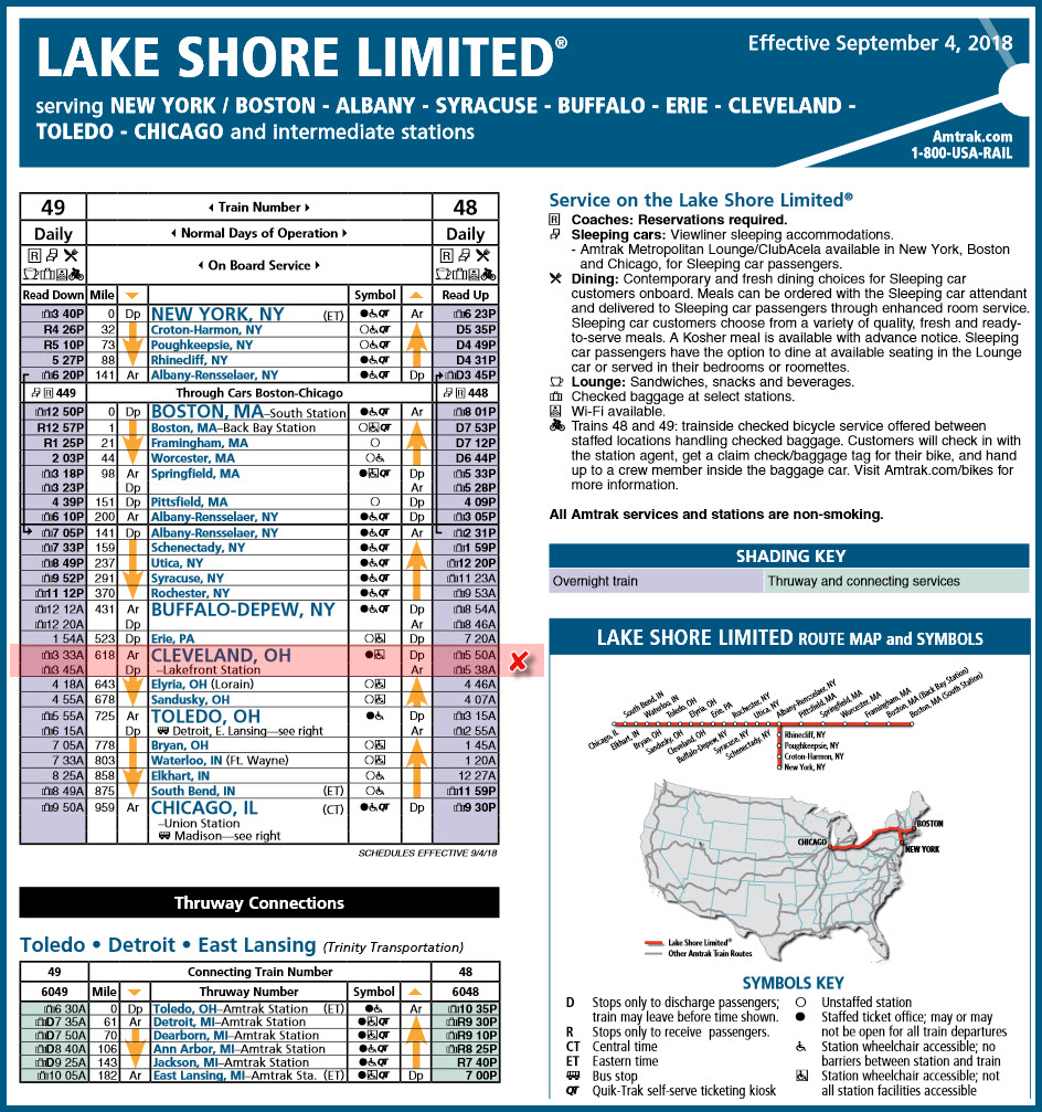
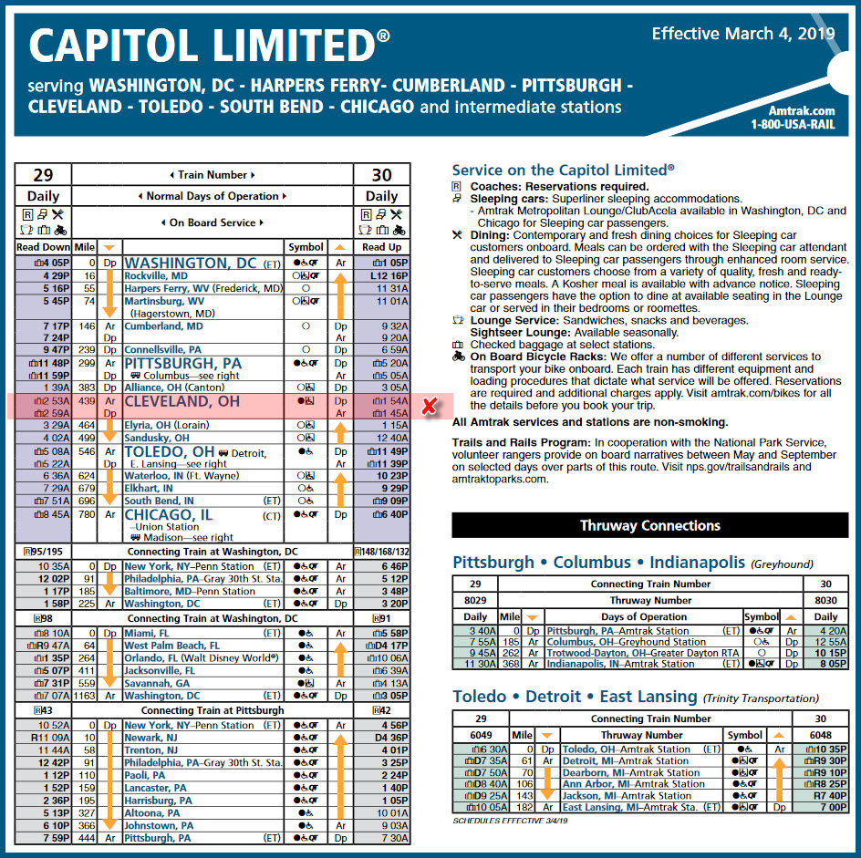
Amtrak has four trains that pass thru here on a daily basis: #29, #30, #48, and
#49. Unfortunately for us, all of them pass thru here after midnight in the dark,
although if one of them is running really late, you may be able
to catch it in the wee hours of the morning!
The regional Wheeling & Lake Erie RR comes thru a few times a week on a random
basis, as they do not operate on a schedule.
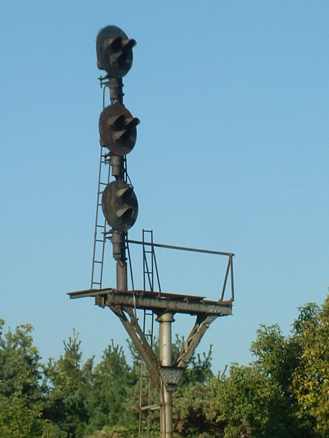
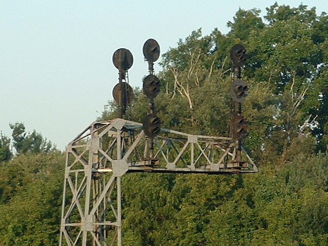
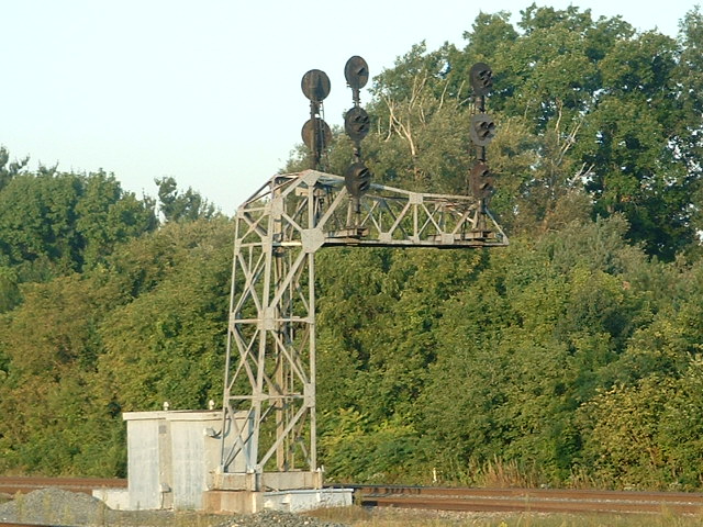
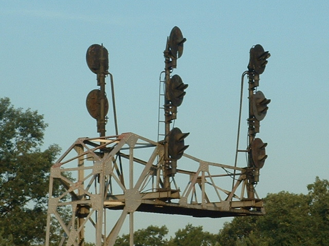
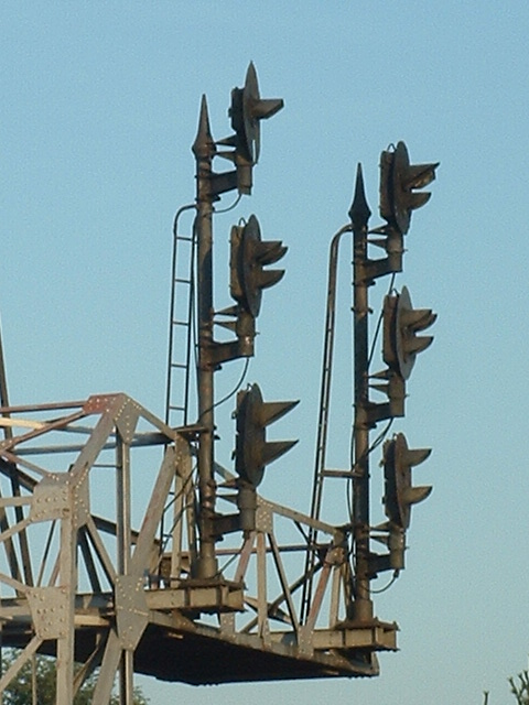
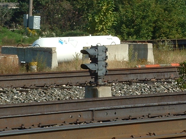
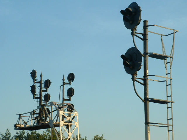
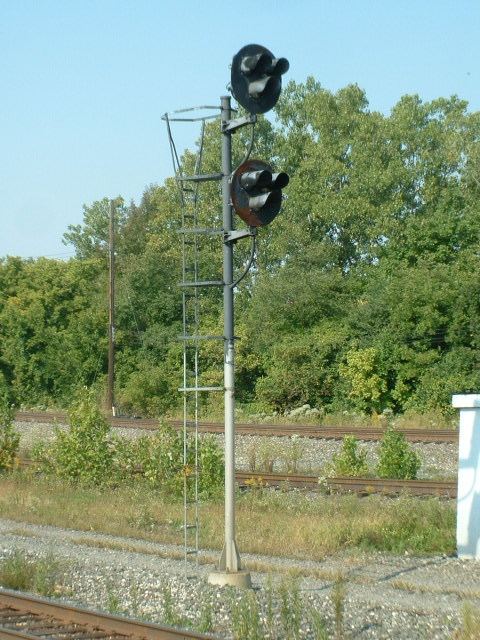
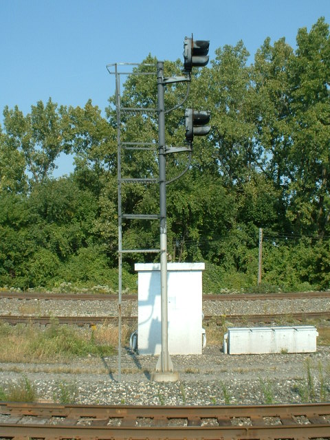
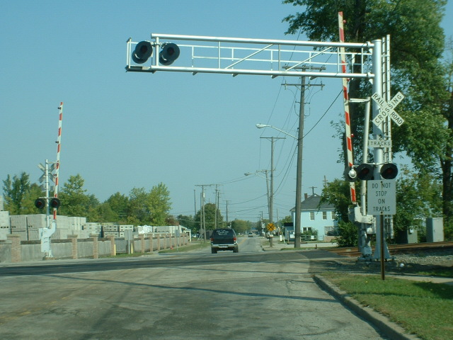
Berea is also as much about signals as it is of trains.
Because of the interlocking, signals are all over the place. On the far
side of the tower from where most pictures are taken, old New York Central
"tri-light" style color-light signals were replaced by Norfolk
Southern around ~2010.
Here are the scanner freqs I have come across for the Berea area, I hope they are good:
NS: 161.070, 160.350, 160.980 (Rockport Yard)
CSX: 160.485, 160.800, 160.860
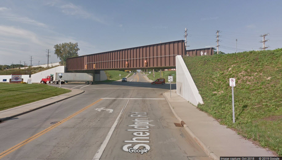
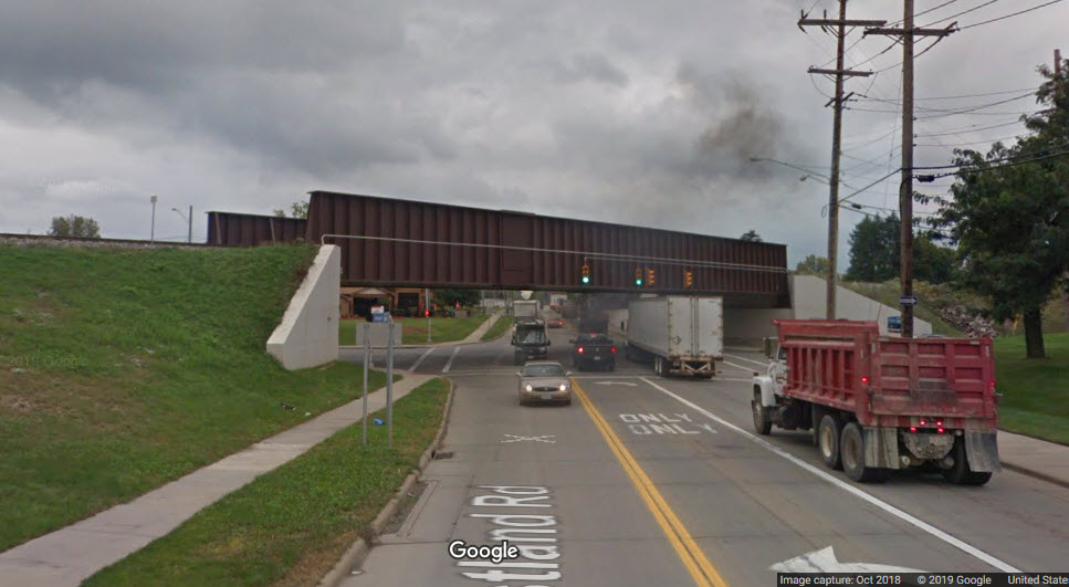
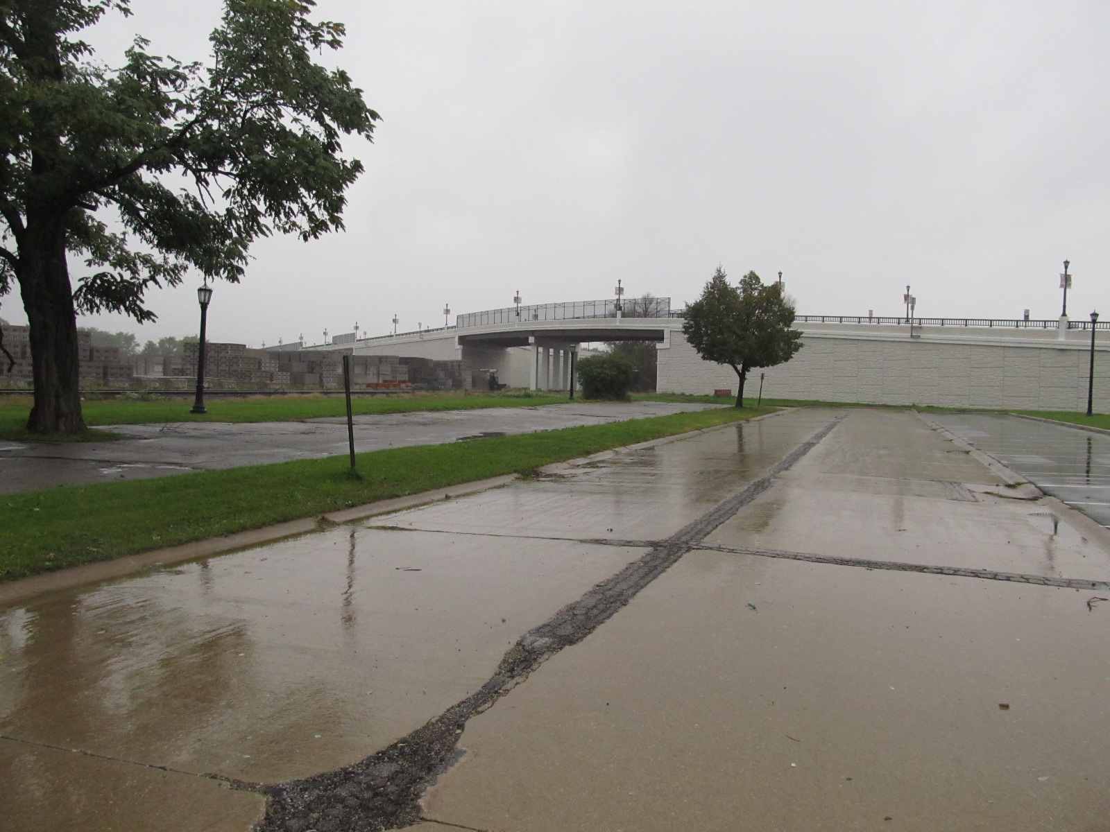
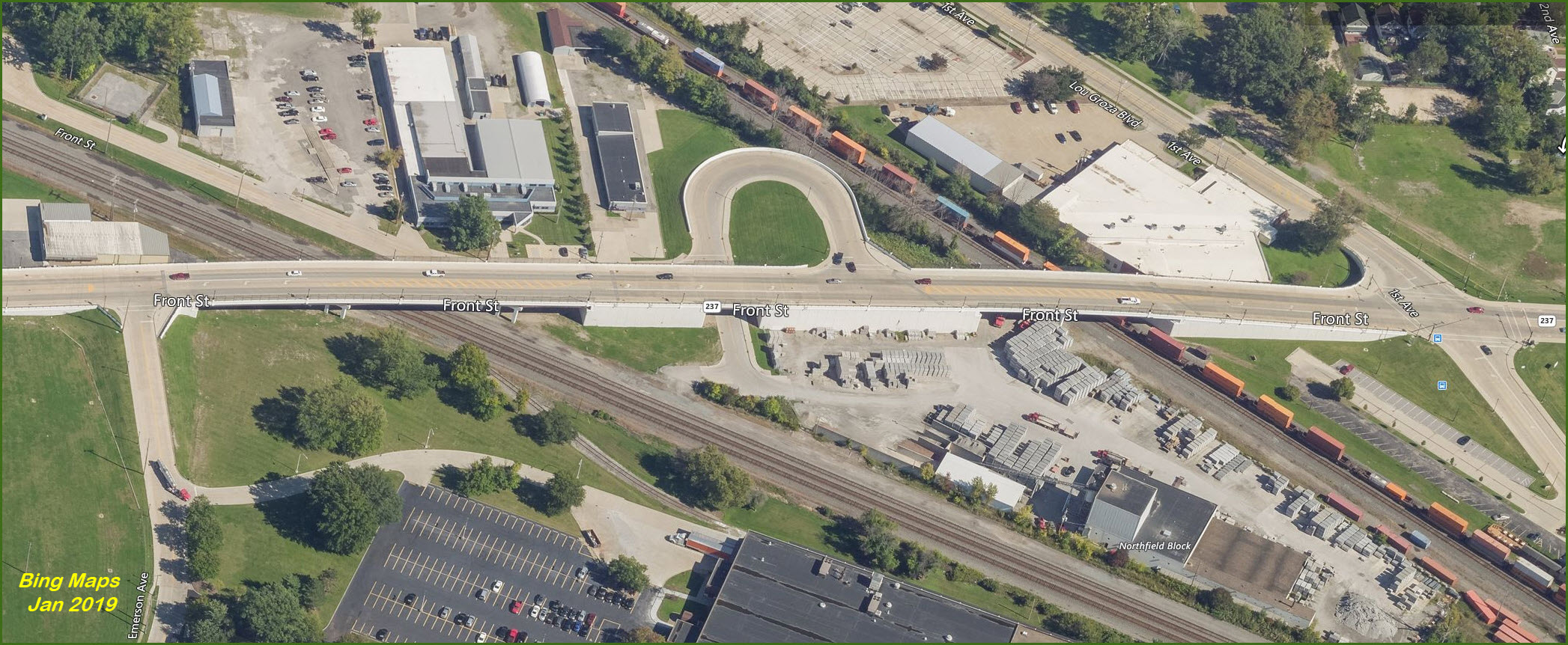
With the opening of the new Front Street overpass, it gives
the railfan a new perspective to shoot from, although because of the distance
involved from one track to the other, you'll have to be an excellent sprinter to
go between NS and CSX trains if they're coming at you fast.... take a friend and
share the photos! :-)
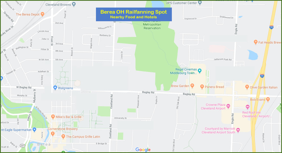
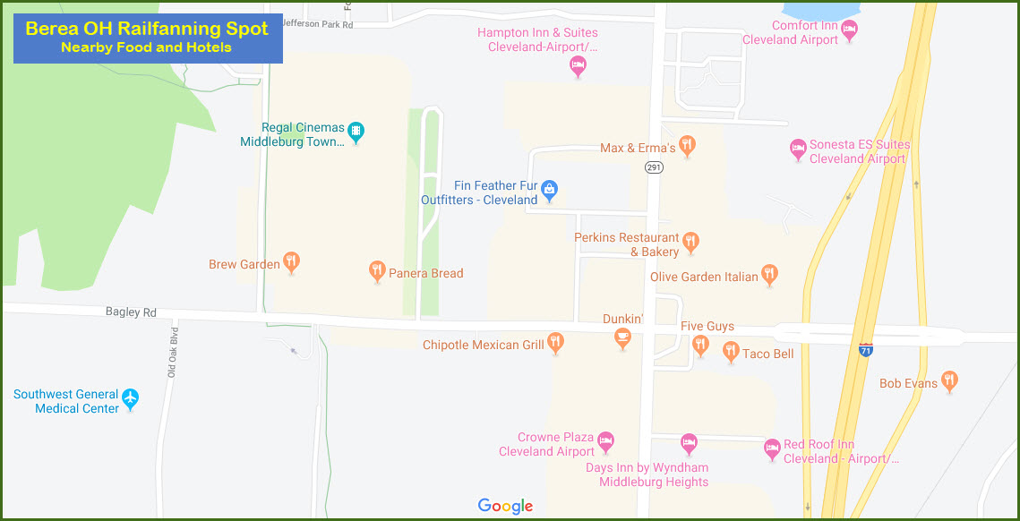
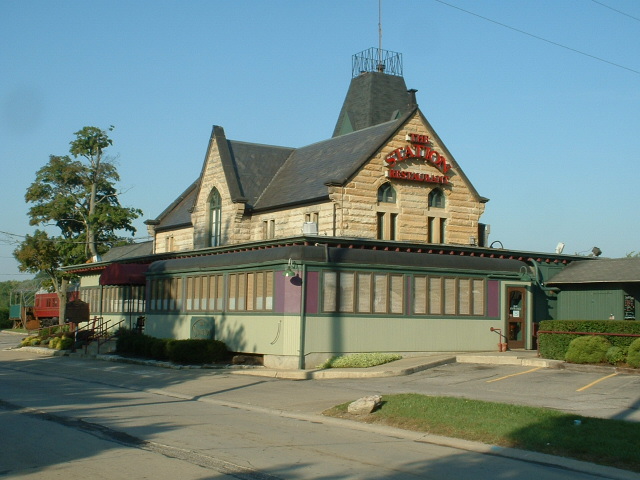
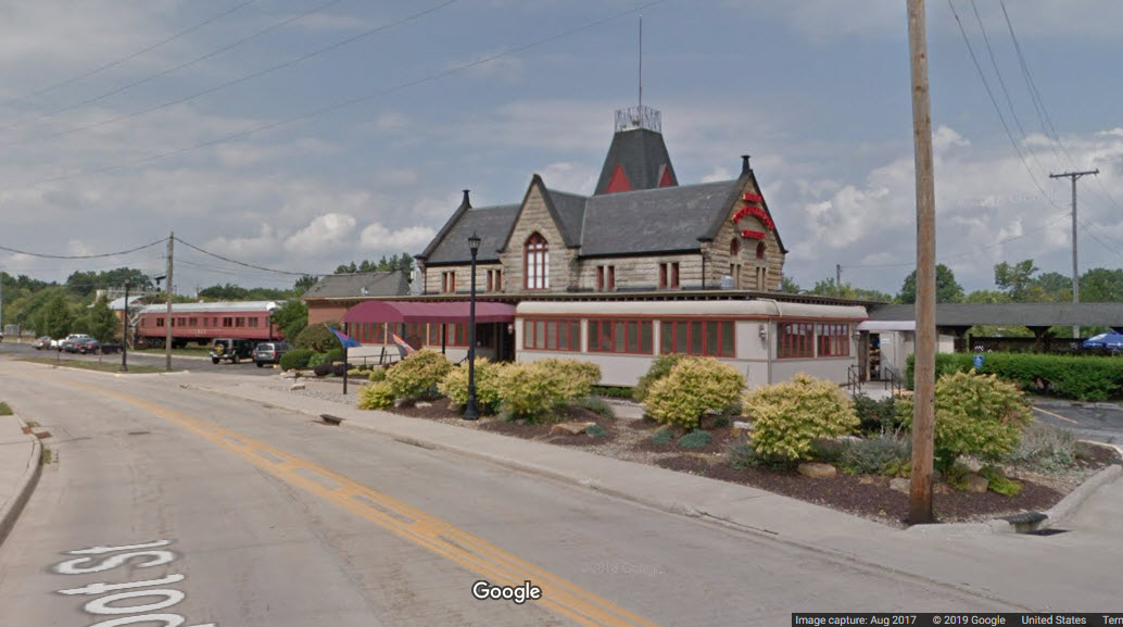
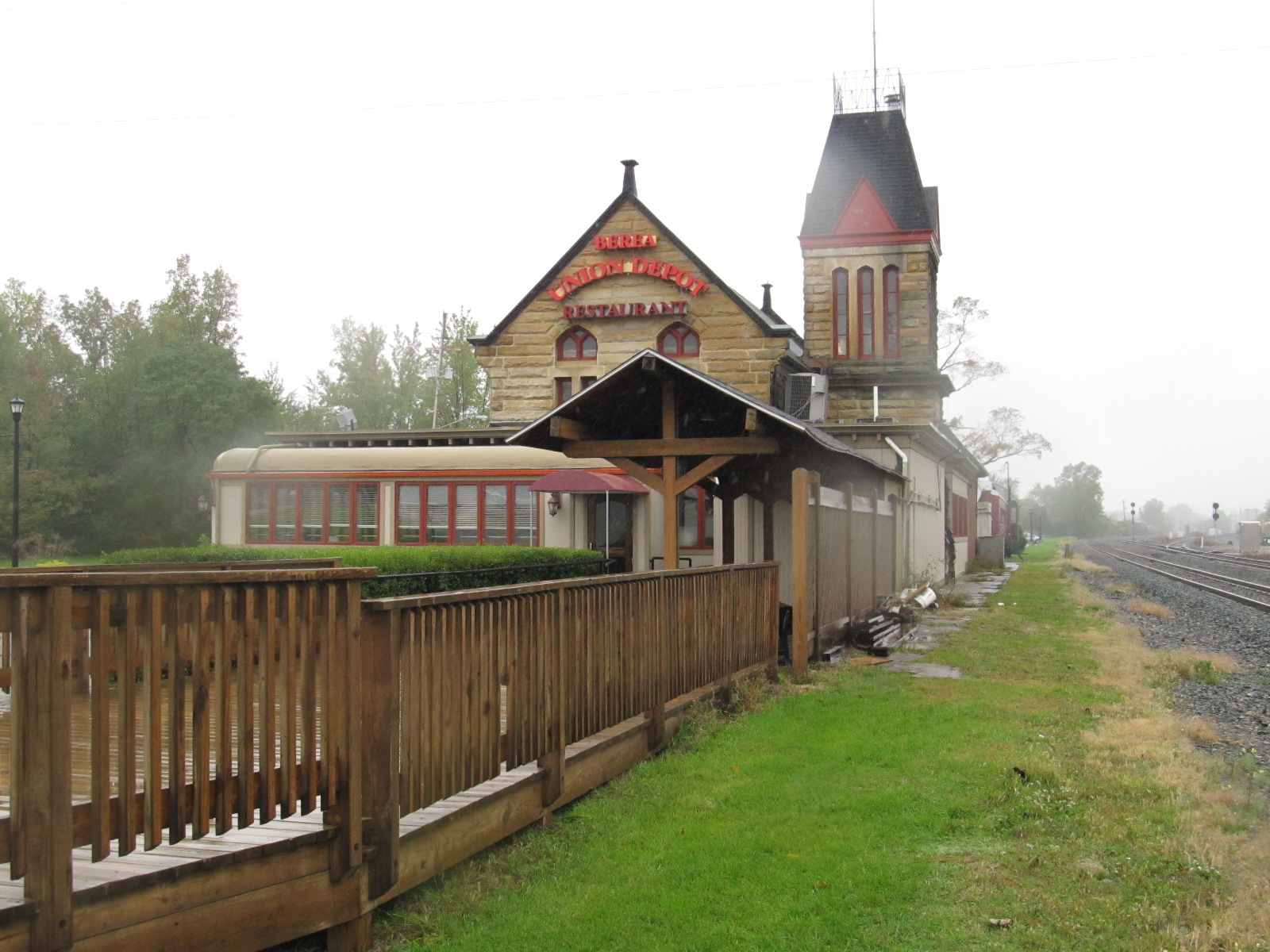
Food is very convenient. I have not eaten at the depot restaurant since it
has re-opened, but before, it was very good. Along Bagley Road, you
can find just about anything as seen below, but most of "it" is on the west side
of the interstate.
There are no picnicking facilities, and there are no public restrooms on site,
if you use the restaurant bathroom, please buy a coke or something from them for
the privilege.
There are several motels in Middleburg Heights area, about 10 minutes away
adjacent to the I-71 exit. Some
are pricey, other are more reasonable. One has a distant view of the NS.
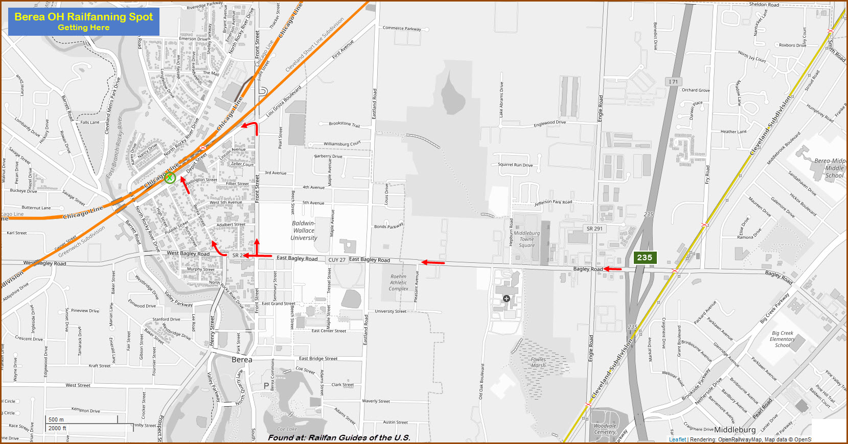
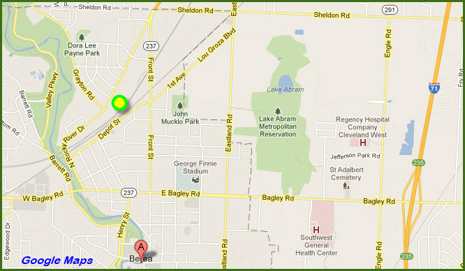
Once in the Cleveland area, perhaps the easiest way to get
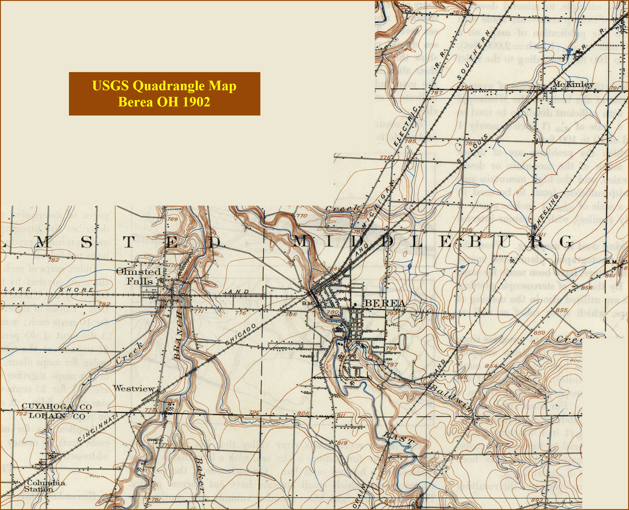
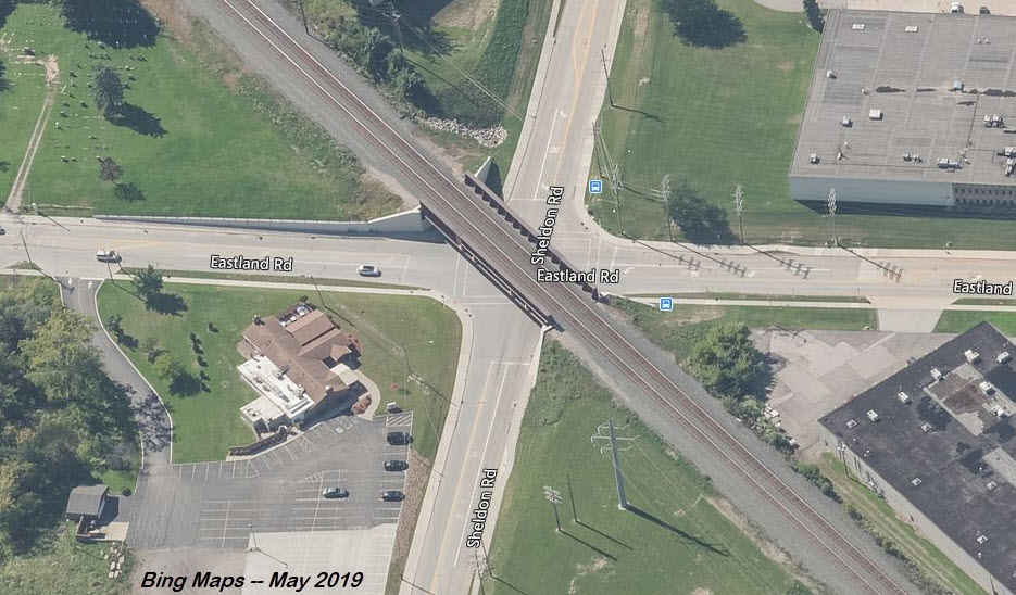
here is off of I-71, exit 235, Bagley St. Take Bagley St west to Front St
and take a right. Hang a left onto Depot St before you go over the tracks
on the "new" overpass.
If you're coming to Berea from the downtown area, or off
I-480, it's probably quicker to take the Berea Freeway, 237, south past the
airport, and then take a left onto Front St, crossing the tracks on the overpass
and taking an immediate right onto Depot St. The Norfolk Southern tracks
will be on your left as you're southbound on 237.
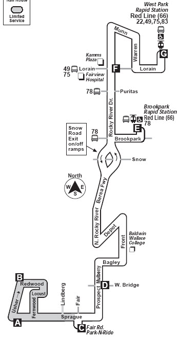
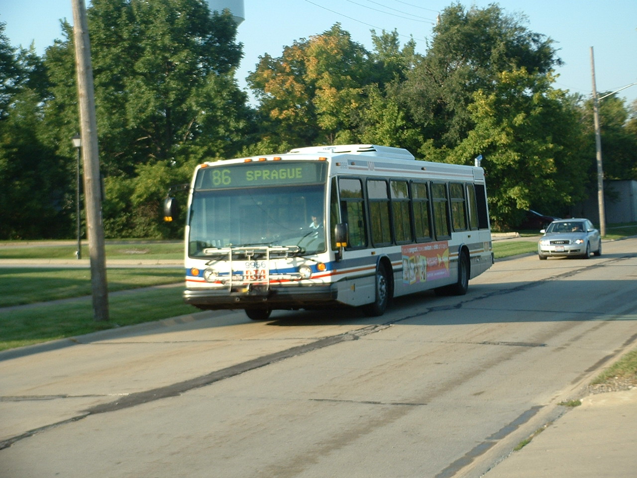
For those of you who enjoy taking transit and/or the bus,
the #86 comes right by here, altho it is a local Berea bus. It connects
with the Red #66 (airport) rail line at the West Park
and Brookpark stations.
As you get to the traffic light at the bottom of the overpass, take a right onto Depot St
From the schedules below, you can see that if train #48 is late, you may be able to
catch it during daylight hours, as it is scheduled to pass thru just
before dawn, however, you would have to be on the east side of Cleveland,
and not in Berea unless it is running really late.
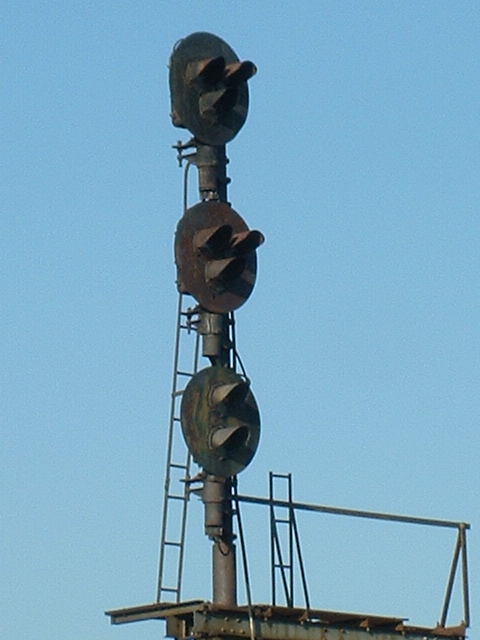
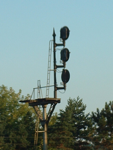
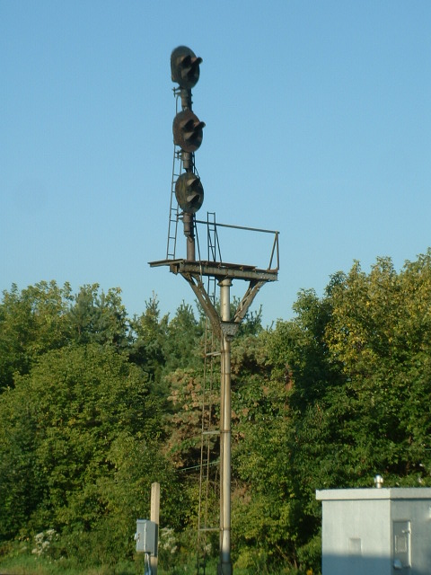
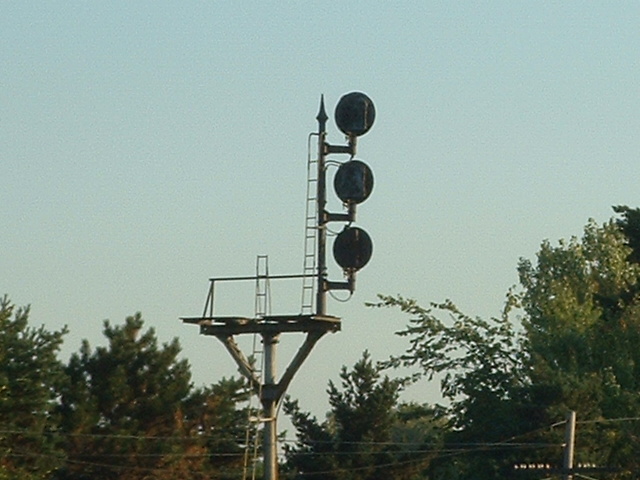
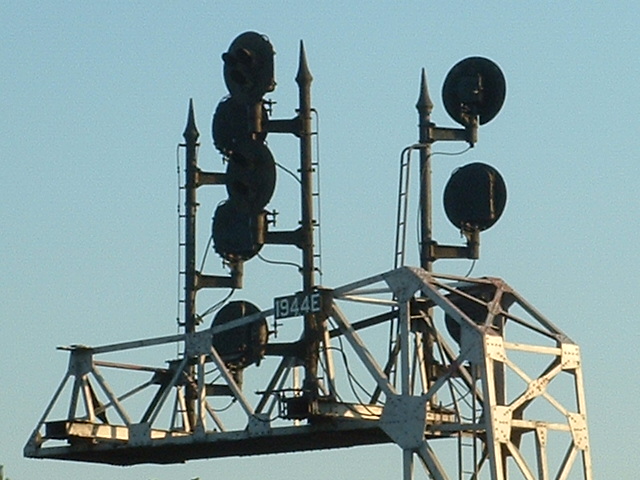
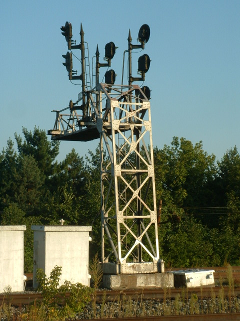
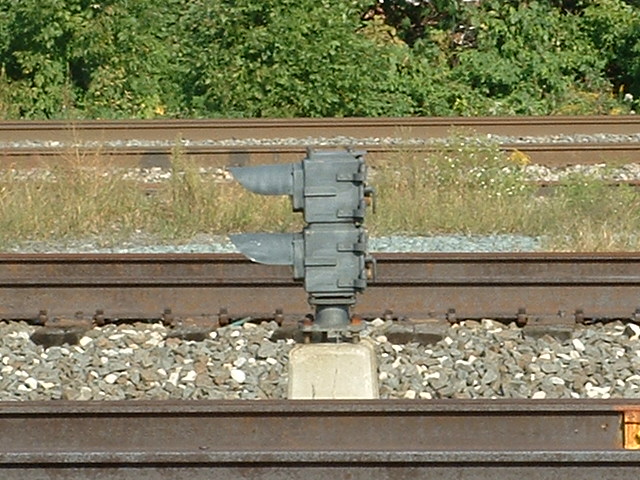
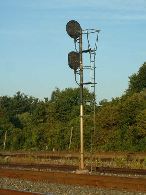
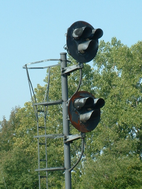
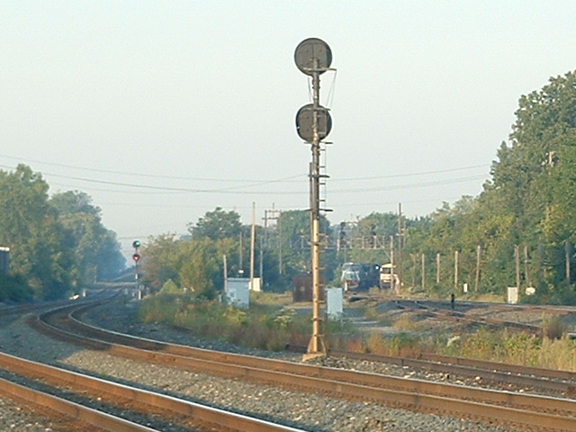
Most of the signals at Berea used to be
US&S color lights arranged in a triangular fashion, some fans call them tri-lights
because of this arrangement, but signal maintainers just call them color light
signals.
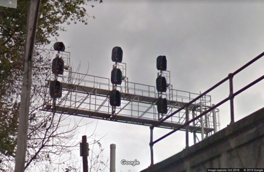
I believe it was in 2010, that most of the older signals
were replaced with new colorlight signals by NS. The signals replaced were
at locations 1 and 2, the bracket post and the cantilever signal bridge.
Maintainers had said that the poles were in such bad shape, that they were
afraid to climb up on the signals.
Before
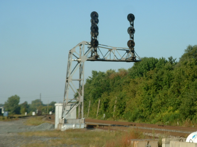
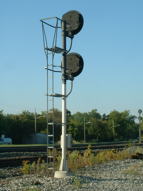
This signal was replaced along with the one below, both sets of signals are now on one cantilever signal bridge
Before
In the middle
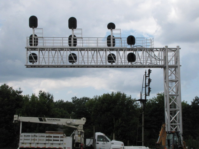
The new signal bridge is in place, but at 90 degrees, waiting for the cutover, 7/27/2009
After
10/3/2011
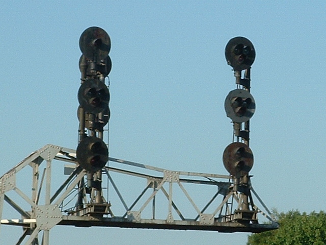
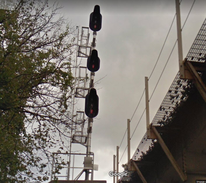
Three head signal for westbound CSX freights on Track 1. The bottom head, in contrast
to all of the other signals at this locale, appears to have only two aspects and is not
a "tri-light" with one position blanked out.
9/19/2007
10/3/2011
This signal controls movements for EB CSX trains going onto the Big Four
Connector and the connection with the NS.
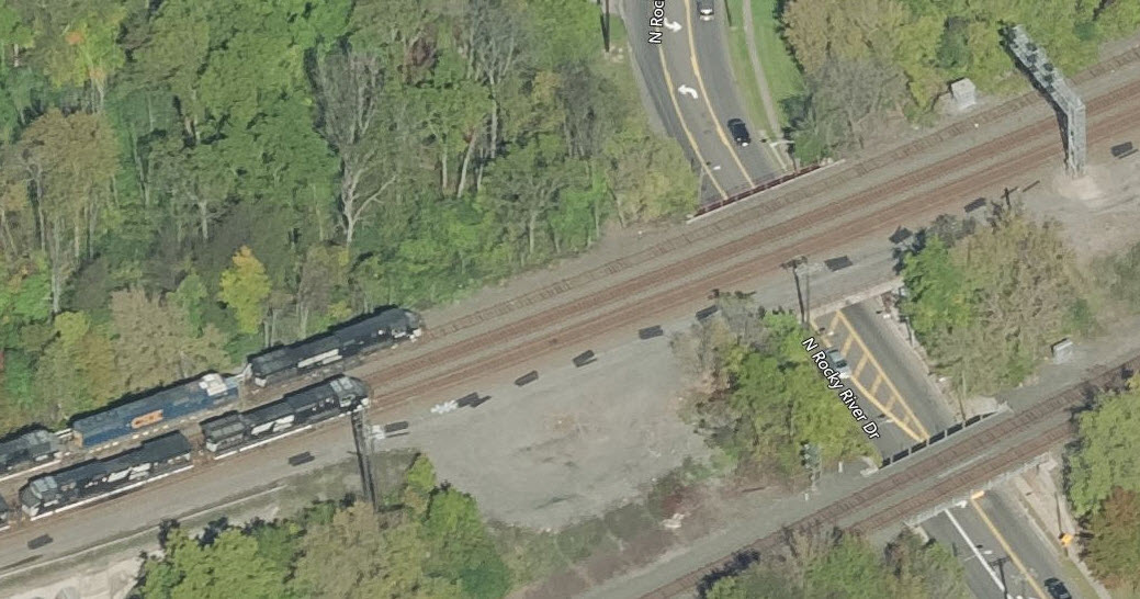
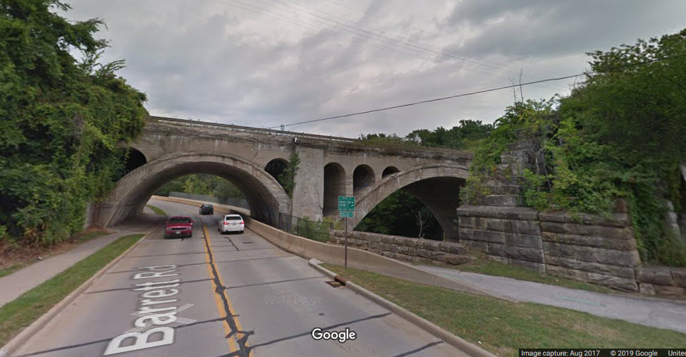
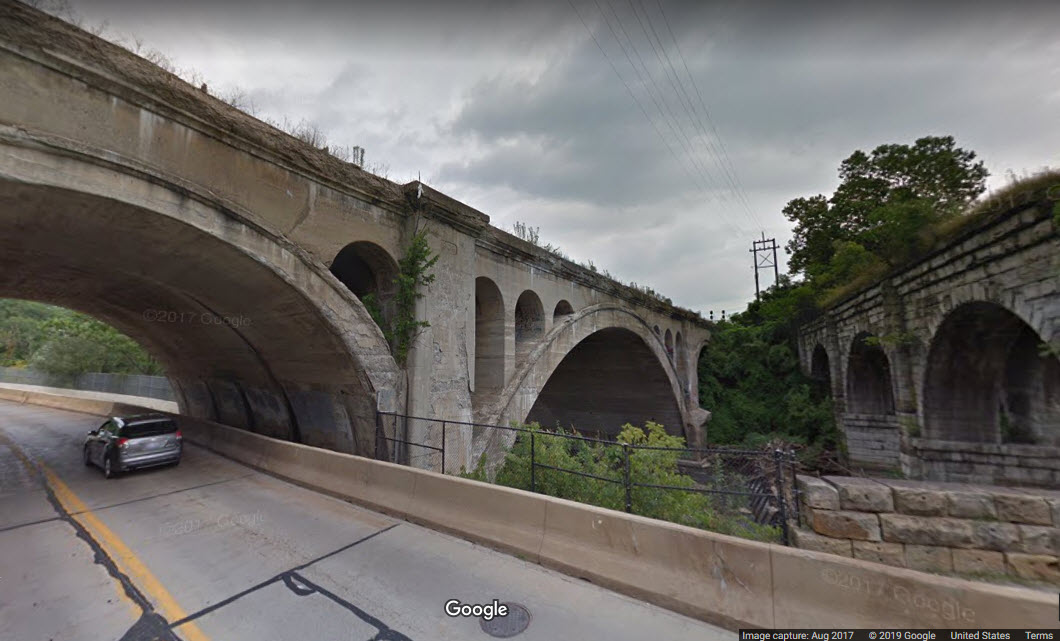
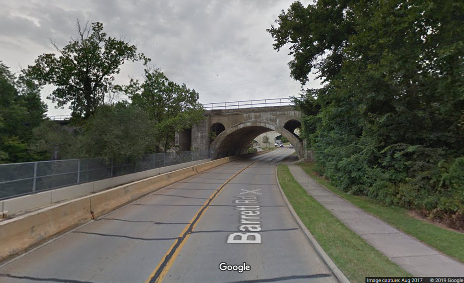
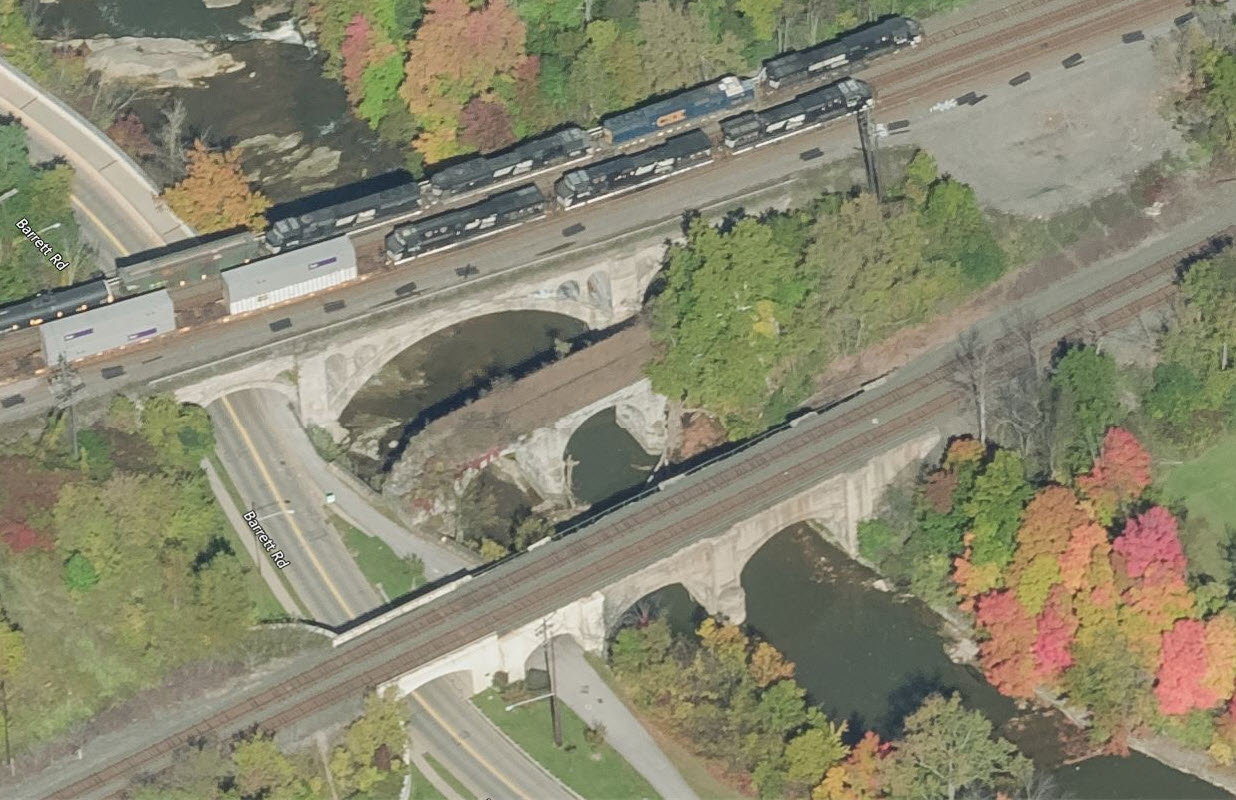
The only photogenic bridges trains pass over are the three going over Barrett Road and the
stream. The other three are run of the mill railroad bridges.
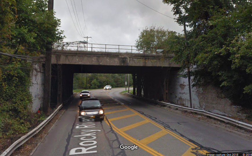
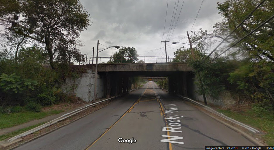
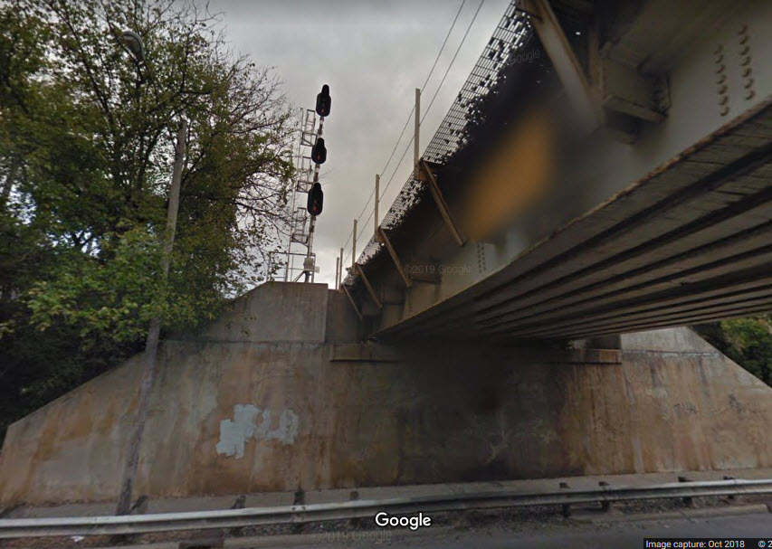
NS Over Rocky River Drive
Both the NS and CSX overpasses are ho-hum, but you can get signals in the
shots if you frame it right.
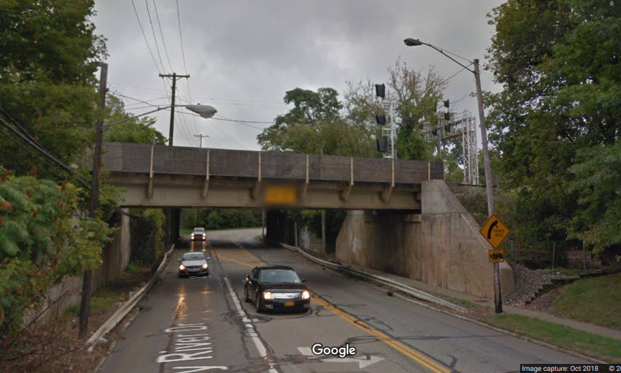
CSX Over Rocky River Drive
Again, not quite as photogenic as the ones over Barrett, but at least you can
get signals in this one....
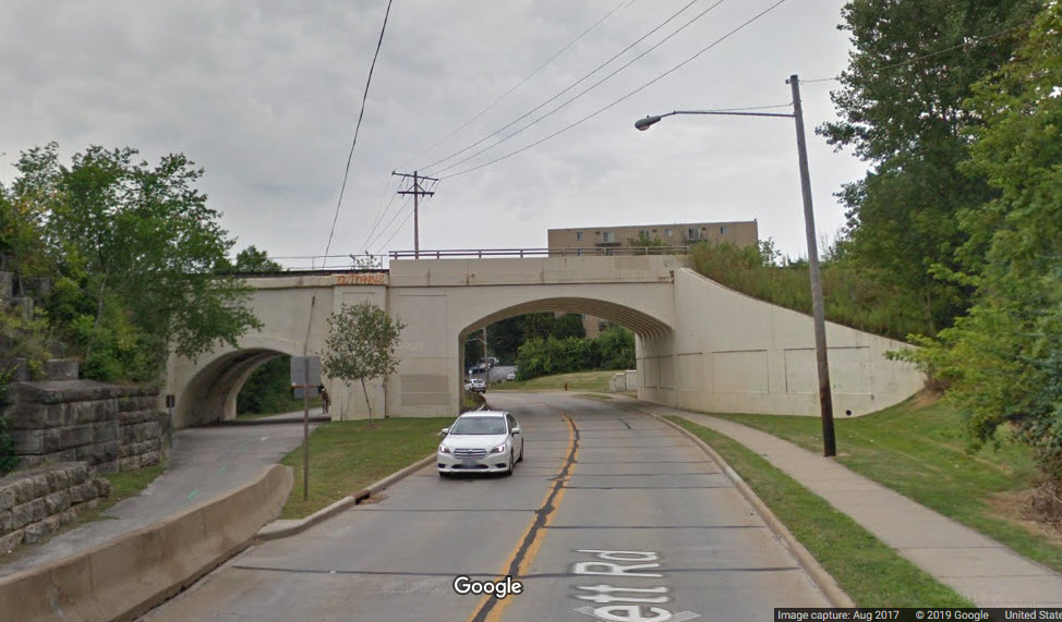
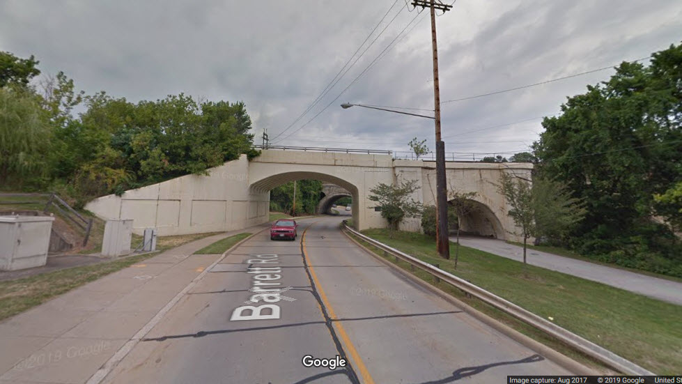
NS Over Barrett Road
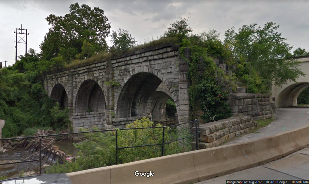
Ex NYC Over Barrett Road
Can't tell you anything about this bridge, or when it was taken out of service
and/or the part over Barrett was torn down.... can anyone help???


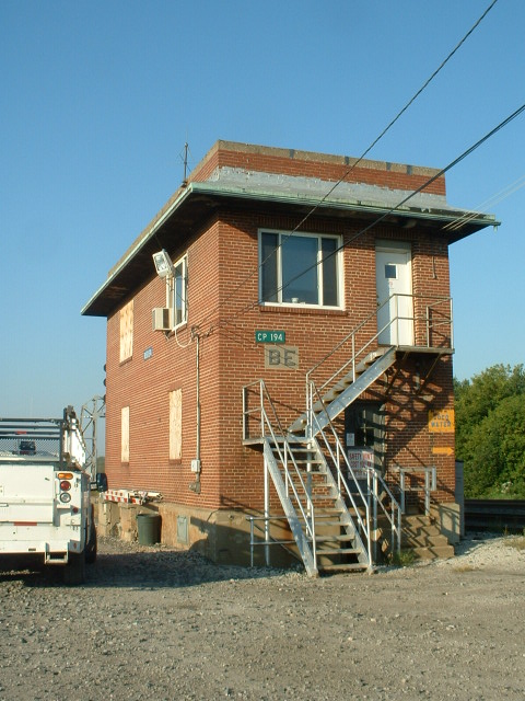
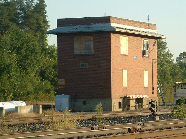
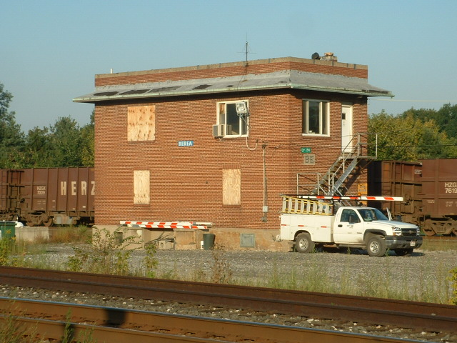
 A few shots of BE Tower
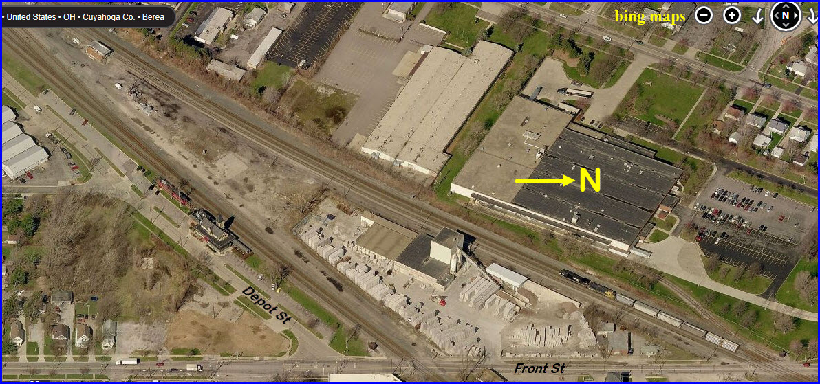
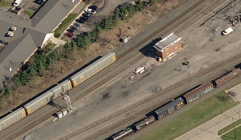
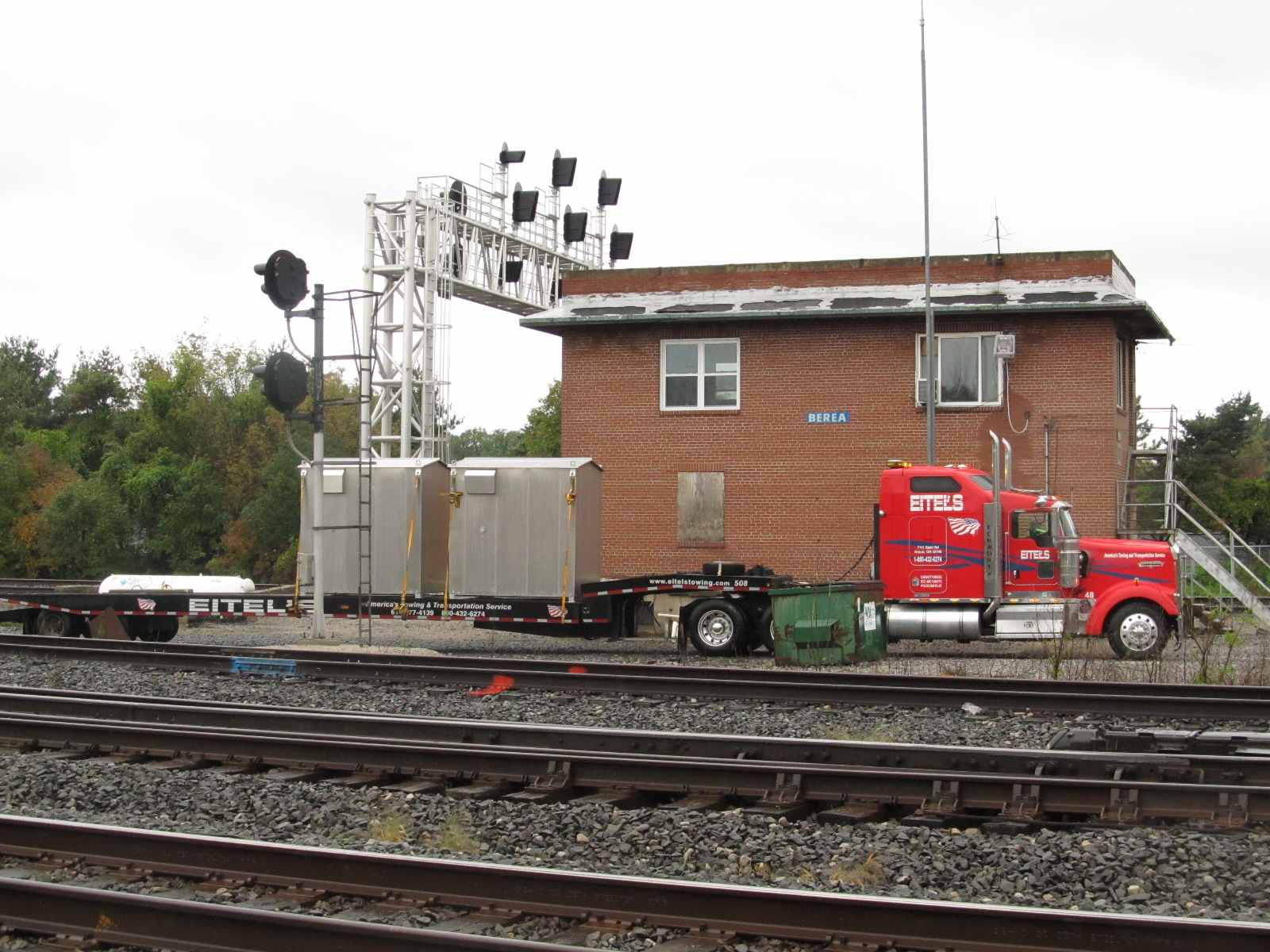 Monday 10/3/2011
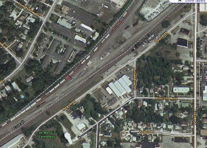 Overhead shot of the tower and station area.
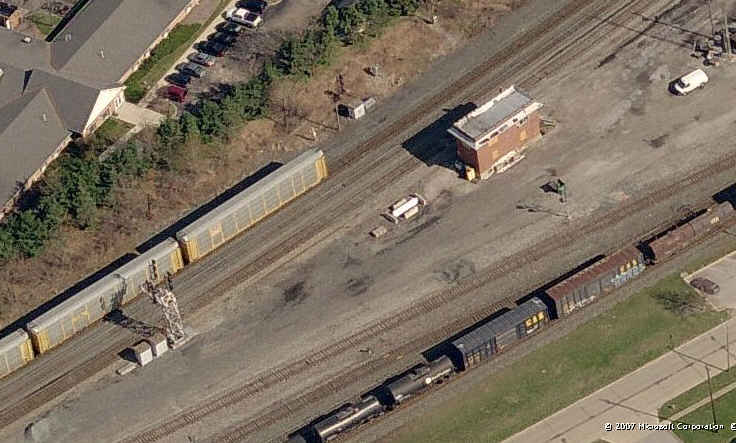 BE tower, and the two signals that are slated for replaced.
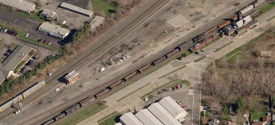 A shot of the tower and station.
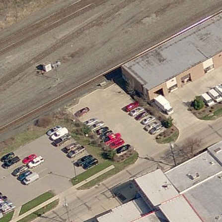 Another good place for pictures is at the end of this warehouse type building, a half mile down Depot St.
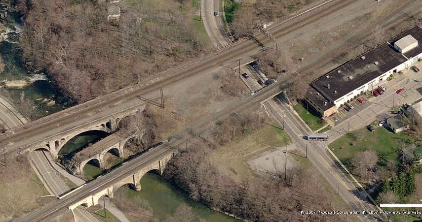 A couple of nice bridges just a little past Rocky River Dr, not sure if there are any good vantage points for them.
 9/19/2007
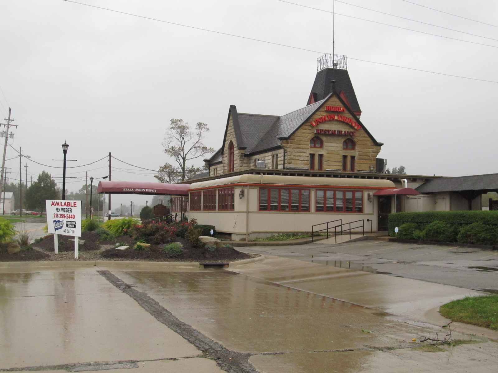

 10/3/2011
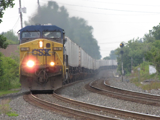
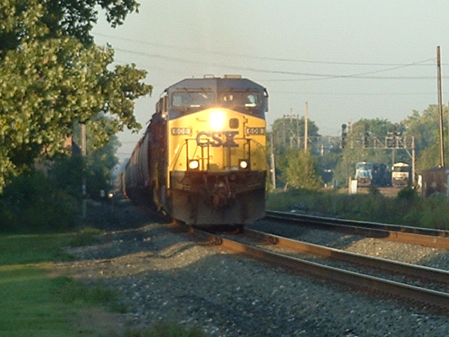 An Eastbound CSX Freight
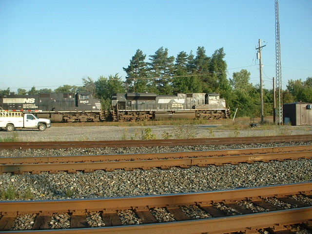
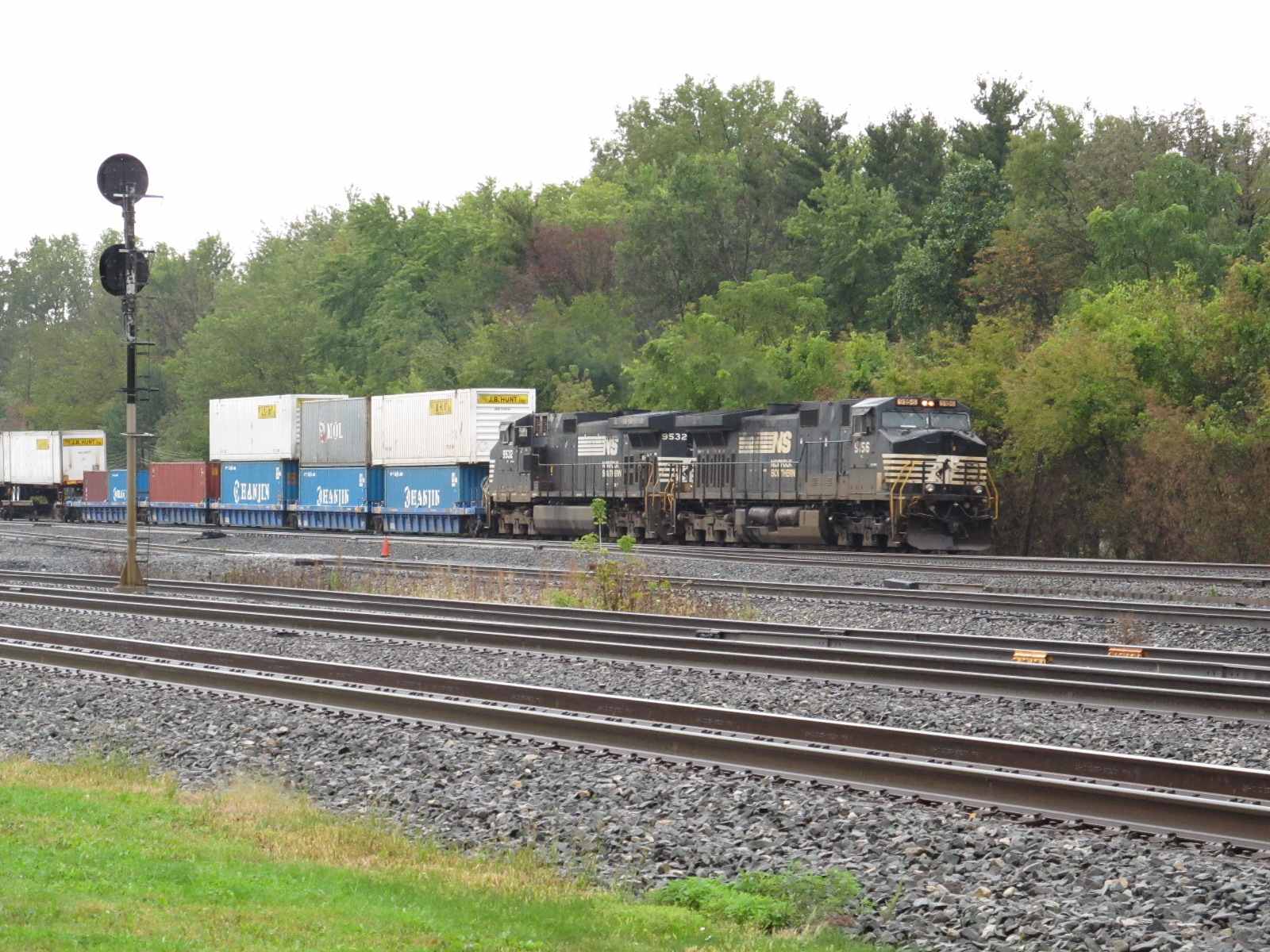
 An Eastbound NS Freight... just got done passing BE Tower
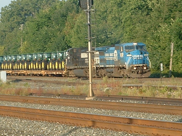
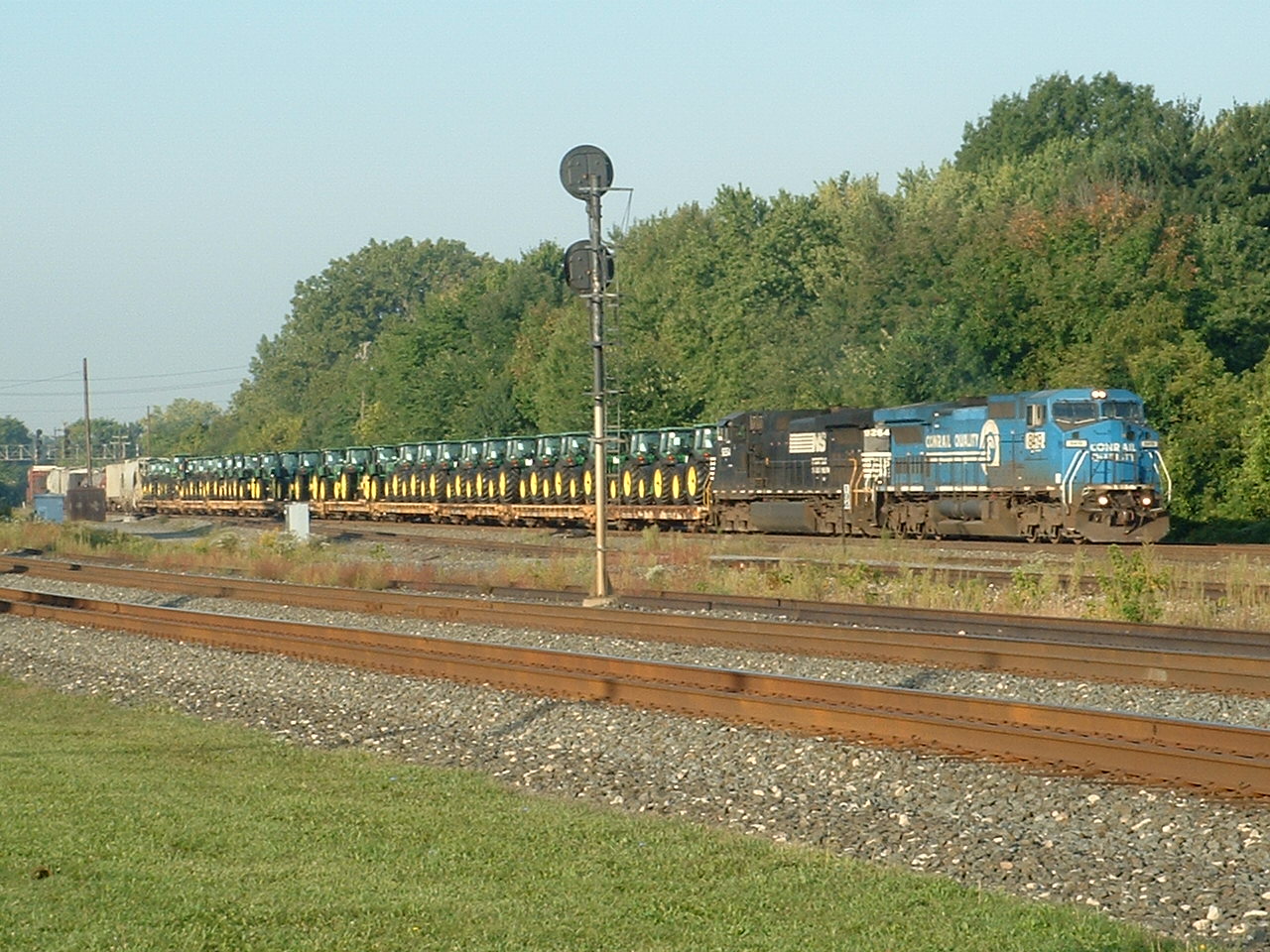 Another eastbound NS Freight, nicknamed the John Deere Freight
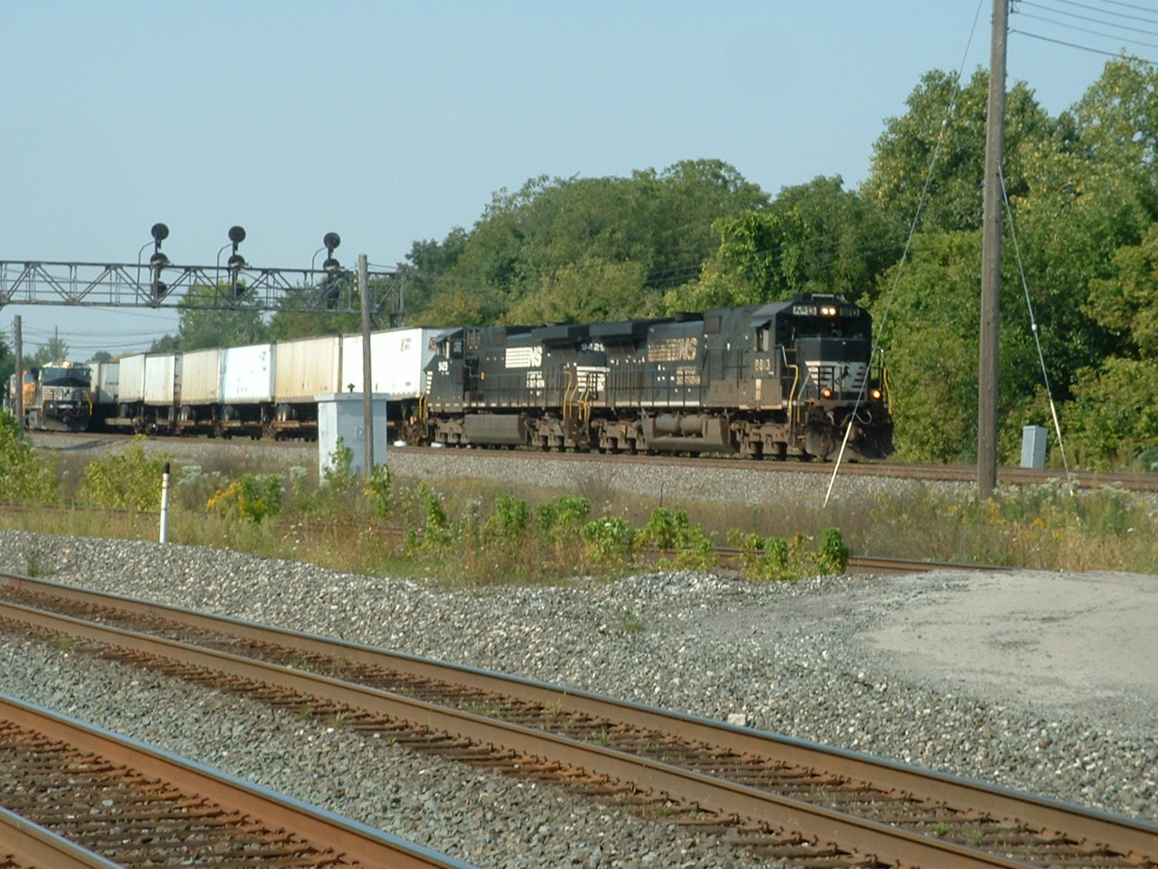
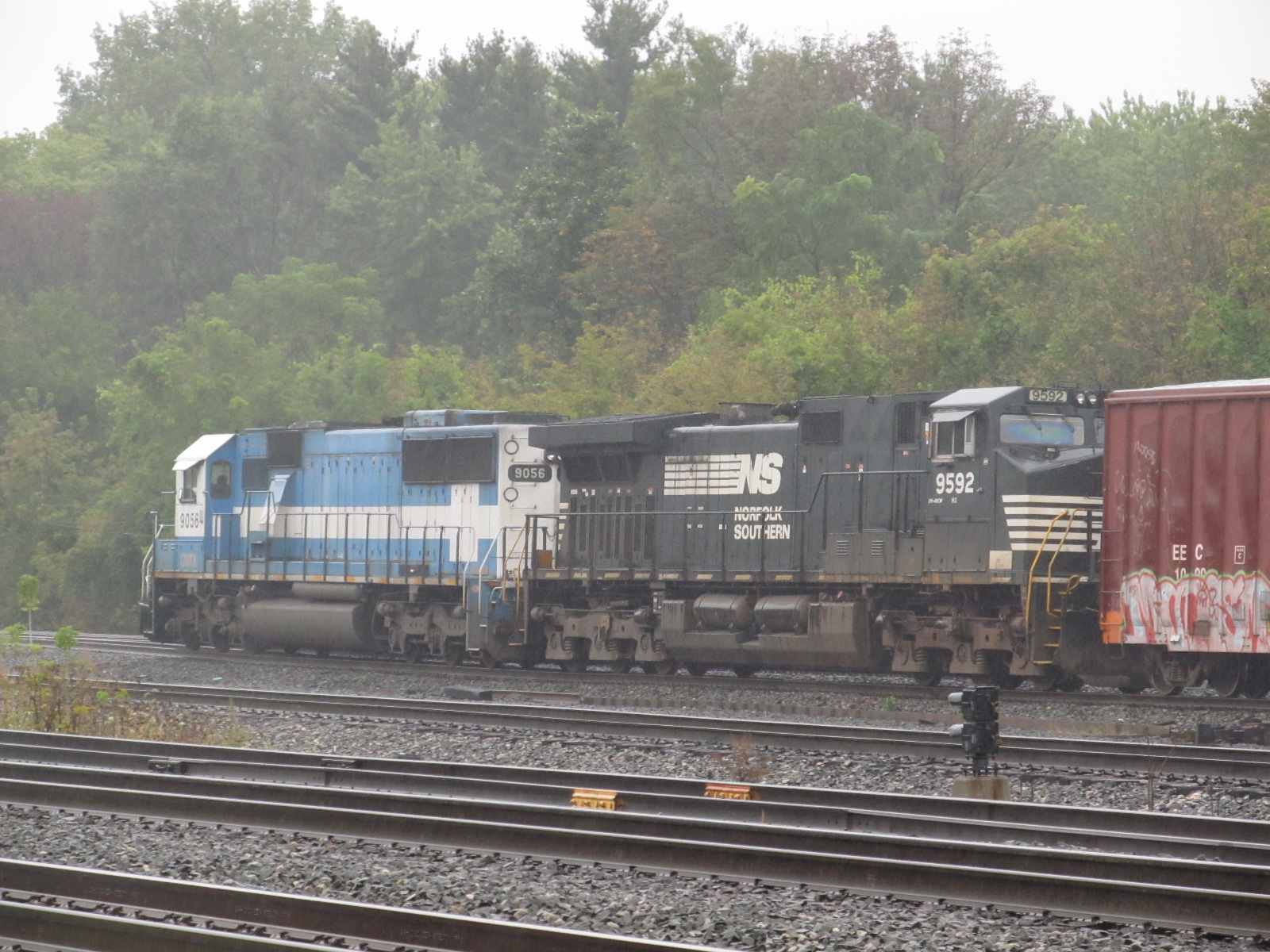
 Another eastbound NS Freight
 Westbound CSX freight at Front. 4OCT2004
 Two passing CSX freights at the station. Also 4OCT2004
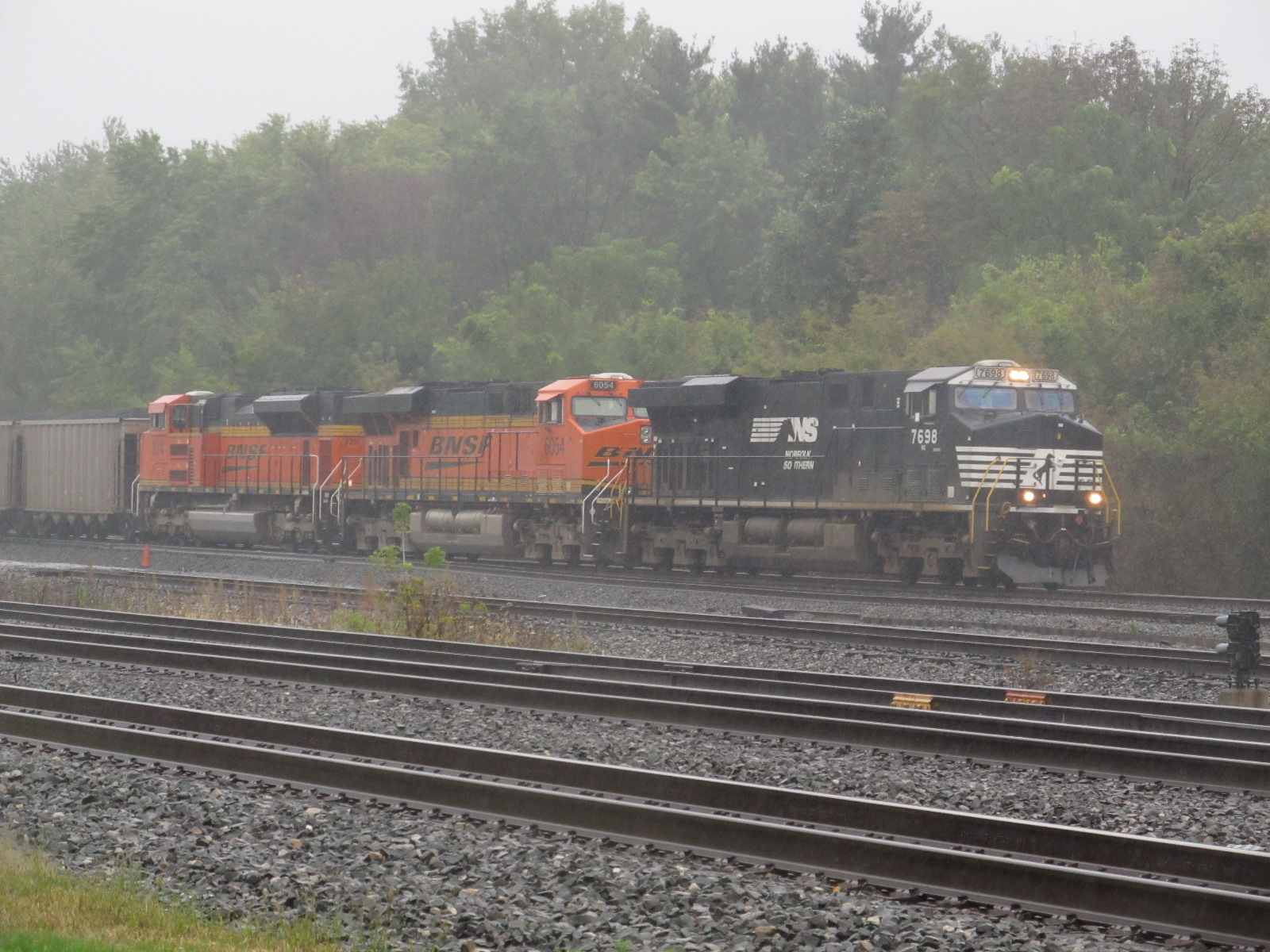
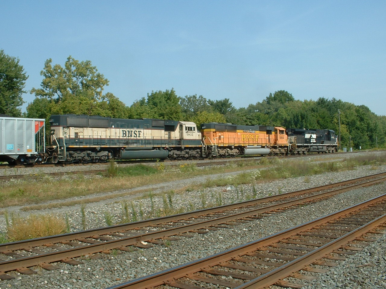 Waiting and waiting and waiting pays off with this "colorful" NS Freight with BNSF engines
 From 7/27/2009, the week of the big Owosso 4449 weekend....
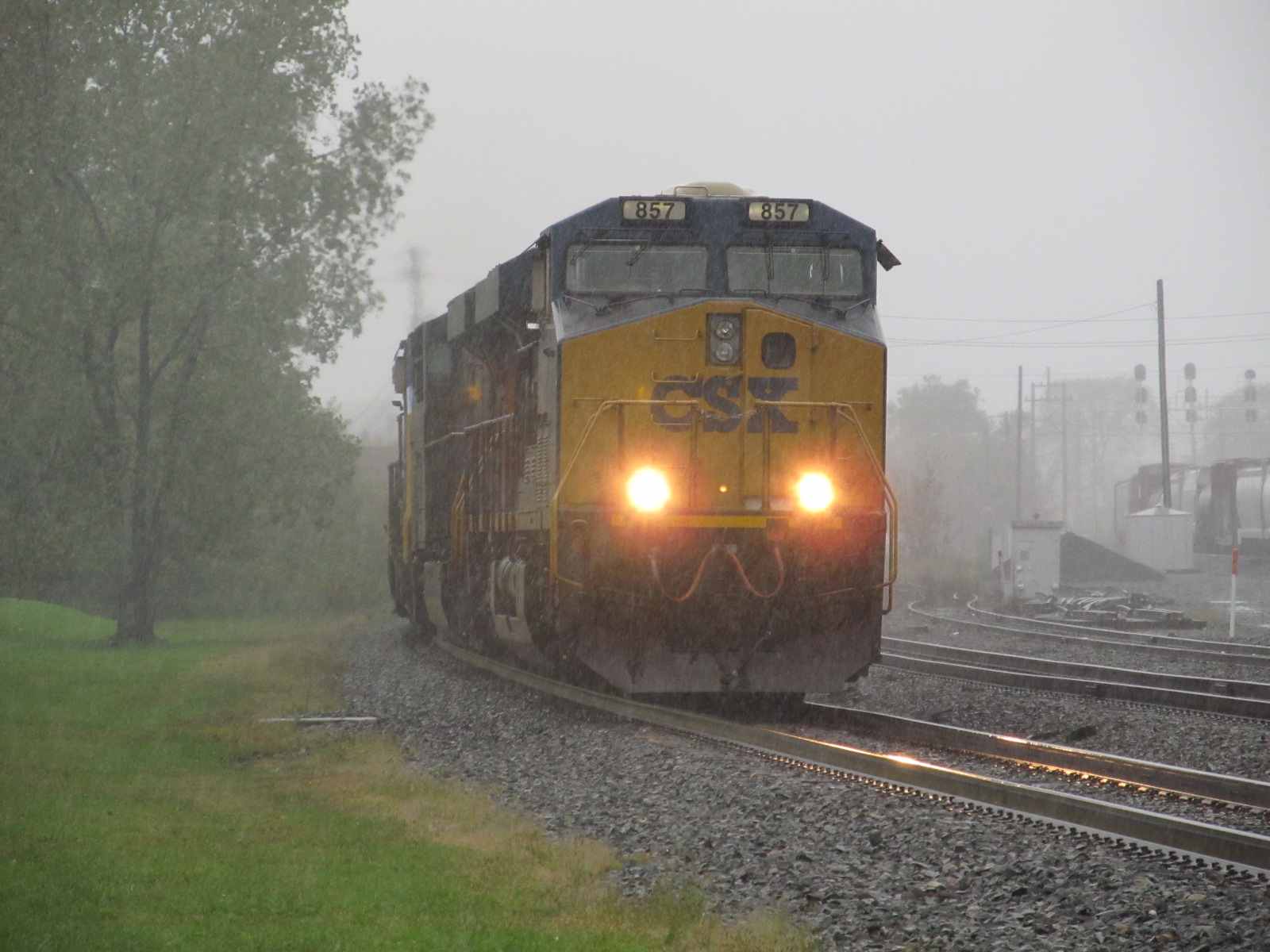
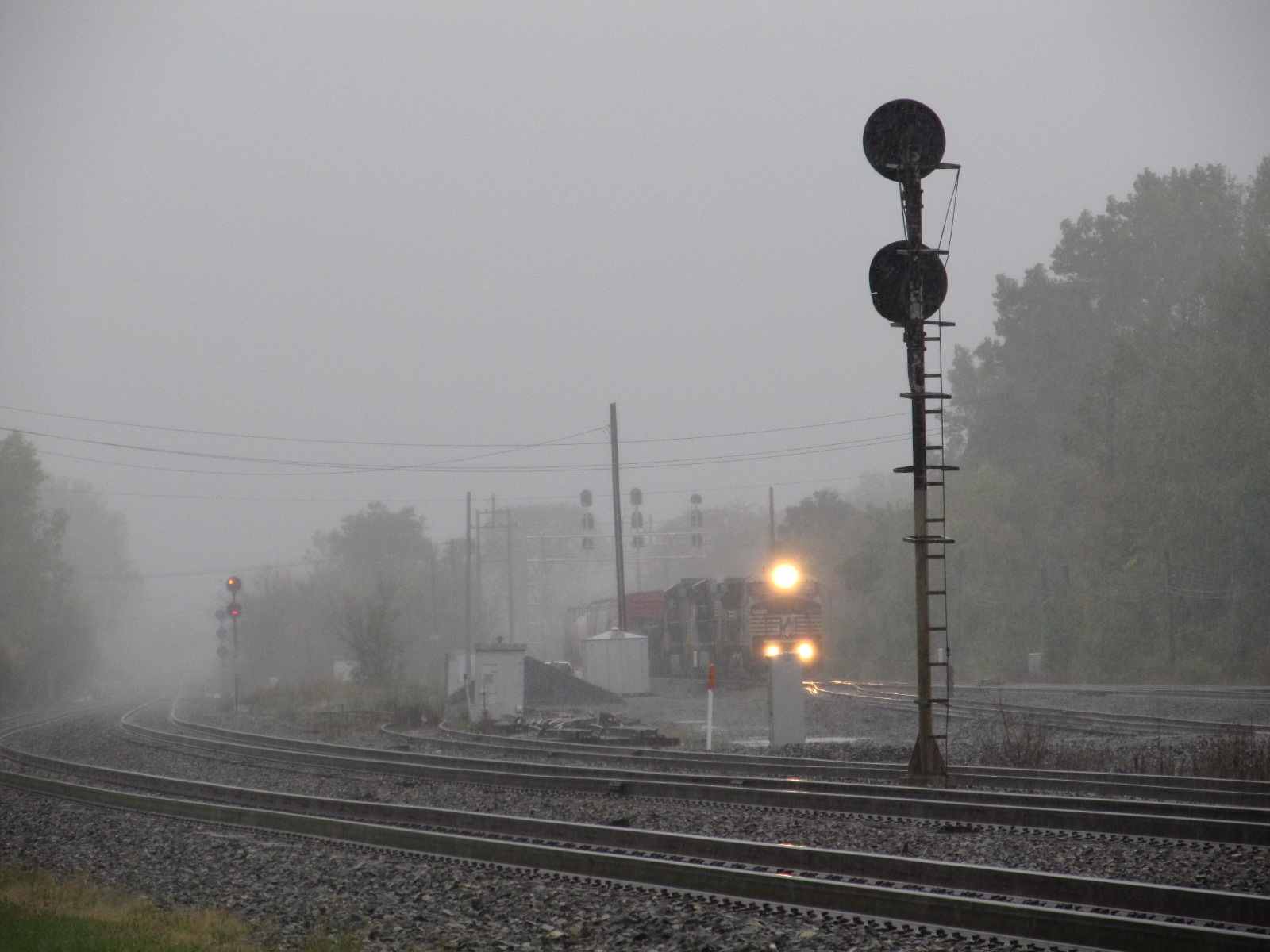
 On a rainy Monday morning Oct 3rd, 2011

 10/3/2011

 9/19/2007
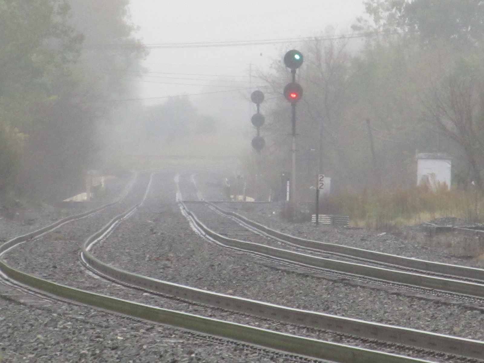 10/3/2011
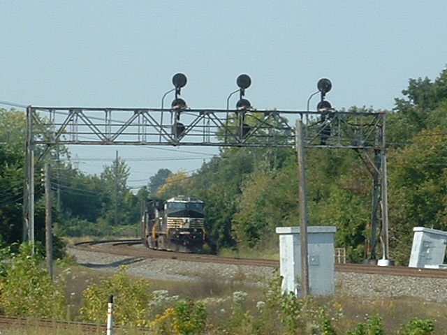
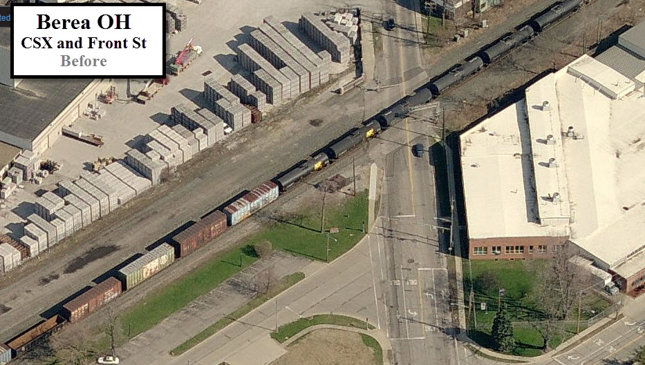
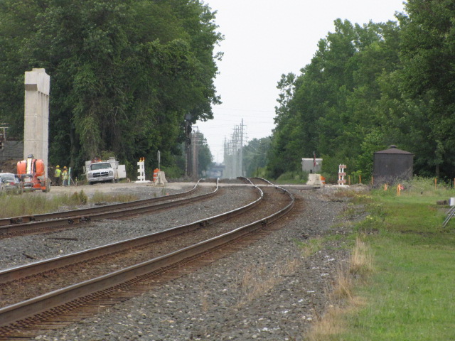
 CSX Grade Crossing, looking northish on Front all of these before shots, 9/19/2007
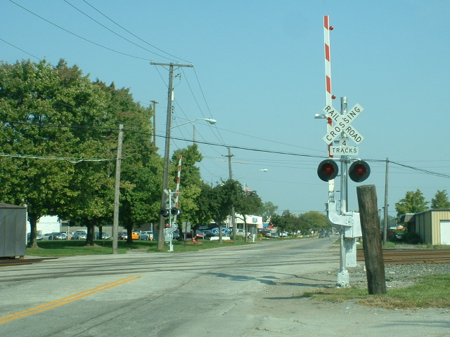 NS Grade Crossing, looking northish on Front
 Both Grade Crossings, looking south on Front
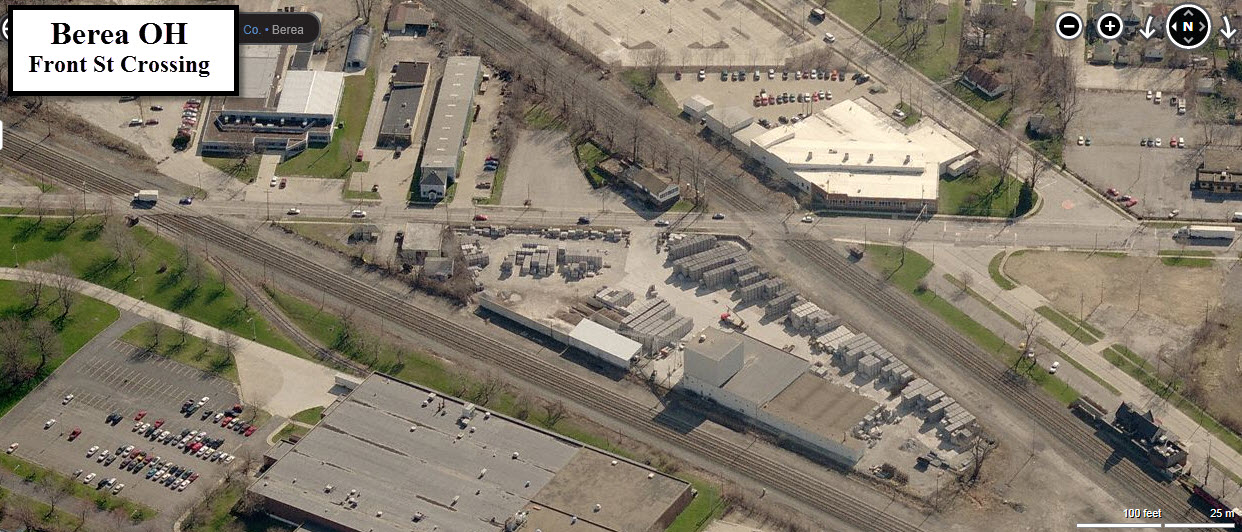
 One of the new piers has been poured 7/27/2009
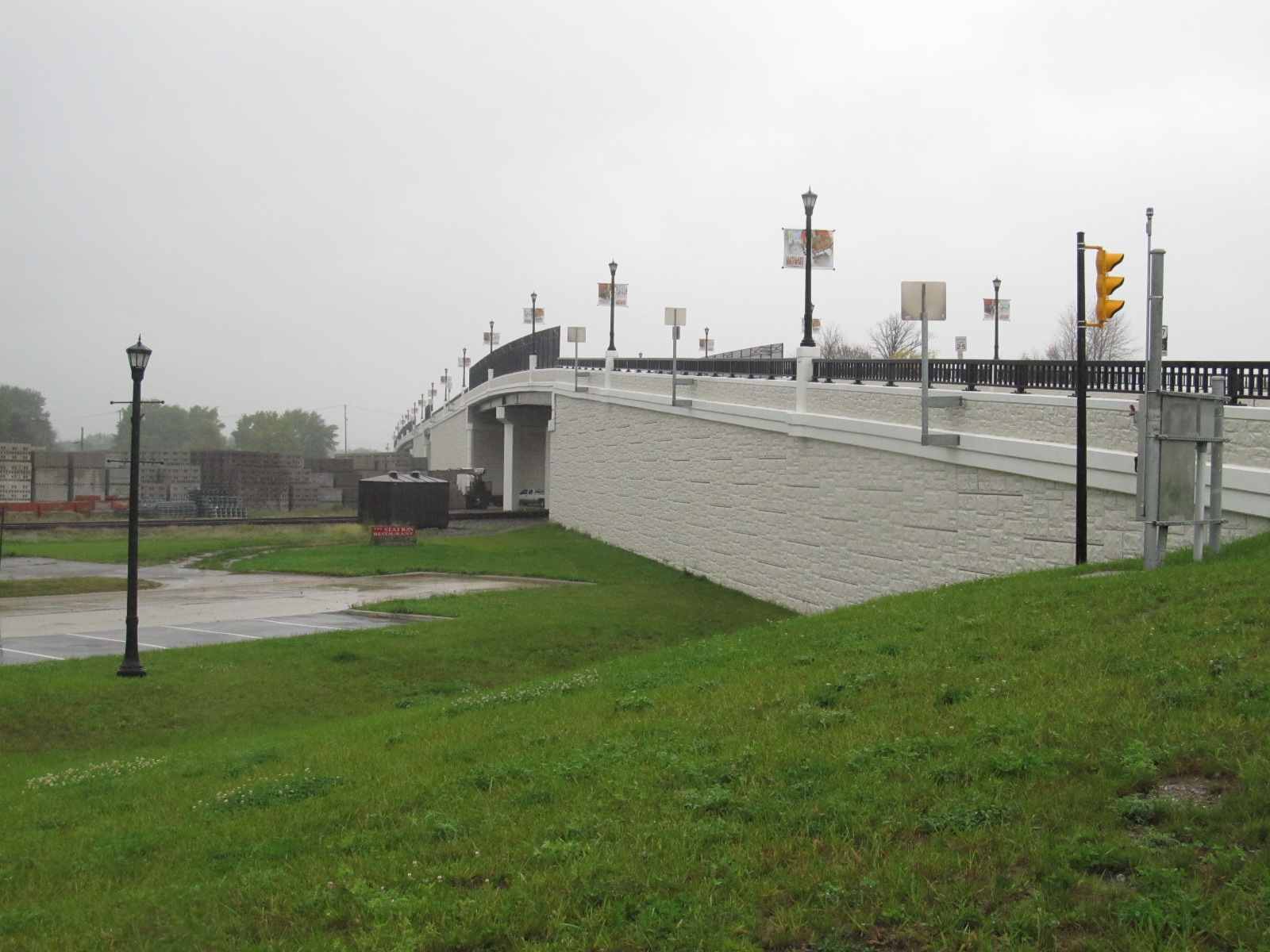

 9/19/2007
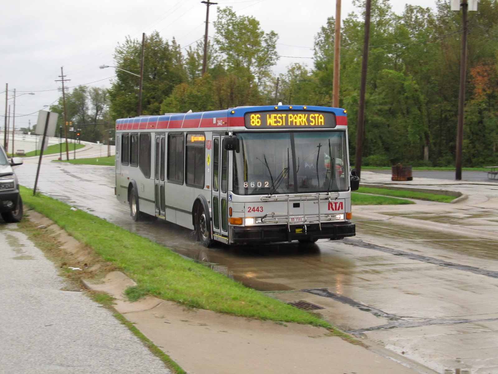 10/3/2011, RTA buses zooming by.
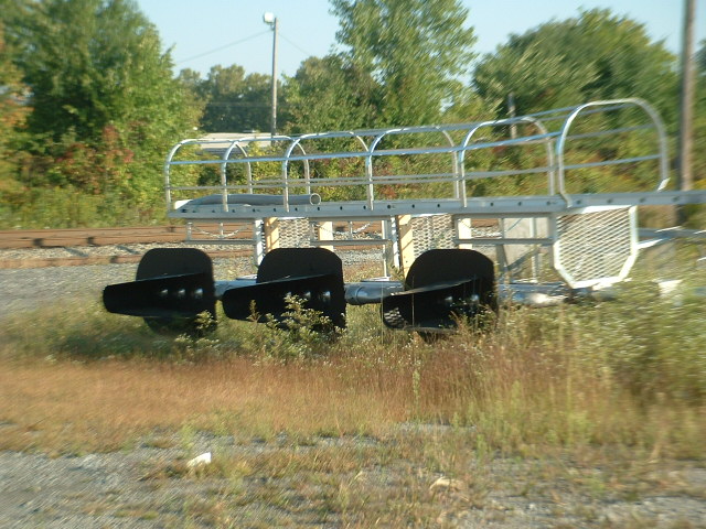
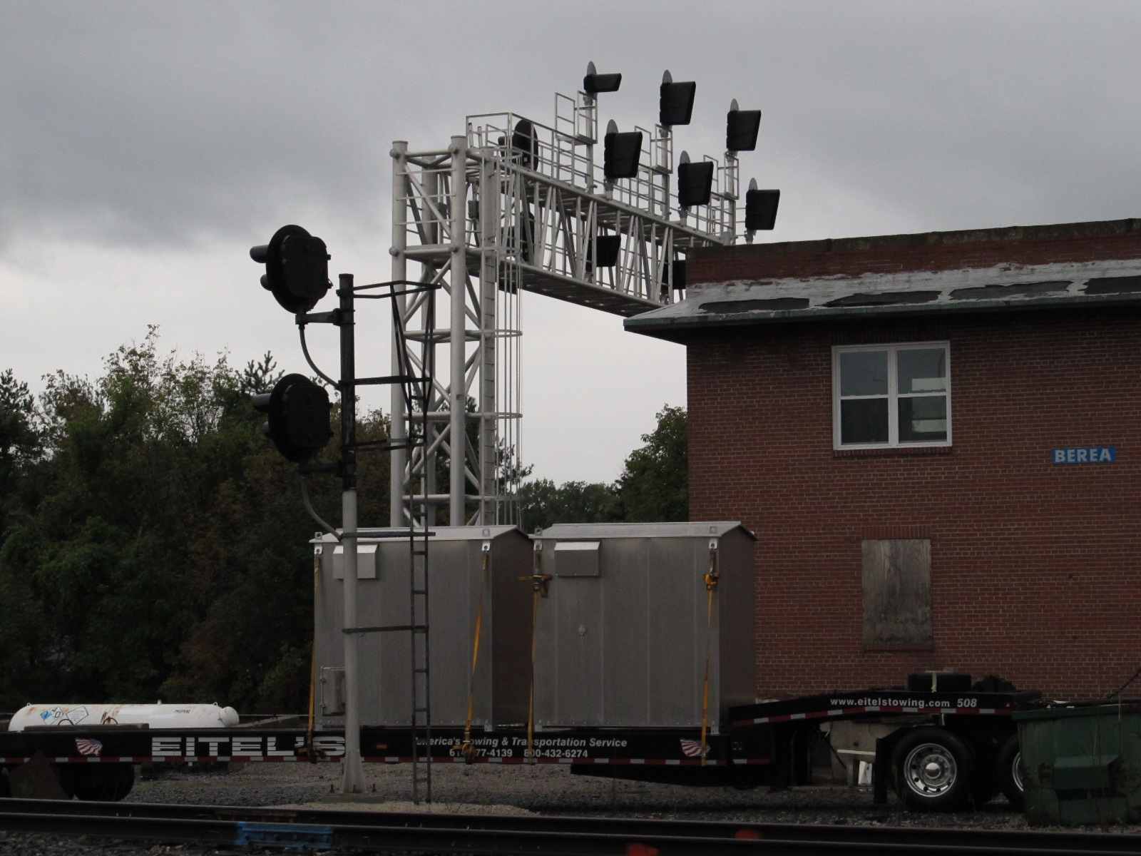
 New signal and bases ready and waiting to be installed
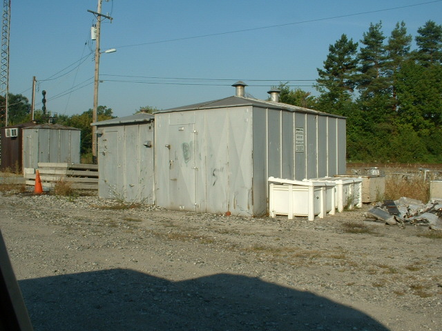
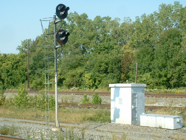
 Equipment cabinets for the signals