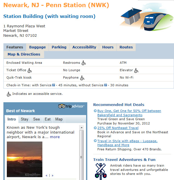
In General
How to get here
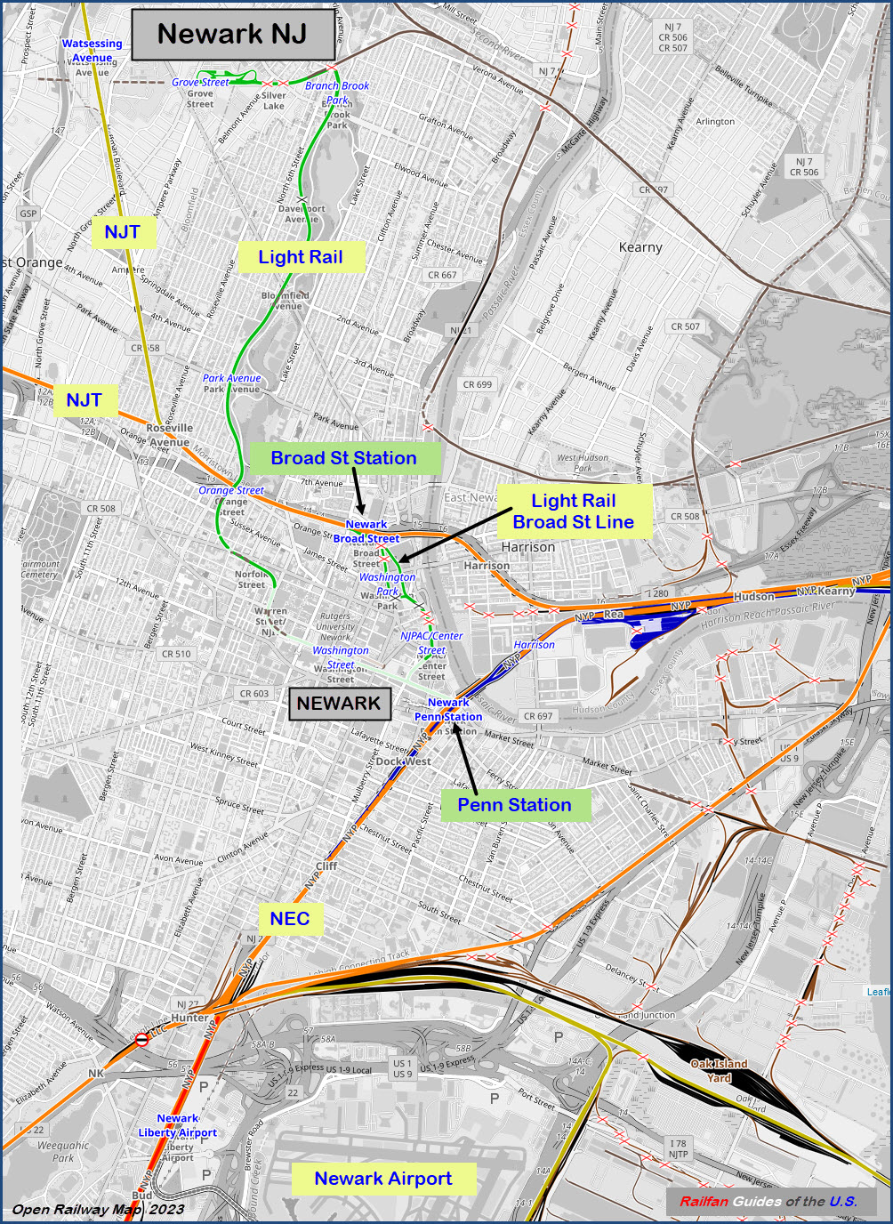
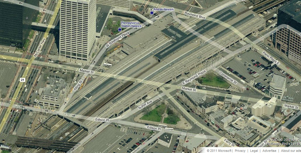
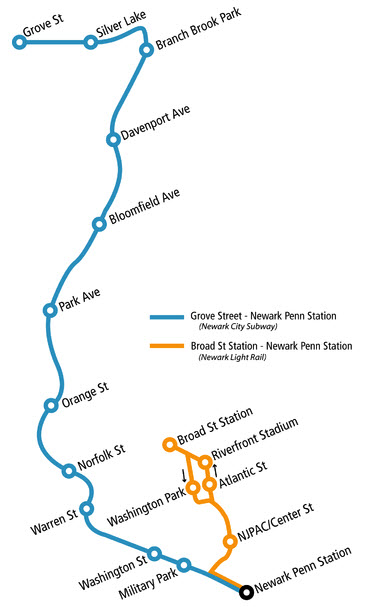
Maps
Sights
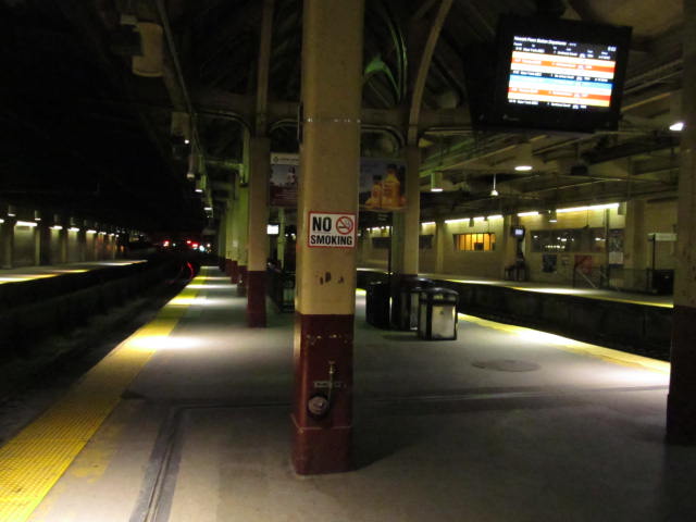
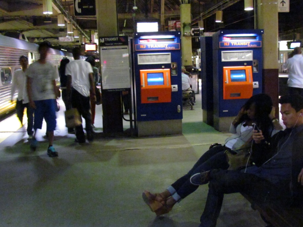
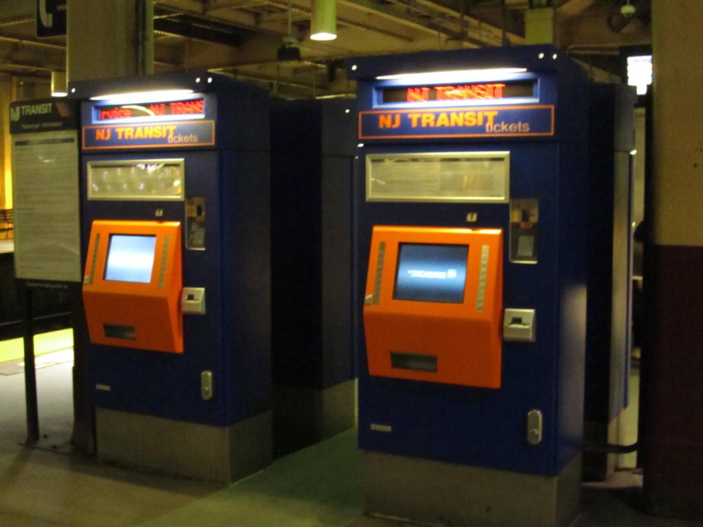
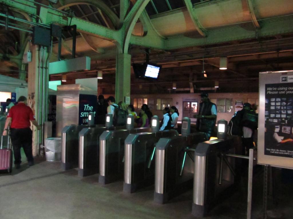
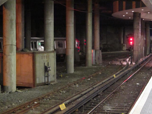
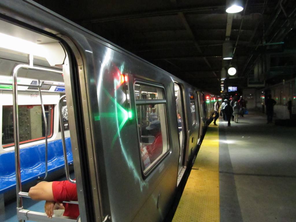
At Penn Station
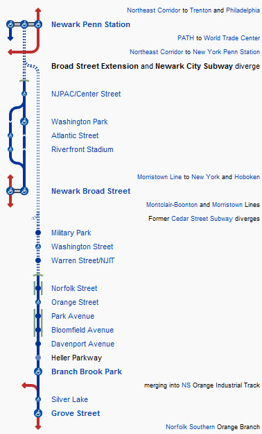
The Light Rail System:
In General
Station by Station - the original City Subway line
Station by Station - the Broad Street line
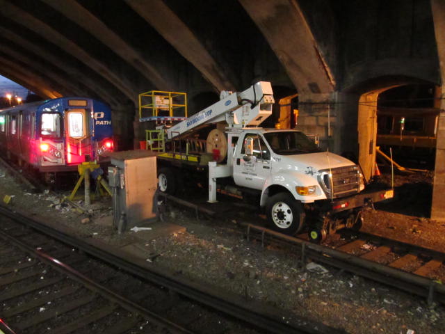
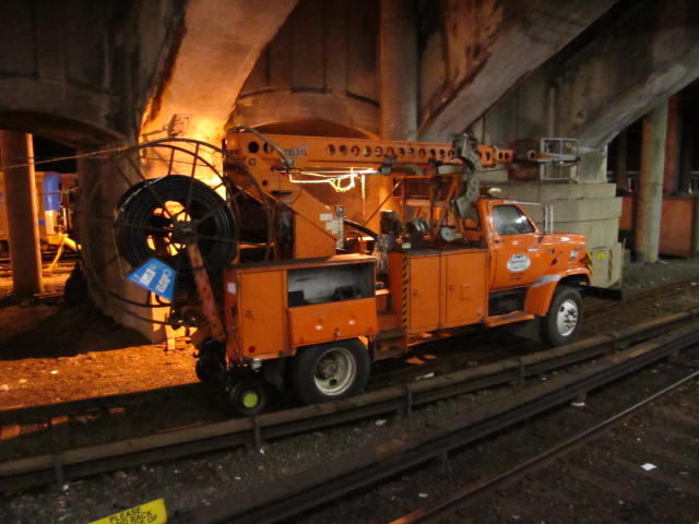
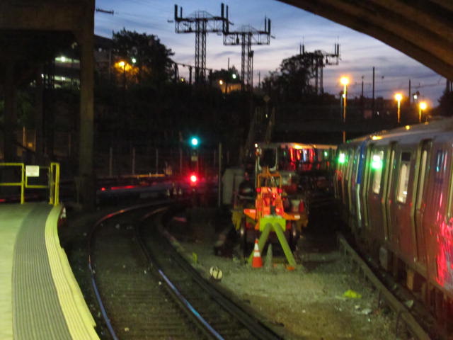
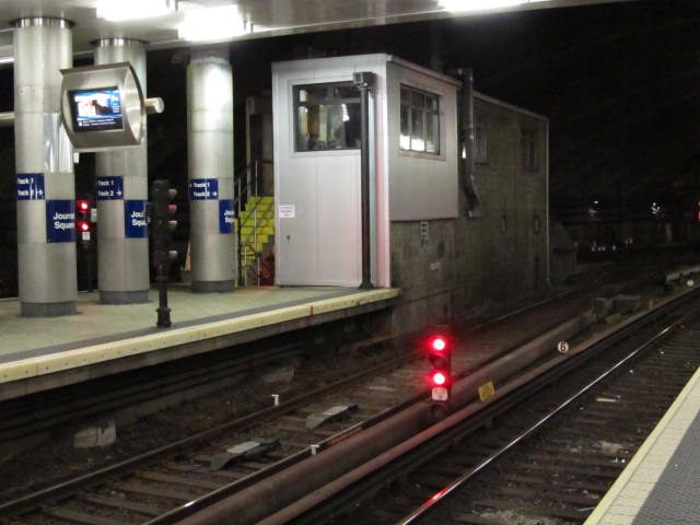
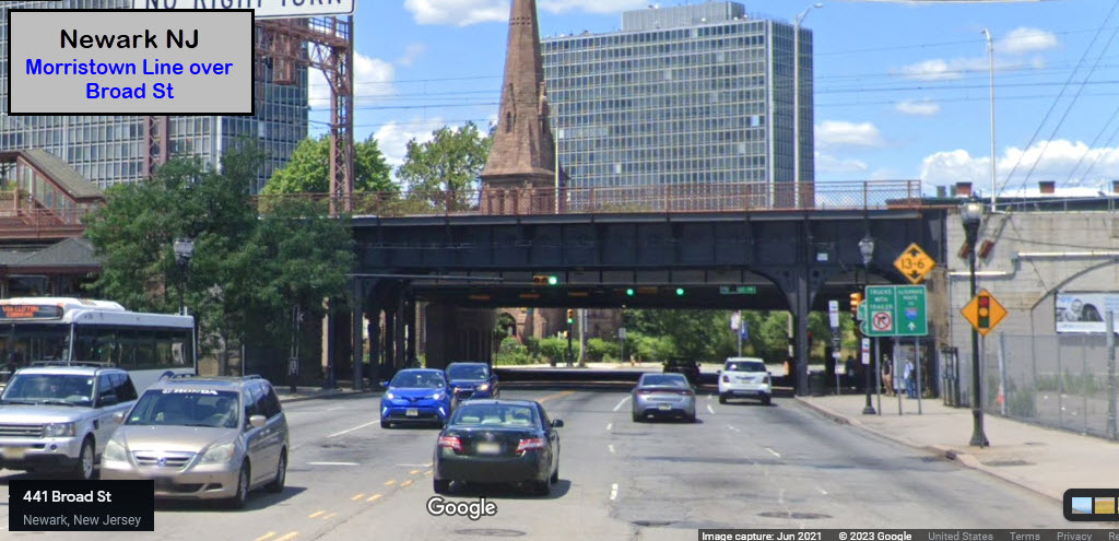
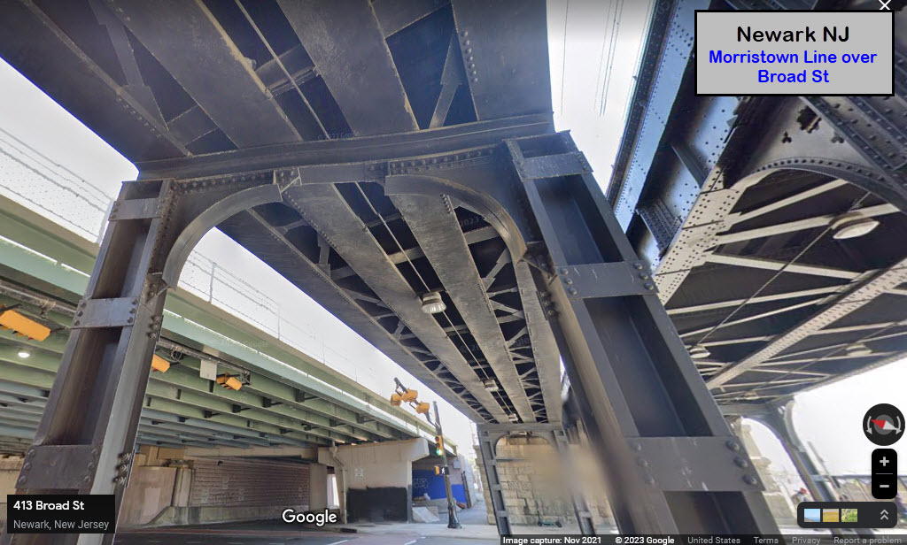
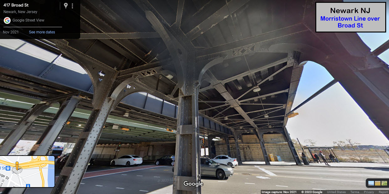
Bridges and Tunnels
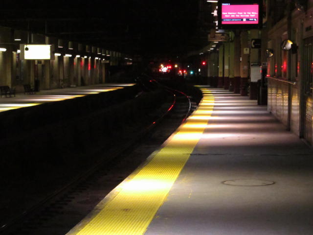
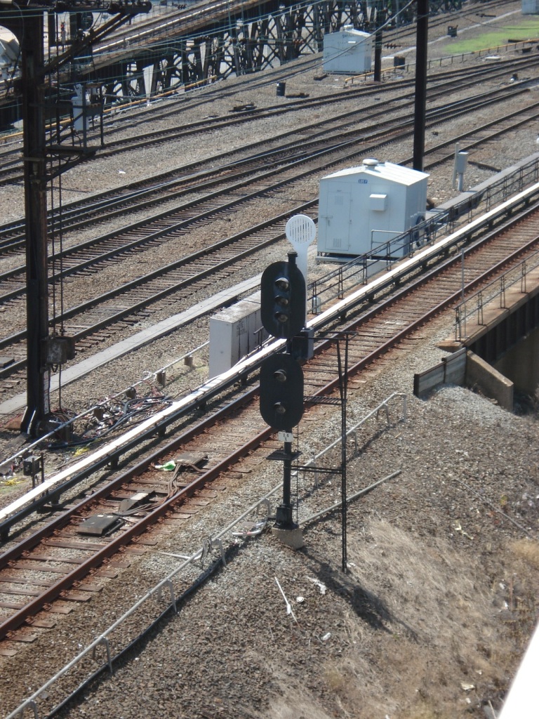
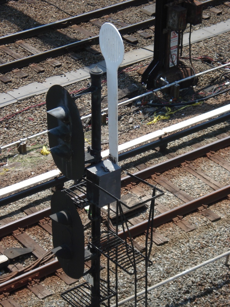
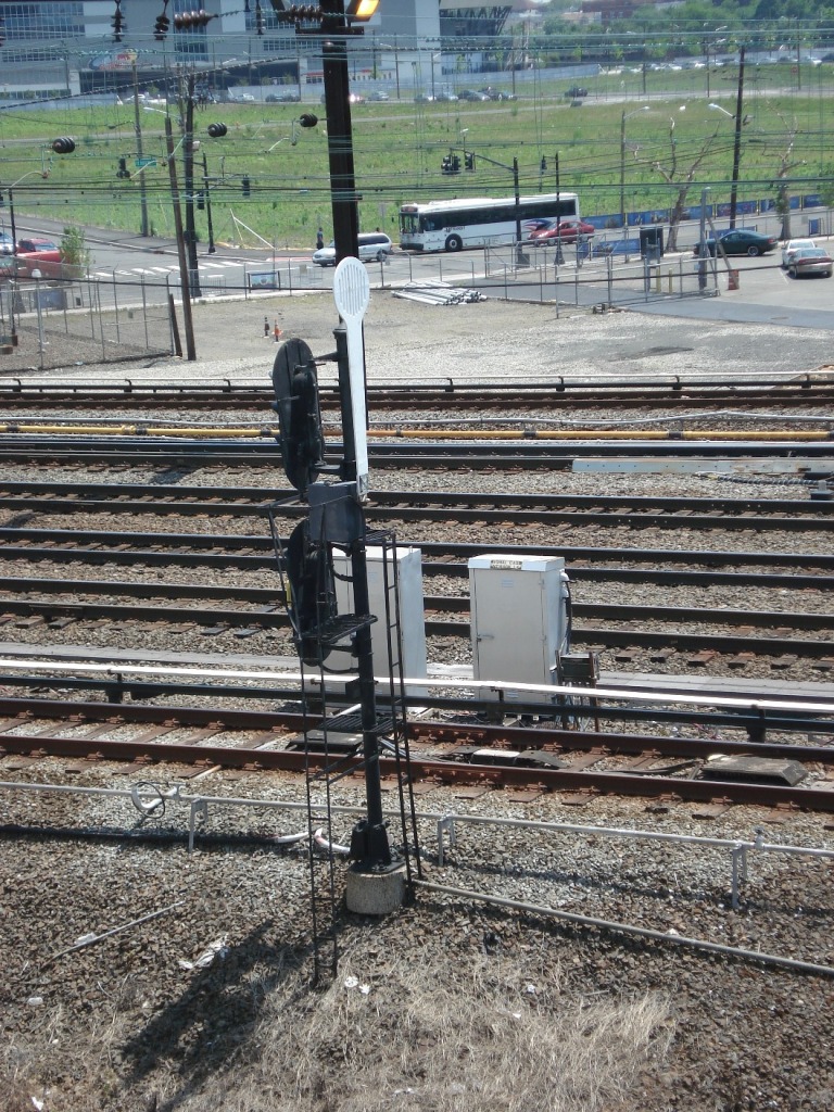
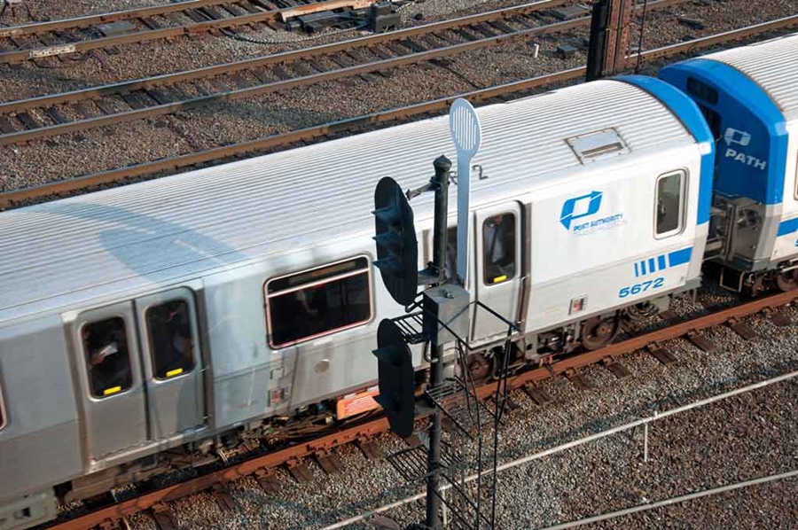
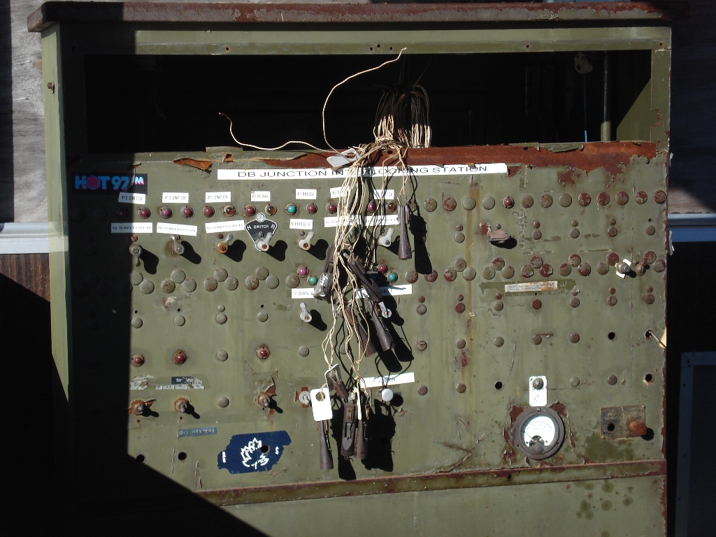
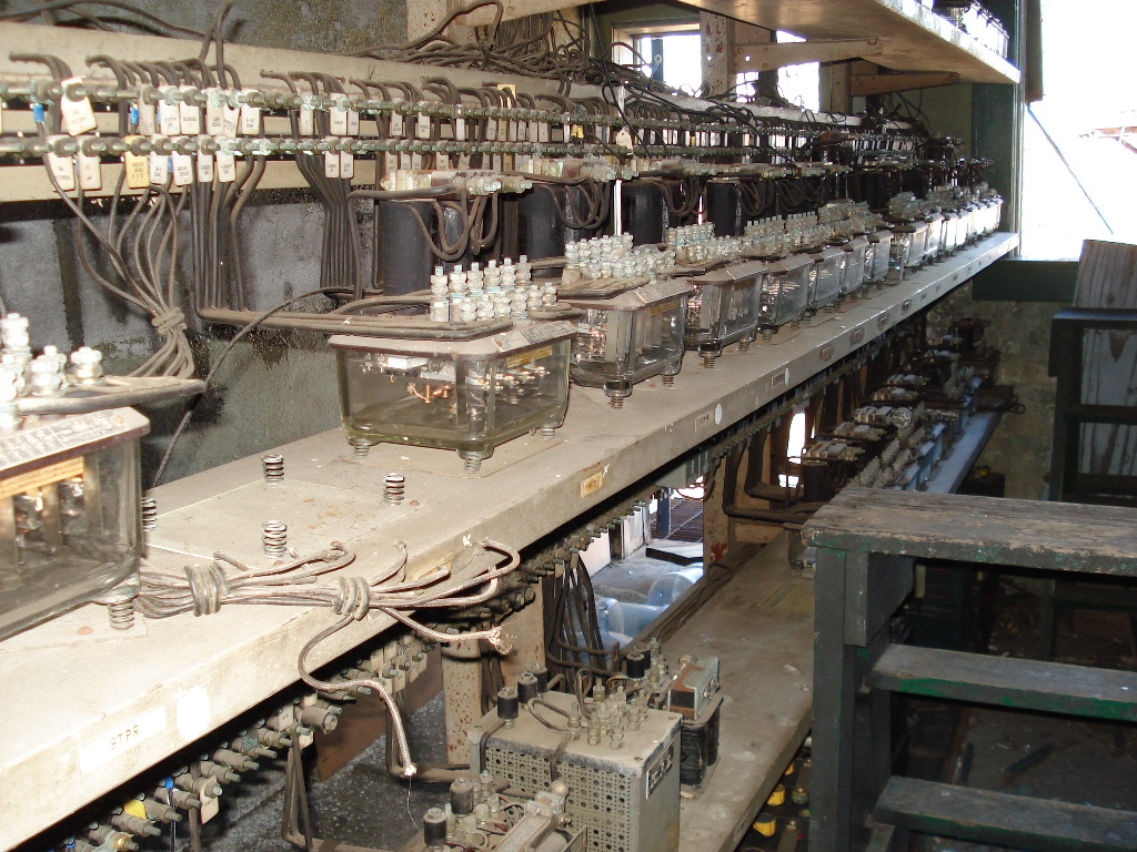
Signals
Floobydust
Amtrak Info
In General
How to get here
Maps
Sights
At Penn Station
The Light Rail System:
In General
Station by Station - the original City Subway line
Station by Station - the Broad Street line
Bridges and Tunnels
Signals
Floobydust
Amtrak Info
Maps
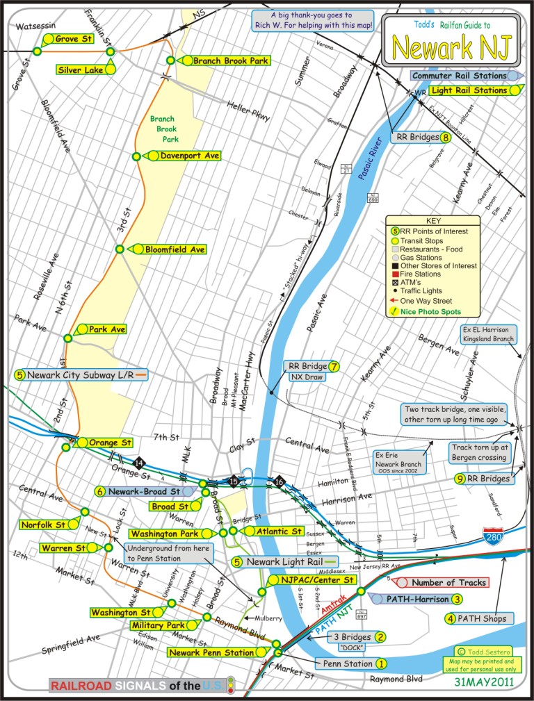
The above map in PDF format is here
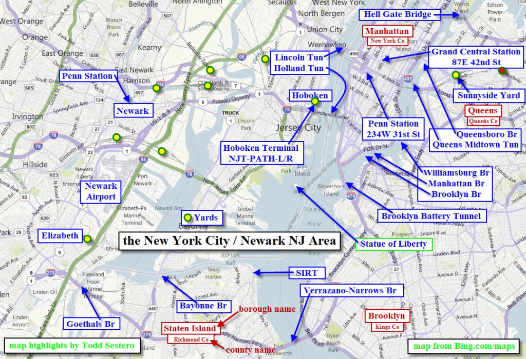
The above map gives you an idea of how close Newark is to New York City,
and some of the things you may want to know about if you have never been here before!
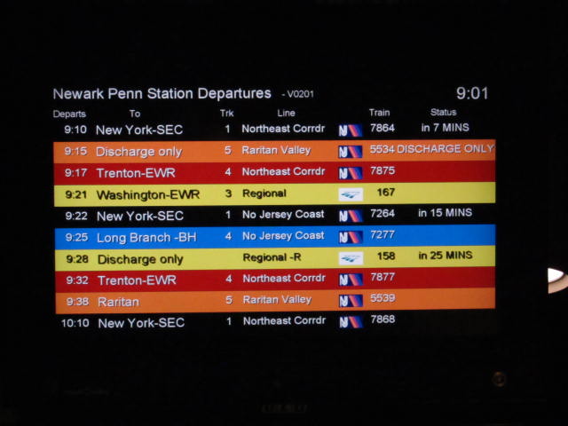
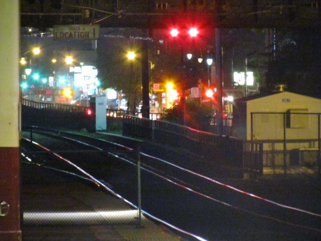
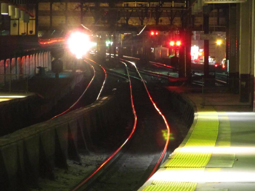


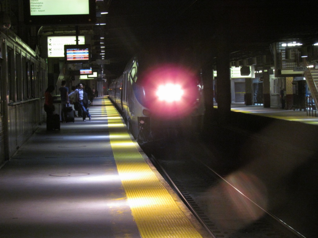 Before and during train 167 coming in....
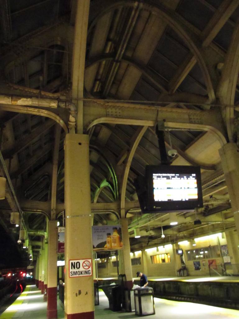
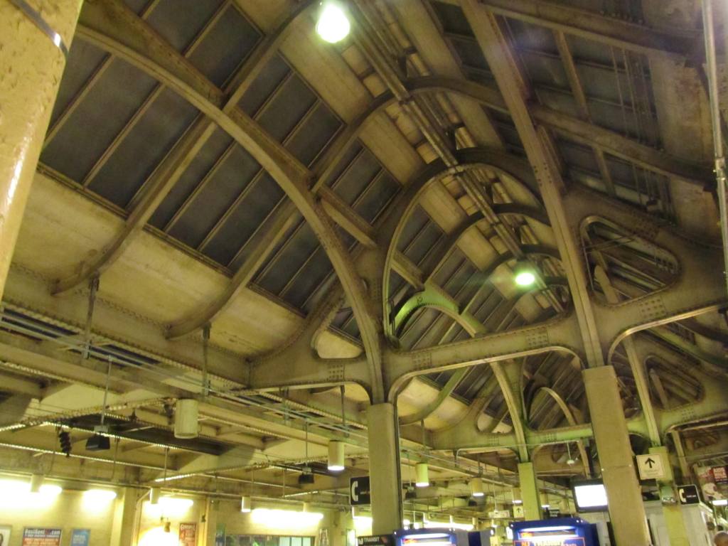

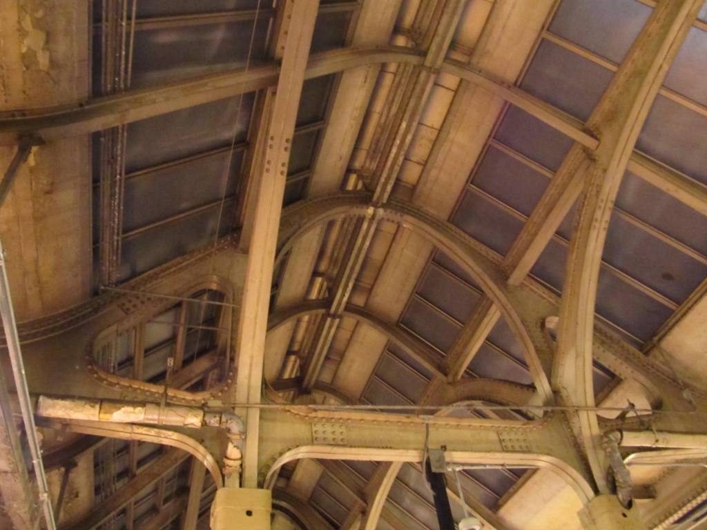 Roof of the NEC platform, they don't make em this way any more!
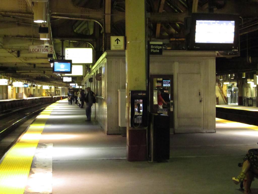
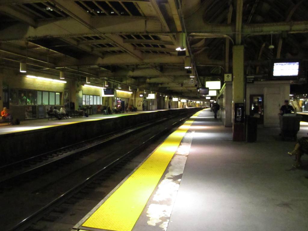
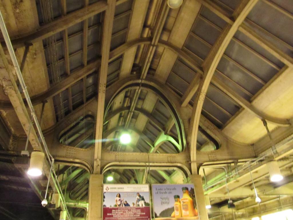
 NEC platform shots.
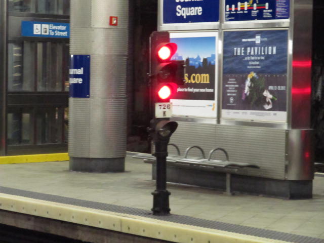


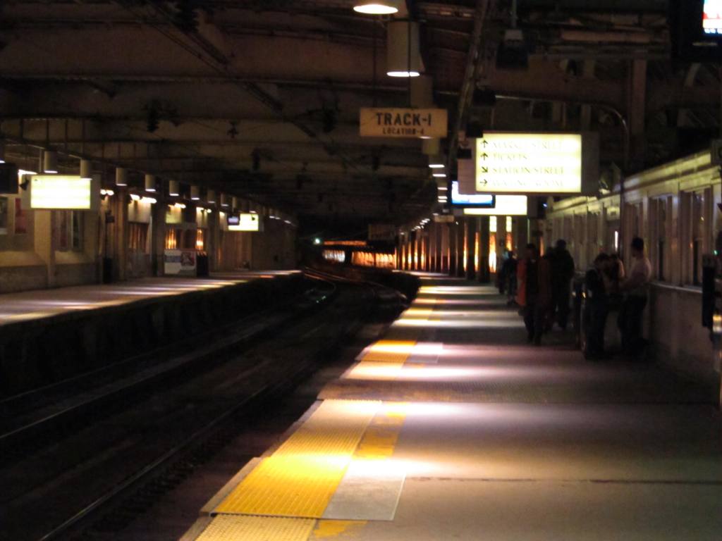
 Shots from the PATH platform.
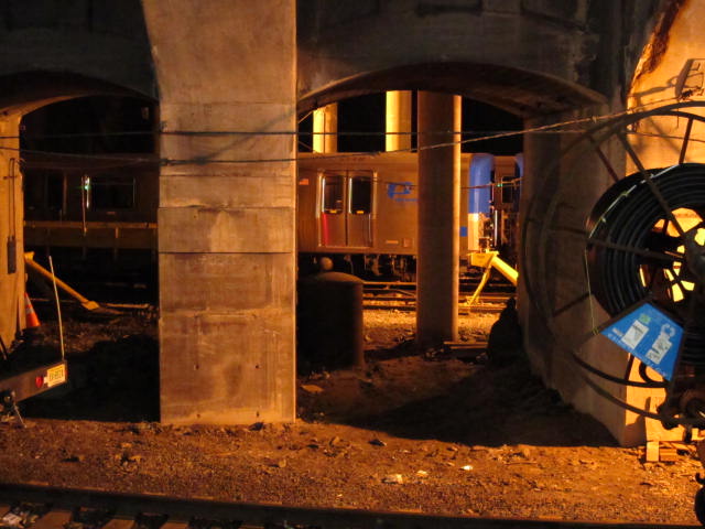


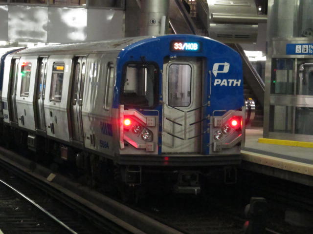
 Shots from the PATH platform.
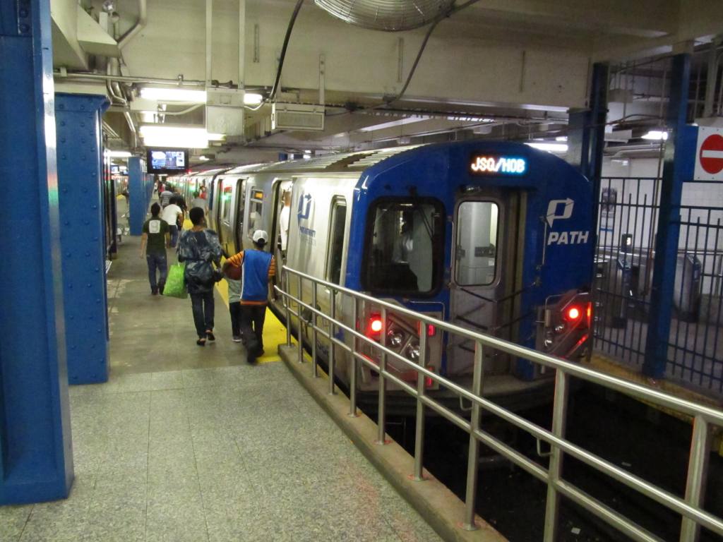
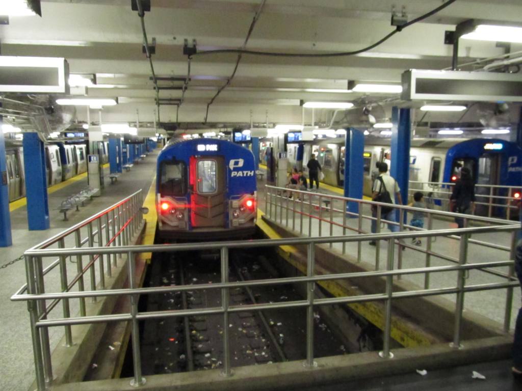 At 33rd Street in Manhattan.


 6984
6984 7508
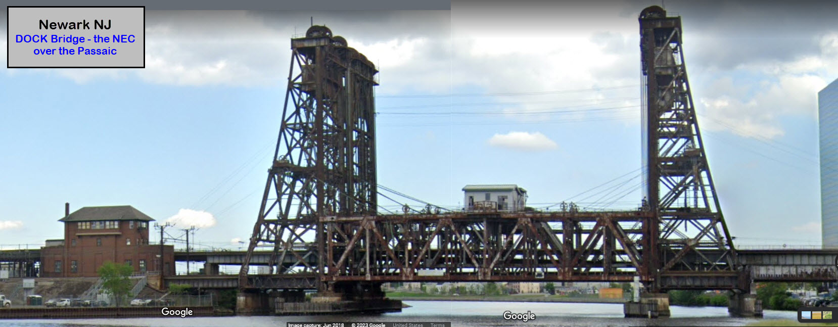
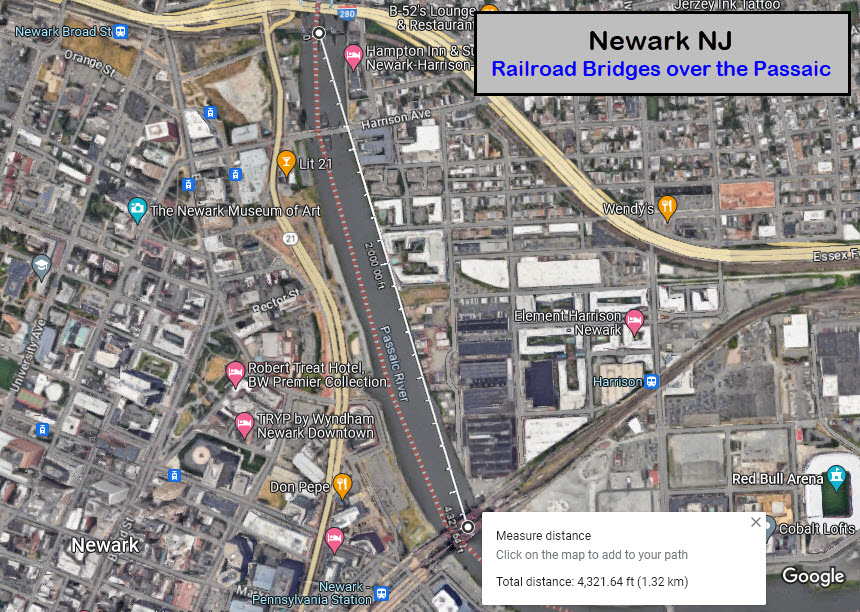
75082a Crossing the Passaic River, upstream
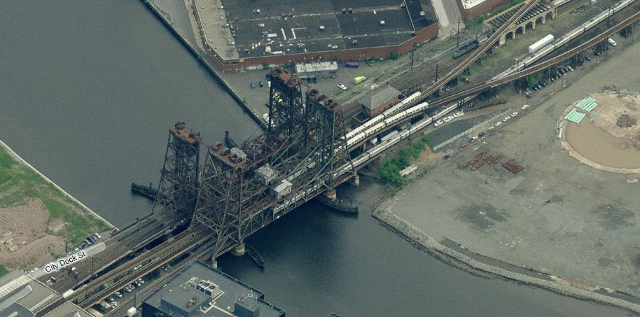
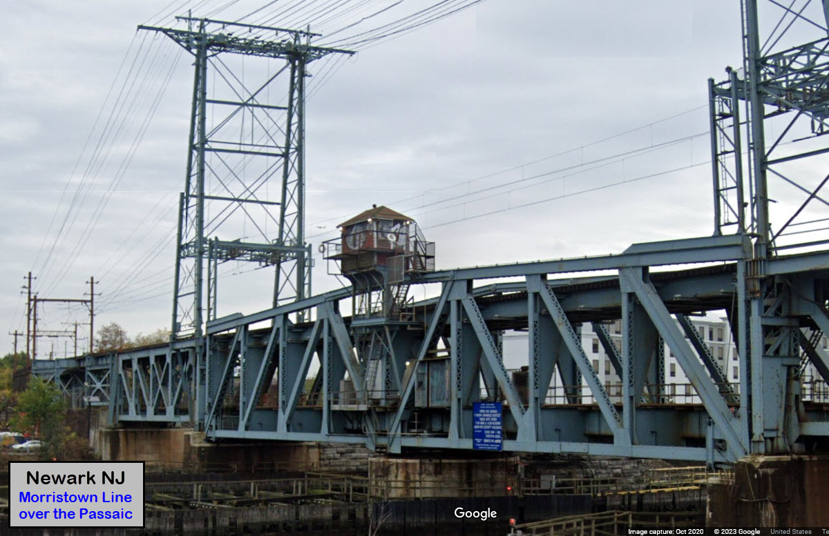
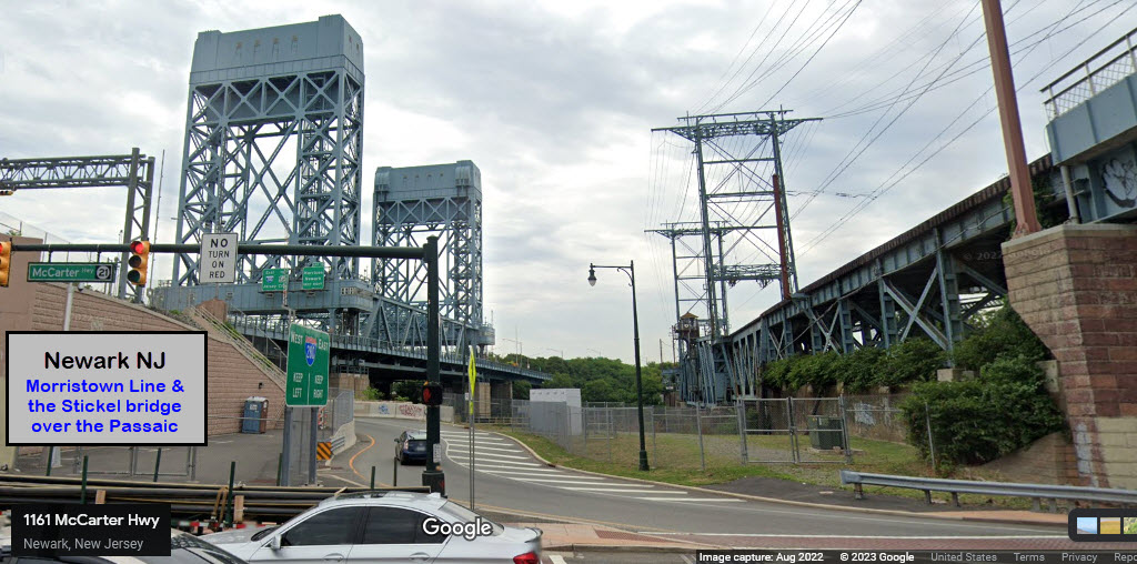
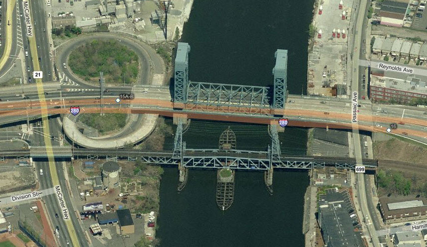 The swing bridge a little further "up" the river,
this is the ex DL&W Newark Draw. Approximately 220 trains a day go over
this bridge. Also seen in the photo is the Stickel drawbridge on I-280,
one of the few on an interstate (Maybe 10? - Baltimore has one in Curtiss Bay on
the Beltway, I-695)
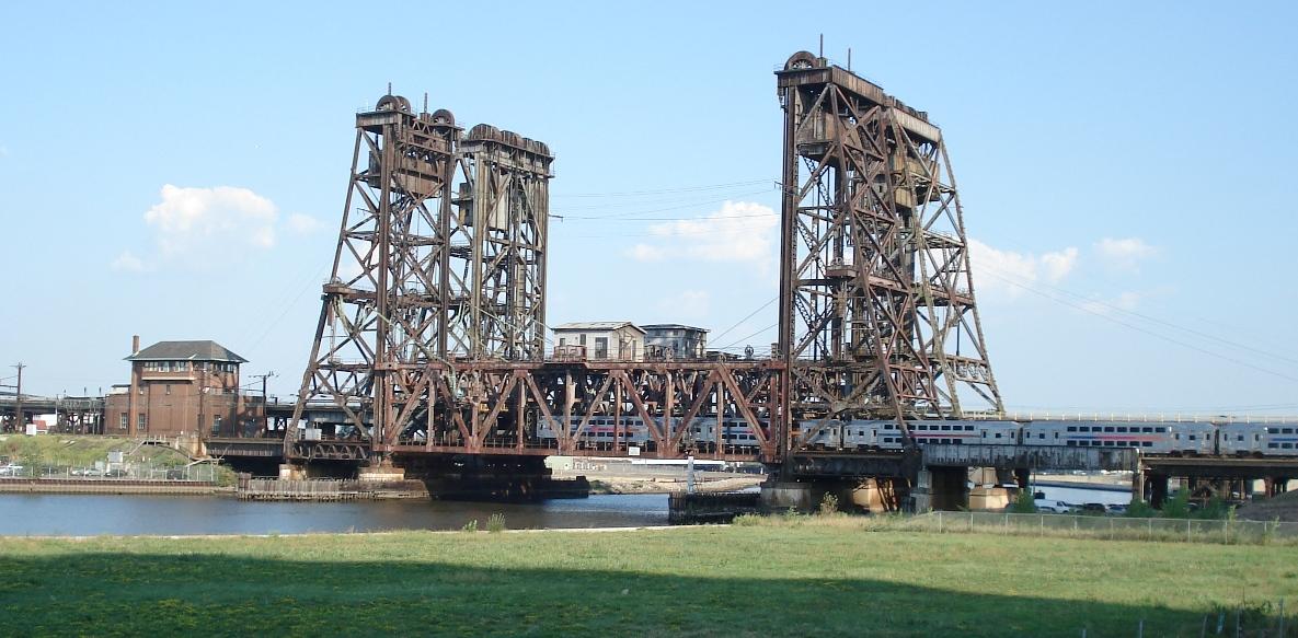
The swing bridge a little further "up" the river,
this is the ex DL&W Newark Draw. Approximately 220 trains a day go over
this bridge. Also seen in the photo is the Stickel drawbridge on I-280,
one of the few on an interstate (Maybe 10? - Baltimore has one in Curtiss Bay on
the Beltway, I-695)
Another great photo from Rich.
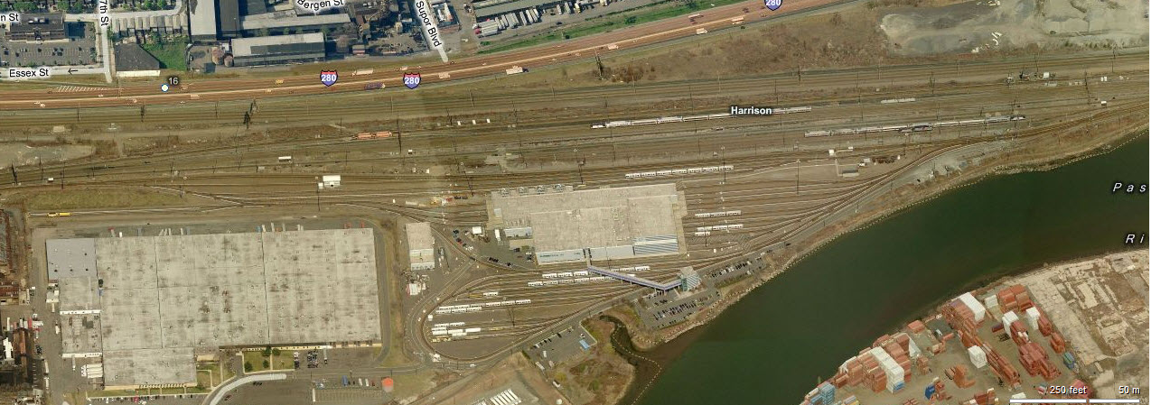
3 the Harrison PATH Station
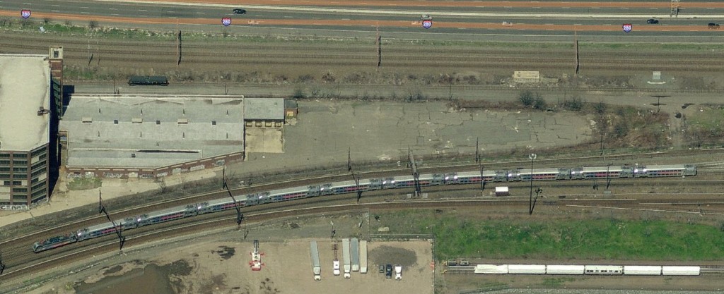
Just on the other side of the Passaic River and the PATH shops is the Harrison Station. The full size photo is a conglomeration of tracks just south of the station... only in the northeast do you generally see stuff like this. The small picture to the right is an aerial shot of an NJT train coming into the Harrison station.

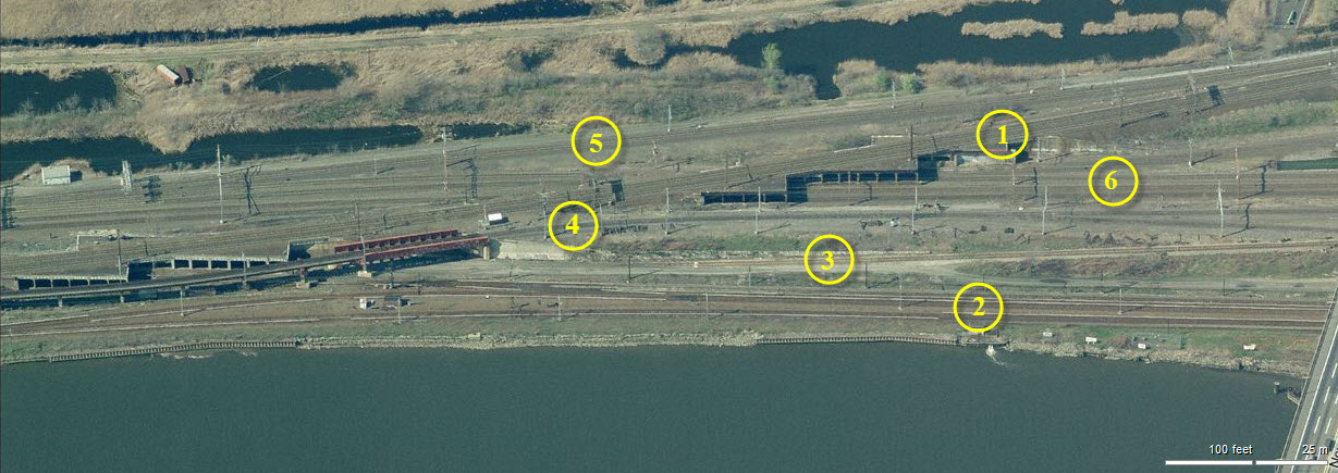
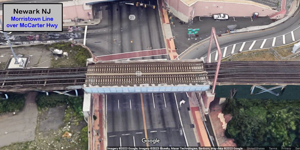
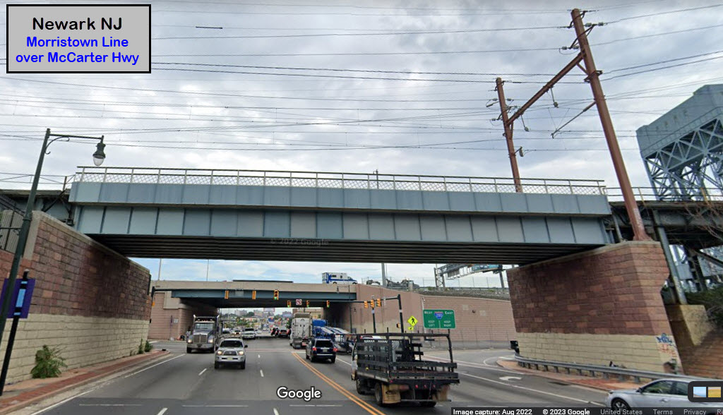
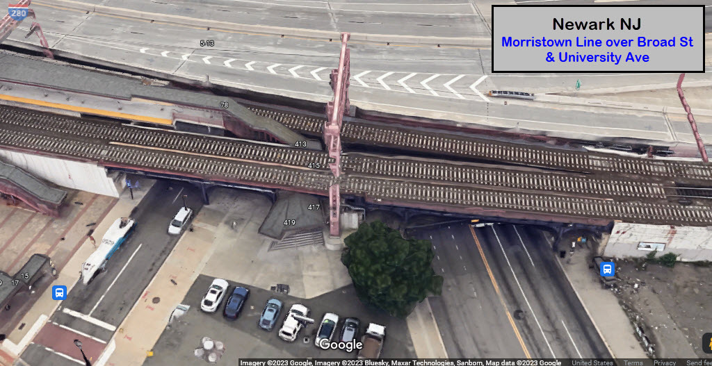
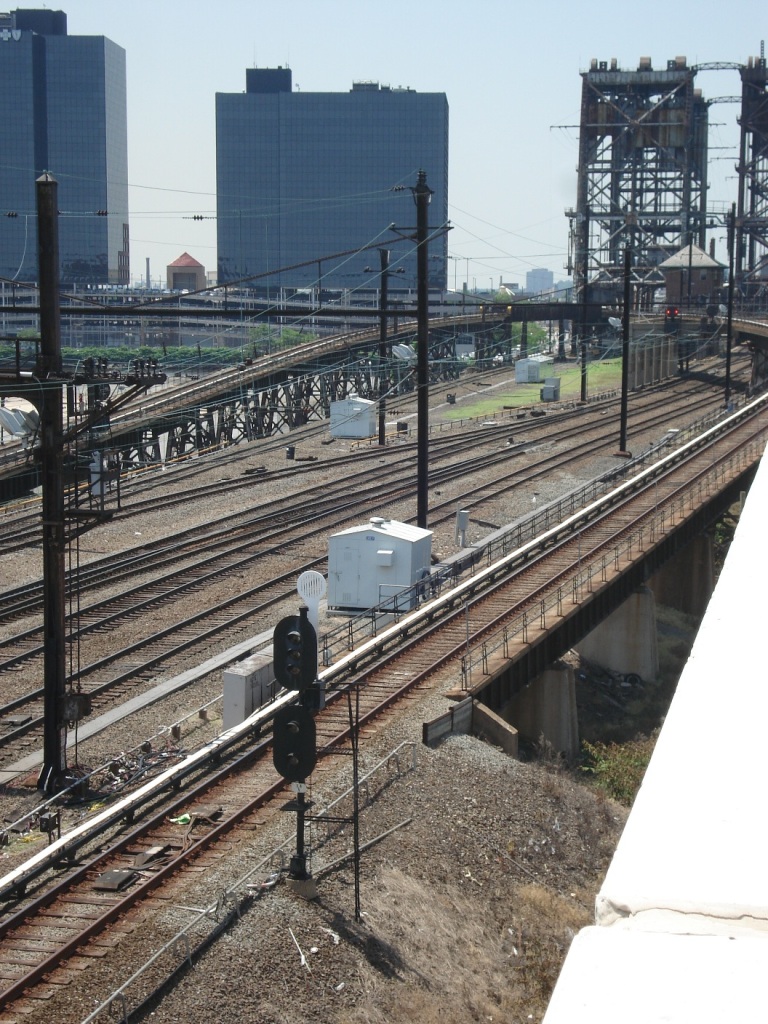
The above photo, "Snagged" from Harrison, shows a few interesting details of the tracks approaching Newark's Penn station from the north side......
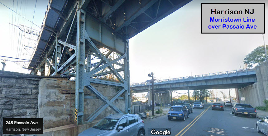
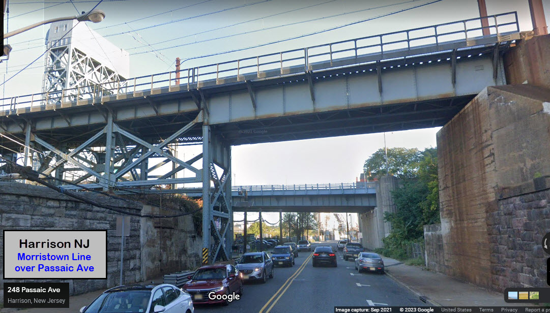
1) Amtrak's North East Corridor passes over NJT's Morristown line on what is known as the "sawtooth" bridge....
2) Closest to the river are the PATH tracks, easily identified by the shiny 3rd rail cover....
3) Then we have the Conrail Center Street Branch freight track in "front" of the retaining wall....
4) Going over the Conrail line and one of the PATH tracks using the red girder bridge is the fairly new NJT Waterfront connection....
5) Connecting tracks built about 15 years ago to create what is known as the "Midtown Direct" allowing the Morristown Line access to the NEC and go into Penn Station in NYC.
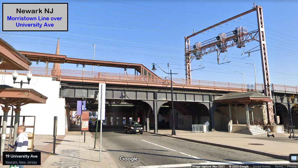
6) The NJT Morristown Line.
The New Jersey Turnpike is the highway in the lower right hand corner.
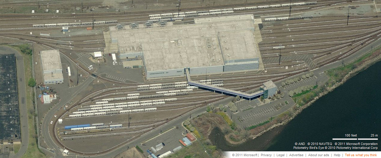
4 the PATH Shops
The shops sit a little east of the Harrison Station.
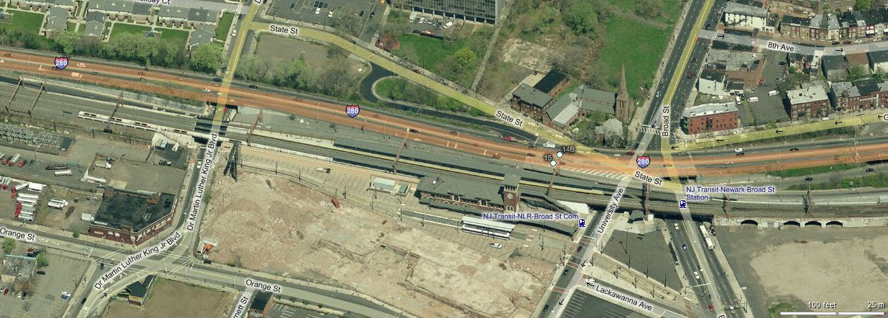
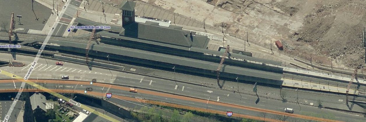
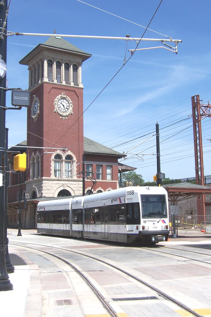
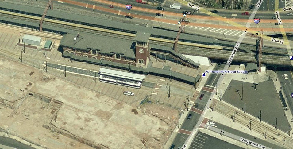
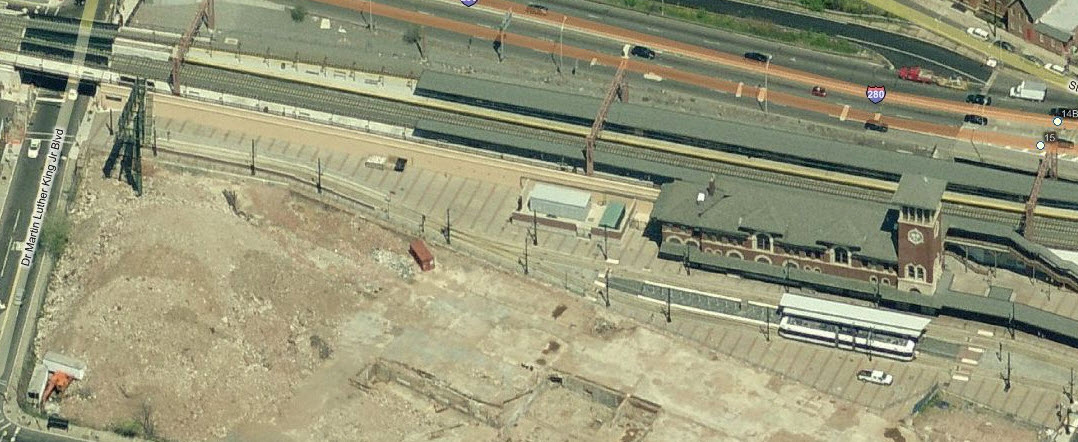
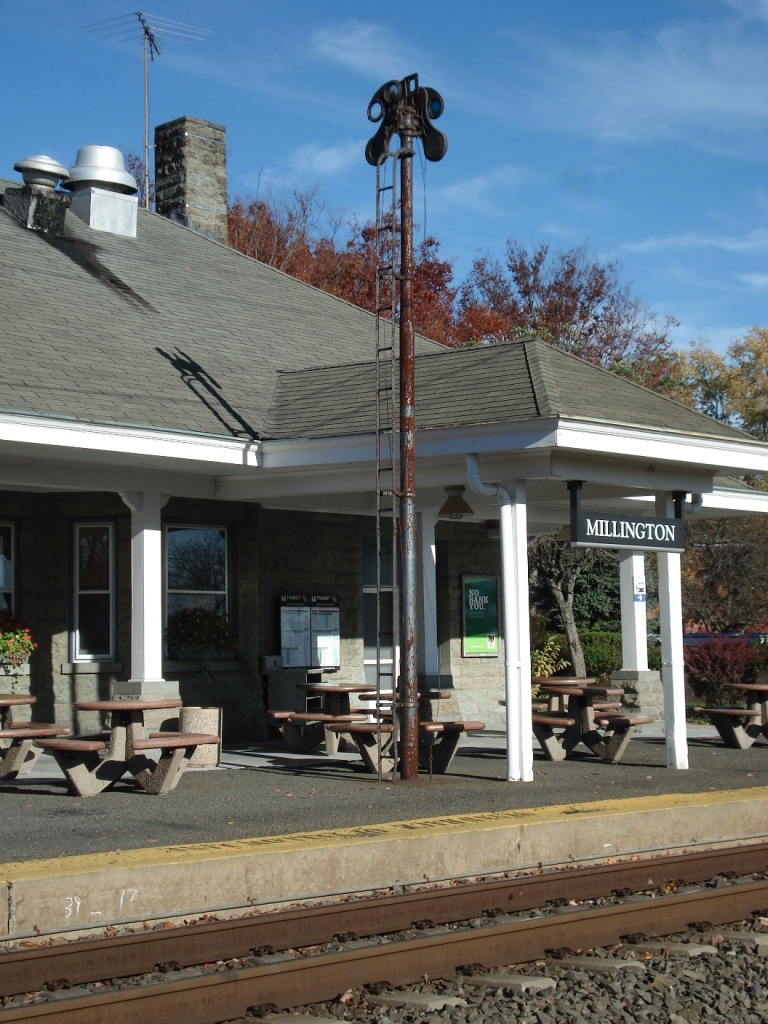
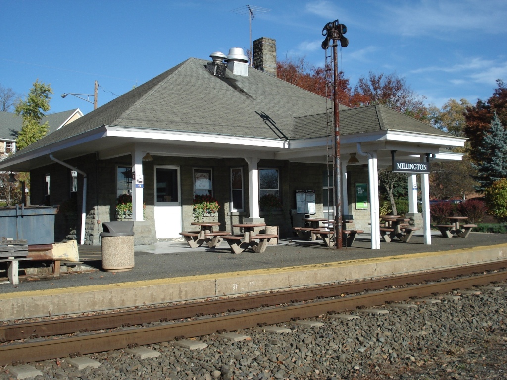
6 NJT Newark - Broad St Station
This station is conveniently located adjacent to the extended Newark City Subway light rail line, due to the system designers diligence. The photo shows the new island platform. The station had been 3 tracks with 2 side platforms. The old westbound waiting room was demolished, and track 3 was moved northward to make room for the new high level platform. The thumbnail to the right is an aerial shot of a train leaving the Broad St station, engine pushing.
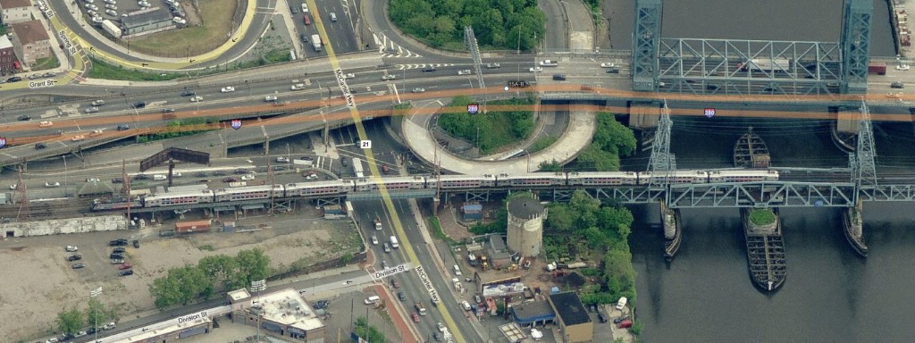
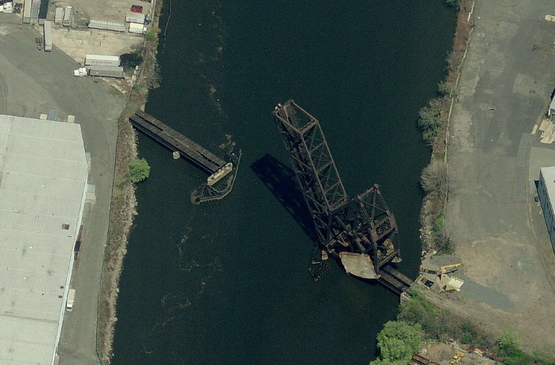
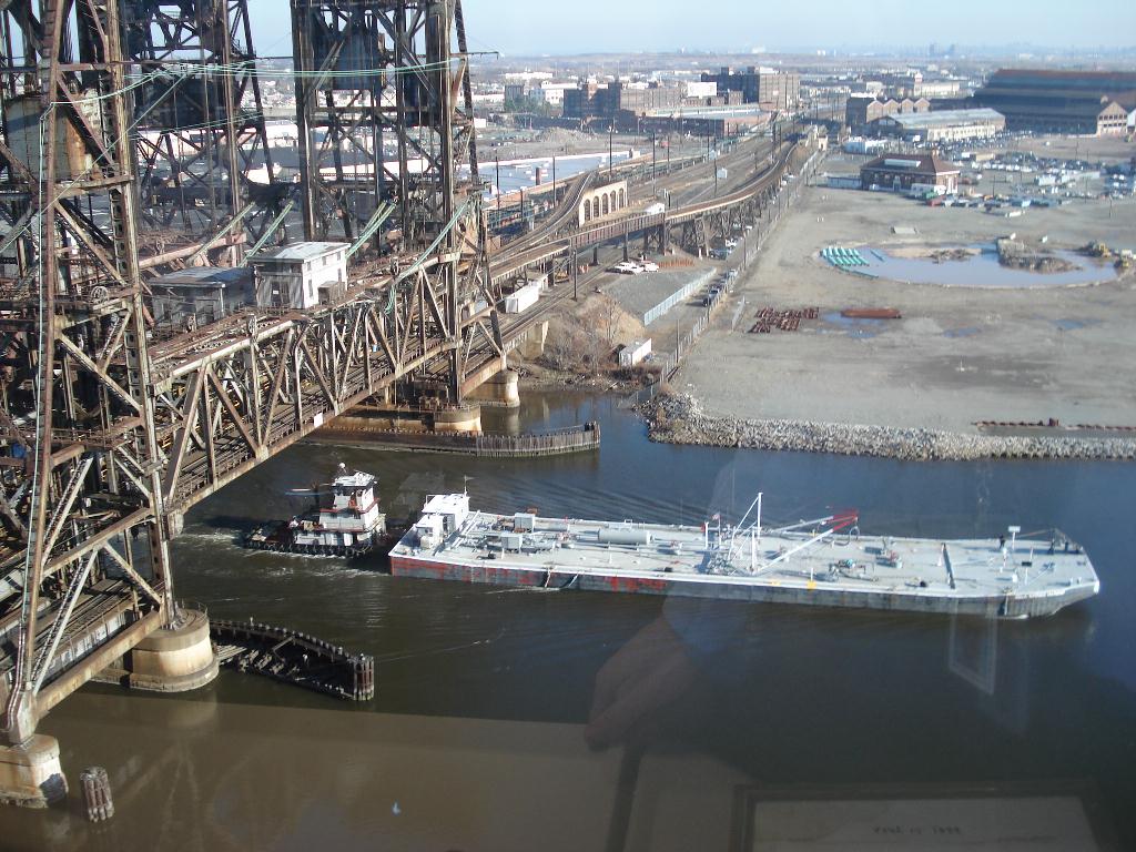
7 Bascule Bridge, the NX Draw
Nice example of this type of bridge, obviously not used any more. The last commuter train to ramble over this branch was in October of 1966, and the last time a freight went over this bridge was in December of 1977. A day shift operator was assigned to the bridge Monday through Friday... after the last train came through, he was given another assignment, and the bridge has been open ever since. The bridge sat intact through the winter, but once warm weather set in, and kids found out that trains weren't using it and an attendant was no longer on duty, vandalism set in. The bridge is a double track bridge, but the bridge and branch were single tracked in the early 60's. The branch itself was always single track west of the 4th St station in Newark. In 1982, the bridge was used in a scene of the movie Annie (more info at http://www.hingepepper.com/anniemovie.htm ). (Thanks to Rich's friend Ken for this info!) The line east of the bridge has been out of service since 2002. On the west side of the bridge, the last customer using rail service recently closed, and as of this writing (June 2011), the track has not been used for several months. The track is the former Erie RR's Newark Branch.
8 A Couple of RR Bridges
Once a two track right-of-way and bridge, what remains is very unused.

9 A Couple more RR Bridges
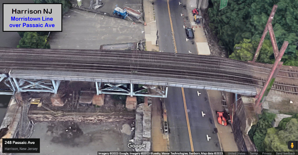
Once a two track line, this trackage was once the Erie-Lackawanna's Harrison-Kingsland Branch. Most of the branch is unused except for a small portion at the south end.
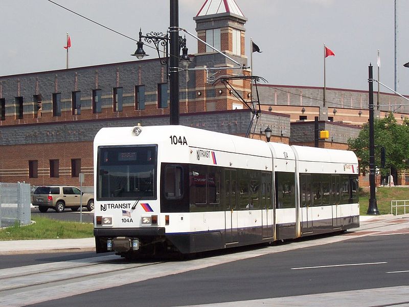
5 NJT's Newark Light Rail Line
Train at the Broad St station. Photo by L. Henry,
from
lightrailnow.org
The station is a former DL&W depot. The Morristown line is the elevated
track behind the station.
 Another photo at Broad St by Adam E.
Moreira from Wikipedia.
Another photo at Broad St by Adam E.
Moreira from Wikipedia.
As many of you may know, I am particularly partial to transit, especially light rail lines, because I used to work for the Baltimore system 1995-1998... but my love for the stuff started as a kid cause my grandparents lived in the Queens sections of New York City, at the "junction" of the IRT #7 line at the 69th St station, and the IND E and F lines at 65th Place (they actually "crossed" each other one stop up at 74th Street - the IND is a subway, and the IRT is an EL out here).
With that said, I continue my focus on transit with coverage of the Newark system....
The Newark Light Rail Line began life in 1935 as the Newark Subway, operated by the Public Service Corporation as its #7 line. It last operated with 30 PCC cars bought from the Twin Cities Rapid Transit Co (Minneapolis and St Paul MN) in the 1950's. The PCC's lasted till August 24th, 2001... Three days later on August 27th, the line reopened using LRV's. :-( New Jersey Transit took over the operation in 1980. The original line was aka the #7 - City Subway Line. The line was 5.3mi long (8.5km) and ended at Franklin Ave in Newark. Over the years, a number of streetcar lines used the Newark Subway line as an access Penn Station.
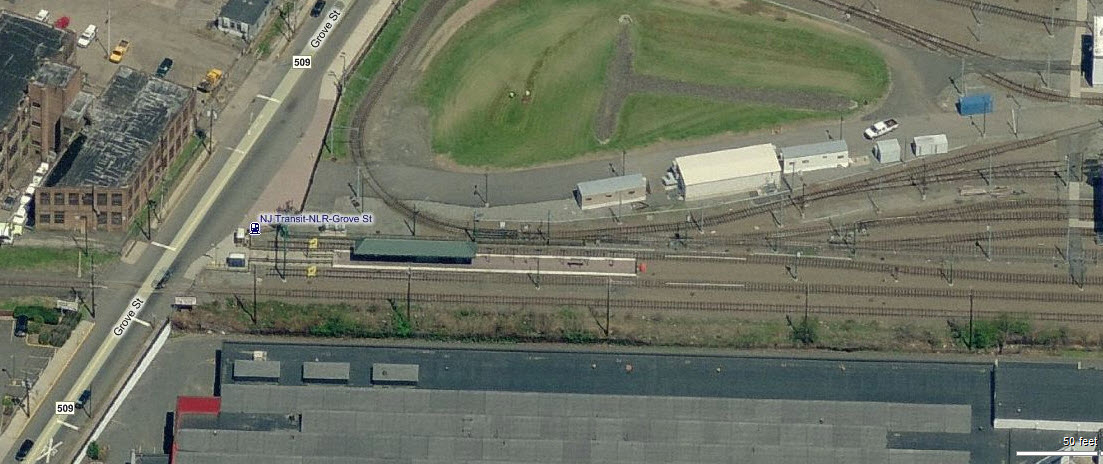
The line was extended in 2002 (June 22nd), with the opening of stations at Grove Street and Silver Lake. The Heller Parkway and Franklin Ave stations were combined into a new station at Branch Brook Park. The new maintenance facility is located adjacent to the end of the line at Grove St.
A completely new extension to Broad Street was opened July 17th, 2006 . At this time, NJT also renamed the name of the system to the Newark Light Rail. The new line adds about a mile (1.6km) of track to light rail service in Newark. Train volume is about 160 trains a day between the Penn and Broad Street stations.
The new LRV's are manufactured by Kinki Sharyo. The cars are two-segment cars with an articulated section in the middle as commonly found on most light rail systems in America, with the articulated section being able to seat 10 passengers unlike the Baltimore cars.
The one way fare is $1.50, set up as a single zone fare. Tickets need to be purchased AND validated before getting on the train. A special fare of 70 cents is available for passage between Penn Station and Warren. NJT police do not normally ride the trains, but may show up at any time to inspect tickets. A fine of 74 bucks is waiting for those that don't have a valid ticket. Valid tickets are ONLY good for 60 minutes! A monthly pass can be had for $54. A one-zone ticket with a transfer is $2.20. There are no daily passes offered for unlimited rides.
Service was originally between 05:00 and 23:00, but on January 8th, 2005, NJT started late night service. This may give you a chance for NS/LRV photo ops if you can stay up that late and are in the right place at the right time. When I worked for the light rail system here in Baltimore, that happened on many occasions as we ran test trains up to Timonium and had to pass the NS freights, pretty cool, but we seemed small compared to the freights :-)
For more info on the Newark Light Rail system,
check out:
http://en.wikipedia.org/wiki/Newark_Light_Rail
http://www.njtransit.com/sf/sf_servlet.srv?hdnPageAction=LightRailTo
http://www.lightrailnow.org/news/n_nwk_2006-08a.htm
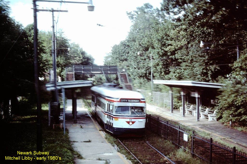
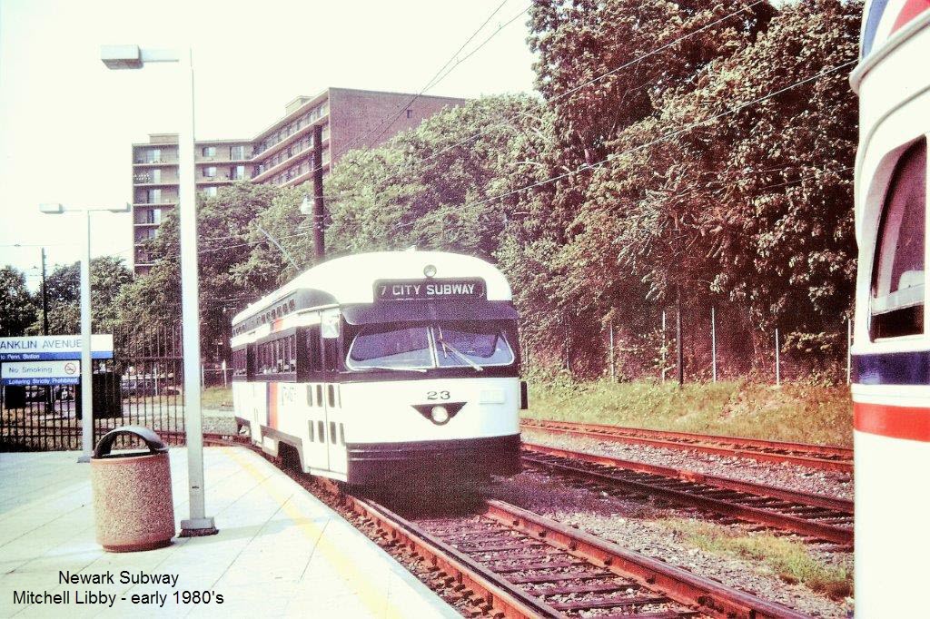
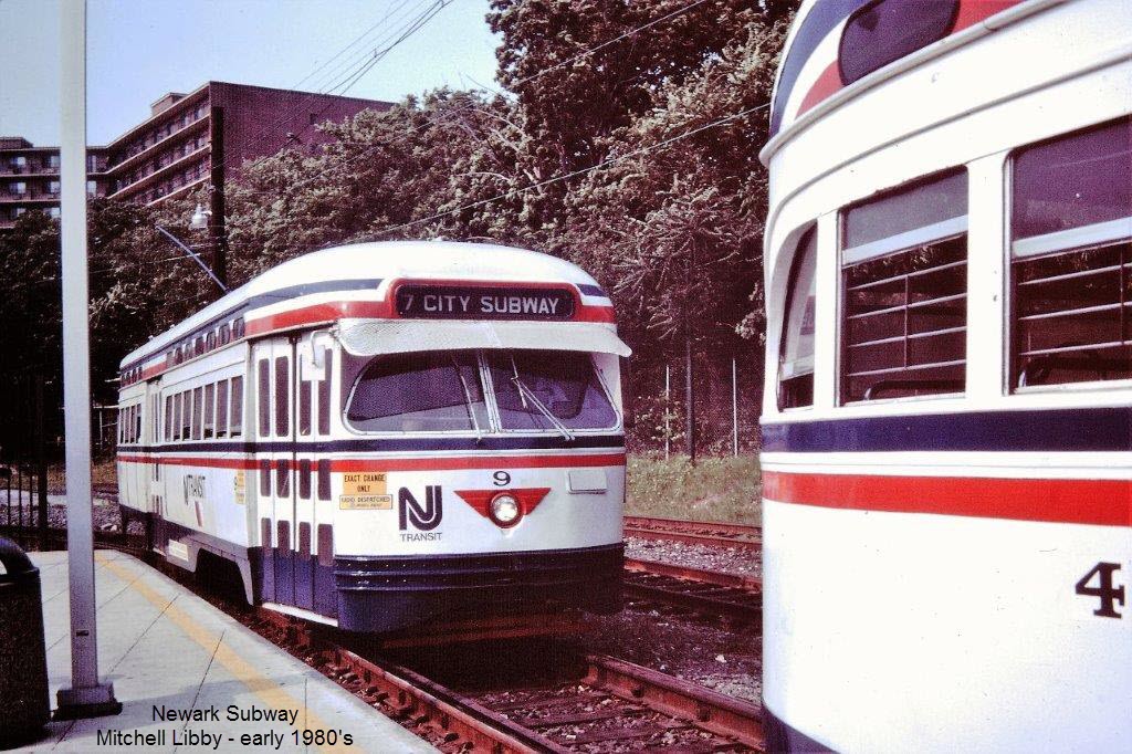 All 3 pix: Mitchell Libby
Stations on the Original Line (N to S)
the Shops
Silver Lake
Interesting note about the station arrangement here..... Notice the platforms are staggered, and the crossover. This arrangement allows the Norfolk Southern freights to come through here without hitting the platforms, since the light rail cars are narrower than the freights.
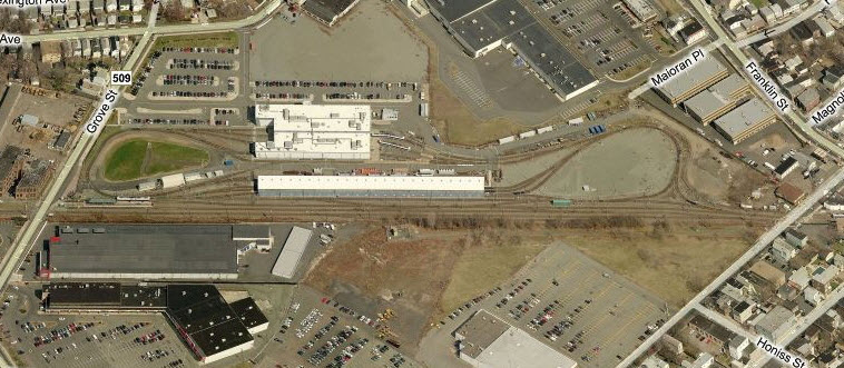
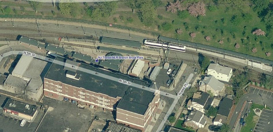
Branch Brook Park
Nice place for pictures with the tight curve almost reversing the direction of the track as seen in the second photo.
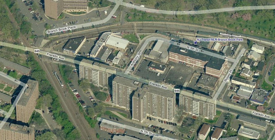
In the above photo, you have the NS heading north to Newark on
the left side. The light rail tracks on the right head to Penn Station,
and at the bottom left, to Grove Street.
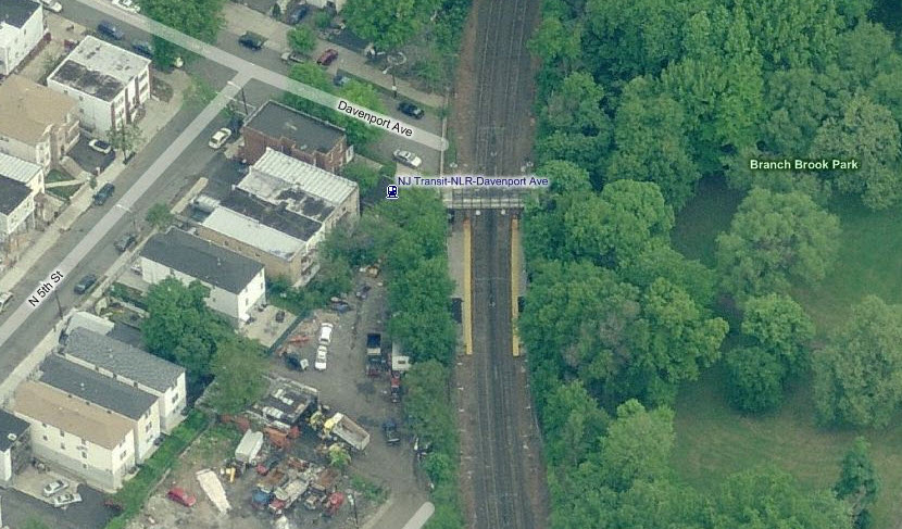
Davenport Ave
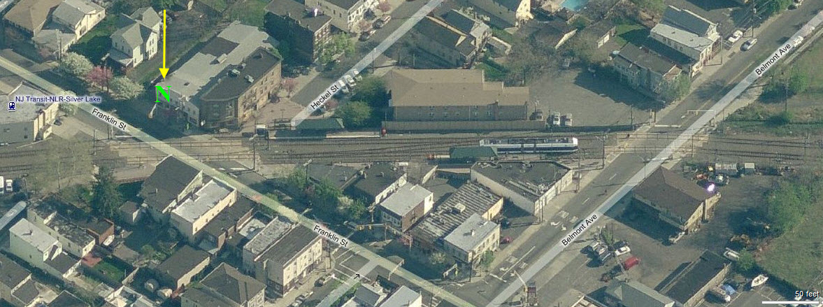
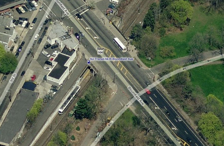
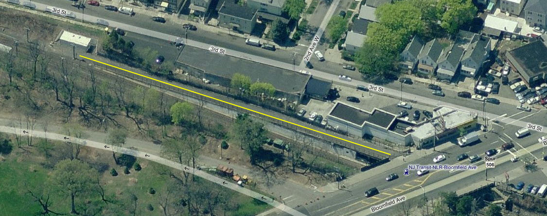
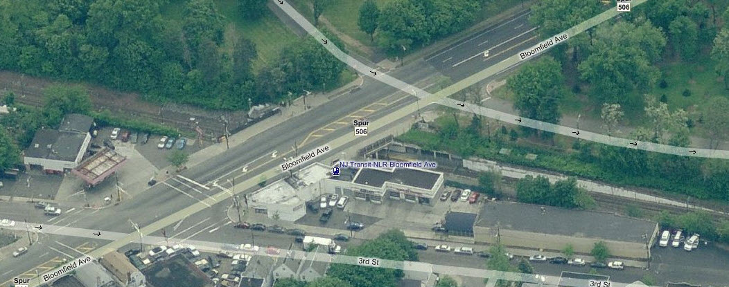
Bloomfield Ave
The Bloomfield presents the railfan with a little bit of interesting history, in that this is where the surface streetcar lines used to connect with the subway tracks and go into Penn Station. The yellow line in the middle photo is one of the connectors, partially seen in the upper photo. In the bottom photo, the path is overgrown with brush.
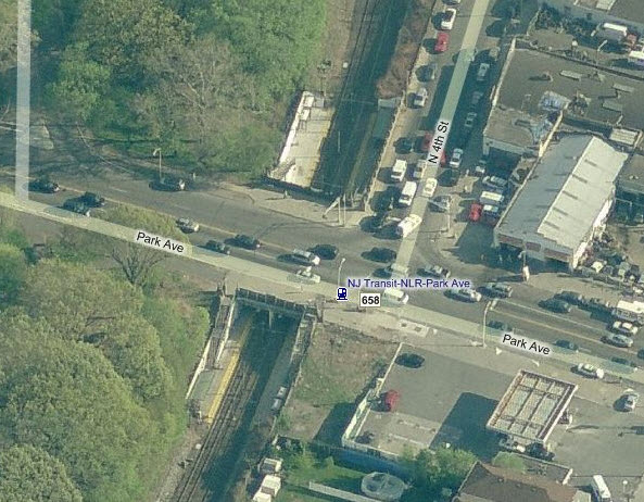
Park Ave
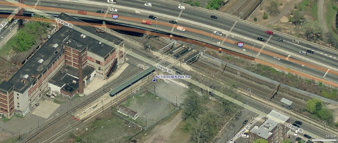
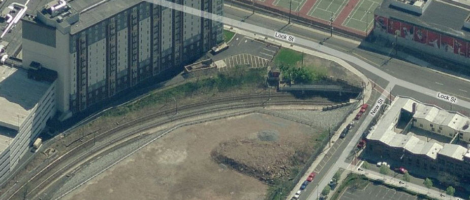
Orange St
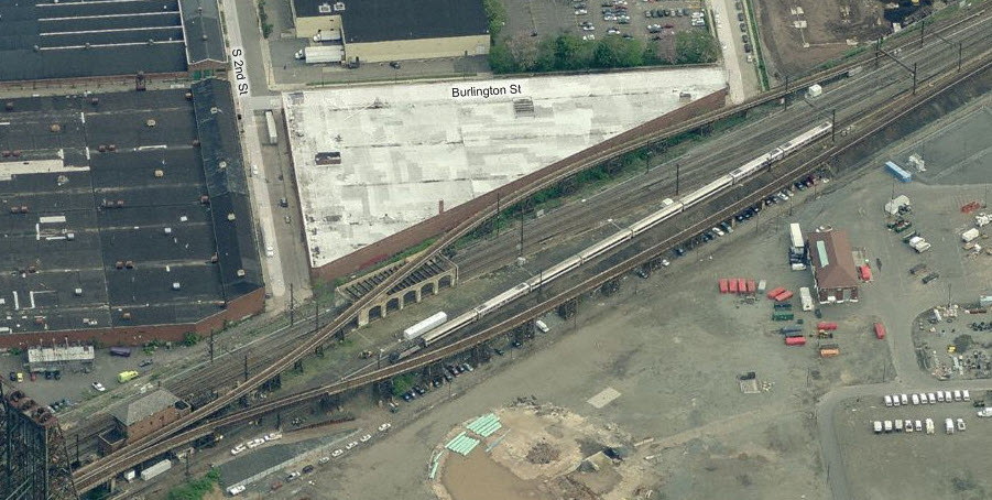
Notice Bing has this station incorrectly labeled as Park Ave. The 3 track Morristown line is in the cut under the light rail line.
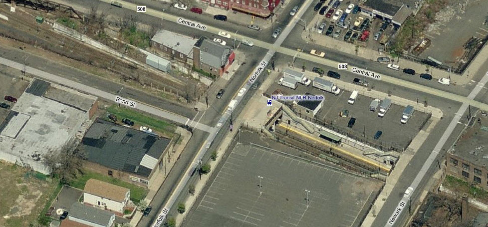
Norfolk St
Subway Portal, into the hole we go....
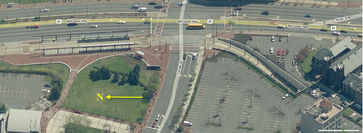
Stations on the Broad St Line - Newark Light Rail (N to S)
Riverfront Stadium (NB)
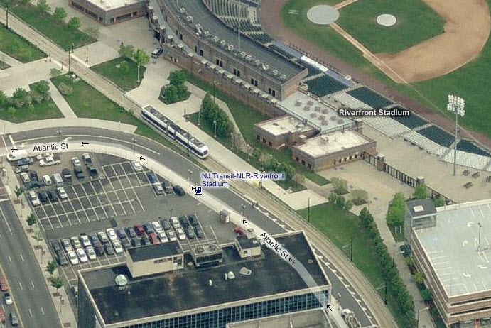
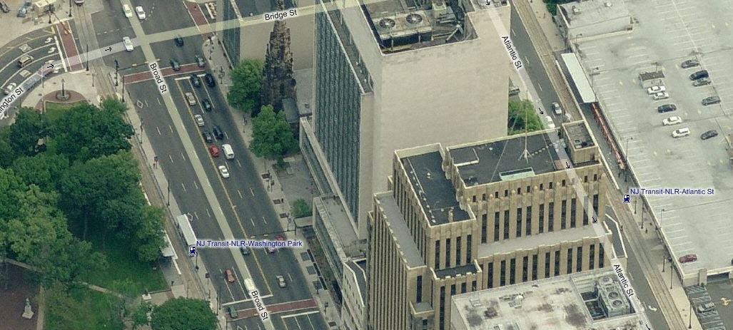
Washington Park (SB) and Atlantic St (NB)
 Rich W.
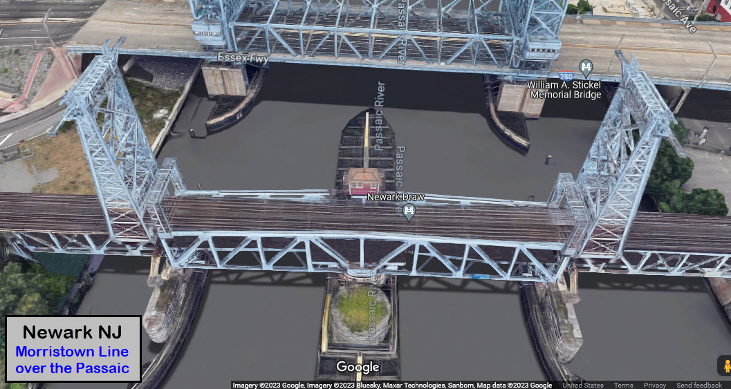
 pix by Matt Van Hattem
 Photos by
Rich W
Photos by
Rich W