In General
Getting Here
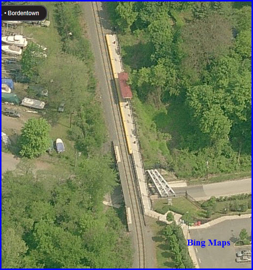
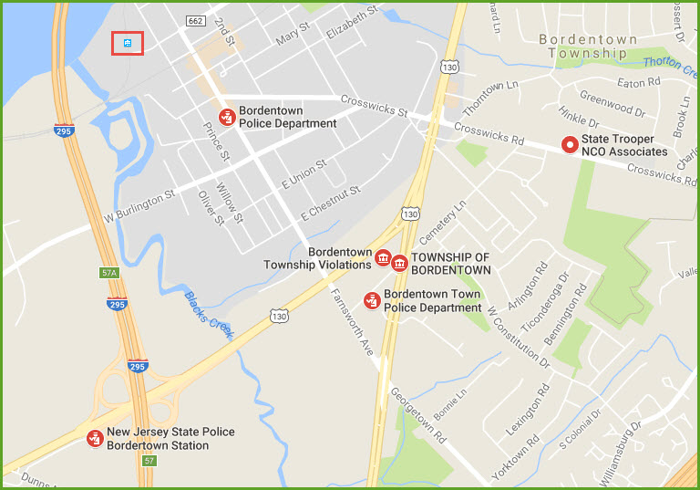
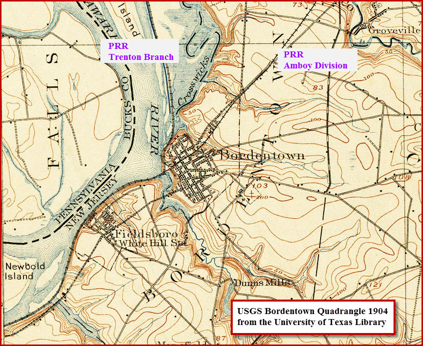
Map
Sights
Signals
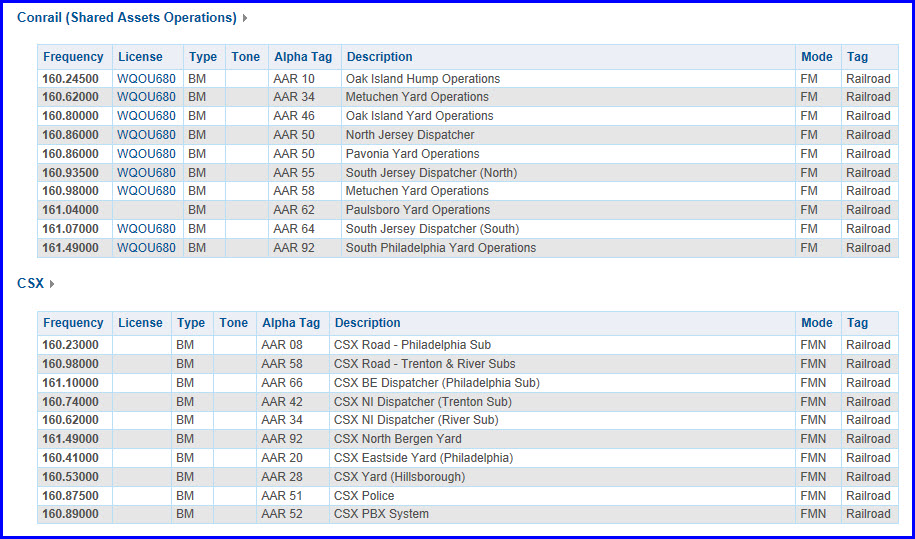
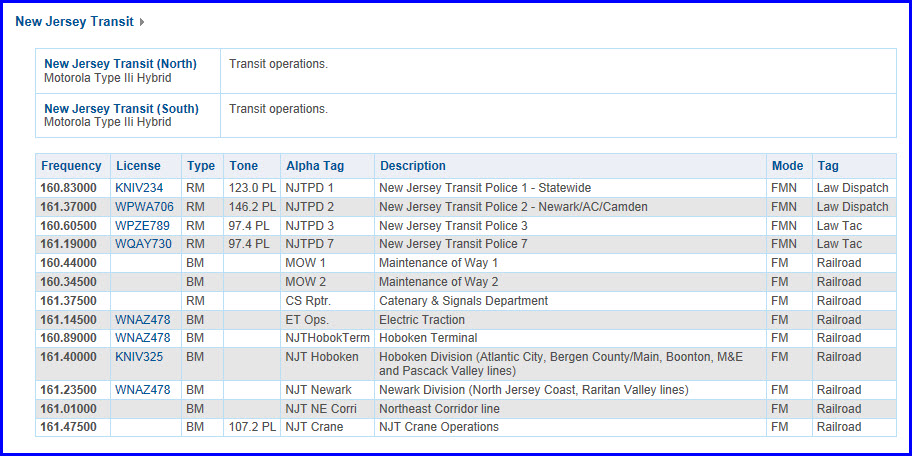
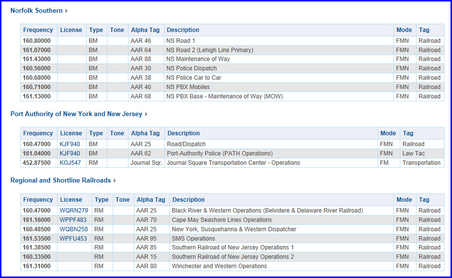
Scanner Freqs
Floobydust
USGS Maps
RAILROAD SIGNALS HOME
Location / Name:
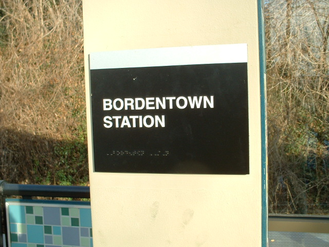
Bordentown NJ, Burlington County
What's Here:
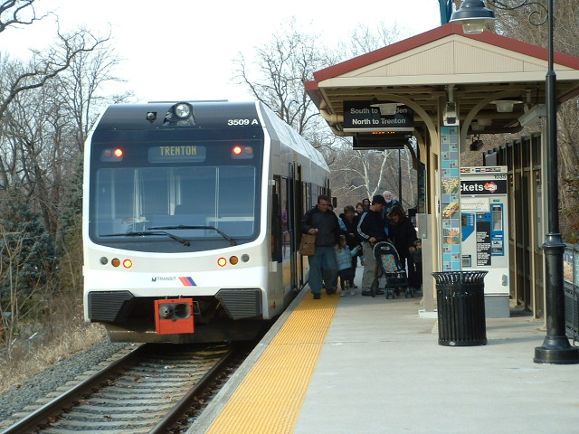
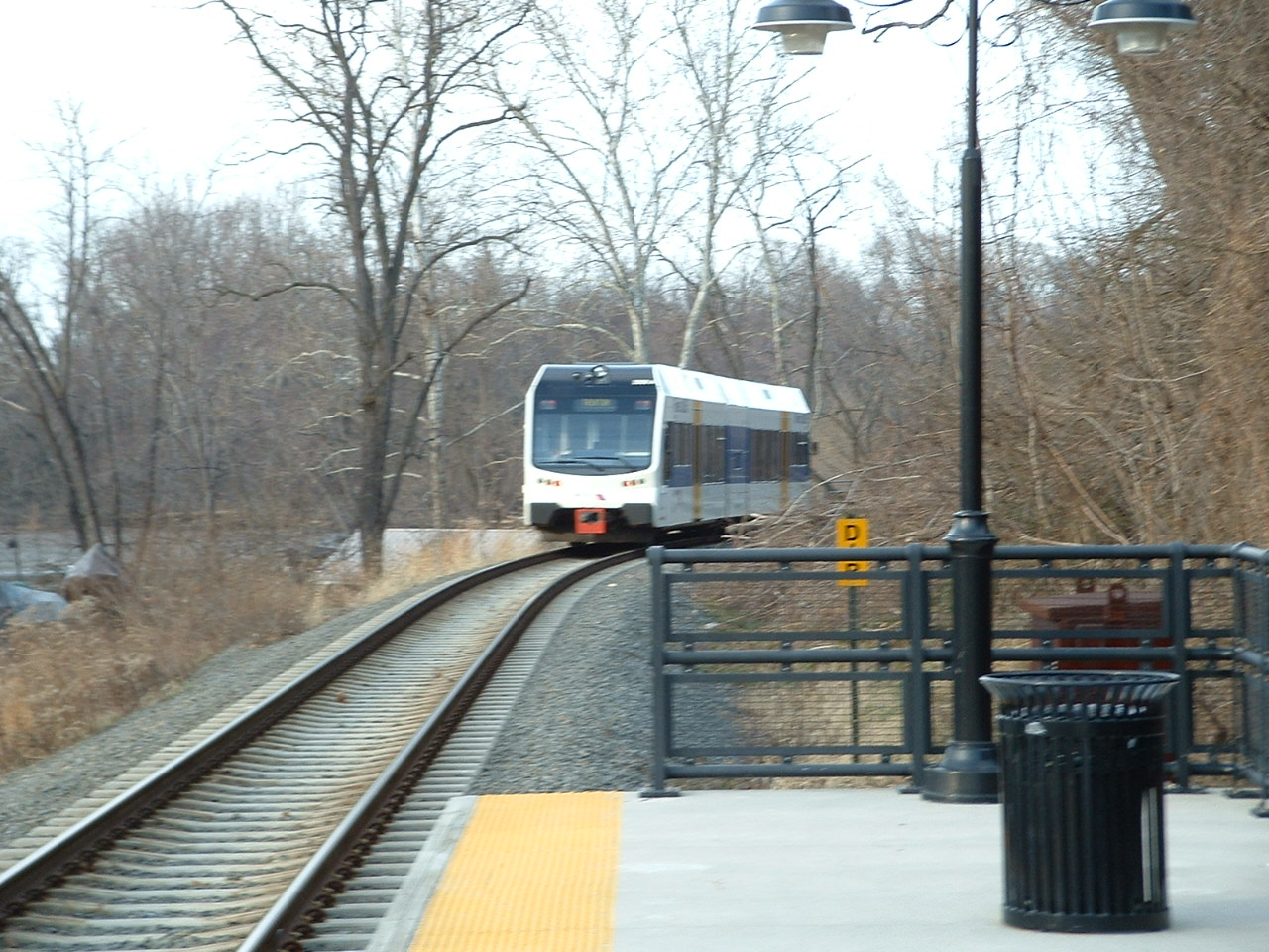
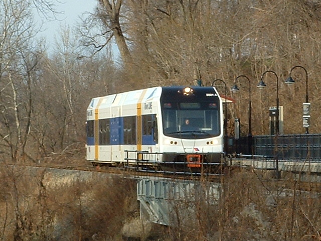
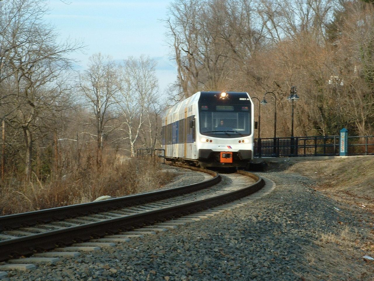
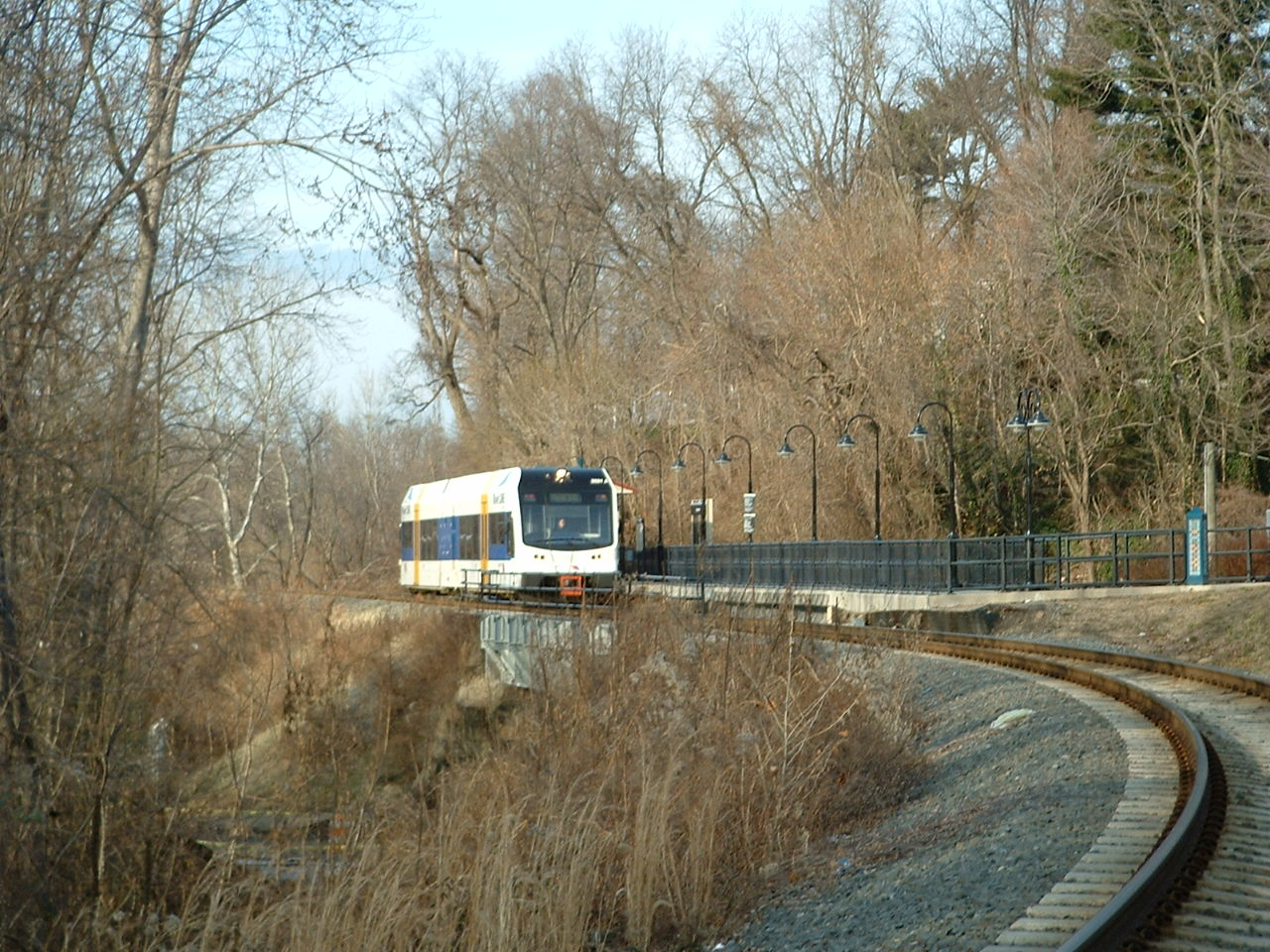
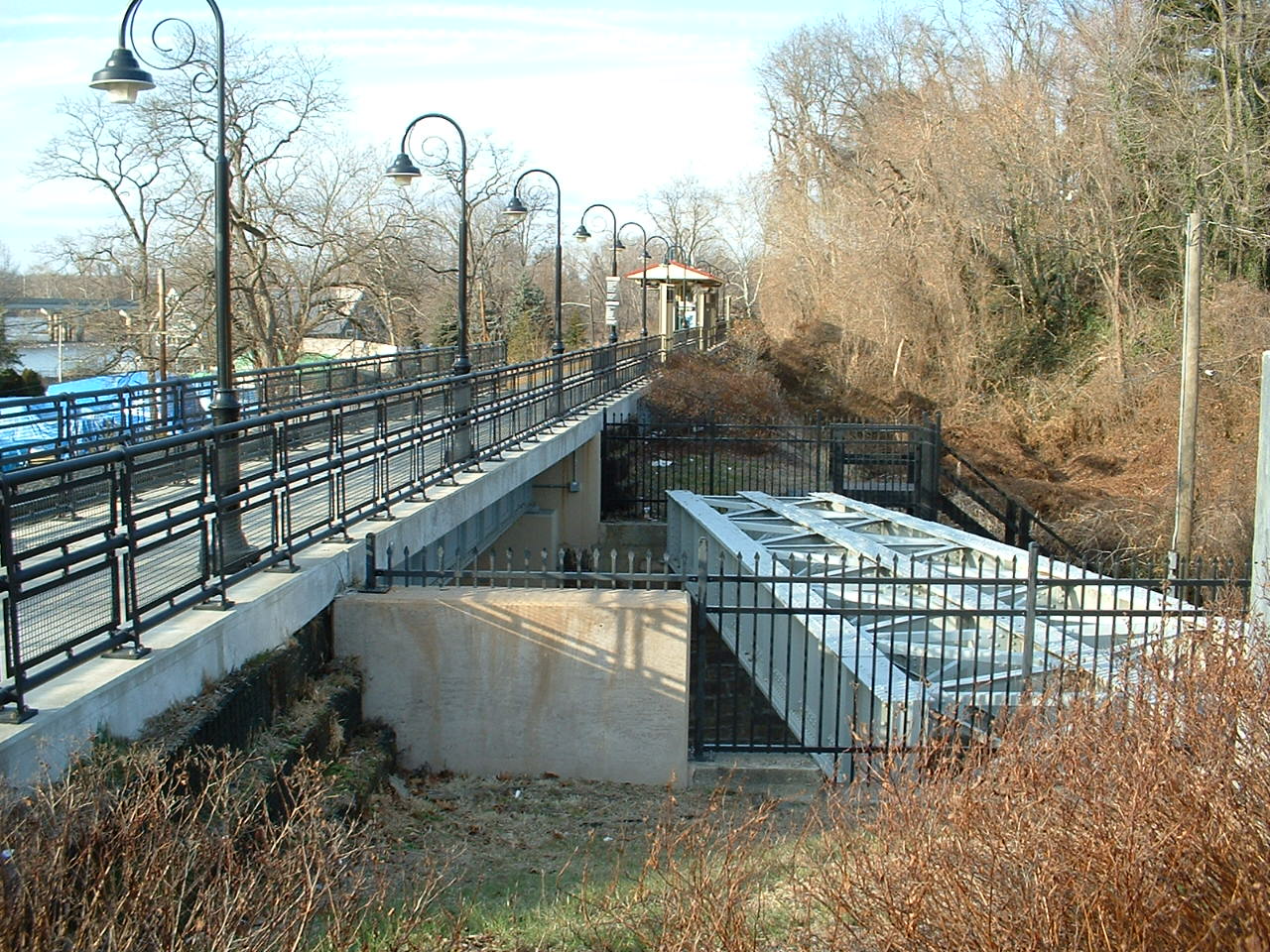
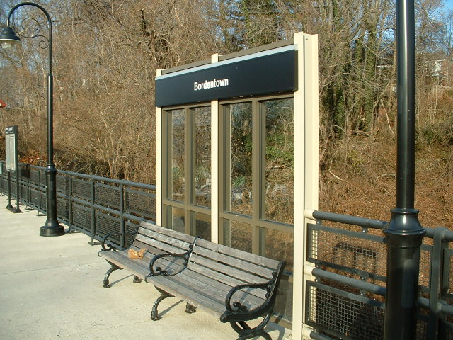
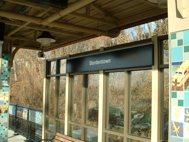
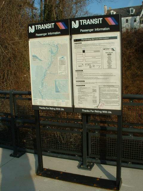
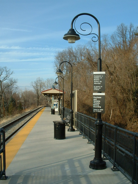
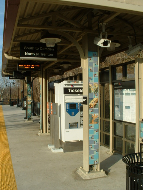
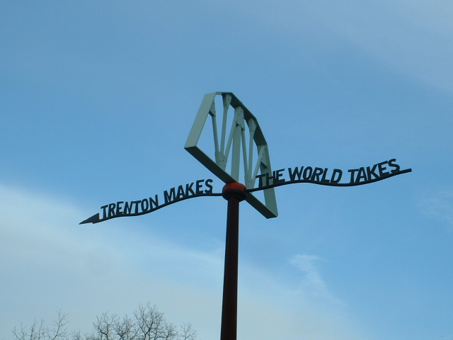
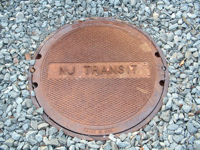
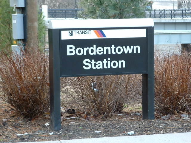
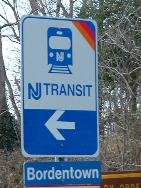
New Jersey Transit's Riverline Bordentown stop.
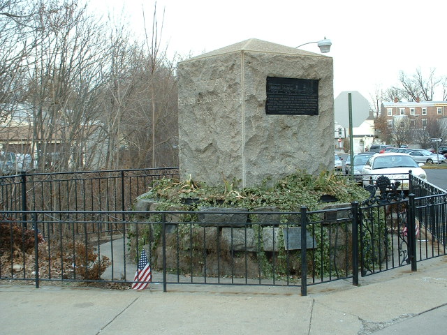
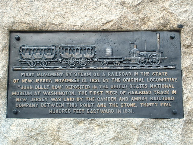
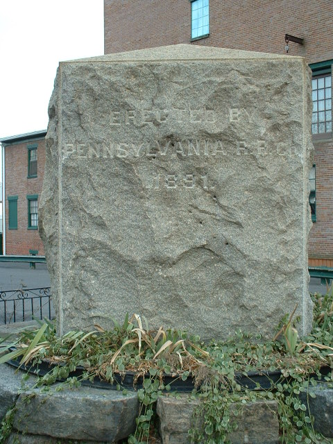
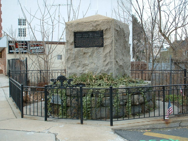
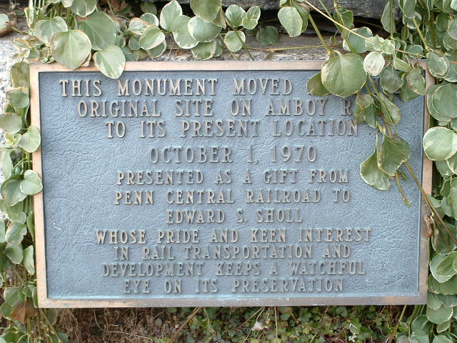
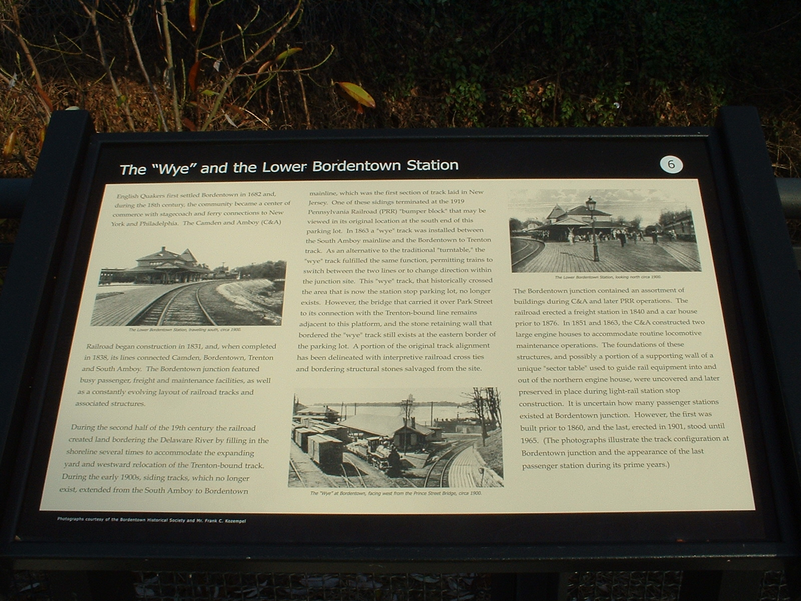
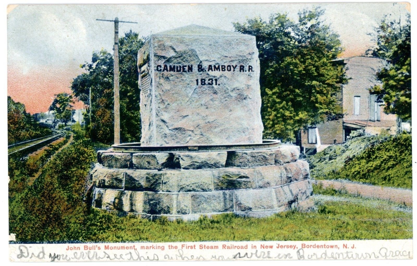
Historical marker for the Camden & Amboy RR.
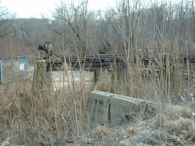
Remains of a wye.
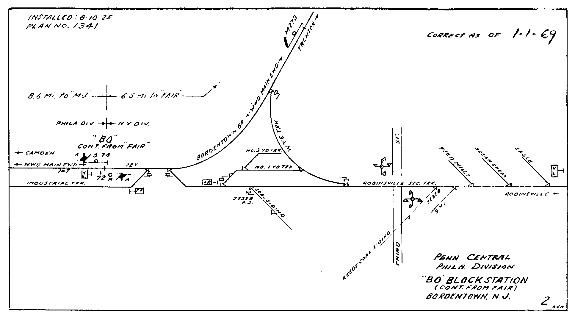
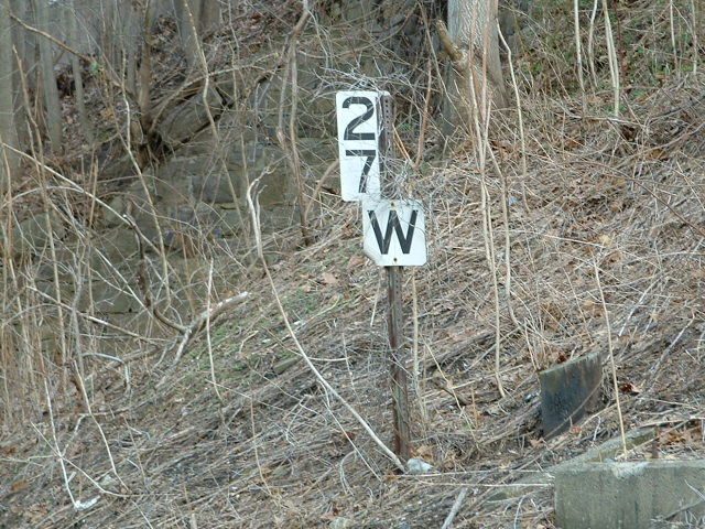
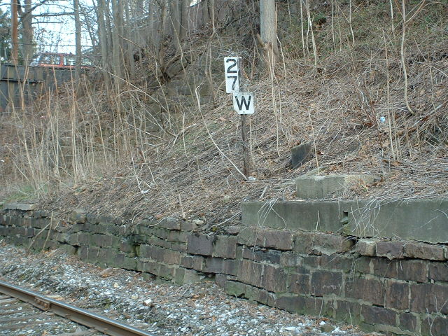
Interlocking for Amboy branch.
Data:
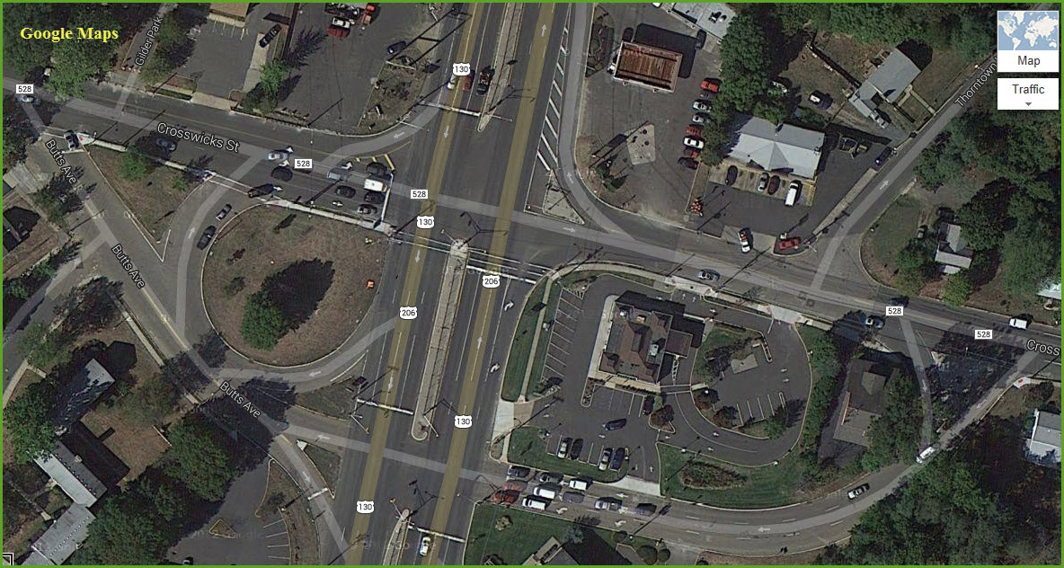
GPS Coordinates: 40.148078, -74.716215 (at the light rail station)
ZIP: 08505
Phone A/C: 609
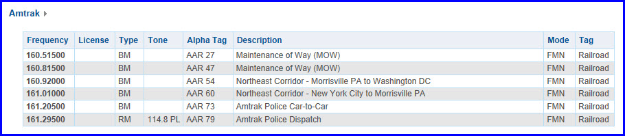
Scanner Frequencies:
See below.
Access by train/transit:
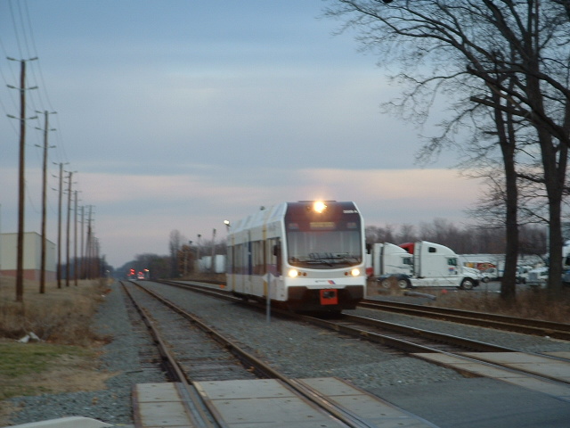
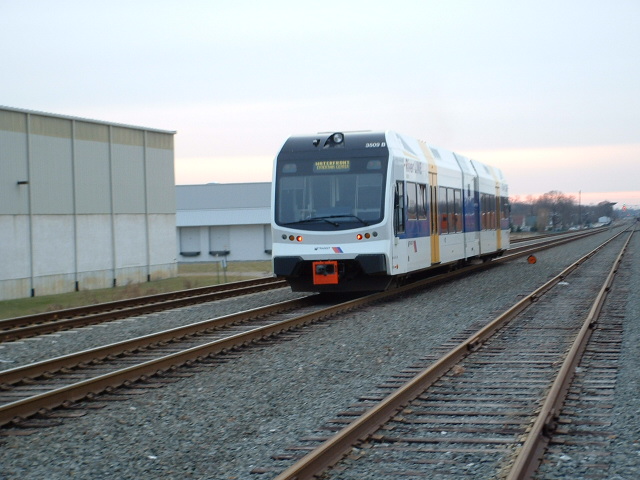
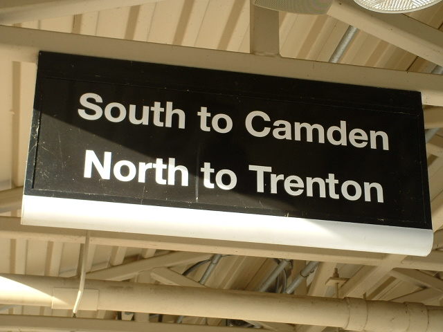
NJT's Riverline Light Rail system.
The Scoop:
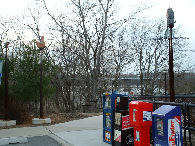
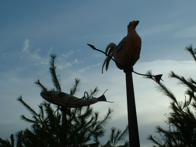
Bordentown is a fun place to visit. If you come by train, everything is within easy walking distance.
So once you're here, what is there to see?
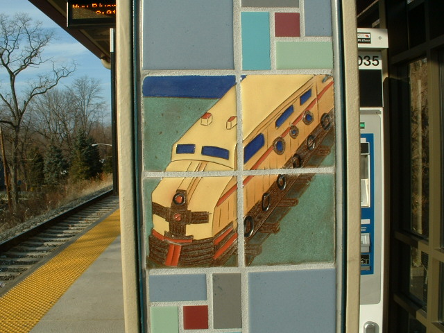
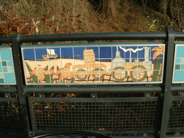
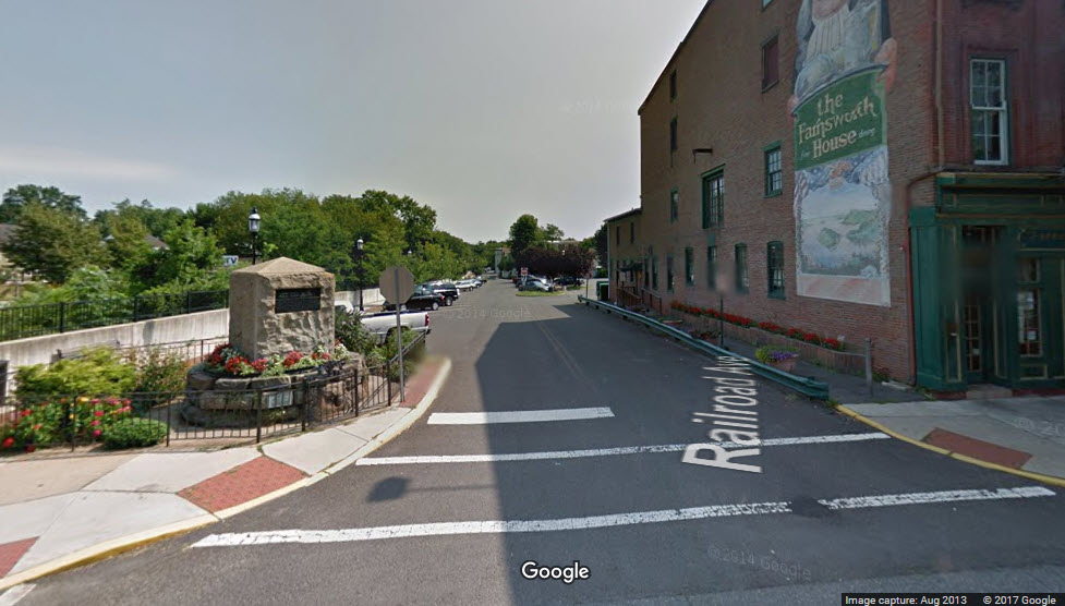
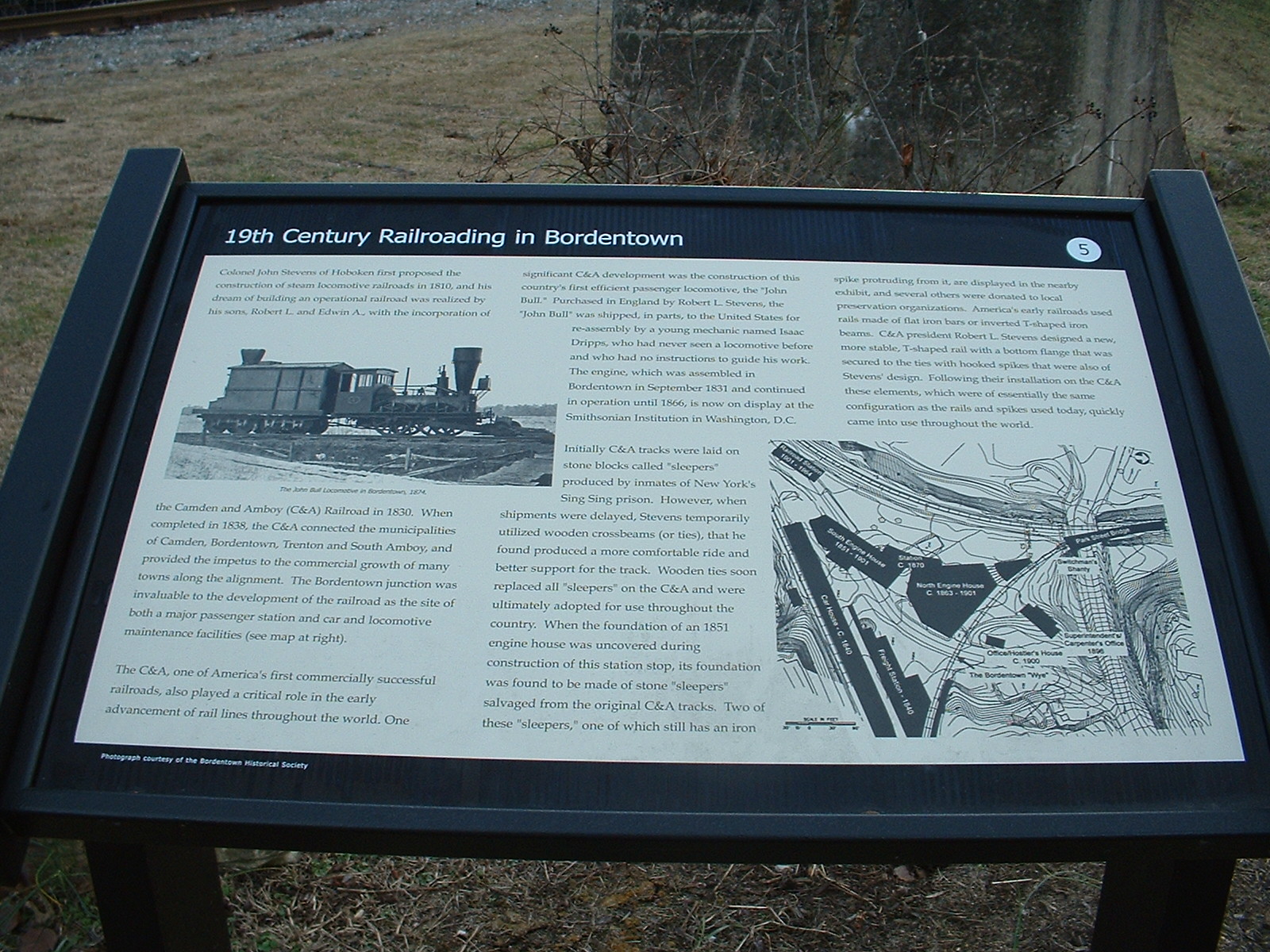
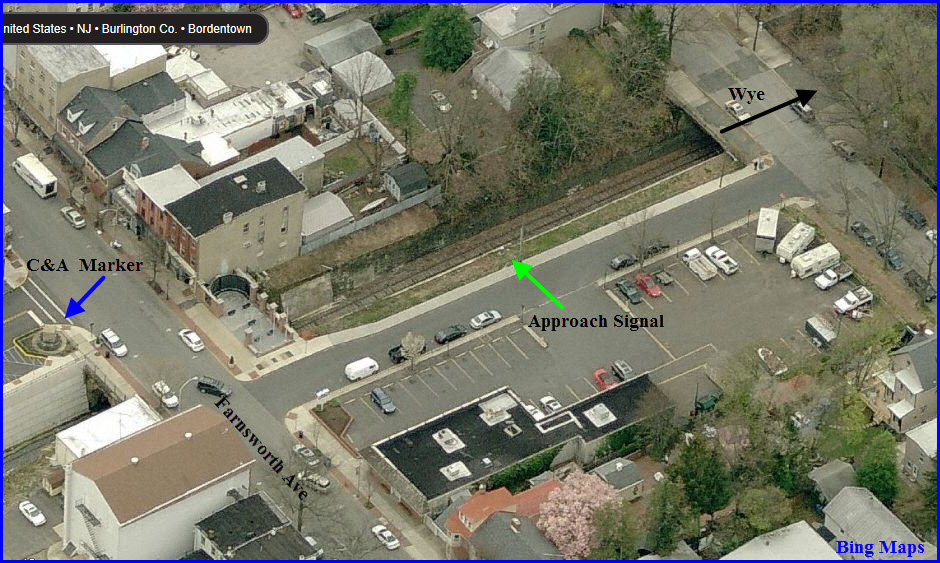
You have a marker dedicated to the first railroad of the United States, the Camden & Amboy Rwy. It's up the hill from the station in the "downtown" area. The station itself is quite an attraction by itself due to the artwork they have chosen - some pretty cool stuff. Around the parking lot area, you have a number of other historical things, such as a marker to the railroad's facility that used to be here at the wye, and the ripped up leg of the wye.
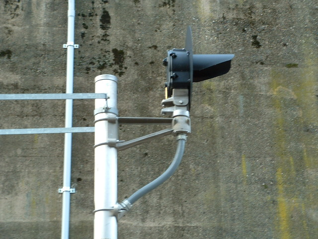
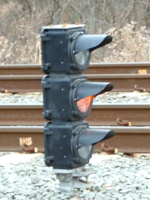
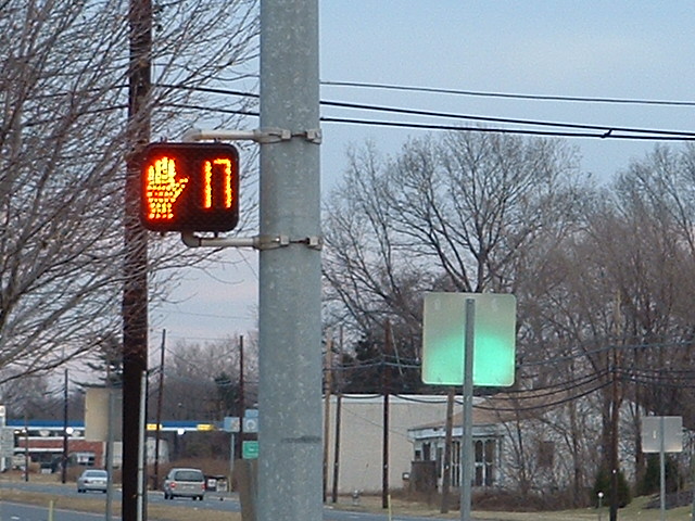
Signals are all color light, and over in the downtown area on the branch line is a rare single aspect approach signal.
If you're noticing the lack of an overhead catenary, that is because the light rail system uses DMU's (in European parlance), Diesel Multiple Units. Camden would NOT let NJT string overhead wires thru town.
Acknowledgements:
None Yet
Additional Information:
https://en.wikipedia.org/wiki/Bordentown_Secondary
https://en.wikipedia.org/wiki/United_New_Jersey_Railroad_and_Canal_Company
http://www.state.nj.us/transportation/gis/maps/railroads.pdf
http://www.american-rails.com/camden-and-amboy-railroad.html
http://www.delancotownship.com/filestorage/5300/5919/Mike%27s_Railroad_History_Brochure_(2).pdf
http://delawareriverheritagetrail.org/Camden-and-Amboy-Railroad.html
https://www.libraries.rutgers.edu/rul/exhibits/nj_railroads/njrr.php#case:1
https://en.wikipedia.org/wiki/Conrail_Shared_Assets_Operations
http://broadway.pennsyrr.com/Rail/Prr/Maps/Itlk/itlk_phl_nyc_branch.html
http://www.bordentowntownship.com/
https://en.wikipedia.org/wiki/Bordentown,_New_Jersey
http://downtownbordentown.com/
https://en.wikipedia.org/wiki/Bordentown_Township,_New_Jersey
http://bordentownhistory.org/Bordentown_History/index.html
Bordentown is fortunate that it is in the middle of a LOT of highways, and many of them are interstates. This also makes it complicated too, for there is no one way that is the best way to get here.
Making it even more complicated is the fact that the designers of our interstate highway, in their infinite wisdom, use the New Jersey Turnpike as only PART of the I-95 corridor, which is "above" Trenton.
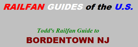
From the NE, as in New York City or beyond, come down I-95, the Jersey Turnpike, and take exit 7, then go north on US206 about a mile, then a RIGHT onto Crosswicks St, and then another right, because New Jersey doesn't like left turns off of major roads! The graphic below illustrates the mess their no left turn policy creates :-)
Coming in the from the west as in the Pennsylvania Turnpike? Follow the signs for I-276, which takes you around the north side of Philadelphia, and is called the New Jersey Turnpike Extension (it's a toll road). Take the exit for US130, and go north to Bordentown.
From the Scranton or Bingo NY area, you can come in via I-476, taking I-276 east when you hit it in the Plymouth Meeting area.
Coming up from the south - DC/Baltimore? Come up I-95, but at the split just below Wilmington, I would stay to my right so I can come up the Jersey Turnpike, taking exit 7 as mentioned above. You can also opt for travelling up the "parallel" I-295 after crossing the Delaware Memorial Bridge, which is free, but it wanders around a lot more than the turnpike, especially when it runs into I-76 just south of Camden NJ.
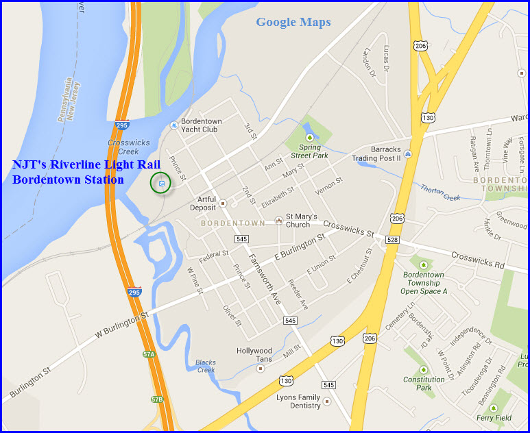


GPS Coordinates: 40.147716, -74.712941
http://www.waymarking.com/waymarks/WM8FW_Bordentown_John_Bull_Railroad
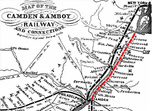
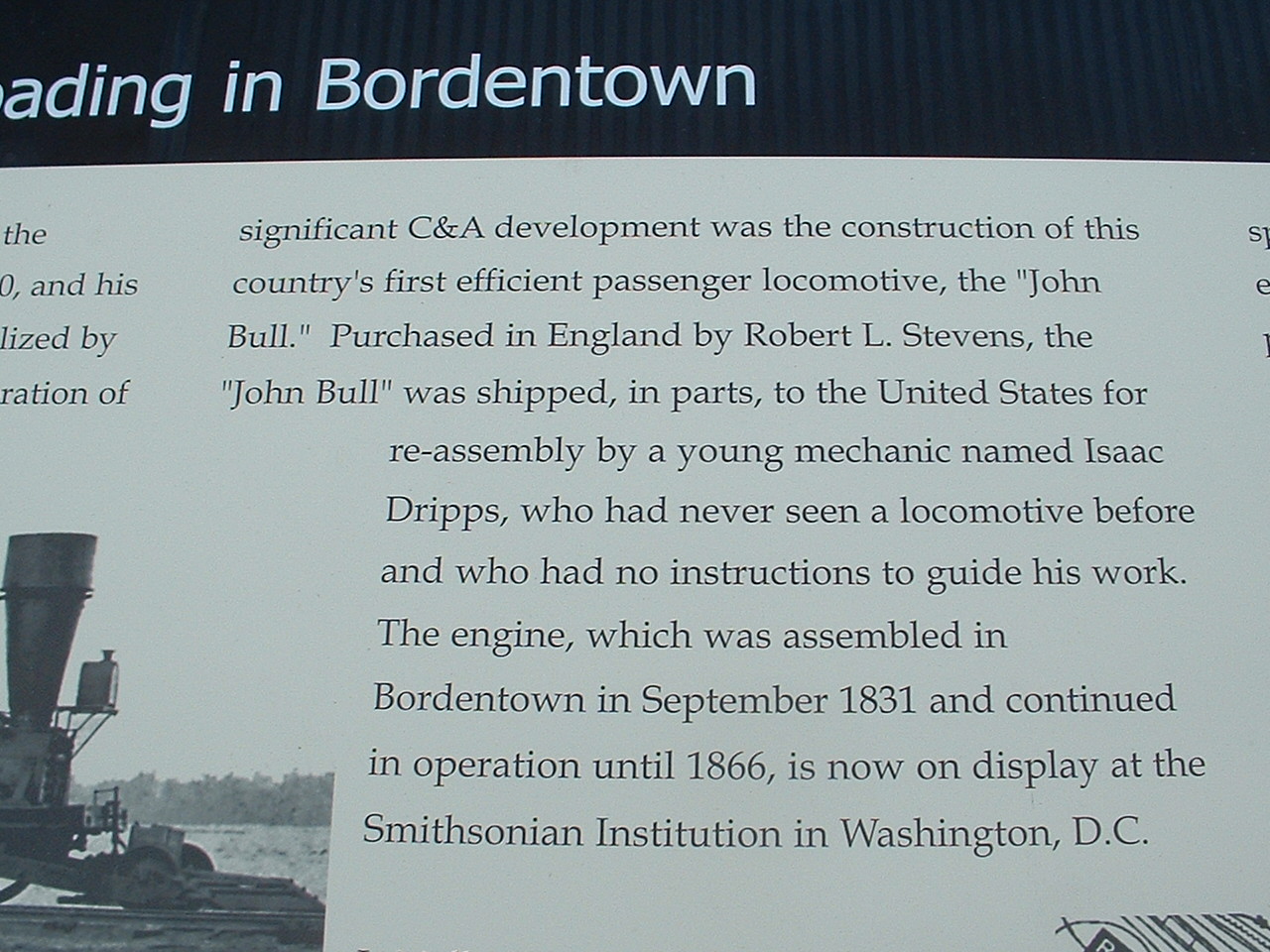
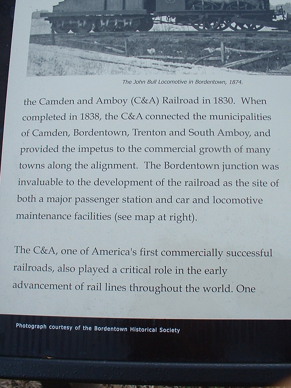
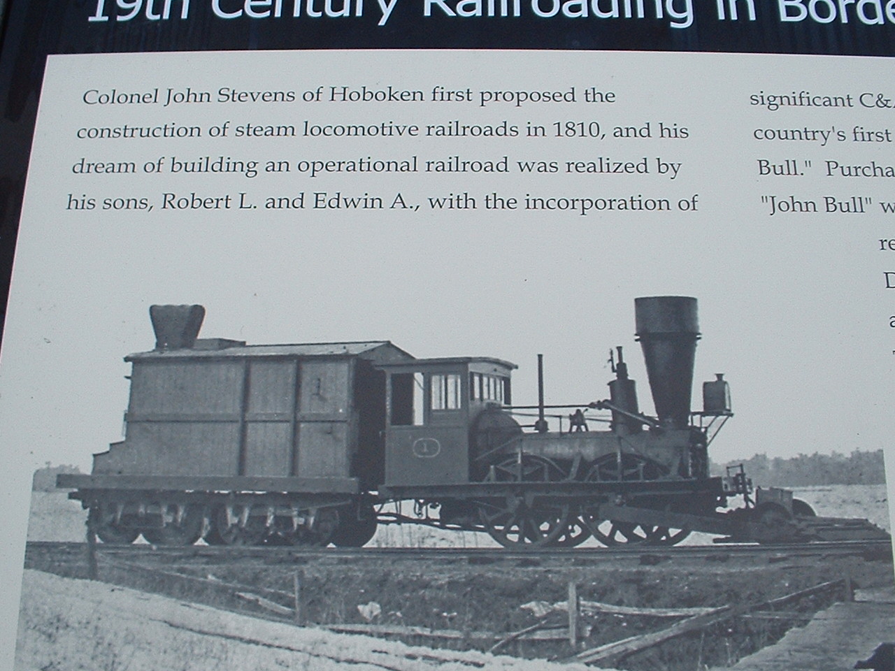
The Camden & Amboy Rwy was the United States' first railroad to be granted a charter in 1830, and the first railroad in 1815 to be given a legislative act authorizing construction of a rail road. It ran from Camden NJ northward to South Amboy NJ.
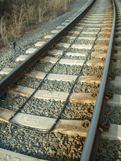
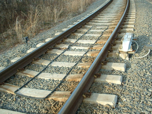
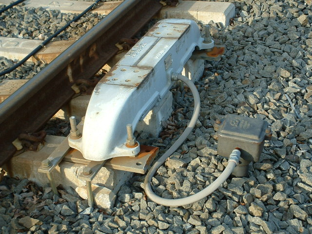
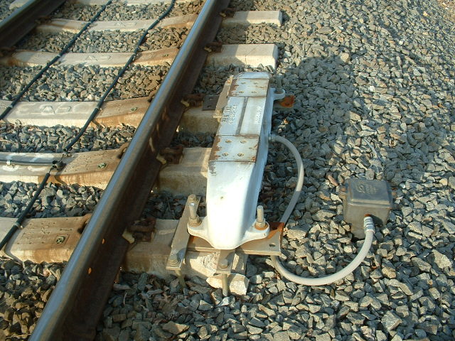
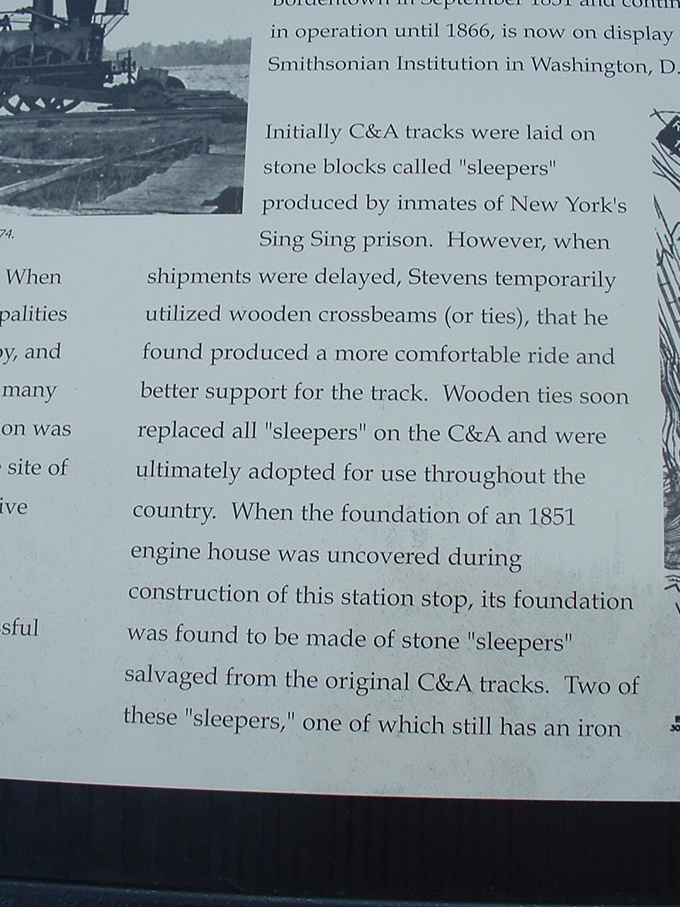
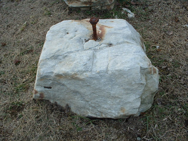
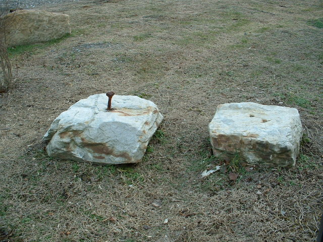
Like many very early railroads, the Camden and Amboy used stone sleepers to lay their rail on. I have more info on sleepers here.
More info is also here and here.
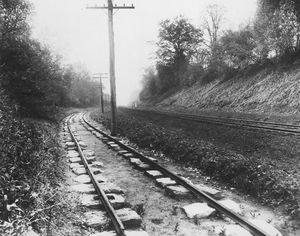 The picture of the sleepers came from:http://amhistory.si.edu/onthemove/collection/object_1162.html
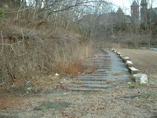
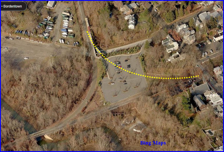
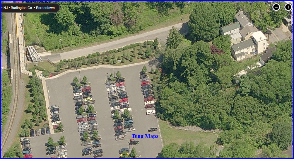
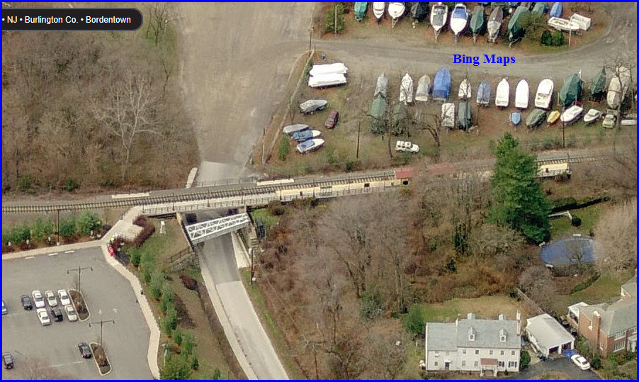
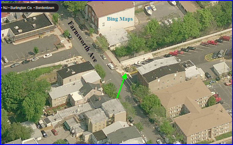
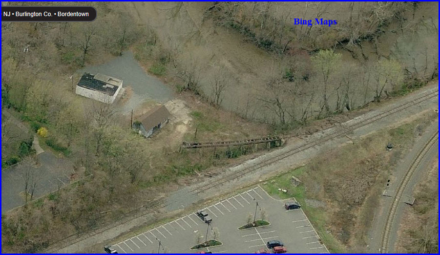
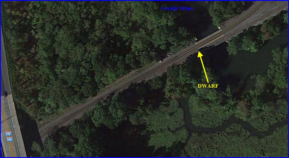
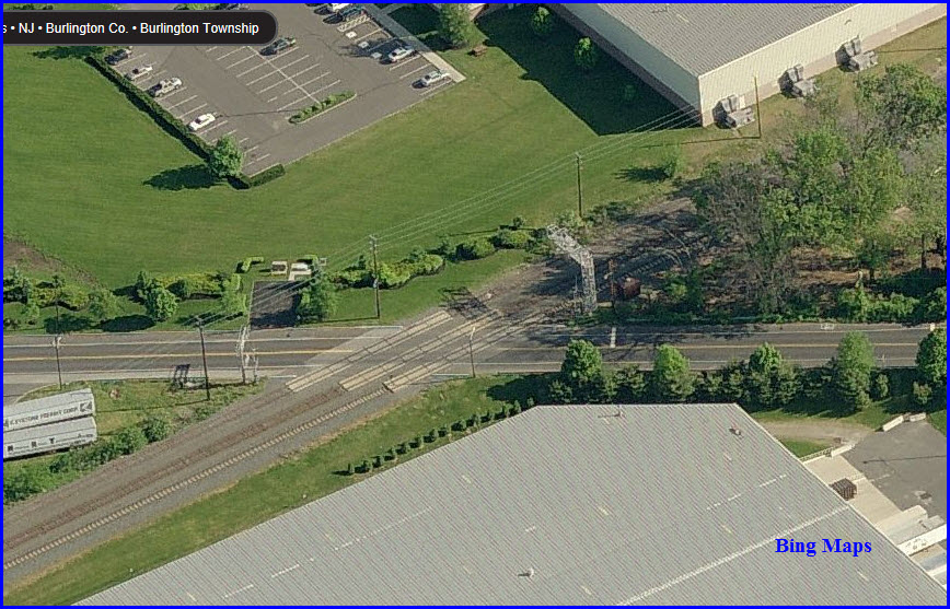
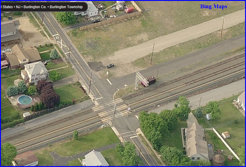
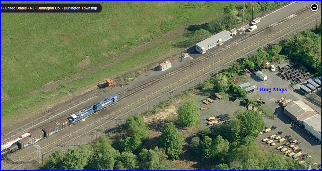
The markers are placed off the corner of the parking lot, in the blue circle below.
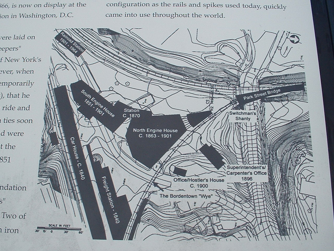
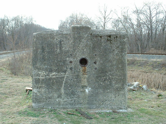
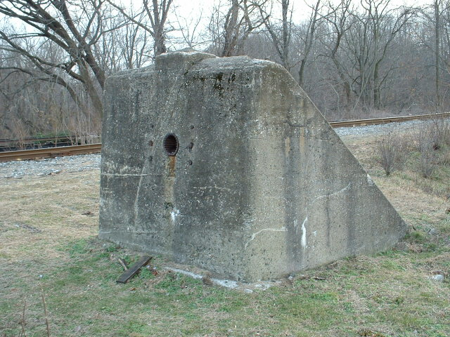

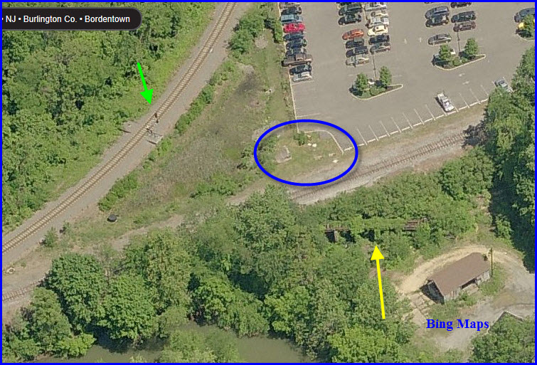
The yellow arrow in the aerial view above points to the old structure, barely visible during the summer.
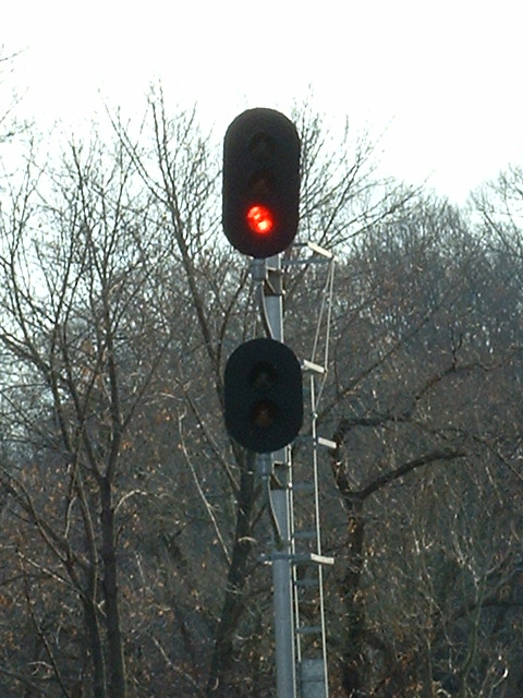
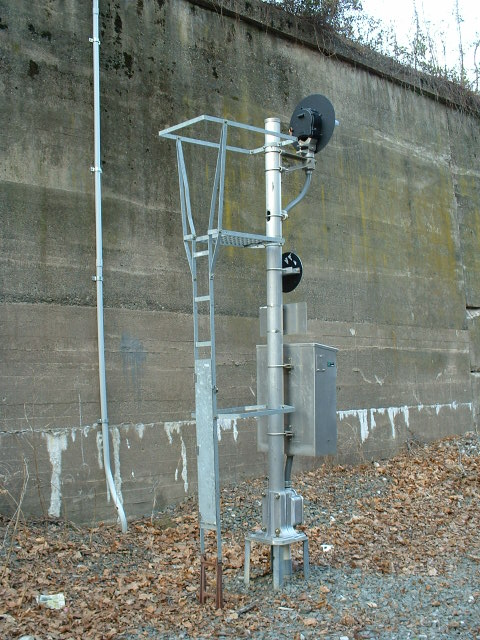
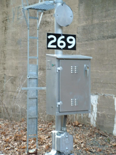
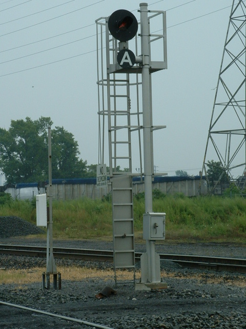
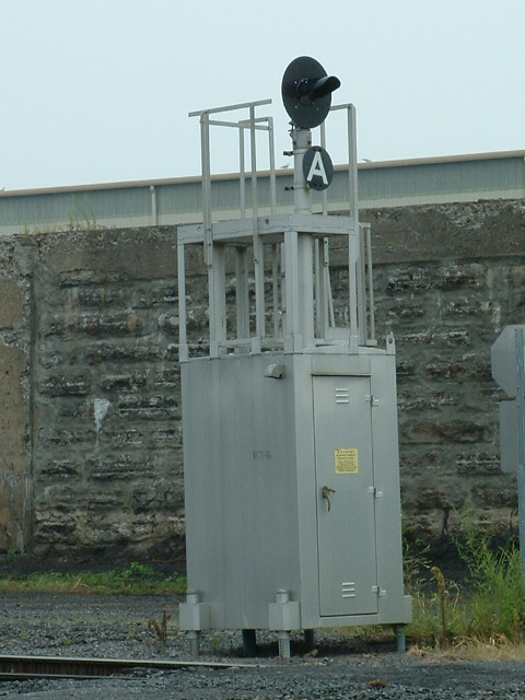
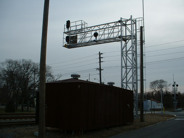
SB signal adjacent to the Bordentown light rail station.
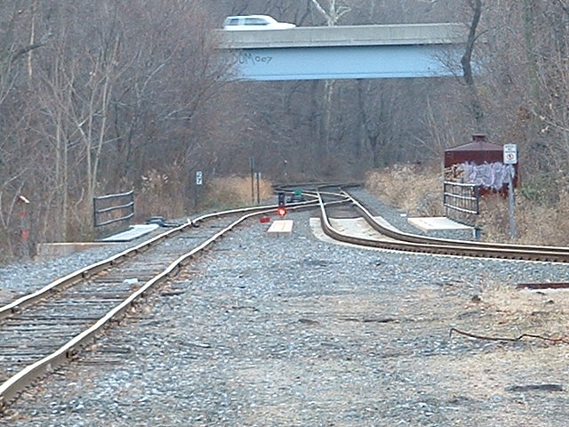
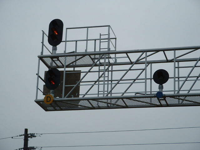
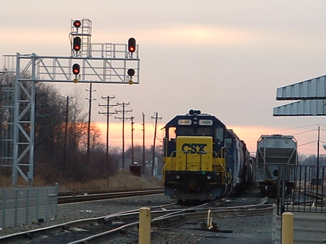
South of the station, the CSX tracks merge into a single track for the interlocking, and the continuation north. This signal controls the southbound movements thru the interlocking.


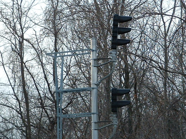
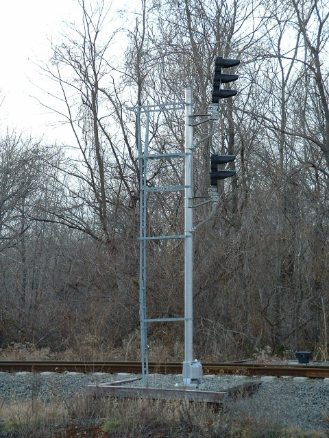
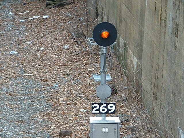
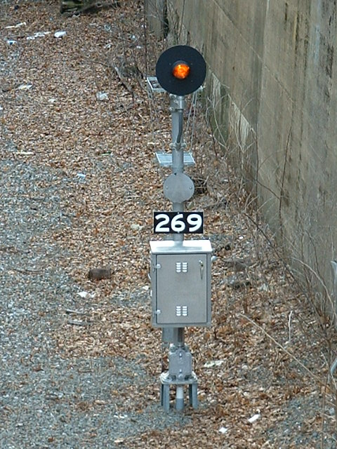
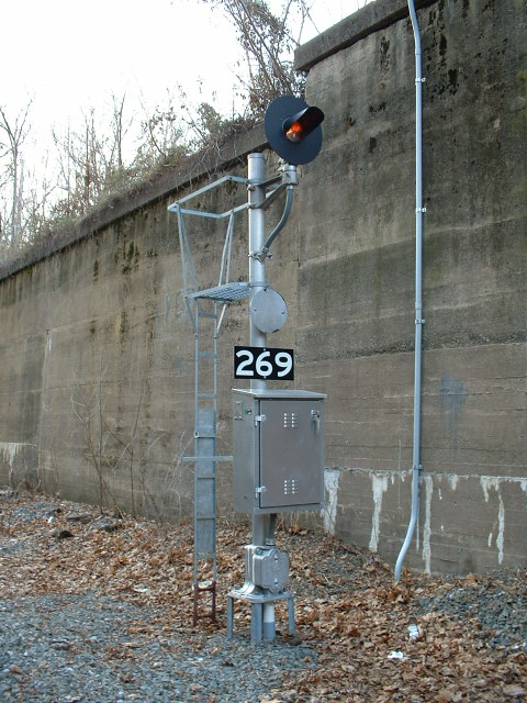
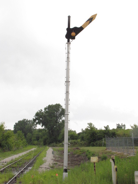
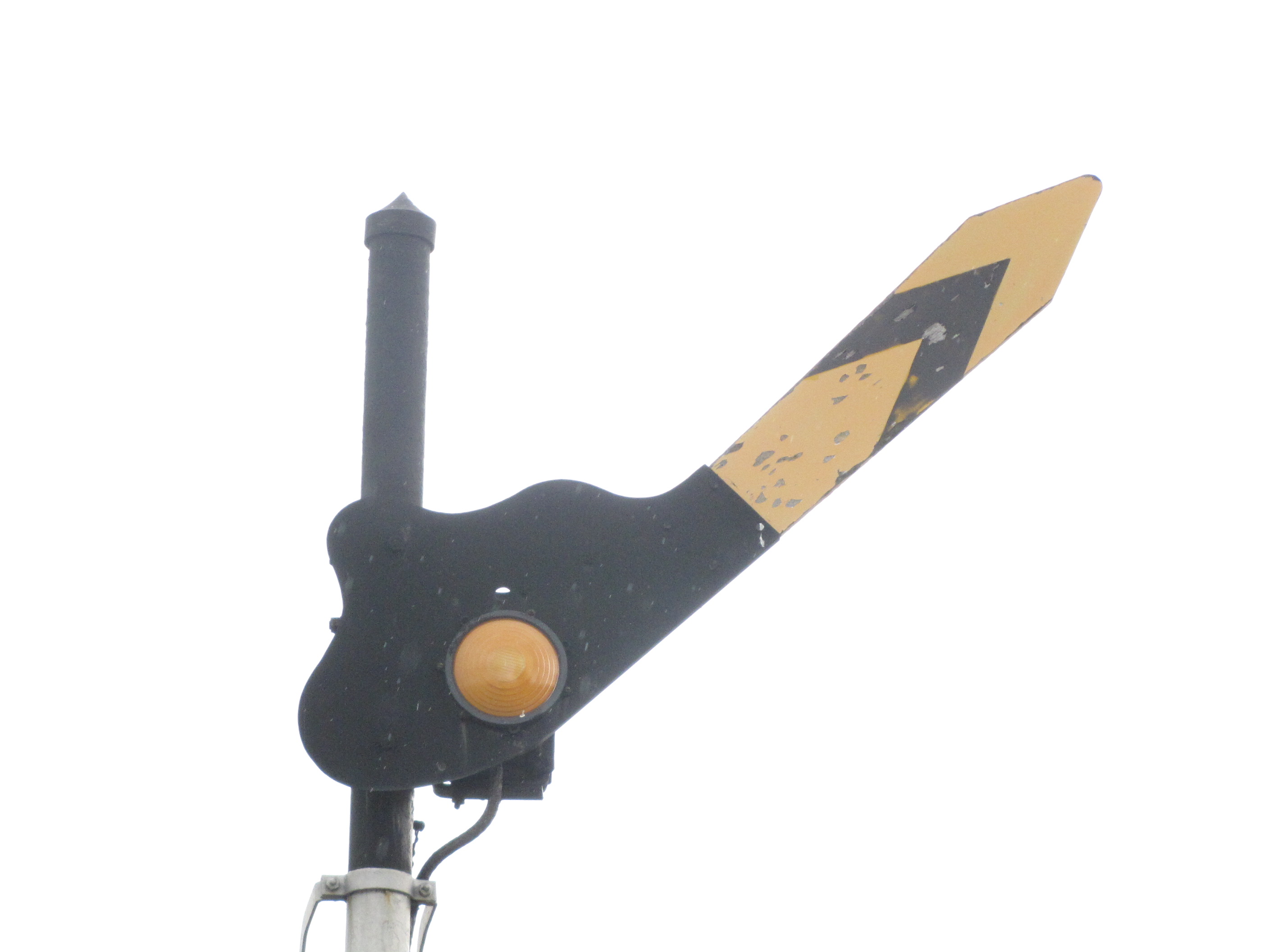
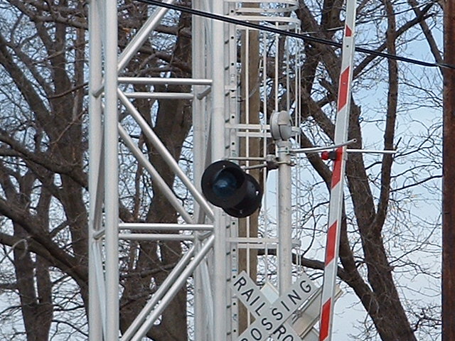
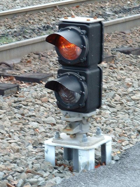
For SB freights approaching the interlocking, there is this fixed approach signal, viewable from the Farnsworth overpass.

FYI: Other examples of Fixed Approach Signals

Here is an example of an approach signal that
never changes, B&O CPL style. Located in south Baltimore adjacent to the Westport
light rail station, the building was torn down about 8 years ago, and
the signal has probably been replaced as part of the Carrolls interlocking
CPL replacement that happened in 2012.
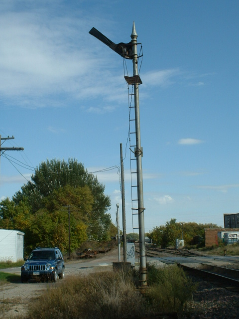
A Semaphore style fixed approach signal found in Mason City IA.

This was Baltimore's last semaphore signal, on the approach to a swing
bridge crossing the Back River going into Gray's Yard on the CSX, former
B&O, it was the only signal on the B&O that was never converted to a CPL....
It disappeared in 2006.
A fixed approach semaphore signal in Saginaw MI, more info and pictures
here

This fixed approach signal was found in east Knoxville TN on the former
Southern Rwy.
Two fixed approach signals on the outskirts of SK Yard in Buffalo NY.
A fixed approach signal, for the approach to a CSX wye in Durham NC.
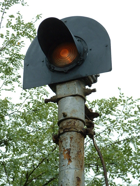
![]() Interlocking Signal
Interlocking Signal
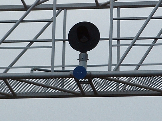
This dwarf colorlight signal controls movements from the branch onto the CSX/light rail mainline. We're looking south towards Camden.
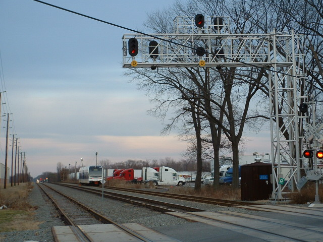
![]() Intermediate Signals
Intermediate Signals
Set of NB signals at Dultys Lane.
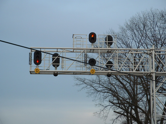
Set of SB signals at Neck Road on a cantilever bridge.


This is not a comprehensive list, and there a lot of trunking frequencies in use, too much stuff to go into here.......
There's a small CSX yard south of Neck Ave. The yard office is on the north end of the yard off of Neck Ave.
Cool crossing sign at Dulty's Lane, just south of the Florence station - about 6mi south of Bordentown. 2006-0110njsigs
NEW 12/01/2012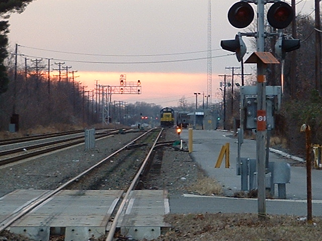
A couple of dwarf signals in the CSX yard below Neck Ave.
Looking south from Dultys Lane, we can see the SB signals and the small CSX yard.

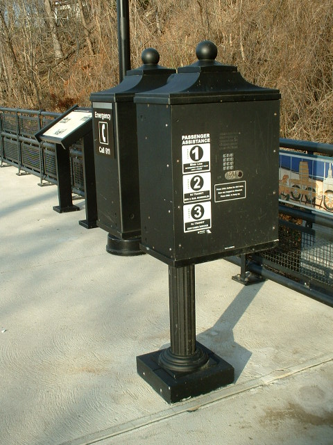
Back in 2006, this was probably the first digitally timed hand-man signal I had seen.
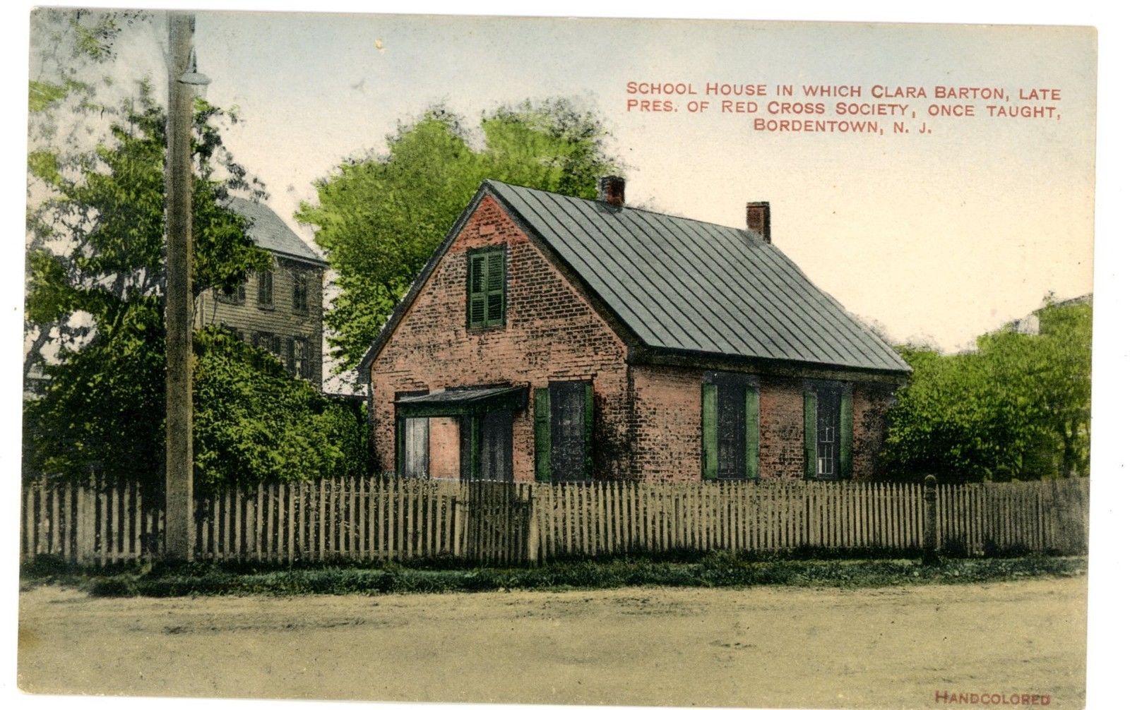
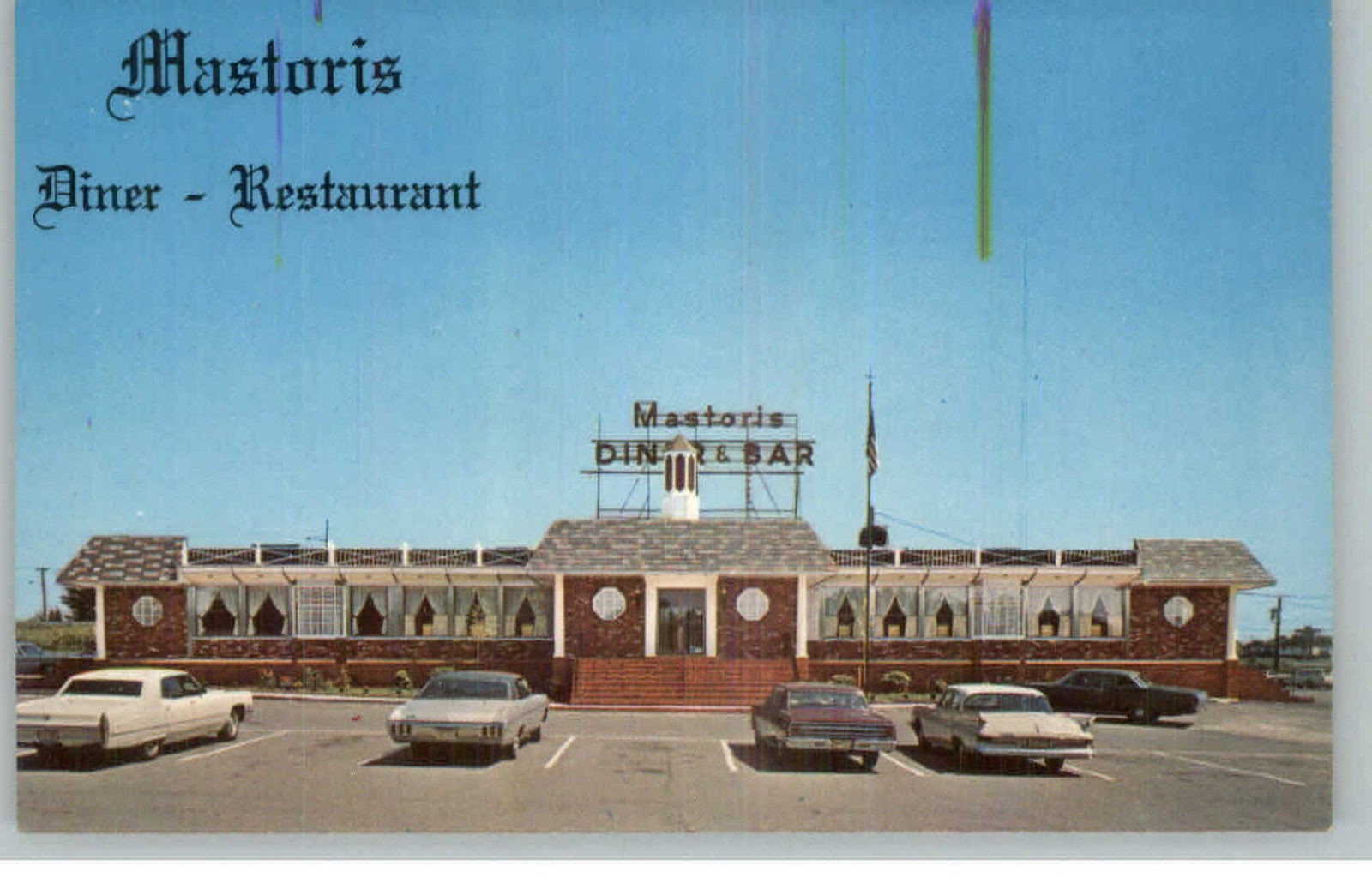
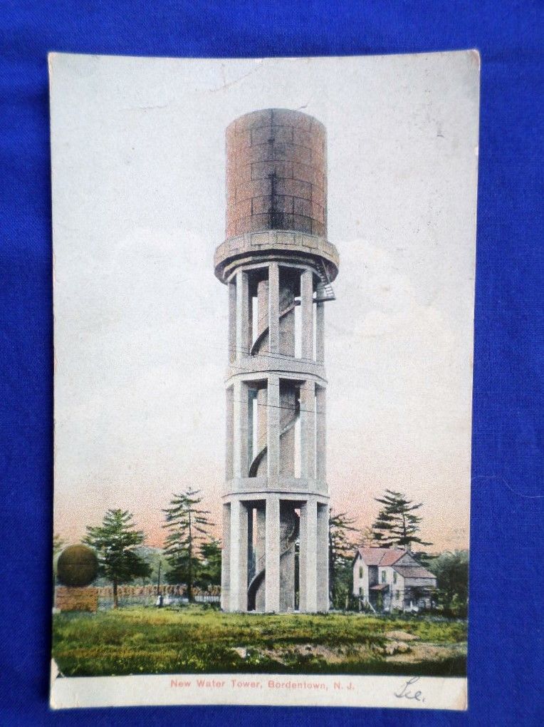
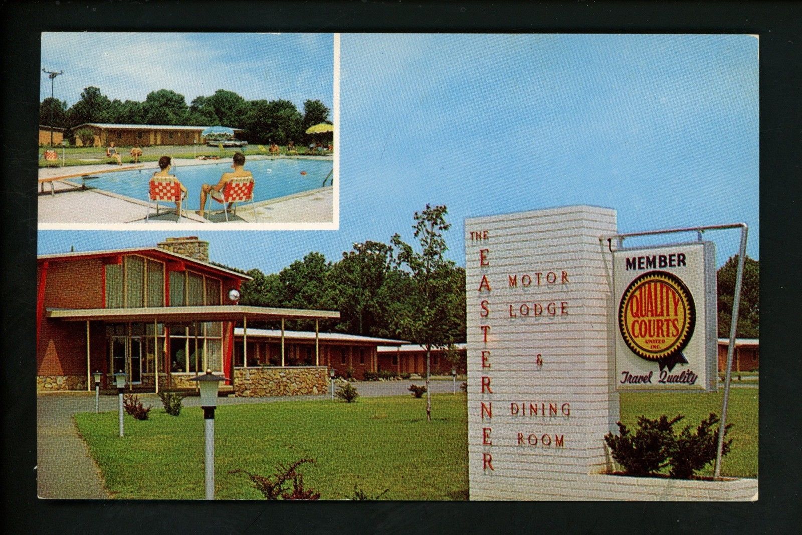
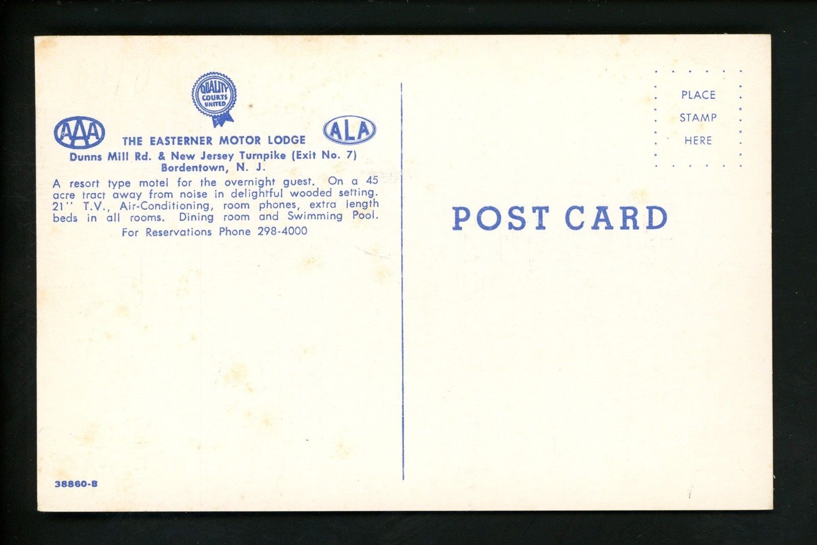
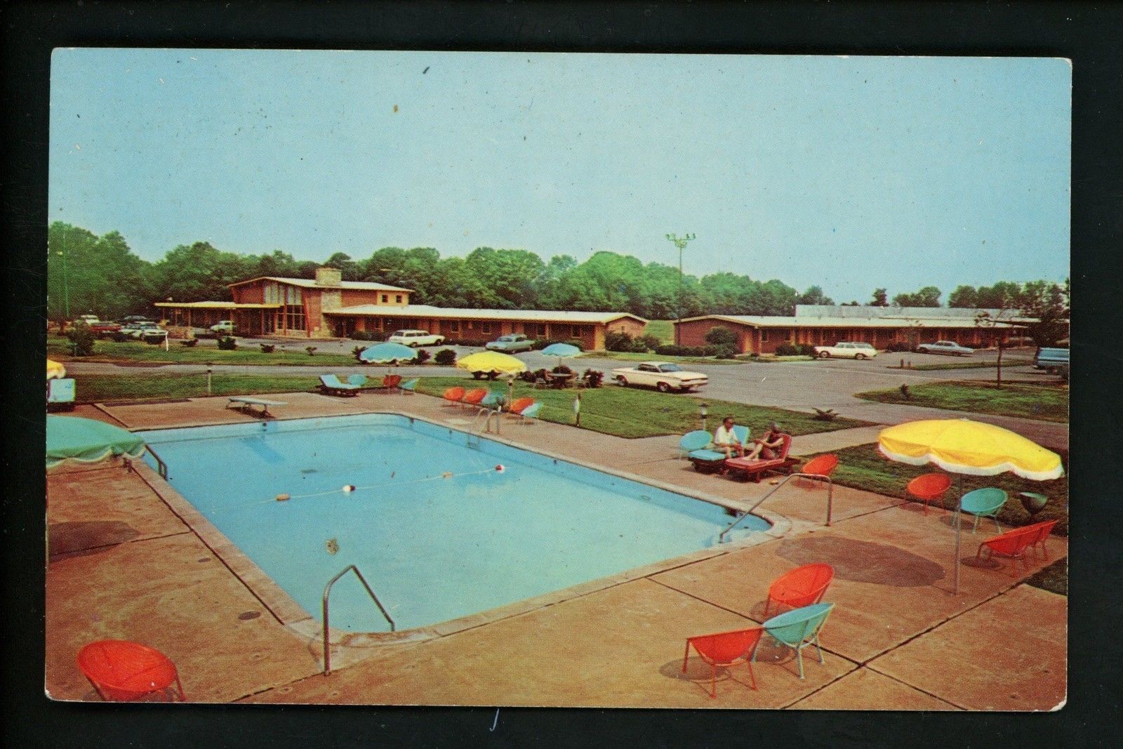
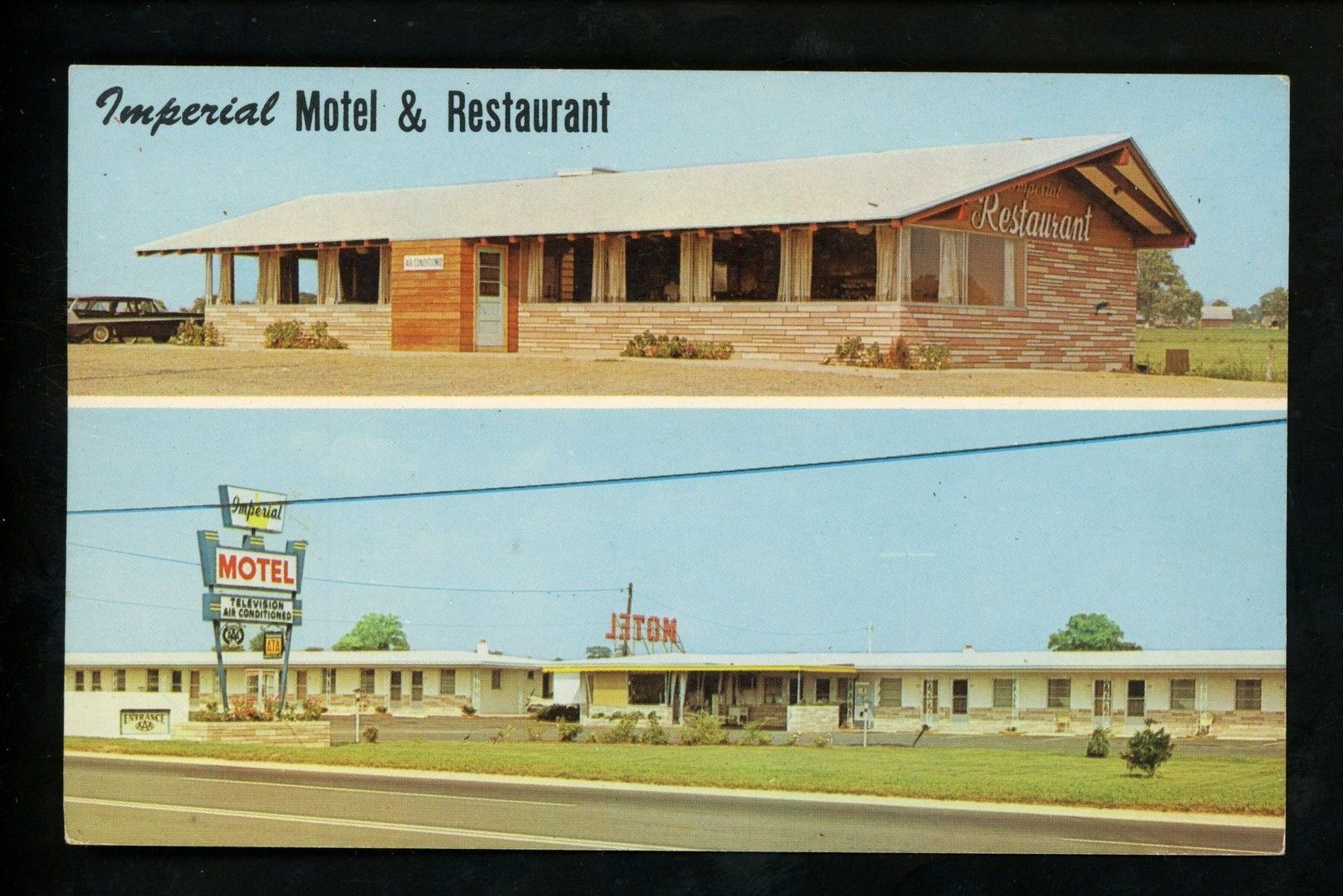
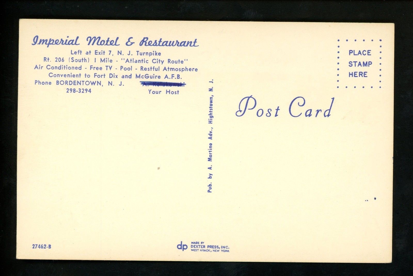
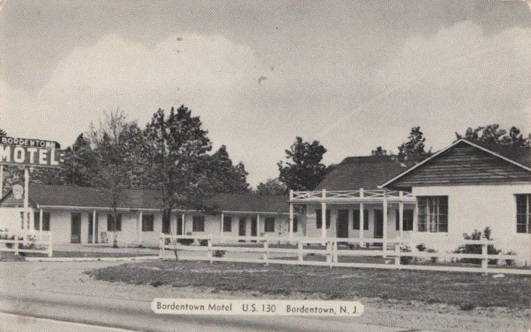
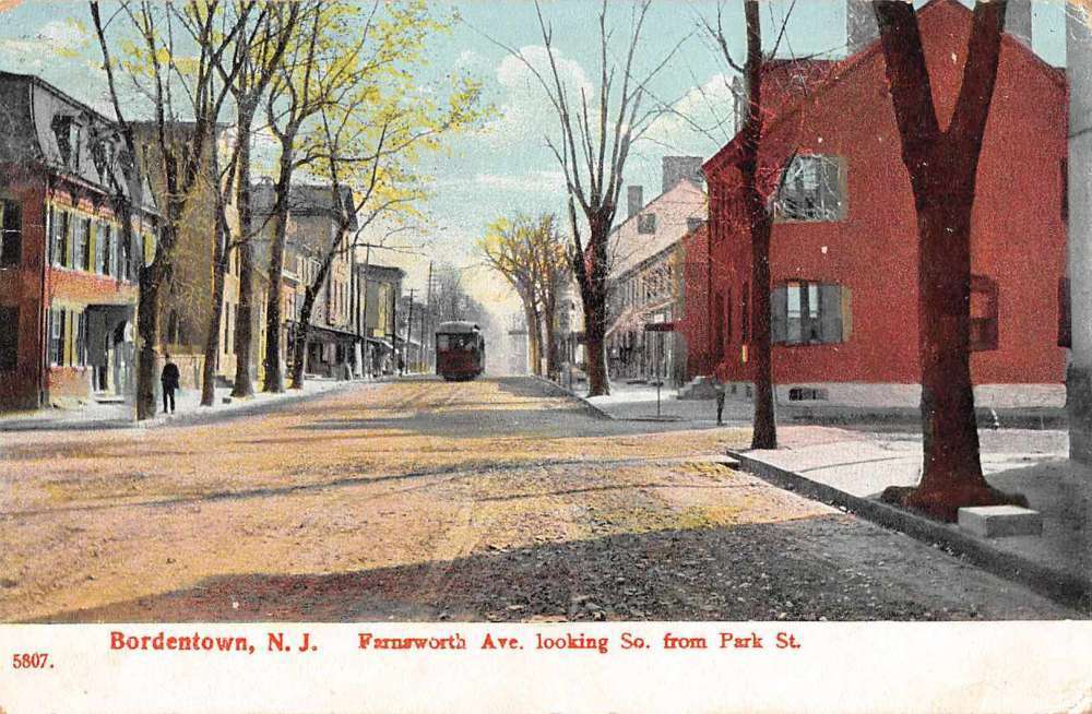
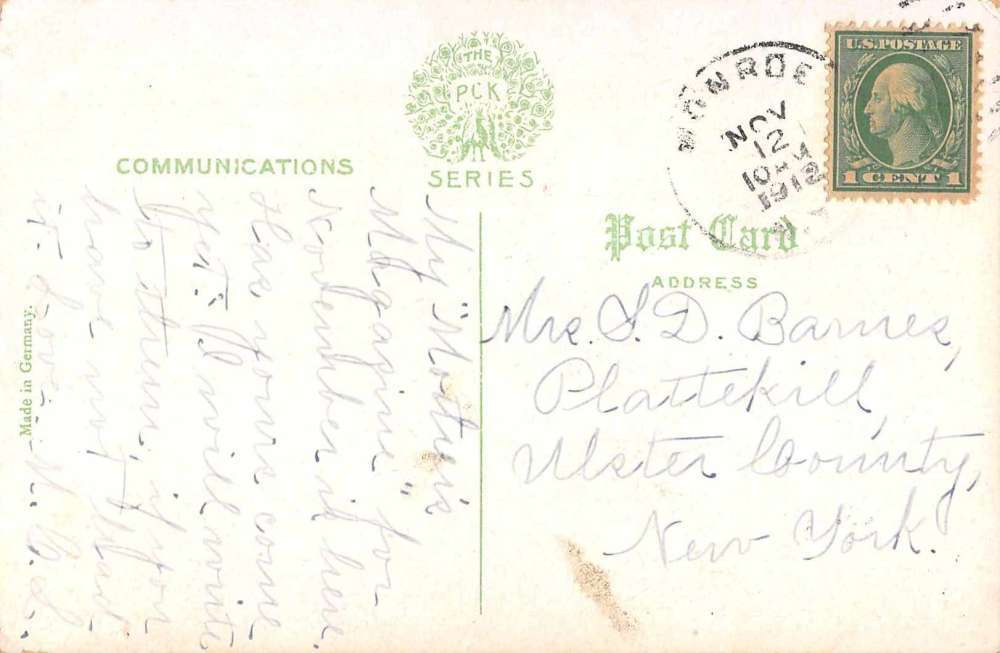
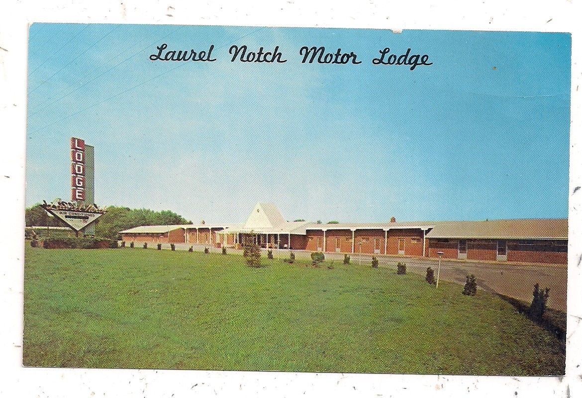
A couple of postcards found on EBay.
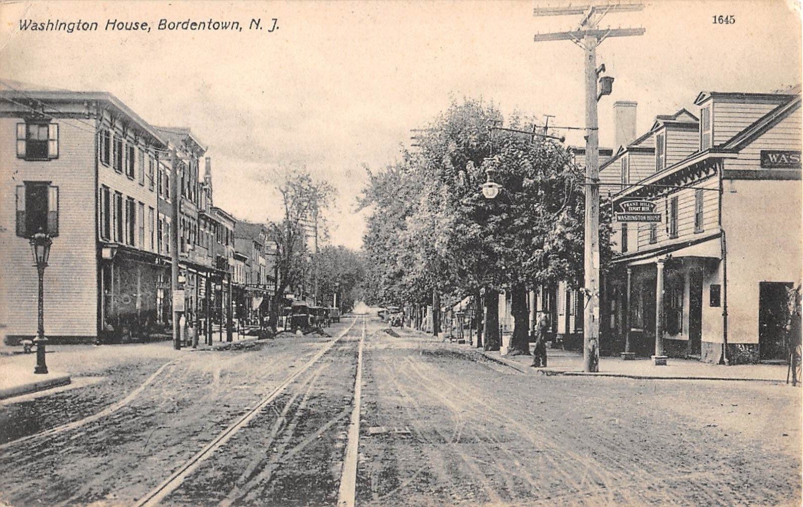

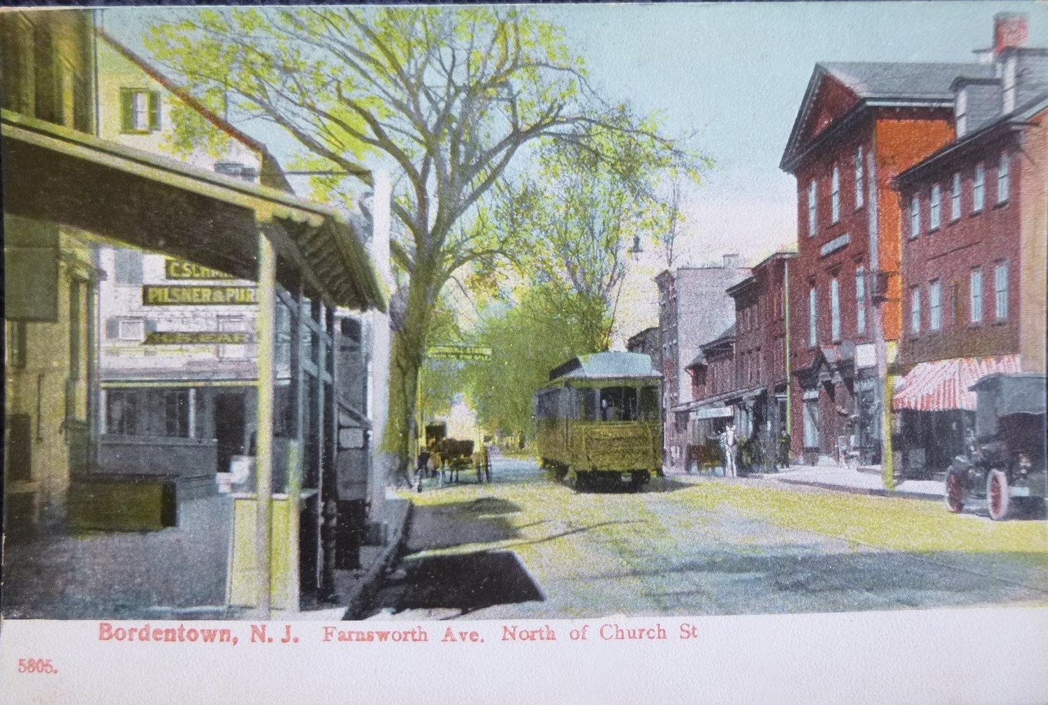
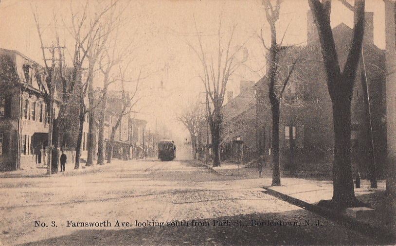
Where did the trolley tracks go???
Disclaimers:
I love trains, and I love signals. I am not an expert. My webpages reflect what I find on the topic of the page. This is something I have fun with while
trying to help others.
Please Note: Since the main focus of my two websites is railroad signals, the railfan guides are oriented towards the signal fan being able to locate them.
For those of you into the modeling aspect of our hobby, myindexa page has a list of almost everything railroad oriented
I can think of to provide you with at least a few pictures to help you detail your pike.
If this is a railfan page, every effort has been made to make sure that the information contained on this map and in this railfan guide is correct. Once in a while,
an error may creep in :-)
My philosophy: Pictures and maps are worth a thousand words, especially for railfanning. Text descriptions only get you so far, especially if you get lost or
disoriented. Take along good maps.... a GPS is OK to get somewhere, but maps are still better if you get lost! I belong to AAA, which allows you to get
local maps for free when you visit the local branches. ADC puts out a nice series of county maps for the Washington DC area, but their state maps do not have the
railroads on them. If you can find em, I like the National Geographic map book of the U.S..... good, clear, and concise graphics, and they do a really good job
of showing you where tourist type attractions are, although they too lack the railroads. Other notes about specific areas will show up on that page if known.
Aerial shots were taken from either Google Maps or www.bing.com/maps as noted. Screen captures are made
with Snagit, a Techsmith product... a great tool if you have never used it!
By the way, floobydust is a term I picked up 30-40 years ago from a National Semiconductor data book, and means miscellaneous
and/or other stuff.
Pictures and additional information is always needed if anyone feels inclined to take 'em, send 'em, and share 'em, or if you have something to add or correct.... credit
is always given! Please be NICE!!! Contact info is here
Beware: If used as a source, ANYTHING from Wikipedia must be treated as being possibly being inaccurate, wrong, or not true.
RAILFAN GUIDES HOME
RAILROAD SIGNALS HOME
Last Modified
03-Aug-2017