
In General
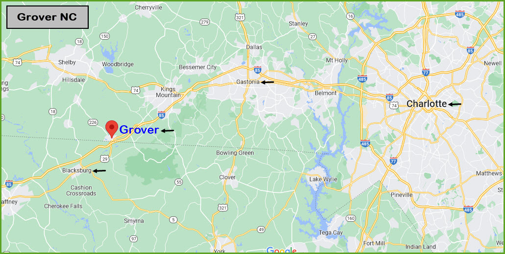
Getting Here
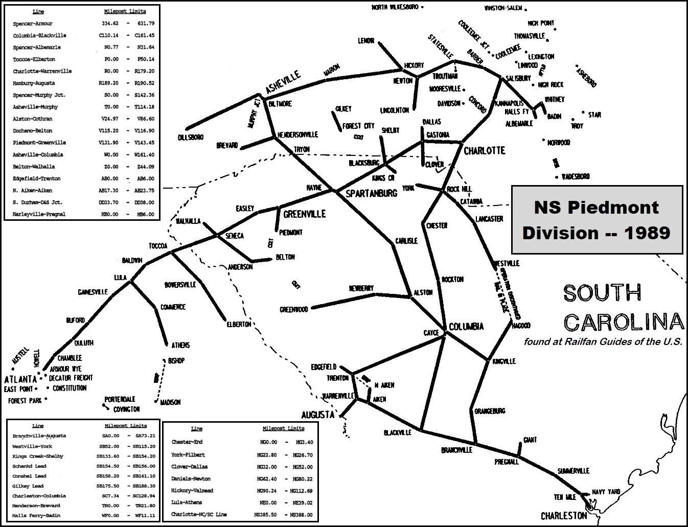
Map
Pictures
Signals
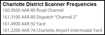
Fire and Police
Floobydust
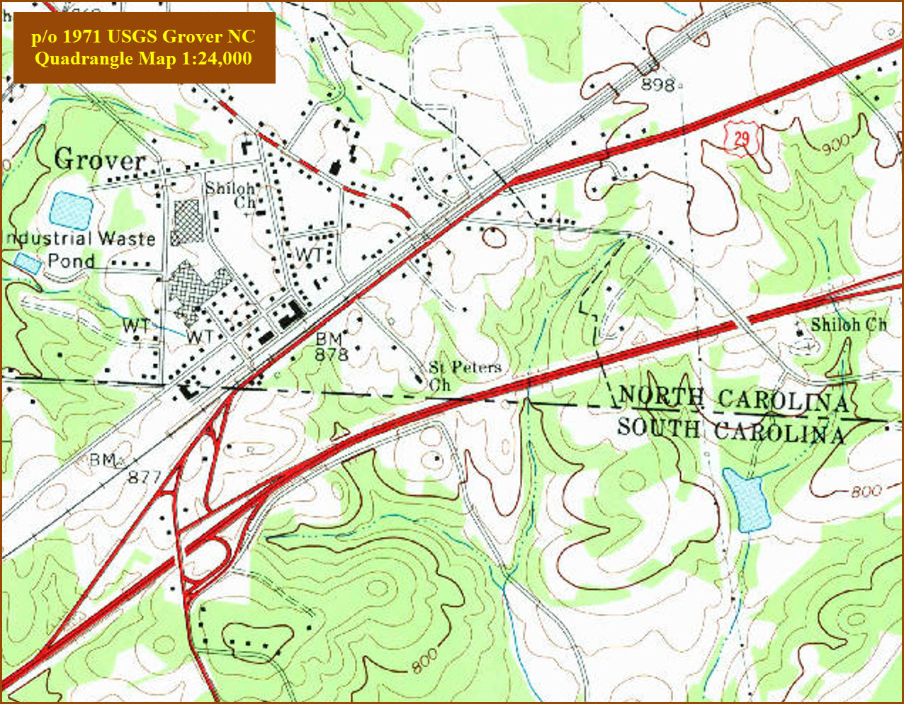
USGS Maps
RAILROAD SIGNALS HOME
Location / Name:
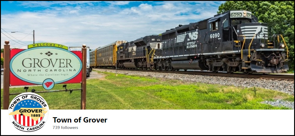
Grover NC, Cleveland County
What's Here:
Interlocking with Signals
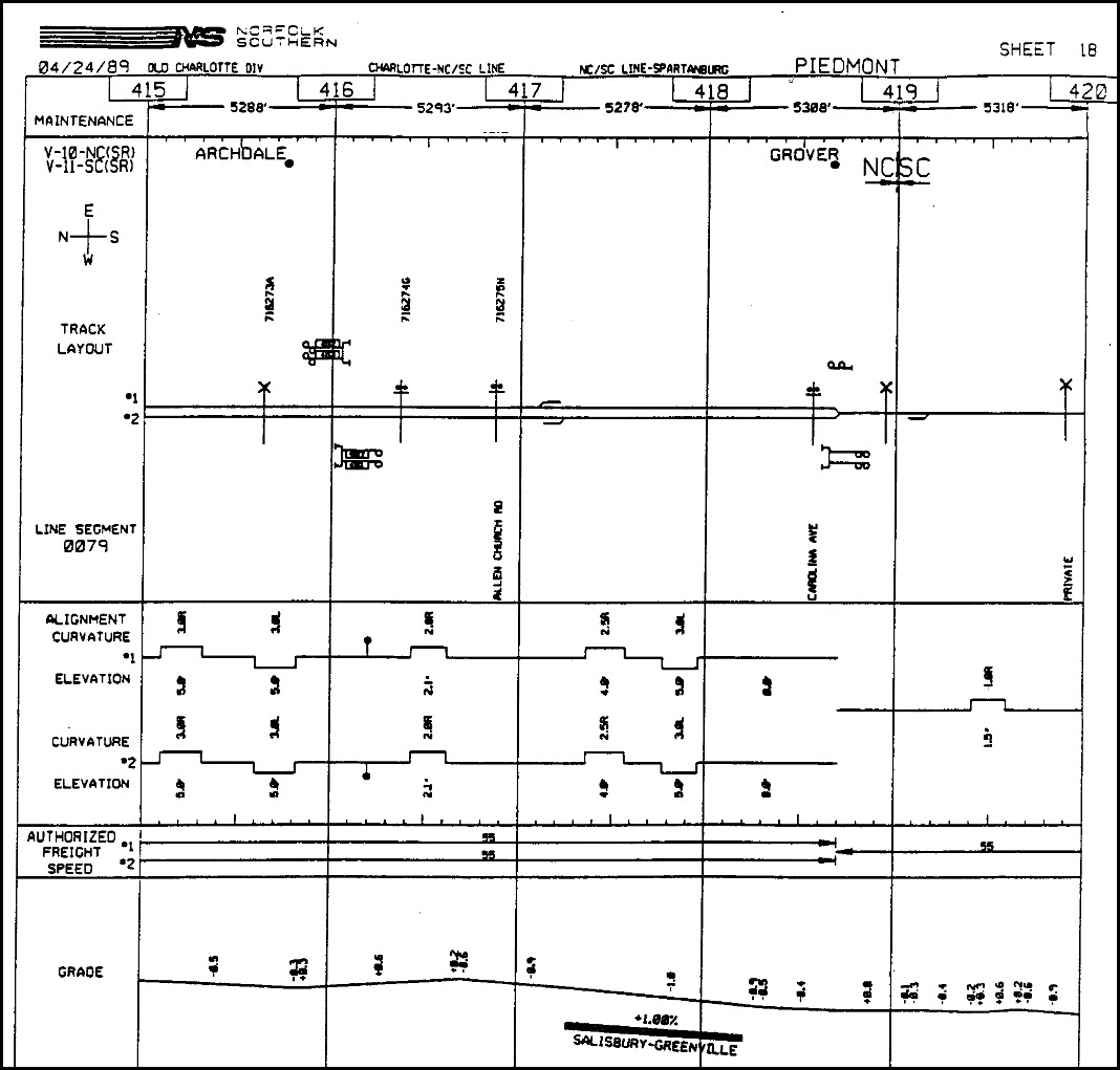
NS Charlotte District, Piedmont Sub
Data:
GPS Coordinates: as needed
Phone A/C: 704
ZIP: 28073
Population 2010: 708
Access by train/transit:
None
The Scoop:
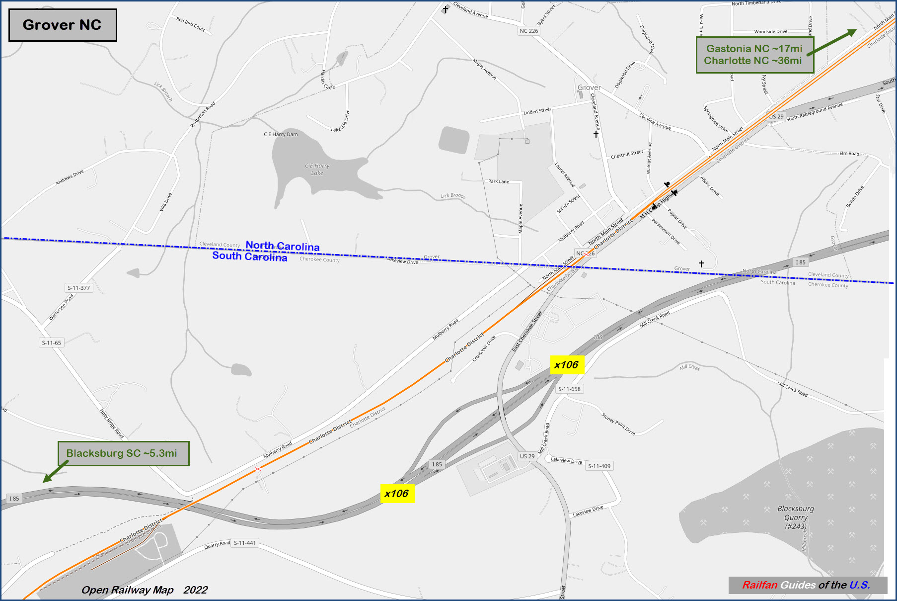
The last location in North Carolina before Norfolk Southern heads south from Charlotte into South Carolina, is Grover NC. Our double track line squeezes down into a single track until we hit a small siding at SC State Road S-11-99, about 2 miles south.
There is not much here for the railfan other than the interlocking, but it's convenience from the interstate makes it an easy on/off stop if you need gas, or otherwise just want to take a break, and maybe catch some action on this line between Charlotte and Atlanta.
The "South of the Border" people should put a small location on the interstate here, like they have on I-95 :-)
Info from Train Aficionado:
Norfolk Southern Charlotte District, Norfolk Southern Coastal Division. The Charlotte District runs 95.7 miles from Linwood NC to Grover NC. The Danville District is north of Linwood NC and the Charlotte District continues into Greenville SC. Along with Norfolk Southern’s 10 to 15 trains, this line has regional Piedmont passenger trains running between Raleigh NC and Charlotte NC. Amtrak’s Carolinian trains 79 & 80 provide daily round trip service between New York City and Charlotte. Also, Amtrak’s Crescent travels from New York City to New Orleans in the overnight hours, three days a week.
Acknowledgements:
Mike Falls
Bryan Clingerman
Jonathan Higgins/Train Aficionado dot com
Google Maps
Open Railway Map
Wikipedia
Websites and other additional information sources of interest for the area:
https://www.trainaficionado.com/ns-charlotte/
https://www.facebook.com/people/Town-of-Grover/100076535370210/
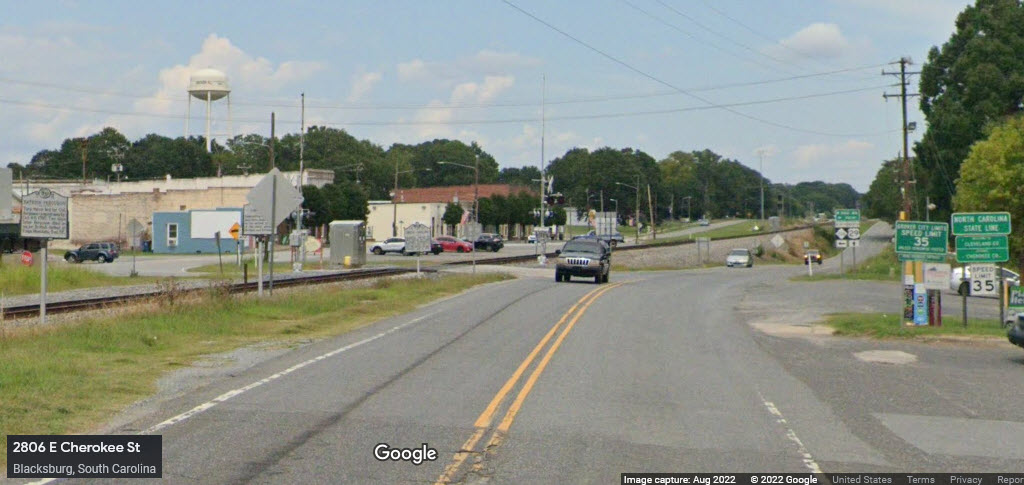
Use exit 106 from I-85 to get on US 29 going north. It's in South Carolina, a couple of feet outside of Grover NC - the state line goes through Grover. 29 will take yo to where the interlocking is.
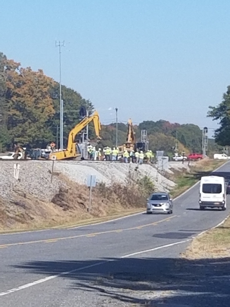
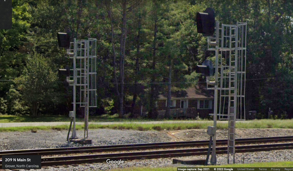
From the summer of 2022, comes this photo of an NS MOW crew working on the switch in Grover.
 Mike Falls
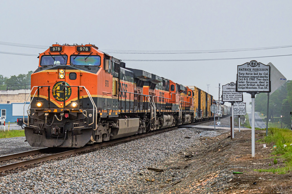
SB NS Freight with BNSF engines at state line in Grover NC, Bryan Clingerman, 5/6/2022
The above picture with the BNSF head end was taken right on the NC/SC line, looking north. You can the the three historical markers in the Streetview.
GPS Coordinates: 35.17130, -81.44577
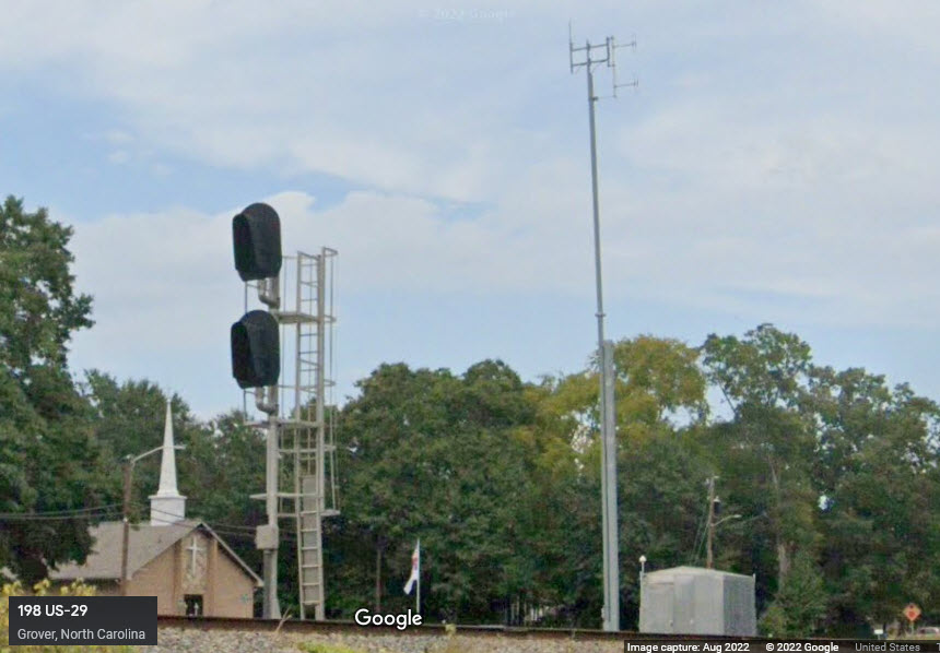
What came before.....
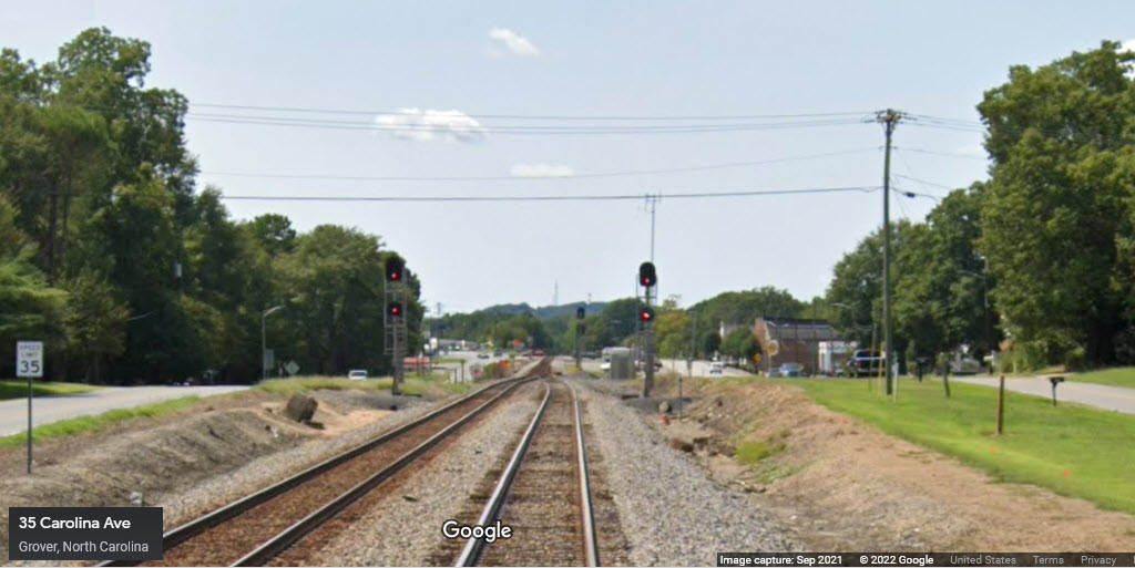
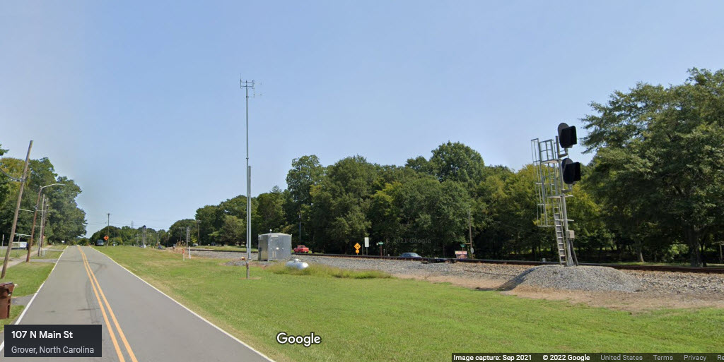
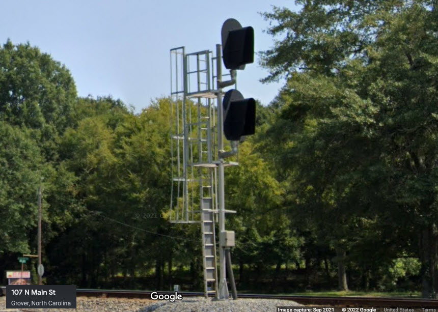
Grover Interlocking - MP 418.7
GPS Coordinates: 35.170719, -81.446697
The signals here at Grover were cut over on Sunday, February 17th, 2013. For most of us, I'm sure it's a rare opportunity when you get to see both sets of signals lit at the same time. Grover is just over the state line in North Carolina, about 5 miles north of Blacksburg. (This was originally on the Blacksburg SC page)
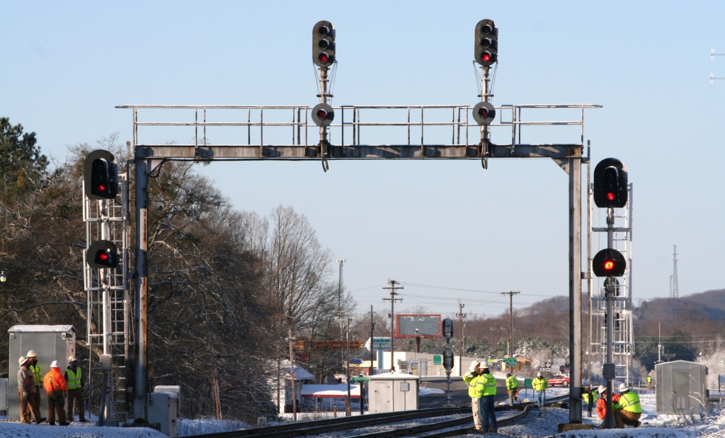 Mike Falls/2013
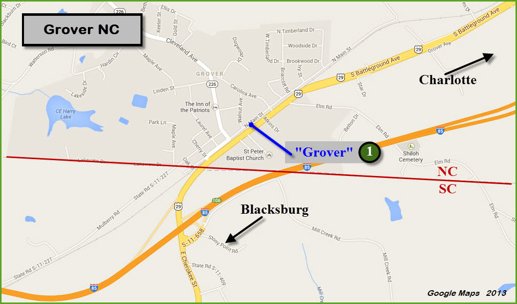
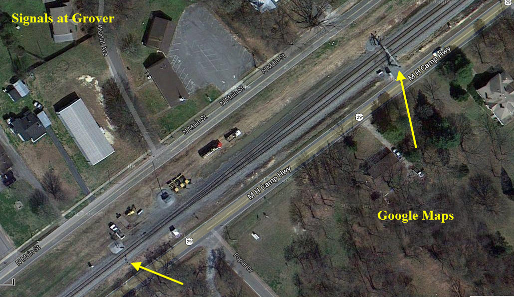
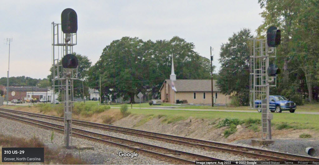
GPS Coordinates: 35.17046, -81.44721
GPS Coordinates:
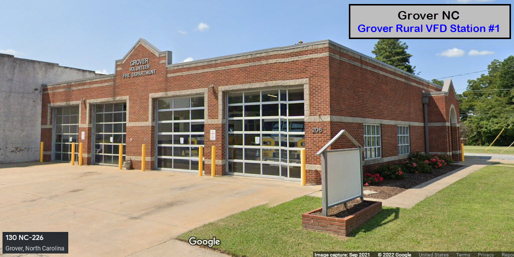
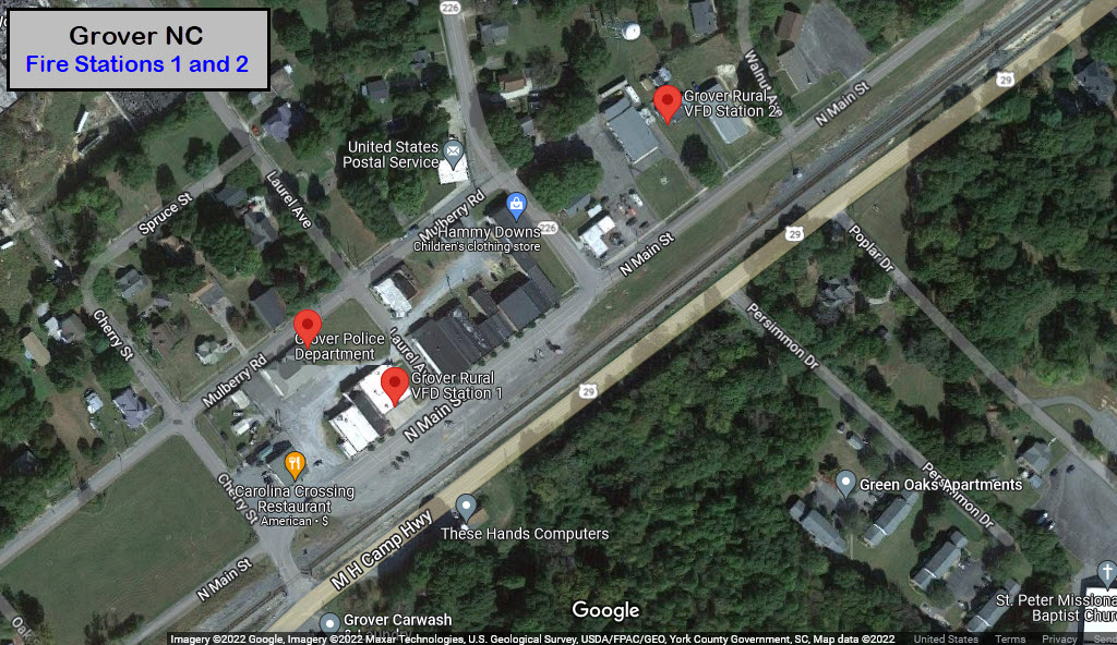
206 N Main St, Grover NC 28073
704-937-7321
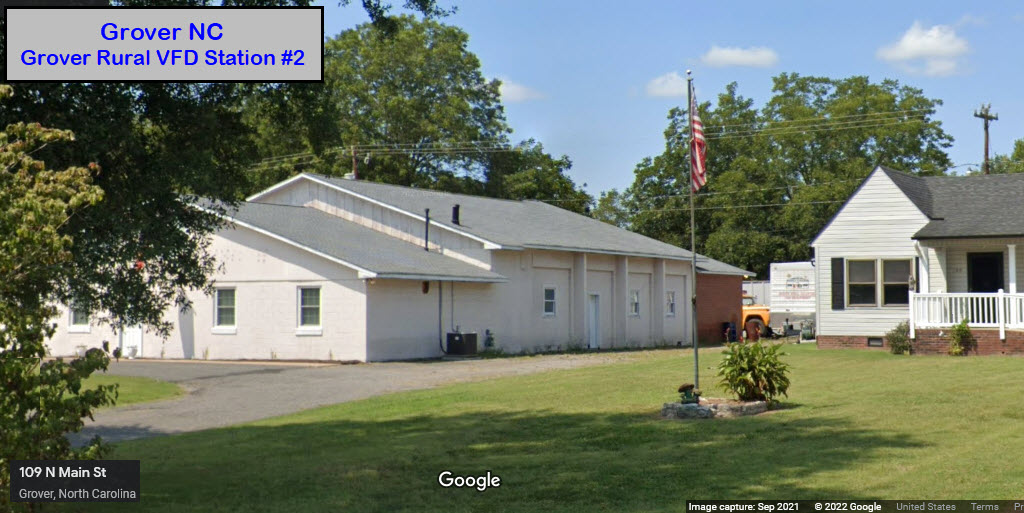
GPS Coordinates:
109 N Main St, Grover NC 28073
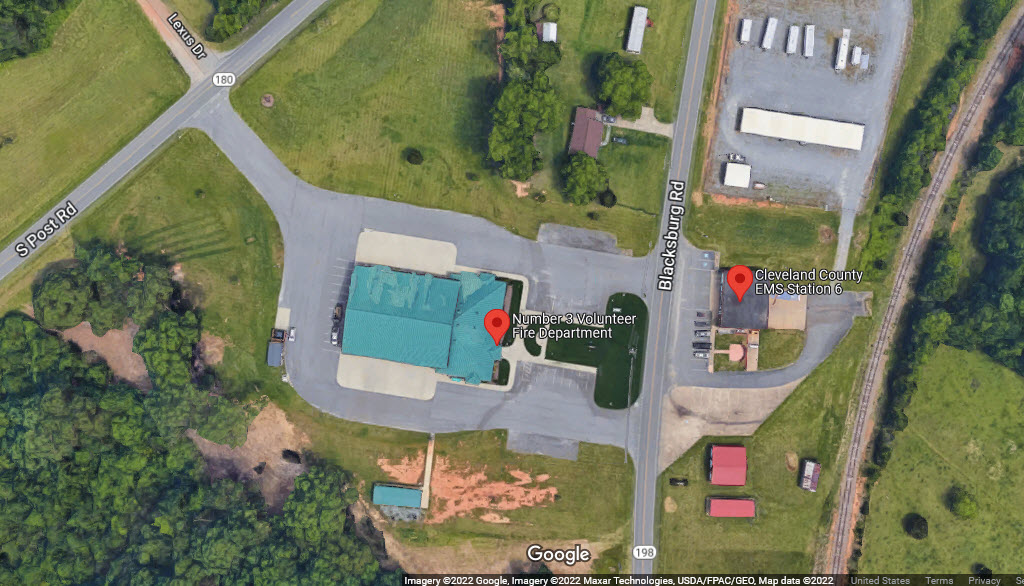
GPS Coordinates: 35.22192, -81.53010
2326 Blacksburg Rd, Grover NC 28073
704-482-5911
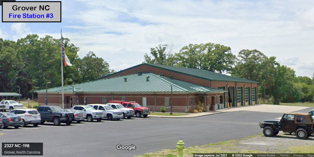
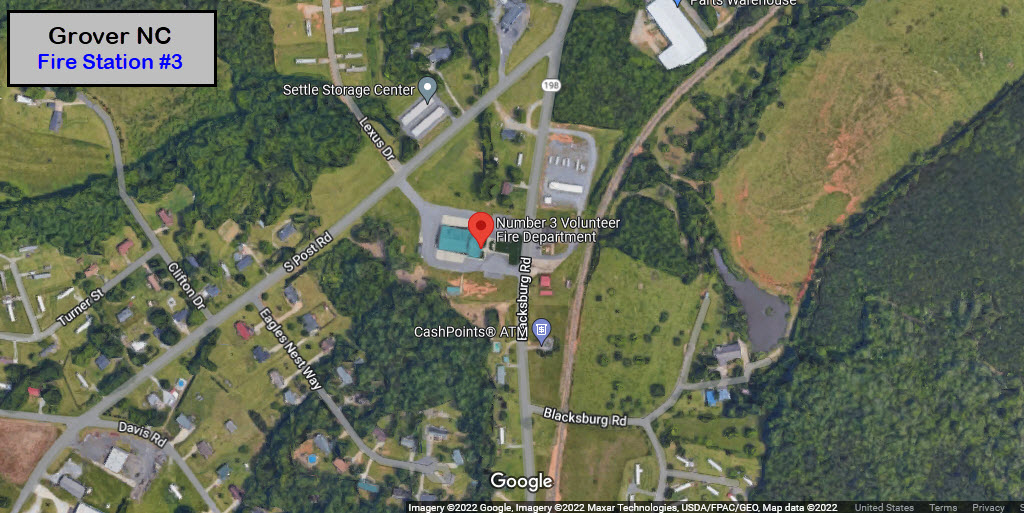
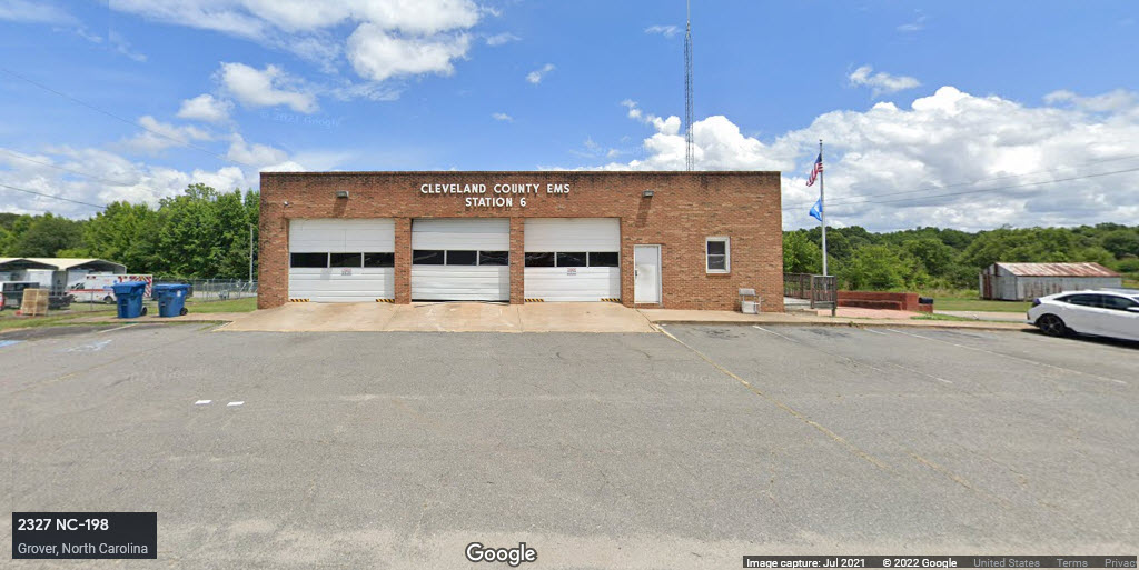
GPS Coordinates: 35.22196, -81.52902
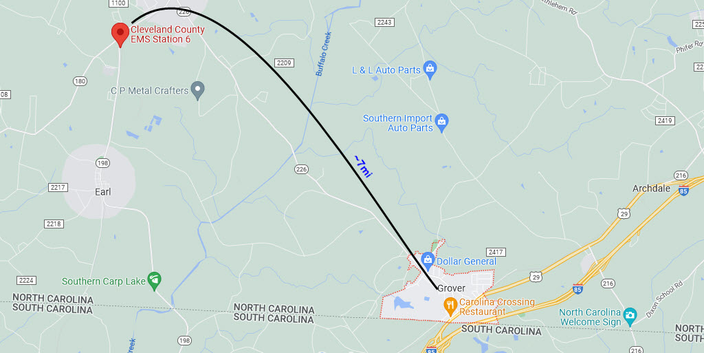
2327 Blacksburg Rd, Grover NC 28073
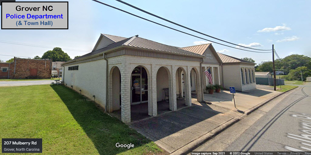
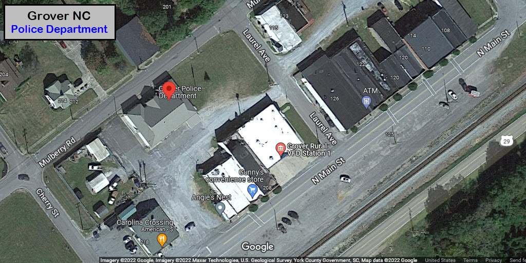
GPS Coordinates: 35.16969, -81.44995
207 Mulberry Rd, Grover NC 28073
704-482-5911
None for now......
Courtesy USGS, click here for their index page.
Disclaimers:
I love trains, and I love signals. I am not an expert. My webpages reflect what I find on the topic of the page. This is something I have fun with while trying to help others.
Please Note: Since the main focus of my two websites is railroad signals, the railfan guides are oriented towards the signal fan being able to locate them. For those of you into the modeling aspect of our hobby, my indexa page has a list of almost everything railroad oriented I can think of to provide you with at least a few pictures to help you detail your pike.
If this is a railfan page, every effort has been made to make sure that the information contained on this map and in this railfan guide is correct. Once in a while, an error may creep in :-)
My philosophy: Pictures and maps are worth a thousand words, especially for railfanning. Text descriptions only get you so far, especially if you get lost or disoriented. Take along good maps.... a GPS is OK to get somewhere, but maps are still better if you get lost! I belong to AAA, which allows you to get local maps for free when you visit the local branches. ADC puts out a nice series of county maps for the Washington DC area, but their state maps do not have the railroads on them. If you can find em, I like the National Geographic map book of the U.S..... good, clear, and concise graphics, and they do a really good job of showing you where tourist type attractions are, although they too lack the railroads. Other notes about specific areas will show up on that page if known.
Aerial shots were taken from either Google or Bing Maps as noted. Screen captures are made with Snagit, a Techsmith product... a great tool if you have never used it!
By the way, floobydust is a term I picked up 30-40 years ago from a National Semiconductor data book, and means miscellaneous and/or other stuff.
Pictures and additional information is always needed if anyone feels inclined to take 'em, send 'em, and share 'em, or if you have something to add or correct.... credit is always given! Please be NICE!!! Contact info is here
Beware: If used as a source, ANYTHING from Wikipedia must be treated as being possibly inaccurate, wrong, or not true.
RAILFAN GUIDES HOME
RAILROAD SIGNALS HOME
NEW NOV29/2022, NOV30/2022/ DEC01/2022
Last Modified 01-Dec-2022