
In General
Getting Here
Map
Sights
Pictures
Historic Photos
Signals
Floobydust
RAILFAN GUIDES HOME
RAILROAD SIGNALS HOME
Location / Name:
Gastonia NC, xxx County
What's Here:
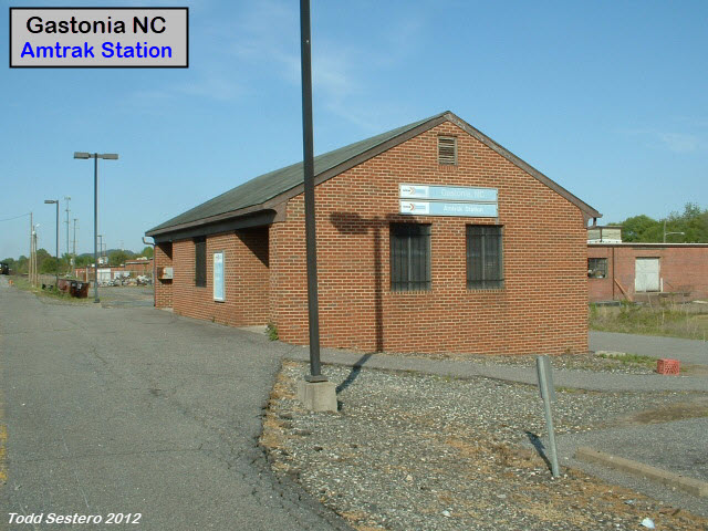
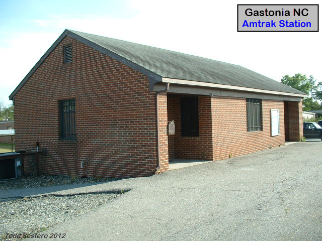
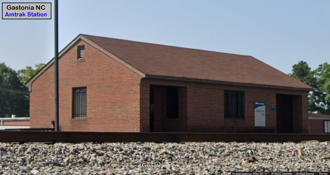
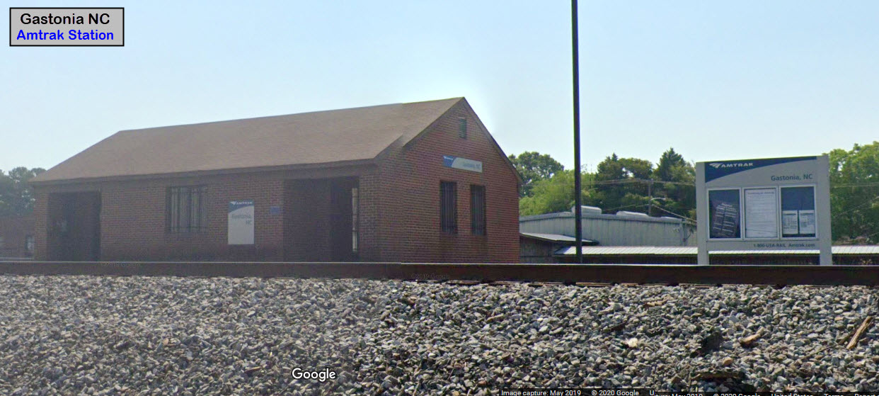
Amtrak Station
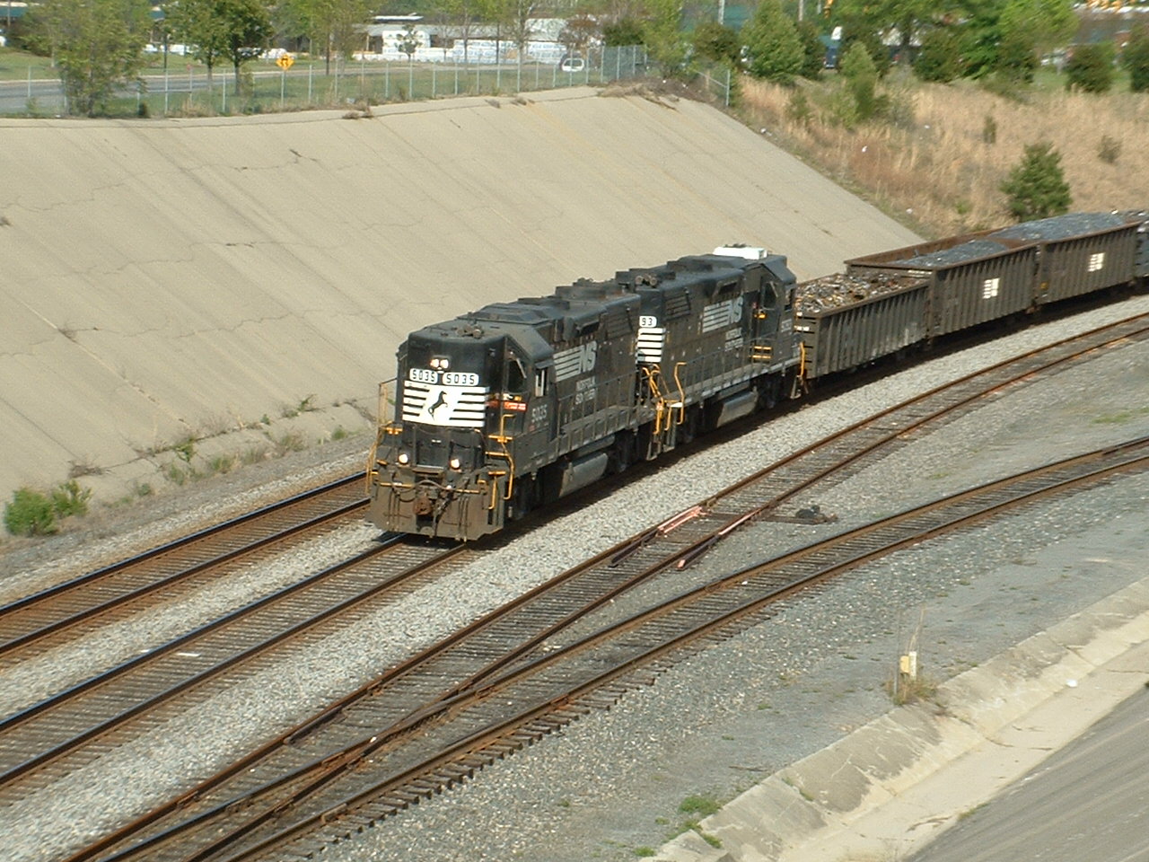
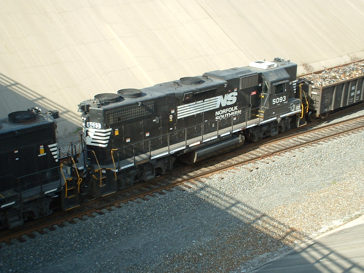
NS Local
Unusual "ditch" they built for the railroad! :-)
Data:
GPS Coordinates: as needed
Phone A/C: 704
ZIP: 28052
Access by train/transit:
Amtrak
The Scoop:
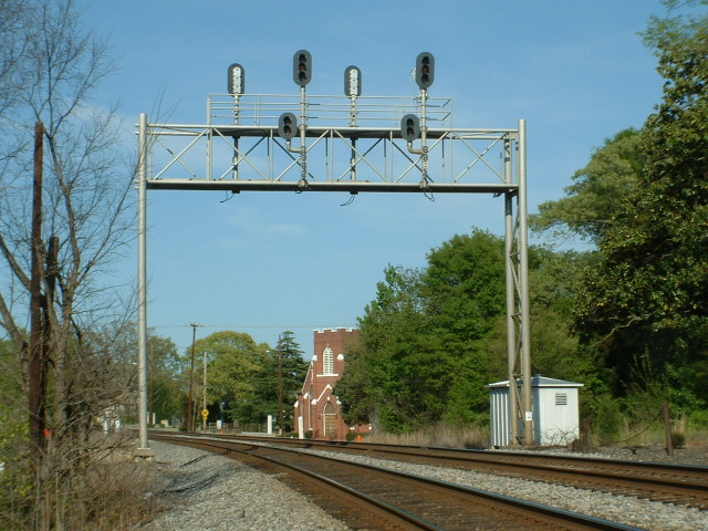
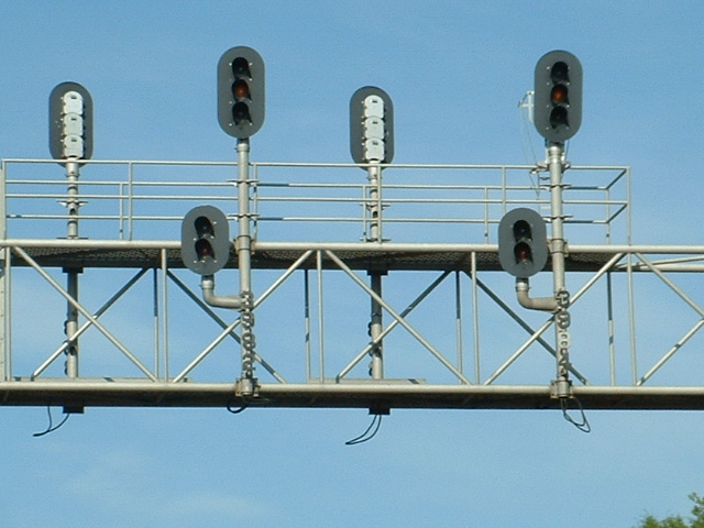
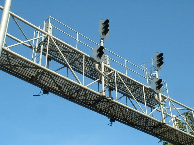
An Amtrak station and a classically styled Southern Railway signal bridge make for a convenient and quick little stop if you're traveling the I-85 corridor between Atlanta GA and Charlotte NC.
If you happen to catch NS coming thru, your in luck, and the local ties up north of the station -- part of the train usually sits over I-85 off hours.
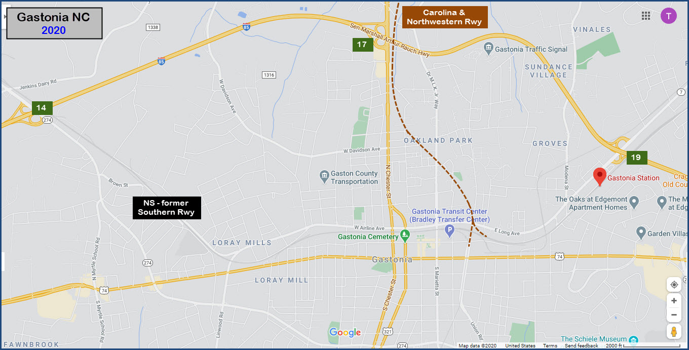
Judging from the USGS map, Gastonia once had three roads coming thru: the Southern (Atlanta line), the Carolina and Northwestern, and the Piedmont and Northern
Other nearby towns of interest are Blacksburg and Gaffney SC, and Charlotte NC.
Acknowledgements:
Mike Falls
Websites and other additional information sources of interest for the area:
http://np205.rrpicturearchives.net/archivethumbs.aspx?id=65053 Vintage photos from the 1970's and 1980's by Mike Falls
https://en.wikipedia.org/wiki/Carolina_and_Northwestern_Railway
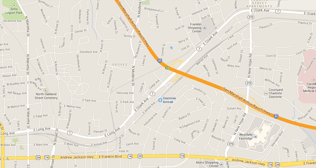
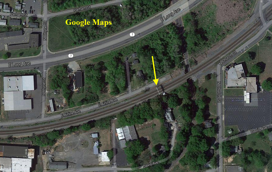
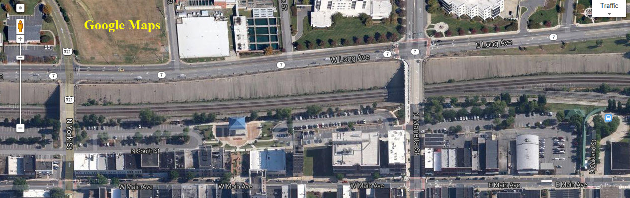
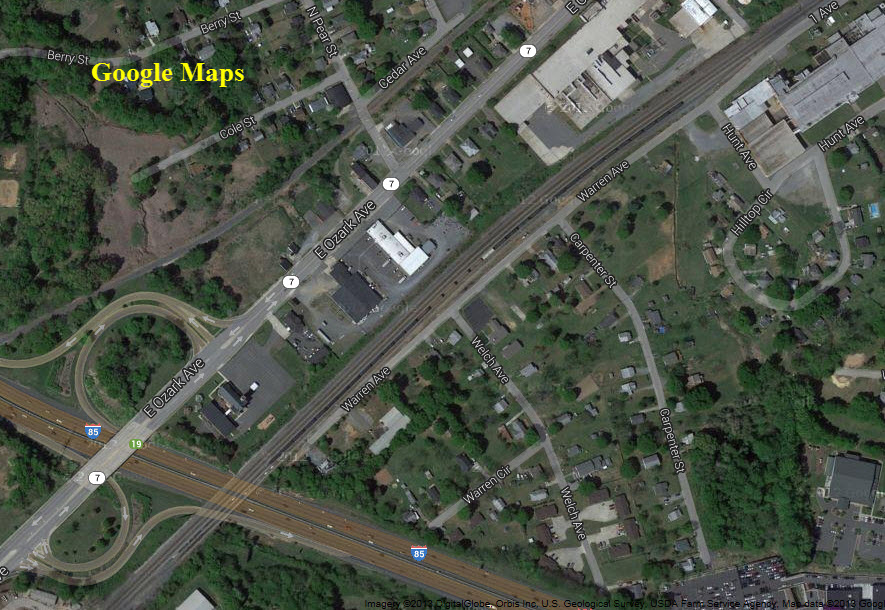
Easy as pie, exit 19 off of I-85 puts you right near the "action". Both the station and the signals are located off E Airline Ave.
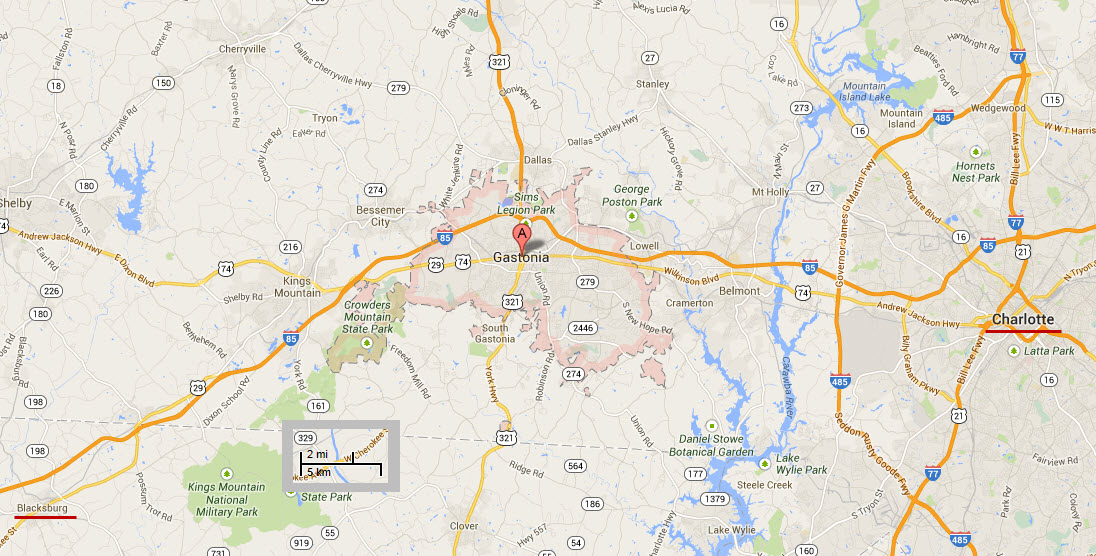
GPS Coordinates: 35.269240, -81.162413
350 Hancock St, Gastonia, NC 28054
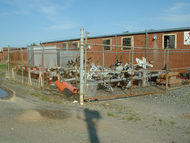
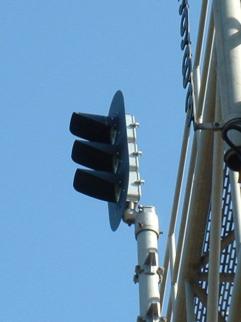
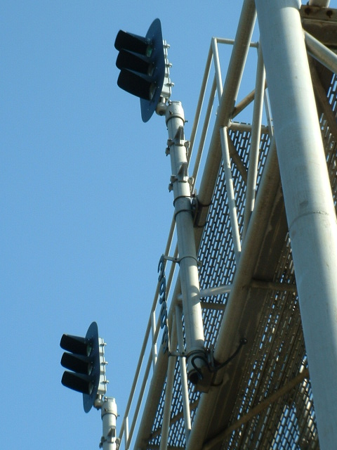
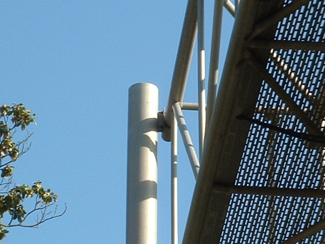
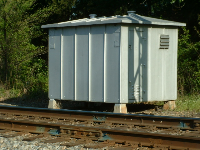
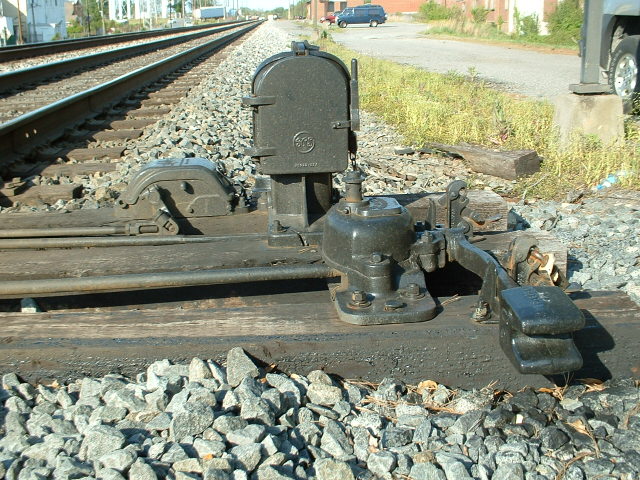
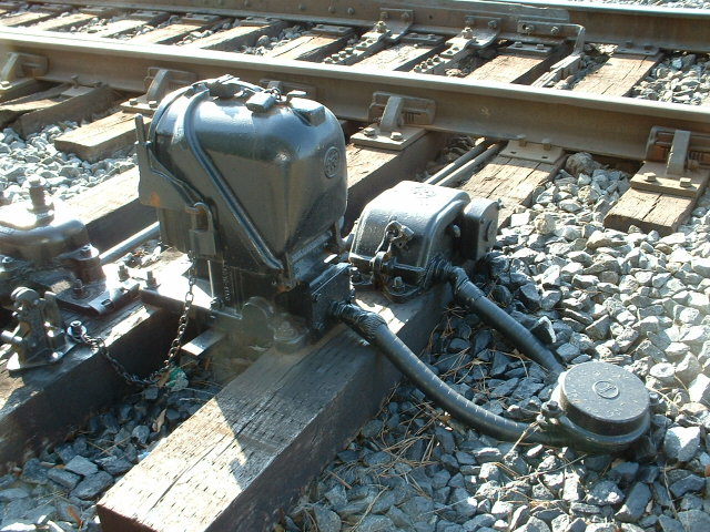
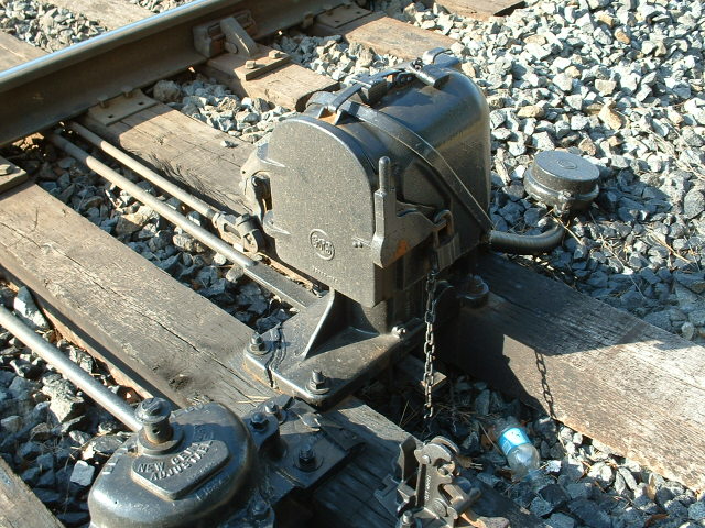
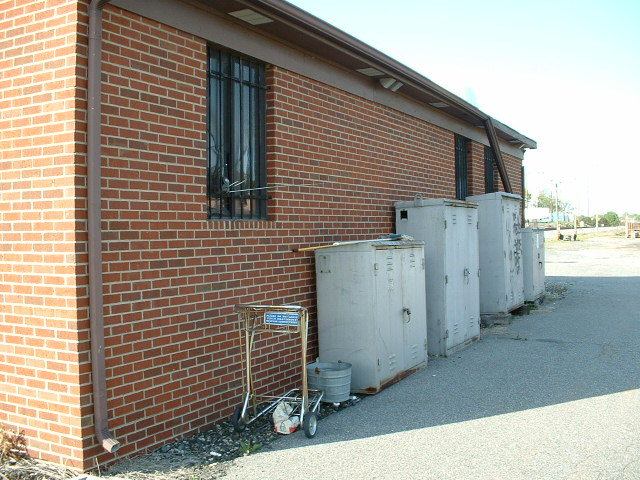 Some signals and equipment cabinets stored around back.
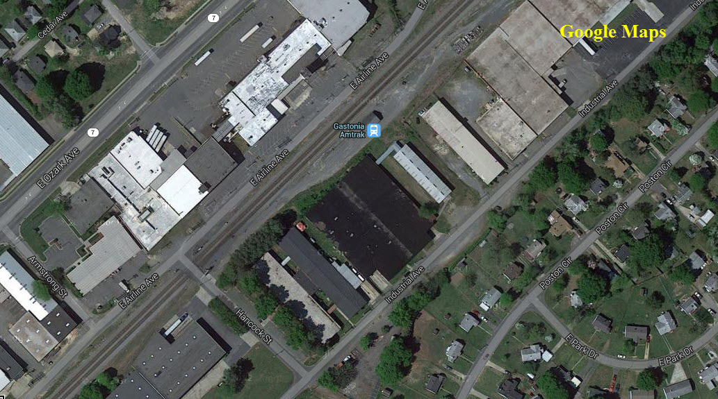
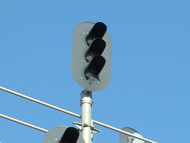
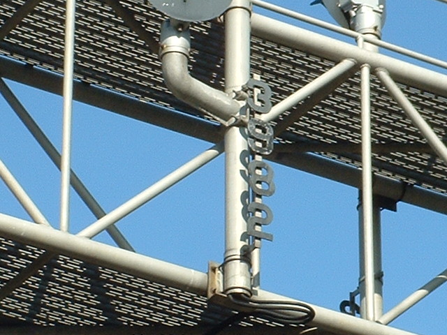
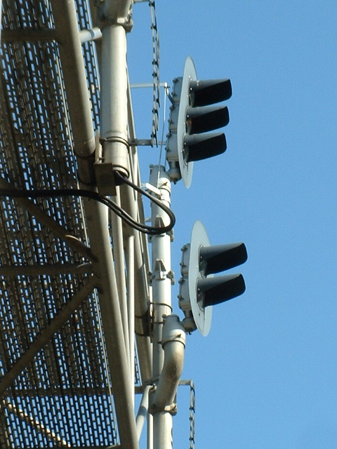
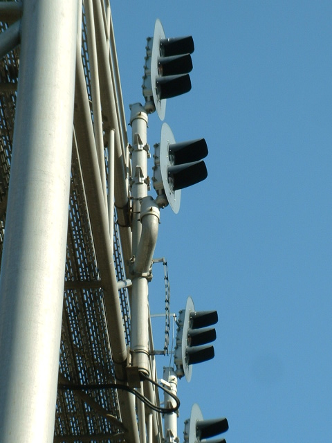
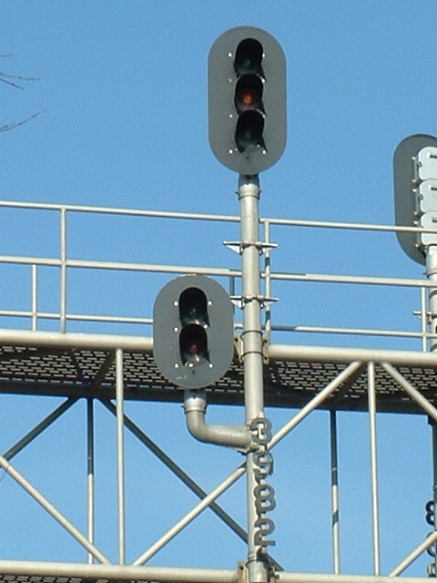
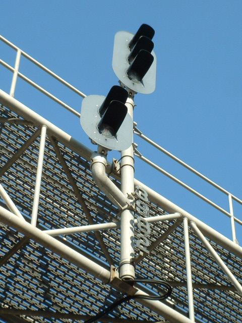
Textbook example of a classic style. Easily accessed off of E Airline Ave as can be seen in the Google satellite view.
Given both CSX's and NS's program of updating signals, this may or may not still be here.
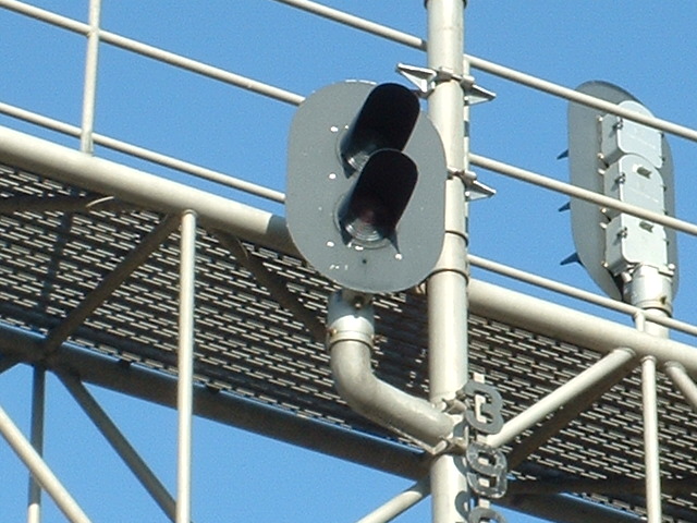
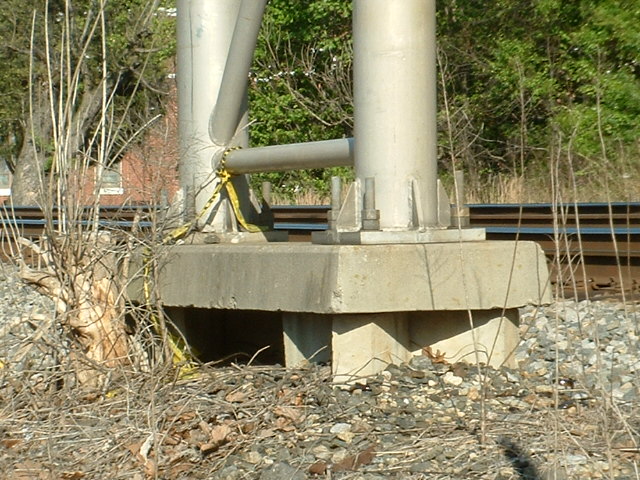


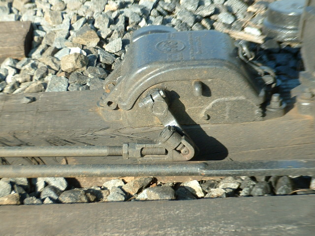
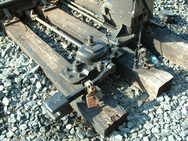
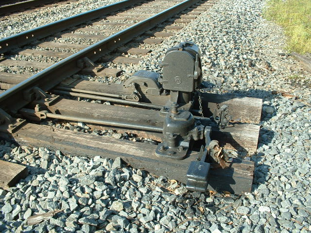
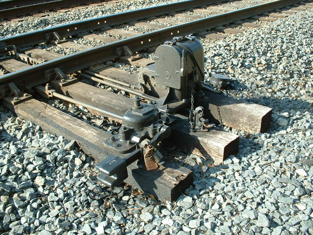
Switch Machine Detail
Located near the station.

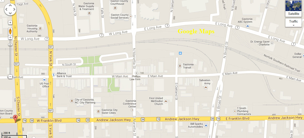
A nice cut through town offers a place to catch a few shots.

Here we have a few pictures from Mike Falls' time machine......
Please check out the rest of his great photos from days gone by at the link above!
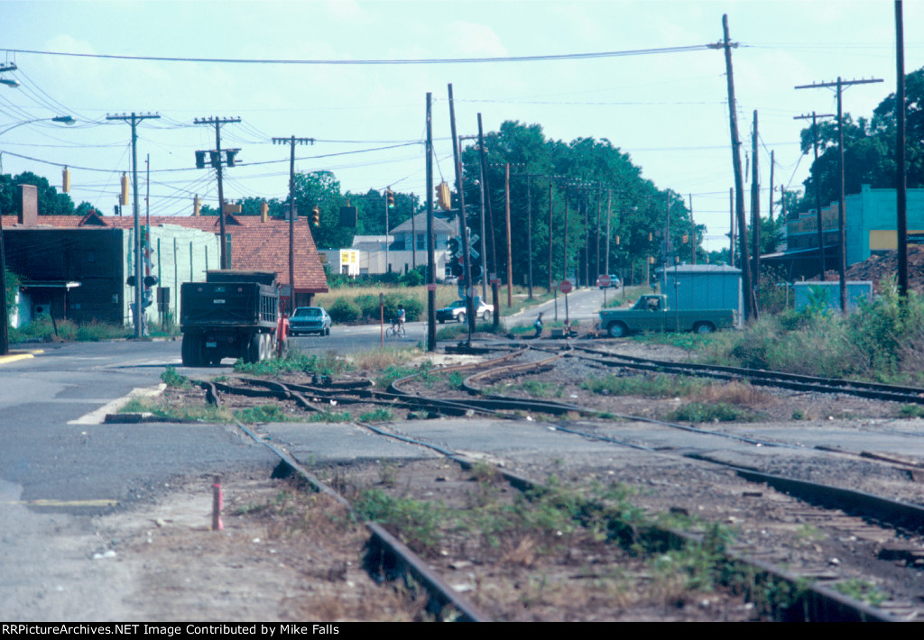
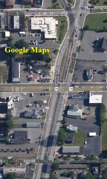
This view is looking down N Broad Street at the point where the former Carolina & Northwestern tracks crossed at grade over the Southern Railway mainline. In the photo, the tracks crossed where the green Ford pickup truck is waiting on E Long Ave for the traffic signal to change. The building with the red roof was the Piedmont & Northern depot / 1984.
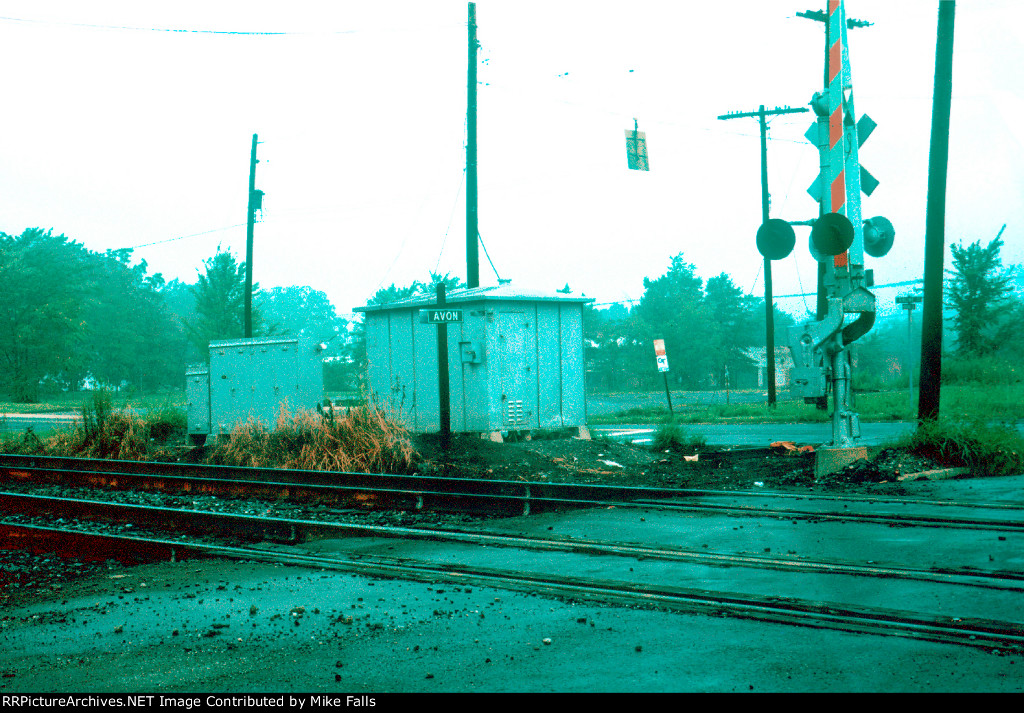
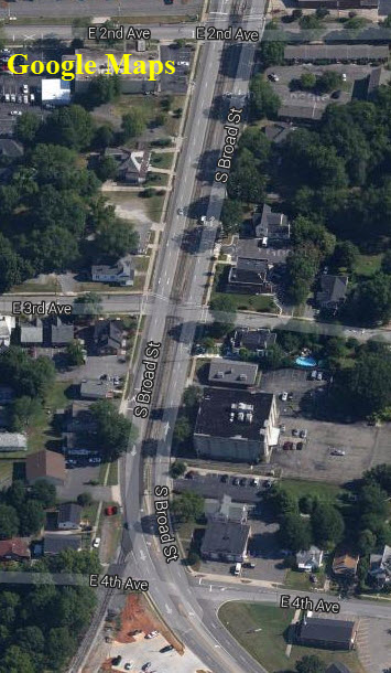
Construction has begun on what would change this part of Gastonia forever. Tracks are in a ditch now. Rails on the old C&NW to Dallas, Lincolnton, Hickory, and York SC are gone. Only a few miles of trackage south on old Carolina & North Western remains now / 1984.
Derail and short piece of old C&NW rail still visible. Rail to the North has been removed. The "ditch" wiped away all evidence of this scene ever existing / 1984.
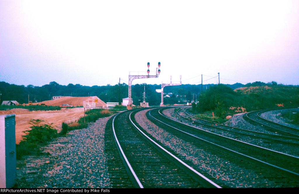
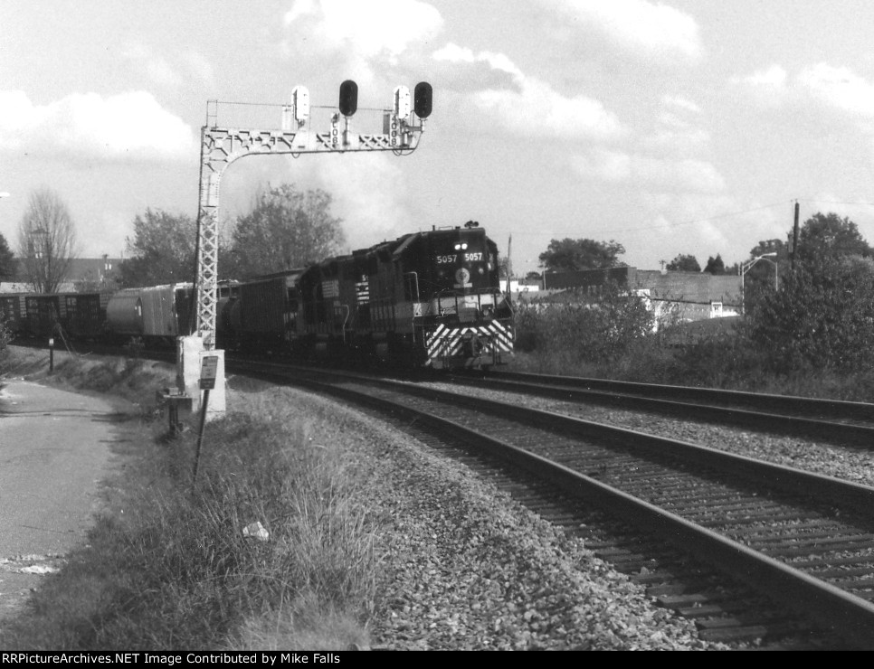
NS 5057 still in Southern Railway colors leads train past cantilever signal in Gastonia / 1988.
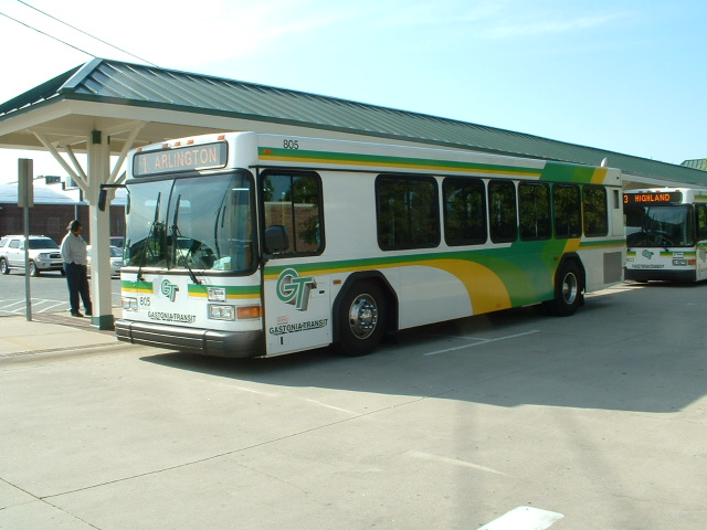
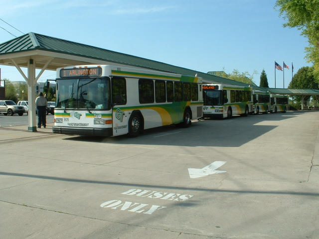
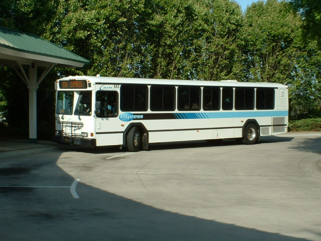
Gastonia Transit Center

A small yard is to the north of the interstate, most is accessible from Warren Ave.
If you're lucky, you may be able to catch something moving down Broad Street.
Not actual street running, but nevertheless, should make for an interesting picture!
Disclaimers:
I love trains, and I love signals. I am not an expert. My webpages reflect what I find on the topic of the page. This is something I have fun with while trying to help others.
Please Note: Since the main focus of my two websites is railroad signals, the railfan guides are oriented towards the signal fan being able to locate them. For those of you into the modeling aspect of our hobby, my indexa page has a list of almost everything railroad oriented I can think of to provide you with at least a few pictures to help you detail your pike.
If this is a railfan page, every effort has been made to make sure that the information contained on this map and in this railfan guide is correct. Once in a while, an error may creep in :-)
My philosophy: Pictures and maps are worth a thousand words, especially for railfanning. Text descriptions only get you so far, especially if you get lost or disoriented. Take along good maps.... a GPS is OK to get somewhere, but maps are still better if you get lost! I belong to AAA, which allows you to get local maps for free when you visit the local branches. ADC puts out a nice series of county maps for the Washington DC area, but their state maps do not have the railroads on them. If you can find em, I like the National Geographic map book of the U.S..... good, clear, and concise graphics, and they do a really good job of showing you where tourist type attractions are, although they too lack the railroads. Other notes about specific areas will show up on that page if known.
Aerial shots were taken from either Google or Bing Maps as noted. Screen captures are made with Snagit, a Techsmith product... a great tool if you have never used it!
By the way, floobydust is a term I picked up 30-40 years ago from a National Semiconductor data book, and means miscellaneous and/or other stuff.
Pictures and additional information is always needed if anyone feels inclined to take 'em, send 'em, and share 'em, or if you have something to add or correct.... credit is always given! Please be NICE!!! Contact info is here
Beware: If used as a source, ANYTHING from Wikipedia must be treated as being possibly inaccurate, wrong, or not true.
RAILFAN GUIDES HOME
RAILROAD SIGNALS HOME
2007-0414dATLnc
NEW 09/16/2013, OCT27/2020
Last Modified 27-Oct-2020