Back in 2007 or so, on my way to the PA Renaissance Faire (which is a few miles north of here), I happened to look down the track as I crossed the old Reading tracks in
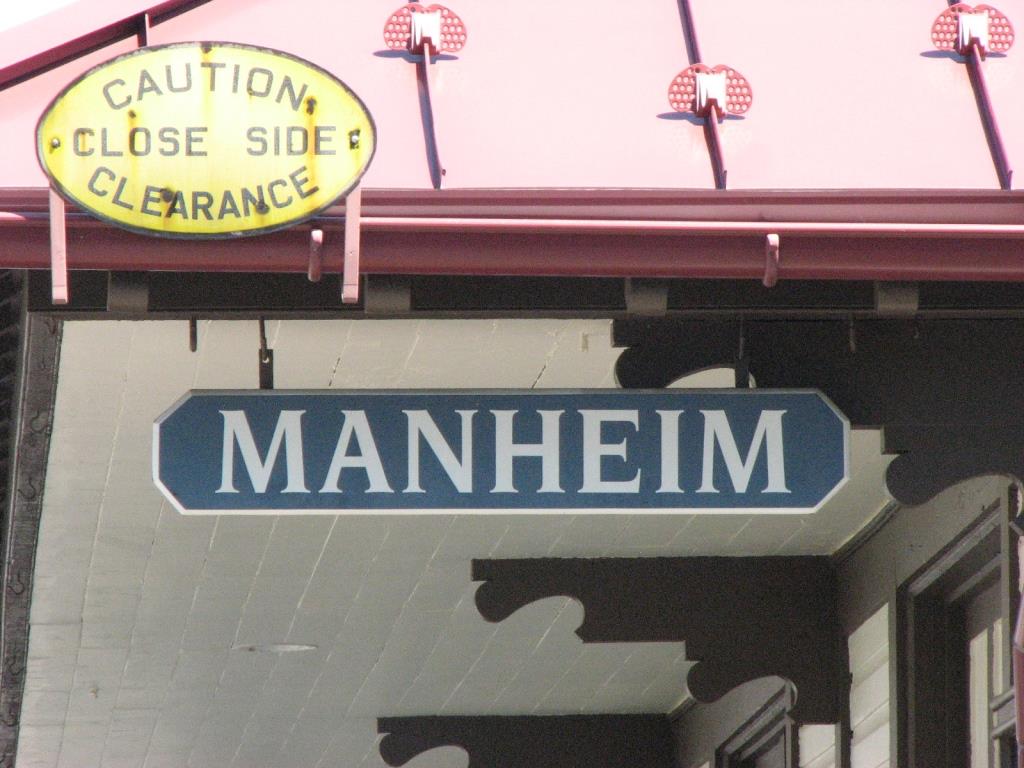
Manheim PA and noticed what I thought was an old station. So I diverted, found out that indeed it was, and said I need to come back when it is open.
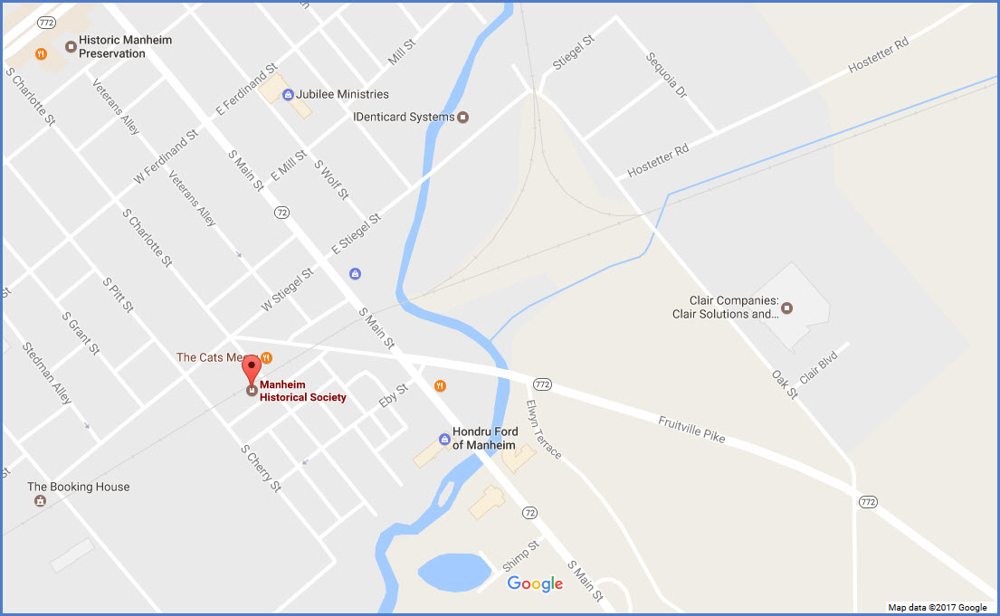
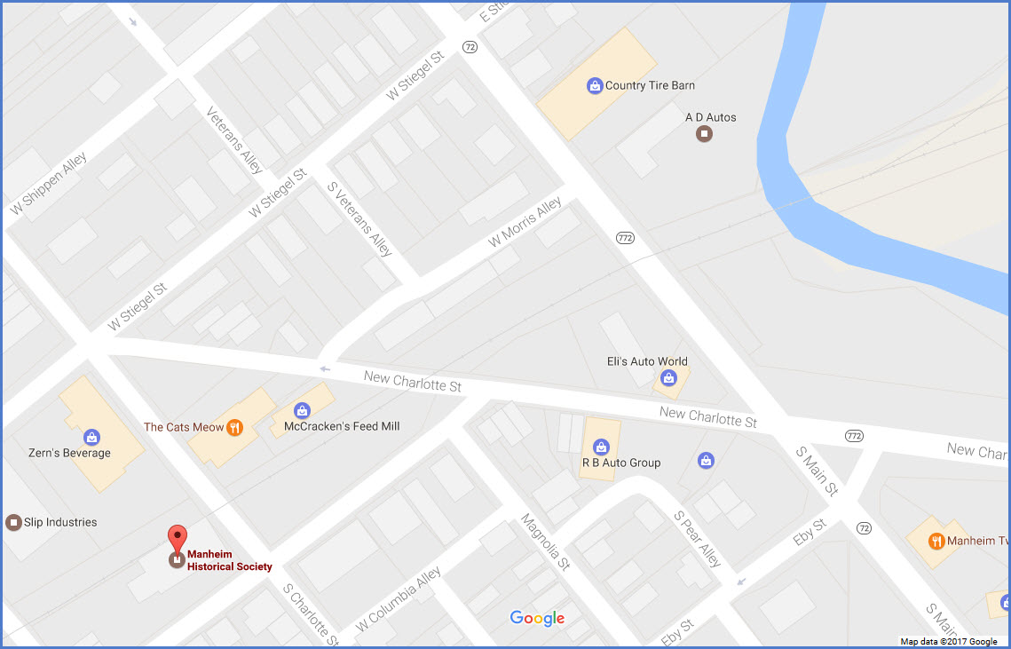
Manheim is about 10 miles or so north of Lancaster on Rt 72, and is (kinda) famous for the car auctions held here.
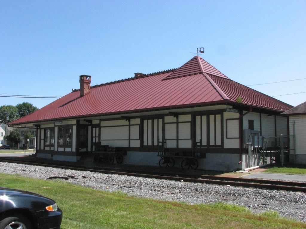
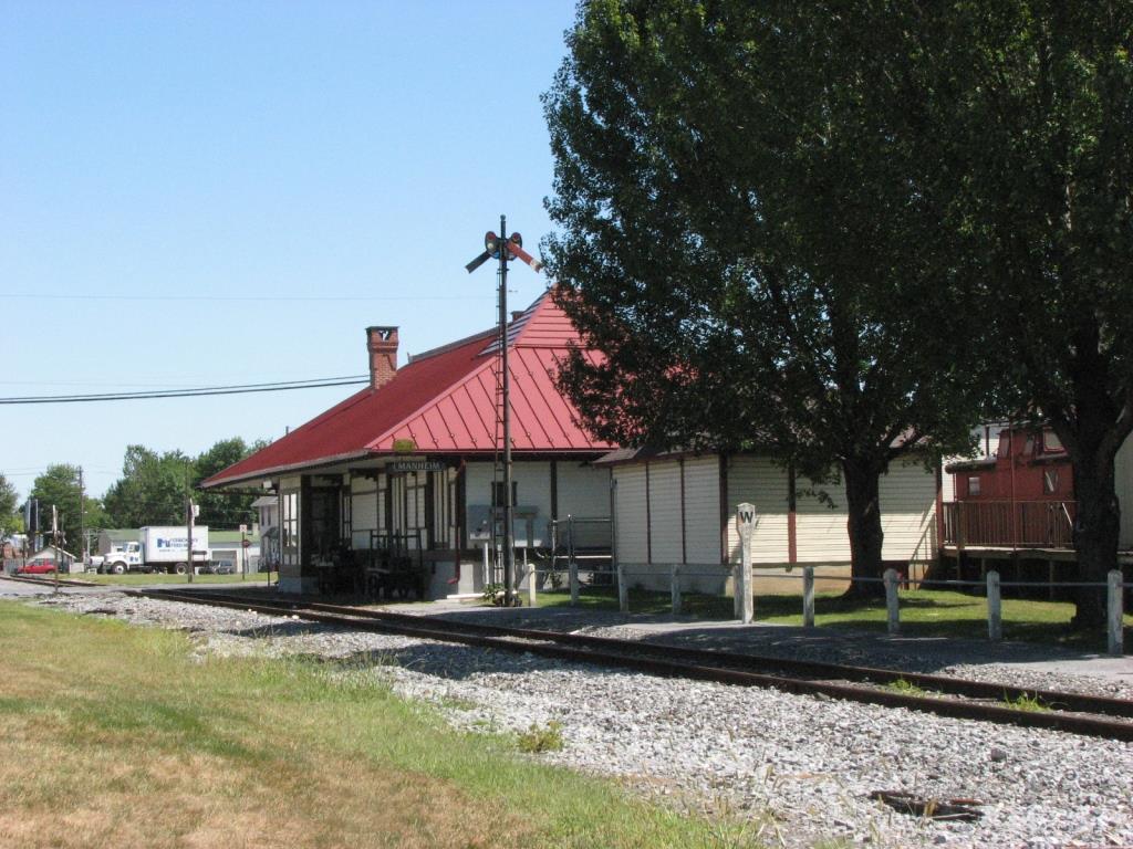
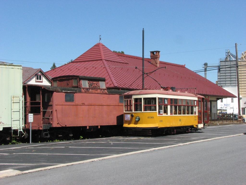
This depot was built in 1881. It is of Victorian architecture and is 32 x 85 feet. It is believed to have been designed by the renowned RR architect Frank Furness, who designed many of the Readings
depots of the period, as well as the Aberdeen B&O and Riderwood NC depots, featured elsewhere on this website. The building is unique in that the roof supports are cantilevered, in other words,
the end of the roof supports do not rest upon the weight bearing outer walls directly. The inside of the depot has had little done to it except for a new floor. On the "lower" floor, there
is a separate men's and women's waiting room.
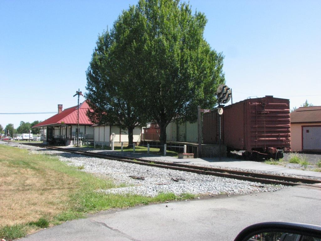
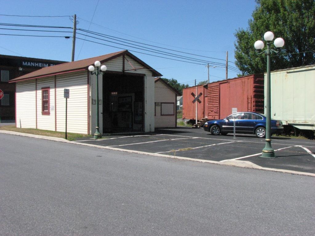
The last passenger train to have come thru was on November 5th, 1950..... there is still one freight a day, but only goes as far east as Lititz.
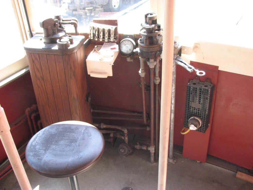
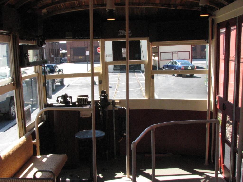
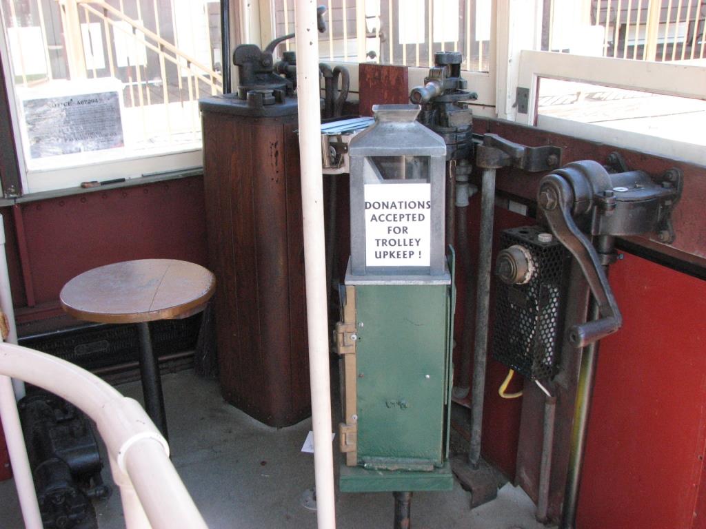
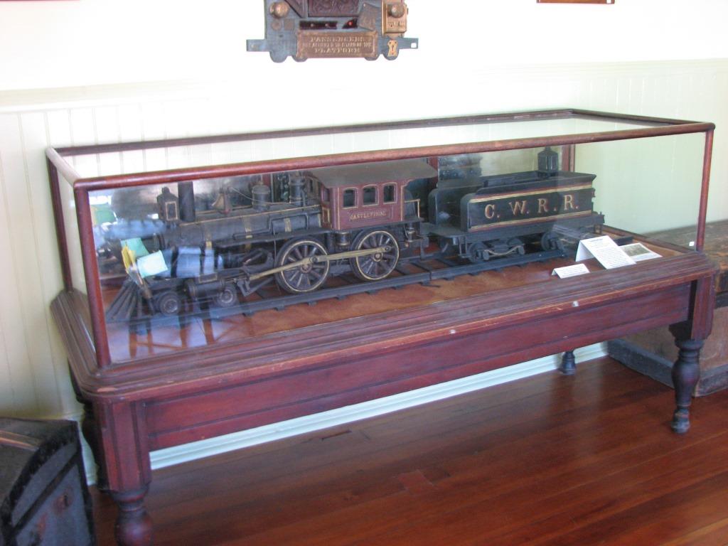
The exhibits are very well done, and a few are shown below.
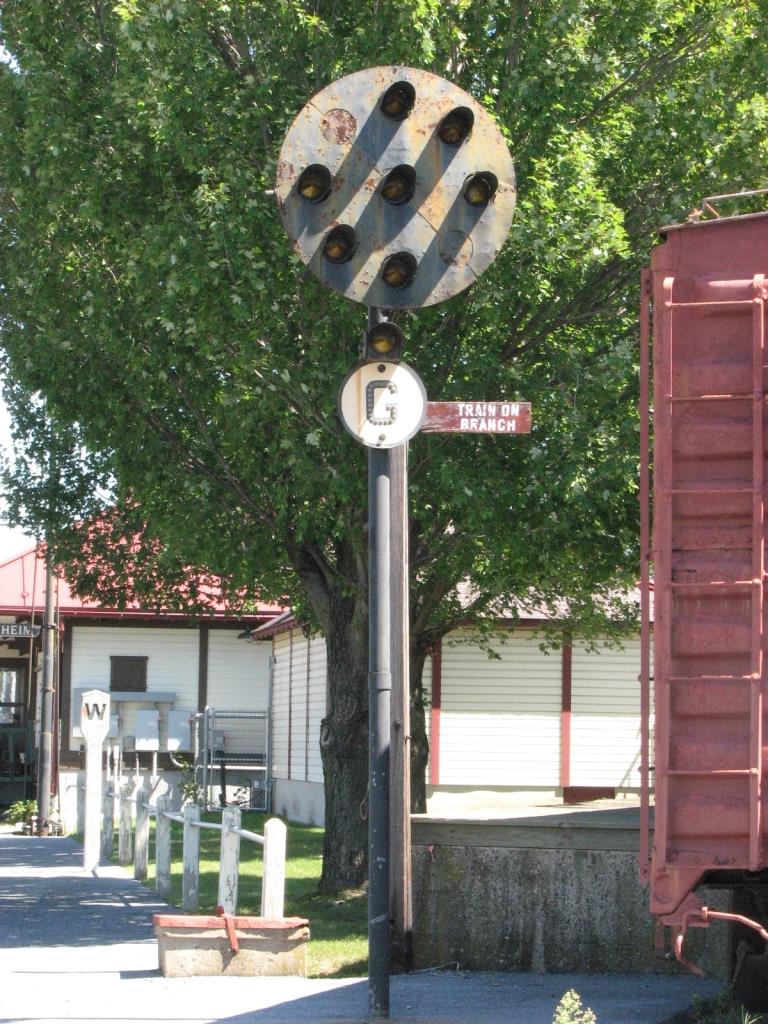
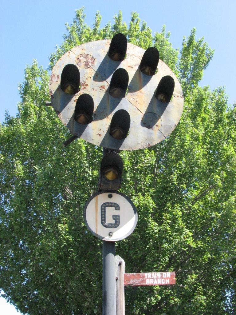
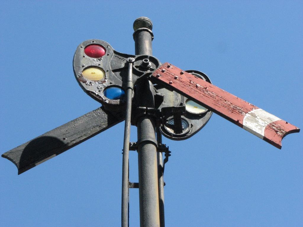
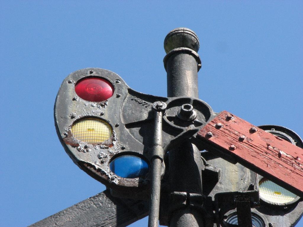
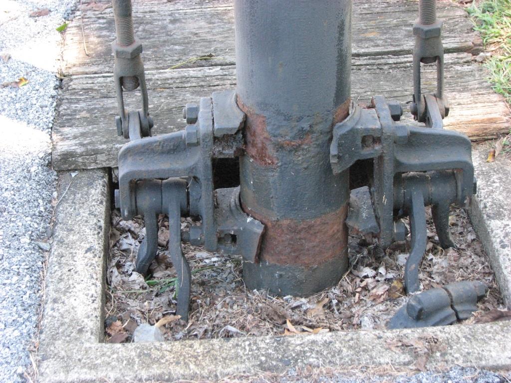
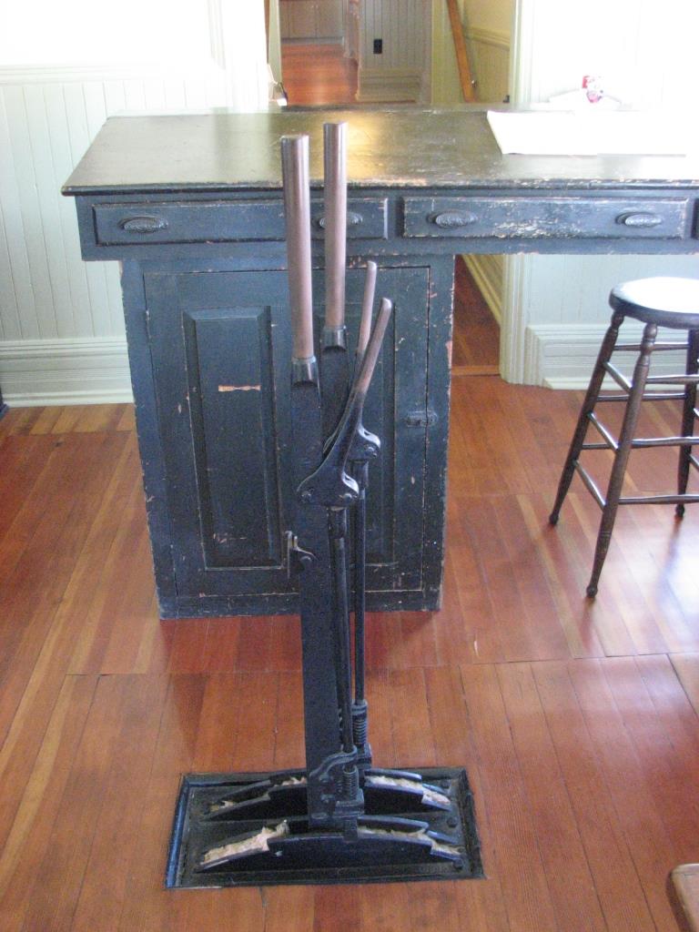
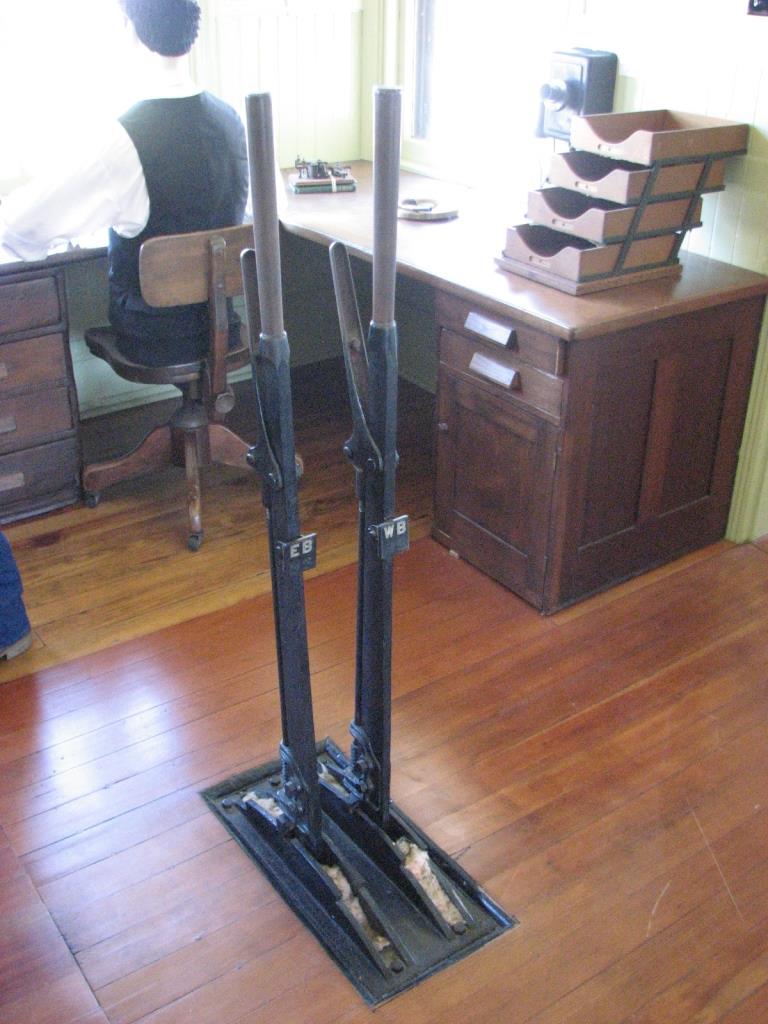
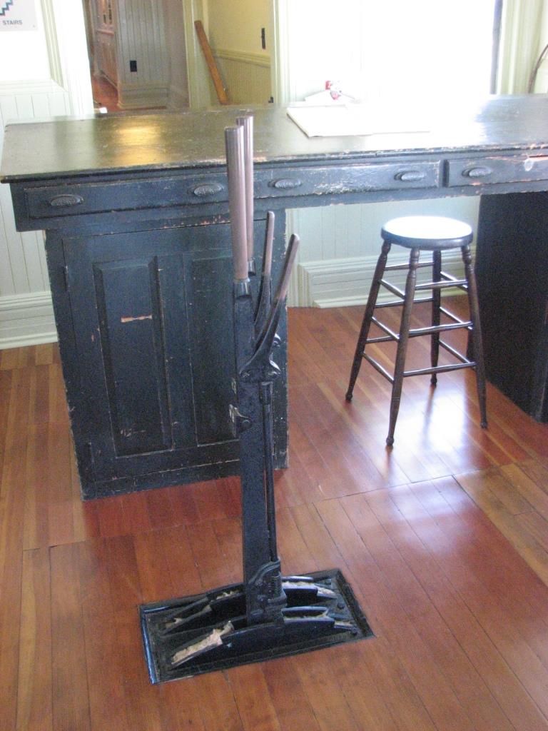
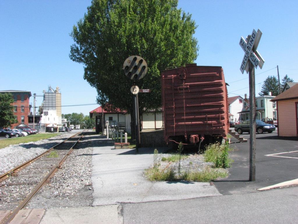
For the signal fan, they have a single head PRR style PL signal at the west end of the property, and a train order signal that is NOT located on or above the building. Inside, there are two actuating
levers not unlike those used for interlocking. Outside, wood still covers where the throw rods traveled, altho it appears they have been removed. Judging from the casting number on the spectacle, it
looks like it's a US&S model with a wooden blade, with red, (faded) yellow, and green lenses. There are no lamps, and in the configuration it is in, would have required two lamps for lighting at
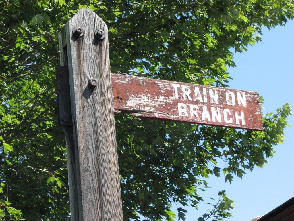
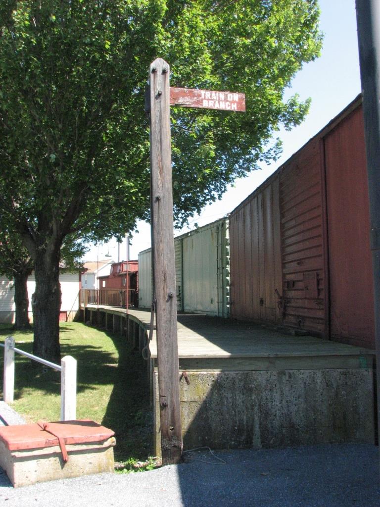
night. They also have a unique "train on branch" sign, which operates like a semaphore, but is locked in the "displayed" position..... pretty cool!
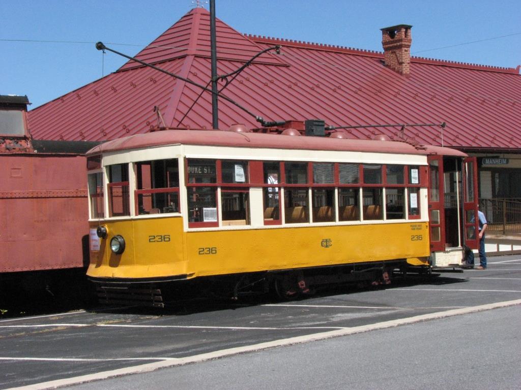
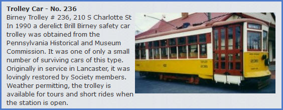
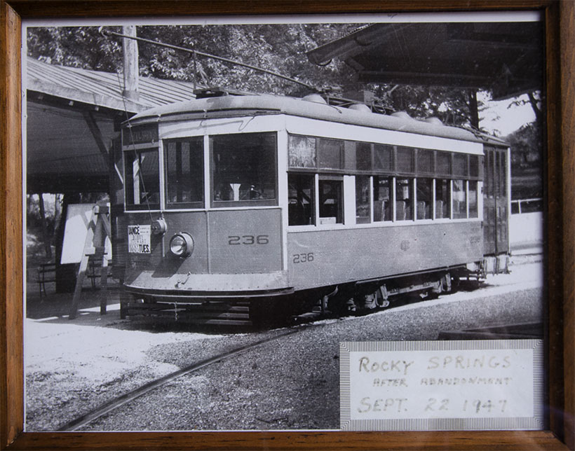
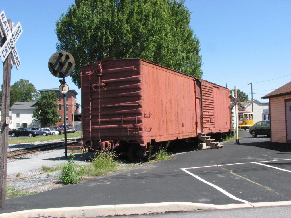
Last but not least, they have a surviving Lancaster streetcar, powered and operating no less!
Aerial shots were taken from either Google Maps or www.bing.com/maps as noted. Screen captures are made with Snagit, a
Techsmith product... a great tool if you have never used it!
State road PA72 is just about the only way in or out, from Lebanon to the
north, and Lancaster to the south.
Exit 266 off the Pennsylvania Turnpike, and then south on PA72 5 miles.
Coming from Harrisburg? Take PA283 south to PA772, Mt Joy Rd, and head NE
4 3/4 miles.
From Baltimore and points south, I would take I-83 north to US30 (exit 21 or 19
if you take N. Hills Rd to 30) in York PA, head east about 21mi to Lancaster,
then catch PA72 north about 7.5mi.
Coming down I-81 or west on I-78? Take 81 into Harrisburg, look for I-83
south, to PA283 to avoid taking and paying for the tolls on the turnpike.
On a car outside the museum, nice symmetrical number, huh?
Disclaimers:
I love trains, and I love signals. I am not an expert. I do these pages because I love spending my time doing them - although I do a reasonable amount of research to make sure the information
presented is accurate! :-) :-)
Please Note: Since the main focus of my two websites is railroad signals, the railfan guides are oriented towards the signal fan being able to locate them. For those of you into
the modeling aspect of our hobby, my indexa page has a list of almost everything railroad oriented I can think of to provide you with at least a few
pictures to help you detail your pike.
If this is a railfan page, every effort has been made to make sure that the information contained on this map and in this railfan guide is correct. Once in a while, an error may creep in, oooooooops,
oh well! :-)
My philosophy: Pictures and maps are worth a thousand words, especially for railfanning. Text descriptions only get you so far, especially if you get lost or disoriented. Take along good maps....
a GPS is OK to get somewhere, but maps are still better if you get lost! I belong to AAA, which allows you to get local maps for free when you visit the local branches. ADC puts out a nice series
of county maps for the Washington DC area, but their state maps do not have the railroads on them. If you can find em, I like the National Geographic map book of the U.S..... good, clear, and concise
graphics, and they do a really good job of showing you where tourist type attractions are, although they too lack the railroads. Other notes about specific areas will show up on that page if known.
BTW, floobydust is a term I picked up 30-40 years ago from a National Semiconductor data book, and means miscellaneous and/or other stuff.
Pictures and additional information is always needed if anyone feels inclined to take 'em, send 'em, and share 'em, or if you have something to add or correct.... credit is always given! BE NICE!!! Contact info
is here
Beware: If used as a source, ANYTHING from Wikipedia must be treated as being possibly being inaccurate, wrong, or not true.
 Picture from JT Bell
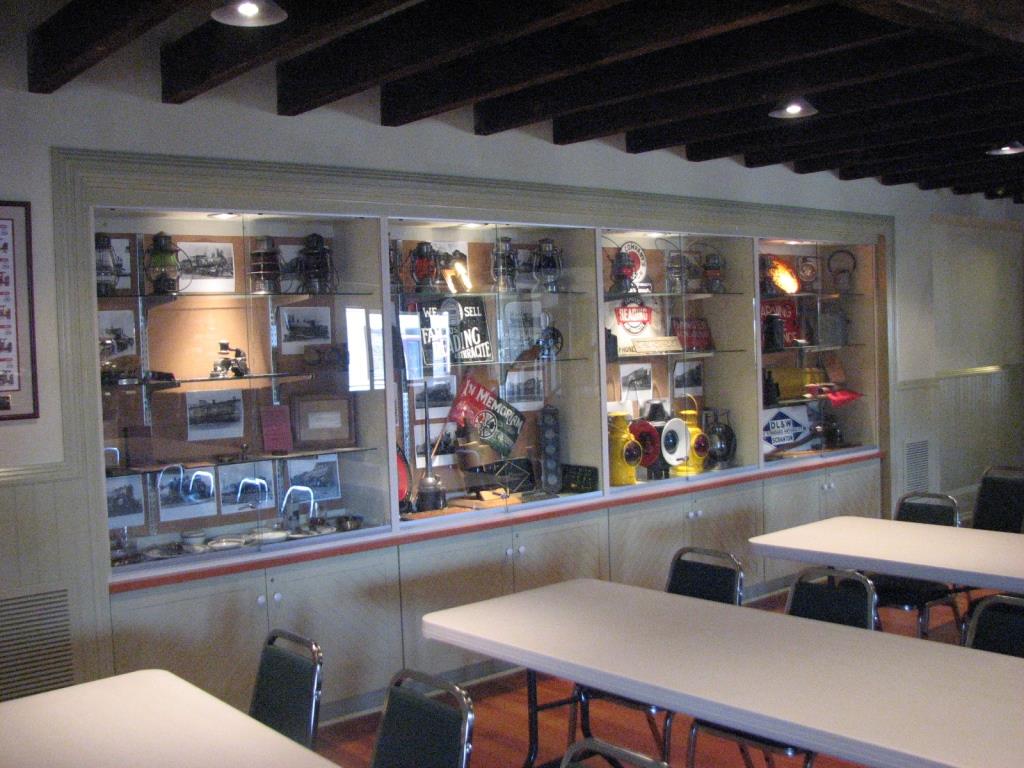

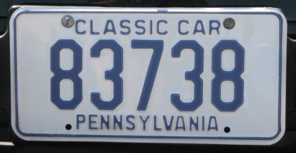 On a car outside the museum, nice symmetrical number, huh?