In General
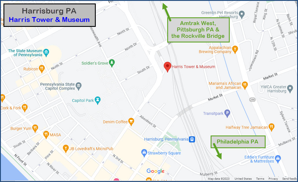
Getting Here
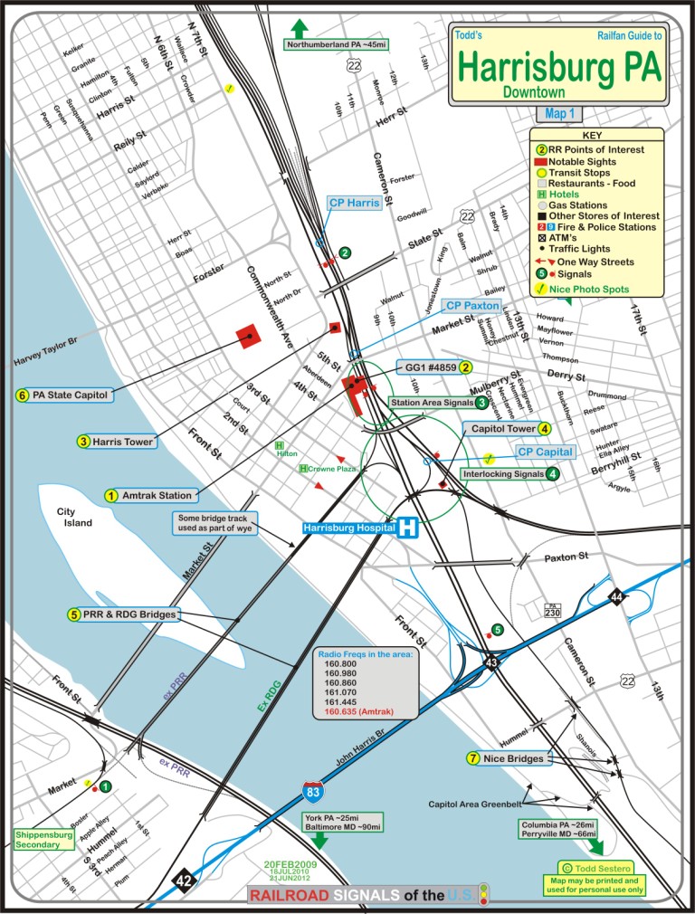
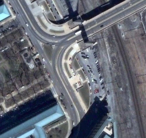
Map
Pictures
RAILFAN GUIDES HOME
RAILROAD SIGNALS HOME
Location / Name:
Harrisburg PA, Dauphin County
What's Here:
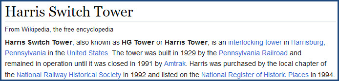
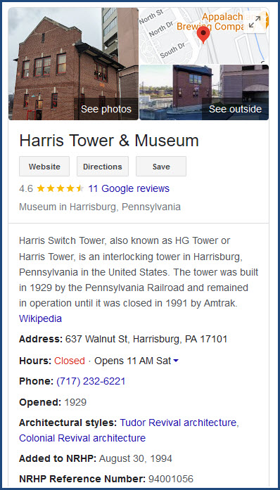
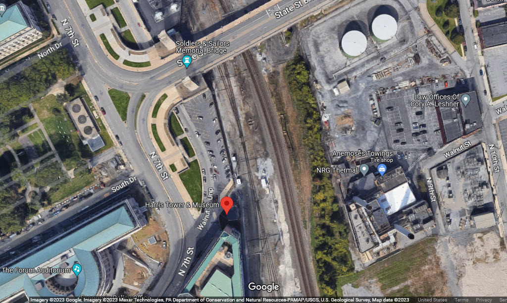
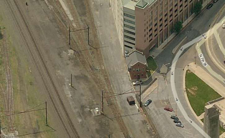
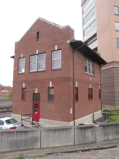
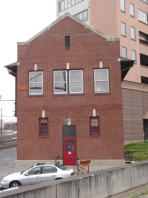
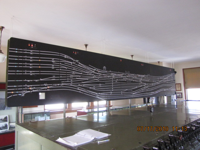
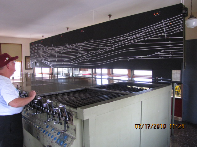
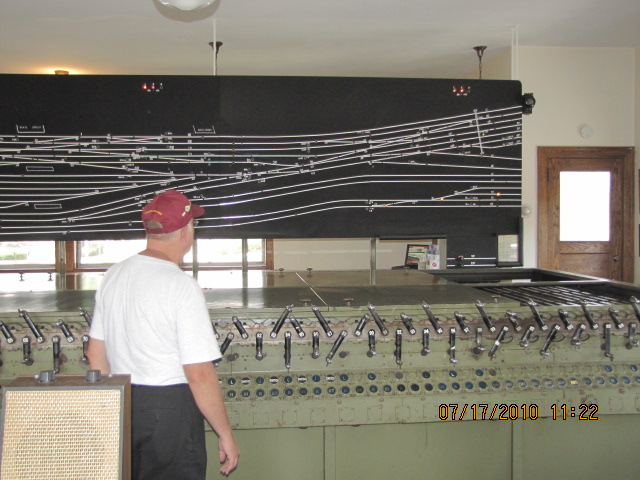
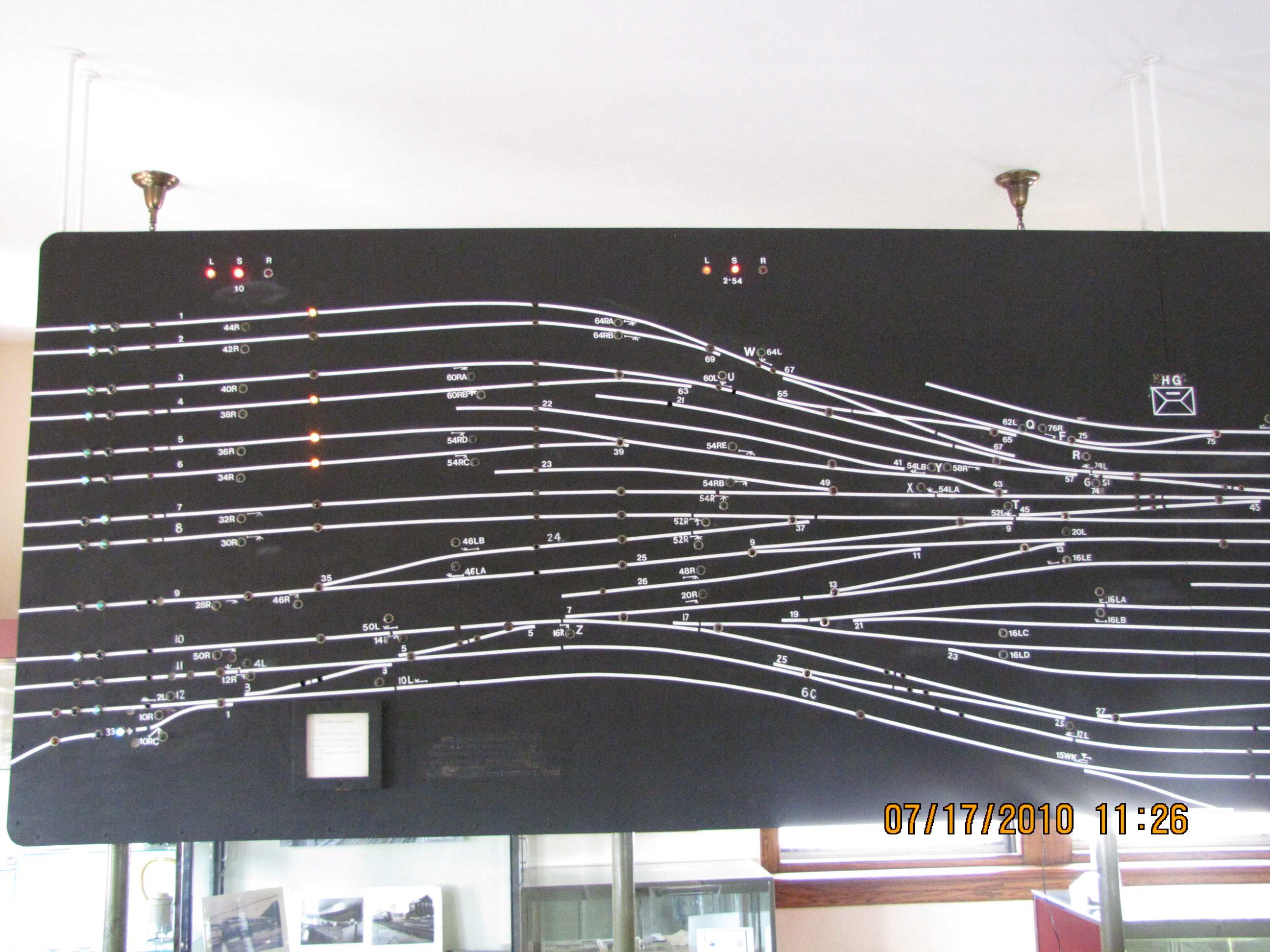
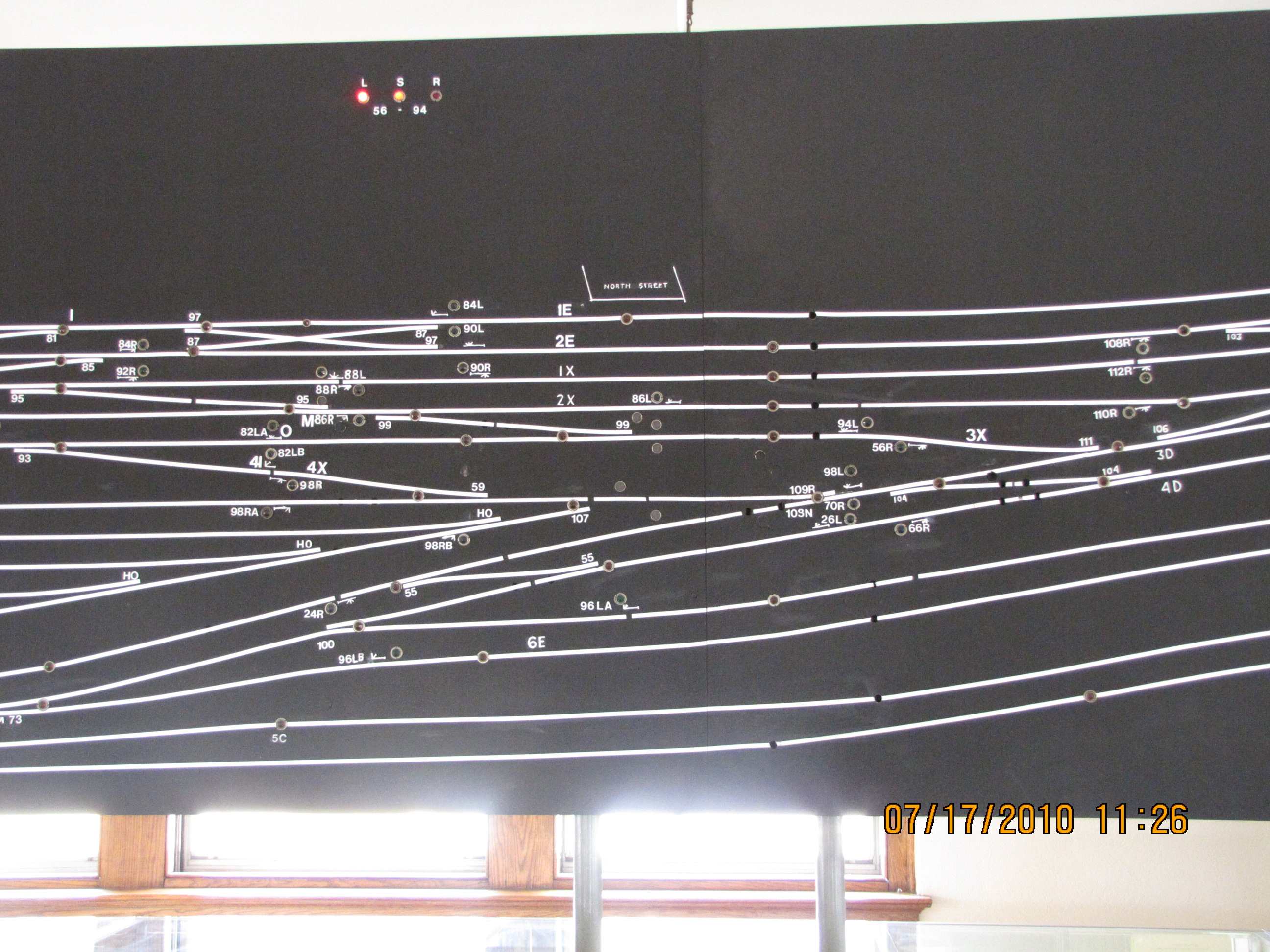
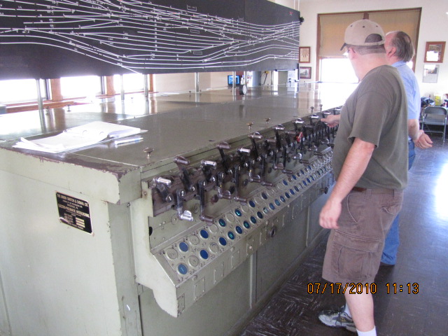
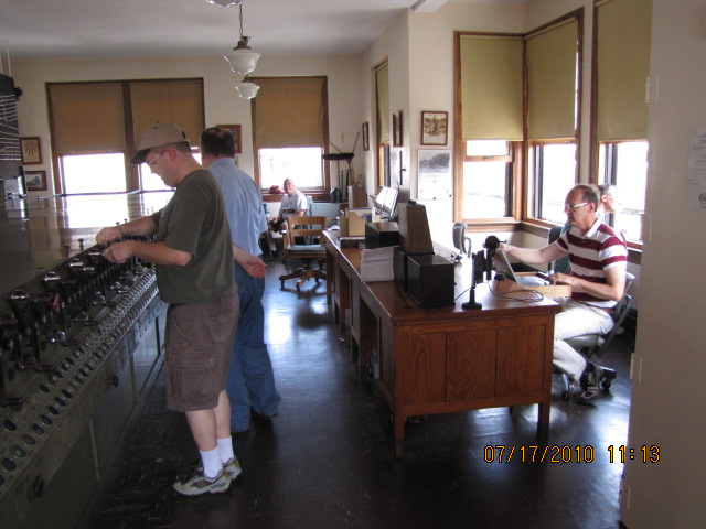
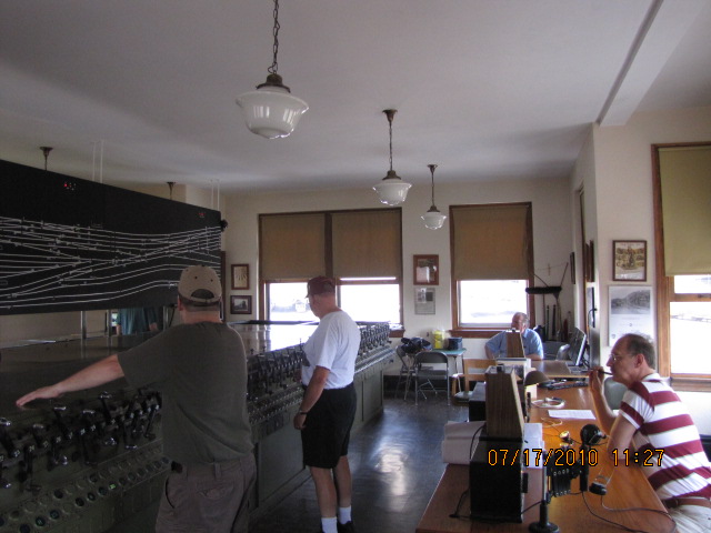
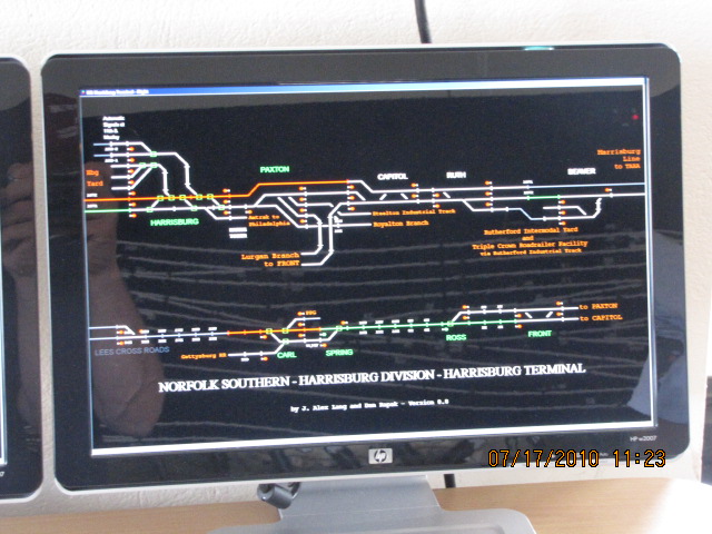
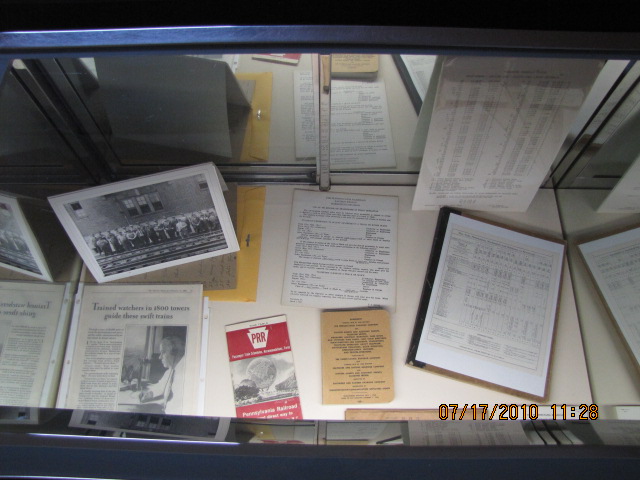
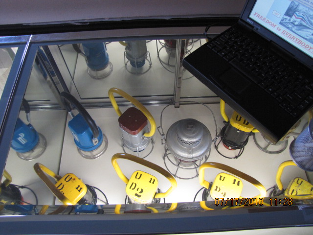
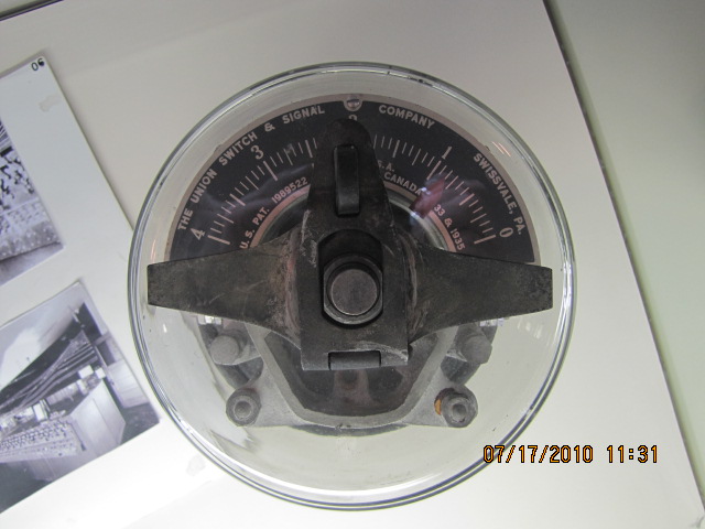
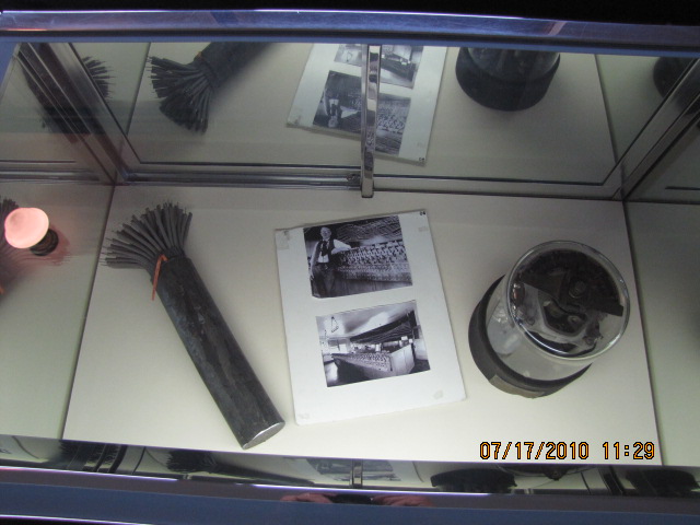
Harris Tower & Museum
Data:
GPS Coordinates: 40.265102, -76.878955
637 Walnut Street; Harrisburg, PA 17101-1924
Phone: 717-232-6221
ZIP: 17120
Scanner Frequencies:
?
Access by train/transit:
The Harrisburg Amtrak station is about 4 blocks away, easy walk - There you can catch:
Amtrak Pennsylvanian
Amtrak Keystone "commuter" service between Philadelphia and Harrisburg
The Scoop:
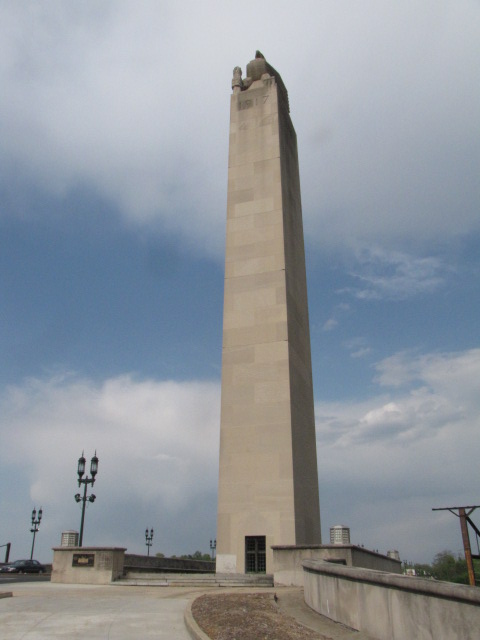
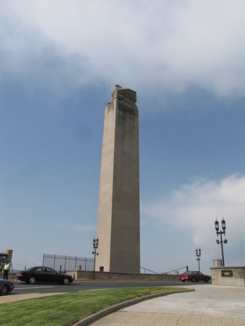
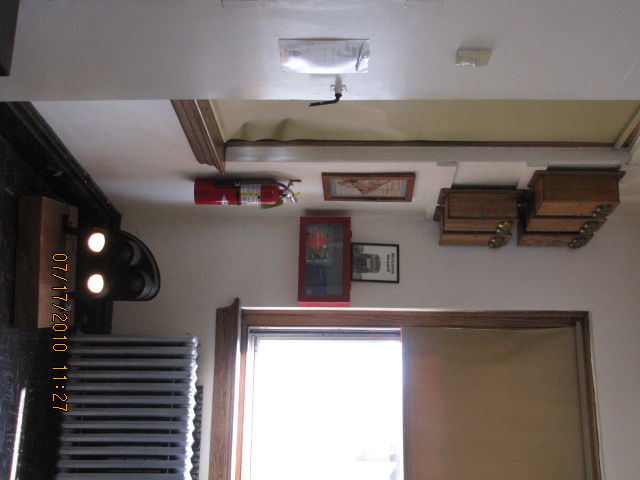
When and if you're railfanning in downtown Harrisburg, don't forget to visit the restored Harris Tower, which opened to the public in 2008. It is usually open on Saturdays, May thru October. I believe the hours are 10 to 3, but make sure you get there well before the closing time, as it is run by volunteers.
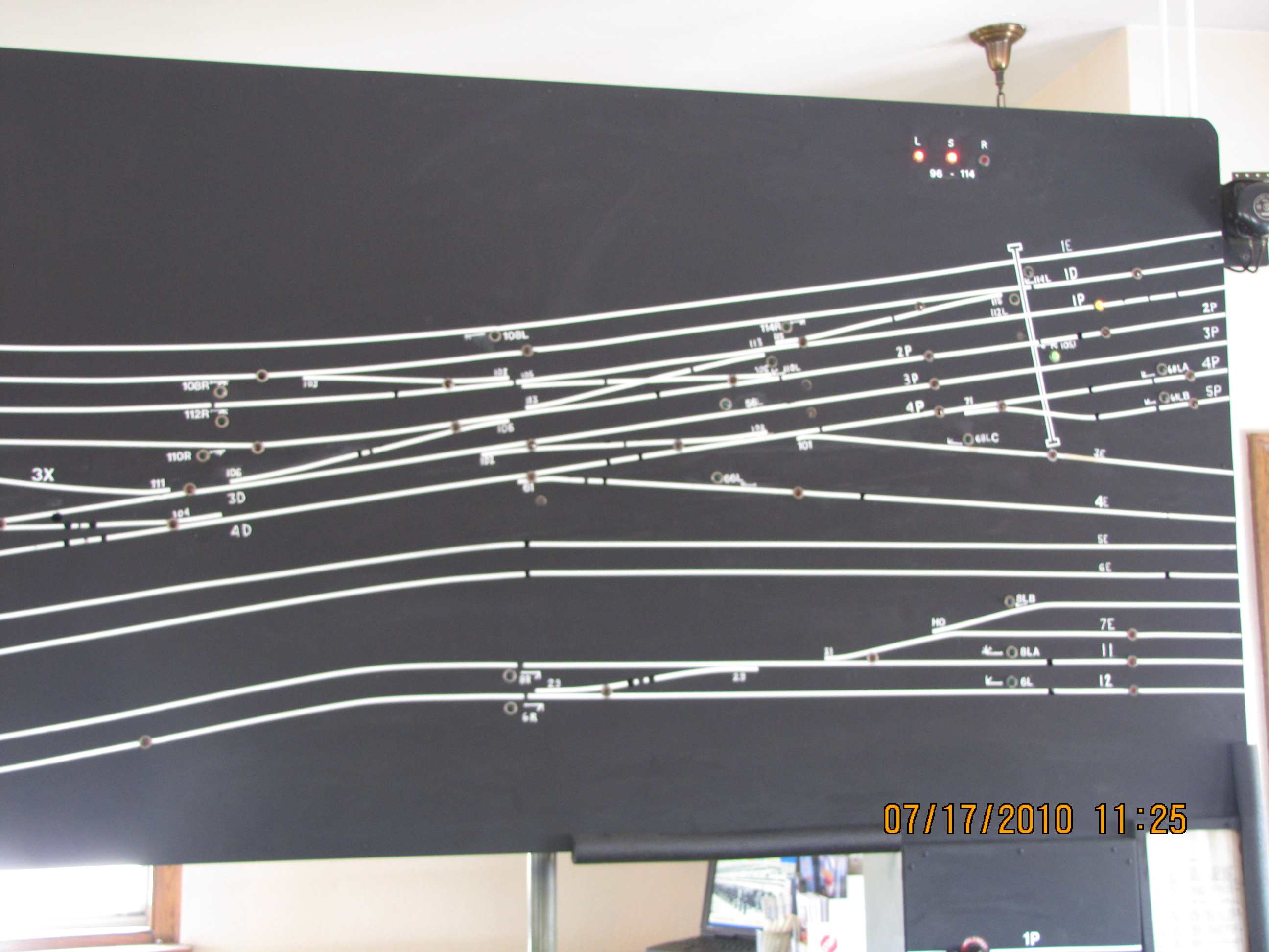
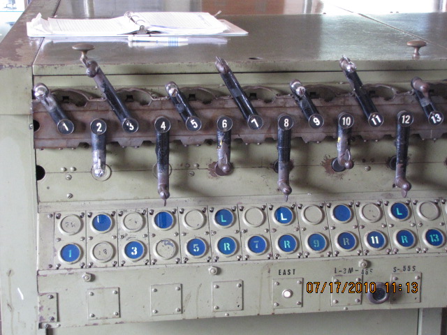
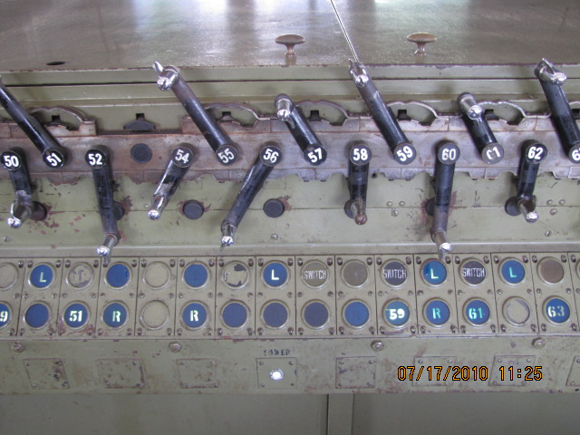
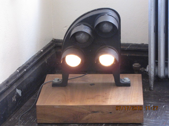
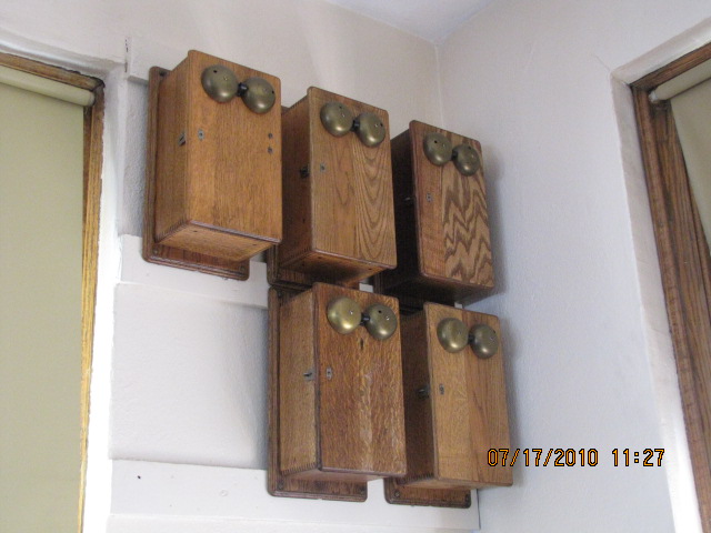
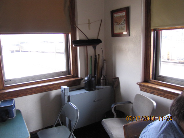
The volunteers that operate the museum have gone to lot of trouble to making your visit an enjoyable experience. They have gone to great lengths to make the interlocking levers and display work together as they did when they were in revenue service.
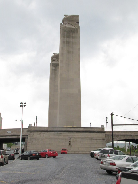
The parking lot adjacent to the tower is a good spot for railfanning on the weekends, with freights coming by with a fair bit of regularity. The areas only searchlight signals are just to the north under the State Street bridge. During the week, the lot is used as parking for PA government staff, so you will have to find parking elsewhere.
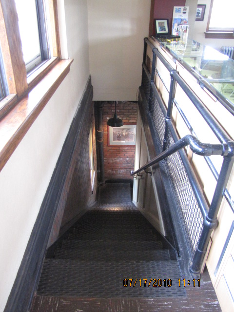
Please note: the tower IS NOT handicapped accessible due to the age of the structure. The stairway up to the second floor is steep and narrow.
On my map below, the tower is sight number 3.
Acknowledgements:
Jim Nowotarski
Denver Todd
Additional information for the area:
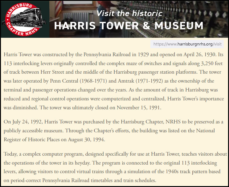
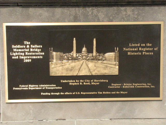
https://www.harrisburgnrhs.org/visit
https://www.harrisburgnrhs.org/
https://www.harrisburgnrhs.org/pdo
https://railfanguides.us/pa/harris/map1/
https://en.wikipedia.org/wiki/Harris_Switch_Tower
https://theburgnews.com/in-the-burg/harris-tower-museum-is-a-tribute-to-local-rail-history-and-to-the-men-who-helped-preserved-it
Harrisburg is conveniently located off of I-81, I-83, and I-76 - the Pennsylvania Turnpike.
I-81 through Harrisburg runs NE to SW, sort of on a diagonal. Heading south on I-81, Roanoke VA, home to the ole Norfolk and Western and an excellent railfanning city, is about 4hrs away (exit 125 in VA) and Hagerstown MD is less then an hour away (exit 6 in MD).
Going "north" on I81, it runs almost due east from Harrisburg till I-78 splits off (at exit 89), then heads north to Wilkes-Barre (exit 170) and Scranton, which is about two hours away to exit 185 - this exit will take you to downtown and Steamtown!
I-78 is only 20 miles to the east off I-81 (off the map), and will take you to Allentown (a little over an hour away at exit 57), Bethlehem PA (exit 67), and then on to NYC. On the way to I-78, you will pass the home of Hershey's Chocolate (exit 77) and the Hershey Amusement Park! About halfway to Allentown you will go by the northern end of the Blue Mountain and Reading in Hamburg (exit 29).
I-76 runs east-west, and runs from Philadelphia to the Ohio border. Pittsburgh is about 3 - 3-1/2 hours to the west, and Philadelphia is about 2-1/2 hours to the east. It is a toll road, and is 4-1/2 miles south of exit 43 of I-83 (the downtown Harrisburg exit).


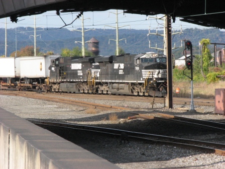
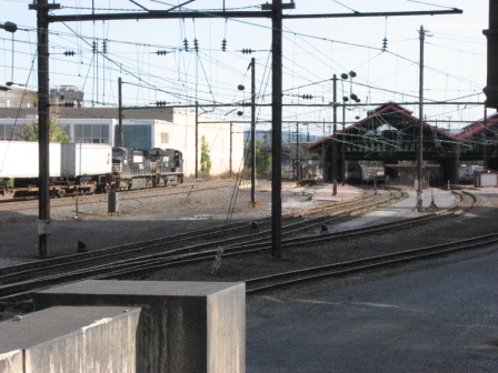 Shots from the parking lot

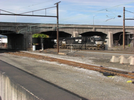
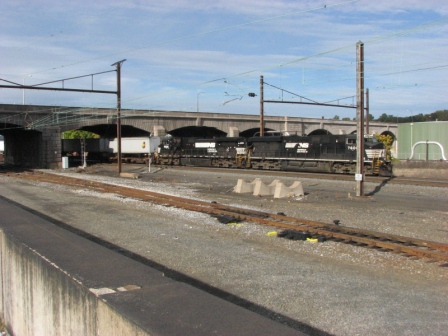
 Shots from the adjacent parking garage
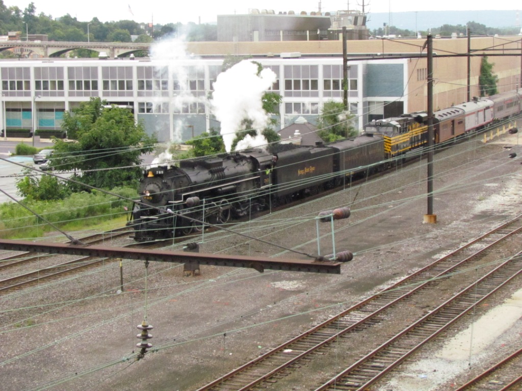
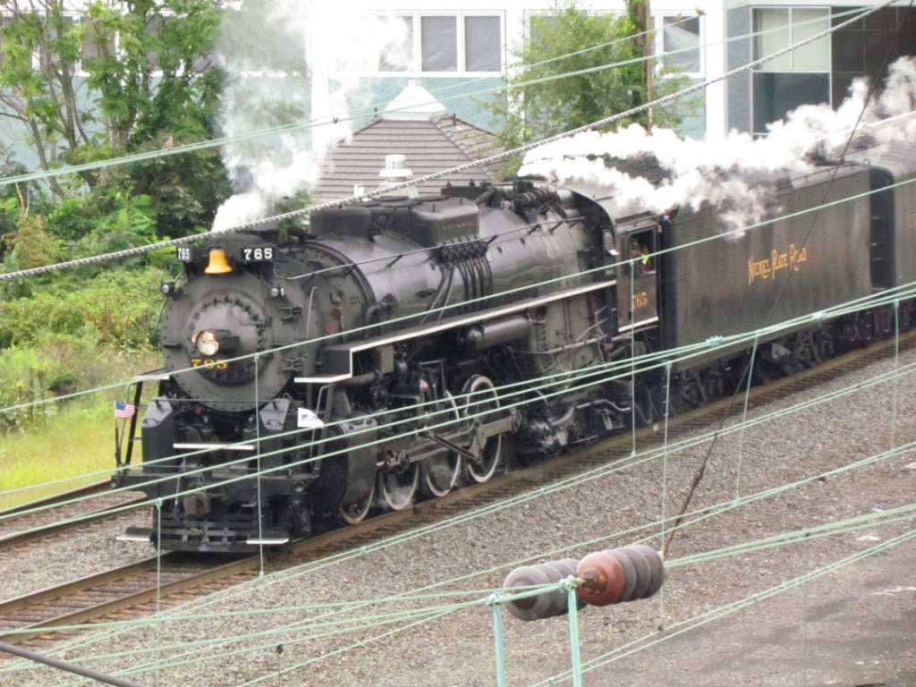
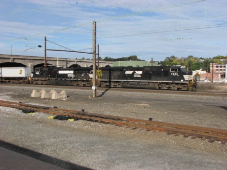
 NKP 765 coming through downtown on Sunday August 19, 2012,
followed by the NS NKP Heritage Engine
NKP 765 coming through downtown on Sunday August 19, 2012,
followed by the NS NKP Heritage EngineDisclaimers:
I love trains, and I love signals. I am not an expert. My webpages reflect what I find on the topic of the page. This is something I have fun with while trying to help others.
Please Note: Since the main focus of my two websites is railroad signals, the railfan guides are oriented towards the signal fan being able to locate them. For those of you into the modeling aspect of our hobby, my indexa page has a list of almost everything railroad oriented I can think of to provide you with at least a few pictures to help you detail your pike.
If this is a railfan page, every effort has been made to make sure that the information contained on this map and in this railfan guide is correct. Once in a while, an error may creep in :-)
My philosophy: Pictures and maps are worth a thousand words, especially for railfanning. Text descriptions only get you so far, especially if you get lost or disoriented. Take along good maps.... a GPS is OK to get somewhere, but maps are still better if you get lost! I belong to AAA, which allows you to get local maps for free when you visit the local branches. ADC puts out a nice series of county maps for the Washington DC area, but their state maps do not have the railroads on them. If you can find em, I like the National Geographic map book of the U.S..... good, clear, and concise graphics, and they do a really good job of showing you where tourist type attractions are, although they too lack the railroads. Other notes about specific areas will show up on that page if known.
Aerial shots were taken from either Google or Bing Maps as noted. Screen captures are made with Snagit, a Techsmith product... a great tool if you have never used it!
By the way, floobydust is a term I picked up 30-40 years ago from a National Semiconductor data book, and means miscellaneous and/or other stuff.
Pictures and additional information is always needed if anyone feels inclined to take 'em, send 'em, and share 'em, or if you have something to add or correct.... credit is always given! Please be NICE!!! Contact info is here
Beware: If used as a source, ANYTHING from Wikipedia must be treated as being possibly inaccurate, wrong, or not true.
RAILFAN GUIDES HOME
RAILROAD SIGNALS HOME
NEW SEP19/2012, APR04/2014, MAR21/22/2023
Last Modified 22-Mar-2023 Happy birthday Jenny!