RAILFAN GUIDES of the U.S.
![]()
Todd's Railfan Guide to the
HIAWATHA LIGHT
RAIL LINE
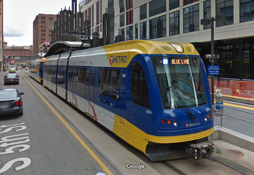
AKA the Blue Line /
Route 55
Minneapolis MN
General Info
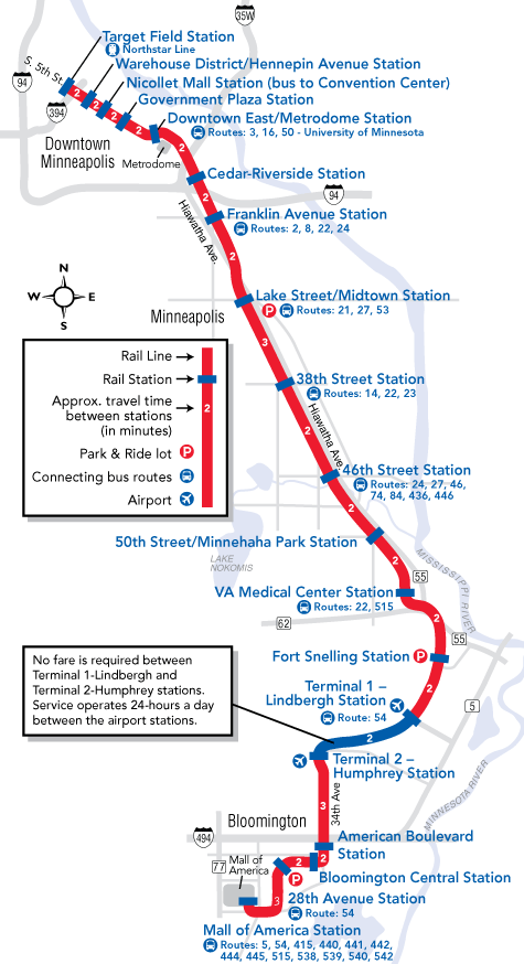
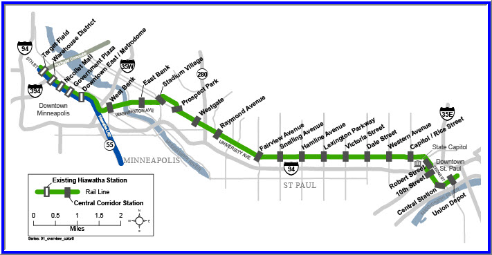
System Map
At the Shops
the Minnehaha Depot
Bridge over 55 & 62
At the Mall of America
Signals
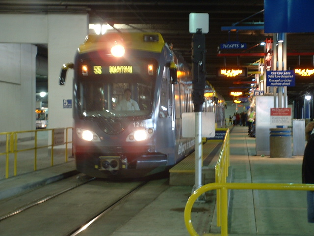
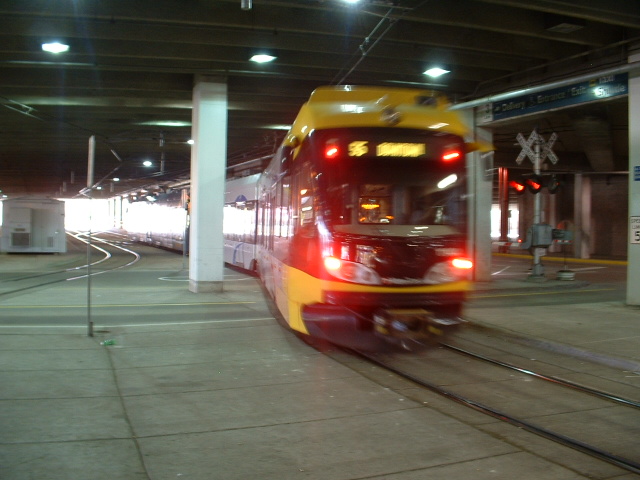
Station by Station
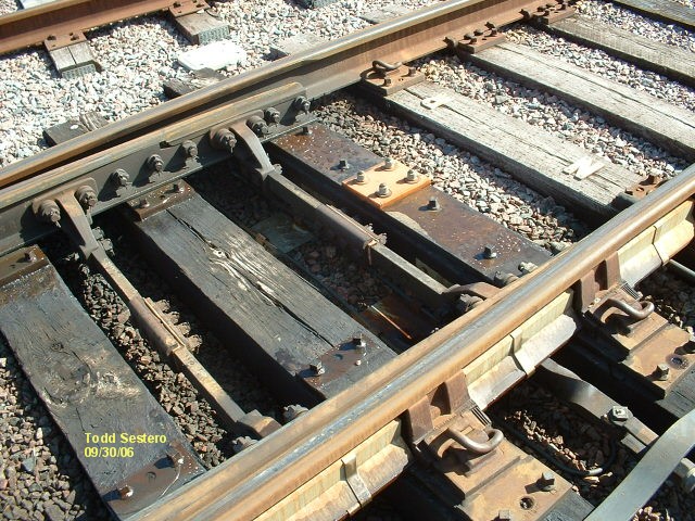
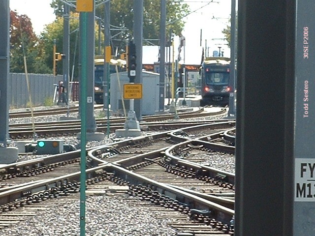
Switches, etc
Floobydust
RAILFAN GUIDES HOME
RAILROAD SIGNALS HOME
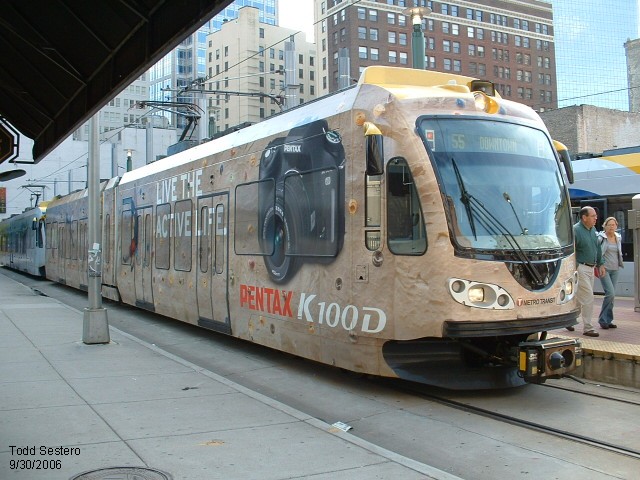
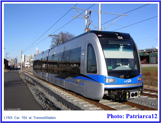
This page covers the Blue Line Light Rail system, formally known as the Route 55 Hiawatha Line that runs in Minneapolis Minnesota. The system currently runs from downtown at Target Field (the former north end was one station away at Hennepin Ave) to the Mall of America in Bloomington.
The system has 19 systems, and service starts at 03:32 at the Franklin station heading south to the Mall of America. Service from Target Field starts at 04:02. Service runs till 01:53, giving the "T' roughly an hour and a half to perform critical maintenance.
The Northstar Commuter train (Route 888) has 5 AM trains into Minneapolis at 05:01, 05:53, 06:21, 06:51, and 07:21. There are 6 stations on the line, and travel time is about 50 minutes from end to end. There is one evening train TO Minneapolis and it leaves at 17:06. On Saturdays, there is one morning train to Minneapolis at 10:23, and one afternoon train at 13:23. Leaving Minneapolis during the week there are 06:13, 15:57, 16:27, 16:57, 17:27, and 18:15... on Saturday's trains are at 11:30 and 16:00.
If you happen to be in Minneapolis, which I consider one of the better railfan towns along with St. Paul, there is an enormous amount of railfanning to keep you busy for a week or more, if you so choose.
You have the Union Pacific, BNSF, CP Rail, the Twin Cities and Western, Amtrak, and last, but not least, the Minnesota Commercial. The MC is railfan friendly, and will let you wander the yard, as long as you promise to stay off stuff and sign a release (at least they were that way the last time I was there in 2006). Formerly an all Alco railroad, they have started buying stuff other than Alco equipment.
Within a three hour (or so) drive from the Twin Cities area, you also have the Iowa Traction in Mason City, and the Missabe up to the north in Duluth, among others. Guides for Mason City and Albert Lea are available. Other towns of interest include Mankato (southwest), Cloquet (northwest, on the way to Duluth, home of the Cloquet Terminal Railroad ), Two Harbors (north of Duluth), Proctor (home to the Missabe), Hastings (southeast, nice river crossing), Glencoe (southwest, home to the TC&W), and Waseca (southwest, office for the DM&E).
More information is available on the "T's" website at: http://metrotransit.org/light-rail.aspx
Credits:
The aerial shots are from www.bing.com/maps
And the pictures were taken off the screen using Snagit,
a www.techsmith.com product
Pictures and additional information is always needed if anyone feels inclined to take 'em, send 'em, and share 'em, or if you have something to add or correct.... credit is always given! Contact info is here

The above map in a PDF, below is the "T's" version of the system map.

1
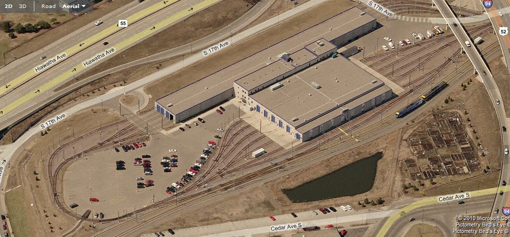
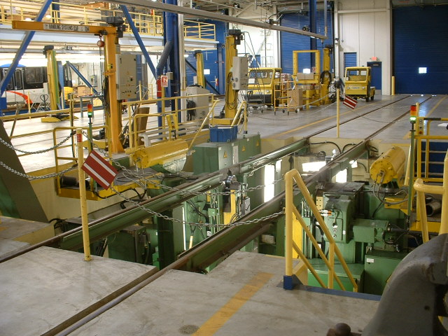
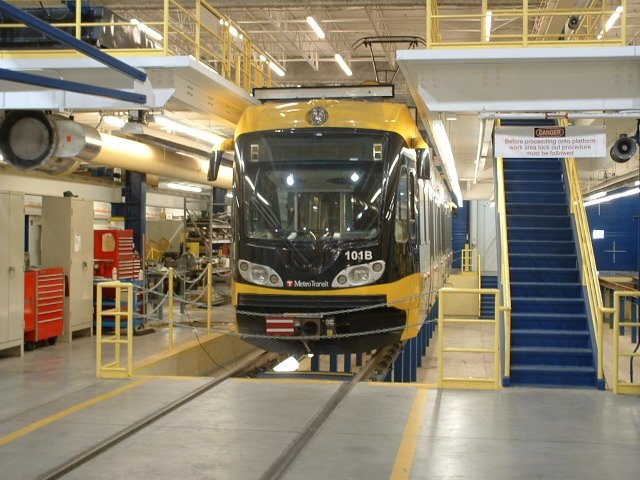
At the Shops
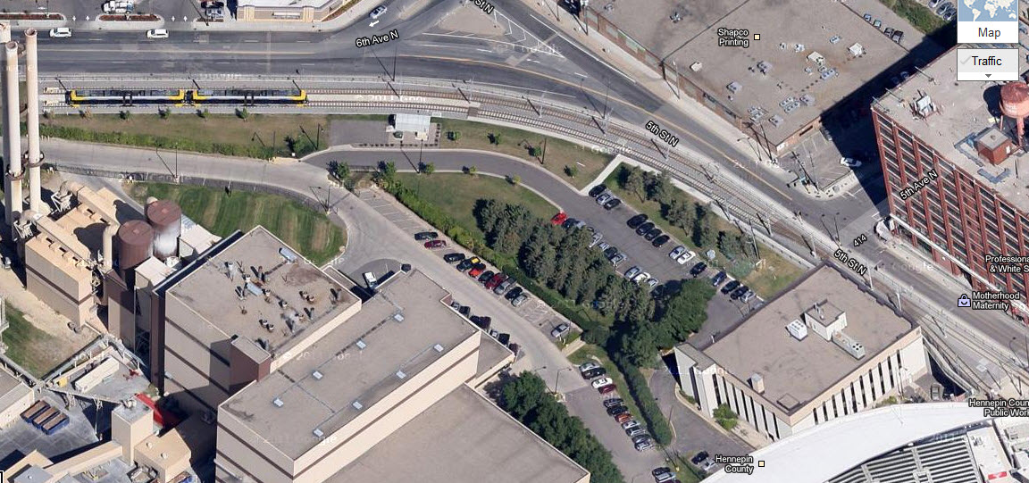
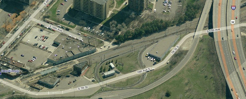
As seen on the map, the shops are just north of Franklin Ave.
Tracks lead into the yard from both the north and south ends, and there is a
loop on the north side of the yard, adjacent to the Cedar Riverside station.


 A couple pictures in Light Rail Control.

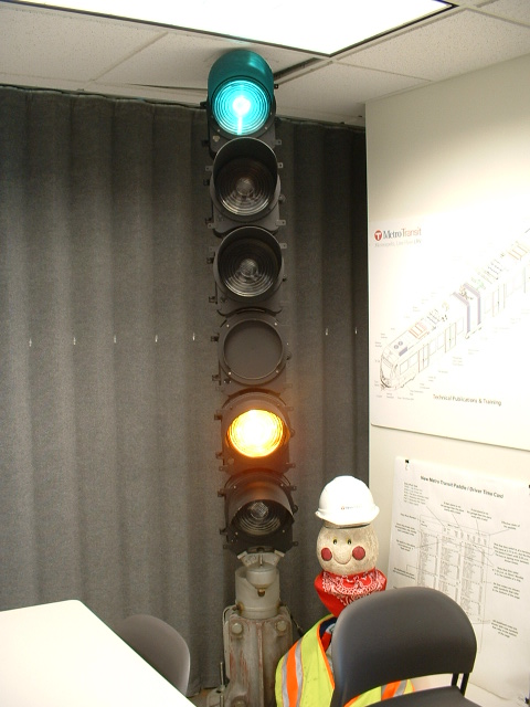 Training Signal in one of the classrooms.

 Down in the shops area, and one of the door operators.

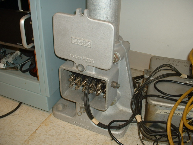
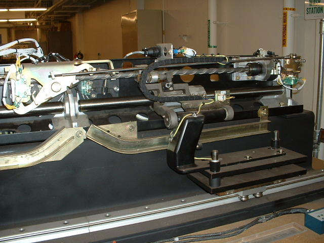
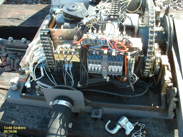
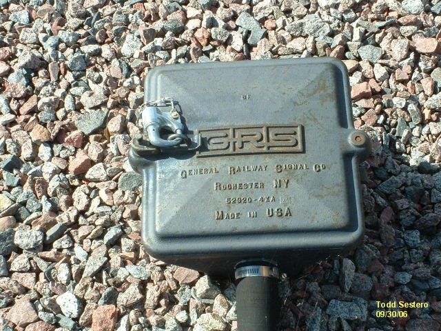
Down in the signal maintenance area of the shops. The
signals are made by GRS.
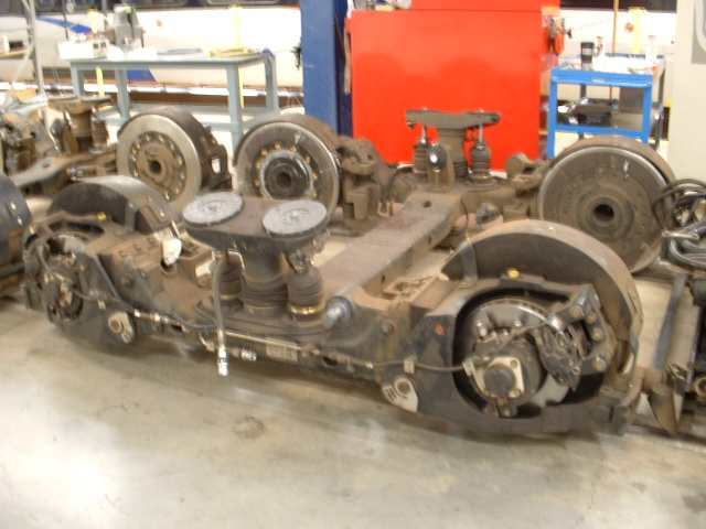
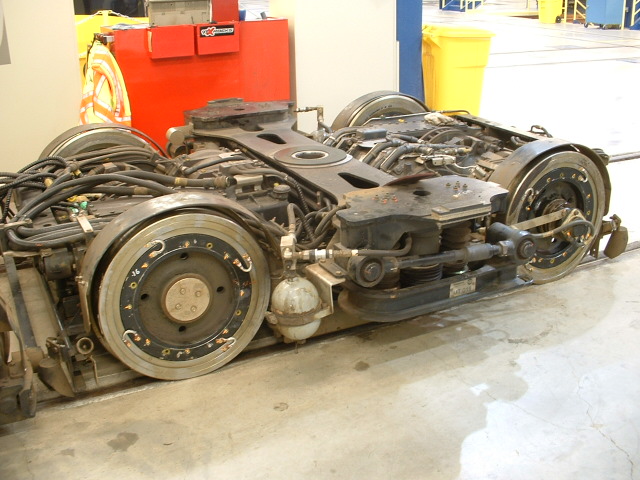
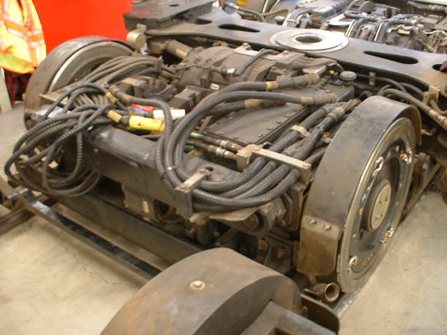
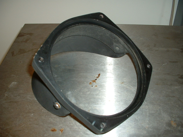
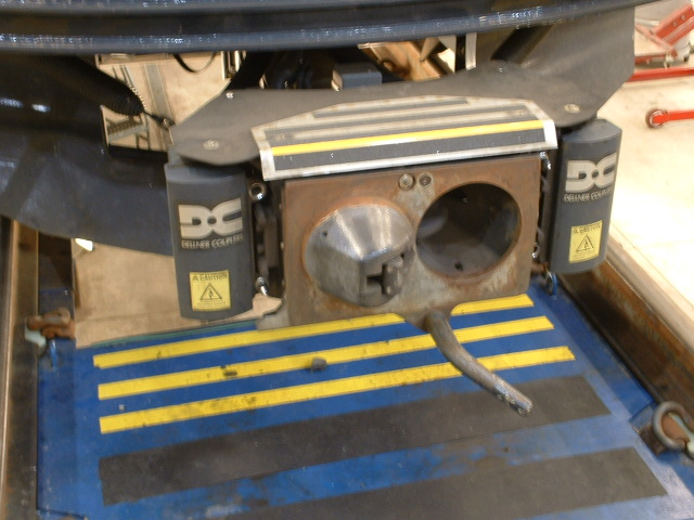
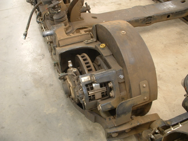 Powered and unpowered trucks, and the disc brakes.
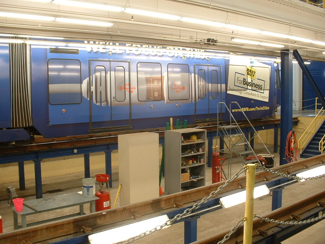
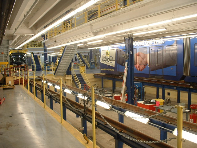
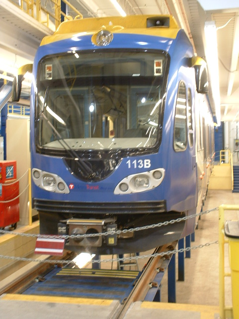
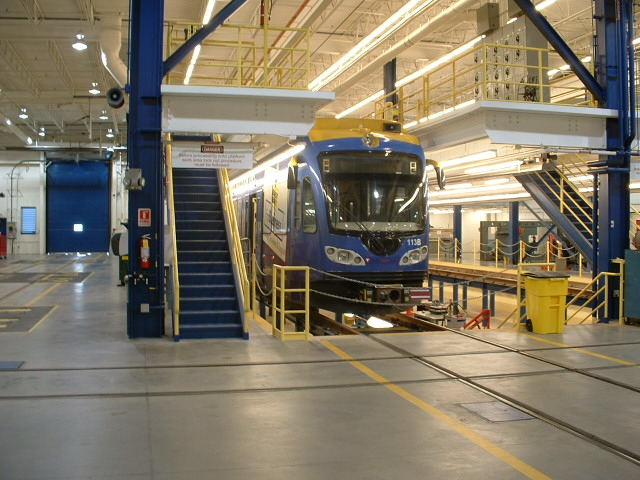

 The service bays.
I have some close-ups of the depot if I ever get a decent
slide scanner.....
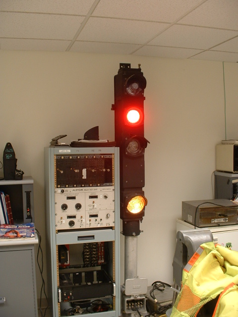
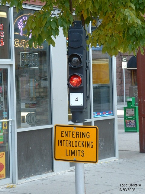
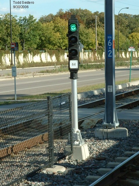
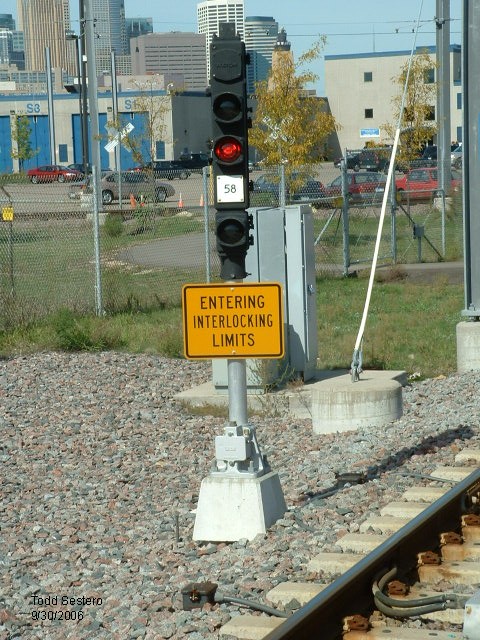
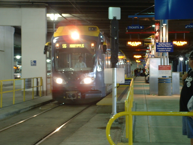
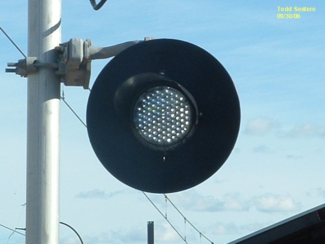
The designers of the Minneapolis Light Rail System choose to use mostly traditional transit system style signals. There are a few standard 3 color light signals around. A couple of them are by the shops, one on mainline, on in the yard on the back of the shops, another is located just south of downtown where the R-O-W crosses 62, and a forth one that I noticed was down near the Mall. The signals are manufactured by Safetran.
Where the right-of-way has to run alongside roads or otherwise mix with vehicular traffic (as in 34th St), they use white LED bar signals, similar to what Houston uses throughout their whole system.
The signals are not traditionally numbered. They are even numbered from the north end. There are no odd numbered signals. The only reason the signals are numbered at all is so the operators can call in to the Operation Center when a signal is malfunctioning or a bulb is out, and have some reference number. I haven't been there since 2006, so I don't know how they handled the expansion north of Hennepin Ave.


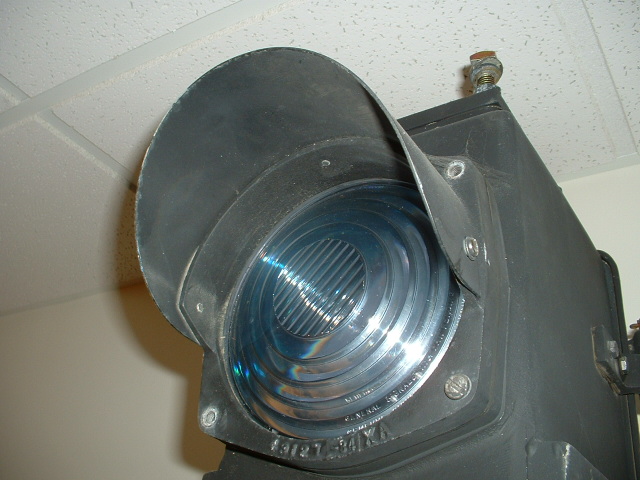
 A couple of shots of one of the signals in the tunnel at the Lindbergh
Terminal stop.
A couple of shots of one of the signals in the tunnel at the Lindbergh
Terminal stop.
 One of the yard signals, this one is for the south end loop as it comes
around and enters the yard tracks.
One of the yard signals, this one is for the south end loop as it comes
around and enters the yard tracks.
 Northbound signal for the southbound track, by the shops.
 A single aspect head.
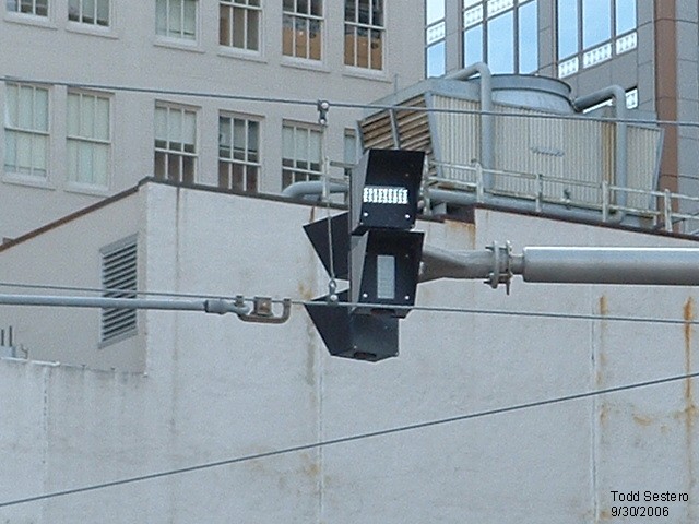 On the streets, they use a two aspect semaphore style indicator, using
white LEDS.
On the streets, they use a two aspect semaphore style indicator, using
white LEDS.
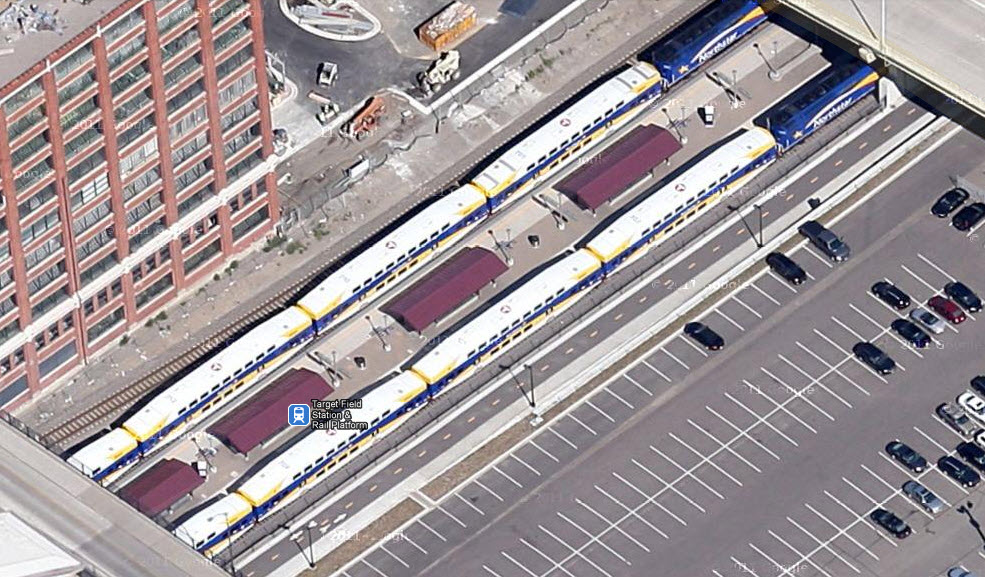
Target Field
The Target Field Station opened in 2009 to allow commuters easy access to the Northstar Commuter Rail Line. As of this date (the end of 2011), Google wins in the aerial photo category, as Bing has not updated their fly-by pictures yet. The light rail station is right at the commuter rail station, and goes into a short single track section before going into a double track stub... my guess is that it was easier and cheaper to do this than build a double crossover.

 Before the new stadium
 Around back.
 Around back.
Along 5th St
Warehouse District / Hennepin Ave
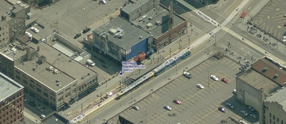

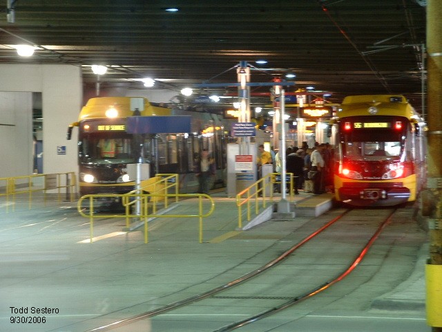
At the former north end of the line at Hennepin Ave, looking north. #120 on the left
just pulled in, #109 on the right ready to leave.
At Hennepin Ave, looking south.
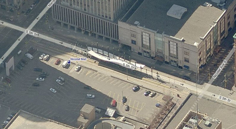
Nicollet Mall
Government Plaza

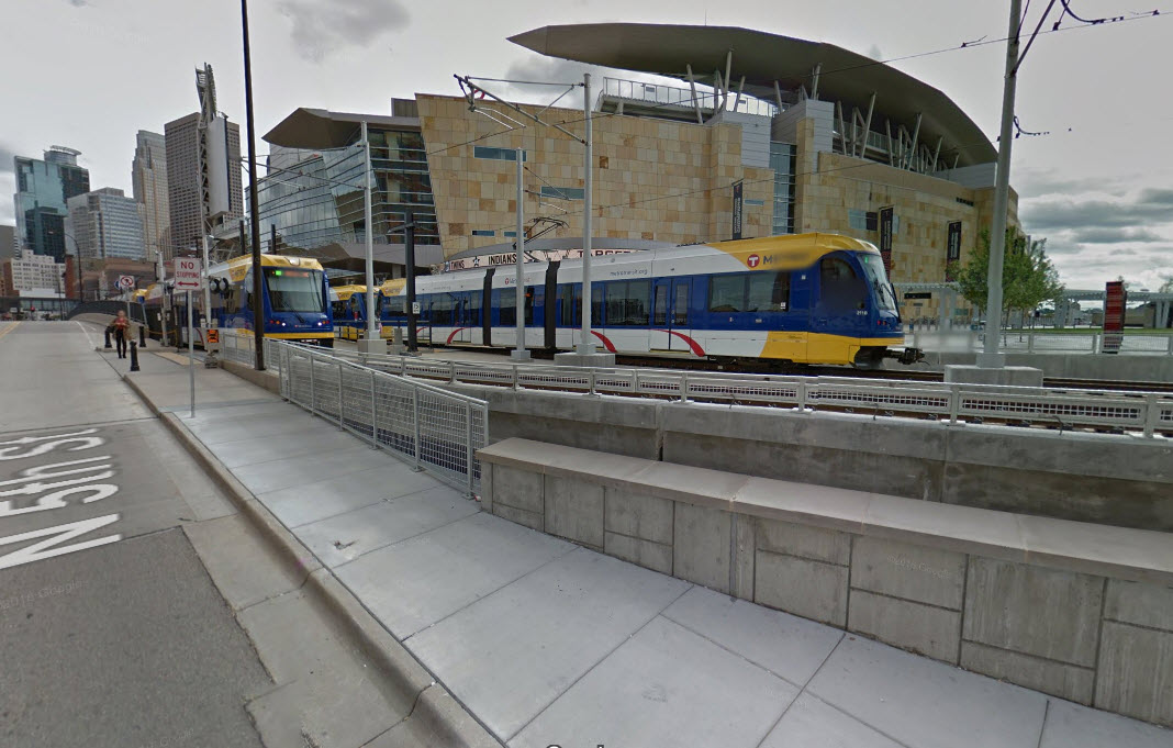
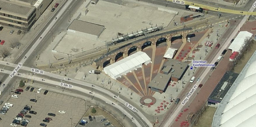
Downtown East / Metrodome
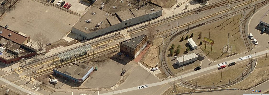
Cedar Riverside
Franklin Ave

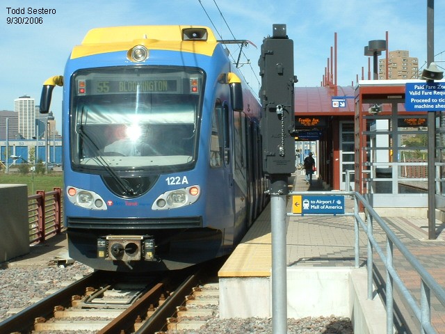
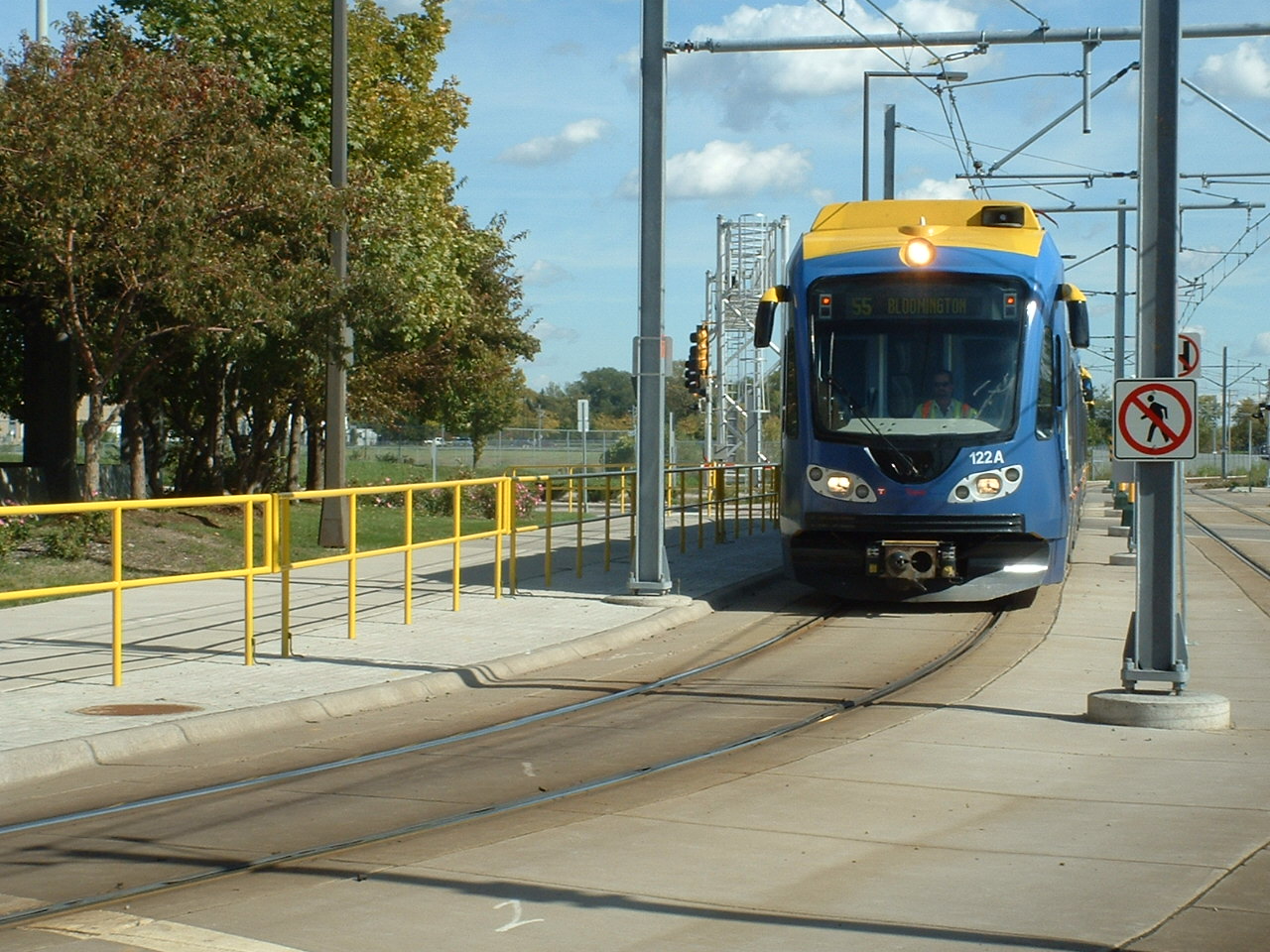
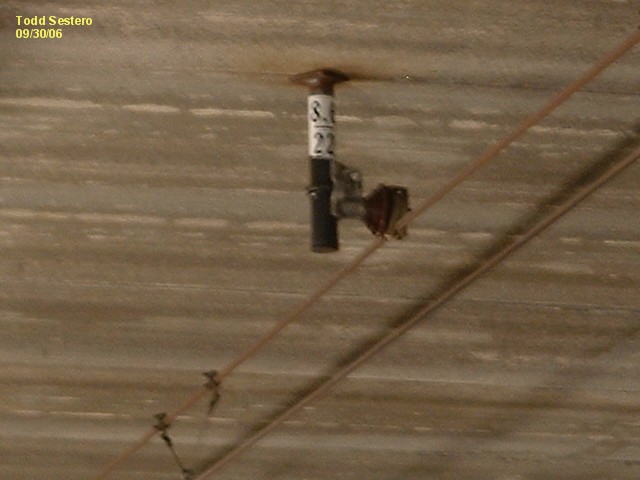
SB #122 at Franklin Ave, near the shops.
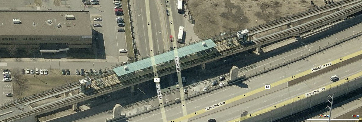
Lake St / Midtown
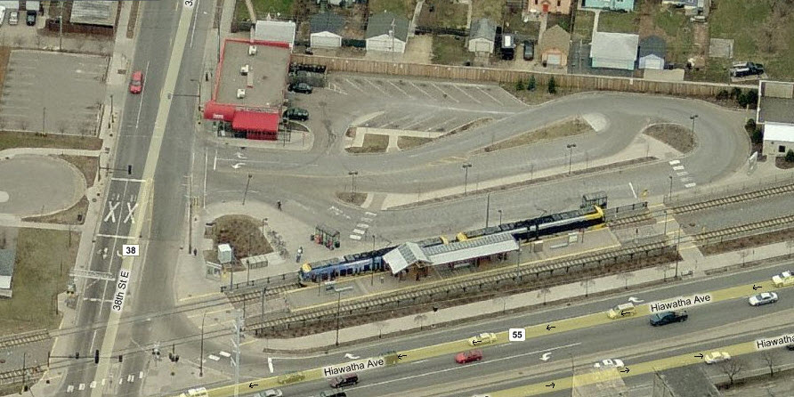
38th St
46th St
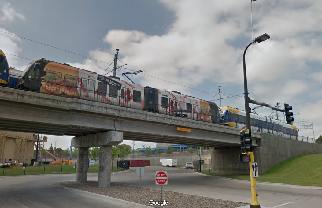
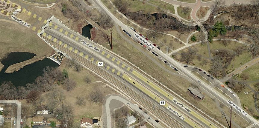
Short Tunnel
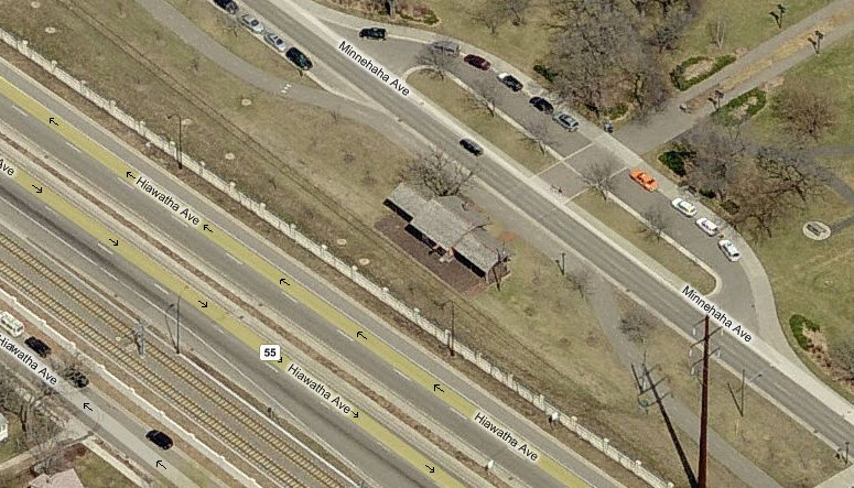
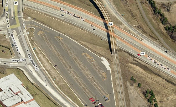
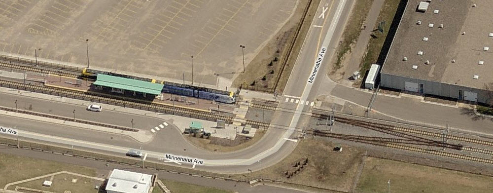
As part of the construction of the light rail system, an extension of the park was put over the R-O-W and Hiawatha Blvd. The Minnehaha Depot is just south of the tunnels, as can be seen in the right photo.
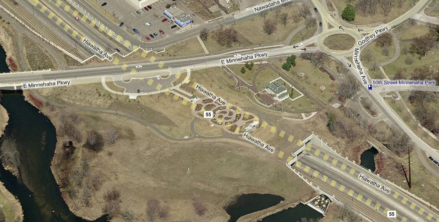
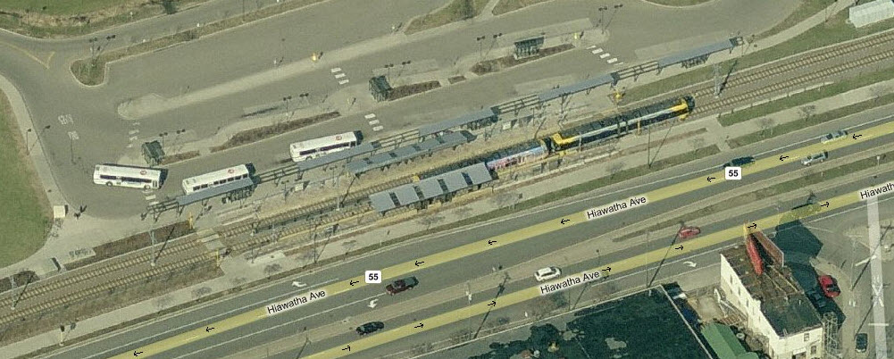
50th St / Minnehaha Park
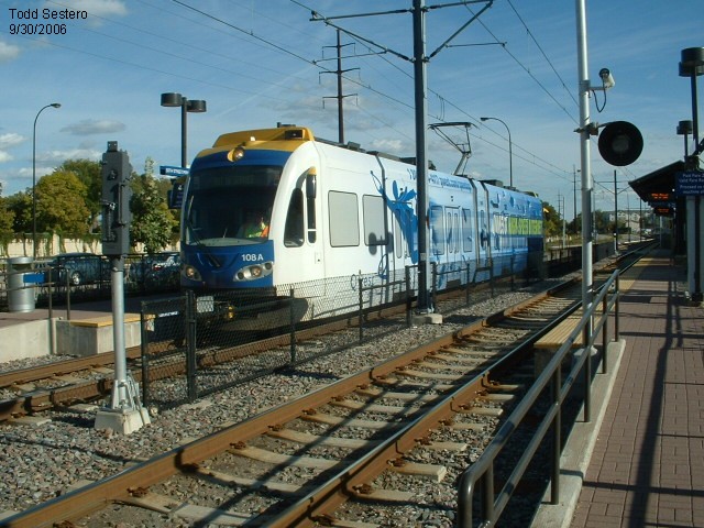
NB #108 at (I think) the 50th St Station, along Hiawatha Ave.
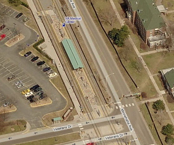
VA Medical Center
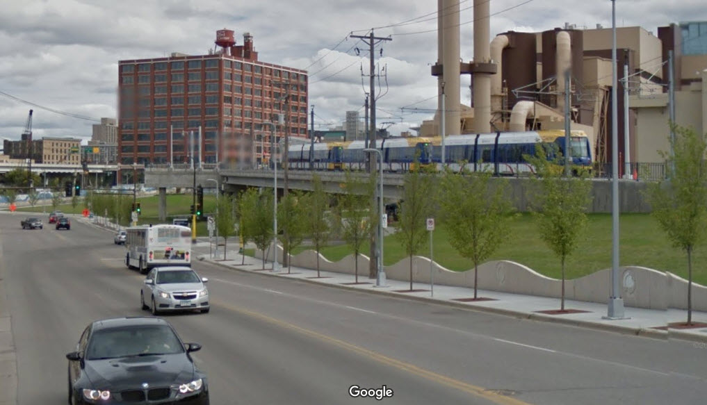
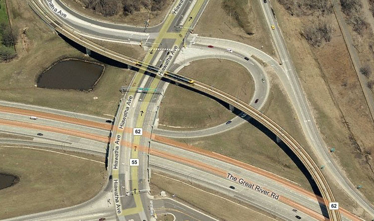
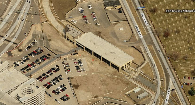
Bridge over 62/Crosstown Hwy & 55/Hiawatha Ave
Both sides of the bridge offer great shots, depending on the time of the day and the sun....
Fort Snelling
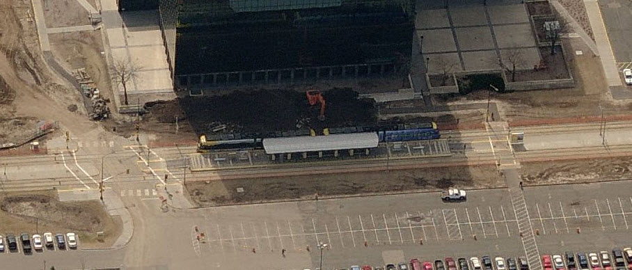
Airport / Linburgh Terminal
Service between Lindberg and Humphrey is free, and a shuttle runs 24 hours a day.
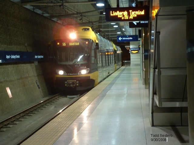
#111 at the Lindberg Terminal Station.
Airport / Humphrey Terminal
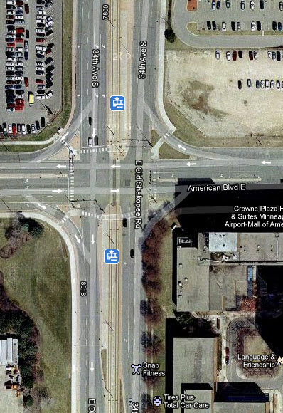
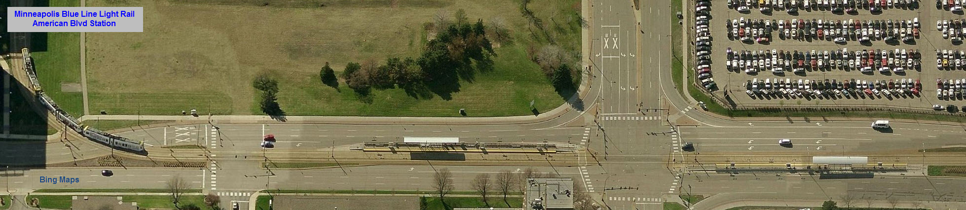
American Blvd
No-one yet has an aerial shot of this station, this snapshot is from Google maps, the others are from Bing.
Bloomington Central
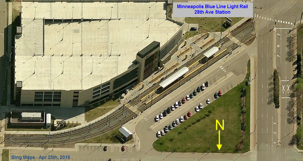
28th Ave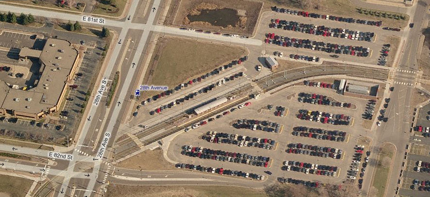
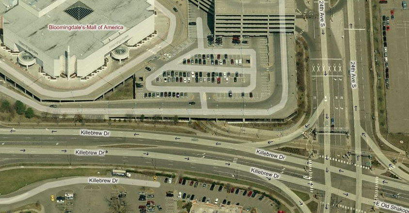
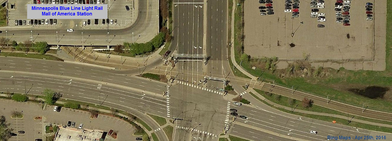
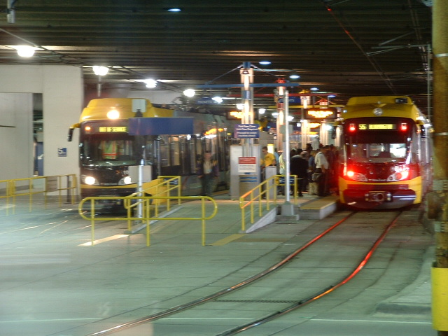
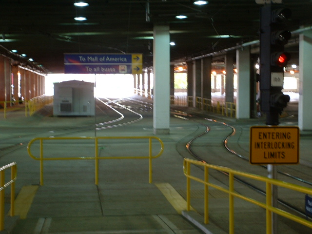
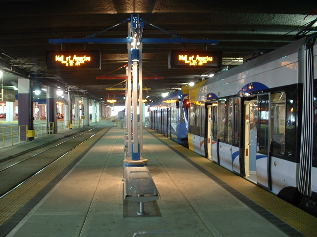
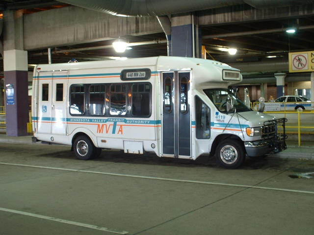
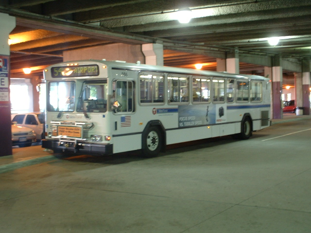
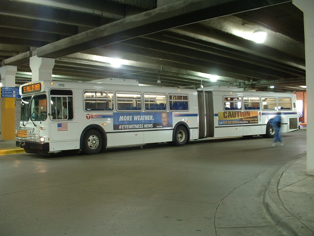
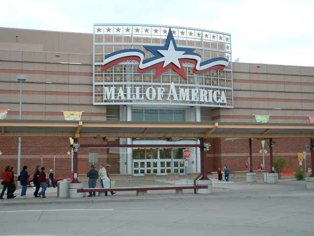
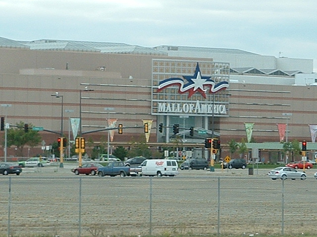
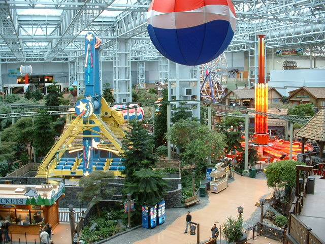
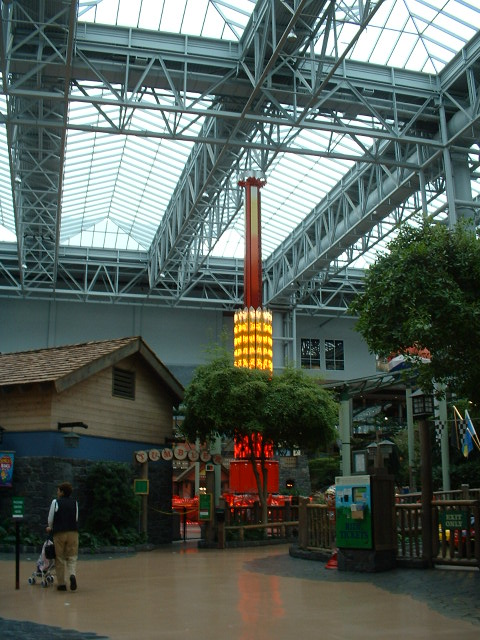
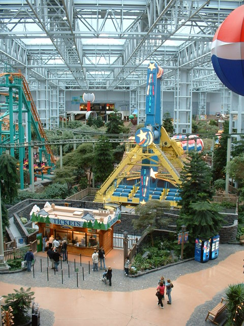
At the Mall of America
The Mall of America, being the international tourist draw
it is, was a smart decision for the designers to include as a destination on the
system. Many interesting photo ops exist in, under, and around the
mall.... and when you get tired of taking pictures, take in the mall just to say
you were there, it's most impressive.


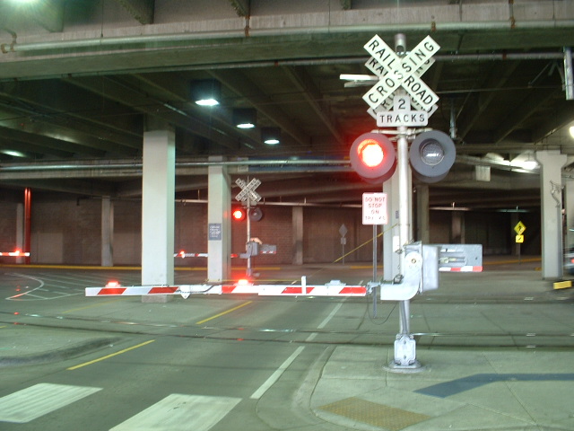
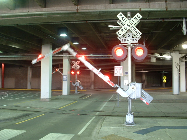
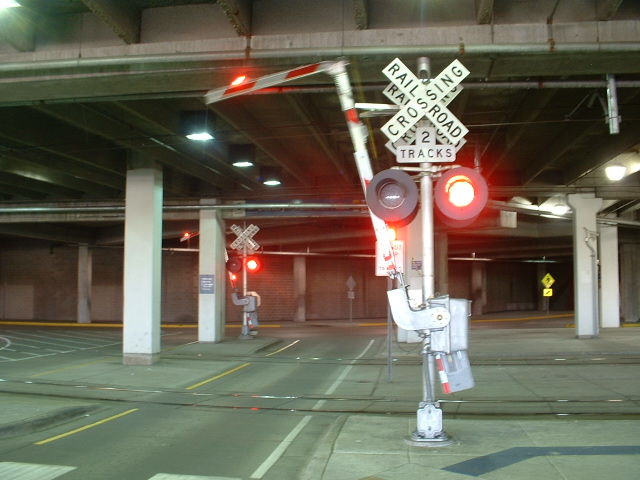
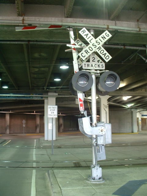
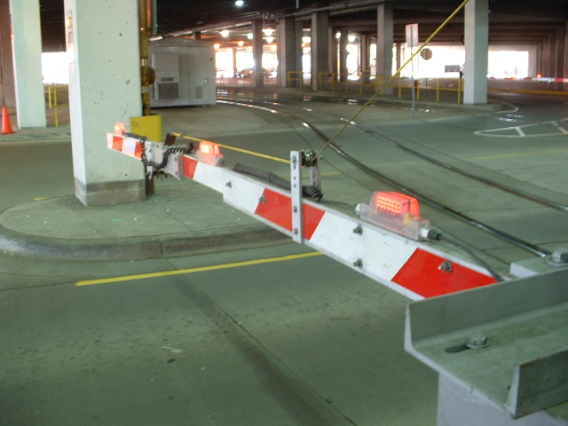 Unique folding crossing gate arm because of the low clearance.
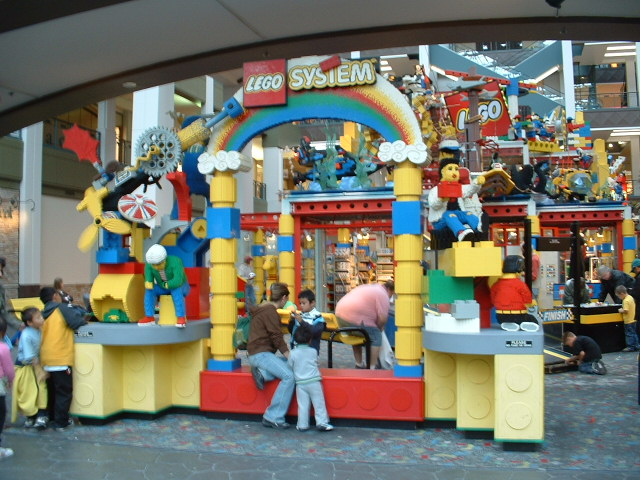
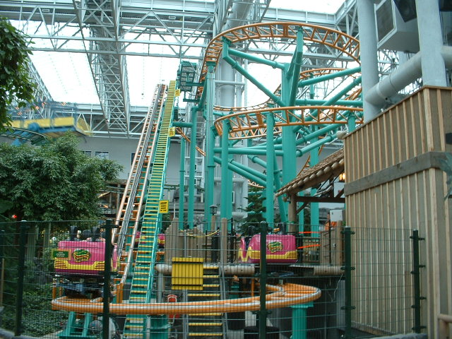

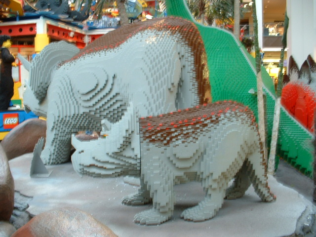
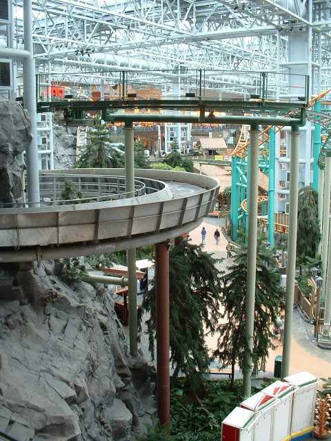


Impressive Mall for sure, complete with an indoor amusement
park, four floors of shopping, giant Lego animals, and an aquarium!
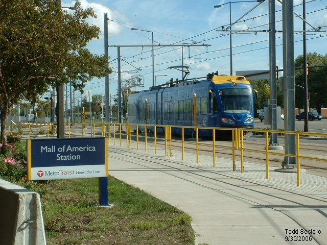
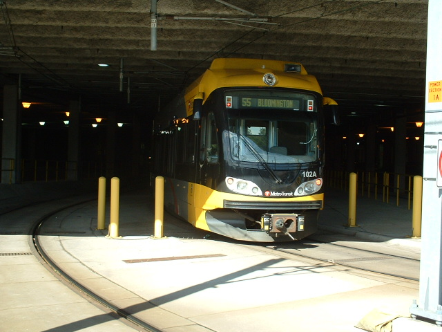
An LRV just leaving the Mall of America Station.
See pictures above for more good stuff.
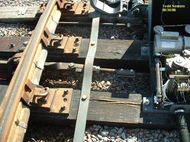
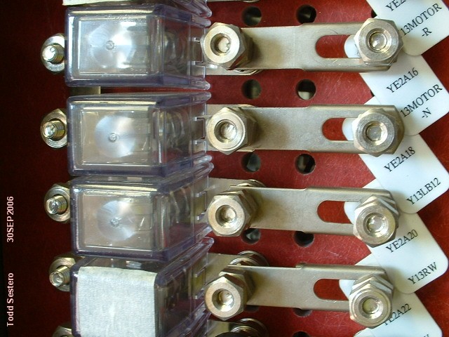
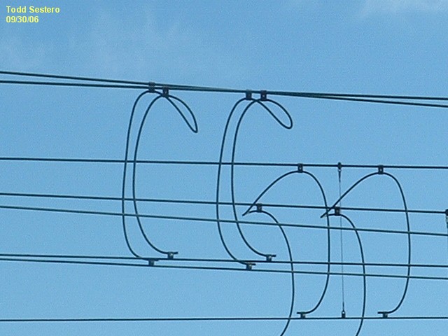
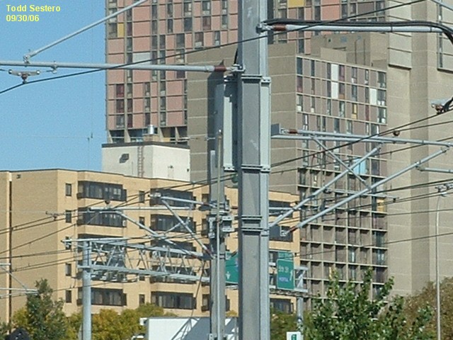
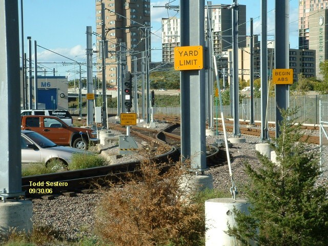
Switches, Catenary, Signs, and Other Stuff
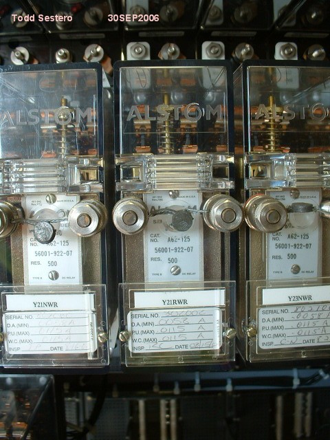
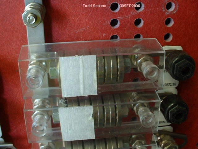
The electric yard switches.
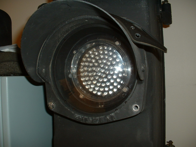
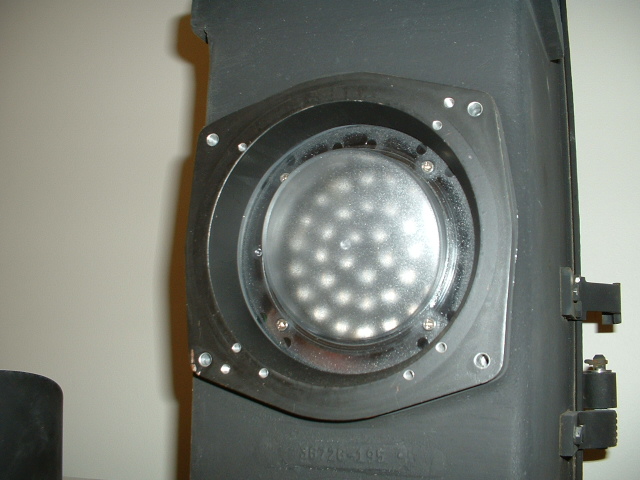
Speed-Frater by GRS/Alstom.... GRS came out with these back in the 50's....
updated by the T with LED's
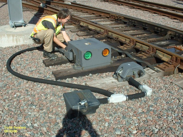
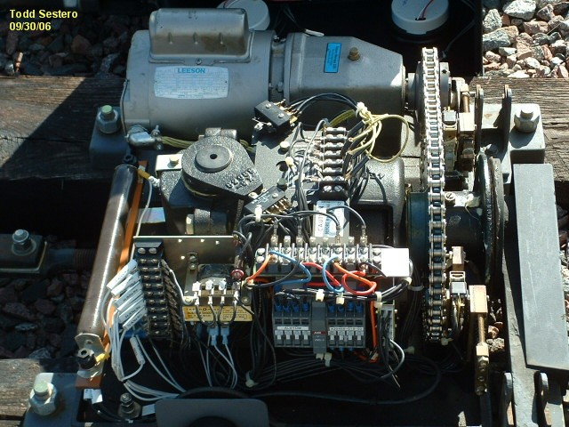
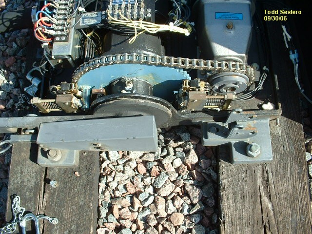
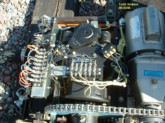


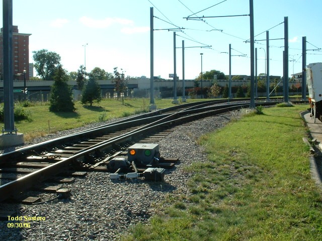

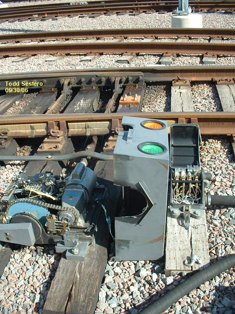
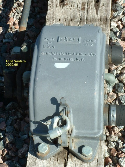
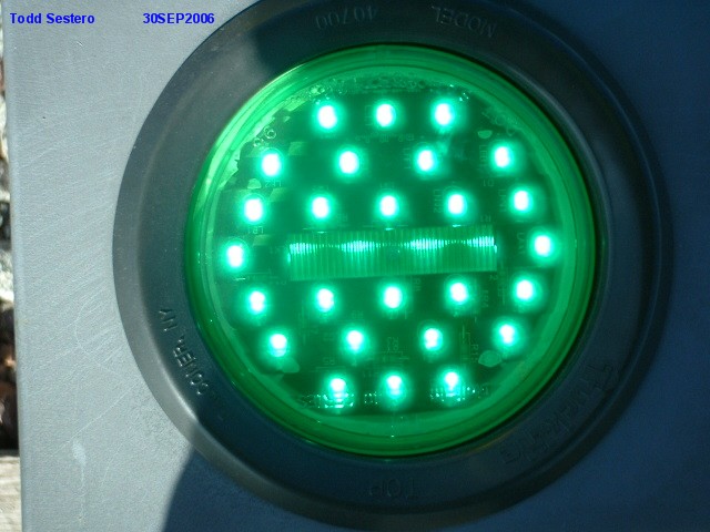
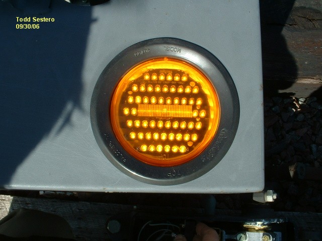
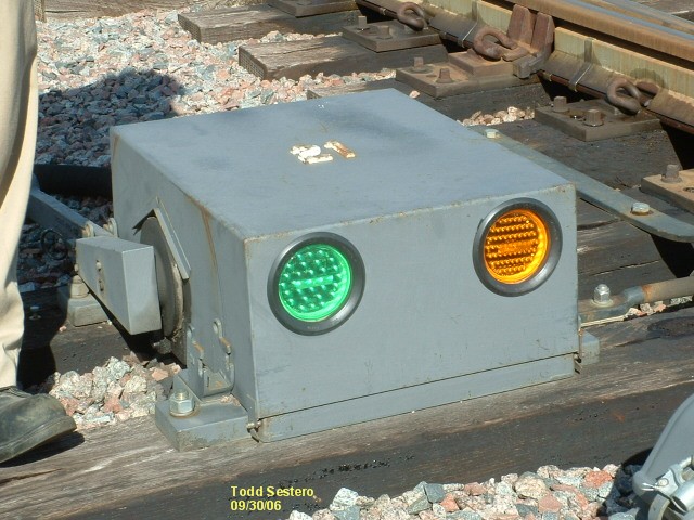
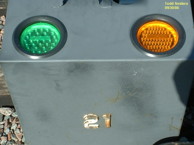

LED indicators have replaced the supplied bulb units. These
things are about as quiet as can be.
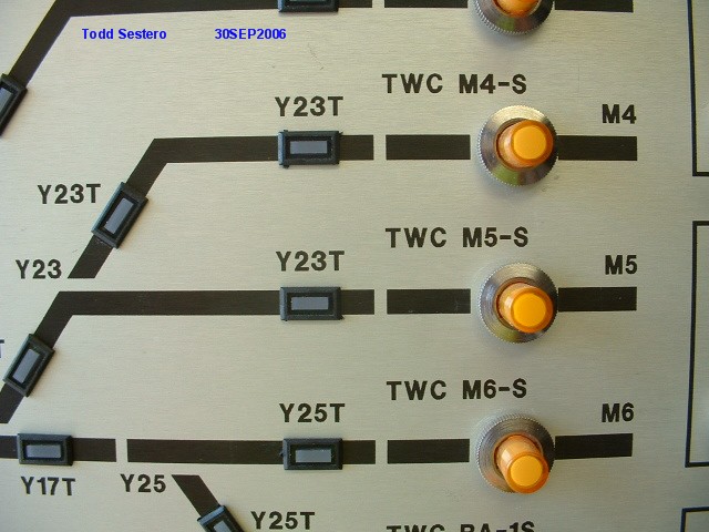
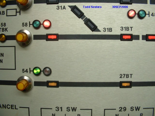
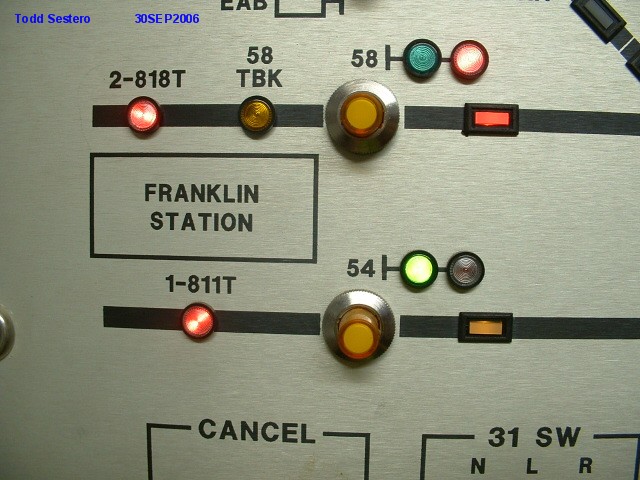
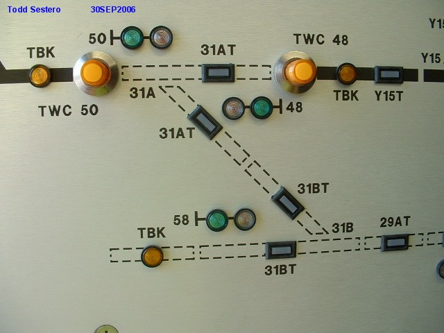
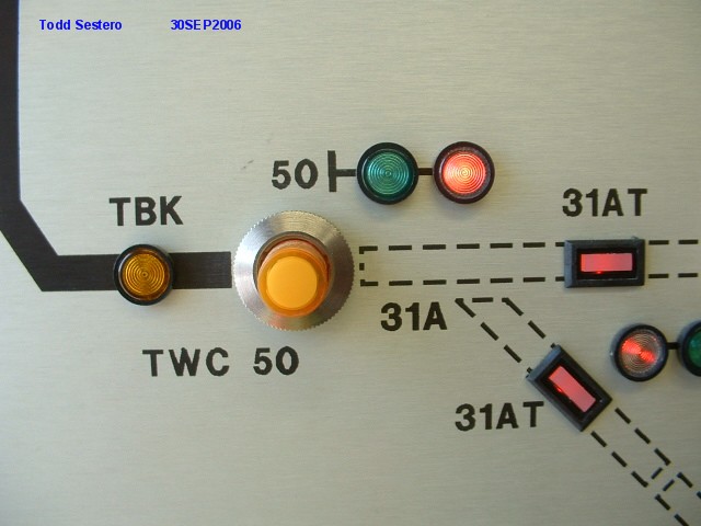
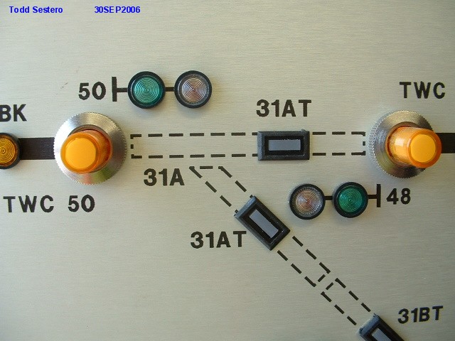
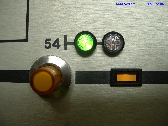
Signal and Switch Logic in the yard
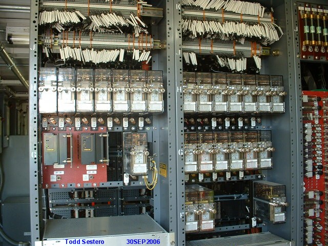
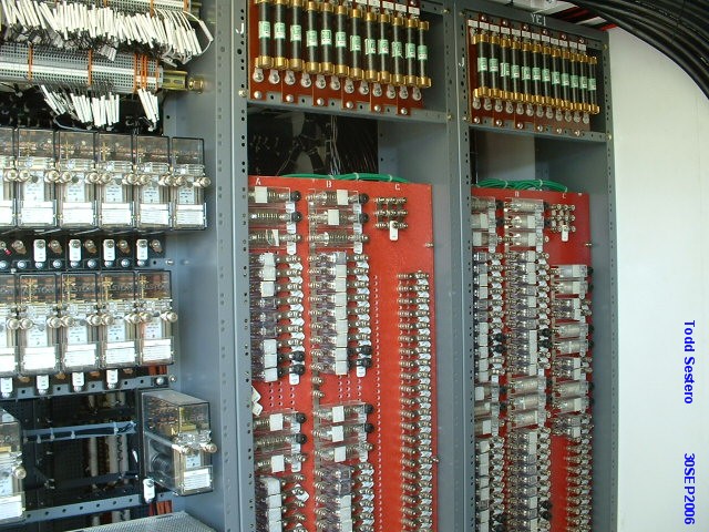

Test and Monitor Panels for the yard


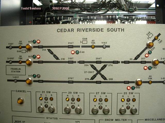


 Signal 42 tracking the LRV in the pix to the left.
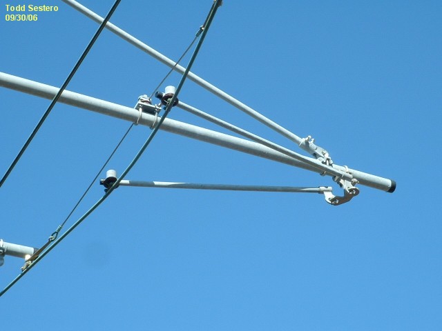
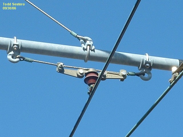
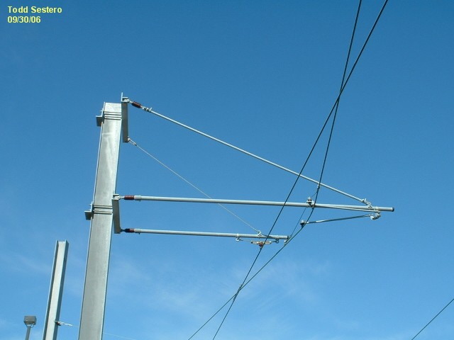
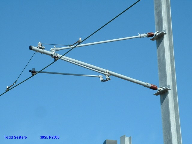
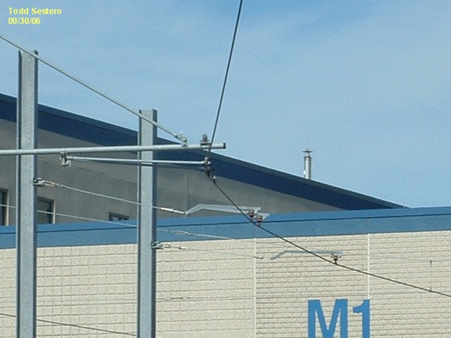
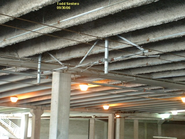
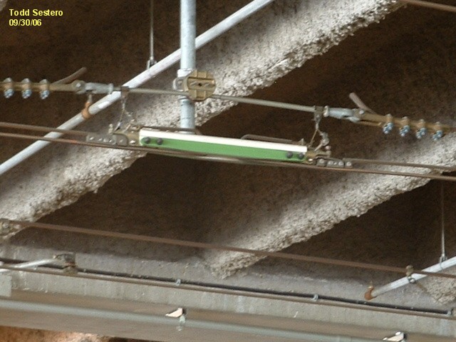
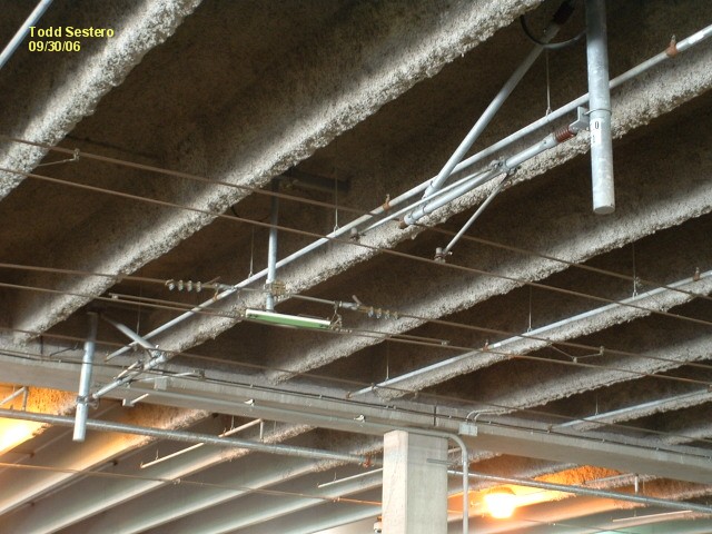
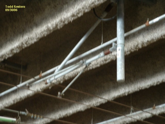
Pictures of the catenary system.

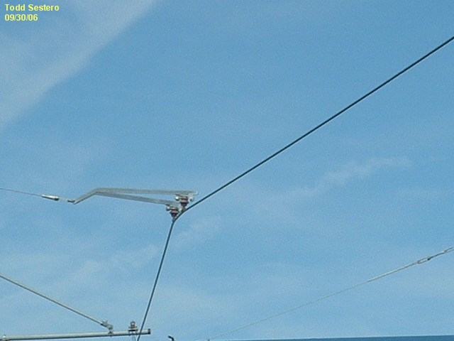

 In the yard.
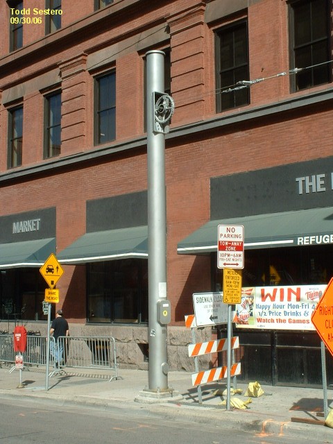
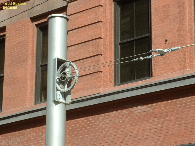
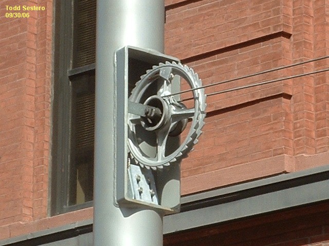
In the downtown area, they use a unique pole arrangement to house the
counterweights.
 At (under) the Mall of America.
 In the tunnel at the Lindbergh station.
Crossing Gate Down Indicators.

You won't find many of these on the system, in contrast to the
Baltimore system which uses them at every grade crossing. They are
steadily lit as the gates go down - and when down, they flash. This is the
opposite of how they function in Baltimore. They use white LED's.
Station message board.

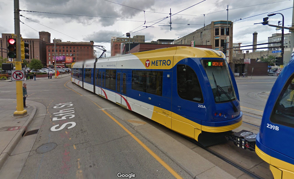
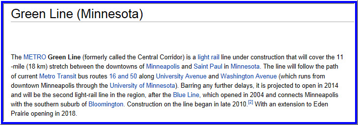
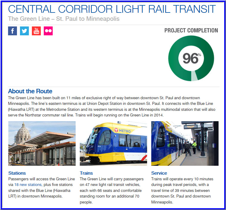
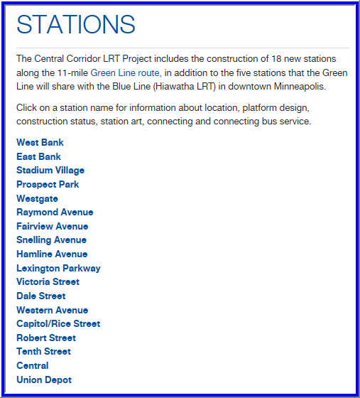
The Green Line (formerly called the Central Corridor) opened on June 14th, 2014. It has an additional 18 stations on the route, on top of the 5 it shares with the original Hiawatha/Blue line.
For a time-lapse tour of the Green Line, Click Here
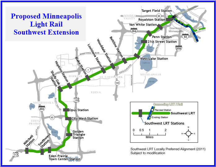
The Proposed Southwest Extension
The Southwest Extension is currently a hotly debated project. Much of the proposed right-of-way would encroach upon hikey-bikey trails carved from long abandoned rail lines, and the health nuts don't want to see one inch of their precious trail going to the project.... stay tuned! The current government council will be replaced in the next upcoming election, and if the project is not approved before then, the fate of it hangs in the air.
NEW 10/10/2006
Last Updated: 26 Apr 2016