Data:
GPS Coordinates: as needed
Phone A/C: 231
ZIP: 49682
Access by train/transit:
None
Geography:
Flat in town
The Scoop:
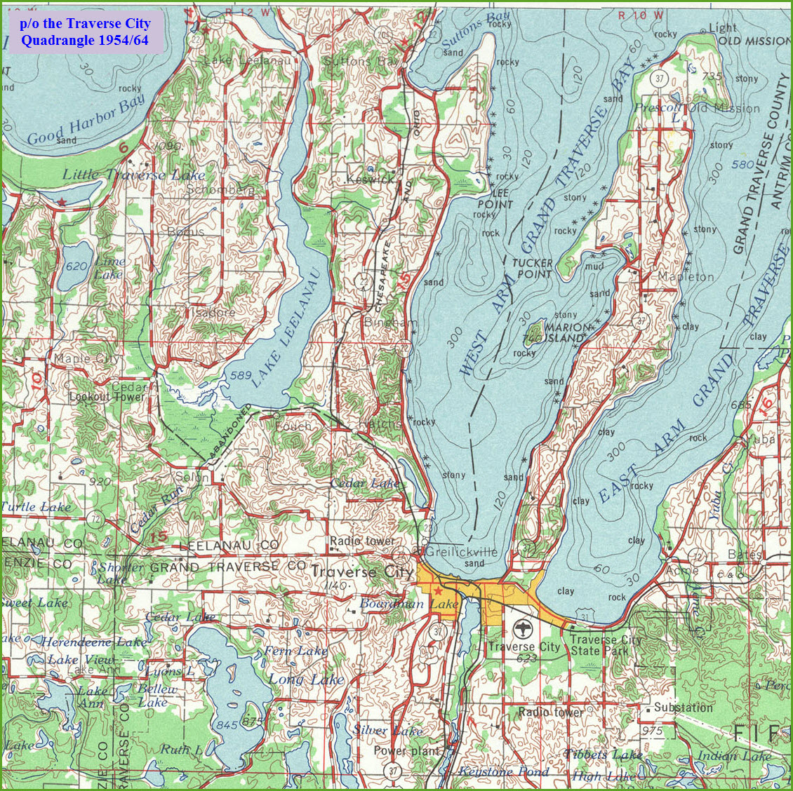
Suttons Bay is almost at the north end of the former line for the Pere Marquette/Chesapeake
& Ohio that went all the way "up to" Northport as it's final destination.
For the railfan, Suttons Bay, like many other towns, is a single attraction town.
To make your visit here more "fun", Suttons Bay is full of eateries and
cool little shops to spend your money in - you can find all sorts of
cute little things to buy!
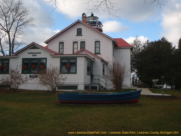
About 20 miles to the north is the
Leelanau State Park, and it has one of the preserved Michigan light
houses, the Grand Traverse Lighthouse.
This page is a breakout page from my Traverse City guide, so I retained
the sight numbering to agree with the Traverse City map.
Many of my guides came about because I had a reason to visit here for some
reason or another. For the
Traverse City
area, which includes Suttons Bay,
Grayling,
Cadillac, and
Kalkaska, it is
because my aunt and
uncle had a
summer home in Traverse City. And because of them, I knew about the
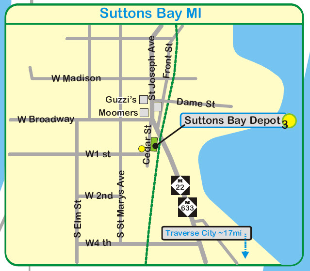
Sutton Bay depot, because they had some friends who lived right across the
street from the depot - how about that for chance! They are
the yellow dot on the map.
I see Moomers no longer has an ice cream store in town - that's too bad, as
they have some of the best ice cream around! :-(
Tidbits:
Via Google: Who is Suttons Bay named after? Harry C. Sutton.
The community is named for one of the first settlers of European
descent, Harry C. Sutton, who arrived in 1854. He arrived with
a crew of woodsmen to supply fuel for passing wood steamboats.
Acknowledgements:
Google and Google Maps
Wikipedia
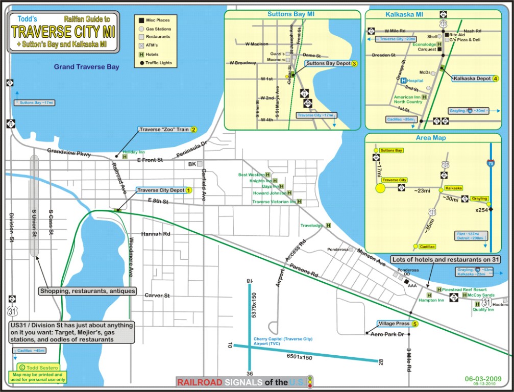
On the eastern side of the state, such as Detroit or Ann Arbor, you can come up I-75, and jump off at Grayling, heading west on 72 into TC via
Kalkaska. Grayling is roughly 50 miles from TC. Out of Ann Arbor, you should head north US23 till it joins up with I75 in Flint.
On the western side of the state, from Grand Rapids for instance, head north on US131 till you're just south of Cadillac, then head north (NW) on 115 (but make sure you
stop in Cadillac for the depot). Hop on 37 north at Mesmick, and your only 25 miles from TC.
From the center of the state, as in Lansing, head north on US127. When you hit Clare / Grant Township, you have a decision to make, for you can stay on 127 till
it joins up with I-75, and then do the Grayling and route 72 thing. Or, you can US10 west a shorts ways till you cross 115, and take that up to TC via Cadillac.
Obviously, coming from the U.P, there is really only one choice of coming down I-75 and again, getting off at Grayling for route 72.
Once you have hit Traverse City, just follow the M22 up about 15 miles to Suttons Bay.
GPS Coordinates: 44.97382, -85.65098
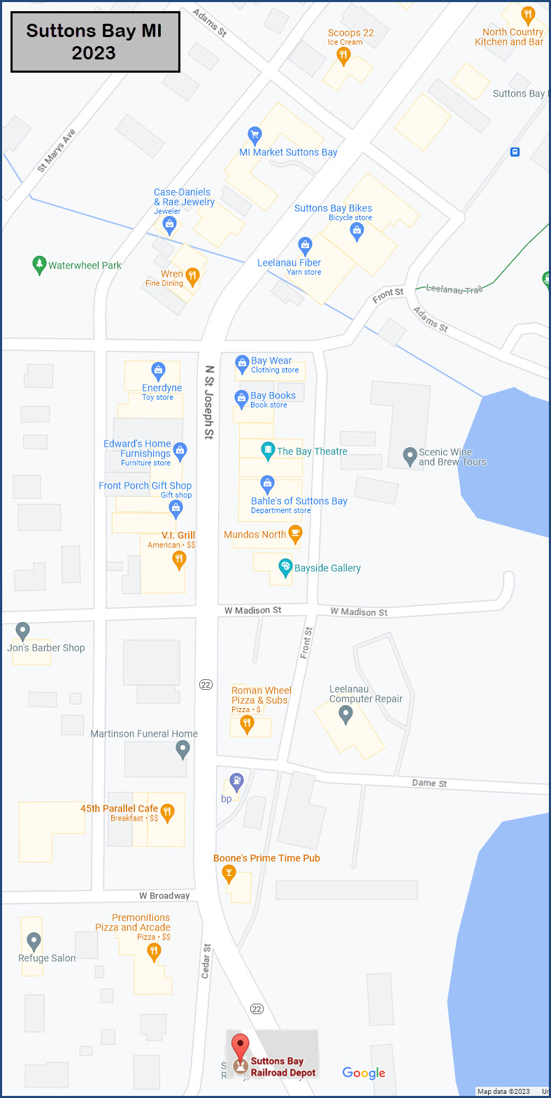
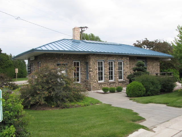
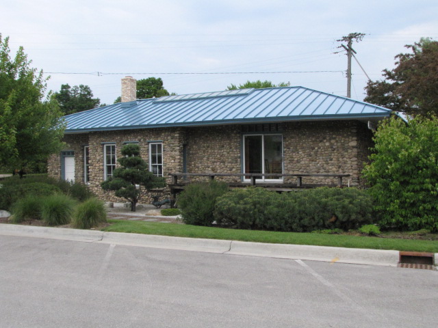
101 S. Cedar St.
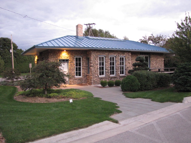
From Wikipedia: The main track through Suttons Bay was laid down in 1903
by the Traverse City, Leelanau, and Manistique Railroad,
to access a Northport-Manistique car ferry. A siding was built a few years
later. However, the railway was immediately unsuccessful and the ferry was
discontinued by 1908. In 1919, a successor company, the Leelanau
Transit Company was organized to take over ownership of the tracks.
They leased the line to the Manistee and North-Eastern Railroad and built this
depot between the main line and siding in Suttons Bay as a passenger and freight
station. In the 1960s, the tracks north of Suttons Bay were abandoned. The track
section between Suttons Bay and Traverse City were used by the Leelanau Scenic
Railroad between 1989 and 1995. In 1996, the track was torn up after an accident,
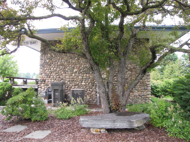
and a rail trail put in its place. The depot is used as a law office.
Standing in the street to the following picture, if you turn about 90
degrees to your left, you will get the first view below in the
floobydust section of Main St.
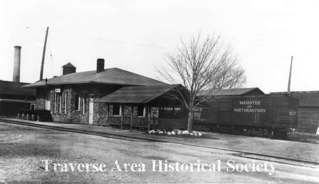
The following picture came off of an O-Gauge modelers forum for the
Manistee & Northeastern RR boxcar, but since it was staged in
front of the Suttons Bay depot, I grabbed it for my Michigan
stations page


 Main street in Suttons Bay with an approaching storm at sunset.
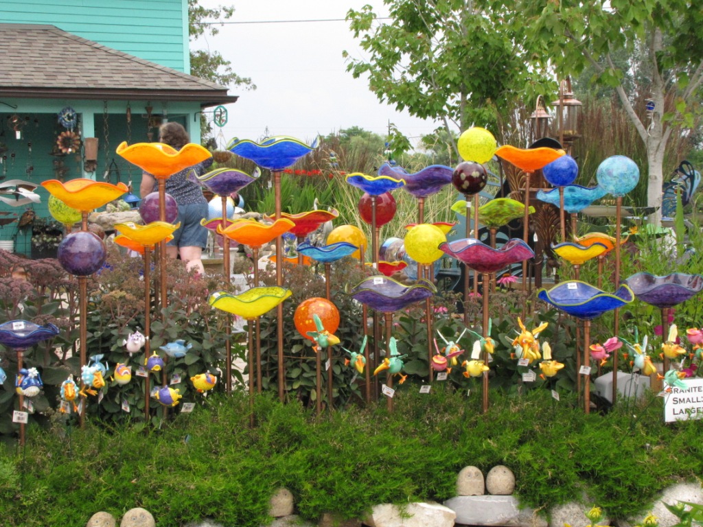 One of the more interesting places to shop in Suttons Bay.
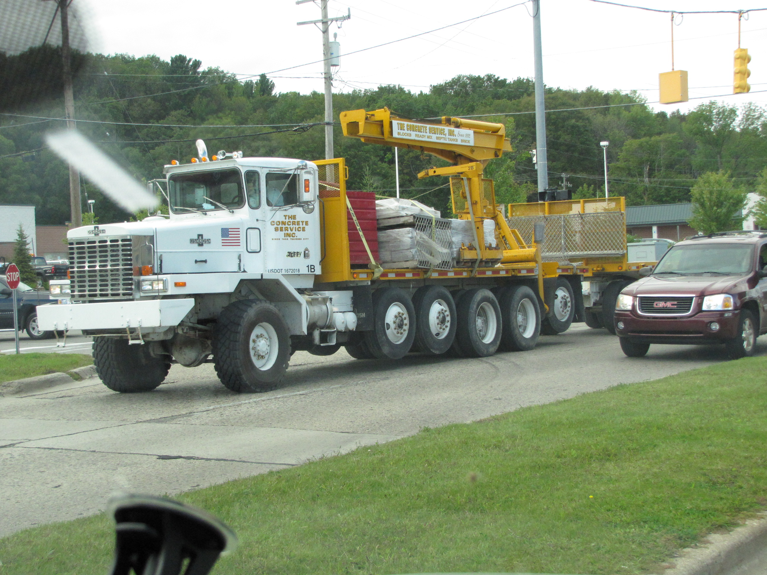
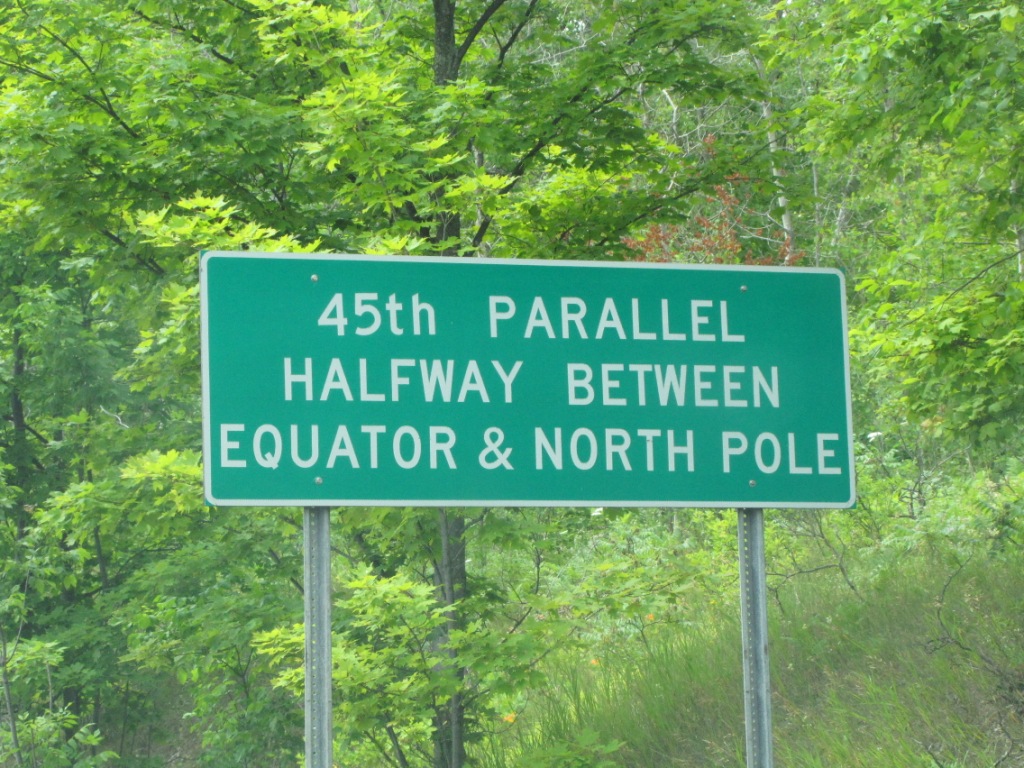 You pass this on the way up to Suttons Bay.