
![]()
In General
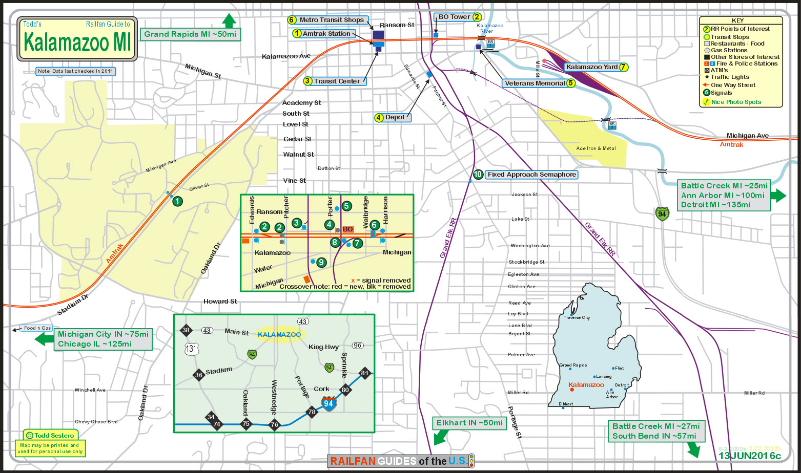
How to get here
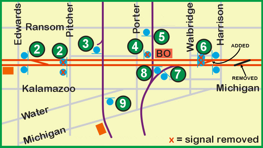
Maps
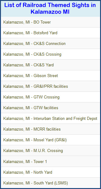
Sights
Pictures
Signals
Bridges
Grade Crossings
Cab Ride
Floobydust
USGS Map
RAILROAD SIGNALS HOME
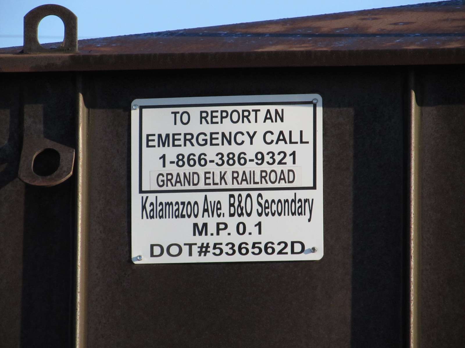
Location / Name:
Kalamazoo MI, Kalamazoo County (county seat)
What's Here:
Amtrak Station
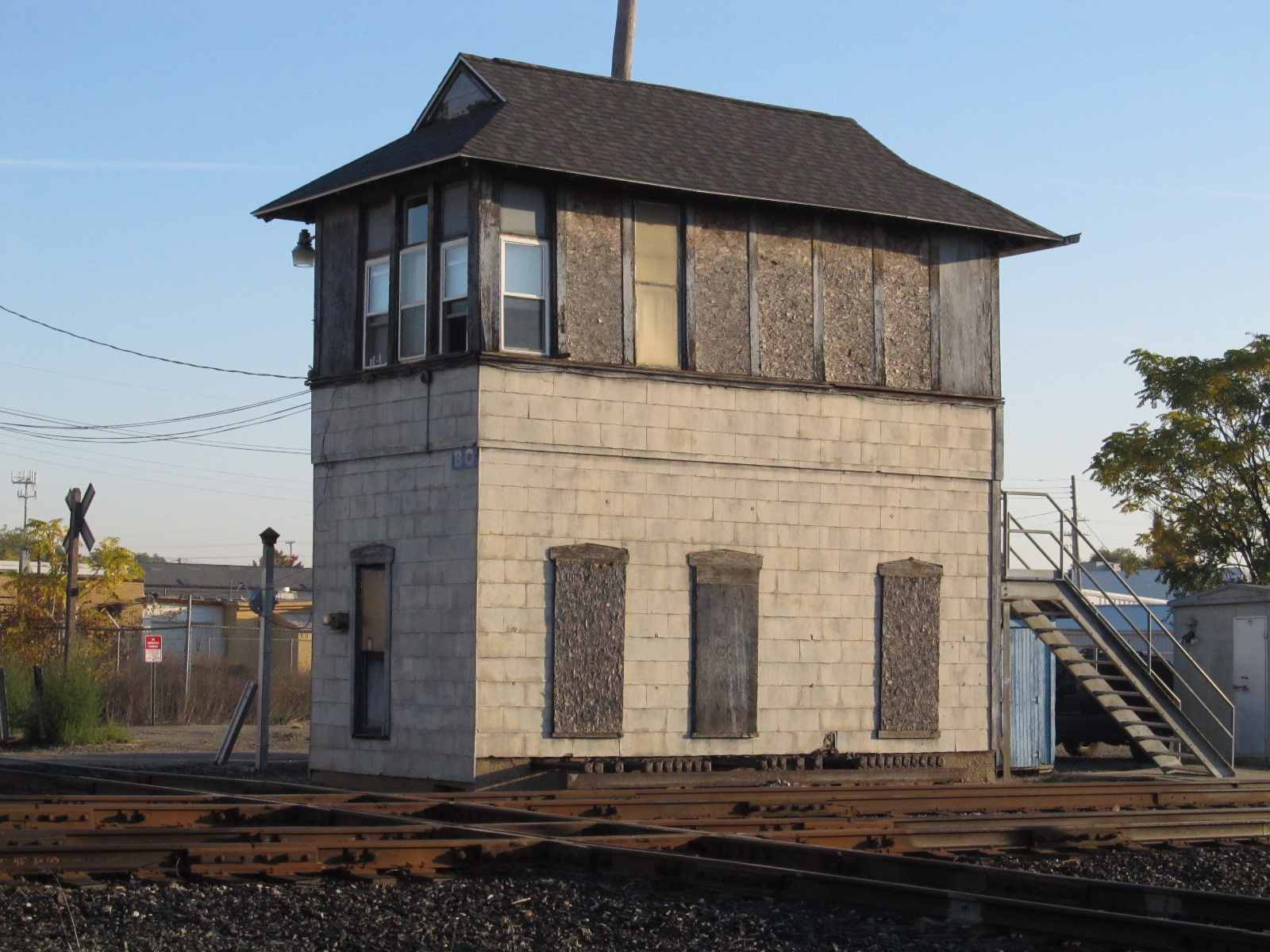
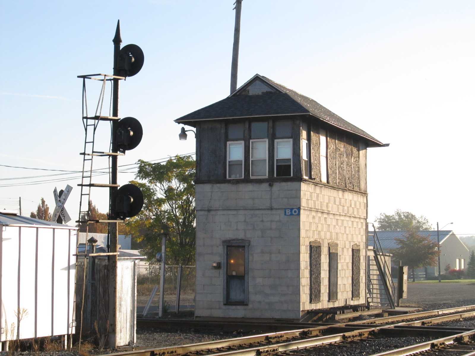
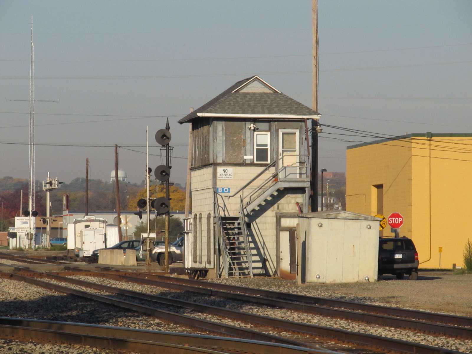
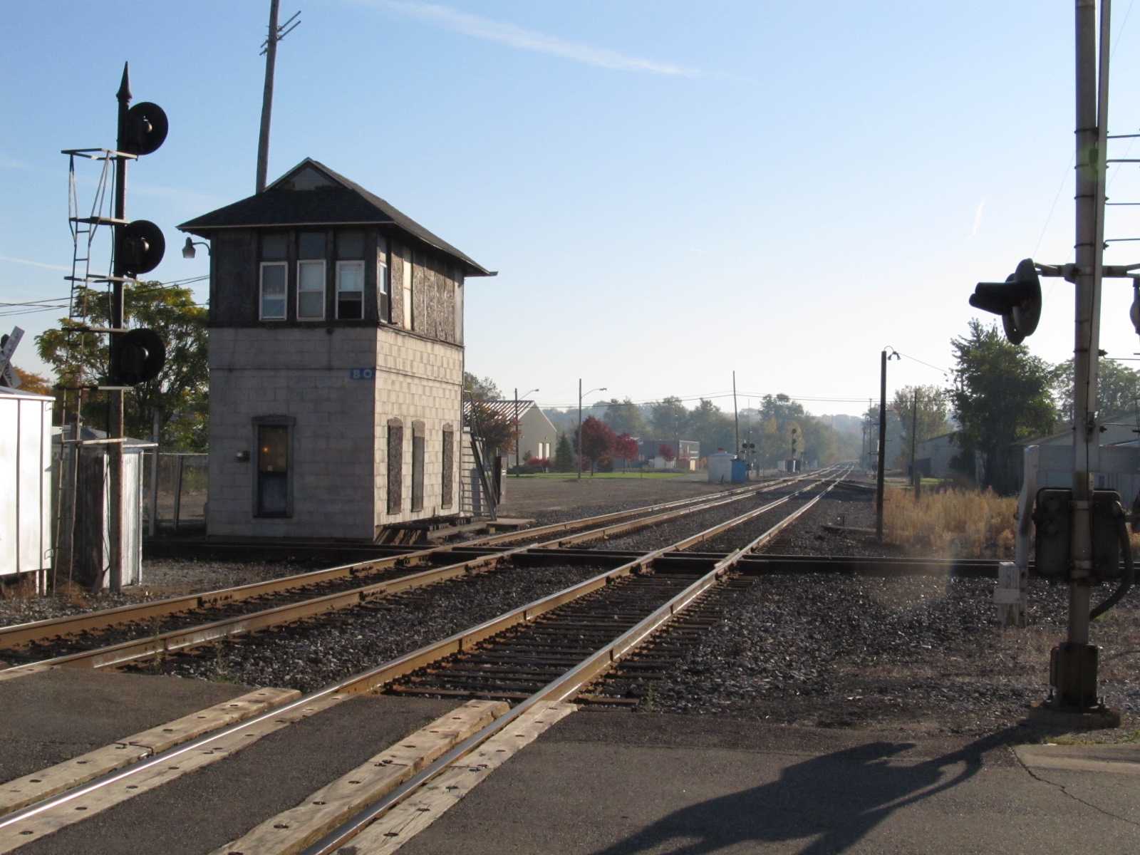
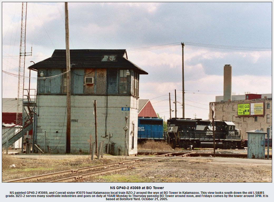
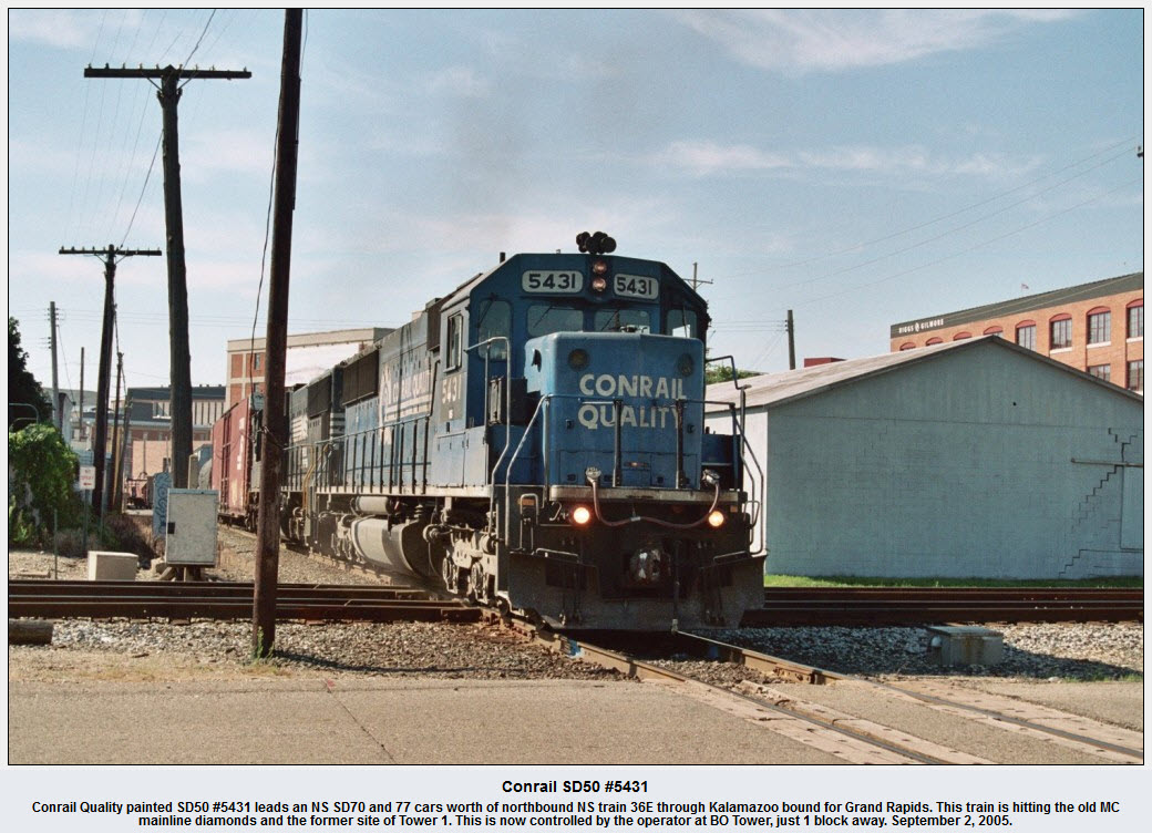
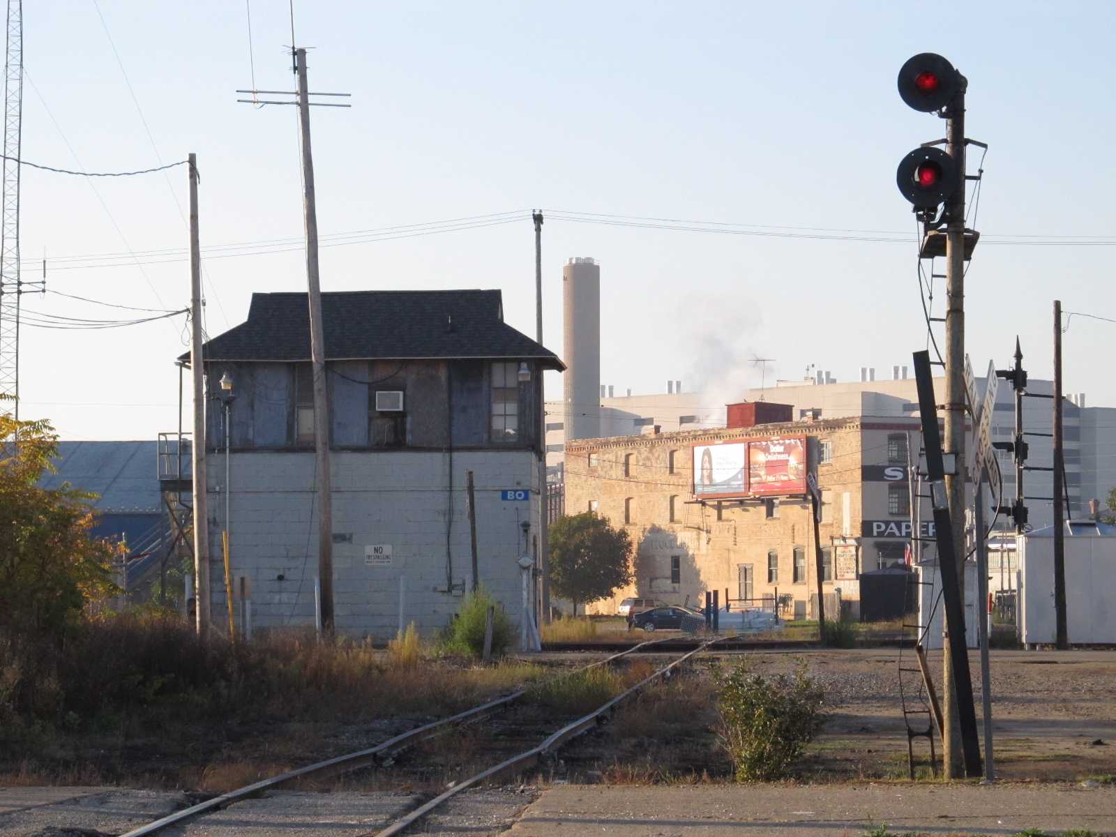
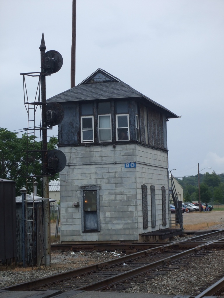
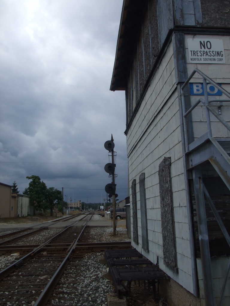
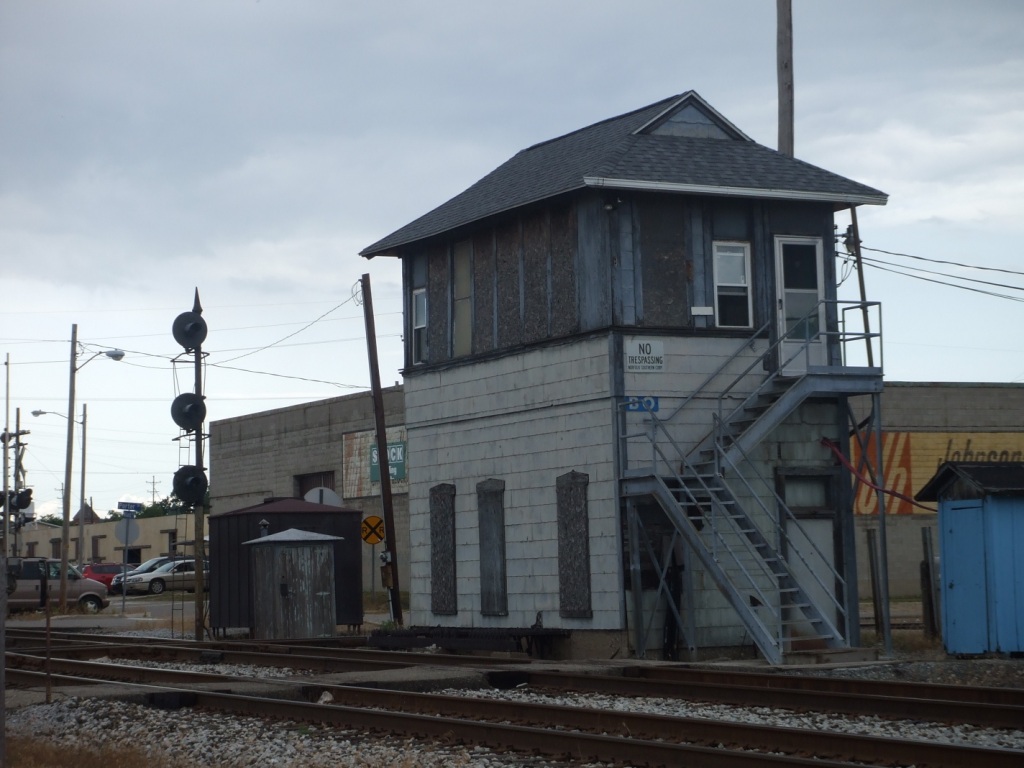
BO Tower (RIP 2022)
2 Diamond Crossings
A lot of good signaling
Approach/Distant Semaphore
Air Zoo Aerospace & Science Museum
Data:
GPS Coordinates: as needed
Phone A/C: 269
ZIP: 49007 (downtown by the Amtrak Station)
Access by train/transit:
Amtrak
The Scoop:
Kalamazoo is a very worthwhile stop if you're in the area, mostly because of BO Tower, and the Amtrak/Grand Elk diamond. If you time your visit right, you can catch trains on both lines.
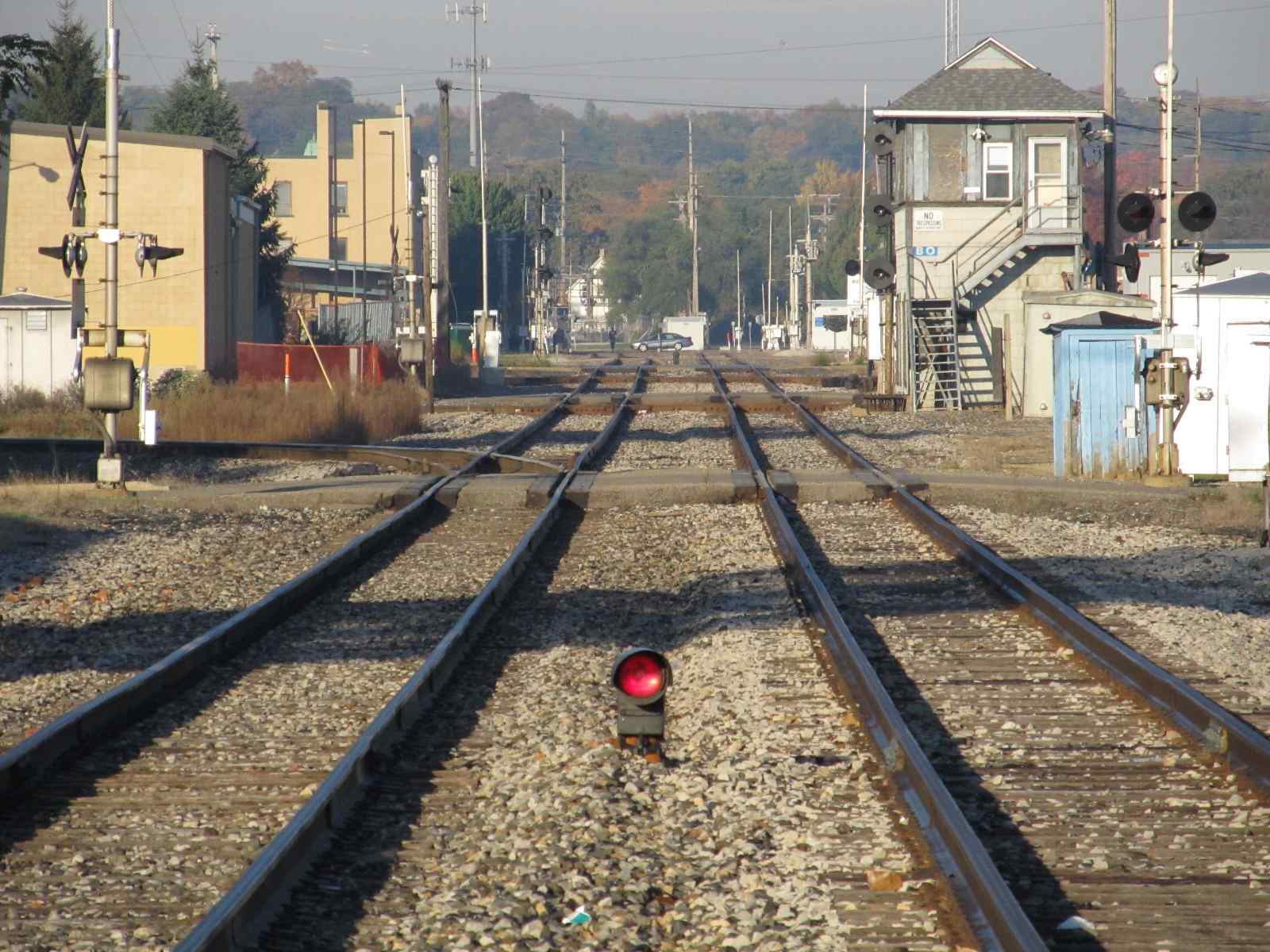
Kalamazoo had an active tower, BO, staffed by five NS folks. It finally closed in the early part of 2022.
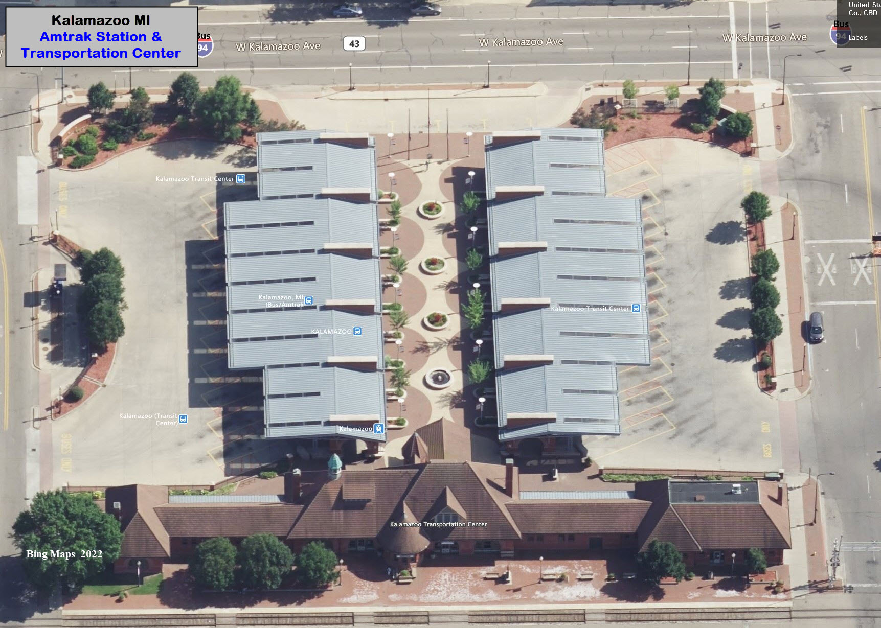
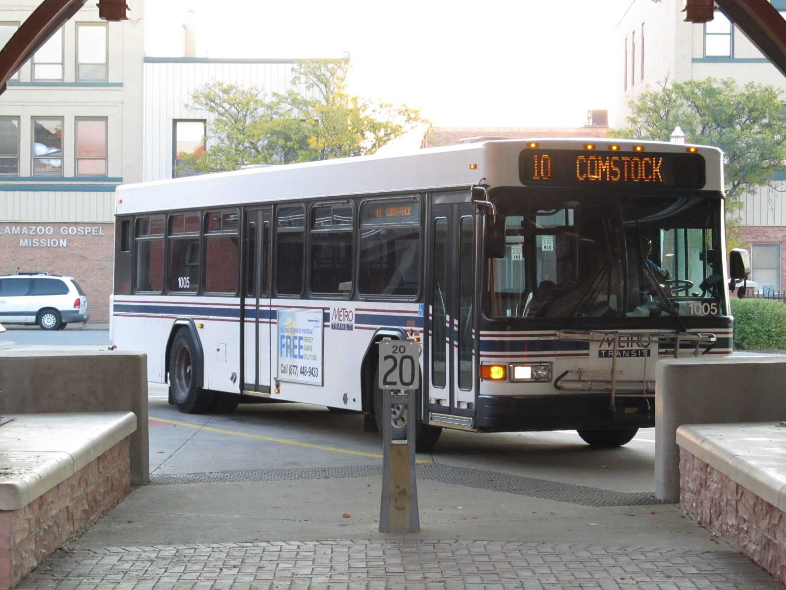
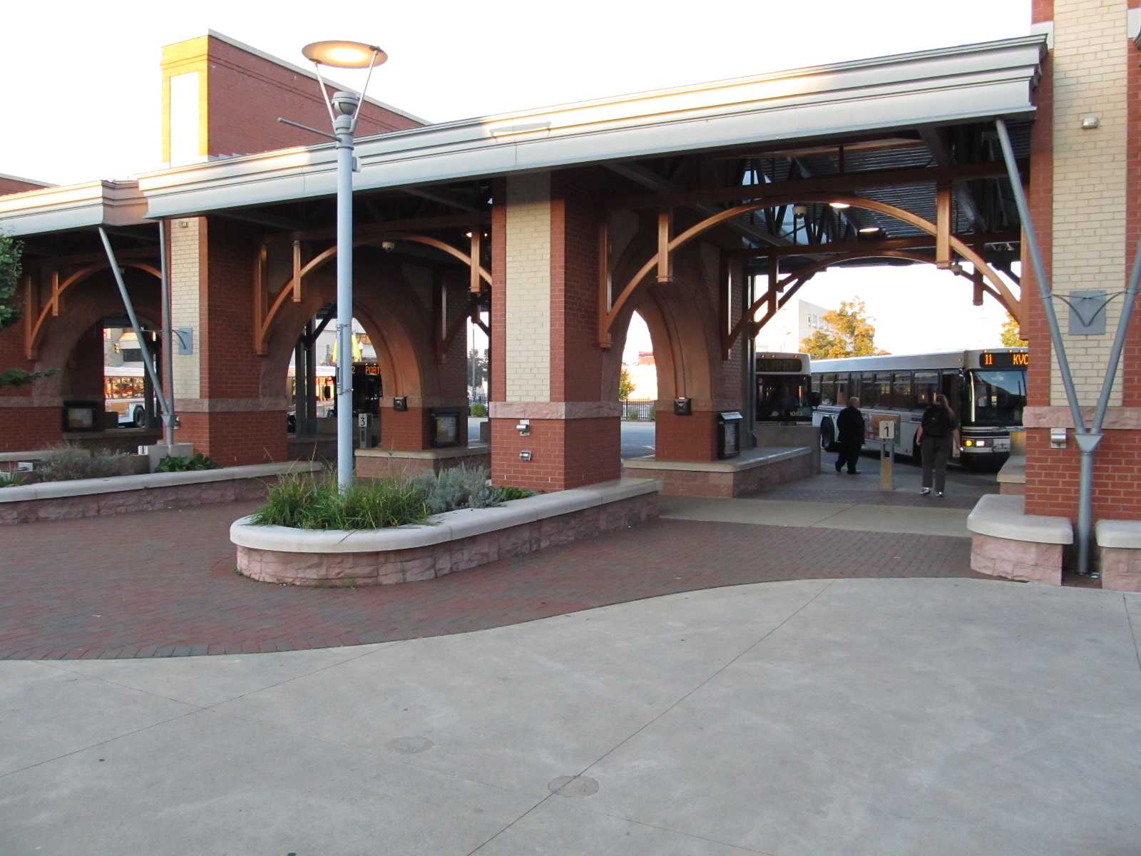
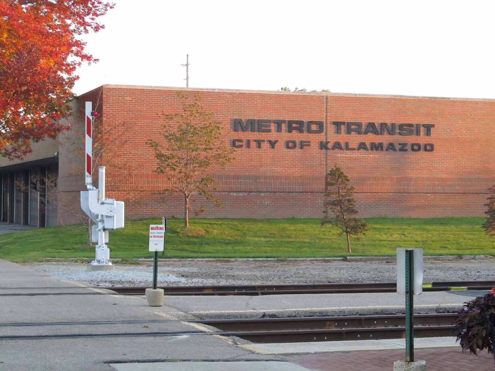
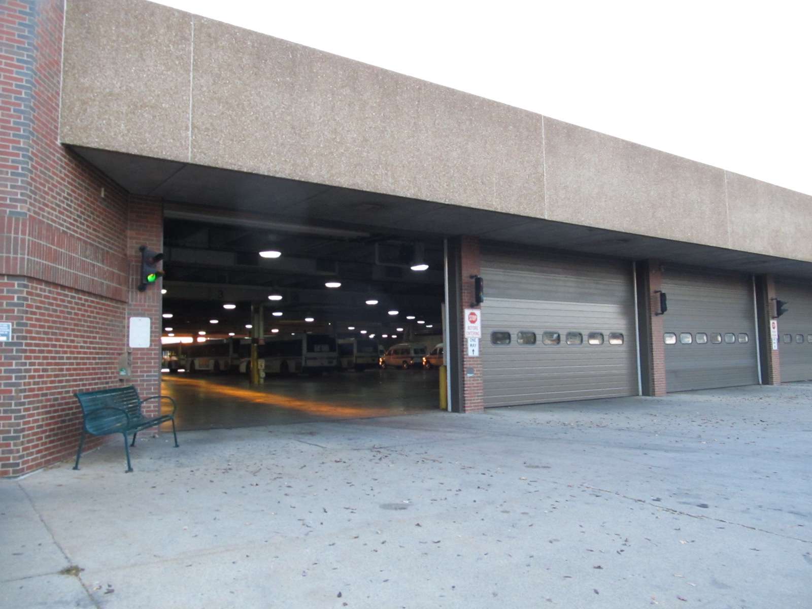
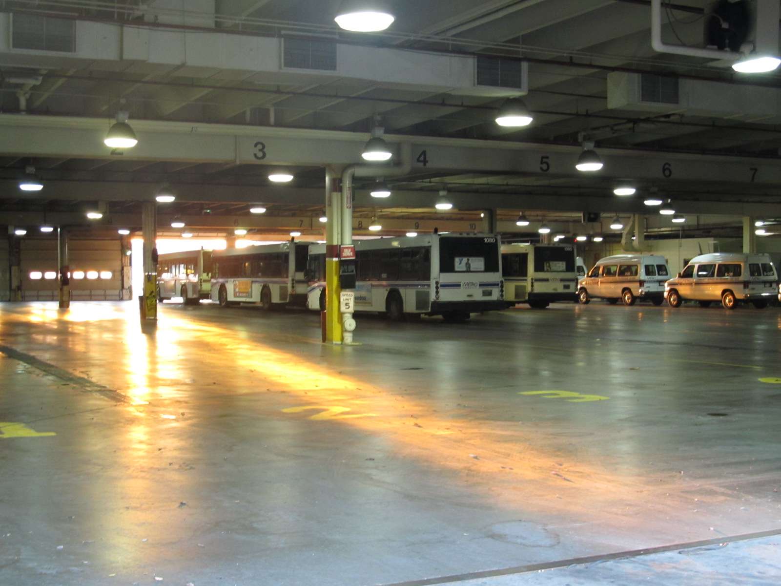
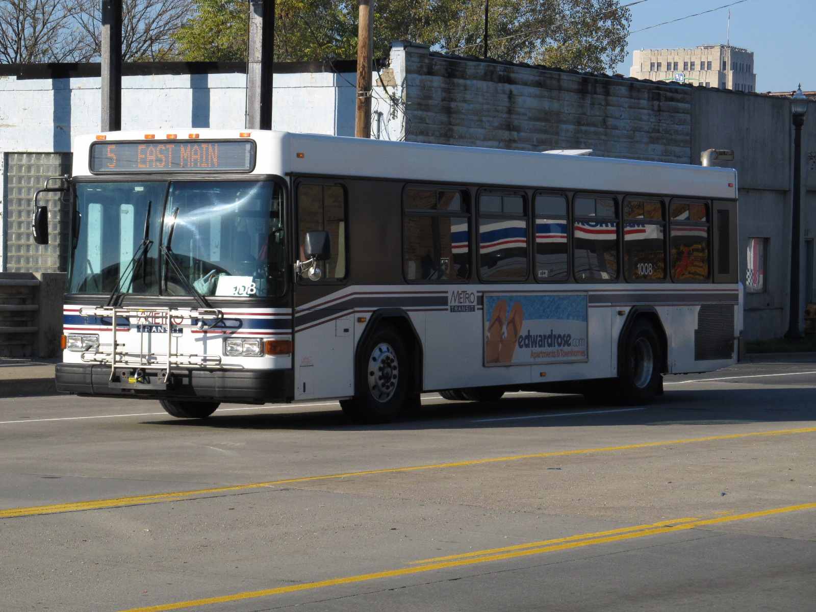
There is an Amtrak station west of the BO tower diamond with an "attached" transit center for the Kalamazoo Metro Transit. The bus depot is on the far side of Amtrak's tracks from the station, and if you're lucky, may have a garage door open on a nice day.
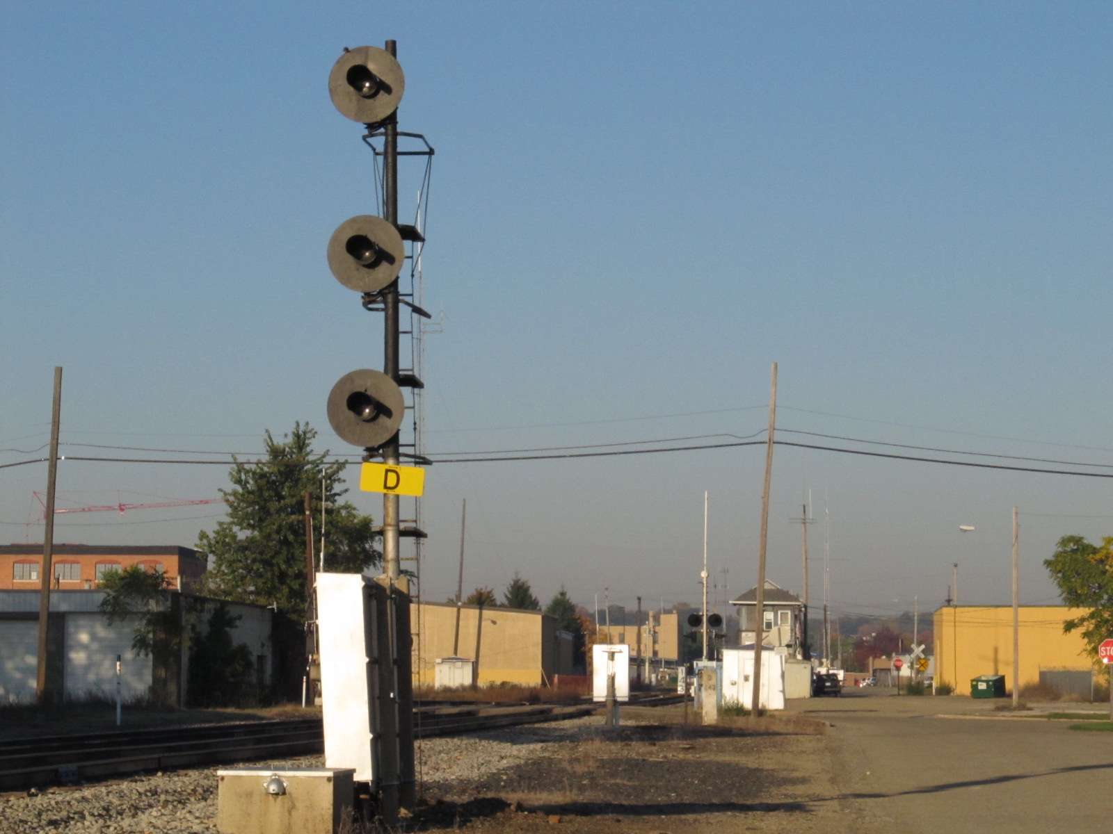
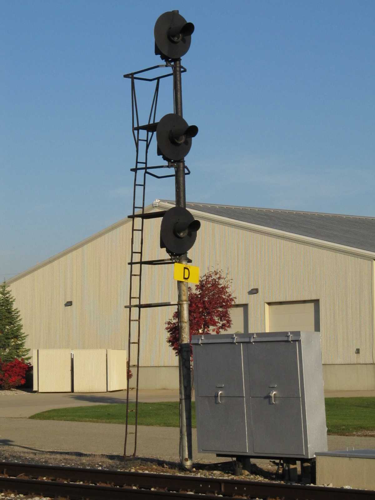
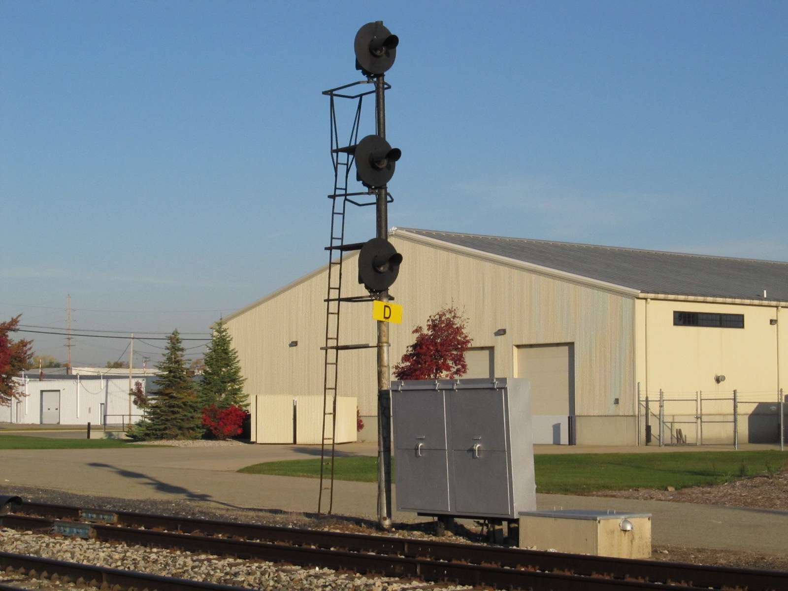
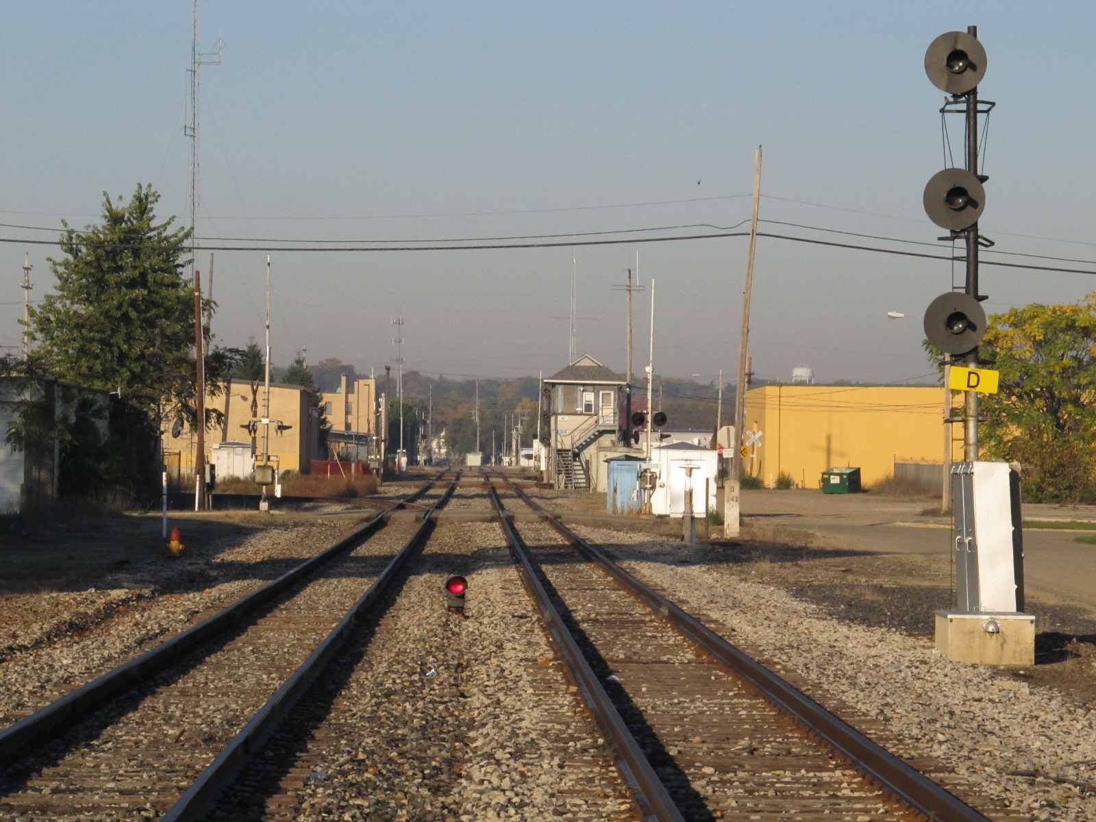
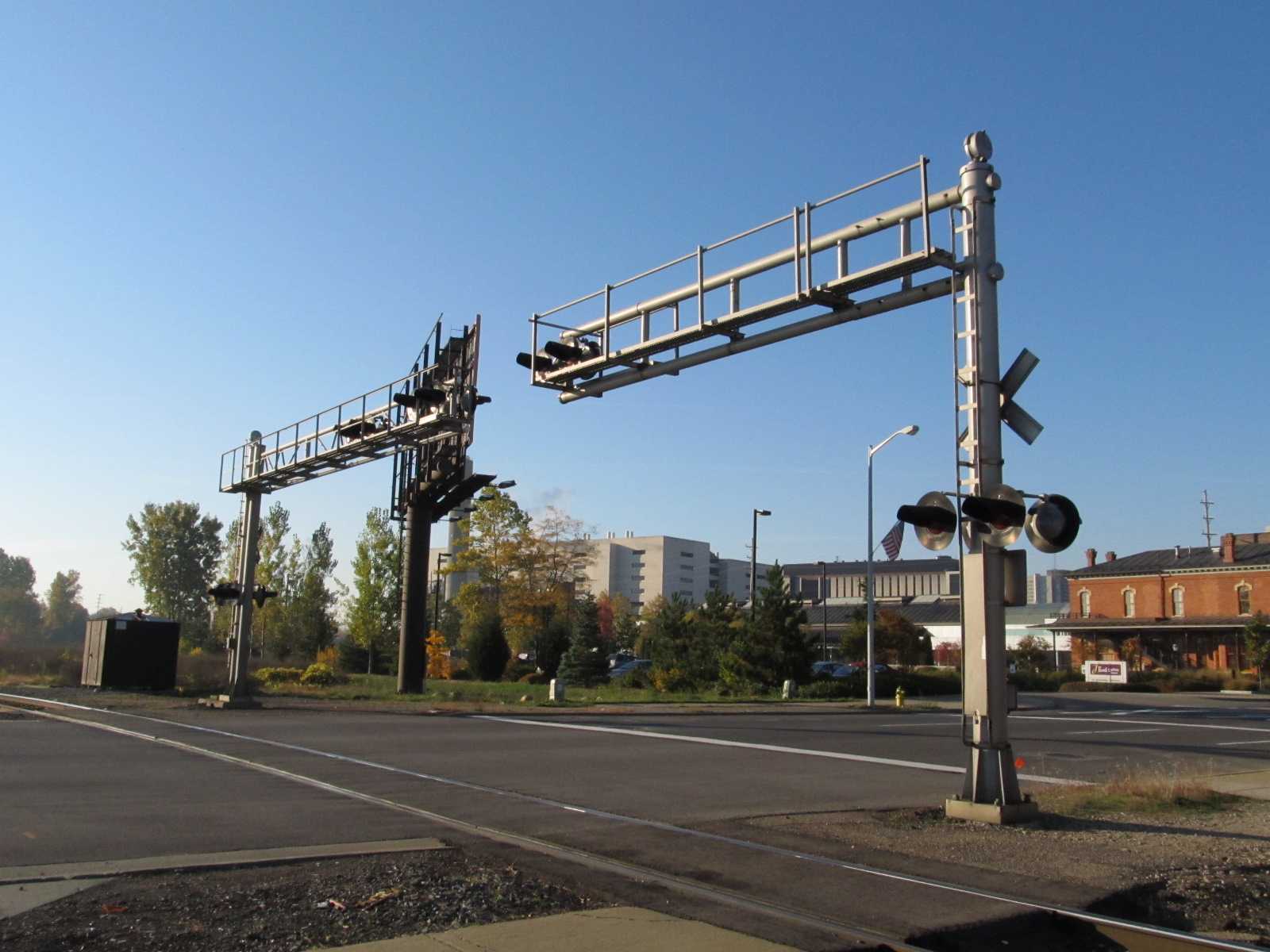
Searchlight signals prevail around here, as can be seen in the photos.
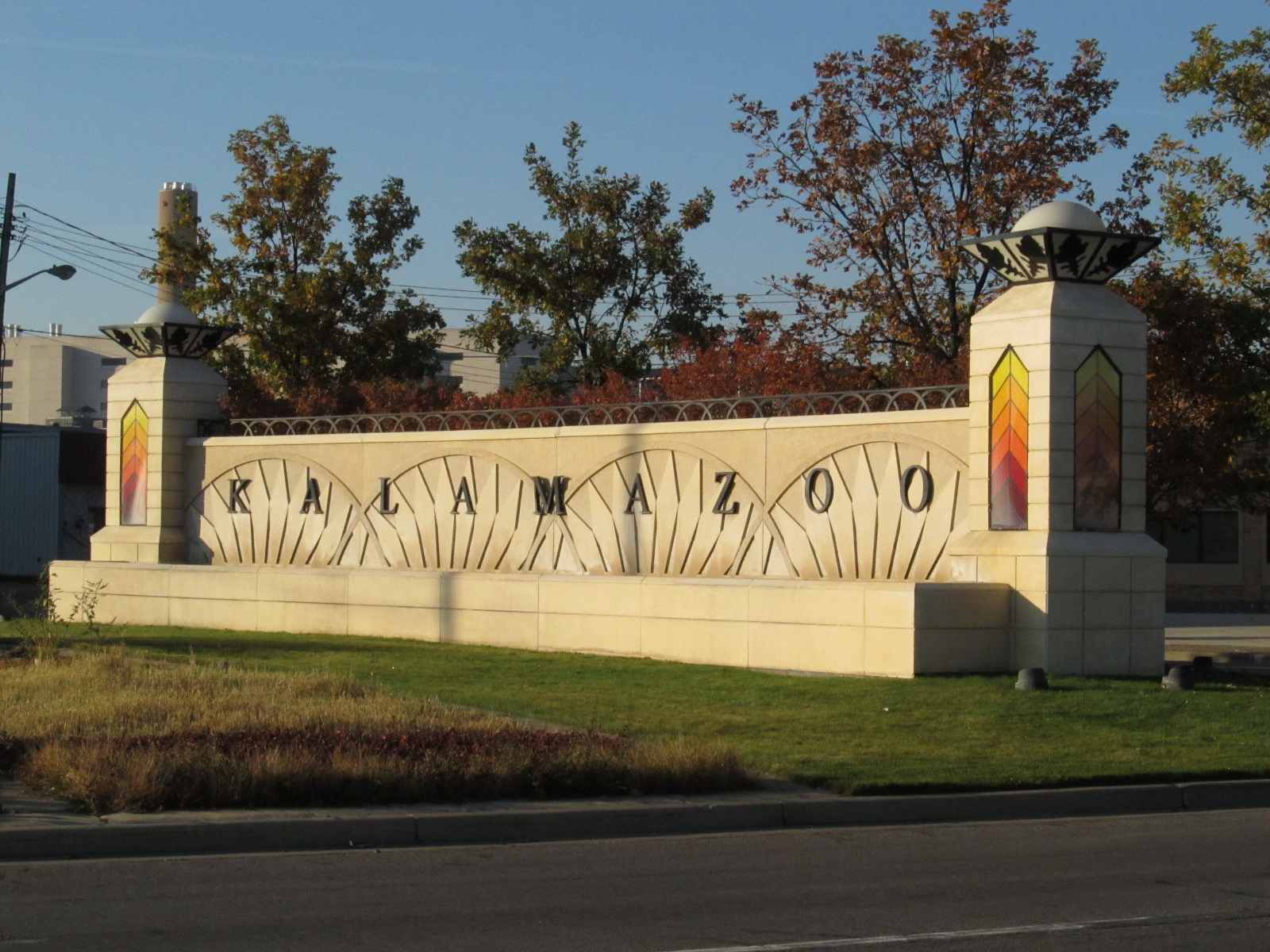
One thing I have to do is give the city council credit for doing things right.... everything I saw, like the Veterans Memorial, the MLK Jr park sign, and even the info signs on the street tell me that they actually care about the things they do and how the public perceives them.
On my last trip through Kalamazoo, I didn't have the time to spend waiting for an Amtrak train to come thru, as I still had on my list for the day to stop in Albion, Battle Creek, Jackson for the Amtrak 40th Anniversary train, and another visit to Deshler.
Acknowledgements:
Thanks to Jack Prange for the updated signal pictures taken in August 2018!
Mike Spencer for taking the time to take the pictures and letting me use them
Tim Shanahan
Jim Cance
Google Maps
Open Railway Map
Bing Maps
Aerial pictures from Google maps, with GPS coordinates, have been added as of November 2013.
Thanks to the suggestion from Denver Todd to include them! The green arrows on the aerial photos point to the GPS coordinates shown.
Websites and other additional information sources of interest for the area:
An excellent page for Kalamazoo is here, and has much more in the way of information about Kalamazoo's depots.
Click here for a link to the Grand Elk RR
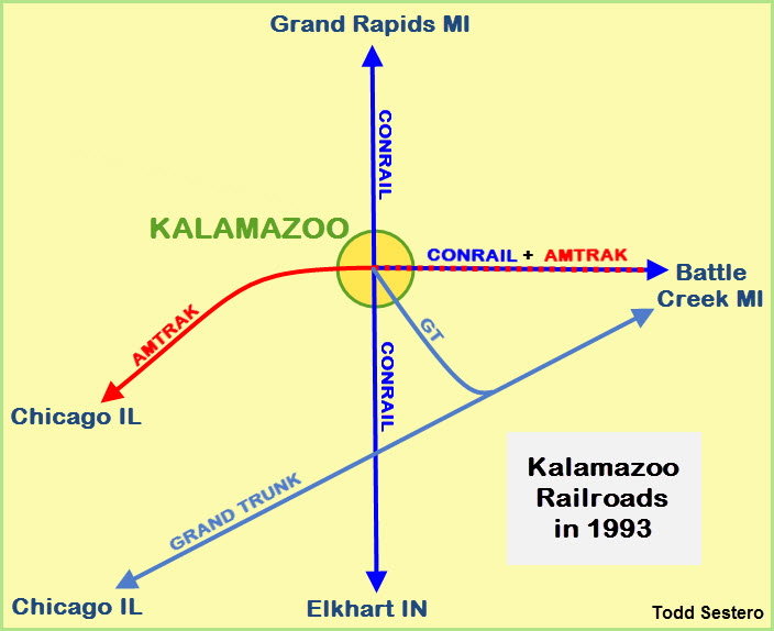
http://www.winkworth.us/railmisc/kazoo93/index2.htm
https://www.loc.gov/resource/g4114k.pm003570/?st=image&r=-0.533,-0.078,2.066,0.871,0 Excellent drawing of Kalamazoo in 1874, check out the hi-res version!!!
http://www.michiganrailroads.com/stations-locations/103-kalamazoo-county-39 Michigan Railroads index page for items of interest in Kalamazoo County:
Maps
Click here for the map as a PDF.
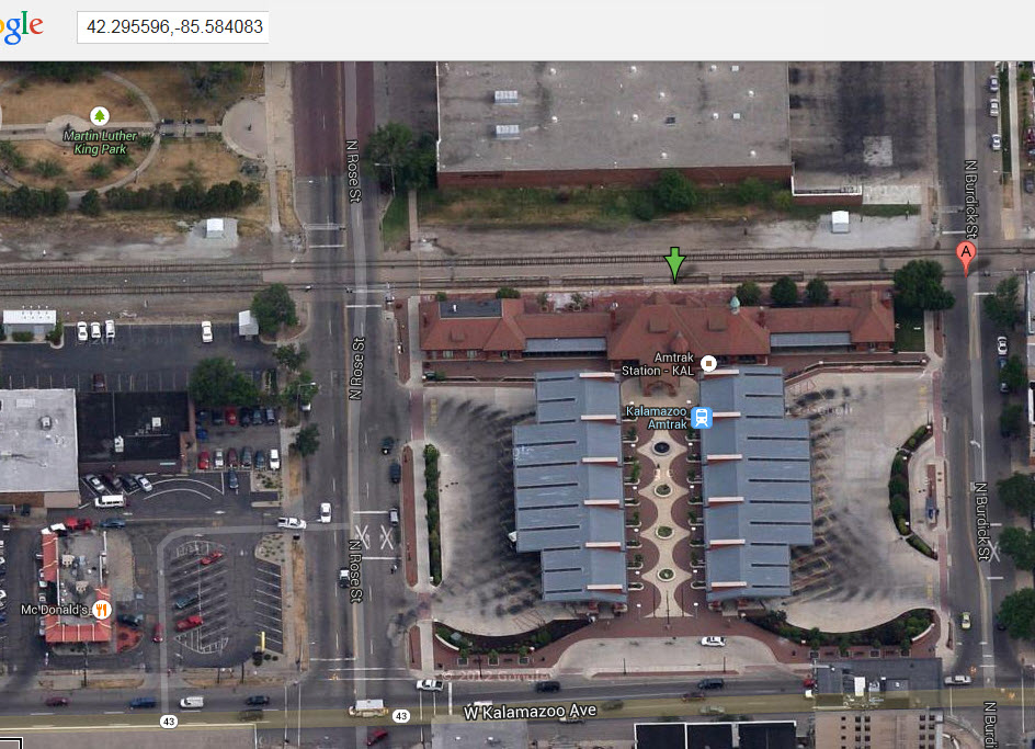
GPS Coordinates: 42.295435, -85.584131
459 North Burdick Street, Kalamazoo, MI 49007-3669
https://www.greatamericanstations.com/stations/kalamazoo-mi-kal/
https://en.wikipedia.org/wiki/Kalamazoo_Transportation_Center
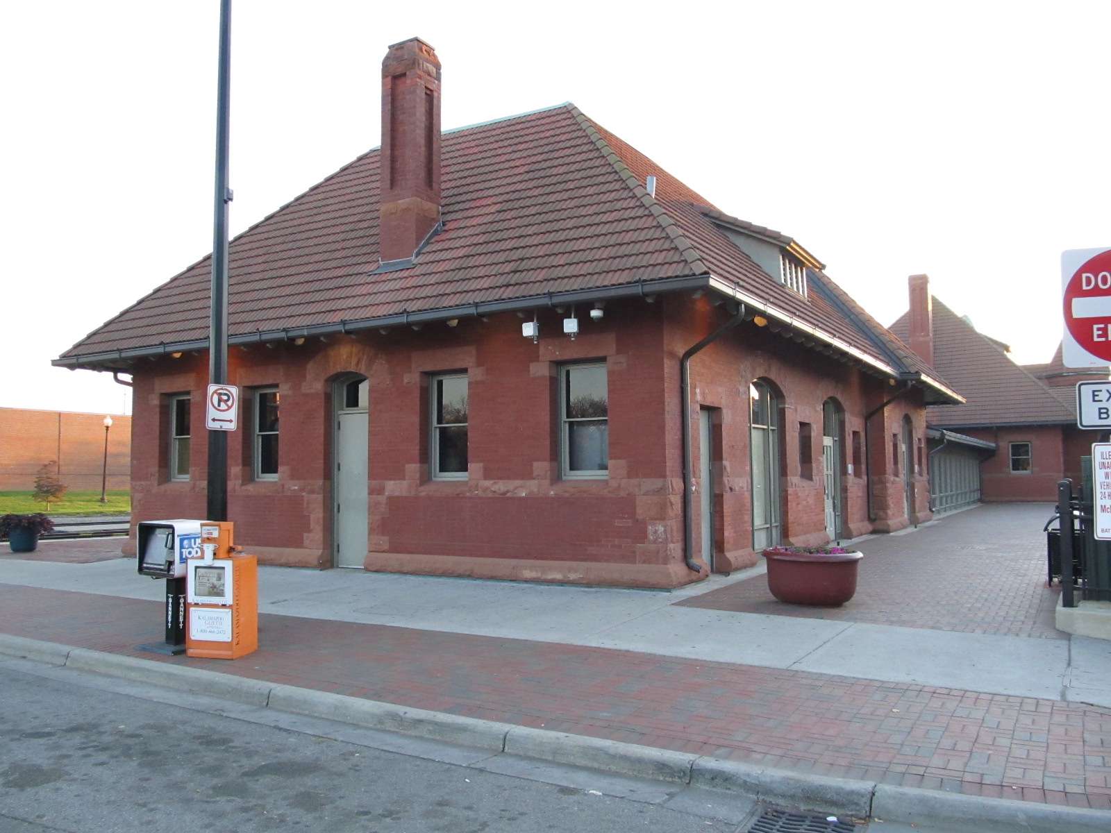
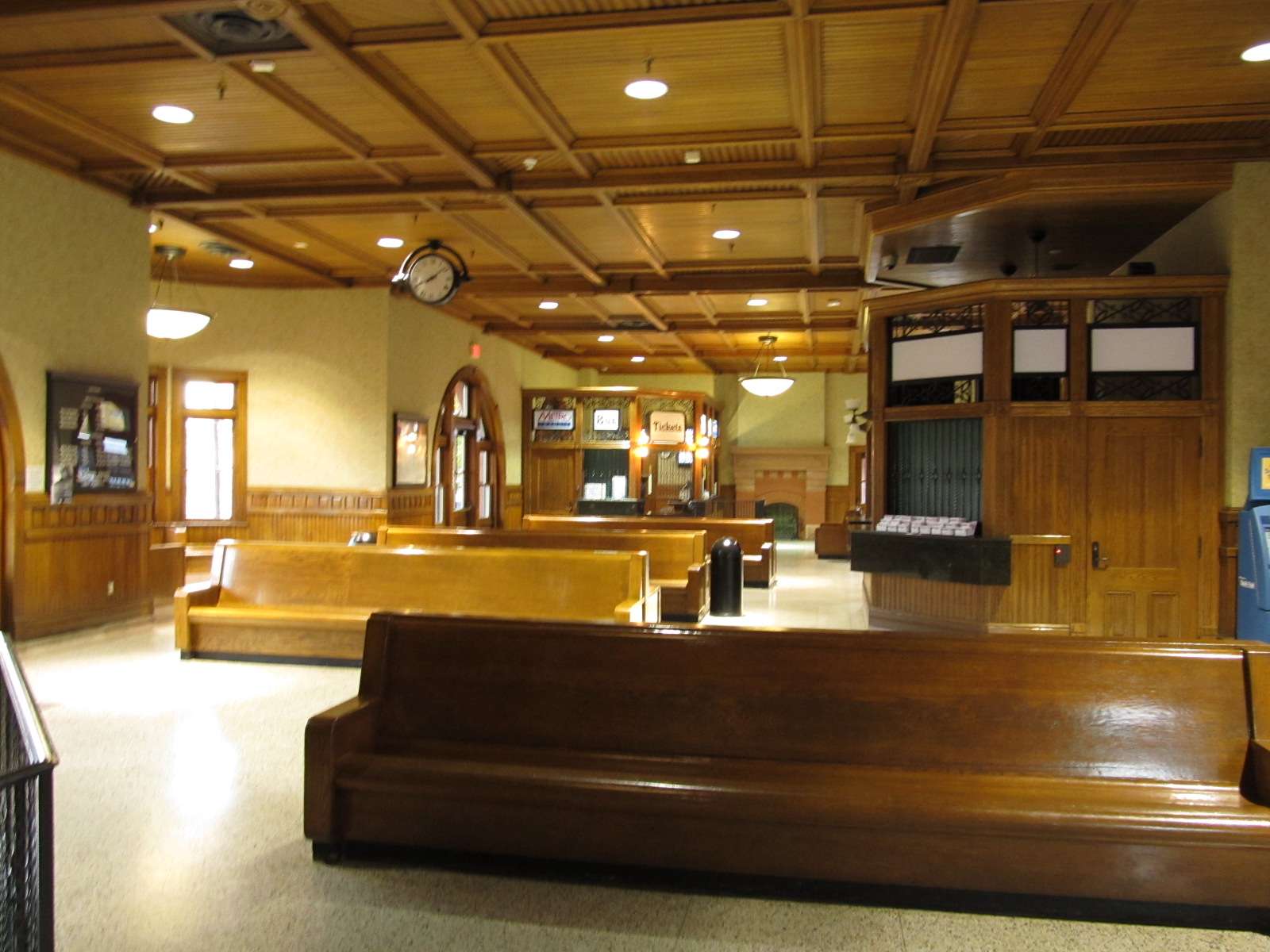
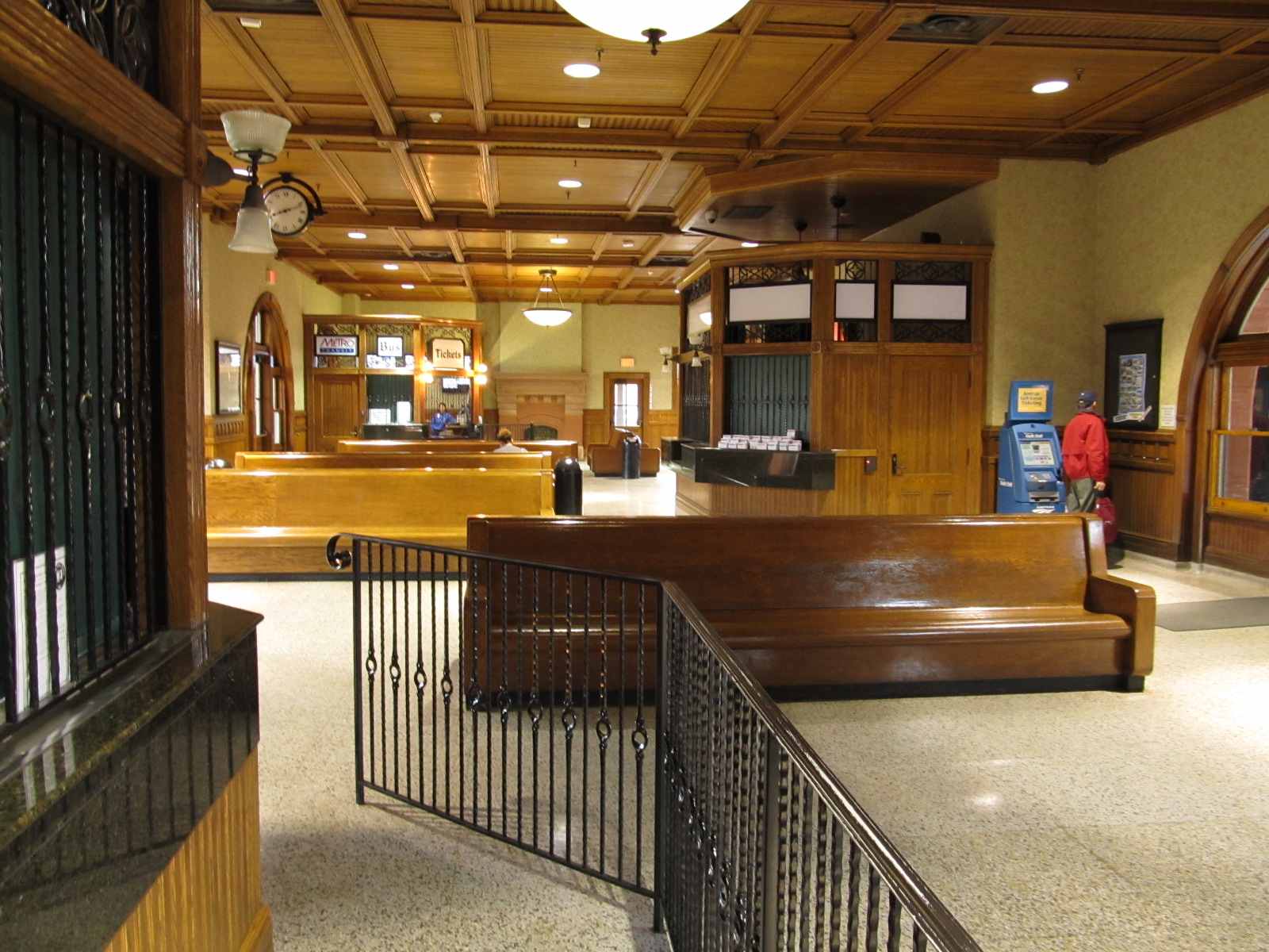
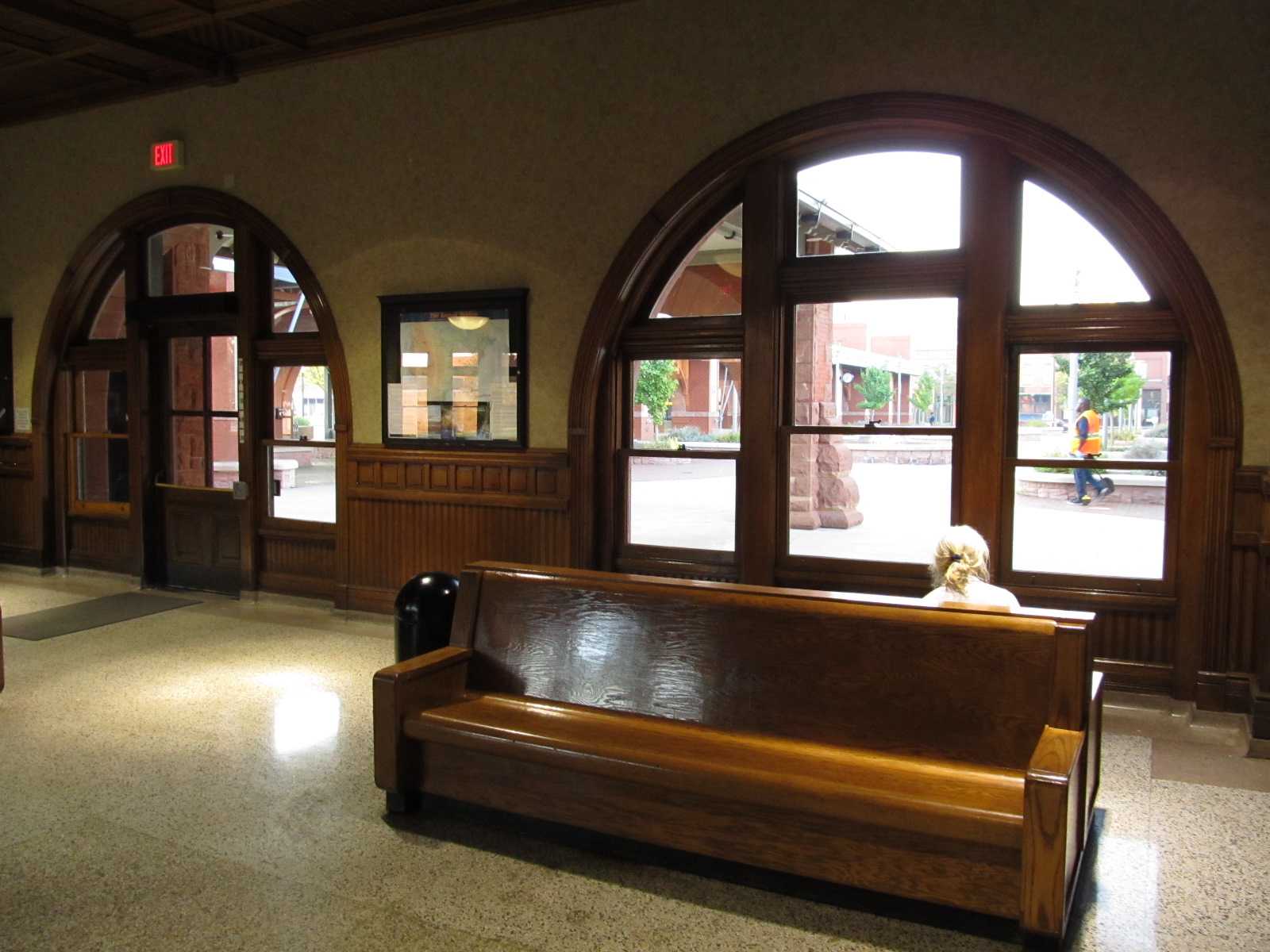
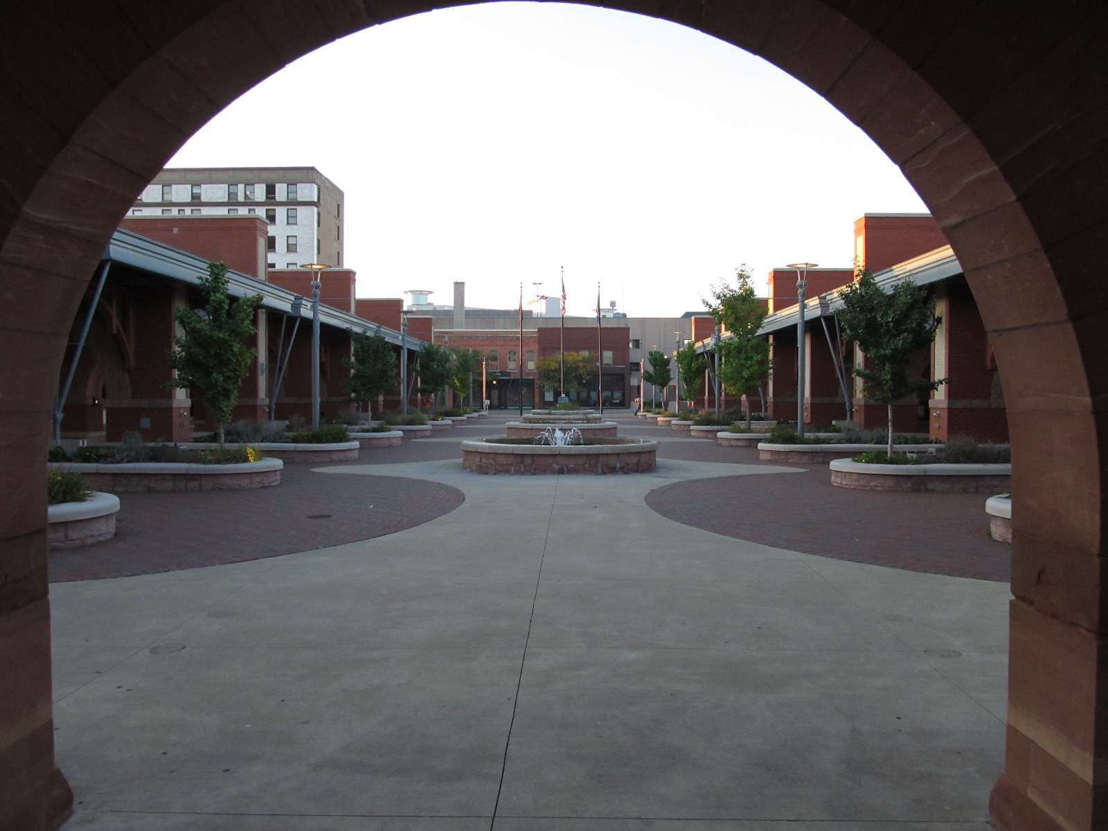
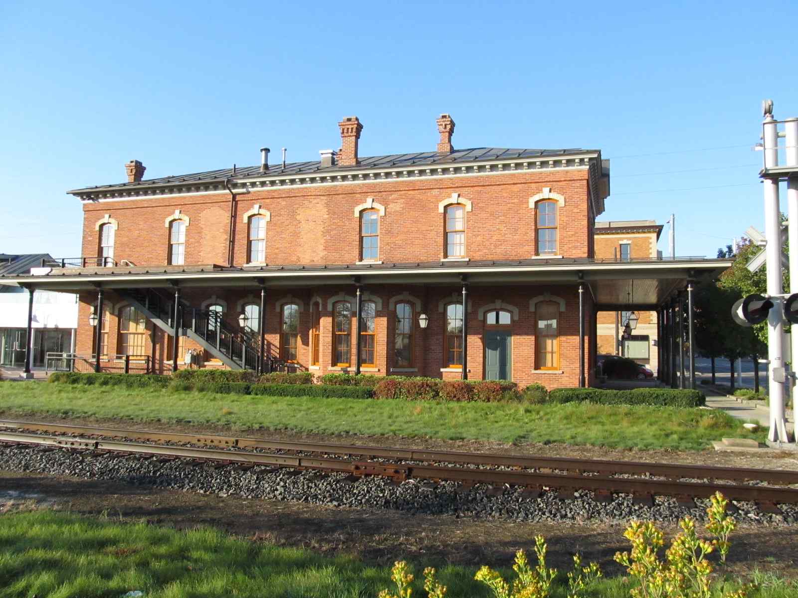
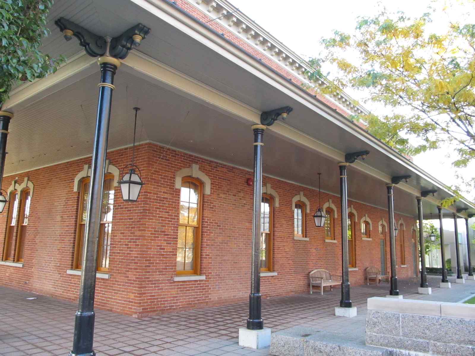
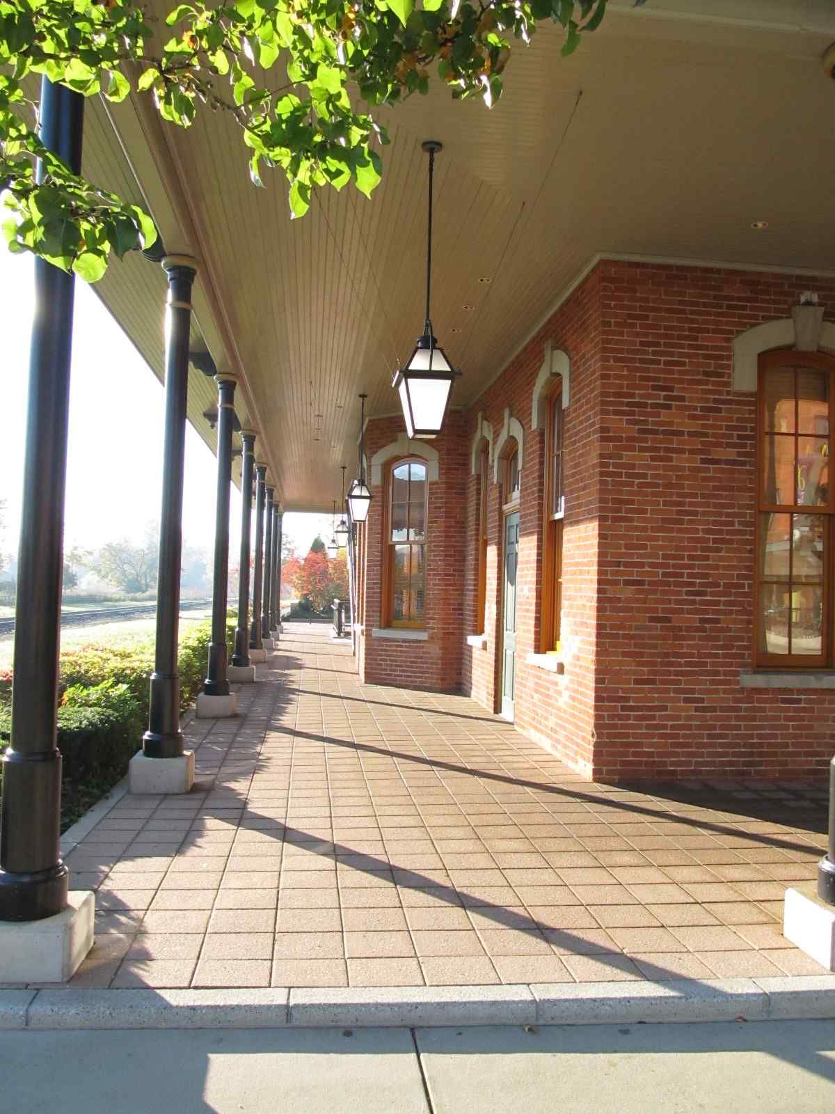
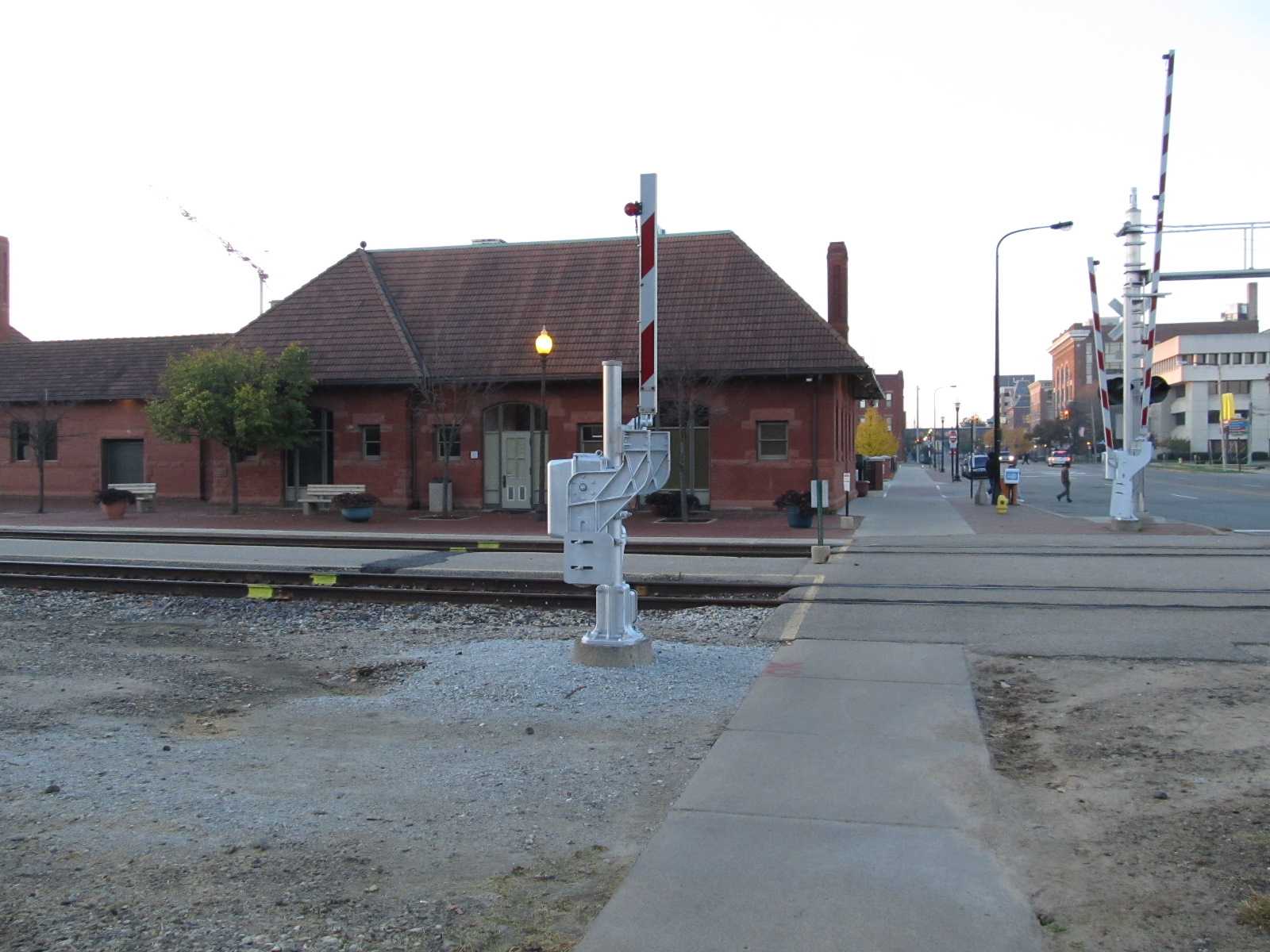
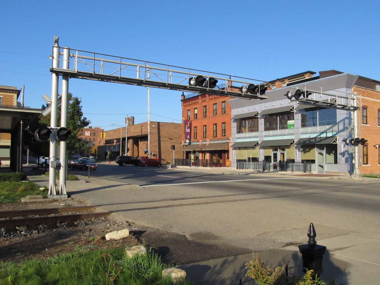
This historic building was built in 1887 as the Michigan Central Railroad depot. It is of red brick and sandstone construction, in the Richardsonian Romanesque style. Kalamazoo has four trains a day in each direction, three of which are in daylight hours during the summer.... one of the eastbounds doesn't come thru till around 7:30pm.
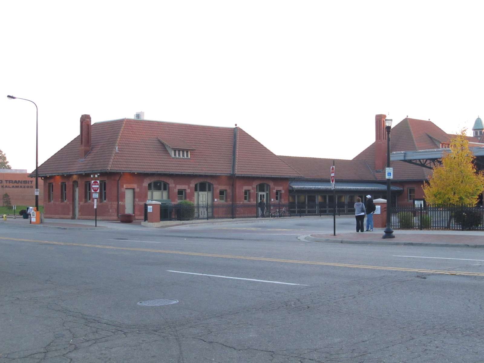
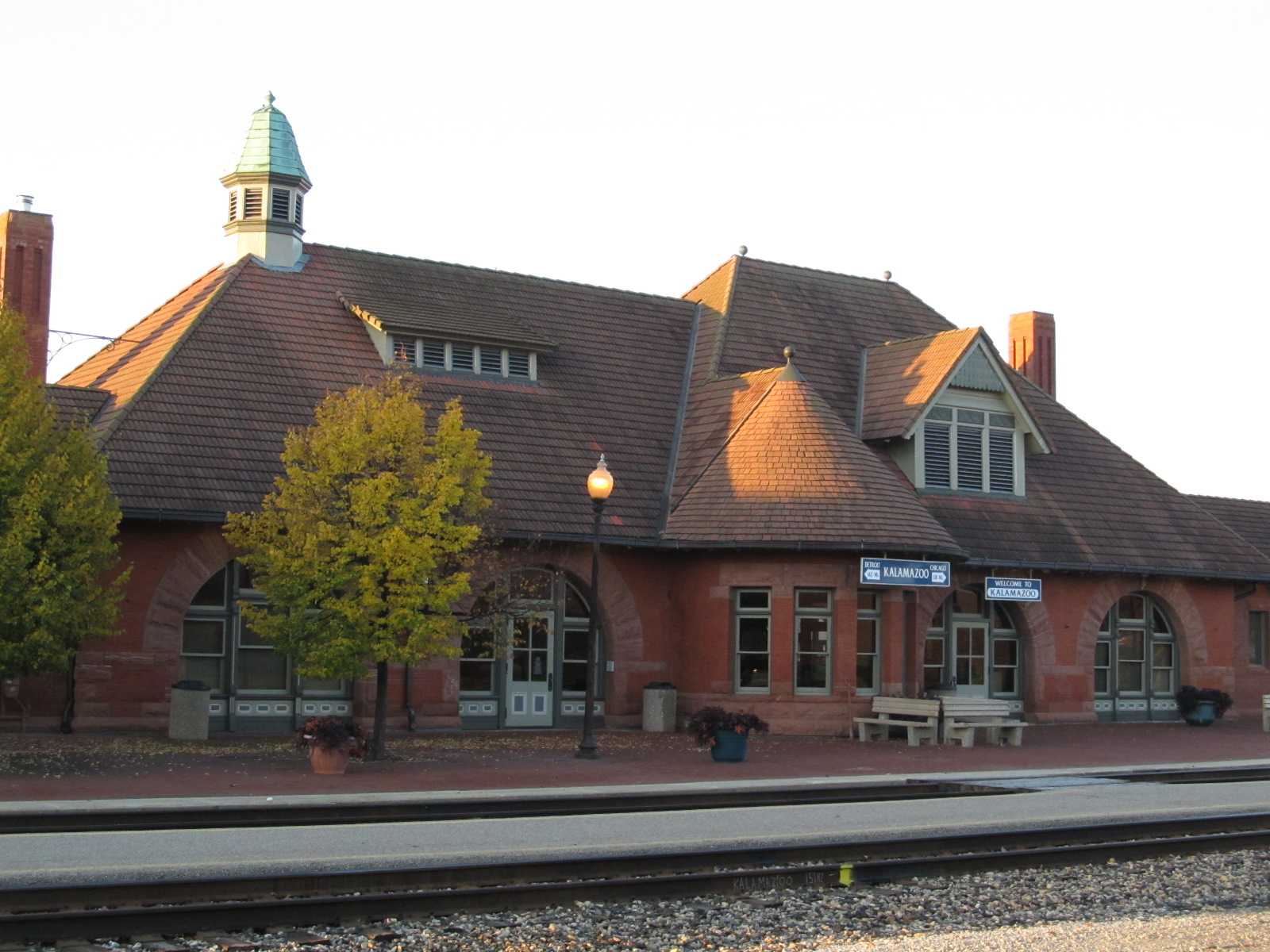

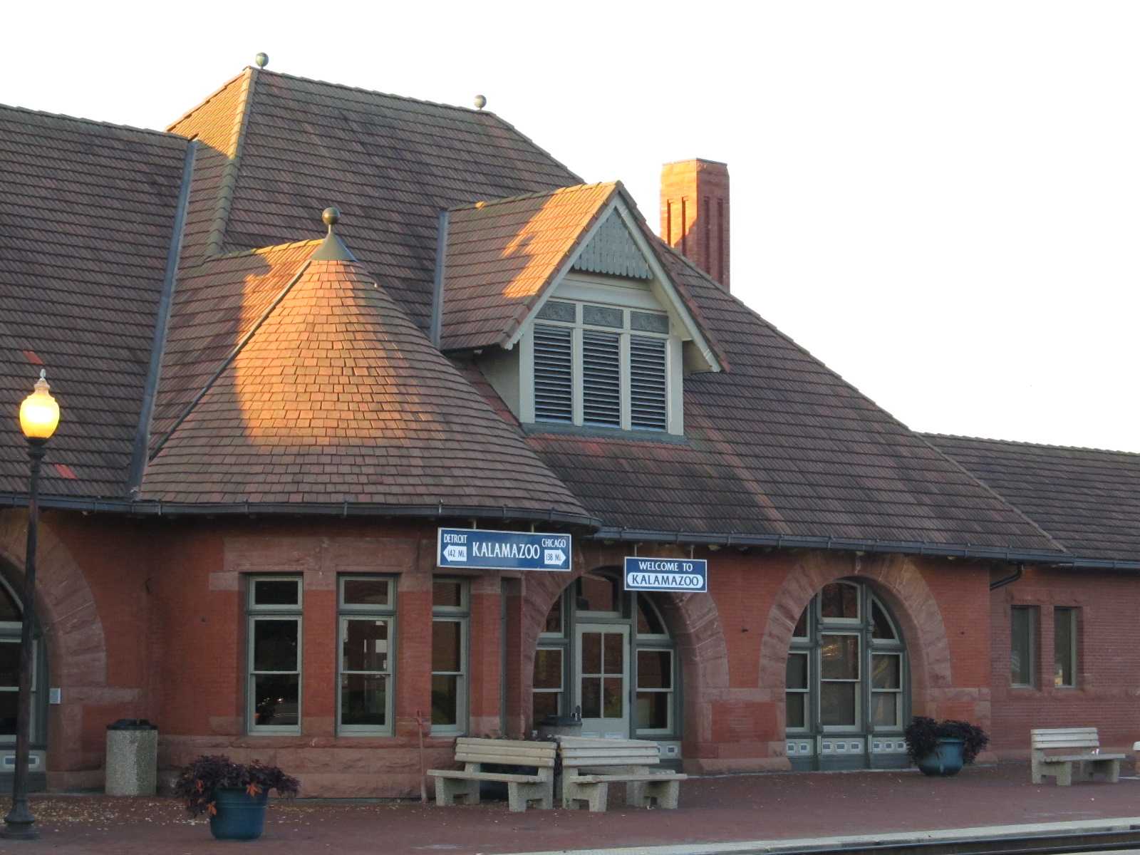


 Looking east from the Amtrak station platform
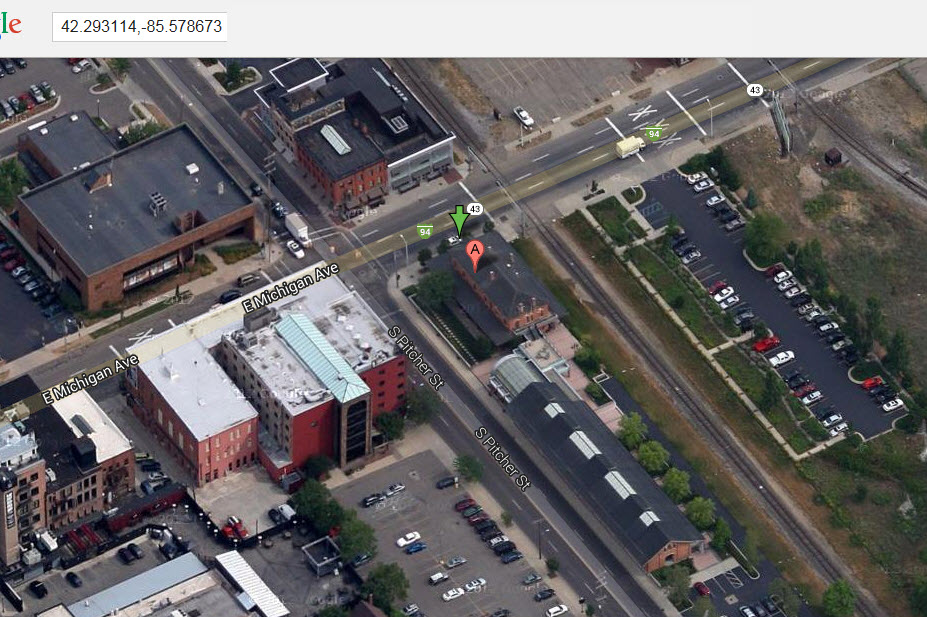
GPS Coordinates: 42.295821, -85.578065
Sadly (for us), the tower was demolished early in 2022. The word is that asbestos may have hampered efforts to have the tower saved. Parts of it may have wound up at the Ford museum in Dearborn. Info provided by Jim Cance.

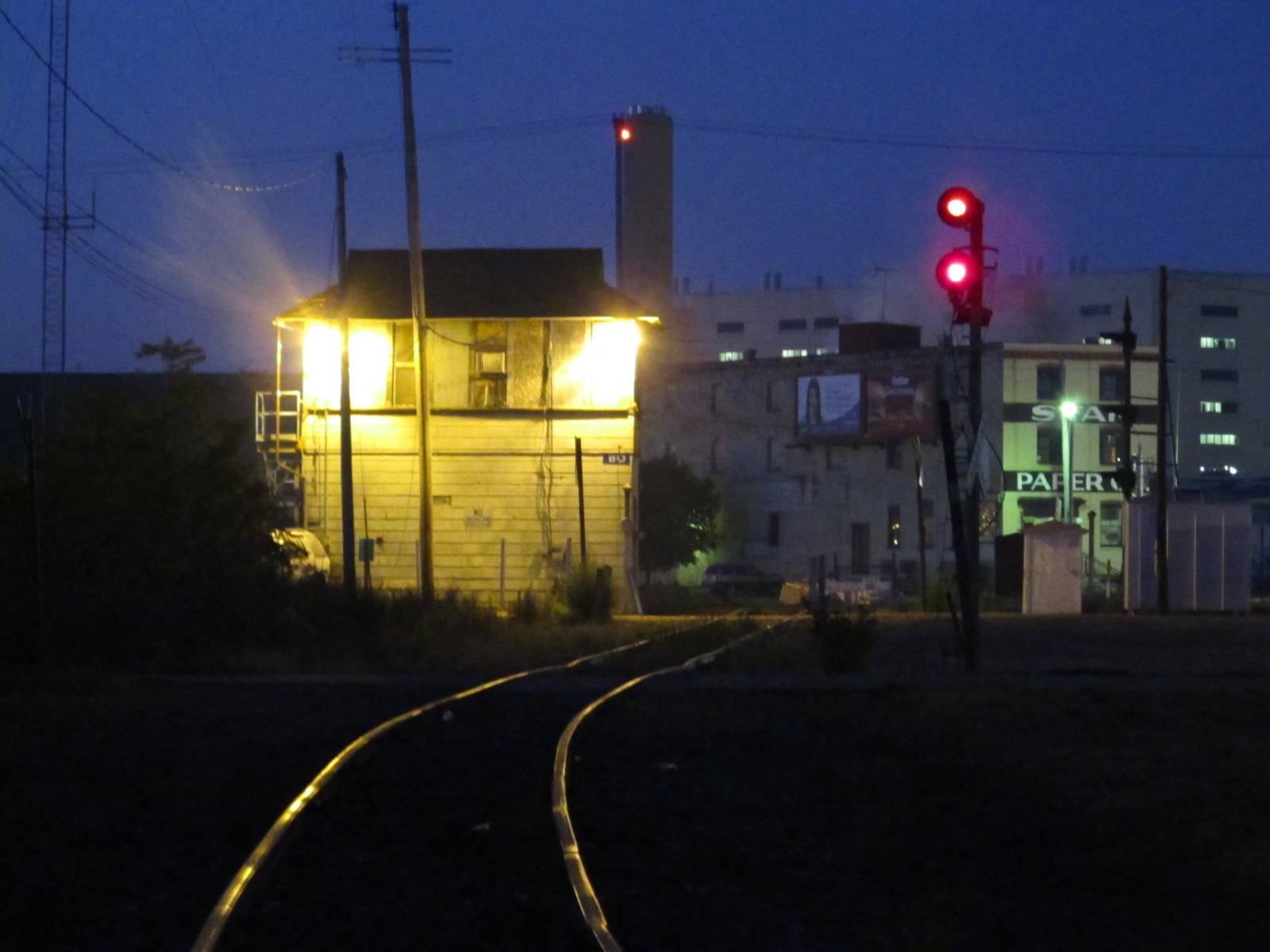
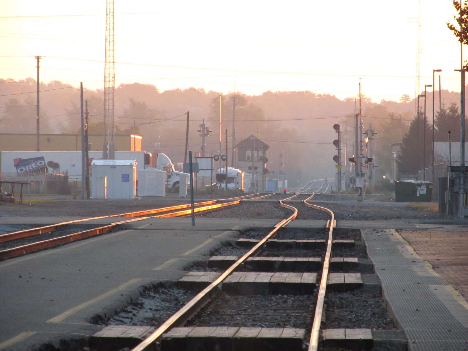
We got into Kalamazoo just before sunrise, good time for great shots.....
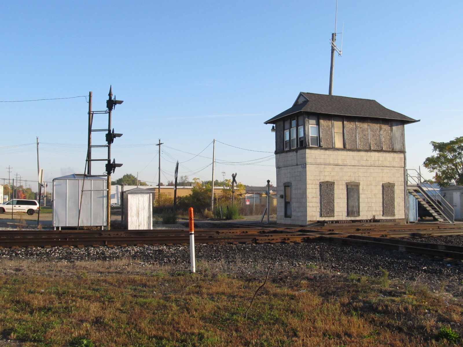
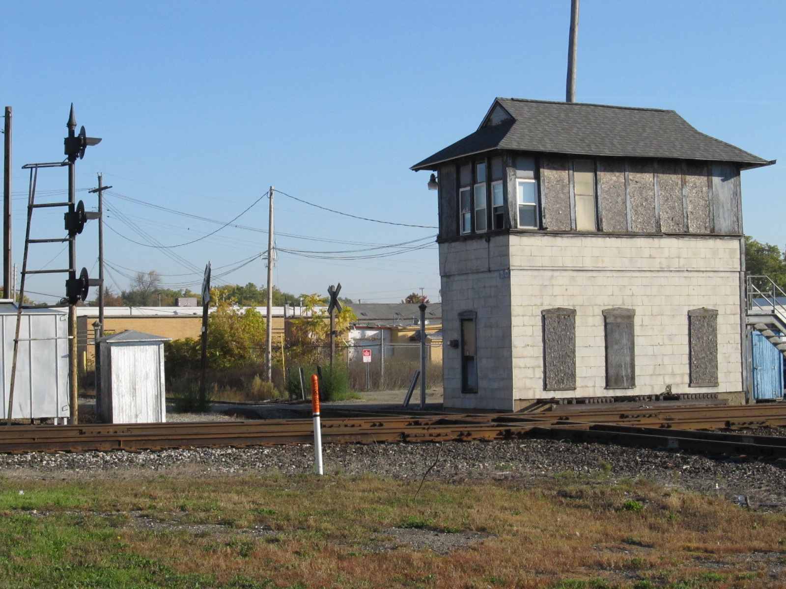

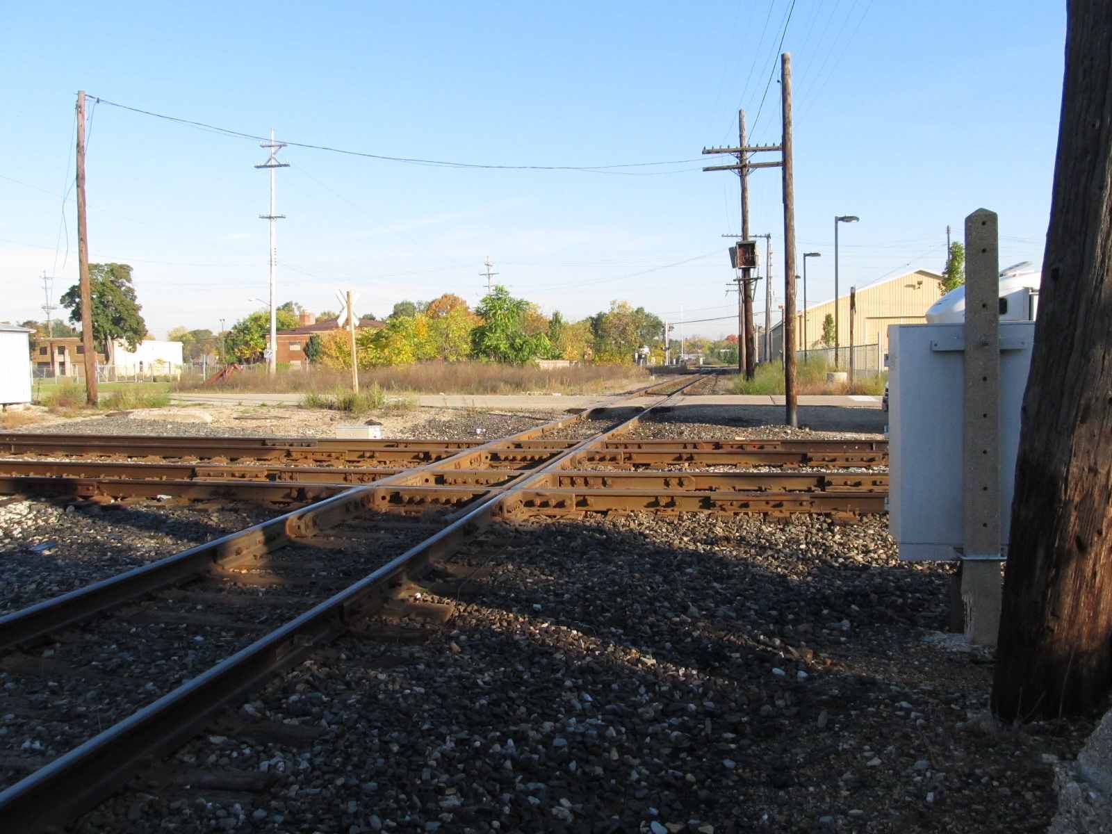
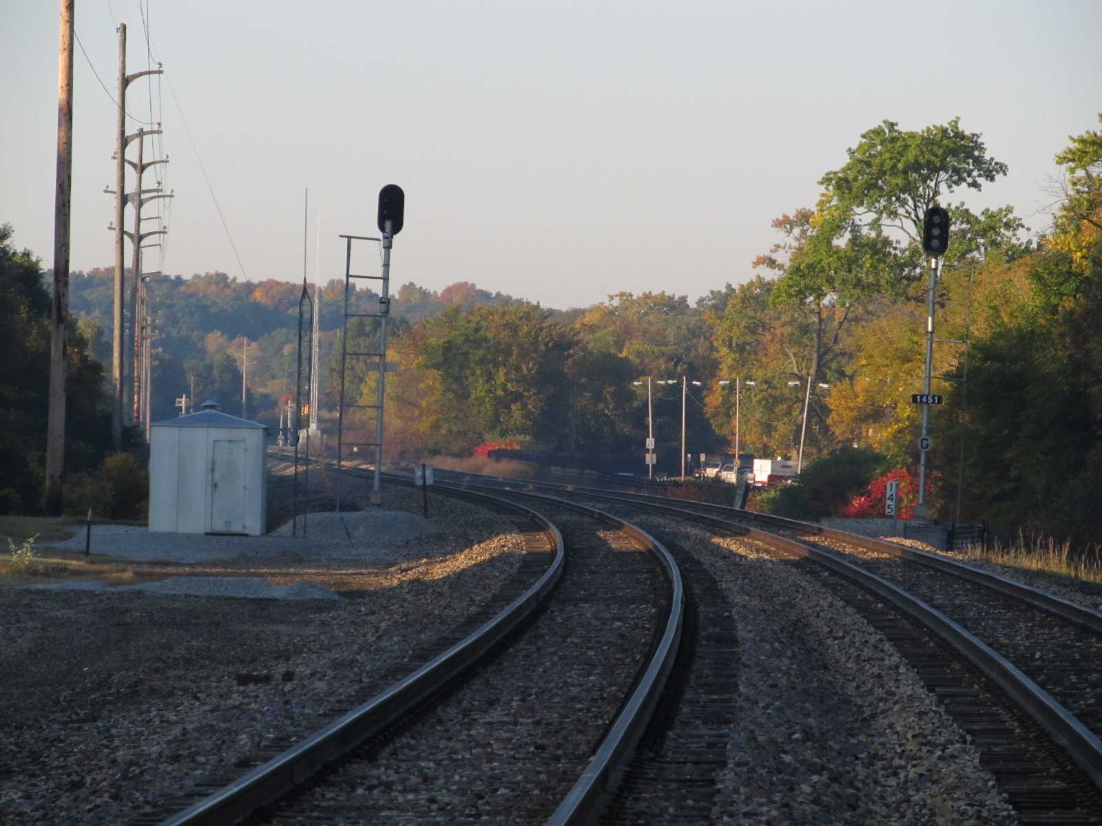
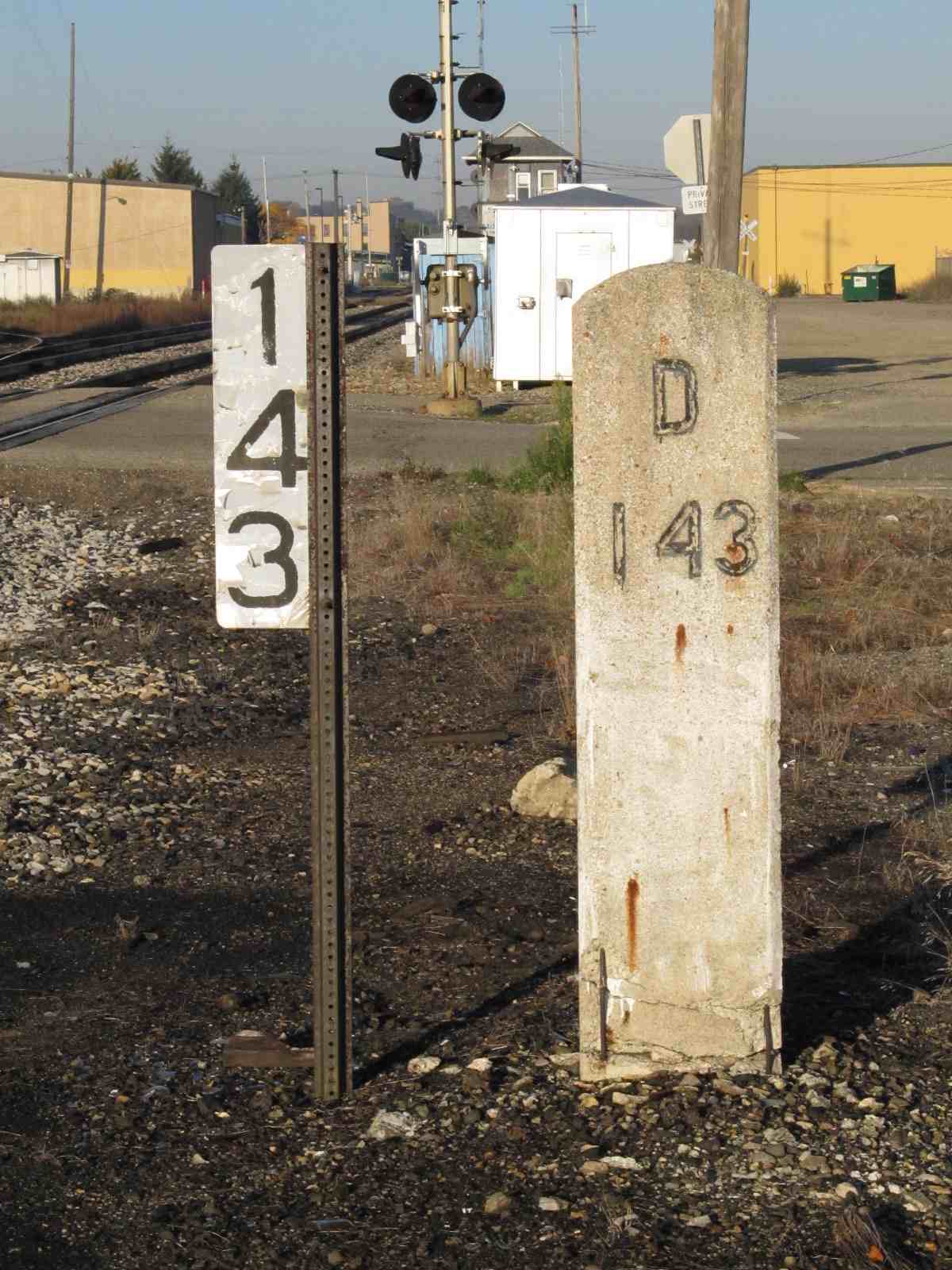 Old and new MP143 mileposts slightly east of the tower.
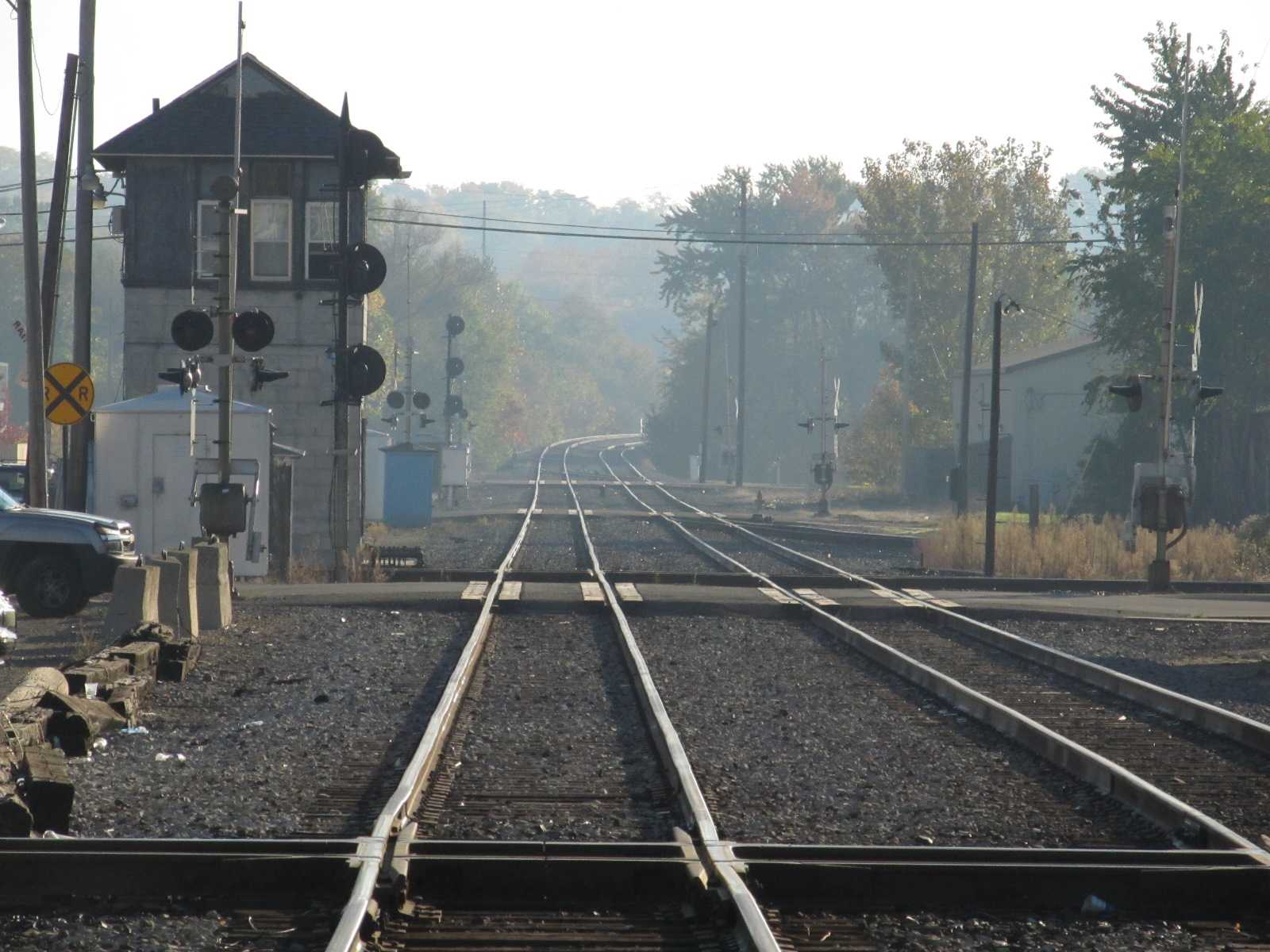 Looking east across the two diamonds.
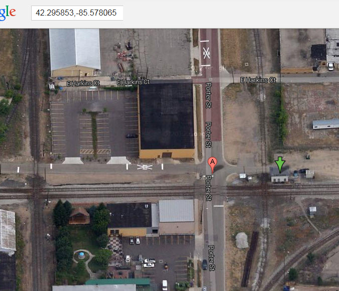
GPS Coordinates: 42.295435, -85.584131
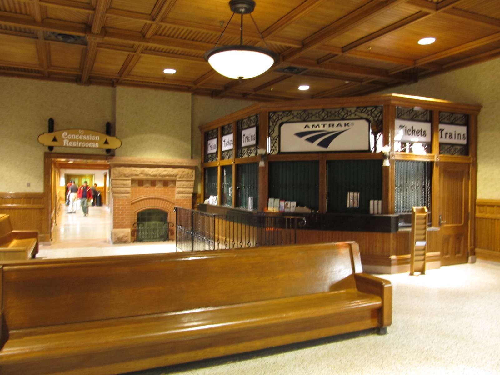
This is what every cities transit center should look like, very functional, well laid out, good signage, and co-located at the train station!
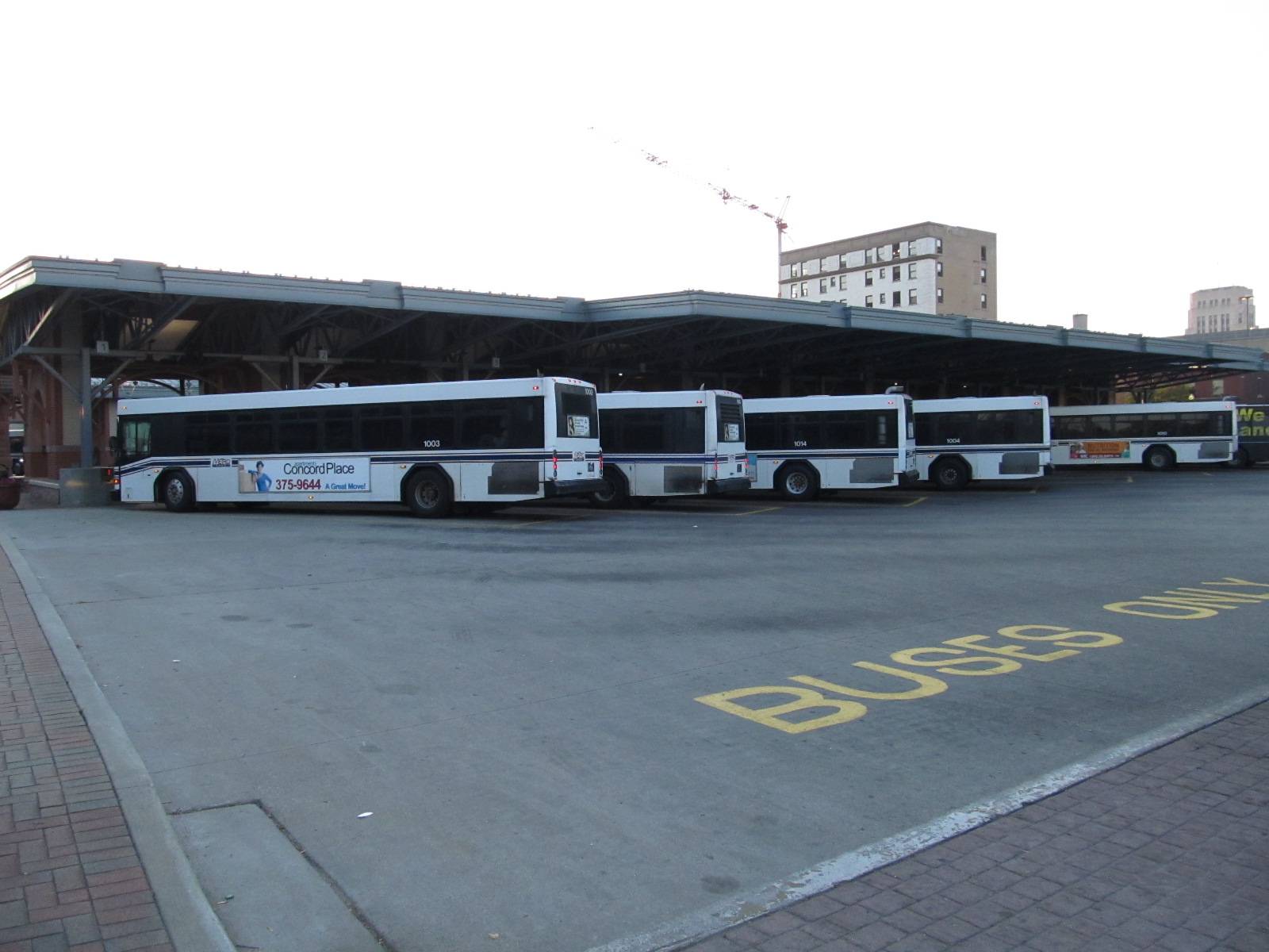
GPS Coordinates: 42.292941, -85.578635
402 E Michigan Ave, Kalamazoo, MI 49007
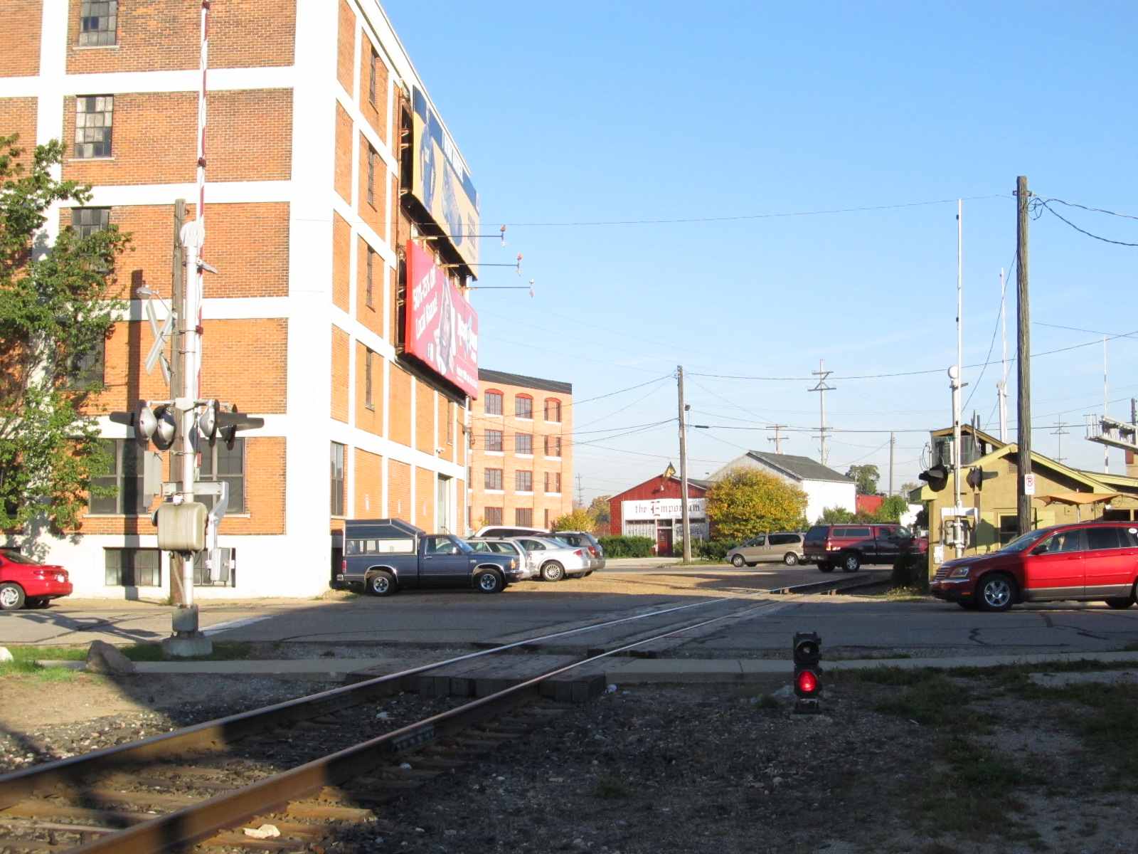
Very interesting structure. It is on the SE corner of Michigan Ave and Pitcher St.
A big thanks to Tim Shanahan, a local train historian, for letting me know this was a former Grand Rapids & Indiana depot.
It had a major renovation in 2004.


Looking north from the station, and one shot looking south.
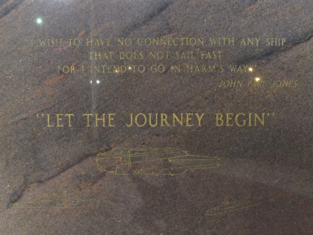
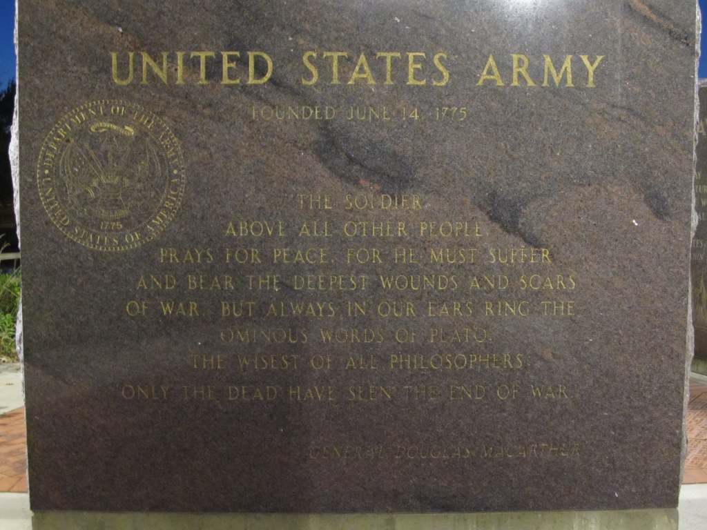
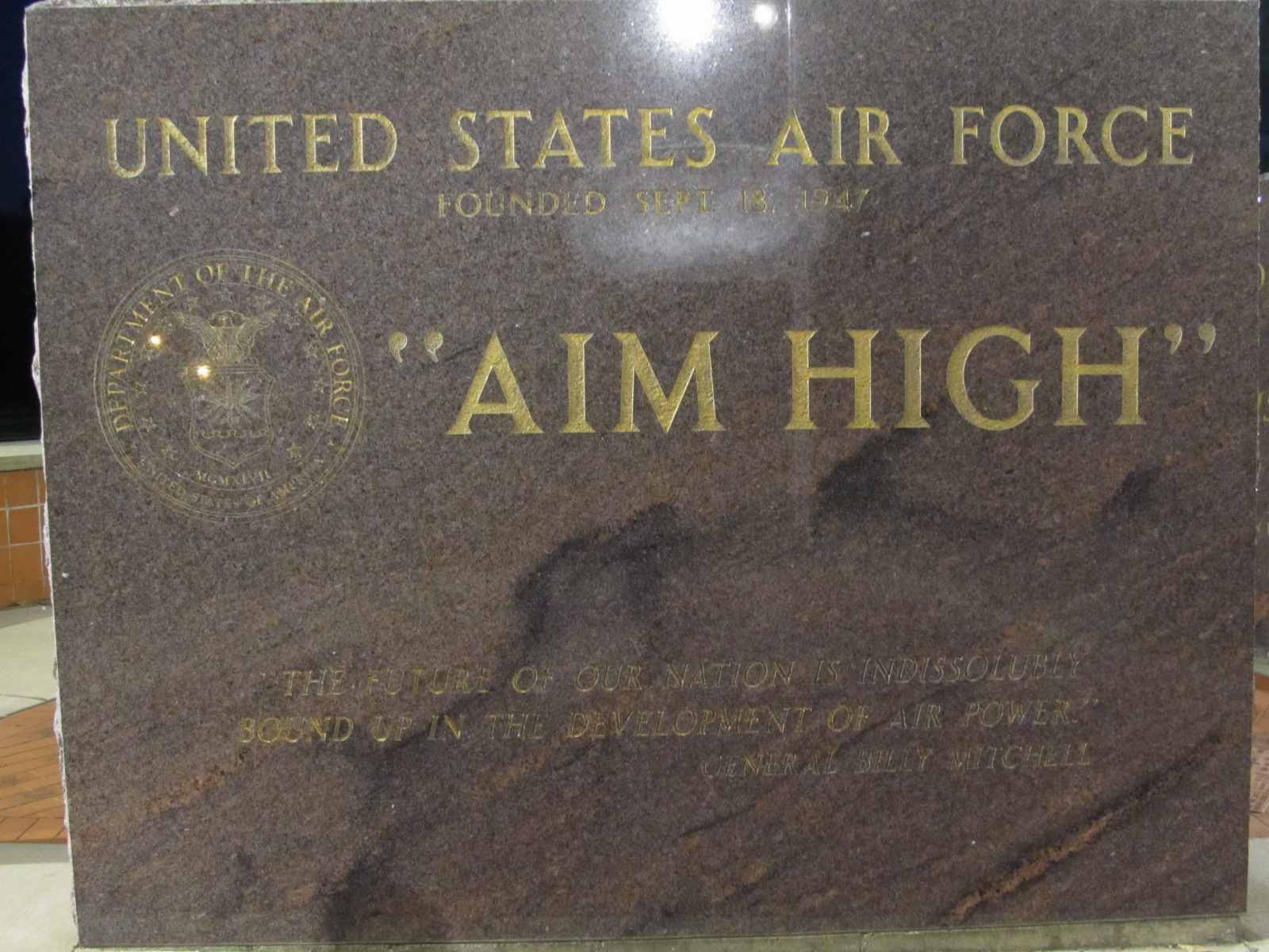
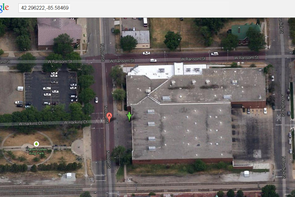
GPS Coordinates: 42.294953, -85.572987
Most Impressive. A must see! This is one of the nicest Veterans Memorial, if not the best one, I have come across in my travels. Pictures are hard to take during the day because of reflections tho.

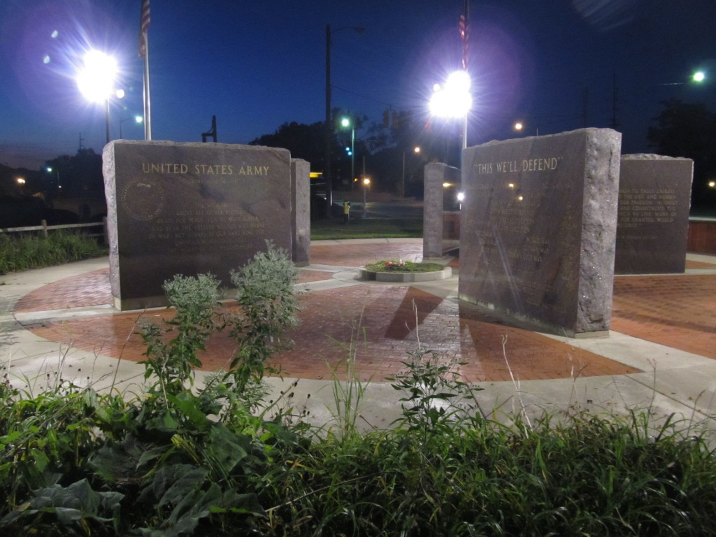
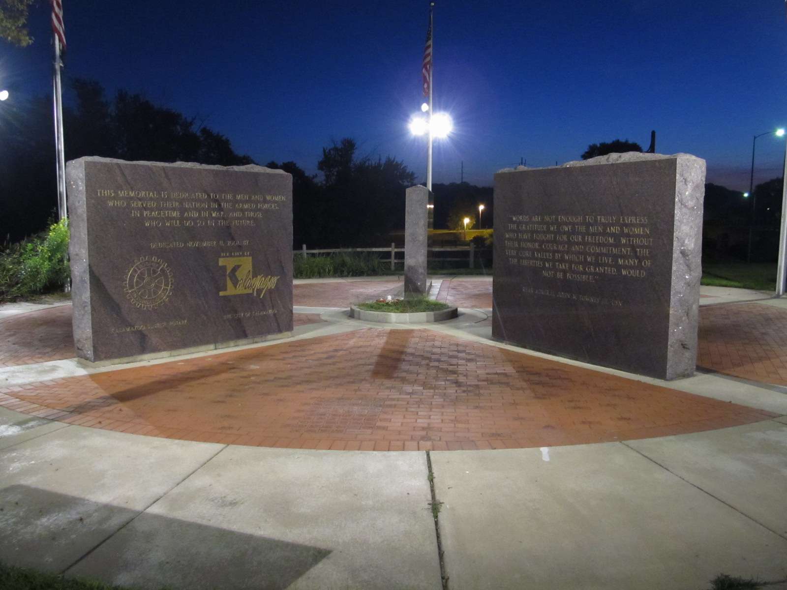


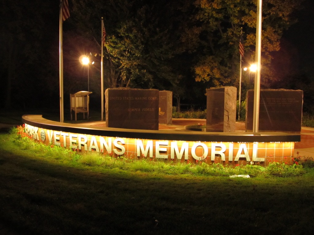
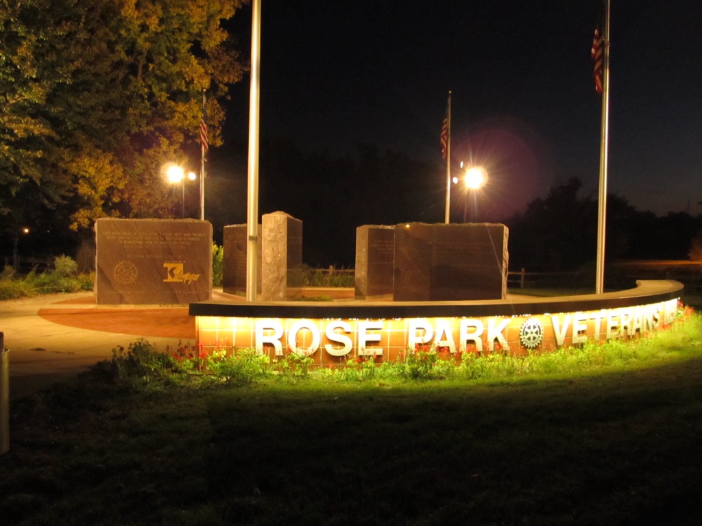
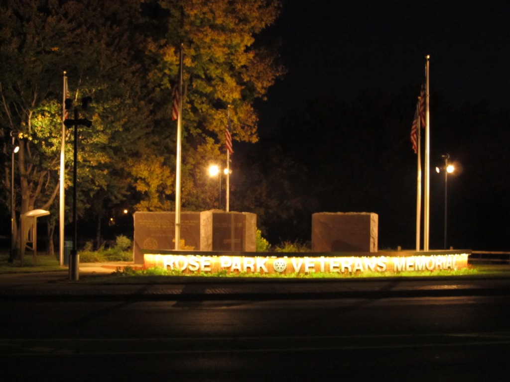
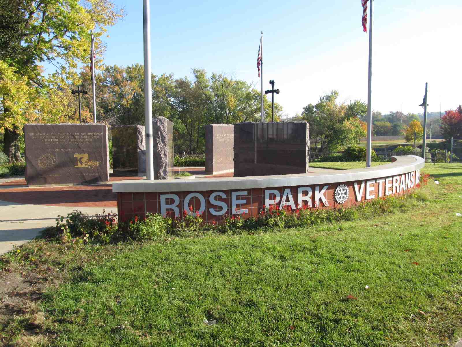
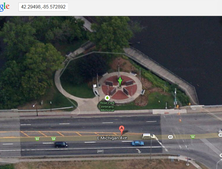
Below is a shot from a Katz Studios video found here

GPS Coordinates: 42.296147, -85.584338
GPS Coordinates: 42.293995, -85.566227 (Access from Mills St)
http://www.michiganrailroads.com/stations-locations/103-kalamazoo-county-39/1081-botsford-yard-mi-kalamazoo
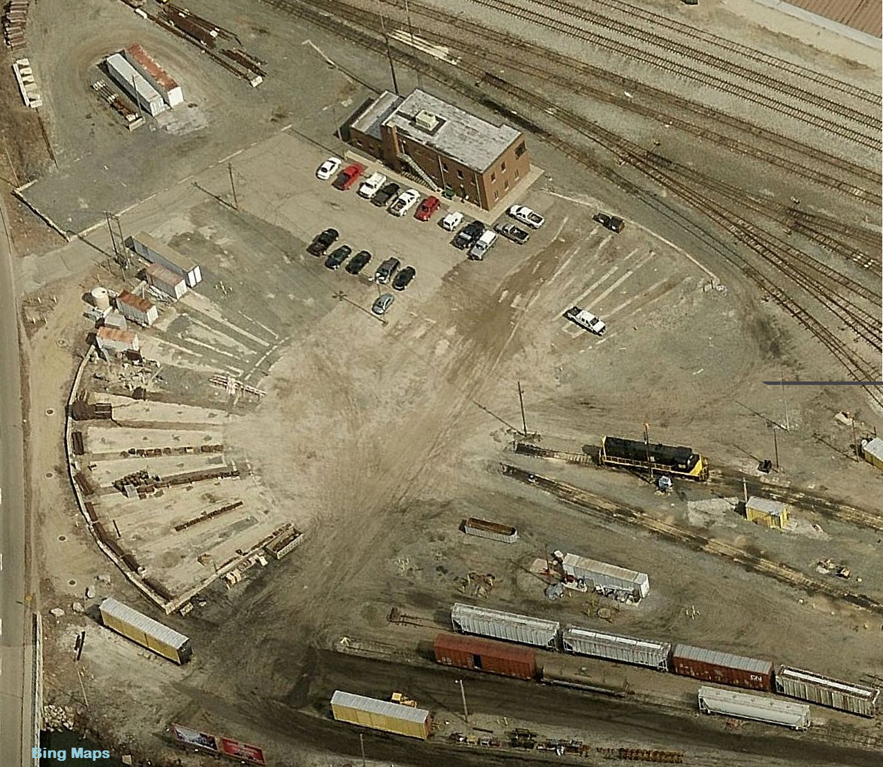
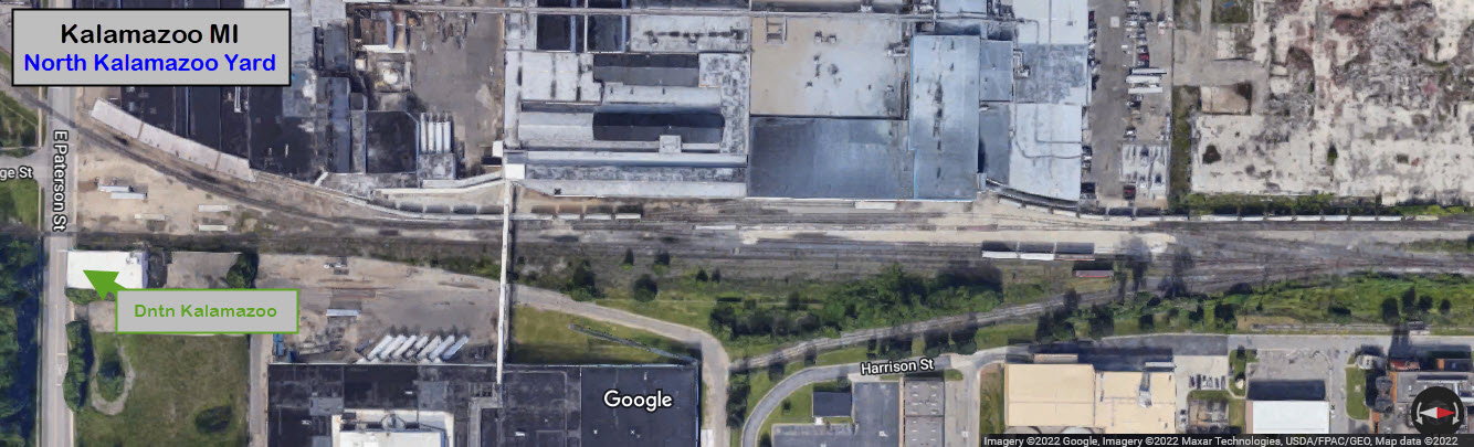
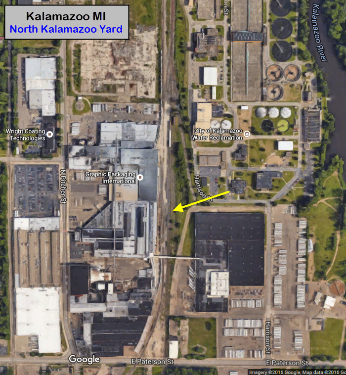
Originally a Michigan Central yard, it is now operated by the Grand Elk RR. I betcha they wish the roundhouse was still around :-) Good public access off of Mills Street. Botsford Yard was the Michigan Central's main yard in the Kalamazoo area, located about two miles east of downtown. Botsford Yard had a capacity of 375 cars.

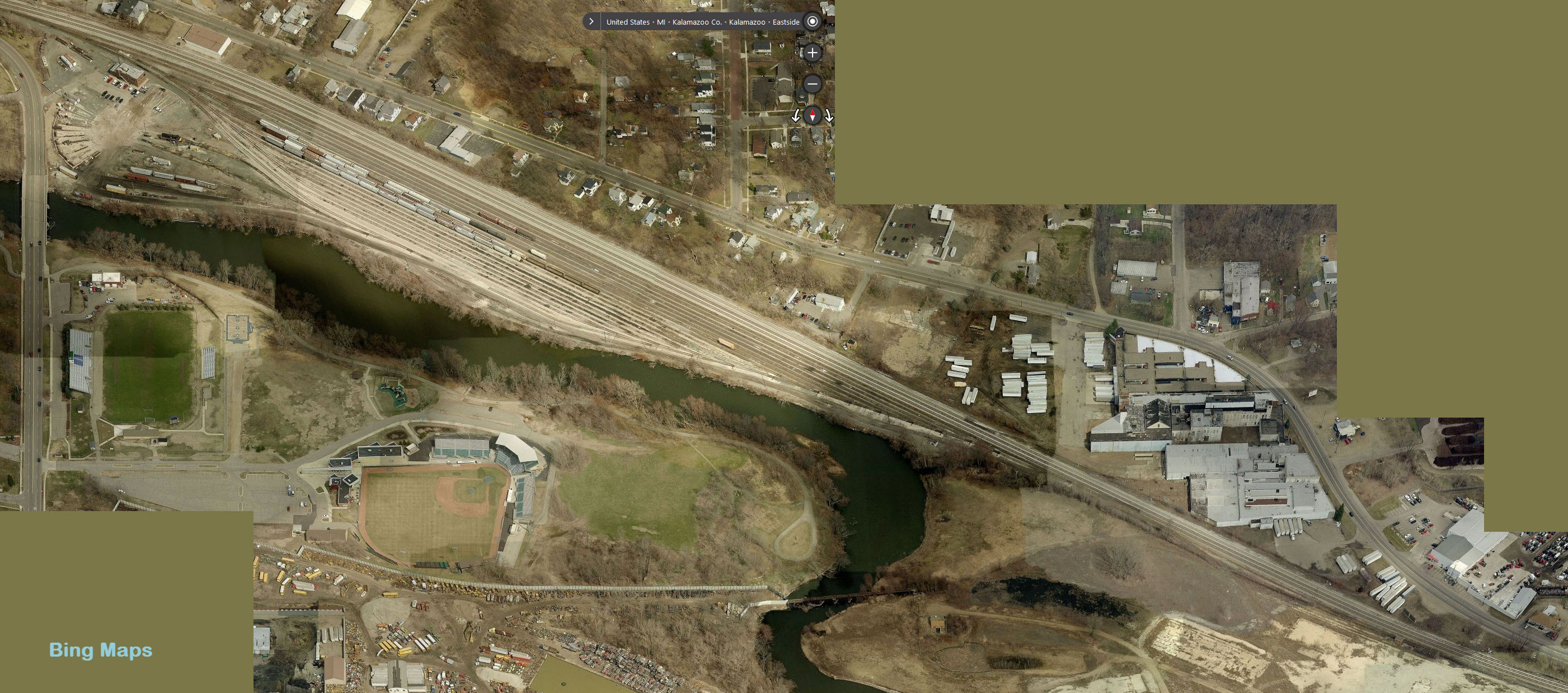
GPS Coordinates: 42.306414, -85.576393 (center)
Approximately 1 mile NE of downtown

GPS Coordinates: 42.247409, -85.520224 (center)
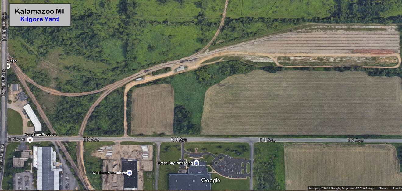
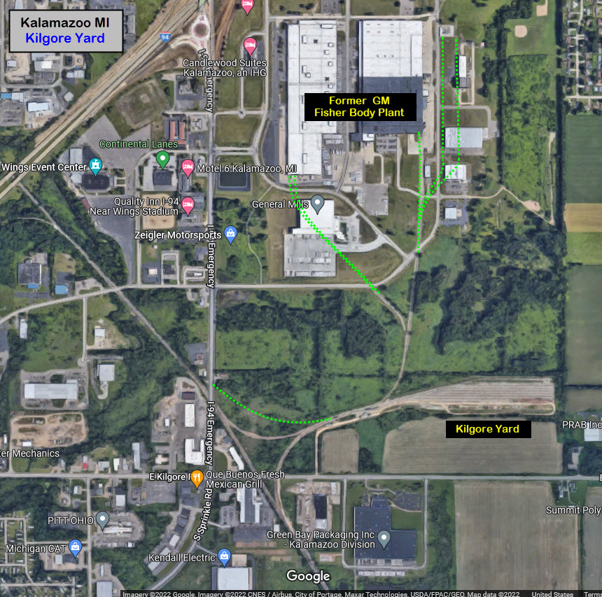
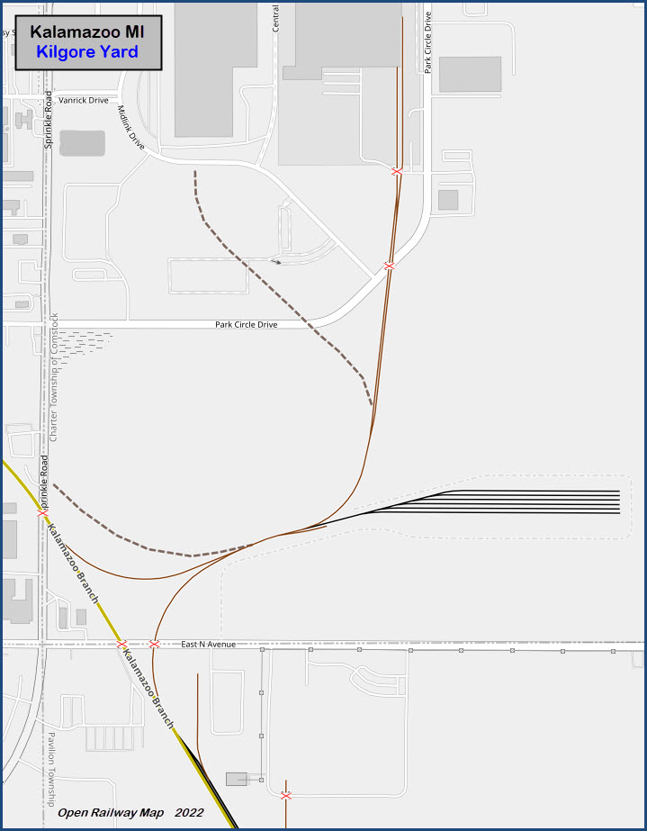
http://www.michiganrailroads.com/stations-locations/103-kalamazoo-county-39/1095-kilgore-yard-kalamazoo-mi
Approximately 4.7 miles SE of downtown, just off the bottom of my map above....
A former Grand Trunk and Conrail yard, and when used in the 90's, they would share switching duties on an annual basis. From MI RR: Kilgore Yard was located along the GTW Kalamazoo Subdivision southeast of Kalamazoo in the northeast corner of S. Sprinkle Road and E. North Avenue. The yard was built to service the GM Fisher Body Plant. The yard was constructed jointly by the GTW and NYC. However, once it was built, it was maintained by the GTW. end MI RR
 from the MI RR website
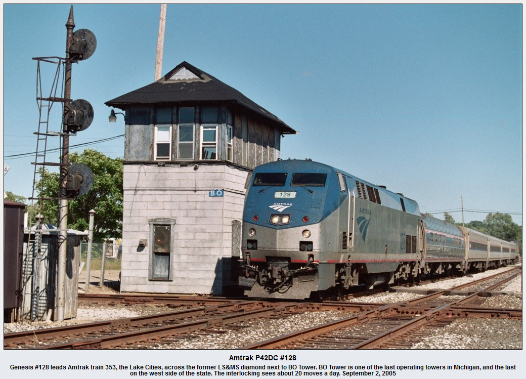
The above picture came from here: http://railroadfan.com/gallery/displayimage-189-6512.html, but had no name attached to it..... taken before the signal replacement
The above picture came from here: http://railroadfan.com/gallery/displayimage-189-6514.html#top_display_media
The above picture came from here: http://railroadfan.com/gallery/displayimage-189-6513.html#top_display_media
The above picture came from here: http://railroadfan.com/gallery/displayimage-189-6516.html#top_display_media
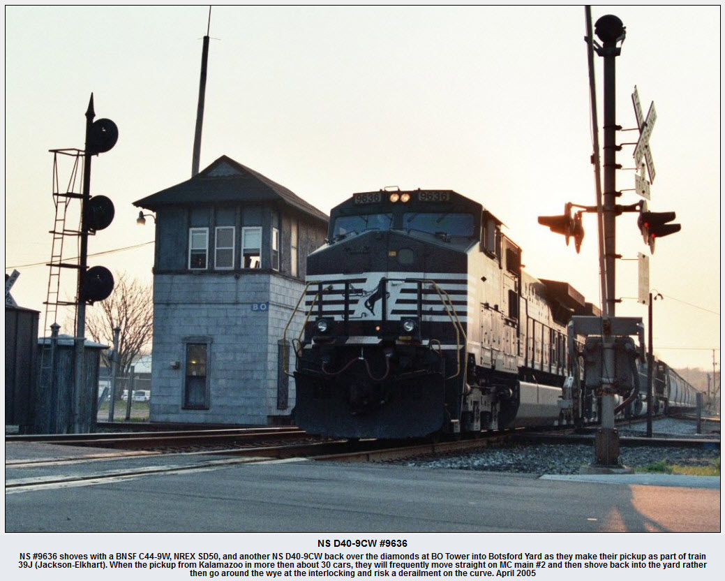
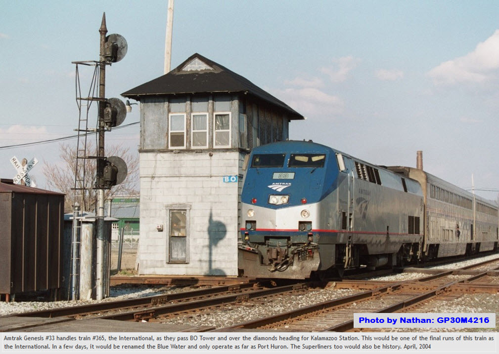
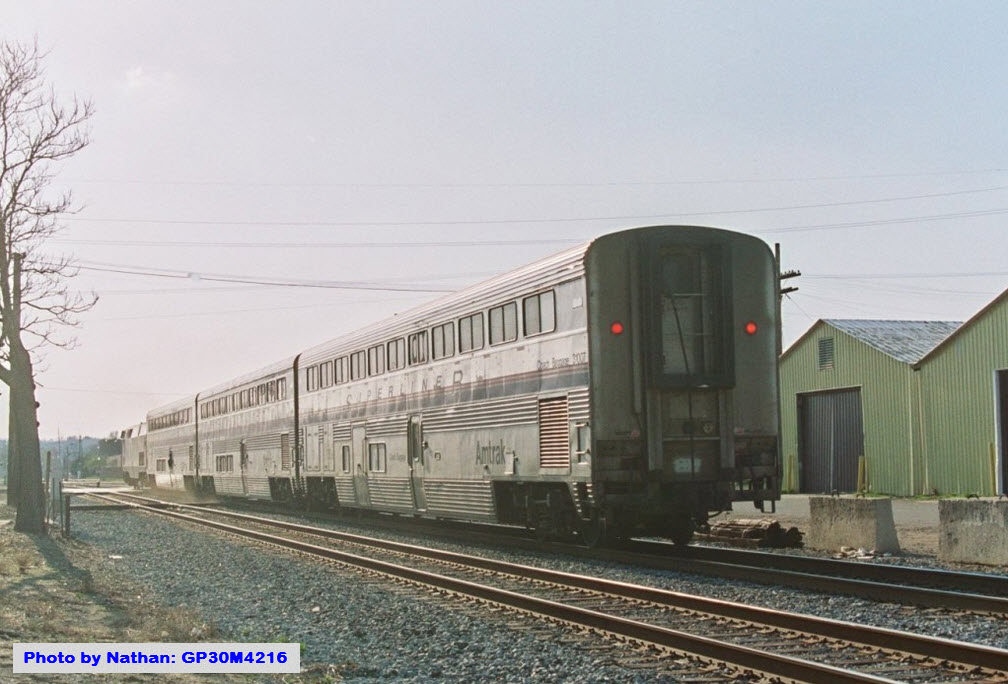
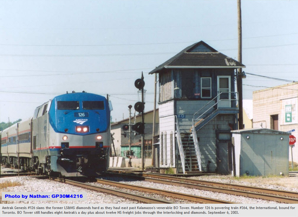
Below is a set of 4 pictures taken by Nathan who went to school in Kalamazoo and was lucky enough to catch these trains.... found here

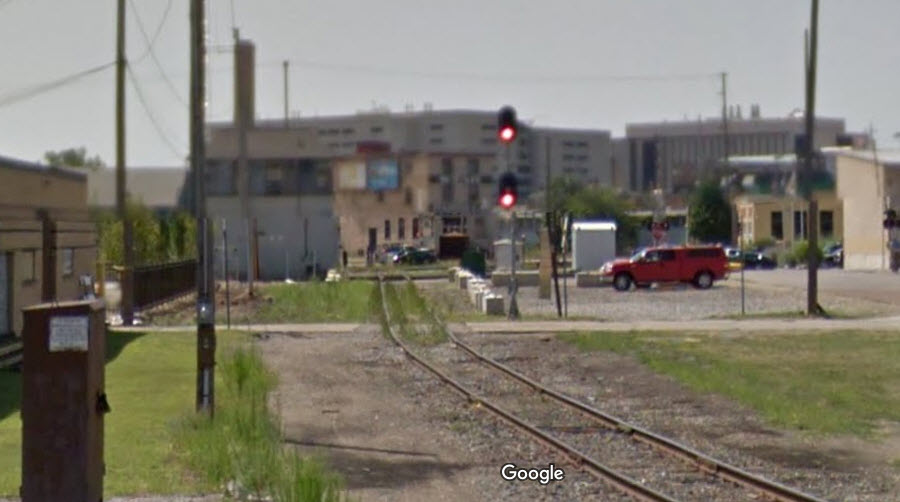
Until I make it back to Kalamazoo again, the screen shots from Google Streetview will have to do.....
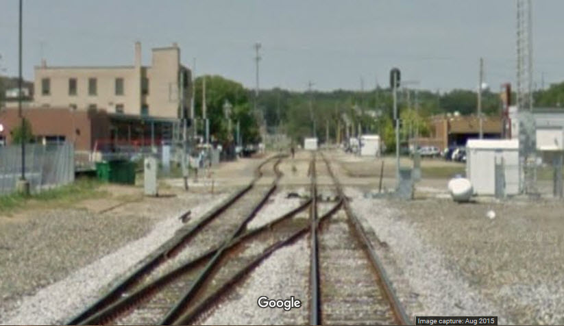
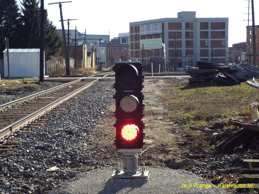
According to Jack Prange, a signal replacement project was completed sometime in early to mid 2015, prior to Google coming through with their cameras.
So the pictures containing searchlight signals are now for continuity and historical purposes.....
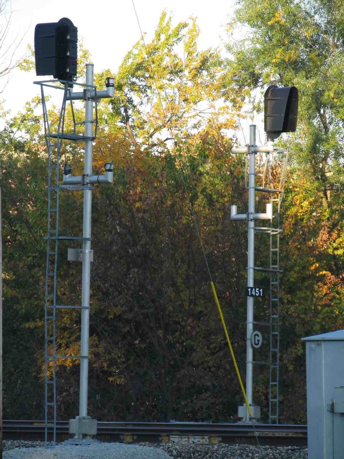
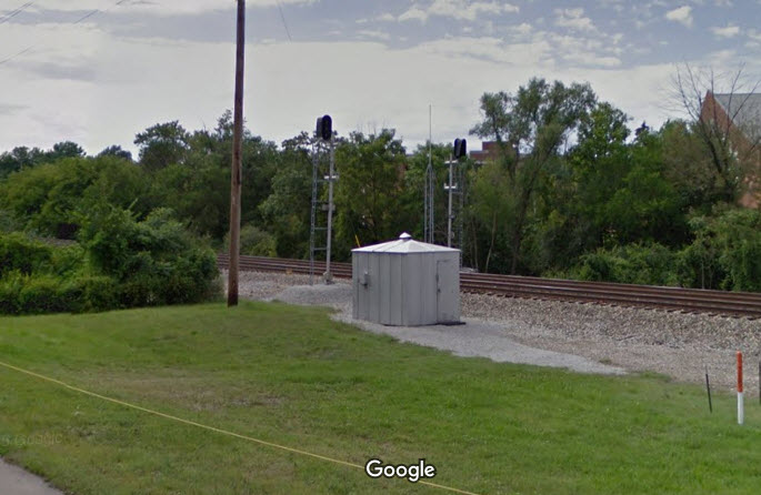
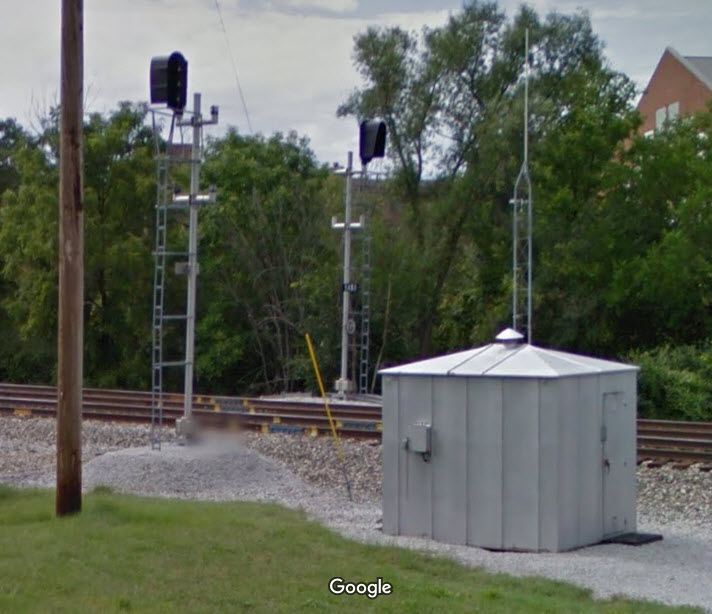
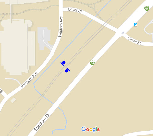
GPS Coordinates: 42.282670, -85.607751
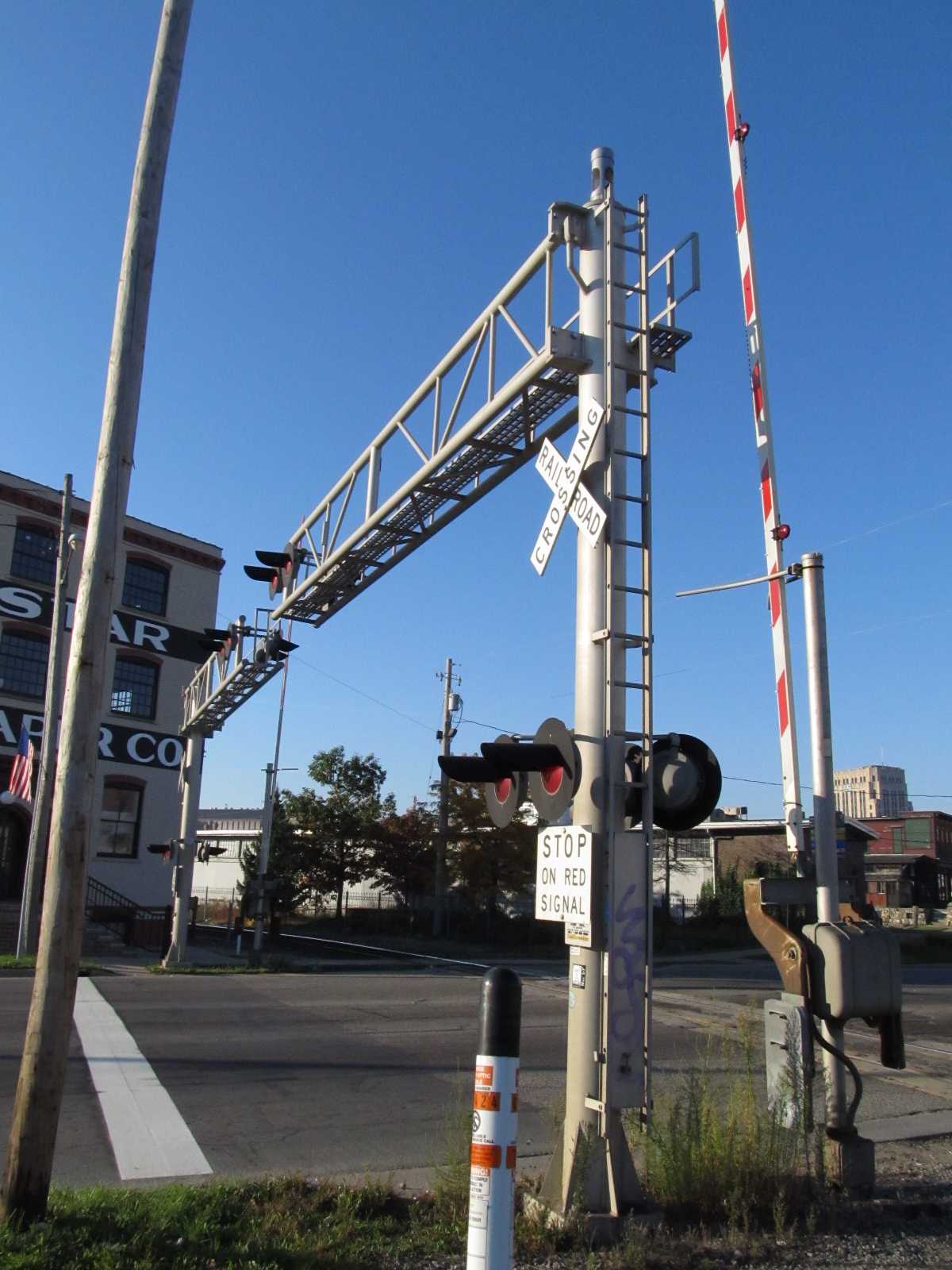
West of the downtown area along Stadium Drive, adjacent to the Western Michigan Univ campus, is this set of intermediate color light signals on the Amtrak line.
Jacks pictures show the changes that have been made to the signals at this location.
Where they were single direction signals before, they are now signaled for both directions.....


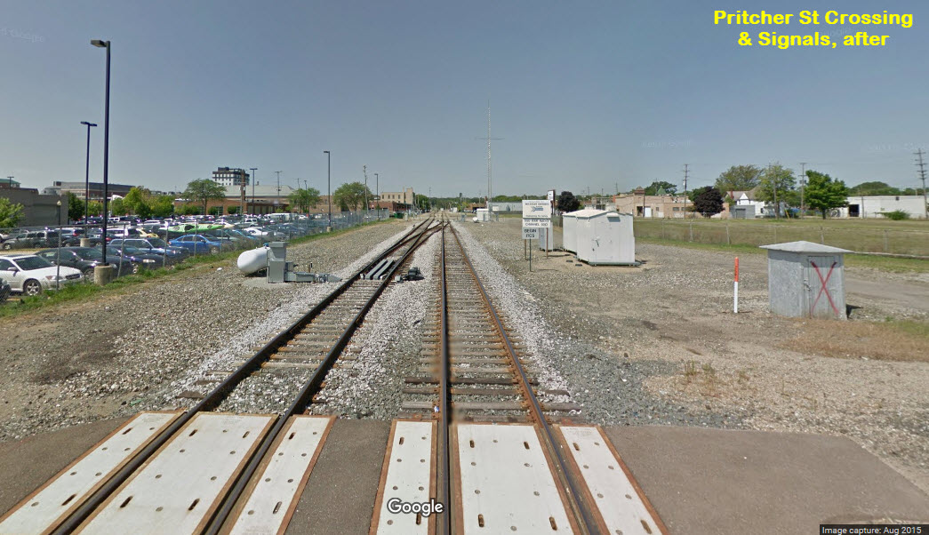
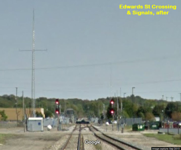
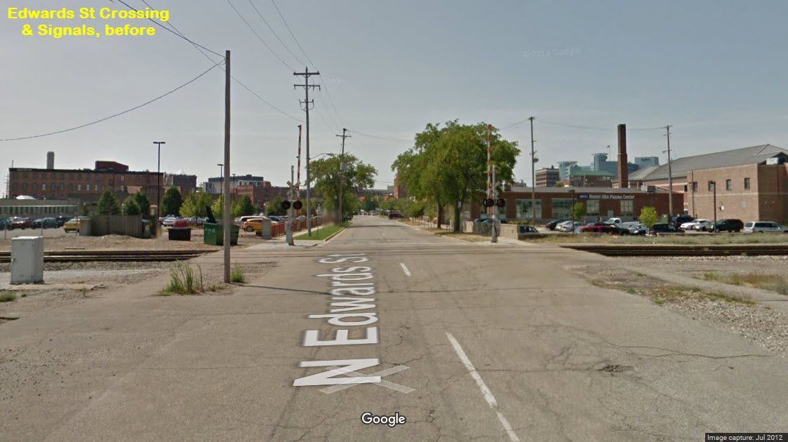
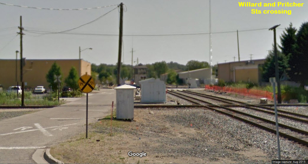
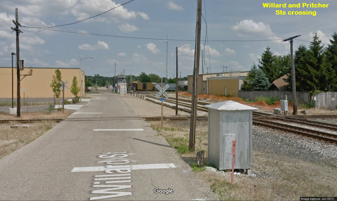
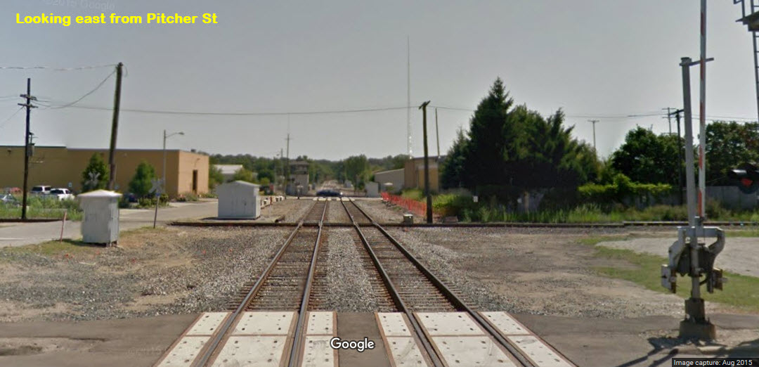
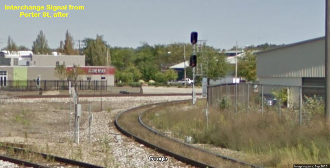
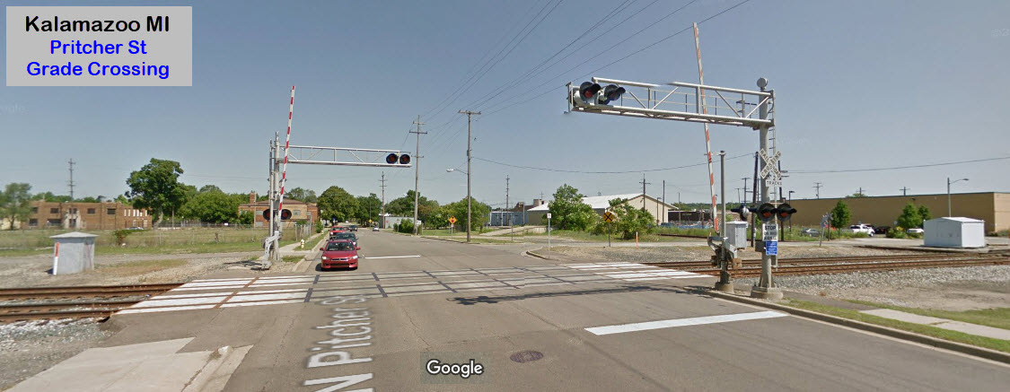
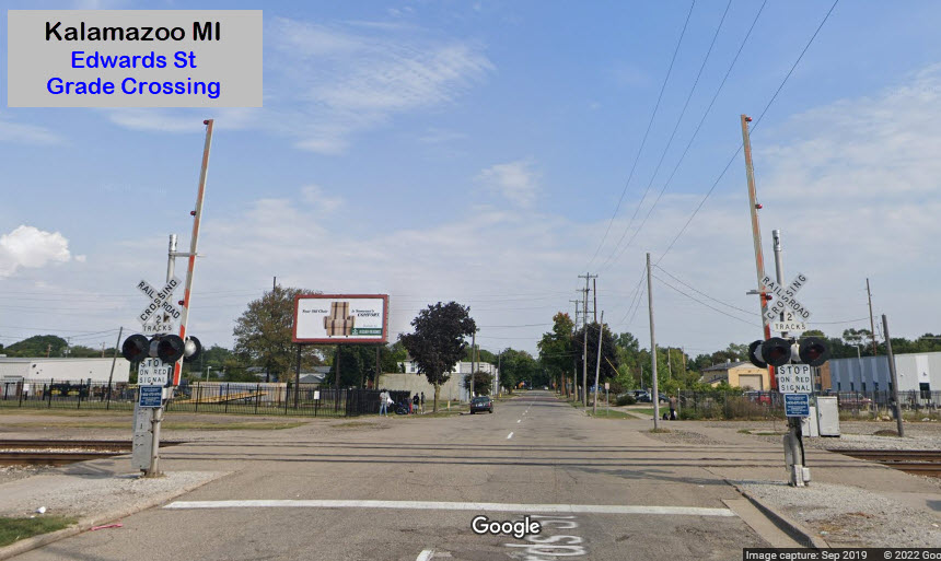
The lone high signal and a dwarf on the EB track at Pritcher Street were replaced by two color light signals adjacent to the Edwards Street grade crossing. A crossover between Pritcher and Edwards Streets was also added during the re-signaling.
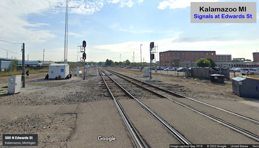 In 2019
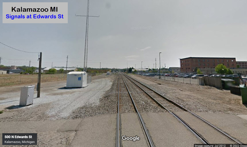 In 2012
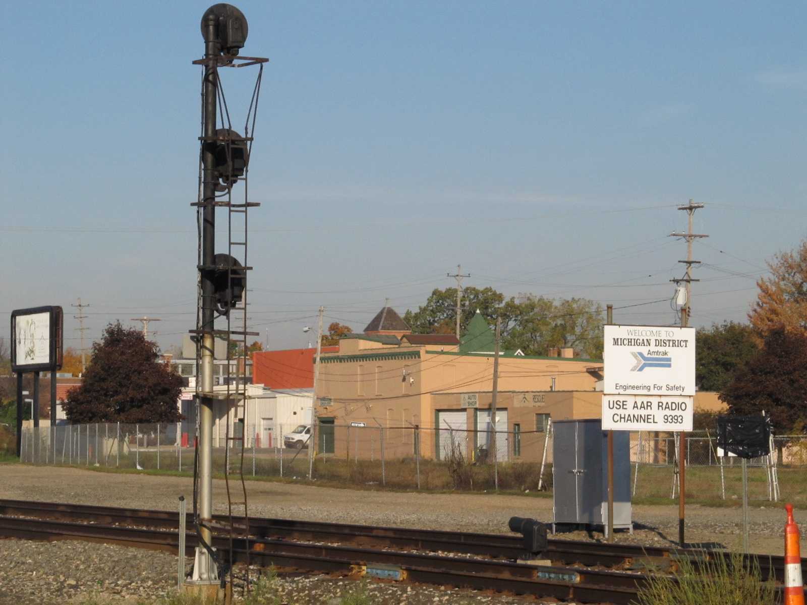

GPS Coordinates: 42.296306, -85.579408
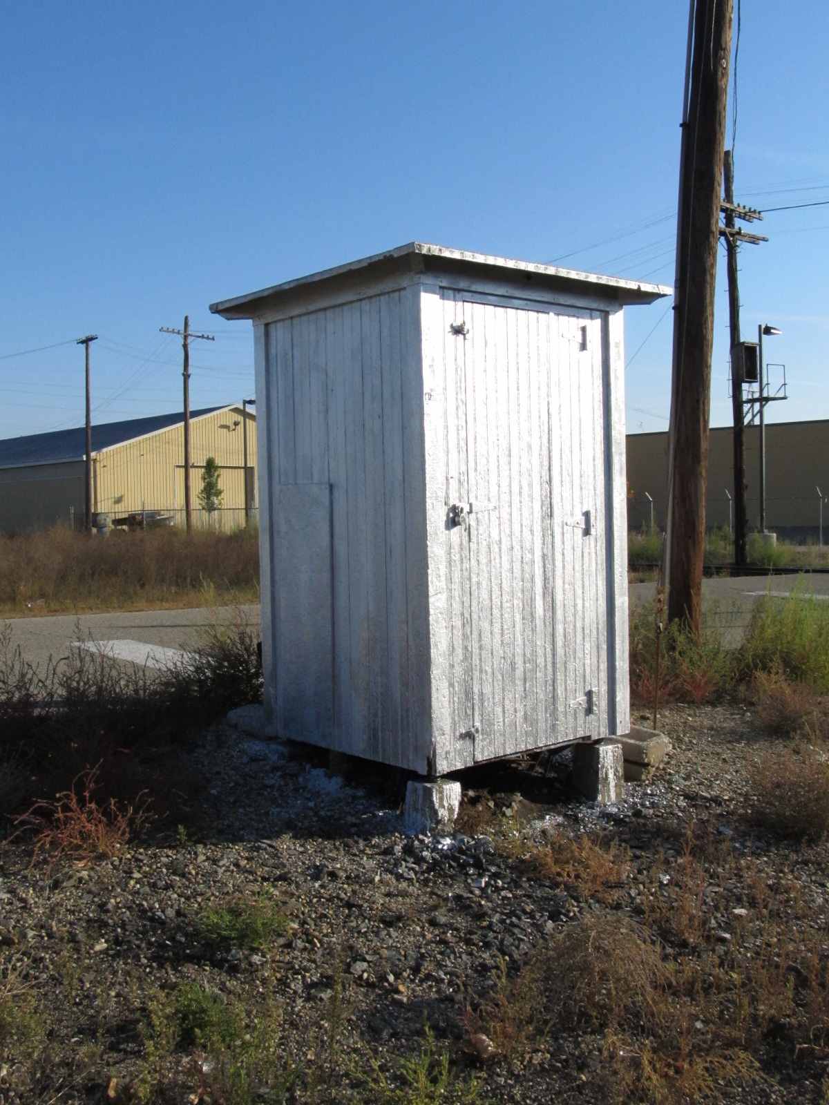
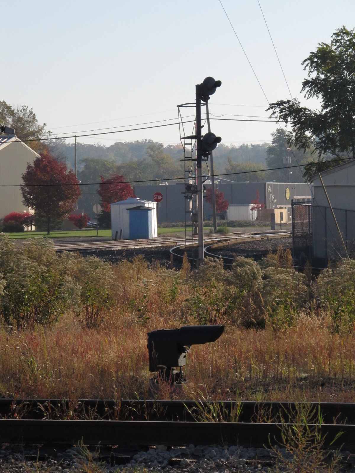
On the north side of the western diamond, a rare wooden equipment cabin, an unused ramp on an unused siding, and a dwarf signal. The ramp is was used when the Johnson Howard lumber yard was around - it closed in the mid 90's. With the re-signaling, it looks like this signal, originally a two aspect dwarf colorlight signal, has been replaced with a three aspect colorlight signal on a new base. In looking at the 2015 street view, it appears that the wooden cabinet is still with us.
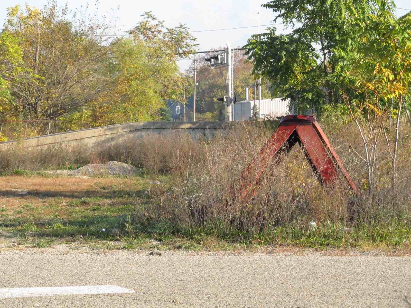
During the signal upgrade and replacement, this signal was removed.

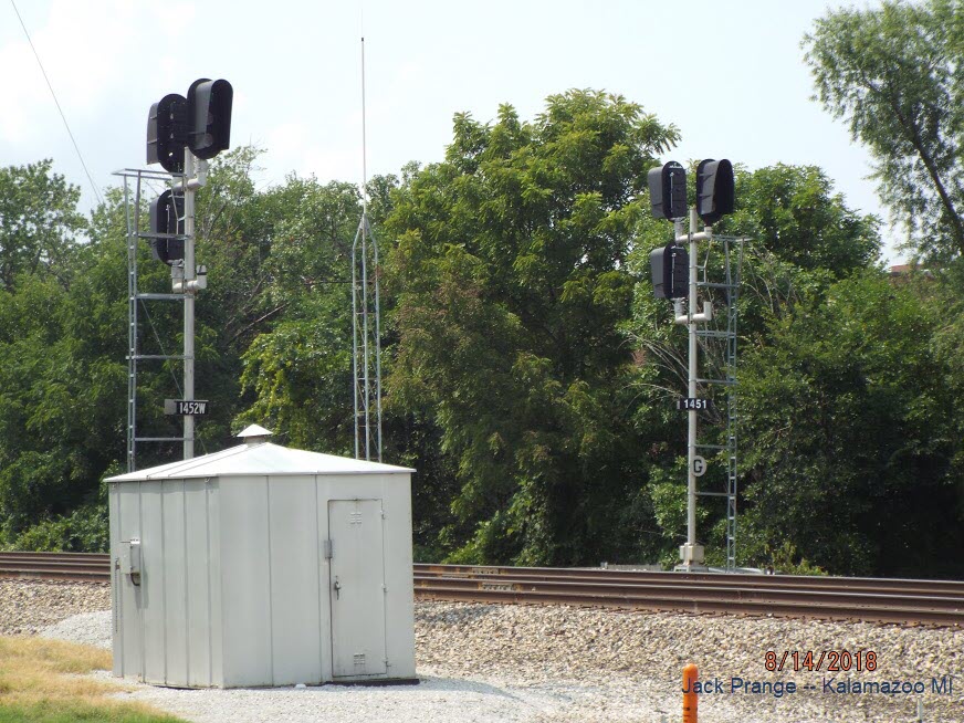
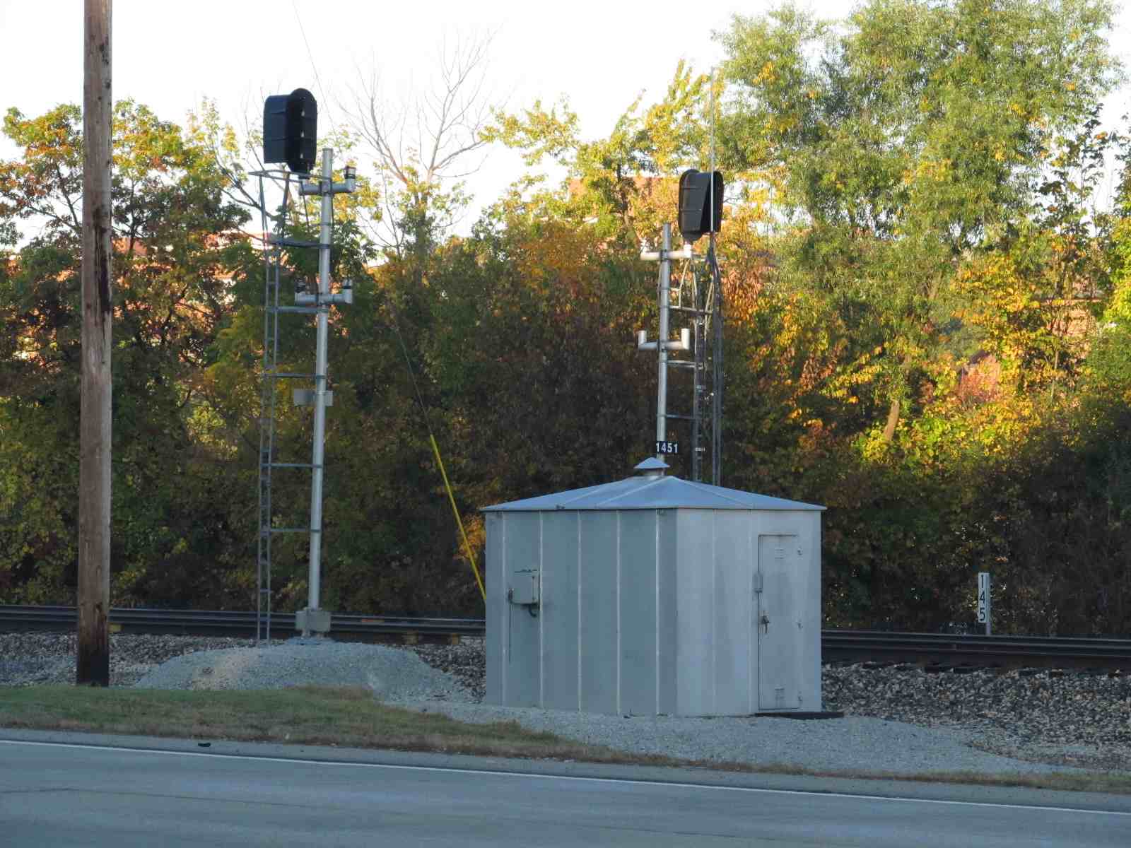
GPS Coordinates: 42.296287, -85.578202
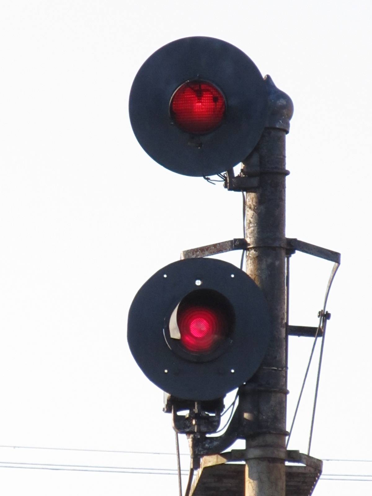
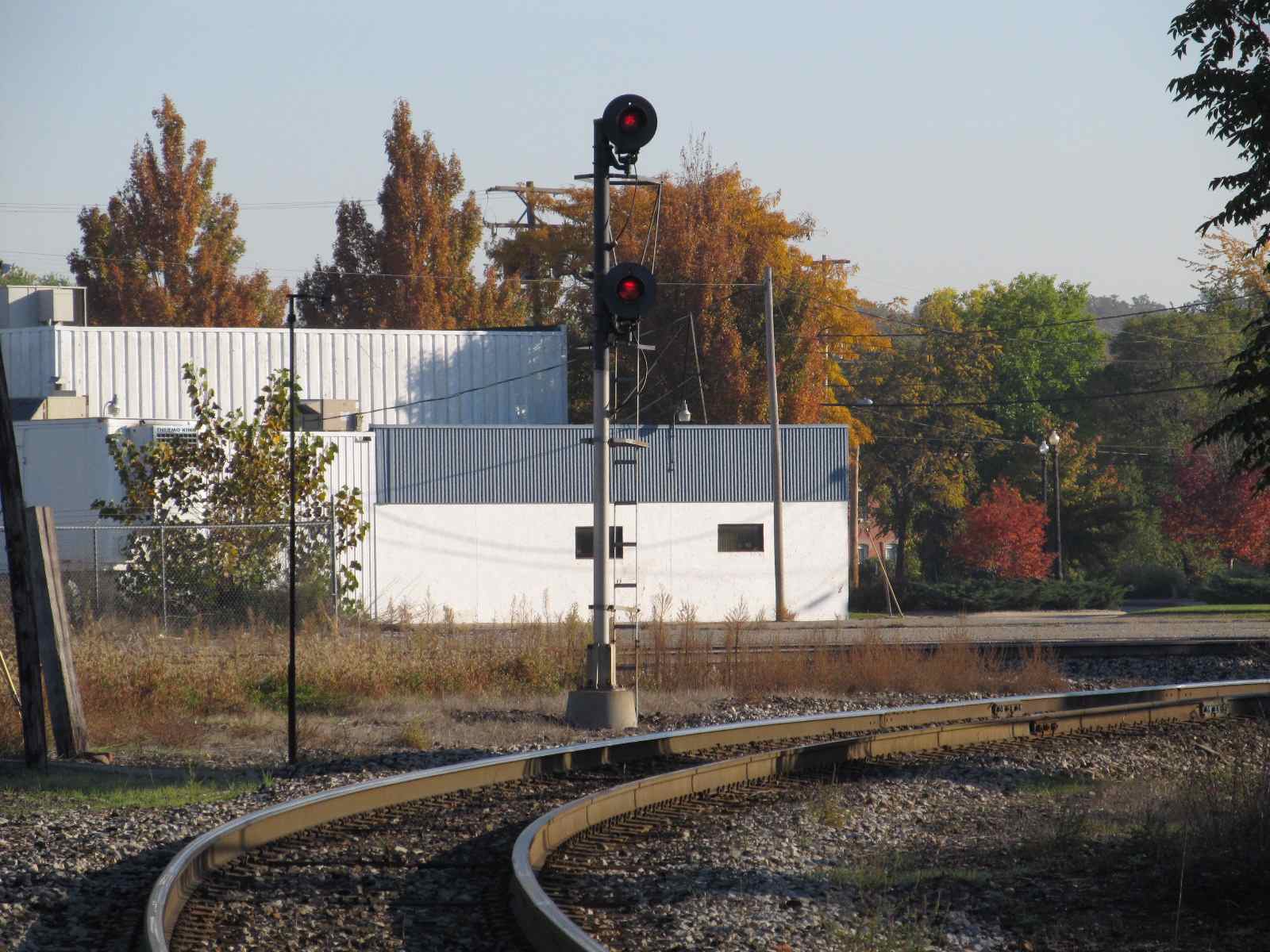
One of the Grand Elk signals by the tower. The upper head WAS fixed, the lower one a GRS searchlight.
It is now a two head colorlight installation.


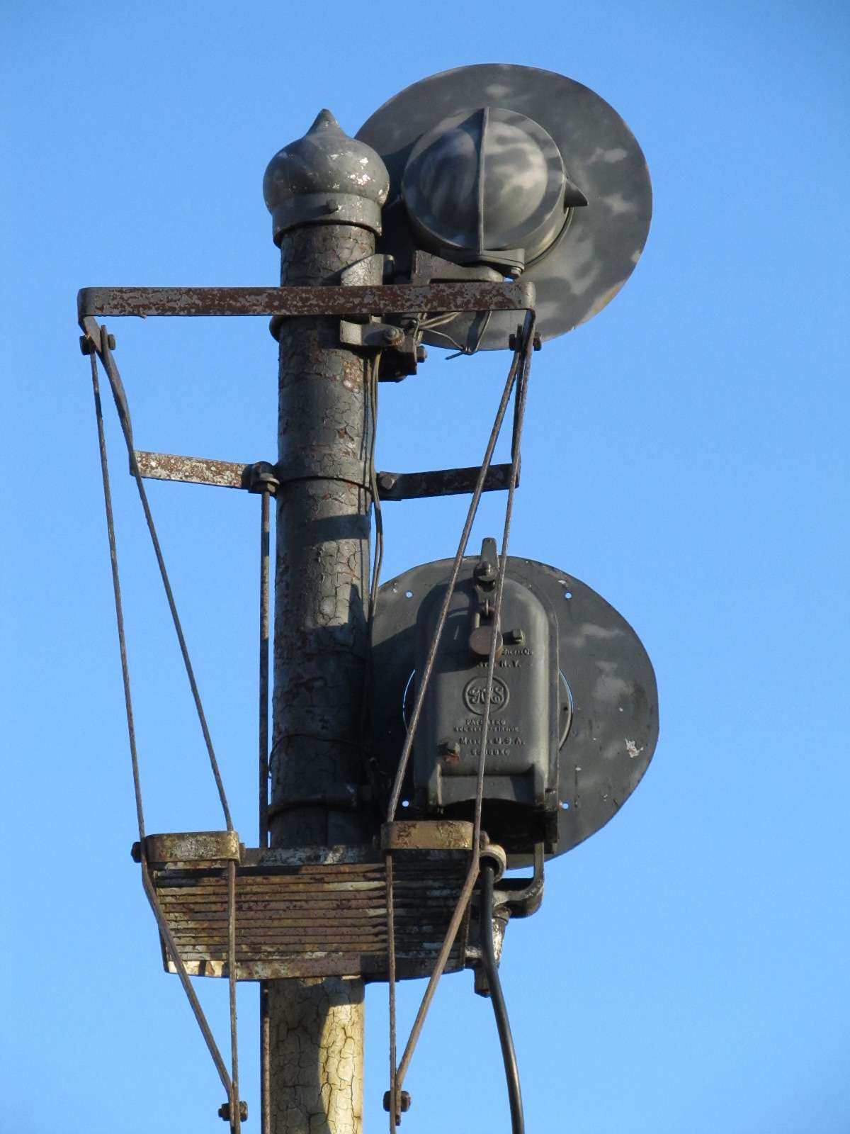
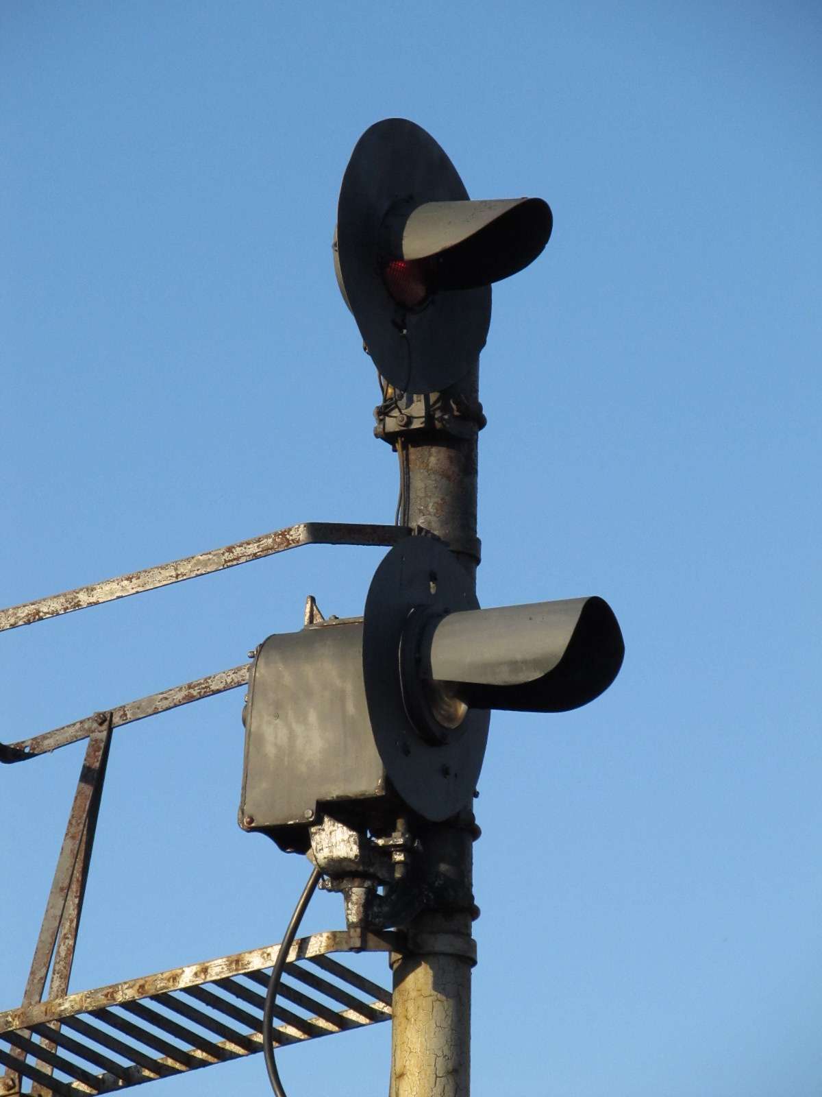
The signals here were replaced by a pair of three head colorlight signals, one for both tracks where only one high signal had been before. Even though the bottom head on the right looks like it is not red, it more than likely is due the the camera being overexposed due to the light being aimed "right on" into the camera. It also appears that a single crossover was installed.


The WB signals before the diamond at the tower, a stack of three US&S searchlights... a dwarf searchlight protects the EB track for reverse movements.
Looking from the other direction, from Pitcher Street
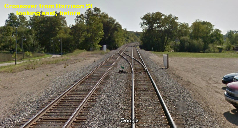
Looking west from Harrisdon St, "AFTER", notice the crossover has been relocated so the signals can control the movement across it.
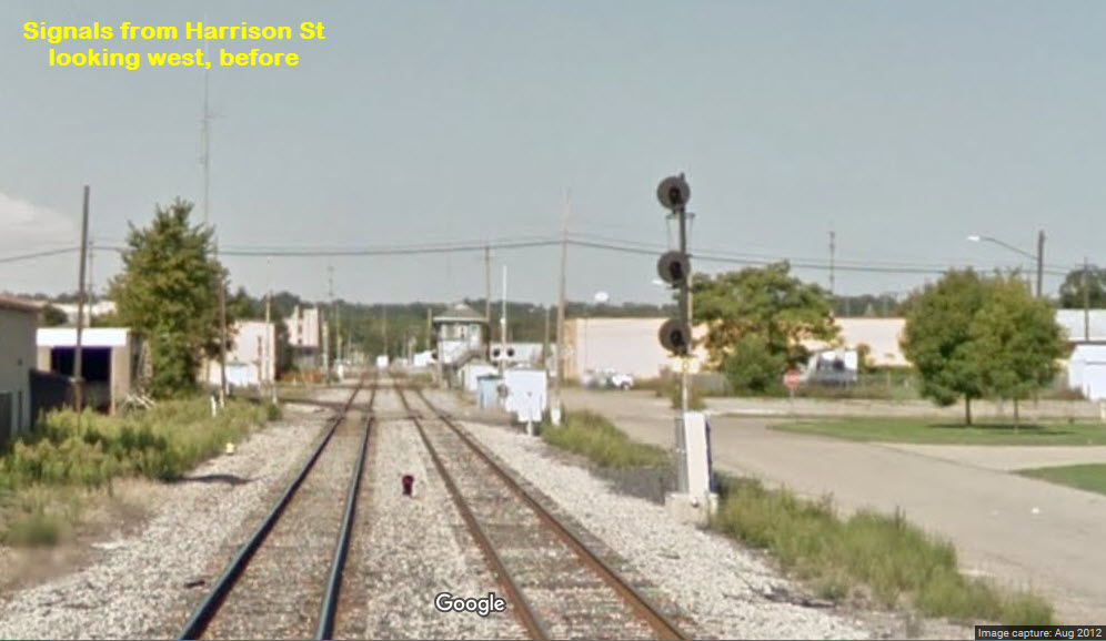

Looking into the other direction, "AFTER", perfectly timed, notice the crossover is gone.
This signal was replaced by a two head colorlight signal, and placed the new signal to the right of the interchange track, instead of being on the left.
They replaced a dwarf searchlight signal with a dwarf three aspect colorlight signal for NB traffic through the diamond. I guess one could ask why a high signal was employed for the northern signal, and a dwarf on the southern side of the diamond?
 After
After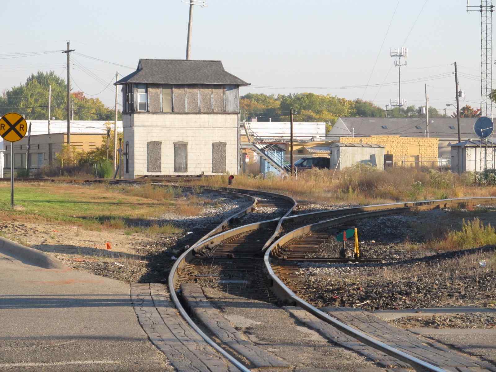 Before
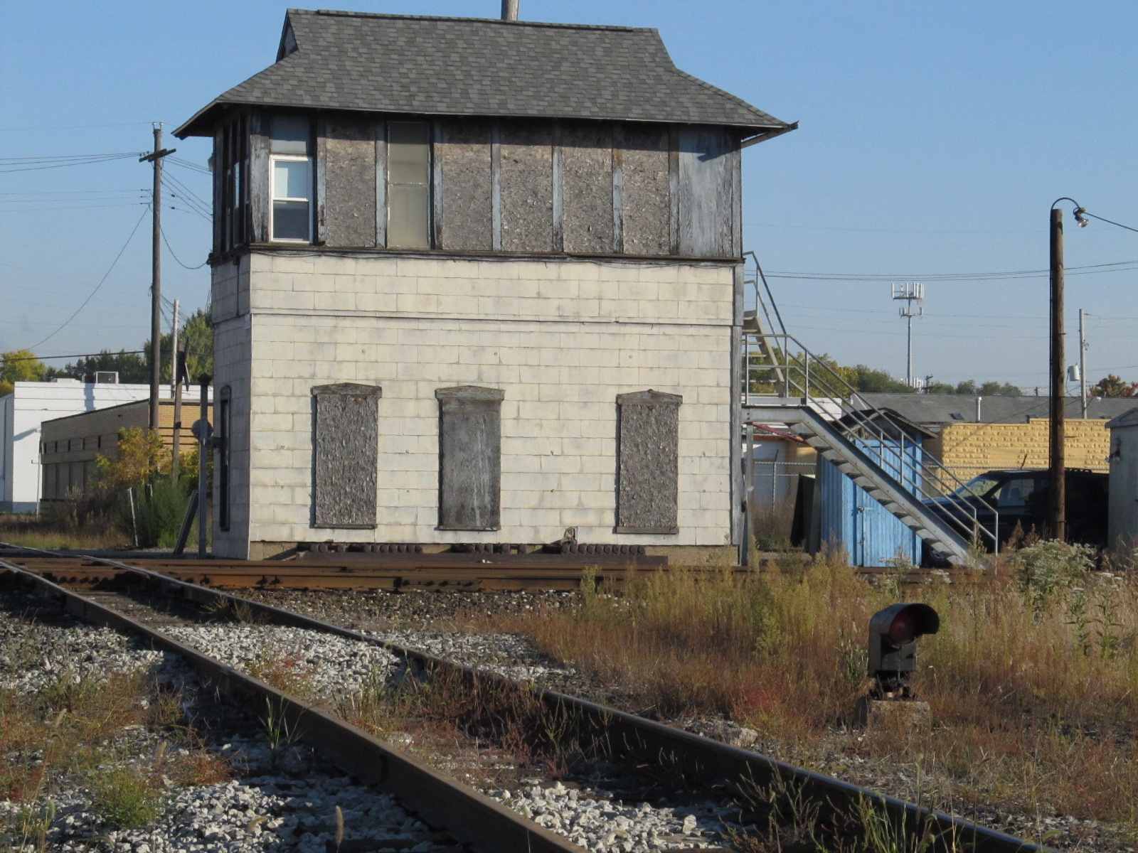 Before
 Before,
Looking south from E Kalamazoo Ave
Before,
Looking south from E Kalamazoo AveLocated on the south side of Water Street, it seems this signal too, has been replaced.
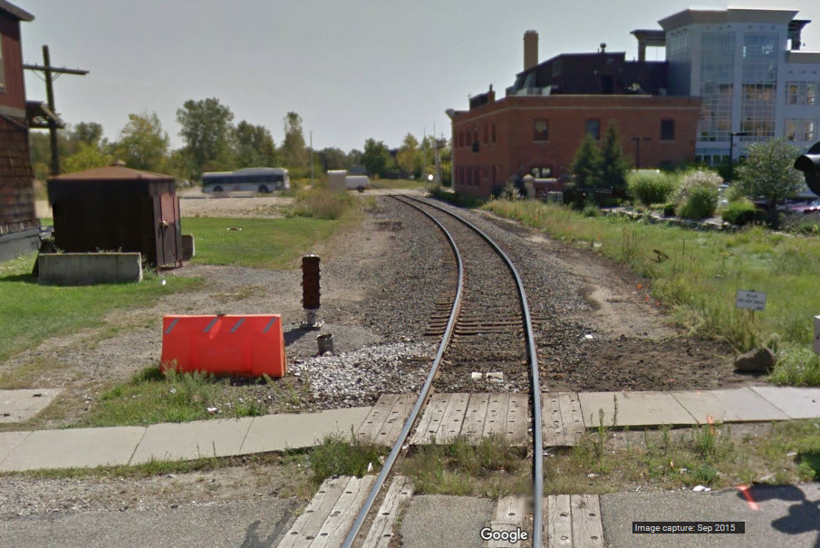
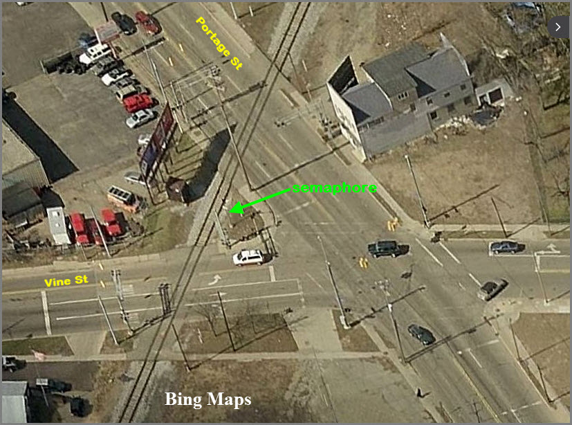
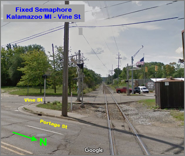
Located at Vine and Portage Streets. A field check is needed to confirm the signal is still with us :-) Anyone want to volunteer???
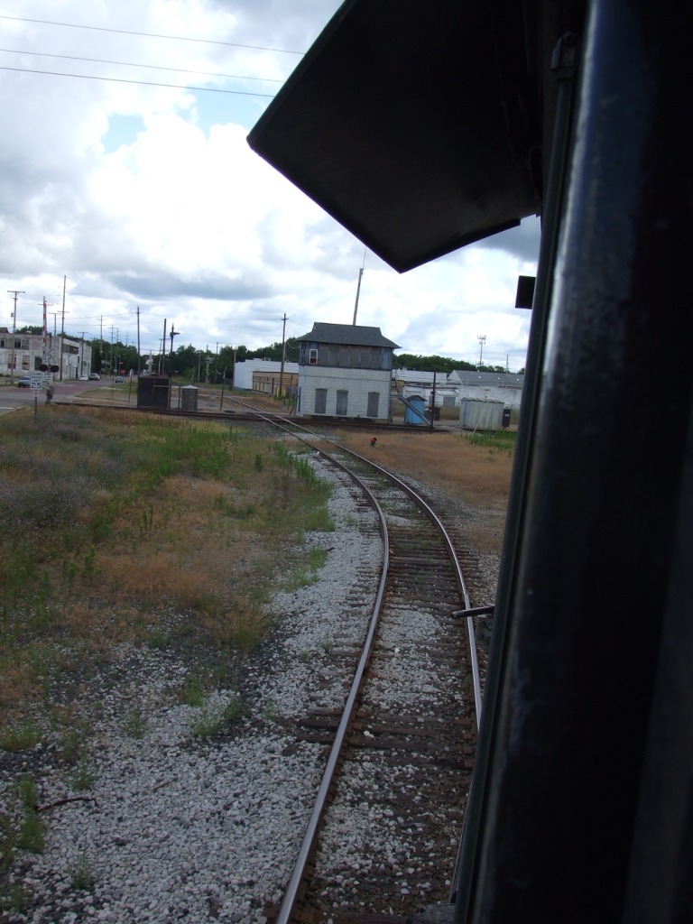
 From Mike Spencer's Cab Ride.
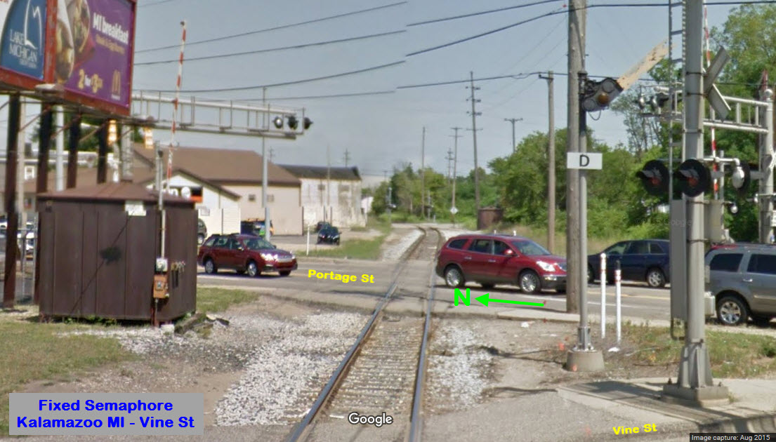
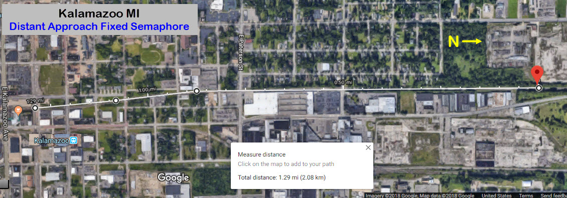
GPS Coordinates: 42.314308,-85.580413
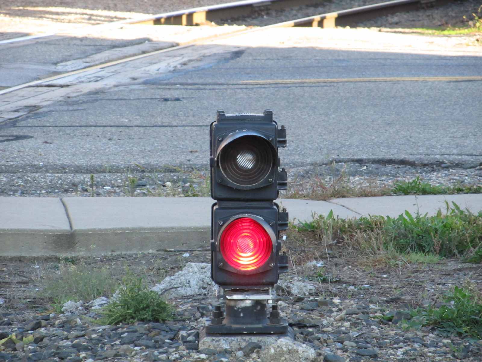
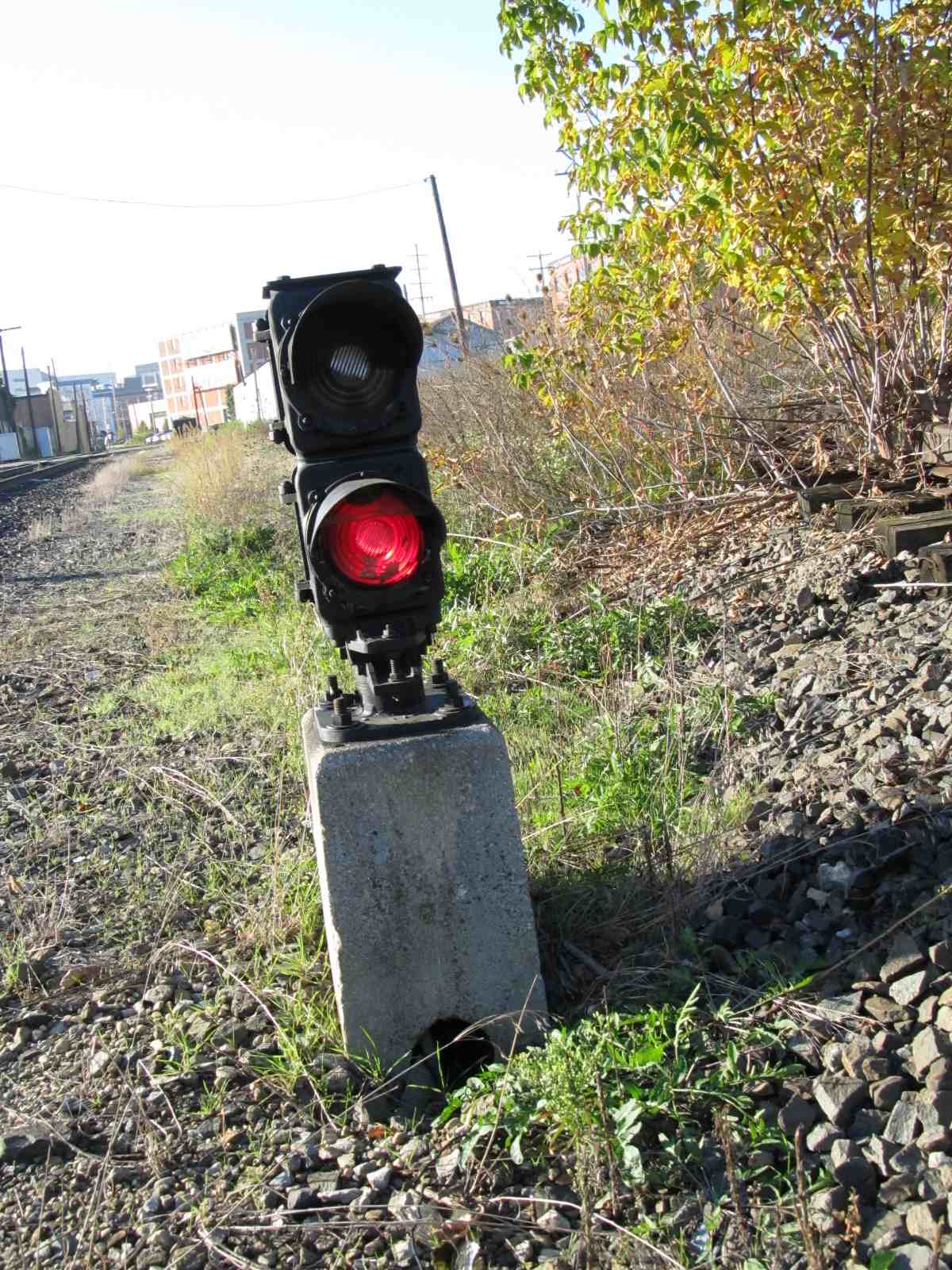
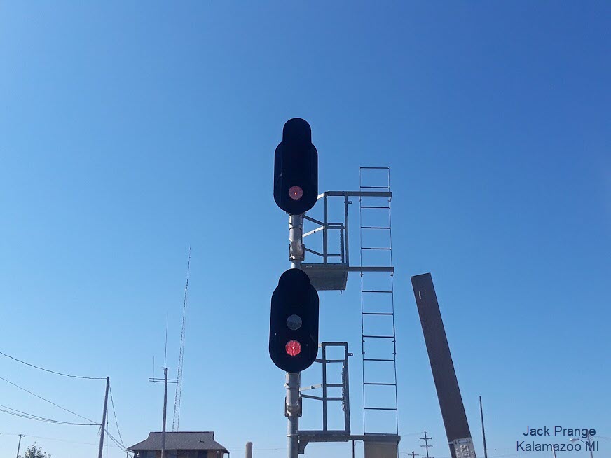
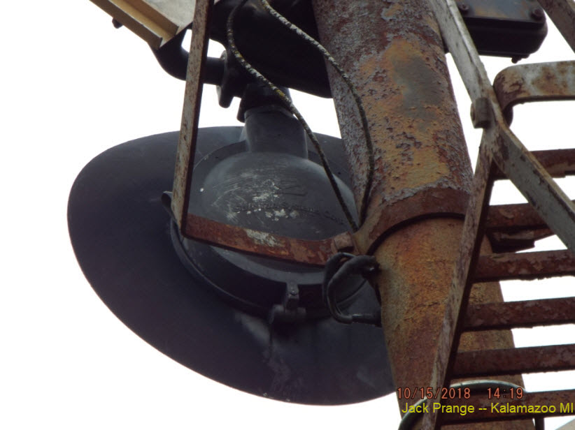
A SB distant fixed approach signal, located off N Pritcher Street.
Note the uniqueness of the signal, employing a standard grade crossing signal housing in lieu of a semaphore light unit.
Photos taken by Jack Prange.

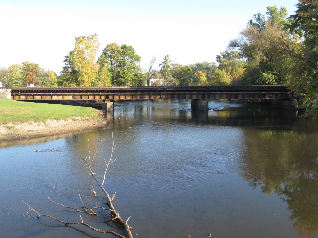
Nice small steel girder bridge for pictures of Amtrak. If you happen to be at the Veterans Memorial when an Amtrak train comes, have no fear, for this bridge is adjacent to the memorial. Morning sun looks like its best for EB's.
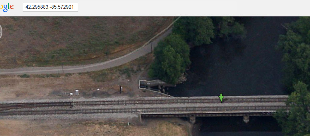
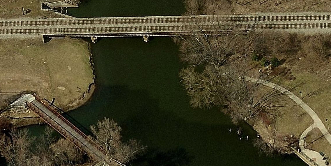
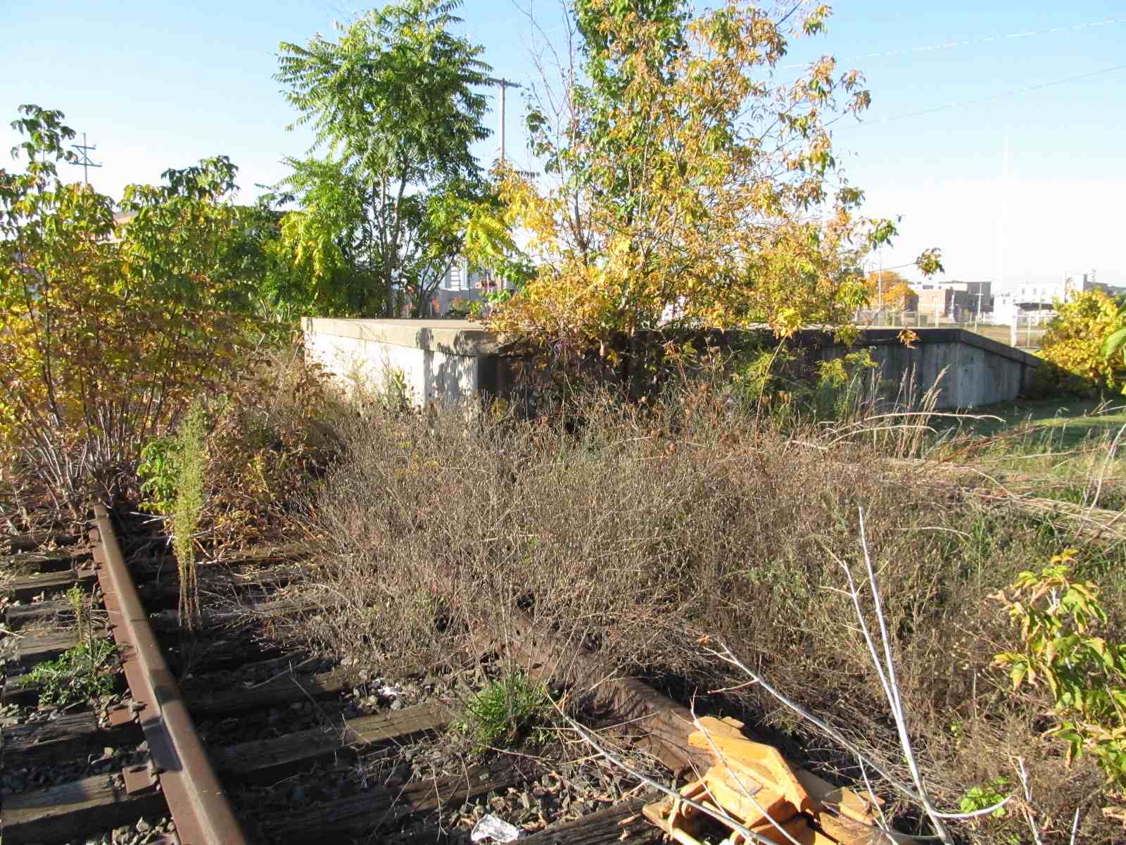
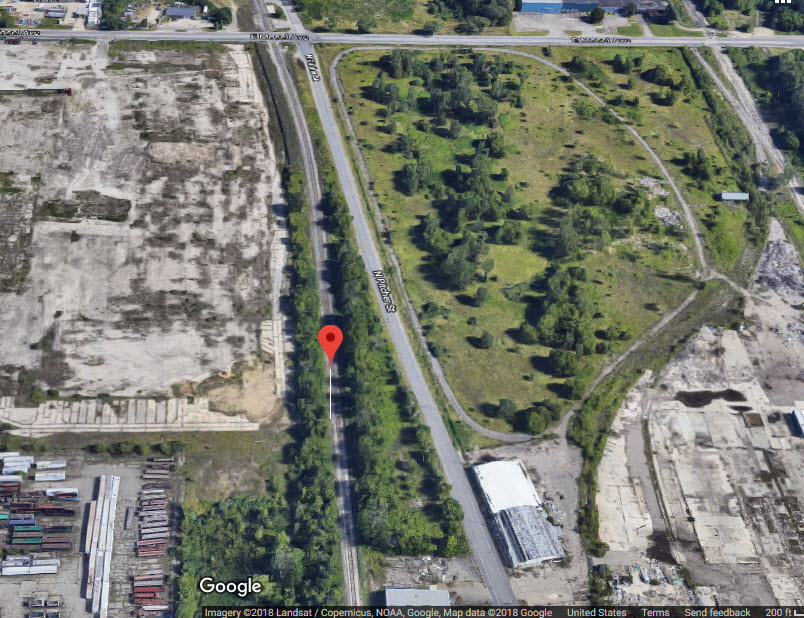
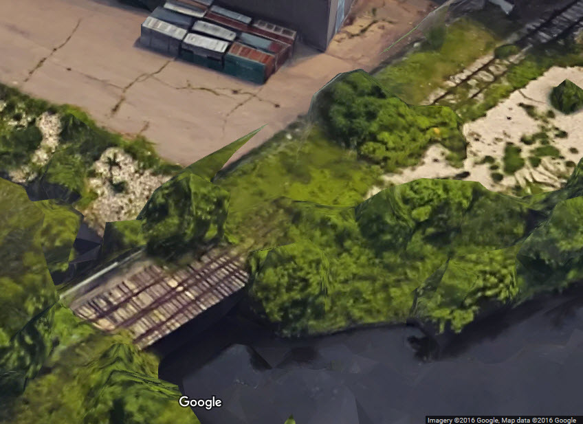
An abandoned bridge used to gain access to a metal scrap yard.
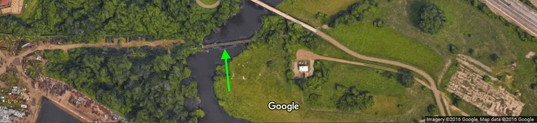


A pretty much abandoned bridge on an underused siding. The bridge also sports a switch for yet another piece of abandoned track. The track from here headed southeast and (probably) joined the track that is at the scrap yard.

Rose St, Amtrak
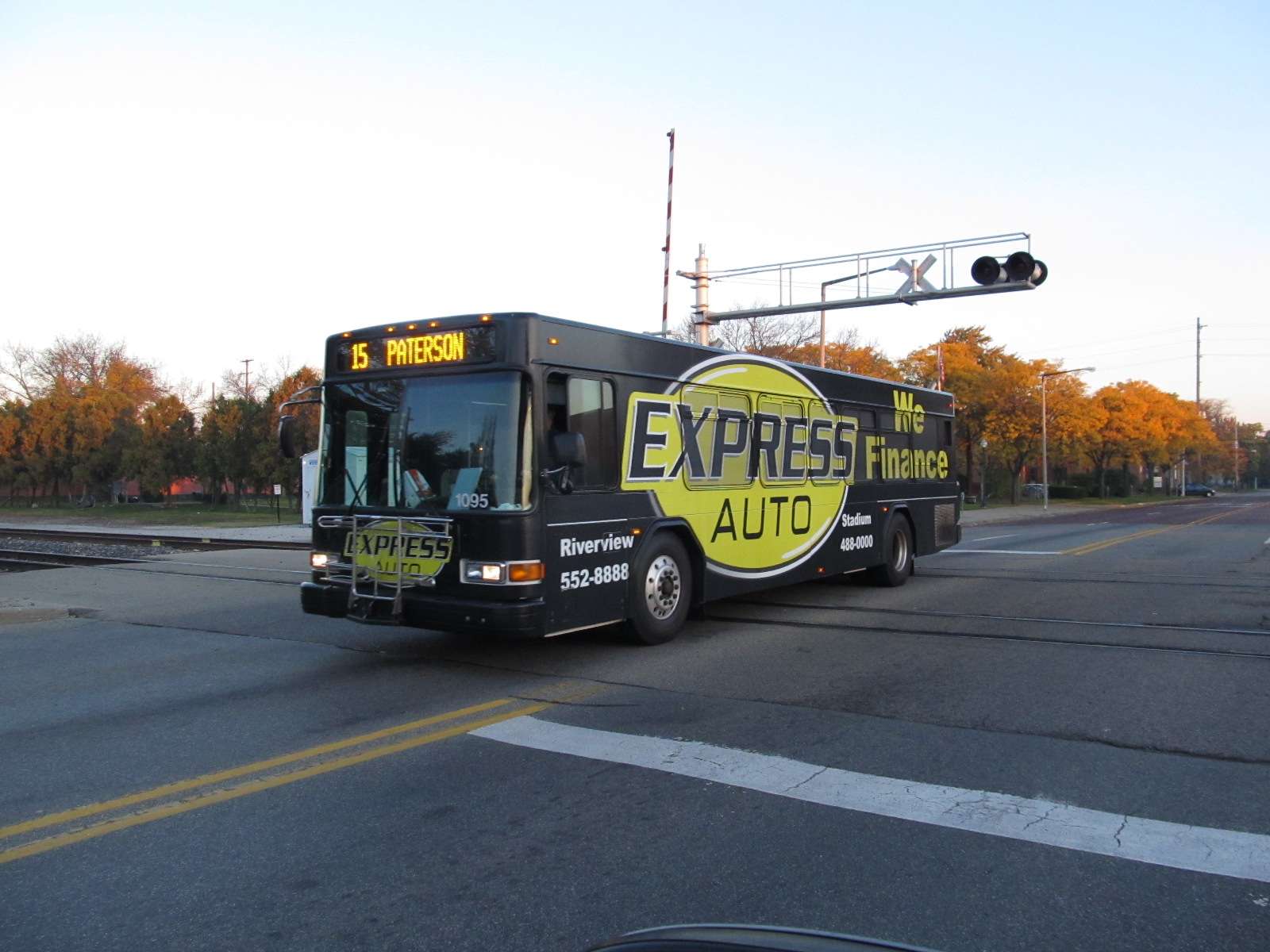
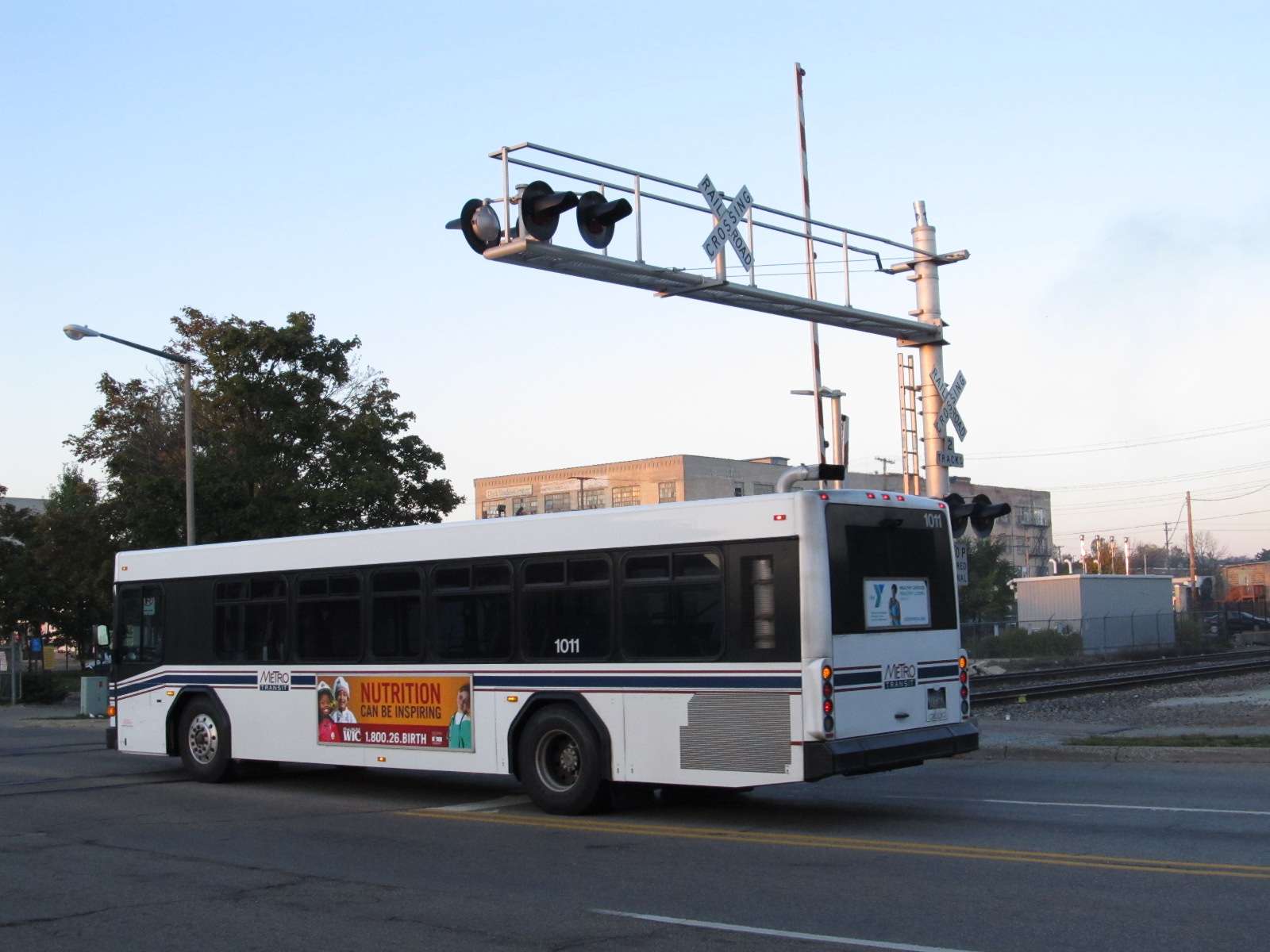
The grade crossing at Rose St, because of it's proximity to the transit center (I'm guessing) is protected with a set of pedestrian crossing gates. It's also a good spot for morning bus pictures.
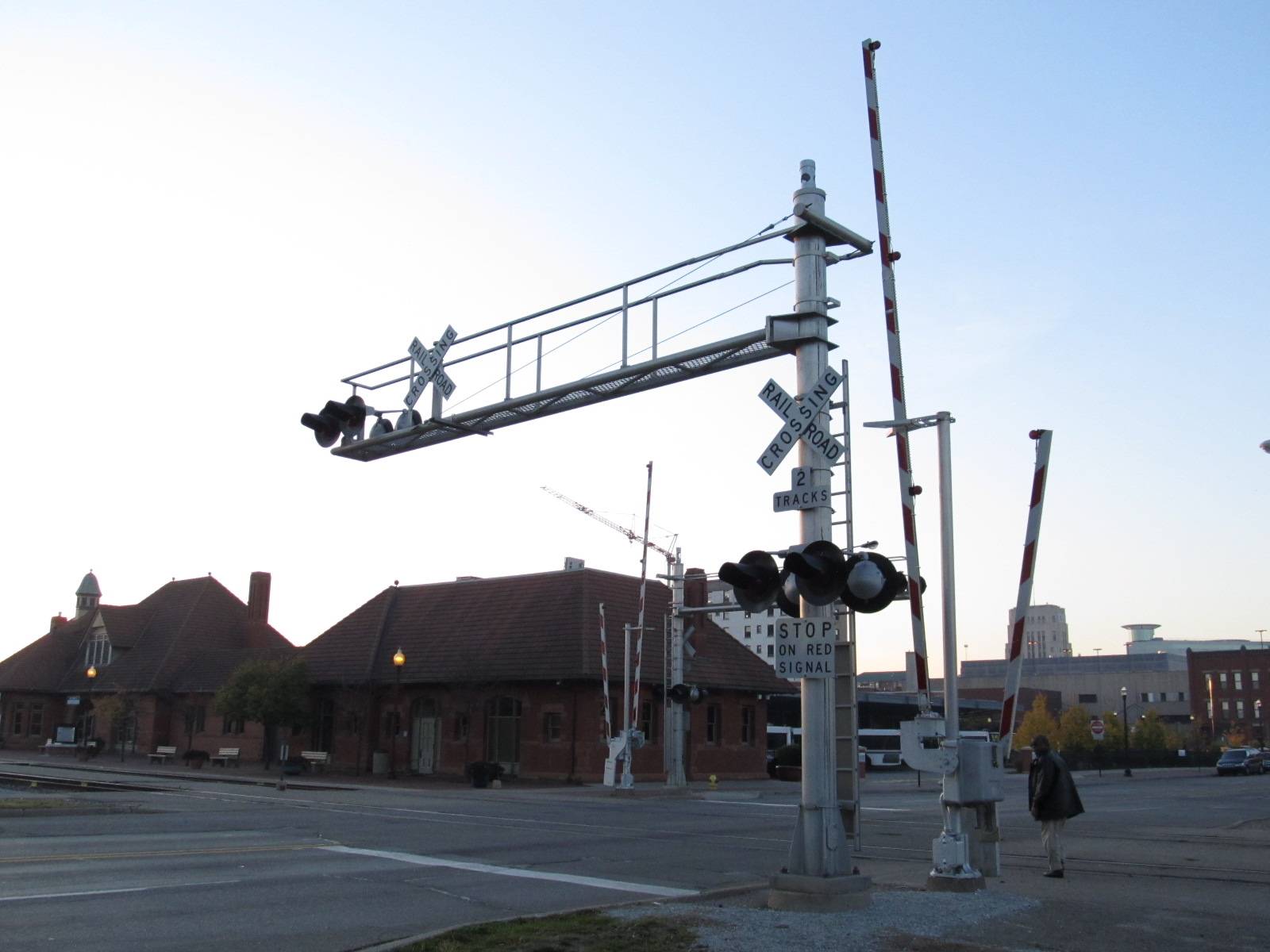

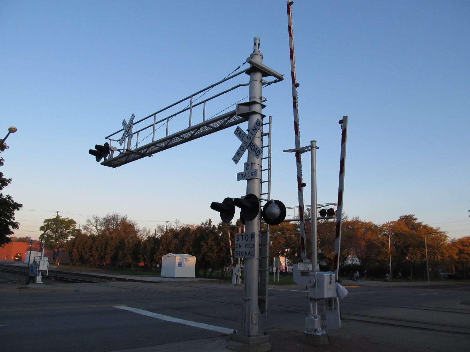


Michigan St Grade Crossing
Kalamazoo Ave and Porter St
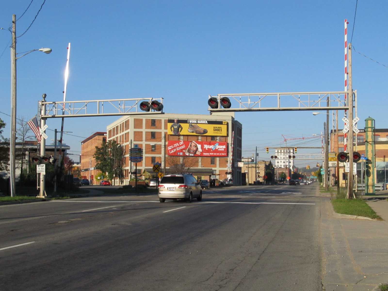
Grand Elk grade crossings on Kalamazoo St, looking west from Porter
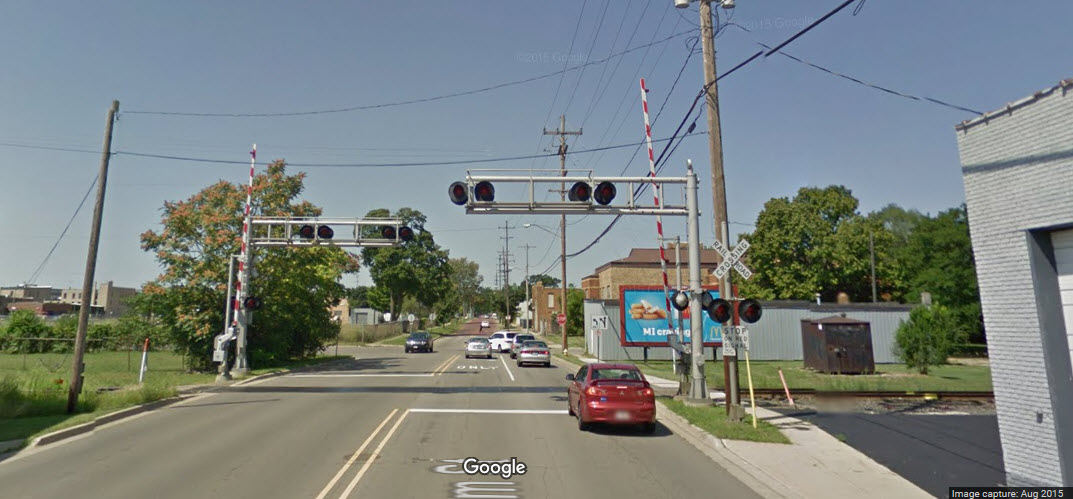
Pritcher St, Amtrak Grade Crossing

Edward Street Crossing
Notice that both crossing gates are on the same side of the tracks.... makes this installation kind of unique.....

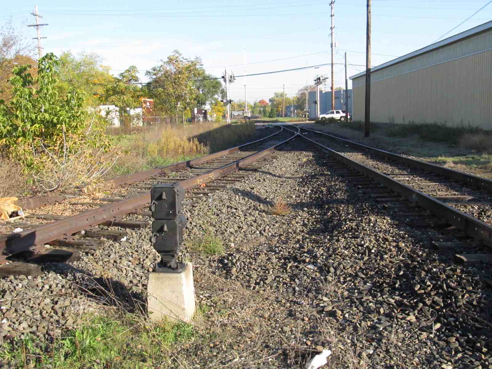
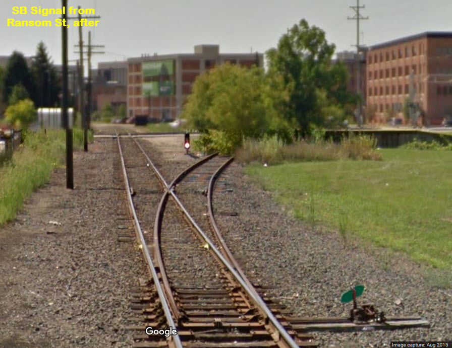
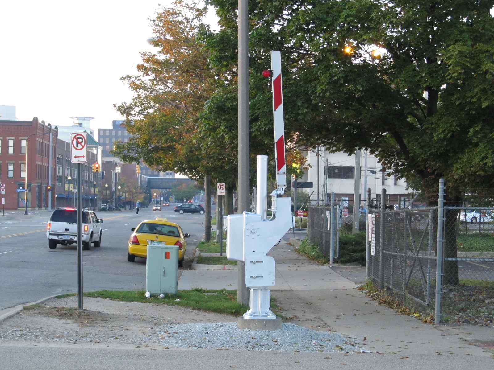
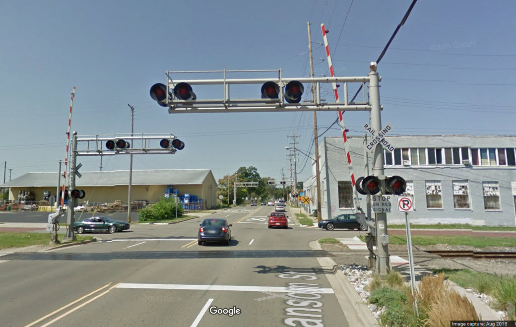
Ransom Street Crossings
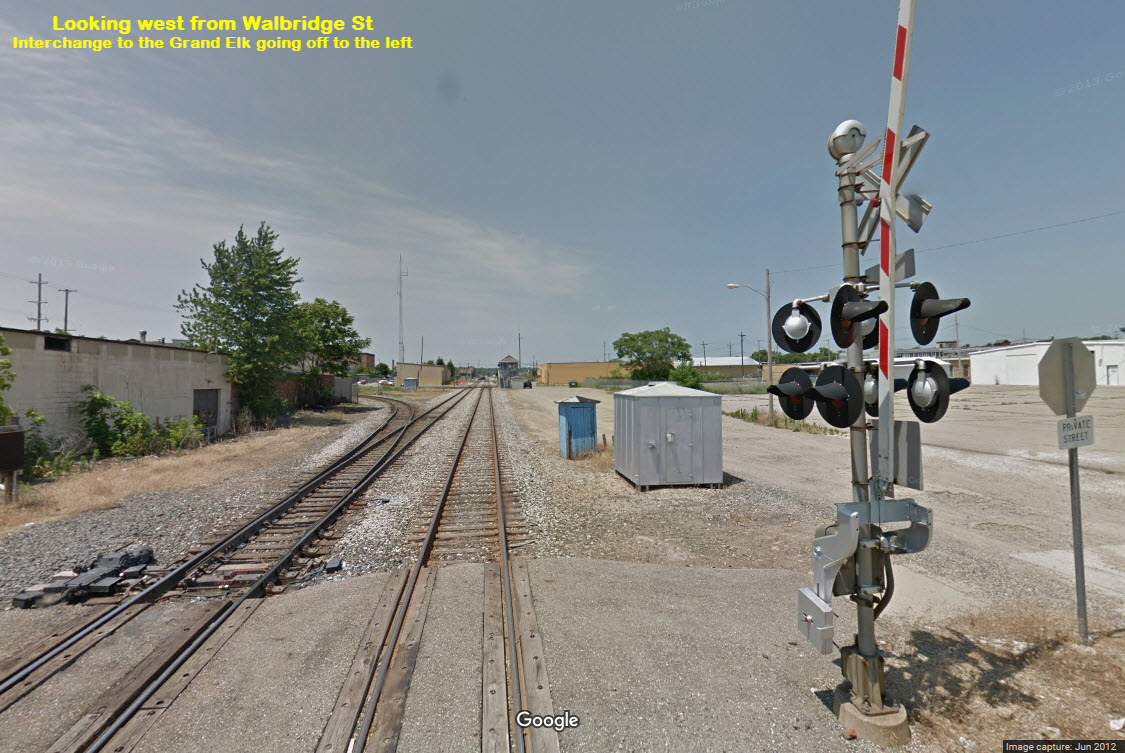
Western Grand Elk Grade Crossing, looking west
Eastern Grand Elk Grade Crossing, looking west
 All Pictures by Mike Spencer unless noted.
About BO Tower - Mike tells me: NS owns and operates BO Tower, yet they don't run any trains! Amtrak owns up to the Eastward Signals at BO, then it changes to NS. Grand Elk leases the north-south lines from NS, while running trackage rights 1 mile east to Botsford Yard.
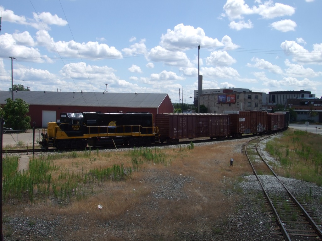
A Grand Elk freight.
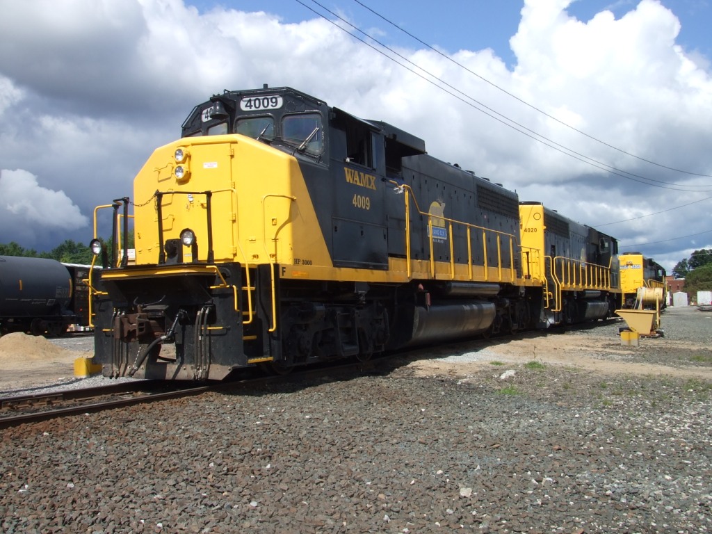
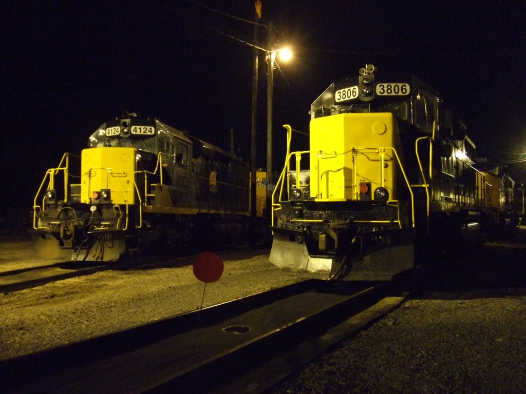
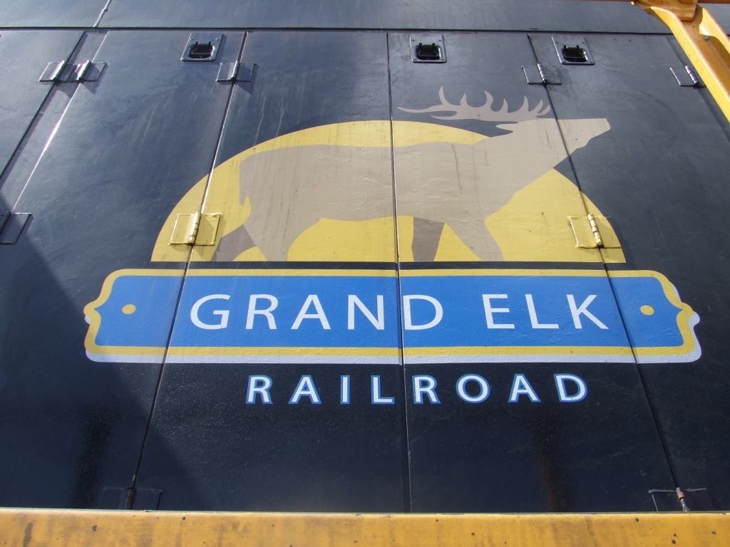
A few more pix of Grand Elk equipment. The Grand Elk runs from Elkhart IN to Grand Rapids MI over leased Norfolk Southern trackage.
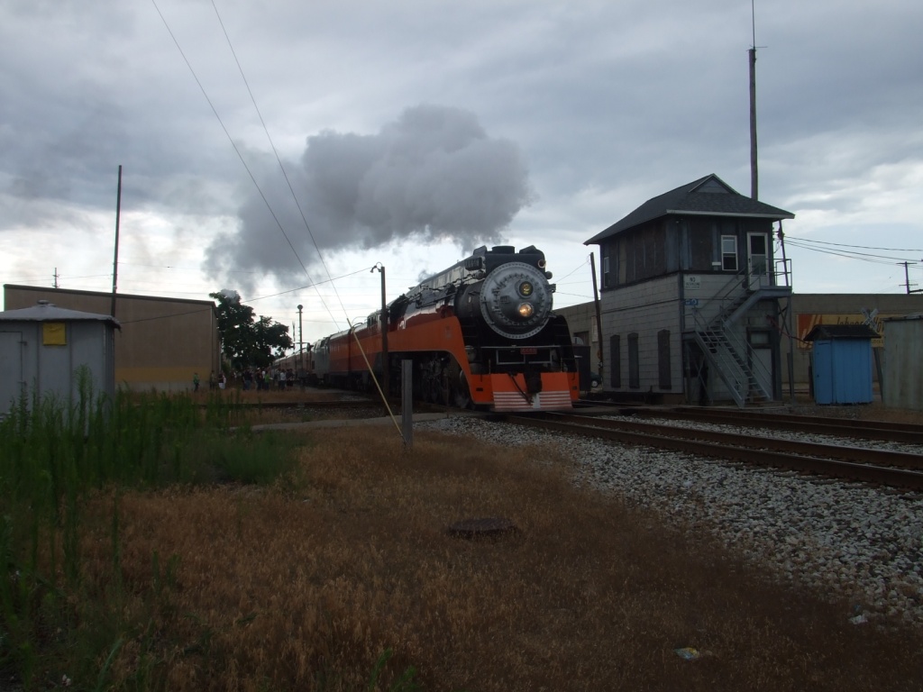
4449 passing through town on it's way to Durand before the train festival in July 2009.
A fixed semaphore south of Kalamazoo on the Grand Elk.
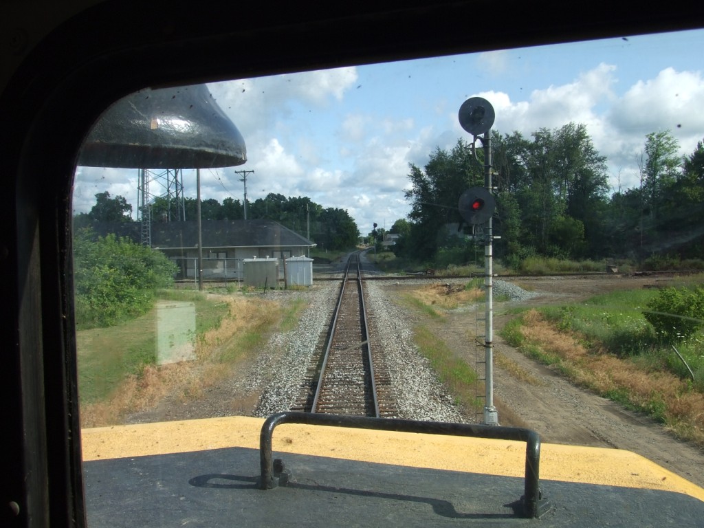
This shot from the cab is in Schoolcraft MI, one interlocking south of BO. The Grand Elk main crosses the CN (ex-GTW main) from Detroit to Chicago.
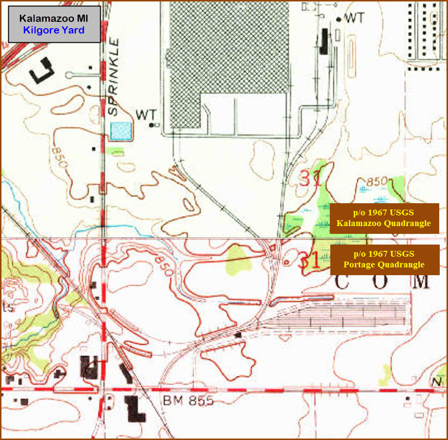
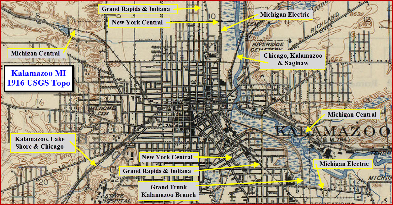
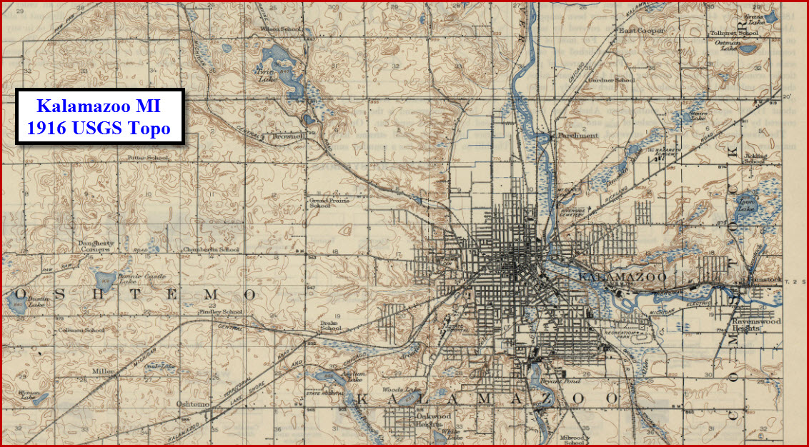
USGS Topo Map from 1916 - Kalamazoo Quadrangle - The picture gets a little grainy when you zoom in, as the source is a ~4meg JPEG

The snippet above comes from the 1917 Galesburg Quadrangle
It shows the Michigan Central and Michigan Electric leaving town on parallel tracks heading over to Galesburg
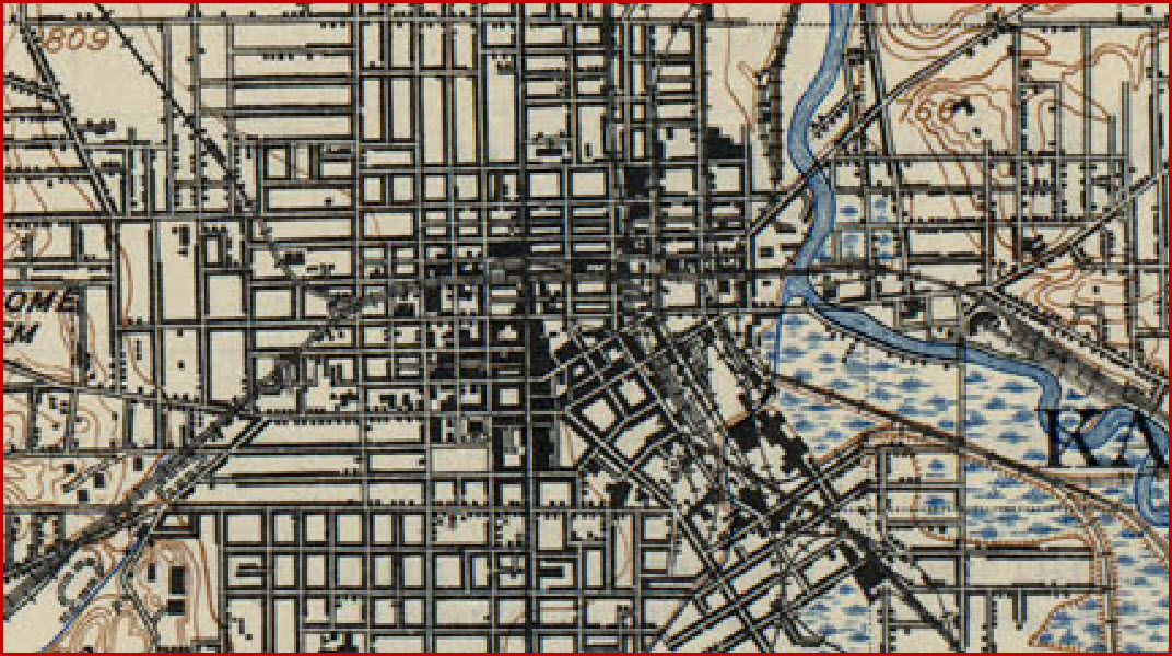
Too bad the close-up detail of the downtown is so "fuzzy"
History
Kalamazoo at one time had seven or so railroads coming into town. Here are some of the dates I have been able to find:
February 2, 1846: Michigan Central - State of Michigan, Detroit to Kalamazoo
December 1, 1848: Michigan Central, Kalamazoo to Niles
May 28, 1852: Michigan Central/Kalamazoo & South Haven to South Haven
May 3, 1867: Lake Shore & Michigan Southern/Kalamazoo & White Pigeon, Kalamazoo to White Pigeon
March 1, 1869: Lake Shore & Michigan Southern/Kalamazoo, Allegan & Grand Rapids, Kalamazoo to Grand Rapids
October, 1870: Pennsylvania RR/Grand Rapids & Indiana, Fort Wayne to Grand Rapids
1899: Michigan Traction, Kalamazoo to Battle Creek
September 1, 1889: Chicago, Kalamazoo & Saginaw (CK&S), Kalamazoo to Woodbury
December 1, 1901: Chicago, Kalamazoo & Saginaw, Kalamazoo to Pavilion - (leased to GTW on August 1, 1910)
1906: Kalamazoo, Lake Shore & Chicago, Leased discontinued line from MCRR
August 8, 1910: Grand Trunk Western/Chicago & Kalamazoo Terminal line
May 17, 1915: Michigan Traction, Kalamazoo to Grand Rapids
Kalamazoo Stuff

Seen entering Kalamazoo from the east side
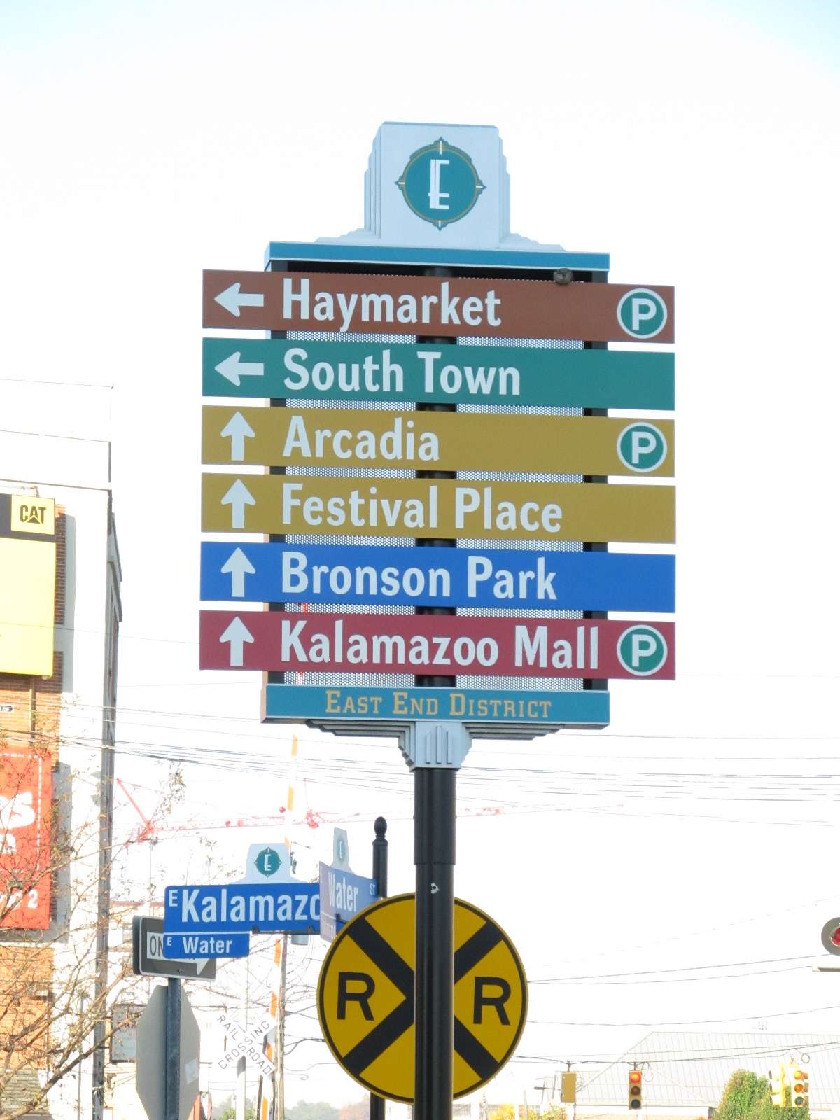
Very nice signs tell you where things are in Kalamazoo, and they are all over the place!
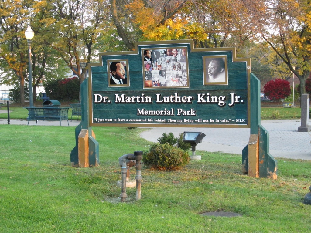
Across from the Metro Transit depot is the MLK Jr Park, and a very nicely done sign.
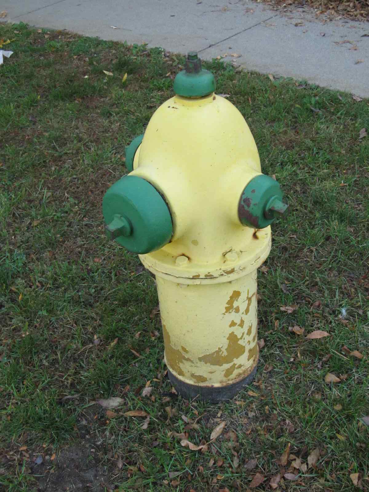
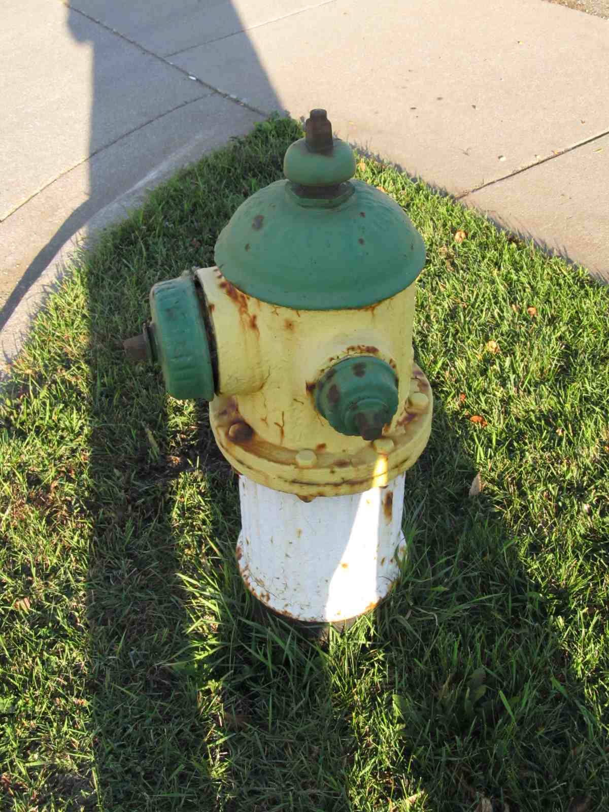
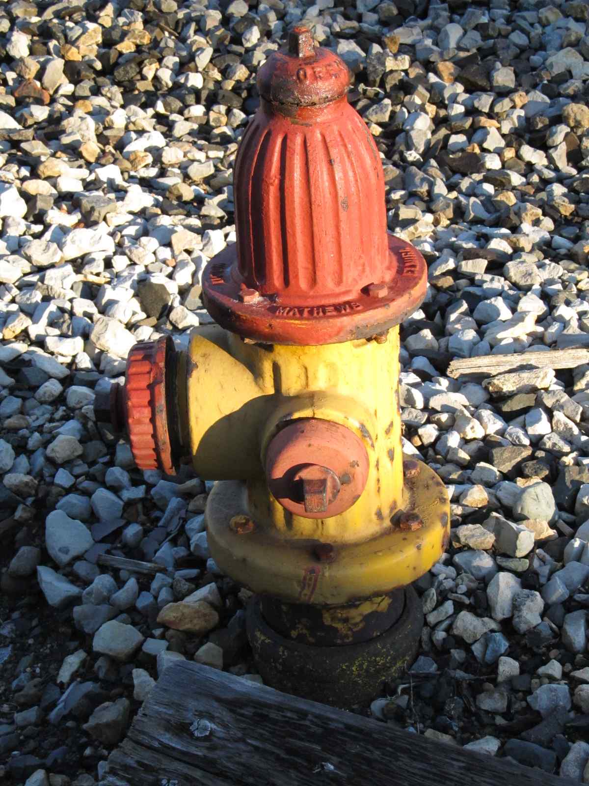
Kalamazoo has a wide variety of fire hydrants, the one on the right was located next to the Amtrak mainline, not near much of anything but the tracks.

A manhole cover from the Western Union Telegraph Co?
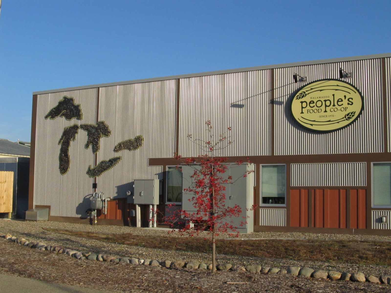
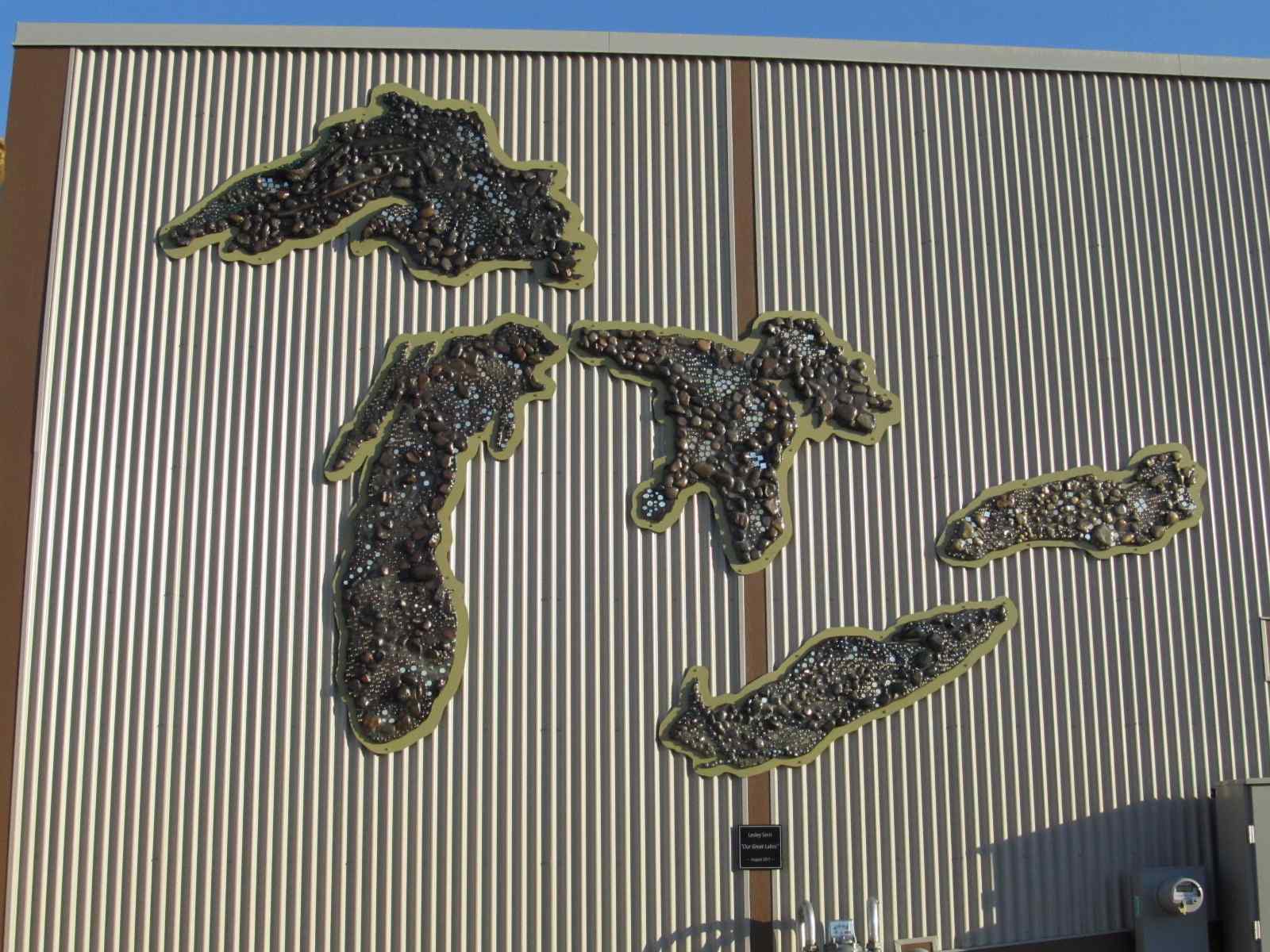
Really nice stone mural of the Great Lakes adorns the side of the Peoples Food Co-op building. The building was built in 2010. I previously had this noted as being a former Grand Trunk warehouse, but an anonymous contributor informed me it was a new building. Whomever you are, t hanks for the correction and for taking the time to let me know!
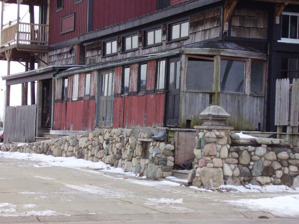
In this picture from Tim Shanahan, is an old street sweeper trolley being used as an add-on to a building being built, next to the one pictured above with the artwork on it. Tim believes the trolley may have come from Jackson MI.
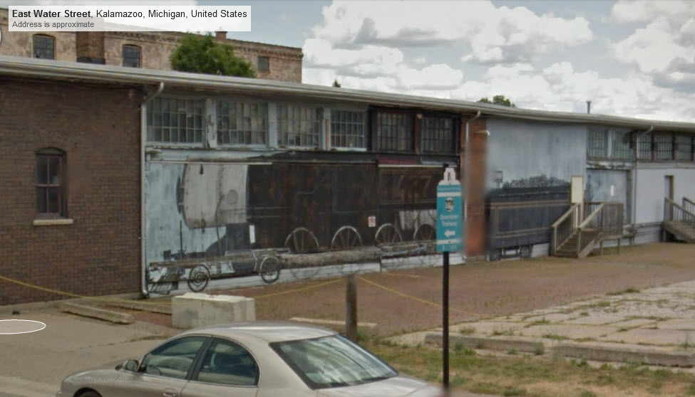
From Google Street view along East Water Street.
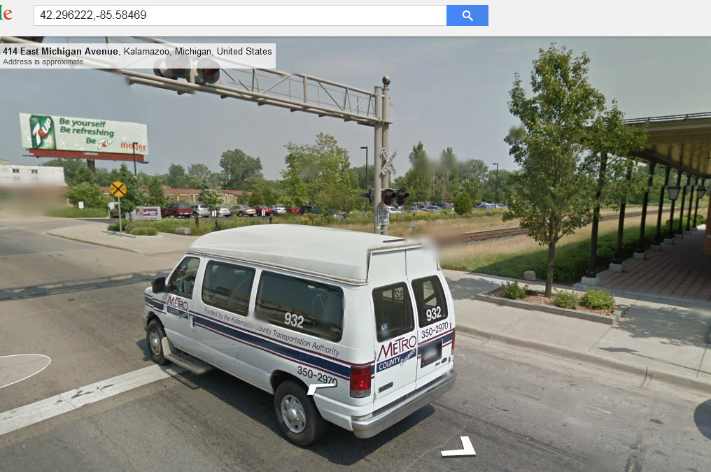
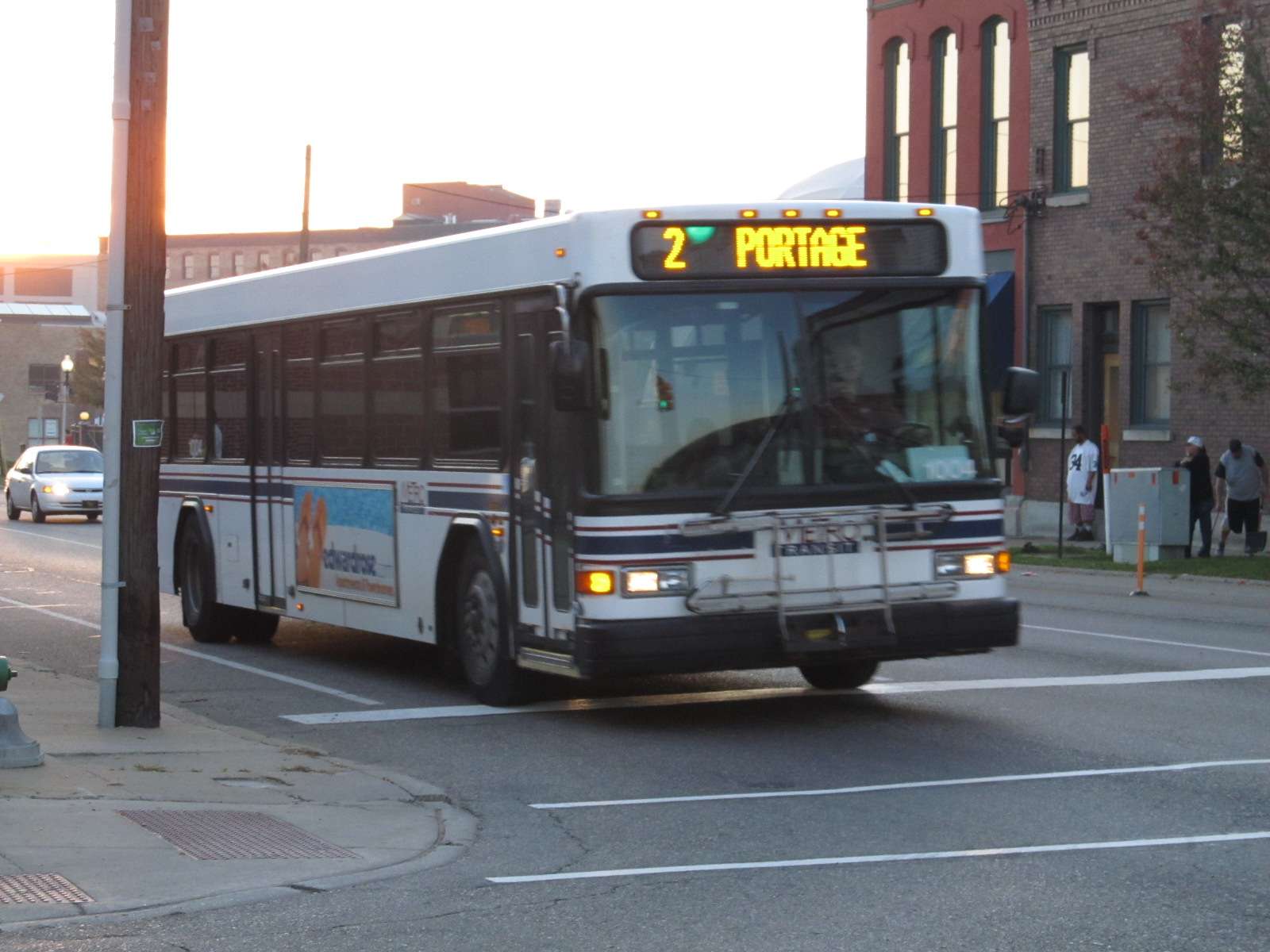
Also found while trolling on the street view, a handicap bus in front of the GR&I depot.
Disclaimers:
I love trains, and I love signals. I am not an expert. My webpages reflect what I find on the topic of the page. This is something I have fun with while trying to help others.Please Note: Since the main focus of my two websites is railroad signals, the railfan guides are oriented towards the signal fan being able to locate them. For those of you into the modeling aspect of our hobby, my indexa page has a list of almost everything railroad oriented I can think of to provide you with at least a few pictures to help you detail your pike.
If this is a railfan page, every effort has been made to make sure that the information contained on this map and in this railfan guide is correct. Once in a while, an error may creep in :-)
My philosophy: Pictures and maps are worth a thousand words, especially for railfanning. Text descriptions only get you so far, especially if you get lost or disoriented. Take along good maps.... a GPS is OK to get somewhere, but maps are still better if you get lost! I belong to AAA, which allows you to get local maps for free when you visit the local branches. ADC puts out a nice series of county maps for the Washington DC area, but their state maps do not have the railroads on them. If you can find em, I like the National Geographic map book of the U.S..... good, clear, and concise graphics, and they do a really good job of showing you where tourist type attractions are, although they too lack the railroads. Other notes about specific areas will show up on that page if known.
Aerial shots were taken from either Google or Bing Maps as noted. Screen captures are made with Snagit, a Techsmith product... a great tool if you have never used it!
By the way, floobydust is a term I picked up 30-40 years ago from a National Semiconductor data book, and means miscellaneous and/or other stuff.
Pictures and additional information is always needed if anyone feels inclined to take 'em, send 'em, and share 'em, or if you have something to add or correct.... credit is always given! Please be NICE!!! Contact info is here
Beware: If used as a source, ANYTHING from Wikipedia must be treated as being possibly being inaccurate, wrong, or not true.
RAILFAN GUIDES HOME
RAILROAD SIGNALS HOME
NEW 08/25/2009, MAY23/2010, JUN26/2016, OCT15/2018, OCT18/2018, APR23/24/2022, JUL18/2022
Last Modified 18-Jul-2022