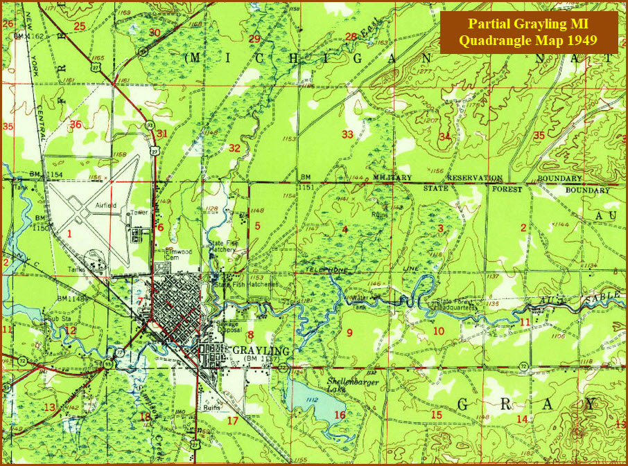
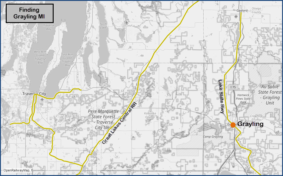
Grayling lies on a Lake State Rwy line that comes out of Bay City MI (about
87 miles SE), and ends up in Gaylord MI, about 25 miles to the north.
I do not know how often you will see a train passing thru here.
The line is a former New York Central line, but do not know when the Penn
Central or Conrail sold it off the books.
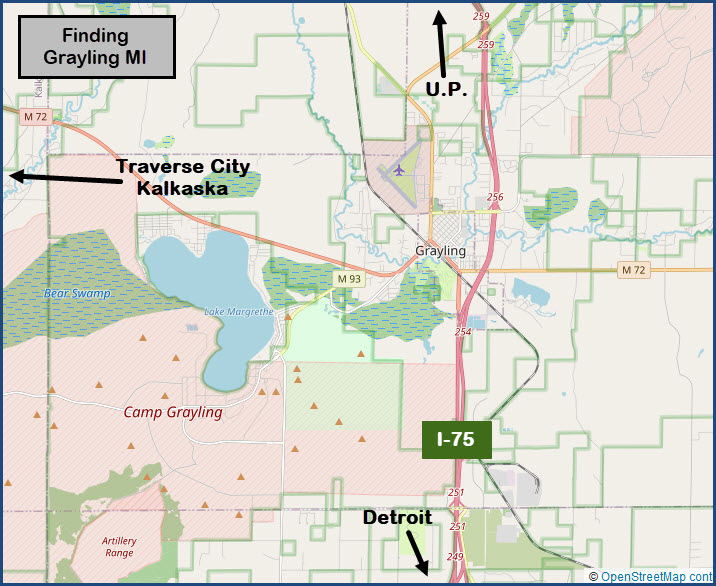
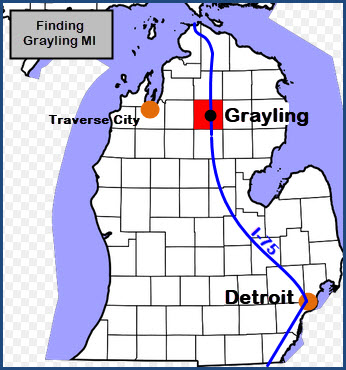
Most people wouldn't know about Grayling if you're whizzing by on I-75.
But if you're headed to
Traverse City,
you need to pass through Graying. Good time for a rest stop
anyways :-).
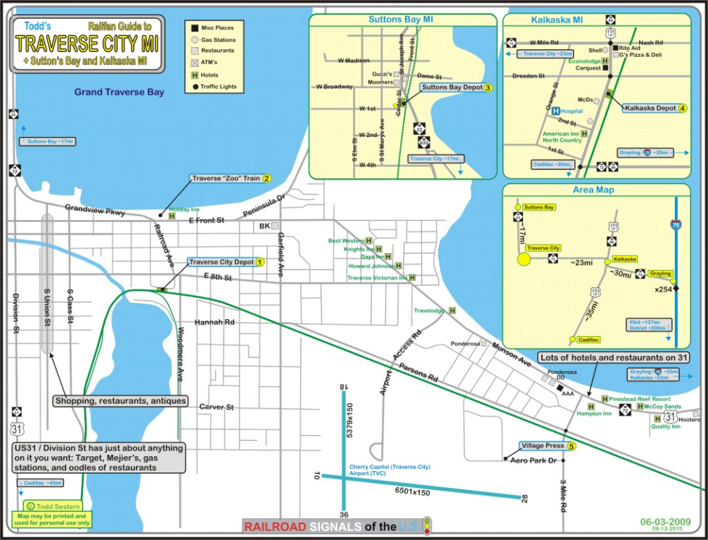
Also take the time to stop in if you are going to Traverse City, don't
forget to stop in Kalkaska
and check out the depot and ole style country store there.
Acknowledgements:
Denver Todd
Google Maps
Bing Maps
Open Street Map
Wikipedia
Websites and other additional information sources of interest for the area:
None for now.....
If you're on the east side of the state, such as
Detroit, Ann Arbor, or the U.P., it's a piece of cake. Just come up I-75, and jump off at
the Grayling exit, exit 254, or, 256 or 259 if you're coming from north of
here.
From anywhere else, check a map or use your
GPS.
The map below in the map section is my map for Traverse City, but
shows you (kinda) where Grayling is in relation to TC.
U.P. is not the UP RR, it stands for Upper Peninsula.
Updated 8/20/23 -- I love trains, I love signals. I am not an expert.
My pages reflect what -I find- on the topic of the page, they are a
collection of what you can find elsewhere. MY maps and drawings are
the exception! This is something I have fun with while trying to help
others. If you have helping comments, corrections, pictures, and/or information
to make the page better, please, by all means, shoot me an email.
Contributors are given credit unless the fame is not wanted. If
you have a negative comment, I'd rather you keep it too yourself unless
you are really tactful, as I have enough to do maintaining 1200+ pages :-)
How many cats can you put in an empty box? Only one, because after
that, the box is not empty :-)
Please Note: Since the main focus of my two websites is railroad signals,
the railfan guides are oriented towards the signal fan being able to locate them.
For those of you into the modeling aspect of our hobby, my
indexa page has a list of
almost everything railroad oriented I can think of to provide you with at
least a few pictures to help you detail your pike.
If this is a railfan page, every effort has been made to make sure that the information
contained on this map and in this railfan guide is correct. Once in a while,
an error may creep in :-)
My philosophy: Pictures and maps are worth a thousand words, especially for
railfanning. Text descriptions only get you so far, especially if you get lost or
disoriented. Take along good maps.... a GPS is OK to get somewhere, but maps
are still better if you get lost! I belong to AAA, which allows you to get
local maps for free when you visit the local branches. ADC puts out a nice
series of county maps for the Washington DC area, but their state maps do not have the
railroads on them. If you can find em, I like the National Geographic map book
of the U.S..... good, clear, and concise graphics, and they do a really good job
of showing you where tourist type attractions are, although they too lack the
railroads. Other notes about specific areas will show up on that page if known.
Aerial shots were taken from either Google or Bing Maps as noted.
Screen captures are made with Snagit, a Techsmith product...
a great tool if you have never used it!
By the way, floobydust is a term I picked up 30-40 years ago from a National
Semiconductor data book, and means miscellaneous and/or other stuff.
Pictures and additional information is always needed if anyone feels inclined to
take 'em, send 'em, and share 'em, or if you have something to add or correct.... credit
is always given! Please be NICE!!! Contact info is here
Beware: If used as a source, ANYTHING from Wikipedia must be treated
as being possibly inaccurate, wrong, or not true.
Please note: That my pages here and on my signal pages are mostly a collection
of information you can find elsewhere. Hopefully, my pages bring all that information
together on one easy to use page: What is interesting to look at, how to get there,
details and history of the sights, other things a lot of railfans are into (like bridges
and fire companies). Pictures of others are used with credit and the source of the
pictures if known, allowed by the fact that this is a totally not-for-profit
website and is used as an informative website. I you have a problem with me using
one of your photos, please let me know, and I will remove it if you really don't
want people to know you took such a great photo :-).


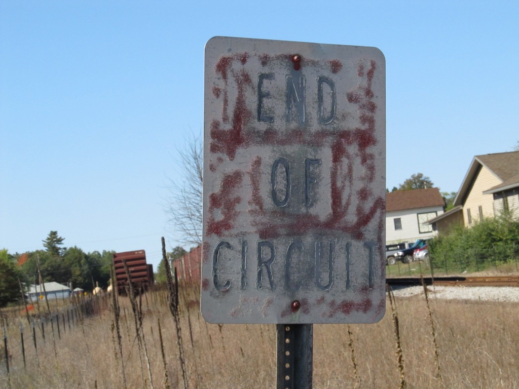
 Sign visible in the picture below "end of circuit".
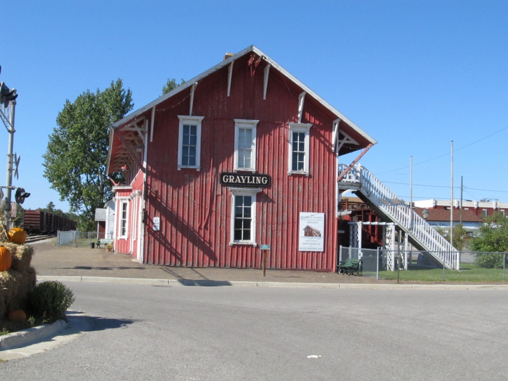
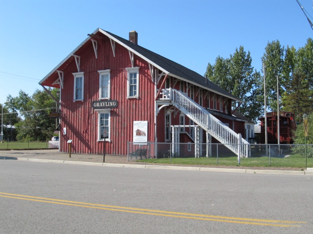
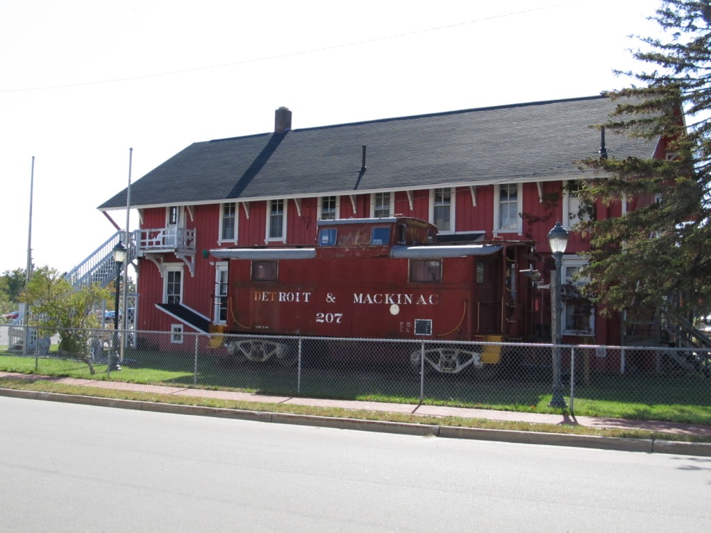
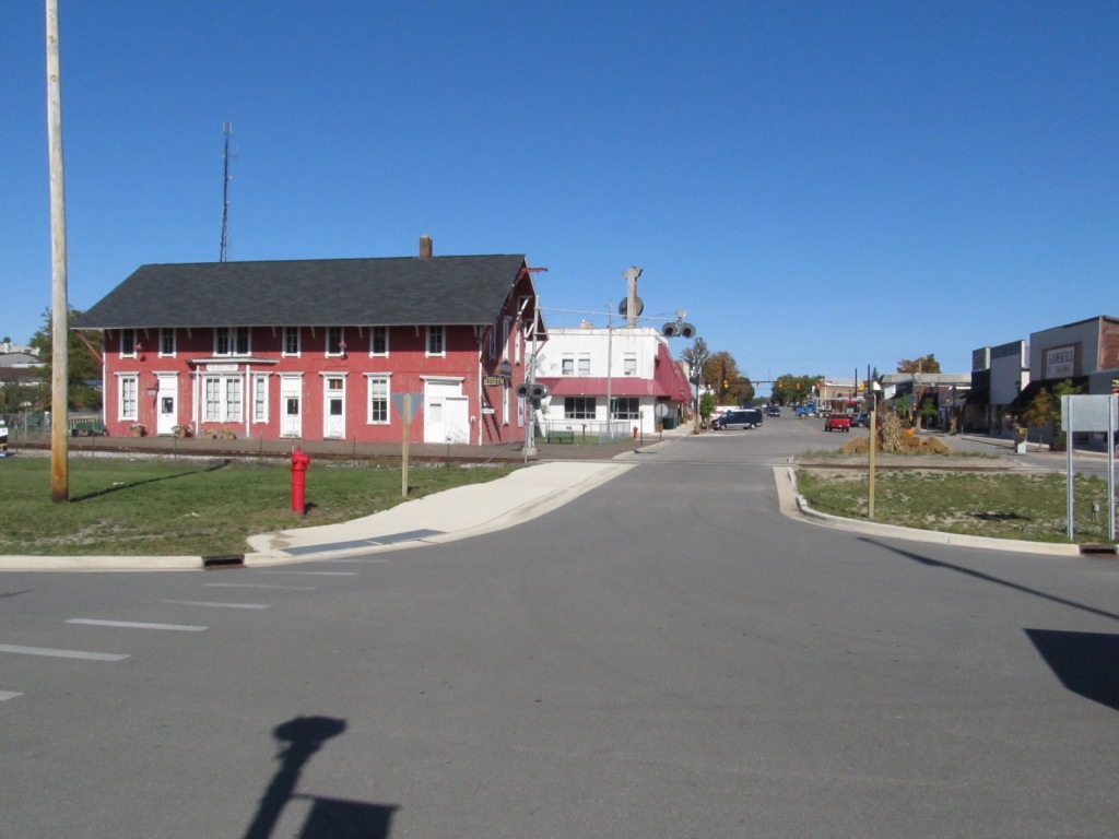
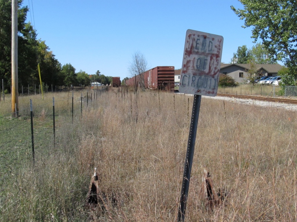
 Looking west.
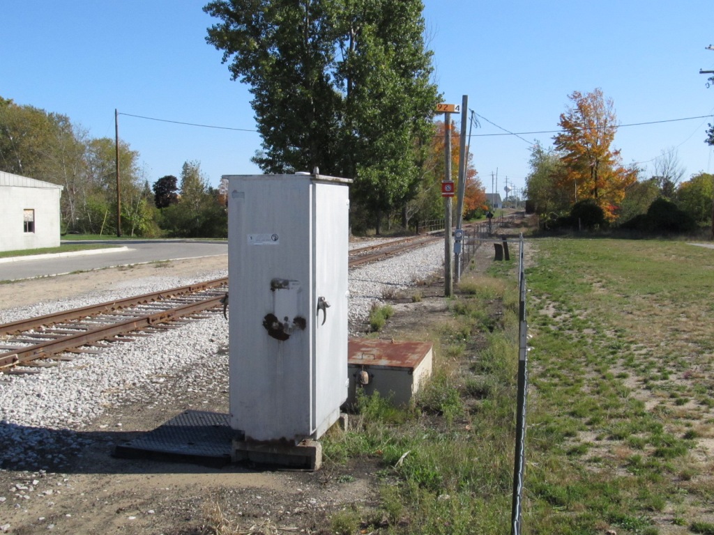
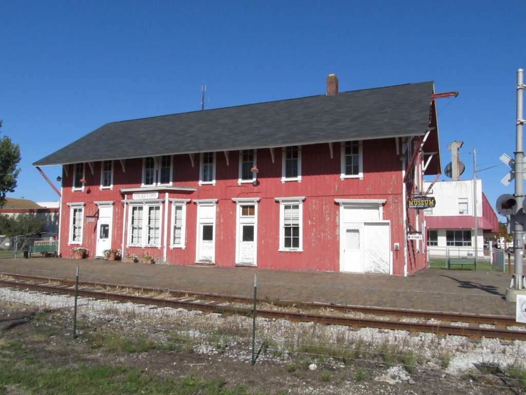
 Looking east.
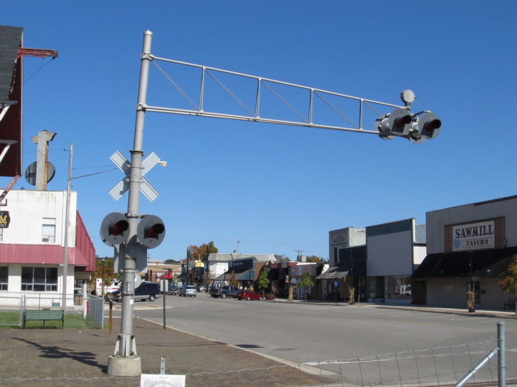
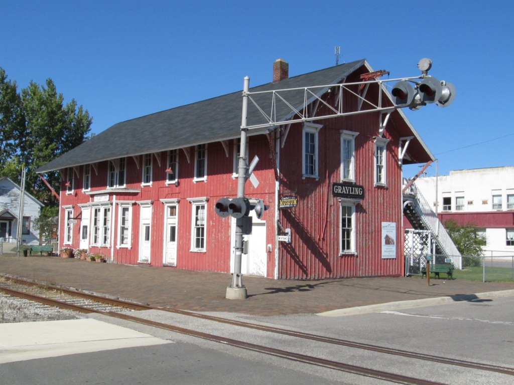
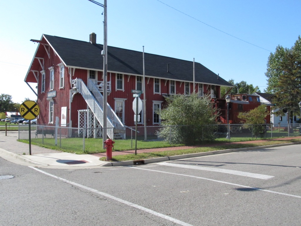
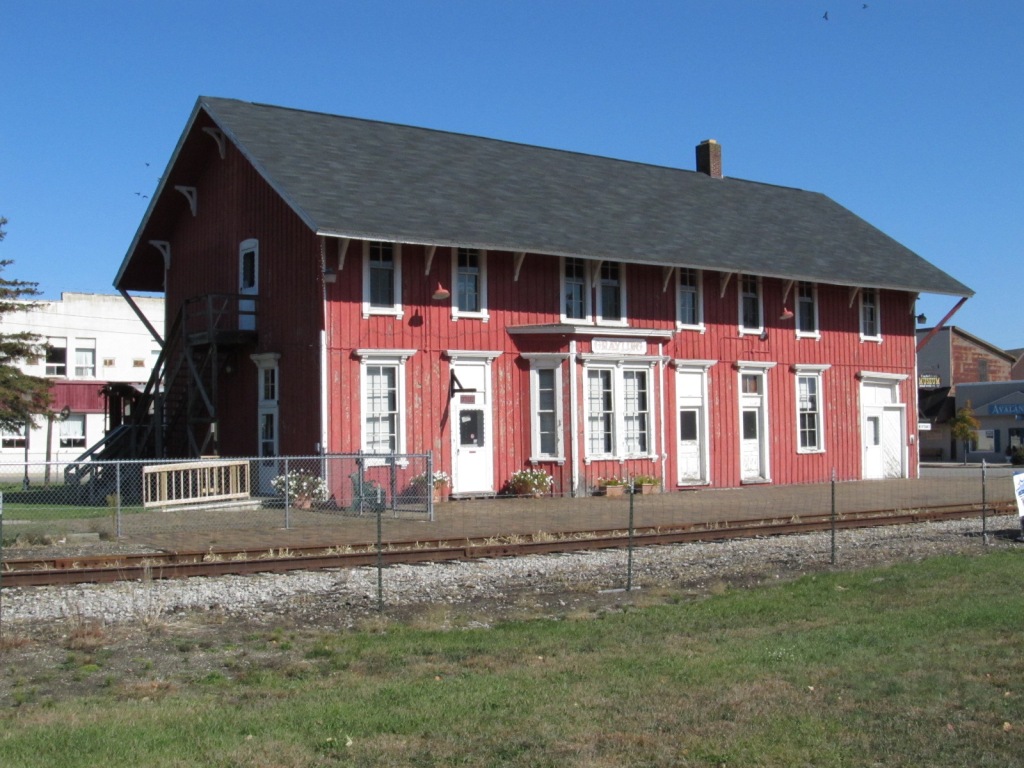
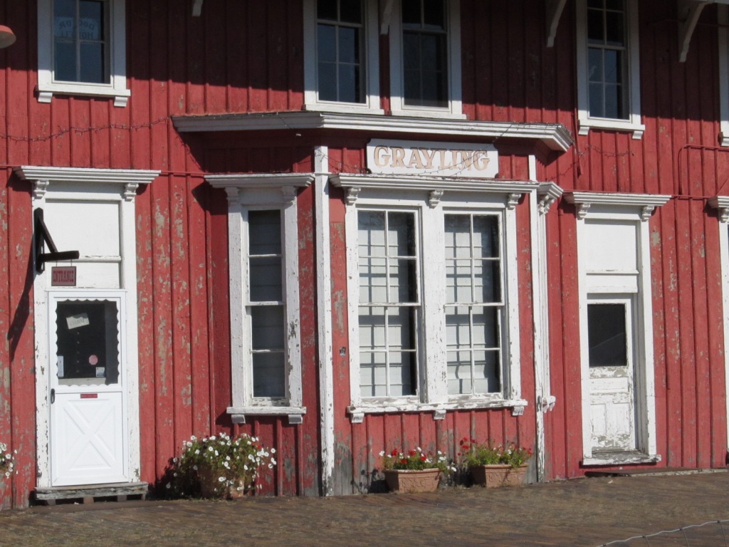
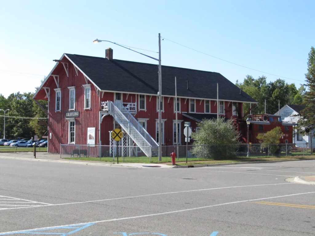
 The grade crossing adjacent to the depot.