
In General
Getting Here
Map
Sights
Signals
Postcards
Floobydust
USGS Maps
MICHIGAN RAILFAN GUIDE HOME
RAILFAN GUIDES HOME
RAILROAD SIGNALS HOME
Location / Name:
Flint MI, Genesee County
What's Here:
1 Amtrak Station
2 CSX Yard
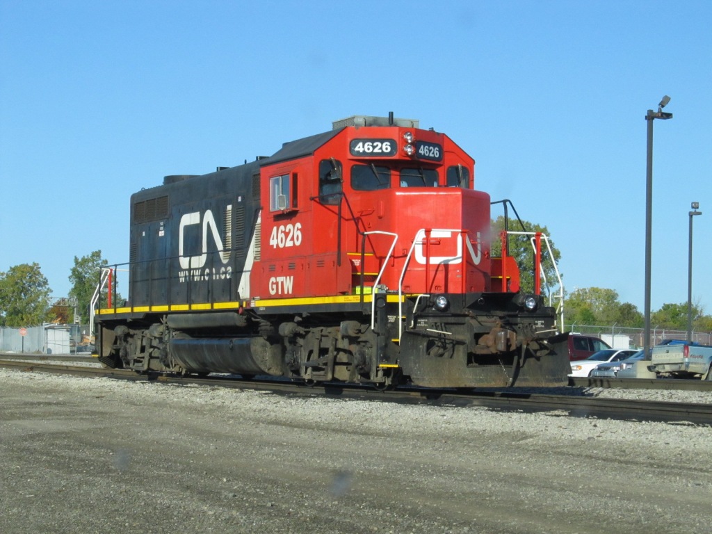
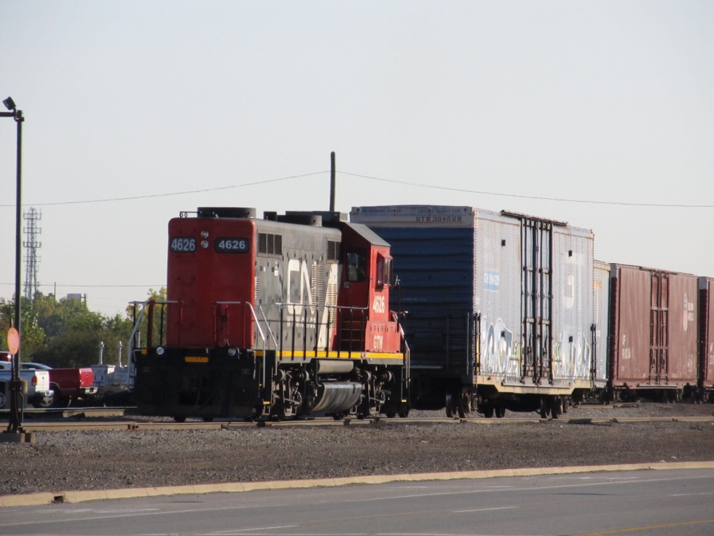
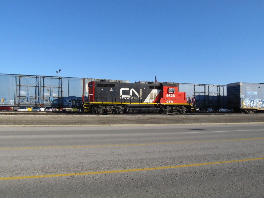
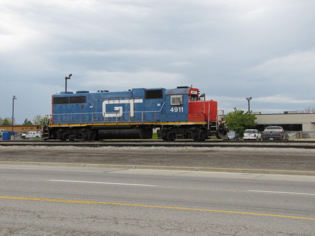
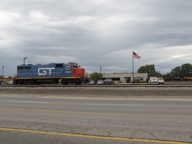
3 CN Yard
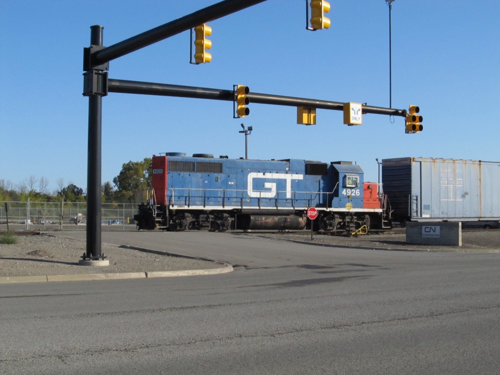
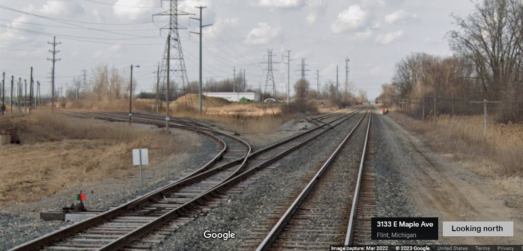
4 Diamond between the CSX and CN
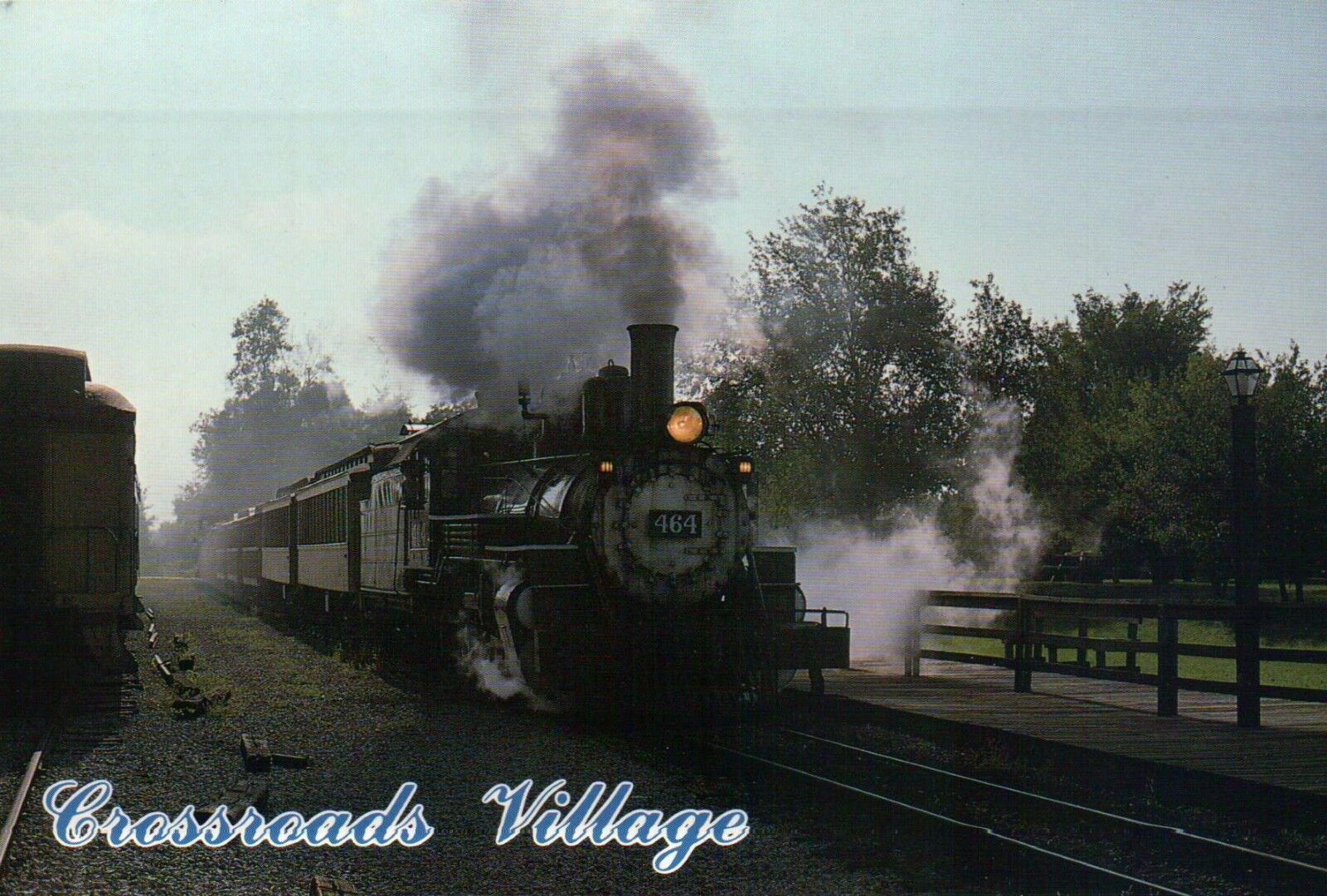
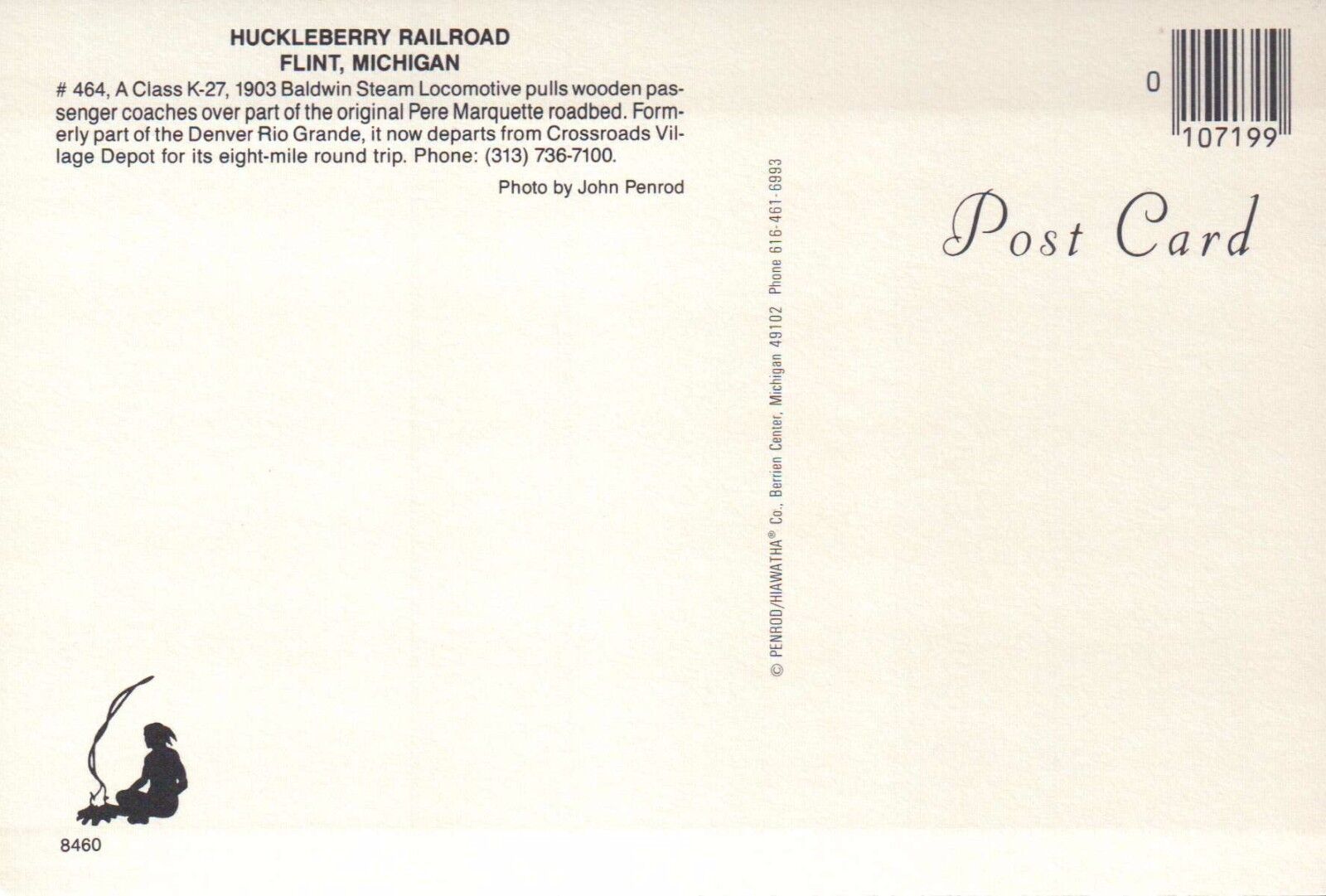
5 Huckleberry Railroad
Data:
GPS Coordinates: as needed
Phone A/C: 810
ZIP: 48503 (at the Amtrak Station)
Access by train/transit:
Amtrak Station adjacent to the diamond
Geography:
Flat
The Scoop:
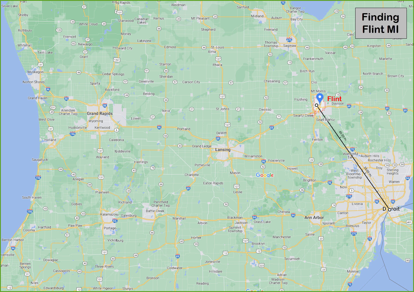
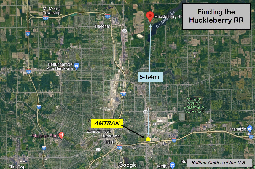
Flint is about 60 miles (~97 km) northwest of Detroit.
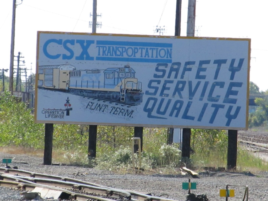
Flint has a number of attractions for the railfan: an Amtrak station, a CSX yard, a CN yard, a nice diamond between the two roads, and the Huckleberry Railroad - a county run park with a steam engine running on loop track.
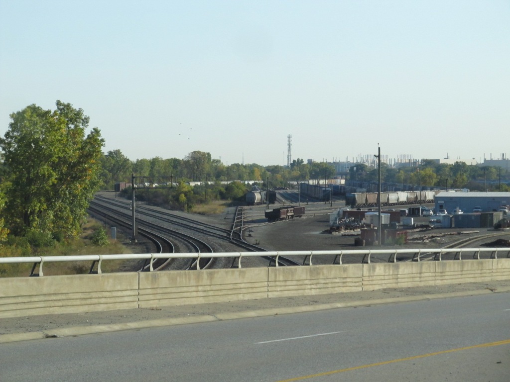
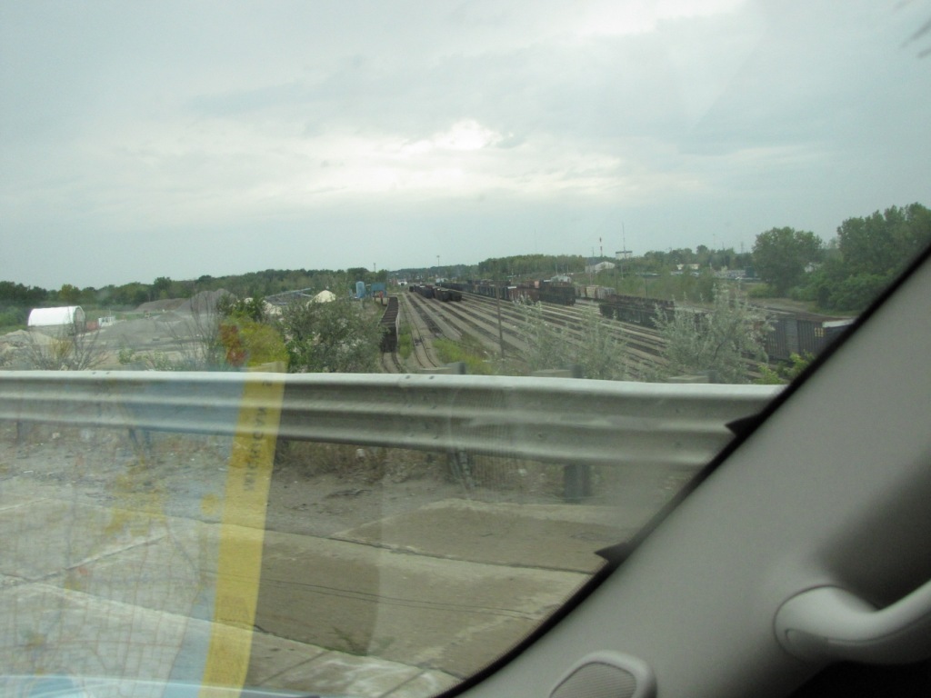
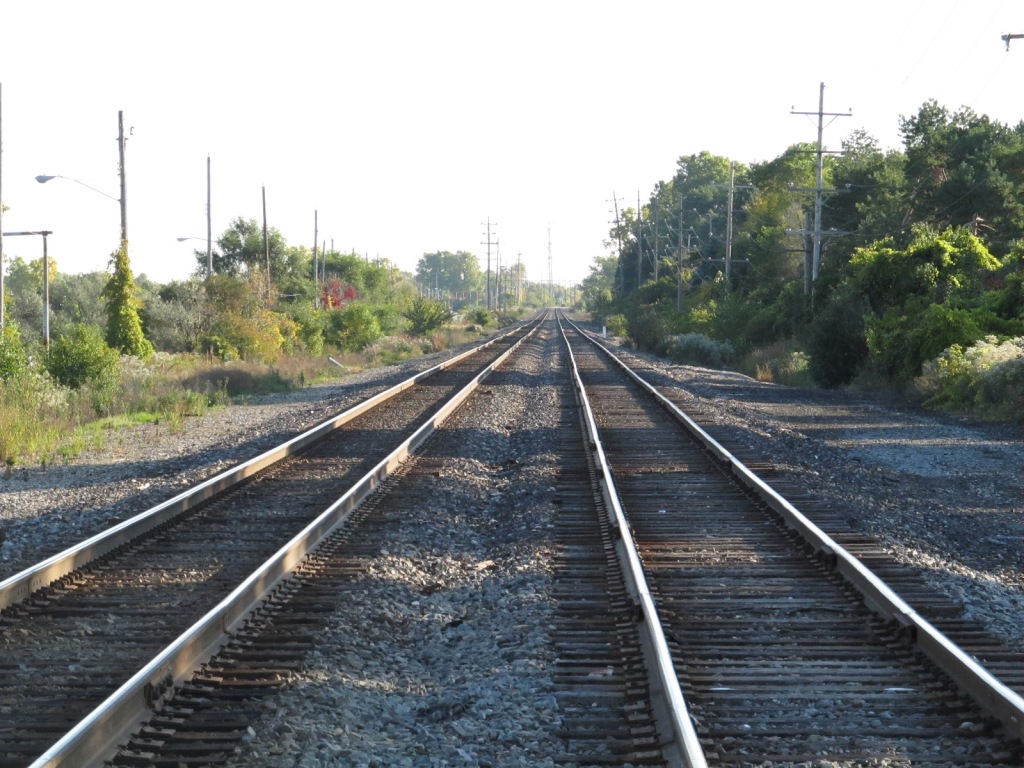
Pictures of the western end of the CN yard are easy to be had from Bristol Road, but the east end gets progressively harder to shoot due to it's inaccessibility.
The CSX yard is fairly accessible from Dort Hwy (which runs parallel to the yard), Coldwater Rd on the north end, Carpenter Rd in the middle, and Pierson Rd south end.
For those of you wondering, the east-west CN line used to be a Grand Trunk line, and the north-south running CSX line used to be the Pere Marquette.
I didn't have enough time to find out if there is a safe way to gain access to the diamond, but if your just shooting the signals there, access from public property is sufficient if you have a decent telephoto lens. As I said, I only had about an hour to shoot what I have here - you need a lot more time than that to do a good job.
Michigan had a fairly active Live Steam/ Diesel community with places like the White Creek RR and others. I used to have others like the Junction Valley RR and the Traverse City Steam engine listed here, but the JVrr shut down in 2018, and after the Traverse Park had issues with the -PETA- schnooks and closed, they moved the Traverse steam engine to private property south of the city, please check out my Traverse City guide for more info. I do not know what is in store for the Junction Valley RR, it would be a great loss for us all to see it just rust away......
What is close:
Saginaw is ~33 miles north,
Bay City is close to Saginaw and is ~46 miles from Flint
Lansing is about 46 miles to the south west,
and on your way to Lansing, you pass two nearby trains towns....
Durand with their beautiful depot and, about 18 miles
Owosso, ~28 miles, home of the Steam Railroading Institute and steamer #1225!
Pictures of the western end of the CN yard are easy to be had from Bristol Road, the east end gets progressively harder to shoot due to it's inaccessibility.
The CSX yard is fairly accessible from Dort Hwy.
I didn't have enough time to find out if there is a safe way to gain access to the diamond, but if your just shooting the signals there, access from public property is sufficient.
I only had about an hour to shoot what I have here, you need a lot more time than that to do a good job.
Michigan has a very active Live Steam and Live Diesel community with places like the White Creek RR, Junction Valley RR, and the Traverse City Steam engine. Michigan is also home to several manufacturers of 1/8 scale equipment, and one is here in Flint: Big Joe Trains, Inc.
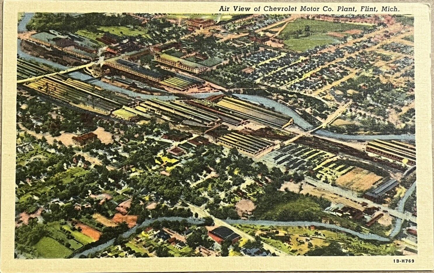
From the late 1800s to the mid-twentieth century, the city was a leading manufacturer of carriages and, later, automobiles, earning it the moniker “Vehicle City.” General Motors (GM) was founded in Flint in 1908, and the city grew into an automobile manufacturing powerhouse for GM's Buick and Chevrolet divisions.
Acknowledgements:
Denver Todd
Google Maps
Bing Maps
Open Railway Map
Wikipedia
Websites and other additional information sources of interest for the area:
as needed
Flint is easy to get to, for it is right off of I-75, with a loop (I-475) off the east side to take you pretty close to the downtown area and most of the interesting places to visit. I-69 going east and west kind of bi-sects Flint, and hits I-475 in the middle.
Being almost due north from Detroit, I-75 from the south brings you in from just about anywhere from the east, south, and south-east, if you want to stop in Detroit, otherwise, I would recommend taking US23 up from the Toledo area to bypass the Detroit area.... it's much quicker and traffic moves along fine, even going around Ann Arbor (where you may want to stop for lunch or dinner at the very nice train station/restaurant).
If you're coming from the west, I think I would take I-94 through Benton Harbor and Kalamazoo, and just after Battle Creek, I would then jump onto I-69.
From Indiana, I would recommend coming into town via I-69, which passes through Lansing and Fort Wayne.
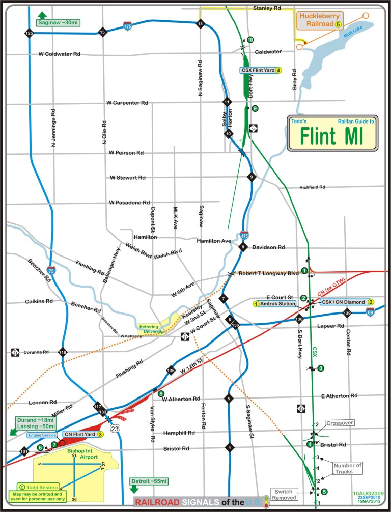
Click here for the map in PDF format.
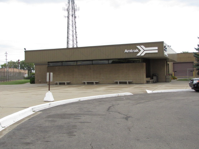
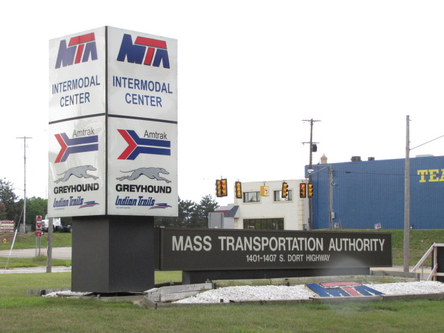
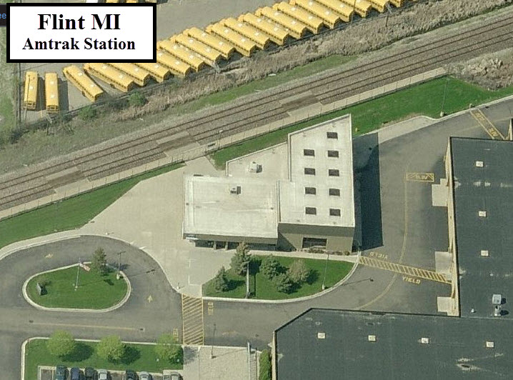
GPS Coordinates: 43.01557, -83.65167
1407 S Dort Hwy, Flint MI 48503
The Flint Amtrak depot is a simple modern facility. The station is located in a huge MTA plot, and you have to pass thru a gate. I was there on Labor Day, so it wasn't active, I guess it is at other times or maybe at night... dunno. Pictures taken the summer of 2010. From the Amtrak page: Flint, one of Michigan's largest cities, began as a trading post in the early 19th century. The Intermodal station, completed in 1989, serves Amtrak and local and intercity buses.
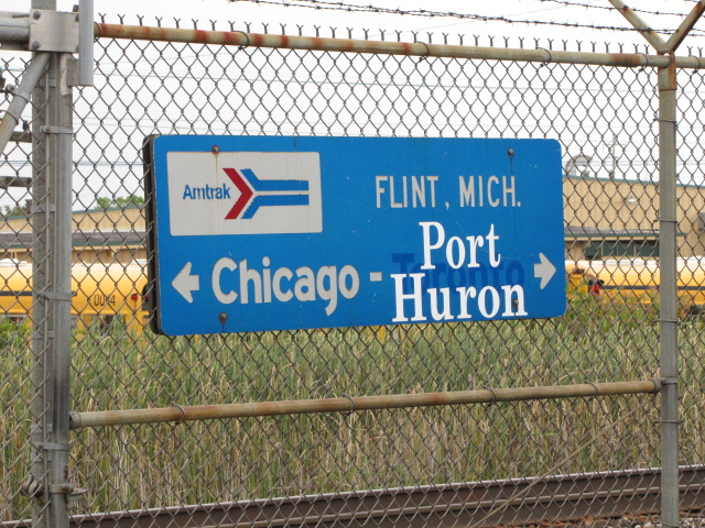
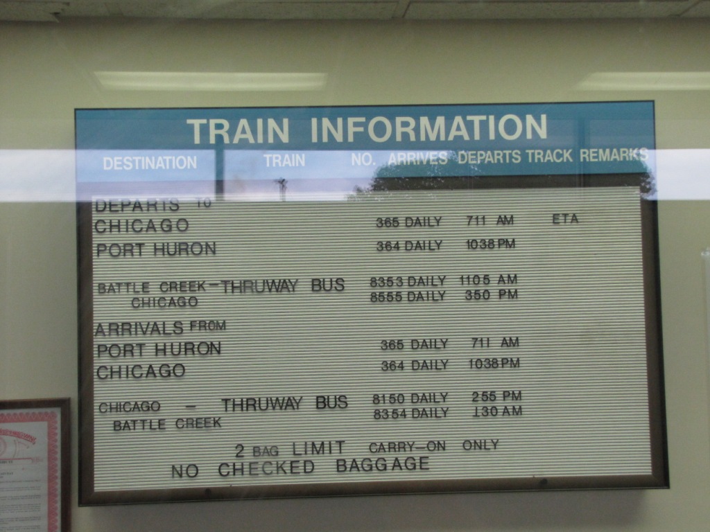
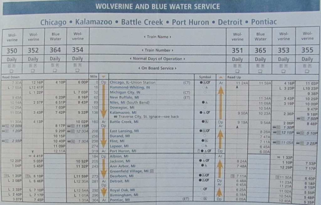
Flint has the following services connecting the town to other Michigan cities and Chicago:
-- The Pere Marquette to Grand Rapids and Chicago
-- The Wolverine to Pontiac and Chicago
-- The Blue Water to Port Huron and Chicago

 GT overpass over Dort, just outside the entrance to the MTA complex.
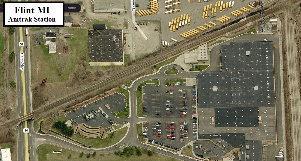
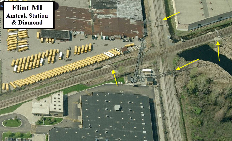
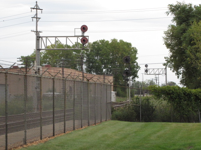
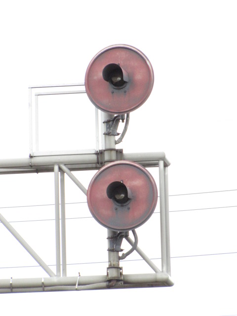
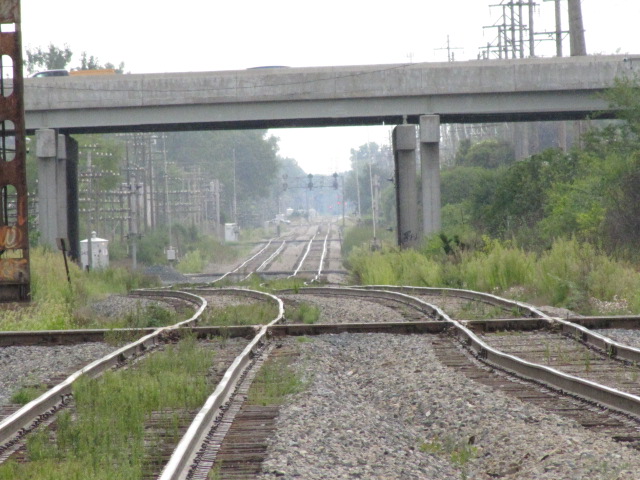
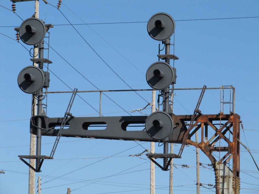
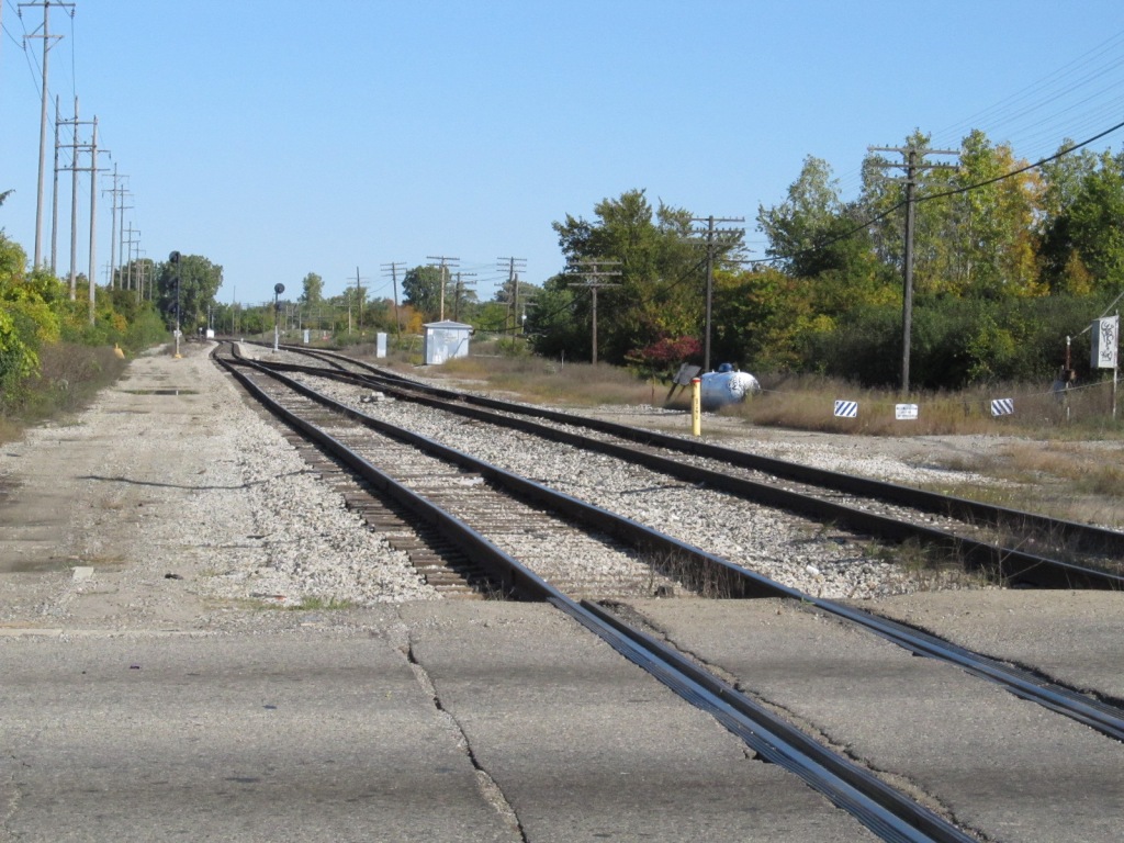
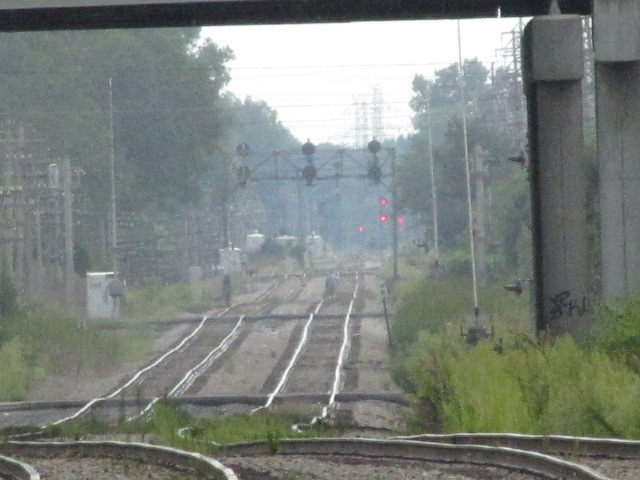
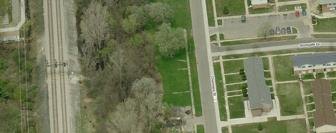
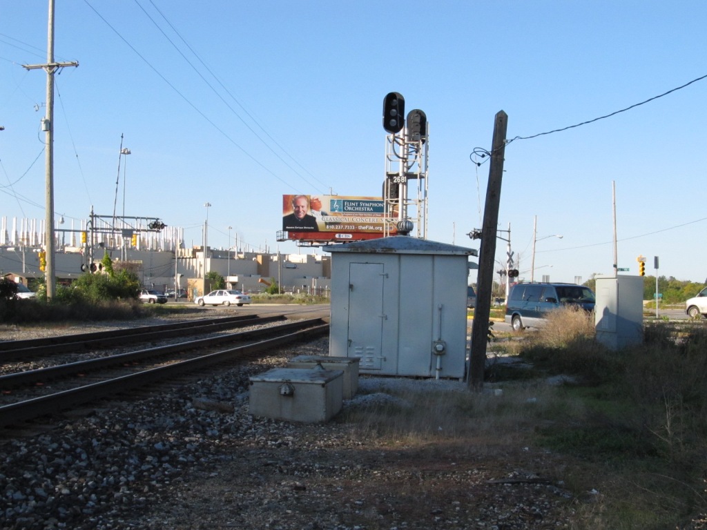
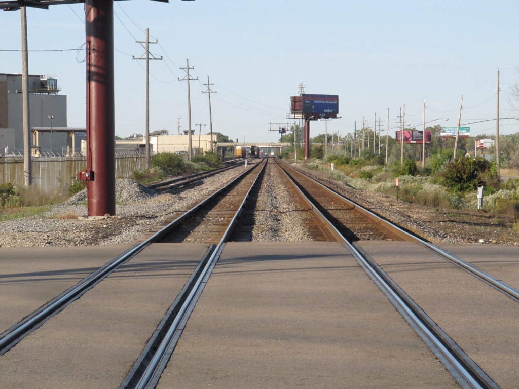
Barely visible from the Amtrak station is the CSX/CN diamond, it's slightly east of there. You can get a few shots of the CN signals shooting thru the fence the MTA or Amtrak has put up, that's the upper set of photos. The yellow arrows point to the signals. Signal pictures taken the summer of 2010.


 The two on the right are from 2011, others, 2010.
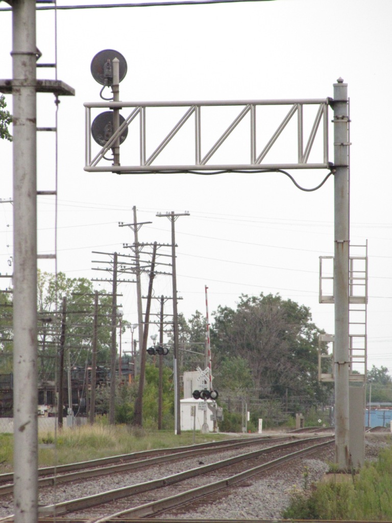
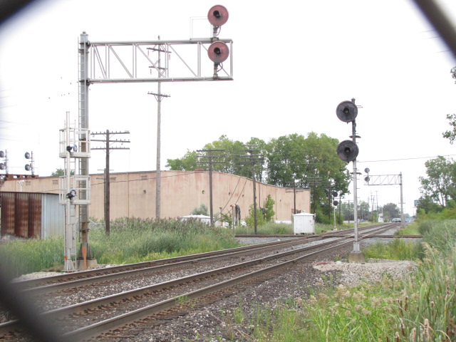
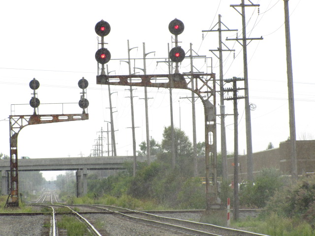
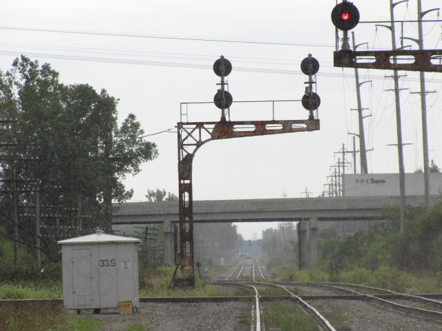
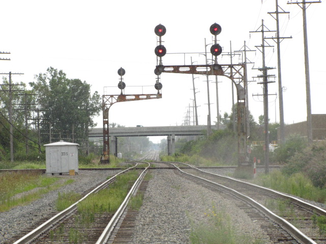
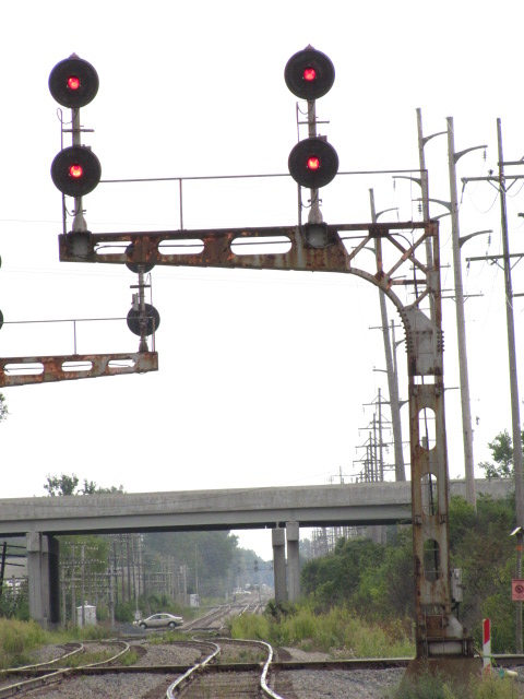
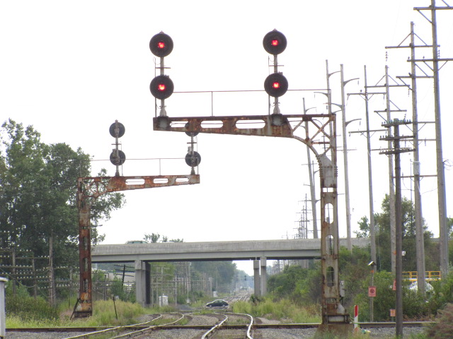
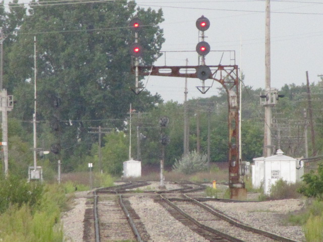
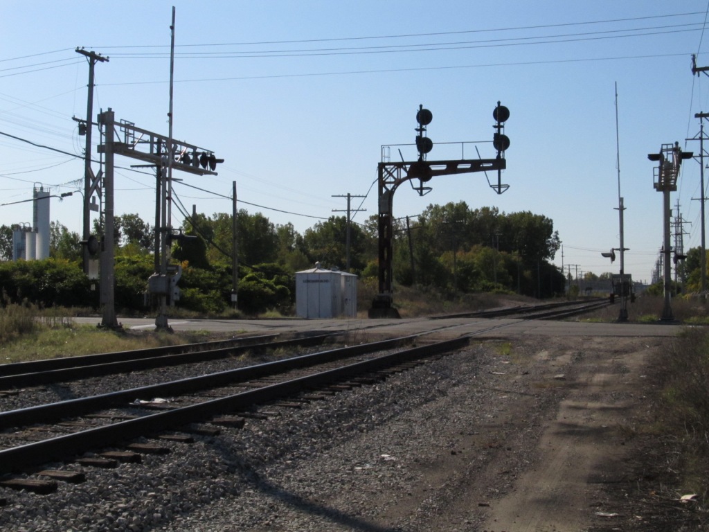
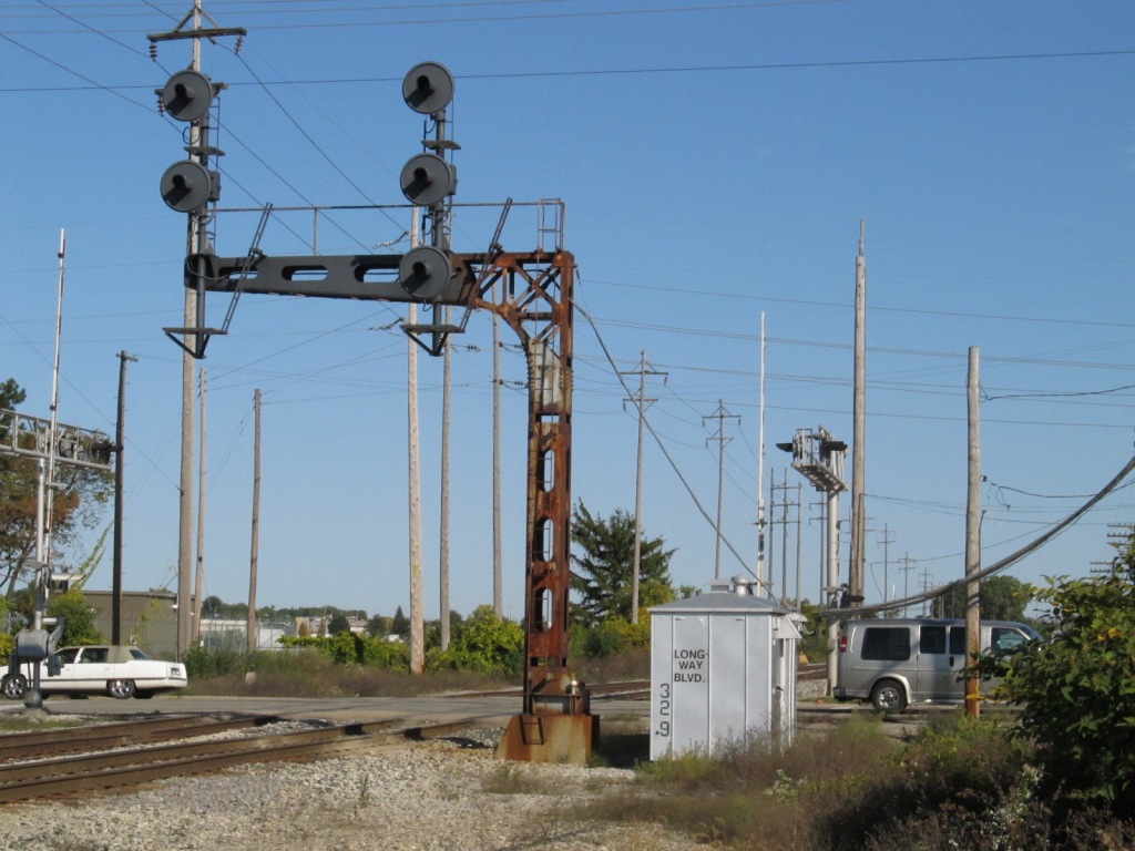
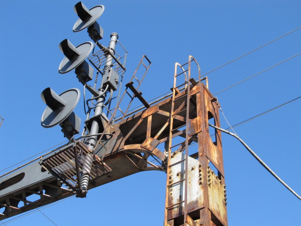
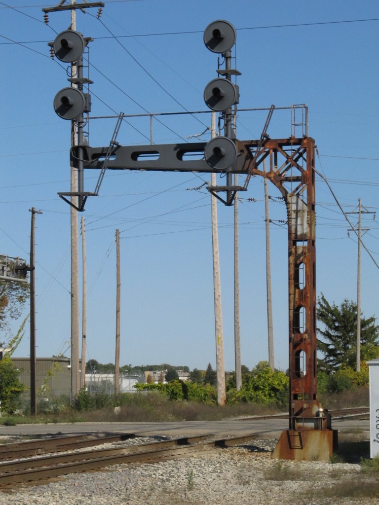
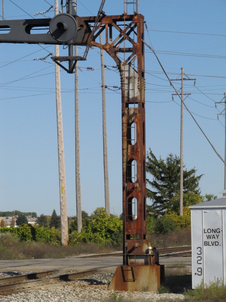
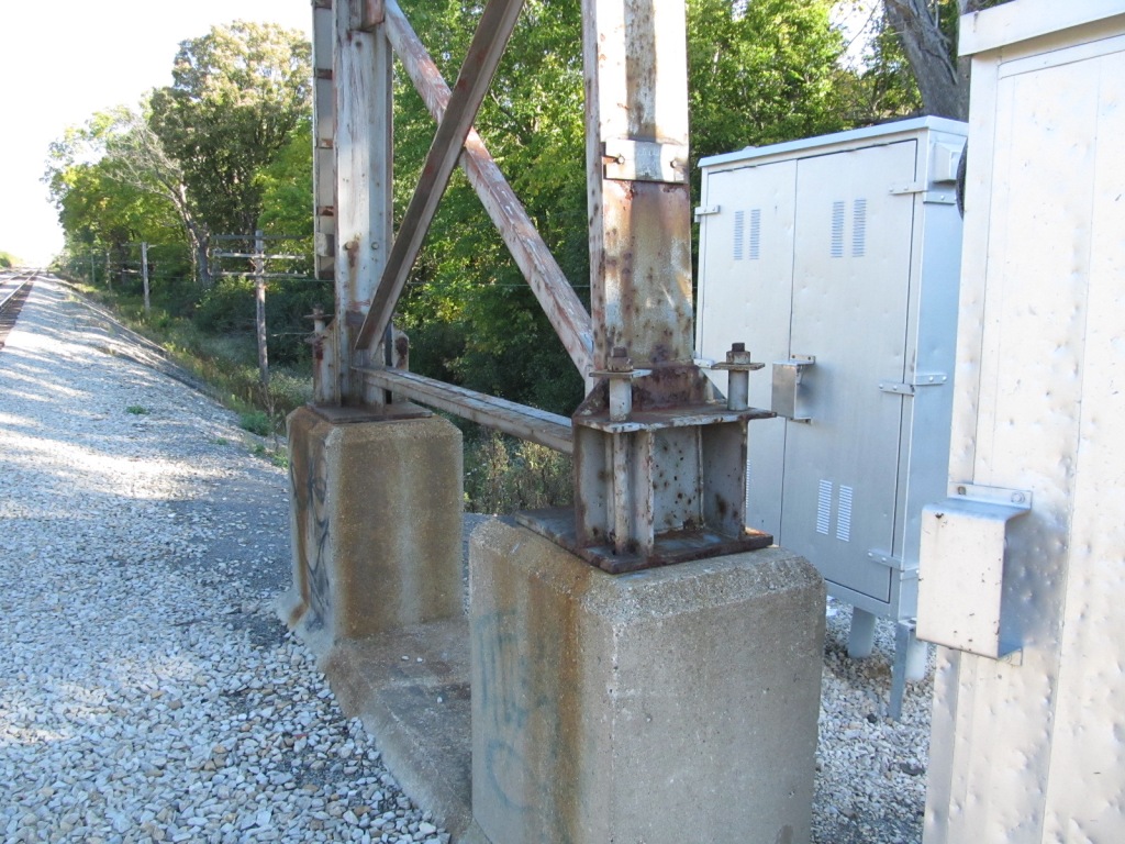
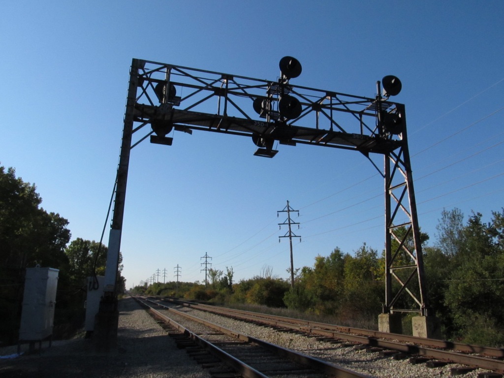
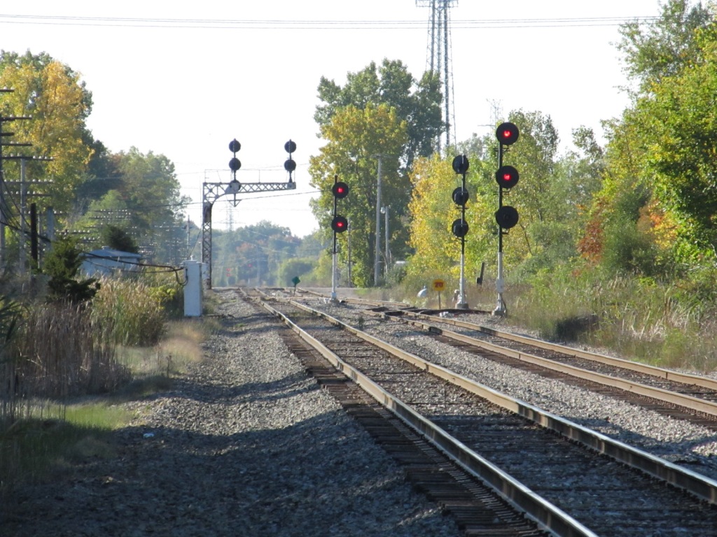
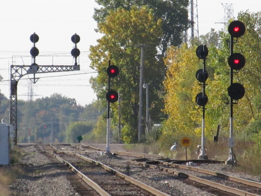
Signal pix taken from Court Street. These are the CSX signals you can see from the crossing. If you have any pictures of the ones from south of the diamond, it would be much appreciated, as I didn't have enough time to get there. All of them are looking south across the diamond except for the far right picture, which is looking north from Court Street.
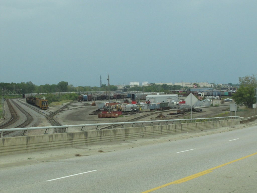
 Going over the yard on Bristol.
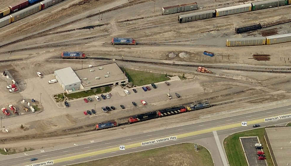
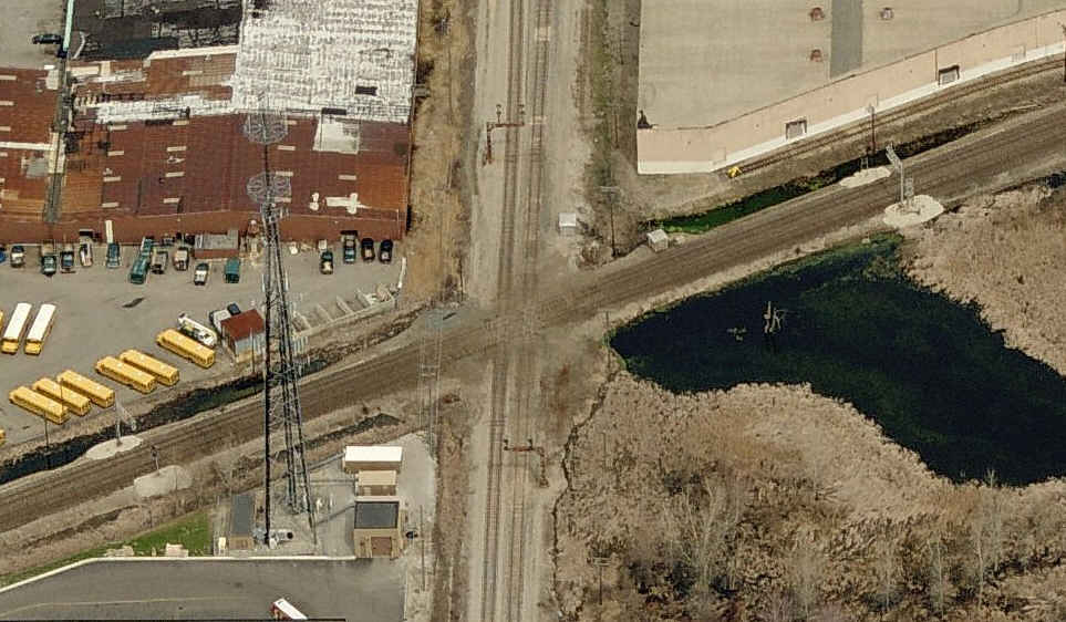
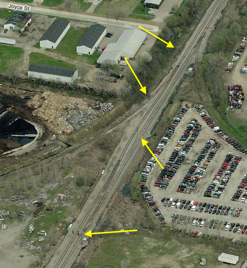
 The CN yard as seen from the air.
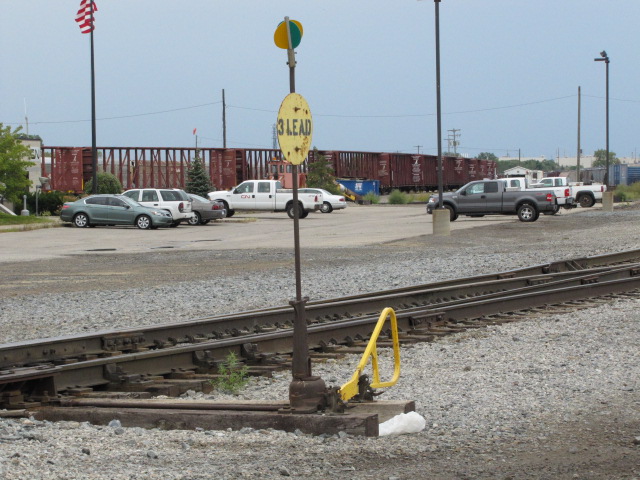
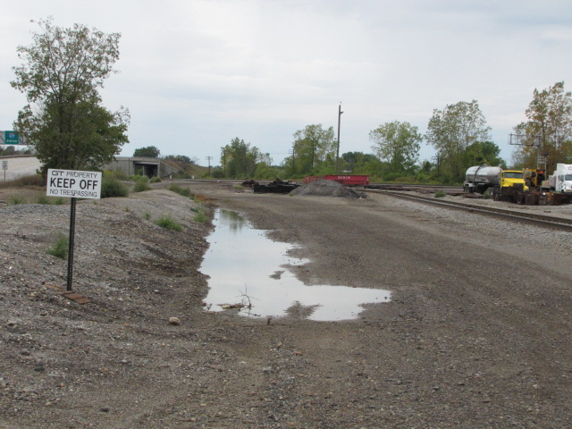
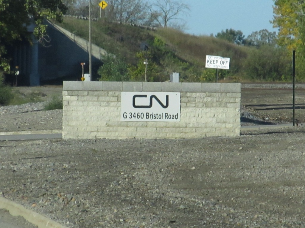
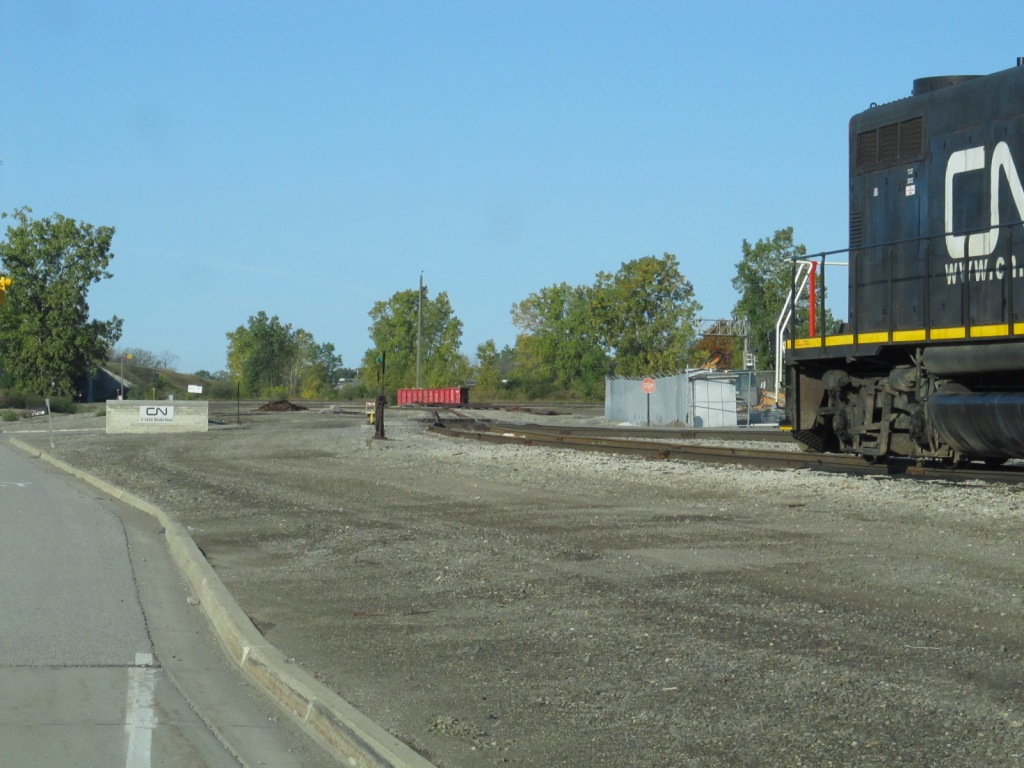
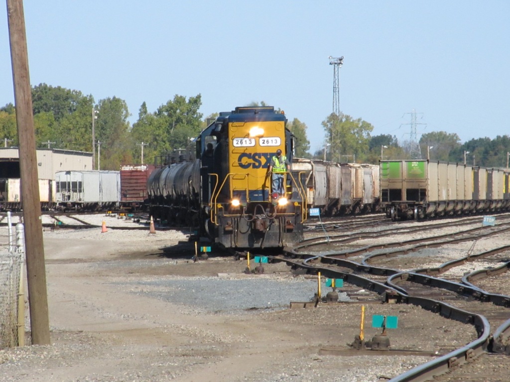
 A couple of scenes from the entrance to the yard facility (2010).
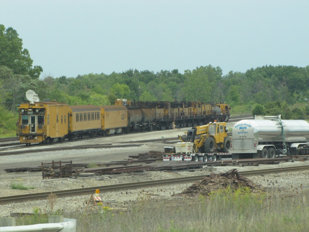
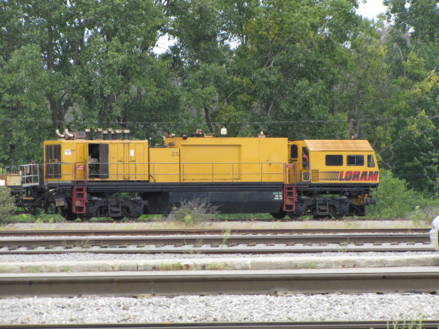 A LORAM maintenance train was in the yard over the Labor Day weekend 2010.
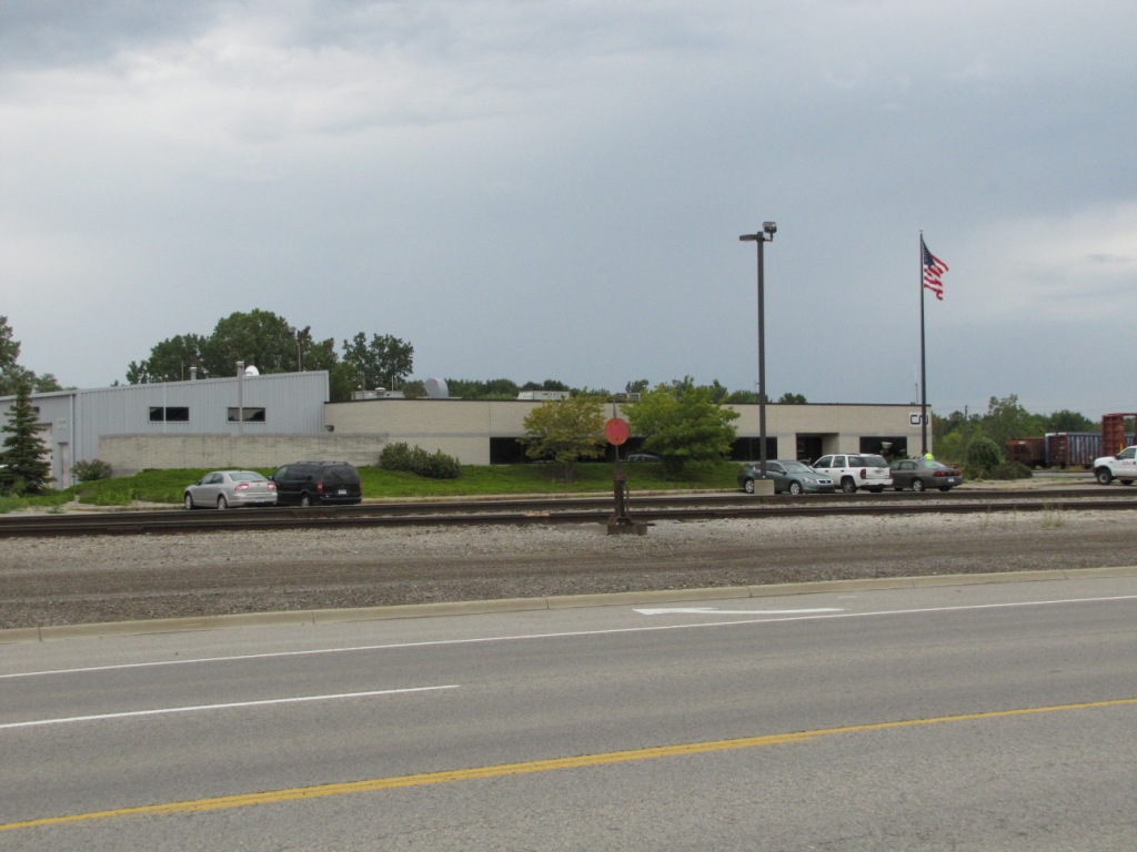
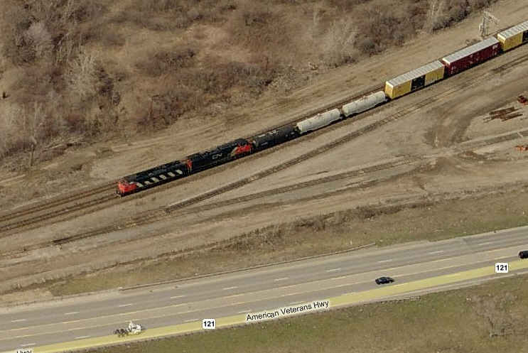
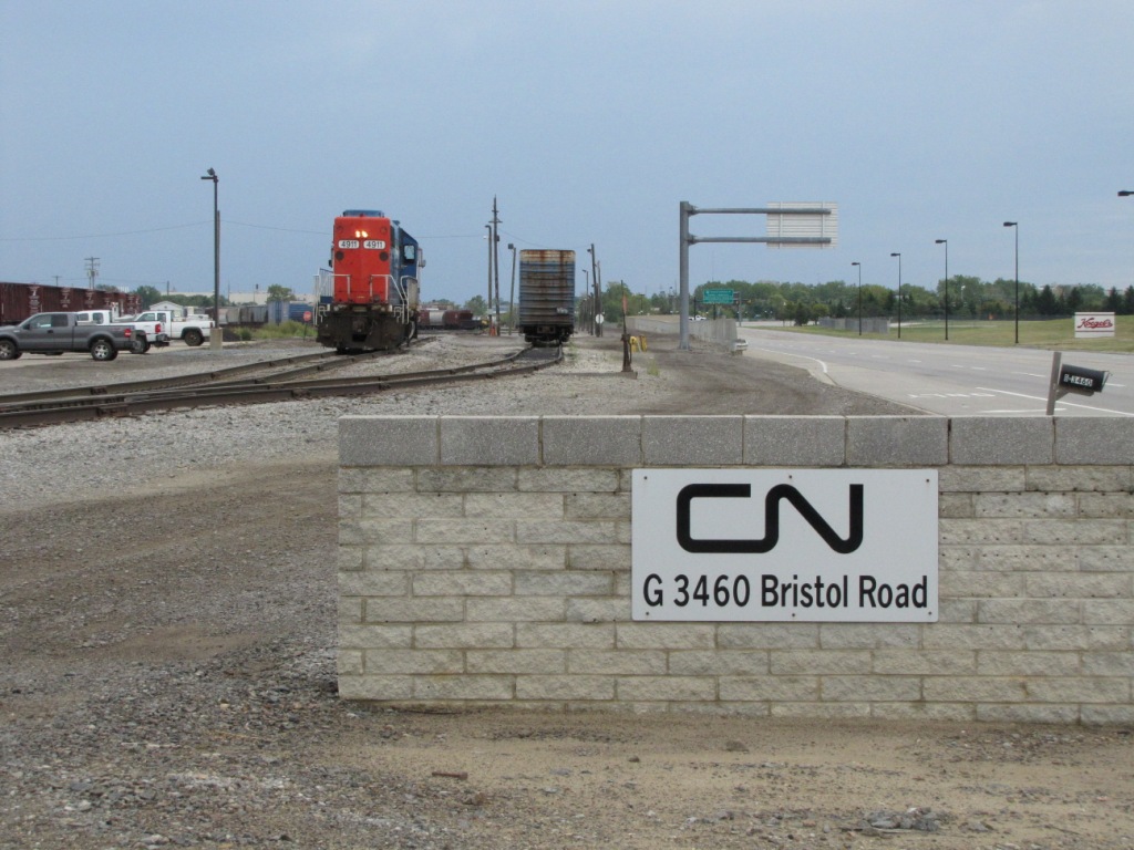
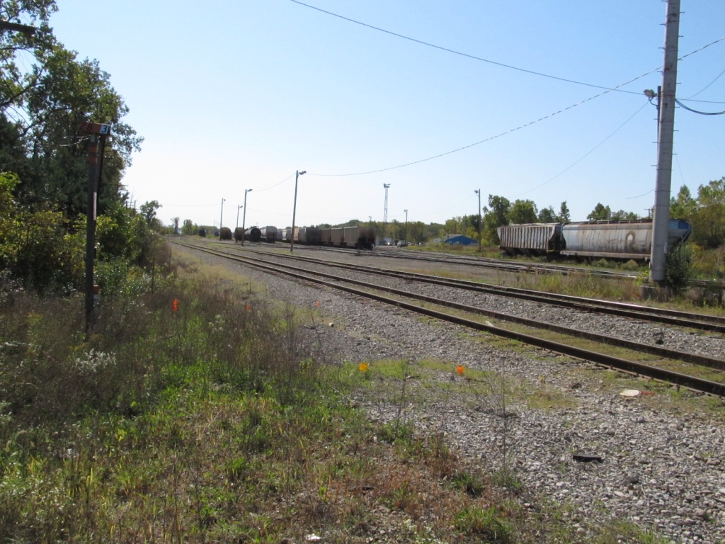
 Taken from Bristol Rd (2010).
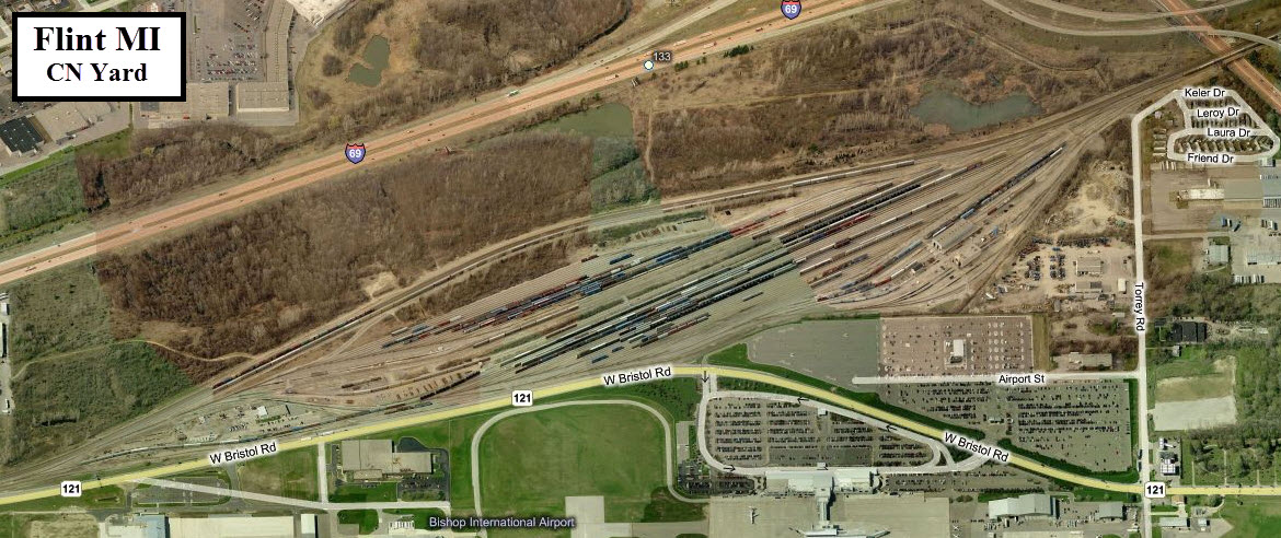
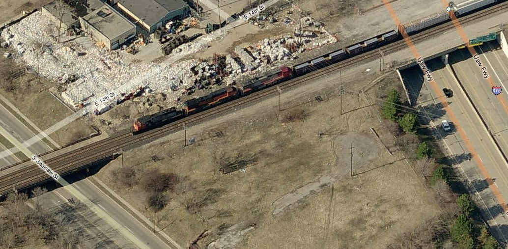
 A crummy picture at best while driving over the yard on I475.... yeech!
The following pictures were taken from Carpenter Road in October 2011.


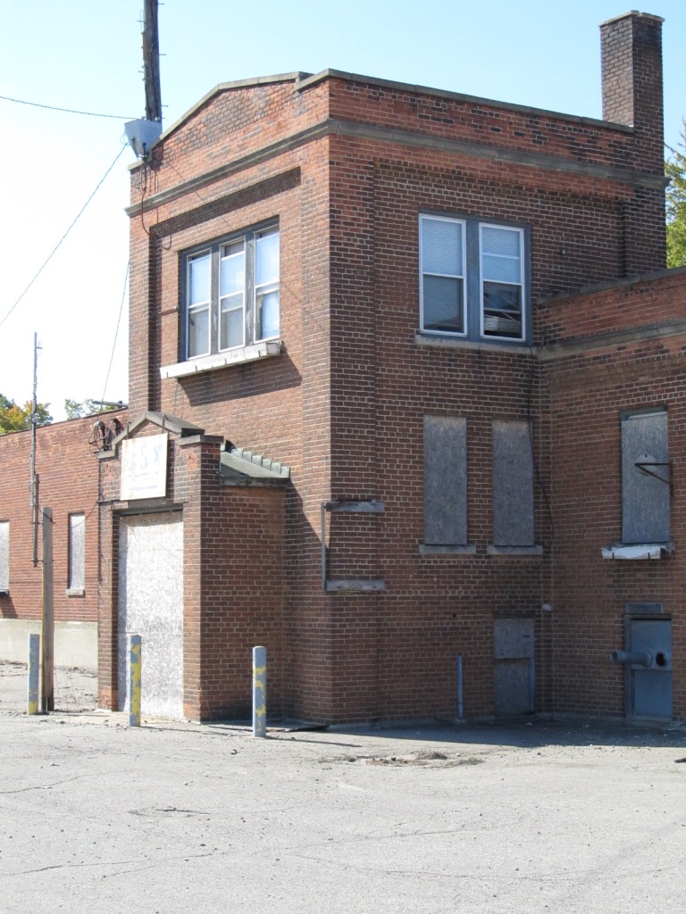

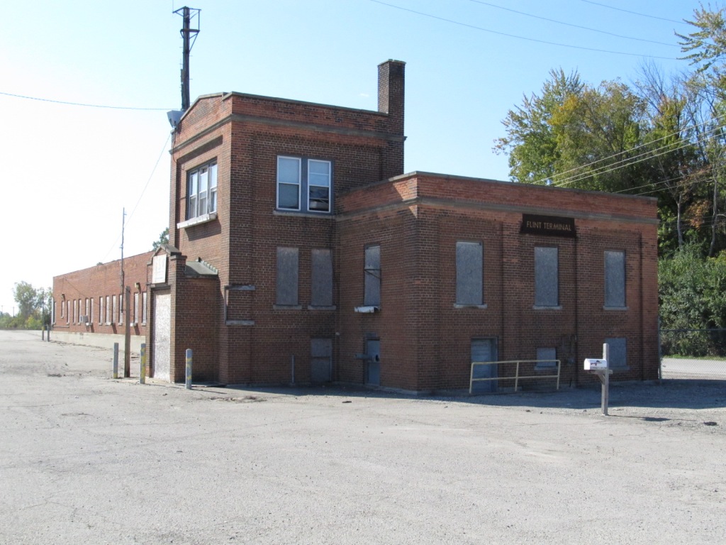
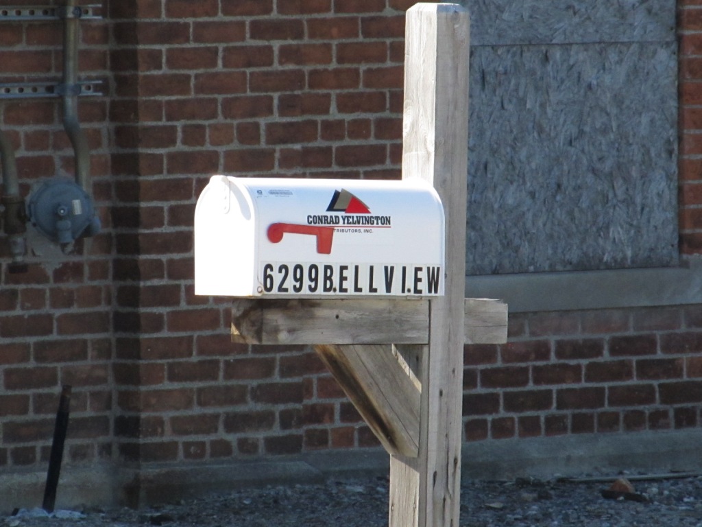
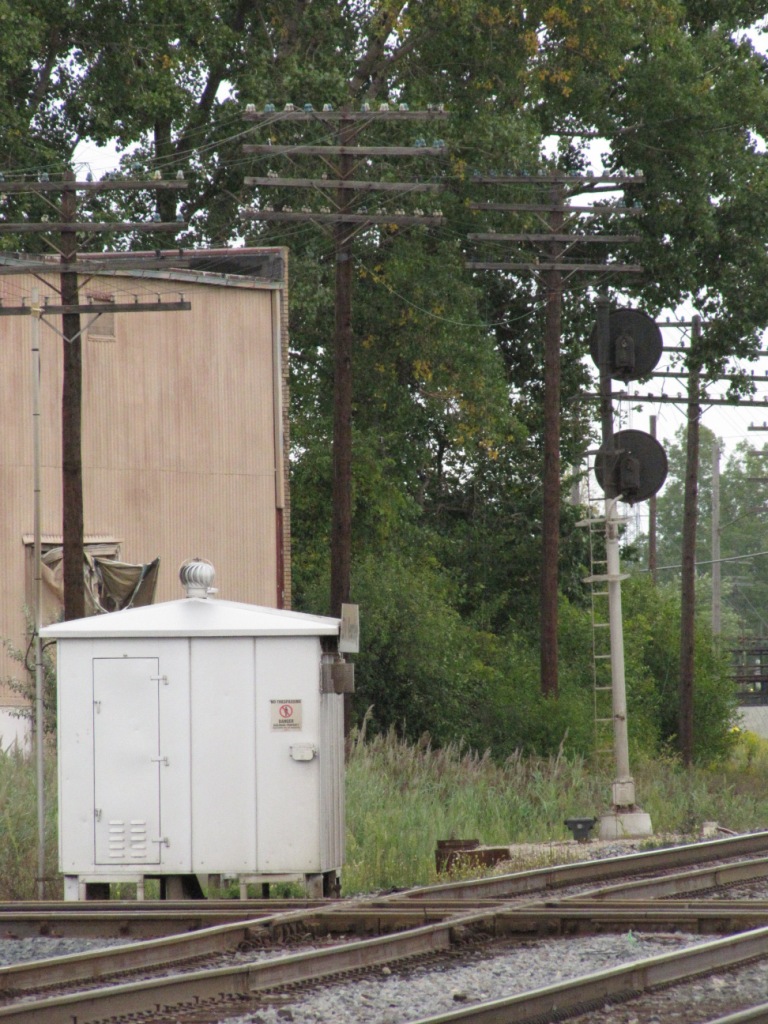
 Flint Terminal office building.
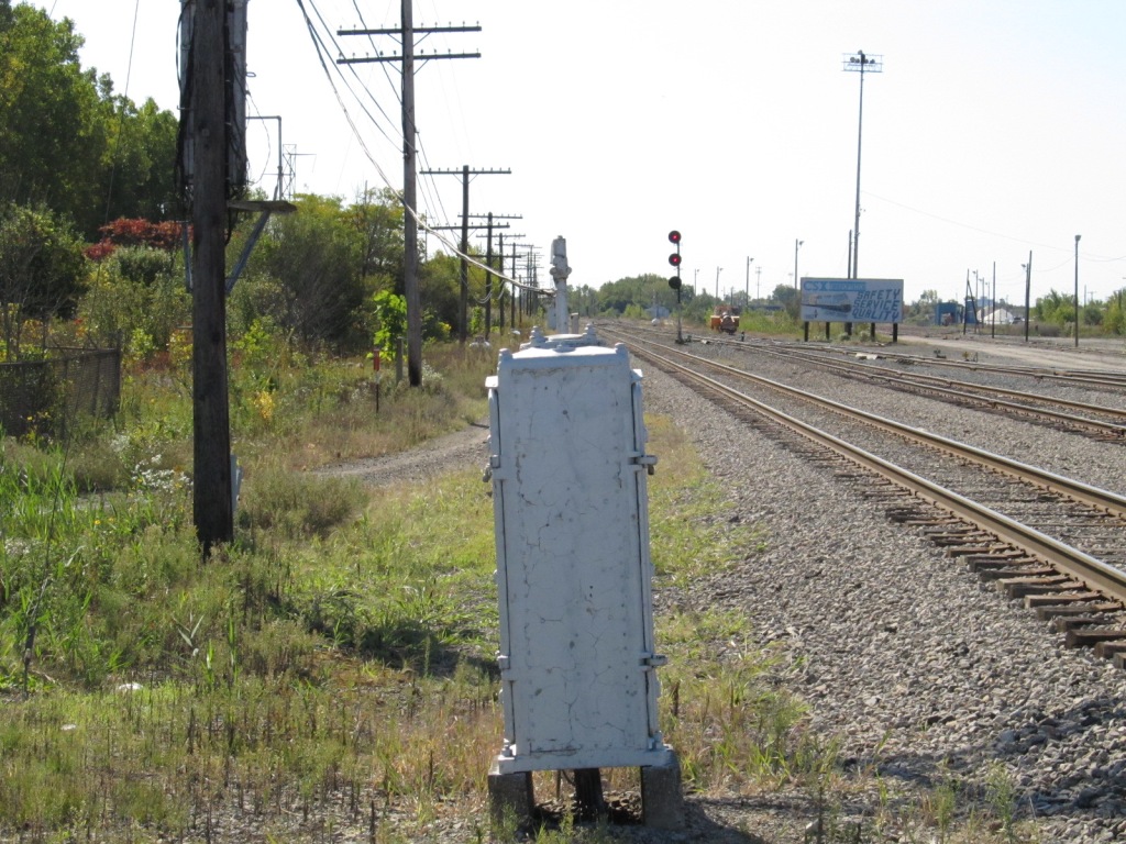 Looking south.
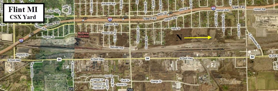
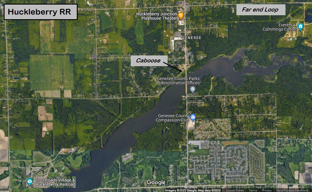
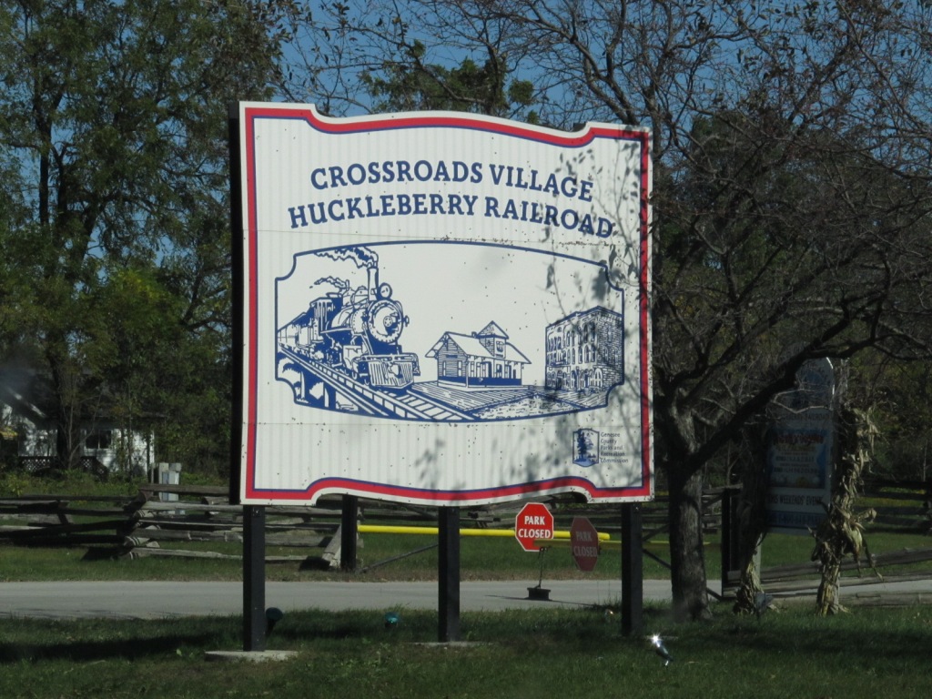
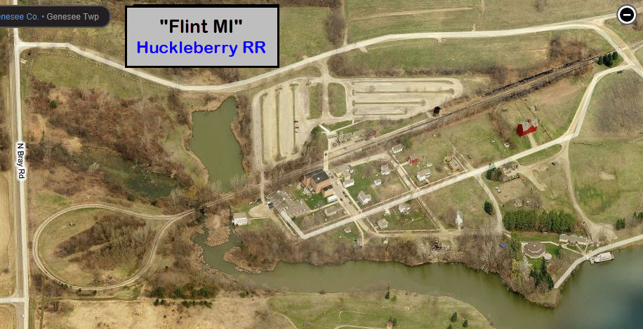
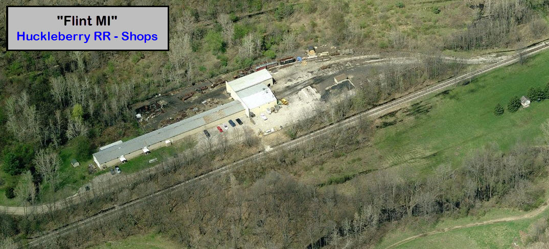
GPS Coordinates: 43.09343, -83.65114
http://www.geneseecountyparks.org/huckleberry_railroad.htm
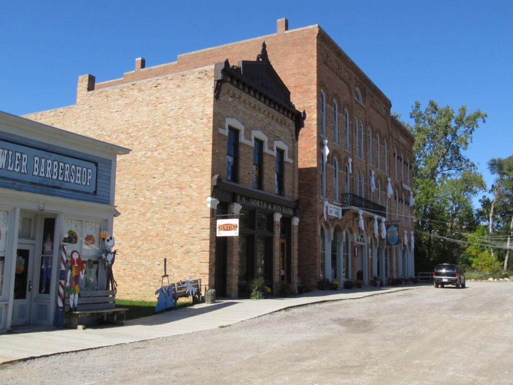
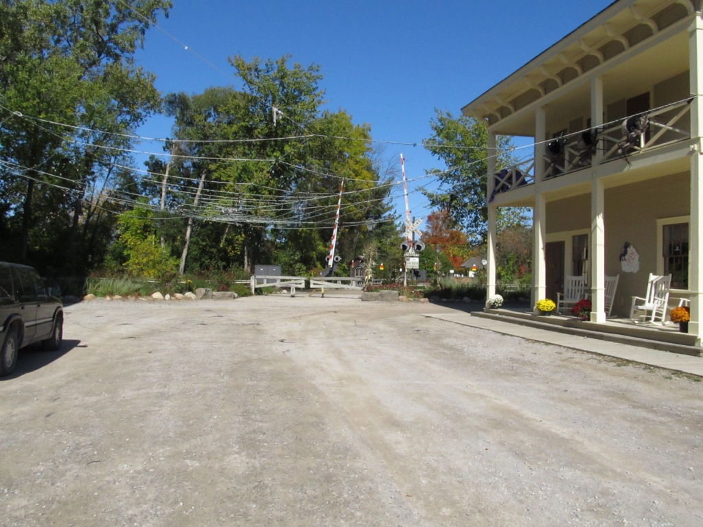
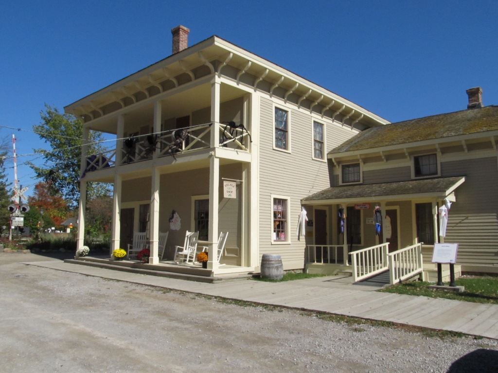
The Huckleberry RR is a great little railroad, and you have to give the county kudos for putting on a show like this. We only wish more local governments had this much energy to do the same!
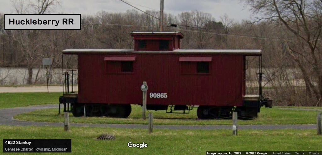
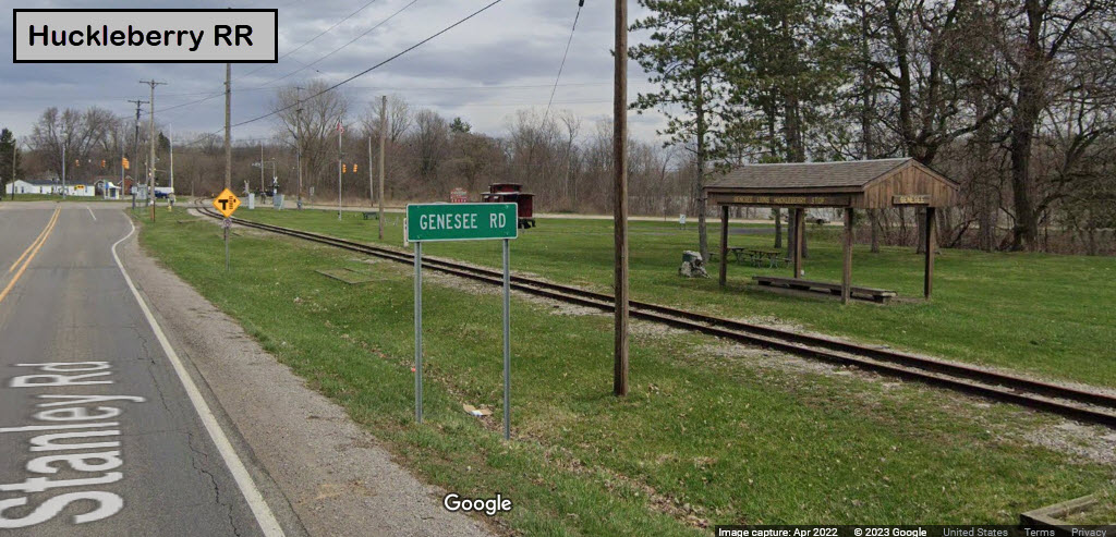
The line has a loop at both ends, and runs about 3 and a half miles loop to loop. About halfway, adjacent to Genesee St, there is a caboose and the Genesee Lions Huckleberry stop.
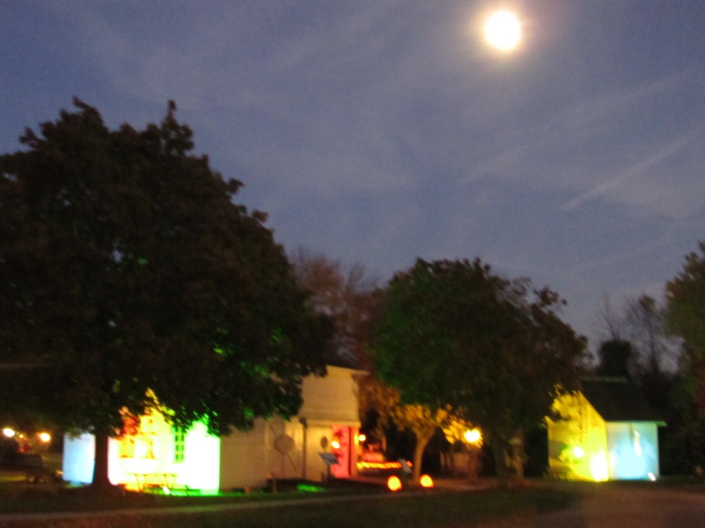
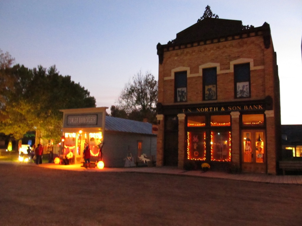
They run May thru the Labor Day weekend plus they're open for special events like Halloween and Christmas. During the regular season they are open Wednesday thru Sundays plus Holidays.
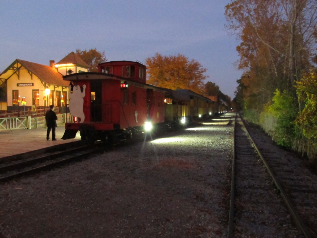
I finally got the chance to stop by during the Halloween season, once before they opened up on my way to upper Michigan (and they let me wander - so weird with no-one around), and then on the way home once they opened for Halloween.

 Before opening for the Halloween weekends.

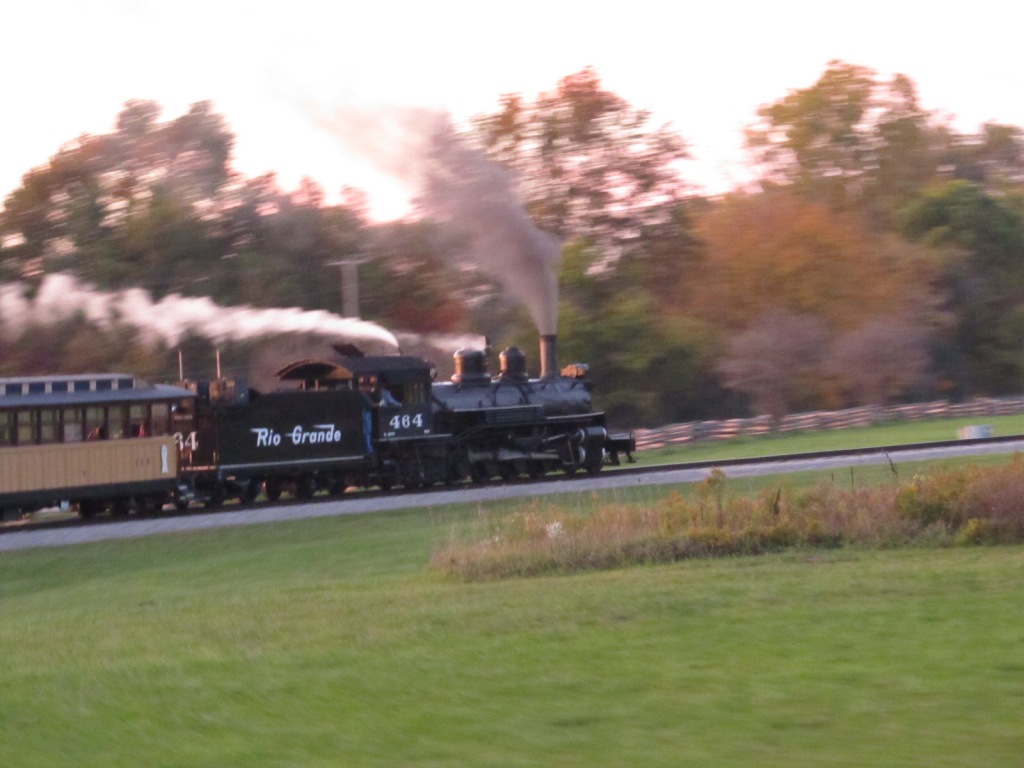
 Riding that train.....

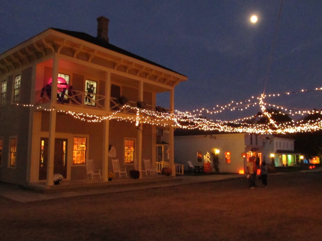
 The week before Halloween.
The two serial shots from Bing Maps show the main visitors part of the Huckleberry RR, and the shops, just up the driveway where the circle with the minus sign is in the top photo.
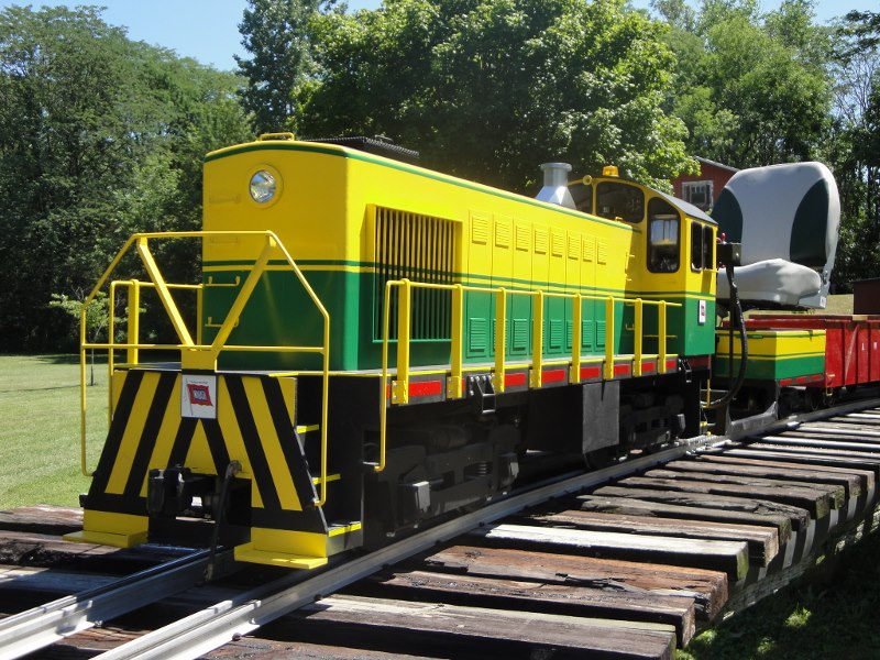
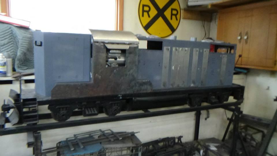
Big Joe Trains is/was located on the south side of Flint, just south of where US23 and I-75 join. There is an exit for Hill Rd off of US23 (exit 90) and I-475 (exit 2), but not I-75. In addition to the photos below of the engines they make, they also offer my favorite "new" engine, the SD-70. Unfortunately, I'm not finding any recent info on "Big Joe", the latest I can find anything is dated 2016, so I suspect he may be out of the live diesel business. Here are a couple of examples of his work, The first one of which is sitting Plum Cove electric trucks, which are well made (as I have a pair):
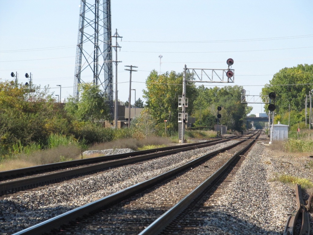
Taken from Court St.


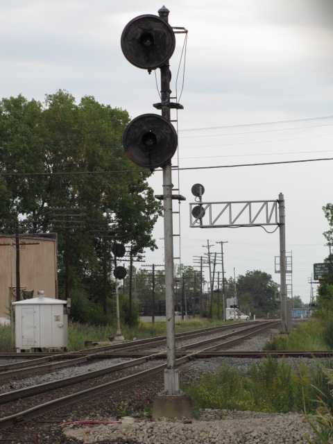
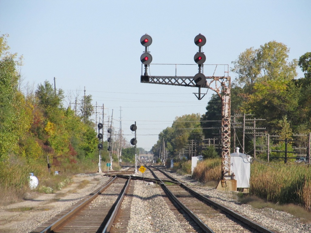
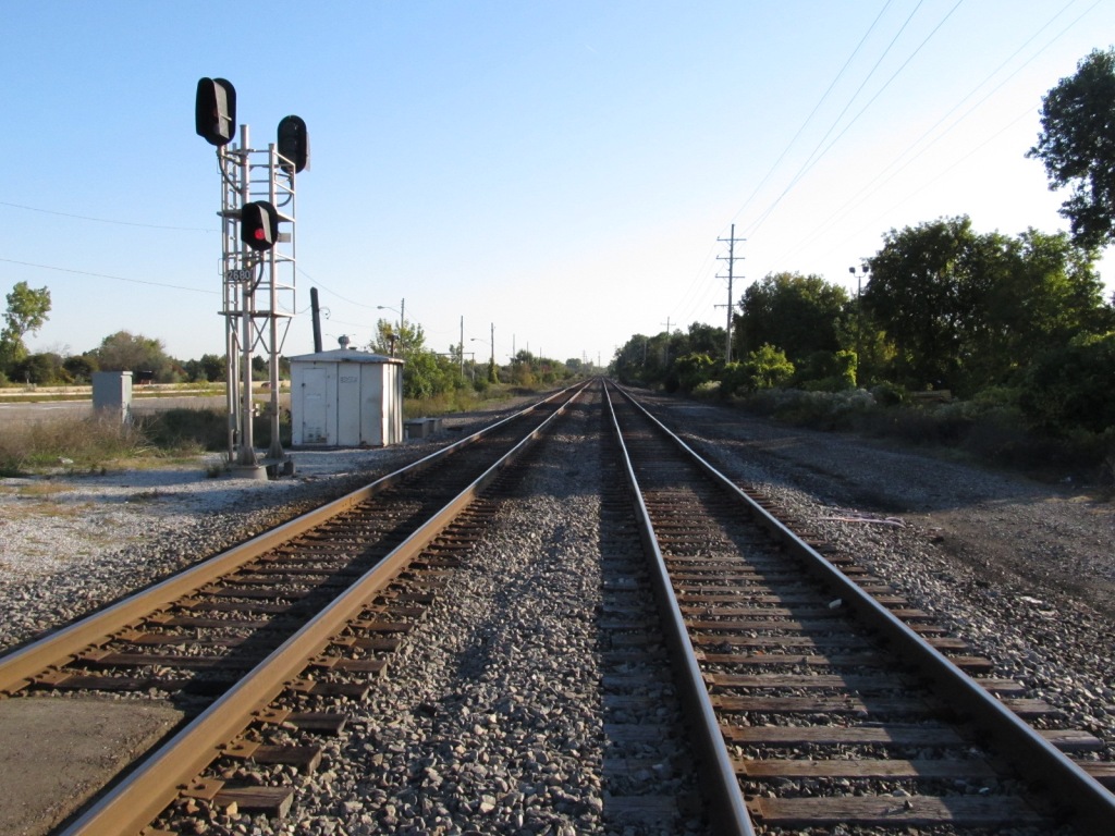
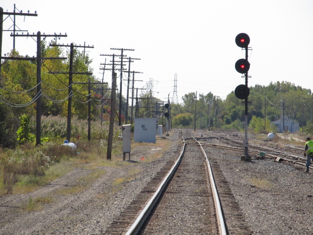
 The southbound signals.
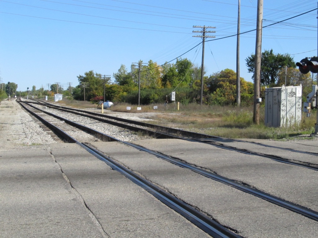
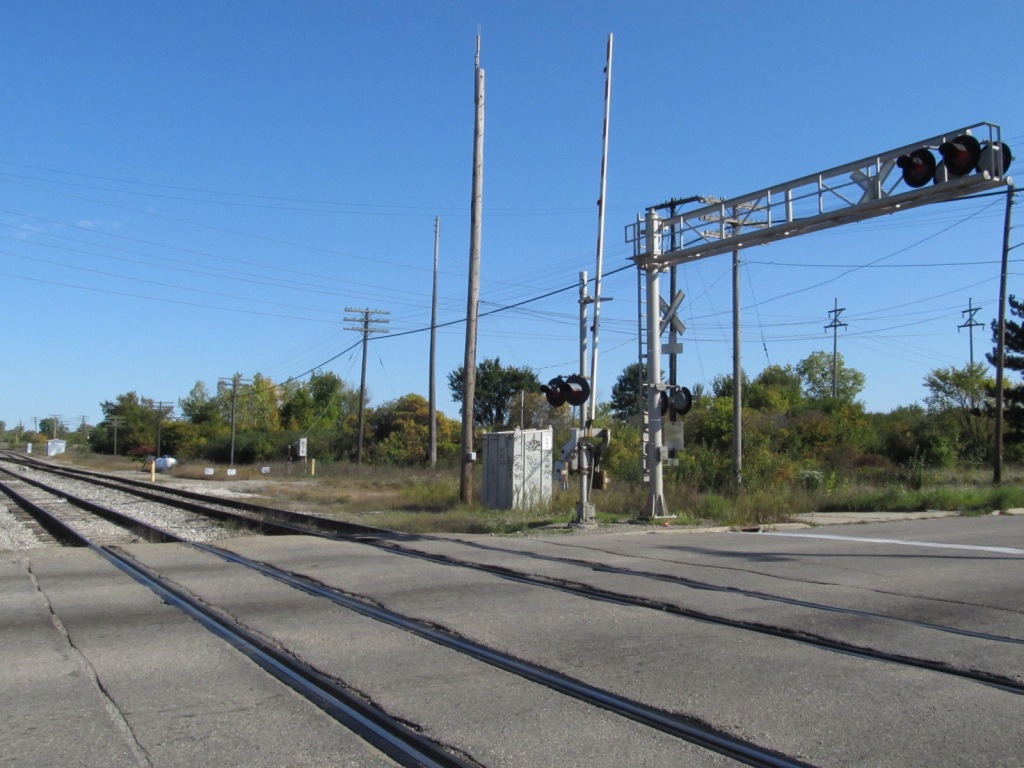
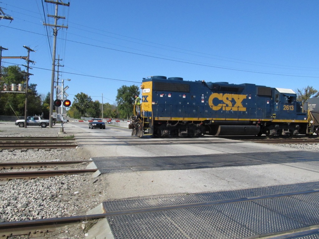
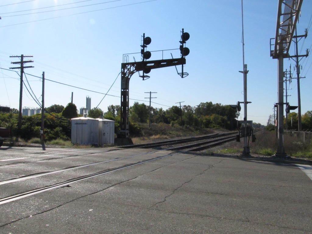
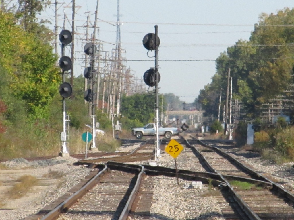
 The grade crossing.
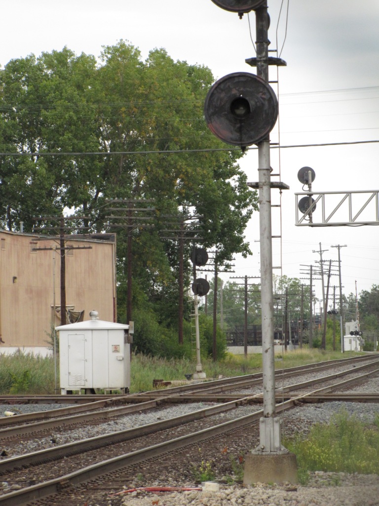
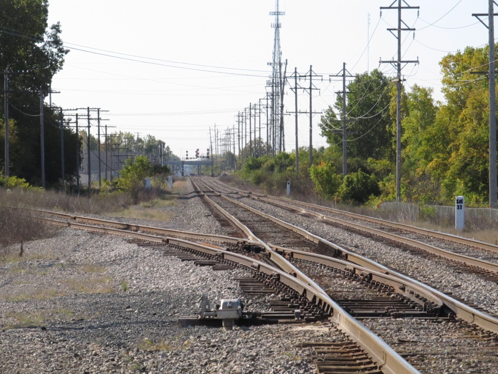 Looking south towards the diamond.
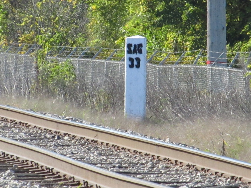

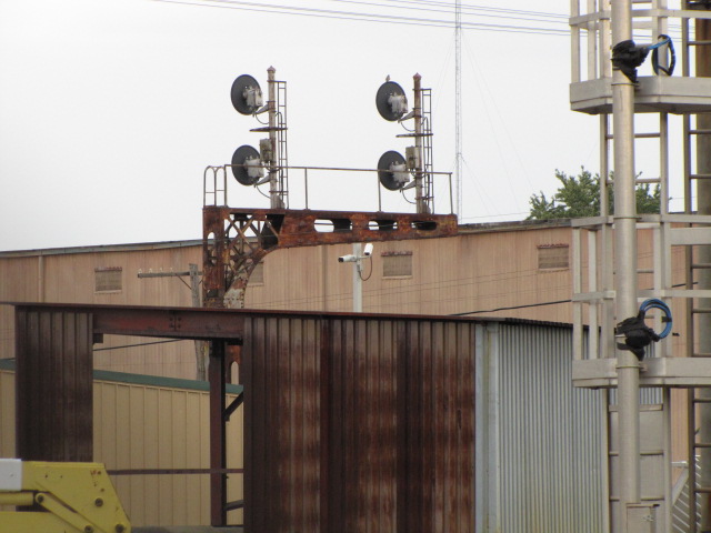
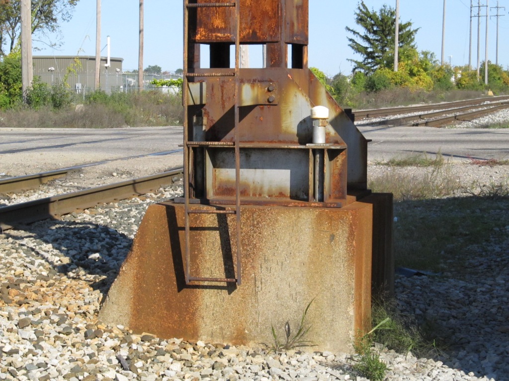
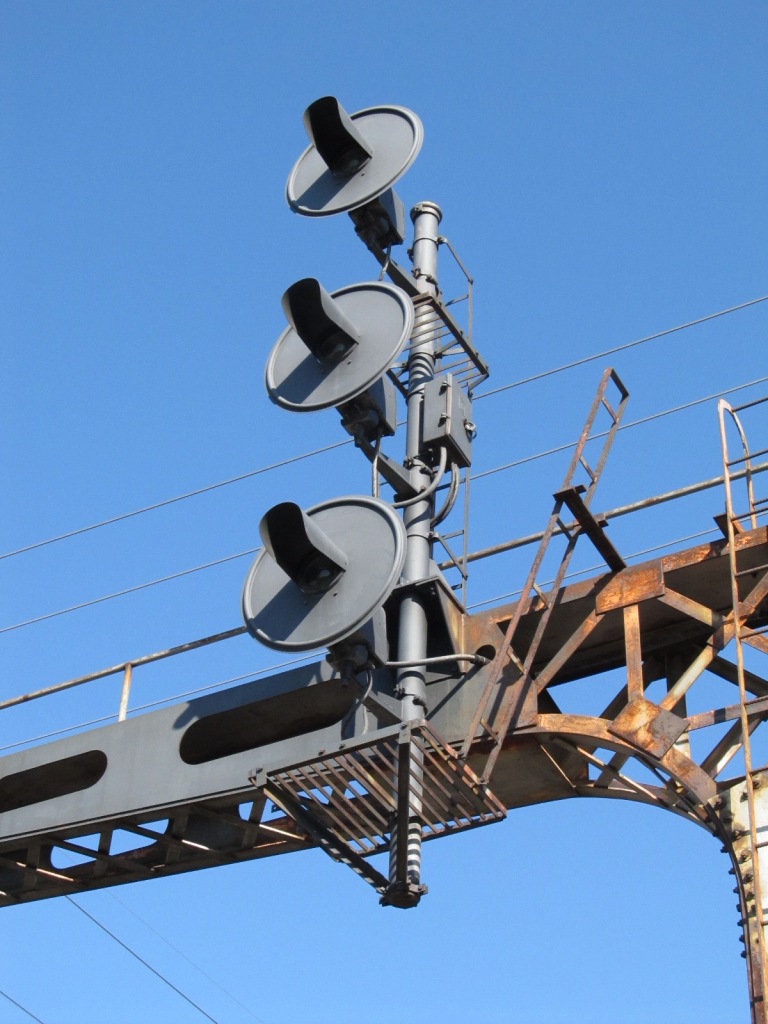
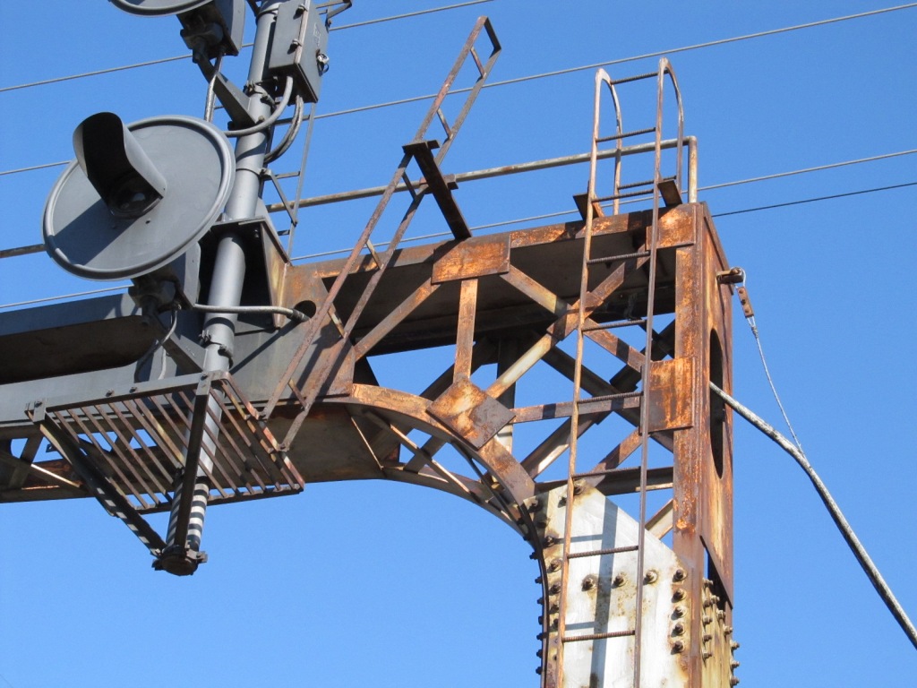
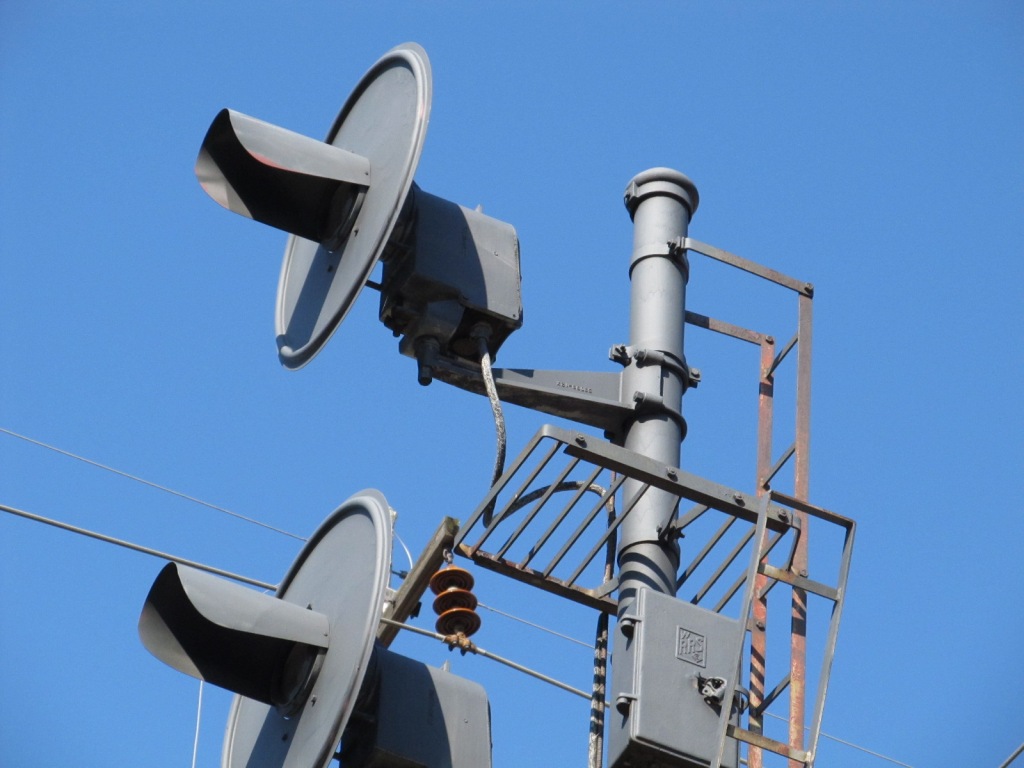
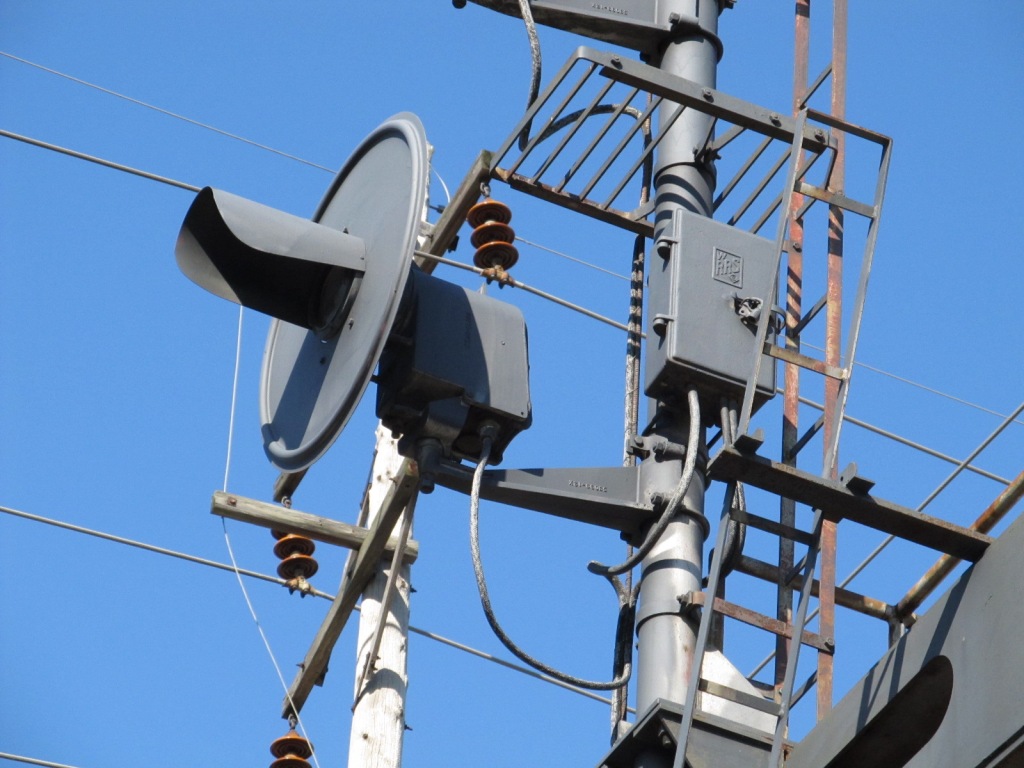
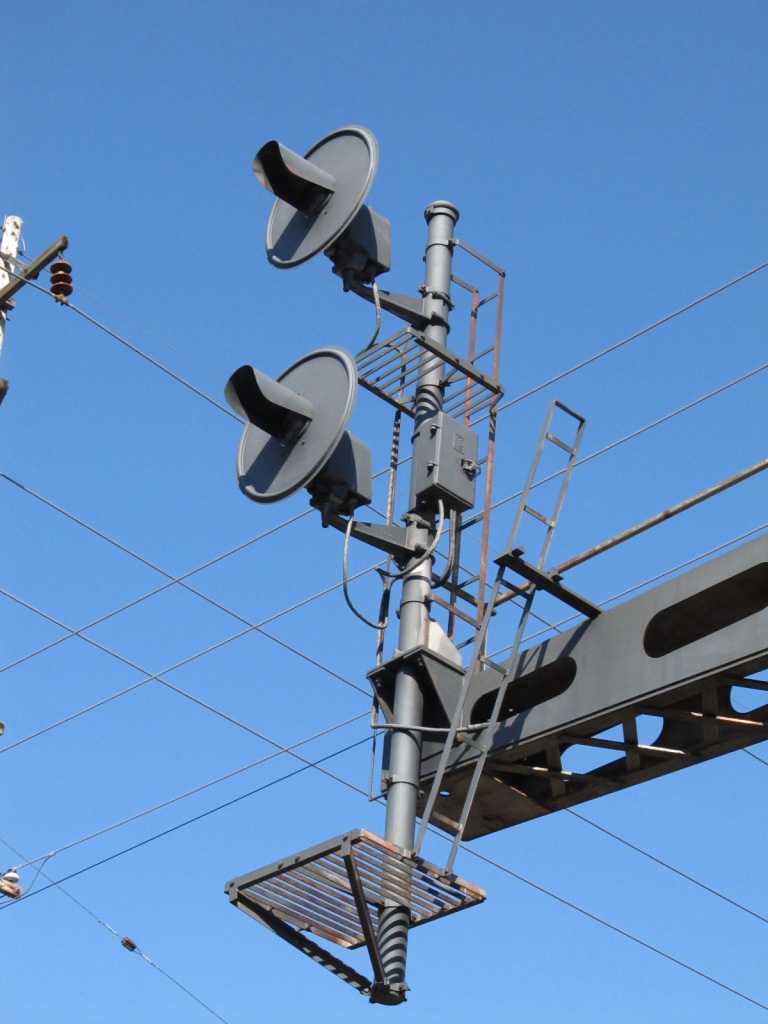
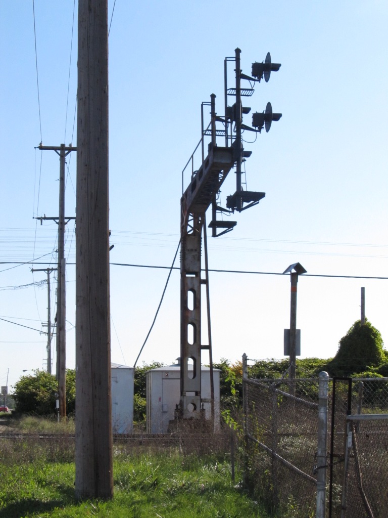
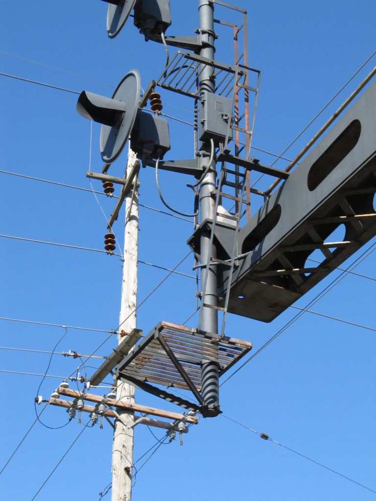
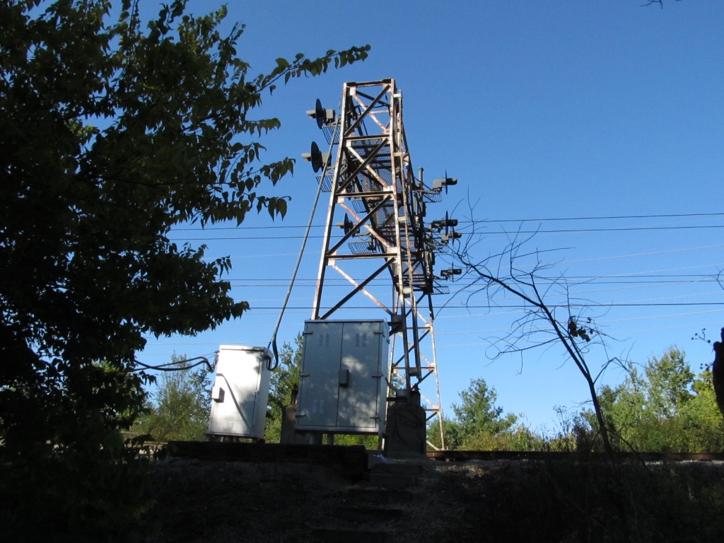
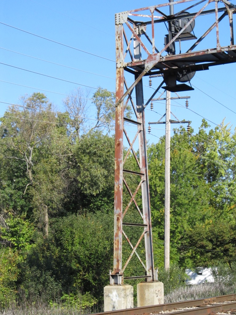
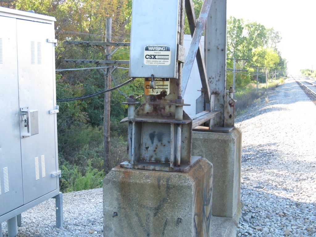
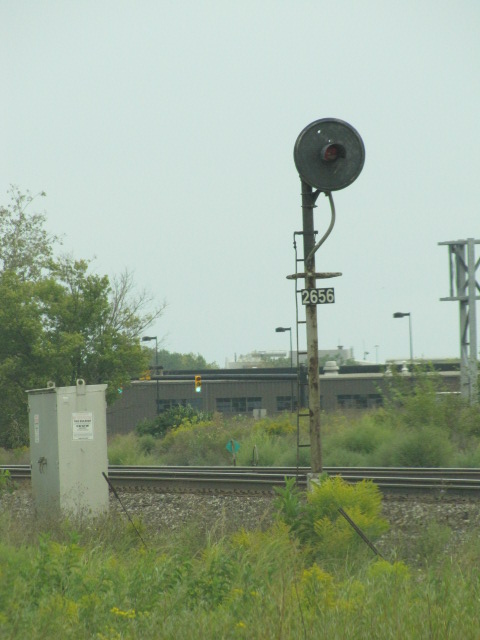
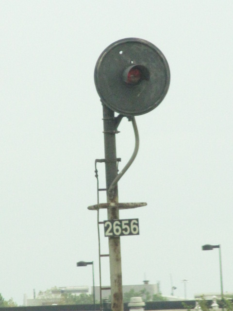
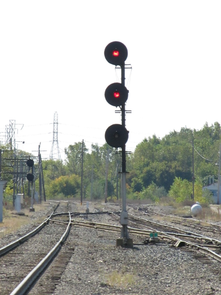
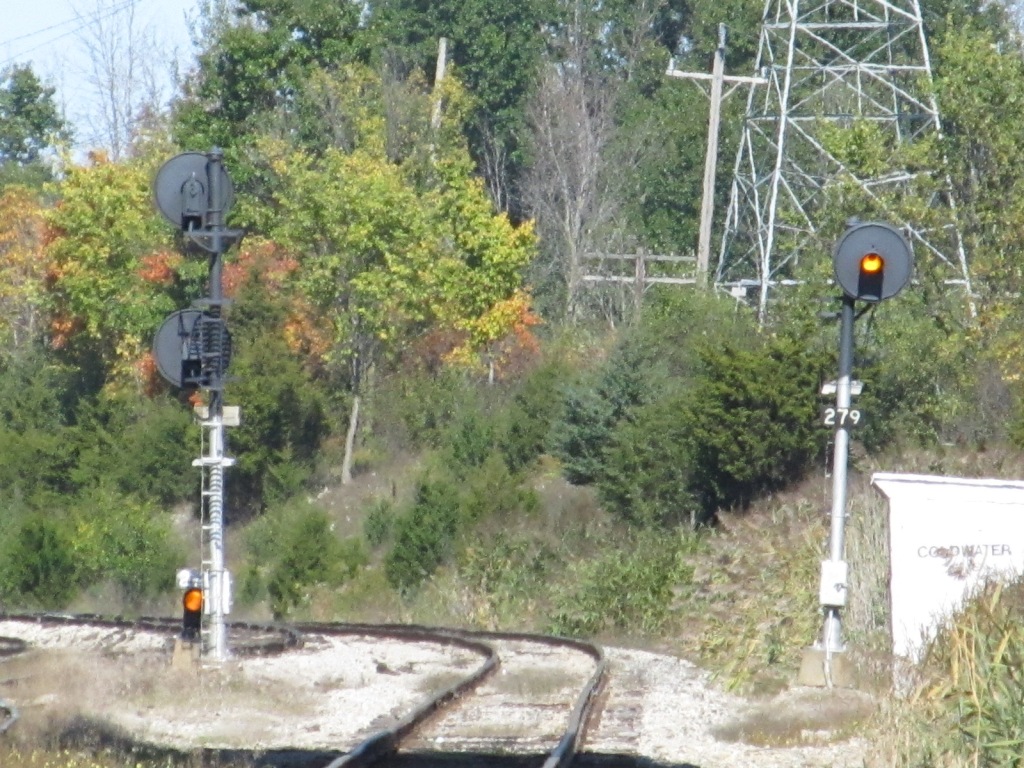
 Abandoned signal bridge, pointed to by the green arrow.
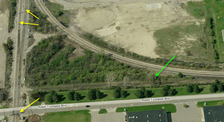
 Taken from Court St.


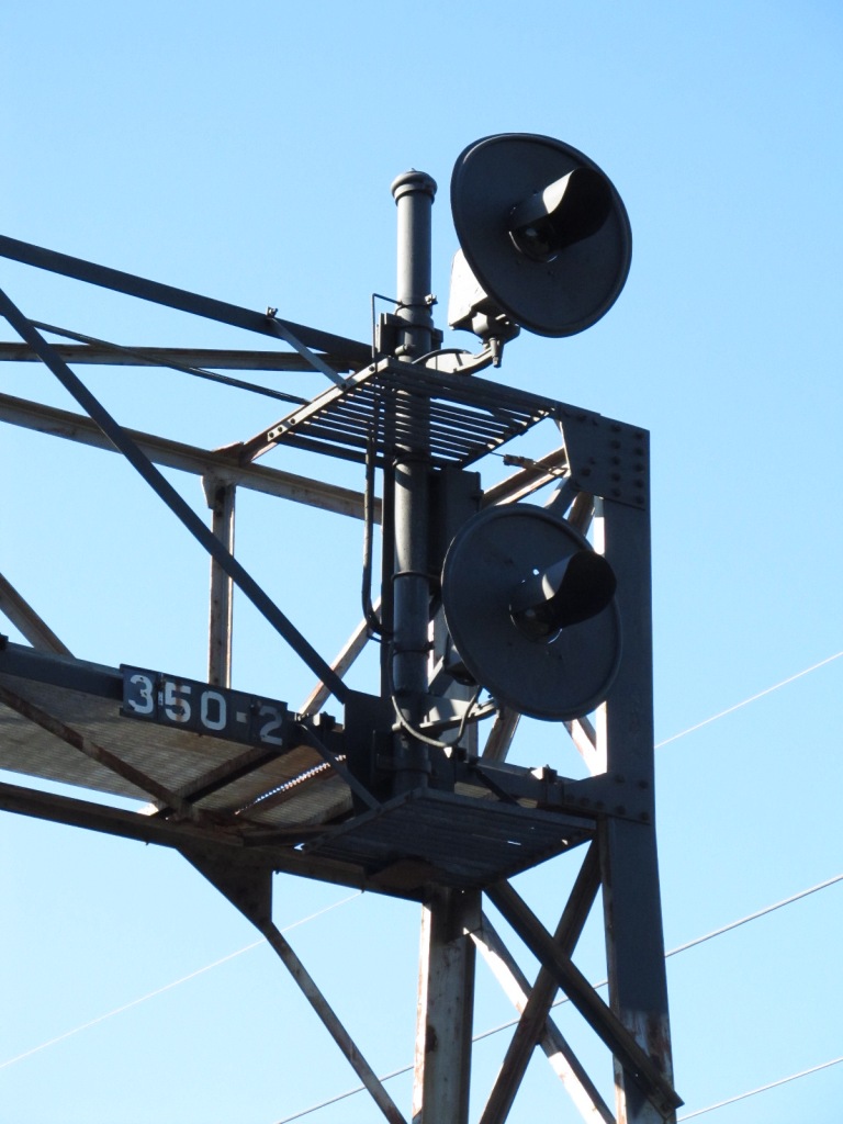
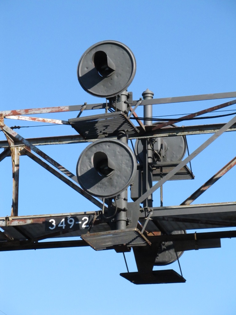

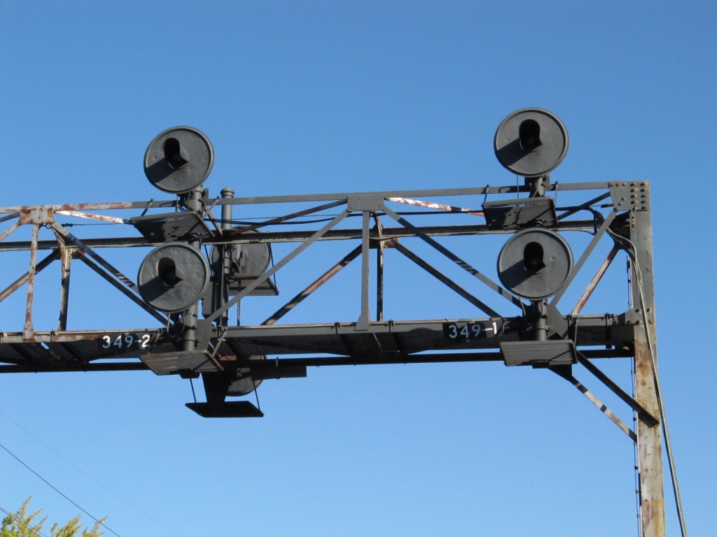
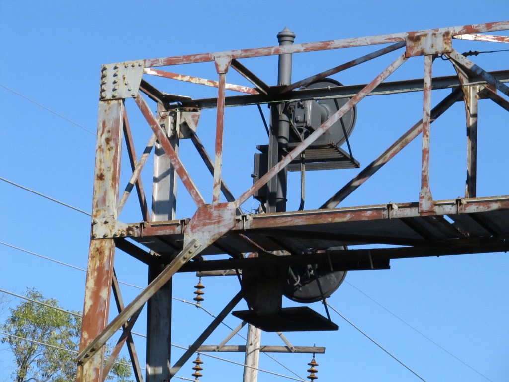
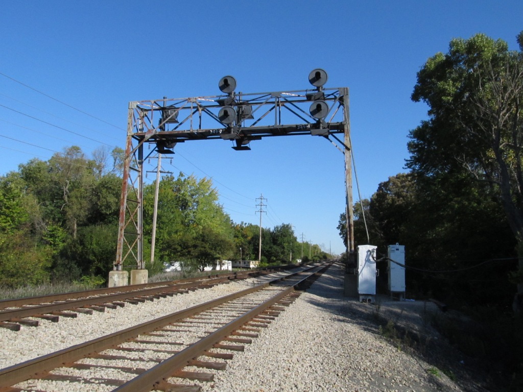
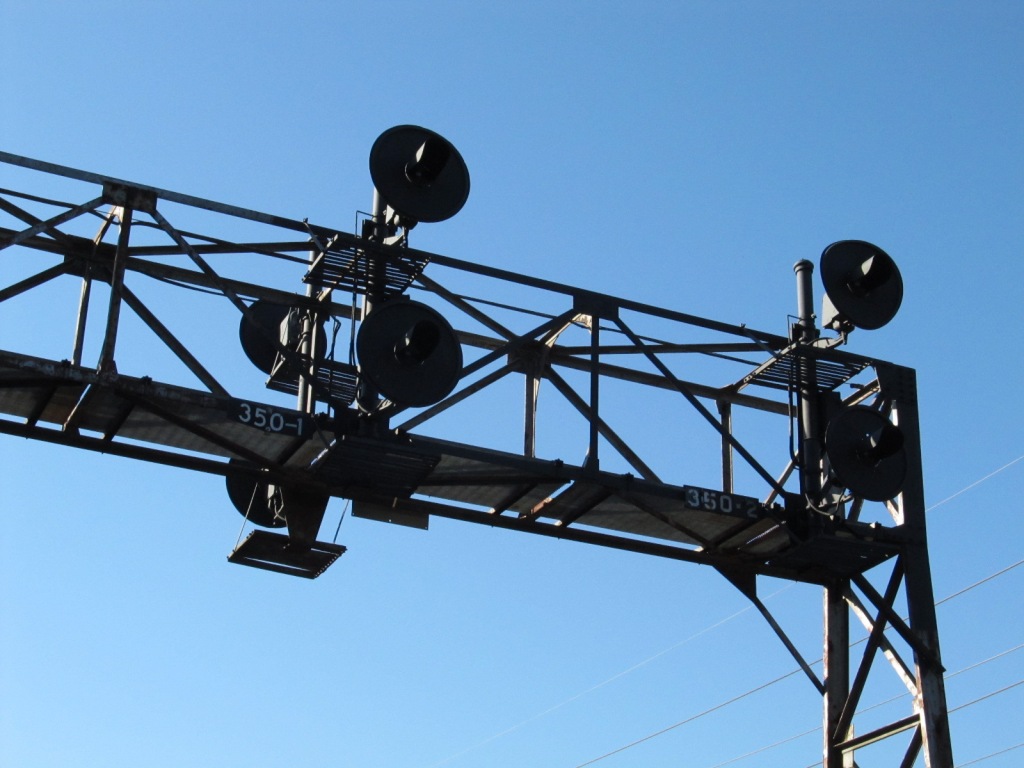
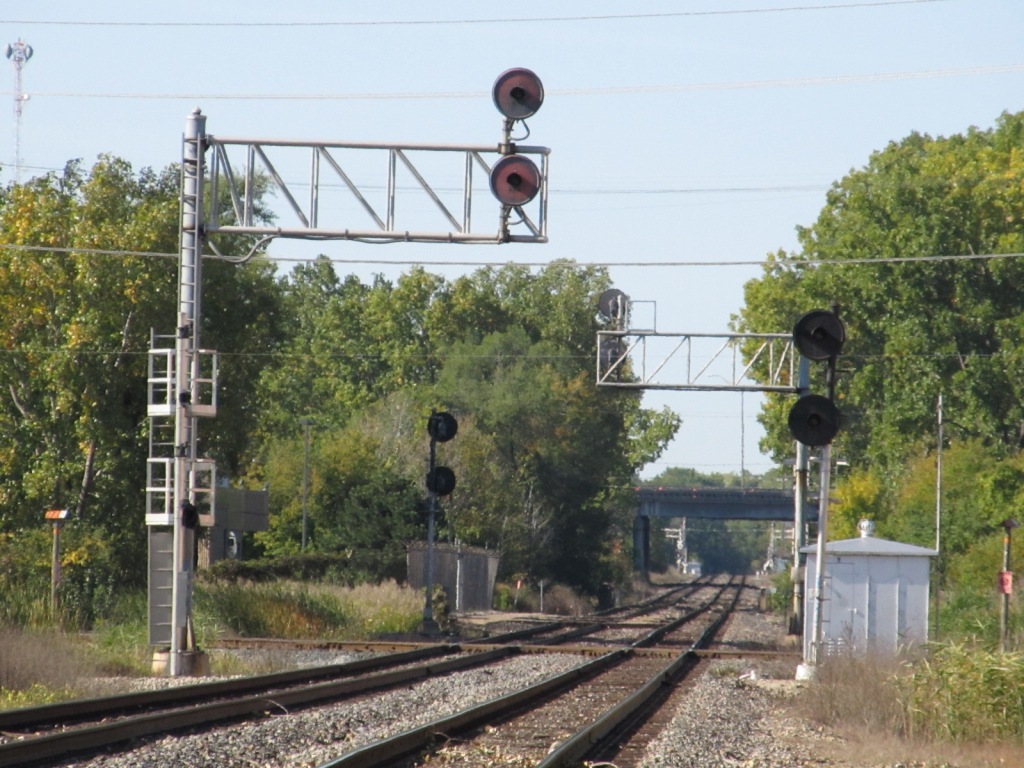
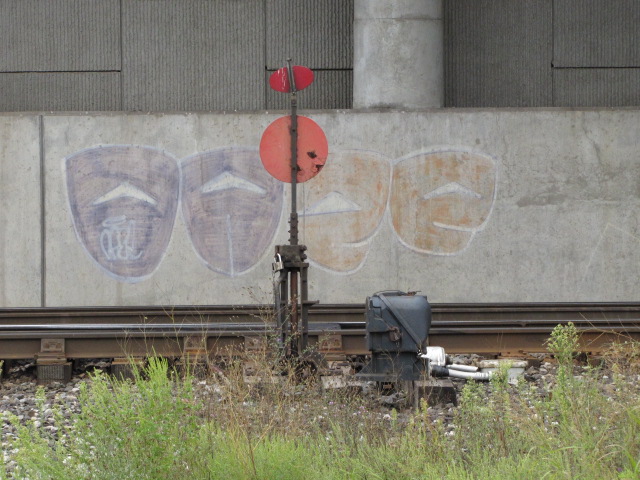
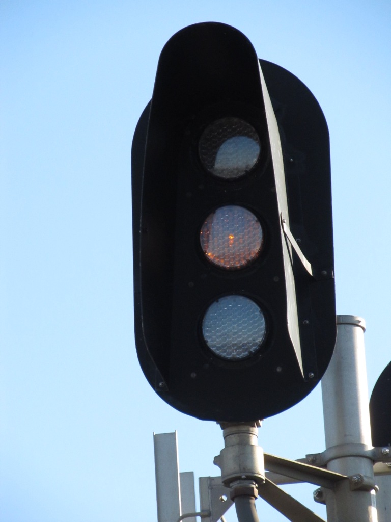
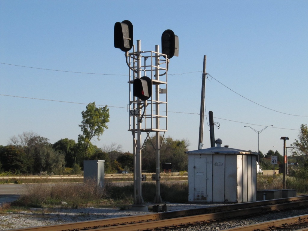
Again, all of these signals appear to be recently painted. The arrows point to the signals.
 Pictures taken from the signal bridge at location 3.
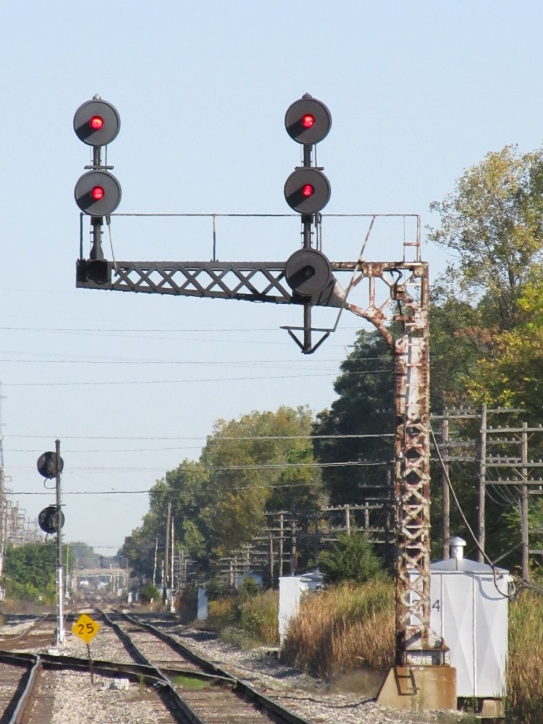
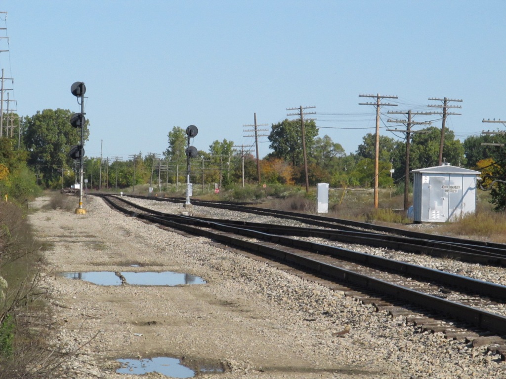
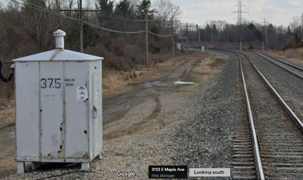
Looks like the signals on the north side of Maple have been removed, probably because there are no thru train going north after the small yard, and there is no need for a complex interlocking.
This one was a pain in the kazoo to find a way in and get a picture of :-)
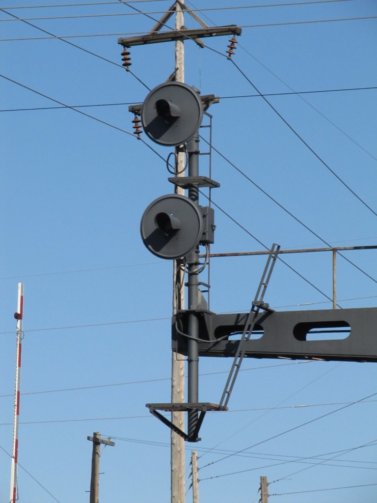
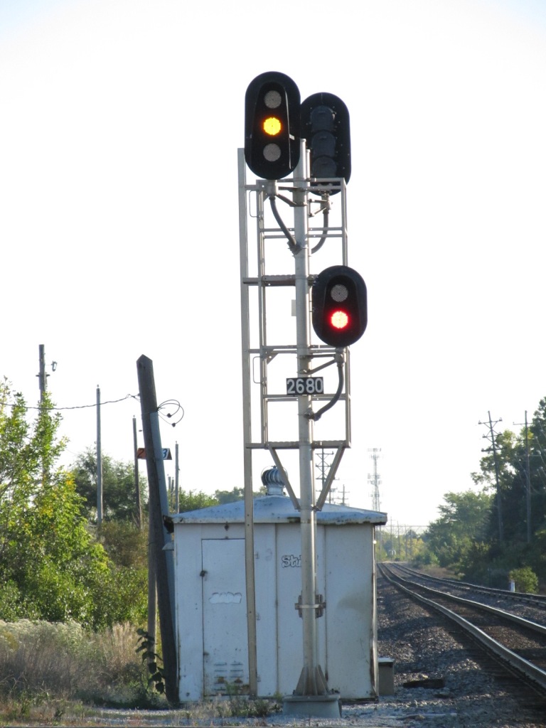
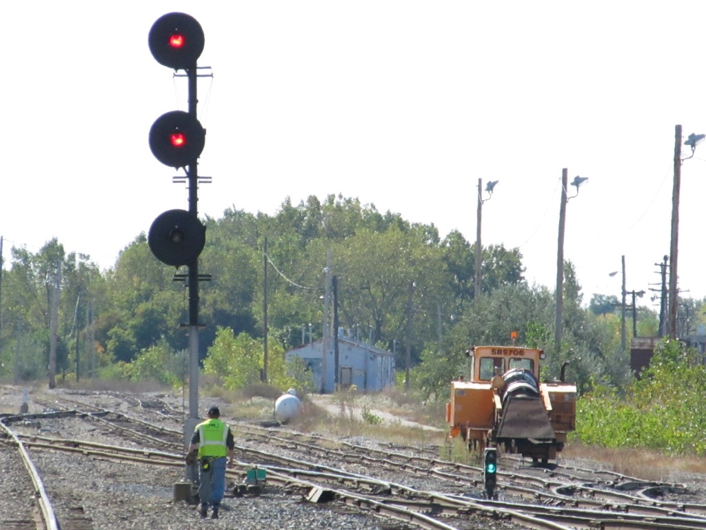
 Taken from where Bristol Road goes over the tracks, a lone GRS searchlight at the throat of the yard.
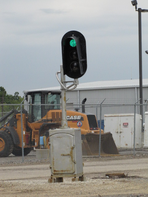
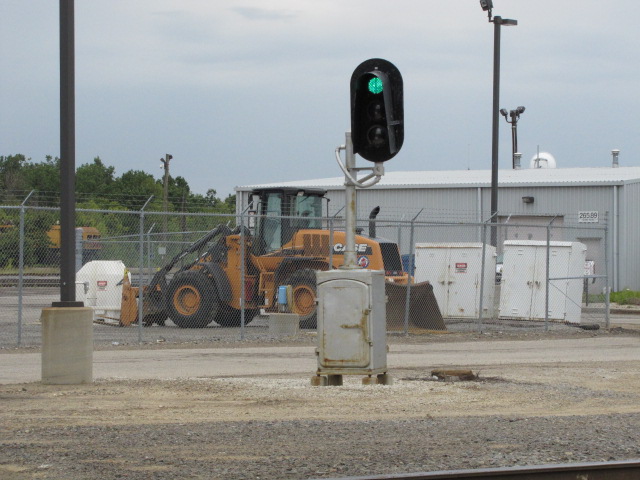 This unique signal with LED's controls vehicular movement across the yard throat tracks.
This set of signals is conveniently placed adjacent to this intersection, and I took pictures here at the height of the morning rush hour... I'm surprised I didn't have all sorts of cars with flashing red and blue lights around me with as paranoid as Americans are these days :-) The right most picture is looking east, the one next to it is looking back west towards the yard.

 The signals from the overpass.
 Looking towards the signals from ground level where the street now ends, the reason for the overpass.
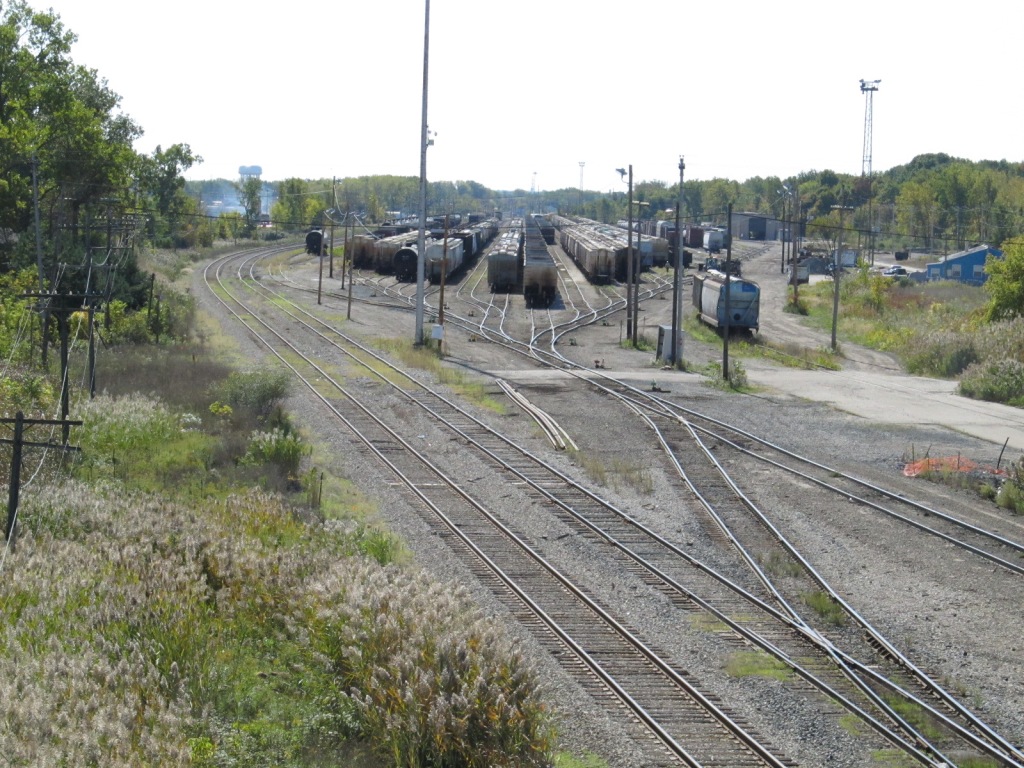
 Looking towards the yard from the bridge (L), and from ground level (R).
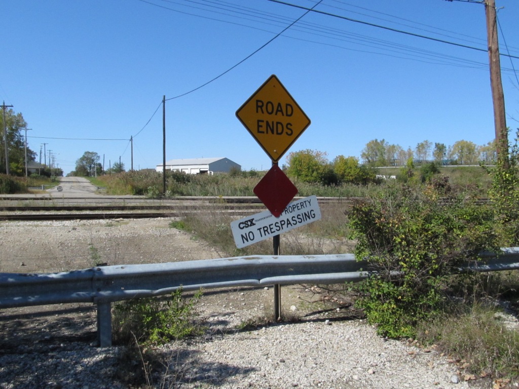
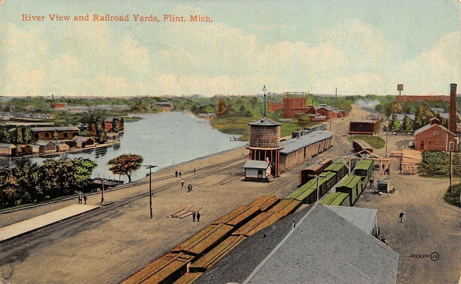
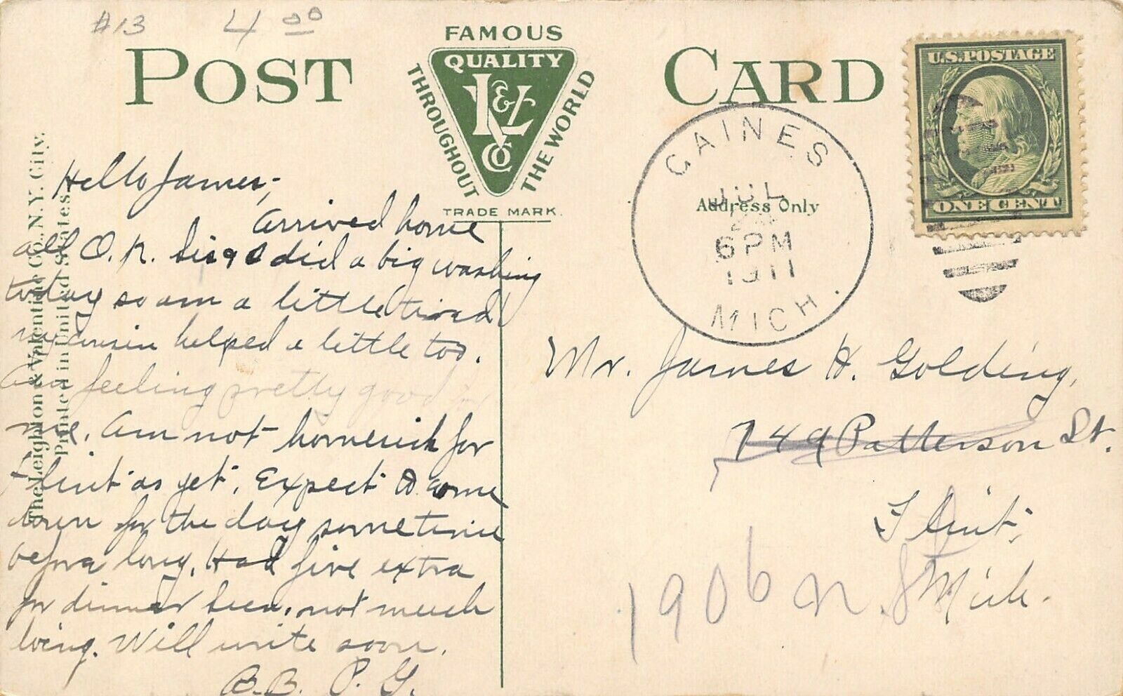
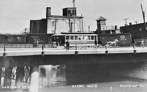
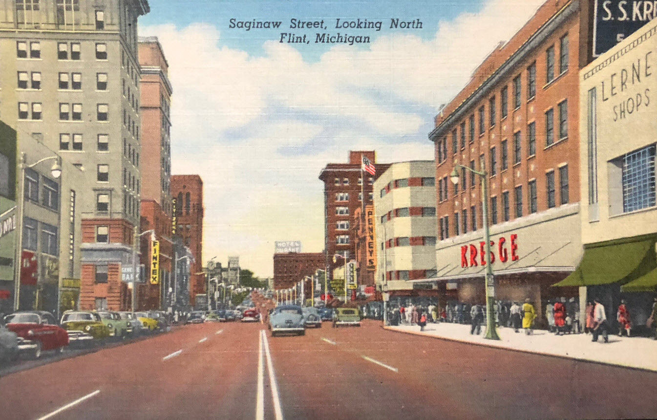
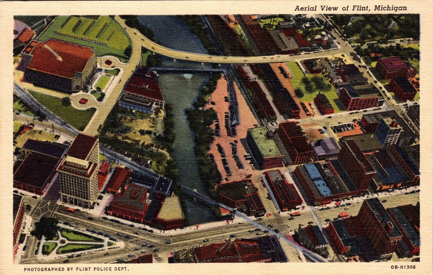
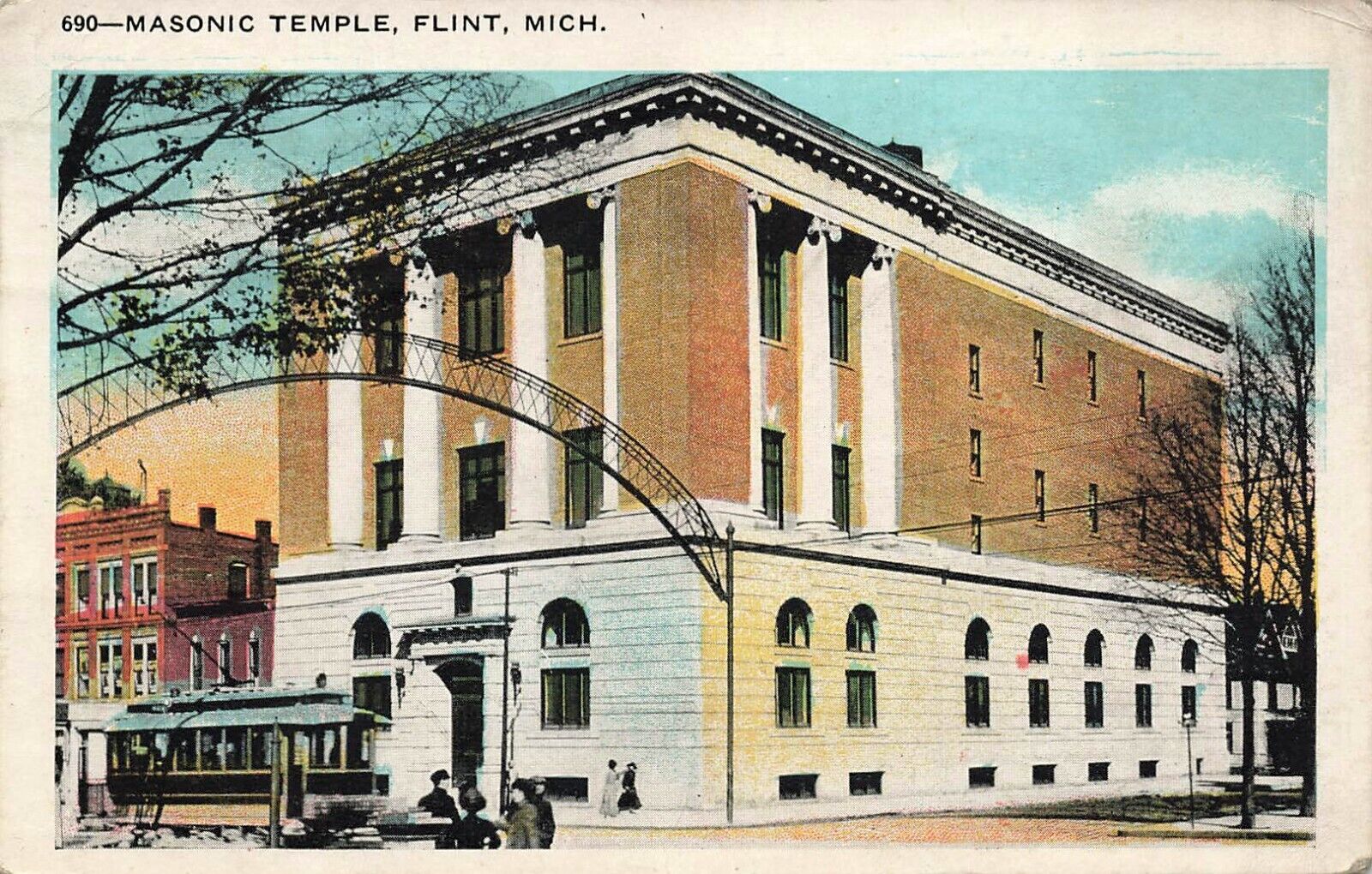
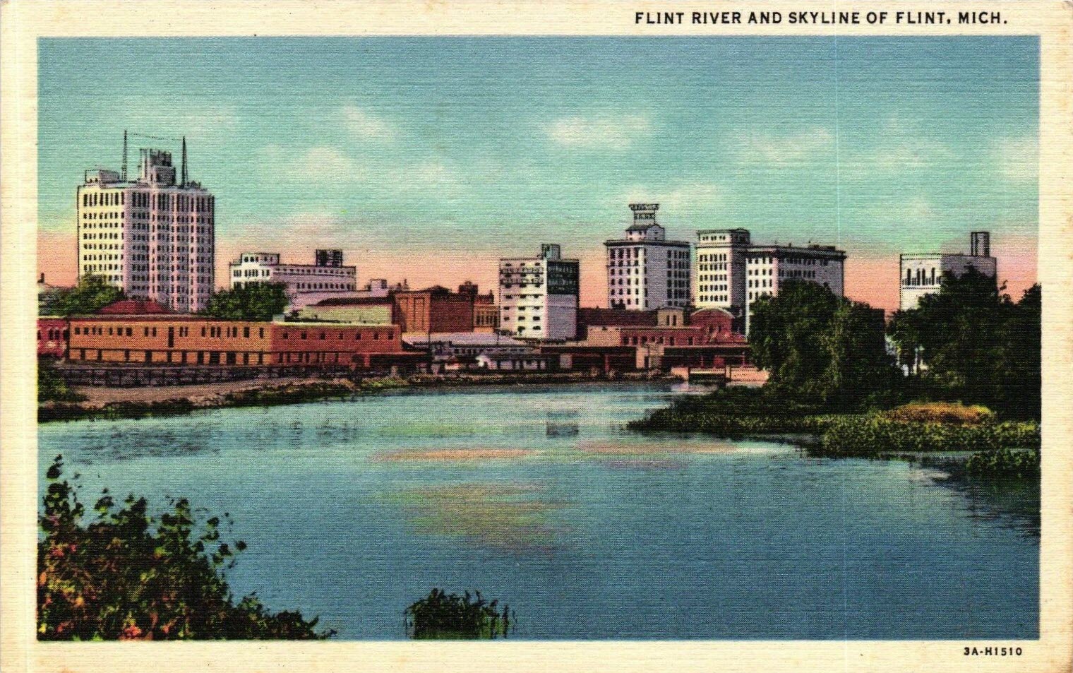
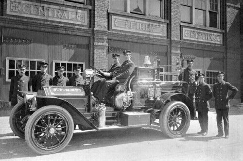
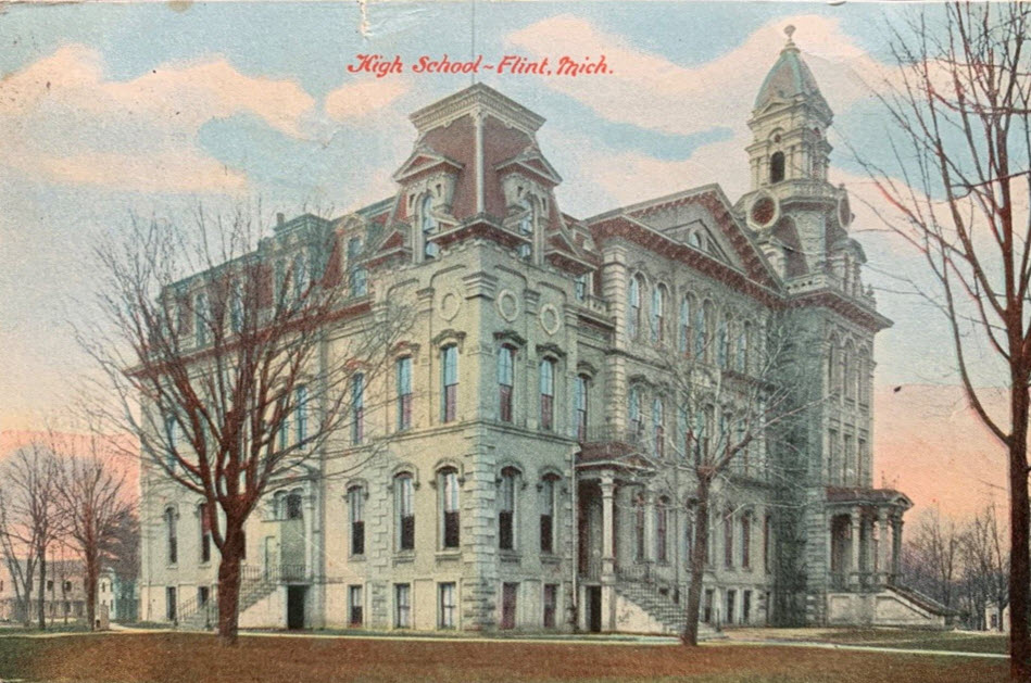
I only found two postcards on EBay dealing strictly with trains, there may be more, but.....

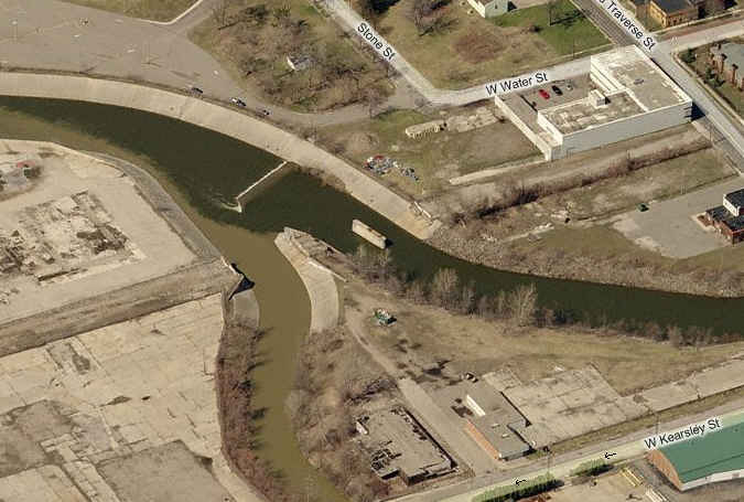
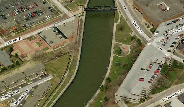
 Following the abandoned R-O-W along Kearsley.
 Across from the CN yard is the entrance to the Flint airport.
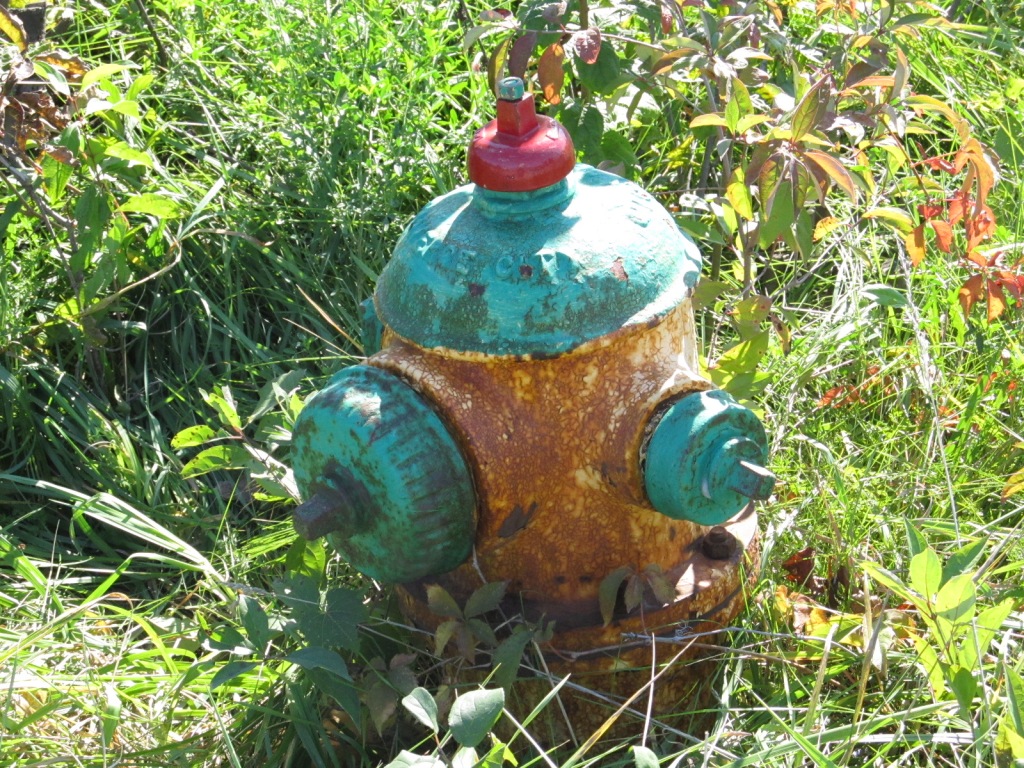 Fire hydrant at the CSX yard off of Carpenter Rd.
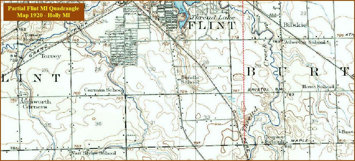
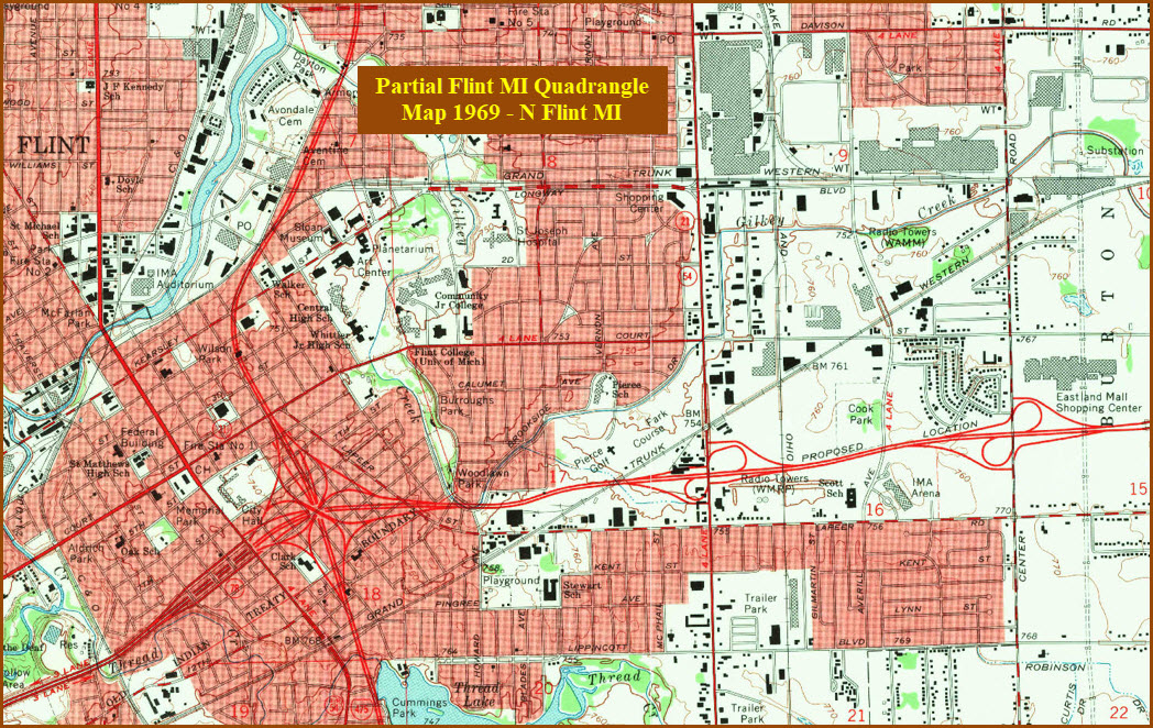
Courtesy USGS, click here for their index page.
Disclaimers:
New format 10/26/23: Please check out my disclaimer page for my standard dribble and contact info here
MICHIGAN RAILFAN GUIDE HOME
RAILFAN GUIDES HOME
RAILROAD SIGNALS HOME
NEW 08/12/2009, AUG23/24/26/28/2023, JUN20/2024
Last Modified 20-Jun-2024