In General
Getting Here
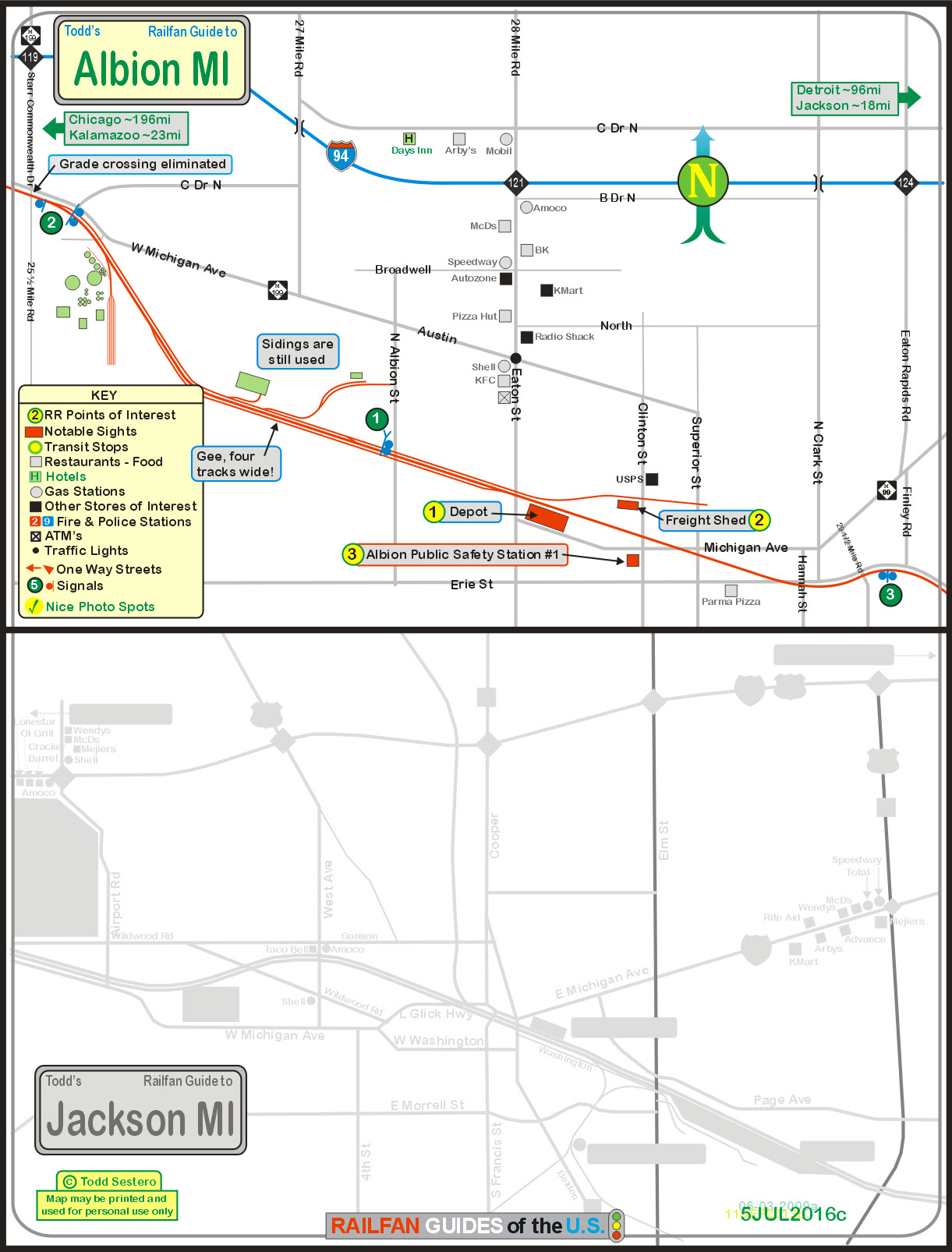
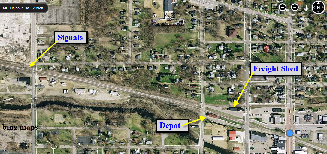
Map
Sights
Pictures
Signals
MICHIGAN RAILFAN GUIDE HOMEPAGE
RAILFAN GUIDES HOME
RAILROAD SIGNALS HOME
Location / Name:
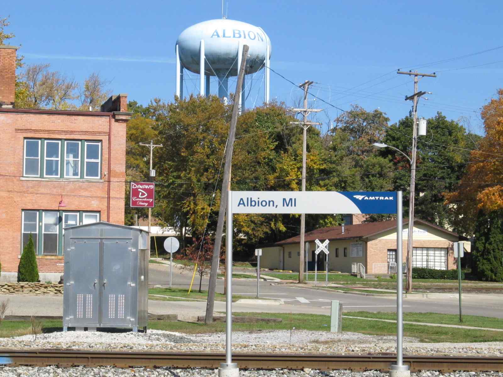
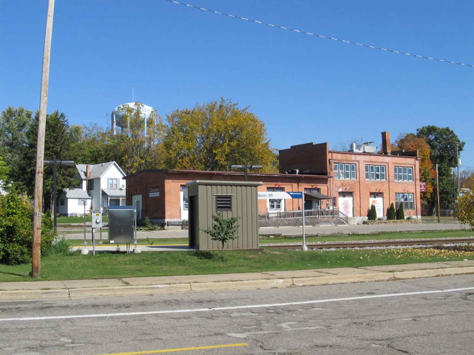
Albion MI, Calhoun County
What's Here:
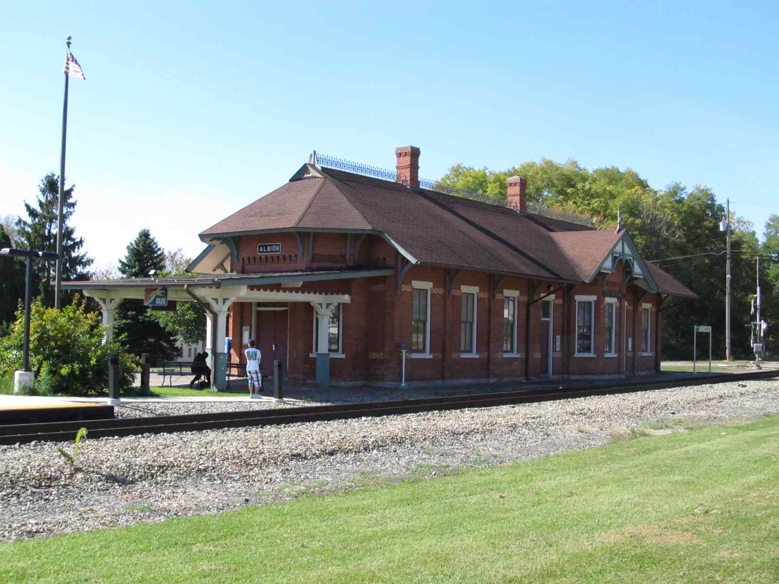
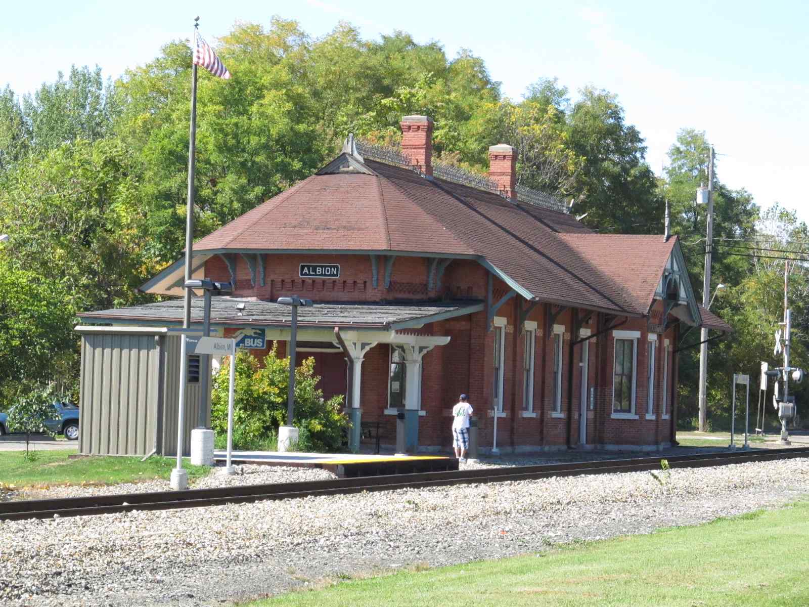
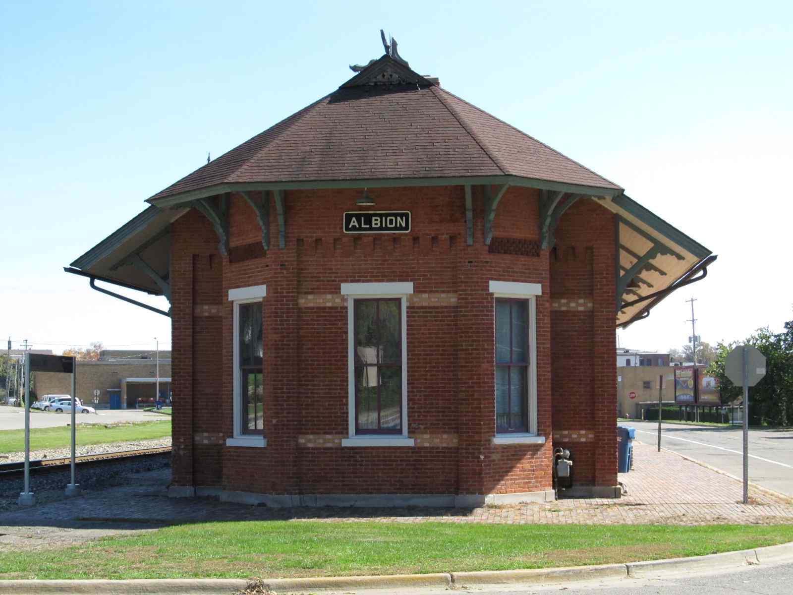
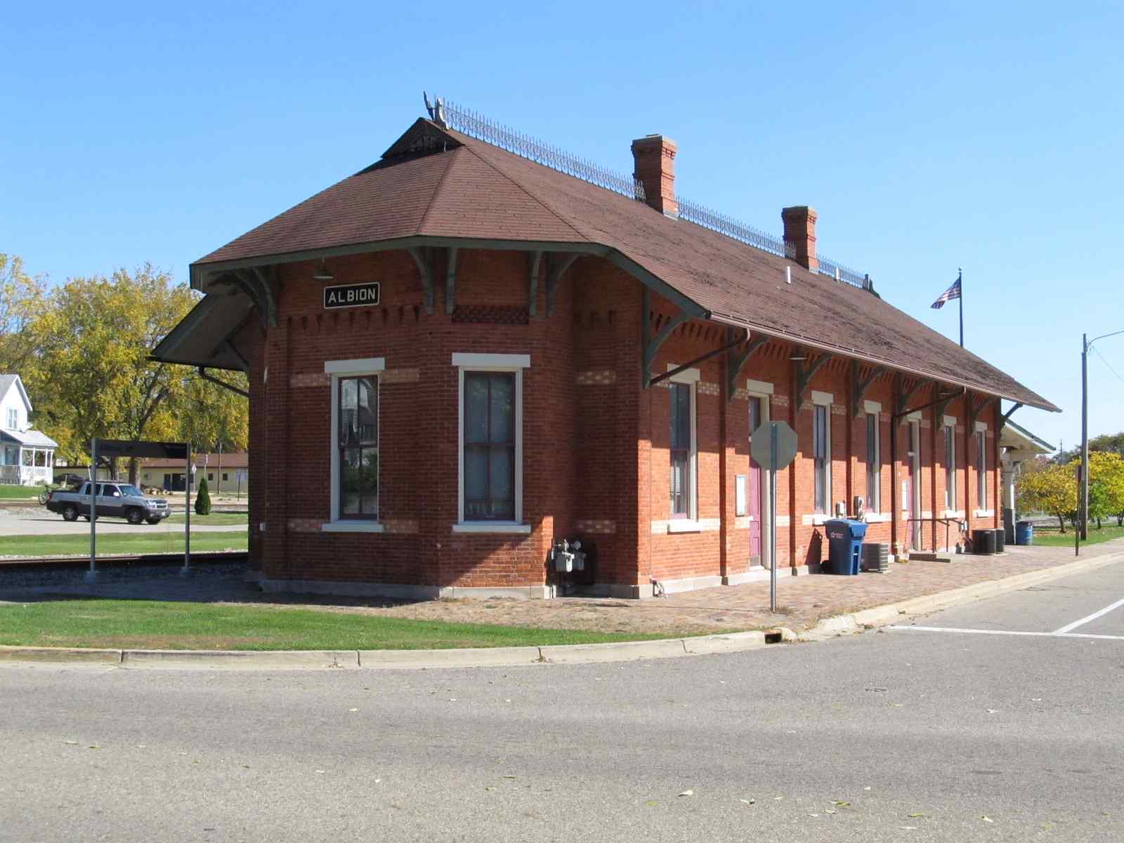
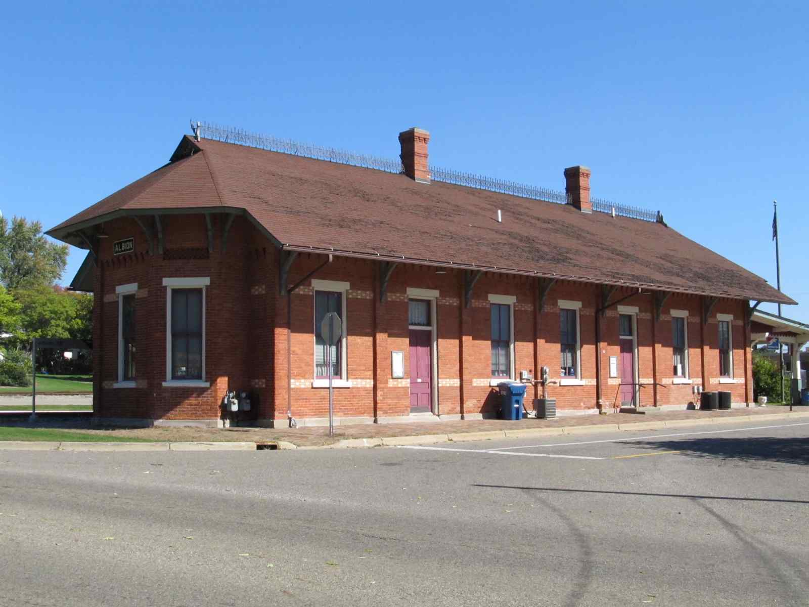
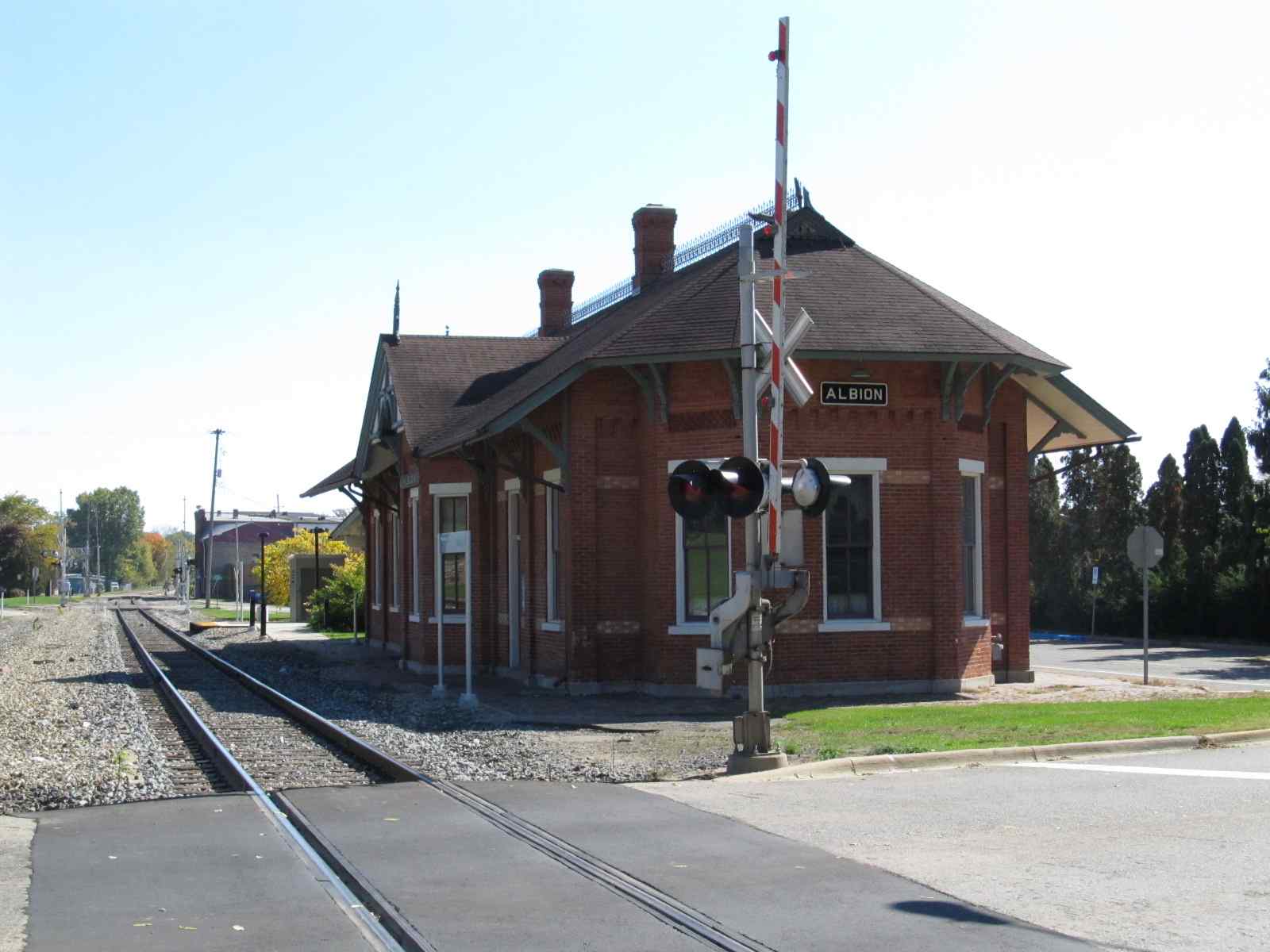
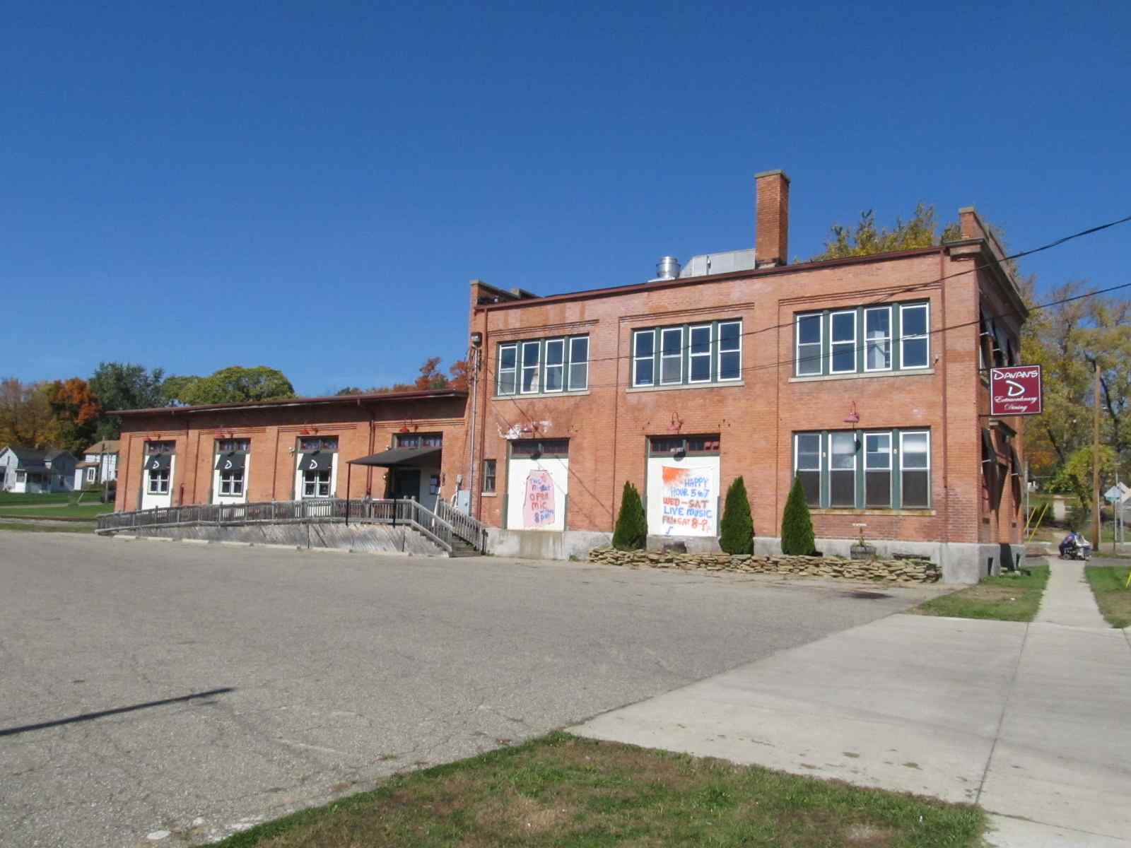
former Michigan Central Depot and Freight Shed
Data:
GPS Coordinates: 42.247284, -84.755774 (at the depot)
Phone A/C: 517
ZIP: 49224
Access by train/transit:
Amtrak
The Scoop:
Admittedly, there is not a whole lot in
Albion to make the railfan come here for a trip by itself, but if you are
going to be traveling the I94 corridor, it is certainly worth the stop.
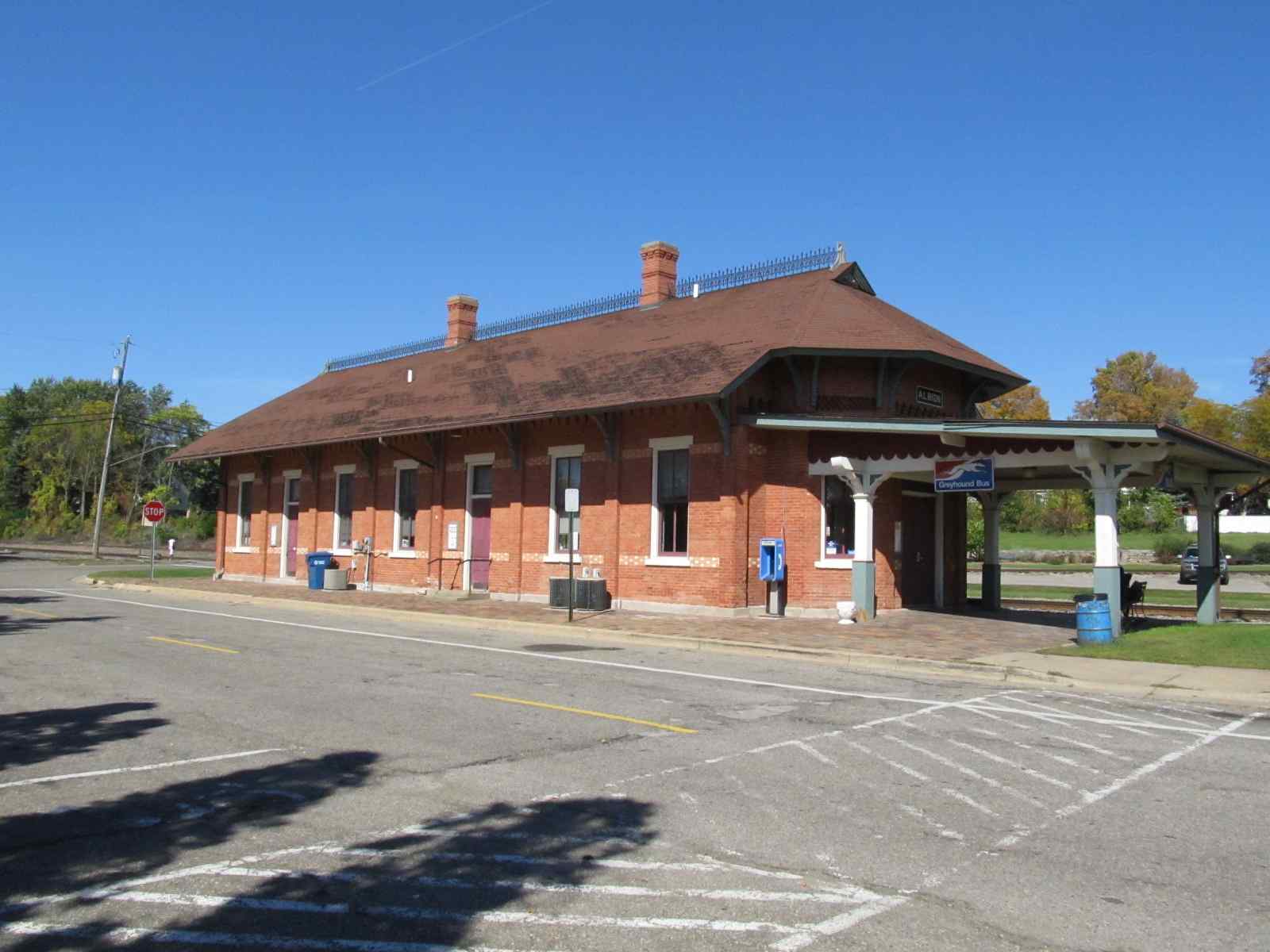
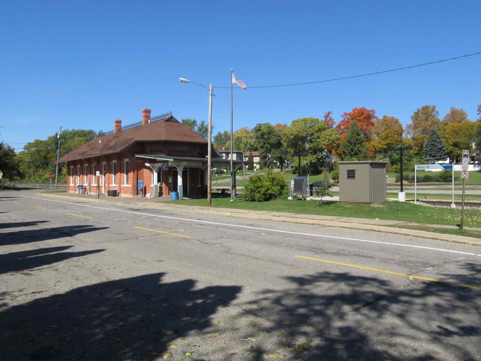
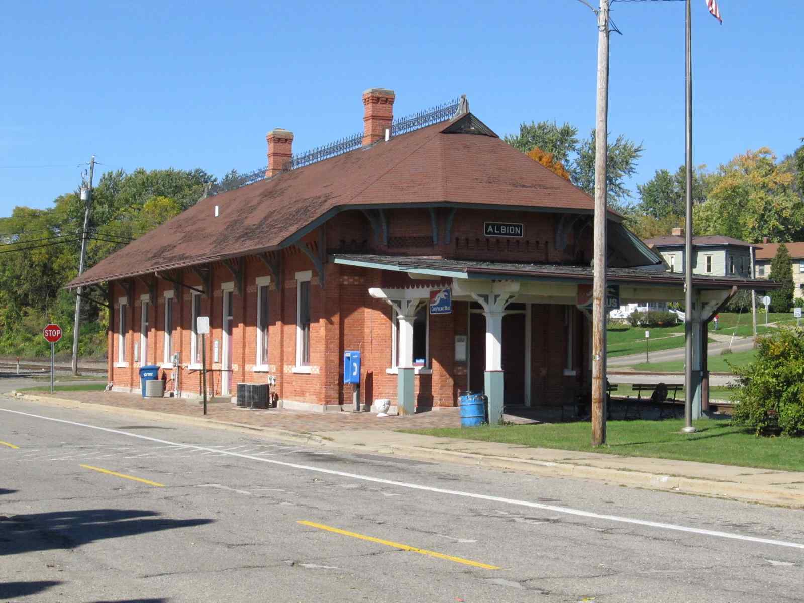
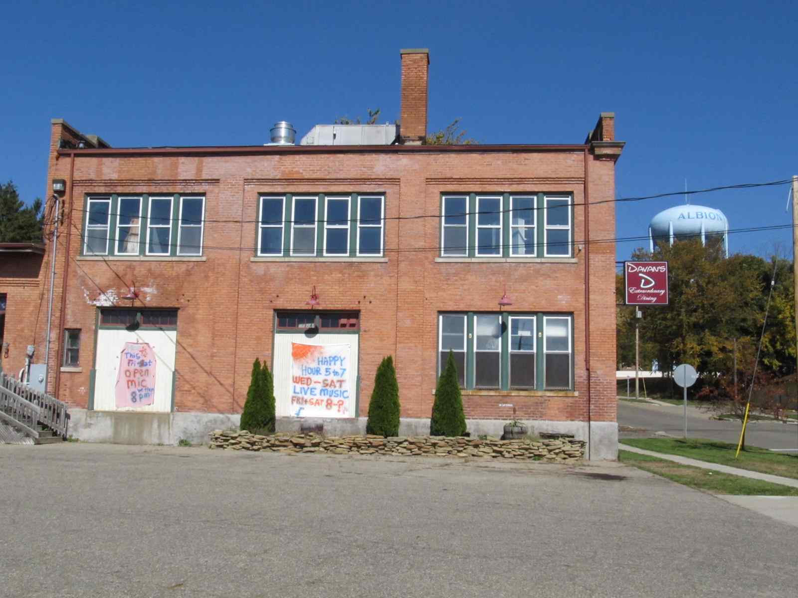
The station was built in 1882 by the Michigan Central, which also built the still standing freight shed. It was abandoned in 1971 when Amtrak took over, and later "fixed-up" in the 1980's by local community groups.
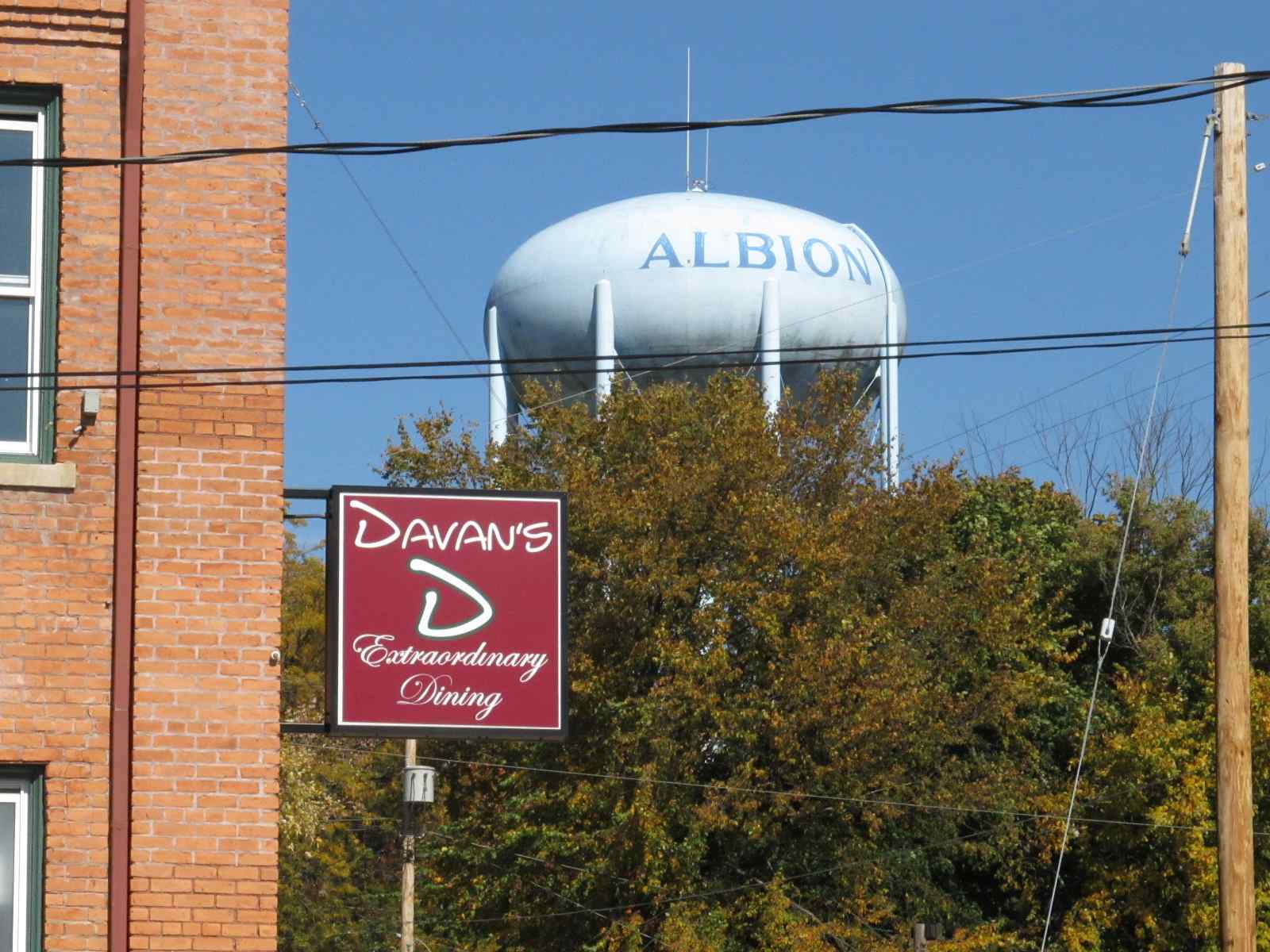
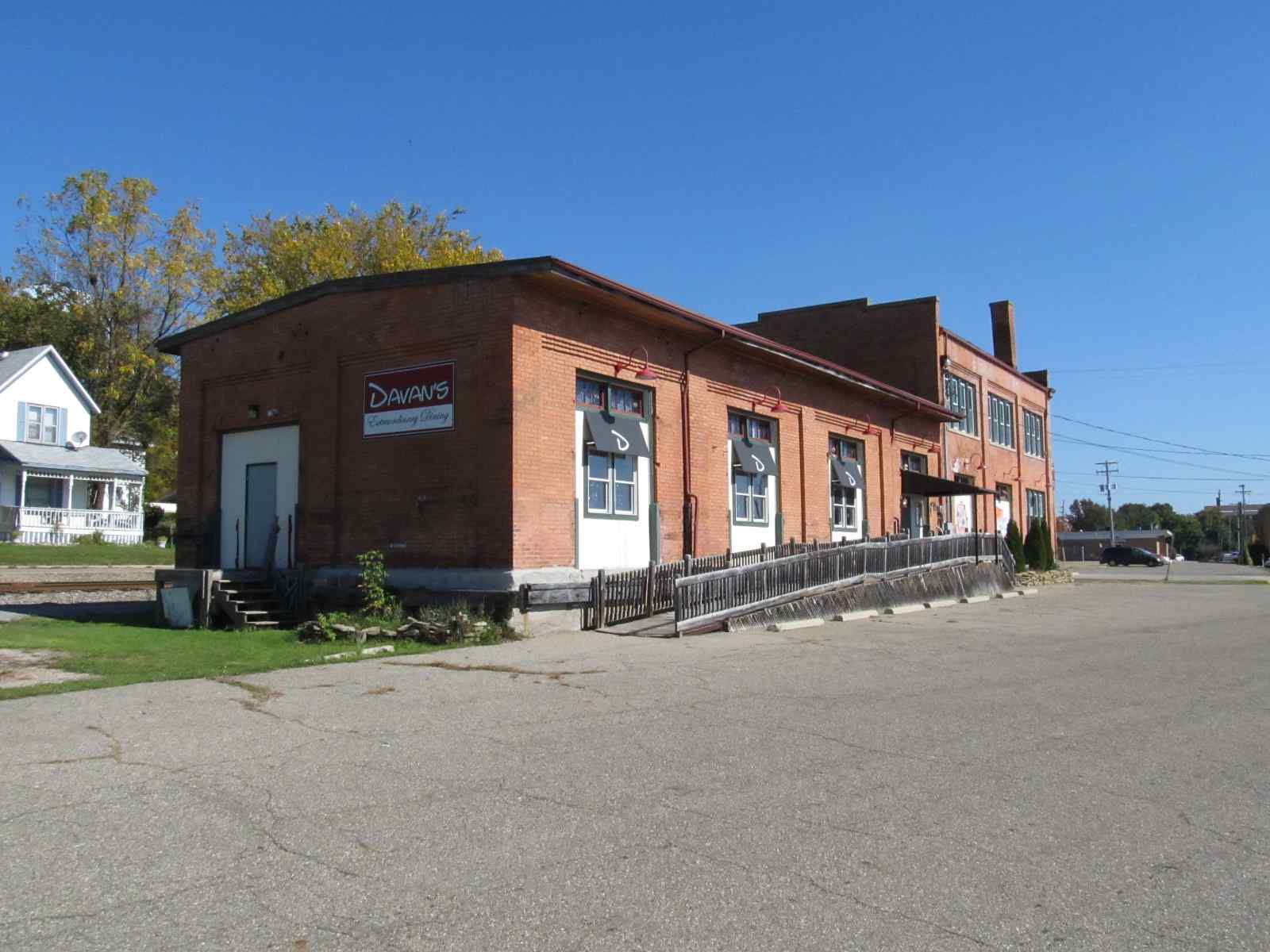
The freight shed currently houses a restaurant called Davan's.
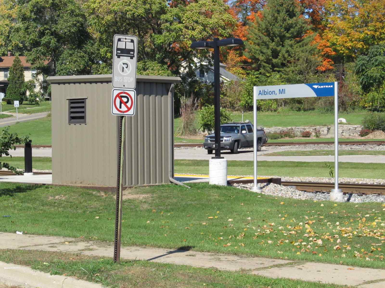
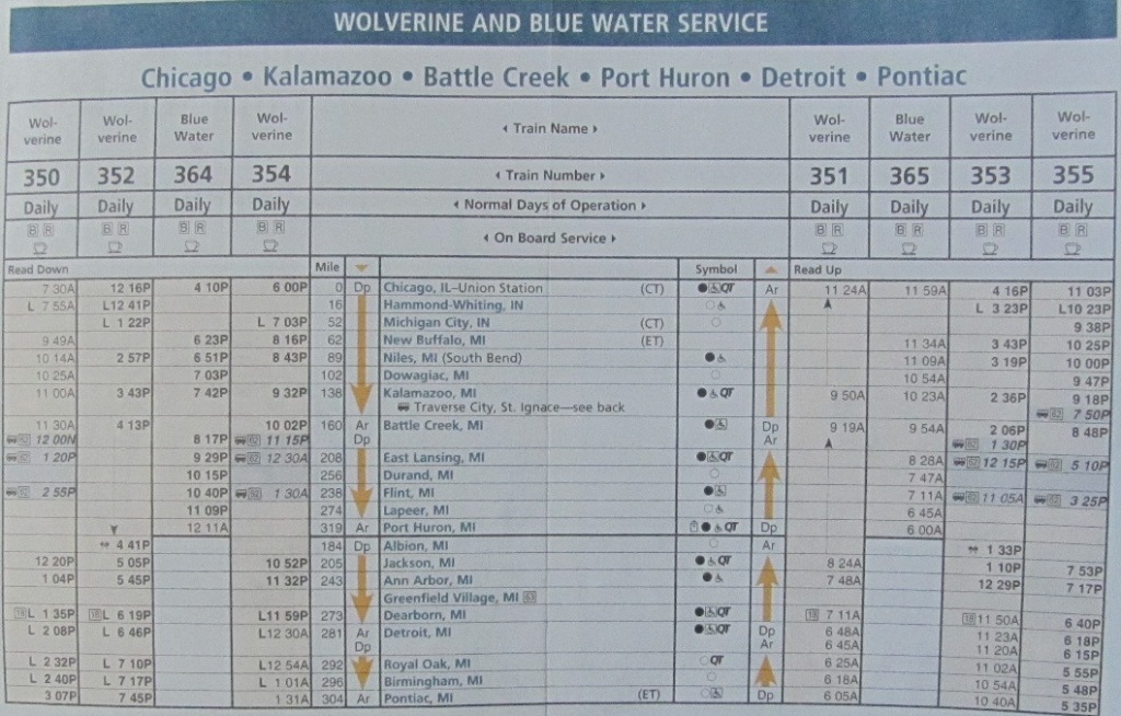
Today the depot services 6 trains a day, going between Detroit (Pontiac) and Chicago. According to most sources, the Albion station has the lowest "ridership" in Michigan, with an average of 4 riders. The station is used by Amtrak's Wolverine, and has only one stop a day for each direction. The depot serves as a terminus for both Amtrak and bus service.
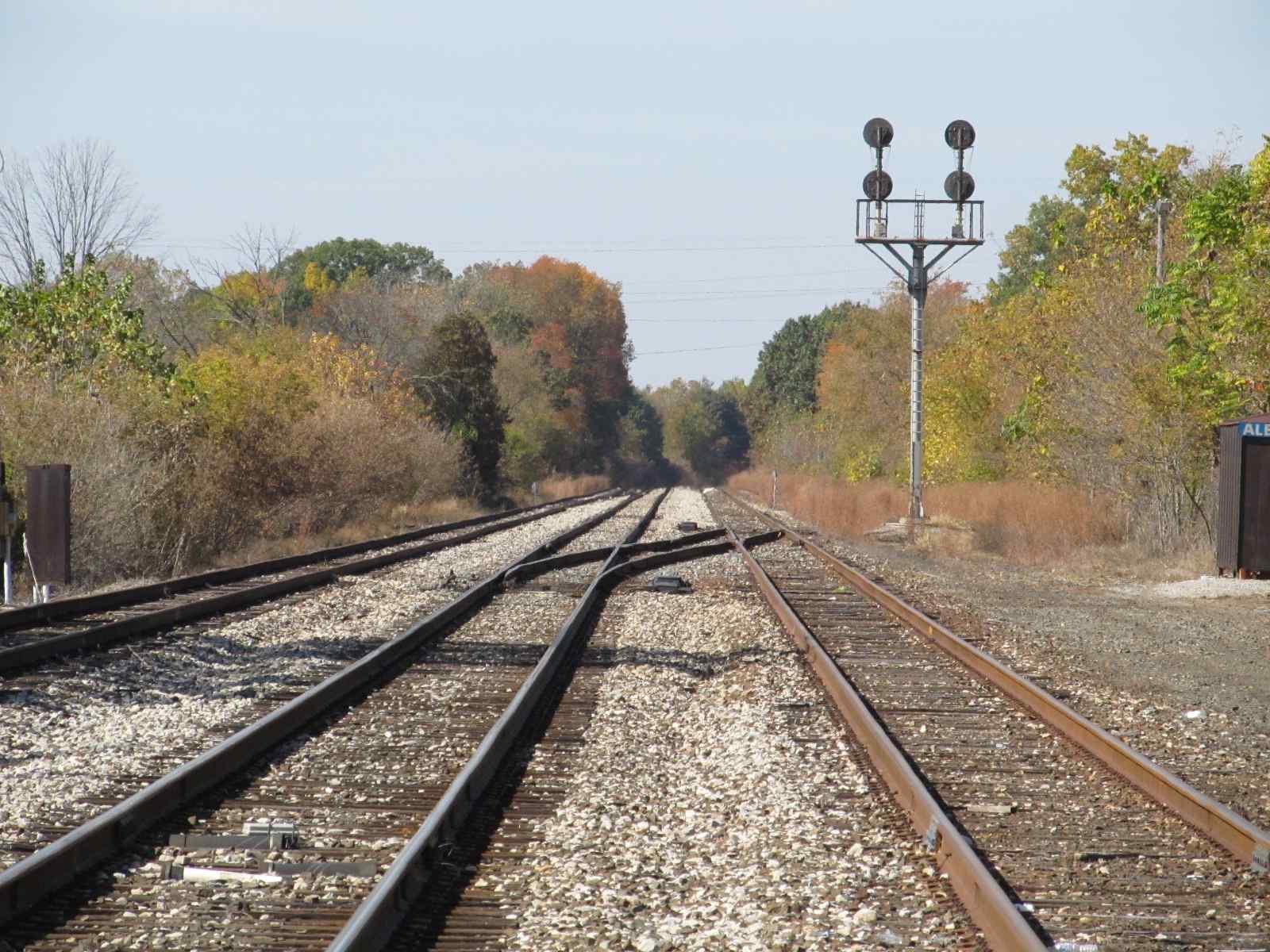
On the west side of town, there are some typically Amtrak "tri-light" (triangular shaped) style colorlight signals.
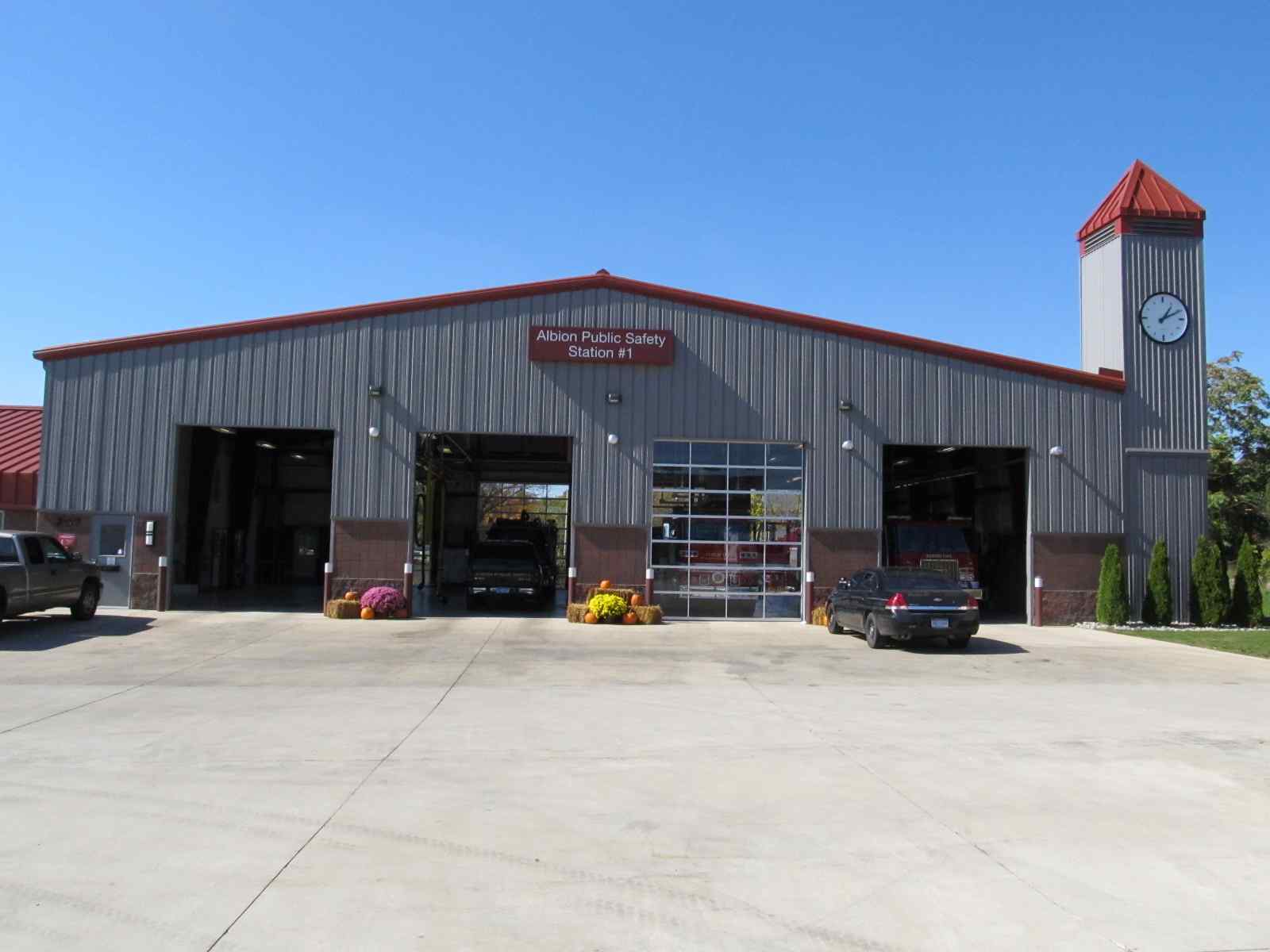
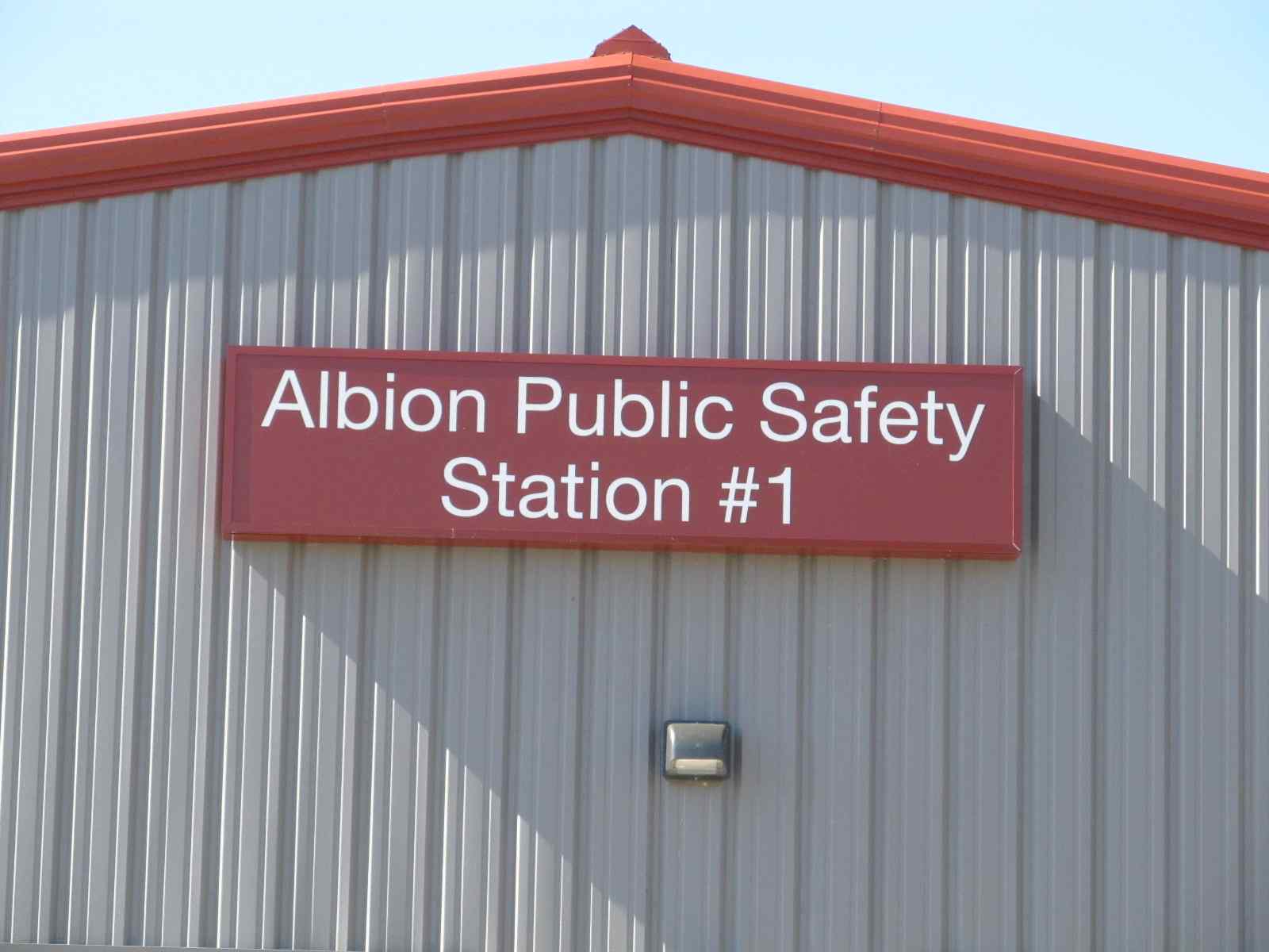
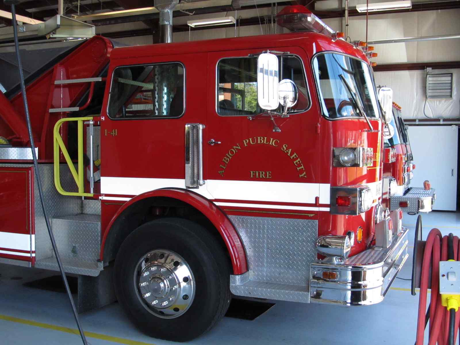
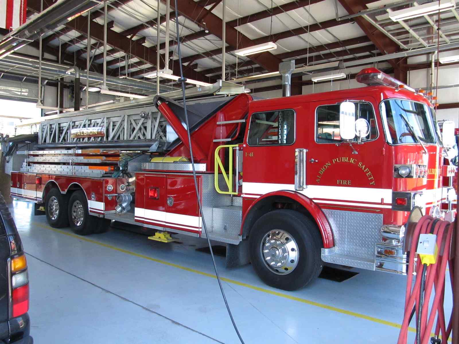
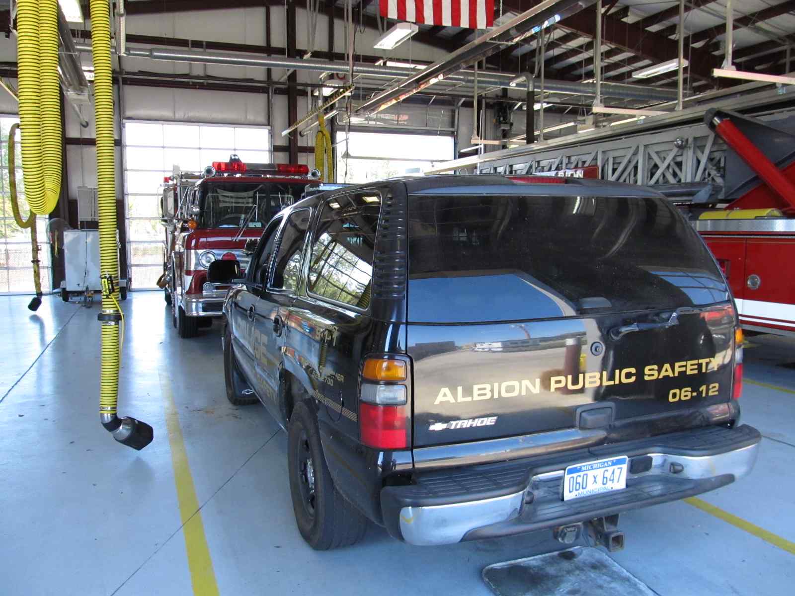
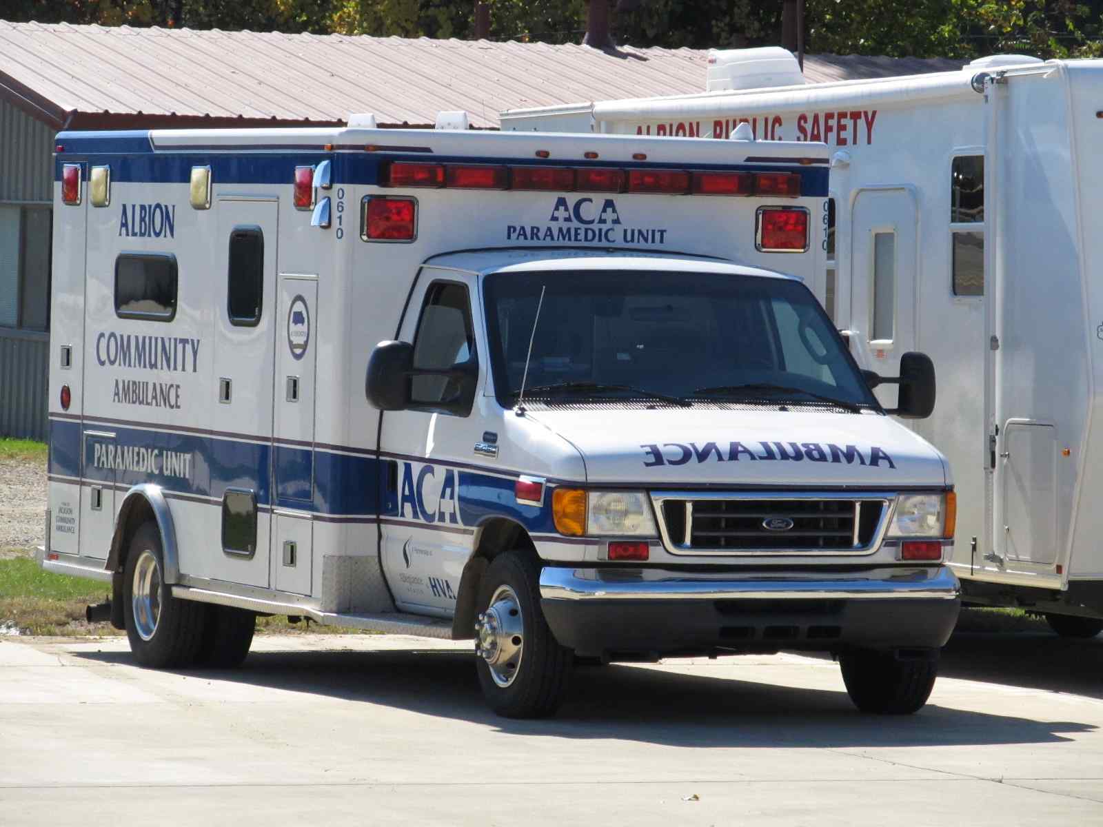
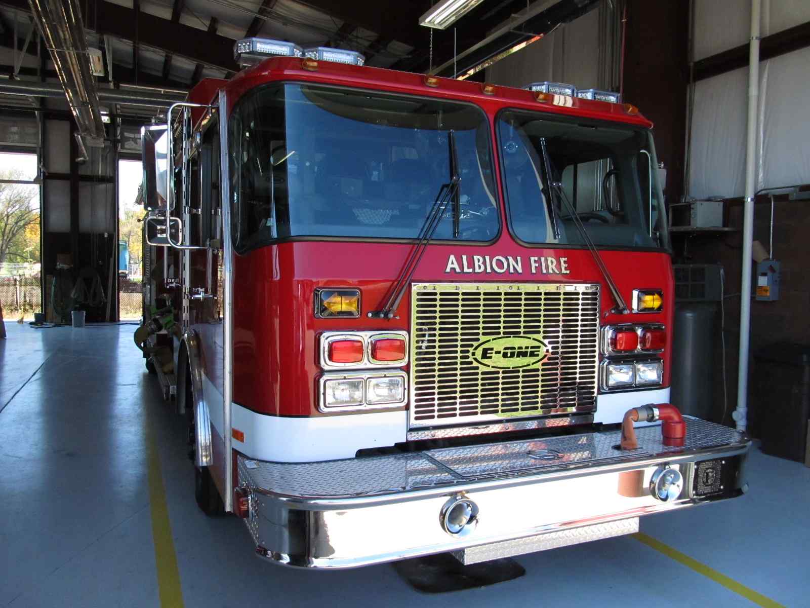
And for you fire fighters out there, the
area's volunteer company is on the "other" side of the tracks from the depot.
Acknowledgements:
Denver Todd
Websites and other additional information sources of interest for the area:
http://www.railroadmichigan.com/countyCAL.html
Albion is very convenient to I94 using exit 121... then head south on Eaton,
it takes you right to the depot. Jackson is 18 miles to the east.
Albion is about 98 miles west of Detroit,
and 23 miles east of Kalamazoo.
Click here for the map in PDF format.
![]() The Amtrak Station
The Amtrak Station
More information at:
http://www.michiganrailroads.com/RRHX/Stations/CountyStations/CalhounStations/Albion/AlbionMI(LSMS).htm
A little history is at:
http://www.michiganrailroads.com/RRHX/Stations/CountyStations/CalhounStations/Albion/AlbionMI.htm
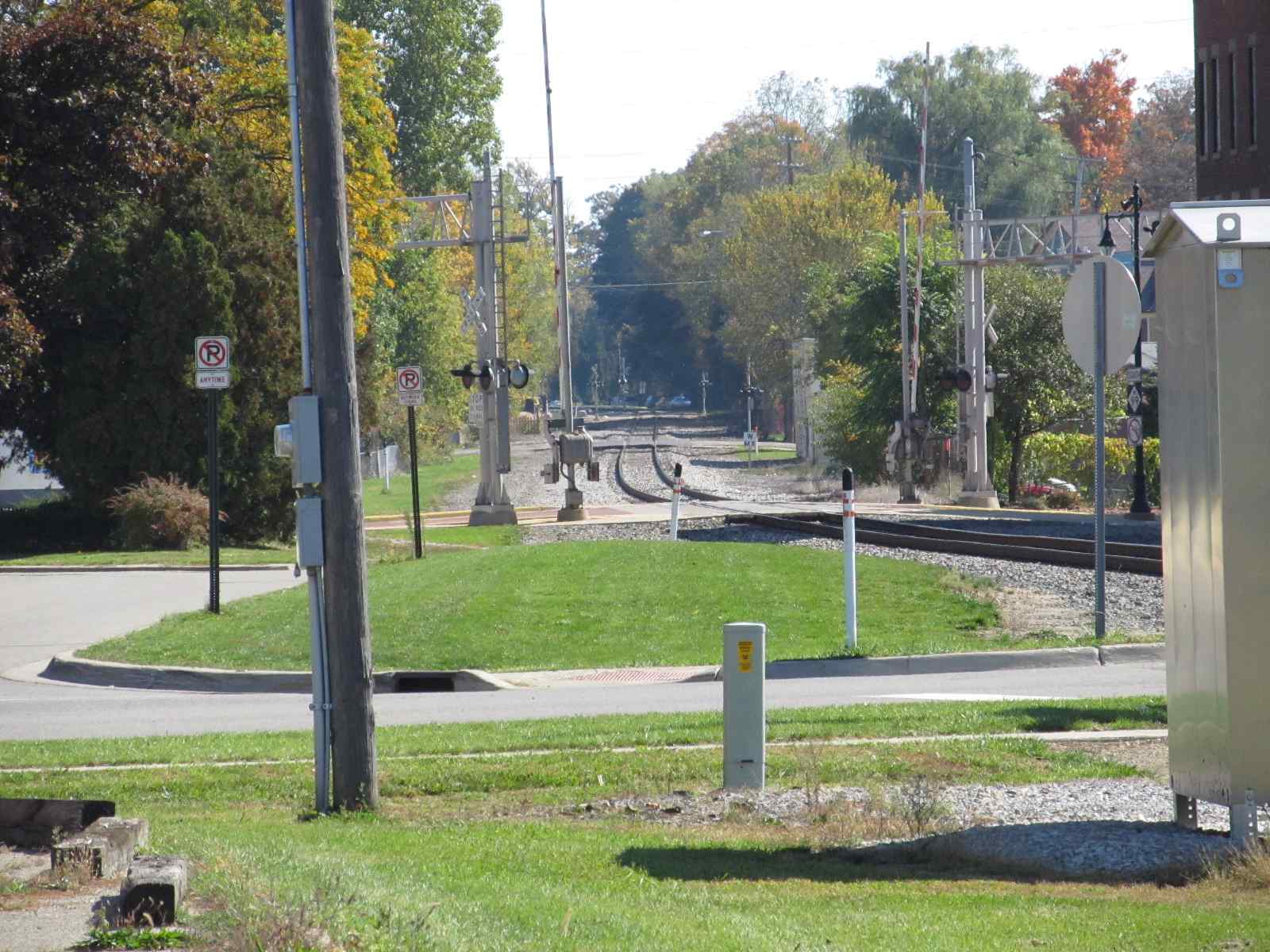
 Looking west from the station, you can see the
signals from here.
Looking west from the station, you can see the
signals from here.
 Looking east from the station.
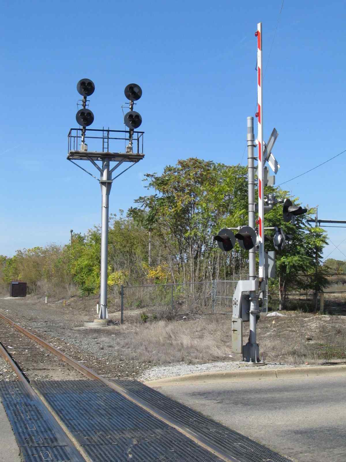
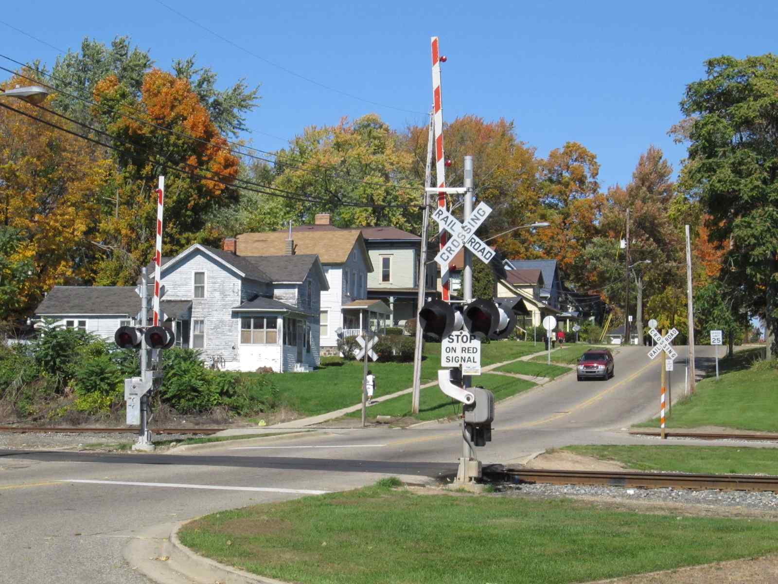 Eaton St grade crossing.
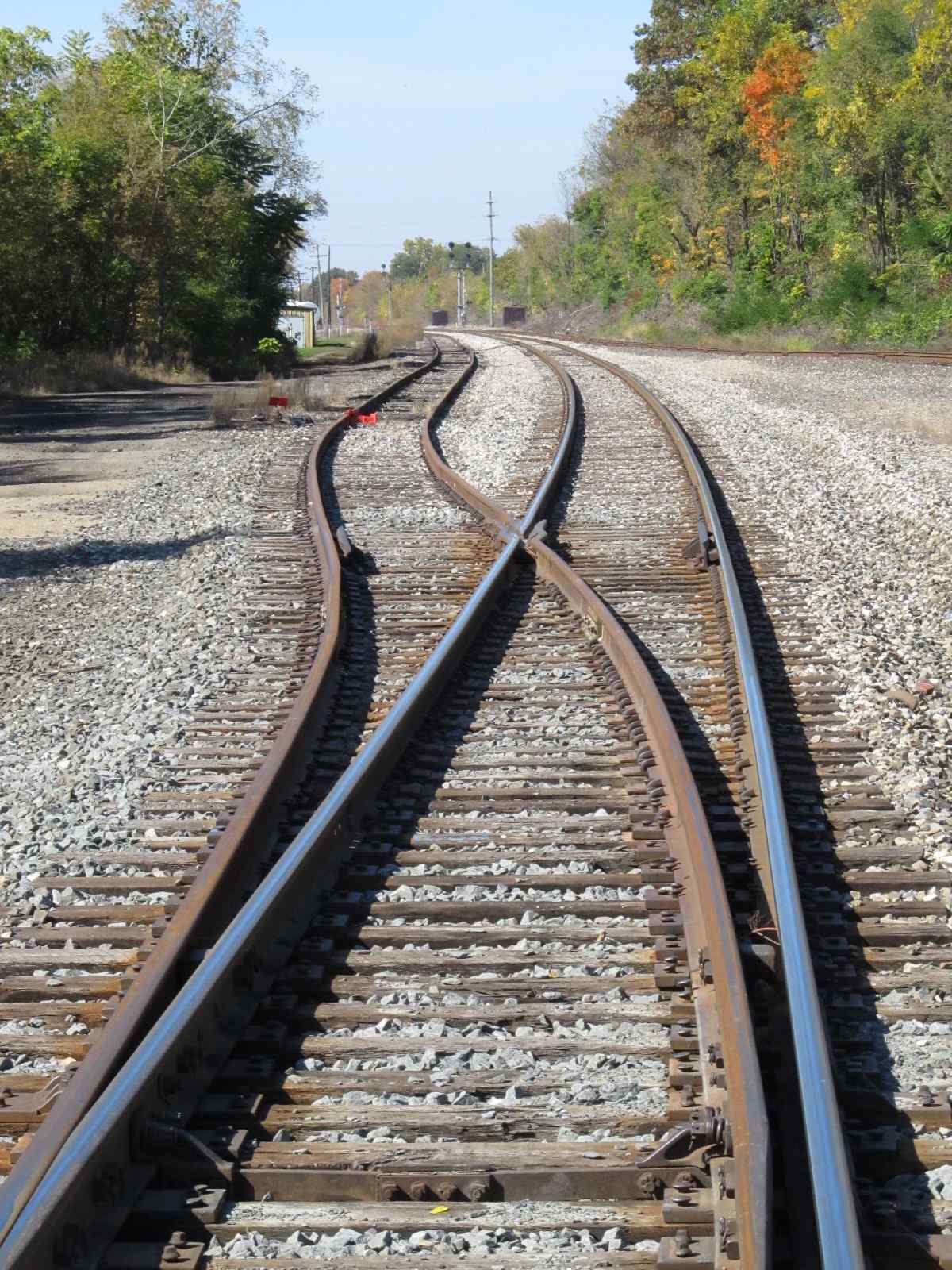
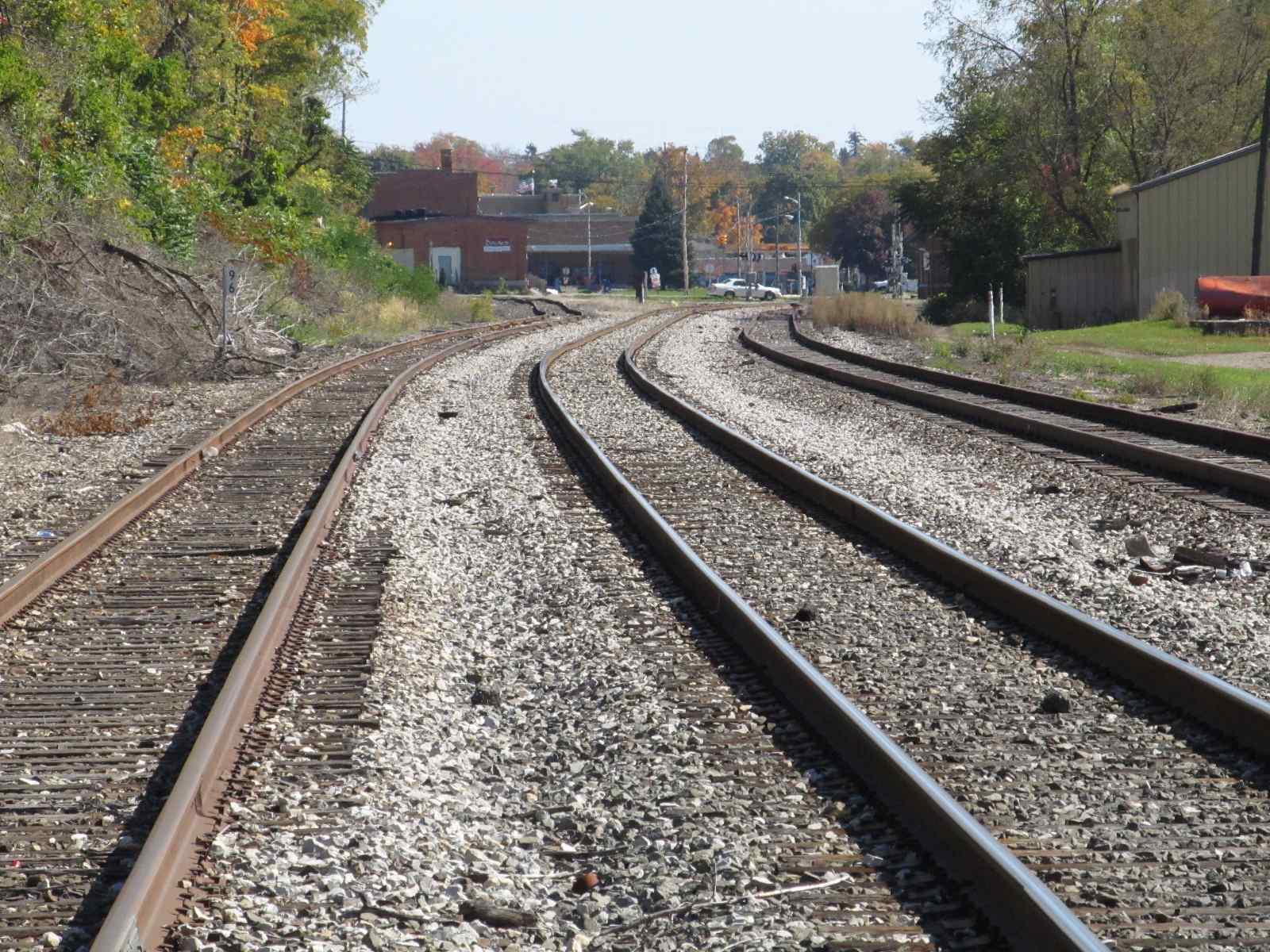
 The siding splits off on the west side of Eaton....
we're looking west from Eaton.
The siding splits off on the west side of Eaton....
we're looking west from Eaton.
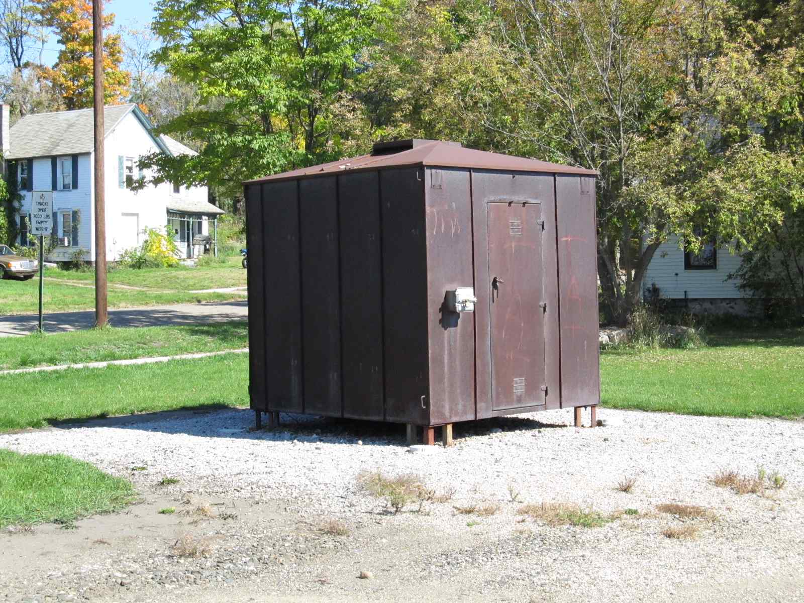
![]() the
Freight Shed
the
Freight Shed
![]() Albion
Public Safety Station #1
Albion
Public Safety Station #1

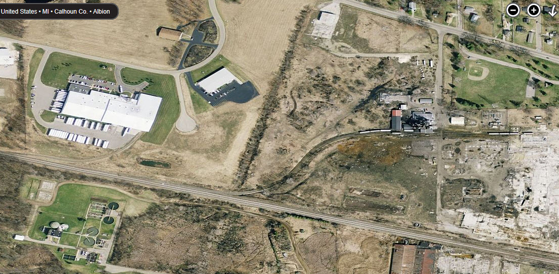
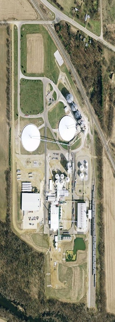
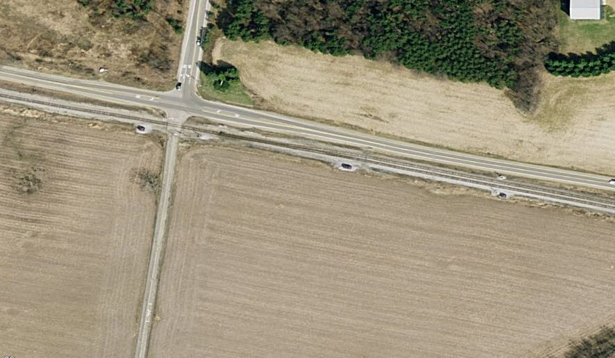
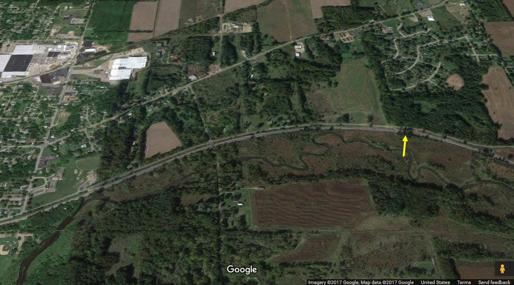
Here are a few aerial shots to give you an idea of what there is around town. Pictures from bing.com/maps.
The next two are the sidings and spurs on the west side of town.
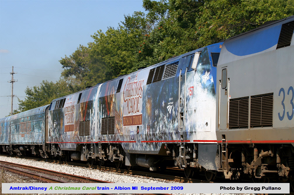
Here are a few shots of the Amtrak / Disney A Christmas Carol train speeding through Albion.
We found them here: http://railroadfan.com/phpbb/viewtopic.php?f=3&p=108939


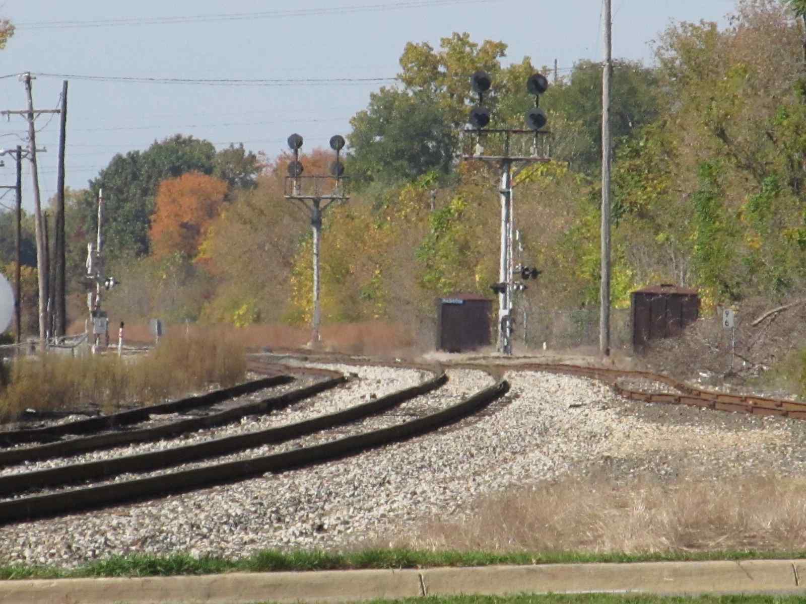
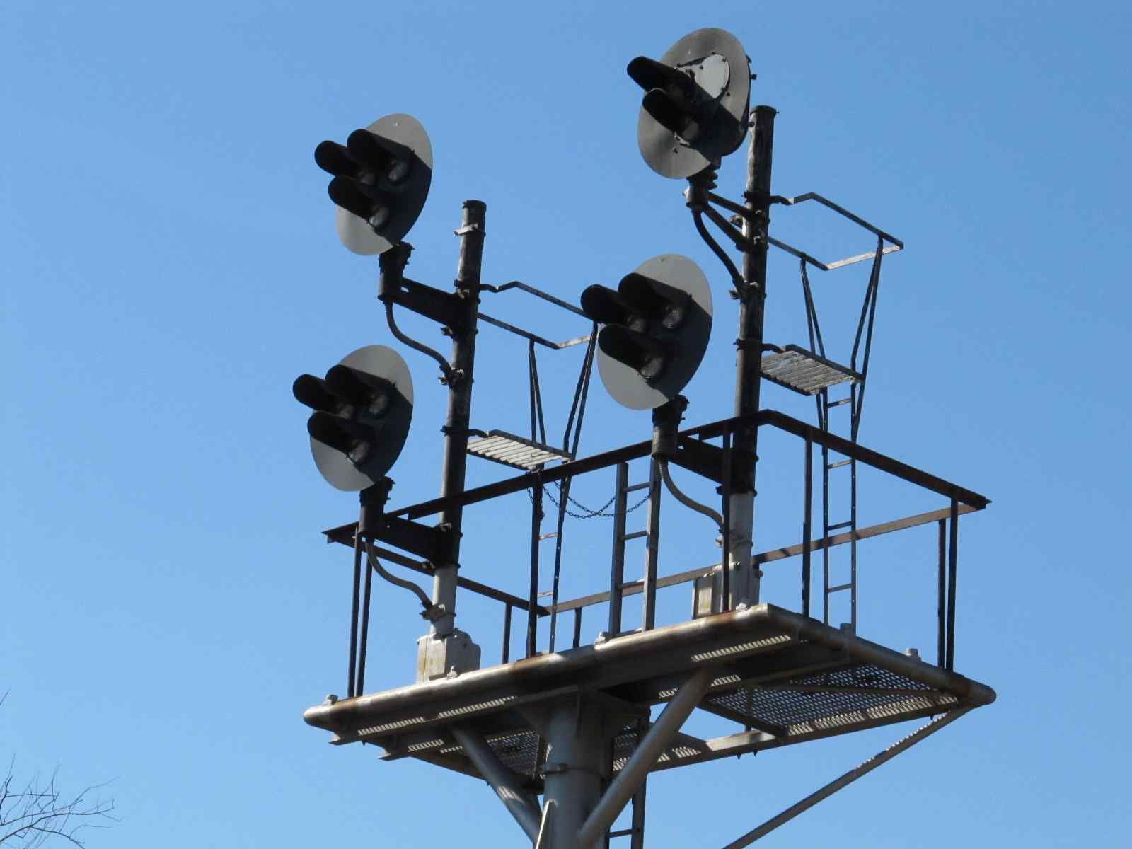
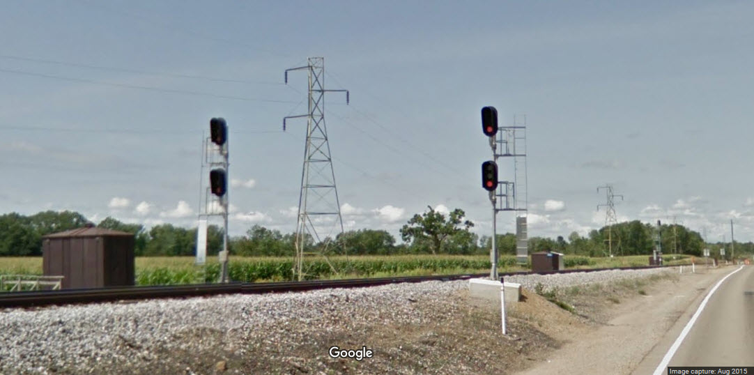
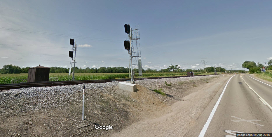
![]() Signals on the west side of town
Signals on the west side of town
The signals are easily accessed from North Albion Street.
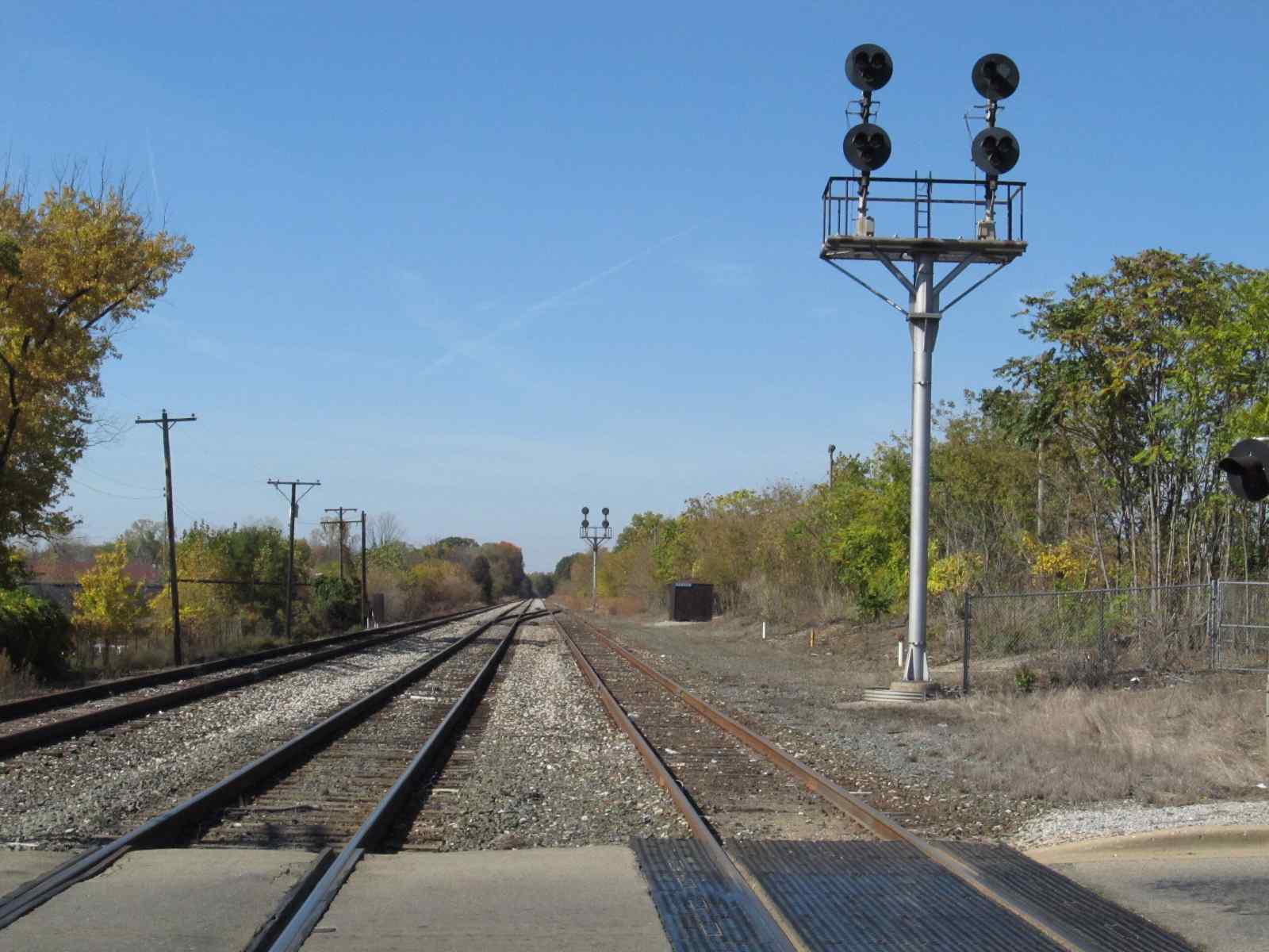
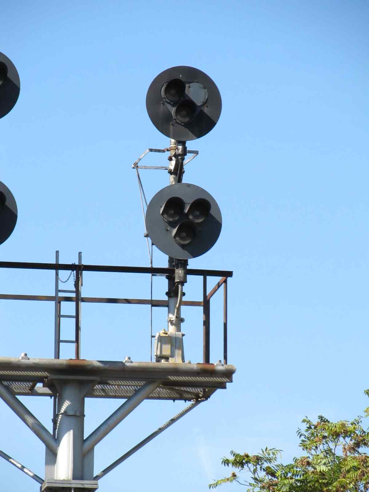
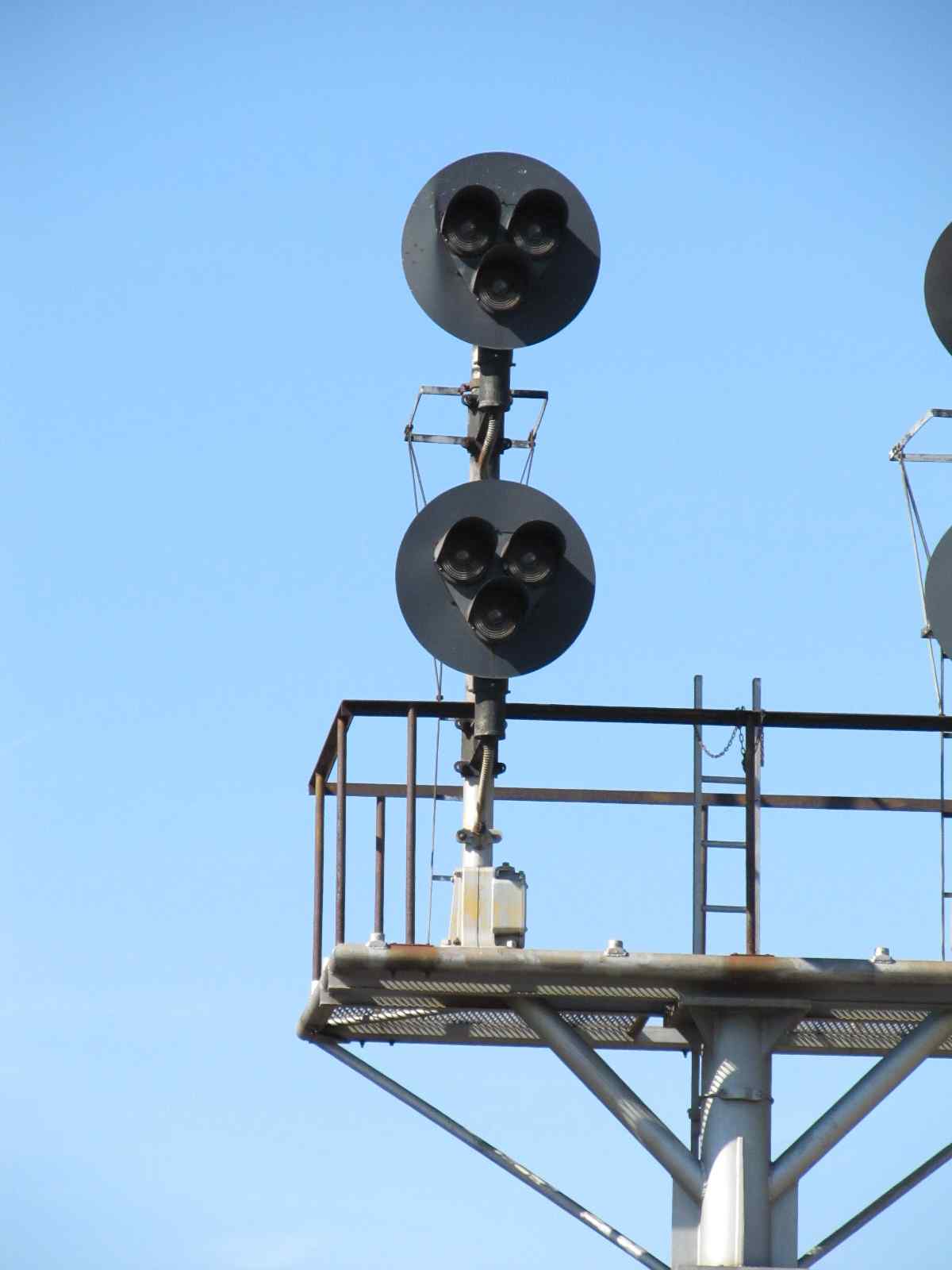

 Looking east from the signals, the left track goes up behind the freight shed, and the right track is a (pretty much unused) siding.
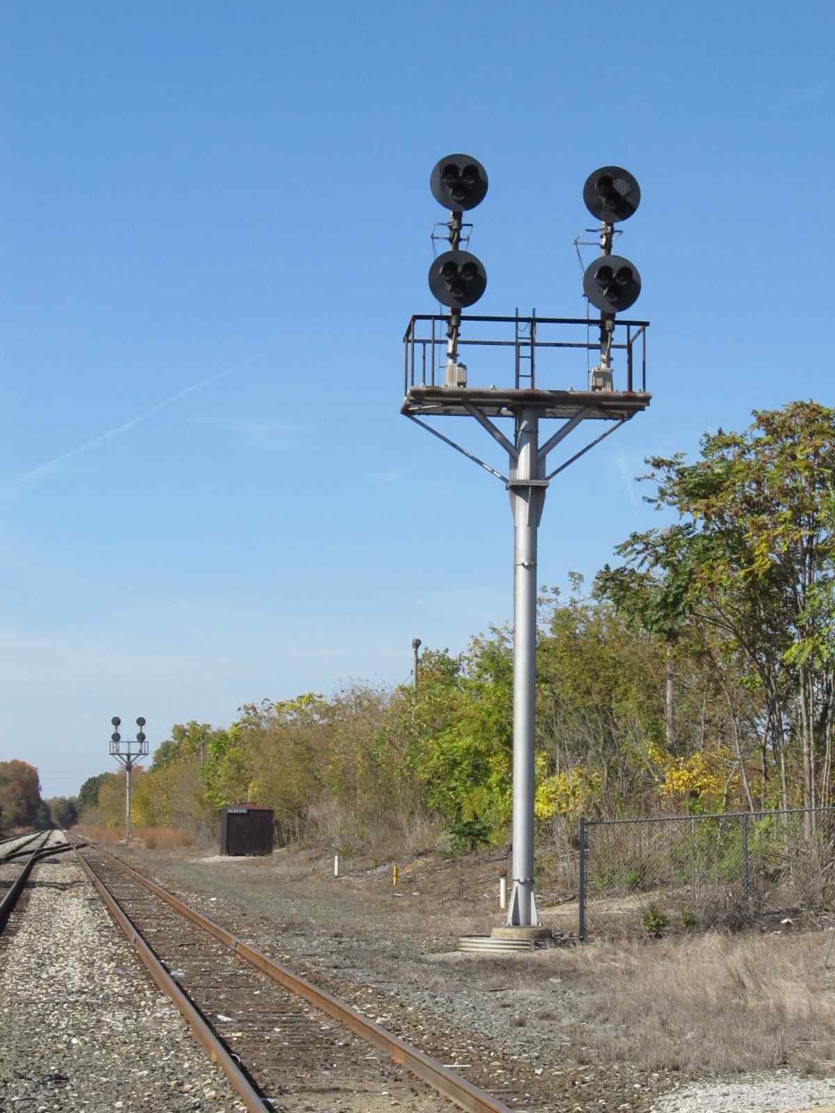
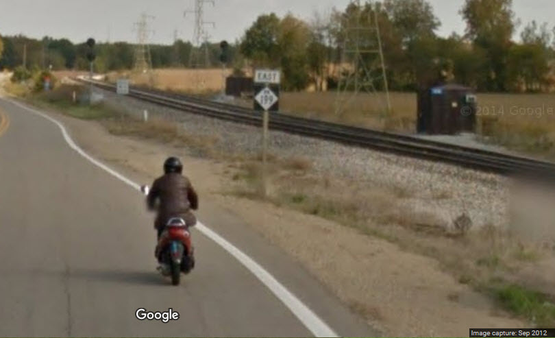
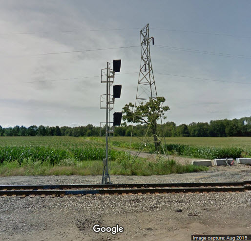
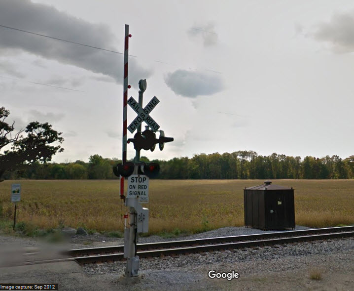
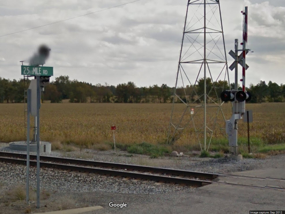
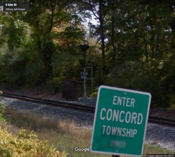
![]() Signals west of town
Signals west of town
I haven't been here, but it appears that there are interlocking signals for the 1:2 interlocking, adjacent to 25 1/2 Mile Road coming off I-94 exit 119. NEW
10/10/2011
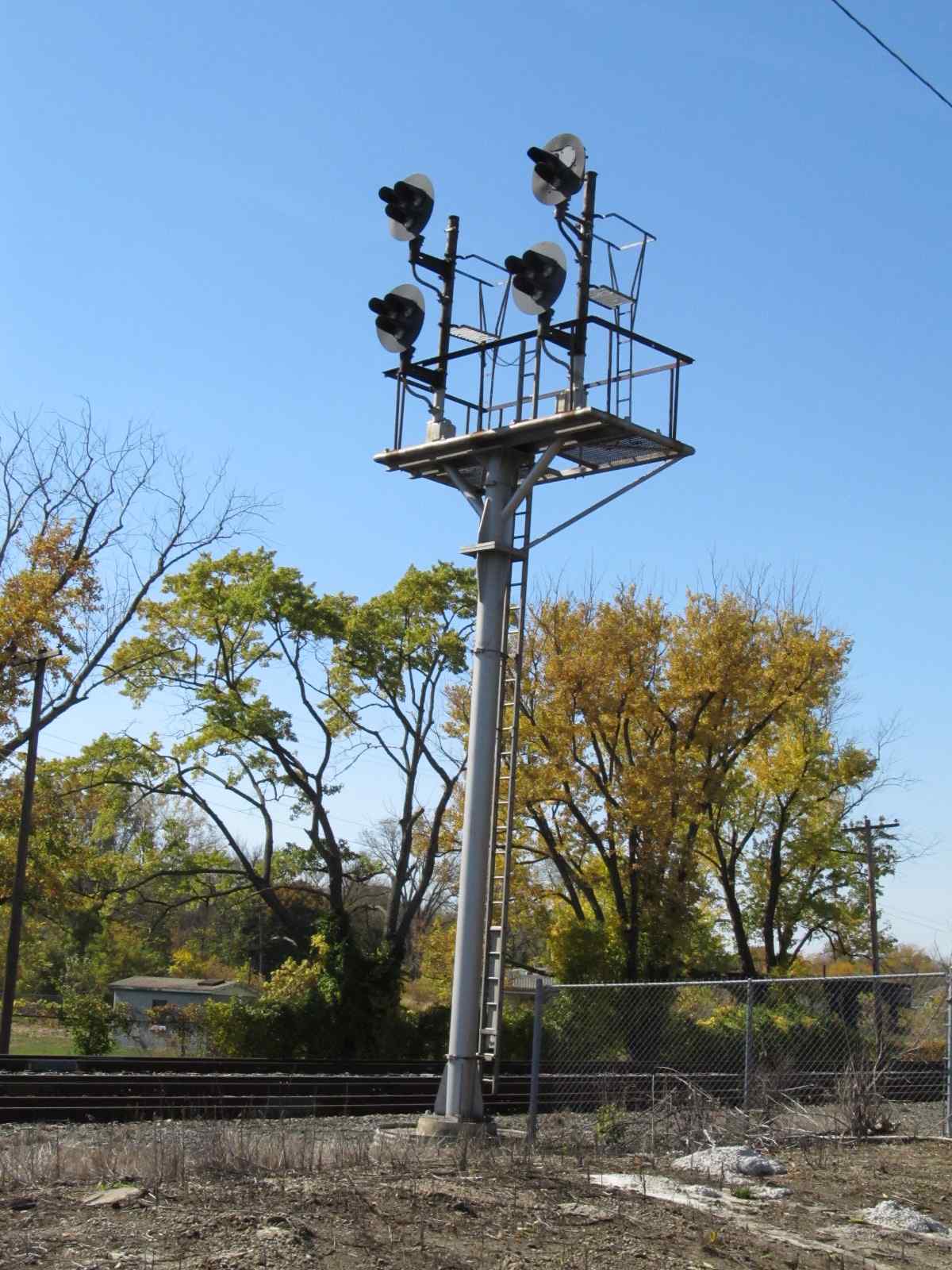
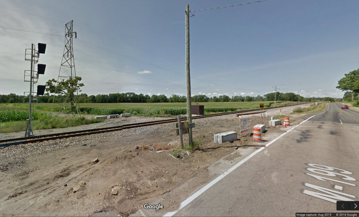
It appears that the "tri-light" style colorlight signals have been replaced by standard three head darth-vader style colorlight signals.
Also looks like they eliminated the 25-1/2 St grade crossing (gates removed, but the equipment cabinet still remains), and changed the name to Starr Commonwealth Rd.
Pictures from Google's streetview, some from 2012 before the signal replacement.

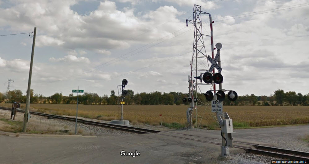
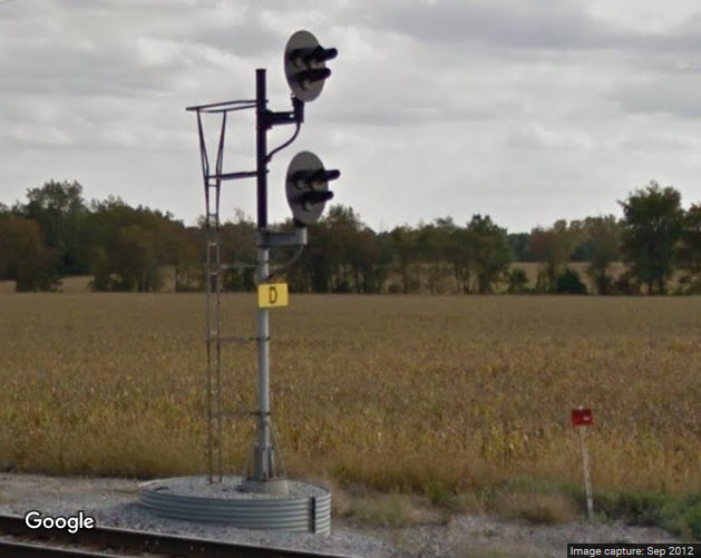
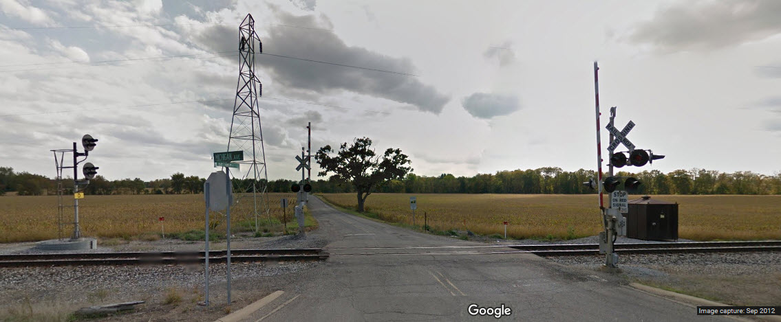
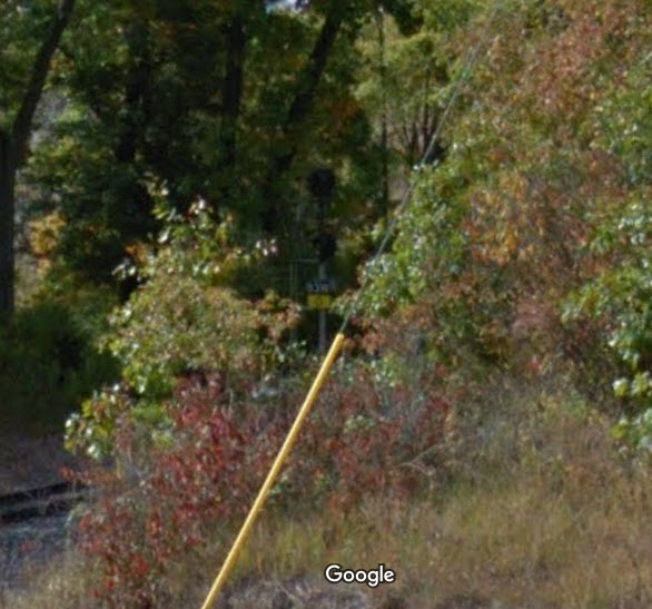
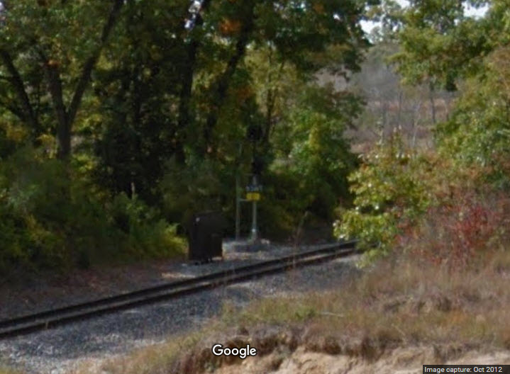
![]() Signals east of town
Signals east of town
These pictures are from Google's Streetview, don't have any of my own. Looks like these might have been searchlight signals, because the WB signal has two heads, the EB only one.
Disclaimers:
I love trains, and I love signals. I am not an expert. My webpages reflect what I find on the topic of the page. This is something I have fun with while
trying to help others.
Please Note: Since the main focus of my two websites is railroad signals, the railfan guides are oriented towards the signal fan being able to locate them.
For those of you into the modeling aspect of our hobby, myindexa page has a list of almost everything railroad oriented
I can think of to provide you with at least a few pictures to help you detail your pike.
If this is a railfan page, every effort has been made to make sure that the information contained on this map and in this railfan guide is correct. Once in a while,
an error may creep in :-)
My philosophy: Pictures and maps are worth a thousand words, especially for railfanning. Text descriptions only get you so far, especially if you get lost or
disoriented. Take along good maps.... a GPS is OK to get somewhere, but maps are still better if you get lost! I belong to AAA, which allows you to get
local maps for free when you visit the local branches. ADC puts out a nice series of county maps for the Washington DC area, but their state maps do not have the
railroads on them. If you can find em, I like the National Geographic map book of the U.S..... good, clear, and concise graphics, and they do a really good job
of showing you where tourist type attractions are, although they too lack the railroads. Other notes about specific areas will show up on that page if known.
Aerial shots were taken from either Google Maps or www.bing.com/maps as noted. Screen captures are made
with Snagit, a Techsmith product... a great tool if you have never used it!
By the way, floobydust is a term I picked up 30-40 years ago from a National Semiconductor data book, and means miscellaneous
and/or other stuff.
Pictures and additional information is always needed if anyone feels inclined to take 'em, send 'em, and share 'em, or if you have something to add or correct.... credit
is always given! Please be NICE!!! Contact info is here
Beware: If used as a source, ANYTHING from Wikipedia must be treated as being possibly being inaccurate, wrong, or not true.
RAILFAN GUIDES HOME
RAILROAD SIGNALS HOME
Last Modified
04-Sep-2017