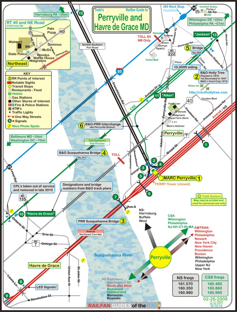
What's Here:
Amtrak Northeast Corridor
CSX (Baltimore Sub-Division)
Norfolk Southern Port Road (former Pennsy)
Susquehanna River Bridges for both Amtrak and CSX
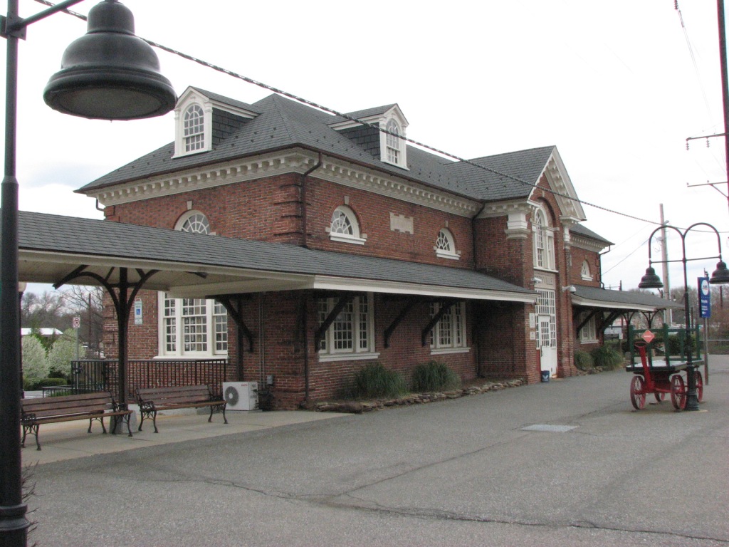
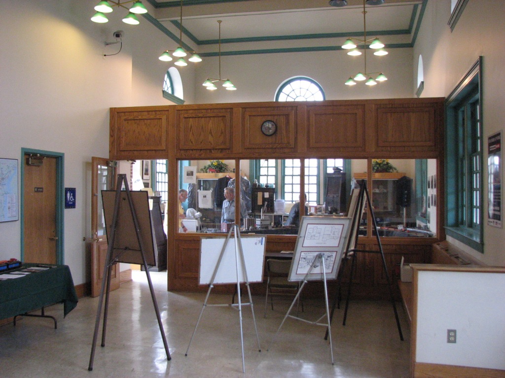
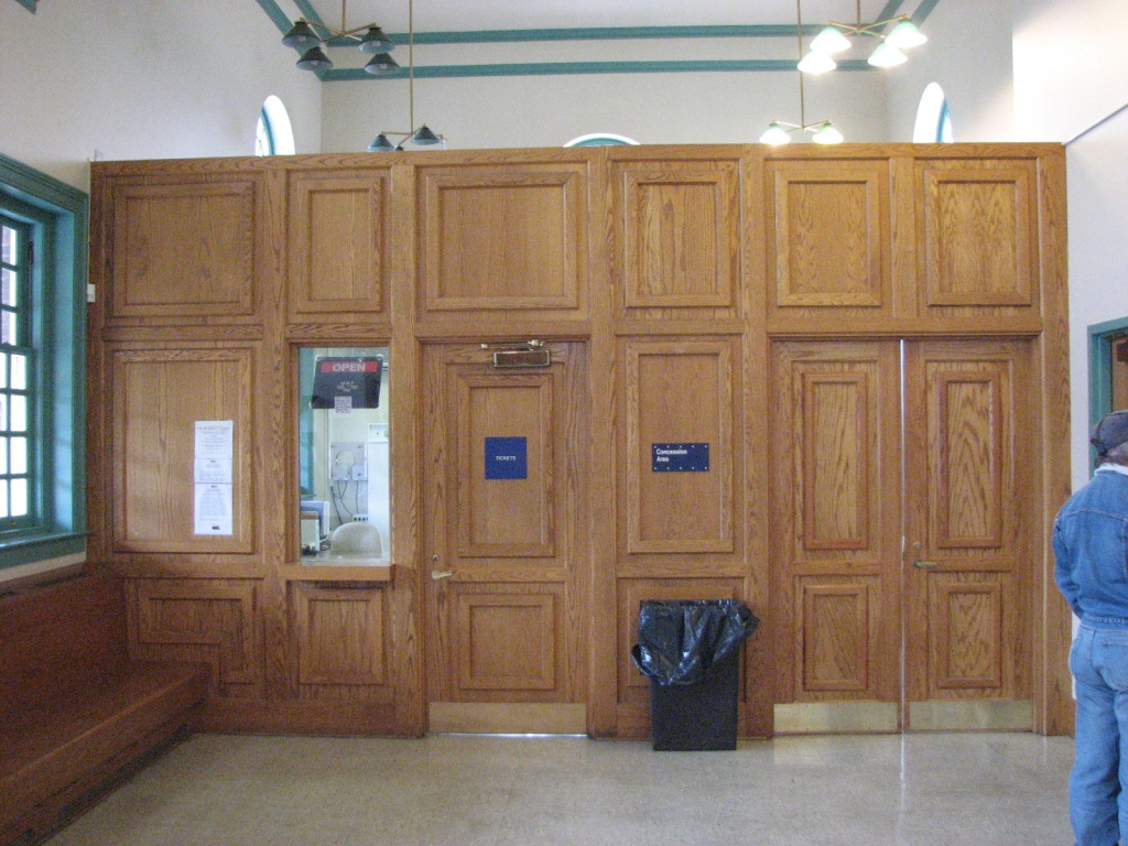
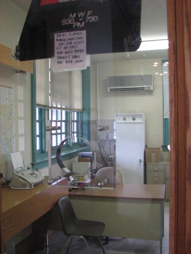
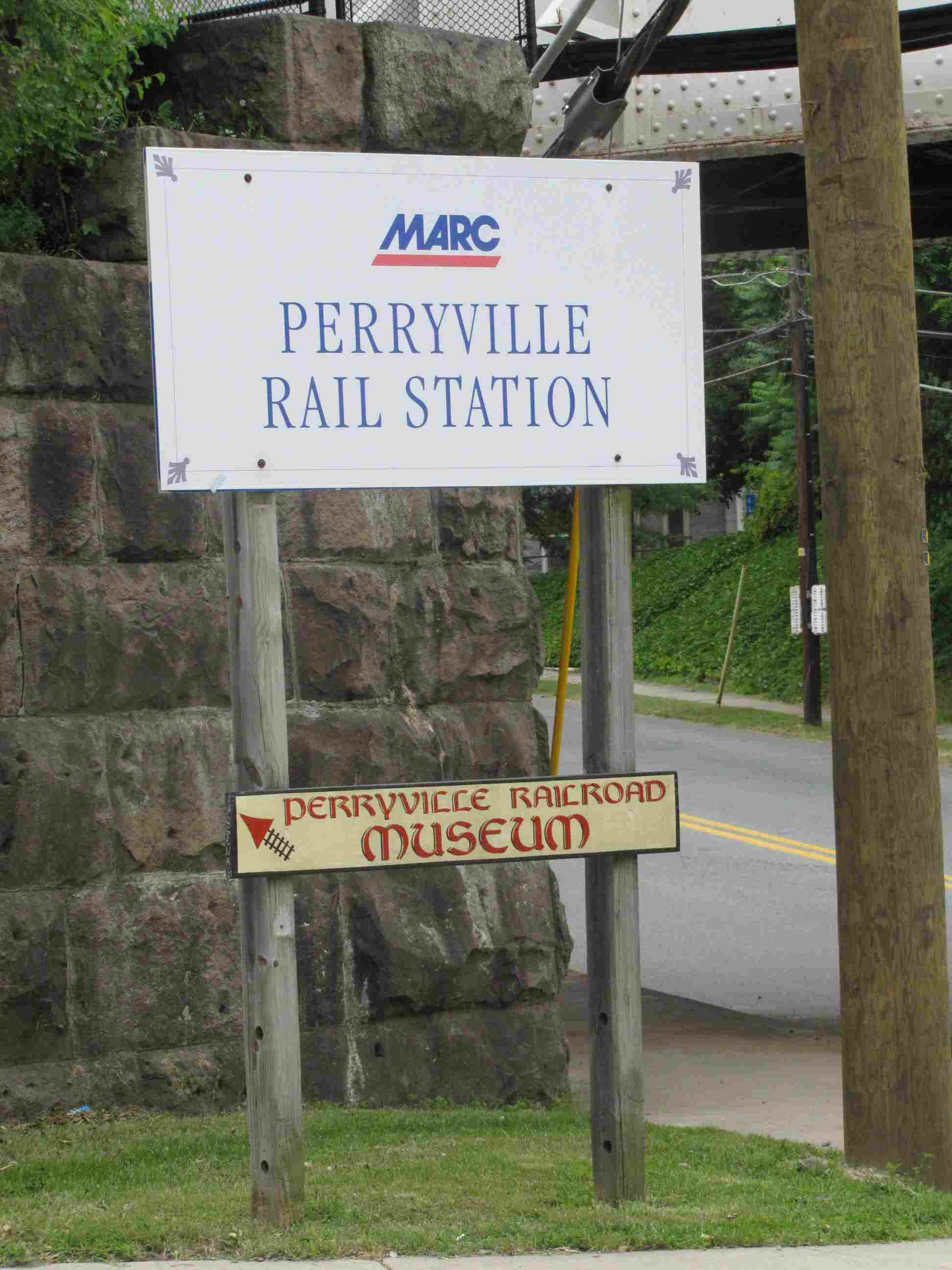
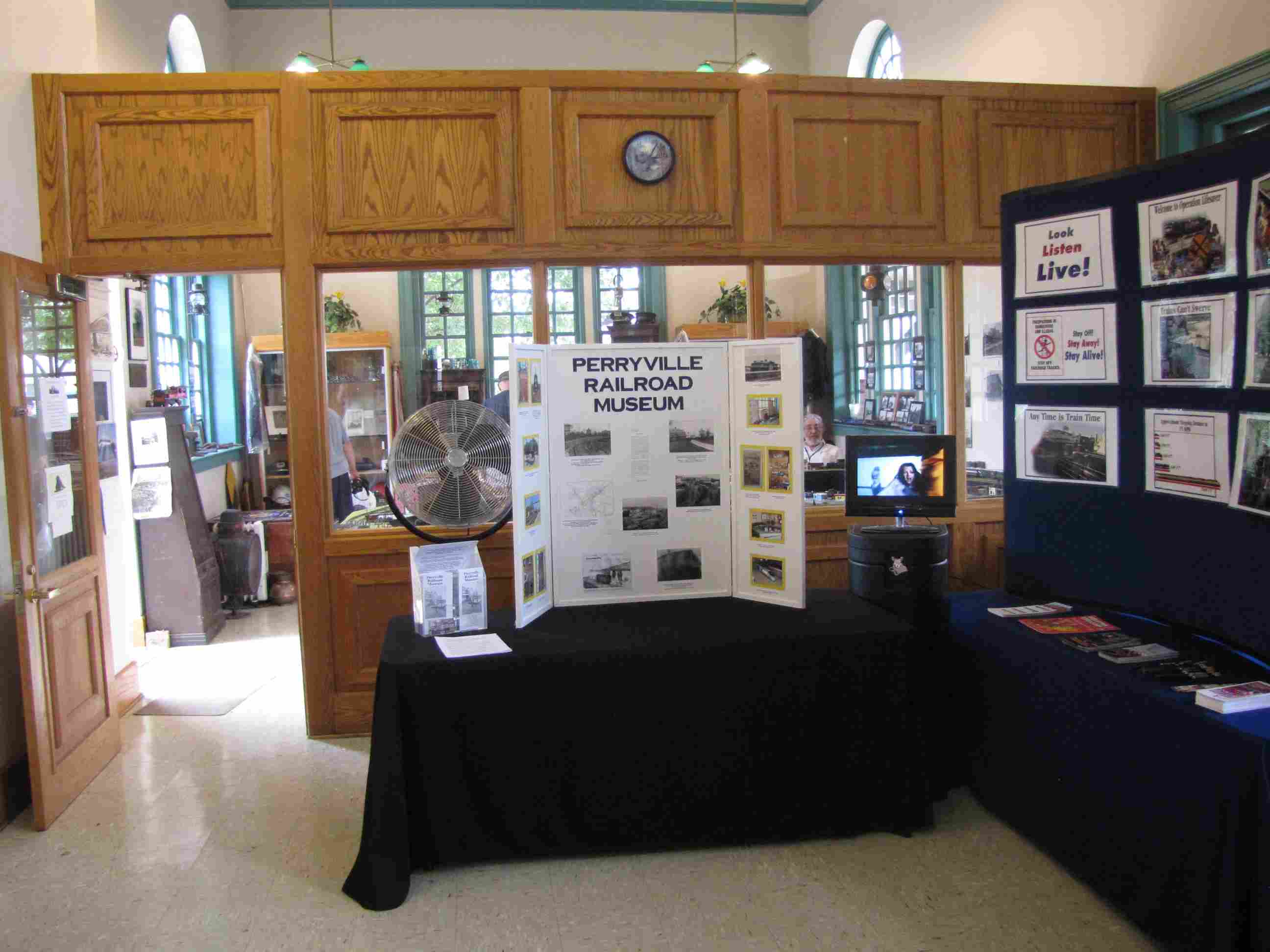
Perryville Train Museum (inside the station)
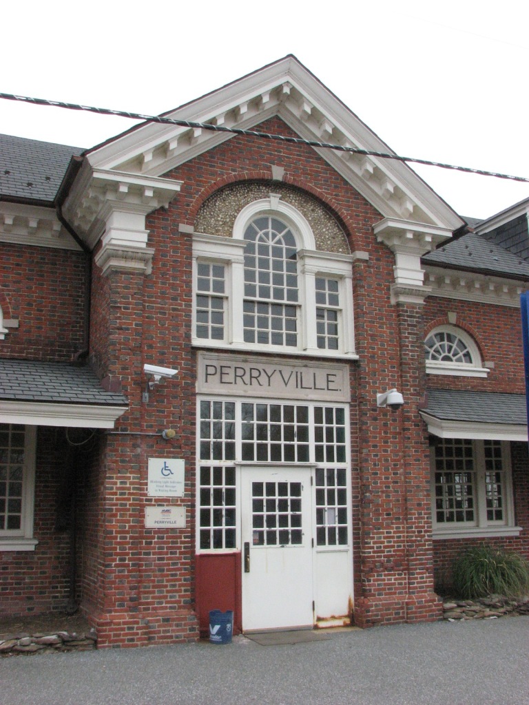
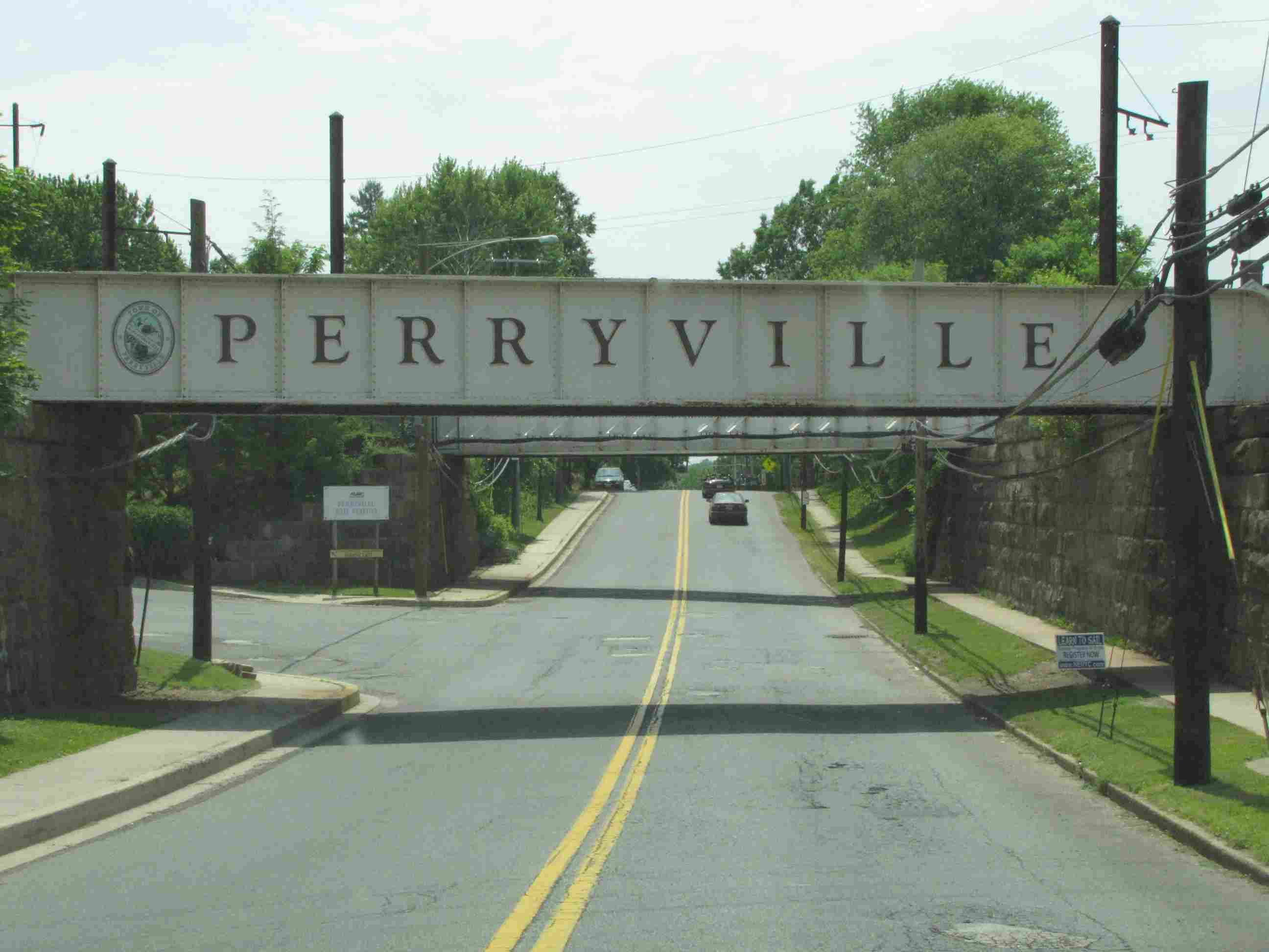
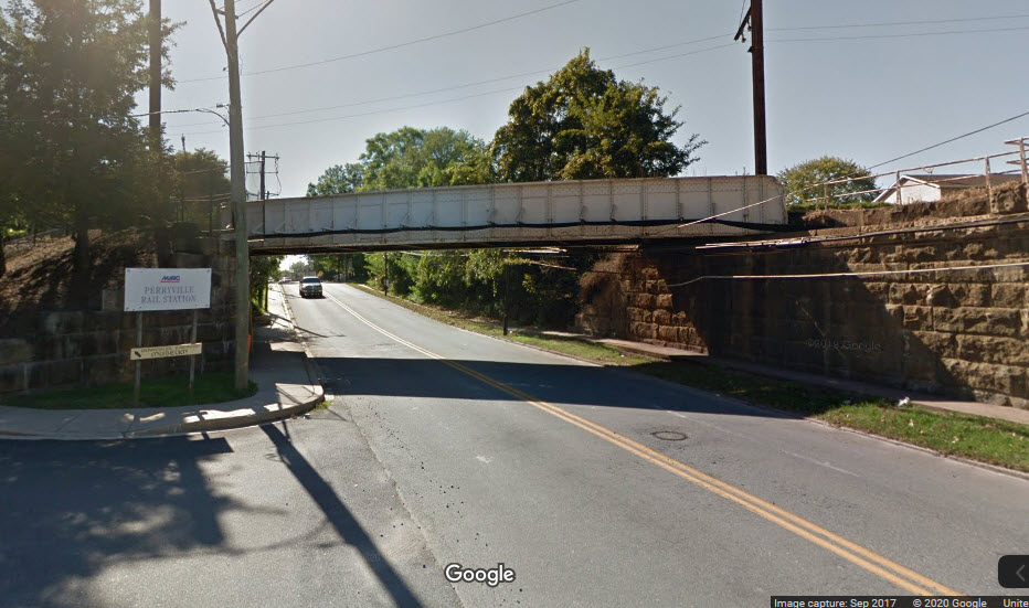
Former Pennsy Perryville station - now used by MARC
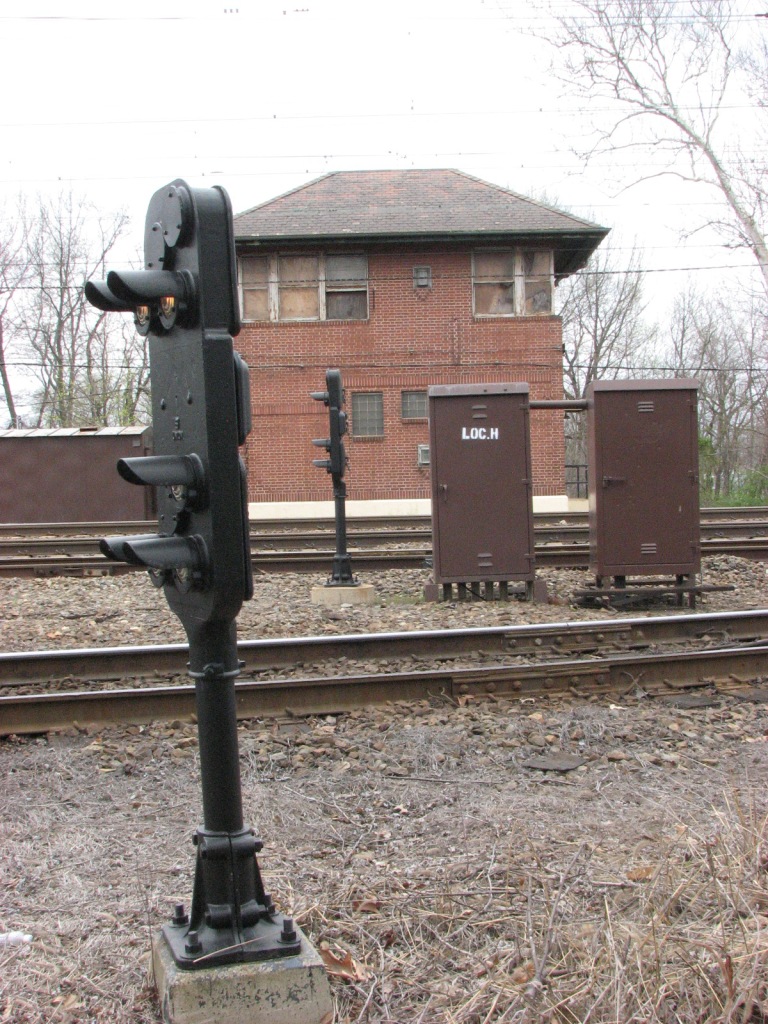
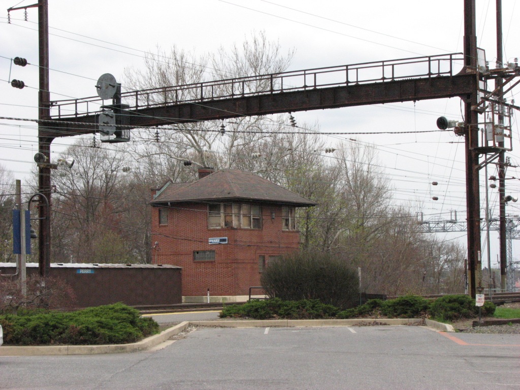
Former Pennsy PERRY Tower (closed)
CSX-PRR Interchanged, altho unused
Data:
GPS Coordinates: as needed
Phone A/C: 410
ZIP: 21093
Access by train/transit:
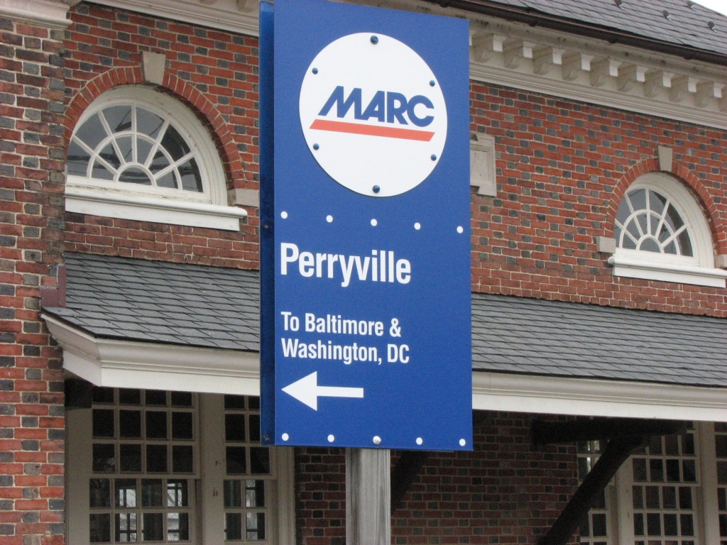
MARC Commuter
The Scoop:
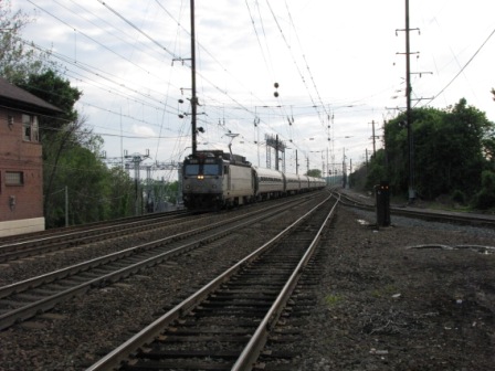
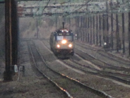
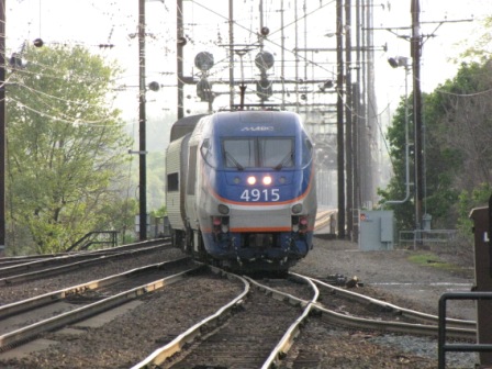
The Perryville station offers the railfan a great place to watch and take pictures from. And
the staff doesn't seem to be bothered by railfans, in fact, they can become quite chatty at times.
If you come up here from Baltimore via MARC, you will also find the train's staff very friendly, and
one of the engineers has a lot of stories to tell since he's been running trains since the early 70's.
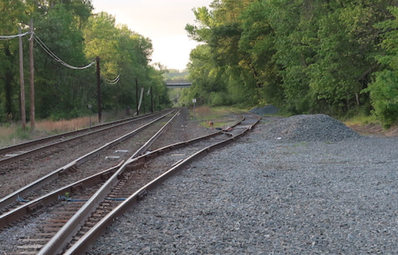
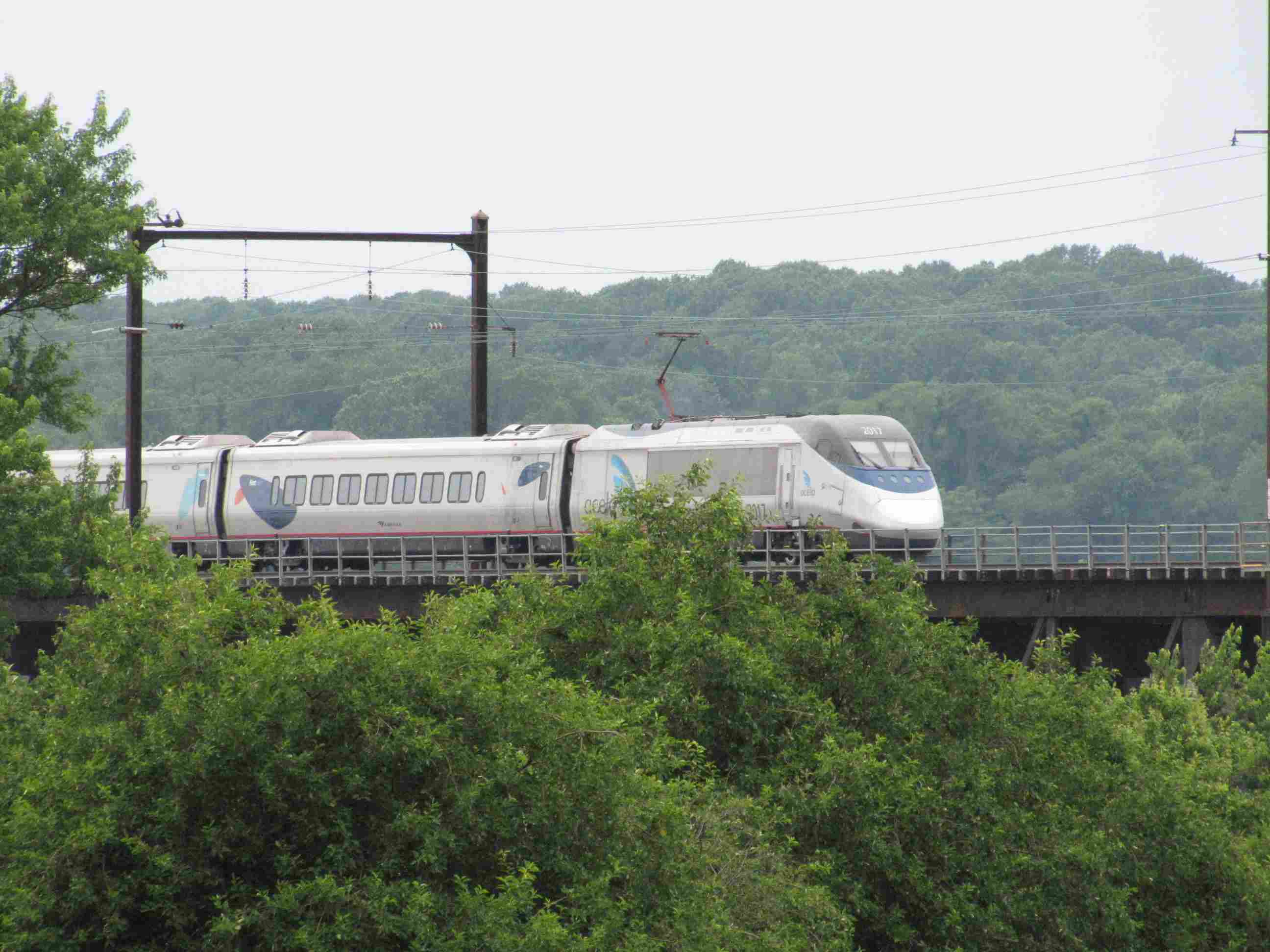
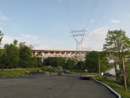
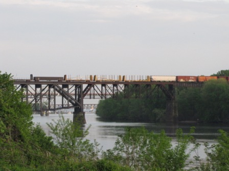
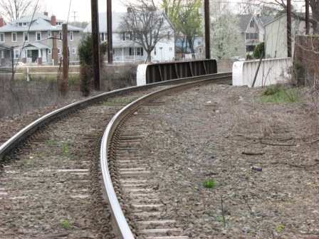
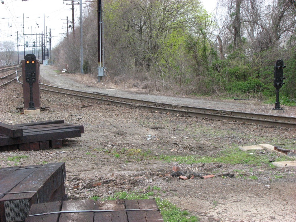
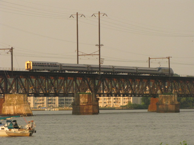
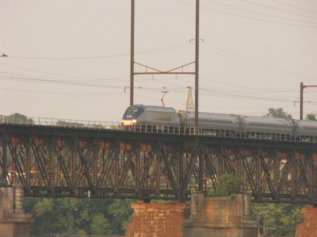
The NE Corridor also squeezes down from four
tracks to two in order to cross the Susquehanna River between Perryville and
Havre de Grace. Great shots of traffic over the bridge can be had from
both shores of the river.
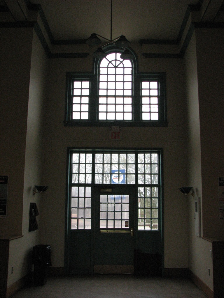
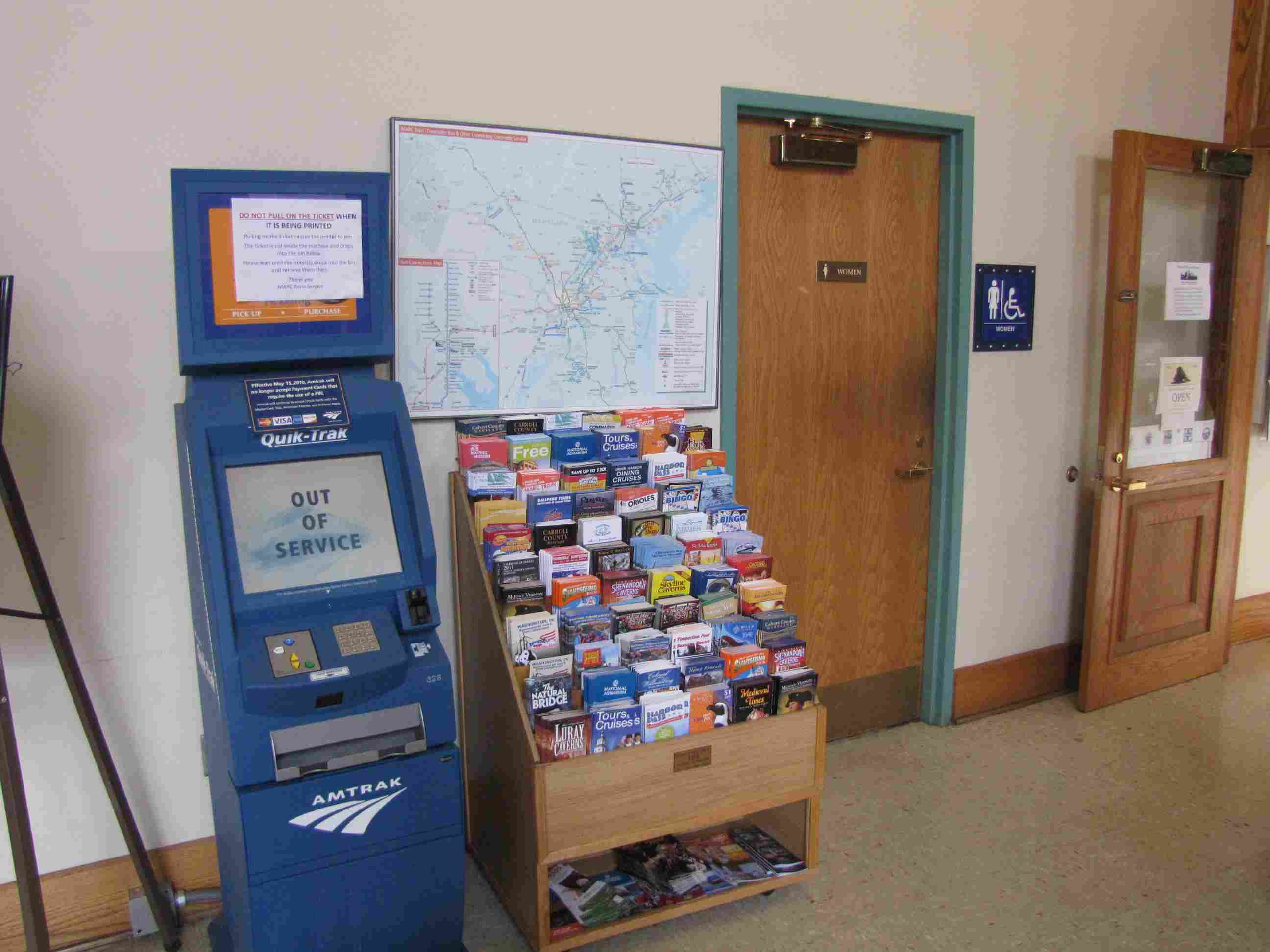
The Perryville station was remodeled around 2000 or so, and looks really nice.
Contained within is a nice waiting room, and on the north end, a small museum and HO layout.
There has been much talk lately of replacing the Susquehanna River bridge, but
no-one I know is holding their breath since more emphasis of late has been put
on building a new tunnel into Manhattan. Another NEC project looking
to spend some of Amtrak's money is the B&P Tunnel in Baltimore, but it too, for
the time being, has hit a snag on several fronts.
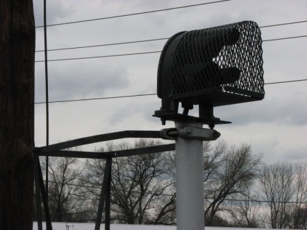
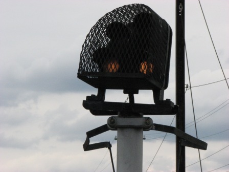
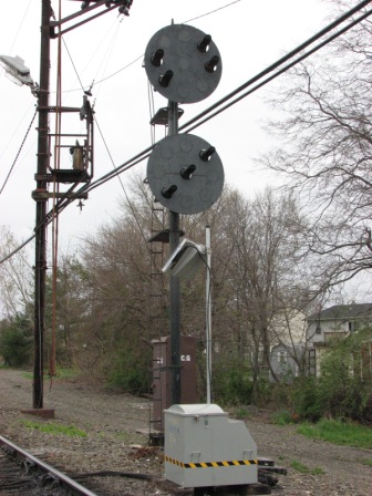
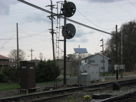
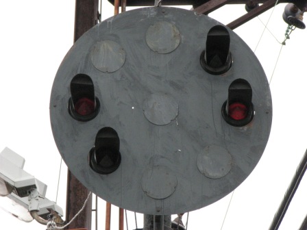
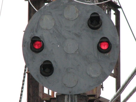
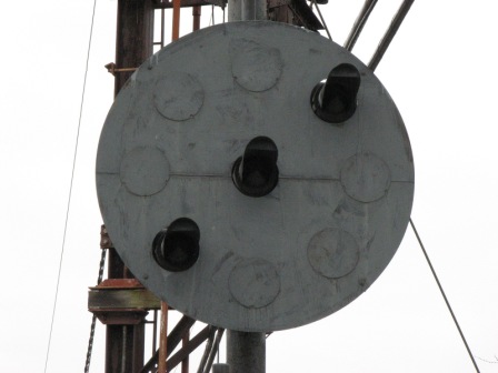
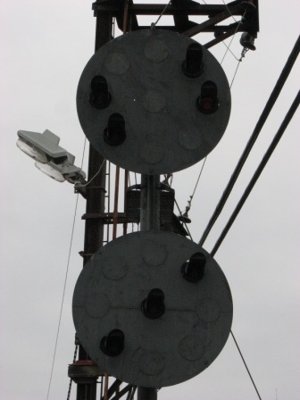
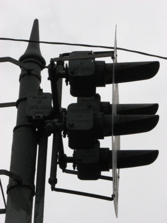
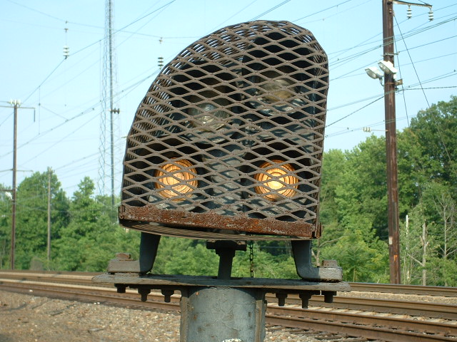
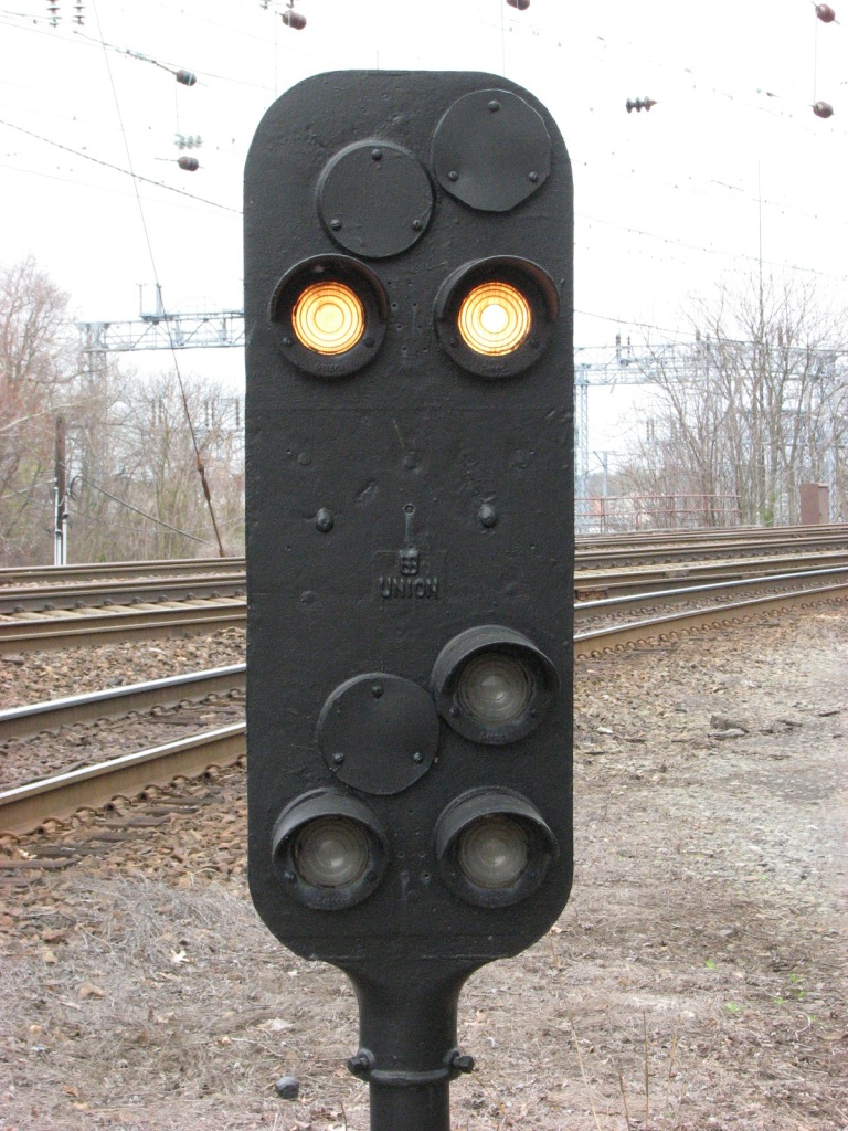
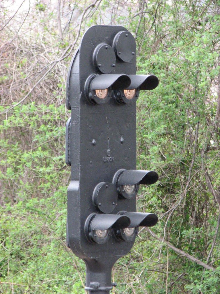
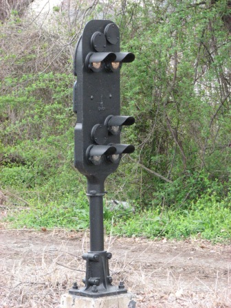
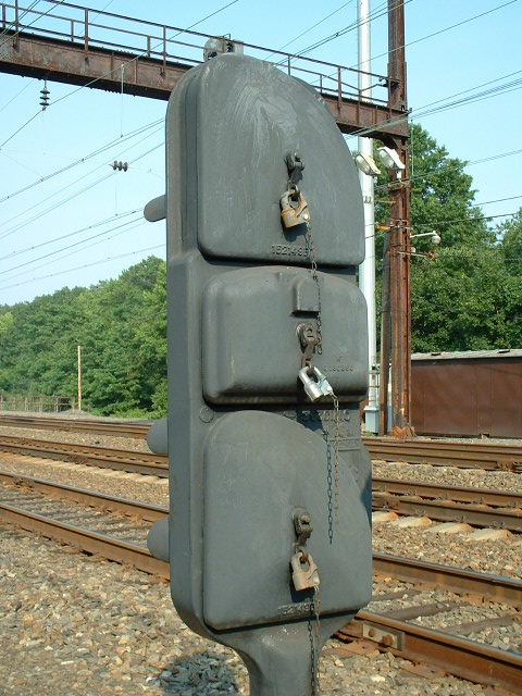
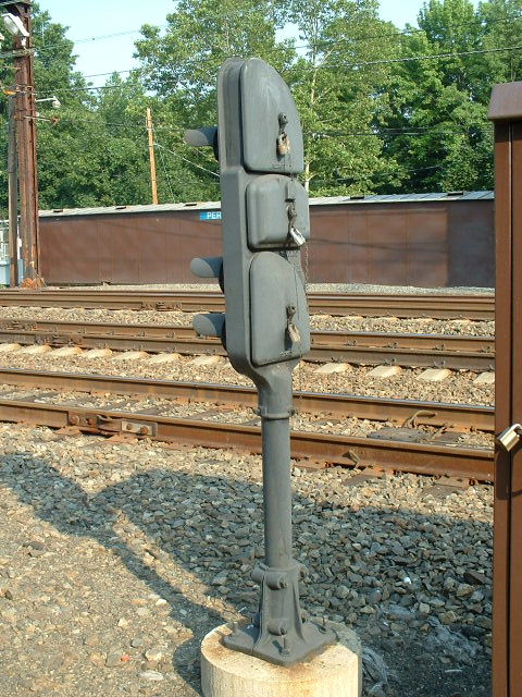
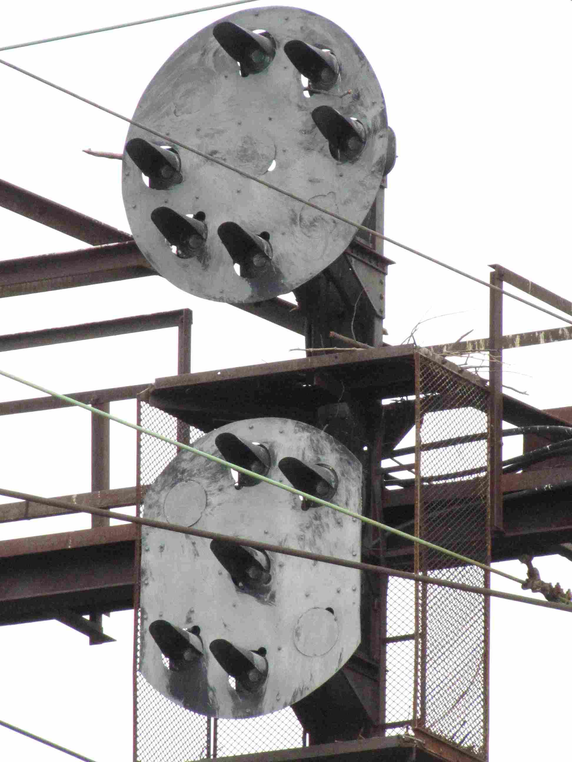
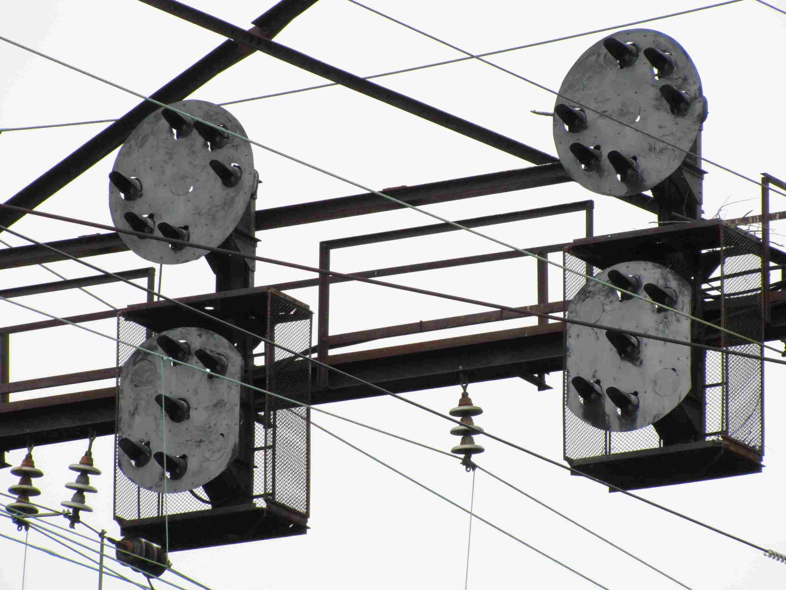
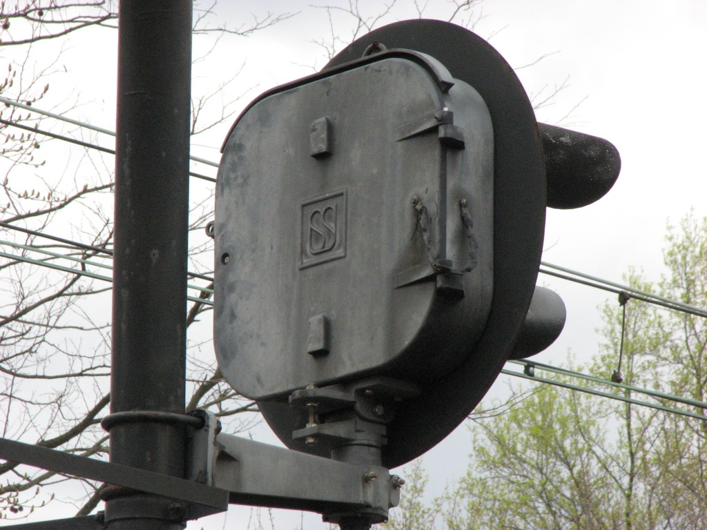
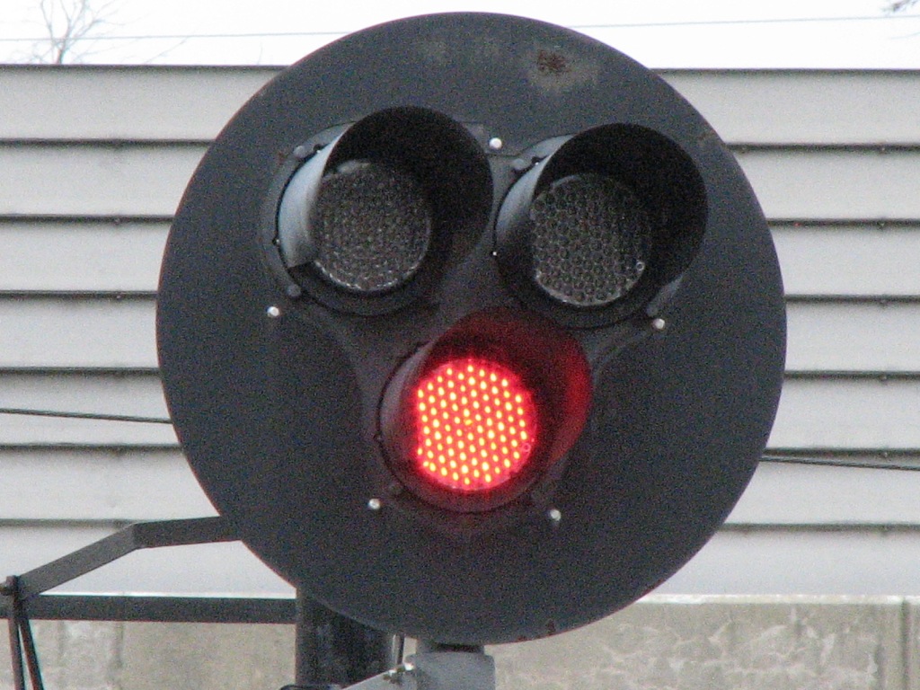
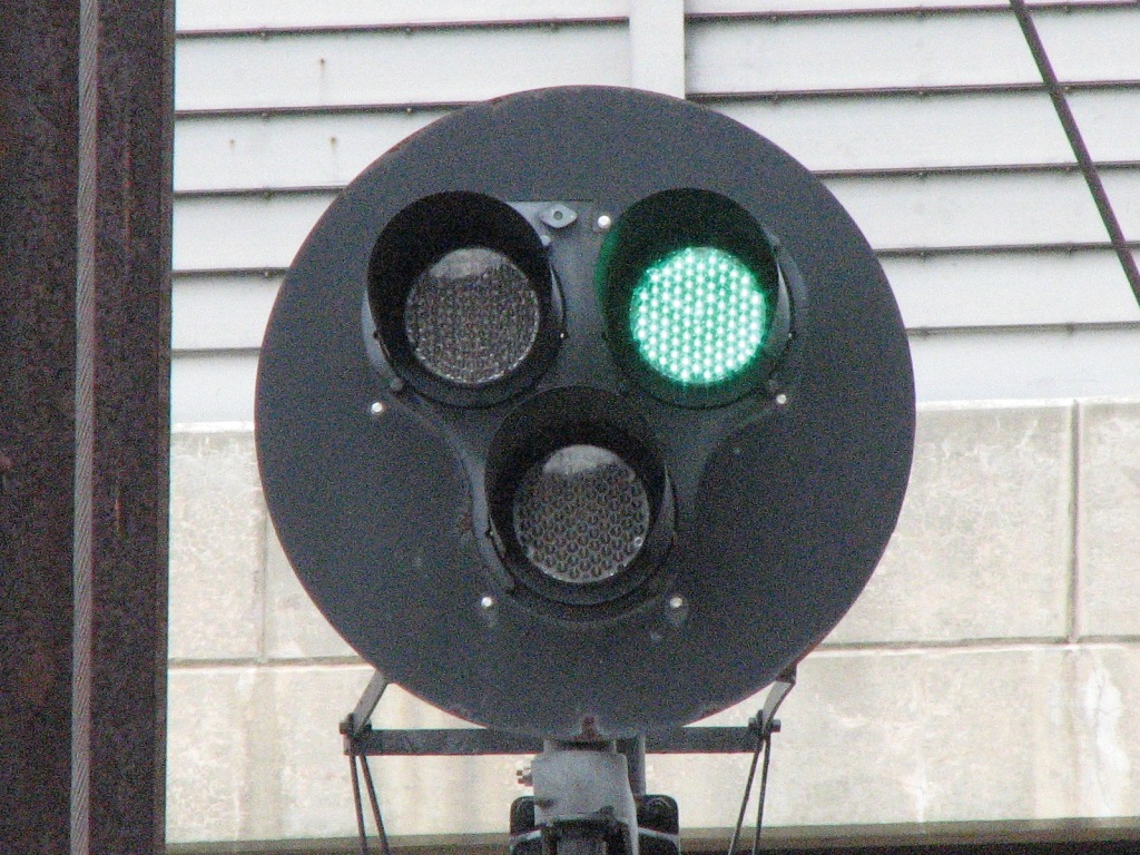
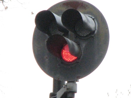
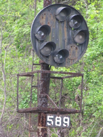
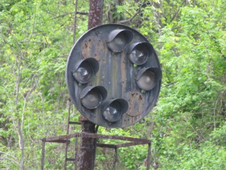
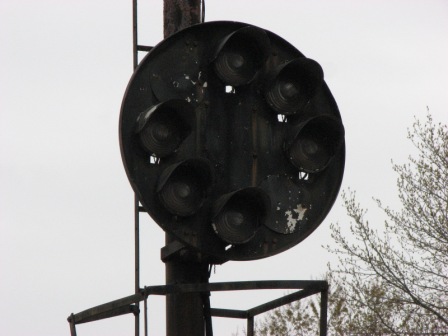
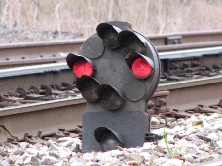
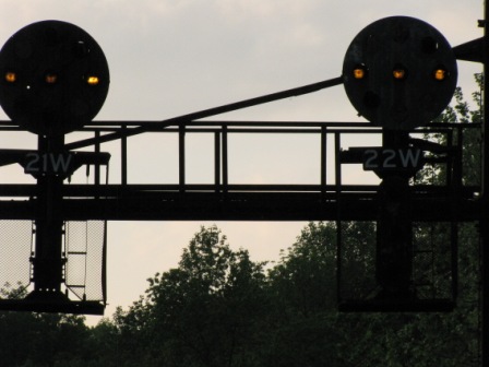
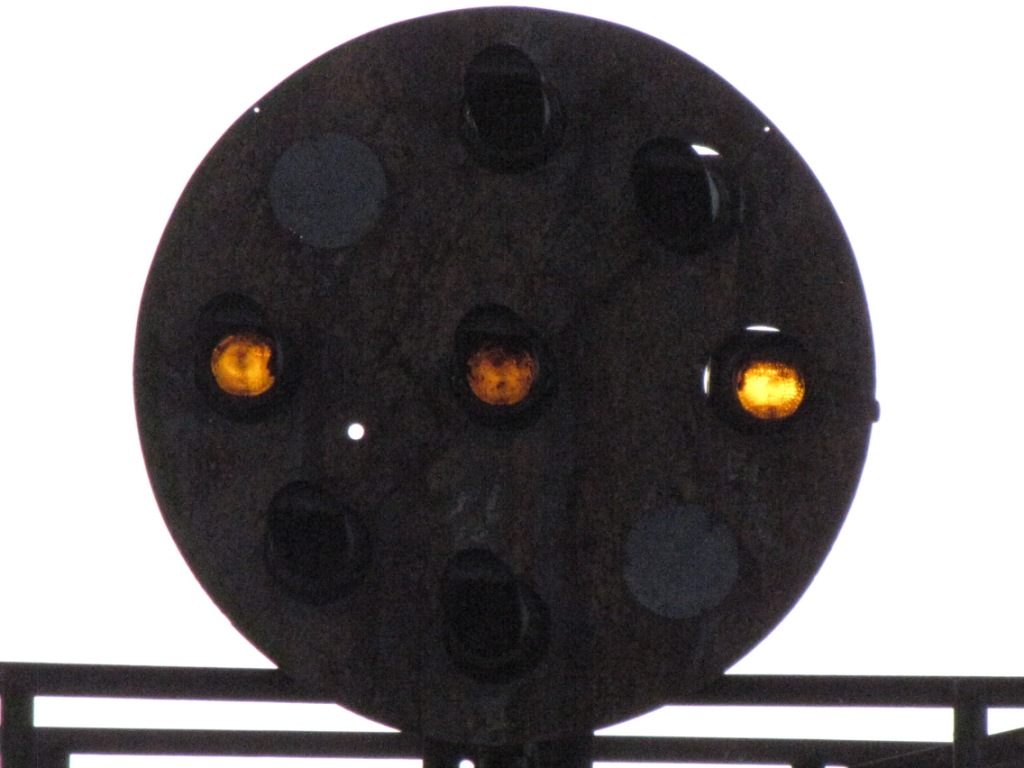
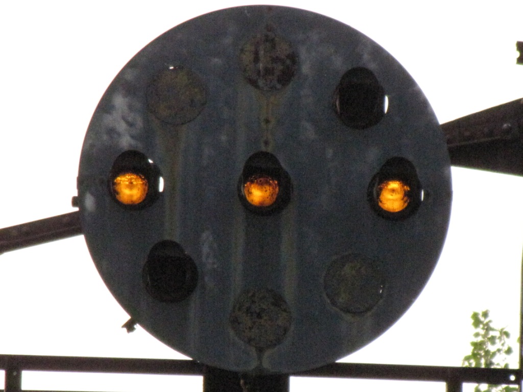
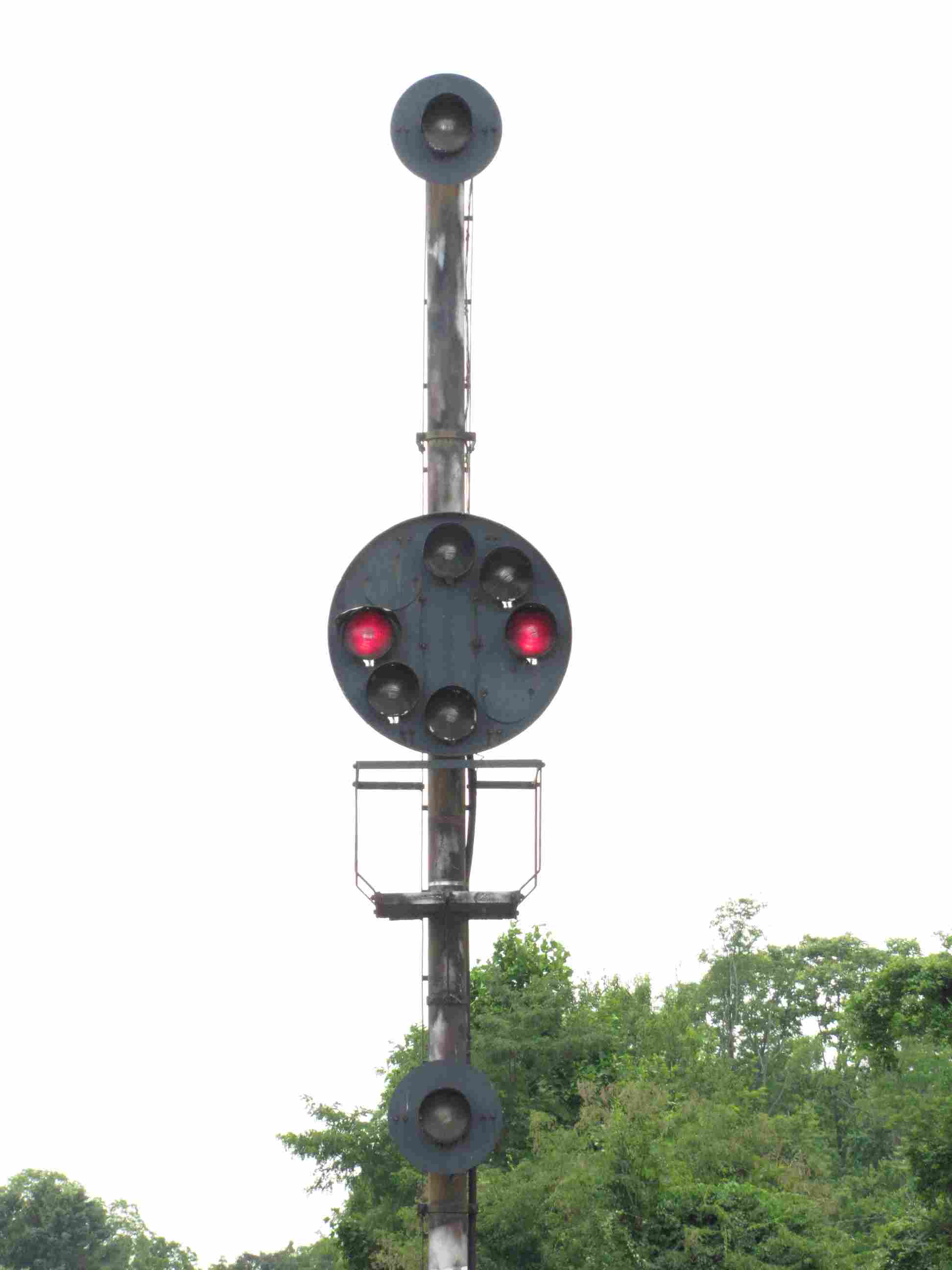
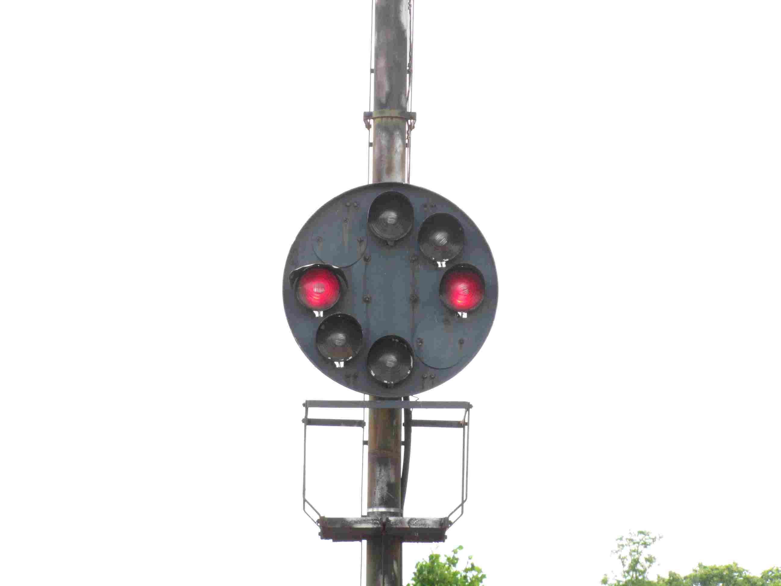
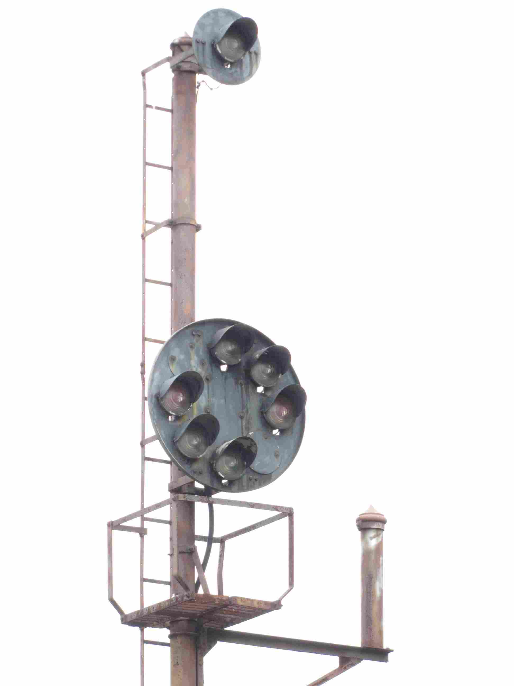
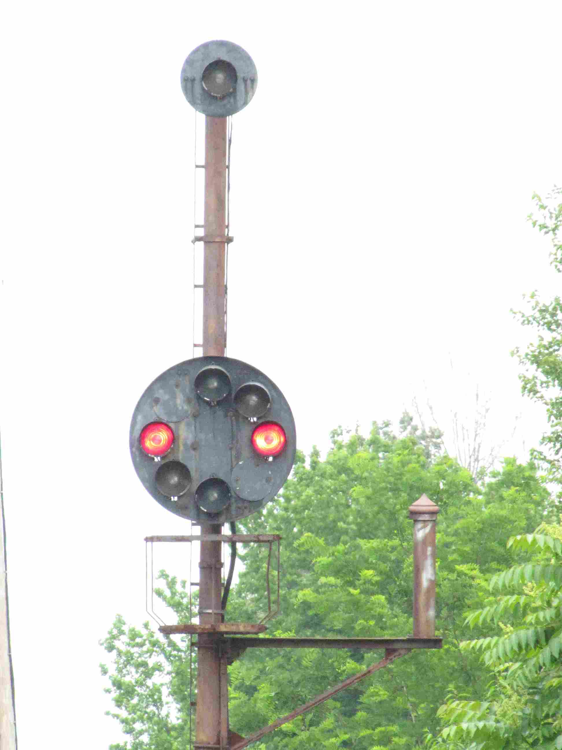
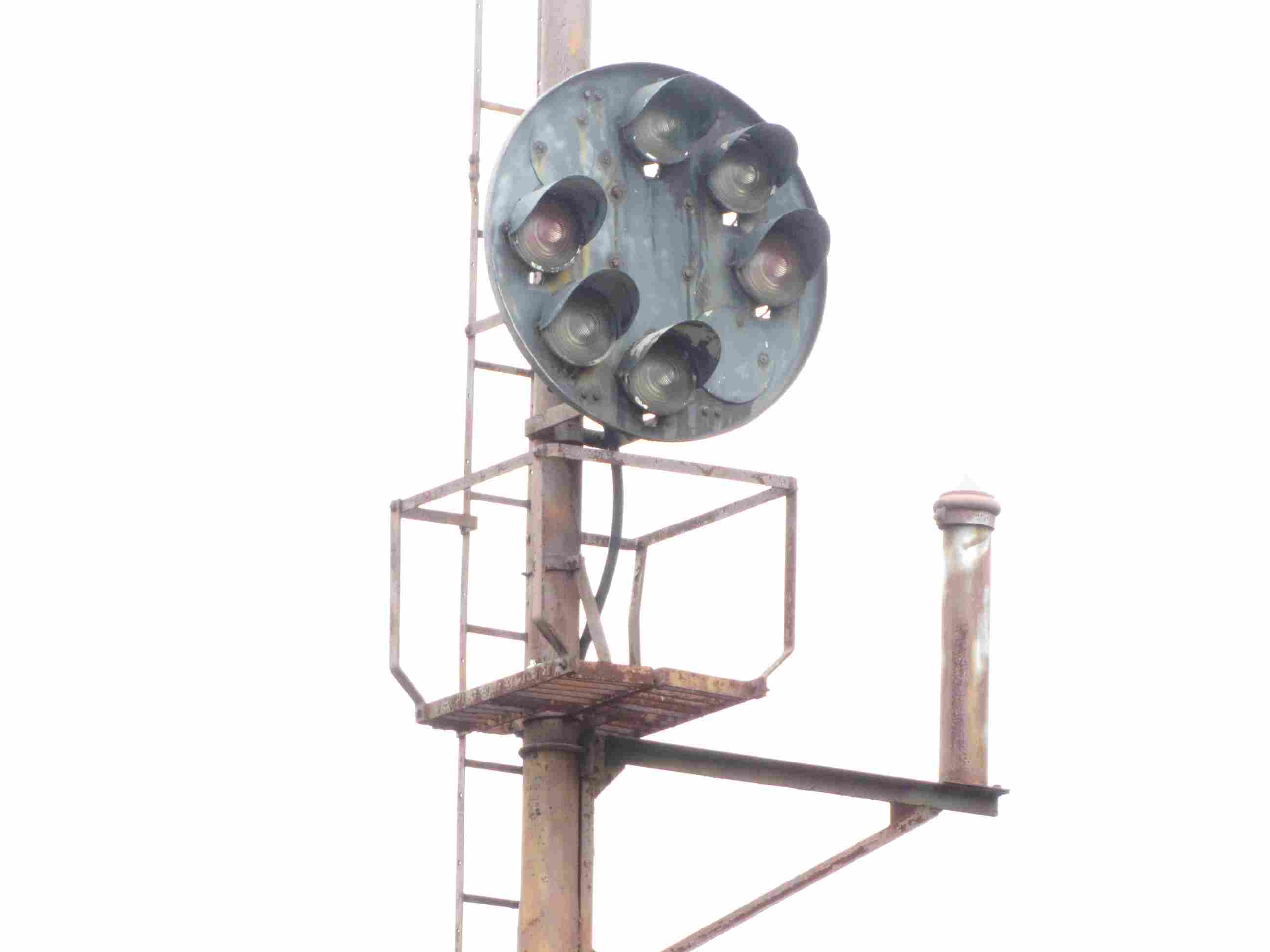
If you like Pennsy PL (Position Light) signals, and B&O CPL's (Color Position Light signals),
this is one of the best places to come. They are all over the place, and are offered in almost all
of the varieties they come in... bridge, high, dwarf, pedestal, and dwarf mounted up on a pole.
However, with that said, the PL signals around the station have been replaced,
and the last I know, CSX has replaced the CPL signals too. Darn.
Progress is not always a nice thing for us railfans! :-(
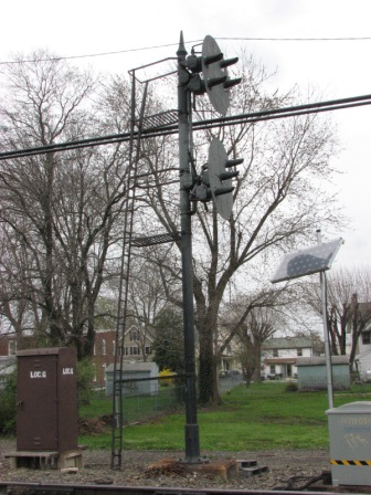
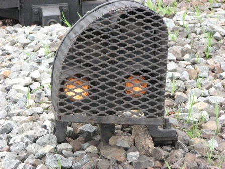
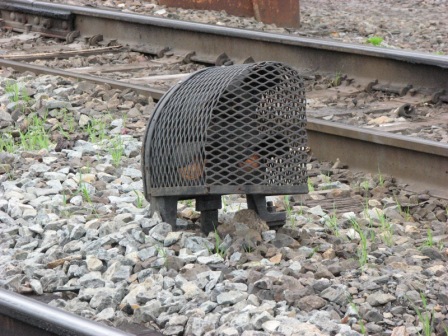
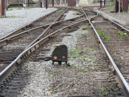
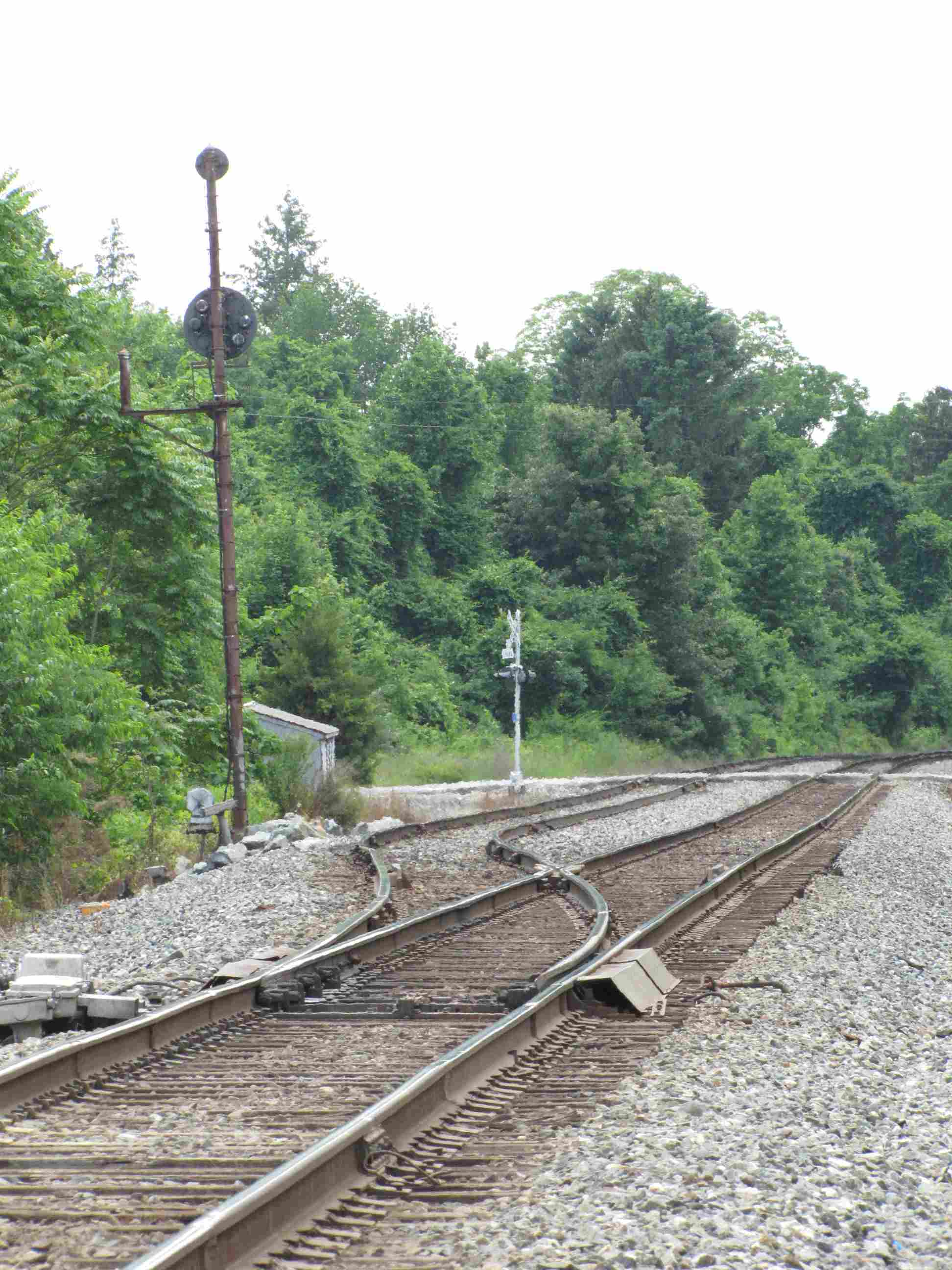
Pedestal signals used to populate the wye, making for
good shots with these signals in them.... who knows how long they will last
considering NS has been replacing the Pennsy PL signals with Darth Vader style
color light signals all over the place.
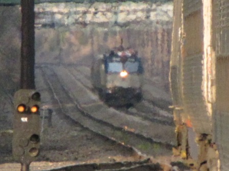
Lots of railfans enjoy coming here at night so they can watch the NS
freights as they come off the Harrisburg line onto the Northeast Corridor,
and head south towards Baltimore.
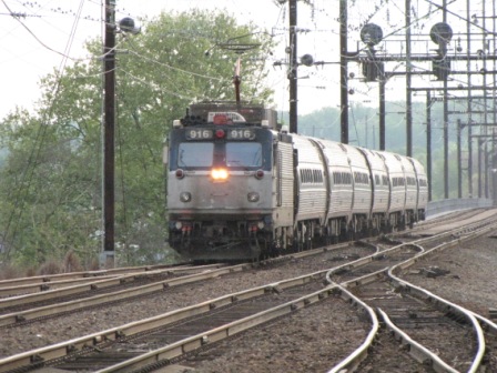
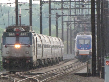
Thanks to Michael Mari who forwarded pictures from his visit to Perryville in 2020.
Shades of the past!! Michael Watnoski and I were in
Perryville on a routine CPL and PL picture taking trip when this PRR E trip came
rollin down the corridor... I was more into taking pictures of the passing
trains while Michael was off taking pictures of the signals - when I yelled at
him "Hey Mike, something different is coming"....
talk about luck!
The remodeled Perryville station - now used for MARC service. It also houses a small railroad museum.
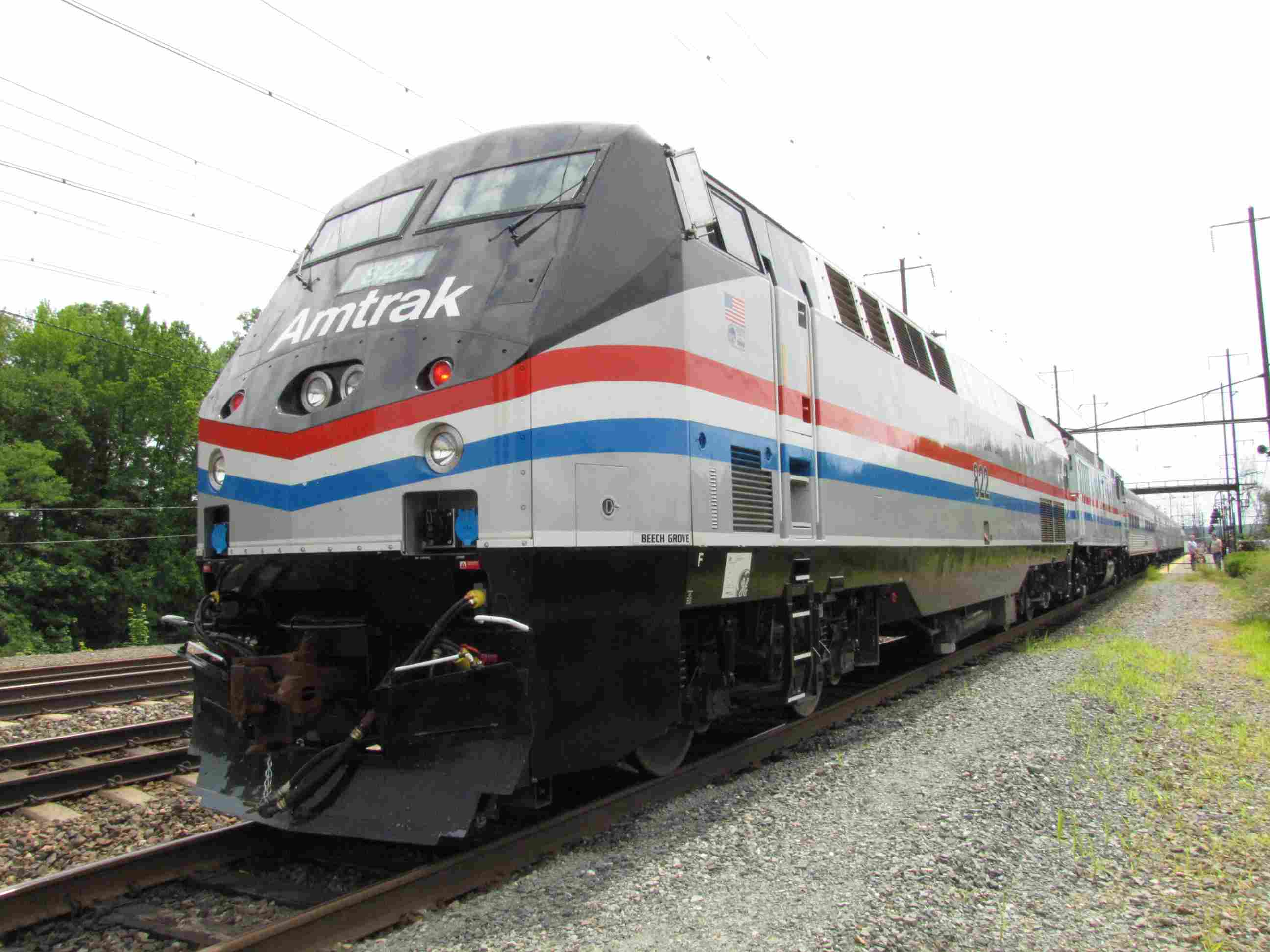
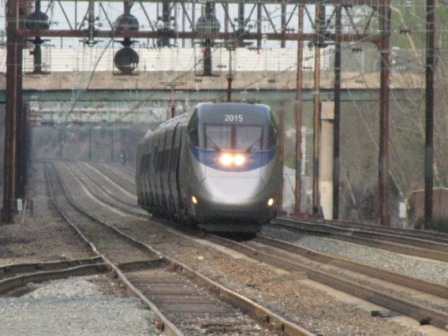
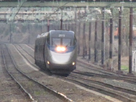
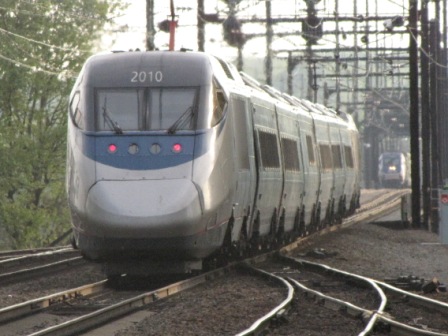
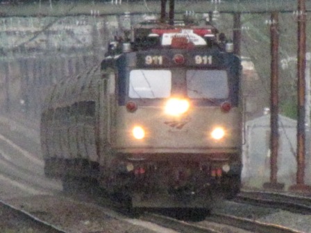
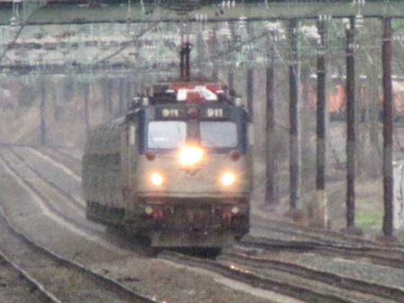
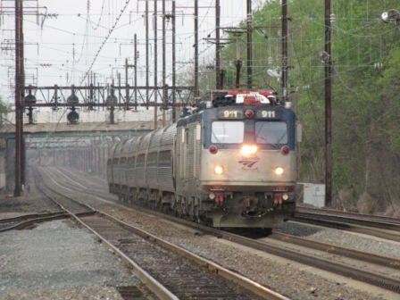
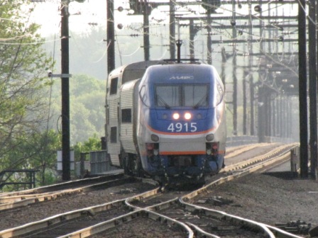
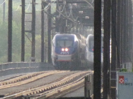
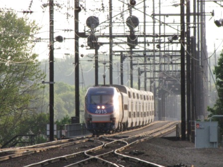
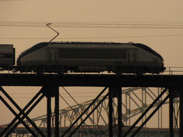
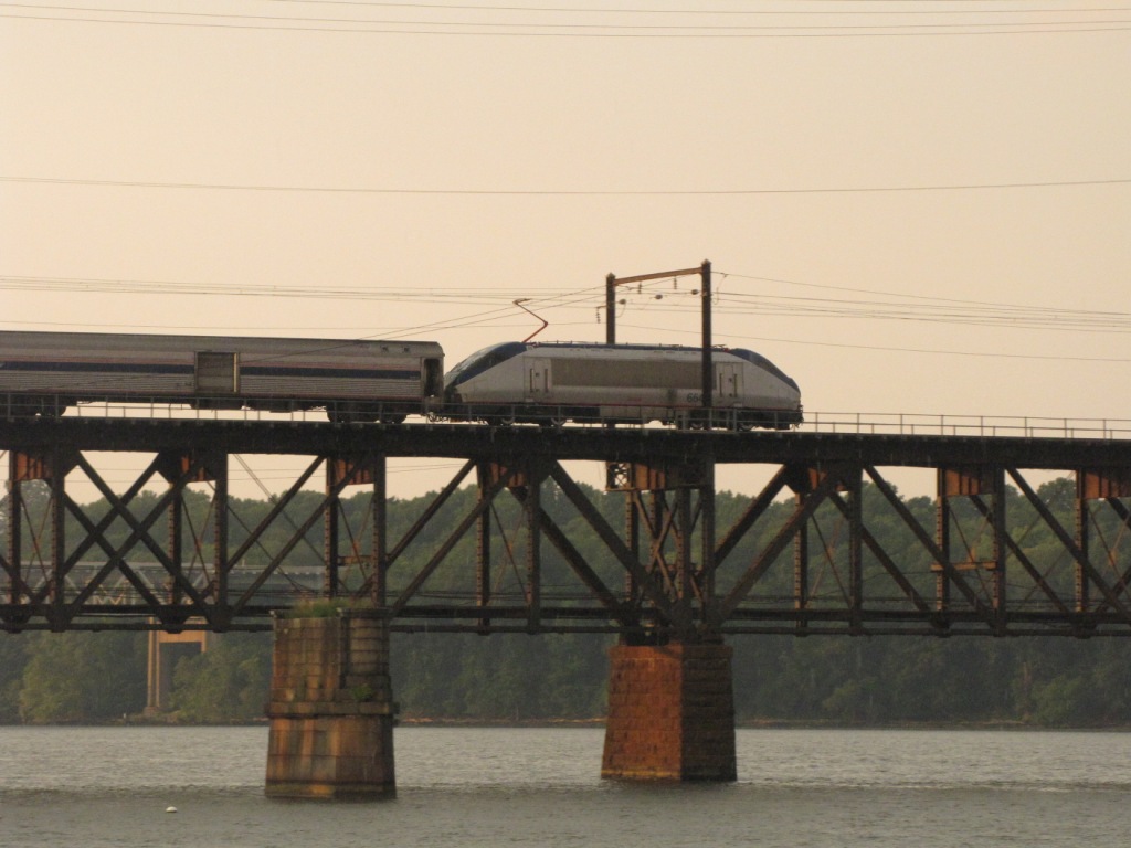
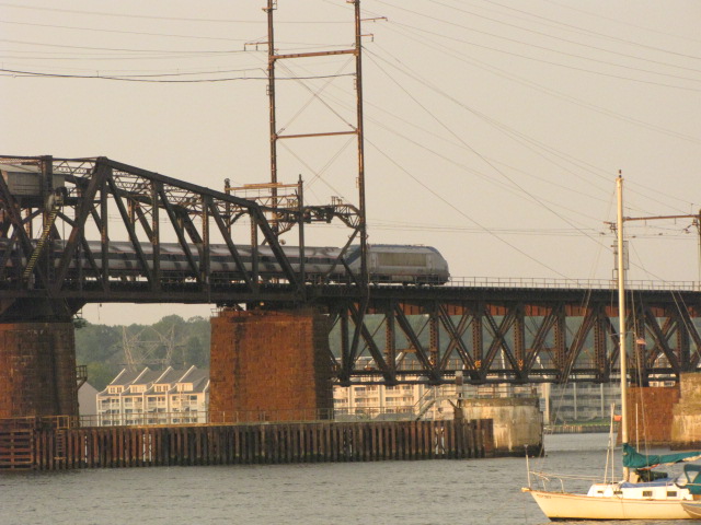
Picture of Amtrak's 40th Birthday train at Perryville on 4JUN2011, more pix
here
A
portion of a PDF document provided by Michael Mari.
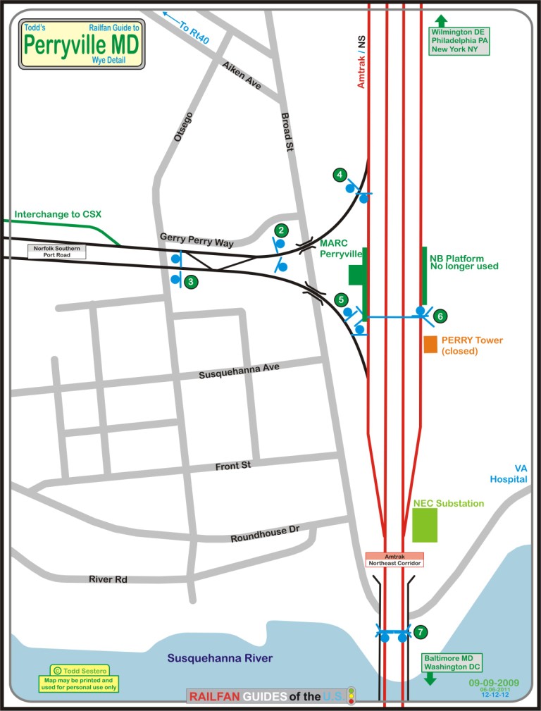
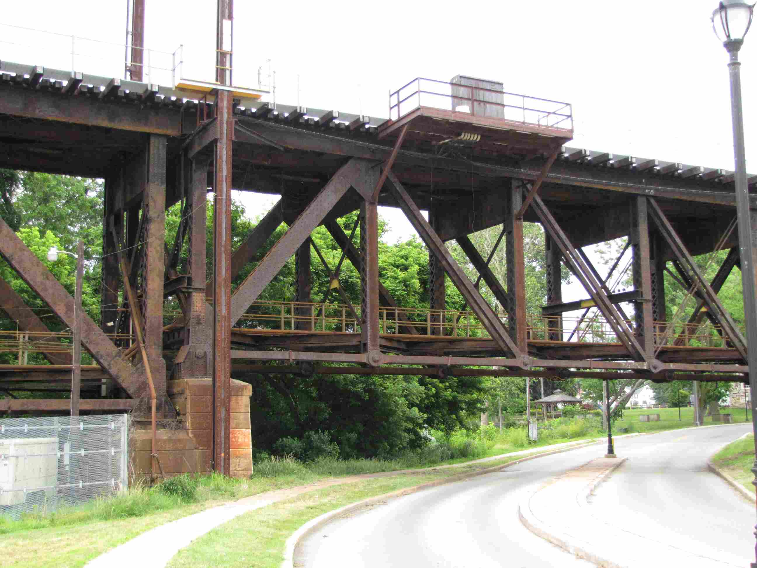
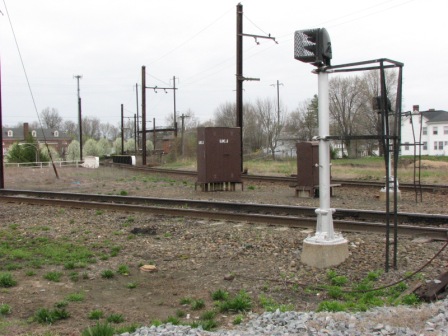
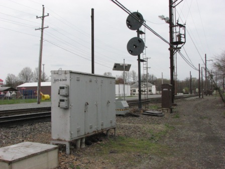
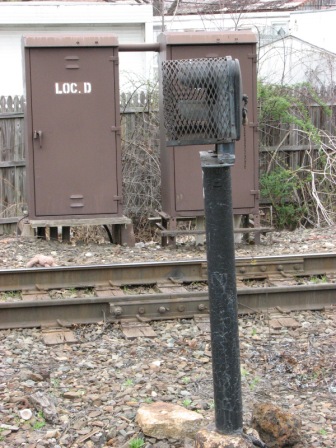
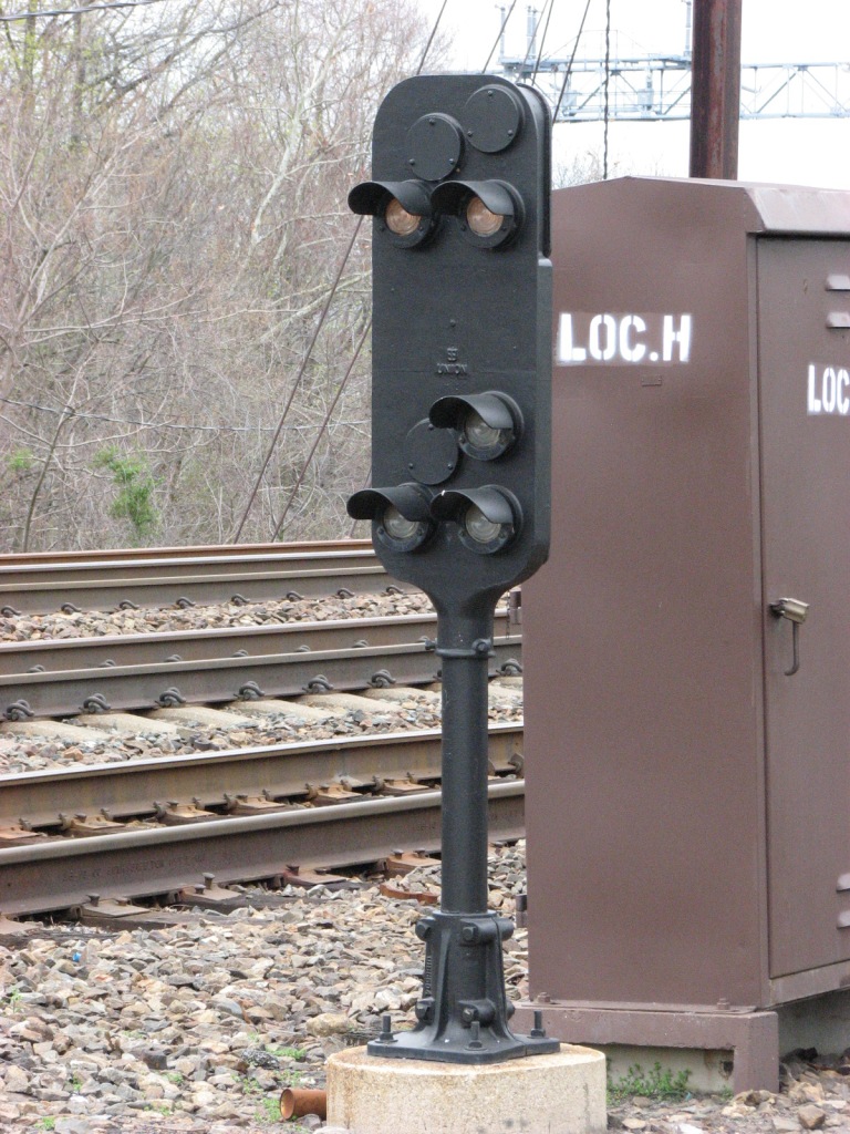
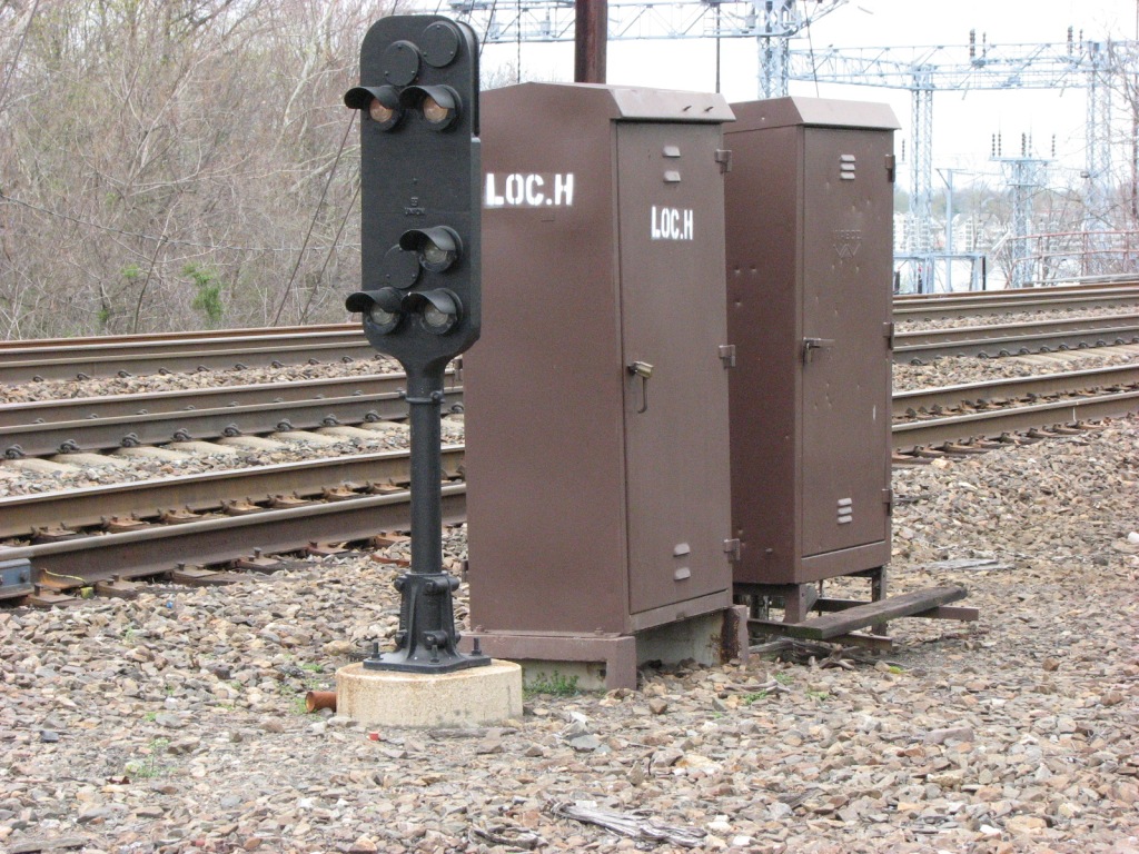
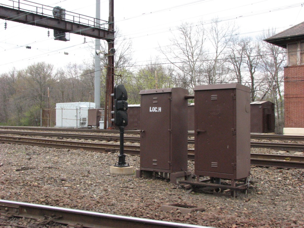
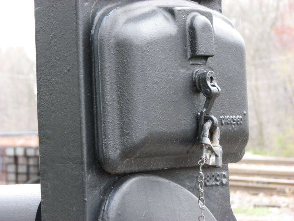
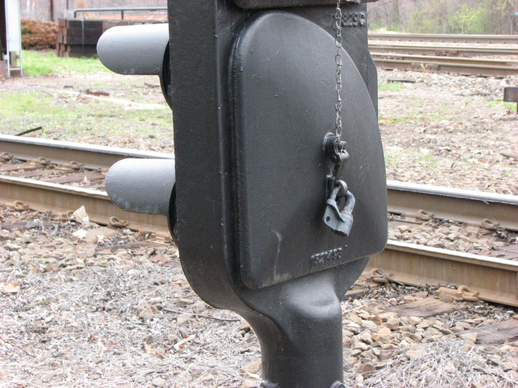
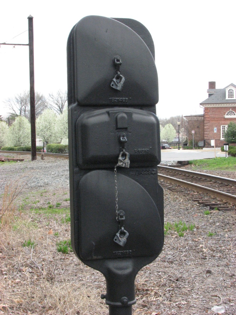
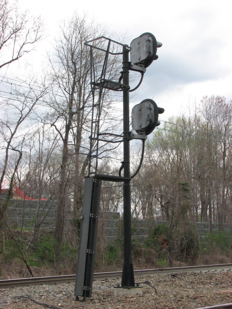
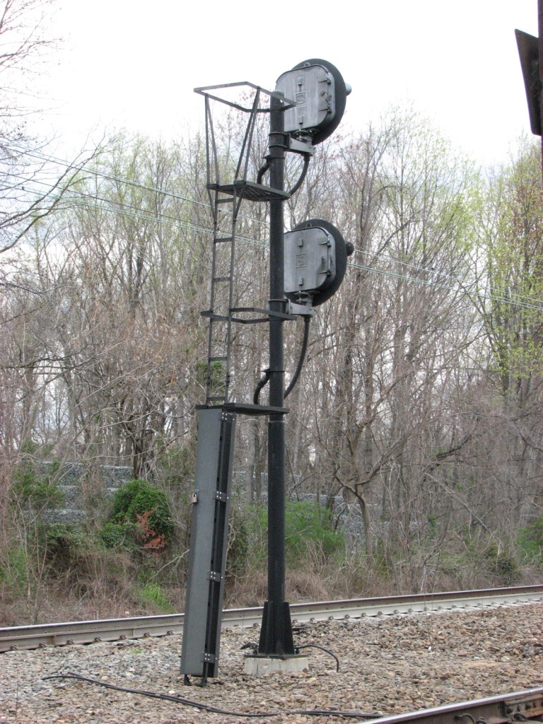
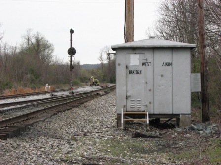
Perry Tower
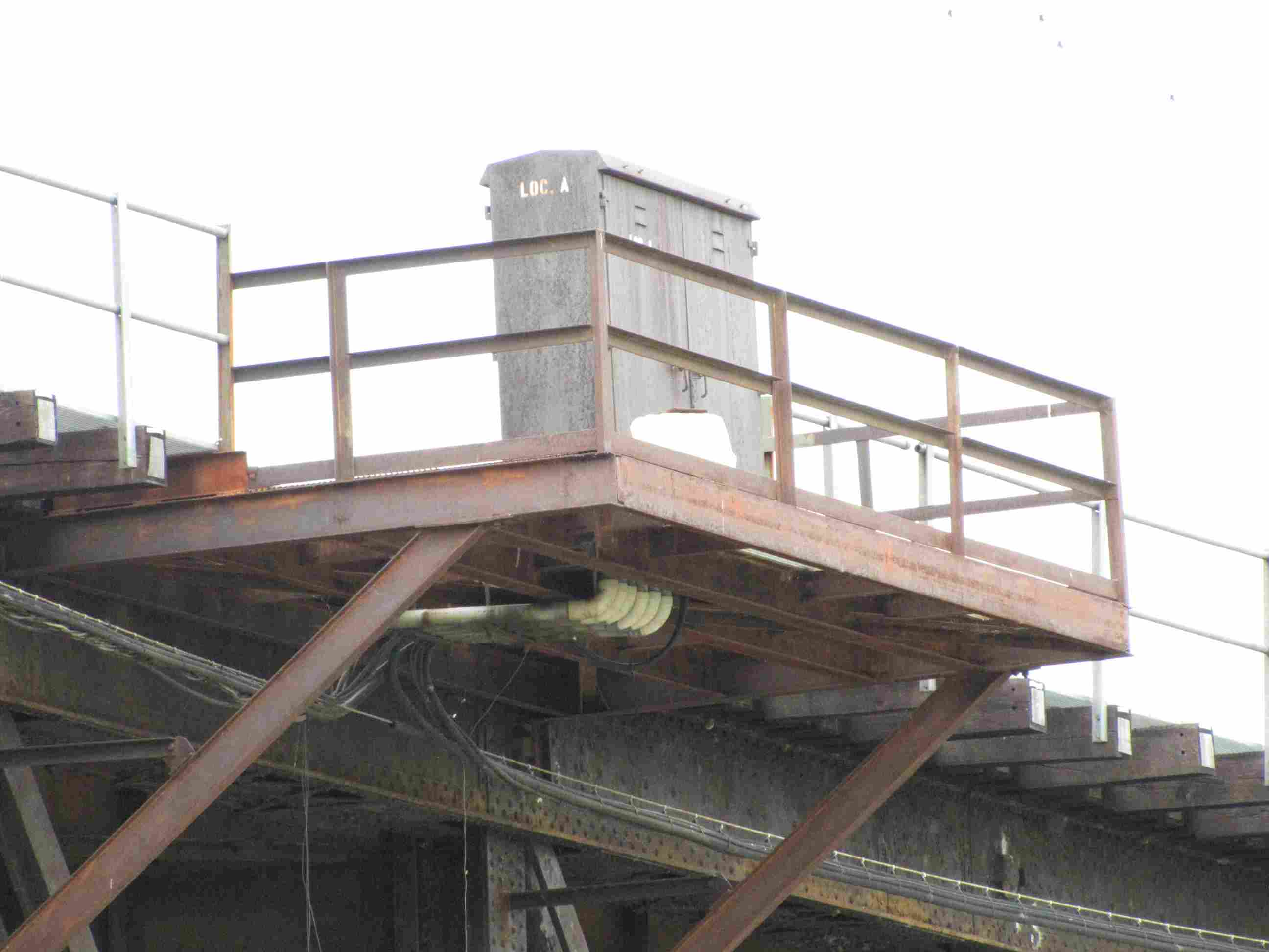
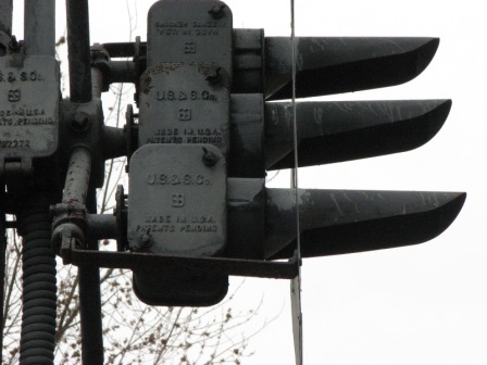
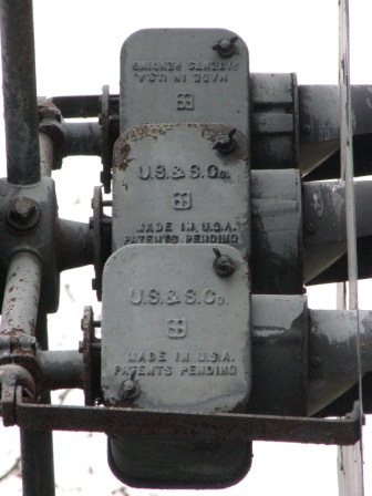
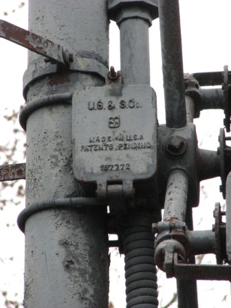
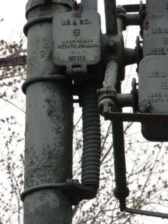
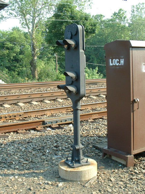
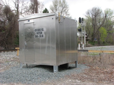
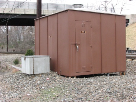
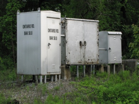
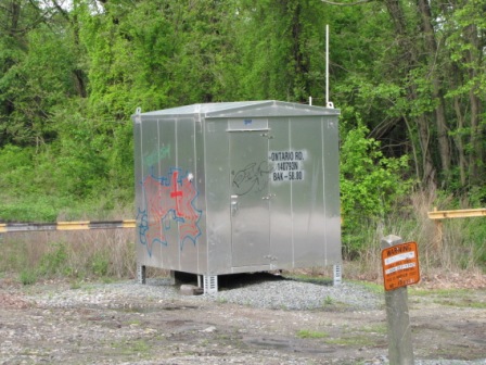
The equipment cabinets used for the signals at this location.
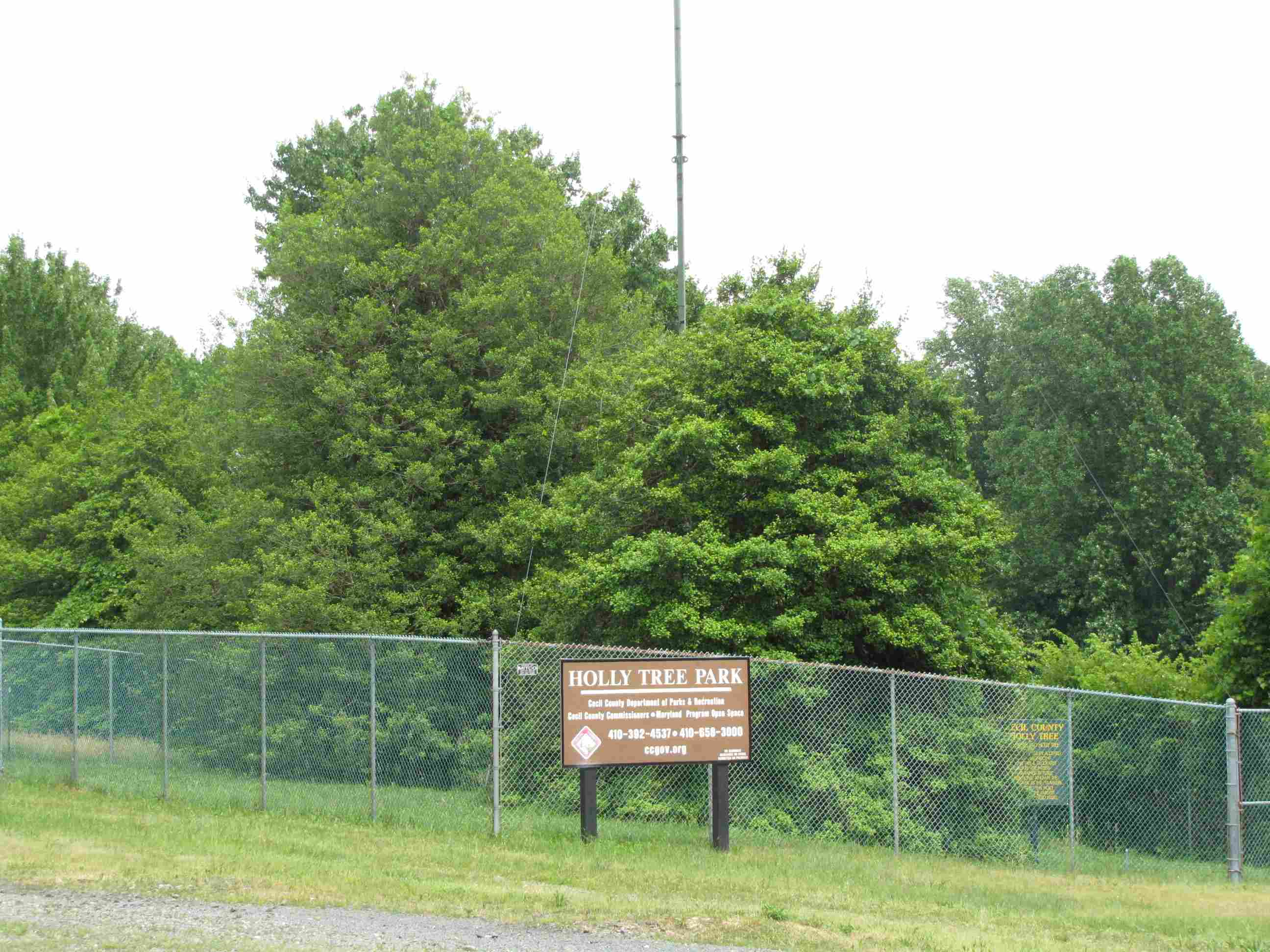
ex B&O "Jackson" Holly Tree
This Holly Tree was planted by the B&O in
1870. It was first decorated for Christmas in 1947, and the B&O would make
special stops here during the the Christmas season for travelers to enjoy the
tree and the festivities surrounding it. The tree was "deeded" over to
Cecil County in 1972. I believe the last train to stop here was an
excursion train in 1984 or 1985.
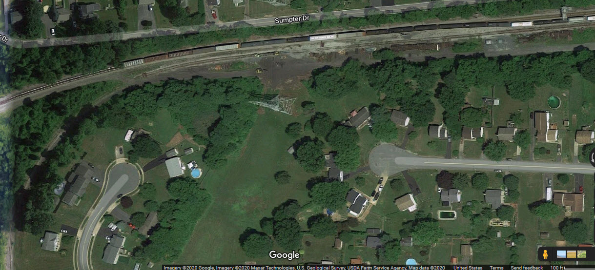
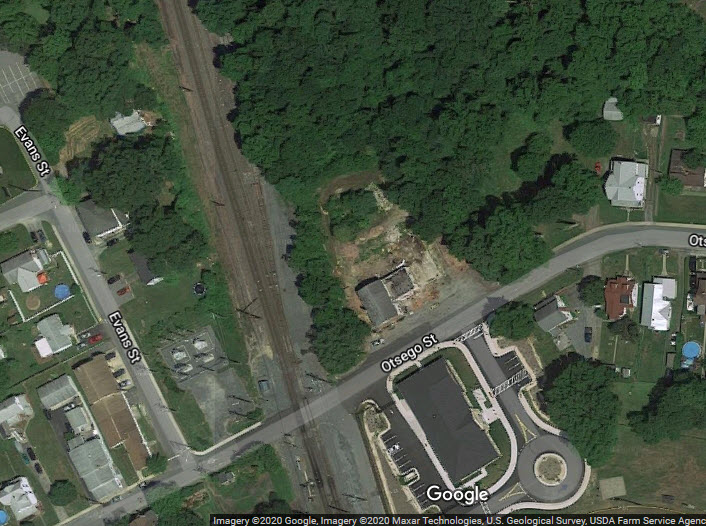
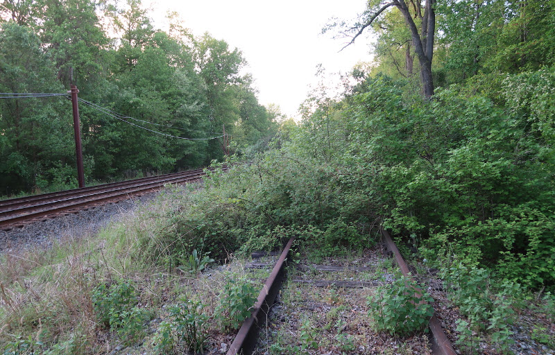
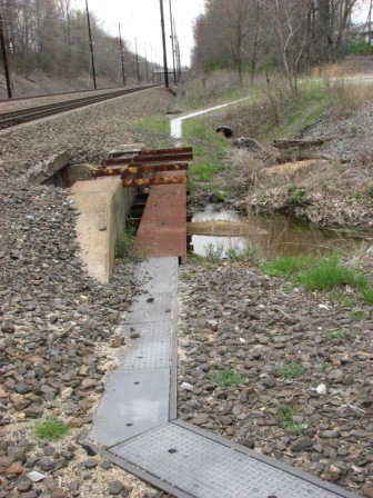
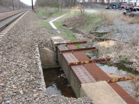
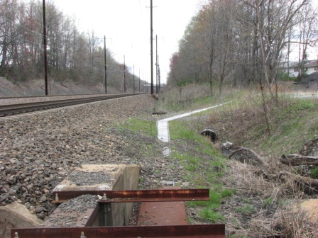
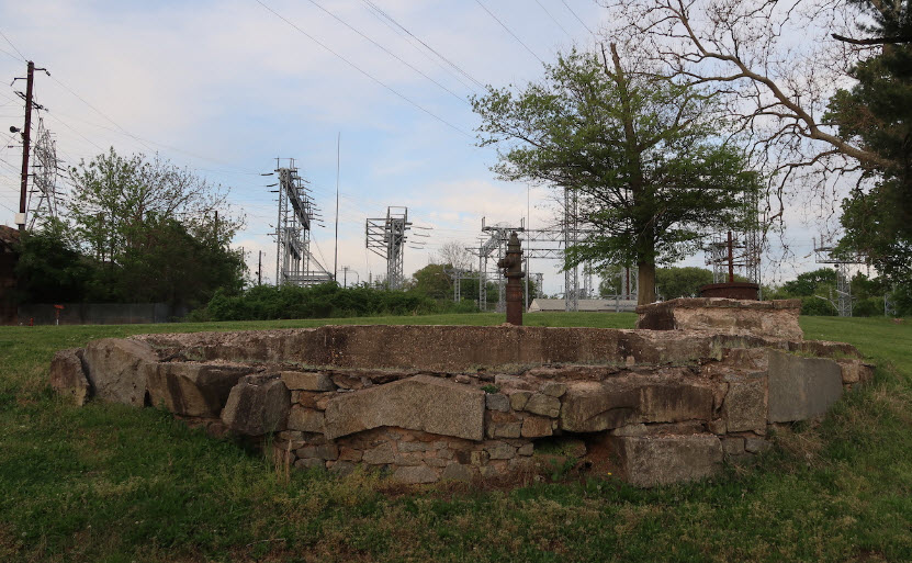
B&O Perryville Branch, aka, Pennsy Interchange
Not sure when the last time this interchange track was used, but
it has probably been more than 20 years, at least (as of the time I
originally did this page in 2008). The upper picture is
the interchange point on the B&O/CSX mainline, and the lower photo is the NS end.
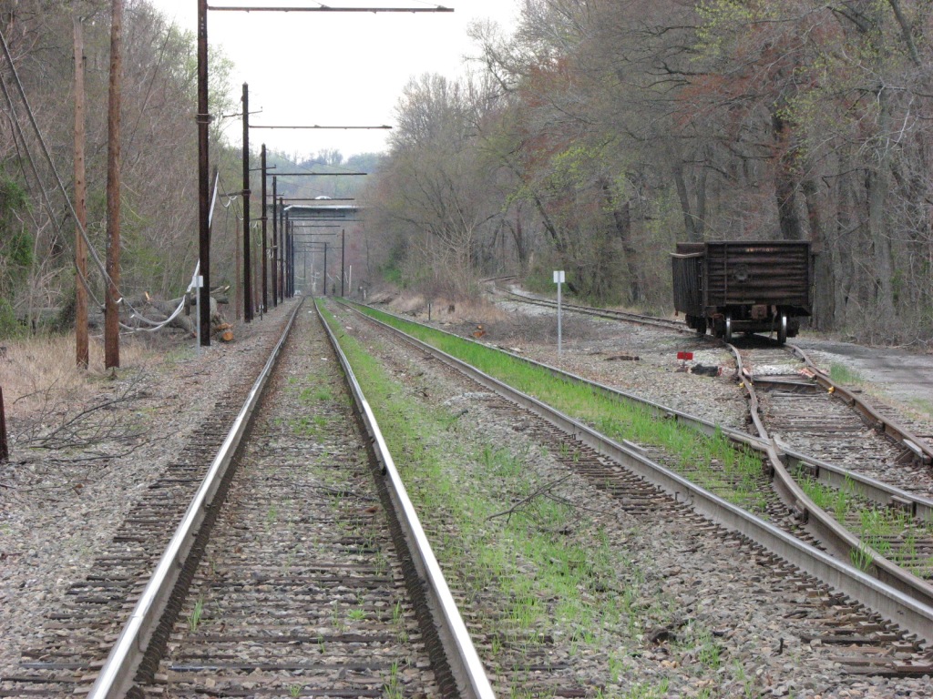
A gondola sits on the interchange track alongside the Port Road, we're
looking up the Harrisburg line towards Harrisburg.
The complete interchange track, the green arrows are the ends.
Here we have a couple of updated photos for the interchange tracks from May
2021, courtesy Michael Mari:
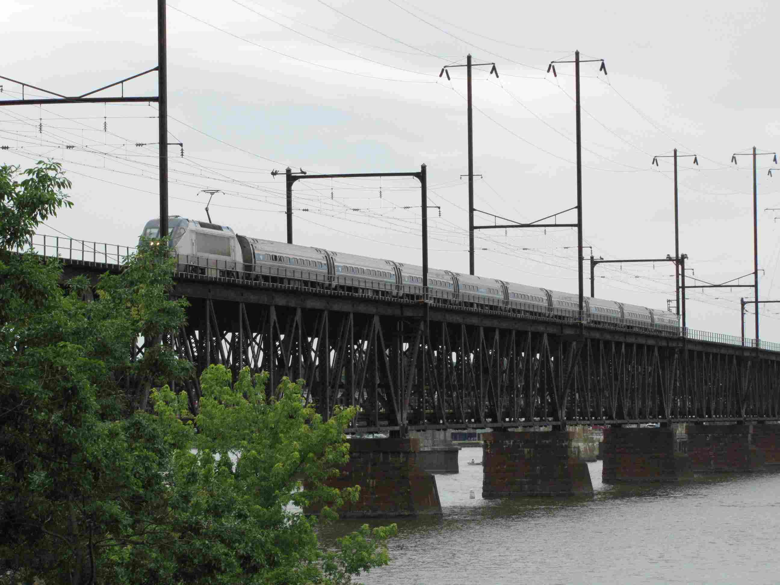
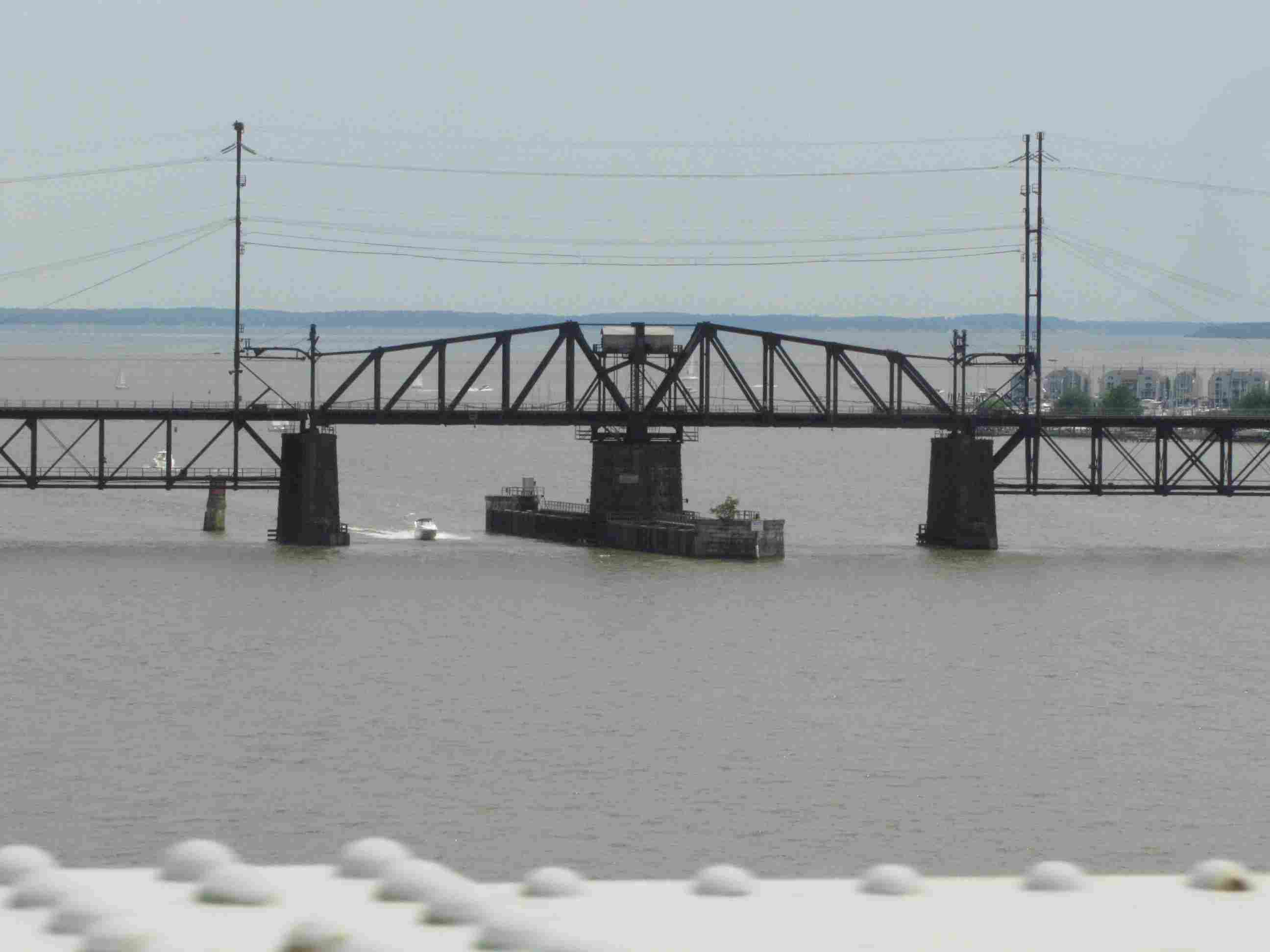
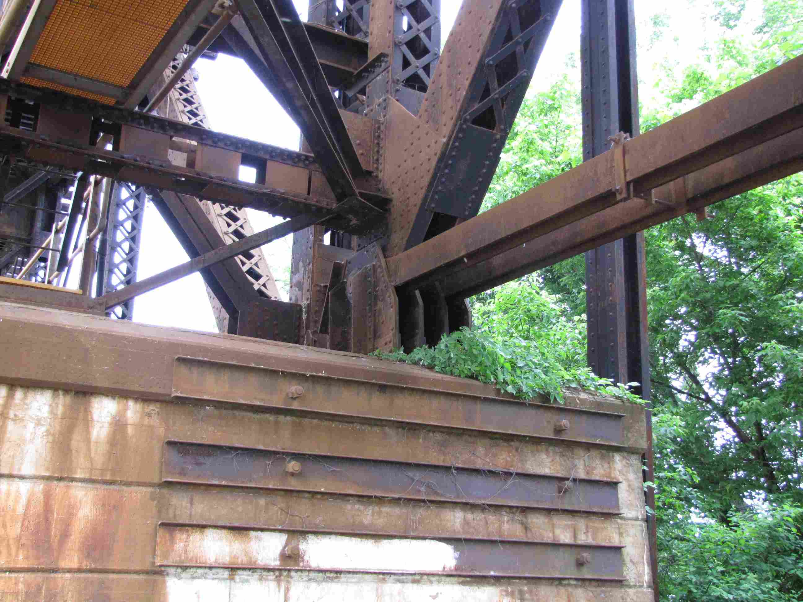
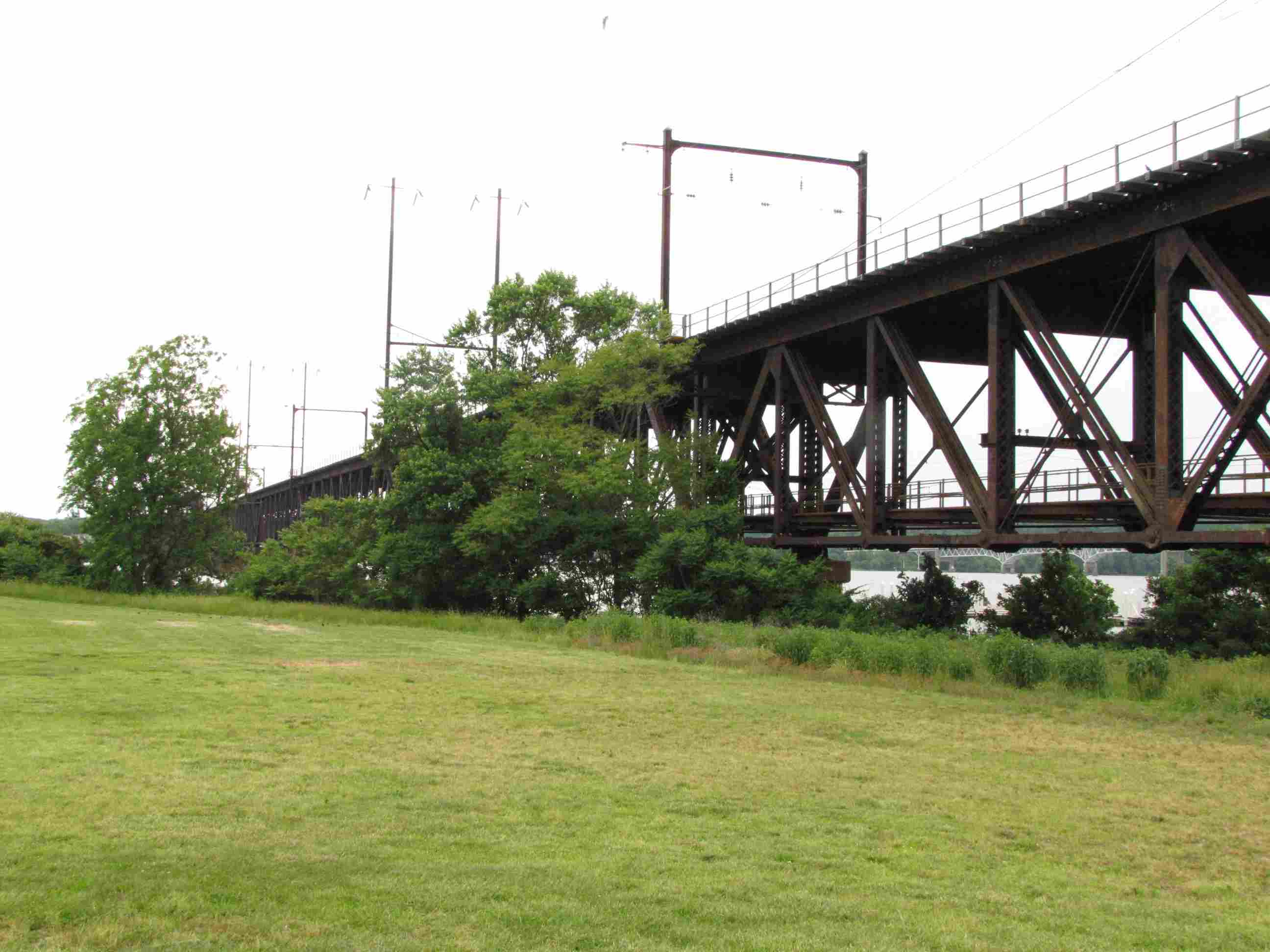
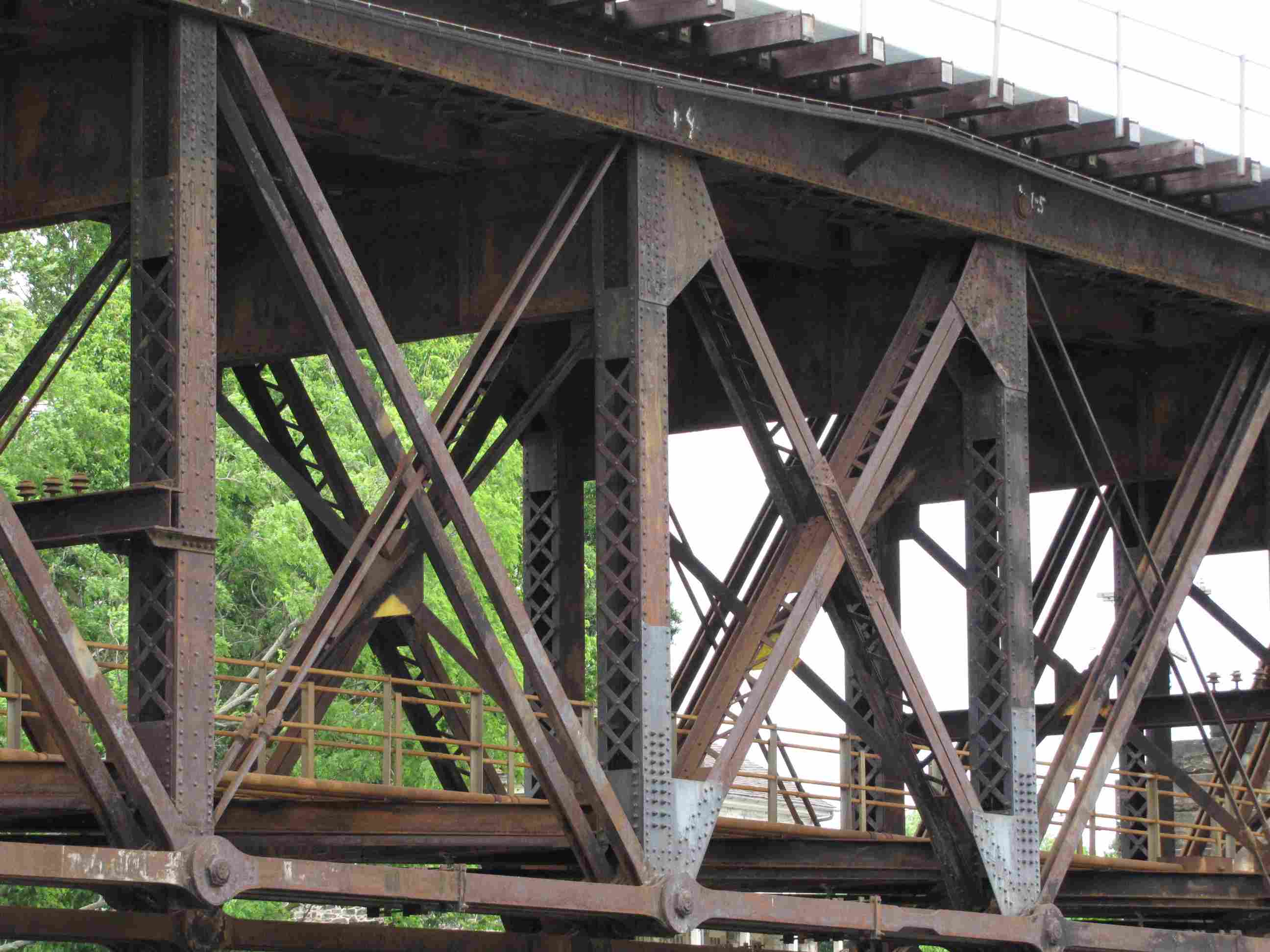
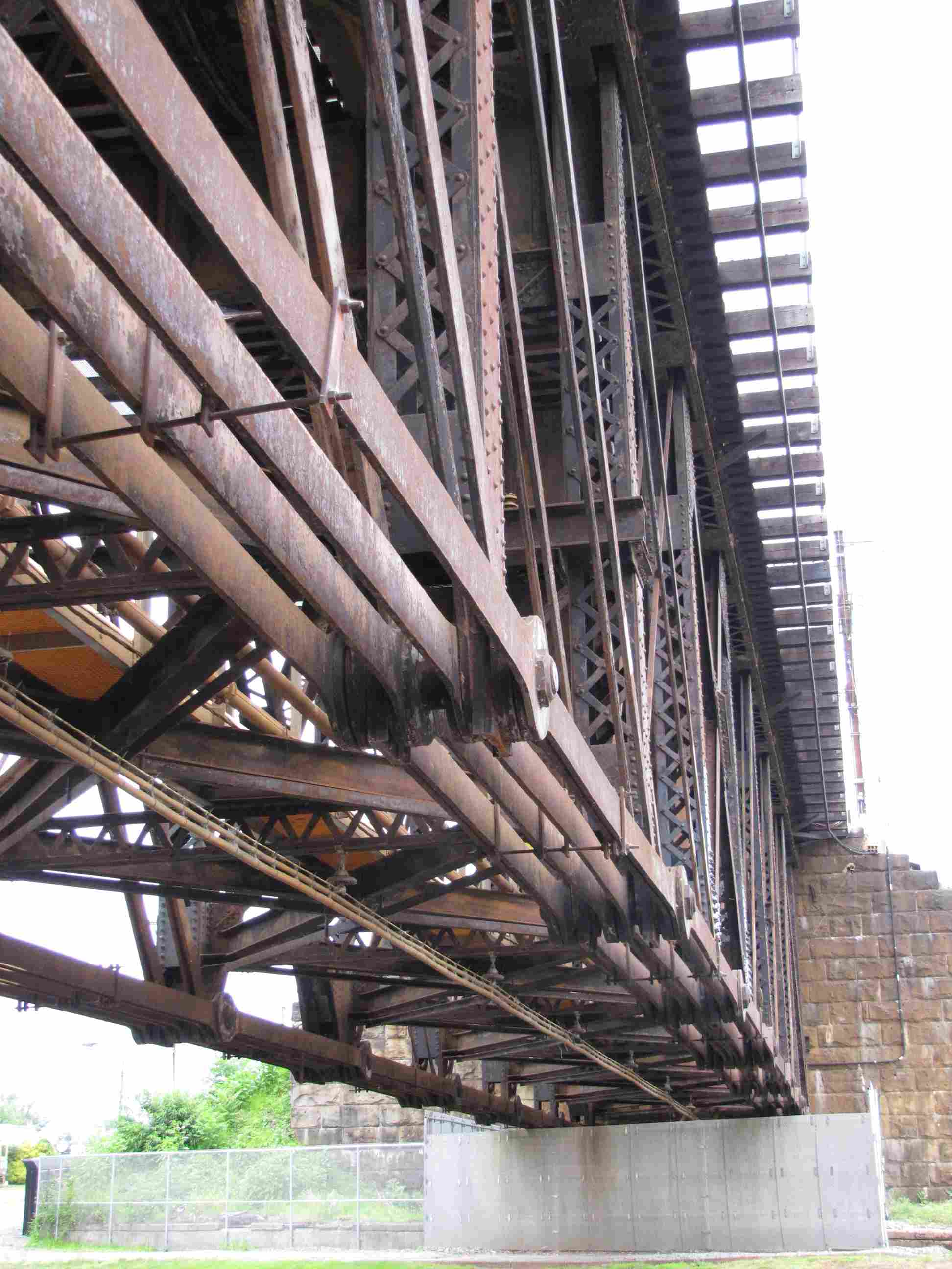
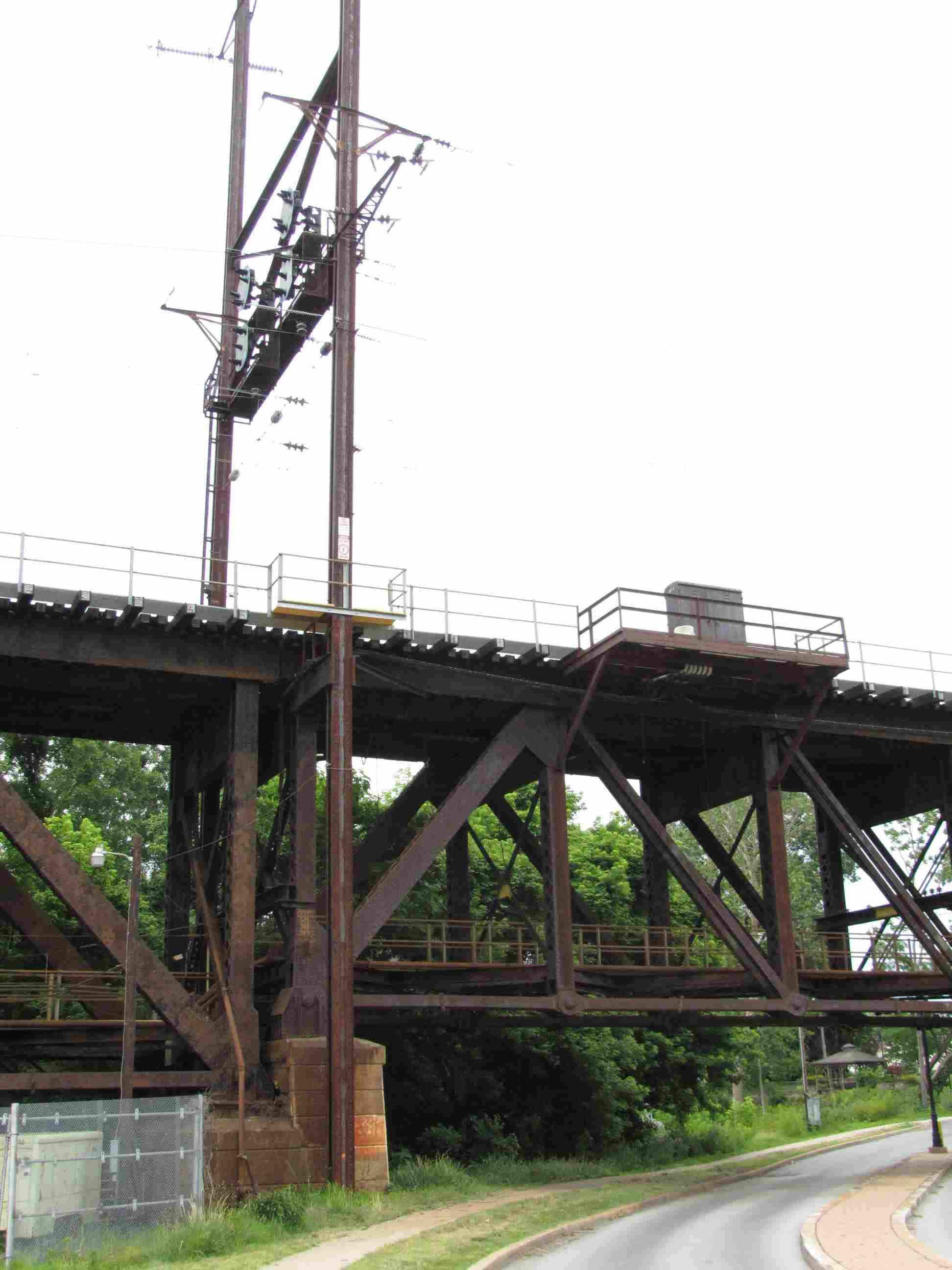
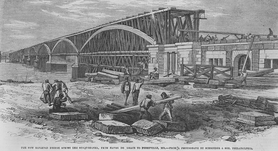
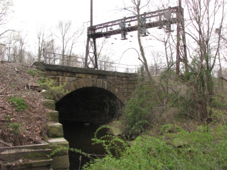
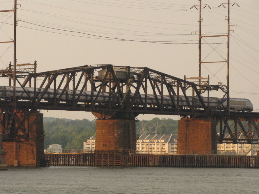
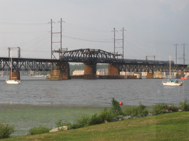
This bridge opened on May 29, 1906, making it 114 years old in 2020.
Built in 1904-06 by the Pennsylvania RR, it replaced a steel bridge built by the
Philadelphia, Washington & Baltimore RR (PW&B) that was completed in 1875,
which, in turn, had replaced a single-track wooden bridge built in 1866, but got wiped
out by a flood in 1875. The bridge includes a center swing span to
increase vertical clearance for water traffic from the nominal 52 feet (15.8 m).
Thanks to Michael Mari for correcting my dates, as I left out the important 1875 flood! :-)
Picture taken from the VA Hospital side of the bridge.
Picture taken from the north / Roger's Tavern side of the bridge.
From down at the water's edge, a photo by Michael Mari on a beautiful day in
October 2015.
Shot from the Rt 40 Susquehanna bridge.
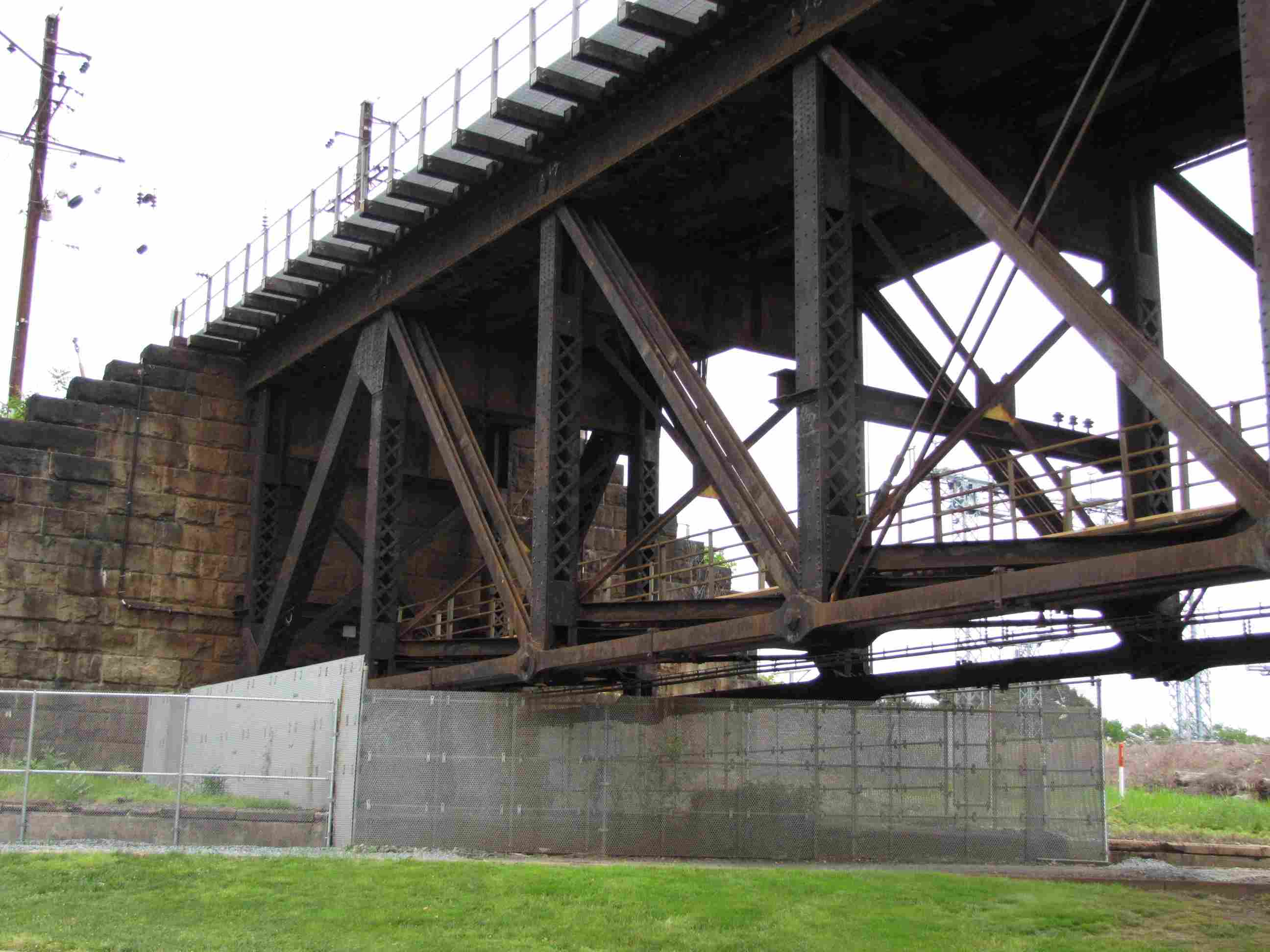
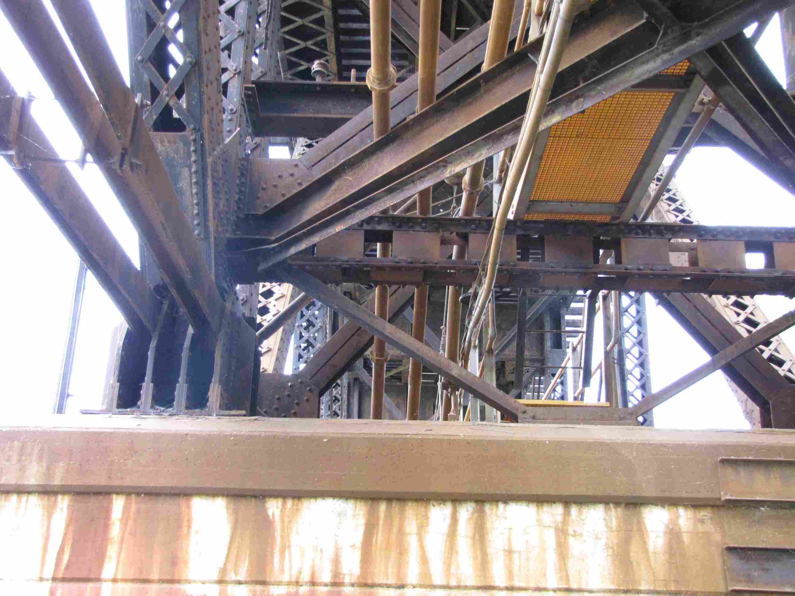
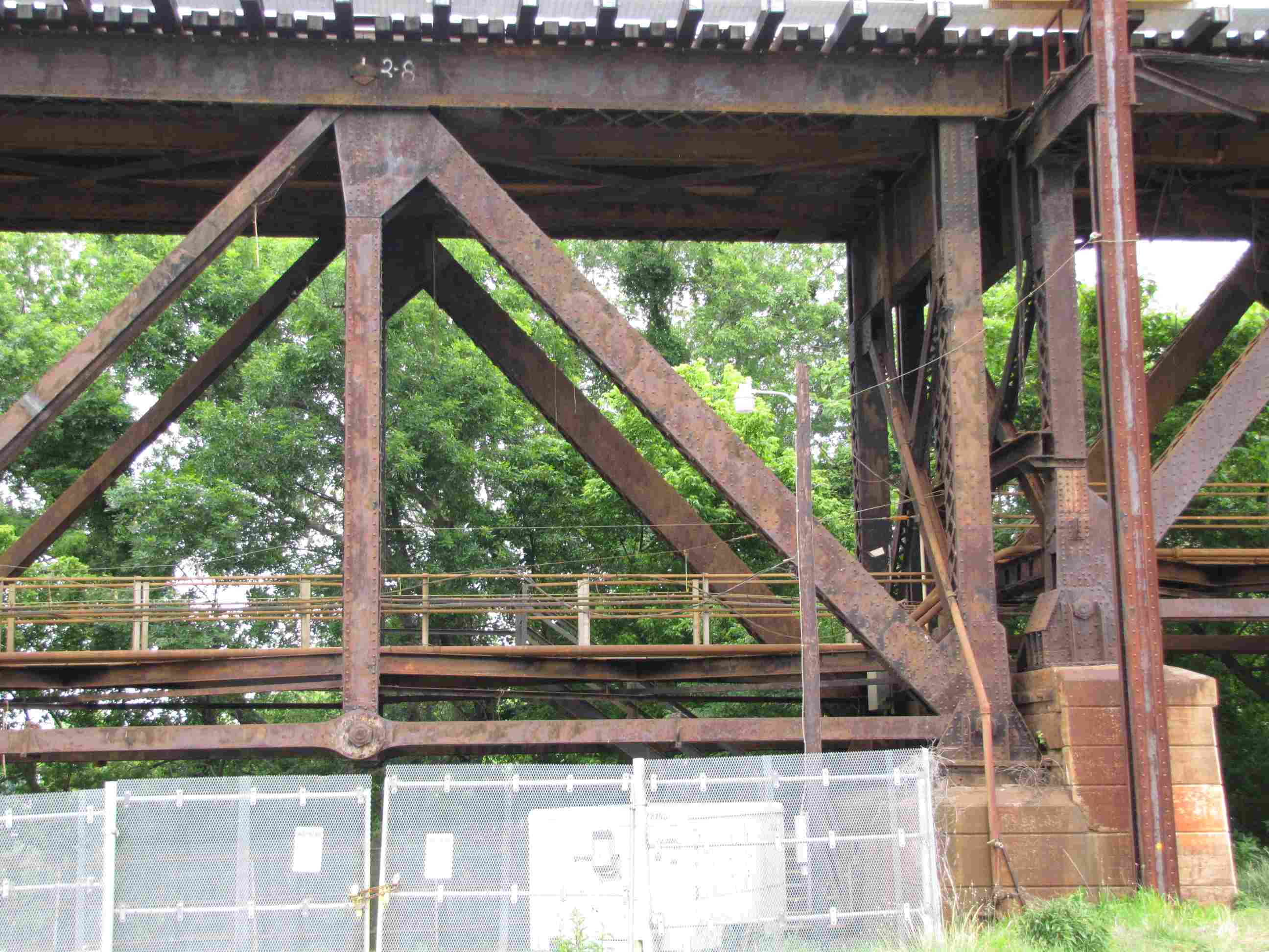
The pictures below are detail shots of the bridge taken from the VA Hospital side.
The following drawing is found
here and was forwarded to me by Michael Mari.
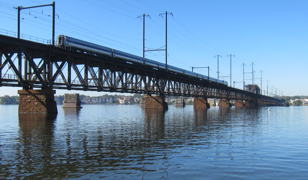
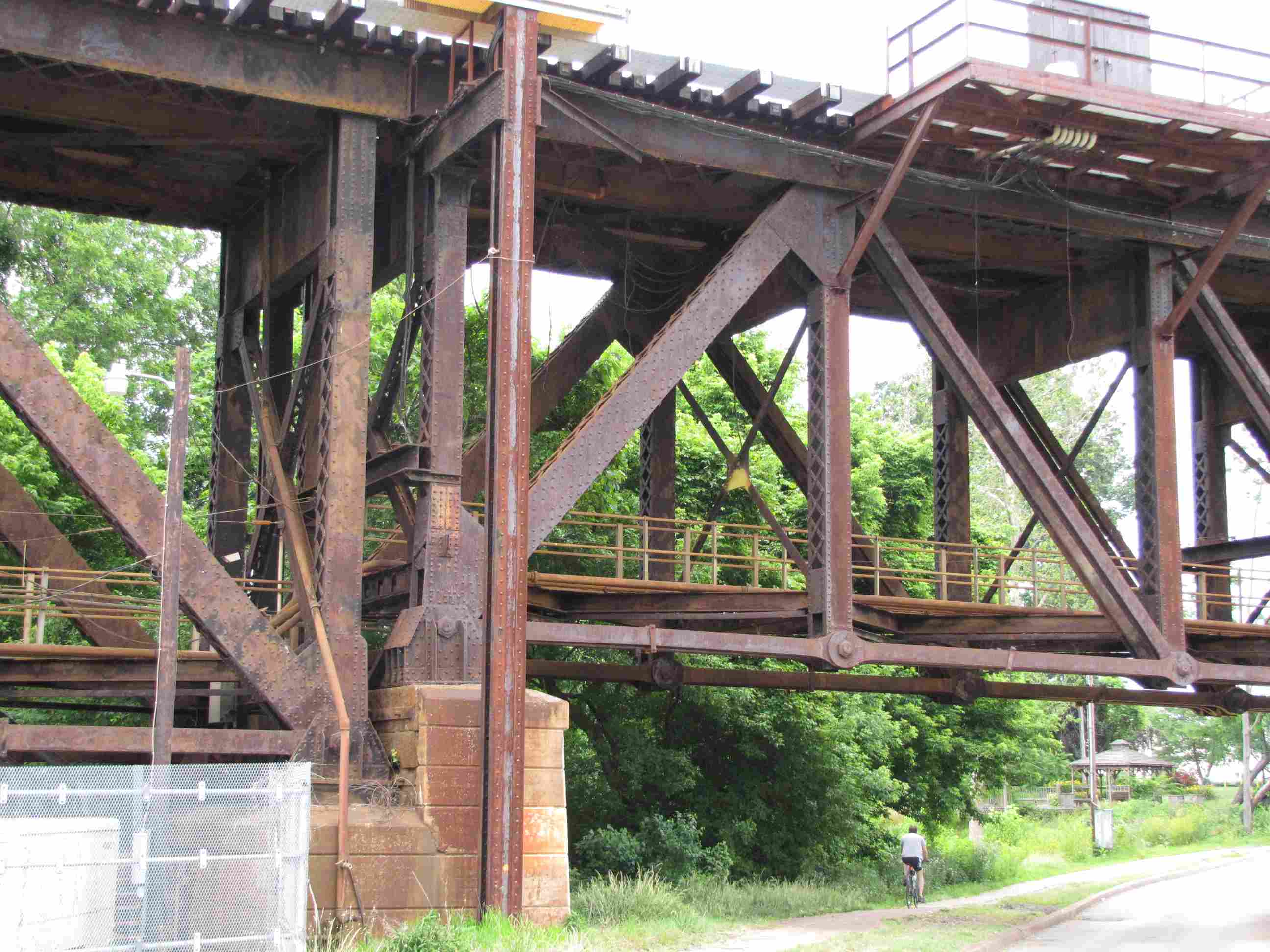
The current bridge was built in 1908 by the Baltimore & Philadelphia RR, replacing a single track
timber bridge. However, a train derailment wiped out one span, and they
had to detour trains over the "PRR" till 1910. The new bridge was two
tracks, but was subsequently reduced to a single track bridge. It
seems like two bridges from afar because it crosses over a small island in the
middle, breaking up the sight lines and photo opportunities. Catching something
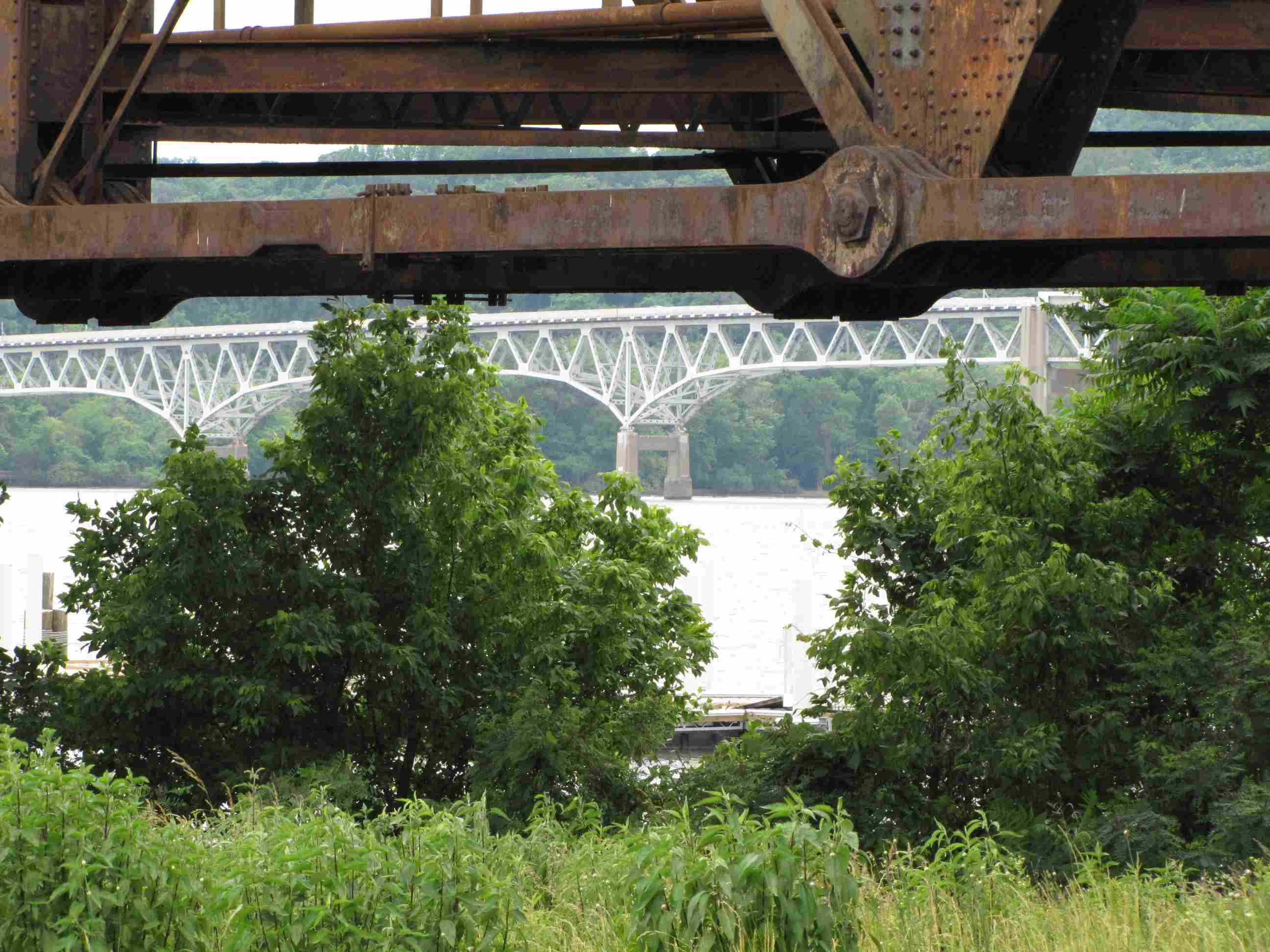
on this bridge requires patience most of the time. The very north end
of this bridge crosses over NS's Port Road heading up to Harrisburg.
Left and below, the northern spans, shot from the Rt 40 Susquehanna bridge.
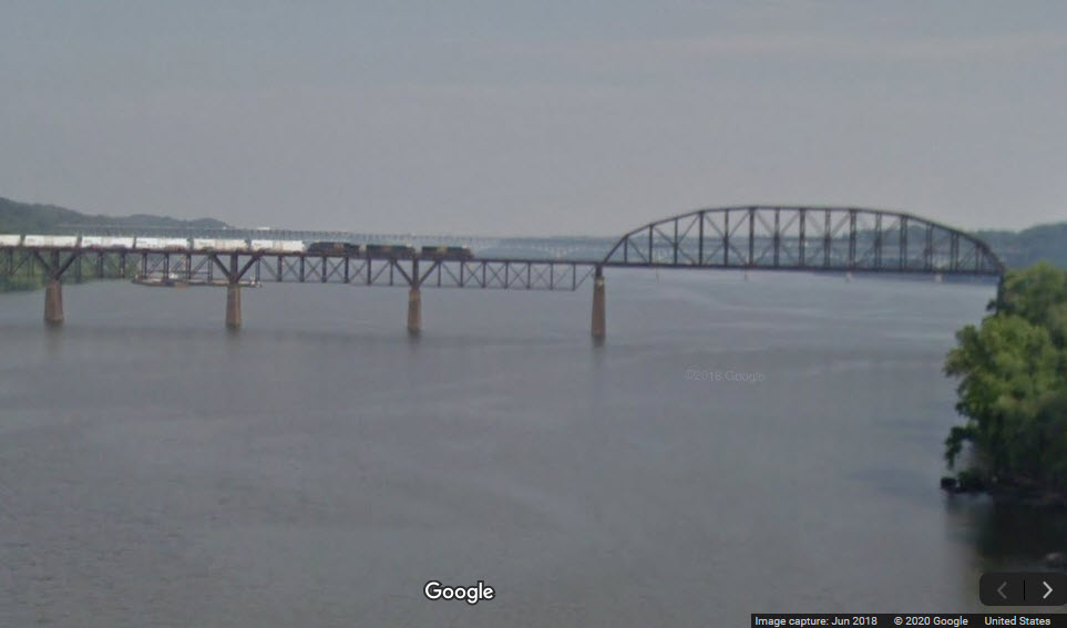
The Google Streetview Camera Car catches a EB (compass NB) freight on the southern spans.
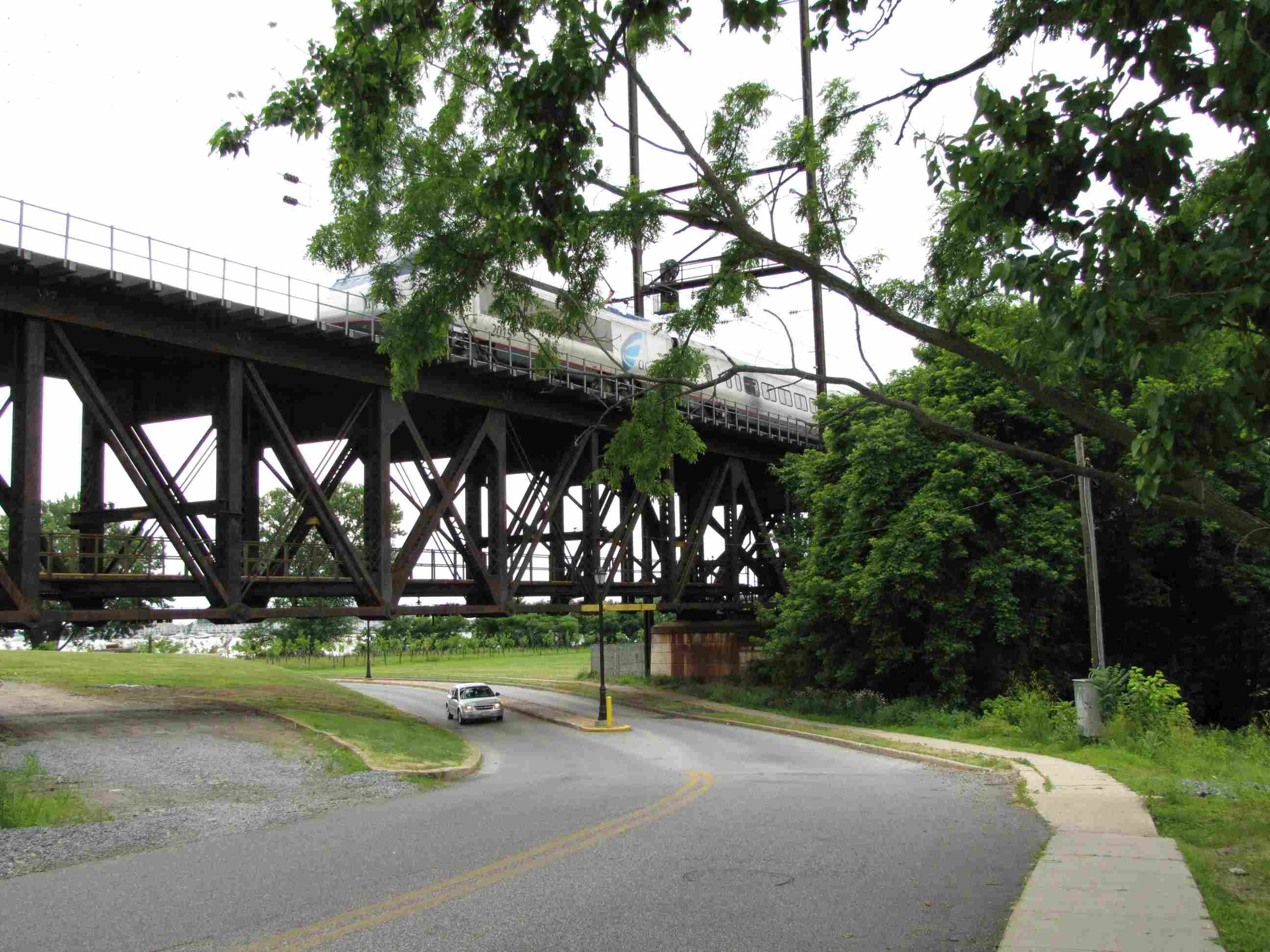
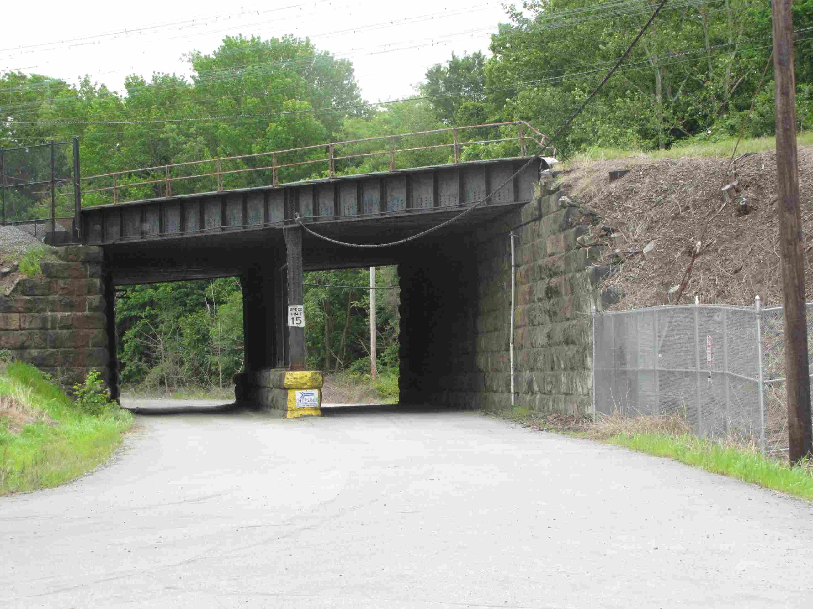
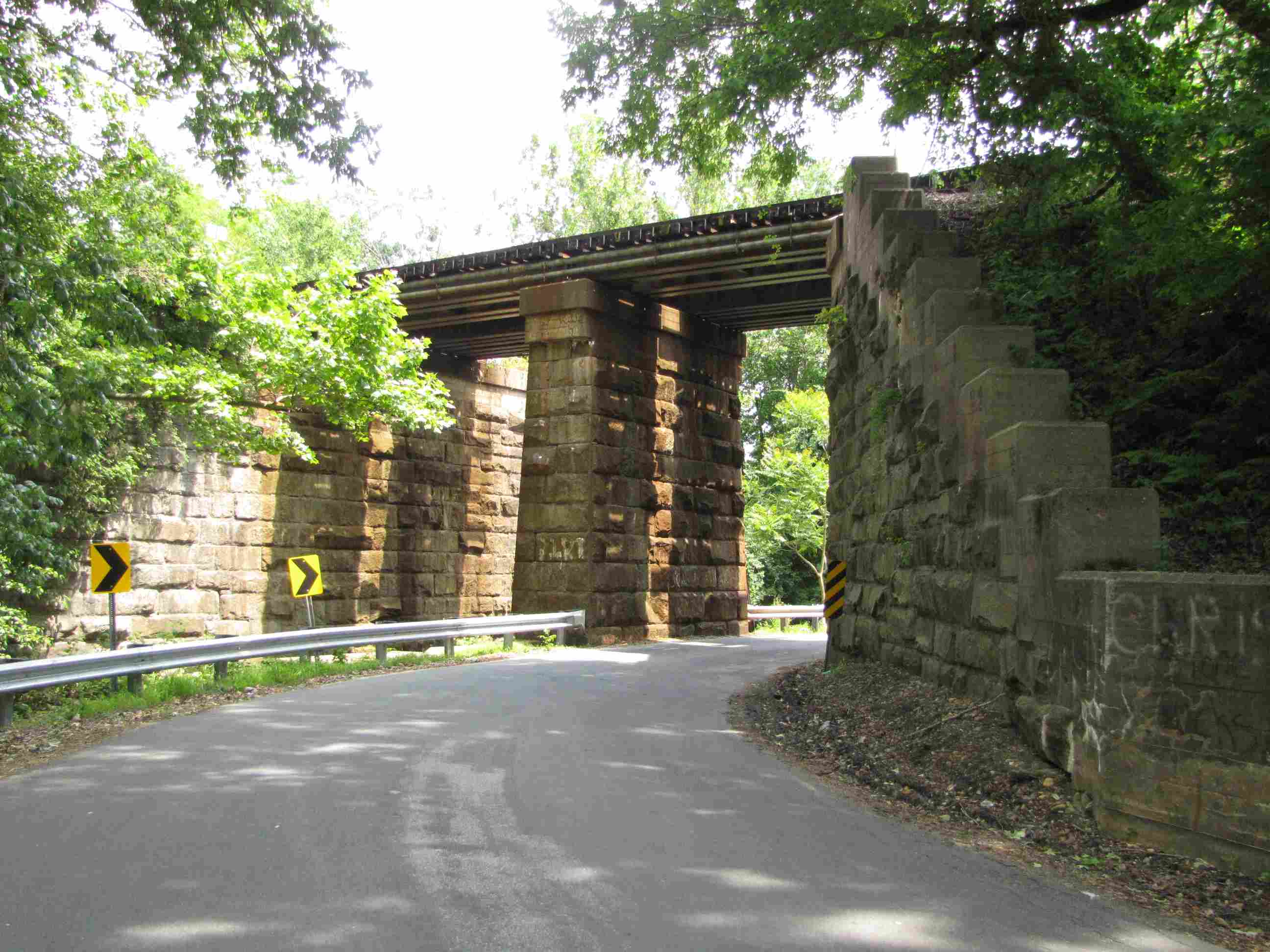
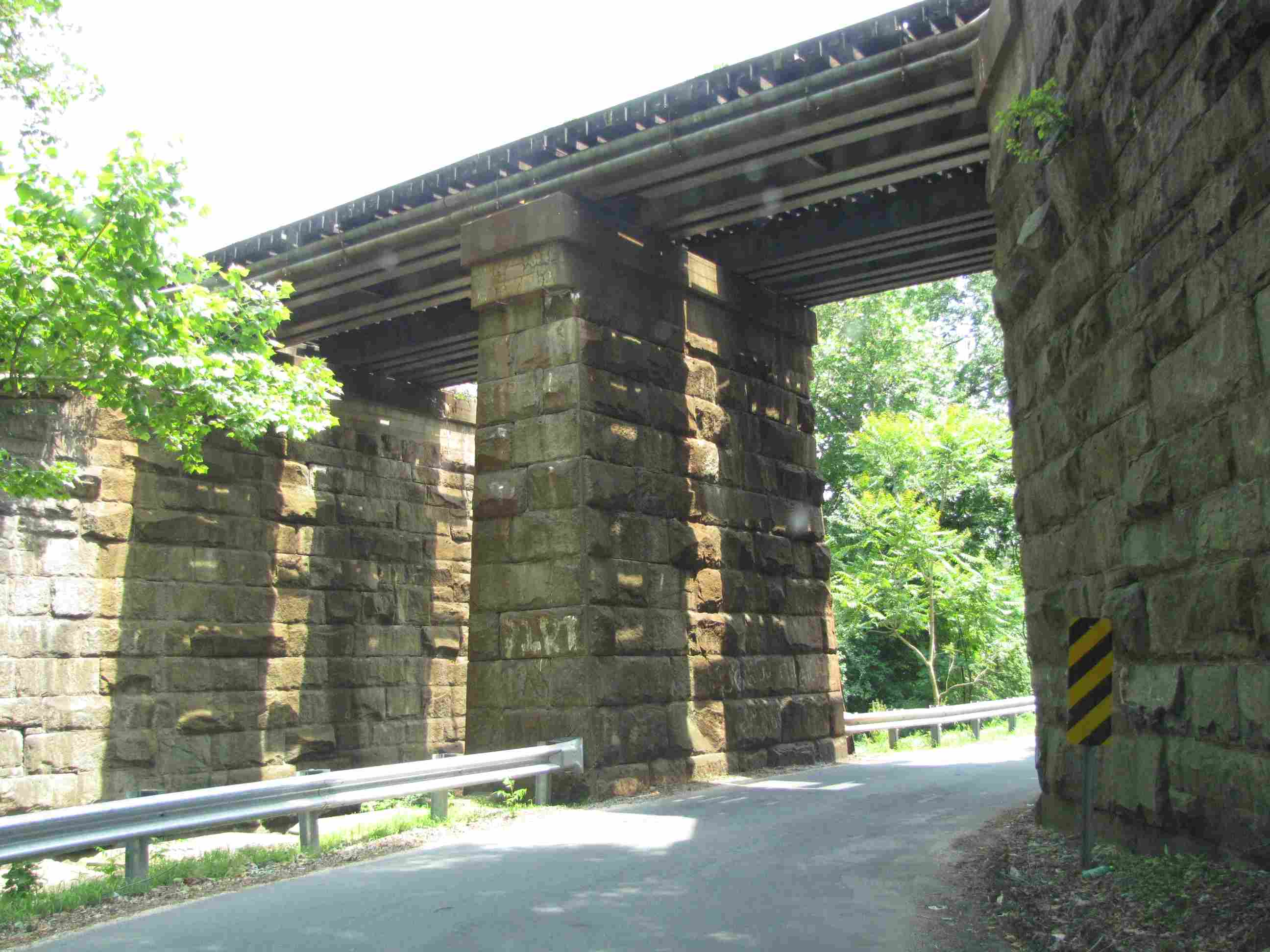
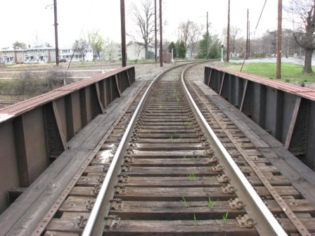
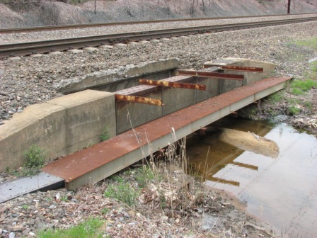
Short NEC Steel Girder Bridge
GPS Coordinates: 39.557468, -76.075555
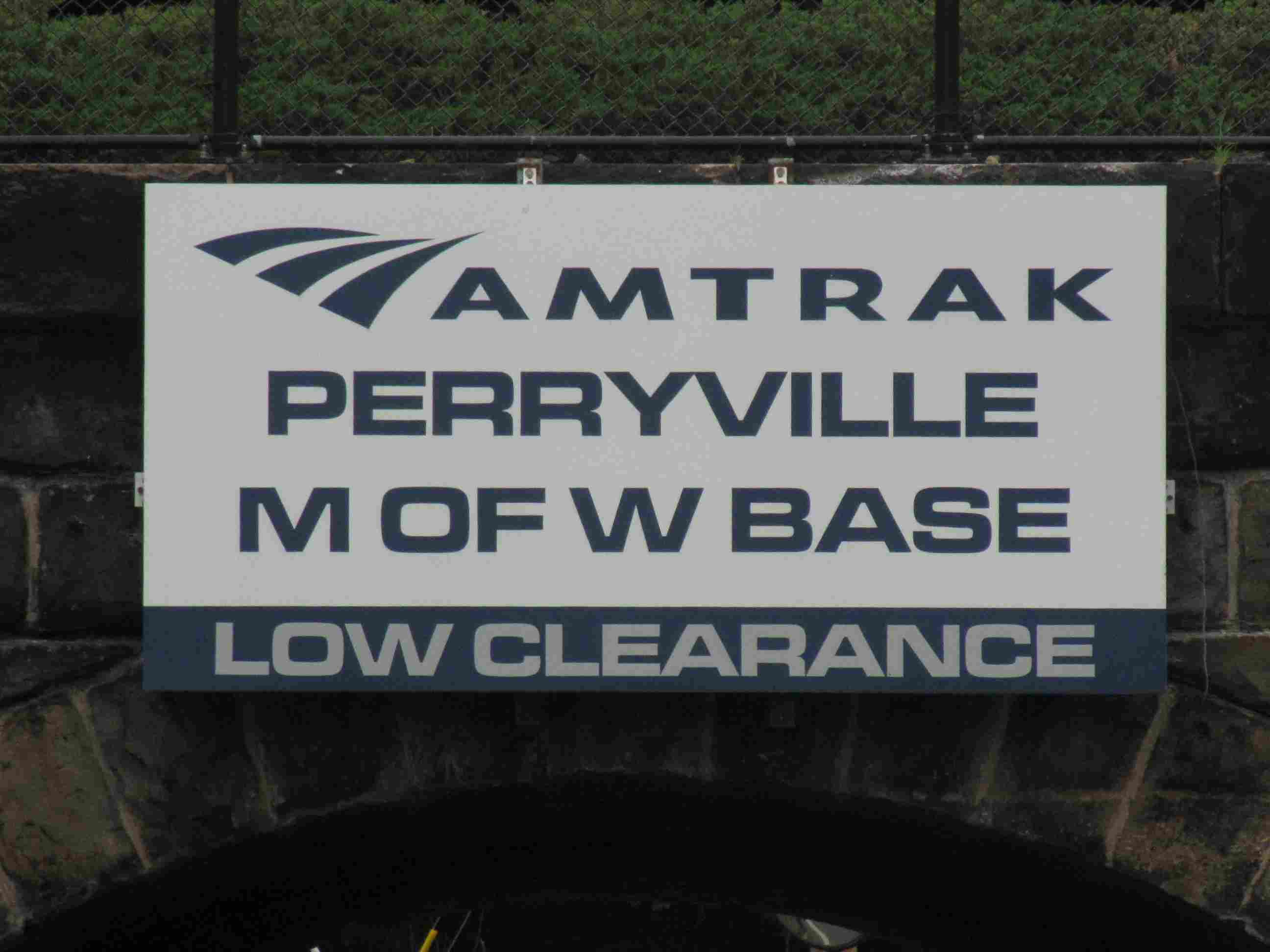
A few hundred feet south of the station is this underpass, which gives Amtrak
employees access to the MOW yard and sub-station.
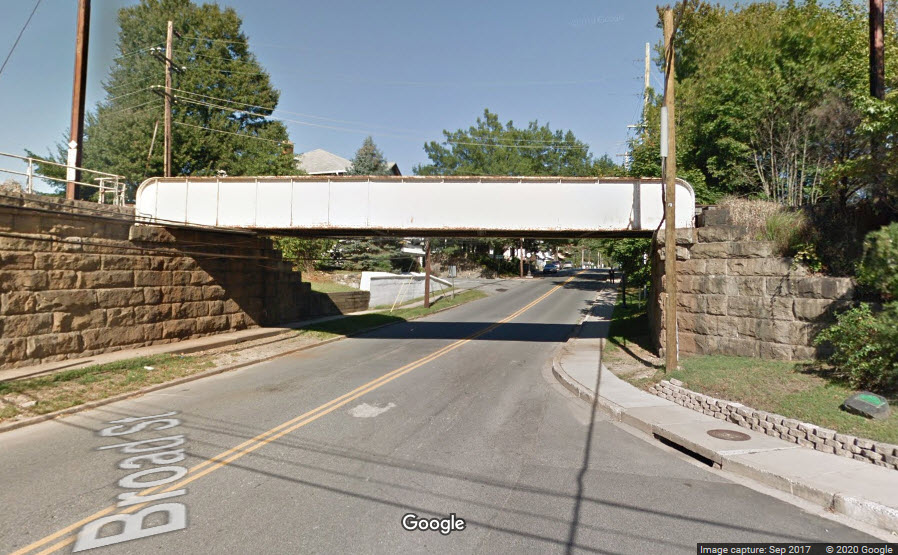
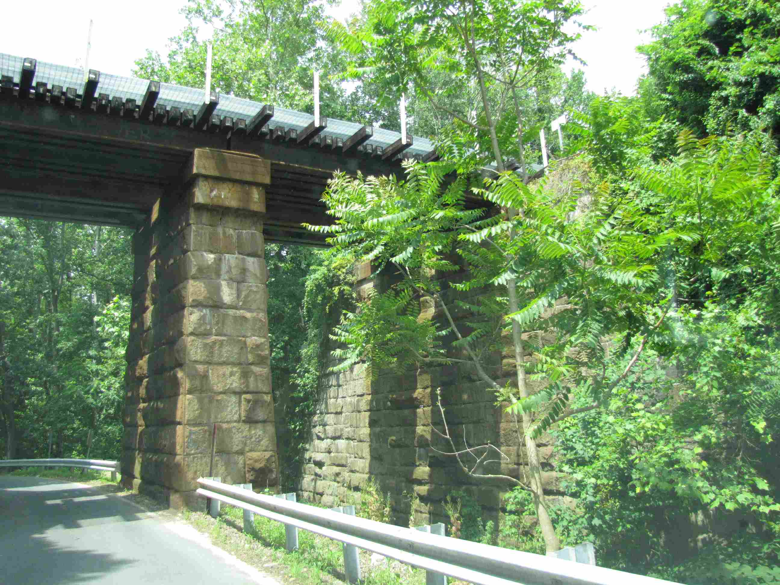
Broad Street Overpass
GPS Coordinates: 39.559131, -76.073492
One leg of the wye going over Broad St. The entrance to the MARC
station is between these two bridges.
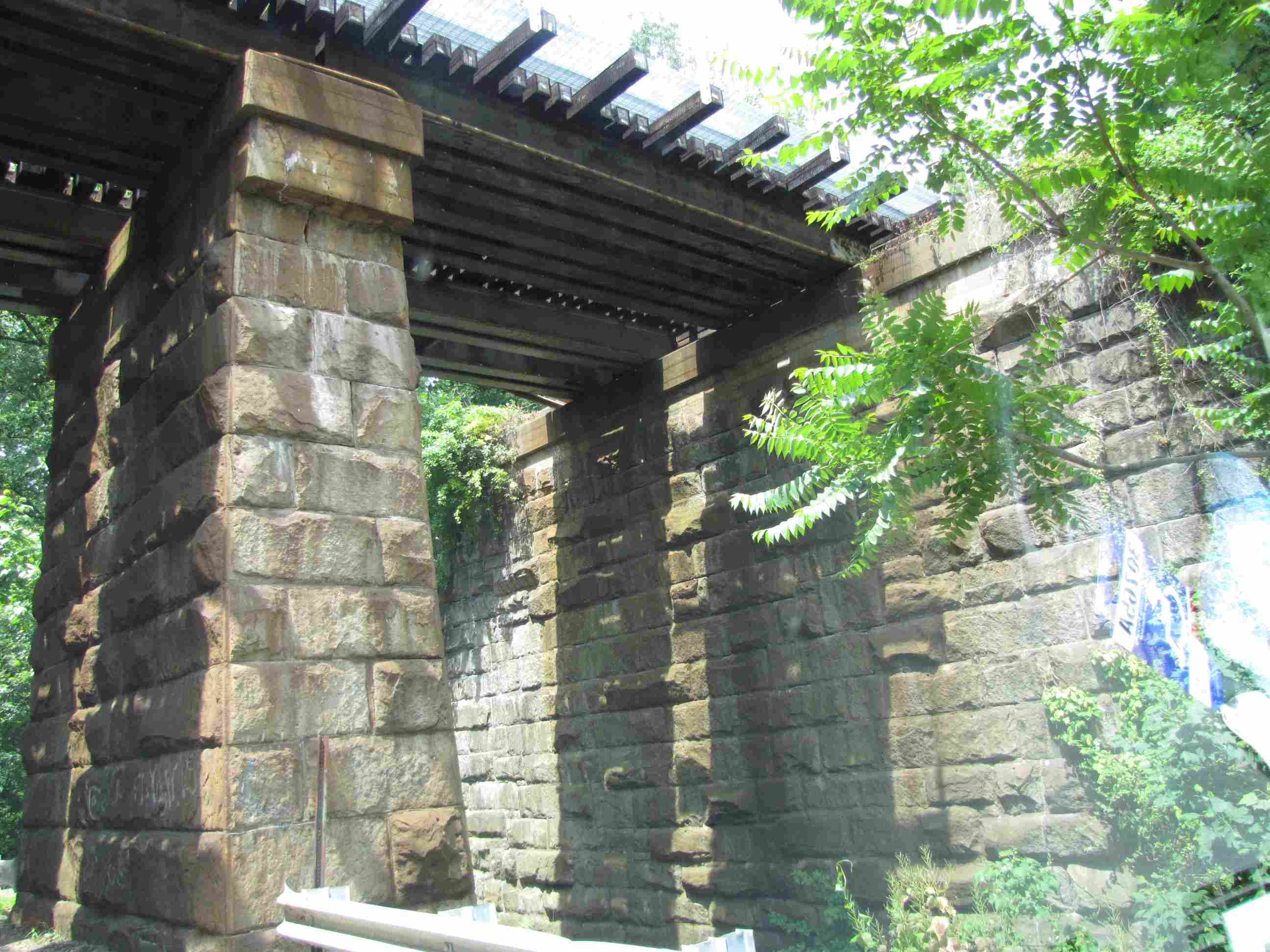
Broad Street Overpass
GPS Coordinates: 39.558940, -76.073919
The other leg of the wye going over Broad St.
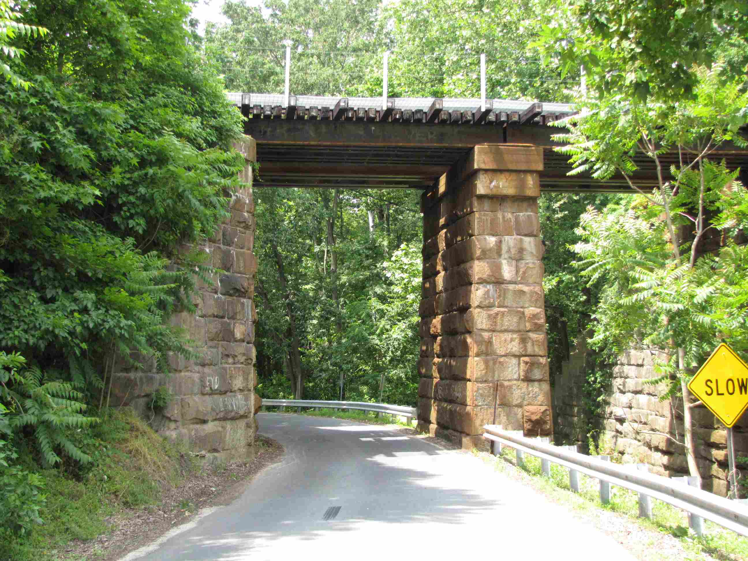
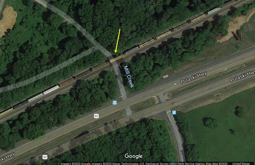
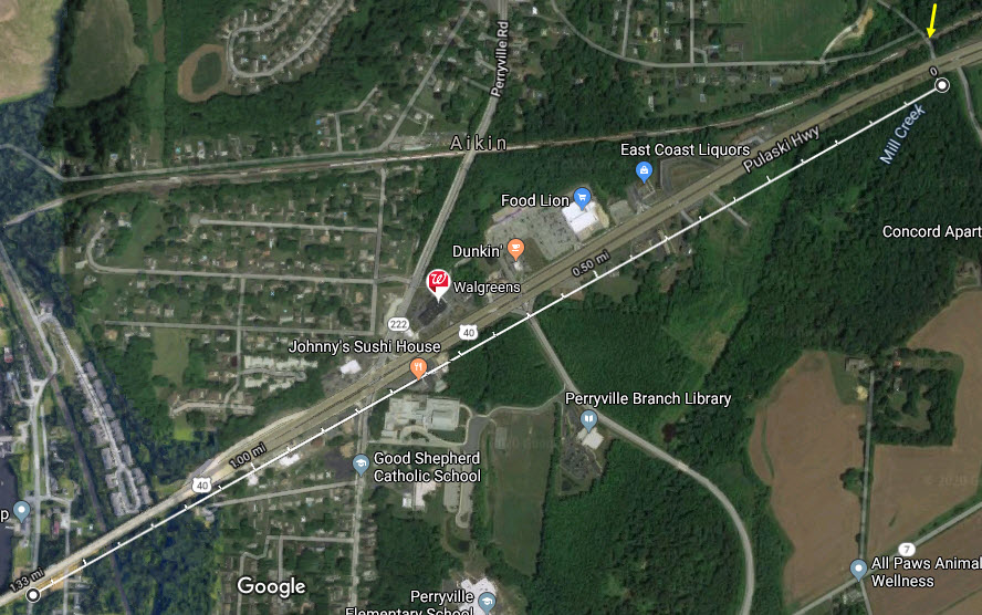
B&O Bridge #36a
GPS Coordinates: 39.575917, -76.056976
Cute little steel girder bridge with stone abutments going over Cedar Corner Rd
and Mill Creek.
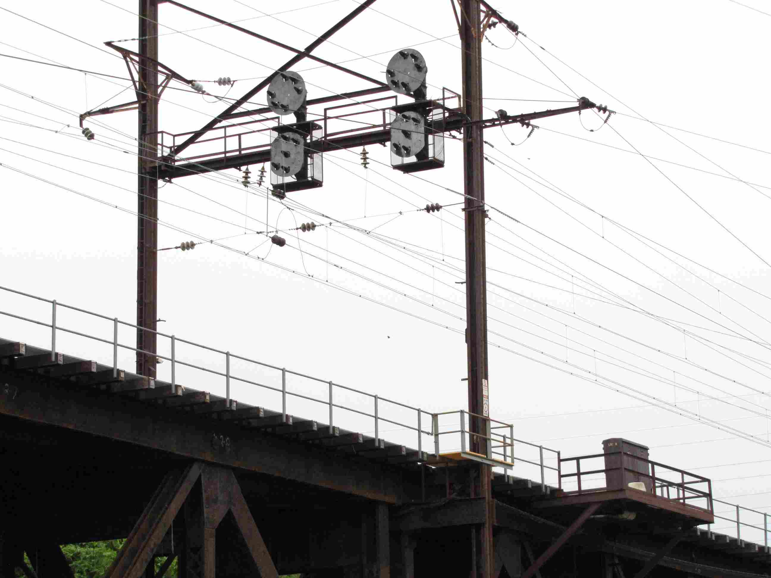
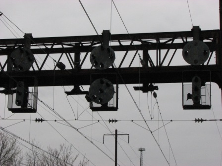
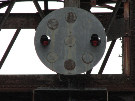
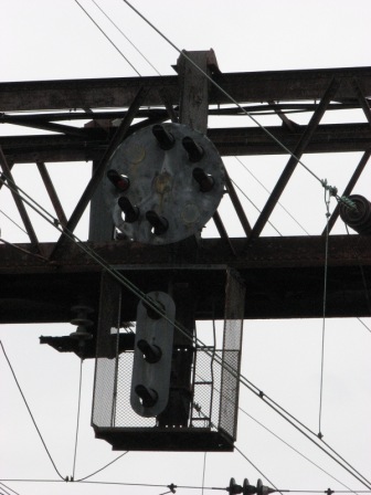
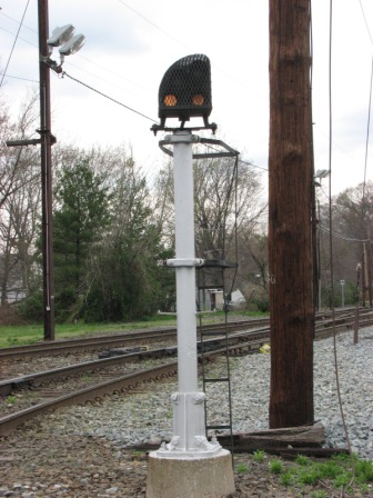
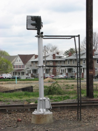
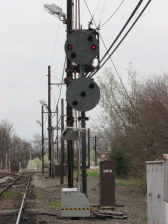
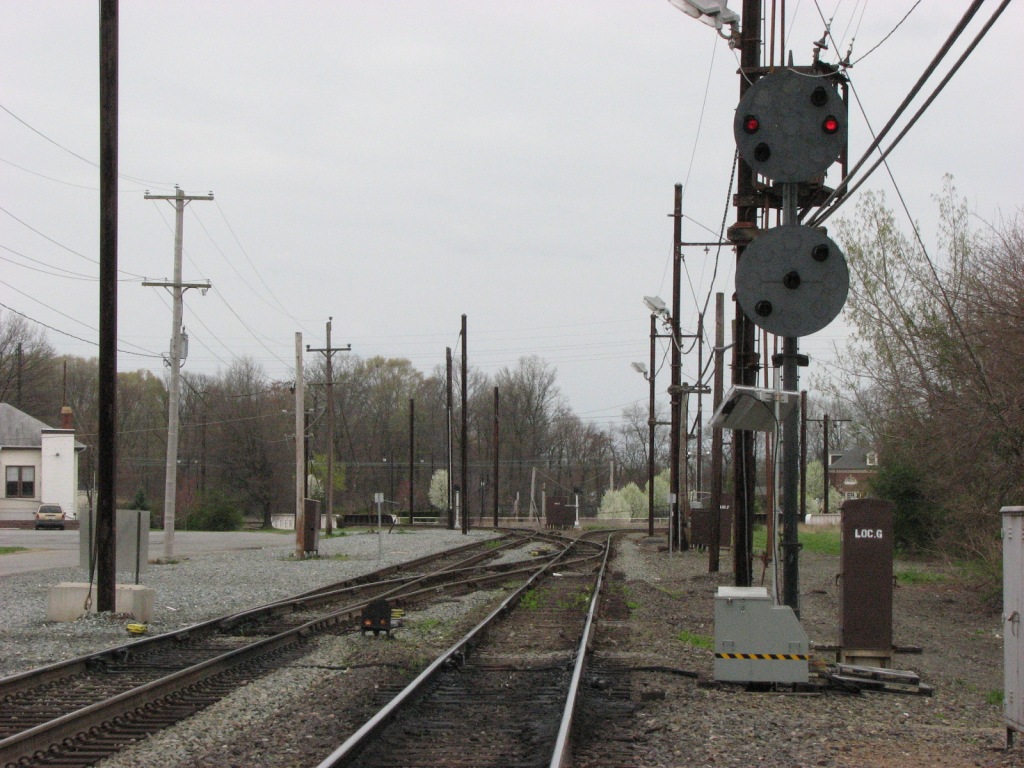
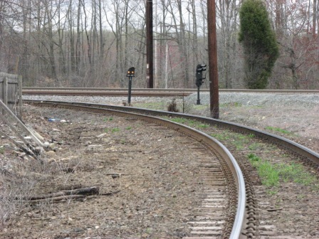
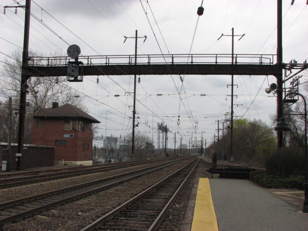
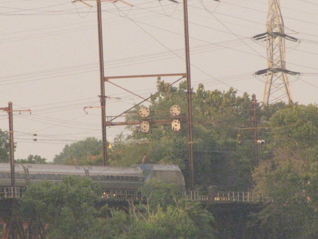
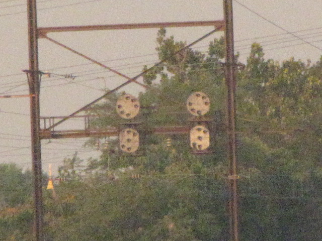
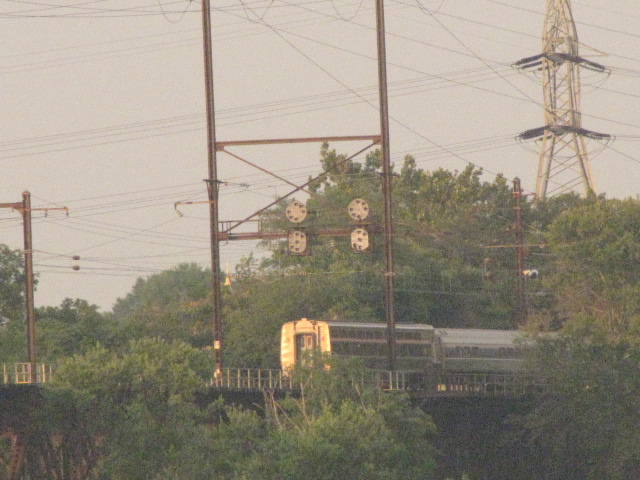
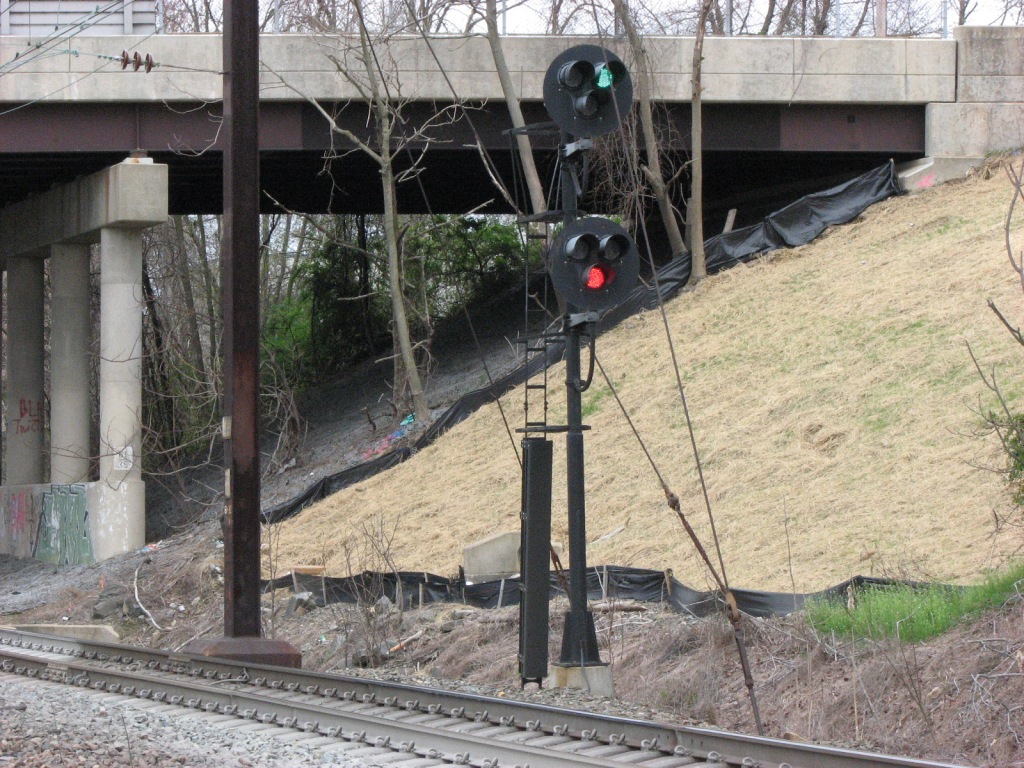
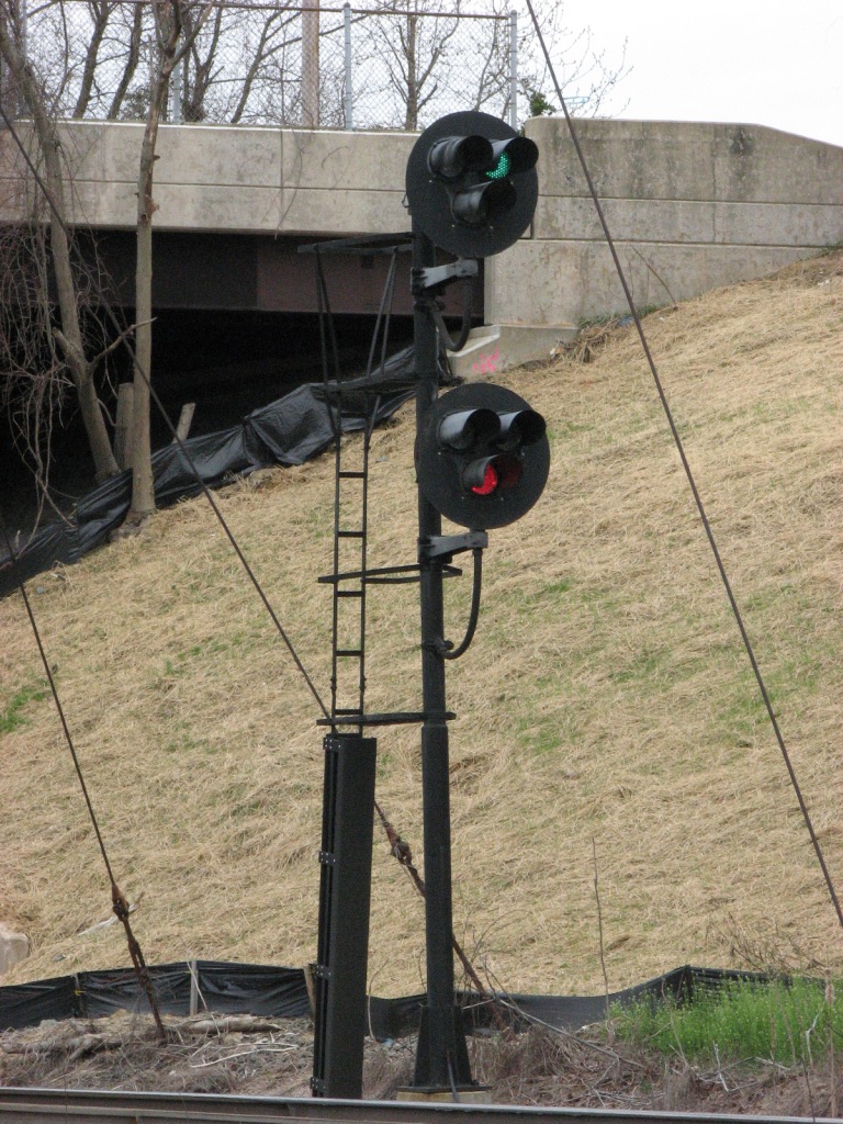
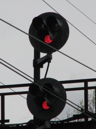
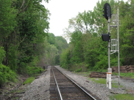
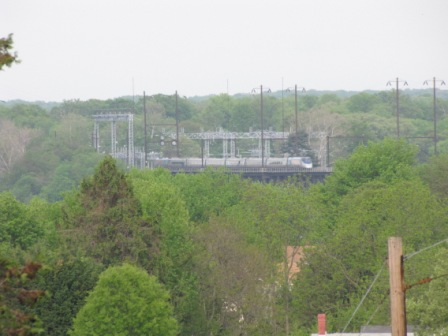
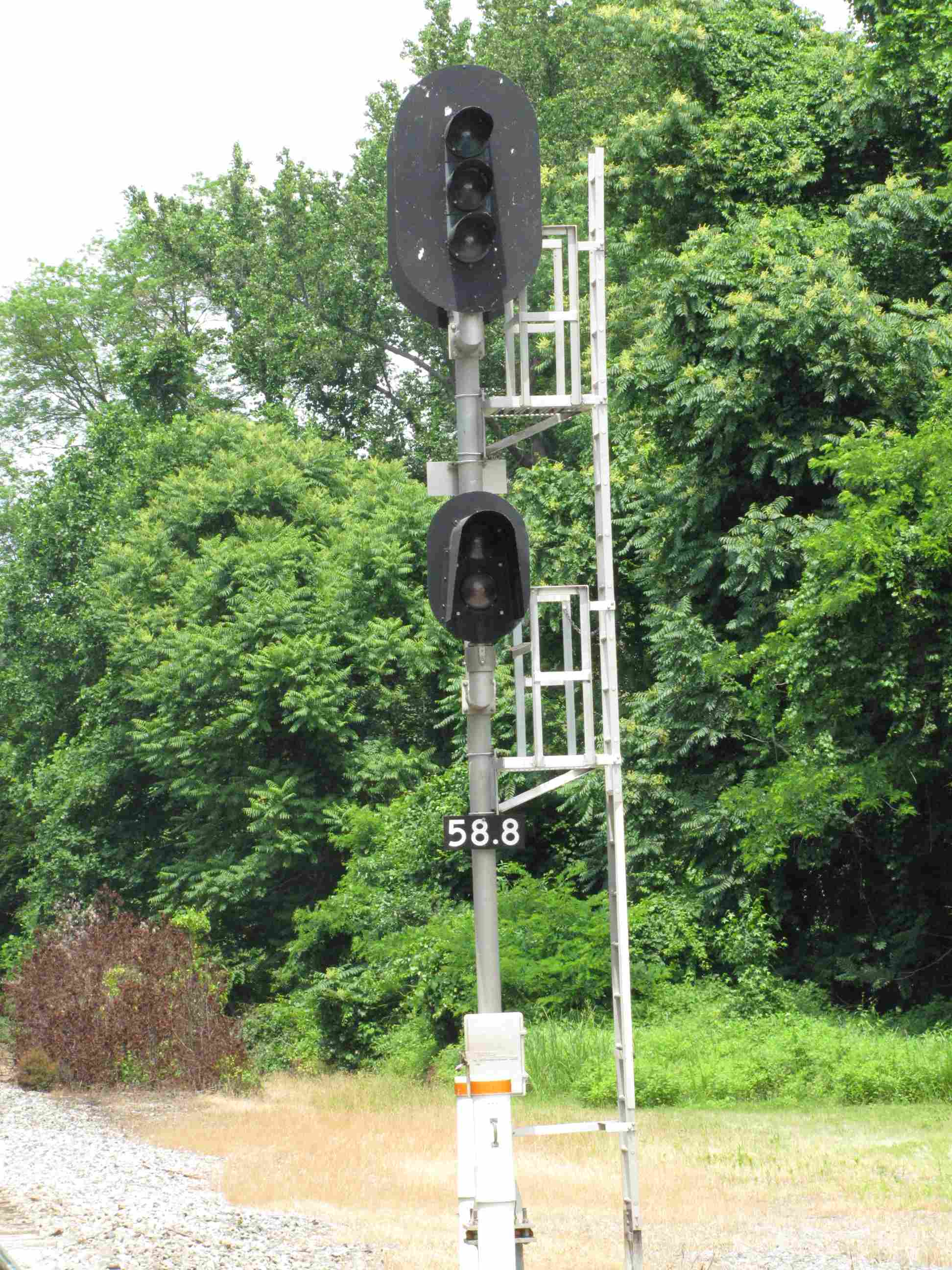
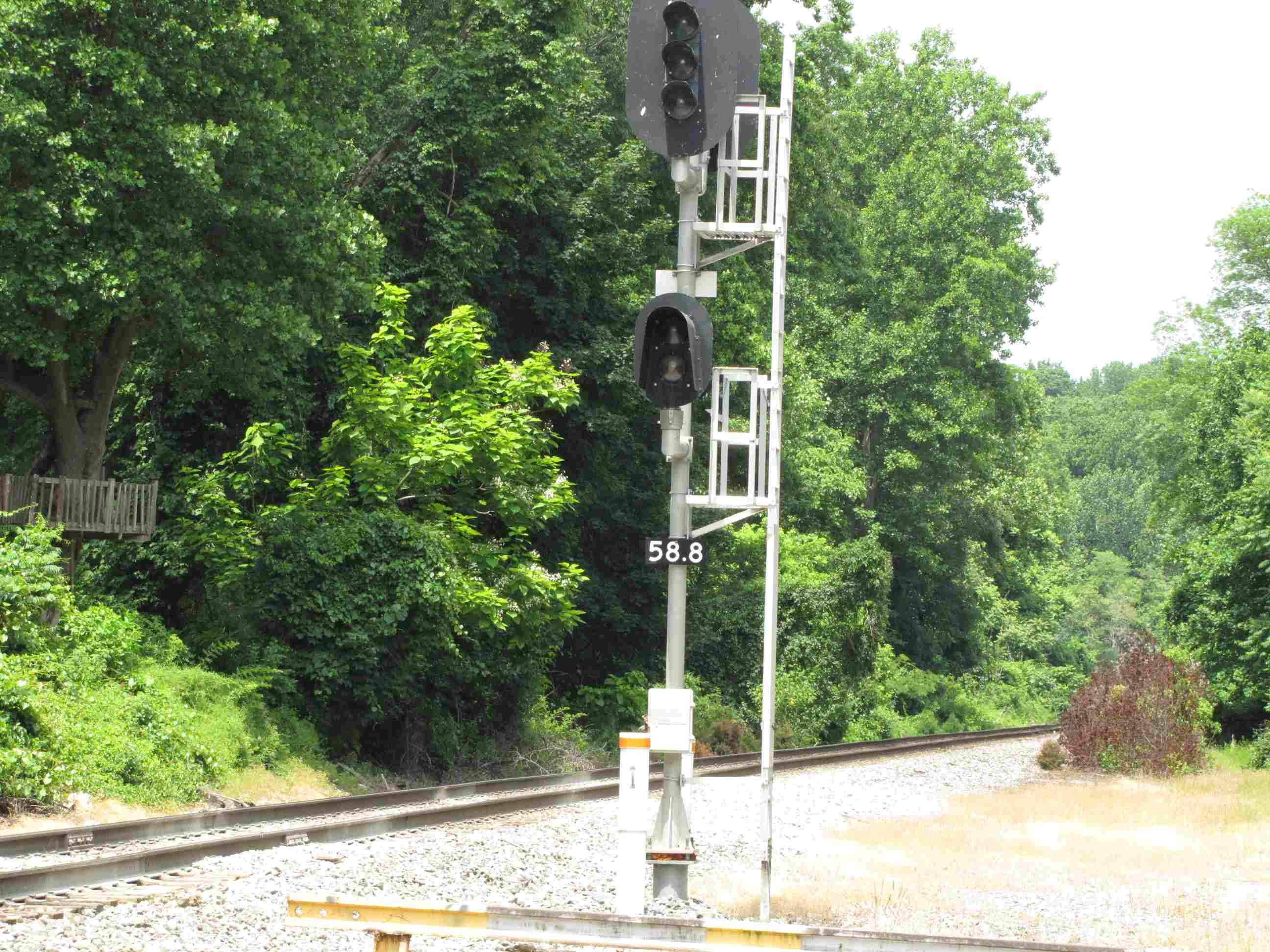
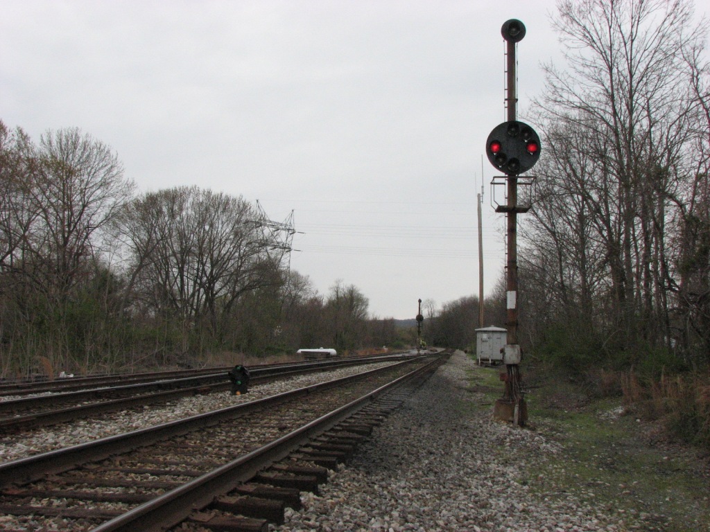
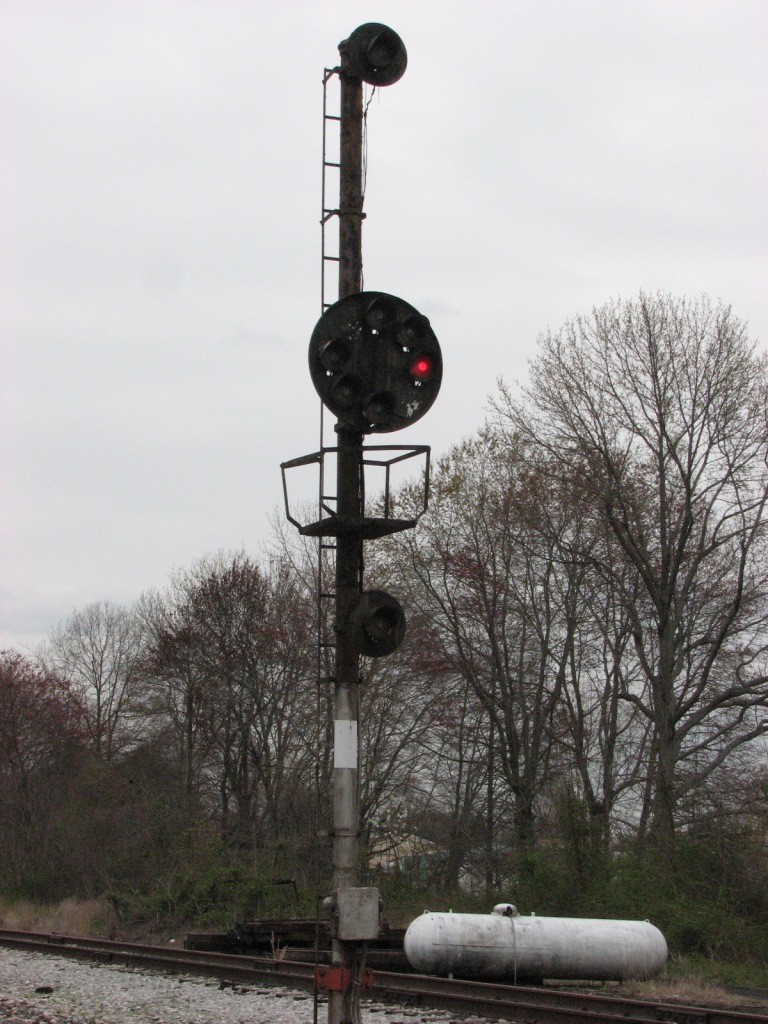
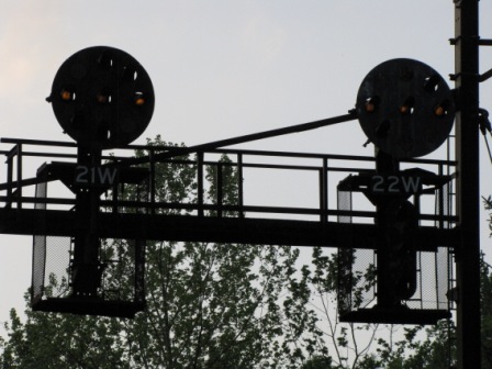
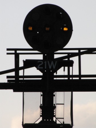
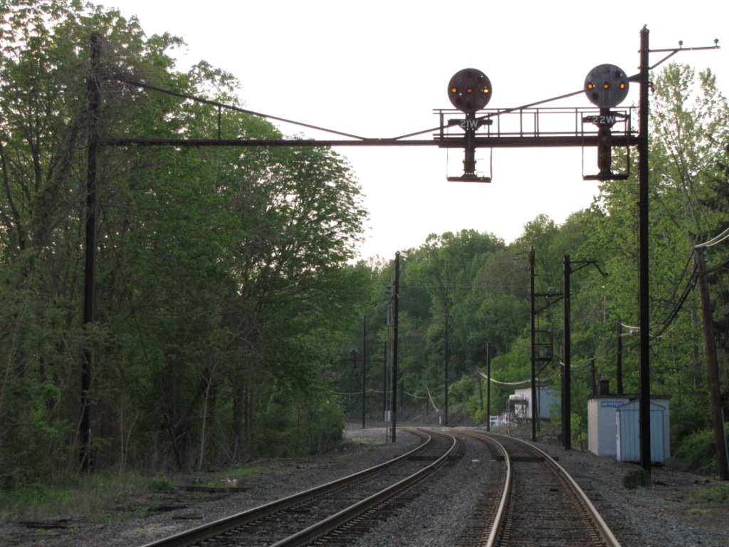
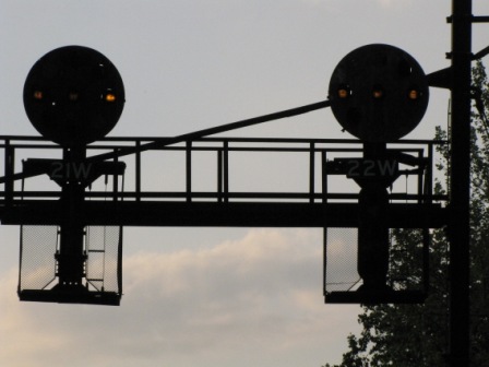
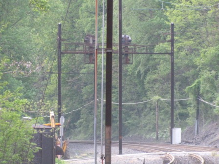
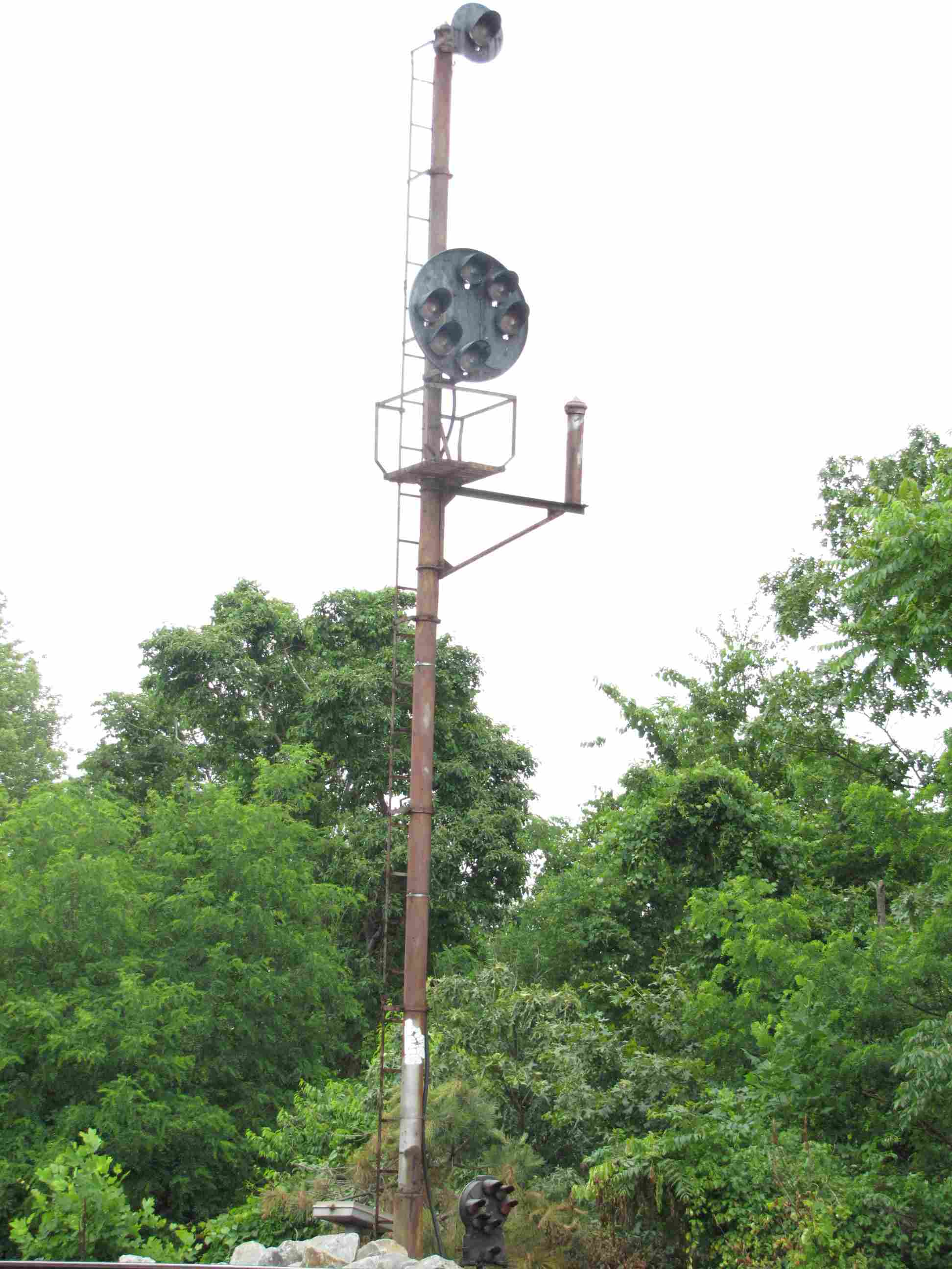
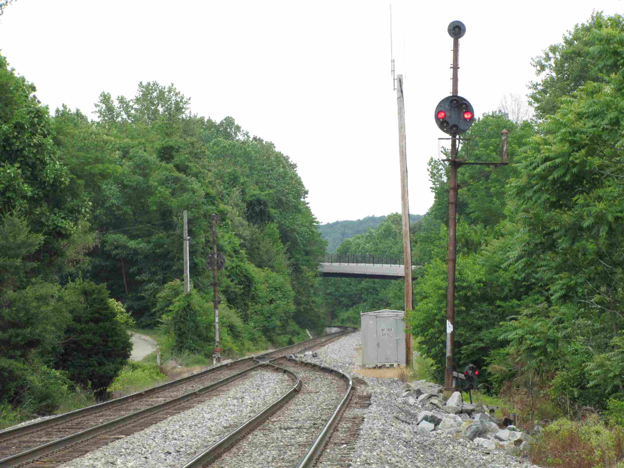
This signal bridge sits about a mile north of the station, and is for southbound trains.
These dwarf PL's on a pole control traffic coming off the NEC, onto the Harrisburg
line, aka, the Port Road.
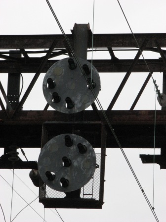
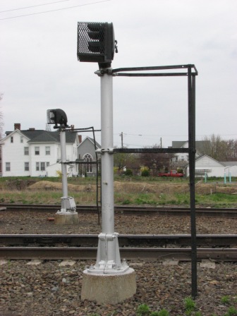
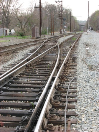
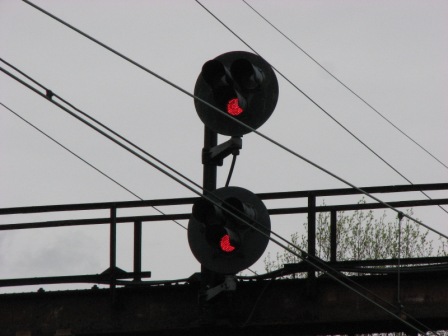
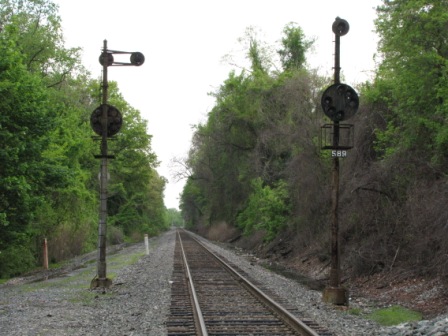
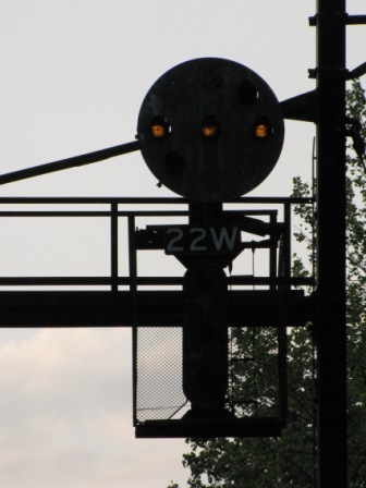
Two signals control movements from the Port Road onto the mainline (NEC), and
for a double set of crossovers. A high signal
controls what would normally be the SB main - the "right" track, and a dwarf
handles the "left" track, normally reserved for trains heading in the opposite
direction up to Harrisburg from the NEC.
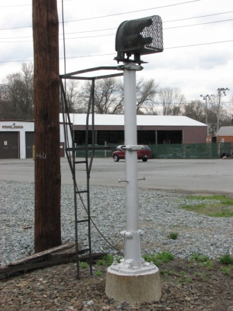
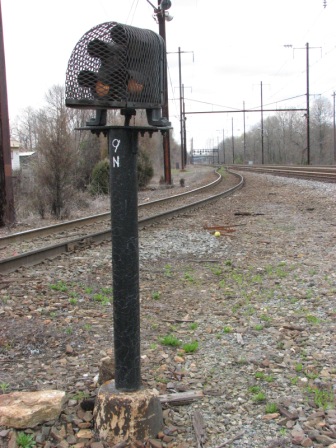
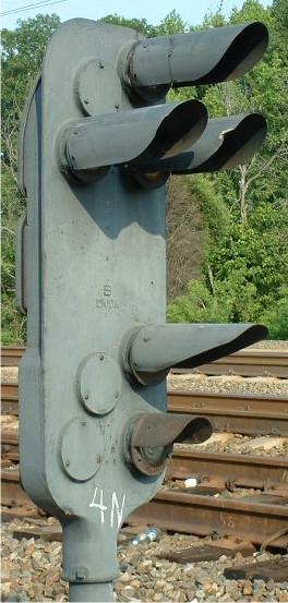
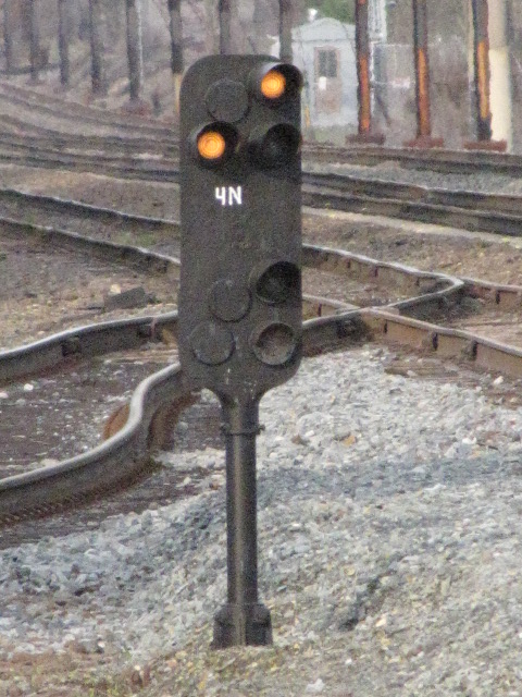
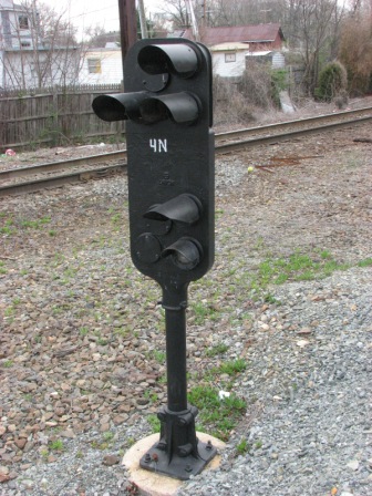
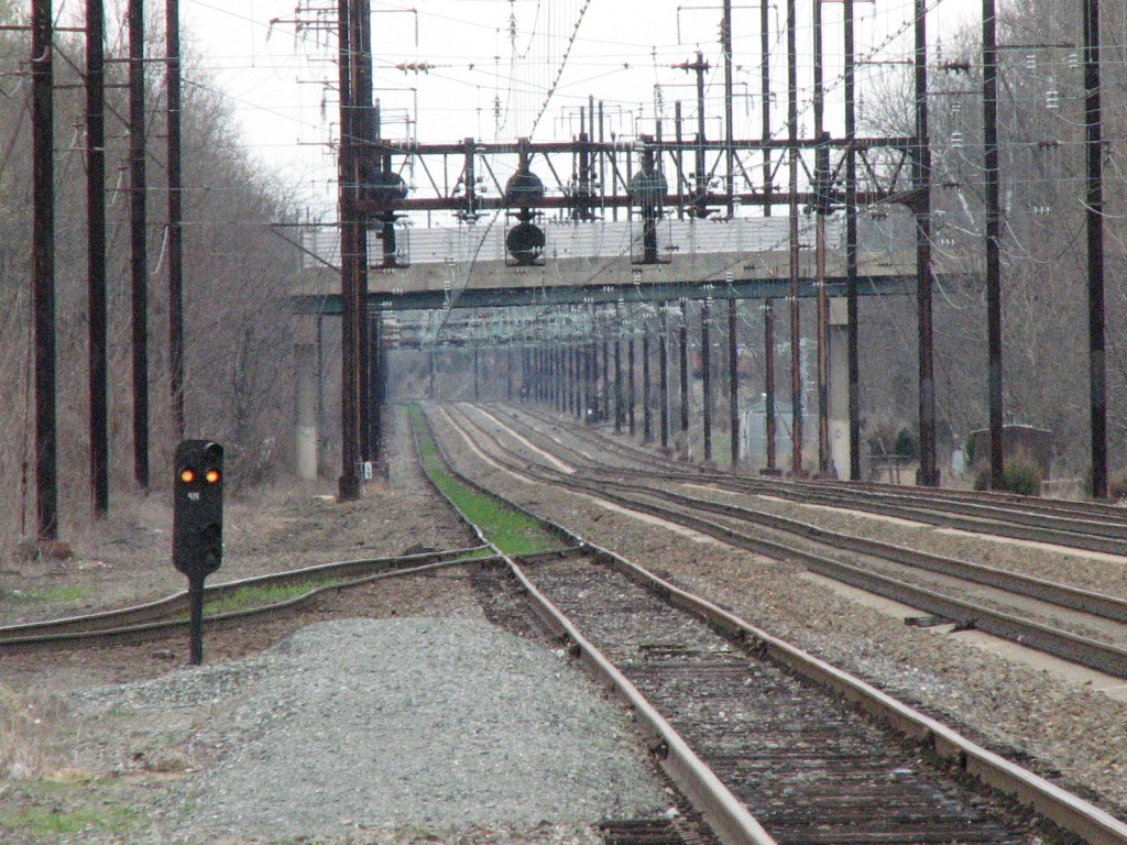
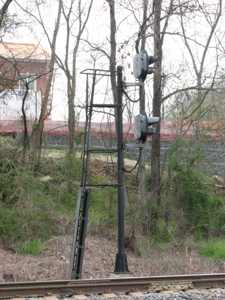
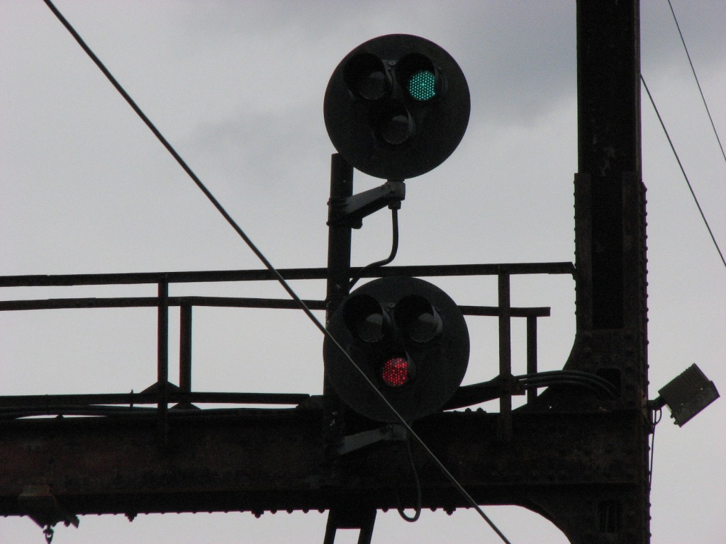
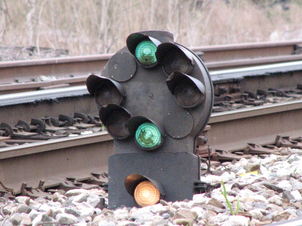
There are two signals here at location 4, a pole mounted dwarf PL (on a short pole) which controls the Harrisburg line
onto the NB corridor, and pedestal signal 4N, which controls access from the
station siding onto the corridor. The pictures on the bottom row are
looking from the Harrisburg branch towards these two signals and back up the
branch across the bridge over Broad St.
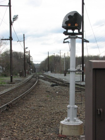
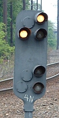
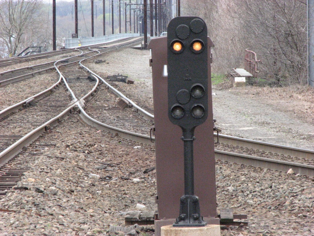
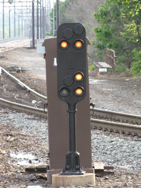
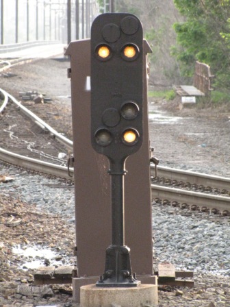
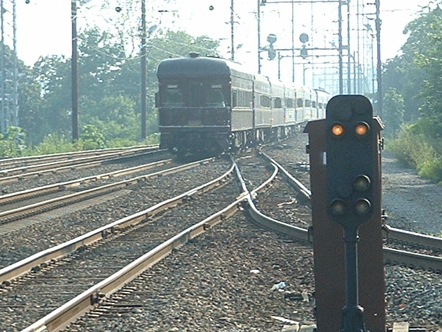
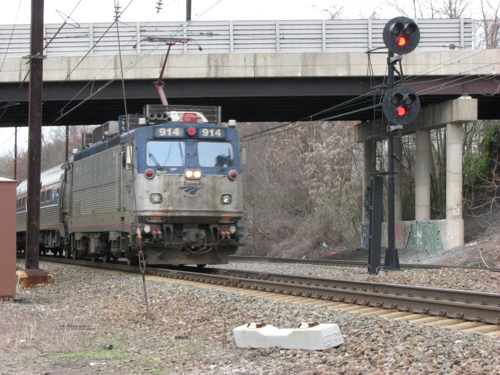
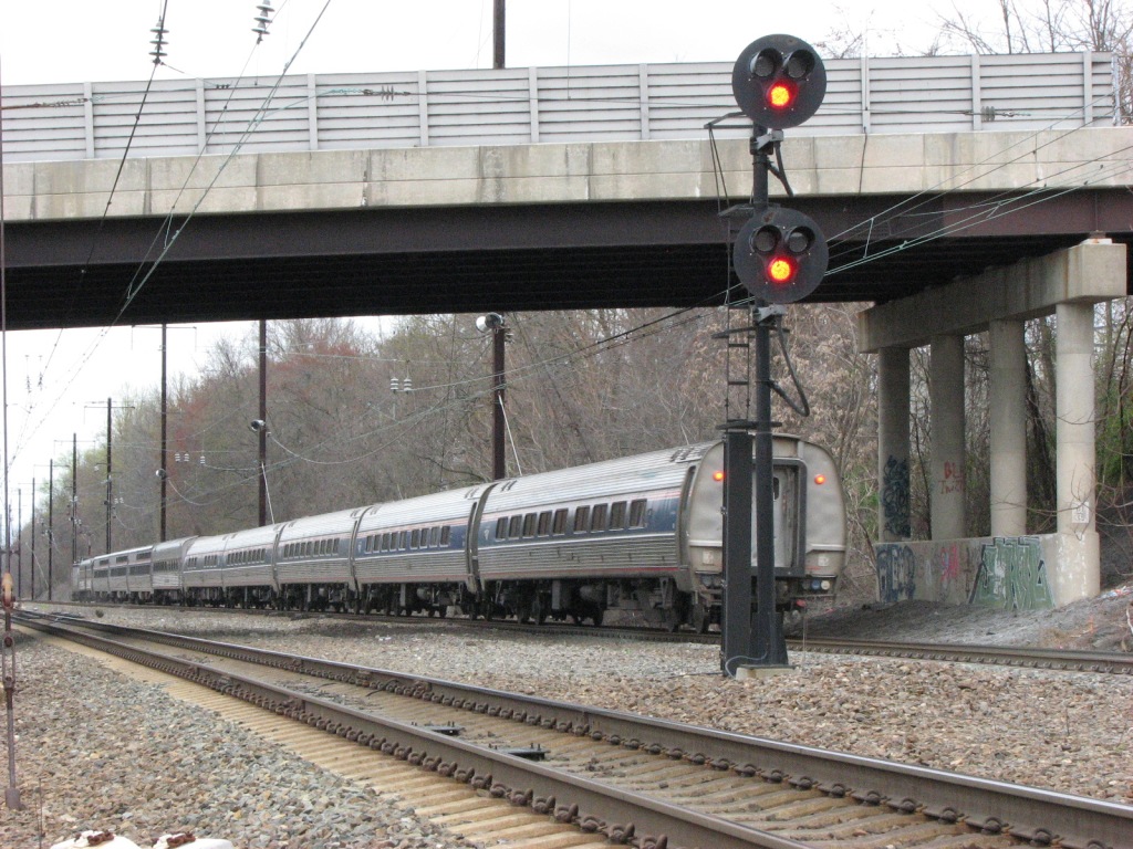
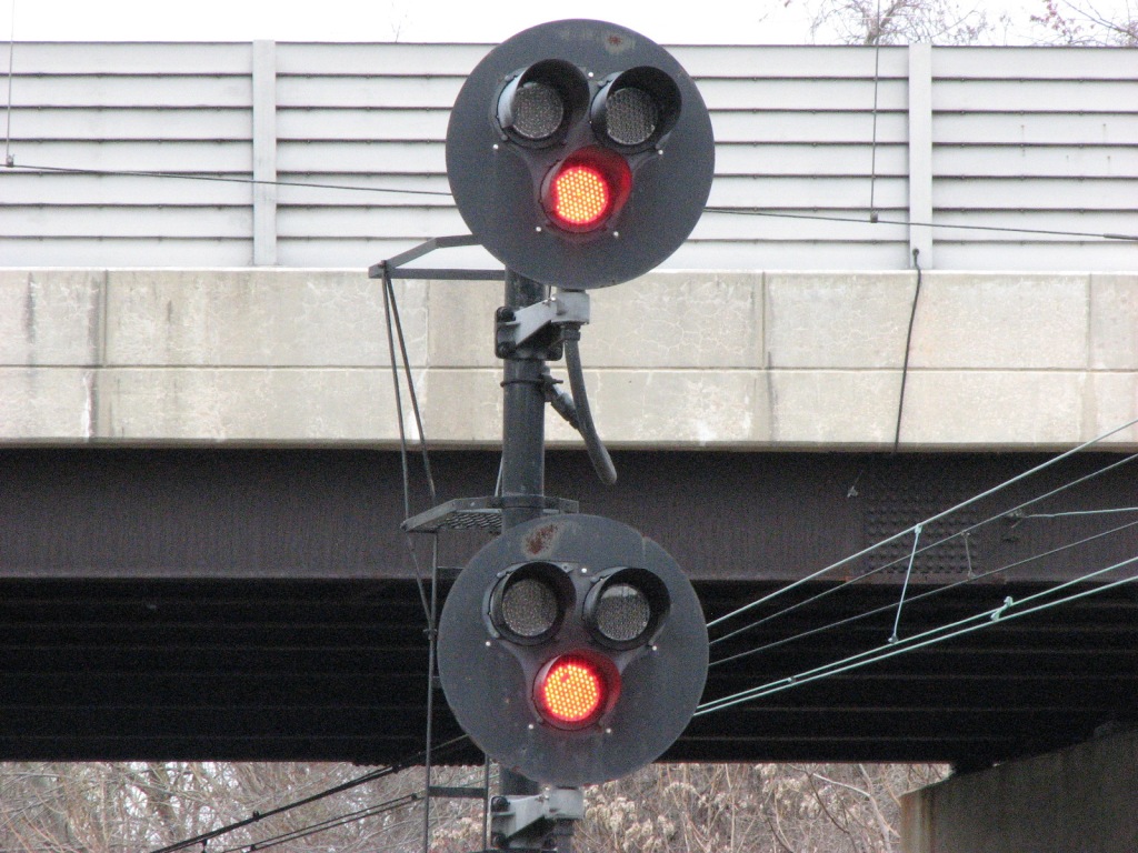
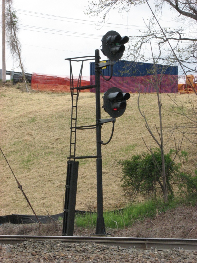
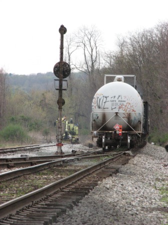
There are also a couple of pedestal signals at location 5...
the signal in the upper set controls the station siding into the SB
main, and is used every time a MARC train leaves for Baltimore. In the
last photo on the right, the excursion train just passed. The pedestal on
the bottom row controls the Harrisburg line onto the SB main, and two pictures
of the two of them are on the right. Detail pix of the rear on the bottom row.
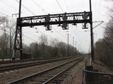
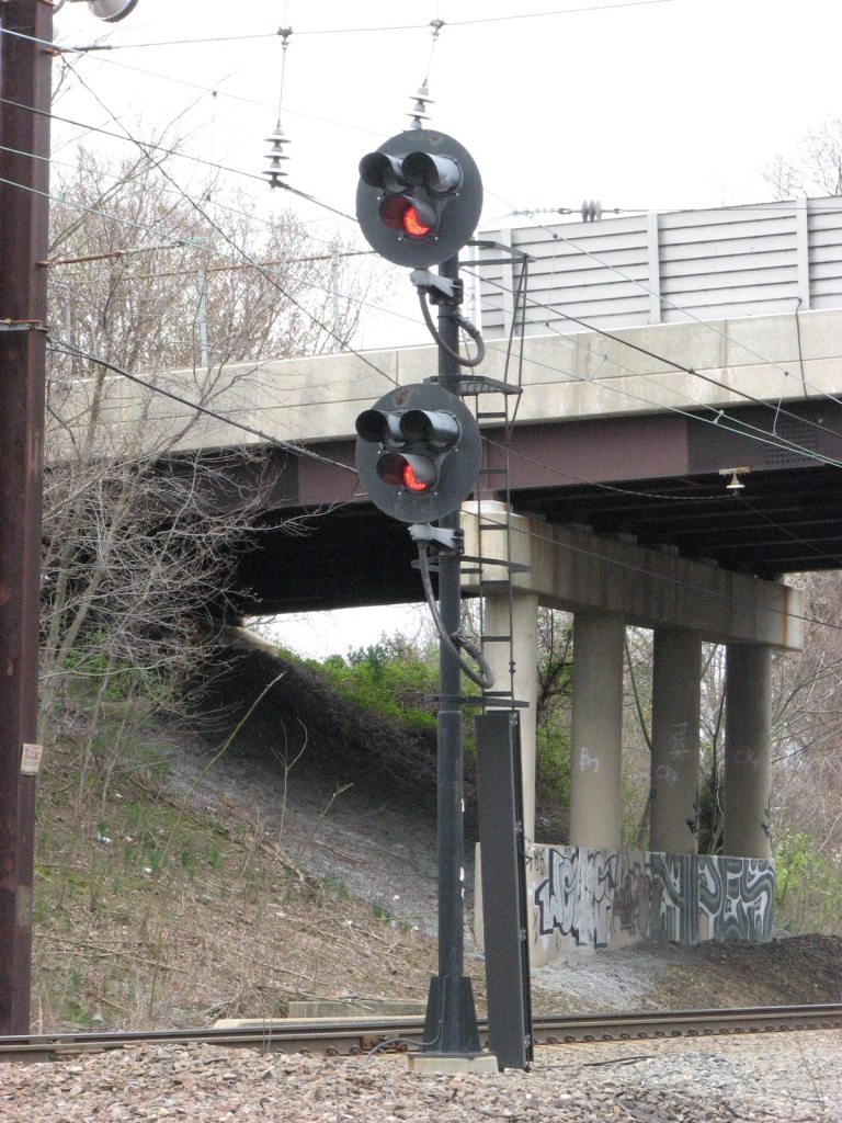
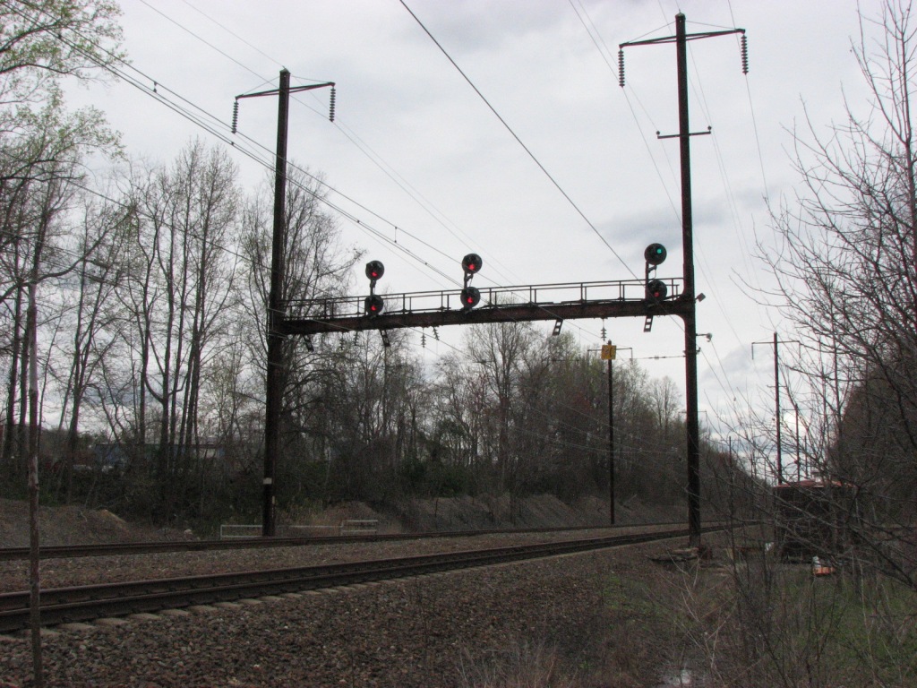
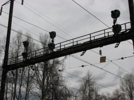
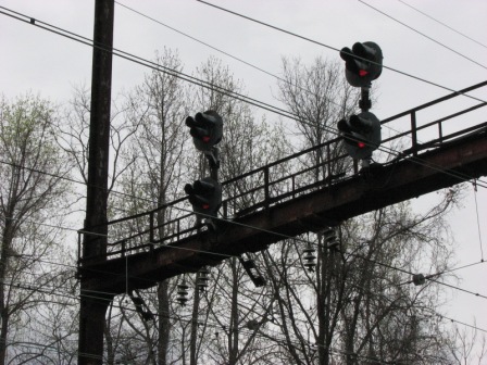
Across from the station
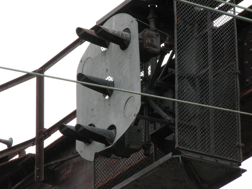
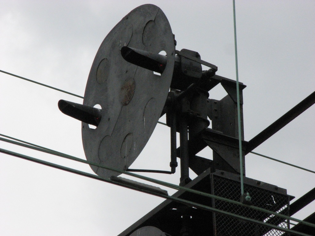
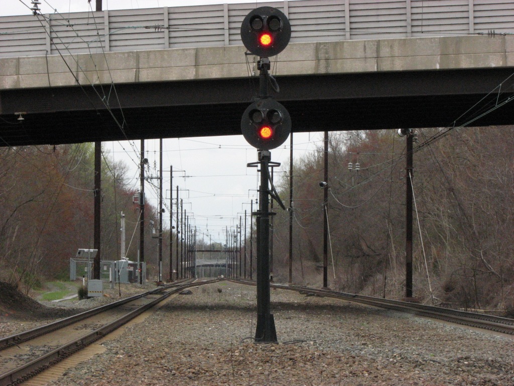
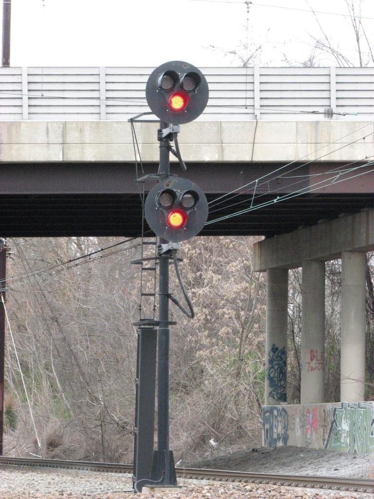
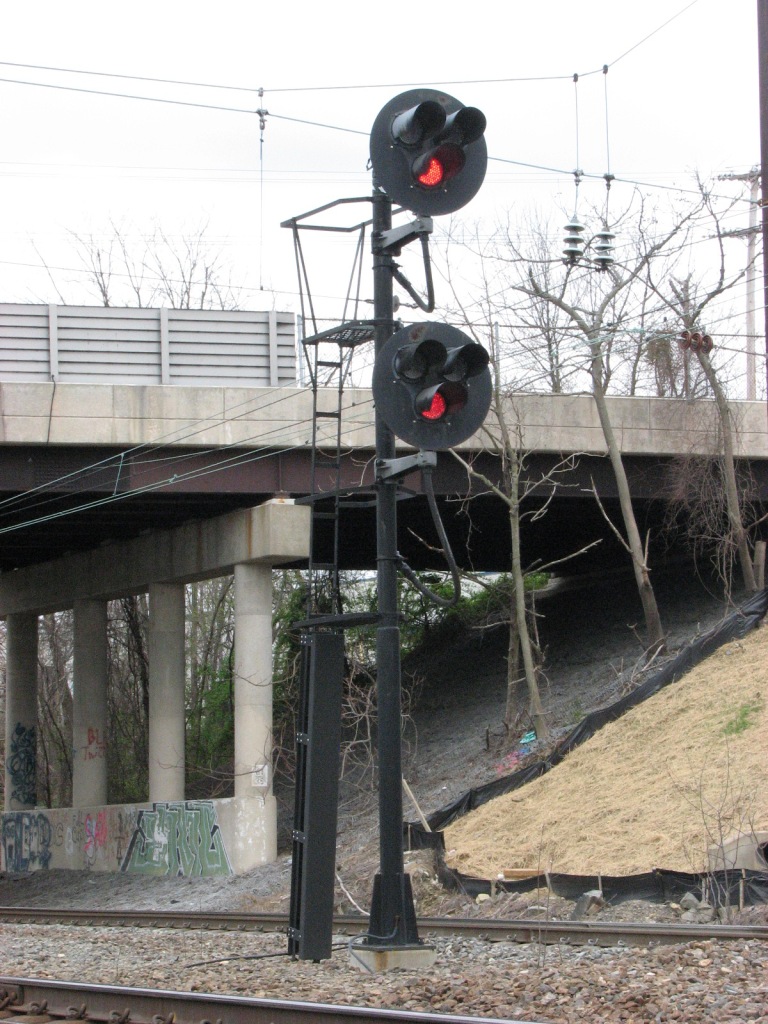
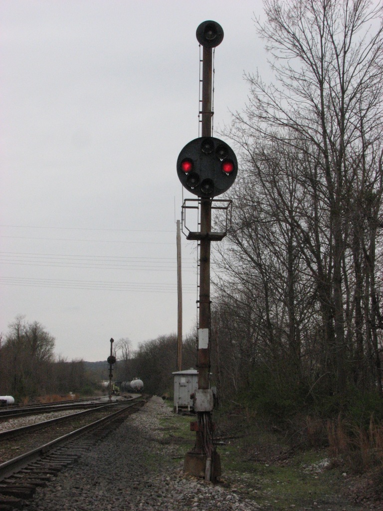
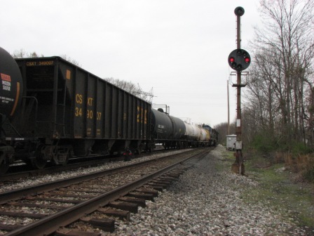
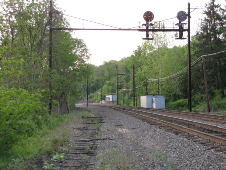
is Perry Tower and this signal bridge with a single signal for southbound
trains. Just before the bridge, where the mainline has gone down to two
tracks, is another signal bridge, which can be seen in the left photo.
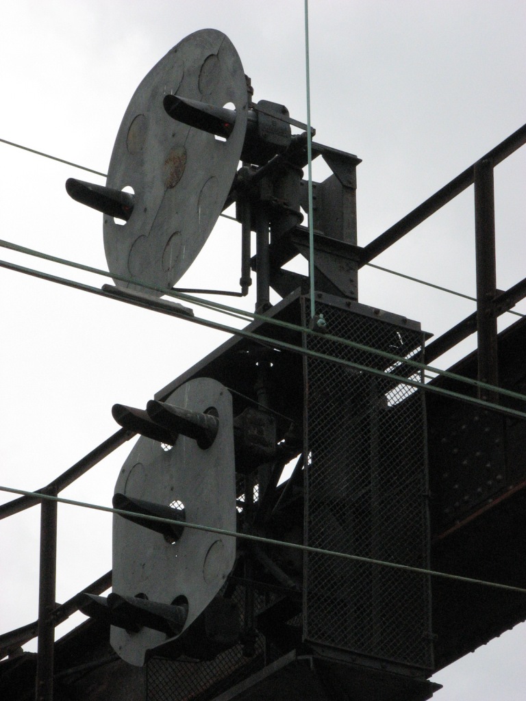
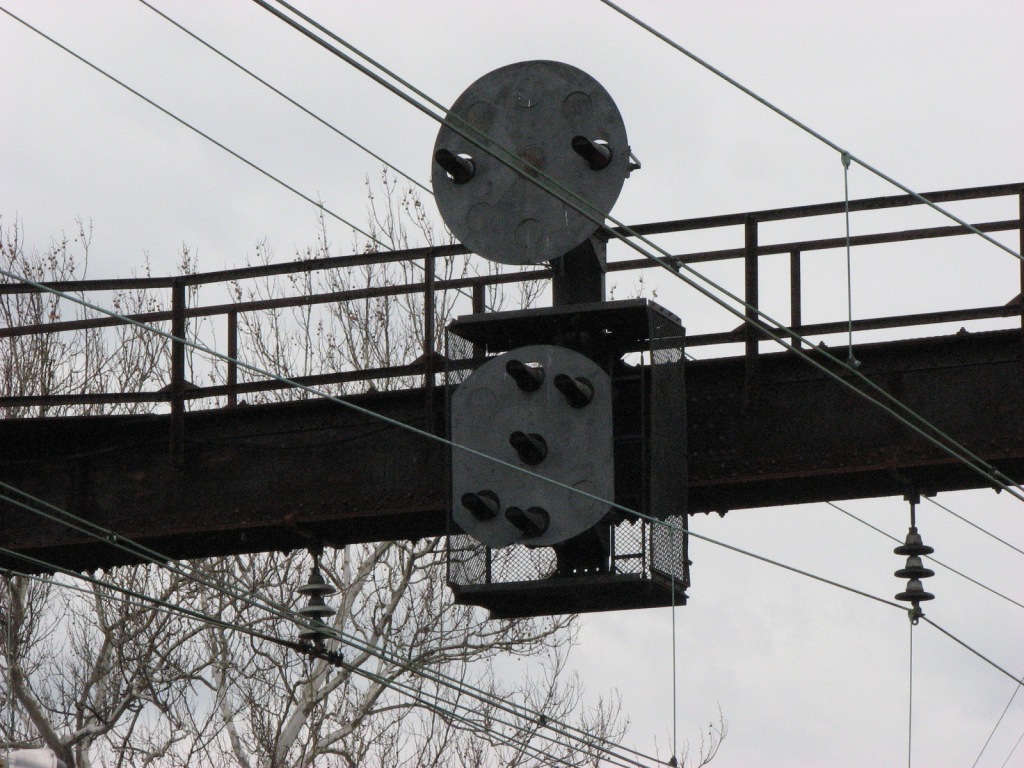
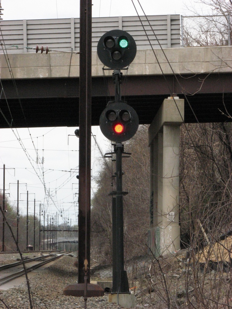
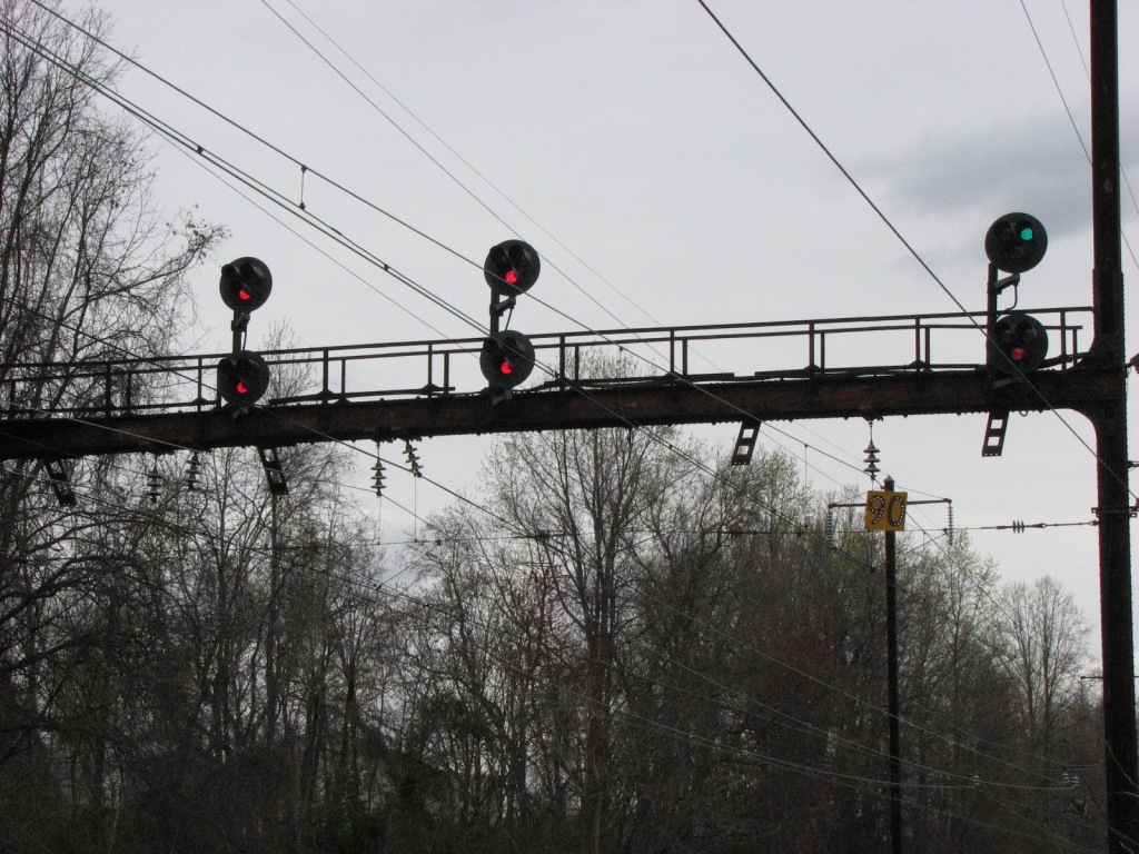
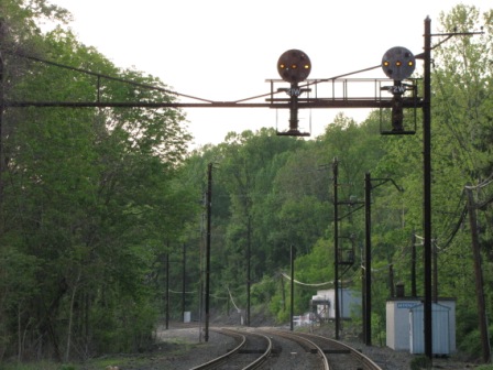
Out on the bridge, for northbound traffic, is
a signal bridge controlling the tracks going from 2 tracks back into 4.
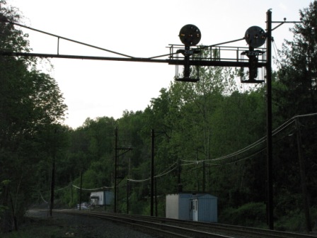
The first two pictures are taken from underneath the signals on VA Hospital property. The remainder were
taken from the outside deck of the Tidewater Grill, on the Havre
de Grace side, which has fairly good food, BTW.... if you want to take a
relaxing break and still be able to watch the trains, this is the place.
Prices are reasonable, in the $15-$25 range for most dishes for dinner...
lunches are cheaper.
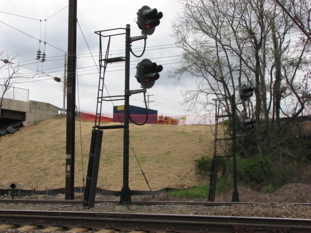
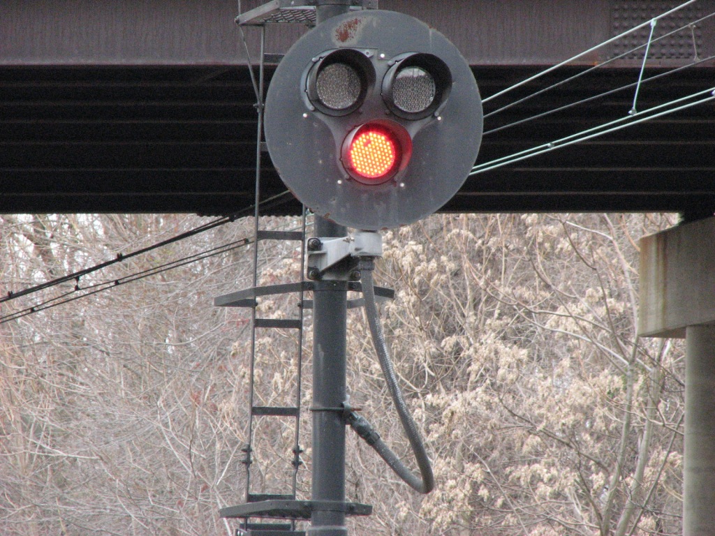
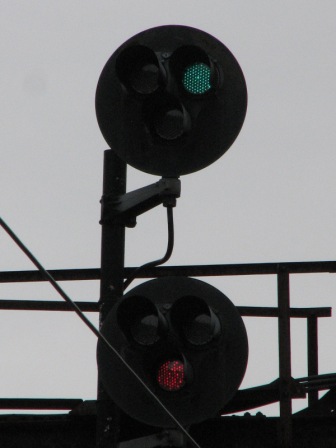
LED "Tri-Light" Signals. These signals have been using LEDs for maybe 6 -7
years, and I first noticed them on a MARC ride to Perryville. Just south
of here, there is another set of LED "tri-light" signals for NB traffic
in the next set, controlling the squeeze from 4 to 2 tracks. Please Note: Professional
signal maintainers DO NOT use the term "tri-light", they call them colorlights
or by the model, such as type "G".
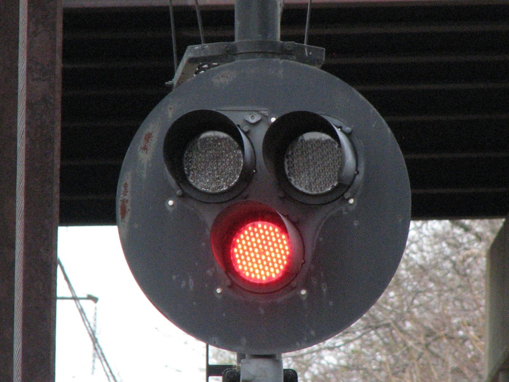
This is the second of two locations around here that uses LED's for lighting the signals. A
little further up north in Wilmington DE, they have several signal heads with LED's in
them, and a couple of the pedestals mounted overhead on a signal bridge have a
couple of the lamp positions using lunar LED's. The only other place I
have seen LED's in use is in Houston TX at Pierce Junction.
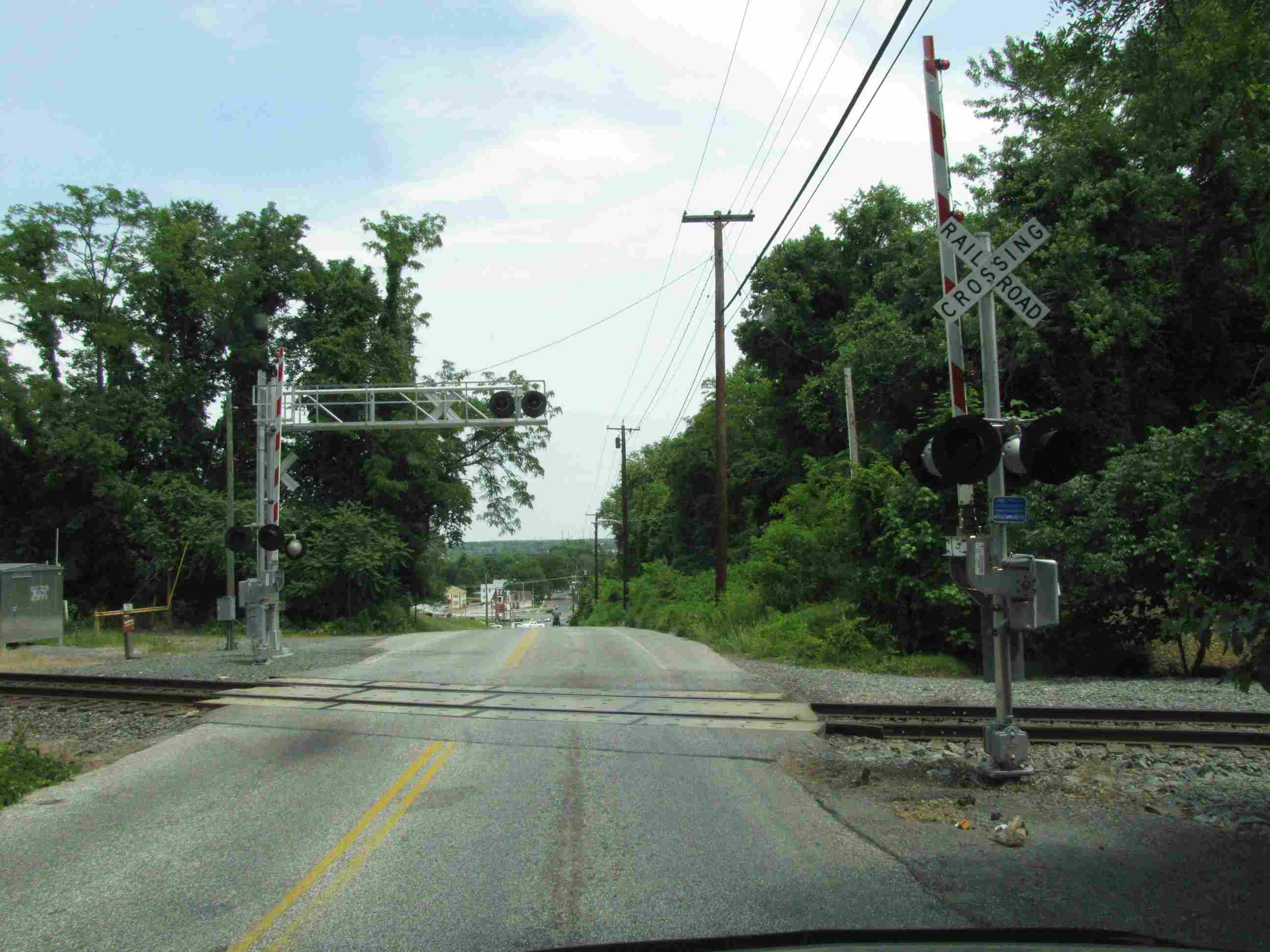
In Havre de Grace, at
Havre de Grace, the
CSX crosses at Ontario Road. CSX started putting the colorlight signals in
about two years ago, but as of late August 2009, still had not cut over to them.
Coming down off the hill where the crossing is, you have a pretty good view of
the NEC bridge over the Susquehanna.
Pictures were taken in June 2011
CPL's all gone :-(
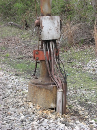
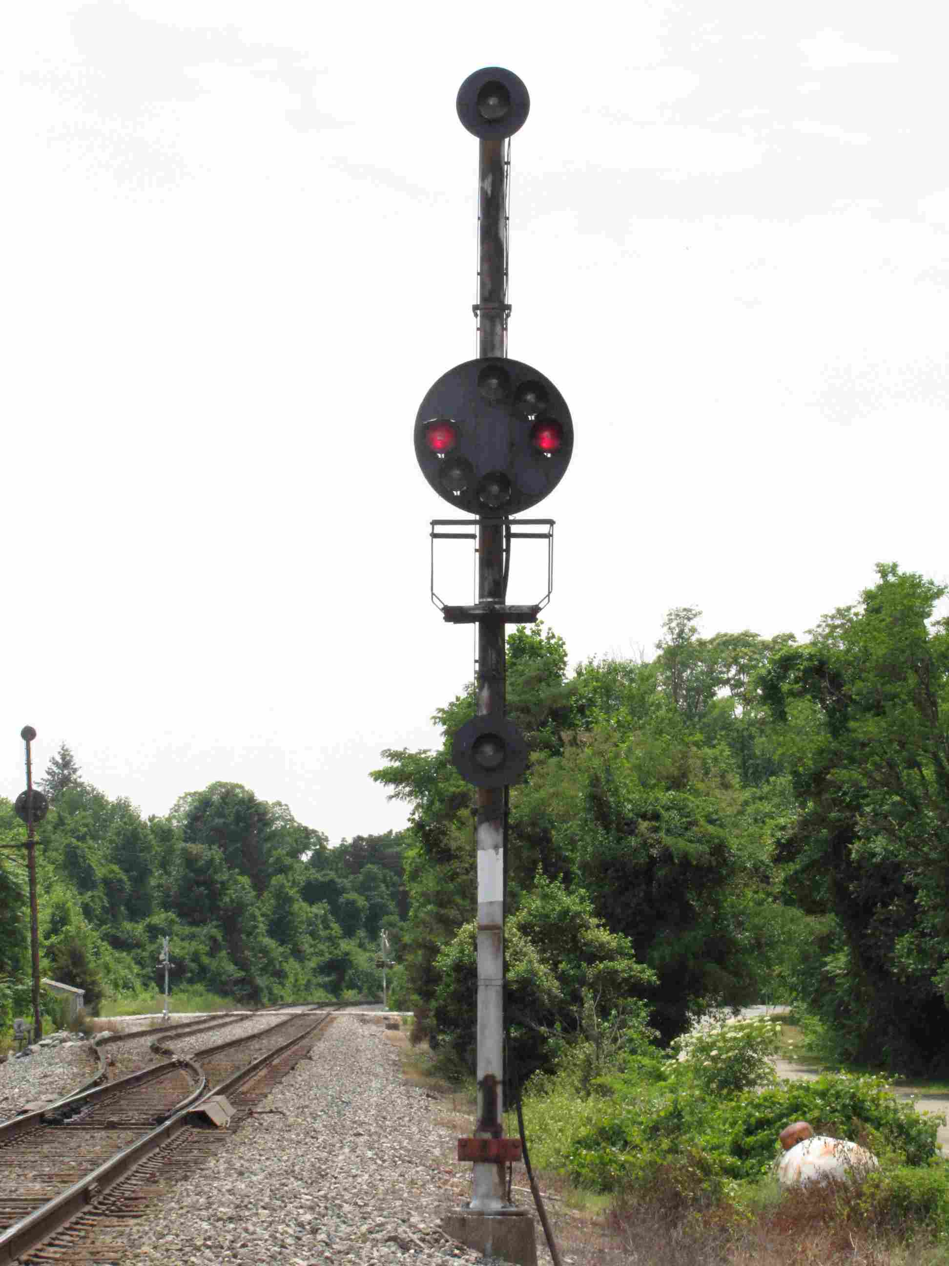
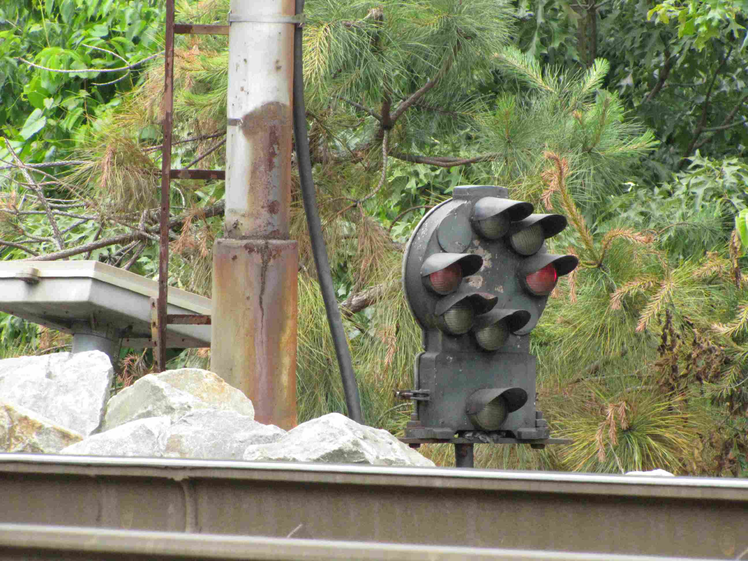
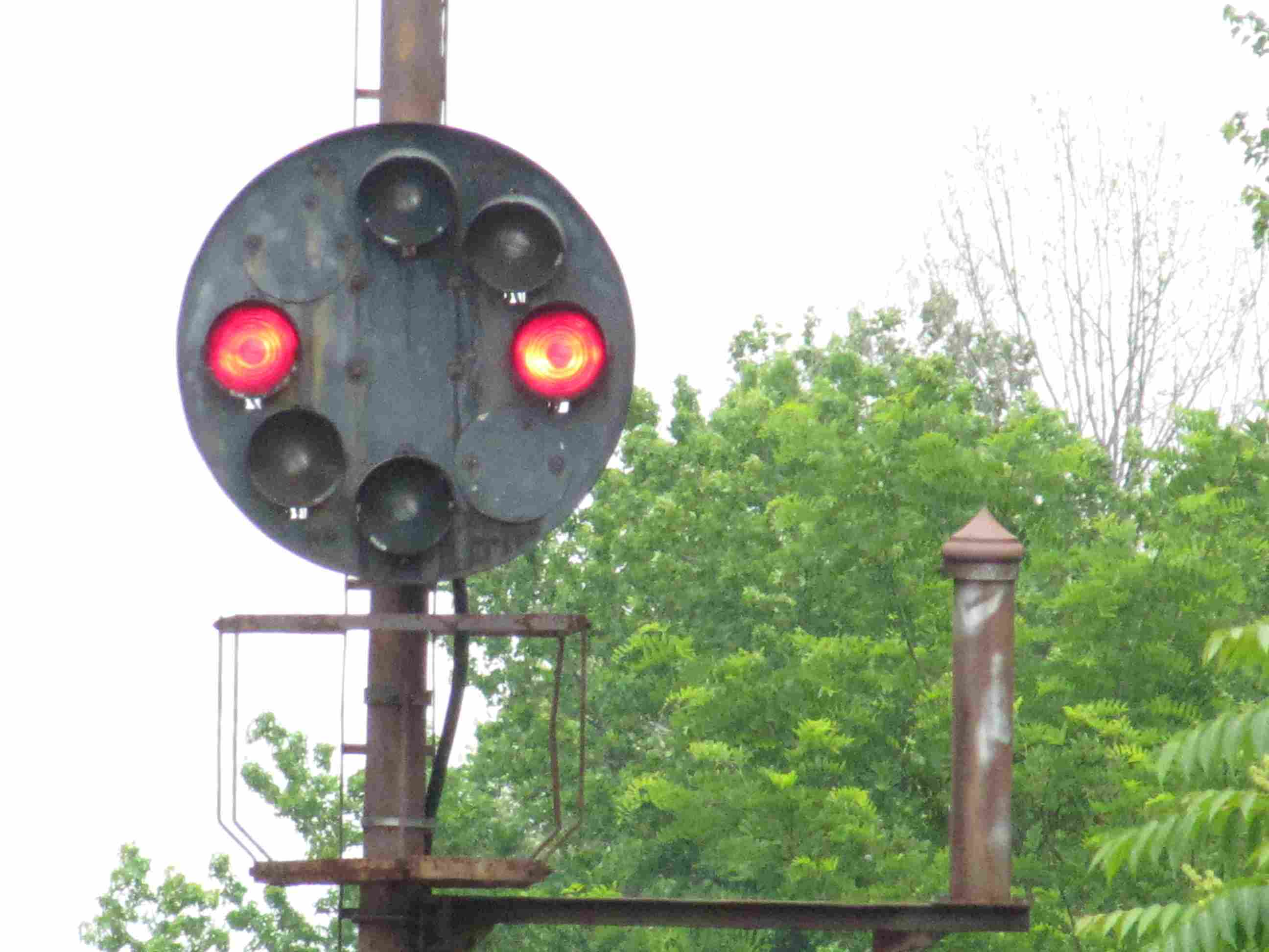
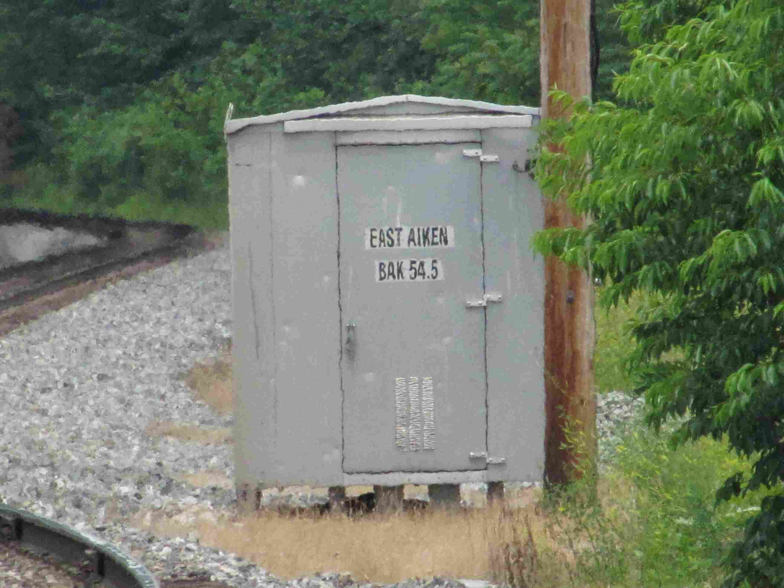
West Aiken on the B&O
(CSX) is on the north shore of the Susquehanna River. There is only one
track on the bridge going over the river, so West Aiken is where they placed a
siding to hold south (or more correctly, westbound) freights, as seen in this
set of pictures. A dwarf CPL protects the siding, as is customary with B&O
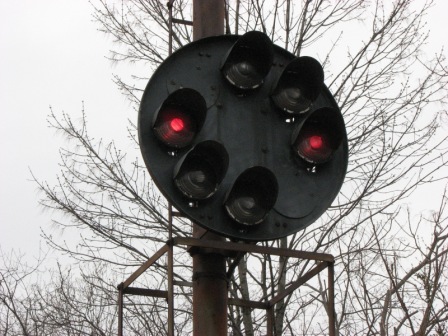
practice, with a high signal for the mainline in both directions. Also can
be seen here is the approach lighting the B&O used, as the signals go dark once
the train has left the adjacent blocks. The picture of the high signal on
the top row also shows why both the Pennsy and B&O decided to use multiple
lights for their signal heads - one of the two red lamps for the stop signal is
out, but it still leaves the engineer with one lamp to see the signal. If
a marker lamp goes out, the signal is automatically downgraded according to the
rules. What a mess of wires coming out of the junction box, eh?
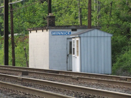
The first signals on the Port Road, north of the wye at Perryville, are at Minnick. These
signals are still in the PRR yellow state, altho, who knows for how long.
Get your pictures while you can. Another good place for pure Pennsy PL
pictures is the main line between Harrisburg and Altoona, at least around Mt
Union and the East Broad Top. These signals are for NB traffic, or heading
to Harrisburg. In the last picture of the set, you can see the SB signals
I didn't have a chance to go after.
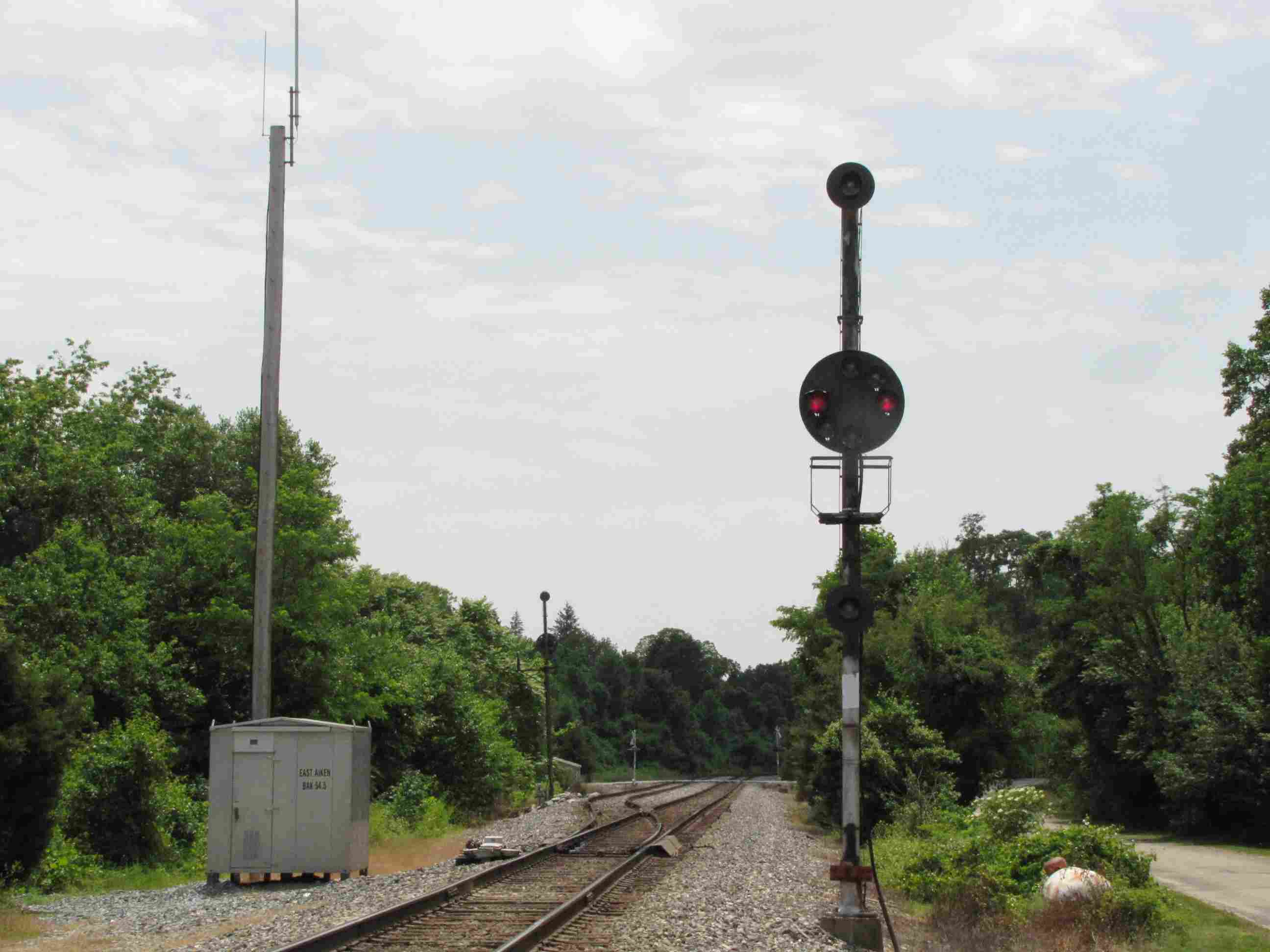
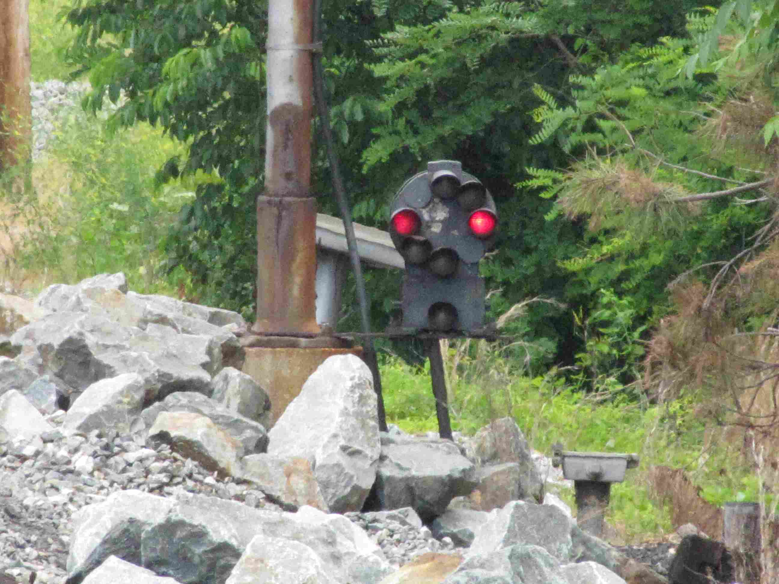
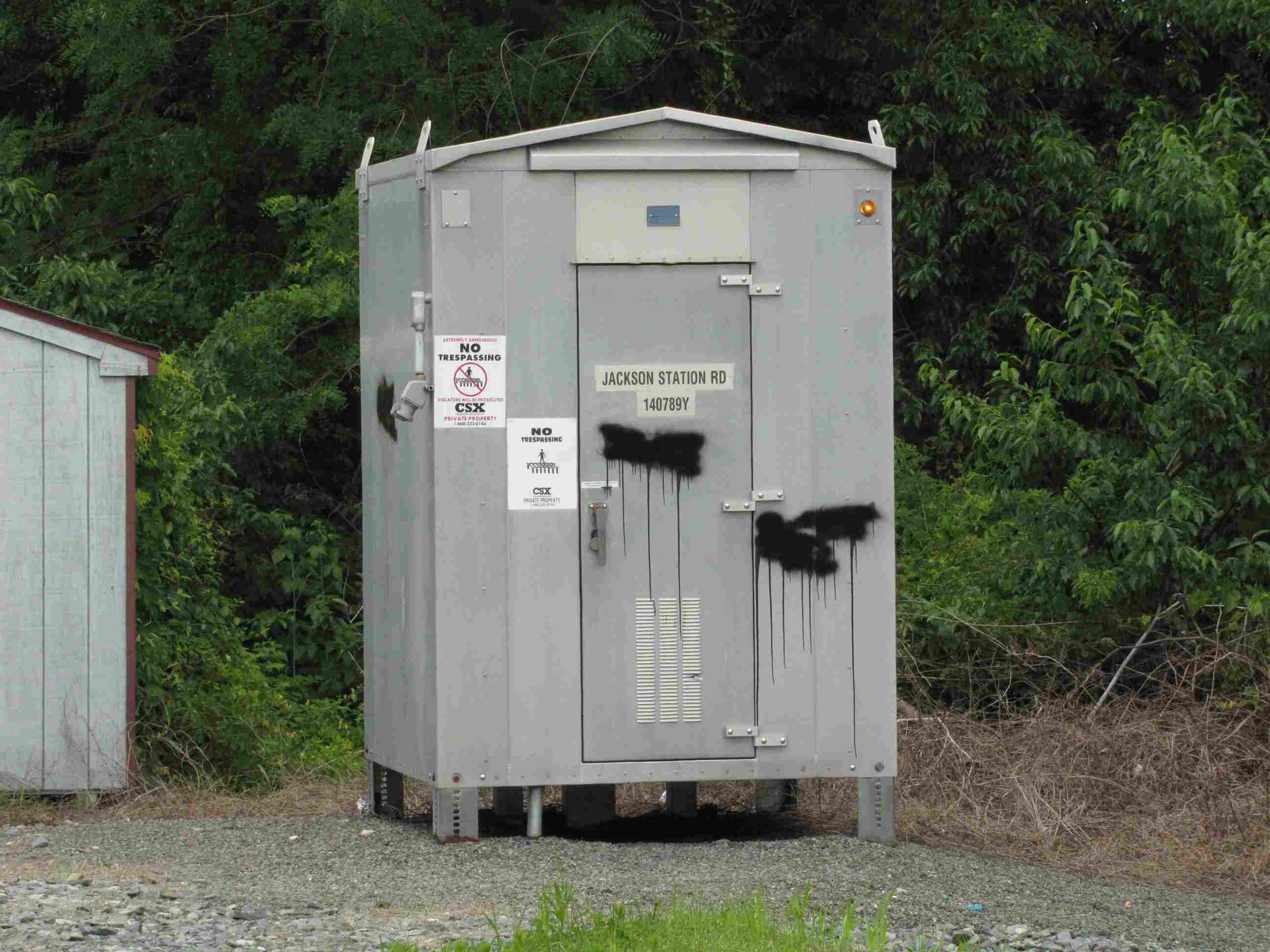
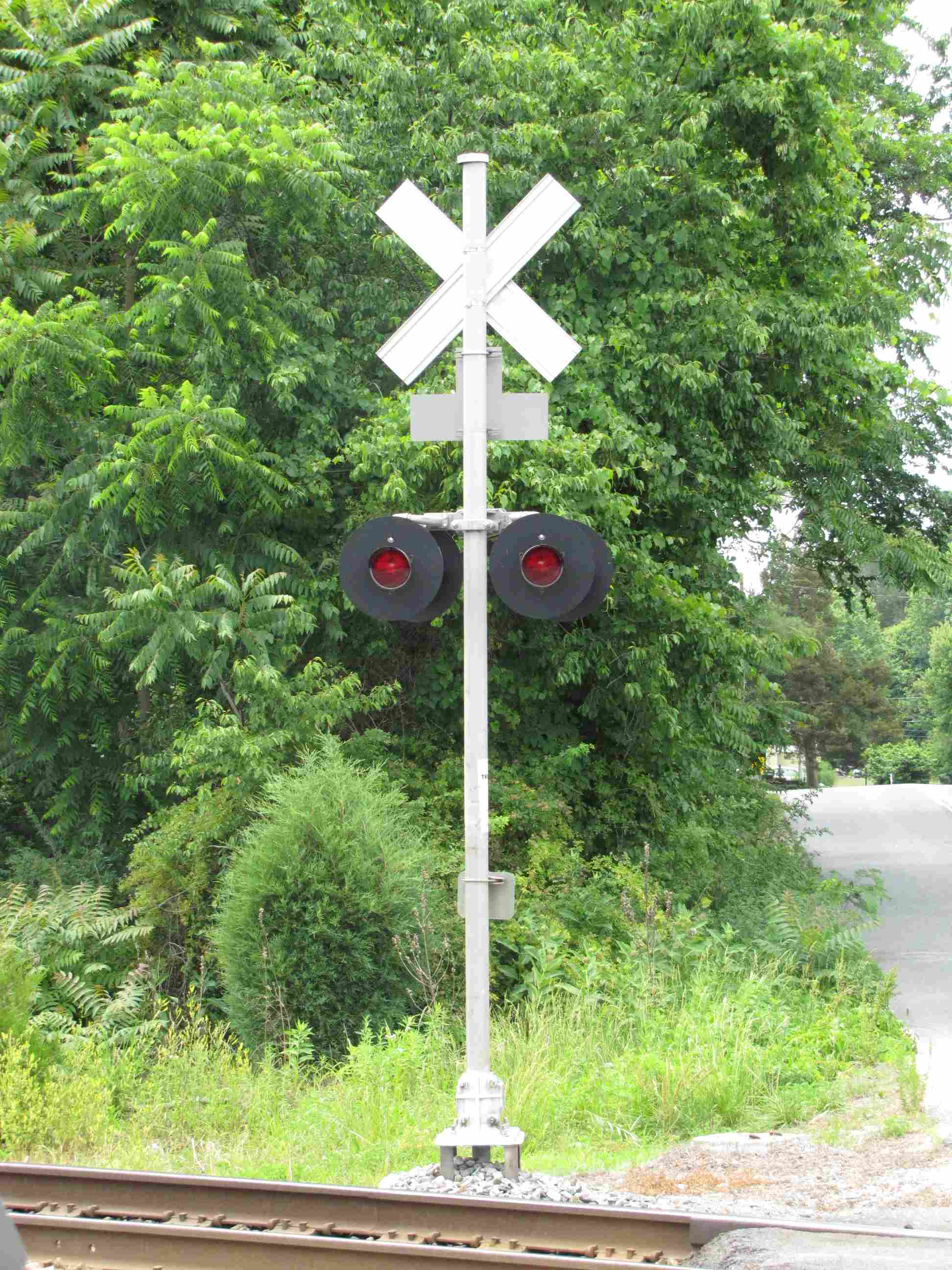
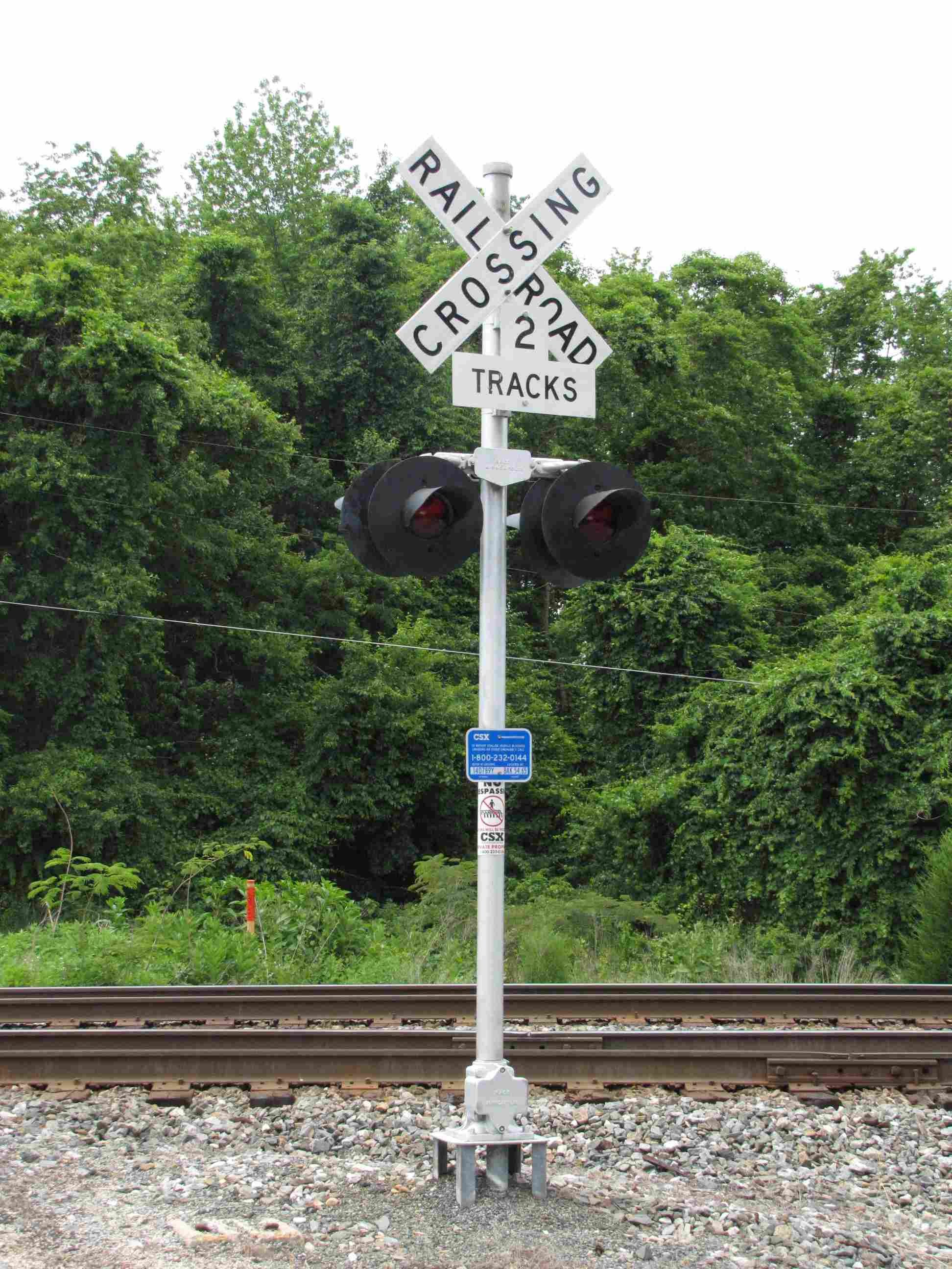
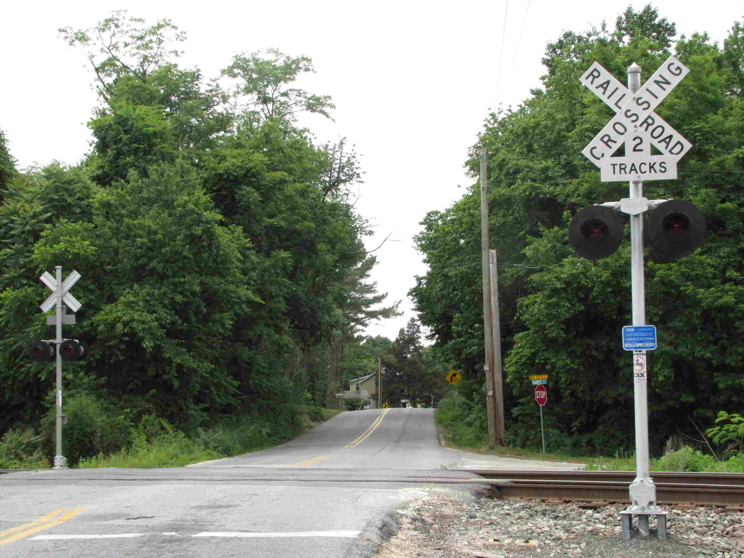
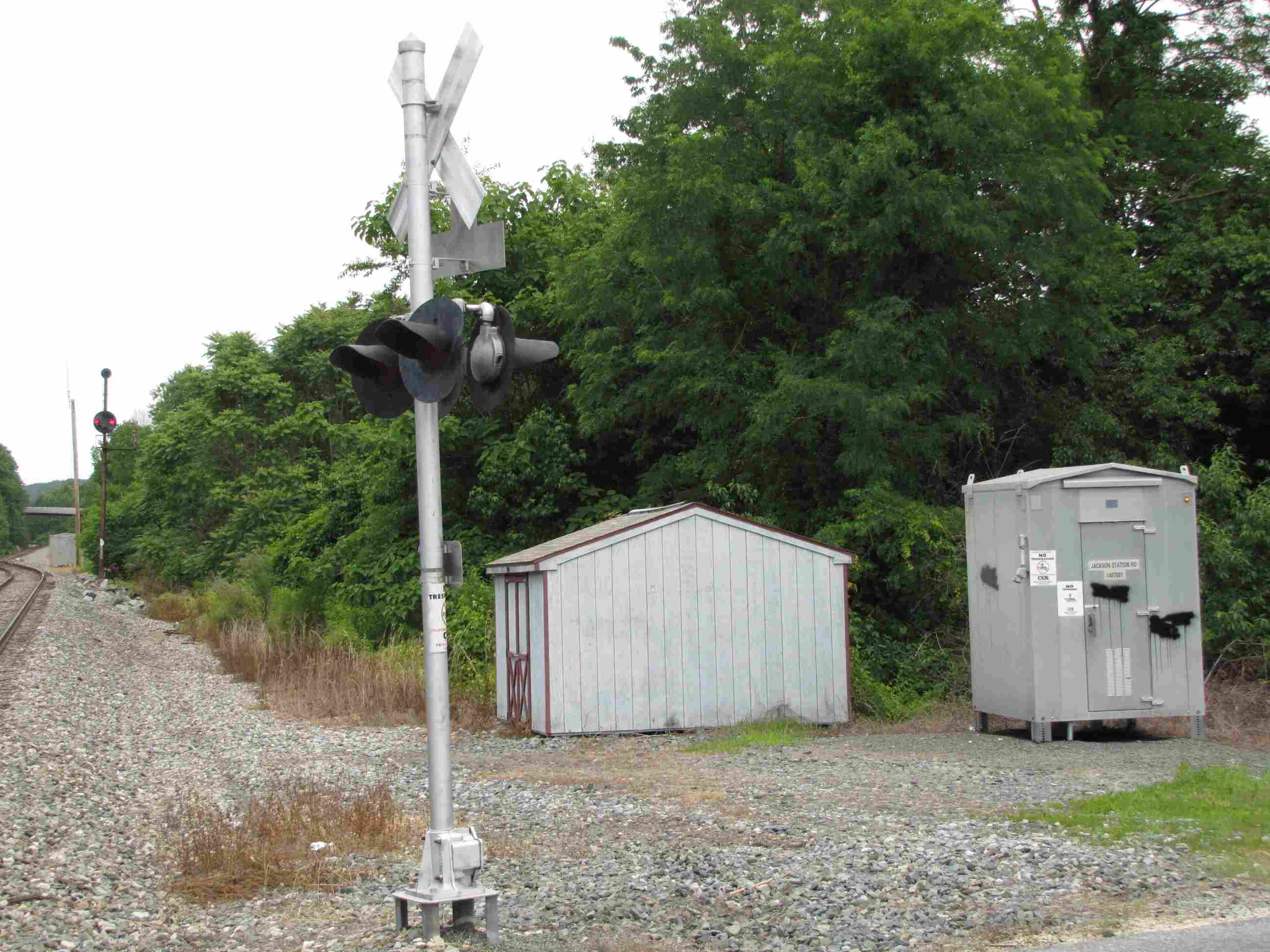
Our third CSX signal location, Johnson, is conveniently located
at Jackson Station Rd, which is the other end of the siding which starts/ends at
Aiken.
Above, the SB signal.
Above, the NB signal.
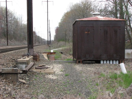
Relay cabinets.
The grade crossing at Jackson Station Rd.
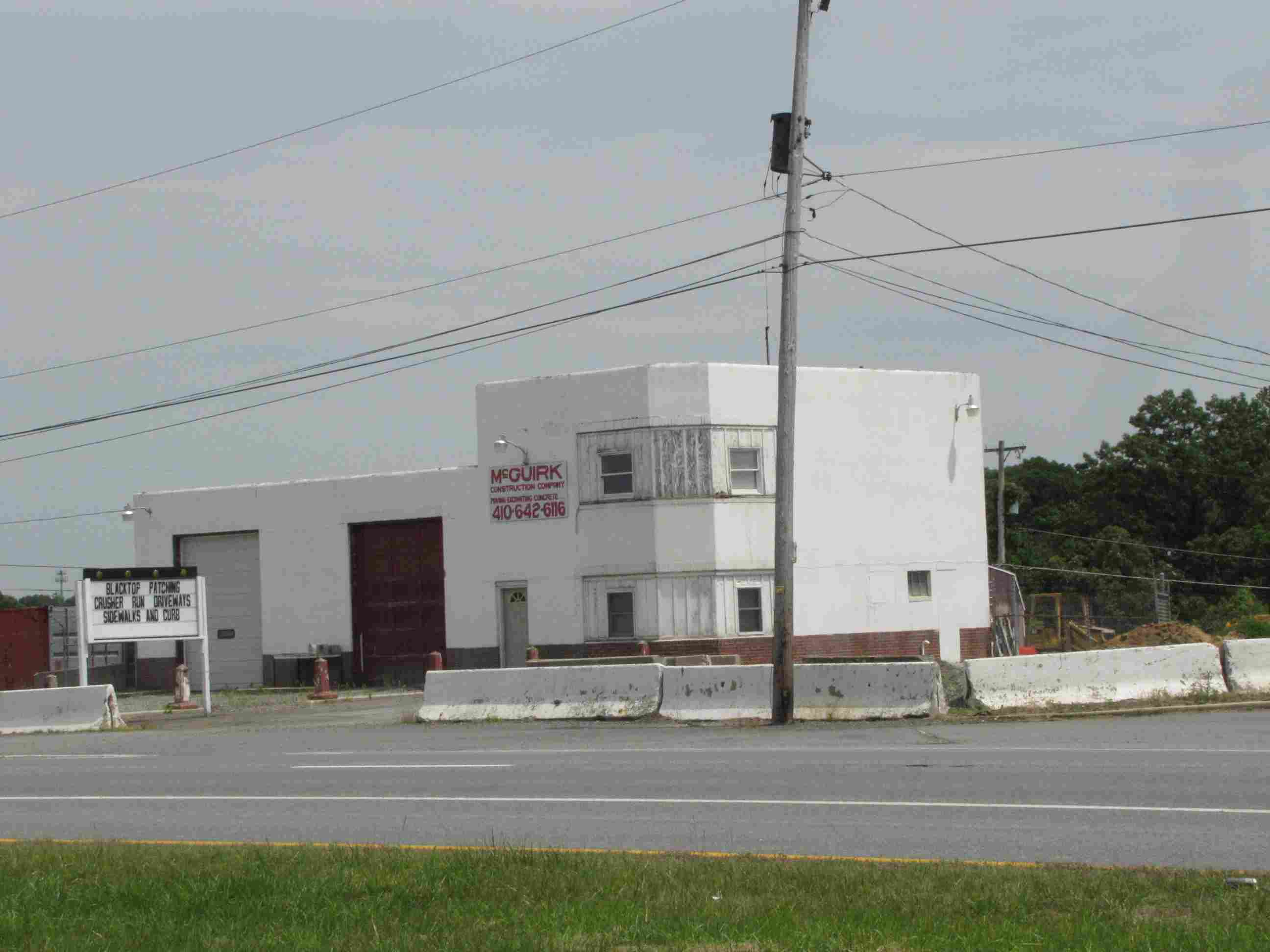
When you see this building on the right of Rt 40, coming up
from the south, it's time to make a left.
2021/Michael Mari
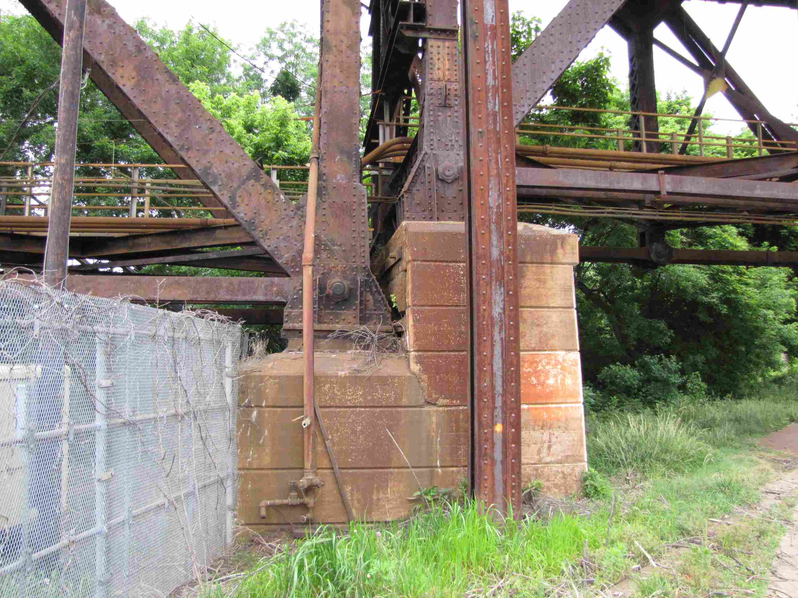
The remnants of an original bridge pier, that is suspected to have carried
both the wooden bridge built in 1866, and the replacement steel bridge built in c1875.
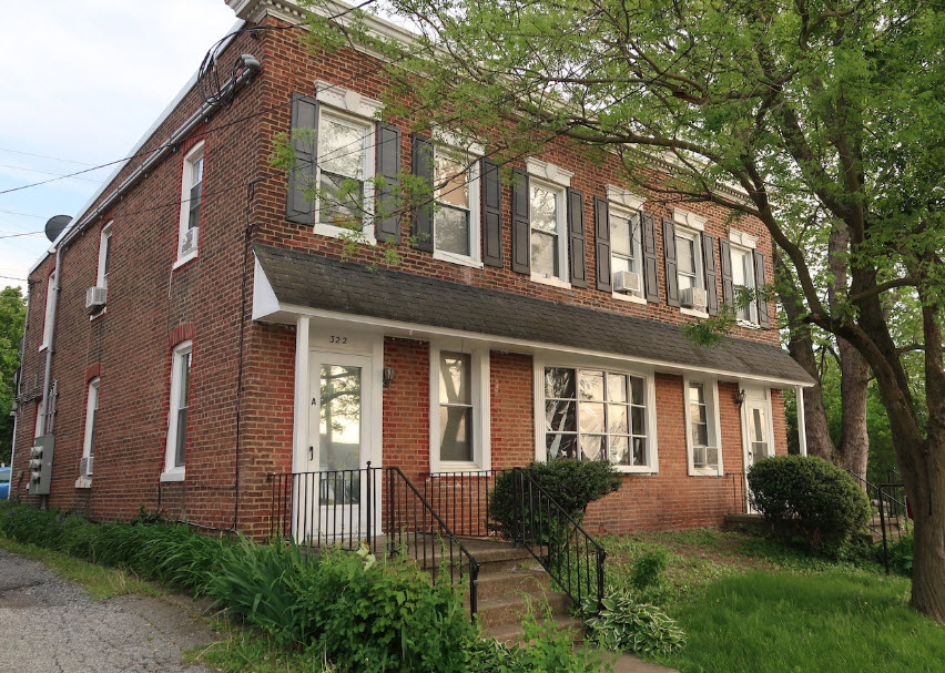
This rowhouse may have been built using bricks from the station that was
dismantled in 1905, according to one document provided by Michael Mari.
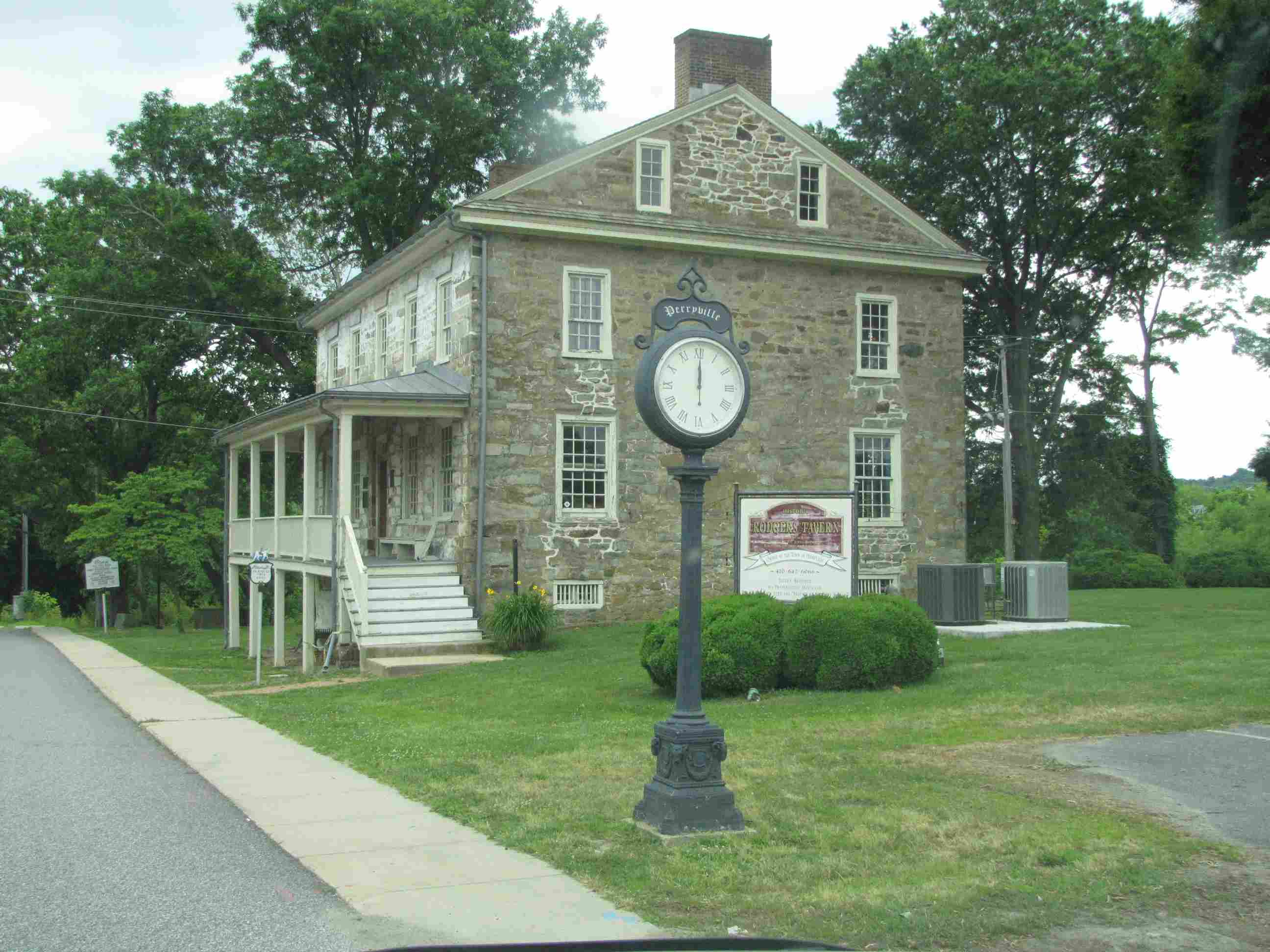
Roger's Tavern, on the north side of the PRR bridge.
Historical marker next to the Tavern.
Quite rare, if you're into these kinds of things, a pole number tag from the
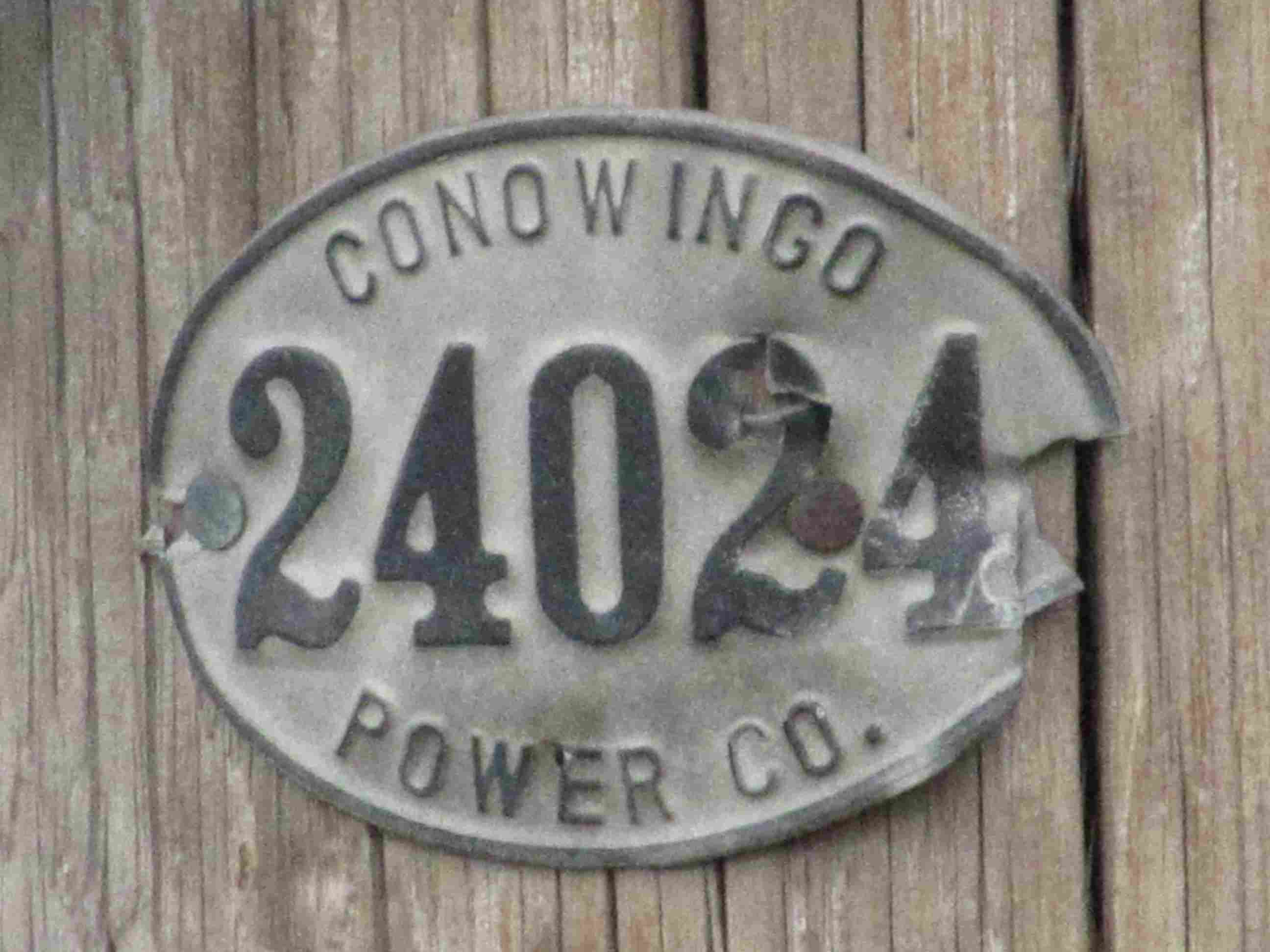
old, old days of the Conowingo Power Company, just off Rt40 on Aiken.
On The Havre de Grace Side of the Susquehanna
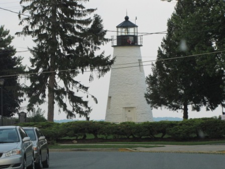
The lighthouse in Havre de Grace.
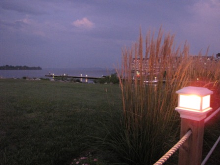
Looking off the deck at the Tidewater Grill towards the junction of the Chesapeake Bay and the Susquehanna.
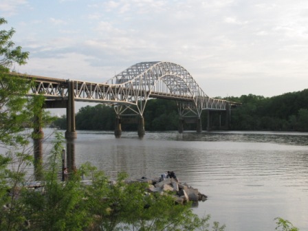
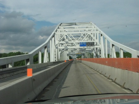
The three pictures below are of the Route 40 bridge over the Susquehanna, underwent huge repair in 2009.
I love trains, and I love signals. I am not an expert. My webpages reflect what I find on the topic of the page. This is something I have fun with while
trying to help others.
Please Note: Since the main focus of my two websites is railroad signals, the railfan guides are oriented towards the signal fan being able to locate them.
For those of you into the modeling aspect of our hobby, my
indexa page has a list of almost everything railroad oriented
I can think of to provide you with at least a few pictures to help you detail your pike.
If this is a railfan page, every effort has been made to make sure that the information contained on this map and in this railfan guide is correct. Once in a while,
an error may creep in :-)
My philosophy: Pictures and maps are worth a thousand words, especially for railfanning. Text descriptions only get you so far, especially if you get lost or
disoriented. Take along good maps.... a GPS is OK to get somewhere, but maps are still better if you get lost! I belong to AAA, which allows you to get
local maps for free when you visit the local branches. ADC puts out a nice series of county maps for the Washington DC area, but their state maps do not have the
railroads on them. If you can find em, I like the National Geographic map book of the U.S..... good, clear, and concise graphics, and they do a really good job
of showing you where tourist type attractions are, although they too lack the railroads. Other notes about specific areas will show up on that page if known.
Aerial shots were taken from either Google or Bing Maps as noted. Screen captures are made
with Snagit, a Techsmith product... a great tool if you have never used it!
By the way, floobydust is a term I picked up 30-40 years ago from a National Semiconductor data book, and means miscellaneous
and/or other stuff.
Pictures and additional information is always needed if anyone feels inclined to take 'em, send 'em, and share 'em, or if you have something to add or correct.... credit
is always given! Please be NICE!!! Contact info is here
Beware: If used as a source, ANYTHING from Wikipedia must be treated as being possibly being inaccurate, wrong, or not true.
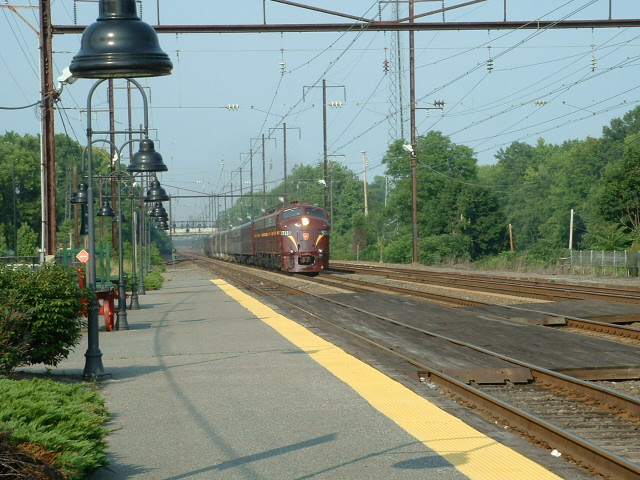
 Picture of Amtrak's 40th Birthday train at Perryville on 4JUN2011, more pix
here
Picture of Amtrak's 40th Birthday train at Perryville on 4JUN2011, more pix
here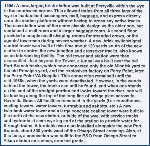 A
portion of a PDF document provided by Michael Mari.
A
portion of a PDF document provided by Michael Mari.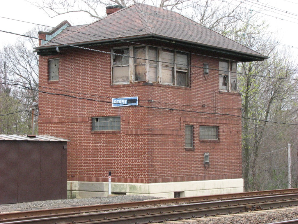
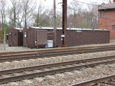 The equipment cabinets used for the signals at this location.

 Left and below, the northern spans, shot from the Rt 40 Susquehanna bridge.
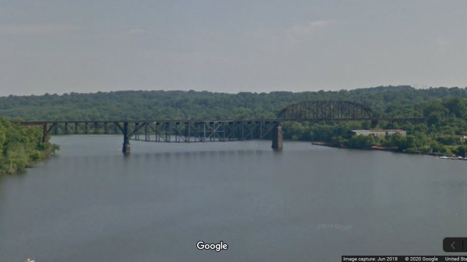


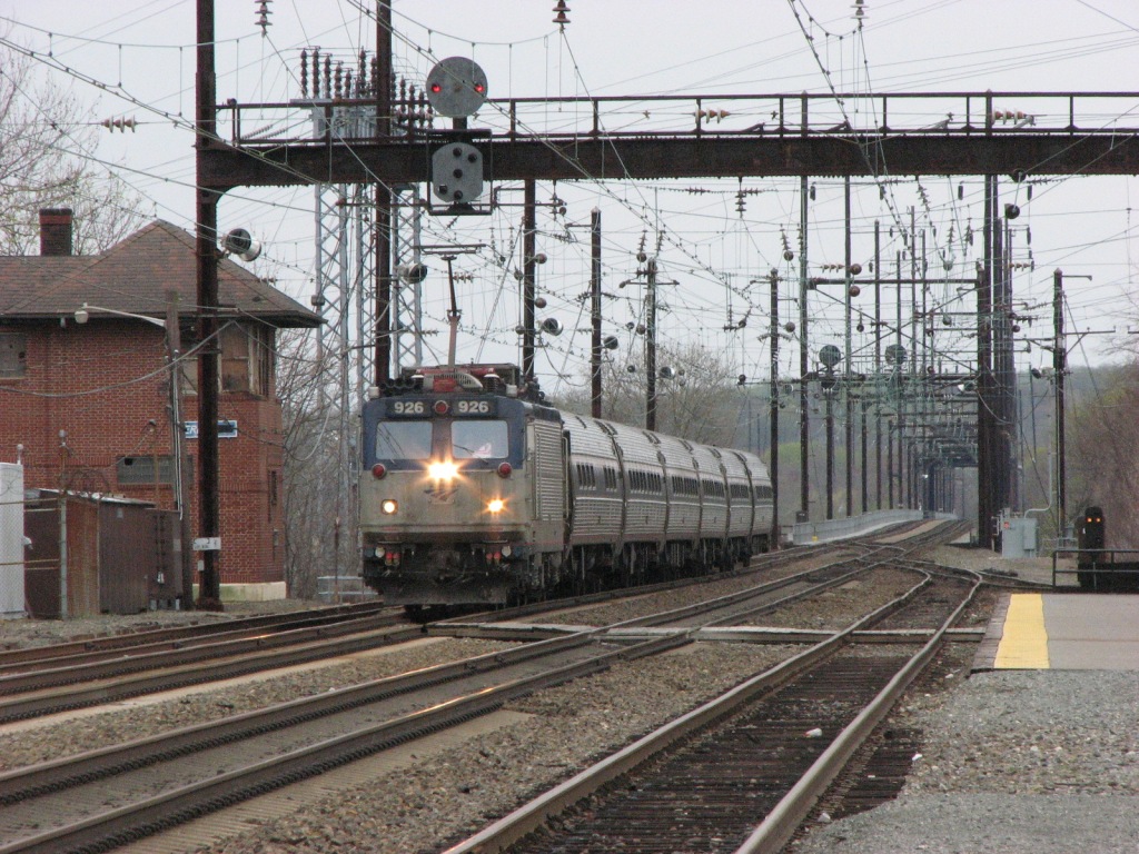

 Pictures were taken in June 2011
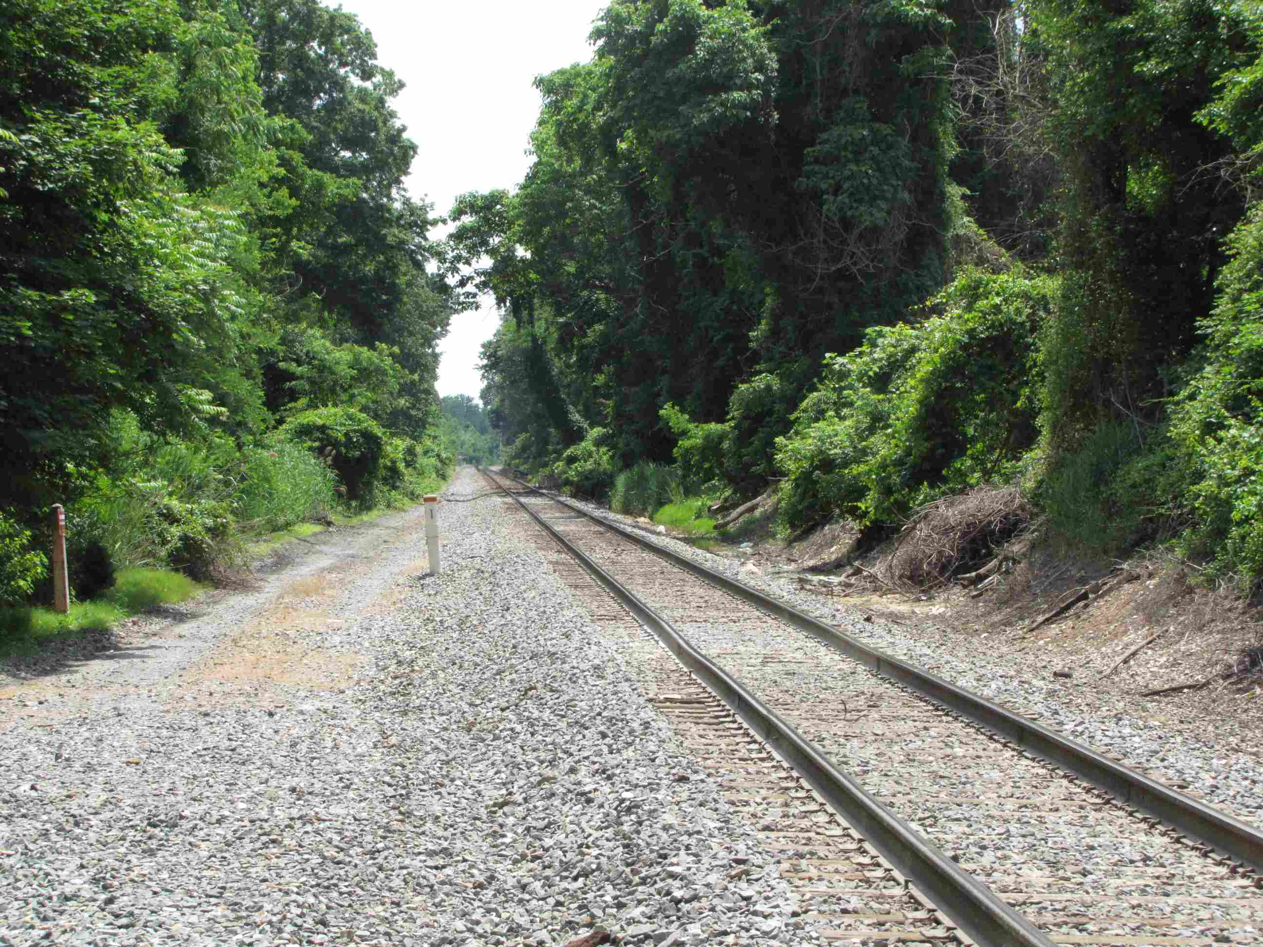 CPL's all gone :-(
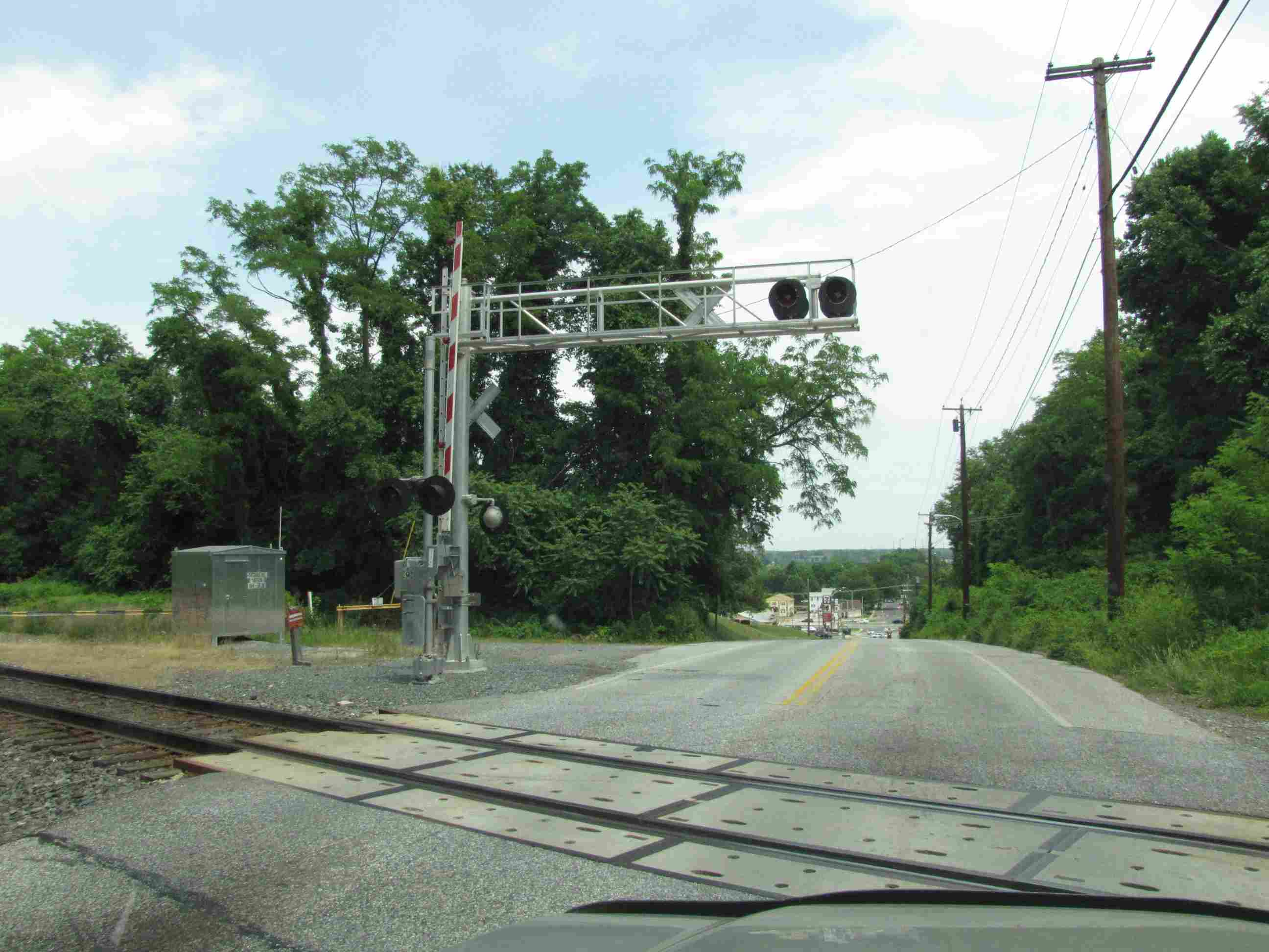

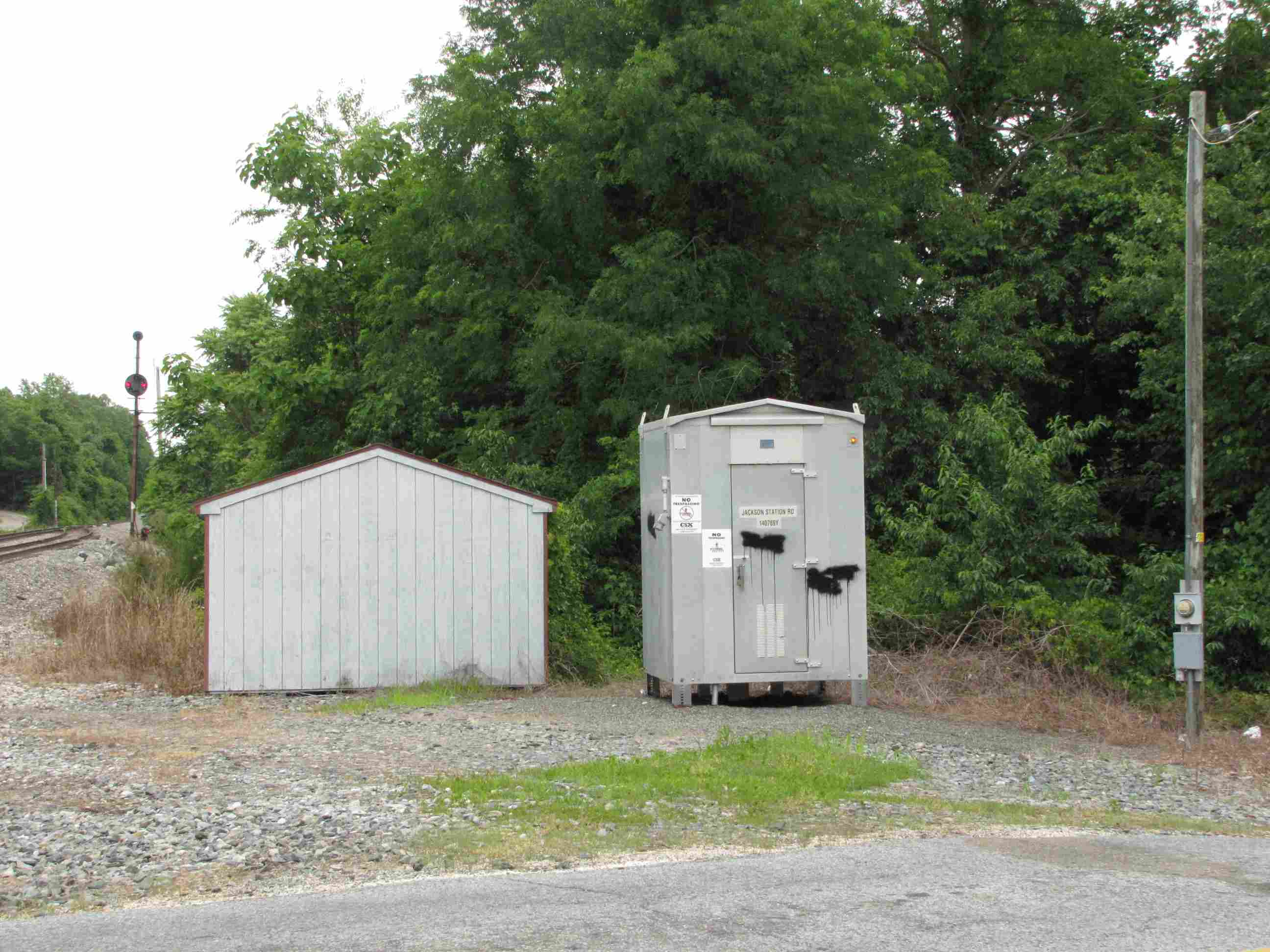
 Relay cabinets.
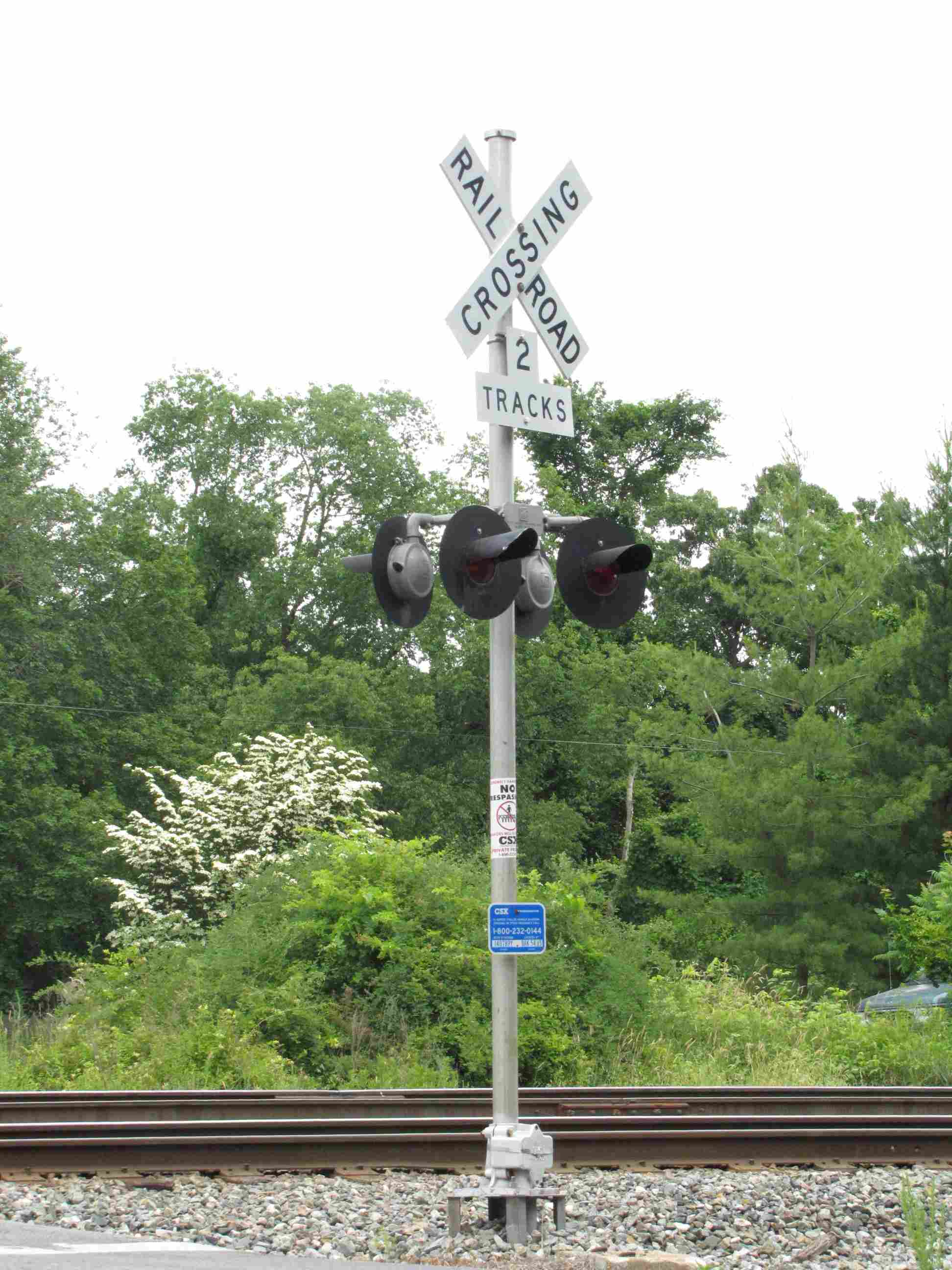

 2021/Michael Mari