Mt Airy is directly on what used to be the
B&O's Old Main Line, which runs from Relay/St Denis in Elkridge MD, to Point of
Rocks MD. It was the B&O's first route west, built between 1828 and 1835,
until it started building the now current mainline going through Washington DC
in 1835. At one time, the railroad line went through town, hence, the
depot in downtown Mt Airy. The B&O ended passenger service to Mt Airy
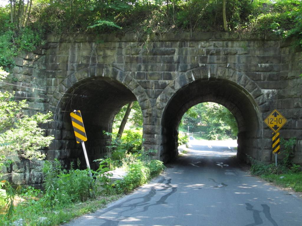
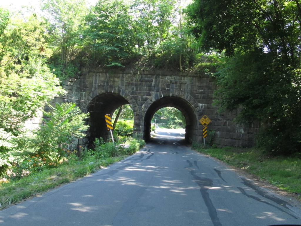
around 1950, and the track was removed in the 1970's. The tunnel looks to
have been built around 1900, as a way to straighten the path that went around Mt
Airy in a "loop", and get rid of the accompanying grades.
If you really want to spend some time in the area looking for bits and pieces
of the Old Main Line, check out Steve's tour in the second link below.
There are no MARC or Amtrak trains coming through Mt Airy.
Interesting note (kinda): Mt Airy is in the "Hereford Zone" of the state as
far as telephone numbers go. If you notice, there are both -301- and
-410- area codes here. This is because at one time, Maryland was all
the 301 area code, and maybe 20-30 years ago, the 410 area code was added,
and Mt Airy sits on the diving line for the two areas. The "Hereford
Zone" refers to Hereford MD, which is way north of Baltimore, above
Cockeysville and Hunt Valley, where, in the winter, Hereford is often the
dividing line between rain and snow during the winter :-). Since then,
you have had to dial a 10 digit number for EVERYTHING in Maryland. I
DO NOT understand why tho, when you make a long distance call from your home
phone (if you are ancient enough to still have one :-), why you need to dial
a -1- before the phone number. Shouldn't the new super computers the
phone companies now use be able to do without the -1-???
For food and services, looks like there are a couple of pubs downtown around
the depot, and a McDs, BK, Chik-Fil-A, Five Guys, Jersey Mikes, Dunkin
Donuts, Walmart n stuff near the I-70 exits - an IHOP is over at the Twin
Arch shopping Center. Not seen: motels or hotels.
Acknowledgements:
Wikipedia
Google Maps
Bing Maps
EBay
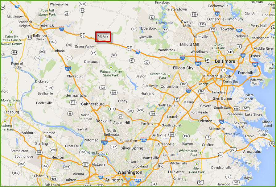
From the north, whether I83 from Harrisburg (and beyond, like Rochester, Albany, or Syracuse), or from NJ, NY and
beyond (coming down I95), take the Beltway west around Baltimore to I70.
Take I70 west to exit 68, and the town will be on the north side of the interstate.
If you are coming from the west, you'll probably be on I70 already, so just stay on it till you get to exit 68.
Coming up from the south west, as in I81, take I70 east in Hagerstown, and pass through Frederick to get to Mt Airy.
From DC, you have a couple of choices, but the quickest way is probably to go up head up I270 to exit 16,
Ridge Rd, and take it north... it will turn into MD27 on the other side of
MD355, North Frederick Rd. MD27 runs right into Mt Airy. The other
way is to stay on 270 to Frederick, and then take I70 east to Mt Airy, exit 68.
GPS Coordinates: 39.37693, -77.15413
1 N Main St, Mt Airy MD 21771
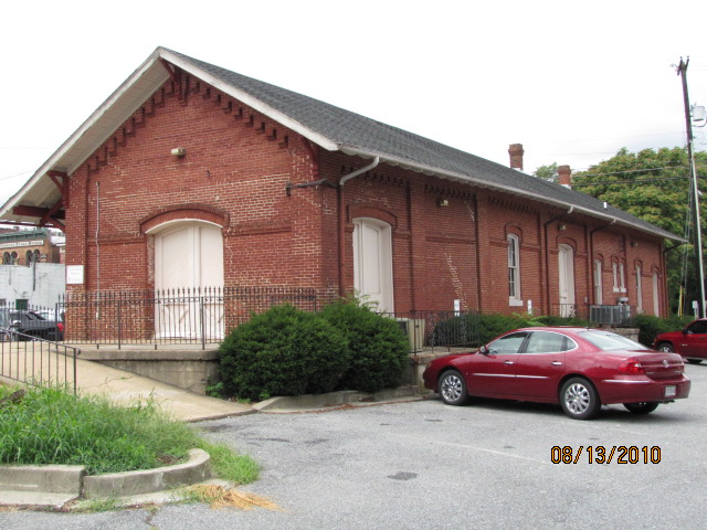
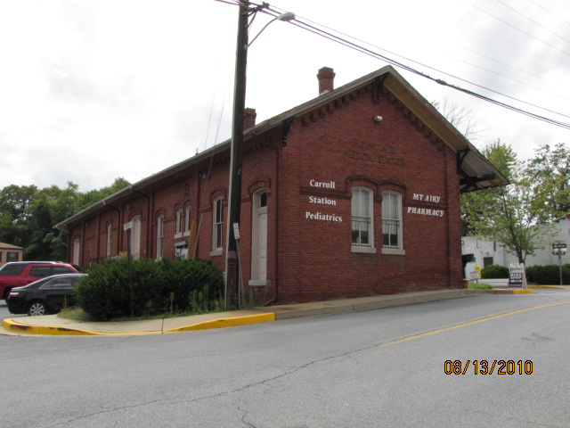
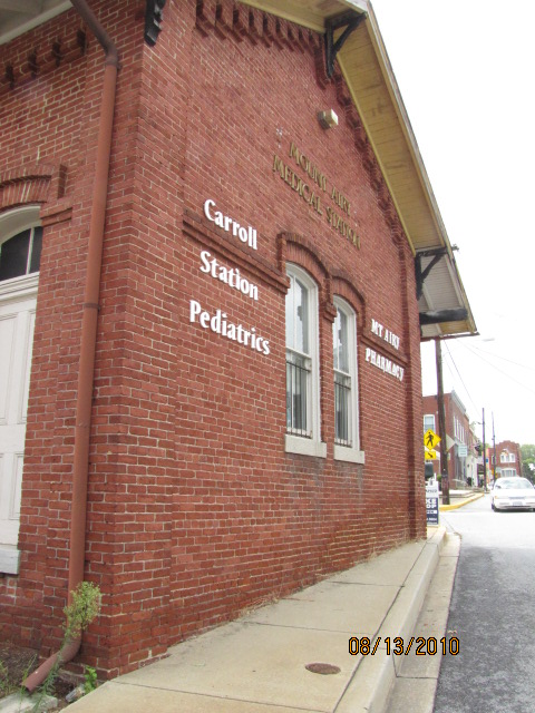
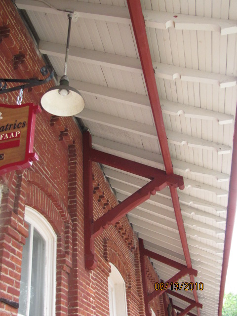
The Mt Airy Railroad Station was designed by the famed train and train station
designer E. Francis Baldwin. It was built by the B&O Railroad, and served the
railroad from 1875 until August 15, 1957. They had added a B&O CPL signal
at the rear of the building - I wonder where it came from since it doesn't
have the "yellow" aspect.
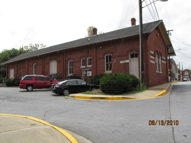
Looking east from the depot.
Looking west from the depot.
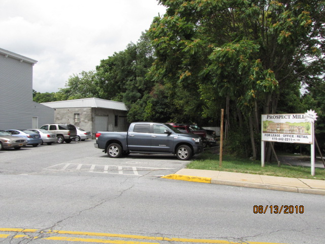
Hobby shop next to the depot.
Looking south from the depot, along Main street, and some of the local boutique eateries.
The Short Industrial Spur
Just west of the tunnel, is a small
spur going into town (which was originally part of the Mt Airy loop).
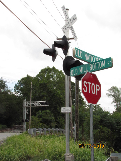
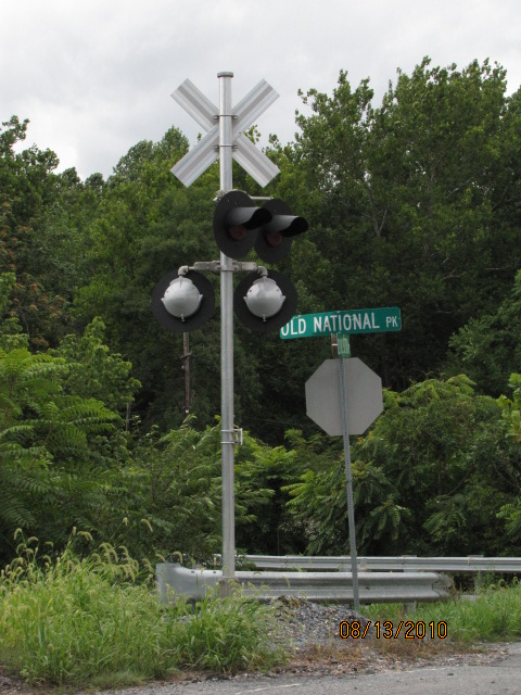
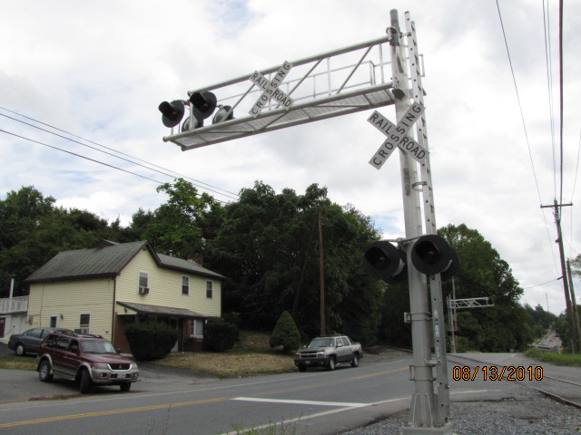
There is also a small interlocking where the spur joins the mainline, at the
beginning of the passing siding. There are signals at both ends of the
siding. The end of the spur can be seen in the above photo of the depot.
Looking east (L), and west (R) towards the mainline.
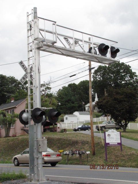
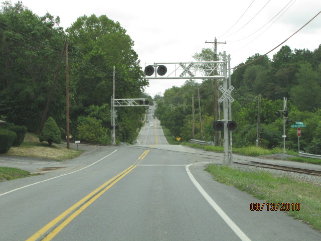
The mainline doesn't get a whole lot in the way of protection
(as Ridgeville (above) does) because the road is hardly used.
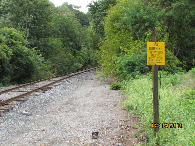
Bonus material... Chessie system NO TRESSPASSING sign, and flange lubricator.
The Siding
See below in the signal section.
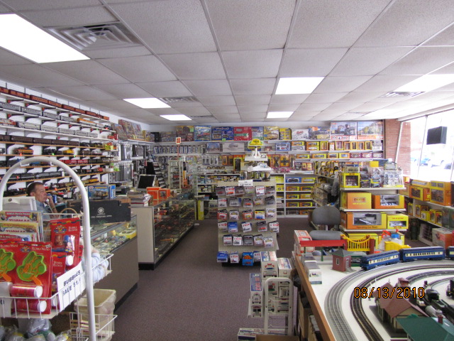
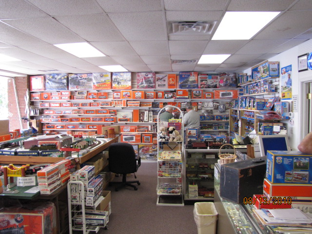
Local Hobby Stores
While most areas are loosing hobby stores, especially ones that deal in trains,
Mt Airy is lucky to have two that sell trains - FOR NOW. My BFF had
breakfast recently with a bunch of railfans, one of whom is the owner of one
of the two stores, and said this Christmas (2024) is going to be his last -
after all, he is 82. The Toy Exchange also buys
and sells used train equipment. The Sykesville and Eldersburg area to the
north of here has lost three of them in the past 16 years. At last check,
Baltimore and the surrounding counties have lost all of them (as well as it's
only two ham radio stores, if you're into that stuff :-)
The Train Depot
GPS Coordinates: 39.37693, -77.15413
1 N Main St, Mt Airy MD 21771
The Toy Exchange
GPS Coordinates: 39.36879, -77.14450
1001 Twin Arch Rd #12, Mt Airy MD 217711
Twin Arch Shopping Center
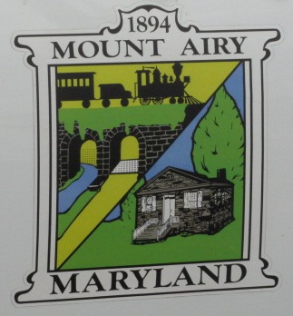
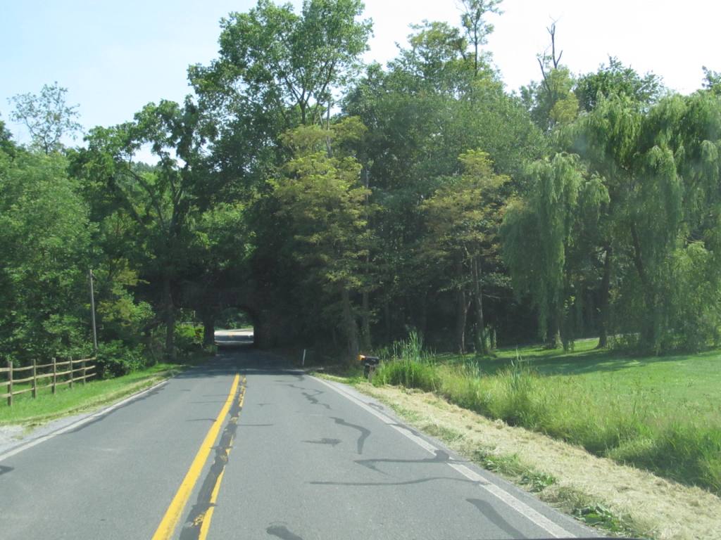
Out of the way on the very far side of town from where you get
off the interstate, is this overpass where the town gets part of its city emblem
from. It's on (of course) Twin Arch Rd.


 Looking east from the depot.
 Looking west from the depot.
 Hobby shop next to the depot.
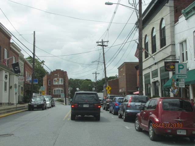
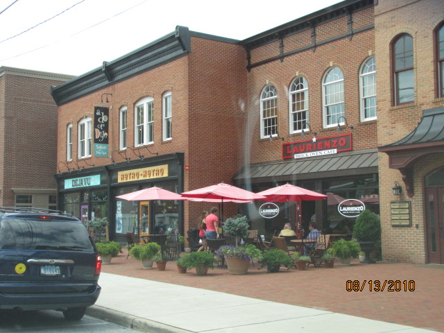 Looking south from the depot, along Main street, and some of the local boutique eateries.
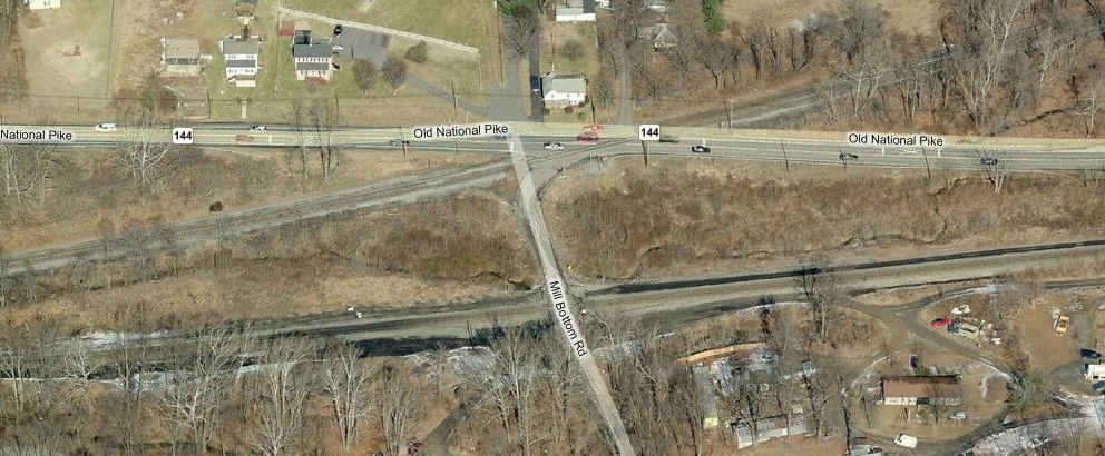

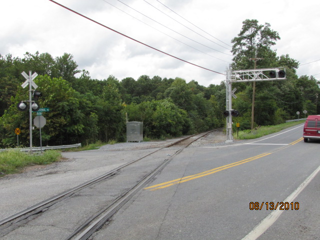 Looking east (L), and west (R) towards the mainline.
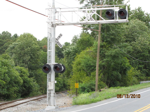
 The mainline doesn't get a whole lot in the way of protection
(as Ridgeville (above) does) because the road is hardly used.
The mainline doesn't get a whole lot in the way of protection
(as Ridgeville (above) does) because the road is hardly used.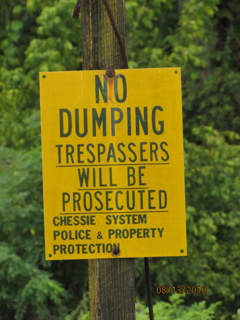
 Bonus material... Chessie system NO TRESSPASSING sign, and flange lubricator.


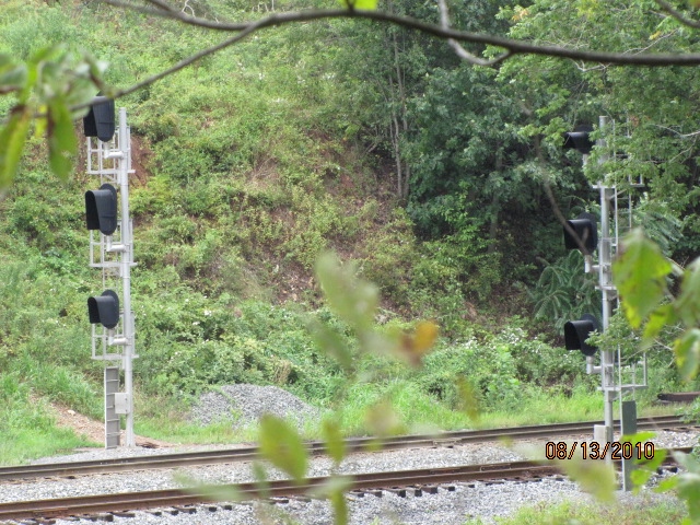
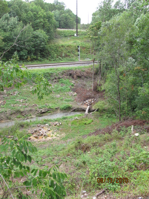 Summertime is not a good time to go signal chasing!

 Jun 18, 2012

 found on EBay


