RAILFAN GUIDES of the U.S.
Todd's Railfan Guide to
BRUNSWICK MD
In General
Getting Here
Maps
Signals
Sights
Floobydust
BALTIMORE RAILFAN GUIDE HOME
RAILFAN GUIDES HOME
RAILROAD SIGNALS HOME
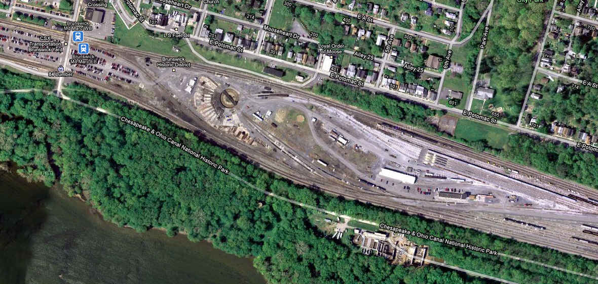
Brunswick is halfway between Harpers Ferry WV and Point of Rocks MD. At one time, there was a great yard that existed here, now, it serves mostly as a storage yard for the Martinsburg bound MARC commuter trains.
Weekdays can be very productive picture days between Brunswick, Harpers Ferry, and Point of Rocks, between MARC, Amtrak, and CSX. If you have a trail bike, bring it along for getting to the overlook above Harpers Ferry. Visiting during the fall is especially rewarding with the magnificent colors we have here in Maryland!
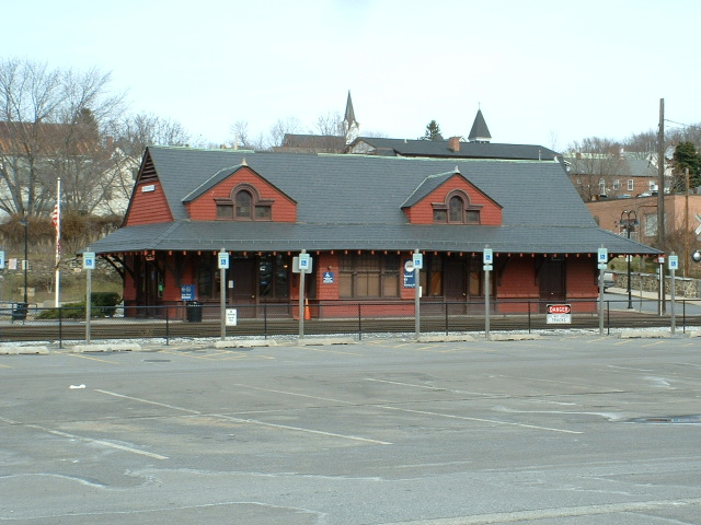
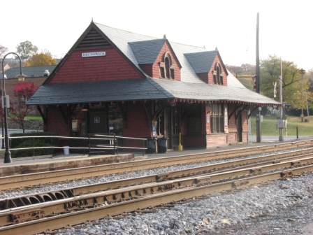
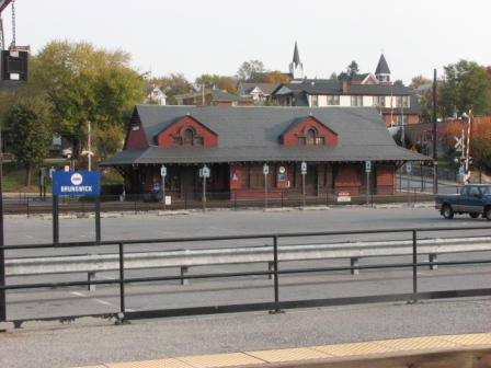
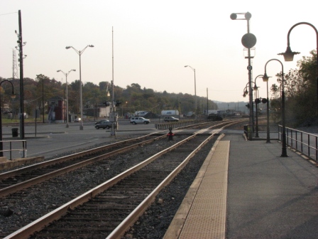
And speaking of MARC, because of the traffic flow through Brunswick, the EB and WB platforms are separated by the commuter parking lot (which used to be yard trackage). The WB platform is adjacent to the B&O depot.
Brunswick is one of many places in the central Maryland area you can visit, as seen below. While maybe not as exciting as going to Chicago or St Louis, the area offers numerous opportunities for pictures in settings you can't find elsewhere. The central MD area also includes part of West Virginia and Virginia.
For MARC and Amtrak schedules, check out the central Maryland page.
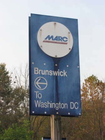
MARC has 14 trains a day coming through Brunswick (Monday-Friday), Amtrak has two dailies.
CSX freight frequency is about 20 to 25 a day, with 2 to 4 locals.
CSX frequencies used around these
here parts are
161.100 (ch 66)
160.320 (ch 14)
160.230 (ch 08)
161.520 (ch 94)
Please Note: Since the main focus of my two websites is railroad signals, the railfan guides are oriented towards the signal fan being able to locate them. For those of you into the modeling aspect of our hobby, my indexa page has a list of almost everything railroad oriented I can think of to provide you with at least a few pictures to help you detail your pike.
My RSUS philosophy: Pictures and maps are worth a
thousand words, especially for railfanning. Text descriptions only
get you so far, especially if you get lost or disoriented. Take
along good maps.... a GPS is OK to get somewhere, but maps are still
better if you get lost! I belong to AAA, which allows you to get
local maps for free when you visit the local branches. ADC puts
out a nice series of county maps for the Washington DC area, but their
state maps do not have the railroads on them. If you can find em,
I like the National Geographic map book of the U.S..... good, clear, and
concise graphics, and they do a really good job of showing you where
tourist type attractions are, although they too lack the railroads.
For other guides of the Central
Maryland area, please check out the
Central MD Railfan
Guide Index Page
For more info on the Brunswick area,
check out these websites:
https://sites.google.com/a/frederick.com/brunswickraliroaddays/
http://www.brunswickmd.gov/
http://www.mdisfun.org/Events/Pages/BrunswickRailroadDays.aspx
http://www.easternrailfan.com/ Nice pictures from a day long visit to
Point of Rocks on 8/26/11
If you are coming from the west or east via interstate 70, take US340 south from Frederick MD, which is exit 53. Get off at the Burkittsville Rd exit, which is also MD 17... head east, or over the highway you just got off. In about a mile, you will come to Petersville Rd, hang a right and this will take you into town.
Coming up from the south west, as in I81, I usually take exit 307 at Stevensville (you could also go up to exit 317 at Winchester, and take VA7 east to get to US340, but I found it usually takes a little longer than getting off at exit 307). My daughter used to go to school at Virginia Tech, and getting off here made the trip to Baltimore much quicker than going across 66 through DC, or up to Hagerstown to catch 70. At this exit are a bunch of good places to get gas and catch something to eat. Anyways, head east on VA277, which is Fairfax Pike. In about 4 miles, you will hit the traffic light junction of 277, US340, and US522 (take a left and you'll wind up at the East Broad Top! :-). Go straight through the intersection, and you are now on US340. Stay on this as you pass through the small towns of Boyce, Berryville, Rippon, and then bypass Charlestown. You may also be able to catch some Norfolk Southern action as you toot along, but in the 20 some years I've been using this route, I've never caught anything. In Berryville, there is a nice set of N&W CPL signals if you hang a right on Main St and go to the crossing. About ten years ago, they built a bypass around Charlestown, which makes the trip go a little quicker, but the downtown area has some nice shops in it if you have your wife or girlfriend with you. Just follow the signs for 340, and you can't go wrong. Where 340 and WV9 meet up with the 340 heading to Harpers Ferry, there is a standard cloverleaf interchange, just watch the signs. From there it's about 5 miles to Harpers Ferry, and another 7 to Brunswick. Coming into HF, you'll be going down a steep grade, and at the bottom, it curves off to the left, crossing the Shenandoah, and then follows the Potomac for a mile or so before crossing it into Maryland. State lines are usually in the middle of rivers, but every map I look at shows me that the state line between WV and MD is the shore on the WV side! After crossing the Potomac in the second of two long bridges, you'll go about a mile and a half before coming to the exit for Knoxville Rd. Follow this into Brunswick, and again, sometimes you might catch a WB freight waiting for a signal.
From DC, you have a couple of choices. You can head west from the DC Beltway on either VA7 or VA267, the Dulles Airport Access Road, which is a toll road, and head to Leesburg where you can pick up US15 heading to Point of Rocks. Just on the other side of the river and Point of Rocks, hang a left onto MD464, Point of Rocks Rd, and take that the seven miles into Brunswick.
If you're coming from the north side of DC, I would just head up I270 to Frederick, and then catch US340 south... while it may be a little longer, you don't have the stop signs, traffic lights, and slow moving idiots that plague the back roads.
Click here for the map in PDF version.

Click here for the Central MD map in PDF version.
Click here for the maps of Harpers Ferry, Brunswick, Point of Rocks and central MD in one PDF.
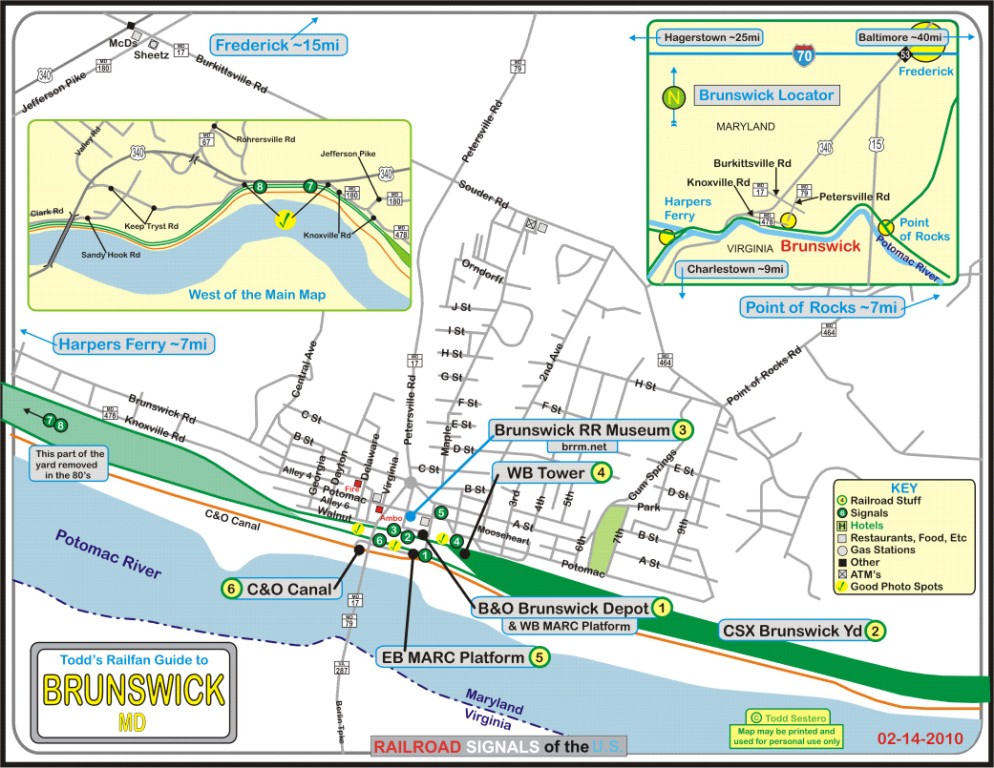
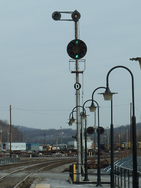
1
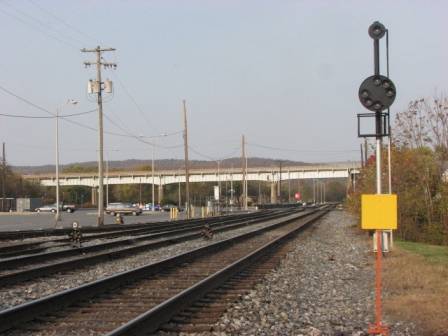
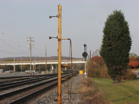
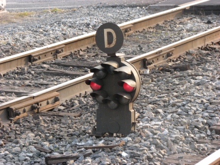
Signals on the east end of the EB MARC platform, one high, and one dwarf.
2
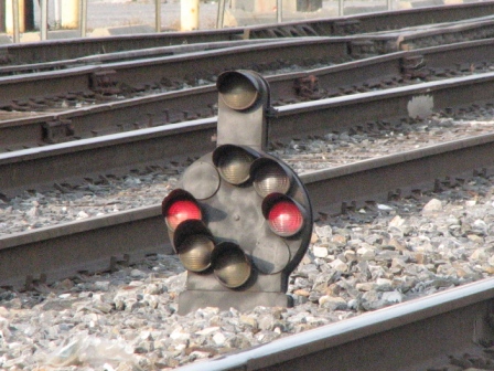
Signal in front of the B&O depot.

3
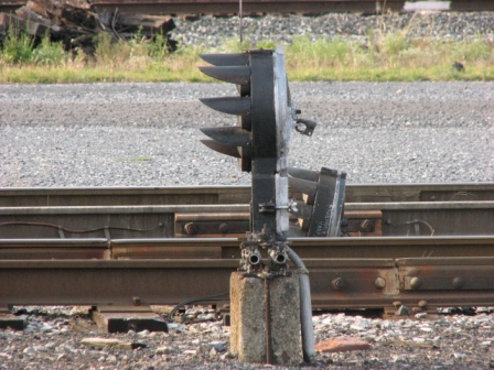
Signals adjacent to the B&O depot, slightly west of that location.
4
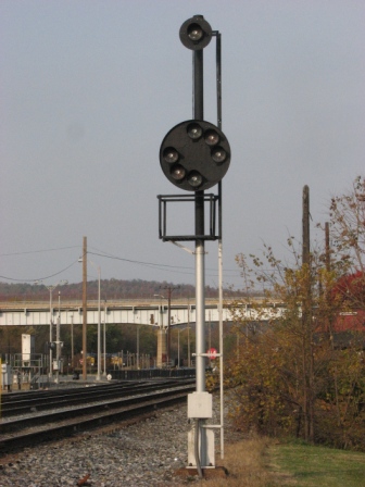
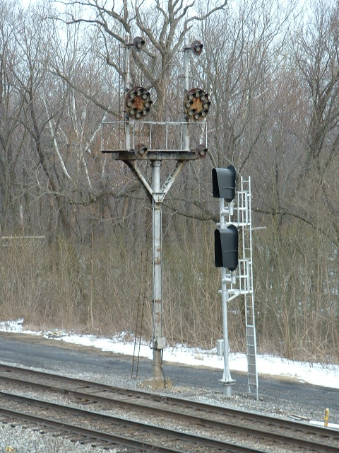
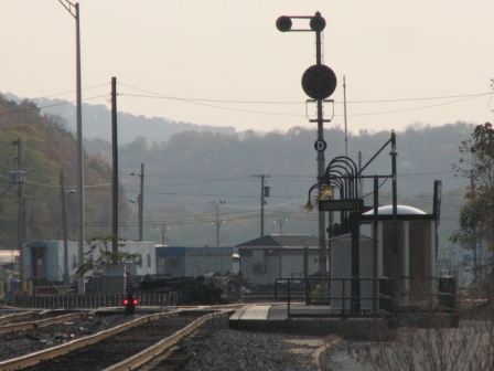
The signals adjacent to the tower, one high and two dwarfs.


5
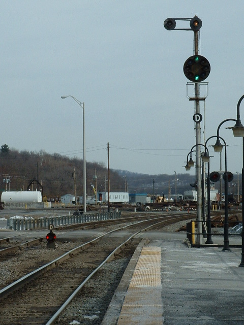
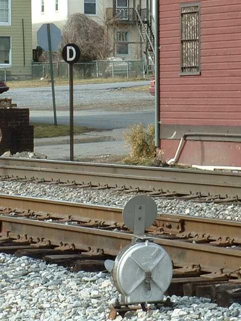
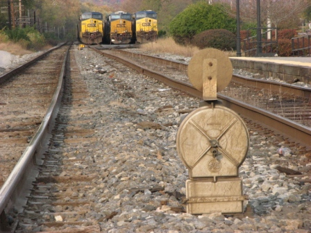
A lone CPL in city park (and an interesting house).

6
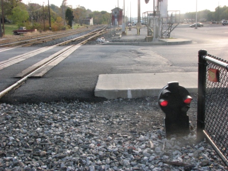
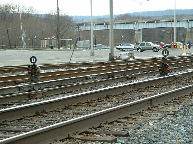
Dwarf signal off the west end of the EB platform, governing moves to either side of the platform.
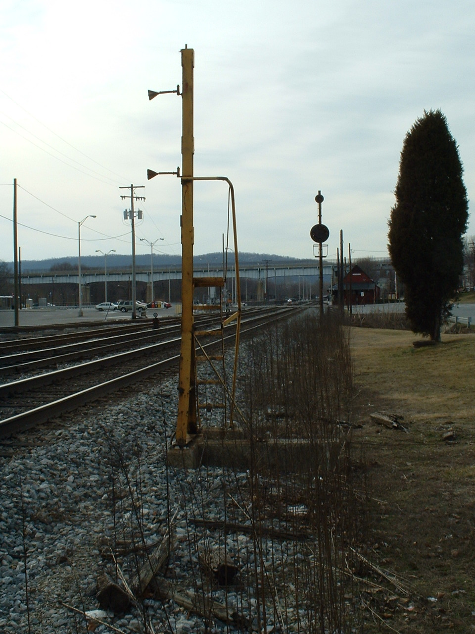
7
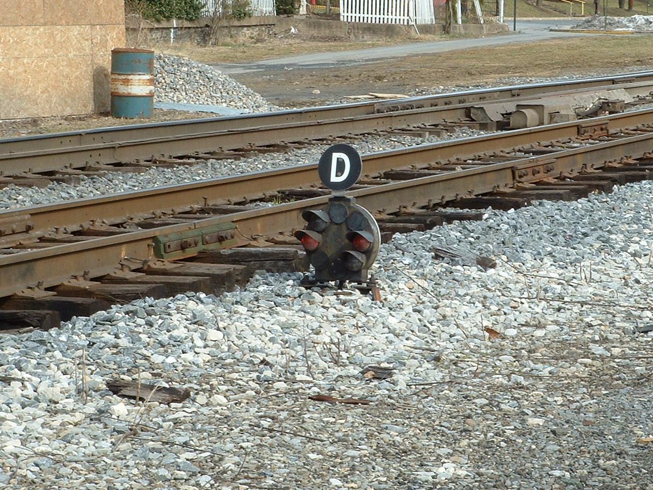
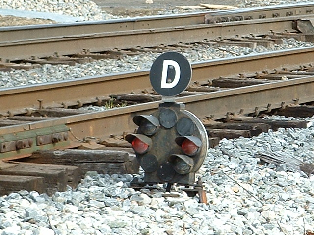
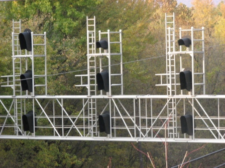
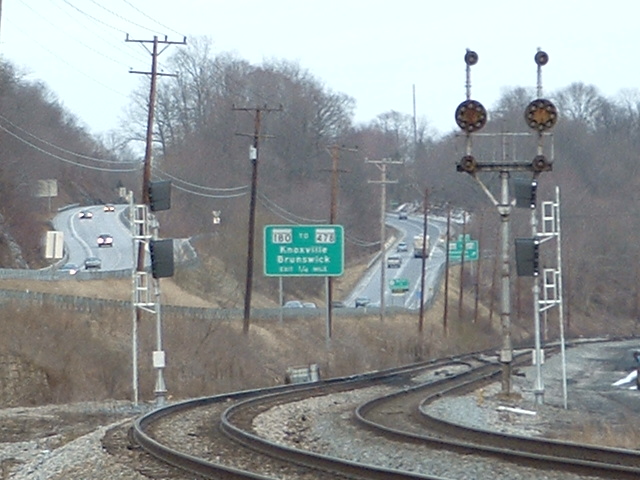
West of Brunswick, off 340 where Knoxville Rd splits off, are a couple of "new" signals, which replaced the B&O CPL's in the 2005 timeframe. This is a set of WB signals, with the two right photos looking back east towards Brunswick - you can see where the track splits, and everything in the middle used to be yard. These pix are from 2008.

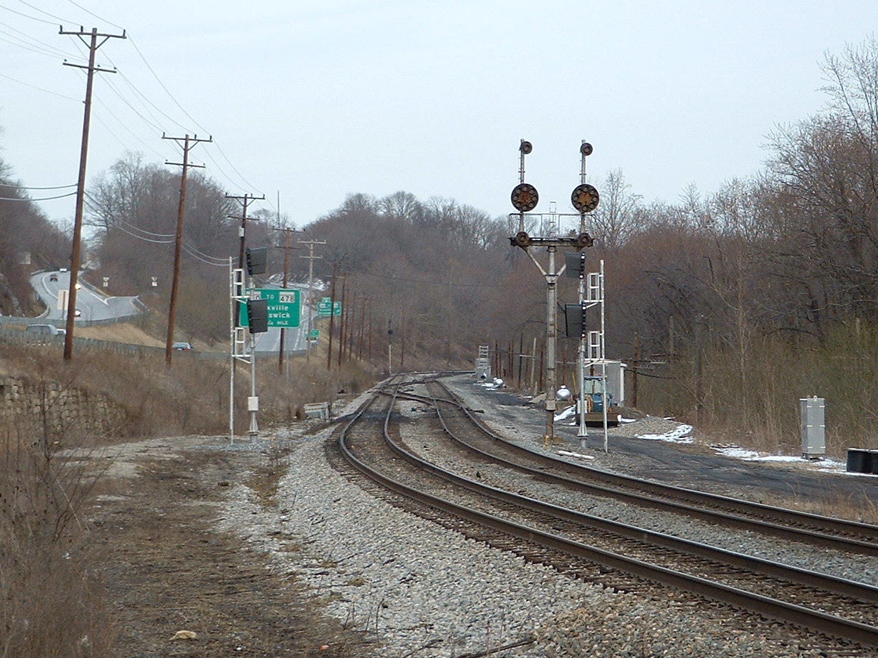
8
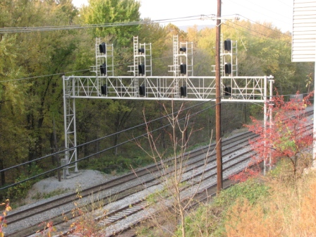
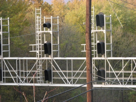
Also west of Brunswick along 340 is a set of EB signals, getting ready for the switchover in 2005. You can get pretty close to them by getting off of 340 from the NB lane at Keep Tryst Rd, just north of the exit for MD67. The exit for 478 can be seen in the distance, the road that takes you into Brunswick.
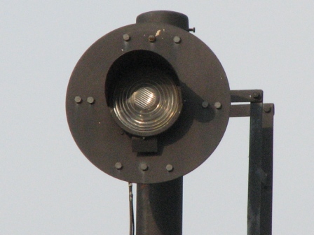
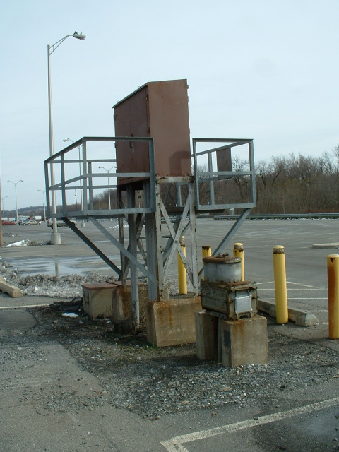
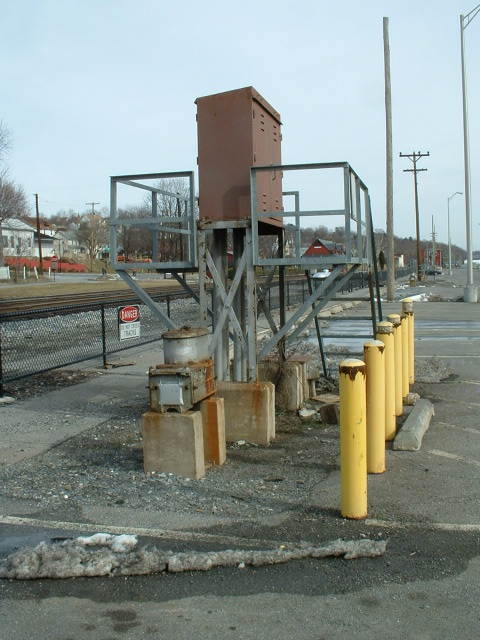
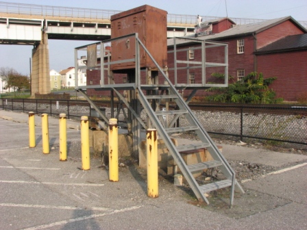
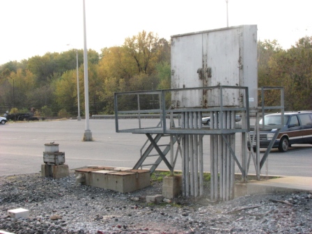
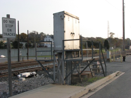
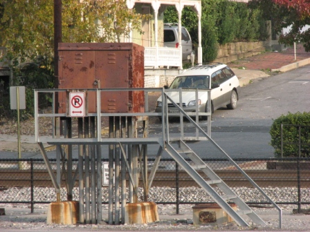
Some equipment gets mounted up high to avoid the floods that happen every now and then.


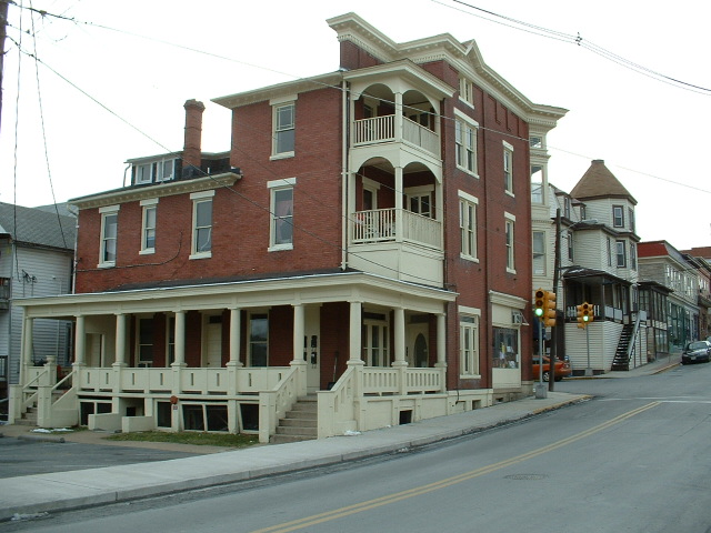
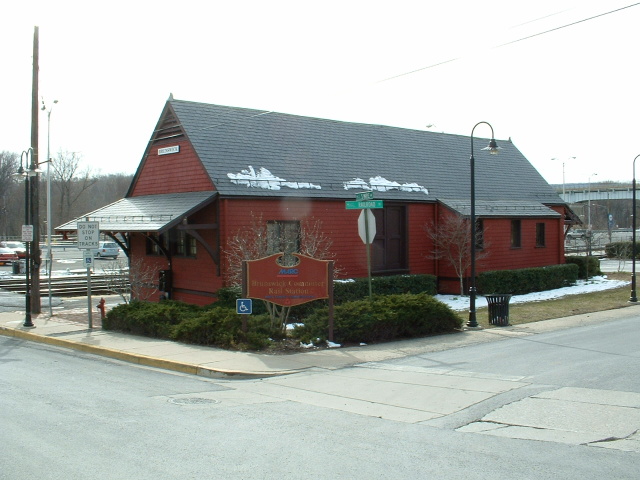
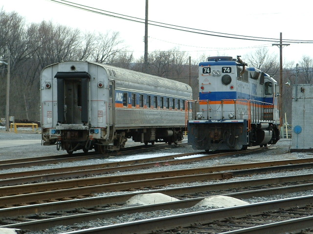
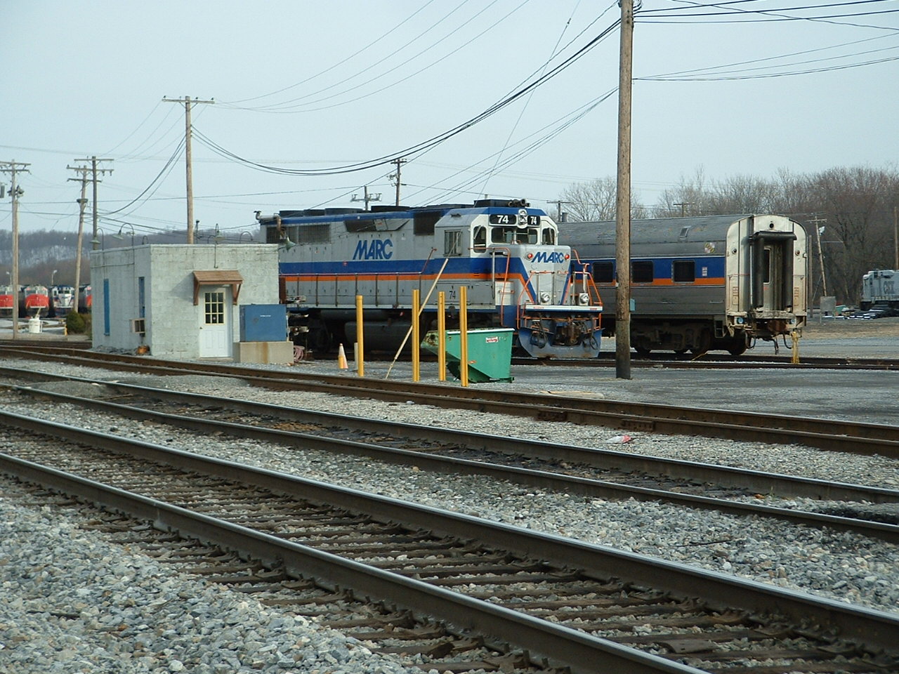
1 The ex B&O Depot and WB MARC Commuter Station
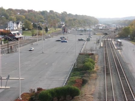

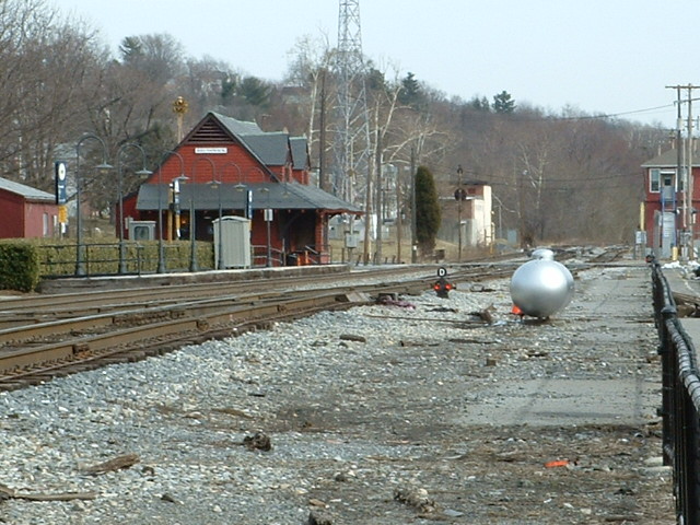
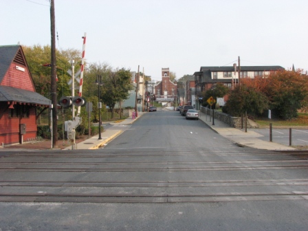


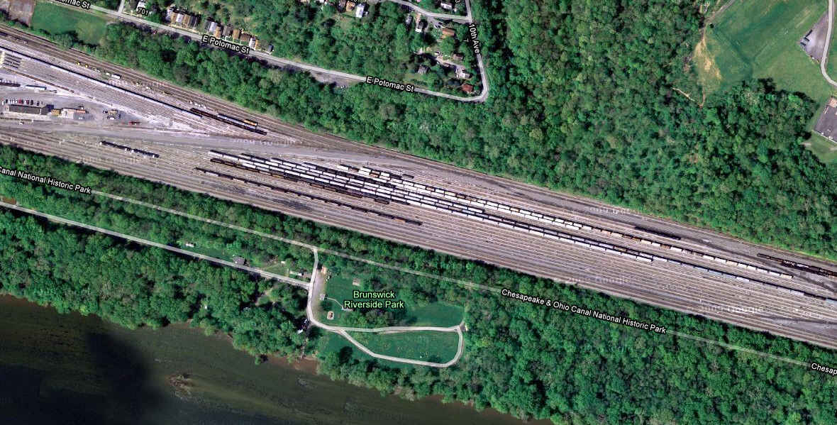
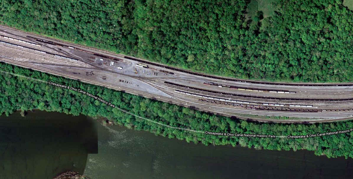
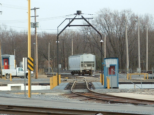
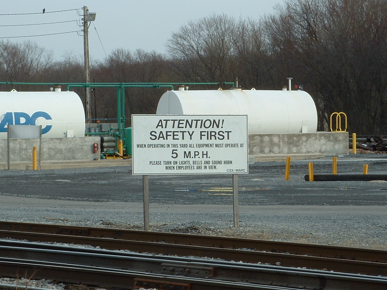
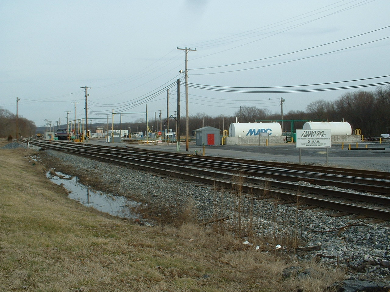
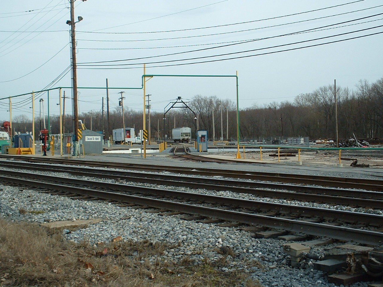
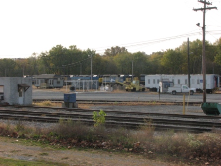
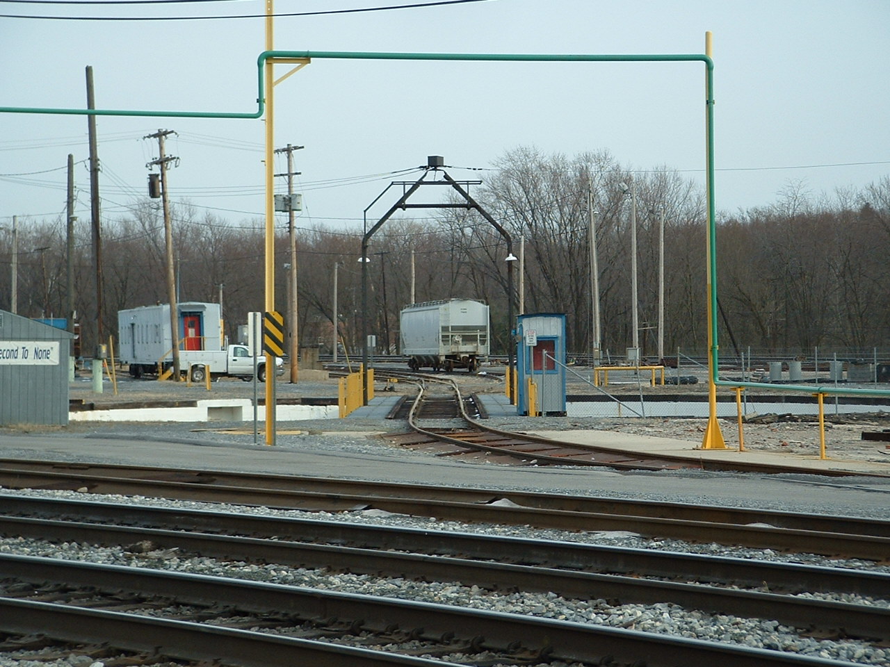
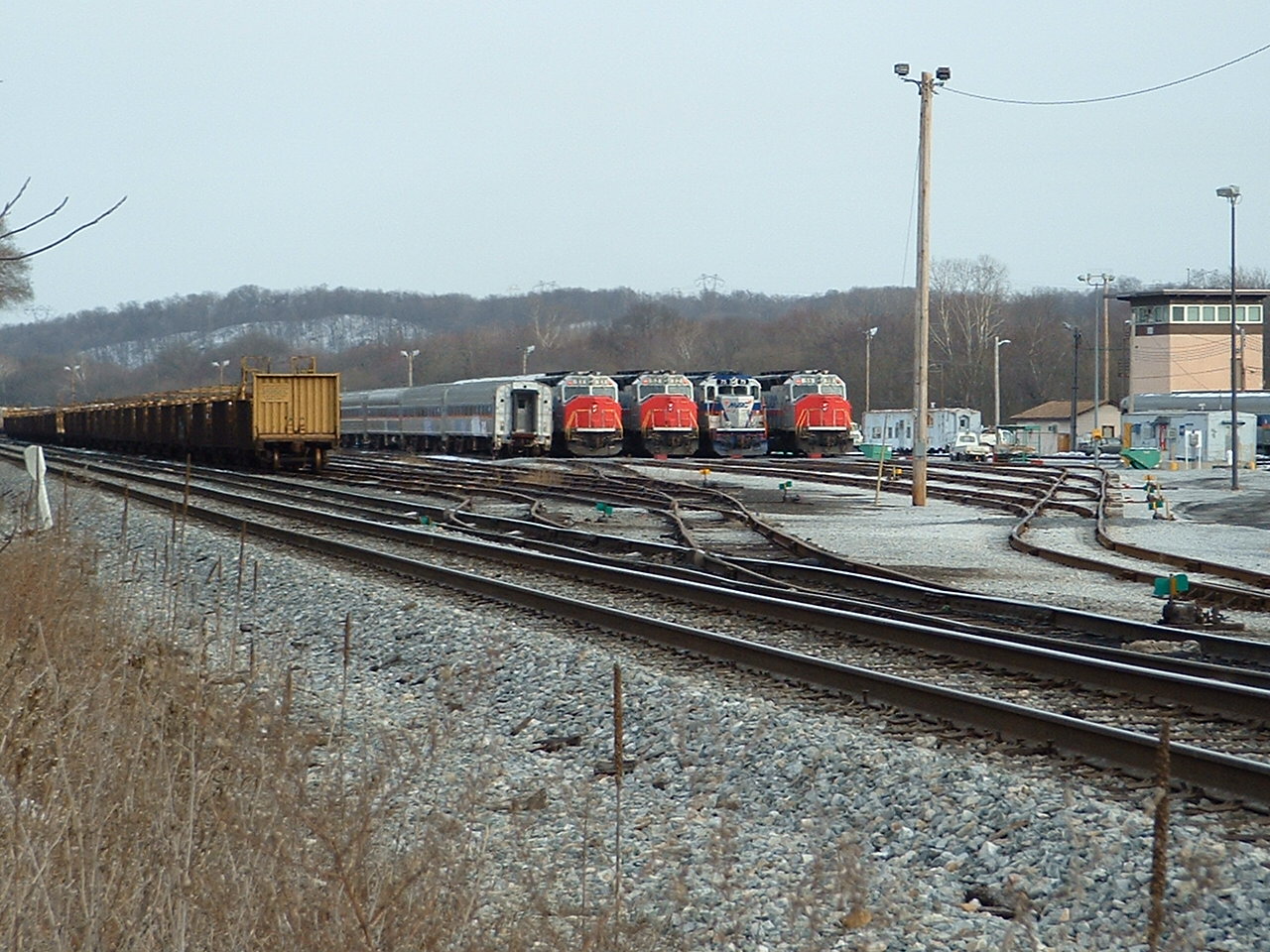
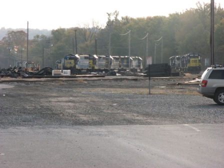
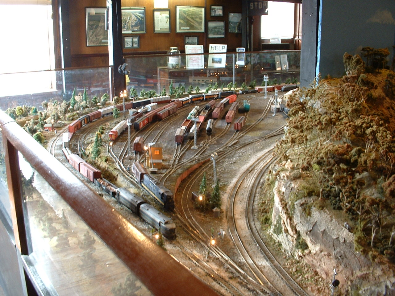
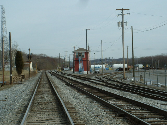
2 CSX's Brunswick Yard
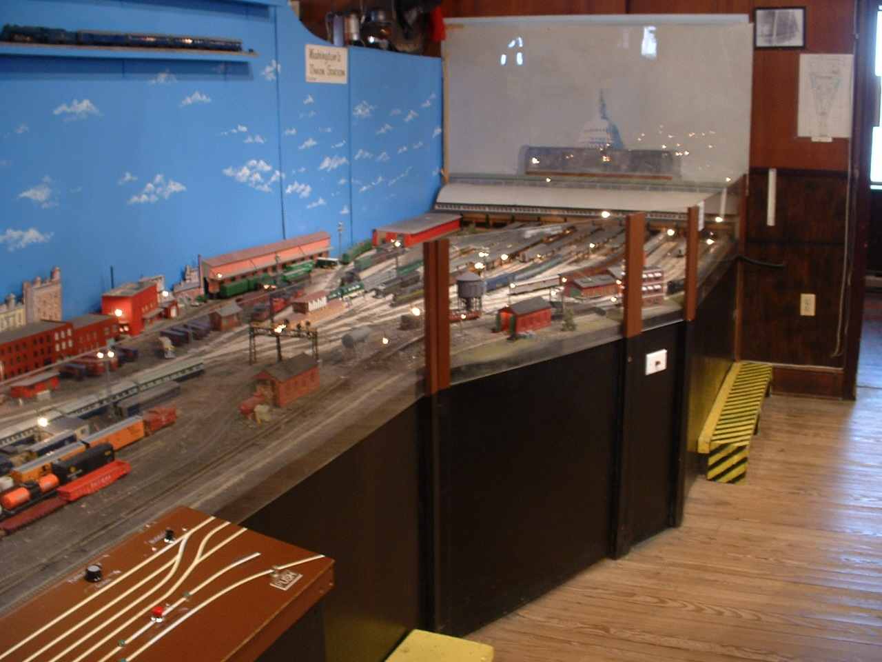
At one time, the B&O Brunswick Yard was billed as the largest in the nation. It doesn't quite have that air about it today, but a fair bit of activity still takes place. On the weekends, and overnight, you'll find MARC equipment parked on the west end of the yard. On the weekends, you may also find EB freights parked, ready, and waiting...... east of the MARC parking lot.


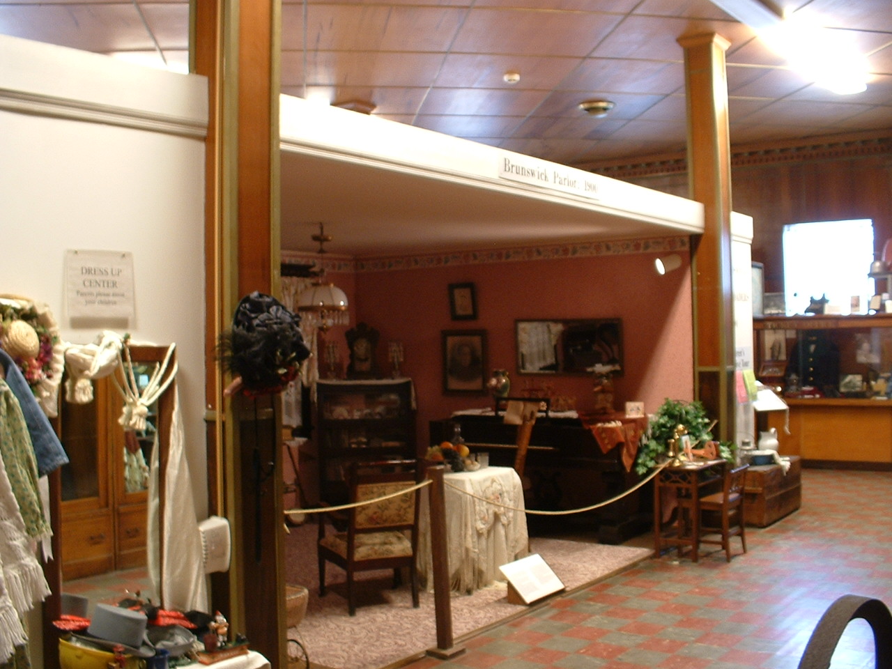
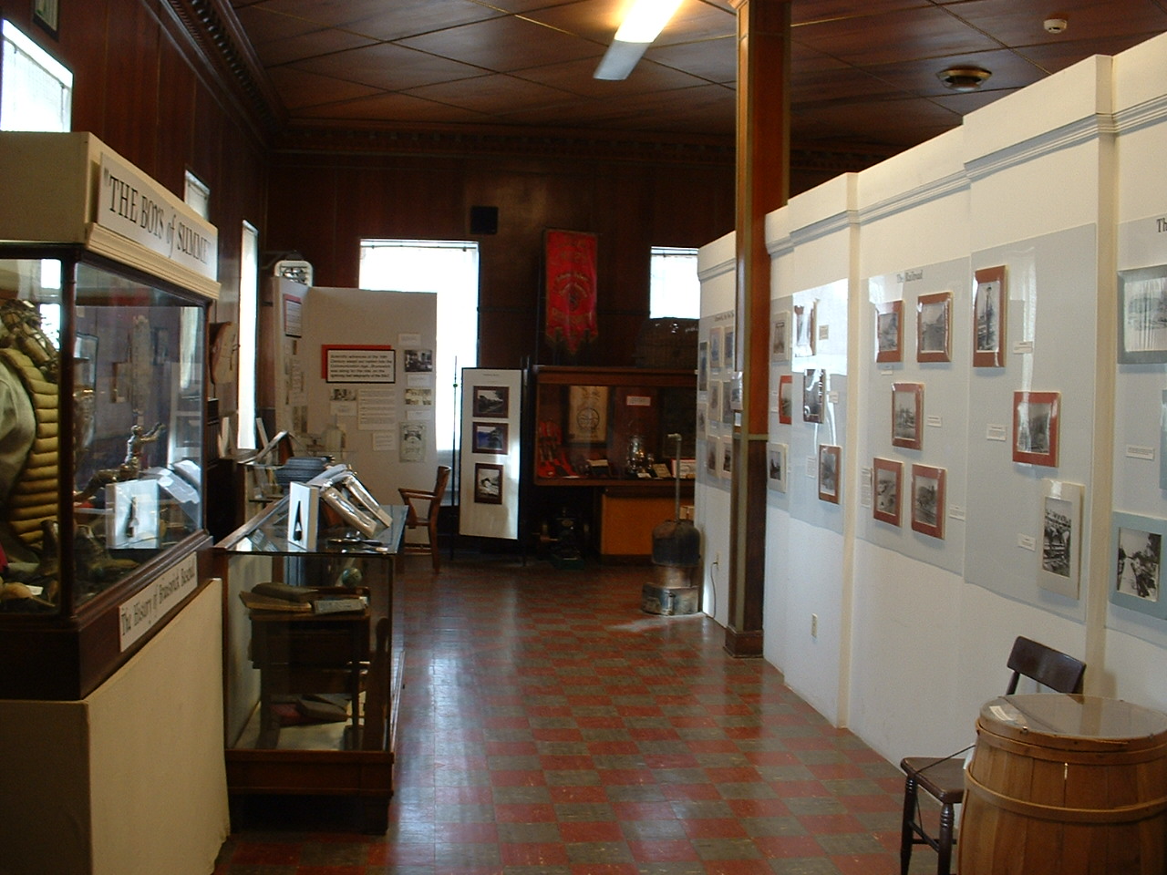
3 The Brunswick Railroad Museum


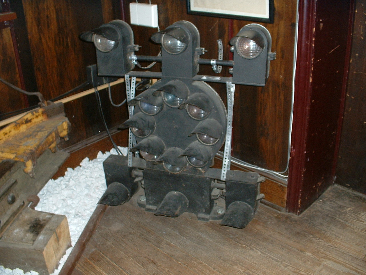
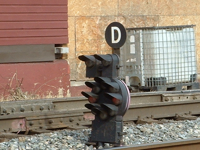
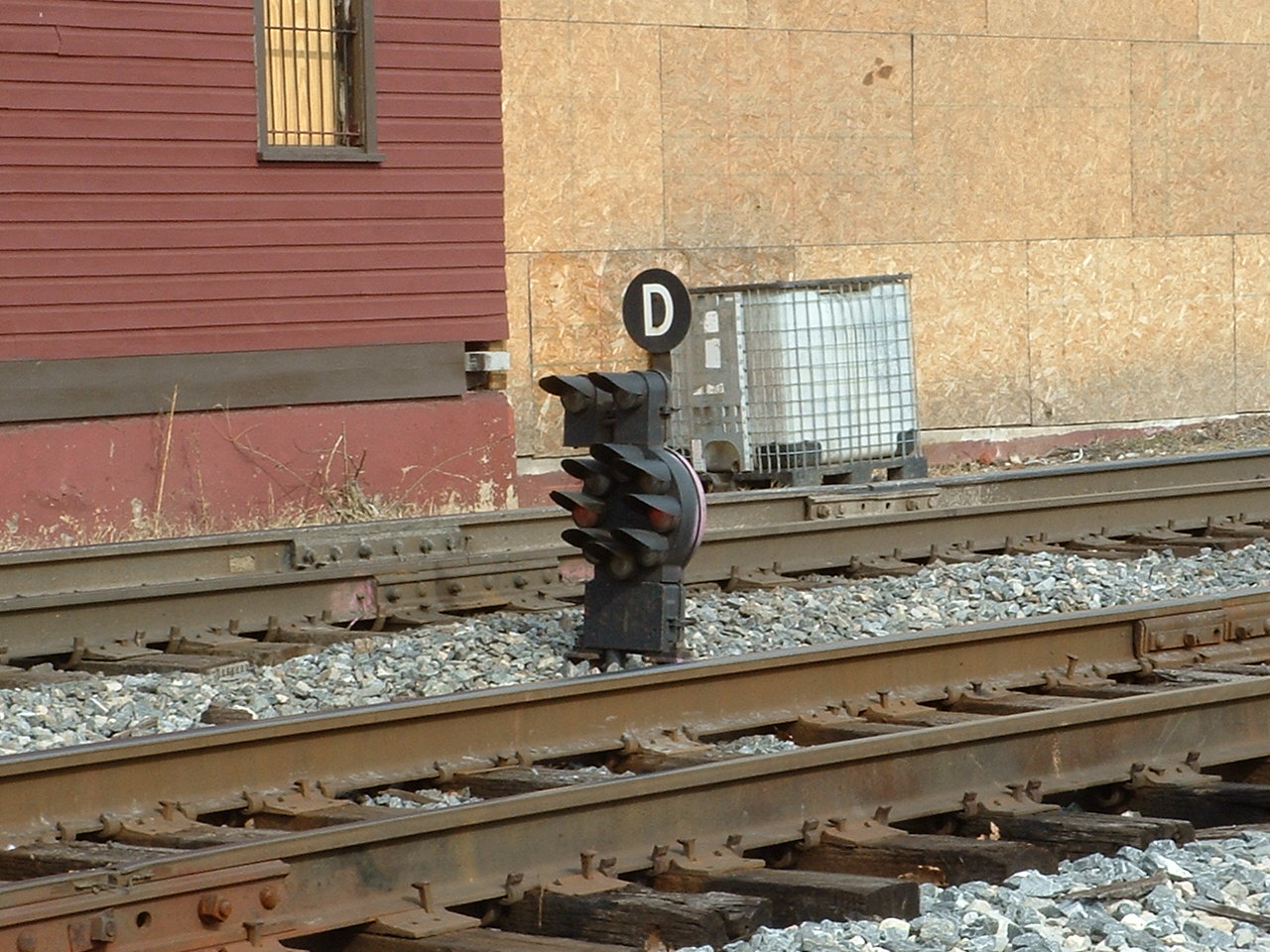
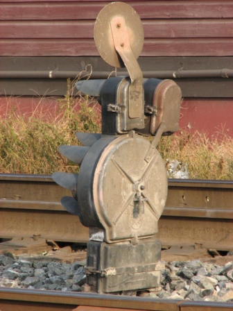
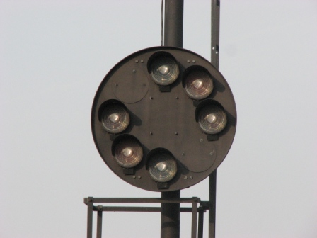
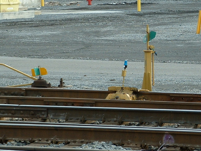
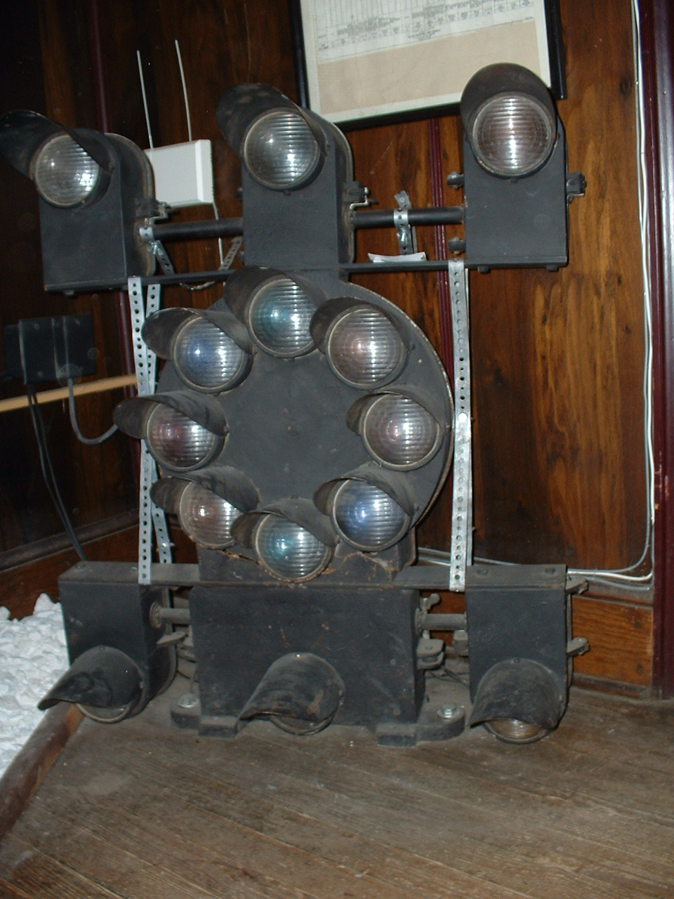 A rare full dwarf CPL! The only other one I know of is
at the B&O Transportation Museum, but it's not on display.
A rare full dwarf CPL! The only other one I know of is
at the B&O Transportation Museum, but it's not on display.
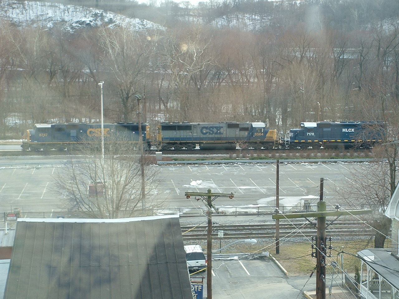 A view out the rear window on the second floor.
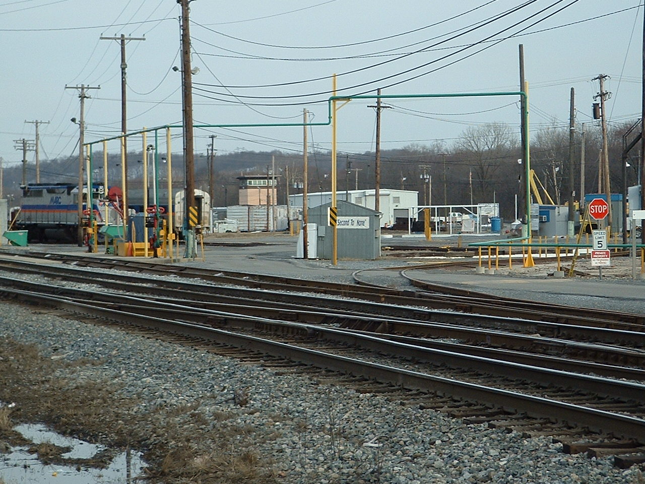
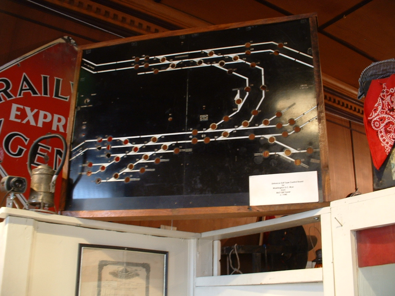
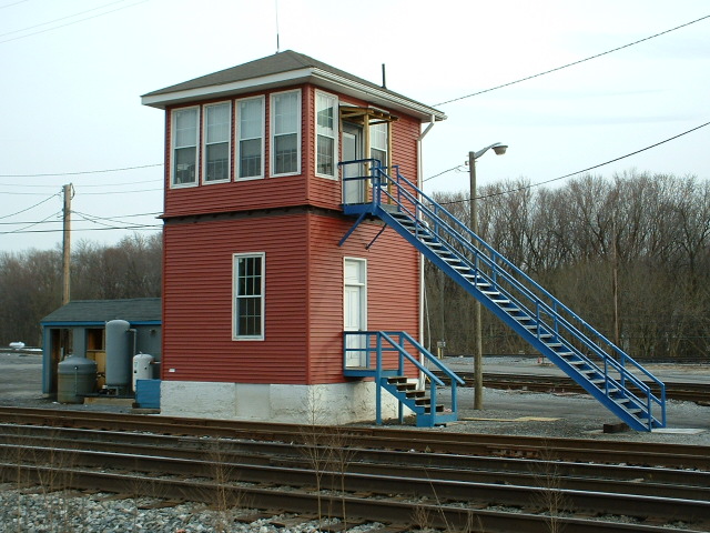
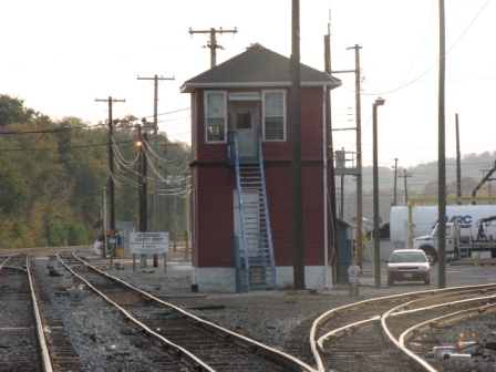
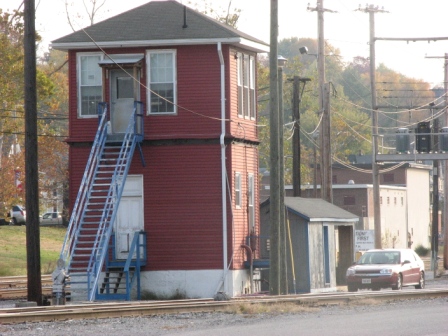
4 "B&O's" WB Tower


5
The
EB MARC Station

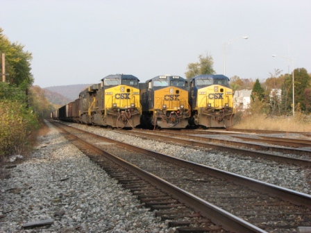
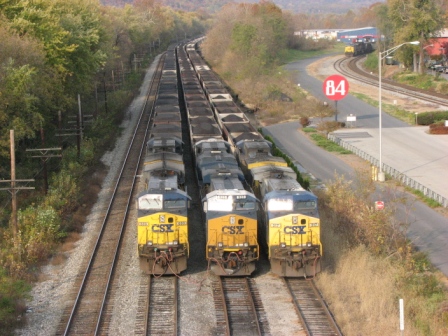 On the weekends, you can often find freights like this
just sitting around and waiting, note they're hooked up to air.
On the weekends, you can often find freights like this
just sitting around and waiting, note they're hooked up to air.
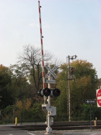

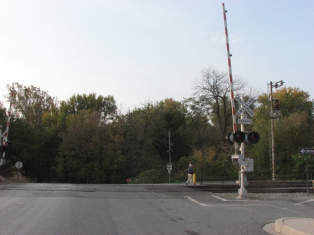 Crossing gates adjacent to the platform.
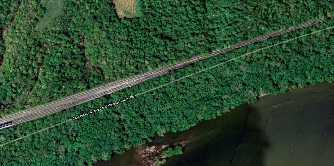
6
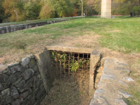
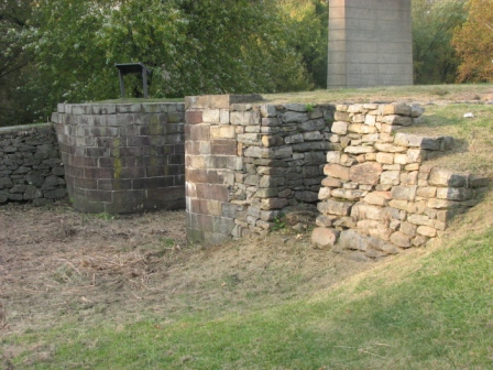
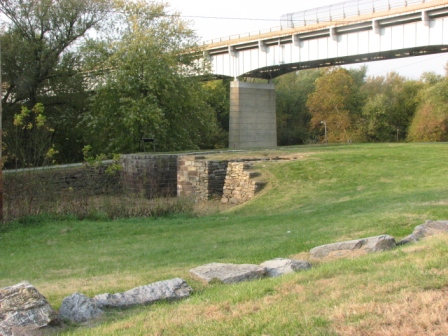
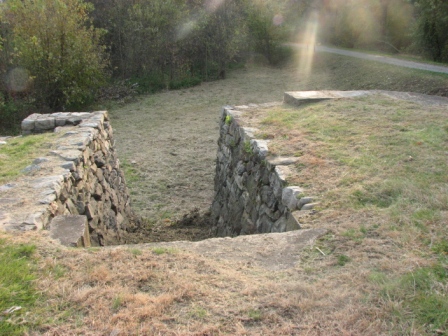
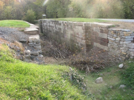
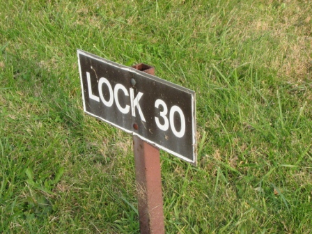
The
C&O Canal


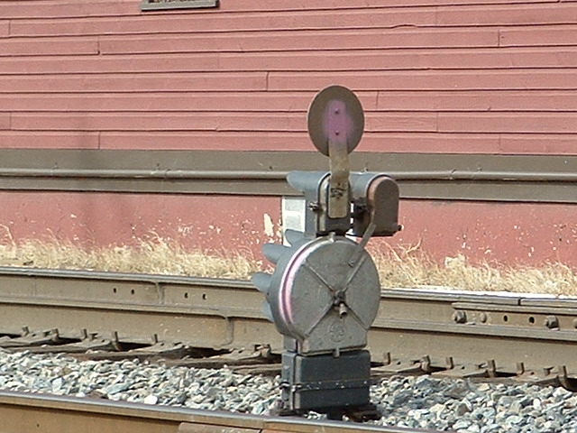
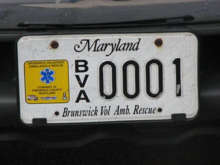 Not too often you find the first plate in a series!
ref 2005-0319 bruns 2008-1102 bruns 2008-1102 por
New: 2-19-2010
Mod: 29-Jan-2014