Access by train/transit:
None - closest service is in Indianapolis IN
The Scoop:
The
Acknowledgements:
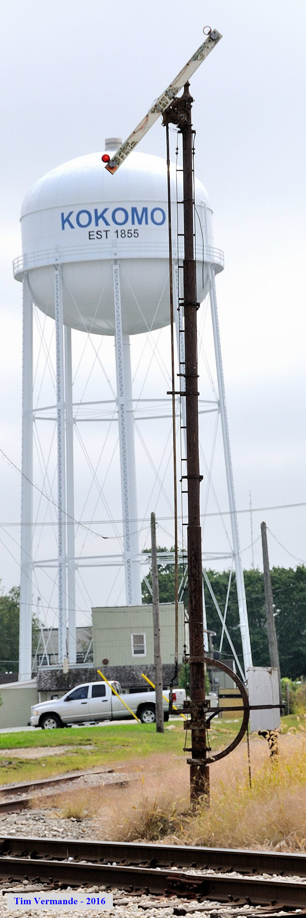
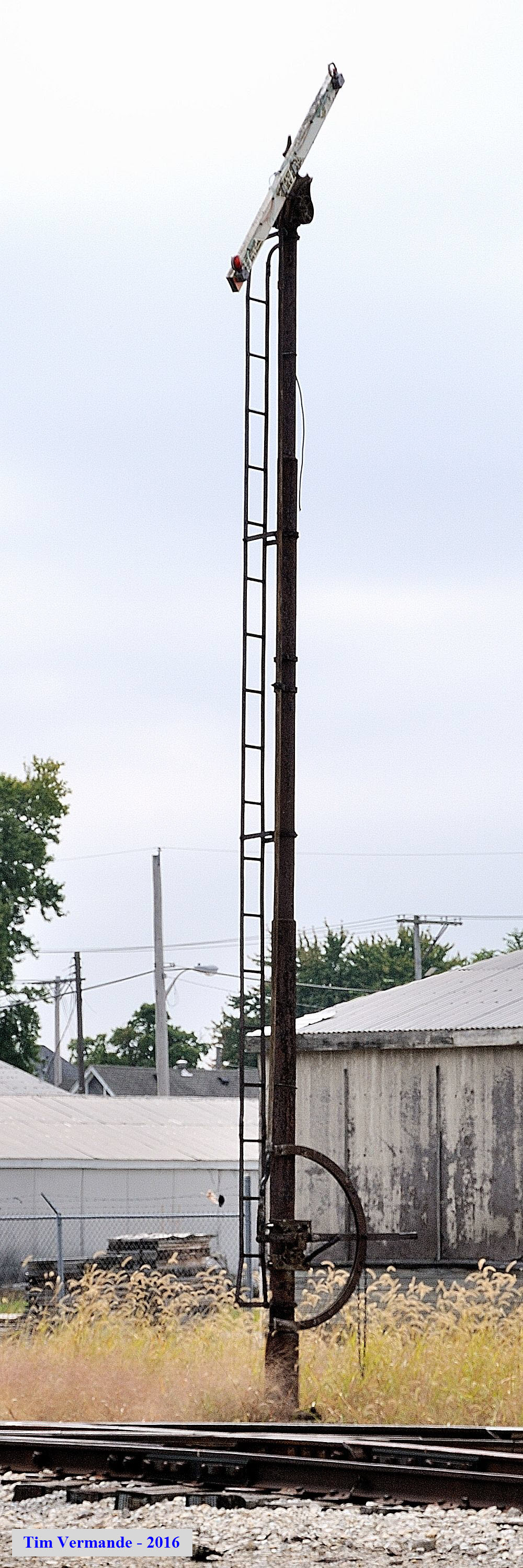
Many thanks to Time Vermande for taking the time to go strolling through town and taking good pictures of the tilting-target signals.
Aerial shots were taken from either Google Maps or www.bing.com/maps as noted. Screen captures are made with Snagit, a
Techsmith product... a great tool if you have never used it!
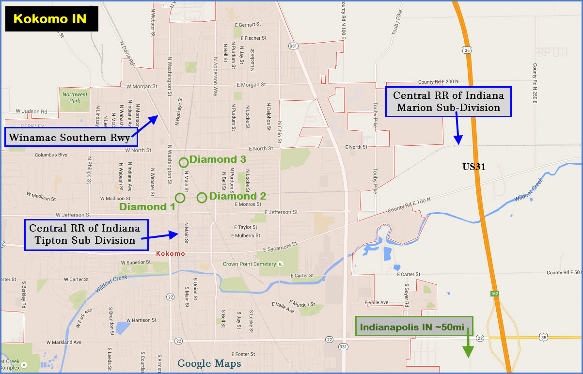
From Indianapolis: Take US 31 north from the loop around
Indianapolis, I-465, and get off at East Markland Ave, IN 22.
Head west to
Washington Street where you'll take a right to go north to the three diamonds.
From Chicago: Take I-65 south out of Gary IN, and get off at exit 172 (South St)
in Lafayette, and head east 36.5 miles on IN 26 to 931, and take a left into
Kokomo. 931 eventually turns in Reed St, take this up to IN 22 and hang a
left after you pass Markland Mall and Target.
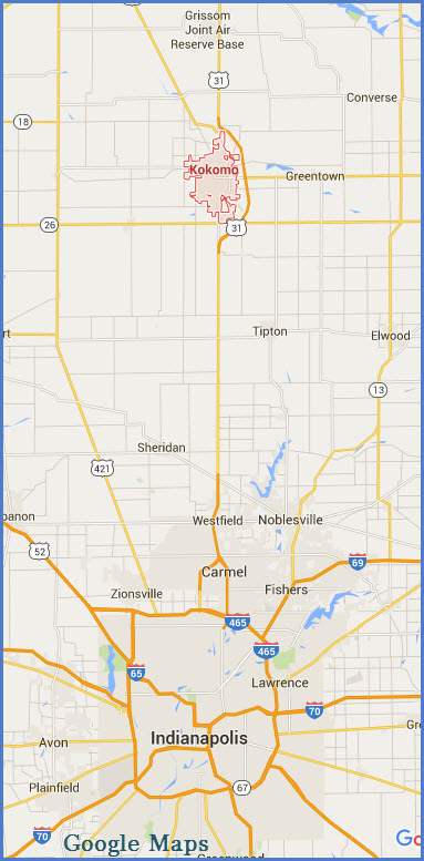
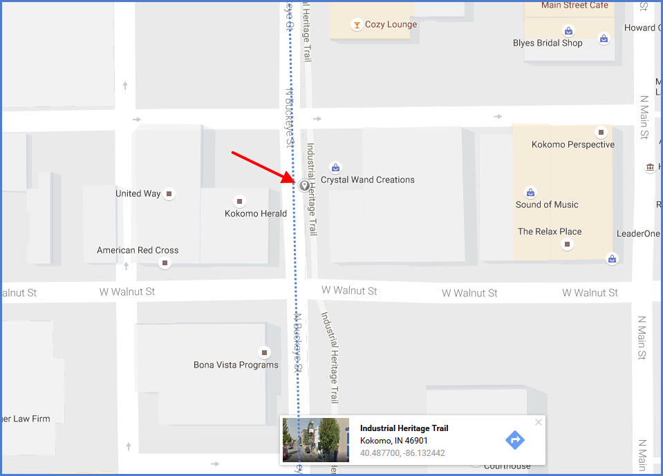
GPS Coordinates: 40.487700, -86.132442
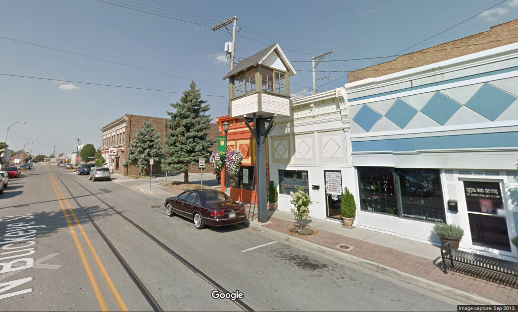
Located on Buckeye St, between Mulberry and Walnut Streets.
It is supposedly only one of two left in the state. It's been renovated 3
times in the past 20 years or so.
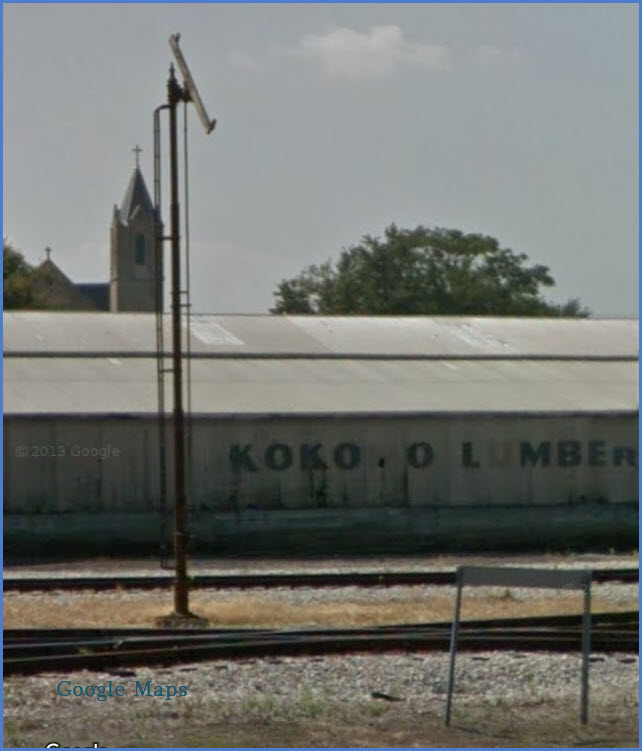
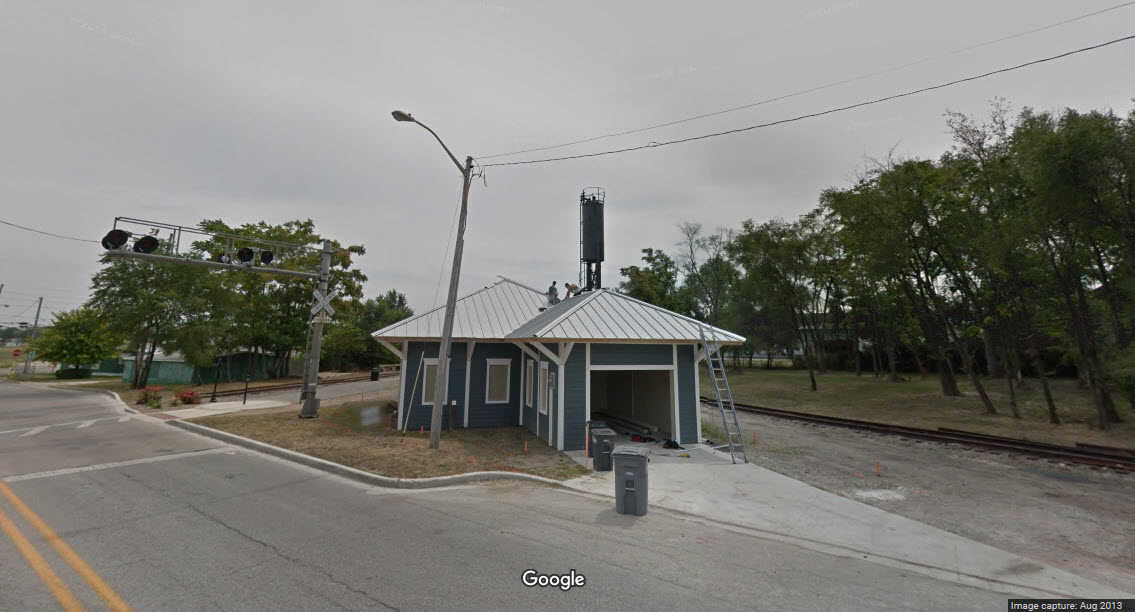
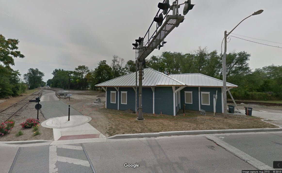
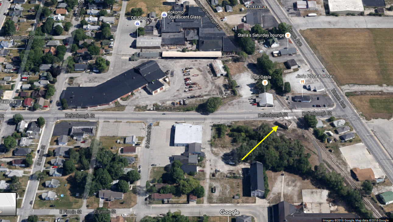
Freight
Shed?
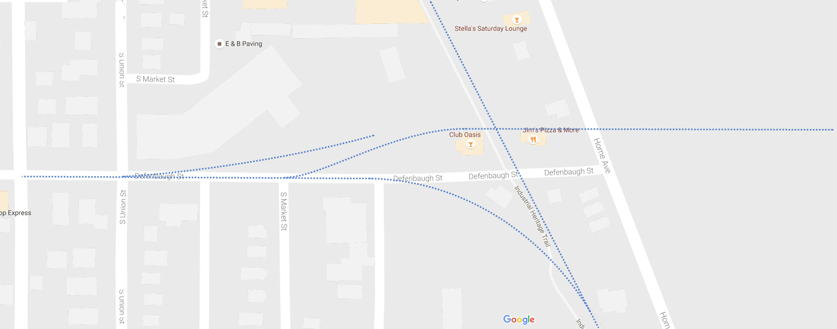
GPS Coordinates: 40.469342, -86.126652
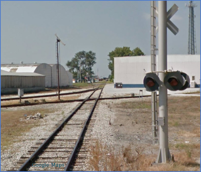
Located on Defenbaugh St, just west of Home Ave.
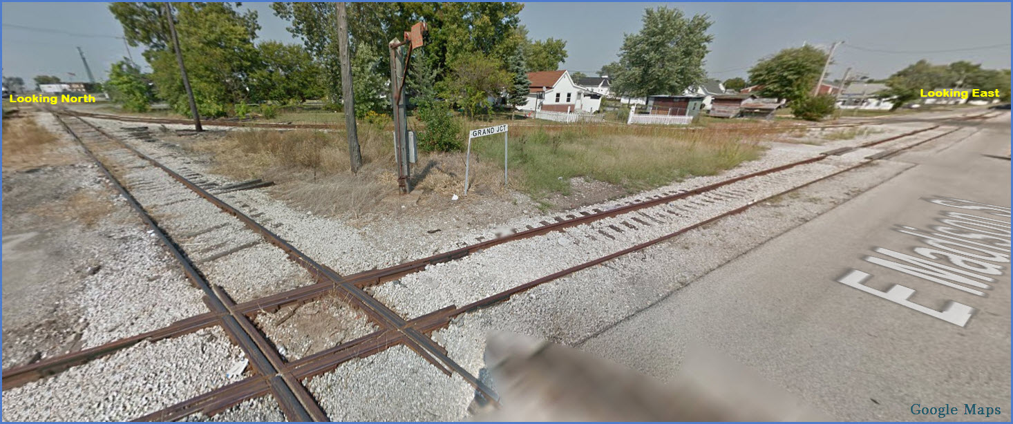
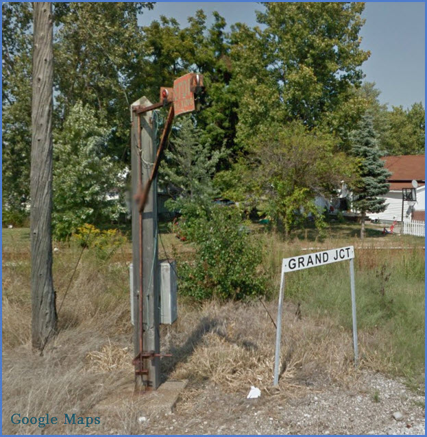
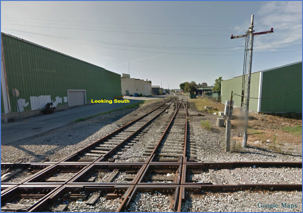
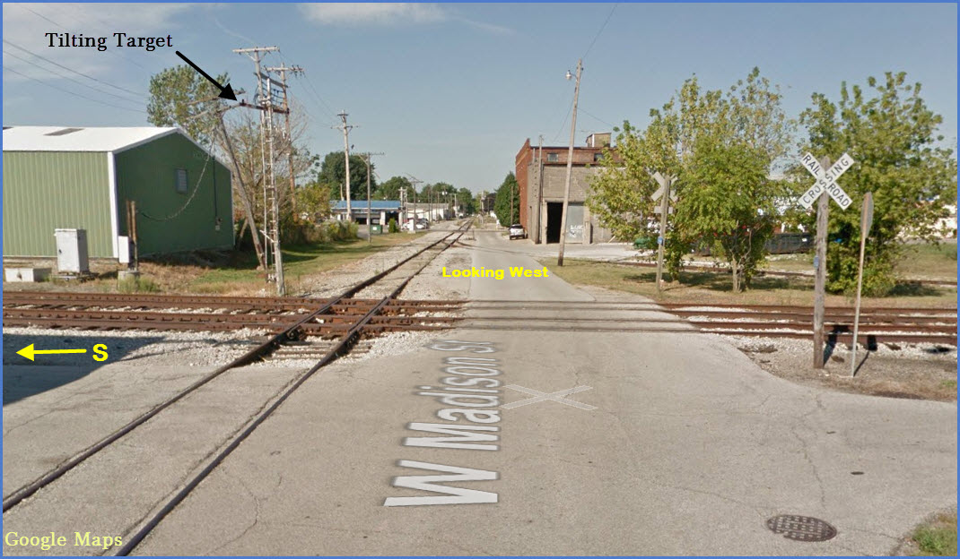
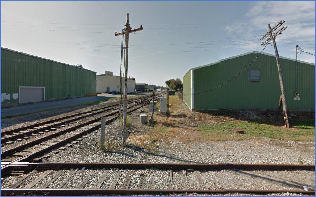
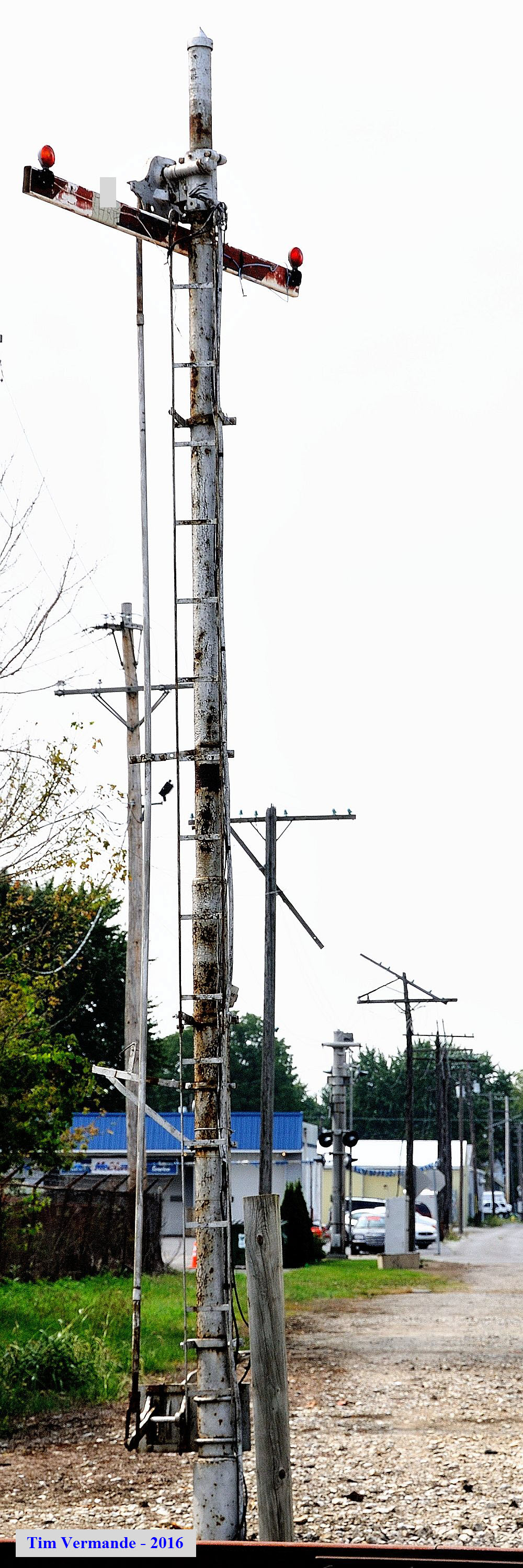
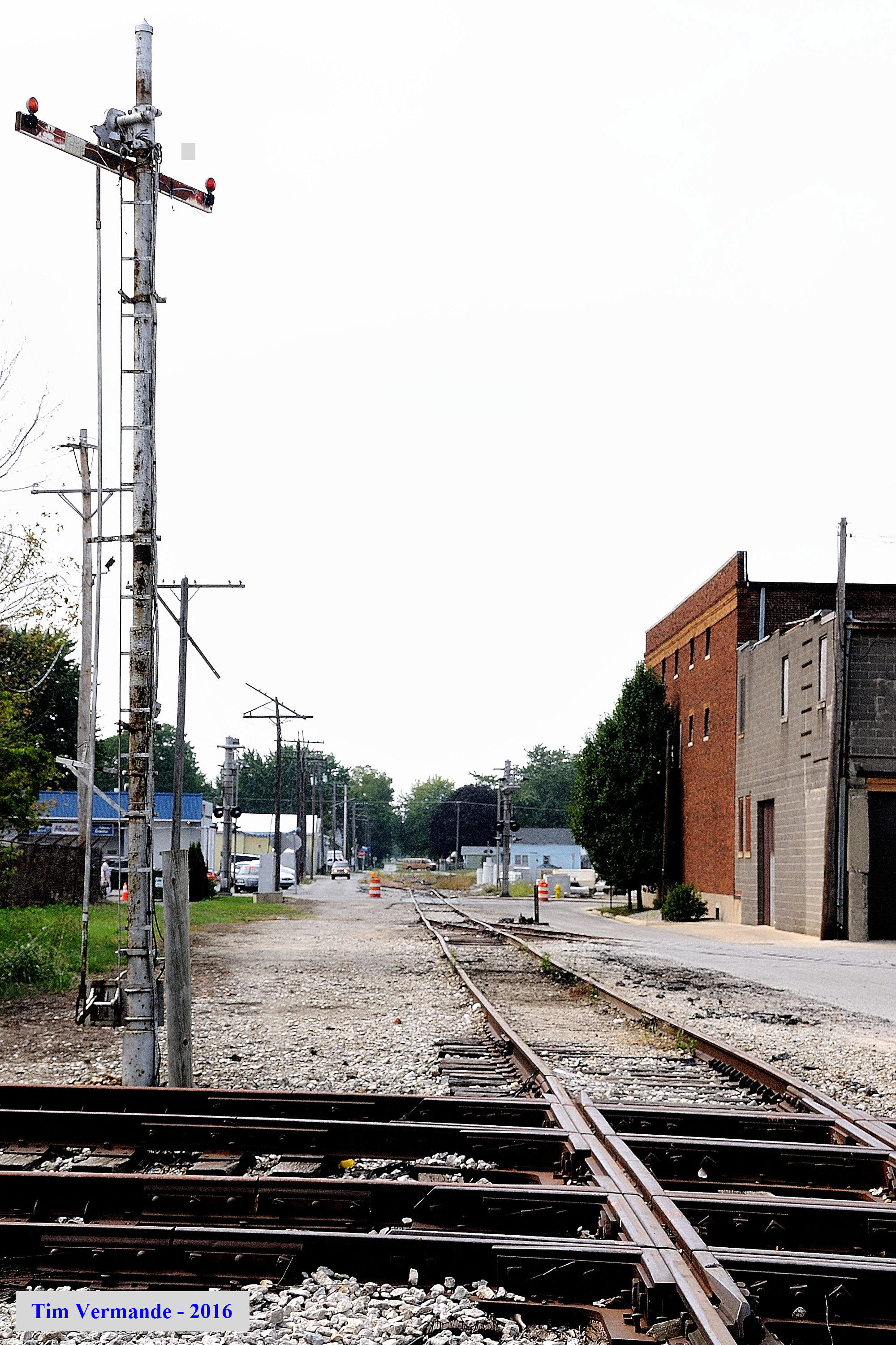
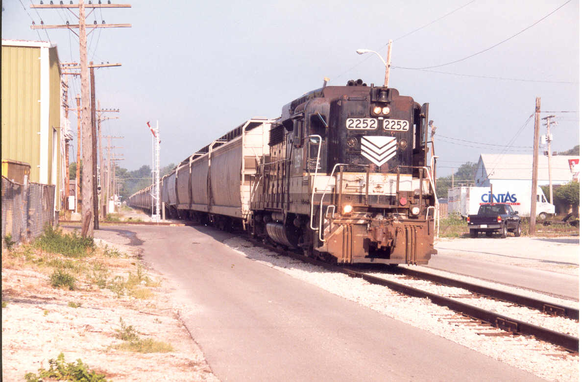
A (print) picture I took in the 1998-2000 timeframe, with one of the two tilting target signals in the background. At Diamond 1, Madison and Buckeye, the Indiana RR
(CIND) train is eastbound.
I added the tiny map locator, as RailPictures didn't have one, and added the
location to the picture.
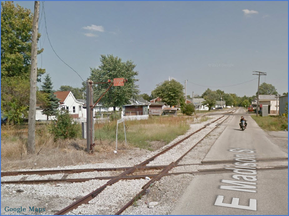
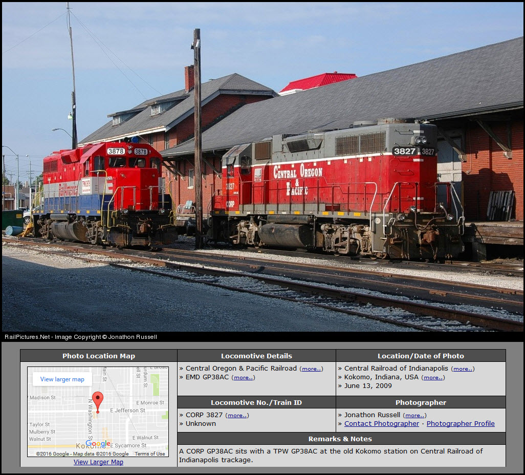
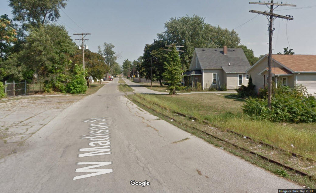
Doesn't look like anything been down W Madison St for a while, but if something
does, it looks like a great spot when it veers off at McCann St.
GPS Coordinates: 40.486513, -86.124798
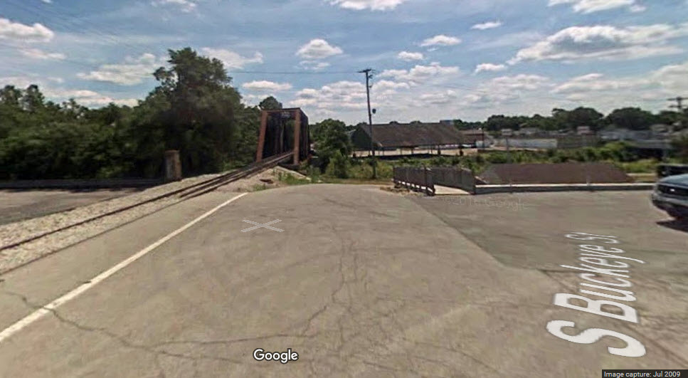
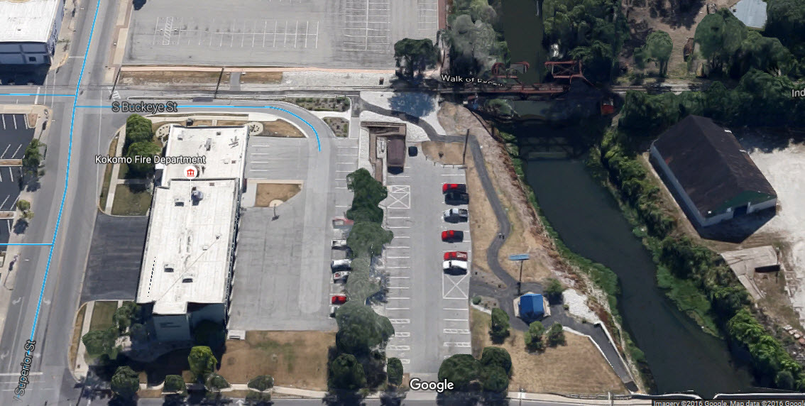
In a town where almost everything is flat, it is unusual to find enough of a dip to have a railroad overpass :-)
Former PRR Bridge over Wildcat Creek
GPS Coordinates: 40.482076, -86.121848
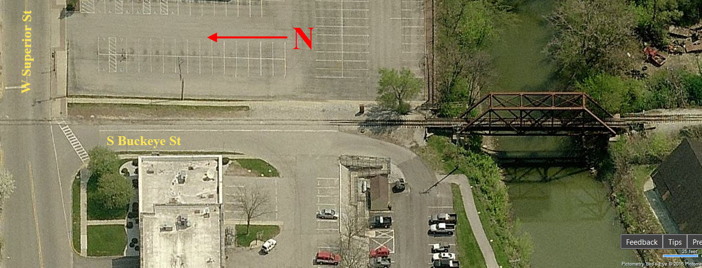
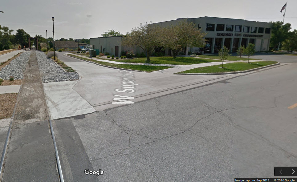
Former NYC&StL Bridge over Wildcat Creek
GPS Coordinates: 40.482076, -86.121848
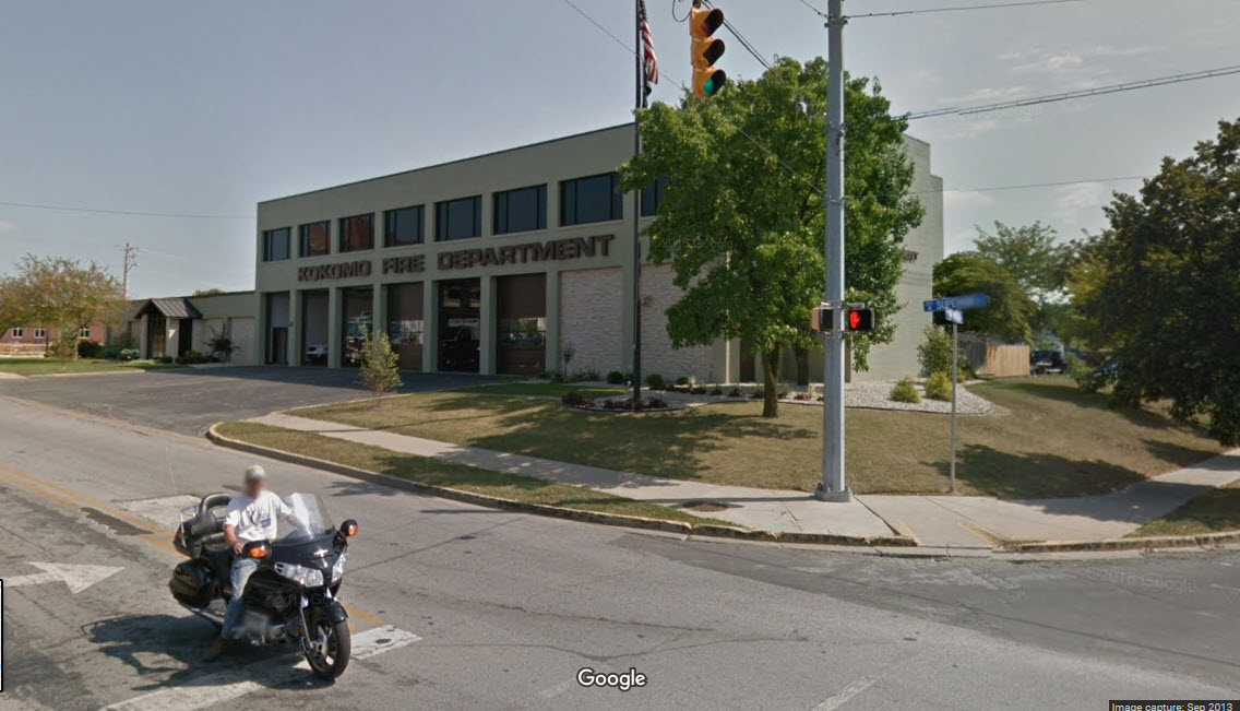
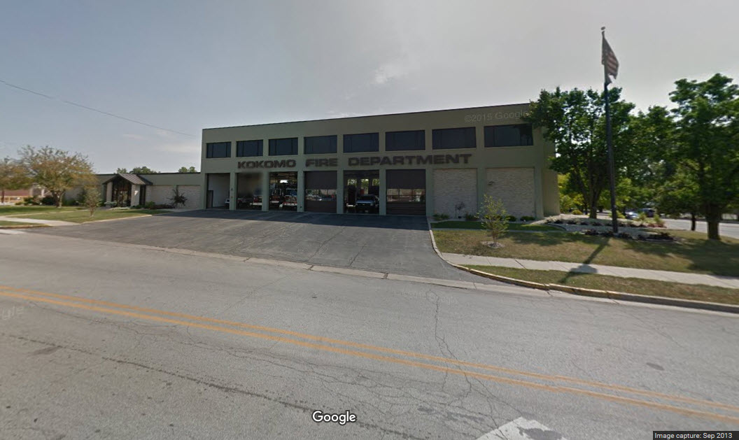
You can good shots of the bridge from the end of Buckeye Street, from the back
parking lot of the fire station.
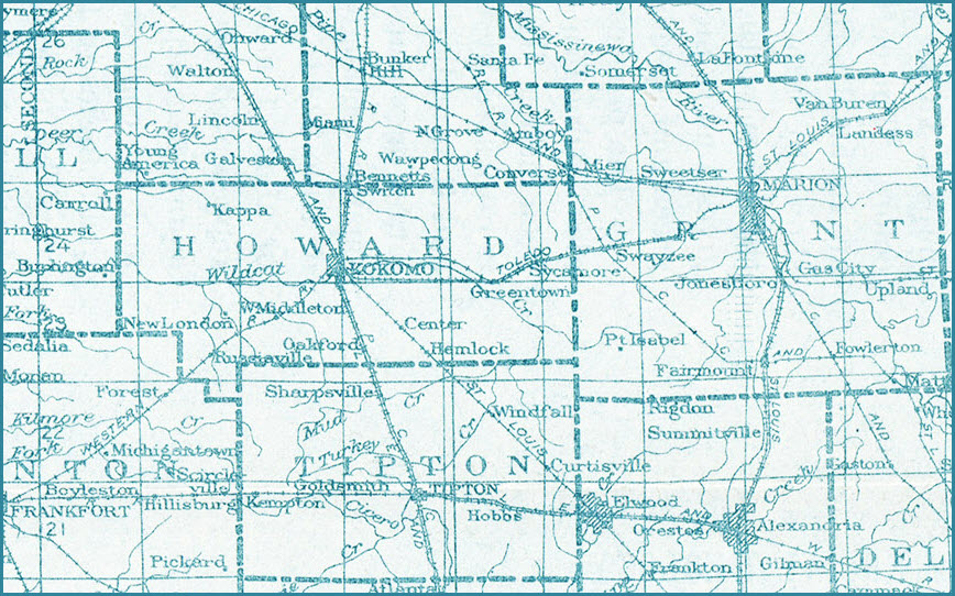
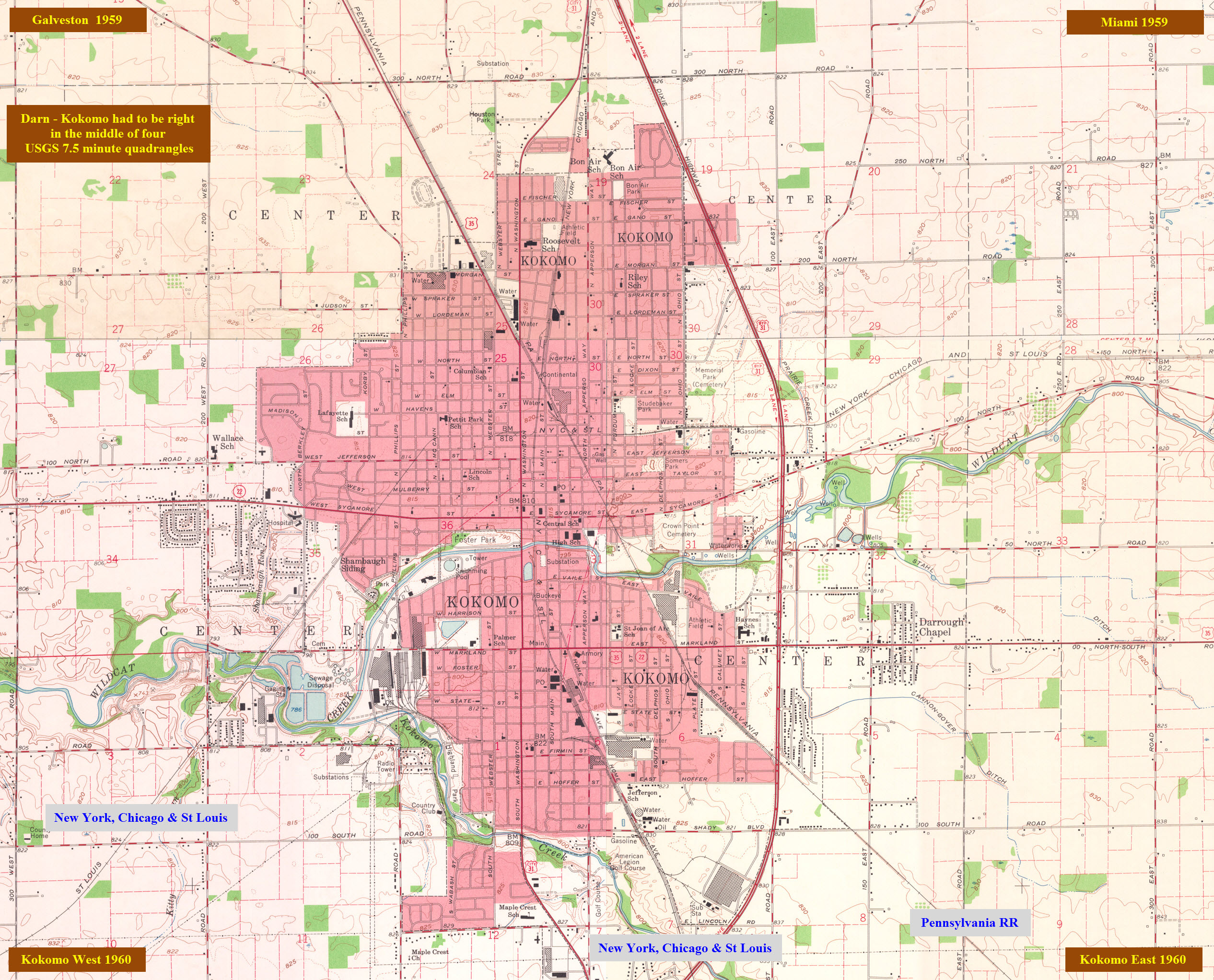
It seems that early in the 1900's, there were no 7 1/2 minute maps available for
Kokomo.
Below is a wide area index map for Indiana from 1925. Courtesy of the University of Texas Library, click here for their index page.
I love trains, and I love signals. I am not an expert.
Please Note: Since the main focus of my two websites is railroad signals, the railfan guides are oriented towards the signal fan being able to locate them. For those
of you into the modeling aspect of our hobby, my indexa page has a list of almost everything railroad oriented I can think of to provide
you with at least a few pictures to help you detail your pike.
If this is a railfan page, every effort has been made to make sure that the information contained on this map and in this railfan guide is correct.
My philosophy: Pictures and maps are worth a thousand words, especially for railfanning. Text descriptions only get you so far, especially if you get lost or disoriented. Take
along good maps.... a GPS is OK to get somewhere, but maps are still
better if you get lost! I belong to AAA, which allows you to get
local maps for free when you visit the local branches. ADC puts
out a nice series of county maps for the Washington DC area, but their
state maps do not have the railroads on them. If you can find em,
I like the National Geographic map book of the U.S..... good, clear, and
concise graphics, and they do a really good job of showing you where
tourist type attractions are, although they too lack the railroads.
Other notes about specific areas will show up on that page if known.
By the way, floobydust is
a term I picked up 30-40 years ago from a National Semiconductor data
book, and means miscellaneous and/or other stuff.
Pictures and additional information is always needed if anyone feels
inclined to take 'em, send 'em, and share 'em, or if you have
something to add or correct.... credit is always given! BE NICE!!! Contact info
is here
Beware: If used as a source, ANYTHING from Wikipedia must be treated as
being possibly being inaccurate, wrong, or not true.
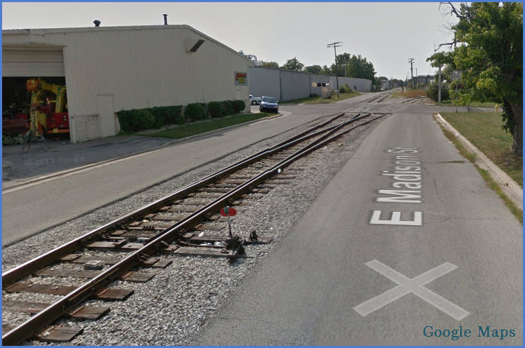


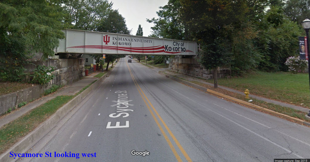
 E Sycamore St
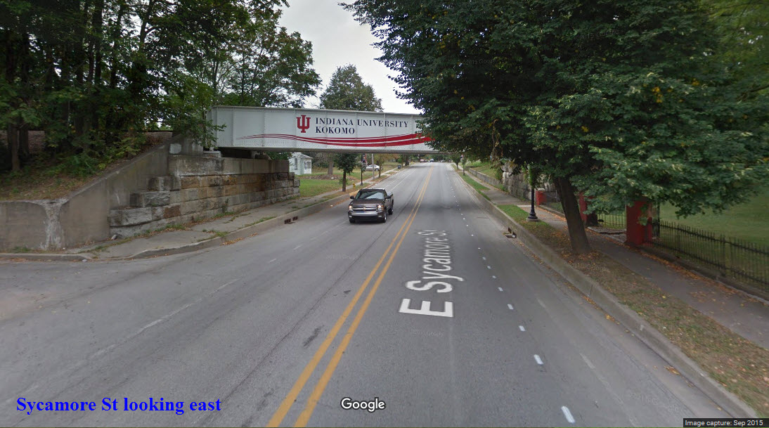
 Former PRR Bridge over Wildcat Creek
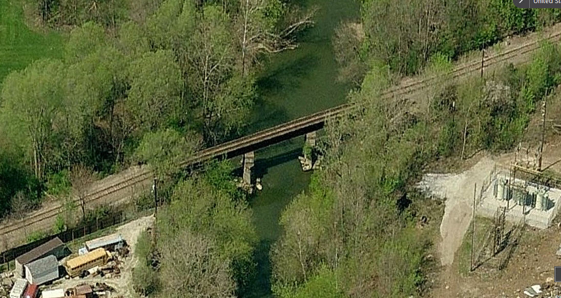
 Former NYC&StL Bridge over Wildcat Creek
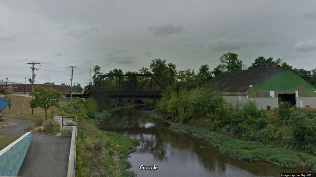
 The full
story is at:
http://itm.org/history-of-the-railroad/
The full
story is at:
http://itm.org/history-of-the-railroad/