
In General
Getting Here
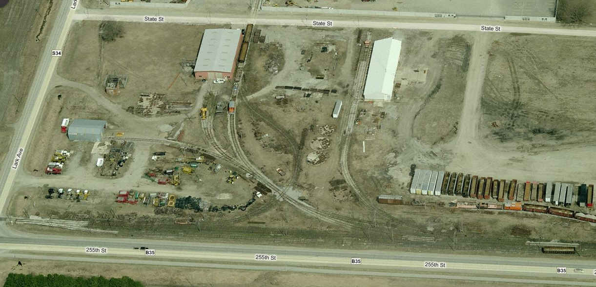
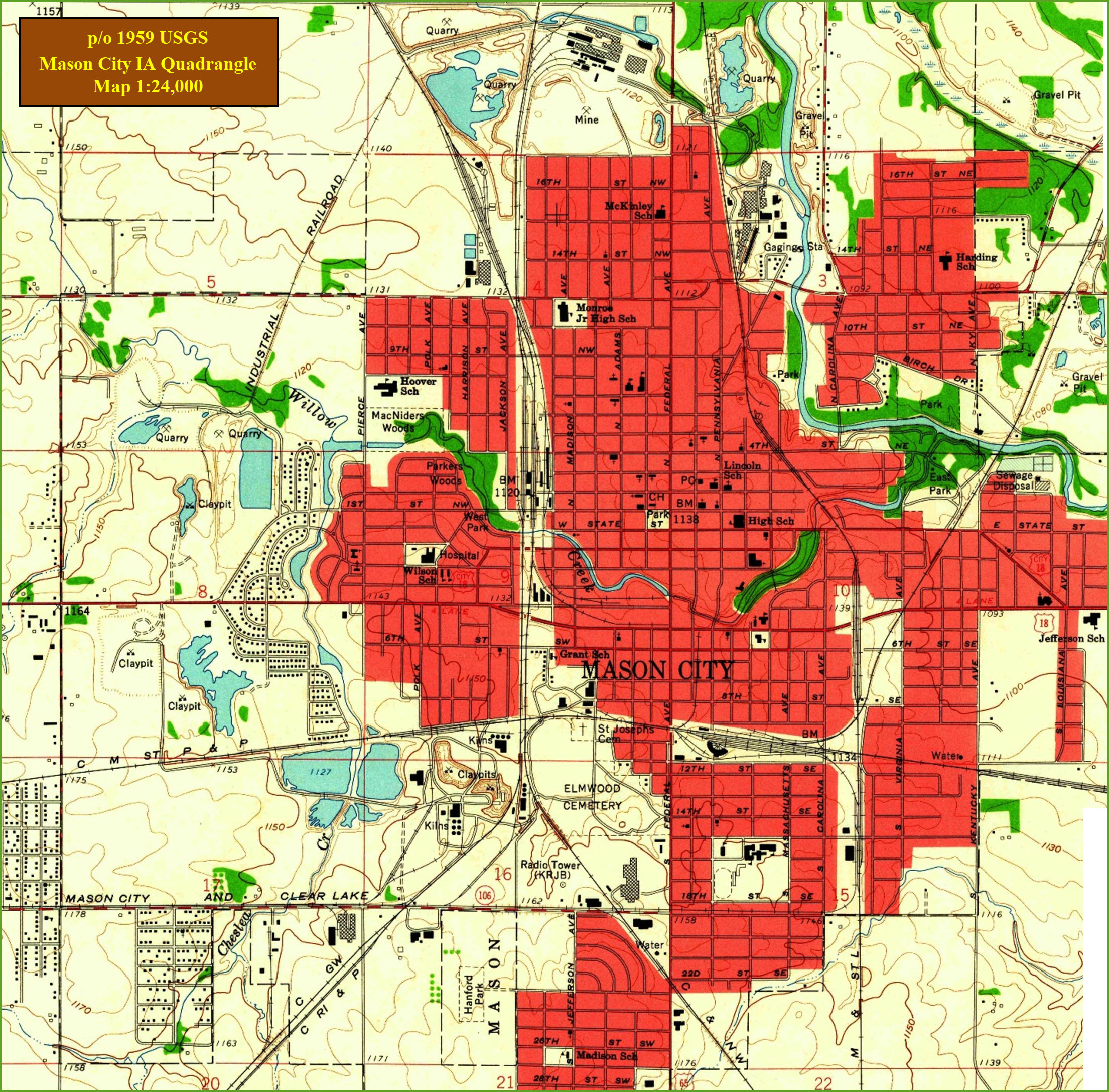
Maps
Sights
Bridges
Signals
Nora Springs
Manly
Floobydust
USGS Maps
In General
Getting Here
Maps
Sights
Bridges
Signals
Nora Springs
Manly
Floobydust
USGS Maps


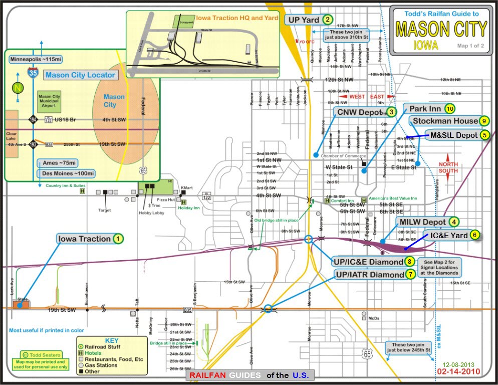
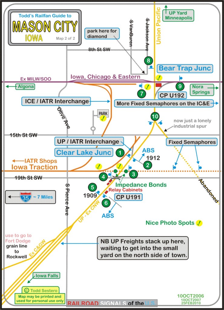
The two maps are available
HERE
and HERE as PDF's.
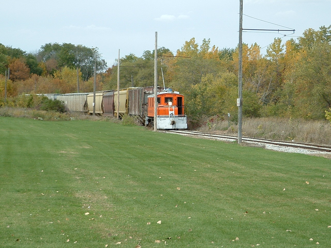
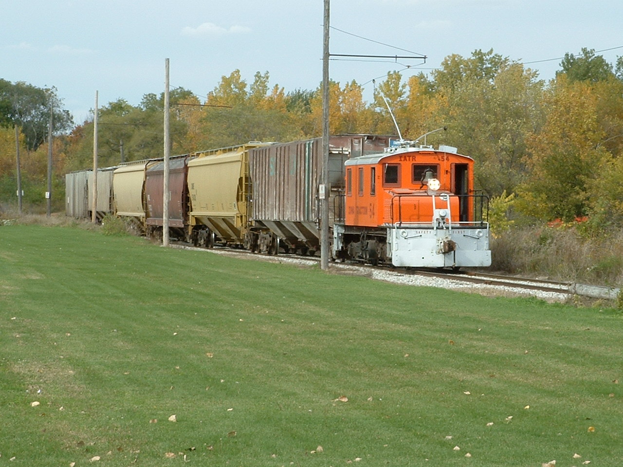
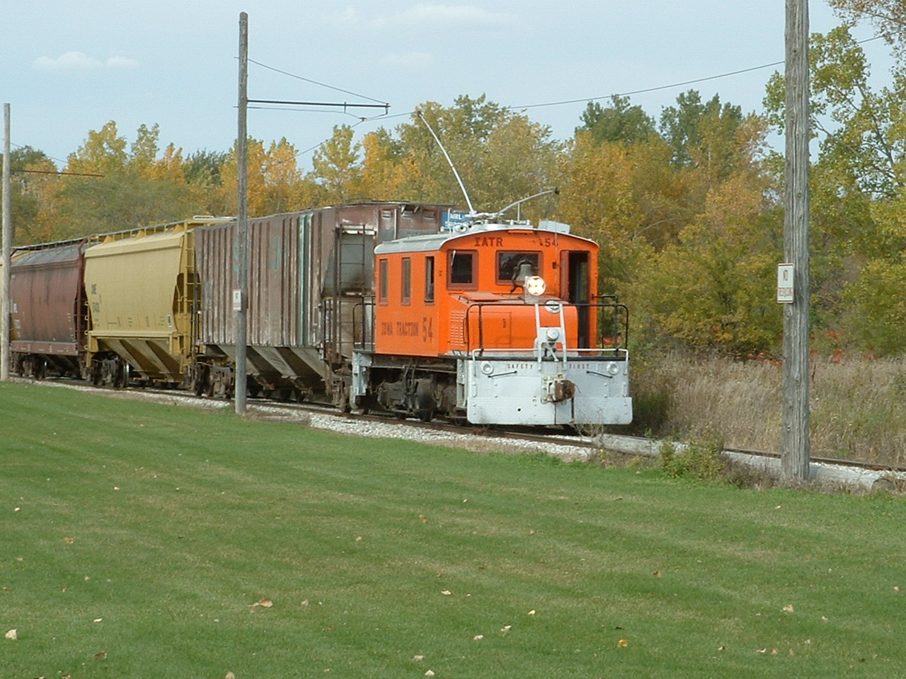
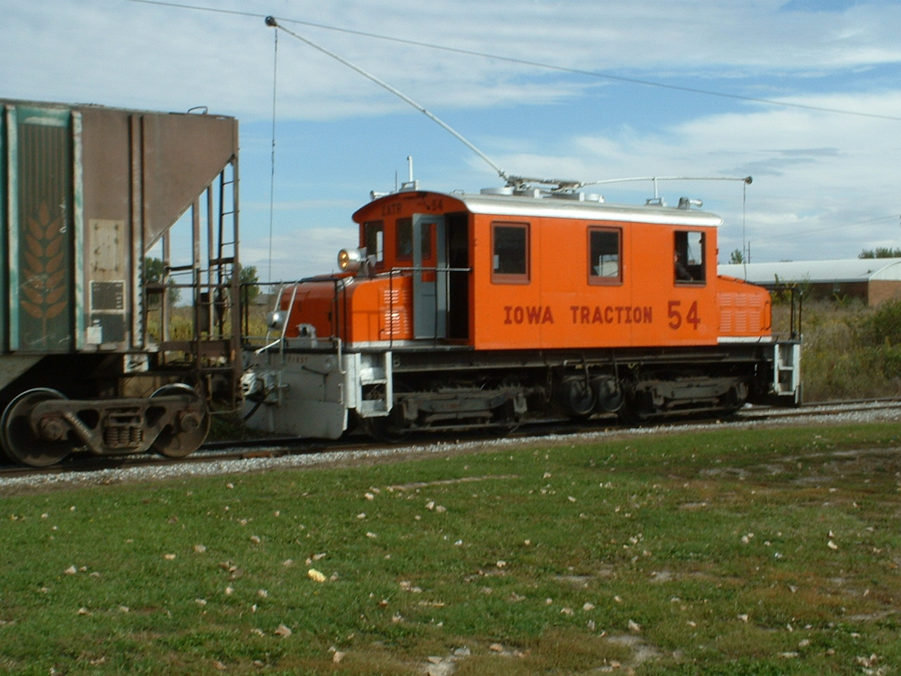
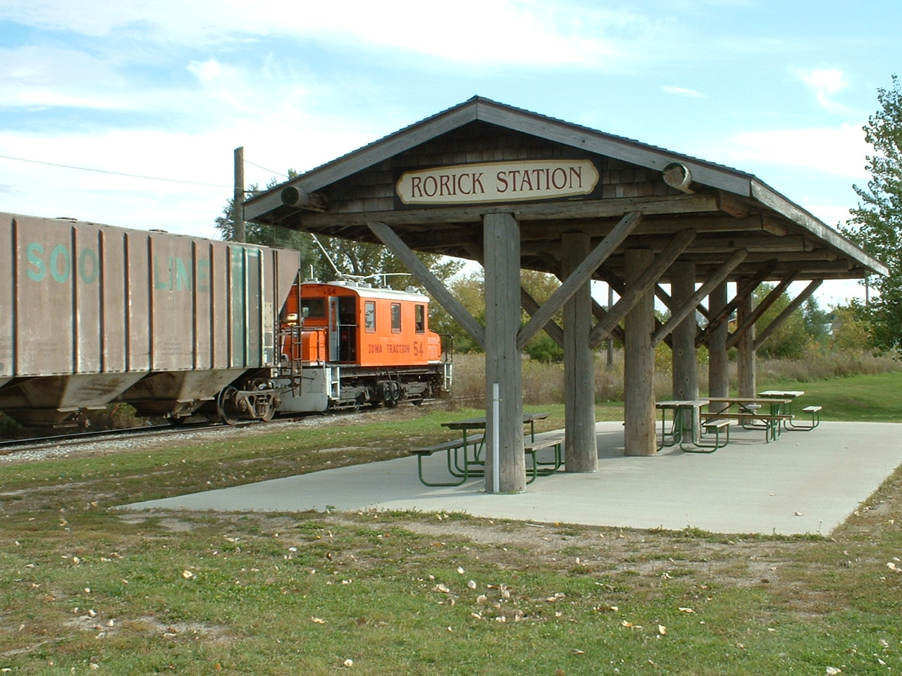
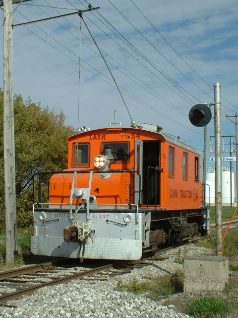
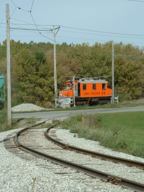
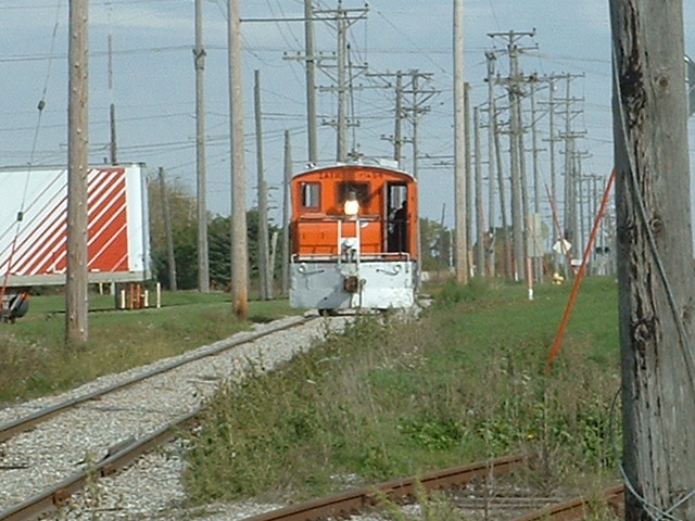
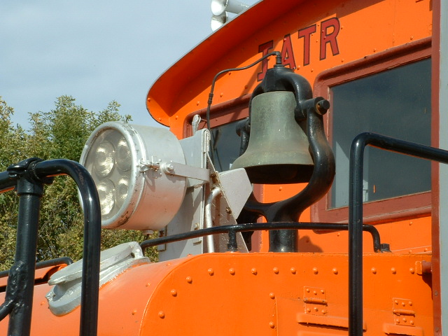
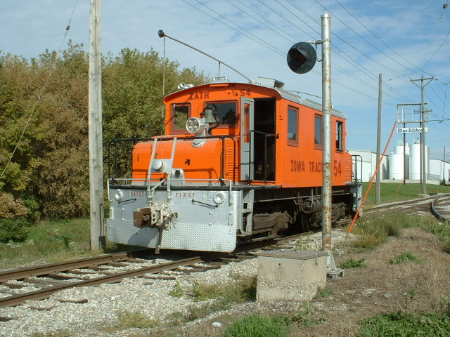
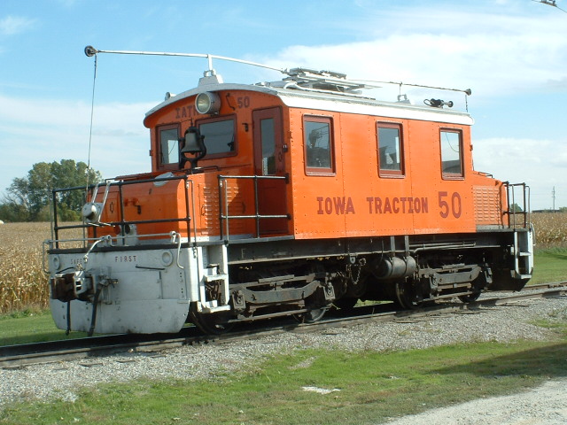
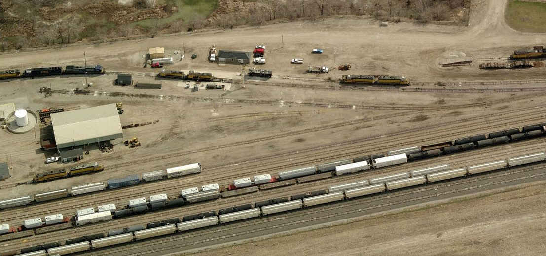
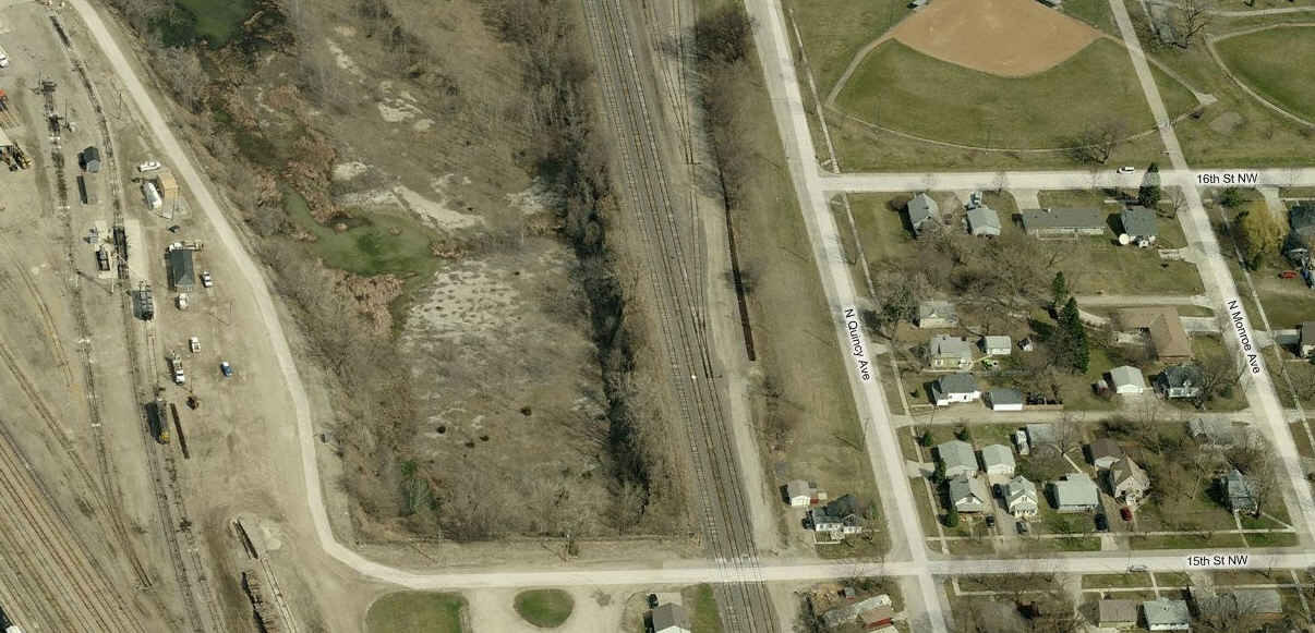
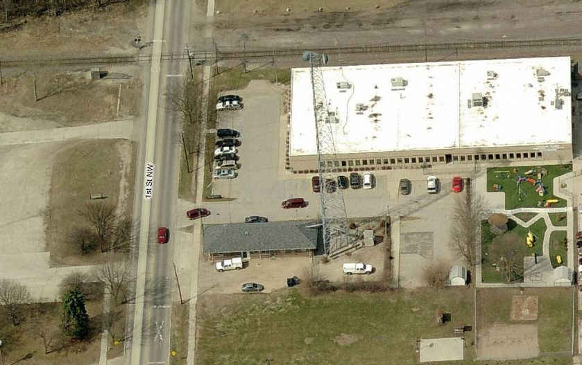
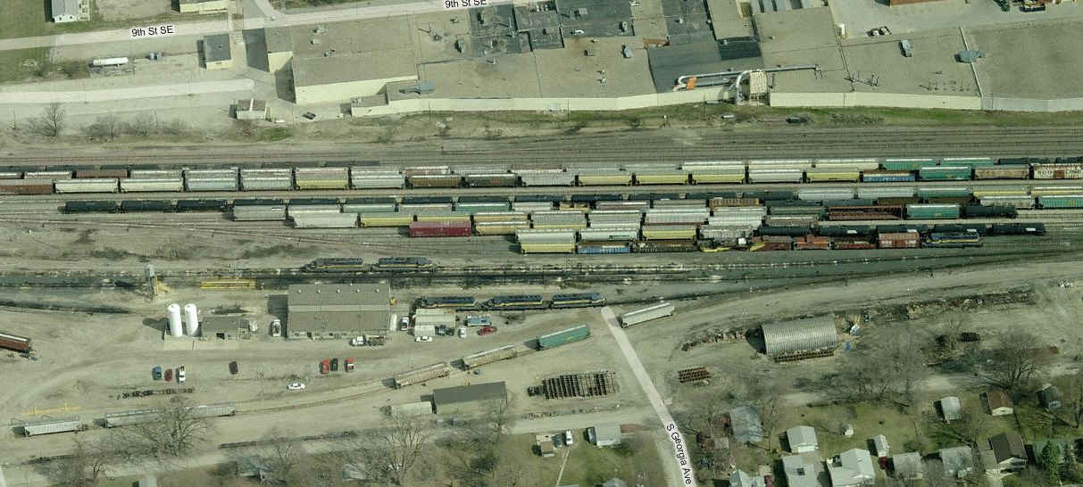
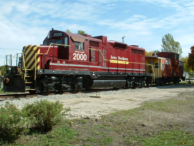
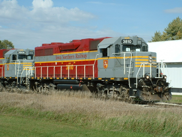
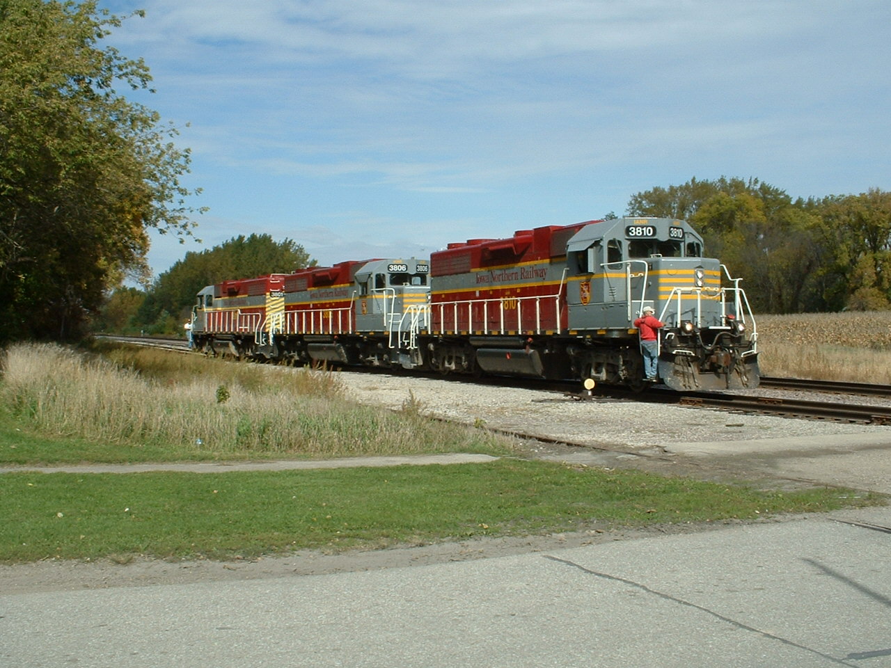
Iowa Traction
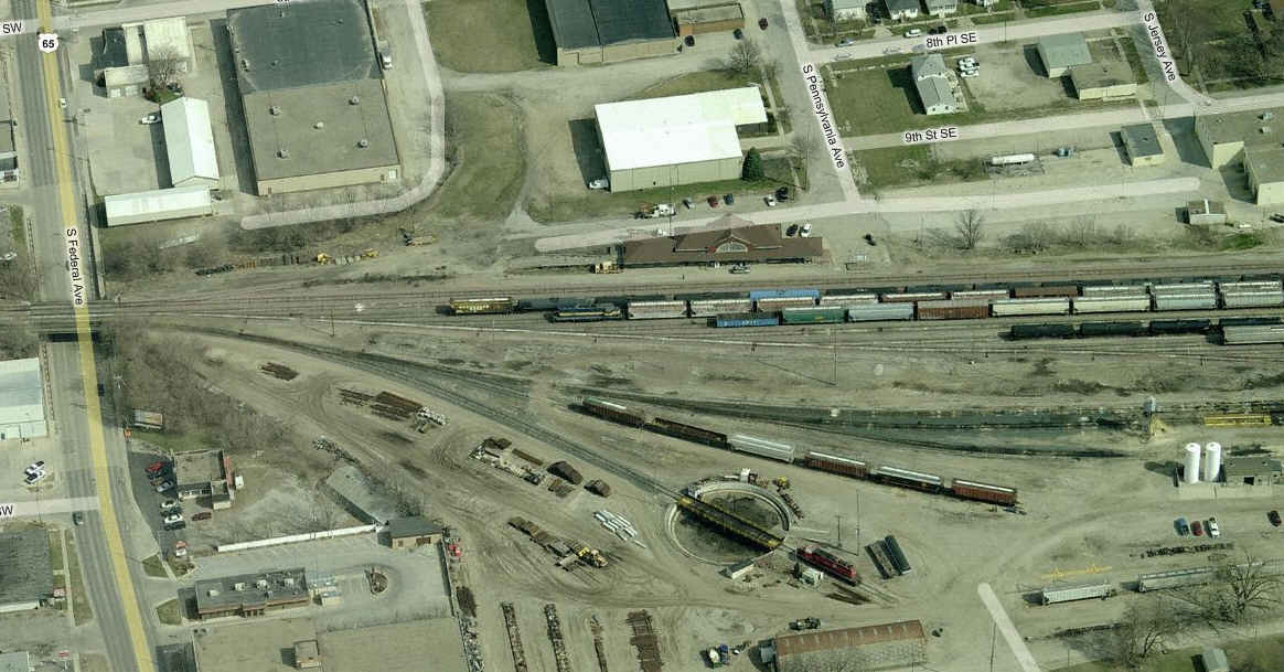
the Union Pacific Yard
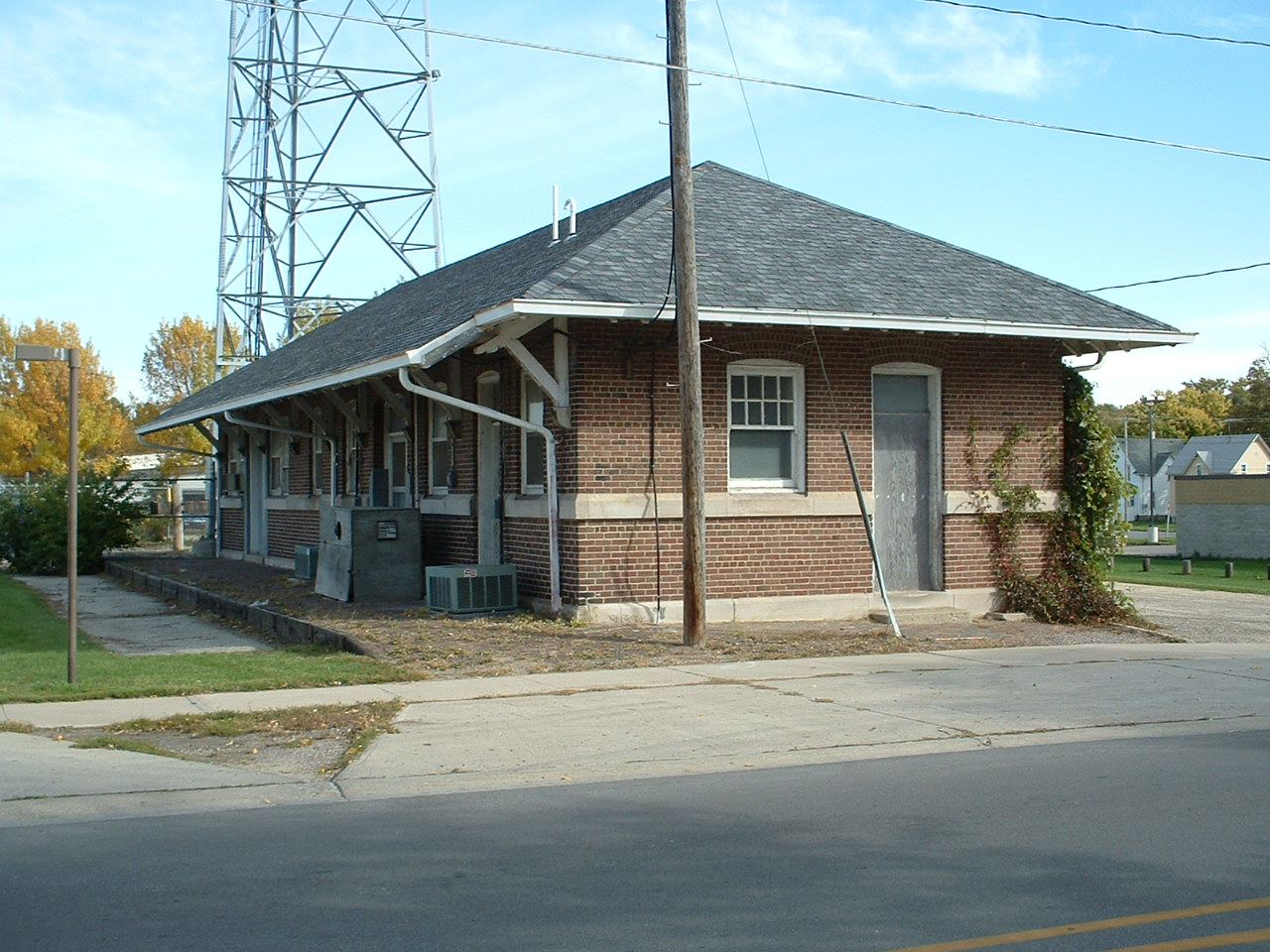
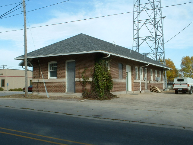
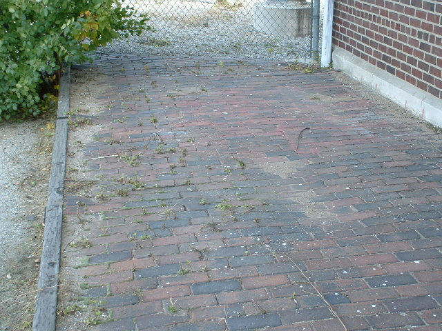
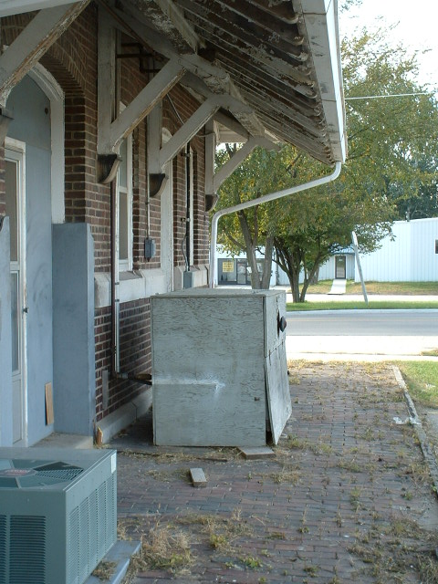
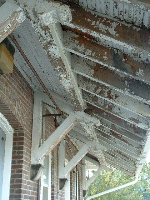
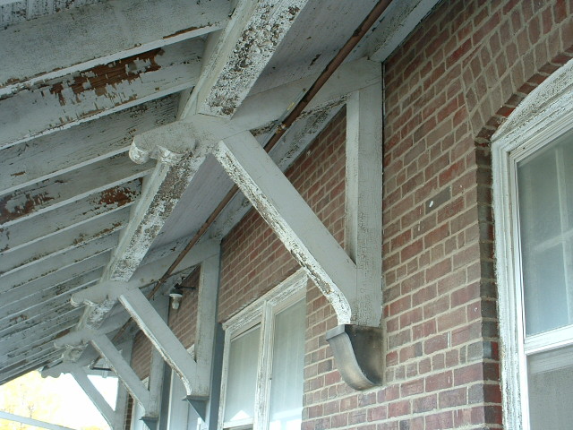
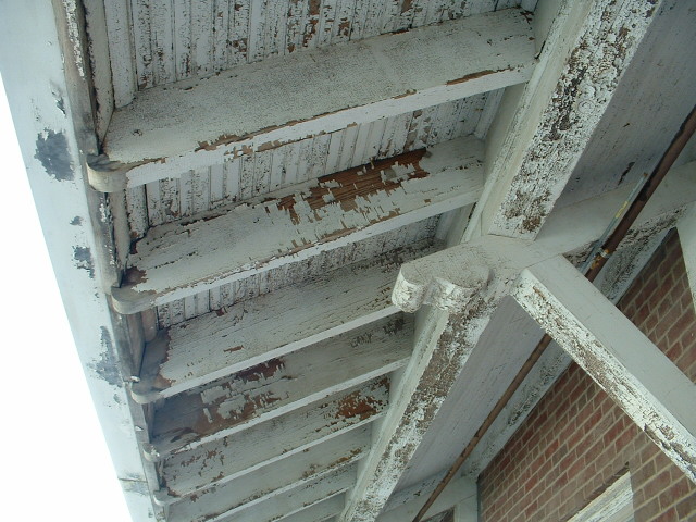
the ex CNW Depot
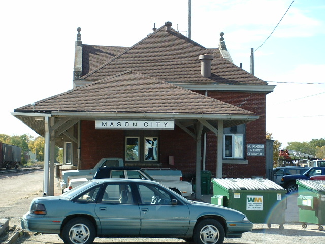
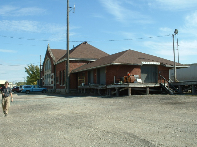
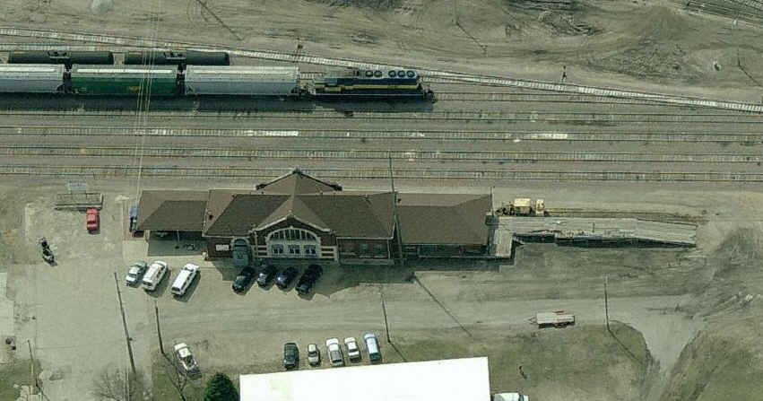
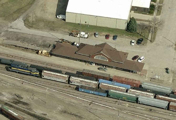
the ex MILW Depot
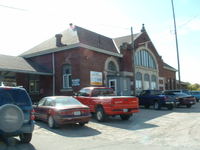
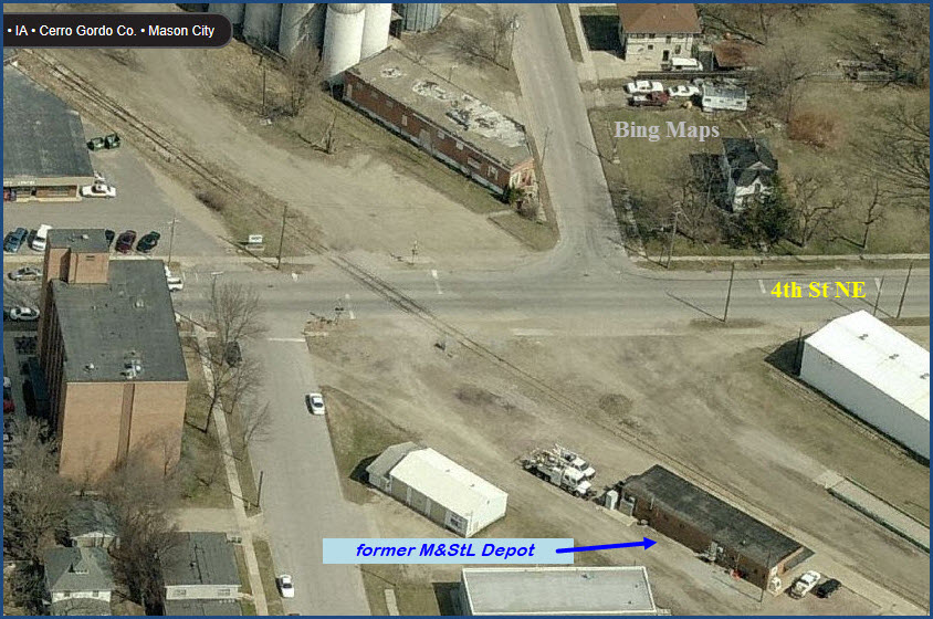
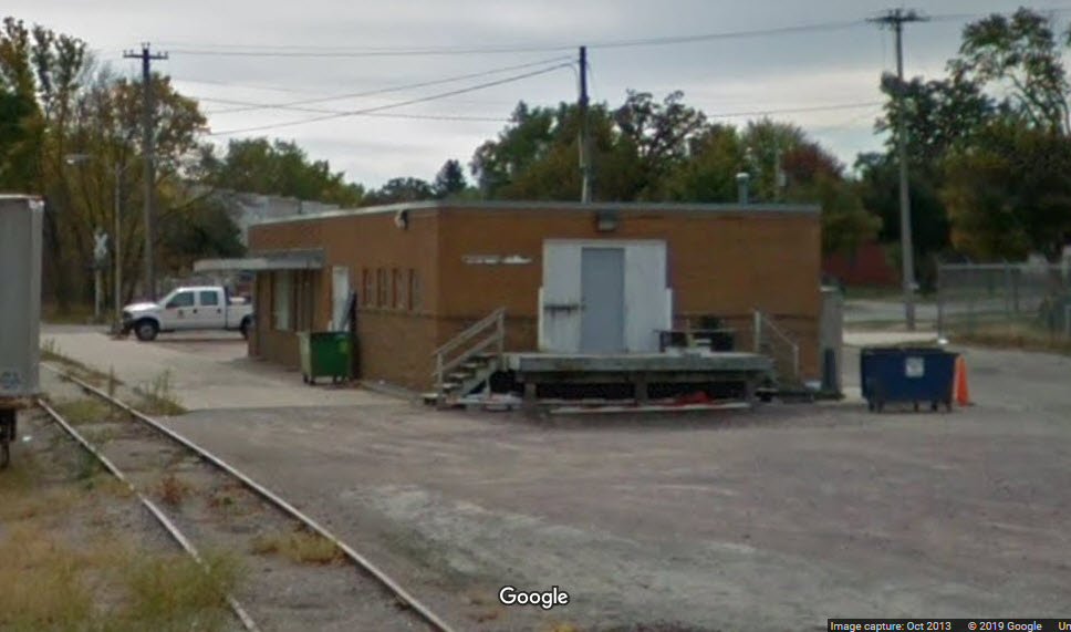
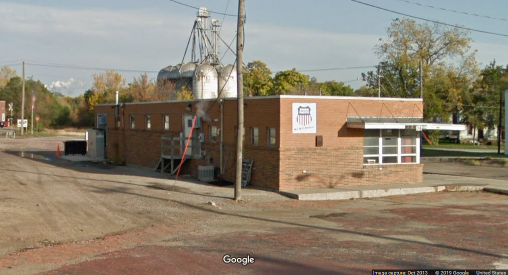
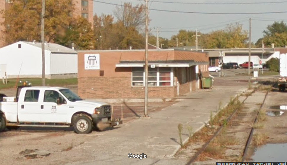
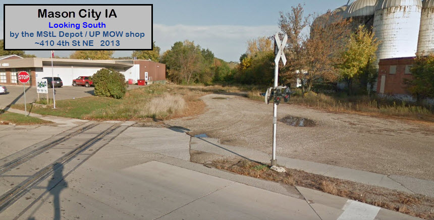
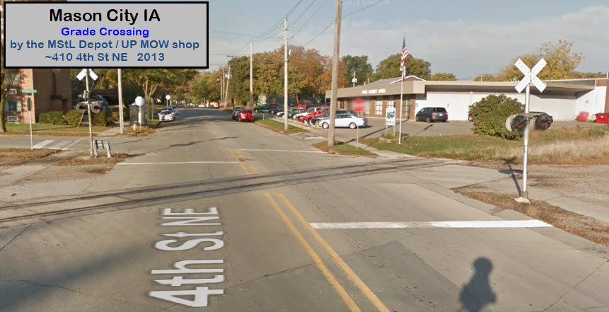
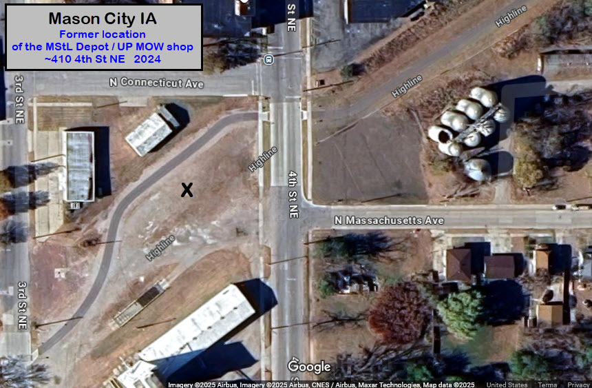
the ex M&StL Depot
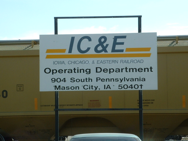
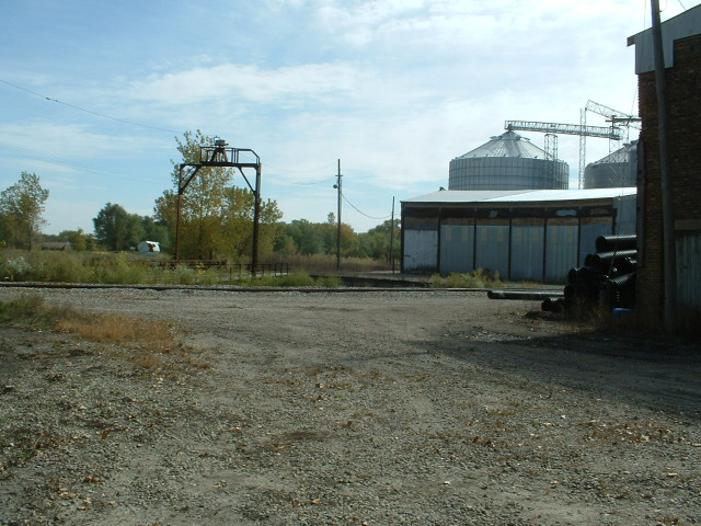
the IC&E Yard
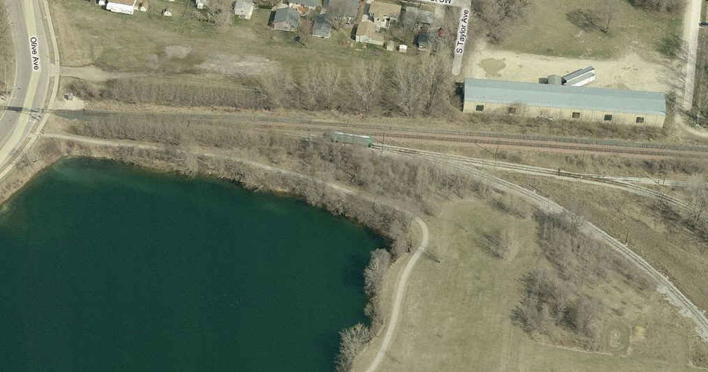
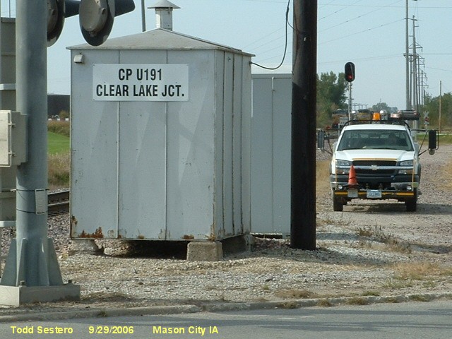
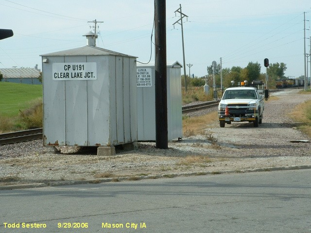
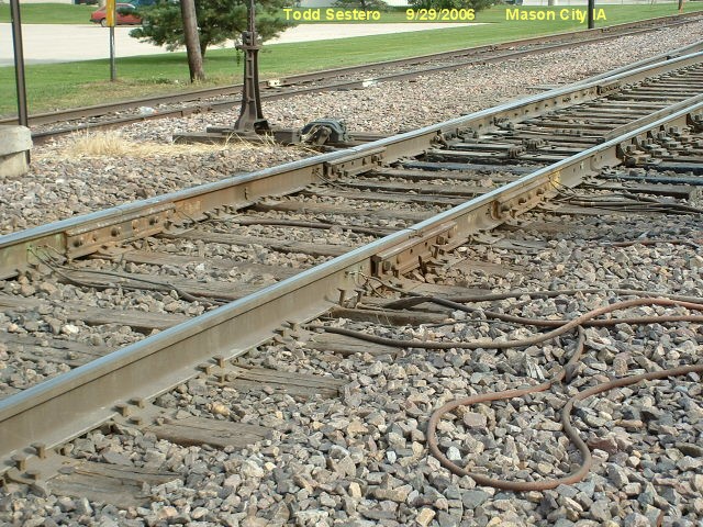
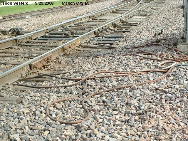
Diamond - Clear Lake Junction
Diamond - Bear Trap Junction
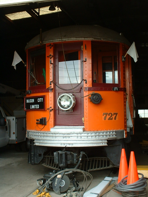
M&SL Steamer #457
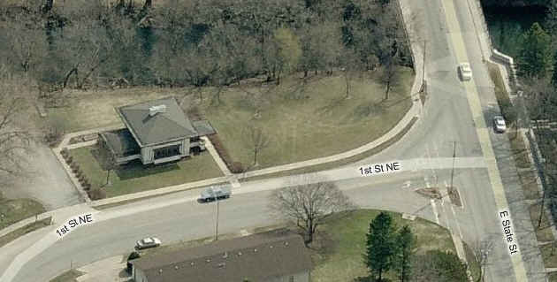
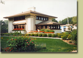
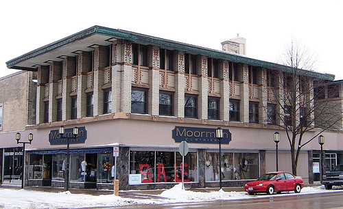
the Stockman House
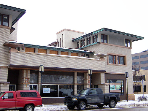
the Park Inn Hotel
 Coming from the IC&E interchange.
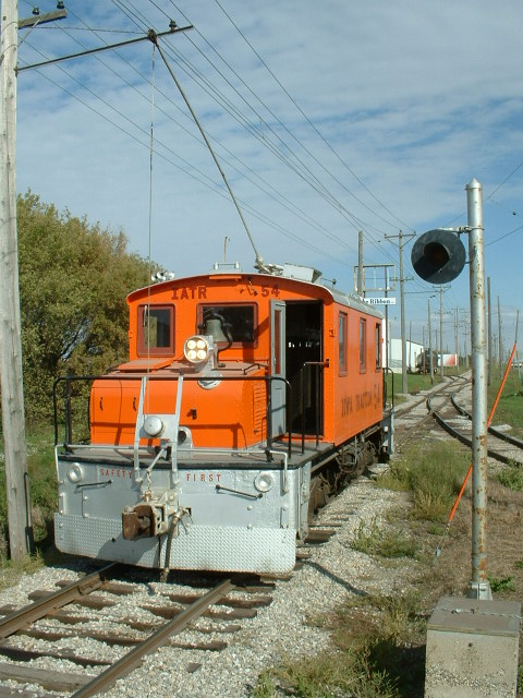
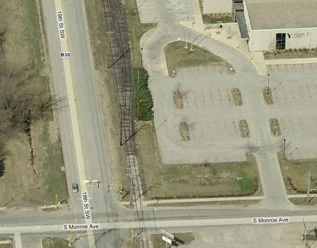
 Along 19th St.
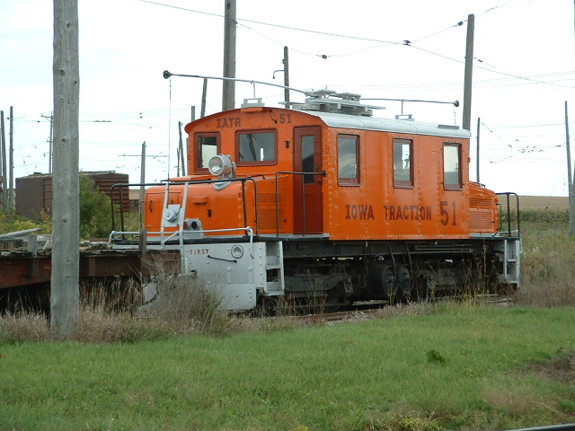
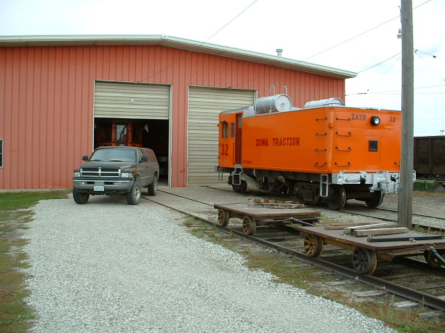
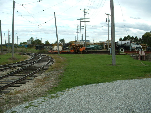
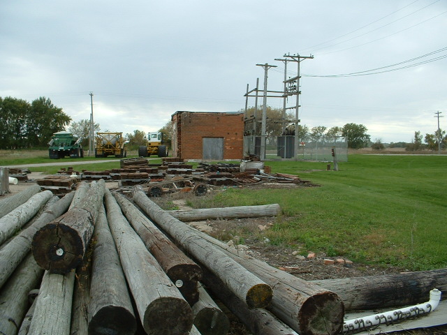
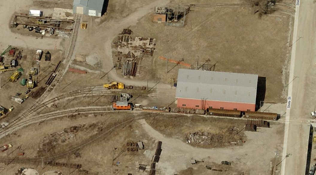
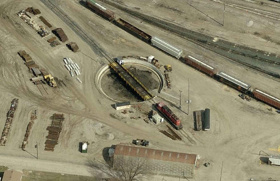
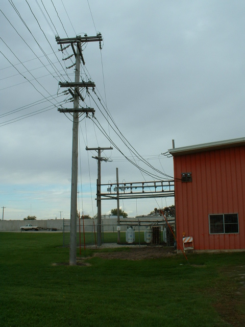 Scenes around the shops.
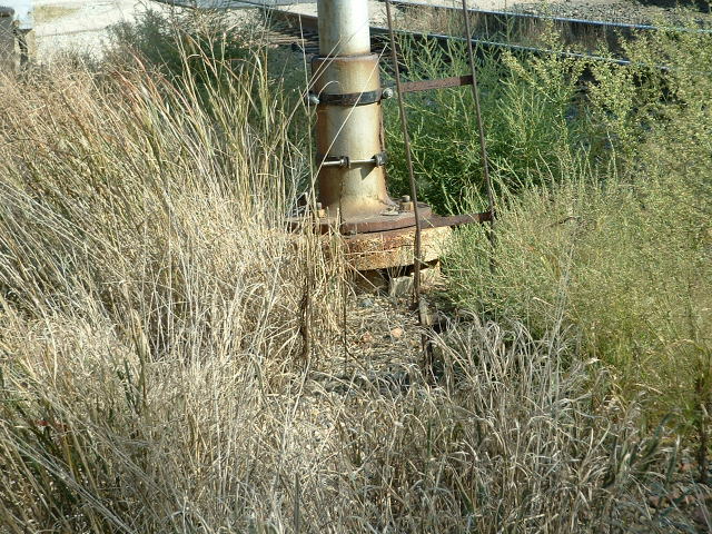


 today/current
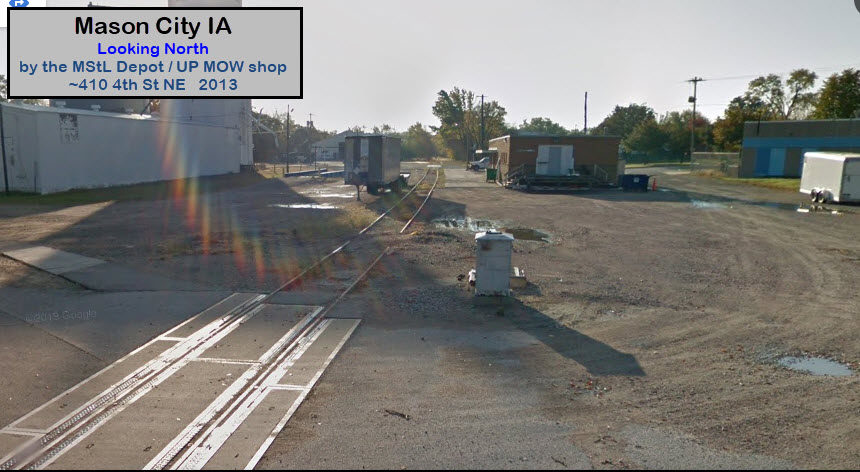

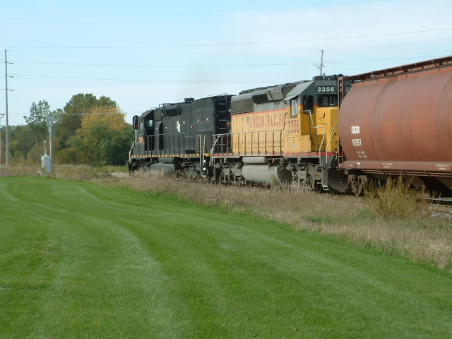
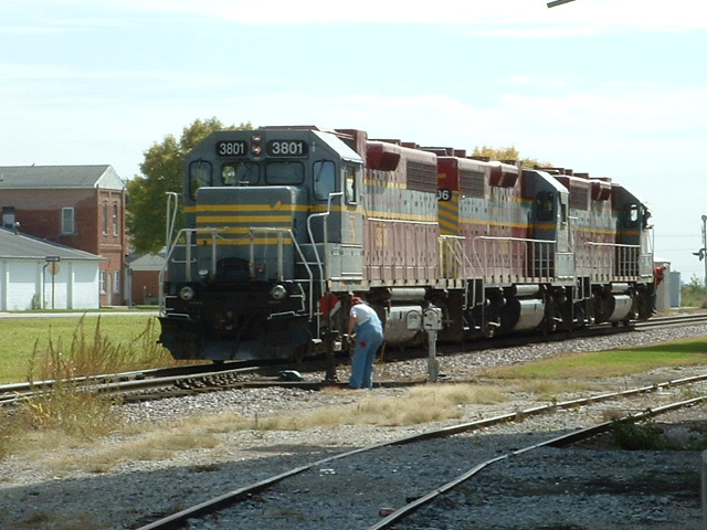
 UP Freight on the south side of 19th, waiting to head into the yard.
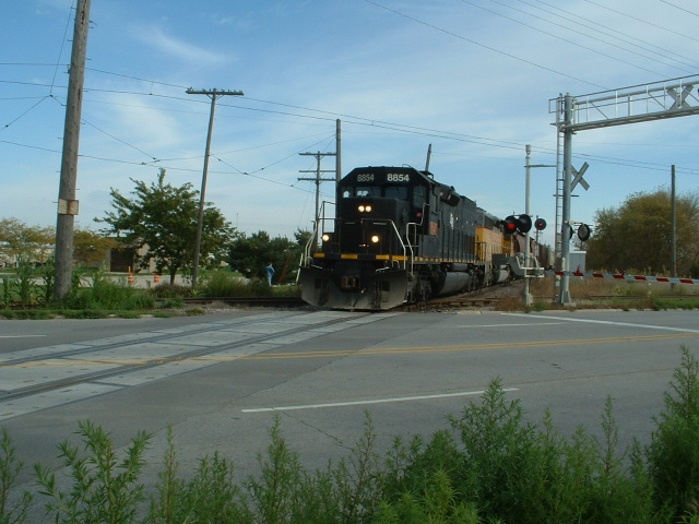
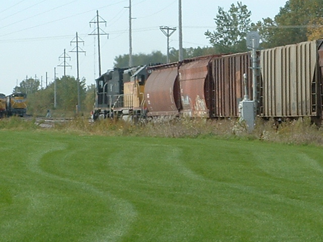 Another NB UP freight crossing 19th St.
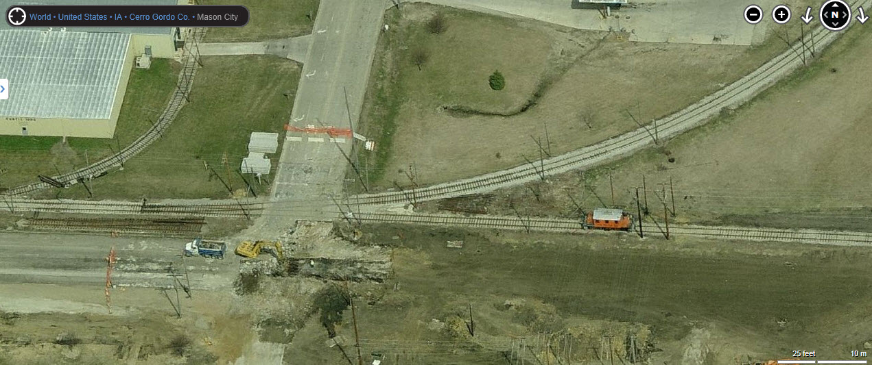
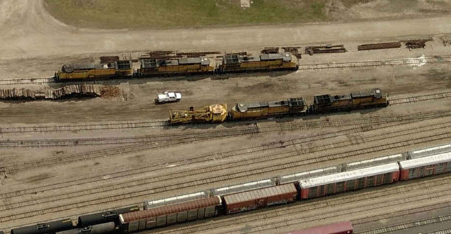
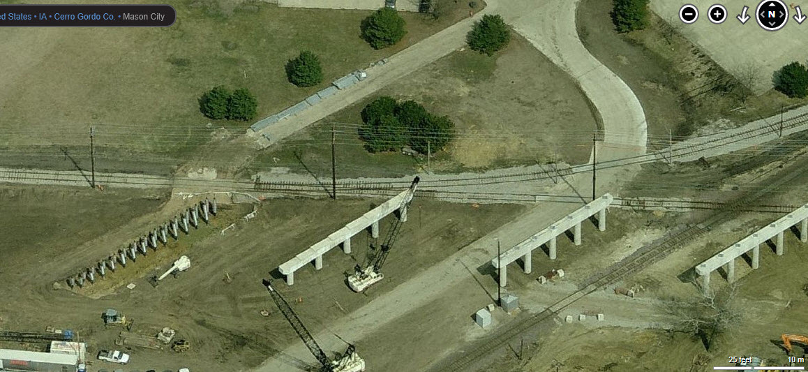 Close-ups of the construction work
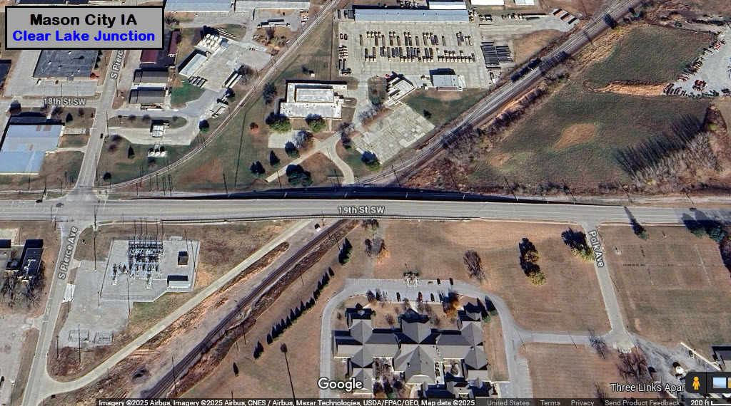
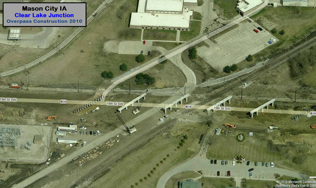
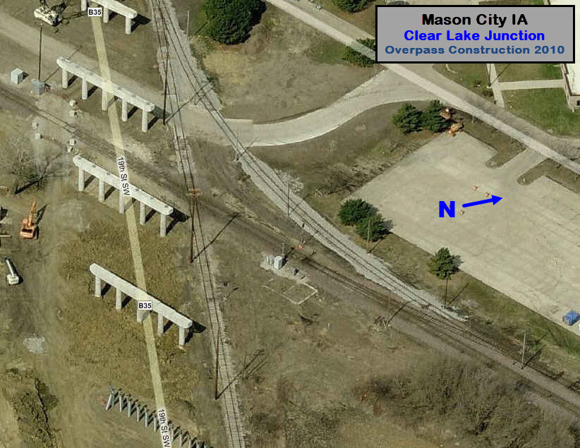
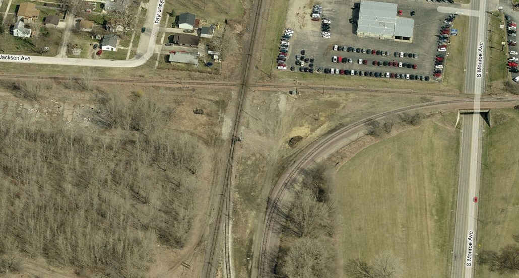
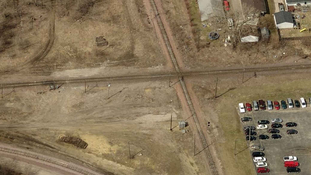
 Photo: Cliff Hagman
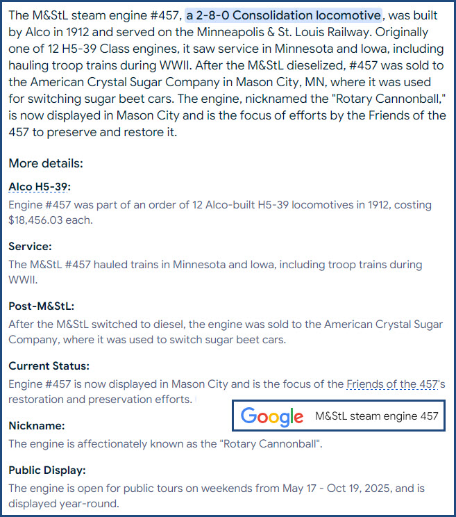


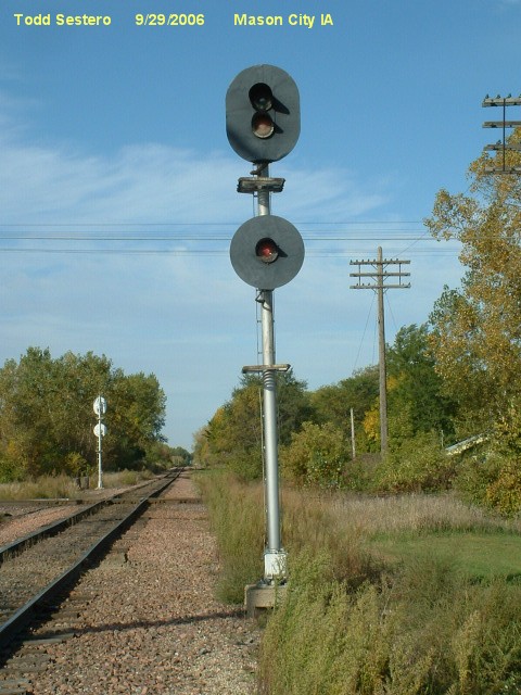
Bridges, Tunnels, and Overpasses
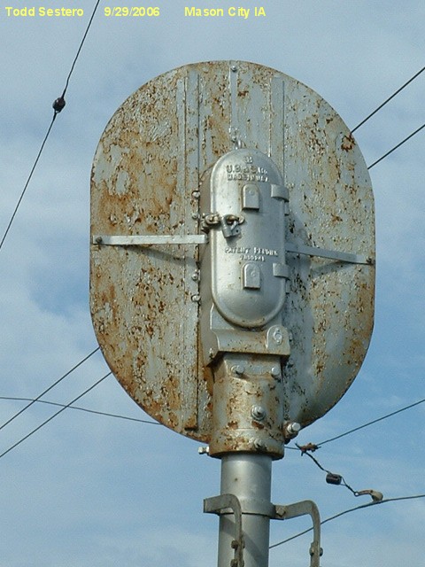
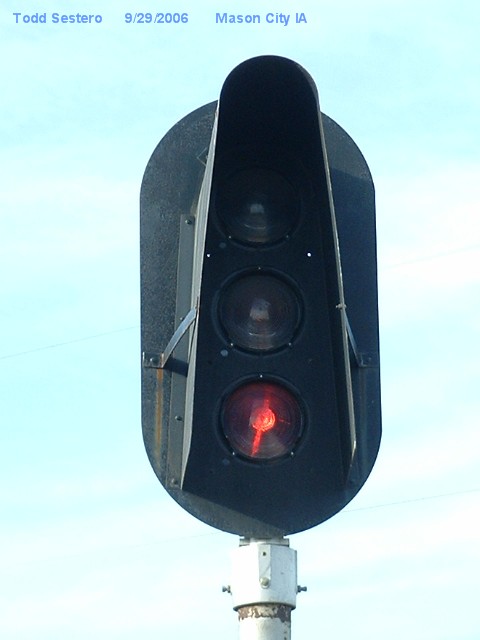
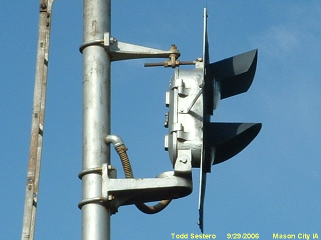
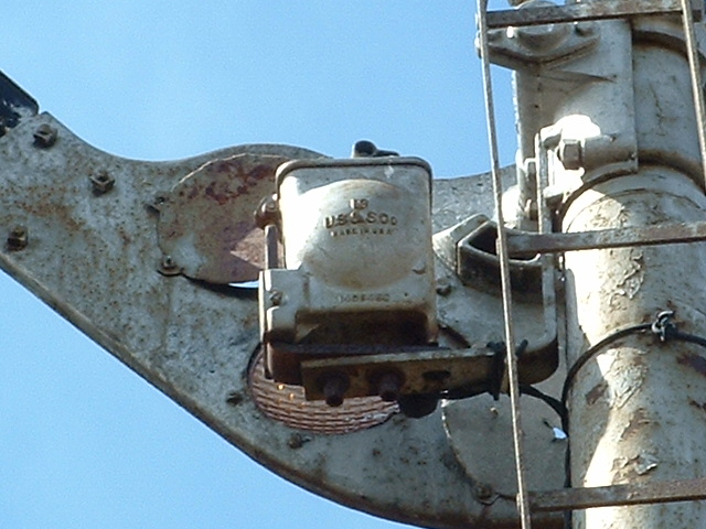
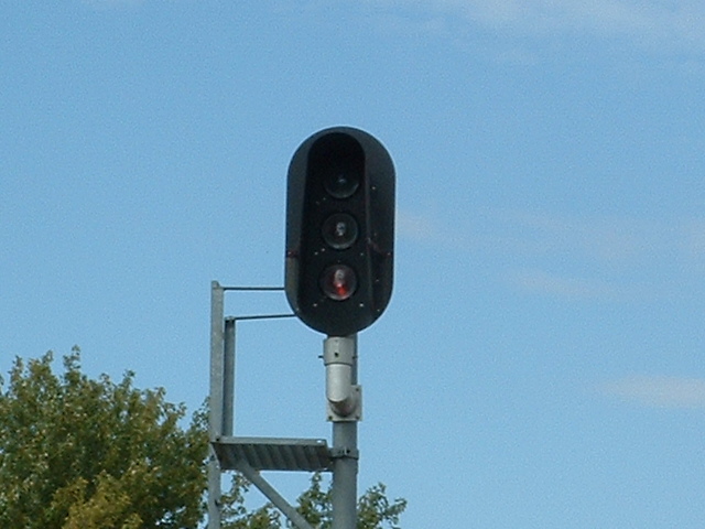
 US&S manual crossing gate switch at signal 1.
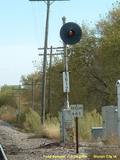

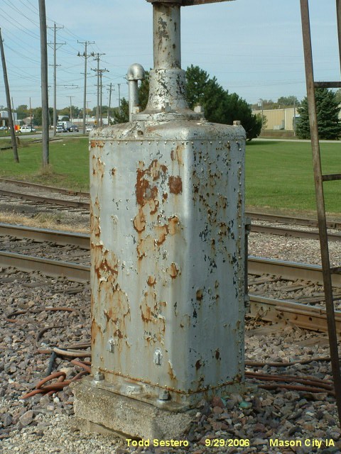
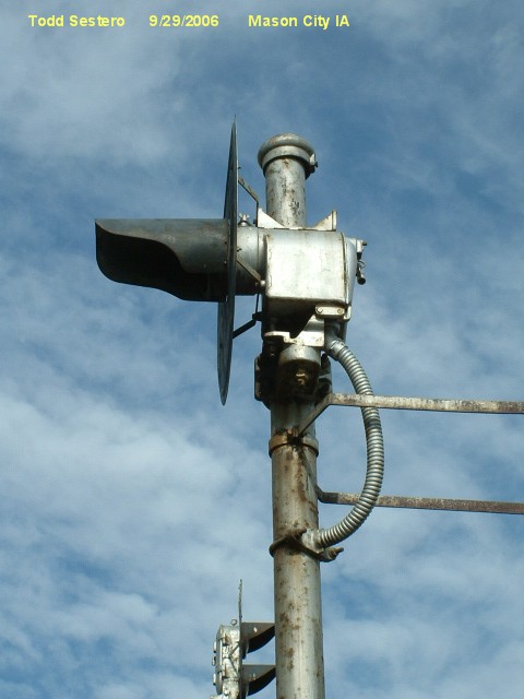
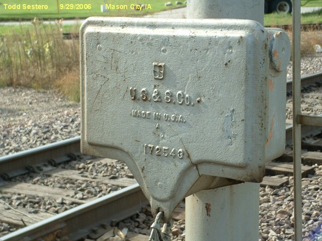
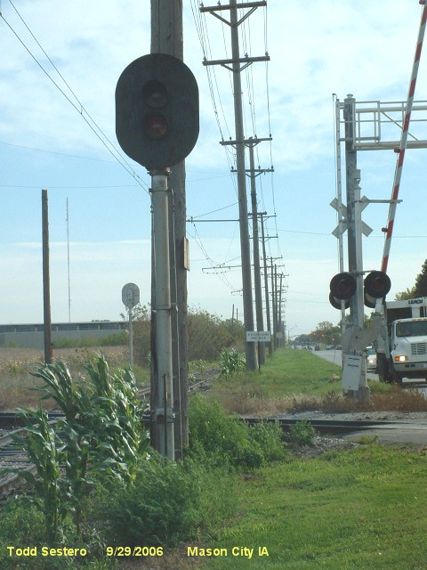
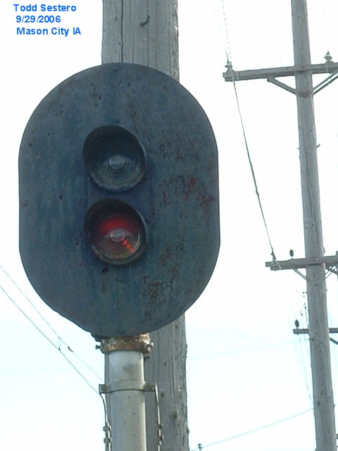
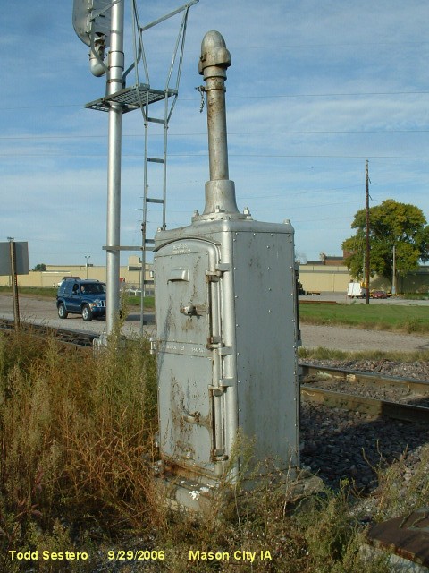
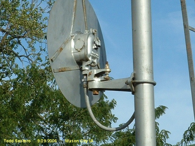
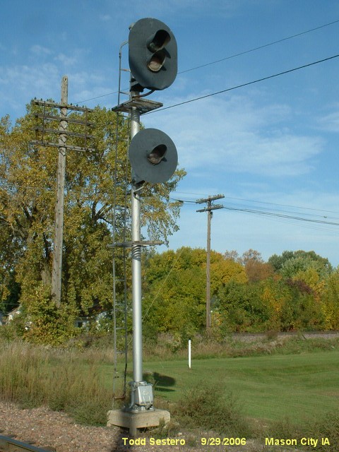
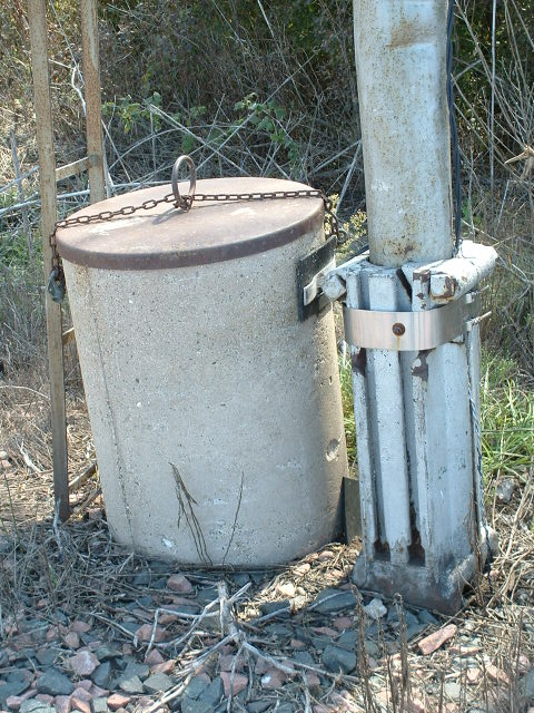
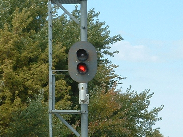
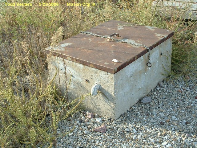 Battery box next to signal 2.
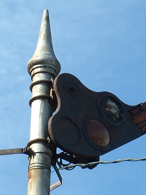
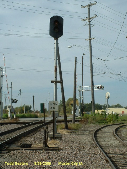
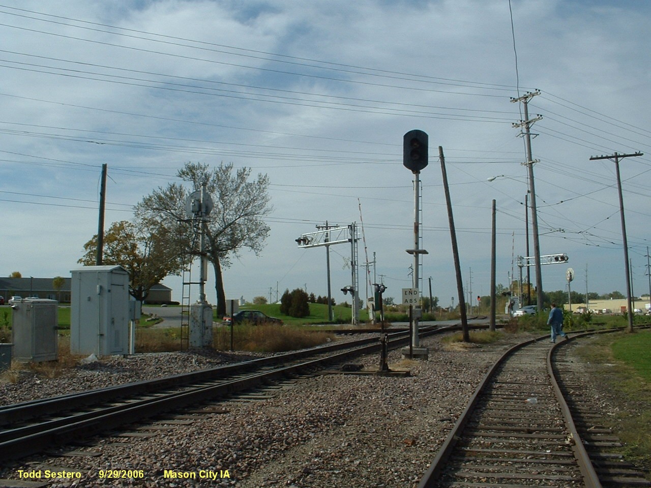
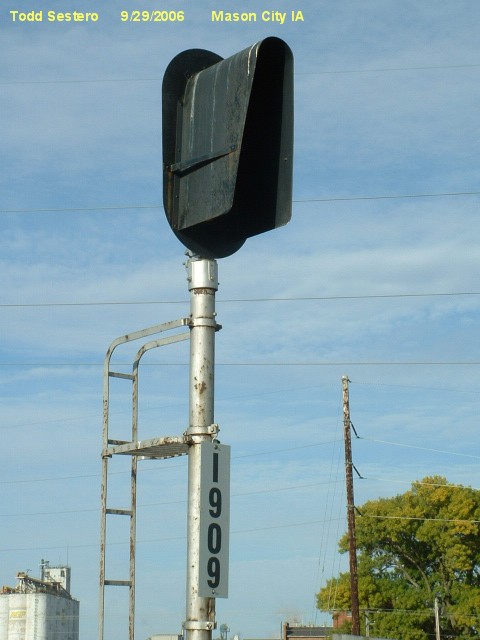
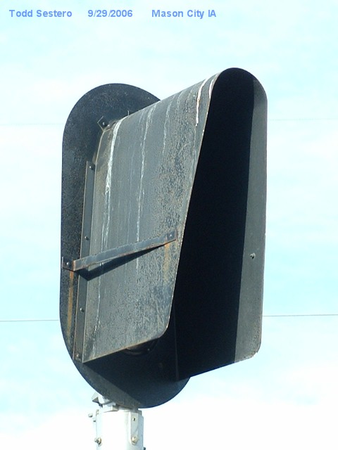
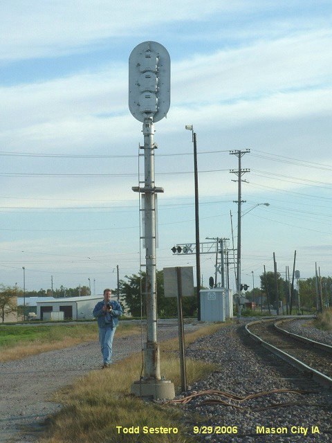
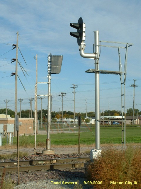
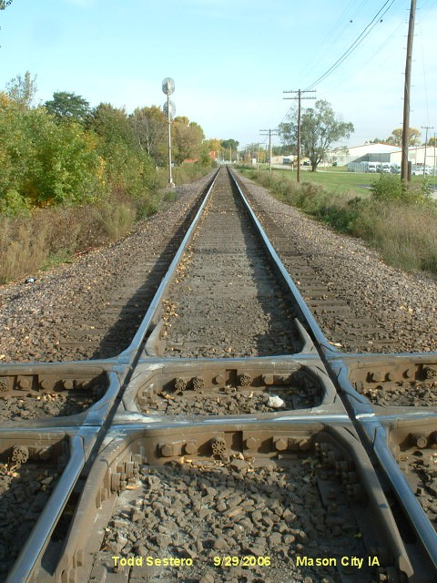
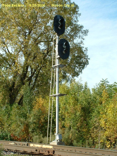
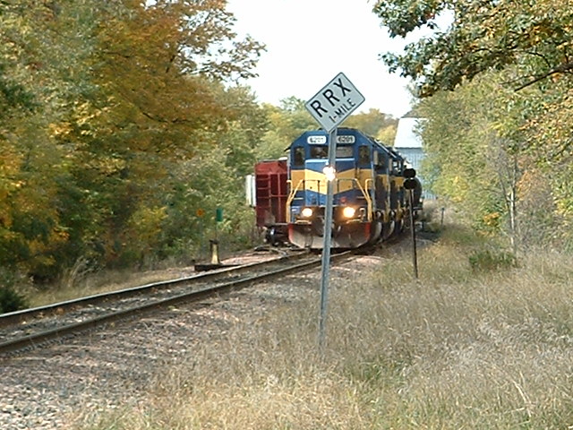
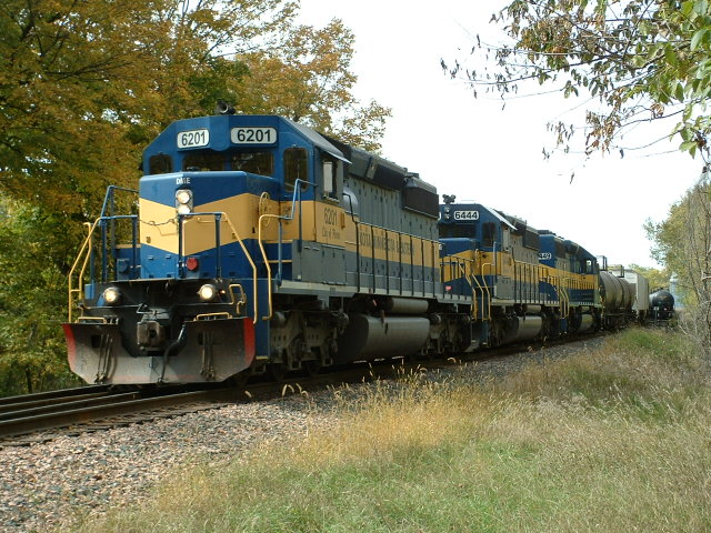
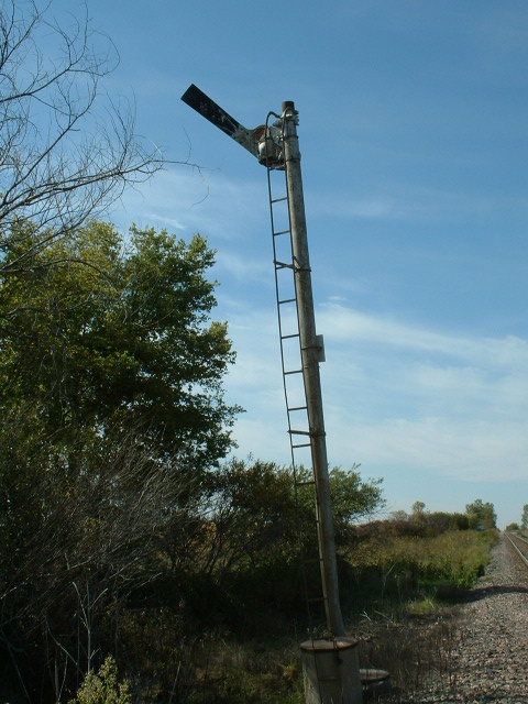
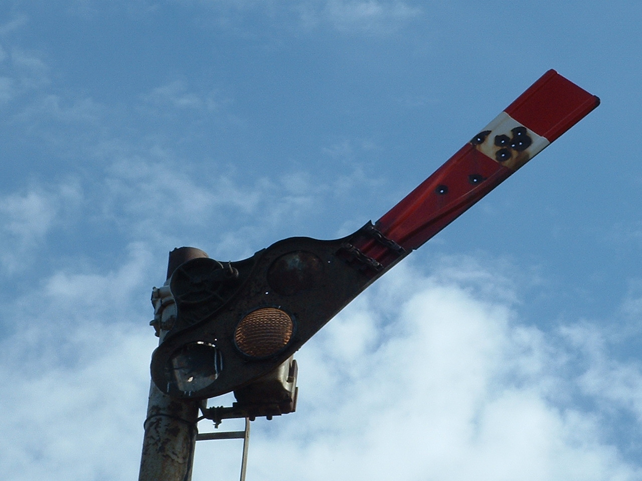
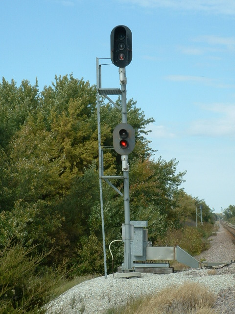
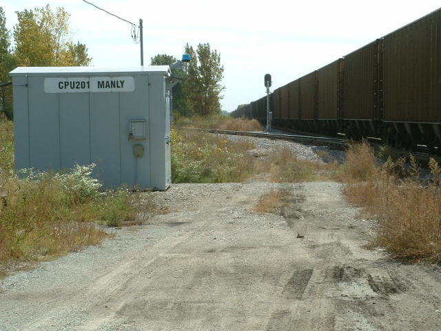
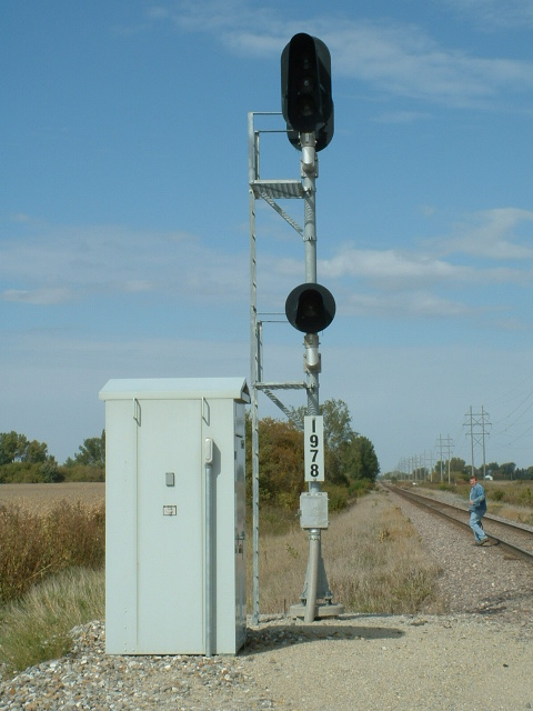
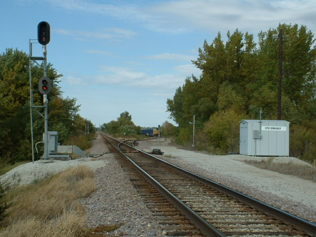
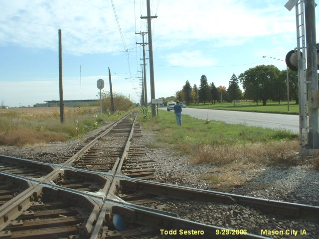 Looking east on the IATR towards signal 3.
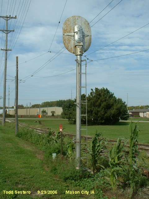
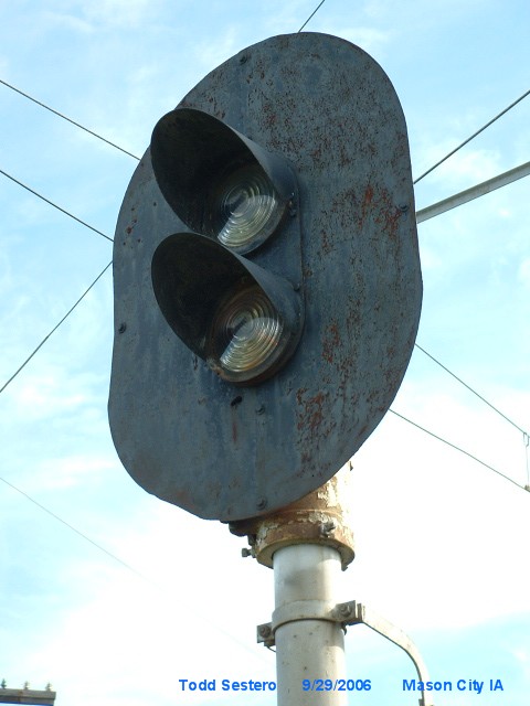


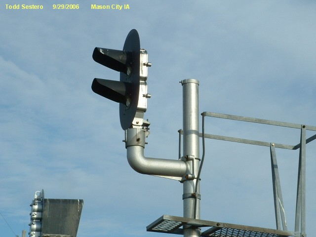

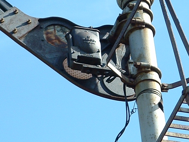
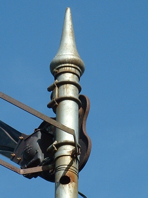
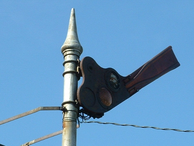
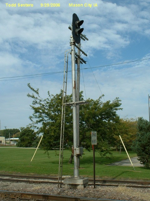
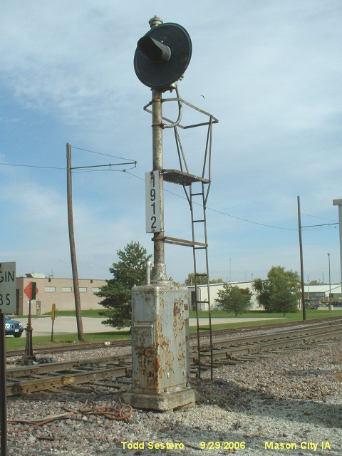
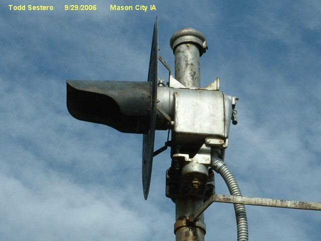
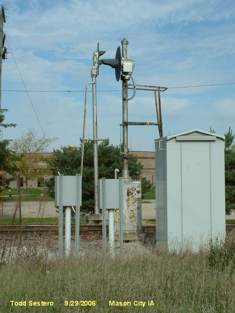
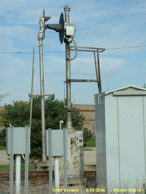
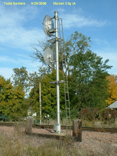
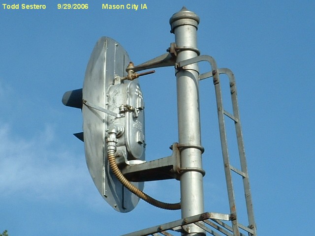
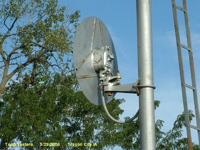
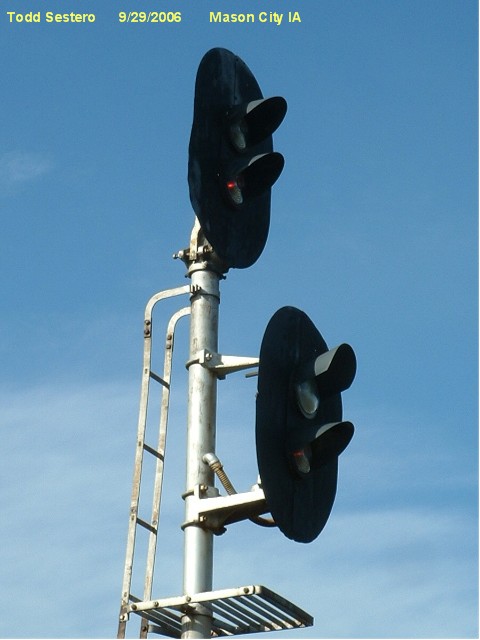
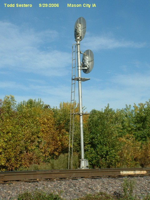
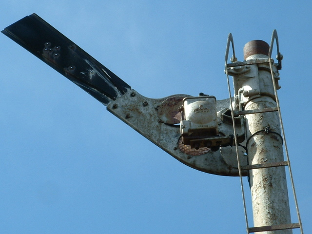
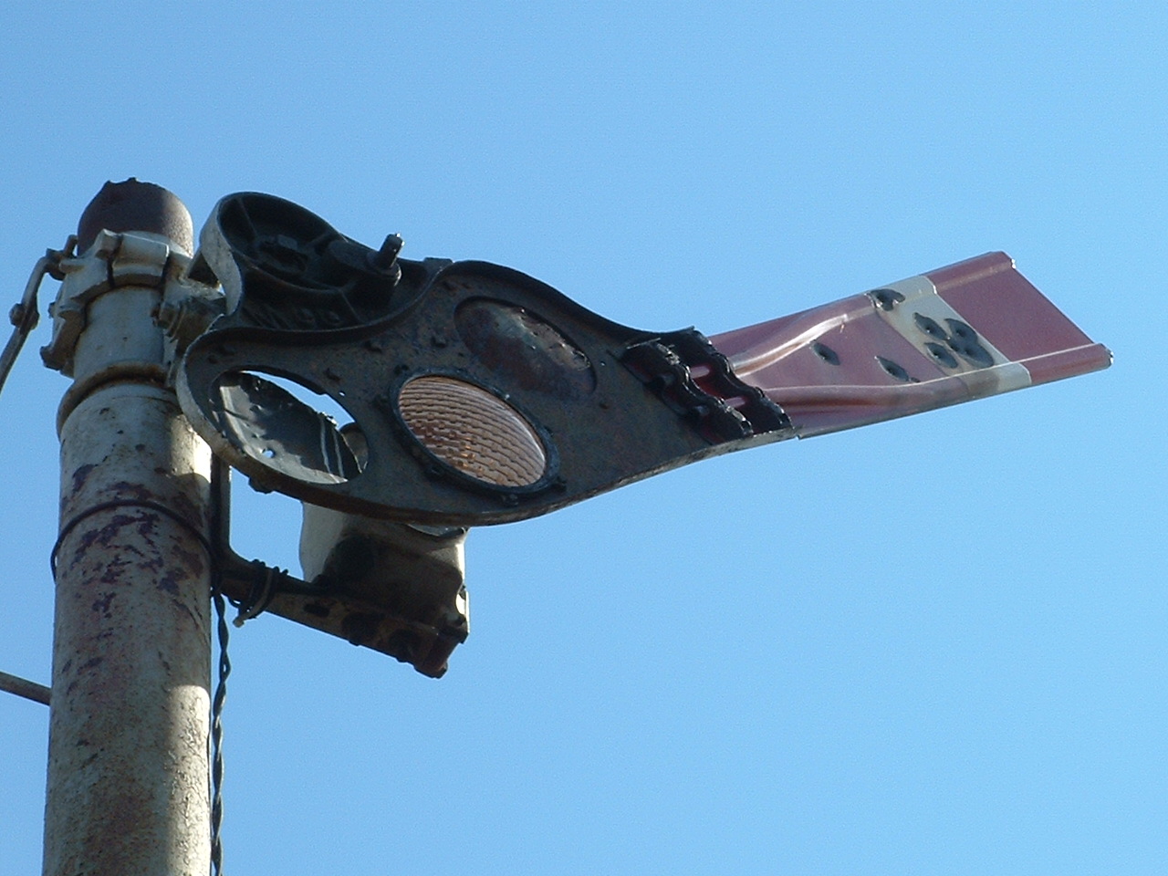
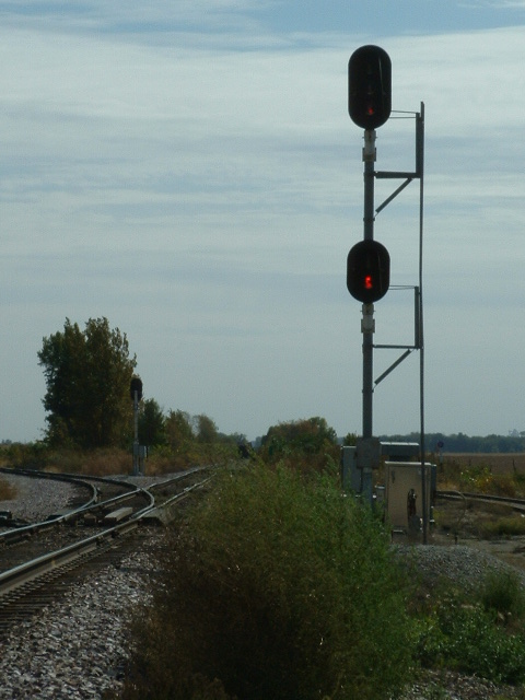
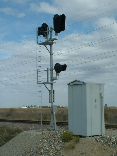
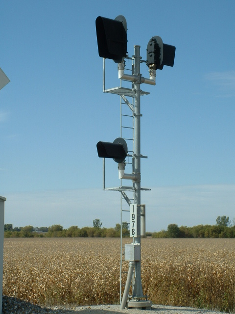
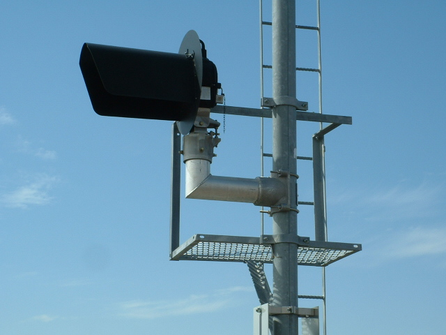
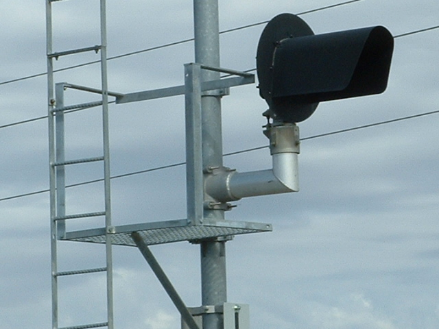
 Signals 5 and 6.
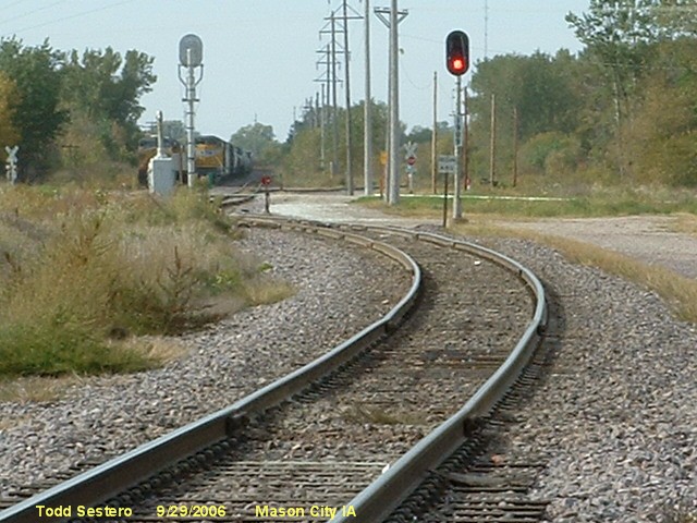
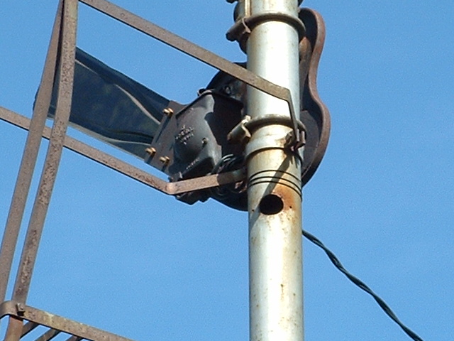
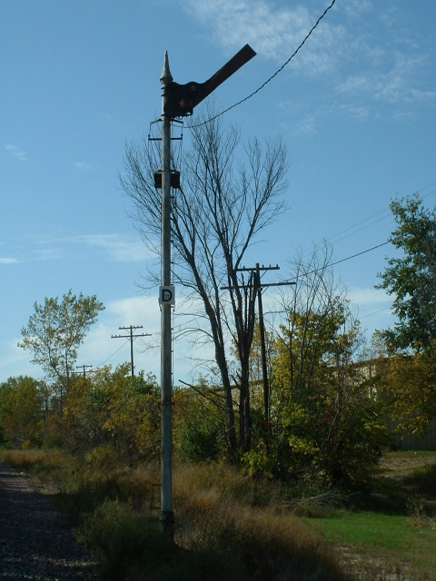
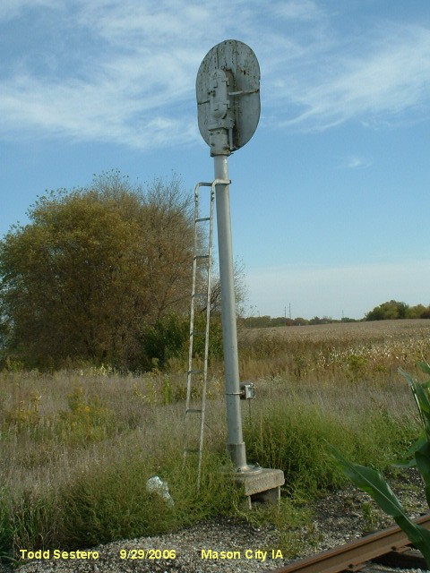
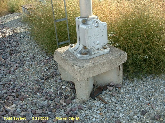
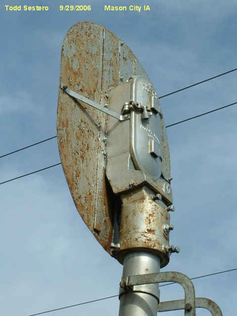
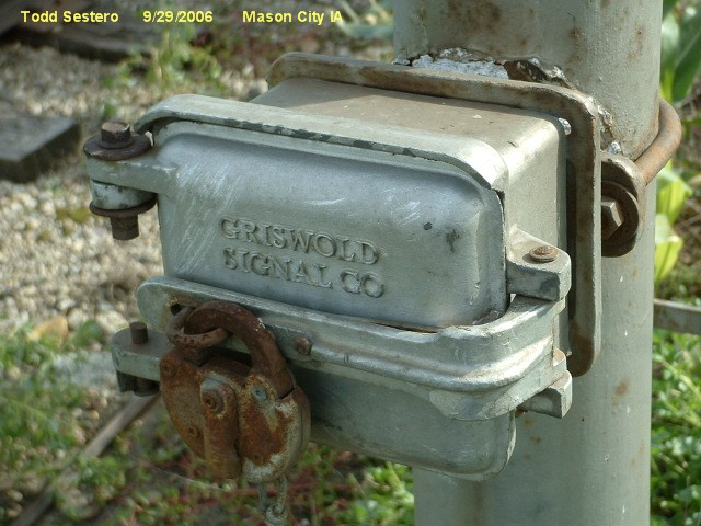
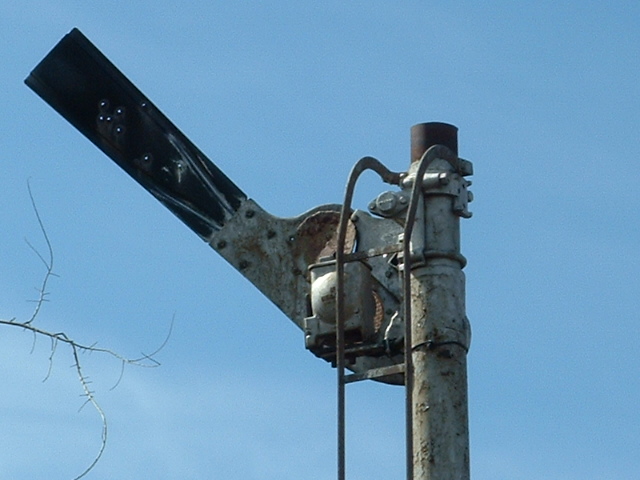
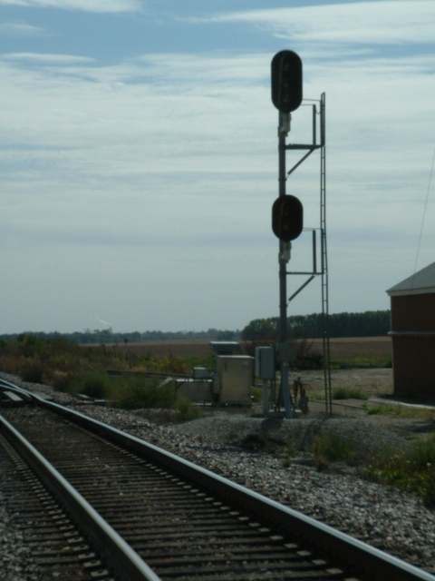
 Old (probably not used) relay cabinets adjacent to signal 6.


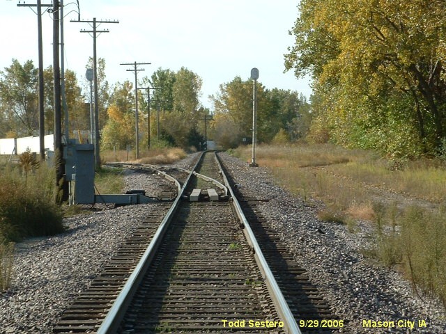
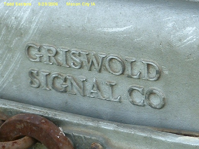
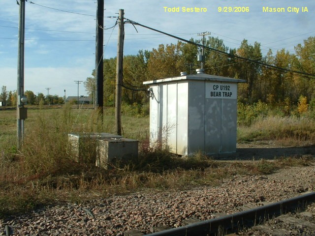 The relay cabinet for Bear Trap Junction.
10 miles to the east of Mason City is Nora Springs where
the IC&E services a few local industries. Just east of here is a distant
semaphore. This train, where the head end was east of "downtown", was in
the process of dropping off a couple of cars in Nora Springs.
I have given Nora Springs its own page here.


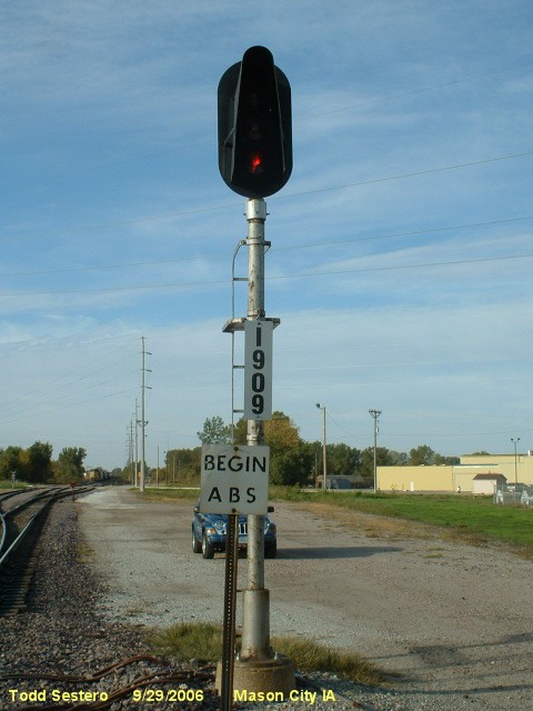
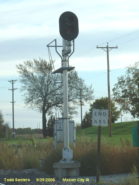
About 10 miles north of Mason City is a junction between the UP and the Iowa Northern, the signals are for a UP siding south of the
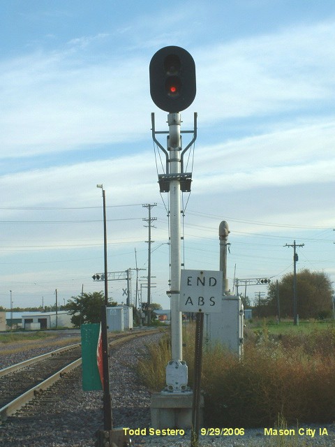
junction. The track ends here in Manly at the former Rock Island yard, and no longer goes any further north into Minnesota.
Since working on this page, I have done a guide page just for Manly, located here
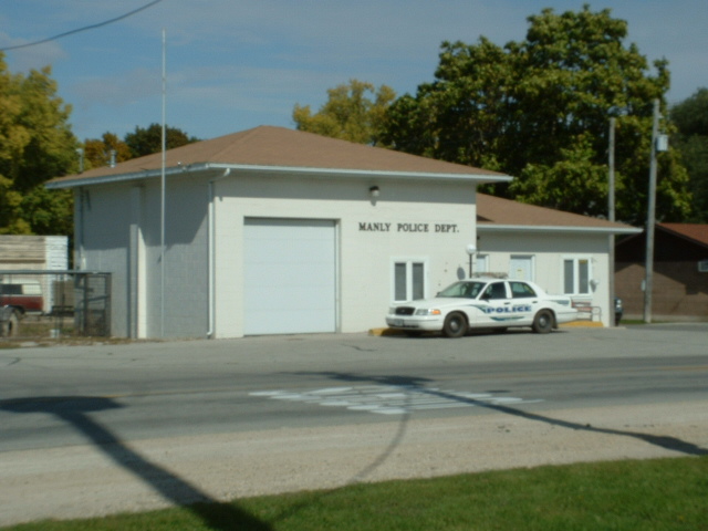
 The police station and a static display in Manly.


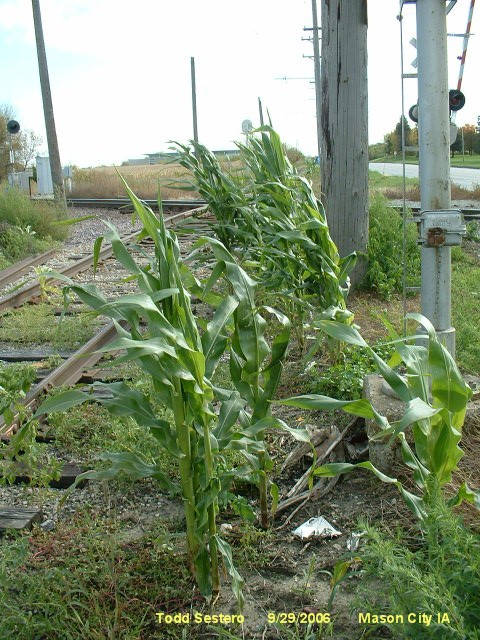
We chased this train from Nora Springs, and it passes by bunches of old out of service searchlight signals

What's left of the Rock Island yard... not much... and me by a street sign with my name on it
Railroad Oriented "Stuff"
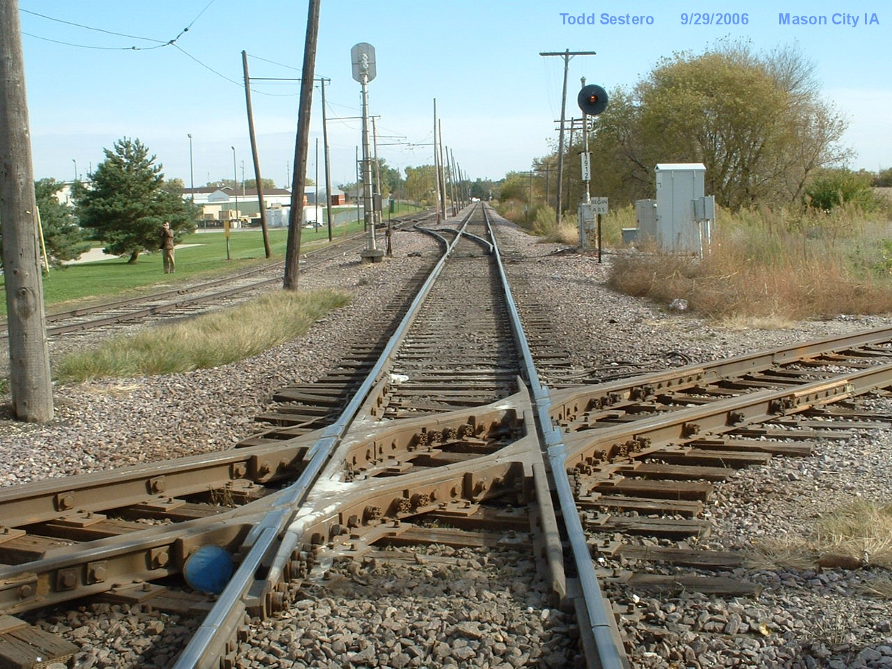
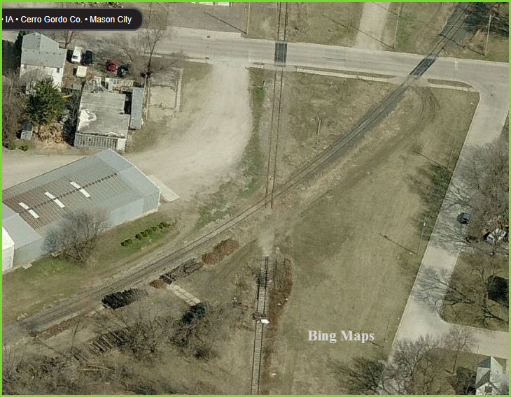
The IC&E / IATR interchange.
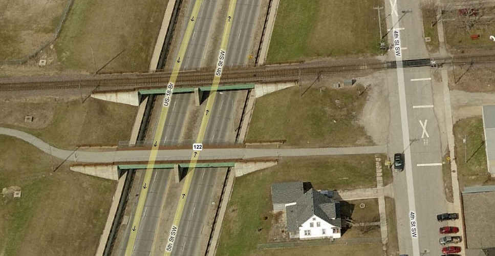
Just south of the CNW depot (#3 in the above map), going over 4th St, is this pair of bridges, one of which hasn't seen trains for years.
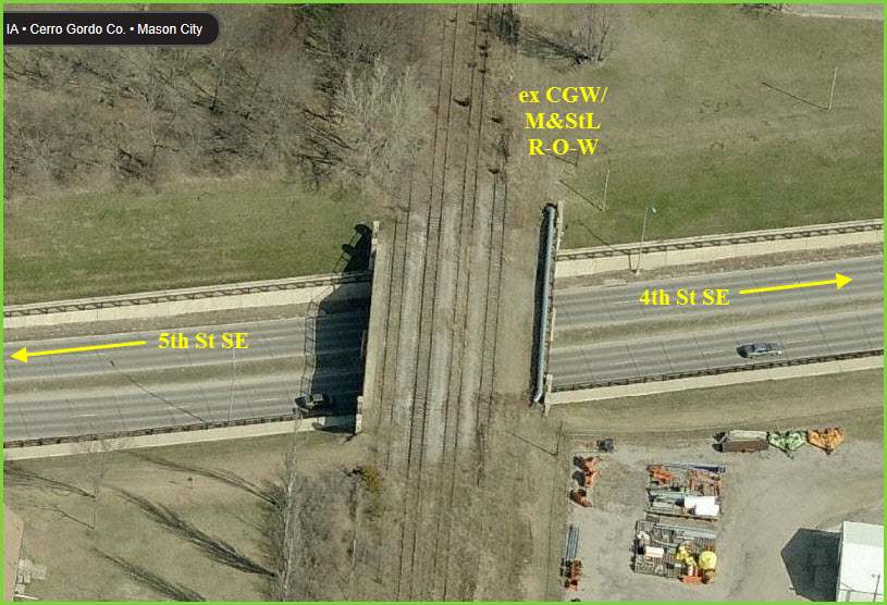
Ex CGW/M&StL right-of-way crossing 5th St SE
Ex CGW/M&StL right-of-way crossing 13th St NE, interesting layout, I guess there was a split here....
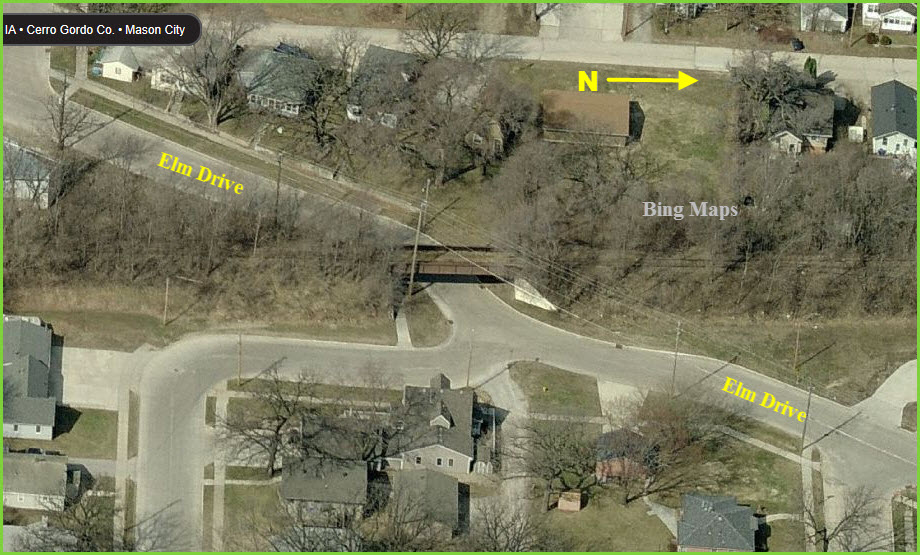
Ex CGW/M&StL right-of-way crossing Elm Drive on the diagonal

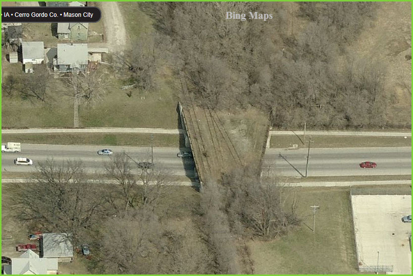
A couple of abandoned crossings on the M&StL line.
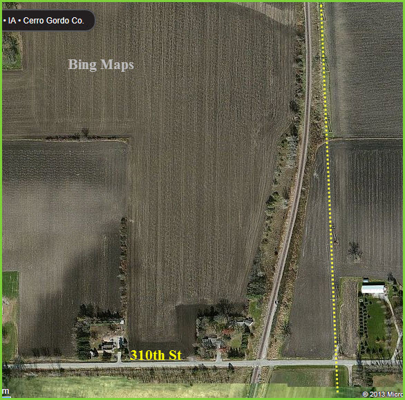
The M&StL "junction" on the north side by 310th St, the two lines ran parallel
to each other. A power line now runs where the tracks once stood.
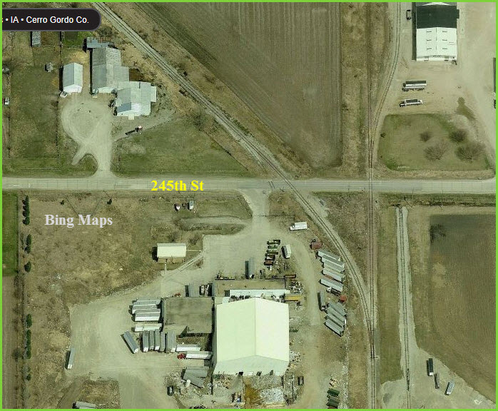
The M&StL junction on the south side of town below 245th St. Some of the ex M&StL line north of the junction is used for siding access.
 UP's relay cabinets on 19th street.
 Well placed electric cables for the IATR..... not :-)
Other "Stuff"
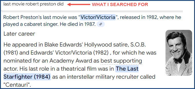
I mentioned the Music Man and Robert Preston above. Here is an example of
AI GONE WRONG. Being a Sci-Fi fan, I knew that Robert Preston starred in a
movie called THE LAST STARFIGHTER, and I thought I remembered it being his
last film. So I Googled it. At first, Google said Victor-Victoria
was his last film in 1982, but below that, when it discussed his other movies,
it DID say that the Last Starfighter was his last movie in 1984. We're not
there yet, so don't trust AI for all your answers quite yet.....
Courtesy USGS, click here for their index page.

This is a USGS index map from roughly 1920

Disclaimers:
New format 10/26/23: Please check out my disclaimer page for my standard
dribble and contact info here
RAILFAN GUIDES HOME
RAILROAD SIGNALS HOME
New: FEB19/2010, DEC09/2013, DEC04/2019, APR10/11/12/2025
Mod:
12-Apr-2025