In General
Maps
Pictures
Photo Policy

RAILFAN GUIDES HOME
RAILROAD SIGNALS HOME

In General


Location / Name:
Northern New Jersey and Manhattan/NYC NY

What's Here:
PATH Rapid Transit System - a Heavy Rail / Subway system

Data:
GPS Coordinates: as needed
Phone A/C: N/A
ZIP: N/A

Access by train/transit:
Amtrak at Newark NJ
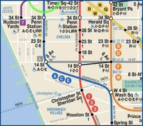
NYC: 14th St - L, F, M Subway
NYC: 23rd St - F, M Subway
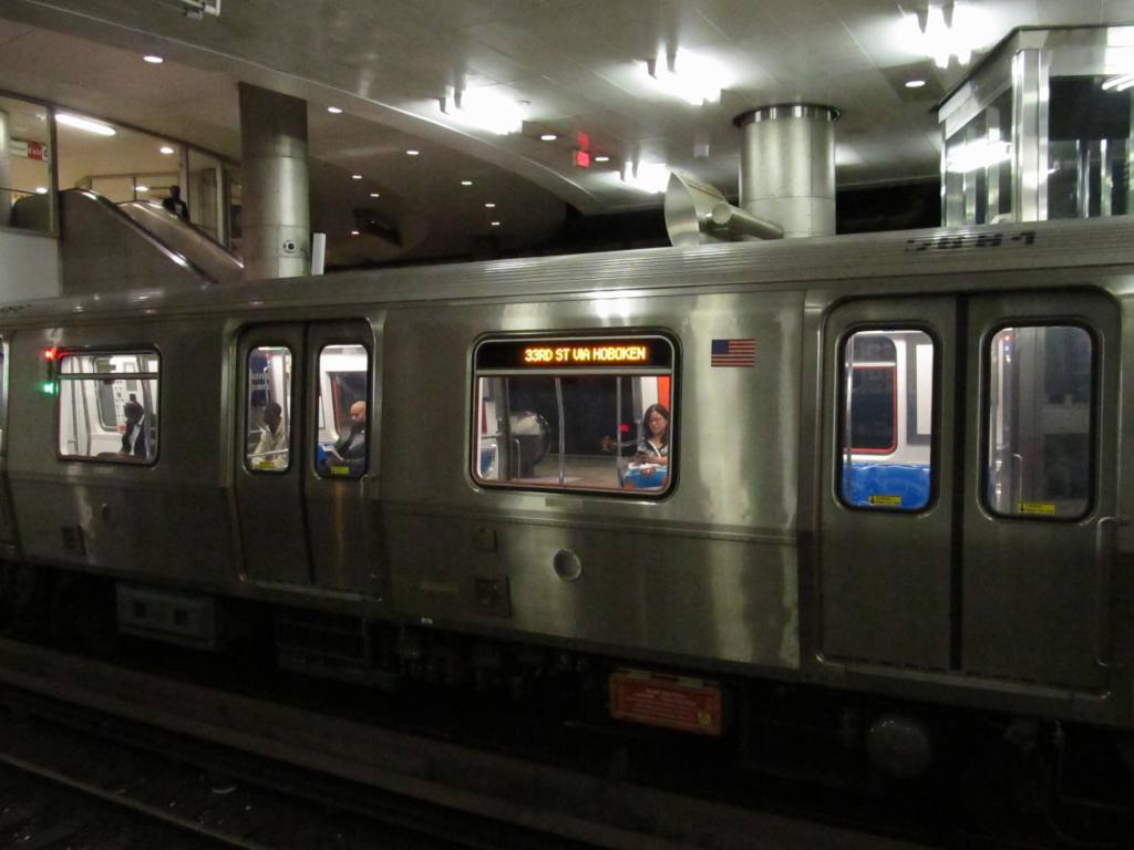
NYC: 33rd St - B, D, F, M IND lines and N, Q, R, W BMT lines at the 34th St/Herald Square station

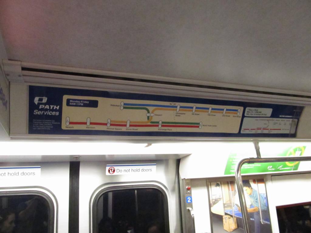
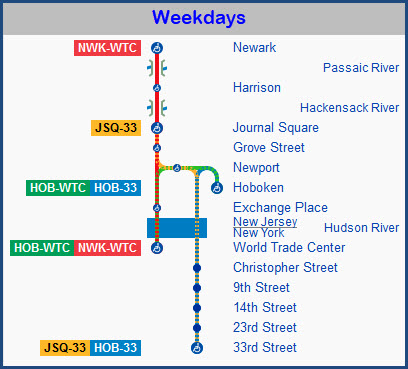
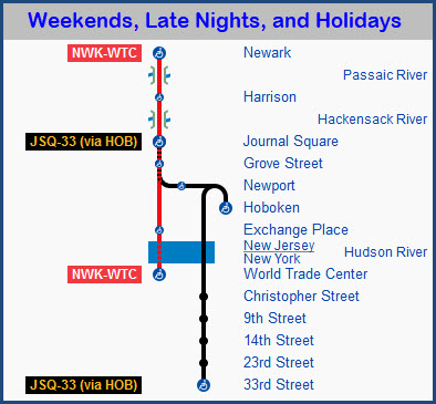
Connections to the NYC Subway system in Manhattan can be seen in the map below.


The Scoop:

The system started out life as the Hudson & Manhattan Railroad (H&M), opening for operation in 1908, and finished by 1911.  Because of the rise in travel by automobile, ridership declined after WWII, and was forced into bankruptcy in 1954.  In 1962, the Port Authority of New York and New Jersey purchased the ailing H&M, and re-named it PATH.

Although PATH has long operated as a rapid transit system, it is legally a commuter railroad under the jurisdiction of the Federal Railroad Administration (FRA); its 
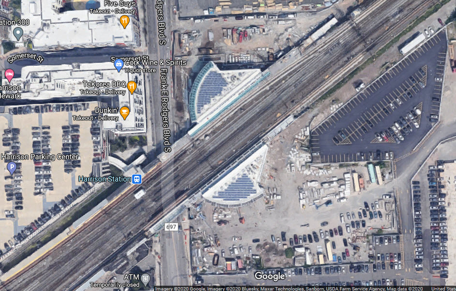
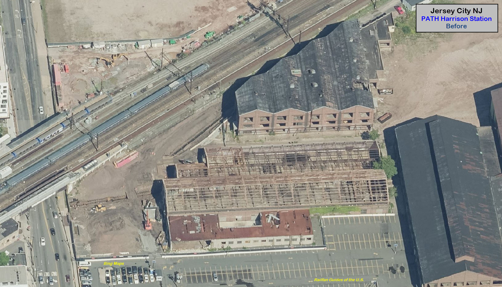
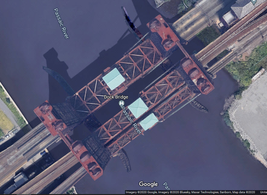
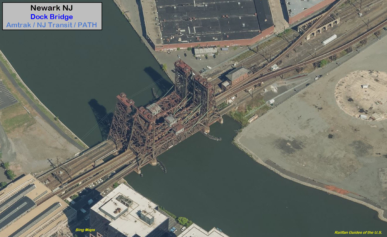
trackage between Newark and Jersey City is located in close proximity to Northeast Corridor trackage and shares the Newark Dock Bridge with intercity and commuter trains.  All PATH train operators must therefore be licensed railroad engineers and extra inspections are required.

If the NYC Subway System is still issuing weekly passes, they did not work at the PATH turnstiles years ago.

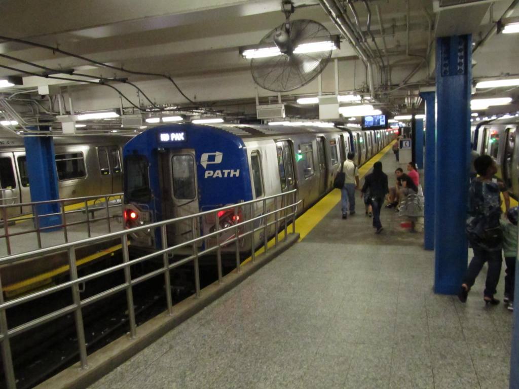
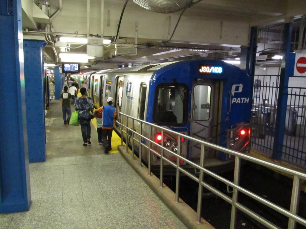
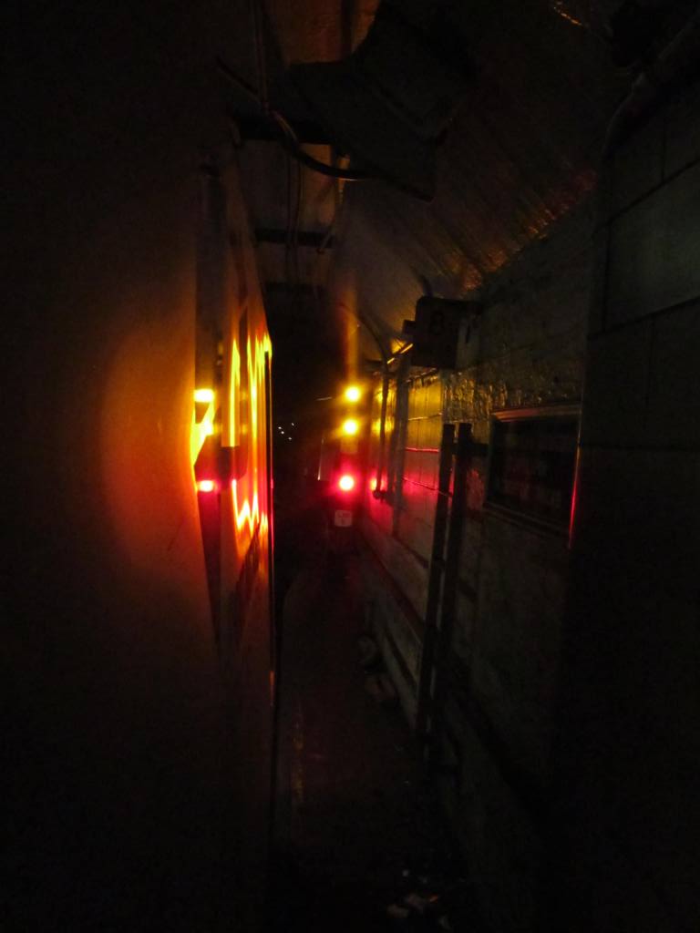
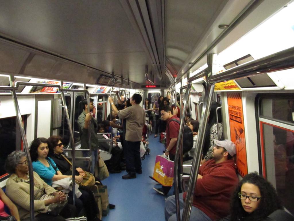
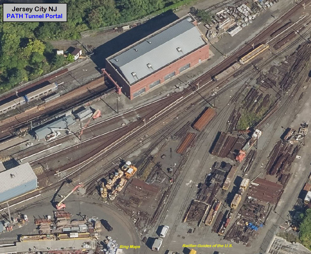
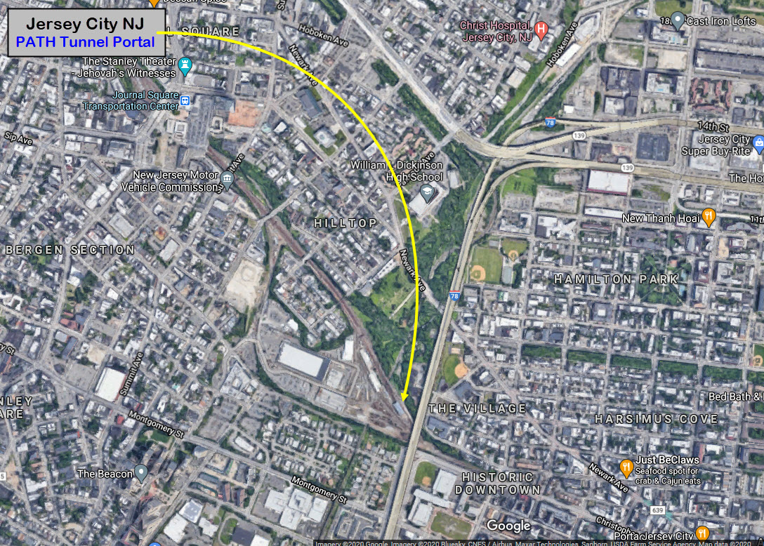
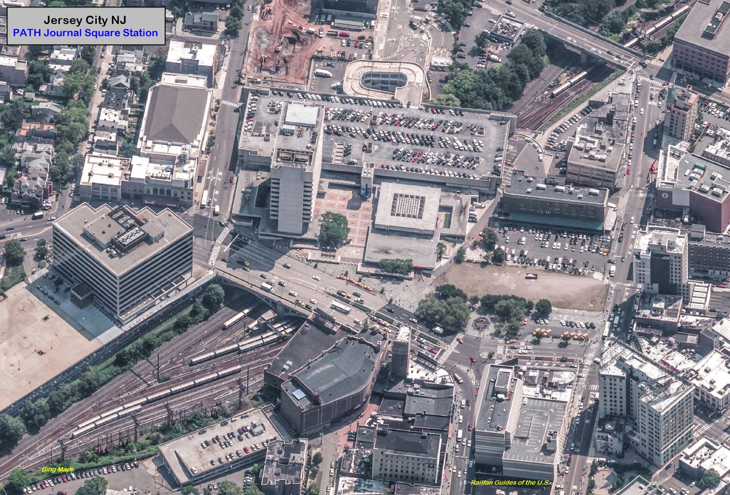
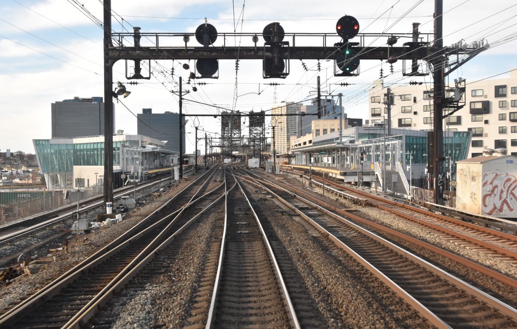
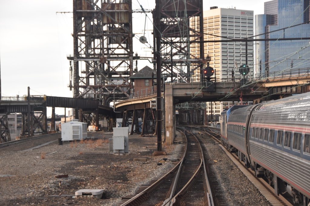
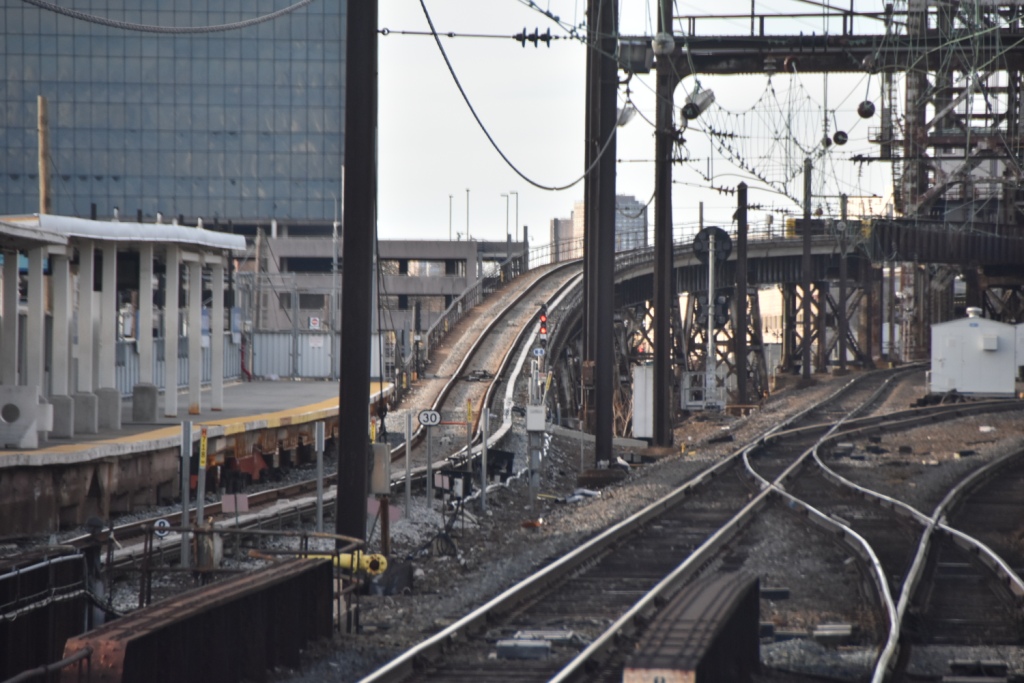
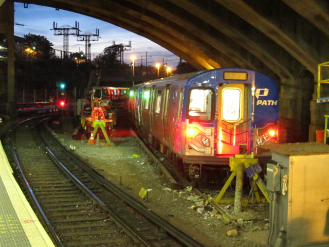
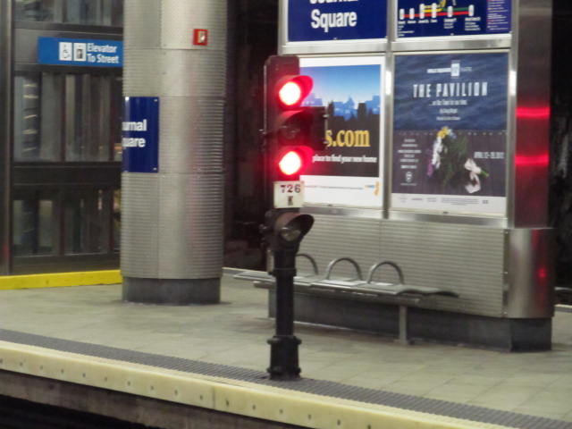
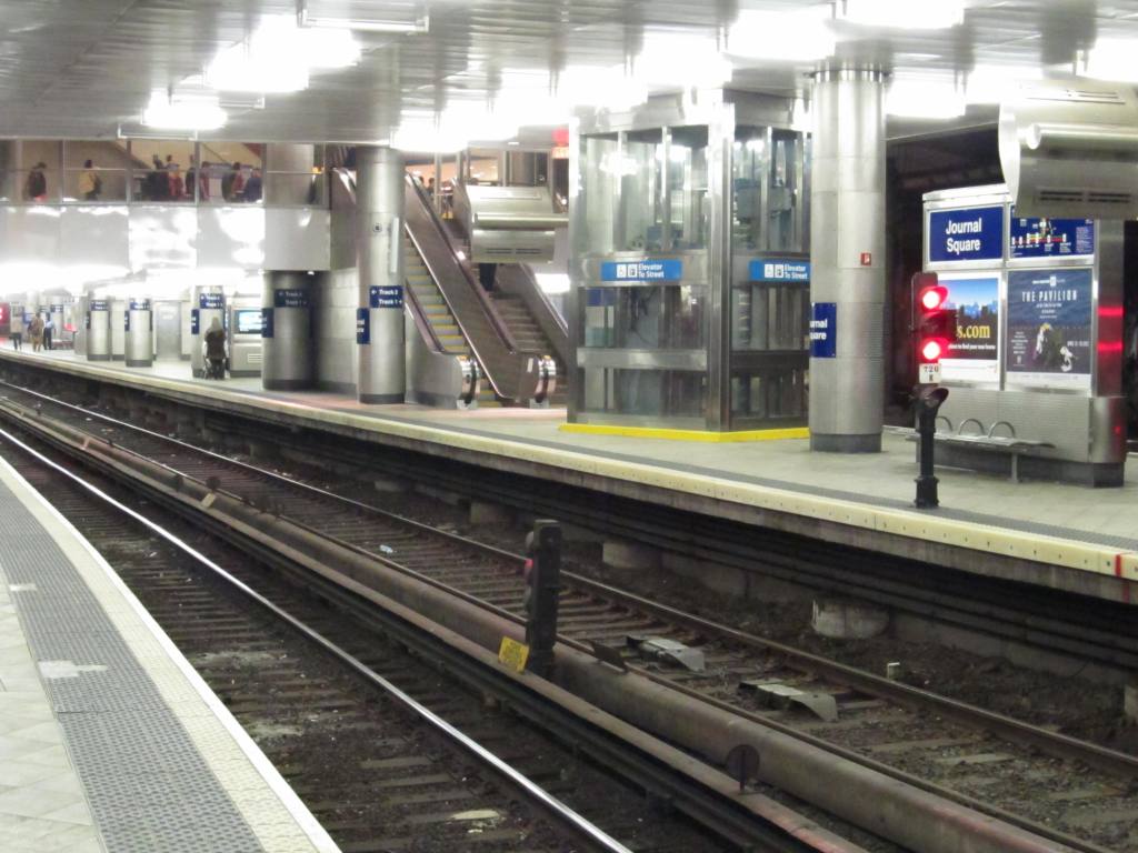
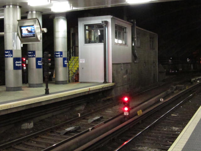
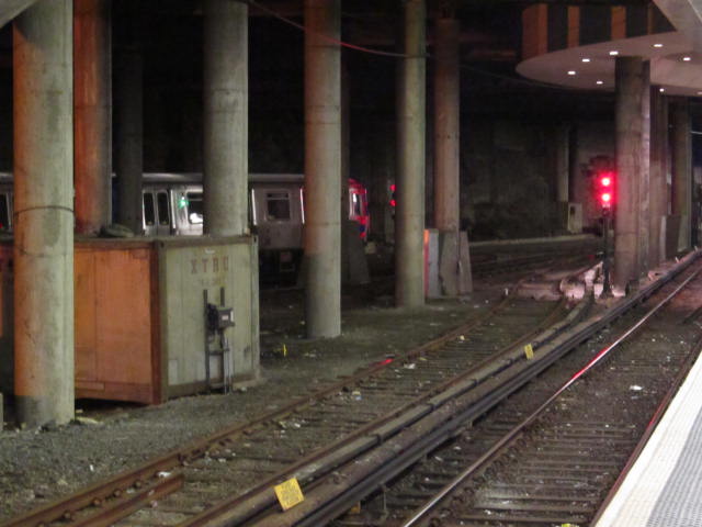
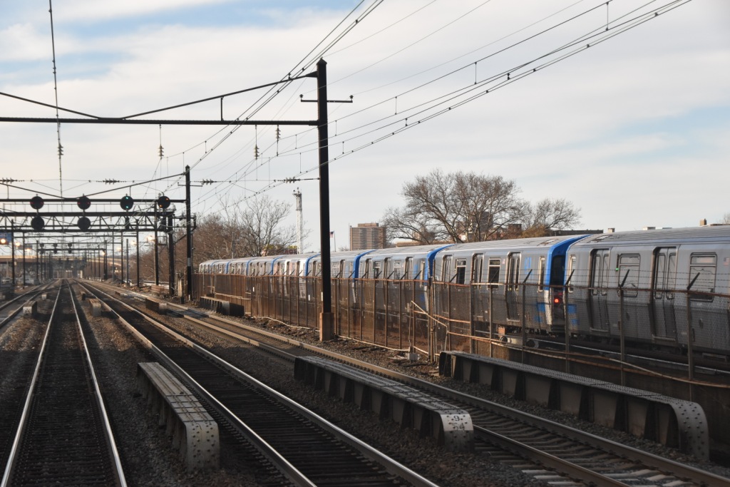
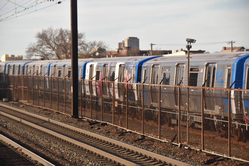
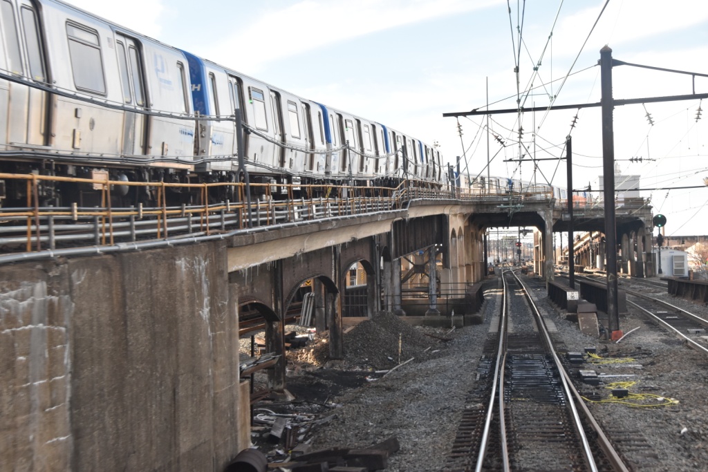
Some of the pictures I have below, if you're wondering what they are all 
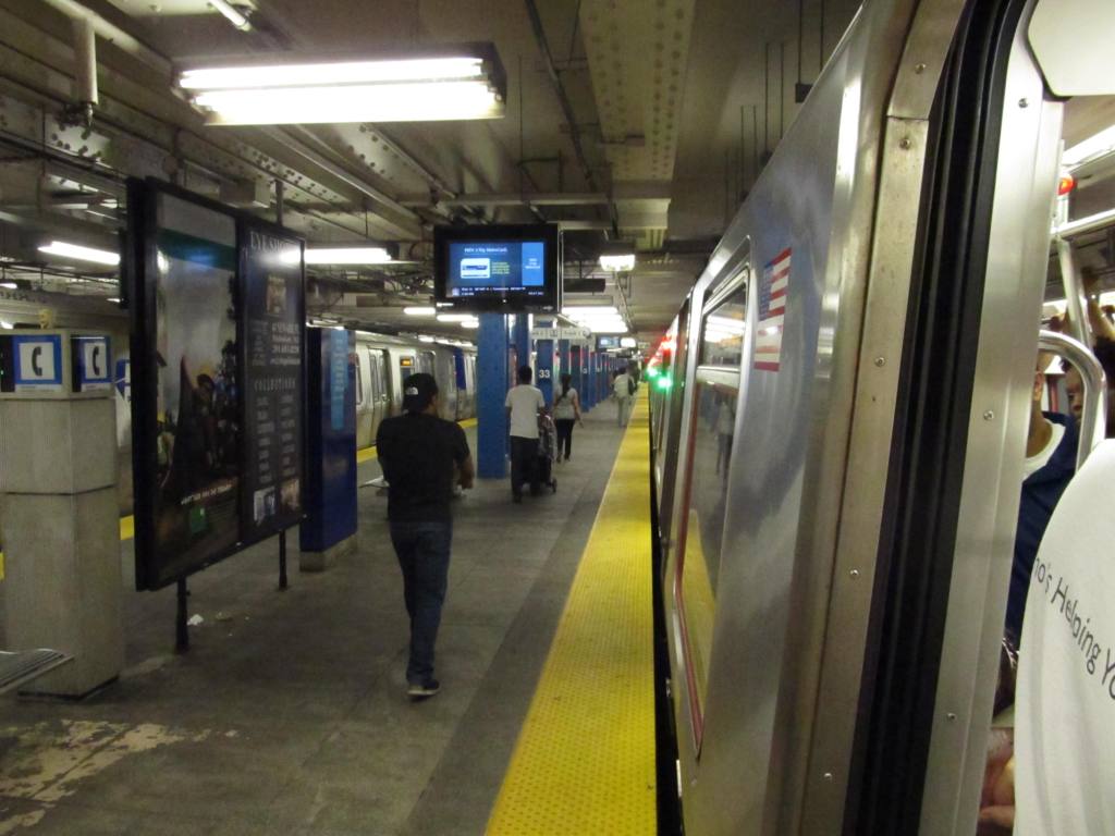
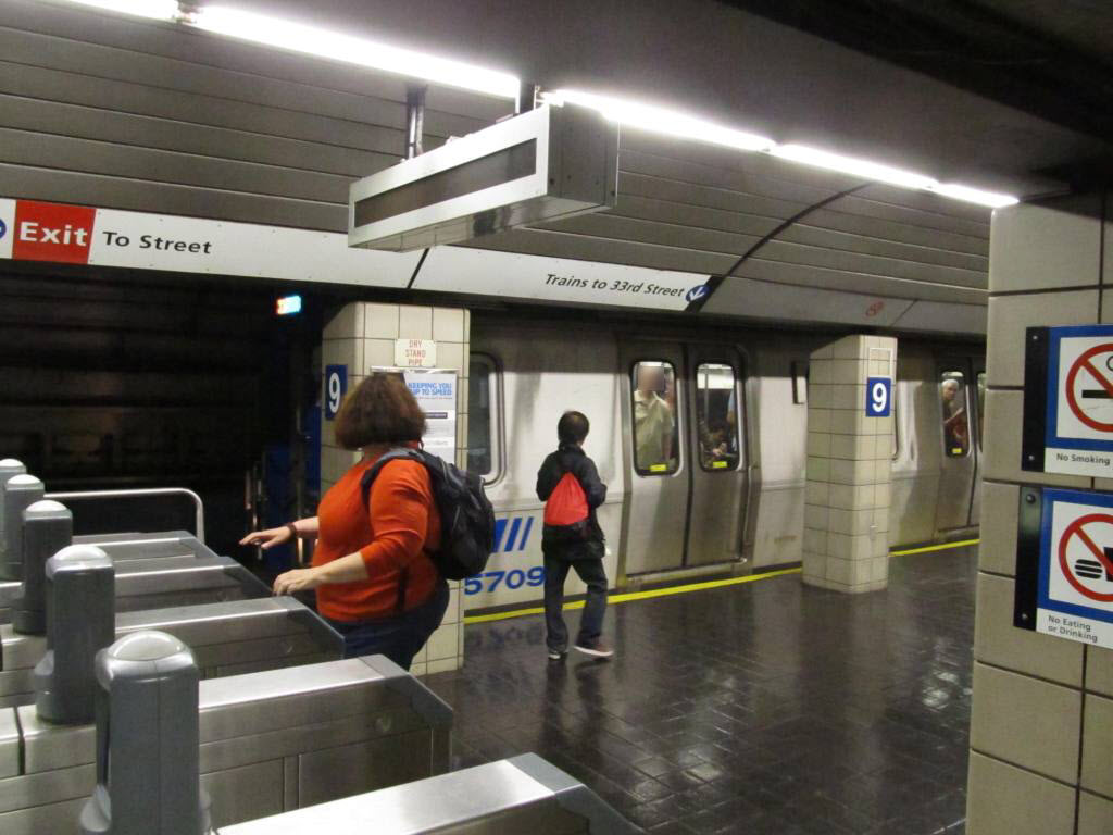
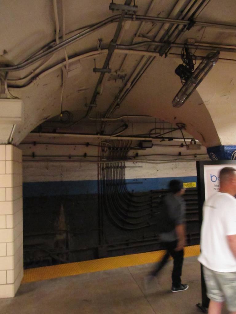
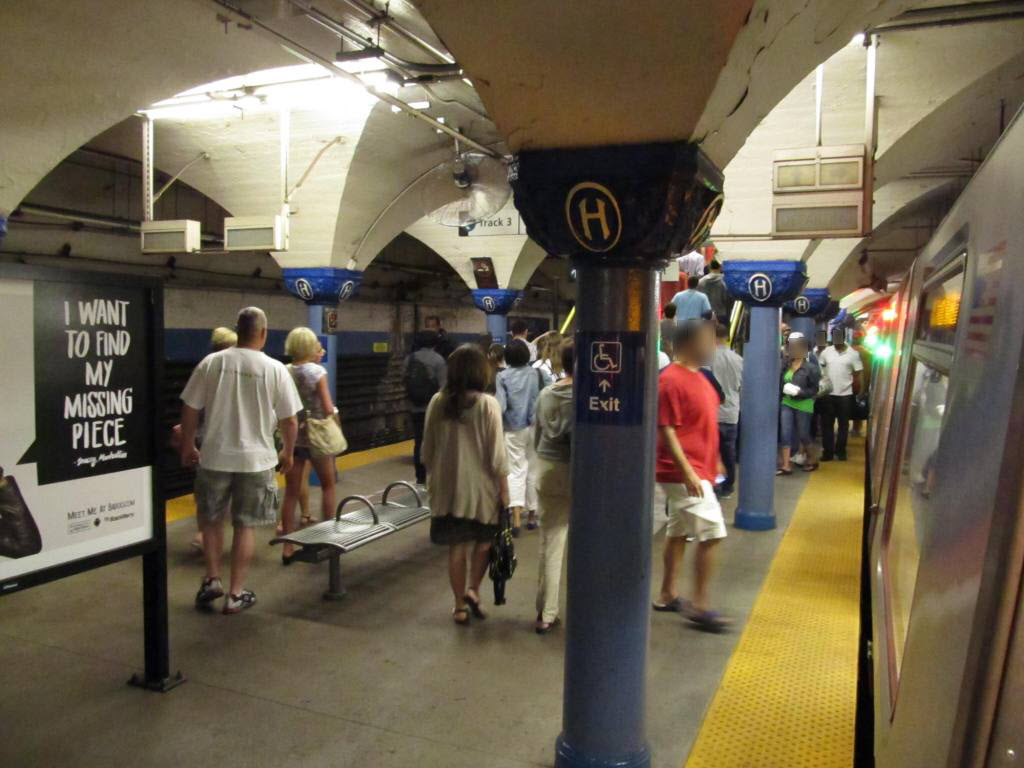
about, are detail shots, nothing in specific, and some are signal pictures.  Being that the system is over 100 years old, I just love the fact that you are walking around in what could be considered a working museum! :-)
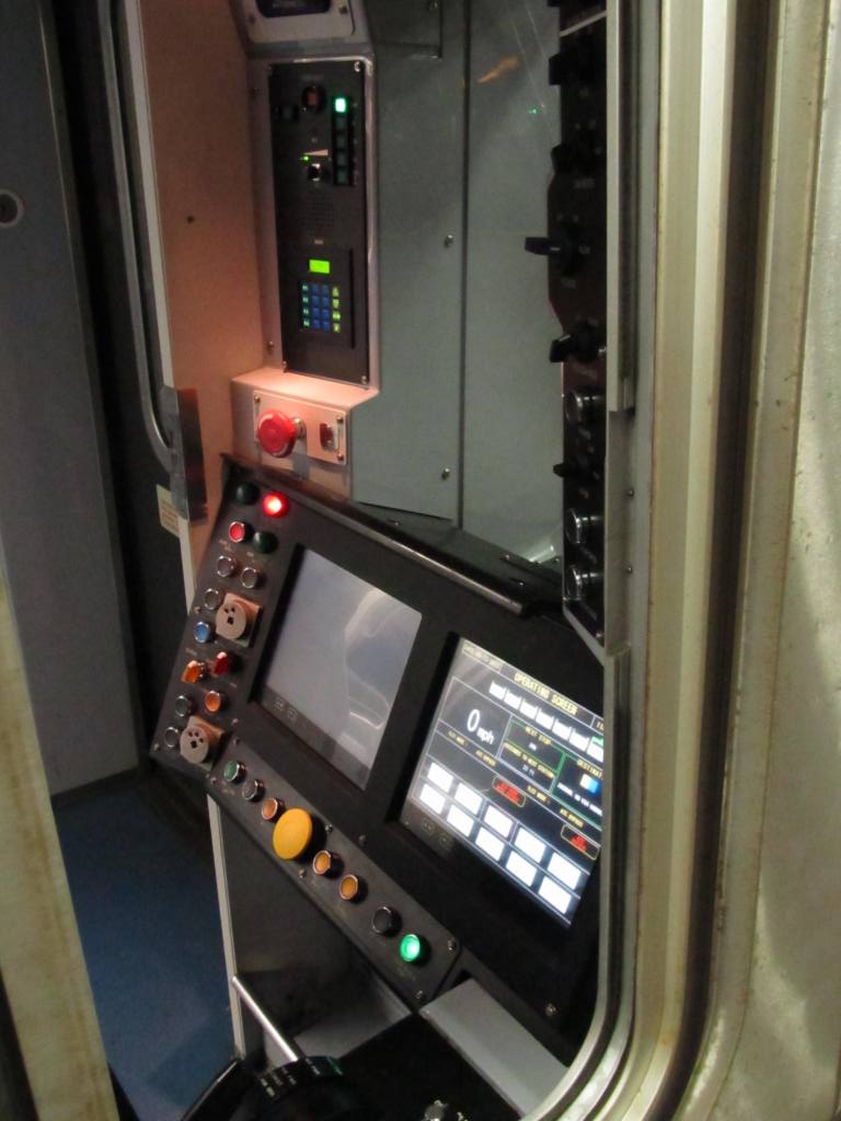
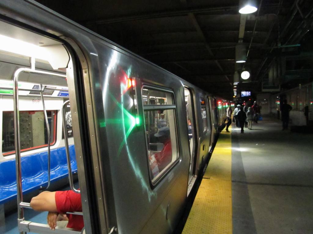
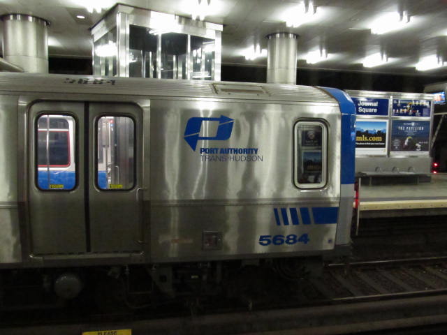
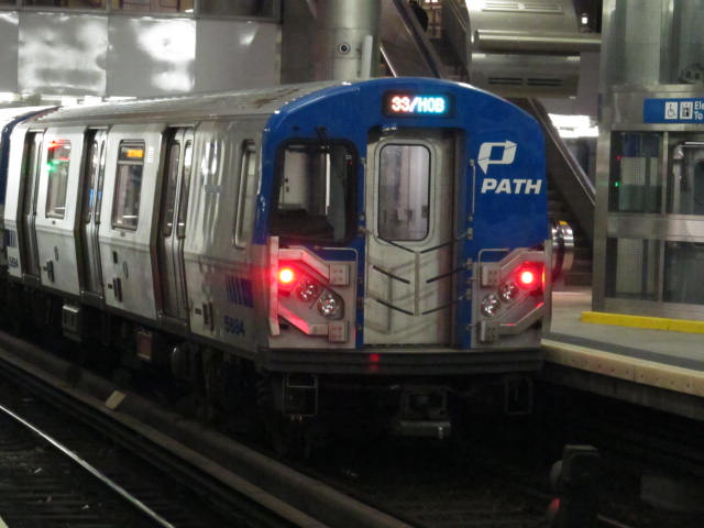
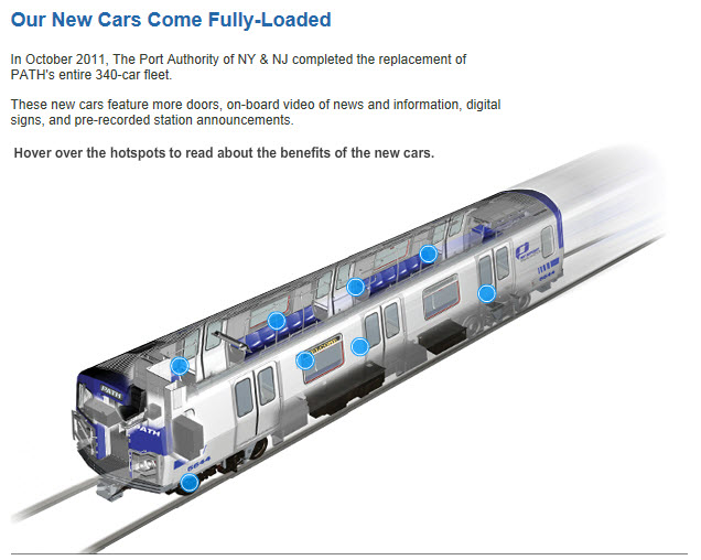
The Cars:

PATH currently uses one class of rolling stock, the PA5, which was delivered in 2009–2011.


Acknowledgements:
none yet...

Websites and other additional information sources of interest for the area:
https://en.wikipedia.org/wiki/PATH_(rail_system)
https://en.wikipedia.org/wiki/Dock_Bridge
https://en.wikipedia.org/wiki/Harrison_station_(PATH)
https://en.wikipedia.org/wiki/Pennsylvania_Station_(Newark)
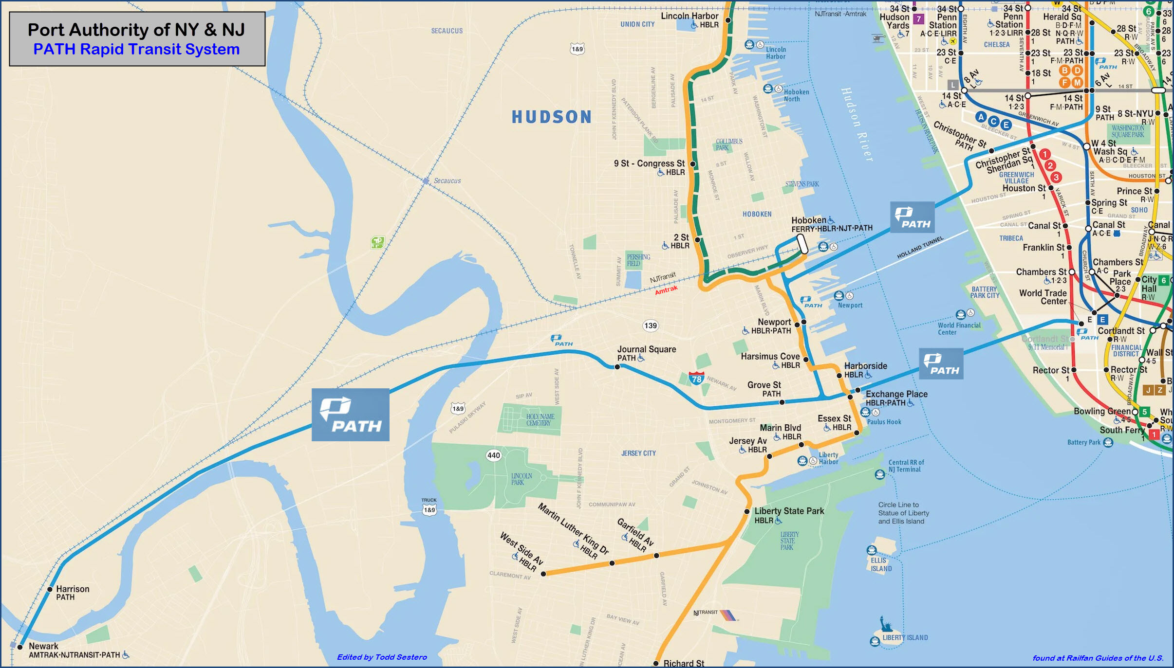

Maps


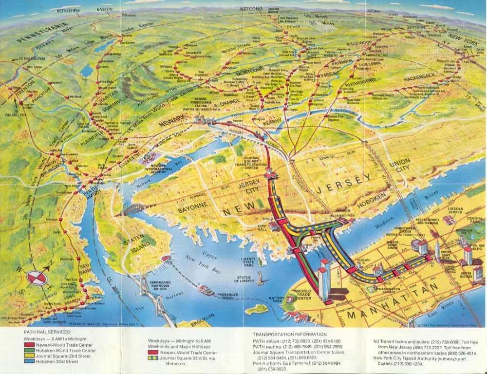
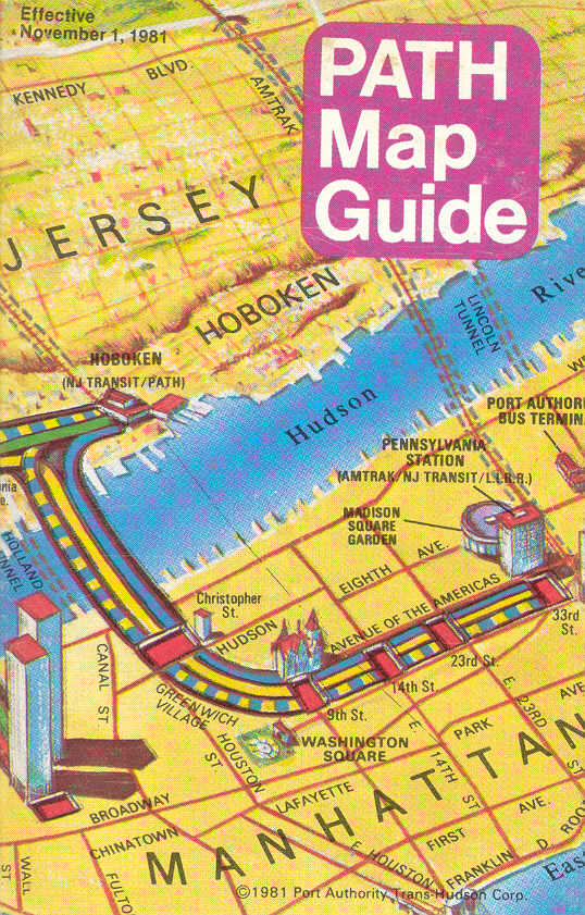
The pictures above are from a pocket guide issued prior to 9/11/2001


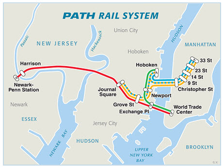
Current map of the rail system from their website.
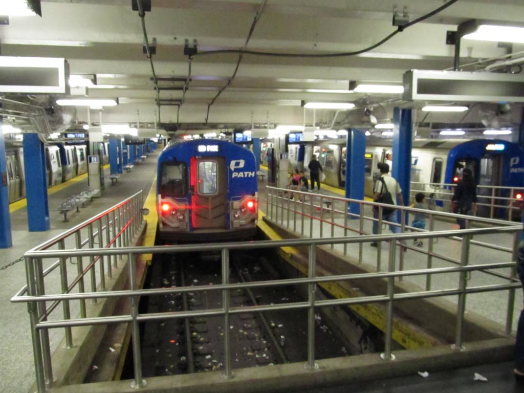


Pictures


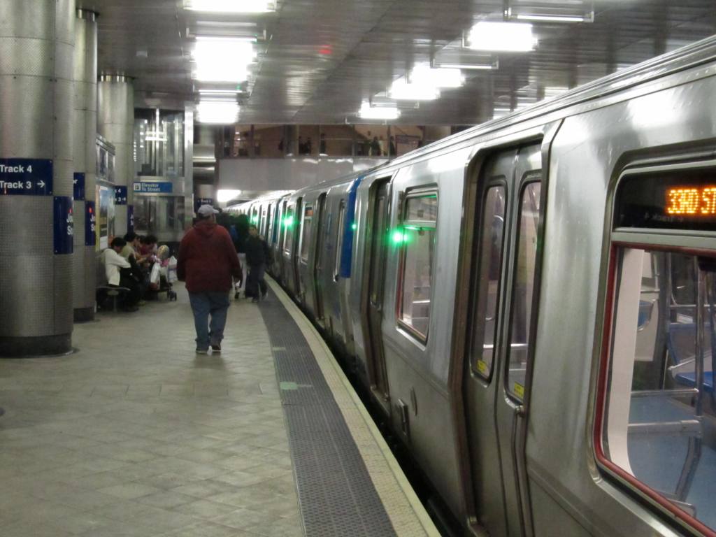
33rd St Station - NYC


Hoboken Station - NJ


Grove St Station - NJ


Enroute


Tunnel Portal

GPS Coordinates: 40.724240, -74.055010


Journal Square NJ Station


Harrison NJ Station

The 2018-2019 entrances on the east side of Frank E. Rodgers Boulevard contain separate semicircular glass headhouses for each platform.  The Newark-bound headhouse opened to passengers on October 30, 2018, and the New York-bound headhouse opened to passengers on June 15, 2019.


Dock Bridge

Dock bridge is on the north side of the Newark station, and crosses the Passaic River.  The bridge is actually several structures, one for the Northeast Corridor (3 tracks), one for PATH (2 tracks), and one for freight (single track).

Once on the north side of the bridge, there is a flyover for the SB PATH trains, to get on the west side of the Corridor, and a "smaller" flyover for the NB trains to go over the freight track.


Newark NJ Station


Storage for the cars on the south side of the Newark station, and the flyover used to get to it.  From a NB Amtrak train.  Jan 12th, 2020.


PATH's Photo Policy

Picture taking or video's are not allowed on the property without obtaining permission first, but the website does not say from where or from who to get the permission from... one would assume either their police department, or a customer service location.  I've never been pulled aside for taking pictures in or around their stations, however, that doesn't mean that "they" won't come after you :-).


Disclaimers:

I love trains, and I love signals.  I am not an expert.  My webpages reflect what I find on the topic of the page.  This is something I have fun with while trying to help others.

Please Note:  Since the main focus of my two websites is railroad signals, the railfan guides are oriented towards the signal fan being able to locate them.  For those of you into the modeling aspect of our hobby, my indexa page has a list of almost everything railroad oriented I can think of to provide you with at least a few pictures to help you detail your pike.

If this is a railfan page, every effort has been made to make sure that the information contained on this map and in this railfan guide is correct.  Once in a while, an error may creep in :-)

My philosophy: Pictures and maps are worth a thousand words, especially for railfanning.  Text descriptions only get you so far, especially if you get lost or disoriented.  Take along good maps.... a GPS is OK to get somewhere, but maps are still better if you get lost!  I belong to AAA, which allows you to get local maps for free when you visit the local branches.  ADC puts out a nice series of county maps for the Washington DC area, but their state maps do not have the railroads on them.  If you can find em, I like the National Geographic map book of the U.S..... good, clear, and concise graphics, and they do a really good job of showing you where tourist type attractions are, although they too lack the railroads.  Other notes about specific areas will show up on that page if known.

Aerial shots were taken from either Google or Bing Maps as noted.  Screen captures are made with Snagit, a Techsmith product... a great tool if you have never used it! 

By the way, floobydust is a term I picked up 30-40 years ago from a National Semiconductor data book, and means miscellaneous and/or other stuff.

Pictures and additional information is always needed if anyone feels inclined to take 'em, send 'em, and share 'em, or if you have something to add or correct.... credit is always given!  Please be NICE!!!  Contact info is here

Beware: If used as a source, ANYTHING from Wikipedia must be treated as being possibly inaccurate, wrong, or not true.

RAILFAN GUIDES HOME
RAILROAD SIGNALS HOME


New 11/22/11, OCT16/2013, OCT06/2020, OCT07/2020
last Modified: 07 Oct 2020